

I recall Frisian Islands reading Bernard Cornwall’s books about Uhtred, son of Uhtred….I am sure that there are references to seeking safe passage here. I must read the series again.
Then last year, as we started our journey home from Denmark, we flew from Copenhagen to London. It was a fine day and I had the window seat.
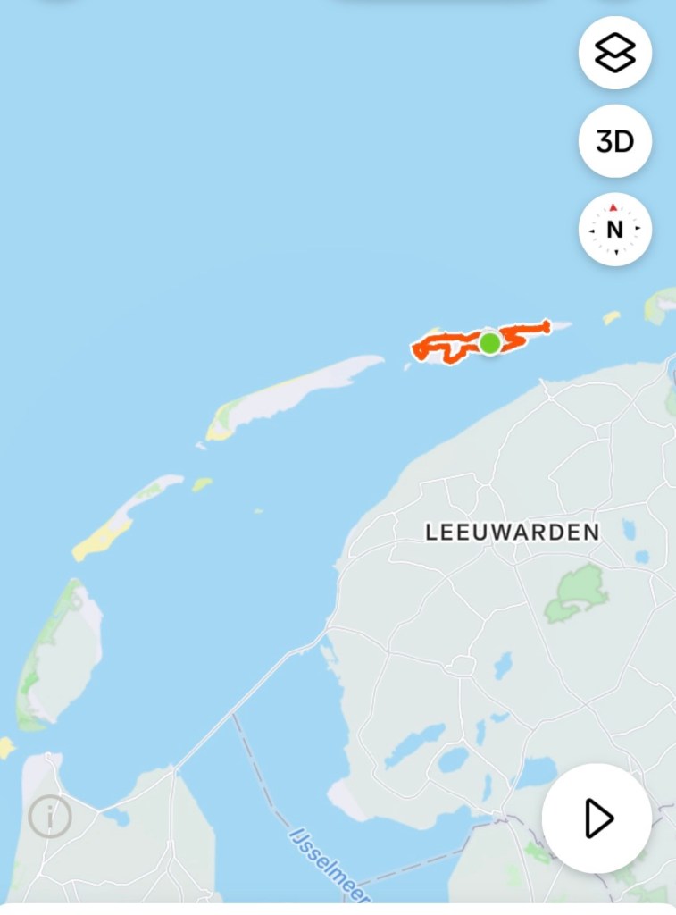
We flew over the Wadden Sea and from the air I saw the islands and next opportunity got my maps out and saw West Frisian Islands.
This then formed part of the motivation for this trip to visit one.
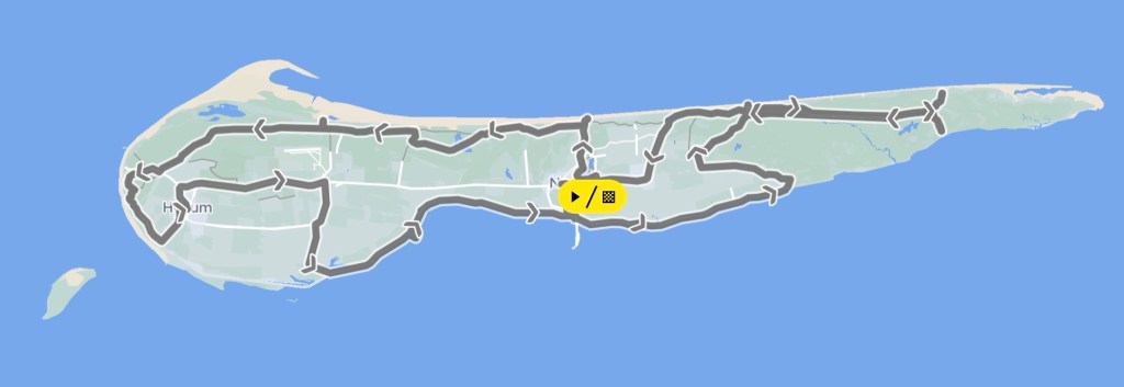
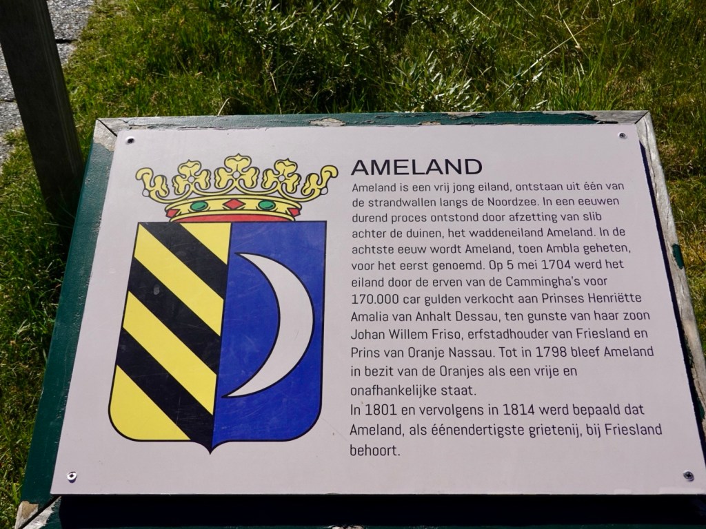
Ameland is the third major island with Terschelling to the west, Shiermonnikoog to the east. Easier to spell too!
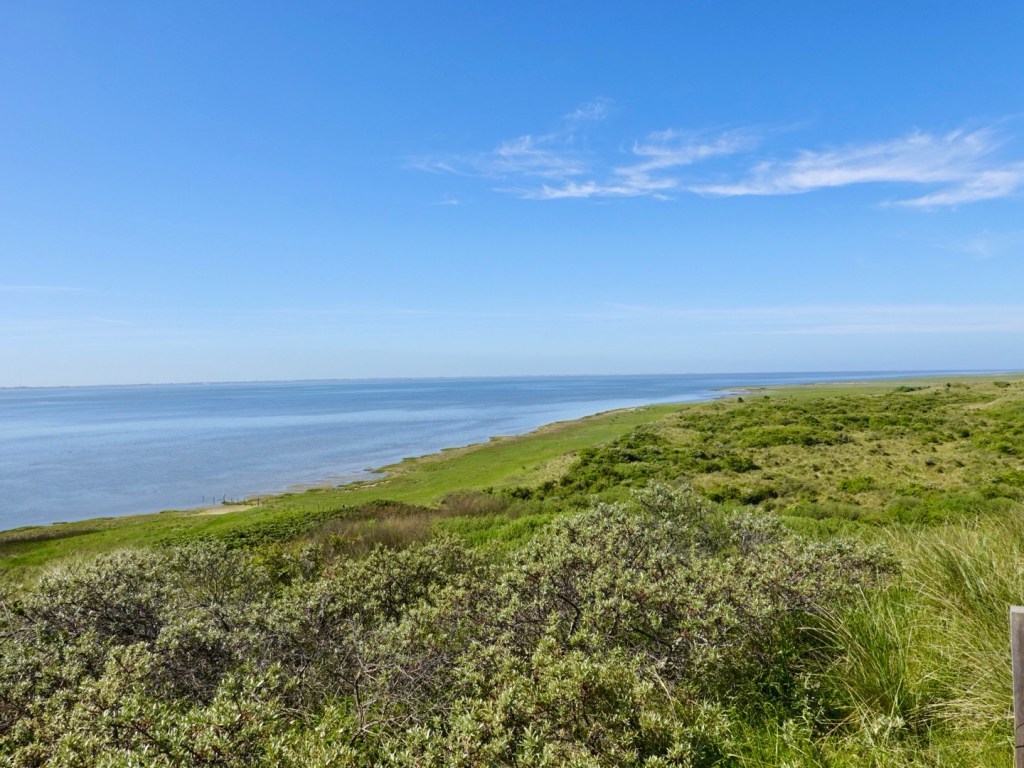
The Wadden Islands form a barrier between the North Sea and Wadden Sea.
Total population is around 3,800, boasting four villages.
Today we covered most of the island. Including the four villages. Total km of 60.
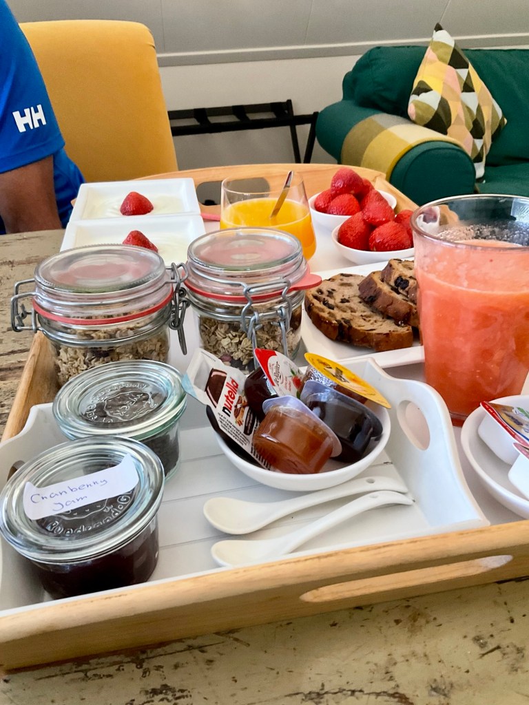
Firstly we had a very nice breakfast delivered to our door by our hosts, up their incredibly steep, narrow stairs.
The strawberries were divine.
We headed down to the local information building to grab some cash from the atm. We needed 8 euro for the local tourist tax.
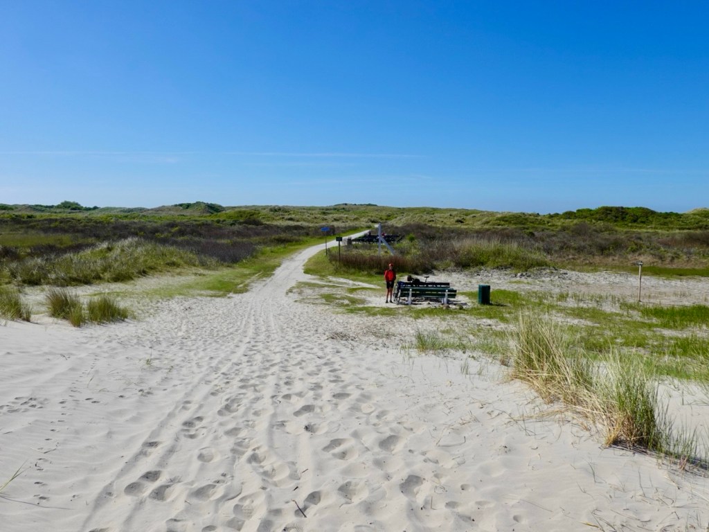
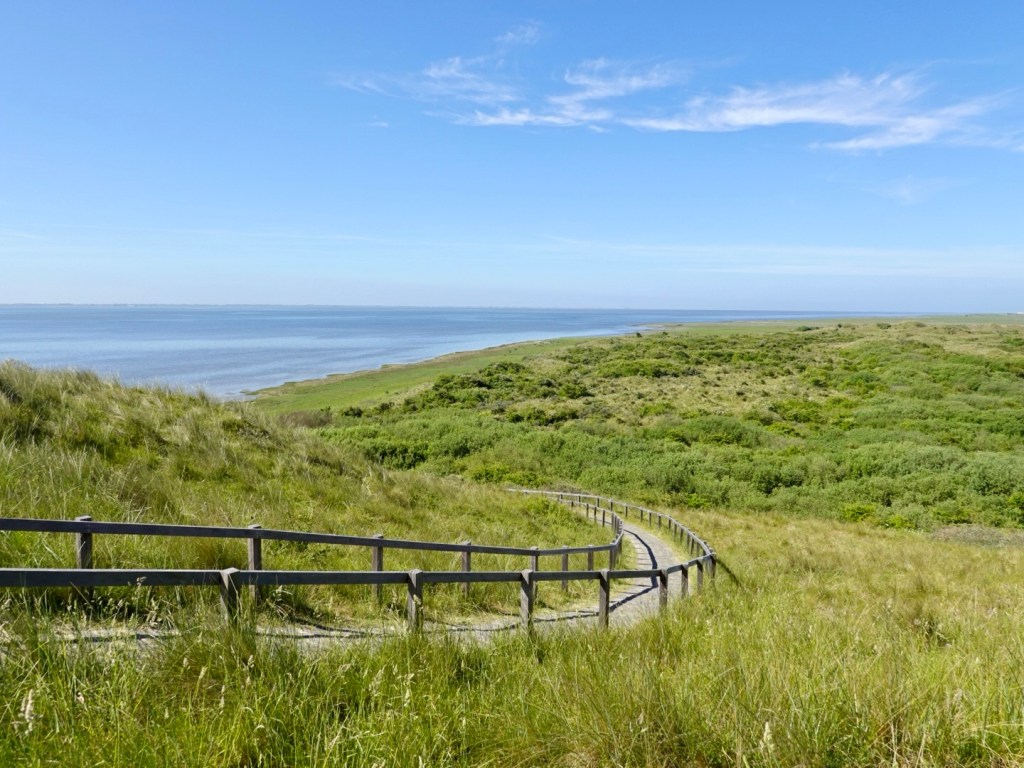
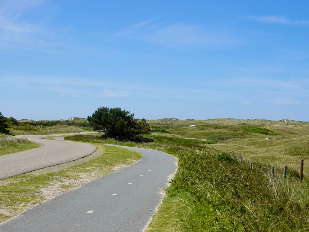
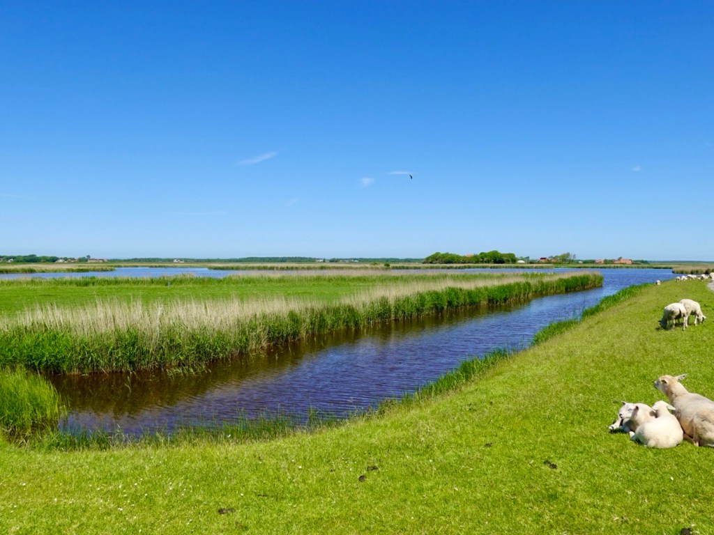
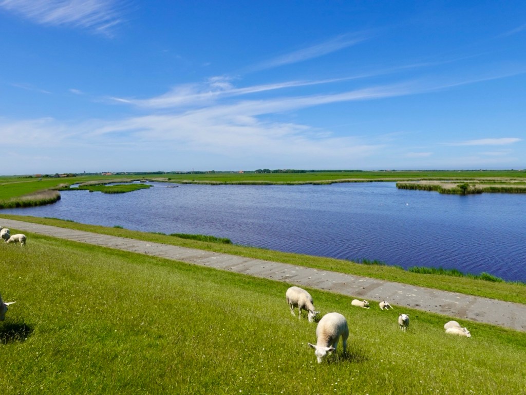
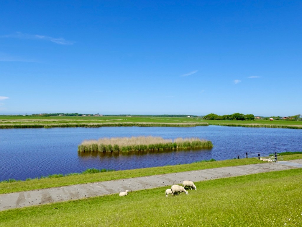
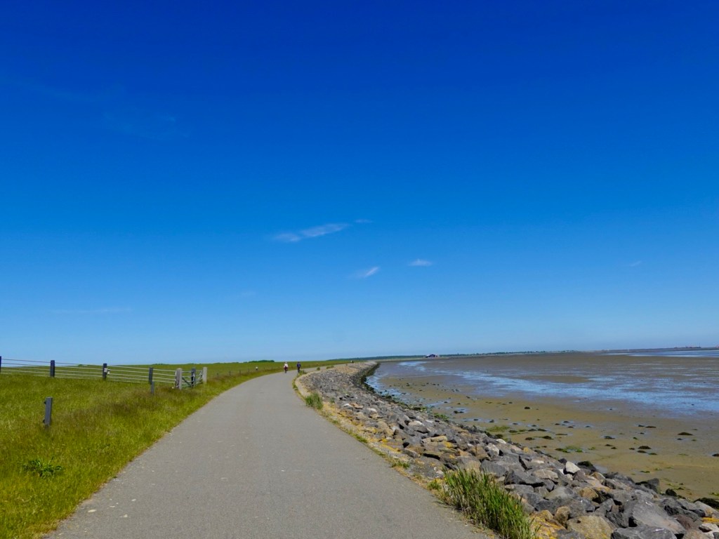
We then followed the dyke path to the north east, as far as you can ride.
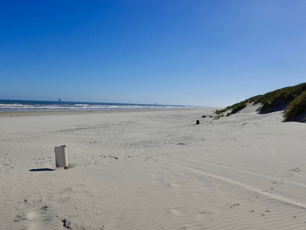
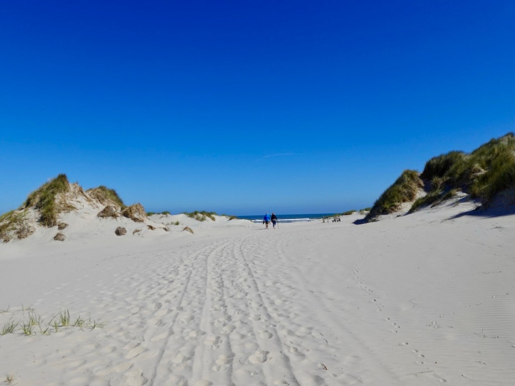
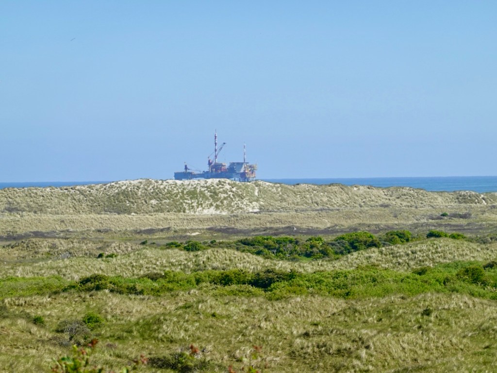
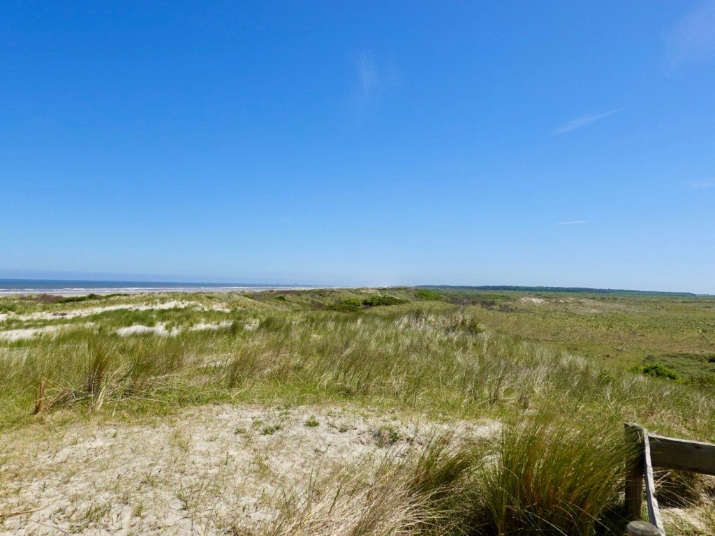
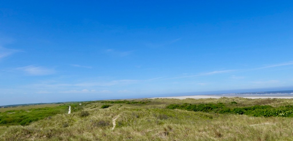
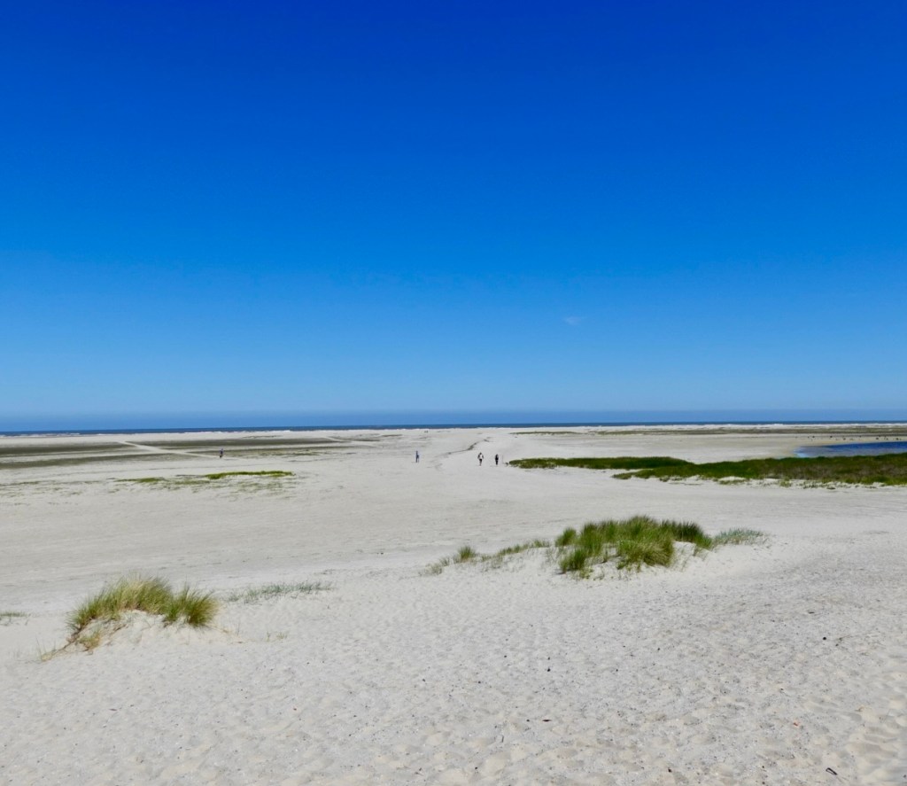
There are some glorious beaches. There are oil platforms off shore.
The paths varied. This one is very interesting as it is all shells. Whole and crushed. Quite muddy, so thinking that it might be from dredging the channels. Either side of the path is sand.
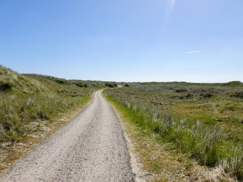
This is as far we can ride to the island extreme in this direction. There are walking paths to either side.
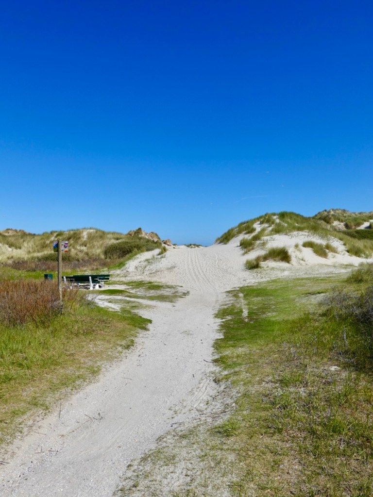
A long walk to the beach.
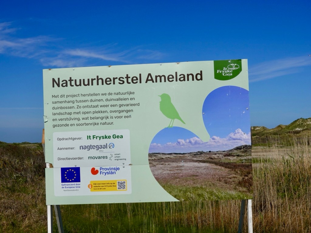
Nature signs abound.
Looking back towards me, where we parked the bikes.
We then ride to the highest point on the island. 24 metres above sea level😁. We were 35metres below sea level earlier, hence the importance of the dykes.
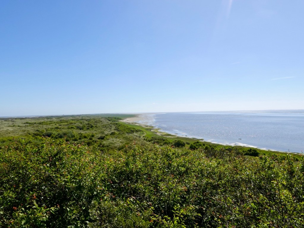
There are nice views across the island.
Part of one of the offshore platforms, looking across the sand dunes.
We then weaved our way up the other end, through each village and covering as much coast as possible.
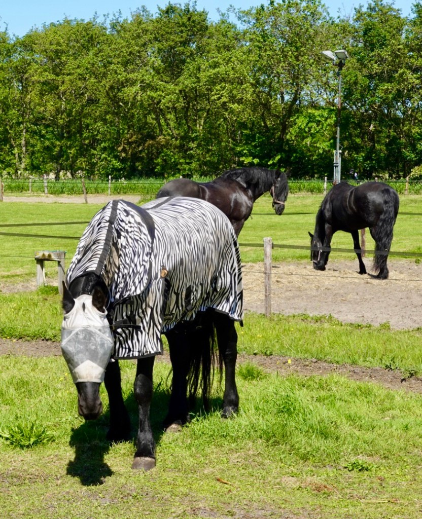
When does a horse become a zebra in disguise? The head cover also goes over its eyes, with the horse being able to see through the mesh.
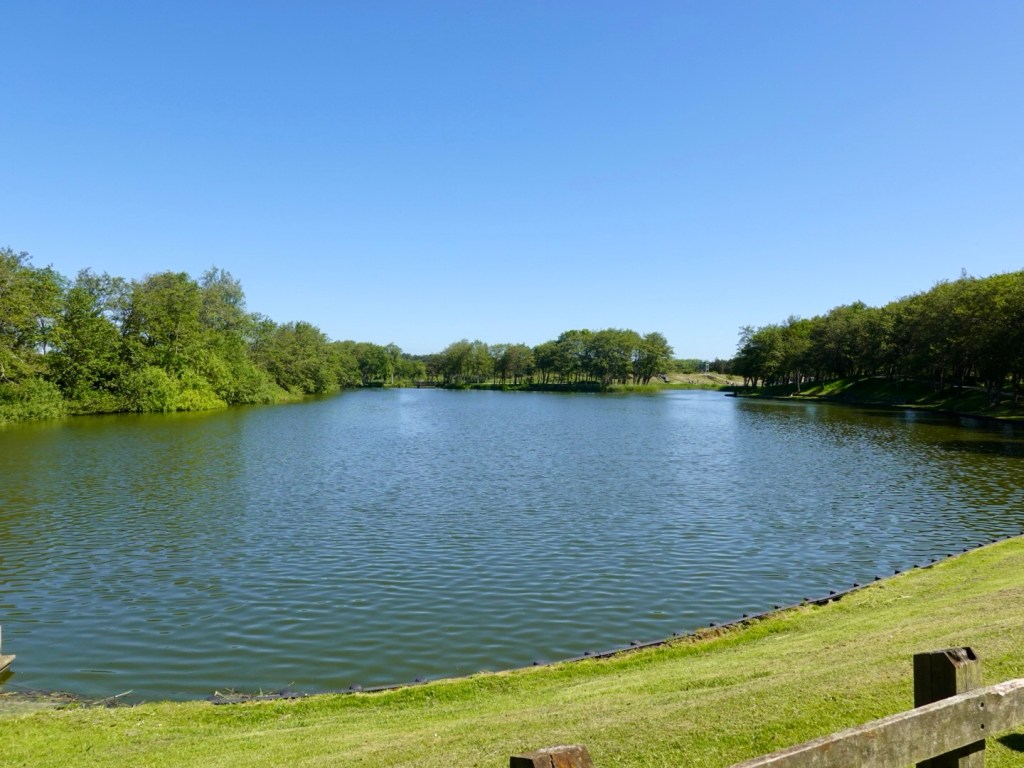
A lake near Nes with a few twists, turns and bridges.
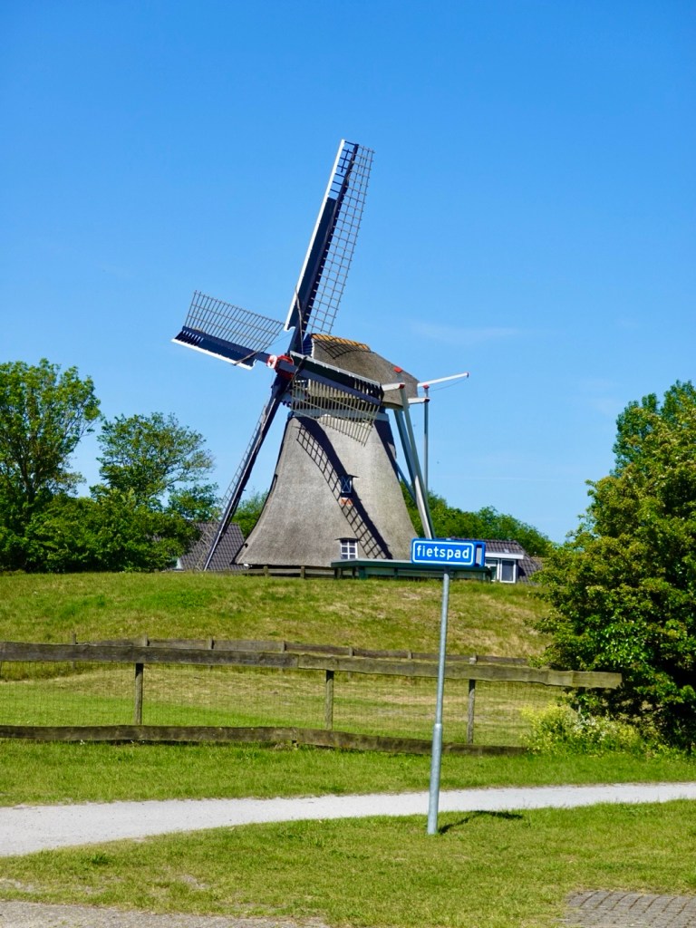
Oh, a windmill.
Then chaos hit. School children on bikes, everywhere. Peace and serenity gone as they squeal, shout, weave around on the paths.
Most of the teachers were pretty good, some more laissez faire.
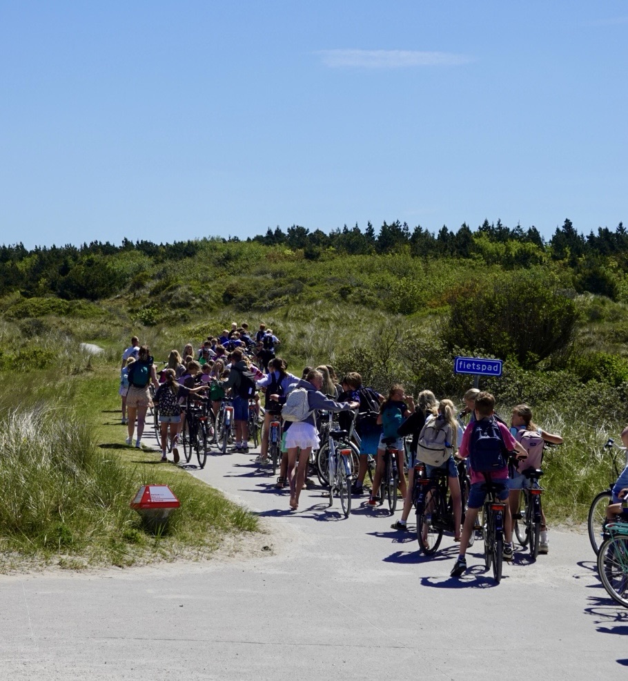
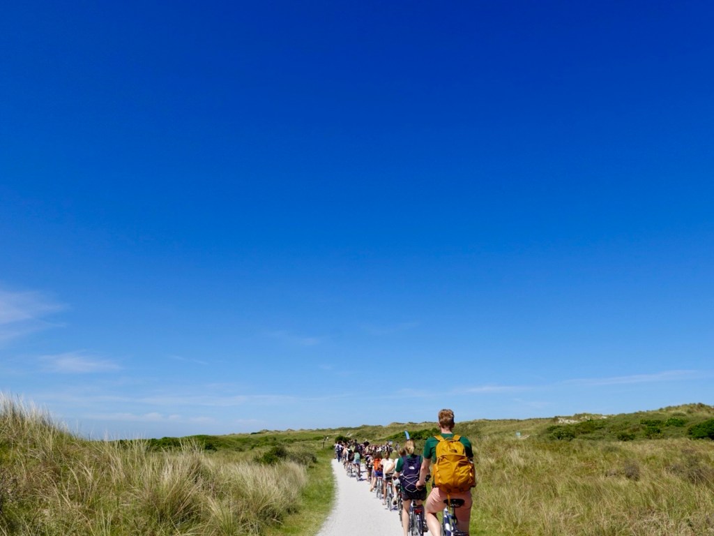
This group were going in the same direction. You either sit back at their 20 rpm cadence, or you pass them. We overtook this group of about 30 and they held their line pretty well.
More beach and sand dunes.
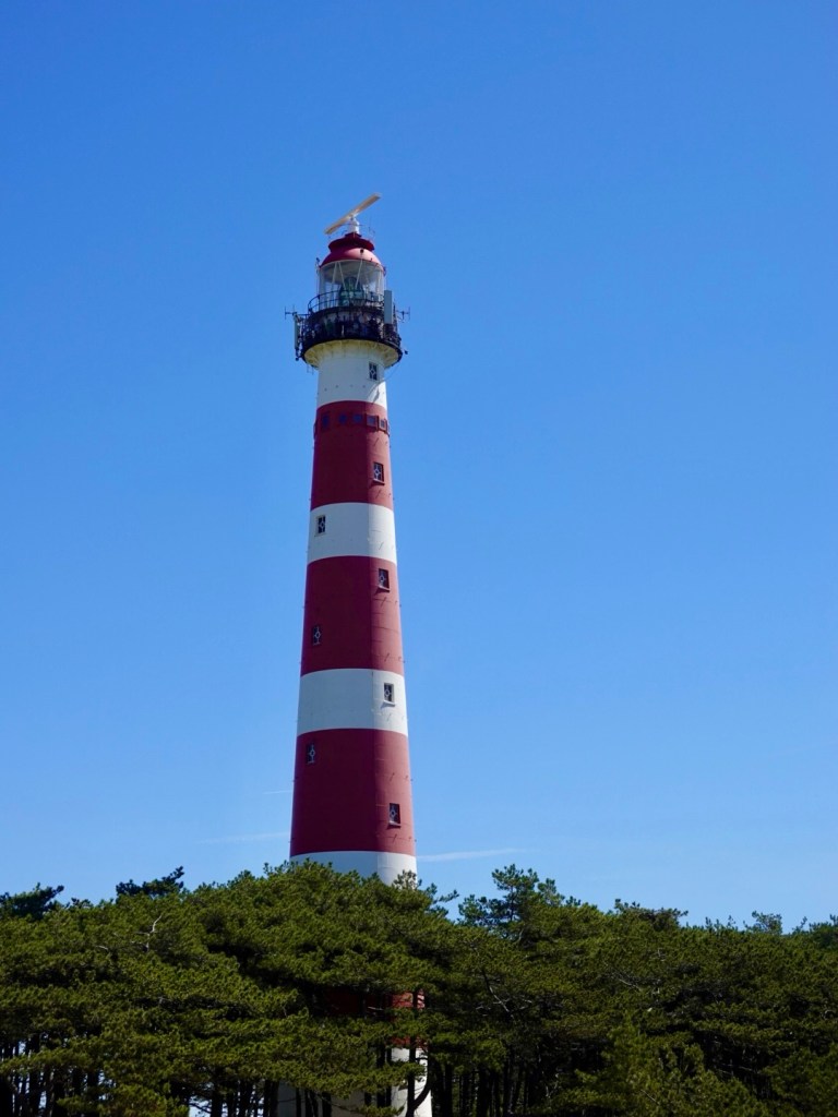
The famous lighthouse, popular for viewing sunsets. There are a group of school kids up there shouting and calling out to mates below.
Nice pathway beside the road, no school kids in sight.
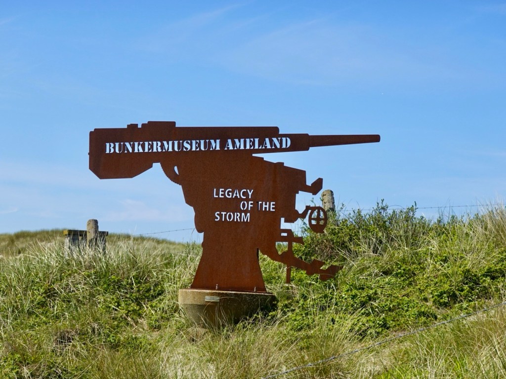
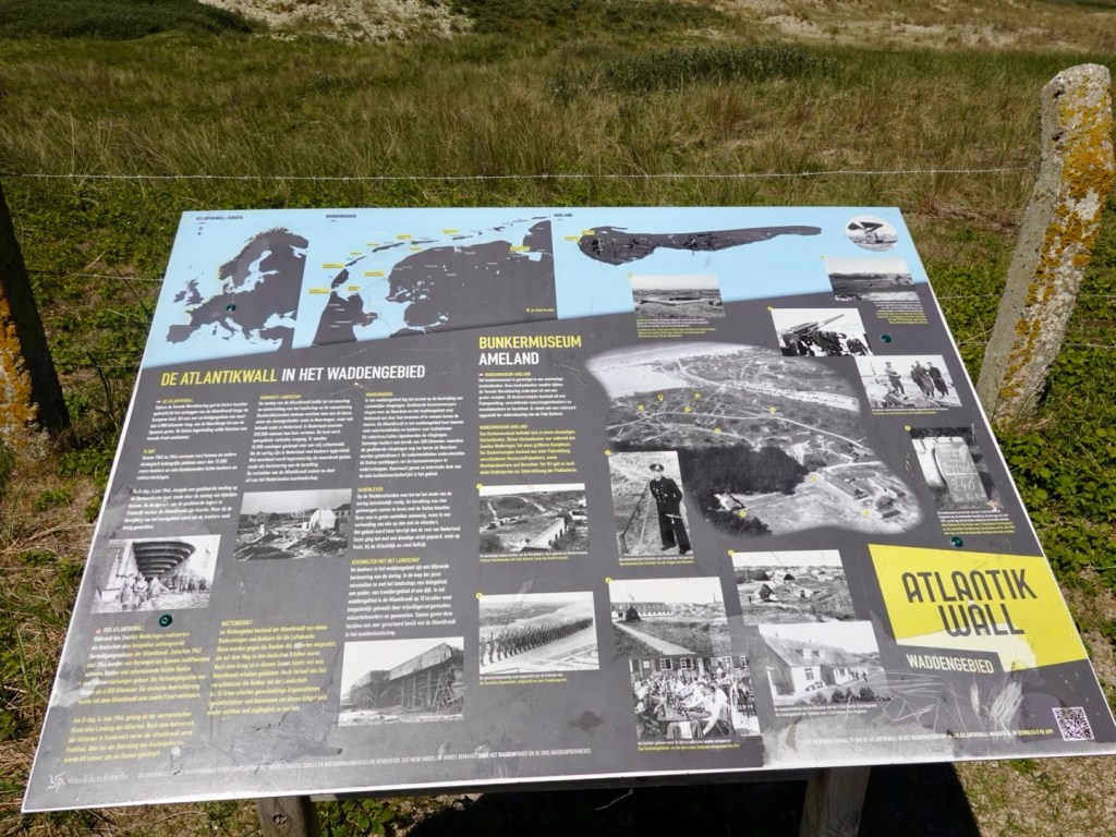
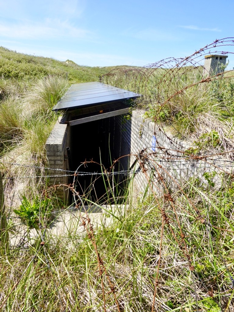
This was interesting. I had not heard of the Atlantic Wall. There are 6,000 km of a long German defence line from Norway to Spain. Here is one of those bunkers.
The Germans occupied Ameland during WWII but were never attacked as the Allies left them alone, as not seen as strategic.
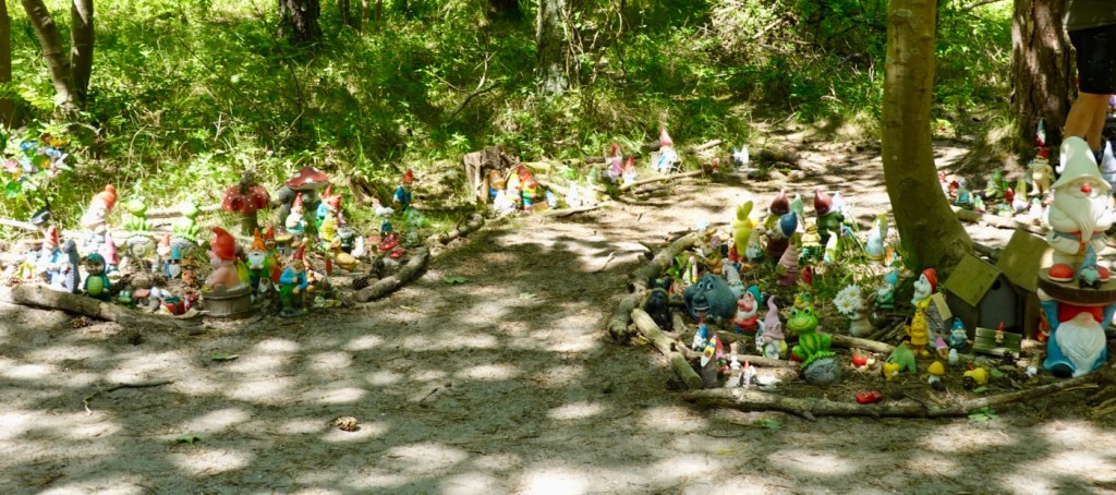
Just a few hundred metres away, hundreds of gnomes.
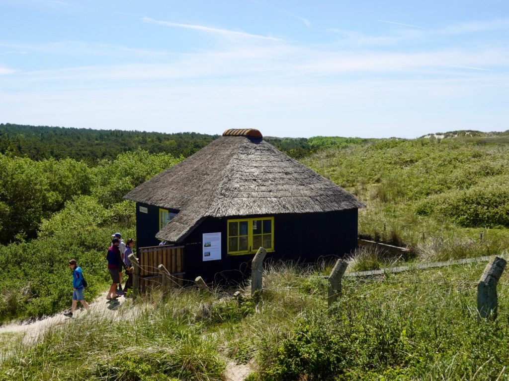
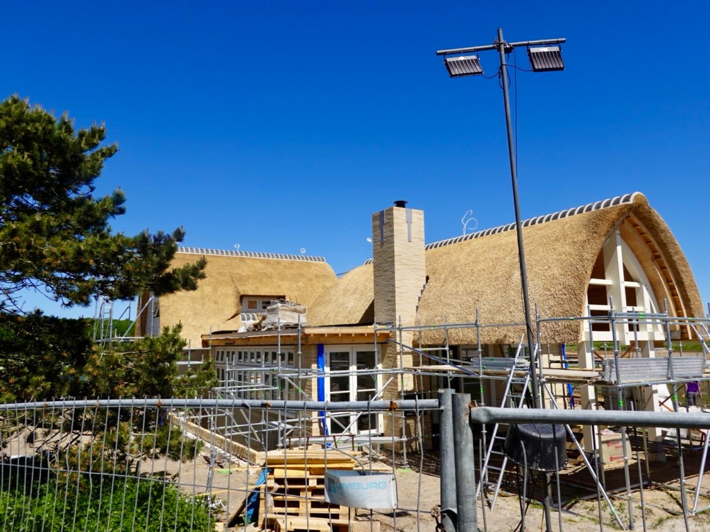
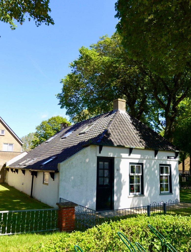
This new house has a fine thatch roof.
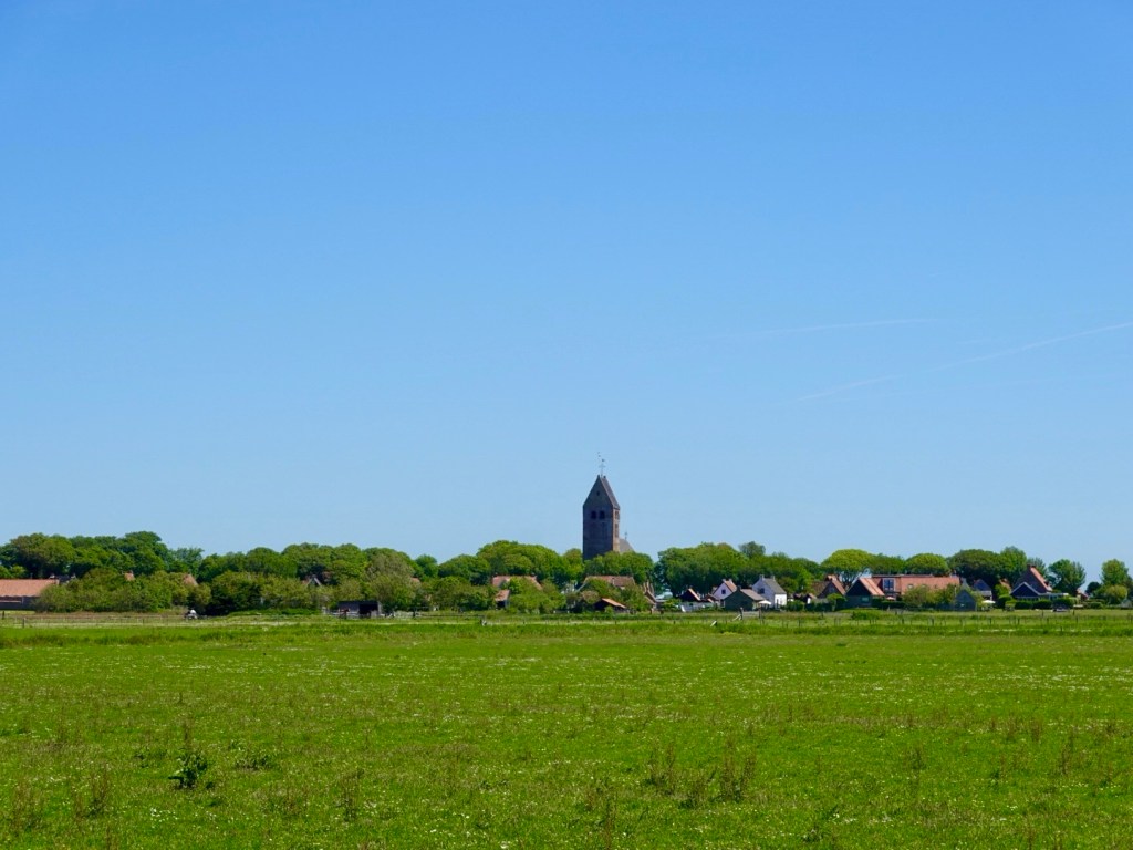
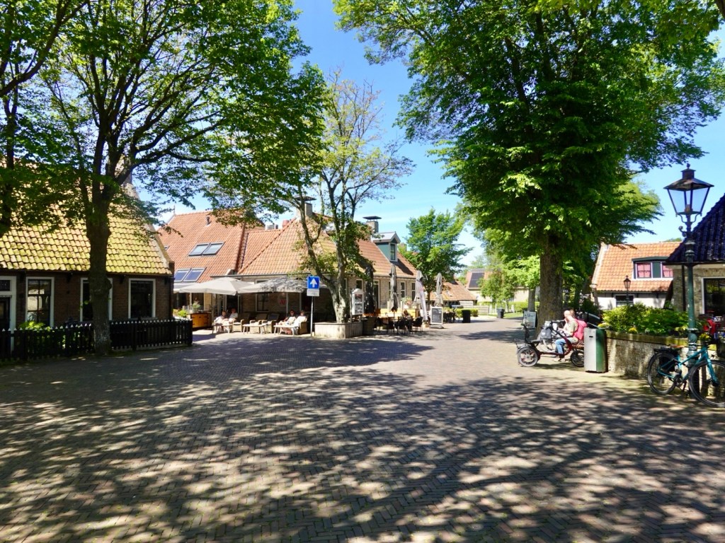
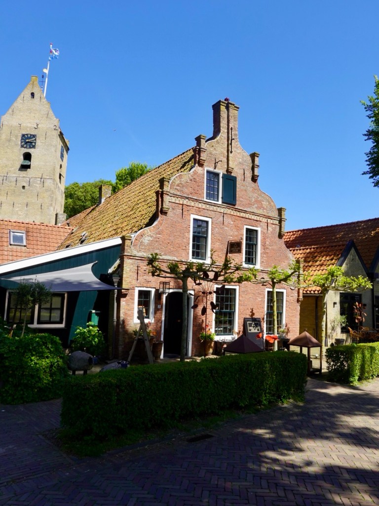
The village of Hollum.
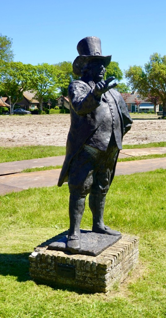
Local statue of a man known for his hat.
Hollum is the main village. Lots of nice eateries.
We purchased some supplies at the supermarket, found a sunny chair to sit in. Today the weather was cooler and now it was about 20C so happy sitting in the sun.
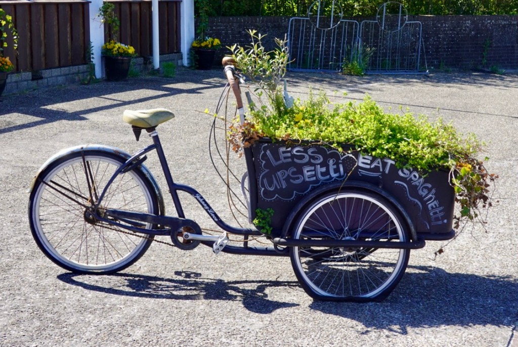
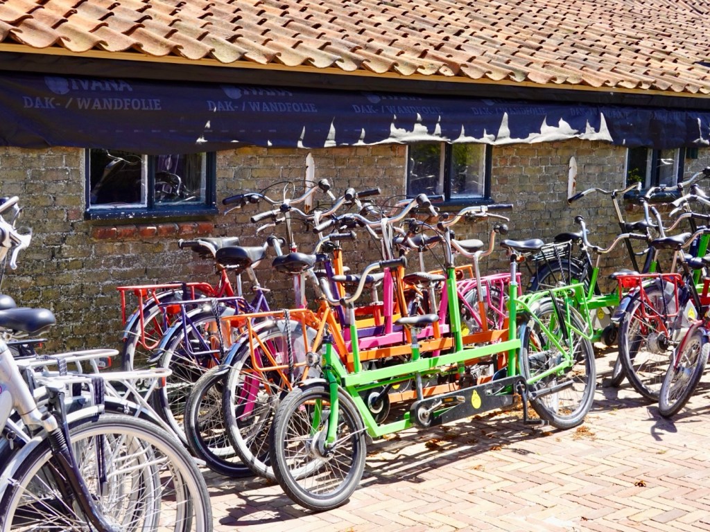
A local bike hire place had a huge number of bikes including these interesting creations.
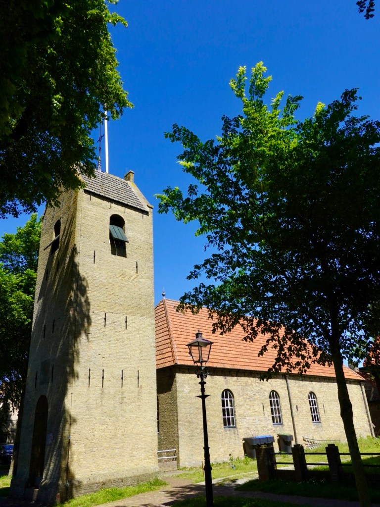
Nice church. Many buildings have their year of construction on the exterior walls in wire. The earliest we saw was about 1688.
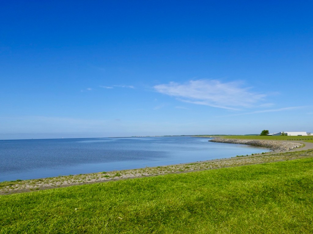
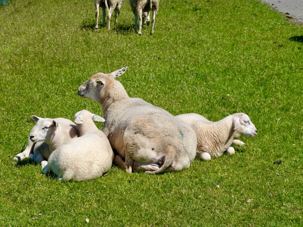
Back along the Wadden Sea dyke wall, lots of sheep grazing. This mum seems to have had triplets.
Really peaceful and serene.
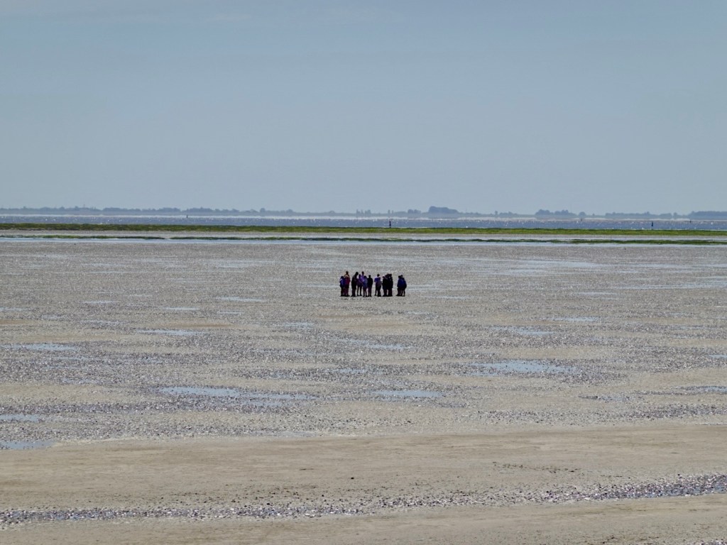
Then we decided to stop and sit in the sun for a while, looking across the super low tide, towards the mainland Netherlands. There are a group of people out walking along the flats.
It was another bunch of school kids. The boys went through every soggy puddle coming back and had mud all over their legs and filthy shoes. The girls, much cleaner!
Heading back along the wall towards Nes.
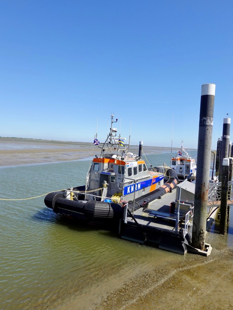
We stopped by the local marine rescue. They have a channel dredged out to the main channel.
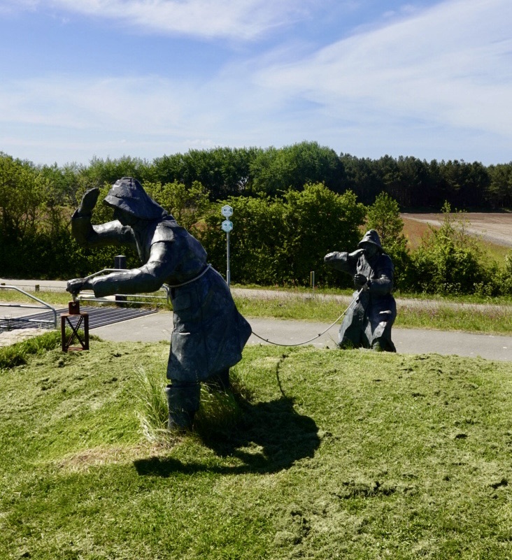
Nice art installations.
Cute village house.
Church and local chocolatier.
We opted for a simple dinner, grabbing supplies at the supermarket close to our unit.
One day has been enough on this island. In 60 km we covered a fair bit. Our host was shocked we’d ridden 60 km. We saw it as an active recovery day as we were sans our luggage.
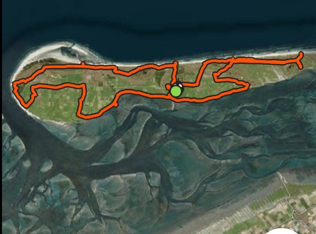
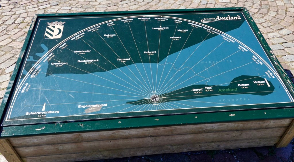
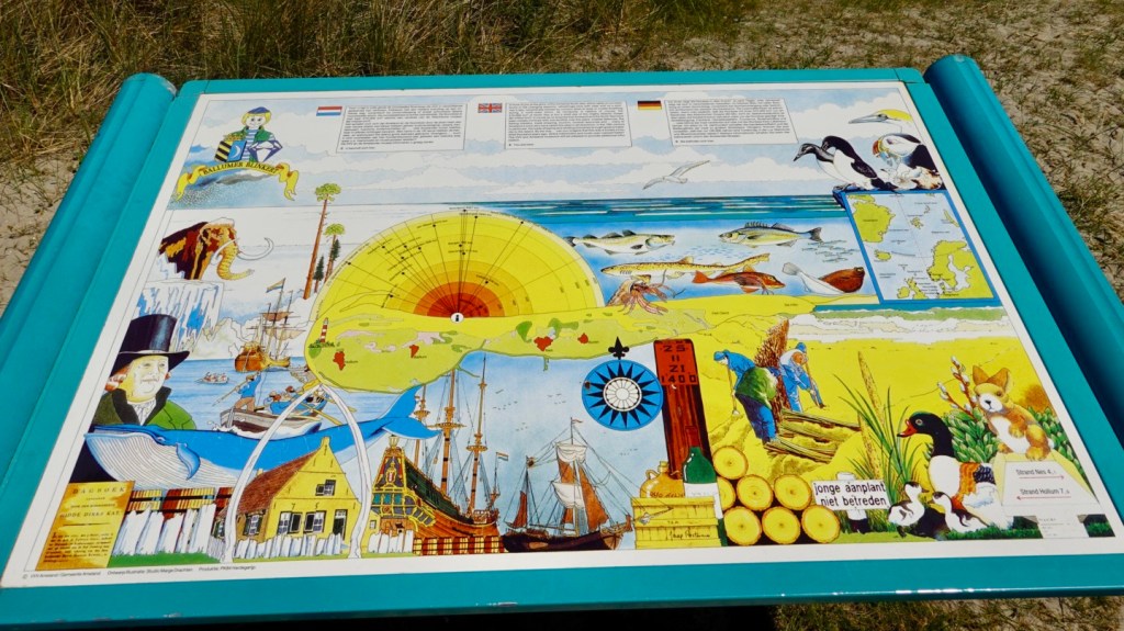
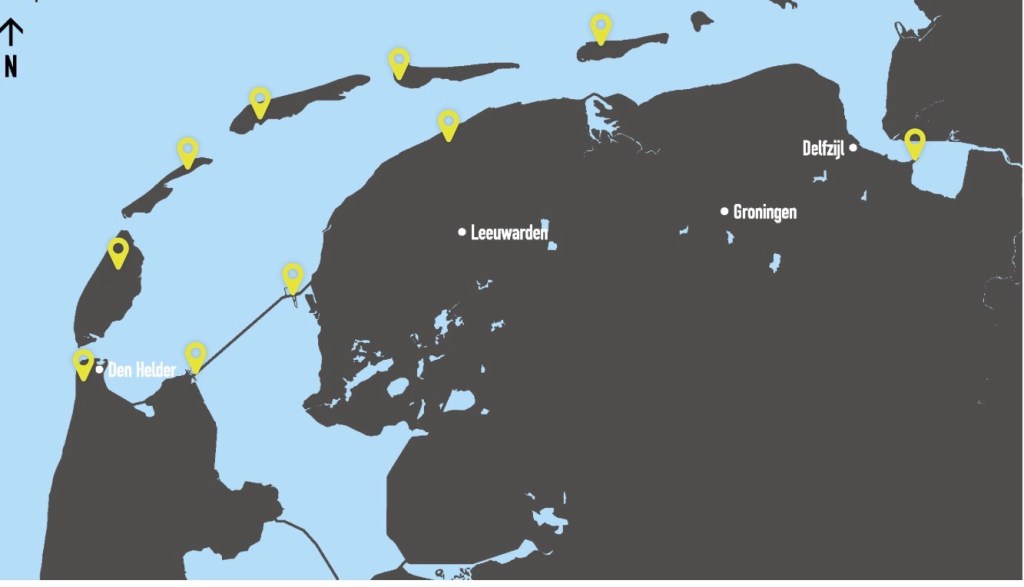
The island position relative to the mainland and other islands.
A fantastic chillaxed day of riding in a beautiful part of the world.
Tomorrow we are back on the ferry.
Thankyou for reading and joining us vicariously.
😁🚴❣️

What a very lovely day you had. I ignored the breakfast! she said drinking a protein shake for hers! The newly thatched house looked amazing as did the village. How the heck did they ride that lime green contraption? Can you imagine a Peloton with all these? 😉 You chose another great place for a semi rest day for sure and thank you again for all the wonderful photos and your write ups x
LikeLiked by 1 person
It is an amazing little island, and our host was wonderful and missed nothing in details of the unit.
LikeLiked by 1 person
Hi Sharron. Could I ask a question? I went and test rode a Checkpoint SL5 and a Checkpoint SL6 today. What struck me was that the sitting position was more like my road bike with a ‘leaning forward’ position (with hands on brake hoods, not on drop bars) as opposed to my touring bike, which has more of a ‘sitty up’ position.
I have gone back through your old photos but have struggled to find any that shows your sitting position whilst riding.
I was wondering whether you find yourself in a ‘leaning forward’ position or a more ‘sitty up’ position and, if it is more leaning forward, how do you find it?
Thanks,
David
LikeLike
I’m leaning forward onto the brake hoods, hands top of bars. I can’t ride on the drops this bike…prefer my hands near my brakes.
The new Checkpoints also different geometry to ours too.
We will look at replacements before our next big trip as feel that there are a lot of km on my frame, older than Tony’s, so interested in your perspective.
Our friend Jeroen has anew Specialized Diverge that also looks interesting. His is for gravel riding.
LikeLike
I probably would use the drop bars either. I am not worried about going fast and I also like to be handy to the brakes if going down anything steep.
Do you find leaning forward has any impact on arms, wrists and back, or is it comfortable enough?
I will check out the Specialized Diverge.
Thanks.
LikeLiked by 1 person
Agree re fast…last thing touring on our mind except with approaching storms lol. I have had back problems pre dating cycling. I need to strengthen my core more ( I do use Dynamic cycling online classes).
My arms can get tired, but I do tend to grip too hard vs relaxing them as I like to ‘feel’ I’m in control and yes, fingers close, or on, the brakes.
Descending long climbs yes they all ache as I ride the brakes.
LikeLike
Thanks Sharron.
LikeLike