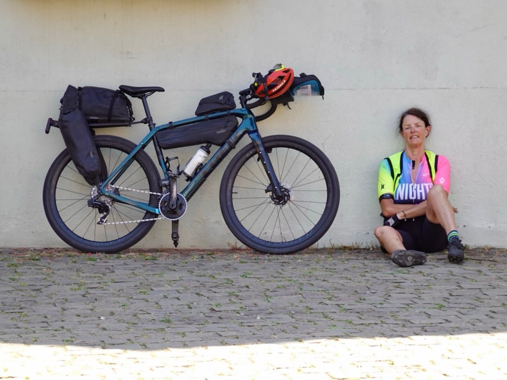
The last day. One that I often feel melancholy about.
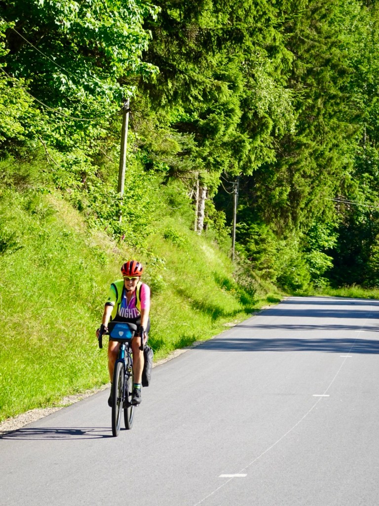
We were motivated by the heat to leave early. We were on the road by 6.25 am. Another hot day forecast.
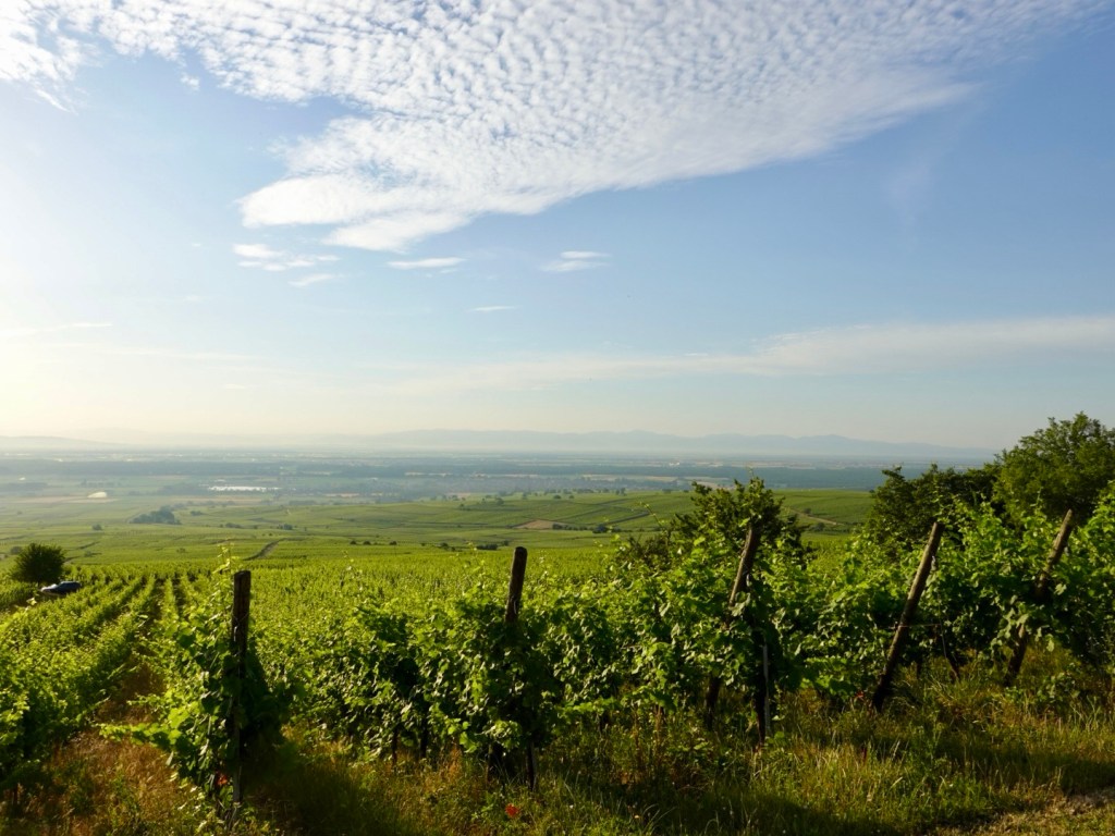
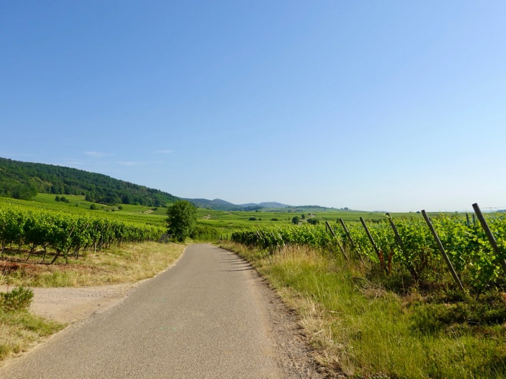
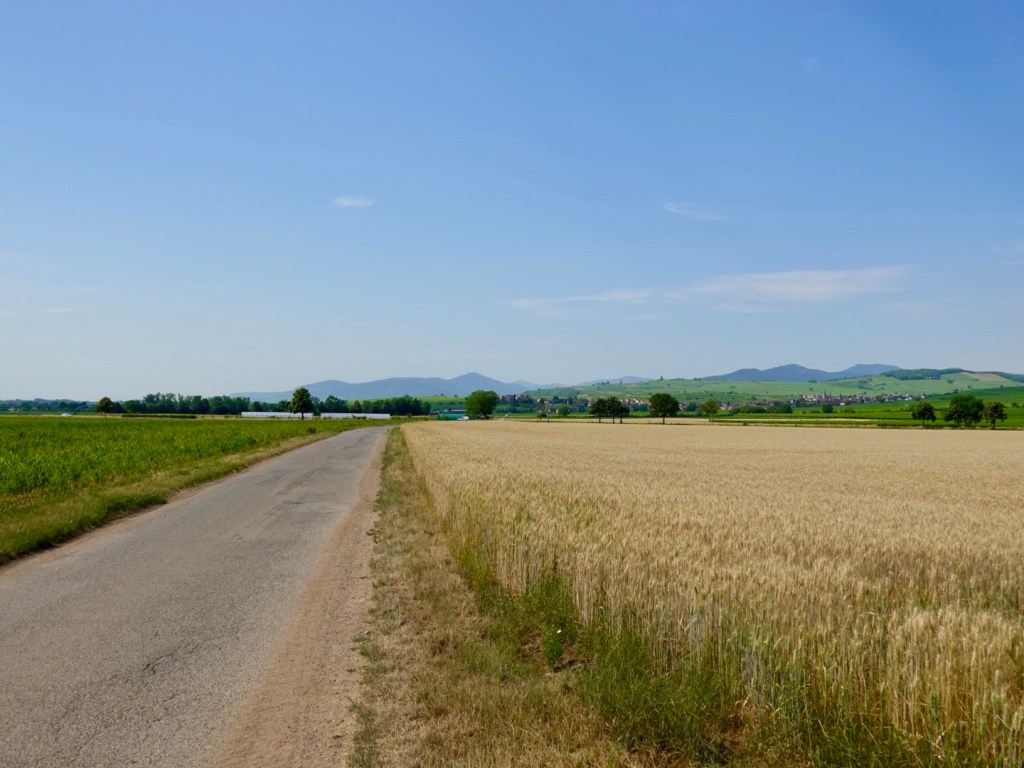
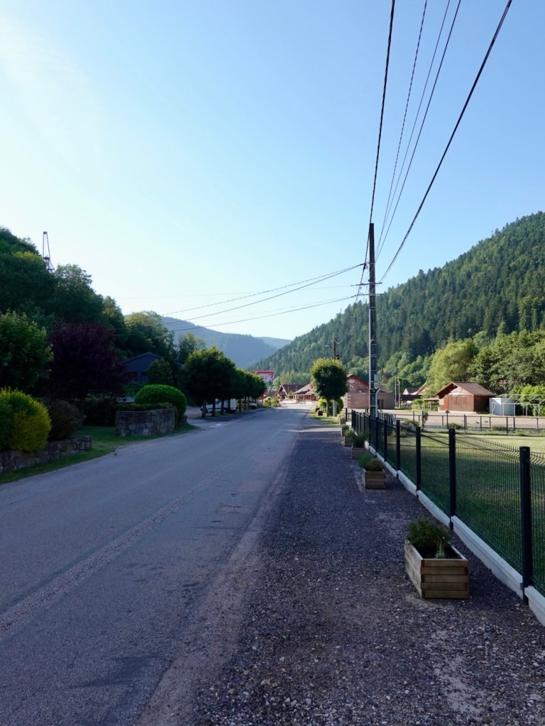
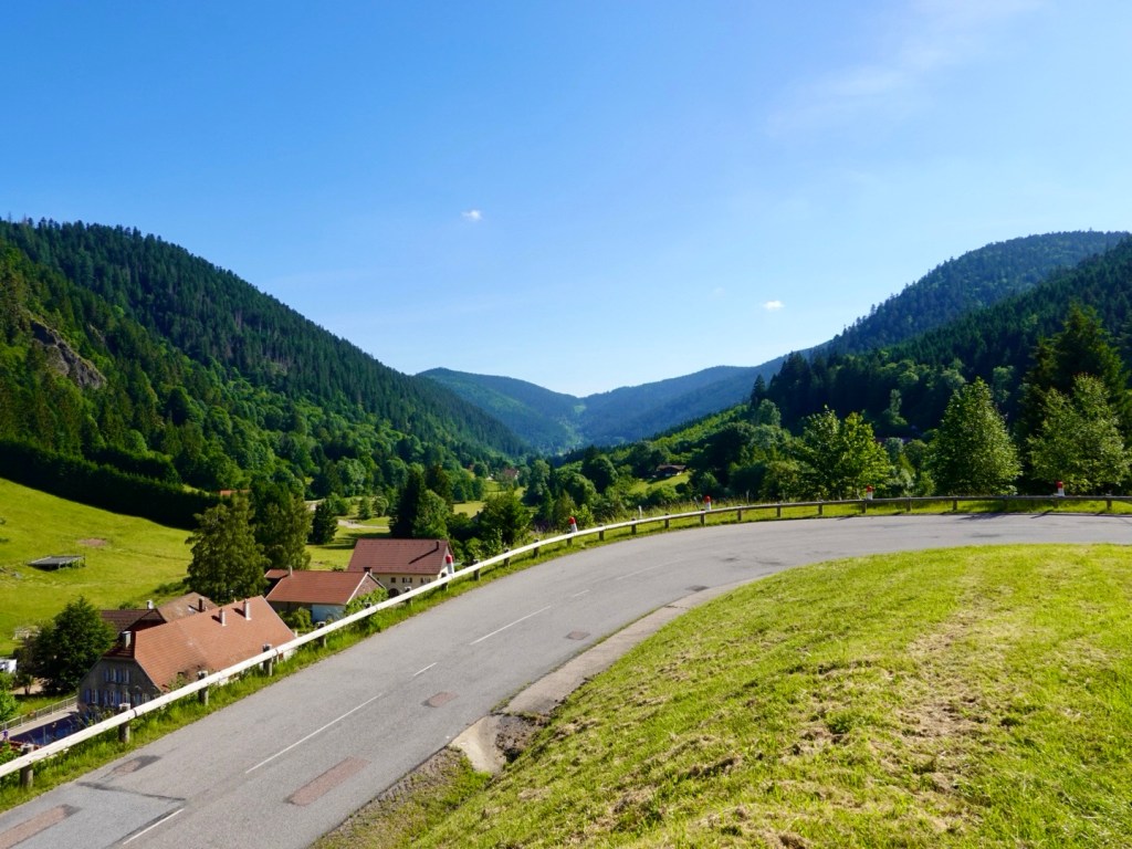
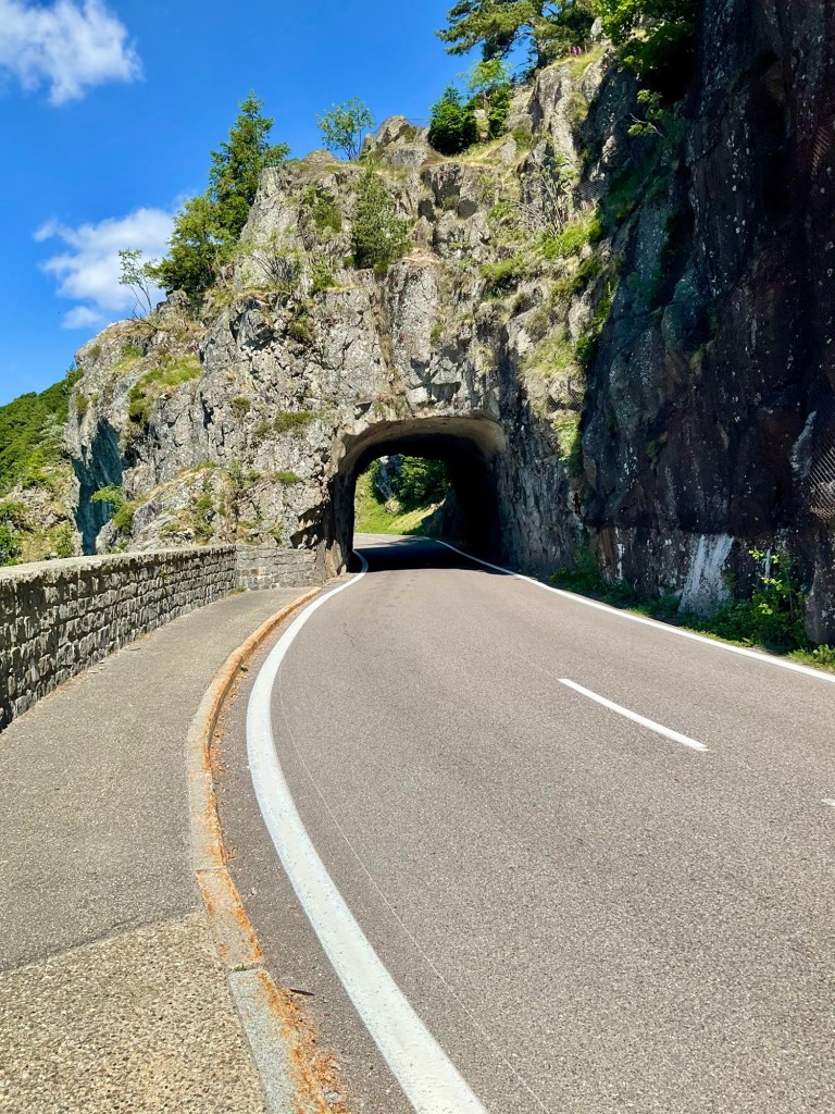
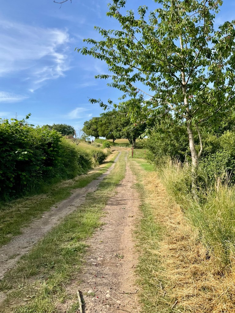
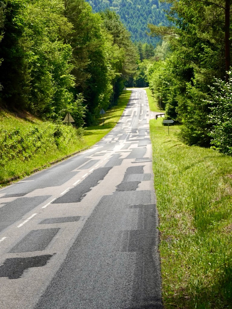
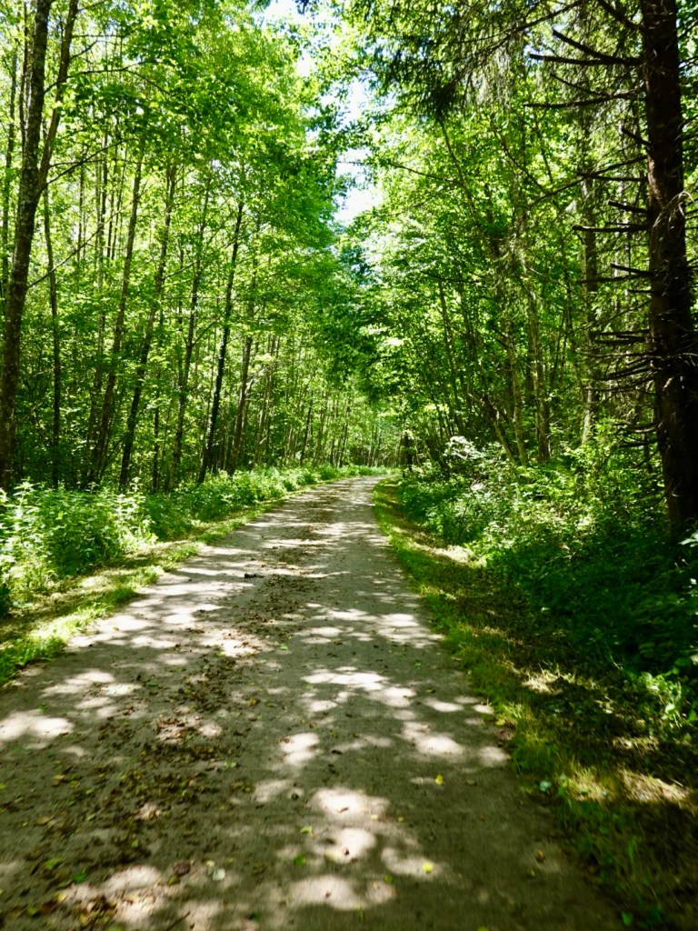
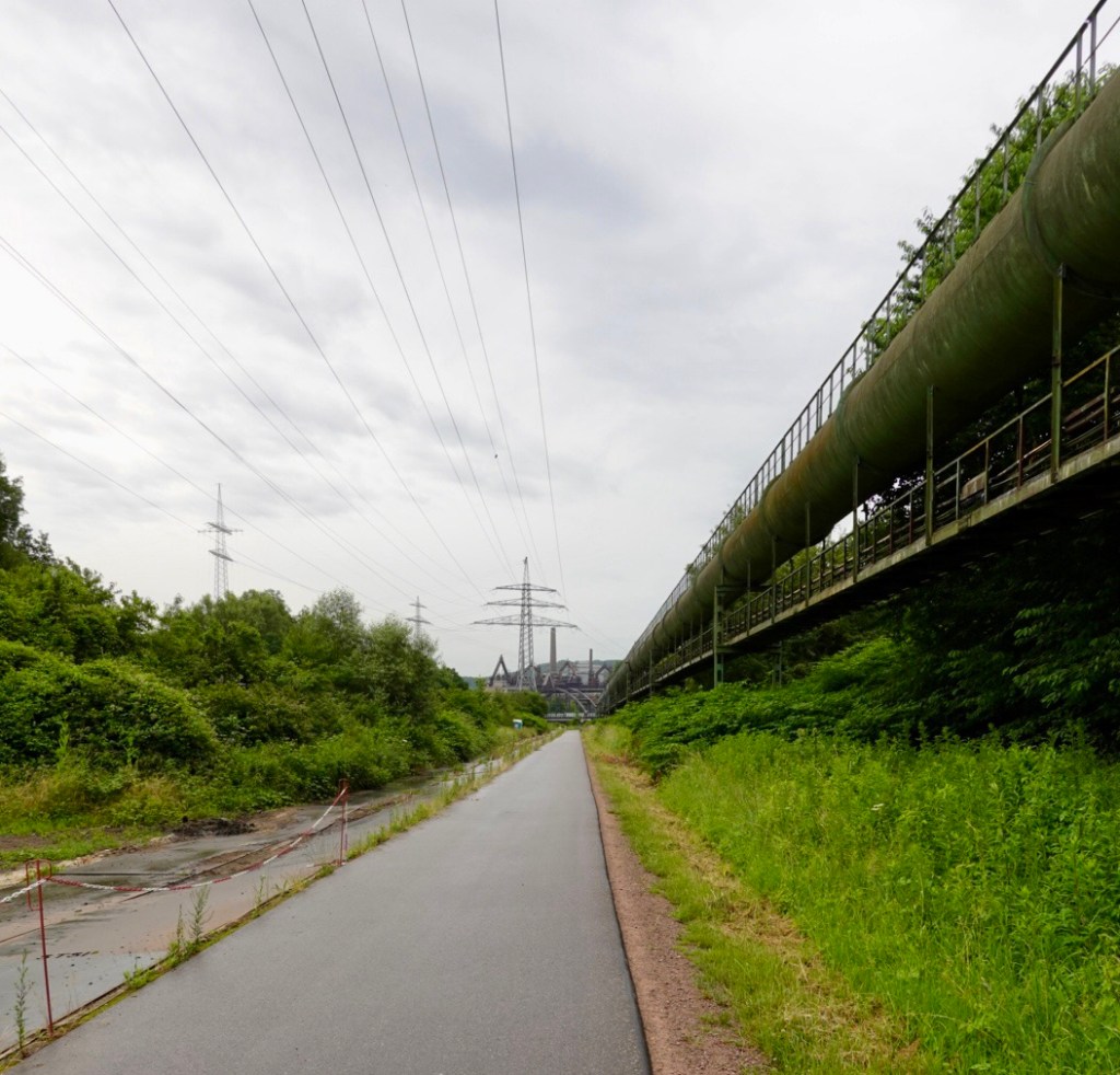
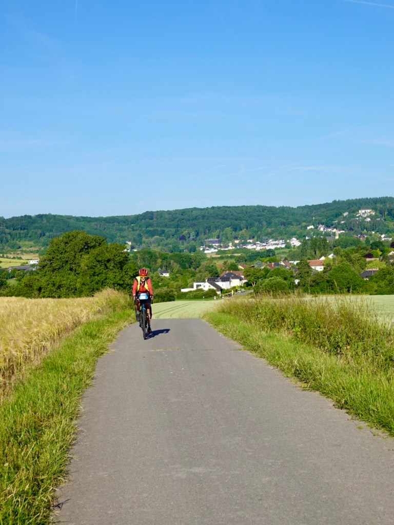
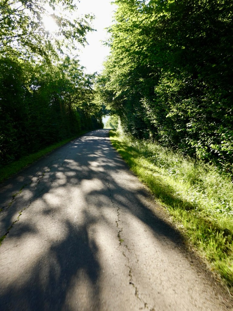
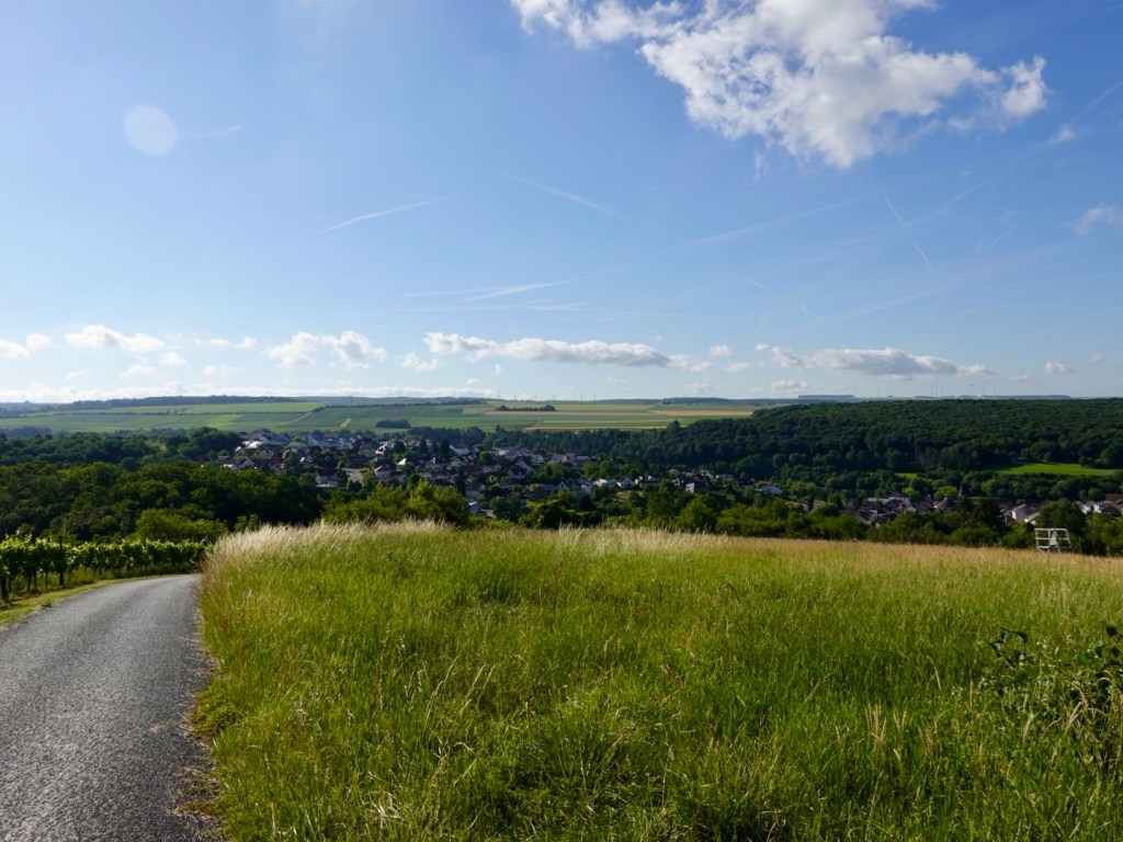
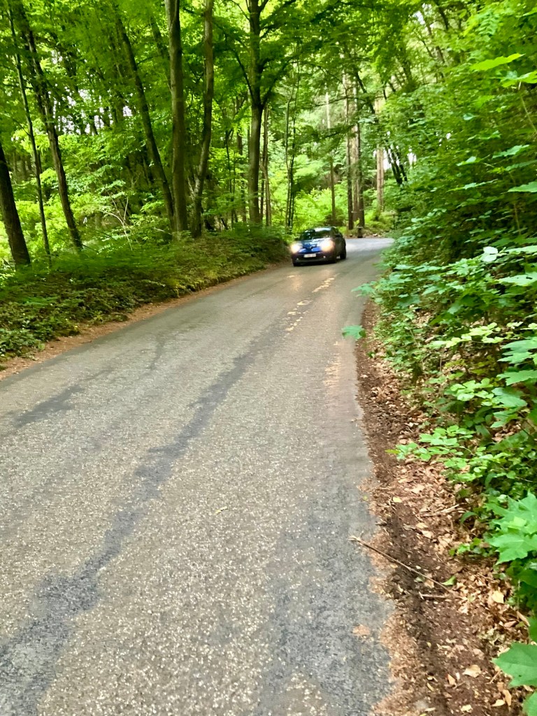
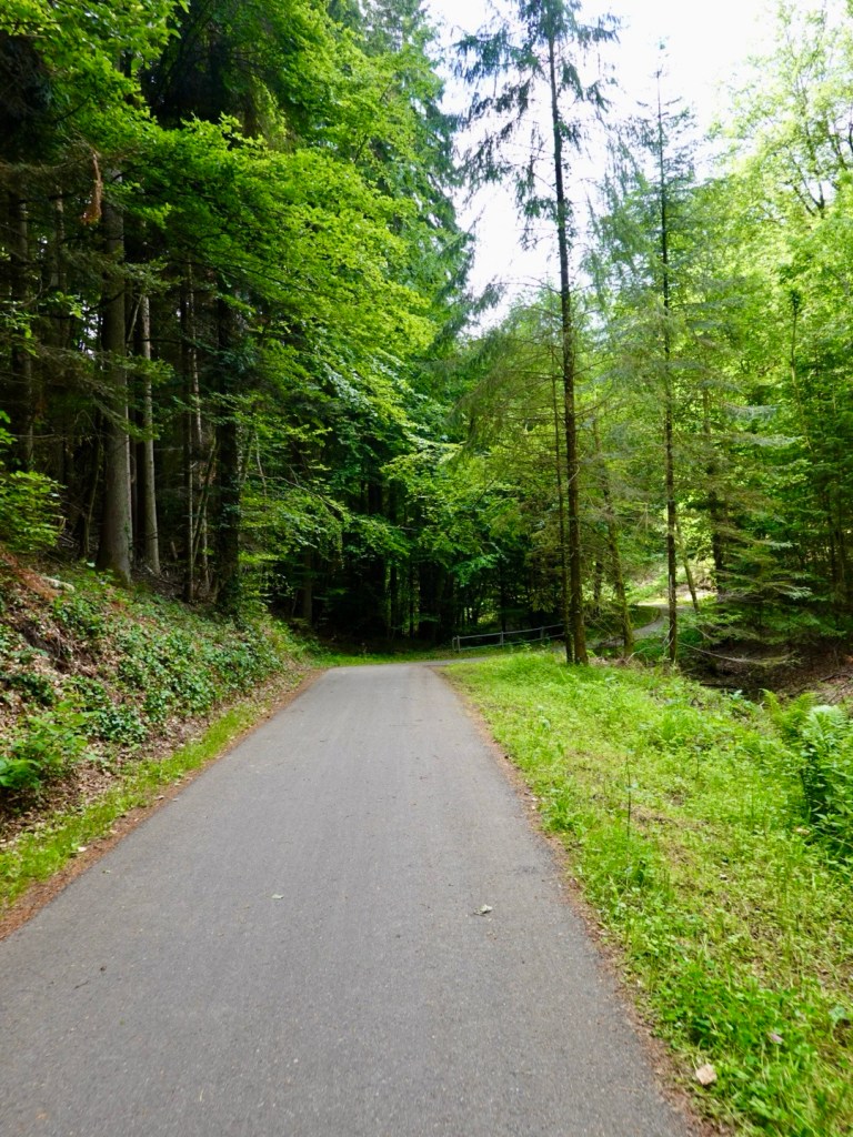
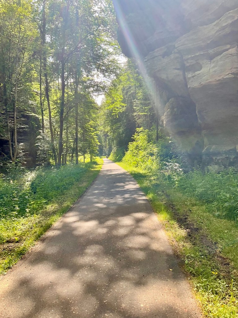
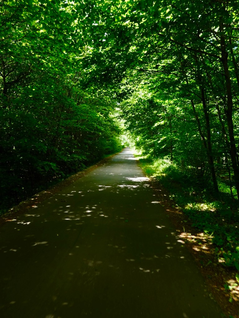
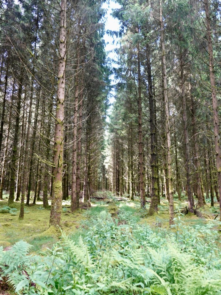
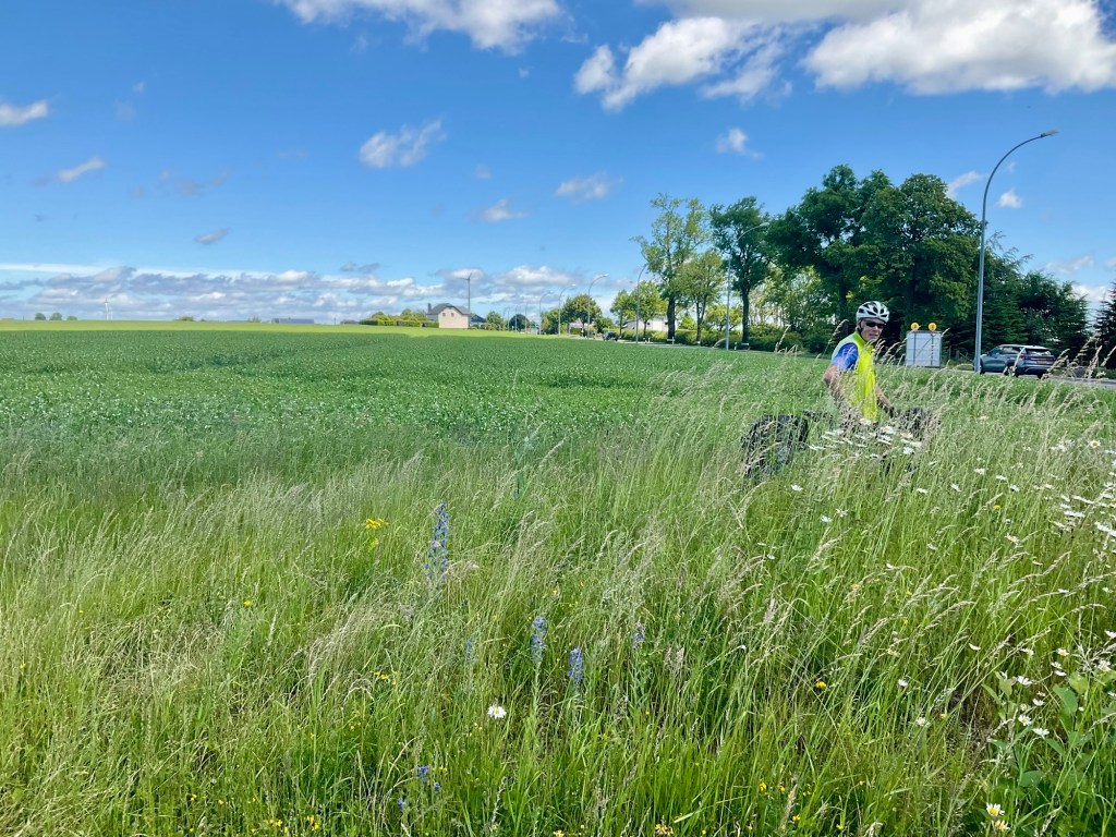
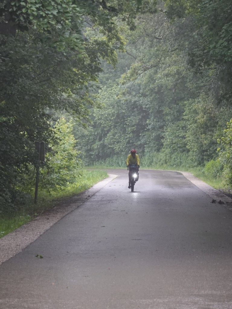
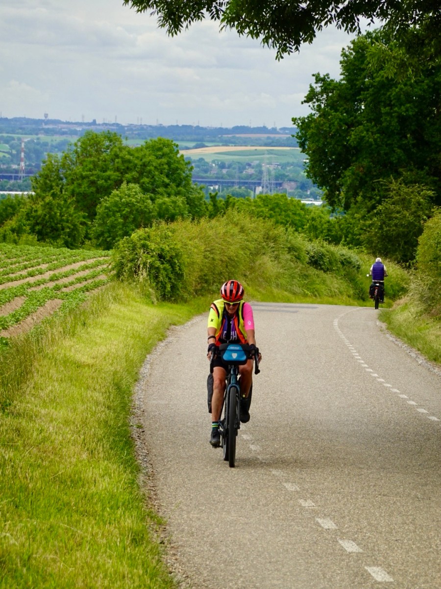
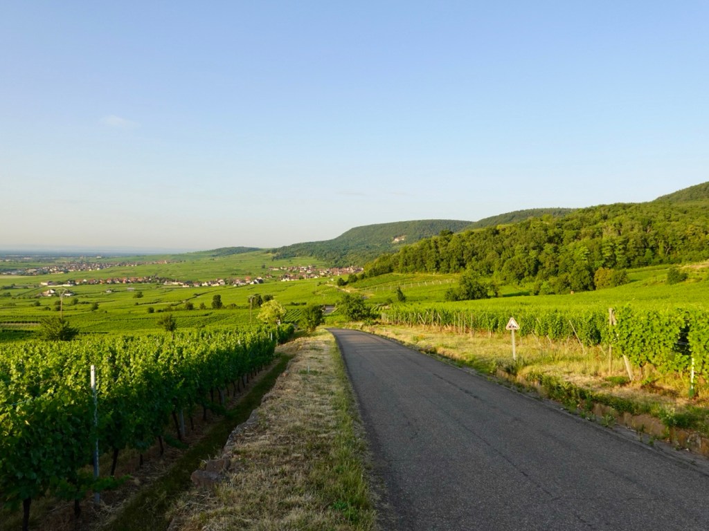
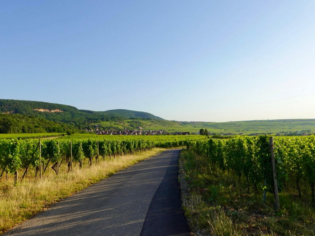
It’s a great time of day to ride. The air is that bit fresher, no one is around.
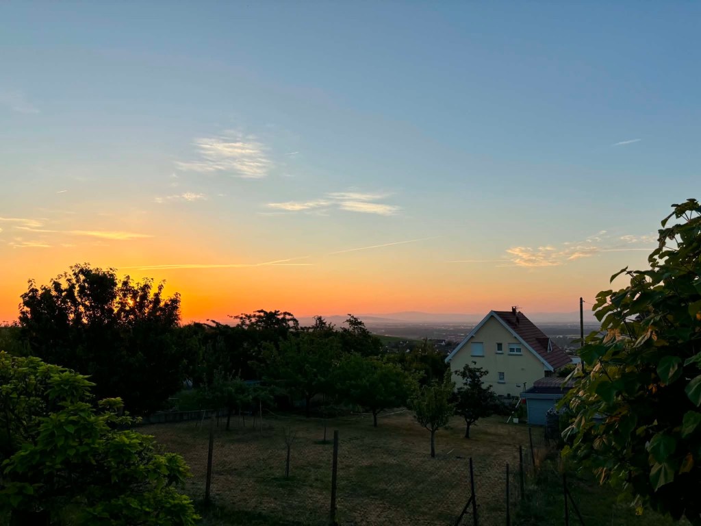
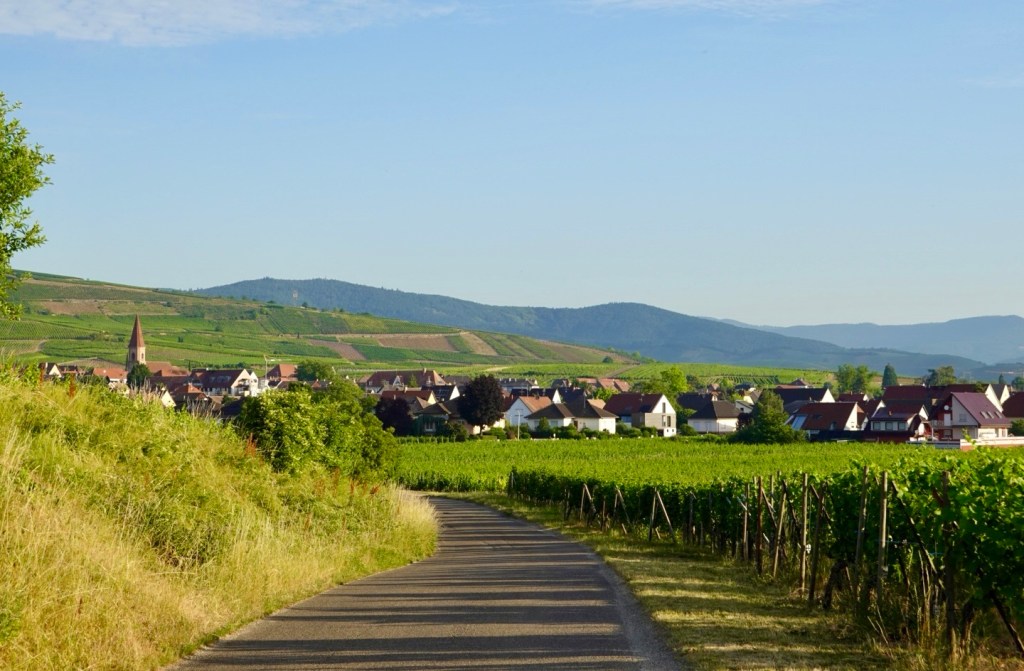
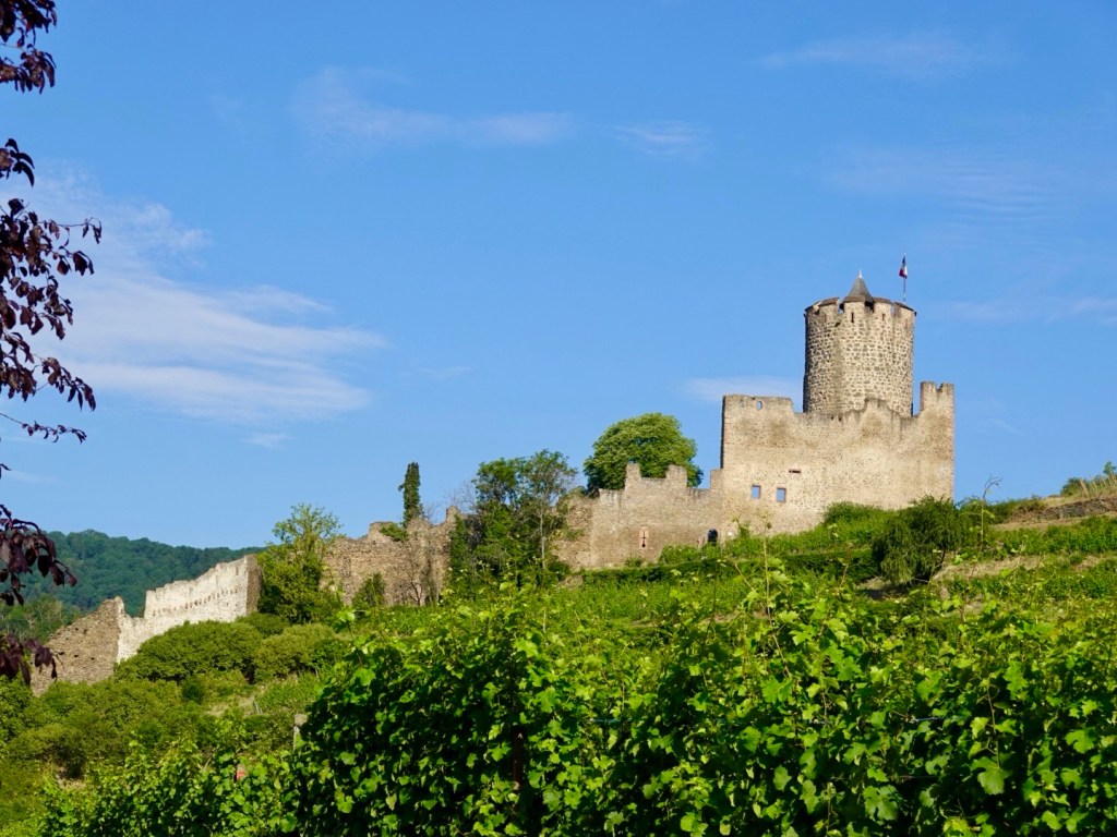
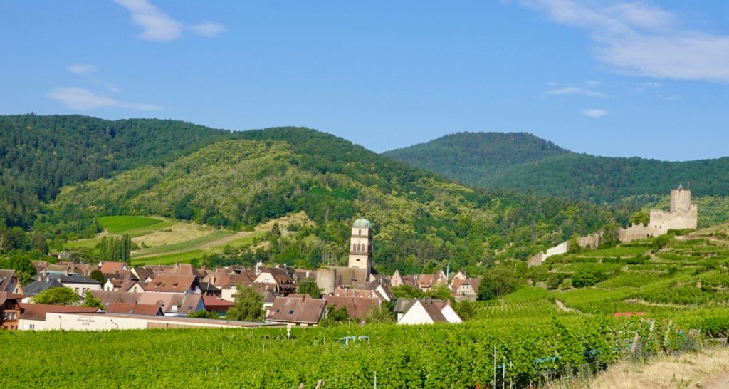
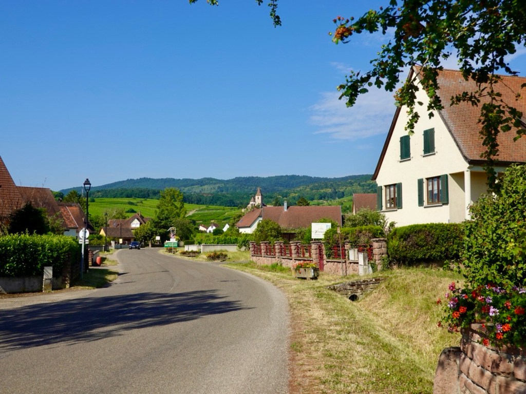
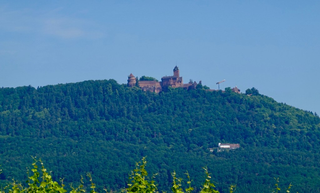
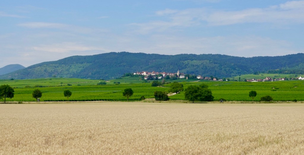
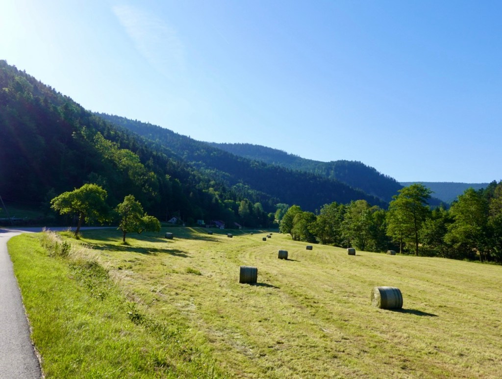
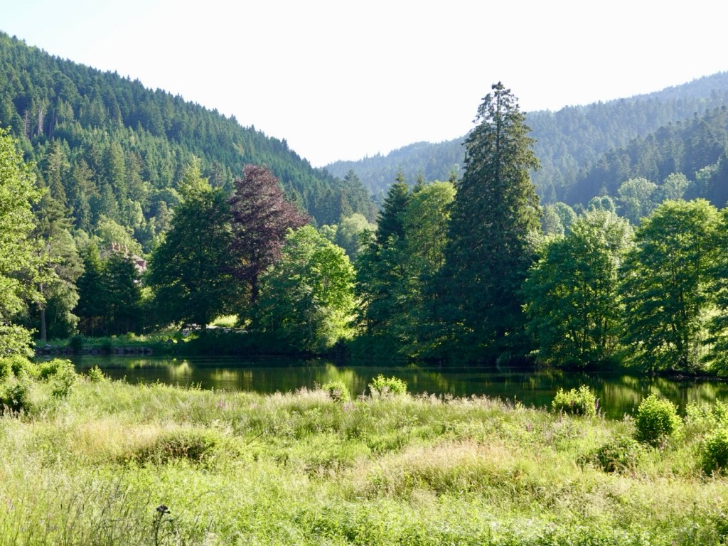
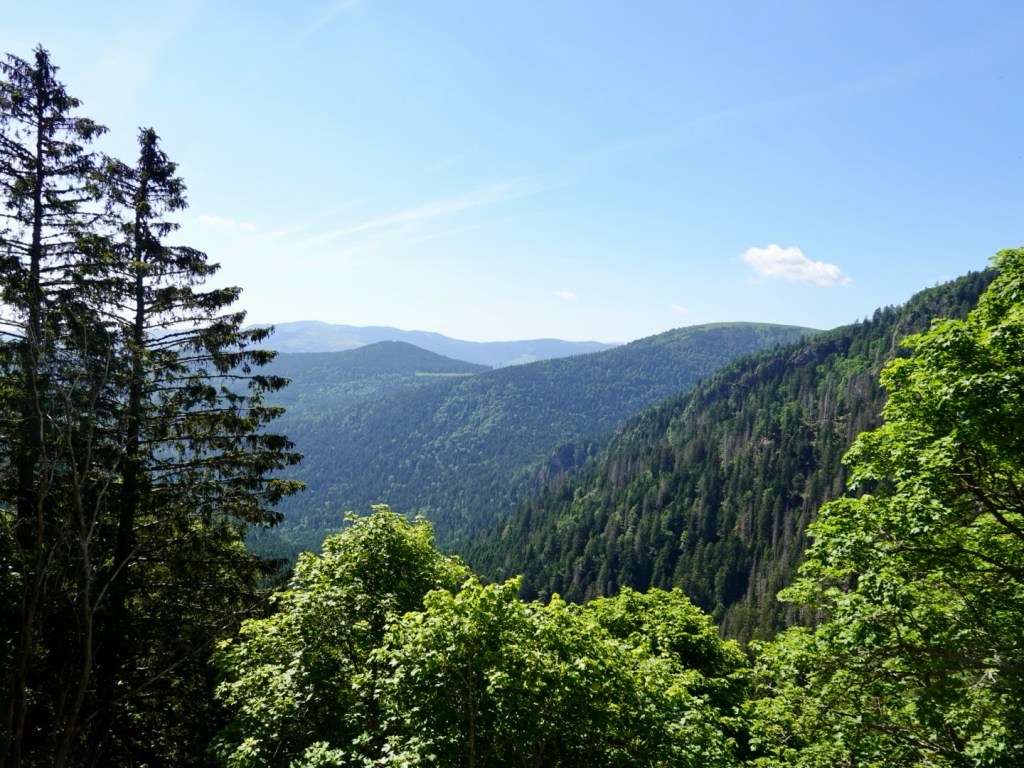
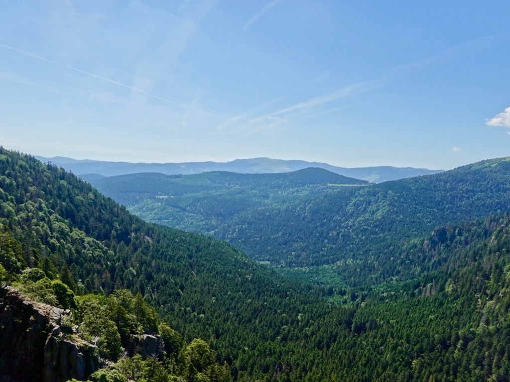
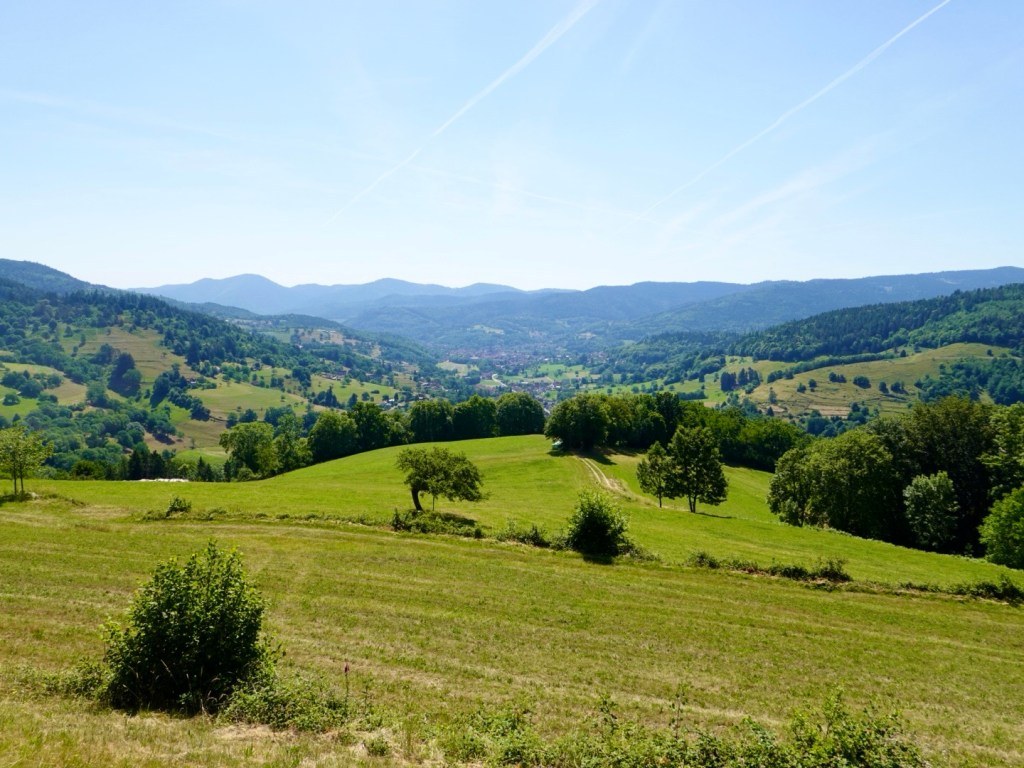
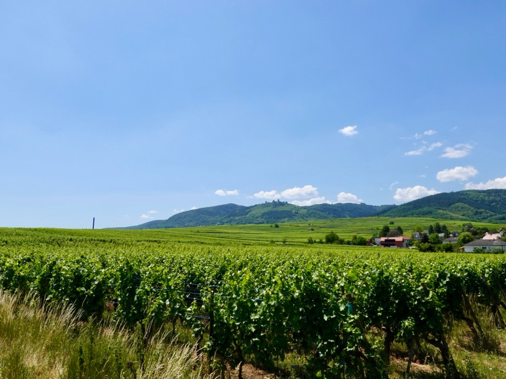
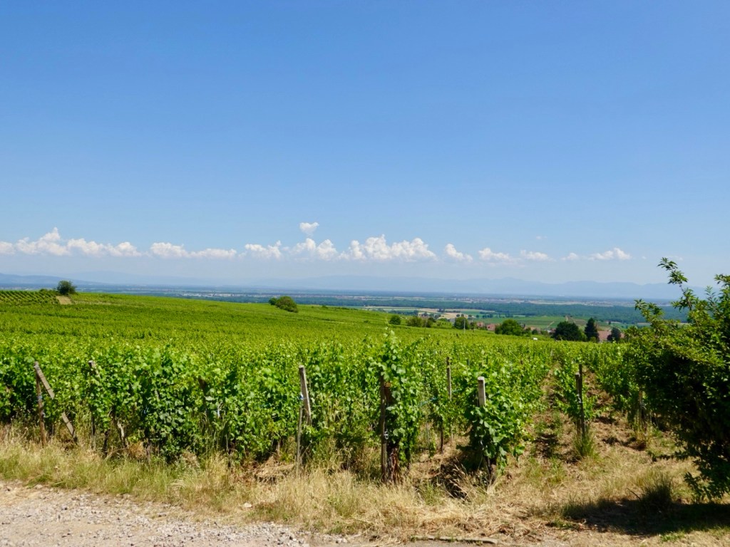
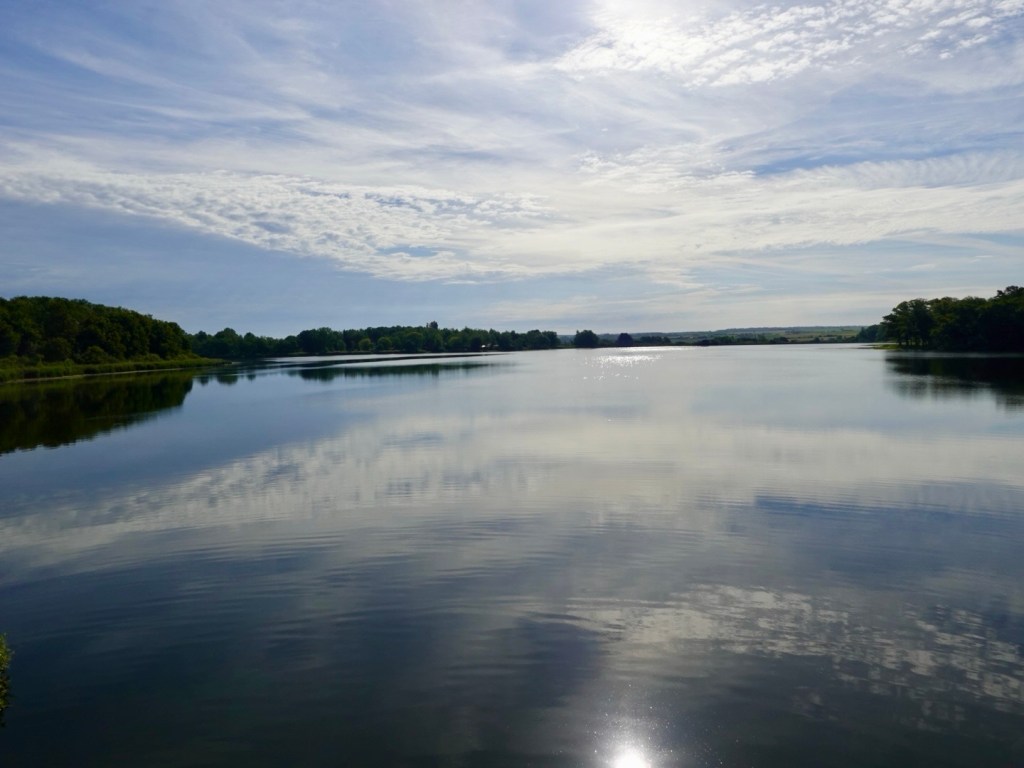
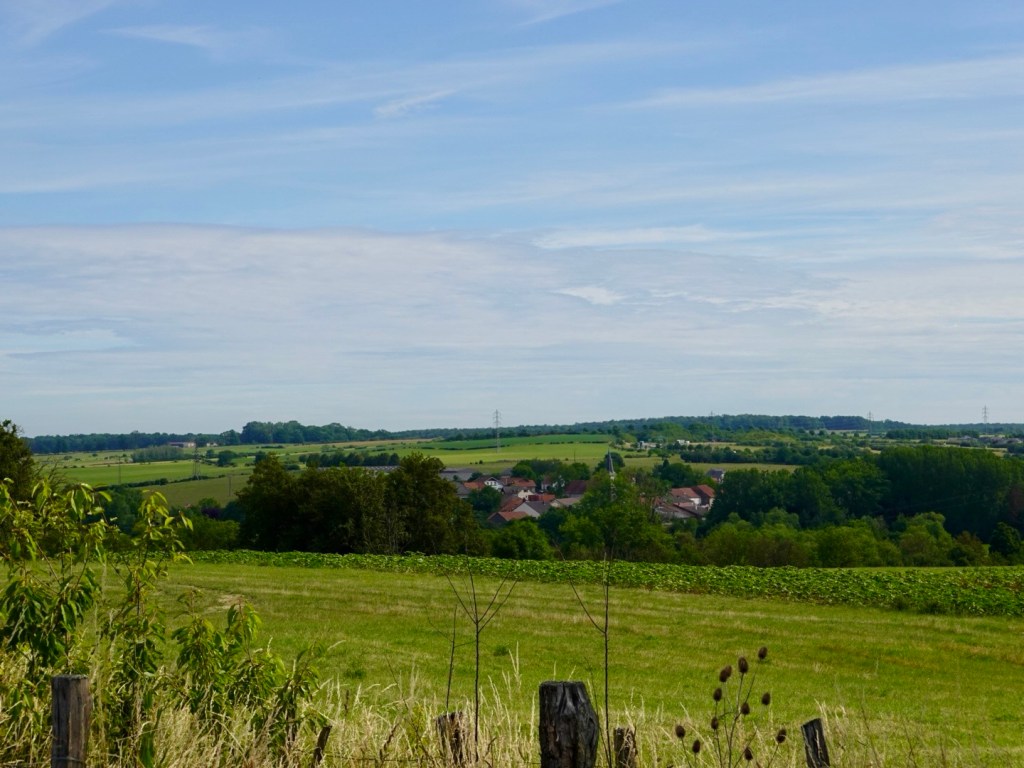
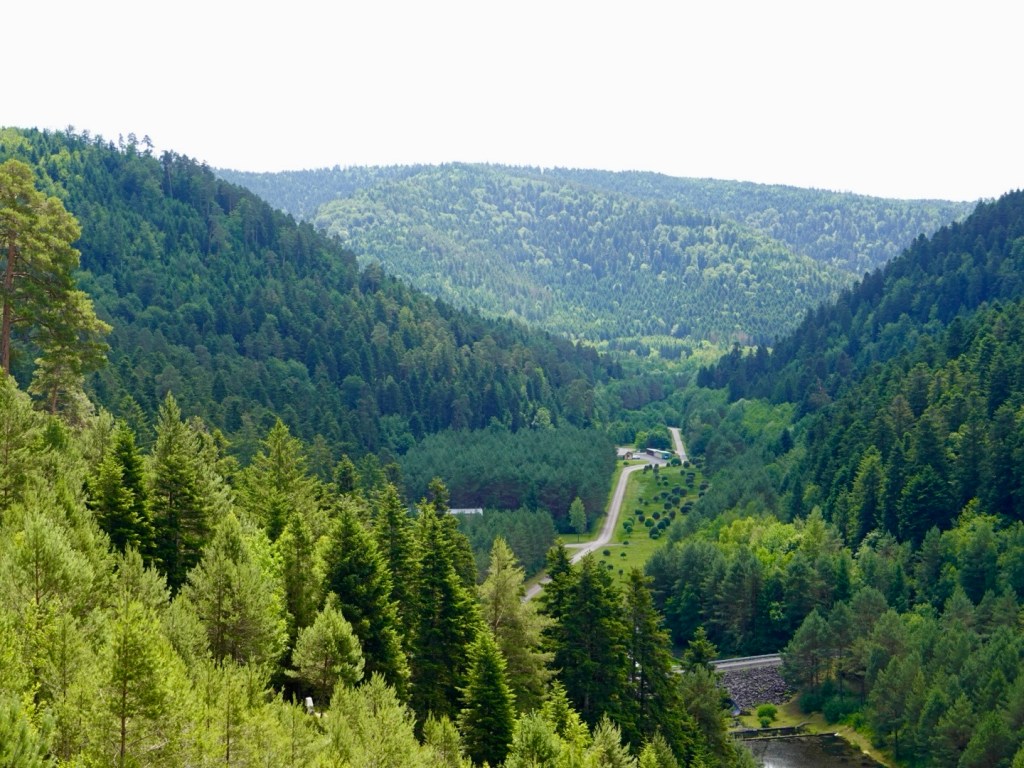
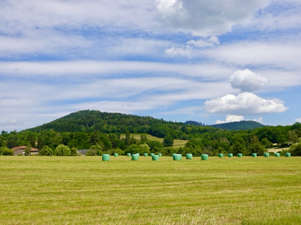
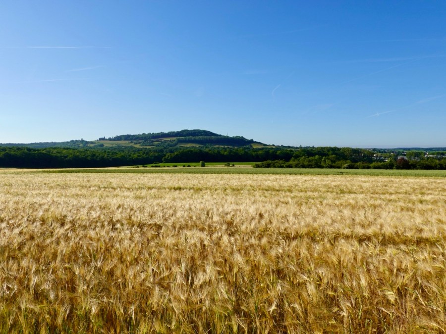
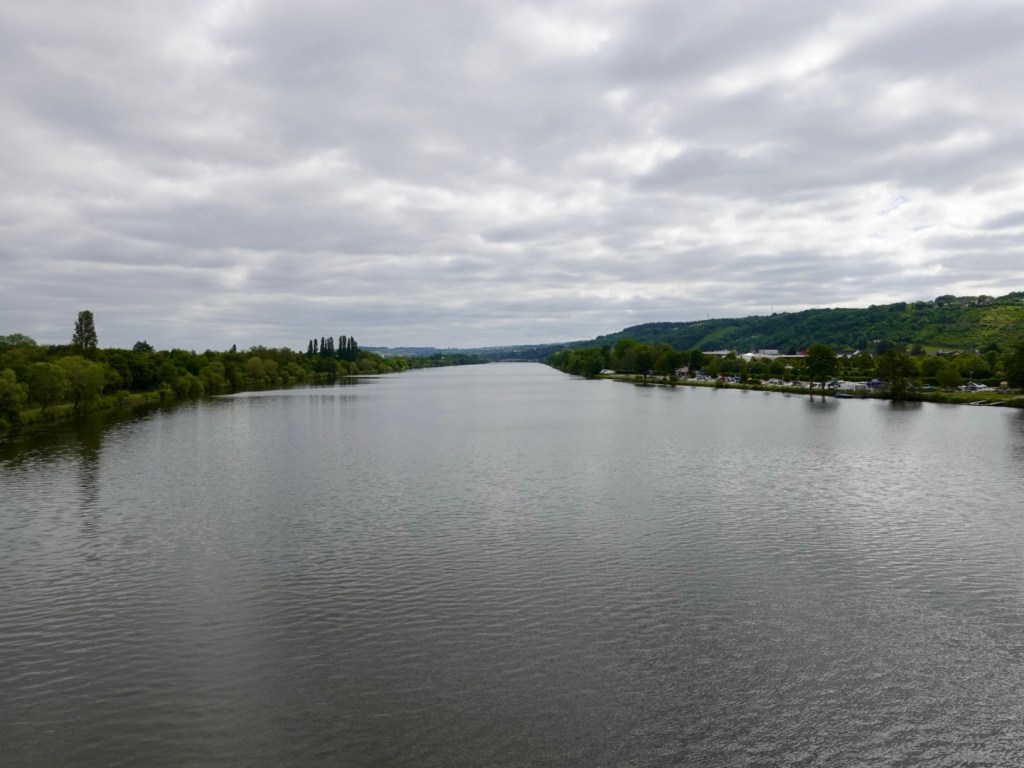
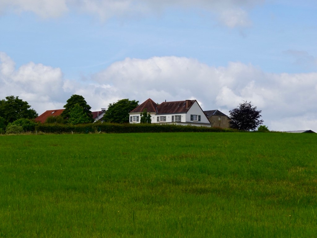
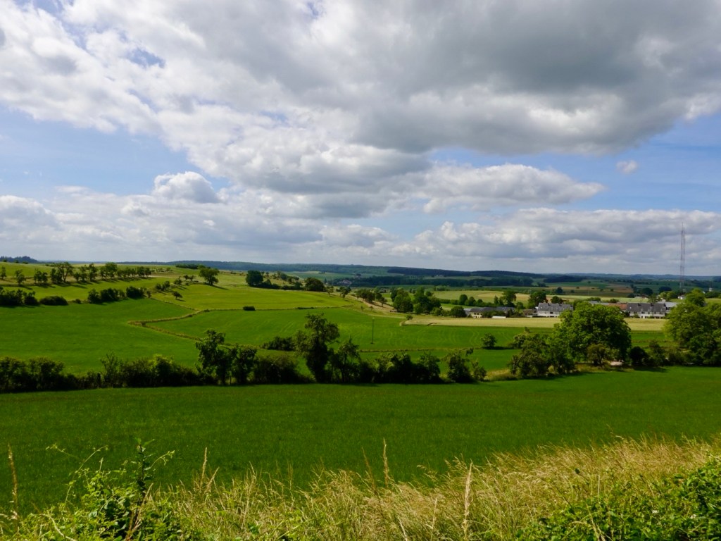
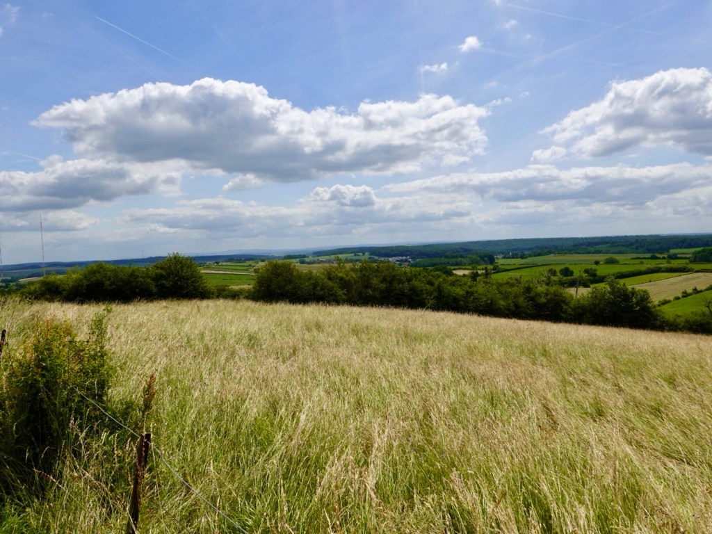
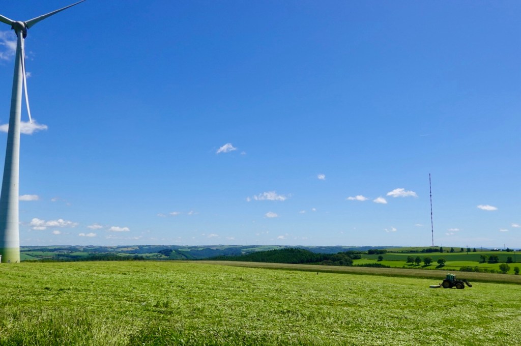
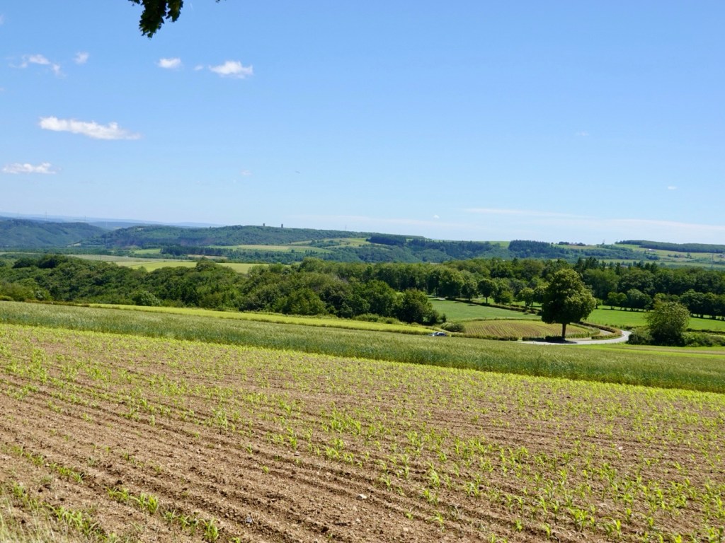
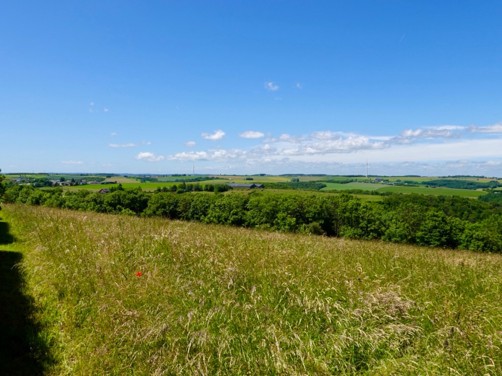
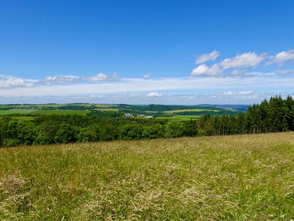
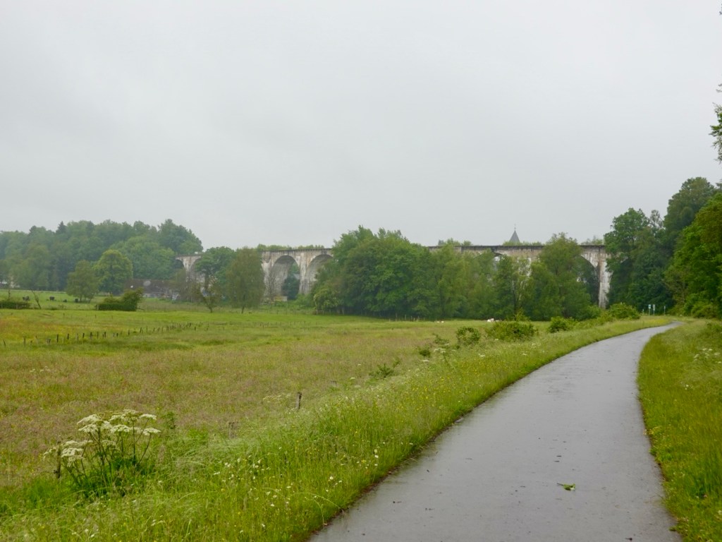
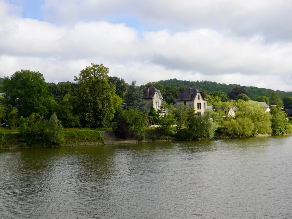
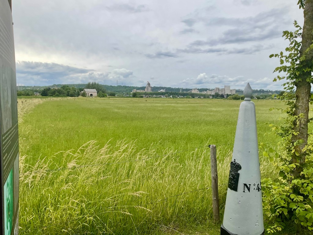
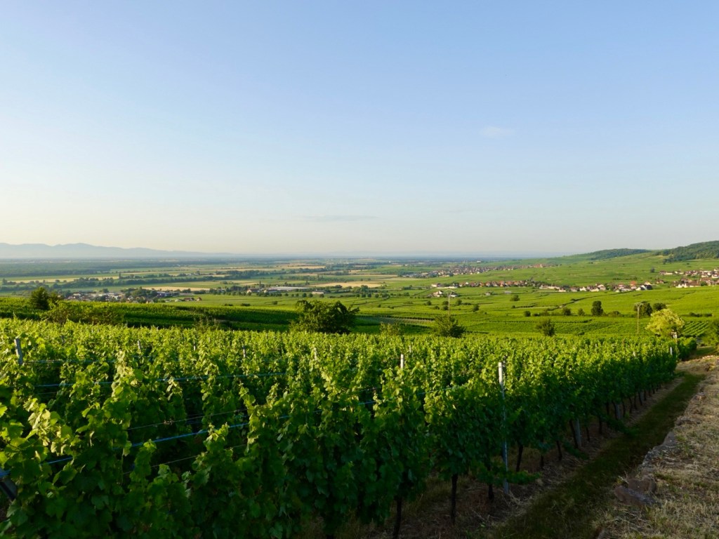
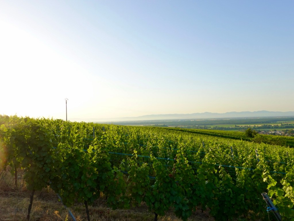
Looking towards our destination. To the left, that’s the Black Forest region of Germany.
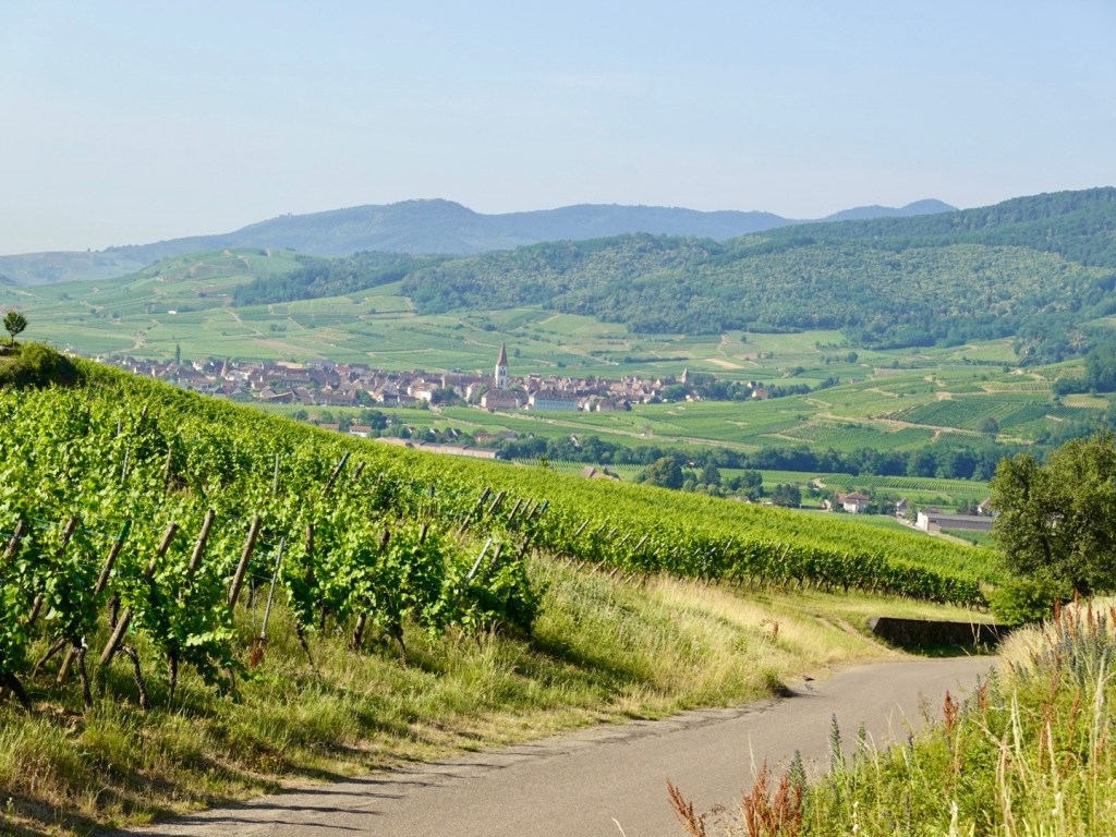
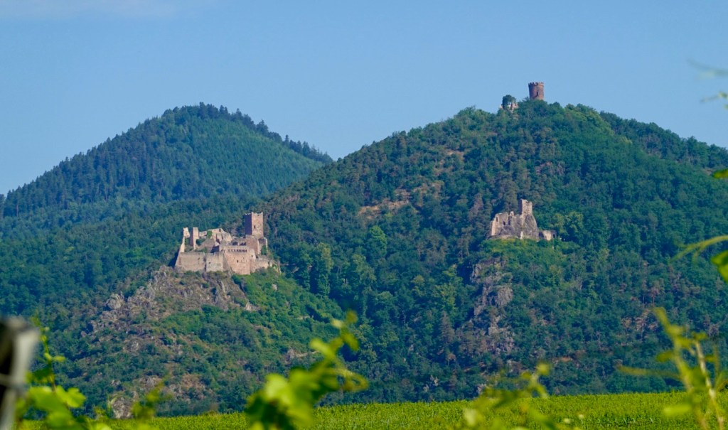
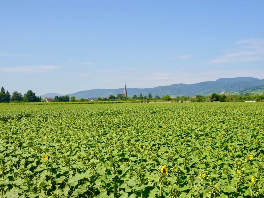
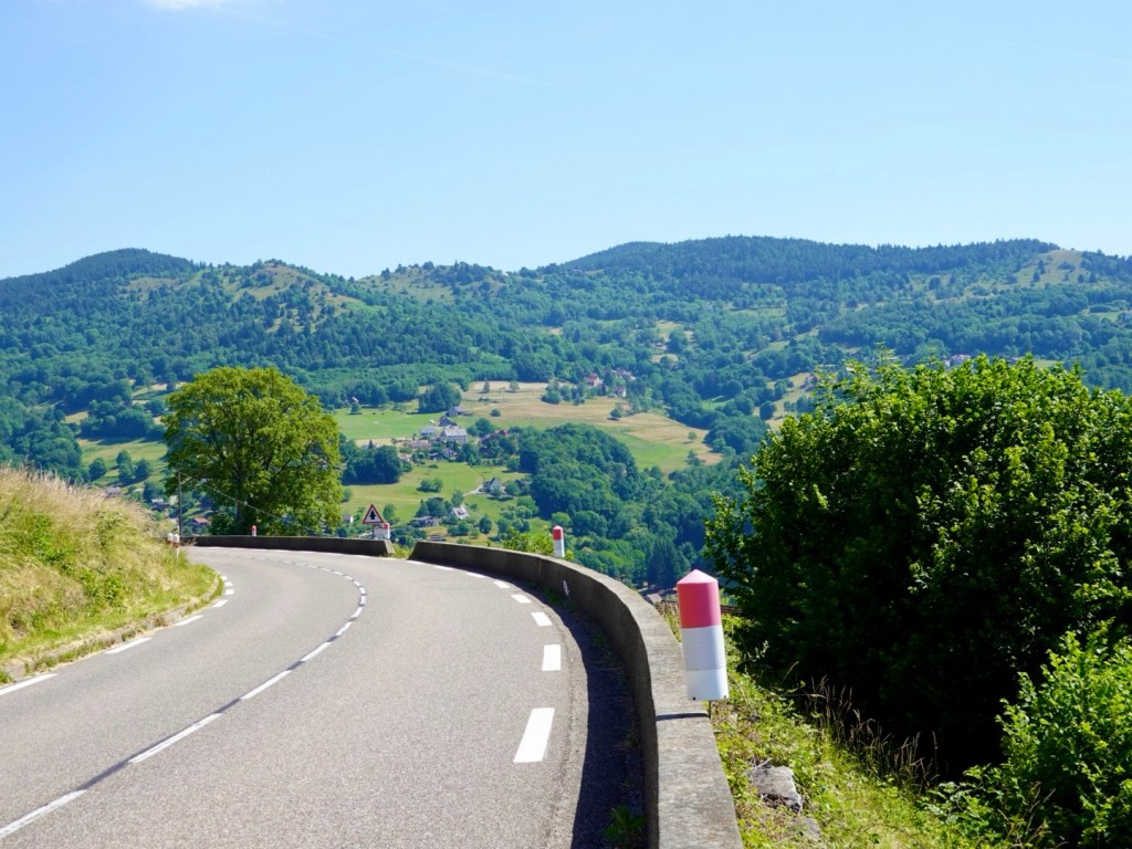
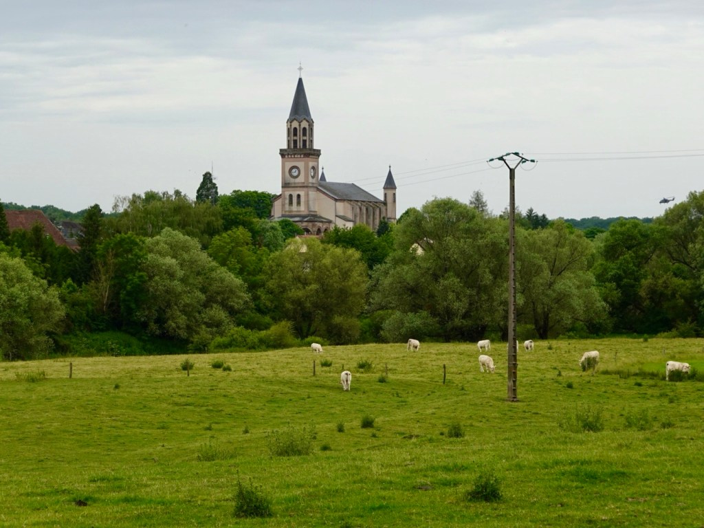
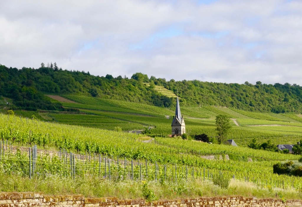
Ahead a series of villages, nestled between vineyards, at the base of the Vosge Mountain foothills.
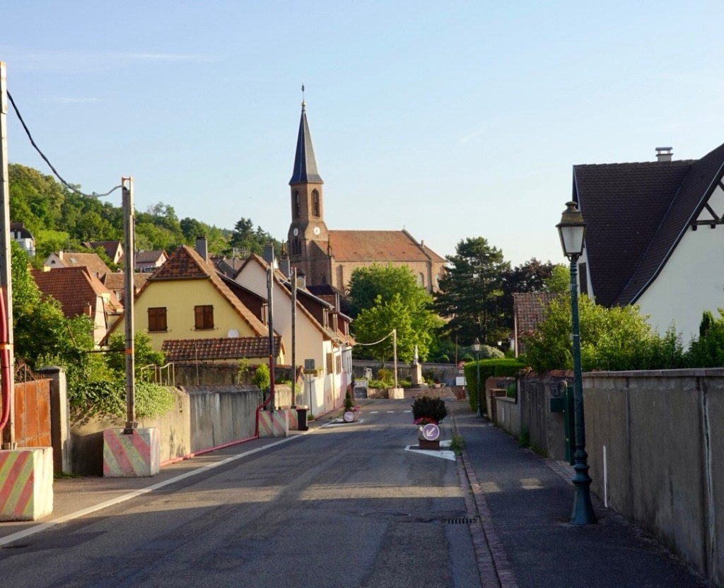
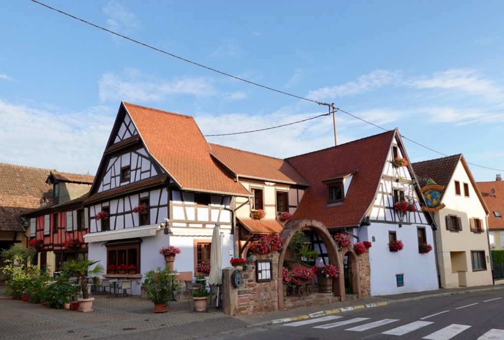
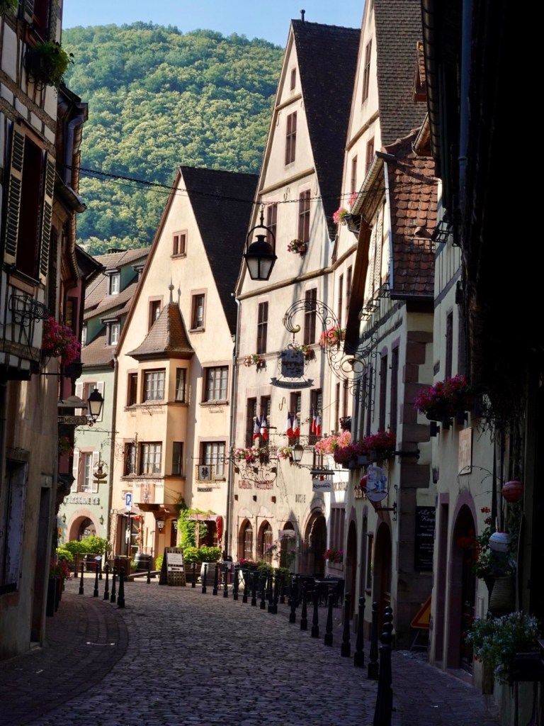
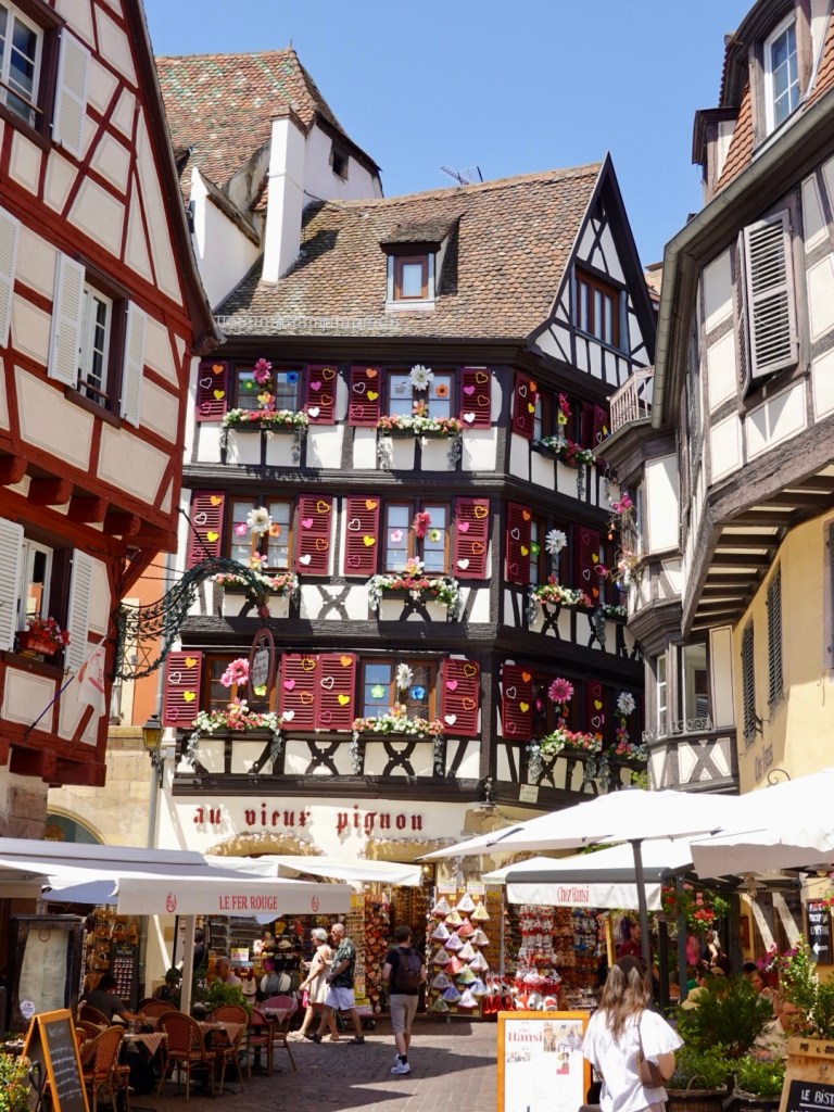
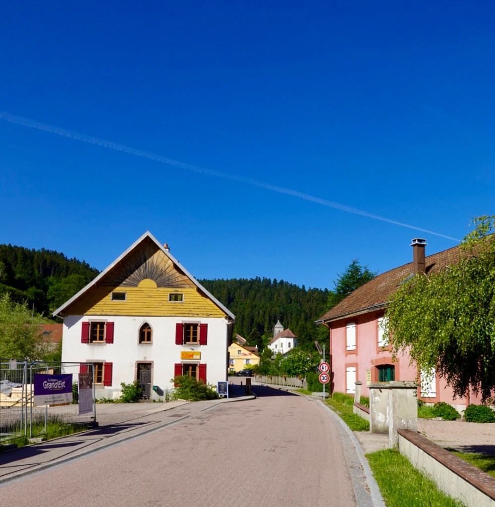
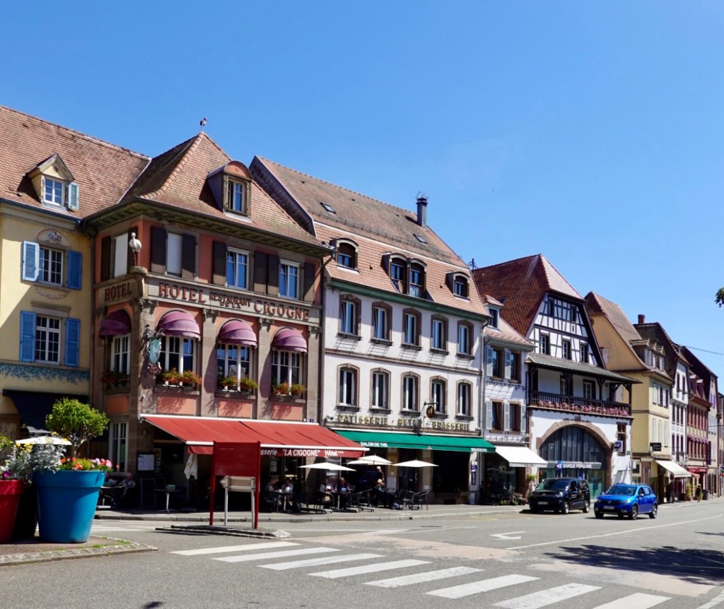
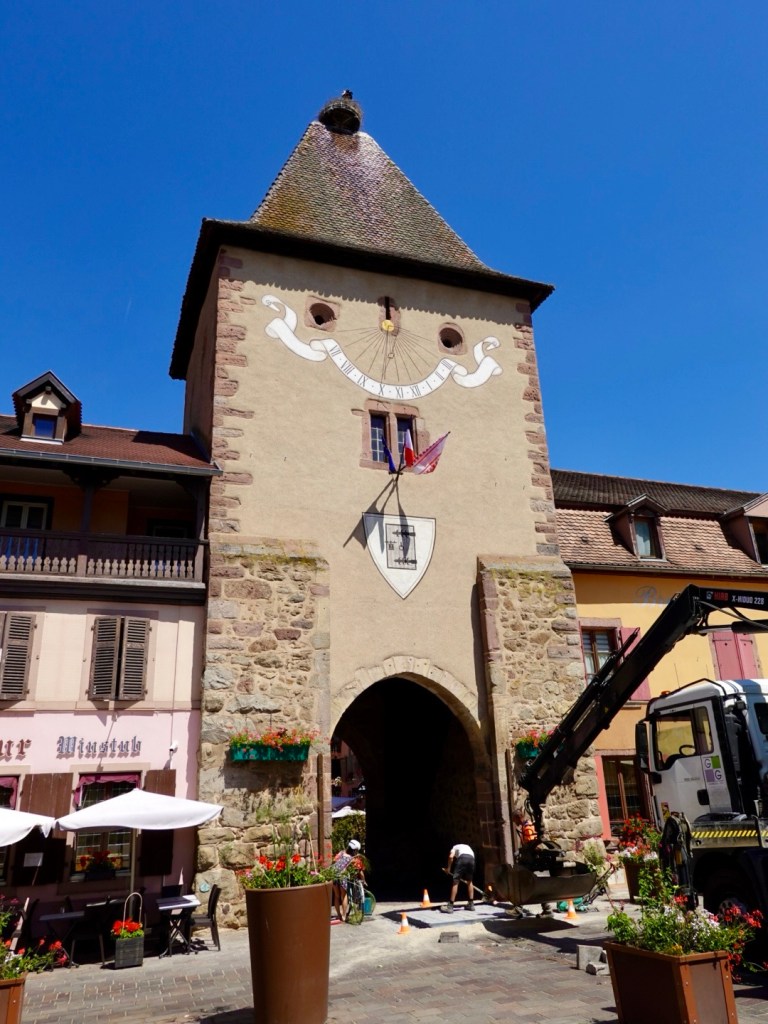
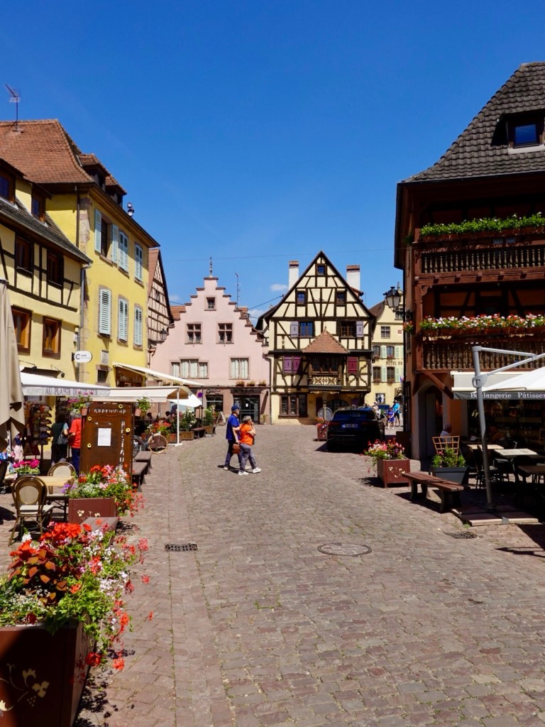
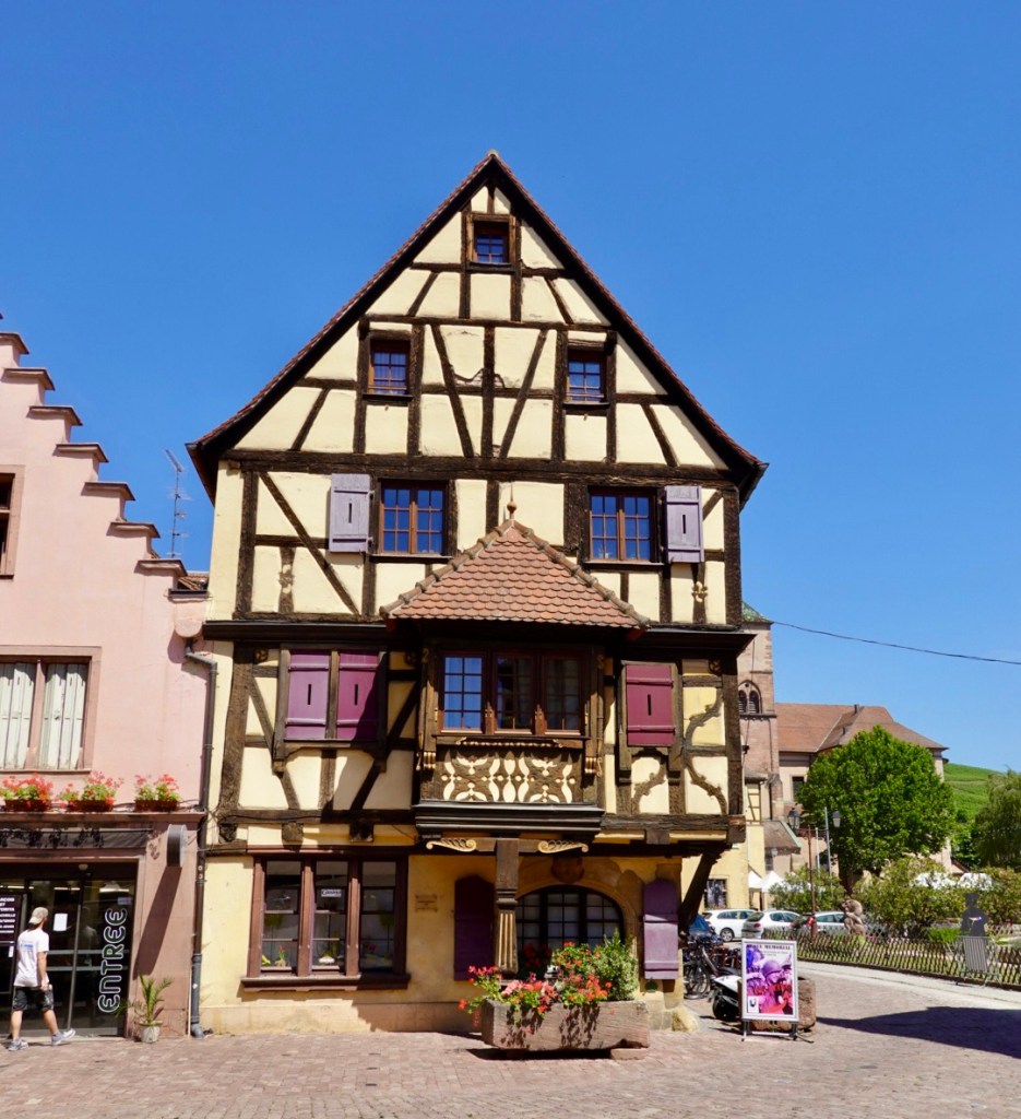
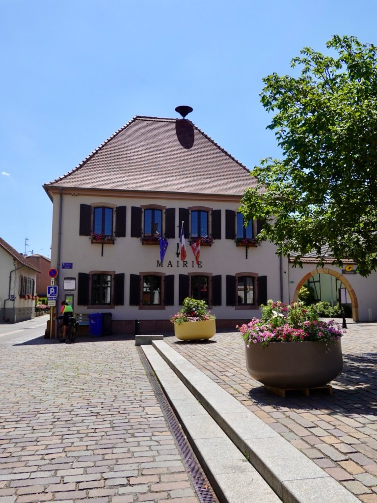
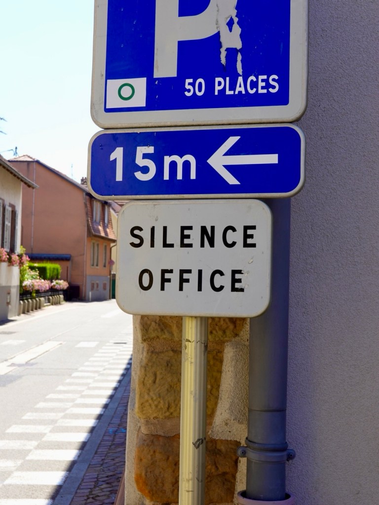
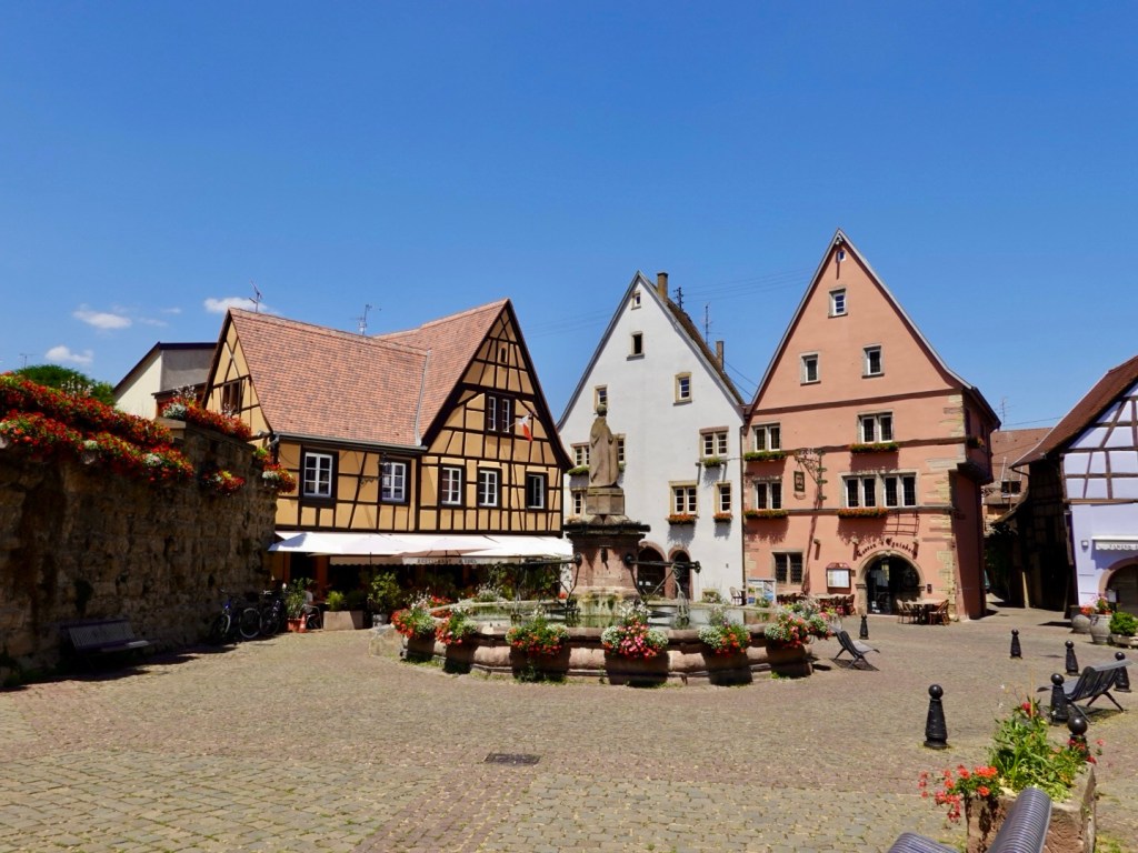
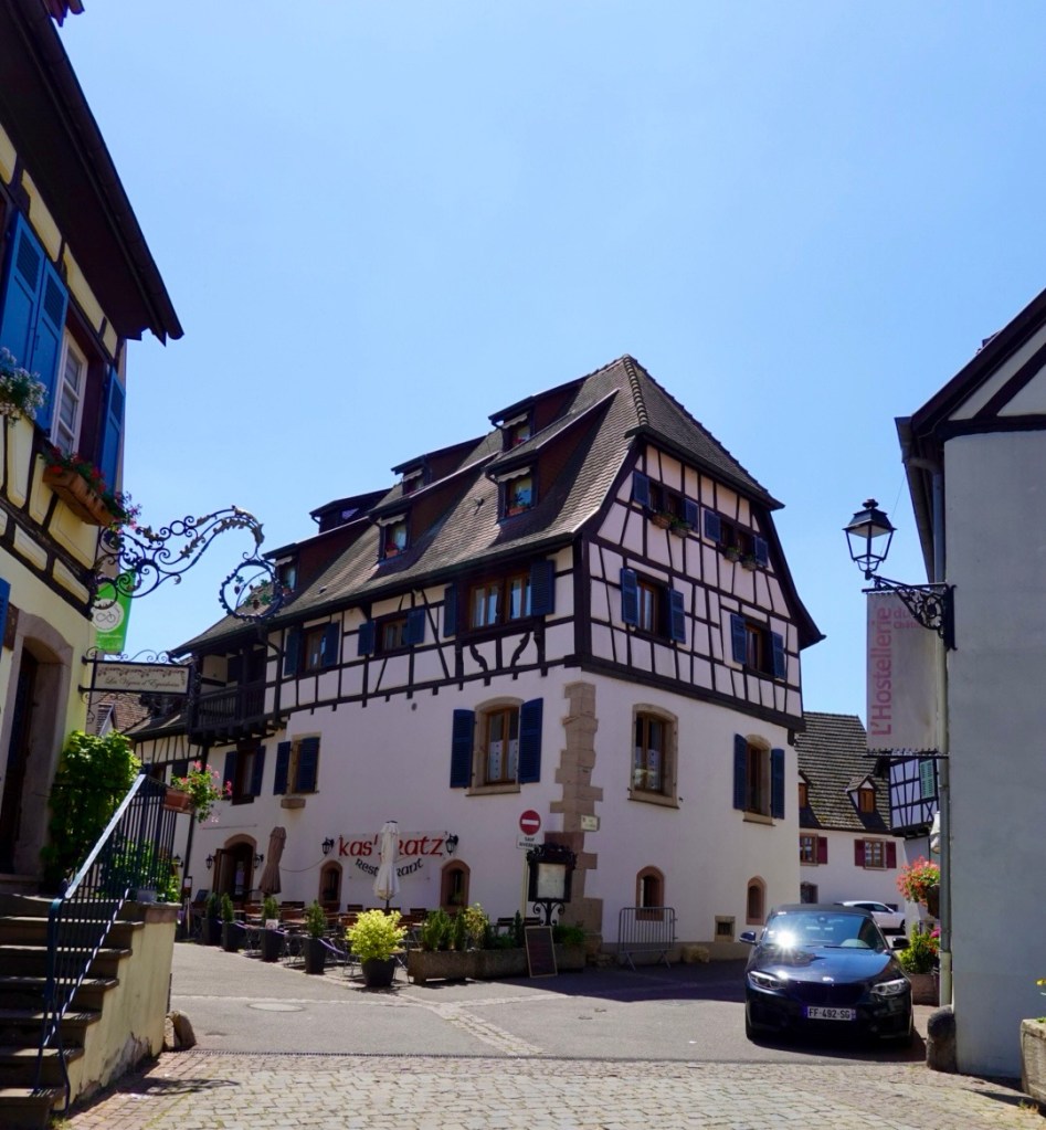
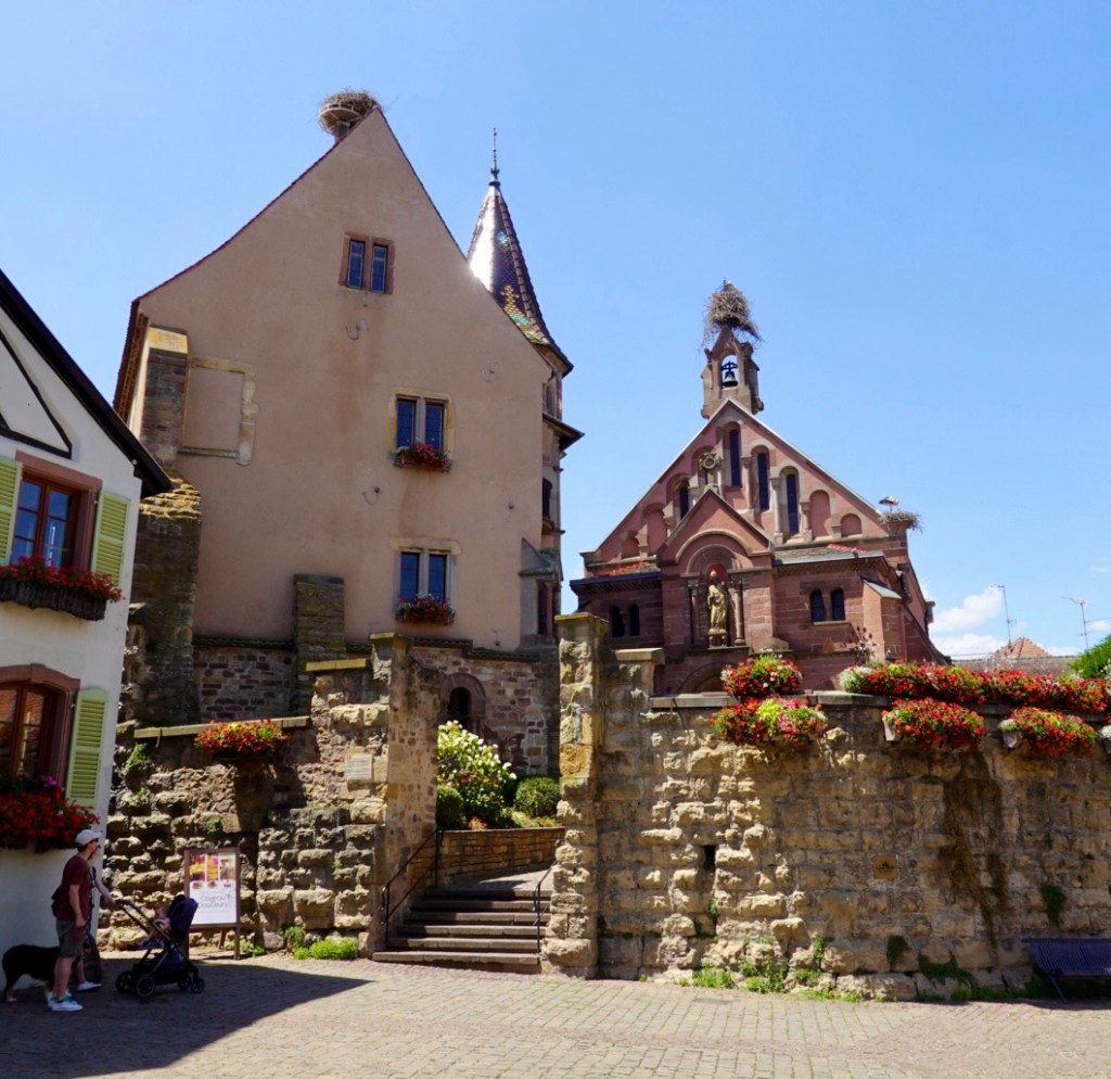
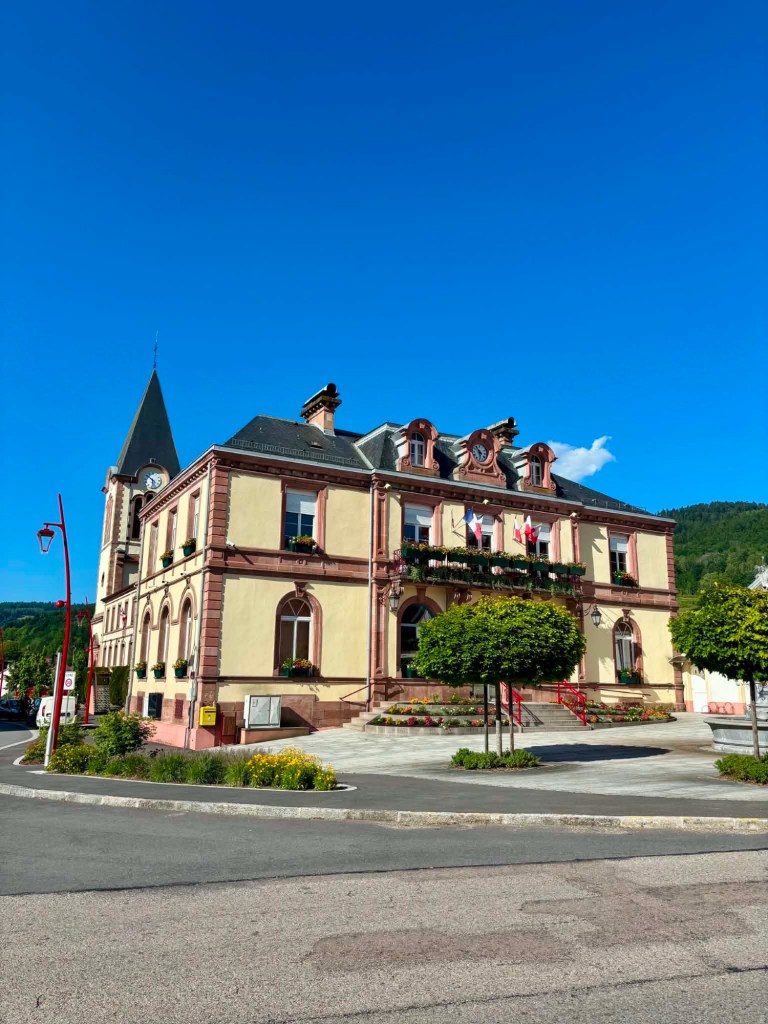
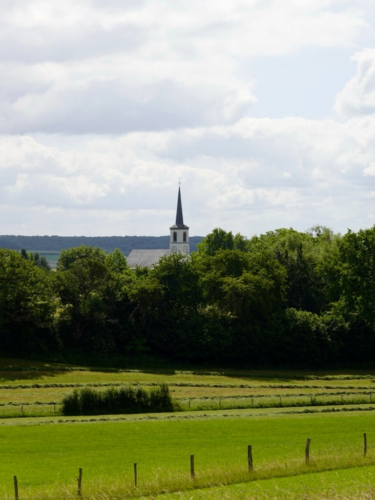
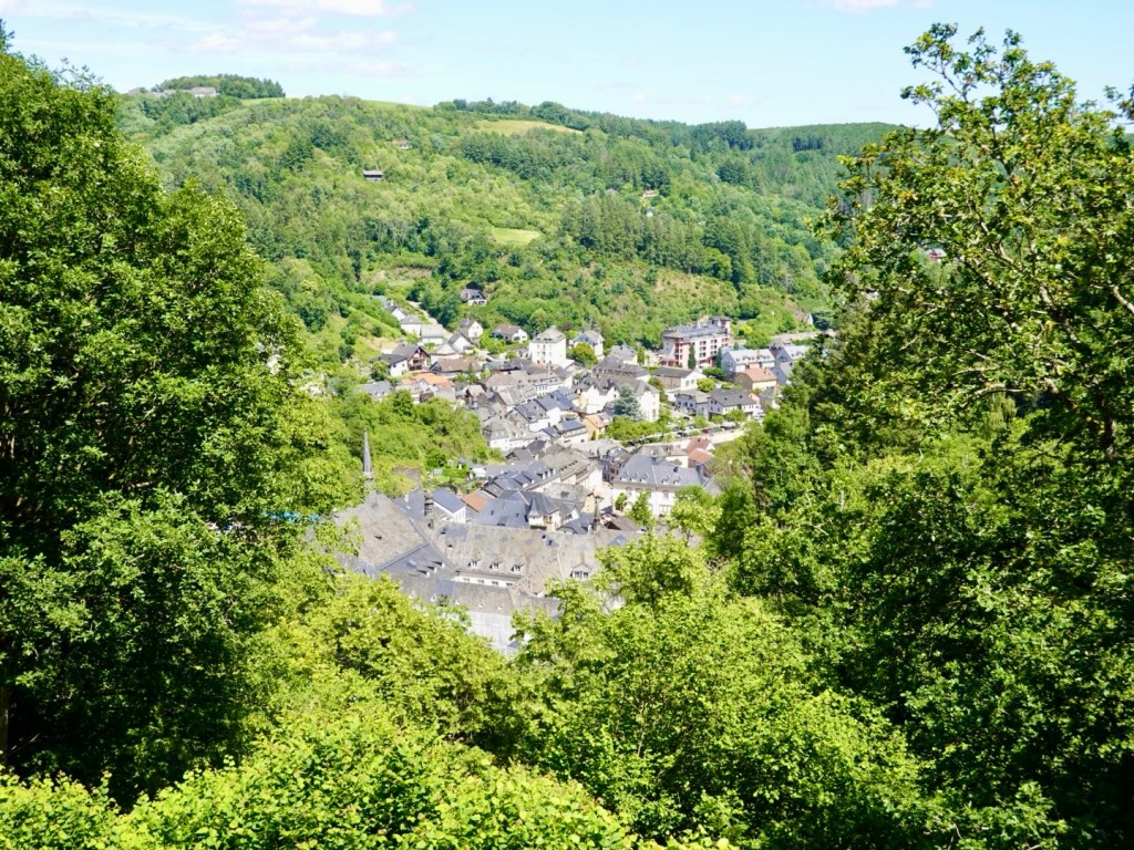
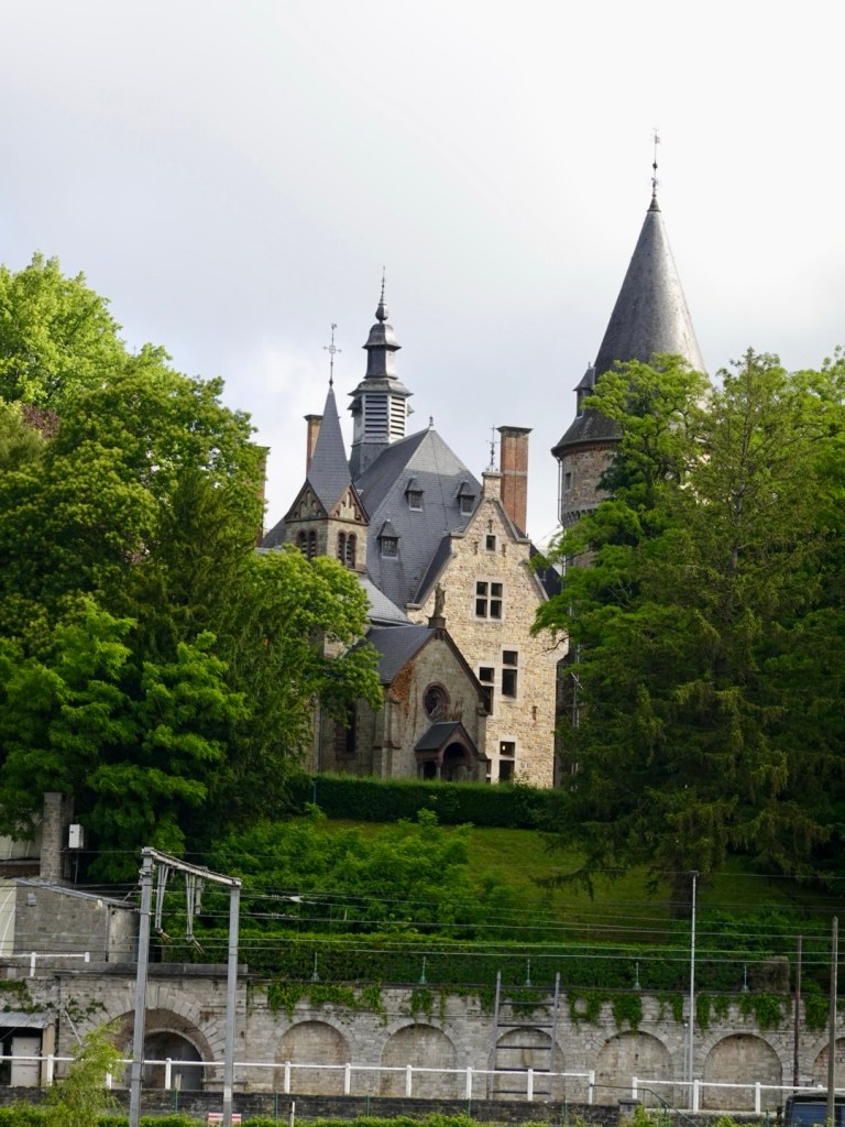
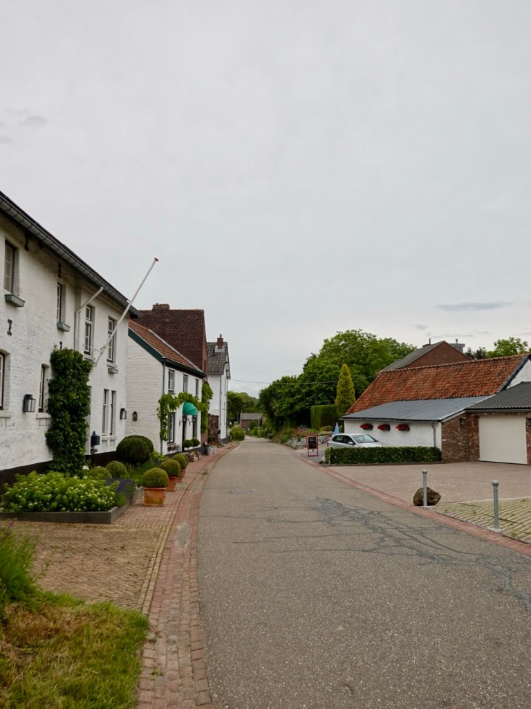
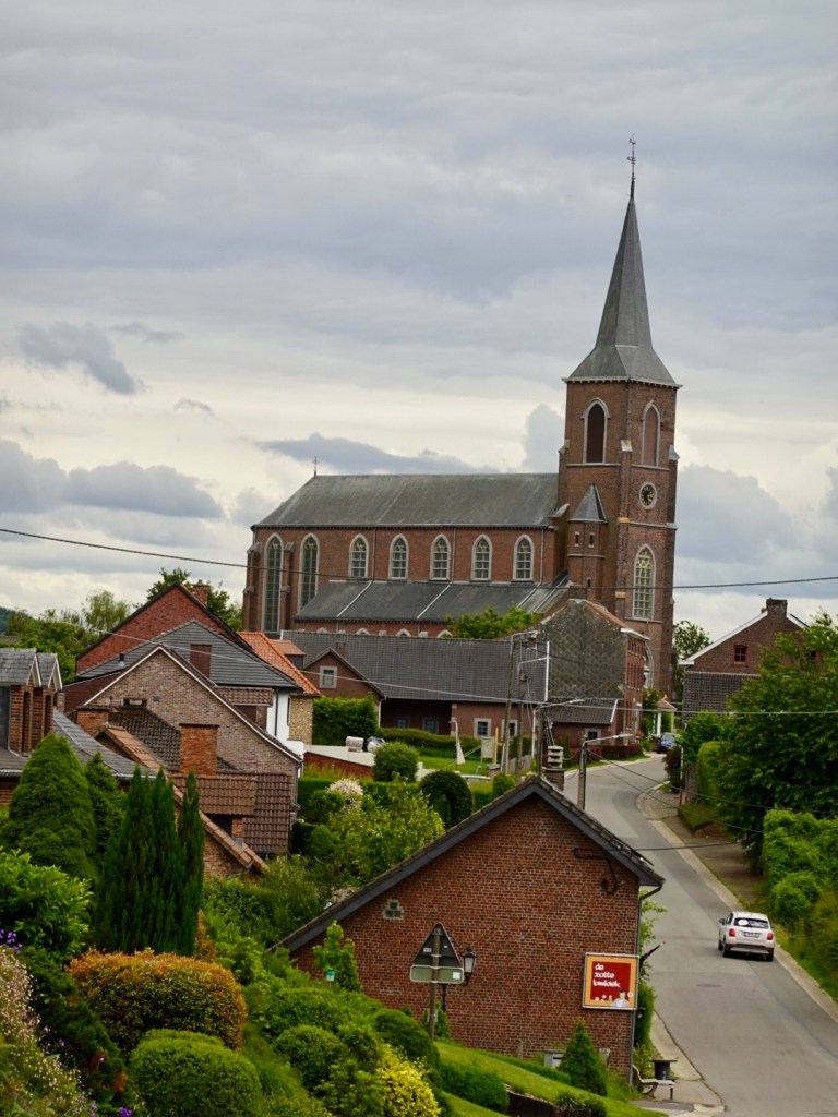
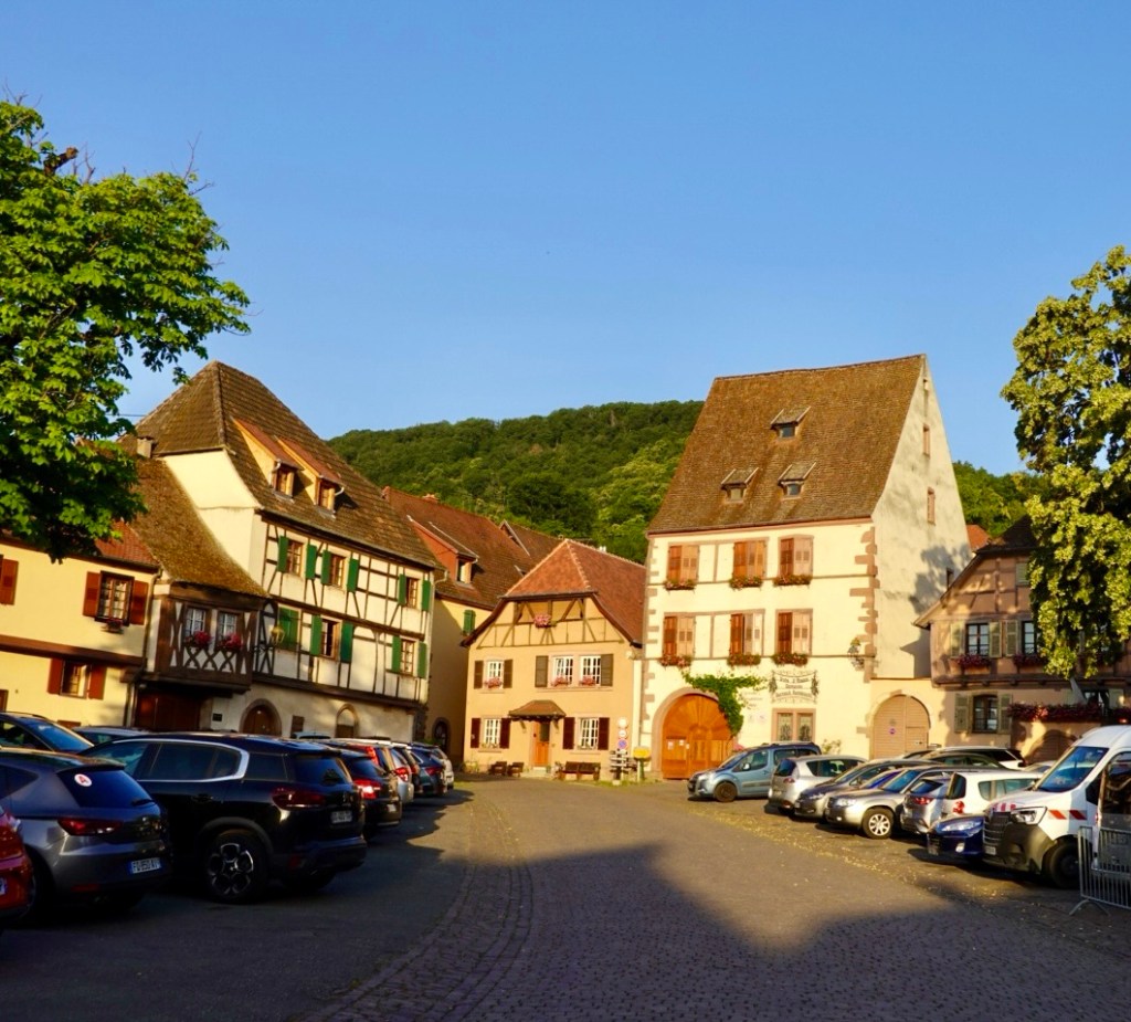
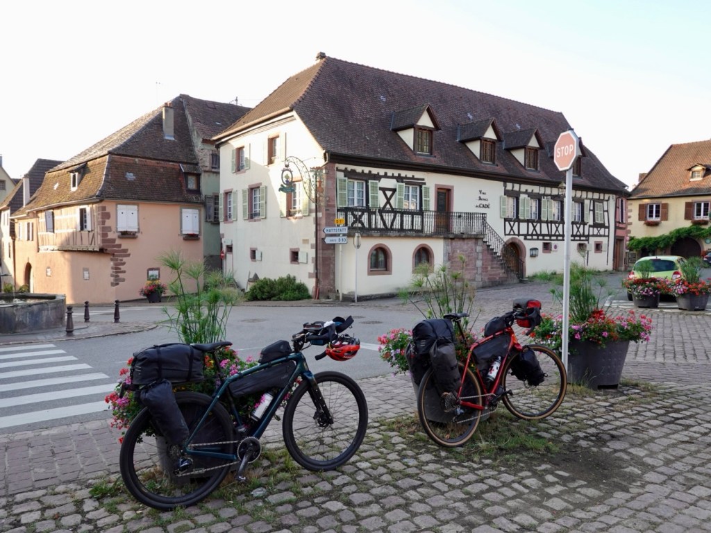
The first village we ride to is Gueberschwihr. A gorgeous village, and one of my favourites. It also has a wonderful shop that opens at 6.30 am, Epicerie du Vignoble.
It sells a wonderful range of local products from cold meats, cheeses, boulangerie items, drinks, condiments and I have a ball selecting breakfast.
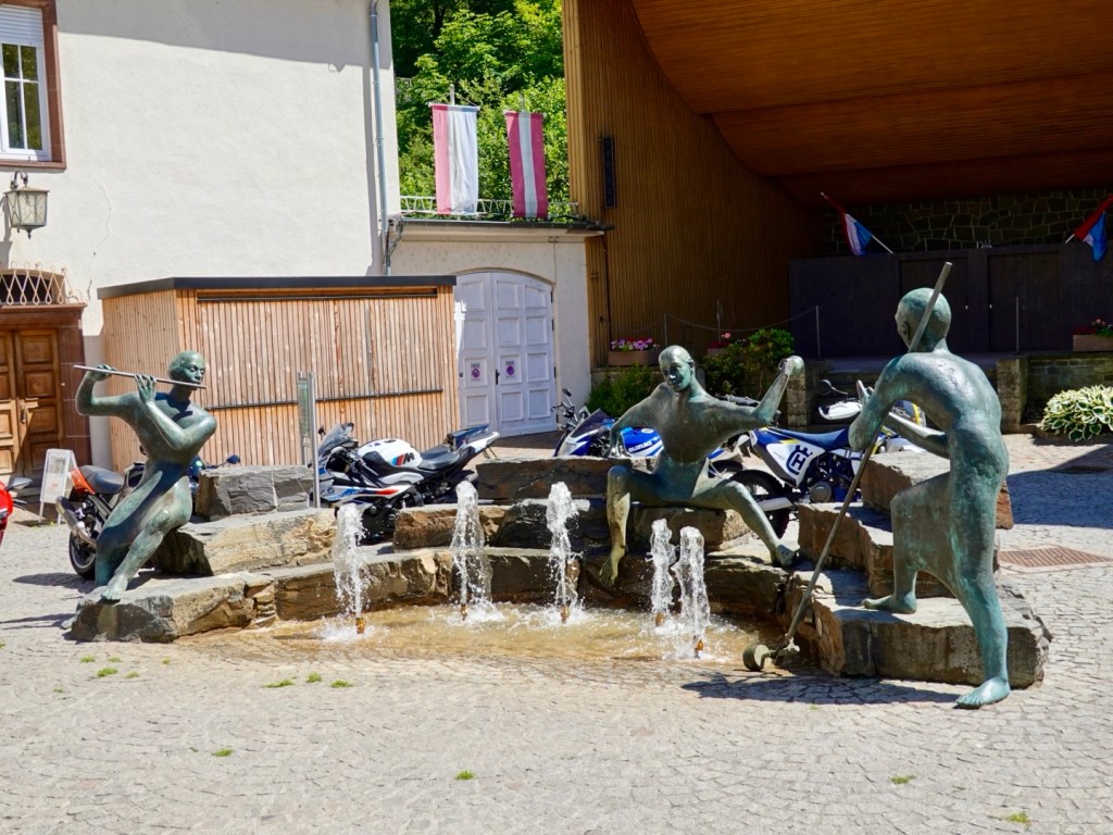
We eat outside in the shade by a fountain, with large carp hanging around looking for anything we might drop.
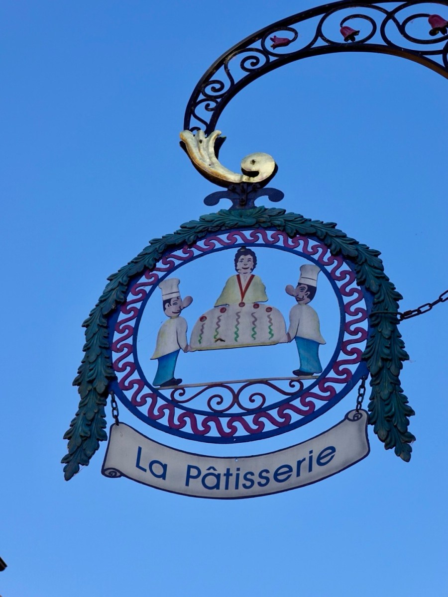
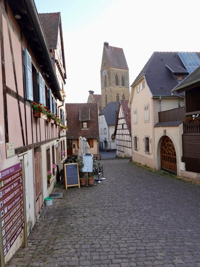
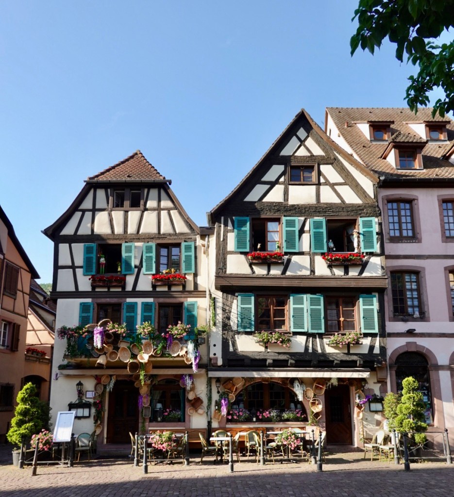
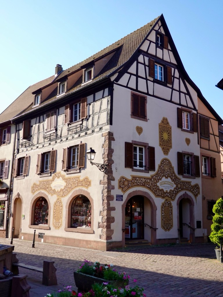
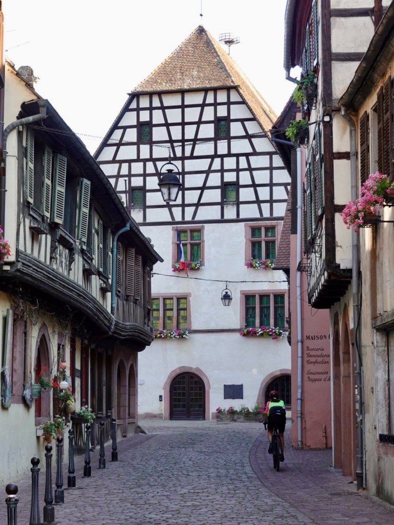
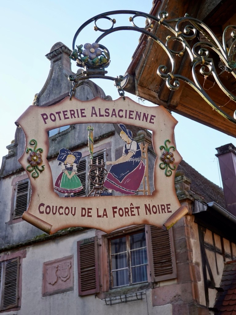
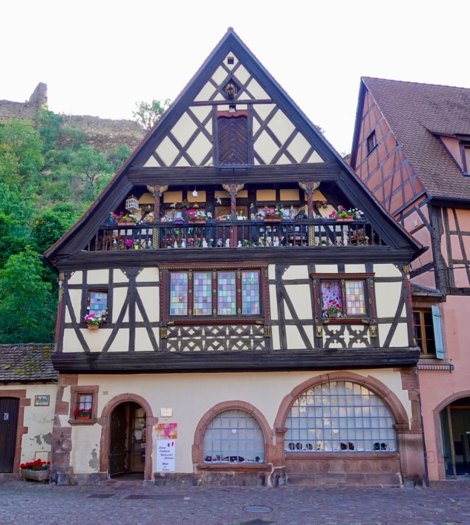
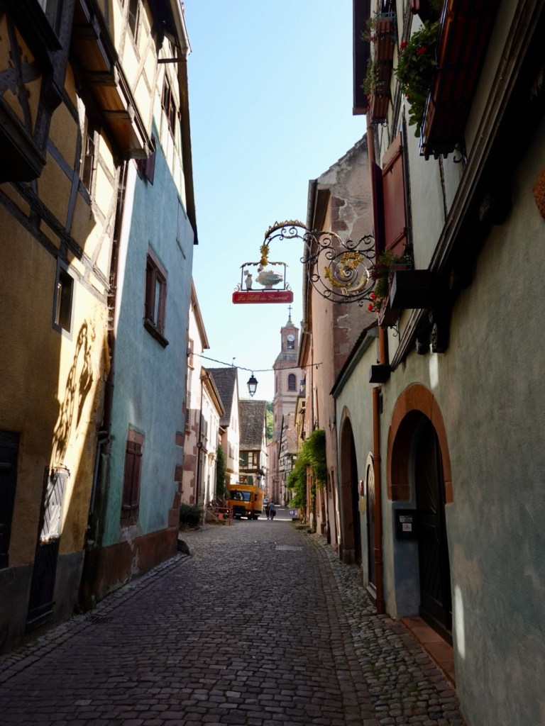
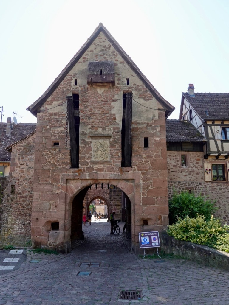
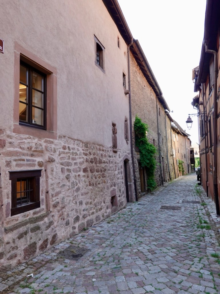
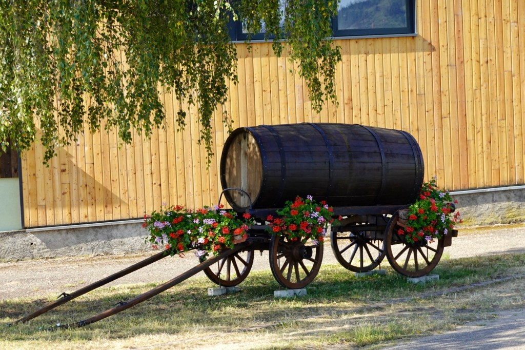
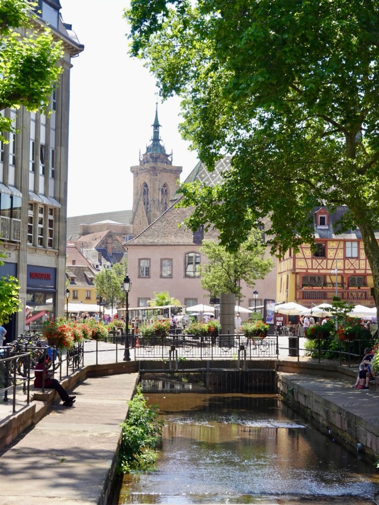
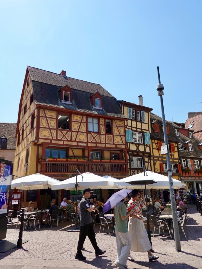
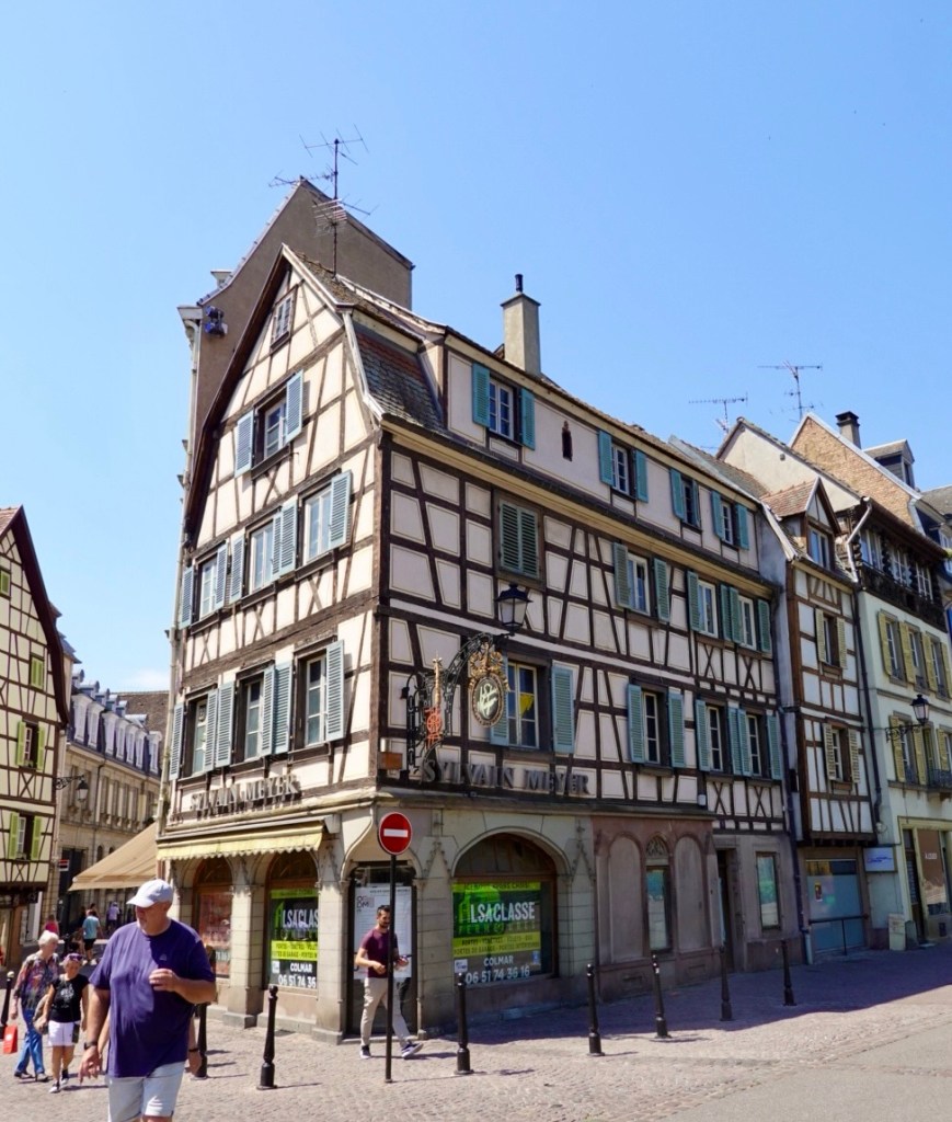
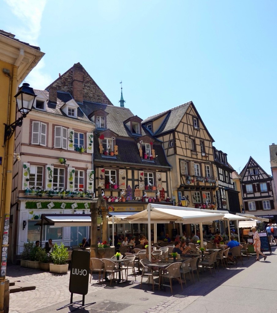
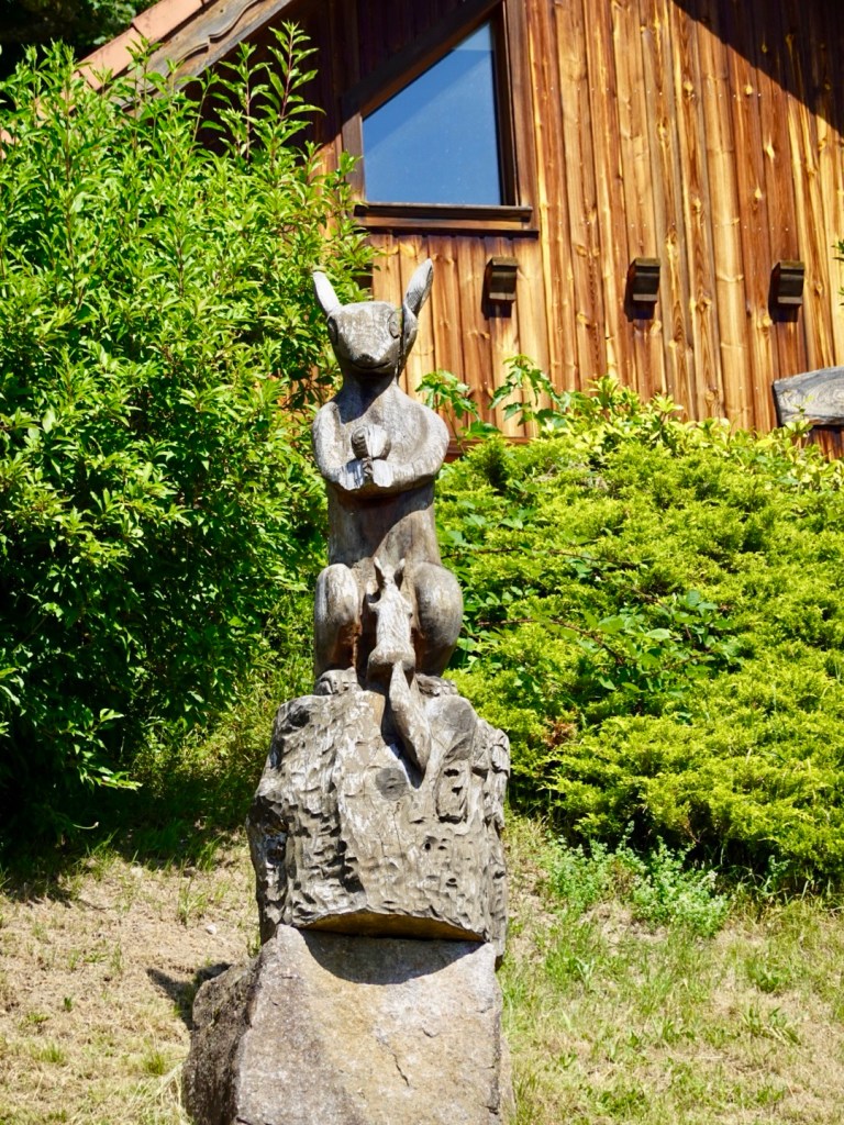
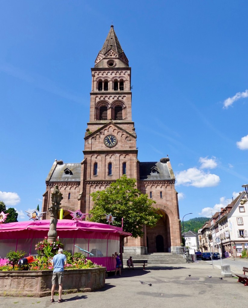
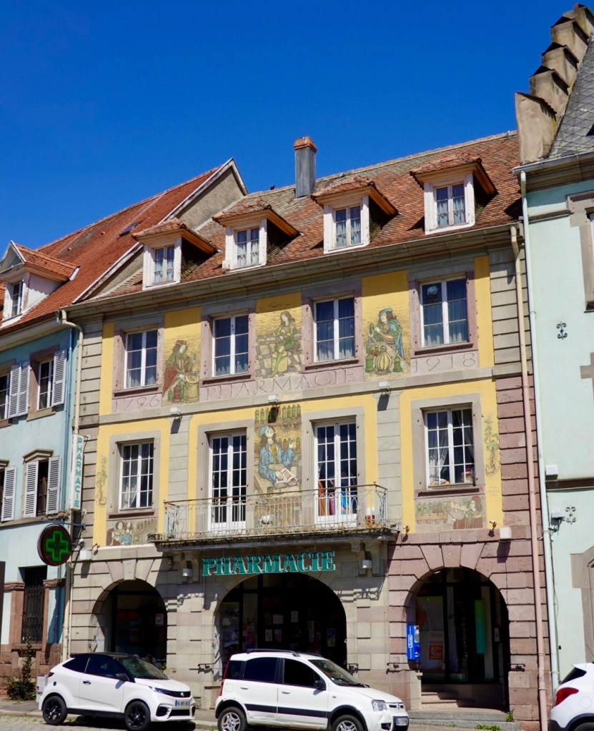
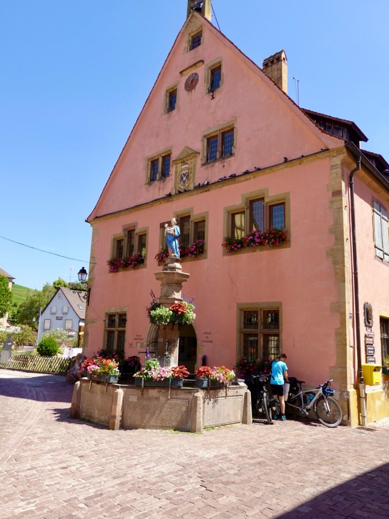
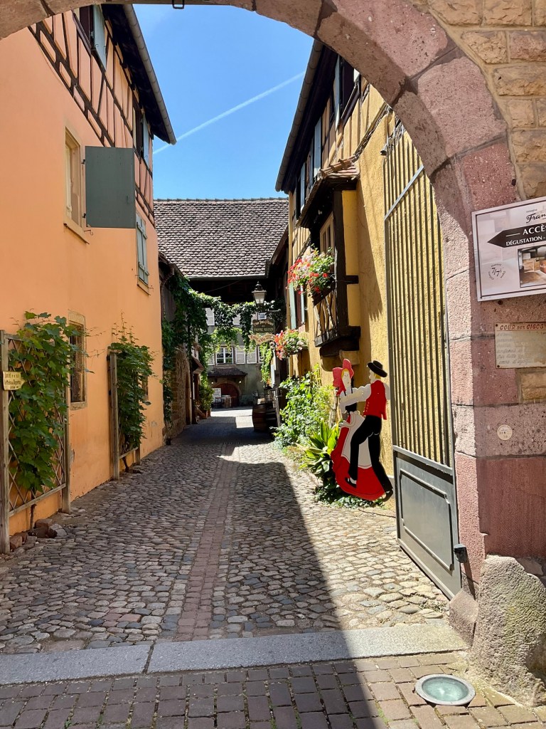
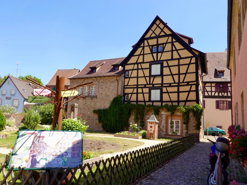
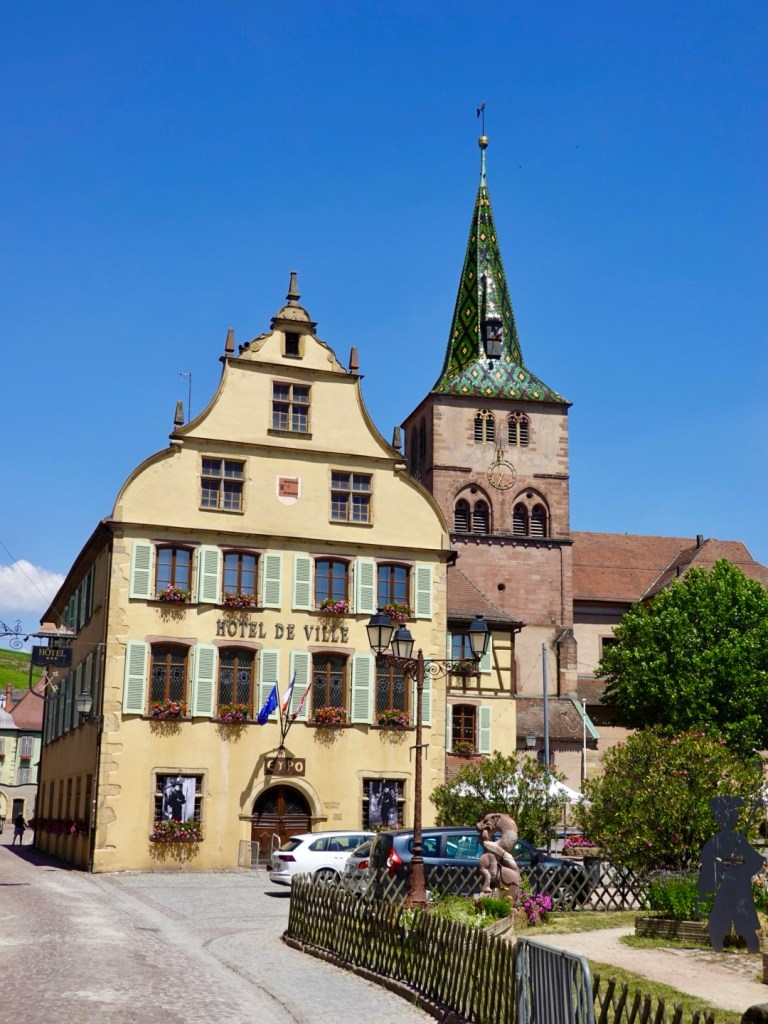
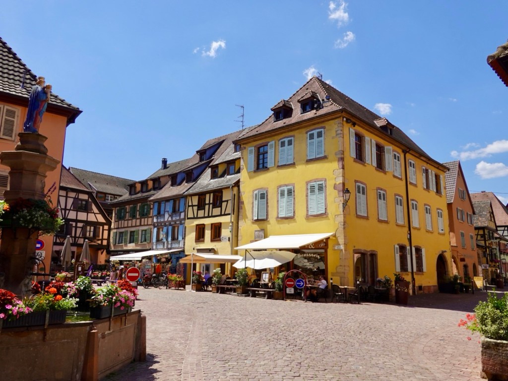
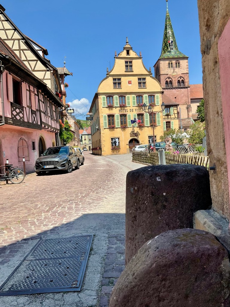
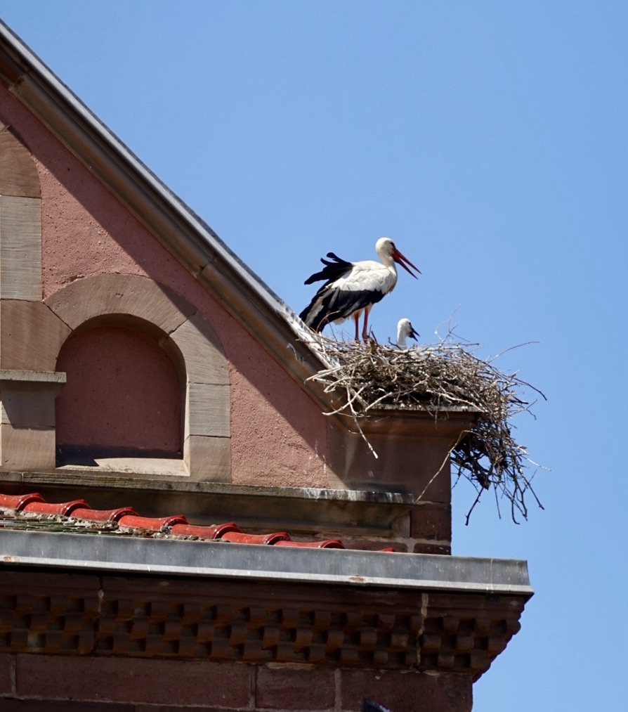
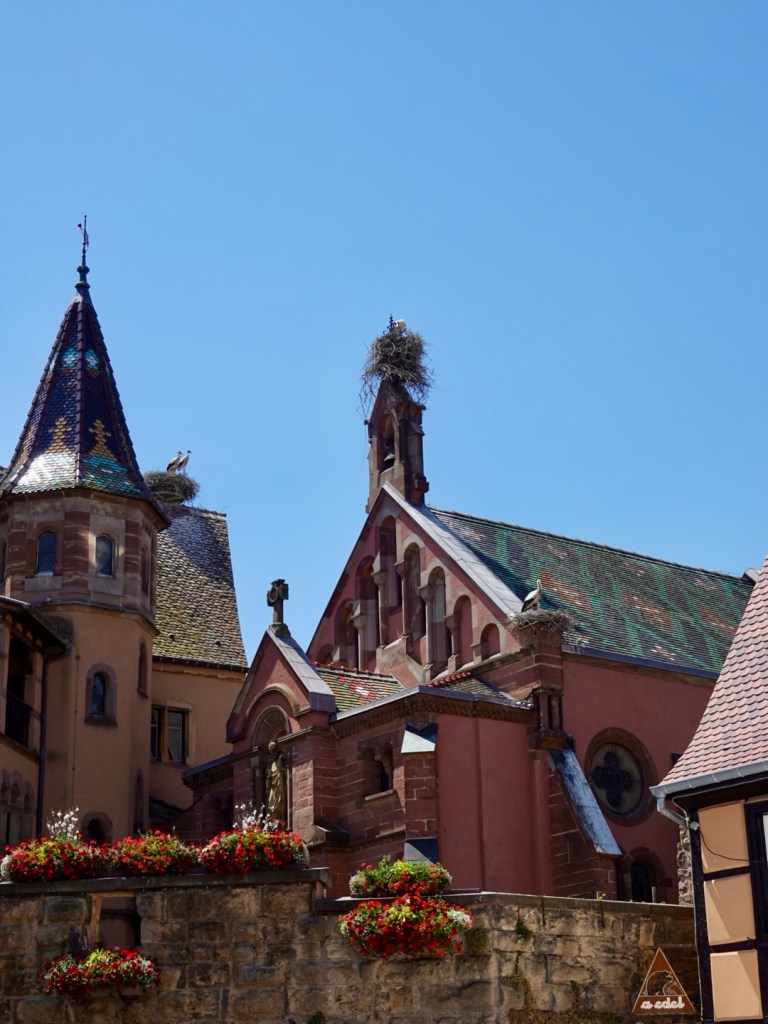
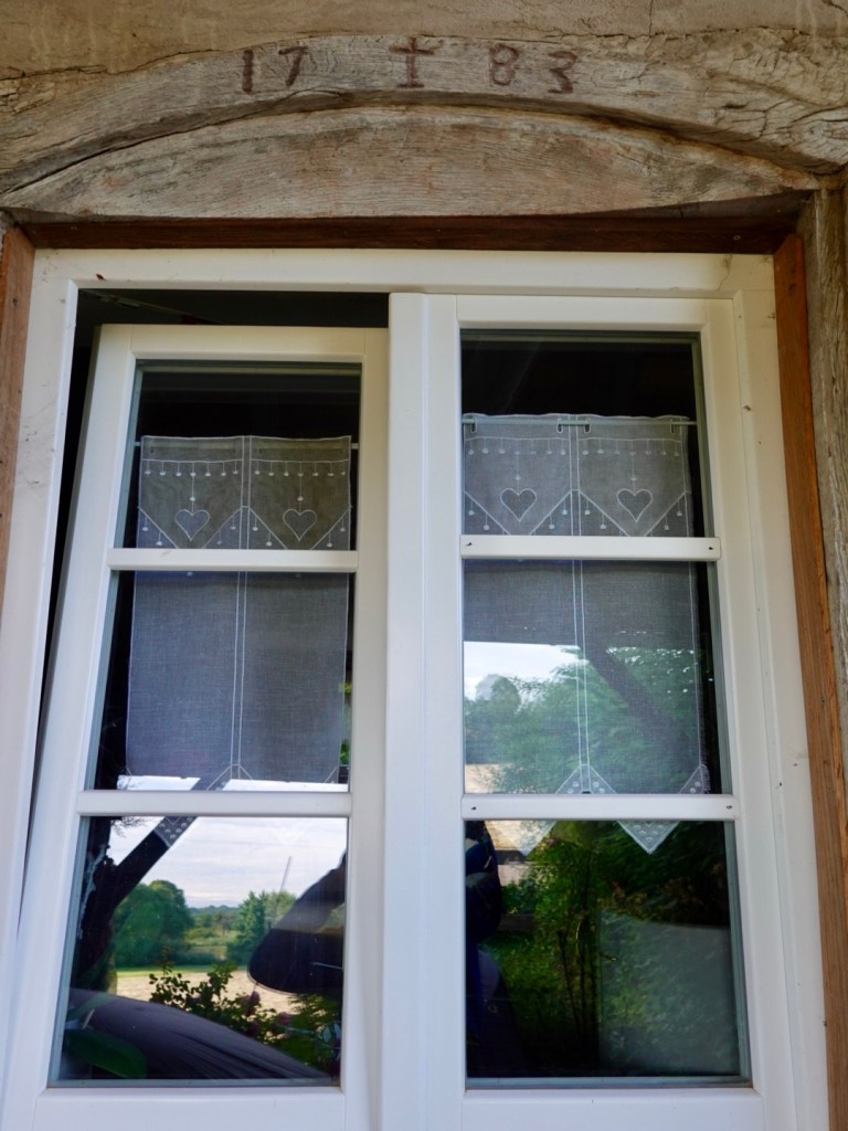
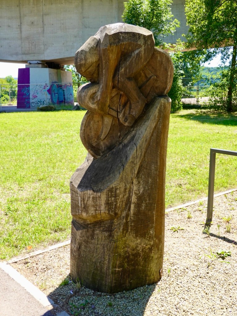
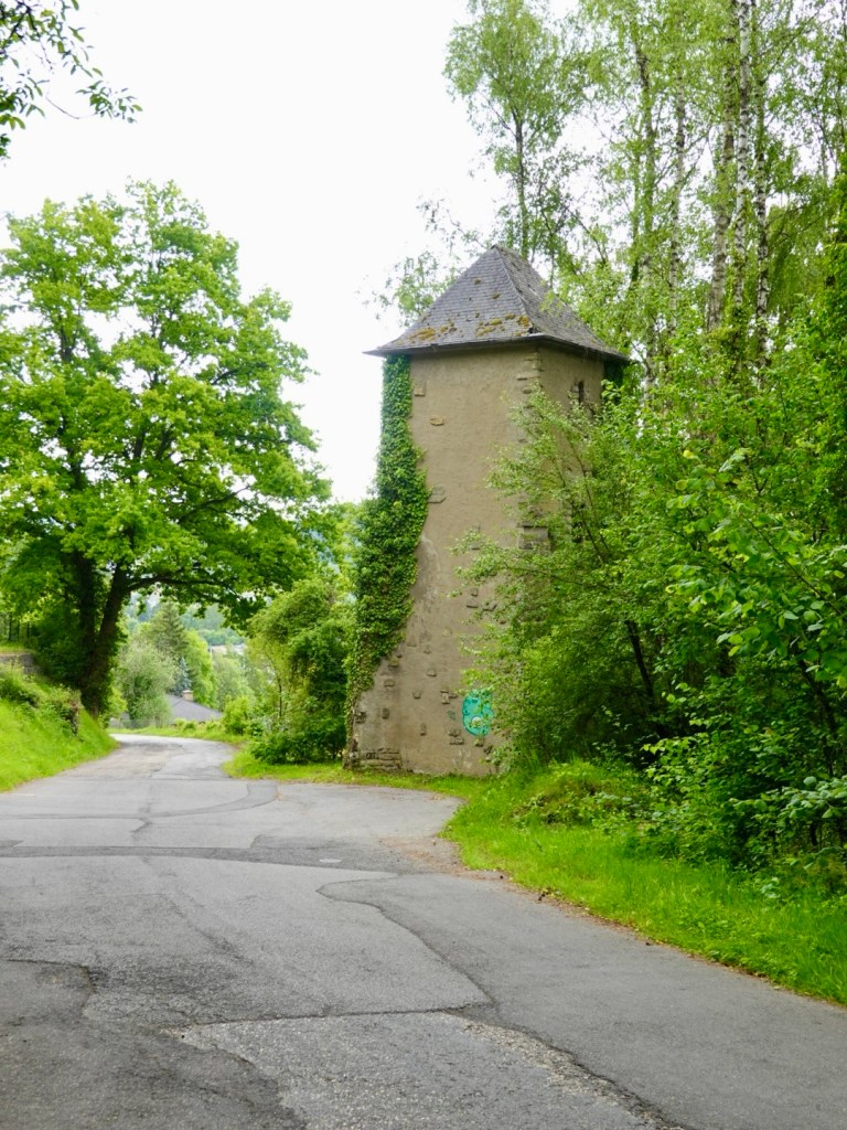
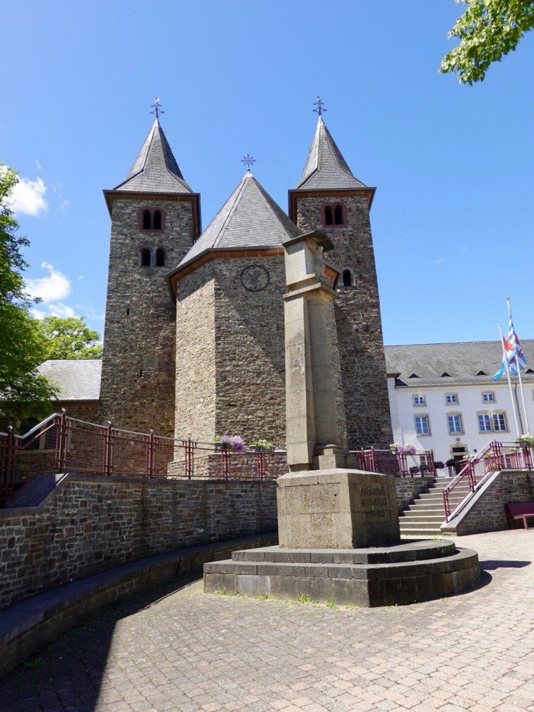
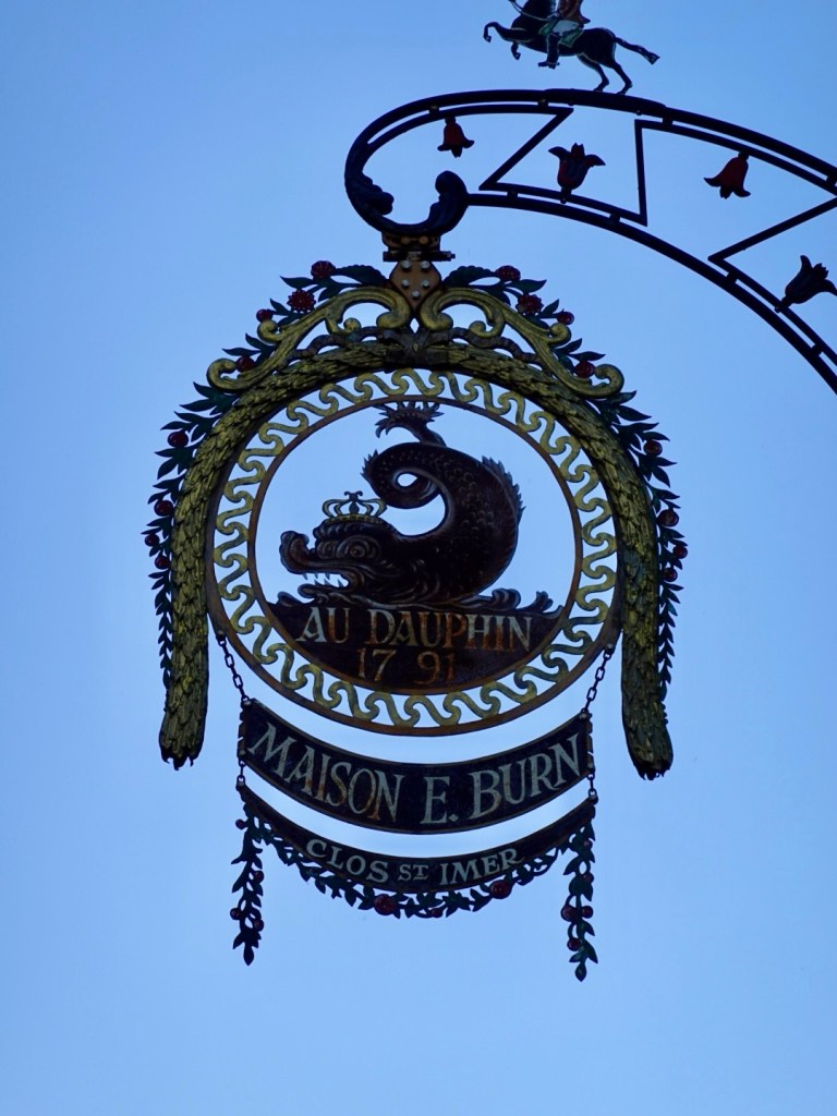
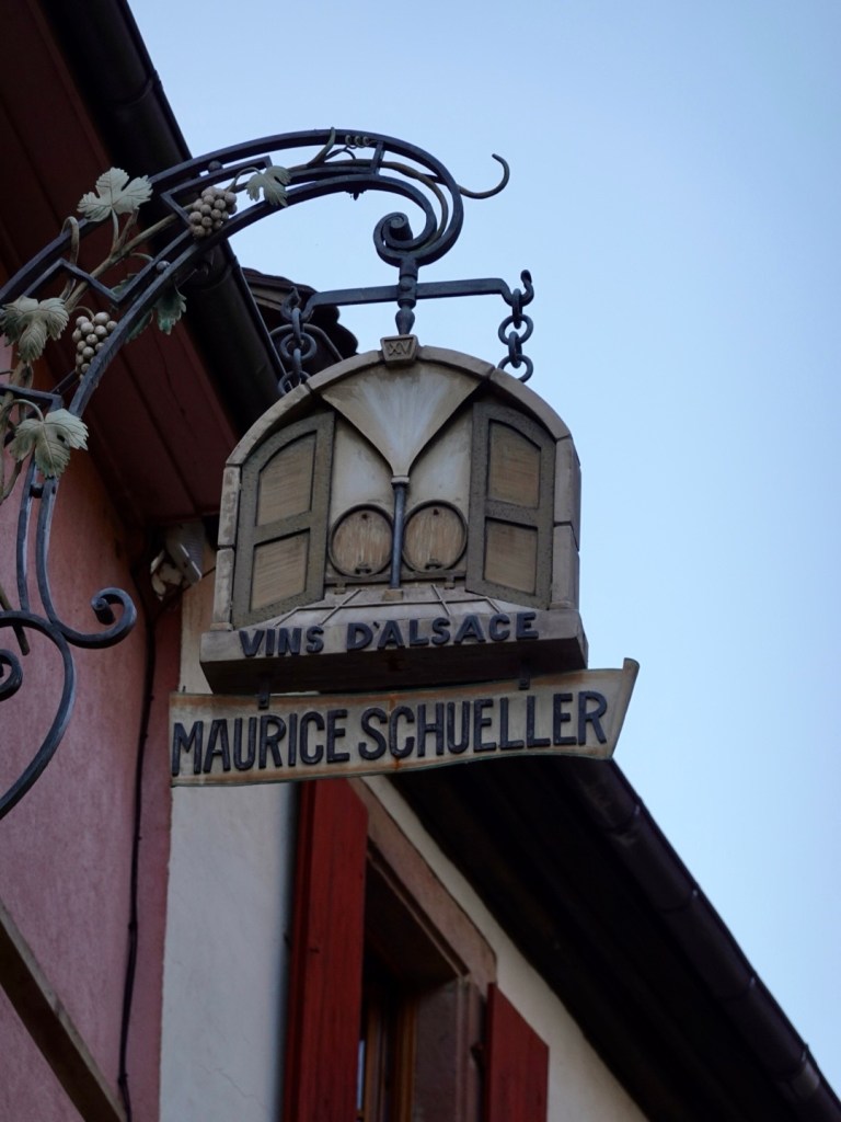
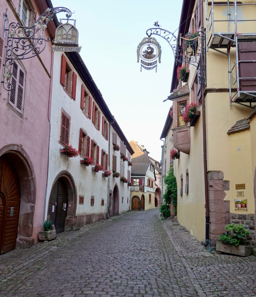
Some photos from this village.
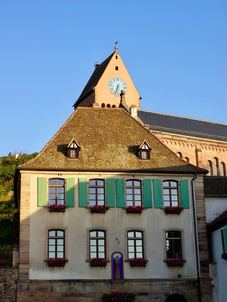
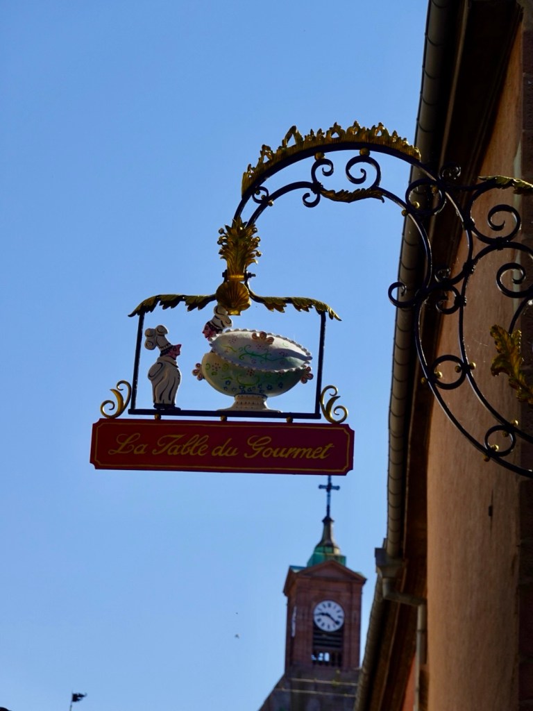
I do love the overshop signage.
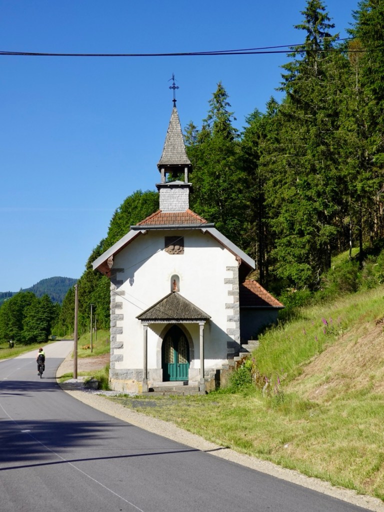
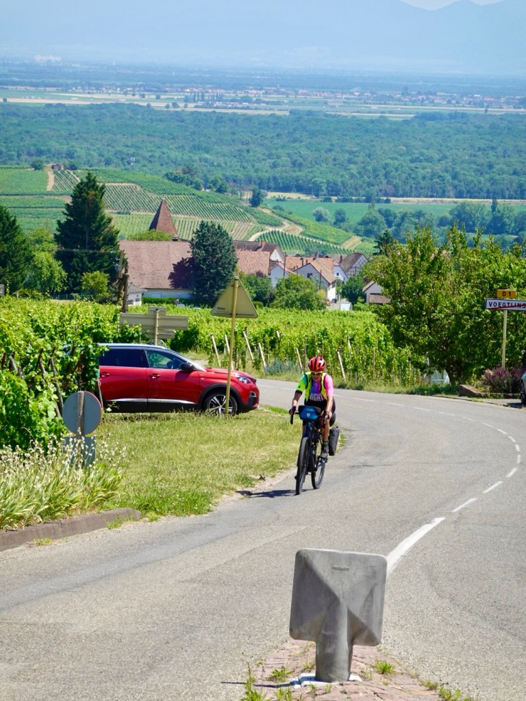
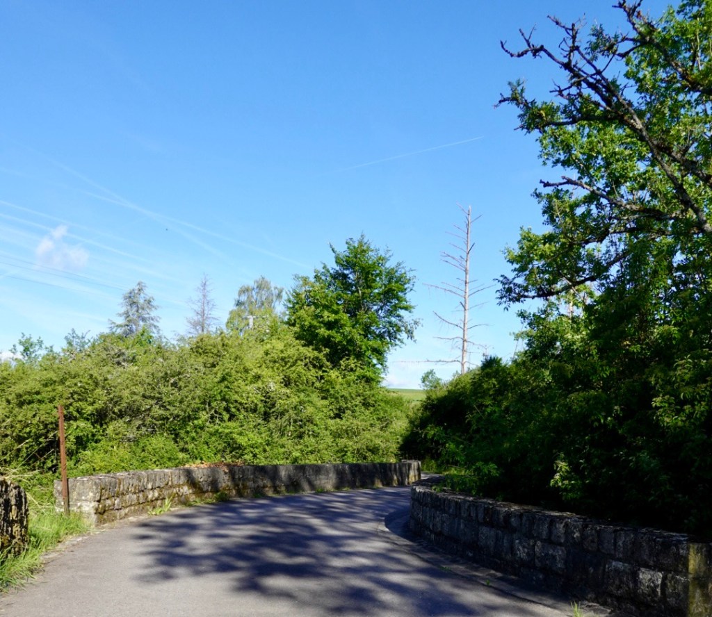
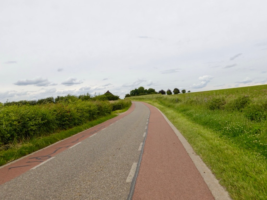
With our hunger satiated, we leave town this way.
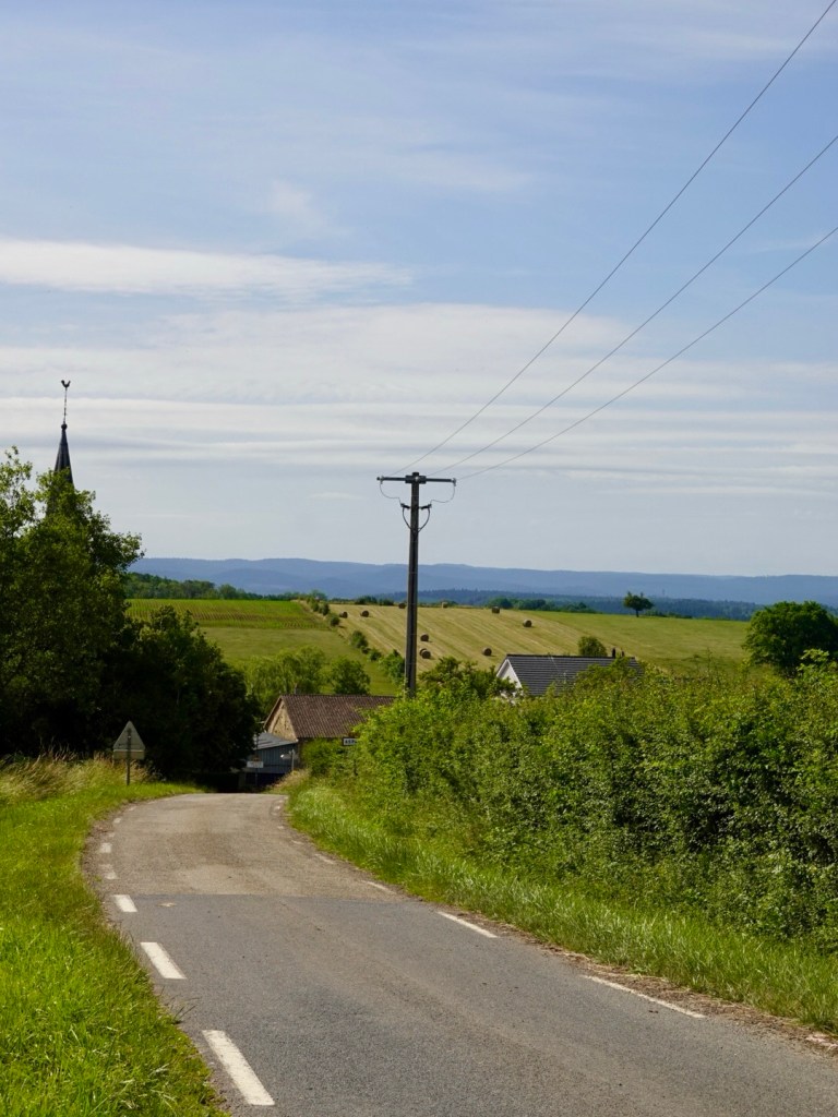
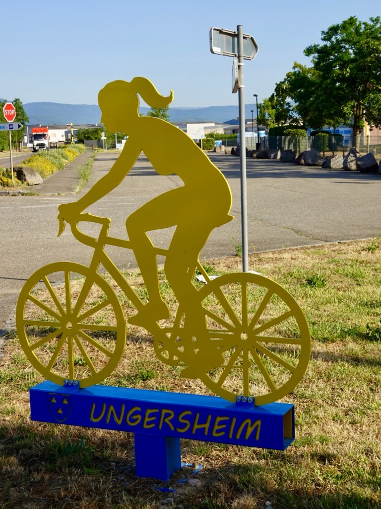
Another string of German named French villages included Pfaffenheim, Rouffach, Merxheim, Raedersheim, Ungersheim, Ensisheim and Battenheim.
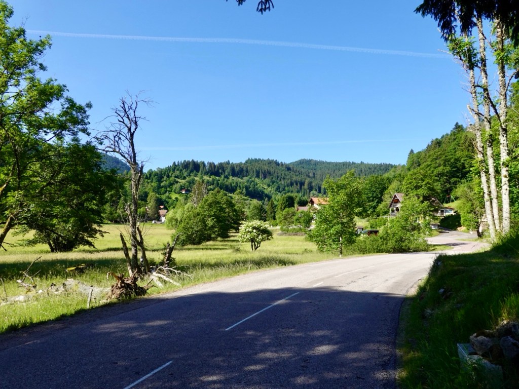
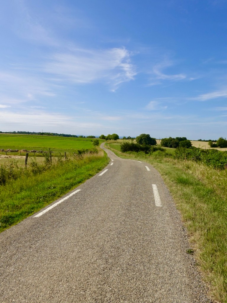
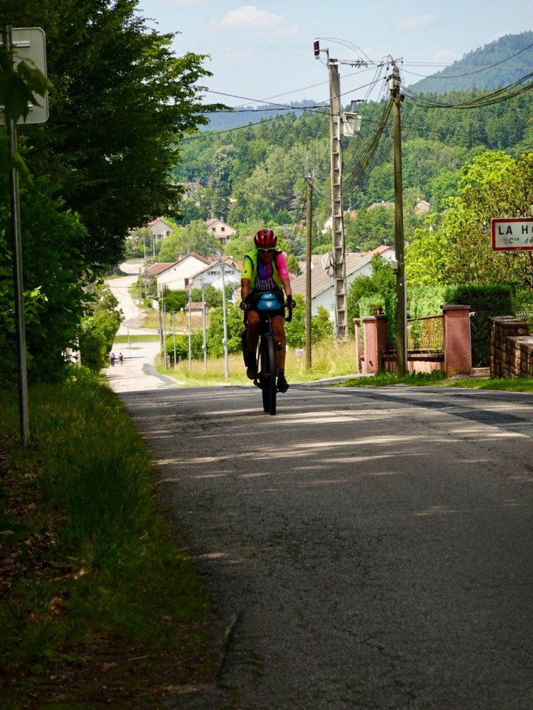
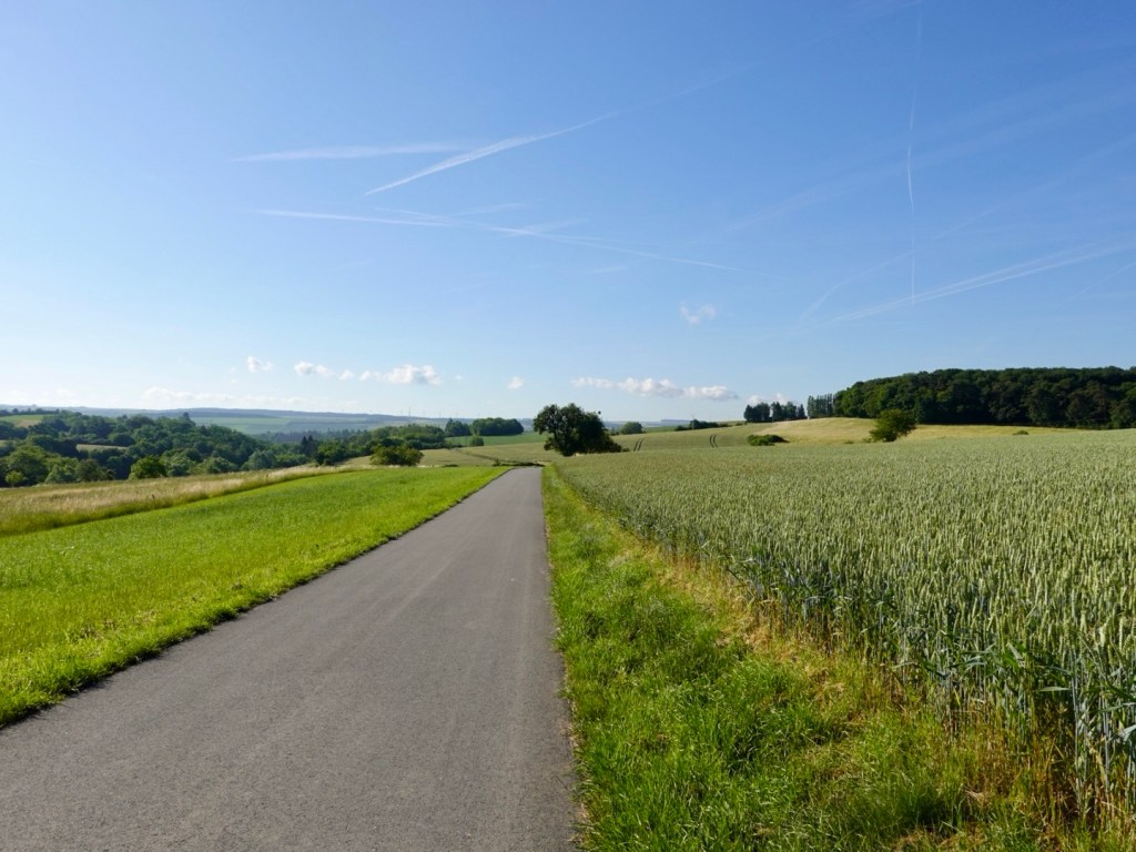
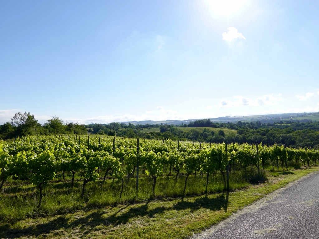
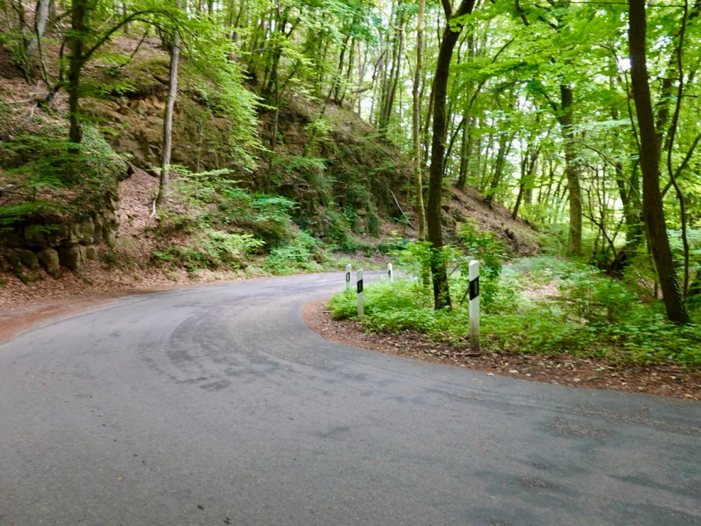
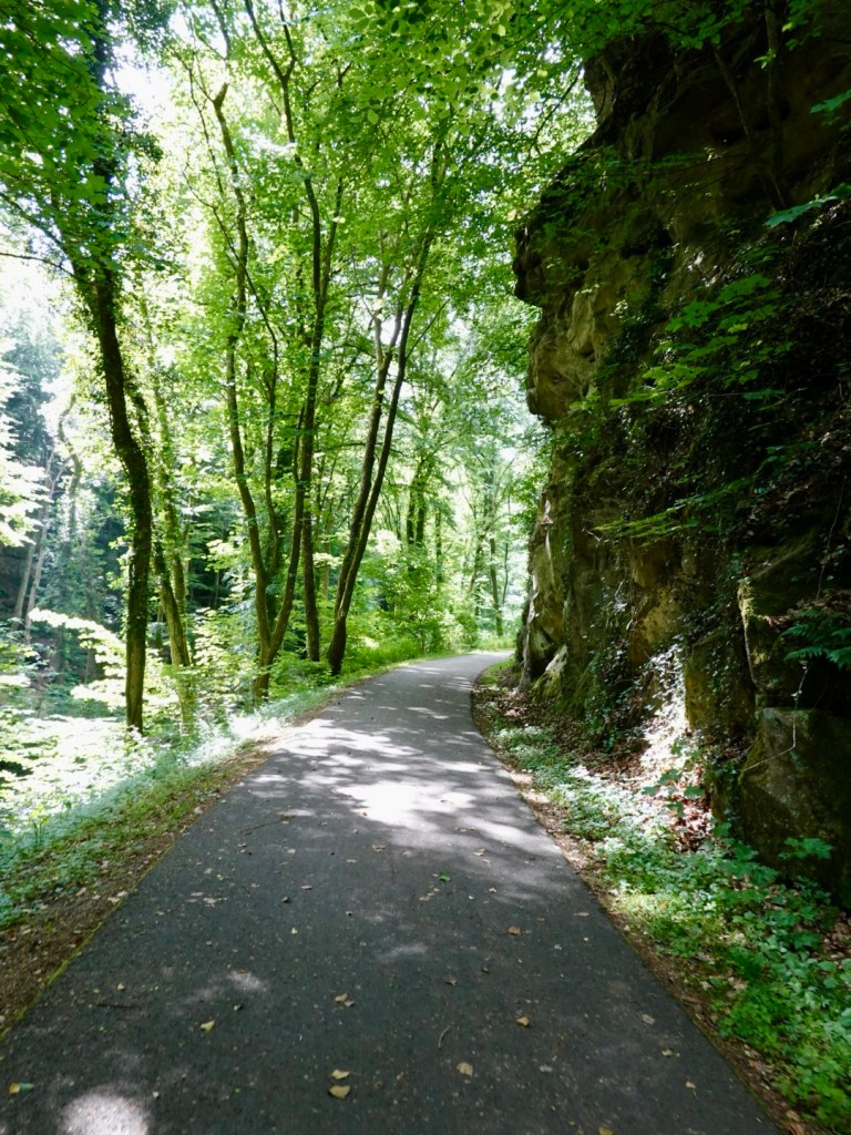
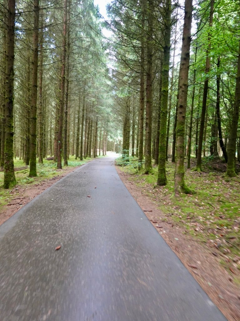
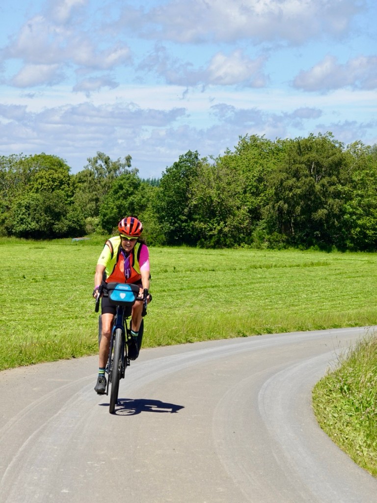
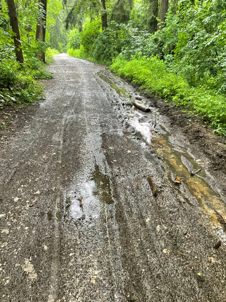
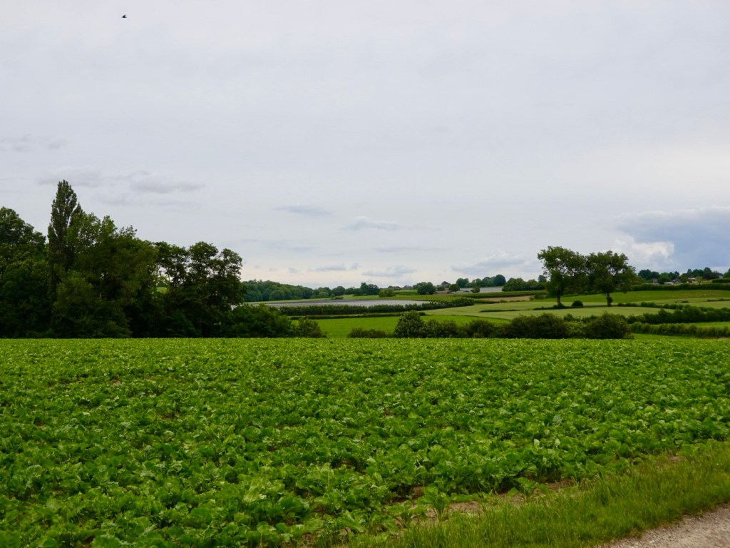
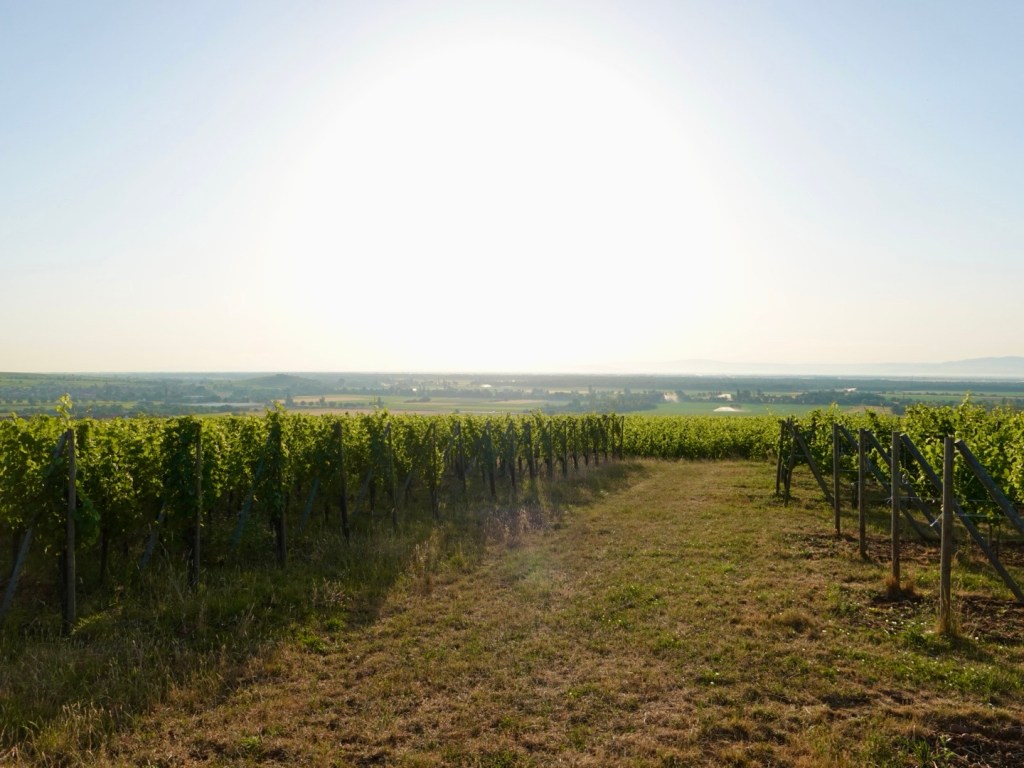
Riding between the villages, was my favourite part. Sometimes flat, sometimes rolling up and down.
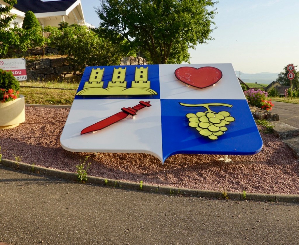
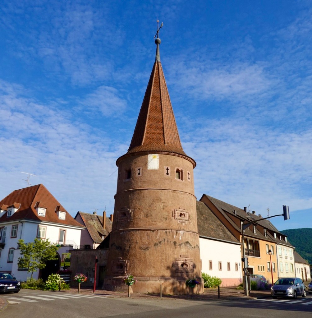
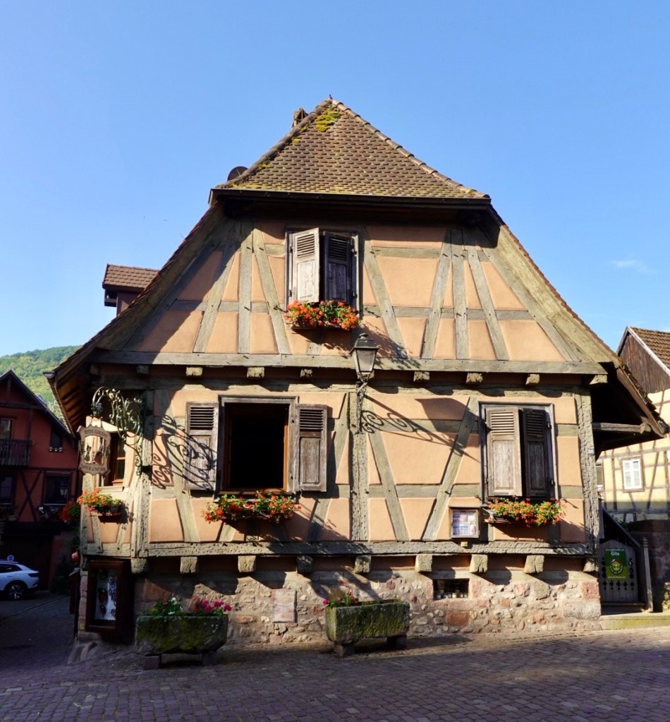
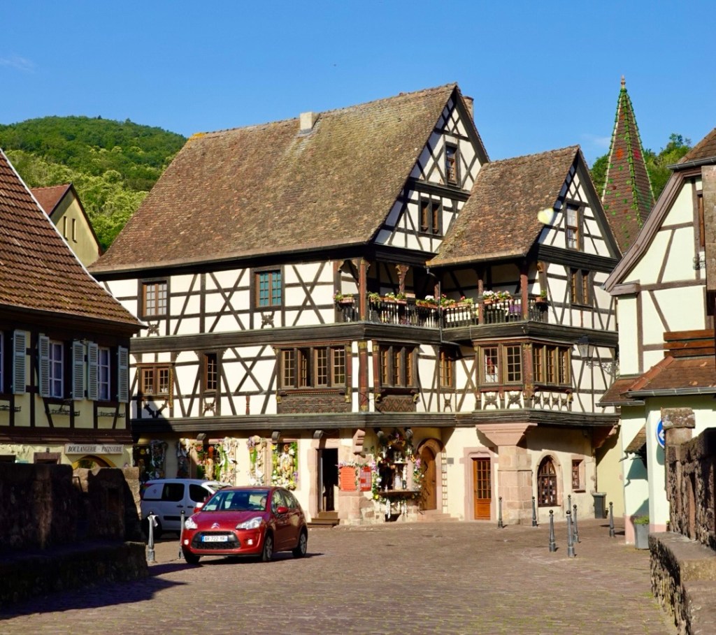
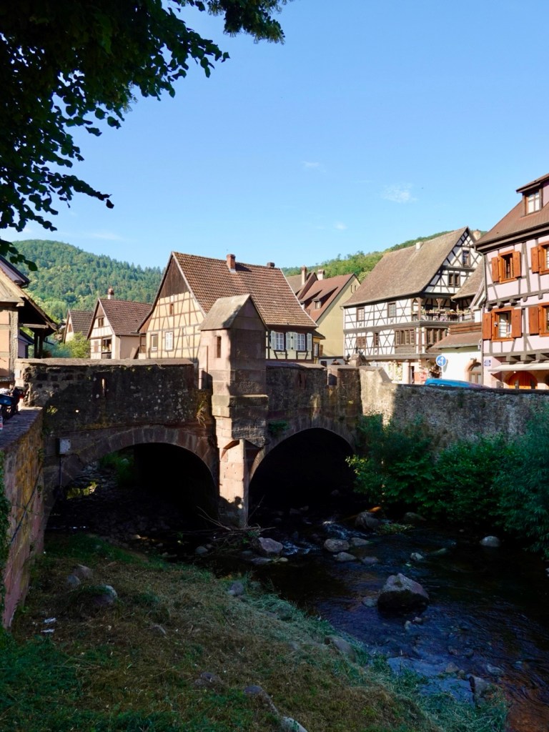
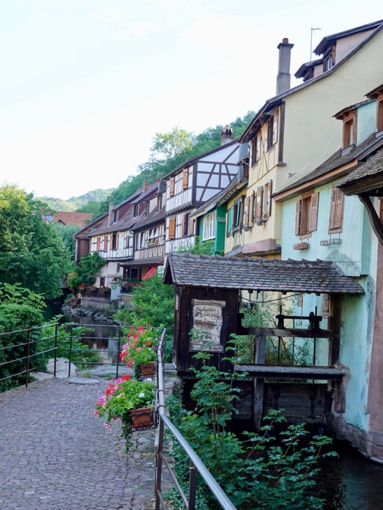
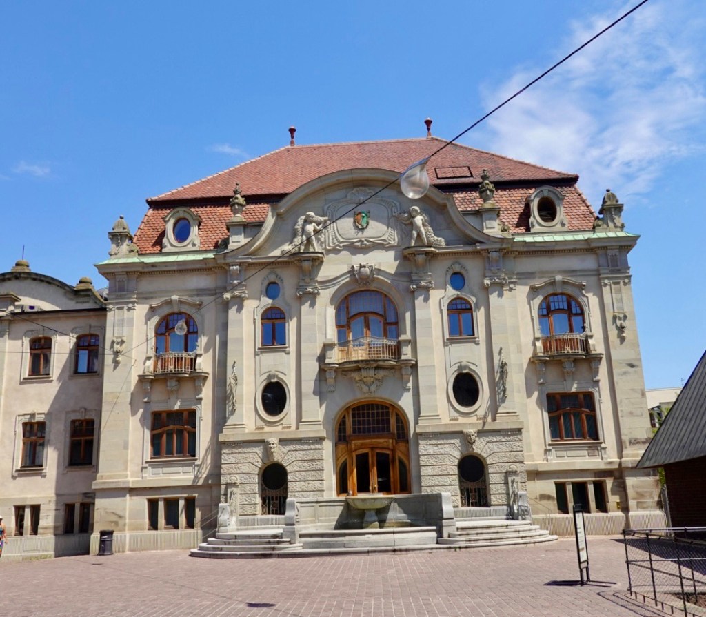
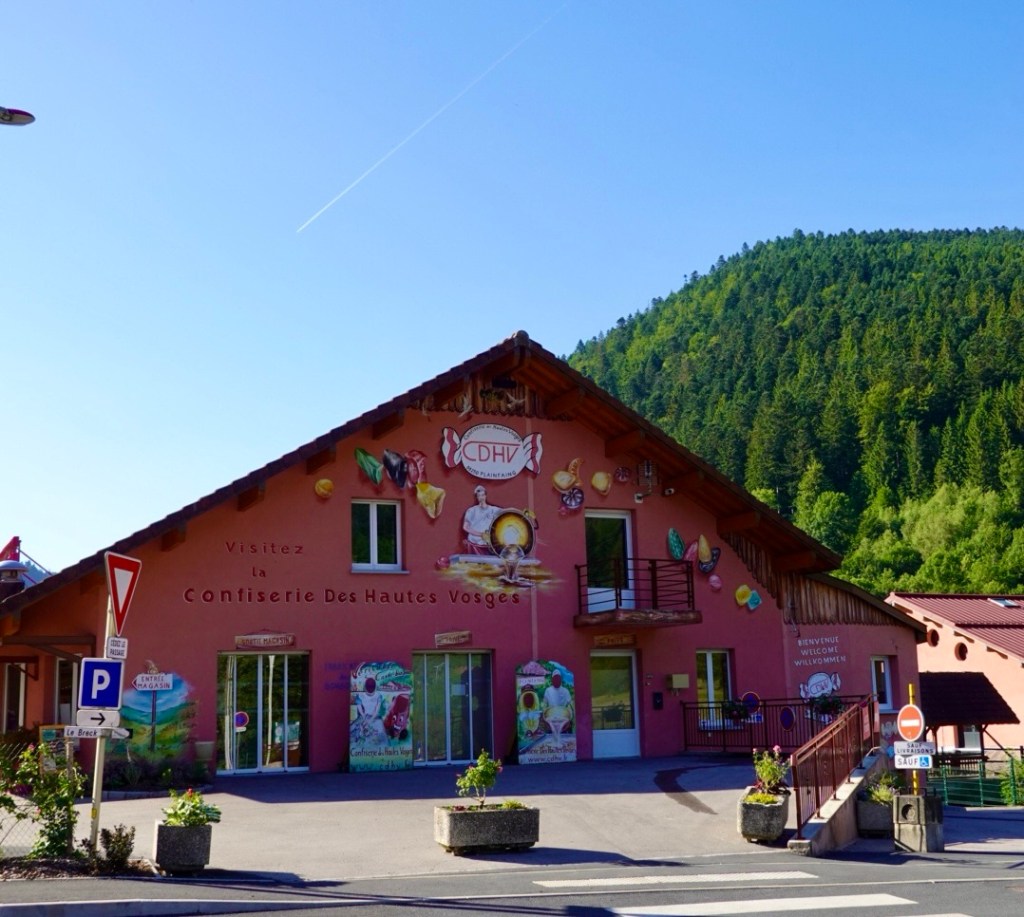
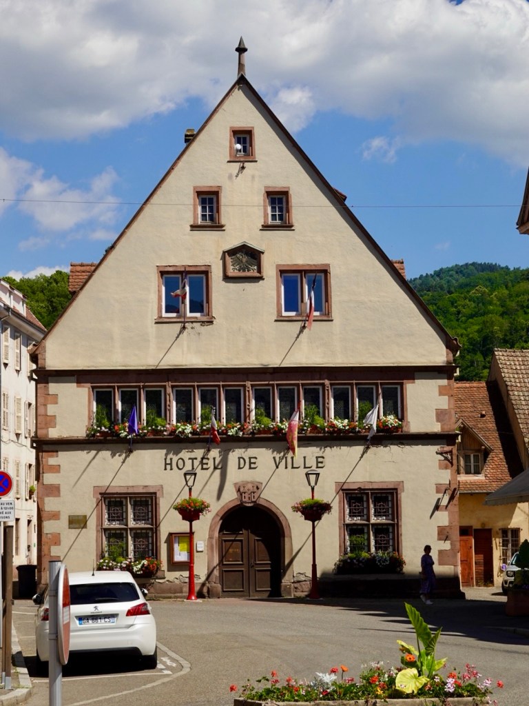
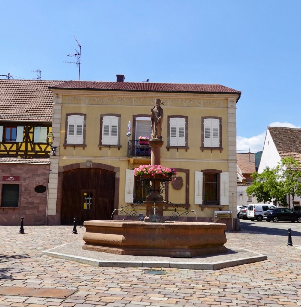
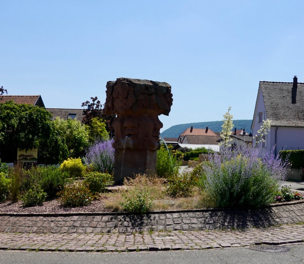
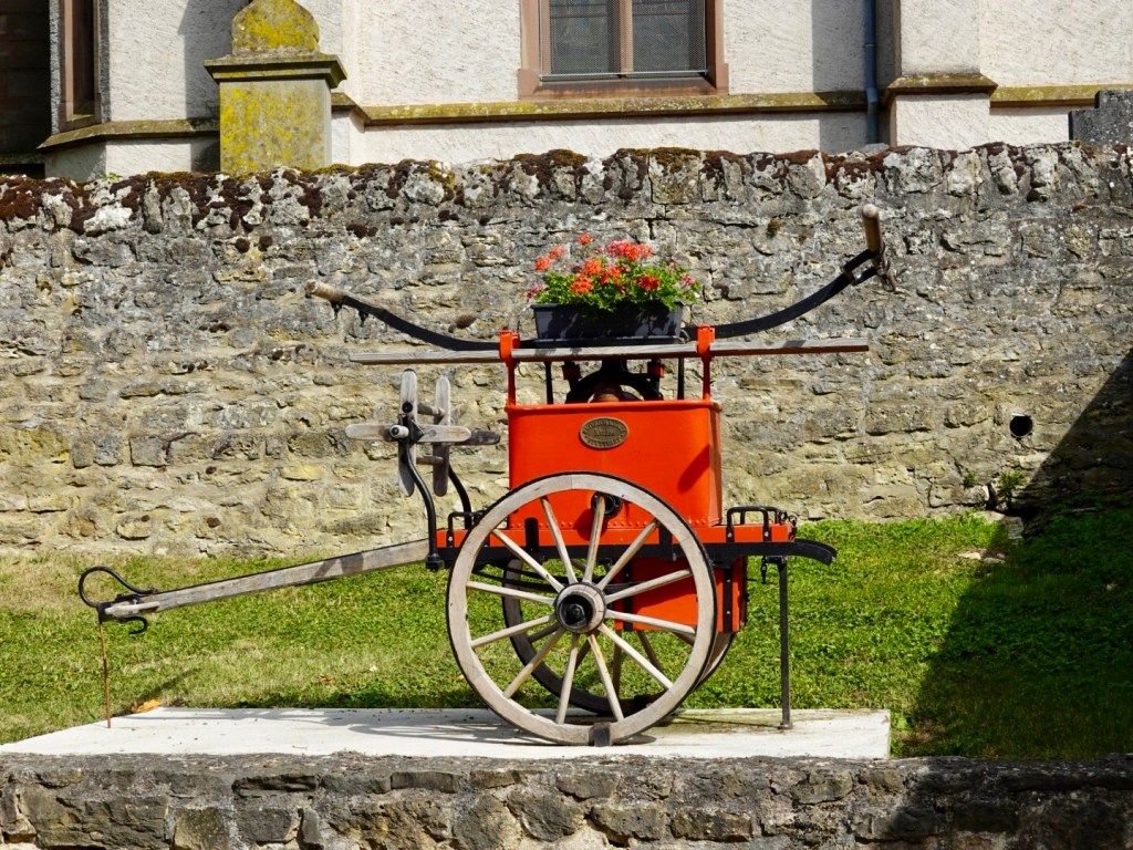
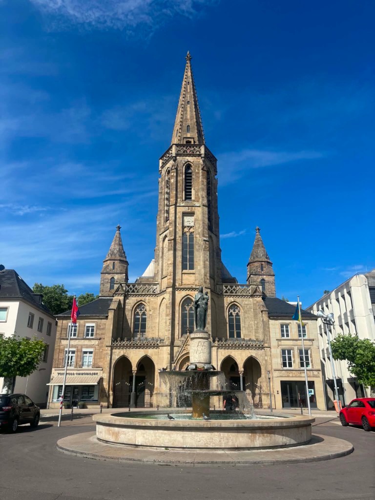
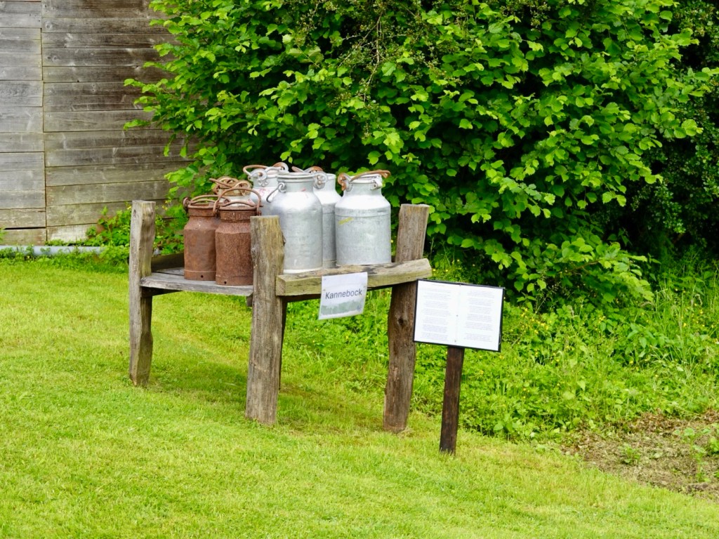
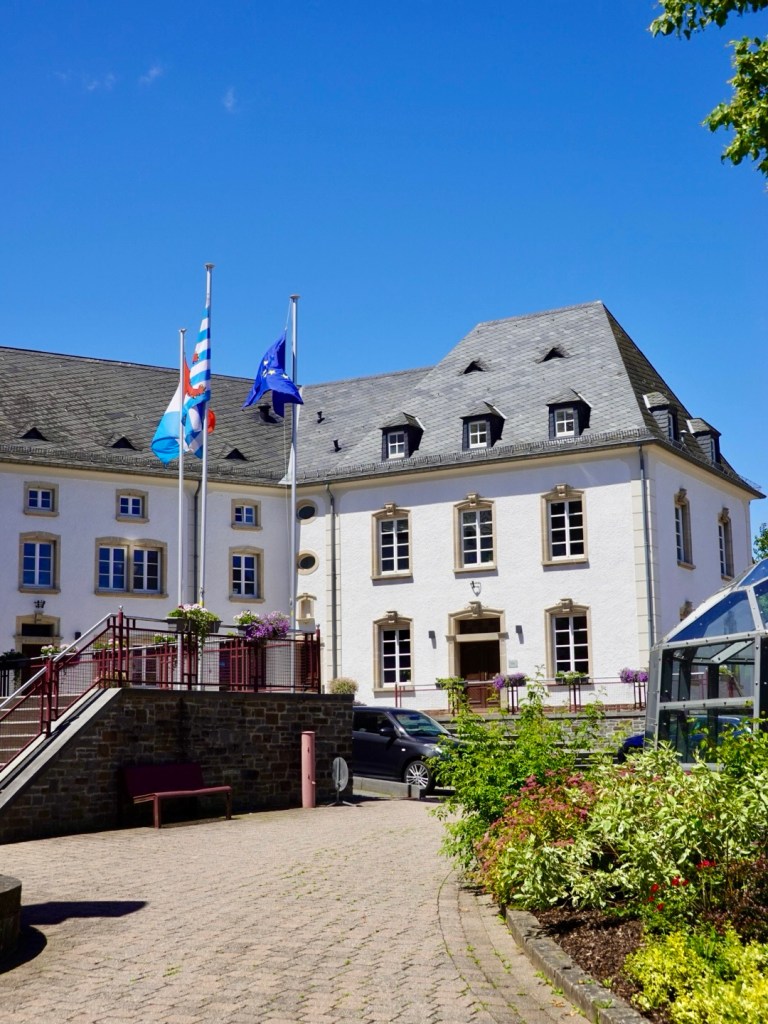
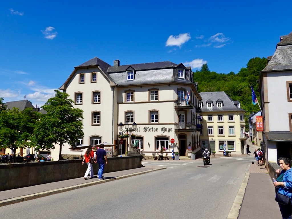
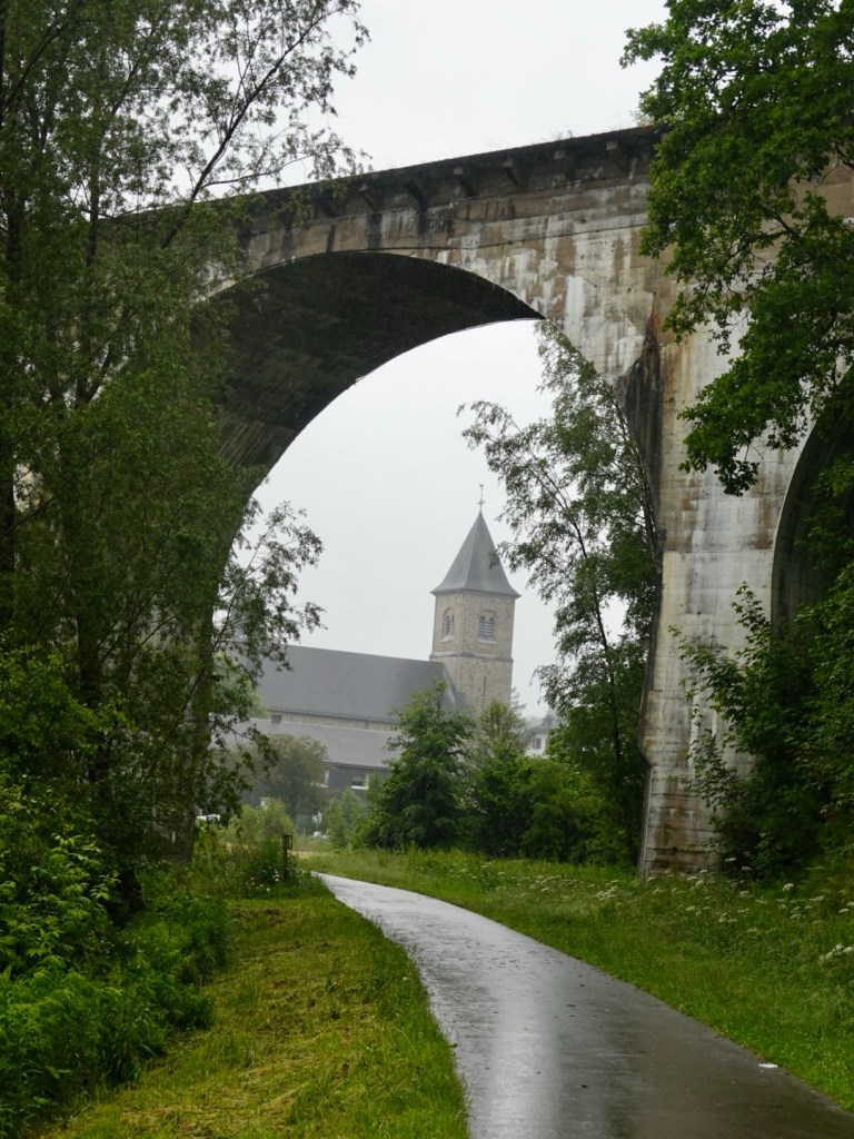
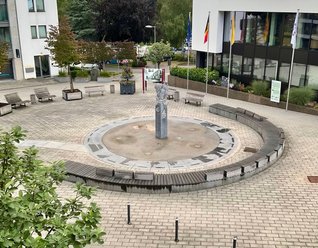
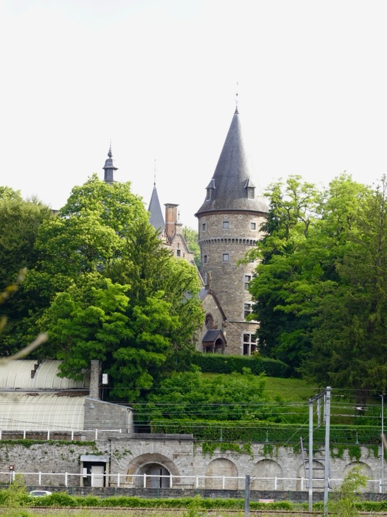
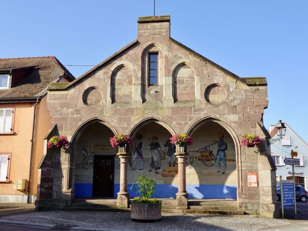
Nice village fountain and older building.
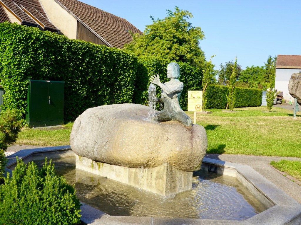
Reckon this was in Ungersheim,😊
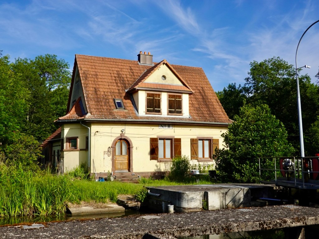
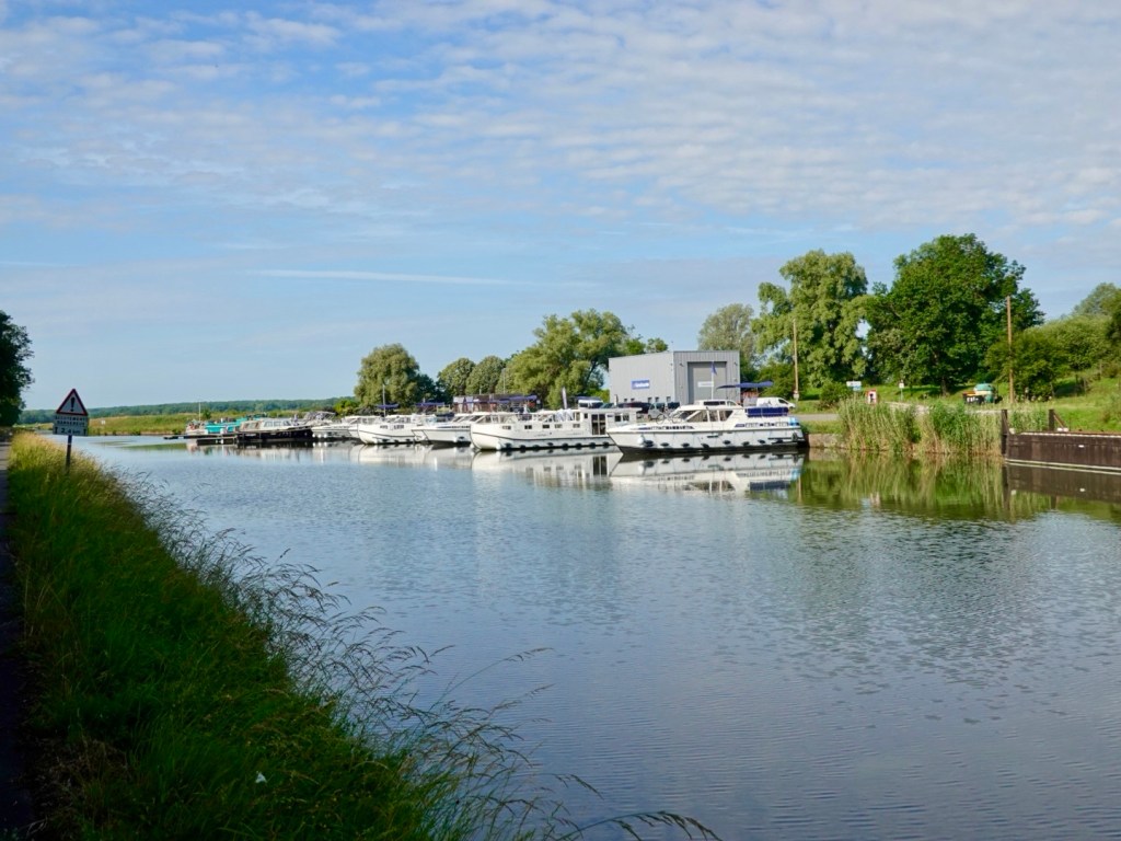
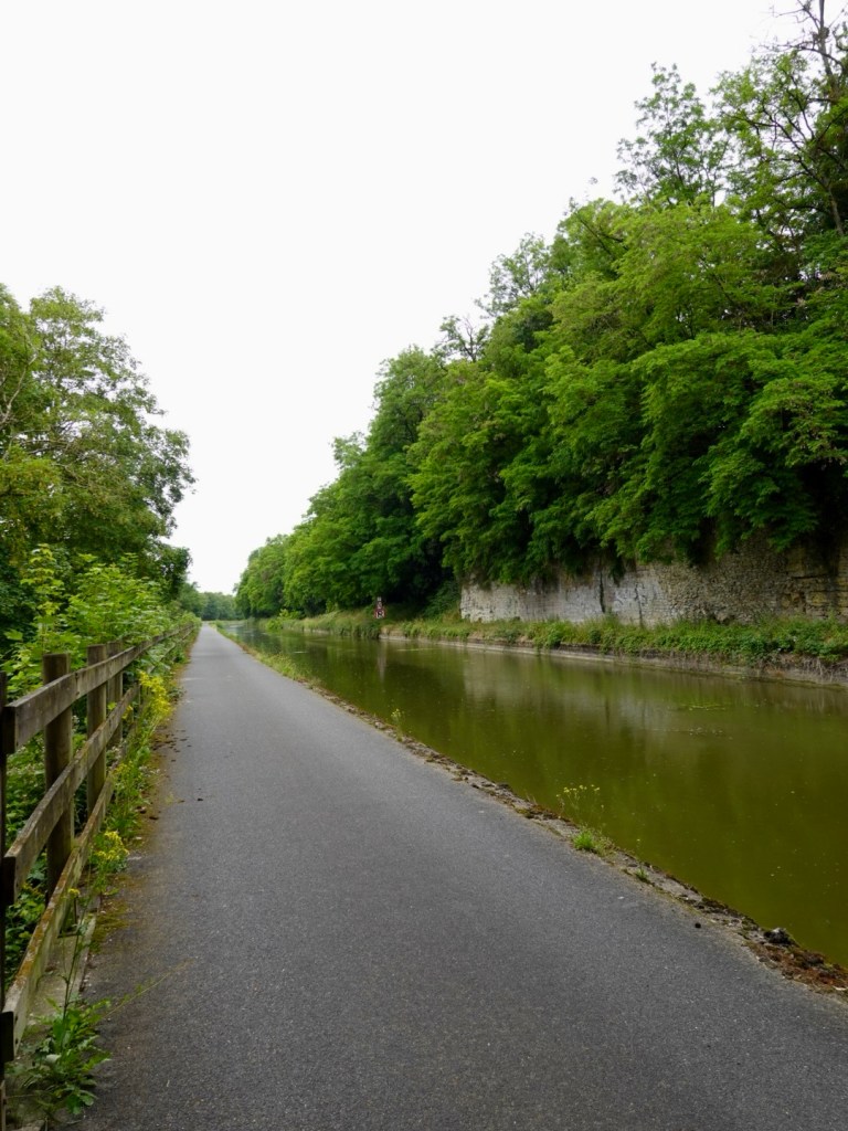
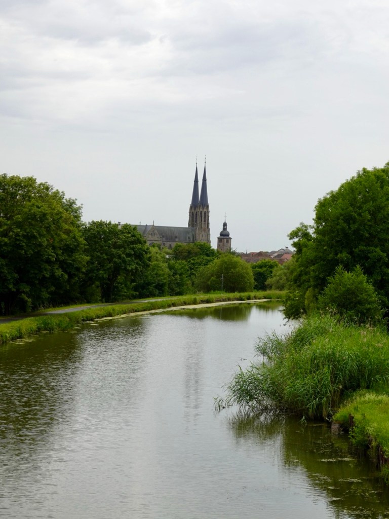
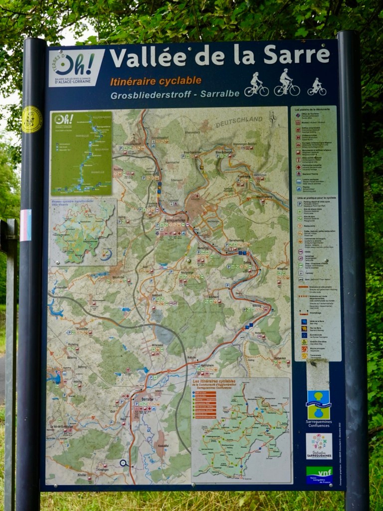
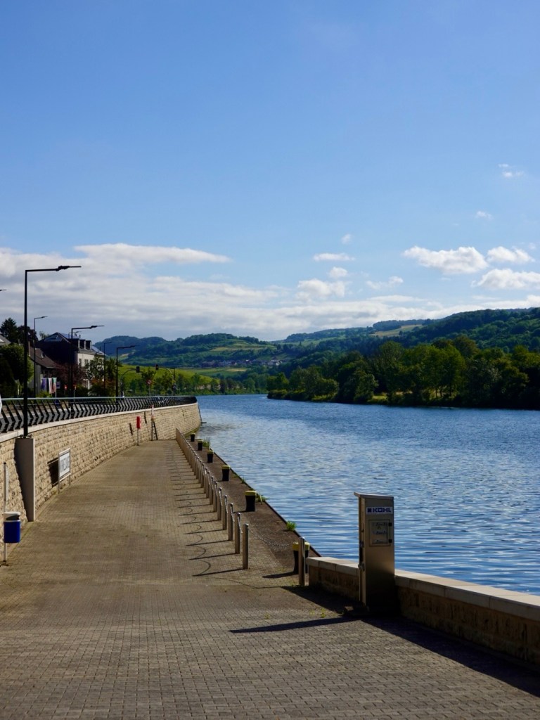
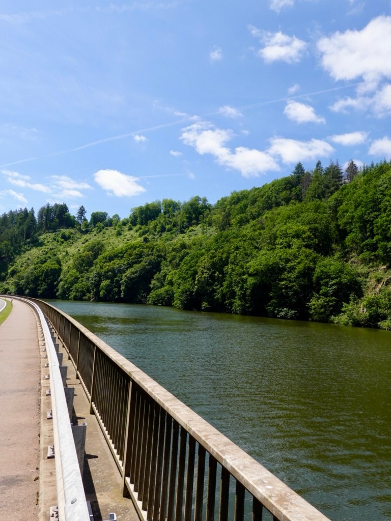
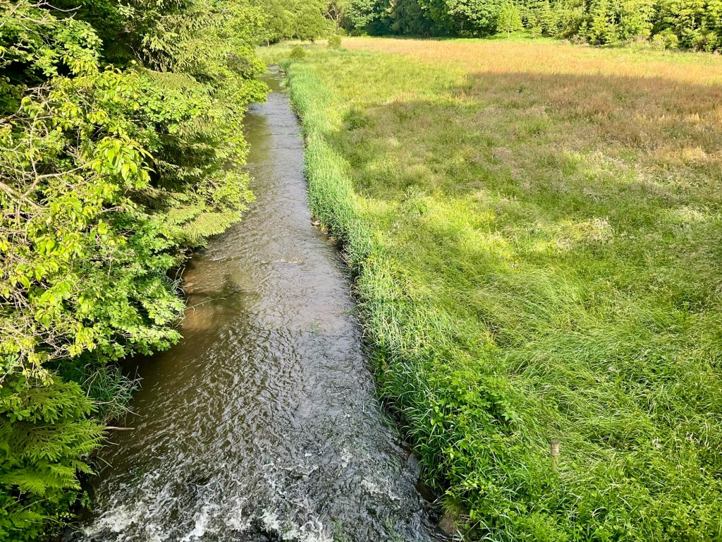
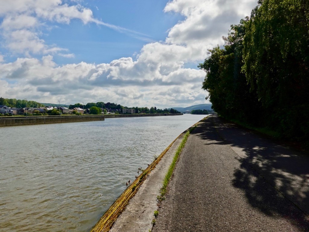
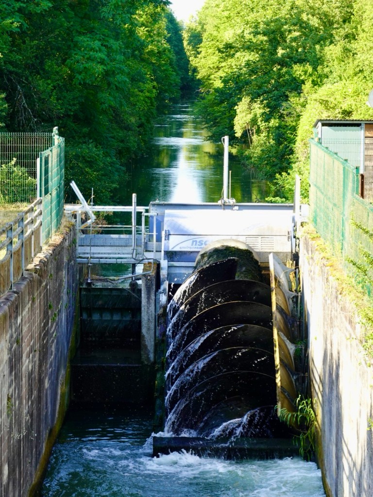
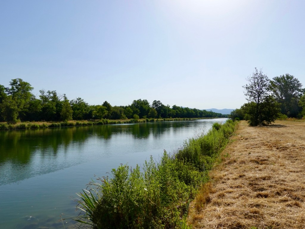
We reach the Canal du Rhone au Rhine, a 237 km canal connecting the Saone River to the Rhine River.
We’ve ridden parts of this canal before as it winds down through Dole and Bescanon, featured in our 2022 cycling odyssey.
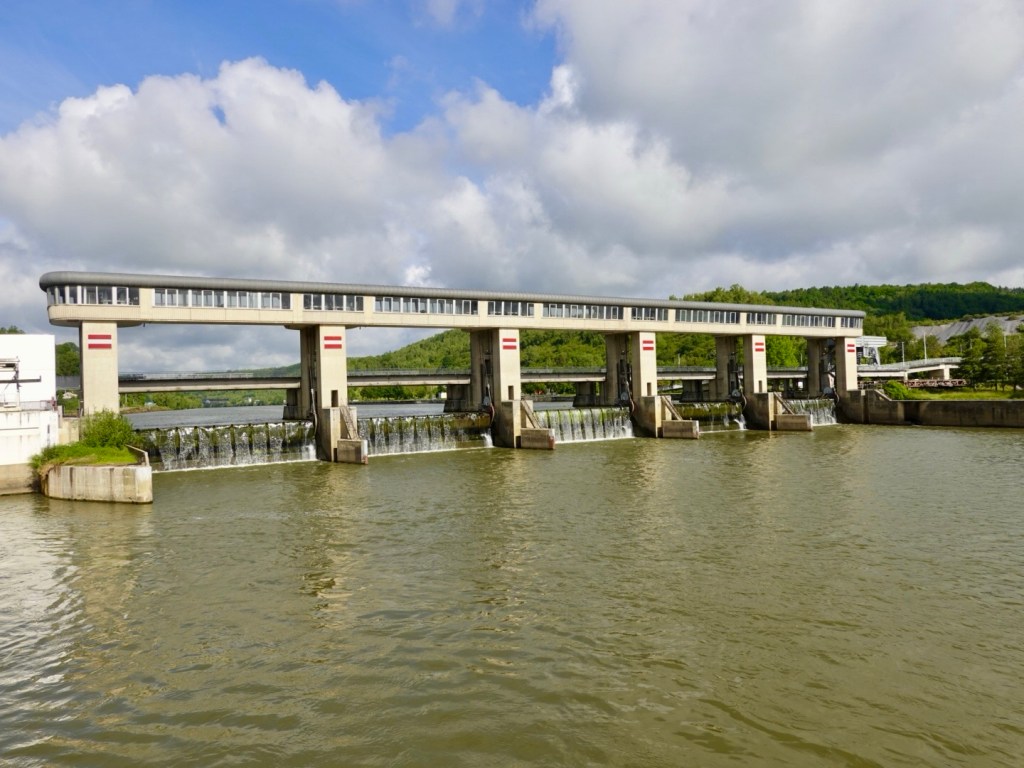
The screw generator was working today. I’ve not seen one operating before. I’m intrigued by them, having had two clients in north west Tasmania looking at installing them on their rural properties. They both had creeks that featured a drop in levels.
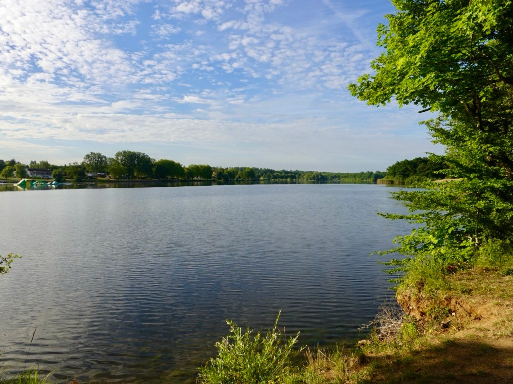
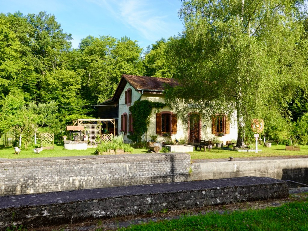
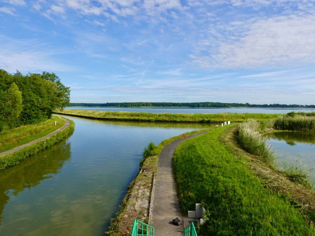
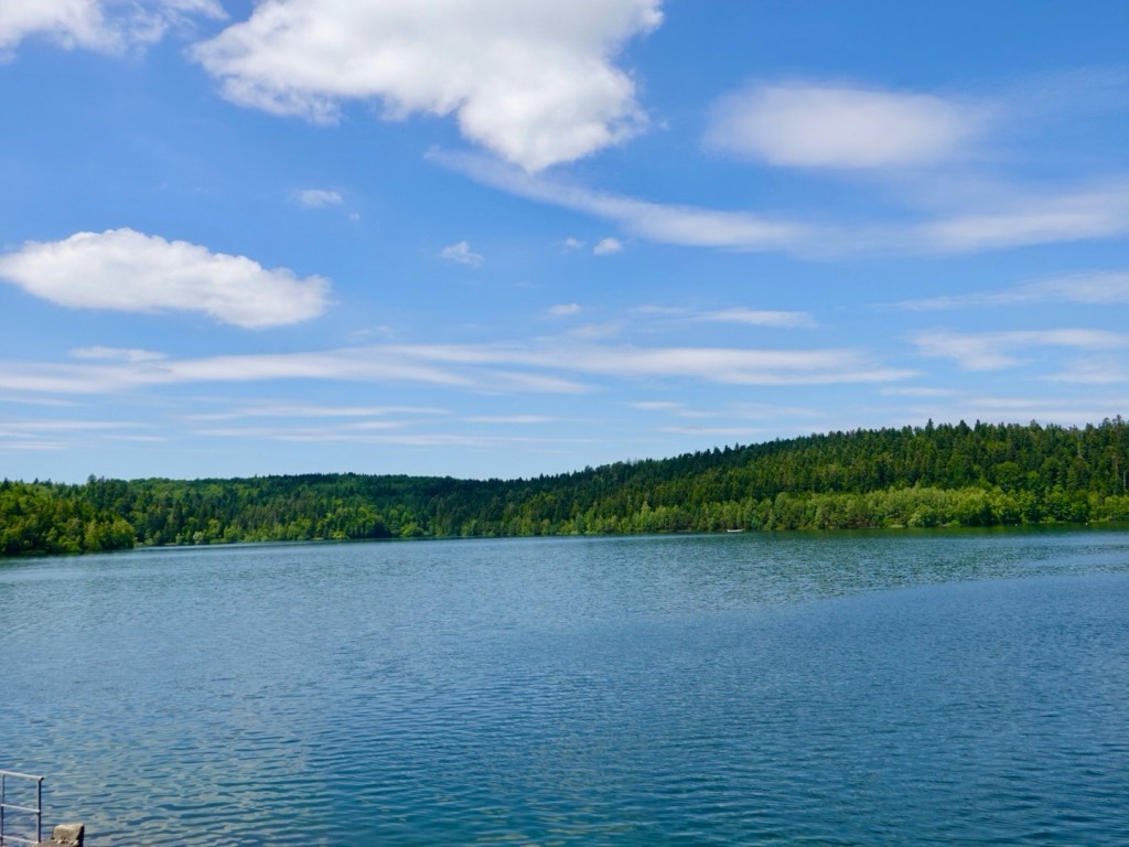
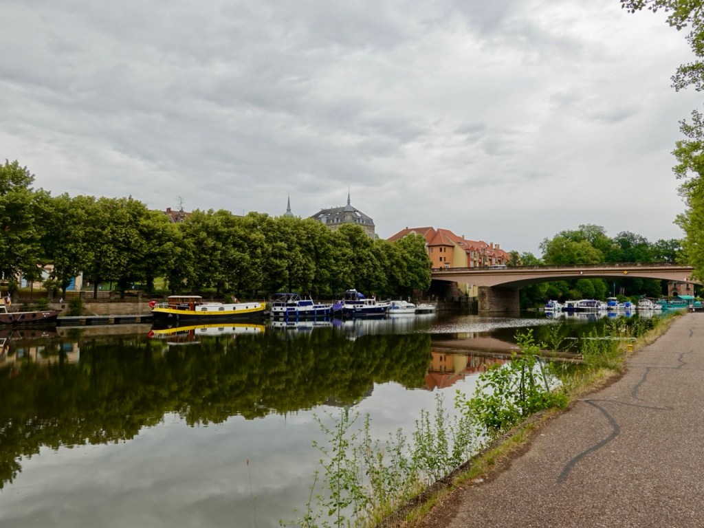
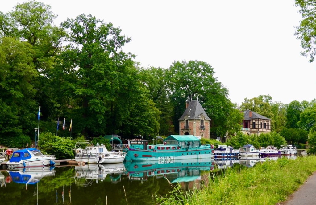
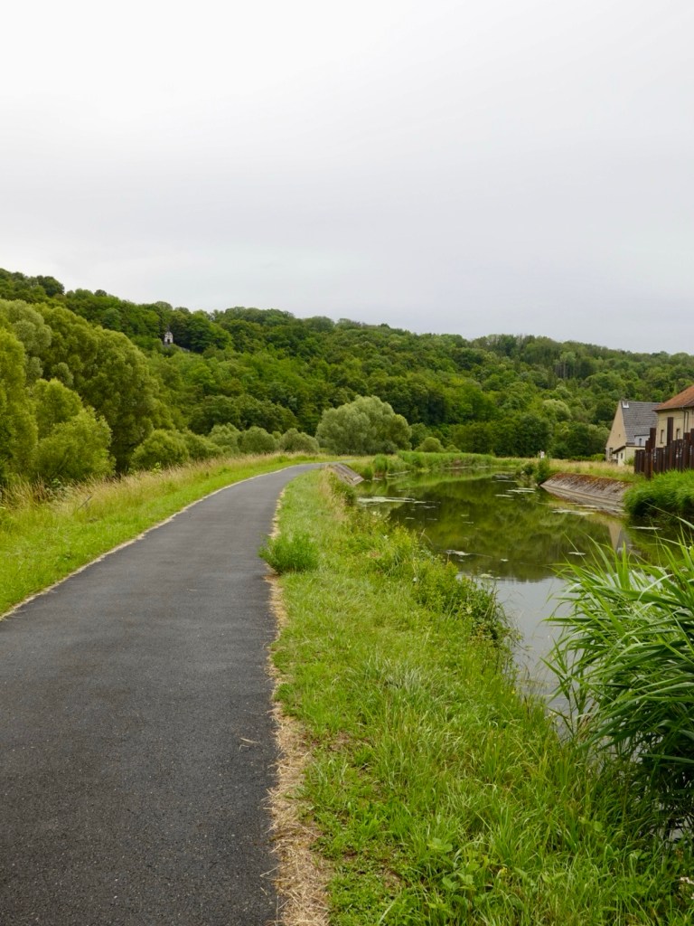
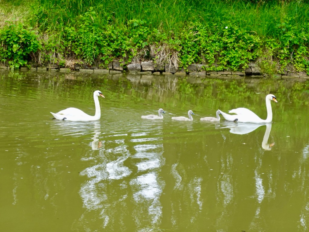
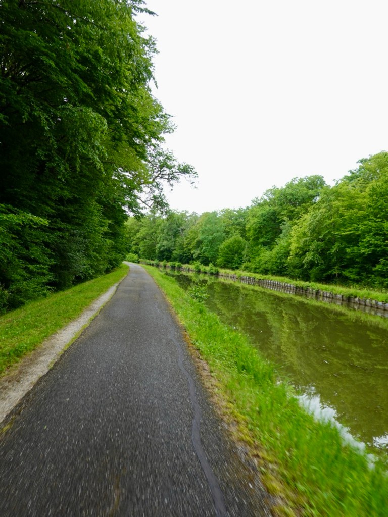
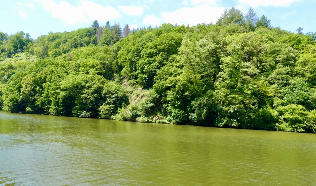
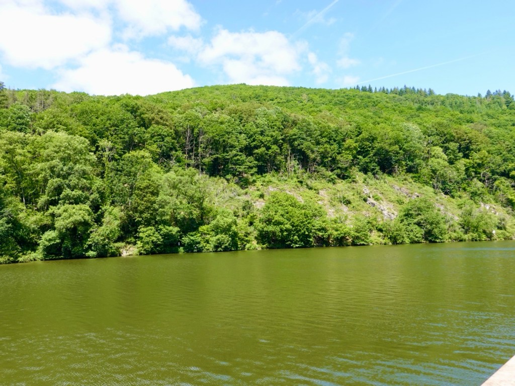
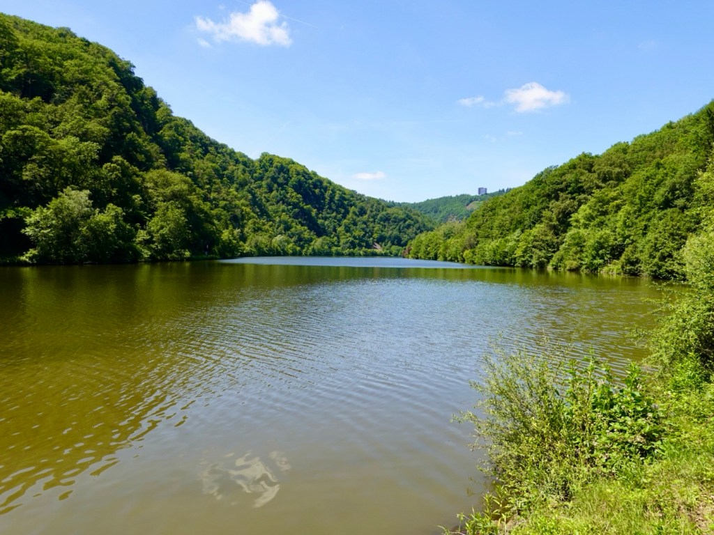
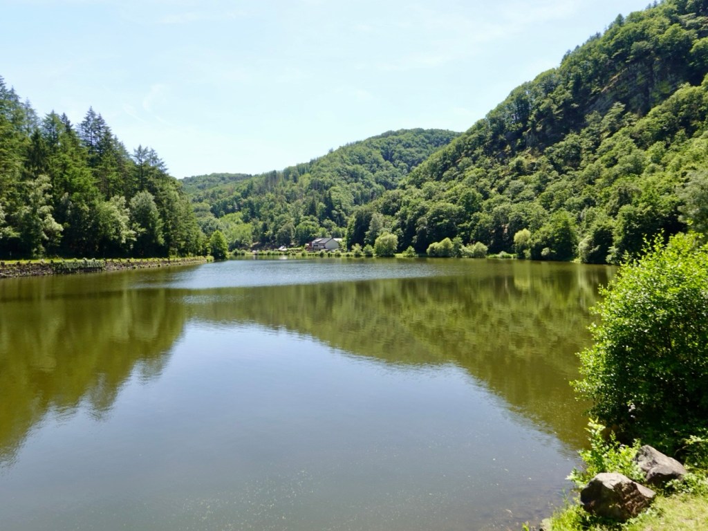
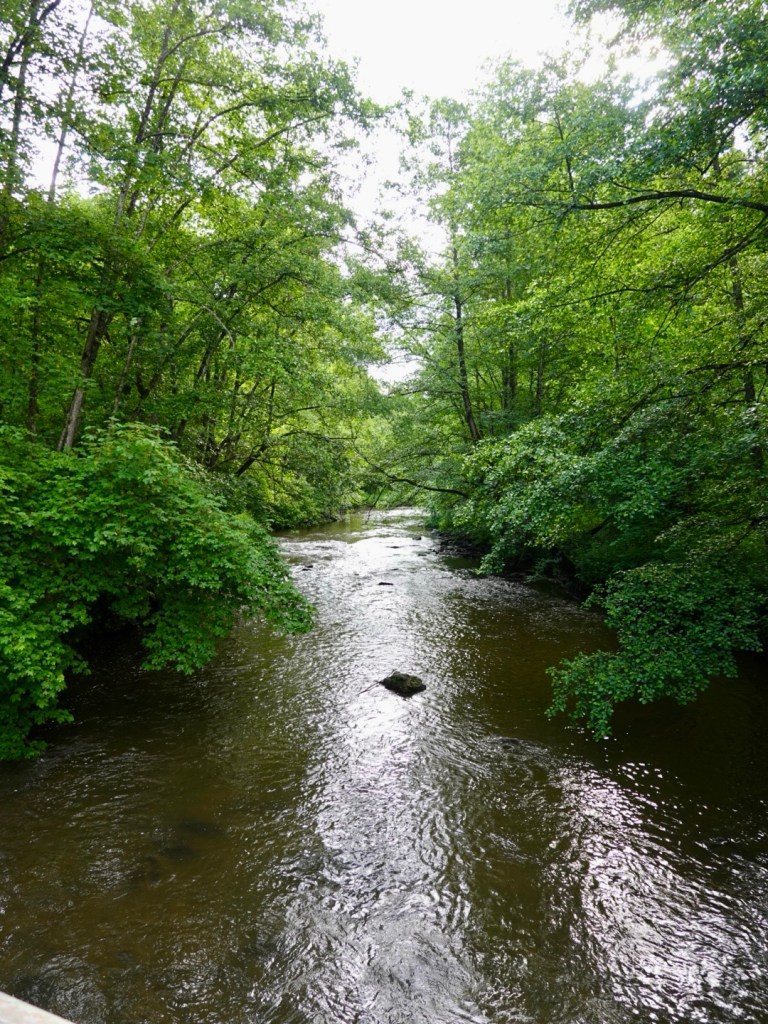
The canal is peaceful and we did find a shady spot to chillax.
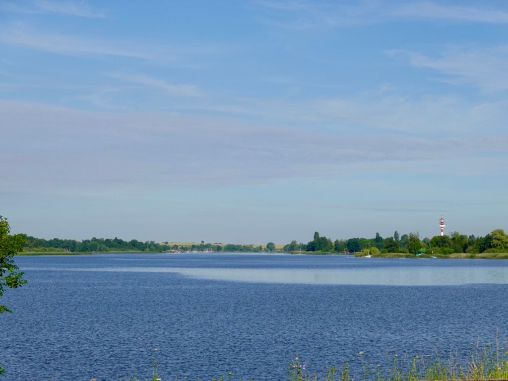
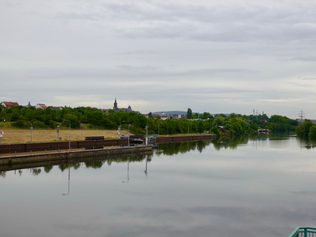
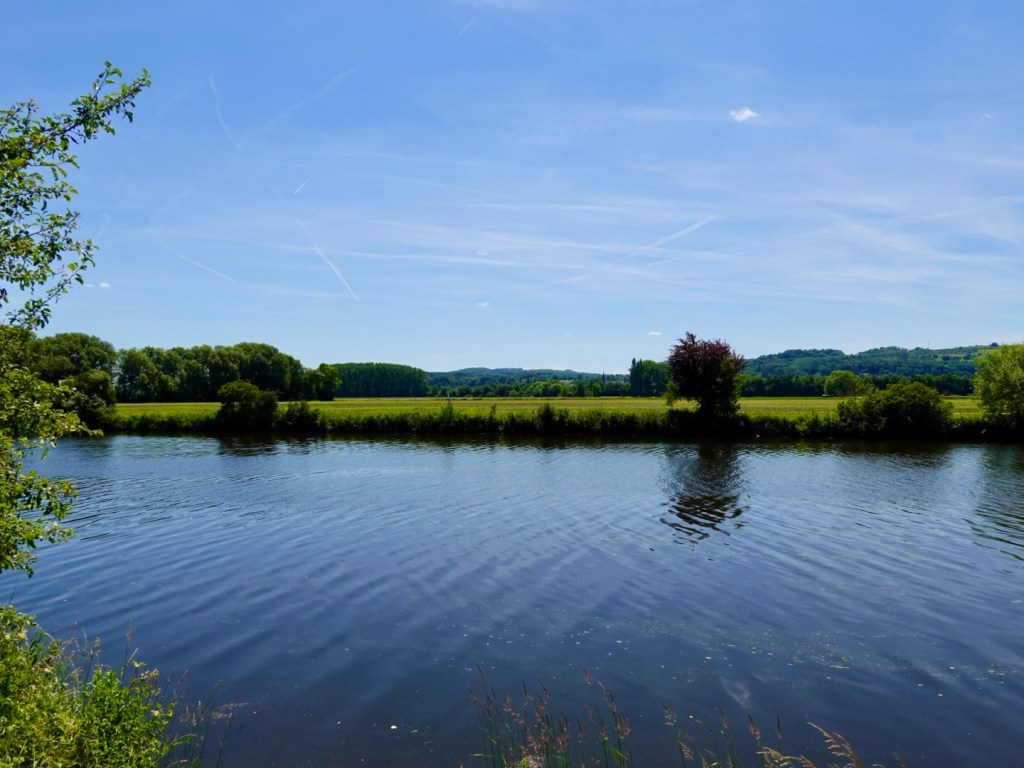
All roads were leading to the Rhine River, our way to finish line.
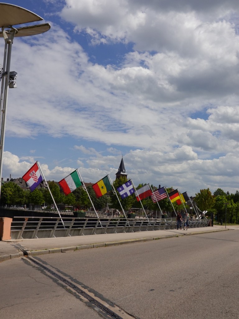
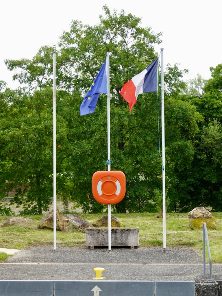
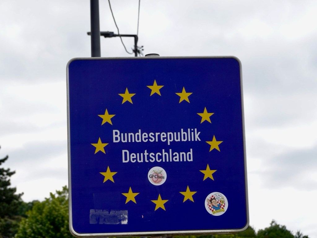
Huningue is where we say farewell to France. There is a bridge here across to Germany, but we keep riding into Switzerland.
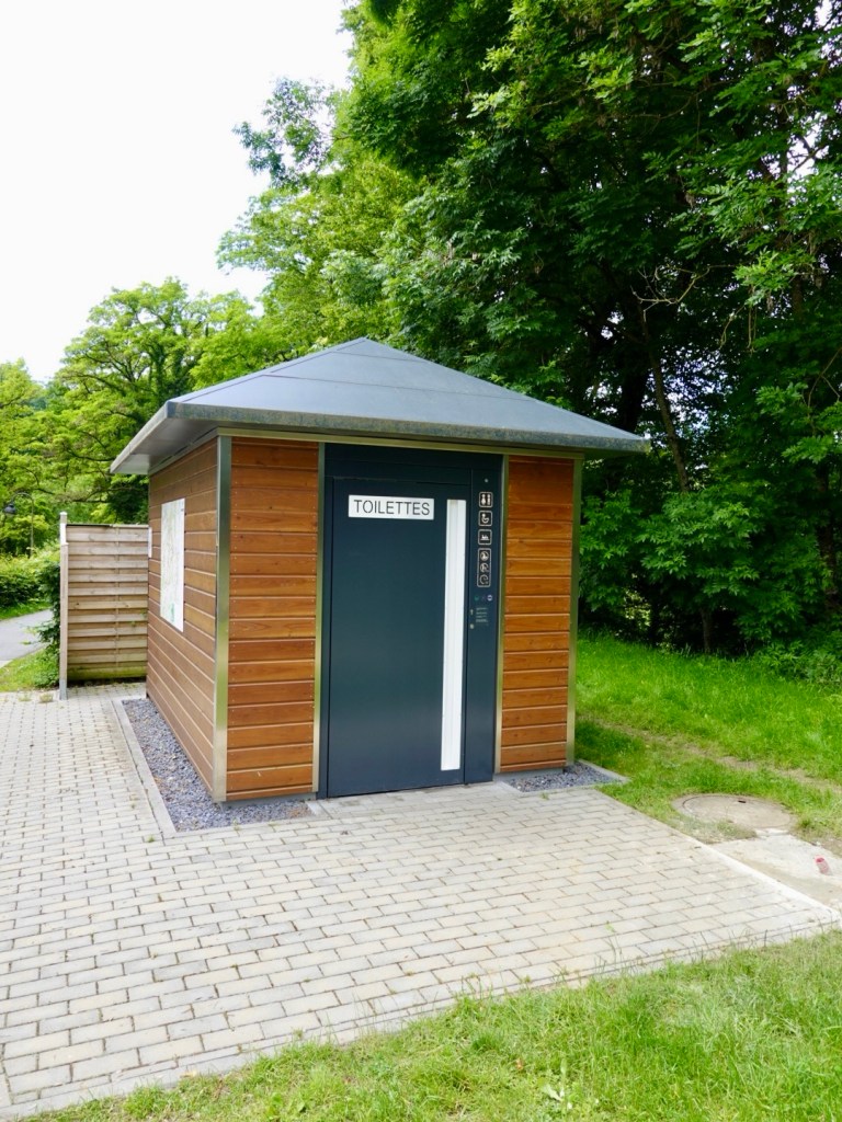
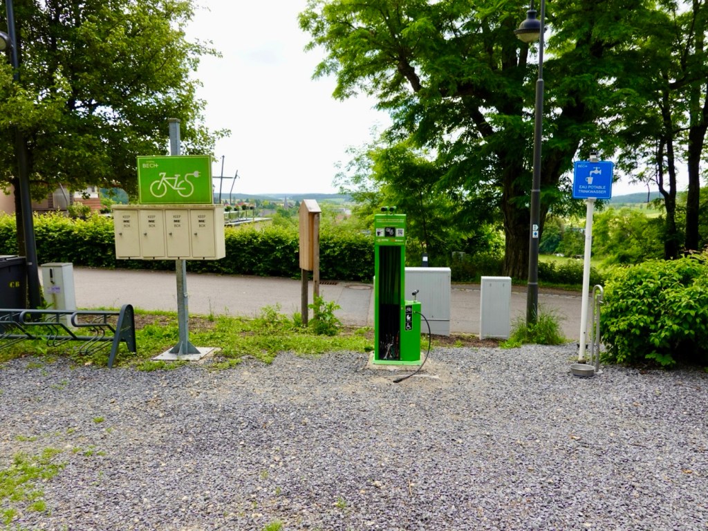
I was low on water here. French water fountains are usually non potable water.
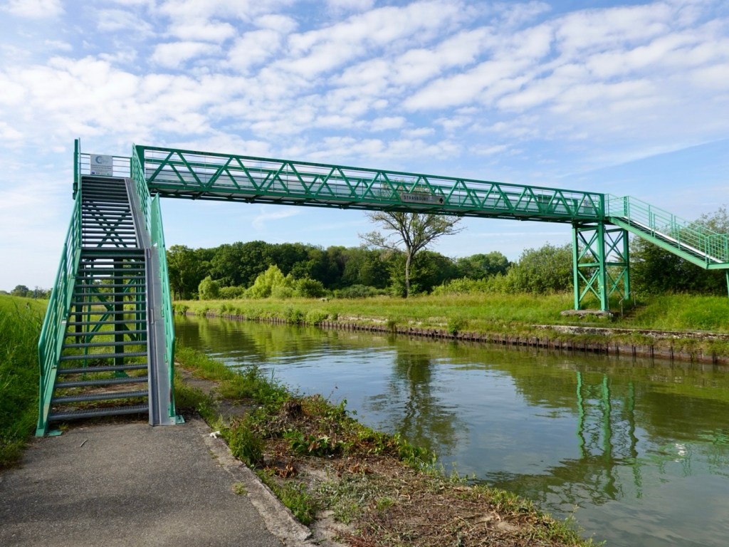
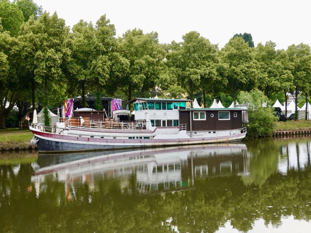
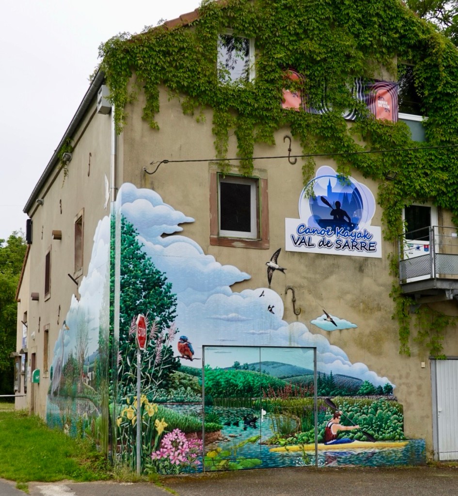
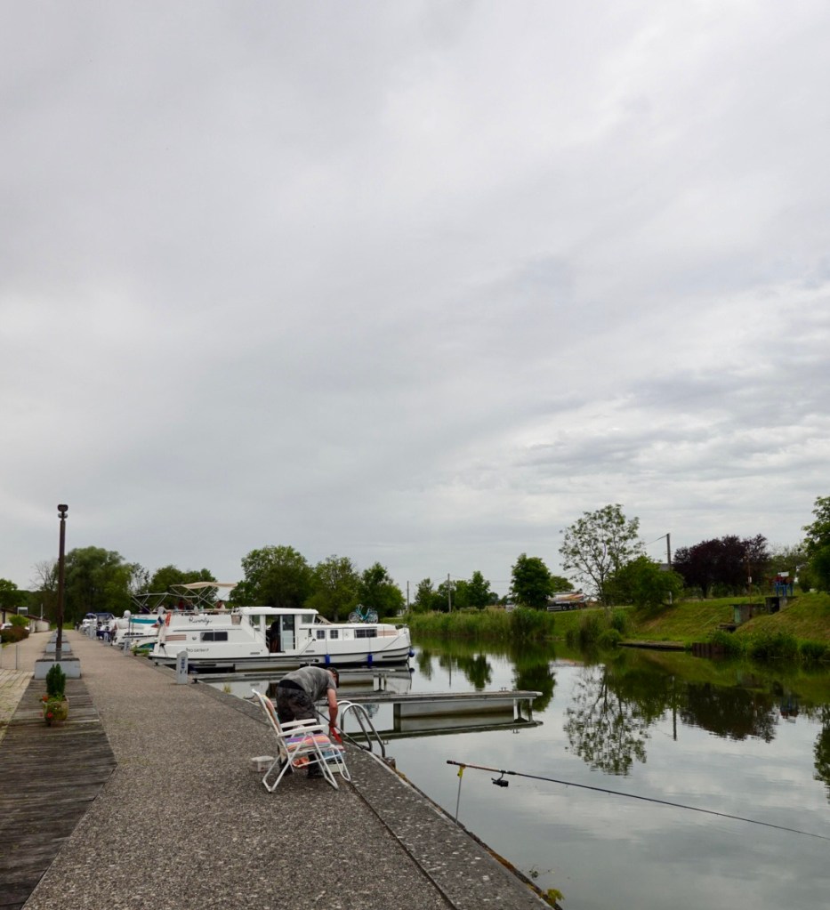
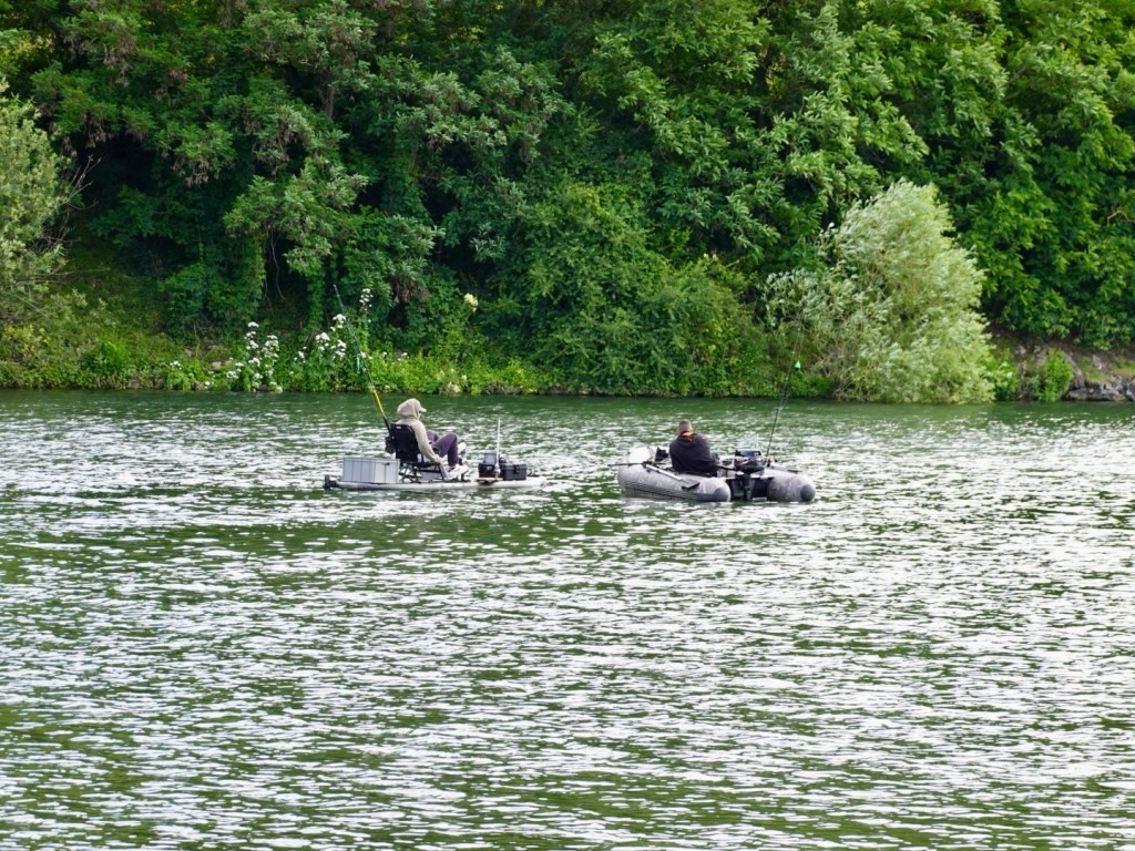
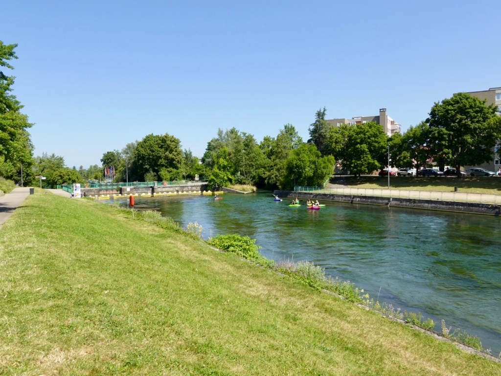
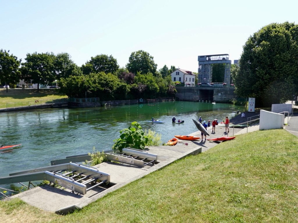
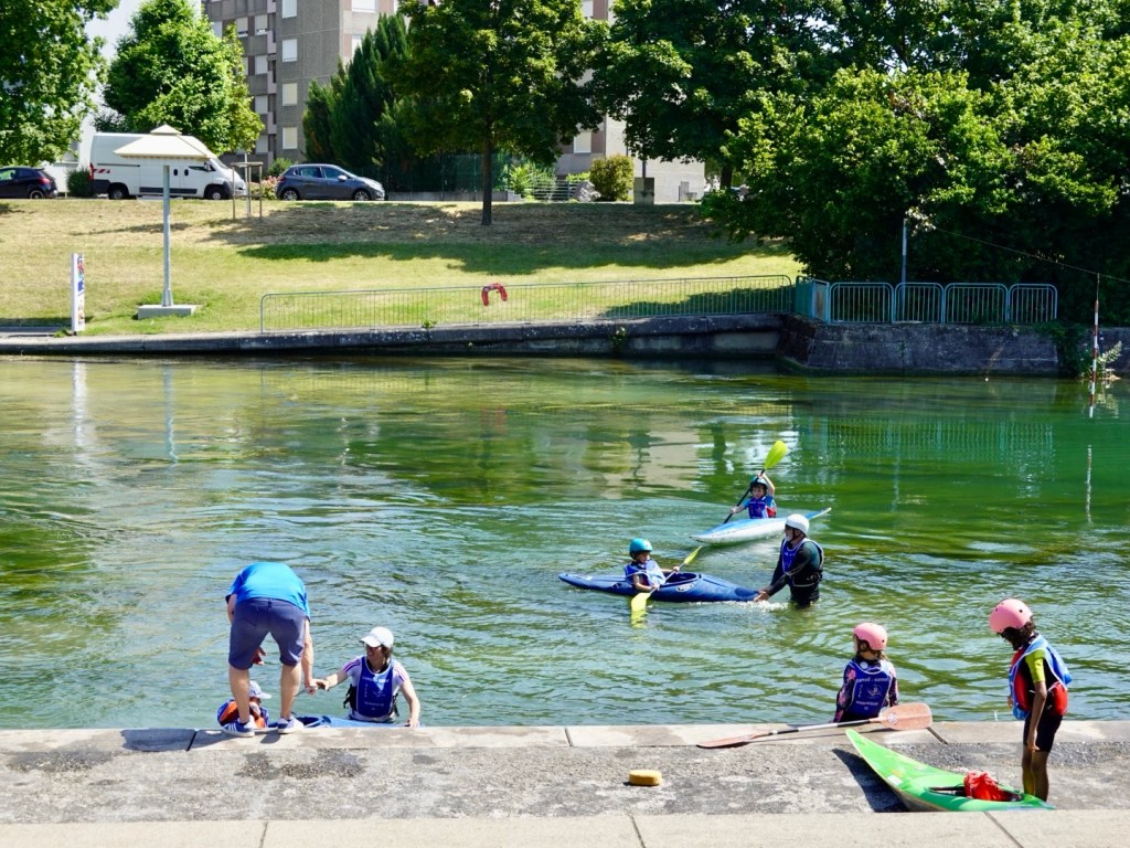
There is a popular canoe training spot in the canal.
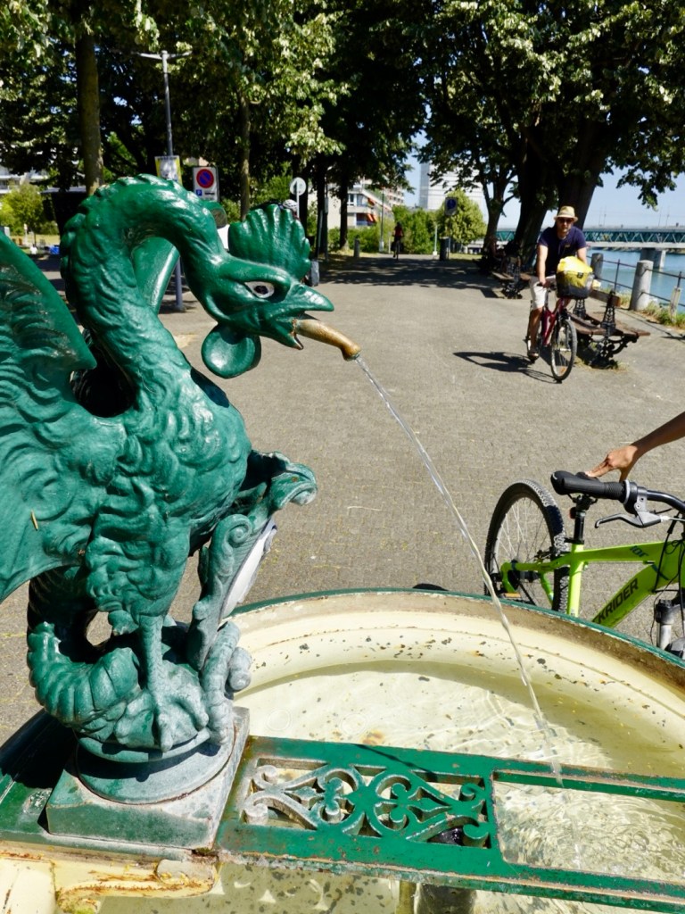
We cross the border and here is our first Swiss fountain. The water is potable so we fill up. Very popular with many cyclists stopping.
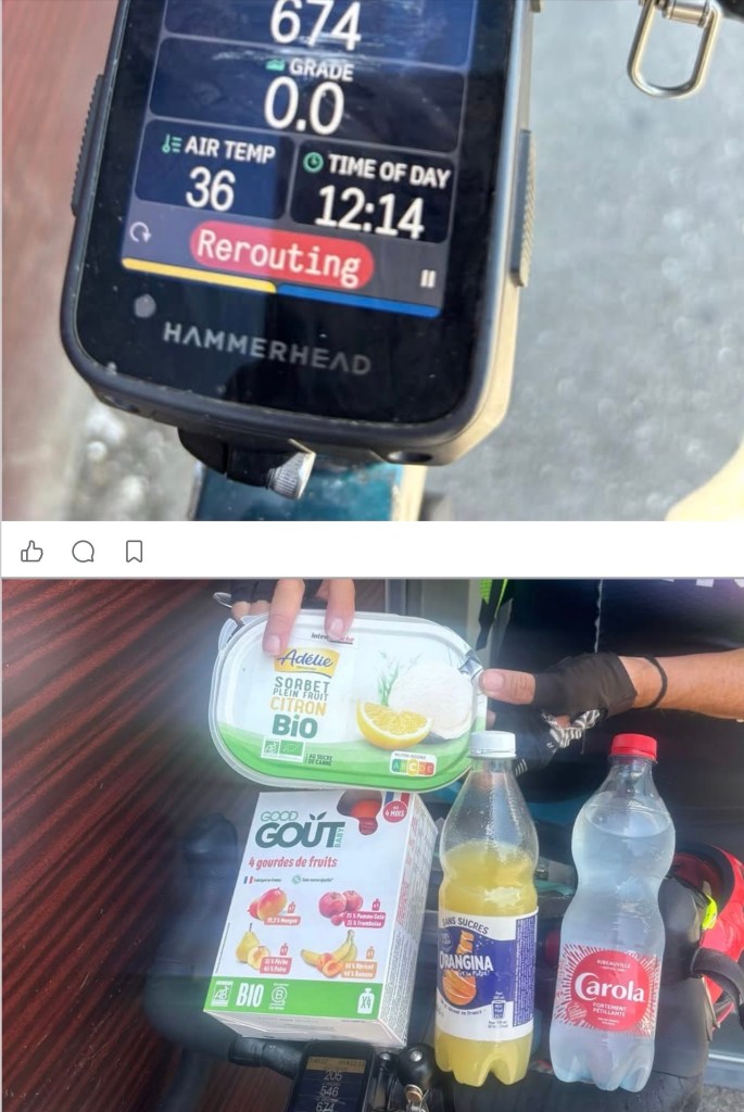
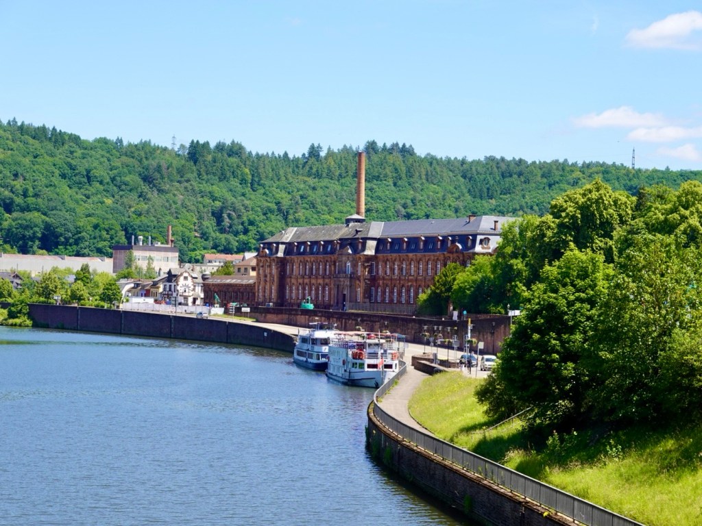
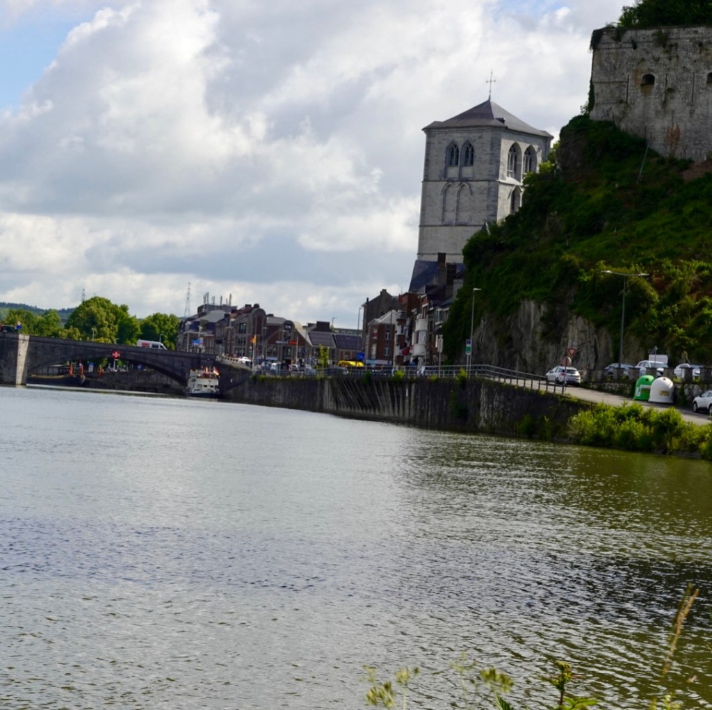
Basel ahead. It is quite warm now at 34c.
On the left bank you can see a tall two tower building. That is Roche headquarters and Switzerlands tallest building. My son Ben has his office there.
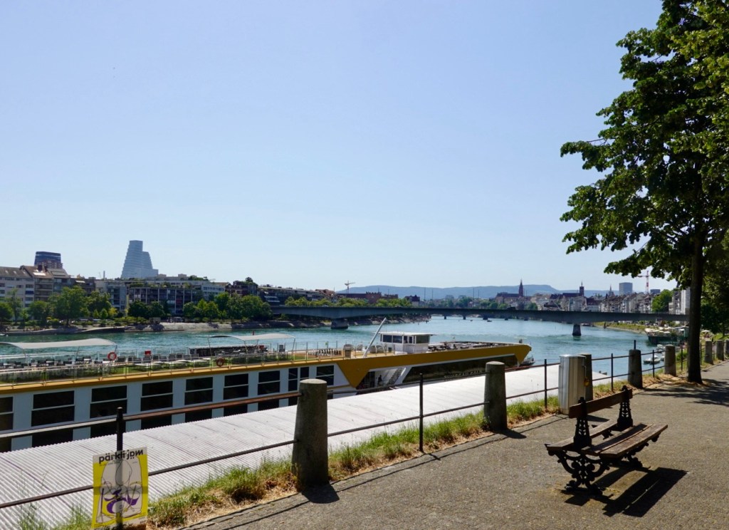
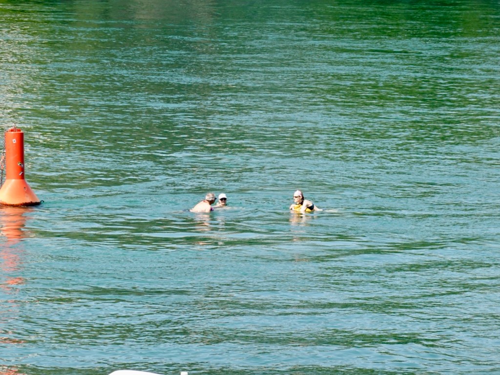
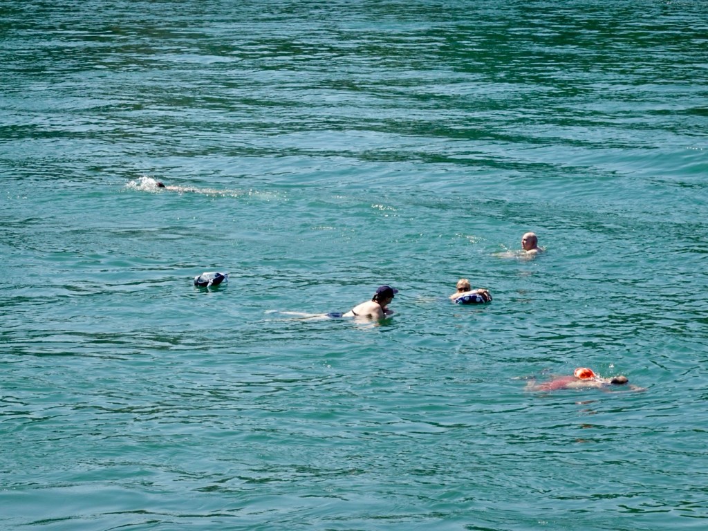
Being such a hot day, and a Saturday, locals are making use of the cool waters of the Rhine.
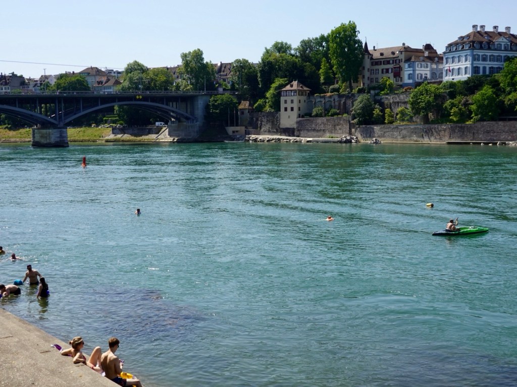
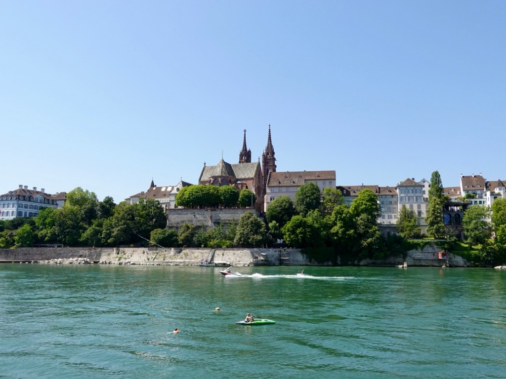
By now, we are keen to finish and get out of the heat. It is slow going getting through Basel with people everywhere.
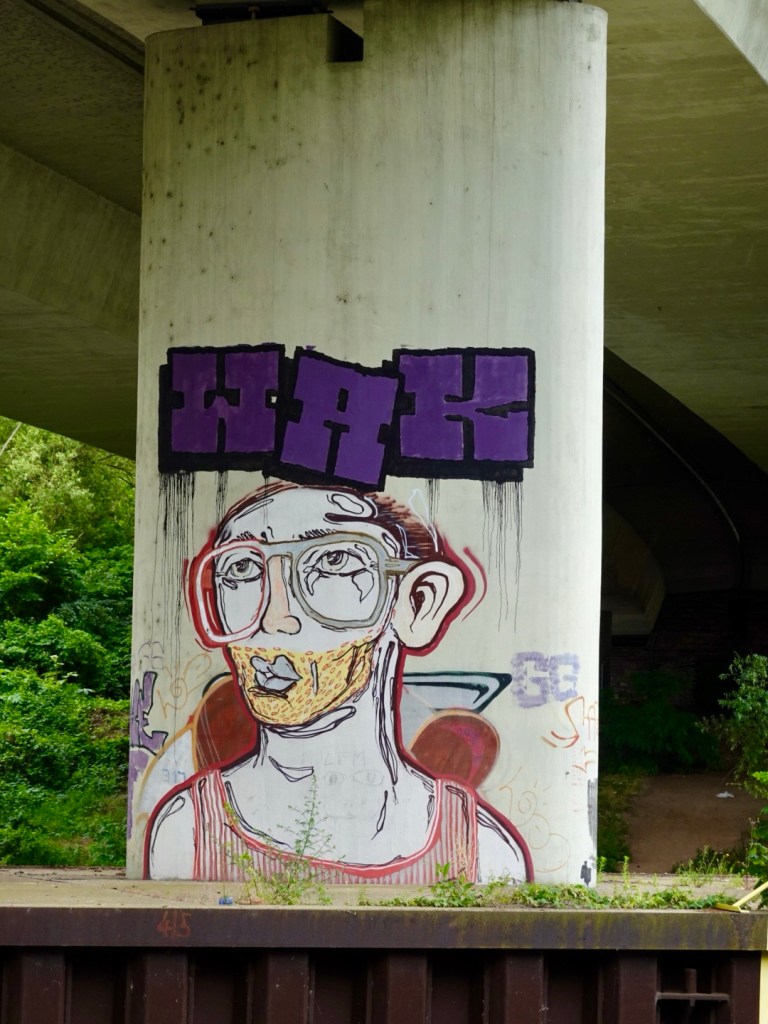
We cross underneath a large network of roads. It is familiar to us as we got lost here in 2016 on the London to Venice ride.
There is a supermarket on one side that we head over to and purchase more cold drinks and some food, standing in the shade to consume.
We have about 35 km remaining.
We just do it! Stopping in the shade here and there, melting more as we go along.
There was no melancholy today. Just wanted to get there and out of the over bearing heat.
No more photos. No stopping in Rhinefelden (been there multiple times).
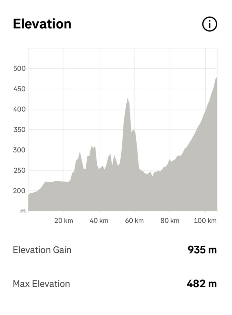
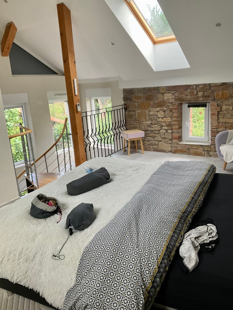
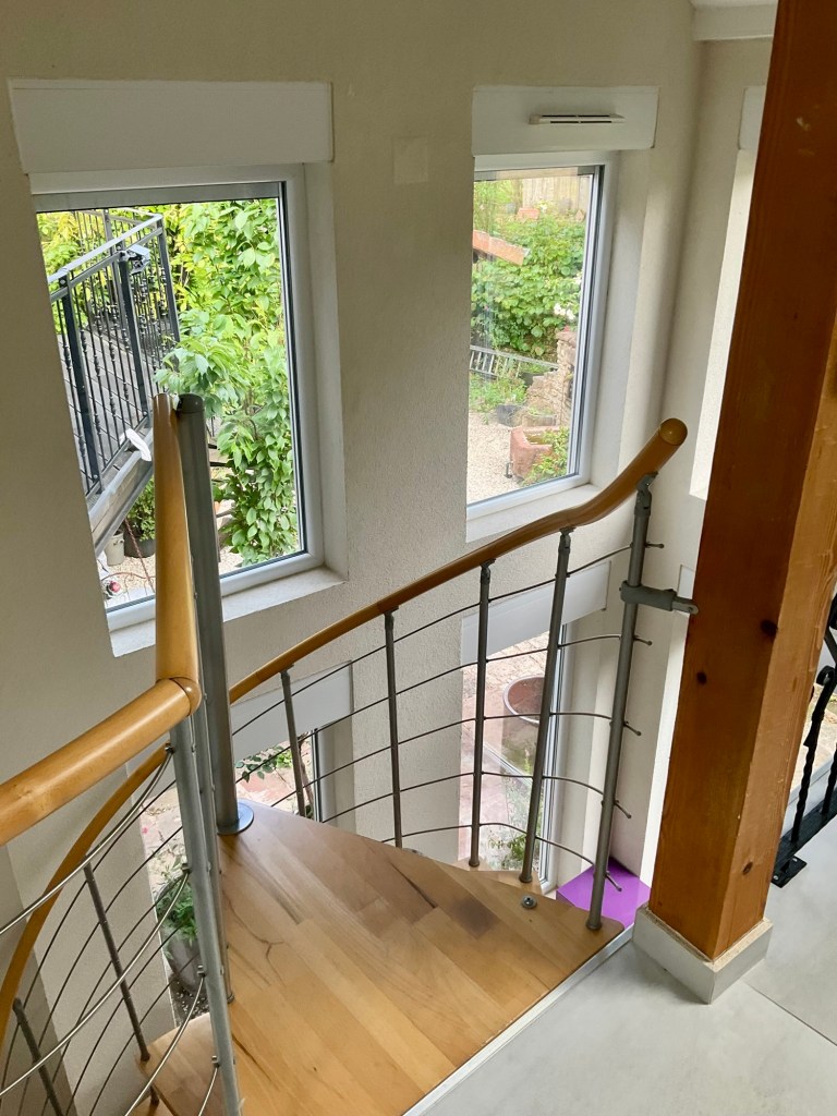
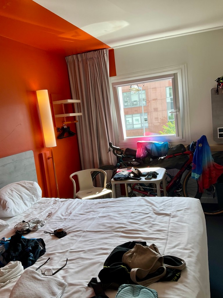
A few climbs sap us, but we arrive right back where we started, soaked in sweat, thankful for the cool garage at my son’s place.
It was 36c when we finished.
The bikes are as we left them upon arrival.
That is our next job, to clean and pack them for the long haul trip home.
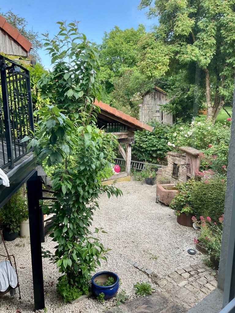
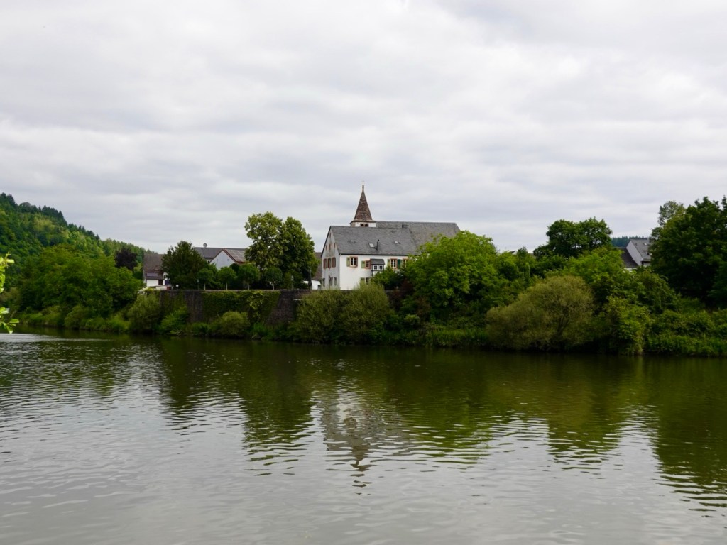
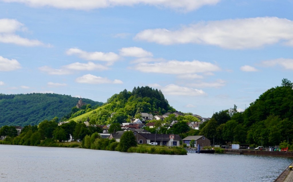
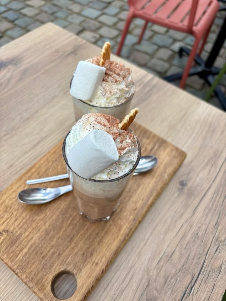
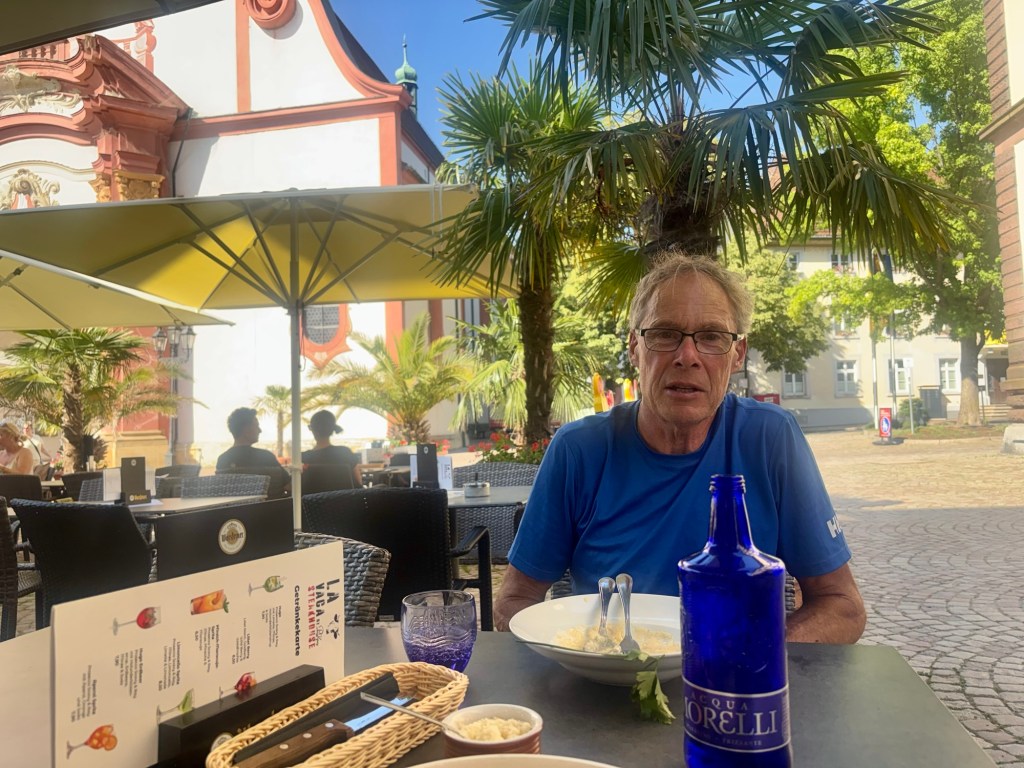
Late afternoon we walk down the hill, through Stein and across the bridge to Germany (Bad Sackingen) where we find icecream then dinner, yes in that order.
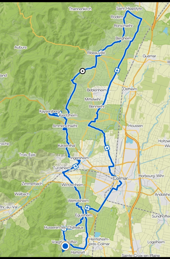
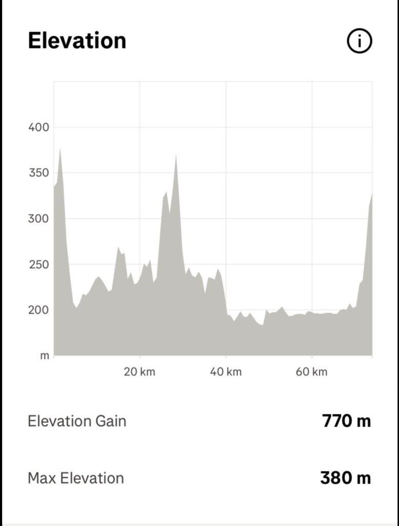
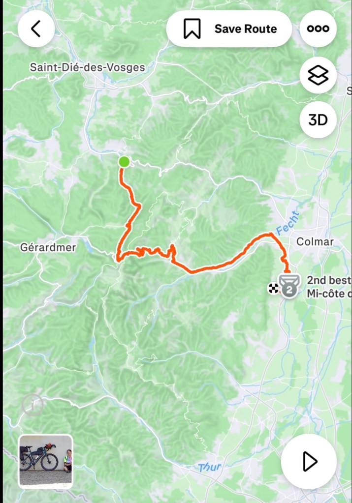
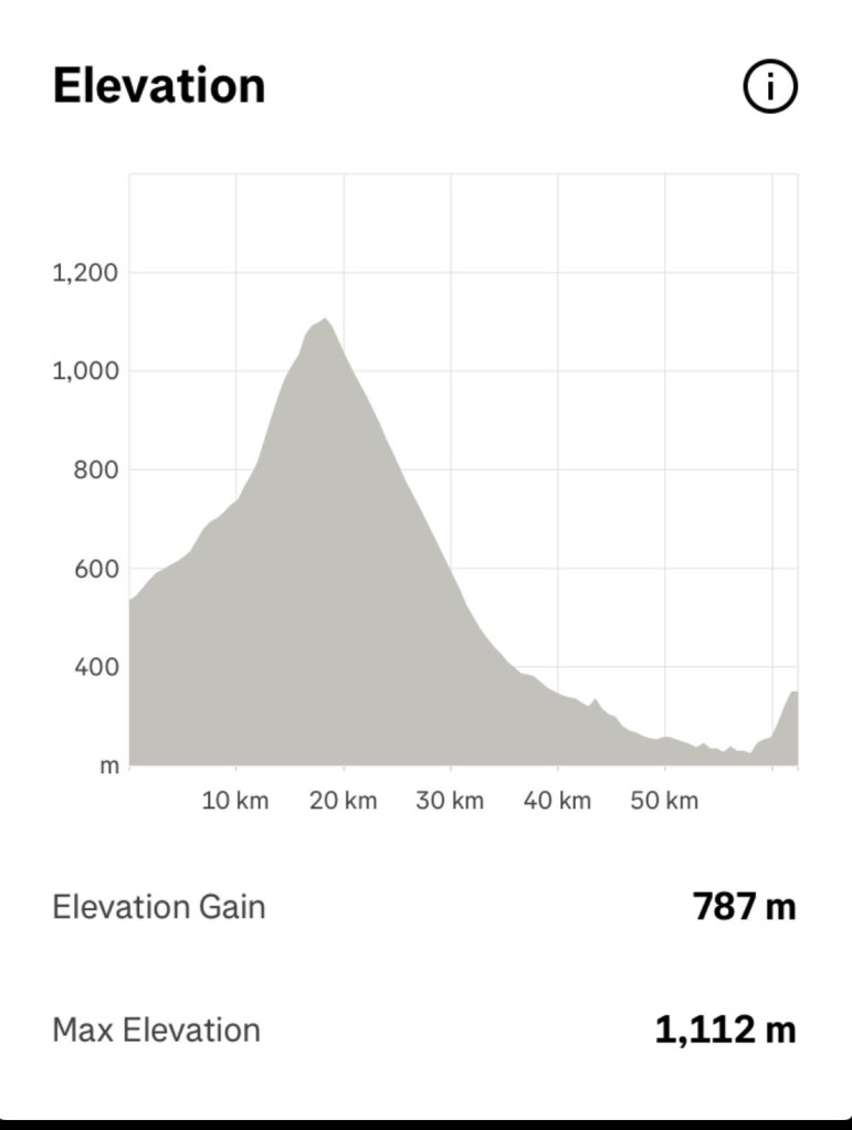
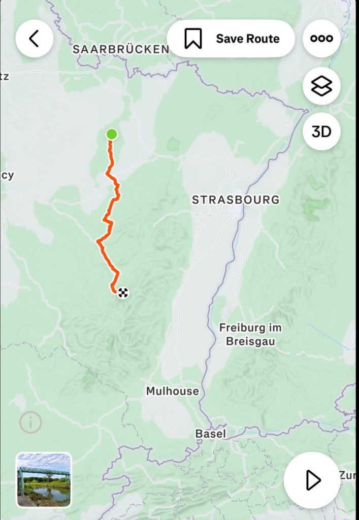
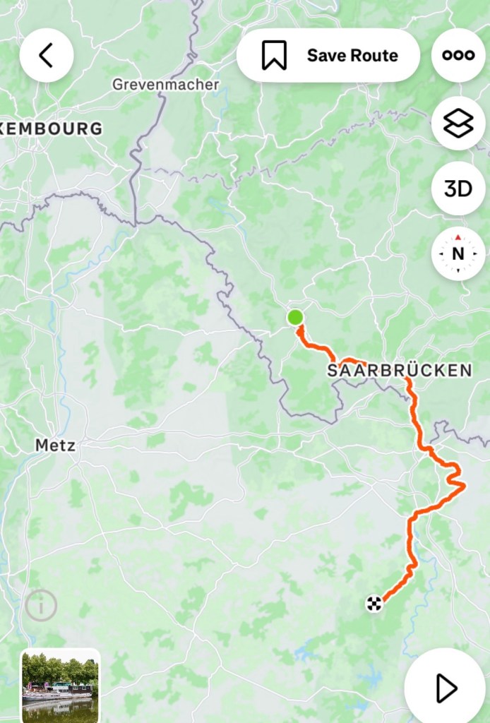
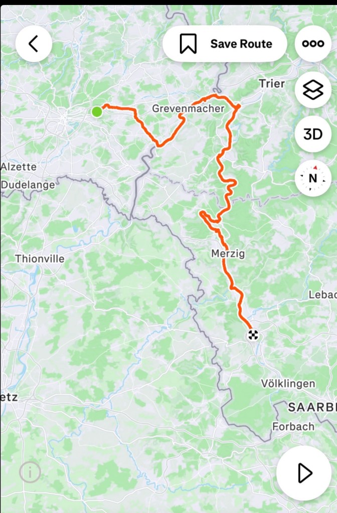
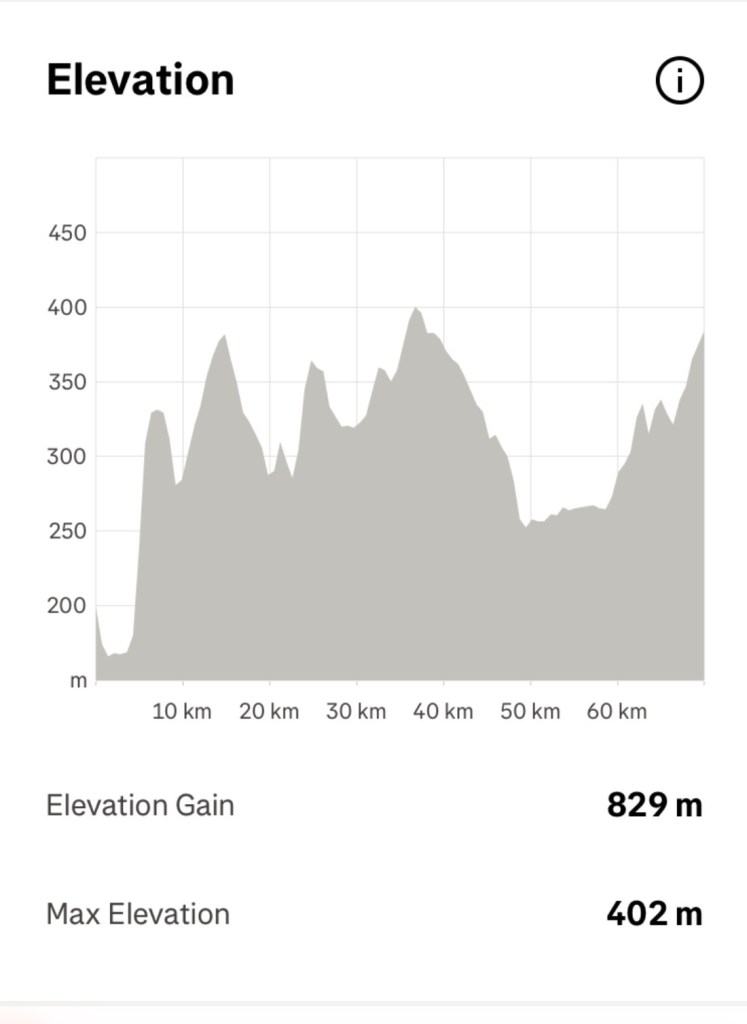
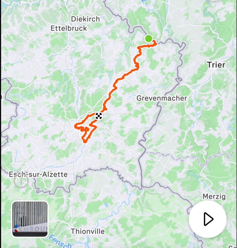
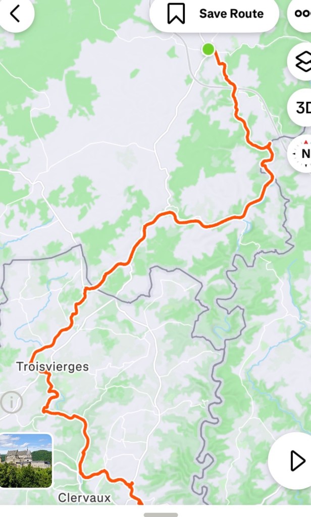
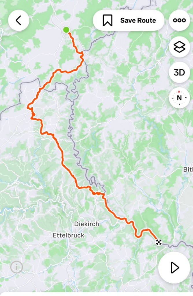
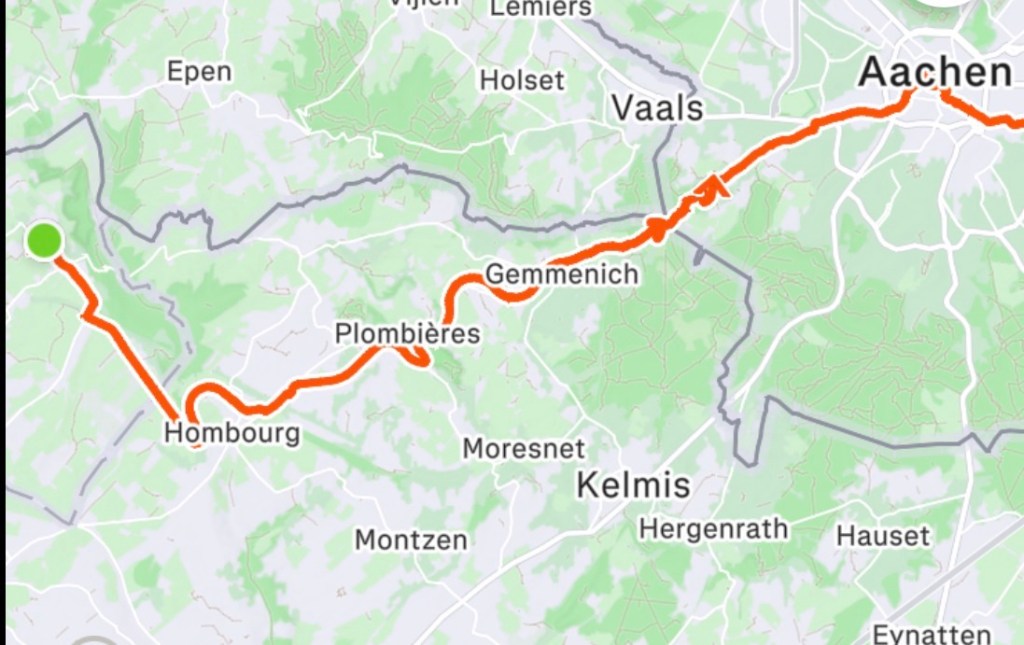
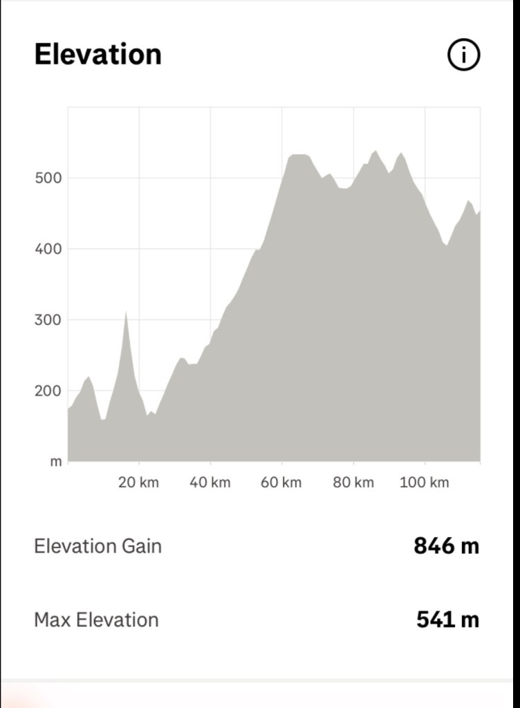
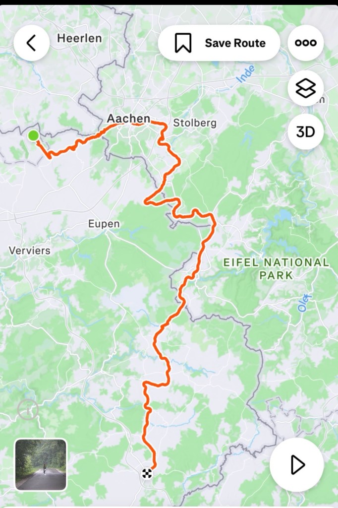
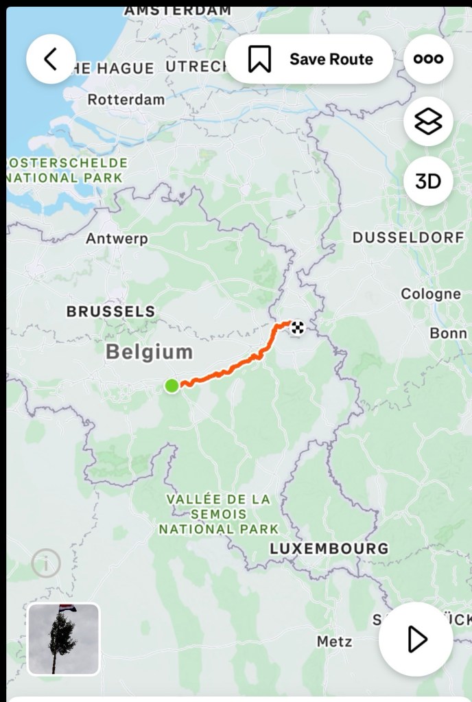
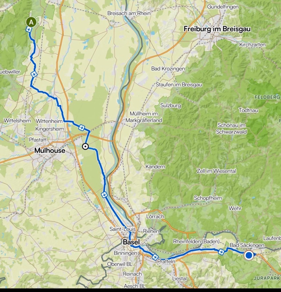
Our final days route. In the last two days we found a better map app to show our route.
We are very pleased that we have done the trip, more or less as planned. Whilst we had the hiccup of my health issues after the fall, we were able to tweak and keep moving forward.
The trip does not just happen.
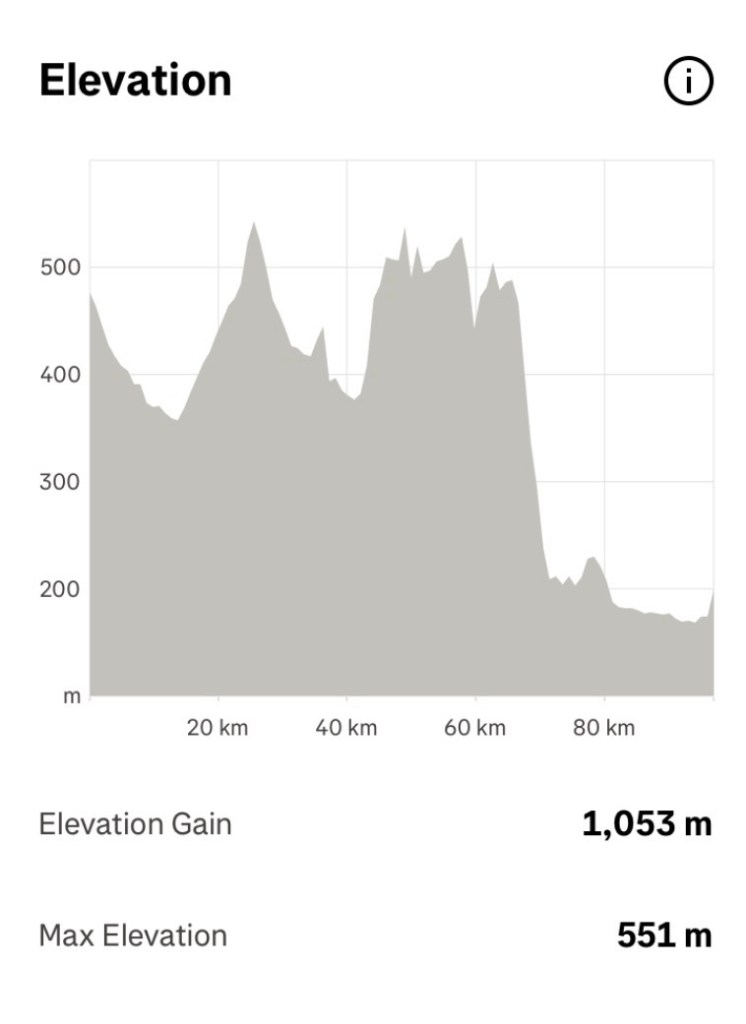
You have to put the work into being fit enough in the first place to ride 3,300 km.
We have averaged 89 km per day for 37 consecutive days.
That is a tough ask on two 64 year olds, one having had open heart surgery.
We are thankful it all worked out.
Mechanically, no issues. No punctures.
A lifetime of memories, wonderful friends we’ve caught up with, so much we have seen, heard, smelt on the bike.
It sustains us until next time.
To those who support us, thankyou. Your messages via pm and comments on the blog and fb are appreciated.
I’ve been asked, what is next?
Ooh that will narrow down in the next few months. There are about five concepts running through this little head of mine.
Now it’s time to go home, get Khaleesi, bitch about the cold and rain, get back to work.
Ooroo 😊🚴💪❣️