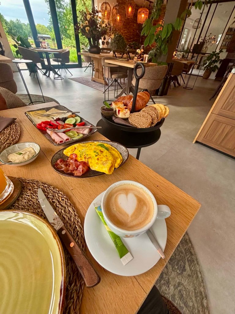
Breakfast was provided and it was an effort as the smell nauseated me and I ate little.
I soon had the runs….but at least I was not dizzy today!
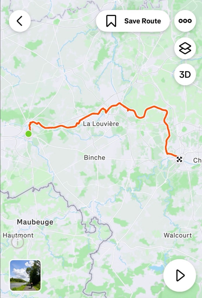
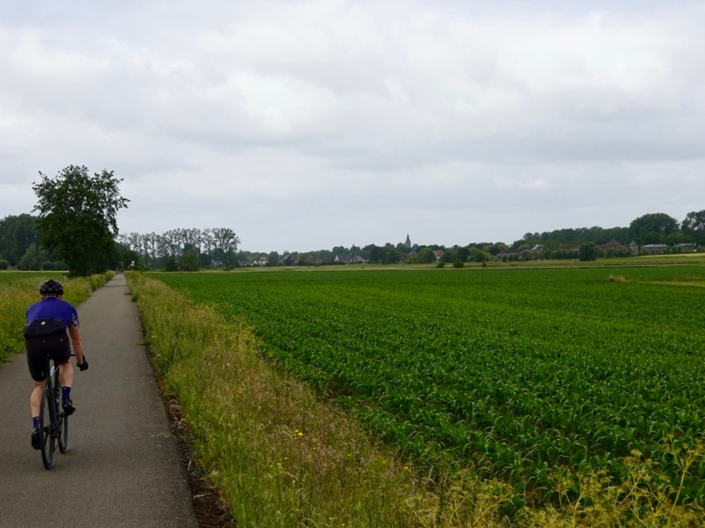
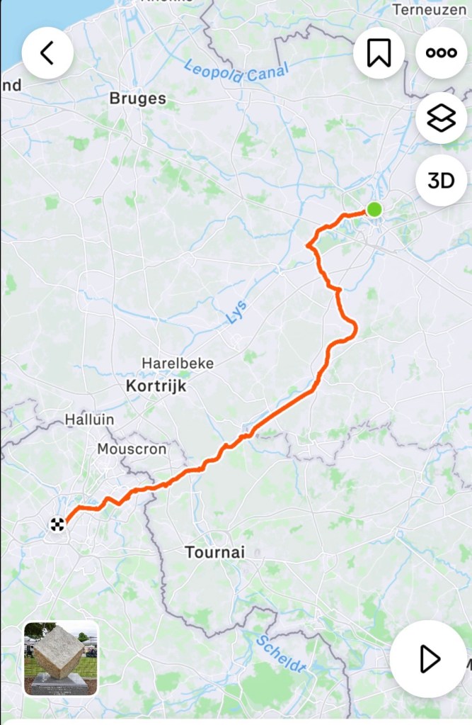
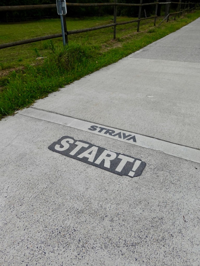
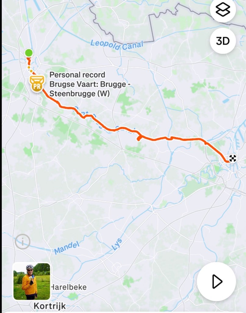
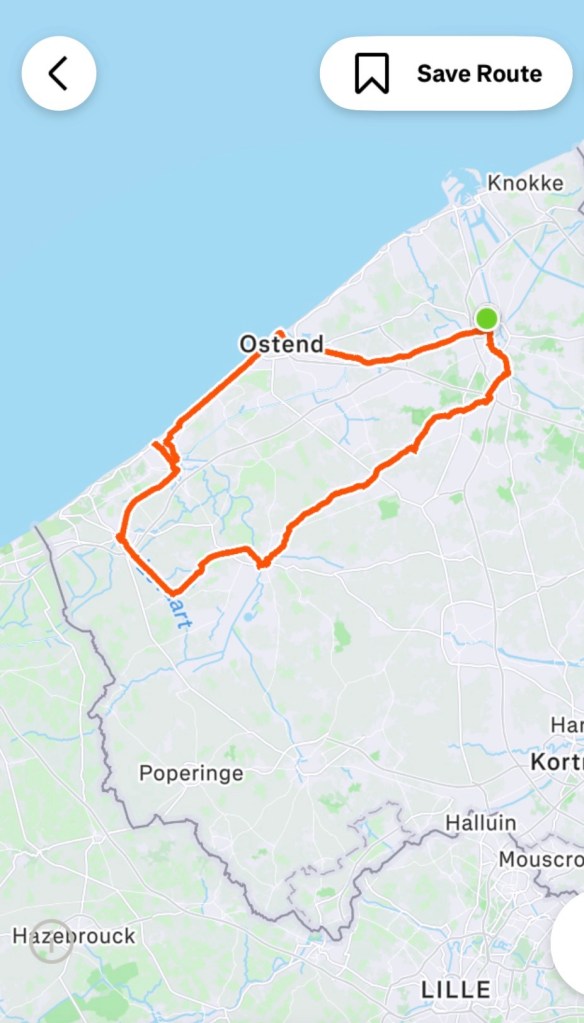
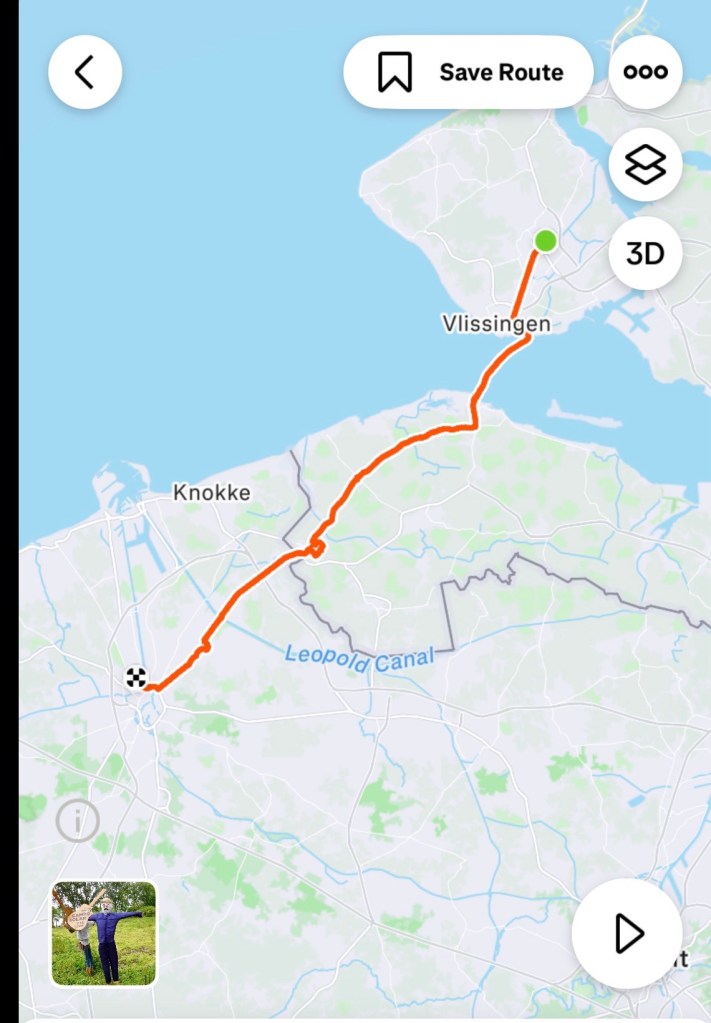
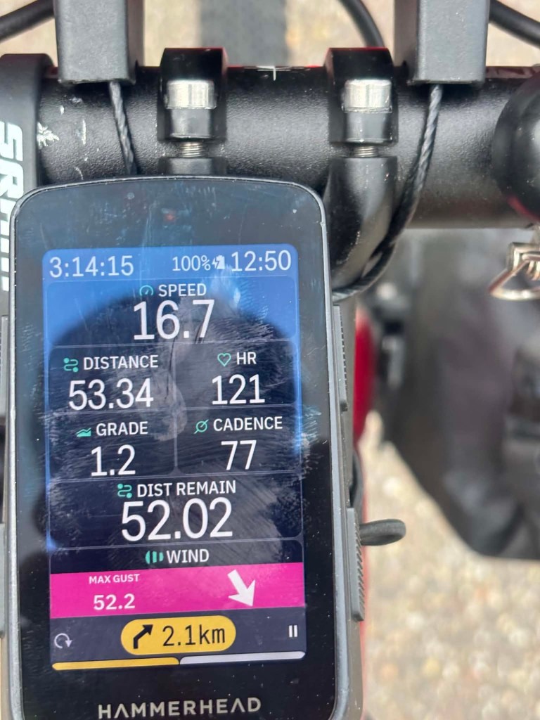
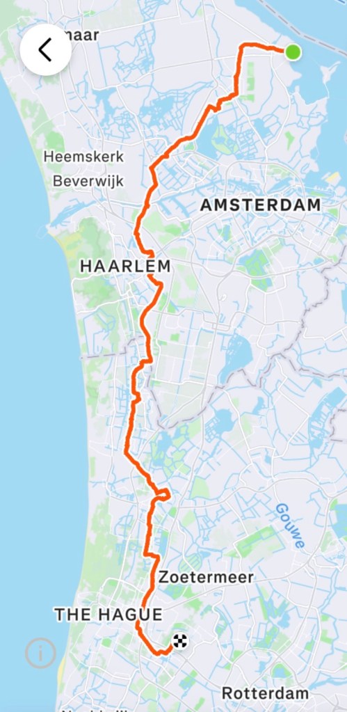
We headed off, aiming to reach Charleroi, 58 km away, then to get the train for the last 52 km to Namur.
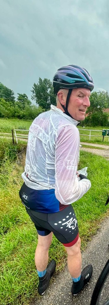
My Hr issues surfaced above 100 beats,. Concerning and annoying.
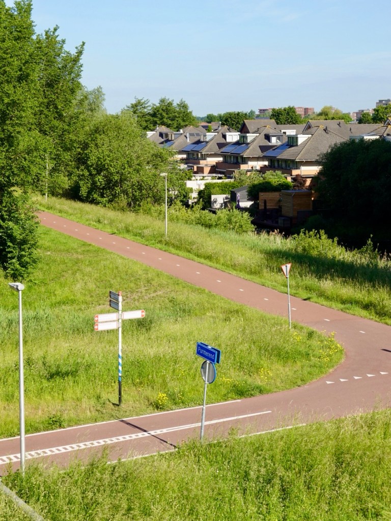
It was a really flat ride, and I was worried as our accommodation was up a hill requiring a 2.5 km, 5 percent gradient climb.
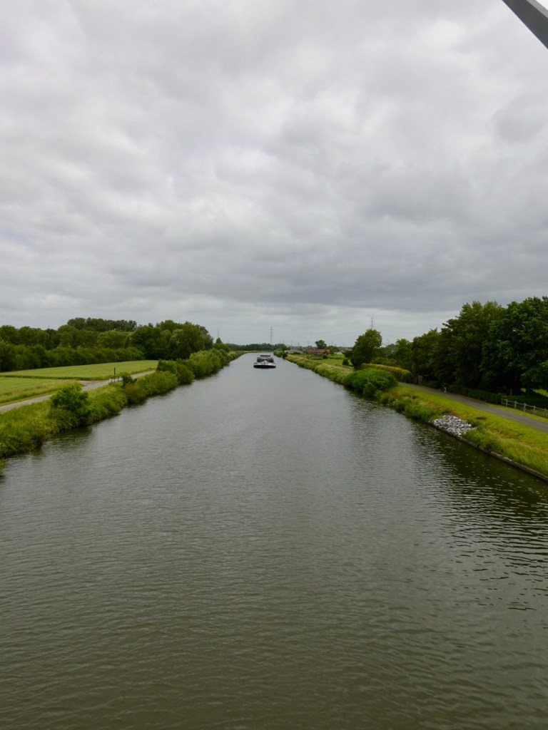
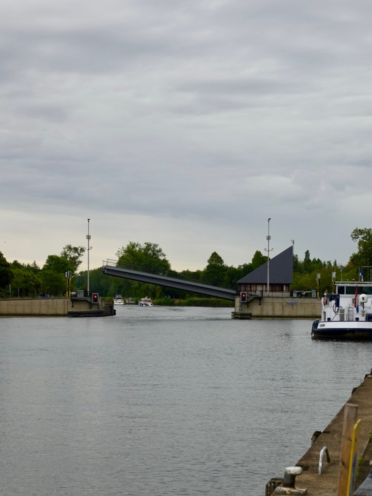
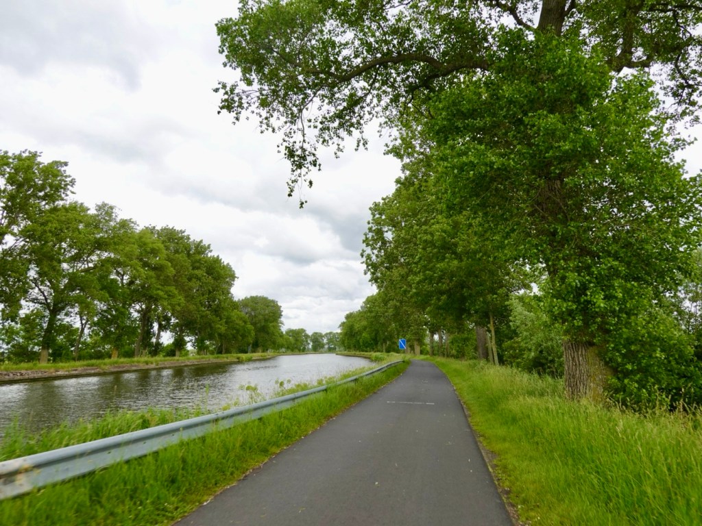
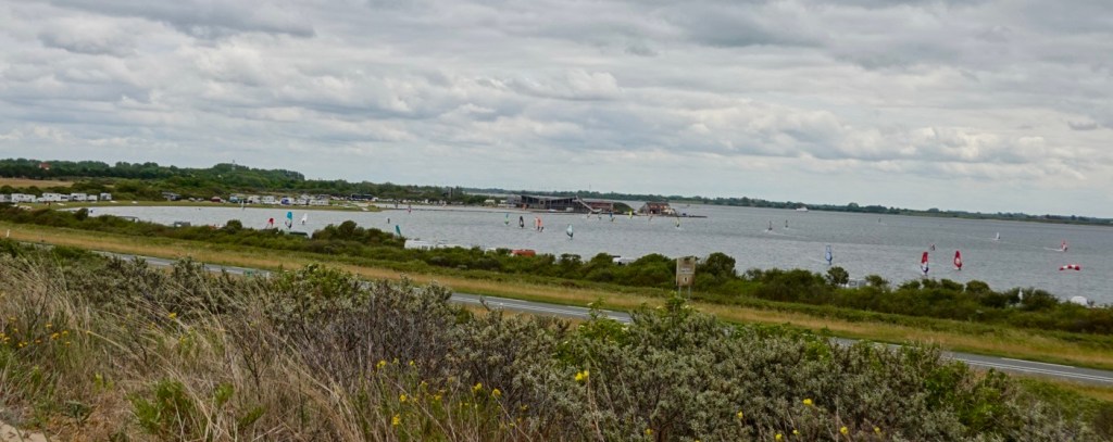
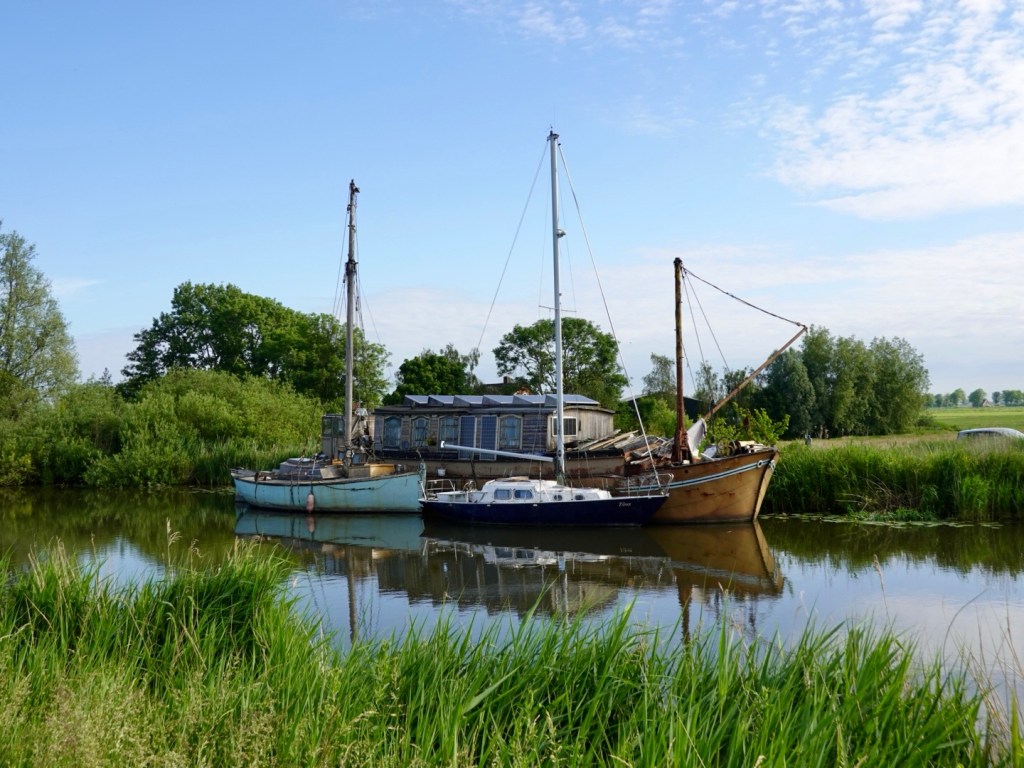
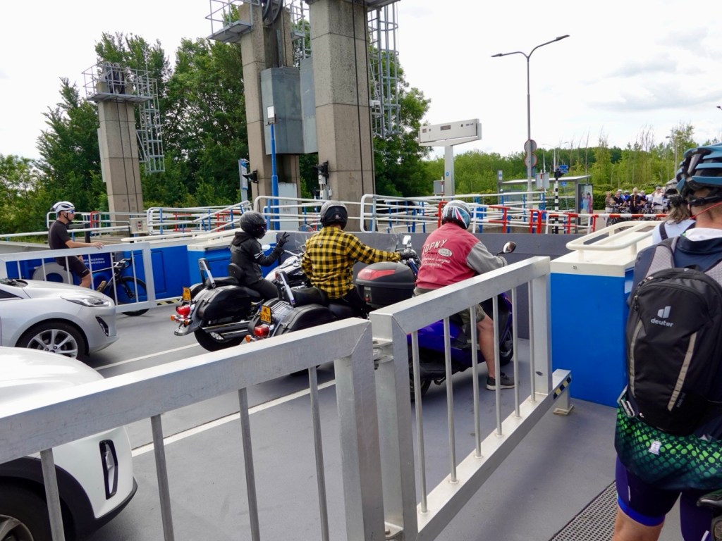
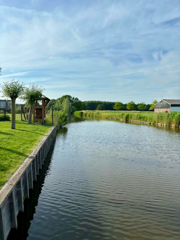
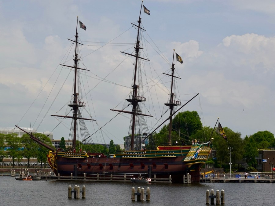
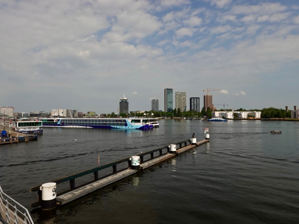
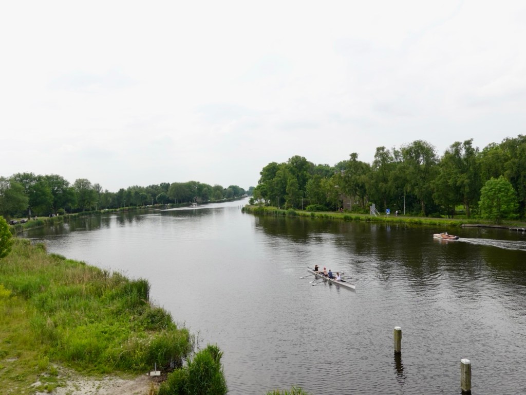
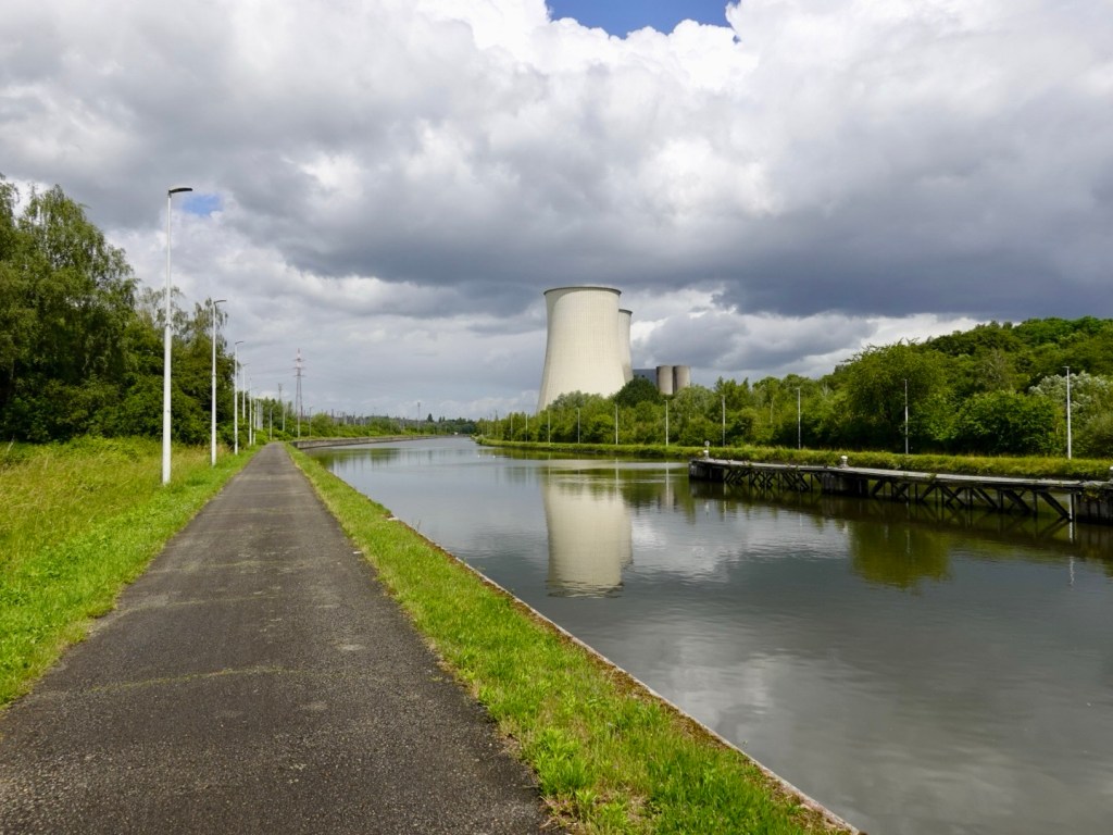
This was an interesting sight. The canal had a significant height level change. This is a mechanised boat lifter that lifts the boats up, or down to the other side.
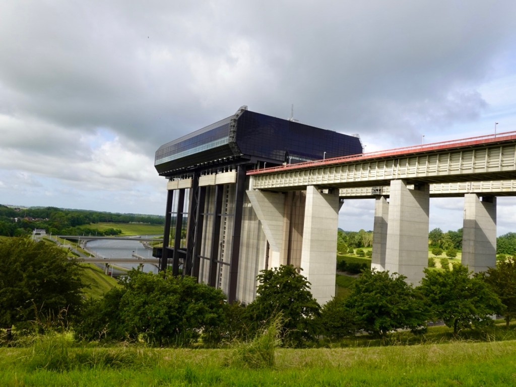
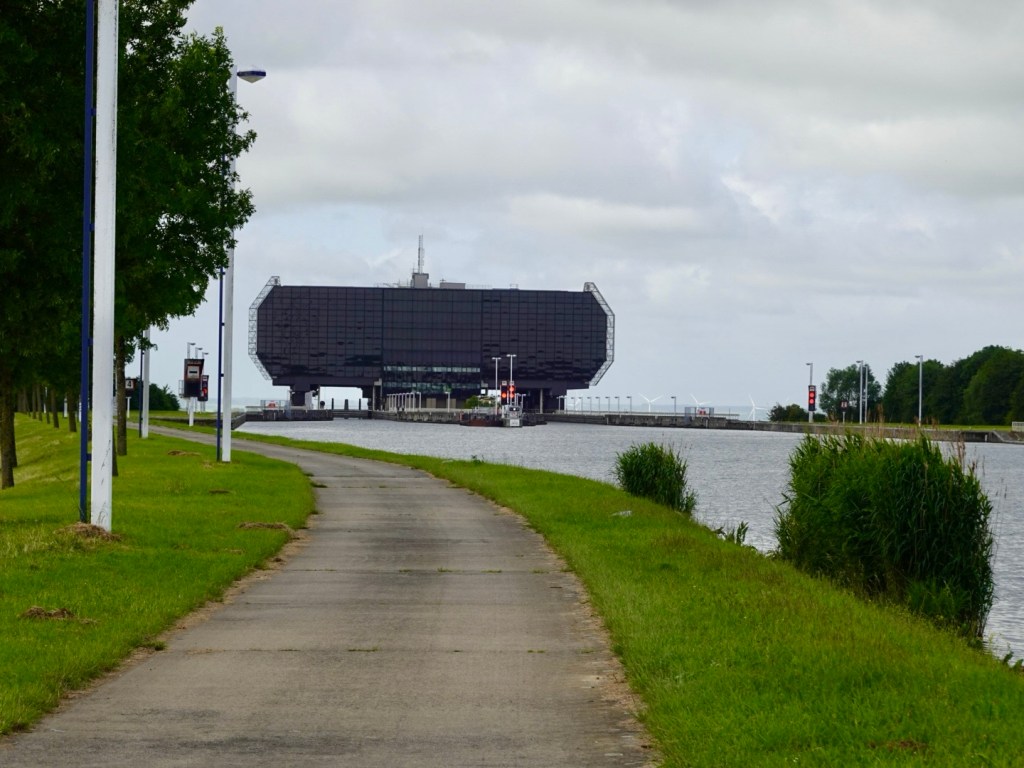
The Strepy-Thieu funicular lift is the second largest boat lift in the world and its 73.15 metre incline is impressive.
The canal began operations in 1879 and its locks and lifts could accommodate vessels of up to 300 tonnes. This became inadequate when the European standard was 1350 tonnes.
It was completed in 2002 at a cost of 160 million euro.
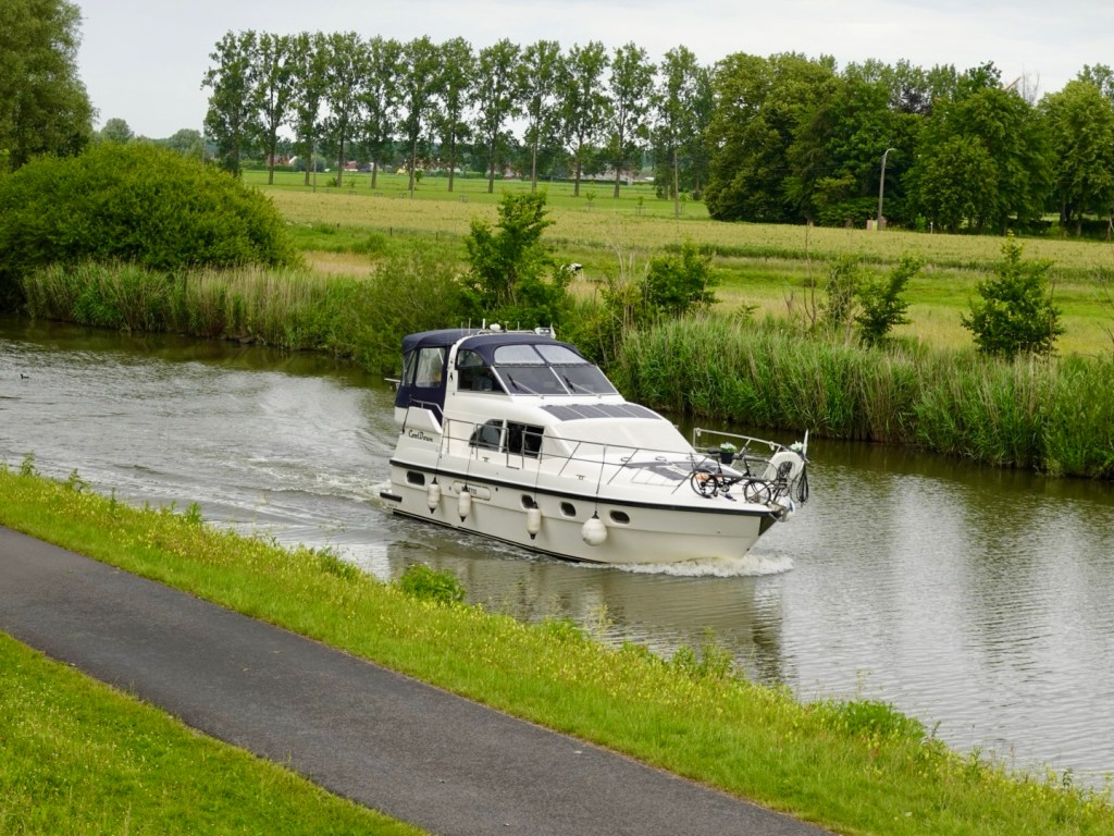
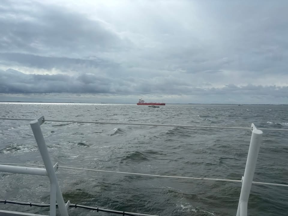
Would love to have seen it in action but no barges in the immediate vicinity.
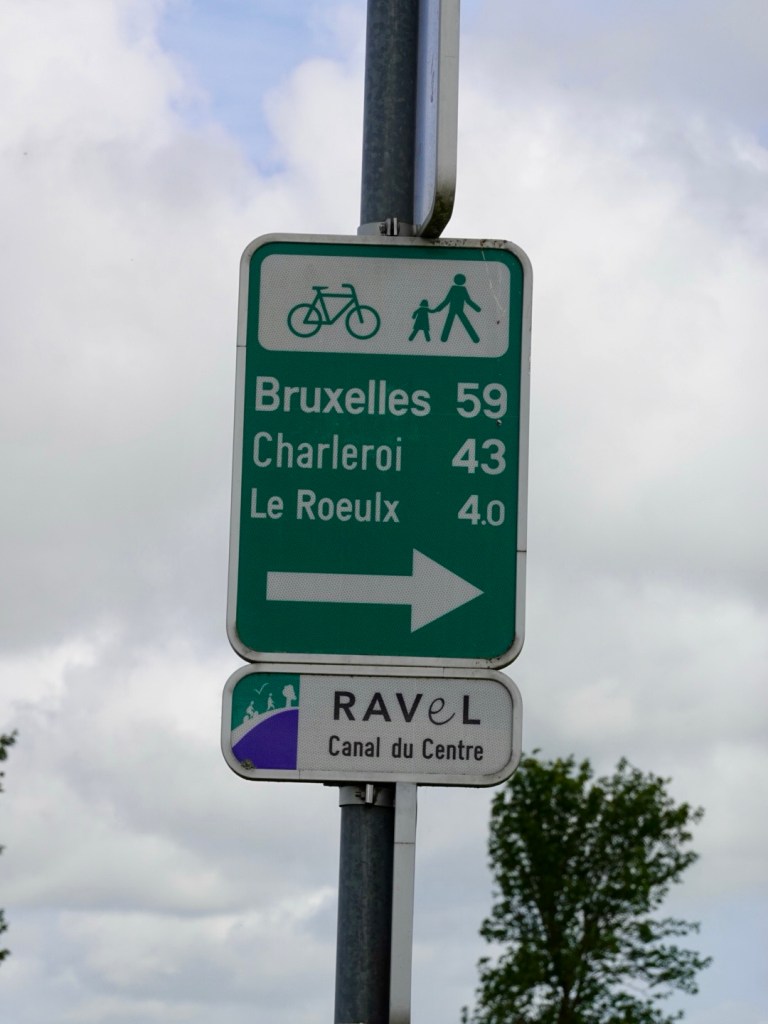
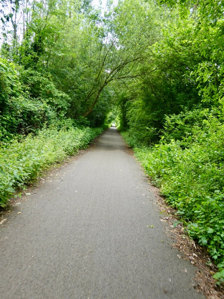
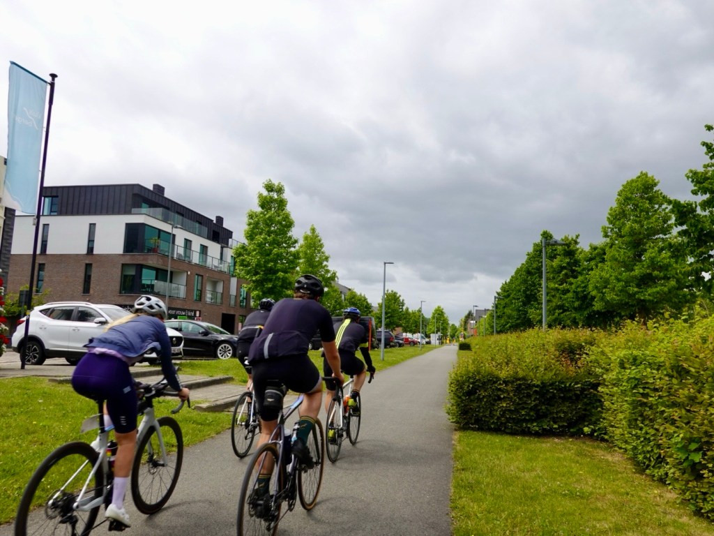
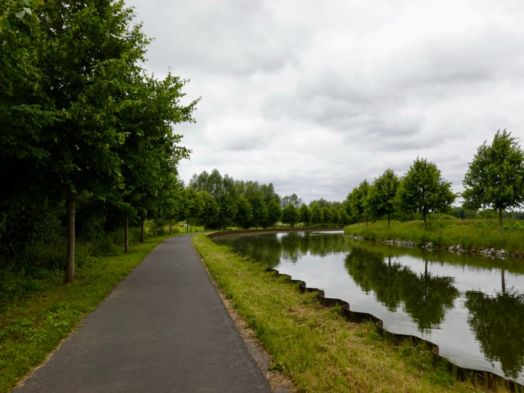
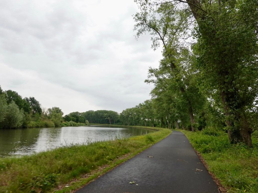
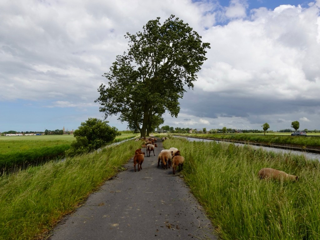
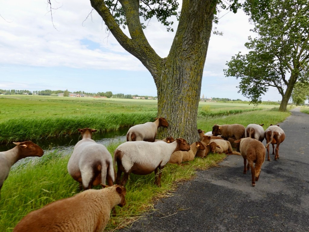
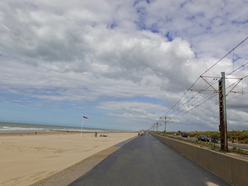
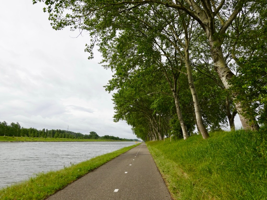
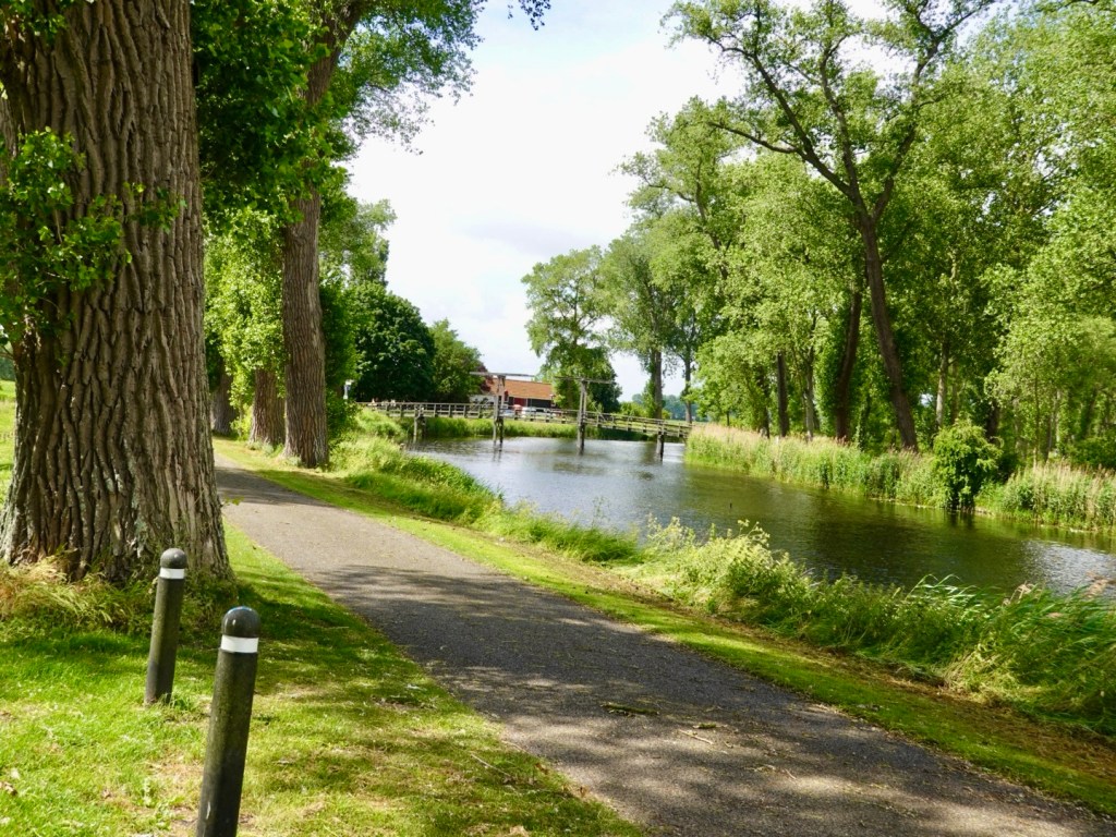
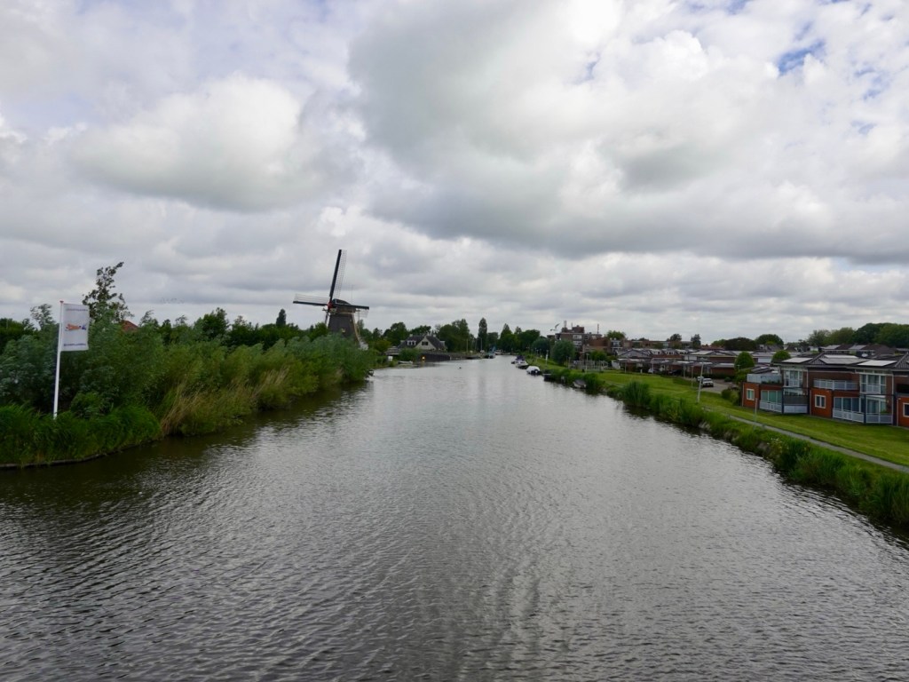
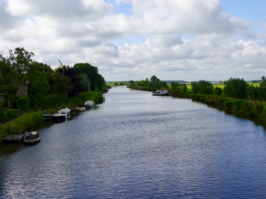
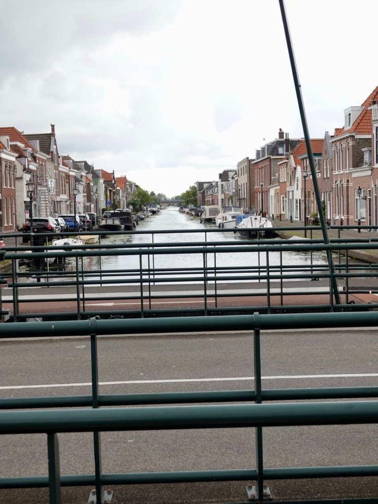
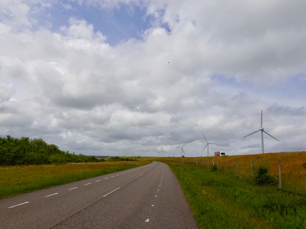
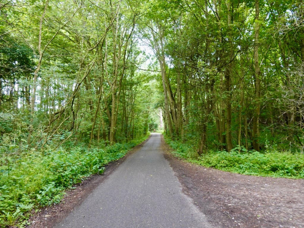
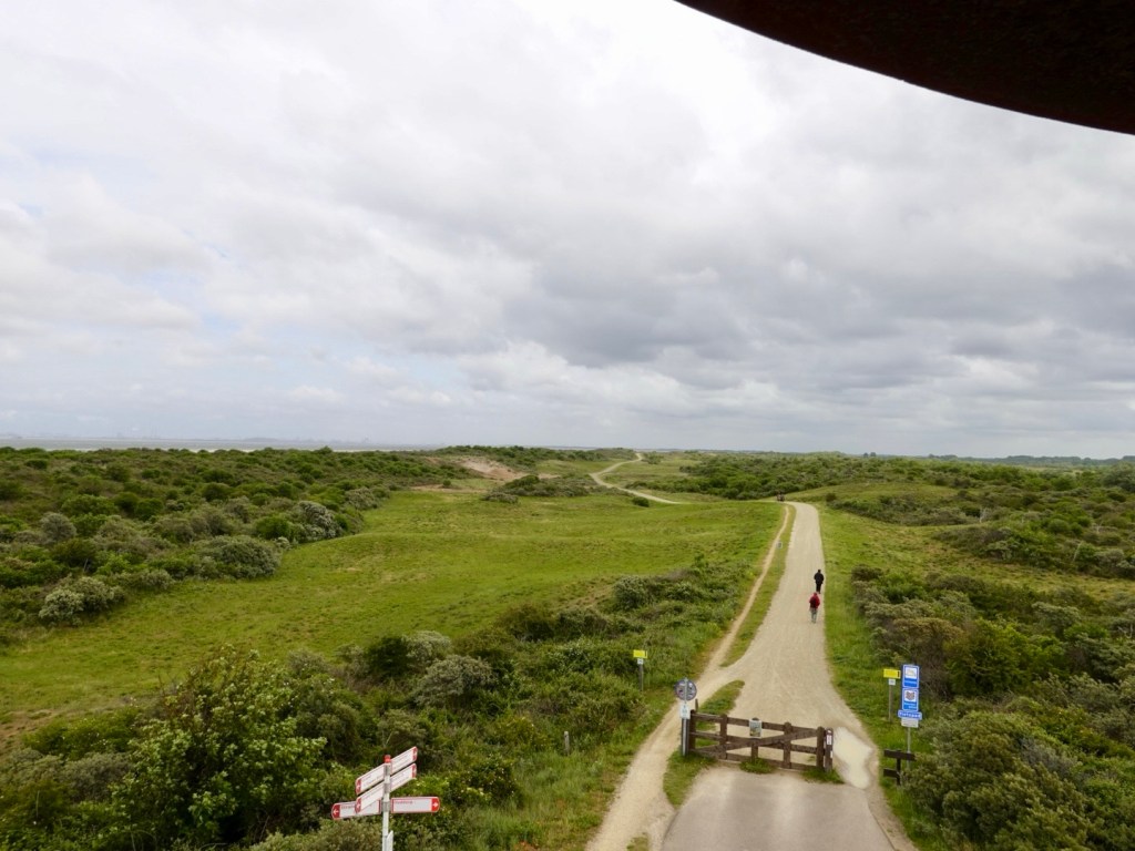
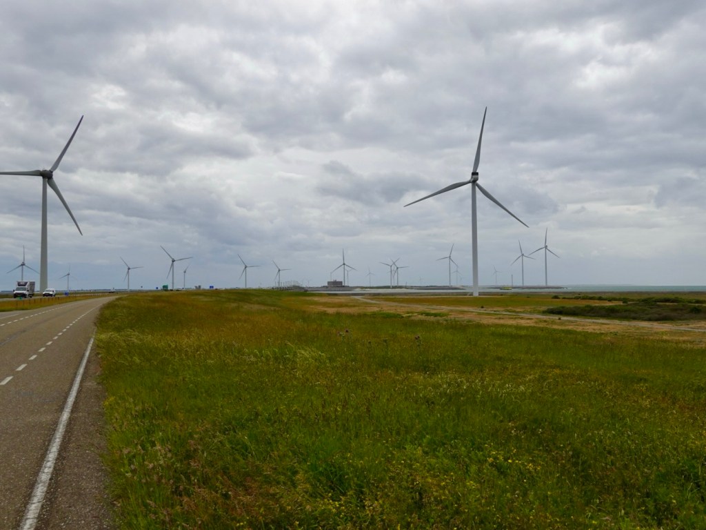
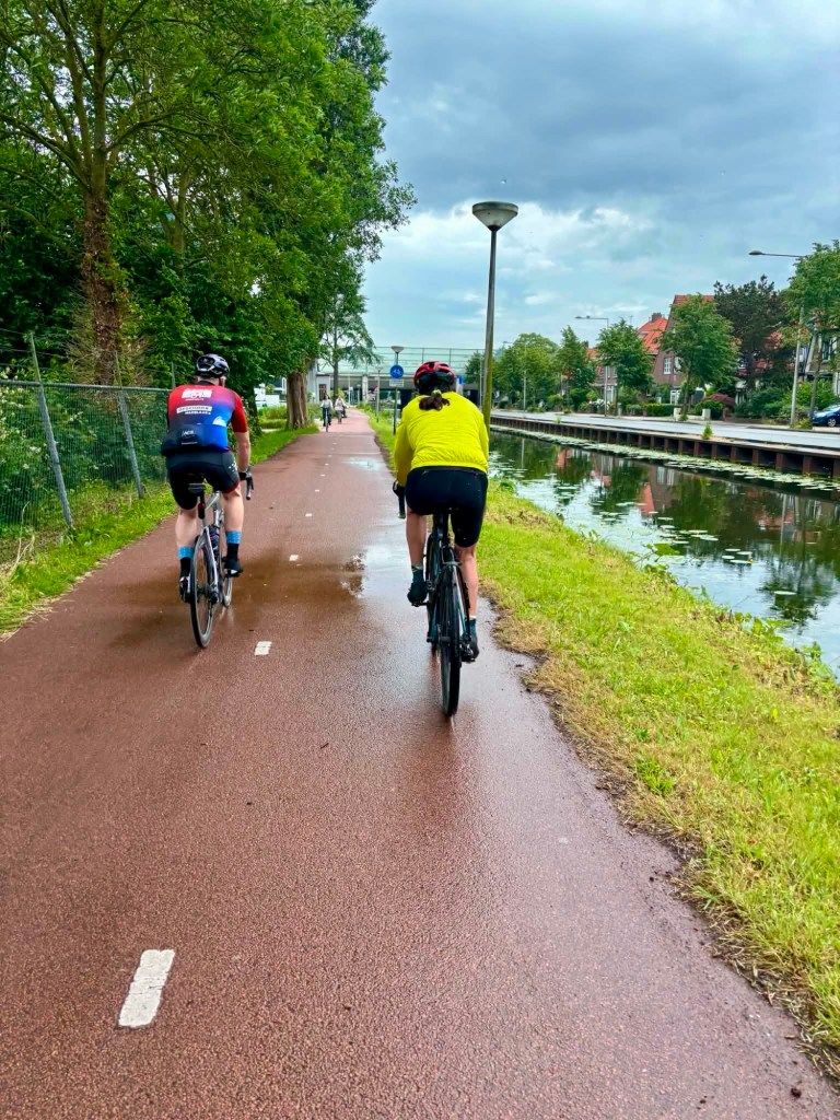
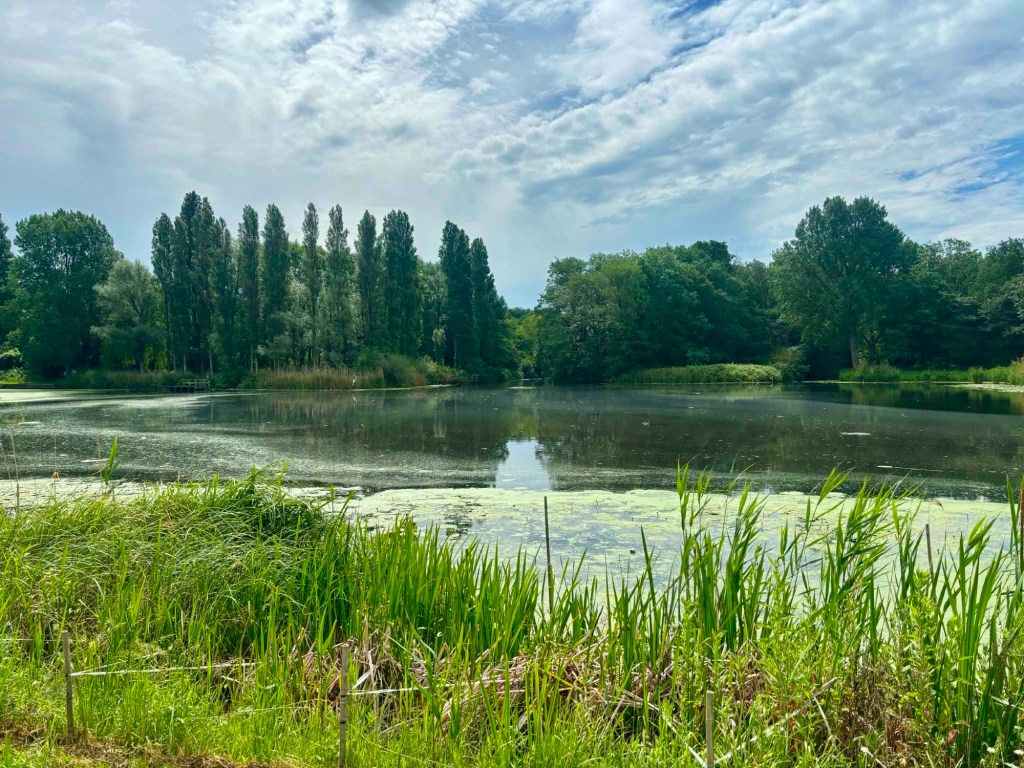
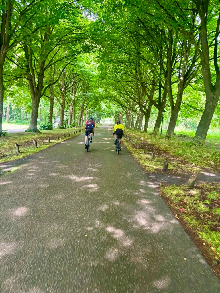
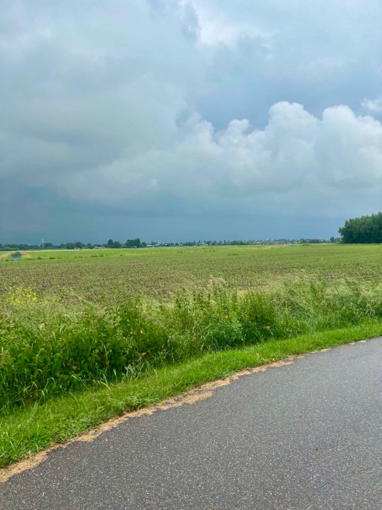
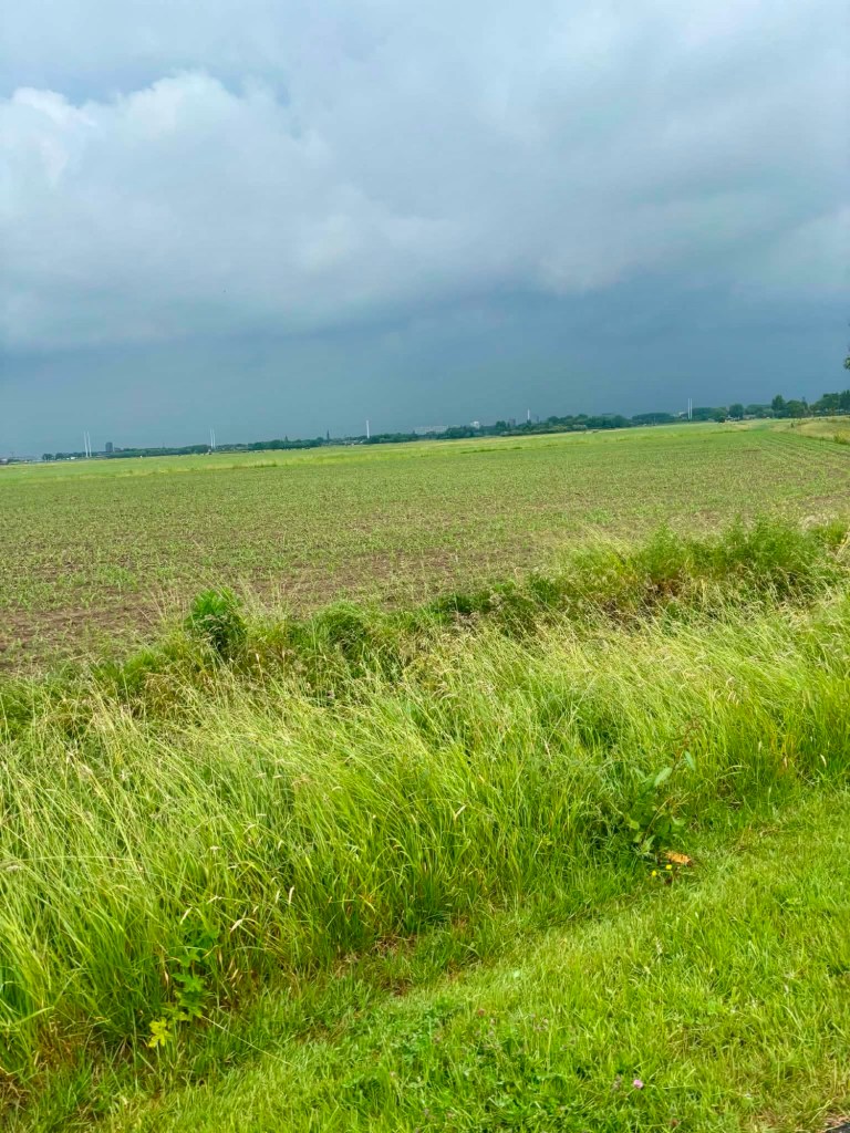
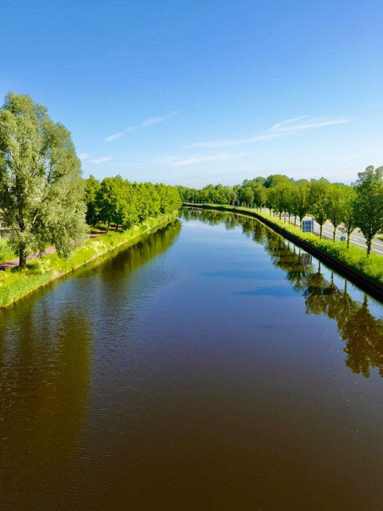
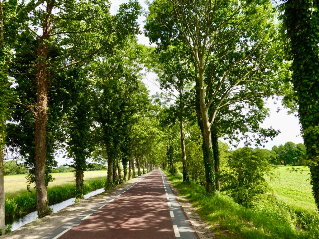
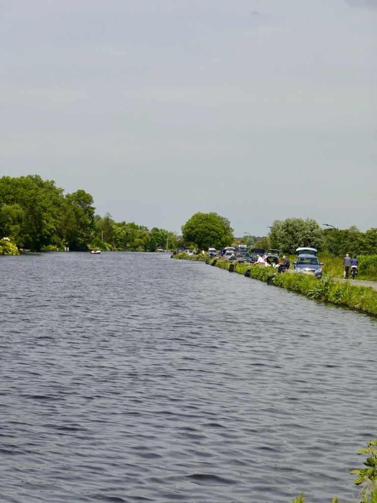
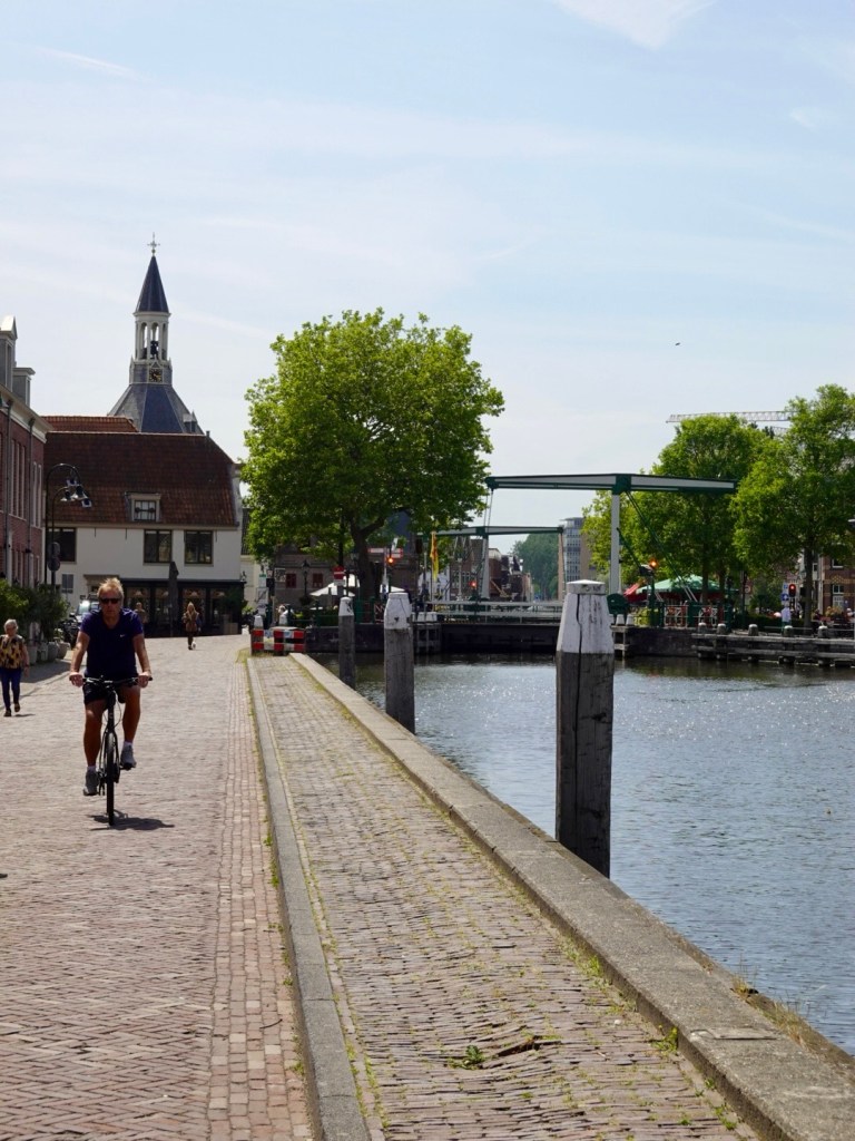
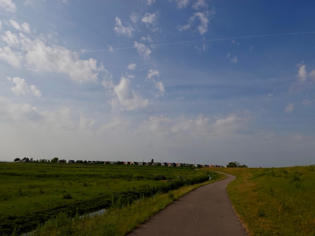
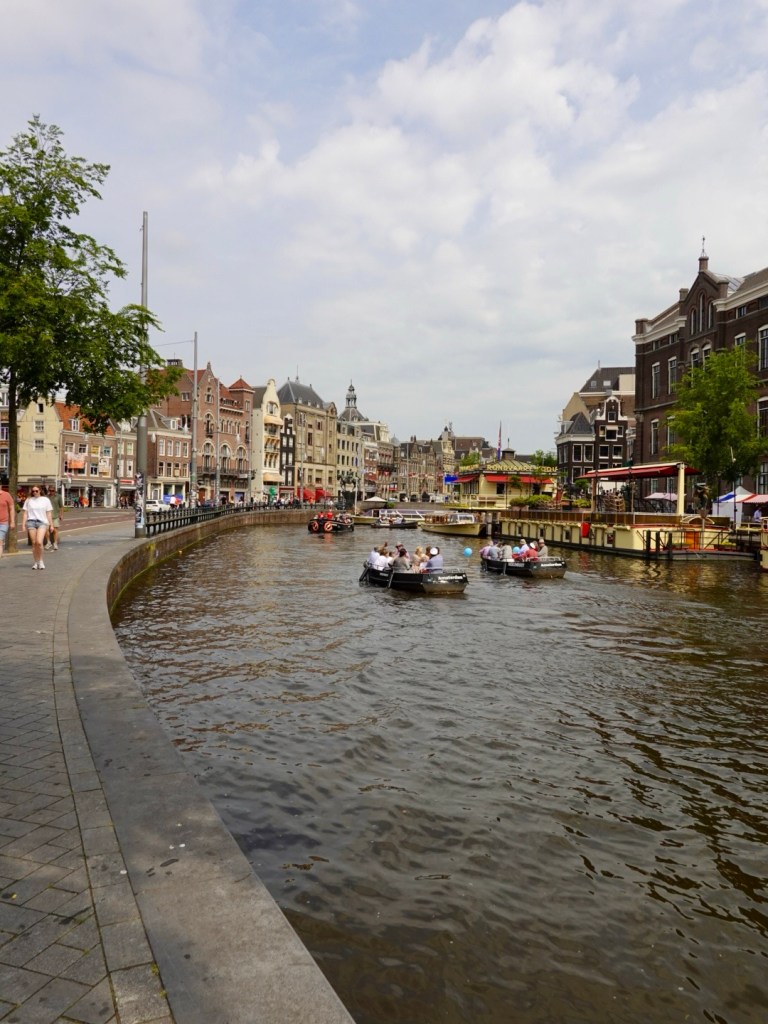
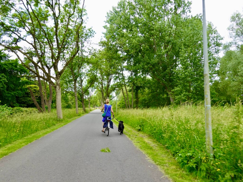
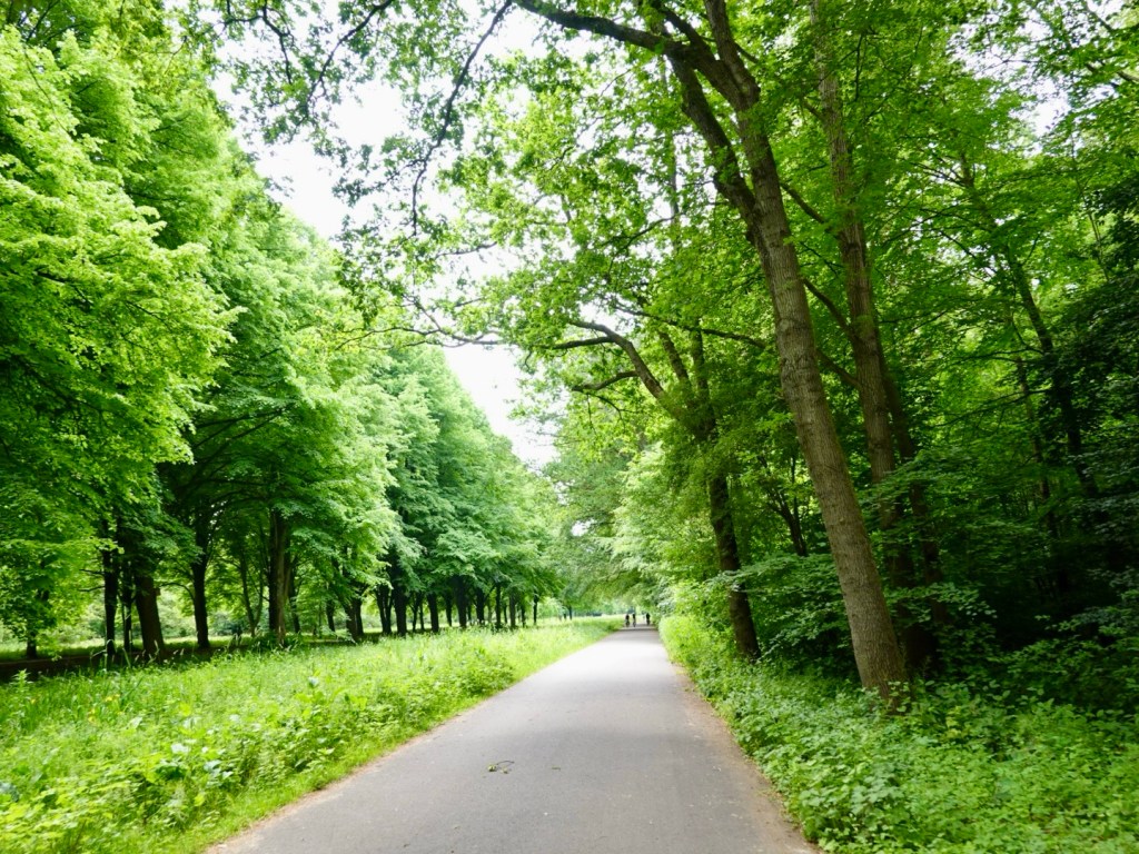
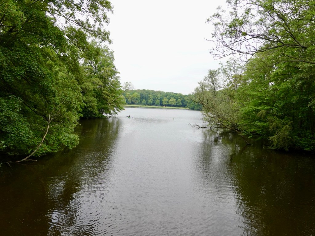
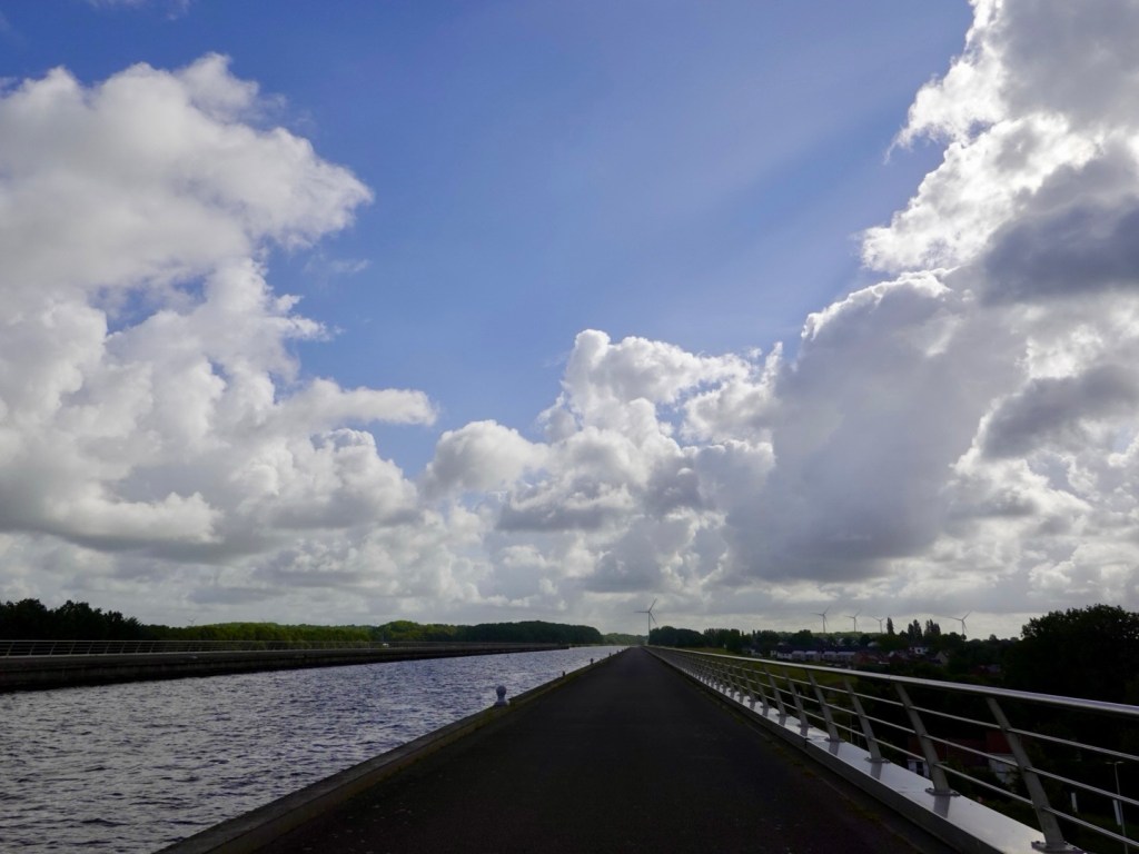
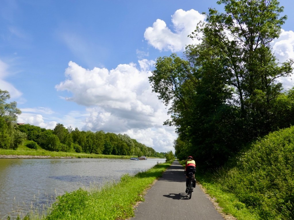
We mainly rode on canal pathways today. The surfaces varied. There was the nice, smooth sealed sections. Then there were sections of concrete, getting bumpier. Then there were old seal sections where the adjacent tree roots had made it a very rough and bumpy ride.
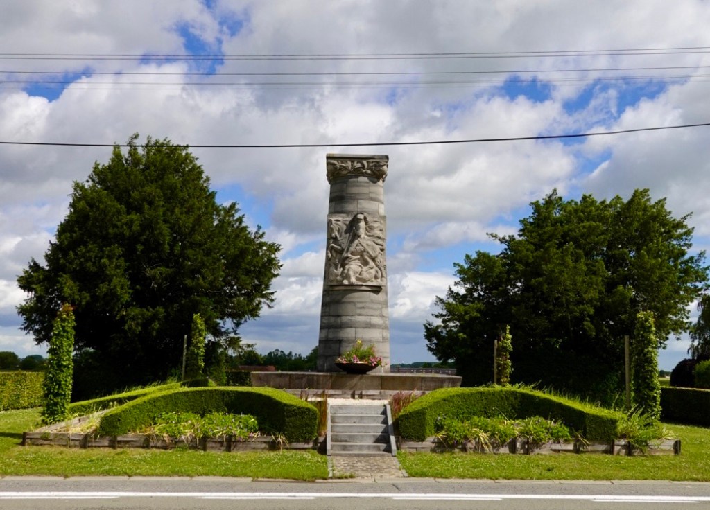
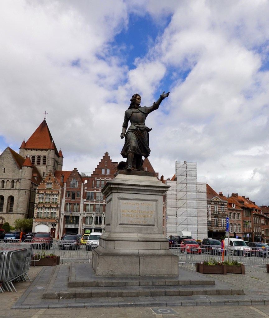
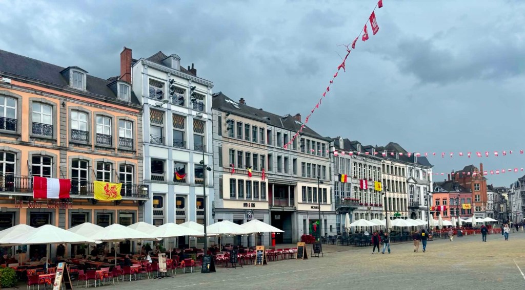
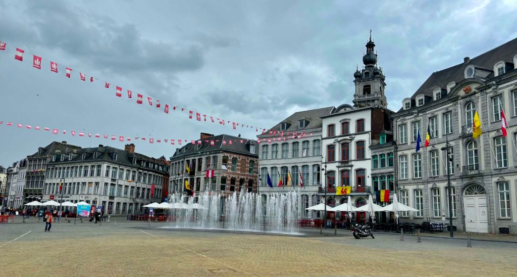
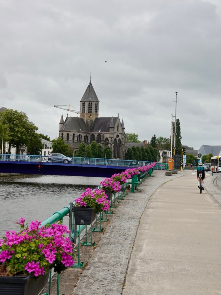
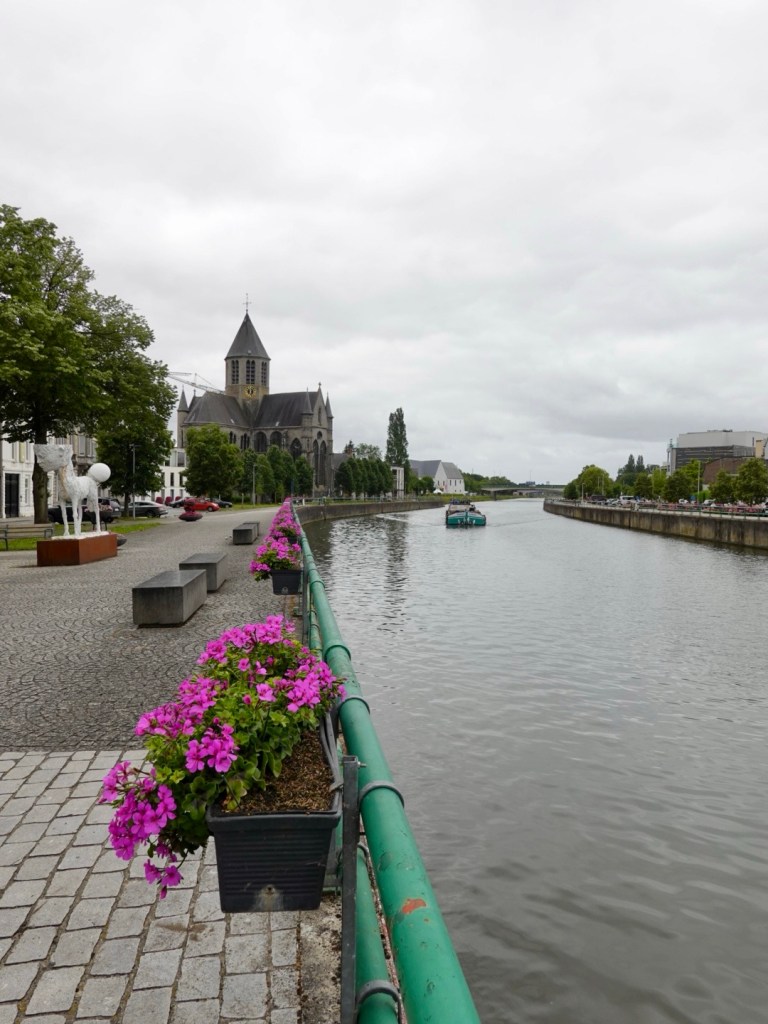
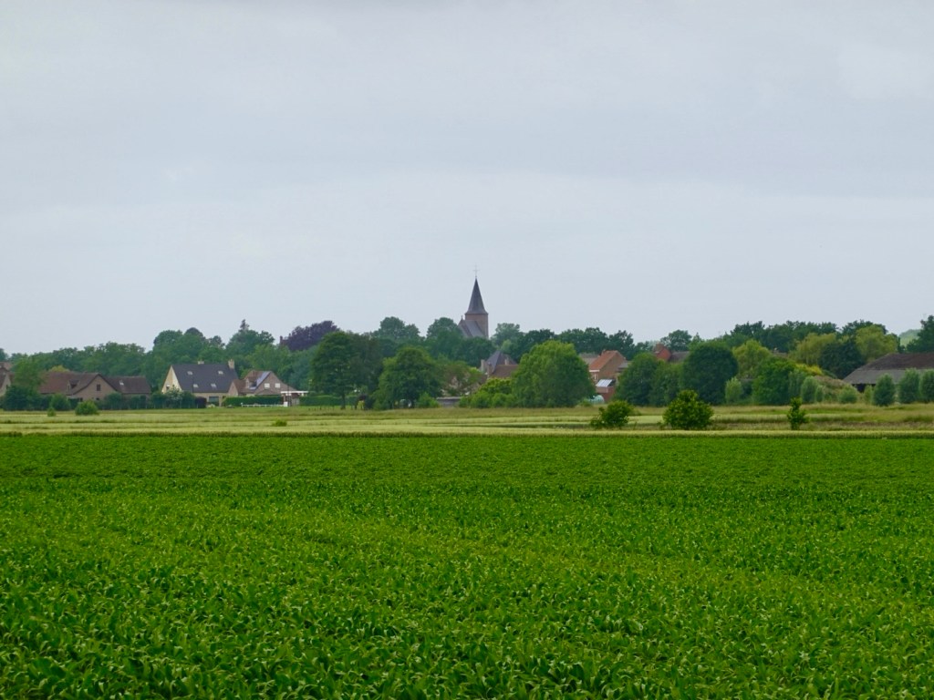
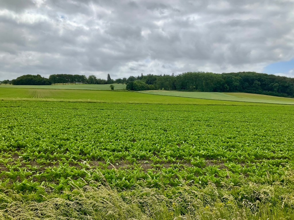
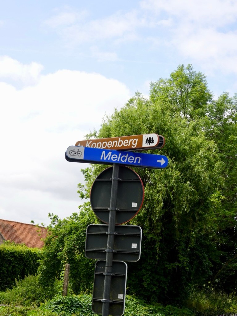
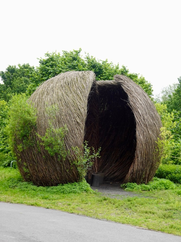
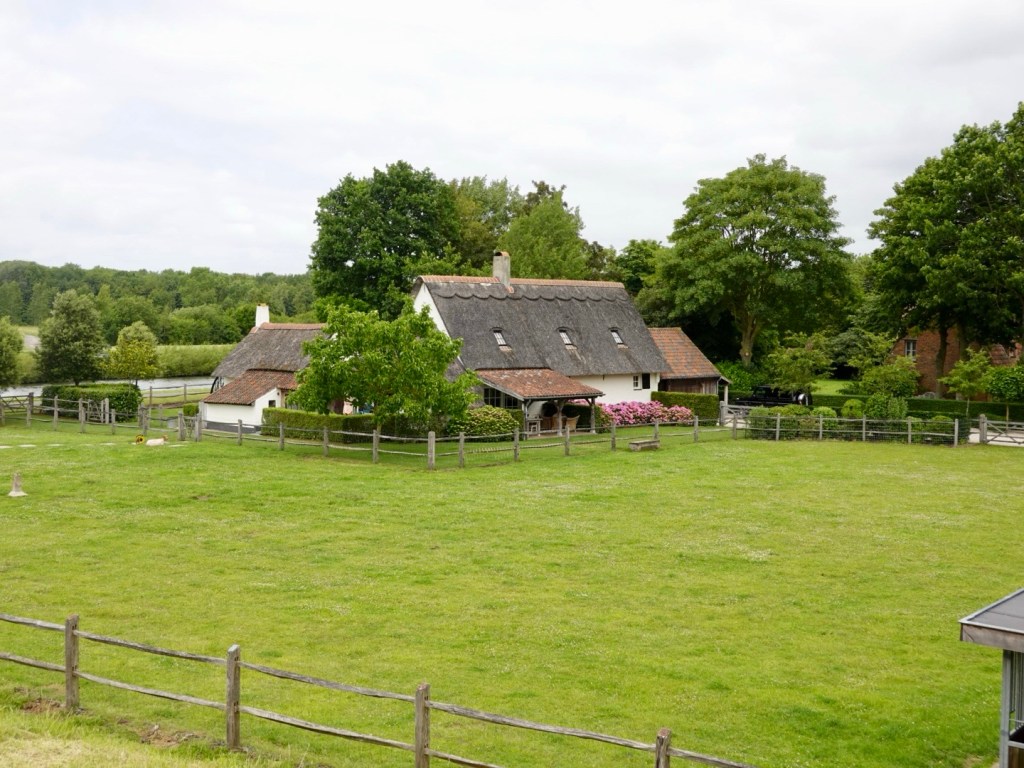
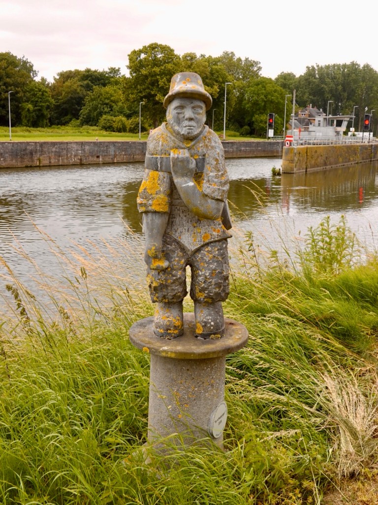
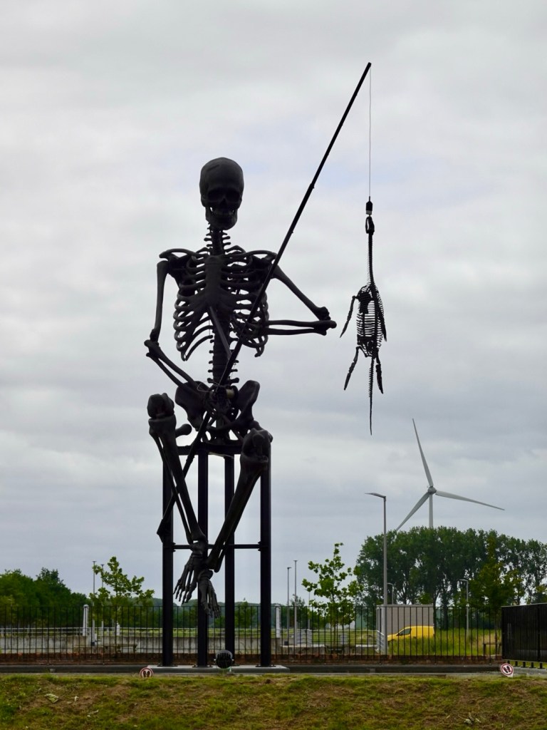
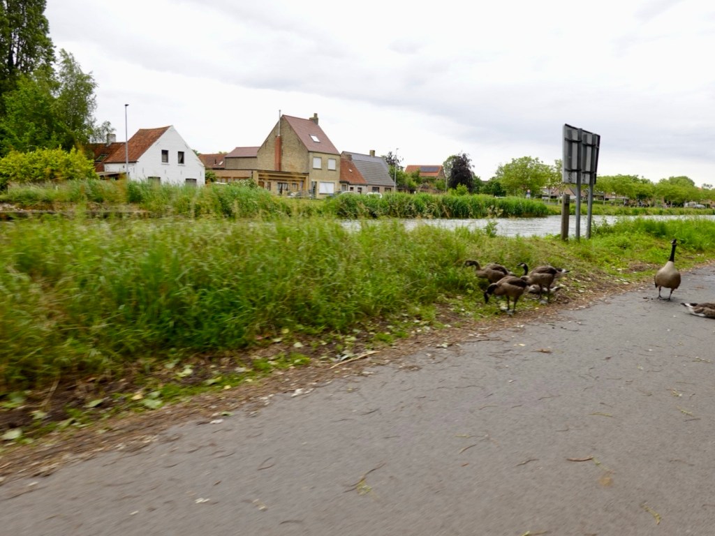
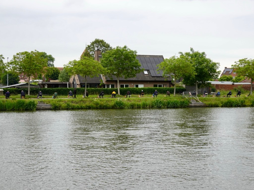
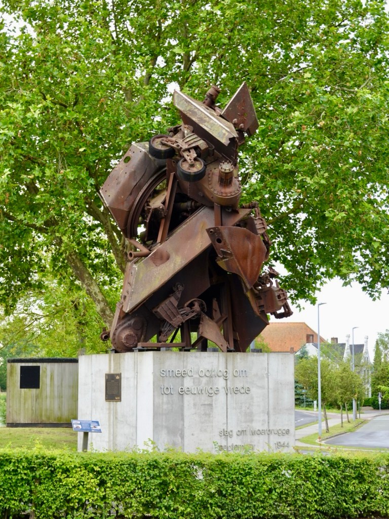
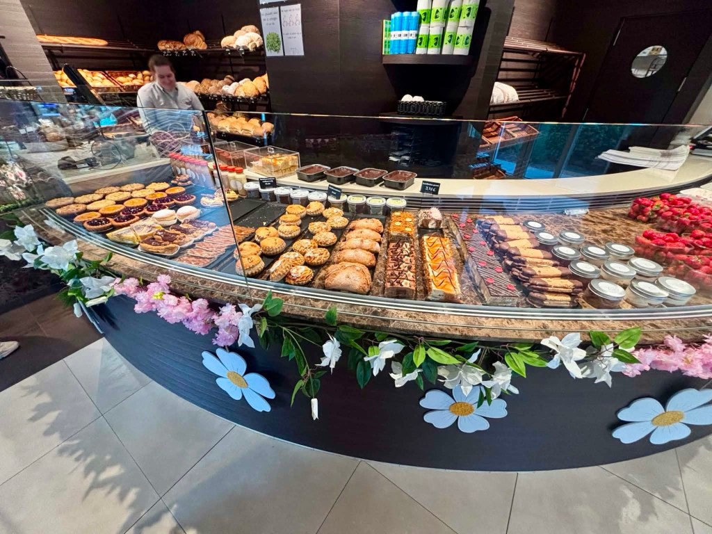
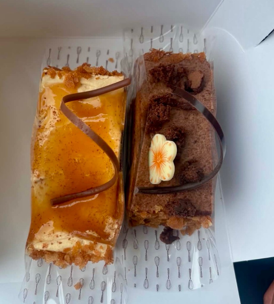
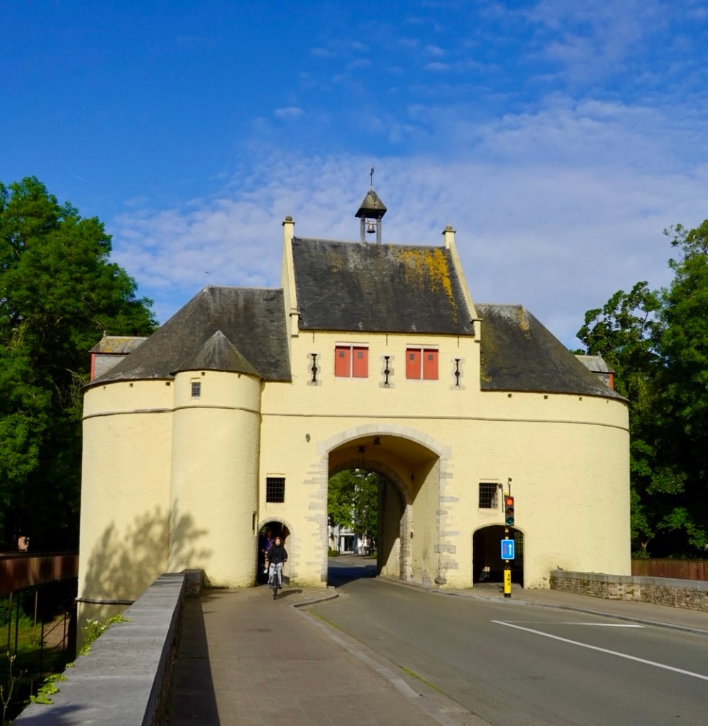
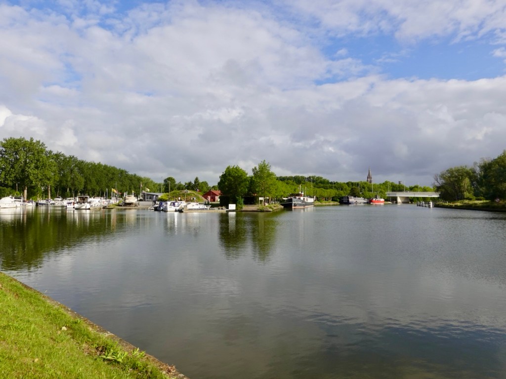
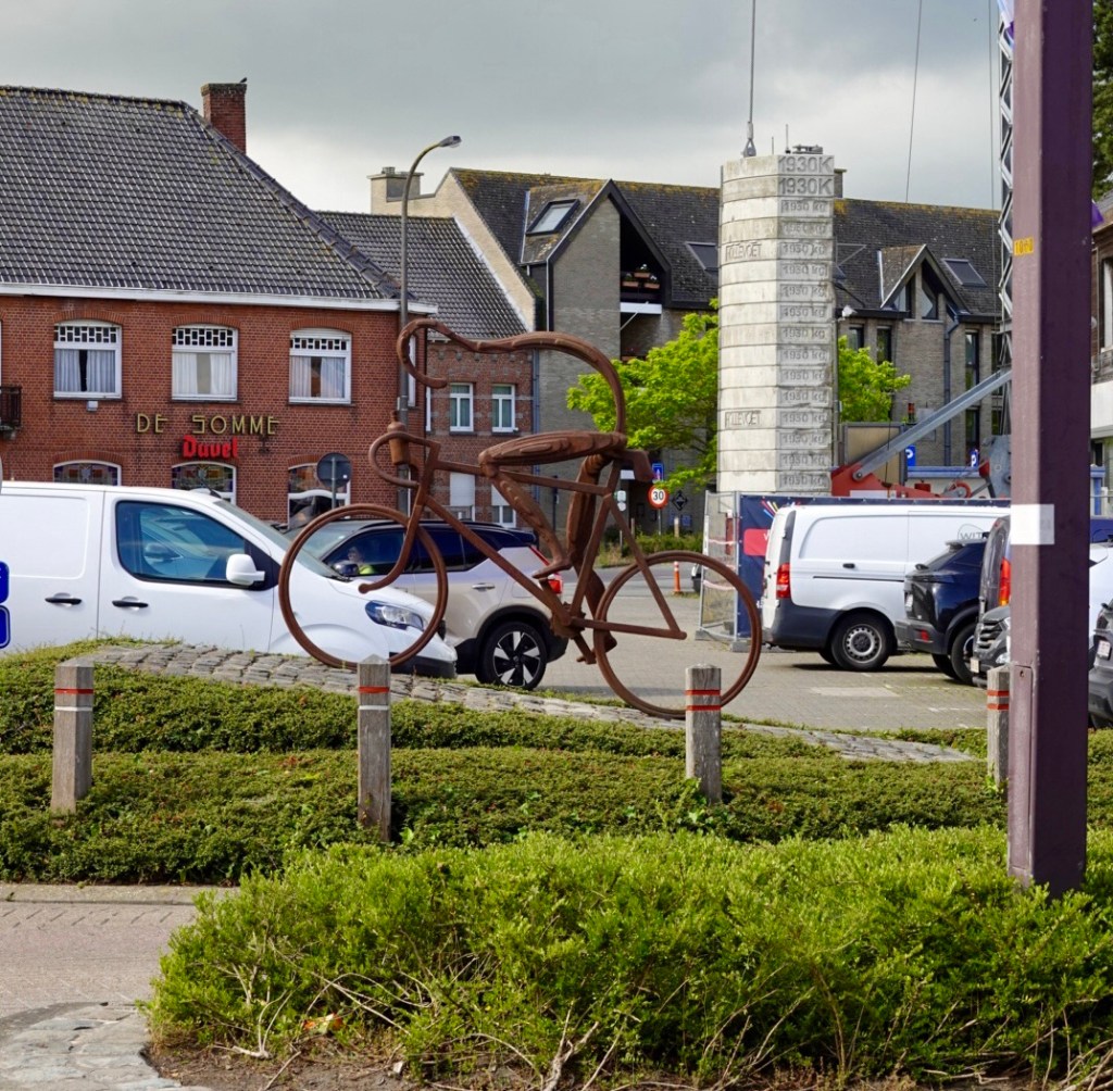
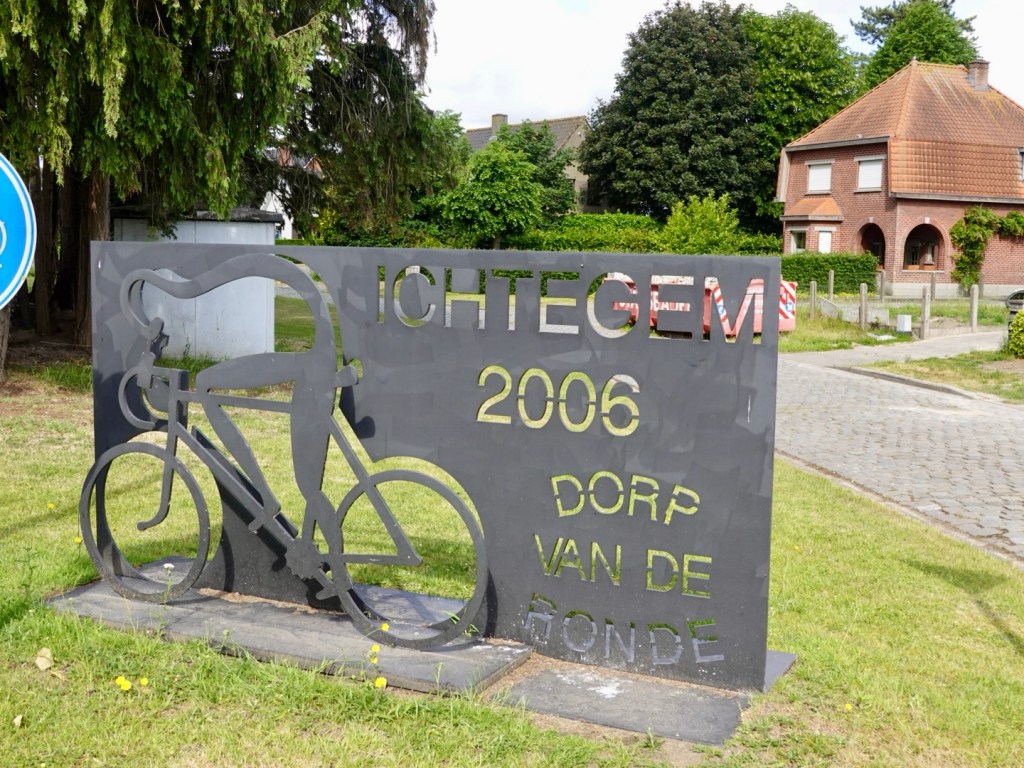
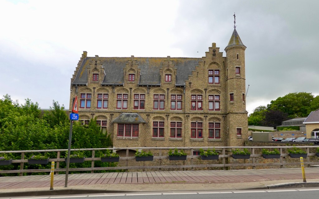
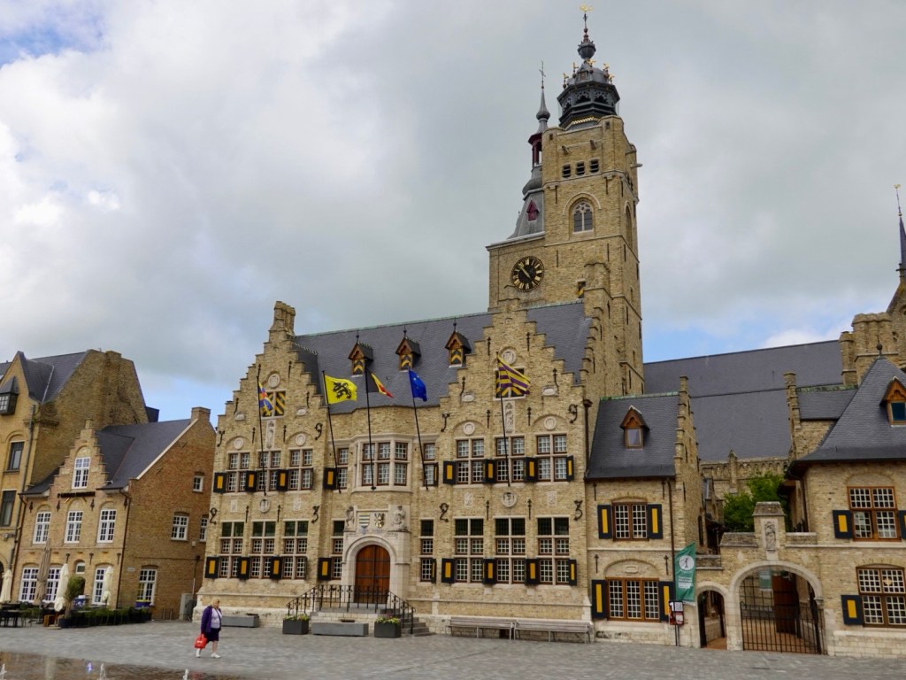
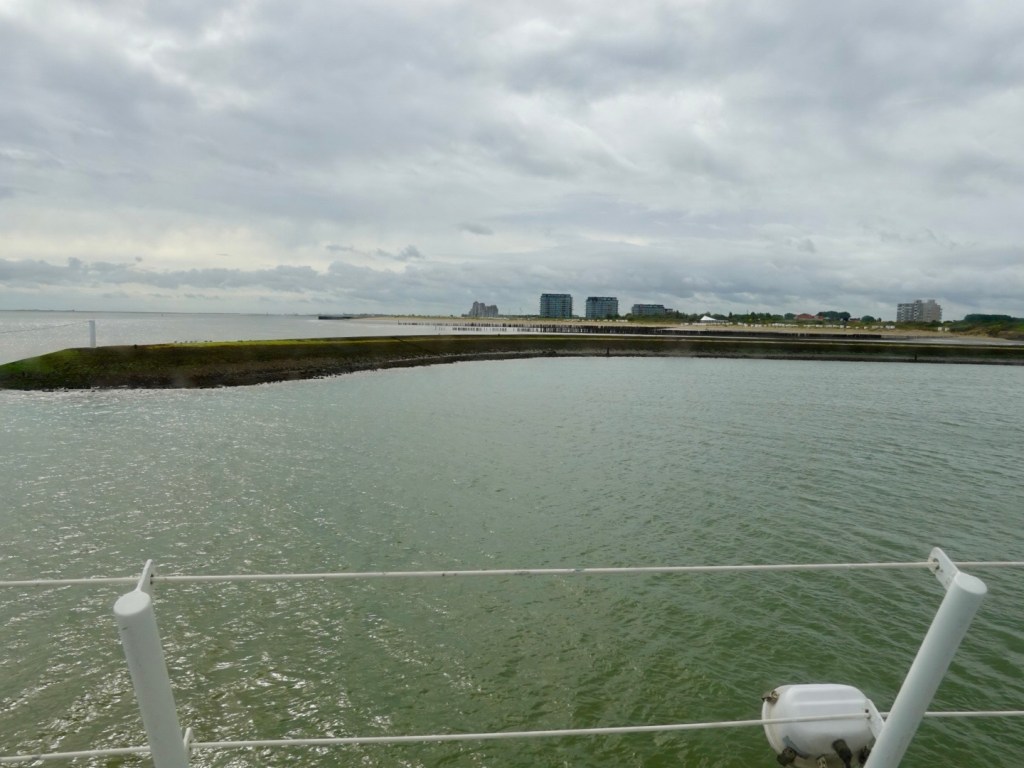
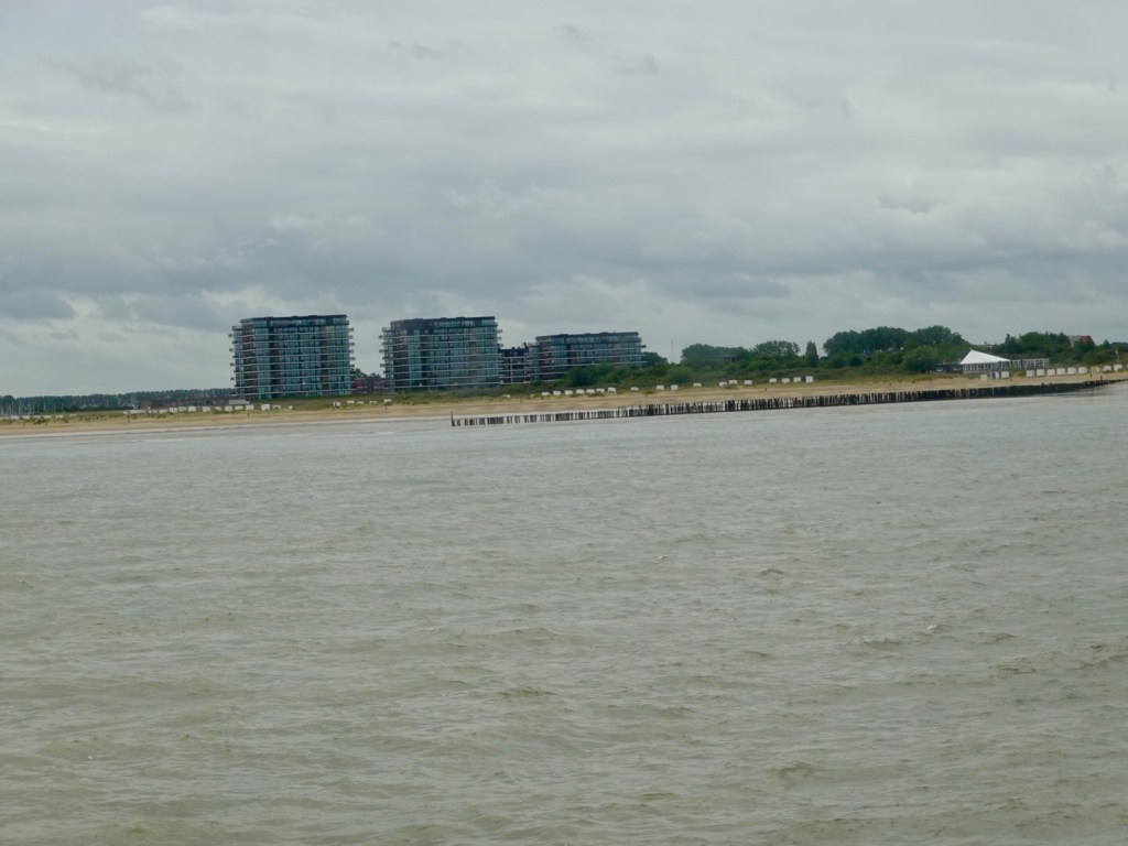
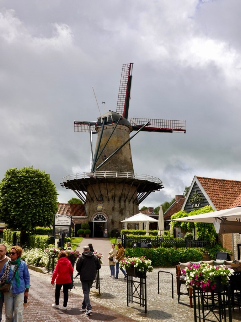
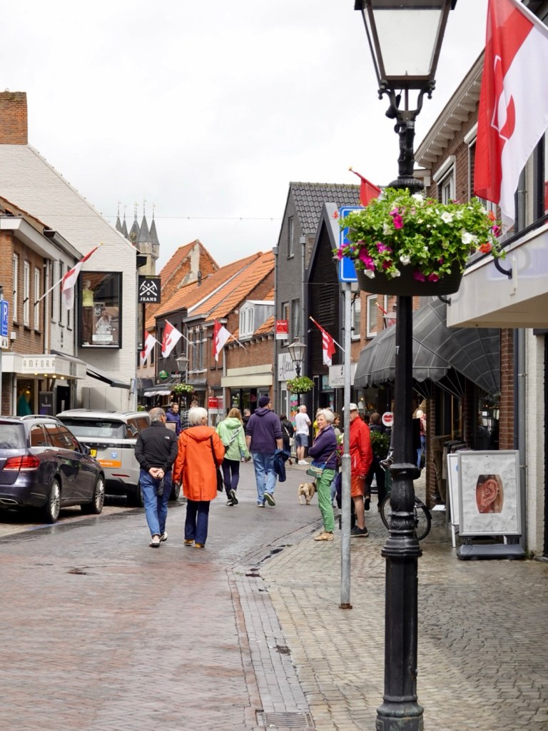
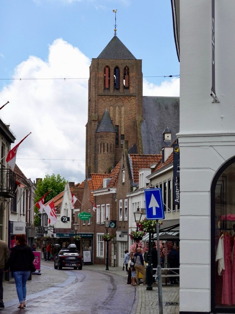
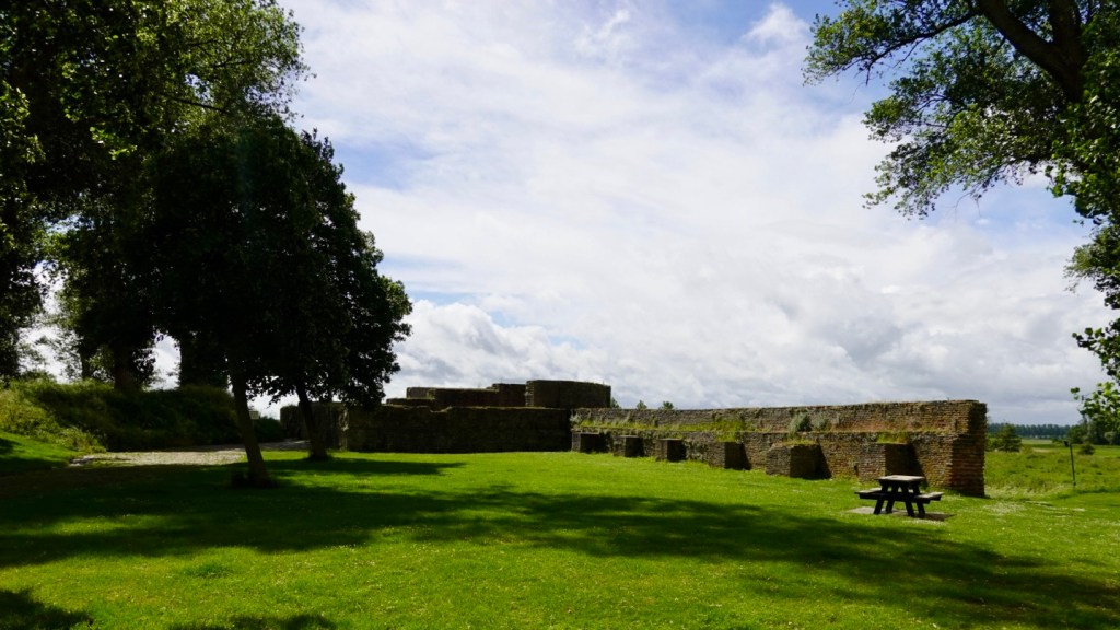
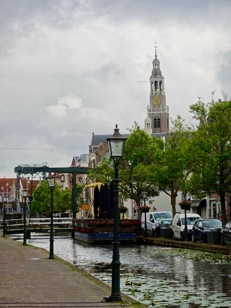
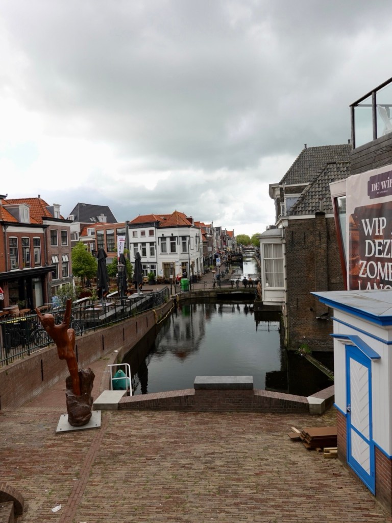
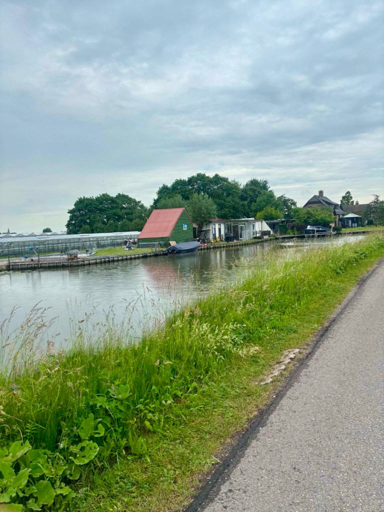
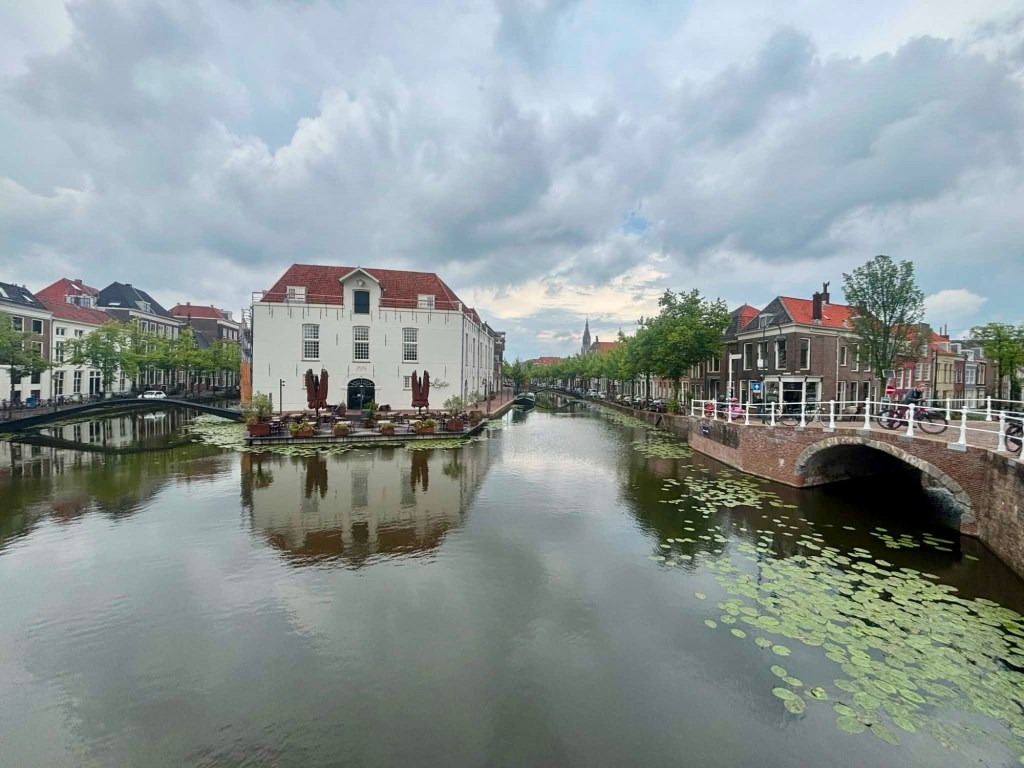
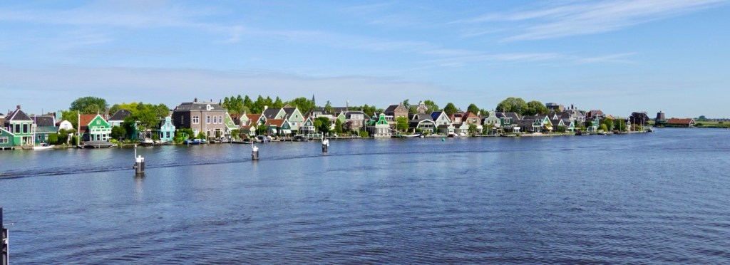
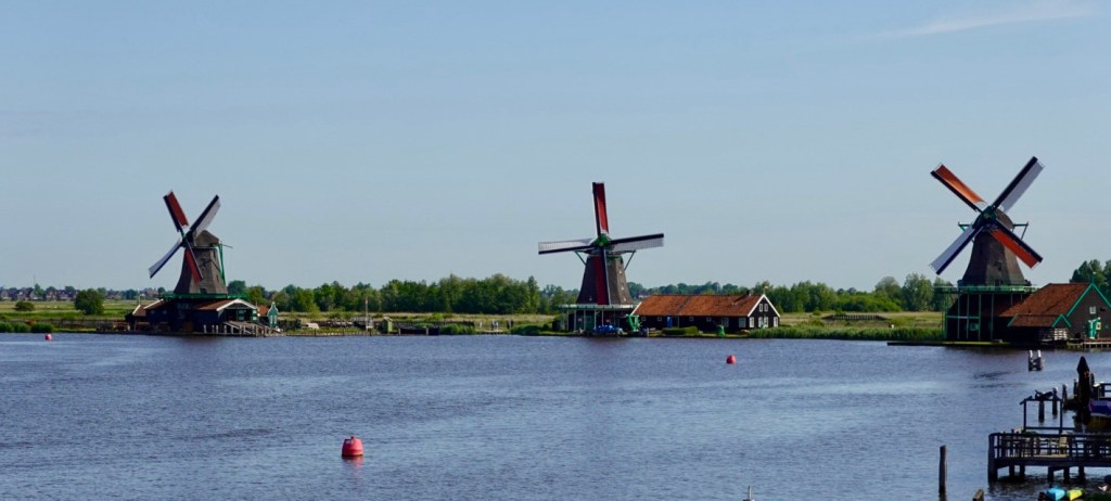
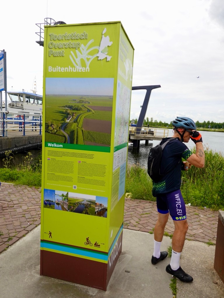
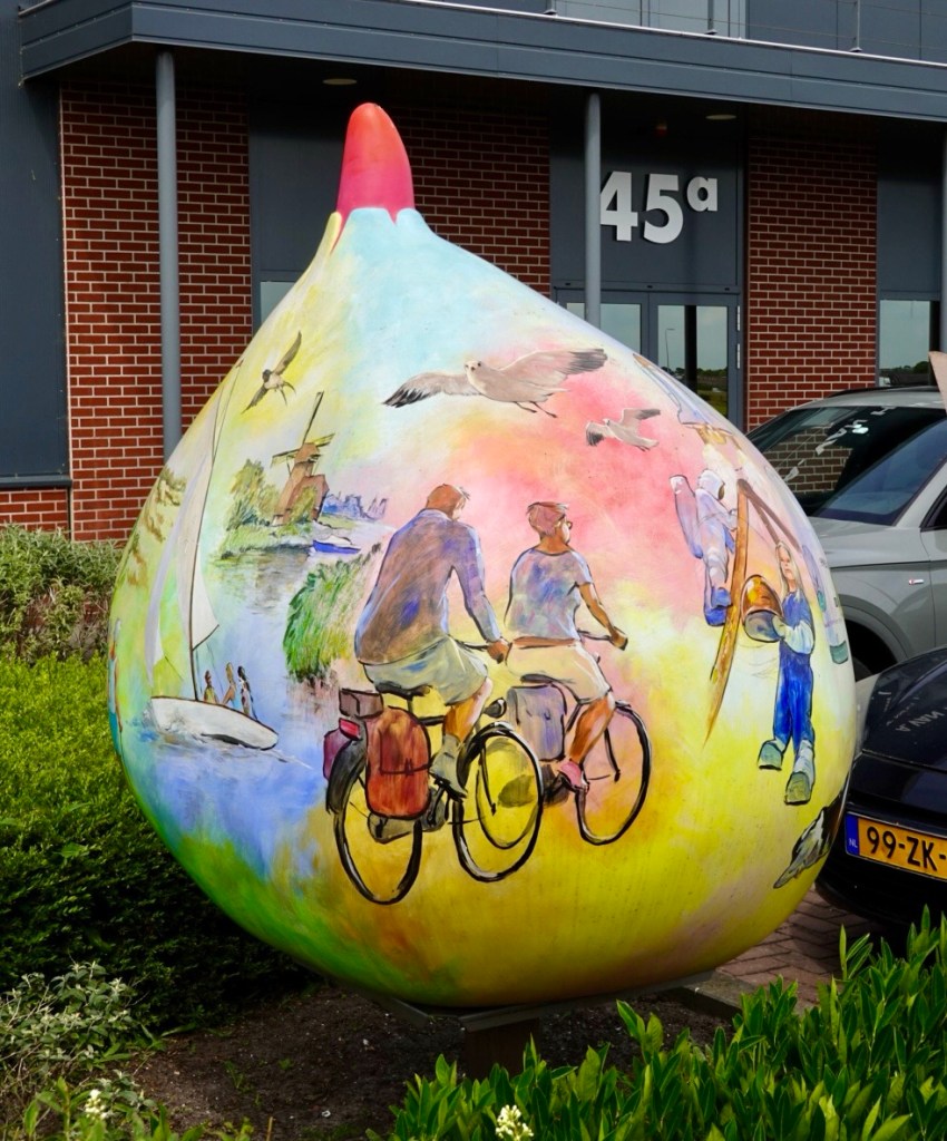
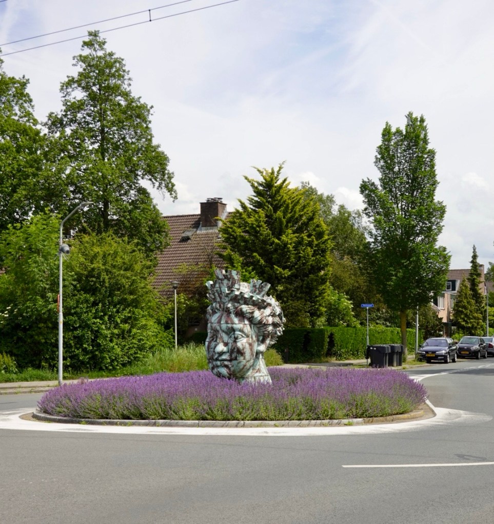
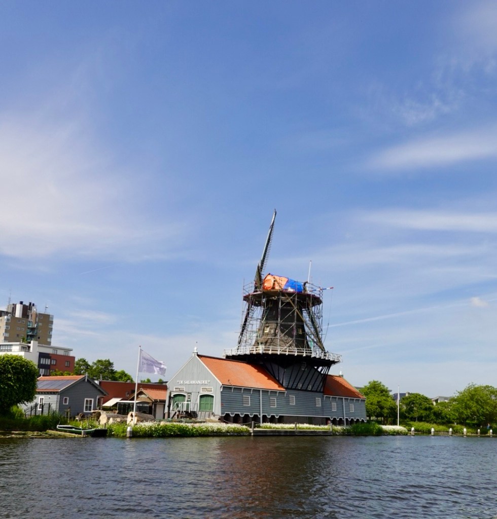
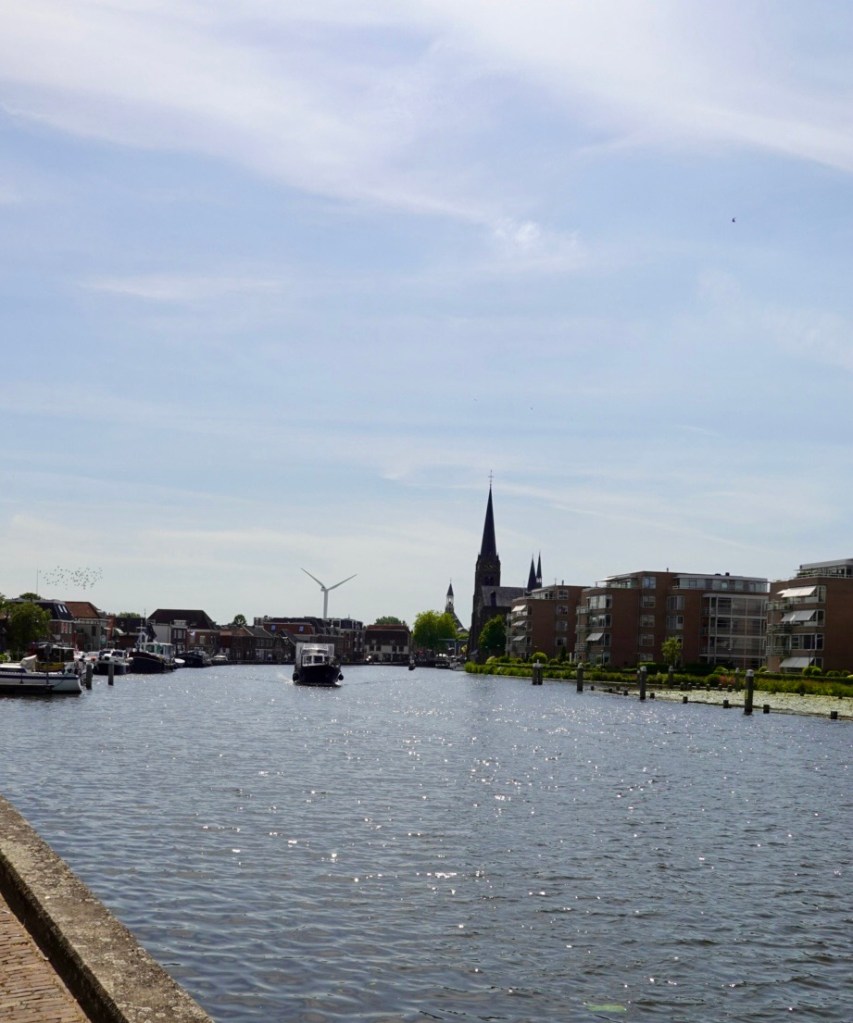
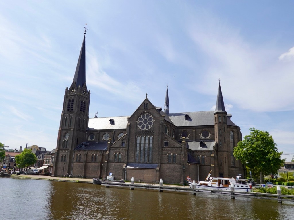
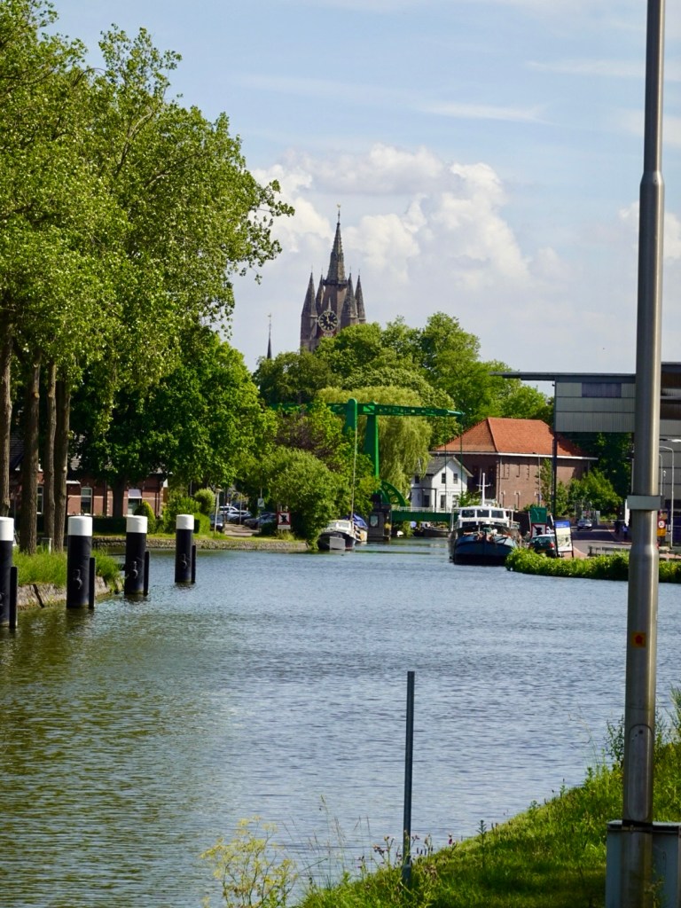
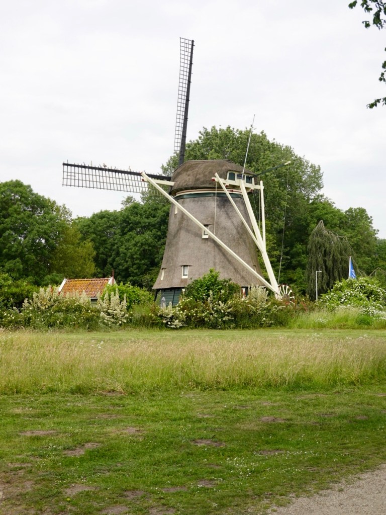
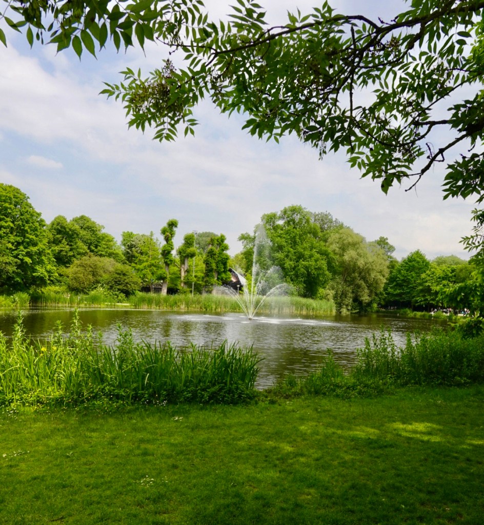
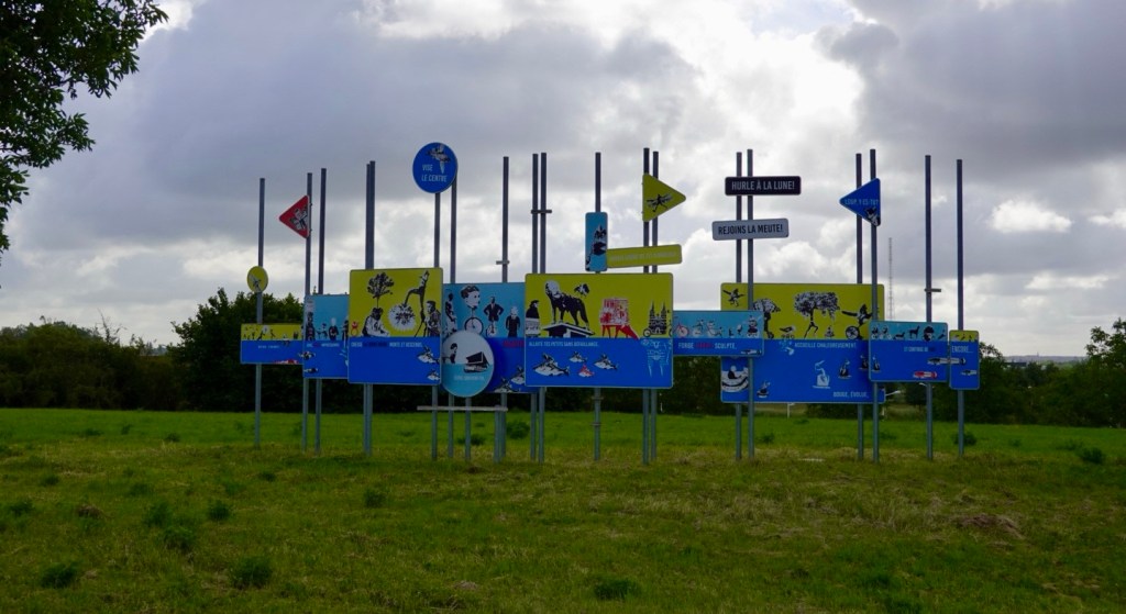
We did not pass through any villages today so just a few photos along the way.
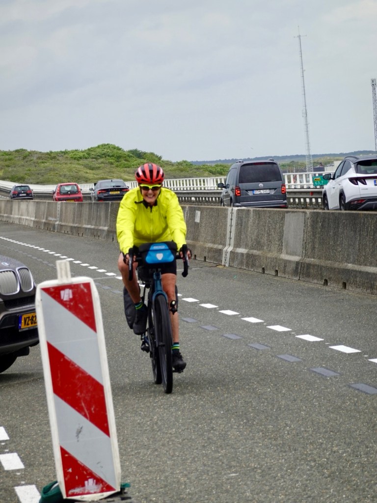
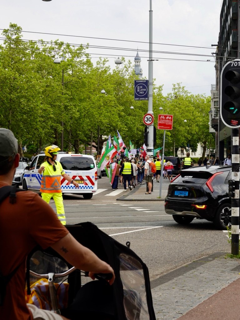
We made it to Charleroi. What a mess of a place that is. Crazy drivers, one cutting Tony off as he turned right, he rushed ahead to also turn right!!
We needed to cross a particular road and stood there for ages, until a kindly truck driver halted the traffic so we could cross.
Many truck drivers are like this.
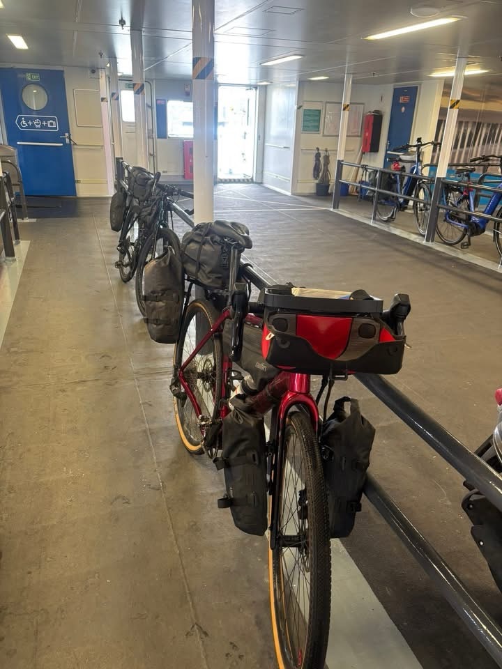
Found the central railway station, found a ticket machine, and managed to purchase four tickets, two adults and two bikes.
Made it to platform 2, the coldest platform around with the headwind hitting it. It was a cold day of around 12c without the wind.
We waited about 35 minutes, the train arrived, and again, a conductor appeared who lifted my bike up and onto the train.
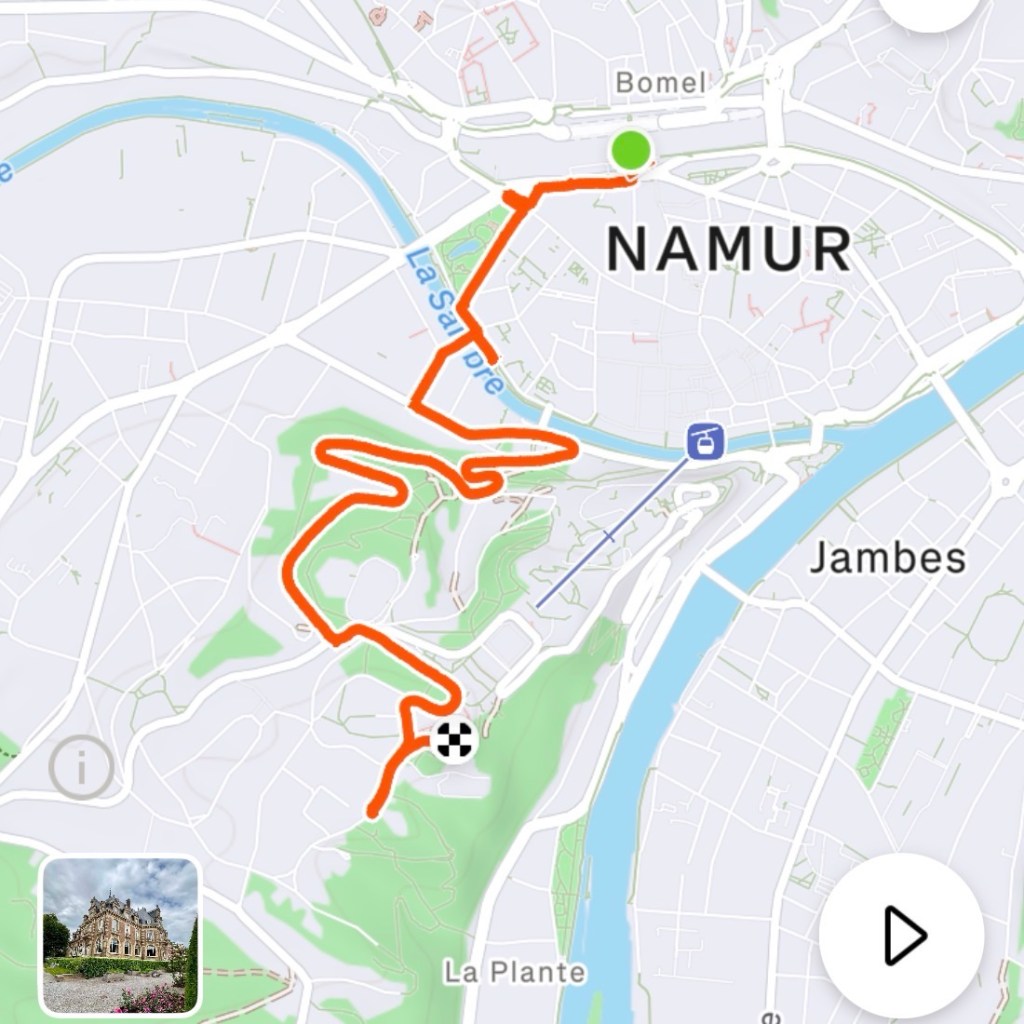
As we disembarked in Namur, another one turned up, and lifted it down.
Kudos and respect to these younger male conductors with Belgian Rail. We are beyond impressed with their assistance and kindness.
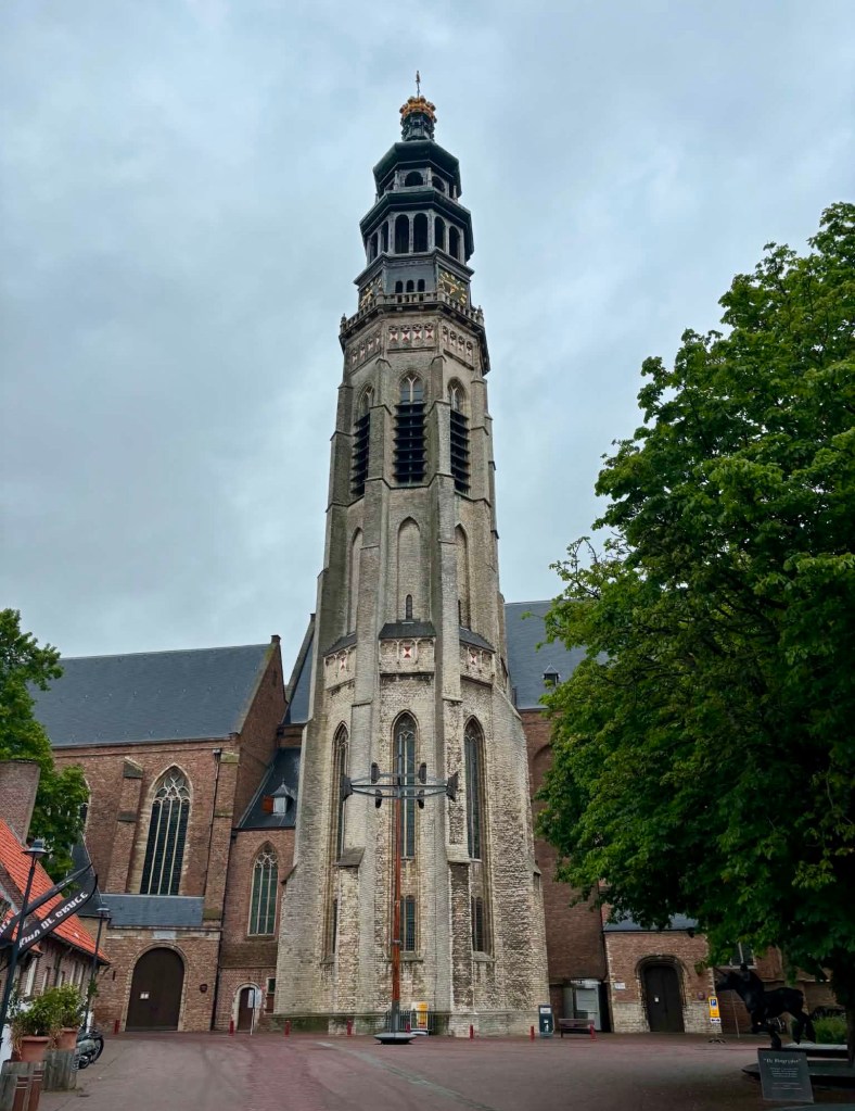
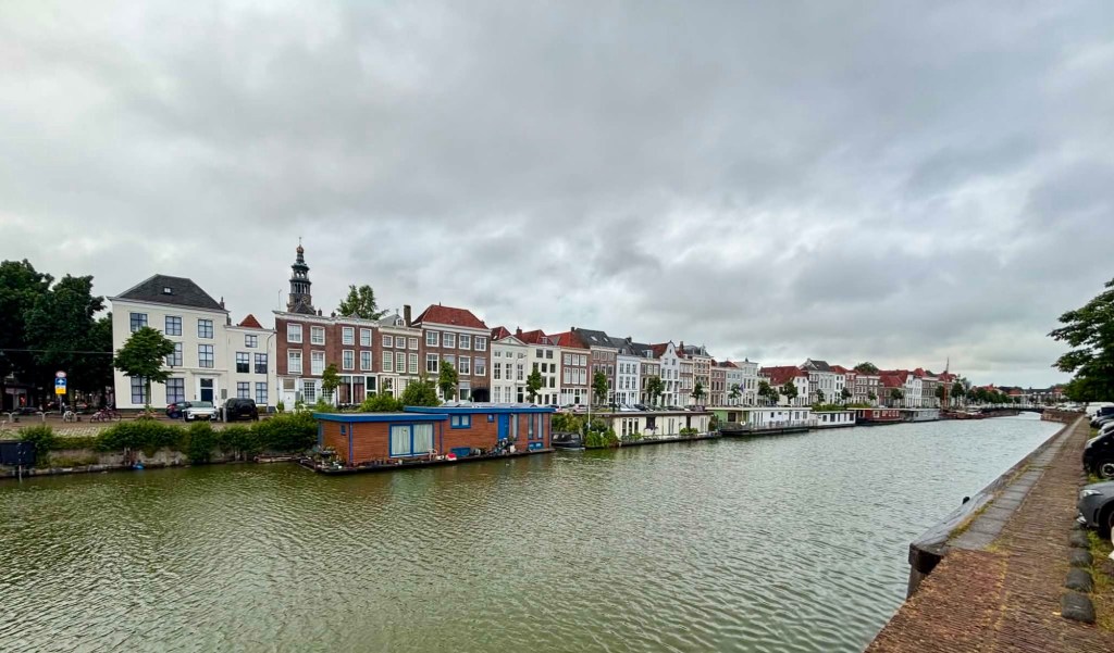
We did not get to check Namur out. Rain was incoming and we had a hill to climb.
That’s the hill I climbed. Not bad ordinarily, but given my heart rate issues, I was concerned.
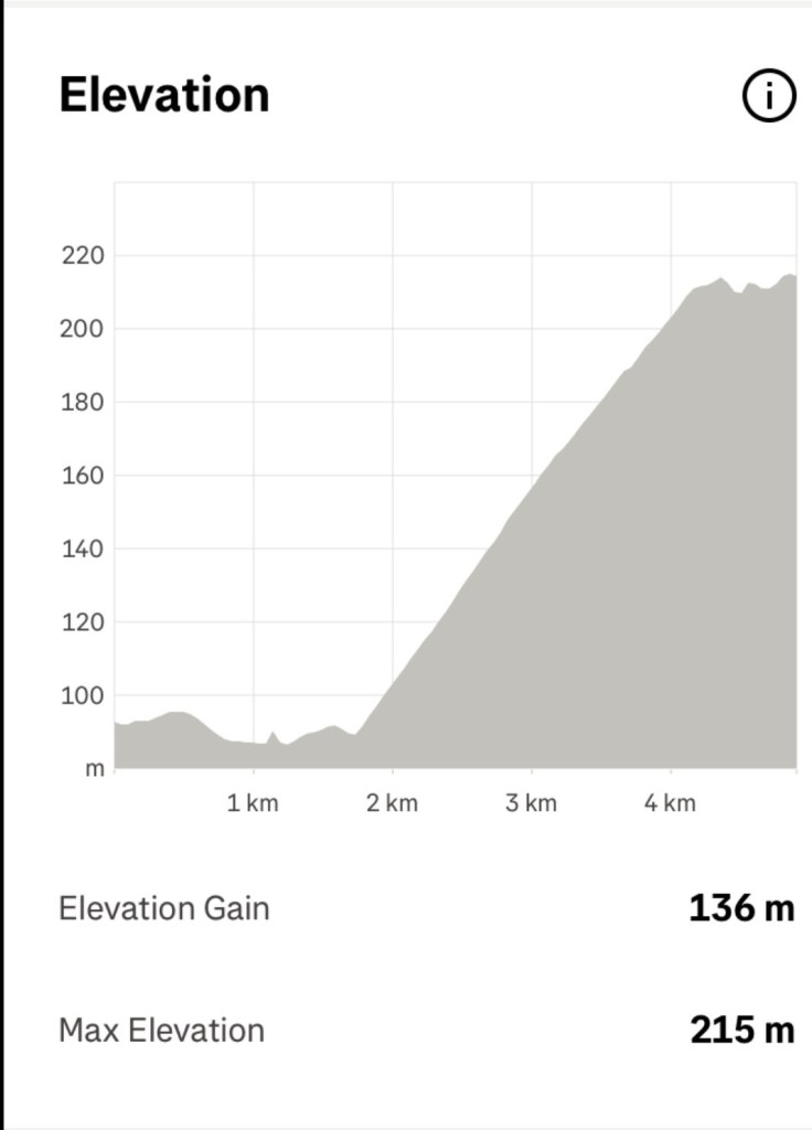
Very satisfyingly I did the climb without any heart rate or nausea issues. I was super pleased as I pushed my body more than I had for days, and I felt fine!
A good indication that whatever drug interactions had occurred had left my body at long last.
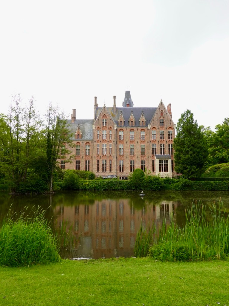
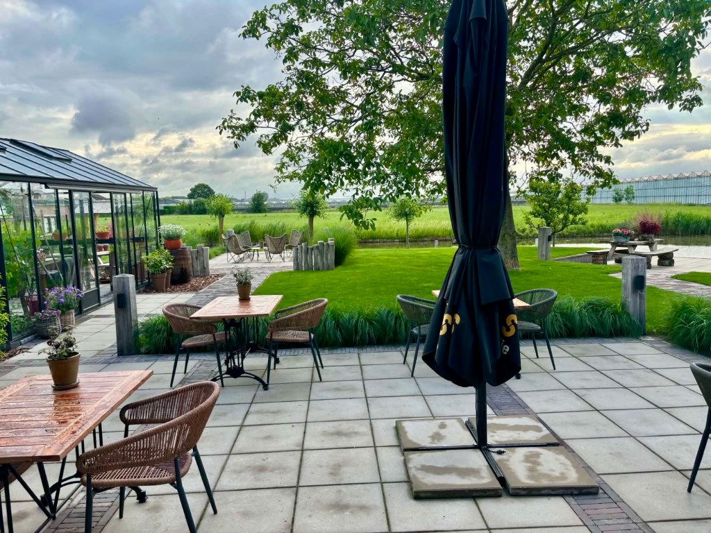
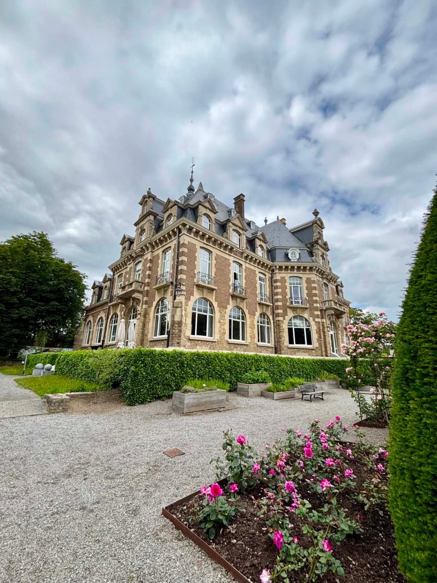
We are staying in this chateau. Not a bad place. We are on the second floor and have a little dormer window,
It is a training school for hospitality, so at dinner we were served by students.
They are required to practice different languages to explain the food to the customer.
There are two ‘more senior’ men overseeing them and dealing with the wine.
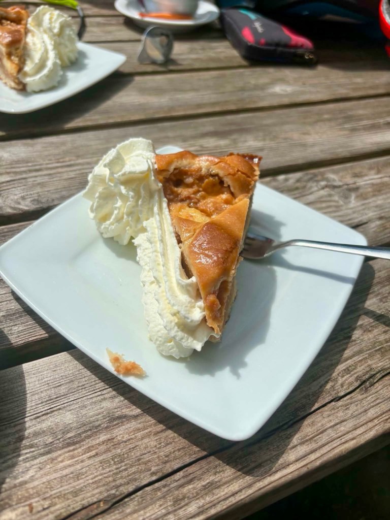
The menu is set so I was required to have a minimum three course meal. I was not sure how that would go given my lack of food for a few days.
We both had a lobster and asparagus dish for entree, pork for main course and a dessert.
Fortunately the portions were not huge, more about the presentation on the plate. The food was very nice, I ate most, and felt ok.
It did drag on for two hours and we got upstairs at 9 am and I pretty well fell straight asleep.

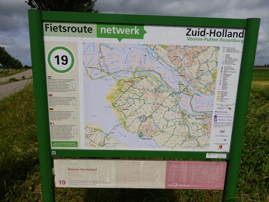
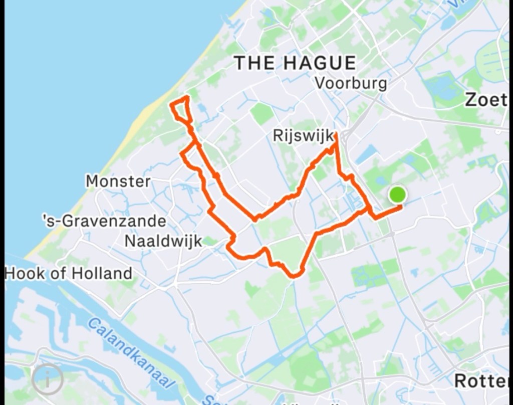
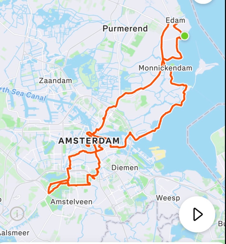
Today’s routes, 63 km in total. I am ok with that, all things considered.
Tomorrow is a new day and a longer one again. We’ve some tougher days ahead with hills starting in a few days.the physical signs are positive though.
Thanks for reading.