

We were the first to breakfast. The owner Stephen was there but beyond us saying hi, he did not speak, and left the building shortly thereafter. We smiled.
Ideal as we could get the bikes out through the breakfast room without raised eyebrows.
So nobody knew, and no traces of our bike storage faux pas, we left Simishramn.
The weather was sunny with blue sky, but the forecast was for rain later in the day.
It was windy, our constant companion on this trip.
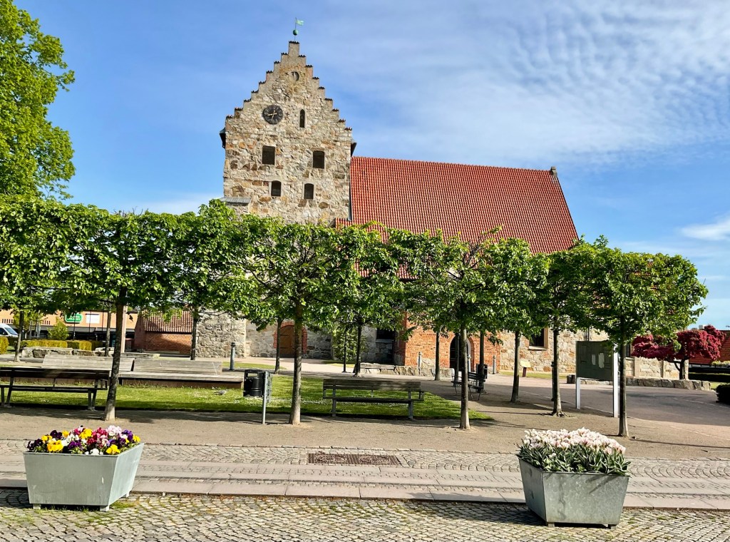
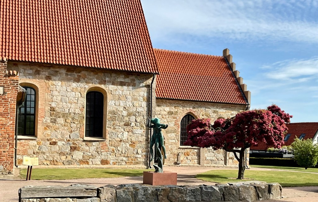
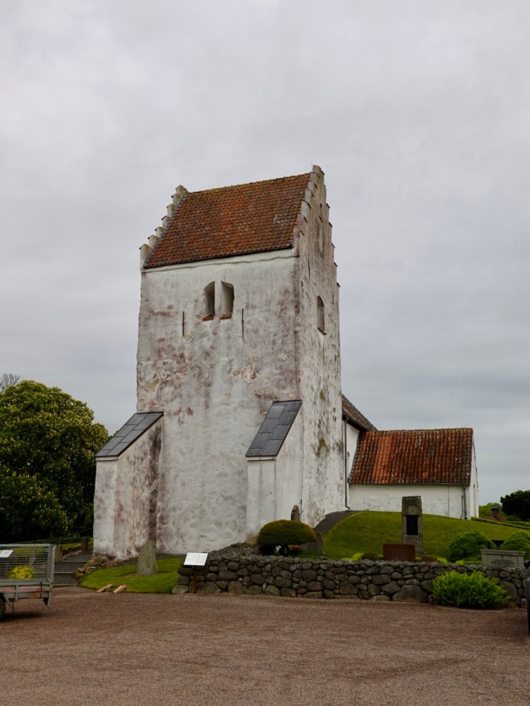
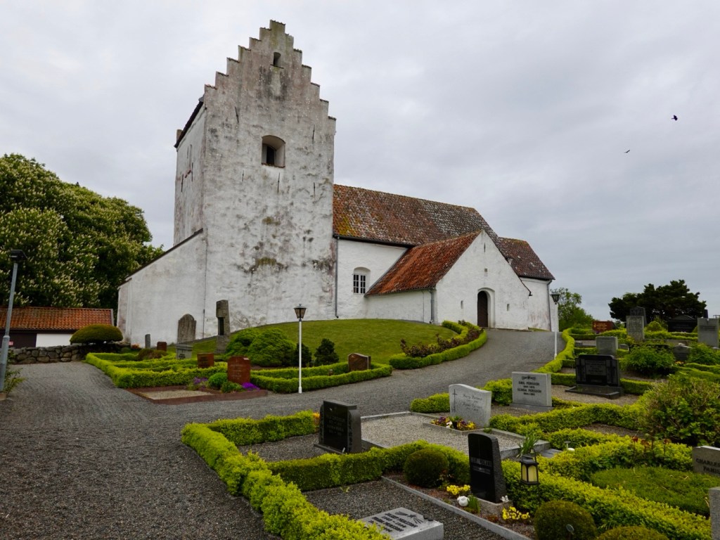
This is the church over the road. St Nicholas church dates from the 1100s, originally built as a chapel for fishermen.
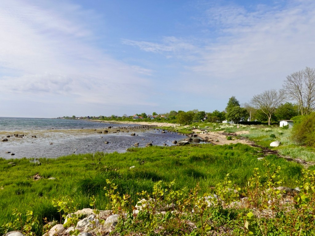
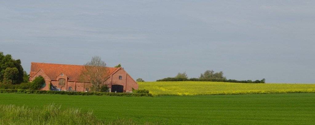
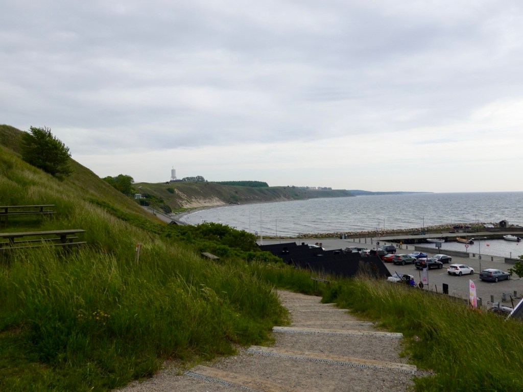
The first section of coast was mainly rocky. Today was going to be our last day following the Baltic Sea.
We rode through small villages by the sea. A few views.
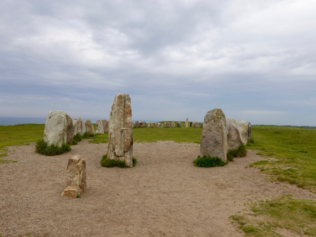
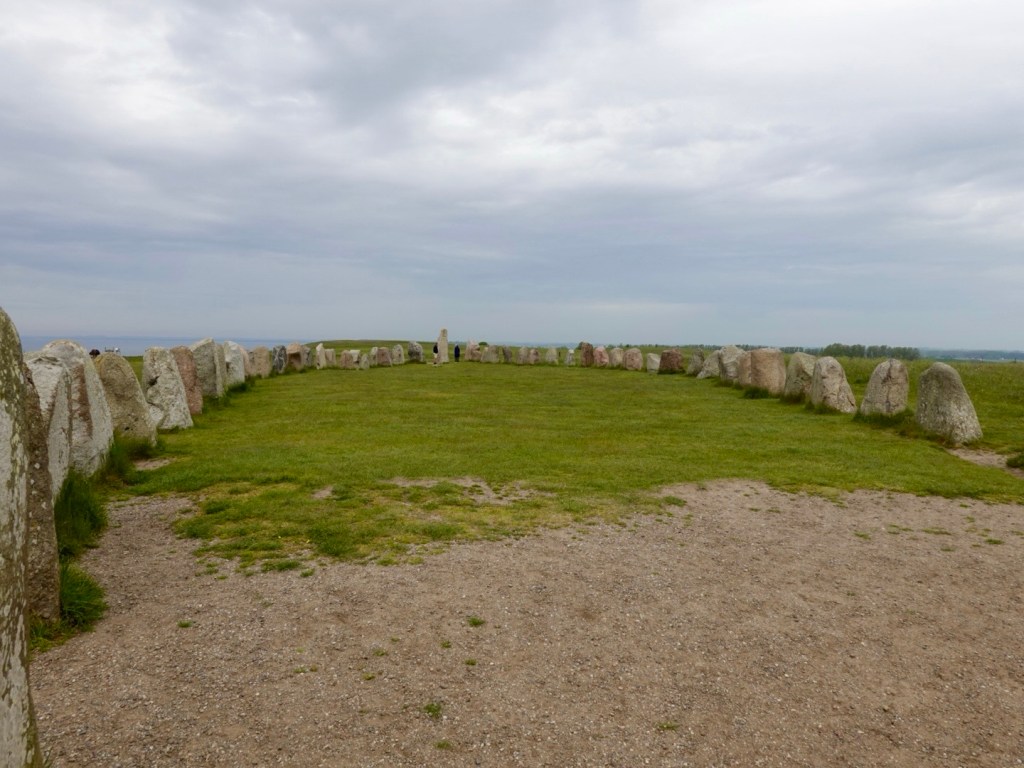
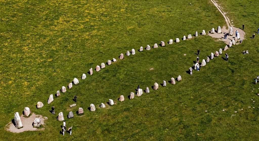
We turned off the main cycle path to head to Ales Stenar, a megalithic monument, in the shape of a stone ship.
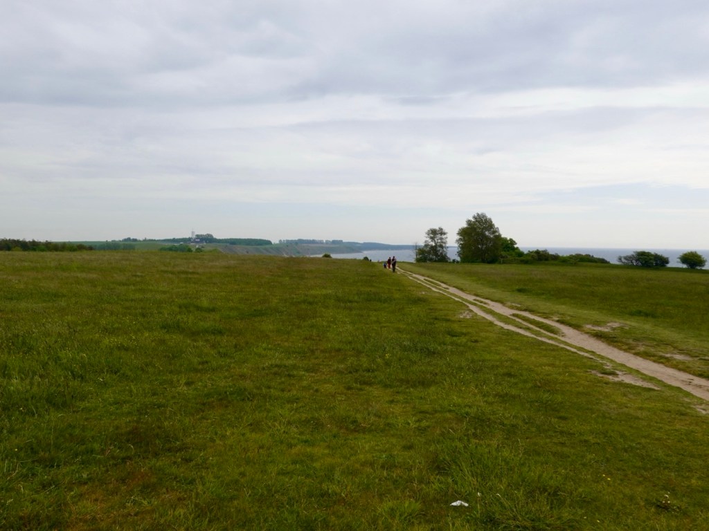
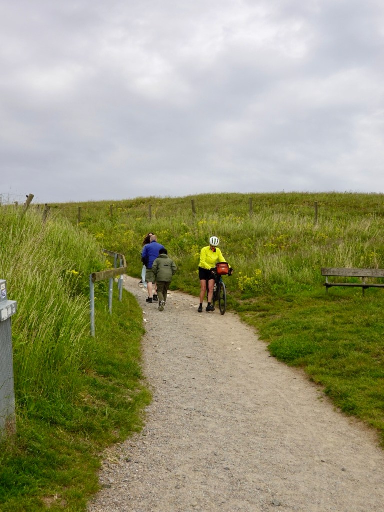
We pushed our bikes up a dirt path, following other tourists, but rode the flatter top section.
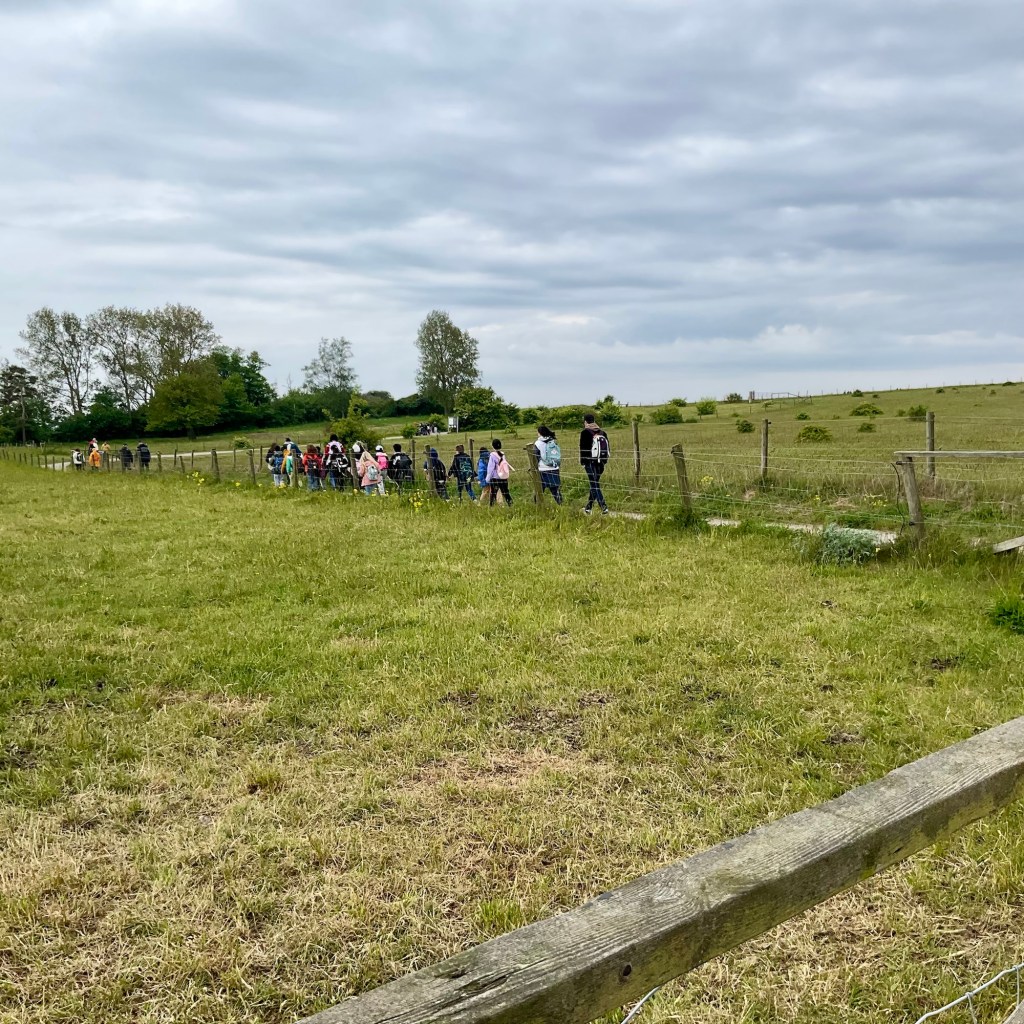
Lots of tourists heading in.
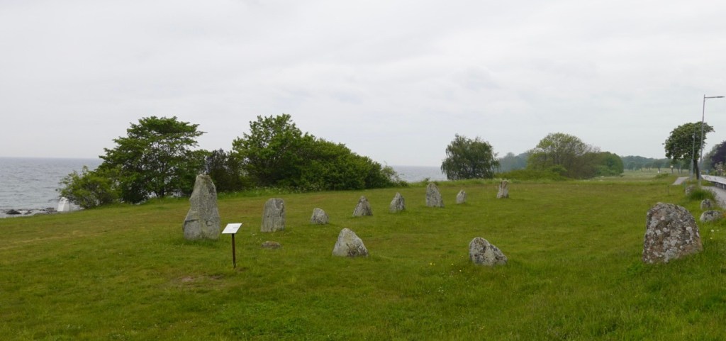
The feature is 67m long formed by 59 large boulders, weighing up to 5 tonnes each.
Research and scientific testing indicates that they were placed some 1,400 years ago towards the end of the Nordic Ice Age.
The purpose could be a burial site or alternatively a sun calendar.
My question, regardless of original purpose, how they got the boulders here, into position.
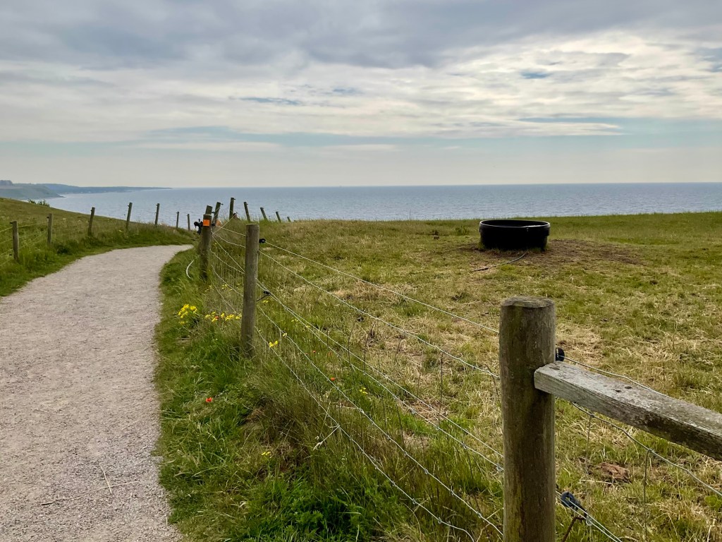
We left down this path. I ended up walking my bike down, squeezing the brakes as there were steps and slippery looser sections.

There were some lovely cafes just opening along the foreshore and we grabbed a coffee and Swedish treat.
We took the time to put on our over booties as the skies were clouding in and we could see rain to the west, our direction.
Back up to the main path and we headed towards Ystad, where we had been on Day 1, staying in the water tower, catching the ferry to Bornholm Day 2.
It had started to lightly rain just as we said farewell to the Baltic, here at another smaller group of stones. These are known as Disas Ting. This was a burial site during the Iron Age as skeletal remains have been found.
Further theories date it to the early Stone Age and believe it to be a large megalithic tomb. A Stone Age settlement was known to have existed nearby.
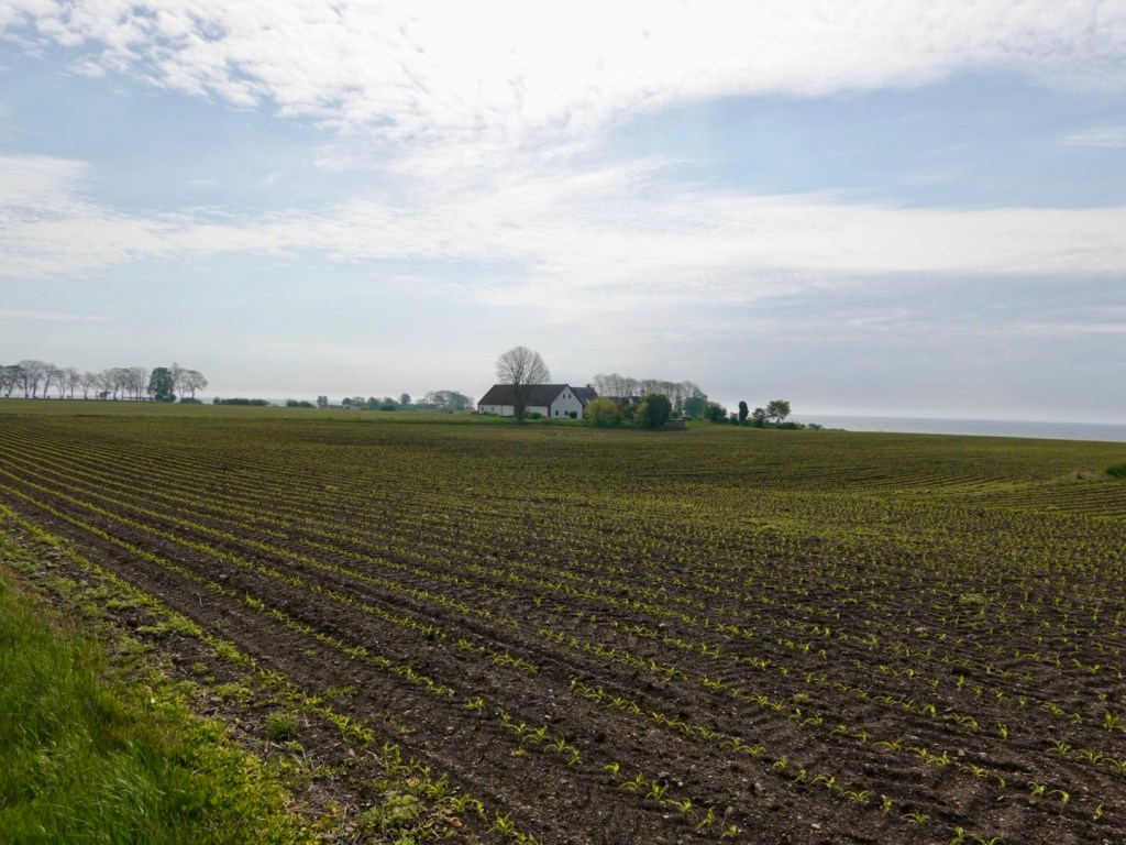
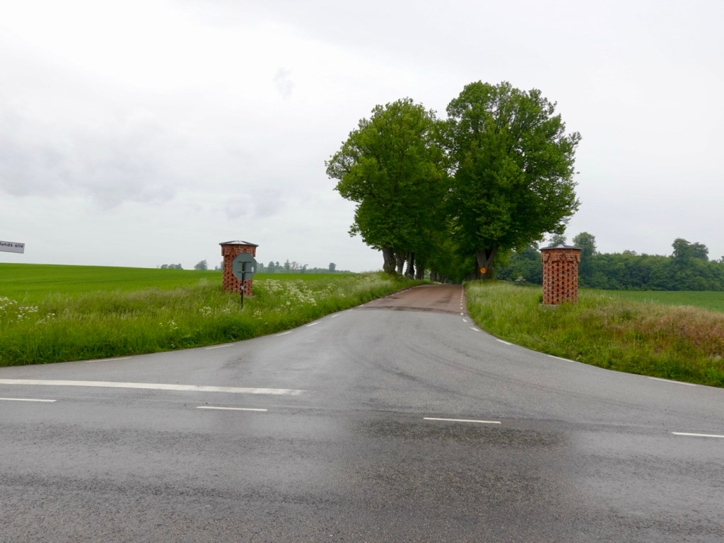
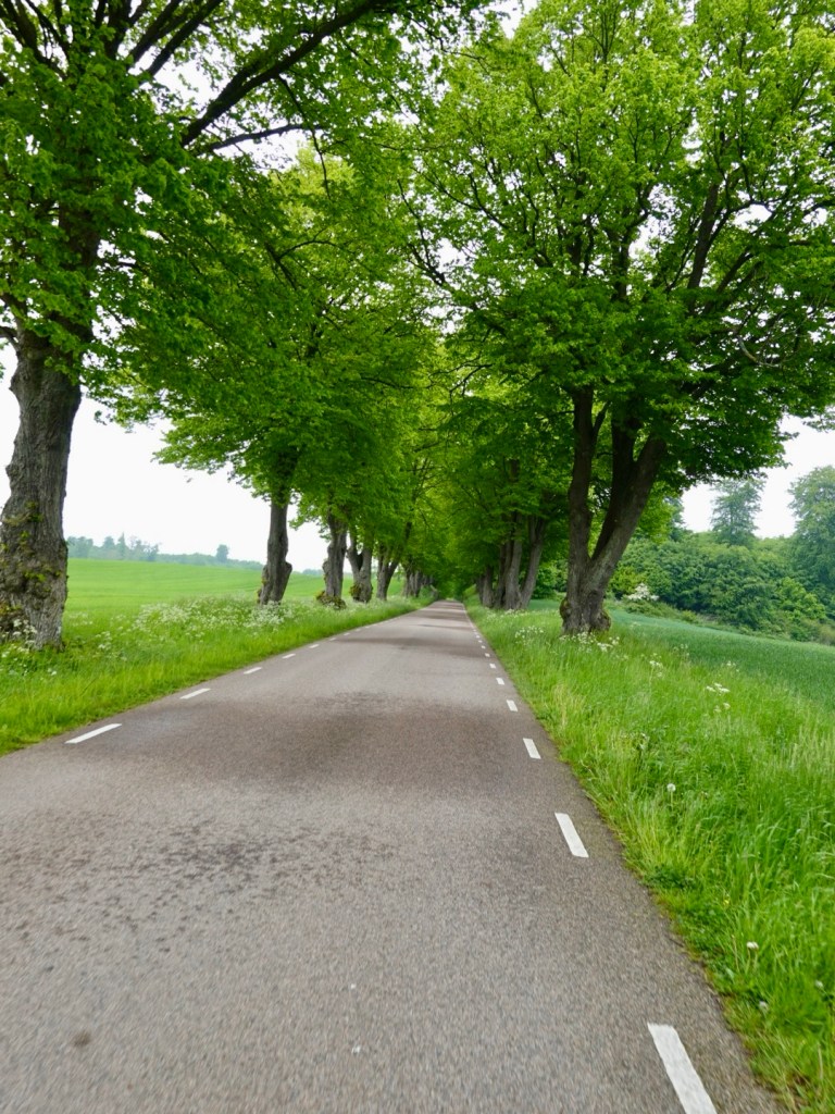
We headed inland, across this road and up quiet road.
This section of the day was to be our favourite, full of wonderful slotts (castles), frames, homes, churches and nicely undulating roads.
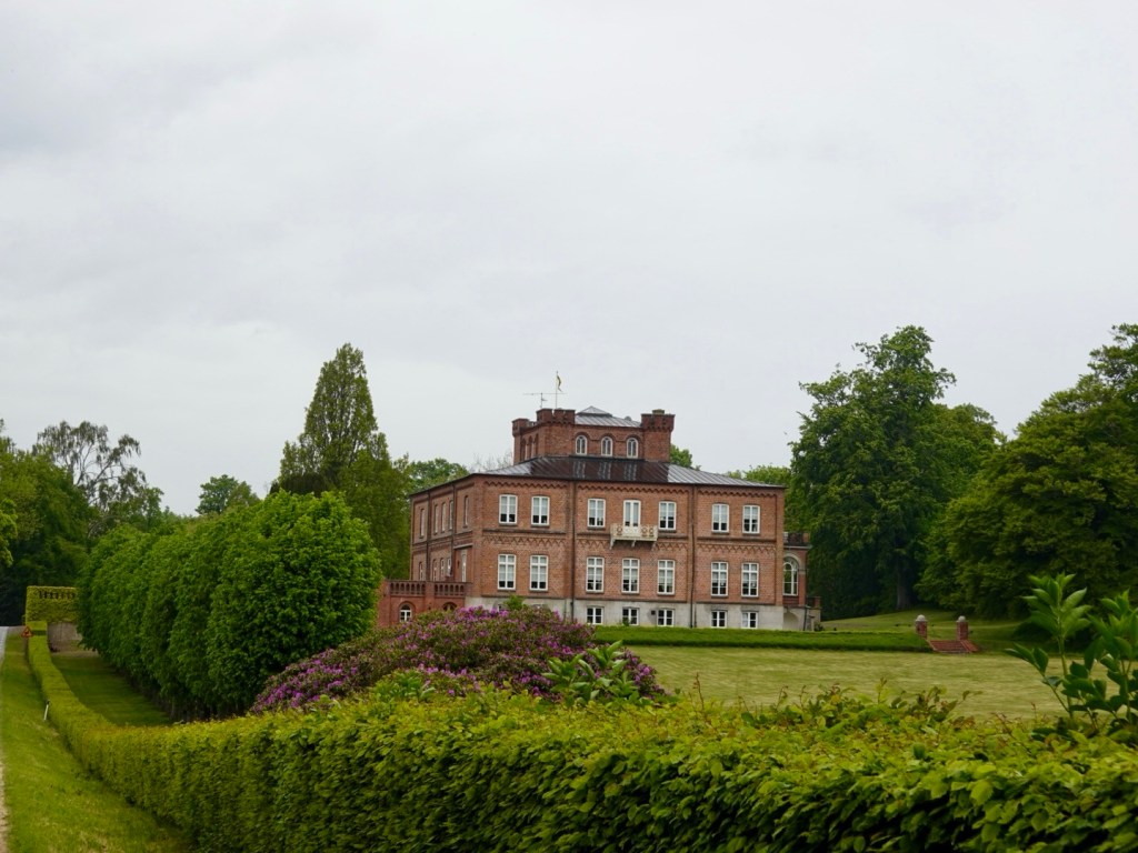
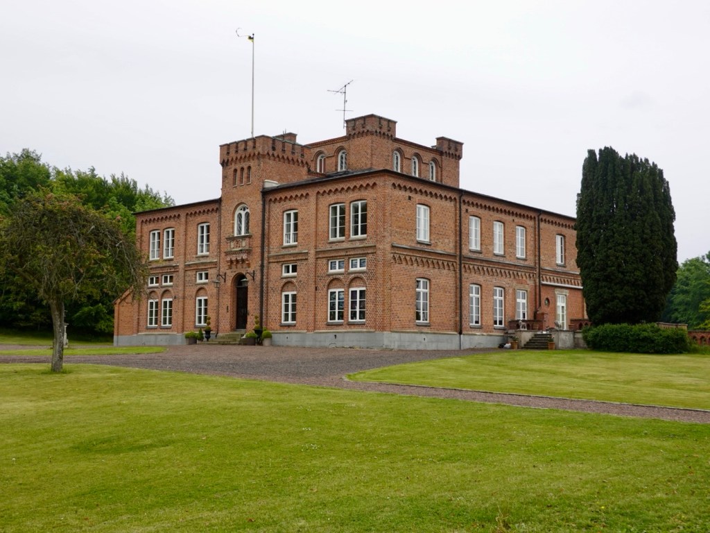
Charlottenlund Slott is a more modern castle built in 1849.
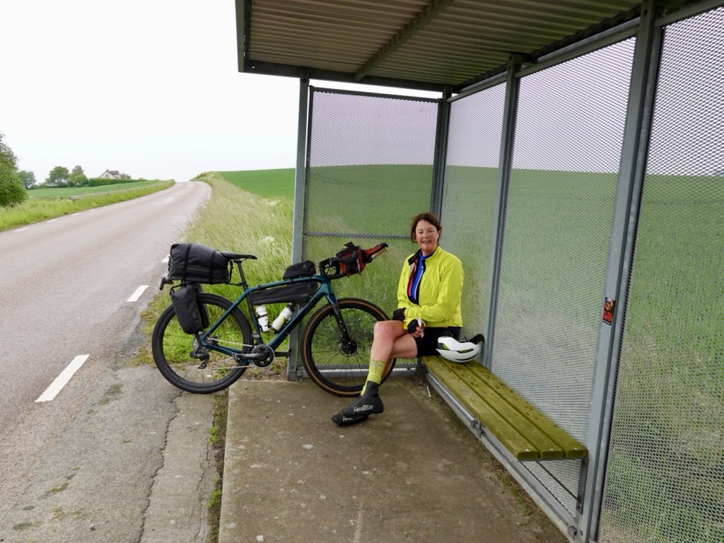
It was around 12.30 pm and we were peckish to we stopped at this bus stop to eat some of our supplies. Bus stops provide great shelter.
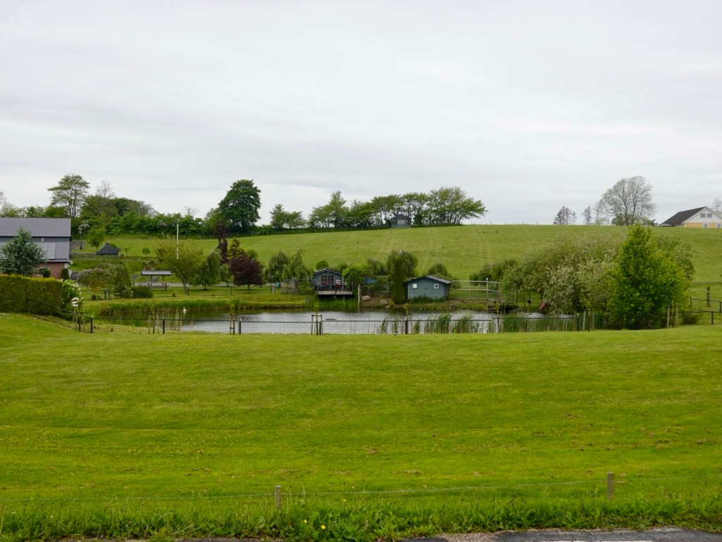
We liked this garden.
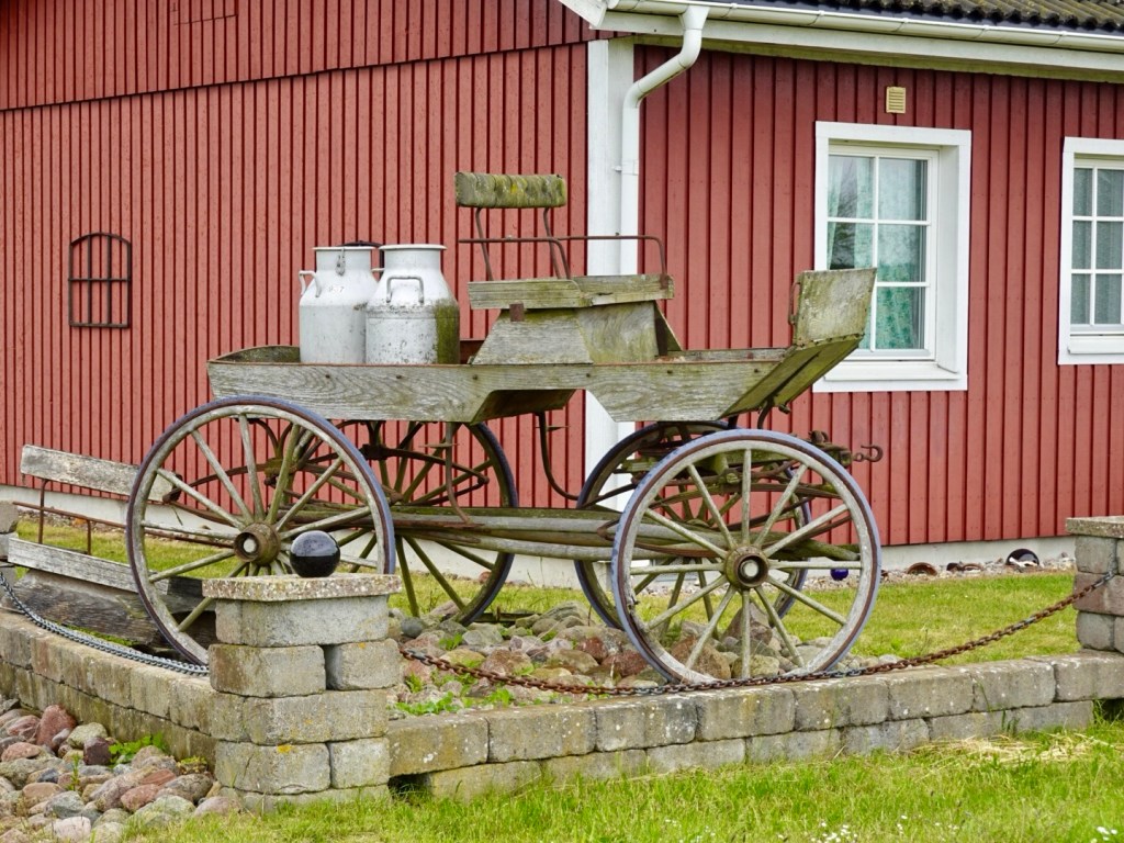
Old wagon and milk vats, reminded me of Benny Hill for some reason…
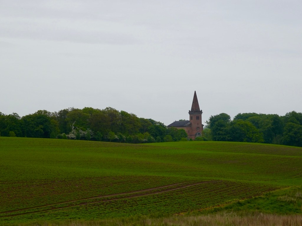
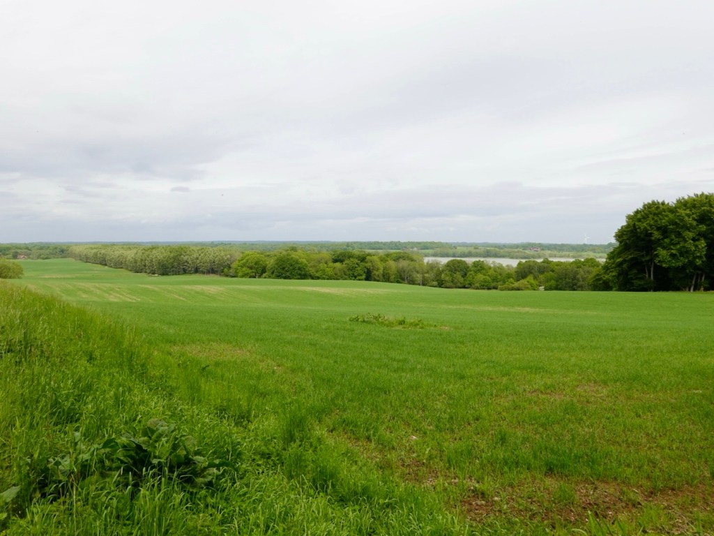
A church in the distance across the fields.
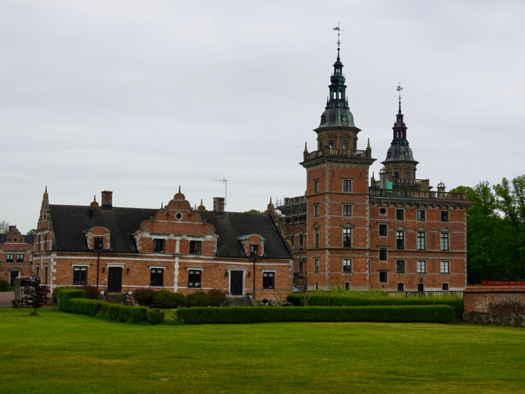
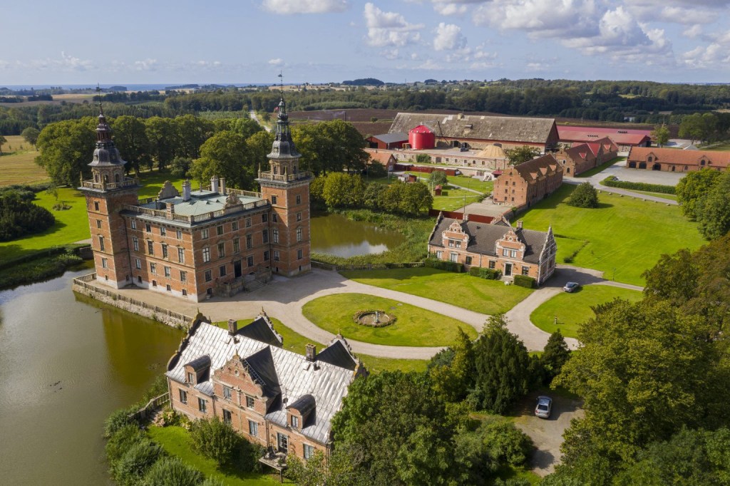
Marsvinsholm Slott dates back to the 14th century, originally owned by the Danish royals. The current castle was constructed in the 1600’s after it fell into private ownership.
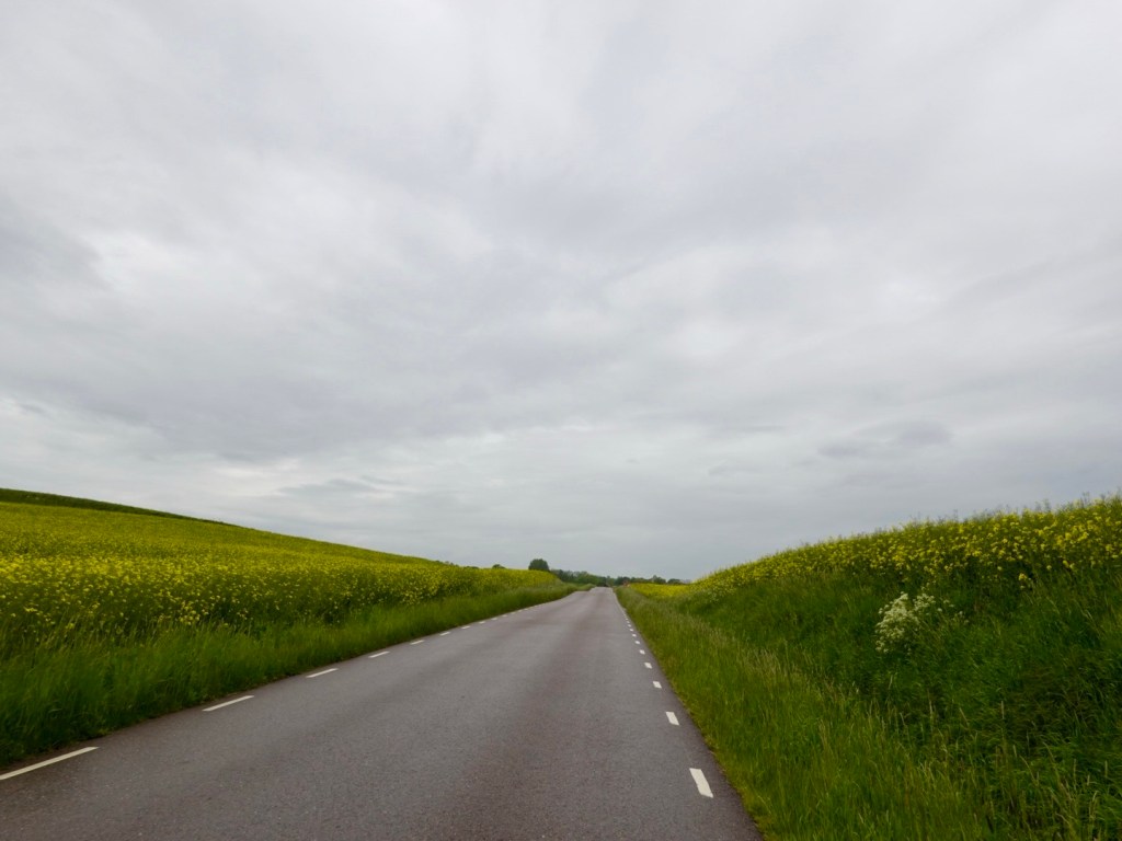
The roads were delightfully quiet.
Skarby kryka (church) was built in the 12th century with additions in the 15th and 18th centuries.
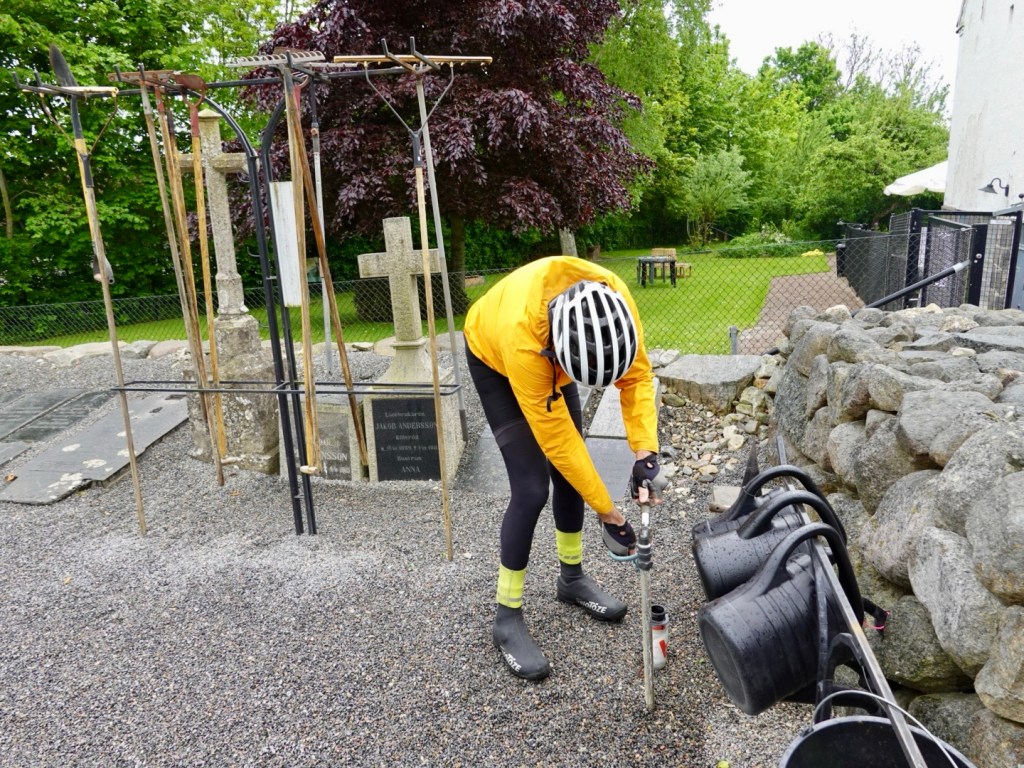
A lovely garden, well maintained. Our goal here was more water! Cemeteries nearly always have fresh water available.
Rolling hills and roads helped keep us warm, as the temperature had dropped.

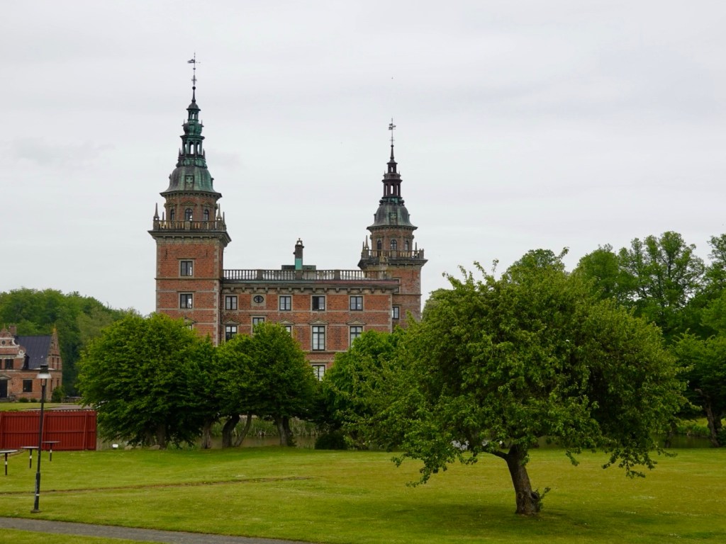
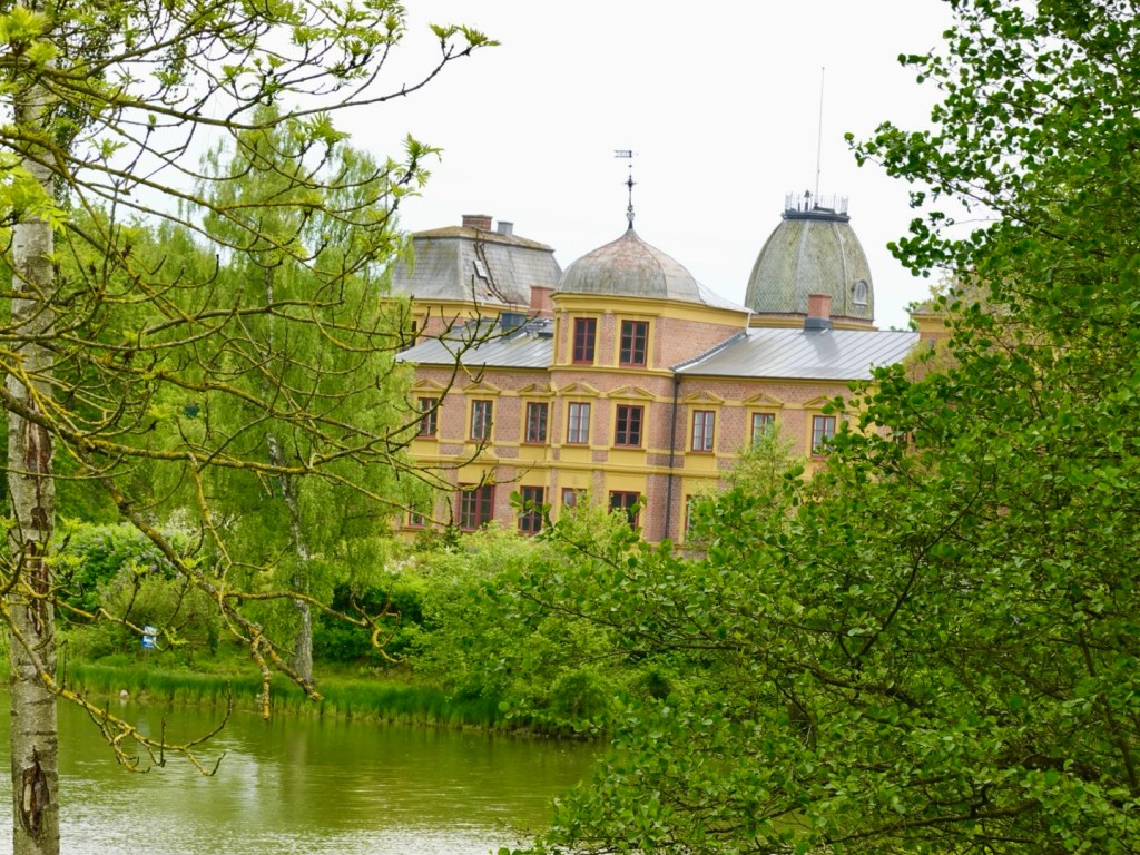
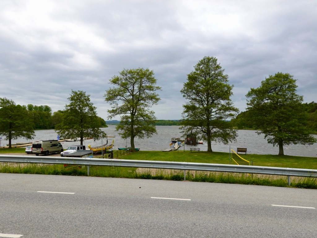
A view through the vegetation of Snogeholm Slott, on the shores of a lake of the same name. there was a fortress on an island in the lake back in the 13th century.
In 1690 this castle was rebuilt after the former burned down, but the current castle dates to the 1870’s.
The last German Kaiser, Wilhelm II, also eldest grand child of Queen Victoria, spent time here hunting.
This is our last photo of the day. It was blowing very hard here.
We found a supermarket nearby where I entered to buy some food. It was not raining when I entered. When I came out it was spitting. Tony had checked the radar and said we were going to get wet.
So we gulped down our drink and put our heads down, now into head and side winds, and raining. We had 40 km to go, and it rained for 35 km.
The last 5 km the rain stopped, and the wind dried us out.
We navigated Lund via a cycle way that went through parklands, and only had a few cobbled streets to ride. Lots of cyclists everywhere here.
We arrived at our accomodation dry, but our bikes were grotty. It is amazing how much sandy grot attaches itself when wet despite being on sealed surfaces for 99% of the day.
Another self check in B&B, with accomodation on the first floor.
As I transported our luggage up over multiple trips, Tony cleaned the bikes.
Our intent was to take them to our room that had washable floors we could wipe down.
Task completed, and another breakfast room to get the bikes past (but not through!) tomorrow.
We went for a wander for dinner and found a nice Japanese restaurant. Lund is a very vibrant, happening city with a population of around 130,000.
It is also University town and that was evident as we people watched.
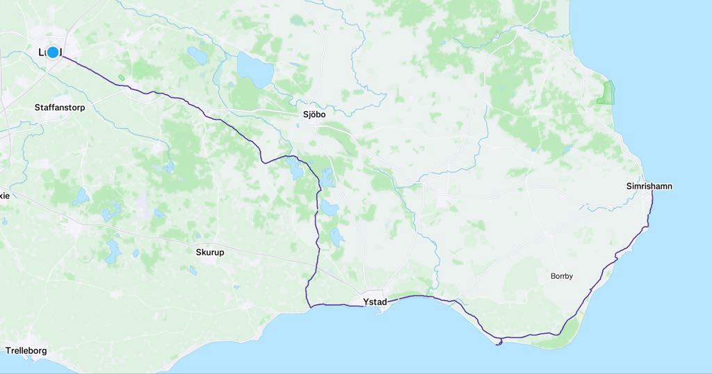
Today we rode 119 km, climbed 685 metres, so a solid day.
Rain is forecast overnight, and due to STOP by 8 am. Fingers crossed…
Today’s route.
Thanks for reading.

The green fields make for fabulous photos 😍 and same question as yours…how did they move those huge boulders? I’m thinking some smart engineers were at hand 😉 love the recaps 🥰
LikeLiked by 1 person
Thanks Sylvie. I look up at the Bea s in the old churches and wonder the same, the gothic shapes, spans,pillars.
LikeLike