
Today we were to catch the first of many ferries on this trip to transfer us from Ystad in Sweden to Bornholm Island.
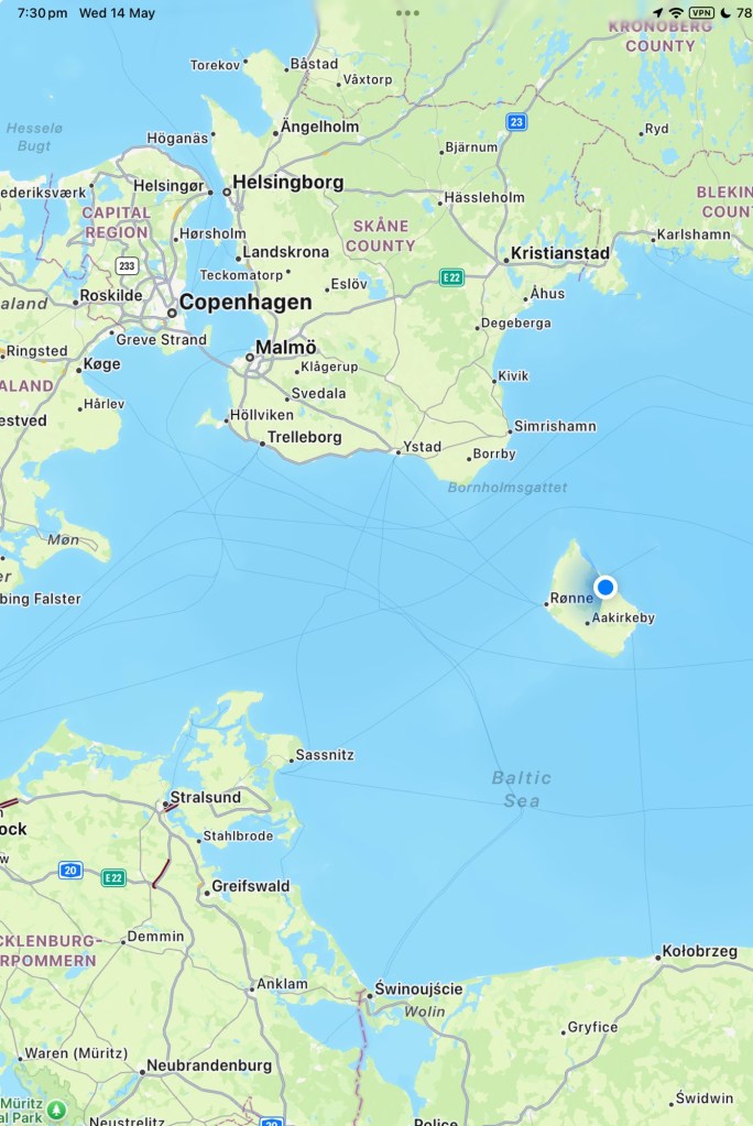
The map below shows Bornholm, with the blue dot indicating our current location.
To the upper left we have Denmark, to the north we have Sweden, lower left Germany and south Poland.
Being in the middle of the Baltic Sea means it’s windy and cooler.
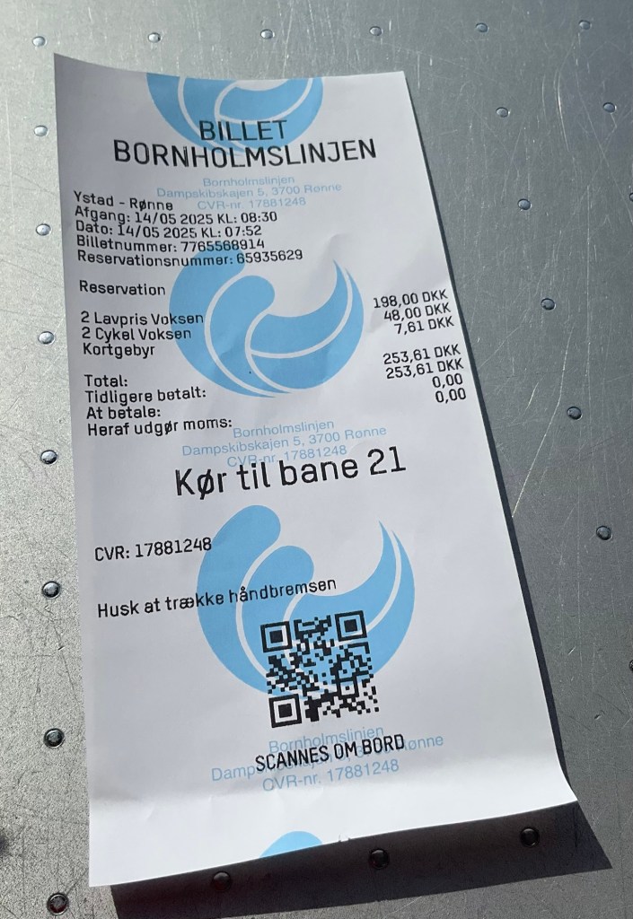
We self check in at the port using an interactive machine and out pops our ticket, the security gate lifts and we head towards the ferry.
The ferry had just arrived and emptied quickly. When it was our turn we followed the motor cyclist to the far end under a ramp to store the bikes. Gathering our more valuable valuables (passport, plastic cards, bike computer, front and rear lights) we popped up to seating by a window in the front facing lounge.
It is a great set up with two good cafes and a cafeteria. We settled in enjoying coffee and a croissant.
The crossing takes 1 hour 20 and not a lot to see other than ocean. The waters are flattish and the passage calm.
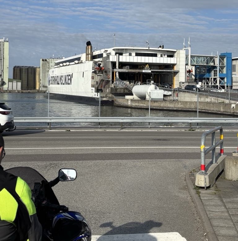
We arrive in the town of Ronne and quickly ride off the ship following numerous large truck rigs.
Bornholm Island is Danish territory in the Baltic Sea, closer to Sweden and Germany than Denmark. The Island was surrendered to Sweden in 1658 but regained by Denmark in 1660 after a local revolt.
The Island is home to many of Denmark’s round churches and the discovery of ancient burial mounds suggests that it was inhabited by 3,000 BC
It has a populations of around 39,000 people.
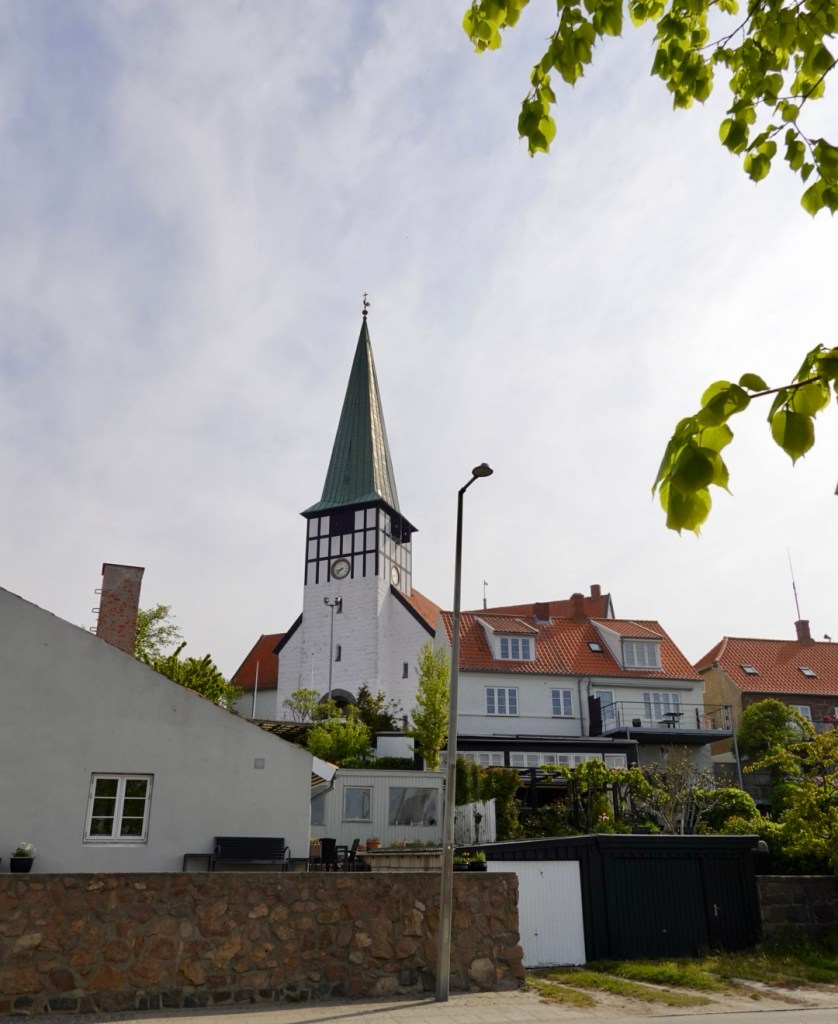
Ronne is the largest town on the Island with one third of the population living there.
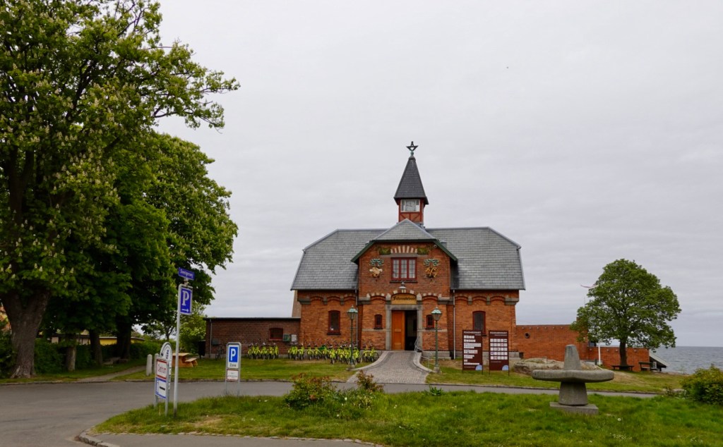
We do a short look and see around town.
The Church of St Nicholas dates from the late Middle Ages constructed in the late 1200s with many updates and renovations since.
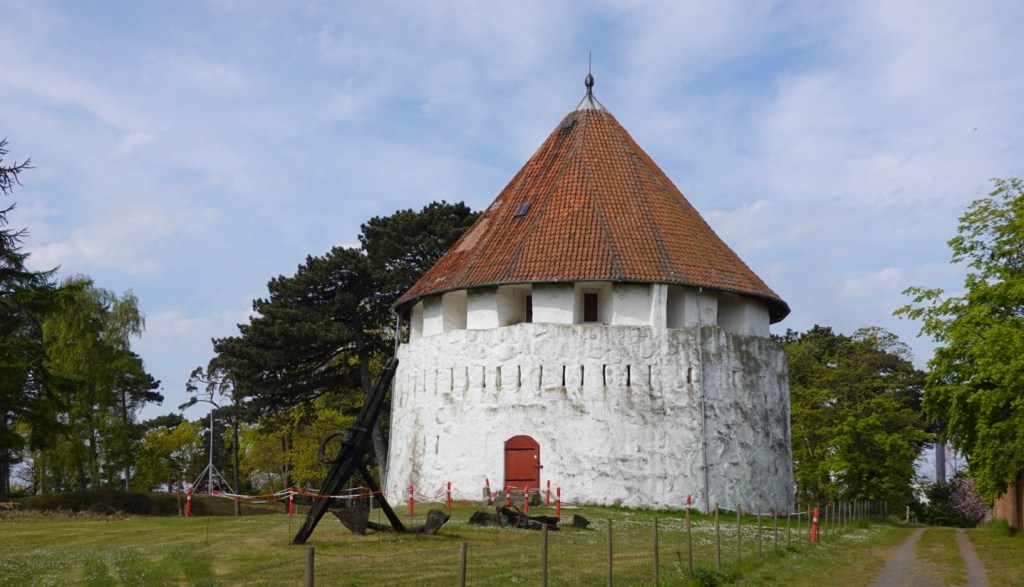
The Citadel Battery is part of Ronne’s fortifications from the 1700’s. It was originally seaside, but land reclamation has it further inland now.
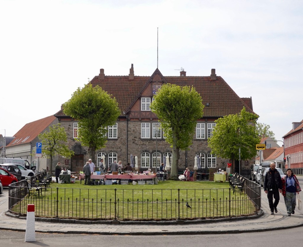
A small market was underway in this small park.
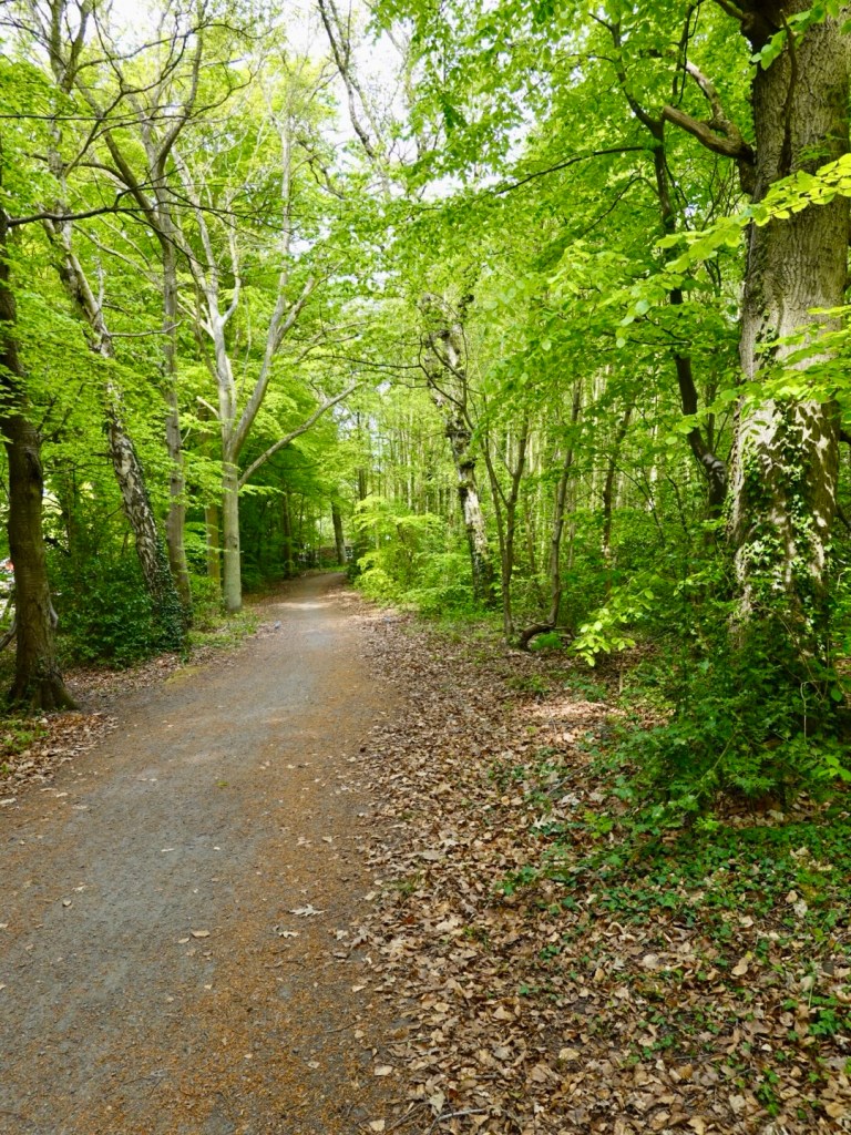
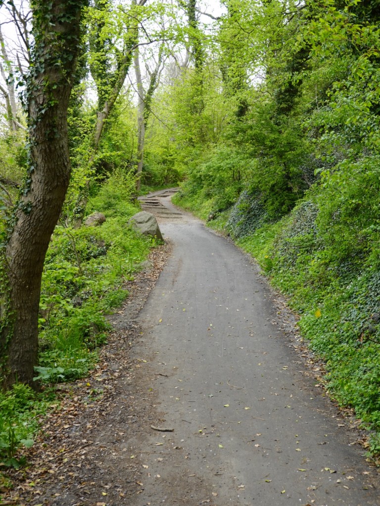
Heading out of town, having plenty of time up our sleeves we decided to take the dirt trails for bikes along the western coastline.
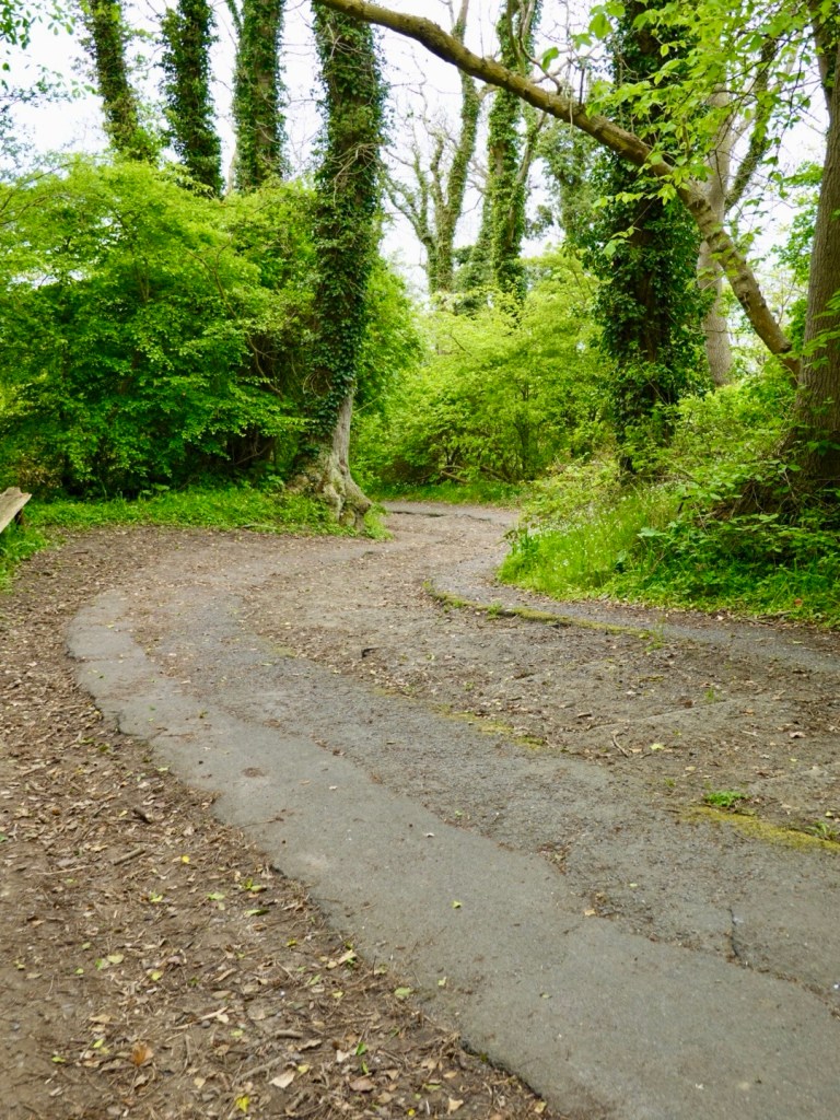
For the most part the trail was in good condition heading through forest. There were a multitude of other trails intersecting and criss crossing and there were an impressive number of people out walking, running and cycling.
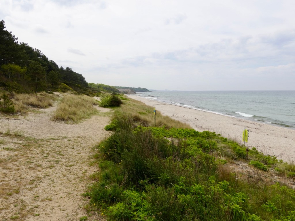
It followed the Baltic coast line, in places providing coastal views. Nice white beach looking back towards Ronne.
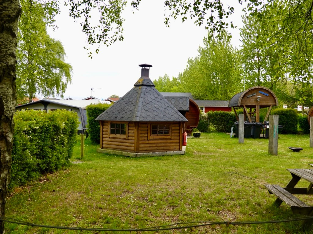
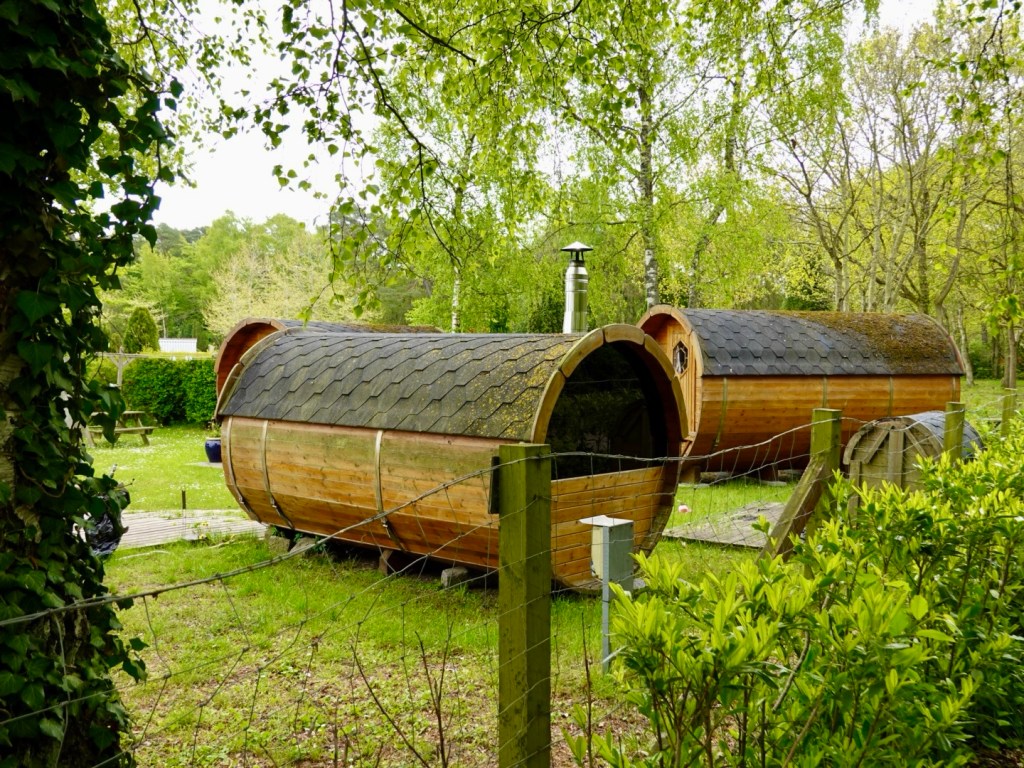
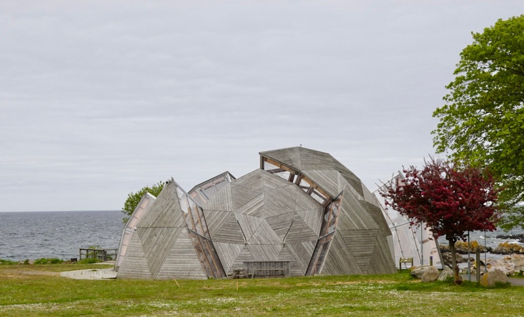
On the edge of one village were these interesting pods. We were not sure if some were accomodation or all saunas?
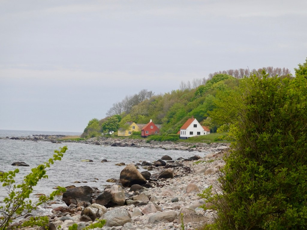
I liked this rugged vista, with just a few houses tucked away.
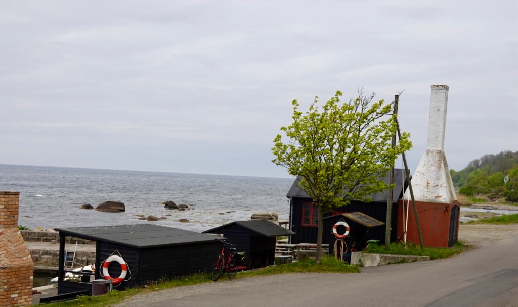
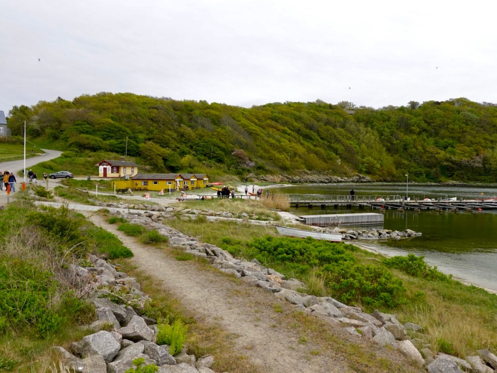
A small fishing village and port, with smokehouses. Smoked fish is quite an industry still here on the island.
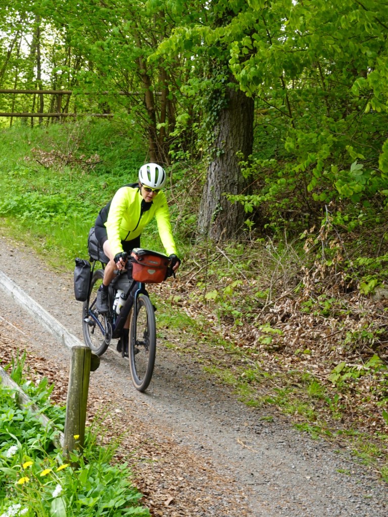
All was going well until we hit this section. Photos never do slopes any favours making them look far less steep. The section ahead increased to 22% gradient with loose and slippery dirt in between part seal.
I dismounted at 10% whilst I could safely as I knew I’d be in trouble otherwise.
I pushed my bike up watching the gradient increase and using my bike brakes to hold as I was walking on the gravel and slipping.
Tony got up before me and came back to help! He’s a keeper!
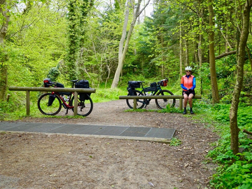
Sitting at the top smiling. A little further past here there is a carpark and we met another cyclist who was on a mtb bike. He too pushed his bike. Nice bloke was with the Island police force, having originally been in the Danish military.
Hammershus Slot is one of the larger medieval fortifications in northern Europe and stand on a 70 metre high cliff. The medieval fortification was bult in the 13th century.

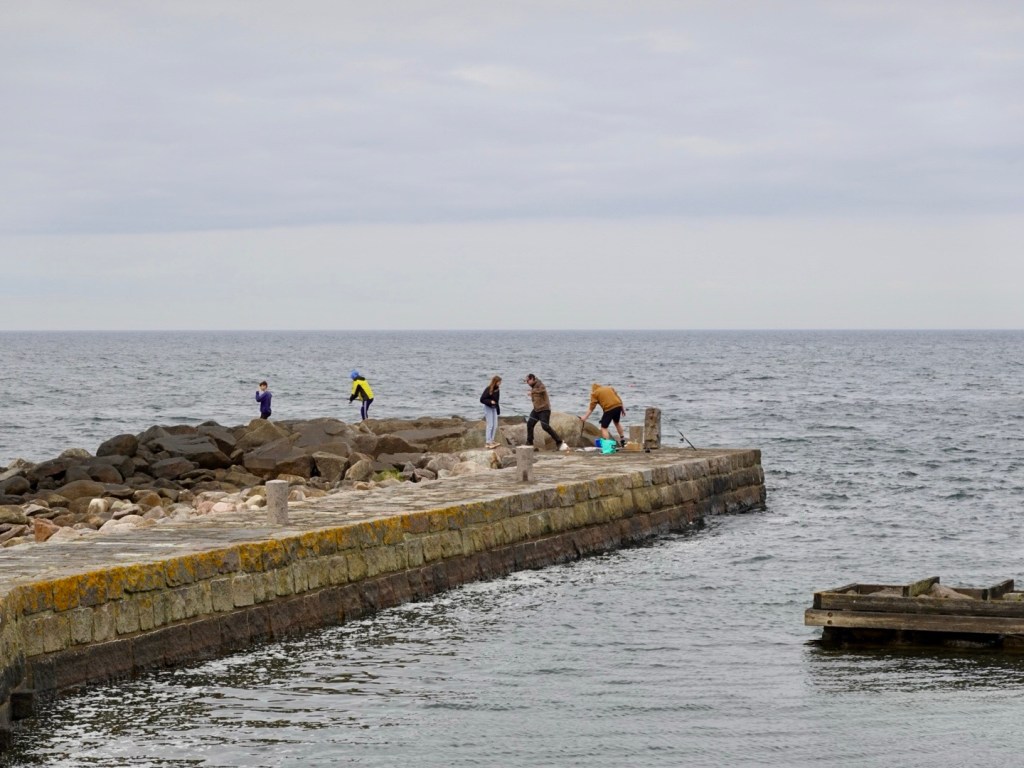
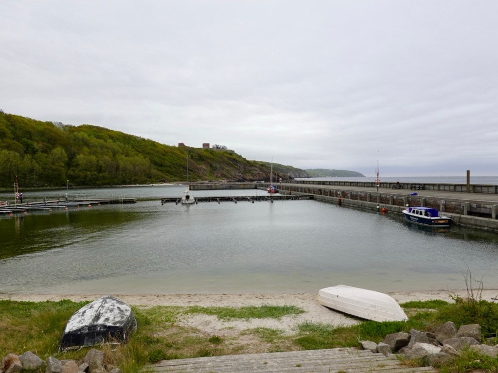
Saene Harbour was a peaceful harbour near Hammershus. It was all happening with a water training activity underway and a class of school children returning from a walk.

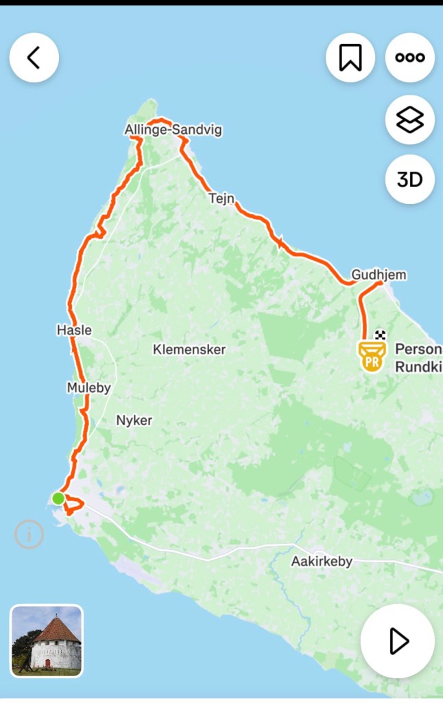
We headed along towards Gudhjem, passing through other towns and villages including Allinge.
It was not warm with the temperature around 8-9 C and a chilly wind. We were rugged up though so no difficulties there.
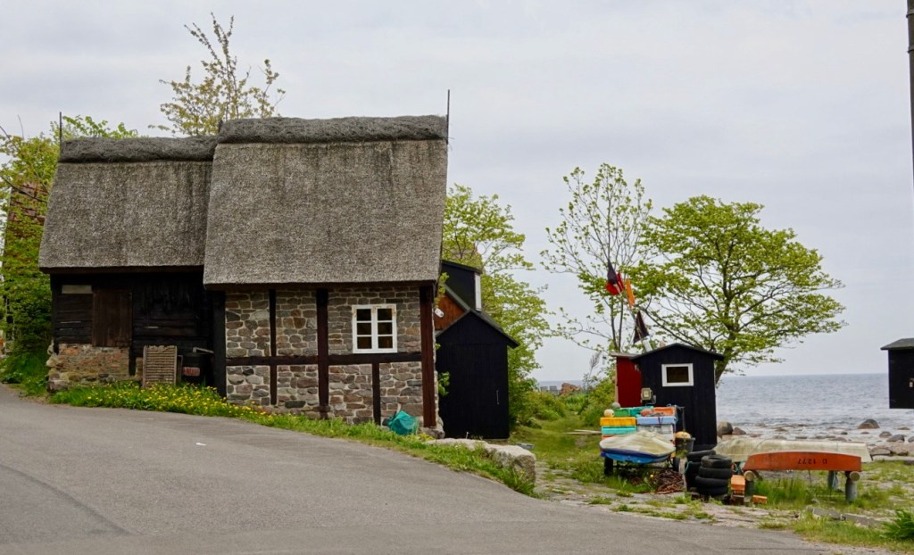
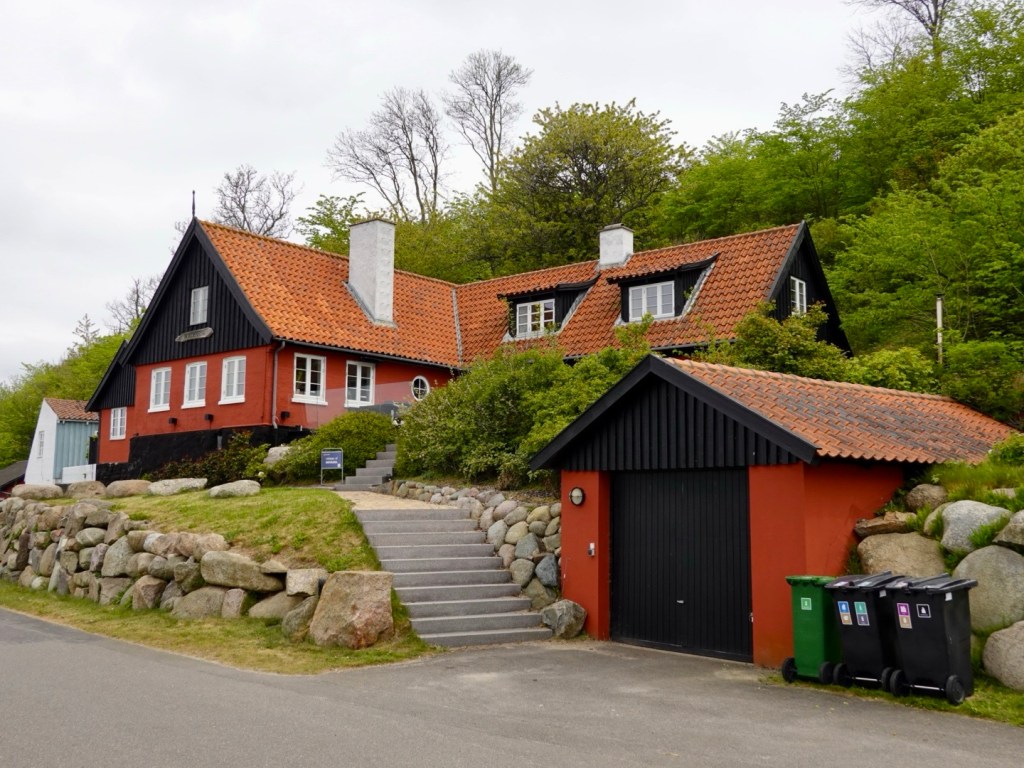
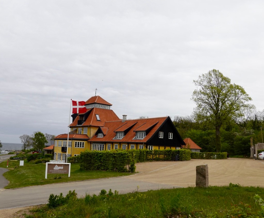
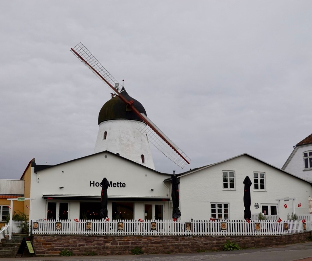
Some of the buildings along the way.
Still on gravel we found another steep section. Tony rode it, I did not as it was 15%. I did descend it.
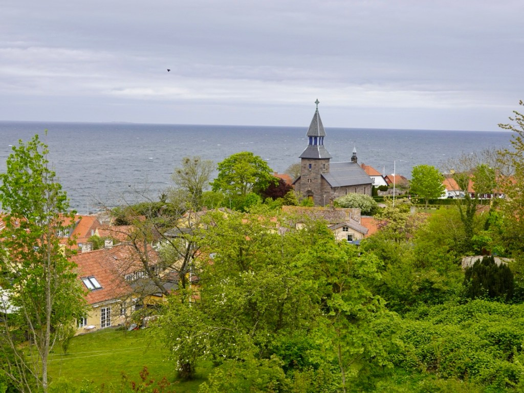
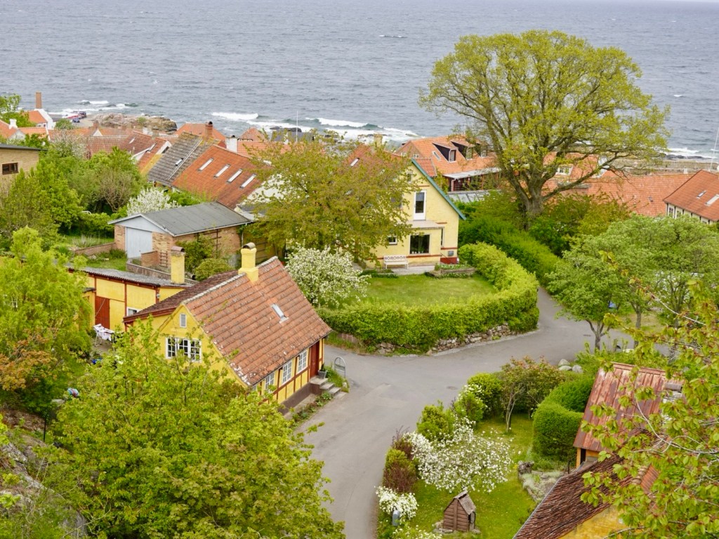
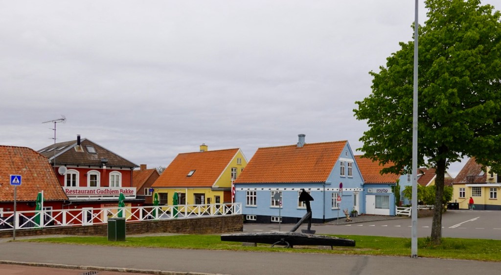
Gudhjem is a pretty seaside town that we will explore more tomorrow. The next four photos are the section we did see.
Gudhjem is built on a steep hill overlooking the Baltic Sea.
We turned inland at Gudhjem heading towards Osterlars where we are spending the next three nights.
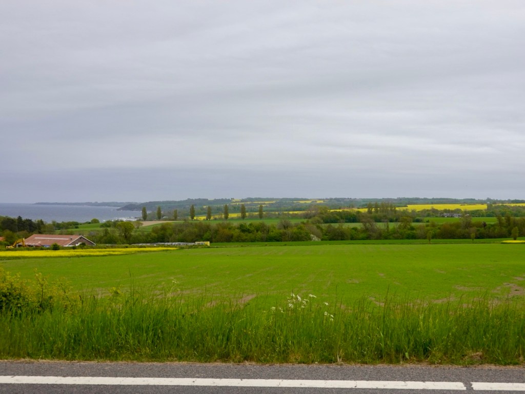
Looking back along the coast where tomorrow’s adventures lay. Rapeseed is plentiful here too.
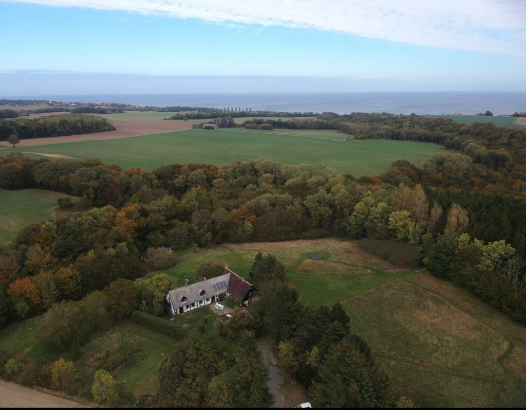
Our lodgings are located within the property below. We are in a renovated barn. In the line of bushes to the right is a cycle path that runs between Osterlars and Gudhjem. We just needed to find the right opening in the hedge and head across their field.
After dumping most of our gear, we headed straight back out to the local supermarket for supplies to make dinner and breakfast.
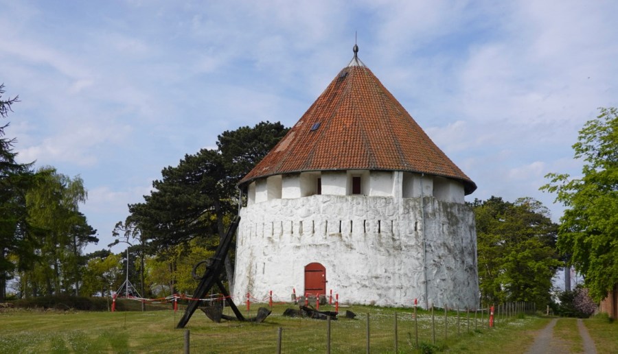
This famous church is en route, and to be discovered more in the next two days.

Osterlars Rundkirke is regarded as the Islands most impressive round church, constructed in the 12th century. Originally the roof was flat, serving as a battle platform for hurling projectiles at attackers. The conical roof was added in 1744.
Today’s routes covering 64 km, 590 metres climbing.
That’s it folks for today. Thanks for joining us and check in again as we learn more about Bornholm Island.
😊❣️🚴💪
