Day 11: St Arnaud to Blenheim

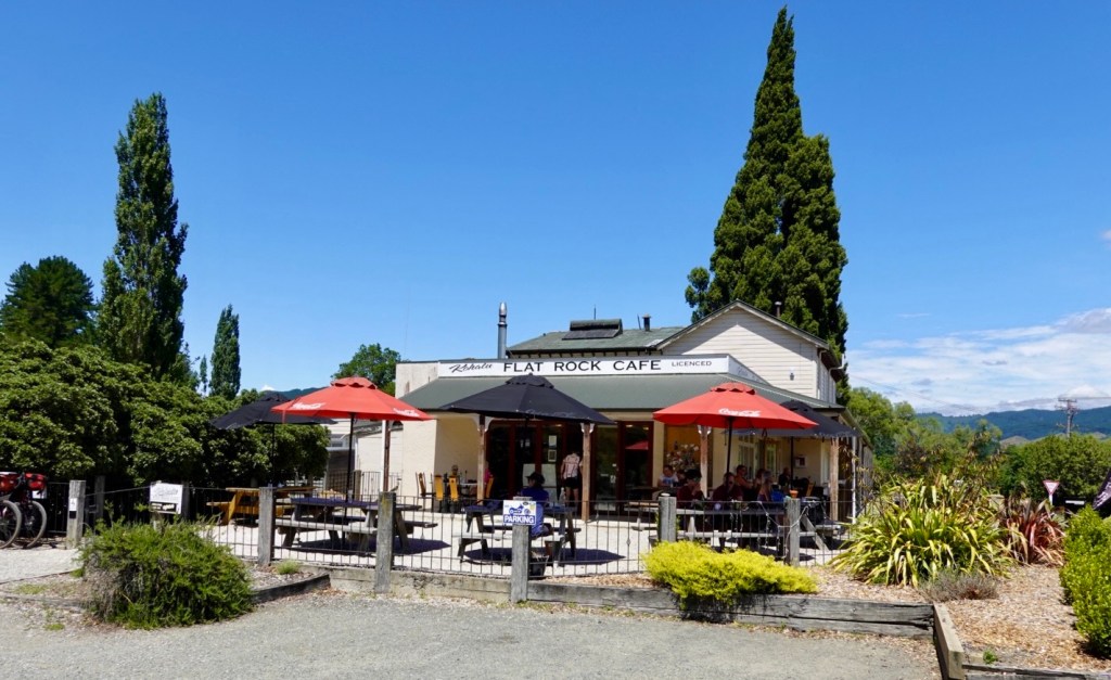
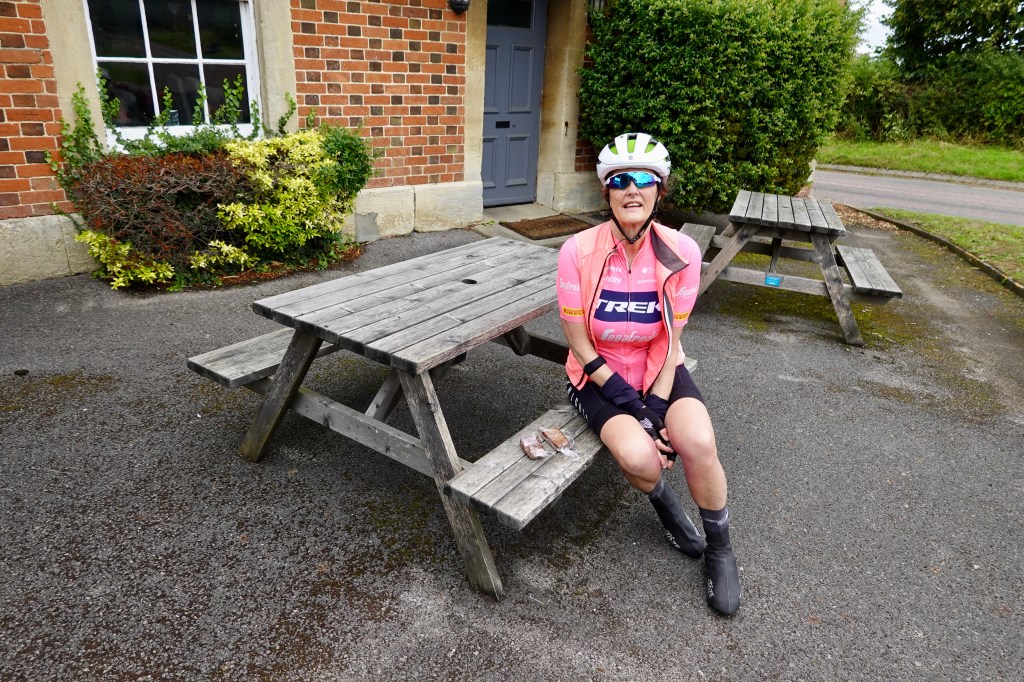
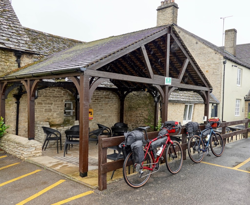
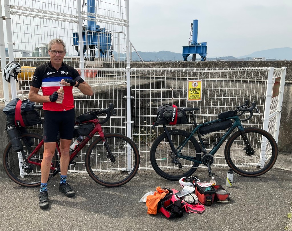
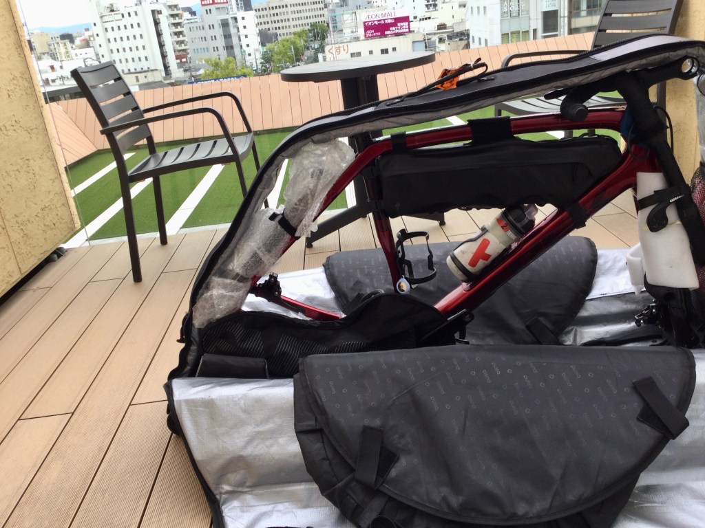
Packed up and ready to roll, we enjoyed a wholesome breakfast (large bowl porridge, granola, fresh fruits including strawberries, raspberries and blueberries) and the ubiquitous ‘Sharron cannot ride without’ coffee.

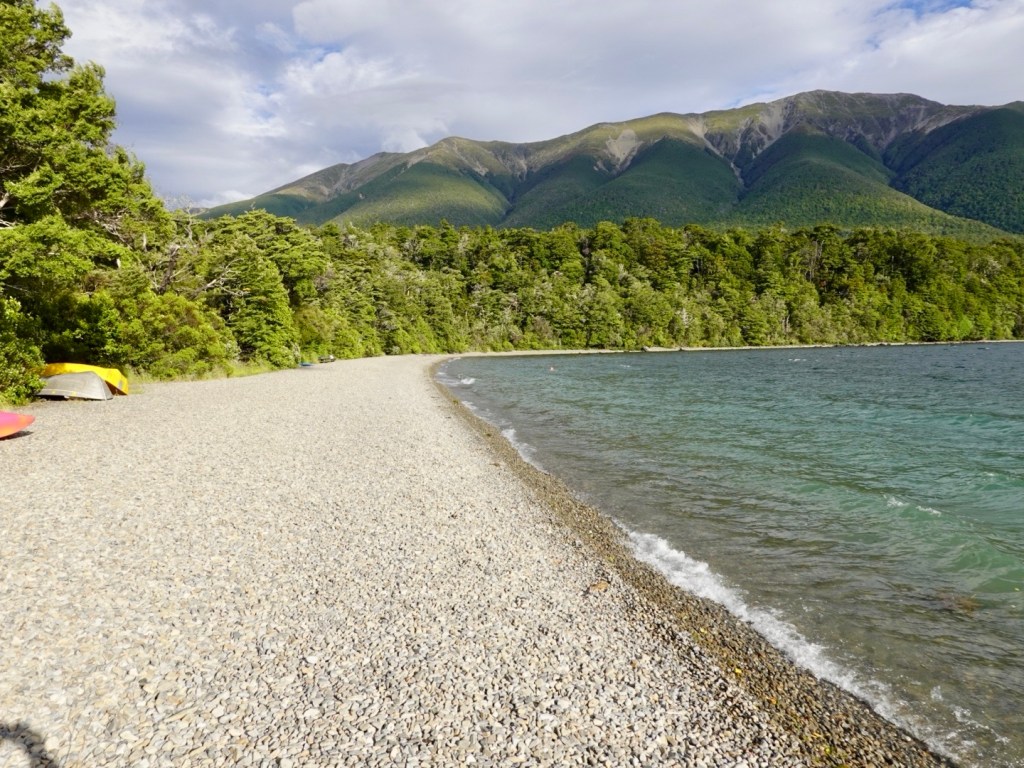
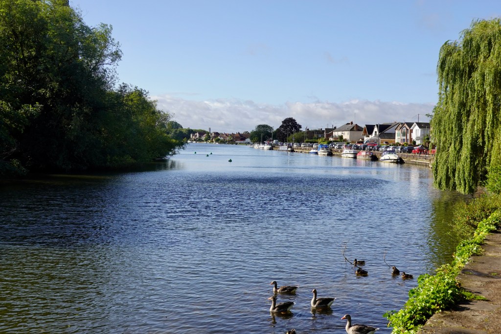
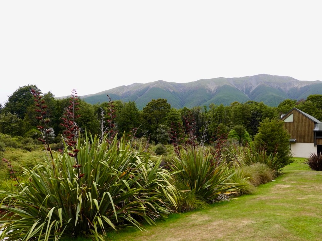
Great view from our table. We watched the melodious honey eaters searching for nectar in the flax flowers.

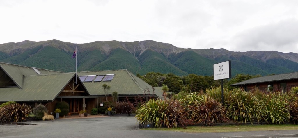
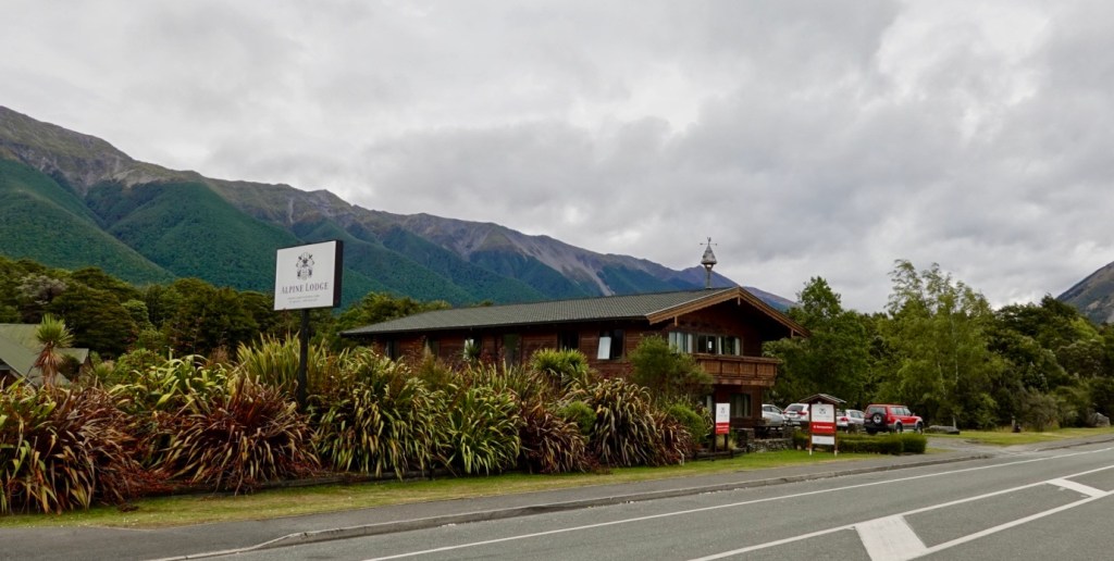
The front of our accomodation after forking out $1,025 NZ for two nights, two dinners, two breakfasts….gulp. I don’t feel quite so guilty for breaking the glass in the unit that shattered into so many pieces as we were leaving.

The accomodation itself is a common motel presentation but it is the location at this time of year that has driven the nightly price up. The meals were excellent too, with the porridge with add ons (fresh fruit and granola) being $32 each.

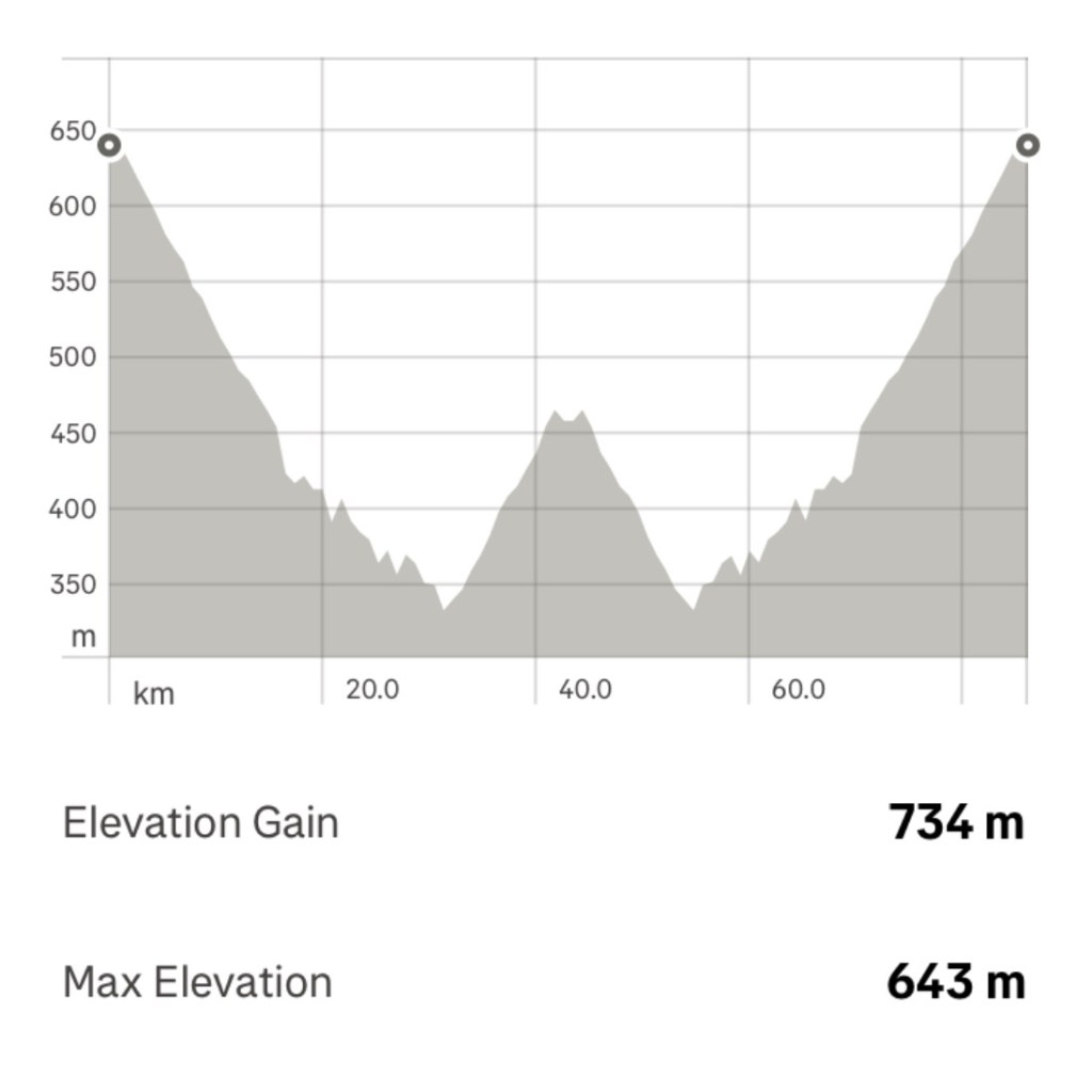
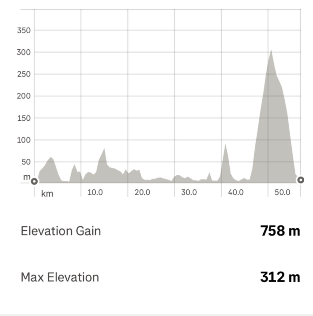
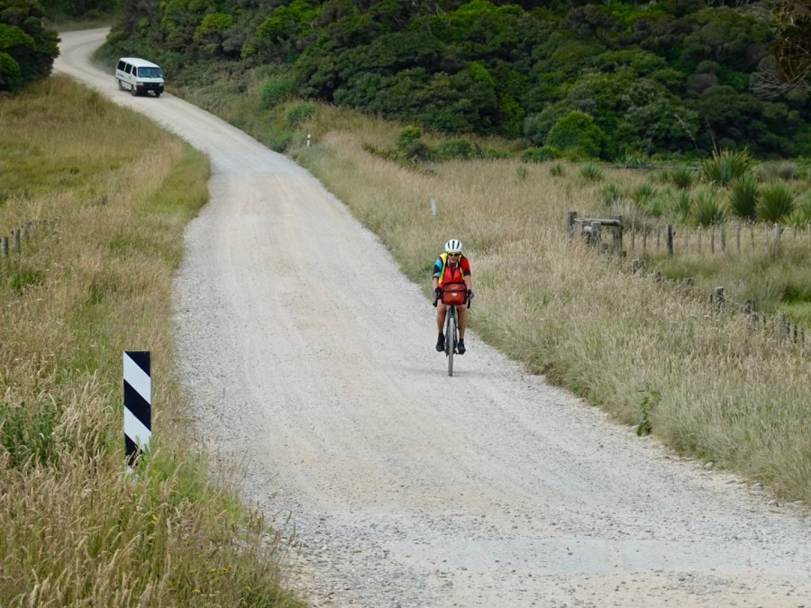
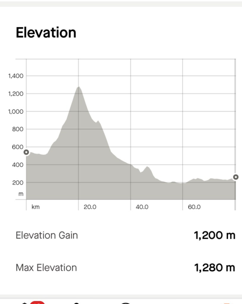
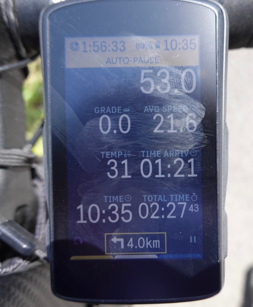
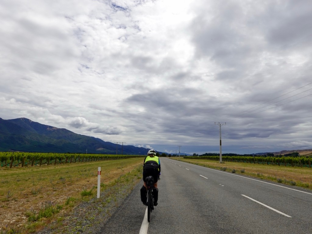
On paper today our ride into Blenheim would be an easier ride, despite its 103 km length.

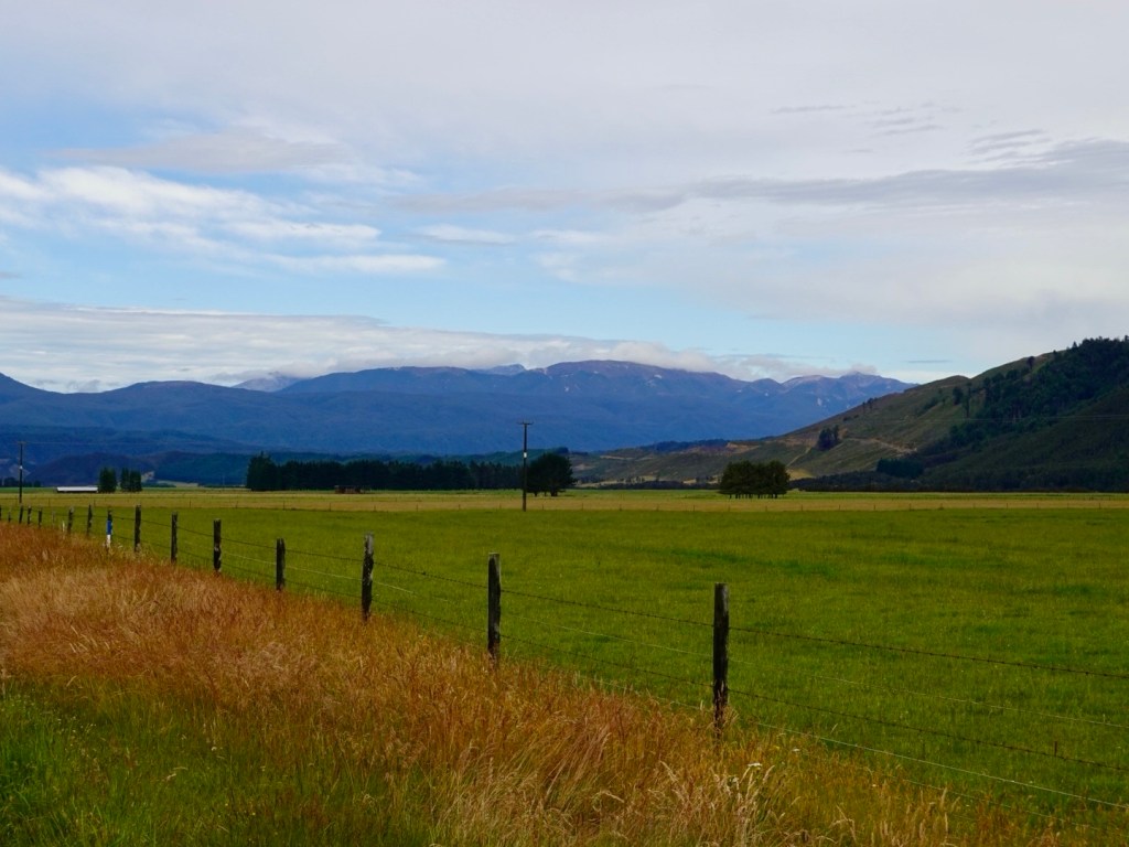
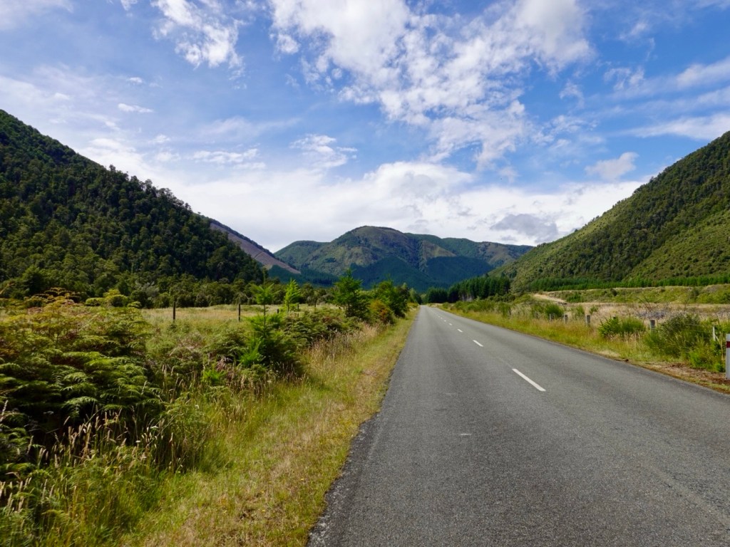
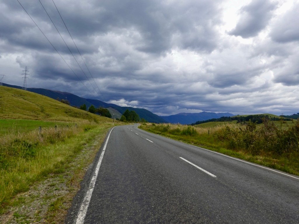
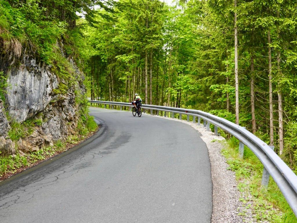
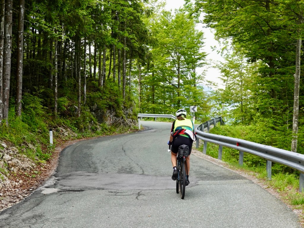
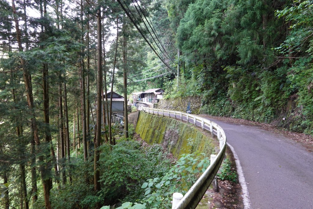
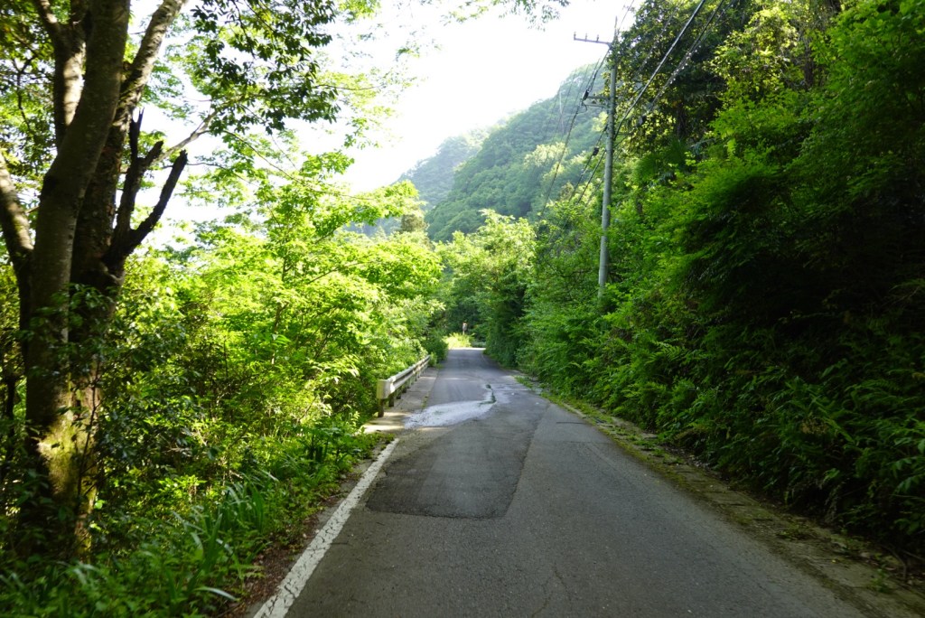
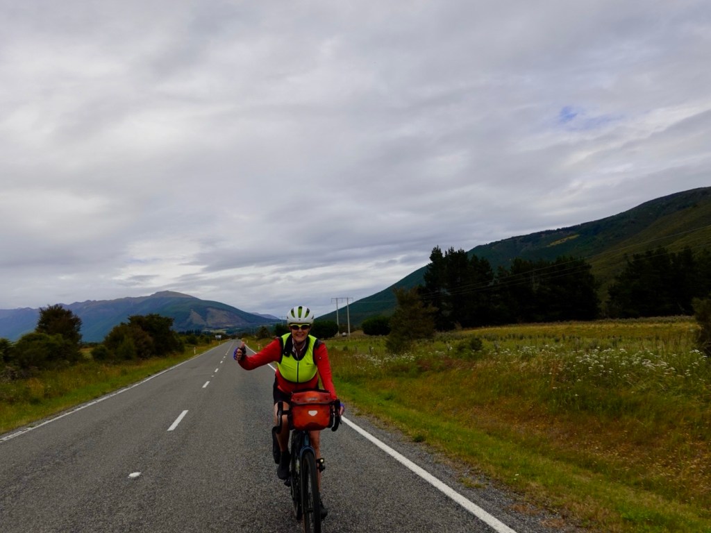
There was a gently 5 km uphill section before a very gradual downhill run, which would have a few undulations.

The first half was wind free. We thought we were on easy street and then bang, just like that, there it was, as ubiquitous as my morning coffee. I like my coffee strong, and so it seems, wind too 🤣🙈. Happy New Year Sharron and Tony, love from the Weather Gods 🤣

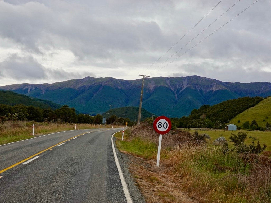
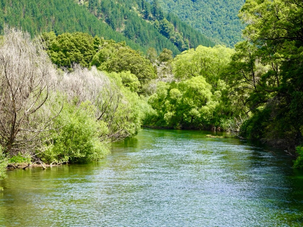
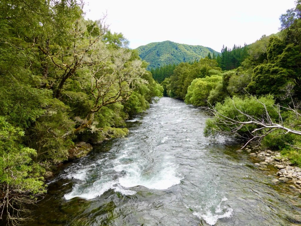
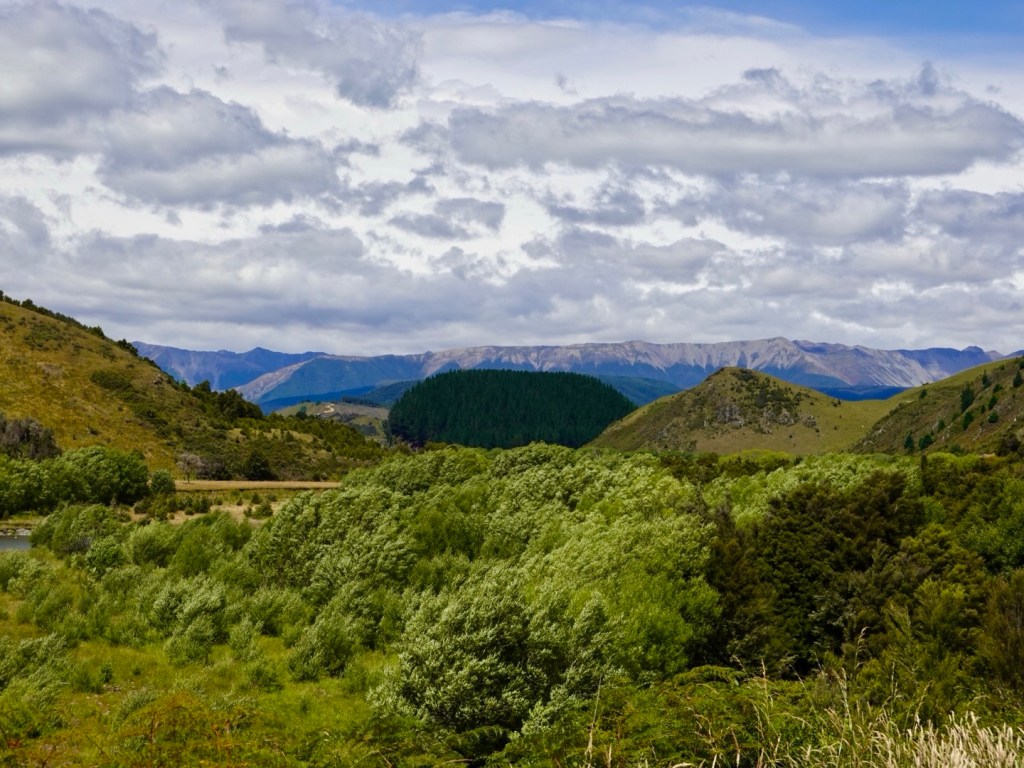
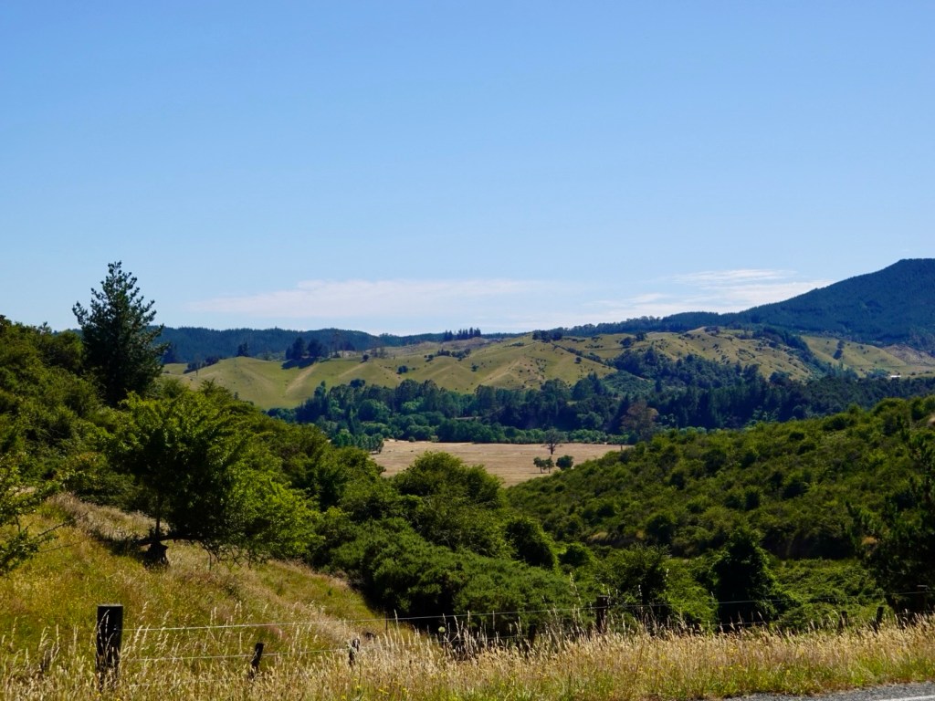
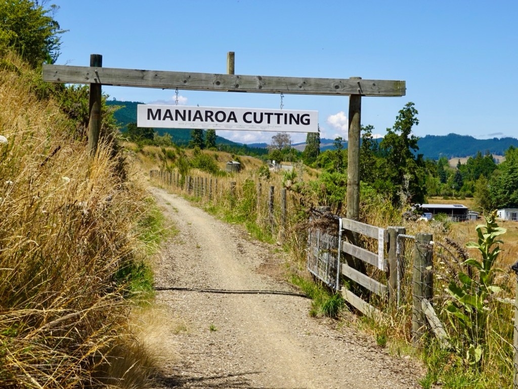
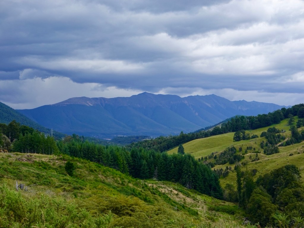
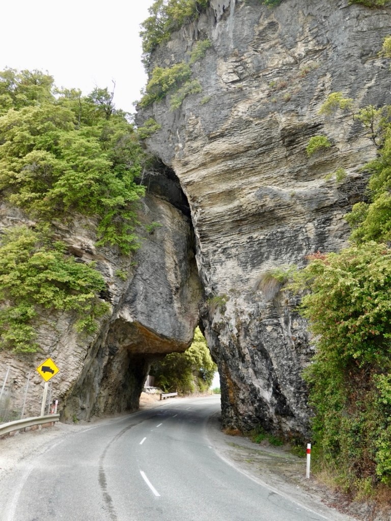
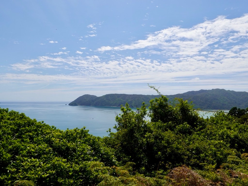
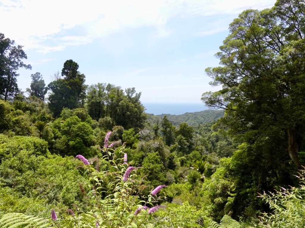
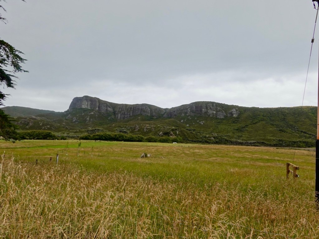
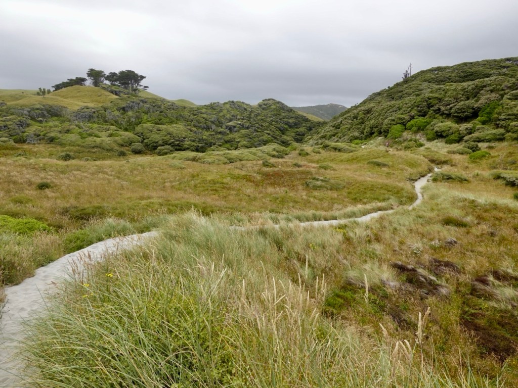
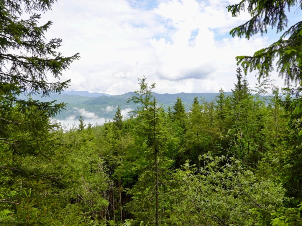
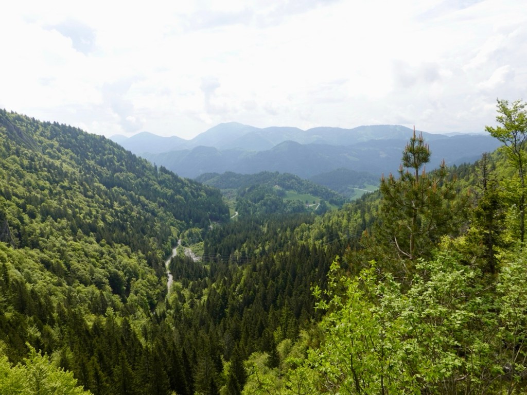
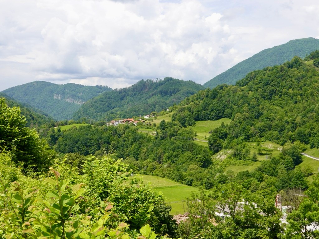
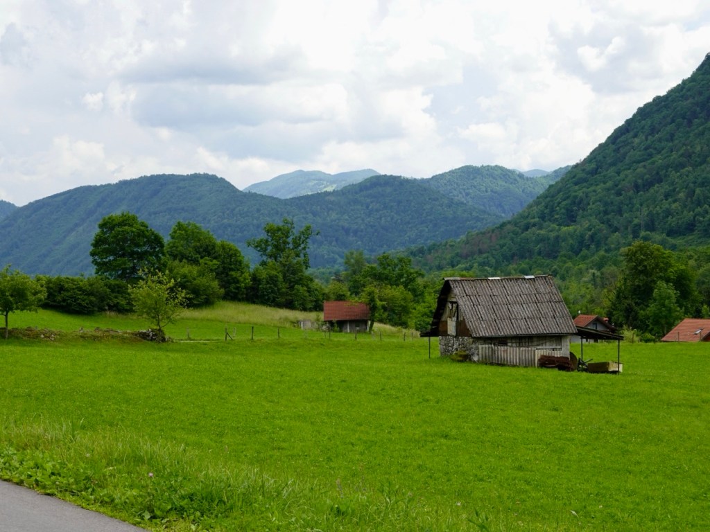
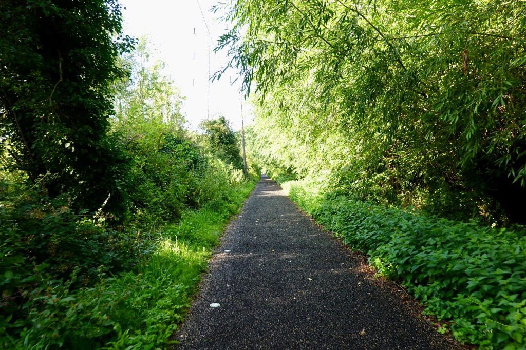
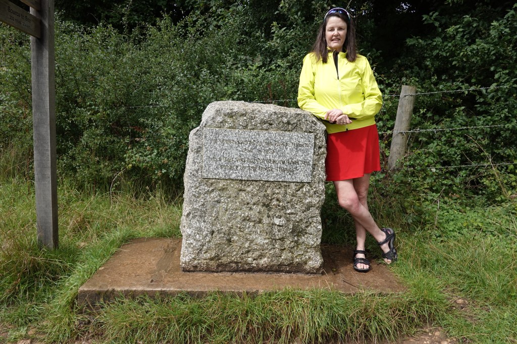
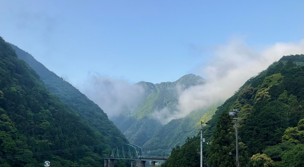
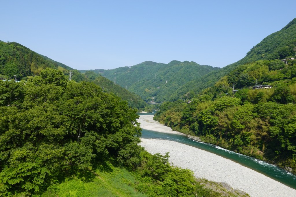
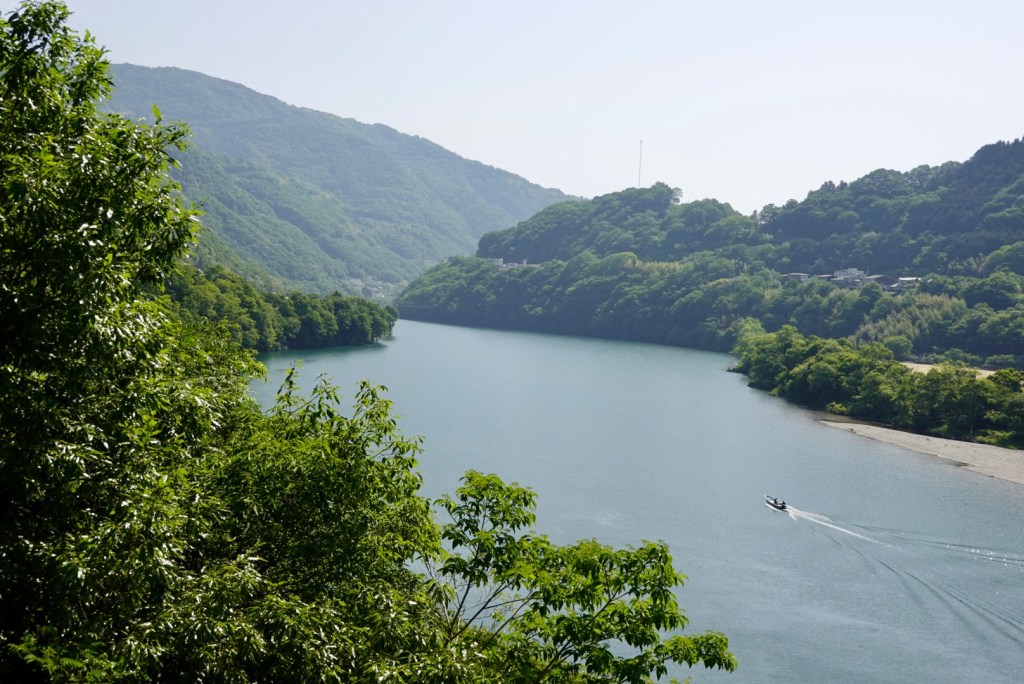
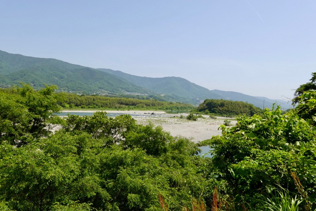
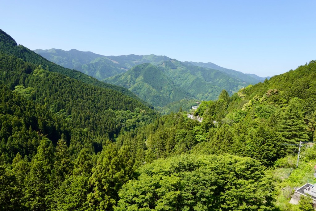
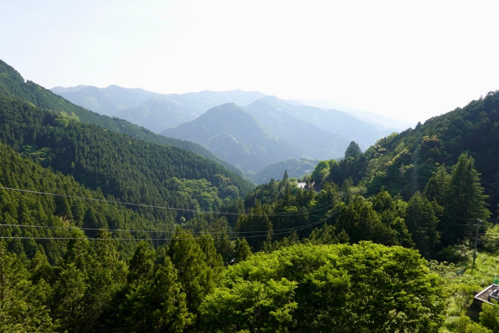
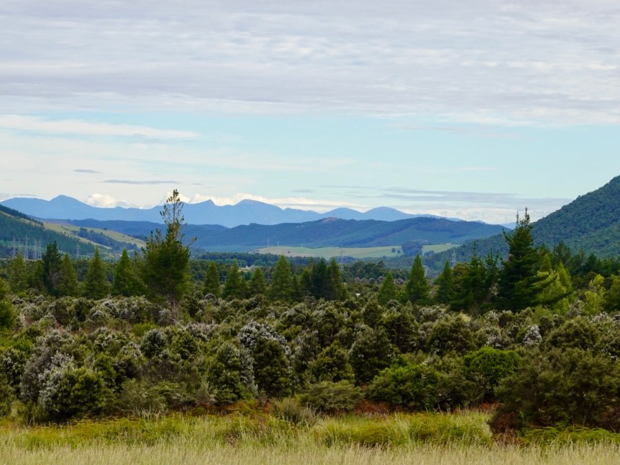
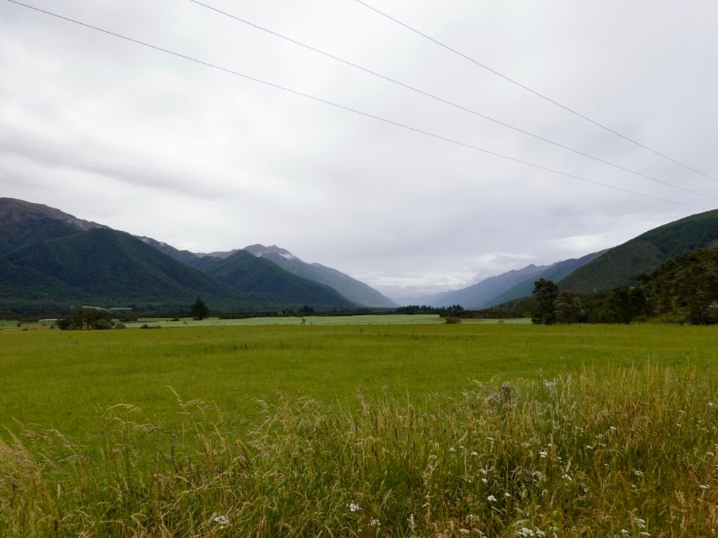
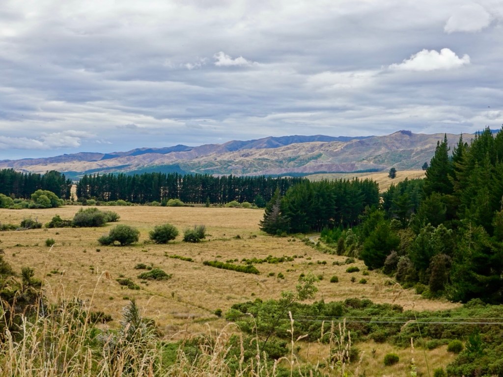
View from the top of our climb.

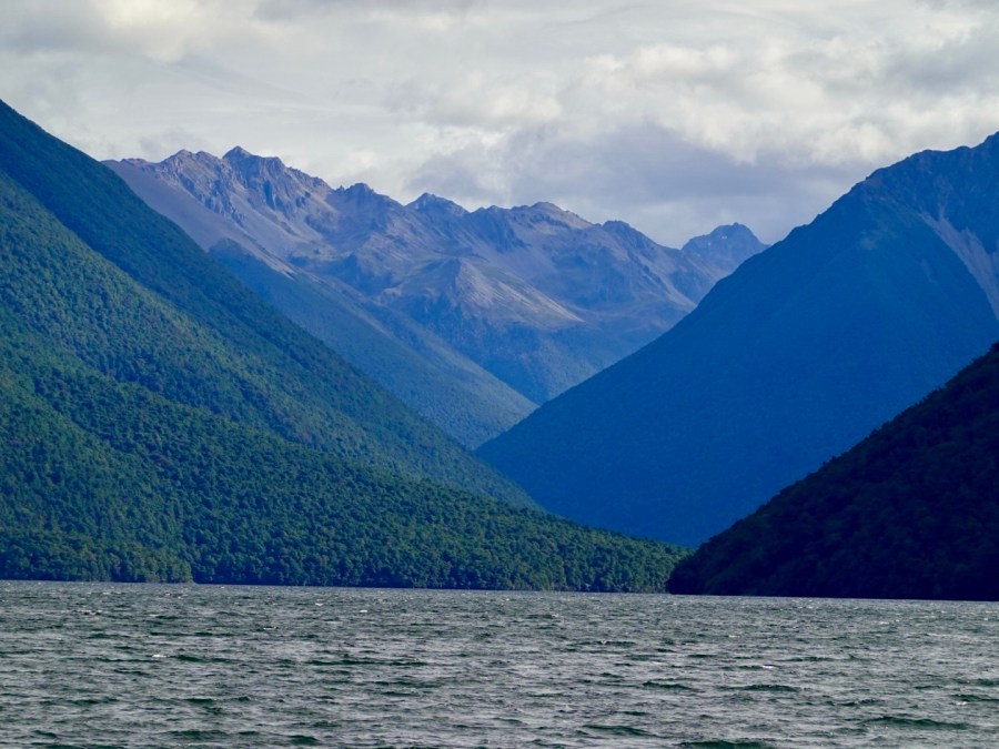
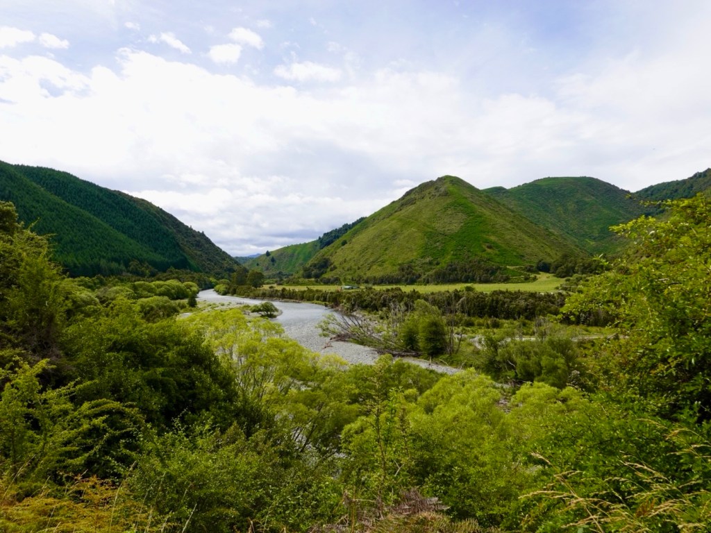
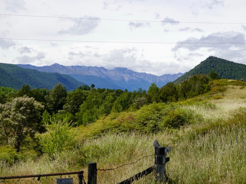
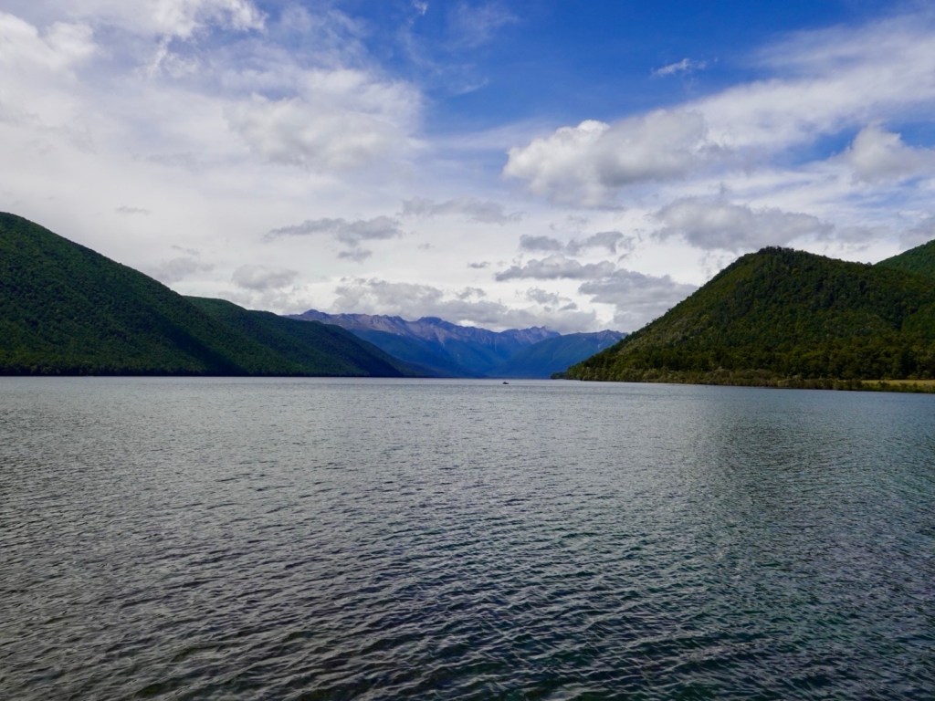
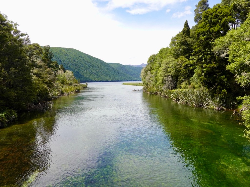
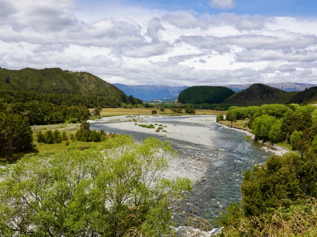
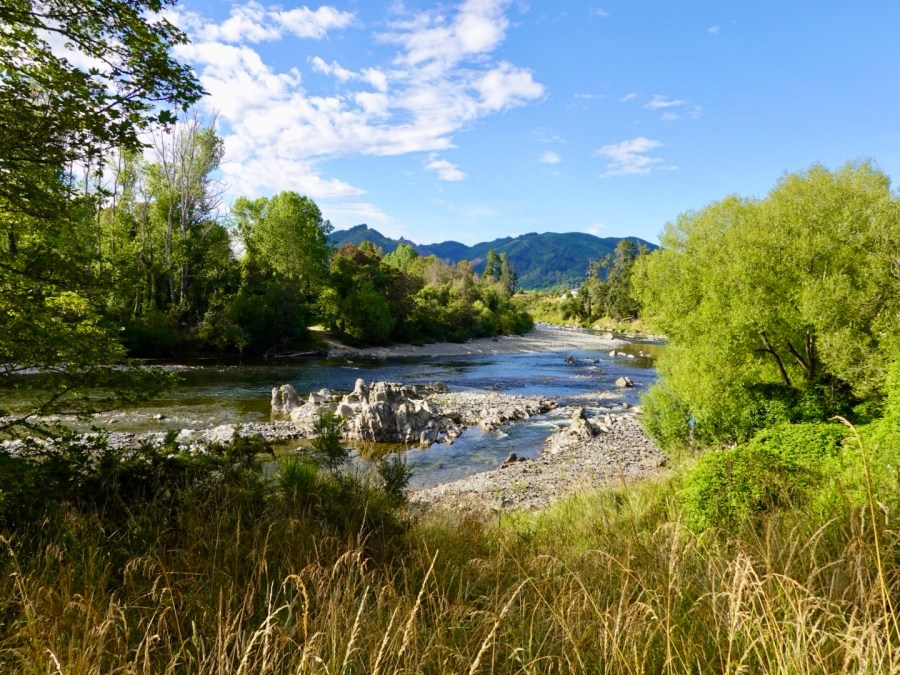
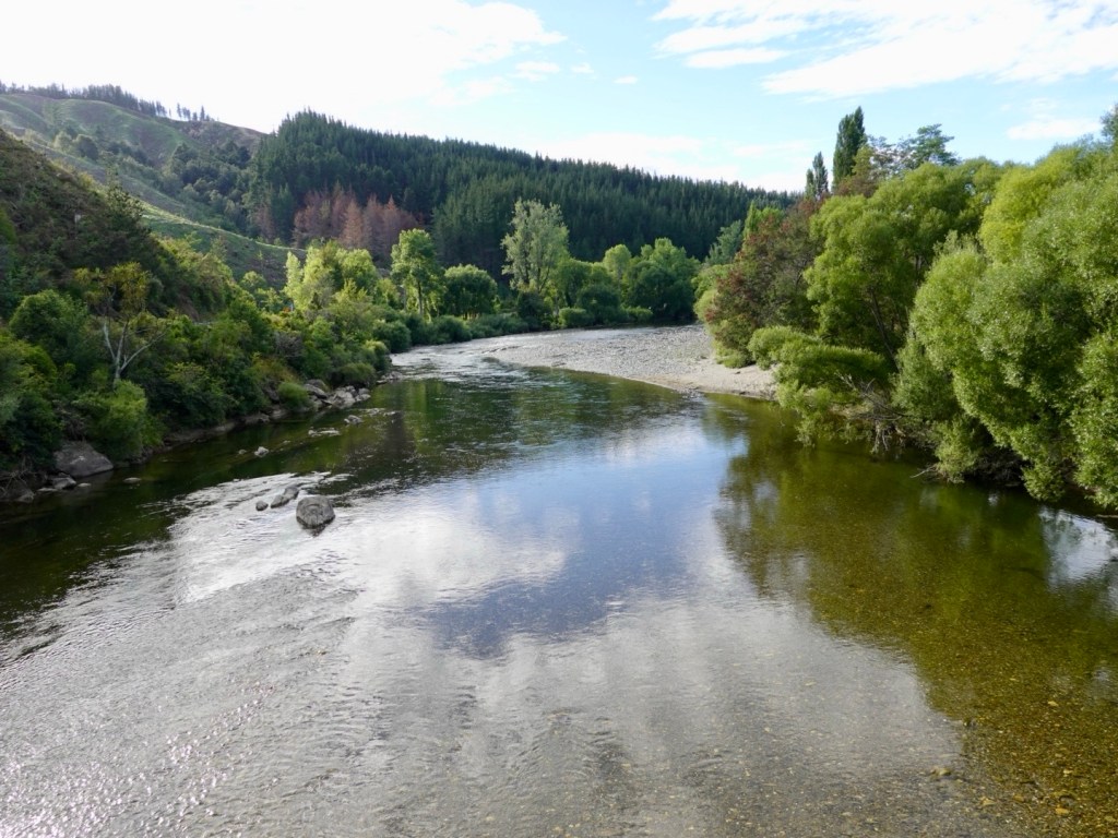
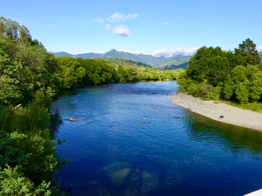
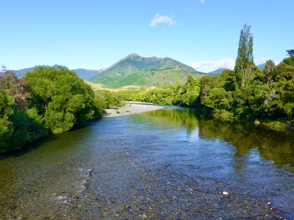
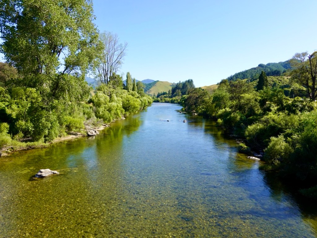
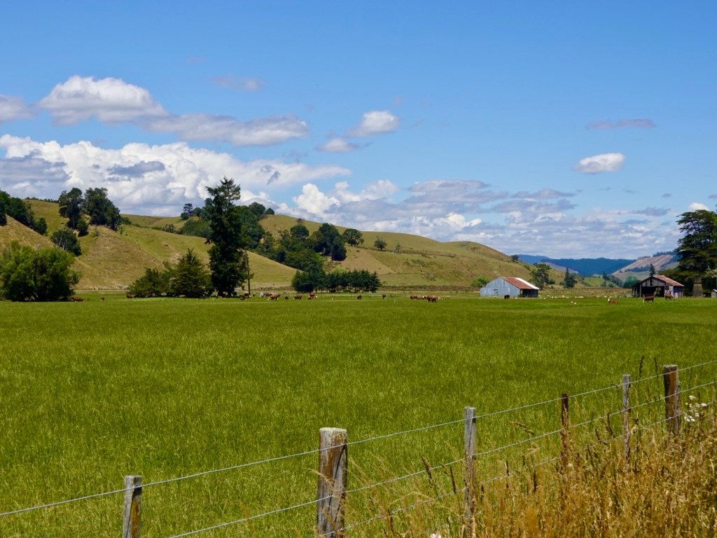
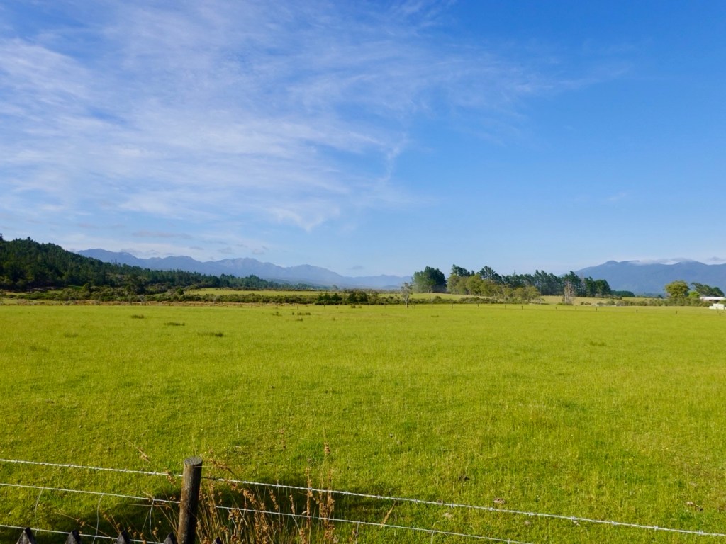
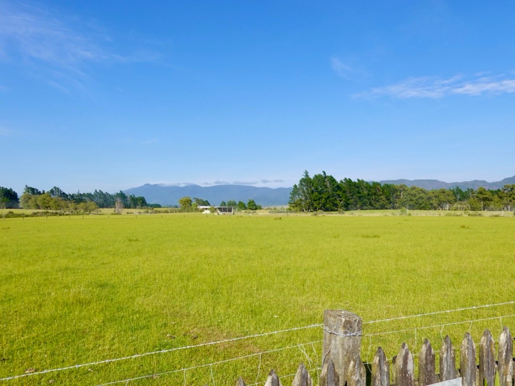
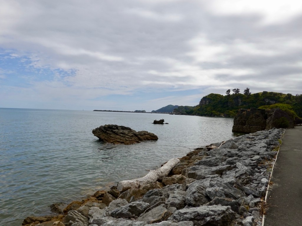
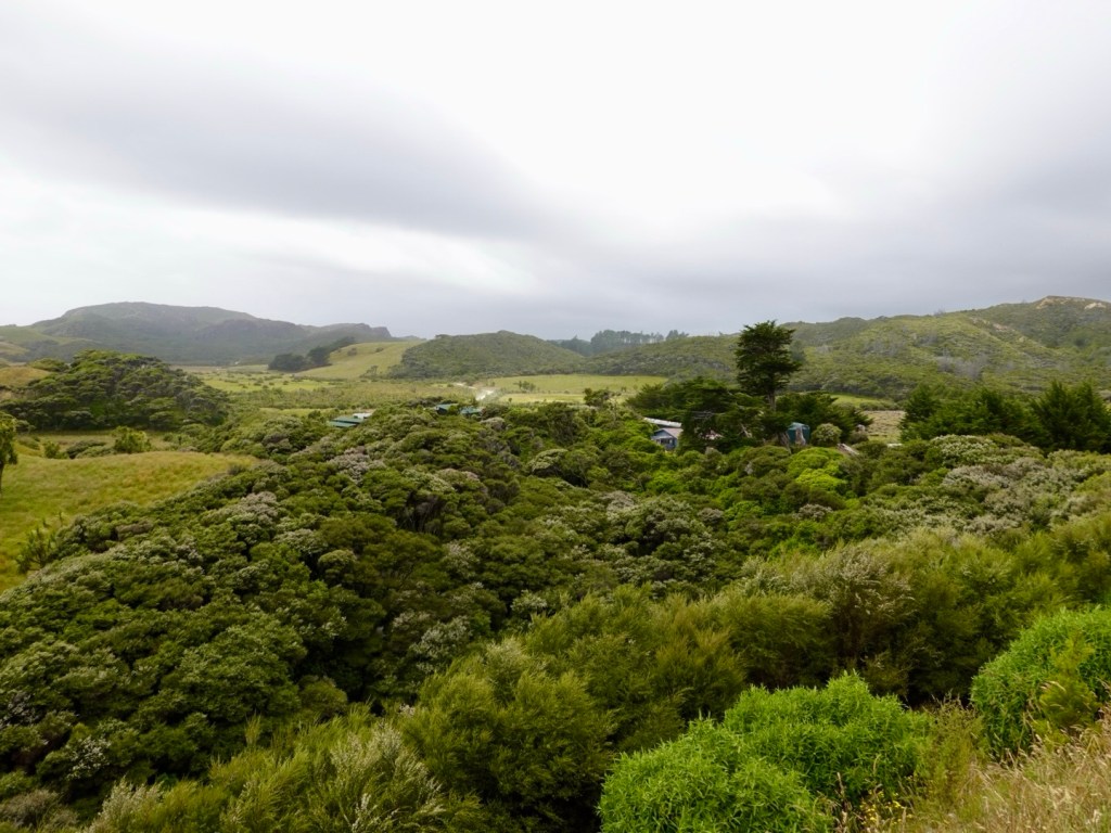
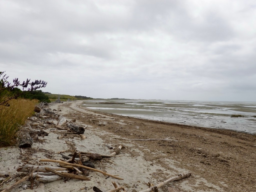
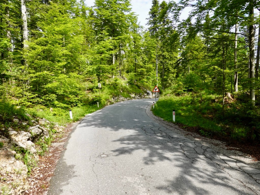
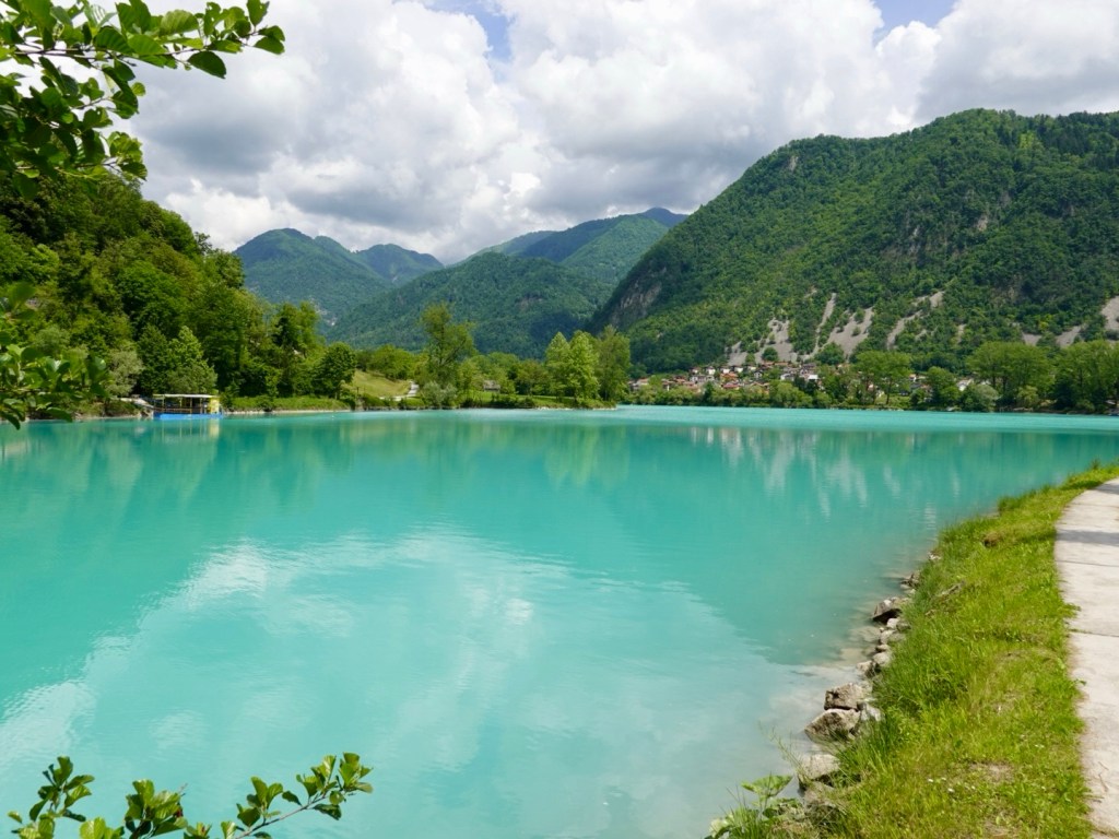
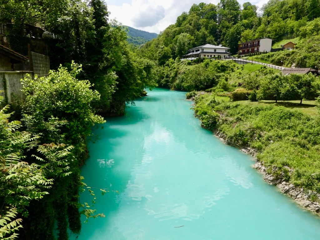
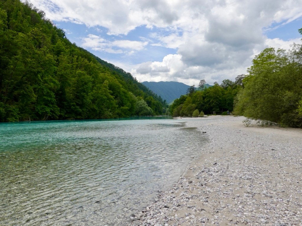
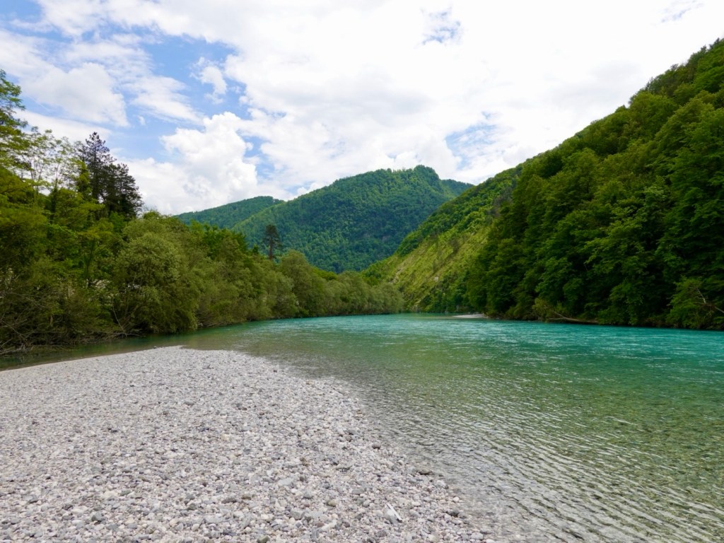
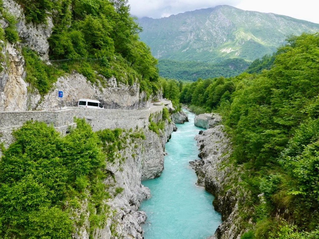
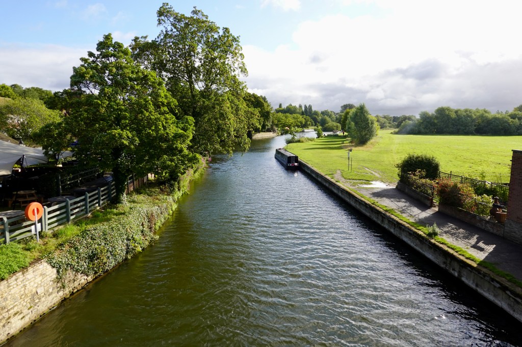
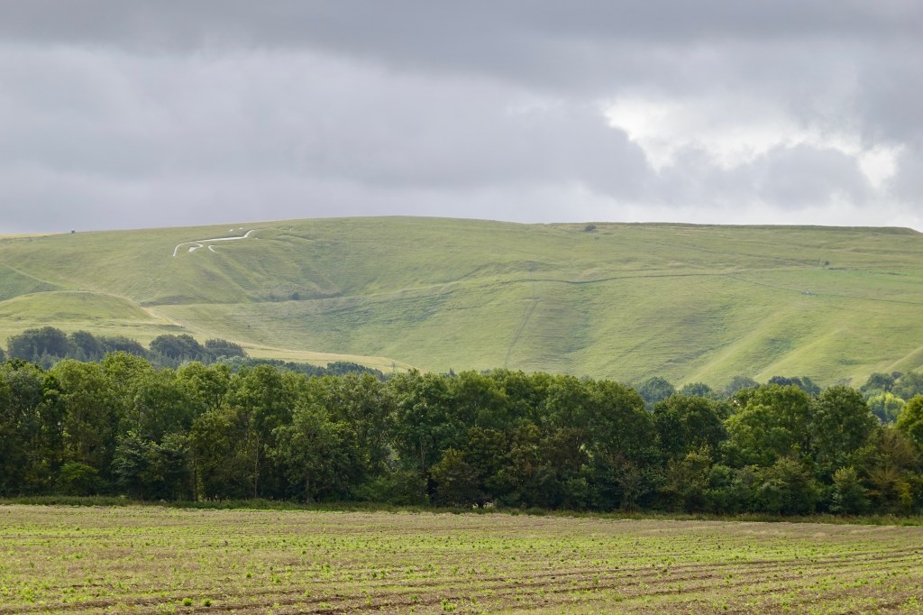
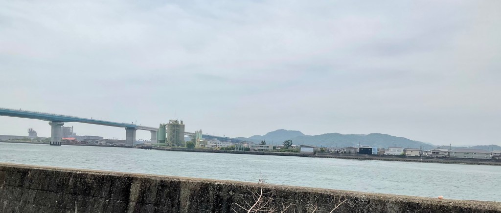
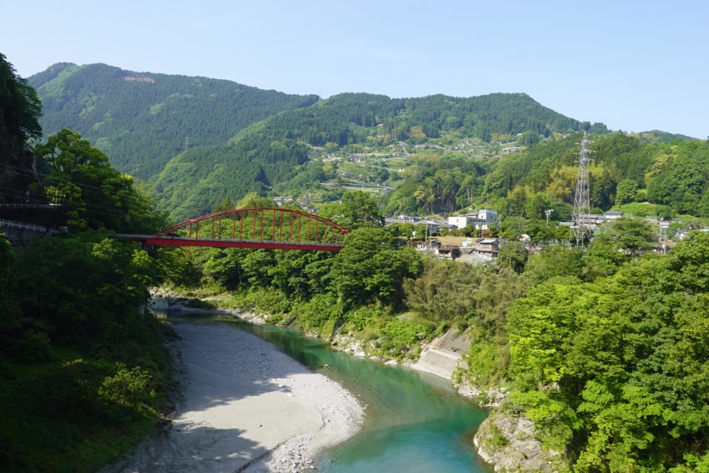
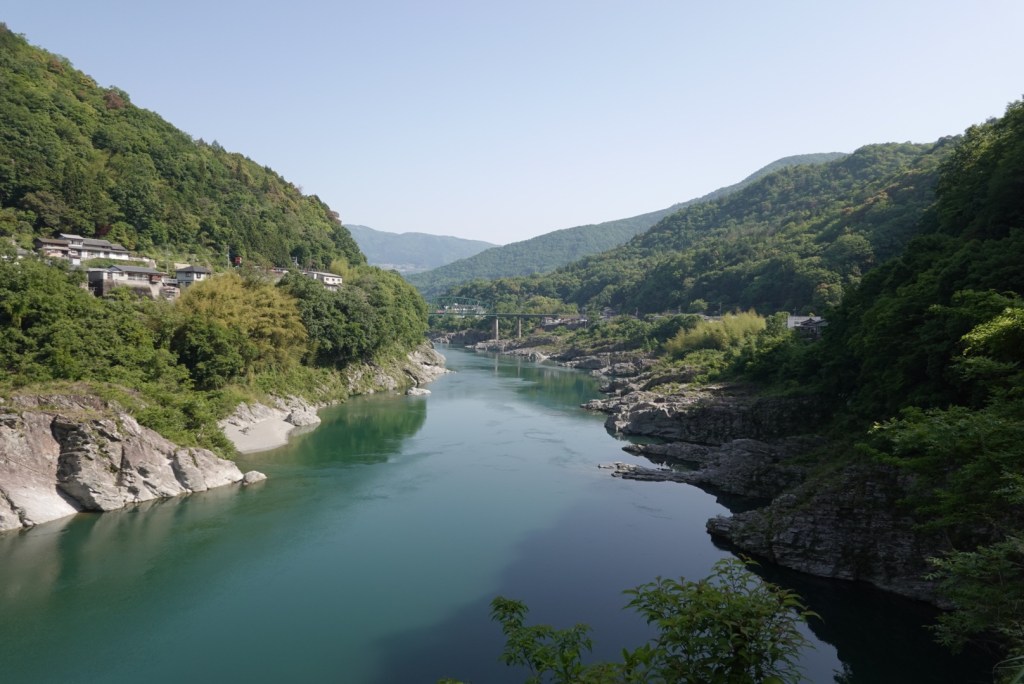
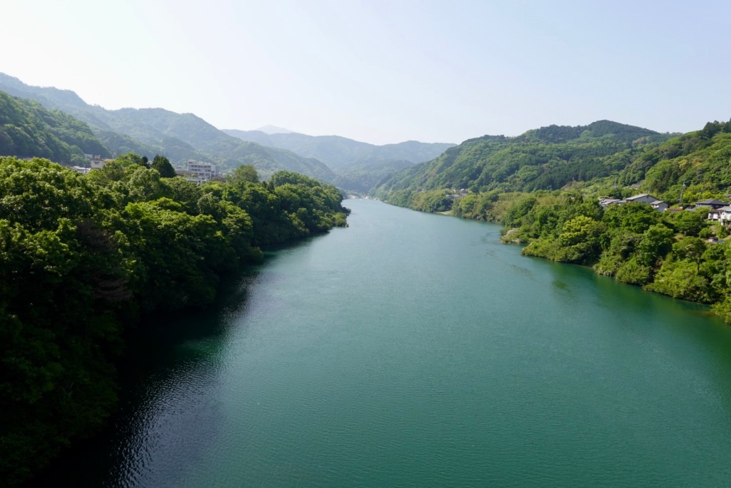
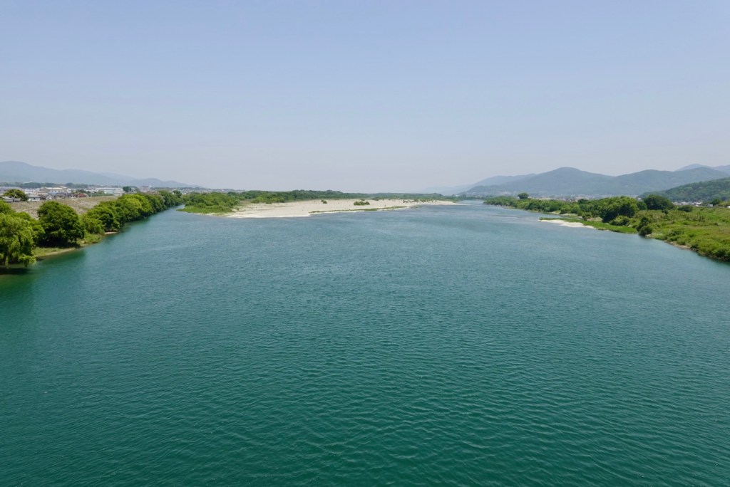
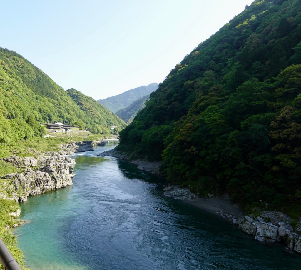
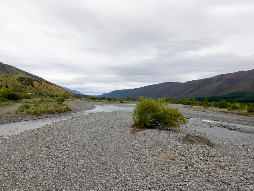
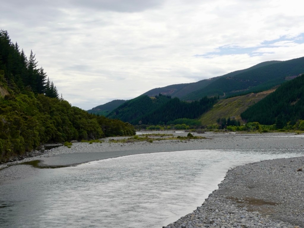
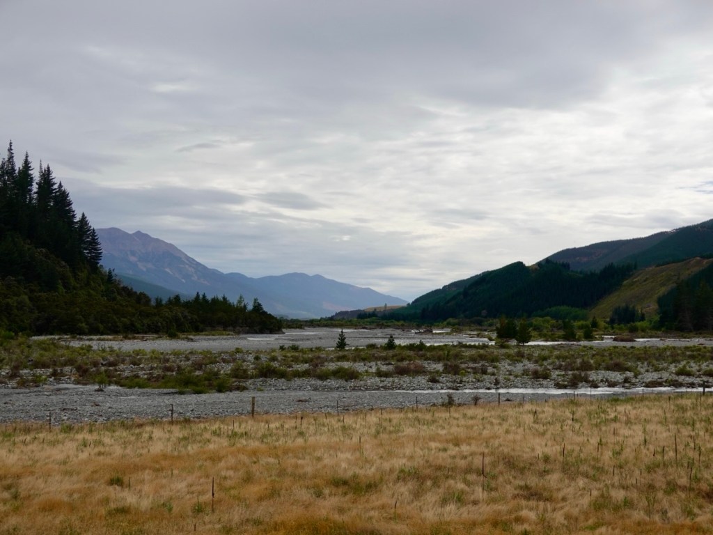
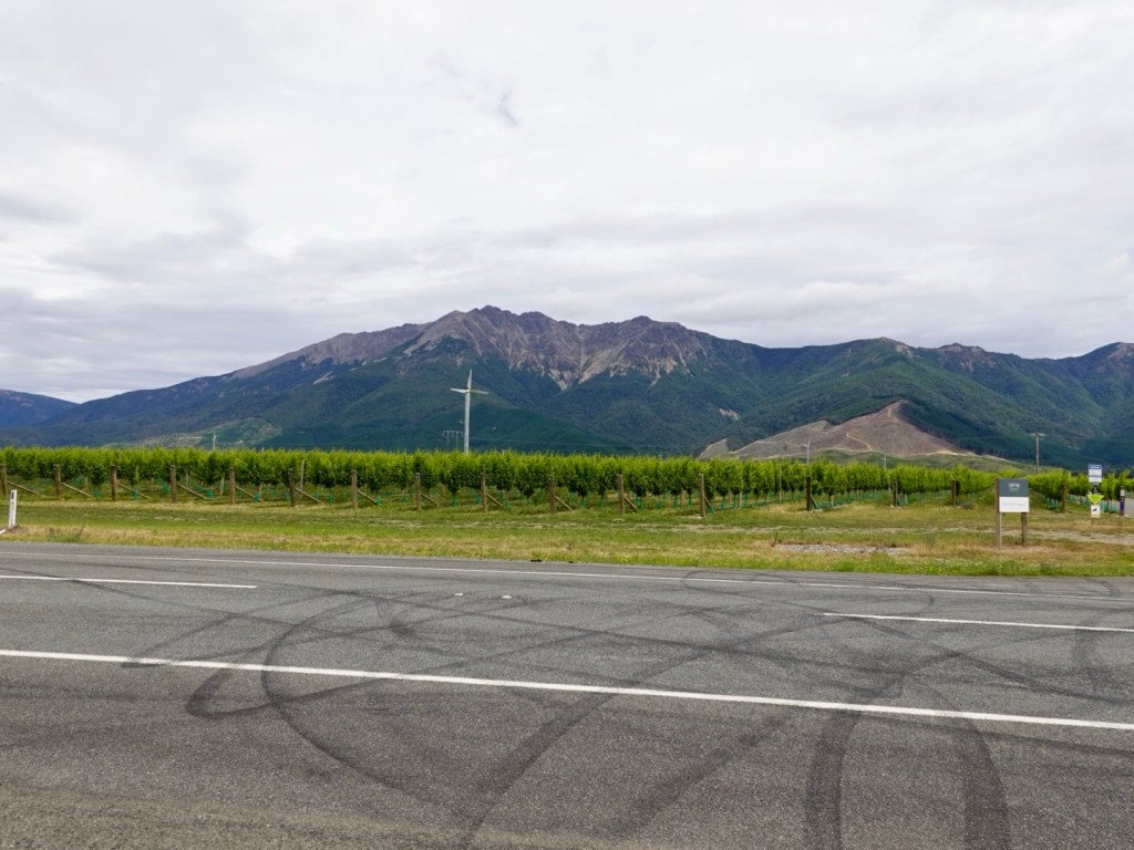
We were in the Wairau Valley, following the river of the same name, ridges and mountains including Mount Richmond either side.

Enjoying the ride, I’m quite layered up here as it was quite cool.

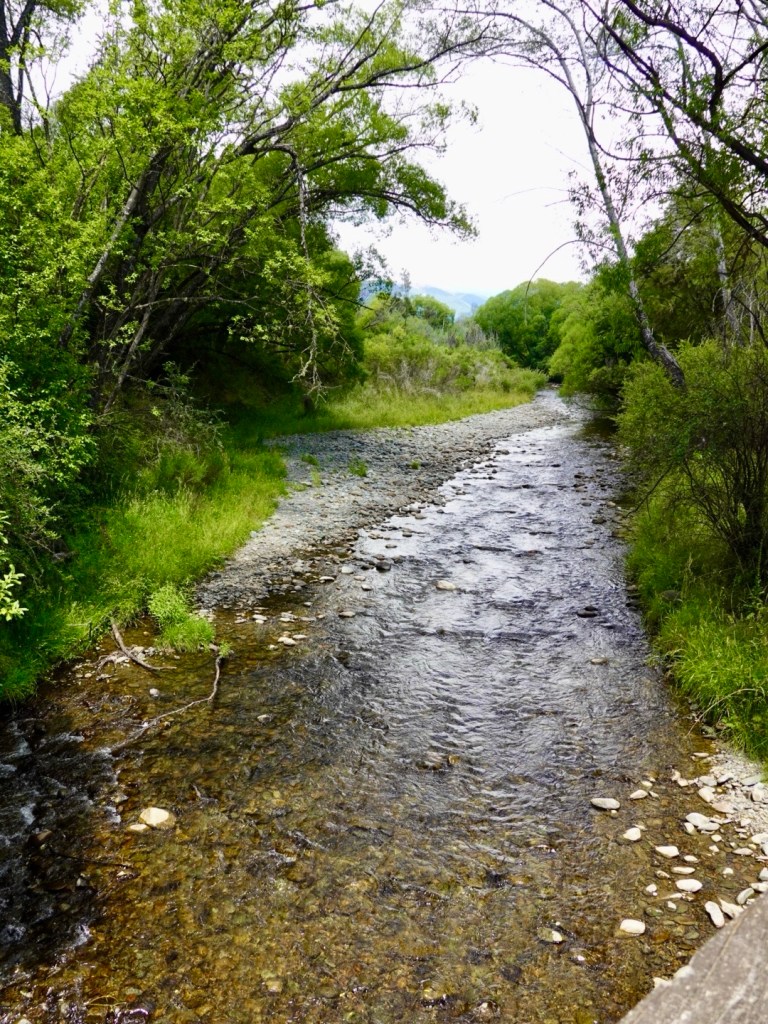
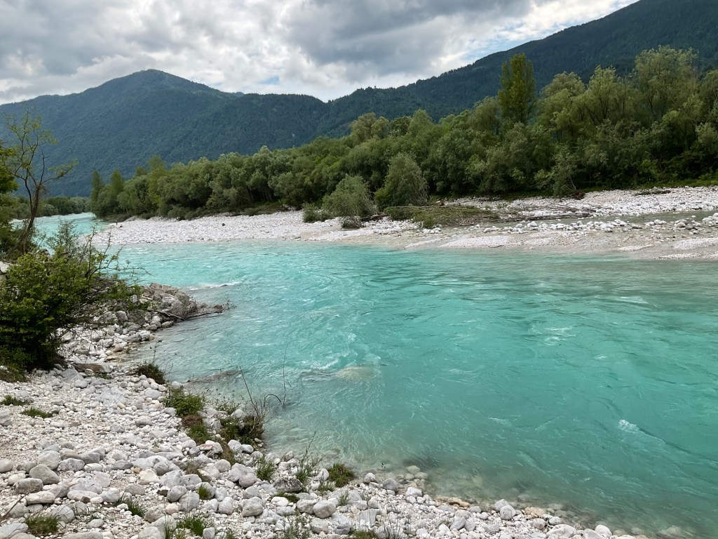
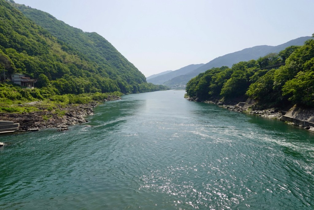
We crossed over the Wairau River, which is very wide and silted in places but you can see that gravel is removed regularly, similarly to what we see with European alpine river systems.

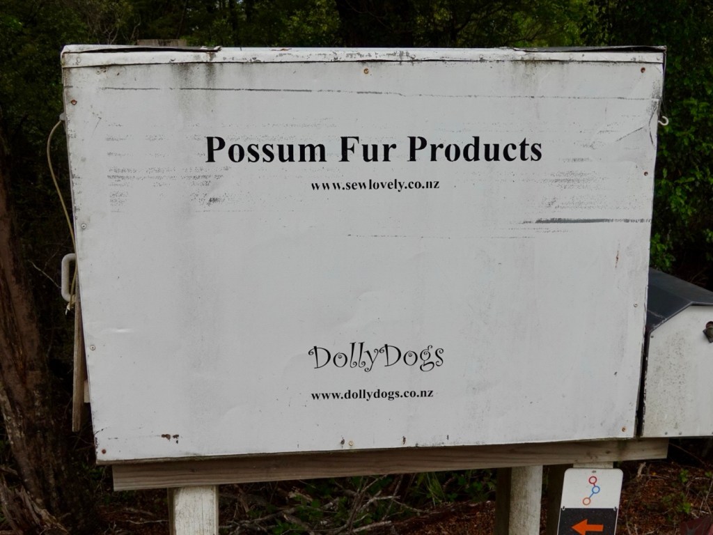
New Zealand does not have venomous creatures like Australia. You can go for a bush pee without fear!

However, they more than make up for it with geology. This valley forms part of the Alpine fault and is moving at 30 metres per 1,000 years. That is considered to be significant.

South Island is also overdue for a major earthquake. There is a 75% chance of major earthquake happening in the next 50 years. There is an 80% chance it will be a magnitude 8+ event.

The Alpine Fault has a regular history of producing large earthquakes. Over the last 8,000 years the Alpine Fault has ruptured 27 times.on average, every 300 years. The last significant quake being in 1717.

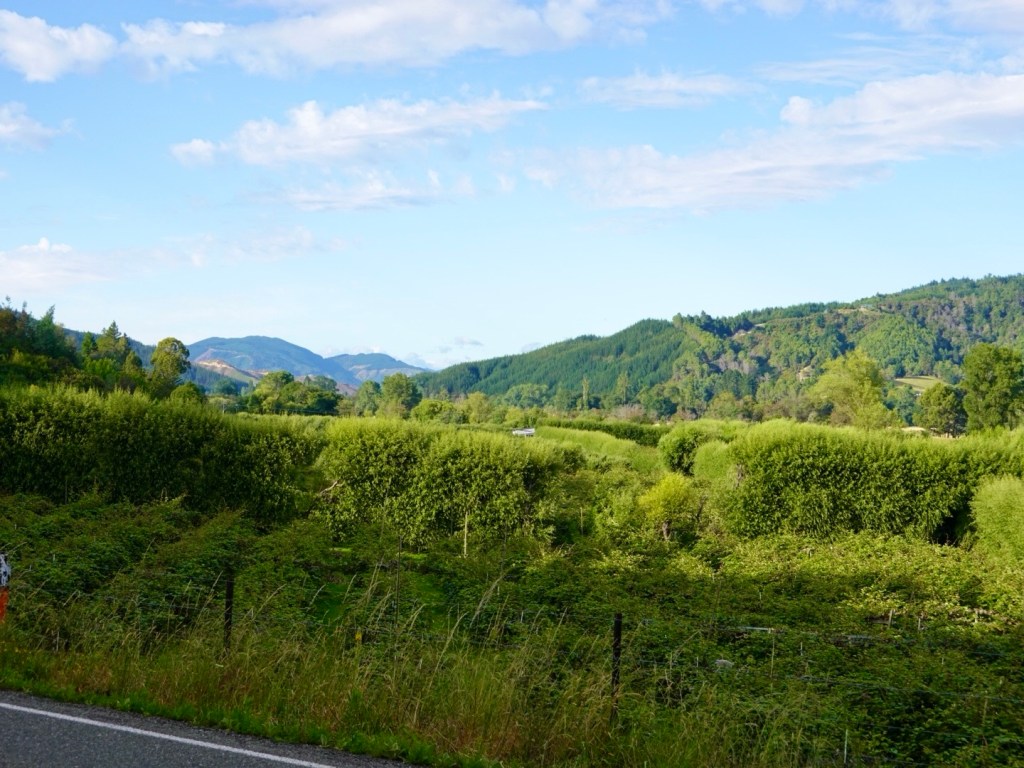
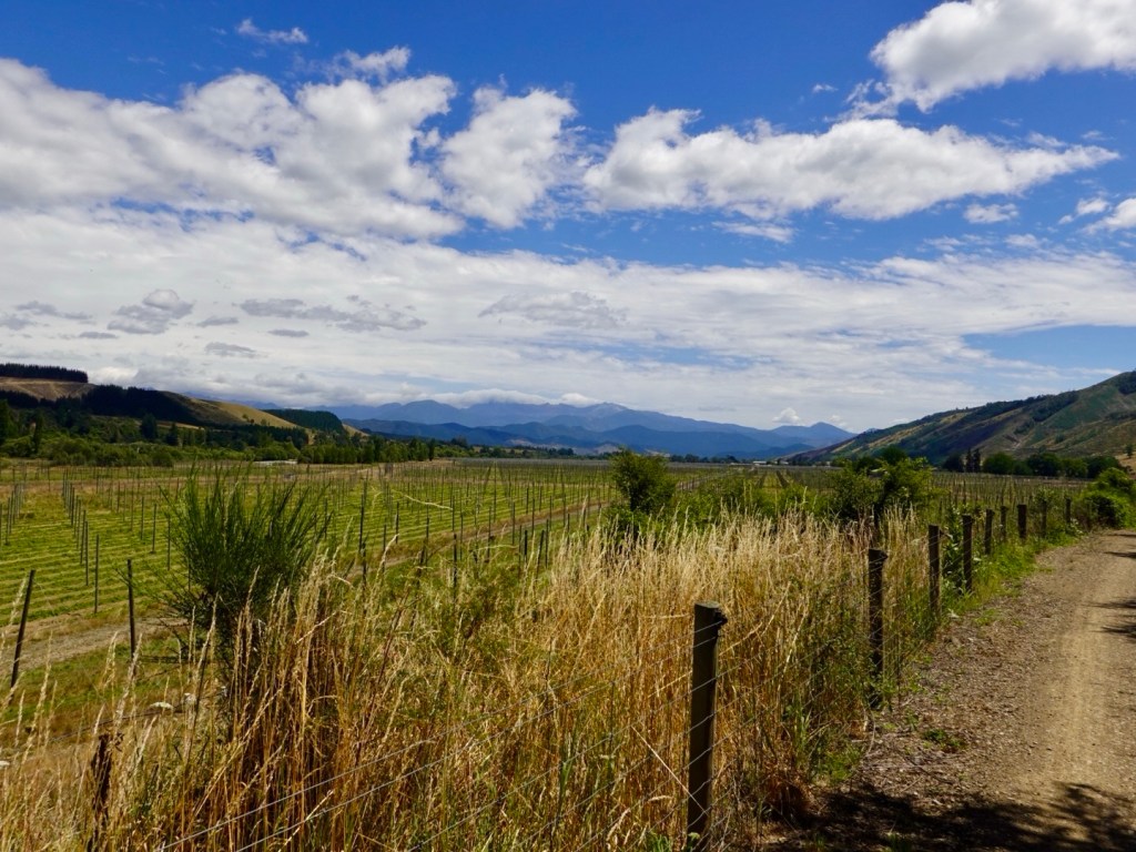
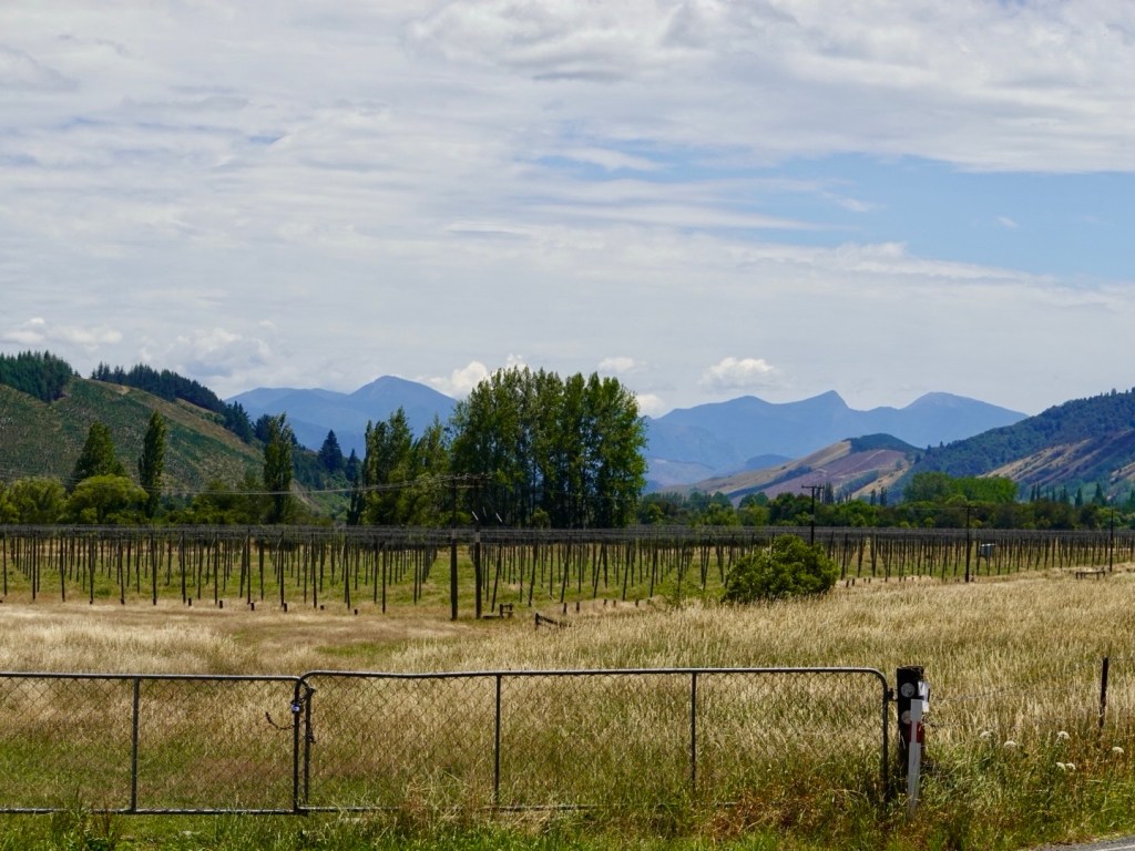
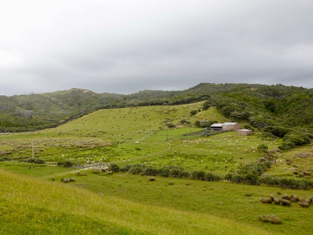
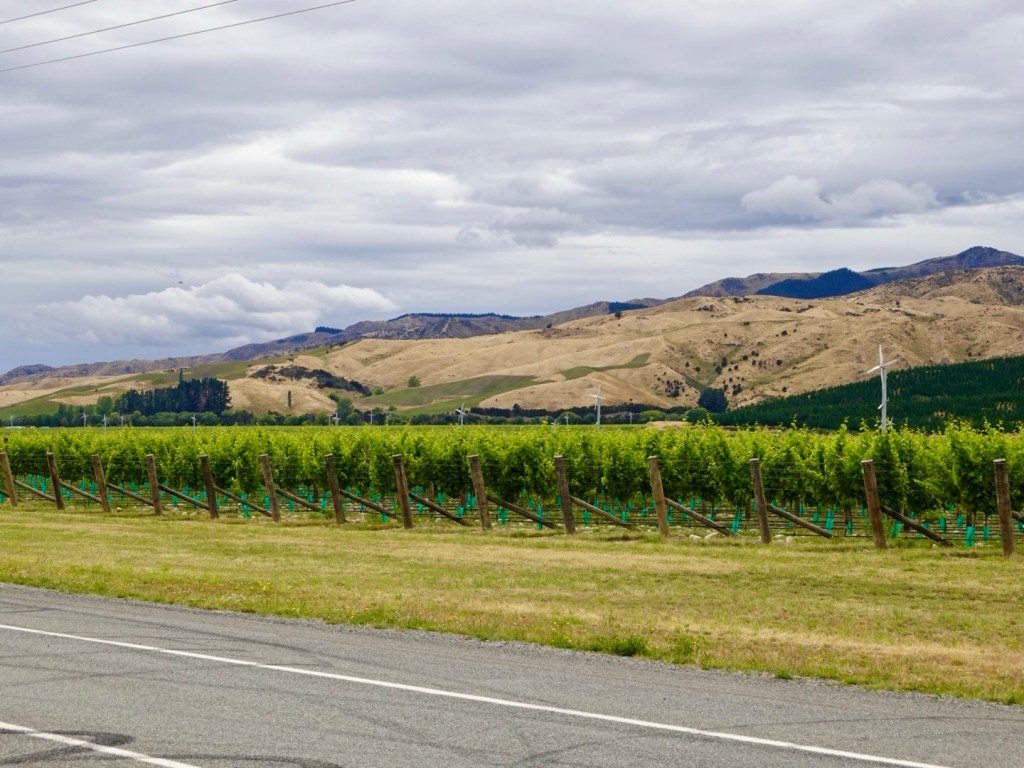
The valley is also famous for wine growing. 30 km or so, both sides of the road, were dedicated to grapes. the word Wairau in Maori means ‘river garden’ and today could see why. Fertile soils, multitude of labels and vineyards to visit.

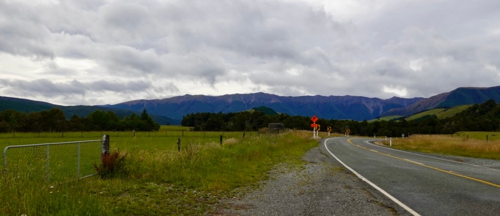
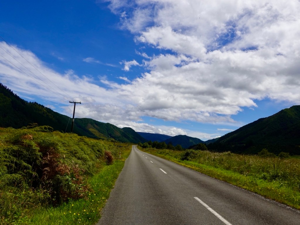
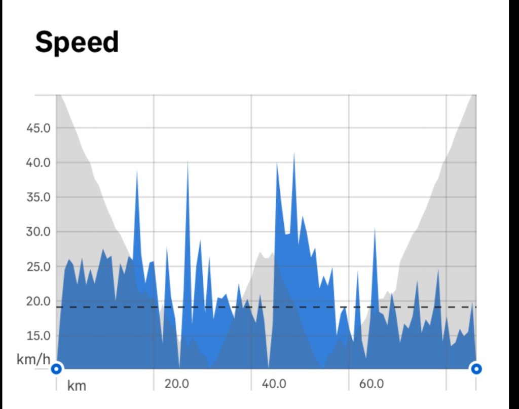
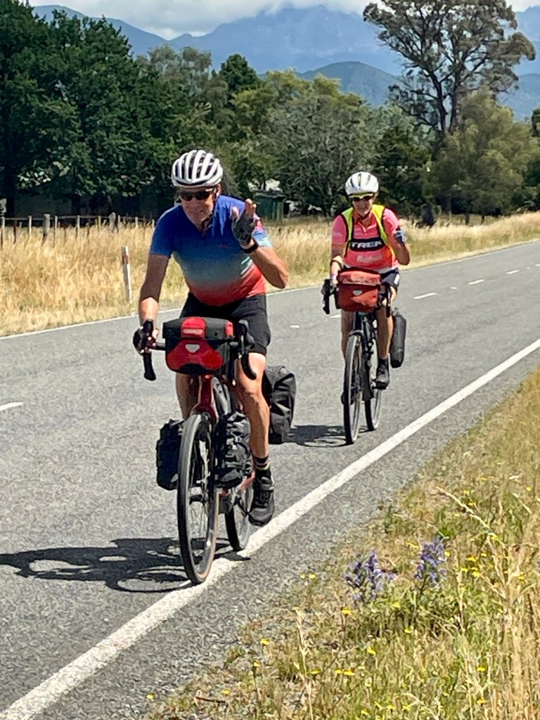
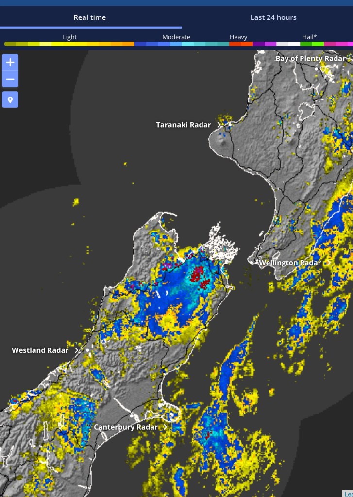
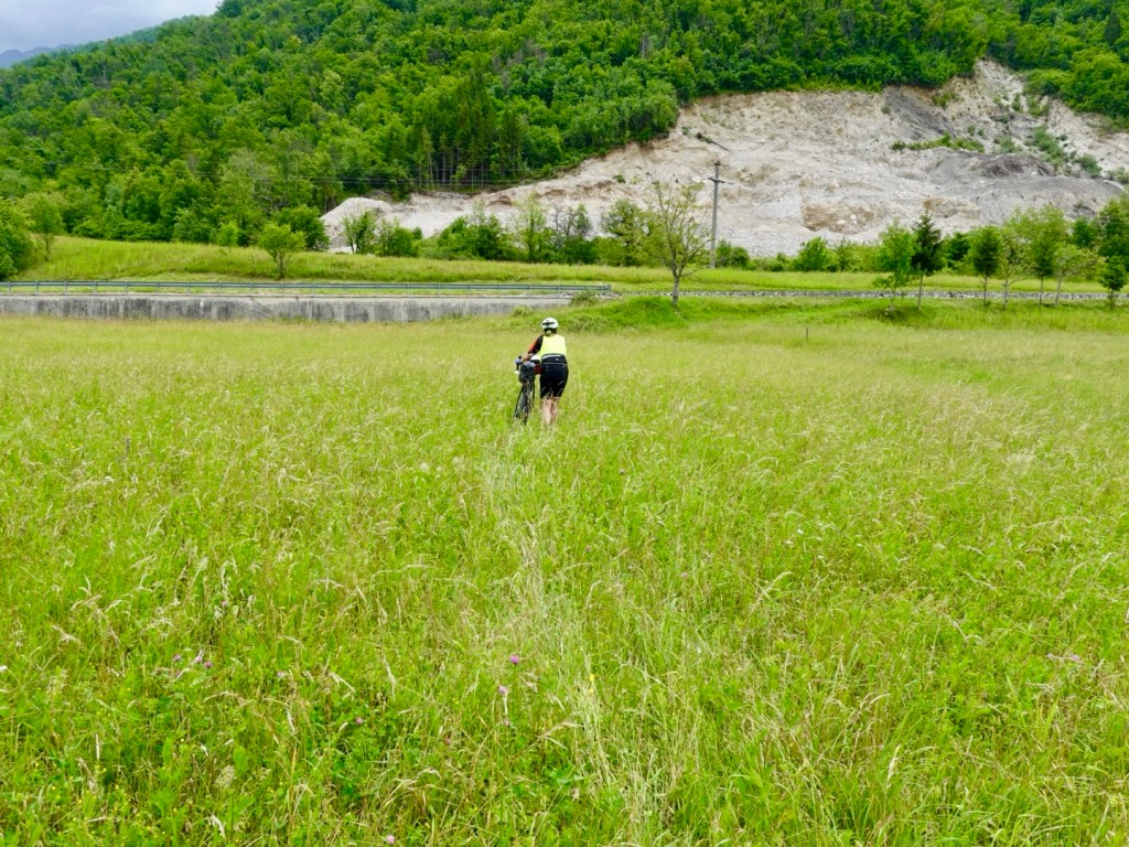
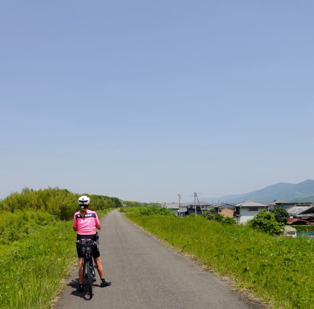
The road was incredibly long and straight. The last 50 km was headwind.

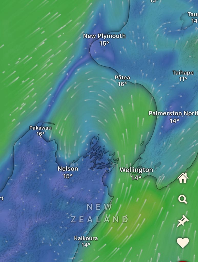
Look at the wind map. Seems common. The wind comes up the east side of South Island, swings west, then south across Nelson and bang into our faces riding.
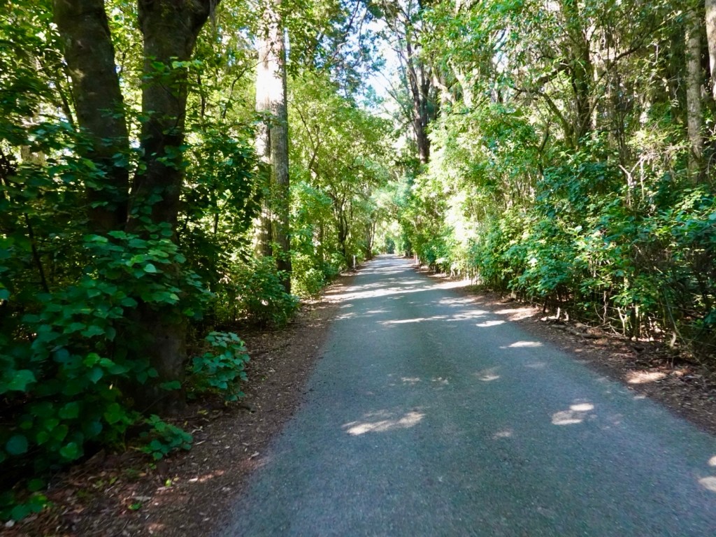
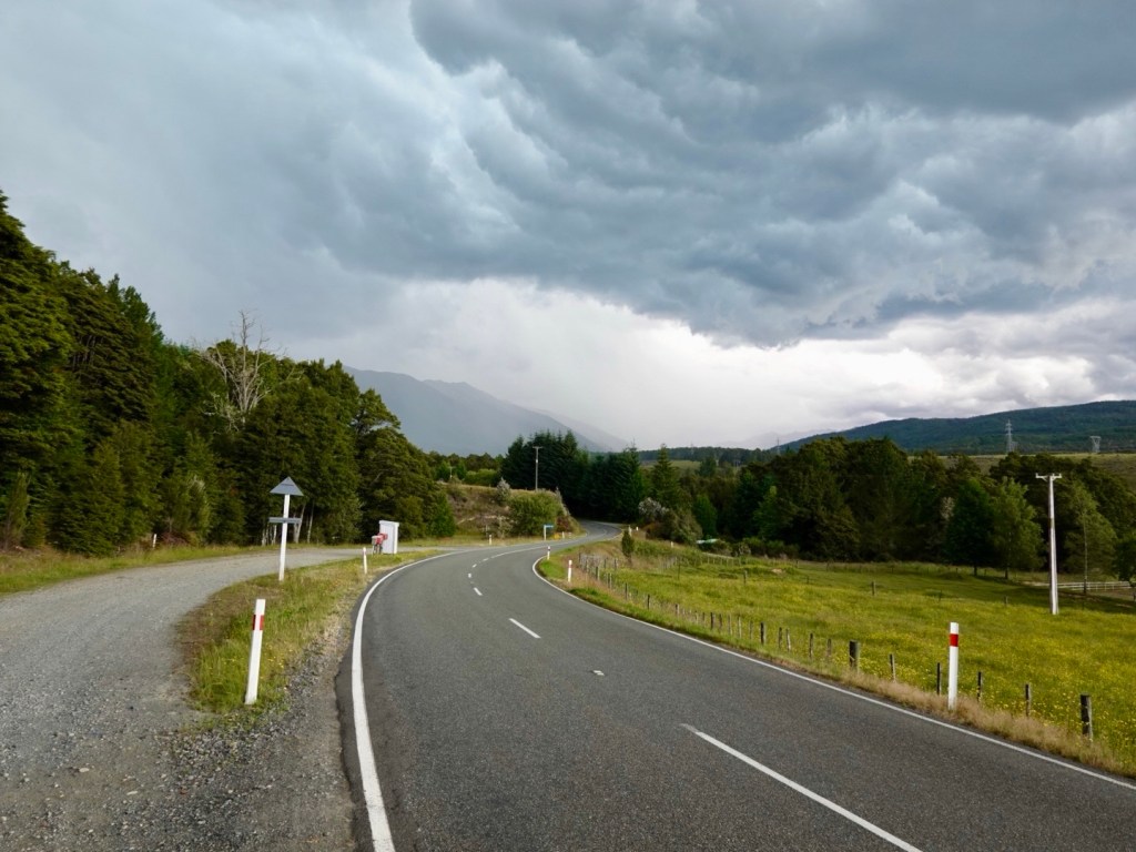
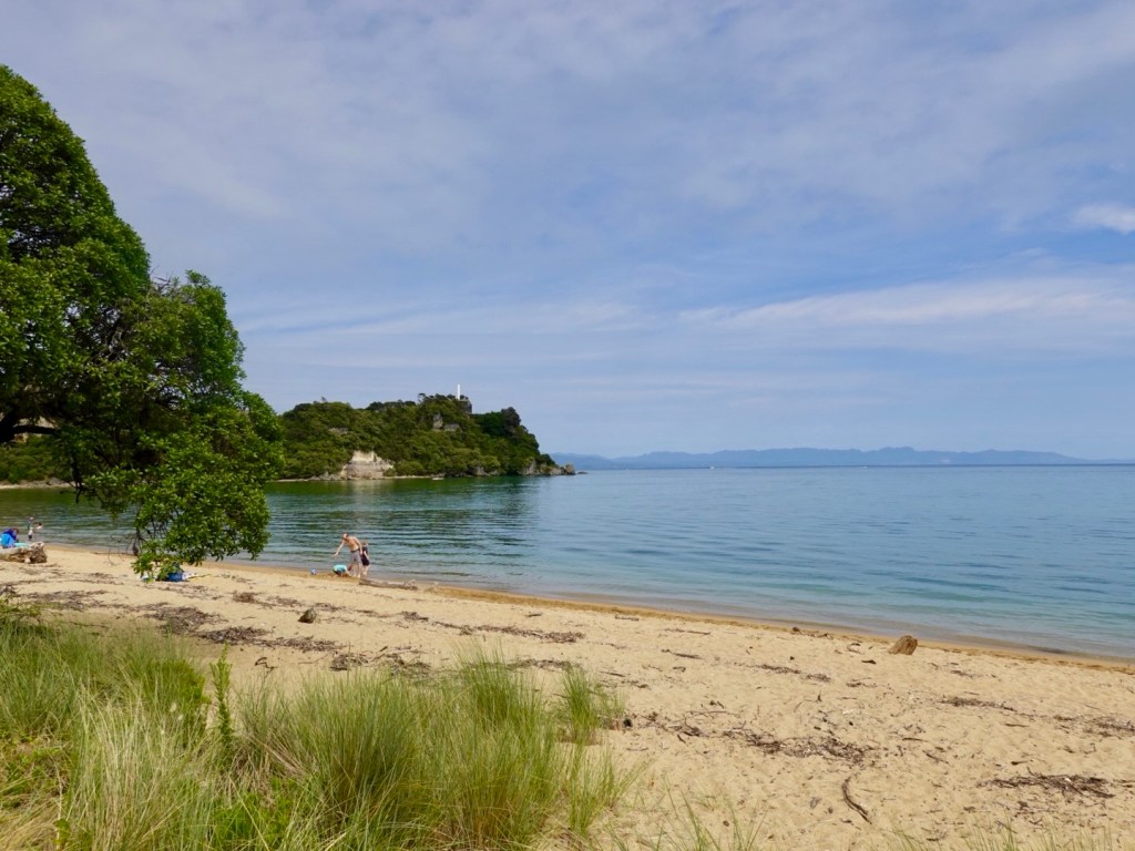
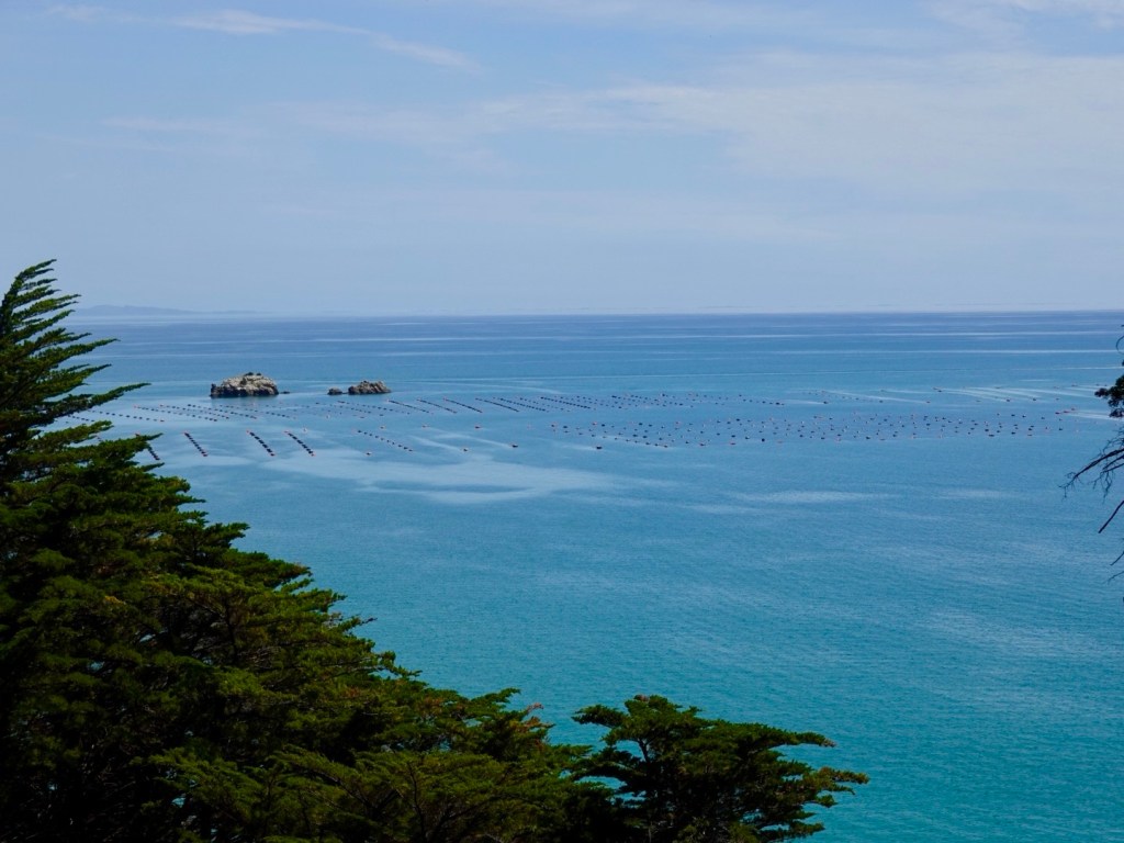
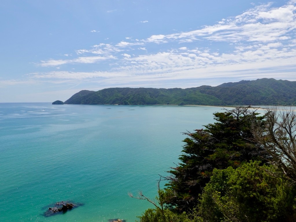
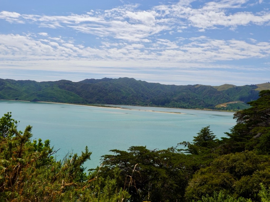
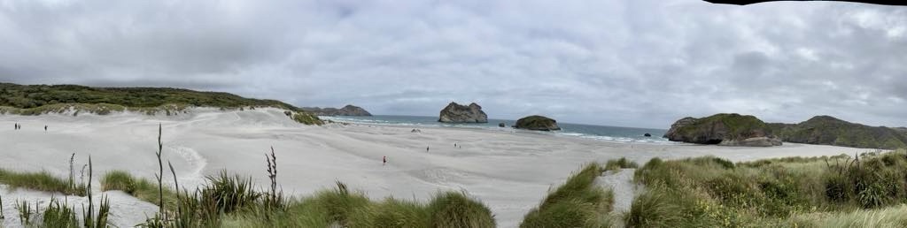
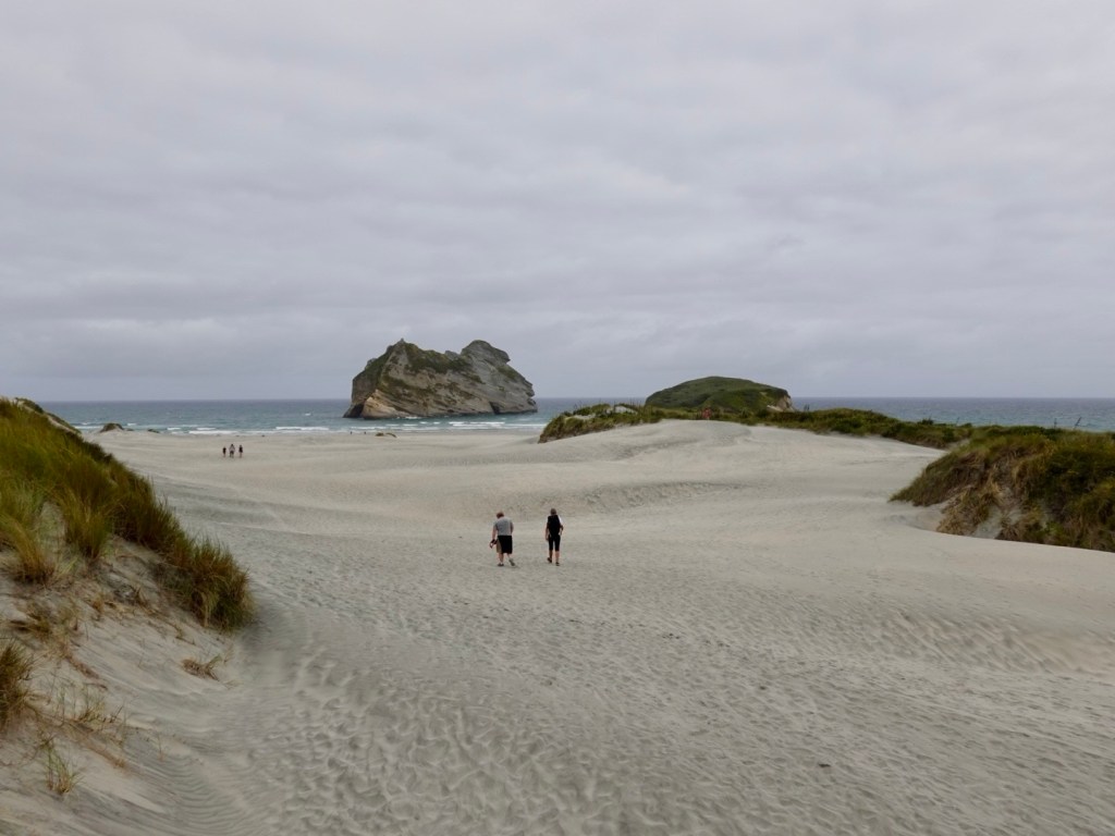
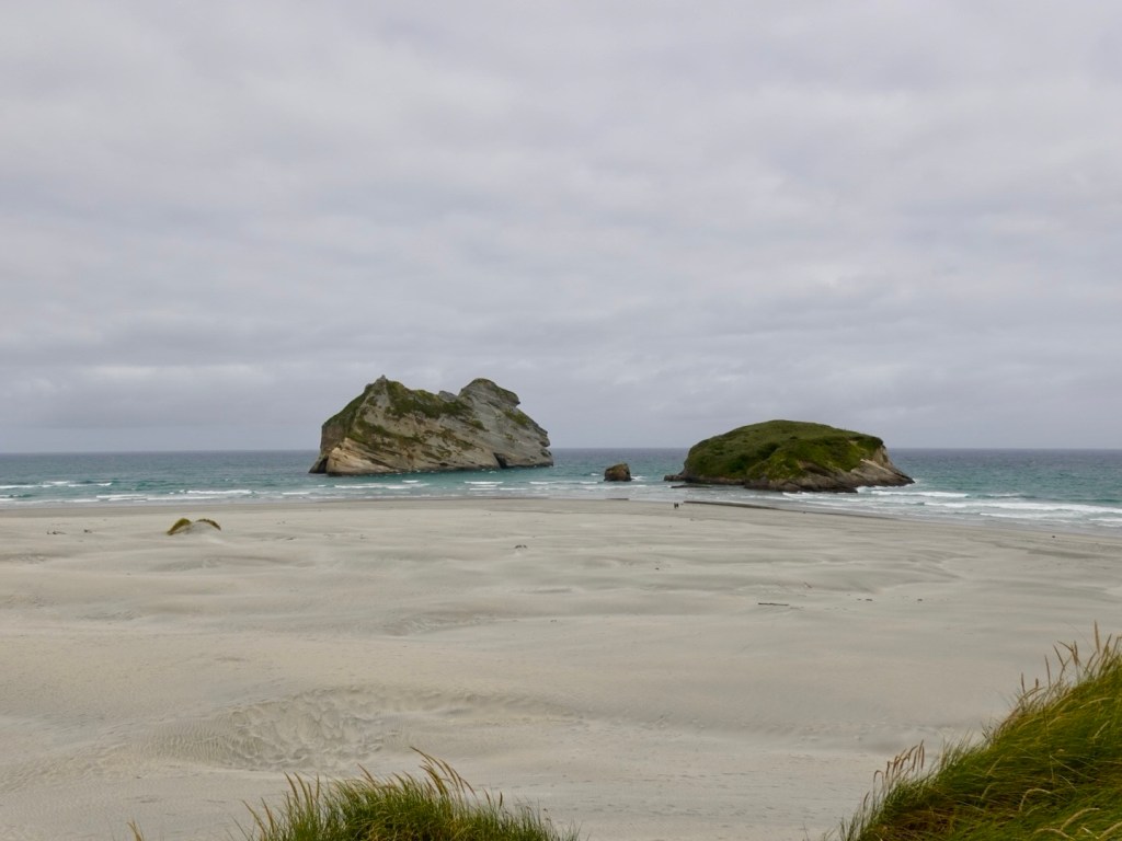
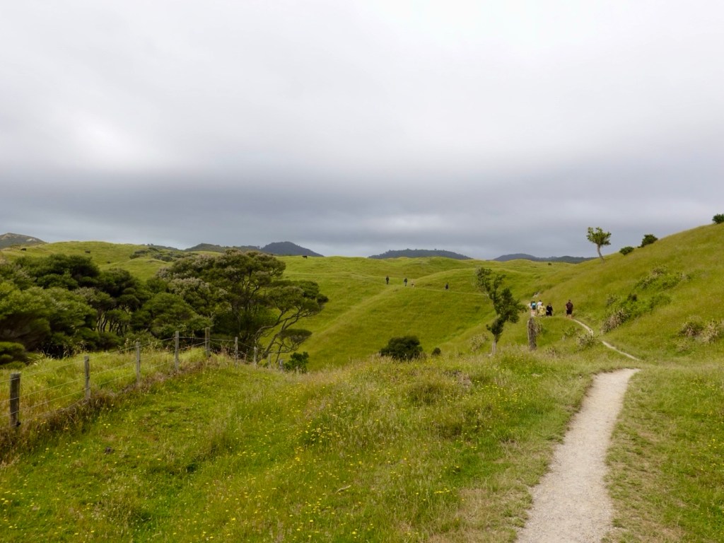
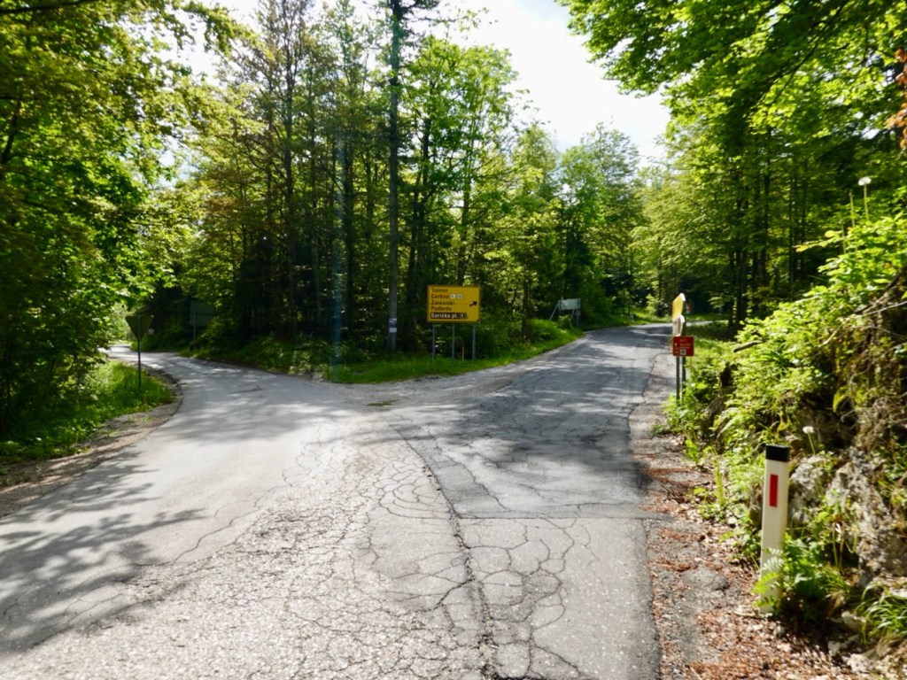
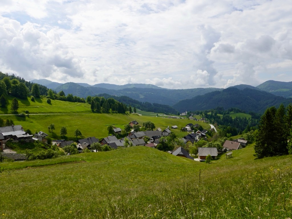
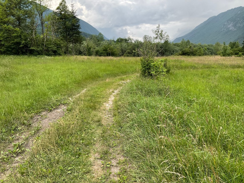
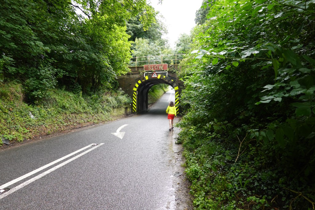
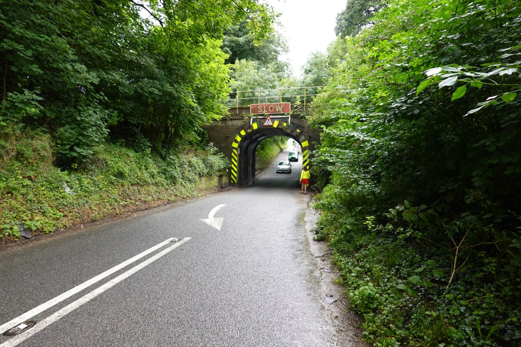
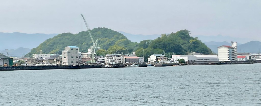
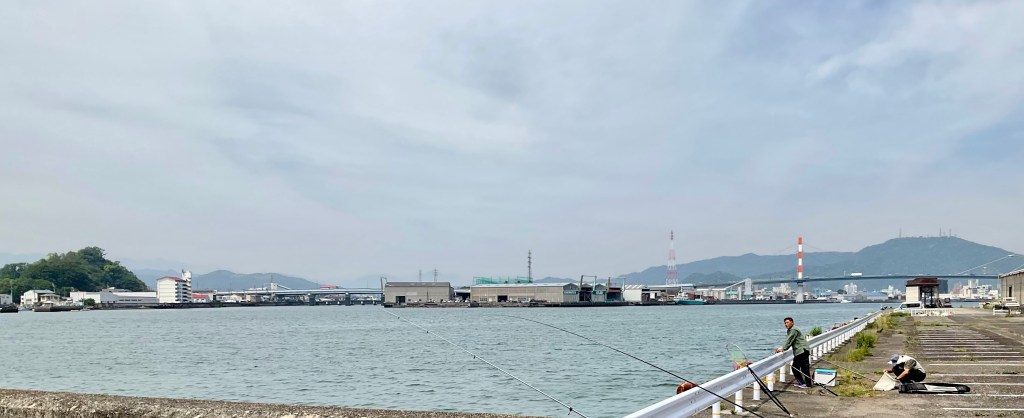
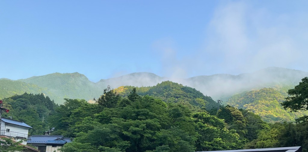
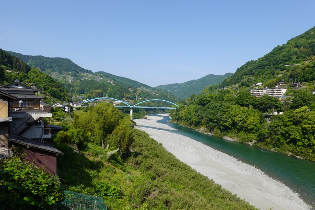
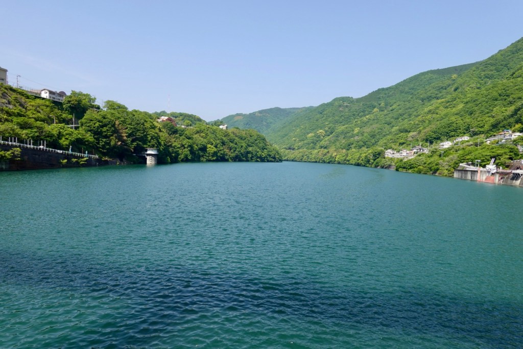
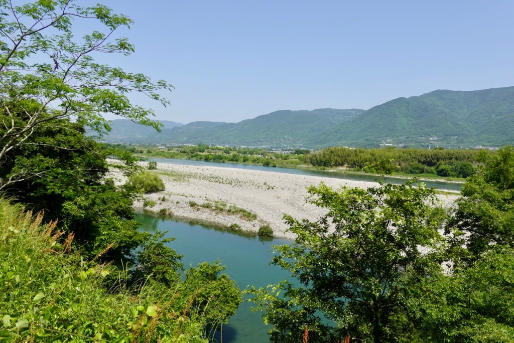
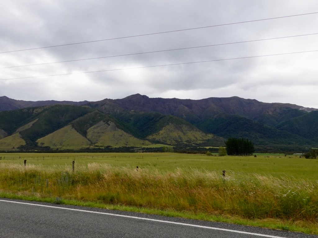
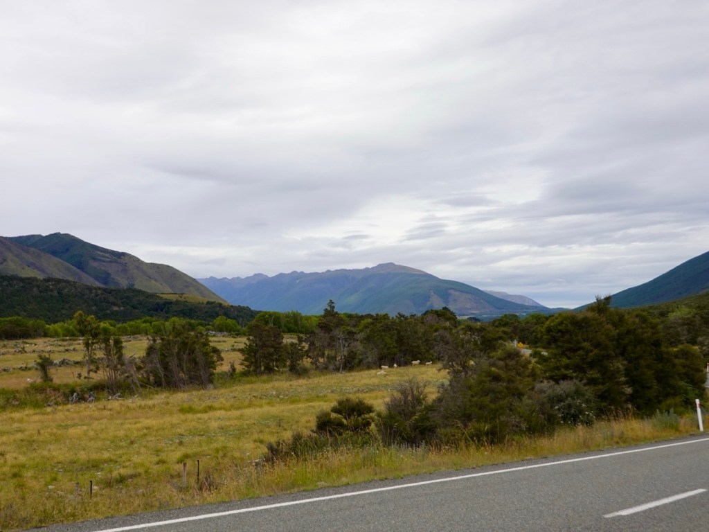
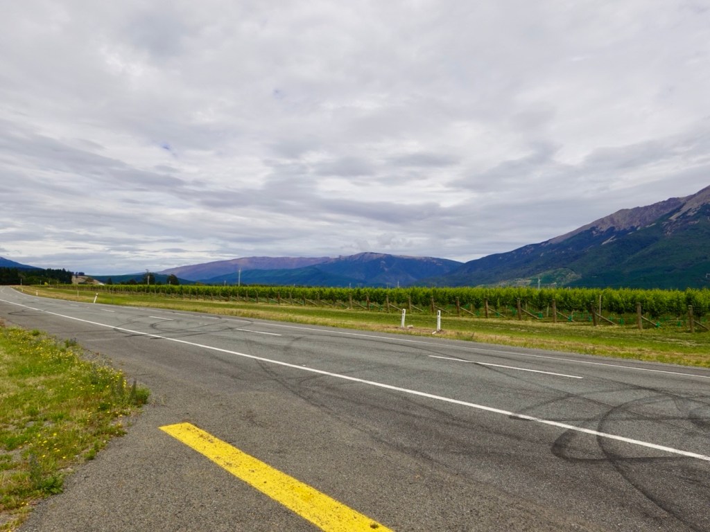
More views!

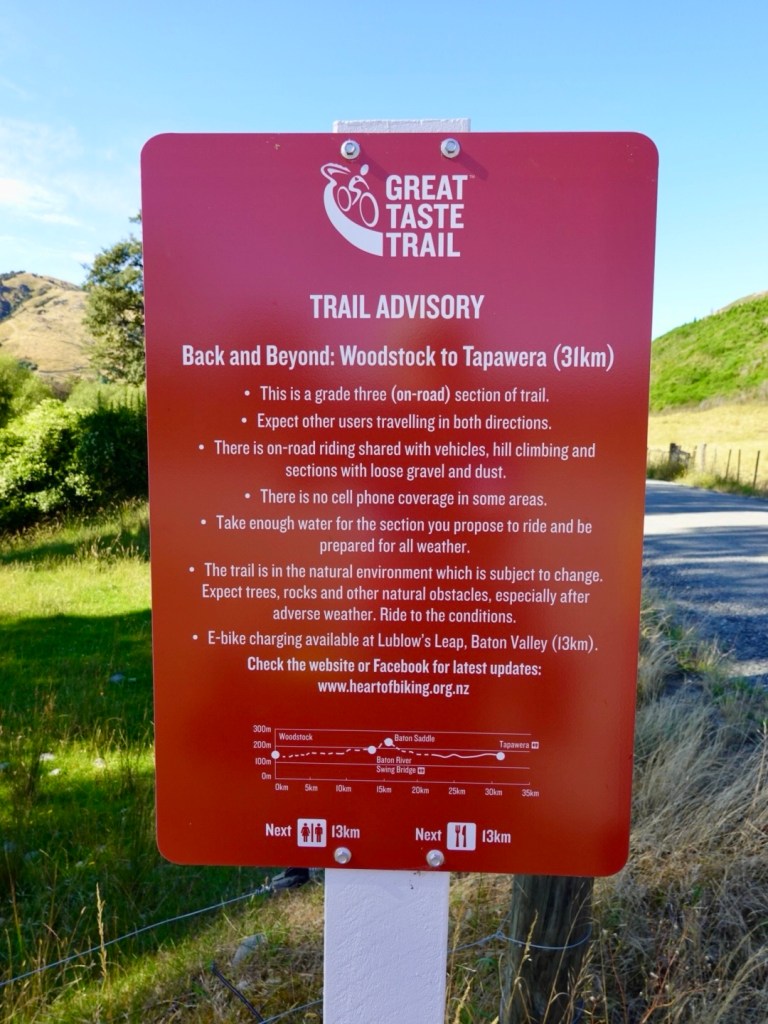
There were no places we could stop to grab a drink or food today for 90 km. It is a public holiday today here, but even on a business day, it would be necessary to be self sufficient for the ride.

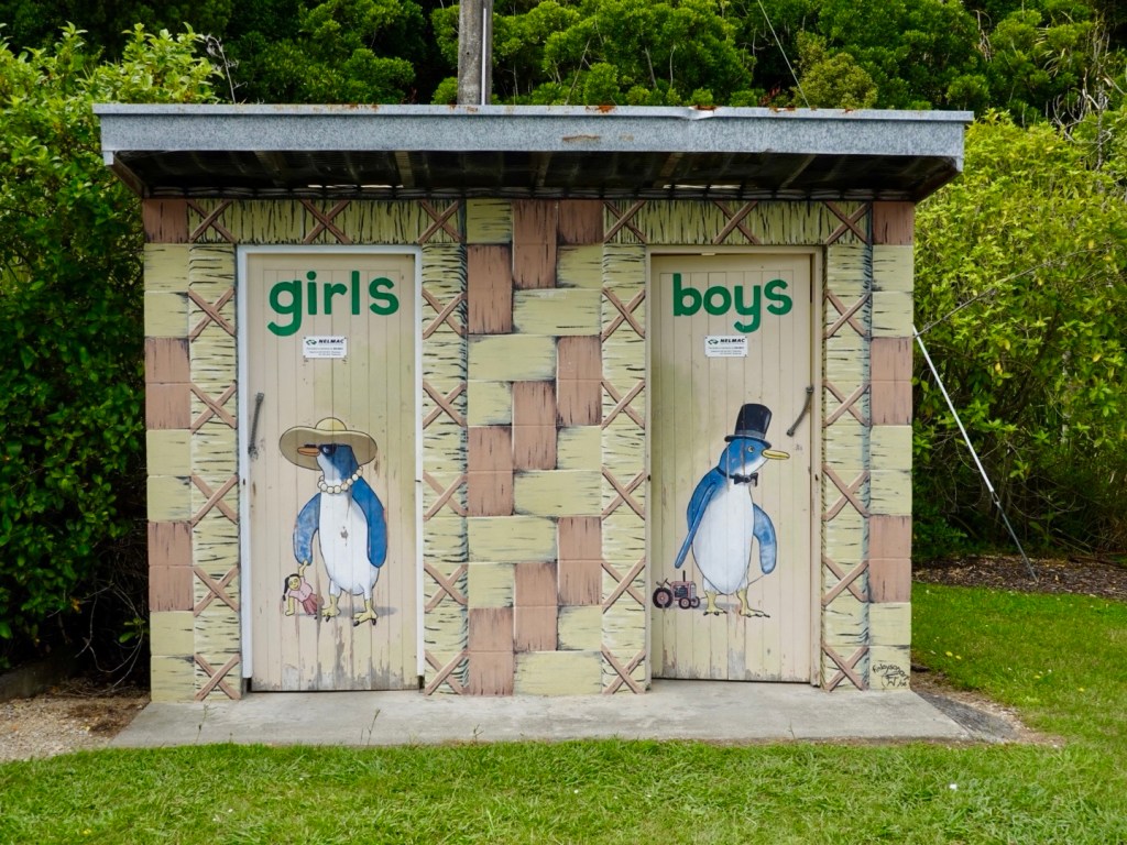
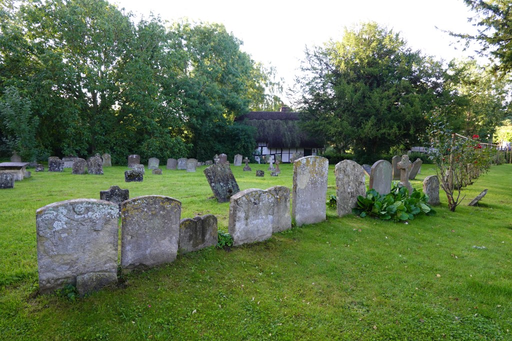
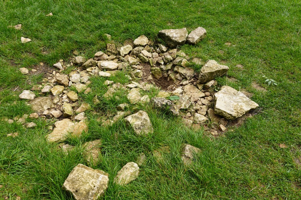
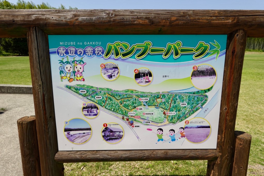
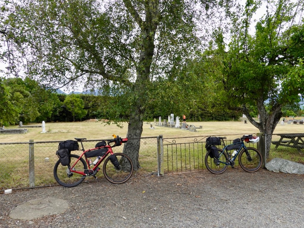
We stopped here at a small cemetery as there were toilets.

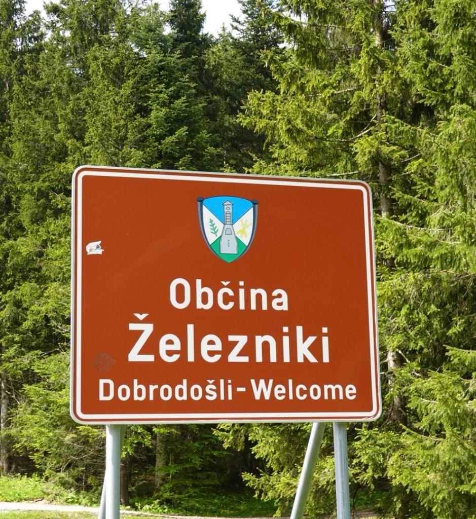
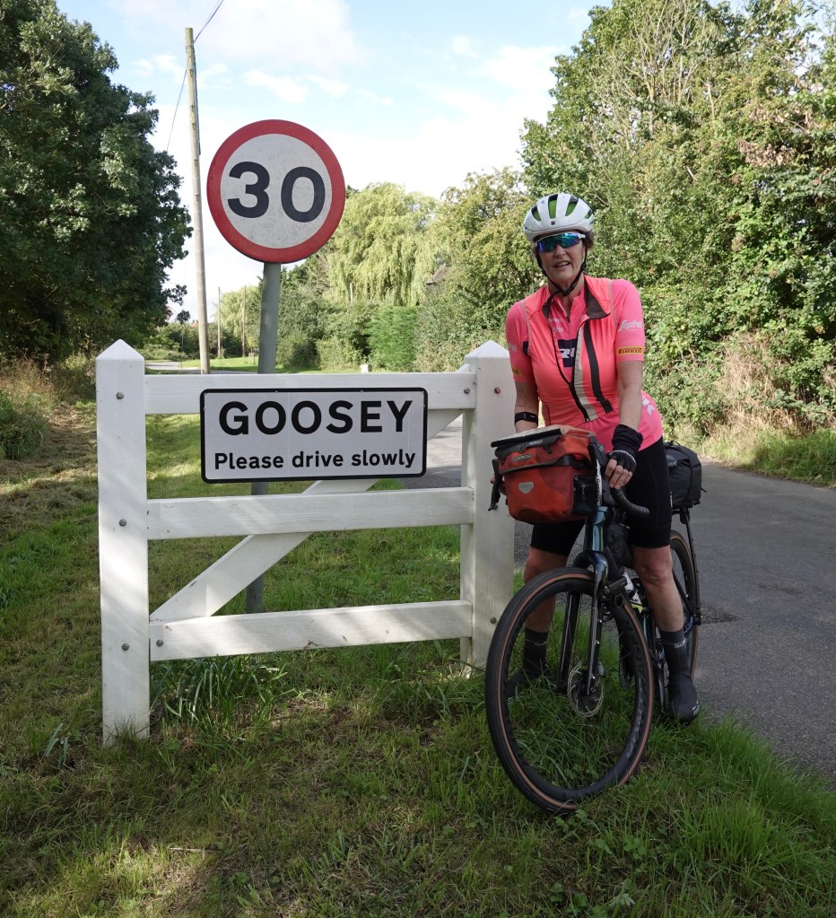
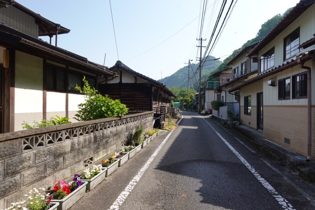
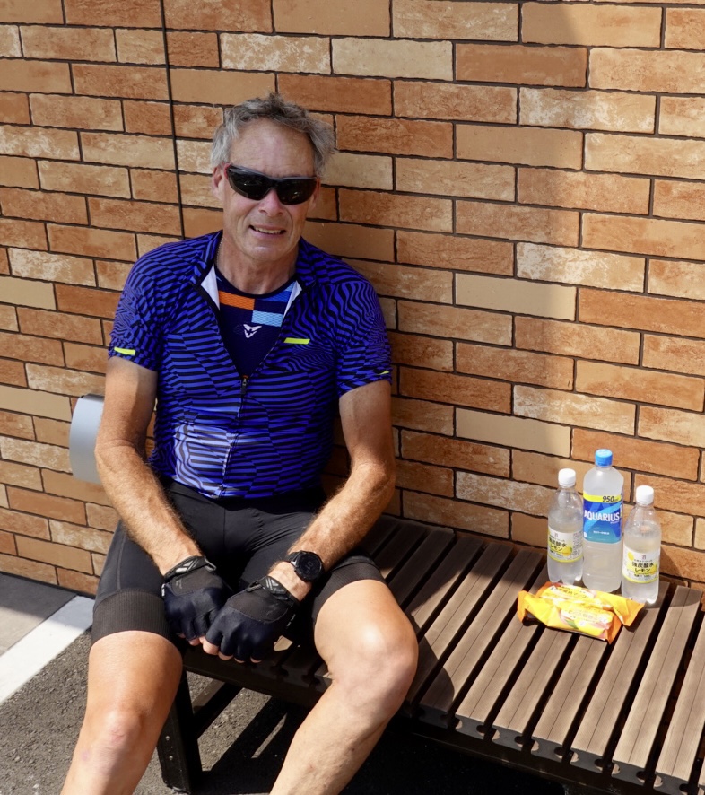
Our route took us through Renwick with only 13 km remaining. It had started to sprinkle rain. We found a supermarket open and grabbed a banana and roll and put the two together!

Rain jackets on it got heavier as we approached Blenheim, some two hours before we could check in to an Airbnb home.

We took shelter in a covered bus stop. By chance, our Airbnb just wrote to us confirming 4 pm. I let her know we were in town sheltering and she said we could check in at 3 pm. We were super grateful ❣️

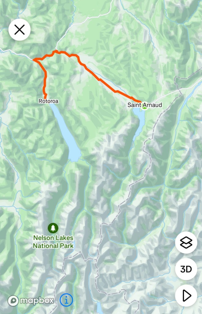
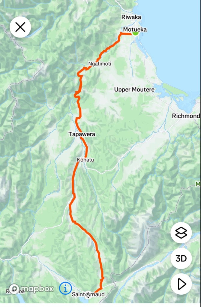
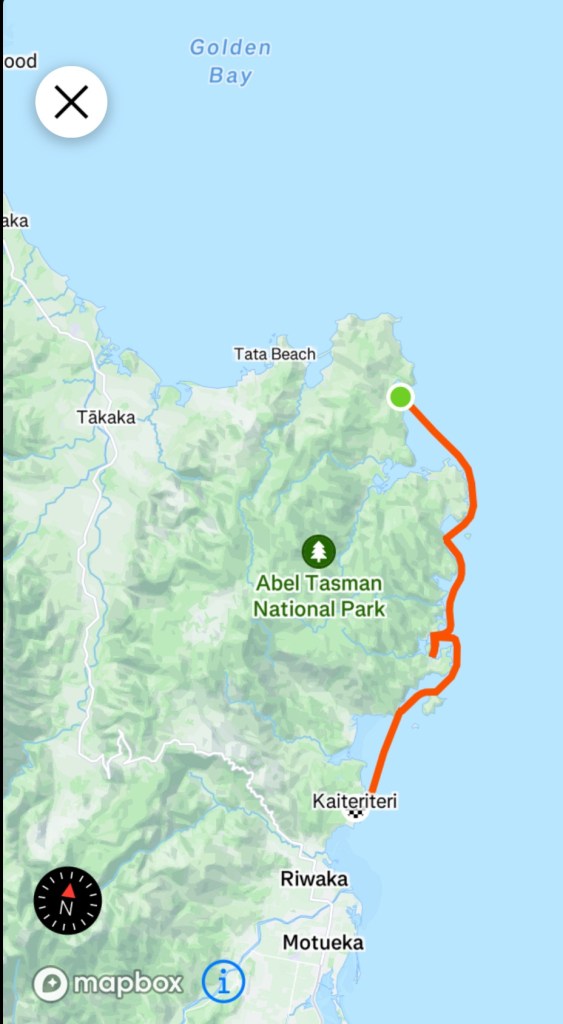
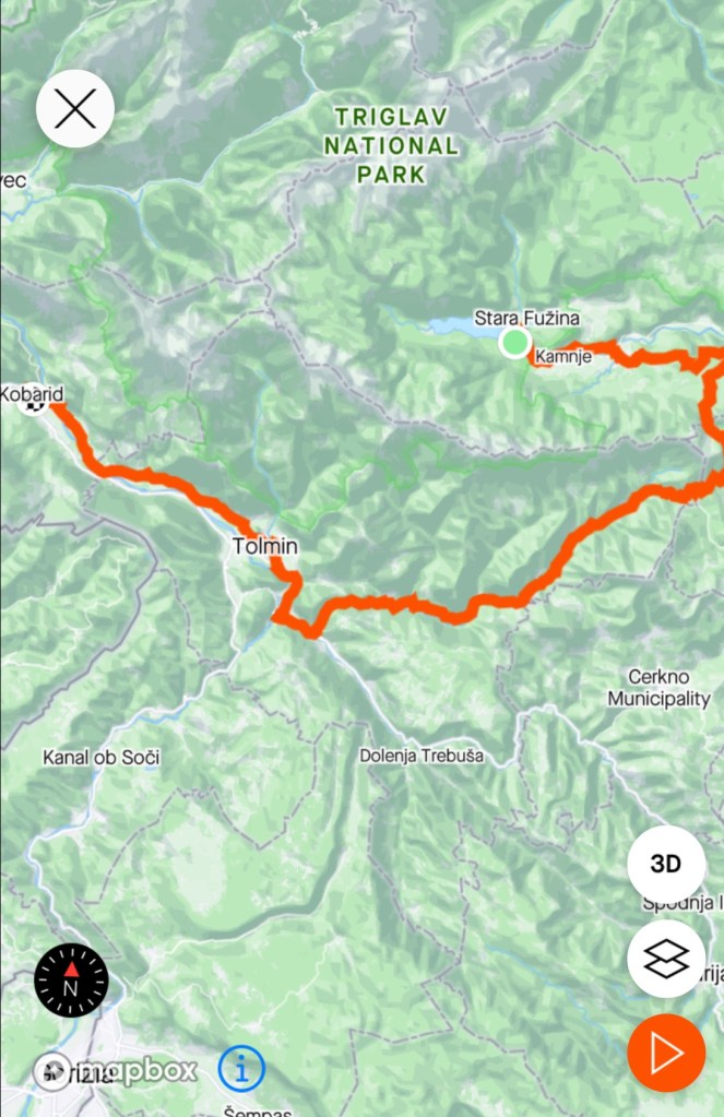
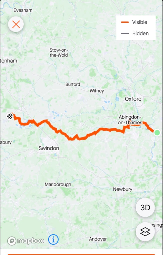
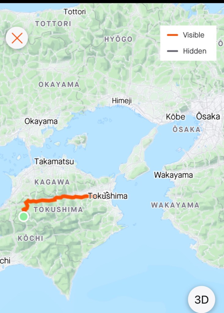
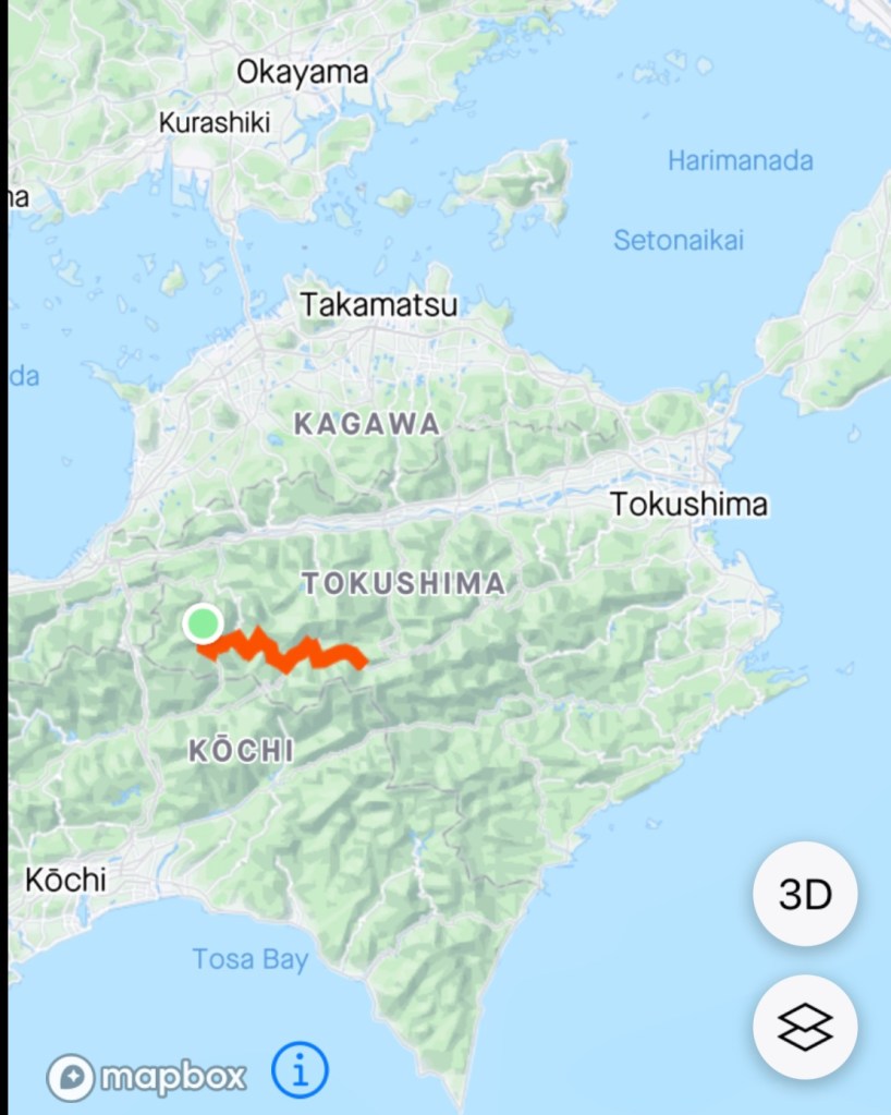
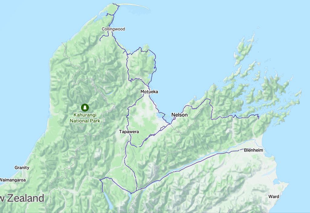
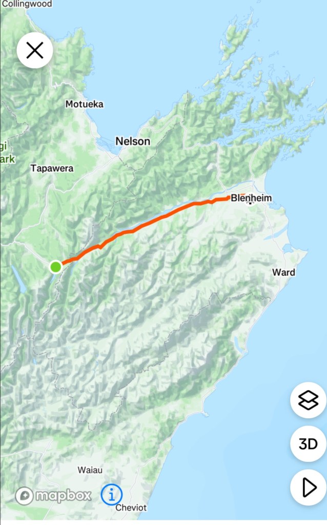
So here we are. Last full day of riding completed. here is our riding route to date. The blue lines are from our comp,eyed riding data. We will join that line from Blenheim to Picton tomorrow.

Todays route

Thanks for reading….two half days if riding remain.

😊❣️🚴

Day 10: Nelson Lakes National Park

Today we were set to explore a section of the Nelson Lakes National Park, home to the beginning of the Southern Alps.

Our base is the town of St Arnaud that we arrived in last night.

Looking around at the other guests at our accomodation, many are here to do walks, mountain biking and boating.

Unlike Tasmanian National Parks, we have been able to access the parks here free of charge.

Two alpine lakes, Rotoroa and Rotoiti form the heart of this 102,000 hectares park.

Both lakes are surrounded by steep mountains, and surrounded at shore level by honeydew beech forests.

We had a great breakfast and set off.

Here is today’s route. essentially only three roads were ridden on.

St Arnaud-Kawatiri Highway, turning into the Kawatiri-Murchison Highway, then turning left onto Gowan Valley Road. Hard to get lost today.

The roads were all good quality but the middle 6 km (each way) section on the Kawatiri-Murchison Highway was busy, narrow, little to no verge. The other two roads were quiet and far more enjoyable.

Essentially riding three valleys today

The gradient replicated the three roads. The down is the first two roads, then the up to the lake and opposite to return. Whilst it looks steep it wasn’t. The average gradient climbing was mostly 2-3%.

We had a headwind on the first downhill hoping it would not change direction for our return journey. Of course, it did and we did the climb home into a growing intensity headwind.

Our graph a mirror image being an out and back route.

Weather wise, it started overcast with a small probability of rain.

We left well rugged up. I pulled out my long sleeve thermal base to wear, then my cycling jersey, then my wind gilet, then my Assos wind jacket, then my Assos visibility vest. Legs were bare but they do all the work. I had leggings on the bike I could put on if need be.

Layering is what gets you through inclement weather…taking layers on and off, having somewhere to store them too as you ride.

By the time we returned I was down to my more usual kit with the thermal and jacket both off and stored away.

Looking back towards St Arnauds
Looking forward
Looking ahead
We crossed many nice rivers. This is the Buller River.

Reaching the junction of our second road, the Kawatiri-Murchison Highway there is a pleasant roadside stop, toilets, historical information.

The Great Taste rail trail that has featured heavily earlier in our trip used to connect with the former station here.

Turning towards Lake Rotoroa we see the mountains again forming the St Arnaud Ranges.

Finally after 43 km we arrived at the lake. Superbly majestic.

This is looking towards the St Arnaud Ranges
Popular with boaters

A family were preparing to launch their boat.

We had planned to spend time sitting by the lake. Little black biting insects had other plans and we stood there slapping our legs silly.

New takeaway? Find a small insect repellant to add to the first aid kit I carry. Preferably flat sachets!

As we ate some food, slapped our legs like a crazy Finland Fish Song Dancer we read about Peter Johanson, a Swedish immigrant and early pioneer of the area.

This is the remnant of one of his hand cut canoes.

An interesting story. Click the photo to enlarge the writing.

Heading out from the lake we crossed this bridge where the Gowan River flows into the lake.

The road out was still quiet. Mostly the traffic was heading towards the lake.

The Gowan River flows adjacent to the road.

An interesting scar. Forestry to the left, native to the right. Very steep banks with evidence of little soil to replant the pines.

I have read before that it was a Tasmanian who introduced possums to New Zealand. Whilst regarded as a pest, there are others who make products from their fur.

Living in Possum Lane, Turners Beach, we have two types of possum (brush tail and ringtail) that visit (as seen on our security cameras at night and evidenced by Khaleesi carrying on when they walk along the fence).

The only time they have annoyed us, or should I say me, is when one destroyed my zucchini’s last year. I was unimpressed.

Quirky and someone with a sense of humour set this up in a paddock.

Heading back along that final road was the steady climb and the most annoying wind direction had swung around to be a headwind with increased gusty intensity.

It is a cyclists curse when that happens as you hope you will benefit one way at least. Not today….again!!

We made slow you going of the last 20 km. At times the wind was so strong I could not even do 12 kmh.

Here is our speed graph for the ride. you can see how the speed dropped from just before 60 km. That is the wind factor.

We had great views looking back towards St Arnaud’s. This is a great road for cycling, despite the wind. cars were considerate and the road was quite wide.

Buller River
Getting closer

After 85 km and 734 m climbing we were back at our accomodation

After dinner we went on a 3 km walk down the road to Lake Rotoiti.

A local resident had this natural weather indicator in their front yard. Click the photo to enlarge the writing.

No dogs, not even in your car!

Lovely views along the lake. It was quite windy and cool down by the lake, nevertheless there were a group of kids swimming as their well rugged up parents watched.

Views around the lake.

Various watercraft hidden under bushes around the lake

It’s been great visiting the alpine lakes and seeing the northern mountains of the Southern Alps. Quite the contrast after our predominantly sea view trip.

Tomorrow is a new year, 2025.

We’ve had a great 2024 with our cycling adventures, visiting Italy, Switzerland, Slovenia, San Marino, New Zealand completing over 4,000 km outside of Australia.

My strava data tells me I did over 21,000 km in total for the year.

Whilst that sounds pretty ok, a lot of that is on Zwift, an easier way of amassing training km than outdoors as there are no weather elements and cars to contend with and the cycling speeds are higher, draft benefits are strong. It keeps me fit though for what we do touring wise.

I want to pay homage to our friend Kat Secteur in the Czech Republic.

Kat has done over 55,000 km for the year and it is all outside. 100%. She does not have a trainer. What’s more, the weather whilst she rides now is winter, so lots of snow and her ride a few days ago was minus 1c.

Well done Kat. I had the pleasure of doing a day ride with Kat back in 2018 of about 235 km. We rode out towards the border of Czech Republic, Poland and Germany. That is my biggest outside ride and it was with a wonderful group.

Well done Kat, inspiring women globally.

Happy New Year readers. Thankyou for your continued support and may 2025 be happy and healthy. 😊❣️

Day 9: Motueka to St Arnaud

Today was an interesting day on the bike. Challenges to meet as we rode 112 km, climbed 1081 metres, heading from the Golden Bay coast to the mountains around St Arnaud.

We started off with a light breakfast at our accomodation, keen to start cycling as the weather forecast clearly showed rain was due in St Arnaud early to mid afternoon.

We were to climb most of the day as can be seen from our graph. Within that climbing, there were nine registered climbs on our Hammerhead computer. The hardest climb was that little one you can see around the 50 km mark. Seriously tested us. We had a headwind nearly all day.

Leaving Motueka we headed out along the Motueka Valley Highway, following the Motueka river. The day was crisp with only a few clouds, sun was beaming.

Motueka River
Motueka River

The plan was to follow as much of the Great Taste Trail as possible, in dry weather. The trail is predominantly gravel, of varying widths and quality. We had completed the section from Nelson to Kohatu the previous week.

Good signage

We liked this sign. The bridge ahead was in better condition than the sign indicated with beautiful views as we crossed.

Quirky art

The trail incorporates numerous suspension bridges. This one is quite narrow and had a lot of swing! Neither of us had gotten off our bike, but straddled over as we walked across. That is not recommended. Get off and push it!

Our method resulted in greater swing! I ended up waiting for Tony to get to the other side as it was always swinging contrary to my leg movements.

We demonstrated how not to cross a swing bridge today.
Great views though!

The trail does follow roads at times, and this section was quiet as it went through dense vegetation providing a nice canopy from the now warm sun.

This was the start of a 31 km gravel section. At this point we could have turned left to follow the Highway and saved 14 km overall. However, we had decided to follow the trail despite the weather we knew was coming.

3 km along that road we turned back to this same spot. The road was not in good condition. It was heavily corrugated, loose, dusty and it was shaking the teeth out of our mouth, rattling our brains and reminding me I should have peed earlier!

We felt we had nothing to gain of possibly 31 km of these conditions at the very slow speeds we were doing.

This road is best tackled with an mtb bike with suspension.

Back to the highway and off we went heading to the next town of Tapawera where we needed to find food. The taste trail also looped back to this town so we would be back on our original planned route at that point.

More nice river vistas and interesting sights.

The New Zealand rivers are really nice, very clean looking.
Some historical characters in the paddock.
Land usage varied. Predominantly agricultural including hops, dairy, berries and forestry with other areas still scrubby.

In Tapawera we were surprised to hear a cyclist call out to us. It was Anne, whom we had meet one week before at Spooner’s tunnel and then had lunch with at Kohatu.

Anne had been cycling in the area whilst Greg had a massage for a pesky back. Greg turned up and we all sat down and chatted as Tony and I had some food, Anne sharing some lovely blueberries she had purchased close by.

It amazes me these random catch ups…if you had tried to plan this, we could not have achieved a better timing result. I had only been thinking about them as we arrived in town as the cafe we met at was only a further 8 km away.

The selfie with Greg and Anne

As they drove past us, Anne snapped a few more photos and sent them to us. Rare for us to have a photo of both of us riding together.

Lovely backdrop here
Waving in unison.

We headed back onto the Taste trail and rode up through the Maniaroa cutting. This part of the trail is an old rail trail.

The clouds are starting to build. We are heading to the mountains.

We stopped to look at these three sculptures, promoting a private adjacent sculpture park. Looks like lollipops on sticks.

The great scenery continues, and we were cloud watching too.
Back at the cafe we’d lunched at the previous week we purchased more drink for our ride.

The next section was on state highway and not very pleasant. The traffic was super heavy and that headwind that had been omnipresent all day was strengthening.

After 15 km or so, we were pleased to deviate onto a quieter road, little traffic, just the headwind.

It was warm, and given we were climbing all day and into a headwind, we were consuming more fluid than usual. We were running low again, and Tony headed off to this stream hoping the water would be ok to drink.

Whilst he was under the bridge, the farmer drove out, and I did ask him if the water was drinkable, and he told us we’d be fine.

With 20 km to go, we had six registered climbs to complete, with two around three km in length. They were all on a busier connector road.

The further we went, we could see that down to our right, the weather was closing in,and we knew we were highly unlikely to not get wet.

It has started raining down towards St Arnaud

With only 9.5 km remaining we stopped to don our wet weather gear and bang the skies opened. The camera stayed firmly tucked away in the dry for the rest of our ride.

We had hail and decent sized hail stones smacking onto our face with the headwind. We took cover under a forest of trees as the thunder boomed.

Each boom of thunder seemed to shake more hail from the skies, like it loosened it up. I have never been out in a hail storm before and found that interesting although wishing it would stop!

It eased up just a tad and we really needed to get moving. The temperature had dropped significantly and our legs were starting to get cold. The best way to warm our body was to pedal.

The weather gods had more tricks up their sleeves. They introduced lightning! Thunderbolts and lightning, very very frightening indeed! 🎶

I was counting between the lightning bolts and thunder. One Mississippi, two Mississippi, three….boom!

We kept pedalling. I was thinking of the final two km climb in May climbing Passo Gardena in Italy, where we had a dry thunderstorm (the gods waited until we got to the top before sending down the rain, plus there was no lightning).

20-30 metres separated Tony and I and flash, a lightning bolt in between us! I only got to one missi…and boom the loudest clap of thunder I have ever heard above my head.

I screeched out telling it to ‘go away’ (perhaps said less politely) and we headed to some trees but they provided no shelter in this case so we got back on the road, as we still had one km left in this final climb.

By the time we made the intersection to St Arnaud’s it was just absolutely bucketing down rain. The hail stopped.

Fortunately it was downhill to St Arnaud, little traffic (they were more sensible) and we just concentrated on getting there as safely and quickly as possible.

We are staying in the Alpine Lodge and have our Chinese laundry set up nicely. A warm shower and lovely dinner to end a memorable day on the bike.

Days like this are memorable for the variety and the tenacity required to get through the difficult parts. It was not an easy day with the constant climbing and headwind let alone the hail, thunder, lightning and rain.

There is something very satisfying in achieving this under your own steam successfully and we were on a high.

This is the radar as we arrived in St Arnaud’s. St Arnaud’s is around that bright red blob, South Island.

Thanks for reading and following our adventures vicariously. For those who send us messages via the various means, a huge thanks as your support and encouragement is appreciated. 😊❣️🚴

Today’s route

Day 8: Collingwood to Motueka via Abel Tasman National Park

Another beautiful day and a highlight on this trip visiting the Abel Tasman National Park.

First things first, breakfast back at the Courthouse Cafe, our go to cafe in this area. Ok the pickings are slim, but this cafe is excellent and would shine anywhere.

Goodbye Collingwood as we climbed up and over a few hills heading back towards Motueka.

The views towards the Aorere Valley were clear. This is the valley we cycled to get to Langfords store.

Riding back through Takaka and Motupipi we headed to Pohara and the coastline.

We stopped at these toilets, cutely painted.
Warning to drivers
Pohara

Ligar Bay was next as we followed the coast road.

Beautiful waters
Ride through the gap up and around the Abel Tasman lookout memorial
Looking back, the white beacon is the memorial

This shack is on a slither of land that juts out from the beach on one side and a tidal inlet on the other. Perfectly positioned.

The tidal inlet very popular with boards

Above Tata Beach we climbed sharply. Quite a hard little climb too and it was getting quite warm.

At the top the views were those within the national park.

Looks like a mussel farm? Mussels are certainly popular locally.

Just beautiful
View towards Anatimo
Descending towards Anatimo
Beautifully clear waters

Then the fun began. looking at our climbing graph, that nasty climb to 300 metres was all on gravel, loose and slippery in parts due to no recent rain dampening it down.

I knew this would be a challenge for me in addition to the gravel dust from other users.

I did it. Up and down! In fact, I prefer up to the slippery down. We dud get passed by two blokes on mtb e-bikes and a plethora of cars, some towing boats.

Climbing ….
Distant views, nice vegetation.
Nearly there…

What a place. Totaranui Beach is my new favourite place in New Zealand. It’s magnificent.

You can camp here but there were no caravans as the road is not suitable.

We arrived 2 hours before our ferry shuttle was due so we did enjoy chilling on the beach.

Popular with boats, campers and bushwalkers, the area is serviced by a few water taxi and ferry shuttles. They drop bush walkers off and collect. We saw many walkers leave with their backpacks.

Route taken to Totaranui
Chilling

We booked with Wilson’s and can highly recommend them to cyclists. We needed to remove our rear panniers, pedals front bags. The bikes were strapped to the railings at the front of the boat.

We are a bit ‘precious’ about our bikes but have nothing but compliments for the crew.

The ferry shuttle made about five stops along the coastline picking up a variety of people. We sat with a Dutch couple who had spent 4 hours walking a particular trail and were heading back to their hire car in Kaiteriteri.

There was commentary provided by the crew about the local history including granite mining, forestry, maritime reserve efforts and fur seal colonies.

Lots of wonderful looking beaches and rugged coastline. The only way in is by boat or walking.

Kayaking popular along the coast

The route our ferry took.

Once in Kaiteriteri the ferry beached itself and off we all piled.

We put our luggage and pedals back on and high tailed it to Motueka climbing and winding out way out and eventually dropping back into the Great Taste Trail.

We are in Motueka overnight and enjoyed a nice meal at the Sprig and Fern, having given up on the Motueka Hotel when after one hour they’d not started cooking our dinner, and we were one of the early orders.

Totaranui is a definite highlight, plus the effort taken to actually get there!

Getting ready for another day, thanks for reading 😊❣️🚴

Day 7: Cape Farewell reconnaissance

Cape Farewell the most northerly point on the South Island mapped by Abel Tasman and named by Captain Cook. It’s Maori history is a lot older and if more significance.

Today the area houses an eco sanctuary enclosed by a predator proof fence.

Today we were heading back up towards the Cape and the Spit to explore more.

Unlike yesterday it was very overcast with low cloud.

Humans can be scary as we had found out the previous day.

It was back onto gravel roads at Port Puponga, heading in a generally westerly direction. The signpost indicated it was 6 km to a camp ground that also had a coffee shop.

It was also the base for many walks in the area.

There was a consistent flow of tourist traffic heading in, but they drove at a far more considerate pace, and many were 2wd vehicles and a variety of camper vans.

There is some farmland.

The road has two climbs, was a well compacted base with some looser gravel on top.

Once we arrived at the end of the road, Tony took the camera and walked in to Whaririki Beach as we deemed it unsuitable for me with my knee and lack of appropriate footwear.

Photos from Whaririki Beach and walk back out.

The cafe is a quirky place, well sited for walkers.

We then rode back out the 6 km gravel road, with increasingly heavy inward bound traffic including three 4wd buses.

We then took another gravel road to Farewell Spit, which consists of 25 of stable land and 5 km of mobile sand spit. It is the longest sand spit in New Zealand.

You can walk to the outer spit, facing the Tasman Sea.

A borrowed aerial photo showing the spit extent.

Our view from the inner spit, forming part of Golden Bay. Very shallow waters, lots of drift wood. This is on the stable land part.

Local board with walks

A more alarming sign!

A very pleasant 25 km ride back to Collingwood where we were able to get into a nice groove of around 25-26 km per hour to arrive at our favourite cafe, Collingwood Court House.

I was keen to try the mussel chowder and it was the best chowder I have ever had !

The other cafe? This art work sign appeared on the window the previous day. Doors were shut so I had peered at the art work through the windows. However, as we headed back to shower guess who was standing out the front? NgAngA himself. Fish can’t be biting!

Collingwood is worth visiting! We really like the little village and area. Great waterways, mountains, vistas, cafe, quirkiness and bike rides.

Tomorrow we move onwards on our little cycle tour.

Thanks for reading.

Day 18: Ribcev Laz to Kobarid, Slovenia

I was a bit nervous about today. Not sure why. We had climbed higher and steeper, but I was just a bit nervous. I certainly wanted to complete the climb prior to any rain. That was forecast for later on.

We were riding from beautiful Lake Bohinj to Kobarid, in the Soca Valley. In between were the Julian Alps.

The climb is up to a pass at Soriska Planina and is the second highest climb in Slovenia.

Road quality is known to be poor and narrow.

Slovenia as an independent country is young. Other countries have fought to own and control it. It was part of the AustroHungarian Empire, then Italy, then communist Yugoslavia.

It was only in 1991 that the country became independent and they are concentrating on tourism as a way to improve their economic returns.

It is a beautiful country, lovely culture and people, and with time, more improvements such as super shite alpine roads will improve.

Slovenia is one of my all time favourites that we have visited, twice now.

We started off by retracing our steps the previous day along the wonderful cycle path, then turning off to Bohinja Bistrica. We avoided the central part of town skirting around to start the climb at 8 km into the day.

Our legs had warmed up nicely.

Roundabout just before the climb starts

Some climbing data.

The climb is 11.2 km long, average of 6.7%, gaining 752m. The steepest full km is 9.5%, more than hard enough for this chook, maximum slope is 16%.

The first half of the climb is very doable. It was more like 3-5%, but you know that if that is under the average for the whole climb, the second half is going to get sharper and harder.

Views were clouded by low level cloud.
Climbing
Nice views
Still climbing, good piece of road
Views increasing

The road was fairly quiet and climbing the road was patchy in places but better than we expected.

The road was mainly used by motor cyclists and we only saw one other couple cycling up….must have been locals as they had no gear and we passed them. They were doing very wide S’s up,using both lanes which concerned me should a car suddenly appear and they are on the wrong side.

There was a blind bend I approached, could hear a truck ahead and I jumped off. Just as well as the truck took all available space as I wedged into the rock wall holding my bike.

The second half was far tougher. There was around 4.5 km of 9-10% with no easing at bends, it just kept at that percent consistently.

Finally the top, we made it and no rain and no issues.

On Strava there is only one other person we know who has done this climb, and it is our extraordinary friend Kat from Czech Republic, who is the global leader in km on strava all time females cycling! She probably did it as a day trip from Prague!!

Soriska Planina is a base for winter activities, predominantly skiing but many MTB and walking trails are in the area.
Ski fields

We added extra clothing layers on for the descent. The roads were definitely worse on this side of the pass, very cracked up and patchy with overlays of fresher bitumen there and there.

It was a slow descent to ensure we pointed our front wheel away from trouble!

Lovely views across green pastures to villages
Many places have signs out for the motor bikes, seems a very popular route for them
The church is the central feature in every village. We got to stare at this one for about 5 minutes as this was on a climb and we met a red light for roadworks! It tolled at 12 noon, but went on and on with the chiming for maybe 3 minutes.
We then descended. We were at the front of the queue at the roadwork stoppage but let the traffic behind us go first. For that, we copped lots of dirt being dispersed by the truck. A series of hairpins here and we caught him as we descended faster than him, but eased back to not get his diesel fumes.
Road very narrow here, that is just one car width. This is a main arterial road.
Railway bridge
Stopped to take photos
Most na Soci bridge, and our first glimpse of the famous Soca river, otherwise knows as the Emerald Beauty attracting many people to view it first hand

Most na Soci is at the confluence of the Soca and Idrija rivers. Over 7,000 grave sites have been excavated from the Bronze and Iron Age. Of course, the Roman’s hate to miss out, and there is also evidence of villas and walls here.

Whilst these photographs were being taken,I swung my leg over the bike to hop off, but did not swing that leg high enough, clipping the luggage, falling to the road. Feeling annoyed with myself for the misjudgement got up, rubbed my sore hip and shoulder, moaned about the scratch on the shifters, and decided I needed icecream!

Mine on the left, Tony on the right. Lovely cafe, sitting in the shade.

Down the Soca valley towards Kobarid, our destination for two nights.

Despite all the map planning, routing time I spend, there are occasional stuff ups. This is apparently the most popular route in the area..I doubt it somehow.

This was not too bad, I could keep riding but I’m thinking ‘what the’?
At this point, I am like ‘you’ve got to be kidding me’…
But it gave us a nice view of the river….
Looked at the map and decided that there was only one thing to do…push through this field to the nearest road. There was evidence of many other cycle marks in the paddock as we got closer to the road, so we were not the first….

My left hip was pretty sore by now and felt like I had a balloon riding on it. Rubbing my hand over it, it was quite swollen. Feeling more annoyed with myself again.

We arrived in Kobarid, just missing the rain again, how lucky!

Kobarid was occupied by the Italy between the two world wars, and featured a battle for the Soca Front, until the first blitzkrieg in Europe broke a stalemate between Italy and Austro-Hungary.

This photo was taken from the small bridge crossing the Soca river. Tomorrow we hope to ride where than van is heading and further up the river valley.

Lovely small gorge

Checked in to our accomodation and finally looked at the lump on my hip.

Quite the lump, the length of my hand, width of two hands…not sure when I am laying the egg! That is my hip bone…

So I have iced it, had my hip up as high as I can, slept restlessly as it is the side I usually sleep on so that did not happen. It has reduced in size overnight thankfully, still very large but not as ‘intense’ so hopefully a good sign!

It is likely worse due to my cardiac medications…

Anyhow, nothing broken!

Todays route.

Thanks for reading 😊❣️

Day 1: Benson to Thames Head

Benson is on the north and east banks of the Thames River, with evidence of human presence found dating back to the Mesolthic period, some 10,000 BCE. Our friends John and Val are much much younger and far more vibrant! We have had a wonderful few days with them, and rue the fact that we live so far apart.

We bid them farewell, or rather, see you in four weeks.

We left Benson heading up Henley Road. It was super busy and we stayed on the narrow footpath. Our raincoats went on here, 800 metres after we began. Fortunately the rain was short lived….for the time being anyhow. The forecast was ominous.

Dorchester on Thames was the first major village en route. The abbey was previously a Norman abbey built on the site of a Saxon cathedral. The current church was founded in 1140.

Hard to know how old the headstones are as most are quite eroded.

Lovely thatched cottage adjacent to the cemetery

Next town as we peddled onwards was Abingdon on Thames, a historic market town on the Thames River.

Love the pub name, Nags Head
Coffee stop

After stopping for coffee and a toilet stop, we headed back on route, following the Thames out of town.

Nice cycle path called The Hanson Way

I had to stop at Goosey, great name. It has a history dating back to the 11th century starting off as Gosi.

We routed todays ride in the hope of seeing a horse! Vale of the White Horse named after the huge chalk horse, 100m from nose to tail, carved into the hillside above Uffington. It has been dated to around 1000 BC.

Hard to get the photo from this particular angle. Here is an aerial view I have borrowed.

For the first 50 km or so today it was quite windy, with a SW blowing. We were heading NW with more W than N, so we copped it.

Rain was coming and we were feeling a bit peckish, having been keen to push along to try and beat the rain.

We took the opportunity to sit at this closed pub and eat the goodies Val had given us. Just after this photo was taken, we donned our rain jackets as it started to rain and did not let up for the rest of the ride.

A number of the villages had these all encompassing signs.

Riding around lots of waterways that were part of the Cotswolds Water park, we did not stop. The camera tends not to be produced in the rain. However, under this tree canopy we did get one of this lovely track we followed,

We arrived at our overnight stay at Thames Head hotel. It was 1 pm, earlier than check in, but as our room was ready, they allowed us to check in.

Our bikes have been cleaned and dried and stored, in our bedroom cupboard 🤣

We grabbed some lunch in the pub, baked potatoes. Tony is waiting patiently.

Thames Head is a group of seasonal springs and generally recognised as the source of the Thames River. I visited here in 2007 and it was dry.

After it stopped raining we walked to the Source. Maybe a 3 km round trip walk.

The hard to read headstone states this is the source.

Here it is, the source! Impressive? Still dry.

We walked back along the road we had ridden a few hours earlier, and I think cycling this section is safer than walking it. There is no verge.

I waited until all oncoming traffic had gone through the rail tunnel then walked briskly through.

Tonight we got to meet another cycling friend for the first time, in person!

Ali and I have an unusual friendship connection, having been seriously stalked by the same wacky Canadian many years ago. We bonded through our shared experiences.

Ali no longer Zwifts, having taken up photography with a passion. Her work is seriously good and has featured in many publications.

Here is a recent example from her photography page: AlisonJane Visual Perception.

Ali and Sharron

Day one done and dusted, 93 km, 444 m ascent. A good route overall, with some challenging winds, but that’s what you sign up for when doing cycle touring. 😊❣️

Thanks for reading. I need some sleep now.

Yatta yo – I did it!

I hope to inspire you to put into your mind the thoughts and the strength to live your best most authentic existence. This is your moment to live. To make the best of this time on the earth.

A beautiful quote from an inspirational lady, Dr Edith Egers , an Auschwitz survivor and author.

I hope my story encourages, motivates and provides hope to anyone who has a similar personal challenges like I’ve faced.

This trip was a challenge for me. Physically and mentally.

I’ve ridden over 30,000 cycle touring overseas since 2013. So a 1,200 km plus ride in two weeks may seem a piece of cake to some. To others, crazy 🤣

Part of this trip was to test my tenacity and resilience following open heart surgery nine months ago.

I’ve had my my chest sawn open and my heart stopped beating for a few hours. I was kept alive by a bypass machine. I was on life support for 20 hours.

Rehabilitation was tough. I had setbacks with a pleural effusion at three months.

Sharron v2.0 is ok. She did it. She’s back!

Yes I’m pumped. I’m proud of me as I know just what I’ve been through and what I have done to get my fitness back.

We have had just the most brilliant time here in Japan circumnavigating Shikoku.

The scenery has been astounding. The people we met have been the nicest, genuine, kindest, respectful, helpful people. The food has been ❣️

We averaged 87 km per day, and climbed an average of 770m each day. That’s pretty cool and I’m happy with that.

So this means one thing – stepping up for another trip starting on my one year heart anniversary, late July, a big loop four countries….but that blog is for another day.

Today we had breakfast at the home of our Air BnB hosts, Yukio Shintani and Tamiko.

All of our communication was via Google translator, and that worked fine. They were interested in our trip, route and pictures.

We had a short ride of about 6.5 km to the Tokushima ferry terminal, arriving in plenty of time. We may have scored a bonus, as I went to pay for the two bikes, and was given tickets without additional money being requested.

We had about 90 plus minutes to wait, so we cleaned our bikes using moist cloths that we’ve been given with all our sushi and sashimi purchases over the fortnight. Australia immigration require spotless bikes.

The bikes were not that grotty, as we had cleaned them twice already. Wandering around the wharf the views are typically industrial as you would expect.

A couple of guys were fishing just over the ferry terminal barrier wall. I did not see them reel in anything. The river is the Yoshino that we followed for a few days around Oboke.

The ferry arrives. It is quite interesting to watch as it comes so very close to the platform, and the outward bow thrusters work very hard to push the ferry laterally to the side wharf.

The front opens, the ramp comes down, and all the vehicles and trucks are off very quickly.

Workers quickly secure our bikes.

We sat outside on the rear deck vs being inside around everyone. It was very noisy but refreshing.

The main Japanese island of Honshu appears.

Just like that, we dock, ride 3km to our hotel and the cycling trip is Finito!

The last bit we do not enjoy. Packing the bikes up. Well I should not complain as Tony does that, and I do my best to help.

My job was to get the bags out of storage which was a pain as it was 1.30 pm and check in was 2 pm, and they’d put our bags in our room.

The receptionist wanted me to wait until 2 pm….lucky I was wearing a mask so she could not see my mouth! I negotiated their release, but needed to pay in full for the room first….of course my money was with the bikes, so down I go 11 stories.

I pay the bill, get the bags from the 4th floor over two trips returning with gear from the bike over multiple trips.

Eventually the bikes are in our room and bonus we have a deck. Tony finishes packing the bags on the deck. This is Tony’s bike.

At the local supermarket we pick up some food but no melons or mangoes. Food here is relatively cheap, but these are super expensive. The mangoes are about $23 each, and the cantaloupe $35.

I do like the presentation though. Saves people squeezing the mangoes to see if they are ripe! The golden stems look lovely too. Worth the extra $ 😳

The plan is to be at the railway station (next door) before 5 am to catch the 5.05 am train. We need to change lines to Kensai (Osaka airport) along the way.

We leave at 10 am heading to Hong Kong, where we have too much time but should be able to access the Qantas Club lounge. Sydney, Melbourne, Devonport and finally Turners Beach Saturday afternoon.

A huge thanks to all who have read and followed the Japan blog series.

I can highly recommend Shikoku as a place to visit and tour. If you do not fancy organising a trip and being self supporting, I recommend that you contact Sam at Hidden Japan Tours. Link below.

https://hiddenjapantravel.com

Massive thanks to my domestique, primary photographer and husband, Tony. He goes along with all my hair brained ideas, and he’s admitted this one was pretty cool! xx

This trip is dedicated my cardiac team – in particular Dr Nikhil Pal and Dr Ash Hardikar. Thankyou for your care, diagnostic and surgical skills that have given me a fighting chance of living longer. ❣️

Stay hungry, stay foolish.

Heat map of our ride….just a little section missing around Imabari when Tony’s gps had a hissy.

Day 14: Oboke to Tokushima

As I looked out our bedroom window, there were low lying clouds in the valleys above Oboke Gorge. It looked like it was going to be an absolute ripper of a day weather wise.

Today is our last full day riding, with only two short rides tomorrow as we head back to where it all began a fortnight ago.

We followed the Yoshina River north. It was a lovely ride out for 10 km, before we crossed the river and followed a higher, slightly undulating route through a series of small villages.

This is a two way road, very narrow yet it works. Drivers here are very patient with each other, and in general, drive significantly smaller vehicles.

We followed the Yoshino River for all of our 95 km today.

it was getting hot. At 10.30 am it was already 31c. When we stopped maybe 90 minutes later it was hotter again. Not sure what it topped out at but we sure were melting.

We stopped regularly buying cold liquid. It was at one of these stops that a couple rolled in with their fully loaded touring bikes, and we acknowledged each other, then realised we were all Aussies!

They are from Yackandandah in Victoria and spending 5 weeks in Japan. Lovely to meet them.

A little further along the road I met this couple and took a photo with them. They were playing golf.

Next door, there were a bunch of older folk resting.

The masked couple on the swings were not at all chatty!

After the scarecrows yesterday we were surprised to see more. I did grope the leg of the guy I was sitting next to in my photo, and he did seem solidly constructed!

We were now riding along the top of a levy, with a gusty headwind providing some relief from the heat.

Crossing another bridge, this is the view as we looked towards Tokushima down the valley. The gap between the hills is ocean. the Yoshino River empties into the ocean there.

We deviated into this riverside park as it had toilets. A nice area with lots of walks and sports ground.

More cold liquid as we were going through it very quickly. My legs were wet with sweat.

We spent many km today in heavier traffic, including the last 25 km. No room for lapses of concentration. We were pleased to arrive at our accomodation and shower!

After far too much food at breakfast and dinner the last two days we walked about 400m to Halows and grabbed some sushi and fruit for dinner.

The owner of the air BnB has offered to make us breakfast tomorrow and we have accepted.

The map below shows,where we are now in relation to Wakayama ( ferry to there as we have our bike bags stored there, plus spending tomorrow afternoon and evening there) and Osaka….our departure point back to Australia.

There will be one more blog and another piece of ‘news’ ….until then, thanks for reading and smile on 😊❣️

Day 13: Iya Valley

The Queen stage of our cycle trip, and it was a corker of a day weather wise, with a forecast of around 30c.

We headed off soon after 8 am to try and get the first climb of 5 km done in cooler air.

The Yoshino River, Oboke Gorge looked beautiful.

Below is our graph showing climbs. Mirror image as we did an out and back route. The first climb took us from 180m asl (above sea level to around 580 m asl.

Nearing the top provided nice views of the green hills and valleys.

The last one km of the climb was kamikaze tunnel. We kept climbing inside that tunnel at around 3% for 985m in length, no verge, no area to ride aside from the one lane.

The noise inside long tunnels is scary at times. Motorbikes actually make the loudest noise, followed by trucks. When they come up behind you, you just hope they’ve noted you.

On the ground there were raised reflectors, which were a bit dodgy for bikes as they were quite high and not angled well. There is occasional litter to avoid such as walking boots and hammers!

It is ALWAYS a relief to leave the kamikaze tunnels. Today we did over 7 km in tunnels. This is not included in total km data as the bike computers rely on satellites, and in a tunnel, they cannot communicate.

Safely out the other side, we started out gradual incline along the valleys of the Iya Valley. Lovely vistas.

Water flowed out here, and there were two ladles. We presumed this was safe drinking water pumped up from the Iya River.

Structured waterfalls off the roadside were not infrequent.

Iya-no-Kazirabashi (Vine Bridge), is one of Japan’s Three Strange Bridges. The Kazirabashi suspension bridge is made of local vines and is a nationally designated important Cultural Property.

Legends say that the ancient Heike residents made such bridges in order to easily cut them away if pursued by invading warriors.

Rebuilt every three years and stretching 45 m long, 2 m wide and swaying 14 m above the river below, tourists love to walk across. There was a bus load about the walk across from the left when this photo was taken. It costs 550 yen to walk across.

Tablet nearby

Close by is the 50m high Biwa waterfall.

Back on route, we commenced an 11 km climb that would take us up over 900 m asl. The gradient was ok, but the heat was starting to melt us, and we had eaten our snacks. We were rationing our water, and no shops, no vending machines,

We bonked with maybe 3 km to go and battled up the final section. The nice views helped.

Our target was Kakashi-no-Sato, otherwise know as the Scarecrow village. In the Iya valleys final village of Nagato dwells one of Japan’s curious oddities.

There are 23 residents living in the village, but over 300 life sized ‘dolls’ that work the fields, gather along the road, attend school, host weddings and gatherings.

It is a weird feeling as you feel you are being watched by ‘the eyes’.

After wandering around, we sat in the shade, and Tony changed my very stuffed brake pads. A tourist bus arrived and whilst some wandered around looking at the scarecrows, another bunch stood and watched Tony 🤣

We did enjoy our descent! I was glad I had new brake pads too!

Finally we found a very small local shop 2 km from the bottom. I perused and grabbed what I could and we sat in the shade eating and drinking and getting some energy back.

This dog was on a lead, and seemed to live at the shop. I commented on how timid the dog was. It went ape and did not stop barking until we left…call me anything, but don’t call me timid! 🤣

We had one tough climb left. 2.4 km at 9.7%…. Is tough! That’s steep. We knew it would be nasty as we descended from kamikaze tunnel. I was thankful we’d gotten some food into us as that helped get us up the blighter.

Then it was back through kamikaze tunnel, but far more enjoyable as it descended 3% for the one km.

Out the other side, and the views towards the Oboke area.

I decreased the route on the map so,you could see Tokushima, our destination tomorrow, and last full day ride this trip.

Japan continues to impress us with our experiences on Shikoku. People are so friendly and helpful. Even the guys with their red and white flags at roadworks smile, wave, bow and one today even clapped!

Climbing over 2000 metres today is huge for me, plus we rode 91 km. It is many years since I have climbed that amount, and to do that only 9 months post open heart surgery astounds me.

Thankyou for reading and the comments here and on FB fe the blog continue to motivate us.

Smile on 😊❣️