Day 4: Toul to Metz

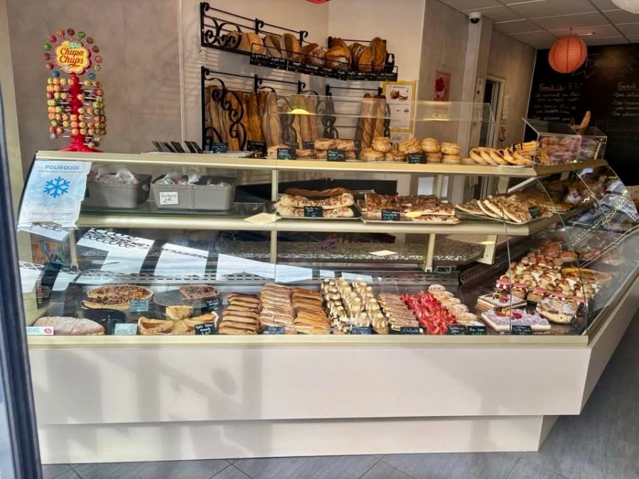
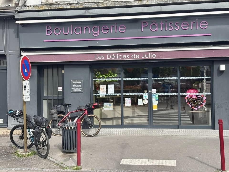
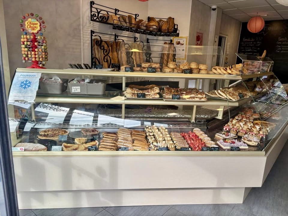
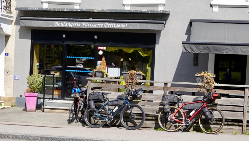
We wandered down to a boulangerie at 6.30 am to grab some breakfast provisions. The streets were quiet, with an occasional pedestrian passing by, baguettes in hand.

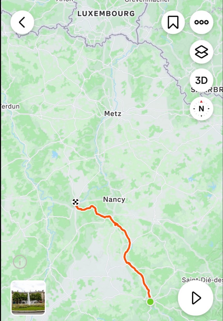
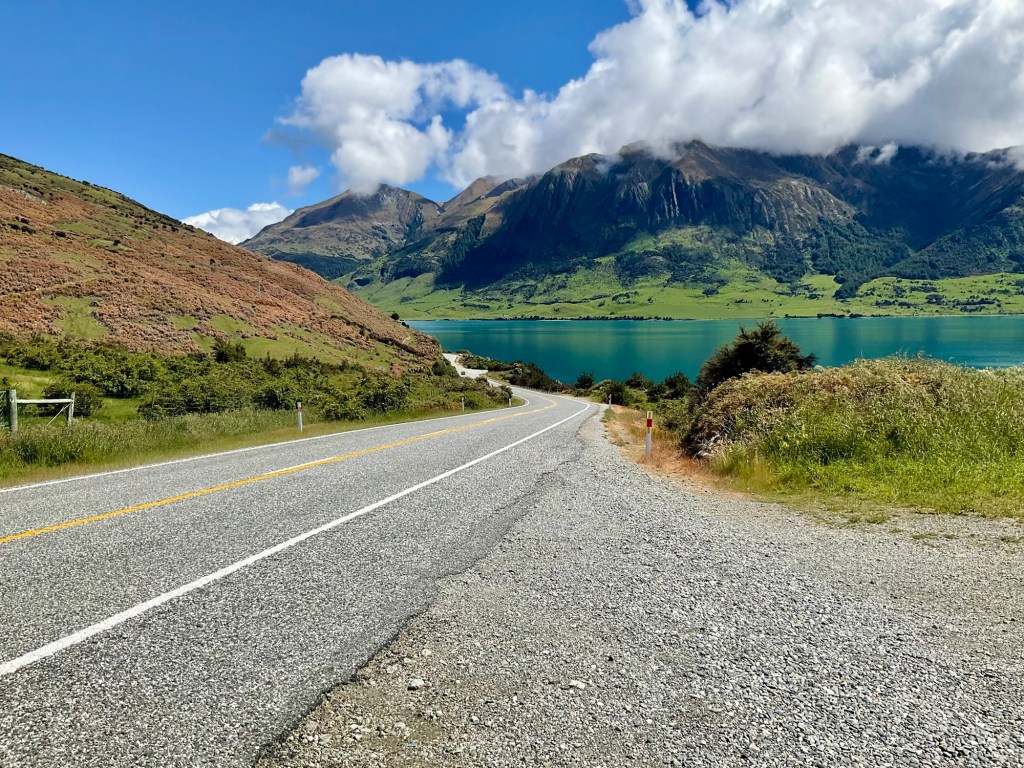
We were on the road by about 8.15 am. It was a cool 6 C, and rain threatened.

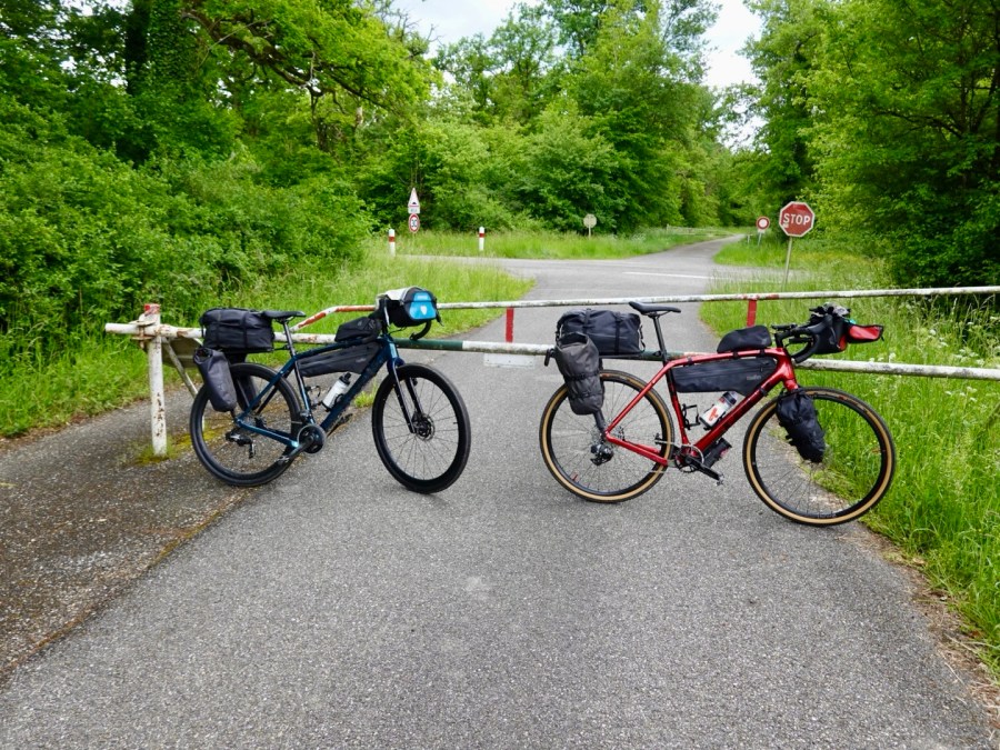
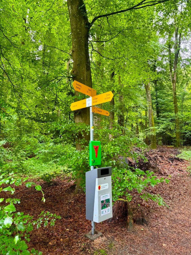
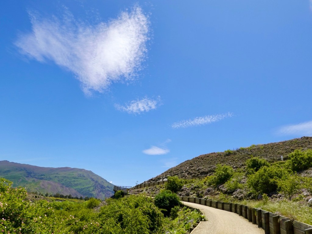
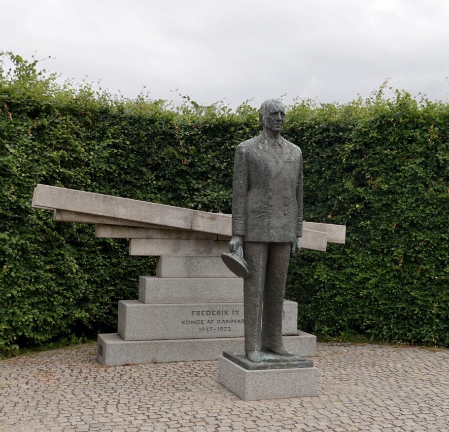
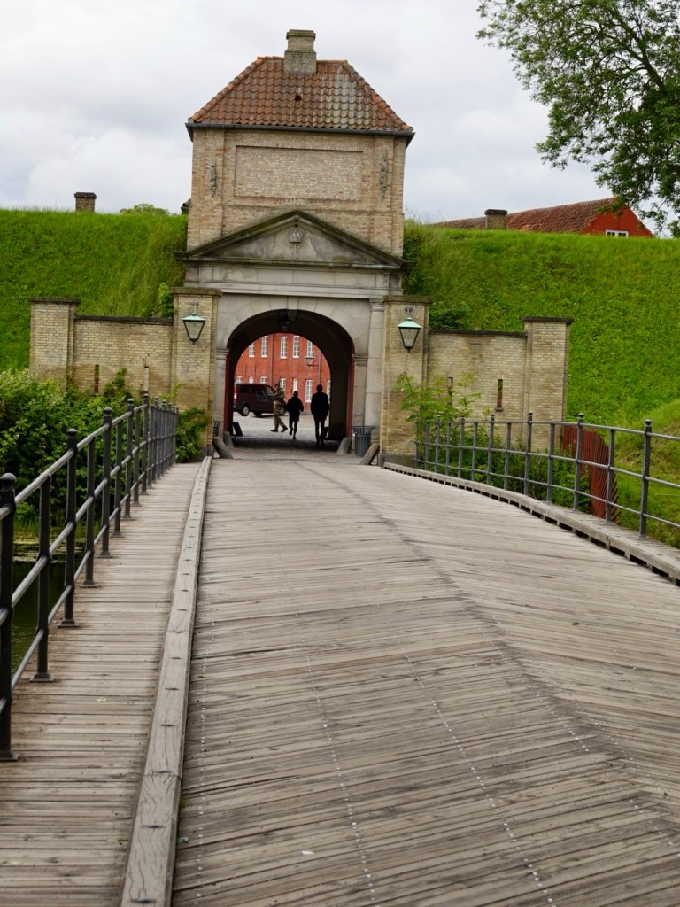
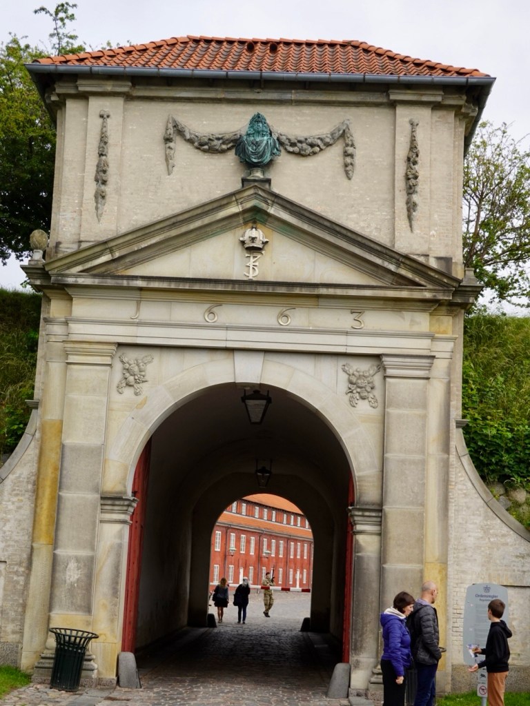
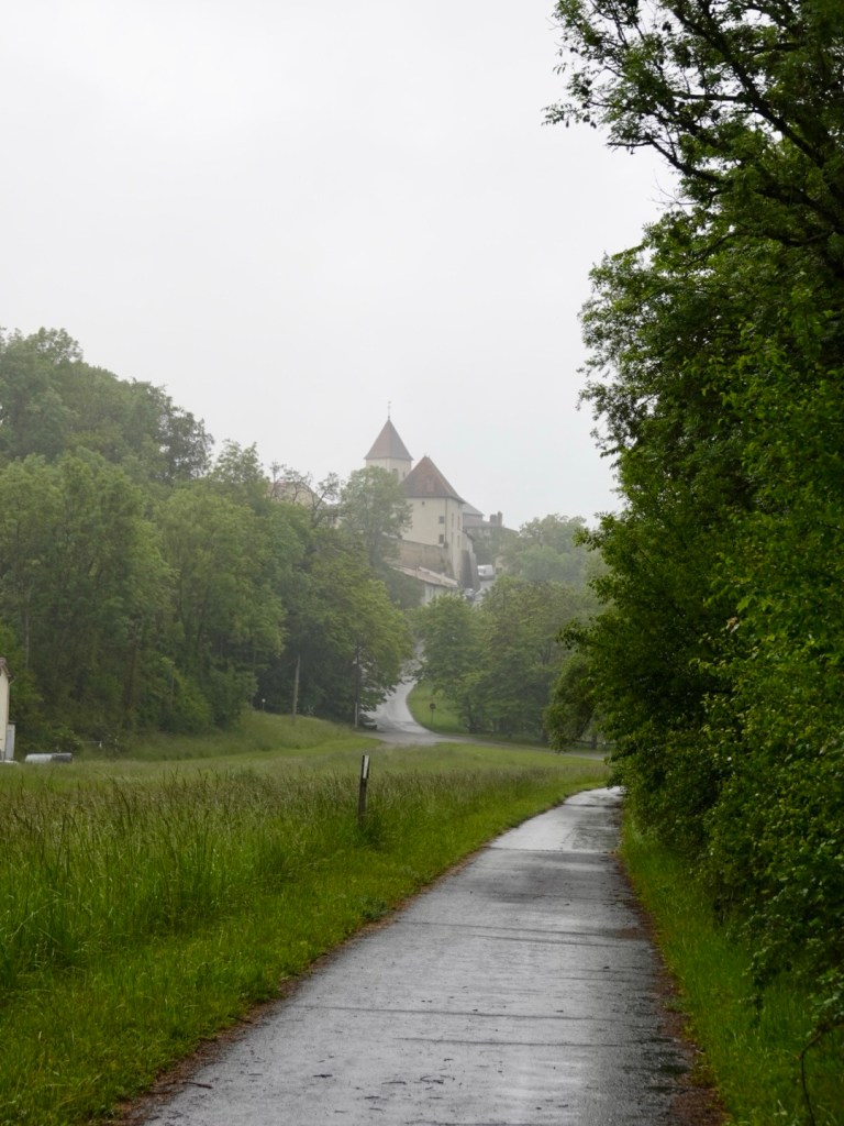
We left via the same gate we’d entered the previous day.

Part of the fortress wall.

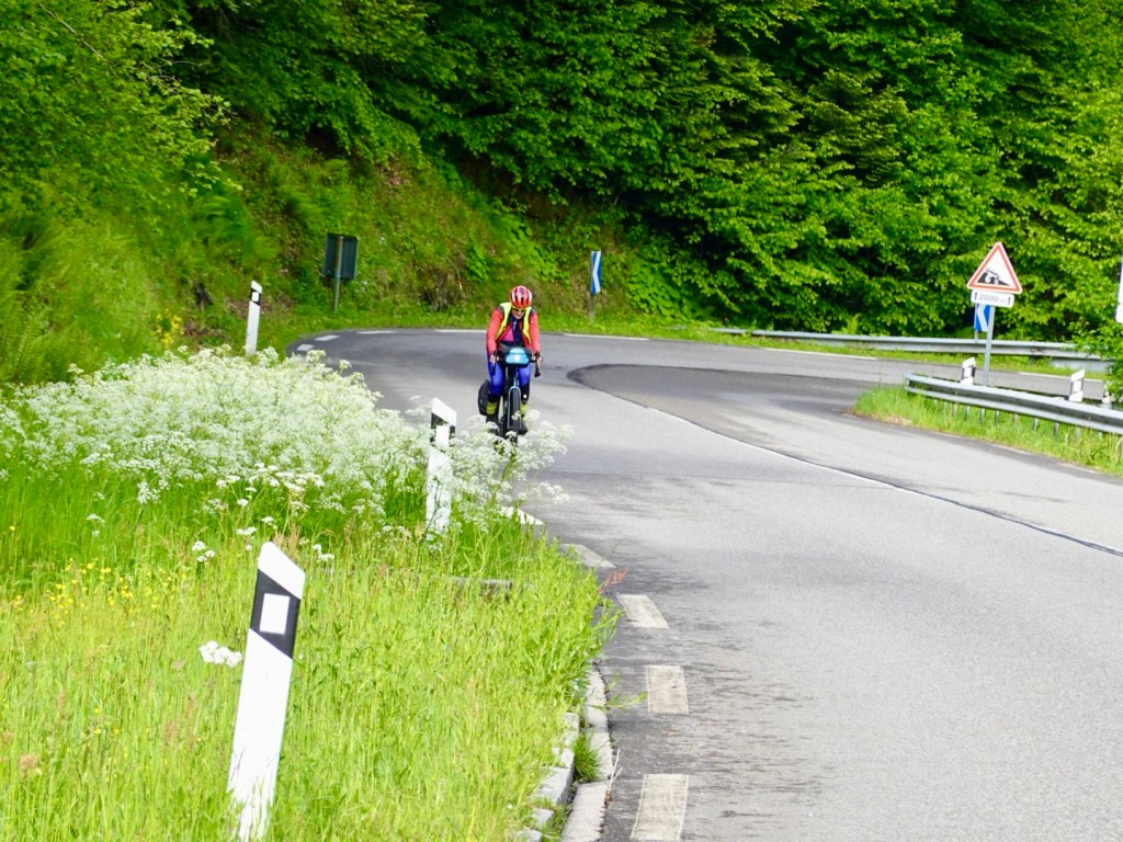
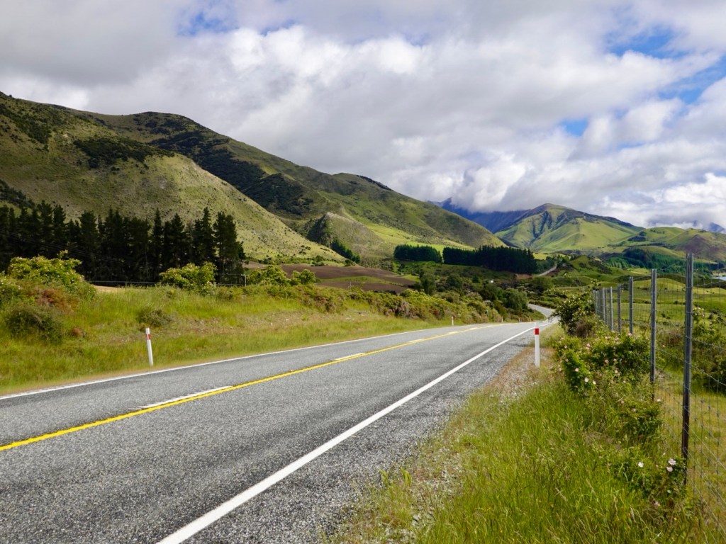
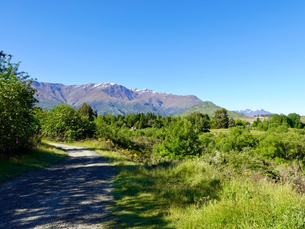
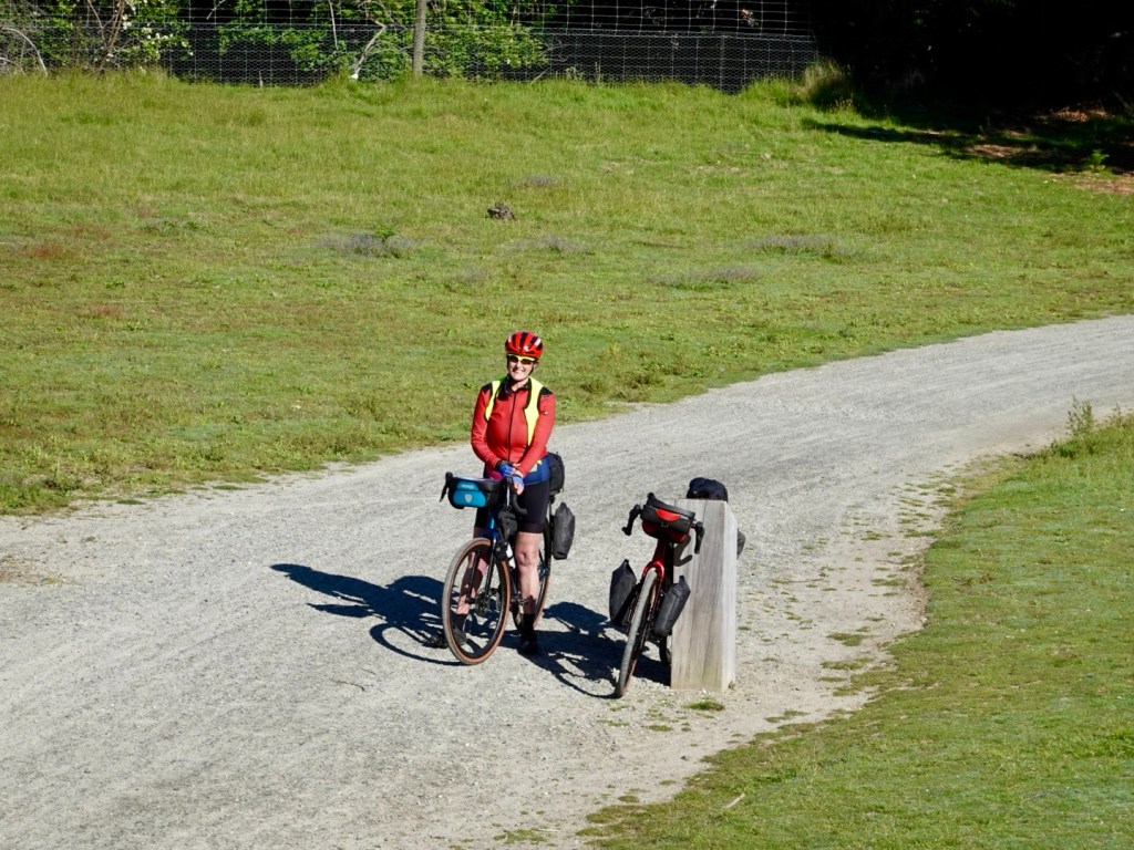
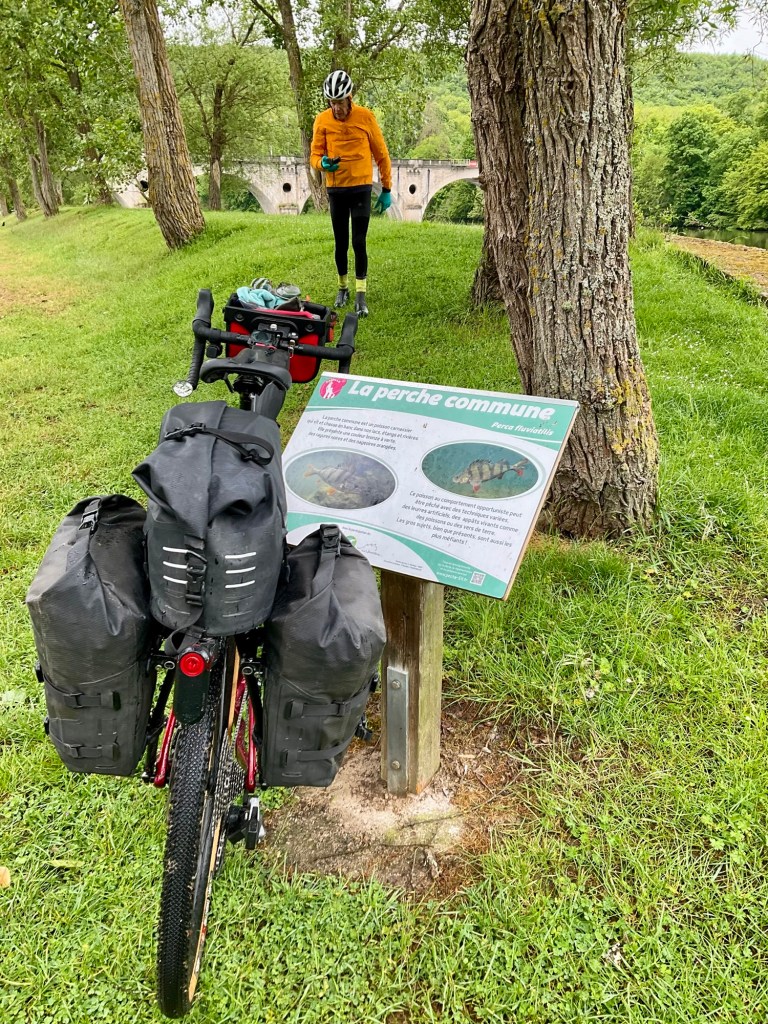
Within 10 km it was raining. We had pre planned and had our rain over boots on already, so just threw our raincoats on to keep our torso warm and dry.

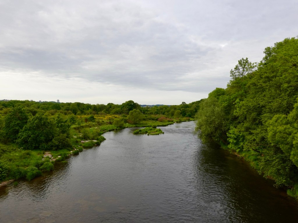
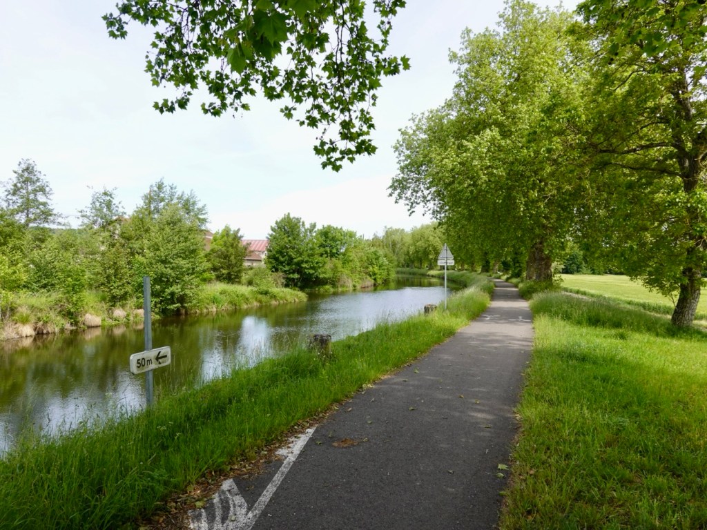
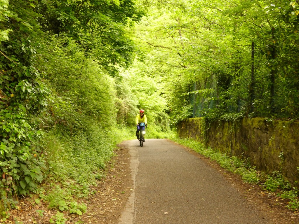
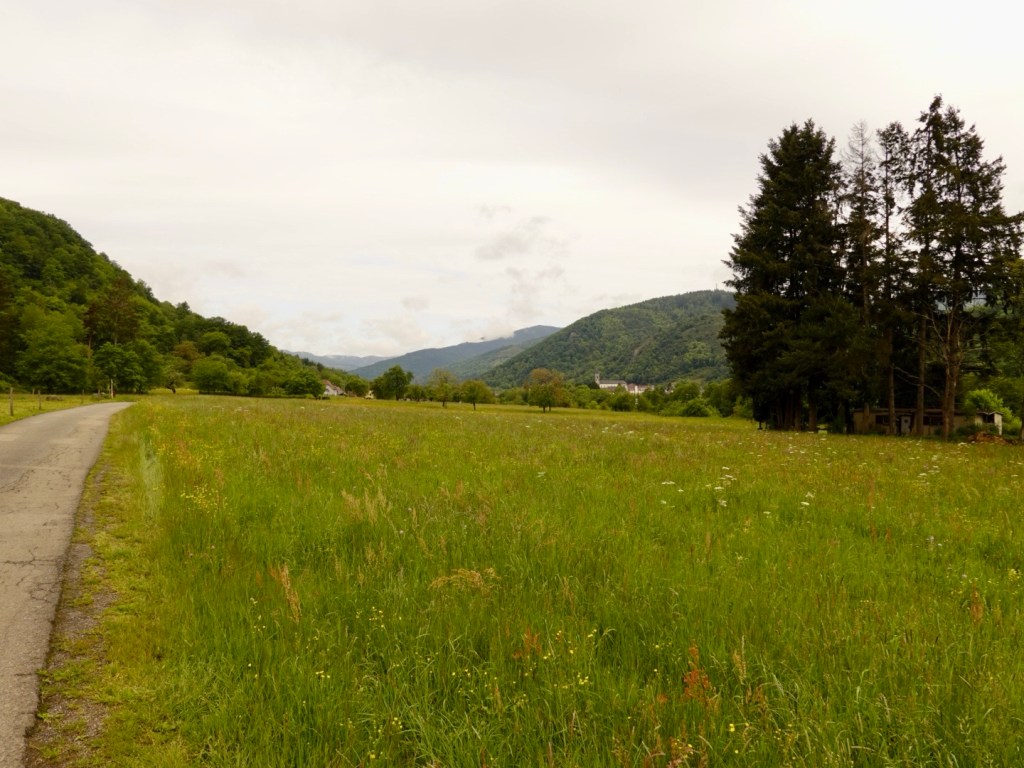
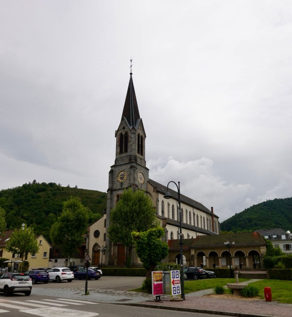
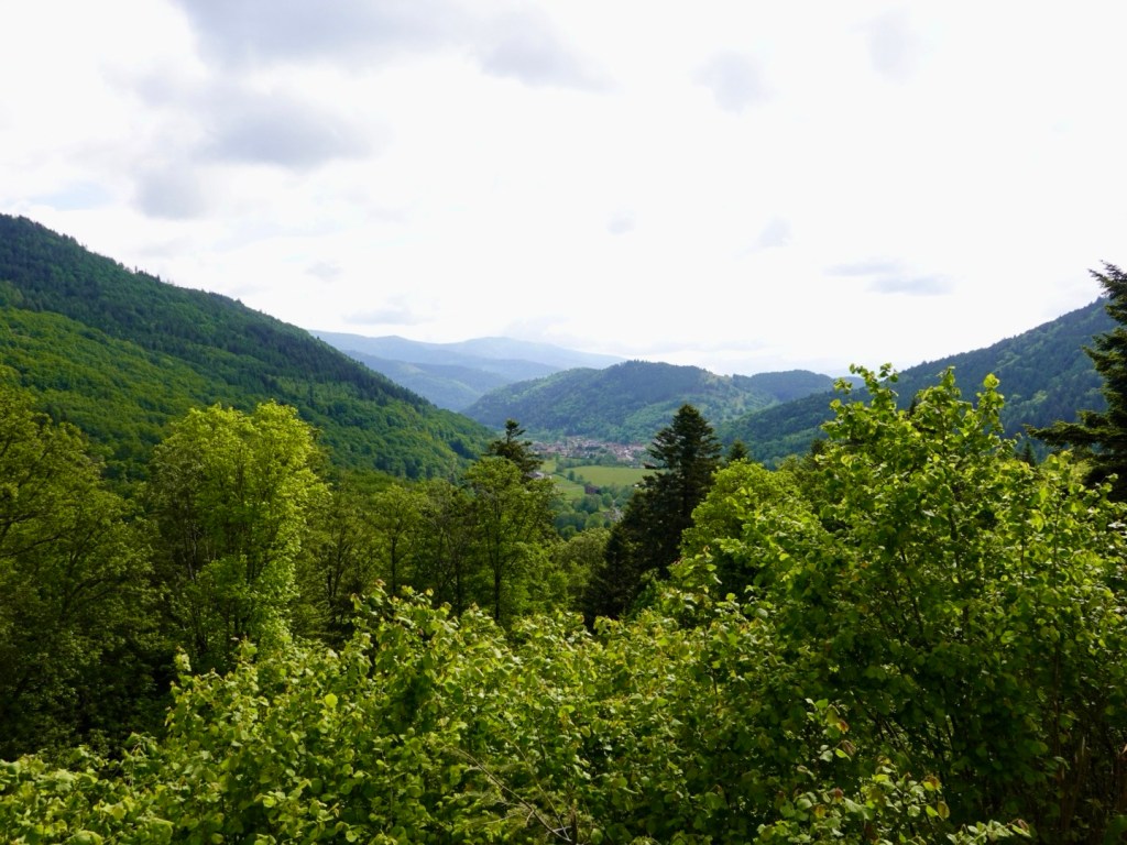
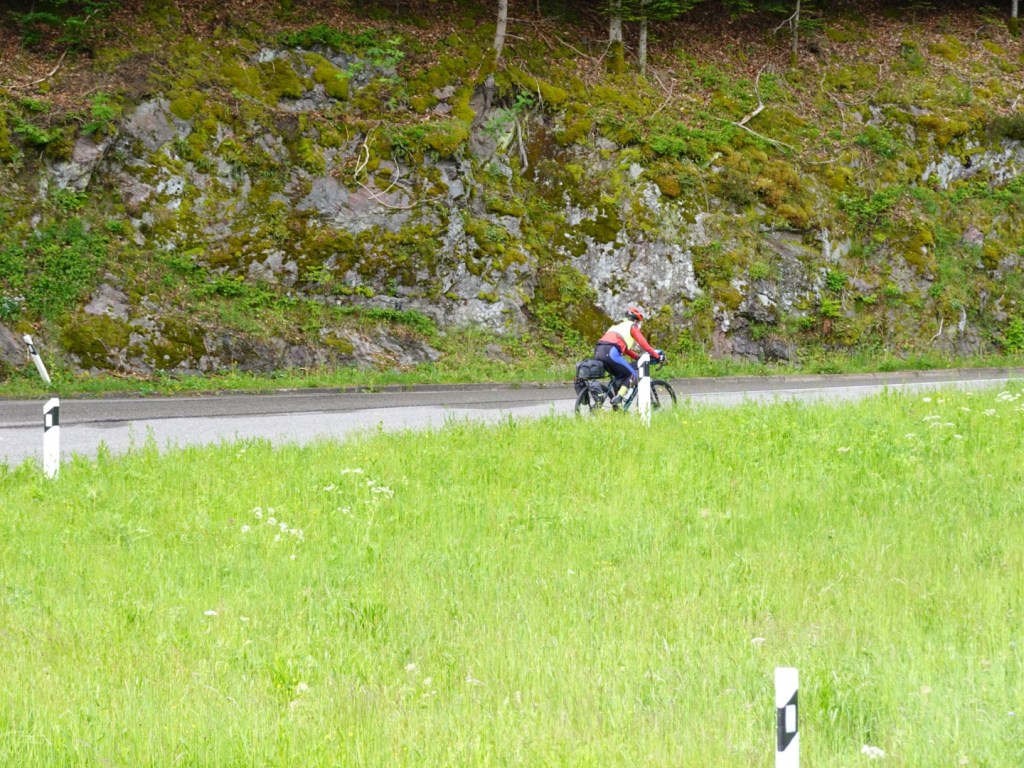
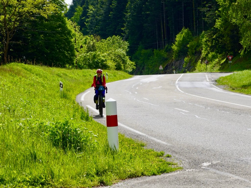
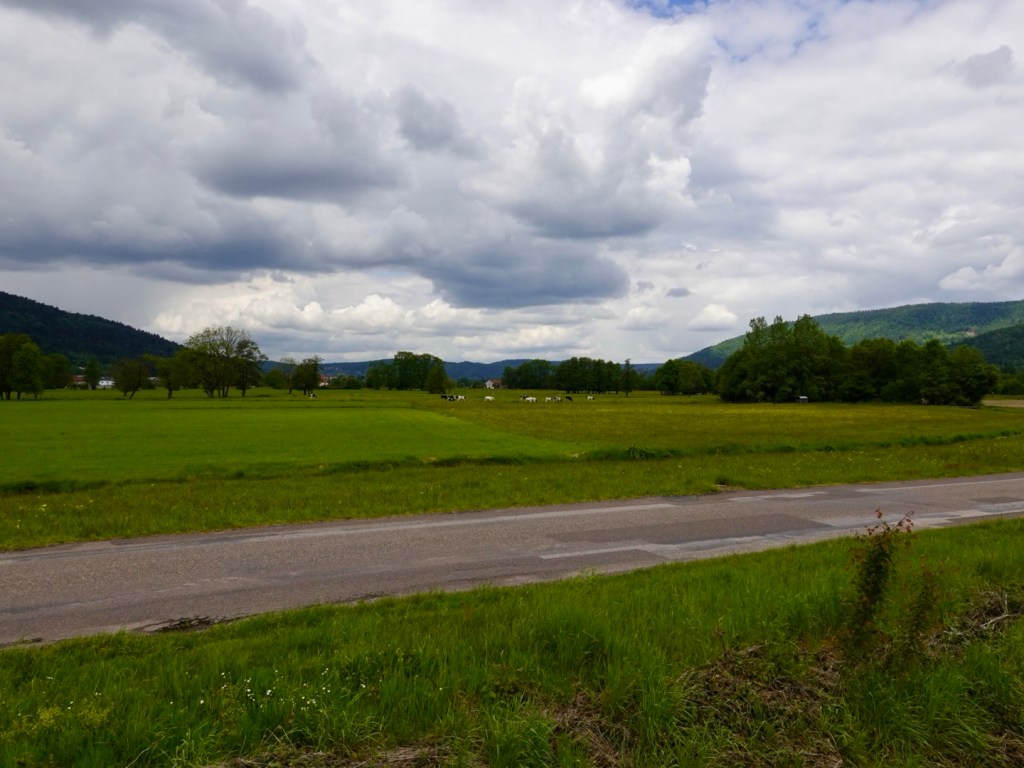
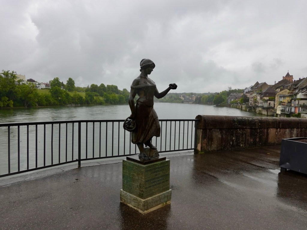
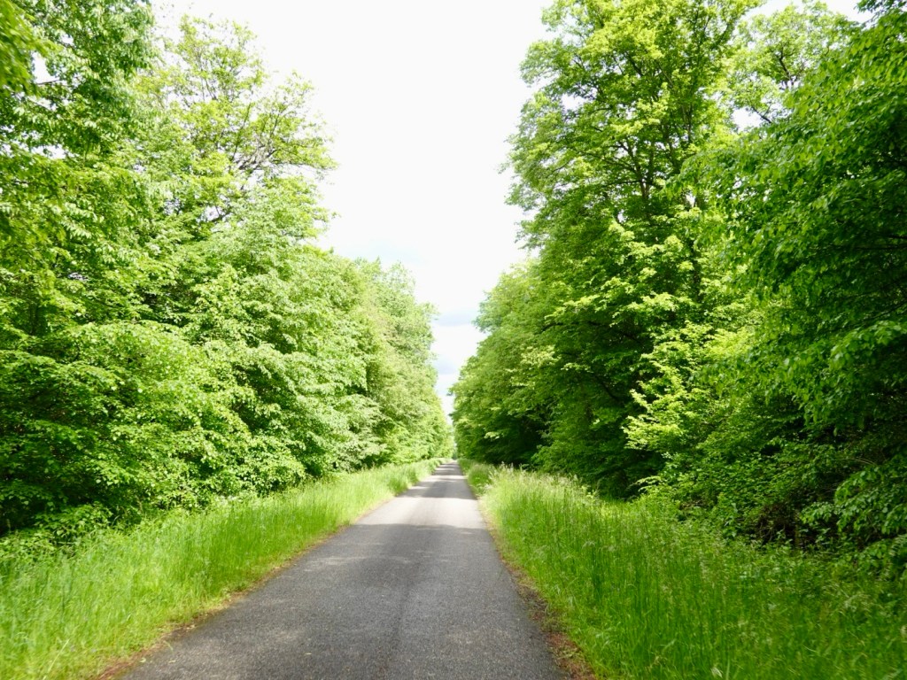
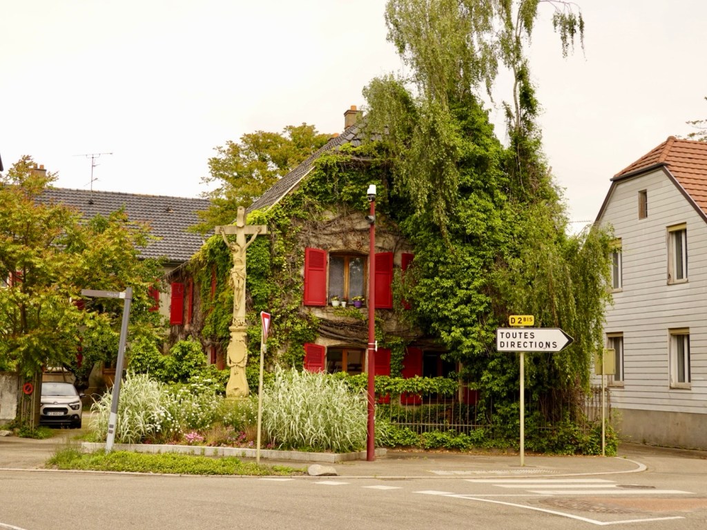
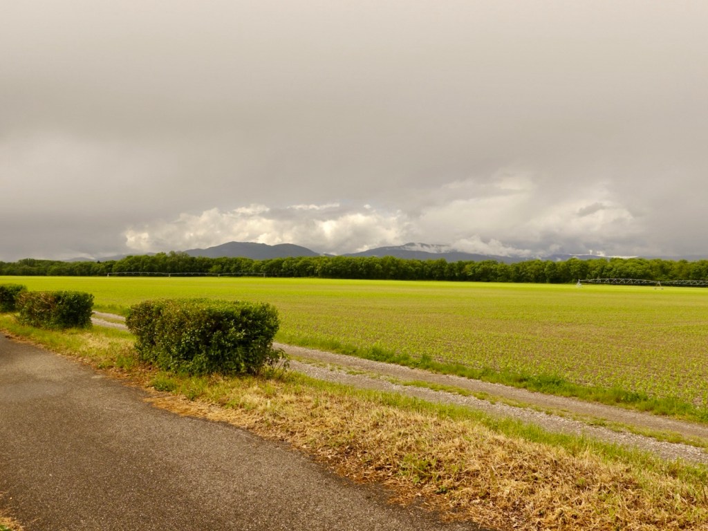
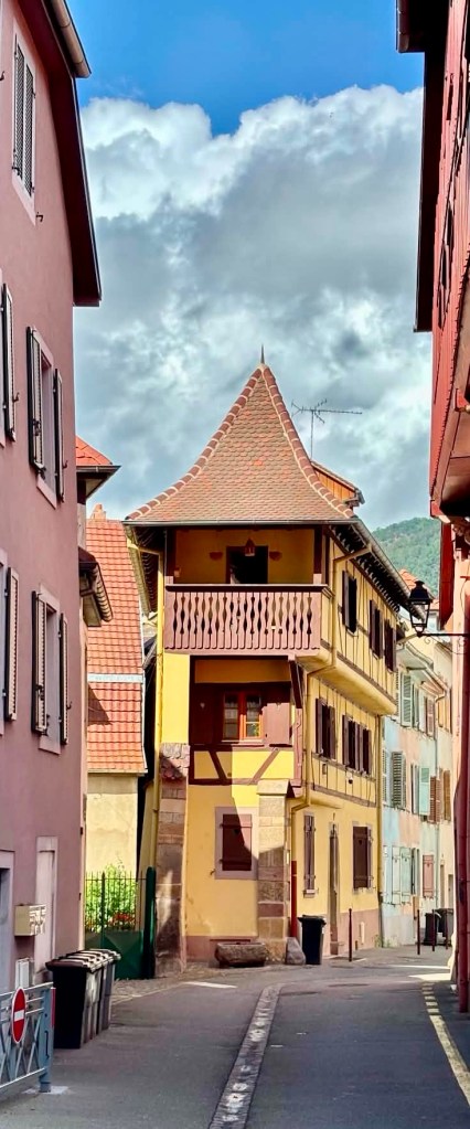
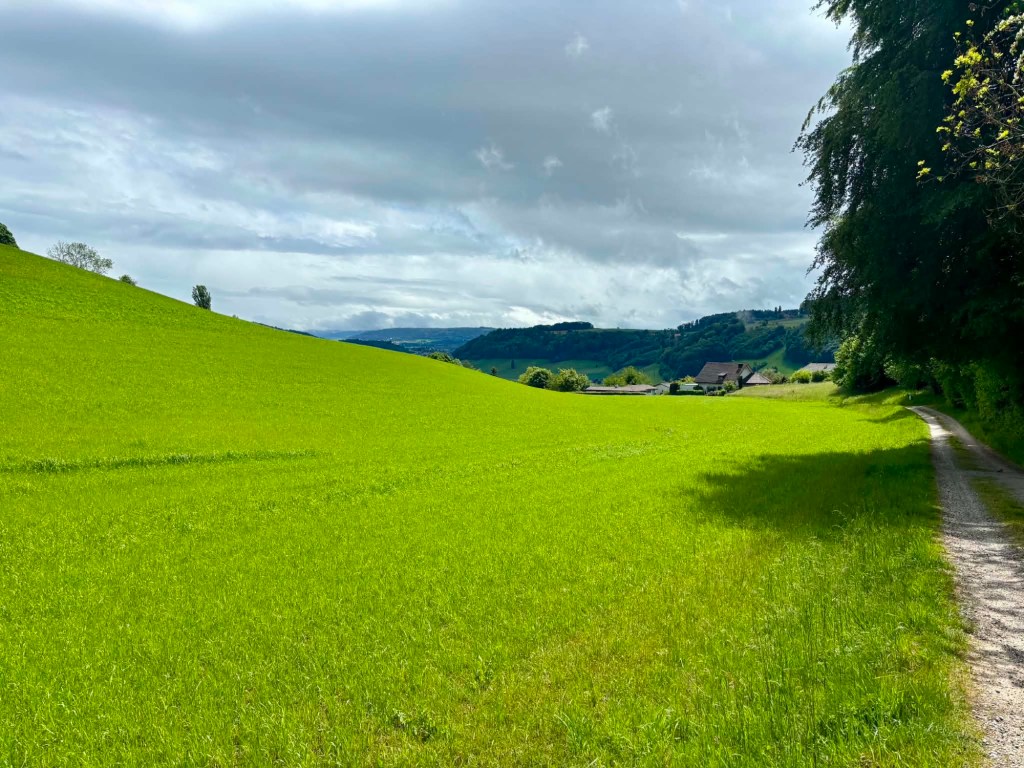
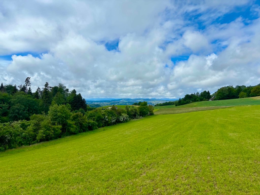
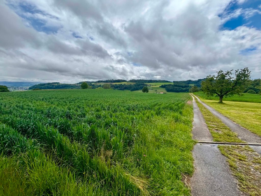
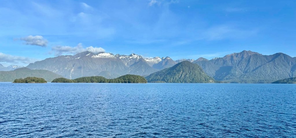
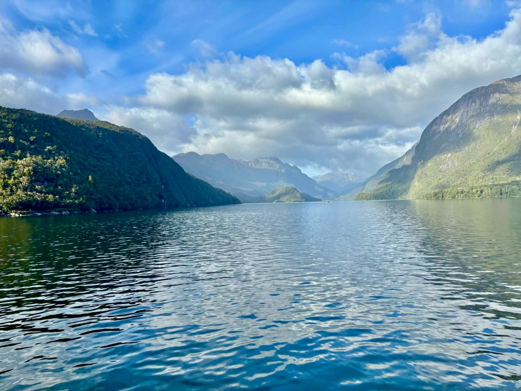
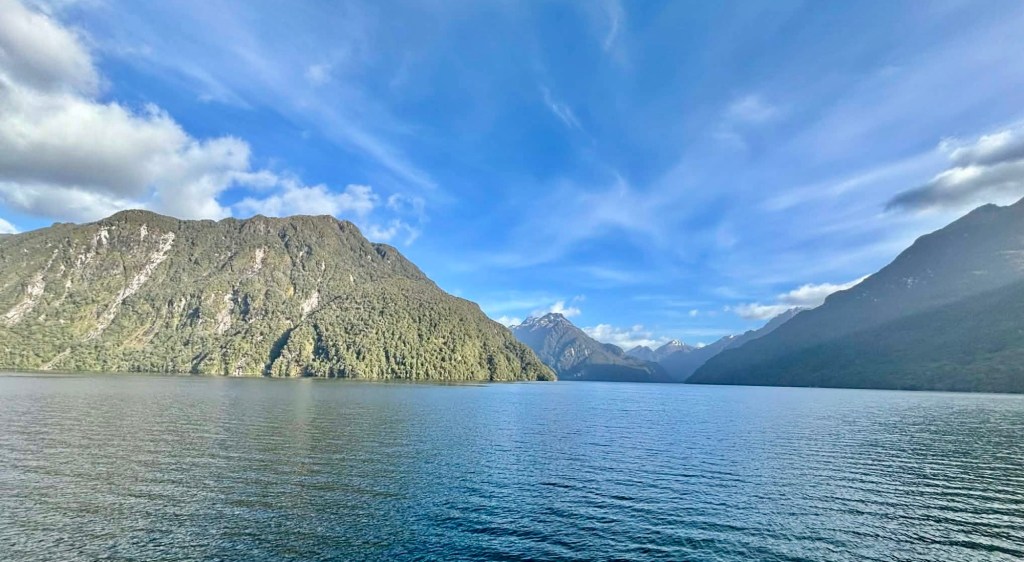
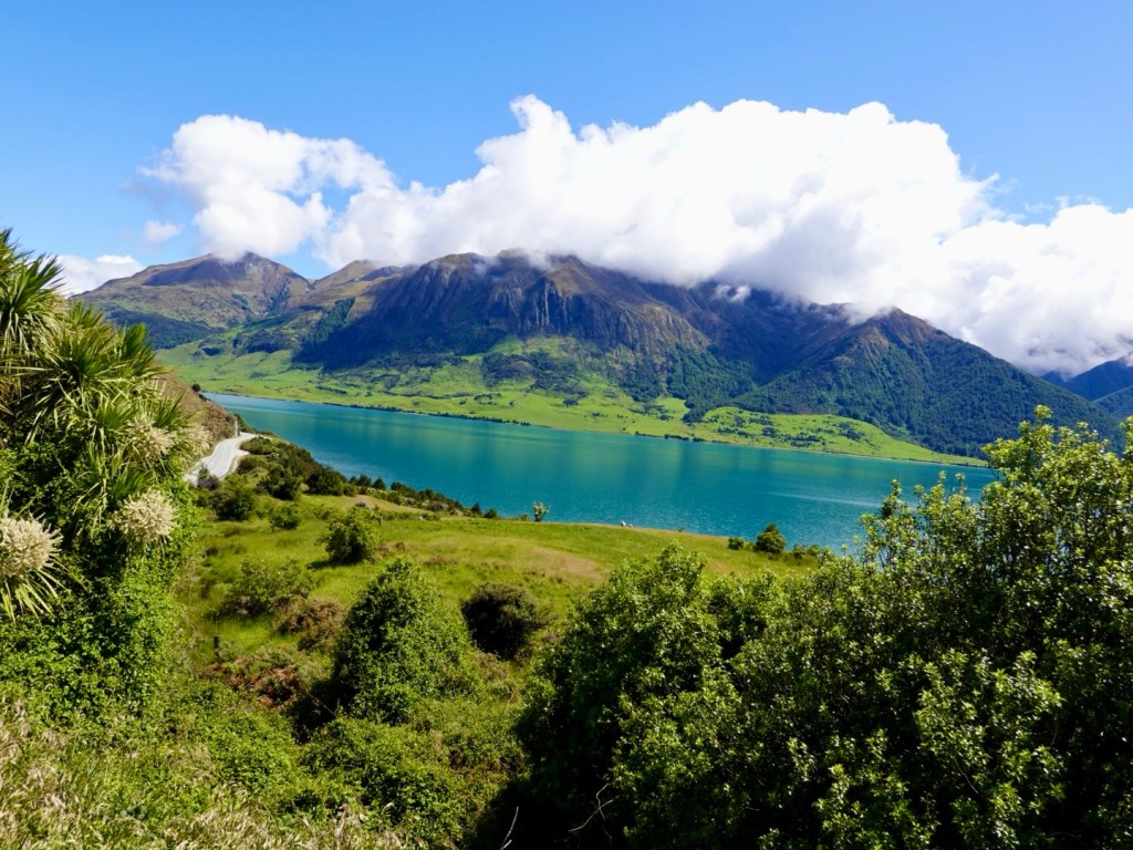
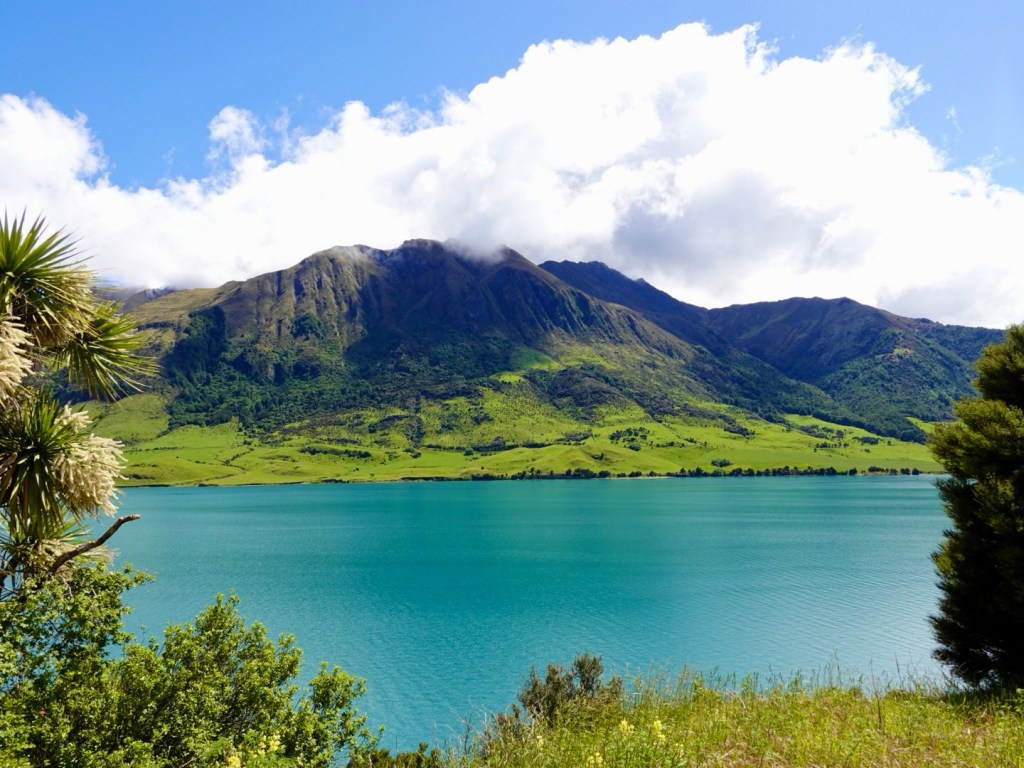
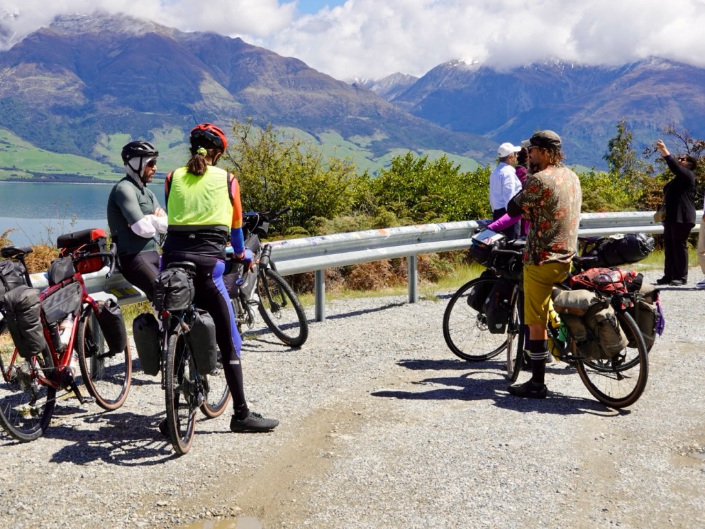
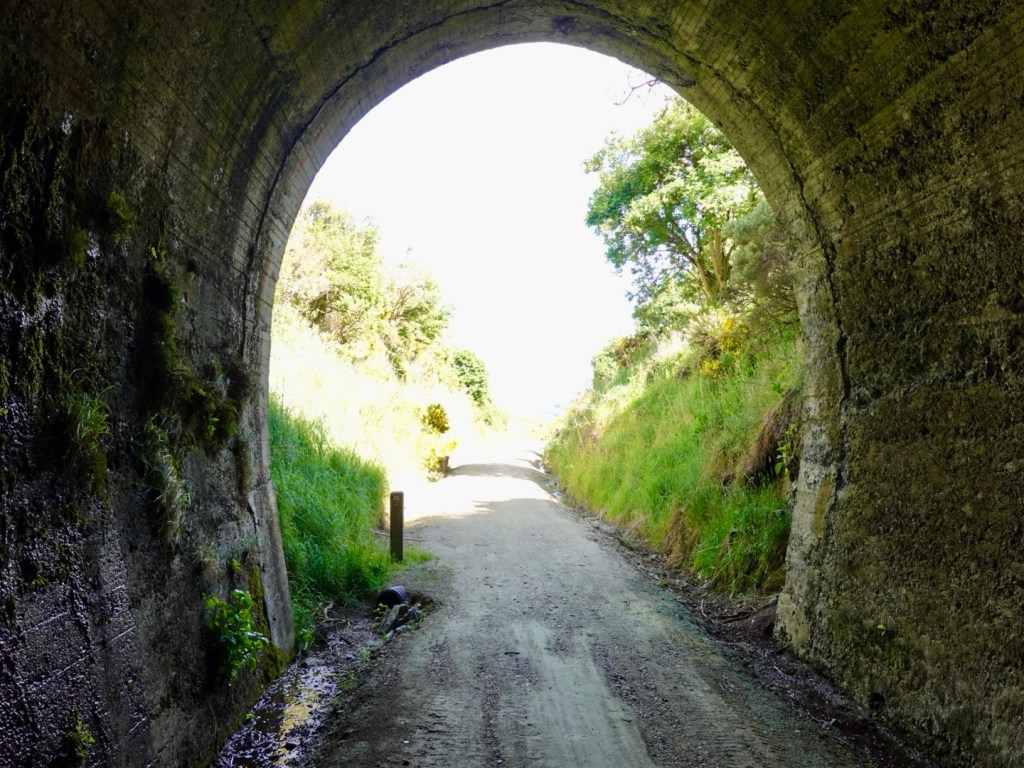
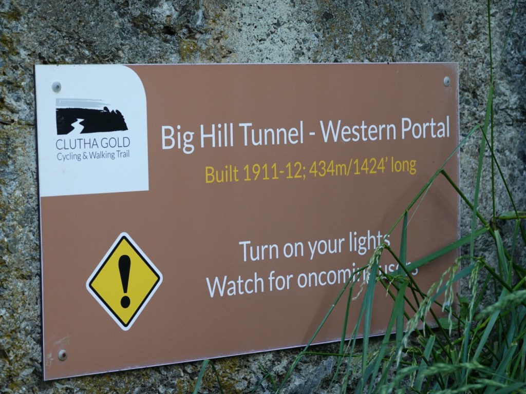
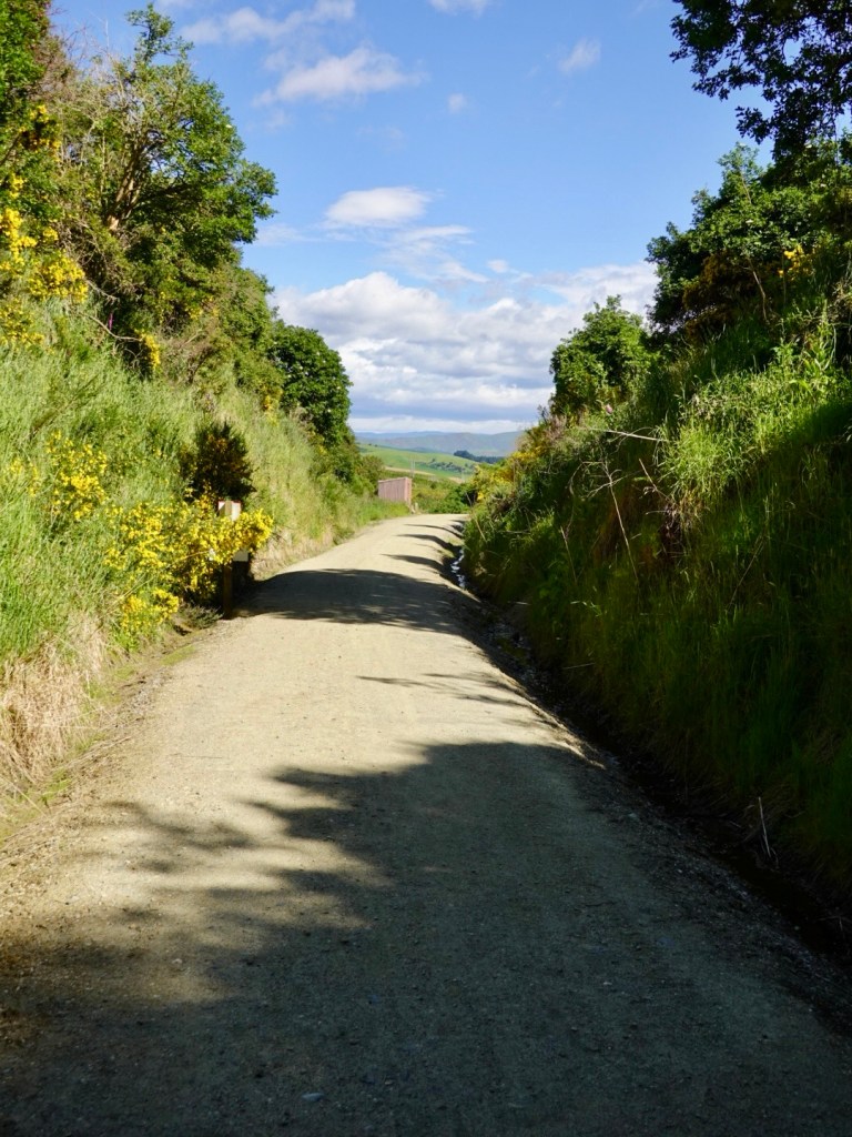
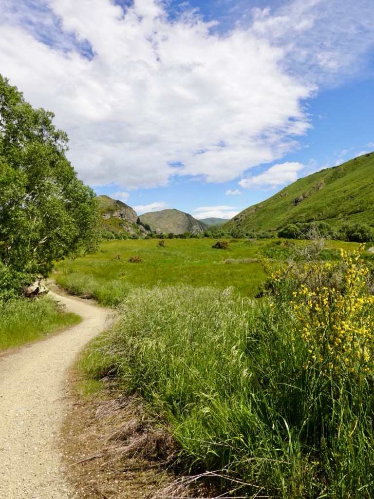
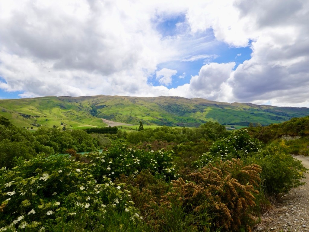
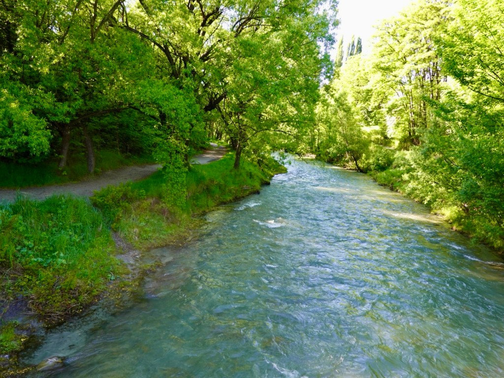
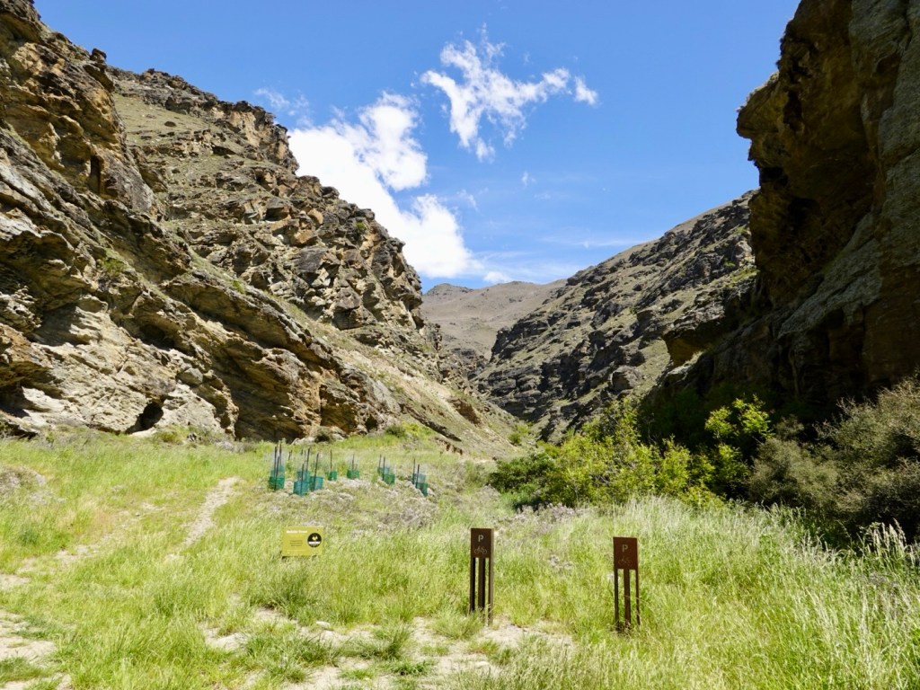
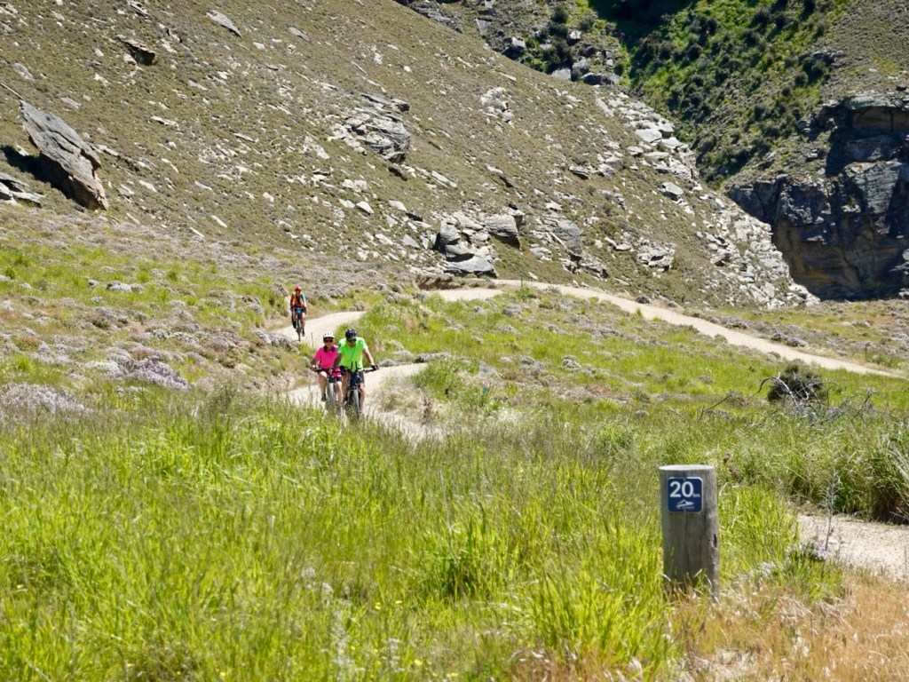
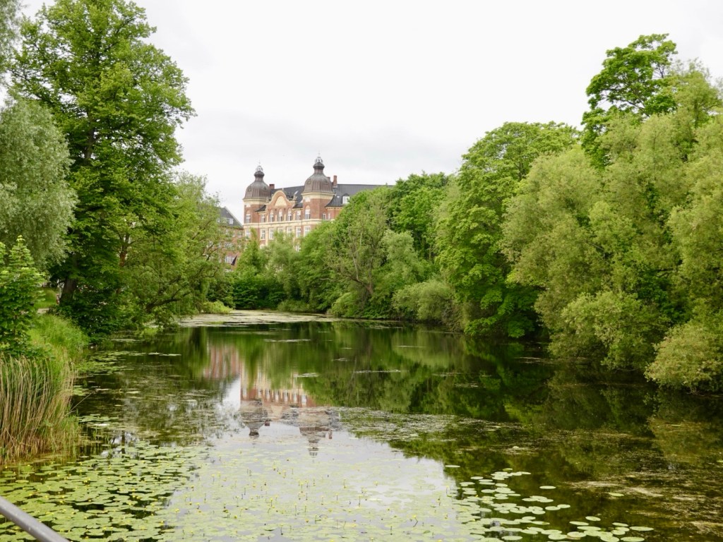
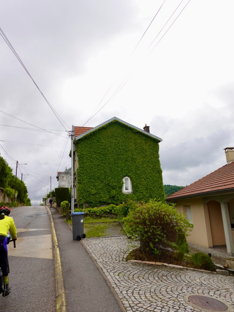
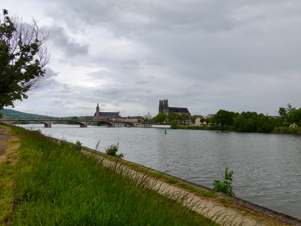
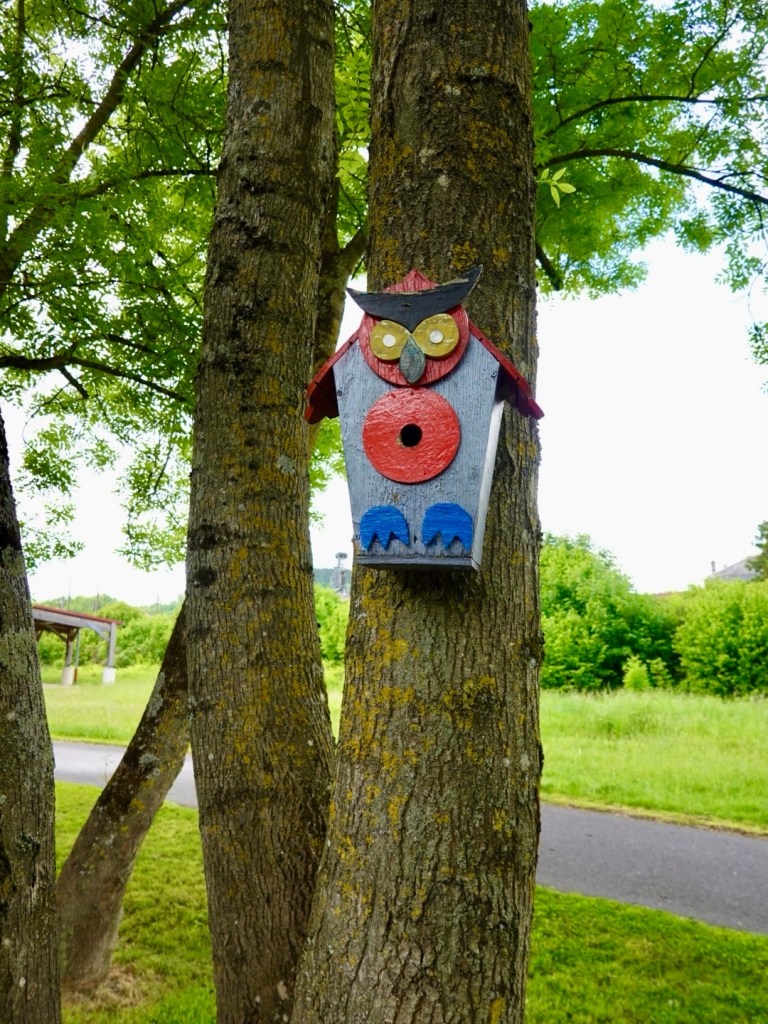
Today we passed by, and through, numerous villages.

Nice chateau in Villey Saint Etienne, through the misty rain.

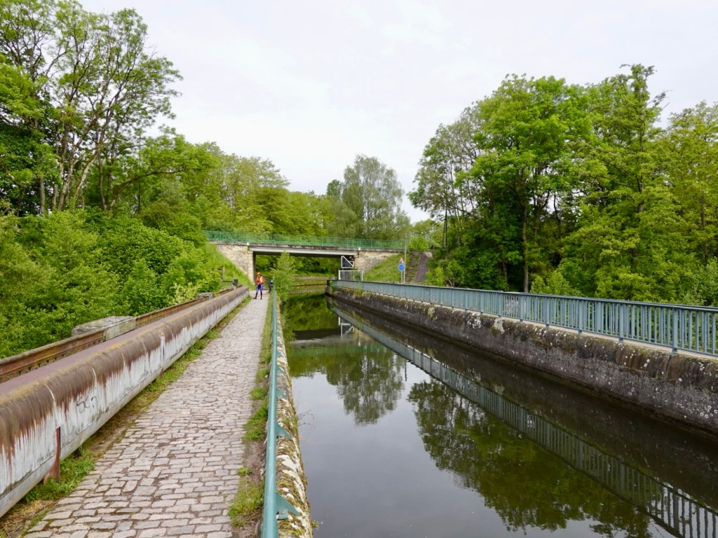
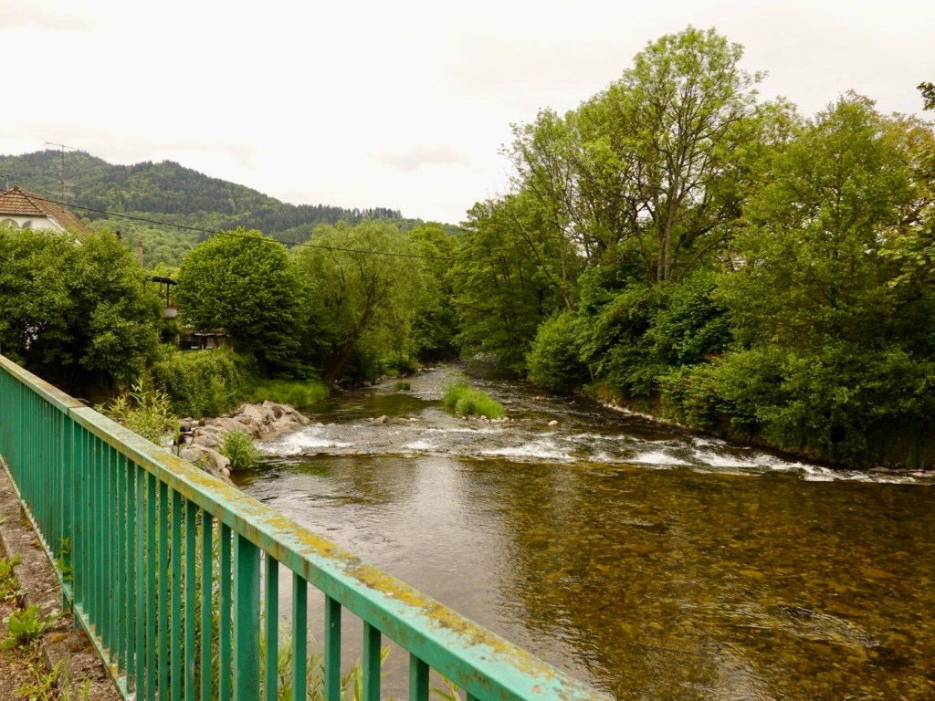
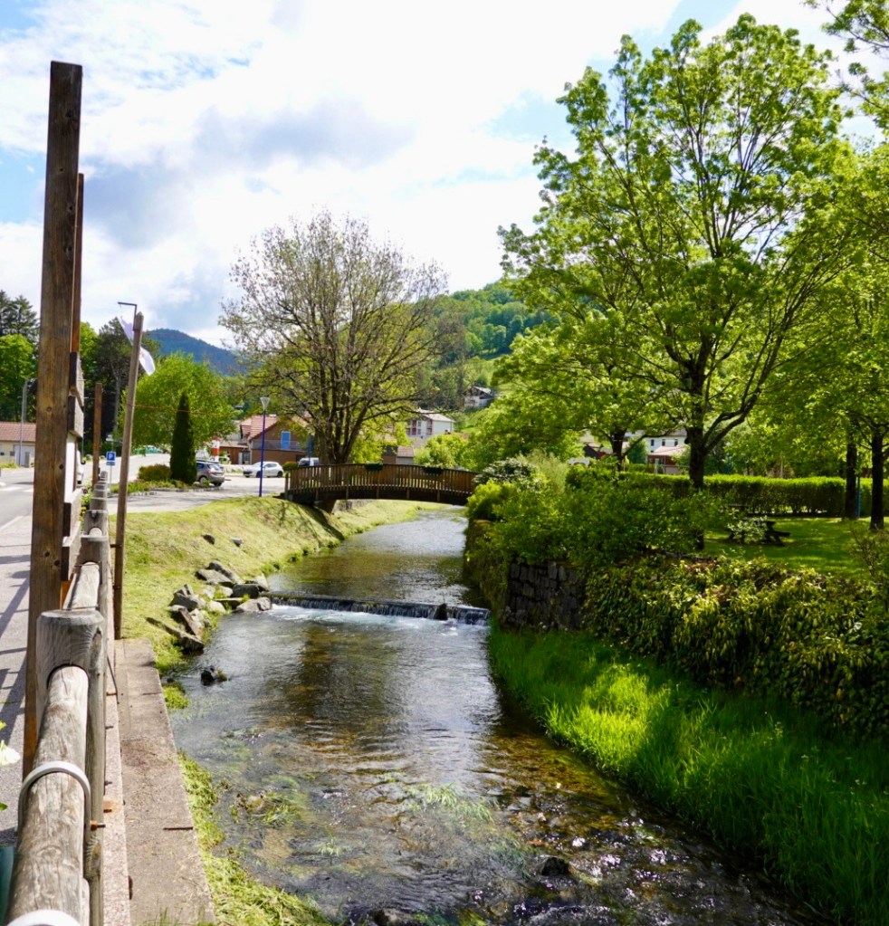
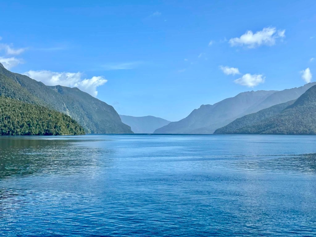
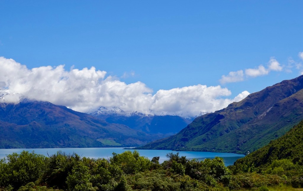
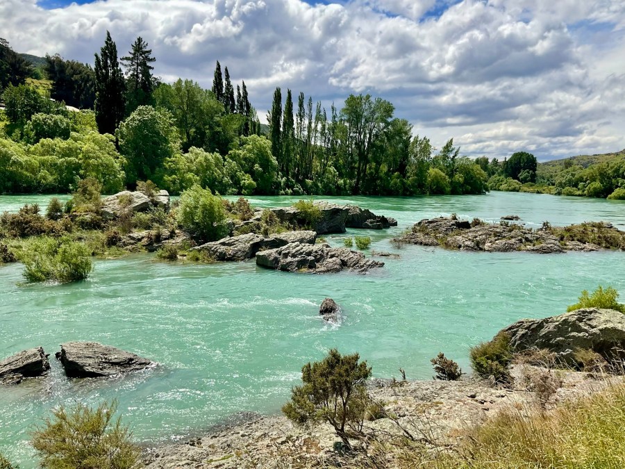
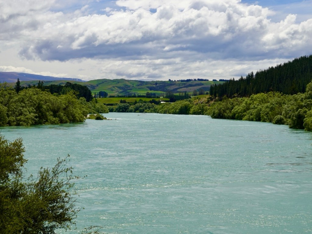
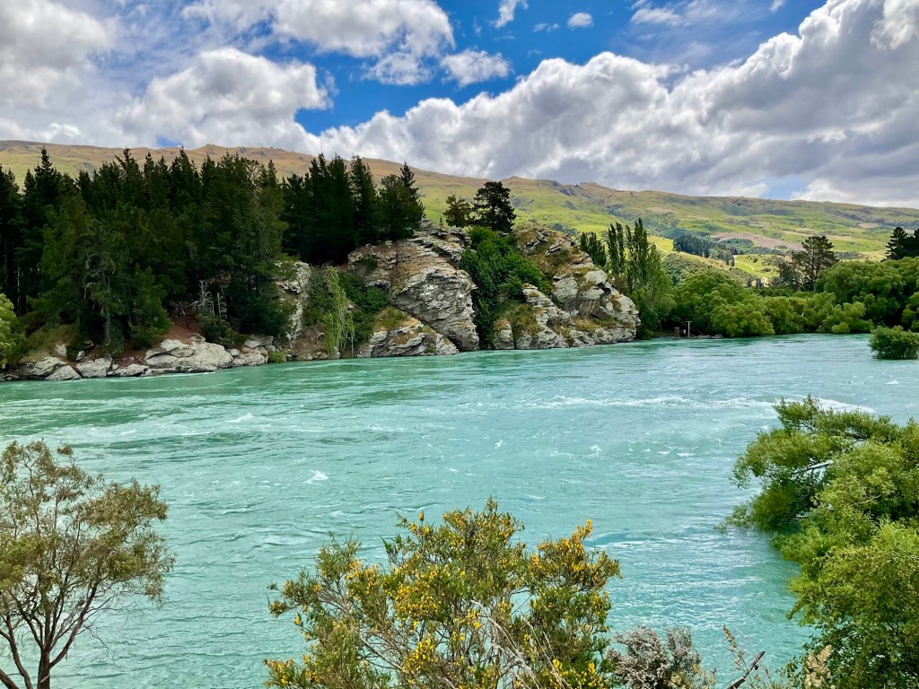
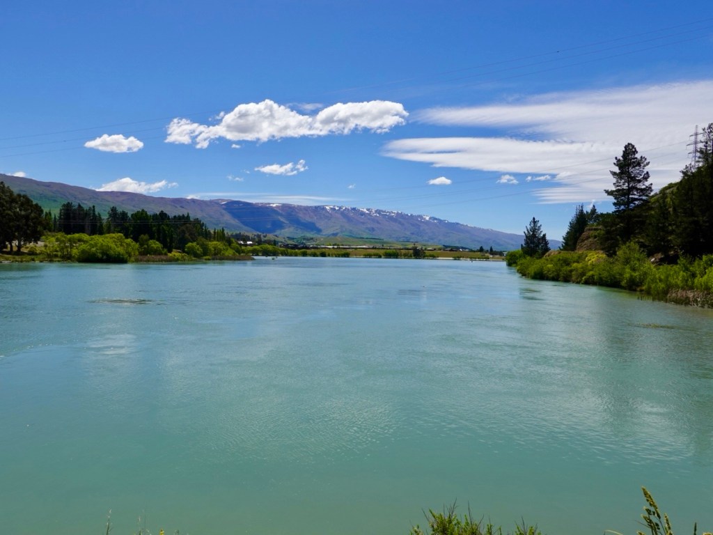
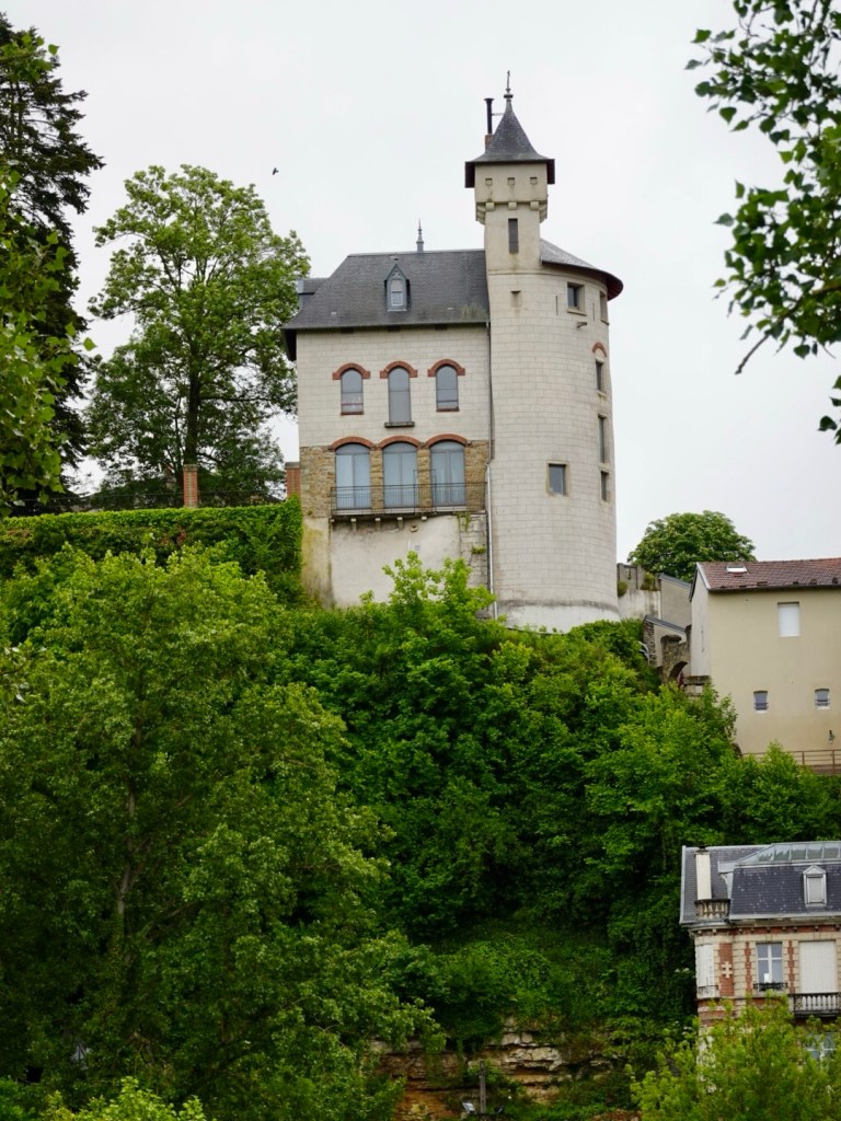
Villages overlooking the Moselle River.

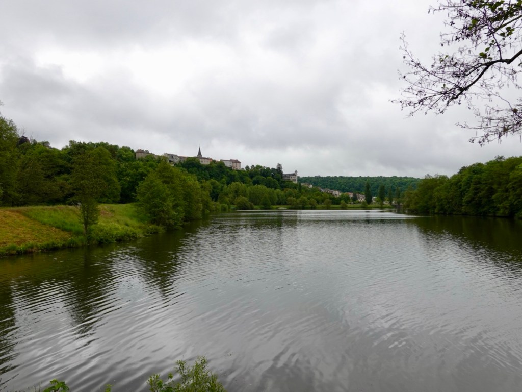
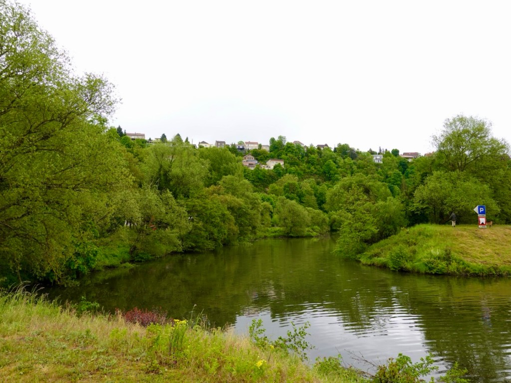
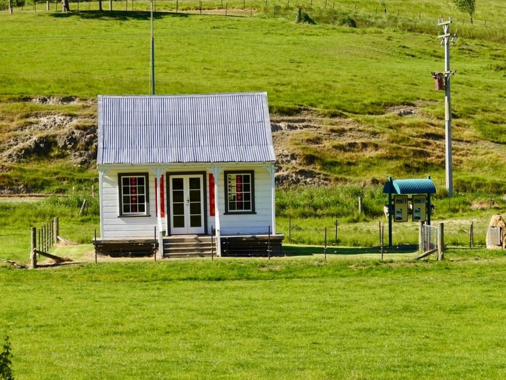
Liverdun is an interesting village we skirt around.

Rail bridge
Chateau
Fish in the river
Another chateau
That is a lot of ivy!

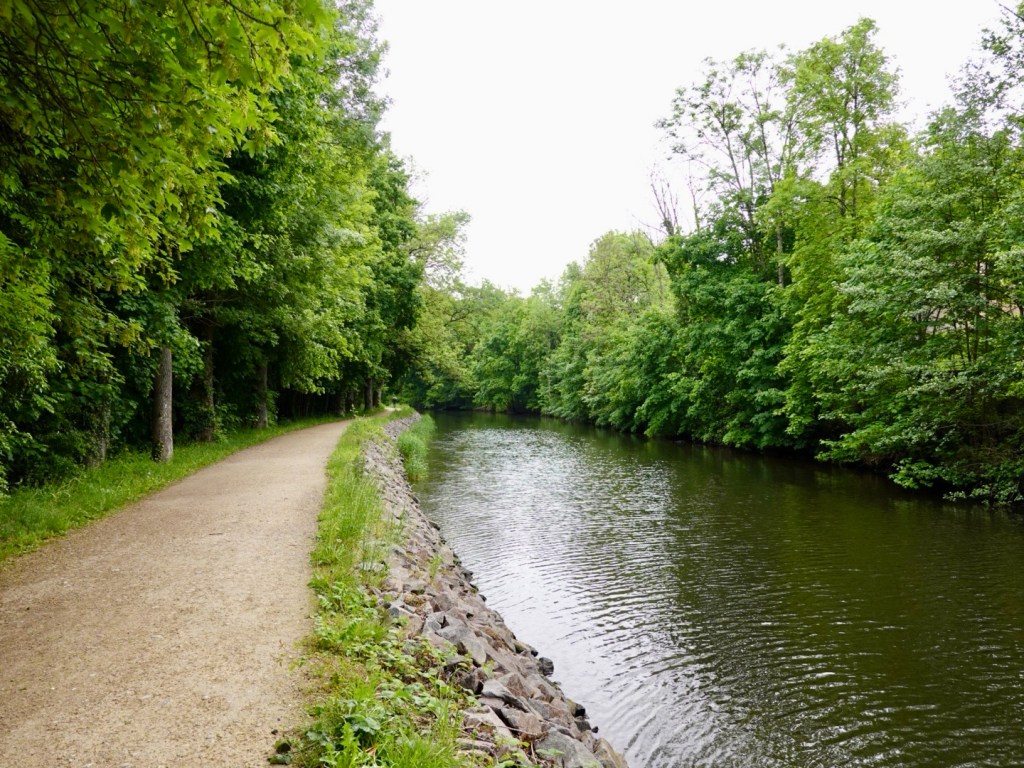
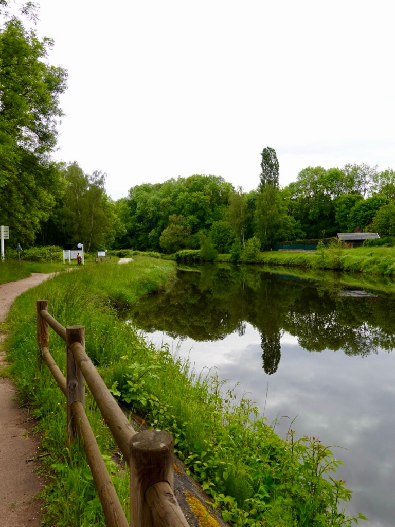
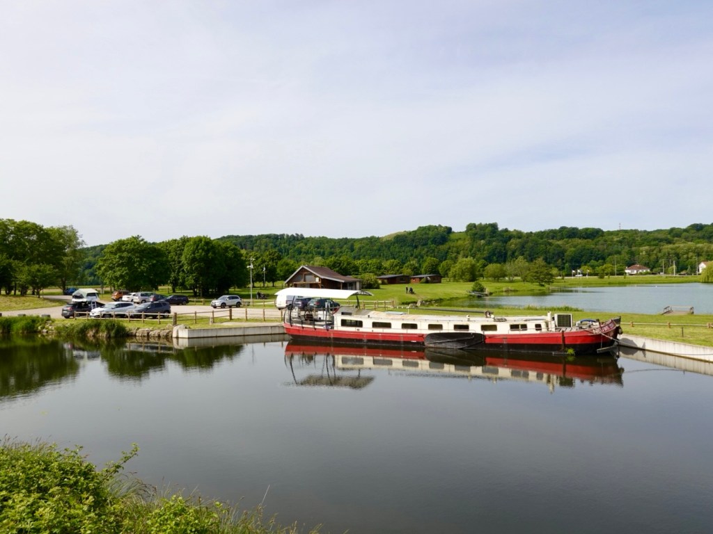
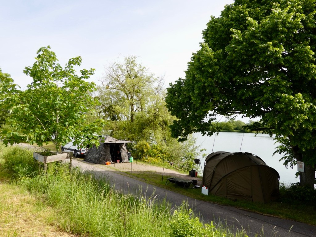
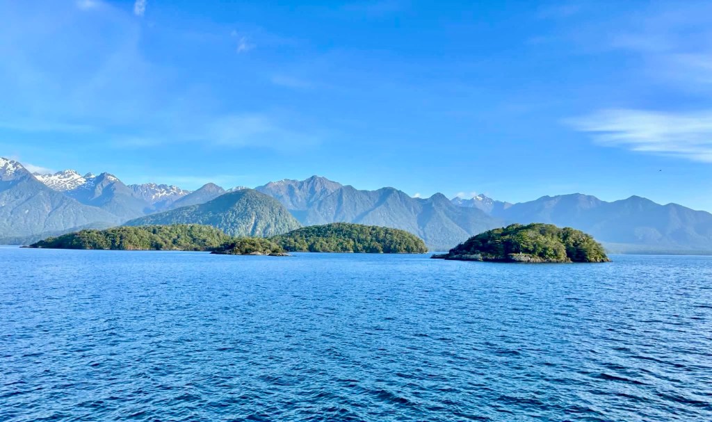
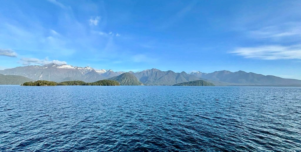
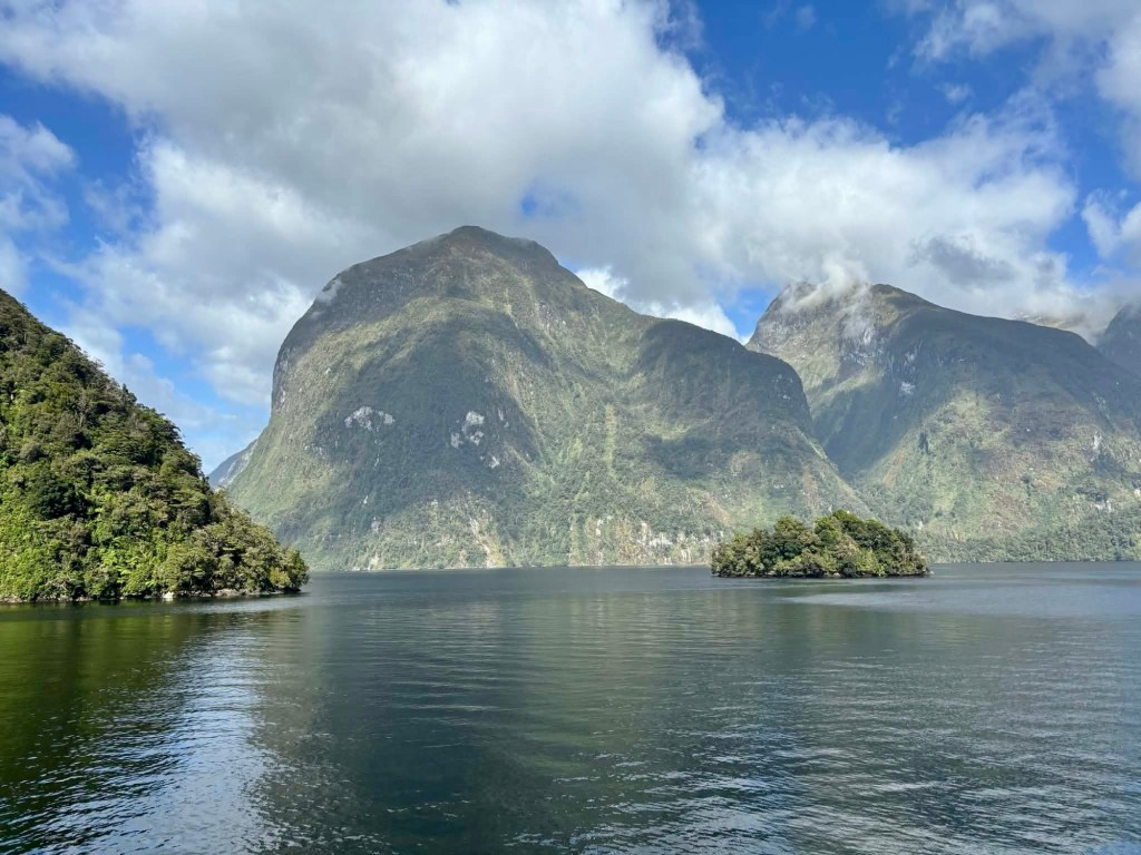
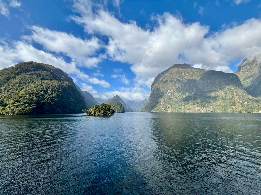
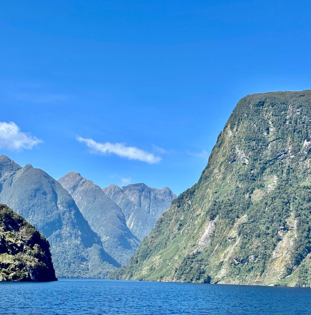
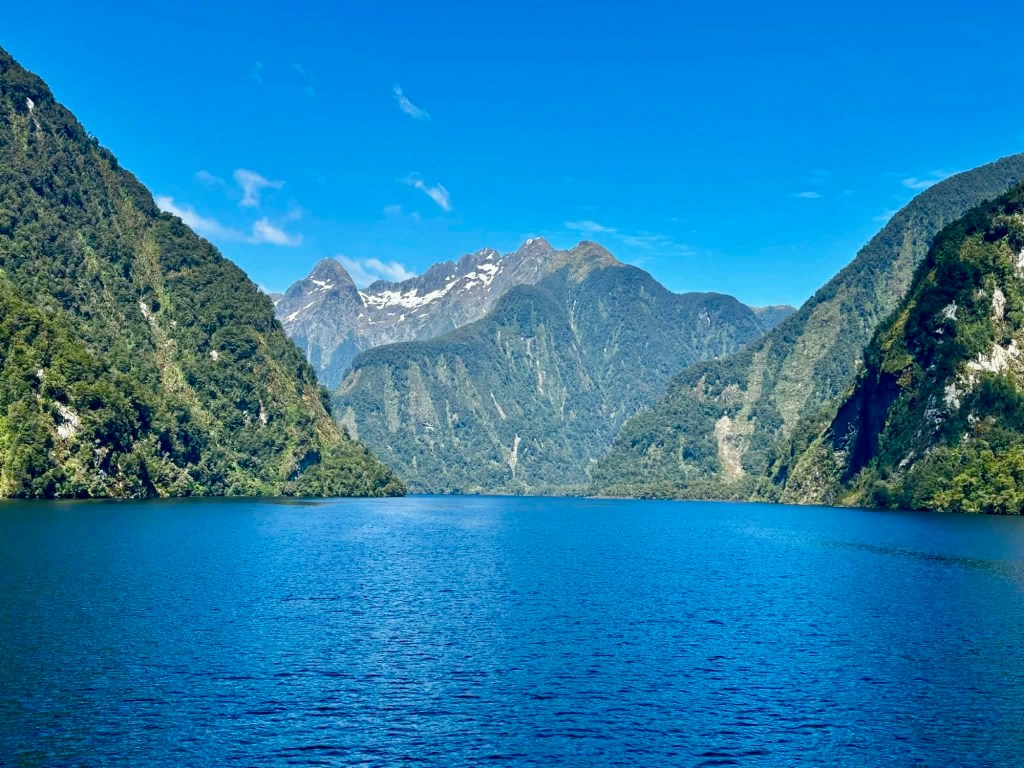
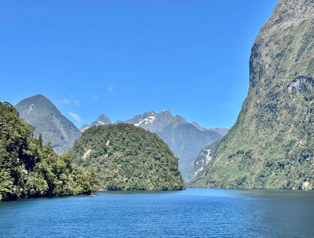
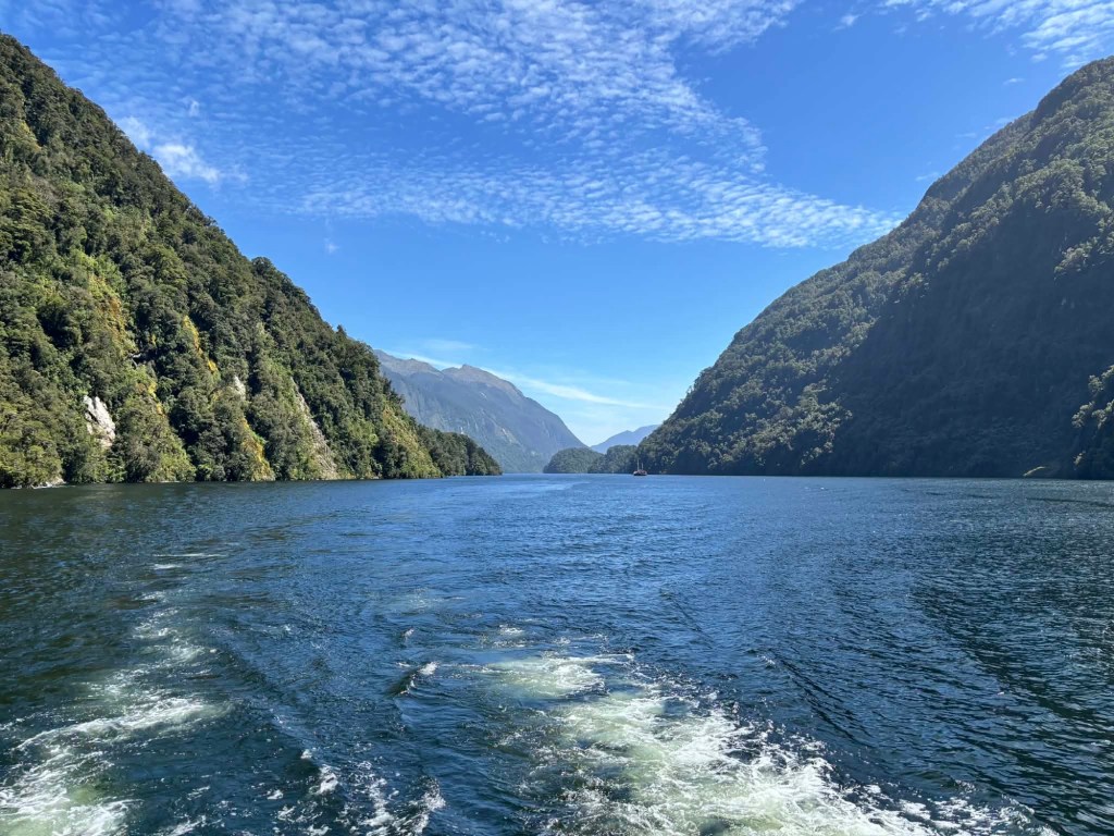
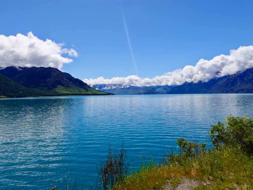
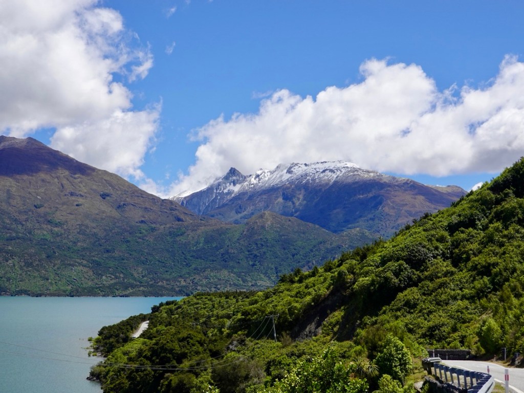
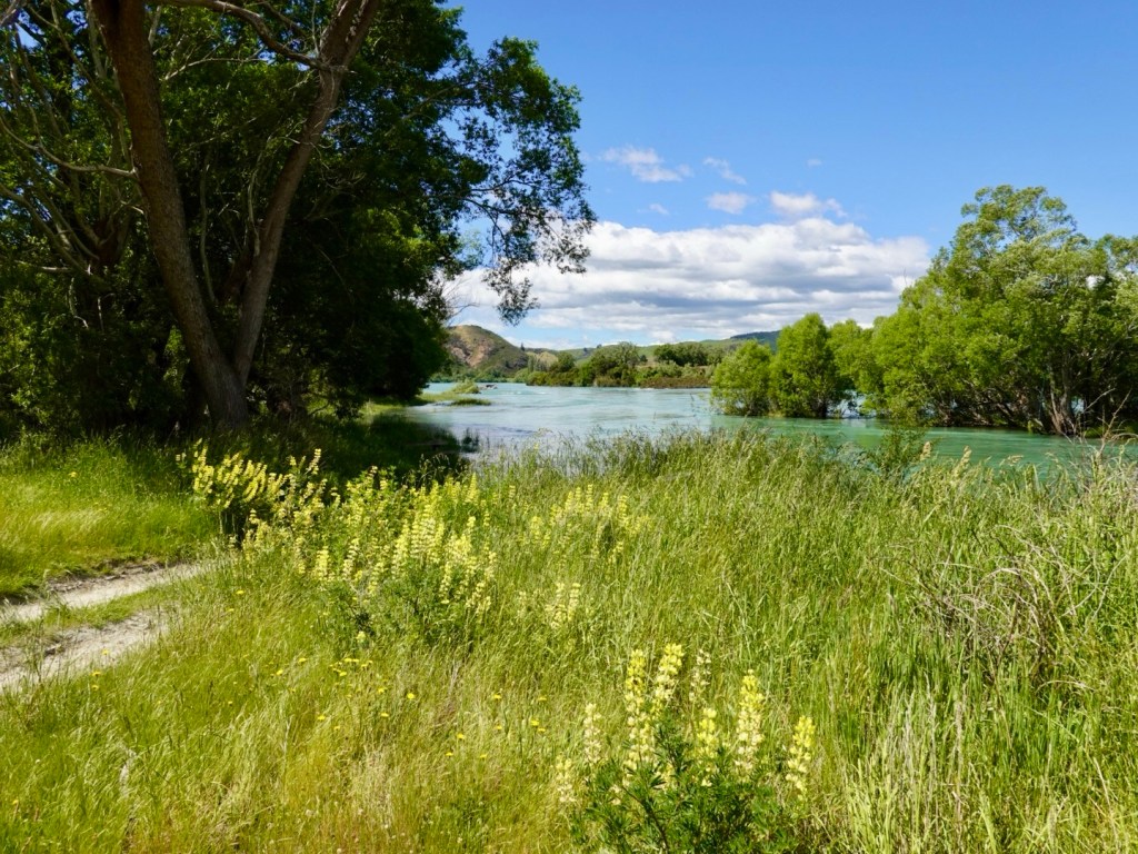
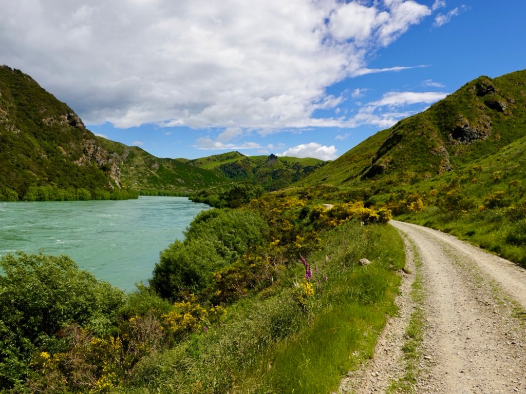
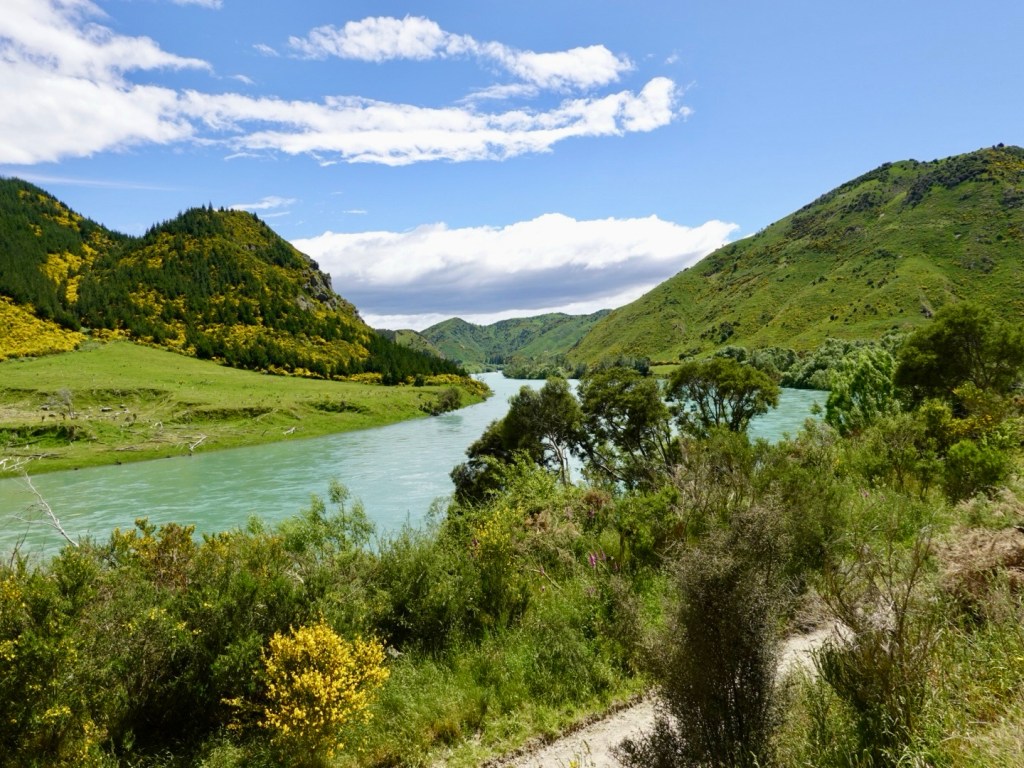
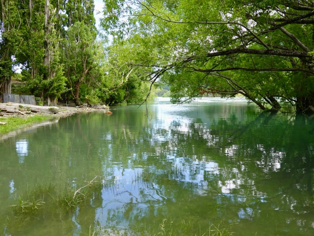
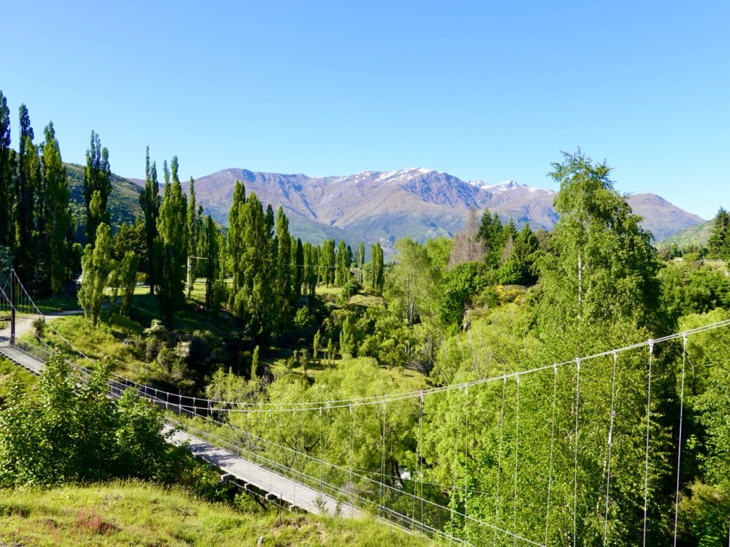
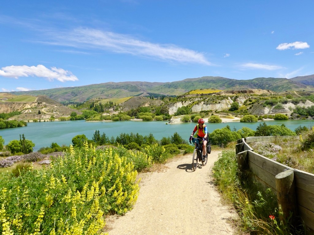
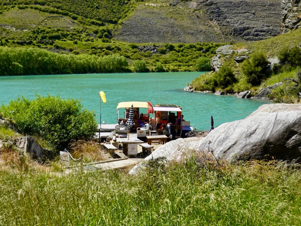
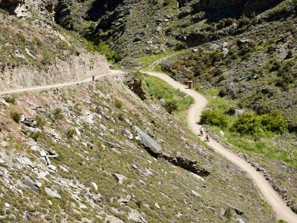
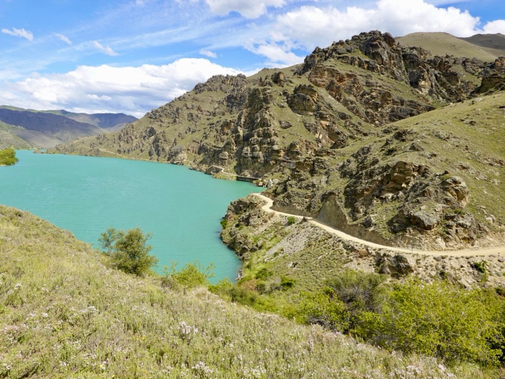
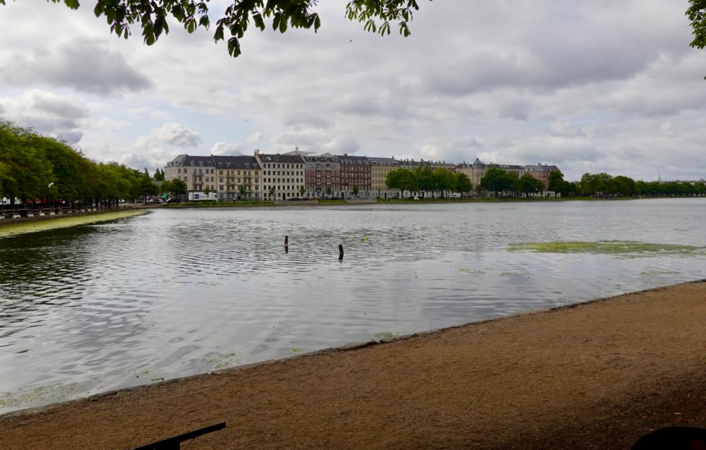
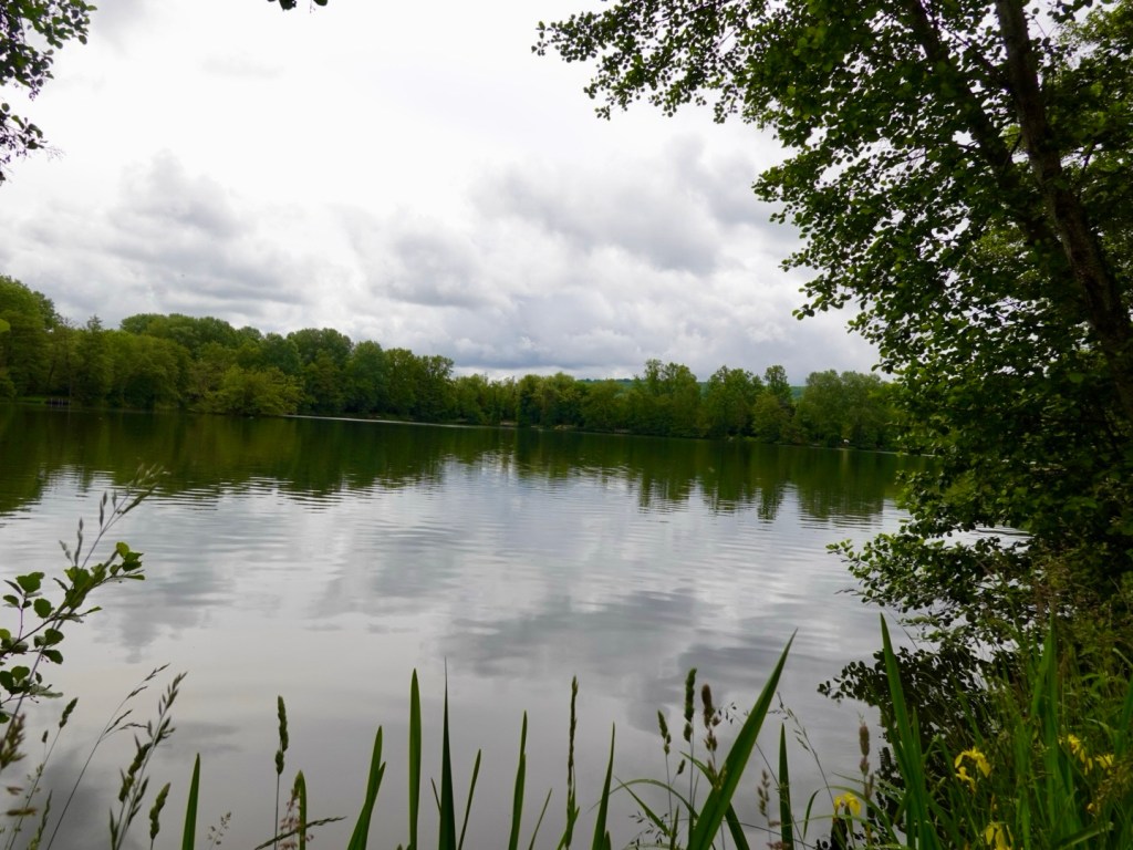
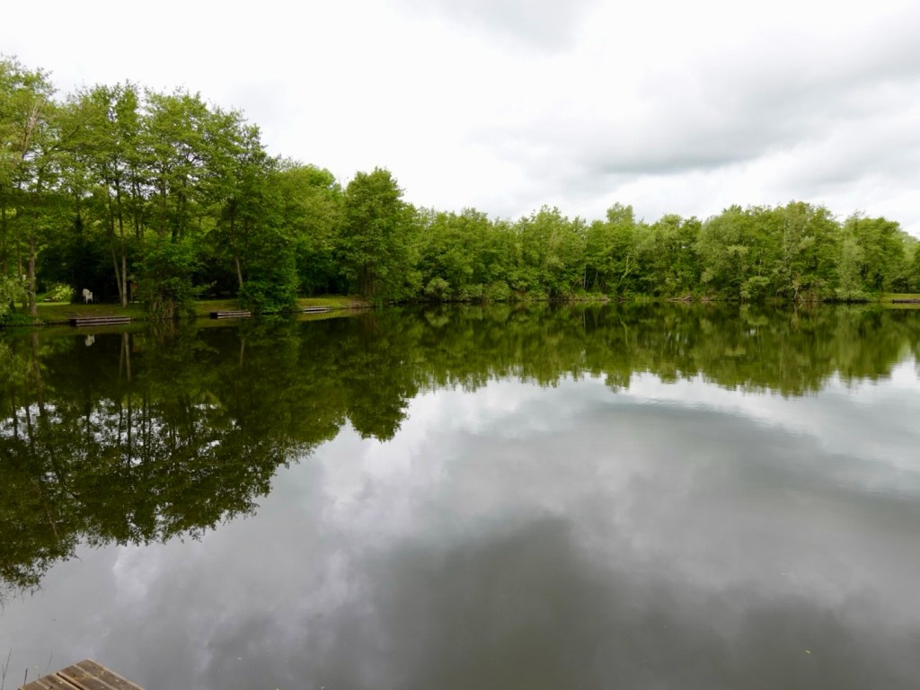
We rode through an area with numerous private fishing lakes.

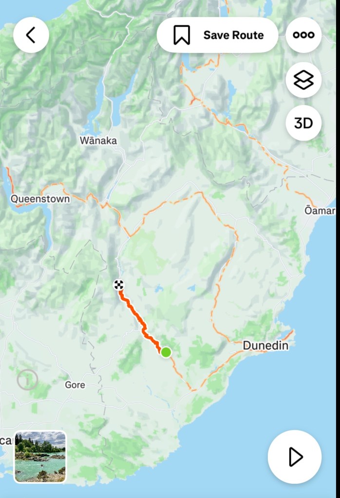
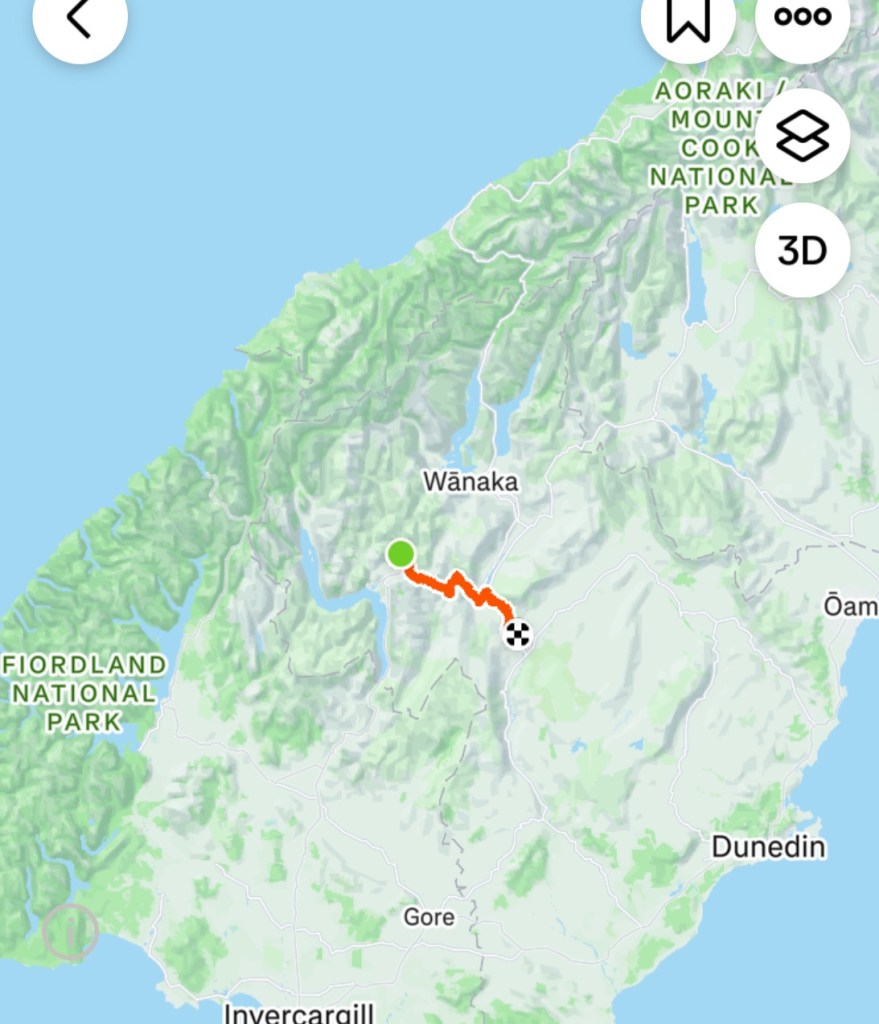
I’ve expanded our ride map to show how numerous they are around the river and canal.

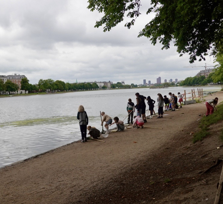
Signage indicated these were former gravel quarries that have been rehabilitated into nature areas.

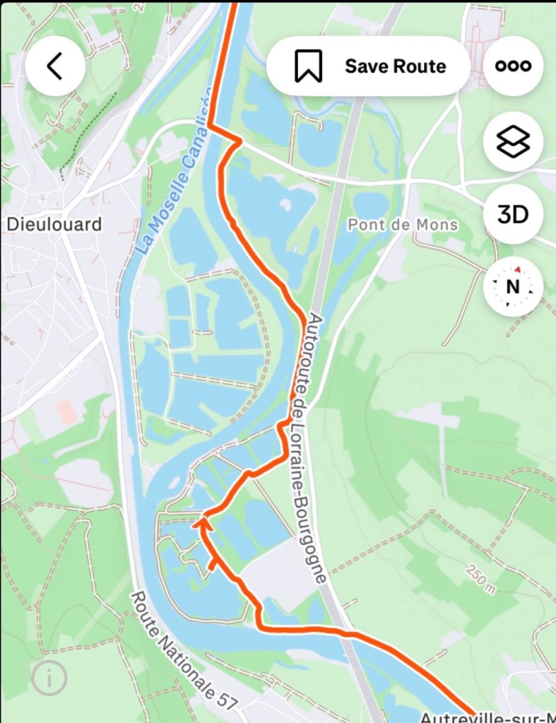
How successful they have been in transforming the area.

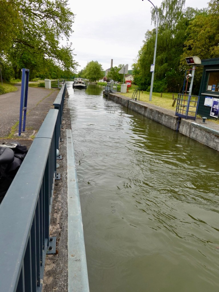
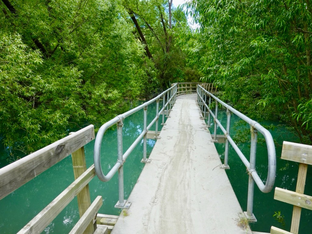
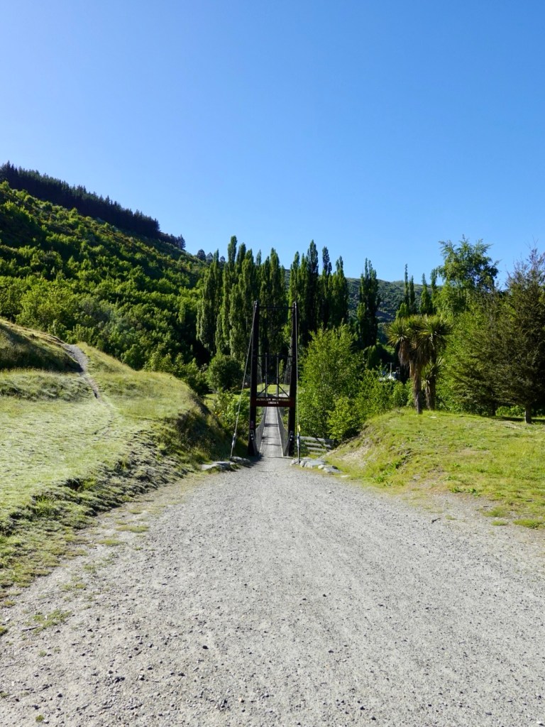
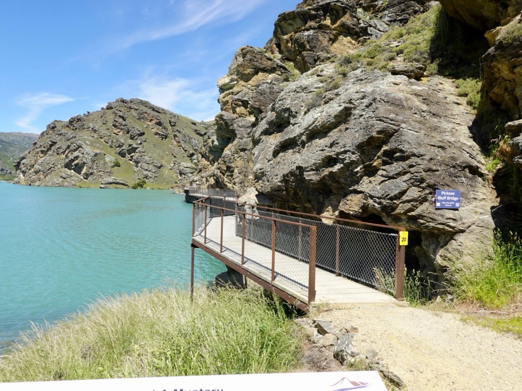
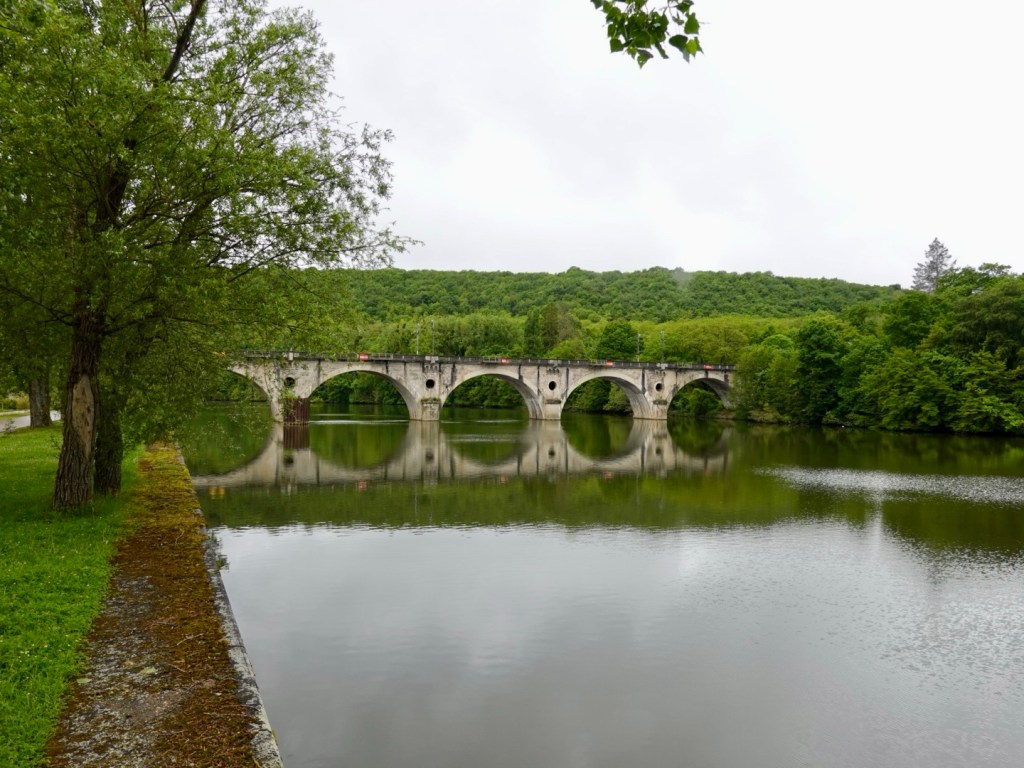
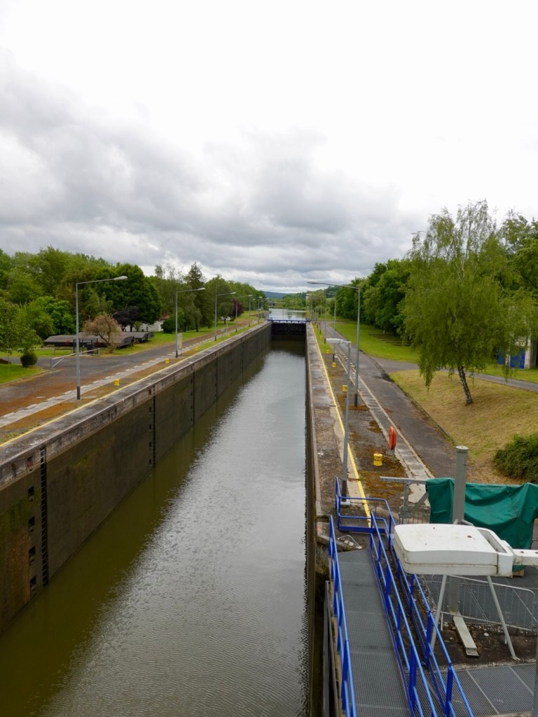
More locks along the canal.

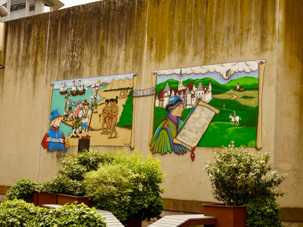
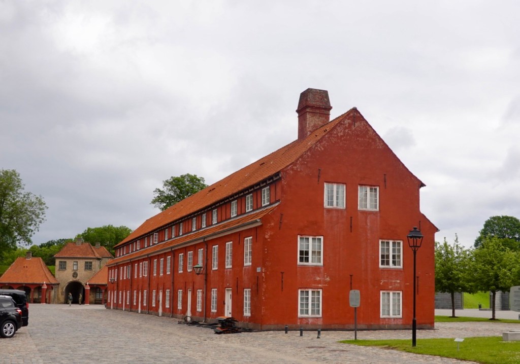
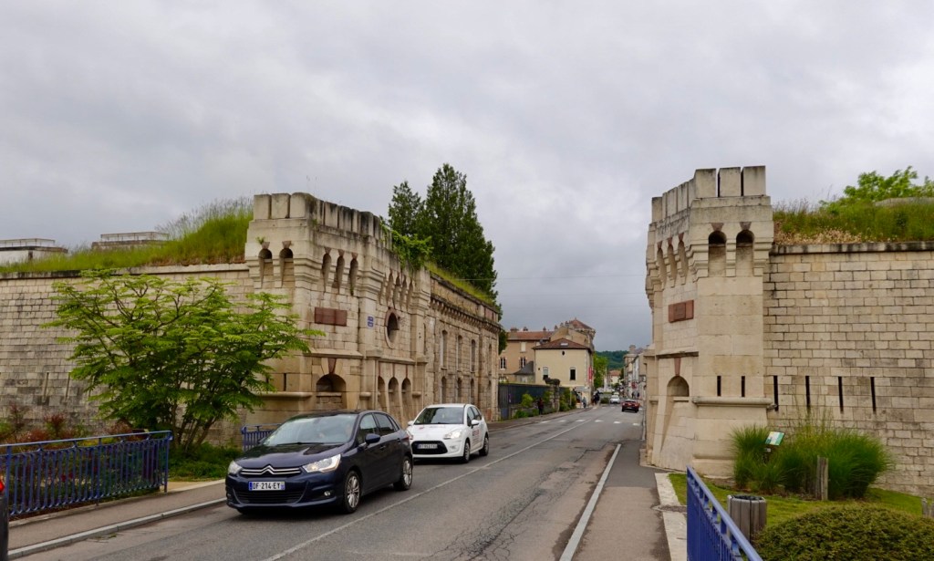
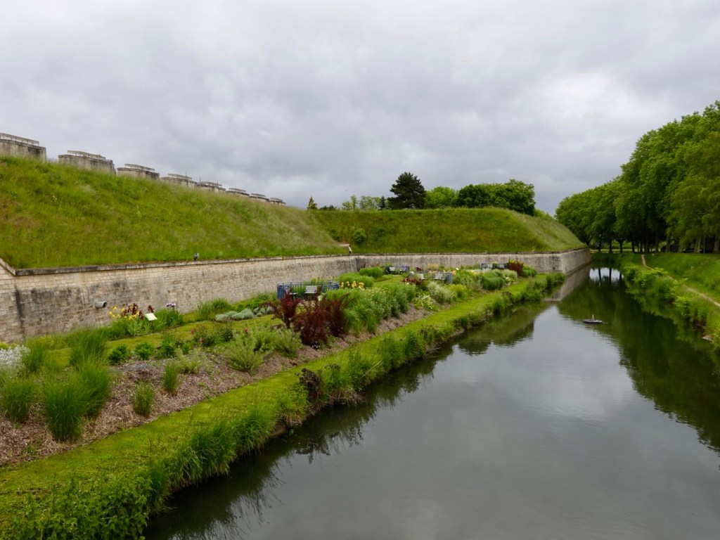
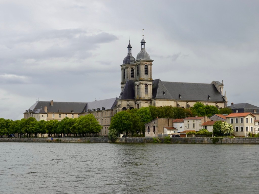
Pont-a-Mousson, a now strong steel town, site of savage fighting during WWII.

Town church

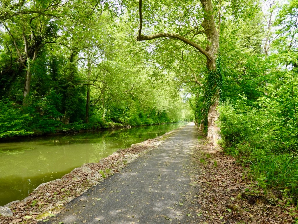
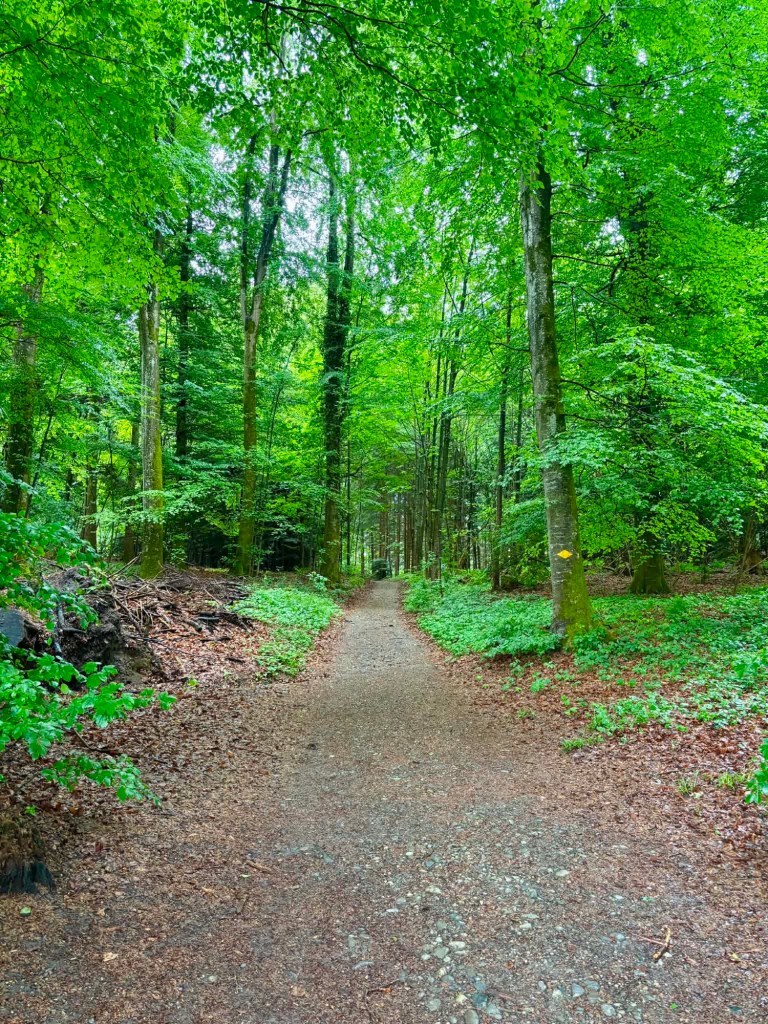
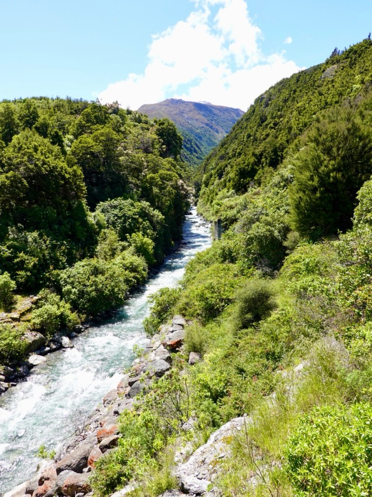
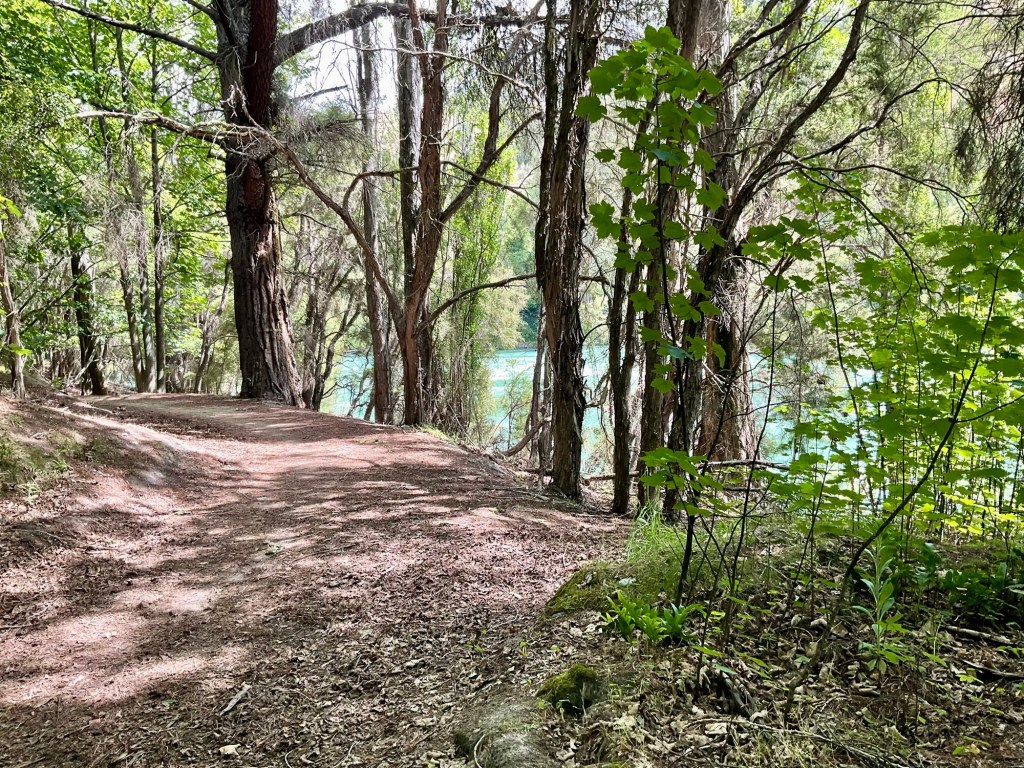
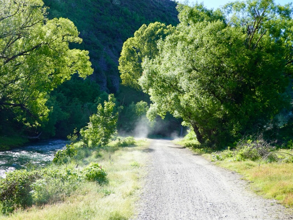
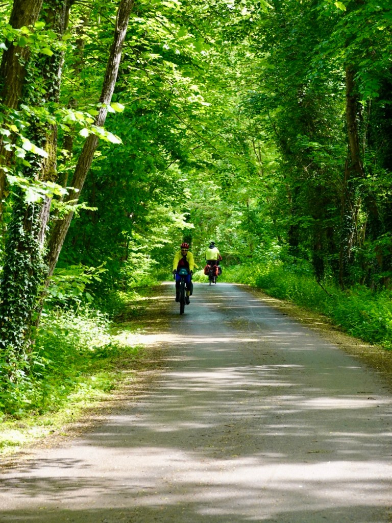
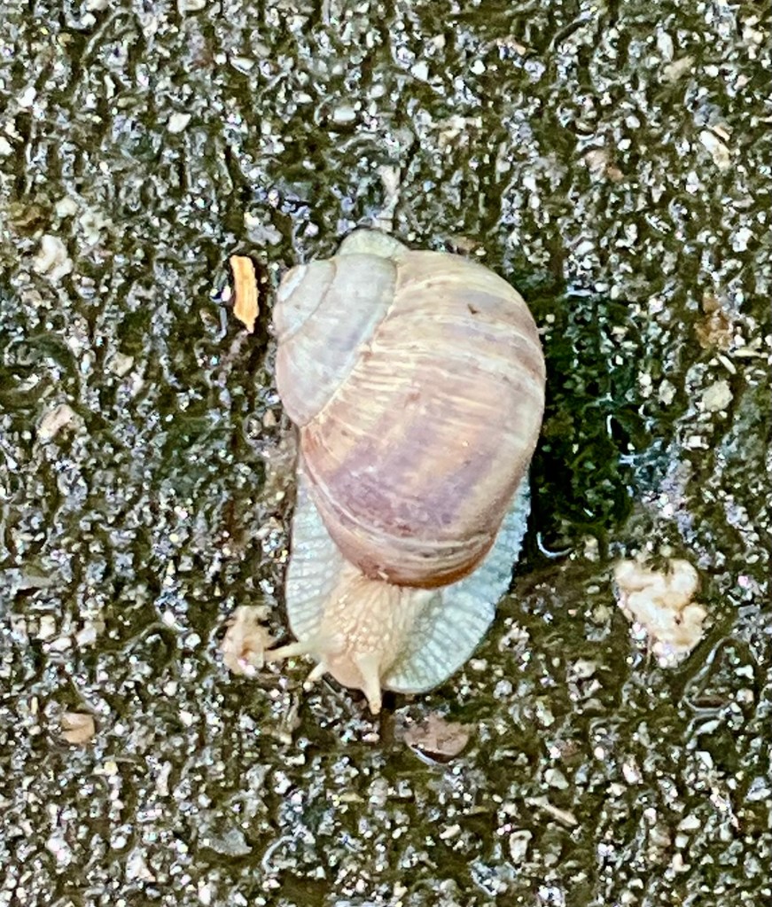
Back through forests adjacent to canal and river. I was fascinated by this very pale coloured snail. It was huge, maybe 3-4 times the size of the snails I β€˜deal with’ in my garden.

Bright bird house
Ornate fairy garden tree
Another bike

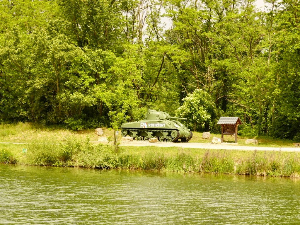
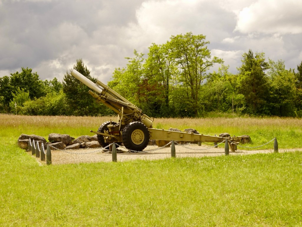
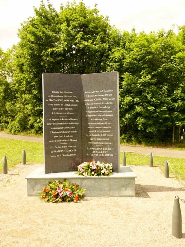
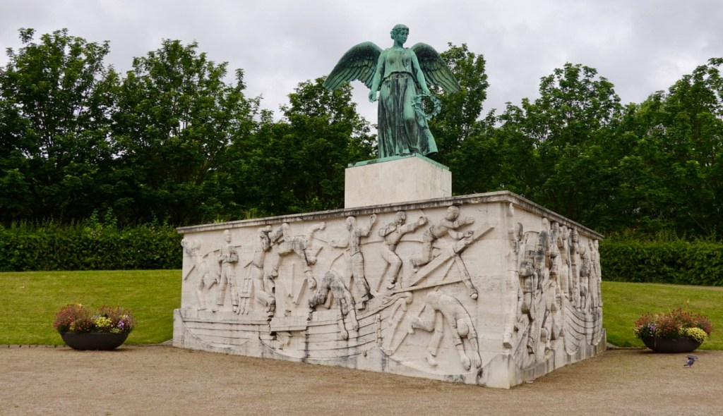
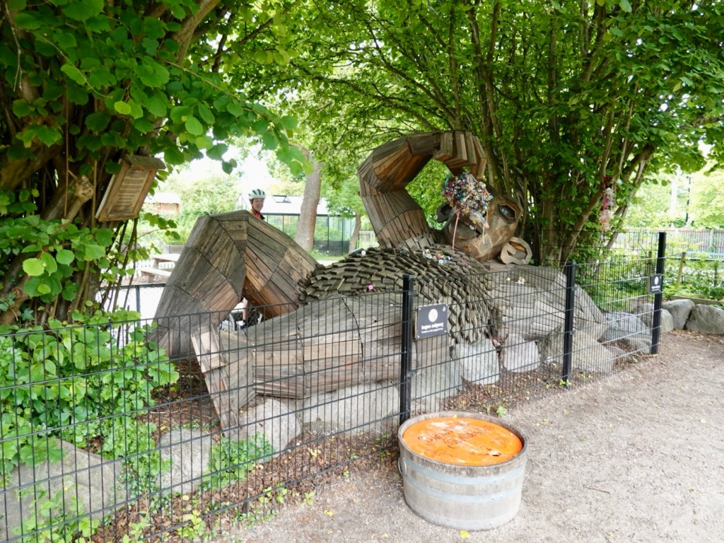
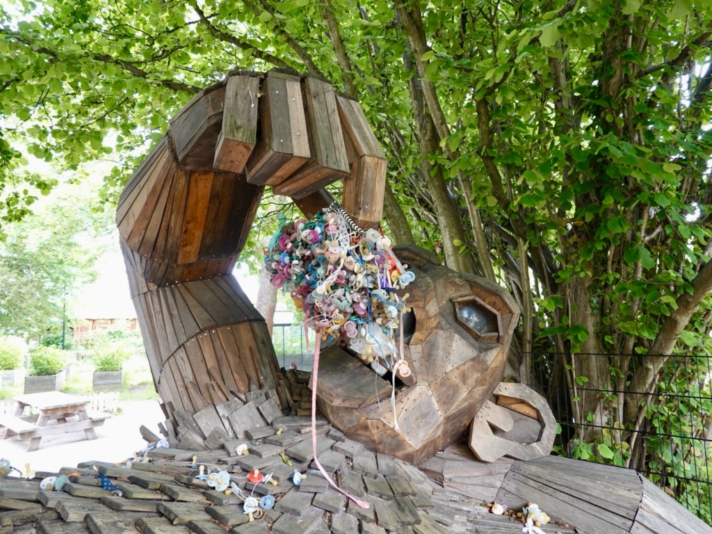
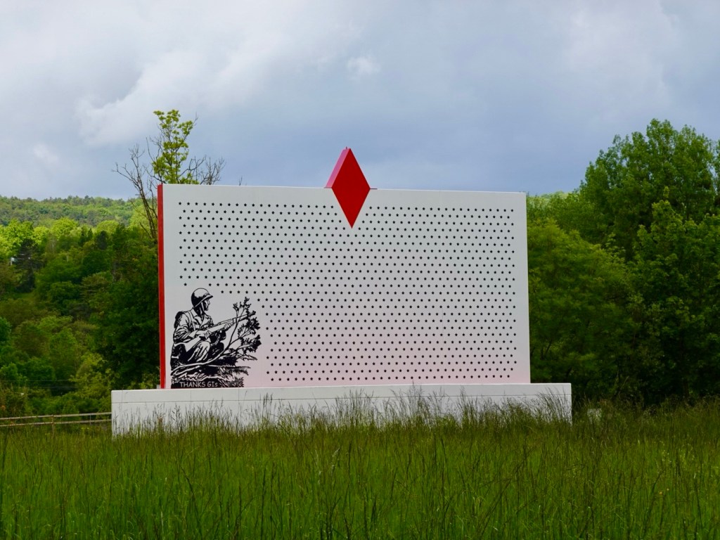
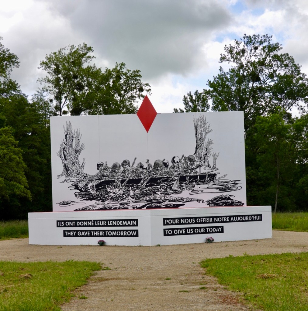
Along the rivers edge we came across an interesting war memorial, dedicated to US troops.

The Battle of Dornot-Corny took place over 60 hours, leaving 945 Americans dead. It is also referred to as Omaha Beach Lorraine.

There are a series of information panels with photos and testimonies from survivors.

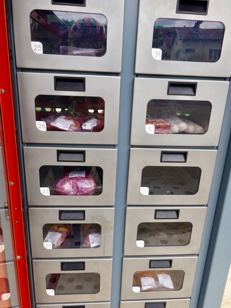
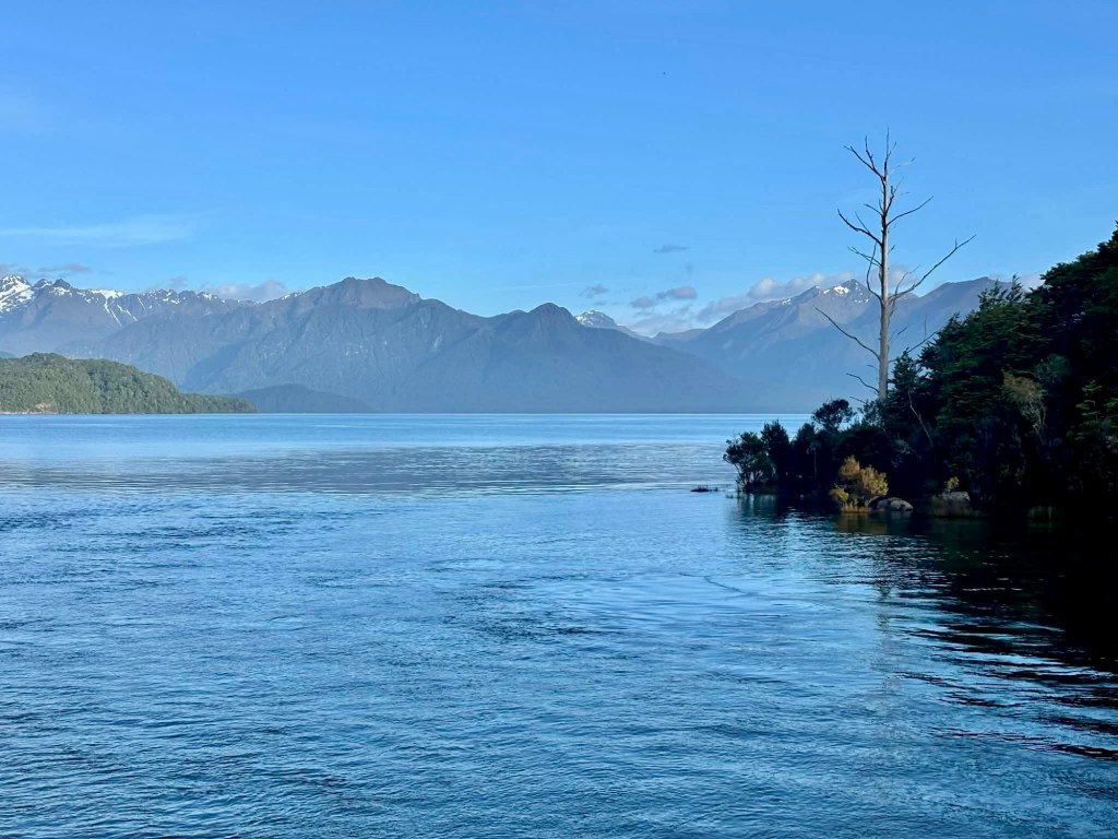
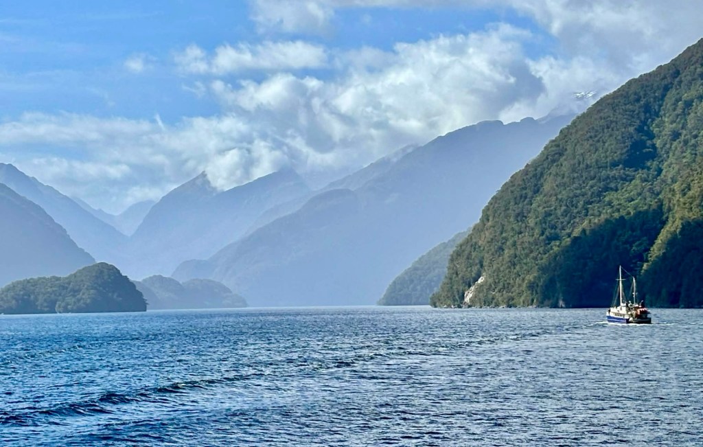
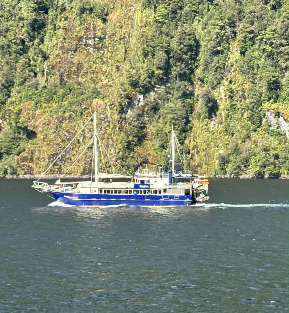
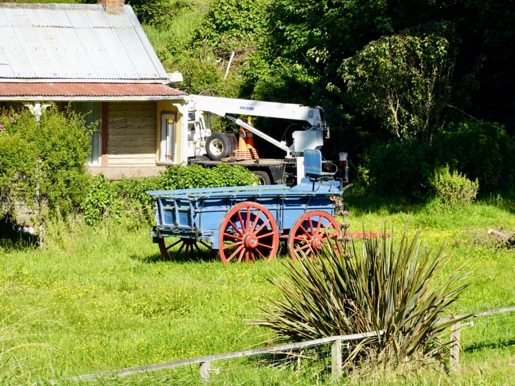
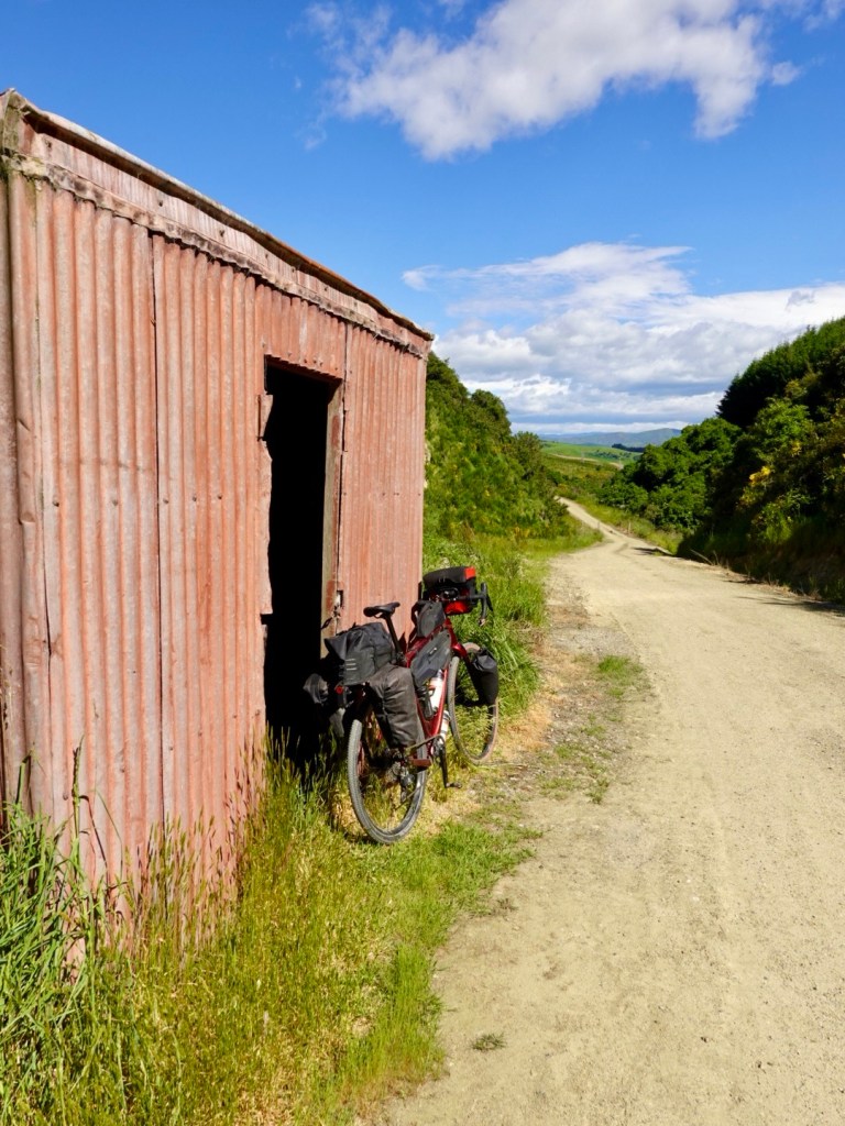
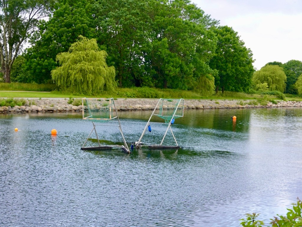
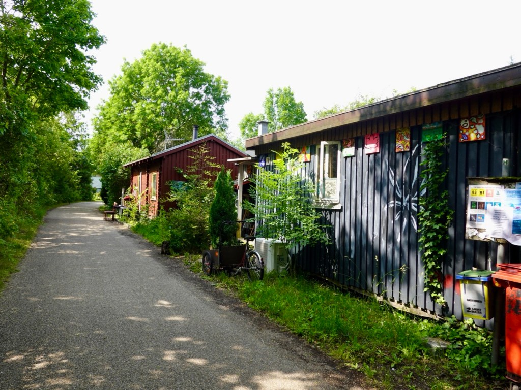
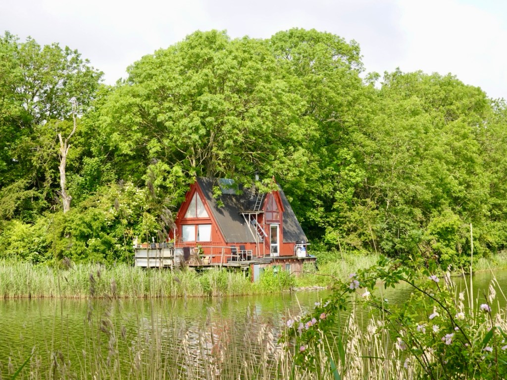
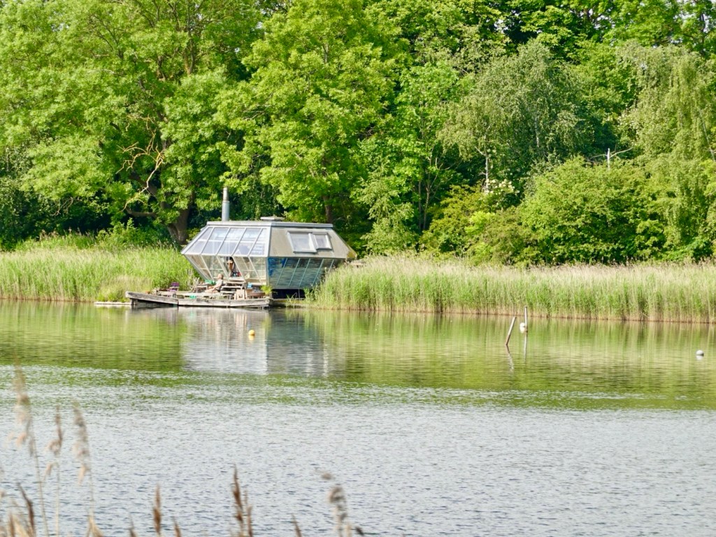
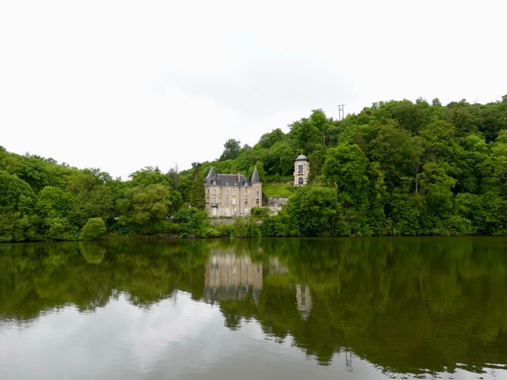
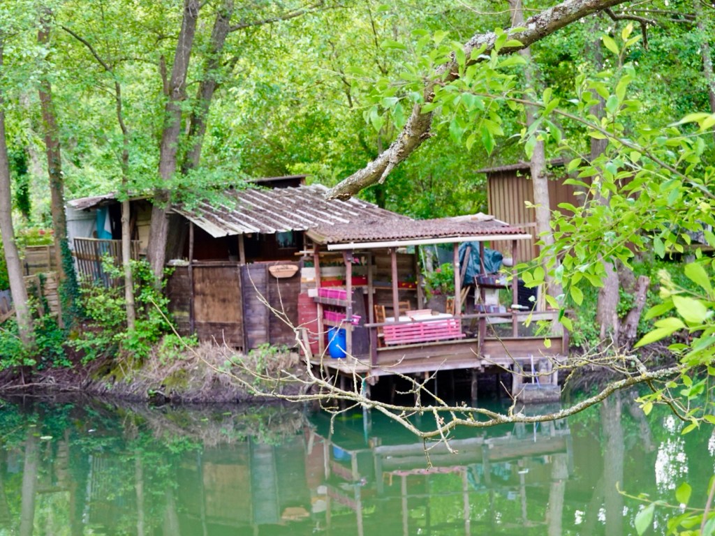
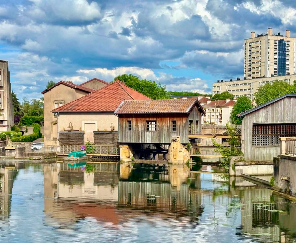
The surrounding waterways have numerous private fishing shacks, ranging from super basic, to more β€˜solid’ structures.

We passed by a tall post showing various flood levels over the years, I cannot see any of these surviving a big flood.

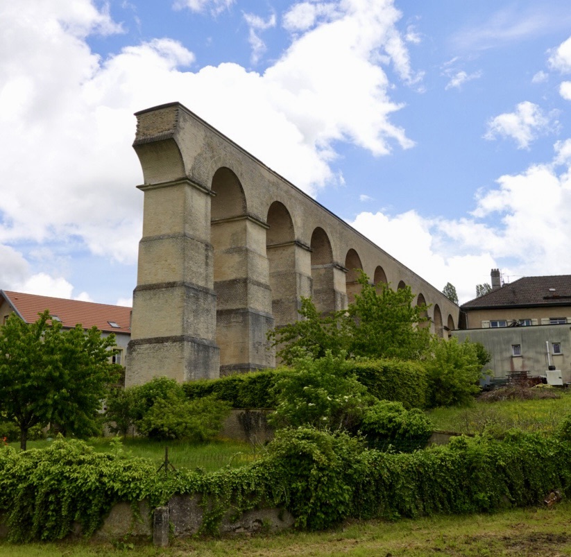
An old Roman aquaduct constructed in the 2nd century. When completed it was 22 km in length, including significant underground sections. Those Romans were clever!

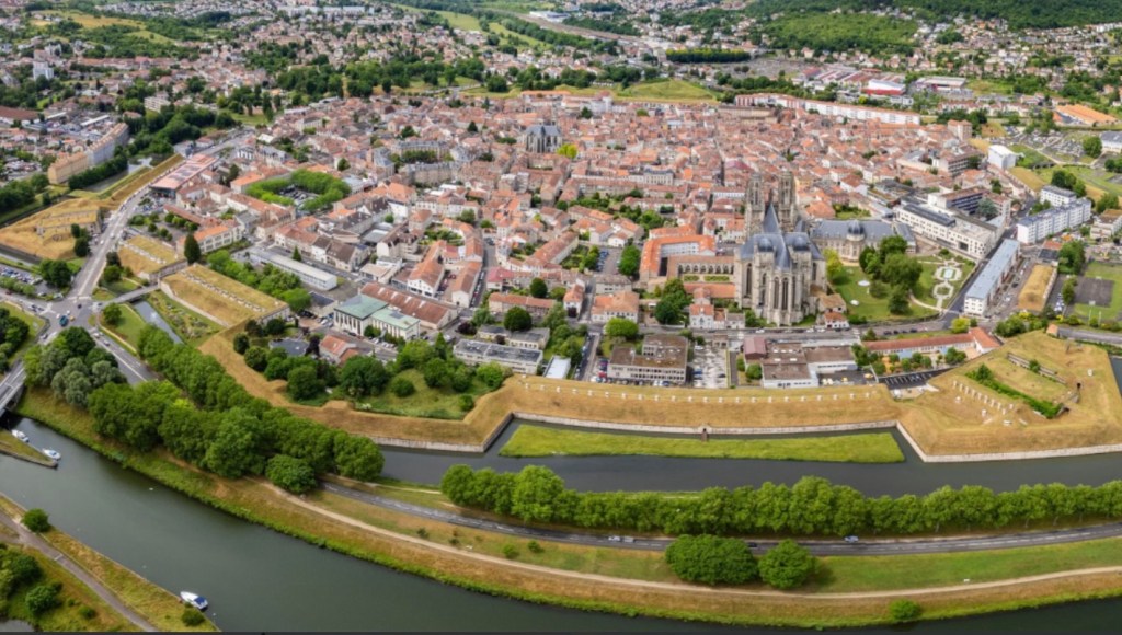
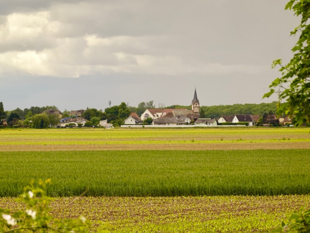
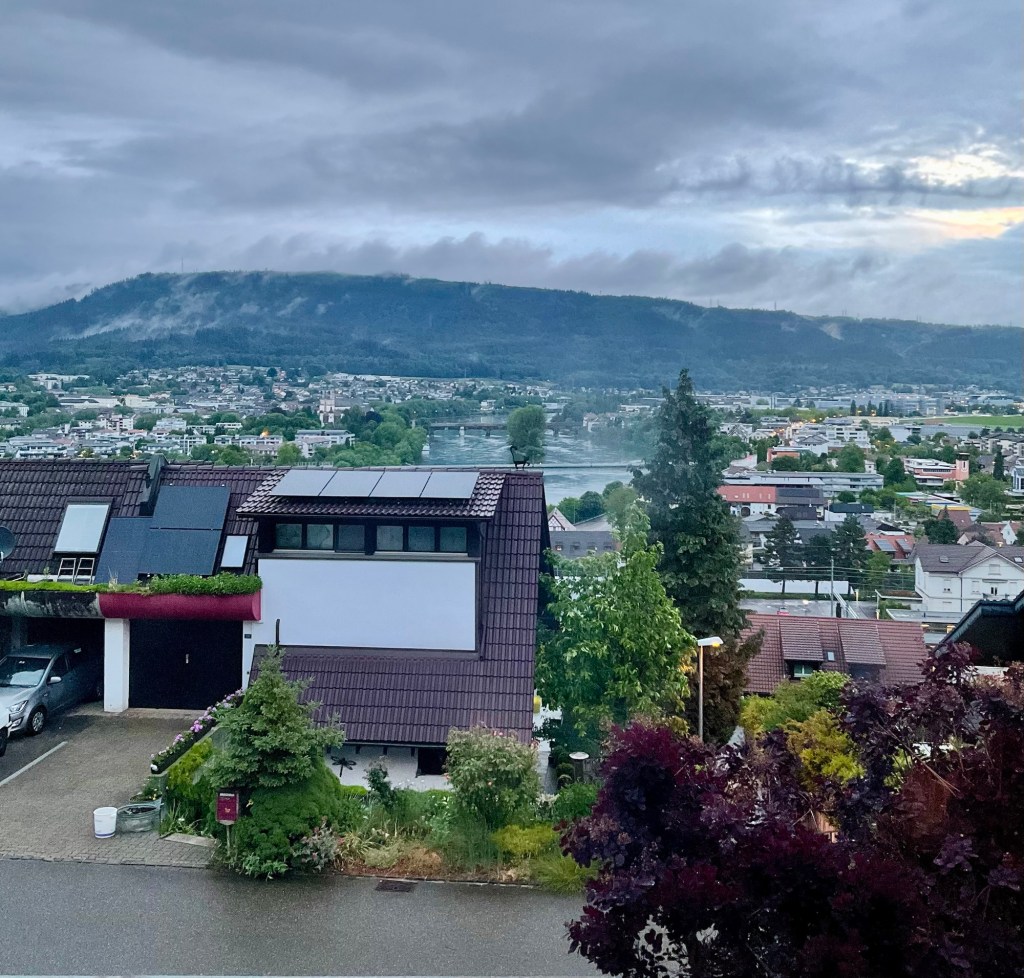
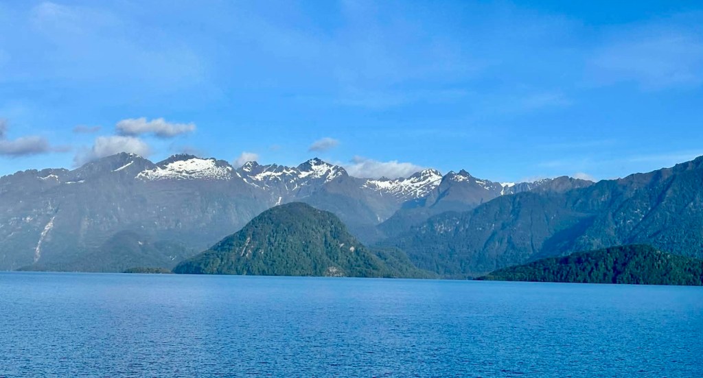
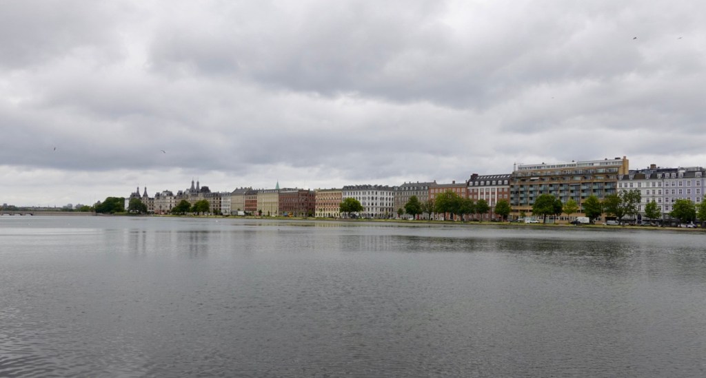
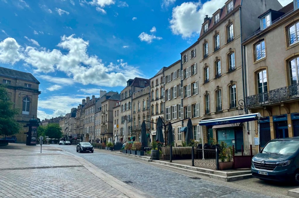
Nearly there, Metz is ahead.

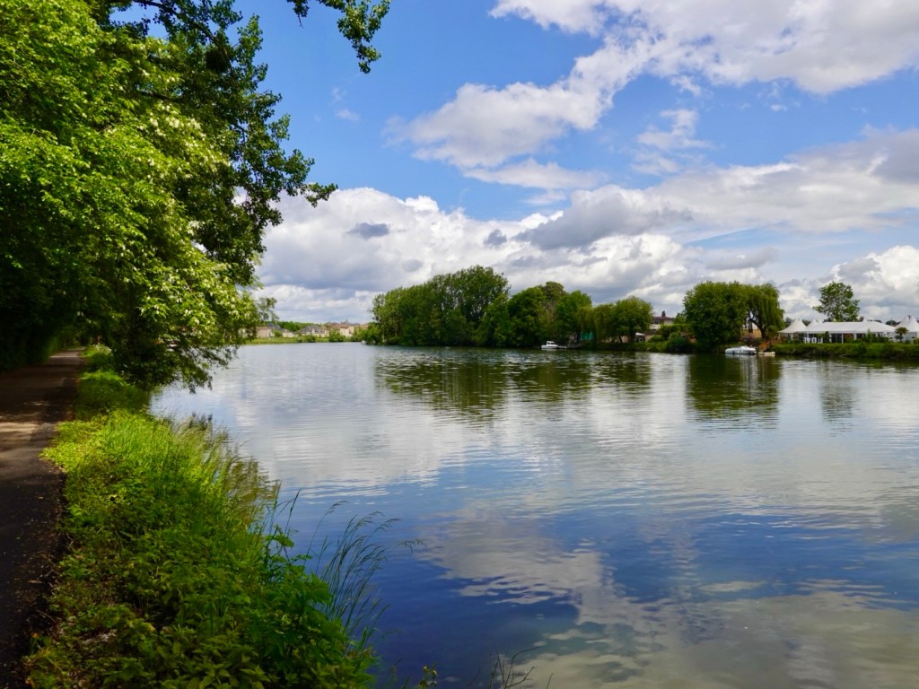
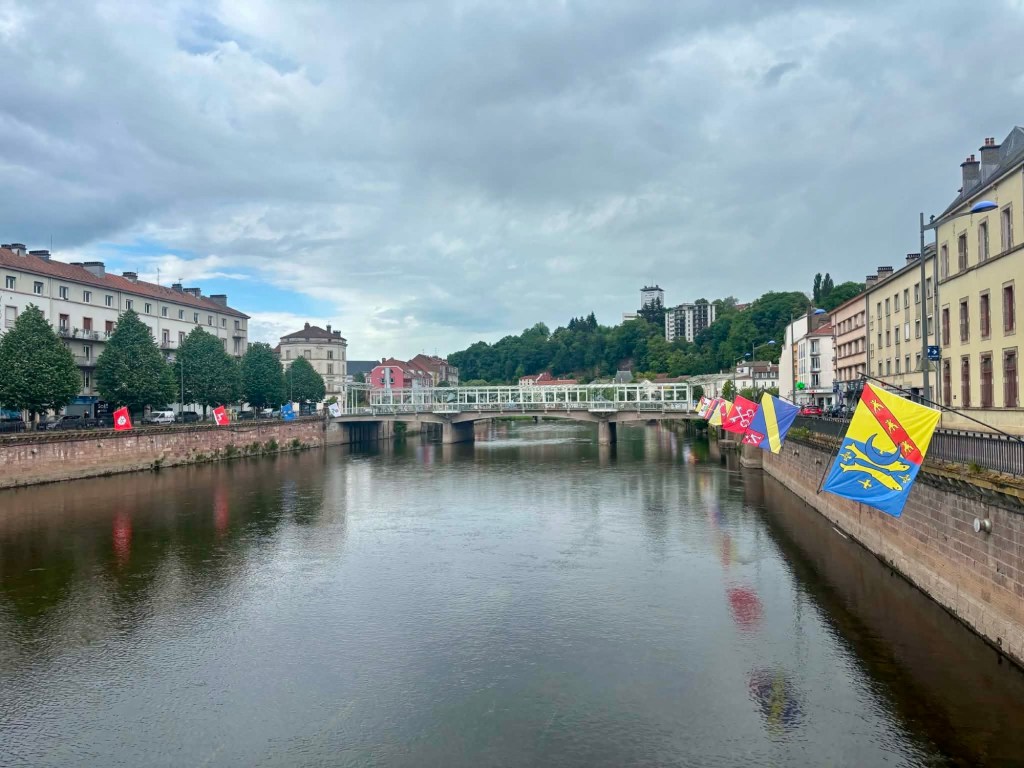
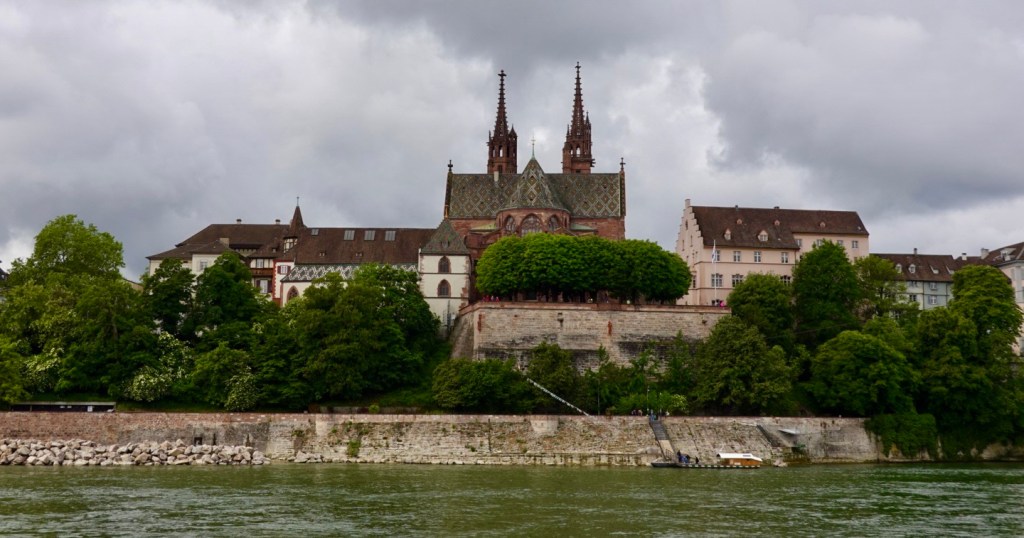
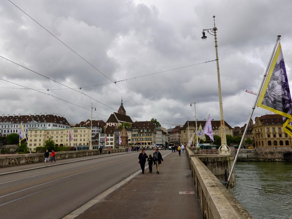
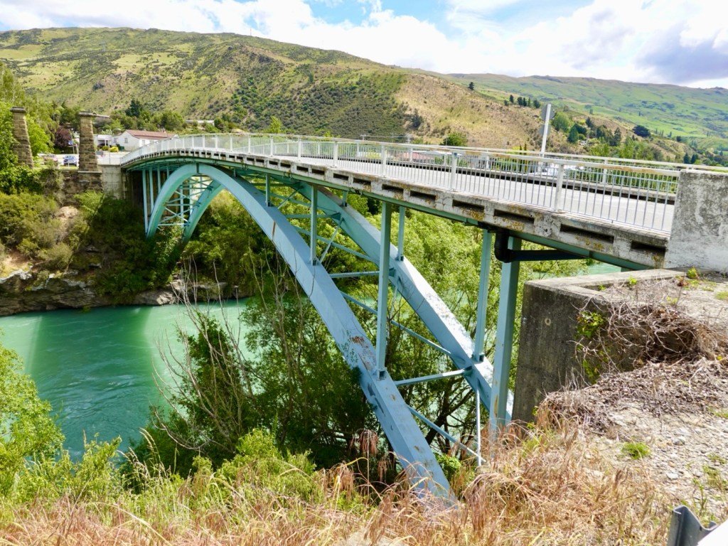
Metz is a Gallo-Roman city, sitting at the confluence of the Moselle and the Seille Rivers. Twenty bridges criss cross the rivers and canals.

We find our hotel easily enough. Then came the hardest challenge of the day. Following obscure French instructions to locate the hotel underground car park some 300 m away.

We can navigate Europe without too many issues, but find a French car park was challenging!

We knew, or rather thought, we were close.

Fortunately a couple approached us and asked if we were looking for the car park. They had seen us checking in as they left to find the car park.

He told us he’d been wandering around for 10 min confused, then bingo!

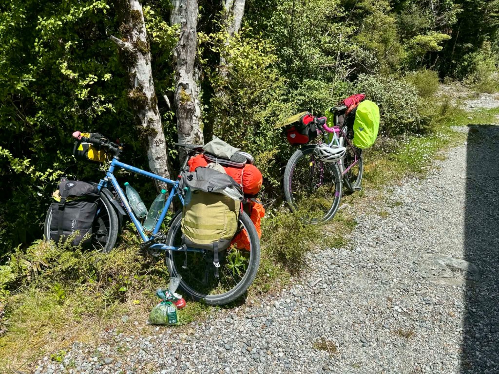
We were less than 50 metres away. Our bikes are secured in a locked room within the locked underground car park.

No crook will find this carpark!

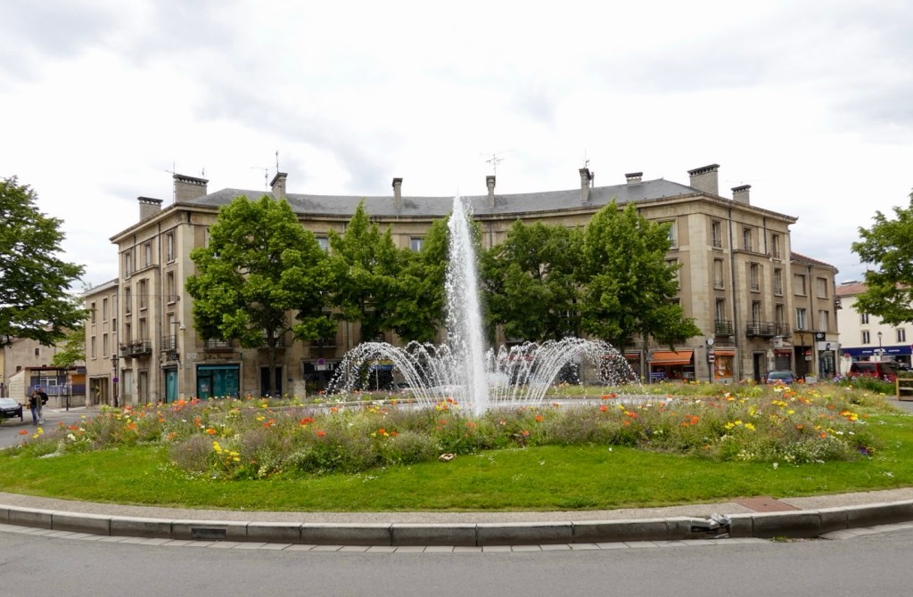
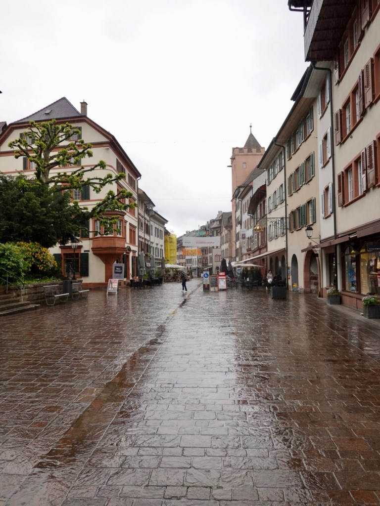
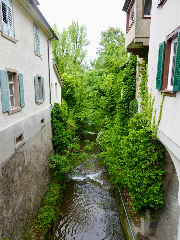
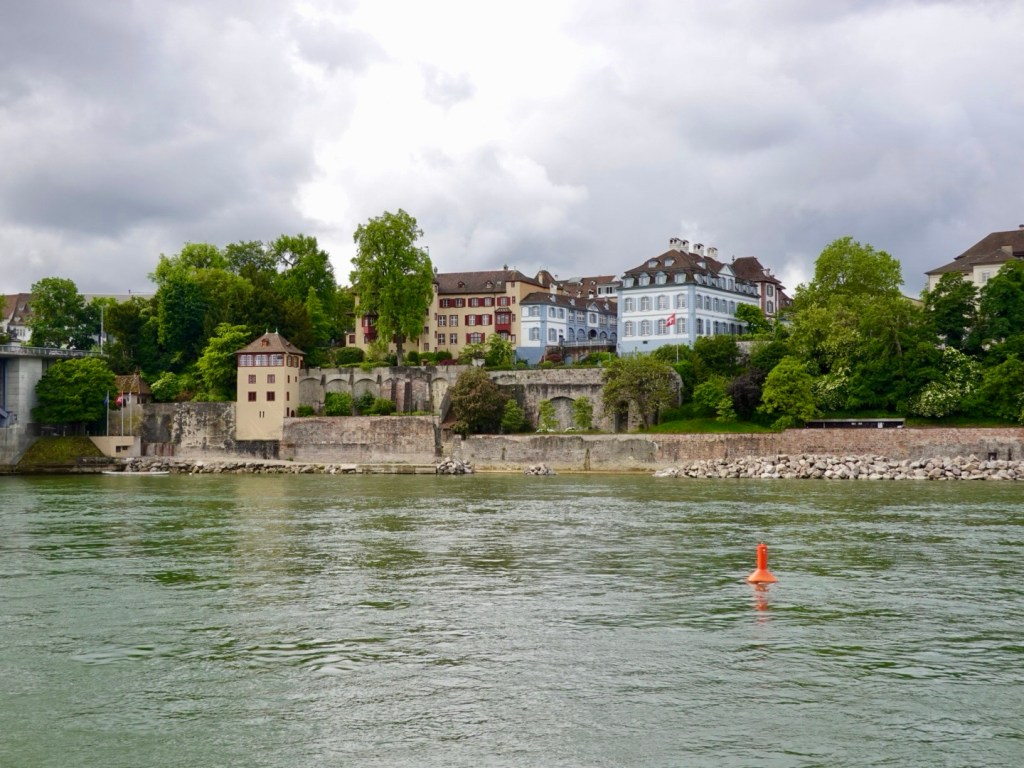
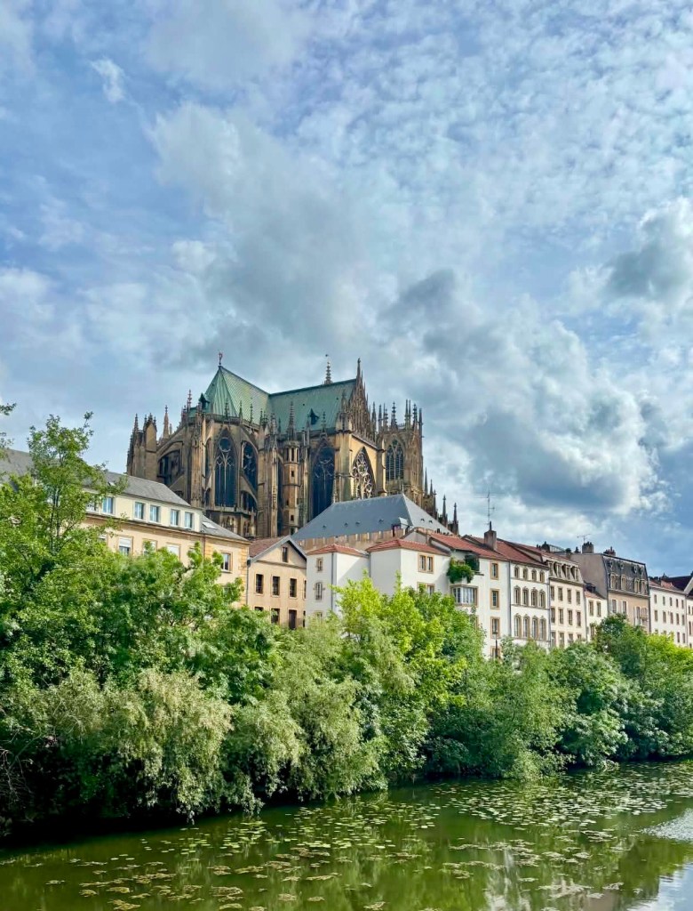
After showering and laundering, we spent several hours wandering around what we found to be an impressive town.

Lots of waterways, canals, bridges, classic apartments and buildings.

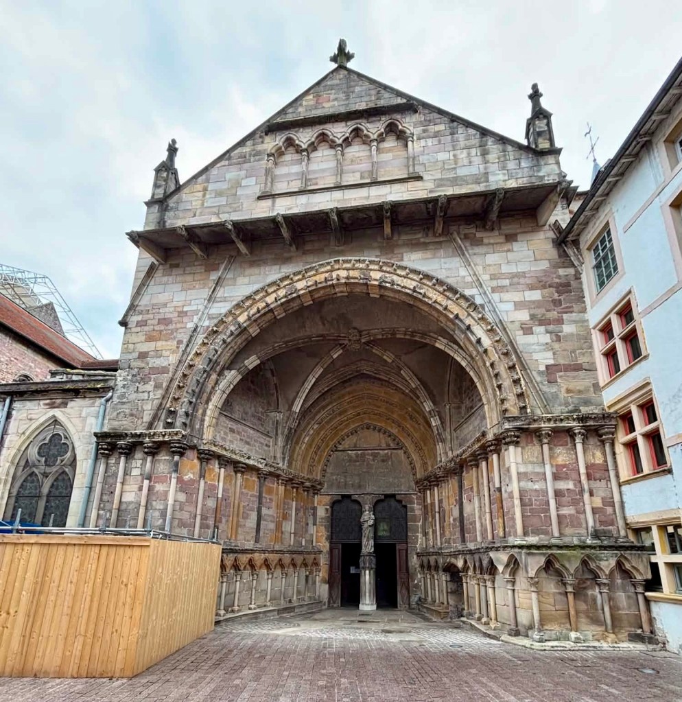
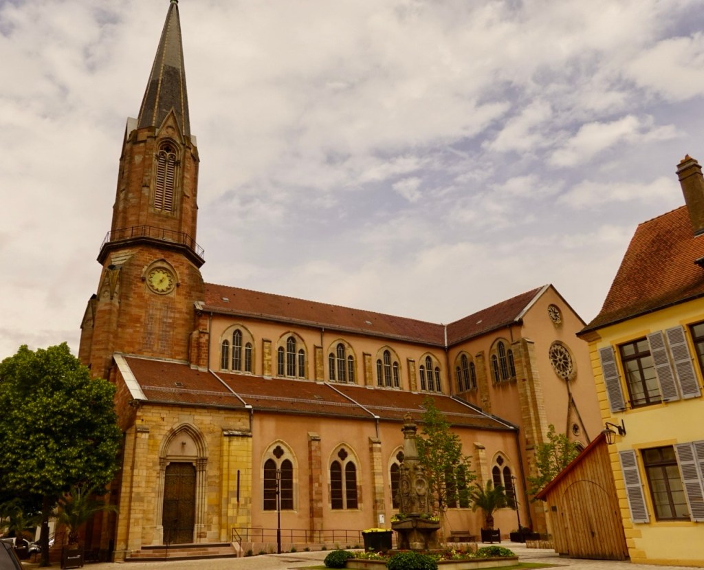
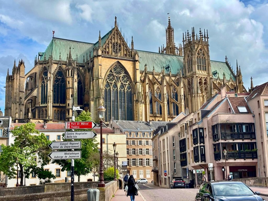
Then our first glimpse of the undoubted highlight of Metz.

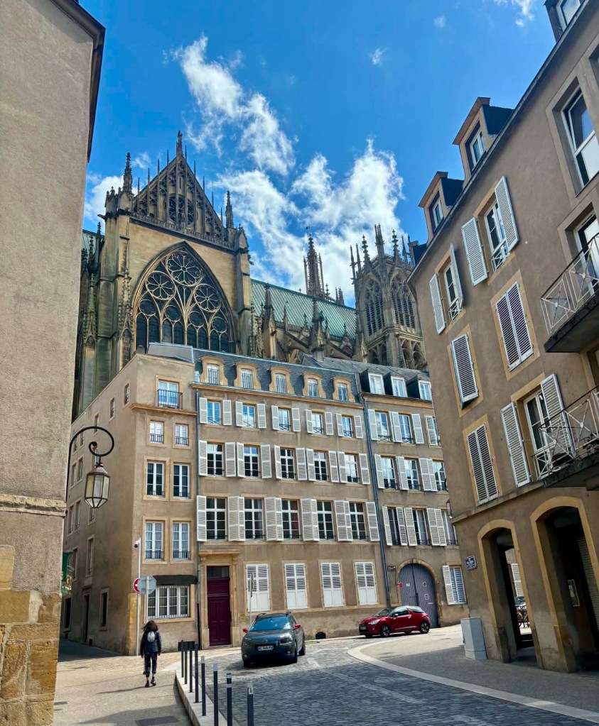
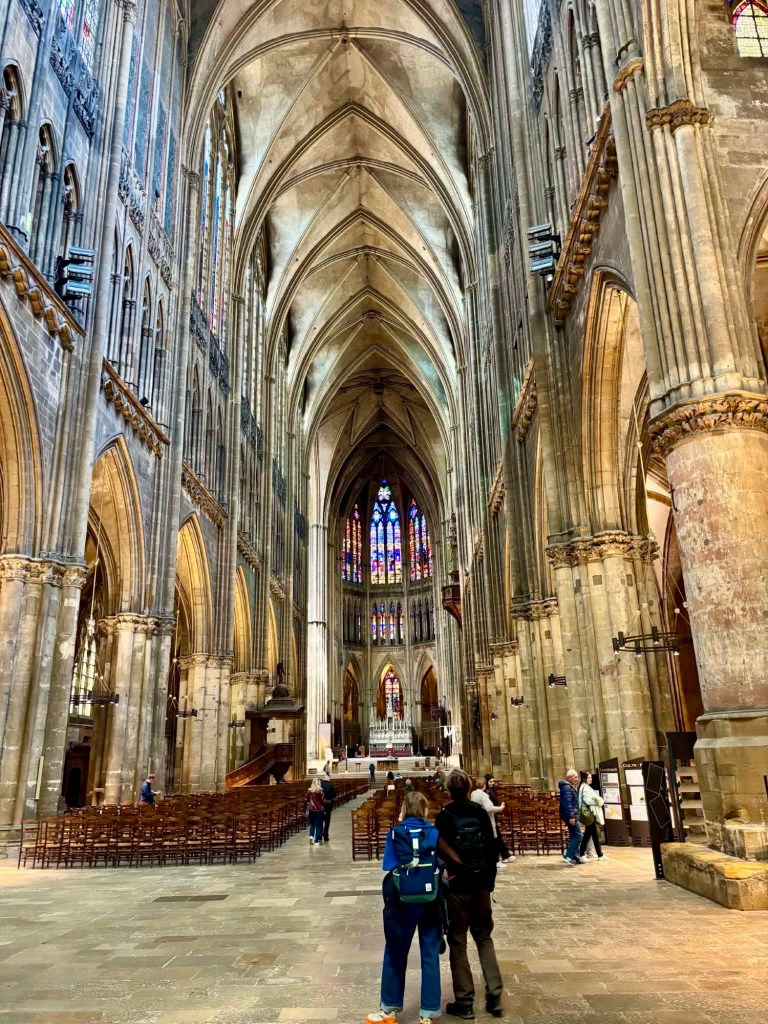
Getting closer. To photograph the cathedral whole is likely to be difficult or impossible. It is seriously huge.

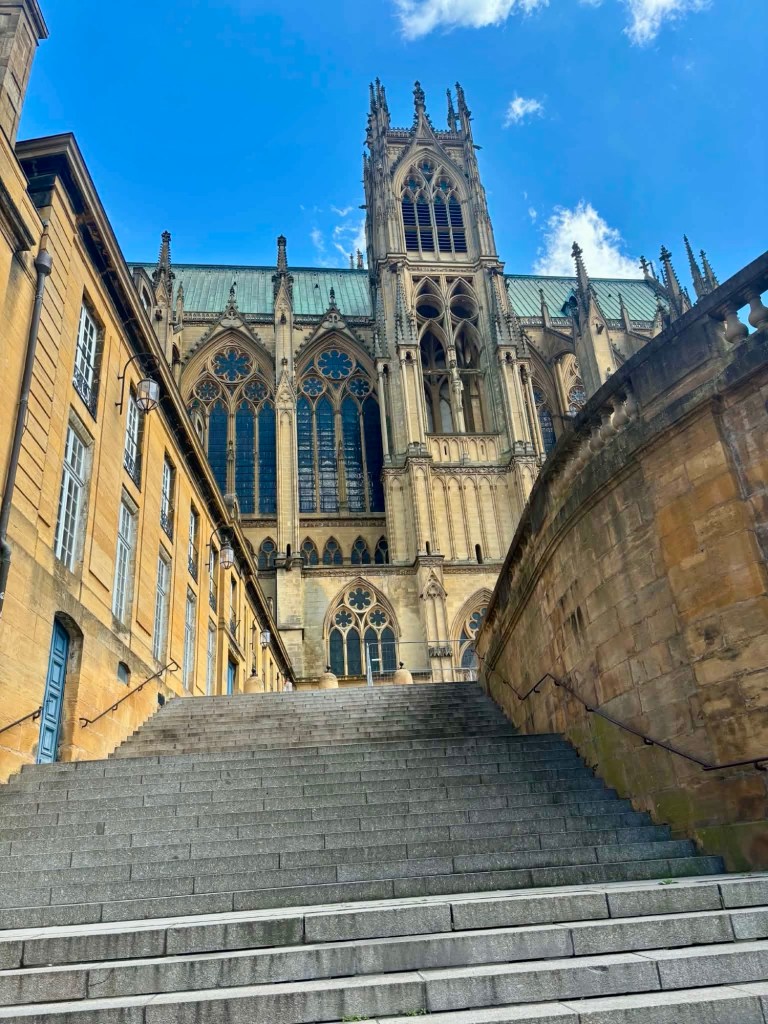
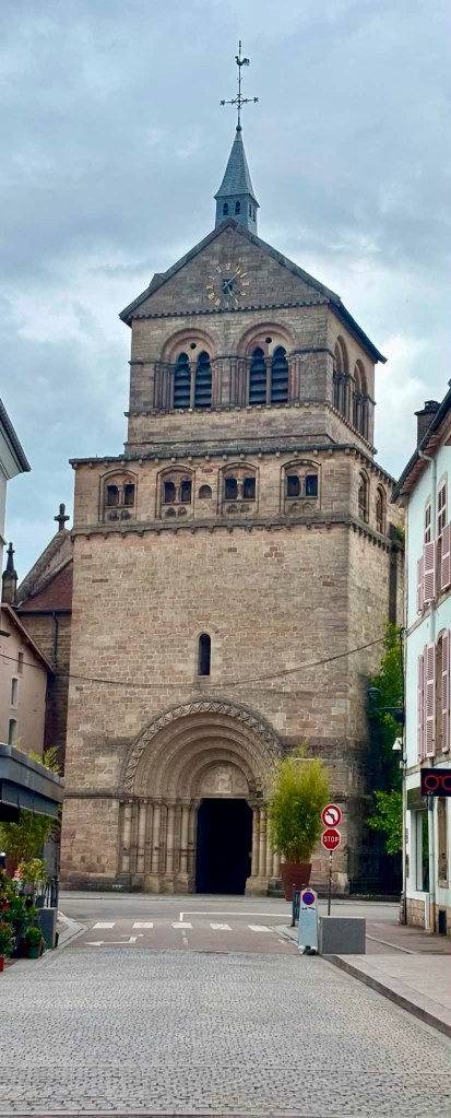
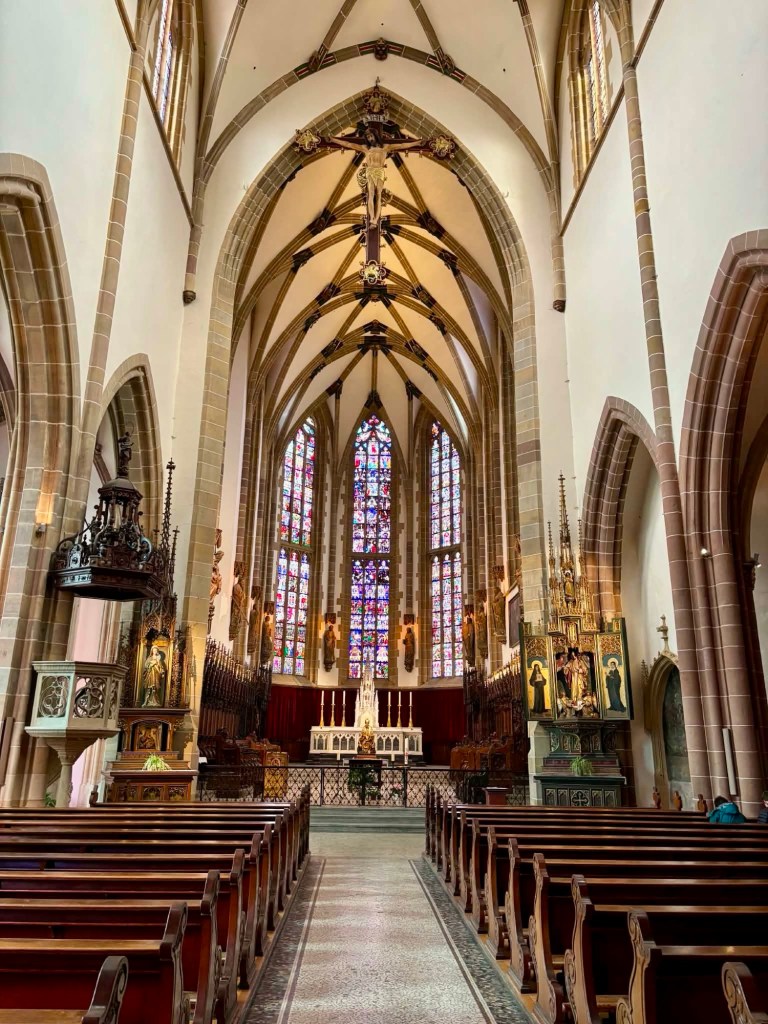
Saint Etienne Cathedral is the third tallest in France, after Beauvais and Amiens.

There has been a church on this site since soon after AD. The current church was built in the 13th and 14th centuries.

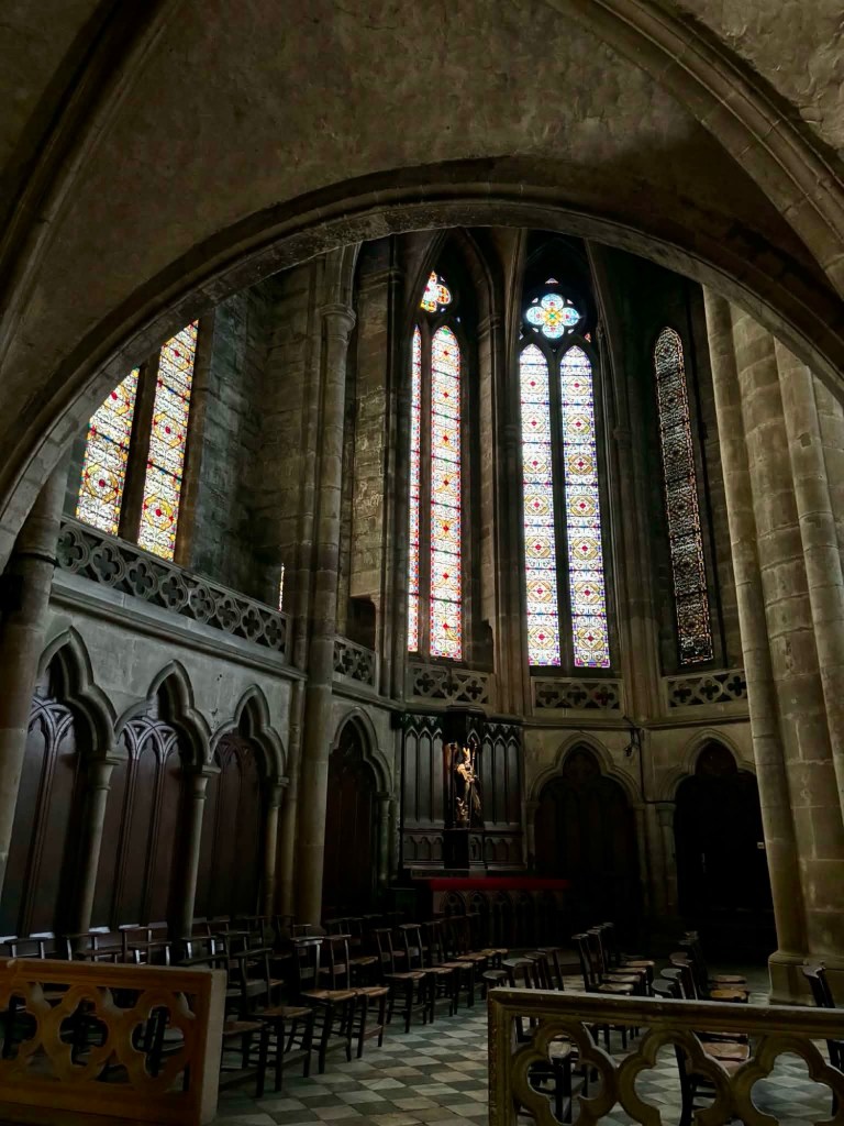
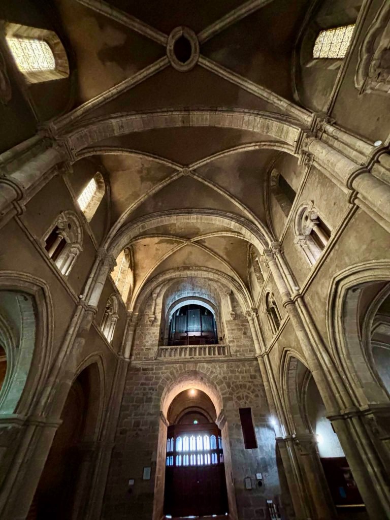
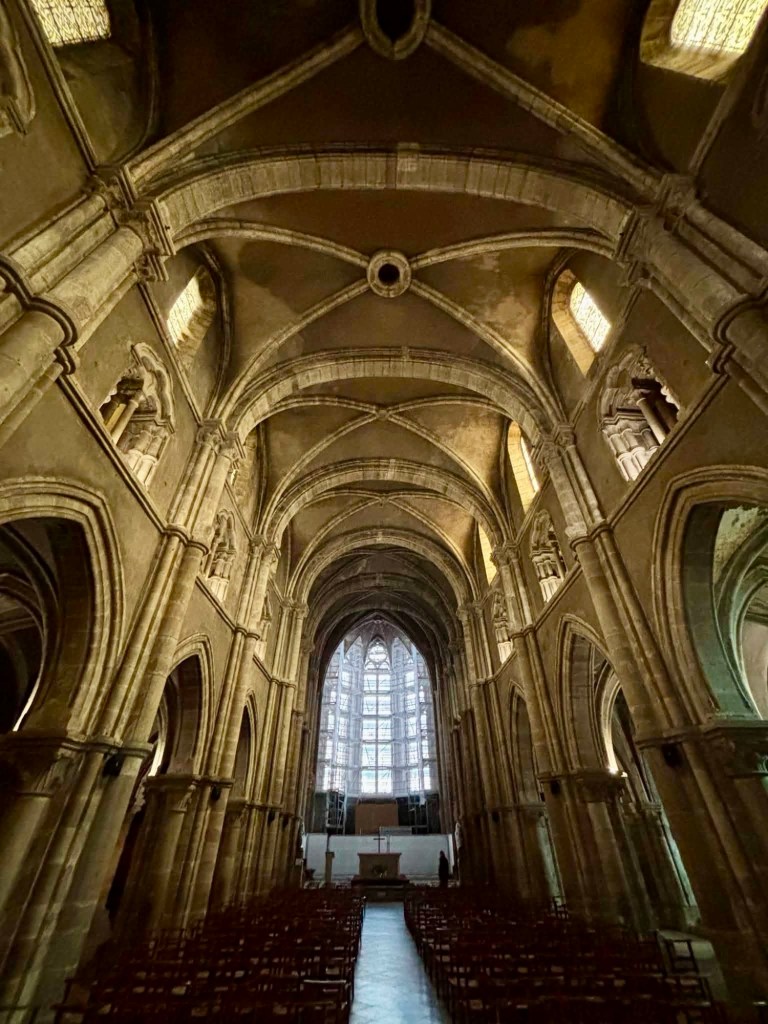
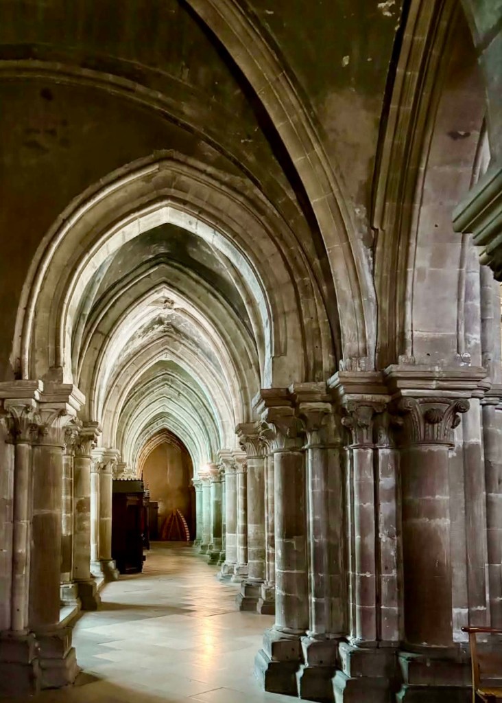
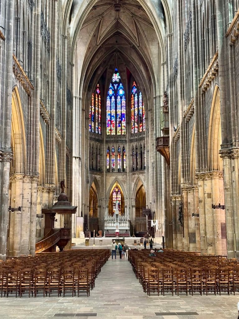
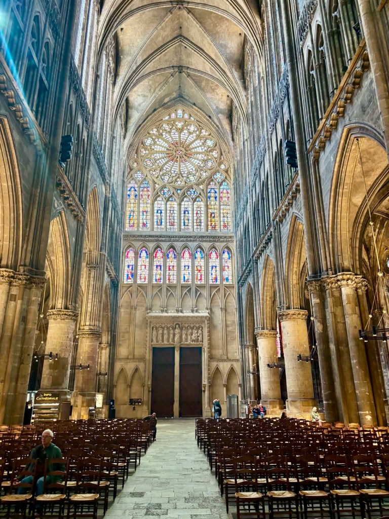
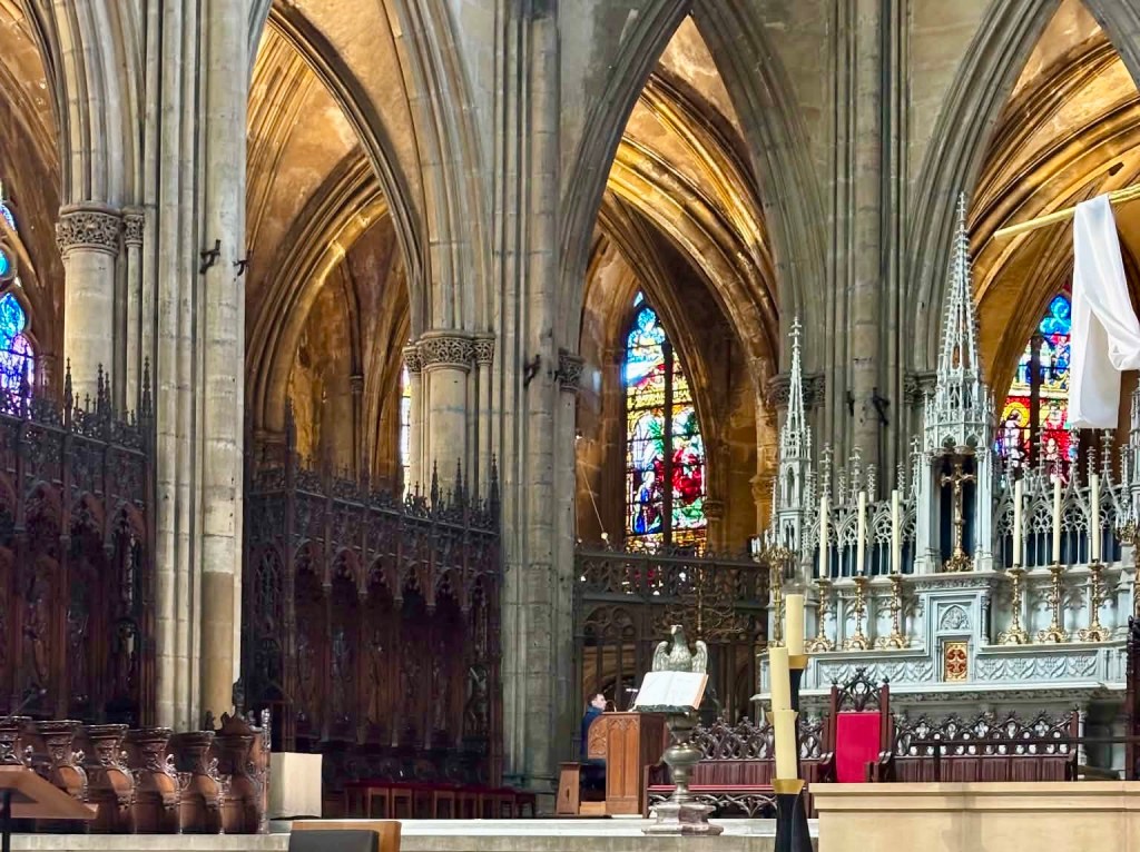
I have visited a lot of churches on our cycle tours and this is right up there with the very best. I was gobbled smacked by the extraordinary height of the ceiling vaulting.

The nave is 41.41 metres in height and the tour de la mutte (bell tower) is 90 metres in height.

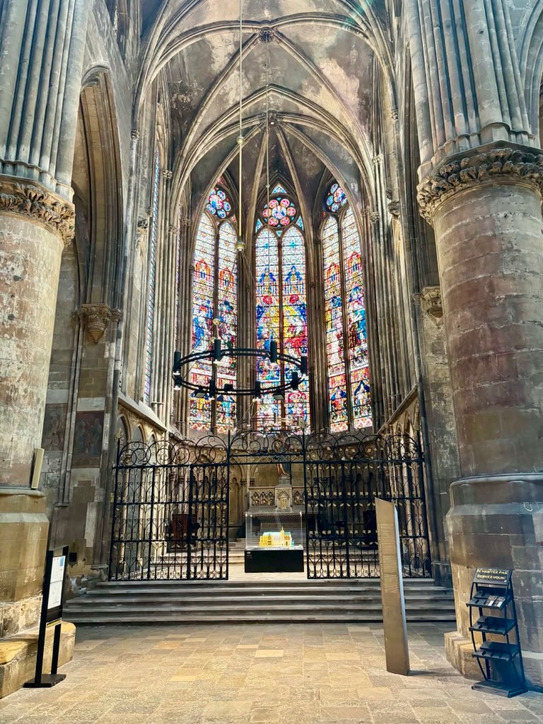
Stained glass is the most in the world at 6500 square metres including modern updates by the contemporary Marc Chagall.

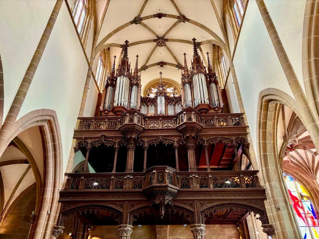
As a bonus, when we entered, one of the two magnificent organs was being played. Seemed like a rehearsal. The sound was incredible.

I kept staring up at the ceiling and going wow. I looked at the stain glass still going wow.

A side chapel, one of many, all featuring magnificent lead light.
The rear
No explanation as to why the dragon is in the church. If in Wales I’d get it….
You can just see the man playing the organ.

I reluctantly left. There was more to see plus we needed to buy a new charging plug, as we’d been having some issues with our current one.

We headed off to the famous French department store Galeries Lafayette and for an arm and a leg, acquired our goods.

We found an early dinner. It was very ordinary and decided our frozen lasagna was better last night.

The icecream at another stop did not disappoint though!

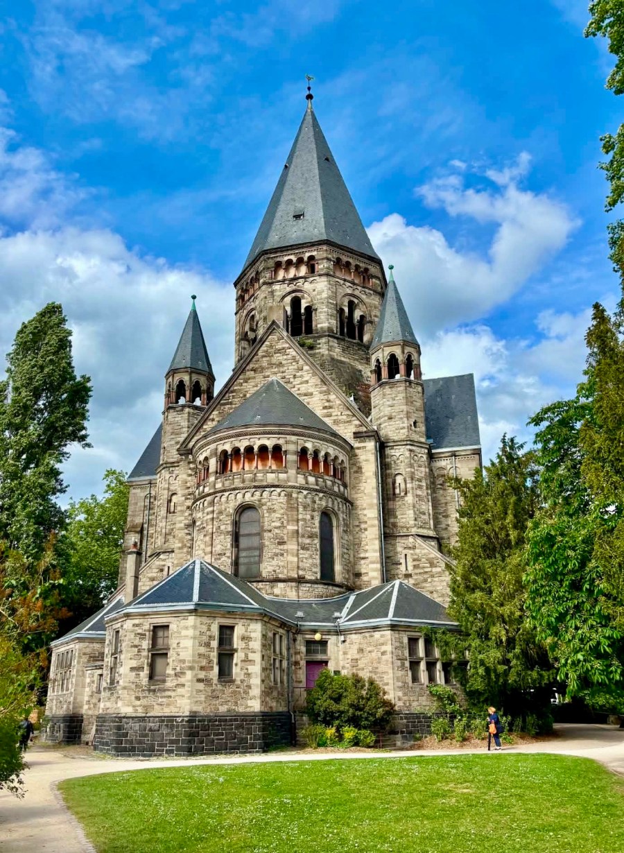
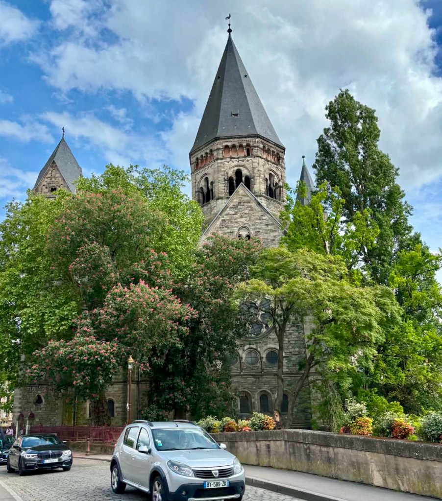
I wanted to see this building. It is used on many promotions for Metz.

Temple Neuf is a Protestant church, built in 1901-1904 by Glod (when I first read that I thought I read God…and had a laugh).

Temple Neuf, we enter the purple gates to wander around the church
Great angle.

Walking back to our hotel the Cathedral dominates. Being further away we get more into the photo.

Still there, with lovely homes along the river.

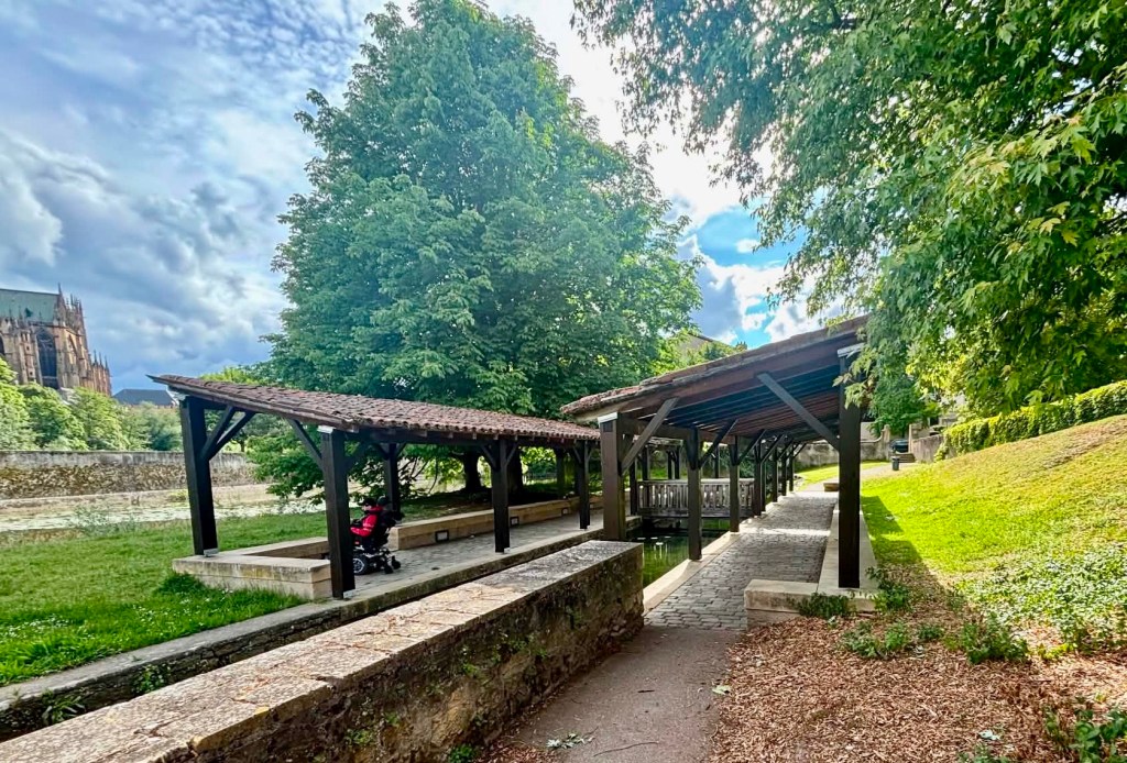
Part of an ancient baths from about the 15th century.

Slightly further down, another section.

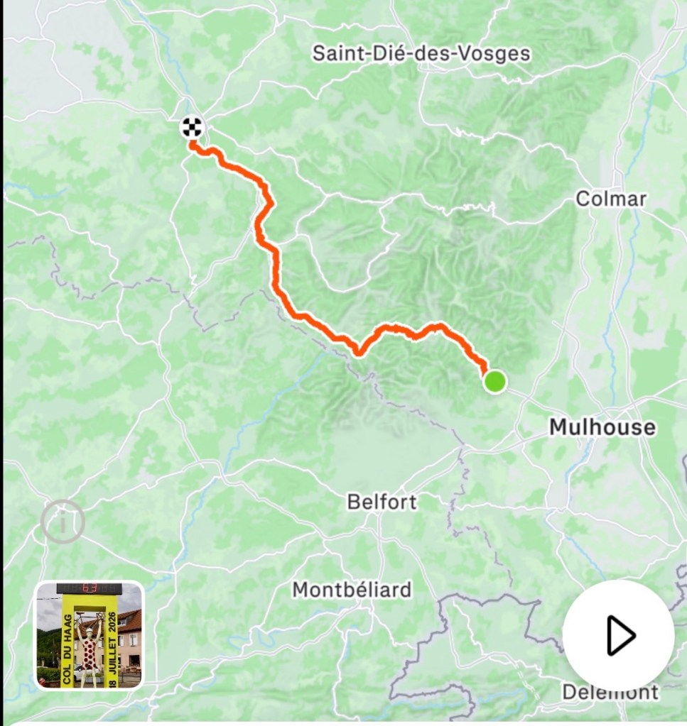
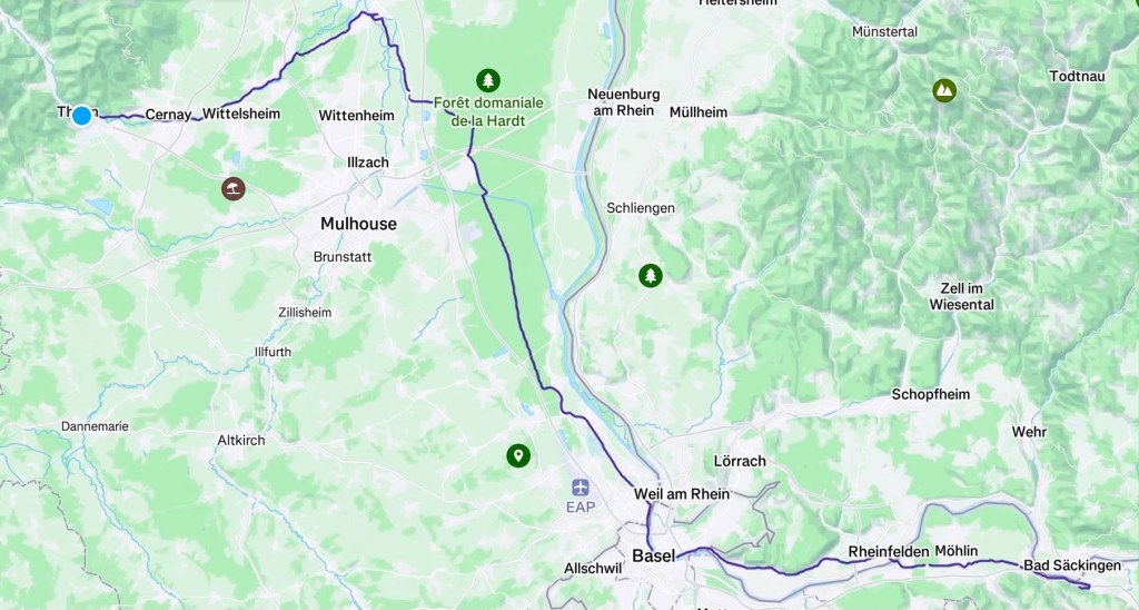
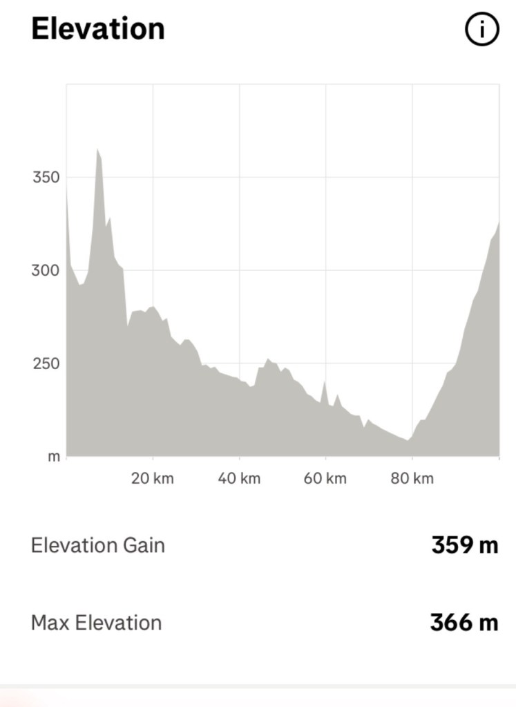
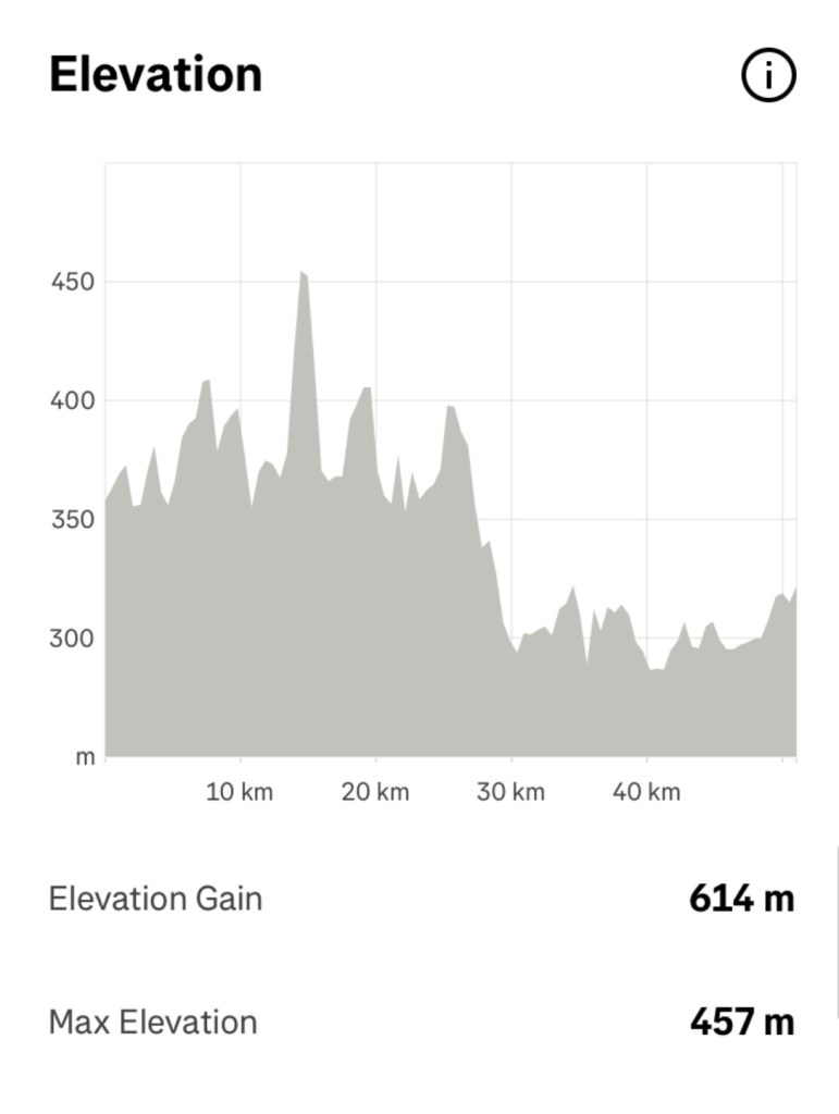
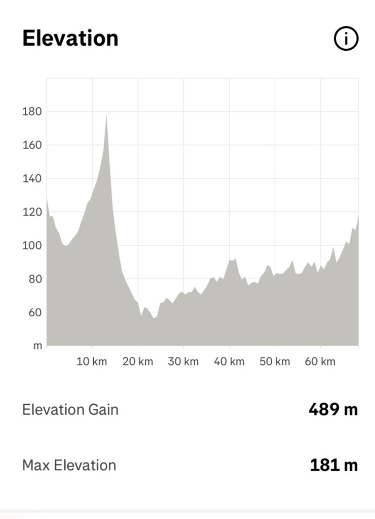
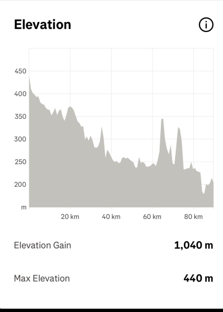
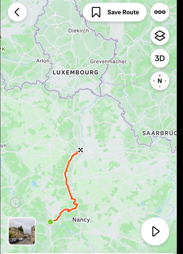
A fascinating day today. 84 km ridden and we really enjoyed the variety of sights.

Tomorrow we leave France and follow the river on the German side, with Luxembourg on our left hand side.

Thanks for following us. We appreciate it 😊❣️🚴

Day 3: Epinal to Toul

Leaving Epinal it was straight onto the cycle path we were to follow for the day.

People were out walking their dogs. We’ve noted that cleaning up after your dog not a β€˜thing’ here, so lots of dog poop everywhere.

Nice statue in the park.

The path followed the Moselle canal. The river was always in sight too, shallow and not yet navigable.

The path was mainly sealed but sections of compact gravel.

The canal crosses the river in places through elevated canal structures and bridges.

These fascinate me and also reminded us of our trip to Wales, staying with Alan and Sue who took us to the Llangollen canal and bridge.

These are not as elaborate but the concept is the same.

The view from the canal bridge overlooking the Moselle river.

Further on, we passed our first canal boat the β€œpeace vegan” from Basel.

We watched it pass into this lock, with the lock waters raising, opening the gate, boat enters.

We saw a few other canal boats, and many locks today.

Riding the cycle path bypasses most towns and villages. At road crossings there are often signs indicating nearby villages.

We detoured to a small village mid morning, grabbing a hot drink (it was only 6C), and something nice to eat.

Whilst I ordered Tony took this photo.

He also took this. There was a boutcherie open, with these rotisserie chickens cooking outside. The smell was super enticing.

How we thought about these chickens later in the day, when everything in Toul was closed.

There are some lovely aquatic parks, with lakes formed from the Moselle.

Fishing is super popular. Lots of serious fisherman set ups along this section.

Typical pathway and vegetation today.

Crossing a road, signage for an upcoming cycle event.

We stopped for a stretch here. Pathway at the rear, and a boutcherie vending machine. Behind the doors are lots of protein options you can purchase.

Arriving in Toul early, we cleaned our bikes with this view of a pretty fountain and gardens in the roundabout.

We did contact the Air BnB owner to see if it was possible to arrive a bit earlier. They agreed to one hour early, so we waited then rode only about 600m.

We are in a nice unit. The owners are currently working in Saudia Arabia.

This unit has a washing machine, with a strange rotating drum that you seem to need to lock. We could not figure it out so hand washed.

Heading out to explore, it was discovered Tony’s phone battery very low, so only a few photos as the local Cathedral. Another seriously old church.

The Cathedrale St-Etienne began in the 13th century, taking over 300 years to build. It suffered damage during World War II.

This section is beautiful. To either side, the vaulting is not in good repair, and there is netting everywhere to catch falling parts.

I’ve borrowed this local tourism photo.

Toul is an octagonal fortress city, encircled by the Moselle and the Canal de la Marne.

You do not get a sense of this riding in. You can see the church we just visited. Our overnight stay is quite close by.

The citadel was built in the early 18th century, from which the ring of defensive waterways and the octagonal city ramparts remain.

Dinner provided difficulties. Nothing was open. Supermarkets and restaurants all closed, being Sunday. We’ve experienced this before but near the fountain photographed early, we found a small convenience store open and grabbed a frozen lasagne to cook in our oven.

The days ride was flat, easy and very chillaxing. Just turn the feet over as overall we descended a few hundred metres.

Still we covered 92 km.

Tomorrow we head to Metz, a much larger city, inching our way closer to the German and Luxembourg borders.

Thanks for reading and joining us vicariously. We do appreciate it. ❣️😊🚴

Day 2: Thann to Epinal

My first goal today was to get the Belgian cyclists talking.

I achieved that in the coffee line at breakfast. I learned that there were 18 cyclists from a Hasselt University Cycling Club in Belgium.

They were spending four days doing various climbs through the Vosges Mountains.

They then asked questions about our bikes and the trip planned.

I did smile watching the hotel owner bringing food out. There were five slices of ham and cheese on each platter to select from vs 20 cyclists and a handful of non cycling couples, She was constantly bringing out more plates of cheese and ham, not increasing the number of slices which vanished in seconds each time.

An enormous quantity of baguettes, croissants and chocolate au pain disappeared too. The coffee machine got no rest as each cyclist had a minimum of two coffees. Many like us, put a double espresso in topped by a cappuccino.

20 cyclists go through more food each than the average person. They see food and it just goes.

Lucky no bananas were on offer as it is a popular β€˜to go’ item tucked in a back jersey pocket.

Bidding the Belgians farewell we grabbed our bikes from the shed. Here are just some of the bikes. More were tucked away to the right.,

Two of the Belgians grabbed the bike shed key from us, with an older man asking where we were headed. I told him and he raised his eyebrows asking if we were climbing Col du Bussang.

He was very concerned stating it was a very dangerous road.

With that positive thought, we hit the road.

The forecast today was for cool weather, and it was only 5 C upon departure.

We followed a quiet road adjacent to the river Thur. There were few cars and the occasional Saturday peloton.

The river is 53 km long and a tributary of the River Ill, ultimately flowing into the Rhine.

The path crossed the river and we followed another quiet road connecting villages. Wildflowers are starting to flower.

Saint Amarin was a larger town we ride through, located in the southern Vosge mountains.

A nice local church.

It appears the Tour de France has been through before.

Nice fountain outside the Hotel de Ville (city hall).

In 63 days, the Tour de France arrives in town, featuring the local climb, Col du Haag.

A solid little climb.

The area is lush and green, looking towards the Vosges to the right, and Col du Bussang to the left.

We started the Col du Bussang climb, rejoining the main road up. No bike paths, some verge but the road is wide and has a good quality seal.

The traffic is quite busy with cars, but very few trucks. Perhaps Saturday is a bonus for us with the lack of trucks.

At no stage did we feel unsafe, with considerate drivers giving us wide berth.

We later learned, that Bussang Pass is one of the busiest passes in the Vosges, connecting the areas (states) of Lorraine and Alsace.

It is a solid 6 km climb with the first half steeper than the second half.

Here I am climbing.

Still climbing….

Just about to reach the top.

Tony at the top.

Our elevation graph clearly showing the climb.

We take the first right hand turn just as the road descends, getting us off the busier road, and back into much quieter routes.

We pass by the source of the Moselle River, which we will be following for the next five days or so.

At least there is a trickle of water, unlike the source of the Thames.

We stop in the town of Bussang for an early lunch.

The Moselle River is now a nice creek size.

Bikes perched outside the boulangerie. We had a cold quiche and dreadfully hot coffee here. There were some cyclists ahead of us who took the last of the rolls.

Looking for toilets we found a few nice town sights.

Many cycle routes in the region.

Leaving Bussang we follow the Route La Voie Bleu, France’s new long distance bike route that follows the Moselle and Saone Rivers from Lyon to Luxembourg.

Most of the pathway is traffic free along the riverside. Other parts are minor lanes.

It is easy riding, easing to cross roadways with barriers to slow you down and warn of possible dangers ahead.

It is well signposted, with multiple areas to stop and use picnic tables.

You often pass by residents backyards, and in this case, front gate. The bike has seen better days.

The city of Epinal is our overnight destination. A larger city on both sides of the now enlarged Moselle River.

We find our Air BnB without issue, and the owner stores our bikes in his garage. Then we head up three flights of stairs to our β€˜compact’ rooms featuring a loft bedroom.

Lots of areas to wack your head. Bathroom to the right, bedroom up the stairs.

The view from the unit door. Our one window, kitchenette to the left.

I forgot we had a skylight! This view is sitting in the bed. I hope we don’t sleep walk as there are no barriers.

We shower and launder and head off to check town out. It is drizzling and we find Basilique Saint Maurice, under renovation.

We enter via the door below. It is very dark inside, and looks very old. It was built in the 11th century.

Beautiful stained glass and incredible vaulting. I am forever impressed with respect for the craftsmen with their vaulted ceiling constructions.

We thought we headed out the way we entered. Apparently not.

We wandered along the Moselle River.

We grabbed supplies for dinner and breakfast and headed back to our compact unit.

Day 2 done and dusted. 90 km today. An excellent day touring.

Thankyou for reading ❣️🚴😊

Day 1: Stein to Thann

So it begins…

We woke to an overcast day. Rain was forecast but at lighter levels.

We enjoyed a slower start, talking to Ben and Sharon then it was time. Here we are, ready to hop onto our bikes and get on our way to start our 3,300 km odyssey.

Today was a three country day. The first 15 km was in Switzerland, crossing to Germany at one of our favourite villages, Rheinfelden.

We had our rain jackets on as the rain was pouring down steadily.

Old gate into town
Very damp street
River between two houses
Crossing the bridge to Germany
On the German side, looking back to Switzerland

We took shelter in a pedestrian tunnel on the German side, popping our rain booties on over our cycle shoes. It is a hard thing to do, and if you listened to our huffing, puffing and grunting I’m sure you’d laugh. They fit super tight, helps to keep the water out and keep the feet warmer.

Temperatures were cool. It was 6 C when we left and only reached 8 C by Thann in the sun.

We rode 13 km in Germany, heading back into Switzerland near Basel.

Basel is Switzerland’s third largest city, and considered the cultural capital of Switzerland with over forty museums. Well known as a centre for the pharmaceutical industry with both Roche and Novartis having large hubs.

My son Ben works for Roche in Basel.

We have visited central Basel numerous times and can recommend it.

It is a beautiful city, with a magnificent cathedral, and the lovely adjacent Rhine waterway.

Basel Cathedral
Basel as we cross the bridge
Crossing the Rhine
Statue on the bridge
Looking across to the northern side, Roche twin buildings to the right. These buildings are Switzerlands tallest.

We followed the Rhine for a few more km, before turning to the west at Huningue, and now we are in France.

We followed the path along the petite carmargue, essentially a small water canal, lots of vegetation, theoretically attracting wildlife. None to be seen today.

We spent about 25 km travelling through forest tracks such as the one below. Easy riding, very straight, with occasional busy roads to stop at.

Nice to utilise these trails as we can relax and feel quite safe. The only other users were cyclists but the forest also has many walking trails.

We did get peckish and food options were zip. We had a few little items courtesy of Qantas and Emirates that we devoured.

Foret de la Harde
Where we stopped to snack, having just crossed the main road.

We have ridden past this tank in 2022 as we headed across France to the Loire Valley. It forms part of the local WWII remembrances in the area.

This tank is on the southern side.

Riding in France you see many crosses and remembrances for WWII. Most towns and villages have at least one.

The war memorial.

We reached the town of Ensisheim just after 1 pm. Many shops were closed for siesta. Fortunately we found a small boulangerie open with just two ham rolls left. We enjoyed them!

In 1492 a 127 kg meteorite fell near the village, portions of which can be viewed at the local museum.

Aside from that fact, it’s a pretty little town.

An interesting graphic story involving Christopher Columbus. Being nowhere near Spain or the Americas unsure how it relates to the inland village we were in.
Local village church

Back on the road, we only had 20 km left to ride. That pleased me as I am still feeling a bit jet lagged.

The picture below is very typical of what we see on the pathways that bypass villages. There are agricultural fields and the ubiquitous church spire dominating the small village.

On the other side of the path, the Vosges Mountains are covered by rain clouds. We’ve had no heavier rain since Switzerland and hoping to make it to Thann dry.

100 km ridden, saw us arrive at our hotel. A bunch of cyclists were cleaning their nice road bikes out the back. They also have vehicles, indicating most are from Belgium.

We store the bikes in a large shed with the Belgian’s shiny bikes. They are not overly friendly, unusual for cyclists in this situation.

After showering and laundering we headed off on foot to check out town.

Thann is situated at the foot of the Vosges Mountains, with the river Thur running through the town.

The obvious starting point was this lovely church.

It is known as the Collegiate Church of Thann, built over a period of two centuries

Pilgrims came due to a relic of Saint Thiebaut, renowned as a miracle worker. After his death in 1160, a local bishop stopped in the valley, lighting three fires. The staff containing the relic remained stuck in the ground.

The Count of Ferrette freed the staff and built the chapel dedicated to Saint Thiebaut.

That chapel remains as the oldest section of the church we visited today.

Beautiful Gothic vaulting
The great west portal.

There are some lovely buildings in Thann.

A very narrow structure.

We were hungry and found a little boulangerie open, enjoying our morning tea albeit many hours later.

We had dinner at the hotel, albeit late for us at 7 pm. We opted for a set three course menu and ended up overly full.

There were 18 cyclists at the next table, still not friendly.

We will sleep well tonight. 100 km today and we are still feeling jet lagged. I think it will be early to bed.

Today’s route and elevation.

Thanks for reading 😊🚴❣️

Mum on tour

We have arrived in Switzerland safe and sound.

Looking out Ben’s lounge room window. Rhine River, Germany to the left bank, Switzerland to the right.

No dramas with our three flights, and I even managed four hours sleep on the Melbourne to Dubai sector.

We always try and book far enough in advance to pay extra for exit row seats which provide plenty of leg room and space to stand and stretch. Worked a treat on both longer legs.

You would not know anything was amiss in the Middle East, although I did catch some high level BBC headlines on the live news about THAT man authorising bombing drone sites in Iran. πŸ™ˆ

Swiss passport control took out finger prints, photos and asked what we were doing and she was amazed.

We headed down to the baggage area and all our luggage including the bikes were waiting.

We then just walked outside. Unlike Melbourne where coming home Tony has to navigate customs chicanes with the bikes, in a long snaking queue, and we get asked questions.

Anyhow, our driver Radislav was nowhere to be found. We waited 30 min then rang him. He wanted us to go up to the departure area, to save him money as that’s free, but coming to the arrivals area he has to pay to exit.

We had paid over $300 AUD to be collected at the arrivals, and we were tired and potentially easily titchy. So I declined and insisted he come down to arrivals given the luggage included our bikes.

10 min later we were in his van and his exit fee ticket jammed the machine. He was attacking it with various keys until the said ticket was in his hand.

He was an unhappy Bulgarian by now.

I closed my eyes and after a time opened them to unfamiliar sights and a series of tunnels. It felt wrong.

I got my iPad working and sure enough he was heading to Liechtenstein and Austria (to the east) whereas our destination was towards France (to the west).

He assured me he was right. I debated the point, he eventually conceded I was actually correct, but by then he’s stuck on freeways.

We eventually wound our way to the correct destination arriving albeit late.

Radoslav is taking us back to the airport in late June so at least he has visualised where we are.

I felt sorry for him in the end, as he has lived here only two months.

Now settled in at my son Ben’s place that he shares with his wife, Sharon, we enjoyed an early dinner. I received a gift from Ben, hence the title name for this blog.

Switzerland is known for many wonderful things and today I have my very own Swiss Army knife, with multiple tools and attachments, right down to tightening screws on your glasses.

It is engraved with my name on one side, and in the other, it’s says:

I love it. Mum on tour is great and that’s what we do and we love.

I’m impressed I’m entrusted to operate such a weapon! I’m keen to use the saw!

After a solid night sleep I was up at 4 am, such is jet lag.

We headed to Stettlen, near Bern to visit Sharon’s family. Today is a public holiday in Switzerland and Sharon’s two siblings were also visiting.

We enjoyed an amazing brunch, lovely walk between rain showers, a family music game, then more food.

We need to ride over 3,000 km to work it off !

Pictures from the walk and family time.

Paths around local farms and forest
An old bakery
Bern is famous for bears
Tony, Stefan, Judy, Ben and Davita. Sharon and Joy are out of photo range.

We are ready for day 1. Mum on Tour, let’s go!

Thanks for reading. 😊❣️

Day 16: Doubtful Sound

Today was magic. A trip and life highlight.

We were not scheduled to ride today. It was one of our two planned days off the bike.

When I researched and planned I determined Milford Sound was not a suitable riding route due to tourist traffic volume, narrow verges, amount of climbing and not being able to leave early enough to miss the highway of traffic heading in.

Then I discovered Doubtful Sound. I had not heard of it before.

Doubtful Sound is the largest of New Zealand’s fiords.

Captain James Cook sighted the entrance on his first voyage in 1770.

Unlike its more famous neighbour Milford Sound, you can’t drive there. It is remote. Hence there are less visitors. It was sounding very appealing in so many ways.

Cycle touring you do not tend to be around lots of people. We become satisfied with our own company, or the company of just a few people, and masses does our head in.

This map shows Milford further north. The blue dot is our current location.Doubtful Sound area with the red tag.

The Sound spans an amazing 40 km from the head of the fiord to the Tasman sea. It is the deepest of New Zealand’s 14 fiords.

The Maori named the fiord Patea, meaning place of silence.

After an early breakfast we walked down to Pearl Harbour.

By 7.30 am we were boarded on our first boat trip, sitting upstairs, out the back.

Closer up map. We need to cross Lake Manapouri, the western arm. This takes one hour.

We then transfer via bus across the top of Wilmot Pass down to the shores of the Sound. This also takes one hour. We manage to sit directly up and behind the driver scoring good views out the front window.

We will spend 2.5 hours on the next boat and travel out to the Tasman Sea and explore various arms.

Then a further two hours returning via bus and boat to,our starting point.

Here we go, looking back at Pearl harbour.

Looking forward, the weather forecast is great. We’ve got very lucky given tomorrow’s forecast.

Here are a series of photos crossing Lake Manapouri. Visually stunning.

We reach the western arm, also the power station base that powers much of South Island. The only sign of man’s invasion really. However, as a result of this a road was constructed. That means tourists can get to the Sound.

A series of photos from the Sound are next. We sit upstairs and outside again to maximise our views.

The fiord was carved out during the glacial age. A marine reserve rich with fur seals, penguins, visited by various whales and sharks seeking a feed.

The amount of wow’s was high. We were super gob smacked.

Owned by the same company, Real NZ, this is the overnight boat
Tasman Sea
Tasman Sea
Fur seals on the rocks at the entrance to the fiord.

It was such a joyeous privilege today. It is not a cheap excursion, but one I’d highly recommend.

Near the finish, we entered an arm and all motors turned off for five minutes. We were asked to not talk, take photos, but to think and reflect.

It was incredible. What a moment. 😊❣️

Back on the bus for an hour, we stopped at the top of Wilmot Pass. This is looking back down on Doubtful Sound, our last view.

We travelled the length of the sound to the Tasman Sea and return.

This is a sad story about a young bloke during the building of this road. His wife was due to give birth in Invercargill. As no options were available to get there quickly, he walked. He had not checked the explosion detonation schedule and was killed at Wilmot Pass.

Beautiful vegetation.

Further down the Pass, we stopped again for another view, but this drew our curiosity, There were two touring cyclists.

Tony tried to engage with them but they gave him nothing. Later we researched and discovered you can apply for a permit to ride the section we did by bus, but then?

Back on the final boat I gaze back out towards the area of the Sound. It was an emotionally uplifting experience. The sheer, unadulterated beauty.

An extraordinary day.

Tomorrow, 200 mm of rain is forecast for the Sound. How lucky did we get?

Do yourself a favour. Come to this part of the world, go to Doubtful Sound, stay at Murrell House, you won’t be sorry.

Thanks for reading 😊❣️

Day 12: Lake Hawea to Makarora

When the clouds lifted a little, we realised it had snowed on the upper peaks.

Lake Hawea has beautiful vistas.

We were riding towards Haast today, mountain country. The clouds were over most of the peaks, but as the skies lifted, it was amazing.

We rate today’s ride in our likely top 10 rides ever. We’ve done a few too.

The views were incredible and seem closer than photos indicate, and we could see the snow vs the clouds easily.

The road, well, it is a busy tourist route. Well formed, minimal verge and fast.

We just hope that the cars behave. Most gave us a wide gap.

Lake Hawea was to our right.

There were hills. One was tougher and longer with an extended 10% section but we were comfortable enough.

This is looking back towards the town of Lake Hawea.

The views kept us amazed.

Heading down this hill and bearing left, we are heading towards Lake Wanaka.

Then this! A herd of cattle being moved down the road. Mums and their calves. The mums were very noisy with the calves trotting behind them to keep up with mum.

We rode to the left of that little calf. Cars moved slowly through as the cows dispersed.

The mess on the road was significant.

Climb again and we leave Lake Hawea.

The Neck, a higher point between the two lakes.

Lake Wanaka.

We stopped at this roadside viewpoint and were quickly joined by three other cycle tourers.

The guy on the left is from Switzerland, having started his ride in the far north, Cape Reinga heading to the Bluff. He has been riding 35 days or so. Wanaka was his next overnight stay.

The couple on the right are from Austria and were heading over Haast Pass to the West coast.

They were loving the area and scenery, coming from very mountainous countries themselves. They did note that the whilst the mountains are quite high the roads here don’t go as high as theirs so you don’t get to ride the dizzy heights.

You can see another group behind us. The man in white asked to take a photo of the five of us. We all laughed but agreed.

On we headed with Lake Wanaka on our left.

Lots of mountains and snow on the upper peaks.

Waterfall Creek, aptly named.

Looking back towards Wanaka.

Looking to the direction of our destination.

Another creek that flows under the road into the lake.

Just glorious.

Lake Wanaka ended and it was the Makarora River to our far left, that feeds into the lake.

We noted many deer farms.

More cyclists touring.

We stopped at a cafe some 5 km before our accommodation. Super nice, and this is the resident dog that sat with us.

The food was nice, and likely where we will go for breakfast tomorrow, but they do not open until 9 am, so we will start later. That’s fine, if the weather behaves. There is some rain forecast, but we will see.

We stopped here as Tony was leaking some tyre sealant. This time, the hole needed two plugs then it sealed fine.

I was horrified by the trophy hunting sign. This farm had a paddock of male deer, and a few paddocks with I presume females. How that works with trophy hunting I am not sure, but farm raised animals for trophies? I find it sad.

I’ve done too much work in and around abattoirs as part of my job and it has affected my mind set on animal killings.

A final view before our overnight stay.

We arrived early and have had a chilled afternoon. Good to relax as I am carrying an injury/issue and hopefully this will help.

That’s it today folks. This is an out and back section, so hoping for more good weather tomorrow to see it all again from the reverse perspective.

Thanks for reading .

😊❣️

We have covered some ground in this area now, noting the orange are where we have ridden before, from our Strava data.

Day 9: Lawrence to Roxburgh

Just as we were about to leave, I took these photos of the little garden adjacent to our cottage. A very peaceful garden setting,.

Back onto the gravel paths of the Clutha Gold Trail, the first sight of interest was this house. The Chinese gold miners had a settlement in the area. There are efforts afoot to recreate more houses based upon old photos.

Quirky.

Just the one tunnel today, 434 m in length. A warning sign indicated there was a structure to avoid midway, which we did manage to do with our lights on. So much better with my sunglasses off today too πŸ™ˆπŸ€£

Heading out of the tunnel that was the top of our first climb. An easy climb given we are on an old rail line.

There is a passport available for you to collect stamps, if that appeals.

I guess you’d need a pencil or crayon handy! Can’t say we have either in our must carry list.

An old shed, with pathway stretching ahead.

I’m sure there is a story here. That would have taken some concerted effort to mount.

There were only two settlements near today’s ride. The first was Beaumont about 20 km in.

Leaving the official pathway, we crossed over the fast flowing Clutha River, to find the pub. Coffee time. We were served by a young lady from Colorado, now living here permanently.

Back over an older railway bridge, the river is a lovely colour.

The Clutha River is the second longest river in New Zealand, and the longest in the South Island. It flows out of Lake Wanaka (we will be there in a few days) and drains into the Pacific Ocean, south of Dunedin.

A nicely designed information board.

The path followed the river quite closely, undulating and weaving. Sometimes old rail line, others local roads or newly created paths.

We had the path to ourselves today for many hours . Very quiet and peaceful.

We detoured to visit an old bridge, The Horseshoe Bend Bridge. It has an interesting history, and the current bridge is the modern firm. Kids used to sit in a flying foxlike contraption in an earlier version and have to pull themselves across to go to school.

Back onto the main track, and we hit the 100 km point for the trail, which we started at lunchtime yesterday. Each and every km there has been a guidepost.

Just before Millers Flat (a small town) we crossed a waterway near the river. It appears to be subjected to flooding.

Keen for some decent food, Millers Flat disappointed. We saw numerous cyclists here, starting and finishing trail sections. Real food is not available but what an opportunity.

Cold drinks it was.

The last section to Roxburgh was very scenic.

We left the trail at this bridge, as our overnight is in the town of Roxburgh. At the top of a very steep hill, of course!! We often joke, accommodation is always at the top of a hill after a days riding.

67 km today, mostly gravel, mostly headwind, mostly fun and awesome adventures.

We noted that Tony had two punctures today. We run tubeless tyres and the sealant did what it was meant to and sealed the hole. The evidence was some sealant hitting his legs and part of the bike frame, hence why he stopped to check.

The only place open for dinner tonight was the local Chinese joint. Not even the pub was open. We both ordered special rice and it was the largest rice dishes I have ever seen. We could have shared one and still not go through it.

Guess what is for breakfast 🀣

On our walk back we can across this, situated right outside the public toilets. Interesting references to the significance of gold mining in the region.

Our map is taking shape as we cover off more southern ground.

An easy day climbing wise.

Well time for me to get some sleep. We intend to leave earlier as we have a commitment at 10.15 am that we cannot be late for.

Thanks for reading 😊❣️

Day 3: Arrowtown to Muttontown

What a beautiful day. I opened the curtain by our bed and looked out. This first photo is looking out that window.

Looking out the door of the bus.

We headed out of Arrowtown following the Arrow River on the Arrow River trail.

It was a great track, well compacted gravel that undulated.

Fantastic views wherever we looked.

Steamy mist rising from the wet grasses,

The bridges were something else today. They just get it done here!

Looking back on the bridge we had just crossed.

I have bare legs today for the first time this trip. I’m still well rugged up with upper layers…short sleeve body vest, jersey, gilet and jacket.

Tony removed his leg warmers at the bridge, it was already warming up nicely.

Here they built a bridge under the car bridge just for cyclists and walkers.

Another bridge. Edgar bridge is quite long. Another suspension bridge with a fair sway as we both crossed.

Looking back at Edgar.

Kawarau bridge was our first lengthy stop today. It was where the world’s first commercial bungy jumping operations commenced.

Looking down the river.

Customers pay $395 to leap off.

For a silly price still, but a far cheaper alternative, you could just buy this shirt.

More my style, a swing, but still a few hundred dollars.

I did find it interesting to read the history.

The history of bungy jumping is believed to have started on Pentecost Island in Vanuatu.

People would create ropes from vines and launch themselves.

Originally only women jumped. It was an annual fertility ritual held during the yam festival. The Christian missionaries put a stop to it as they were offended by naked women hanging upside down and demanded that only men be permitted.

When AJ Hackett opened this site in 1988, 28 people paid $75 each. Now they get hundreds every day paying $395.

We then followed the Gibbston River trail for far too short a section as they’ve closed most of it off whilst they extend the trail.

We were then on the Gibbston Highway for 22 km. Most of it had a small to reasonable verge but was very busy with lots of traffic.

Behind me you can see a portion of closed trail,

This is where they are cutting through currently. There were excavators, a dynamite storage unit and a lot of work ahead as they cut through the rock.

Part of a gold mining museum site where we stopped for an ice cold iced coffee. We were pretty hot and sweaty.

The Lake Dunstan trail looked promising from the start. We were heading about 4 km beyond Clyde.

Pretty poppies.

Well formed paths and retainers.

Great additions to the bridges.

Undulating.

Great views.

Getting narrower. Many of these bolt on decks are on this trail. Over 400 m I think I read.

Our bike computer had indicated a climb ahead. It turned out to be very gnarly and testing.

There is a coffee boat at the base of the climb. Might be more tempting after descending. Not sure I’d retain it ascending.

No more bolt on decks around cliffs. We headed up via this section.

And up. The couple a few bends down we chatted to at the top. The lady is on an mtb ebike and did not raise a sweat. Her words.

I did raise a sweat. It got narrow, loose and slippery, my wheels spun and the front lifted a few times. I felt scared, so I pushed until the trail got to an incline I felt safer and competent riding.

There were multiple narrow hair pin bends the higher we ascended. Even Tony pushed his bike for a few sections.

Finally the top.

Incredible engineering to prevent a landslide into the Lake, that apparently would cause an internal tsunami wiping out towns lower down and take out the dam at Clyde.

Another Hugo bridge. More climbing.

This trail tested us with two gnarly climbs on our loaded bikes. Mtb e-bikes were the super common bikes up here, and I was glad I did not meet one at the very narrow sections where it is barely wide enough for one bike, as you look left down the drop off.

This section had a fence…only one that I saw.

We arrived in Clyde, and were now below Lake Dunstan.

We grabbed some food at a supermarket and headed to our farm accomodation out of town.

Getting our washing done and hanging it in the sunshine, only to have it soaked when the big sprinklers popped up and drenched it.

Hair dryers and fans going now to dry it all ready for tomorrow.

What a day. 90 km and over 1000 m climbing.

The two gnarly climbs are the two steep spikes at around 65 and 75 km.

We need to do these next week heading back. Something to look forward to πŸ€ͺ

We are feeling weary tonight. Three solid days climbing in the legs. The next two days are easier climbing wise.

What an amazing set of trails in this region of New Zealand. They set a tough standard for Australia who are years behind.

Tomorrow we hit the Otago trail, another tourism attractor for the region.

Stay tuned, thanks for reading 😊❣️

Day 35: Copenhagen

Finale! It’s all over for now.

3,267 km is our final trip tally. We think we’ve done ok all things considered.

The most important number is zero. Zero injuries, no spills, we both stayed upright for the whole 3,267 km.

Thanks to no spills and Tony’s continuing good bike maintenance, our total mechanical issues were…one puncture, and one bike pump failure.

To finish off, we had had half a day free where we could ride before cleaning and packing the bikes up to transport back to Australia.

We headed off early, hoping to β€˜beat the tourists’ despite being ones ourselves.

We followed the coast up from Kastrup and were intrigued by the water polo nets in the canal. We saw similar in Roskilde. Both canals with lots of green, stringy algae like growths.

Looking towards Sweden, there were wind turbines at sea, with a ship passing by.

The city ahead, with a healthy headwind.

From the south, we pass through Christianshavn and Margretholm.

Then on into the very famous Nyhavn famous since the 17th century as a trading port. Today it is a vibrant entertainment area and the subject of many a jigsaw puzzle!

Then on into the Kastallet, a citadel and regarded as one of the best preserved fortresses in Northern Europe.

It has a pentagon shape with bastions at each corner.

Today it is a military sight, evident when there as we encountered a few armed guards, super friendly, chatty and waving us through.

A borrowed aerial view.

As we approached an ornate fountain.

Two views from the fountain.

Queen Margrethe II father
Across the bridge looking back at an armed guards

A couple of old buildings from the 1700’s used by higher ranking officers.

Former soldiers barracks

Then we headed out, looking back to another armed guard.

Perhaps the most photographed statue in Copenhagen, the little mermaid. I watched with amusement at a certain ethnic group taking selfies and photos, but making sure their hair was just β€˜so so’ and dropping the hip. 😊

Just around the corner a larger, seemingly less popular statue.

All up we rode 46 km through Copenhagen so the following are a sequential series of views.

We could have taken hundreds of photographs as Copenhagen is a particularly photogenic city with incredible architecture and curios.

The entrance to Amalienborg Palace

Amalienborg is the official residence of the Danish Royal family.

The complex has four identical smaller structures laid around an octagonal courtyard.

Originally built for four noble families, today Queen Mary and family occupy one, Queen Margrethe II another, with two to spare.

Guards on duty outside Queen Mary’s palace

More city views.

I think this is lovely despite the Thai Airways signage. If it rains, the man pops out with his umbrella. Today it was the lady on the bike.

We stopped for coffee here. Just about broke the bank but we enjoyed the view.

A group of school children were netting in the river. They brought in lots of free, stringy algae like growth. They really seemed to be enjoying it, but they moved on when a couple of the lads lost interest and started jousting with their poles.

A bird island devoid of any greenery.

We kept on cycling….

We rode through Freetown, a very bohemian and hip and alternative area just km from the city heart. It was green, lush and lots of little cottages tucked away.

Then there was this curiosity. I guess you can watch yourself be electrocuted in the electric chair, fire extinguisher handy. 🀣

We ended up finishing this trip the same way we started. We found another Thomas Dambo troll. Little kids come to hand over their dummies here, scattered everywhere!

Cycling in Denmark is like nowhere else we have ever cycled. At roundabouts there are clear cycling lanes and ALL drivers give way to you.

We have not seen one angry driver or cyclist. It just works!

A few Internet examples.

Cyclists also get a head start at some intersections with cycling specific lights.

It was an amazing experience to see in action.

Denmark has a population of 6 million with 1.4 million in Copenhagen. If they can do it, Australia could too.

Many of their roads are one lane each way, with a dedicated walking path and dedicated cycling path, often on both sides of the road.

It works!

That brings me to the end of this cycling touring trip. We now head to Switzerland for a few days, before returning to Copenhagen for one night, collect all our gear, and head home.

We return Sunday, I am back at work the next day πŸ˜πŸ™ˆ.

Thankyou to those who have read the blog and liked here or on Facebook.

To those who took the extra time to comment, even bigger thanks for your support, encouragement and interest.

Ciao Ciao, Ooroo

😊🚴πŸ’ͺ❣️