Day 22: Lido to Comacchio

June 1st, first day of summer in Italy and the forecast only showed sun, sun, sun.

Get out the sun protection cream and lip balm!

After an ‘interesting’ breakfast discussion with accomodation owner Sven (he speaks 6 languages, has a low opinion of anyone not speaking at least 3 😳), plus our faux pas mentioning we hate all the smoking in Venice which put us off going there again (to then note the cigarette lighter in his hand), and Tony saying how in Australia you cannot smoke at outdoor cafes. Sven became almost apoplectic (now noting cigarette in his other hand) and we went into our best ‘dig yourself out of a hole mode’ as he went into a passionate rant about the diminishing liberties of smokers…ho hum…

Thank goodness another guest arrived for breakfast and by the time we went back to our room, passing Sven I could smell the cigarette stench, but he was calmer 🤣🤷‍♀️.

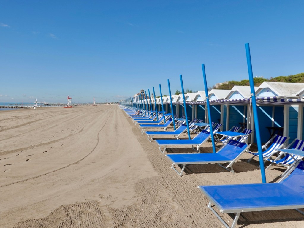
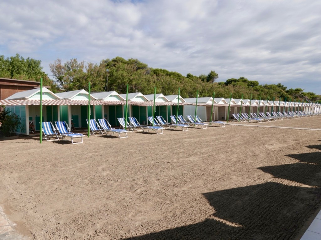
We left via the beach side of Lido, where they were just gearing up for the day.
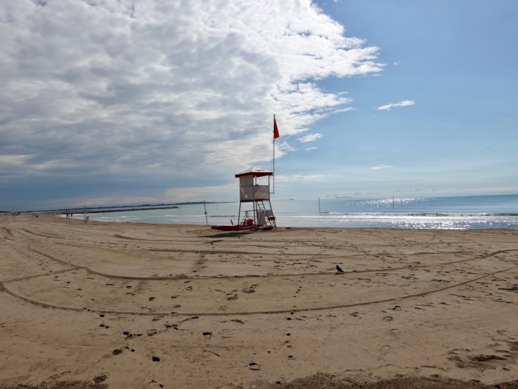
Chairs or a shed?

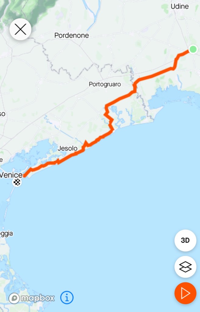
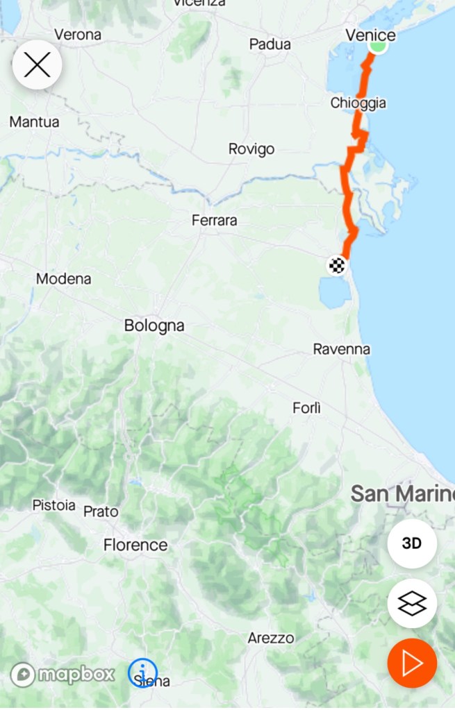
Two ferries were required today. One from Lido to Pellestrina island, then a second to mainland Chioggia, In between we would ride the remaining length of the Venice Lagoon.

Our route across the lagoon today.

Both islands are very narrow with Venice lagoon one side, Adriatic Sea the other.

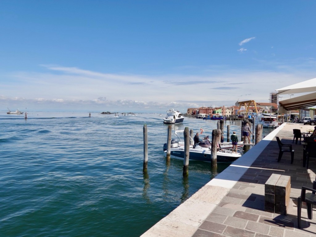
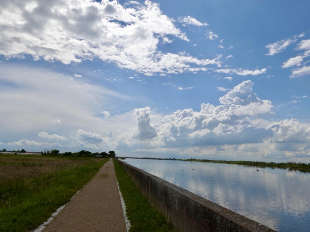
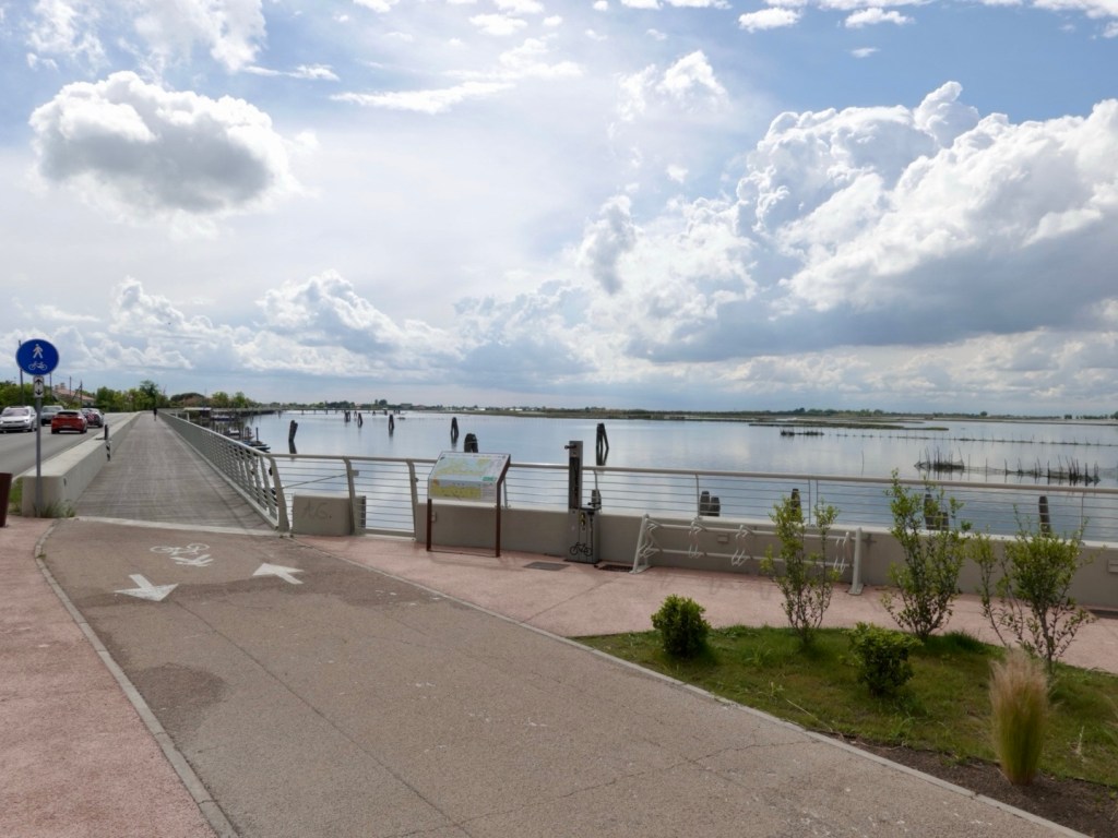
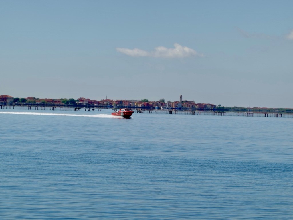
In many spots a high sea wall exists to protect the islands, the views across the Venice lagoon were lovely. The myriad of small islands, aquatic activities and fishing structures.

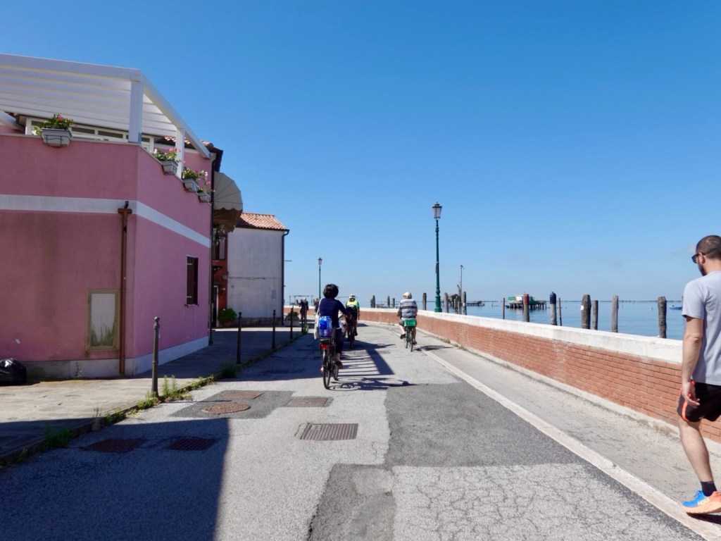
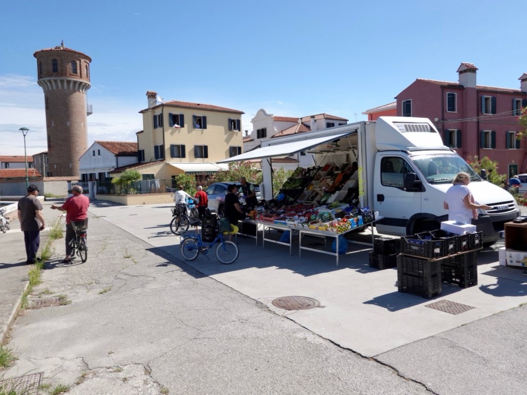
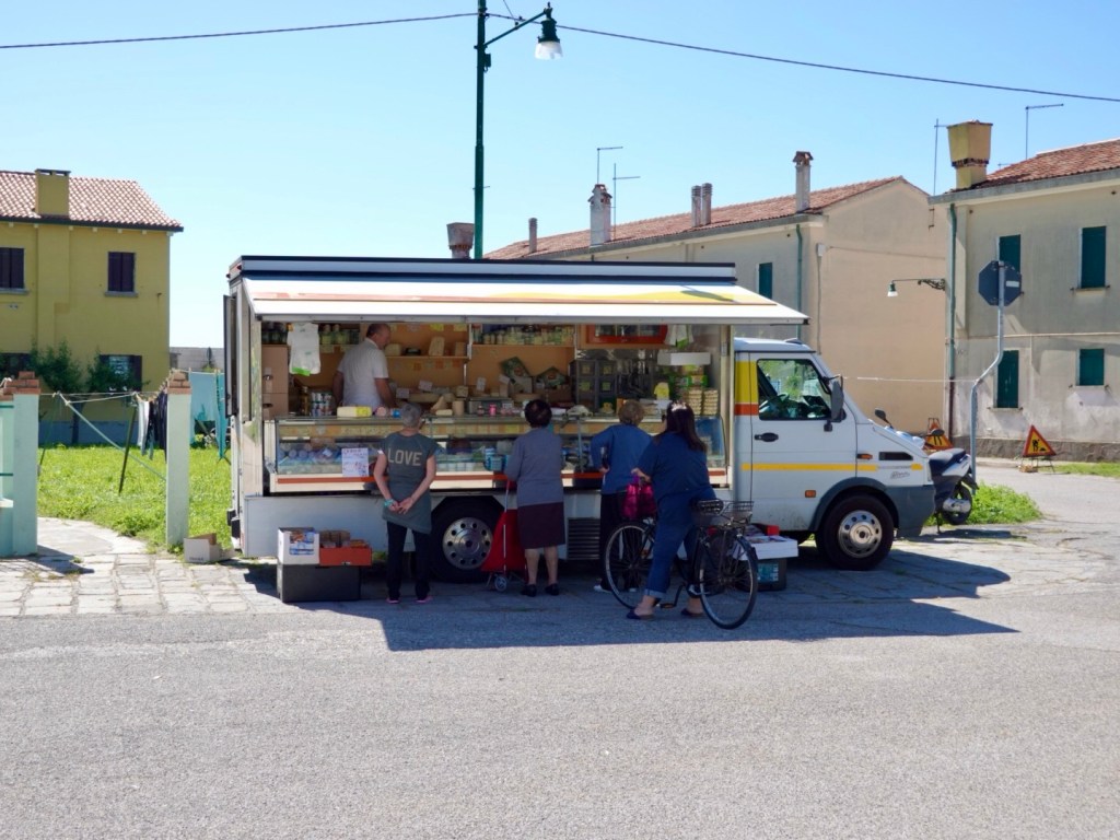
On Pellestrina life is very casual. We rode through a spot with two vans selling their wares, the first fruit and vegetables, the second cheeses. Locals all get around in bikes vs cars.
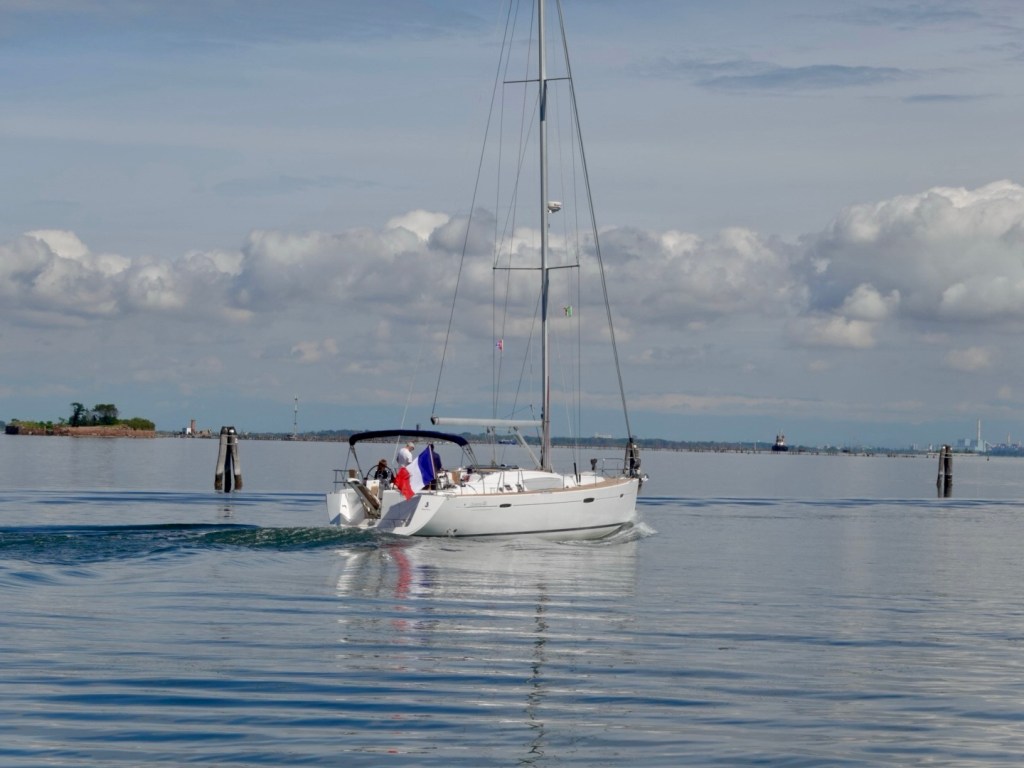
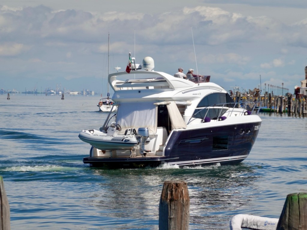
The ferries were not an issue, more of a waiting game. More nice views,
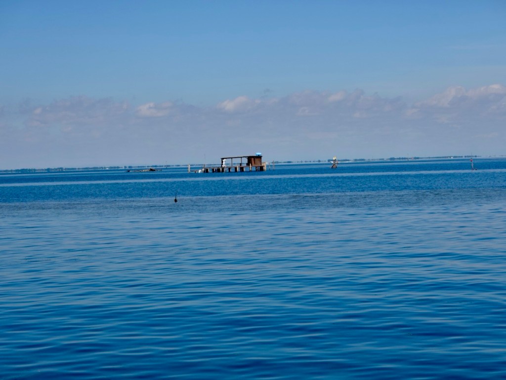
Fishing structure
Fishing structure
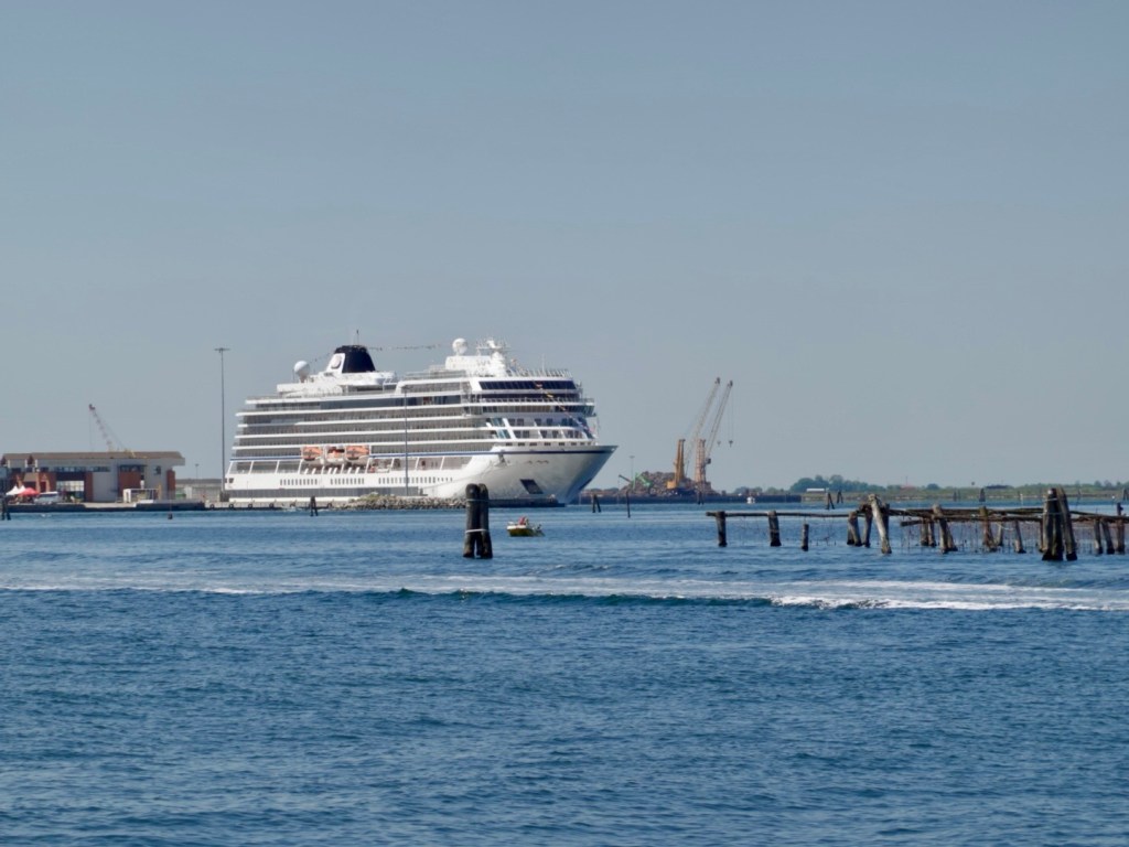
Ugliness personified. That meant Chioggia would be overrun with tourists. I know that these are meant to be good for tourism but this certainly dwarfs everything in the Venice lagoon. I accept that many like to travel this way too, just not us.

Docking in Chioggia, another canal city. As we could tell from the water, busy as and we made a beeline to safely extract ourselves from the throngs and the markets we seem to route through!

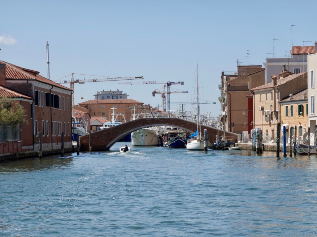
We found a quiet cafe to stop at, as I needed a toilet, so buying a coffee gives us access!

Next to the cafe
As we headed out …

The next chunk of riding was on a busy arterial road, which was to feature a bit today. When I saw the sign Romea I’d groan.

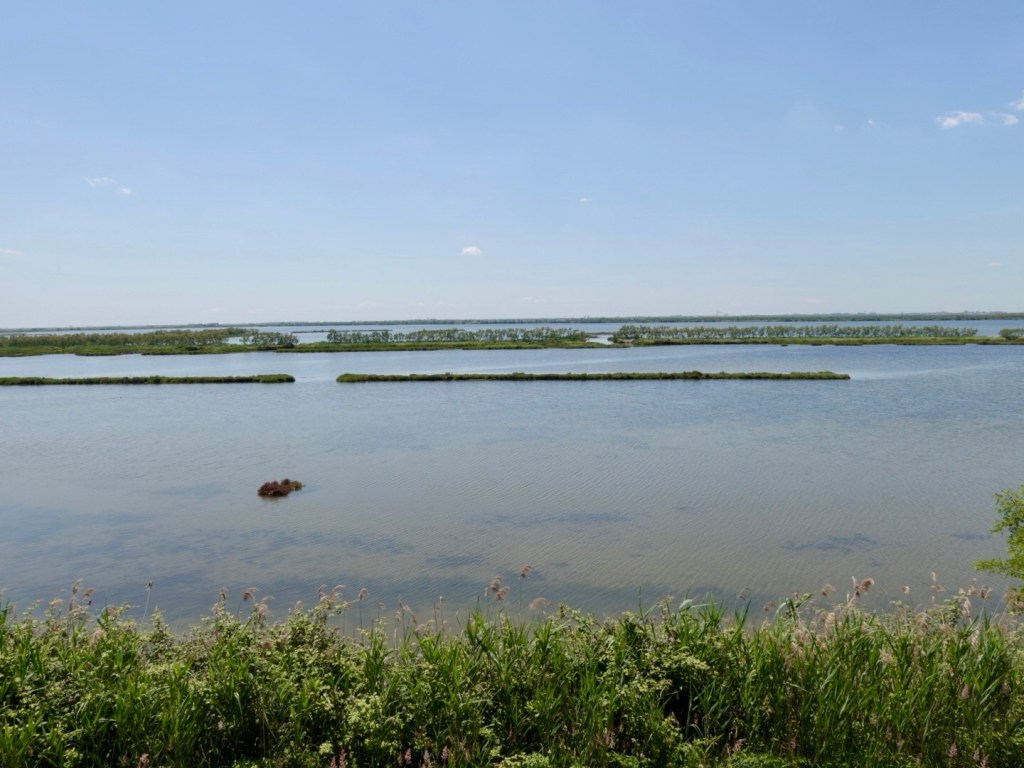
But we did turn off to see some of the extensive Po Delta, one of the most important wetland areas of Europe, largest in Italy, boasting double UNESCO recognition.

64,000 hectares in total, with over 400 animal species and 1,0000 plant species. 300 different bird species, 50 species of fish, 10 amphibians…the extensive list goes on.

We did see an impressive bright green lizard, flamingoes, deer, a large dead mammal looking animal ( no idea what it was), and a plethora of birds.

The riding is very chilled through here. More people riding bikes than cars. There were higher vantage point lookout towers built.
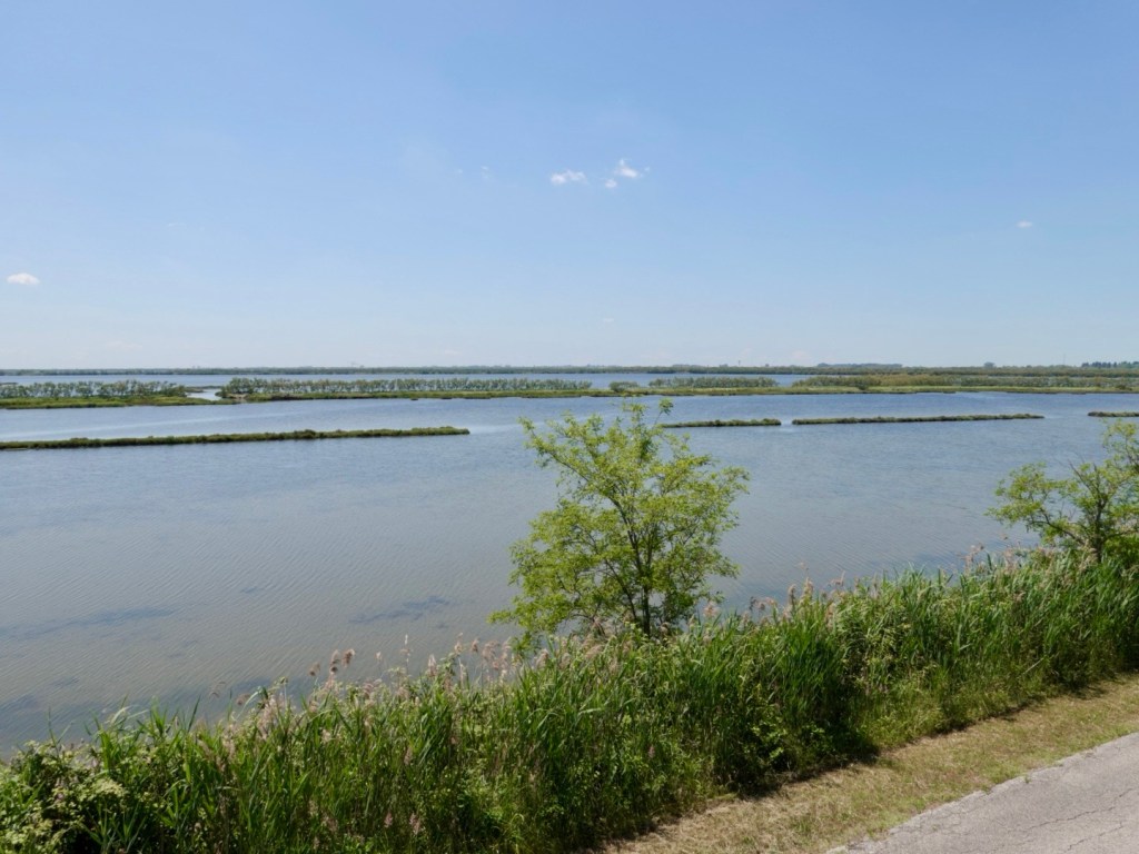
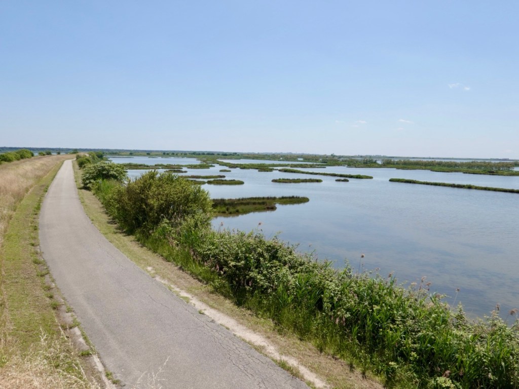
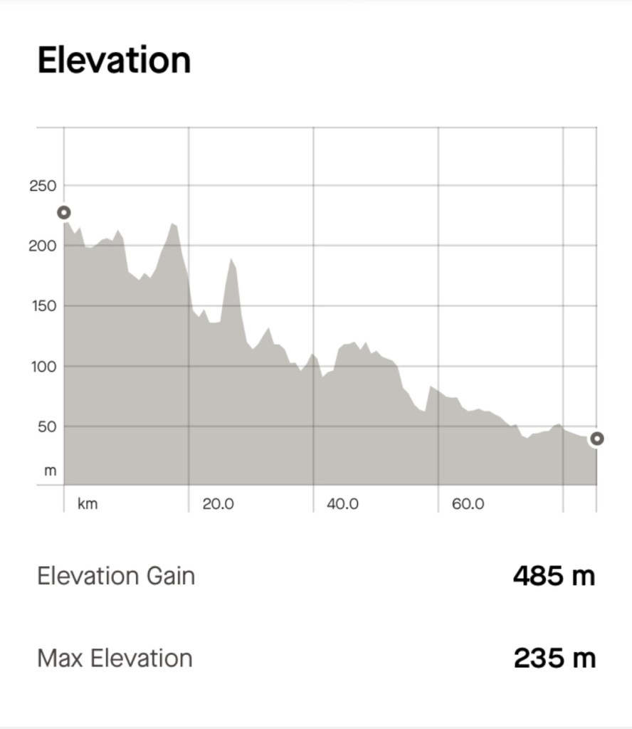
The day was hot, our bike computers had it well over 30 degrees, it was also very windy and we were in a very flat and open area with little to protect us from the super strong headwinds.

The headwinds were cooling, but they do make pedalling forward harder.

We were back in that busy Romea road, and we did detour through a nice little village of Mesola as we needed something more to eat and cold drinks,

We found these two buildings in our way to locating a small supermarket boasting a gazebo with table and chairs. We did enjoy chilling there.
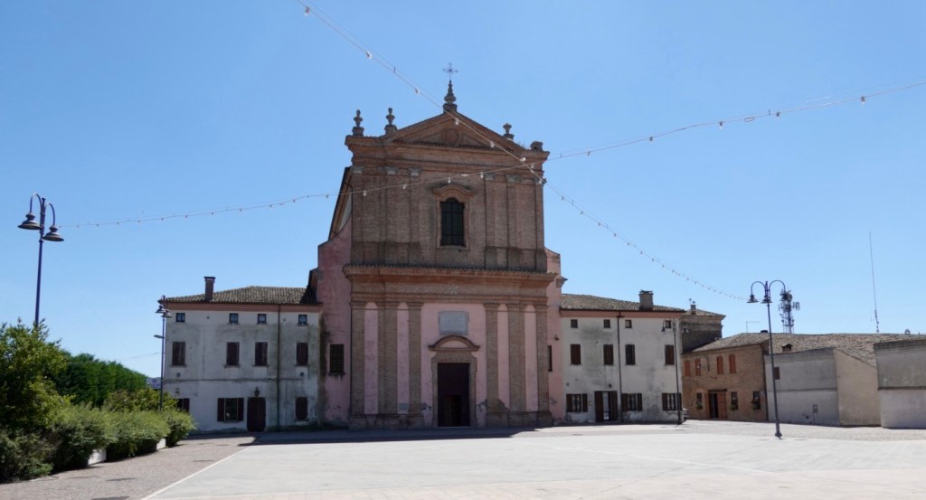
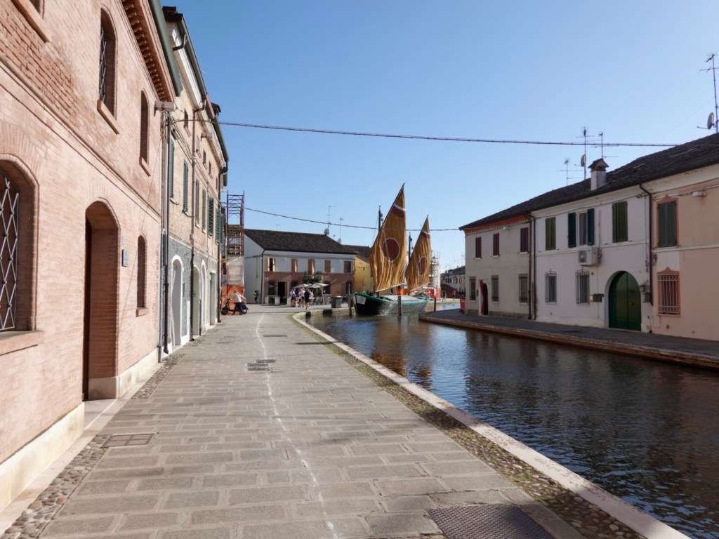
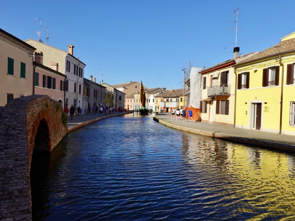
After around 110 km we arrived at our overnight destination, Comacchio, founded 2000 years ago. It is considered a major centre within the Po Delta region, and is also known as Little Venice, due to all of its canals,

We found our accomodation, next to this canal and boat.
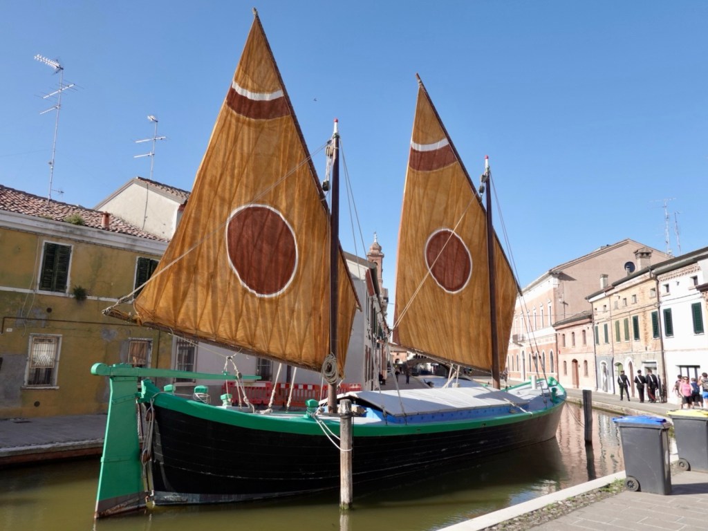
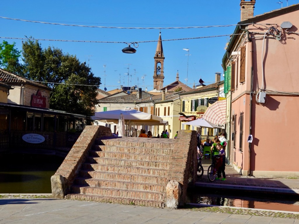
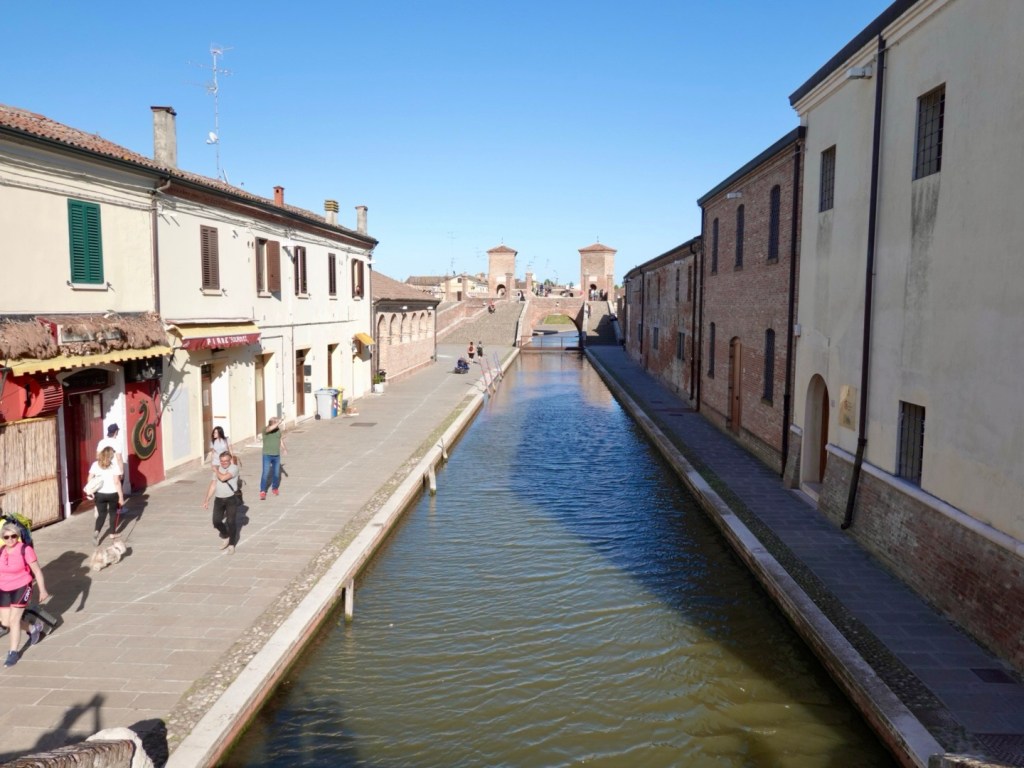
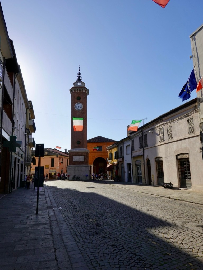
We started our post shower wander and both really like this town. It has a great vibe, wonderful historic bridges and buildings without the chaos of other touristy towns,

Some of the views.
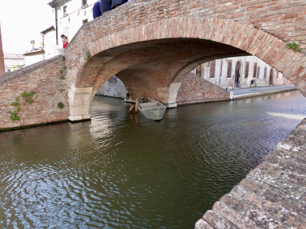
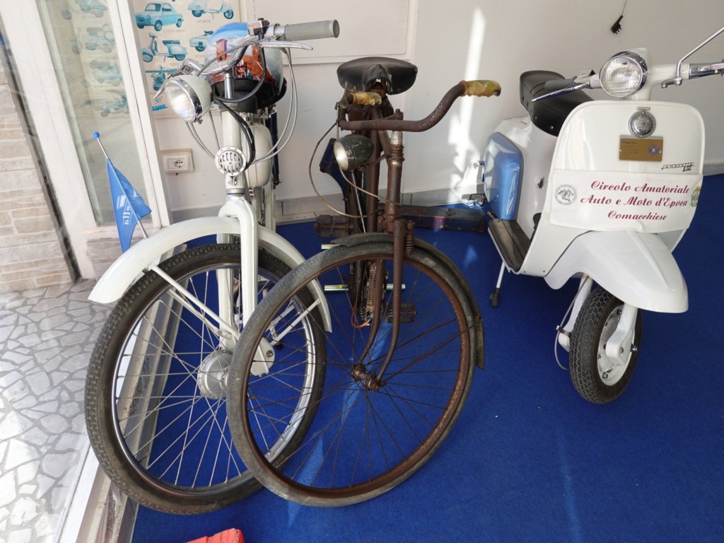
Tony took a fancy to this motorised bike
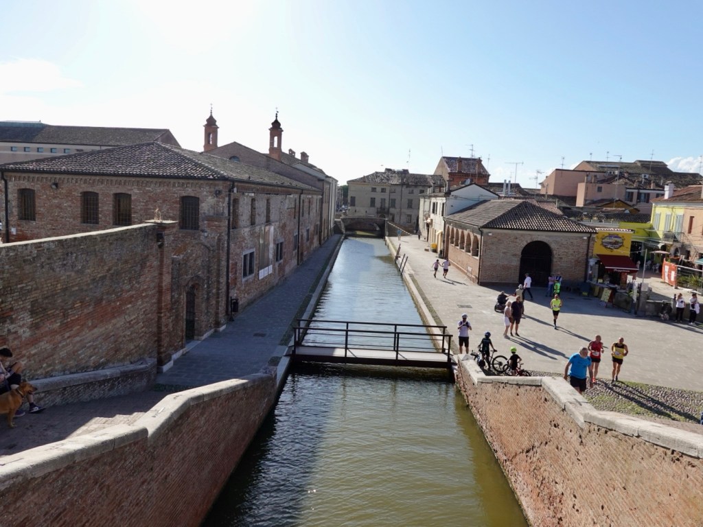
The famous three bridges, will aim for a closer up when we depart.

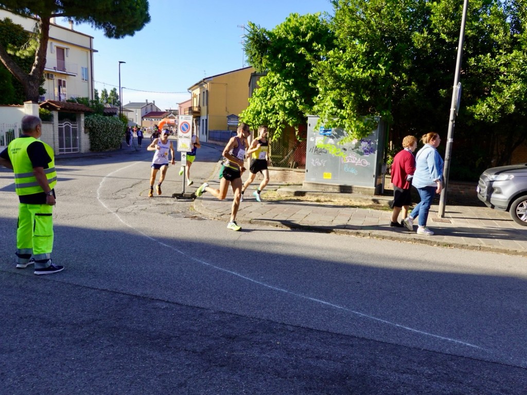
Did I say no chaos in this town? We found it! Last week it was the Giro d’Italia, this week the Giro del Lago! We walked into the epicentre of an 8.5 km running race that had very good support.
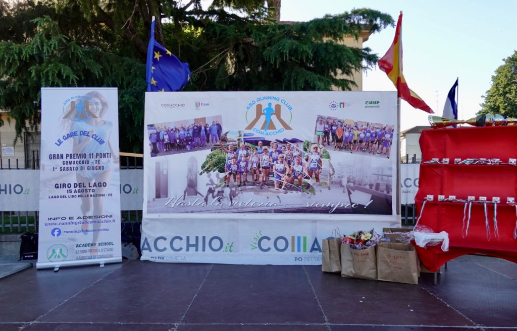
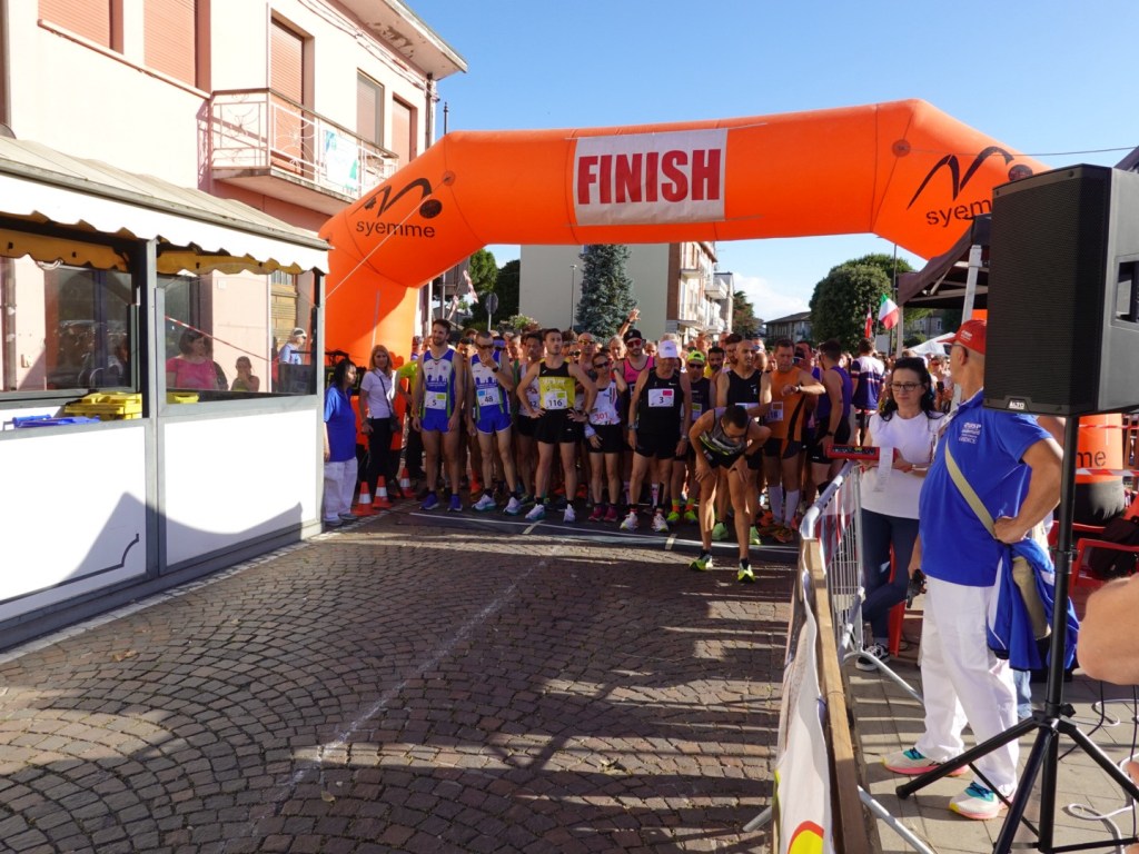
#125, stretching, was my pick for the win. He was jumping up and down, super flexible and looked confident. The field wrapped around into the next street and they all followed a flour line of laps through the town, including bridge steps.

Now this guy is the kind of official needed at all running and triathlon like events. He is at the triple bridge as we tried to walk through. Think again! He also reminded us very much of one of Raymond Reddington’s friends from the Blacklist.
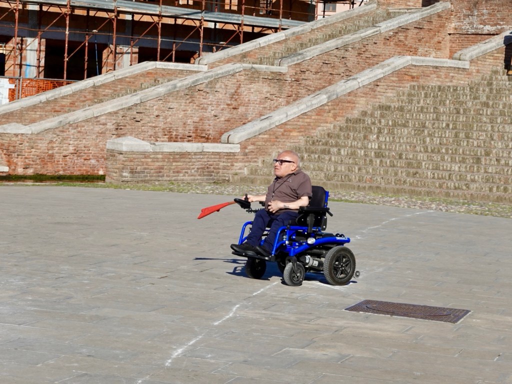
He had a whistle, flag, the loudest voice ever and was a brilliant course marshall, taking it very, very seriously.

Back on the course, #125 is in the lead into the second lap. By the third lap he’d cleared out with a comfortable lead. By the fourth lap the shirt was off. He won.
Heading back to our dinner we did try to go into the cathedral but a church event was happening. A quick glimpse though and it looked very nice with high painted domes but it was just not appropriate to enter further.
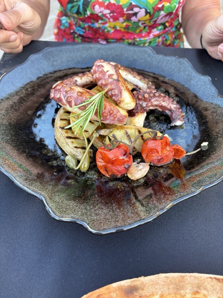
This is the nicest grilled octopus dish I’ve ever had. Very much enjoyed this,
Health wise how are we tracking? Tony still has a receding thigh lump but otherwise the accident has pretty well healed. He is getting a cold and hacking a bit.

My bruising is coming out. The lump is making sleep difficult as it hurts most in bed. It does not affect me riding as the lump does not touch the saddle when I sit.
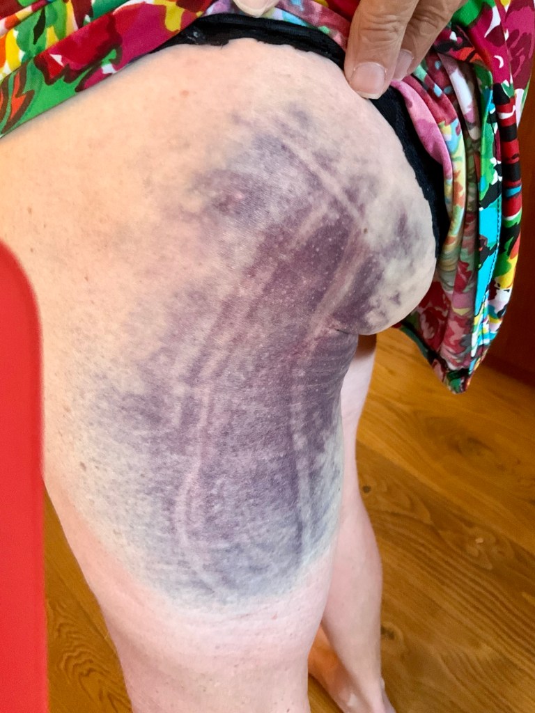
2 days ago…colour deeper and longer now. I’ve started to massage the lump higher on the bone, per my daughters instructions as a physio,

So we’re now heading in a southerly direction for a few days before we head west through Tuscany.

The sights have dramatically changed, the weather is warmer. The forecast is good for tomorrow.

Thanks for reading. 😊❣️
Day 21: Palmanova to Lido (Venice)

We needed to cross the Venetian Plains today. A decent length ride of 115 km.

The forecast was dismal for the last day of spring. We woke to rain and looking at the forecast it seemed it was going to get worse and then later improve. In fact, the further south west we travelled, the forecast improved.

Could we beat the weather?

We left in light drizzle, looking at more of the older outer remnant fortifications.

For the next few hours there were no photographs.

Shortly after the first photos it started to bucket down. We ended up taking shelter on the busy autostrada (deliberately accessing off a gravel path, fence) to shelter under a bridge that crossed over the autostrada. Bit scary but a bit drier too.

When the rain eased we then headed back along the dirt path to the busy arterial road. The rain continued but we got wetter from passing vehicles (spray and puddles they were through).

Some time after that there was a lull and we thought, great!

The wind came out then to dry us….but it was a horrid cycling wind. It was predominantly on our left hand side, so a side wind that was pushing us off the road (remember we are riding in the right hand side), and we had a very steep drop off on the right hand side. So got a bit scary.

What made it seem worse was that this section of road was 10 km or so and dead straight, so no reprieve. It seemed to drag on and on.

Life got better and we did a few turns and the winds eased, the sun came out.

Checking our route
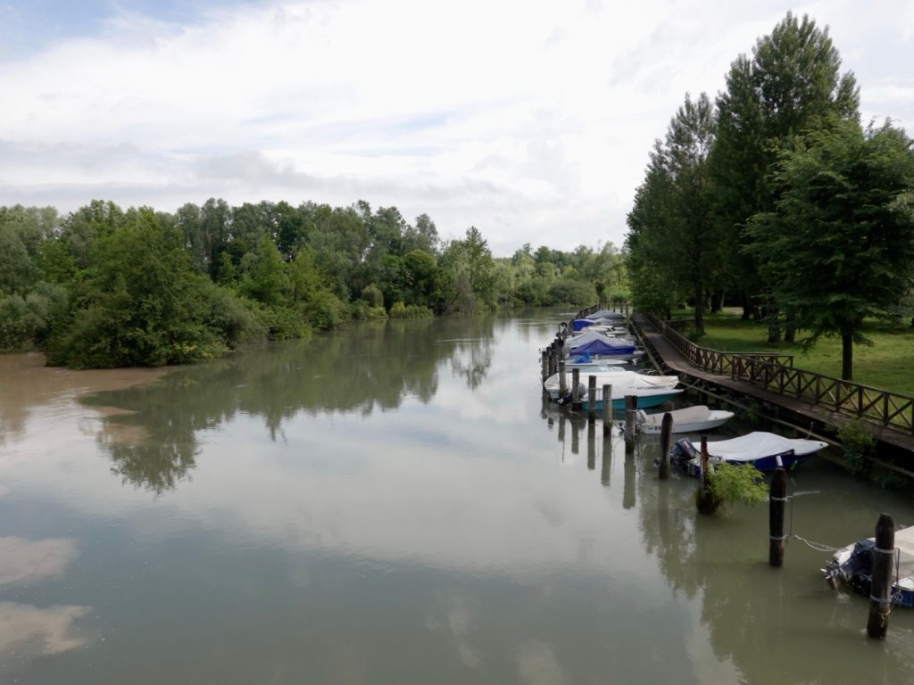
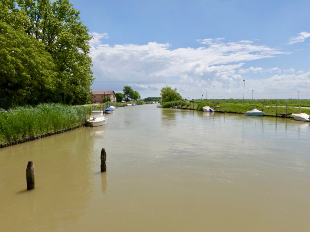
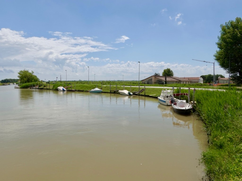
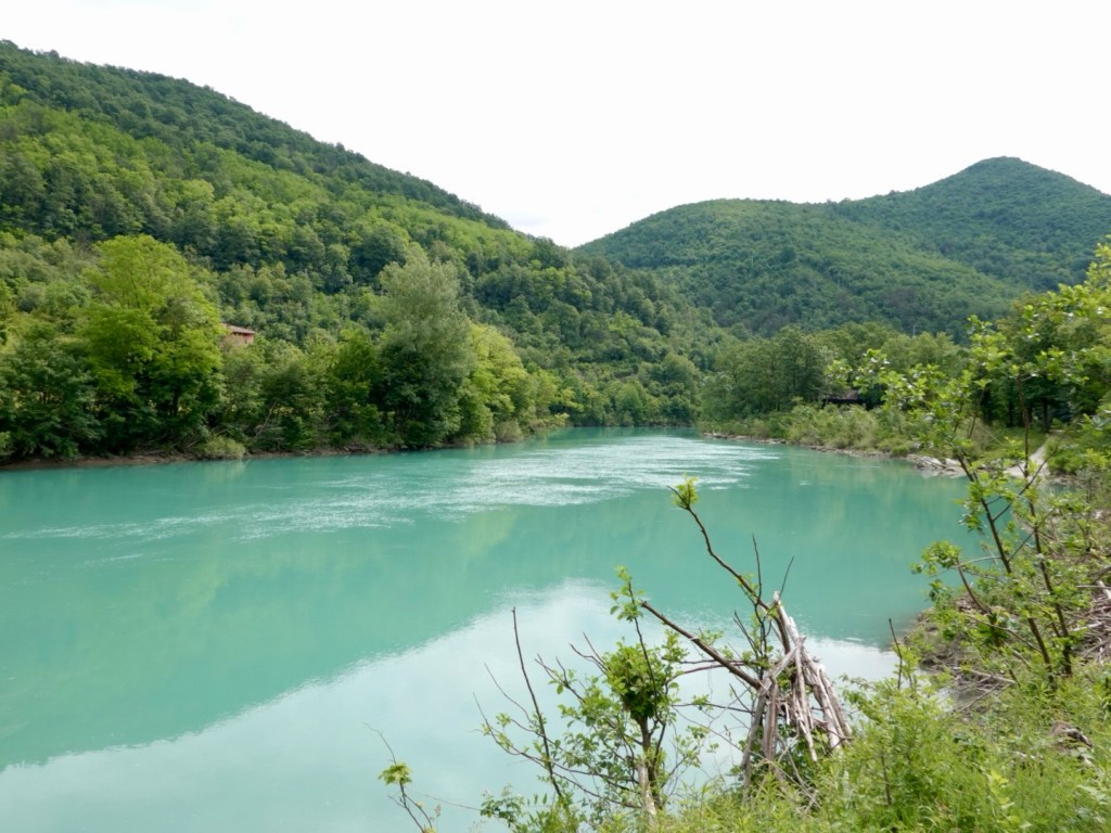
We crossed lots of canals and rivers today. Lots of muddy waters.
Blue skies the more we headed south west away from the mountains and hills.

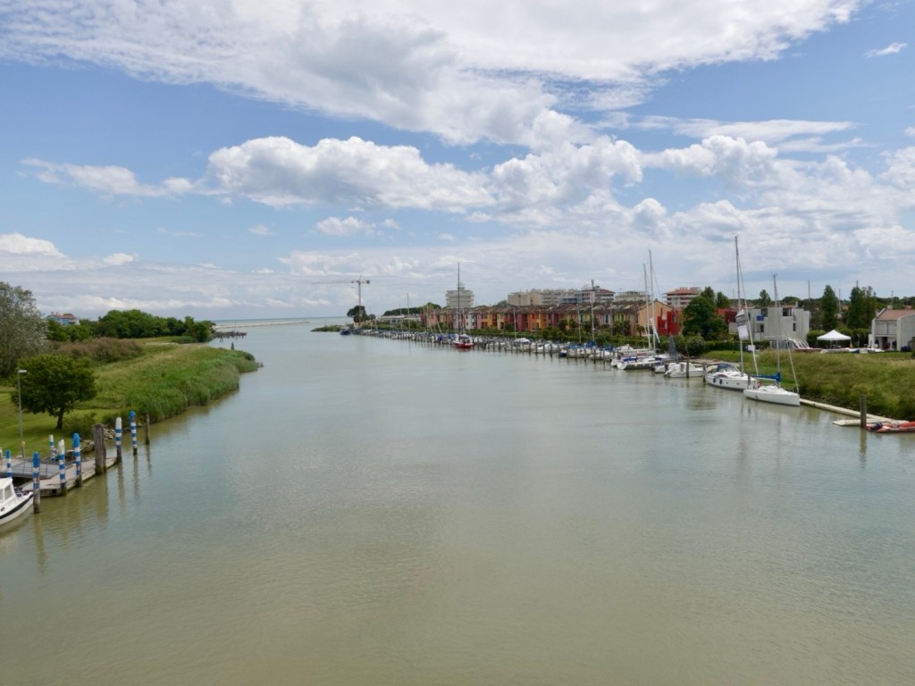
This was our first glimpse of the Adriatic Sea at this river opening.

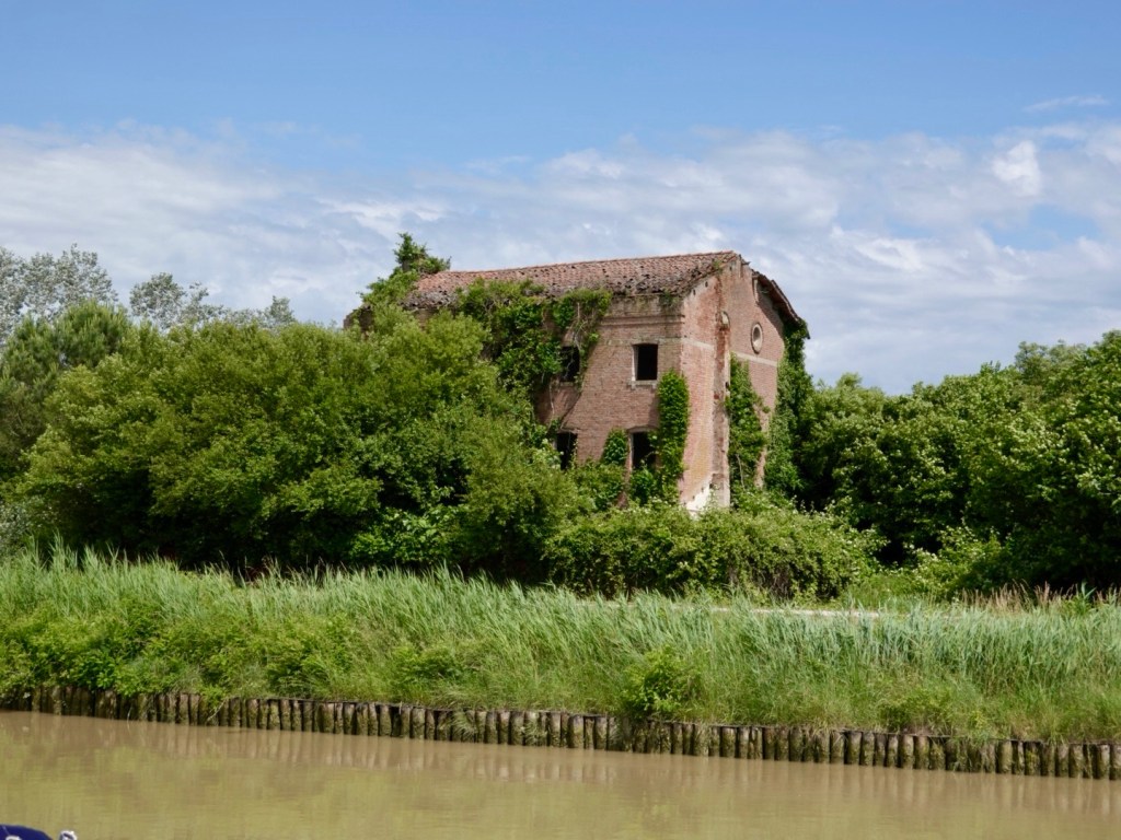
Abandoned buildings

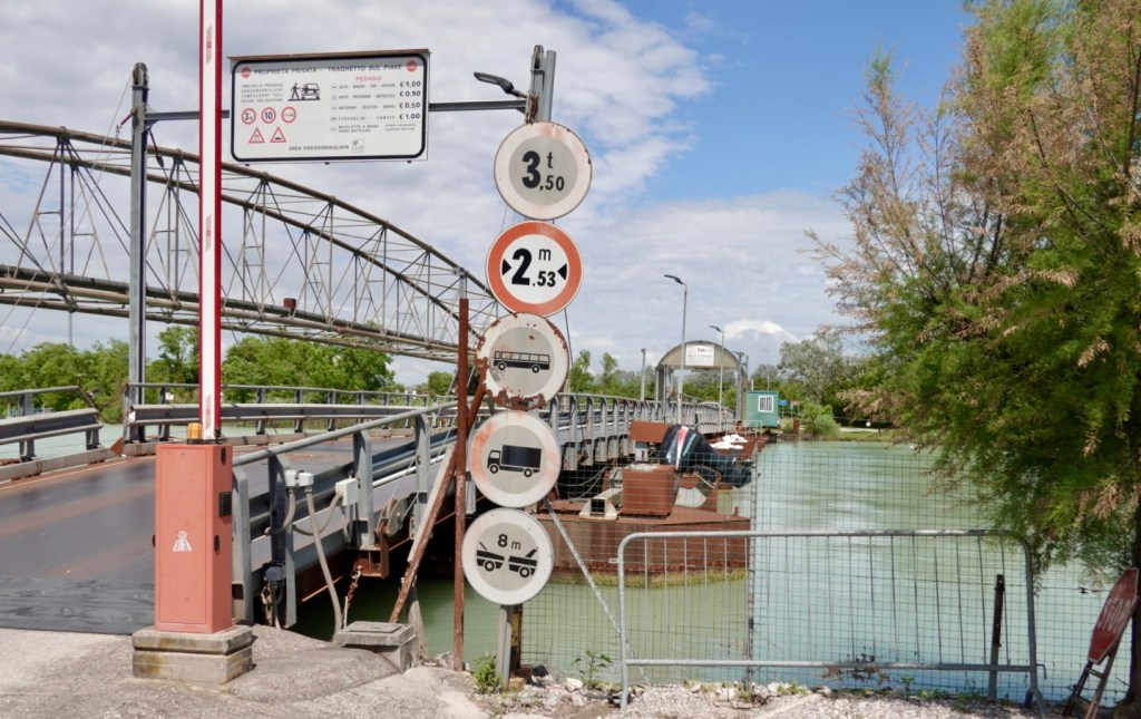
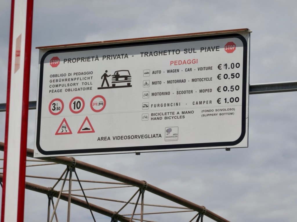
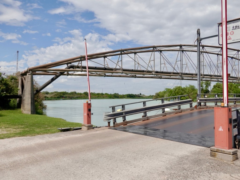
We crossed this dodgy looking bridge, all metal with someone standing in the middle collecting money. Turns out it is a privately owned bridge. Bicycles can cross at no charge.

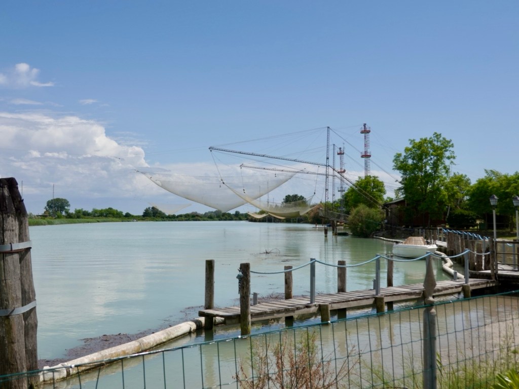
Seems like shrimping may be a popular activity here too.

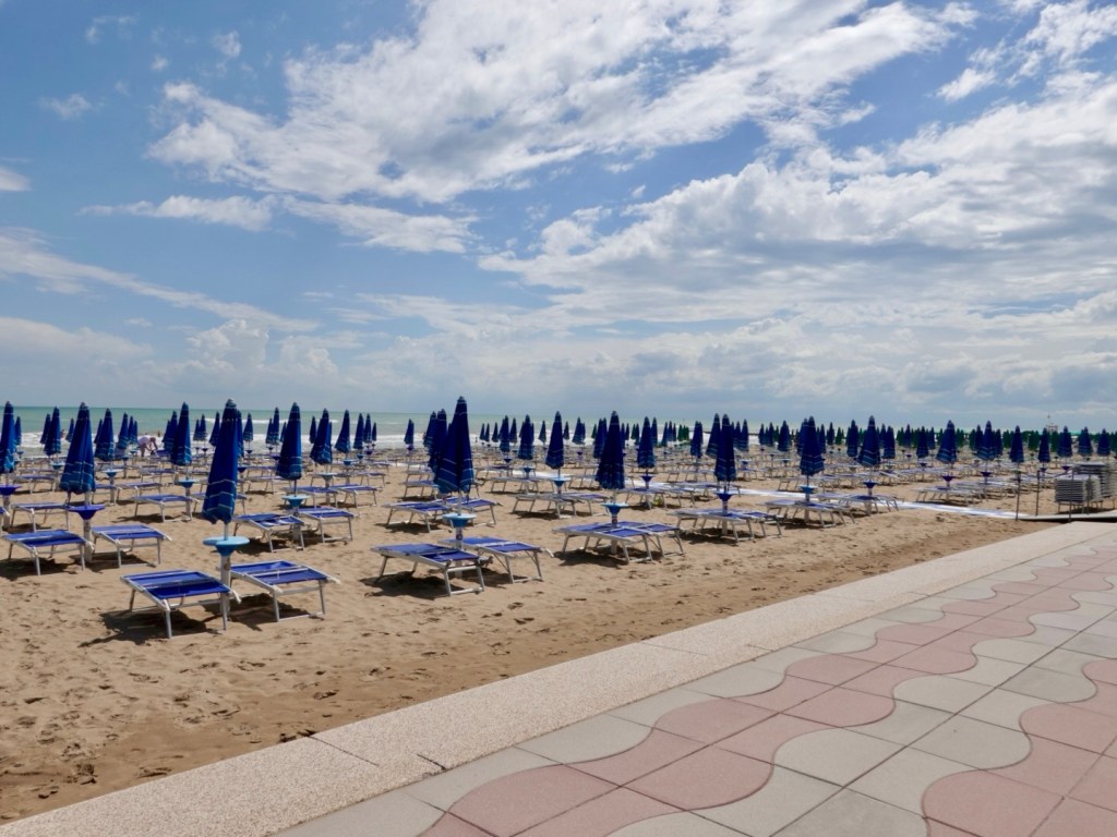
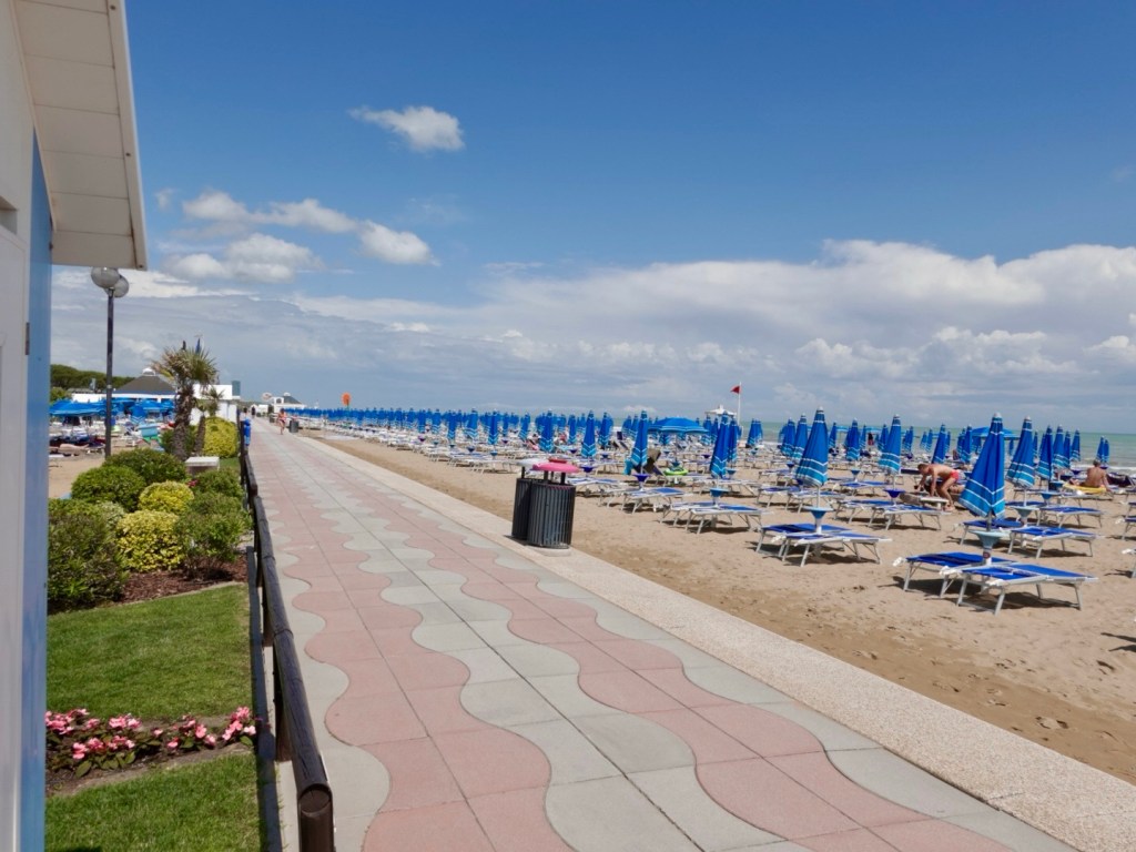
We started riding parallel with the Adriatic Sea, just metres from the beachfront, so we popped down to see what we thought. The area was infested with tourists and holiday accommodation options.

Looking to the right….
Looking to the left…

Not my cup of tea, but obviously popular for many people.

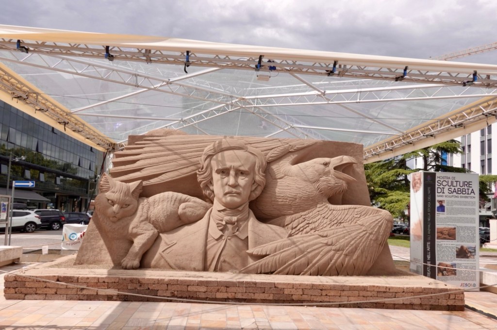
This did interest me. Some people are super clever. This is all sand.

The map below shows the area we were now riding along.

The area from Lido Di Jesolo was km after km of tourist shops selling the same stuff and I do wonder how they survive.

It was a relatively car free zone, but made up for with aimlessly wandering tourists, a variety of hire wheeled bikes and trikes and carts, dogs and it took lot of concentration to get through unscathed.

Once we hit the northern side our views were of the Venice basin.

The Venice basin was interesting.

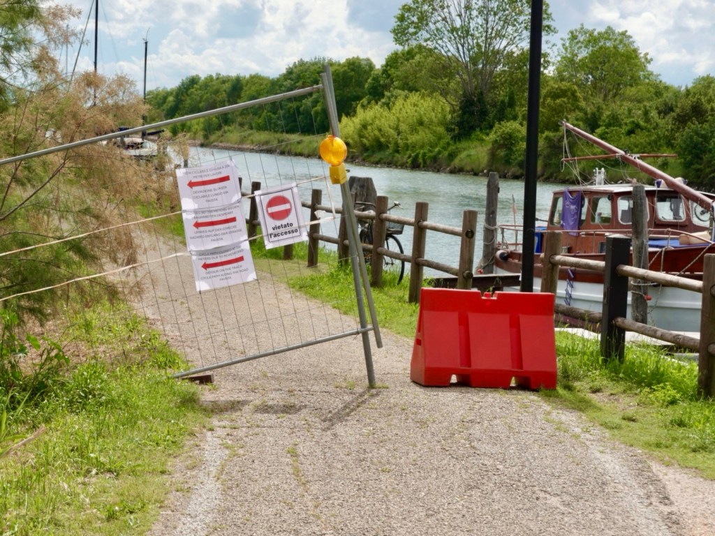
The path was closed and we could see later on why.

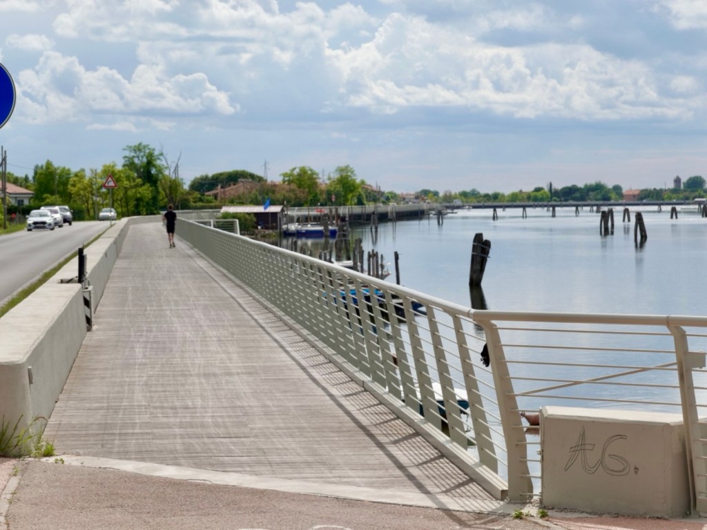
The reason for the earlier closure is that these cantilevered walkways are being installed. They are brilliant. There are many km’s worth already in place.

Little stop off points for the picture.
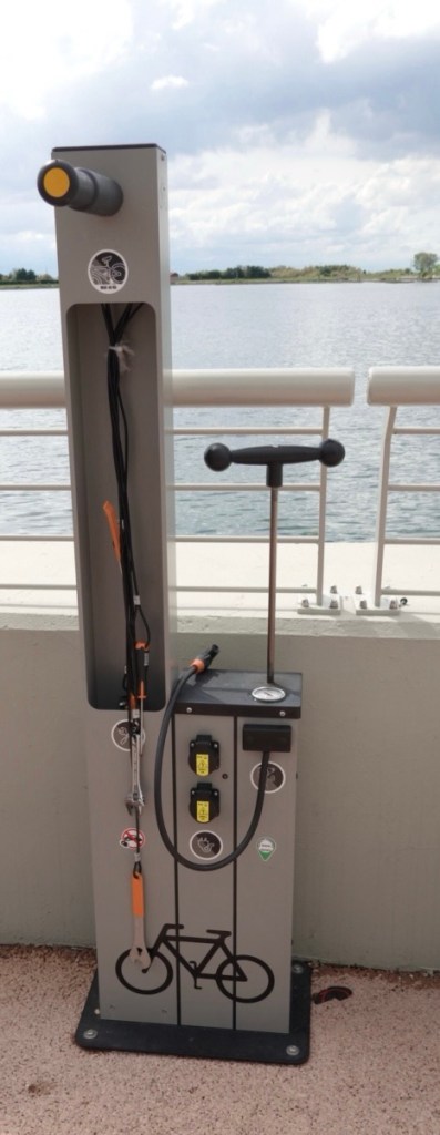
They even provide charging stations for e bikes.
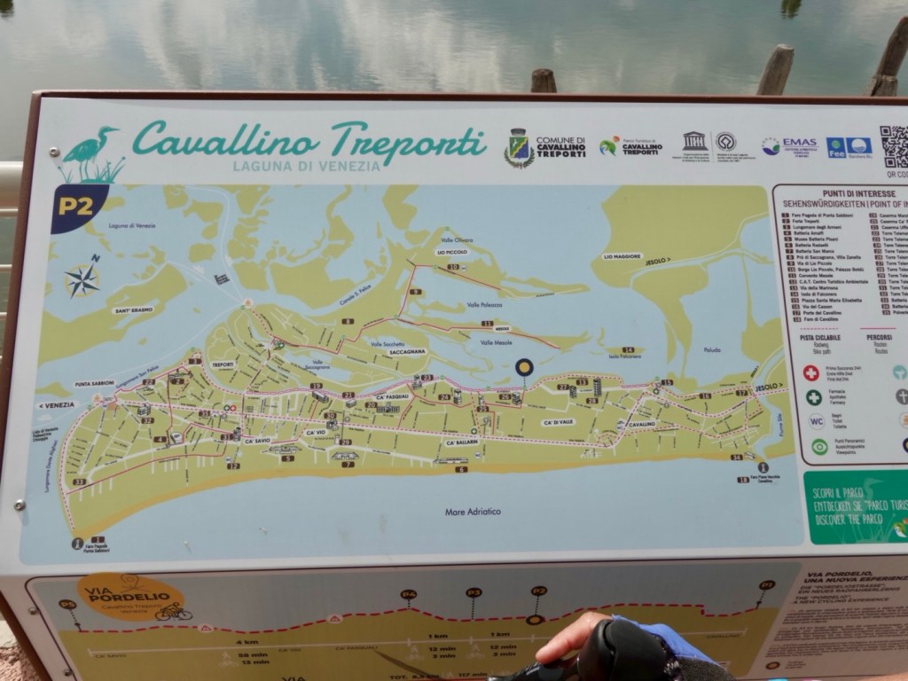
Maps of the basin.
Abandoned buildings

We needed to get a ferry from Punta Sabbioni to Lido, one of the Venice basin islands surrounding the opening to sea for the lagoon waters to enter.

That was a drama. The young 20 year old ish girl gave me a super hard time saying we might have to wait numerous ferries (every 30 minutes) to cross, there were no refunds blah blah.

Feeling agitated as we did have an accomodation deadline to check in by, we lined up straight away for the next ferry. No one else had lined up.

After about 10 minutes an old toothless, scruffy looking bloke indicated he would like to see our tickets….dubiously we handed them over. He looked at them, then put them through the scanner for us. Nice bloke helping us out I thought.

Turns out he works for the ferry line. He allowed us to go under cover with him near where the ferry would arrive. The ferry arrived, and he got us on first! No issues whatsoever!

I gave him a big wave as I was thankful for his help and kindness vs the young officious ticket girl.

The ferry was pretty full and no one was displaced due to the bikes!

So we are on Lido now staying at a bed and breakfast with Sven from Belgium who thinks all bikes are ok in the rain…..fortunately rain is not forecast and they are behind a high locked fence, with two chains, under a grape vine.

We found a lovely place for dinner and wandered around. We will see more of Lido tomorrow as we cycle down towards Pellestrina island.

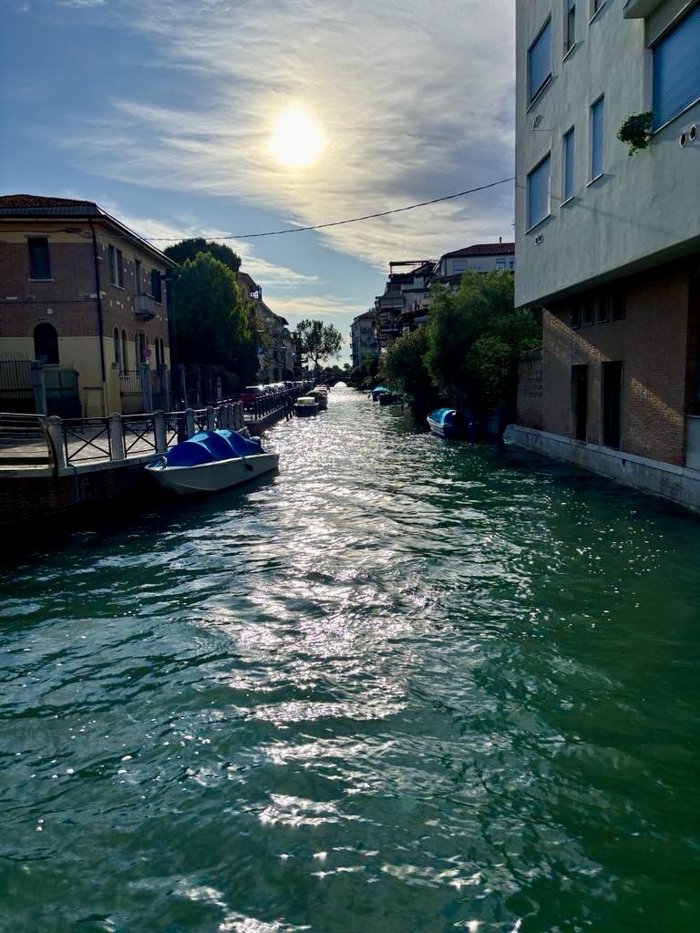
Lido has many canals but not as intricate a network as Venice itself.

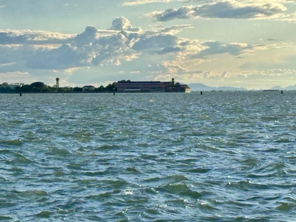
Isola di San Lazzaro degli Armeni, an Armenian monastery
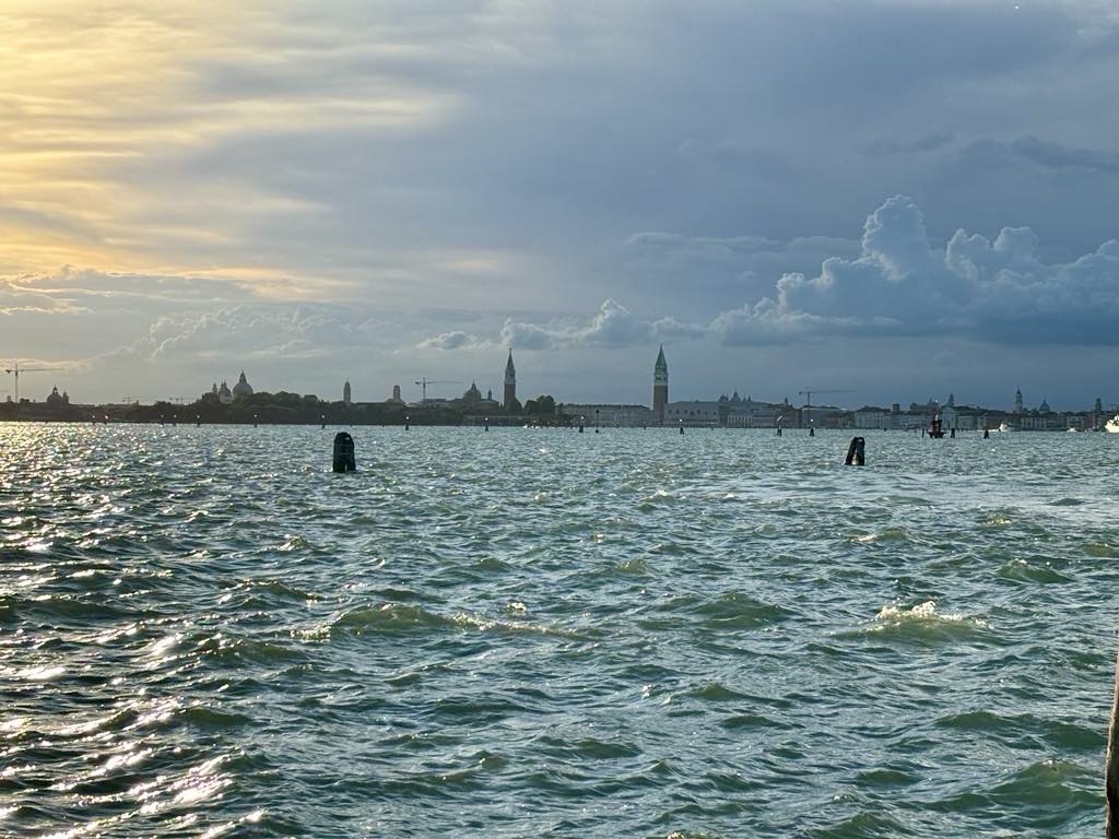
Venice
Isola San Servolo, home of Venice University
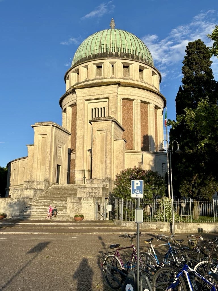
Local military church that also contains a soldiers ossuary

Our ride today was 115 km, very flat with a variety of climatic conditions. Certainly the wind and rain was a challenge in the first half. We actually got hot in the second half!

Our full map is below.

Tomorrow our adventures continues, and the forecast looks great for the first day of summer in Italy.

Thanks for reading ❣️😊

Day 20: Kobarid to Palmanova (Italy)

Having spent the last two nights in a self contained apartment, we were ready to leave by 8 am.

Rain was a possibility later in the day but it was a lovely morning when we headed off.

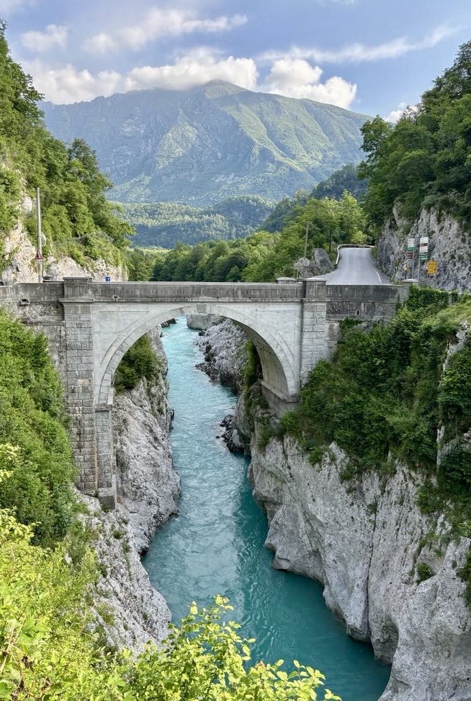
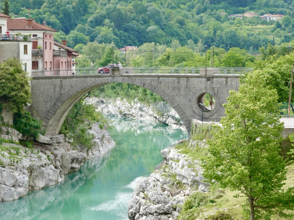
We rolled down to the Napoleon Bridge, crossing the Soca at its narrowest point of its entire length. There has been a bridge here since ancient times. In 1616 the Venetians demolished the old wooden bridge.

The old Napoleon bridge was built in 1750 from stone. Napoleons’s troops marched across it on their way to Predel Pass, hence its name.

During WW1 Austrian soldiers blew it up, then the Italians built a wooden, then later an iron bridge.

Here is how it looked today.

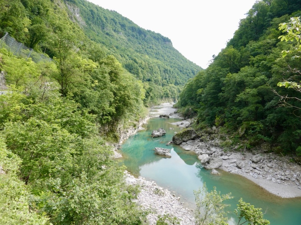
We headed out along the quieter valley, through a series of small villages retracing our steps from two days earlier. The road was fairly quiet with the exception of a few cyclists, and people walking their dogs.

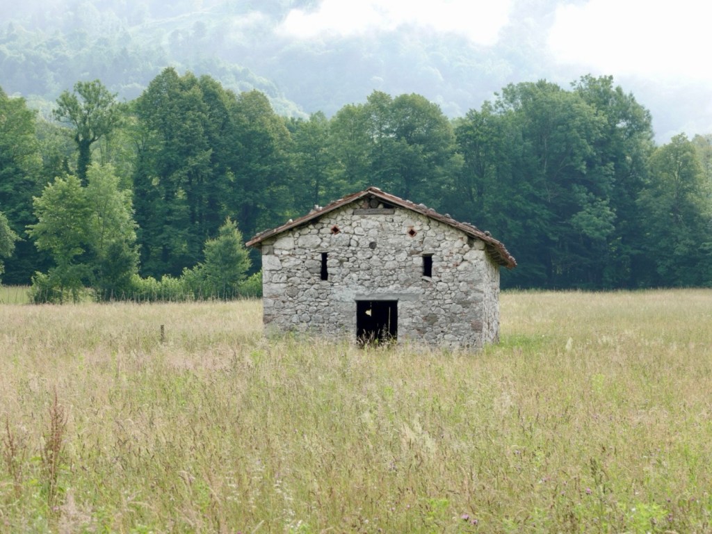
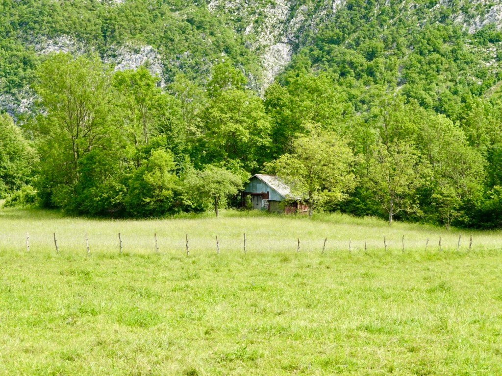
An abandoned hut
Low clouds

We turned right to cross the Soca and the views differed, one basking in sunlight, the other half more subdued.

The bridge was narrow and led us to a busier arterial road that we were on for some distance before eventually heading onto very quiet rural roads and pathways.

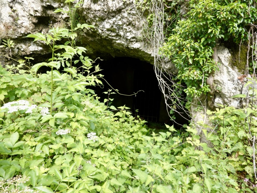
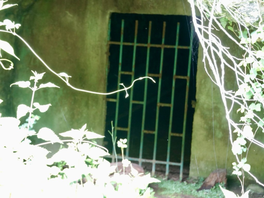
There were numerous of these overgrown cave like openings in the cliff. At the back of this one was a locked gate. Not sure if they had a purpose during the wars or a local storage area.

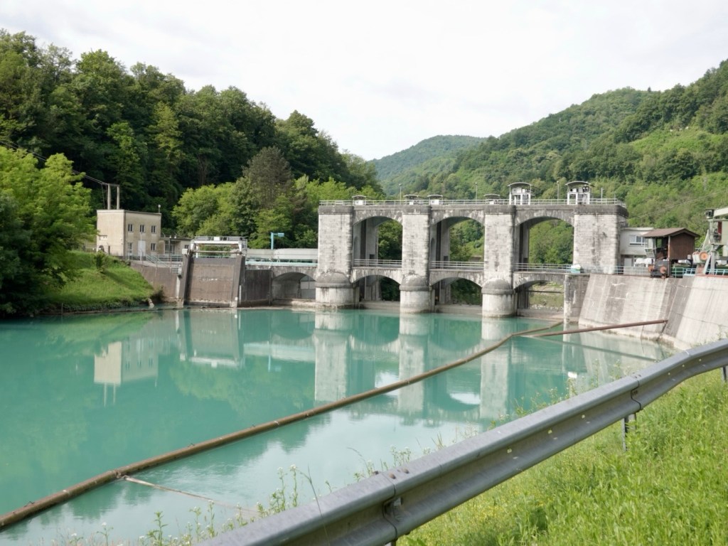
Hydro scheme

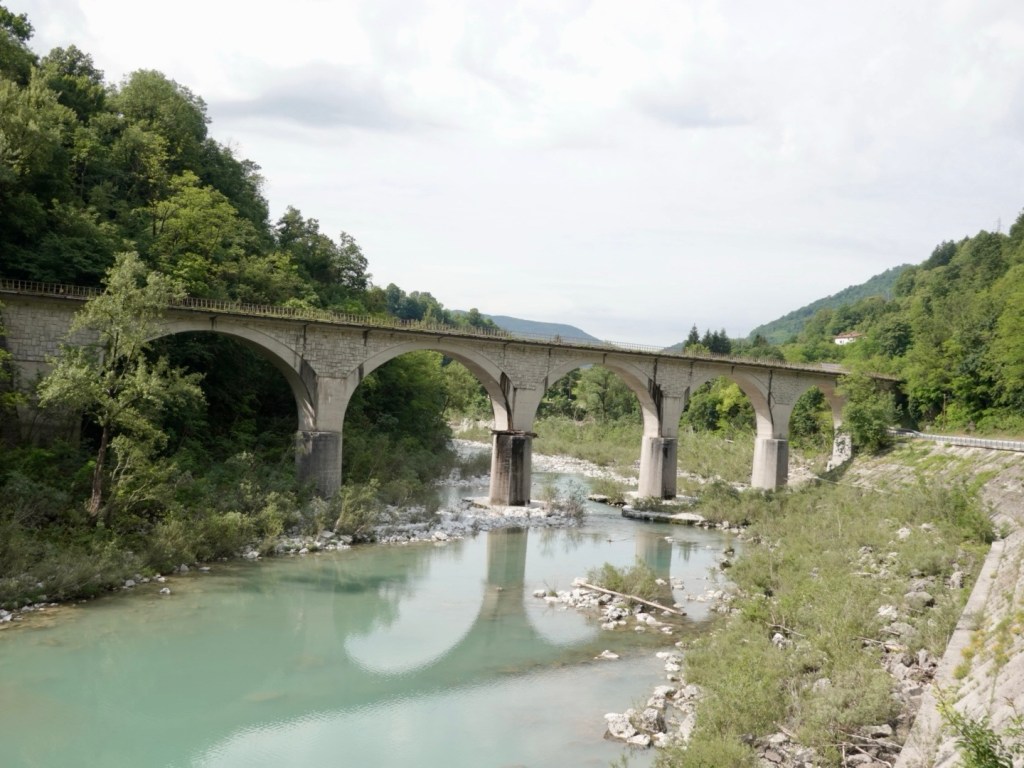
Rail bridge

Kanal has an iconic single span bridge that has featured in high diving world cup competition.

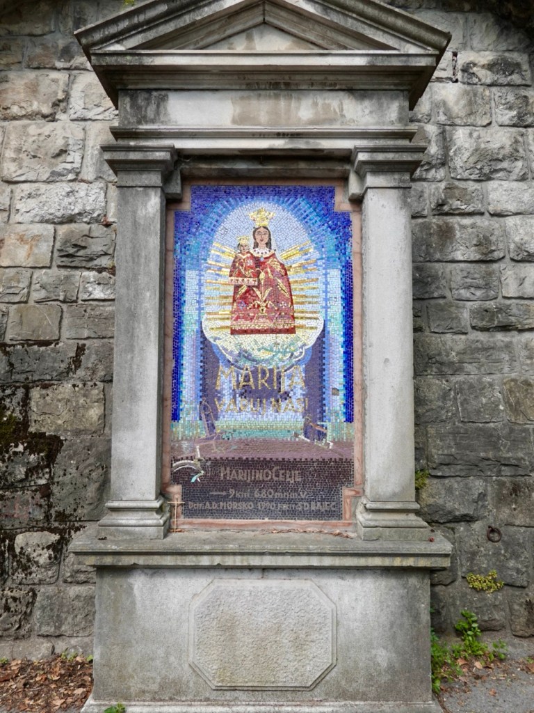
Steep short climb and this mosaic work, maybe I needed divine intervention?

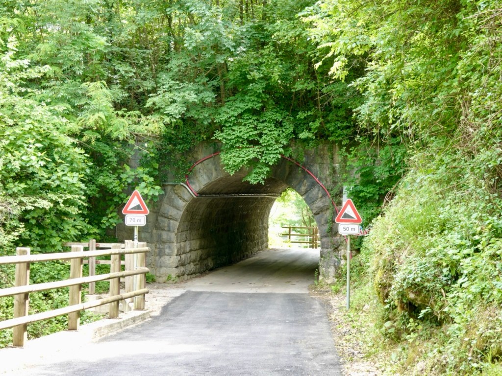
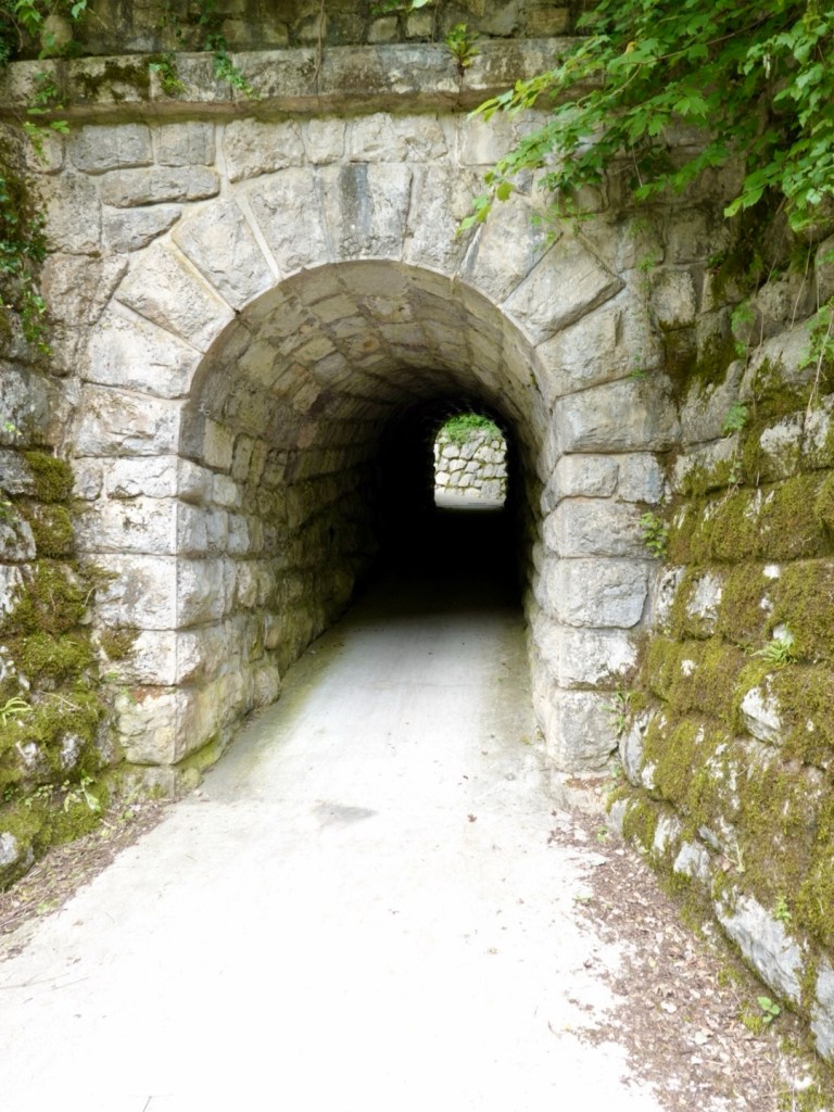
The pathway followed the river, through some old rail tunnels and under roads.

This tunnel we jumped off and pushed the bikes. It was super narrow and inclined.

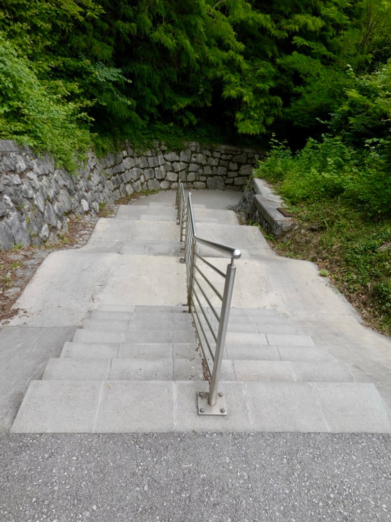
Out of the tunnel were these steps. They were hard work pushing the loaded bike up the ramp and walking the steps,

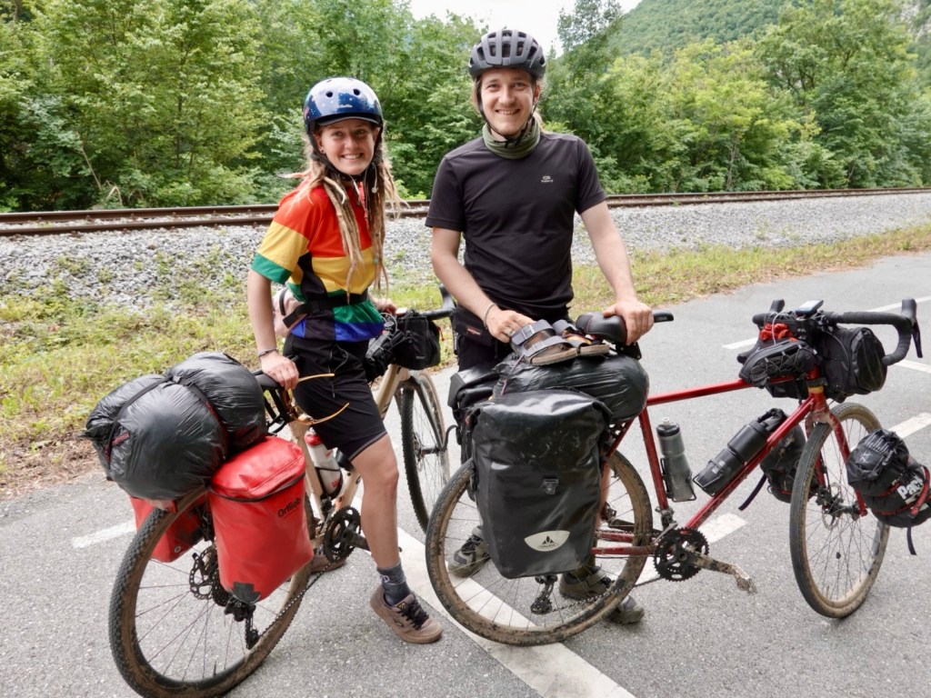
We watched this younger couple push their bikes up, easier than us! This is Lisa and Nico from Frankfurt, Germany, en route to Bologna, but heading to Croatia next. Lovely chatting with them.

The nice pathway continued.

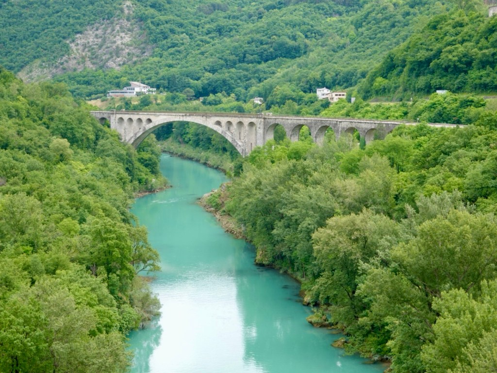
At Solkan that bridge is used by cyclists and walkers, but we crossed further to the east.

The bridge closer up
We crossed this bridge, the Solkan, blown up during WWI by Austrian soldiers

Our last meal in Slovenia was here, coffee and pizza.

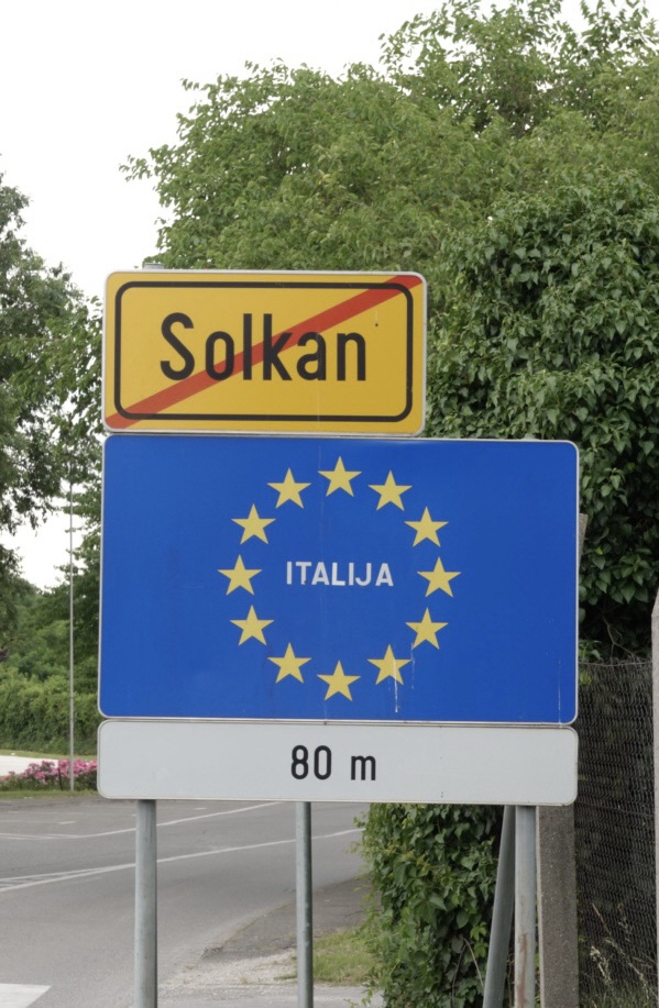
With the Italian border 80 metres ahead, we bid Slovenia farewell. 😢 It is a beautiful country.

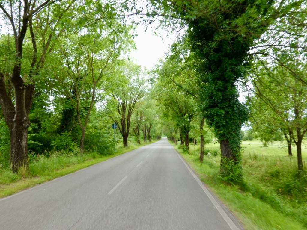
Back into Italy we negotiated the busier border city of Gorizia ( co joined by its Slovenian neighbour Nova Gorica) before finding quieter roads. The rest of the day was spent on a real mix of roads from quieter to arterial.

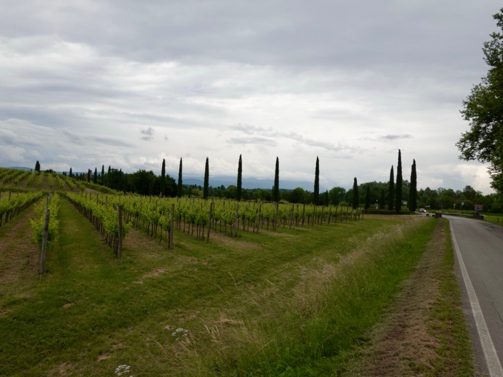
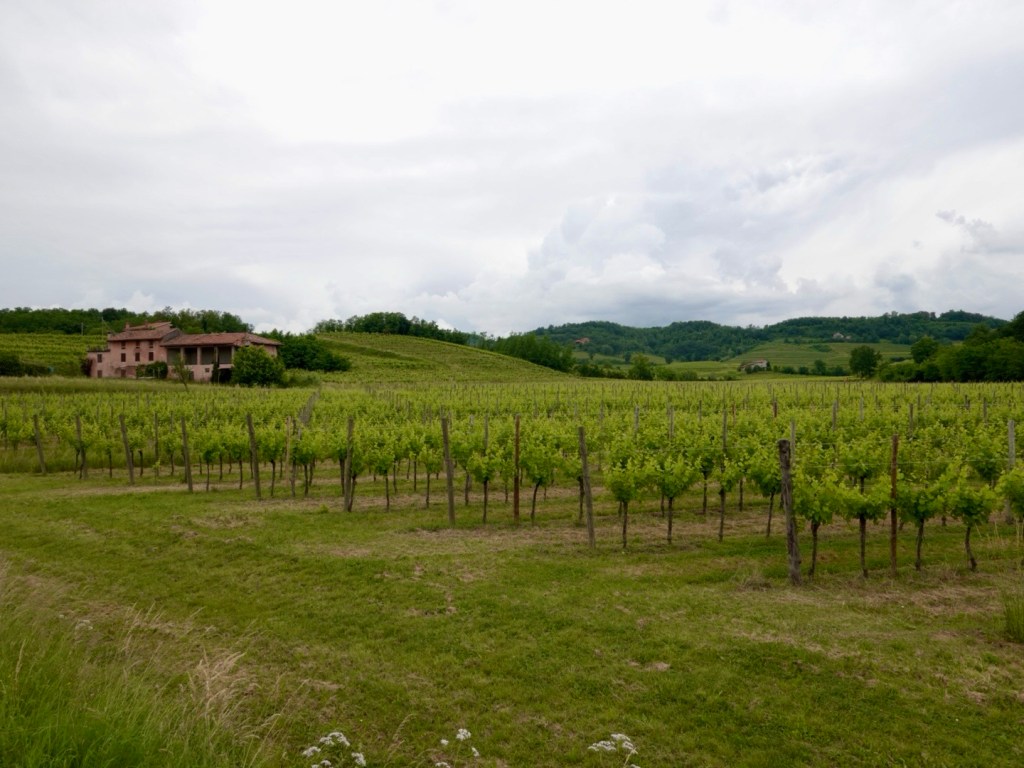
The landscape had altered and was starting to look more Tuscan despite being quite a few days ride from Tuscany.

When we left Slovenia, it had started to spit with rain and it gradually got heavier as we approached our destination Palmanova.

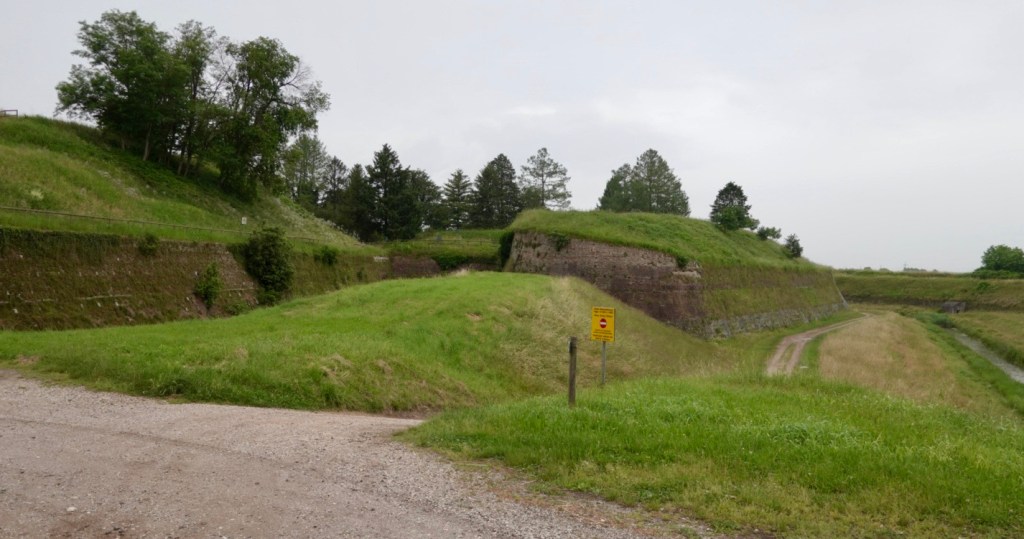
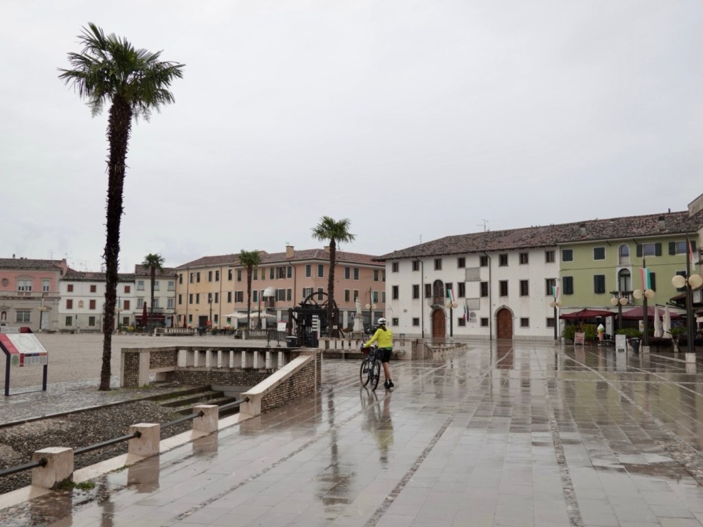
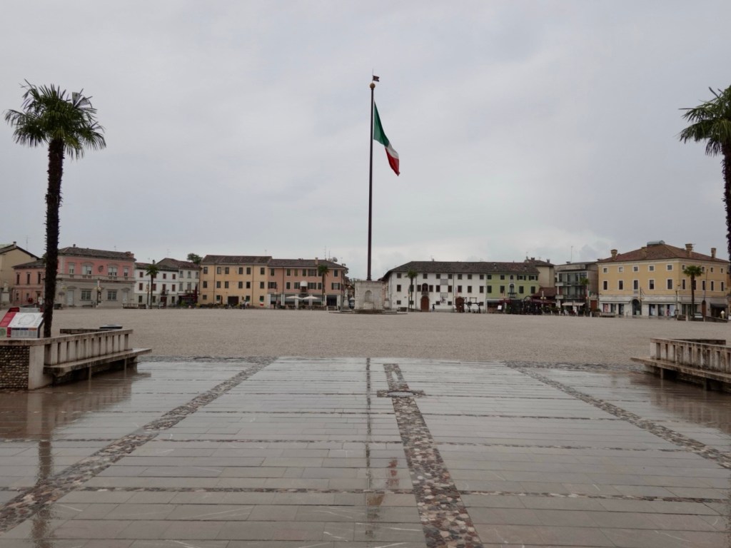
The outskirts of this interesting town show the old moat and ramparts, You can circumnavigate the town following the pathways here.

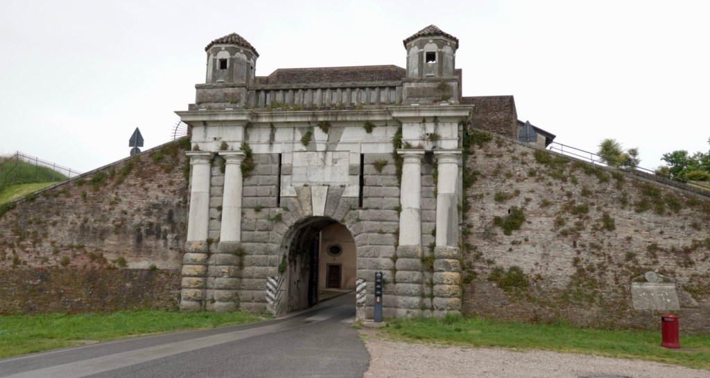
We entered via this gate, single lane.

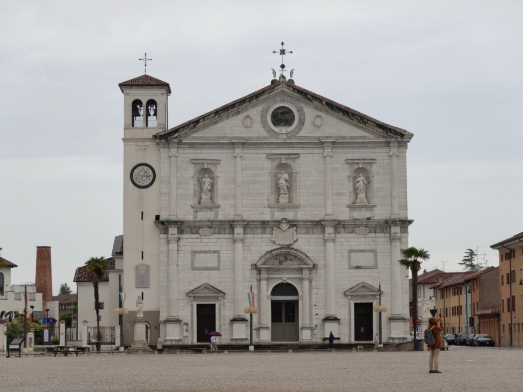
We ended up in the centre looking at the Duomo. We returned later to visit inside the duomo.

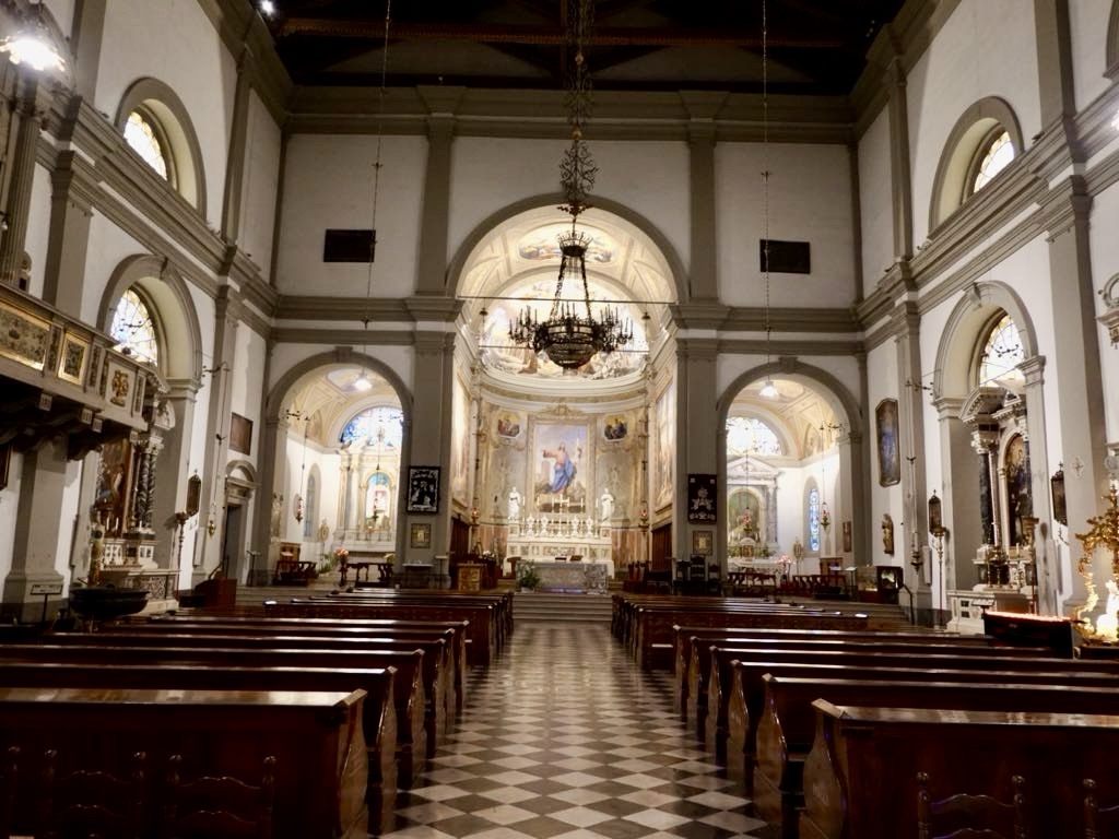
The Duomo features nice frescoes, ornaments, a glass coffin with a masked body.

Many of the sacred decorations were confiscated by Napoleon so they only have a few remaining.

It’s quite wet now, coats are back on as we walk our bikes around. Our accomodation did not open until 3.30 pm so we had some time to spare.

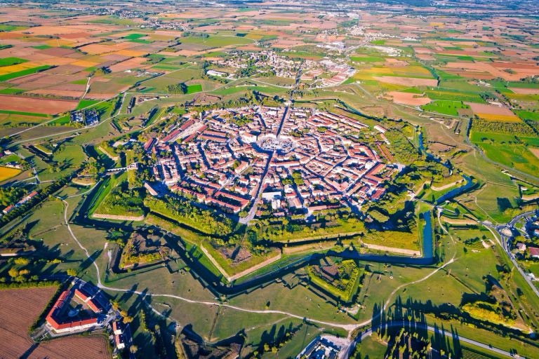
Best viewed from the air, what planning (Urban Trend Guesthouse photo, where we are staying)

Palmanova was designed as a fortress city. A city in the shape of a nine pointed star, in perfect symmetry, construction commenced in 1593.

Two defensive circles of walls were built during the Venetian era. In 1797 Napoleon occupied the town and a third defensive circle added during the second French occupation.

During WW1 the town was a selection and supply centre for troops fighting and suffered heavy destruction. During the latter part of WW2 the fortress houses an anti partisan centre of repression.

Since 1960 the city is an Italian monument.

The forecast is pretty drab. Rain, rain and rain. as we head off to bed, the skies have cleared and the duomo bells are ringing.

Let’s see what transpires in the morning.

Thanks for reading ❣️😊

Today’s 86 km route.

Day 19: Soca Valley

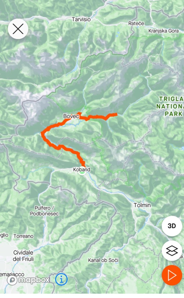
A beautiful morning. No rain forecast. The plan today was to do an out and back ride along the upper reaches of the Soca Valley.

Leaving Kobarid, high on the hill is the Church of St Anthony, that also includes an ossuary containing many arranged bones of soldiers killed in the World War One battle front.

We immediately started climbing and part way had to stop, for five minutes due to roadworks, where a bridge is being replaced/widened.

It was a lovely valley to ride through, up and down, but very comfortable climbs. We were riding at a super chilled pace, stopping frequently to watch the goings on in the valley and river.

Near the top of one of the climbs
The road was excellent, but quite busy at times. Many trucks and motor cyclists, as well as vans carrying canoes and rubber duckies.
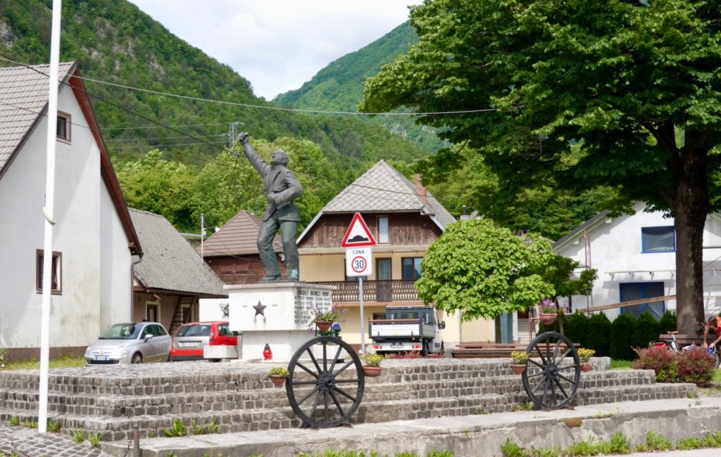
Local hero memorialised
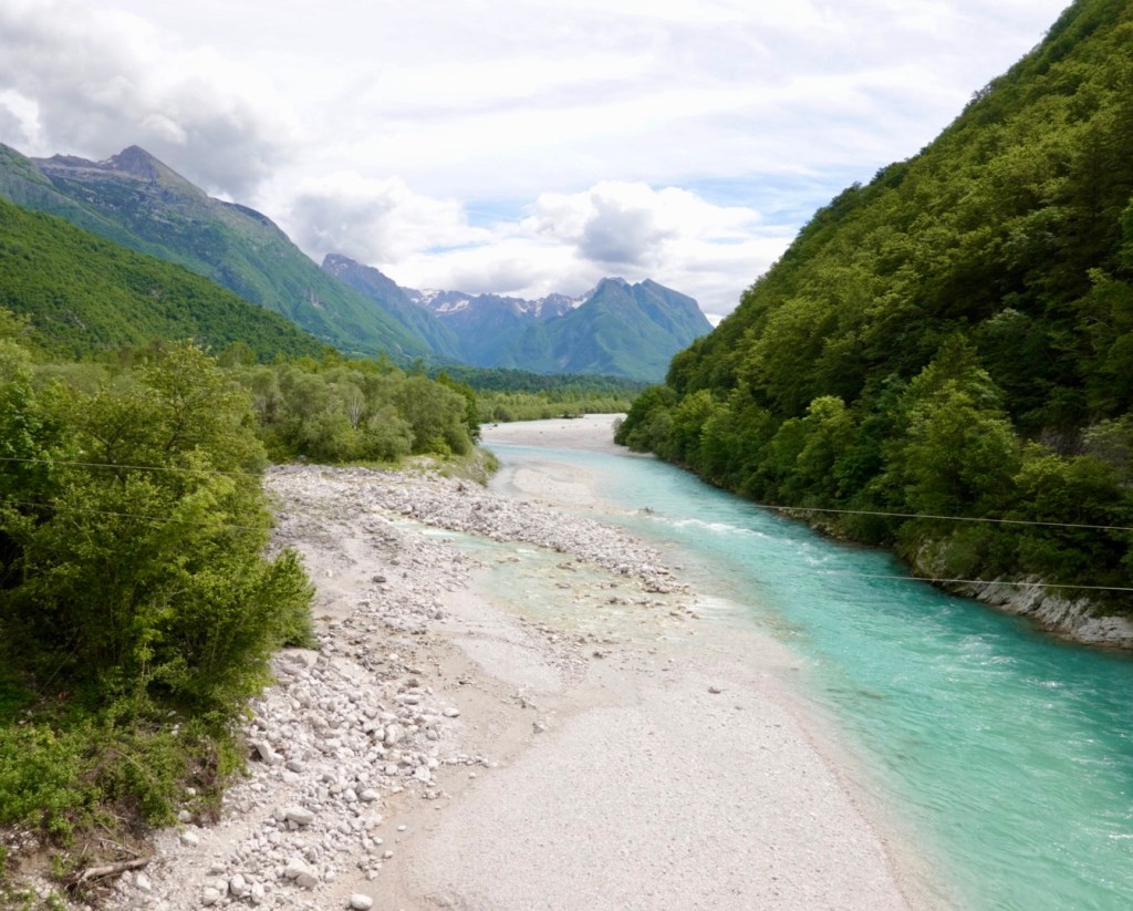
You do not tire of looking at the beautiful Soci river

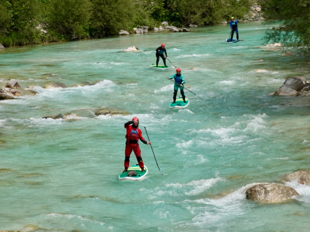
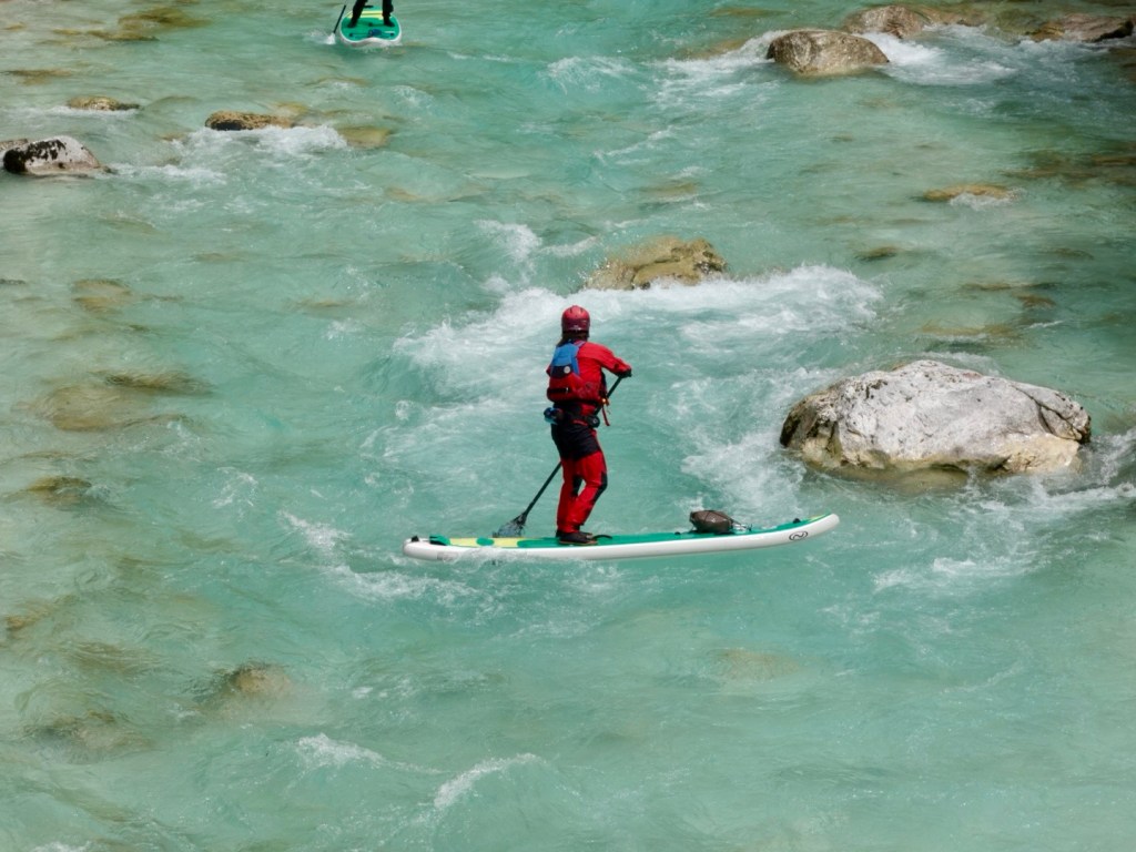
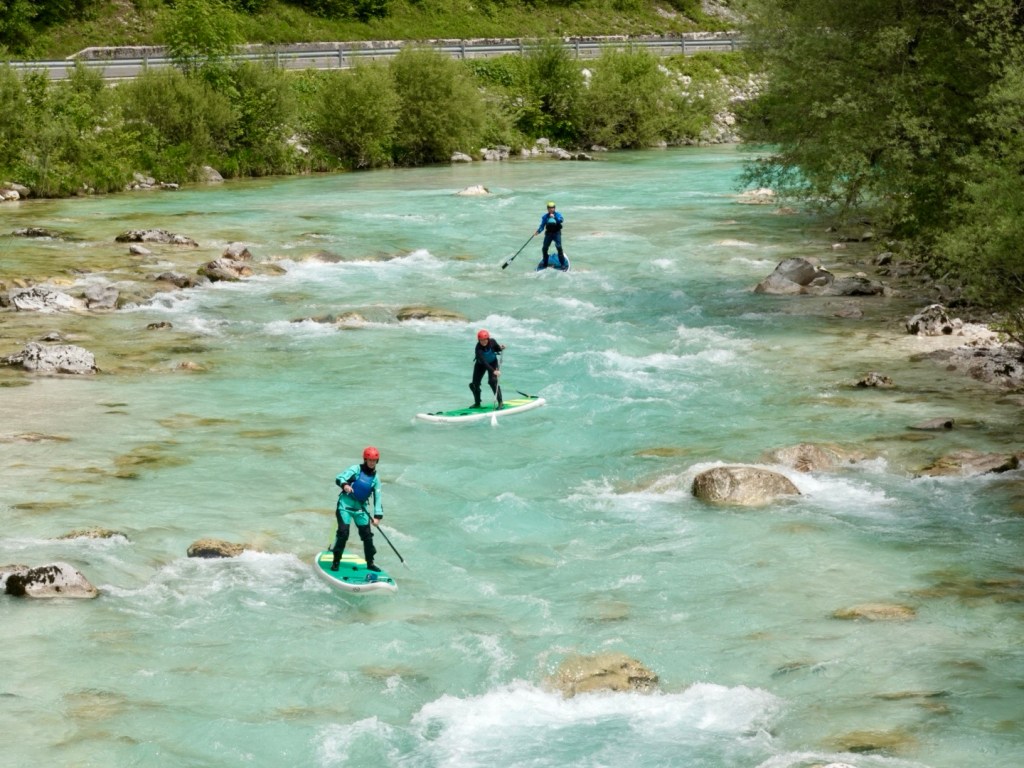
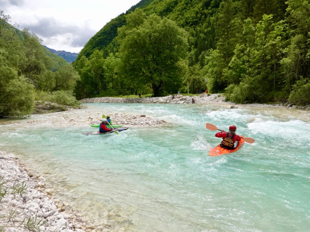
Stand up paddle boarders. The guy in red is waving at us, and was super chilled, spinning around to go backwards whilst he watched his charges.

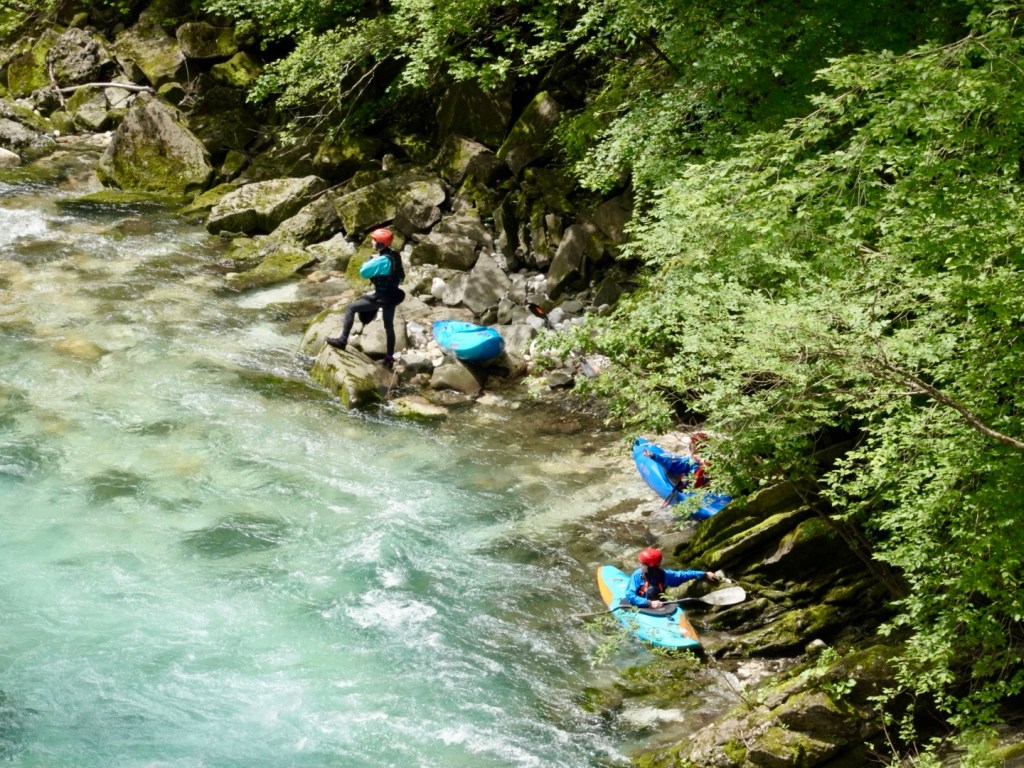
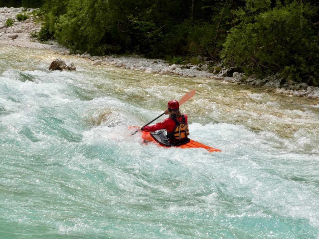
Canoeing and kayaking was super popular, with many vehicles carrying watercraft passing us, and many towns and villages with signs promoting their local businesses for the same.

Bushwalking is another popular activity, with trails around the river and valleys.

Quite a deep gorge here, I got vertigo looking at the lady on the other side.

Our plan was to ride to Bovec, the adventure centre of the valley, but we continued on up the valley to the village of Soca.

Just beautiful
Calmer river

At Soca there is one little bar/shop where they have nothing to eat but you can buy from their little grocery store and eat that outside. Most seem to stop for a beer or coffee. cash needed as their eftpos stopped working some time ago…

This guy was at that stop.

We met a lovely German couple at Soca who had arrived by car, but are also into cycle touring, and wanted to talk about bike set ups with luggage.

Sabina and Tobias have done some awesome cycling adventures including the Black Sea route to Istanbul. We recently followed a USA couple who did that route and followed their video blog. Always lovely to talk to like minded people who ‘get’ why you do what you do.

If you keep heading up the valley further, you get to Vrsic Pass, the highest alpine pass in Slovenia at 1611 metres. Between WW1 and WW2 it was the border between Italy and Yugoslavia, but today both sides are Slovenia 🇸🇮.

We headed back along the same route offering a differing perspective.

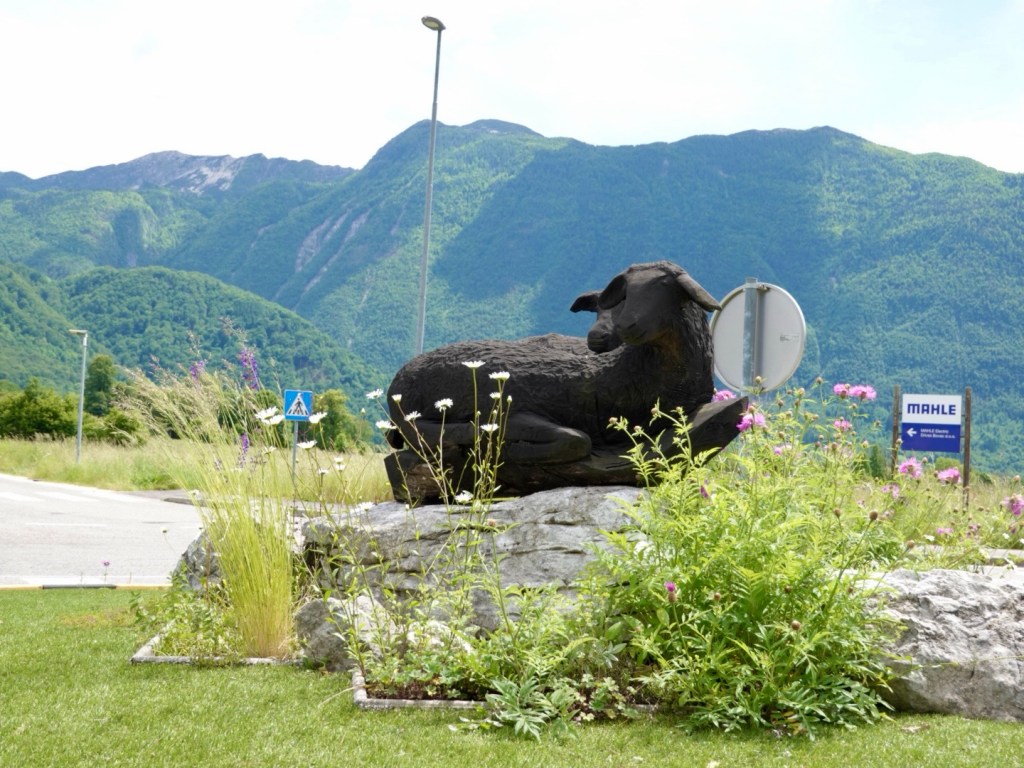
Roundabout sheep

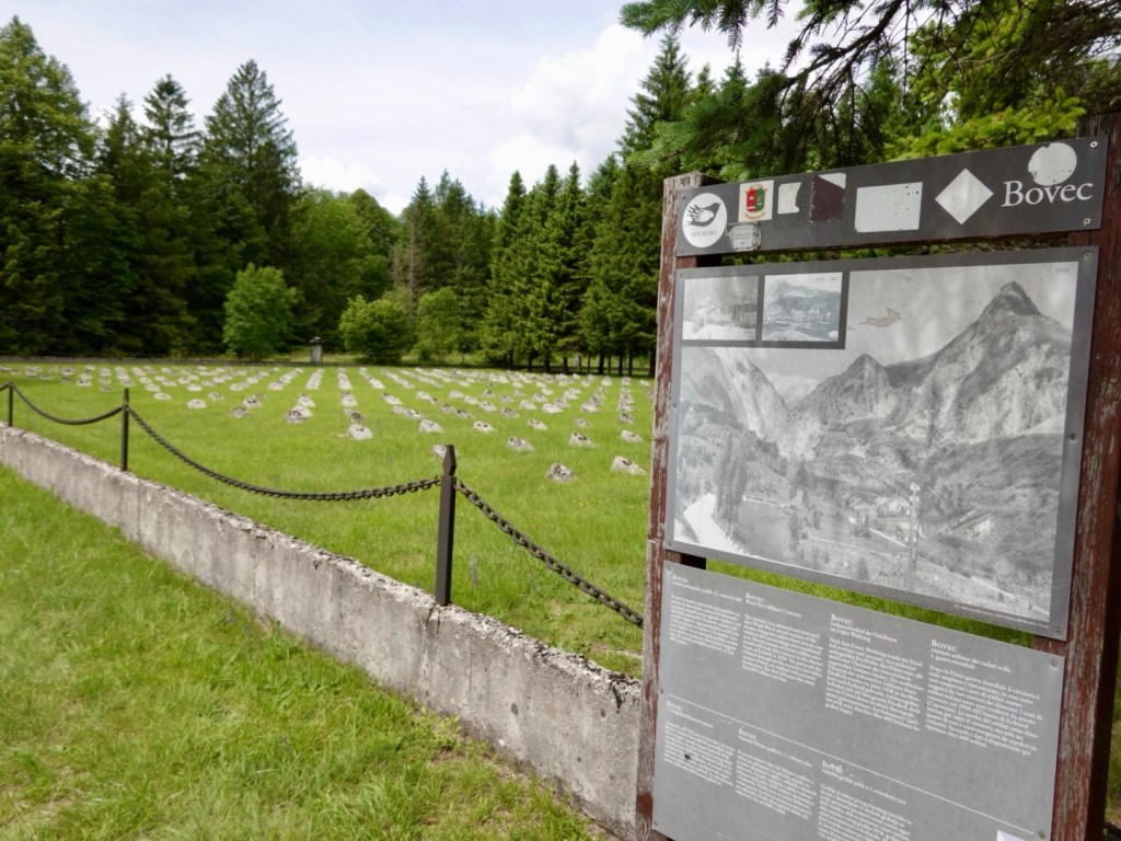
A poignant reminder of war, where there are burials here of Austro Hungarian soldiers. There are four fields like this with only this field having markers. There are no names on the markers.

My paternal grandfather fought in WW1 (Light horseman in Egypt), my great uncle Alex died at the Somme (I have his bible), my maternal grandfather was in WW2 (musician entertaining troops PNG). I do not understand war….so many innocent people die. Just all to sad.

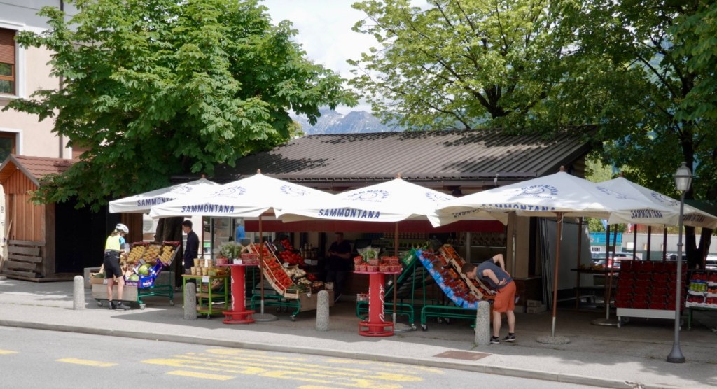
Stopped for fruit here in Bovec, grabbed a couple of nice bananas
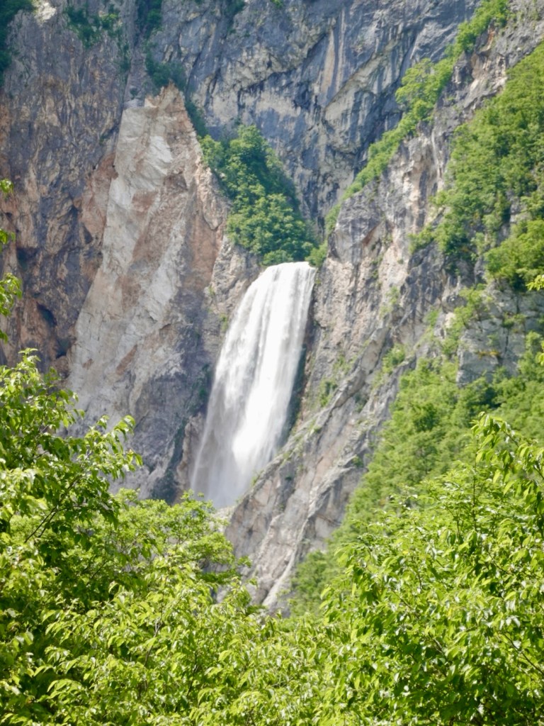
Nice waterfall high up Tony saw when he went scrub for a nature call
Beautiful gorge as we crossed a bridge in a small village
I think zip lining may occur here as there was a wooden base near the bridge with the cable.
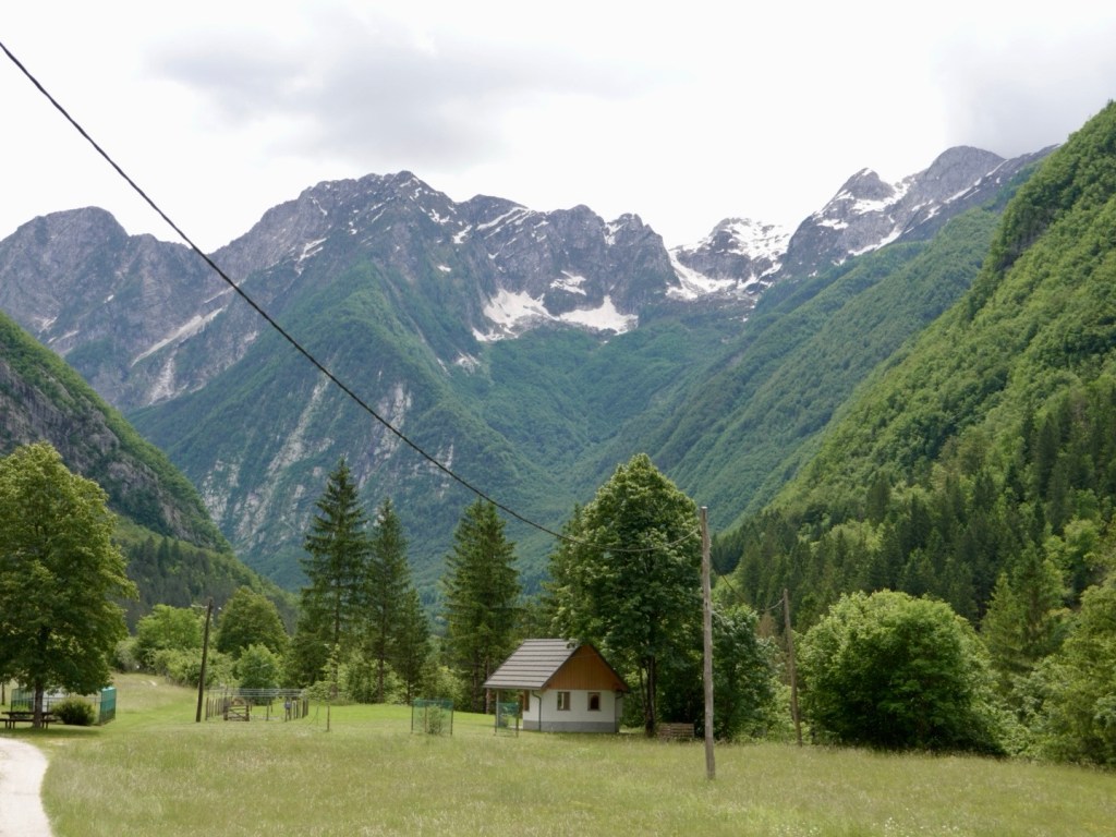
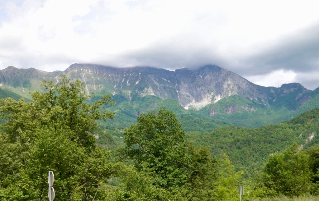
Beautiful mountains, serene views
Looking back
Looking sideways
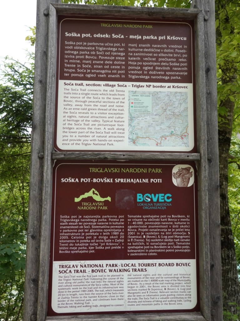
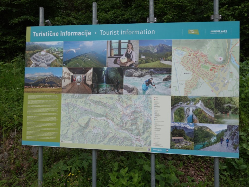
Plenty of tourist info available, including English

It was a really nice ride today and I can highly recommend it.

The road was fairly busy with some cars zipping by fairly closely so you needed to concentrate and hold your line, and hope they hold their too! No bikepaths here.

Despite the savage and barbaric history of the Soca valley that saw the deaths of 1.7 million men, the displacement of 300,000 local residents (many did not return after the war, their houses having being taken over by soldiers or destroyed) the region survives.

Likes the phoenix rising from the ashes, the Soca Valley and Slovenia are on a positive, upward trajectory with fun and happy people filling the valley and making positive memories in a gorgeous, and unprecedentedly beautiful setting.

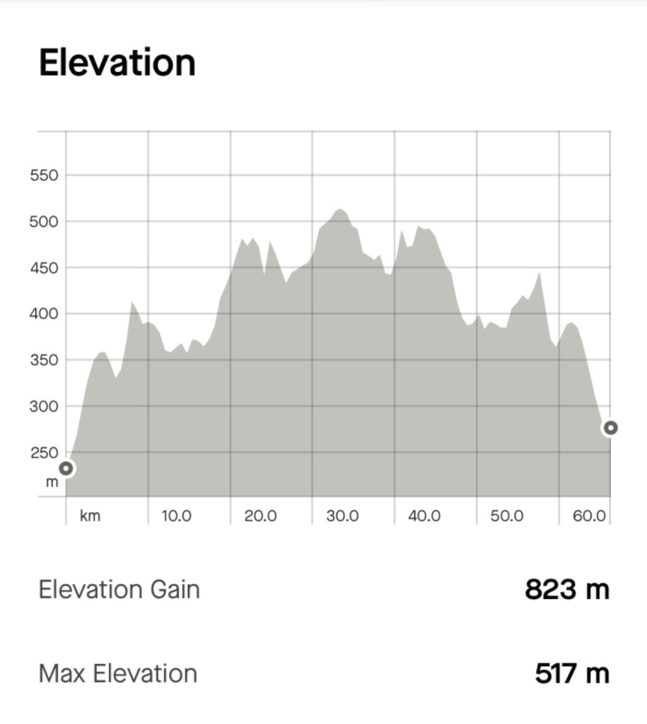
Today’s route was 66 km, with 823m climbing. My bruised hip hurts less on the bike than sitting on a chair or the bed!

I suspect the Giro d’Italia may have had a stage through here in a prior year as the road is well sealed ( often happens before a major tour comes through) and there were numerous pink bikes with Slovenian flags in villages.

Thanks for reading 😊❣️
Day 17: Lake Bled to Ribcev Laz (Bohinj)

Years ago we were talking to cyclists about Slovenia and they said – go to Lake Bohinj as in their opinion it was nicer than Lake Bled.

So today we are heading to Lake Bohinj.

We had a lovely breakfast and headed off, for what would be another ‘active recovery’ day as the distance between the two lakes is not great.

We were on road for some distance then on bike pathway. The bike pathway infrastructure is being increased and we saw multiple construction sites today where pathway is being built.

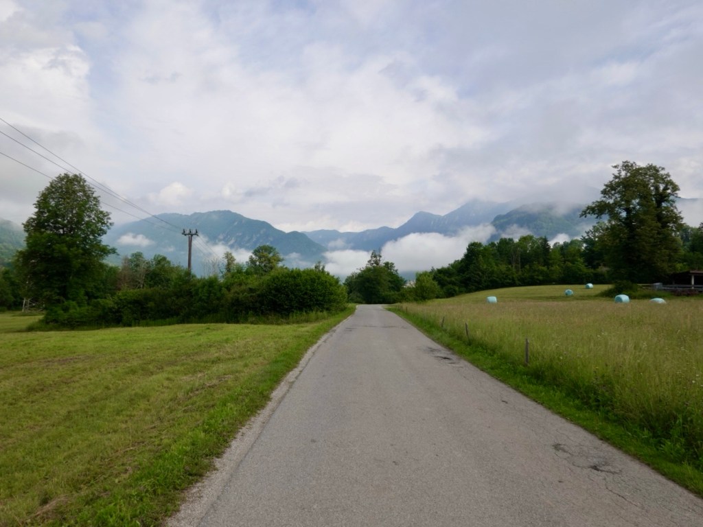
A series of shots as we travel down the valley in the sun! When we were in forested areas it was still quite cool so the arm warmers would get dragged back up.

The water is amazingly coloured and clear.
I expect Julie Andrews to start singing about now.
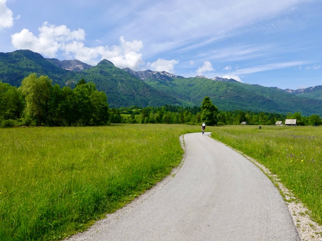
I love the flowering meadows
Me chilling
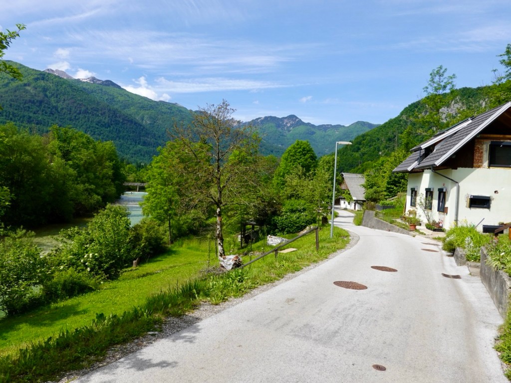
Winding our way through small villages
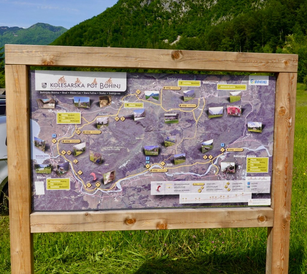
Lots of cycling options
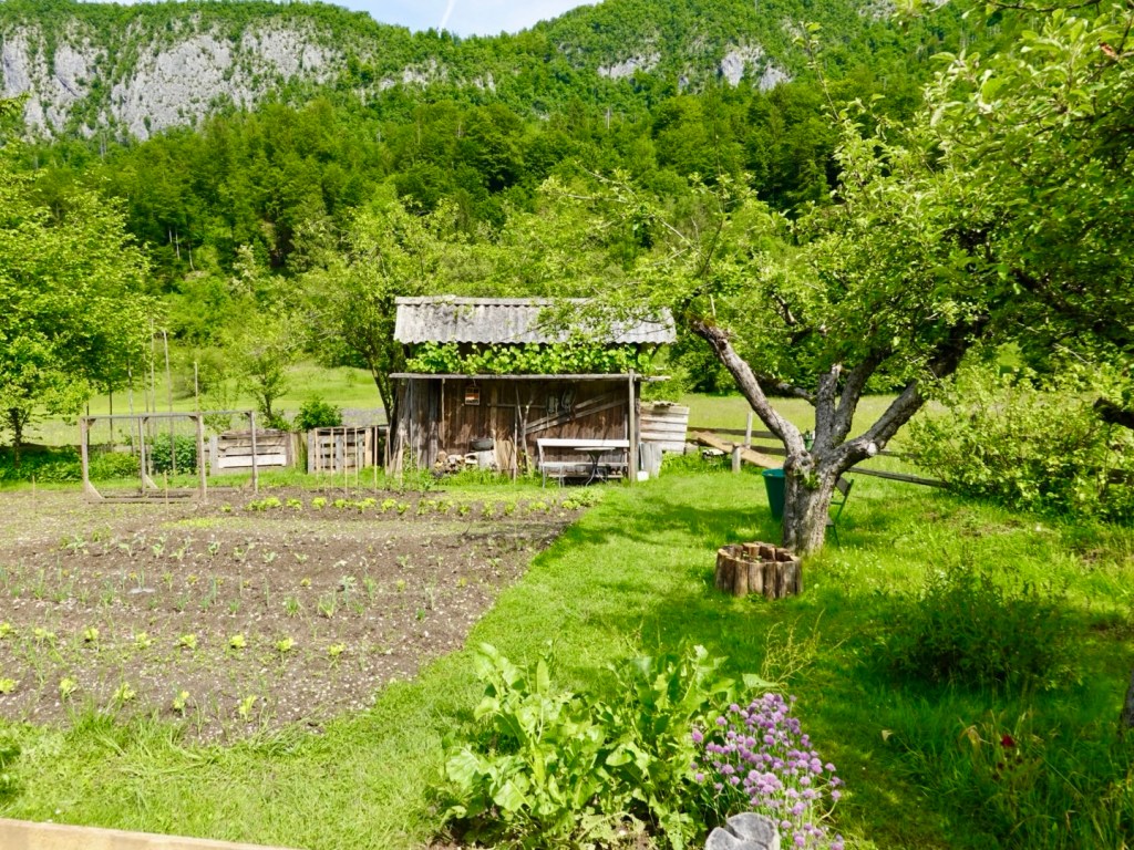
A random vegetable garden and shed, recently planted. The grapes are growing over the front of the shed nicely.
Beautiful forest trail
More meadows, and a popular flight path above

Lake Bohinj is surrounded by mountains on all sides, dotted by walking trails and well preserved old villages.

Ribcev Laz is the main settlement at the eastern end and our overnight stay. It was only 10.45 am when we arrived, well short of our 2 pm check in.

I approached reception to see if we could drop some of our luggage off and was told we could check in. Chatting to the lady about our adventures, she ventured to ask about my chest scar. I explained.

She processed our passports (ie seeing our age) and told me she had upgraded us to their ‘best’ room, that has two balconies on a corner overlooking the lake from both! How nice 😊❣️
So I loaded up a trolley with our gear whilst Tony minded the bikes.

We then headed off down the lake towards Ukinc and the Vogel cable car.

Arriving at the cable car base we debated what to do with the bikes. Should we hope for the best and leave them (decent thieves get through locks super easy with portable cutting devices these days), do we take turns?

I decided I was happy to chill, so Tony went up with around 25 people in the one cabin. It only takes four minutes to reach the top at 1532 metres (remembering we rode to over 2100 metres only a few days ago at Passo Gardena).

At the top there are other chairlifts that take skiers higher again to the differing runs.

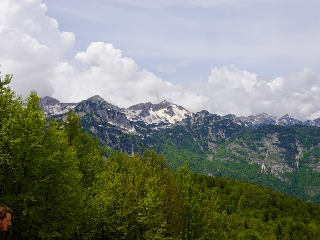
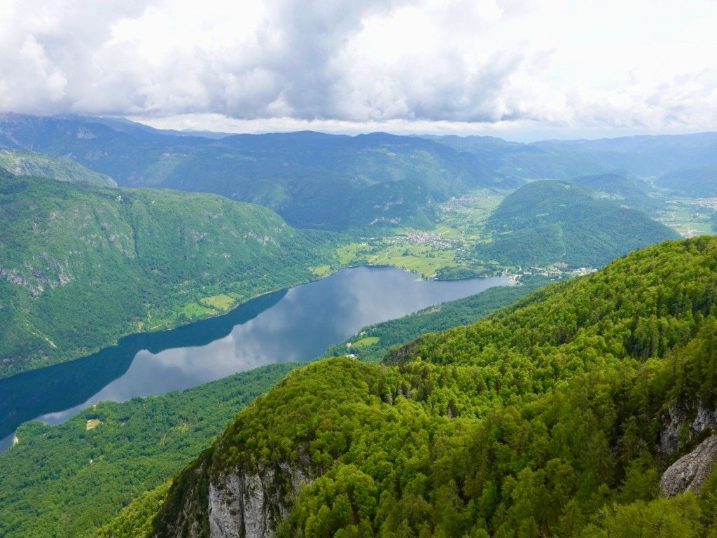
There were nice views across Triglav National Park and the Julian Alps, the highest and most extensive mountain range in Slovenia.

Julian Alps
Bohinj Basin
Ubiquitous!
Numerous carved animals were at the cable car stop.

Upon Tony’s return, we rode to Ukanc a small settlement on the western end of Lake Bohinj.

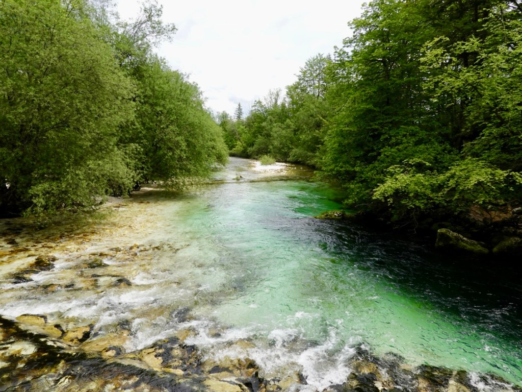
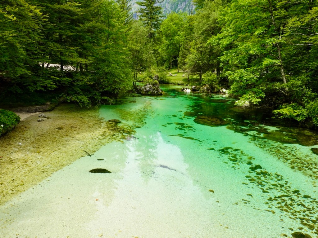
We loved the Sava Bohinjka river. What a little alpine gem. it has the clearest water imaginable! It really does look this colour.

Lower side of the bridge
Higher side of the bridge
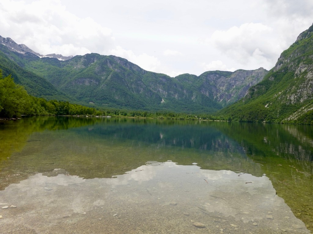
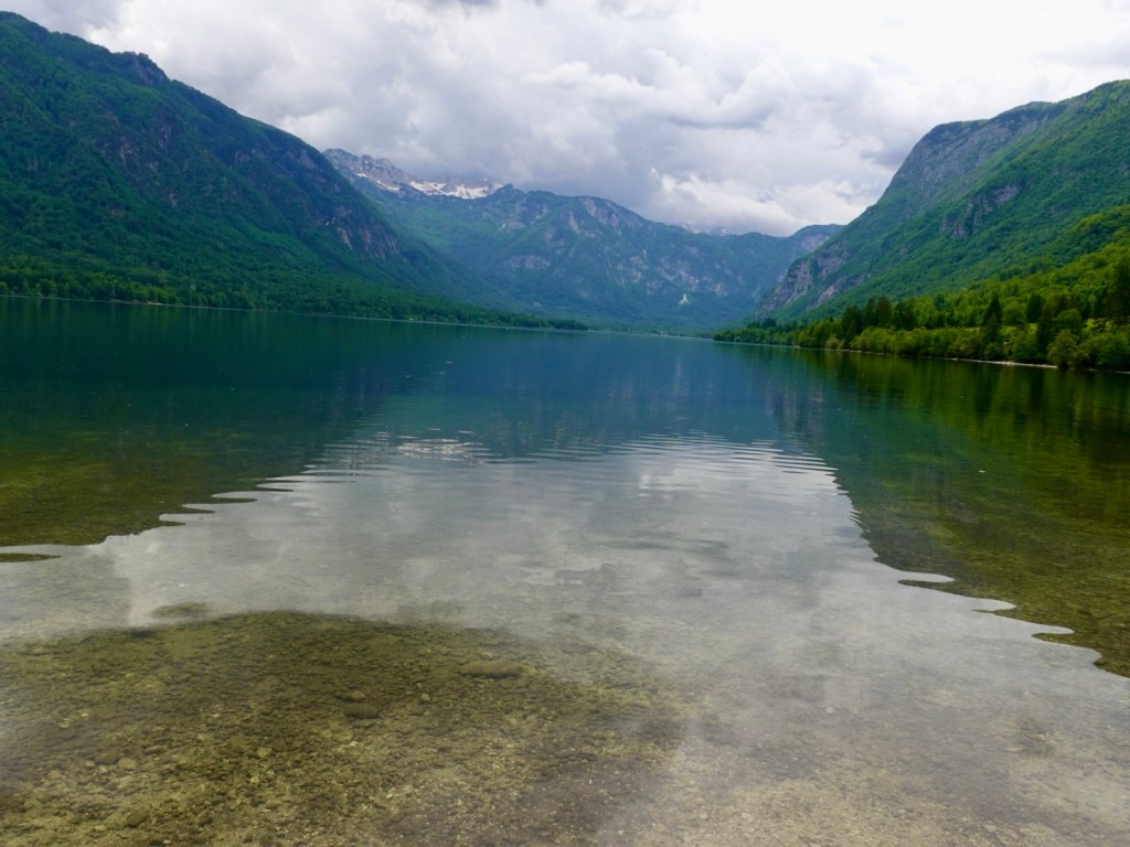
Yet another lake view

Back to our hotel, we stored our bikes, showered and laundered. We then went on a walk around the eastern part of the lake where bikes are not permitted.

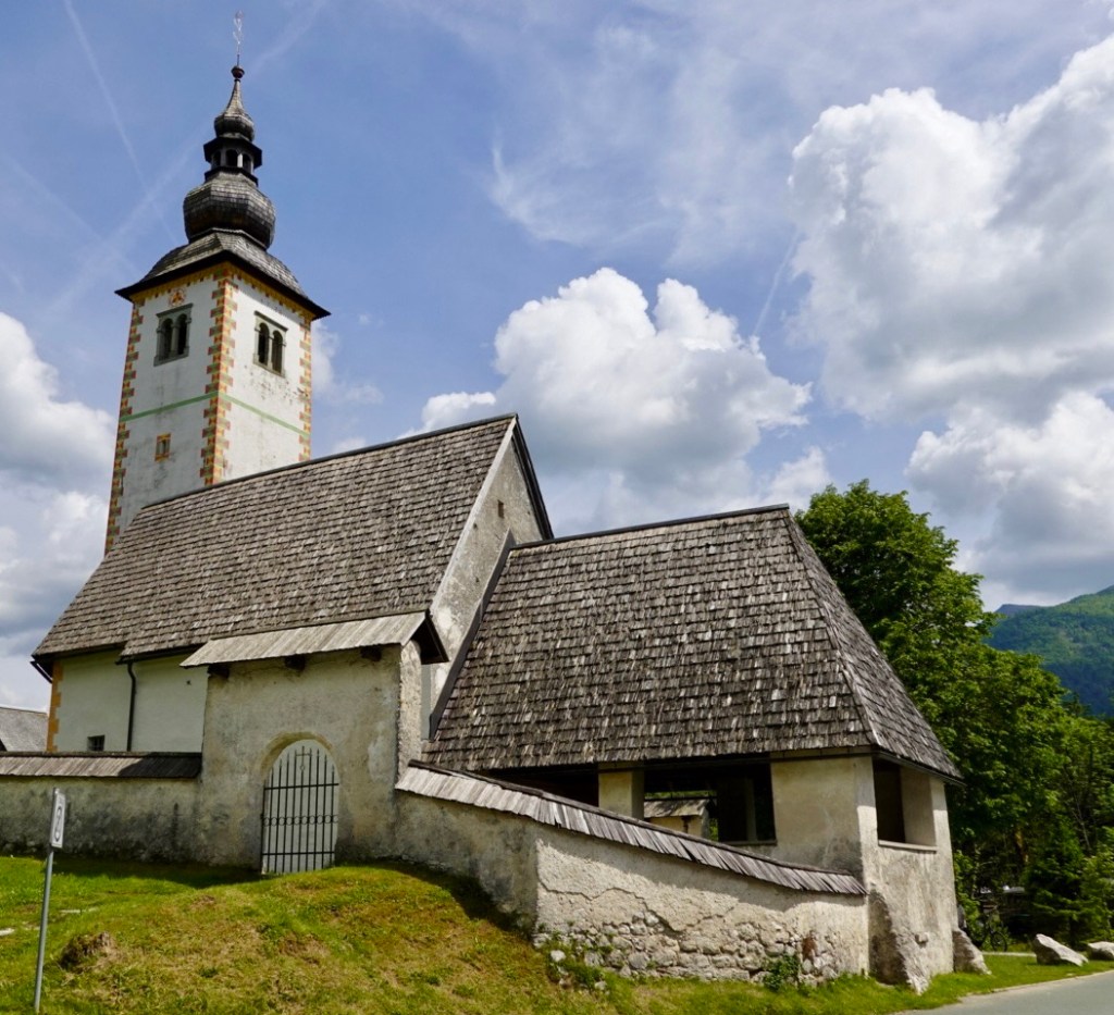
We past this church that is apparently one the most photographed in Slovenia, although I would think the one on the island at Lake Bled may win that competition.

The church site has a significant history with coins found going back to the first century. The current church was build mid 11th century.

The bell tower was the first musical bell tower and plays the song…..Oh Triglav, my home. I have not yet heard the bells ringing!

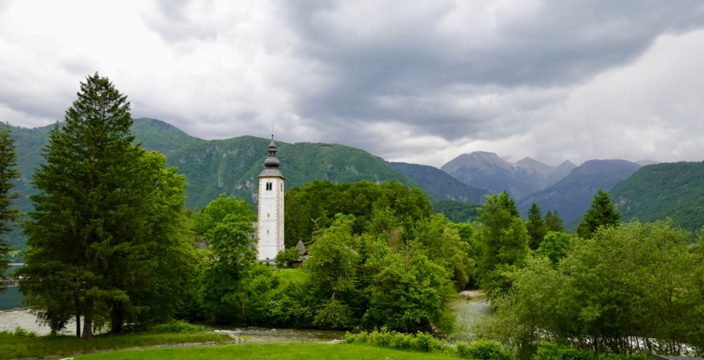
Church of St John the Baptist with the musical bell tower.

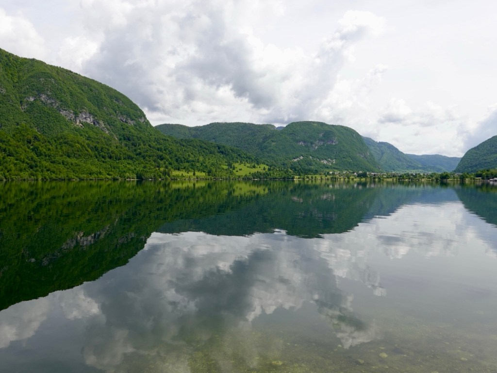
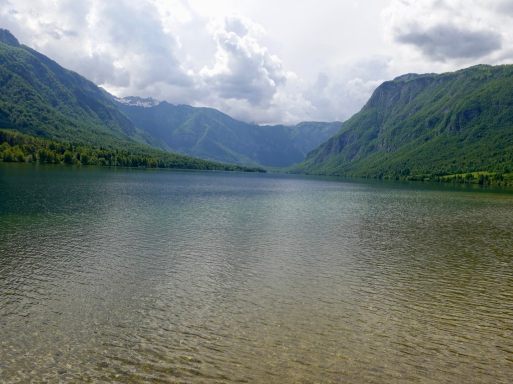
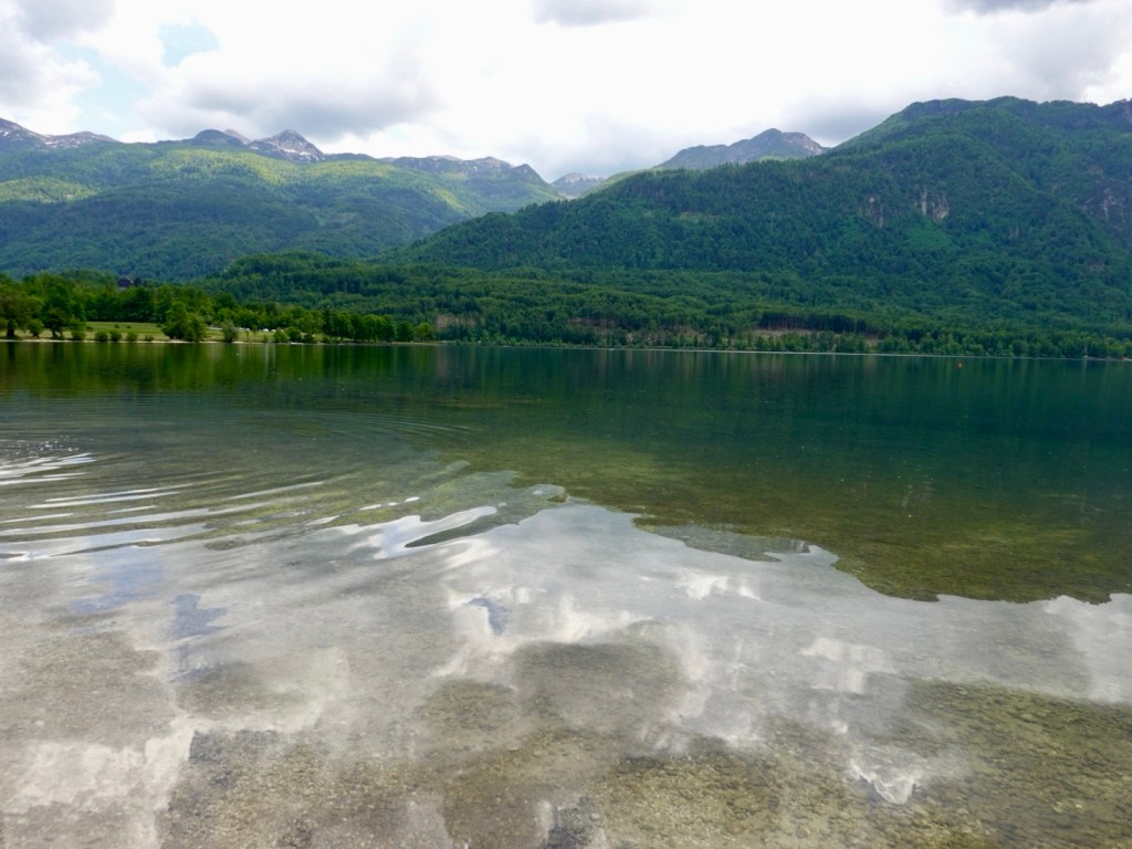
Walking around the lake, of course, more lake photos 😊

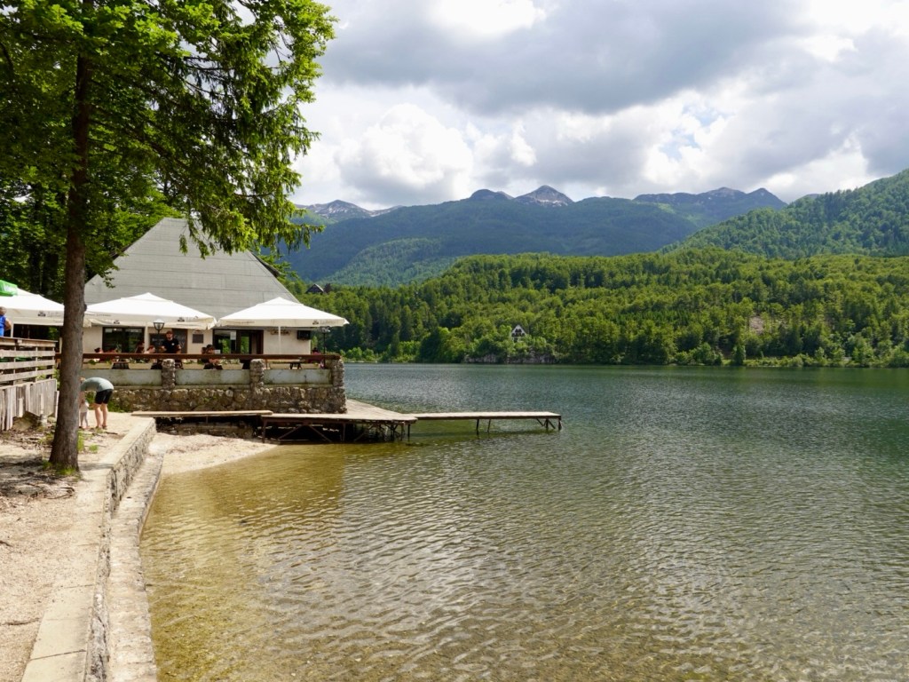
Cafe lakeside
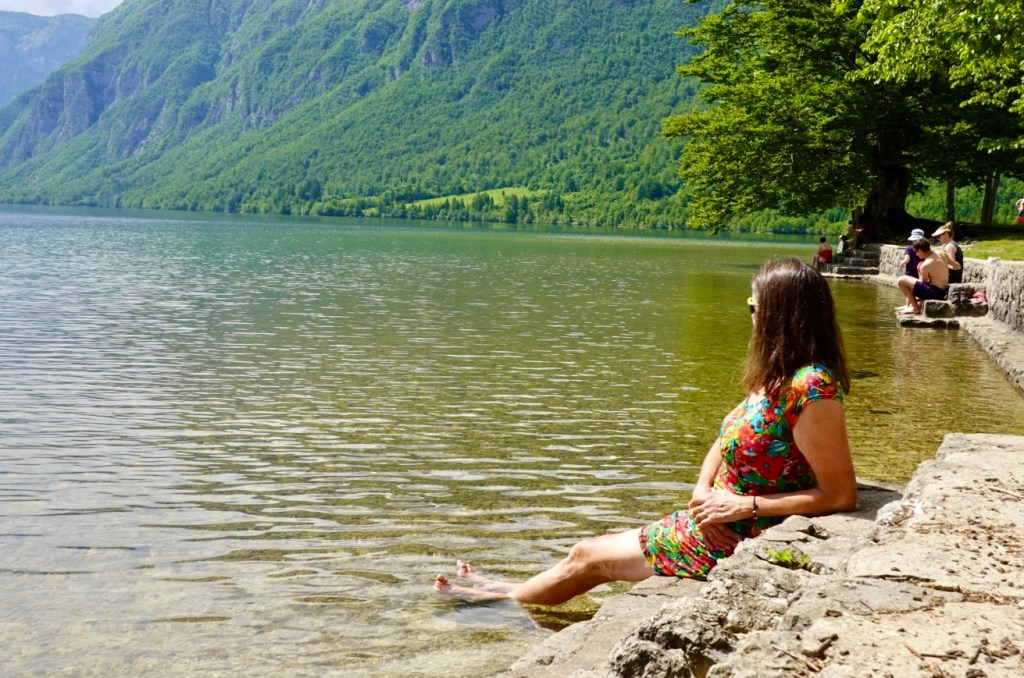
I soaked my legs. Initially it felt super cold, but as I adapted, it was pleasant. Tony was convinced to do similar shortly after taking this photo.

We walked further and lay on the finer gravel ‘beach’ just enjoying the view, waiting to see if we could note the cable car ascending. Good luck if you can spot it.

We were motivated to get moving after listening to the thunder.

Looking towards a neighbouring village.

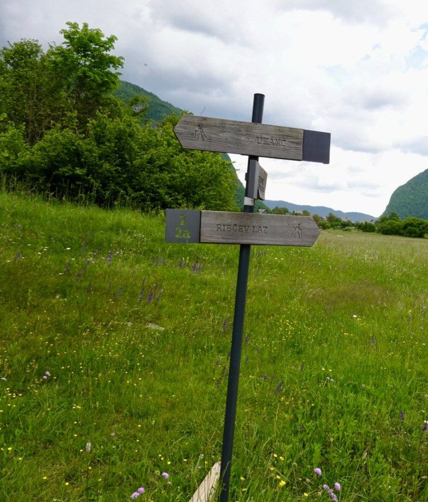
Well signposted walks
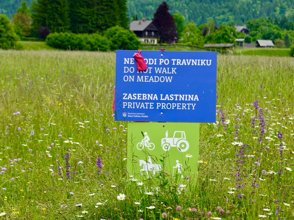
Rules! Despite being private property, the lower green sign means that those activities are tolerated in the path through the property. just do not walk on the meadow!

A tandem paraglider came and landed 20 metres away from where we watched. I am amazed at their landing skills.

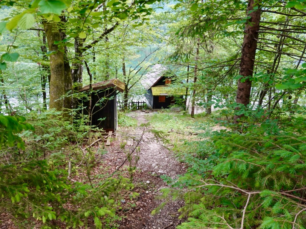
Just off the pathway was this little cottage lakeside. How adorable.

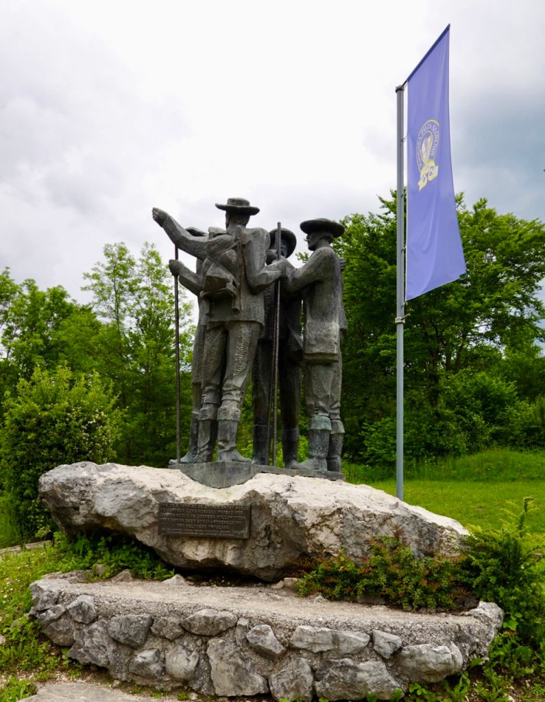
Opposite our hotel now is this statue de,nesting the first four men who scaled Mount Triglav.

Looking back at the church with the musical bells….still not playing!
A joy for OCD.

Our map today. A short ride (38 km) but a lovely ride. We need this recovery as we have a more difficult day tomorrow, and the weather forecast is not brilliant…..but let’s wait and see. 😊

Day 14: Brunico to Rigolato (Sappada), Giro d’Italia day

Today was going to be special, we hoped. When planning this trip, I was aware it coincided with the Giro d’Italia, one of the world’s three huge three week cycling events, attracting the best riders.

When the stage routes were announced, I then played around mapping to see where we could intersect, and with a stage finish in Sappada in the Dolomites, that had to be it.

Now the Dolomites are not the easiest area to bike pack ride into due to the size of the climbs over the passes, but with our successful climb over Passo Gardena we were on our way.

We left our accomodation in Brunico knowing it would rain later in the day.

We followed a river path for quite some distance, predominantly gravel, with hot mix here and there.

Utilising what seems to be an old rail line and tunnels

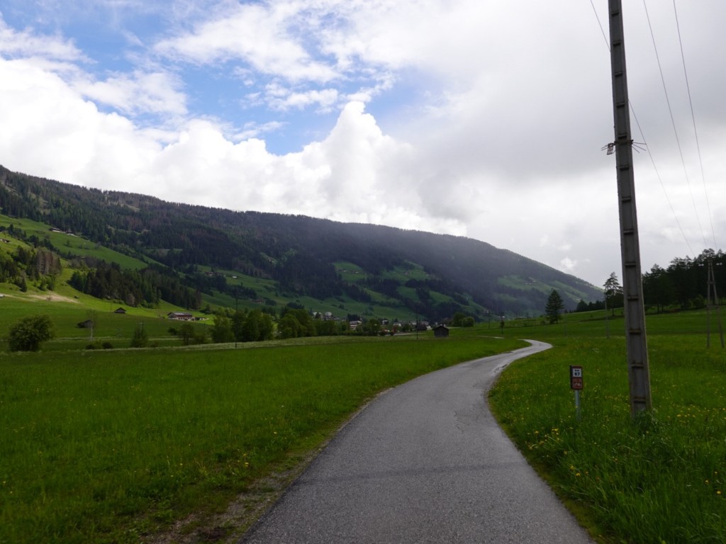
The path became sealed weaving through and around villages. The Dolomites to our right, an Austria to our left, as we were within km of that border.

Beautiful green everywhere
Map of the valley
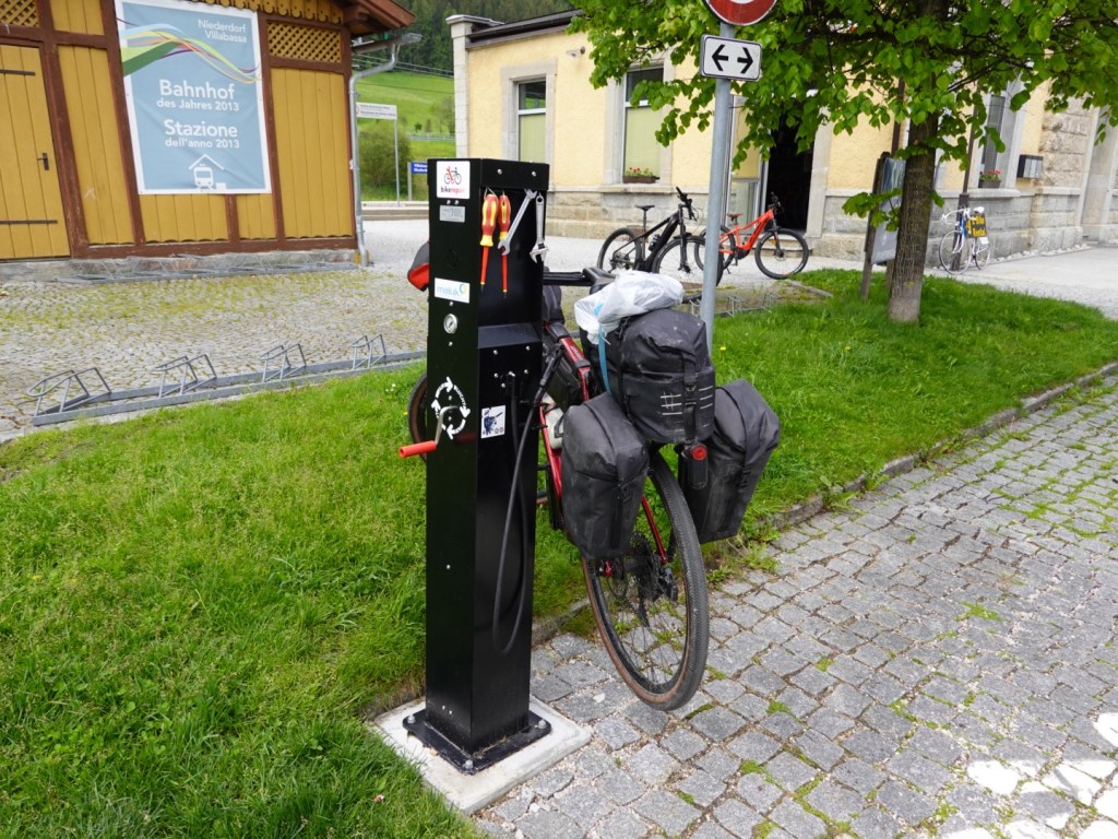
Bike maintenance point at a local rail station
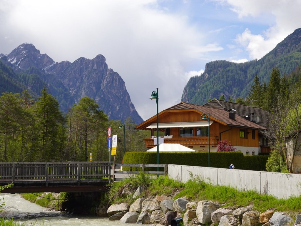
Looking in at a few Dolomites peaks
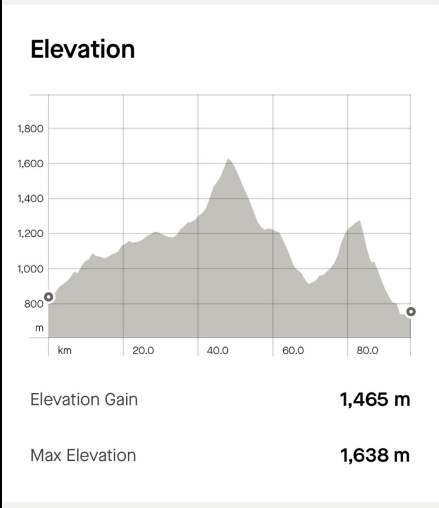
Great path here kept us off a busy road. We were climbing most of the day until we reached 1600m, as you can see below.

It was raining at higher altitudes and in the valley ahead. We were able to miss most of it early on seemingly following it but the roads were wet.

We needed to climb more steeply to get to the top of Passo Croce. Some views along the way.

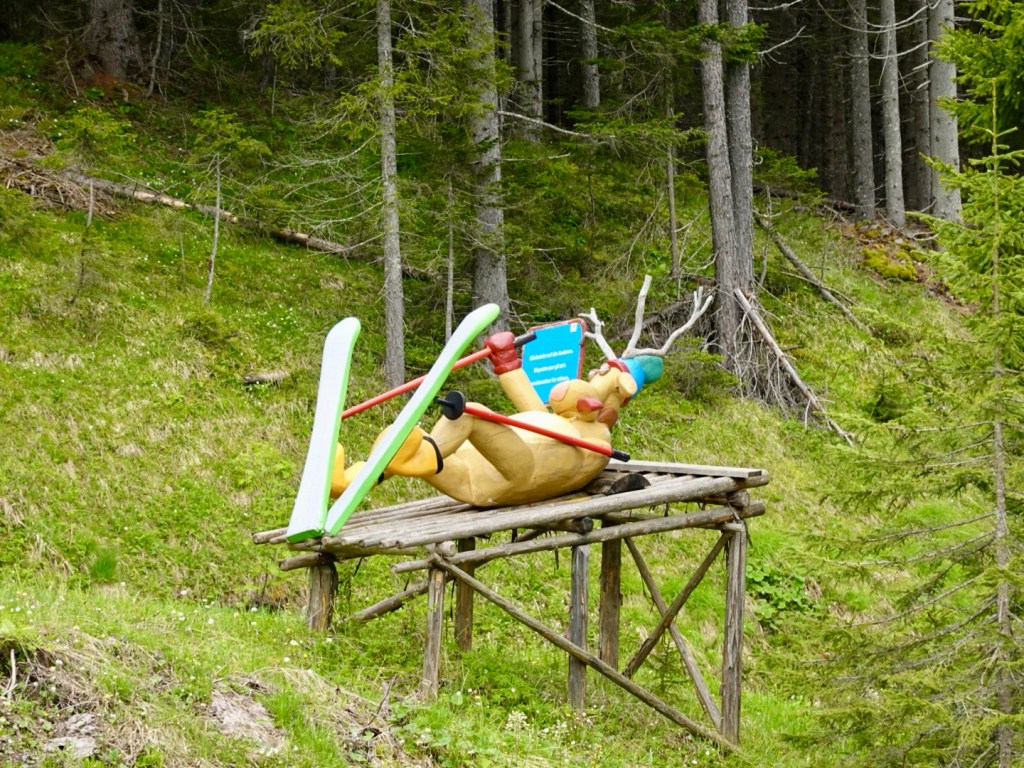
We were in a ski region and this made us laugh
Streams winding their way down slopes
Signs announcing arrival in villages
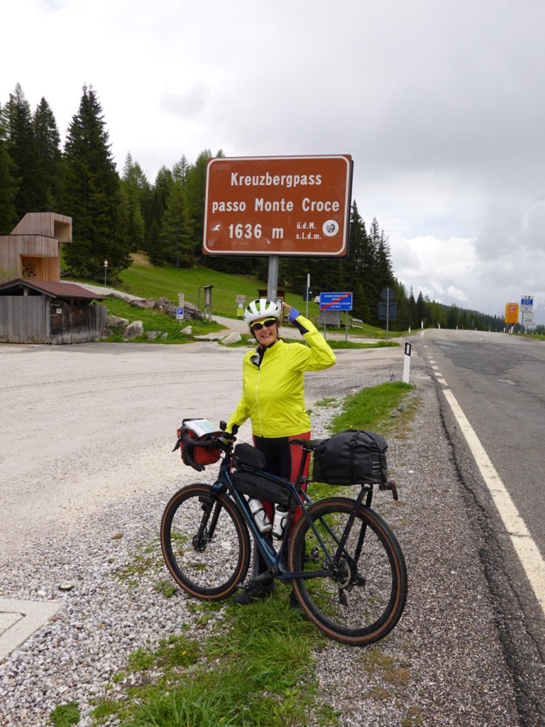
Finally the top of the climb at 1636m. I am quite rugged up here despite climbing most of the morning. I have a few layers on under my rain jacket. I added my skull cap and snood for the descent.
Tony was a bit braver with bare legs. It was cold up here. He added more layers for the descent.

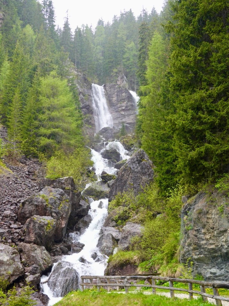
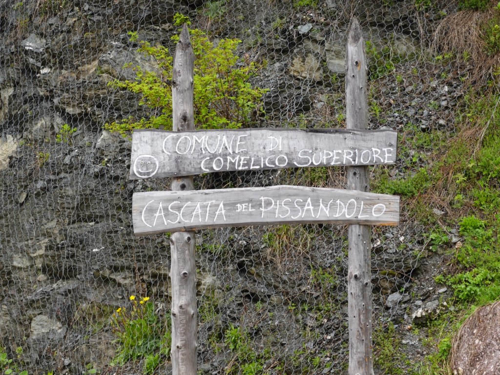
Part way down we stopped at this waterfall. I thought it had a funny name….

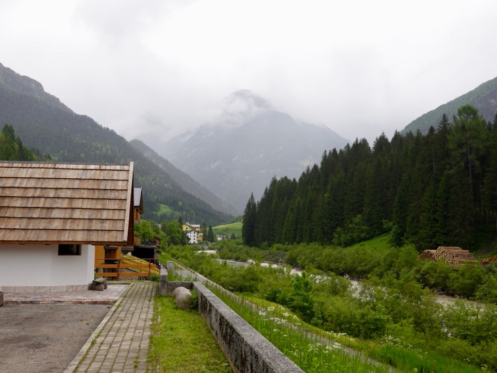
That valley is where we are headed…aagh.

We needed to complete another 10 km climb up to Sappada, and the number of cyclists on that climb was significant. Predominantly road cyclists with small backpacks and minimal gear on, locals more used to the conditions it seemed.

Still raining ahead

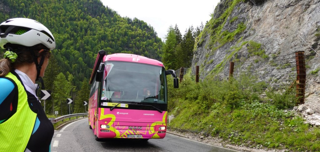
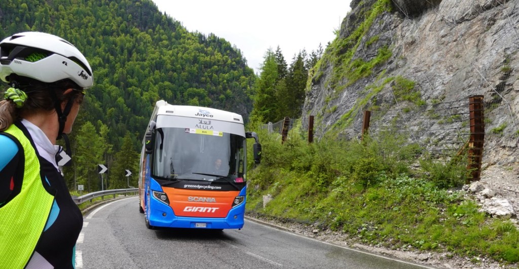
We stopped here as there was a convoy of tour team buses also coming up the climb.

About 2.5 km from the top the police had closed the road. Cars were parked to the right, and people were walking into Sappada up the hill. Cyclists could ride on through.

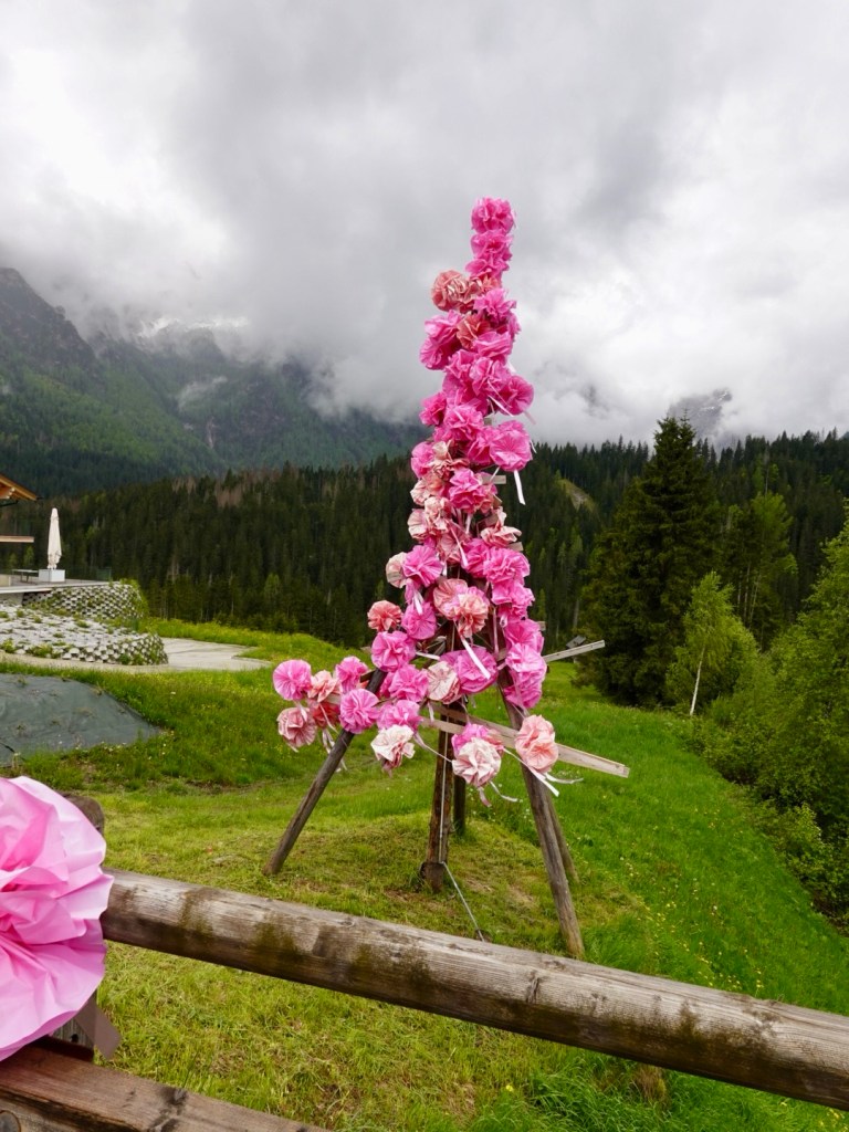
Nice decoration Sappada

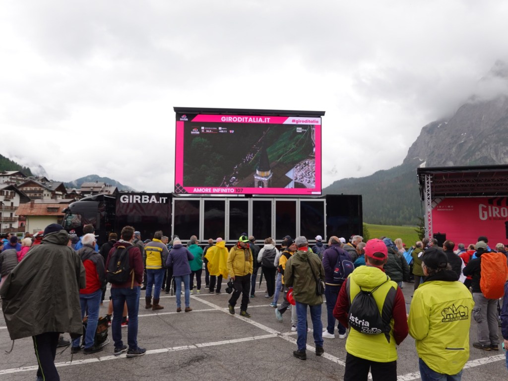
We headed to the tour village where there were giveaways, promotions and big screen. The official Giro store was there if you wanted to buy memorabilia. We got given water and bandanas. If I had a dollar for everyone checking our bikes and gear, I would pay the trip off.

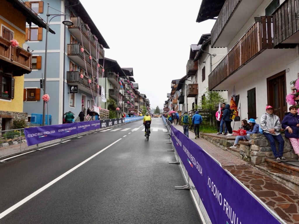
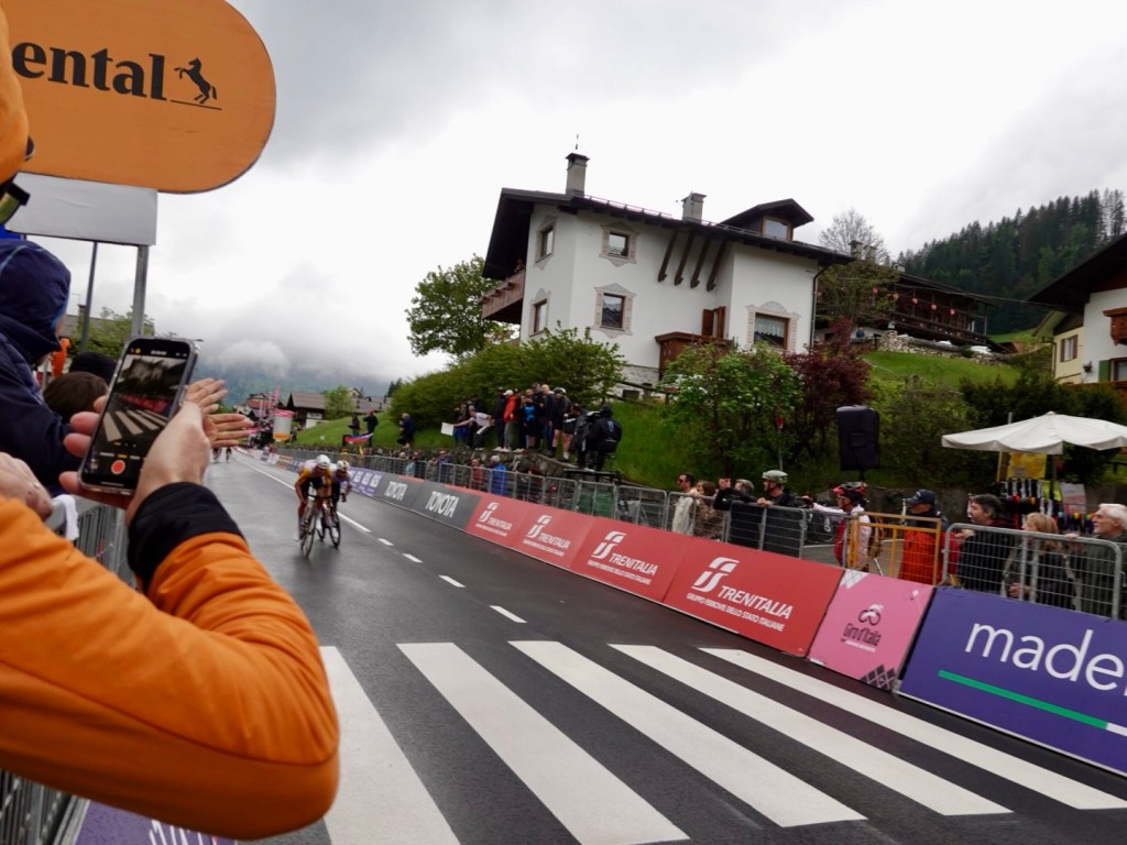
We headed off to try and find our spot to watch the finish. We rode part of the final km, but they turned you off with 700 m to go.

Me with about 1100 m to go to the finish line.
I liked this dude
Some dress up
Cute decorations

In position we had about an hour to wait. We were positioned with about 110 metres to the finish line. Our bikes leaned on the side railing. We could see a big screen diagonally over the road.

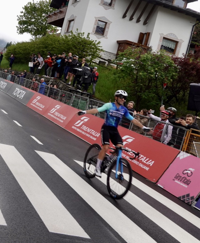
Winner, Andrea Vendrame as he passed us on his way to victory.
Lucas Plapp, Australia just in front as he finishes 5th. Great to call out “Aussie, Aussie, Aussie”
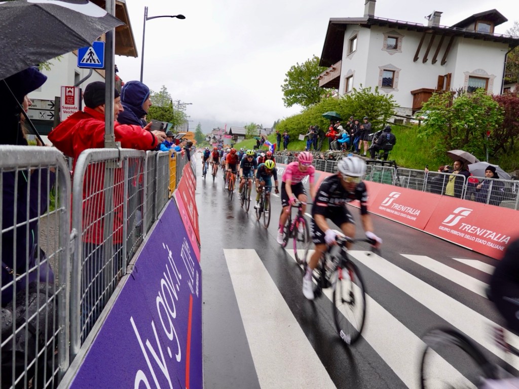
Rosa maglia wearer ‘ Pog’.

It was surreal for me to be back in Sappada. I had been there for the 2018 Giro stage finish. I do not think I would have thought it possible I could cycle tour back into the Dolomites for a second stage finish.

I was teary as I know how hard the journey had been for me personally over the last few years to get fitness back enough to undertake our current tour.

My gastro played up here too, quite annoyingly. Timing!!

Trying to get to get out of Sappada was hard. There was a people crush as we needed to keep moving. Our accomodation was 15 km further along the road as I had not been able to get accomodation in town, even the day the tour route was announced…others must have known!!

We needed to cross the riders route from the finish line to their team buses and I felt sorry for them as they had maybe 90 cm at best, despite the physical police shoving people on their chests and shoulders to get back.

Caleb Ewen, the Aussie, was one who we recognised as he came through the crush.

We had one climb left, Clima Sappada, doing it in the opposite direction to the days stage. The road was freshly resealed, so nice and smooth.

We stopped at the village of Clima Sappada, not having eaten much today.

Nice to get warm food in
Clima Sappada
Overview of another village
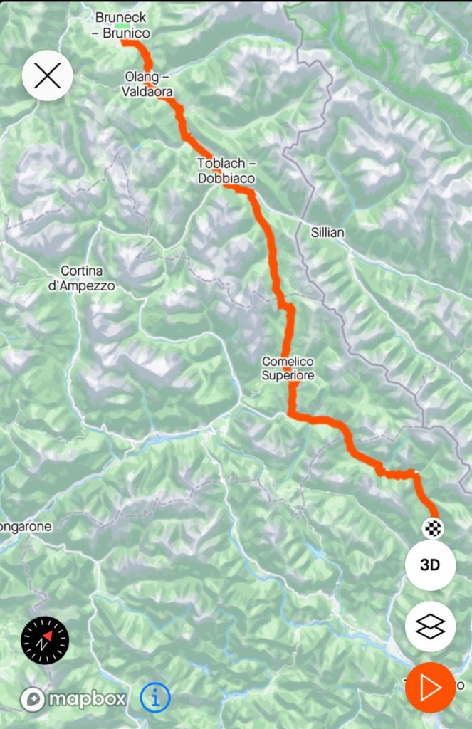
Todays route

We are now in the village of Rigolato and will be leaving the Dolomite region.It was a nice ride downhill, to here but cold as it was after 7 pm when we had arrived.

Tomorrow we enter Slovenia for a range of cycling adventures there.

Thanks for reading 😊❣️
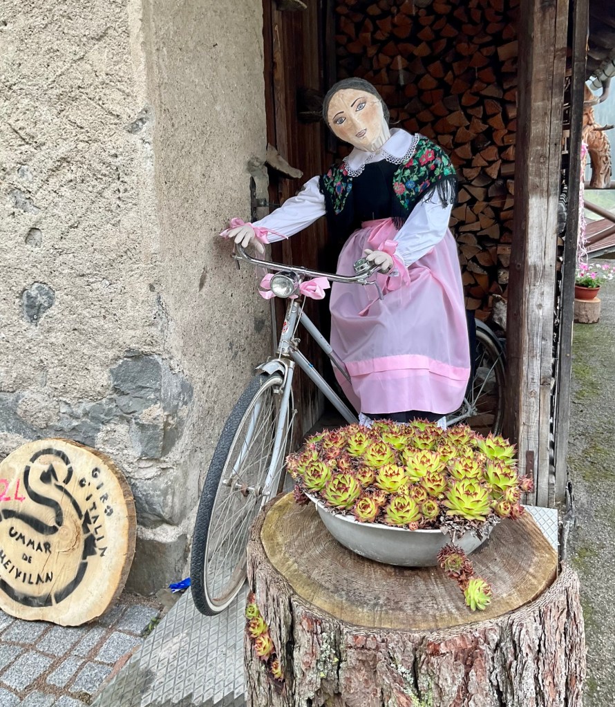
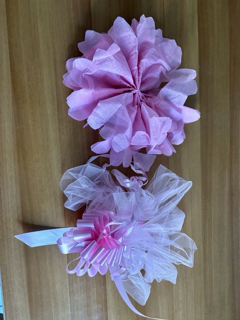
Two reminders of the Giro we grabbed to bring home …street decorations. Now this was Tony’s handiwork, not mine, despite my prolific convict ancestry.

Day 13: Brunico

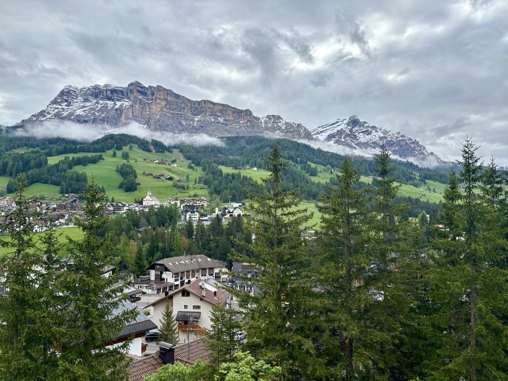
This is the view from our hotel room balcony. I’m going to give this hotel my number one vote, particularly cycle friendly.

From the moment we arrived, the bike room, the room, the view, the staff, the food…. Melodia Hotel, Alta Badia. they also lead a few rides a day in the area and have hire bikes available.

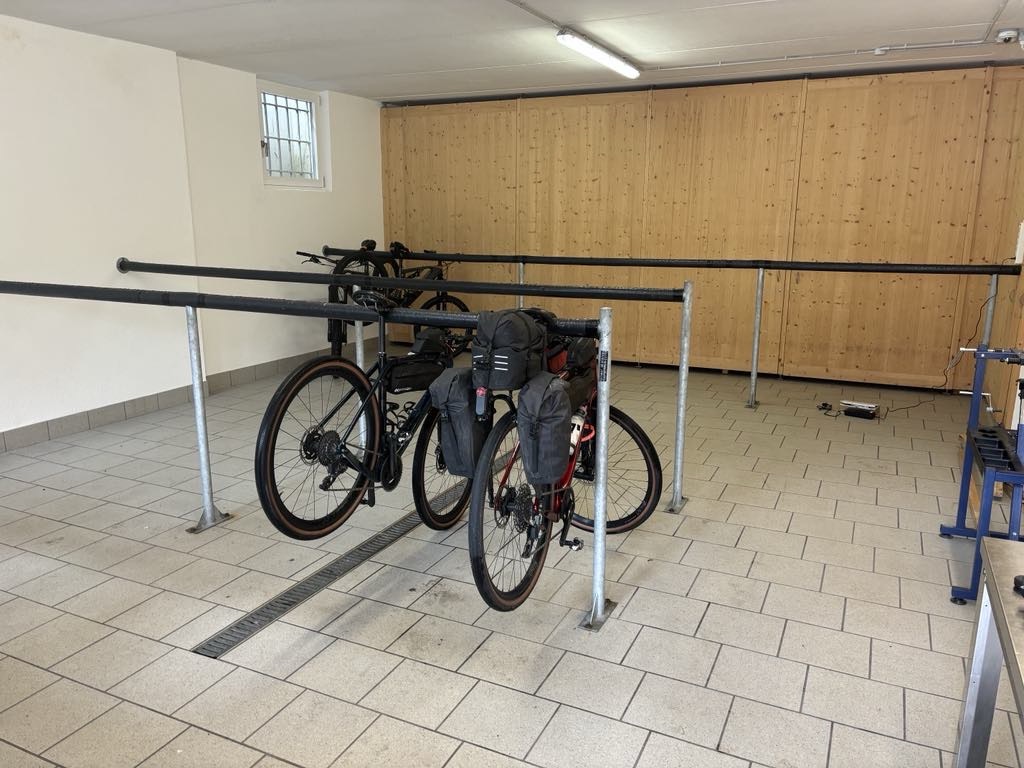
A section of the locked bike room
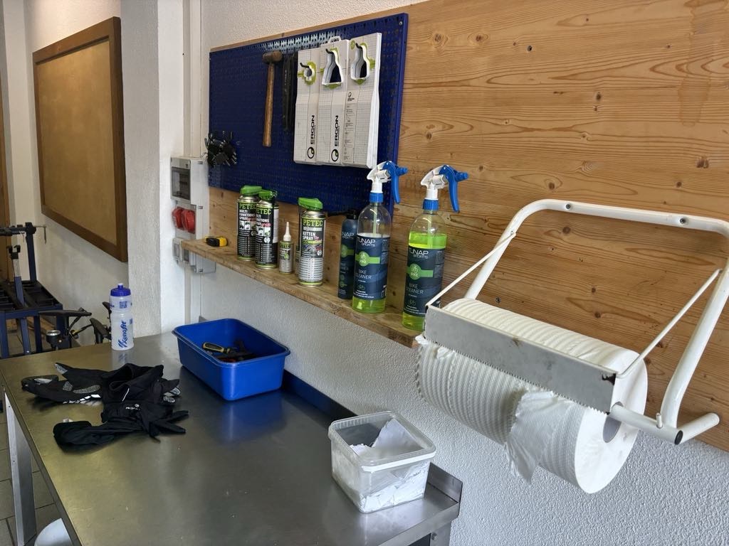
Tools, cleaning products, hoses, air compressor, tyre pumps all available.

As we were checking out, the manager came to see where we were riding today and asked to check our route for today and tomorrow.

Today, we had originally planned to ride Sella Ronda (minus most of the gear), pick the gear up and move on to our next night in Brunico.

The weather was not suitable for high altitude riding, wet, cold and sleety, nor was our inclination present, so we decided to follow his route with a side way hillier ride to Brunico that he also said was safer avoiding tunnels he said are ‘lots worse’ than Lake Garda’s.

We started by heading down the valley 10 km, then deviating and climbing 6.5 km, and boy that seemed harder than it ought, indicating our legs had not recovered from the previous days mammoth climbing effort.

Unusual hut
Looking back up the valley
Looking forward

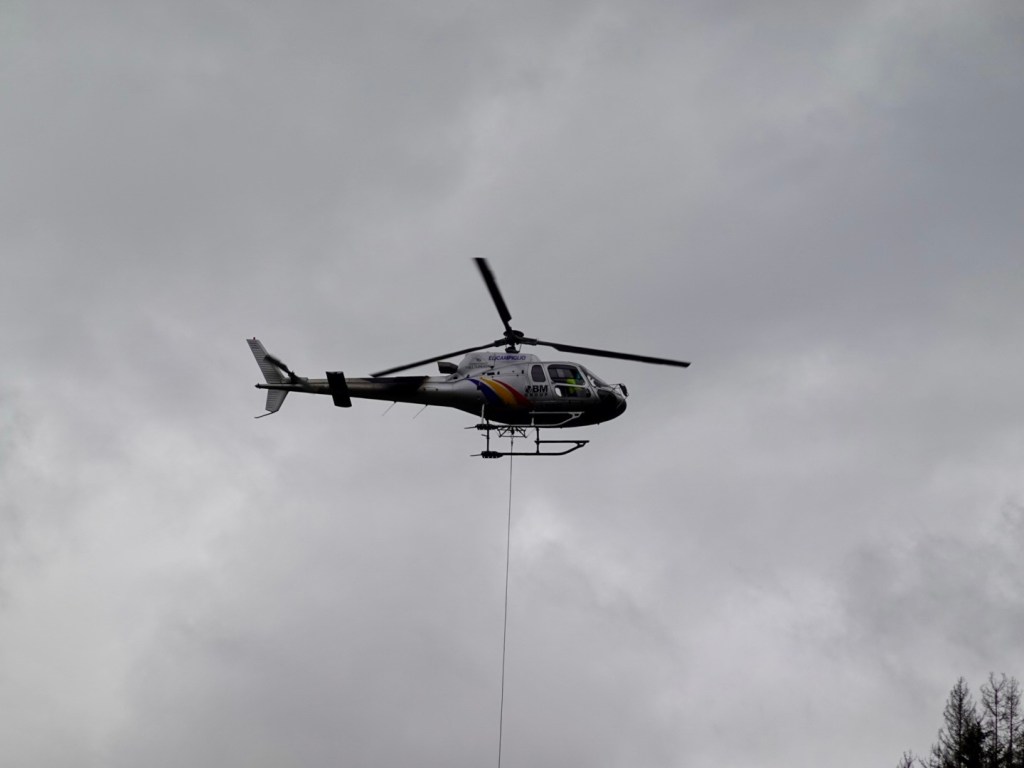
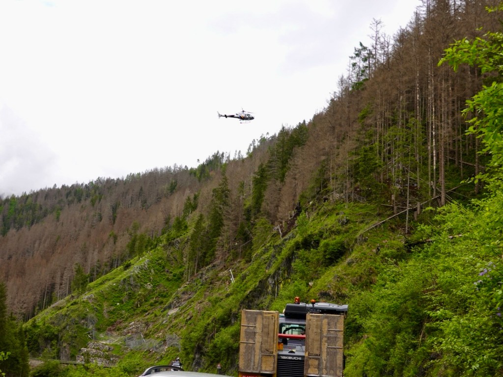
We were stopped in a small traffic jam as this helicopter brought in steel for work on the side of the hill.

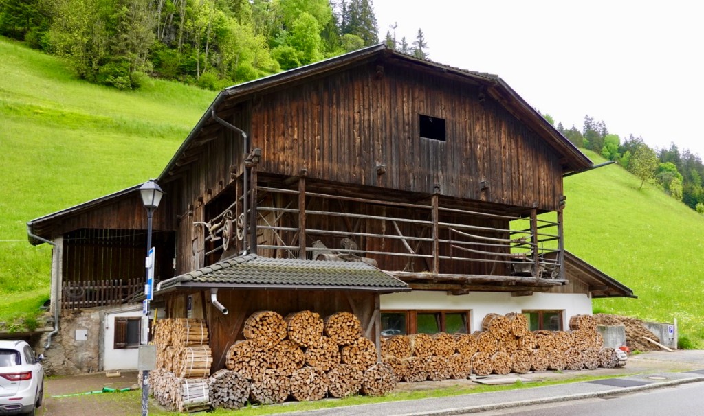
Nicely, perfectly cut to length timber
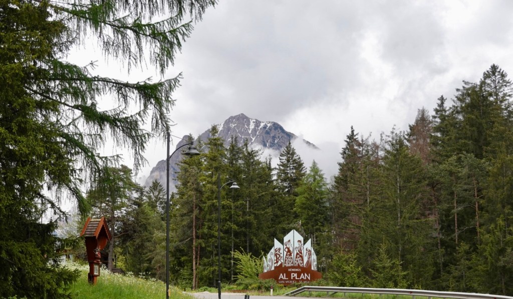
Entrance to village of San Vigilio, a popular ski resort with groomed slopes, ski lifts.
Checking maps after we had done a reccy of the village looking lunch. We went back to the first place we saw.
Centre of town, we had lunch at the cafe to the right. The chef/owner came out to chat and ask about our trip and bikes, amazed the had no motor. I tapped my heart and said, ‘my motor’.
We left town on the left
Looking up the valley Klaus had suggested as a possible extension, weather permitting. We could see that there was low cloud and likely rain there.

Looking towards Brunico it still looked ok. Nice green pastures, groomed fields.

The rain was catching us
That is the valley we had come from, clearly raining
The peaks were shrouded

It started raining with about 14 km to go. We ended up in Brunico on a gravel cycle path. our nice clean bikes, courtesy of Tony, now had wet gravel all over them. He was unimpressed.

Castle above Brunico

We found our hotel by the river. The male receptionist asked for us to bring our gear inside off the bike before showing where the bikes would go. I explained the gear was wet and dirty, did he had an old towel we could place them on so as not to get his floor dirty.

No, so in came the muddy gear. I try to treat these places like I would my own home but sometimes they do not care as I guess it is not their job to clean it.

It rained for hours and we eventually went to the supermarket using their umbrellas for supplies, then headed out for some dinner.

Our over booties
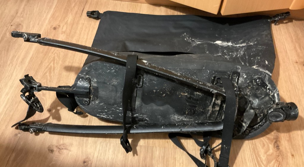
My main luggage bag, opened right up, it folds down.
Under my bag and frame

So that’s it for today. A longer day tomorrow, with rain forecast, hopefully still later in the day.

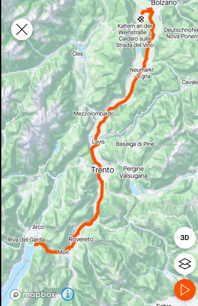
Day 11: Riva del Garda to St Michael (Bolzano)

It is a shorter blog today as we did not take many photos and I can sum the ride up as … very wet.

We rode 110 km leaving Lake Garda up a hill I have ridden twice before. It had a special name we refer to it as that I cannot possibly commit to writing here. I’ve not done it with a loaded bike so it was harder again. I had planned a different route out but we tried to trim km due to the weather.

This is looking back towards Lake Garda 1 km into the climb. You can see how bleak the lake looks.

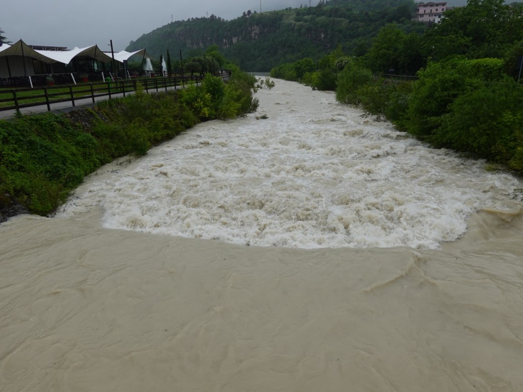
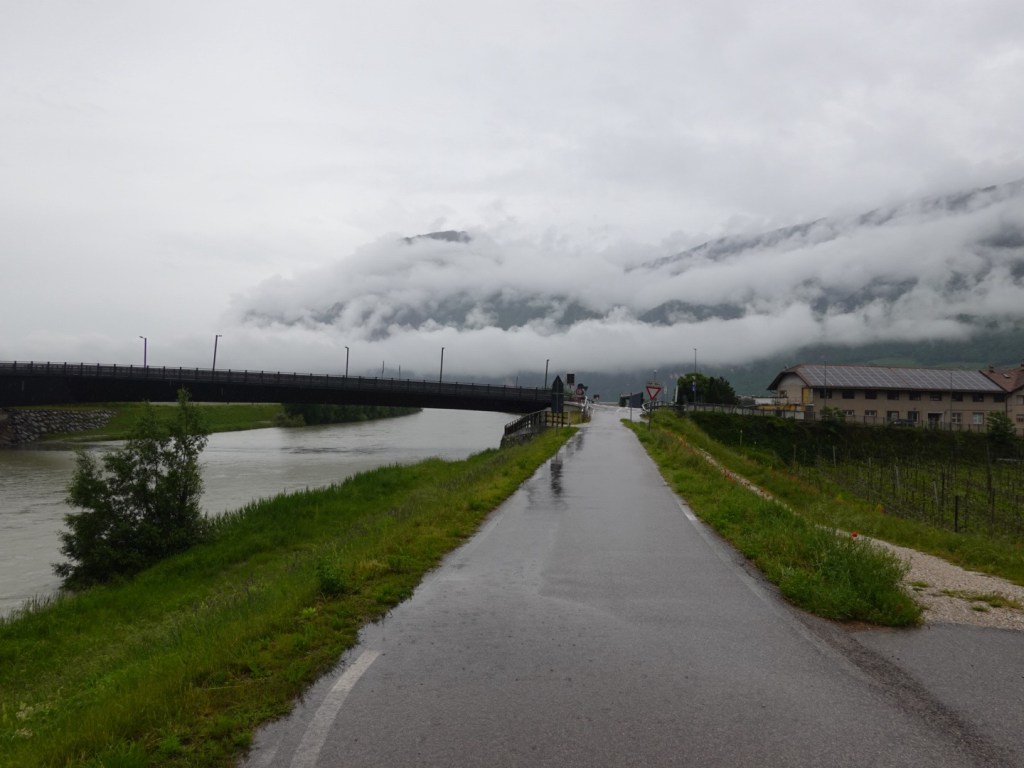
Northern Italy has had numerous floods in the past week and that was evident today with rivers raging and obviously higher than usual when you see playground equipment in the waters.

At Rovereto our original plan had been to visit an old cliffside church but due to the rain and the fact it was closed for renovation we moved in a more direct line to our destination.

On the edge of Rovereto there is a marvellous long distance bike path following the Adige River, and we would be on this path for most of the day. In fact I estimate we spent over 100 km of our 110 km ride on sealed bike paths.

This was certainly safer for us, as wet days in roads means you get road water sprayed every time a vehicle passes.

We were wet enough without that additional hazard.

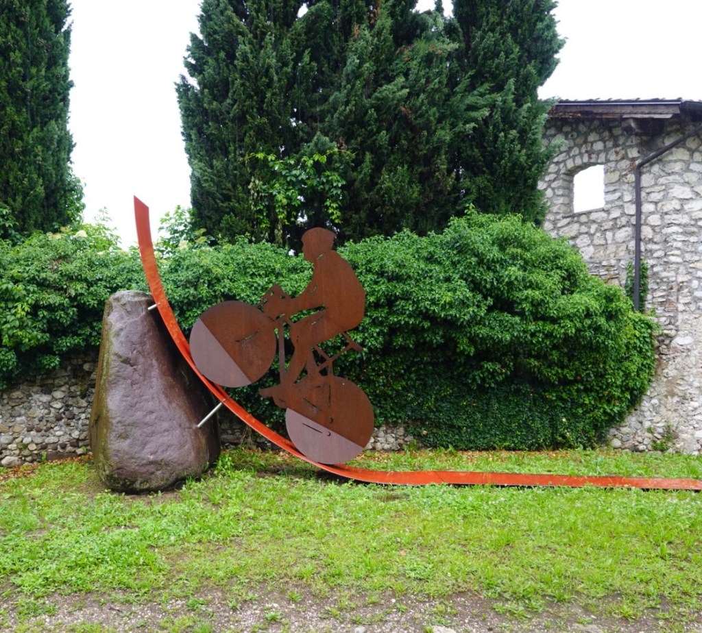
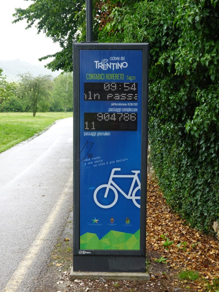
At this point on the path were the cycling figurines and counter showing over 900,000 people had been through since opened. It also showed 11 people for the day.

Later on around Trento there was a similar sign and counter showing 1.8 million users and over 200 users for the day.

Finding shelter was not easy. The path had many signs stating we were on EuroVelo 7, the Sun route 🤣🤣. There were plenty of resting spots in the open, with bike racks, but not under cover.

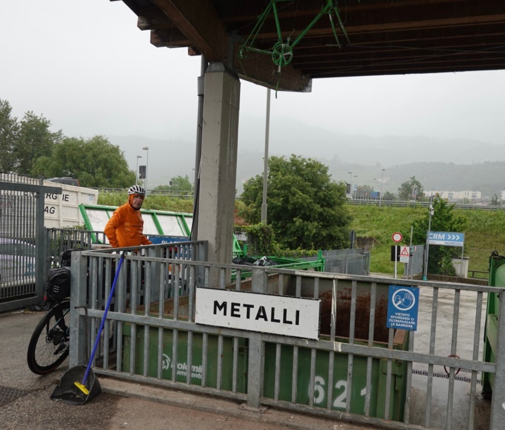
Here we stopped under shelter at a recycling centre.

An old bike hanging above indicating metal in that bin, and there was an old bike in the bin too.

We stopped at a supermarket to grab some food, but stopping made us colder and we started shivering. Despite having a $500 highly rated cycling rain jacket water still makes its way through so I threw my best cycling jacket on over my thermals and under my rain jacket to ensure I looked like Michelin man and to generate more upper body warmth.

I also had a wooden skull cap and a rain cap under my helmet.

I had over booties on my feet and wool sox to keep the wet feet warm.

We needed to keep moving and spin the legs more to generate more body heat, which we did.

There was a spot for a few km where the rain eased to a drizzle about 30 km from Bolzano.

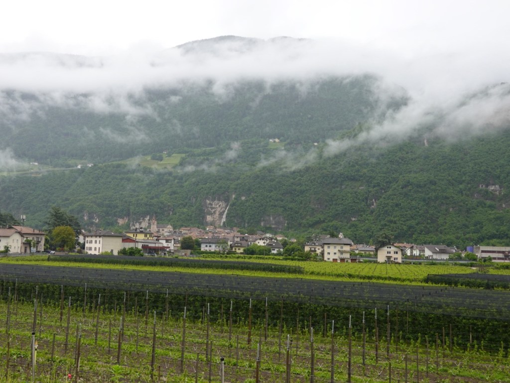
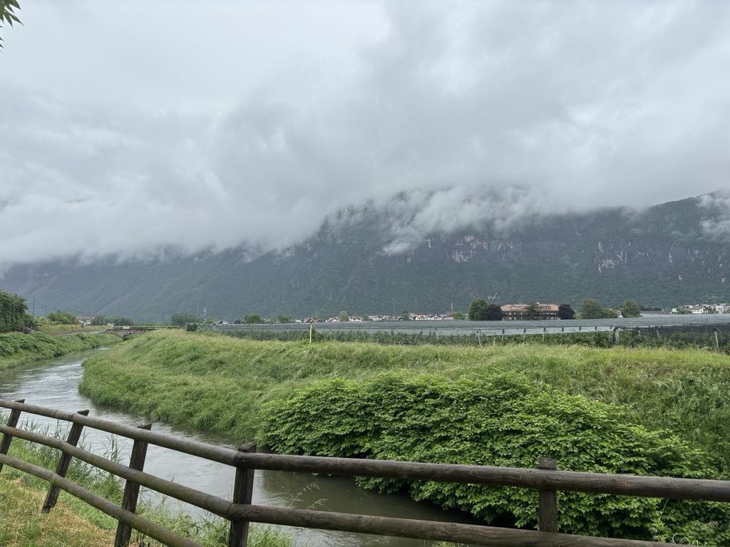
We had ridden through many vineyards and stone fruit orchards.

There were high rocky cliffs and hills on either side, many with waterfalls from the rain.

We saw lots of other bike packing cyclists today…maybe 100-120? They were all heading in the opposite direction, which was downhill, we were the ones on the uphills and only had two people pass us all day.

We also saw three of the Giro d’Italia tour buses caught in a bank up of traffic on the autobahn. Hope they got to their cold riders in time. We later learned the Giro route in the area had been changed due to snow at the higher altitudes bringing a freezing point to lower altitudes.

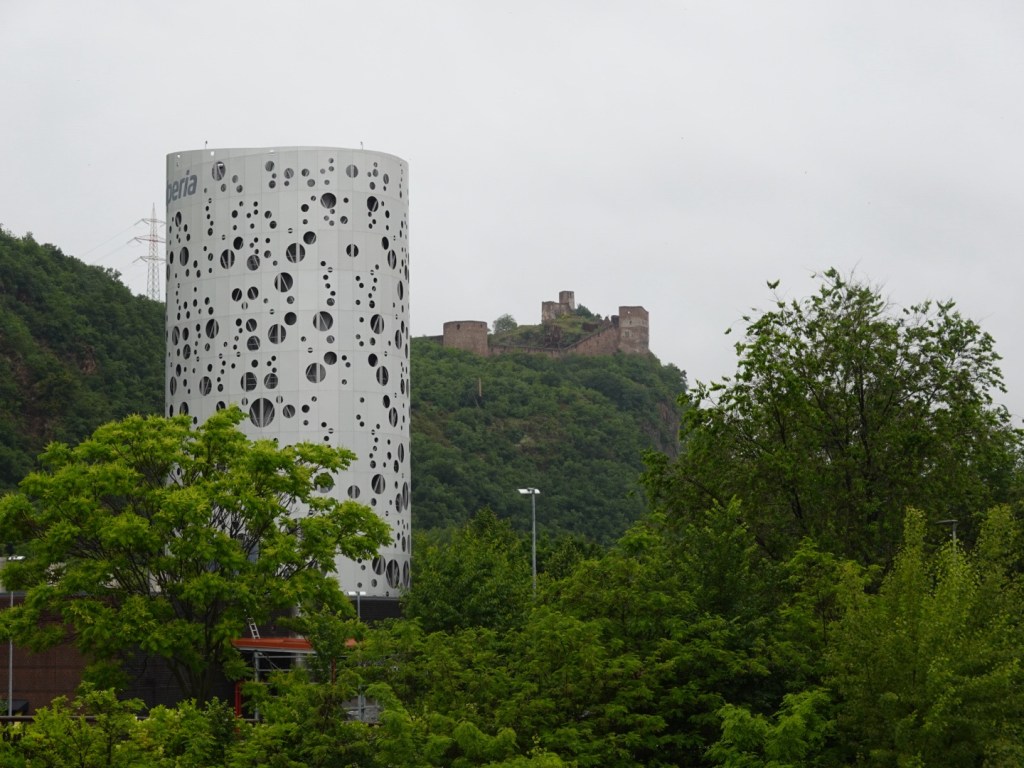
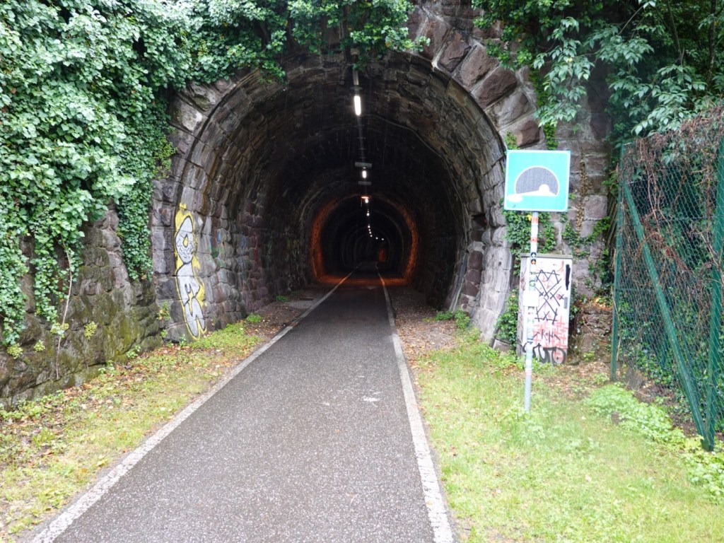
We are staying outside Bolzano up a hill, of course, in a town called San Michele. We turned up from the river path at this point and changed to a different bike path that appears to be an old railway one as we went through three beautiful old tunnels.

Our accomodation is an Air BnB and we are in a room in someone’s house. I did enjoy a nice bath, but she does not have a dryer and given the damp air, our clothes are not drying so we will be putting damp clothes back on.

We borrowed umbrellas and went for a walk and eventually found a nice place to eat in this very German looking town. We forgot to take the camera.

Tony had his ‘usual’ carbonara, and I had a really nice seafood paella.

Tomorrow is one of our big days, with around 2000 metres to climb to get into a more central part of the Dolomites. Rain is forecast but not like today.

There is no breakfast available here either so we will head off early sniffing out food.

We are in the South Tyrol region of Italy which is a German speaking. Signs are predominantly in German now. The border with Austria is not too far away.,

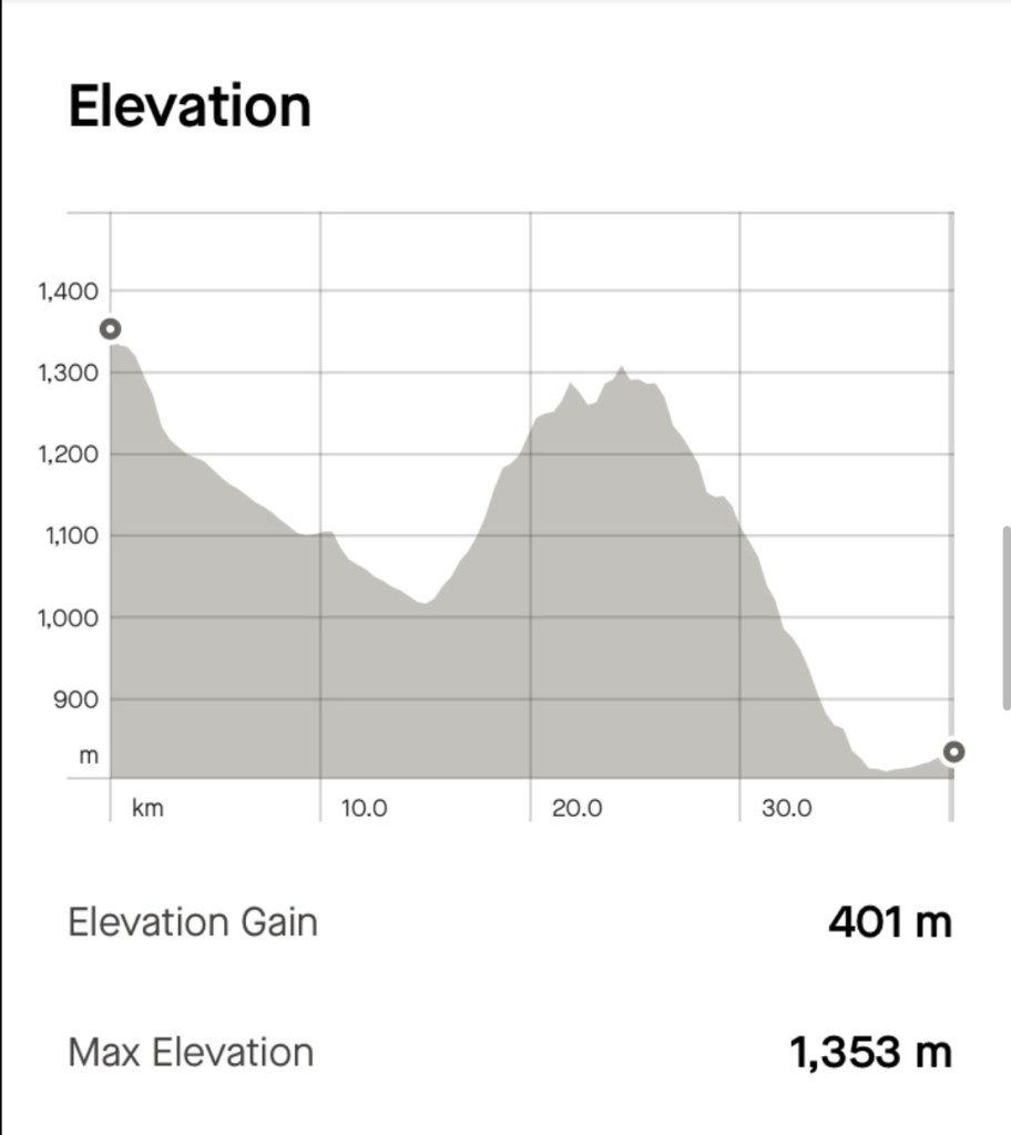
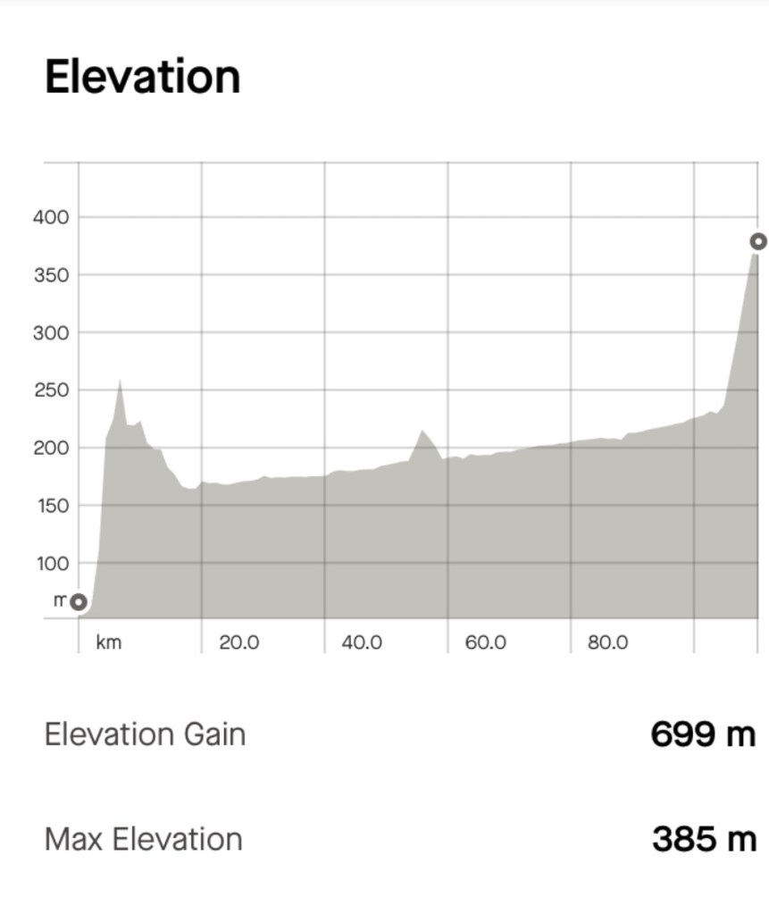
Today’s elevation and map.

Thanks for reading 😊❣️
Day 10: Lake Garda

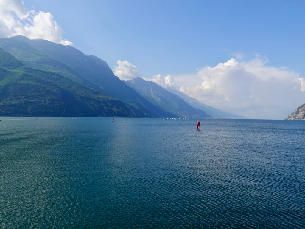
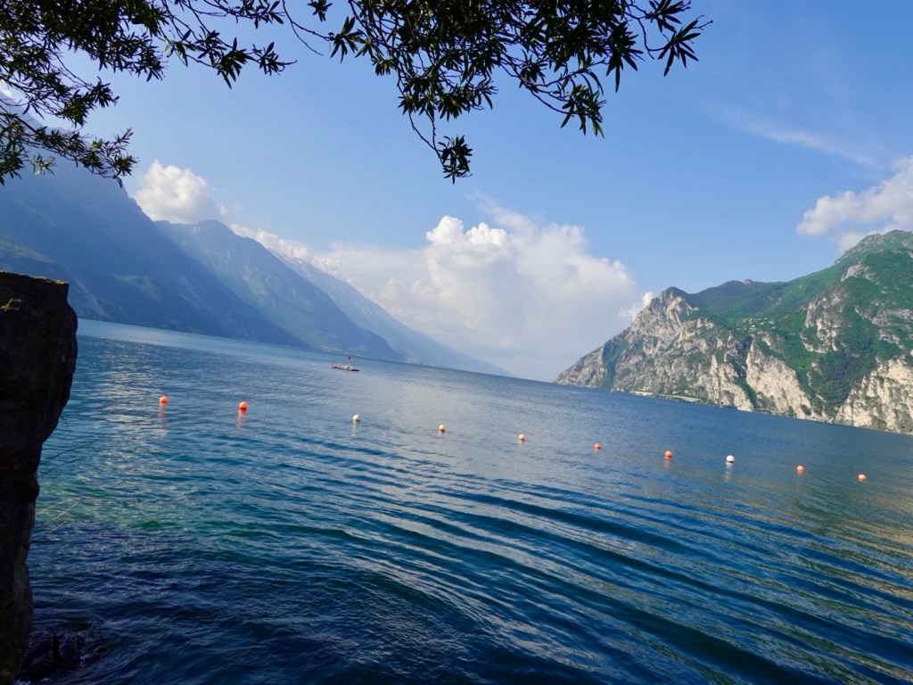
Lake Garda is a stunning lake surrounded by extraordinary geology.

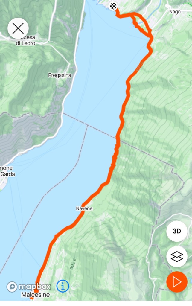
We had a few options for today including riding a lap of the lake (149 km) or riding to Sirmione and getting a ferry back, or riding to Malsecine and getting the furnicular to the top of Monte Baldo and riding back.

There were issues with each option, the latter being my favourite, but we found out you can only take bikes on the 8.00 or 8.30 cable car up. We missed that boat as we found that out too late.

We decided on a chilled semi rest day and exploring the area to Malsecine.

So we rode a total of 38 km (inc 5 km of 12 tunnels) at a super chilled pace, exploring the nooks and crannies.

We followed a variety of paths including loose gravel, pebbles, cobbles and the road.

Here are a selection of the photos from our cruising.

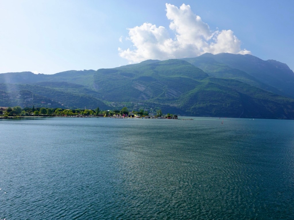
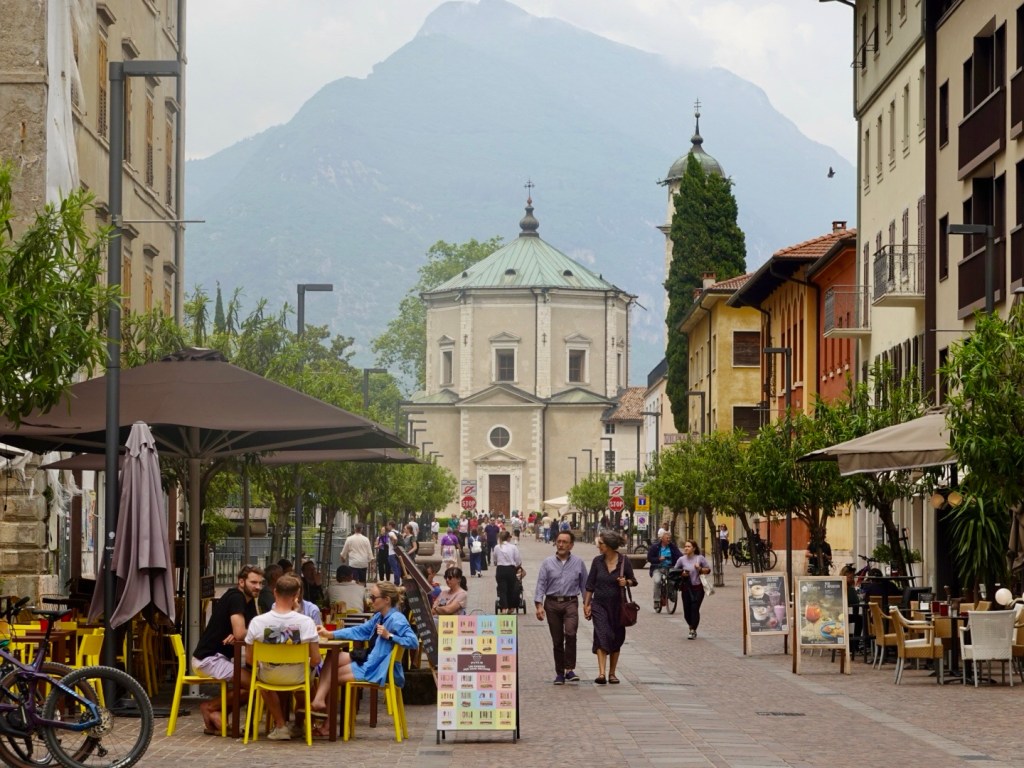
Just out of Riva del Garda
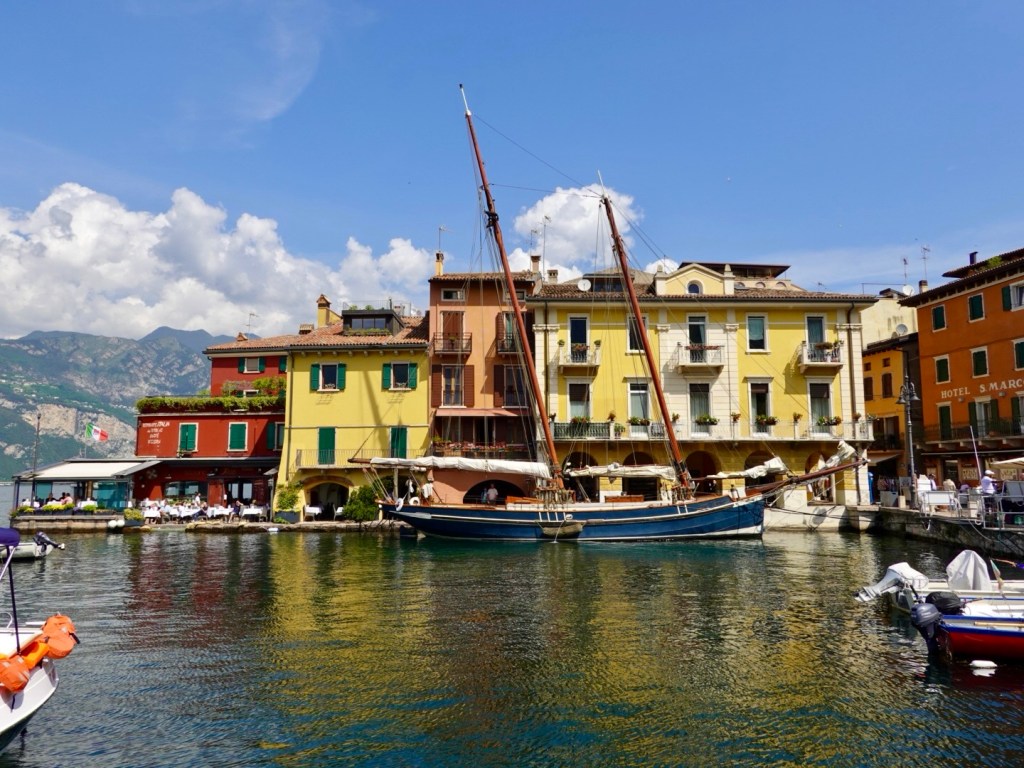
Hugely popular area for windsurfing, with numerous schools teaching people on land before they entered the water.
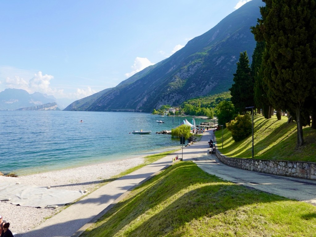
A groomed pebble beach. At 9 am there were already people sunbaking.
We met this dog as it reminded us of Khaleesi. The lady would throw a stick in the water and the dog would swim out, still on the lead. We laughed as we have Khaleesi on a long water lead too, otherwise she refuses to get out of the water.
Torbole
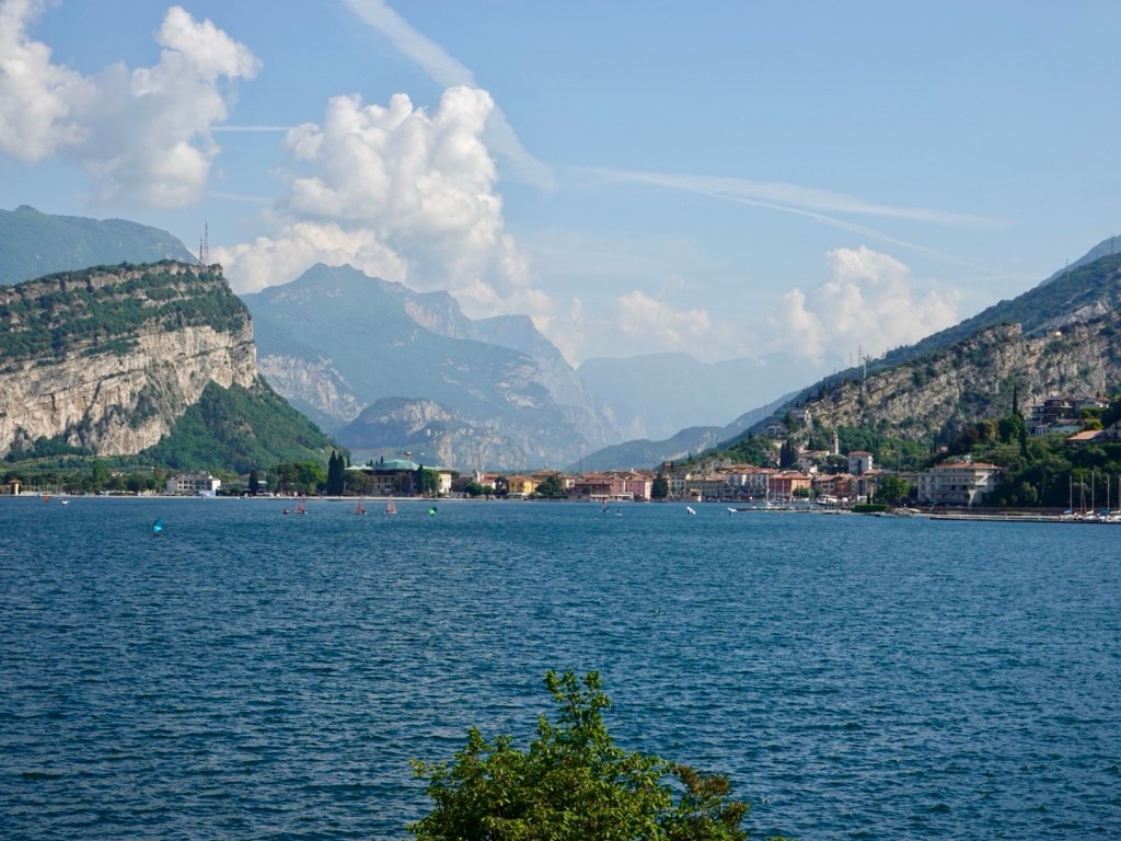
Looking back to Torbole and up the valley where we rode yesterday afternoon
A pleasant lakeside path
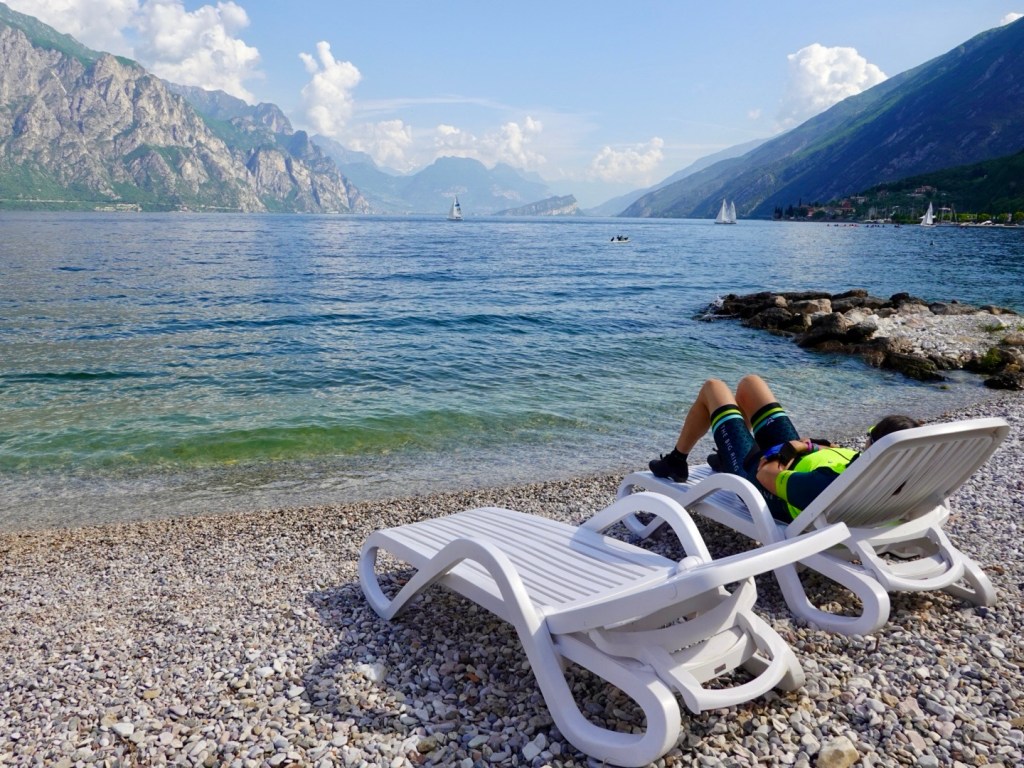
What a view, with me lounging back. I could have spent ages here.
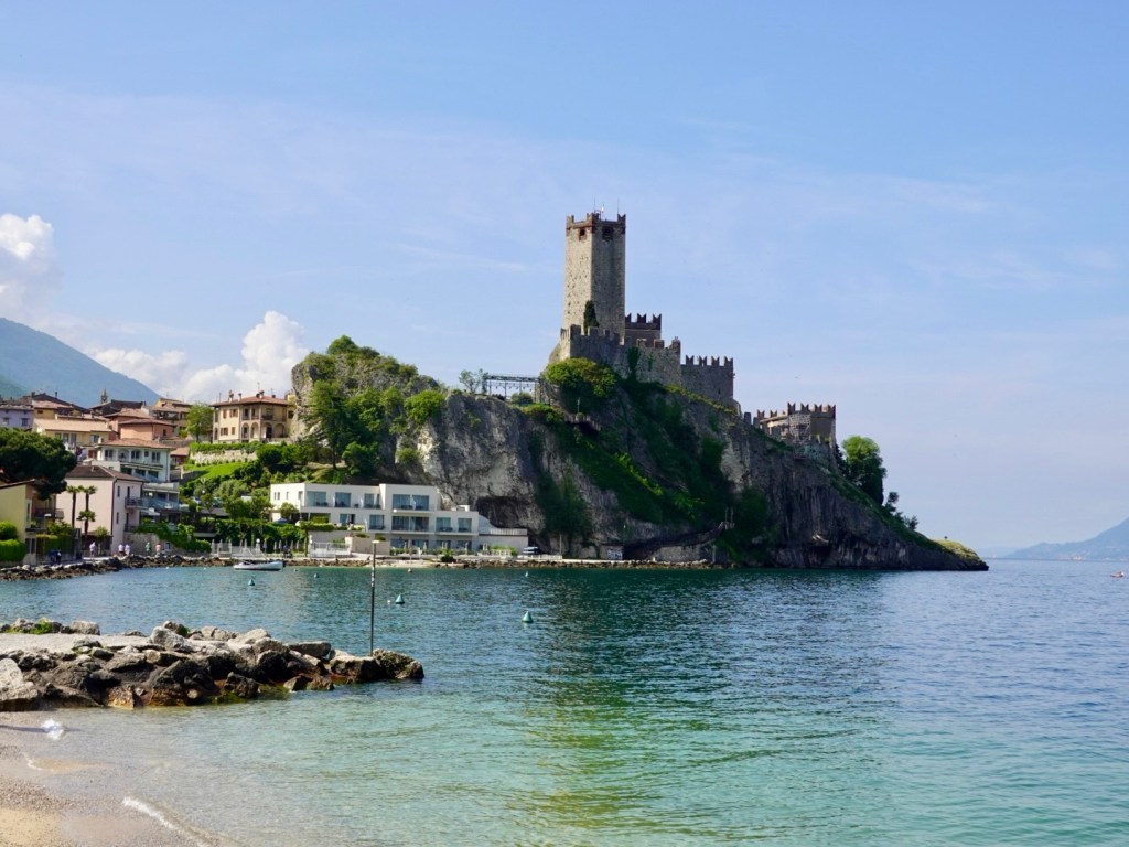
Malcesine castle, with Etruscan burials located on the site, has a local history including the pesky Romans, the Franks and Napoleon Bonaparte who occupied the area in the late 1700’s.
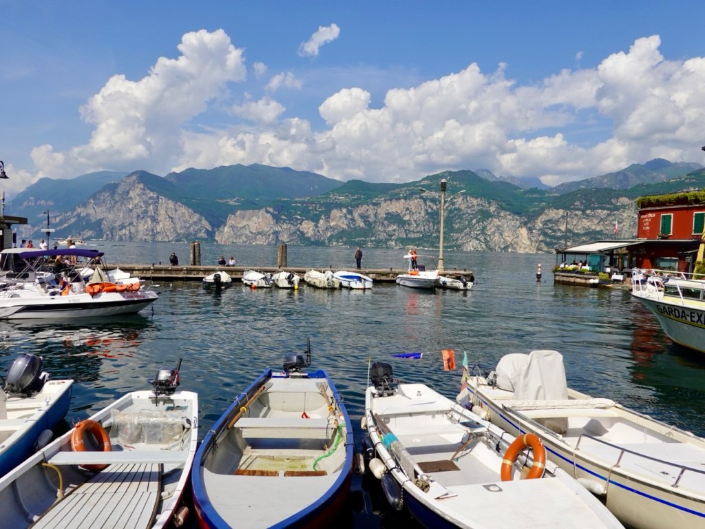
Malcesine harbour. Ferry boats arrive on the outer edge, and you can hire boats starting at €80 one hour.

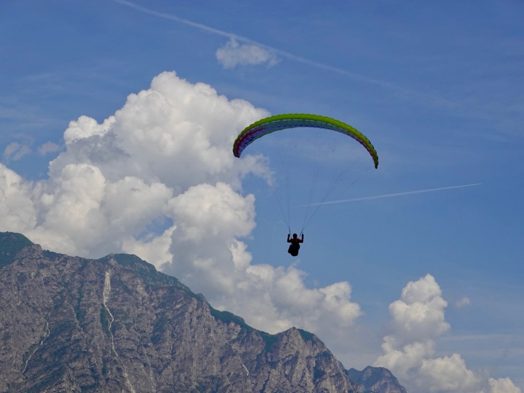
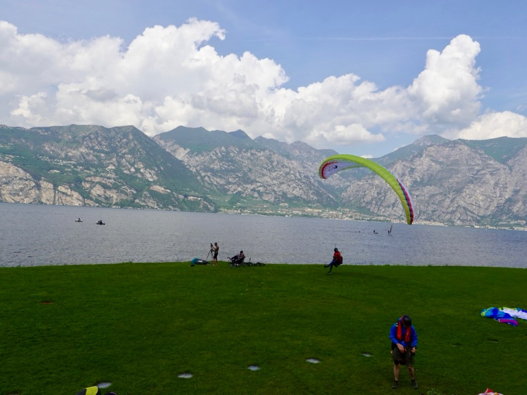
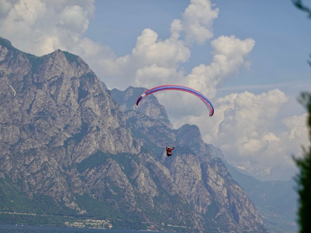
As we headed back we stopped at the paragliding centre to watch a number land. Fascinating to watch.

We did witness one bloke miss the green and we presumed he landed on a pebble beach.

As we rode past his shute was snagged in a tree and he was walking out of the lake. Lucky as the road was only metres away.

We then headed off and walked to Riva del Garda and back.

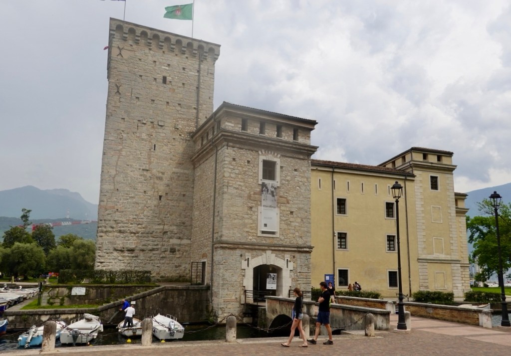
A history dating back to 1124
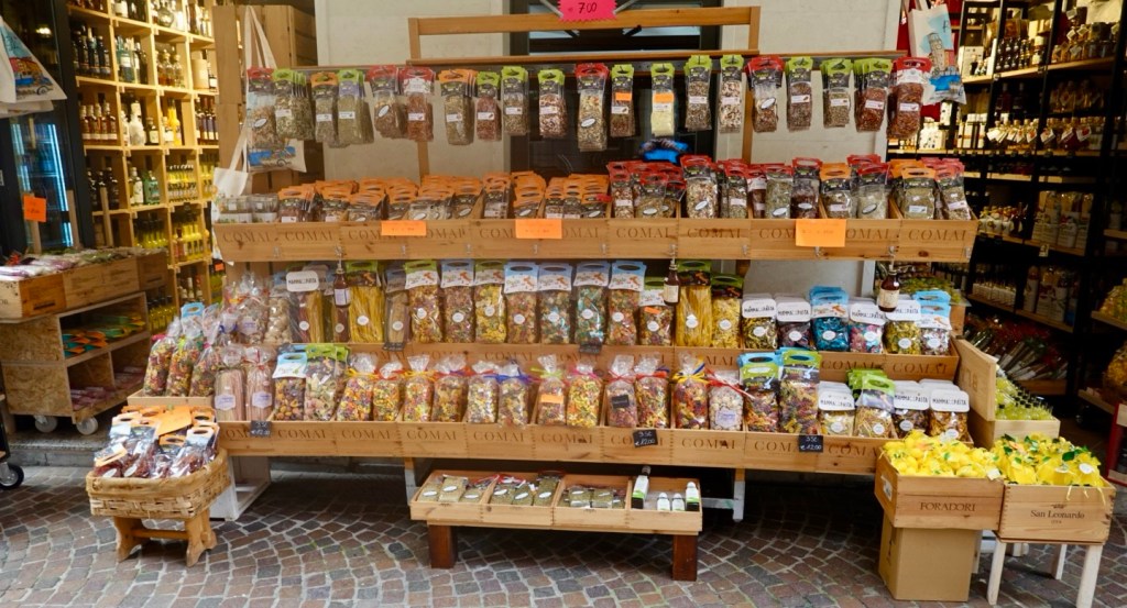
Lived the vast array of colourful pasta in this shop
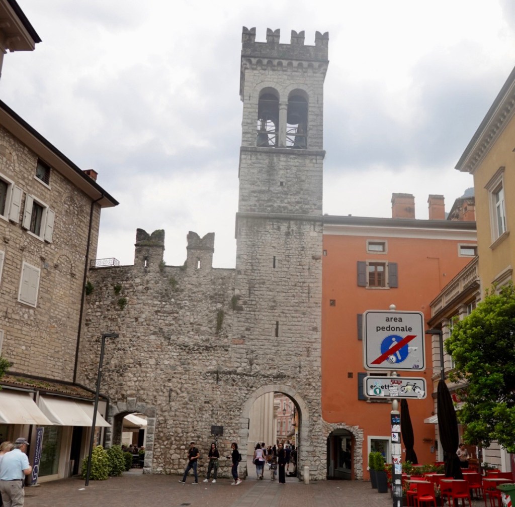
An old city gate
Church of the Inviolata
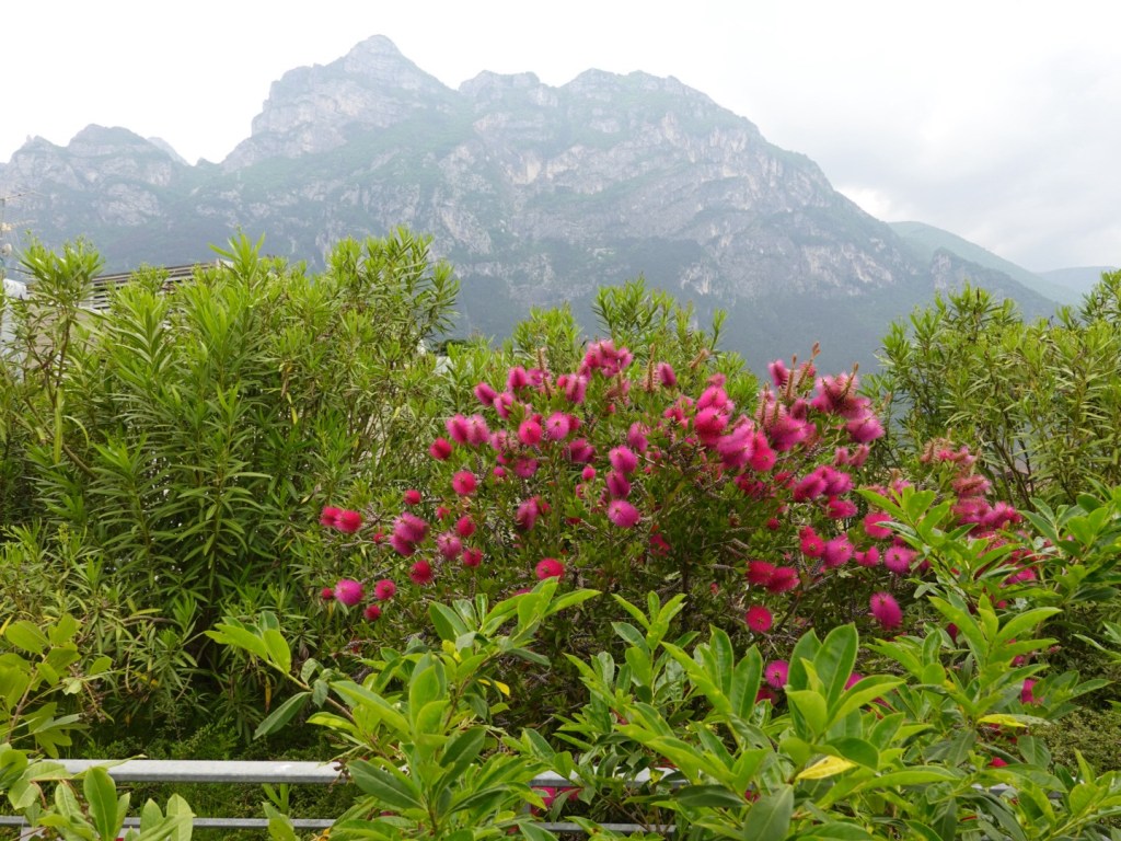
A nice Australiana surprise, colourful callistemons (bottlebrush). I found five different plants growing around here.

The weather forecast is not great. It started raining around dinner time and has not stopped. We have some bigger days ahead but will take it one day at a time, such are the challenges of self supporting bike touring.

Thanks for reading 😊❣️
Todays out and back route

Day 2: Cannobio to Locarno (Lake Maggiore)

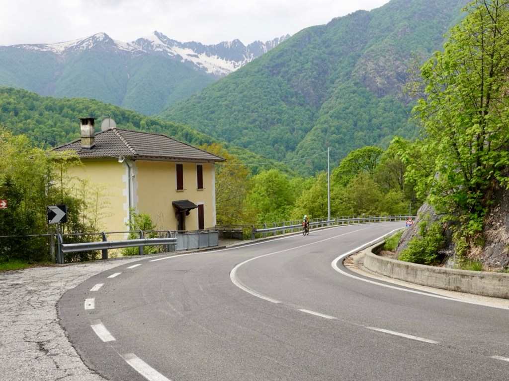
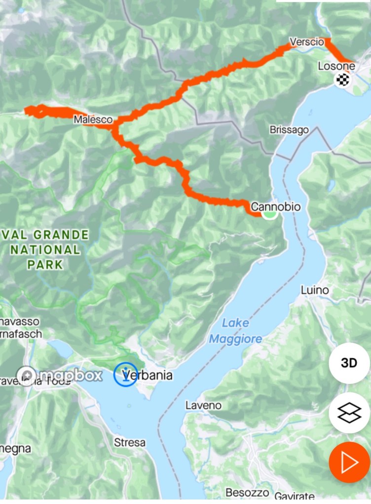
Today was to be our first climbing challenge. Passo dello Scopello is a mountain pass that unites Val Cannobina with Cento Valli – and includes a memorial to the great Marco Pantani at the top of the climb.

Alice, our accomodation host, was most concerned about us doing this climb. Maybe she thought we looked too old! She indicated it was dangerous…narrow, winding and lots of cars.

I smiled and nodded, knowing we were doing it anyway weather permitting. Sunday morning hopefully would be quieter on the roads.

Our bike computer flashed the climb data only 200 metres up the road. A 20.5 km climb, climbing 925 m ascent. That’s a solid climb particularly on a loaded bike.

We rose quickly and looking back down the valley towards Cannobio and Lake Maggiore.

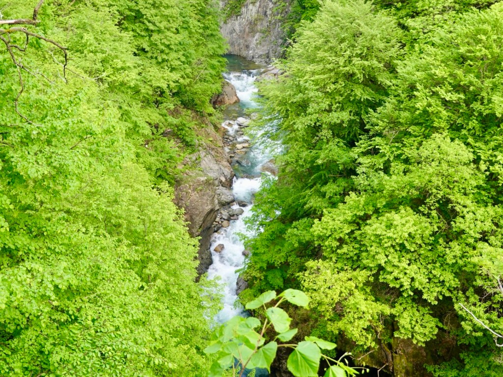
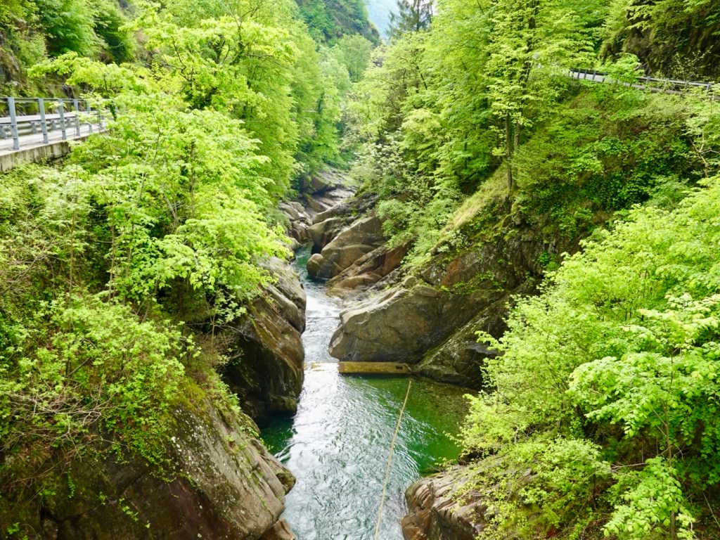
Looking up the valley it was misty and hazy. The gorge below was impressive but the photos do not show the depth of just how far down it was to the river.

At various intervals signs would indicate higher level villages, up steep and winding roads.

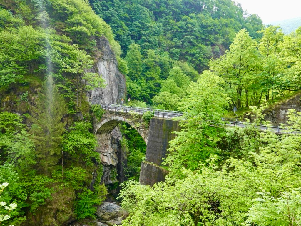
There were lovely bridges, greenery, occasional old structures.

This cyclist stopped at a lay by just to the rights, as did I. He photographed the sale sign and wandered around having a good look.

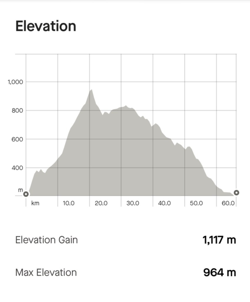
Up we climbed. Here is the graph for the day showing the climb. it shows that the top of the climb is just after the 20 km point, and that we reached 964 m above sea level.

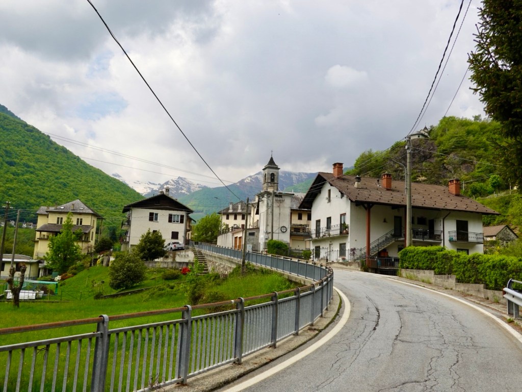
More villages
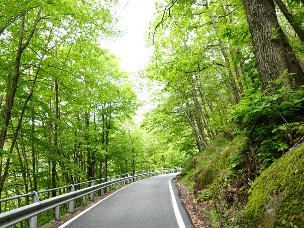
Narrow roads really just wide enough for one car. Most motorists tooted their car horn at blind bends.
The occasional two lane section. Snow capped peaks, and that’s me climbing….
Up through a pretty, but quiet village.
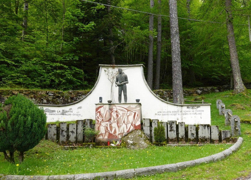
A war memorial near the top of the climb,

Bliss and a feeling of satisfaction reaching Passo Pantani as it became known by cyclists and now appears on many maps.

Marco was an Italian road racing cyclist legend, and regarded as one of the best climbing specialists in the sport. In death he is revered, despite his hedonistic lifestyle that caused his early passing.

The memorial placed by passionate fans
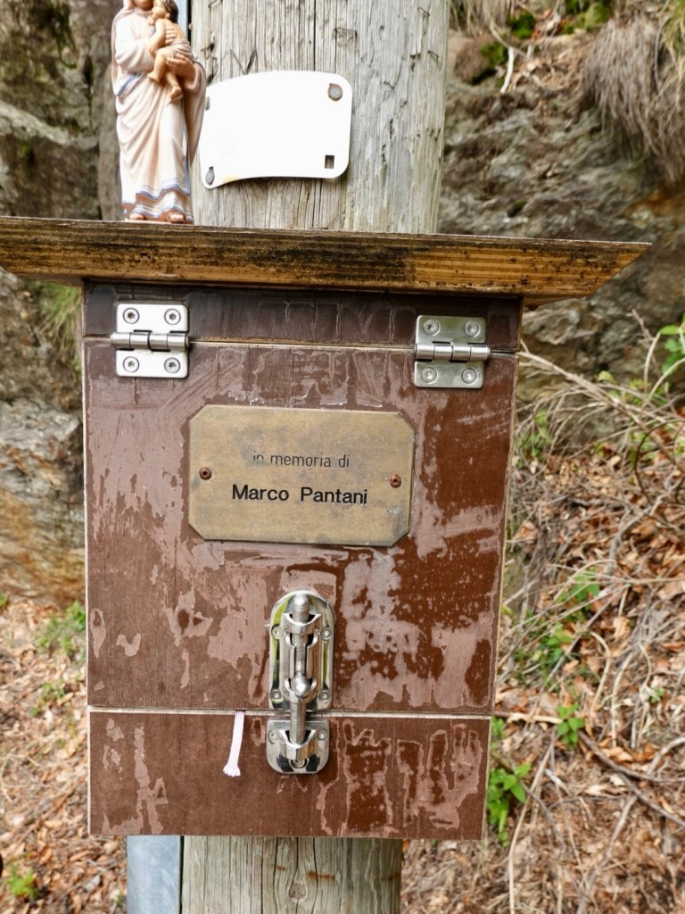
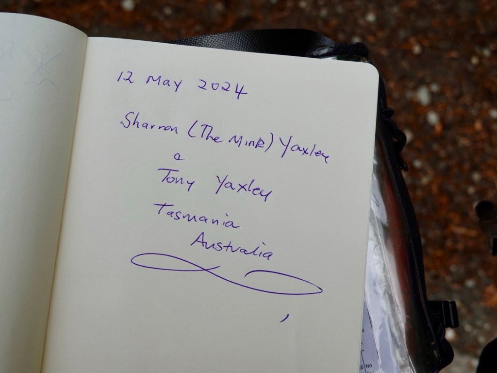
In this box we found a guest book
People wrote and added pictures and memories
The best I could muster with shaky hands after the climb

The climb was tough but doable. We were passed by many super fit and very skinny male cyclists hammering their road bikes. Only one e-bike today and his was an mtb. I only noted two females heading up.

A pack of cyclists stopped at the pass for a recovery break, but they likely needed less time than us. We collectively all acknowledged a flying solo feat from a young cyclist who was flying up the last climb, clicked his watch as he crossed the top, then immediately streamlined into a super aggressive descent.

Tony checked Strava later. That young 18 year old got the KOM on a popular climbing route. He does ride professionally for an Italian club team, Overall. Watch out for Fabio Crespi in future years!

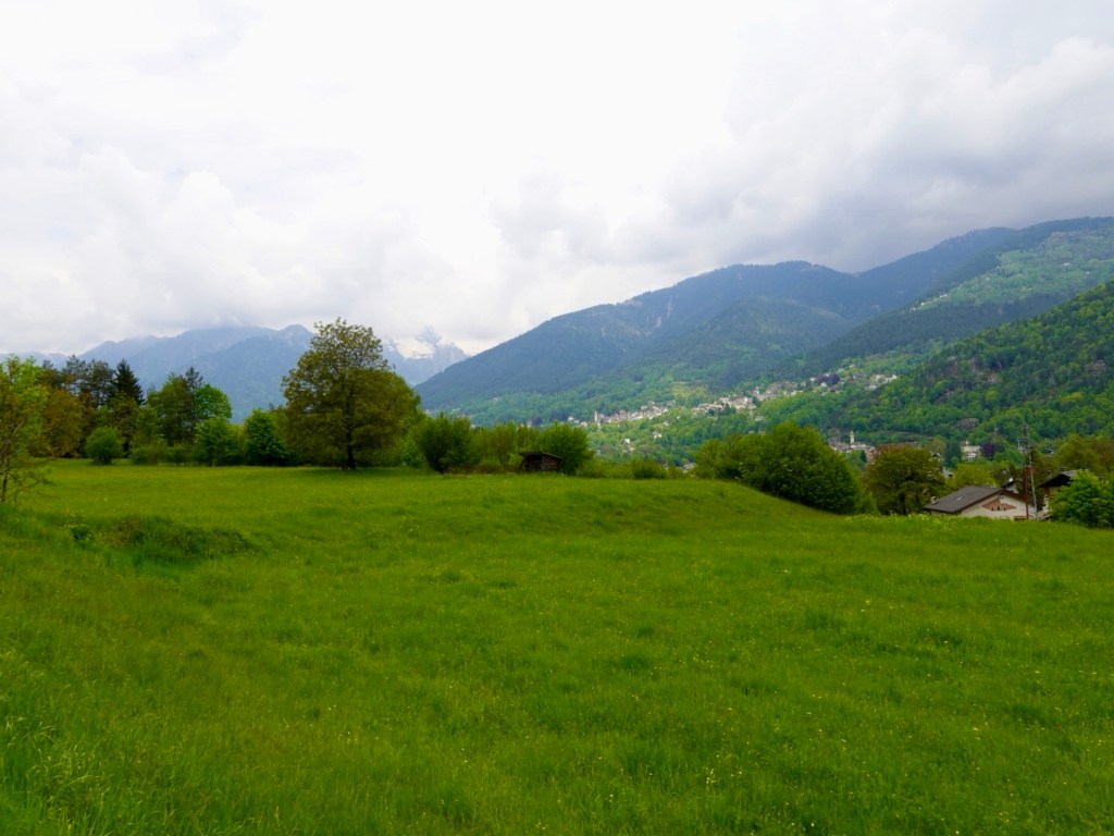
Down we went to Malesco, in the Vigezzo Valley, surrounded by the Val Grande National Park. Lots more greenery.

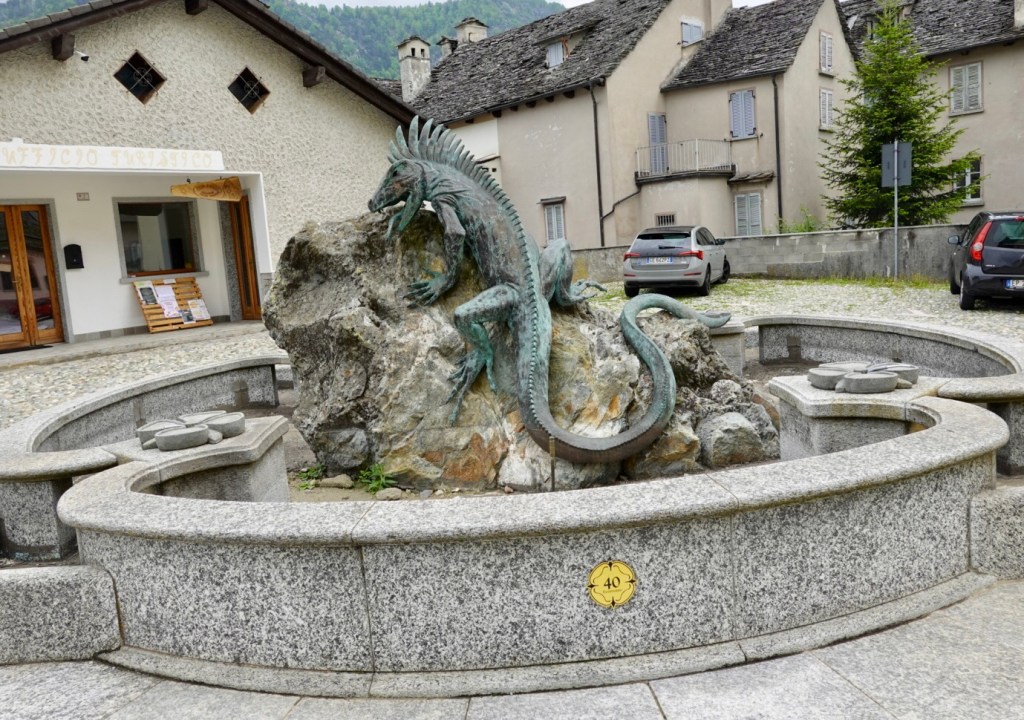
Found the lizard on a rock. This photo is taken for my Zwift friend Peta ‘smugpie’ Faragher.

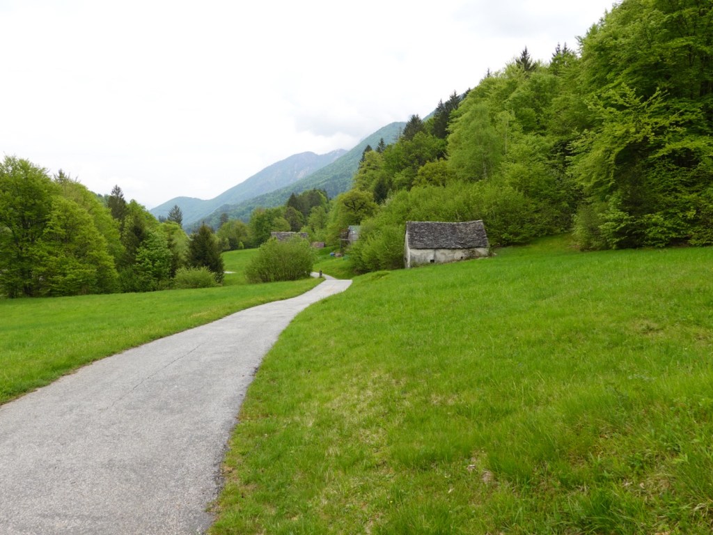
We followed a shared pathway through the edge of the Val Grande National Park, pulling out at Druogno to find food,

A nice gentle slope down the main road took us through Santa Maria Maggiore and back to Malsena.

Santa Maria Maggiore was once referred to as the “valley of the painters”, but these days is known for its Chimney Sweep Museum.

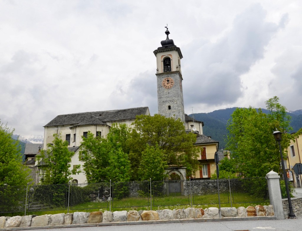
Church in Santa Maria Maggiore
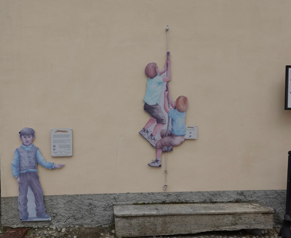
In Malsena many buildings have pictures with an information board that is a trail you can follow and learn more about 18th century life in the village.

Heading out of town on another shared pathway that went through multiple water streams, it eventually joined back to the main road.

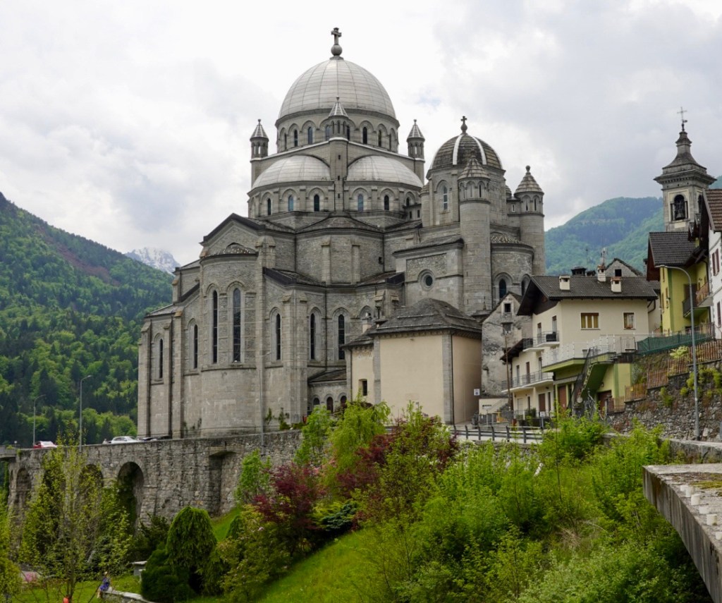
Re is picturesque and only 7 km from the Swiss border. It is a site of pilgrimage to its imposing sanctuary dedicated to the Madonna of the Blood.

Hard to miss the Sanctuary/ basilica as you ride into town. To the left is the older church built in the 1600’s. The newer basilica to the right is 1900’s

I went inside starting with the older section. It is quite dark, but lovely paintings on the ceiling. The adjoining basilica features domes and stained glass, so light and airy and colourful.

Heading out of town, there is a better view looking back.

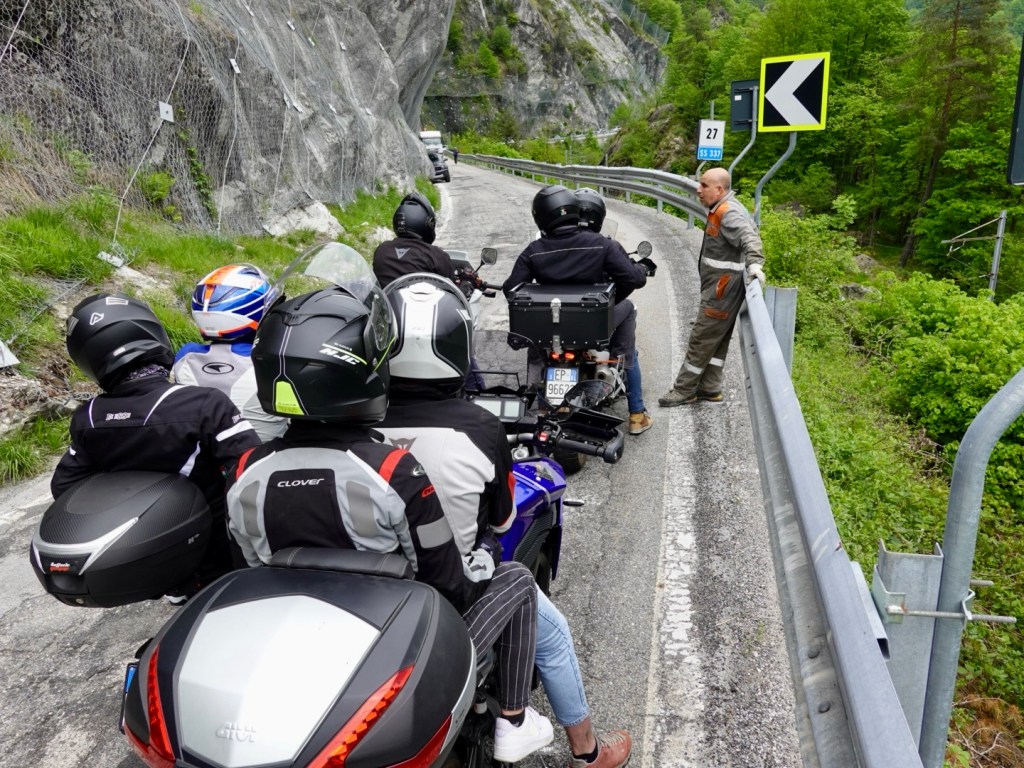
We did not ride very far before we came to a road closure. The narrow road has been blocked. With the motor bikes grouping at the front of the queue we went to have a look.

A truck had broken down and was jacked up. Not the best place for a flat tyre.

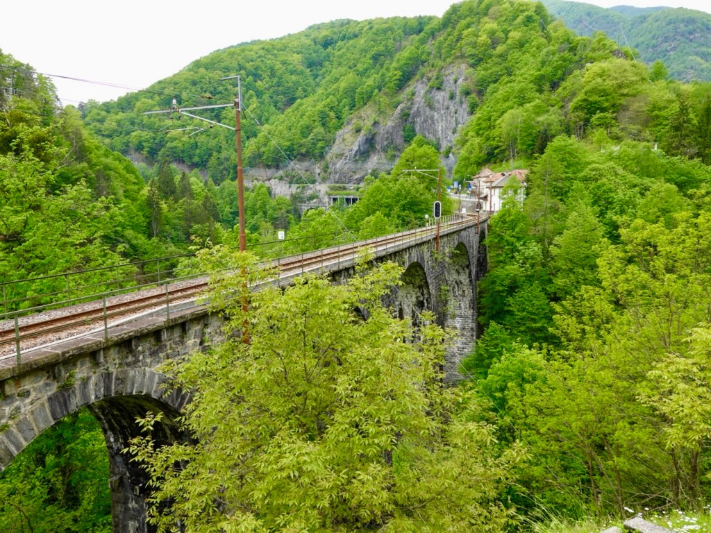
Descending gently down the valley towards Switzerland the train tracks cut a path through majestic scenery,

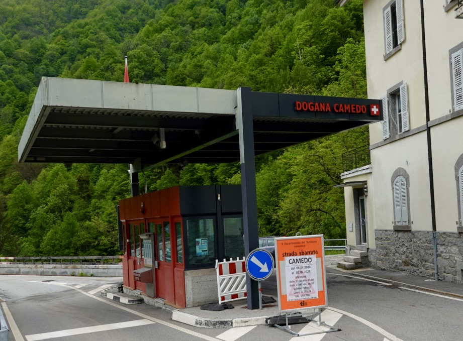
The closed border crossing. We are now in Switzerland

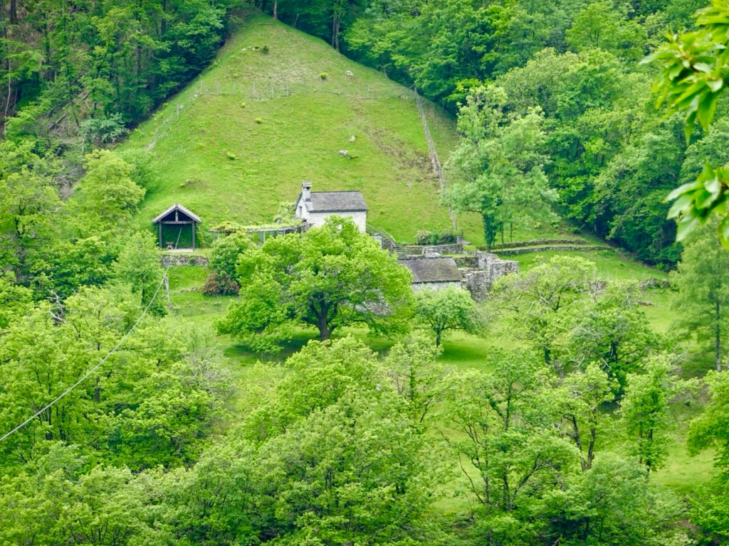
This view was very peaceful as we pulled into a lay by.

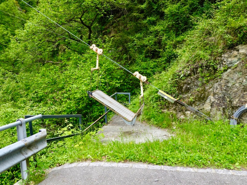
The house on the other side of the river intrigued us. They had a cable pulley system in place to send goods across.

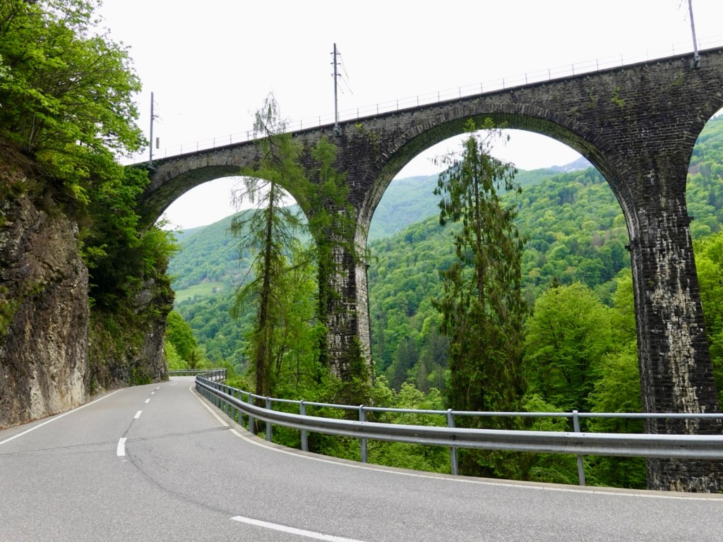
Another incredible train bridge.

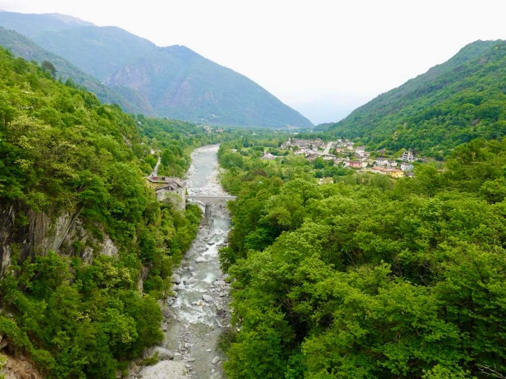
Getting closer to Lake Maggiore at the end of the valley ahead.

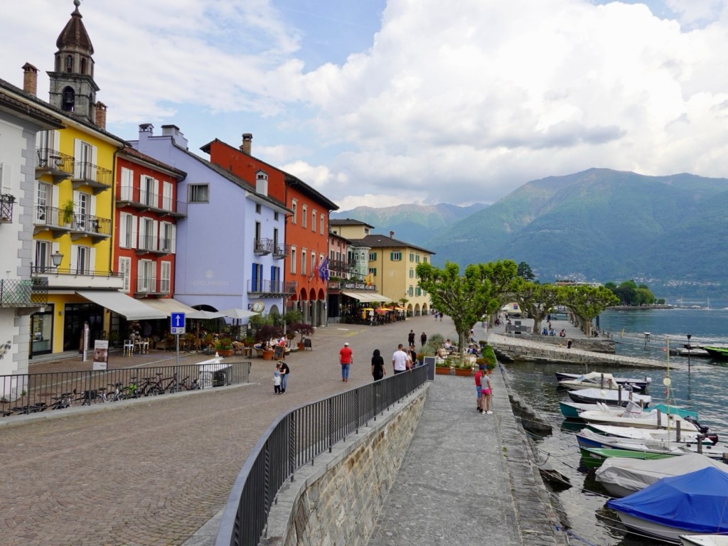
We have arrived in Ascona, on the shore of Lake Maggiore, not the far from where we spent last night in Cannobio.

I negotiated excellent overnight accommodation for our bikes here. They are in a locked out of order room and we have the keys. I was super impressed with the staff here.

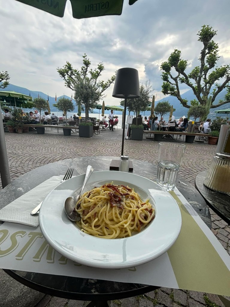
Walking down around the lake front in search of food we found a nice Italian restaurant with a view.

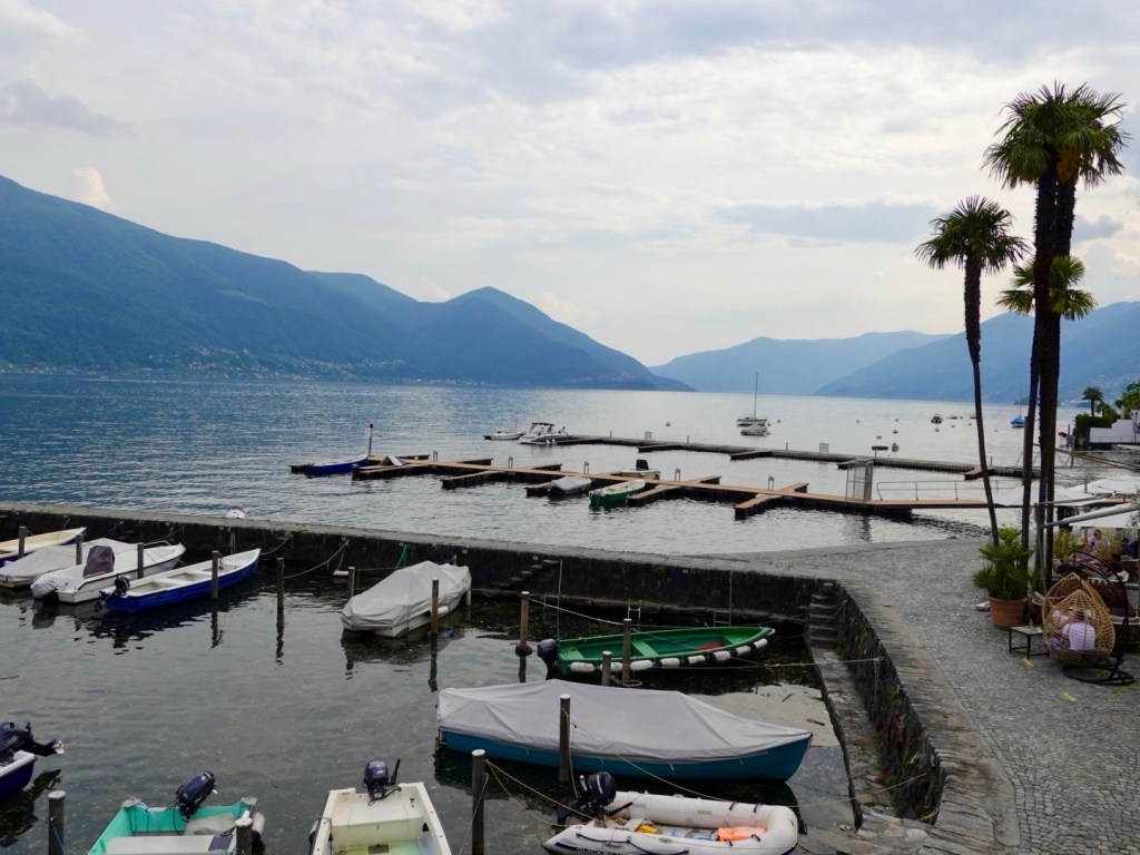
Waterfront
Looking back towards Cannobio
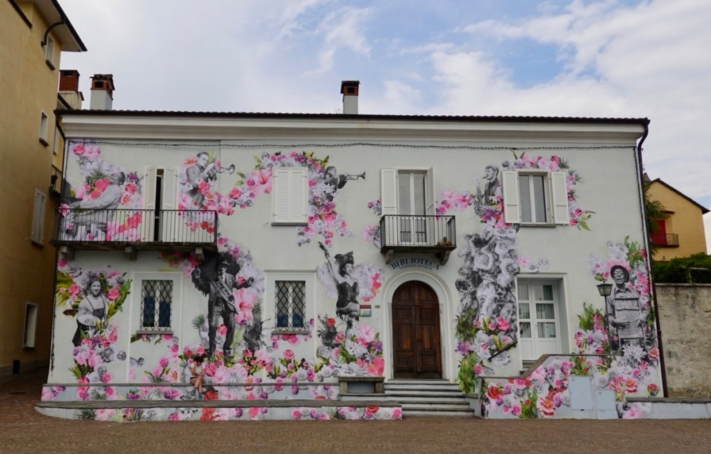
Jazz wall, current art theme in town.
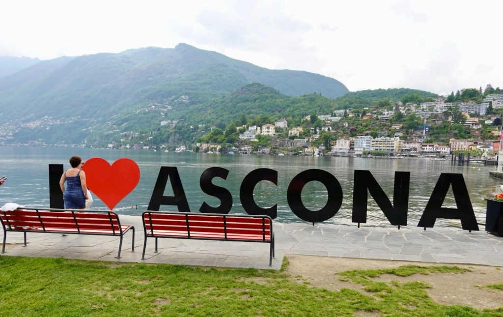
We tried hard to get a clean shot of this sign, but always someone else would just cruise in and stuff it up, without any awareness of other people. We gave up.
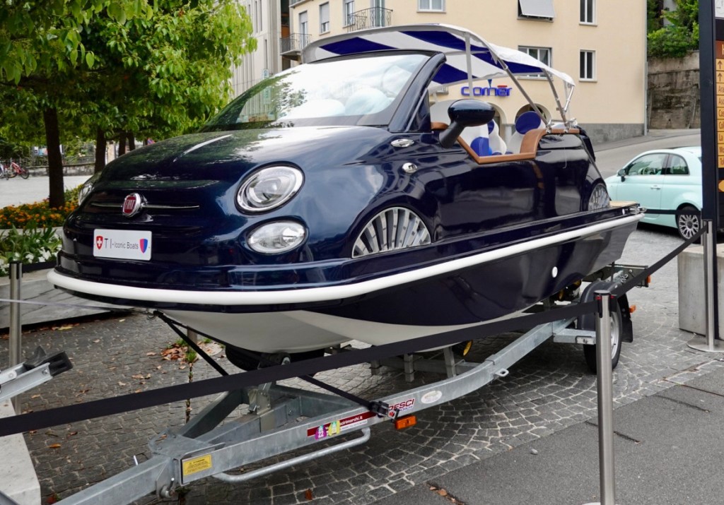
This is a boat …

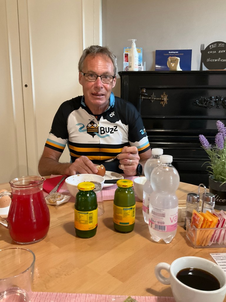
How is Tony? Here he is at breakfast today. His lips are healing but still swollen, his left hand little finger not yet scabbed up. Worst is the huge hematoma on his upper thigh and what is causing him the most grief.

So day 2 done and dusted. 66 km and over 1100 m climbing. A good warm up for some of our rides in the Dolomites.