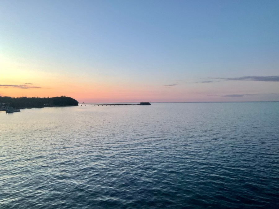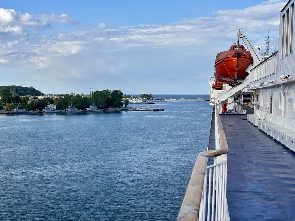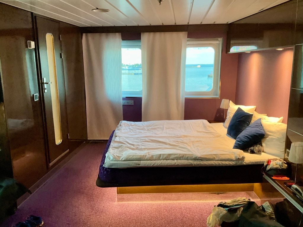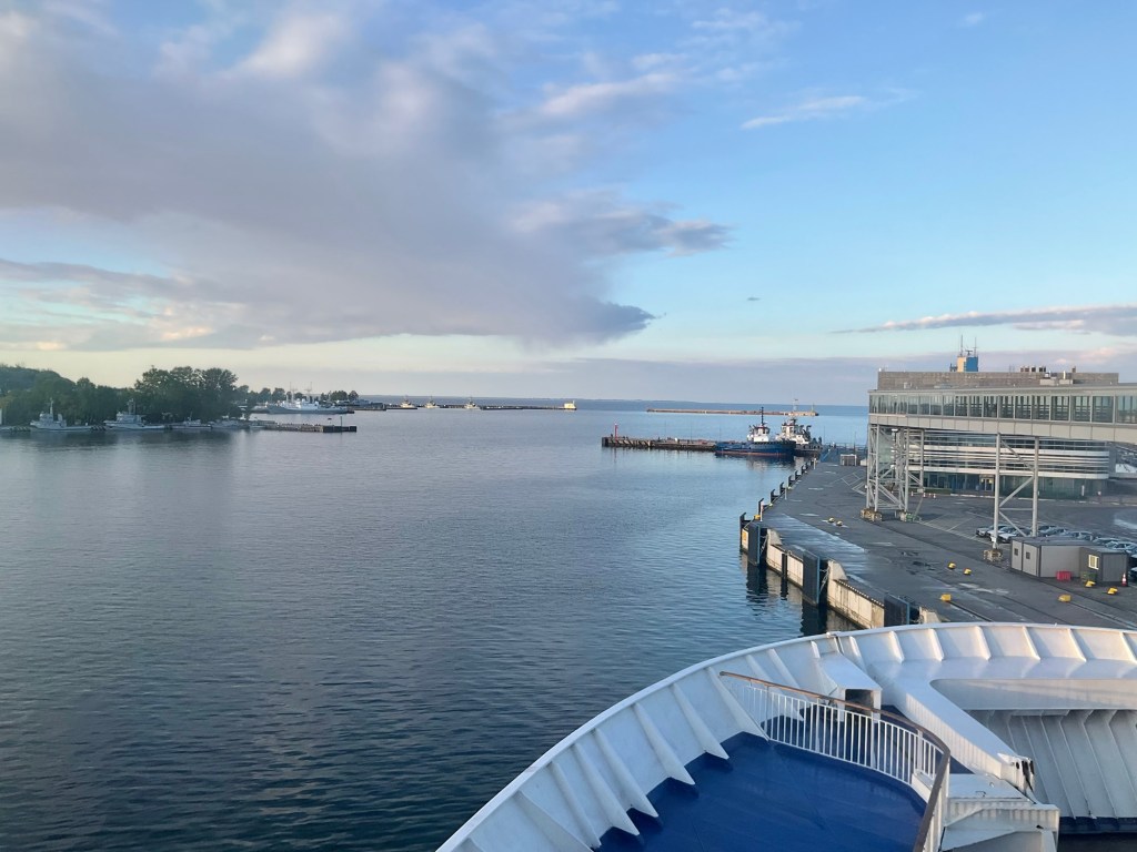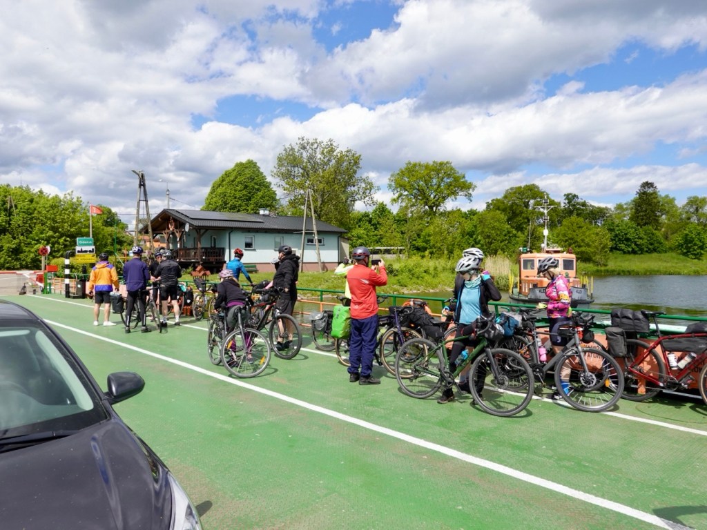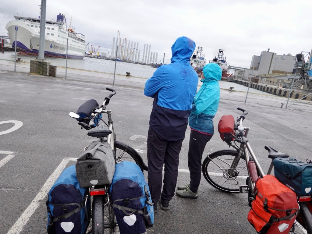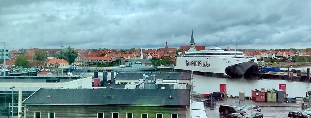
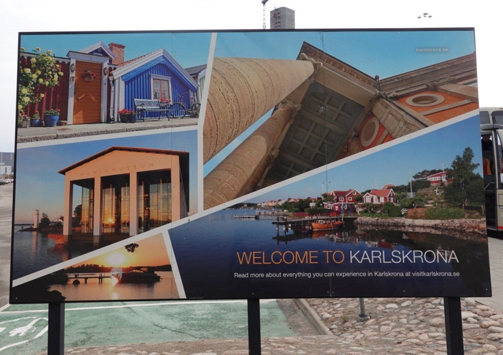
We slept well on the ferry. It was a very smooth crossing and we docked around 8.30am at the Port of Karlskrona which is about 11 km away on the next peninsula.
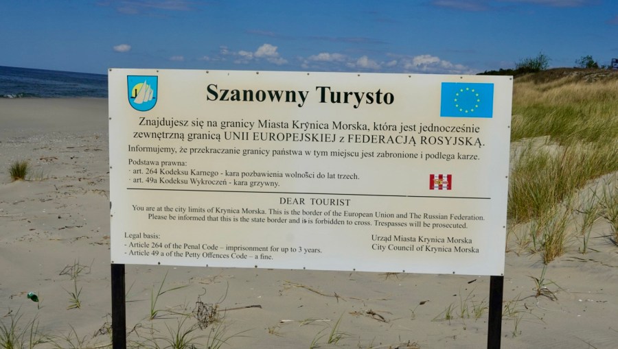
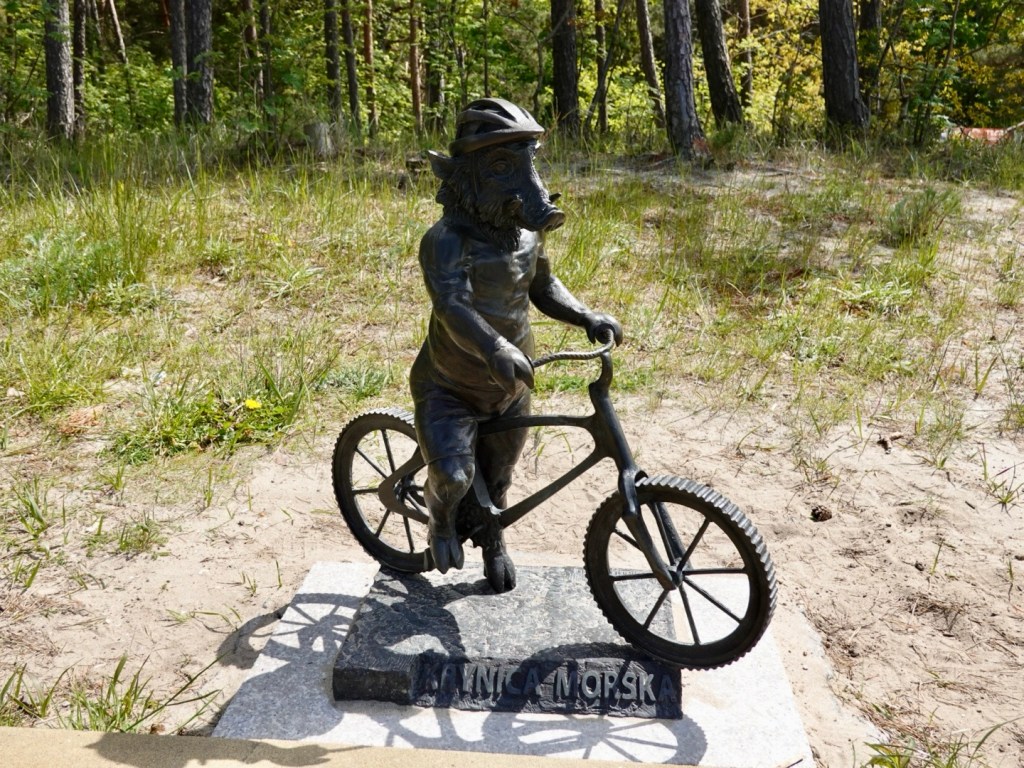
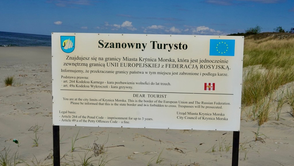
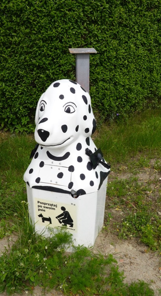
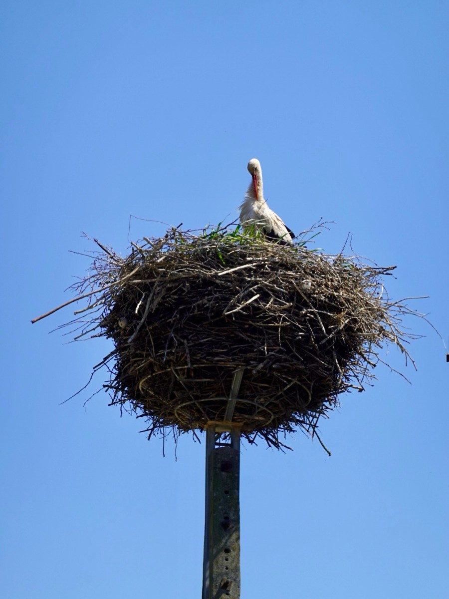
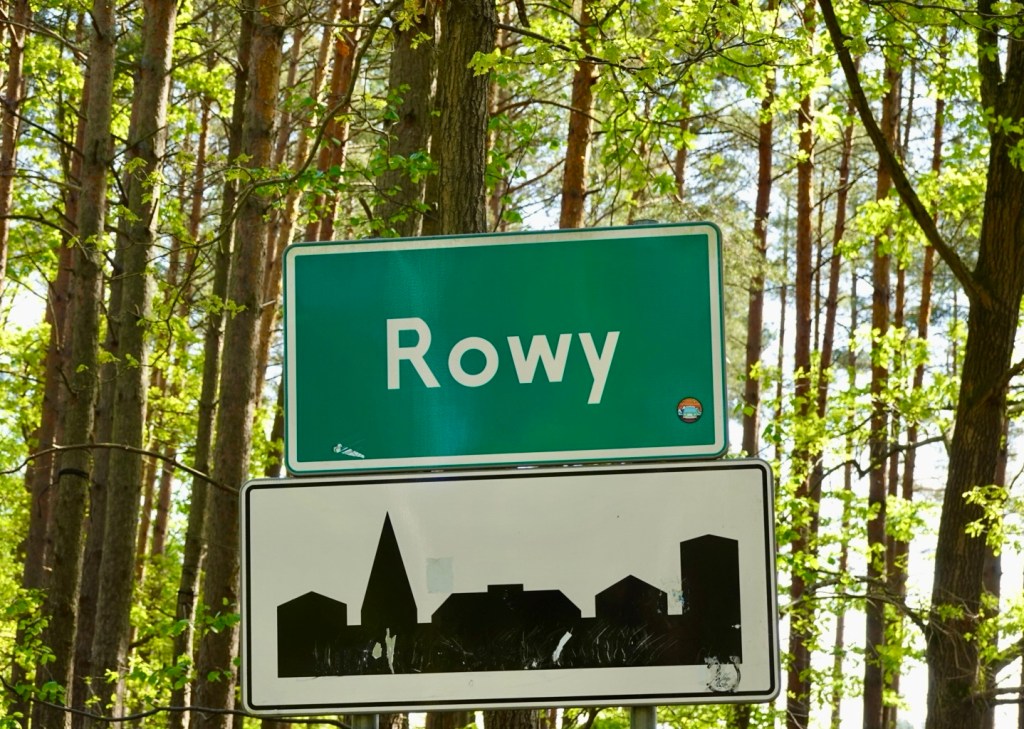
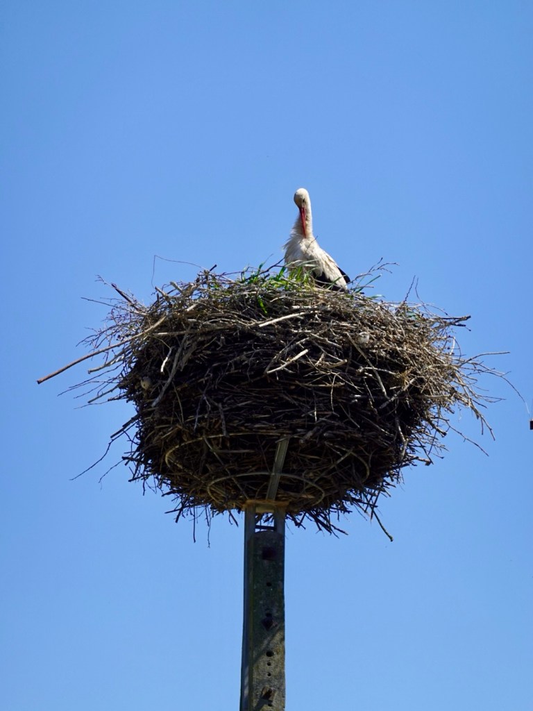
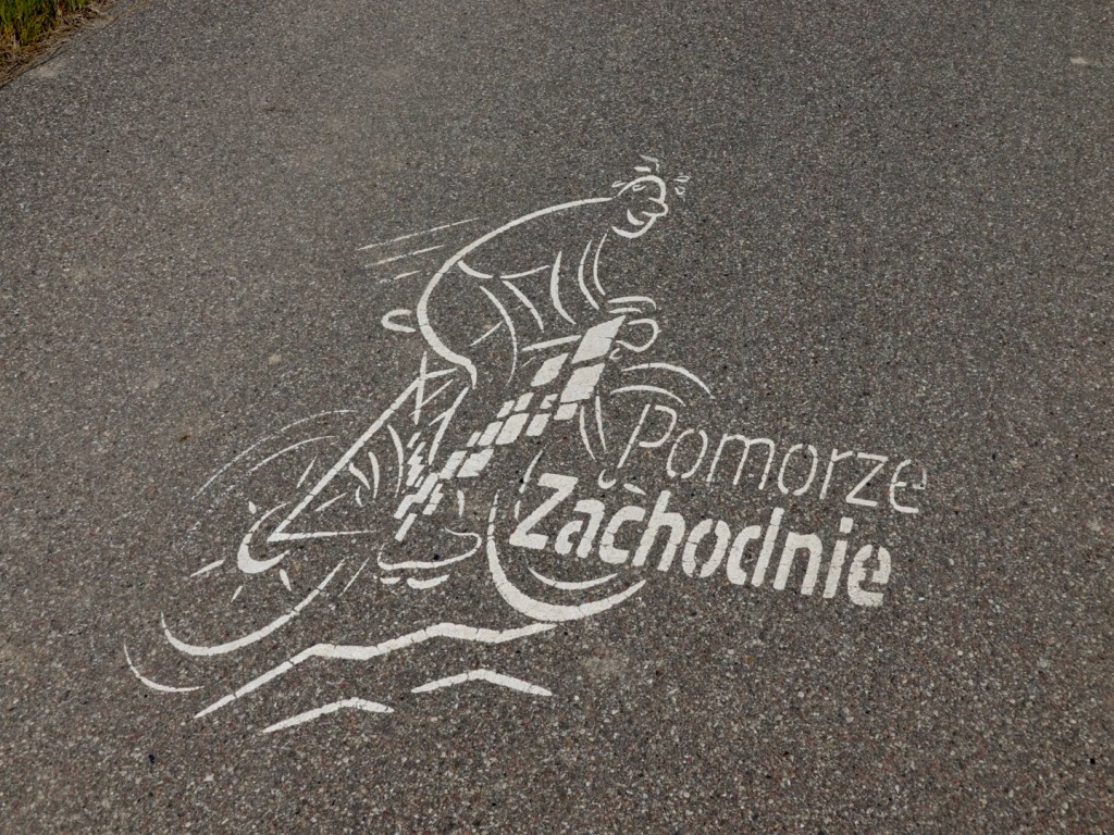
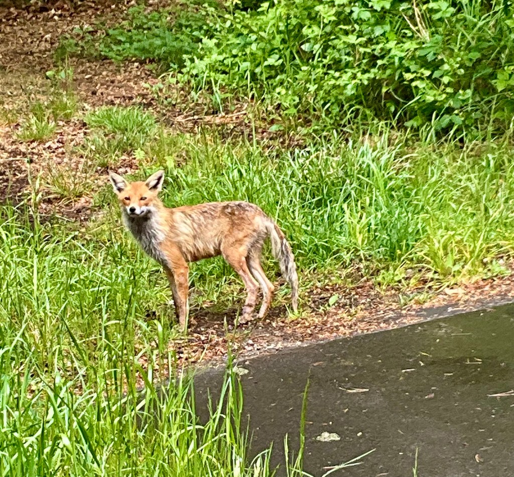
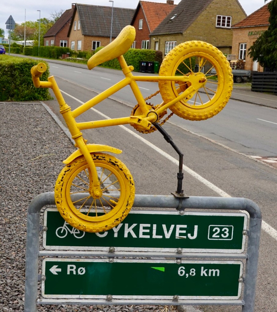
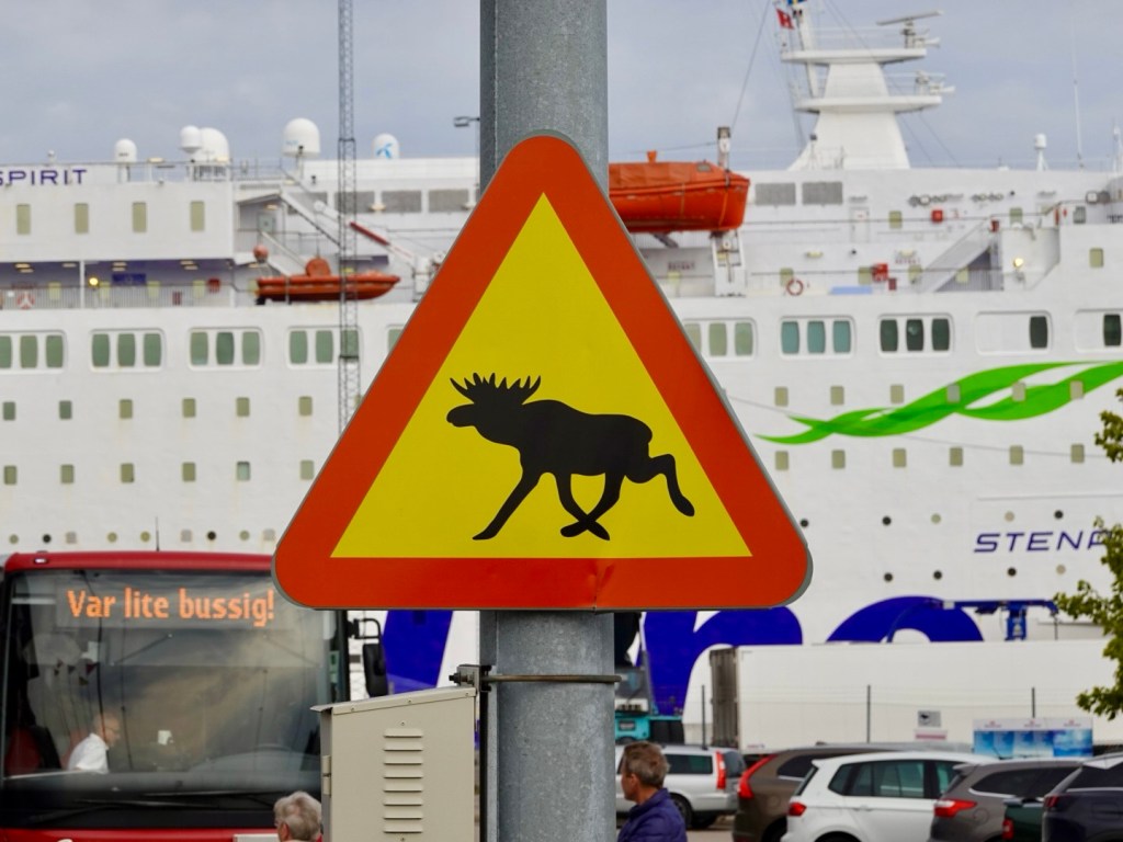
Love this sign. I hope I get to see one, but not running across the road in front of my bike!
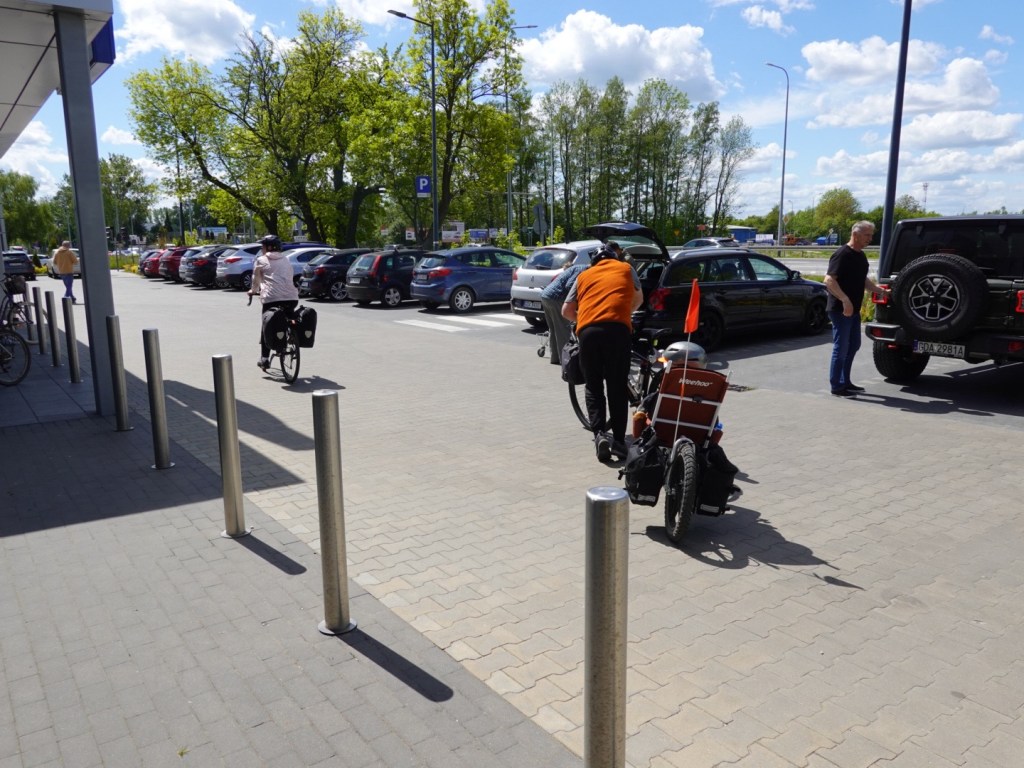
Getting out of the port was a bit messy as my map took us to construction spots with roads blocked, but we figured it out and were soon on our way.
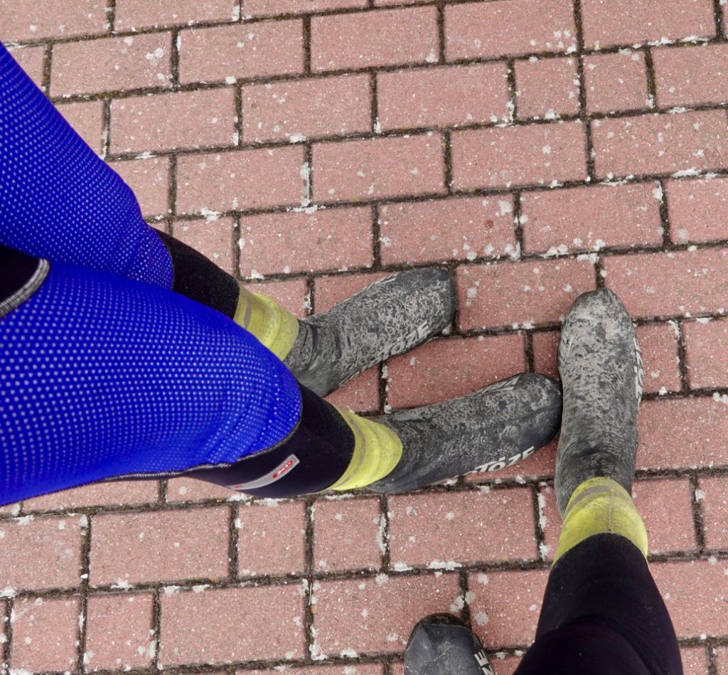
It was cool, about 10c with strongish winds.
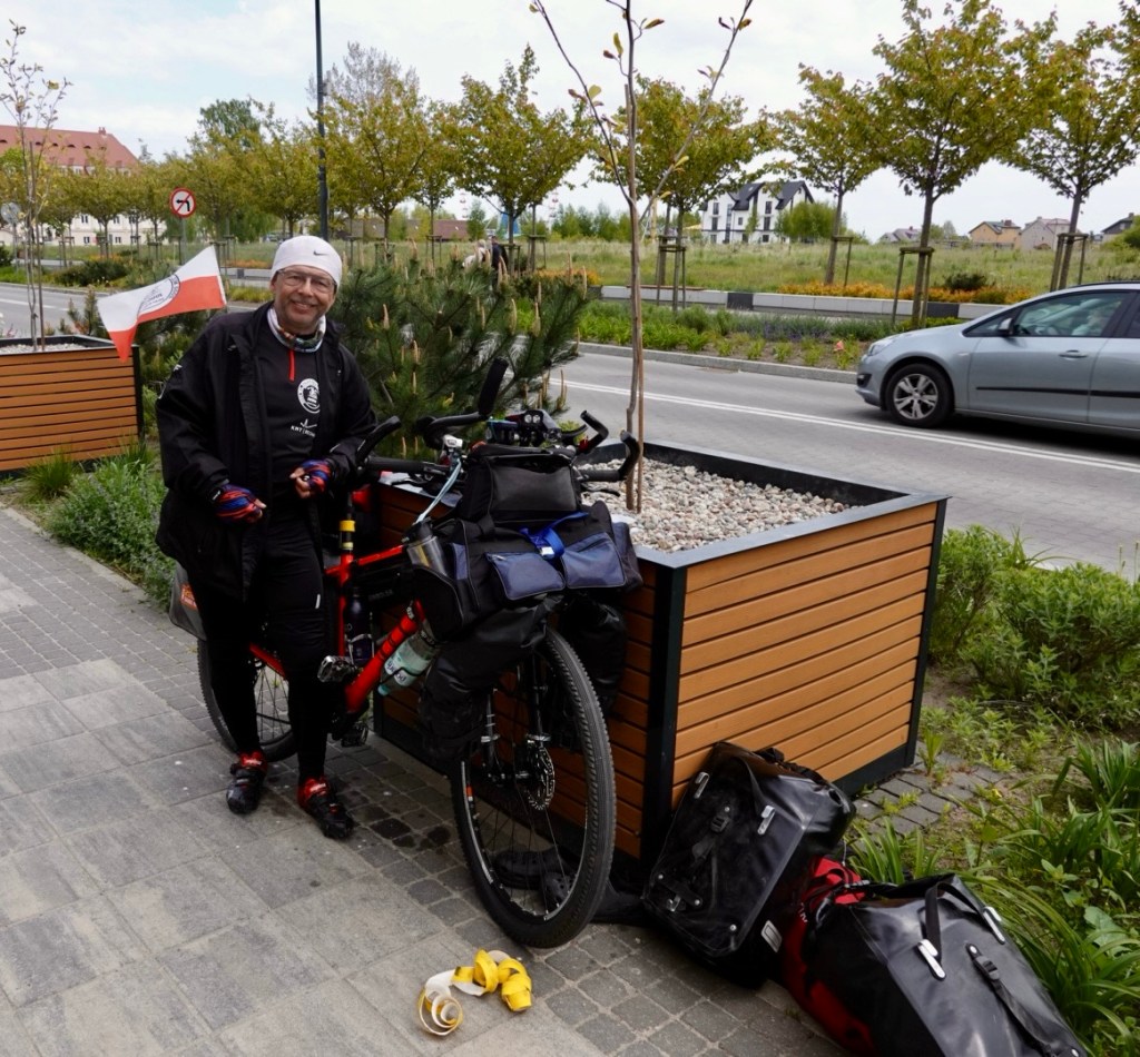
Our first stop was Nattraby, to meet Jennie, a cyclist I met through Zwift. Jennie lives locally and proudly supports her Galaxy club, and rides a purple bike (Galaxy colours) that she built up herself. Clever lady.
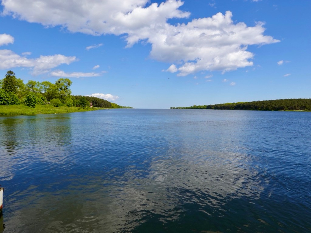
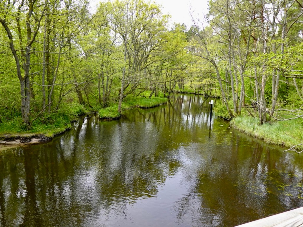
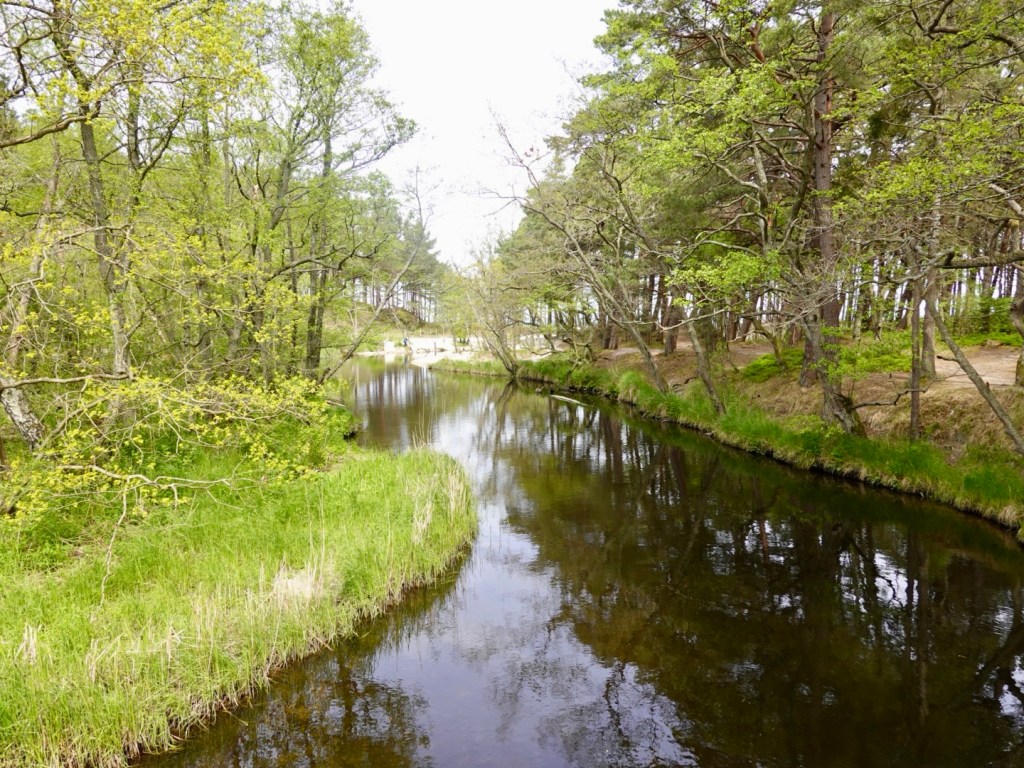
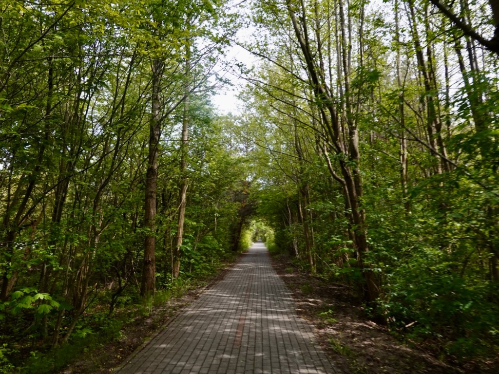
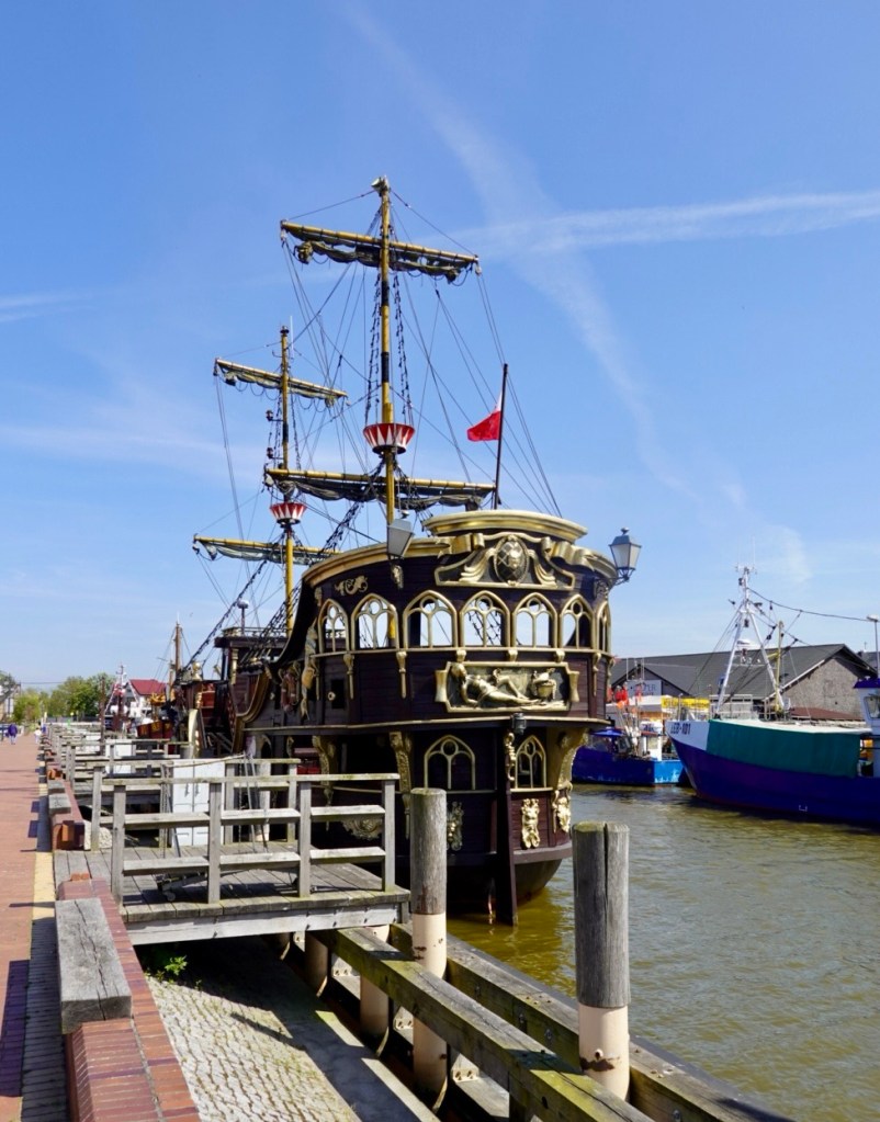
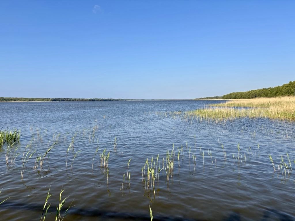
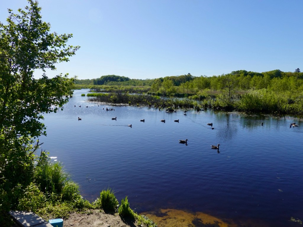
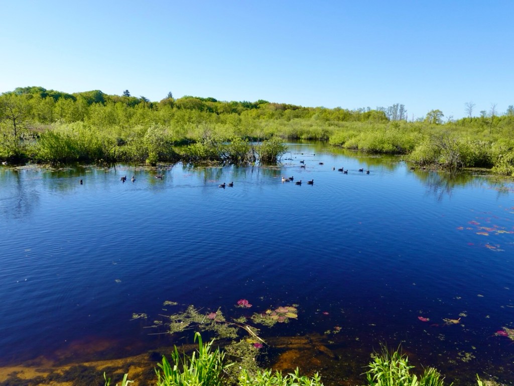
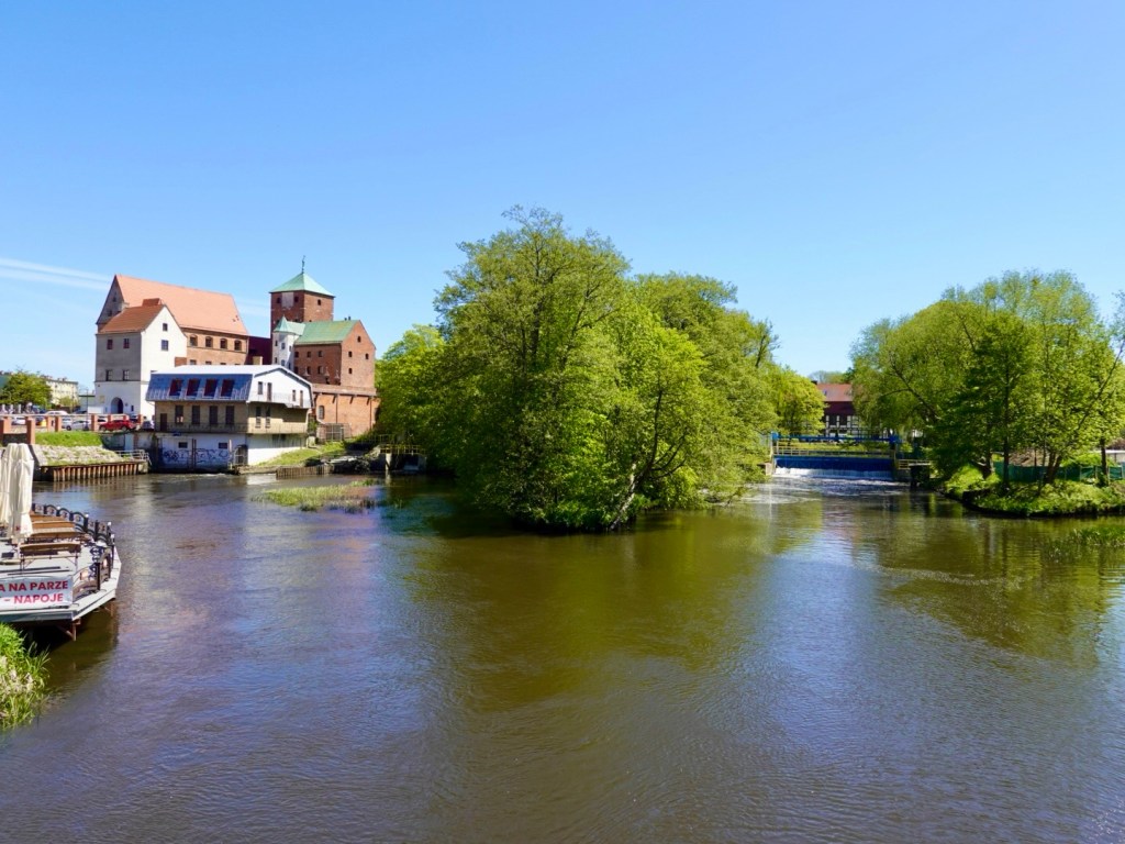
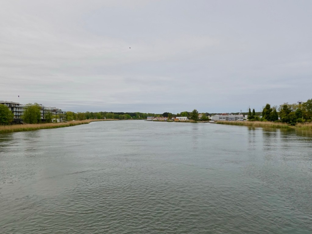
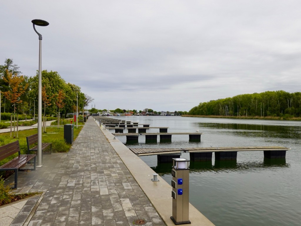
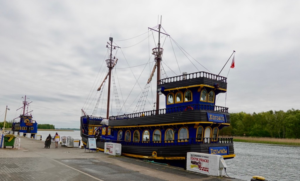
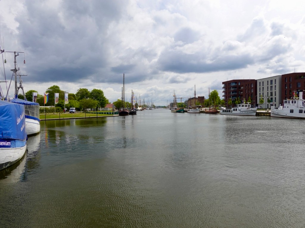
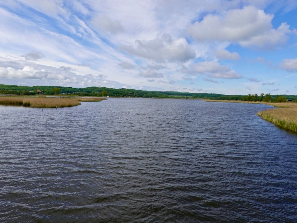
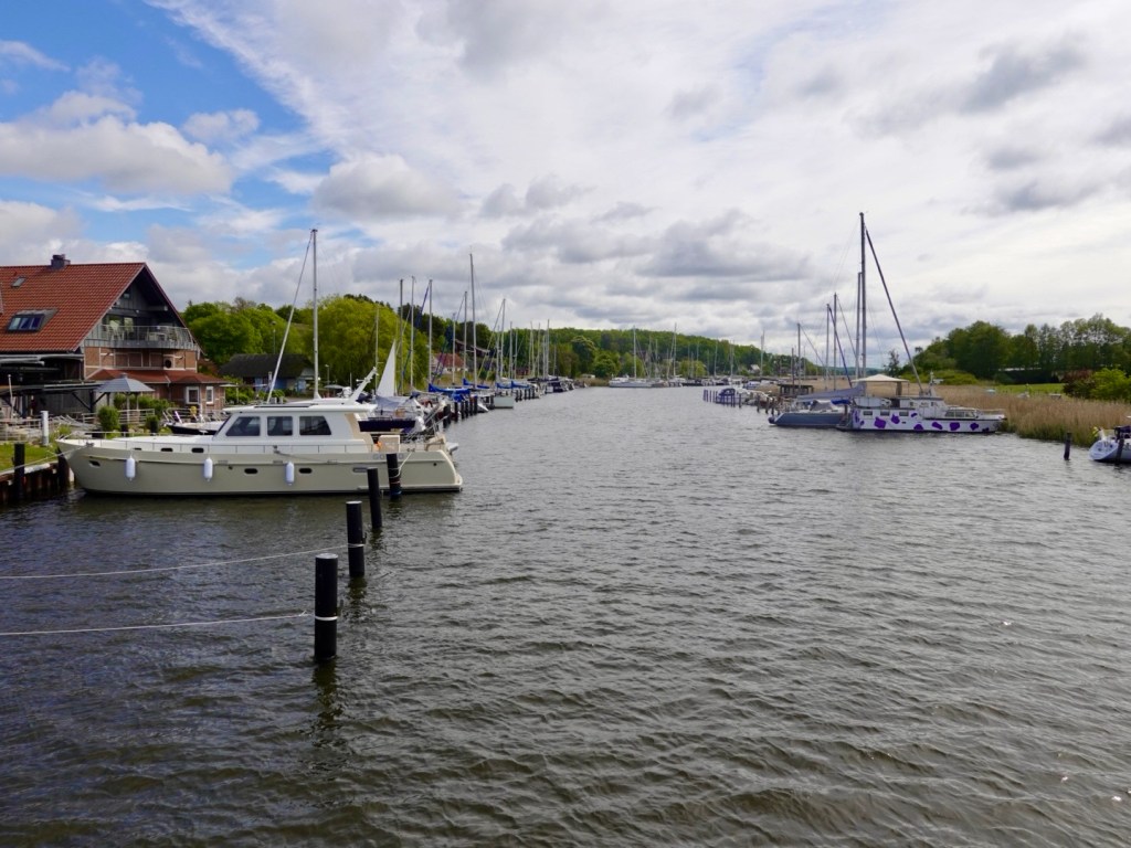
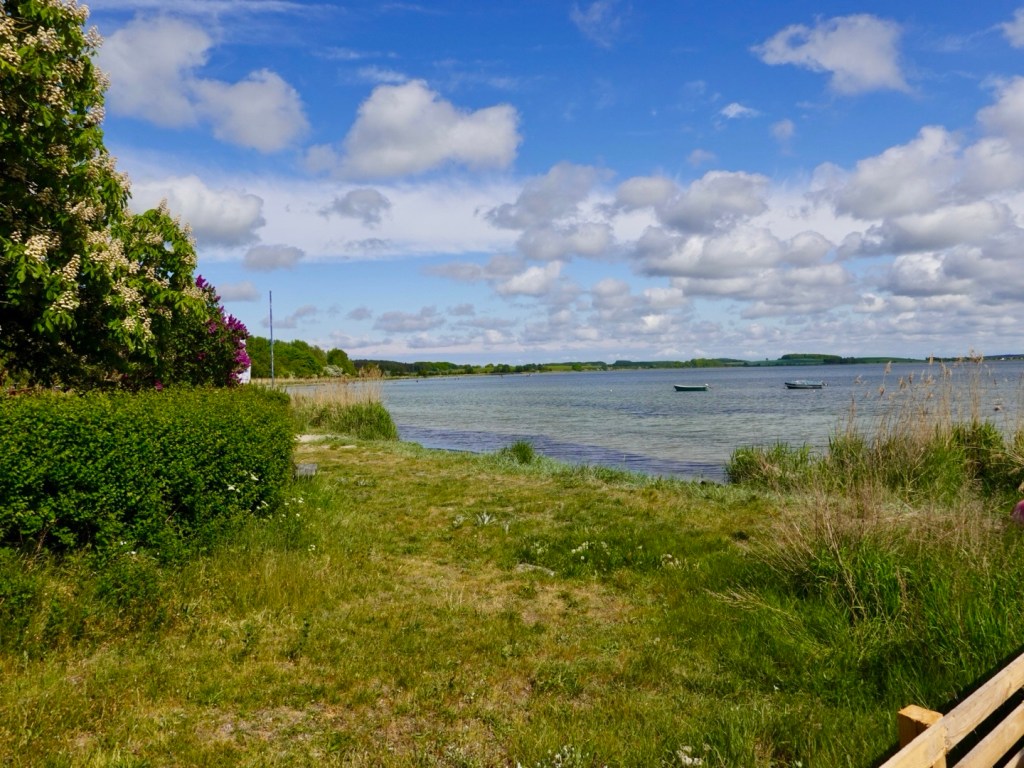
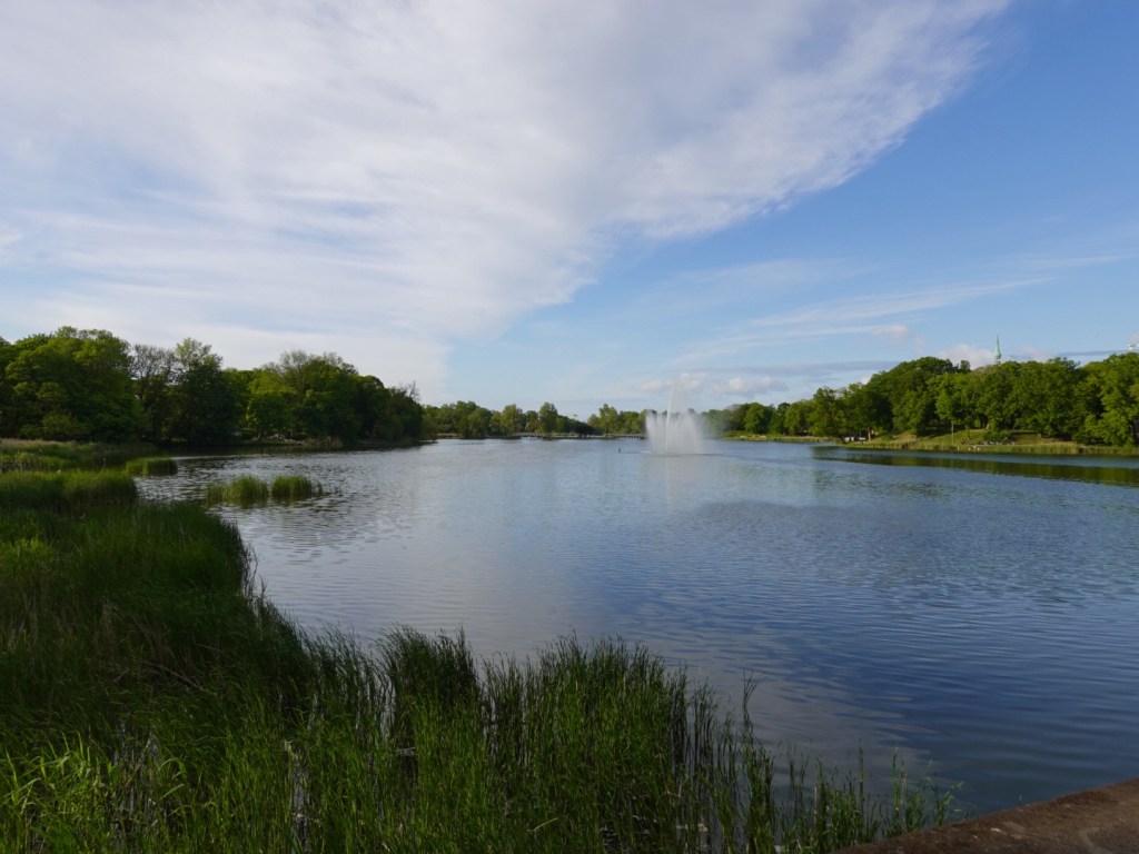
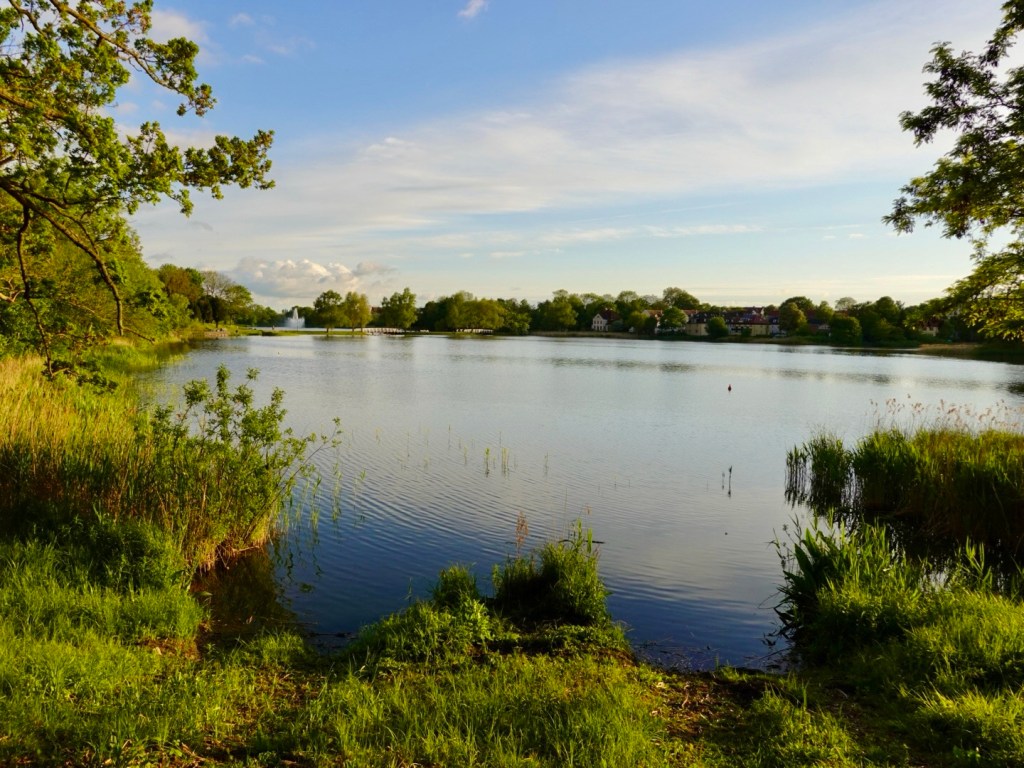
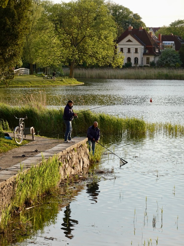
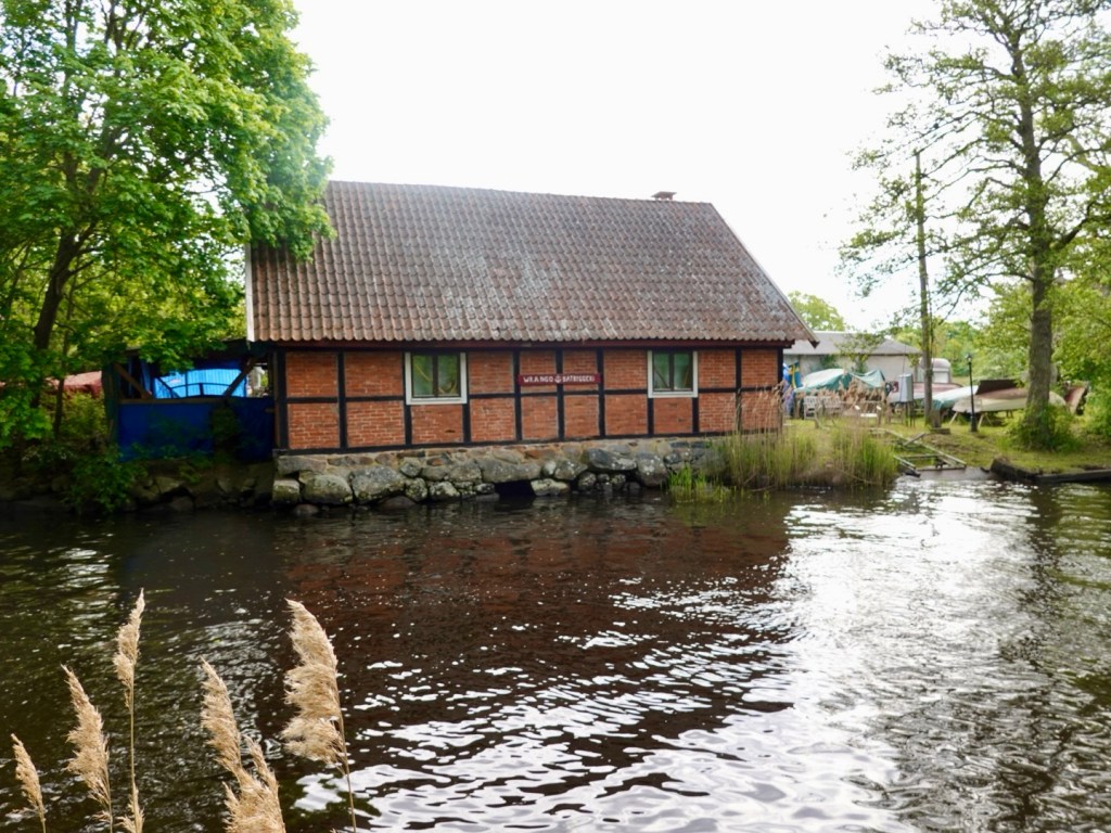
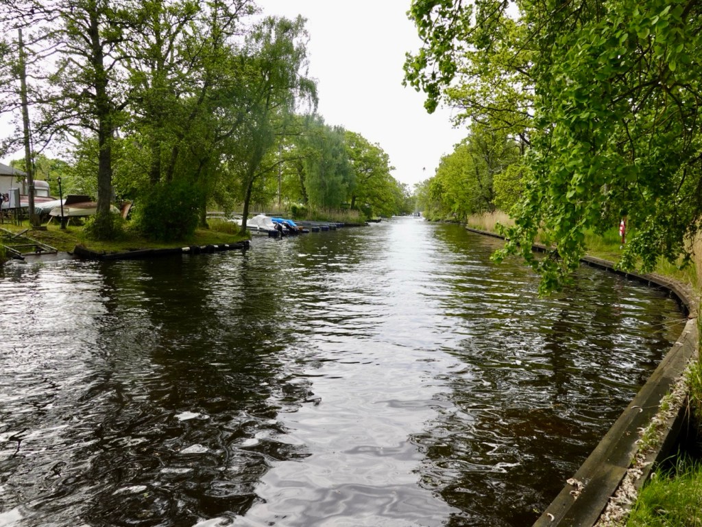
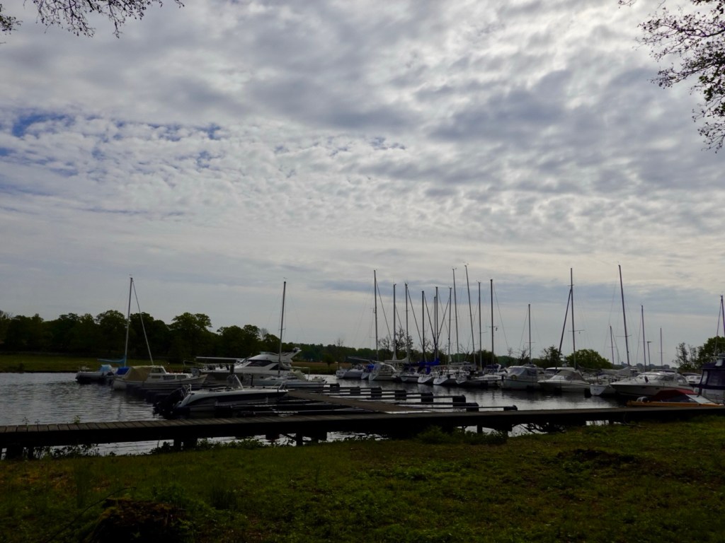
We followed a path by the Nattrabyan River, popular with tourists on boats from Karlskrona.
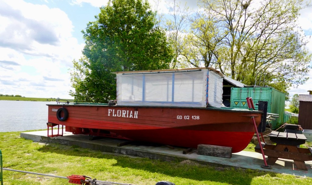
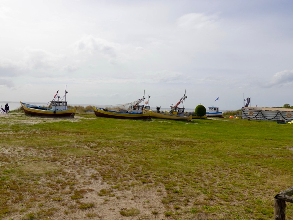
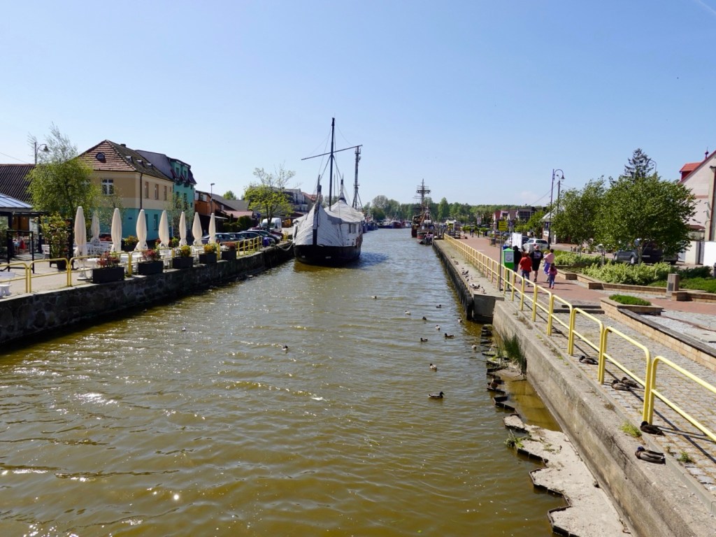
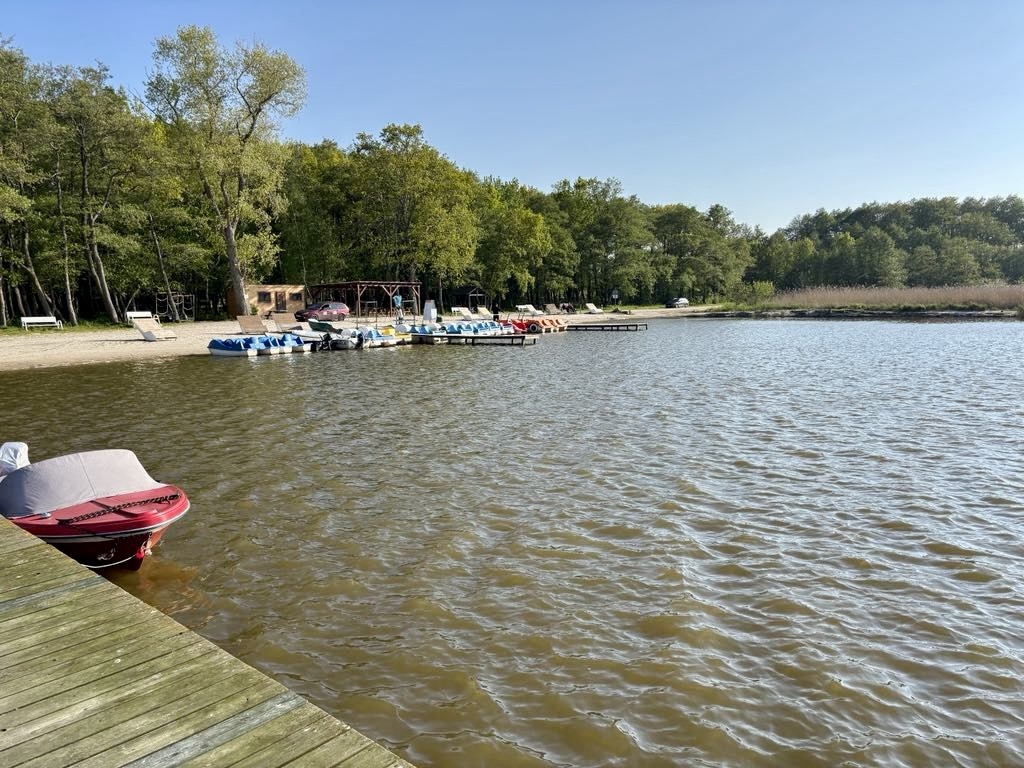
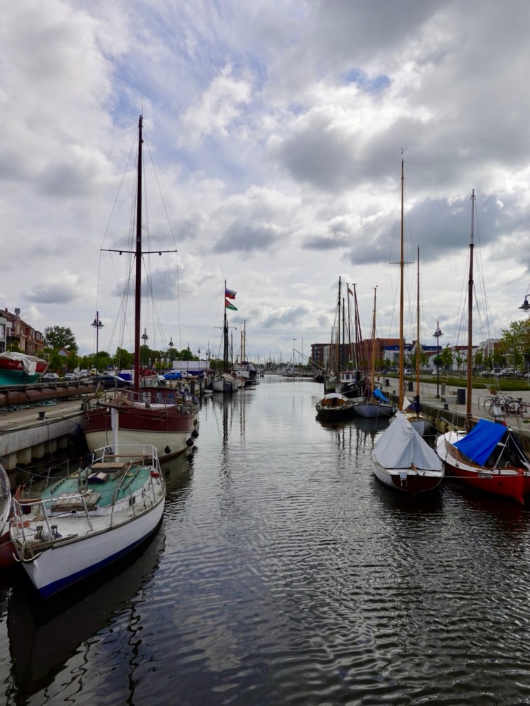
Nice boat houses dot the river.
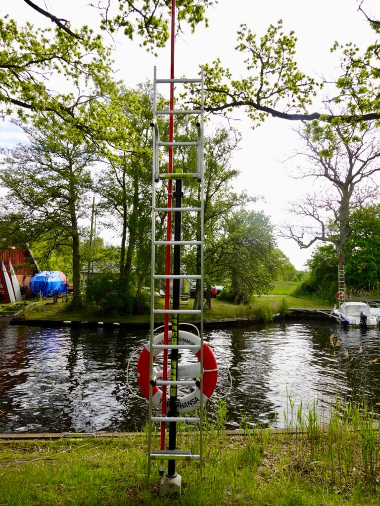
The safety buoys and ladders appear at regular intervals.
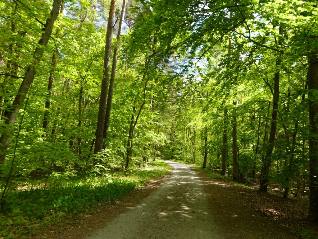
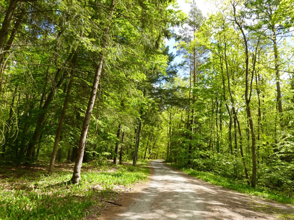
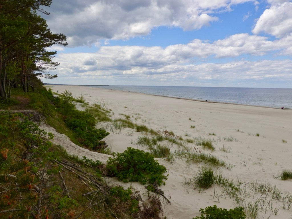
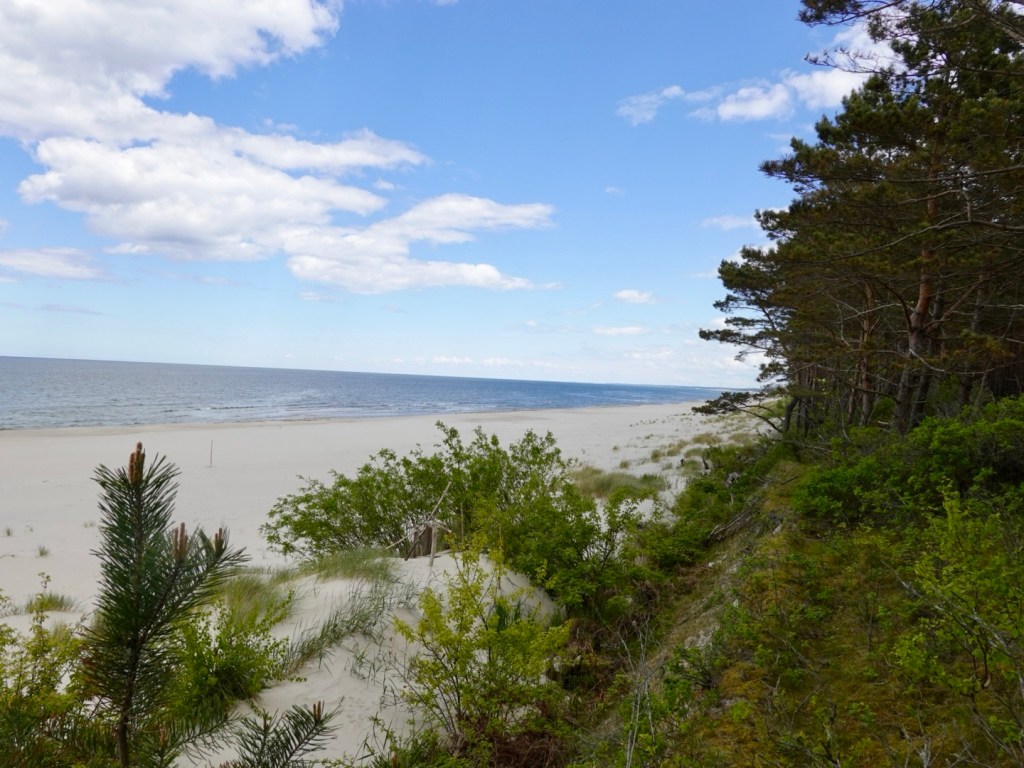
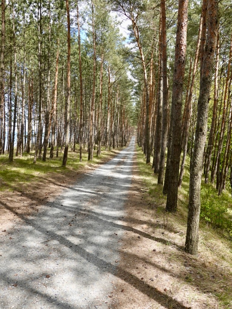
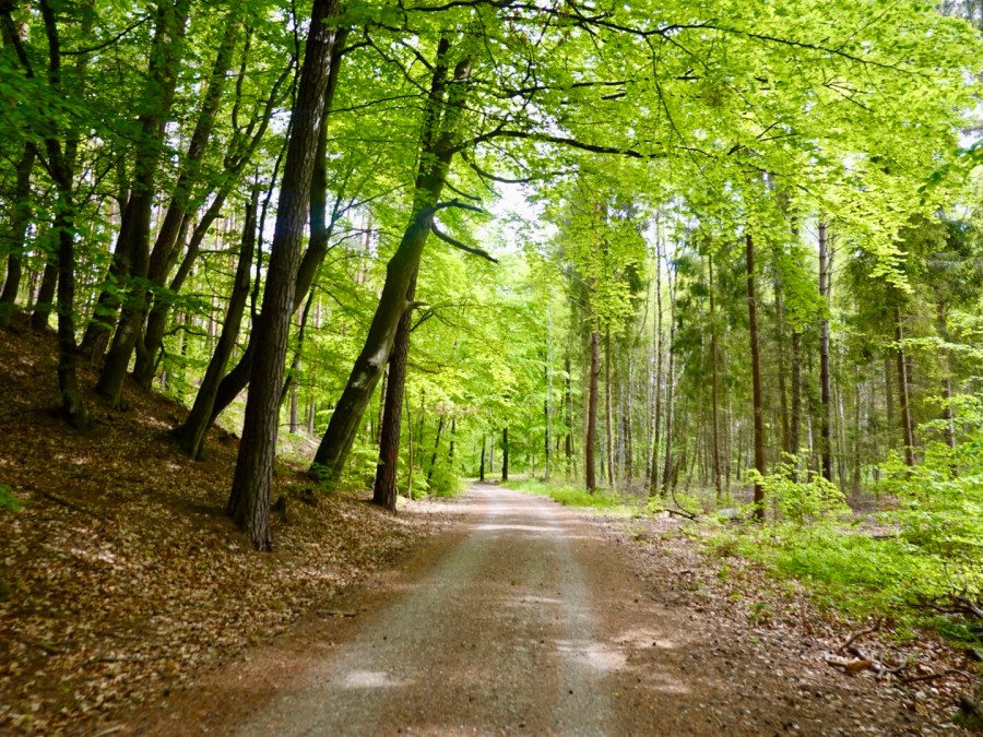
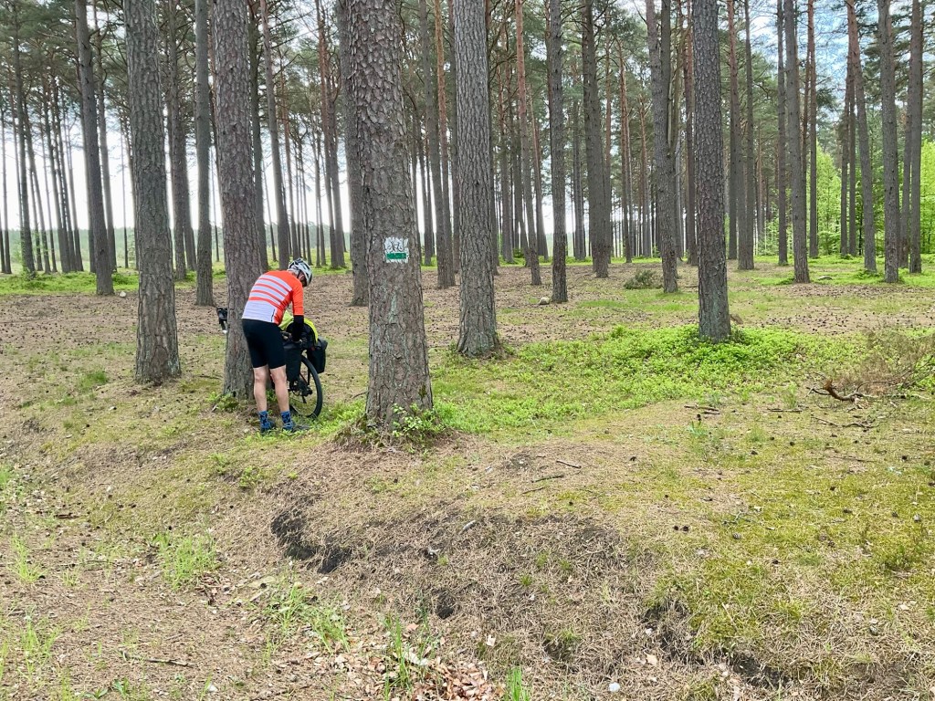
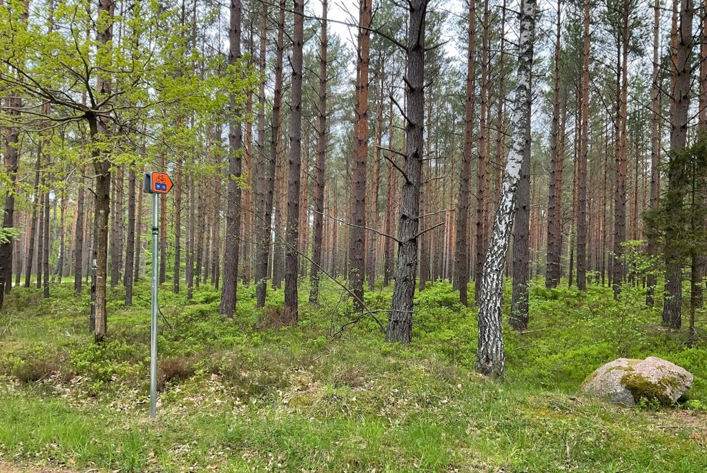
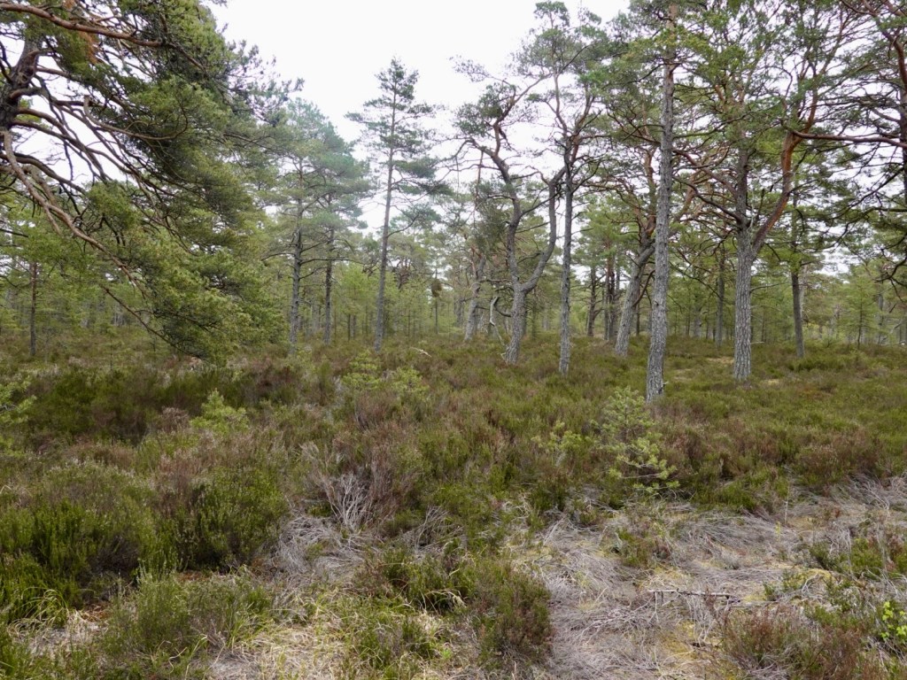
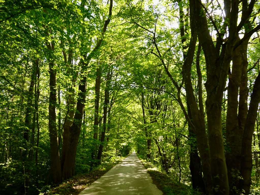
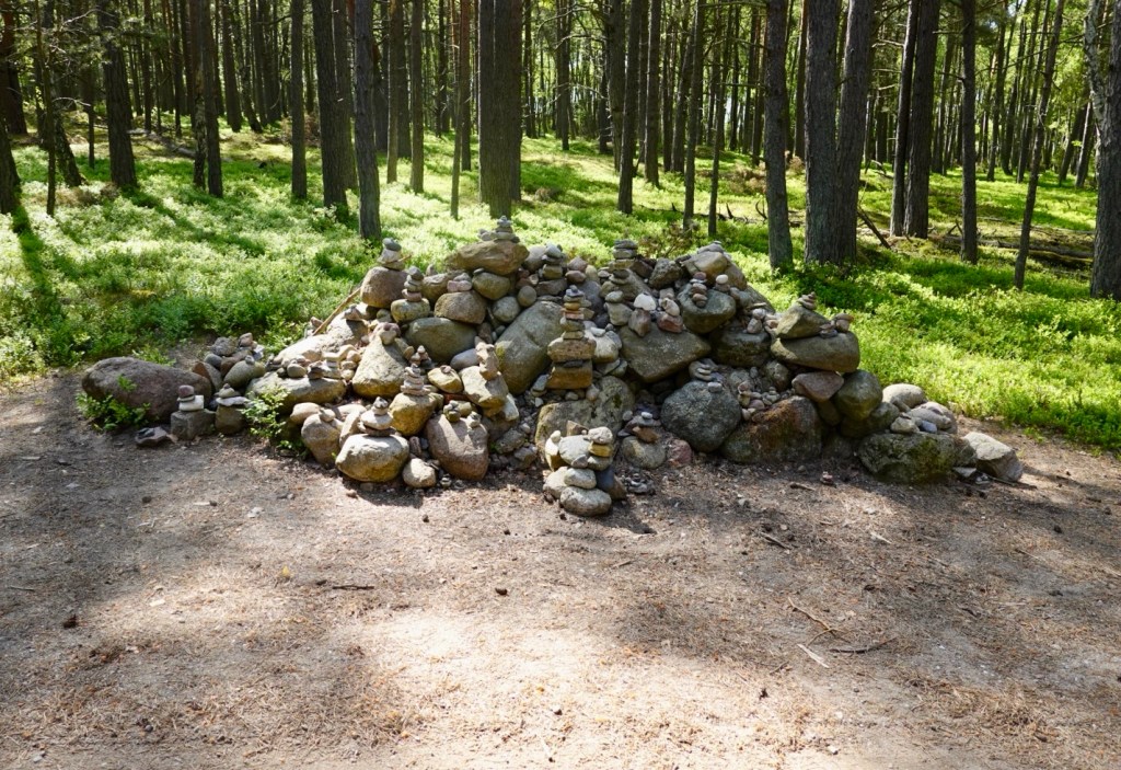
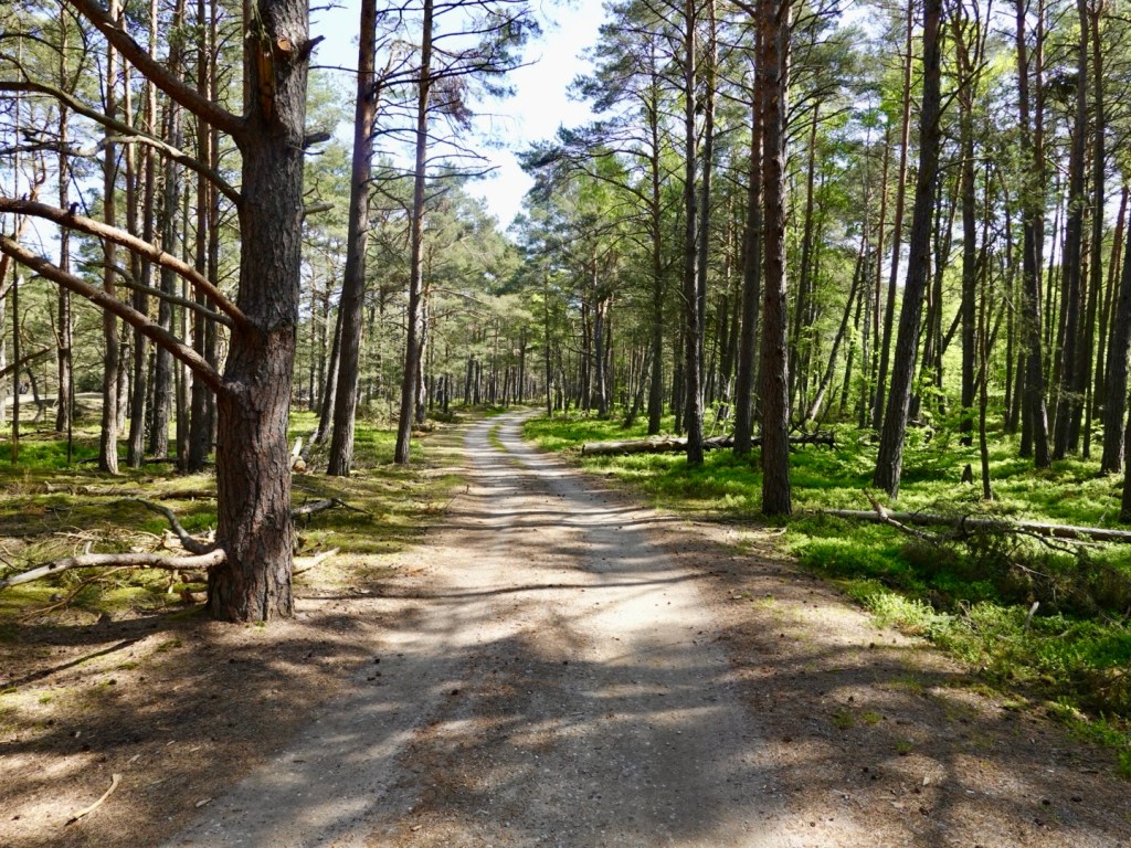
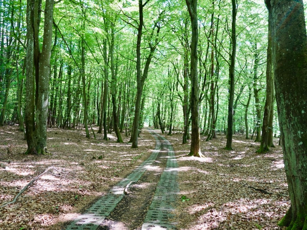
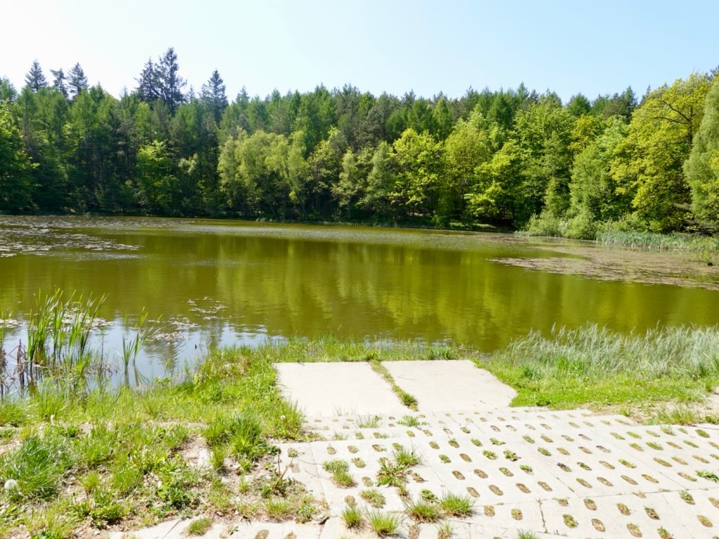
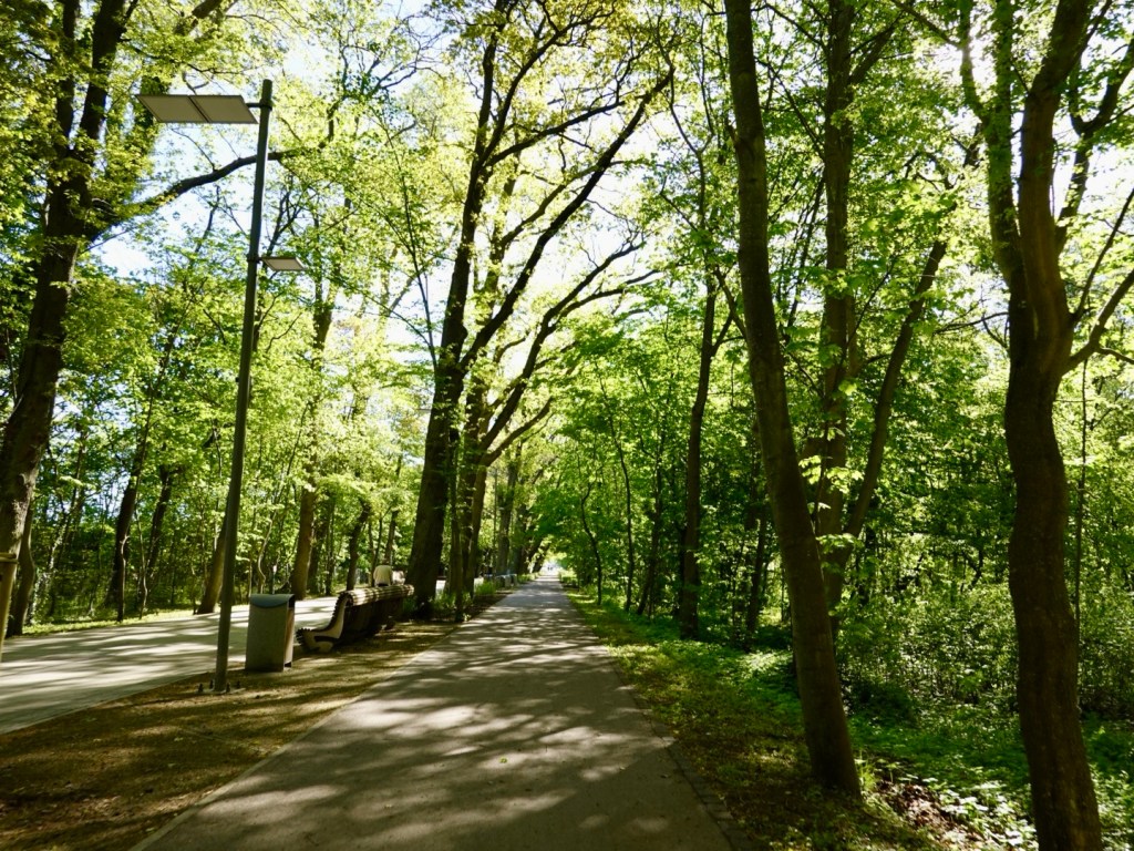
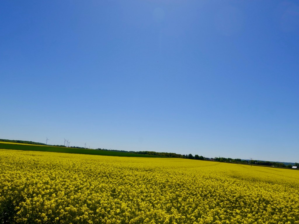
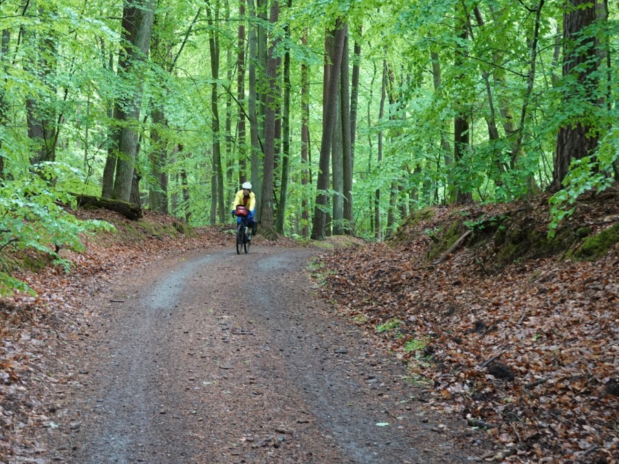
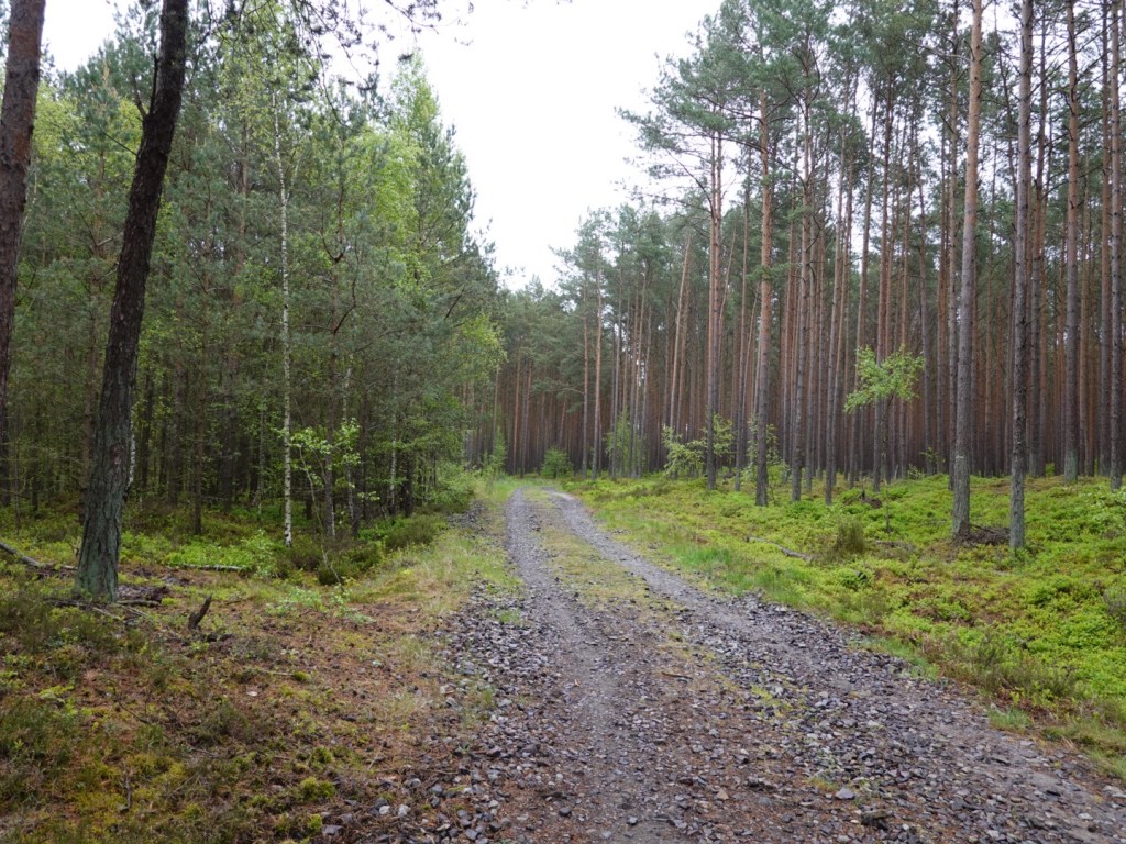
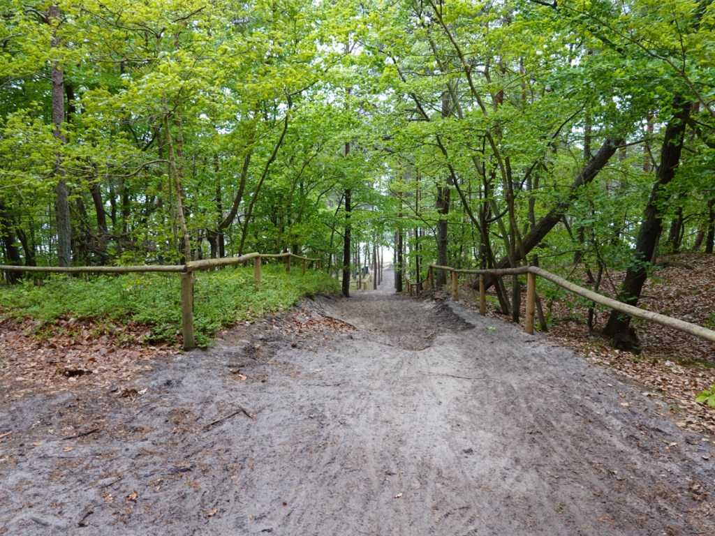
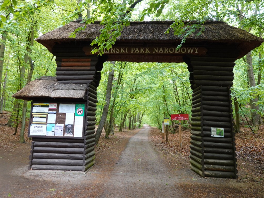
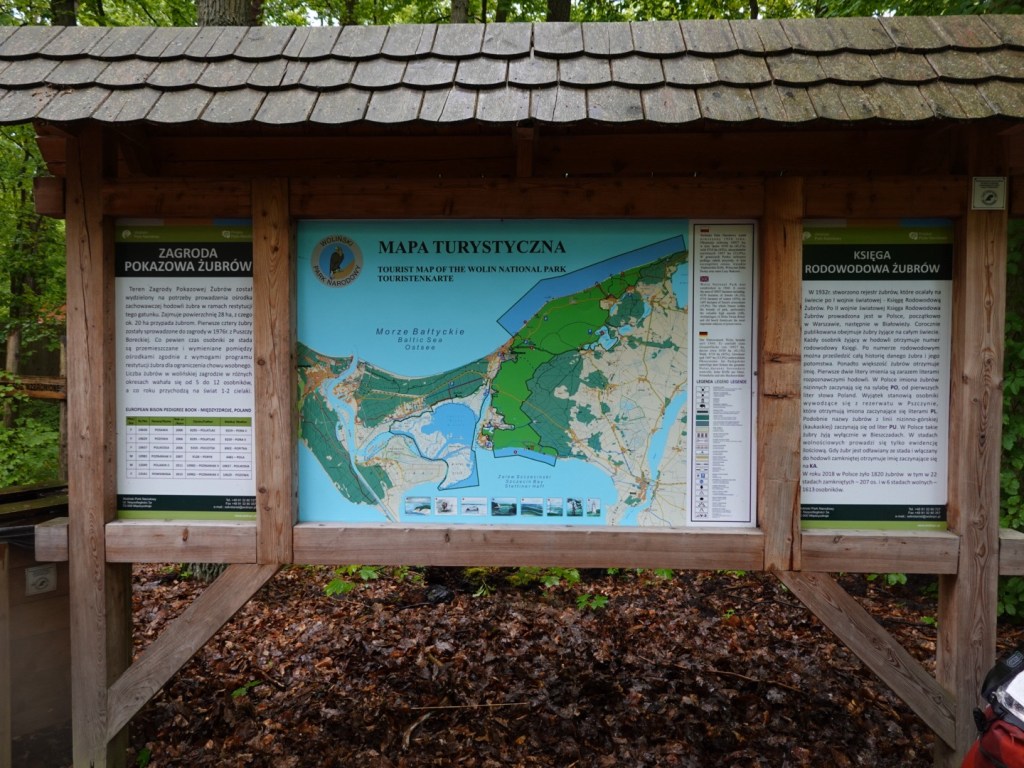
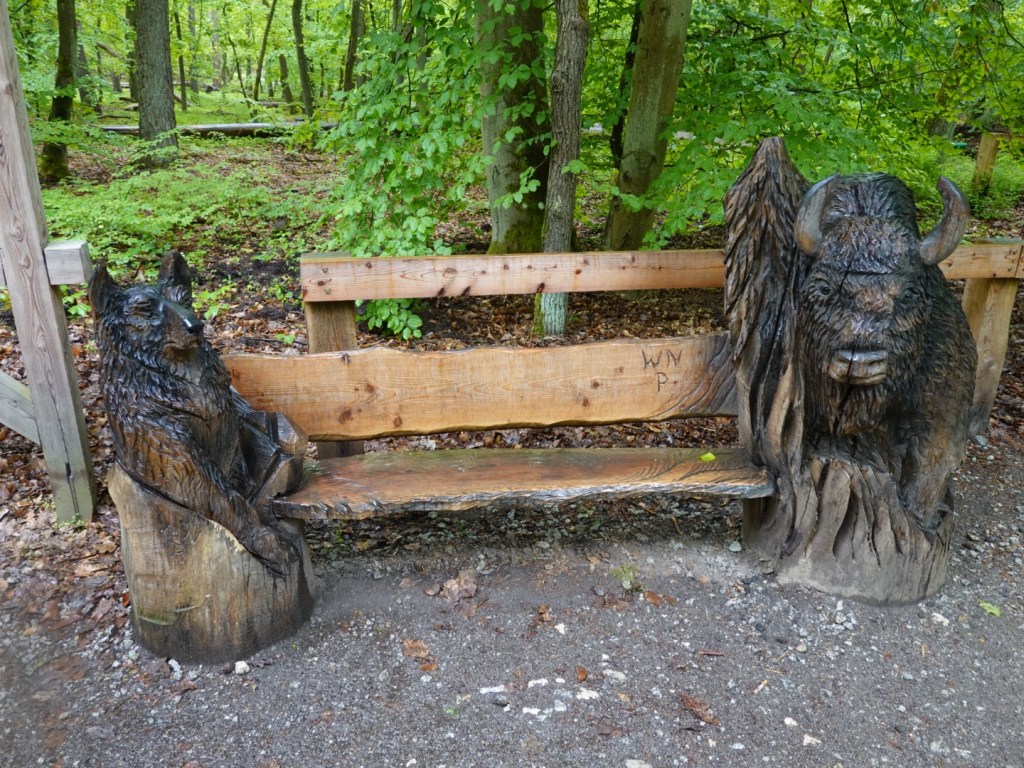
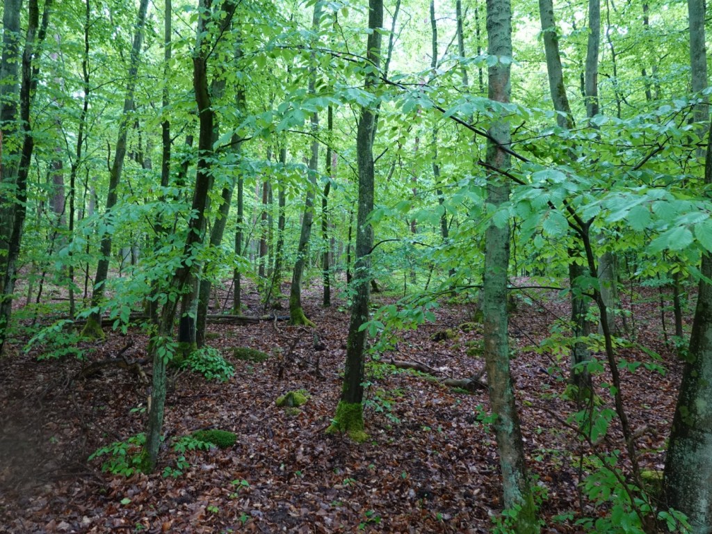
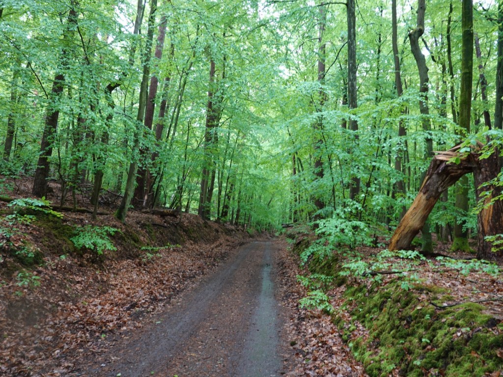
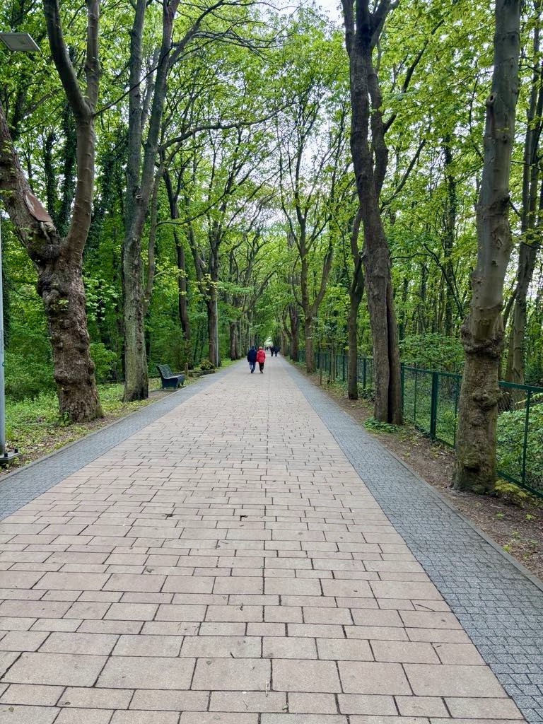
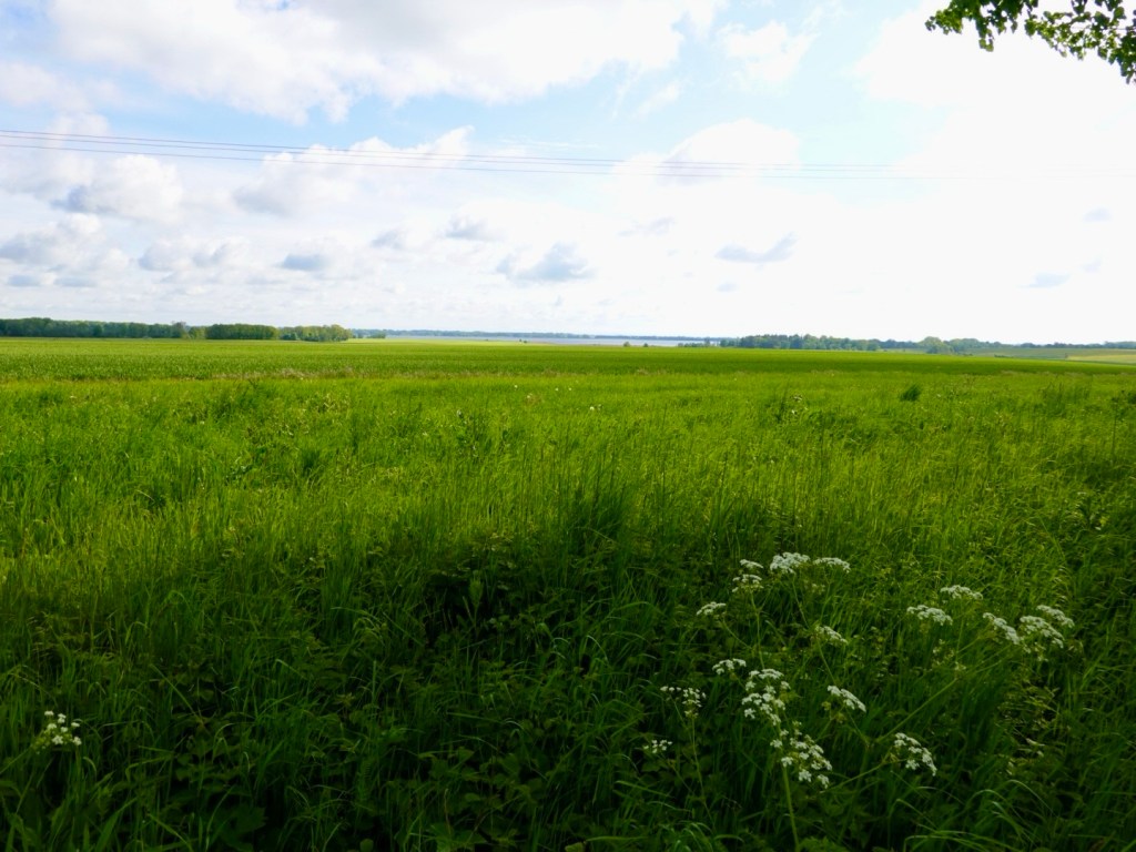
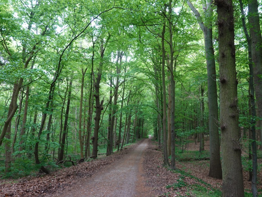
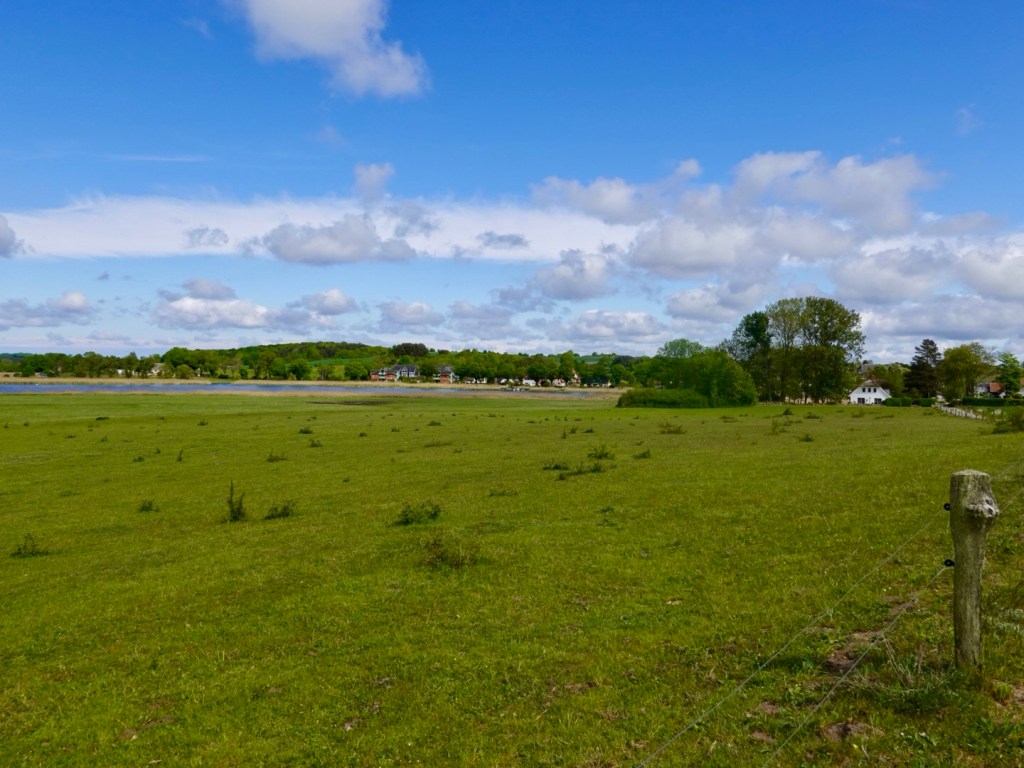
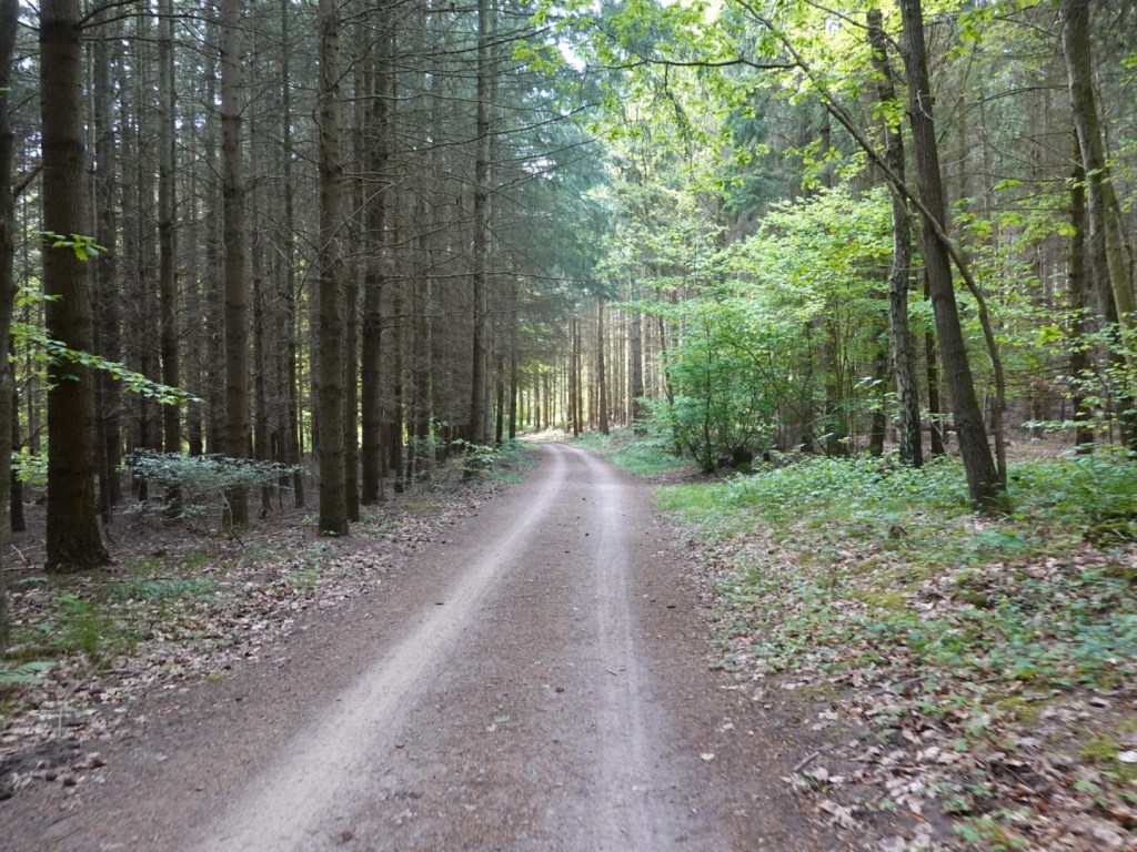
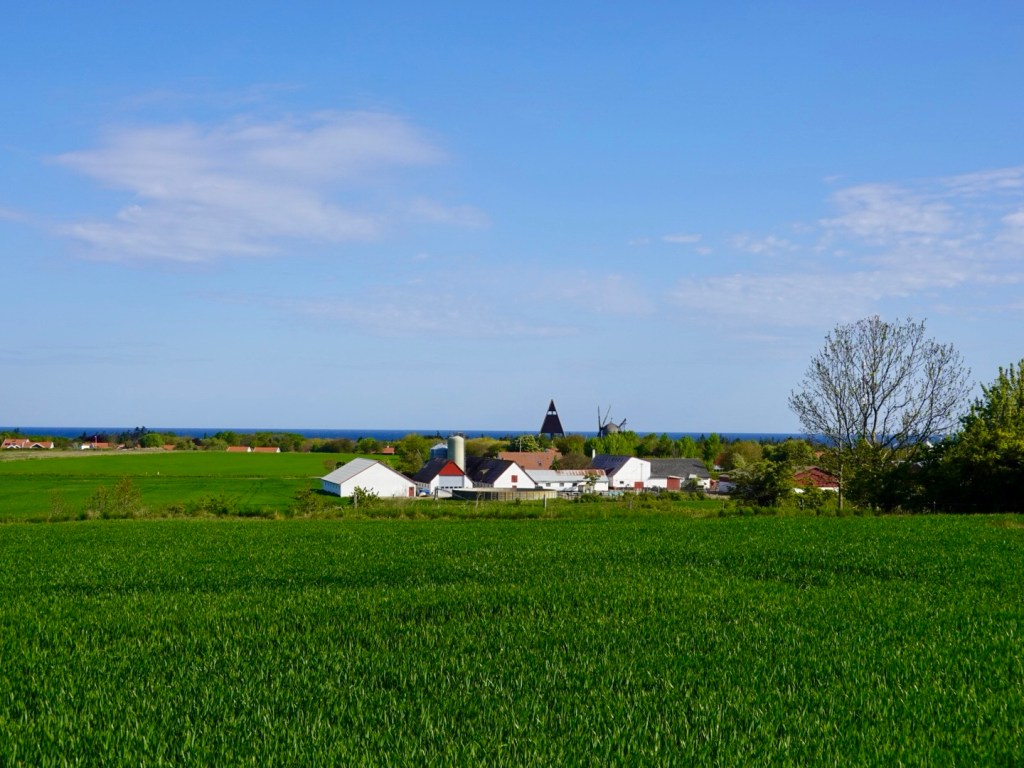
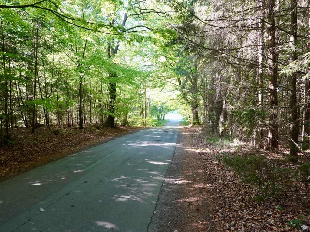
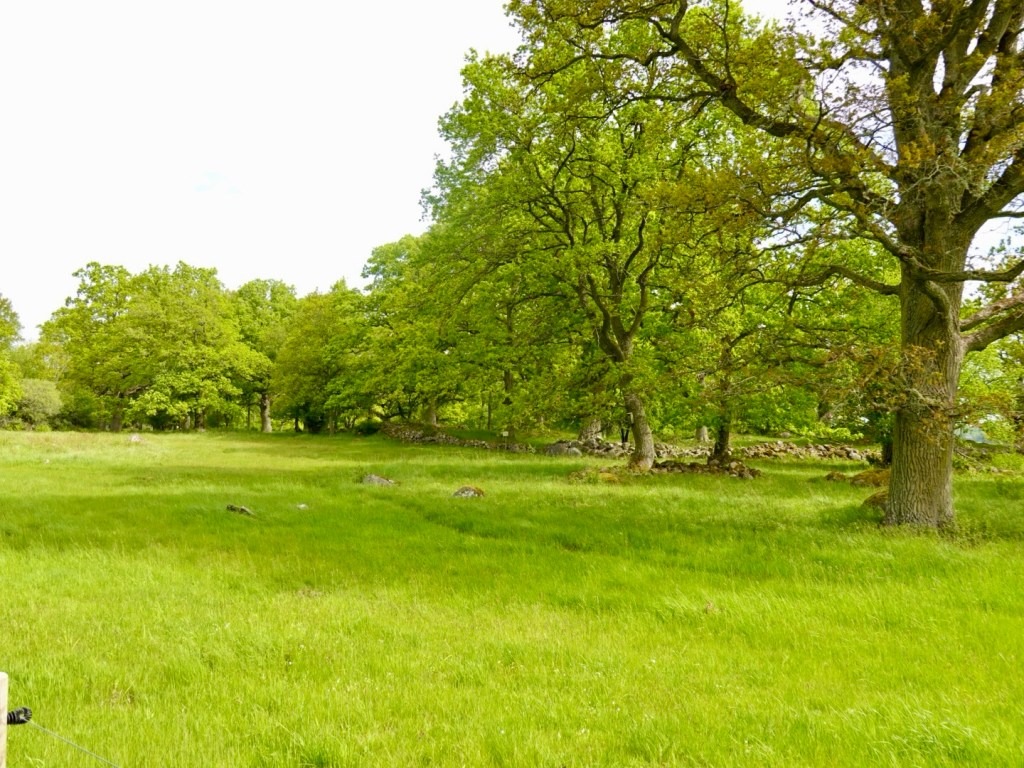
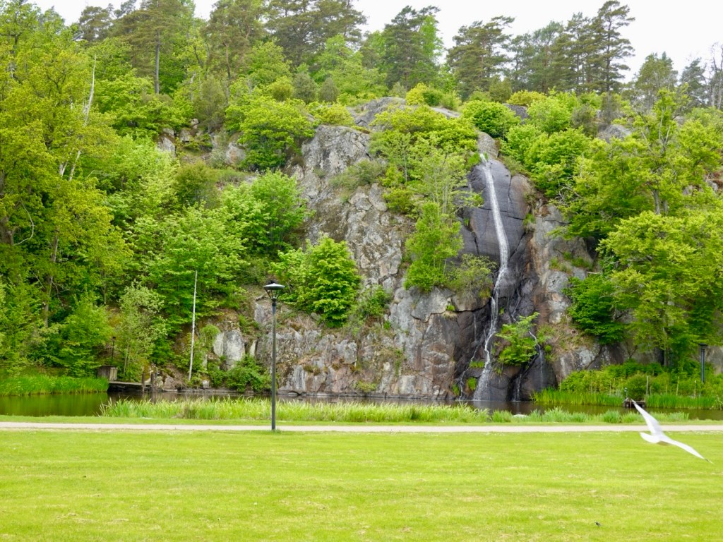
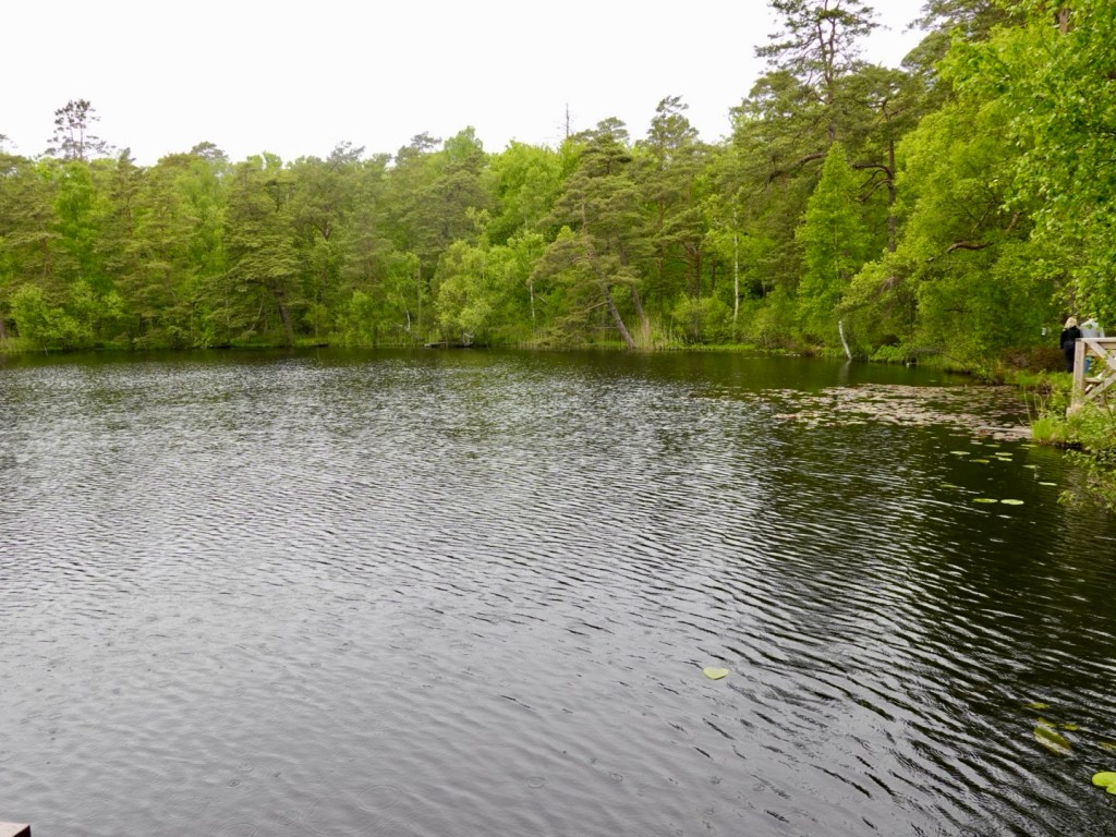
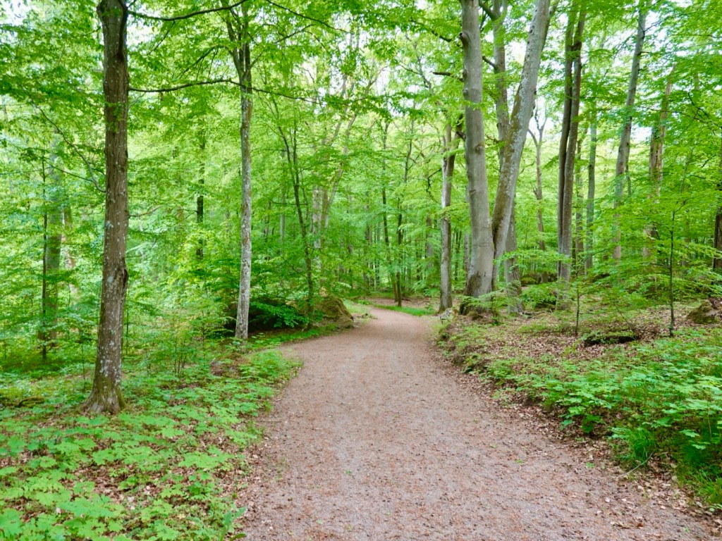
Nice forests and nature reserves.
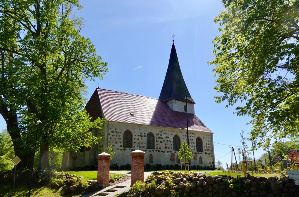
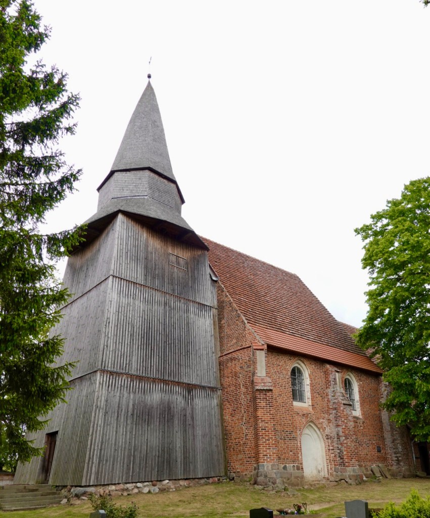
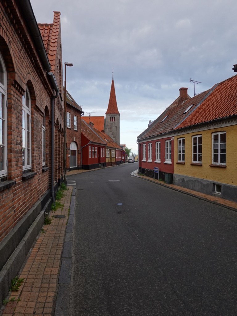
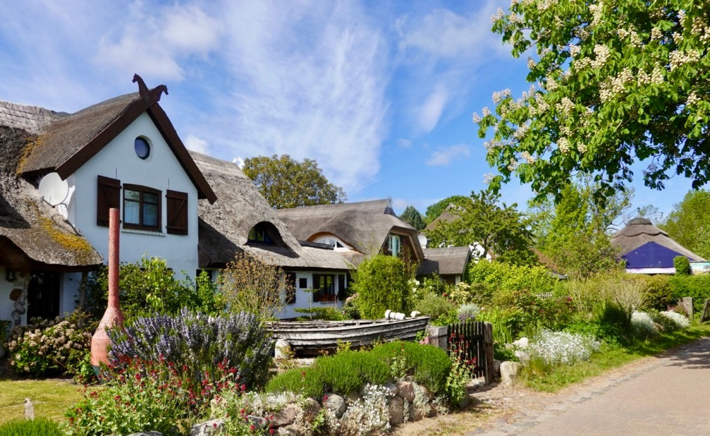
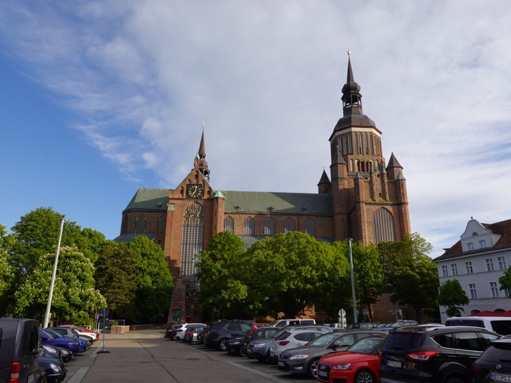
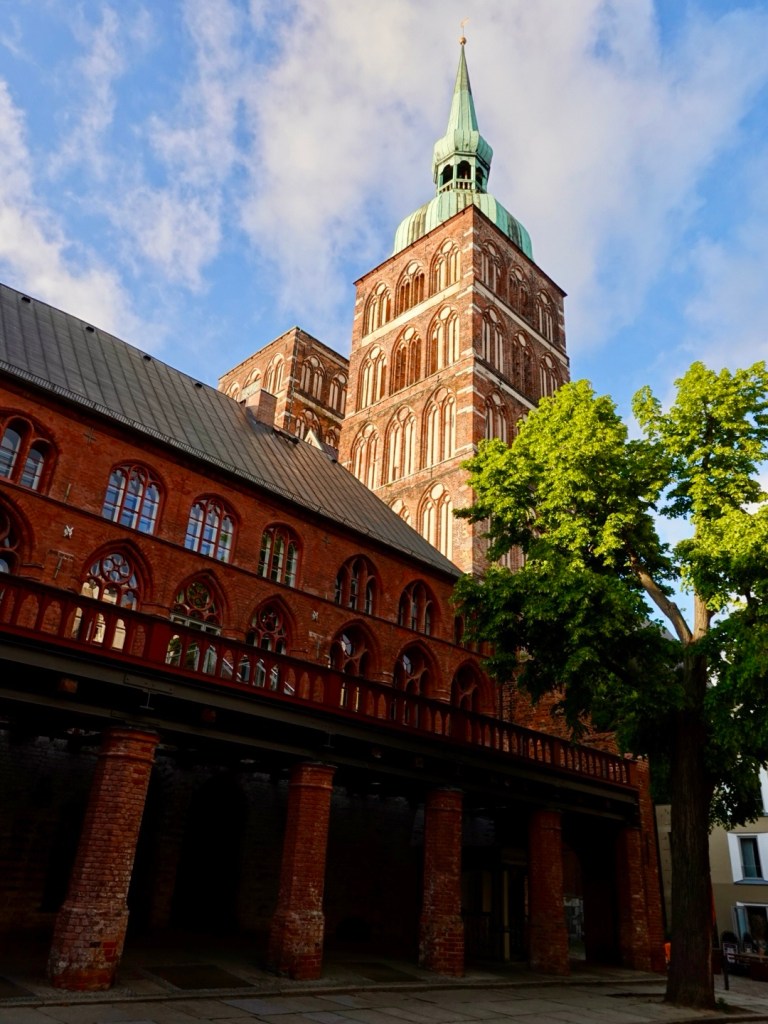
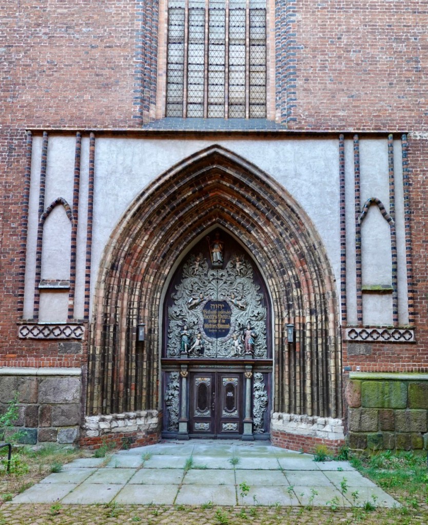
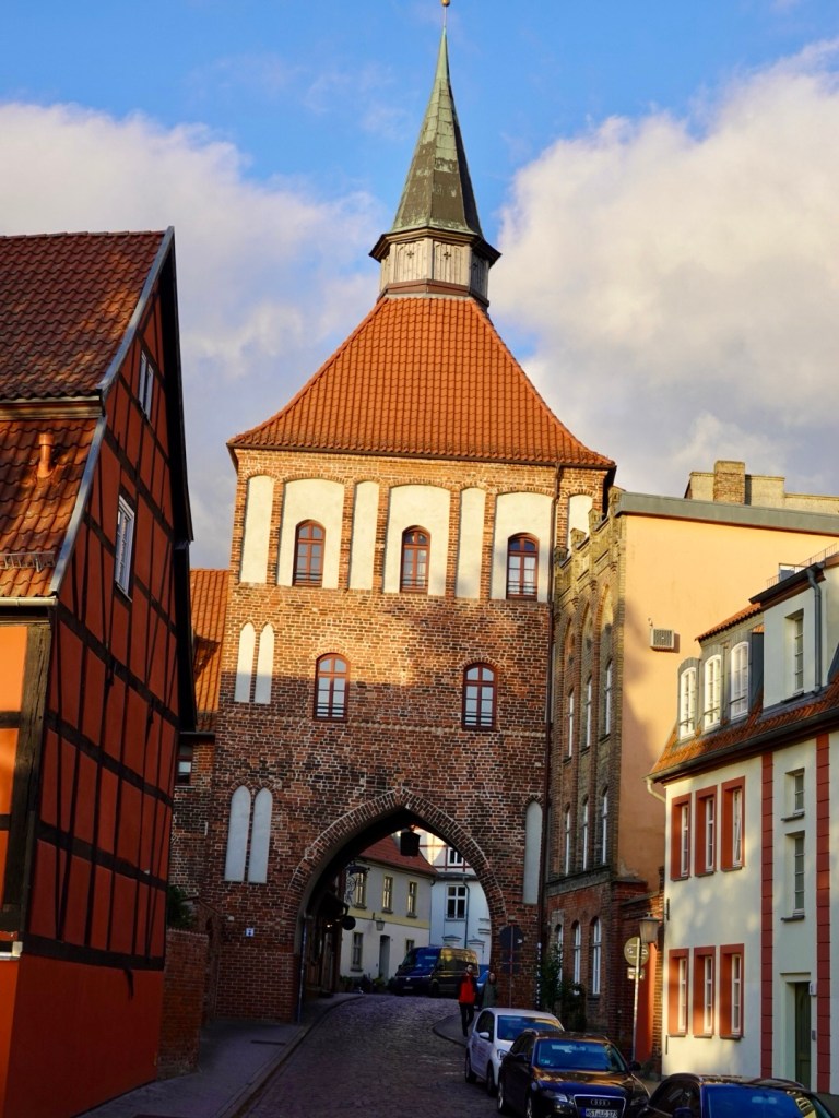
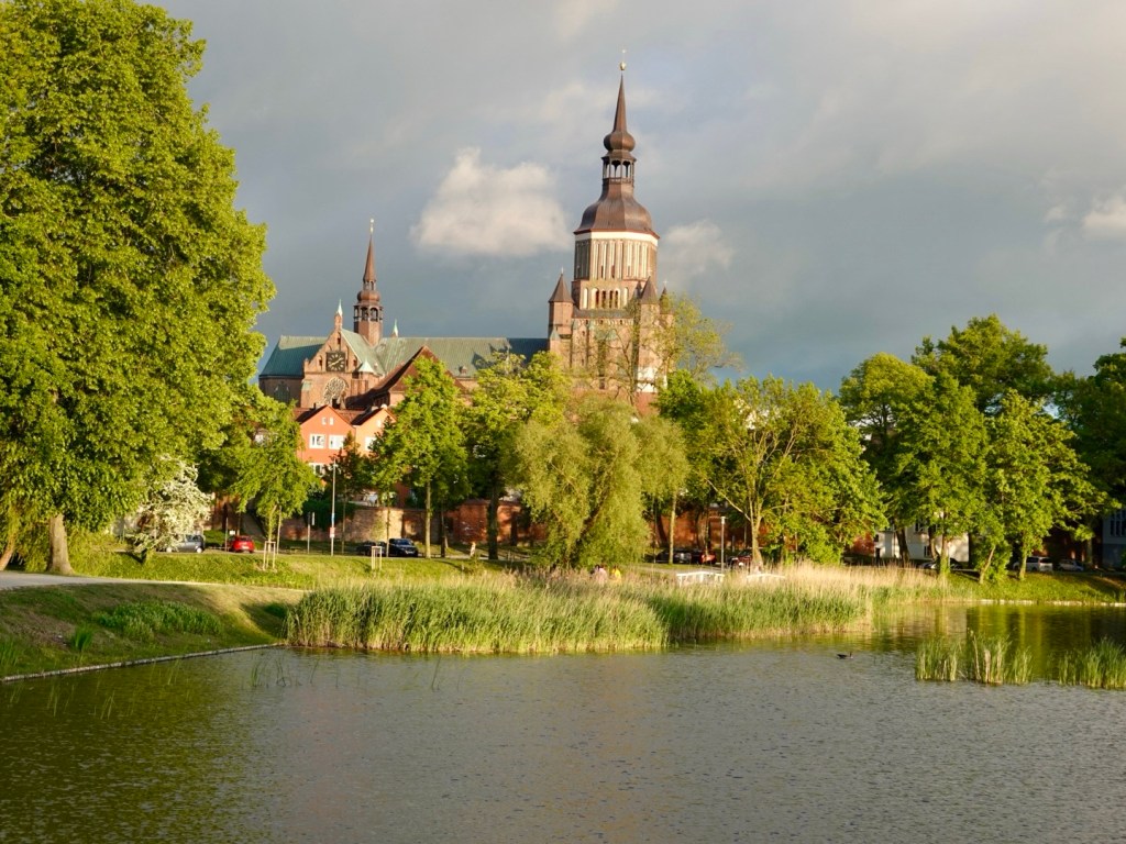
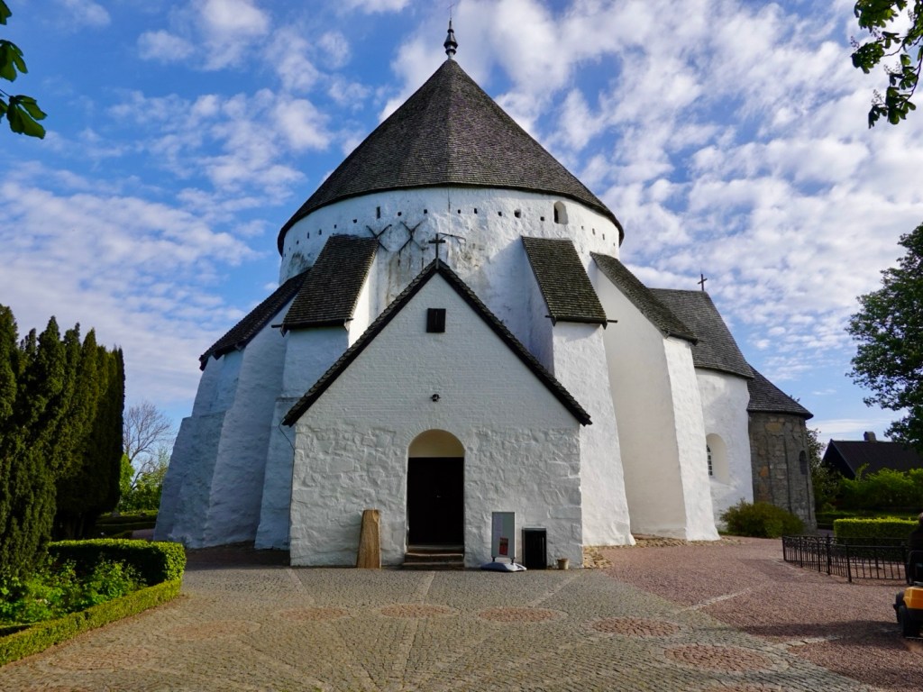
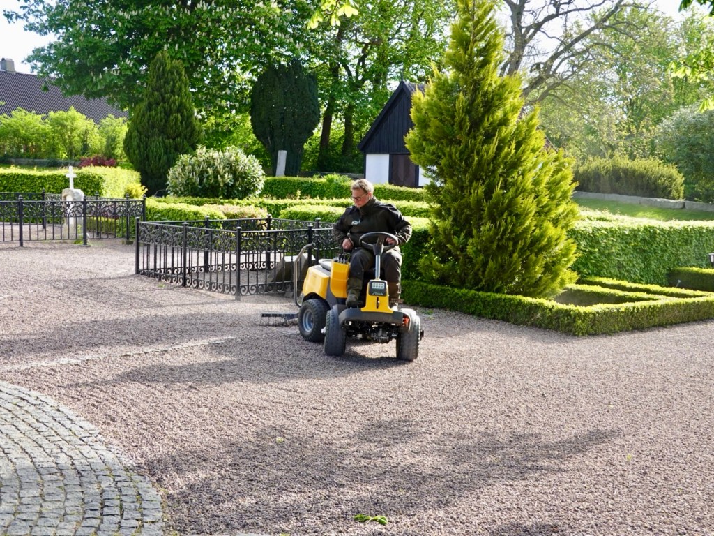
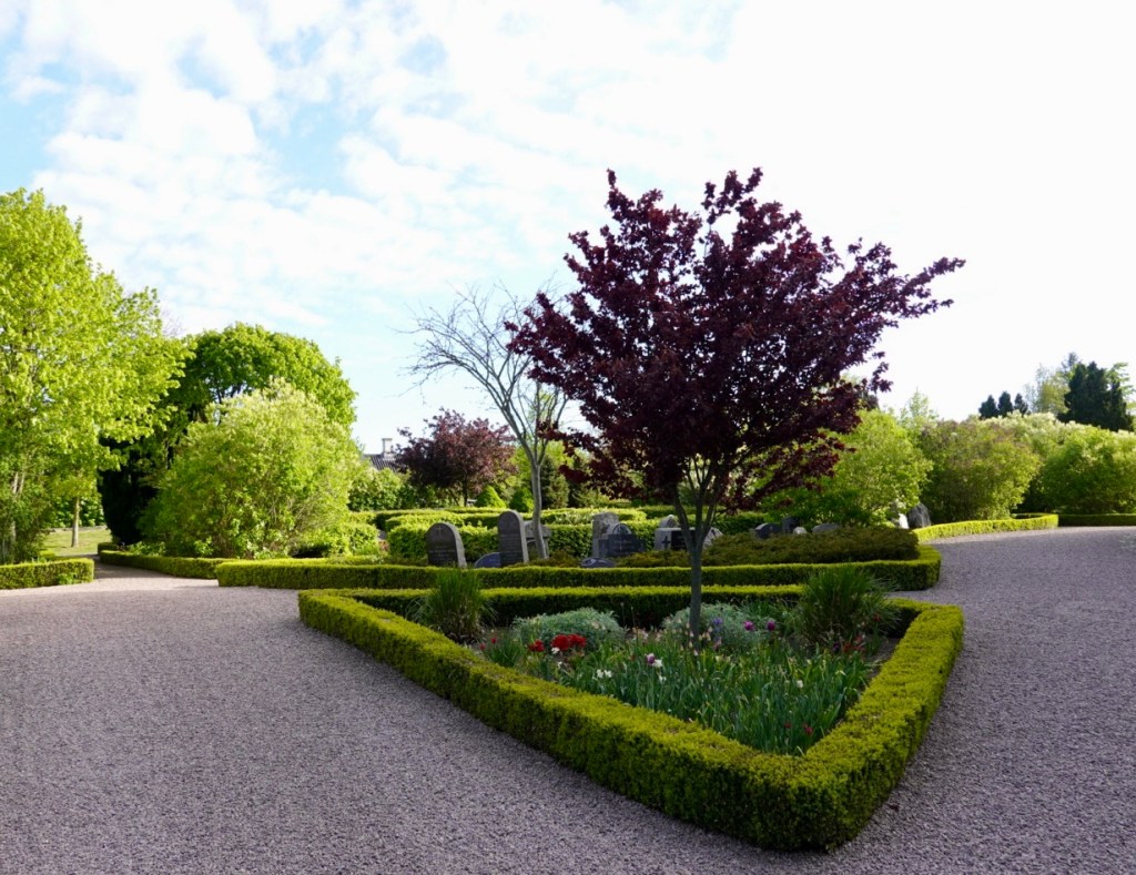
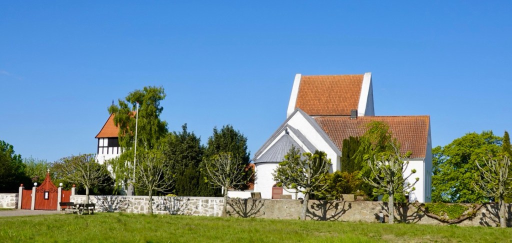
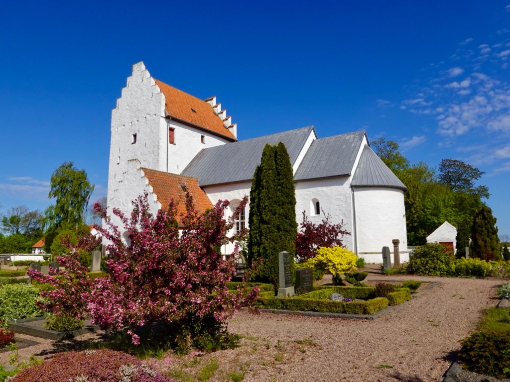
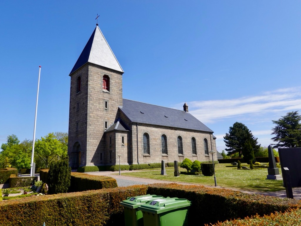
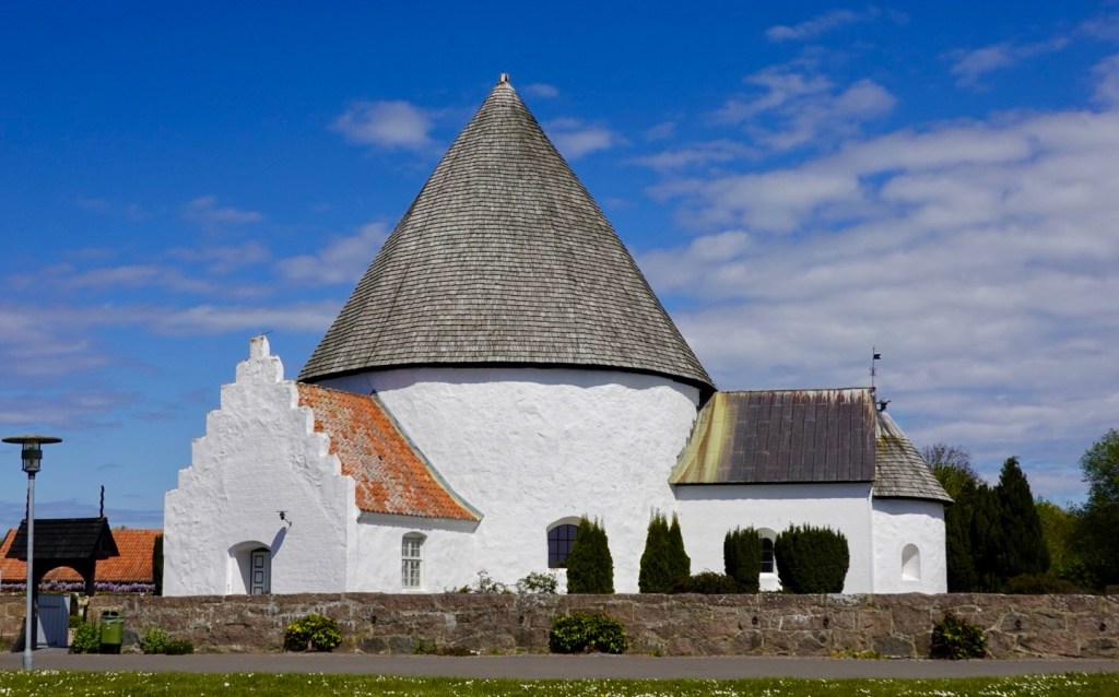
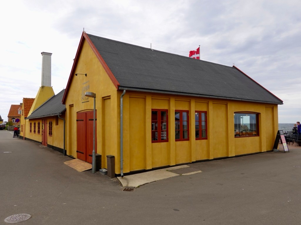
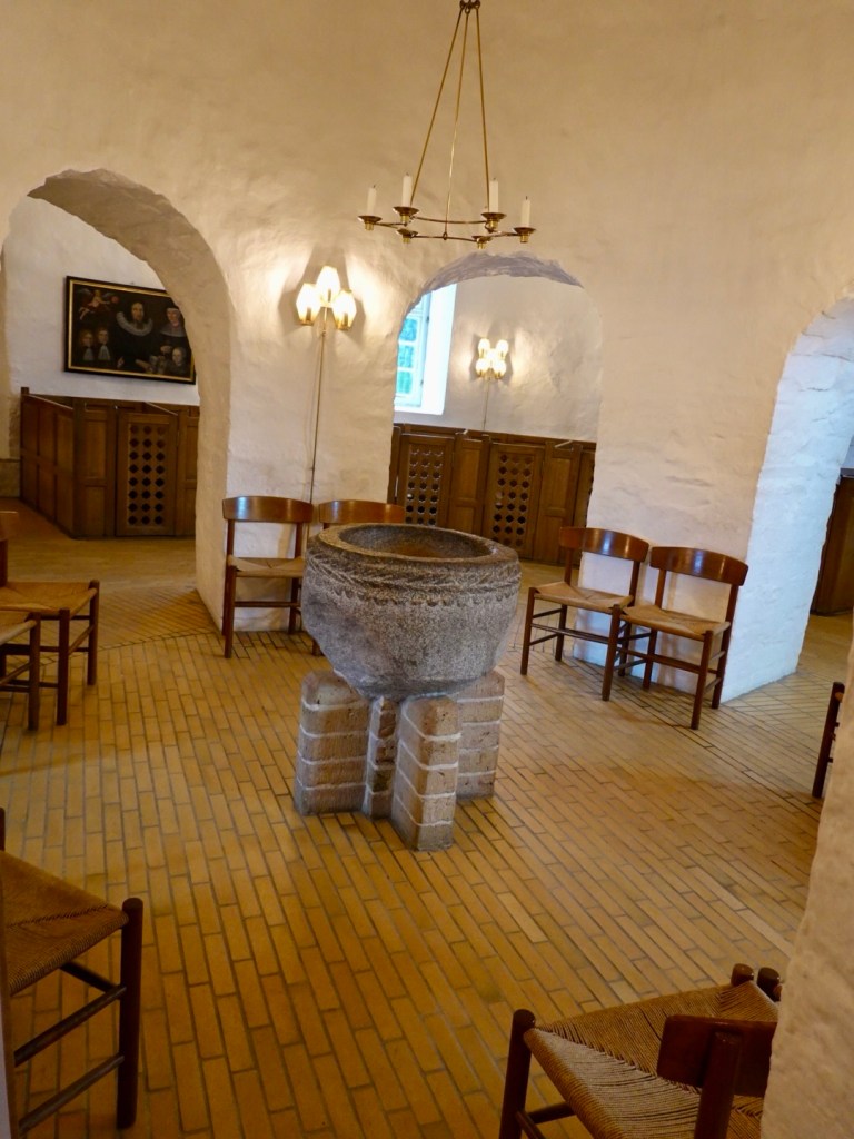
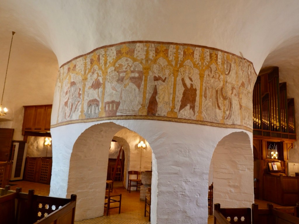
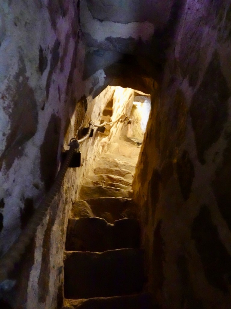
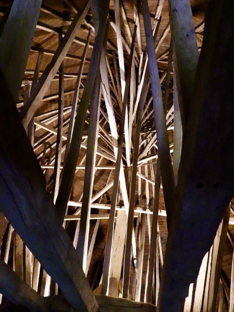
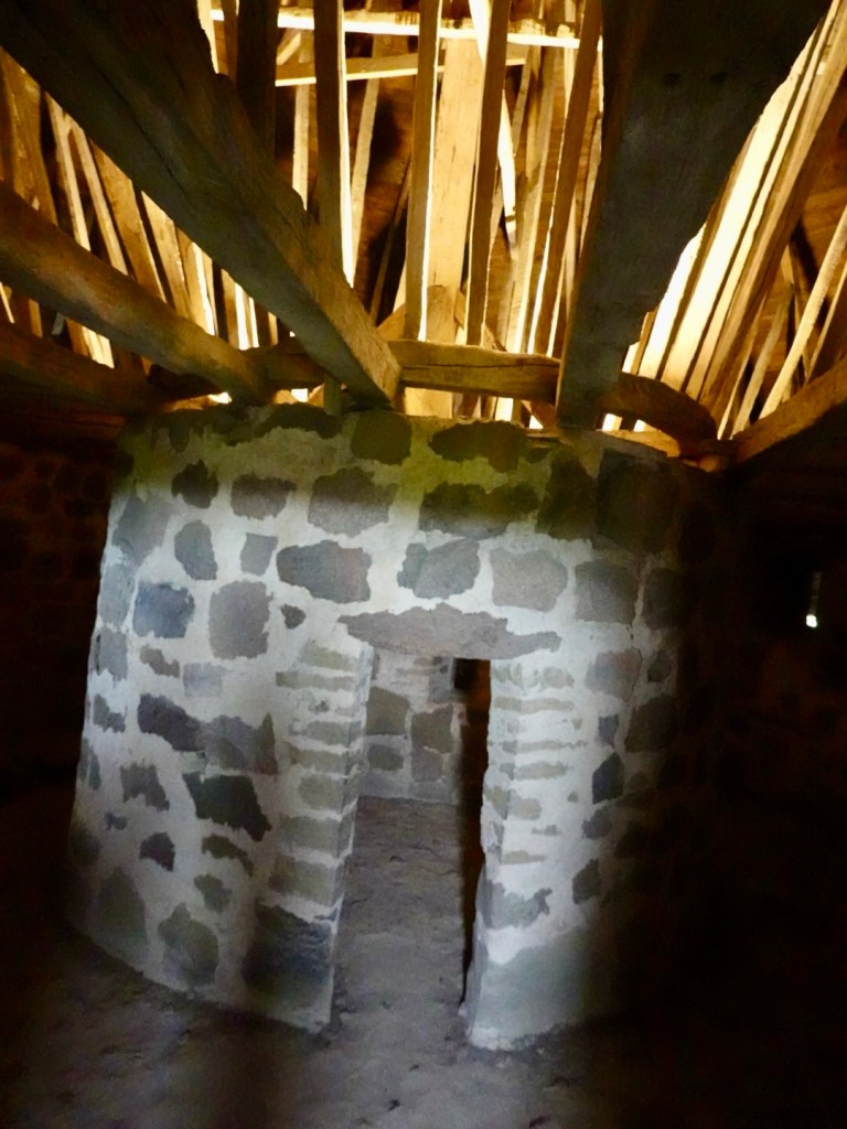
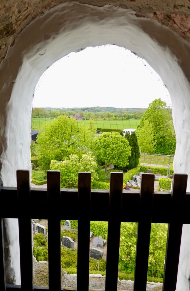
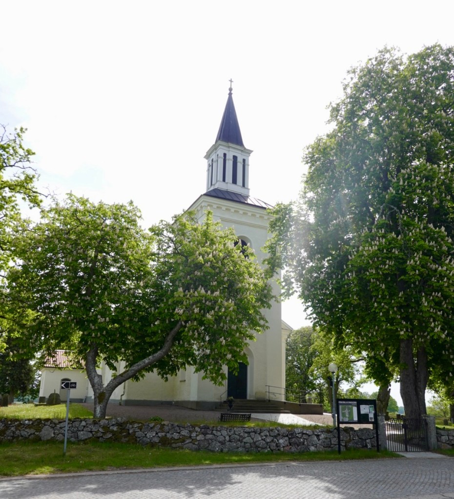
Pretty churches, we visited one to fill up our bidons.
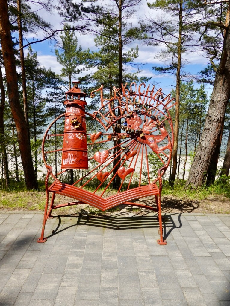
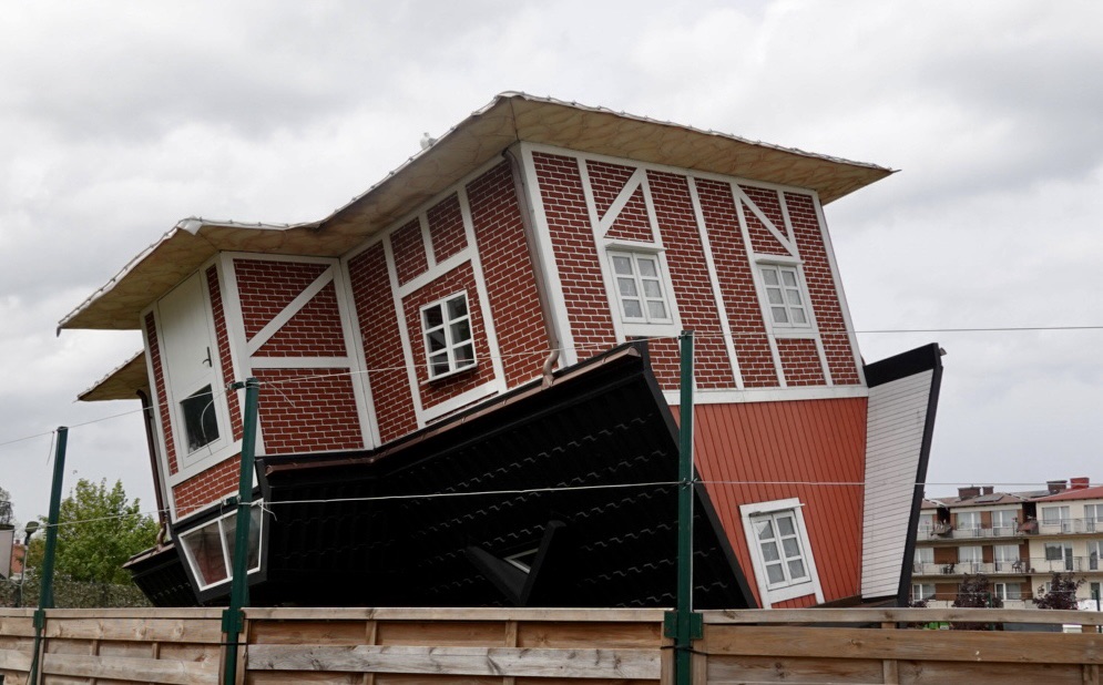
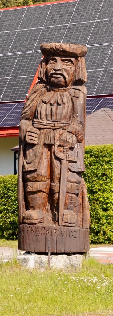
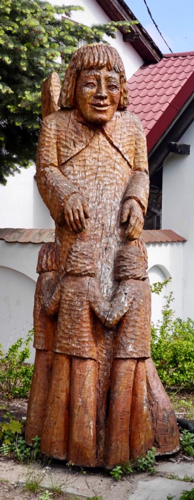
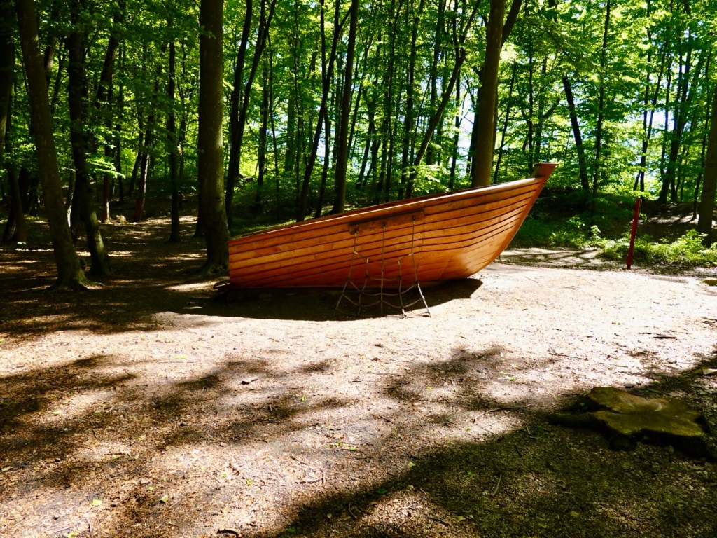
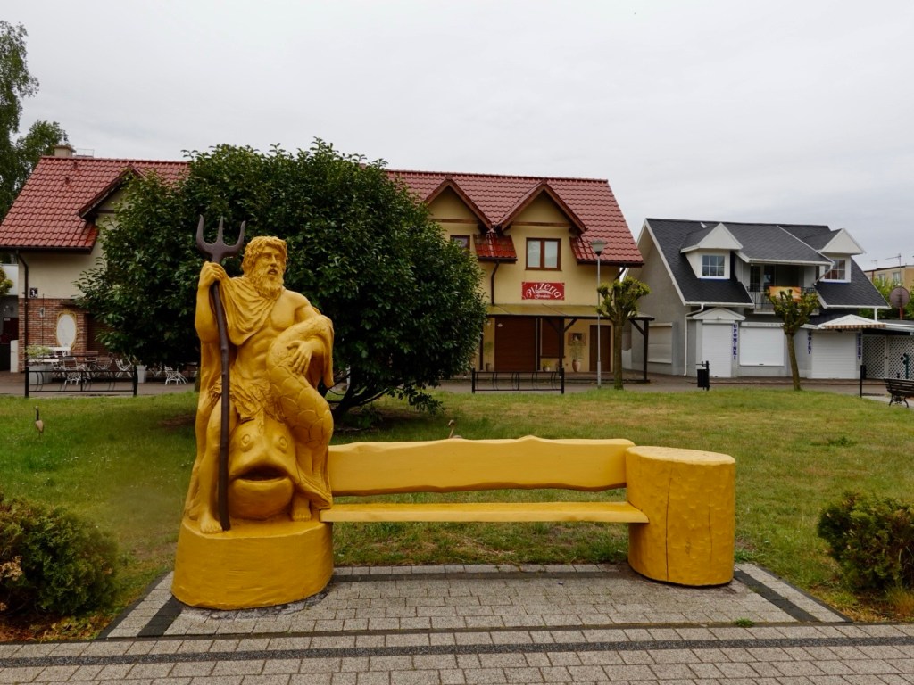
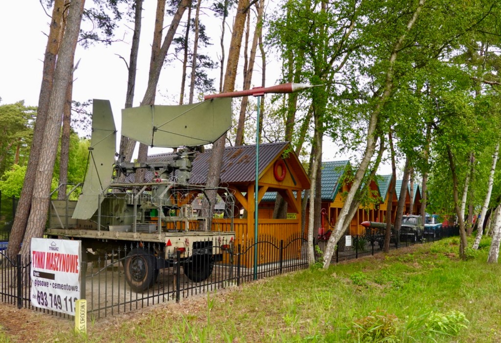
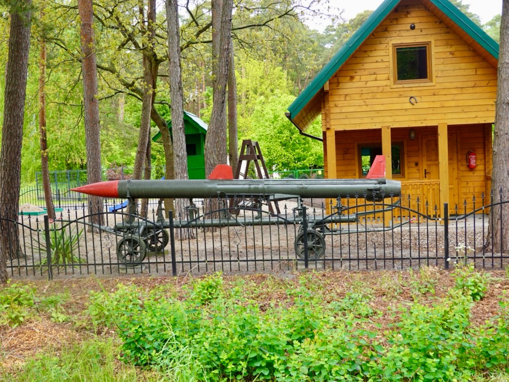
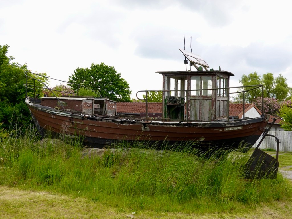
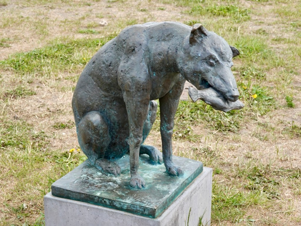
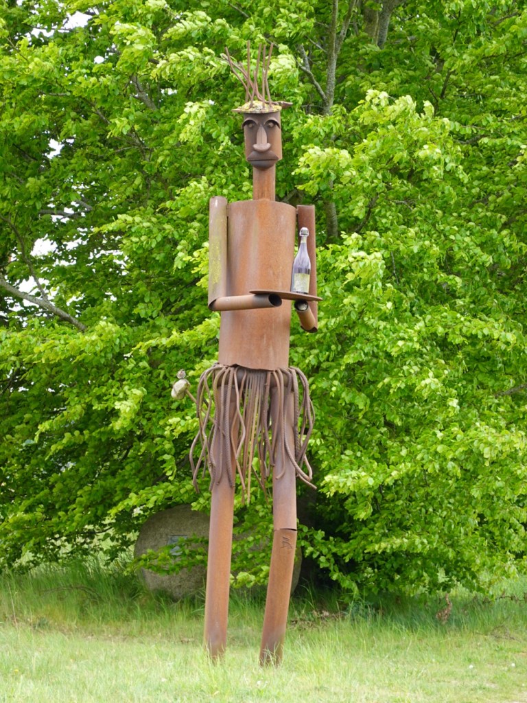
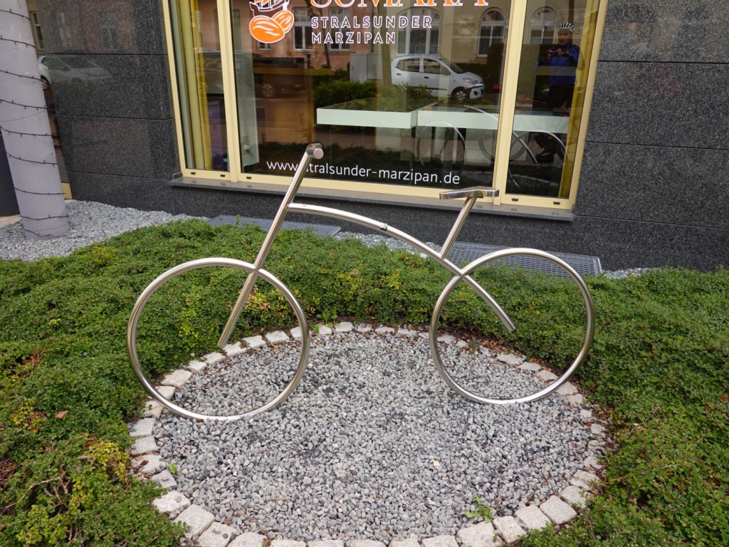
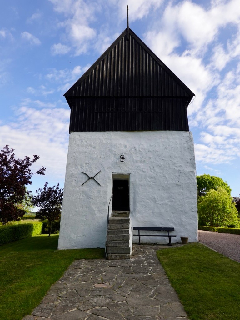
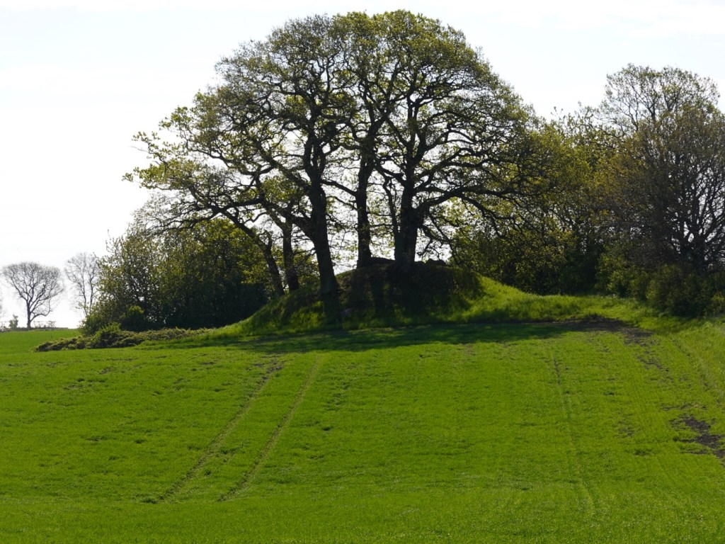
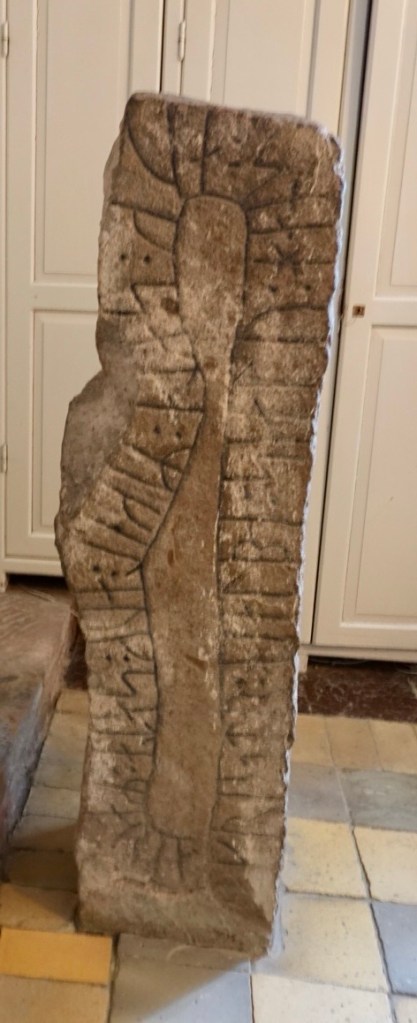
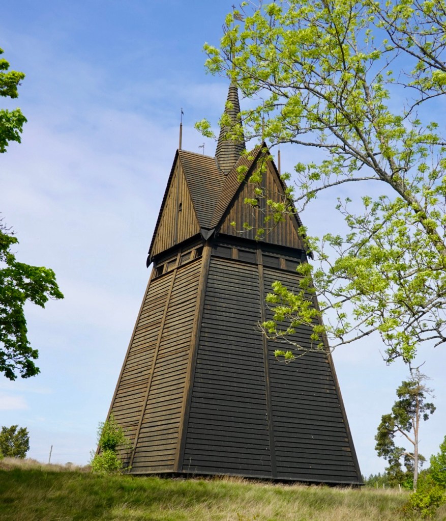
Not sure what this is, but I liked it.
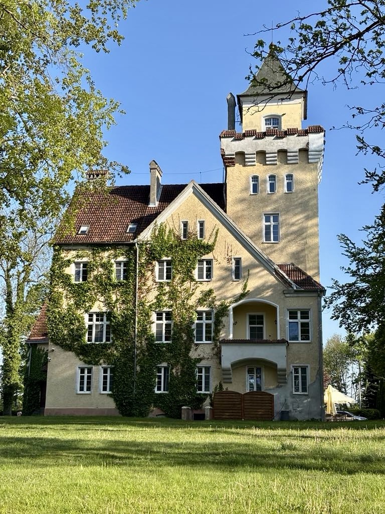
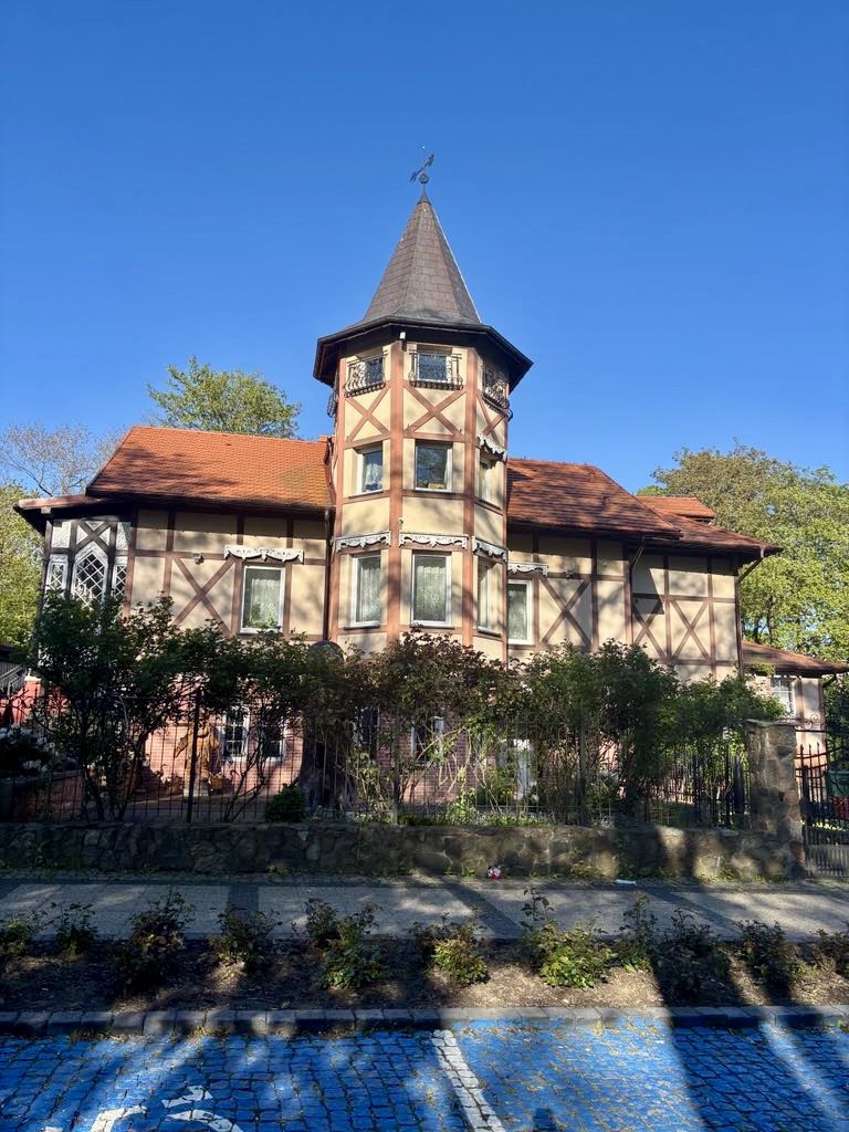
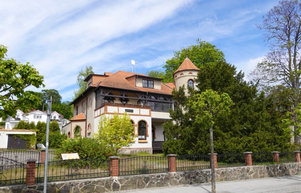
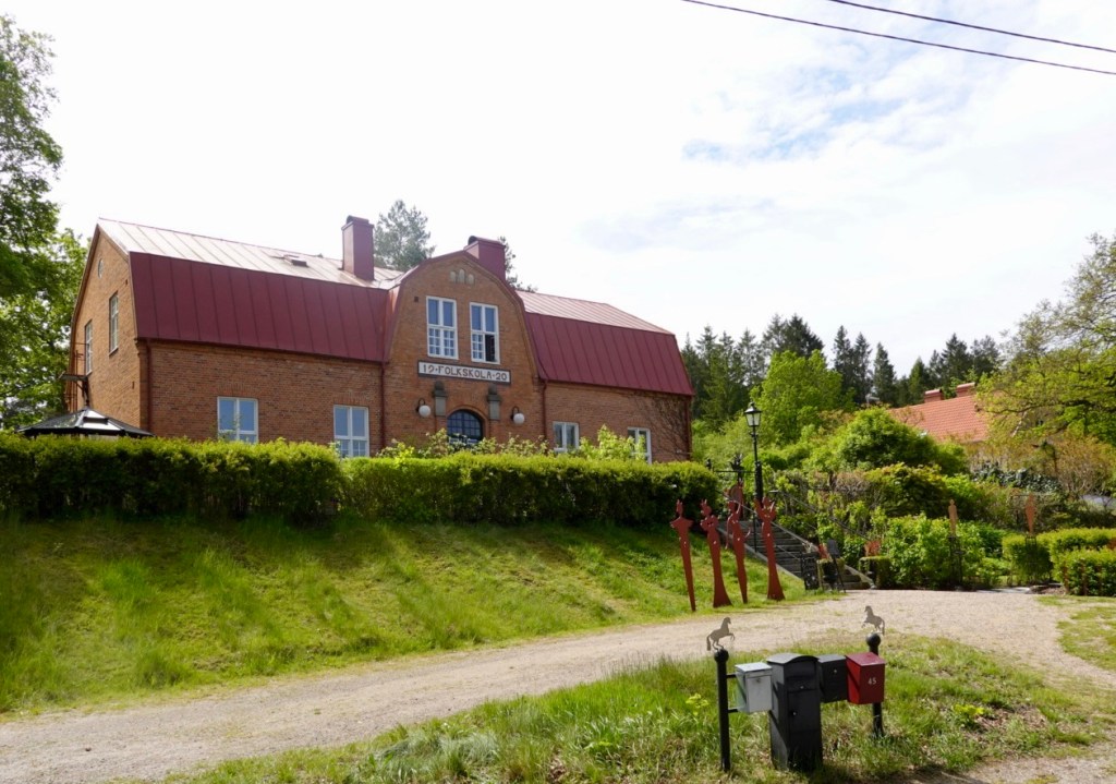
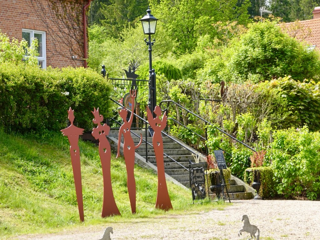
This is a former school building now owned by a famous ceramicist. It was closed when we went past.
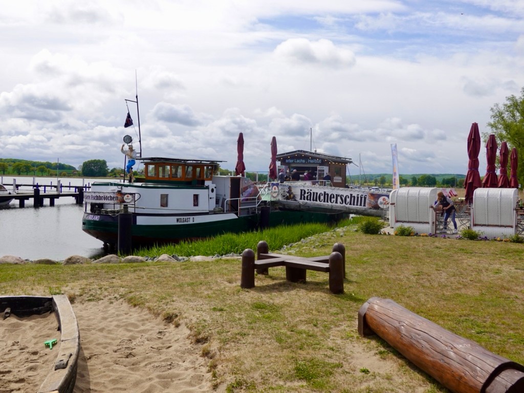
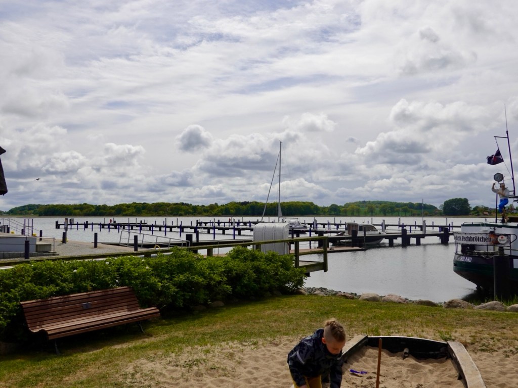
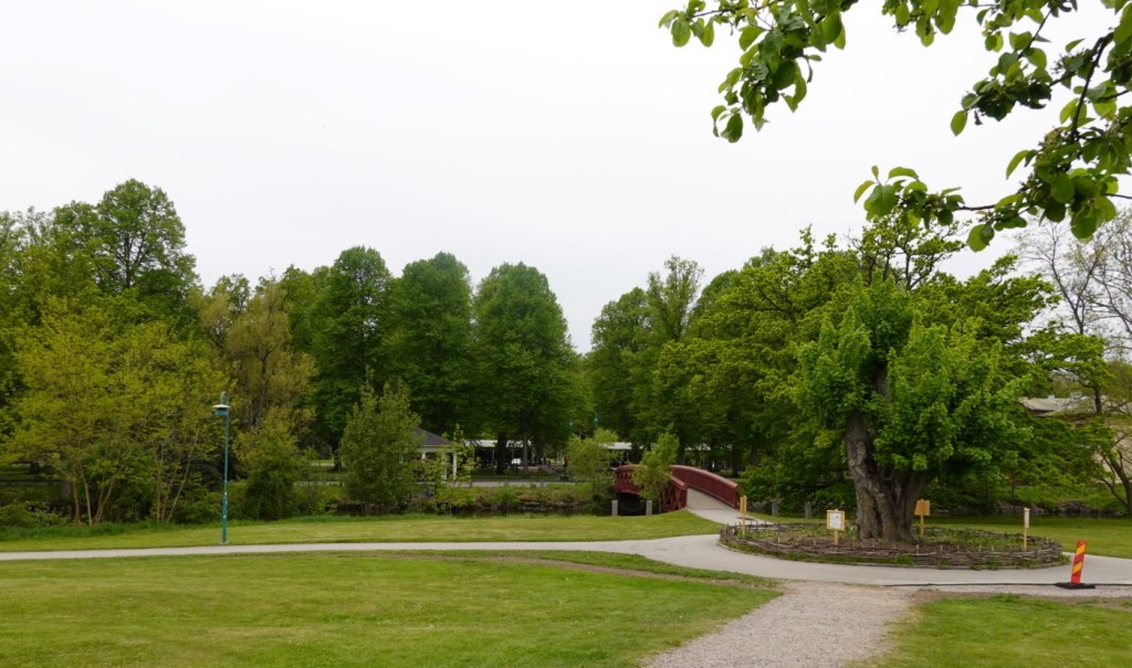
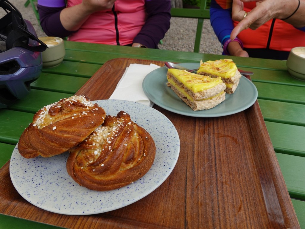
In Ronneby the Mandeltarten is a very popular cafe with picturesque gardens and views to Brunnsparken.
Jennie purchased some items for us including their famous Mandeltarta cake. Seriously the most amazing tasting cake ever. It’s made with almonds, and the outer base is like a chewy meringue almond flavour with creamy custard filling.
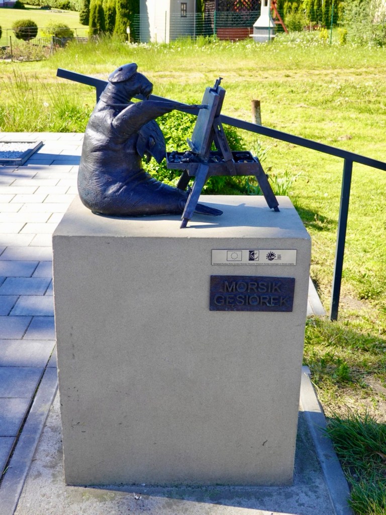
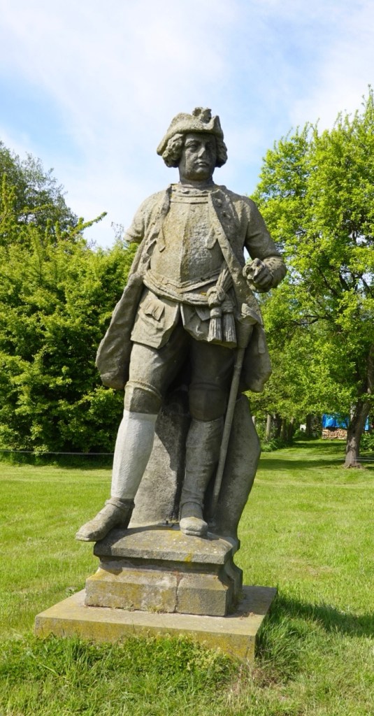
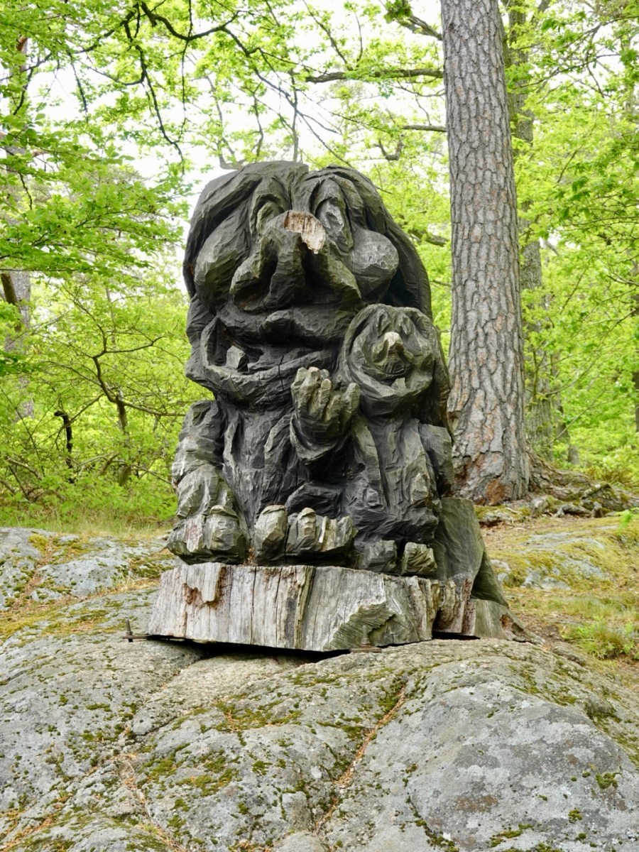
After cake and coffee we headed into the park to find the troll.
The trolls! Looking down upon us.

This is where we bid farewell to Jennie. She came out in what turned out to be Sweden’s Mothers Day to meet us, ride with us, and chat.
She insisted on buying the local treats. ❣️❣️
We have so very much enjoyed our time with Jennie, all made possible through Zwift, where we both cycle train and ride events.
As will be seen in the next few weeks, Zwift has opened up the world for connections with like minded people.
Thankyou Jennie ❣️

As we said farewell we all put on our rain jackets as there were just a few spots of rain.
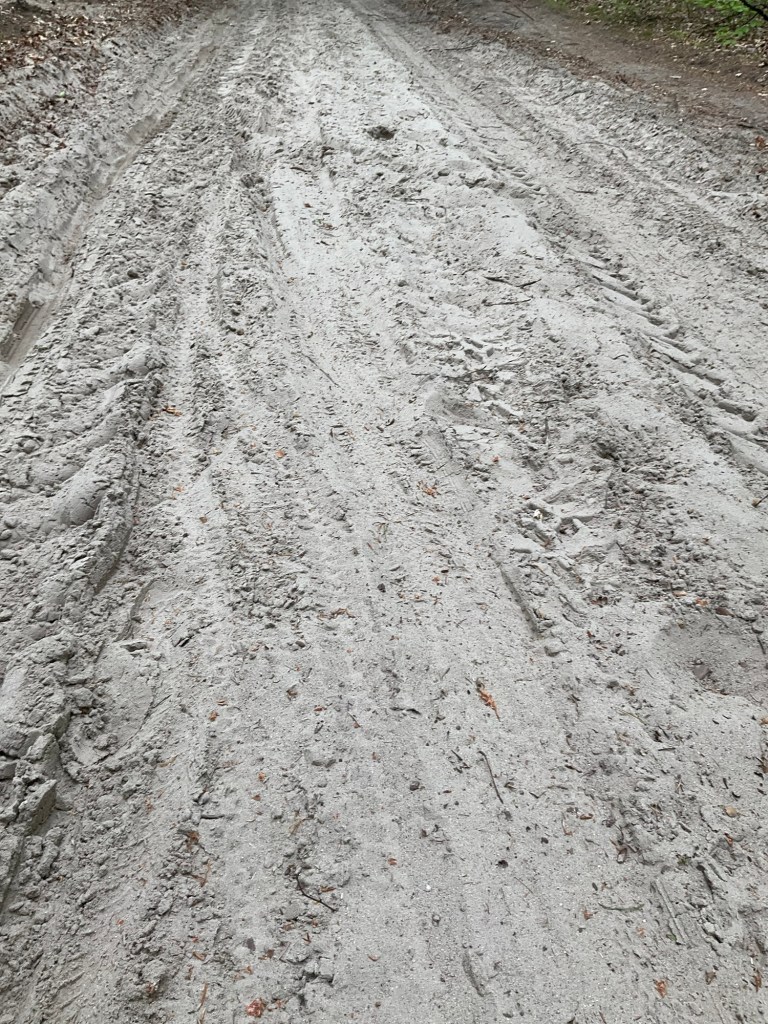
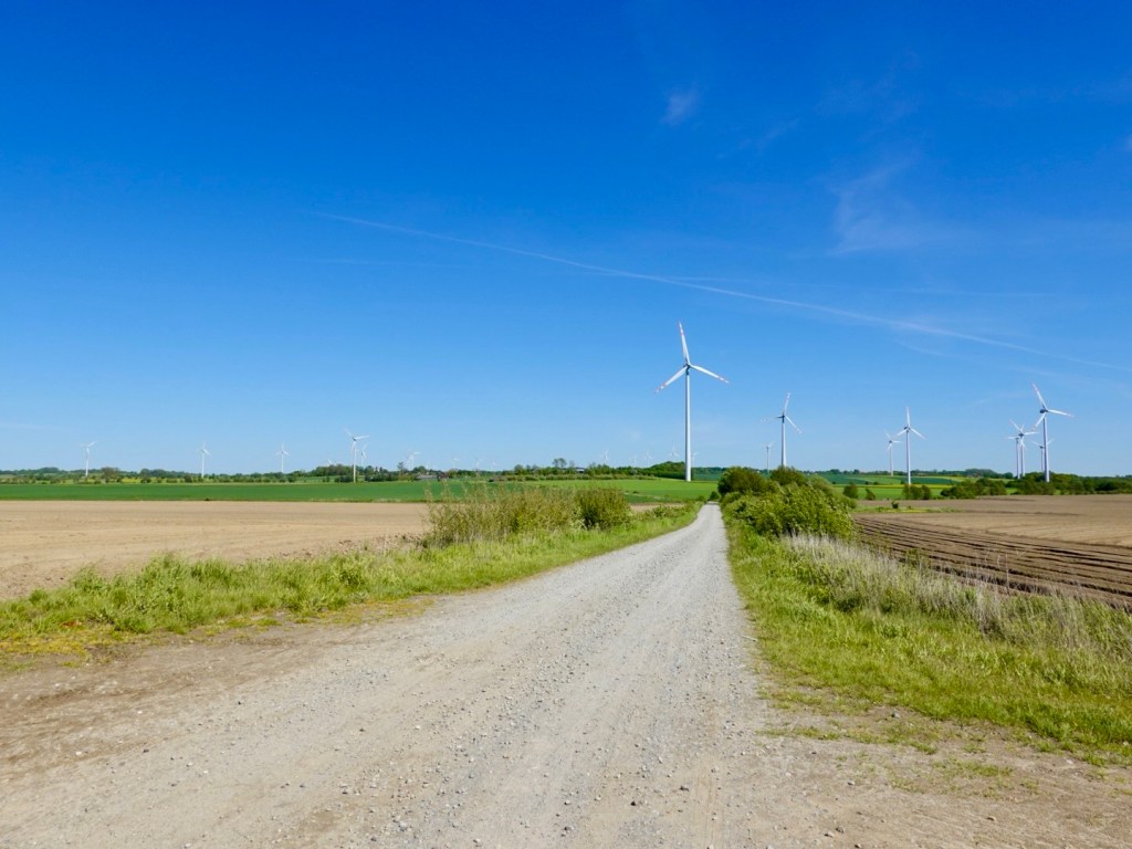
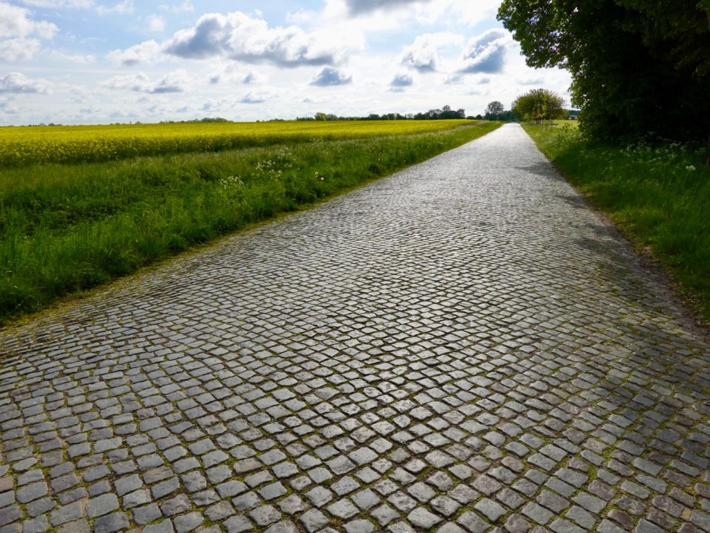
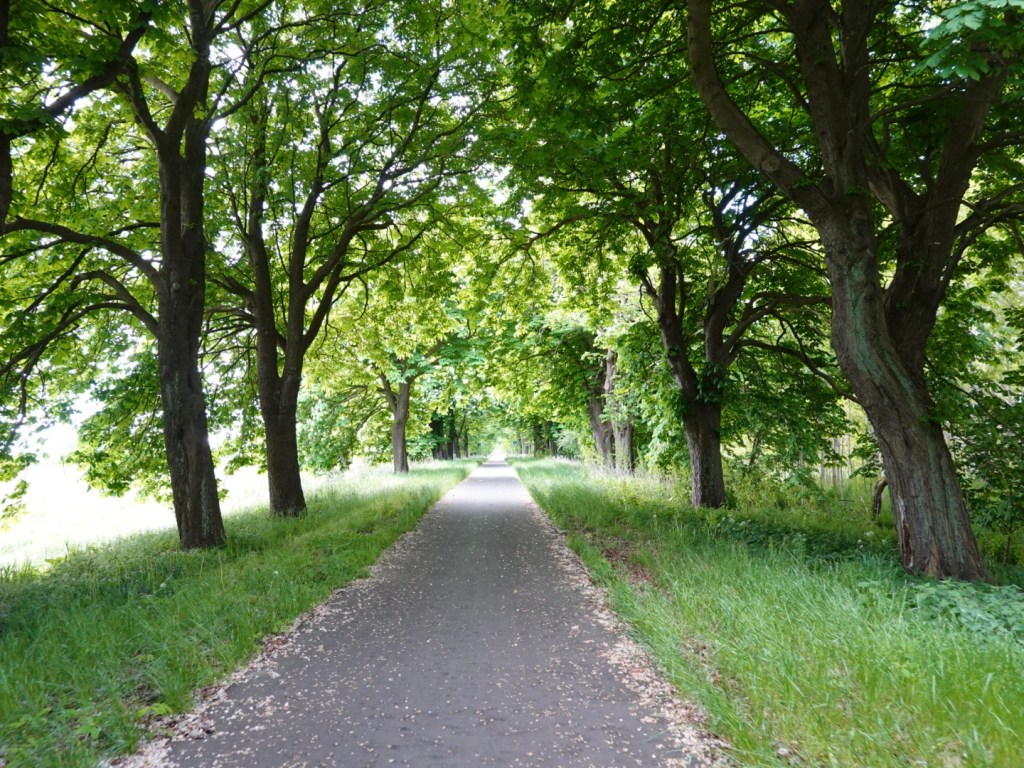
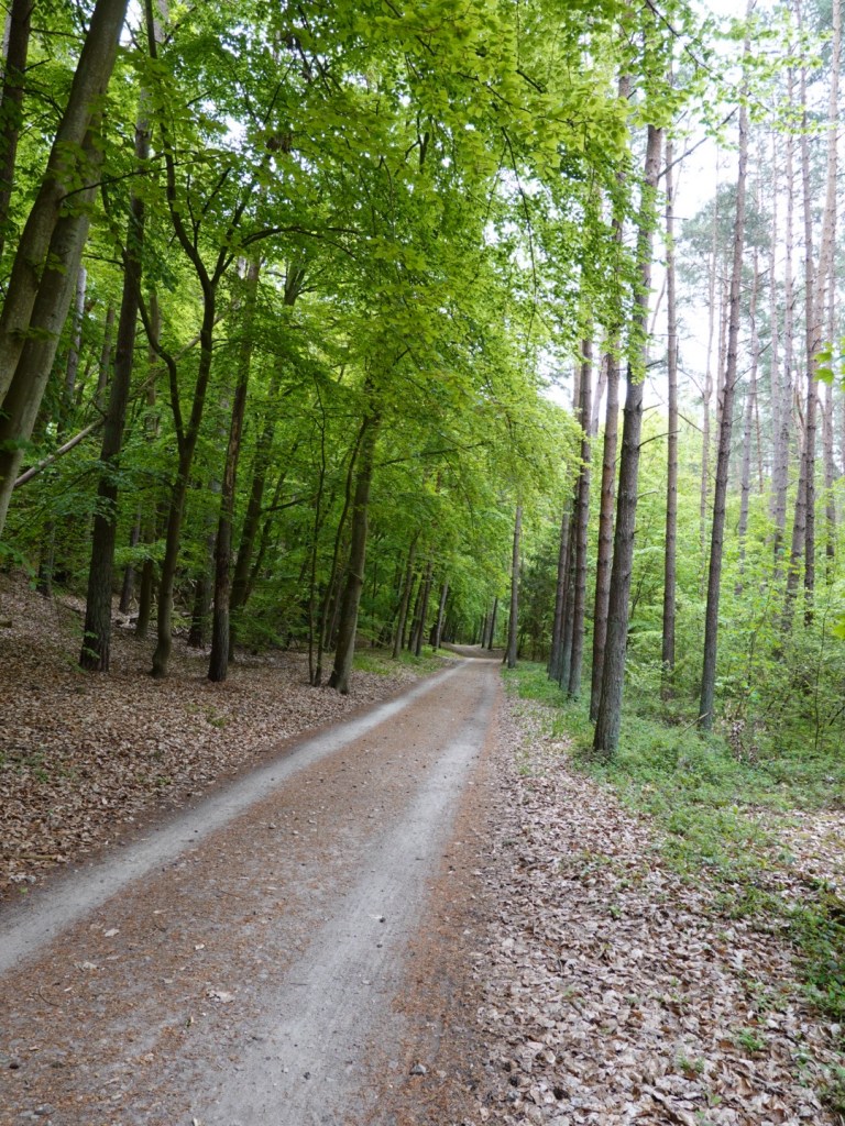
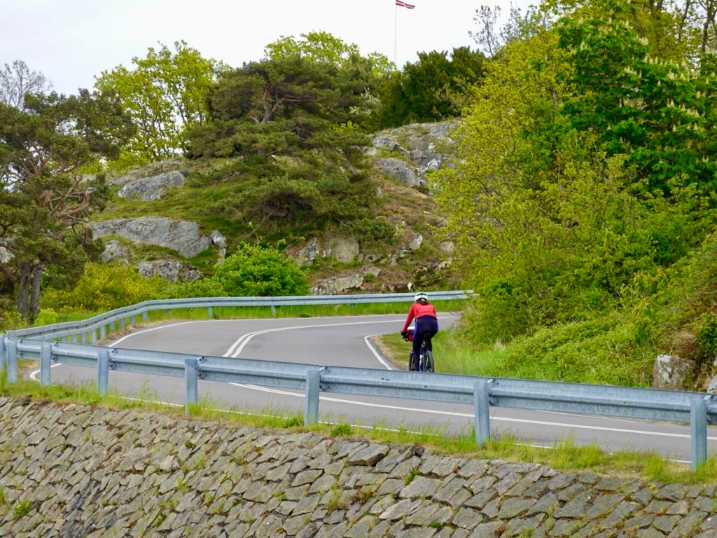
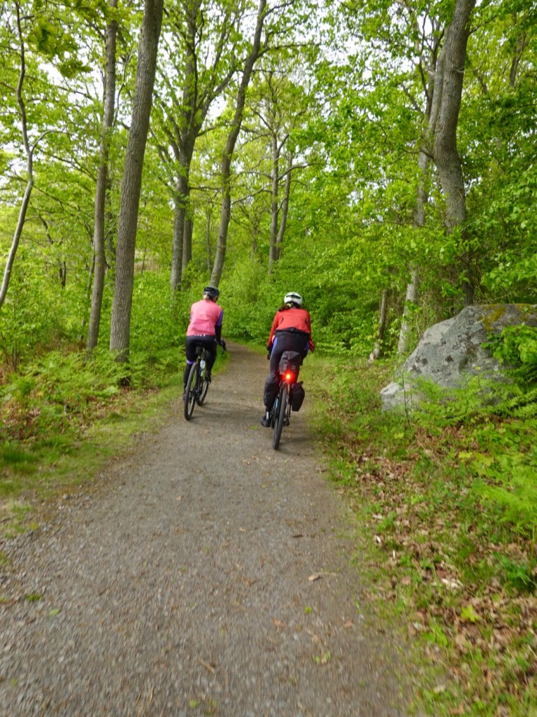
We continued riding through the magnificent forest.
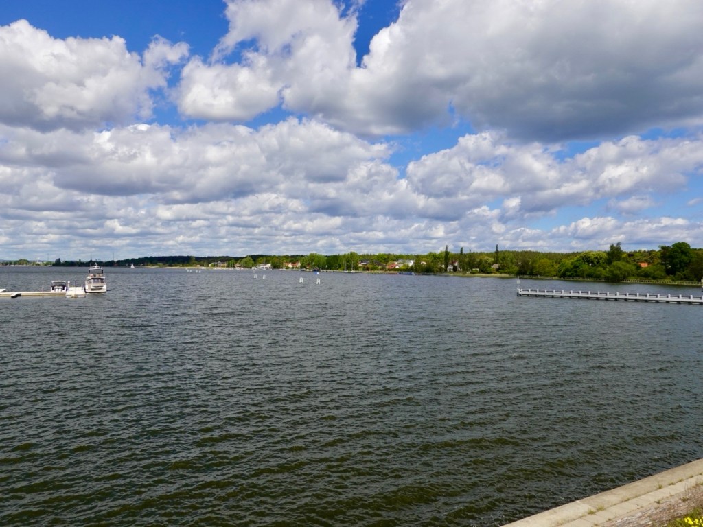
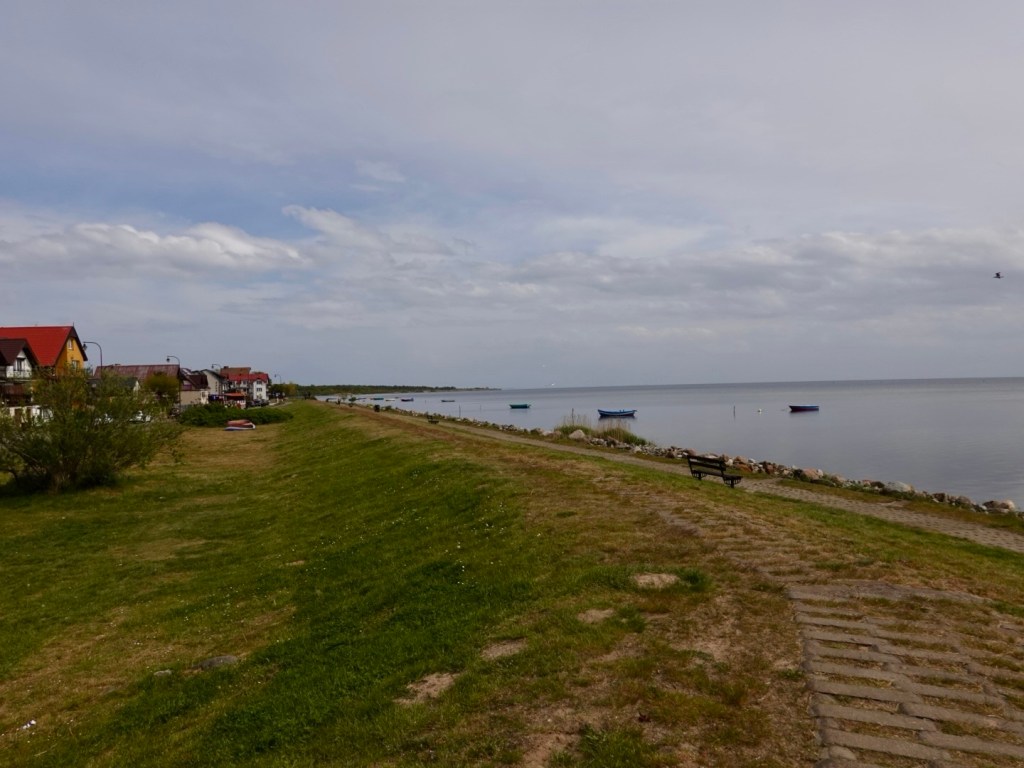
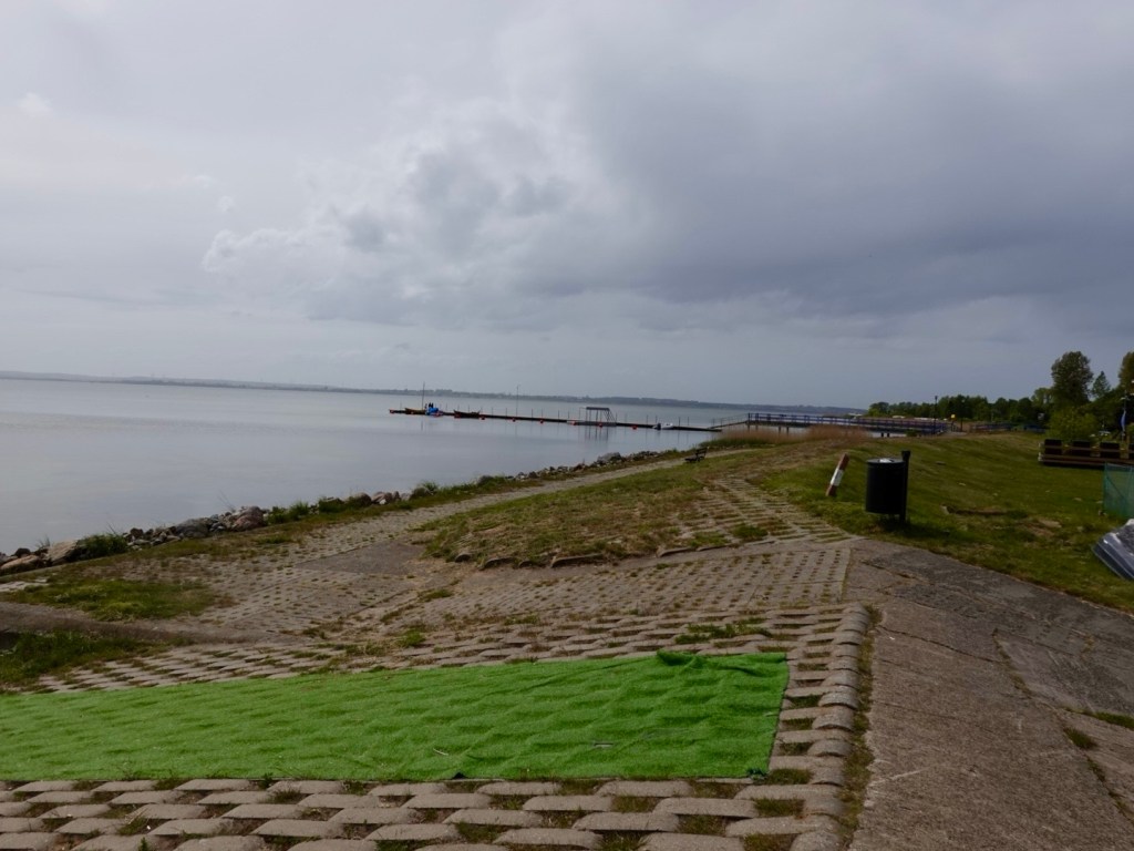
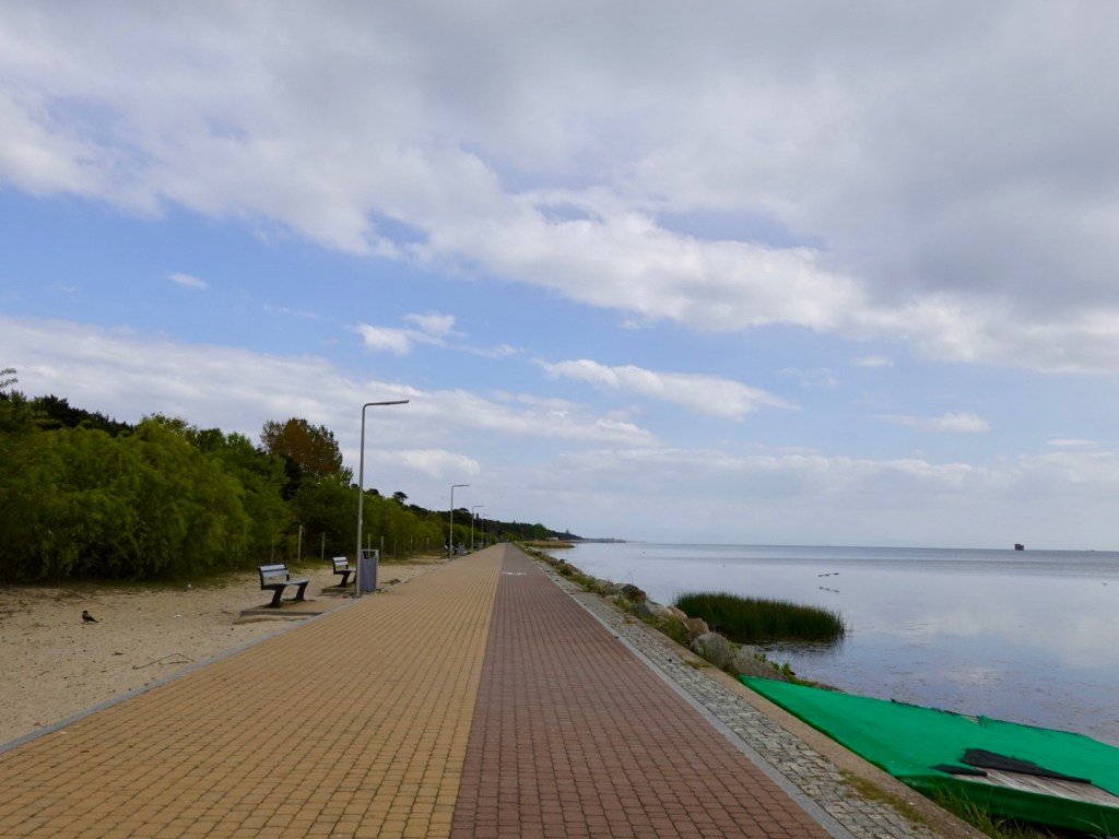
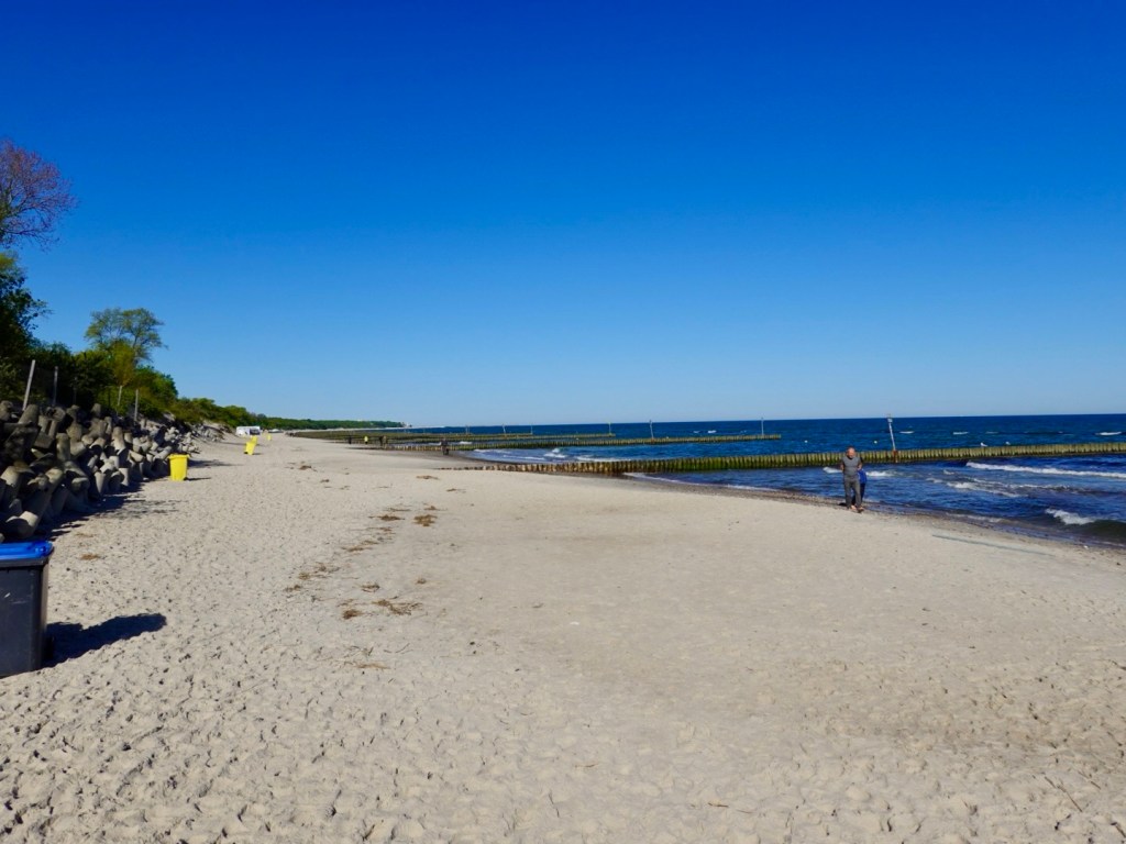
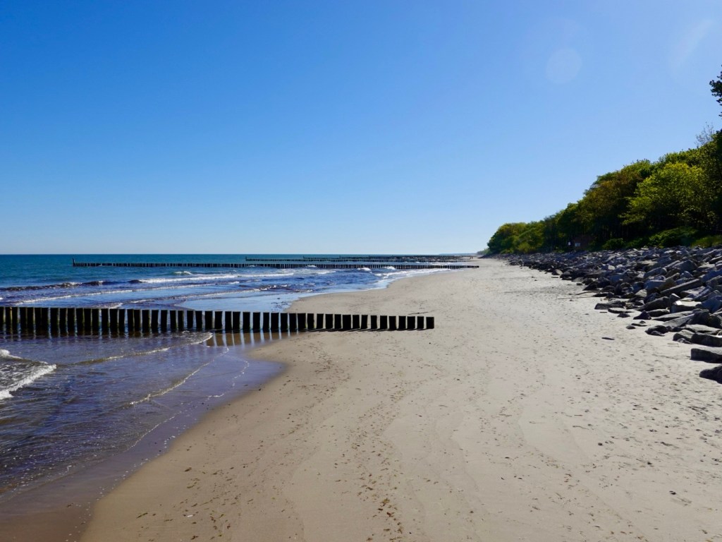
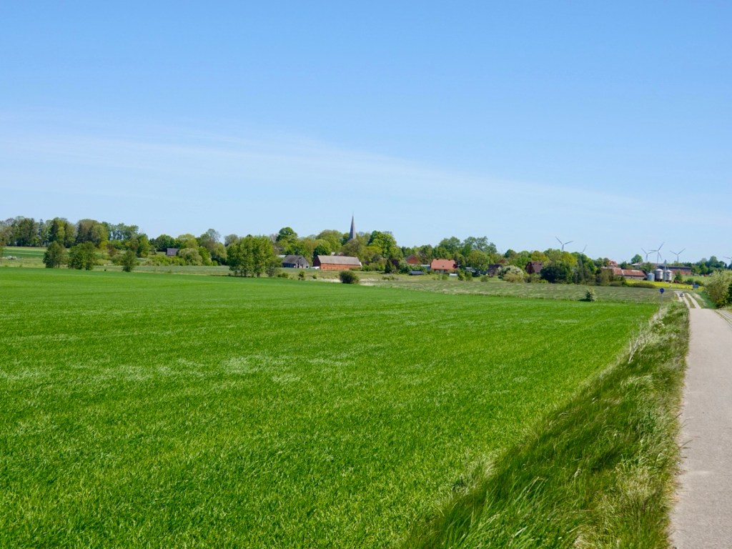
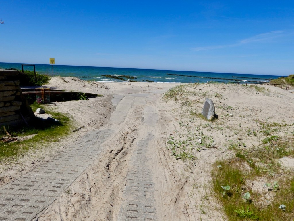
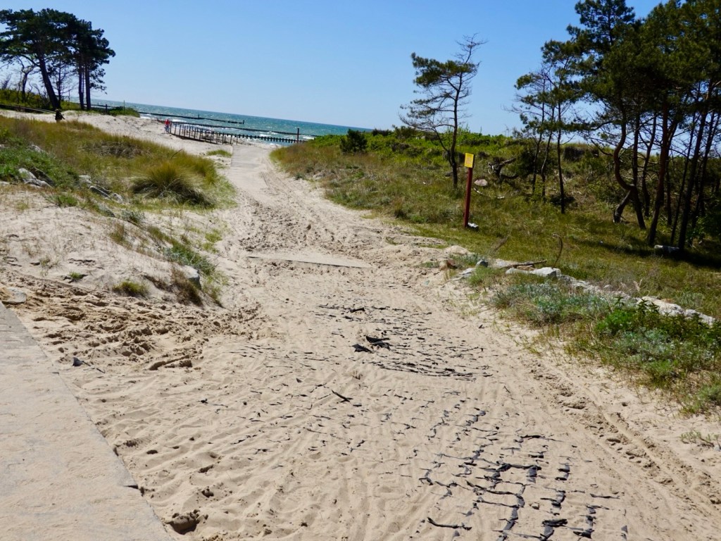
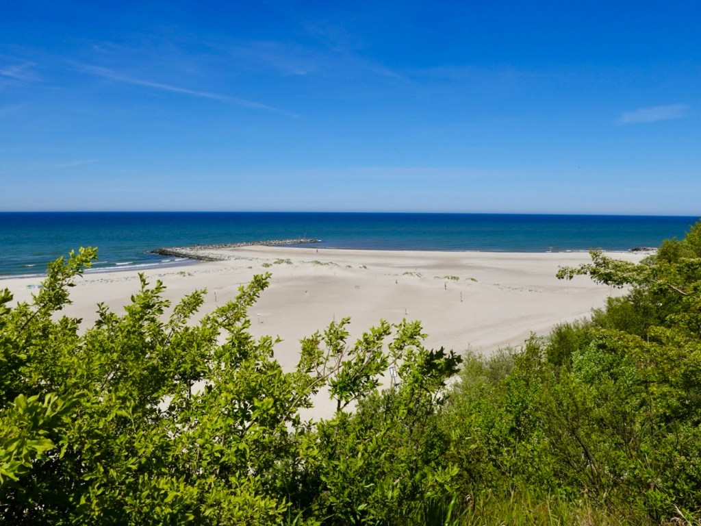
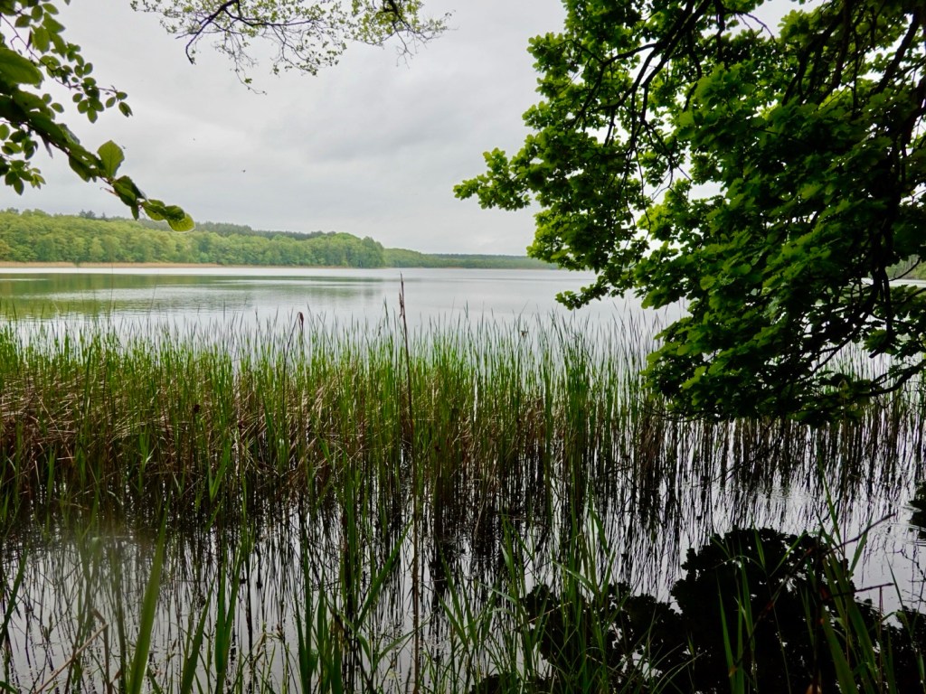
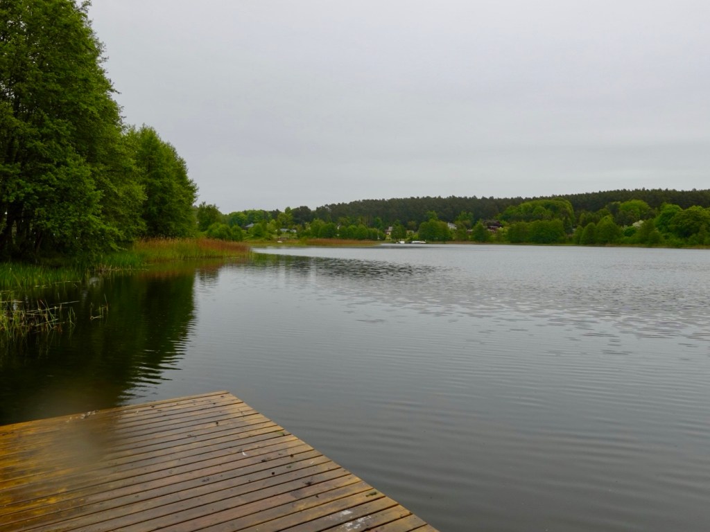
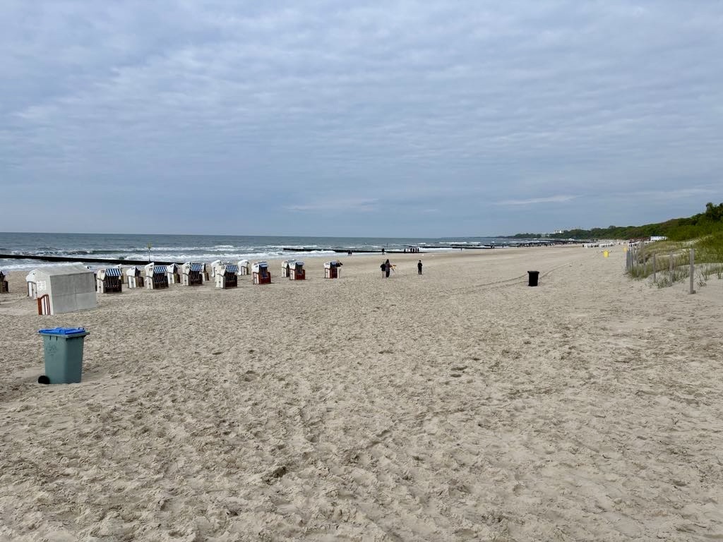
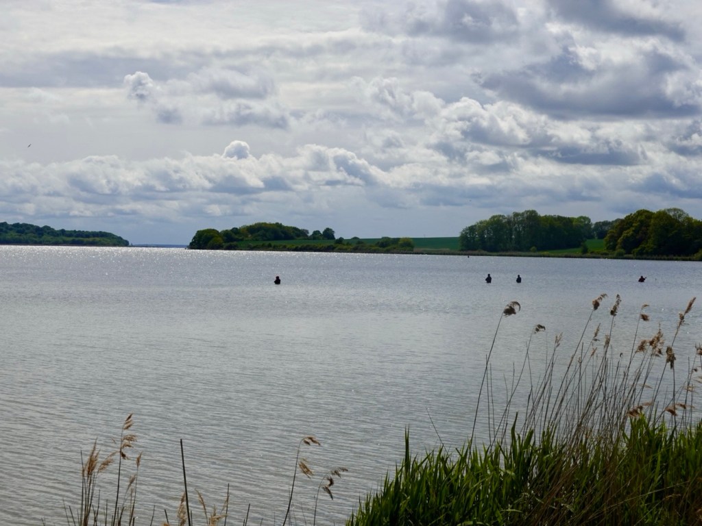
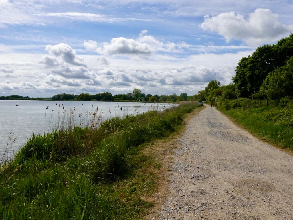
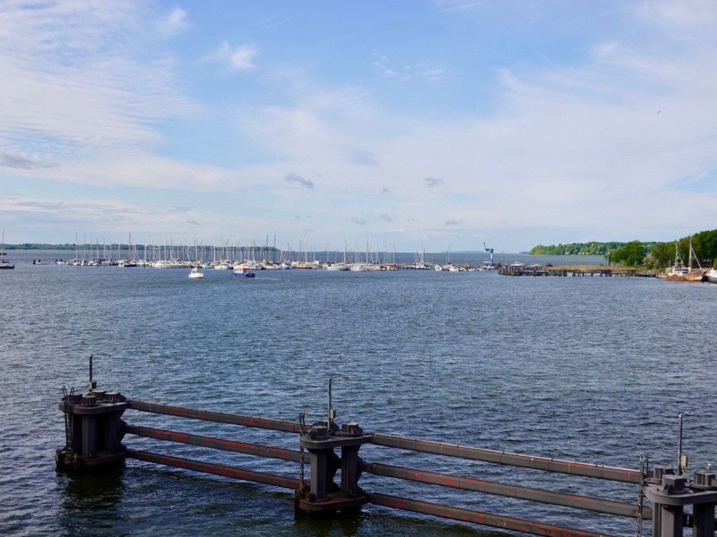
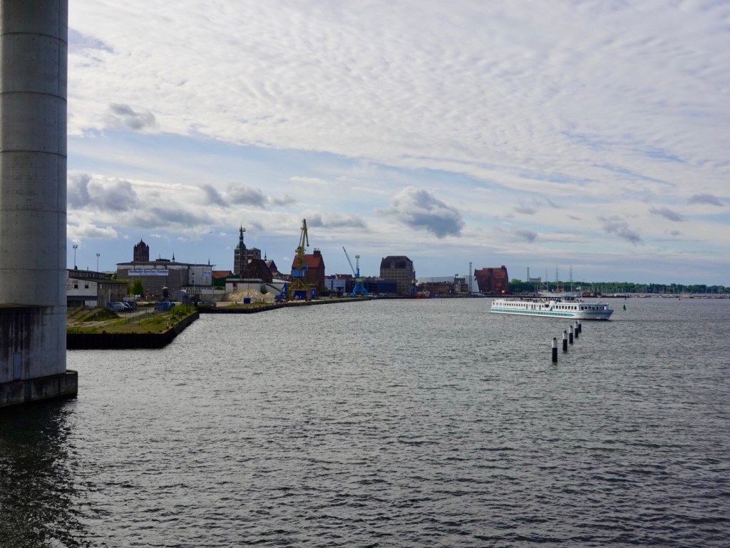
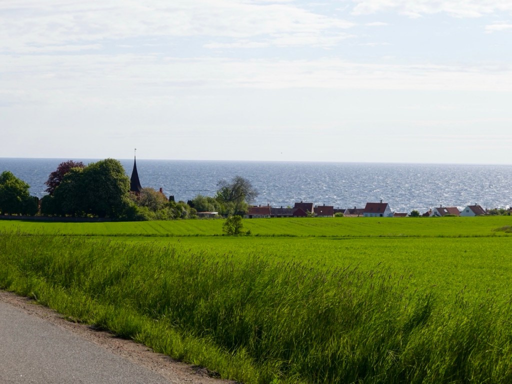
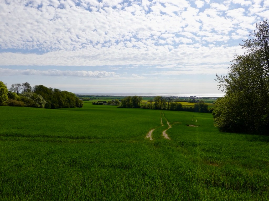
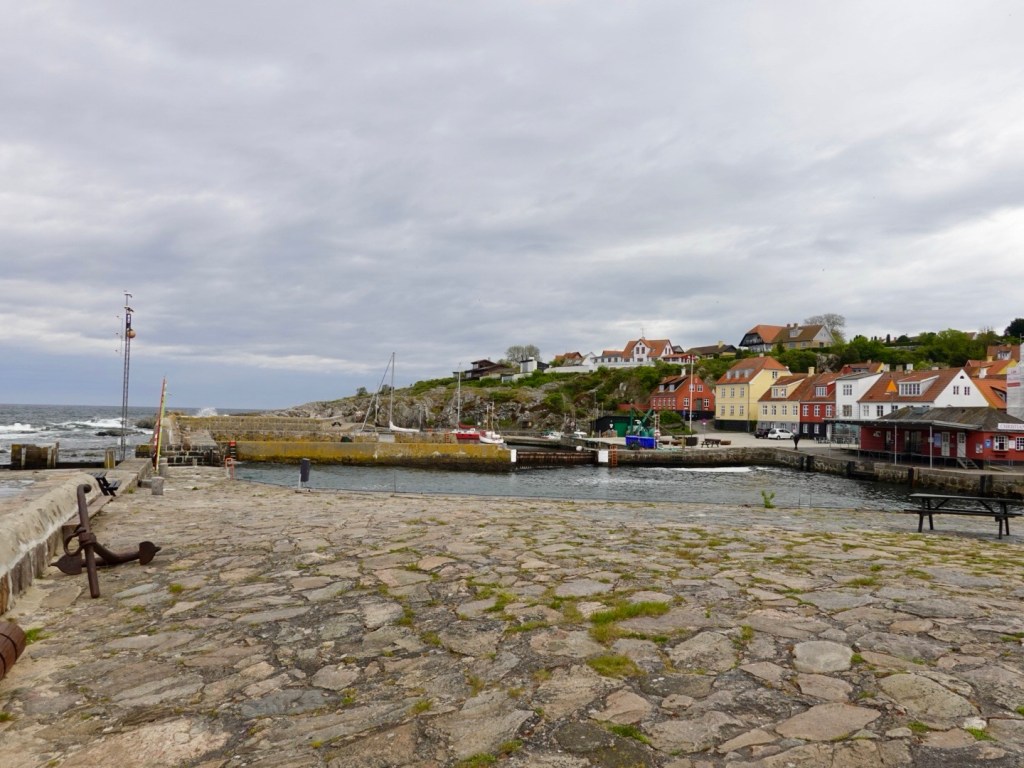
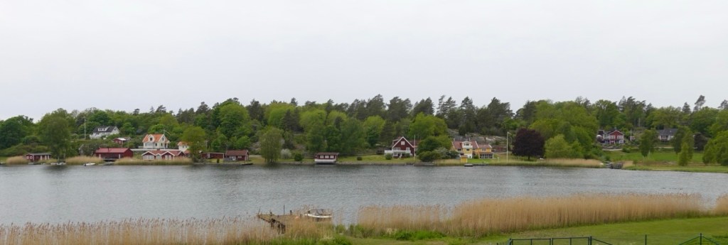
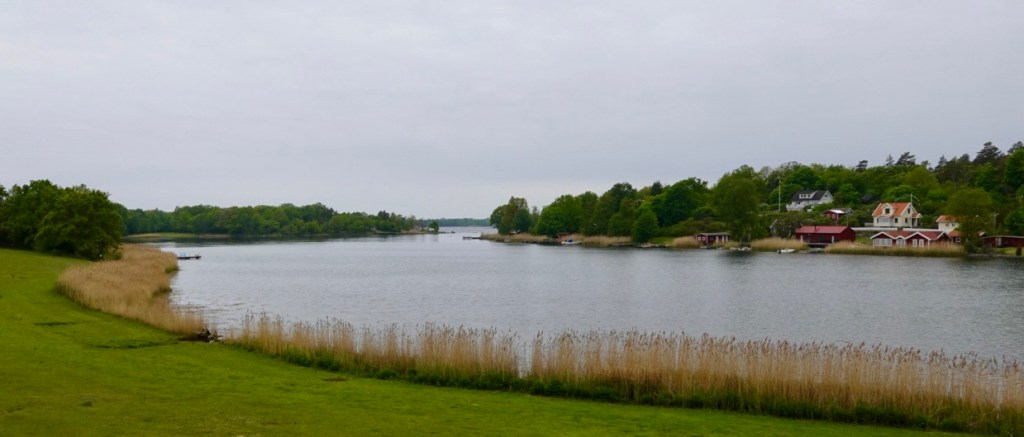
We were just inland from the coast for the rest of the day, with various peninsulas and bays.
The roads were undulating which helped keep us warm as our legs worked harder each little climb.
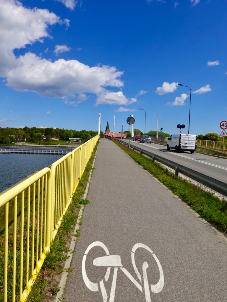
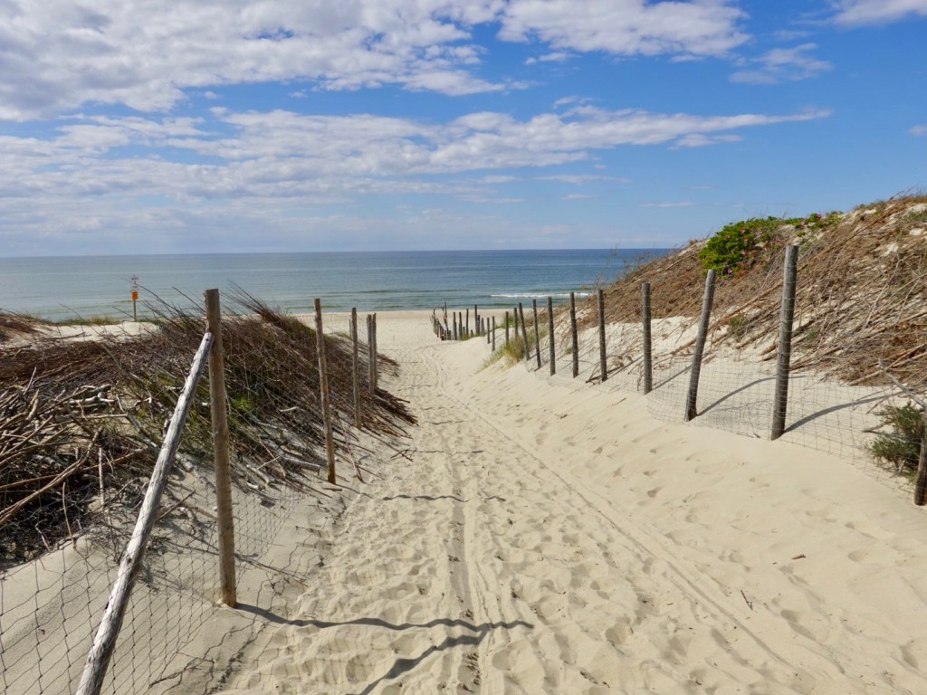
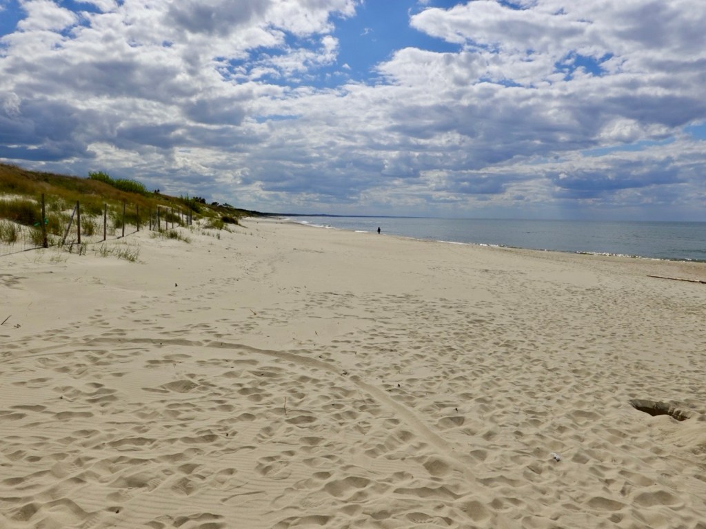
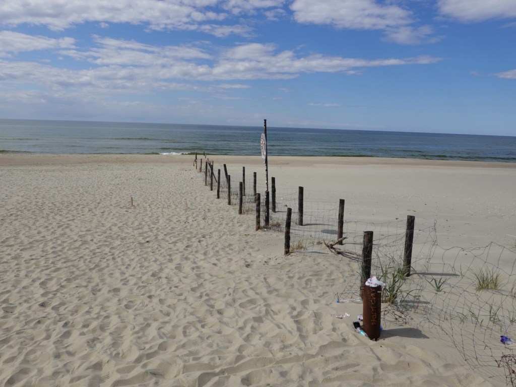
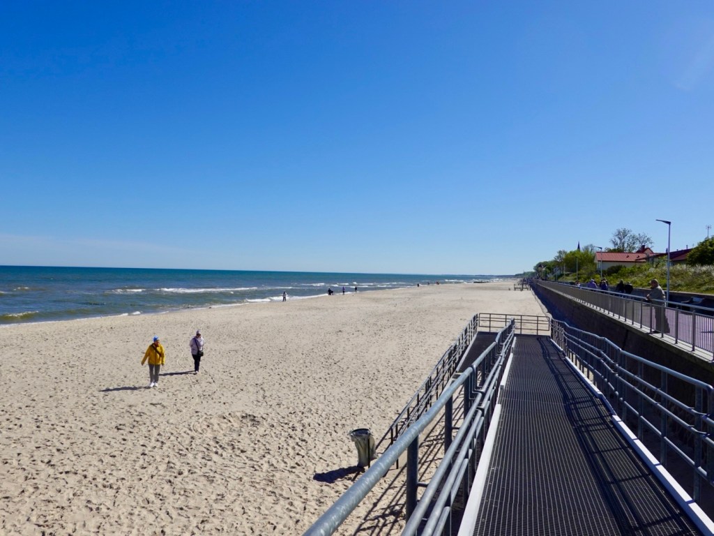
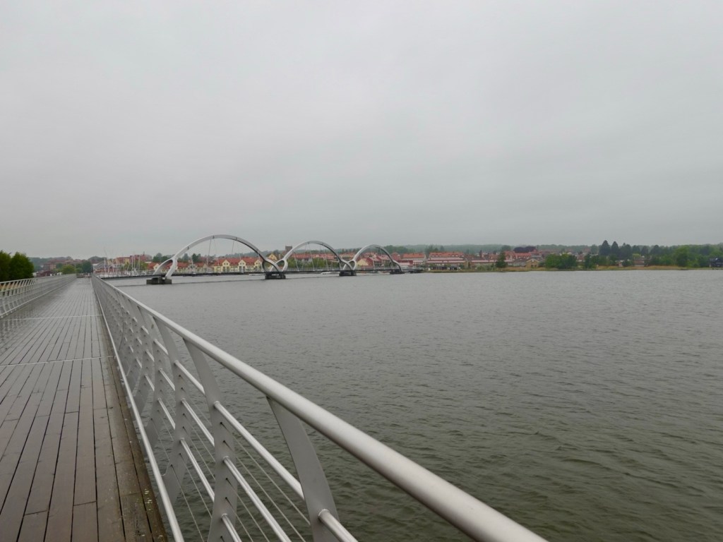
The last 50 km was all on sealed cycle paths, thankfully, as the rain set in, and for the most, a headwind.
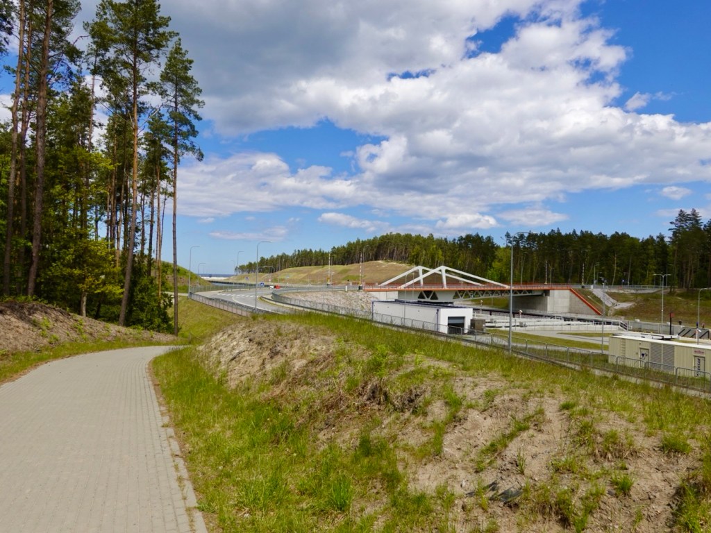
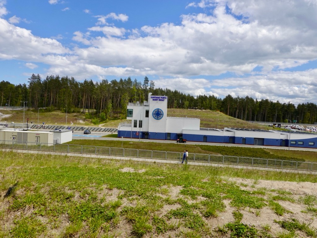
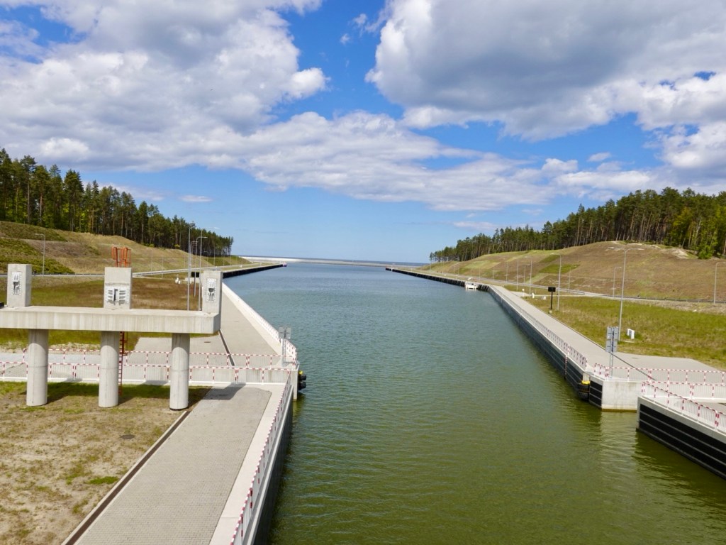
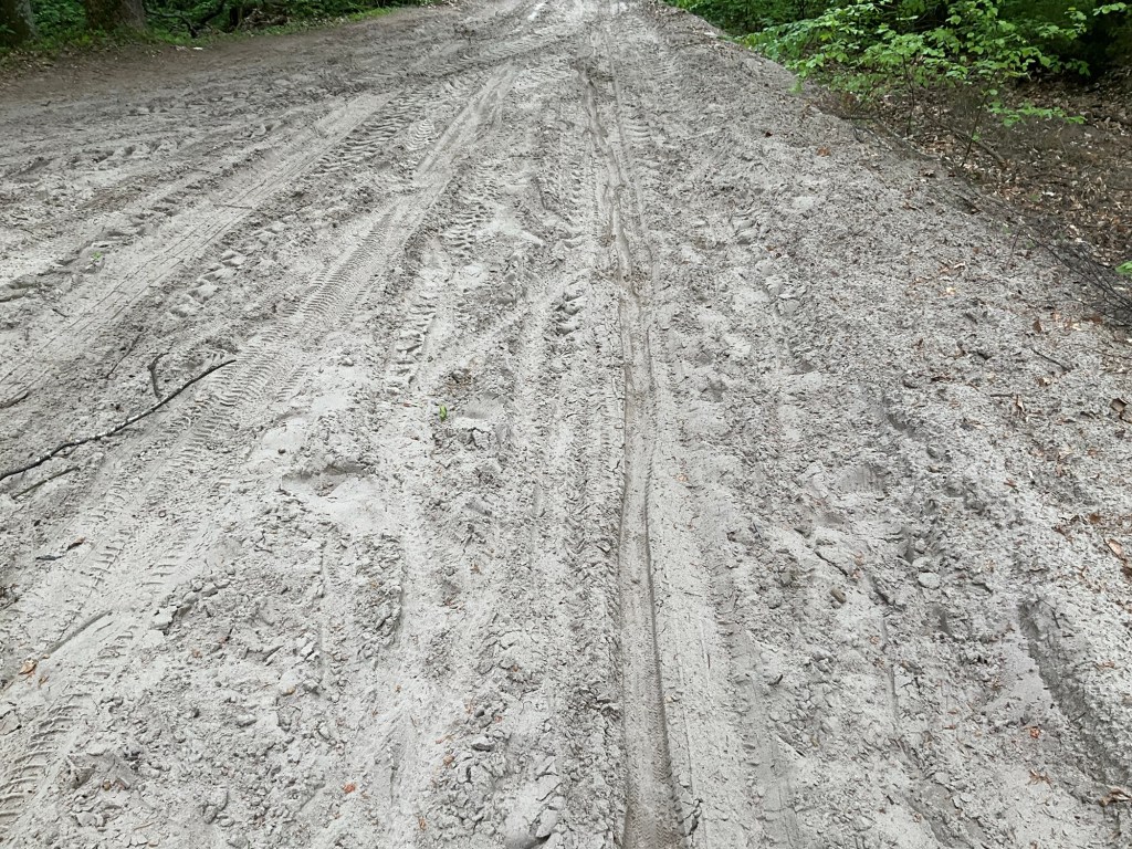
The camera rarely came out now. The last three photos of the day cover 50 km.
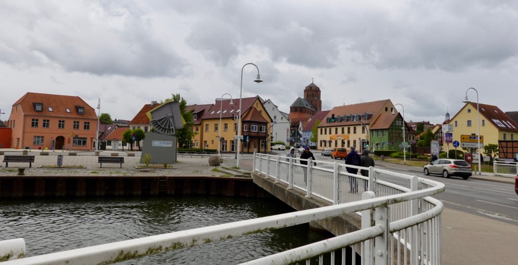
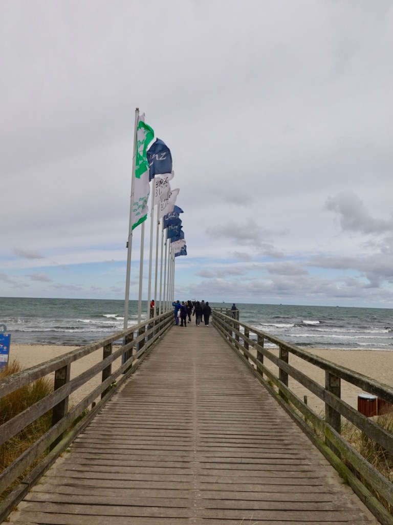
This is an amazing piece of infrastructure for walkers and bikes. The bridge we are standing on, and the next with arches are car free.
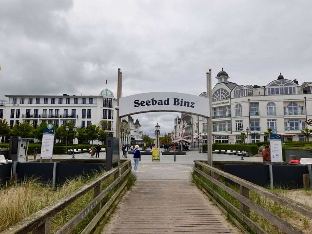
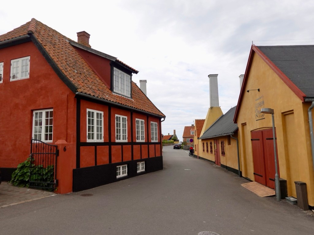
The town is Solvesborg, our destination.
After 121 km, and lots more climbing (872 m) we arrived at our funky cabin, in the back yard of a Swedish couple.
As it was still raining, and our breakfast supplies were in the fridge, we had breakfast for dinner…cucumber, tomatoes, 4 eggs, cheese and the most amazing home made bread ( a sweeter bread, tastes like might be some dates in it?).
I found porridge in the cupboard. With one litre of milk and yoghurt, breakfast is sorted.
Another great day touring!
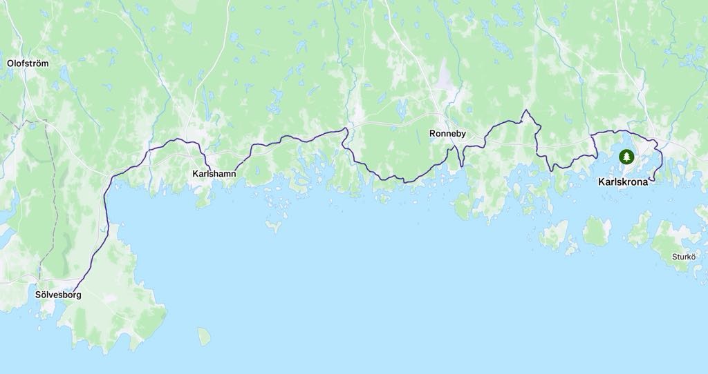
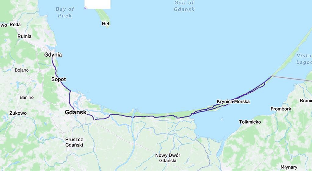
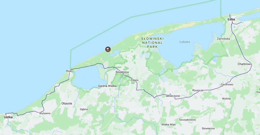
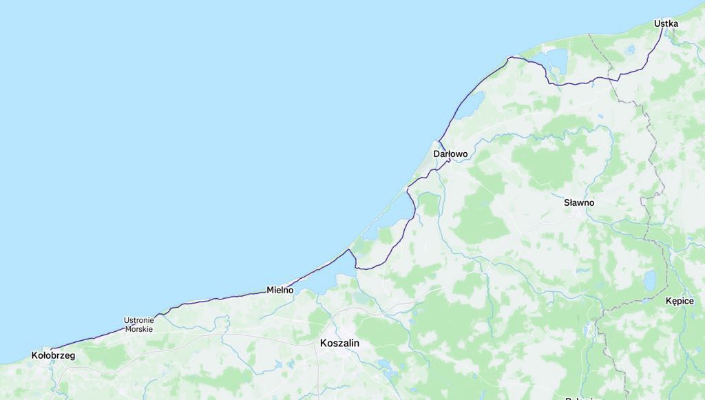
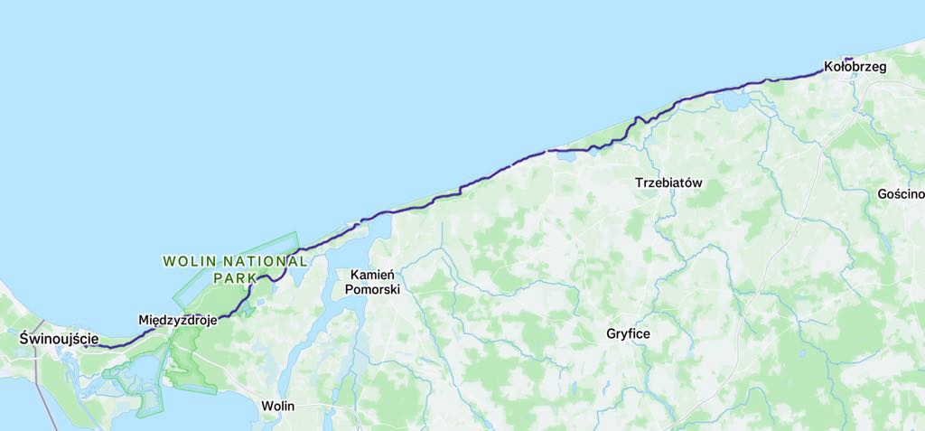
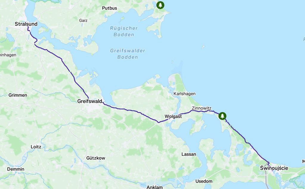
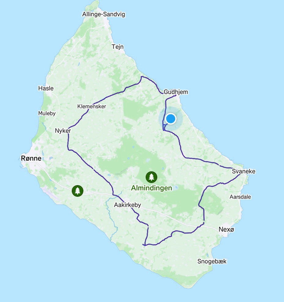
Our route below. Thankyou for reading 😊❣️💪🚴