Day 7: Swinoujscie (Poland) to Kotobrzeg (Poland)

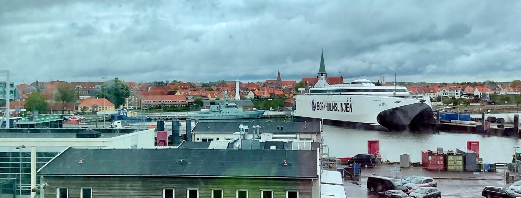
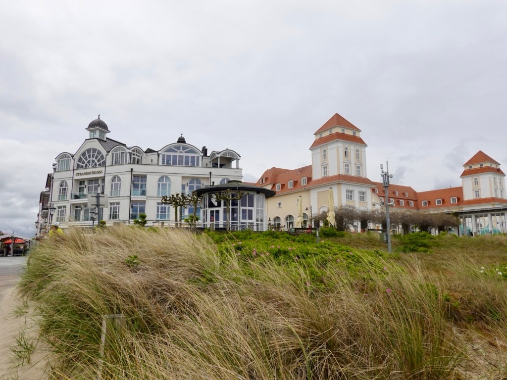
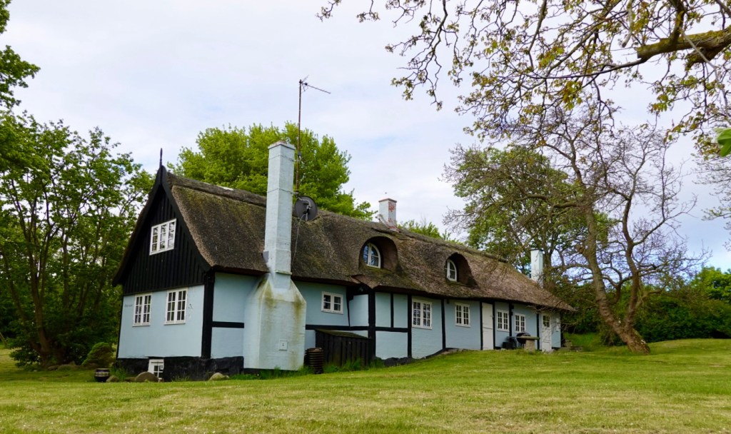
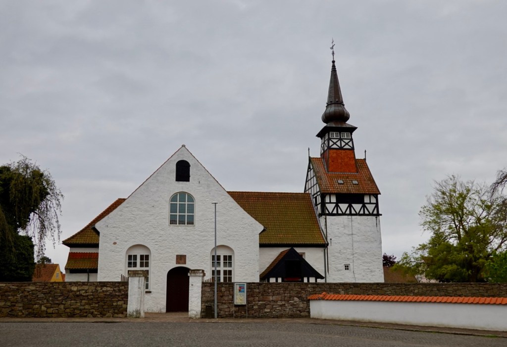
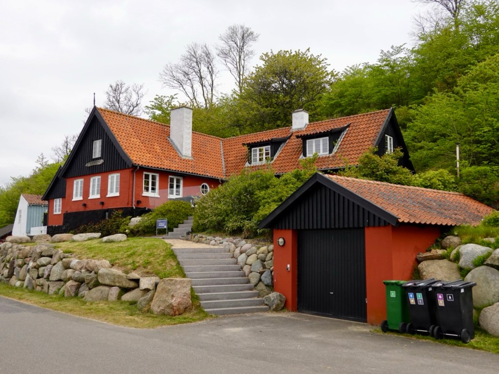
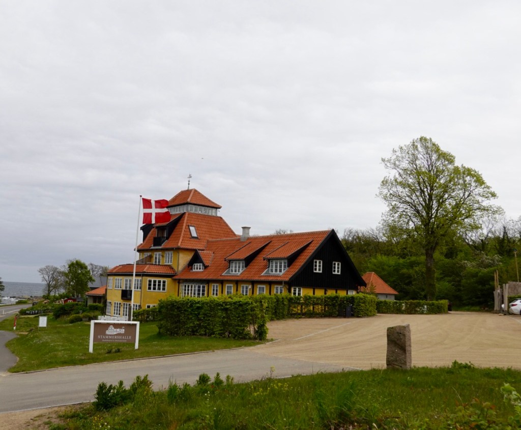
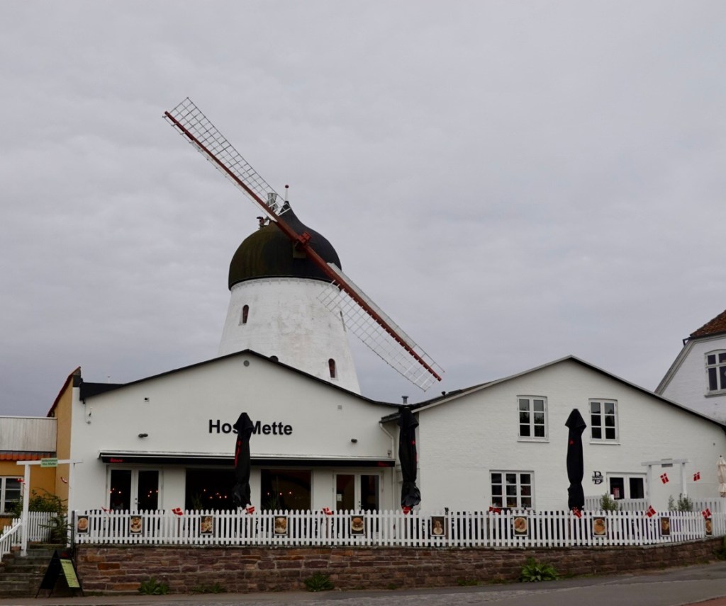
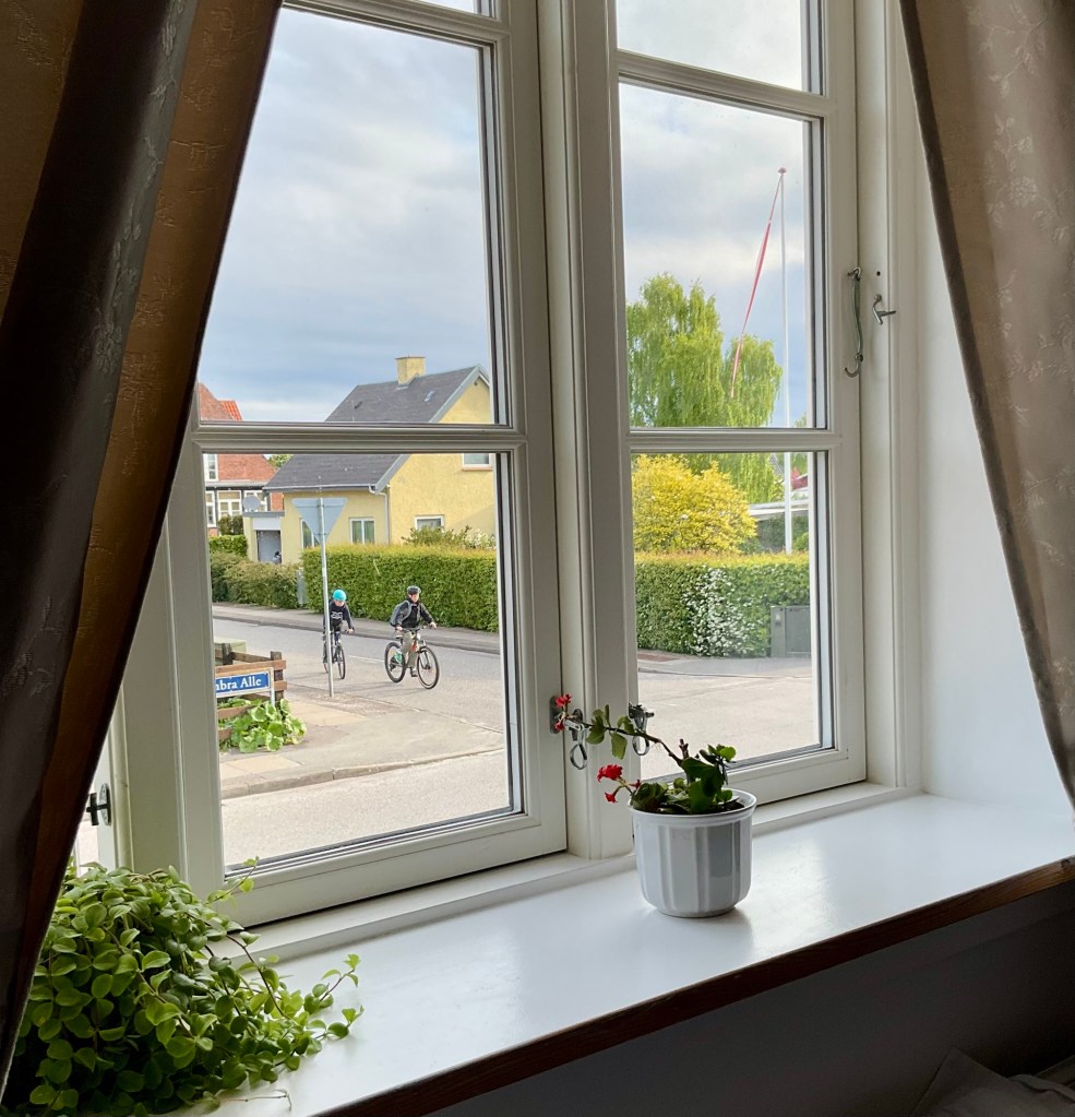
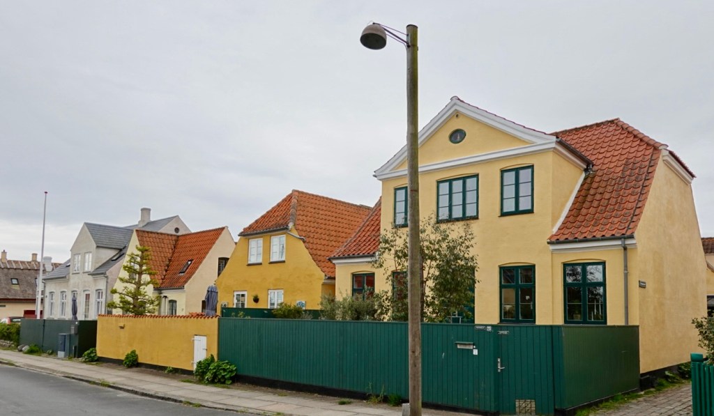
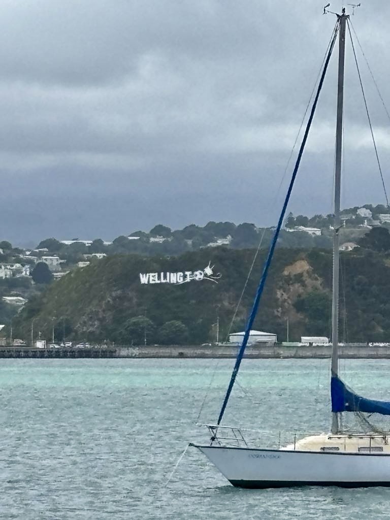
Not the most exciting view from our room, but I do love the sign on the window.

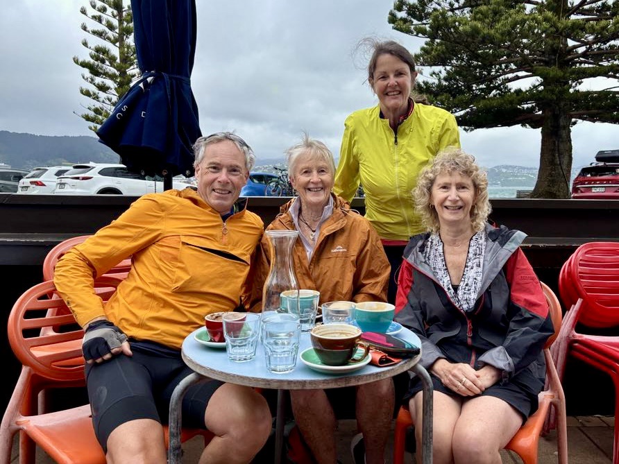
Cloudy with drizzle was how we started our cycling day, but not before a lovely breakfast.

There are four floors of accomodation here and we think there are only two other rooms in use based on the breakfast table set up. It certainly was super quiet.

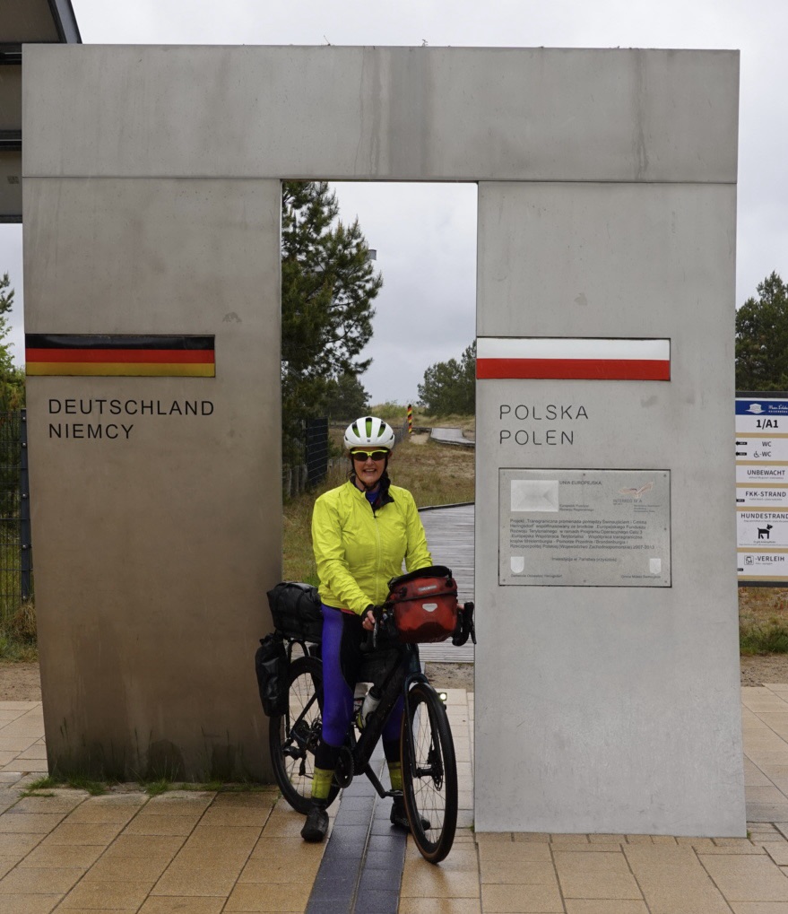
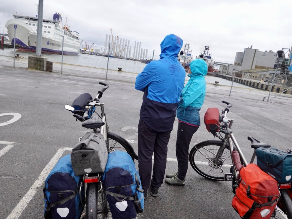
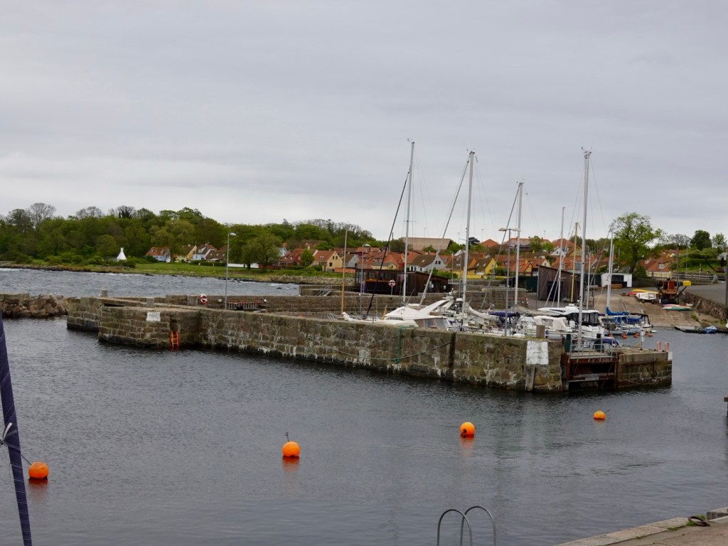
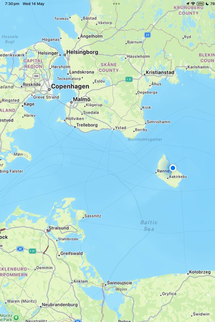
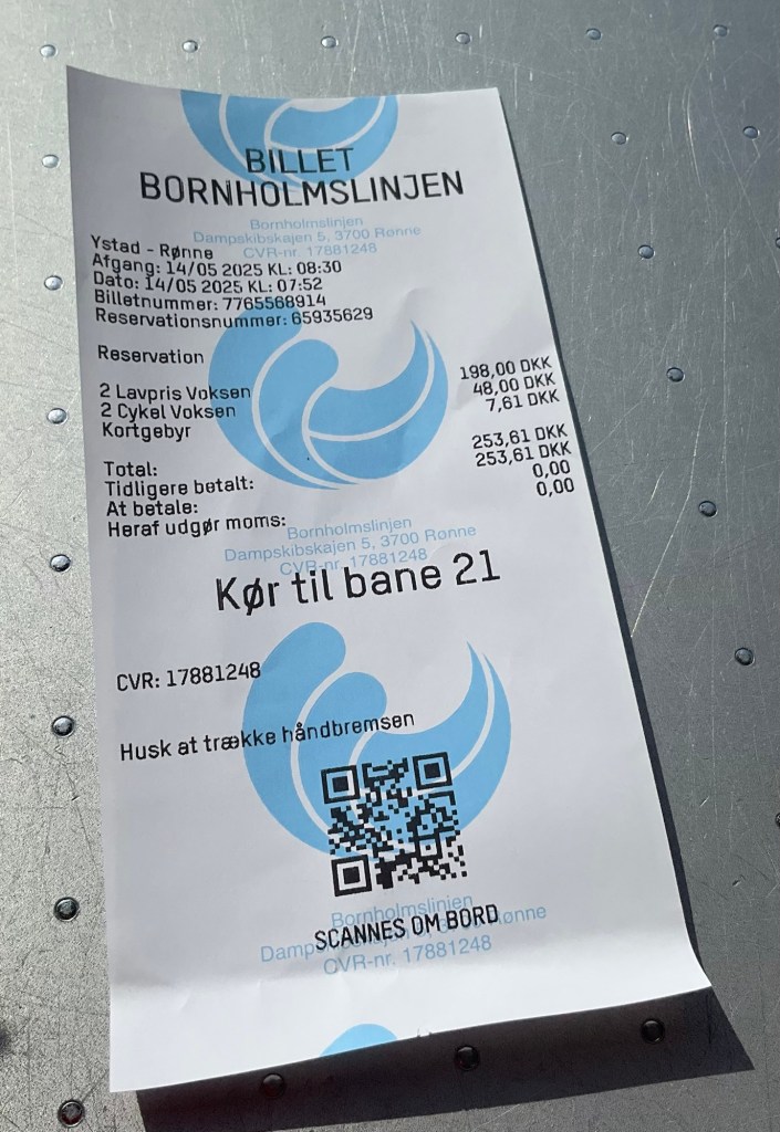
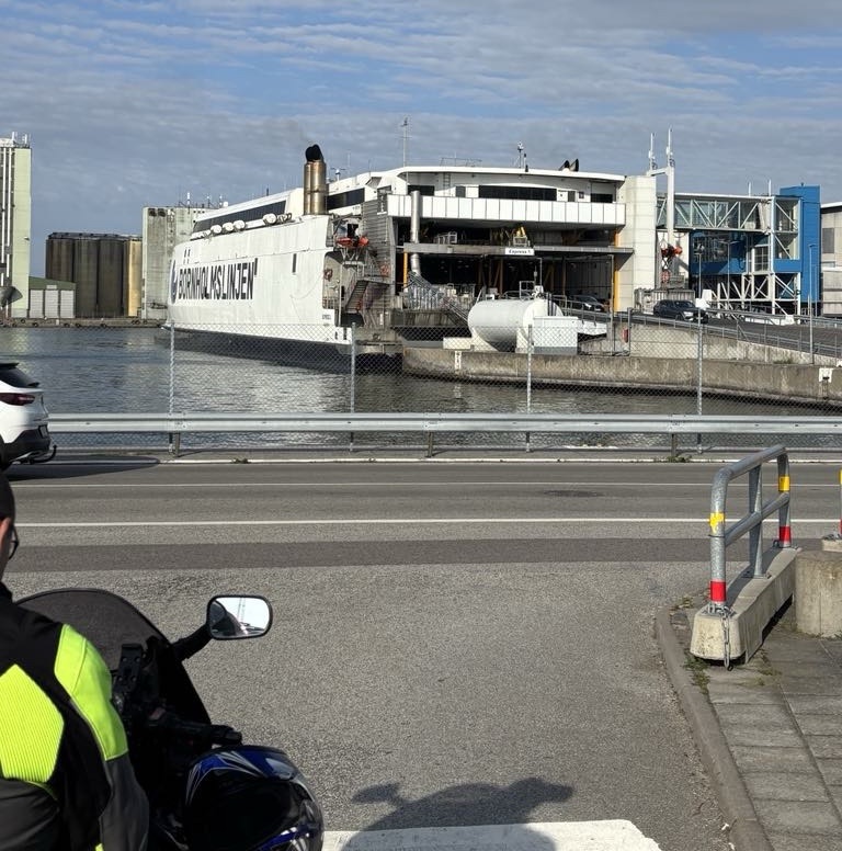
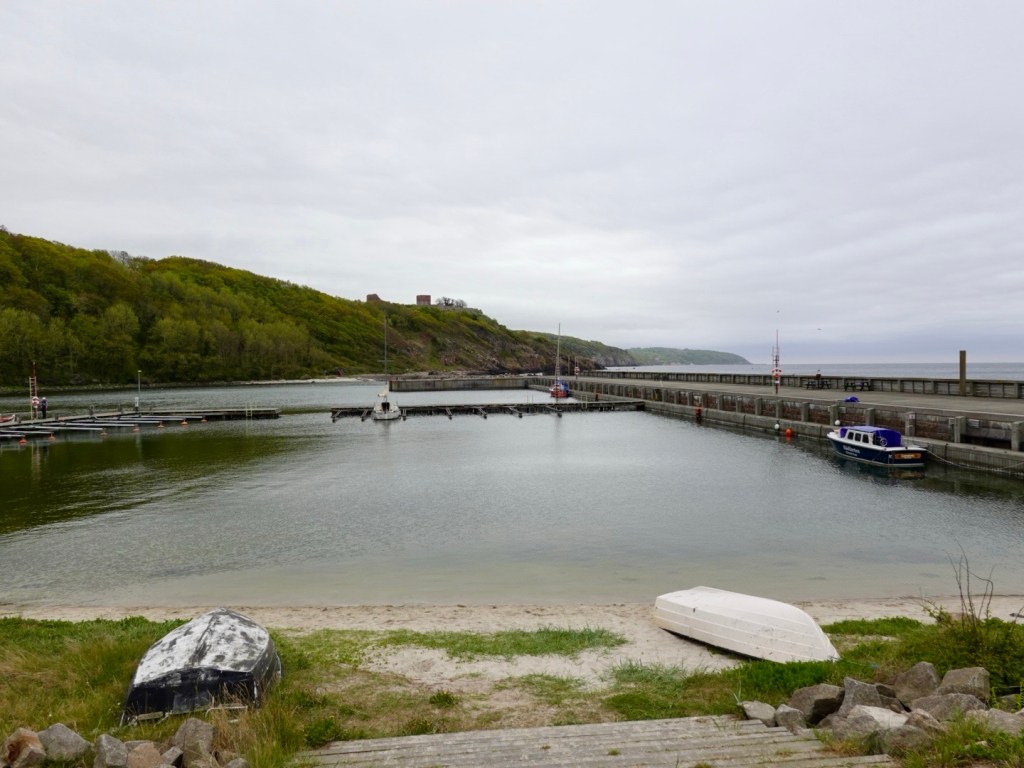
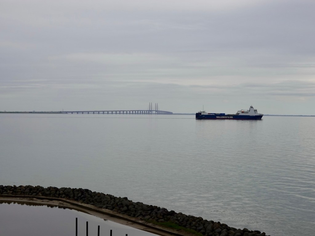
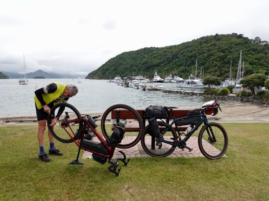
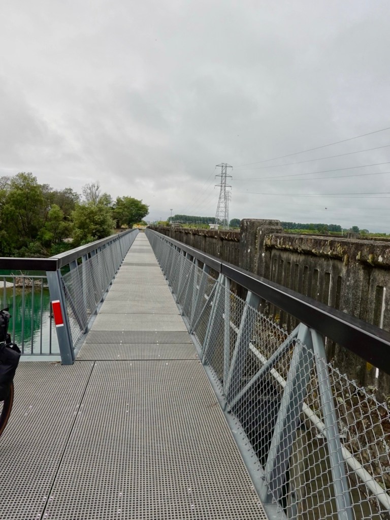
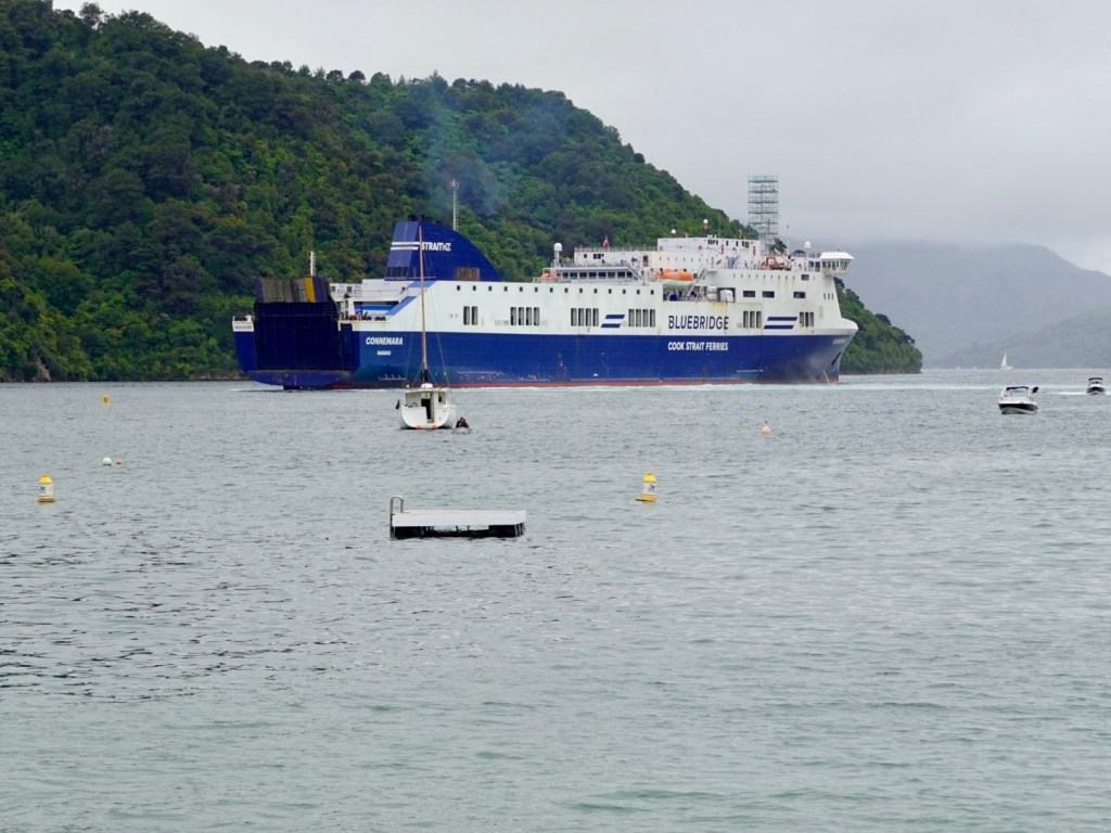
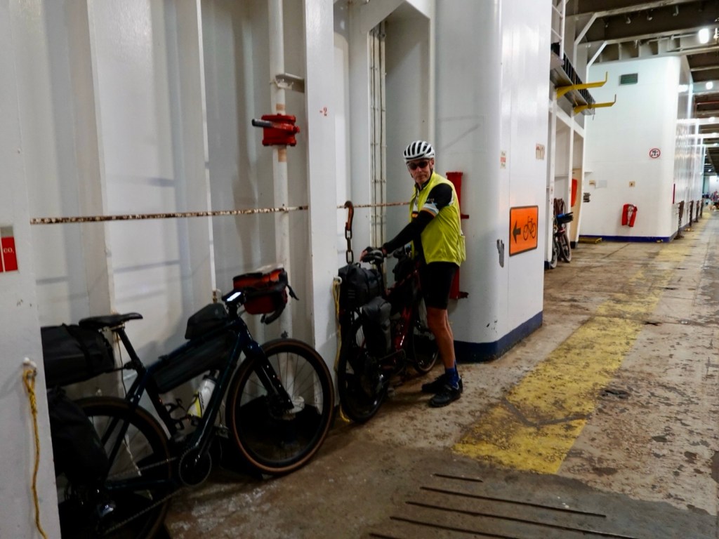
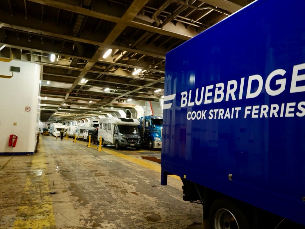
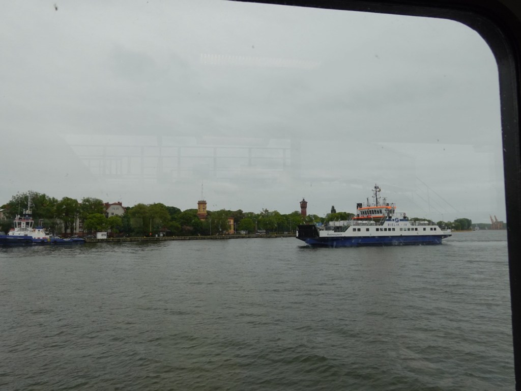
We packed the bikes and headed to the river. There are a distinct lack of bridges in this town and we needed to transfer across by ferry.

The ferry is free. No cars crossed with us on this trip, but there were a handful of cyclists and a few walk in pedestrians.

Ferries leave every 20 minutes from both sides. I presume the ferry operational costs are cheaper than building a bridge and the payback would be far too many years.

Ferry crossing from the other side

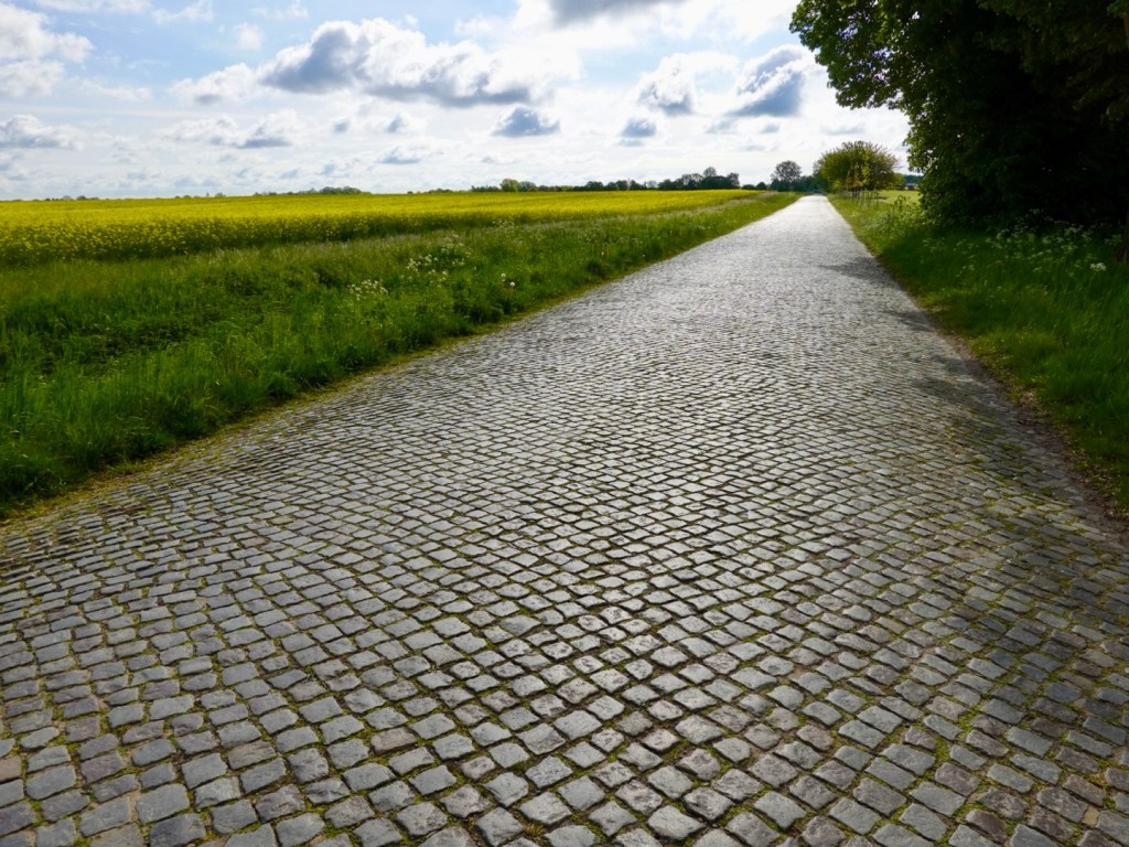
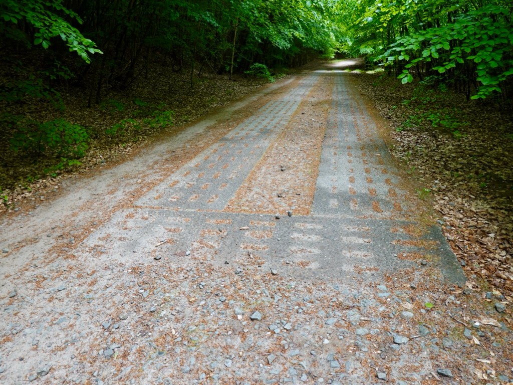
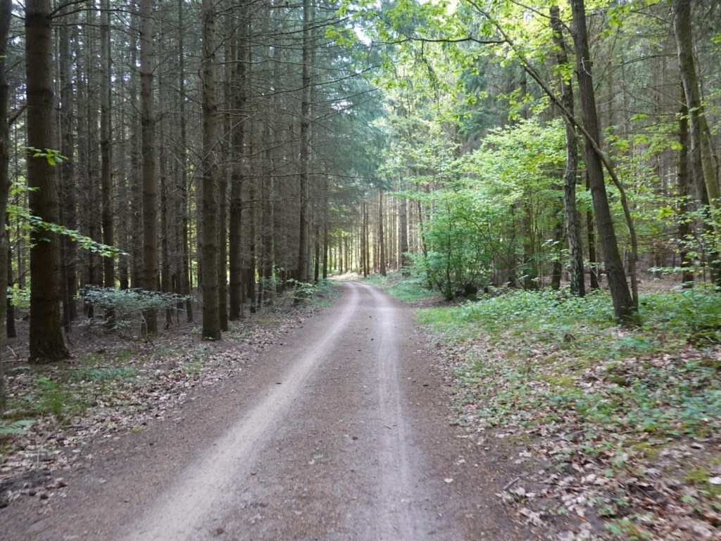
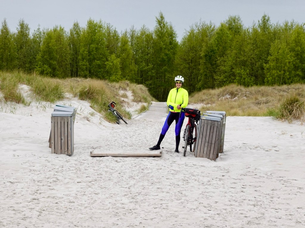
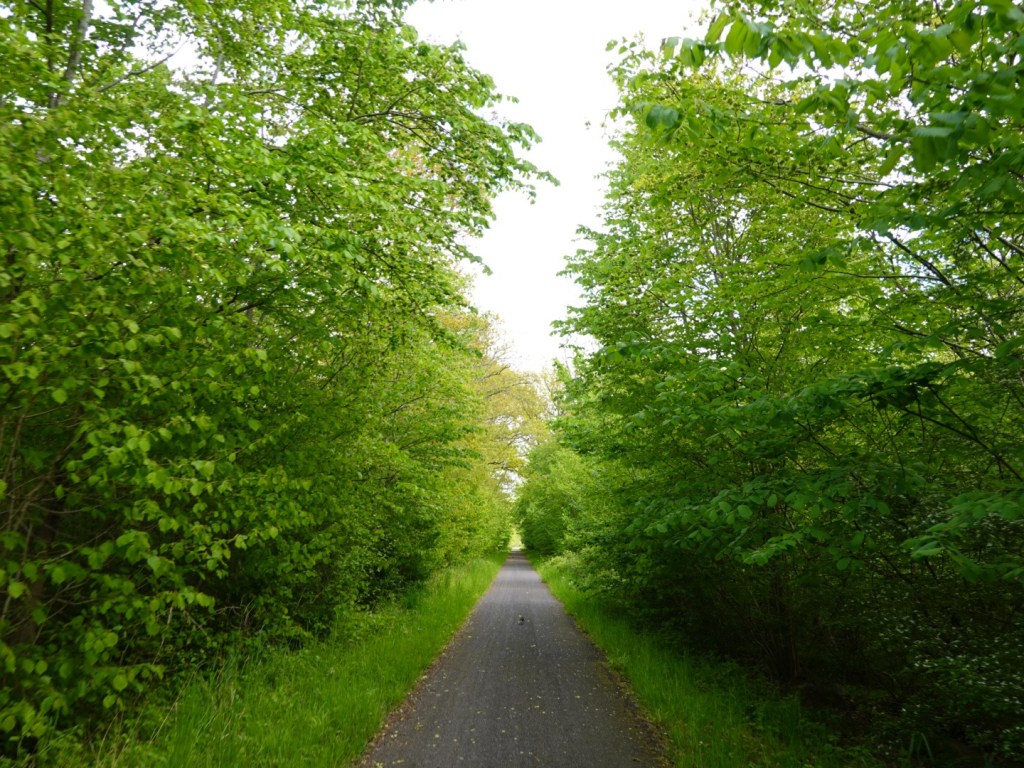
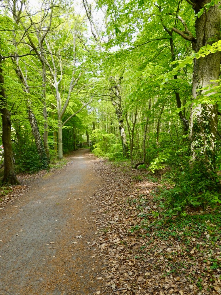
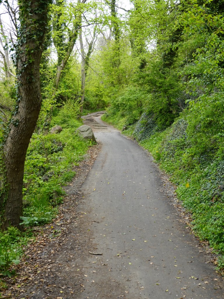
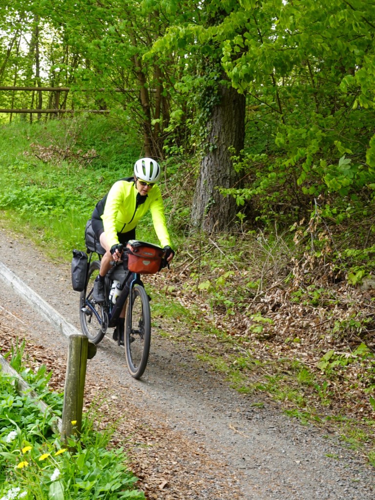
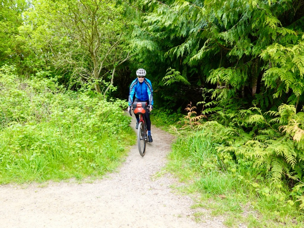
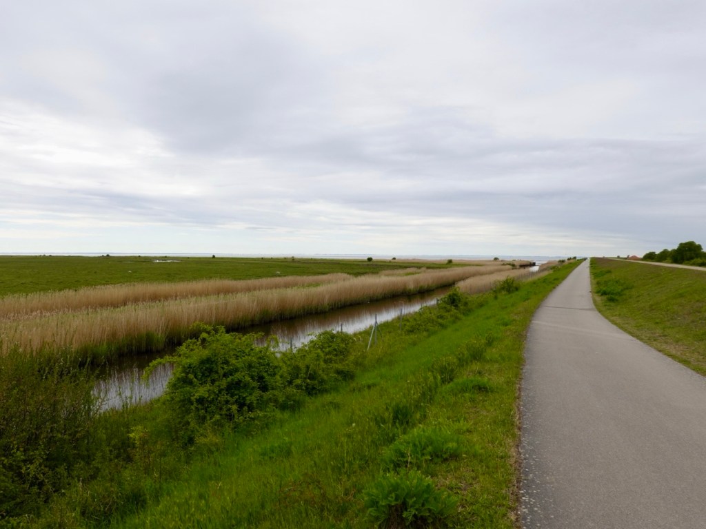
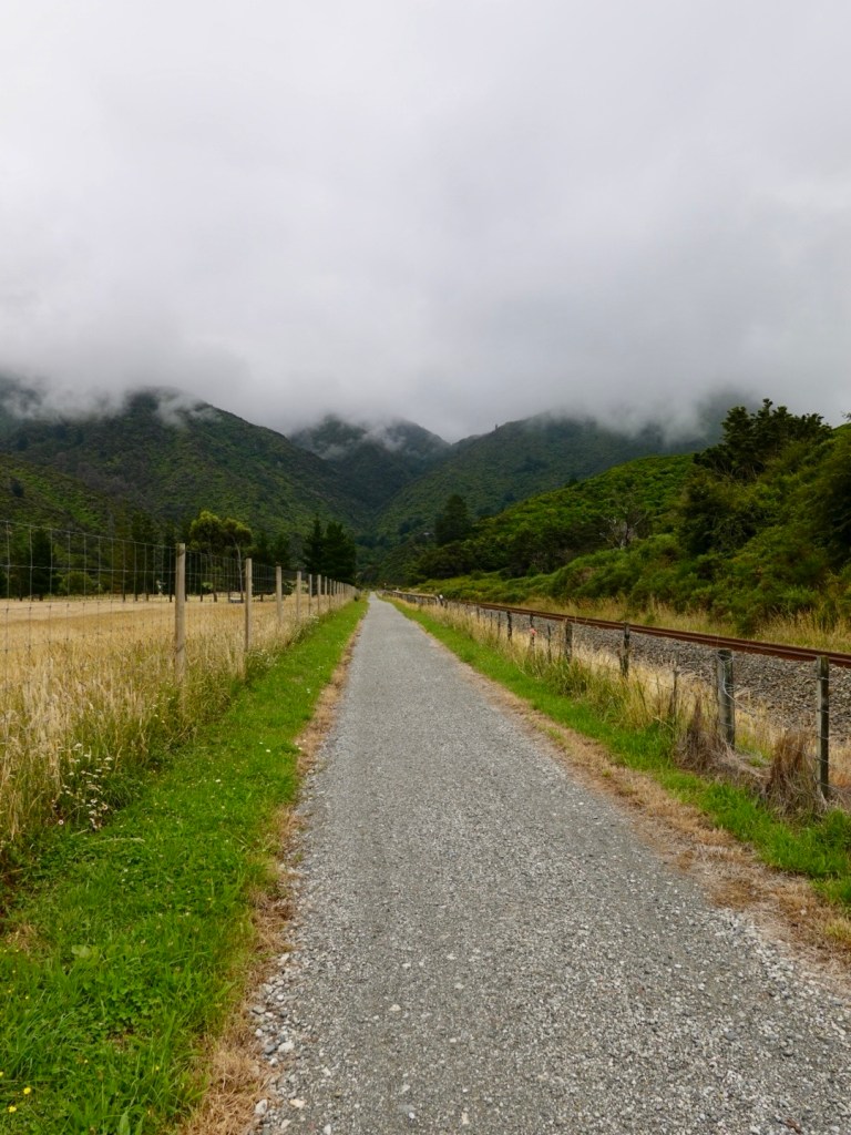
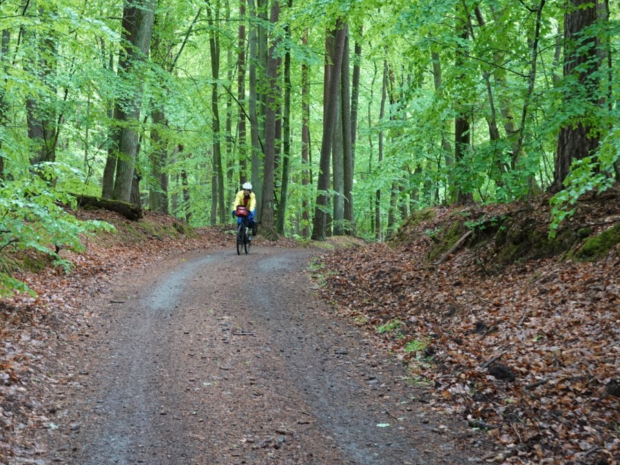
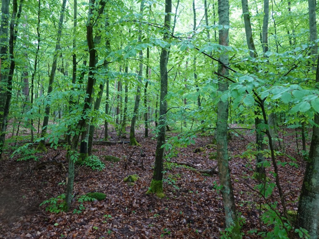
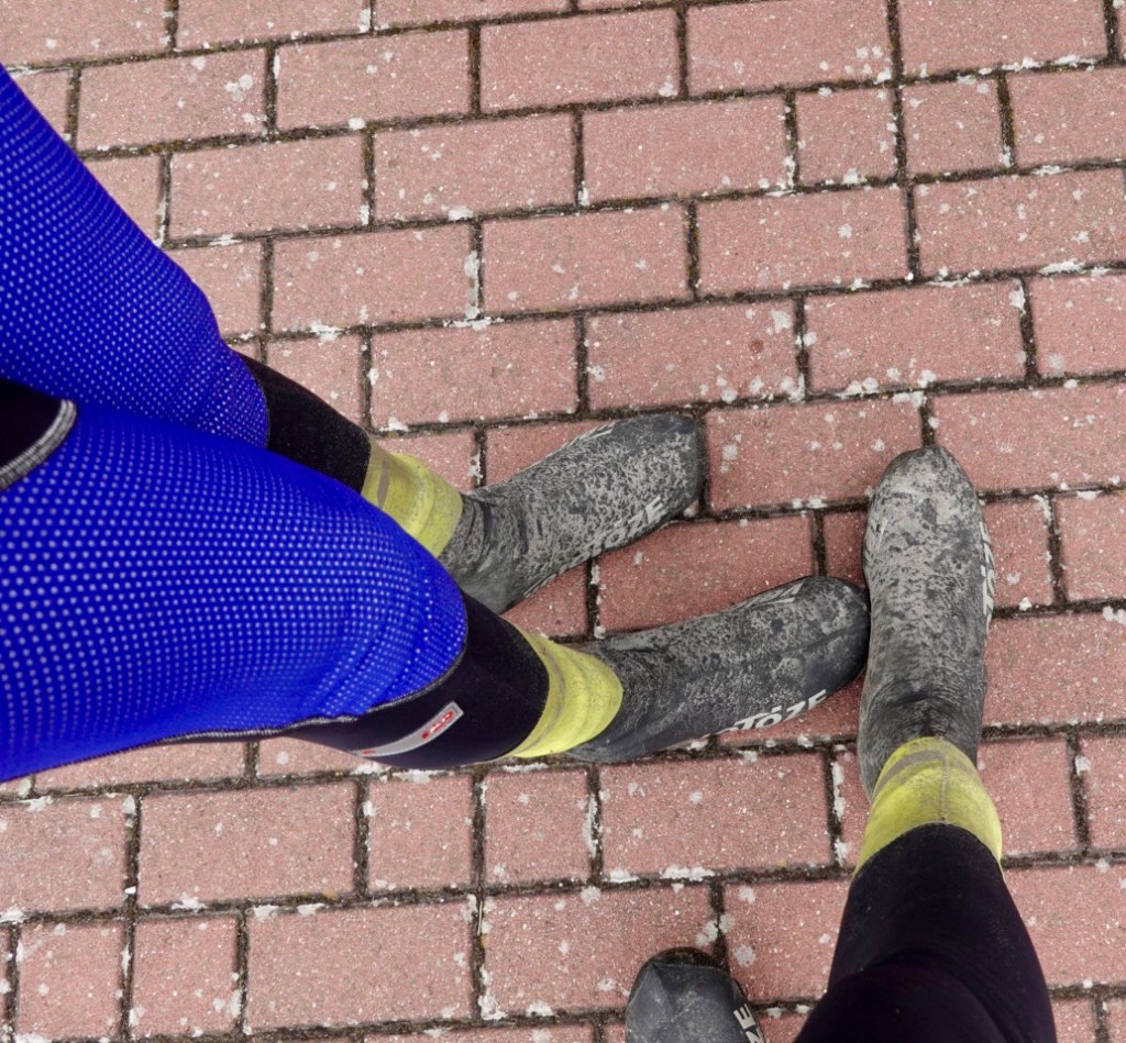
After a few km we were riding through a forest on dirt tracks. We did about 20 continual km on non sealed in the first 25 km. in places there were thick drifts of wet sand that were difficult to get through.

A good section

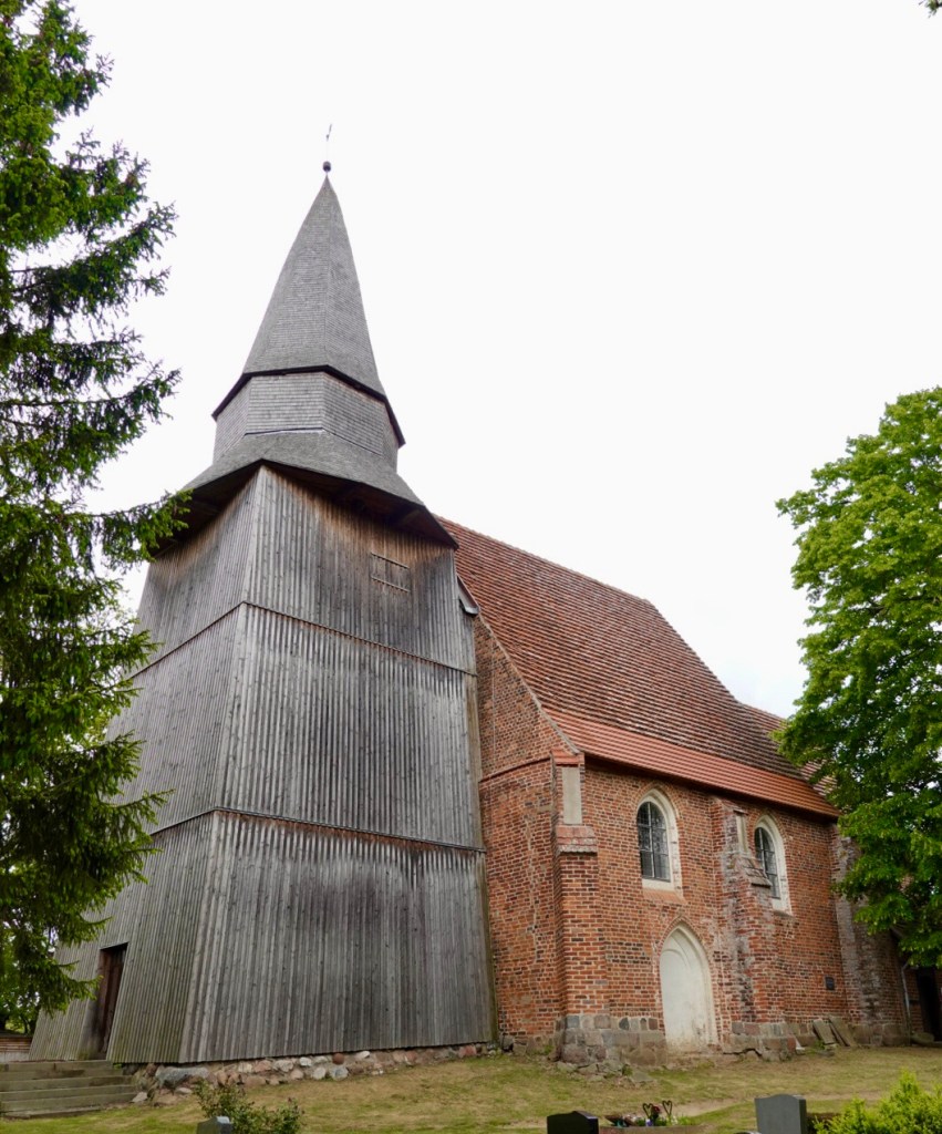
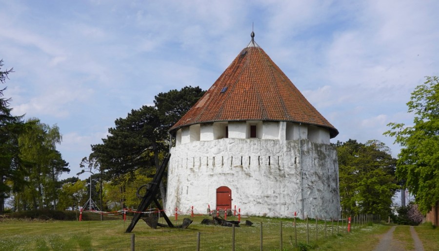
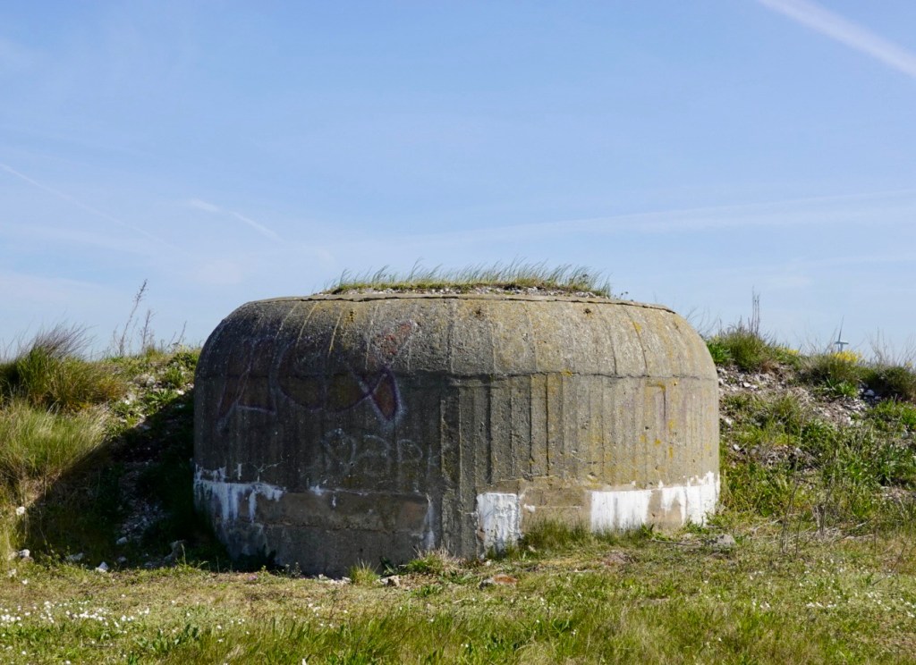
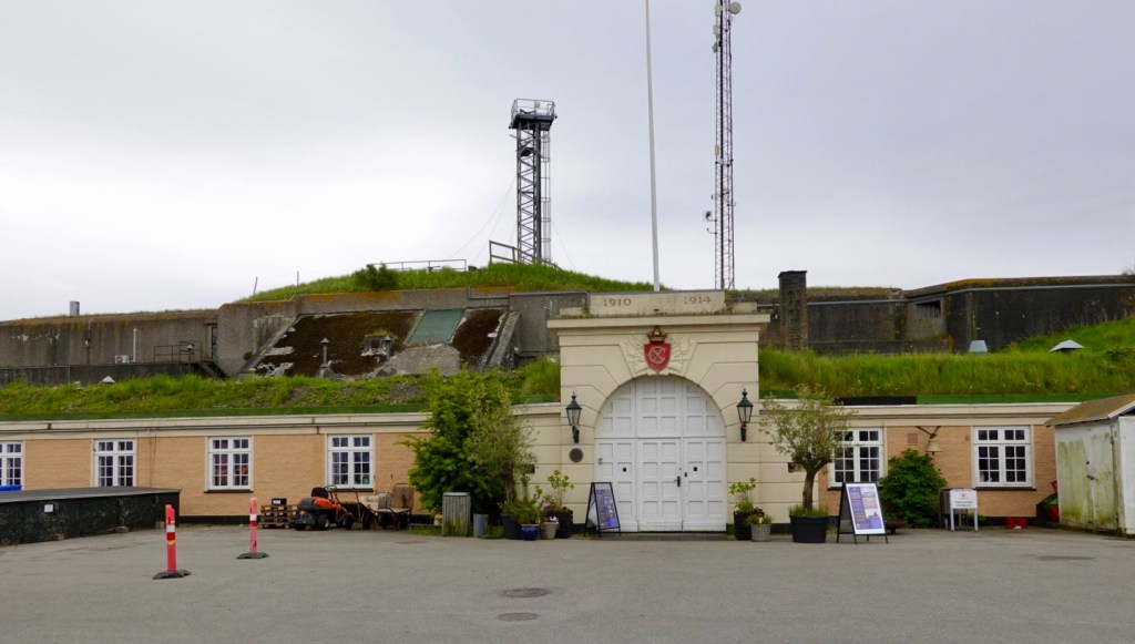
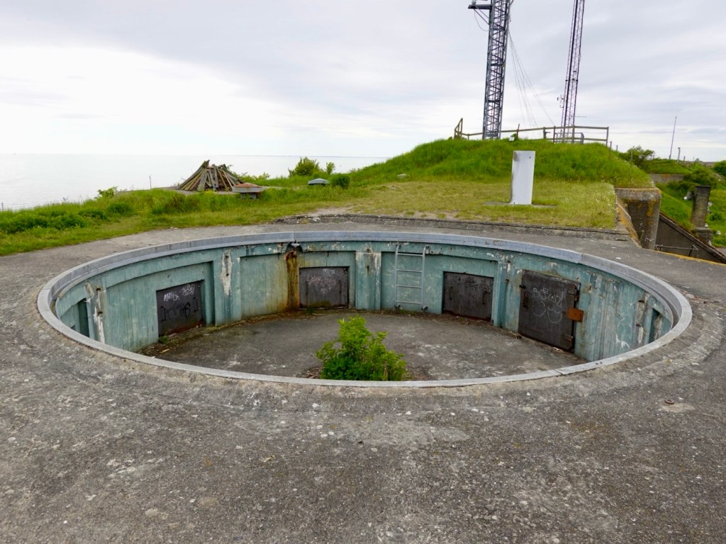
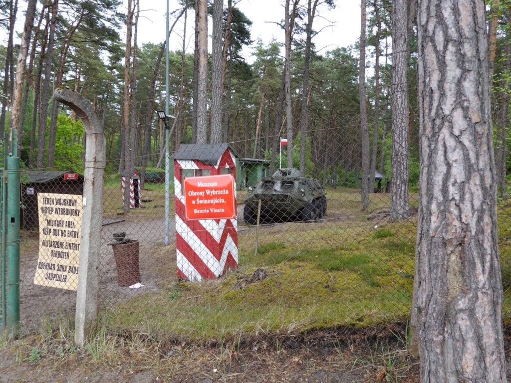
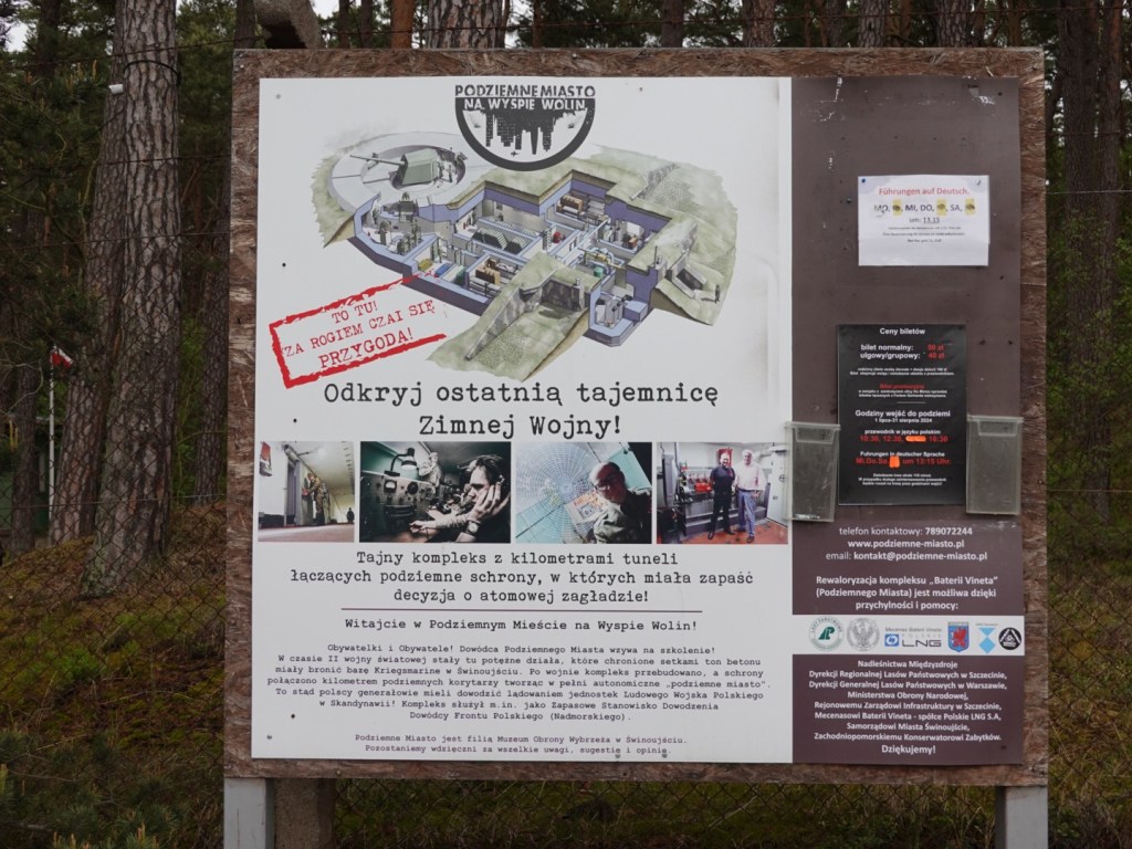
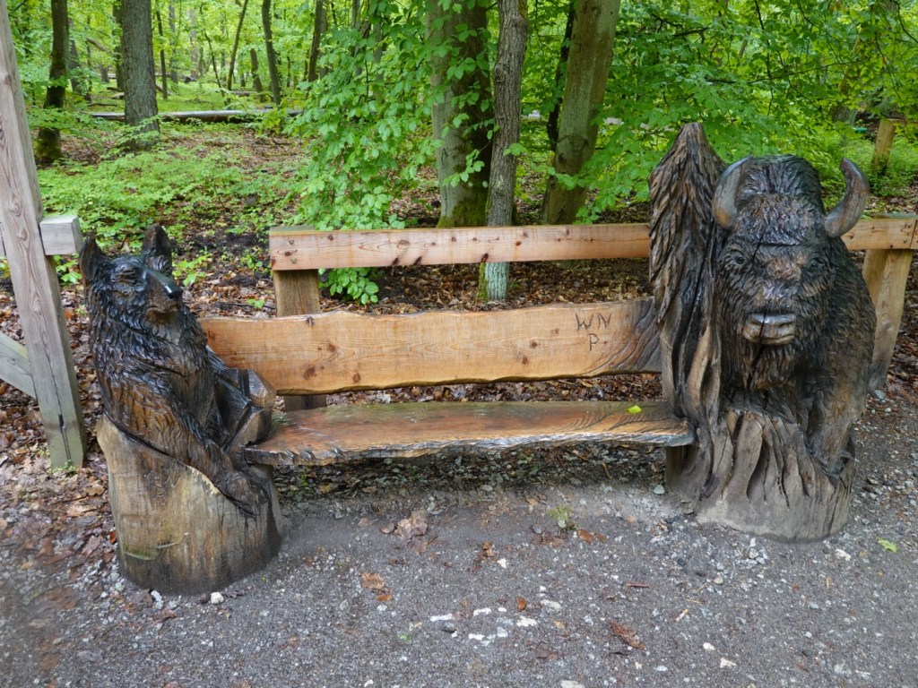
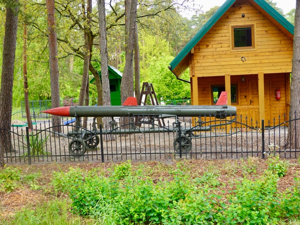
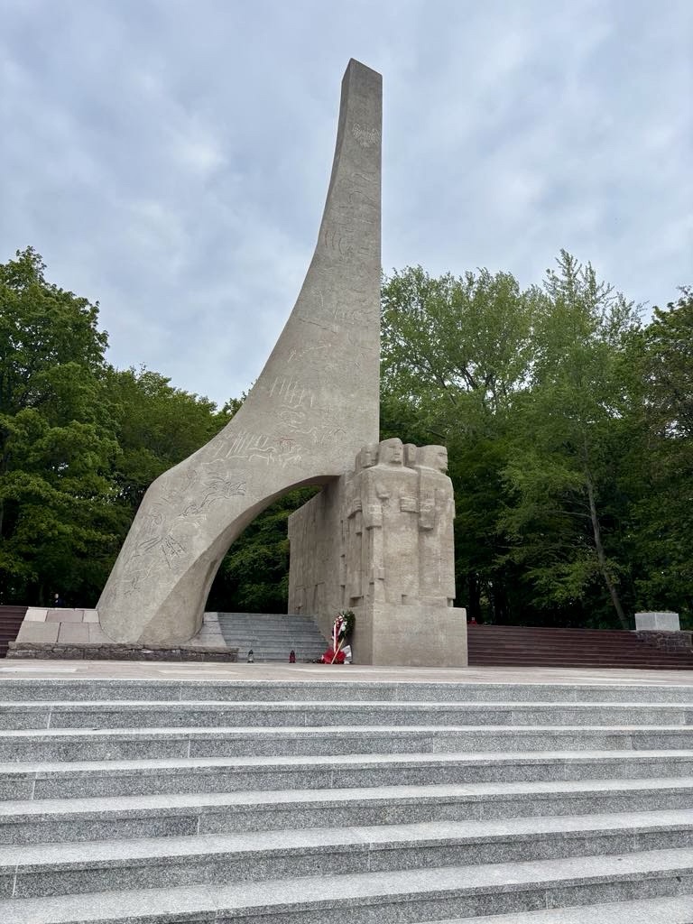
This was interesting. Wolin had an underground complex here pre World War II. The area formerly belonged to Germany and there are over one km of underground tunnels. You can visit in guided groups.

The forest traverse was close to the ocean. We needed to walk our bikes down the next section as the sand was over 30 cm deep with large ruts and wash aways.

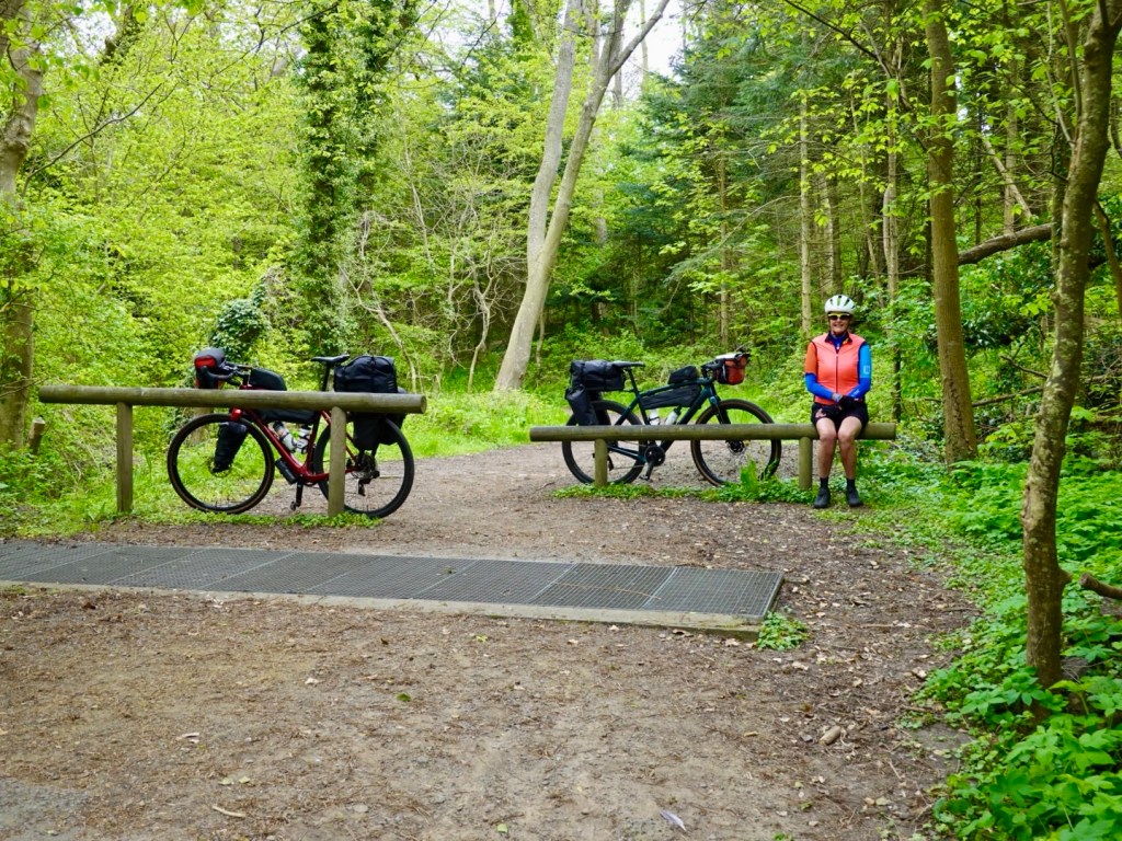
We passed two young blokes who had been on our ferry crossing here. They had made a concerted effort to pass us earlier on so we smiled that the oldies caught up.

We were to see them on and off again for the next few hours with various stoppages.

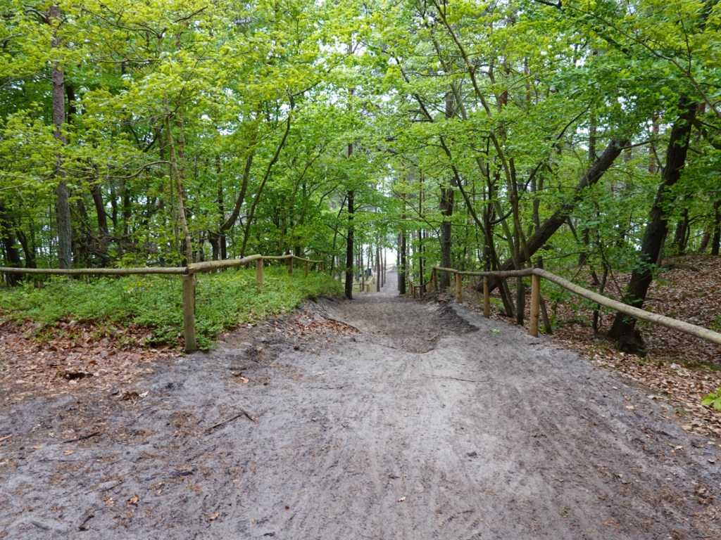
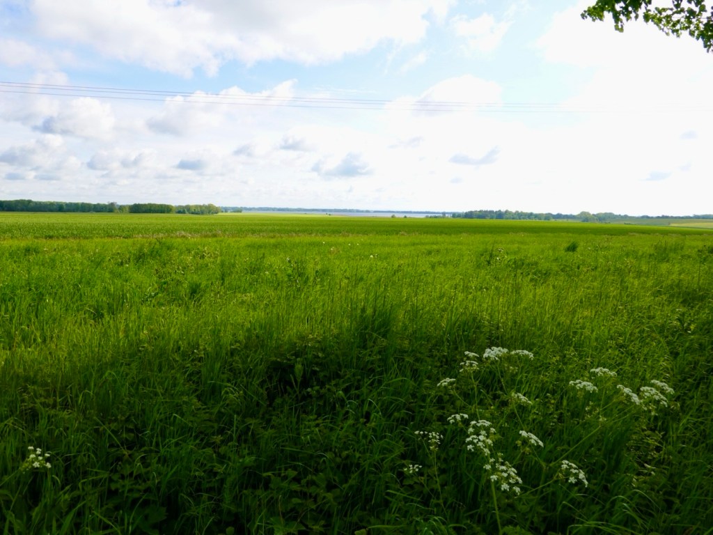
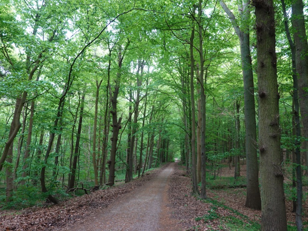
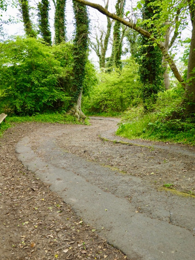
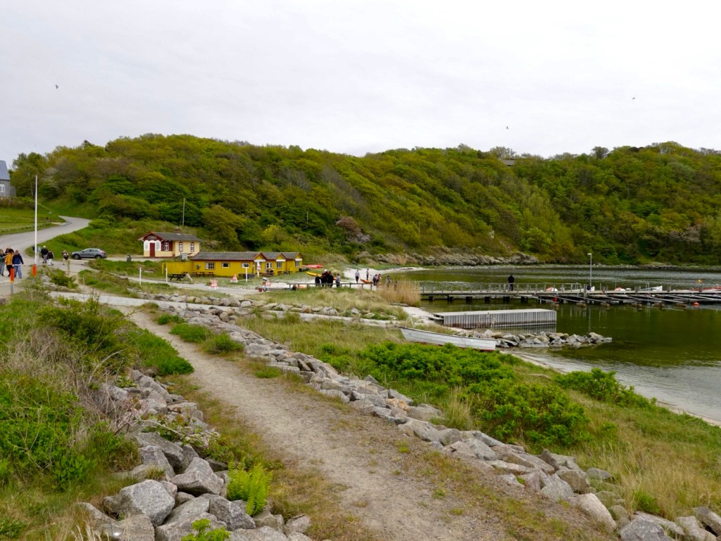
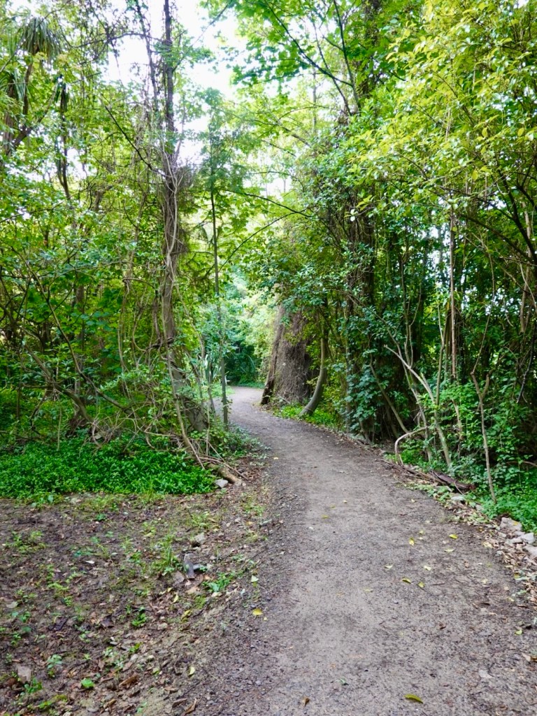
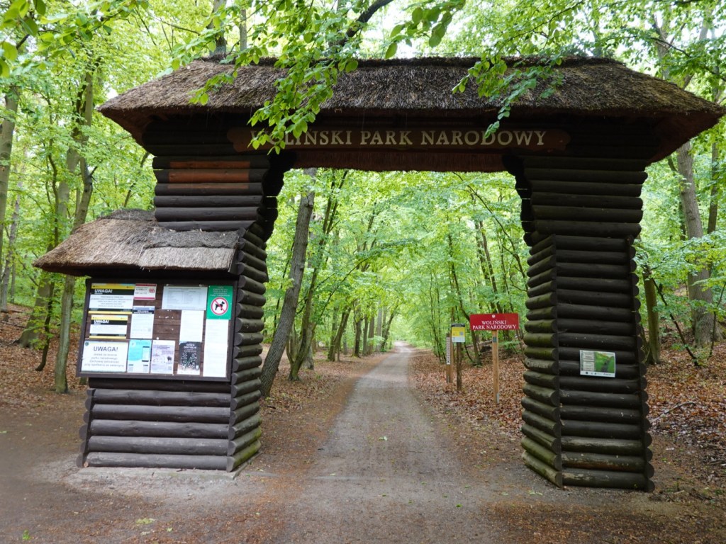
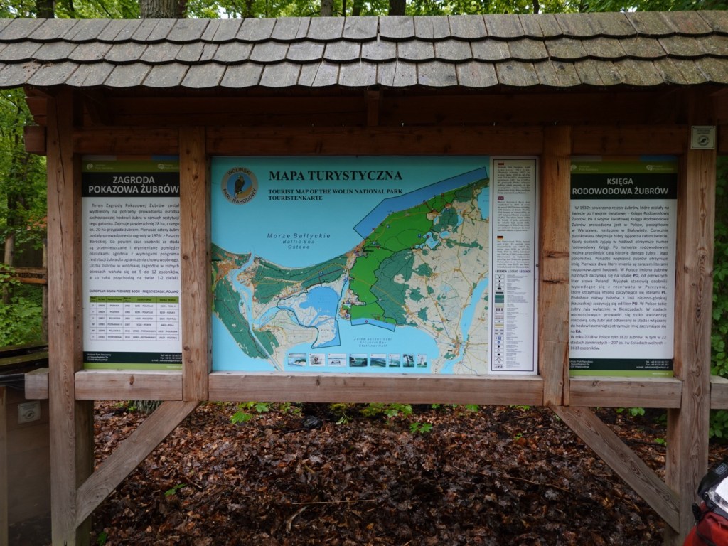
We rode through the Wolinski National Park. It was particularly nice with lush vegetation, red squirrels and small deer. The paths were better quality than the earlier sloppy ones. There were many walking trails and a zoo.

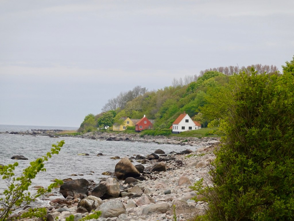
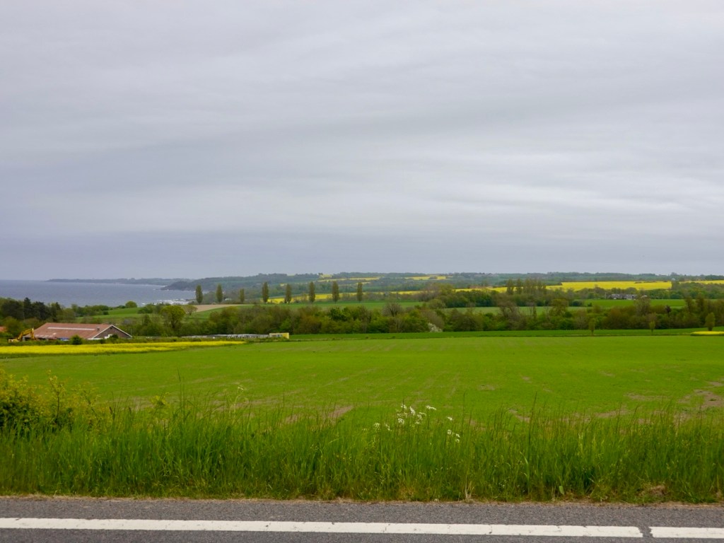
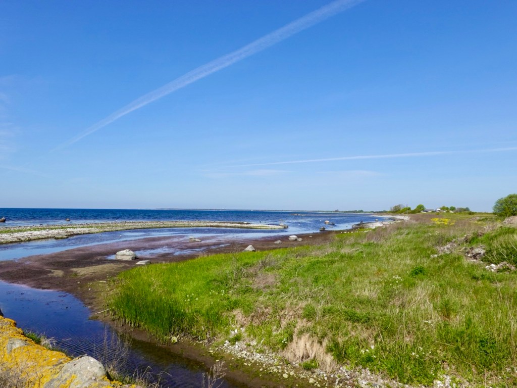
With the Baltic Sea close on our left hand side, the forest provided great protection from the blustery coastal winds and persistent light rain.

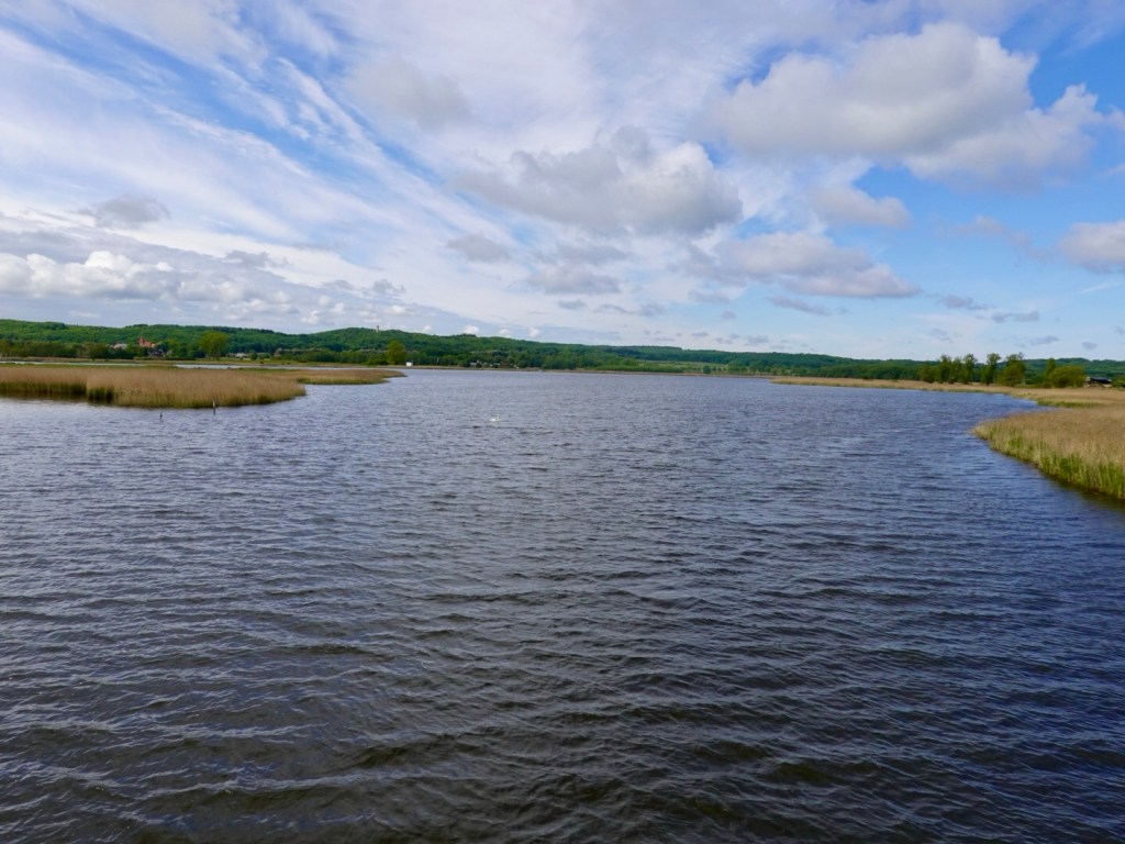
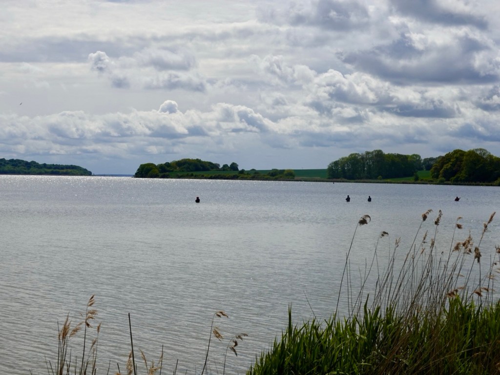
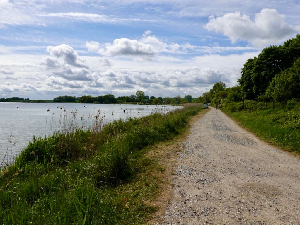
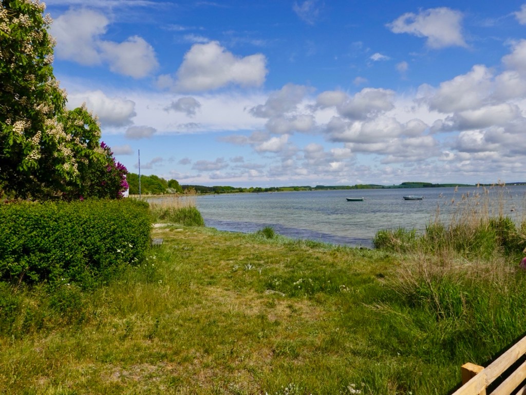
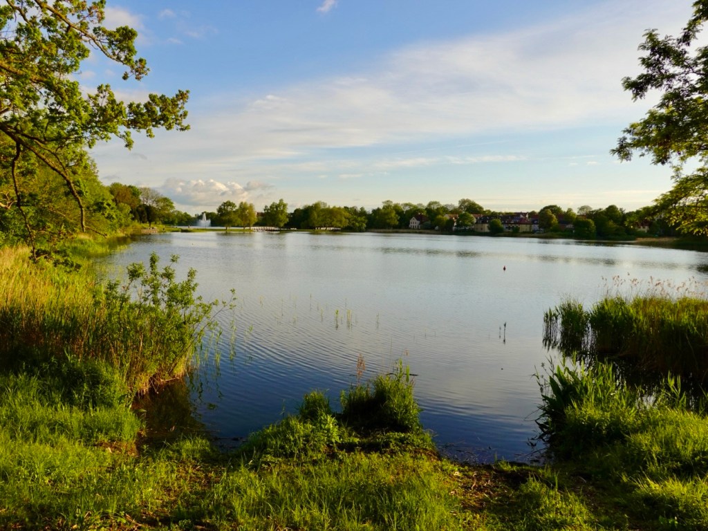
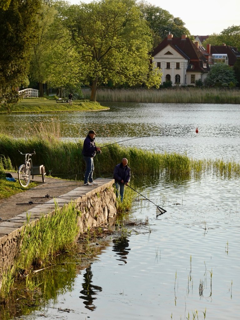
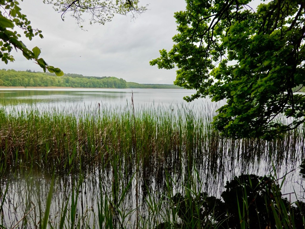
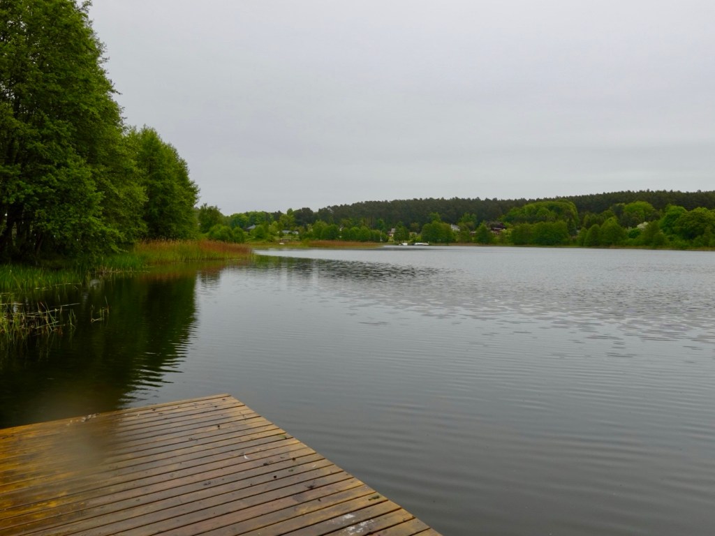
On our right hand side (south), we passed numerous small lakes.

Czajcze Lake

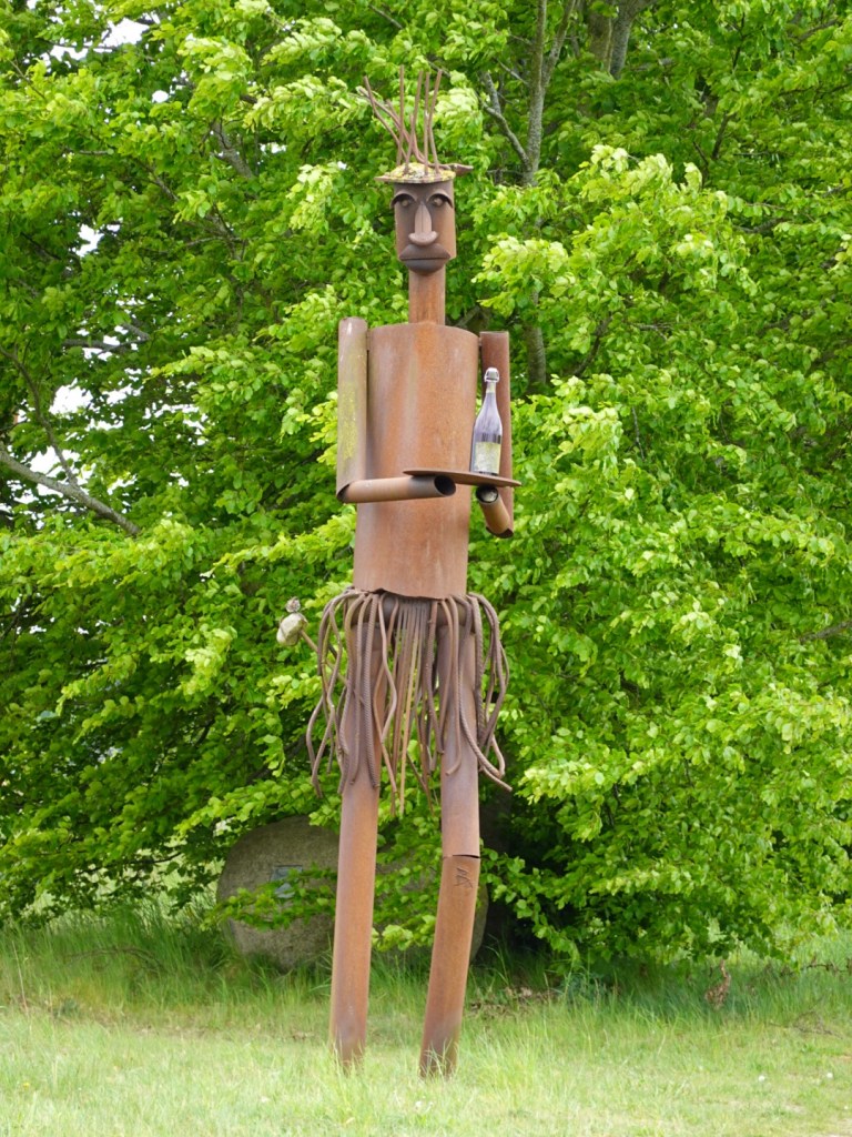
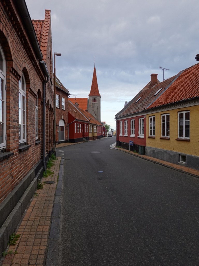
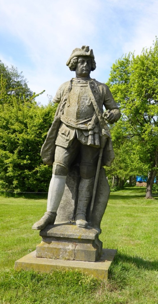
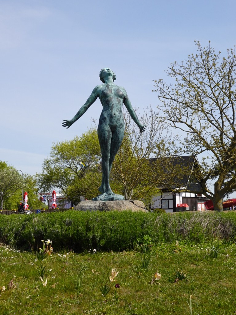
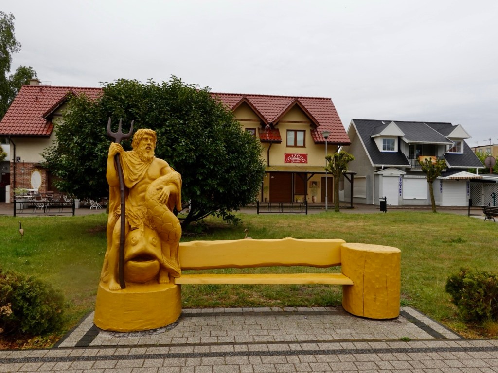
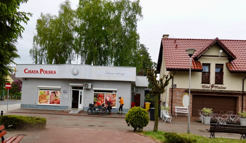
We stopped in a small town looking for food. A statue of Neptune drew our attention in the village of Wiselka. We found a small shop to grab some supplies.

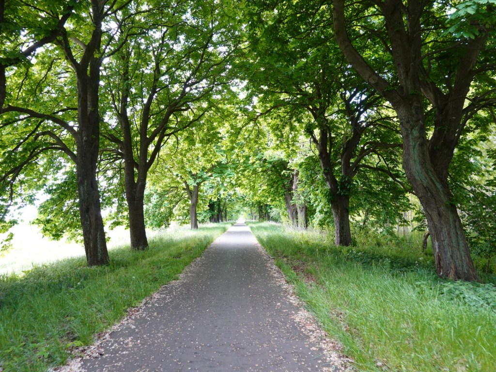
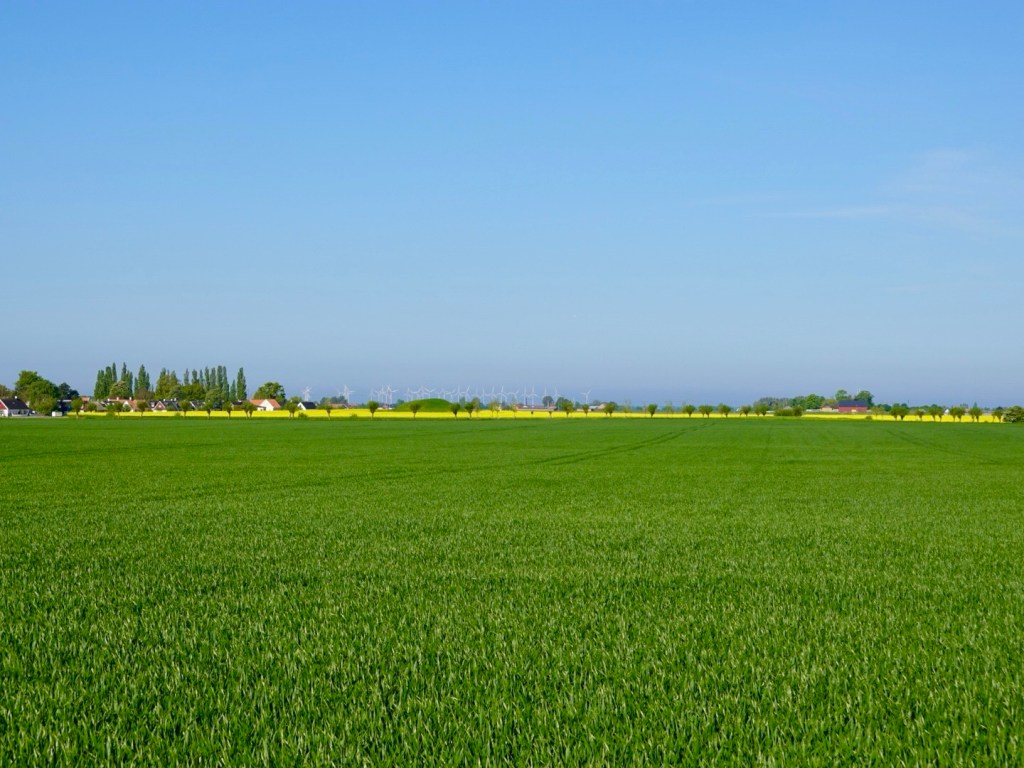
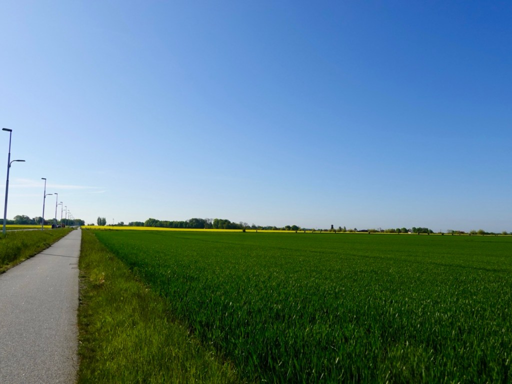
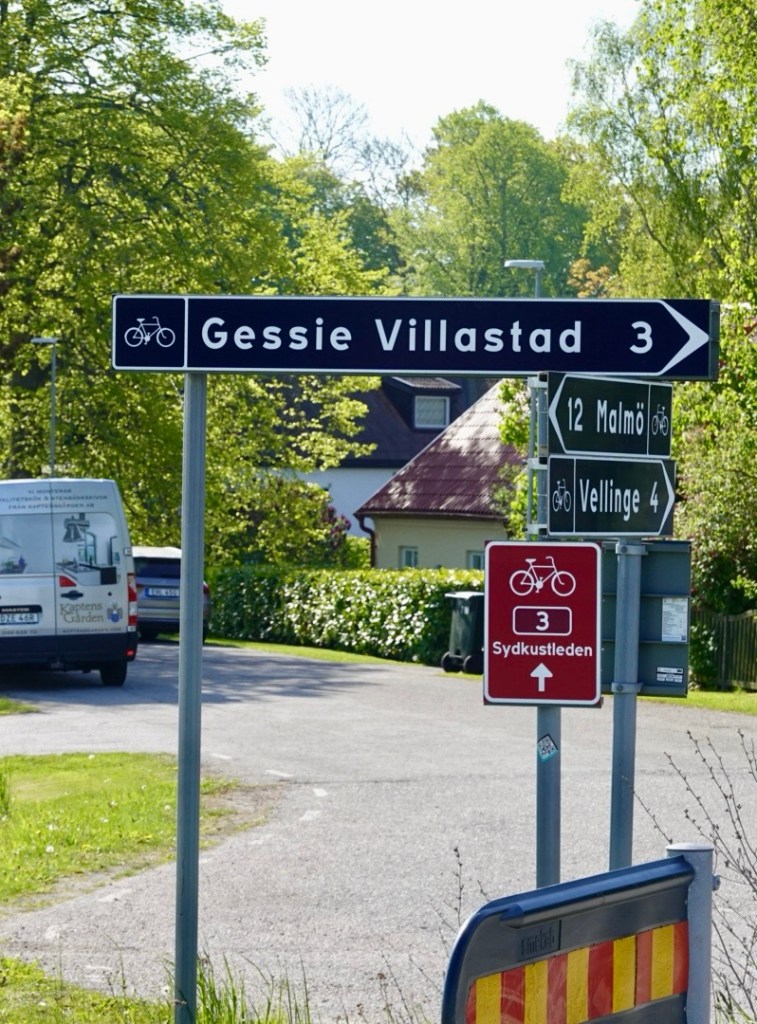
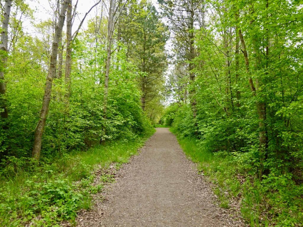
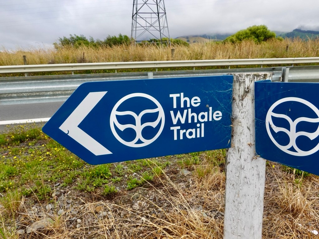
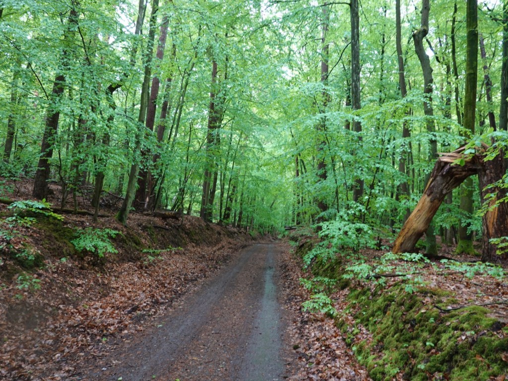
Leaving the town and dirt behind for a while, we were following EuroVelo 10 and the path was nice and smooth!

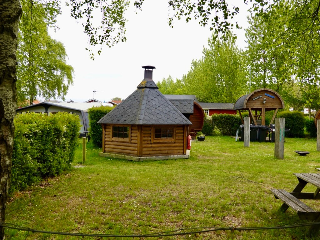
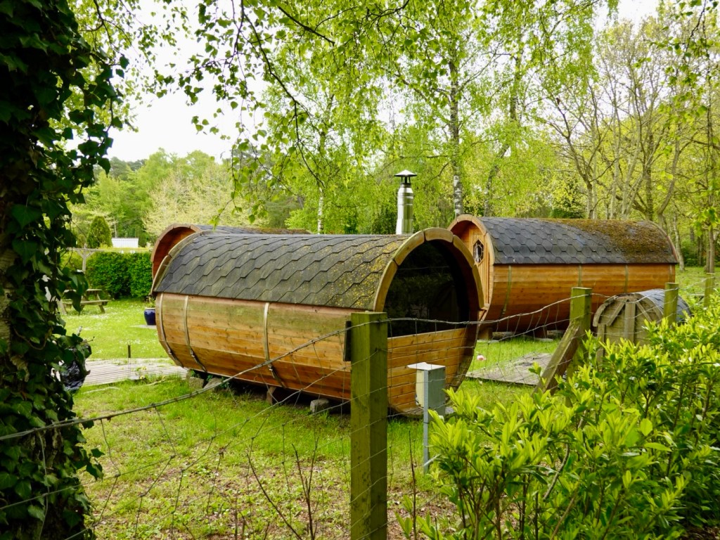
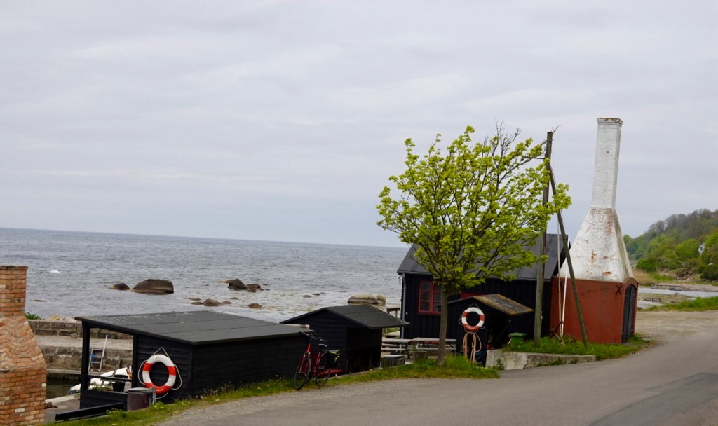
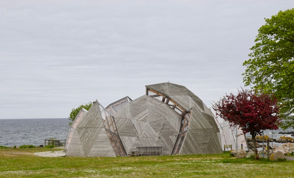
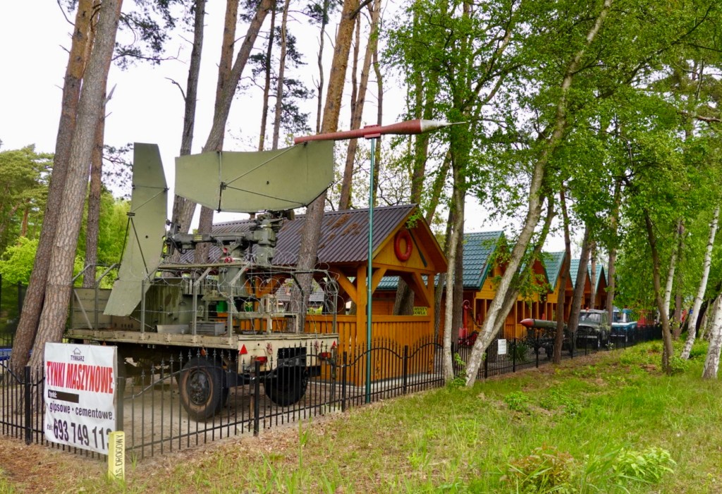
The further we travelled, the more holiday and camping sites appeared. There does appear to be an interest in all things military in the area.

I thought the little blue vehicle was ‘cute’.

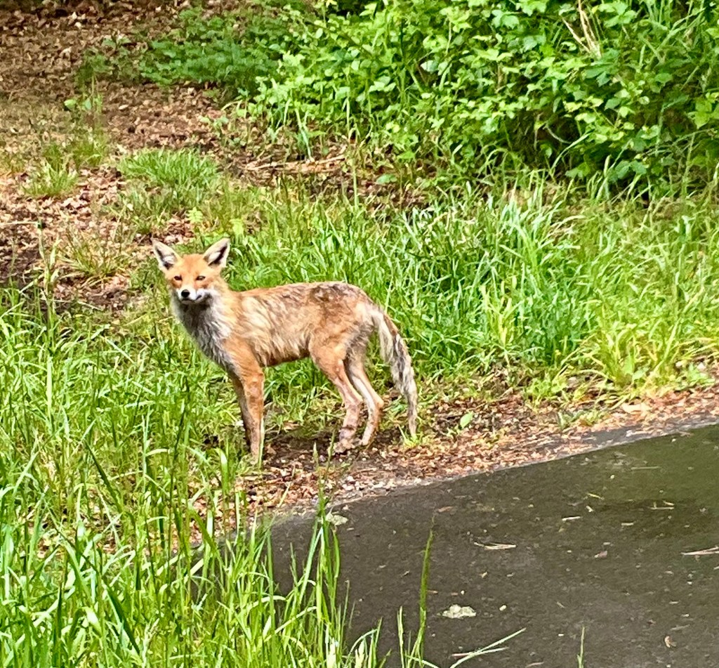
We continued to ride adjacent to forests between the ocean front and the main arterial road. A curious fox darted out to have a better look at us. Unlike the non cooperative deer and squirrels, this little one stood watching us enabling me to grab my iPad.

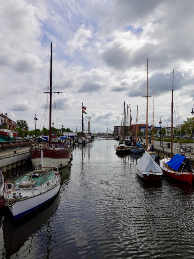
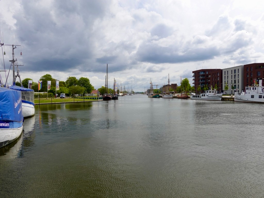
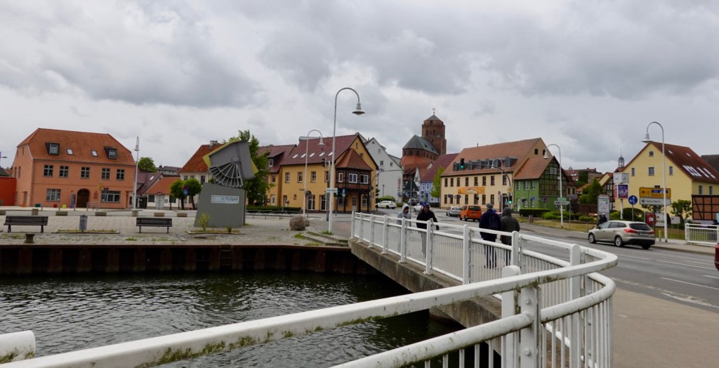
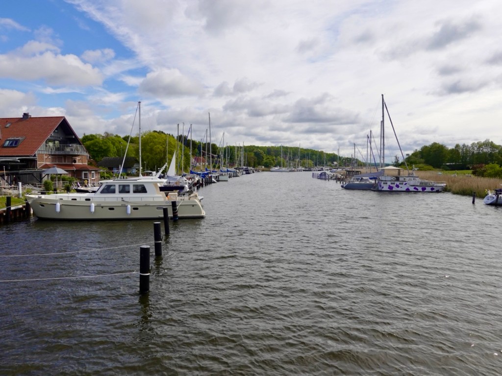
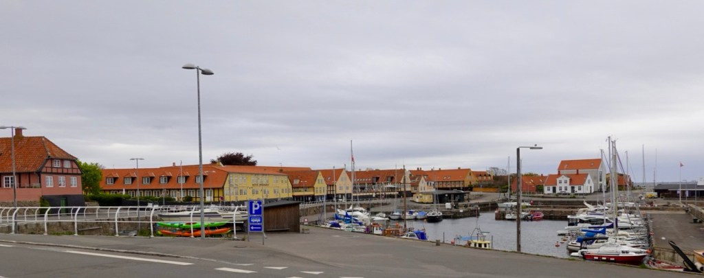
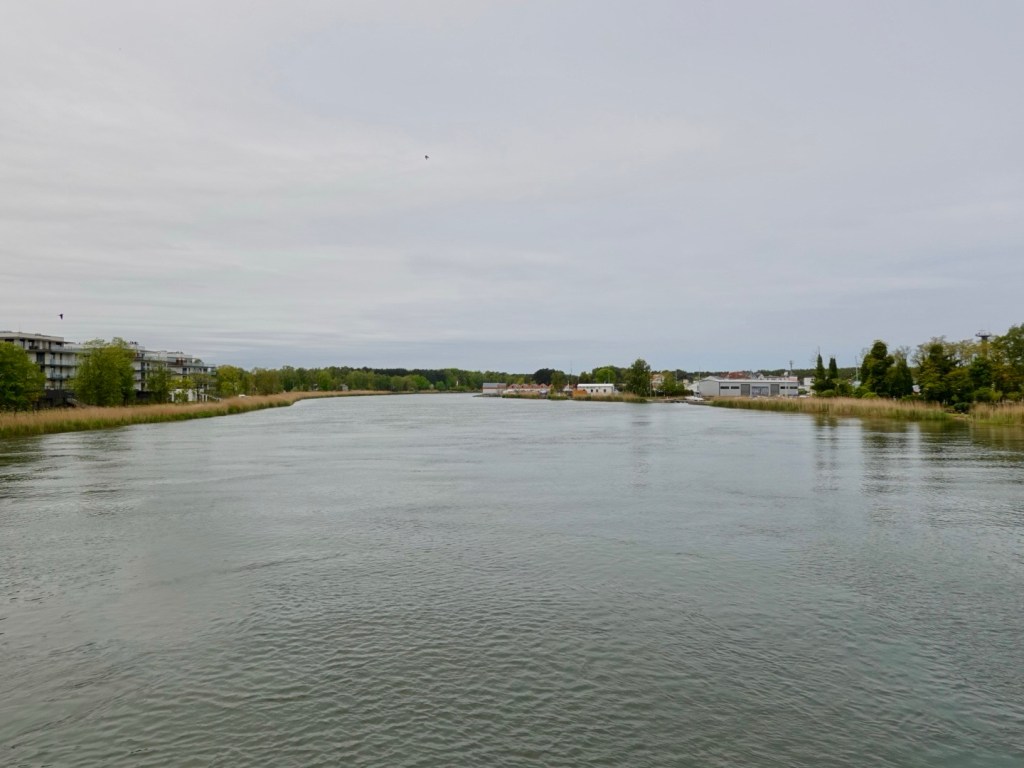
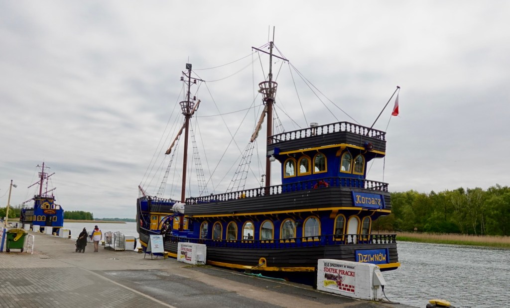
The town of Dziwnow is a holiday township these days, with salt springs discovered last century. We followed the river along for some distance.

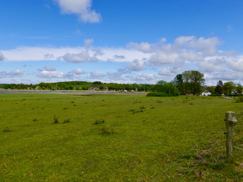
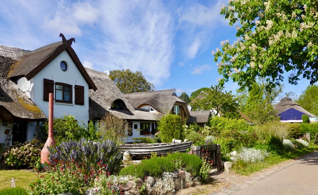
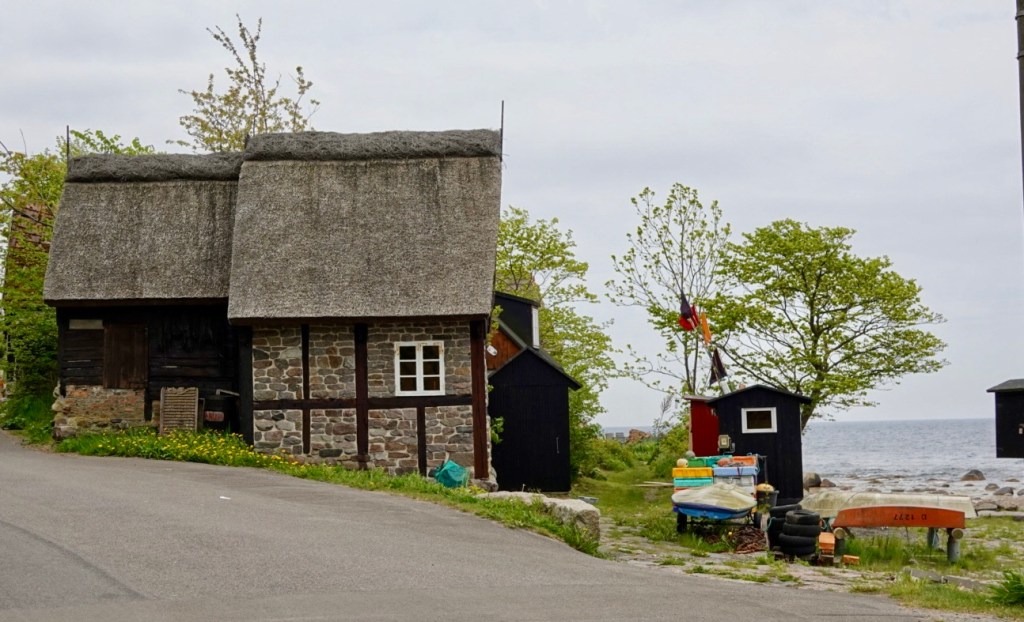
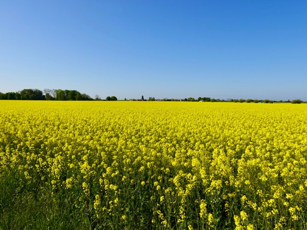
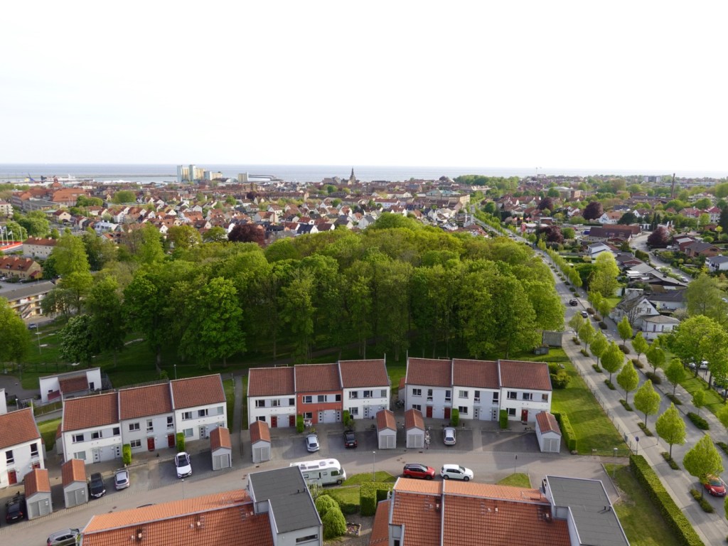
Village after village along this stretch seemed dedicated to tourism with lots of construction occurring.

We have noted that overall, the Polish coast has been less affluent than the German, but with the amount of construction and tourism in the region, can only think the region will become a power house in the regional economy in time.

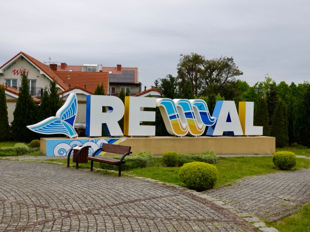
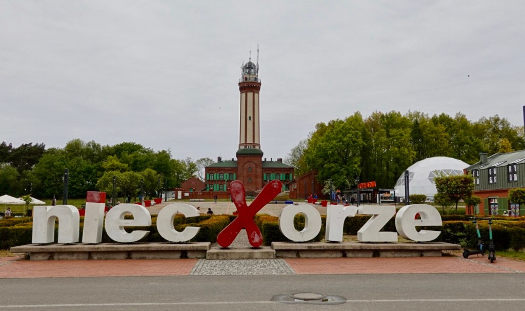
We went through Rewal and Niecxorze.

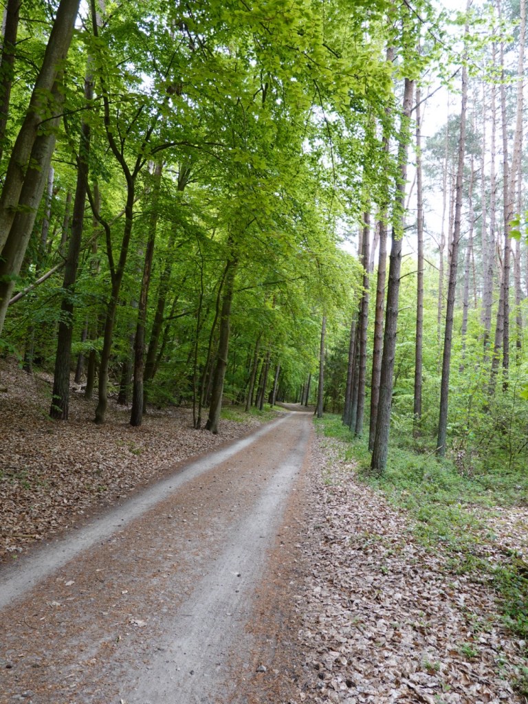
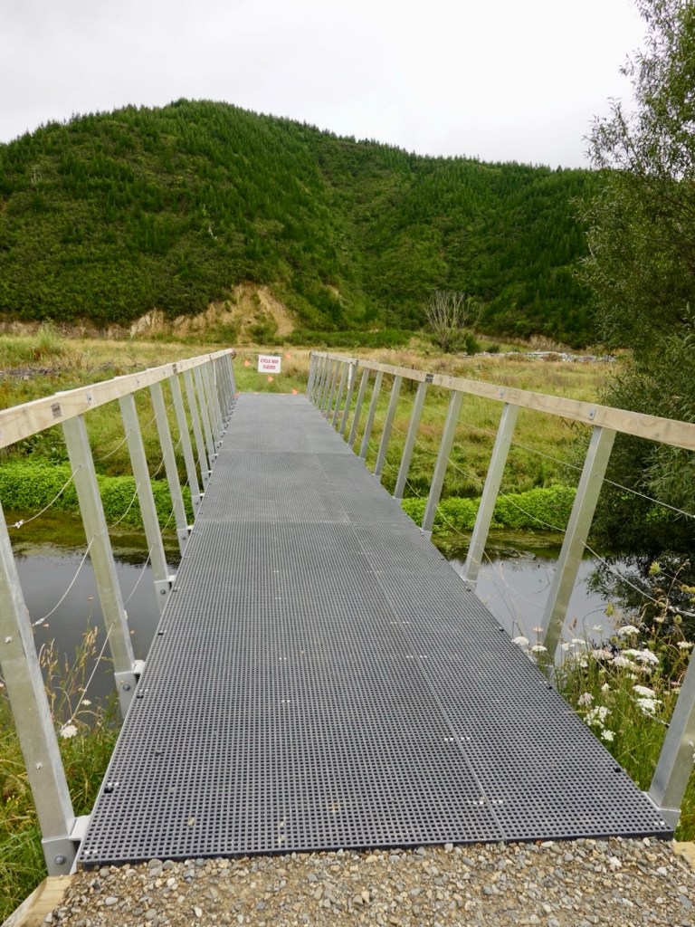
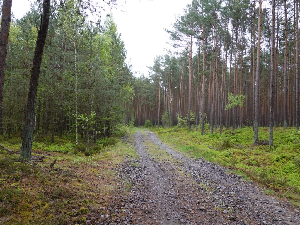
EuroVelo 10 had significant trail sections in the last 20 or so km, through plantation forestry areas. Still not as bad as our first 25 km by any means.

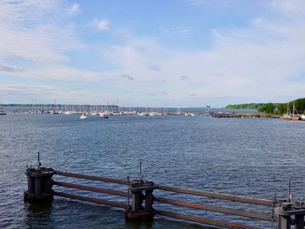
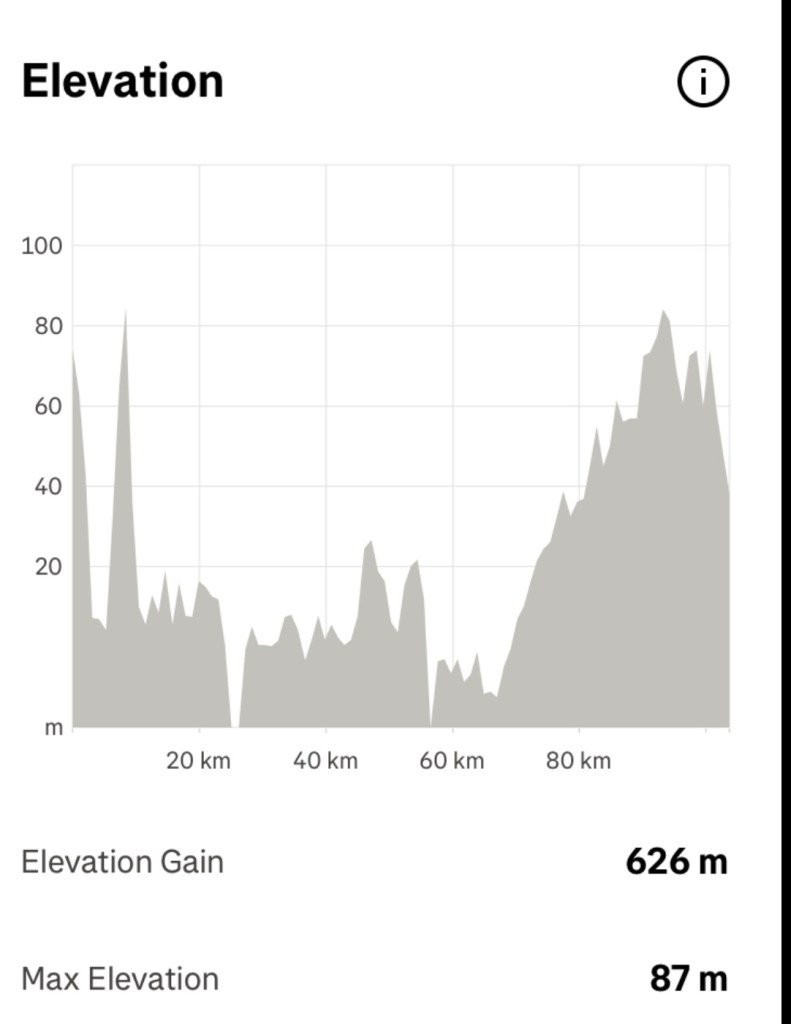
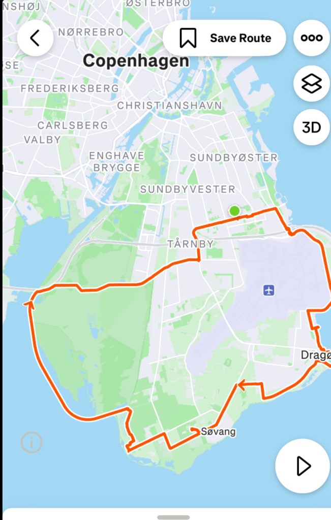
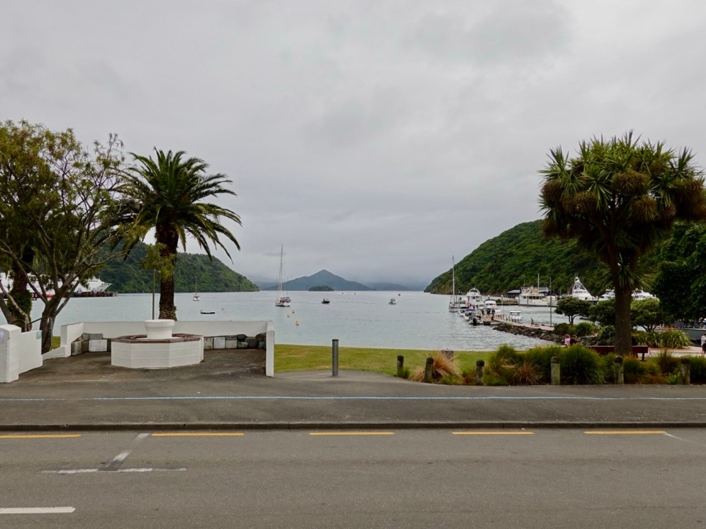
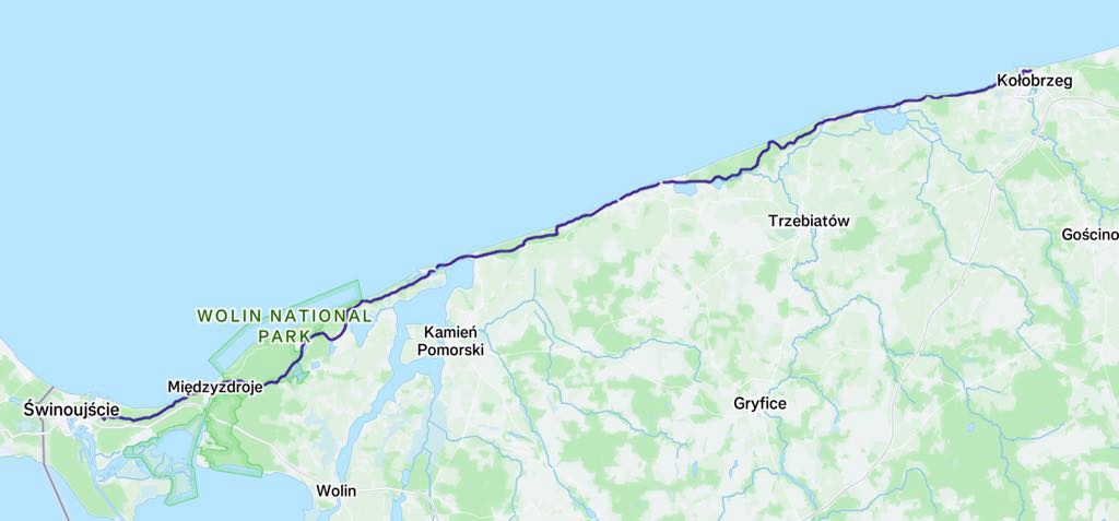
After 108 km, with around half being on dirt of various quality, we were thankful to arrive into Kolobrzeg safe and sound and without mishap. Both the bikes and our legs needed cleaning before checking in.

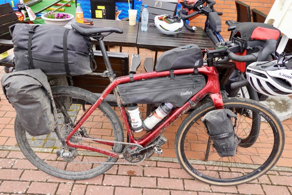
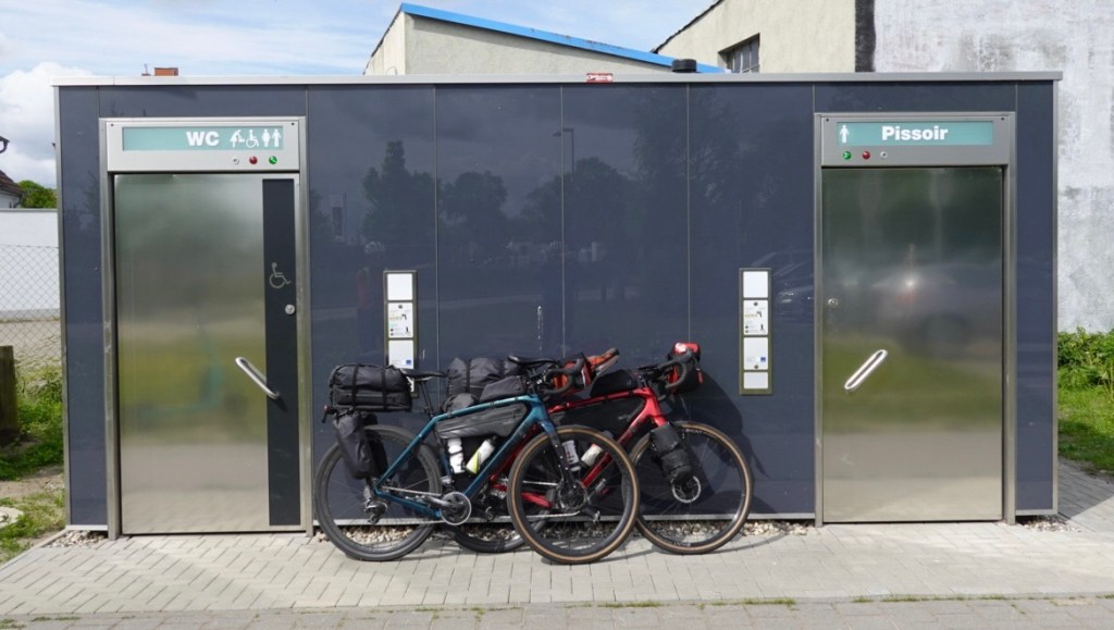
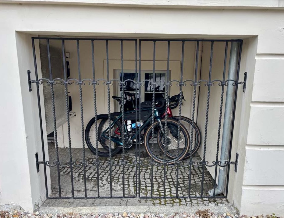
The reasonable clean bikes are in penitentiary.

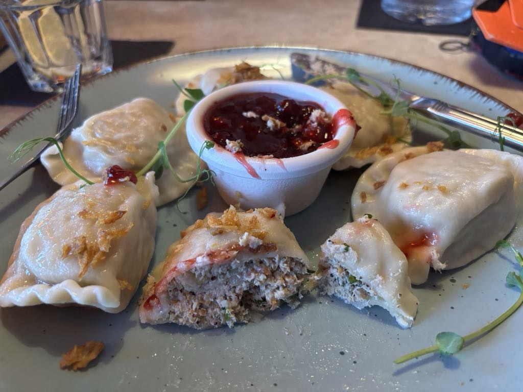
We have half board lodgings here so dinner was included. Tony noted we were by far the youngest there! This is a spa town so I guess there are many seeking the youth elixir.

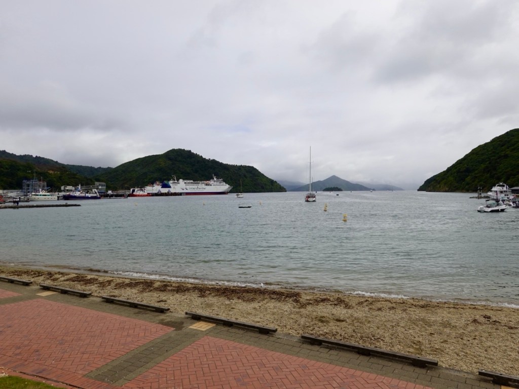
We ate far too much of a variety of Polish dishes on offer. Fish being very popular here as a main ingredient. We headed off for a post dinner walk of around 4 km.

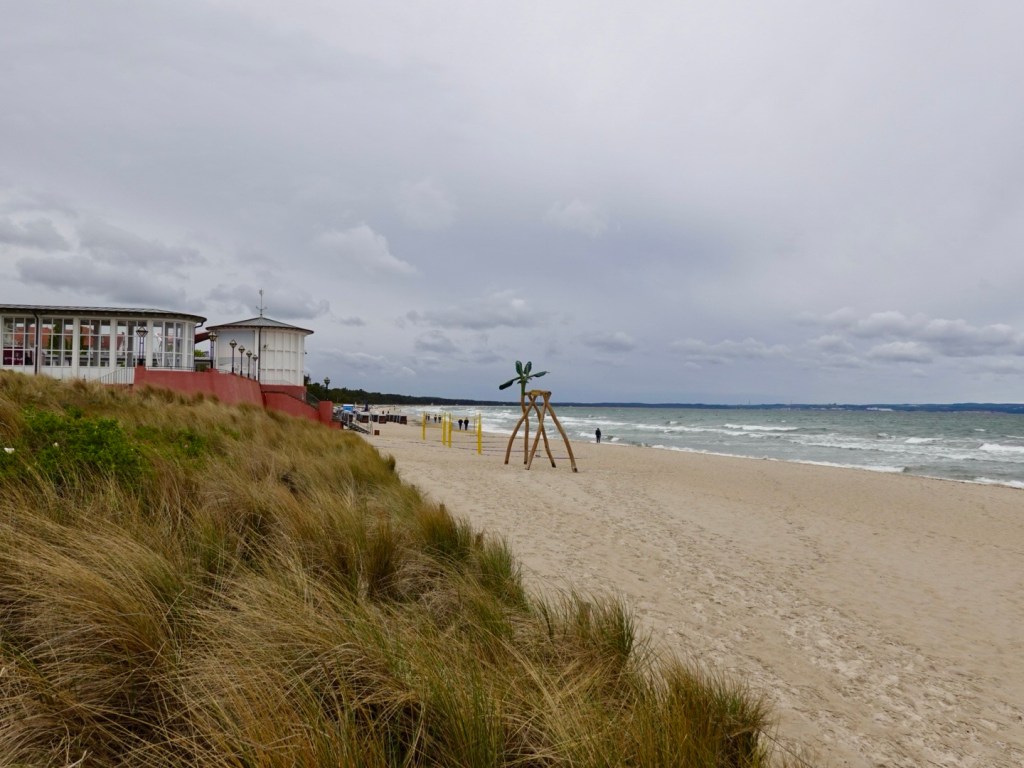
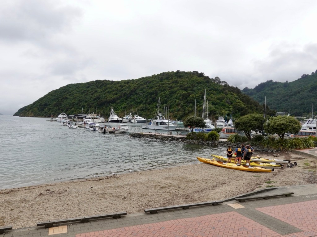
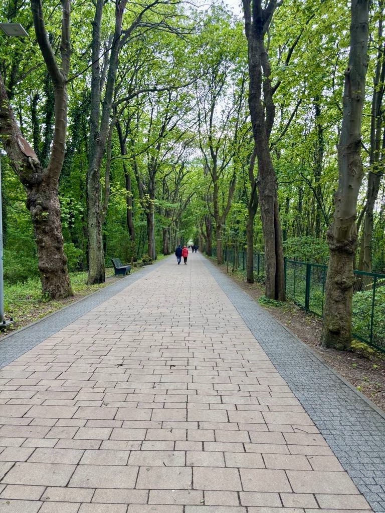
Heading to the beach following broad paths through more forest.

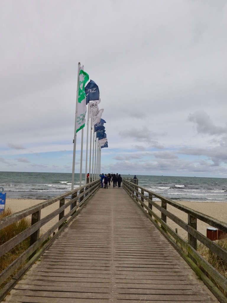
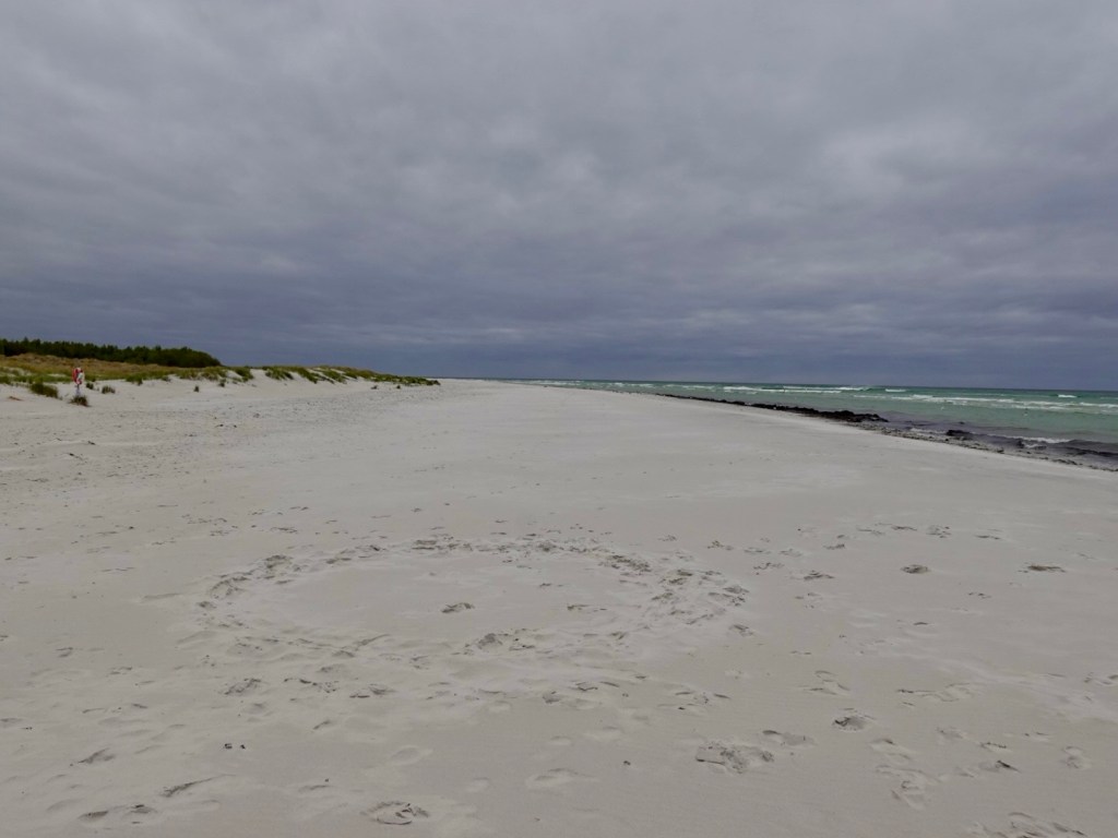
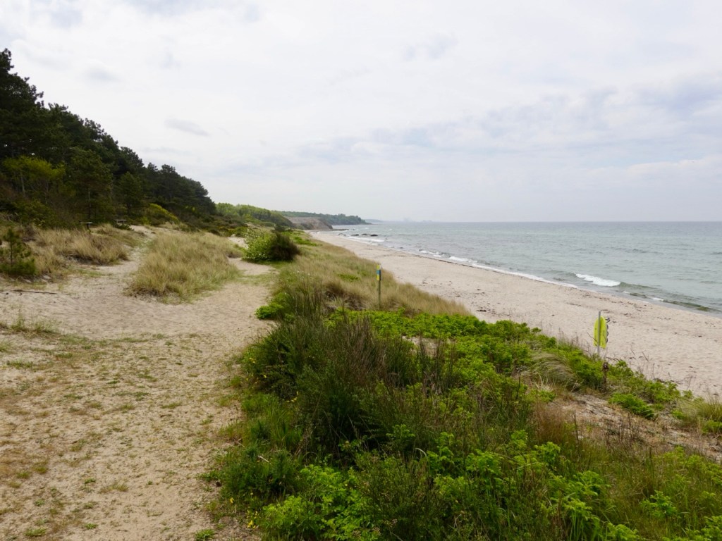
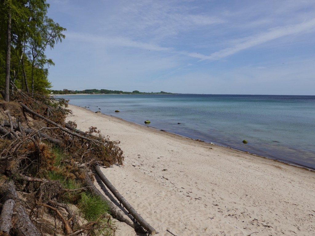
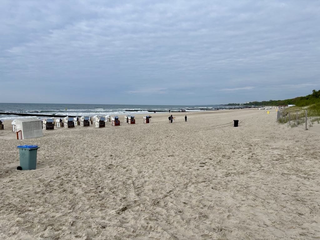
A Baltic Sea white beach. These beaches stretch along the northern German and Polish coastline for many hundreds of km.

Looking to the east, our direction tomorrow
Looking to the west.

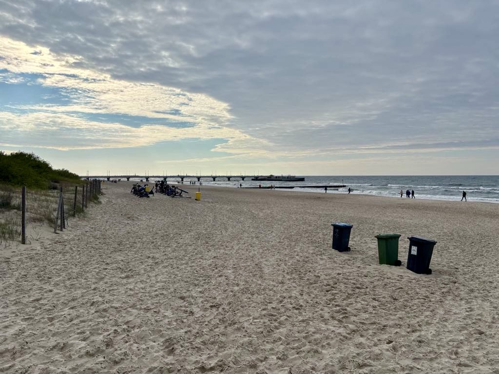
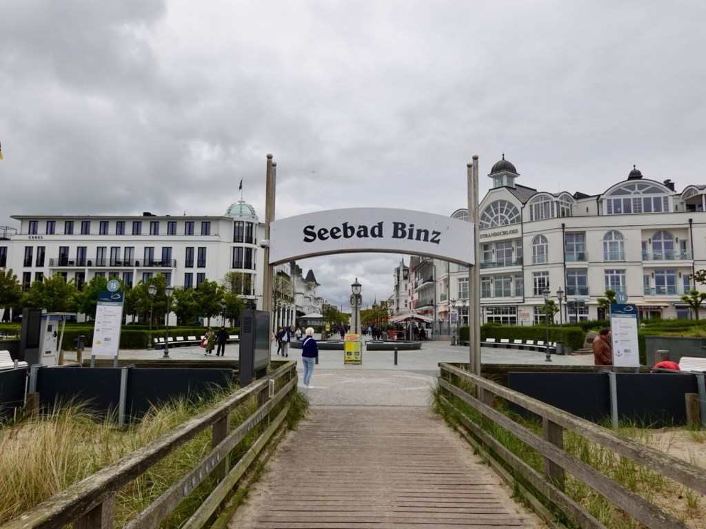
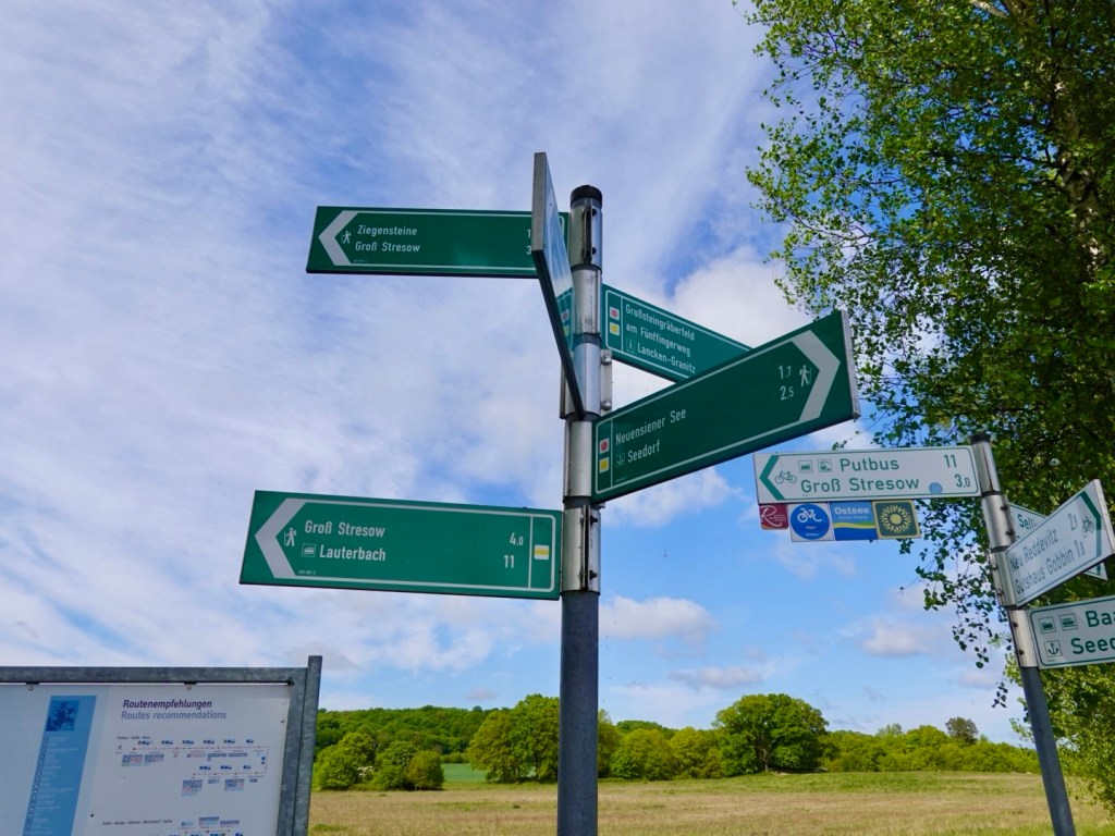
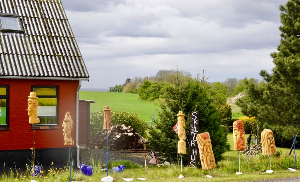
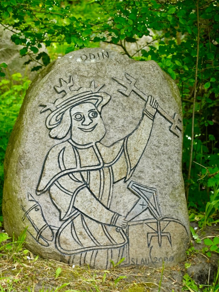
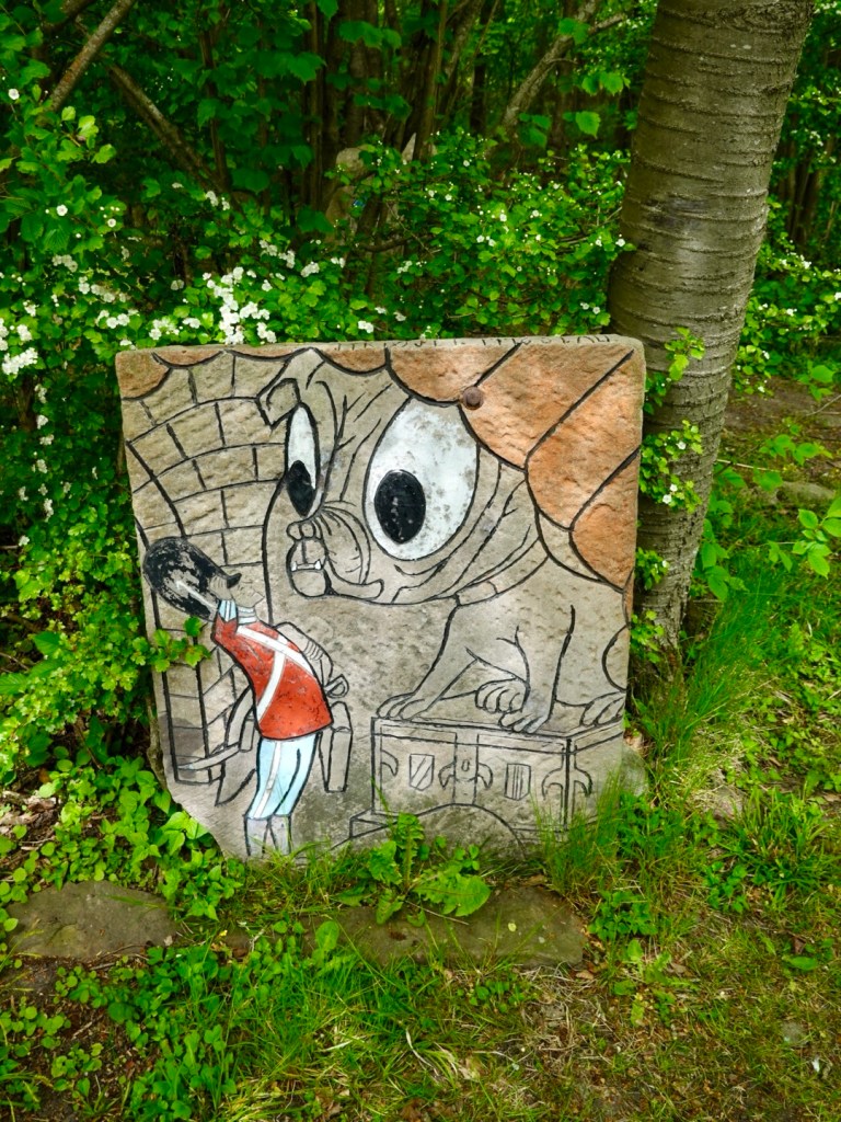
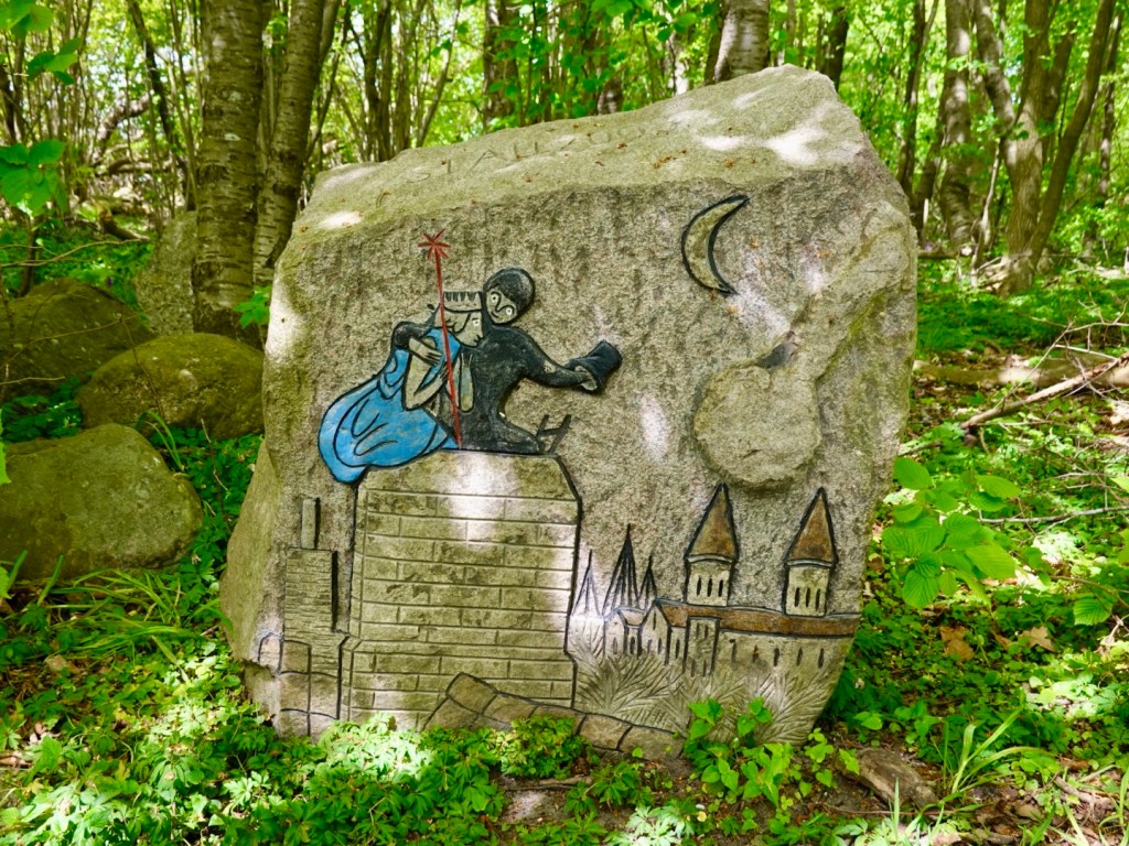
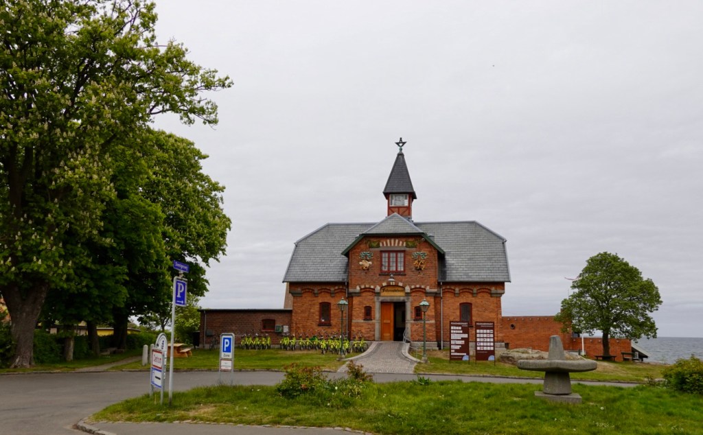
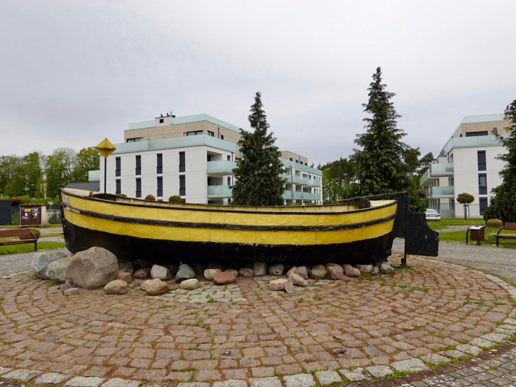
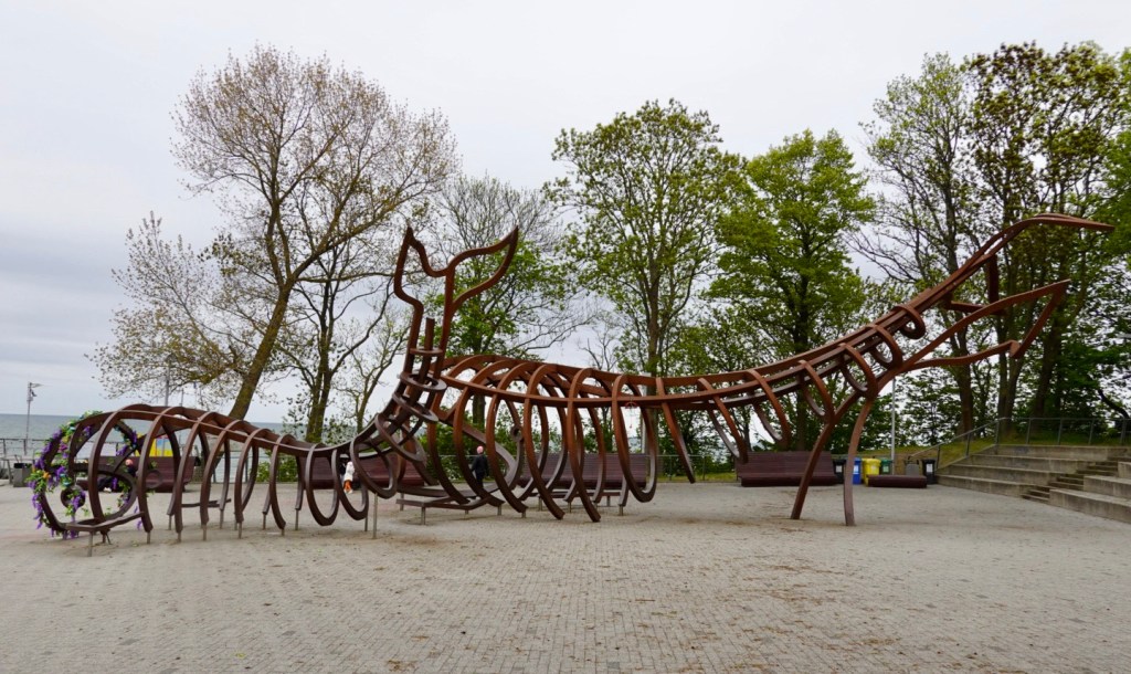
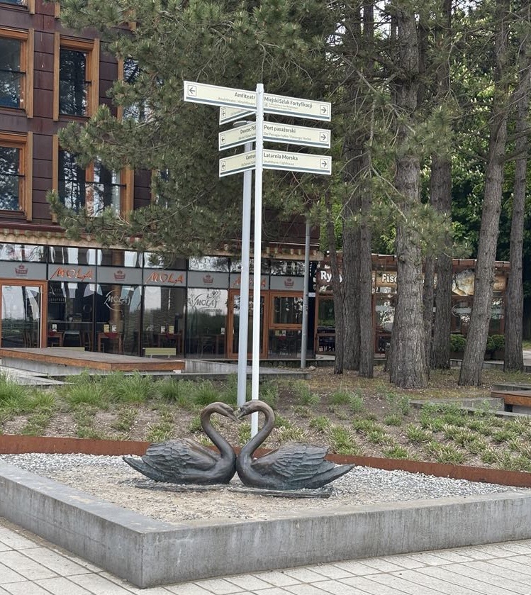
Lots of signage and curios.

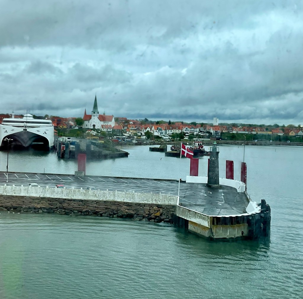
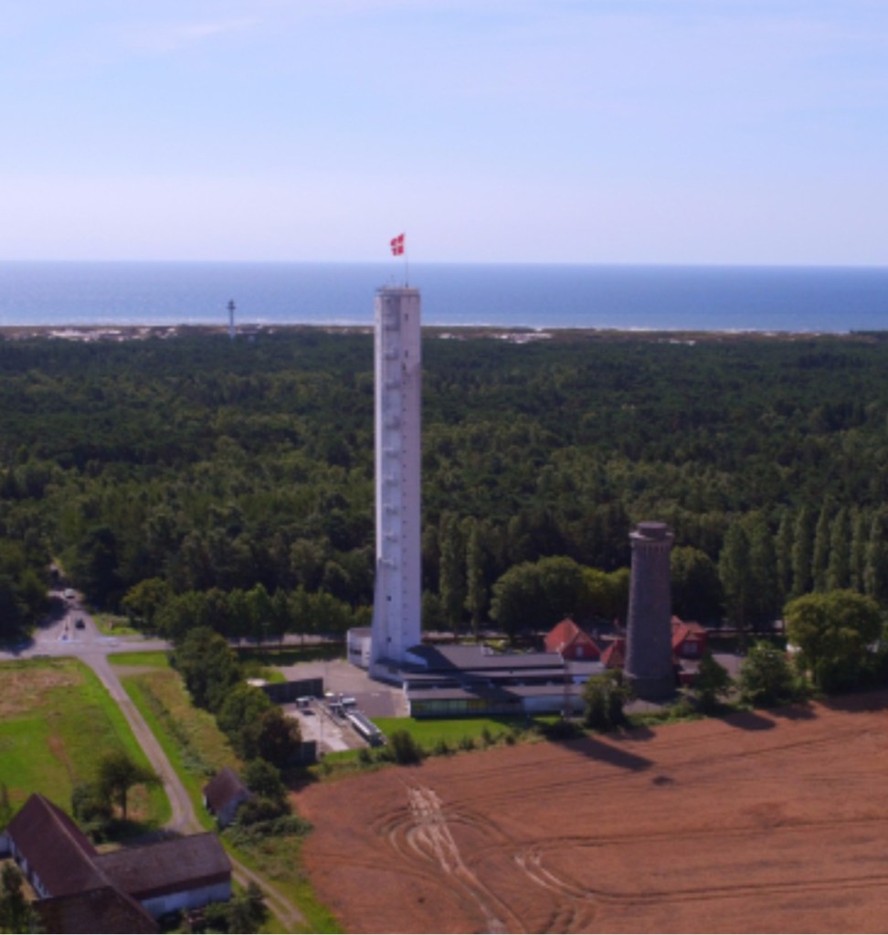
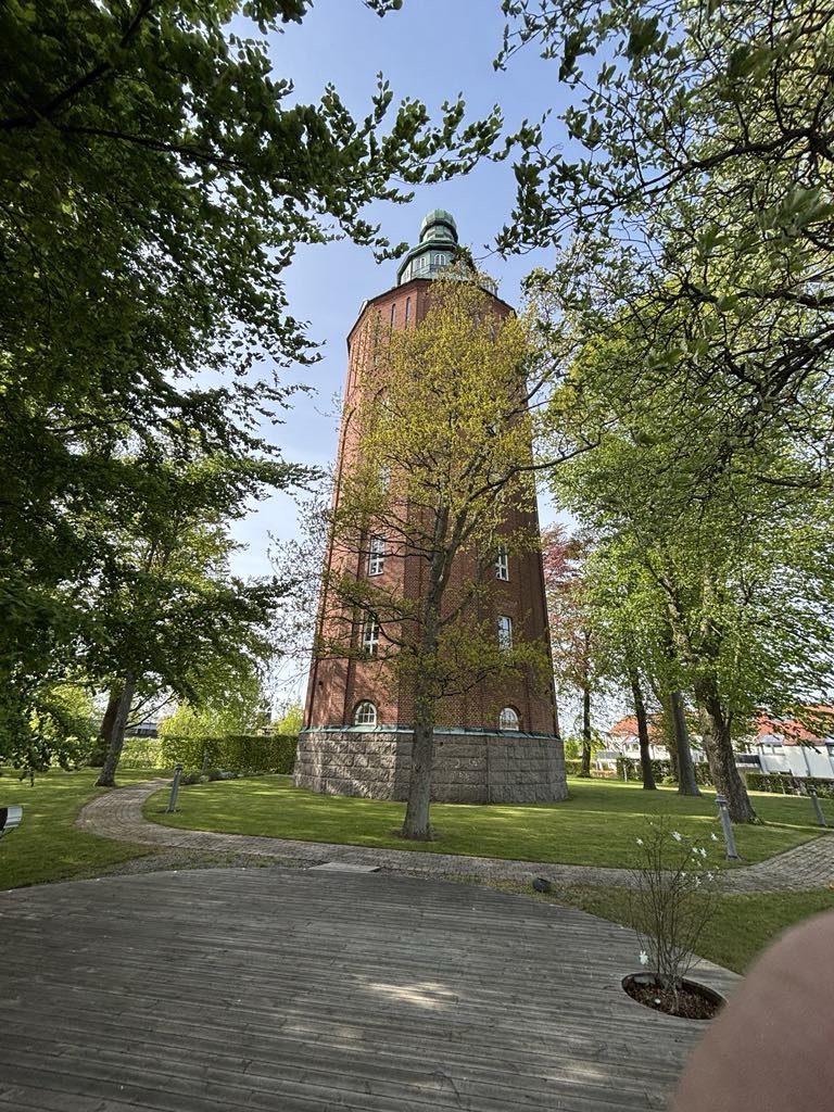
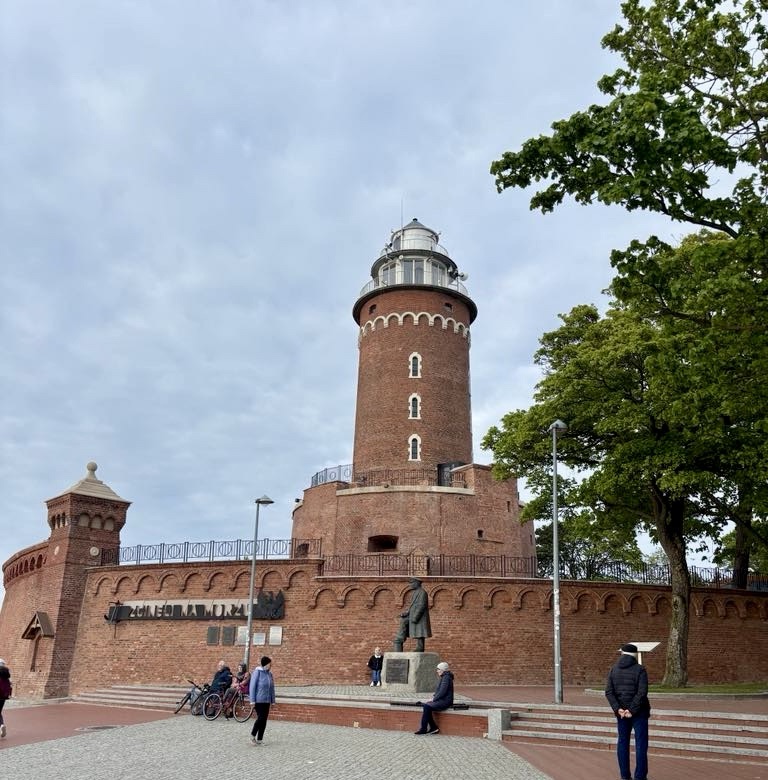
The lighthouse was first constructed in 1899, and stands at the entrance to the port of Kolobrzeg.The Germans blew the lighthouse up in World War II as it was a lookout point for the Polish artillery. After the war it was rebuilt at a slightly differing location.

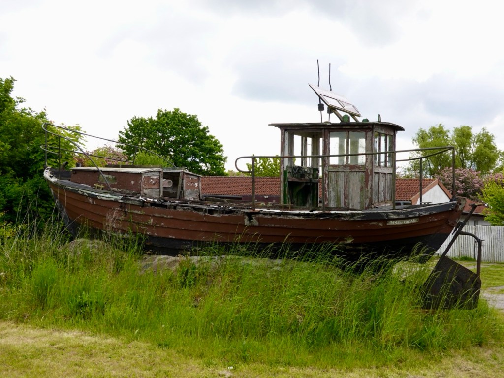
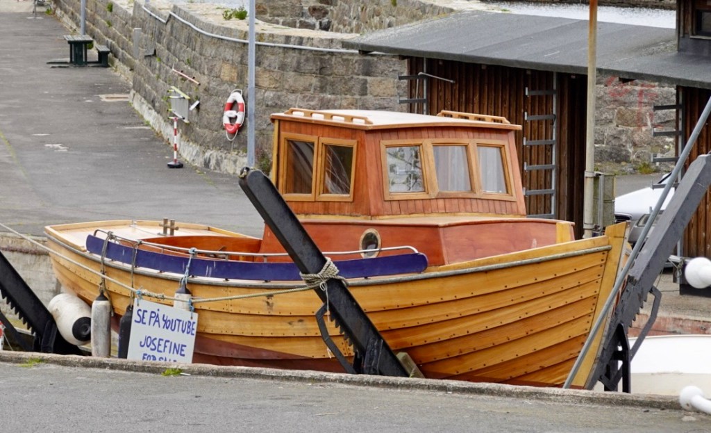
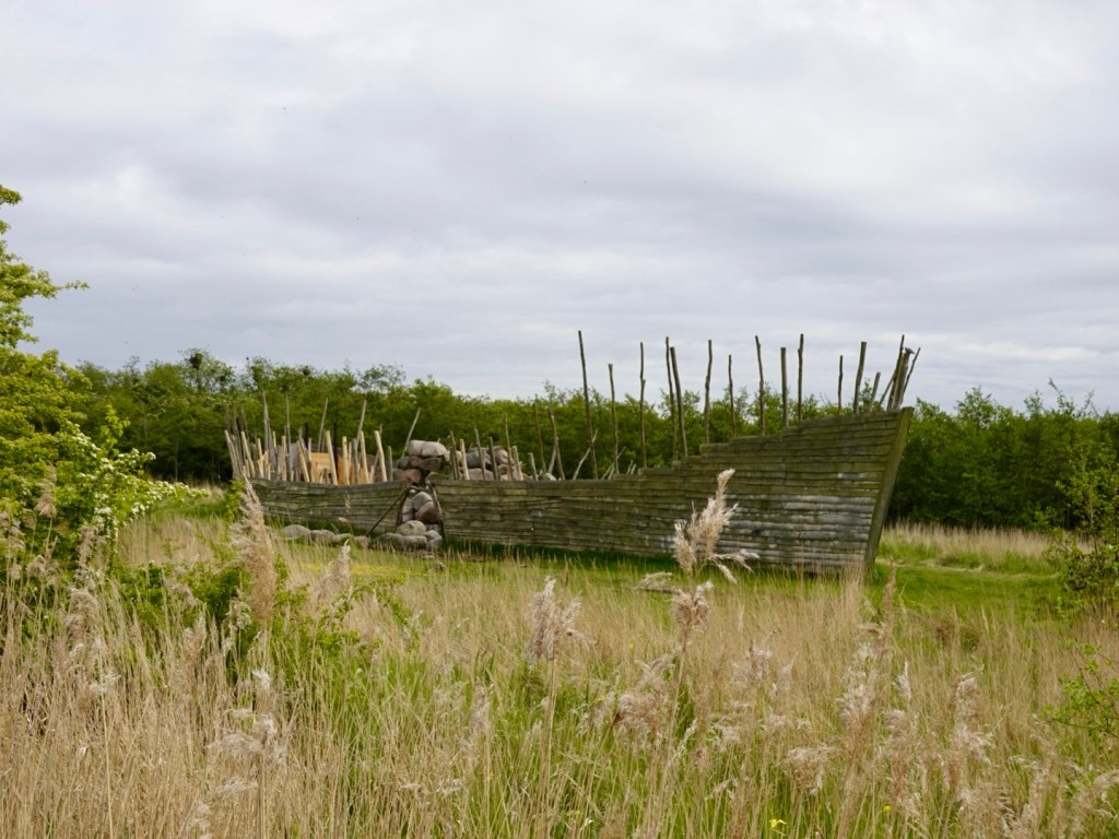
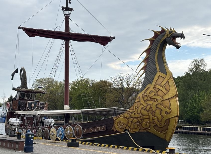
Found a Viking boat, of sorts 🤣

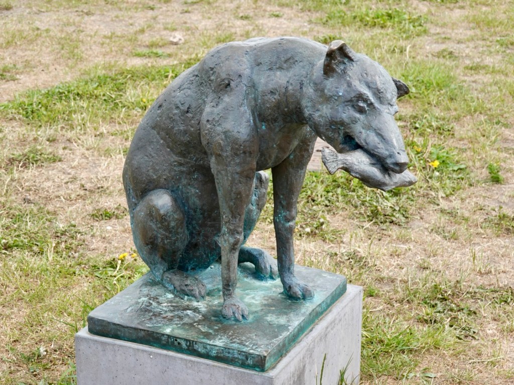
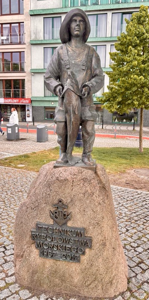
This statue intrigued me. Either the guy was little, or the fish was huge.

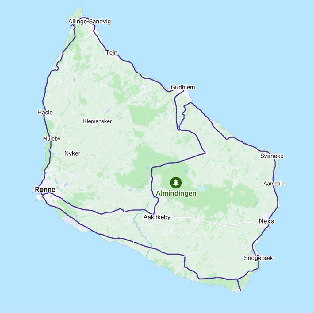
We have now been on the road for a week. We have ridden just over 700 km in our first week. Not a bad touring effort.

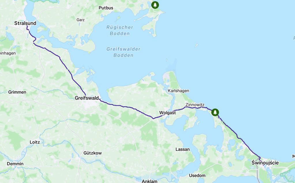
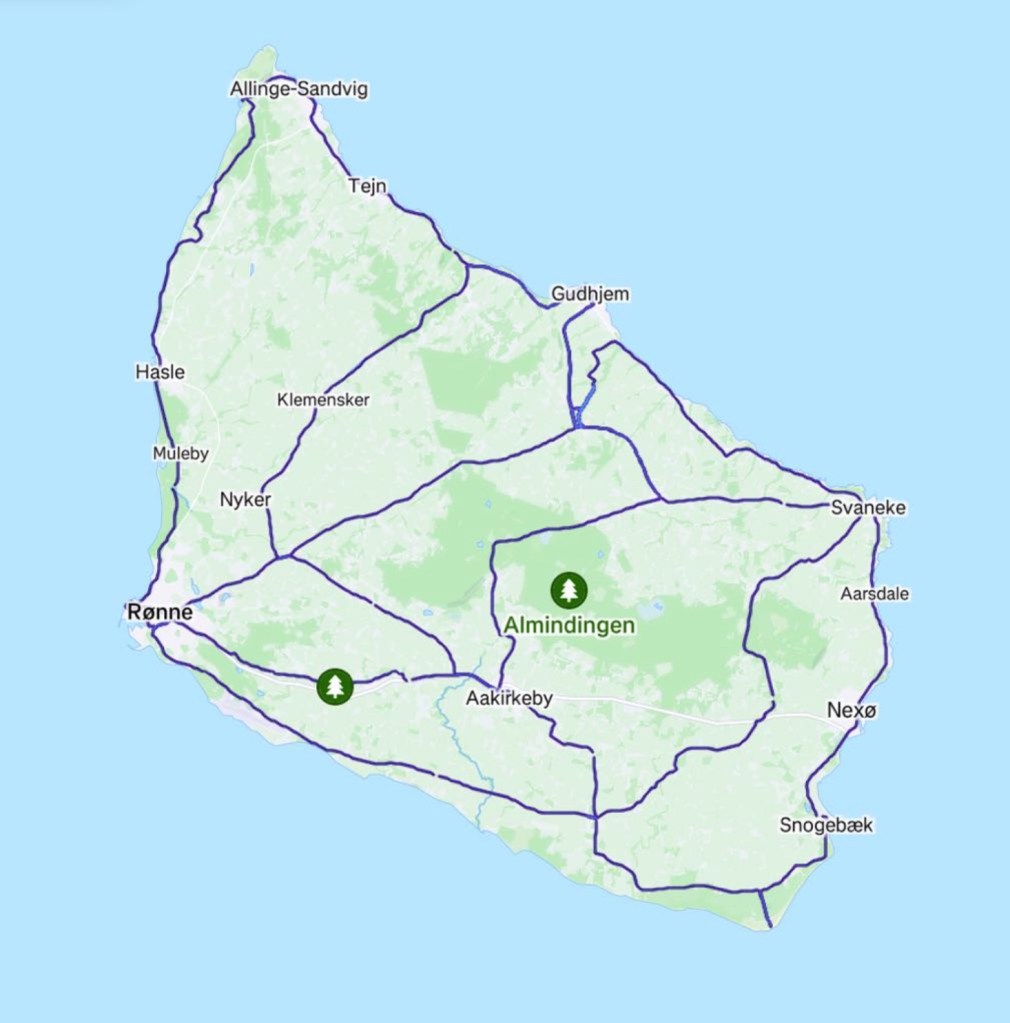
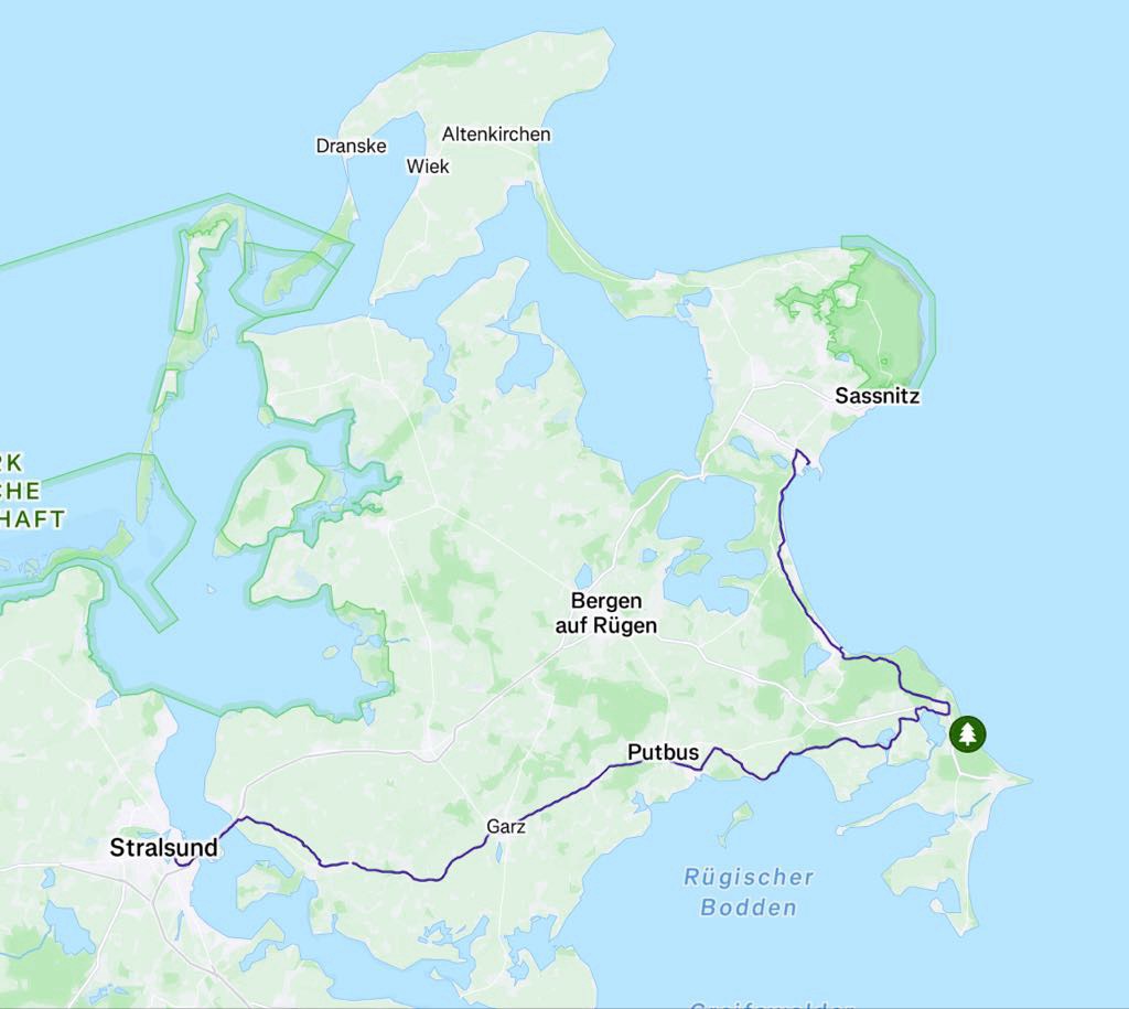
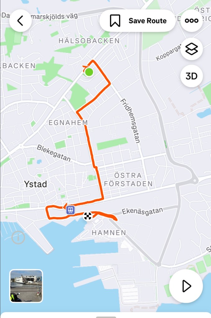
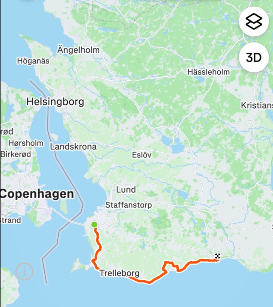
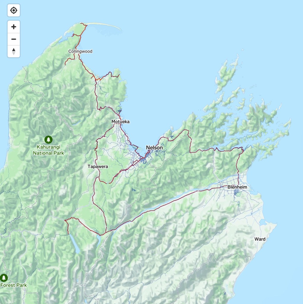
Today’s route along the Baltic coast.

Okey dokey, I’m having trouble keeping my eyes open. I need sleep.

Thanks for reading 🚴❣️💪😊

Day 6: Stralsund (Germany) to Swinoujscie (Poland)

Today had it all. Sun, rain, wind, shelter, sealed paths, cobbles, dirt, rougher tracks, great sights, friendly cyclists.

We enjoyed our stay in Stralsund, what a gem of a city. Great hotel with our first buffet breakfast in one week away.

The bikes were stored in a lower level bike storage room. Great place for touring cyclists.

Leaving the city we followed the Stralsunder Fahrwasser around the coast.

Our first shot of the day looking back towards Stralsund

As we turned slightly inland on the designated cycle route, adjacent to a busy arterial road we started what would be around 20 km of cobbles. At the start we had no idea it went so far as our maps showed a sealed surface, not what type.

Lots of rolling resistance and bumps that jar through your hands. After about 10 km of this, Tony had enough and headed to the busy road at a junction.

It was a busy and there was no verge, and he realised we were safer on the cobbles.

It looks smoothish but on a bike it rattles.

It went on and on. In villages the cobbles became a larger cut, very rough cobble.

We were in a crop growing farm region, interspersed with the occasional dairy farm. The cows were still in their sheds.

Elation when we hit this. Would it last?

A renovators delight.

Plenty of renovated boats in the first large town of the day, Greifswald. The river Ryck runs through and at the mouth through a series of bays into the Baltic Sea.

Small statues adorn the riverside. We found a place for a ‘coffee’ and a loo. The coffee was not the best, but it was warm.

Pit stop, love the Pissoir name. We payed 50 cents to use the loo.

We edged closer to the river mouth then headed slightly inland again.

Nice church in the little village Kemnitz.

We passed a sculpture park.

Wolgast was where we found some lunch. Being Sunday very few places were open, including supermarkets.

As we ate it started to lightly spit with rain, so we donned our over shoe booties and raincoats. Rain was forecast and you always hope they are wrong and you might reach your destination first. Today was not that day.

Wolgast is coastal and we were to cross a bridge to the island of Usedom, where our journey would continue.

Usedom is a Baltic Sea island, shared between Germany and Poland. It is the second largest Pomeranian island after Rugen (where we rode through yesterday from the ferry terminal at Sassnitz).

Interestingly it is the sunniest region in both Germany and Poland with 1906 hours of sunshine annually. Today was not using any of that ‘allocation’.

It is super popular as a holiday destination as we would see with very large villas ahead.

There are also heavily forested areas with really pretty walking and cycle trails.

Much of the rest of the day we utilised these paths. The forest provided protection from the rain as it got heavier (more nuisance level, not pouring) and the wind that was super strong along the beachfront.

Typical flat section in the forest. The path weaved and undulated.

There were various jetties and access points along the way.

Signs by lakes
More forest paths.

Huge villas in the tourist haven of Ahlbeck.. In this area we were riding along a paved, wide boulevard adorned with places to buy food such as crepes, ice creams or beer. We could imagine that when the 1906 sunshine hours are in action, the place would be packed.

No one was swimming today.

Here I am, half in Germany, half in Poland. The boardwalk behind me heading to the beach had German coloured uprights to the left, Polish coloured to the right.

We were only a few km from our destination in the Polish town of Swinoujscie. We are in the far north west corner of Poland, in the region of Pomerania.

At our hotel when I checked in, I sorted out where the bikes would go. I had been given two options with booking. Upon checking both options, we took the dead end corridor only accessible from reception.

As I filled out the paperwork for our passport ID, I was aware I was dripping water on the forms and floor.

Tony had cleaned the grime of our bikes, relubed the chains ready for tomorrow and making them look decent enough to be in the building.

A welcome shower and we headed off to dinner at a recommended local restaurant. I had Polish chicken dumplings with cranberry sauce. Very tasty.

Rain is forecast for the start of tomorrow, then hopefully clearing and sun is forecast for the next few days.

Poland will be interesting as we weave our way along the Baltic coast.

Our route today is below. We rode 110 km and climbed just over 500 metres.

Thanks for reading.

❣️😊🚴💪

Day 5: Bornholm Island (Denmark) to Straslund (Germany)

We arose early to finalise our pack and leave Stavehol, our home for the last three days.

There was a light misty rain as we hopped on the bikes at 6.15 am.

Our destination was Ronne, 21 km away, where we were to catch a ferry to Germany.

It was a quiet ride with not a lot of traffic around, and we appreciated our last ride here surrounded mainly by farms.

Quiet road in Ronne

We checked in and headed to Lane 21, set aside for bicycles and motor bikes.

The couple ahead of us here are from Rostock, Germany and are returning home after a one week bike packing ride.

The wait was cold. It was about 7 degrees Celsius as we stood in the light rain for around an hour.

Our ferry finally arrived.

It was very packed on board which surprised us based on the number of cars lined up (as in not as many as we expected).

However, two large German tourist buses were the first to board the ship and the place was milling.

We found a table and seating by a window upstairs as the ferry departs.

Our final views.

On the PA the voice announced cabins were available. We lashed out and grabbed one and did enjoy our own room, bathroom and rested for the most.

Bornholm Island has been a wonderful experience. I have been asked a few times, why Bornholm?

I had never heard of it until I started researching ferry options to Germany and Poland. I looked into it more and considered this could be an interesting island to spend a few days riding.

That it was!

This is our heat map from riding 270 km on the island. Reasonably comprehensive.

Arriving in the Sassnitz Port we departed slowly as all cyclists were required to push their bikes from the boat following a bloke as he criss crossed around the port to the exit.

It was drizzling so we then stopped to put our over booties on (go over our cycling shoes).

The first 5-8 km was on a path passing derelict large old buildings, appearing like old residential blocks from the regions earlier East German era.

There was also significant construction in the area.

The path varied in quality and width. At Ostseebad Binz we found a lovely cafe for a bite of lunch.

The sun was out, the raincoat and heavier duty outer layers were replaced with lighter layering. The breeze still had a bite to it, but pleasant sitting out of the wind.

Binz is the largest seaside town on the island of Rugen. Yes we were in an island. It was a popular holiday town and during the communist era, the East German government compulsory acquired many of the fancy homes and hotels for their members use.

After the fall of the East German government these places were returned to the original owners families.

Some sights of the town:

The route to the next town of Sellin took us through forest. It was beautiful but the first four-five km very hard work.

That path is not as nicely compacted as it appears. It consists of smaller blocks of a blue stone maybe 3-4 inches square all at varying angles.

It was a bladder stimulating section for sure.

When the path climbed or descended there were these blocks of cement. Each of those little inserts are lower than the cement and rough as guts to ride on.

I was lucky to be doing 6-8 kmh through the five km.

Tony’s bladder had enough and we stopped, just around the next bend the path was a much nicer compacted gravel.

Signposting was excellent, although we also use our Hammerhead maps where we have uploaded our planned routes. Signs are nice confirmations.

Sellin featured many large homes.

We then skirted around the shores of Neuensiener See, an internal lake that empties into the Baltic.

Tourism boats, marinas, little homes, lovely views made the next 10 km one of our favourites for the day.

More signs,with signage for both walkers and cyclists. Many of the paths differ. We were heading to Putbus.

Riding through beautiful forests.

Lovely thatched houses.

People fishing out in the deeper waters.

Path still following the coast.

King Friedrich Wilhelm 1 of Prussia (1688-1740)

This village was very cute with varying thatched roofed, gardens, wooden boats all overlooking the coast.

We crossed a long bridge to leave the island of Rugen and land on the European continent.

Our destination lay ahead in Stralsund. It looked a bit industrial from the bridge.

We do love it when my ride maps finish us at the front door precisely. Boom!

A total of 99 km today plus a 3.5 hour ferry transfer.

As I checked in, we were given two chocolates. This hotel is known as the house of marzipan and has quite an assortment available. I enjoyed mine, Tony tolerated his.

We were delighted to find two water column heaters in our room. This meant we could wash lots and get them dry.

After showering we walked into the older part of town to source a meal. The town seemed quiet for a Saturday. Many restaurants had just a few people, then we saw a sign for a lower level restaurant and we recognised the word schnitzel.

We had a wonderful meal, served quickly, good value (relatively 😁).

Straslund developed as a medieval fortress stronghold back in the 13th century. Many of the buildings were commenced then.

Knieperteich

St Marien church is a Lutheran church built around 1380. It was the world’s tallest building between 1549 and 1647.

The Rathaus is a Gothic town hall, again from the 1300’s. The towers of St Nikolai in the background.

Door into St Nikolai that is not accessible.

Alter Markt is a large spacious square featuring beautiful buildings.

One entrance to the Rathaus. We walked out from there.
Old entrance to the town

We followed the Knieperteich, large ponds around the old city centre back to our hotel.

We stopped to watch these two guys fishing. They had caught something large. It took the two of them to land it in the net. We are not sure what type, but it was very large.

Our last city view for the night.

A solid day today. Our routes. Along with the 99 km, we also climbed over 560 metres.

That’s it for today folks. Thanks for reading and joining us.

Tomorrow we ride towards Poland.

😊❣️💪🚴

Day 3: Bornholm Island

We slept well in our converted barn. We had seen wild deer and giant hares outside. It is so very quiet and peaceful here.

The plan today was to check out another part of the island, and in doing so, complete a lap (including our ride yesterday).

Today’s route:

Starting at the green dot in Stavehol, we headed out along the dirt cycle way to the coast near Gudhjem.

It was cold. It was 6C and we had our winter cycling gear on.

Rain was a possibility with a 30% chance at 10 am, but only 0.5 mm for the day.

Along the north west coast the roads were super quiet. The cycle way is adjacent for the great majority.

Some lovely thatched houses.

Looking out to sea the waters look calm, but the waves were crashing closer.

There are lots of ancient artefacts on Bornholm. This one is a single monolith meaning Holy Woman. Each have an information board.

The Holy Woman monolith. The stones in the background are formed into the shape of a ship.

We ride through the village of Listed. Wondering where everyone is?

In the larger village of Svaneke is this lovely old windmill known as Bechs Molle (Bech’s windmill).

The rear of the windmill.

Bechs Molle was built in 1629 and is the oldest standing windmill in Denmark.

Svaneke harbour also quiet.

Lovely old wooden boat

Another monolith at the site of medieval herring fishing huts

Nexo is on the east side of Bornholm and has around 4,000 residents. It is the second largest town on Bornholm, centred around a fishing harbour.

The Gothic church stands out as a highlight, established in the Middle Ages, as a chapel for seafarers.

Dueodde is Bornholm’s southernmost tip, known for its fine white sand beach.

Riding back to the cycle path, takes us past an imposing concrete tower. A borrowed photo below shows two towers.

The Bornholm tower is the Danish Intelligence Service former listening post, active during the Cold War. Surveillance and listening activities began in 1948 from the brown lighthouse tower.

It is no longer active closing in 2012.

Closer up of the first tower, and where we sat and had a hot chocolate. This photo is also borrowed as there was no blue sky. We donned our rain jackets at this point as the spits of rain increased.

Through the windows of the museum you could see an old fighter jet.

The riding became a bit harder now as we had a very strong headwind. Winds of up to 35 mph had been predicted. It was a balmy 9c now. The rain also picked up, but more nuisance level.

Some sights along the way as we made our way towards Ronne.

Back in the capital of Ronne completed our loop of the island, but we were not done riding wise. We still had to get back to our accomodation.

Riding on the cycleway towards Akirkeby we noticed a series of carved and painted stones in a shrubby area. Stopping to look we found about 30.

The area is known as Slau’s Stones. Slau was a local farmer who upon retirement discovered new skills. He set up an area for cyclists to stop with rock table and seats. He then expanded searching for suitable rocks in his farm and then working what image could best be carved.

The pathway went past this lovely church at Nylars. It is a 12th century round church, originally designed for a defensive role. This church is the oldest of Bornholm’s four round churches.

Originally built around 1165 the church was dedicated to St Nicholas. The old Danish name for Nicolas was Nilaus and hence the present town name Nylars.

Another immaculate and beautiful cemetery and gardens.

Just randomly on the side of the road in a very small village was this….

More forest pathways.

We rode into Akirkeby and the highlight is this old church, built in the 1100s. It is the largest church on Bornholm.

Another random sighting. Someone who is clever with a chainsaw.

We stopped in Osterlars to collect food from the supermarket and completed our 103 km ride for the day.

The map below shows yesterday and today’s ride, so we have covered a good chunk of the island. One day to go here.

Although no great hills here, we have still climbed over 600 metres.

Another day is done on our great Viking Odyssey.

We sat down to home made spaghetti bolognese tonight and creamed rice that I also made, garnished with fresh raspberries and banana.

I do recommend our accomodation to any cyclists touring. It is self contained and a nice 2 km ride to a well stocked supermarket. If interested, please send me a PM or email and I will provide details.

Thanks for following and joining us vicariously. We do enjoy the messages so thankyou.

❣️😊🚴💪

Day 2: Ystad (Sweden) to Bornholm Island (Denmark)

Today we were to catch the first of many ferries on this trip to transfer us from Ystad in Sweden to Bornholm Island.

The map below shows Bornholm, with the blue dot indicating our current location.

To the upper left we have Denmark, to the north we have Sweden, lower left Germany and south Poland.

Being in the middle of the Baltic Sea means it’s windy and cooler.

We self check in at the port using an interactive machine and out pops our ticket, the security gate lifts and we head towards the ferry.

The ferry had just arrived and emptied quickly. When it was our turn we followed the motor cyclist to the far end under a ramp to store the bikes. Gathering our more valuable valuables (passport, plastic cards, bike computer, front and rear lights) we popped up to seating by a window in the front facing lounge.

It is a great set up with two good cafes and a cafeteria. We settled in enjoying coffee and a croissant.

The crossing takes 1 hour 20 and not a lot to see other than ocean. The waters are flattish and the passage calm.

We arrive in the town of Ronne and quickly ride off the ship following numerous large truck rigs.

Bornholm Island is Danish territory in the Baltic Sea, closer to Sweden and Germany than Denmark. The Island was surrendered to Sweden in 1658 but regained by Denmark in 1660 after a local revolt.

The Island is home to many of Denmark’s round churches and the discovery of ancient burial mounds suggests that it was inhabited by 3,000 BC

It has a populations of around 39,000 people.

Ronne is the largest town on the Island with one third of the population living there.

We do a short look and see around town.

The Church of St Nicholas dates from the late Middle Ages constructed in the late 1200s with many updates and renovations since.

The Citadel Battery is part of Ronne’s fortifications from the 1700’s. It was originally seaside, but land reclamation has it further inland now.

A small market was underway in this small park.

Heading out of town, having plenty of time up our sleeves we decided to take the dirt trails for bikes along the western coastline.

For the most part the trail was in good condition heading through forest. There were a multitude of other trails intersecting and criss crossing and there were an impressive number of people out walking, running and cycling.

It followed the Baltic coast line, in places providing coastal views. Nice white beach looking back towards Ronne.

On the edge of one village were these interesting pods. We were not sure if some were accomodation or all saunas?

I liked this rugged vista, with just a few houses tucked away.

A small fishing village and port, with smokehouses. Smoked fish is quite an industry still here on the island.

I liked this fisherman’s house
Kids having fun fishing. There was a bit of excitement as one had caught a fish and others gathered into help.
Quite typical colours of houses in the area

All was going well until we hit this section. Photos never do slopes any favours making them look far less steep. The section ahead increased to 22% gradient with loose and slippery dirt in between part seal.

I dismounted at 10% whilst I could safely as I knew I’d be in trouble otherwise.

I pushed my bike up watching the gradient increase and using my bike brakes to hold as I was walking on the gravel and slipping.

Tony got up before me and came back to help! He’s a keeper!

In the middle section are little steps with dirt.

Sitting at the top smiling. A little further past here there is a carpark and we met another cyclist who was on a mtb bike. He too pushed his bike. Nice bloke was with the Island police force, having originally been in the Danish military.

Hammershus Slot is one of the larger medieval fortifications in northern Europe and stand on a 70 metre high cliff. The medieval fortification was bult in the 13th century.

Saene Harbour was a peaceful harbour near Hammershus. It was all happening with a water training activity underway and a class of school children returning from a walk.

We headed along towards Gudhjem, passing through other towns and villages including Allinge.

It was not warm with the temperature around 8-9 C and a chilly wind. We were rugged up though so no difficulties there.

Some of the buildings along the way.

Still on gravel we found another steep section. Tony rode it, I did not as it was 15%. I did descend it.

Gudhjem is a pretty seaside town that we will explore more tomorrow. The next four photos are the section we did see.

Gudhjem is built on a steep hill overlooking the Baltic Sea.

We turned inland at Gudhjem heading towards Osterlars where we are spending the next three nights.

Looking back along the coast where tomorrow’s adventures lay. Rapeseed is plentiful here too.

Our lodgings are located within the property below. We are in a renovated barn. In the line of bushes to the right is a cycle path that runs between Osterlars and Gudhjem. We just needed to find the right opening in the hedge and head across their field.

After dumping most of our gear, we headed straight back out to the local supermarket for supplies to make dinner and breakfast.

This famous church is en route, and to be discovered more in the next two days.

Osterlars Rundkirke is regarded as the Islands most impressive round church, constructed in the 12th century. Originally the roof was flat, serving as a battle platform for hurling projectiles at attackers. The conical roof was added in 1744.

Today’s routes covering 64 km, 590 metres climbing.

That’s it folks for today. Thanks for joining us and check in again as we learn more about Bornholm Island.

😊❣️🚴💪

Day 1: Copenhagen (Denmark) to Ystad (Sweden)

What a lovely sight looking out our bedroom window. Cargo bikes are popular here. We saw one man with triplets in the front but this one is delightful.

The day was looking great weather wise as we packed the bikes for our grand departure.

First ride was to Copenhagen Airport railway station to cross into Sweden. A lovely station lady helped us to buy the tickets including bikes.

The Oresund bridge is a combined railway and motorway crossing the Oresund strait between Denmark and Sweden. It is also the second longest bridge in Europe at 7.845 km in length. As such cyclists are not permitted on the bridge, and it is necessary for us to cross by train.

I have grabbed two publicly available photos of the bridge. I don’t have the capacity to get a nice aerial shot. I find it fascinating that the bridge heads under the water for a section. This design is great for keeping shipping canals over. It looks awesome in a photo.

We got off at the first station we could in south Malmo.

Malmo is the largest city in the Swedish county of Skane, and the third largest in Sweden but today we were more interested in navigating our way out of the city safely.

Some interesting architecture noted as we left.

The Hyllie water tower is quite imposing designed to look like a flying saucer. It is 62 m high, holding 10,200 cubic metres of water.

A restaurant operated for many years from the top. A striking visual at night when the tower is light up in blue.

Leaving Malmo was all on divided cycle paths heading into rural Skåne (the region name).

It was quiet, peaceful and the vistas predominantly agricultural with villages dotted around.

You can see a distant wind farm looking back towards Denmark
Cycle path along fields of wheat and rapeseed (canola)
Closer up of the rapeseed, brilliant yellow.

Great signage, multiple paths intersecting. The Sydkustleden is the one we predominantly followed today. It is a 260 km coastal cycle way. There are small sections on the road.

We stopped for morning tea at a local supermarket and found a cafe to grab a coffee. Coffee was around AUD $10. Prices seemed a bit cheaper than Denmark.

Bossy bird keeping an eye on us as we sat and enjoyed coffee and a little treat, perched on a cargo bike.

Riding along the Baltic coastline we became curious about the many defence fortifications, often every few hundred metres.

This was part of the Skane Line, a 500 km line of light fortifications constructed during World War II to protect the Swedish southern coast from Germans and Soviets.

There were two lines of defence. The concrete bunkers along the shore were armed with guns and light cannons.

The second line was 300 metres in where armed troops were behind barbed wire, some in more concrete bunkers.

There were 1,063 coastal fortifications, strengthened during the Cold War with the addition of turrets and 75 mm tank guns.

Decommissioning commenced in the late 1990s.

One of the many fortifications

Aside from the fortifications, the coast was a mix of rocky outcrops and nice white beaches.

Overlooking the harbour of Smygehuyk is a statue of a nude woman. The model was actress Uma Thurman’s grandmother!

I imagine this bunker housed troops.

In the distance we saw this ship, TT Line being the operators of the Spirit of Tasmania, but this is a different TT Line.

We deviated from the coast to head inland, up our only climb of the day into strong headwinds. The target was the village of Tullstorp.

Lovely vistas as we headed inland

Tullstorp runestone is a viking age memorial stone. The inscription consists of runic text on a serpent band that frames a central image of a ship and a beast. It is 1.7 metre in height . Apparently the images reflect the Ragnarok myth

The stone is dated to about 980AD and until the 1840’s was built into the medieval church wall. Its original location is unknown. Today it is located in a memorial mound in the local churchyard.

The church and surrounding cemetery was really beautiful. It is perhaps the nicest cemetery I’ve ever been in, with immaculately manicured and maintained gardens.

Leaving the church we headed a little further up the hill, then headed east again.

As we stood off the road on gravel, a car stopped and an older lady had a lot to say to us. We had no idea what she said but she didn’t appear happy.

Other than that, it was peaceful and quiet as we kept moving towards our destination of Ystad.

We arrived in Ystad earlier than we could check in so we sat in a park uploading photos.

At 3 pm we arrived at our accomodation at the old water tower.

This is a beautiful building converted housing numerous short stay apartments.

This is our accomodation, a detached small building just thirty metres from the tower in parkland.

The owner provided a key to store our bikes in the base of the water tower. She later wrote back and told us that the same key would operate the lift and offered that we could go up to the top apartment, level 6 then ascend the stairs to the top see the view.

We did that. What an incredible apartment spread over four levels with a spiral staircase and some 50 steps.

It was a 360 degree view and this one looks towards old Ystad and the harbour.

For dinner we walked to a local supermarket to grab supplies, as we have a good kitchen and fridge here.

It is very peaceful bar the black crows nesting in the surrounding park trees.

A successful first day saw us ride 98.5 km, leaving Denmark to ride the most part in Sweden.

Today’s routes.

Thanks for reading and joining us on our great Viking adventure 2025. 😊🚴❣️💪

Prelude

We’ve arrived.

Once we retrieved our luggage we grabbed a taxi van for the 3.5 km to our accomodation.

That is the view out our bedroom window. Danish flags and cyclists. So many locals cycle past here. Great sign.

We went for a walk up to the coastline along the Oresund sea.

This is the Kastrup bathing area. An interesting structure.

Walking out you can see numerous area to sit, lots of access to the water, some higher diving platforms to the right.

It is only 10 C but there are people further along the rear wall sunbathing.

From the top looking towards the Oresund bridge we are to cross into Sweden.

We found a cafe that had a spaghetti bolognese for 169 kronor. We found that on the Danish menu. She charged 390 kronor for two. I pointed out 2×169=338 not 390.

She said it was because they needed to convert the kronor from the English menu…..I rolled my eyes, just too tired to argue but clearly not right.

So with the AUD $100 spaghetti bolognese eaten we walked home.

We were asleep by 6 pm, unable to keep our eyes open any longer.

We arose about 6 am. Periods of deep sleep interrupted by the confused, jet lagged body at various times.

First task was putting the bikes together. I’m a reasonable useless appendage as Tony prefers to be left to his own devices to undertake the task.

He does a great job, as usual and within a few hours they were ready for testing and any adjustments.

We have an early lunch with fresh bananas and baguette sourced ‘down the street’ and we head off on a 40 km loop.

First stop was the airport as the path goes by the runway perimeter. A Norwegian plane was landing.

Looking towards the seaside village of Drogor. I think this place sounds like a place from Game of Thrones.

Drogor was our first preference to stay at the start of the trip but I could not find anywhere to store our bike bags for the required period. Once place offered but requested three nights additional fees of AUD $900 .

Drogor is a very pleasant village.

Typical housing in the area.

Check out the peeping Tom from the upper level.

Our first mermaid was at Fort Drogor. I thought she looked a bit lost perched amongst trailered boats.

Looking from the fort back across the marina to Drogor.

Fort Drogor was active during World War I and II housing many troops in the underground rooms. Along the top there was evidence of the former battery armaments.

Looking back out the Oresund and a ship leaving, likely from the Port of Copenhagen.

I knew that Thomas Dambo had a troll installation nearby. Nothing is marked on maps but from his website could see we needed to head off road down a gravel path.

Tony noted the troll through the trees and we took a narrower pathway towards what he spotted.

Here he is. I am standing to one side to show perspective of his size.

Thomas Dambo has a Trollmap website where you can register and tick off trolls found. We did find this troll, I’m just not registering 😁

We followed a nice path through a forest, then around a headland that got a bit breezy.

A lovely area for kids to play before we joined back into busier roads around Tarnby.

First impressions are that we are super impressed with the cycle paths and cycle culture.

Todays route.

We are ready to roll out Day 1 tomorrow. It’s happening, it’s on! Tomorrow we cross into Sweden!

Thanks for reading and joining us on our latest epic adventure.❣️

The long haul

Tasmania is a long way from Copenhagen.

16,321 km to be precise.

Our departure day started early, just before 5 am as Khaleesi demanded her breakfast. She was on our bed cuddled up and regular as clockwork, she whinges. She got fed.

I pottered around enjoying my cappuccino, doing the wordle, checking the BBC.

Just before sunrise we took Khaleesi for her final walk before the dreaded kennel drop off. The kennels are fine, it’s Khaleesi’s human parents that are the problem.

The sun has not yet risen above Leith. Within minutes it did.

The tide was rising fast, but there was enough beach for us to get down to the Forth River easily.

Looking to the west.

With Khaleesi safely secured at the kennels and my emotions back in check, we balanced the bags weights.

We can check in 72 kg. We have additional limits as I have lifetime Qantas Club membership. This was purchased when my four children were young to try and save on airport food costs, and have somewhere to rest with them in transit. You cannot buy them anymore.

We are at 74 kg. So adjustments occur with our carry on bags, hoping they round down instead of up we head off to the airport courtesy of our neighbour Brian, with Maggie coming out to give us a hug.

Luggage checked in without issue. He rounded up!

The leg to Melbourne is short. Just over an hour. Our last view of our homelands, looking out to Mount Roland.

A fuzzy view of our home town Turners Beach. The beach in the middle section is our home beach where we walked Khaleesi hours earlier.

Descending in Melbourne we had a good view of the city and Port Philip Bay.

I lived in Melbourne for nine years but think the traffic would drive me batty now. I’ve had it too good living in quiet Turners Beach

A six hour wait in Melbourne tested us.

I used the opportunity to finalise emails, chatting with my friend Pauline, FaceTime with Hannah and Willow, finally doing my work out of office message for my mobile, eating food I did it need in the Qantas Club…..oh still three more hours to go!

It is a 14 hour flight to Dubai plus the 45 min before as we were amongst the first boarded in our section of aircraft.

Did I sleep? I drowsed. I watched the timely Conclave movie, a documentary about Led Zeppelin, played Who wants to be a millionaire learning that New Zealand has three official languages. Who knew! I said two.

We are now in Dubai arriving at 5.15 am and then had to walk a few km to change to C concourse for our next flight, weaving around the plethora of alcohol, jewellery, perfume shops vying for your $.

We are happily ensconced in a smaller Emirates lounge near our gate. This is not our plane but our direct view. Lots of A380’s here.

This is the departure board near where we are seated. Departures only in the next three hours. We are on the 8.20 am Copenhagen flight.

Food is as always fresh and attractive. Tony came back with a chocolate millionaires tart first round. The picture below is a section of the cold foods.

I said earlier I would not succumb to any of their small Turkish pastries. I failed.

Is 6 am too early for ice cream? Asking for a friend 🙈🤣. We’ve both said we are not but we still have another 45 min here in the lounge.

The lounges are decorated in Arabic themes. They are clean, comfortable and functional. Go to the loo and three women are waiting to clean the cubicles after each and every use.

Happy Mother’s Day to all the mum’s out there and soon to be mums including Shani and Erica. Giving both an extra hug. Exciting times ahead. ❣️

Take care and we will touch base from Denmark. 🇩🇰

Oops! Did I mention how far we’re riding?..

Day 13: Wellington, our final day.

Our last full day in New Zealand before flying home tomorrow.

The weather forecast is for rain and wind. Got to love summer, sounds like a Tasmanian weather forecast.

We are staying at Rydges Wellington Airport. I had prevaricated with making a booking here being right at the airport, but there were advantages given we were arriving around midnight and the bike path to the ferry was around 10 km and flat.

More importantly they agreed to store our bike bags for our return.

When we left to start our ride, we were told to take the back lift that would take us to the carpark. On our return, press the buzzer and they will electronically open the door.

That did not work upon returning. No one answered. So we rang and were told we would have to enter the airport and wheel the bikes through the airport to the hotel.

That alarmed us. Seemed odd to us to wheel loaded bikes through. Nevertheless we did as requested, up two escalators in the process (not easy with the extra weight on the bike).

They did not blink with our bikes going to our room.

Today we went back down through the hotel and airport to do a short coffee ride into the city to meet up with friends, sisters Dale and Shona, who had been bushwalking and visiting family. Great to catch up and share adventure stories.

Headed back to our hotel via the coastline. The weather was forecast to deteriorate as the day went on.

Wellington is hilly and the hill elevators are quite common for transporting people and goods from the road level up to their homes with a view.

Couple of hill elevators ahead. Many have a garage at road level.

This bay had people swimming the previous day. In fact, there are a few to the left today. This bay was much calmer and sheltered, featuring boat houses.

I liked this boat house.

Nearly back at the airport, we swung right at this point, a Hollywood like Wellington sign on the hill.

This tunnel goes under the main Wellington airport runway.

We ride up to the airport main doors, walk in and up this escalator, turn right up a second escalator and we’re in our hotel.

Bikes can fit on escalators. Easier without the luggage to balance.

Off the second escalator and onto this long carpet strip to reception, turn right to head to the accomodation room lifts. super convenient.

Back in our room and it’s the part Tony hates. He is smiling here….for now 😁

Our Zwift friend Thomas kindly picked us up for dinner, just as a massive storm hit Wellington. Super strong winds and a huge amount of water streaming from the hills into the gutters.

We joined another Zwift cyclist Peter and enjoyed a lovely few hours together talking all things cycling.

I first ‘met’ Thomas and Peter via the Trek team rides I’ve been involved with on Zwift.

The opportunity to meet like minded cyclists is one of the greatest gifts our touring has given us.

Thomas, Peter, Tony and Sharron.

Our map loop has been completed. 12 days riding, 1,010km, 6986 m ascent. No injuries or mechanical issues.

Lots of good memories ❣️🚴

Thanks for reading. There is more to come, as I intend to do some various country highlight blogs leading into our next big adventure commencing in four months time.

Where? Well five countries, 3,000 km cycling and think Baltic and Scandinavia! ❣️❣️

Day 12: Blenheim to Picton to Wellington

To finish this trip, we needed to ride to Picton to catch the ferry, then once in Wellington, ride to Wellington Airport to the Rydges Hotel.

We had both slept well in our hosts Air BnB, and had a delightful breakfast awaiting us. Anyone needing accomodation in Blenheim, I can highly recommend Ella.

Leaving town we passed by Seymour Square and their town clock.

We started off on a mix of highway and gravel shared pathway adjacent to the highway which was quite busy with trucks and cars heading towards Picton and the two main companies that plough across Cook Strait.

The day was very overcast with low clouds hanging over the hills and ranges thereby limiting views.

Crossing the Wairau River (followed for much of the previous day), two things of note. Firstly the amount of timber debris caught up on the pylons of the railway bridge. One would presume similar underneath the bridge we were standing on.

Secondly, as part of the shared pathway, a bridge had been attached adjacent without the use if online but using the main bridge structure for support. It’s a great, safe crossing and well done to the regional council.

Looking back towards Blenheim

We noted signs for The Whale Trail and decided to follow it, given the calibre of signage.

Later research revealed that the Whale Trail inception was at 12.02 am on 14 November, 2016 when the magnitude 7.8 Kaikoura earthquake struck the region.

Sections of the state Highway and rail corridor were obliterated isolating communities.

The trail, upon completion, will be a 210 km cycling and walking trail from Picton to Kaikoura.

At one junction was this poignant reminder. The loss of a young persons life, and suffering friends and family. Unopened bottles and cans of beer, fruit juice, photos all serving those who loved him as a sad reminder of the tragic loss of a young life.

This section of pathway weaved through dense vegetation.

The signage continued with no warning of this…

There is a significant drop from this bridge. The track just ended. There is a 2-3 metre drop off the end.
The track has not continued as far as we could see forward.

Whilst it’s a great track, there should have been a reroute sign nearby 2 km cycling back tracking cyclists back onto the highway.

We rode part way back until we found a spot we could push the bikes back up a hill to the highway.

On we continued. Still low clouds but pleasant views.

Still the vineyards continue

Then just as the track had suddenly stopped, we noted its reappearance, again with no signs to take you from the highway.

We hopped across just after Picton Airport as there had been a fenced railway in between.

An example of the signage, however you cannot ride to Blenheim as it suggests. Once completed it will be a fantastic and safer route for cyclists.

Back on the trail, this section gradually climbed around a hill, and was quite soft to ride on. It will compact more with time.

Arriving in Picton we decided against the additional 15 km planned along an adjacent hill to a lookout. The clouds were still low, rain threatened.

We found a cafe and had a coffee, then moving across the road to the picturesque park to start cleaning our bikes, as we had a few hours to kill.

Cafe view
In the park, a ferry us just departing
Kayakers ready to head out
Bike cleaning in progress.
That is our ferry arriving

We have been on many ferries now with our bikes. Procedures are different everywhere. Sometimes we line up with the cars, others have a lane for motorbikes and cyclists.

Once our bikes were strapped to trailers and we went aboard as a foot passenger.

Here, we were to wait until the luggage truck headed to the ferry after all passengers transferred in shuttle buses. It was a bit eerie being the last passengers so far away from the ferry wondering where that luggage truck was.

Just as I was chatting with a Maori, donning a very heavy backpack, wearing gumboots, with a sign saying Wellington (he was hoping to hitch a lift with a car going on the ferry obviously not realising that he needed a ticket) the truck appeared and waved at us to follow.

Before I could get a photo, off we sprinted to catch up with the truck and follow it across the dock. Onto the very back of the ferry we tied our bikes up and headed to our cabin.

There we remained as we both felt seedy with the ferry rocking and rolling a bit more.

Last on, first off.

There are multiple vehicle levels. We are on the lowest deck, which is last to load, first off.

The door is still locked.

We were warned that the noise would be super loud as the hydraulics kicked in. They did not underestimate this!

The guys are waiting with their barriers. We are not that silly….

Anyhow it was a mere 10 km or so back to our accomodation following the coastline.

At one spot we debated which way to go and a cyclist passing by says ‘ Hi, I’m Thomas’.

Wow! Thomas is a Wellington based cyclist I know from Zwift ( but not previously met in person) who came out to find us! He found us and led us to our finishing line.

We were both very humbled by his kind gesture and will be having dinner with him and another Zwifter tomorrow night.

Thomas caption from his ride to find us.

So here we are. Wellington. One day remains and it will be social and practical. Thankyou for reading today’s blog. 😊❣️