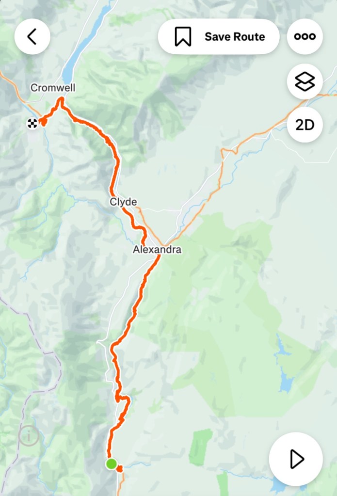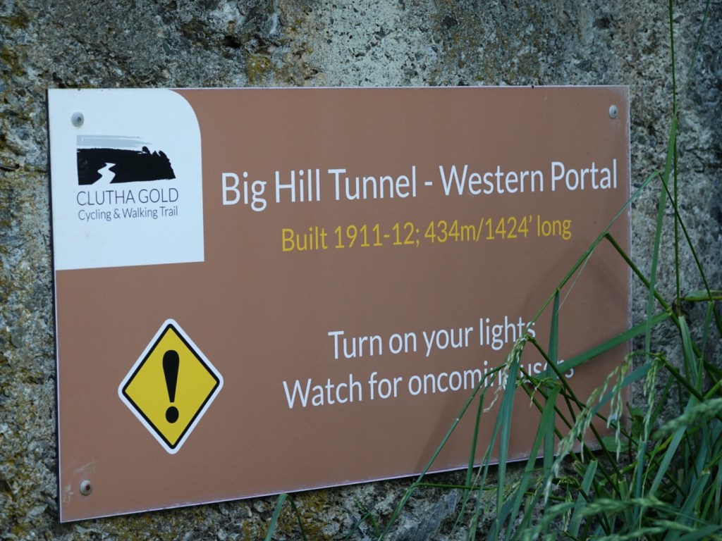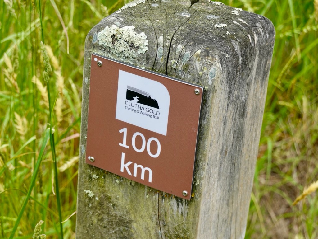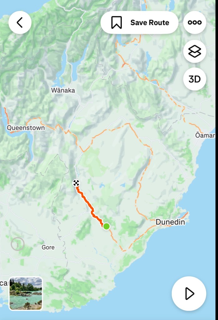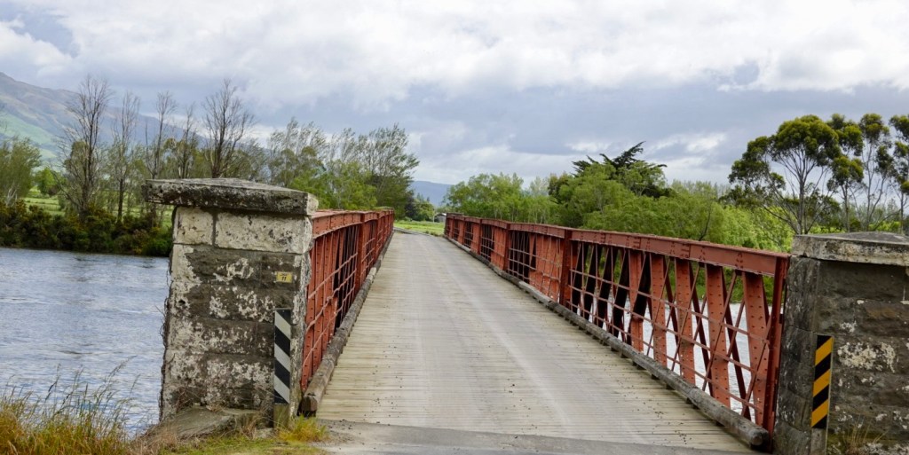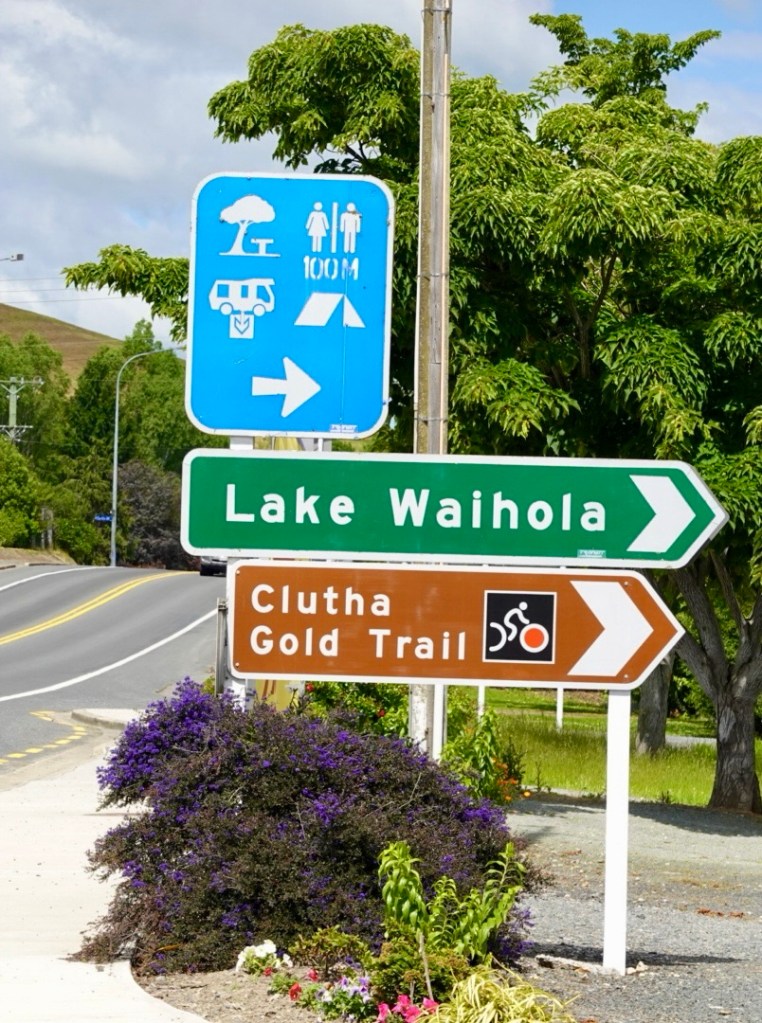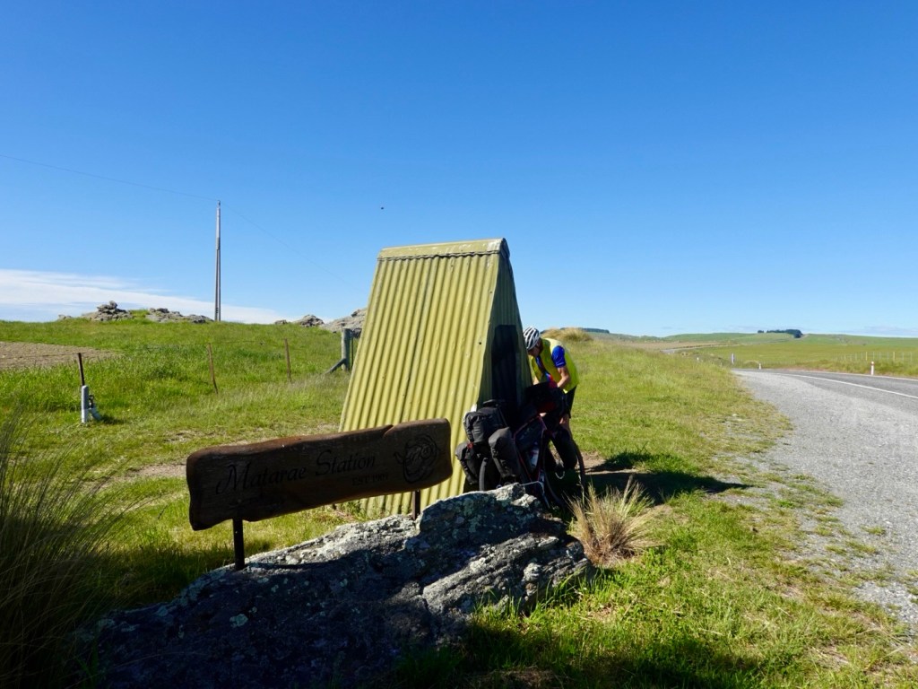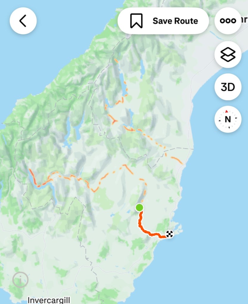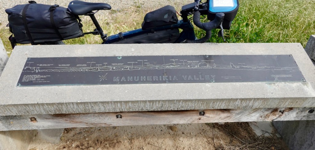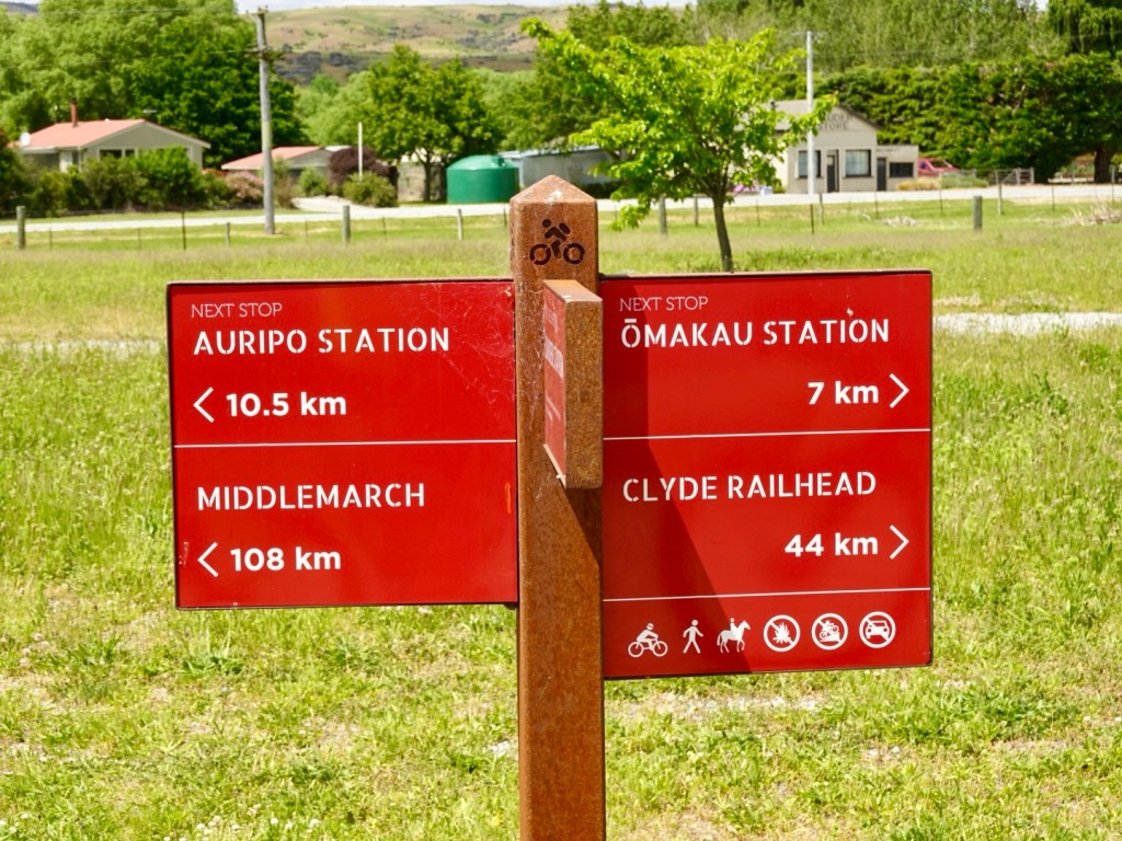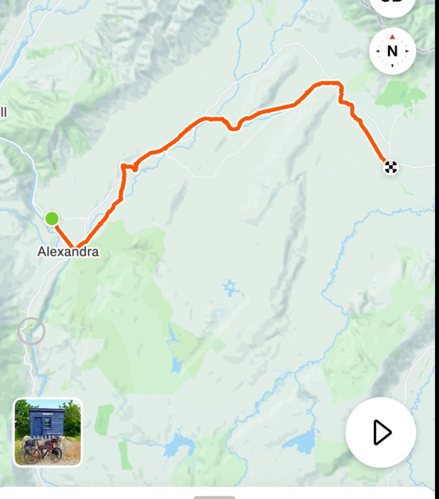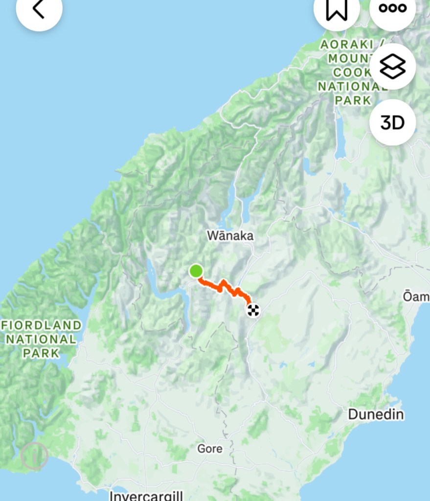
Up early as we needed to finish the Clutha Gold Trail, ride the Roxburgh Gorge Trail to rendezvous with our ‘water taxi’.
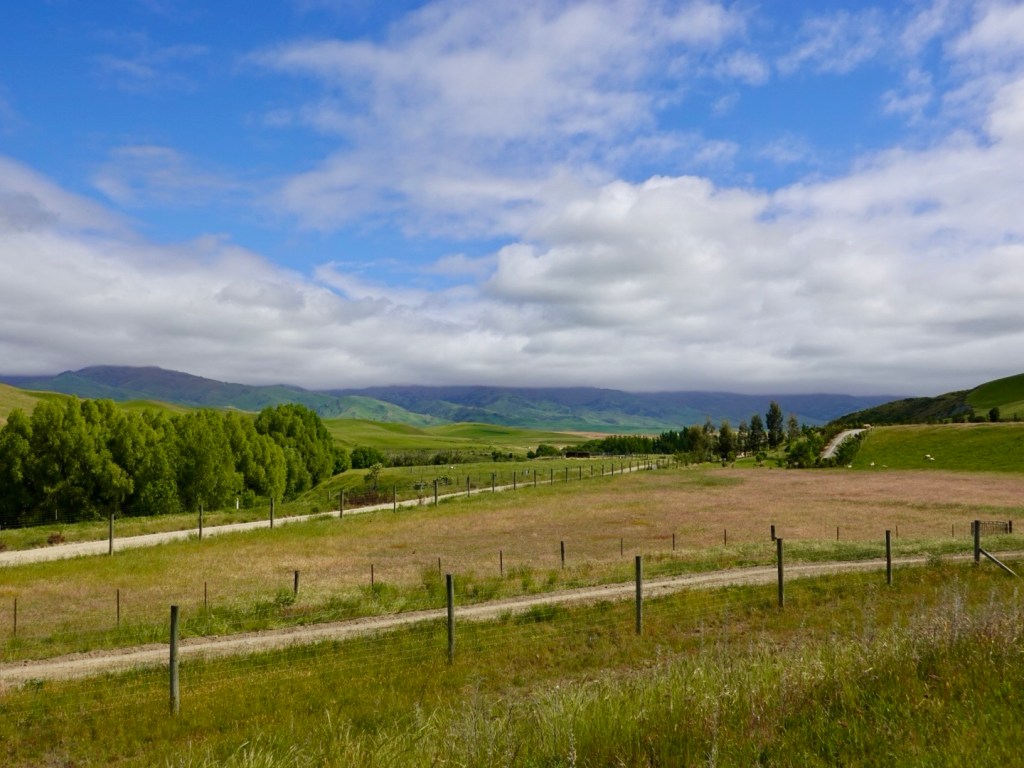
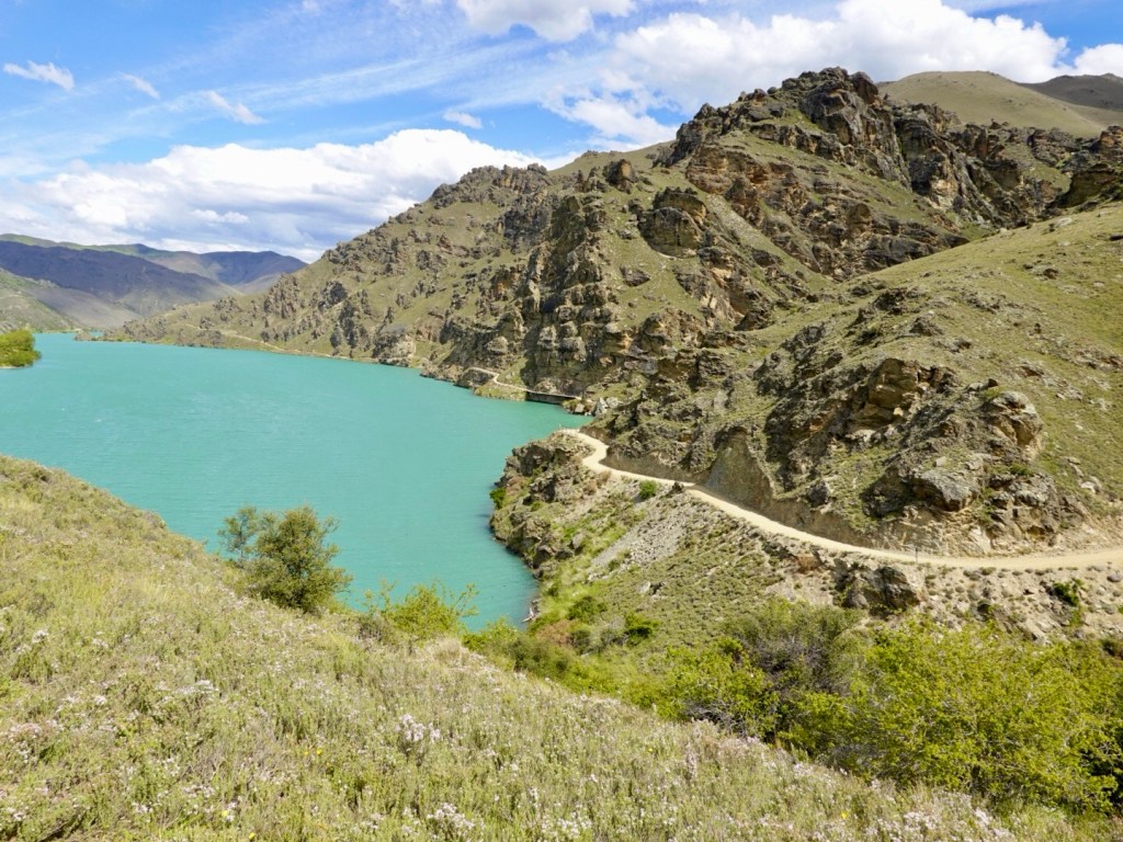
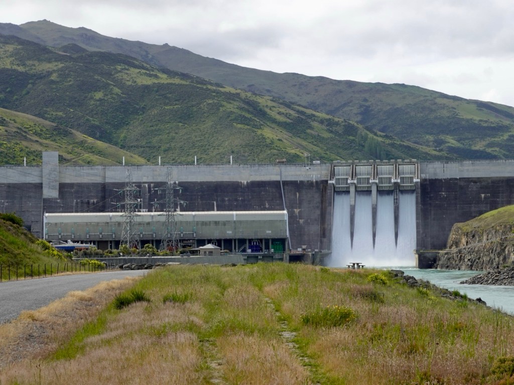
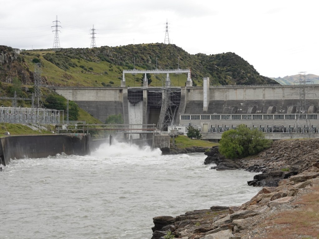
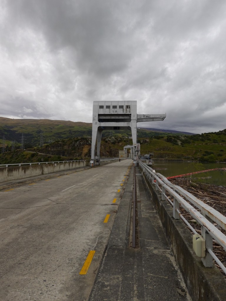
Leaving Roxburgh it was quiet, crossing the dam with one main gate open.
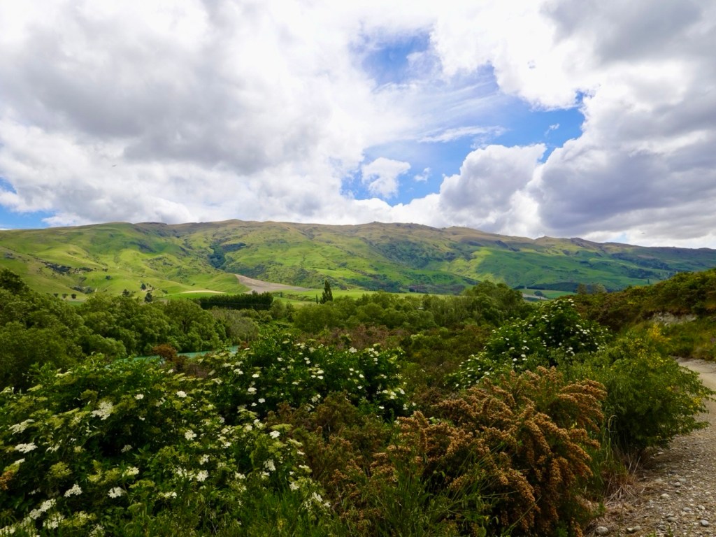
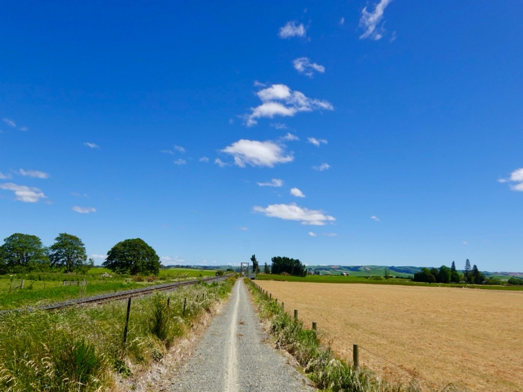
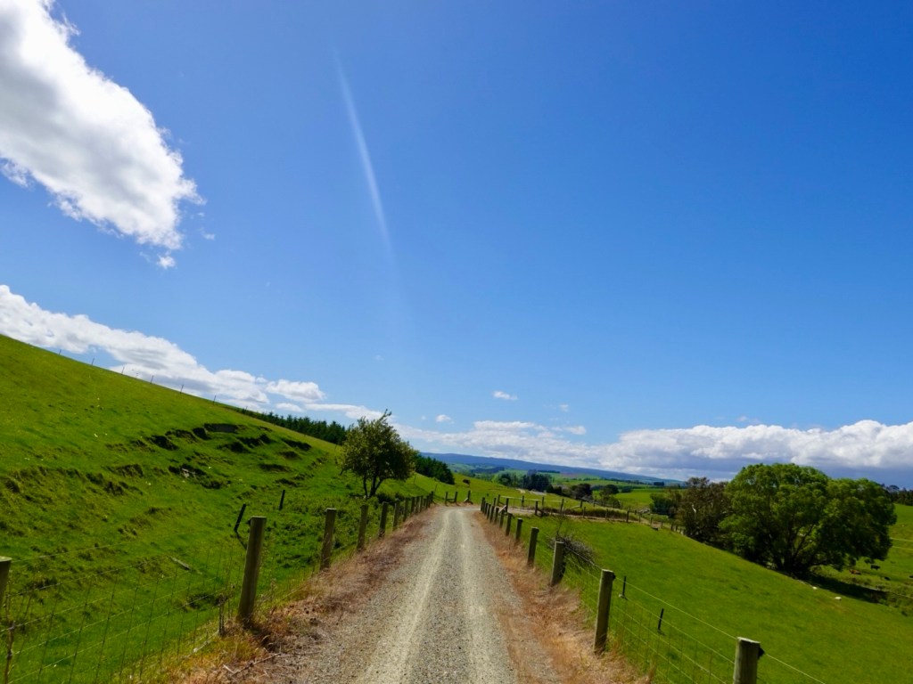
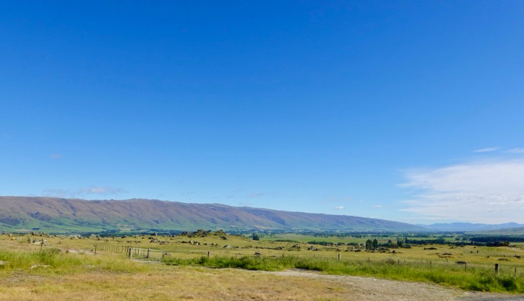
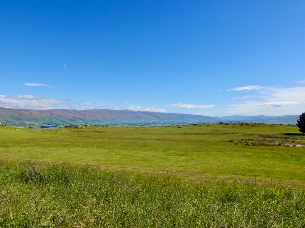
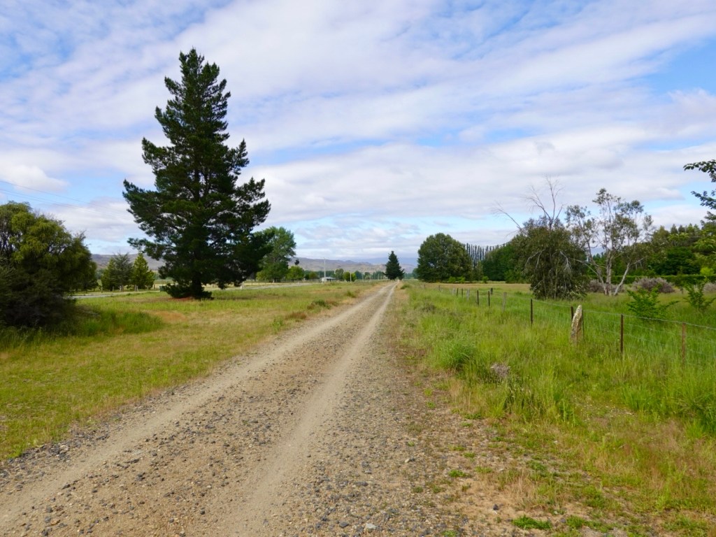
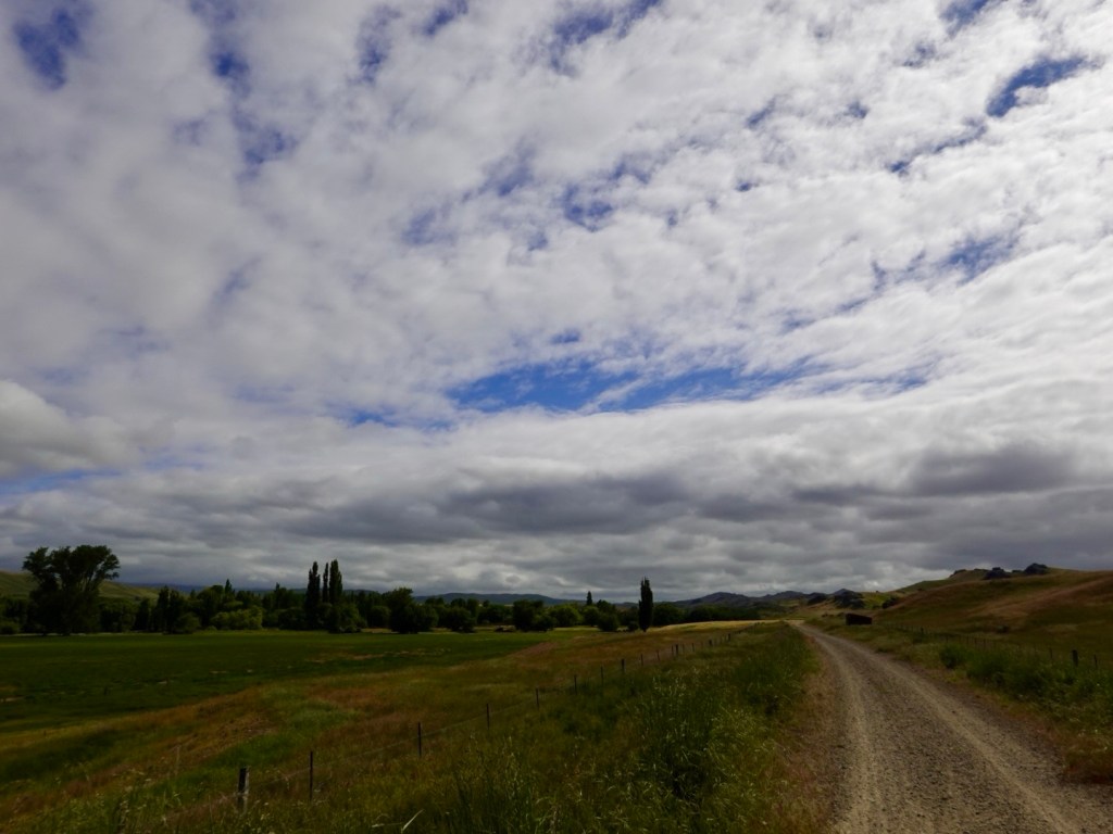
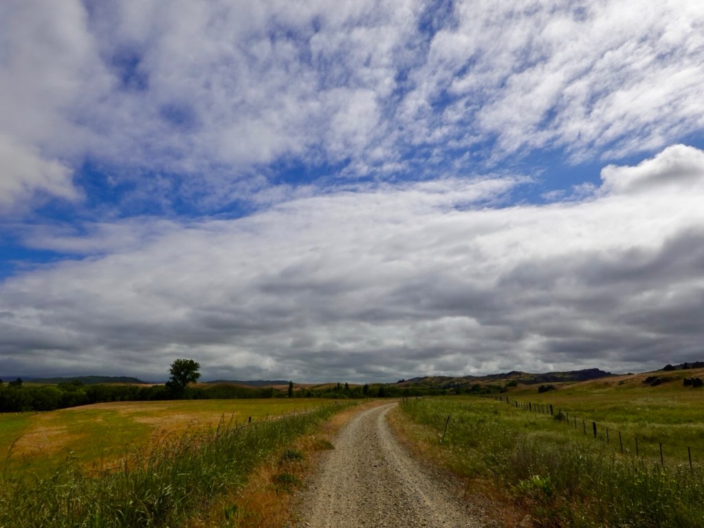
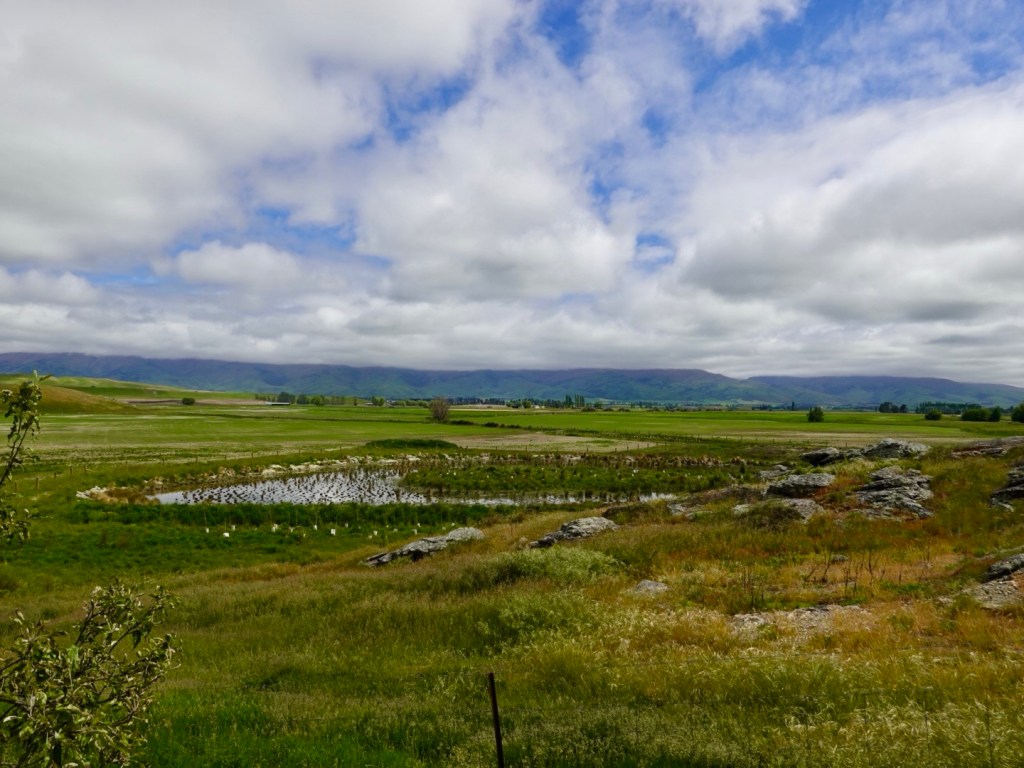
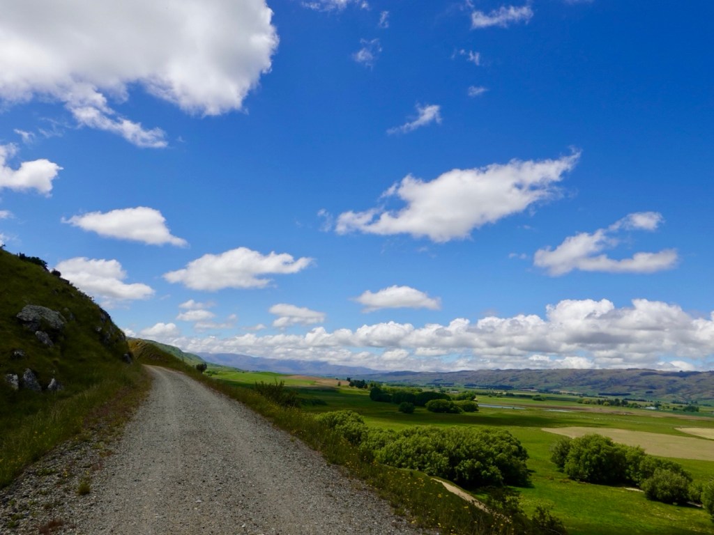
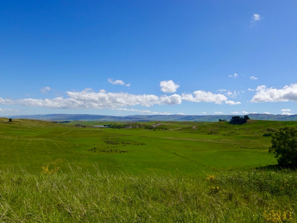
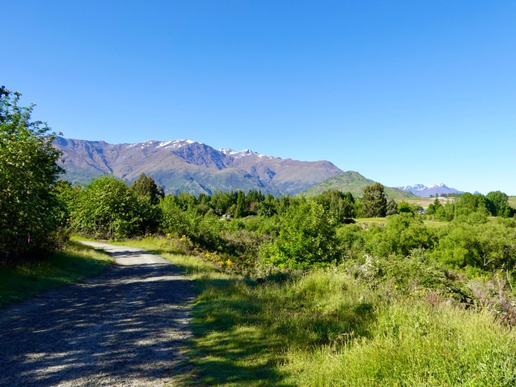
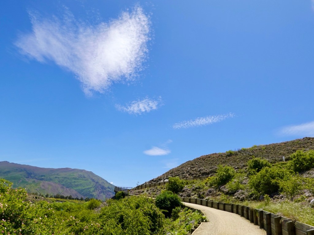
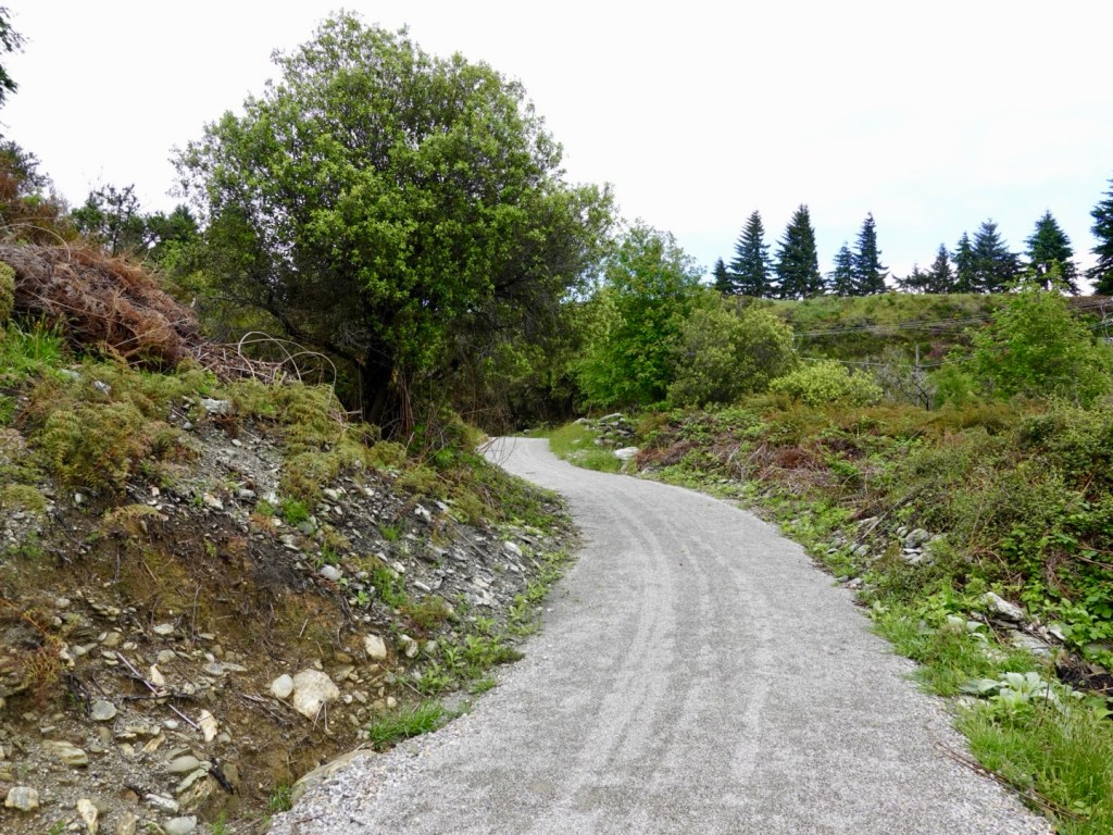
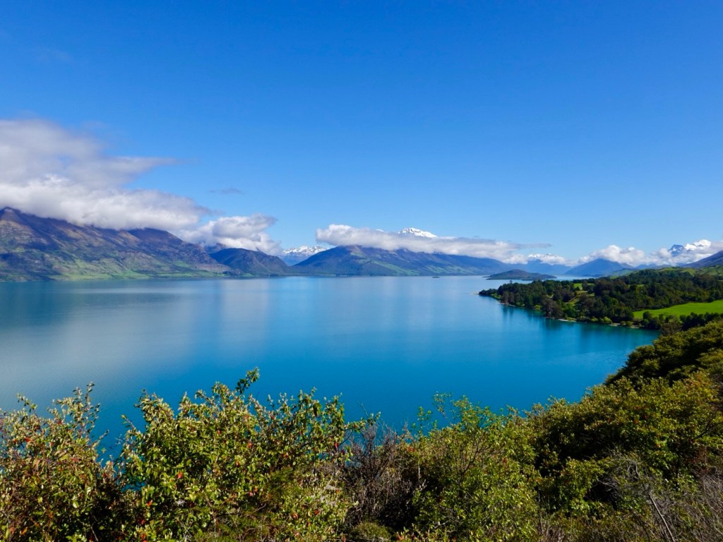
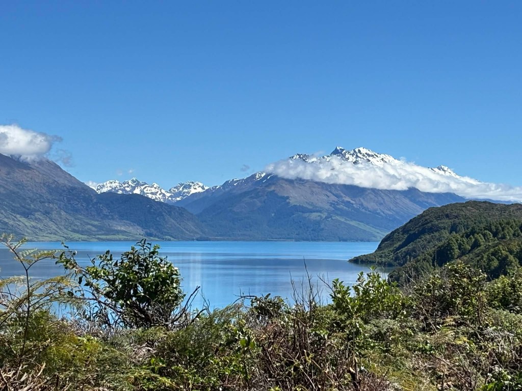
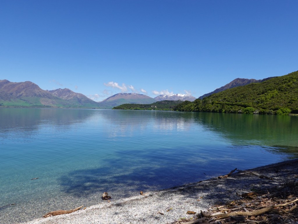
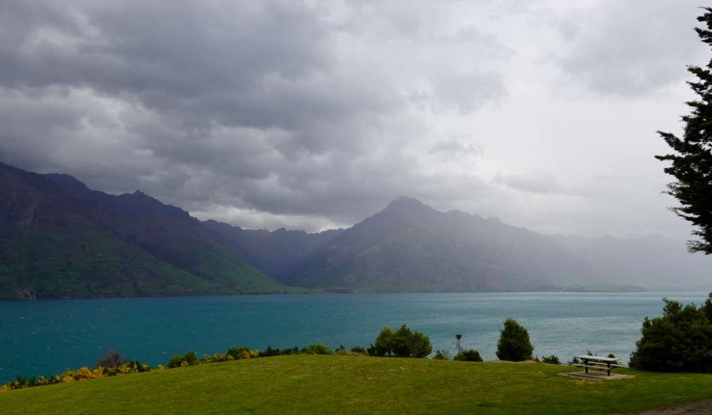
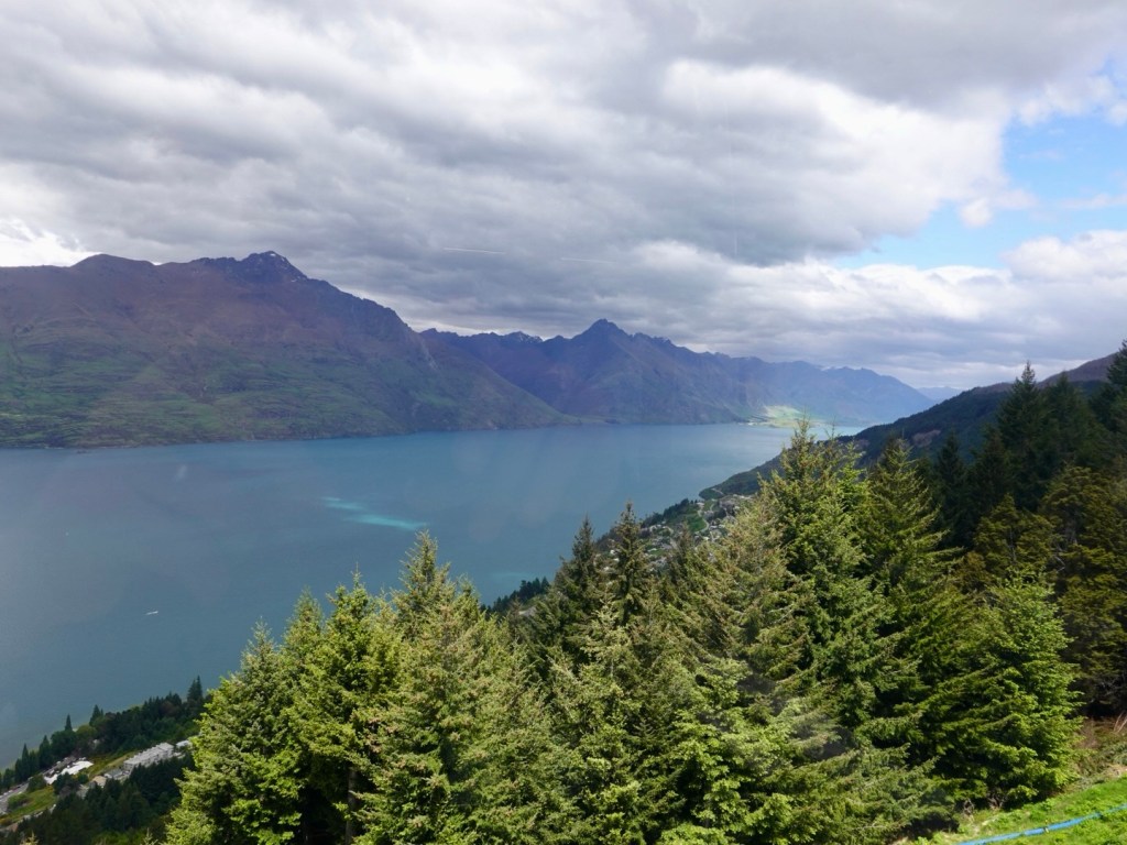
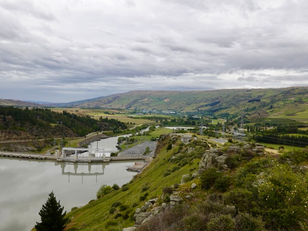
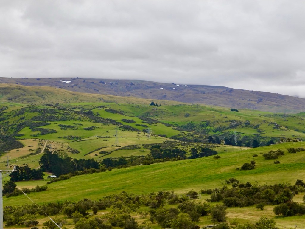
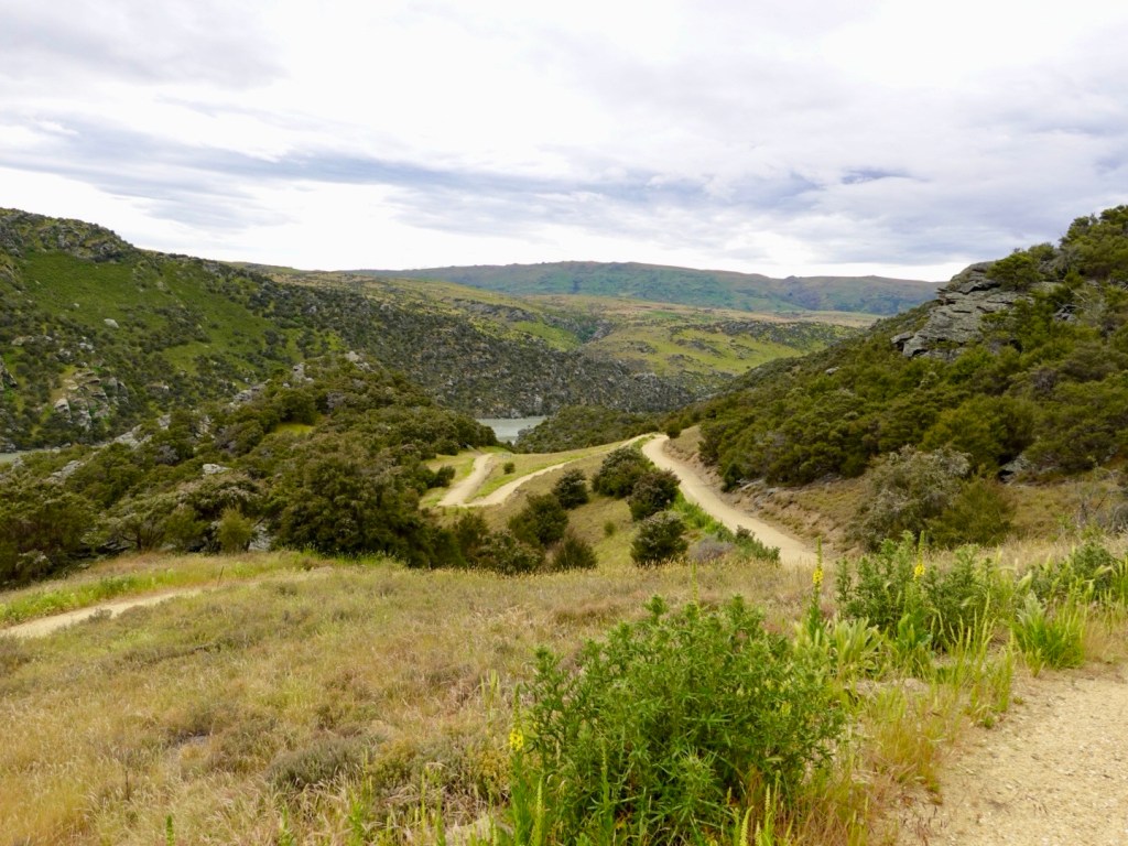
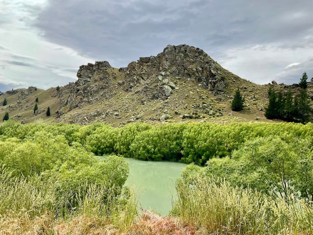
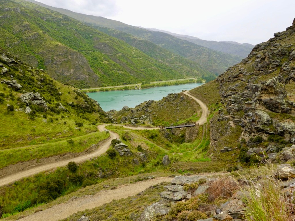
We then climbed up a dirt track to the top of this hill, looking back towards the dam. Nice views in the distance including some remaining snow.
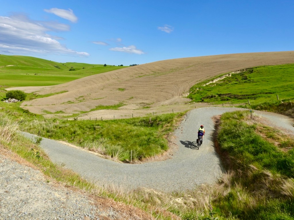
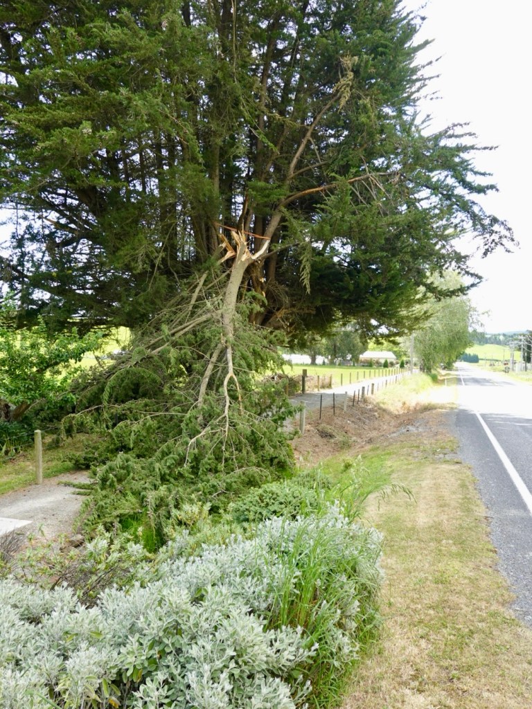
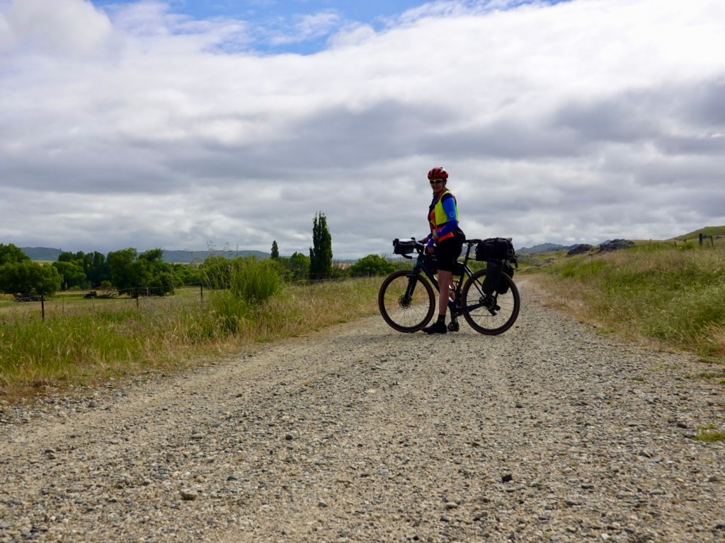
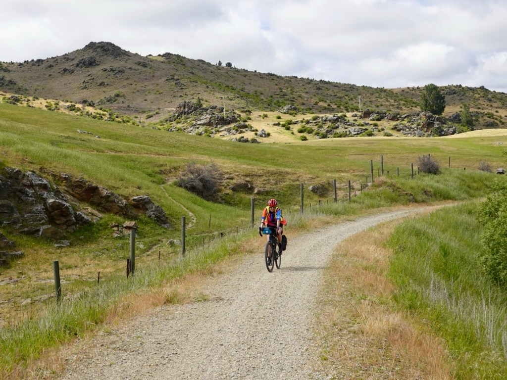
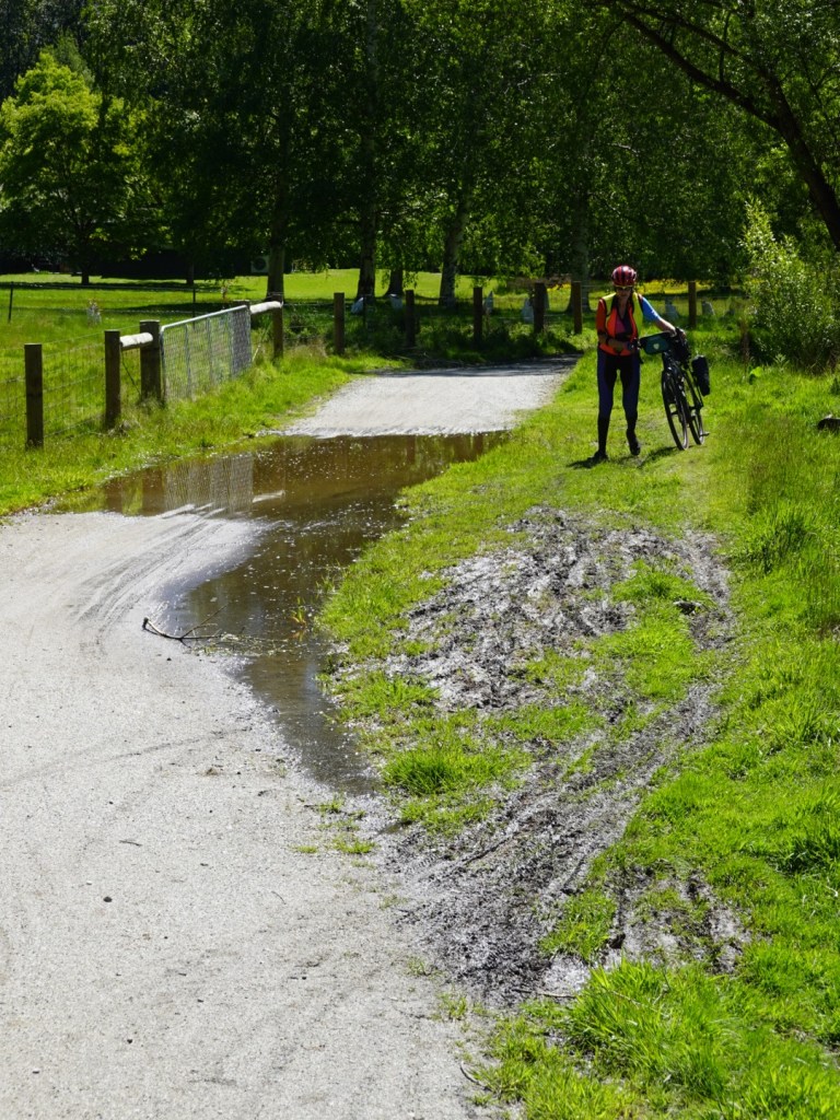
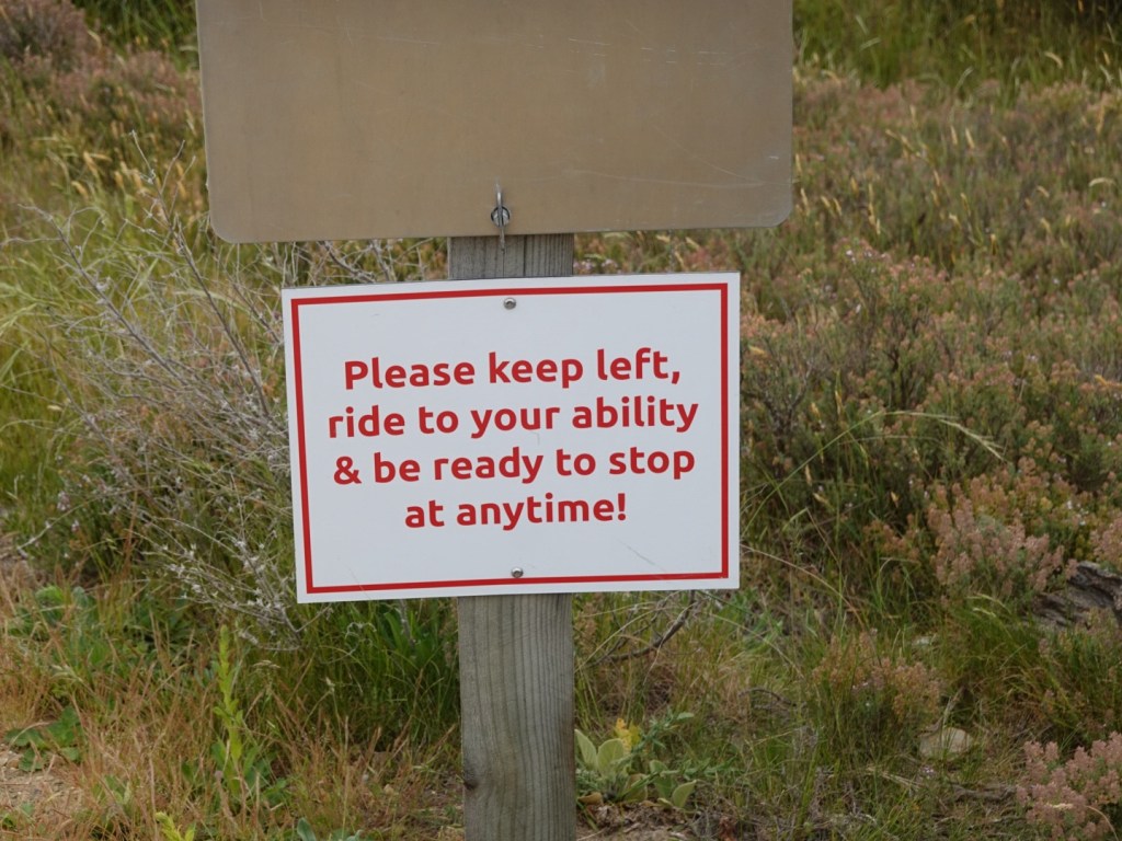
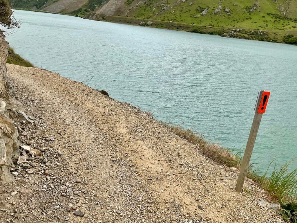
I’m always ready to stop on gravel. We’ve experienced a lot of loose drifts at bends and climbing. My back wheel spins or front wheel lifts, I stop!
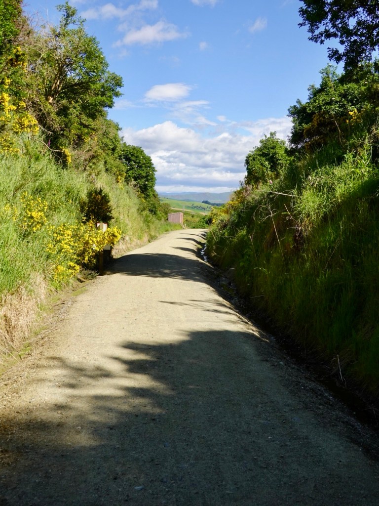
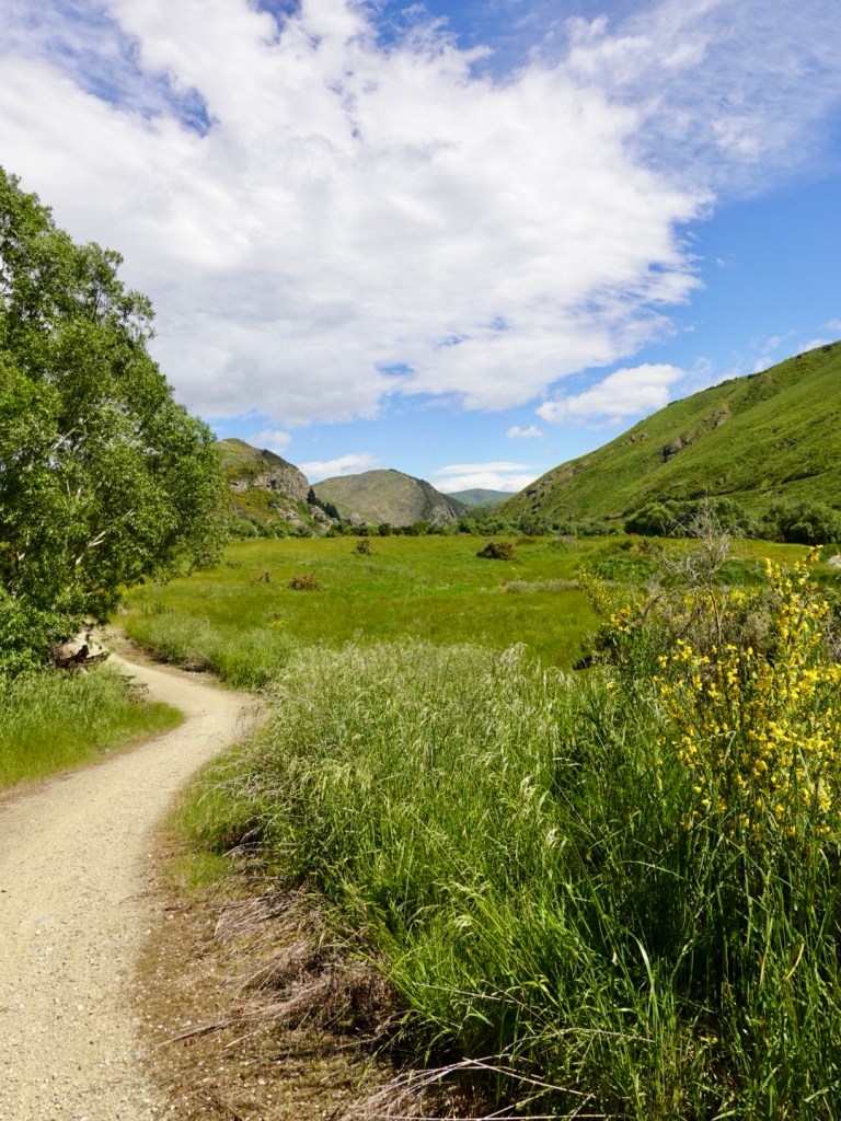
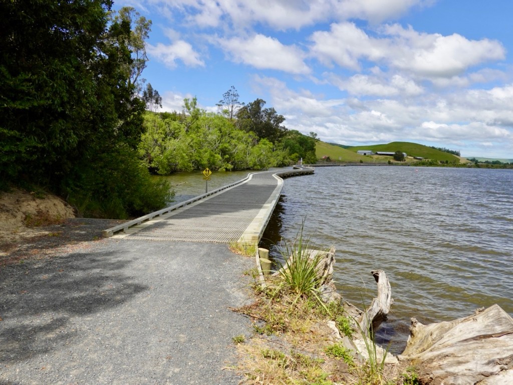
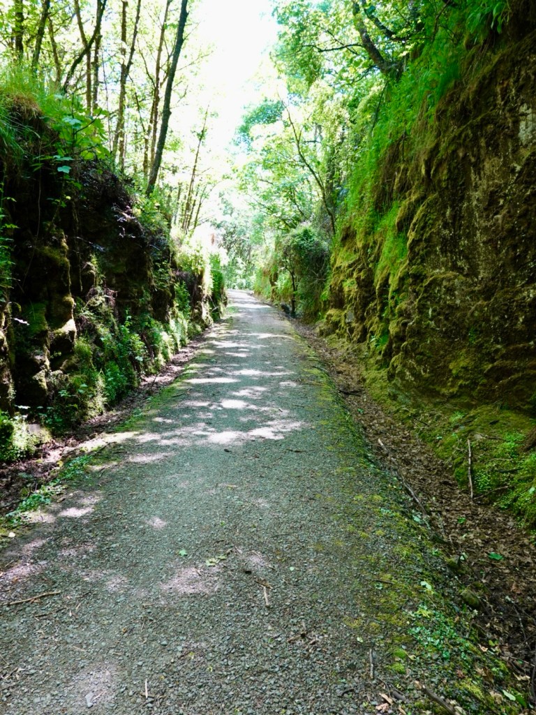
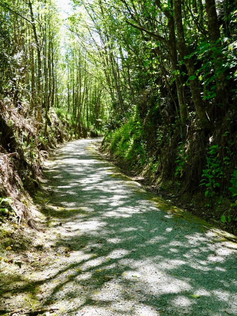
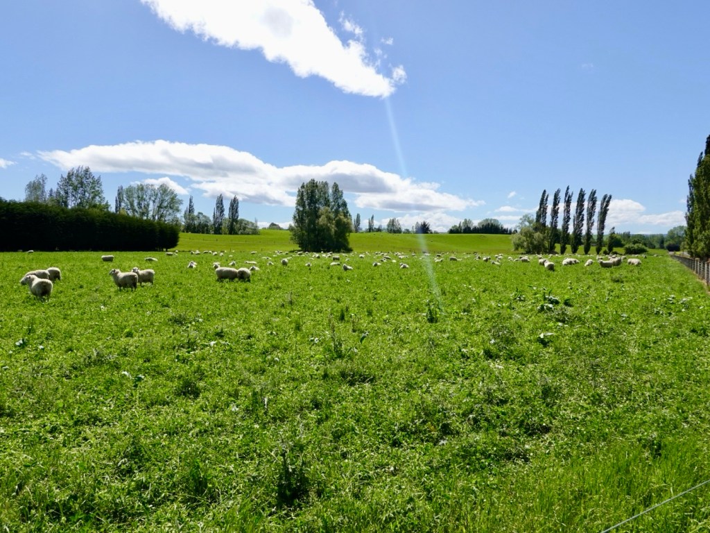
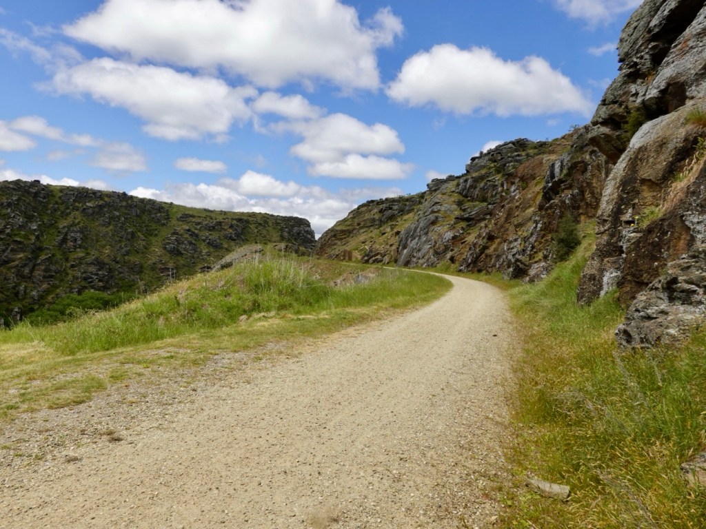
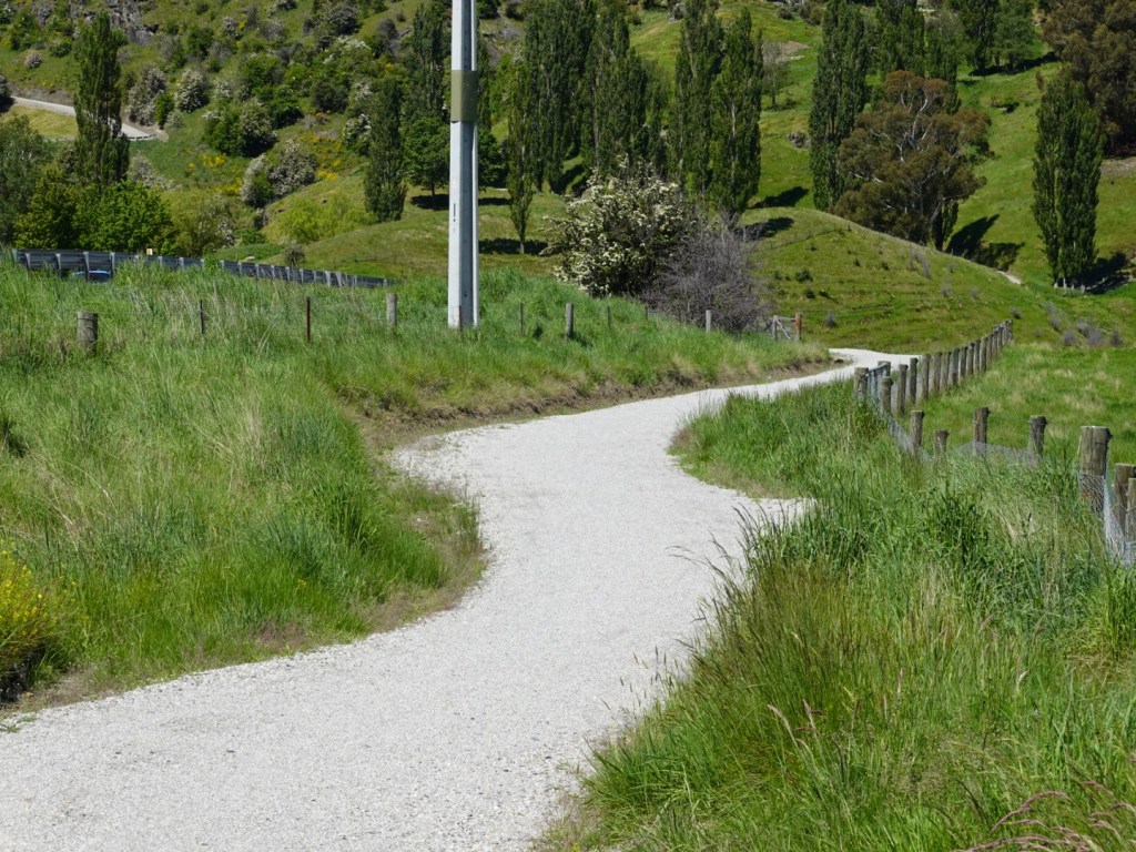
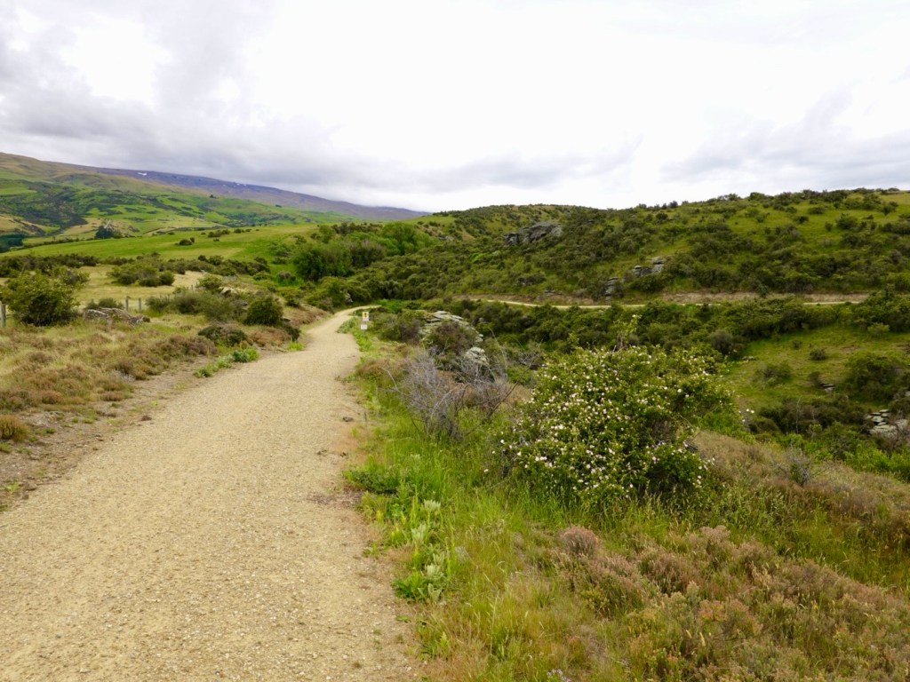
Nothing to worry about in this section of path though, very nice.
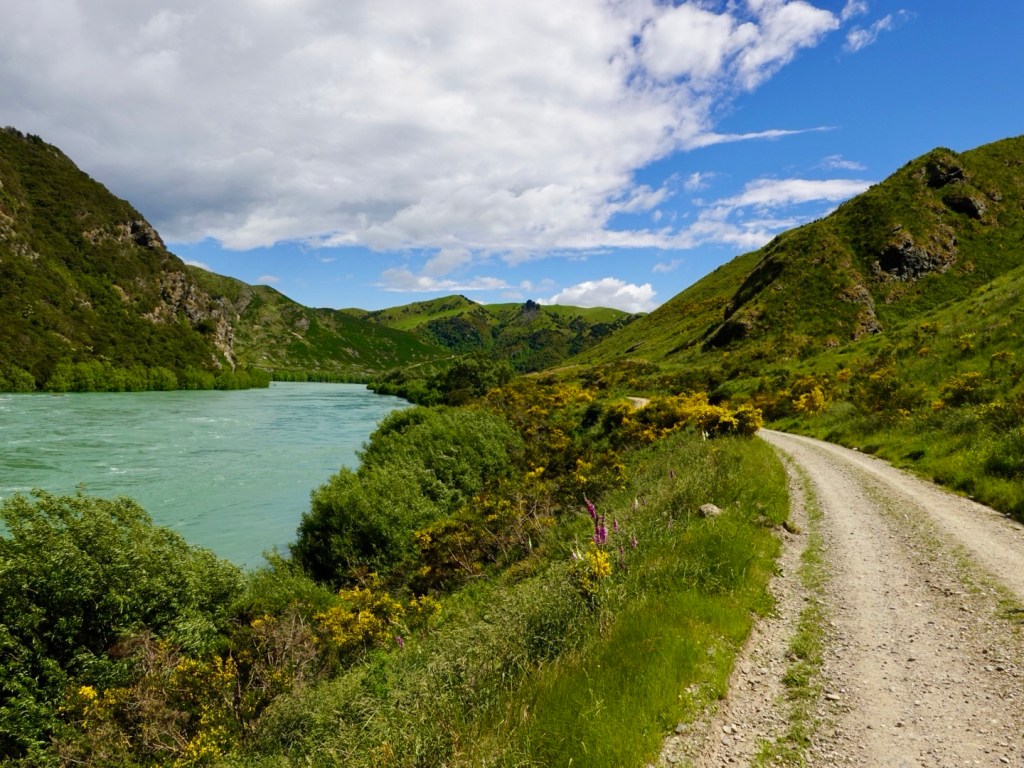
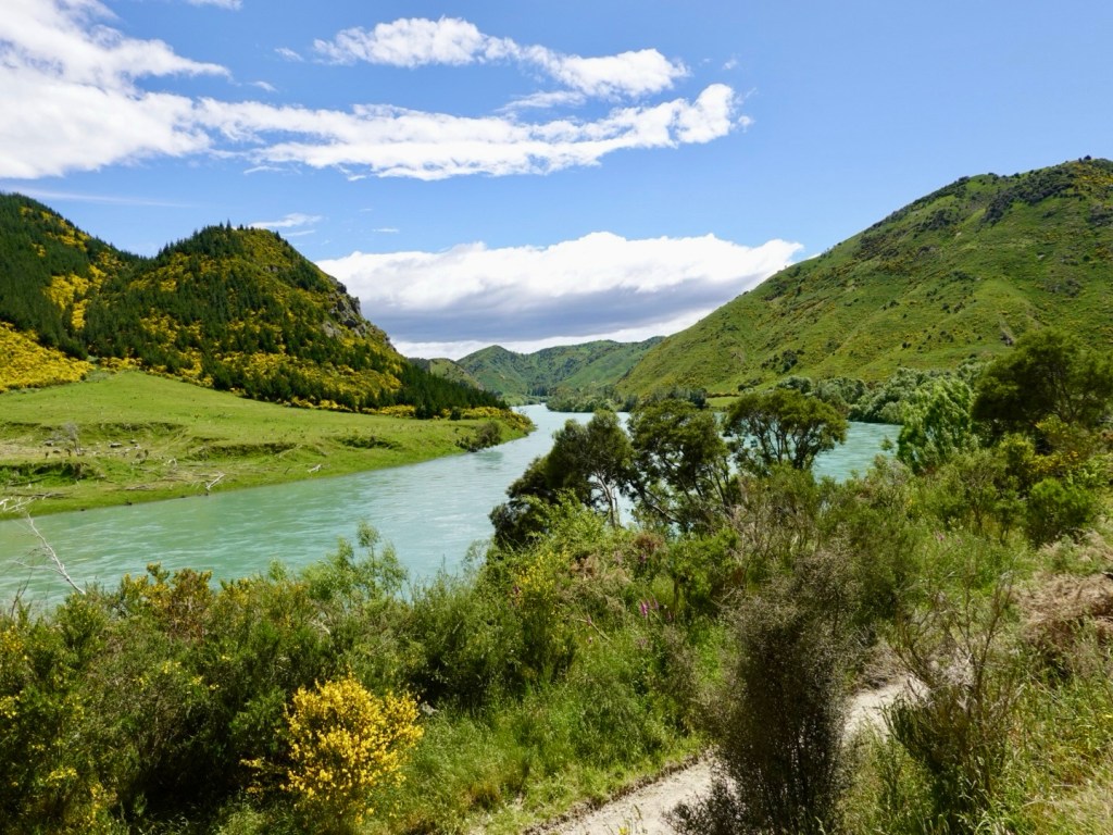
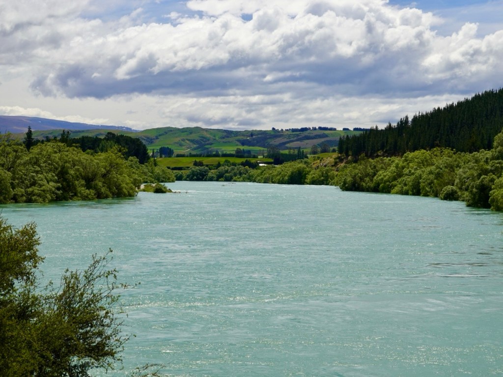
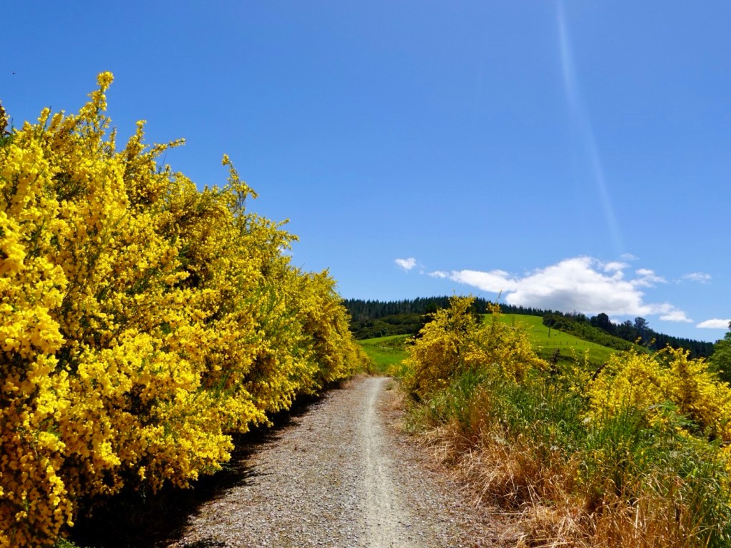
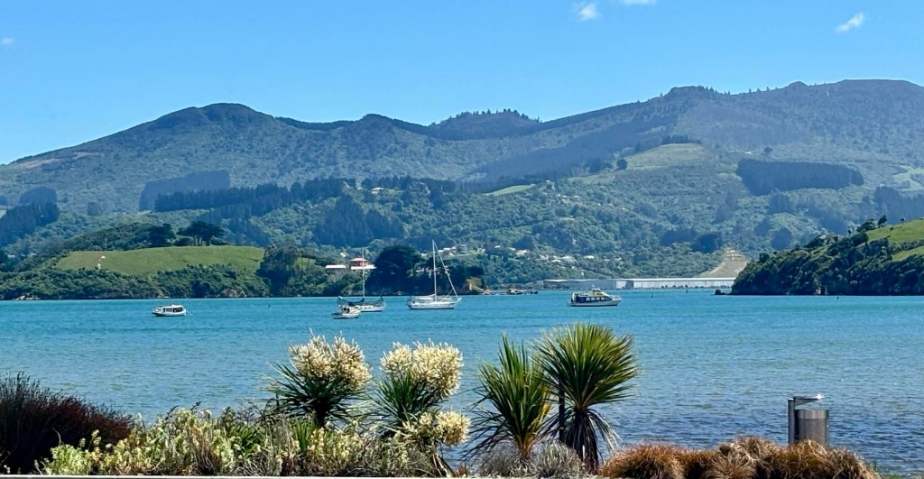
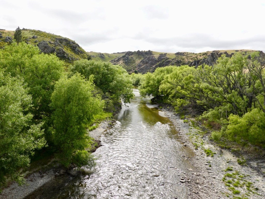
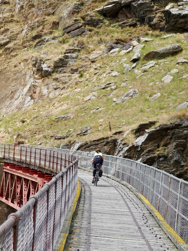
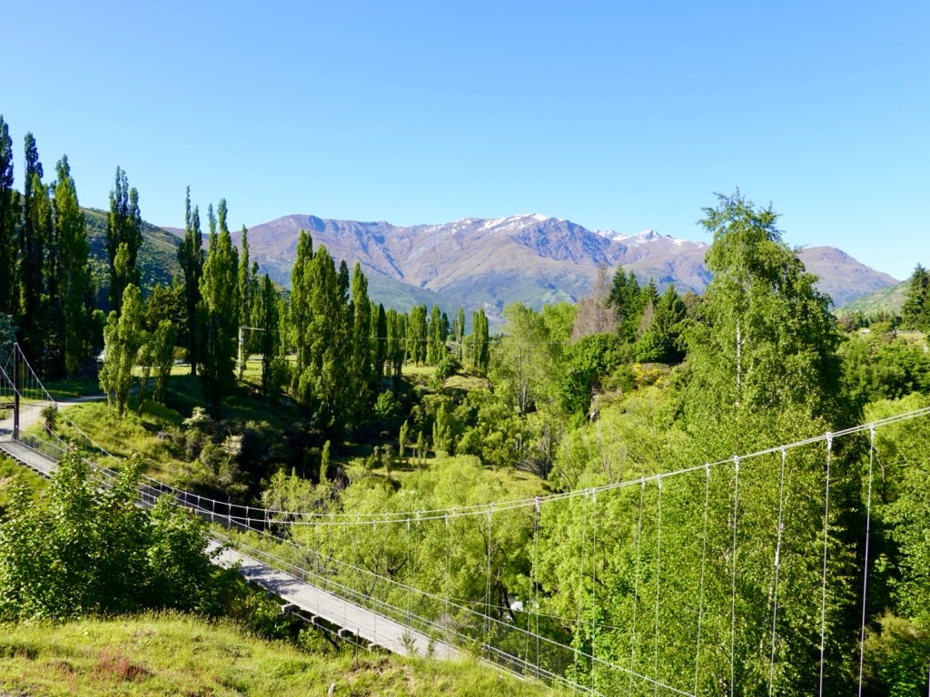
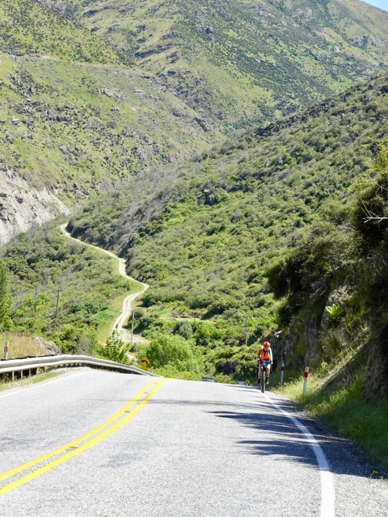
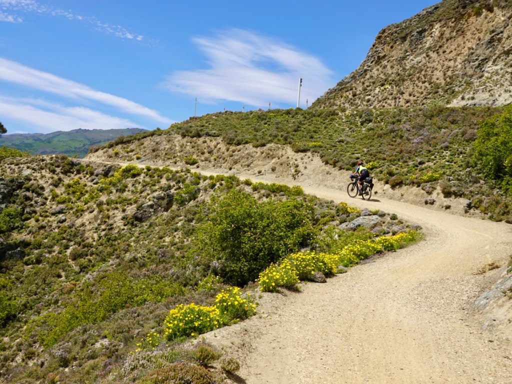
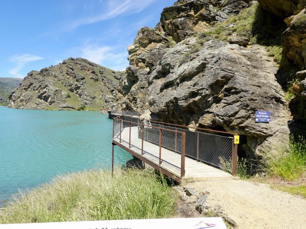
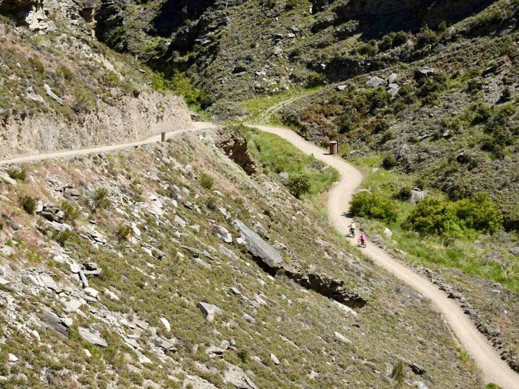
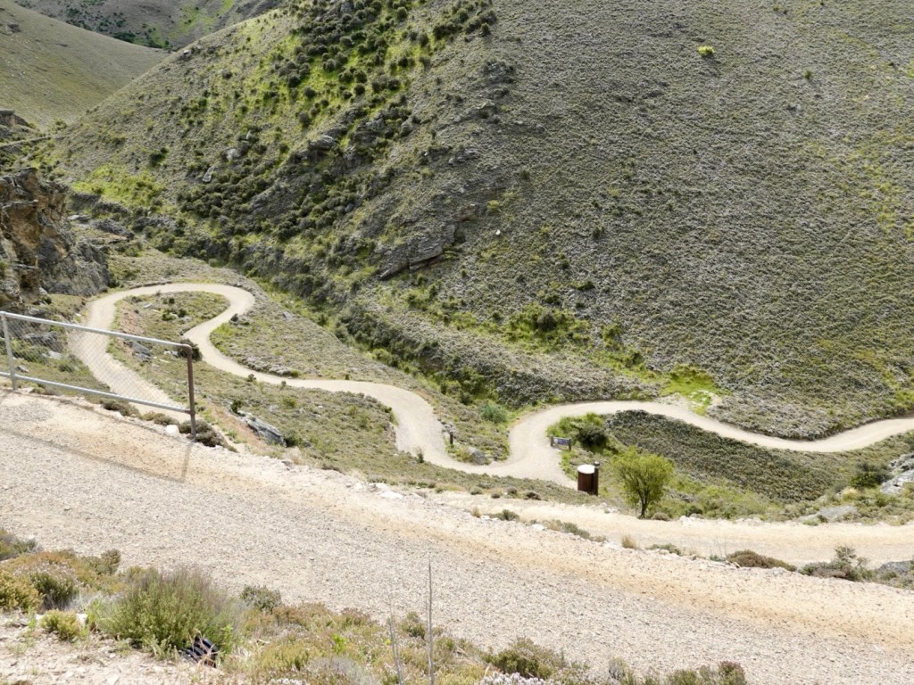
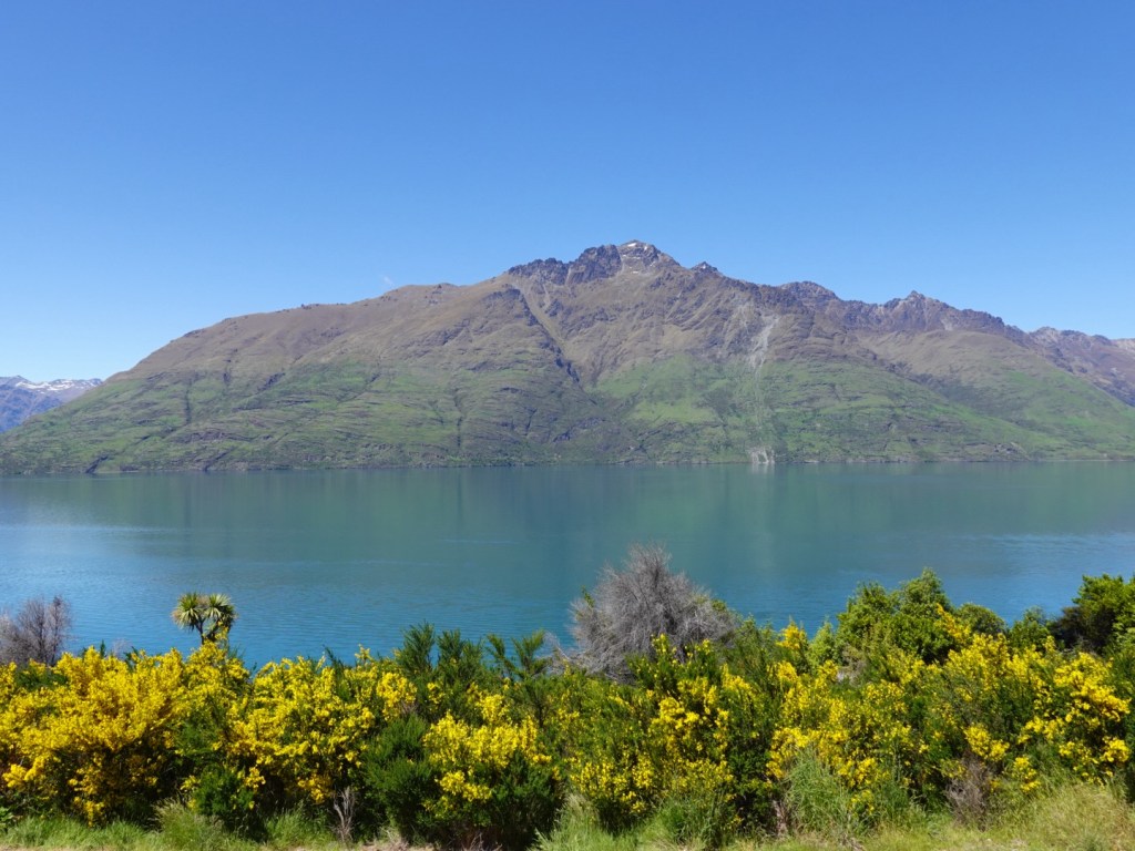
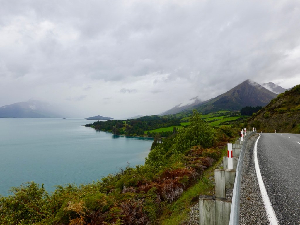
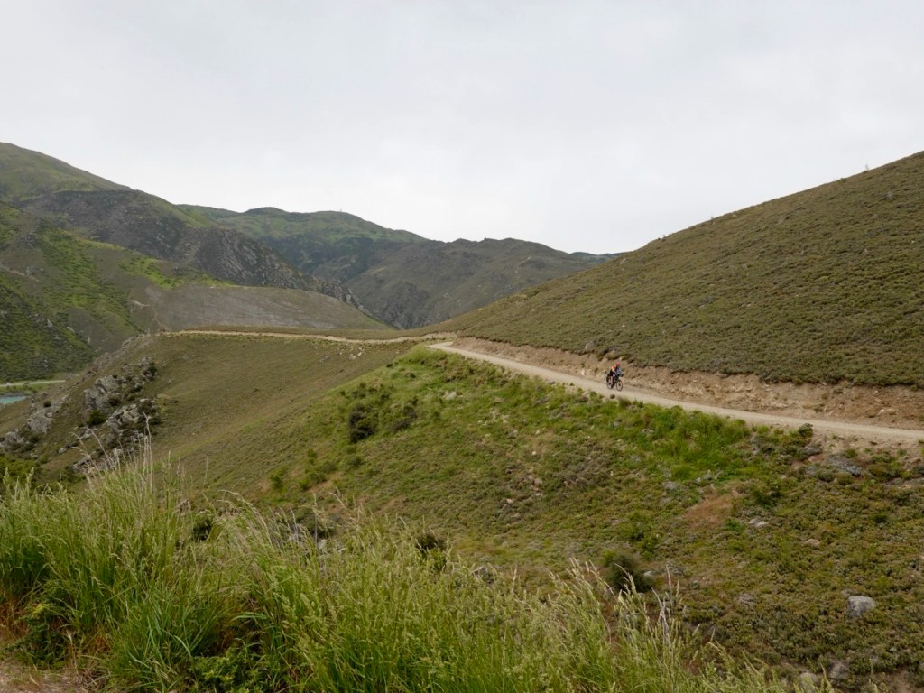
This is trickier, with tight hair pin bends. Beautiful views of the approaching gorge.
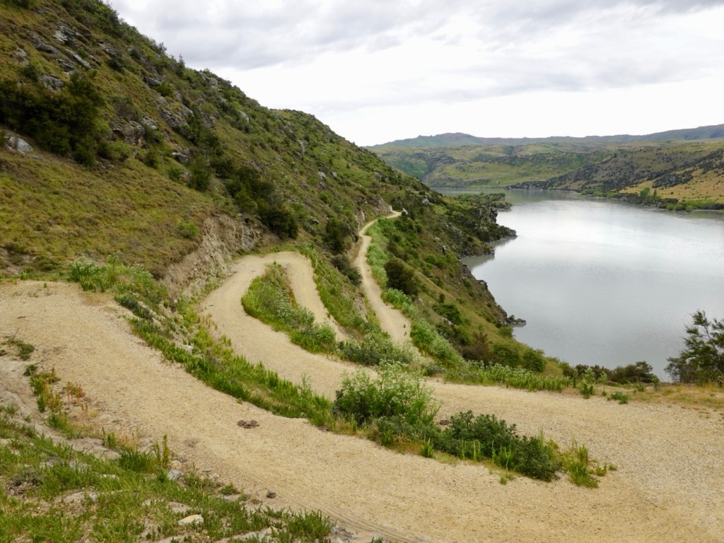
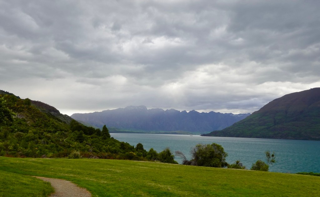
You can see the path down the far mid left,

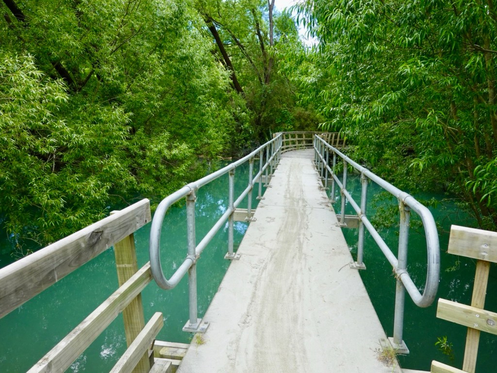
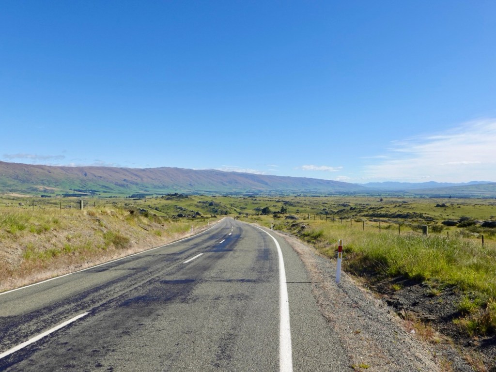
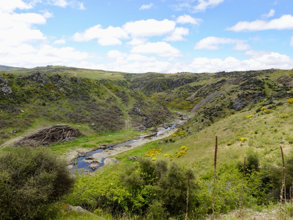
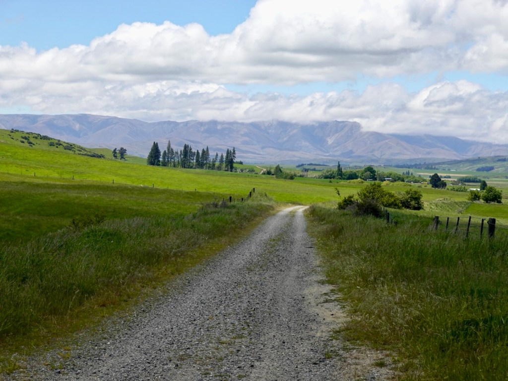
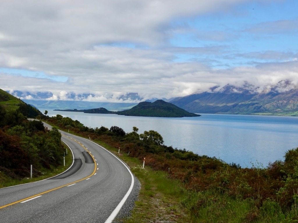
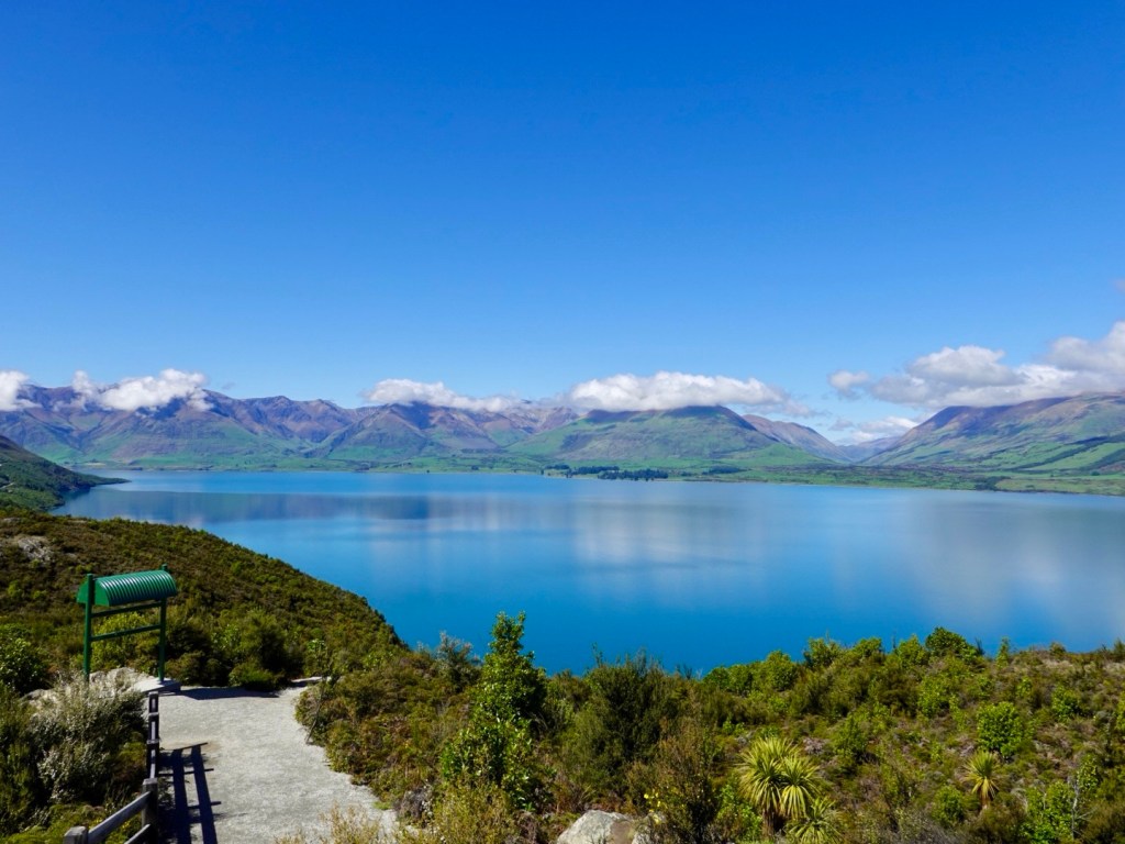
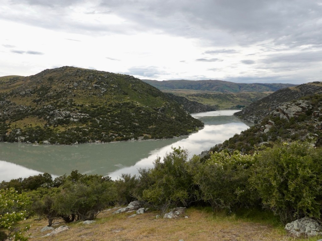
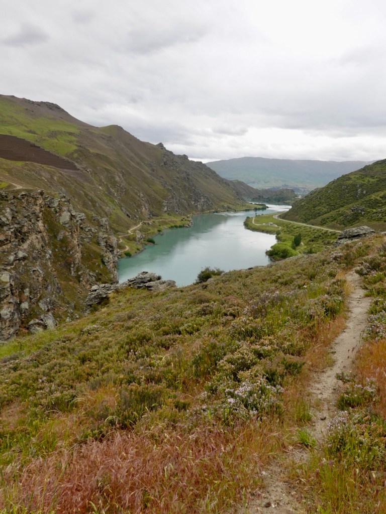
It was a very nice ride, tricky in places, but wonderful views. Very peaceful, and we seemed to have the path to ourselves.
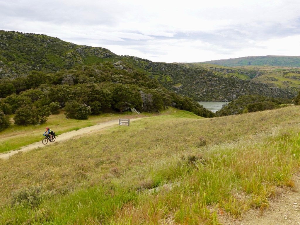
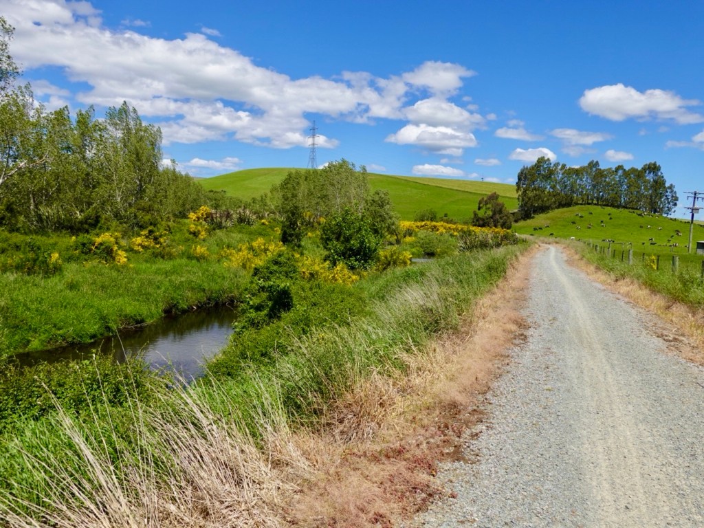
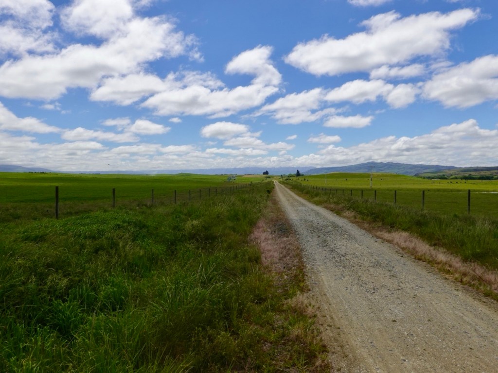
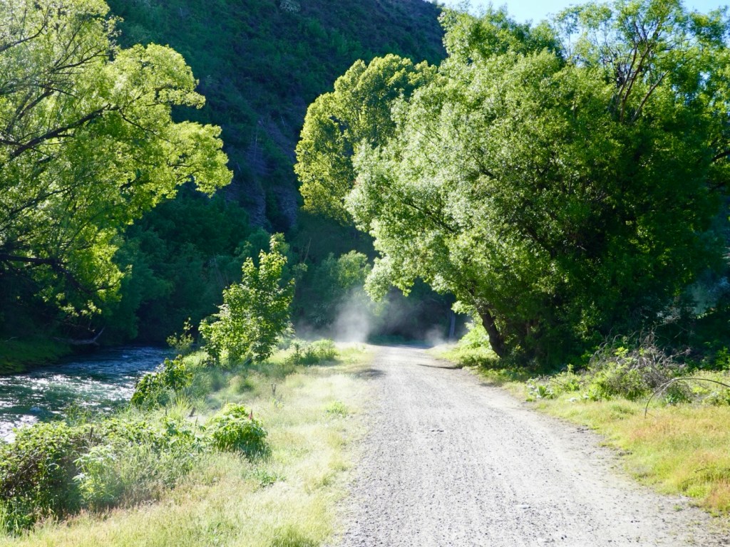
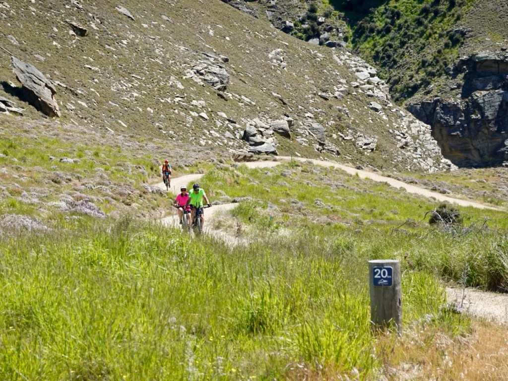
The trail goes on and on.

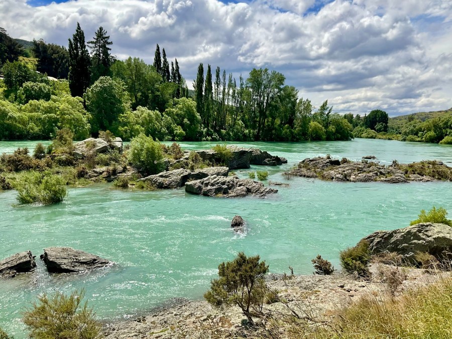
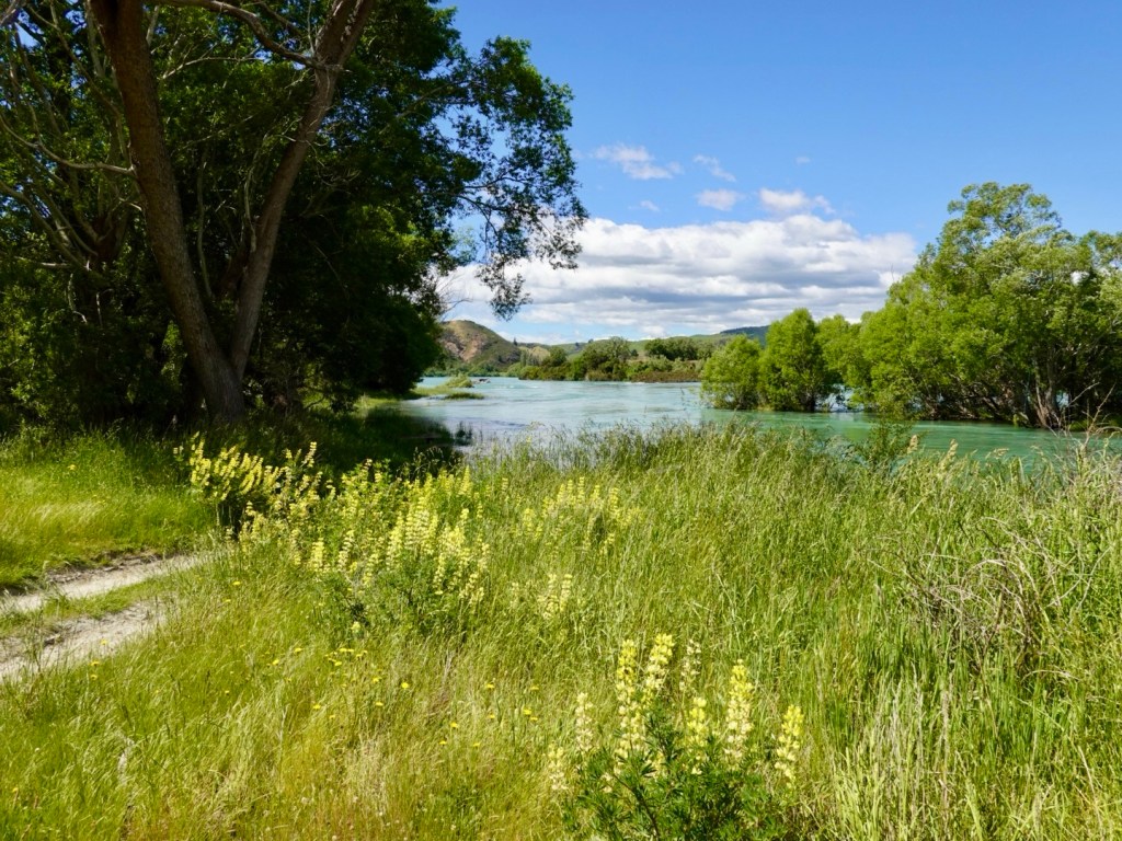
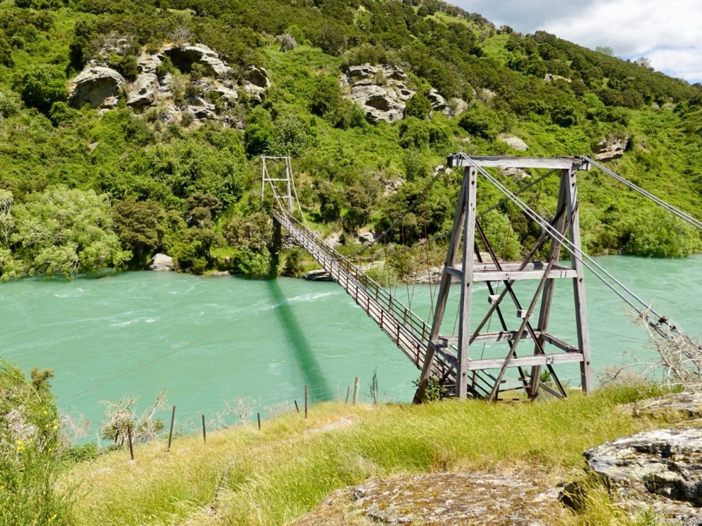
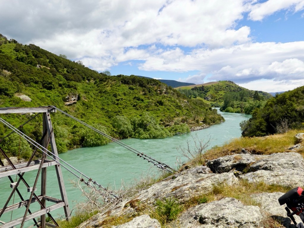
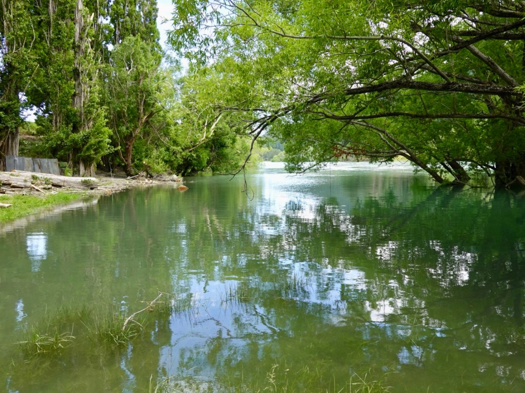
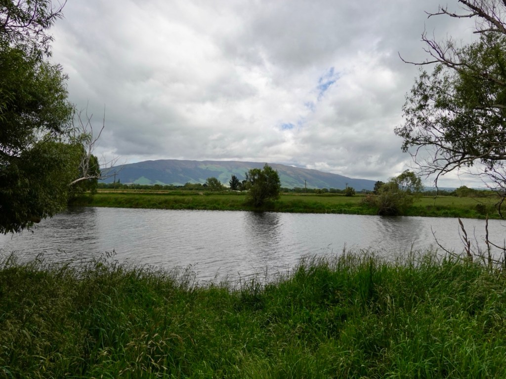
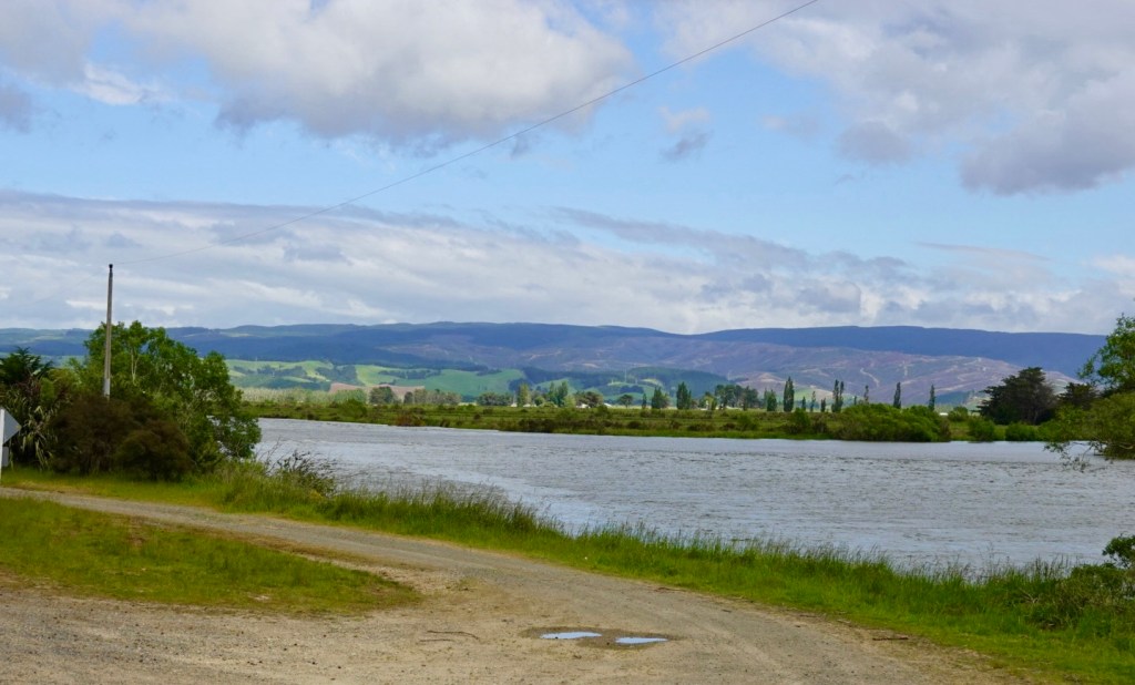
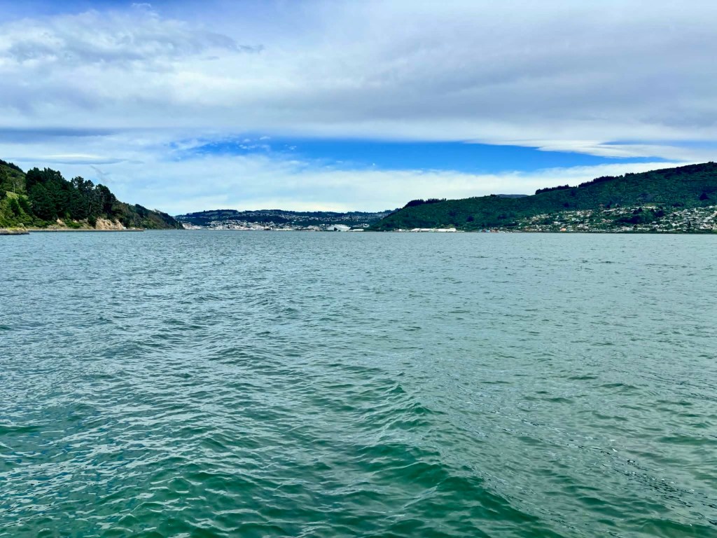
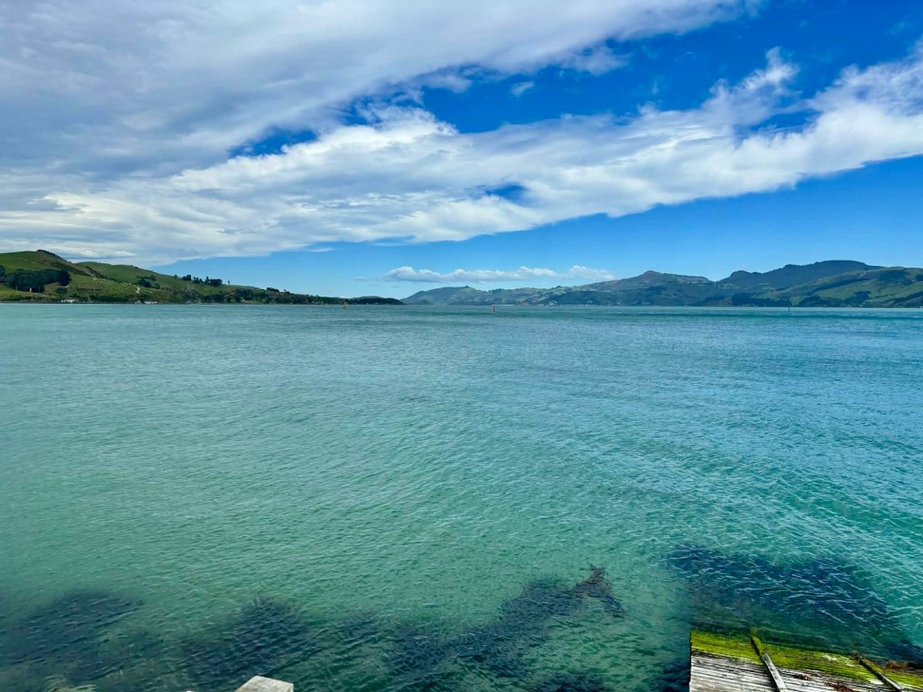
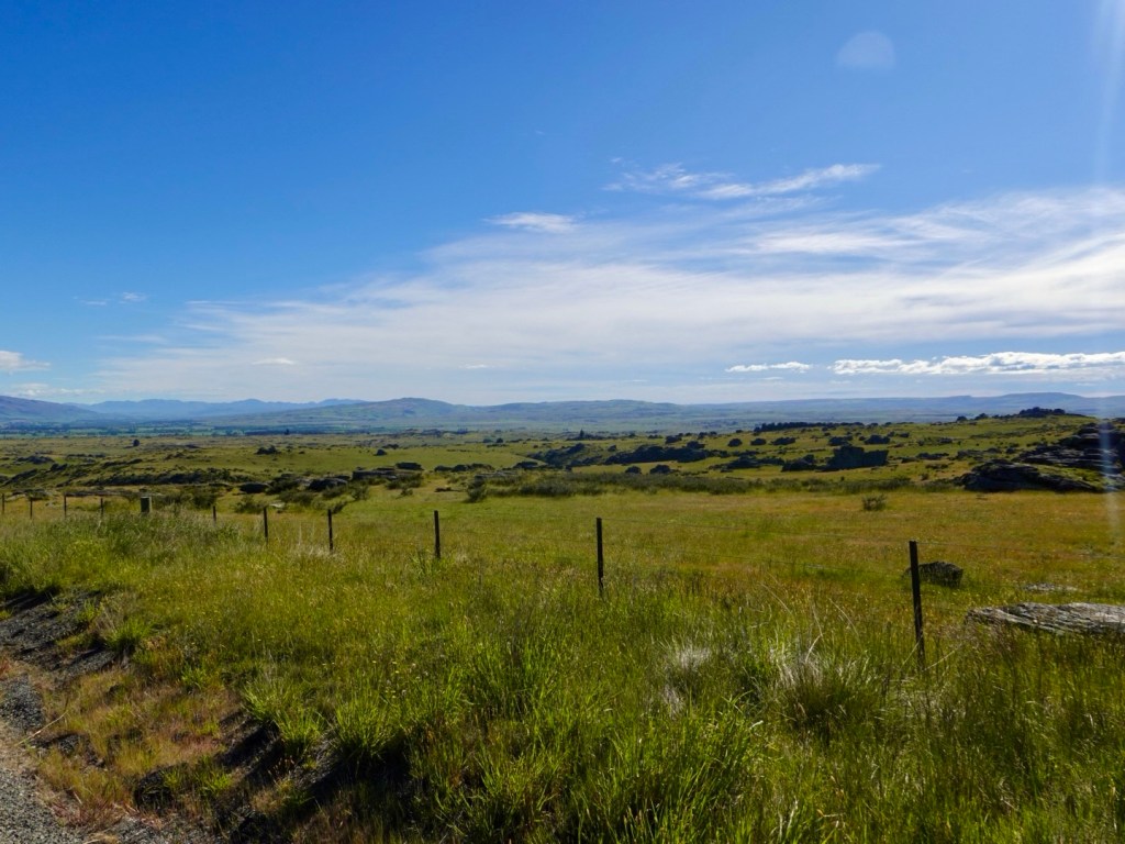
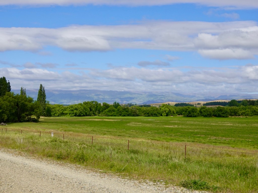
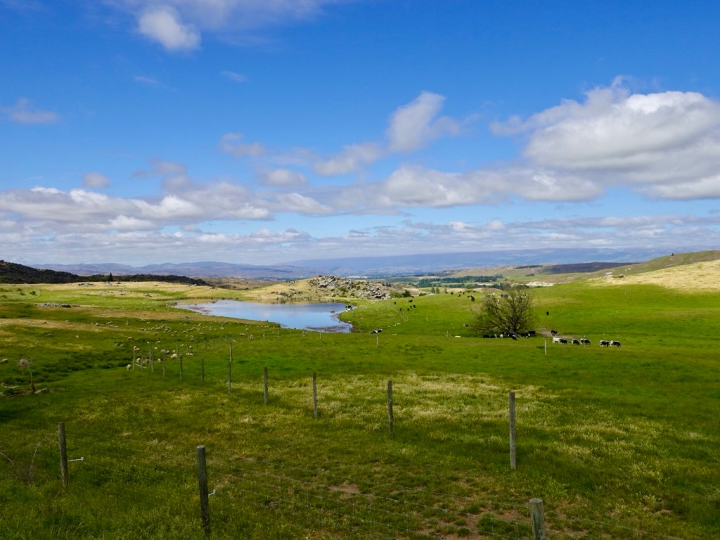
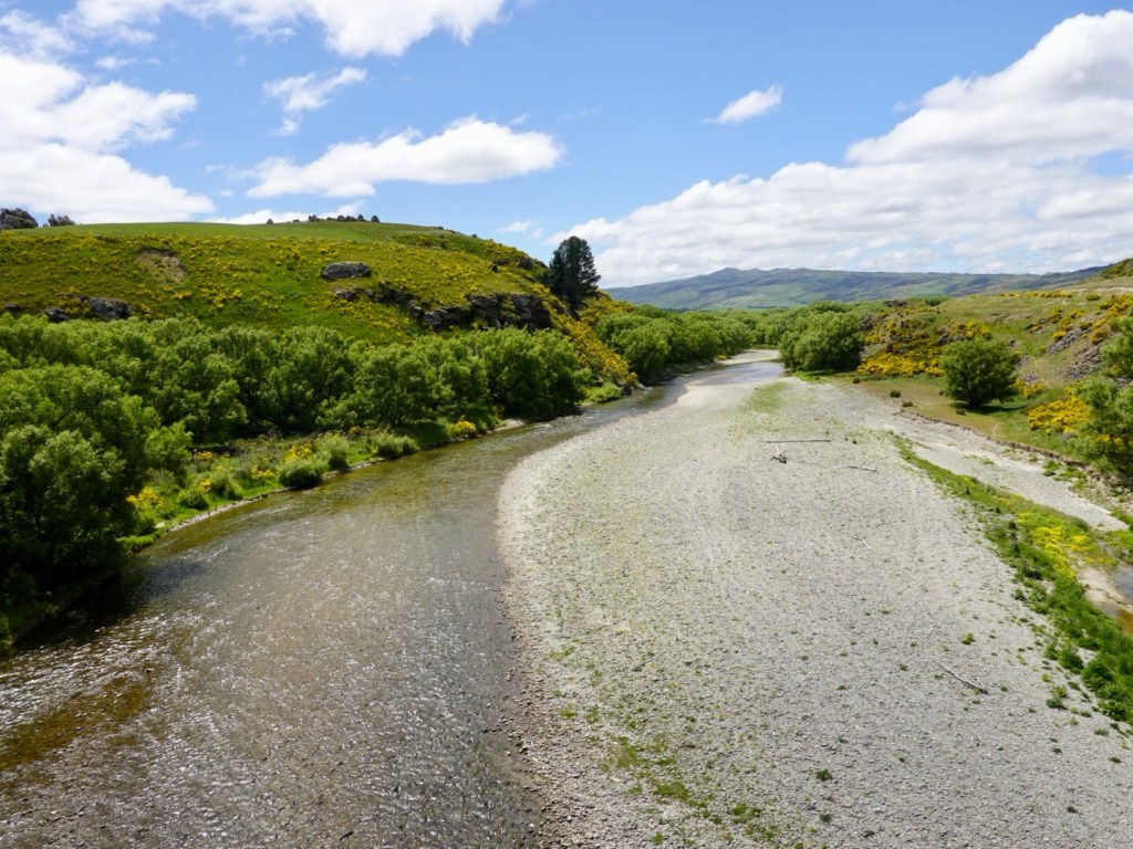
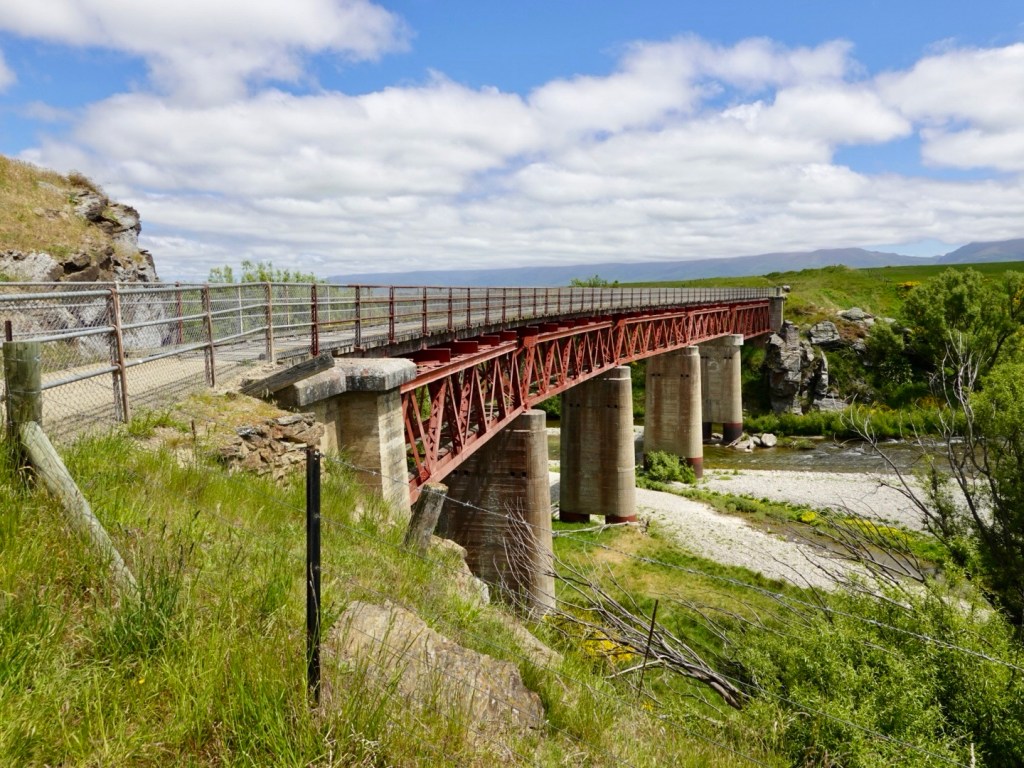
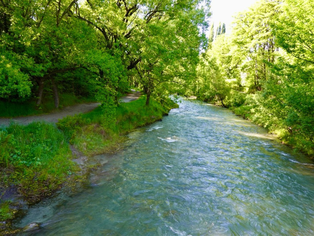
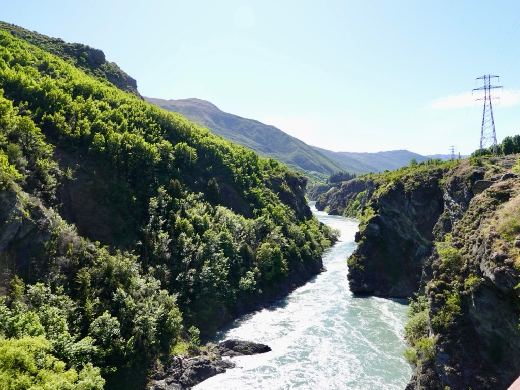
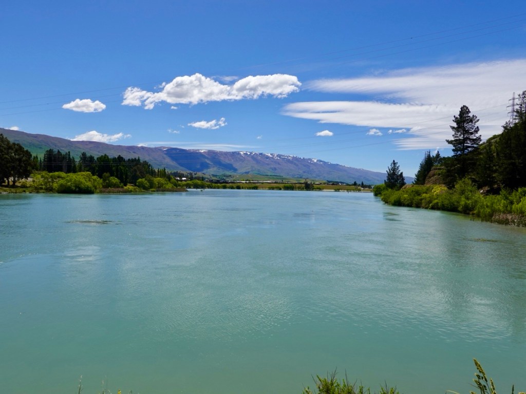
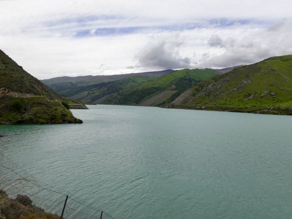
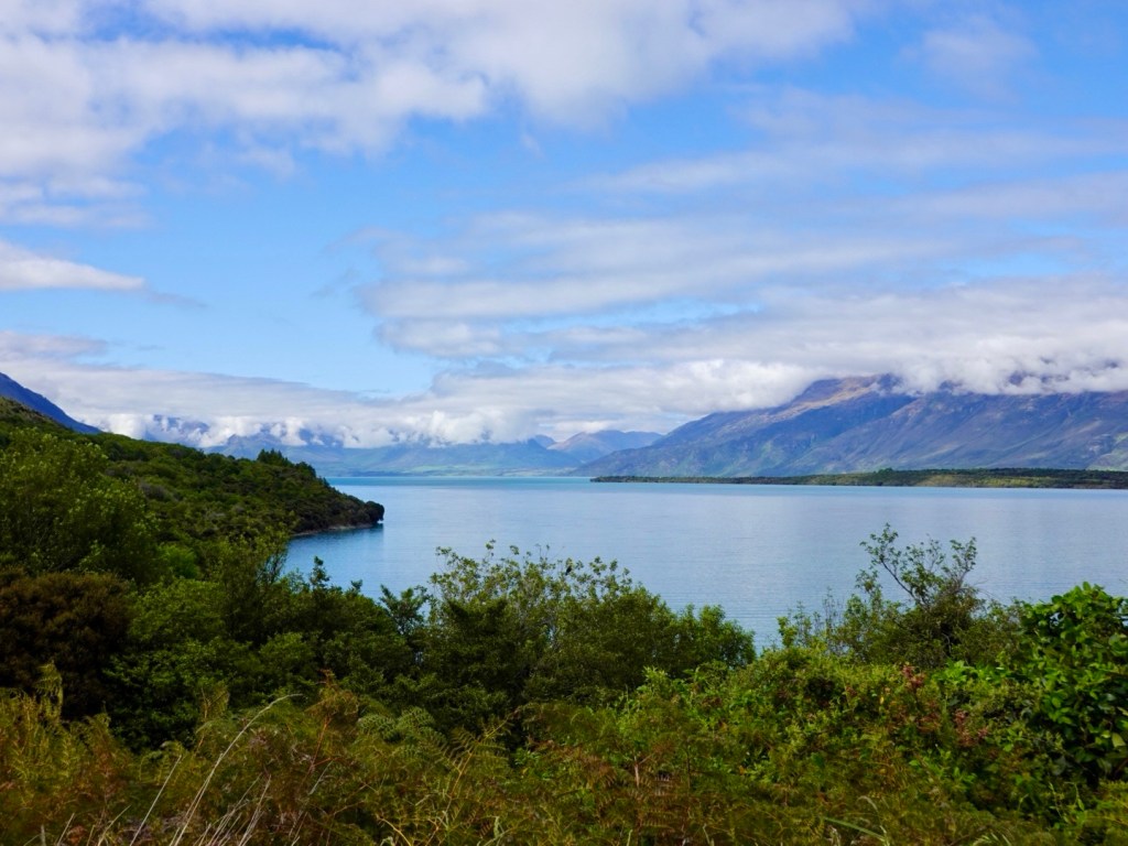
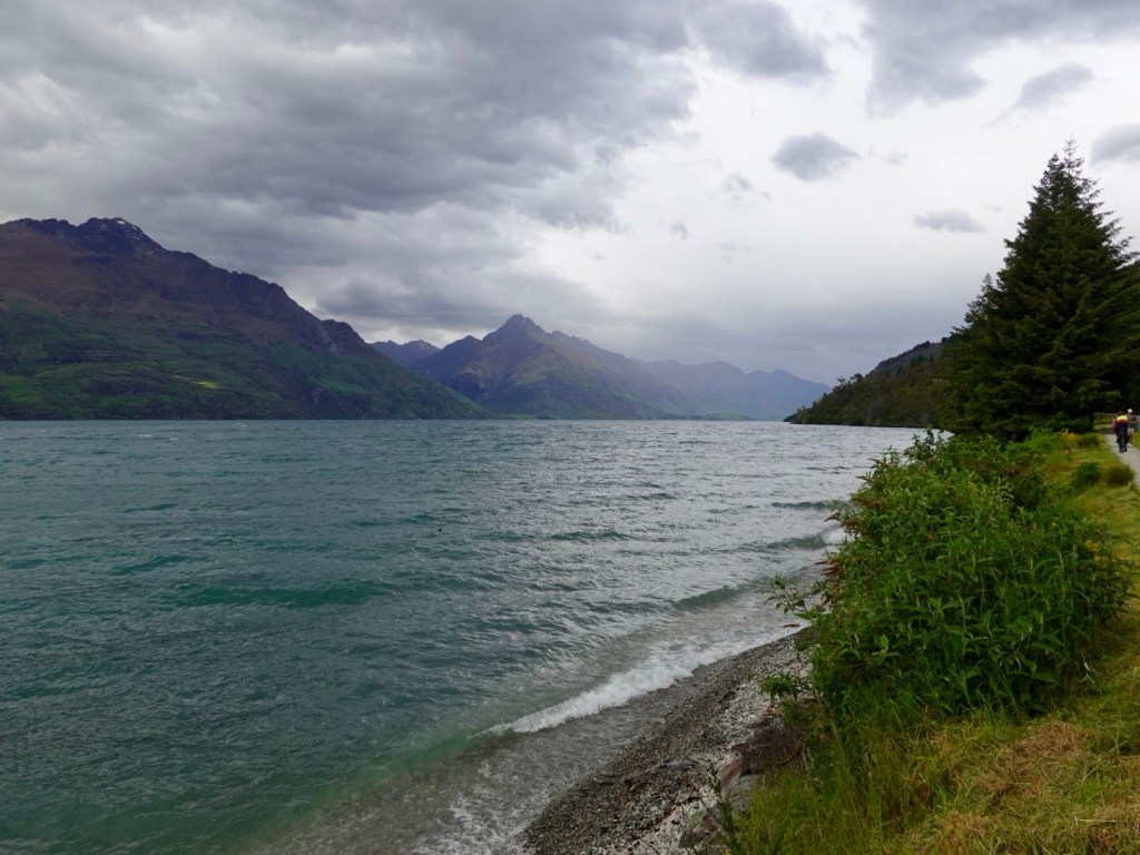
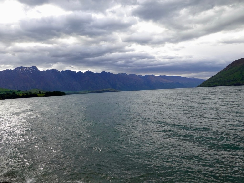
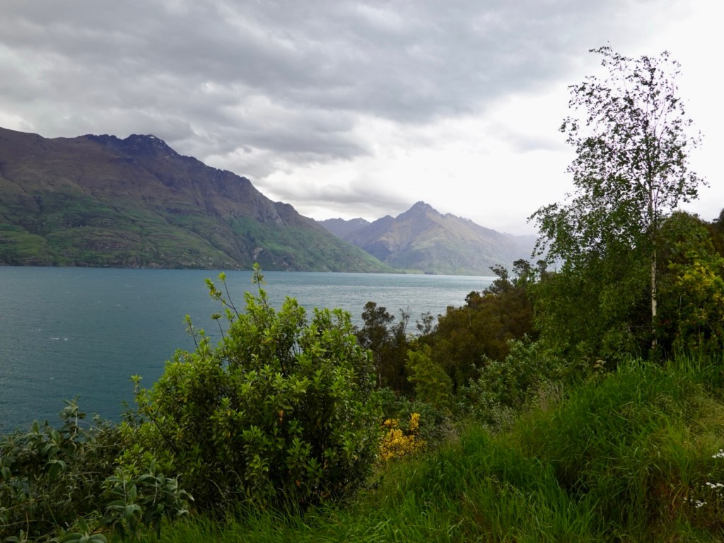
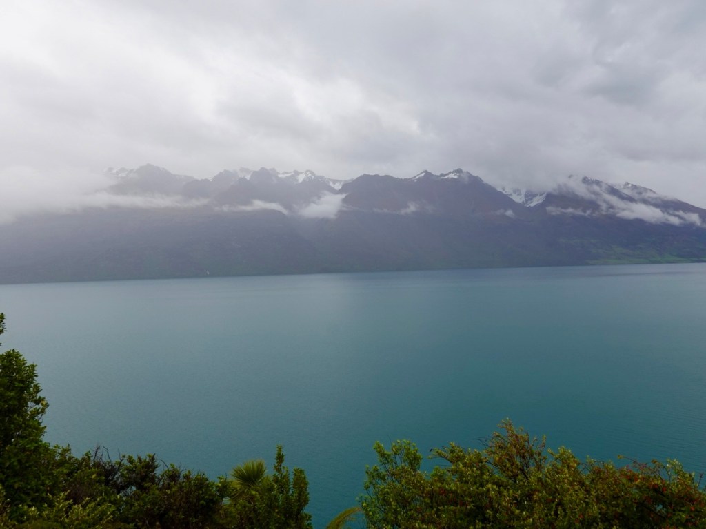
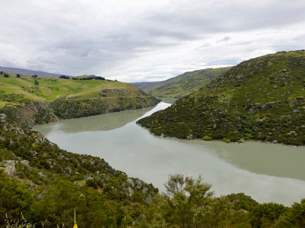
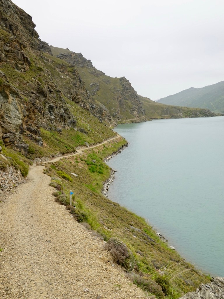
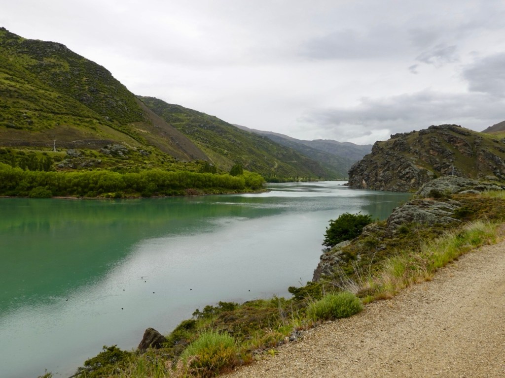
Courtesy of the various dams along the Clutha River, the water levels are 40-50 metres higher than the natural pre dam river.
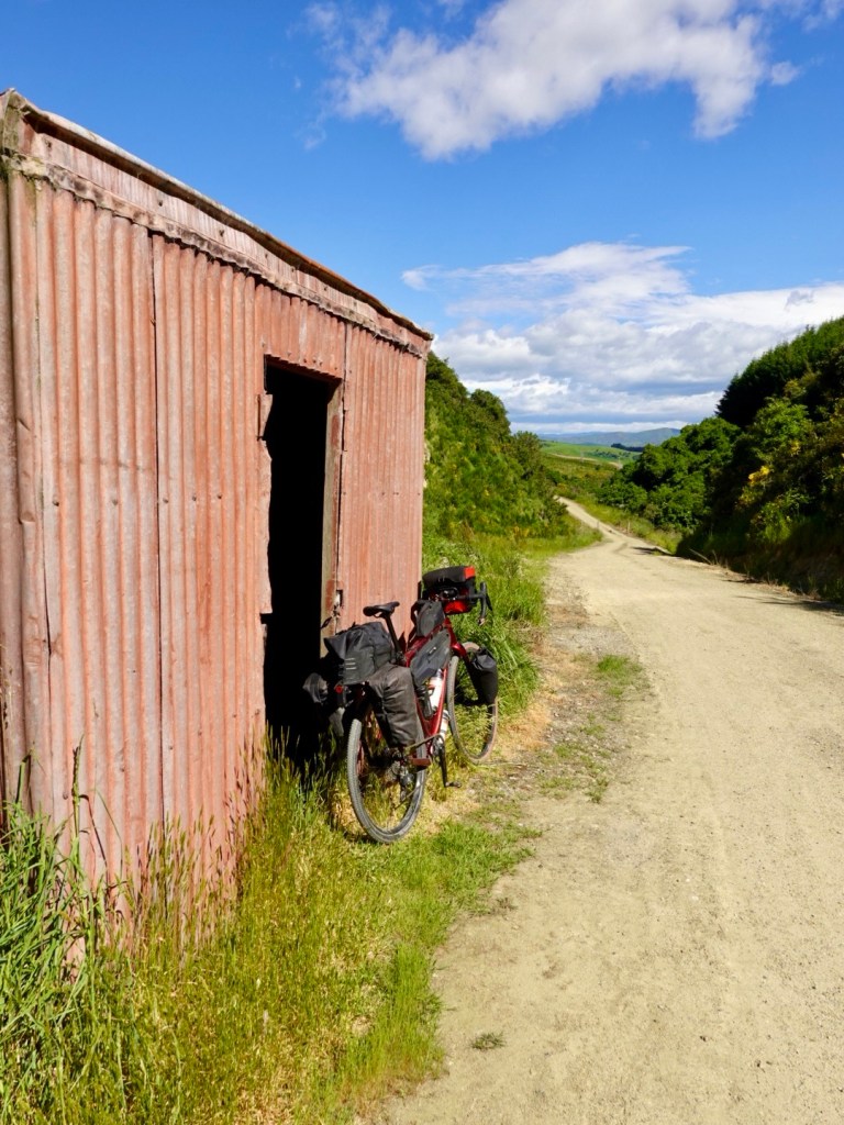
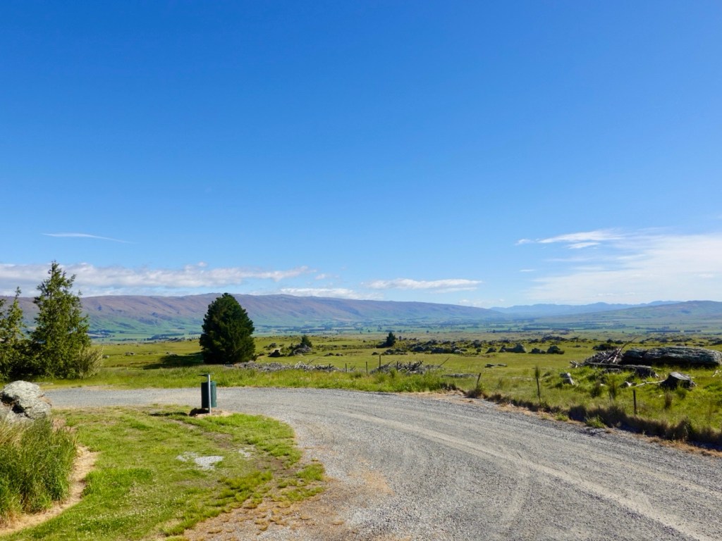
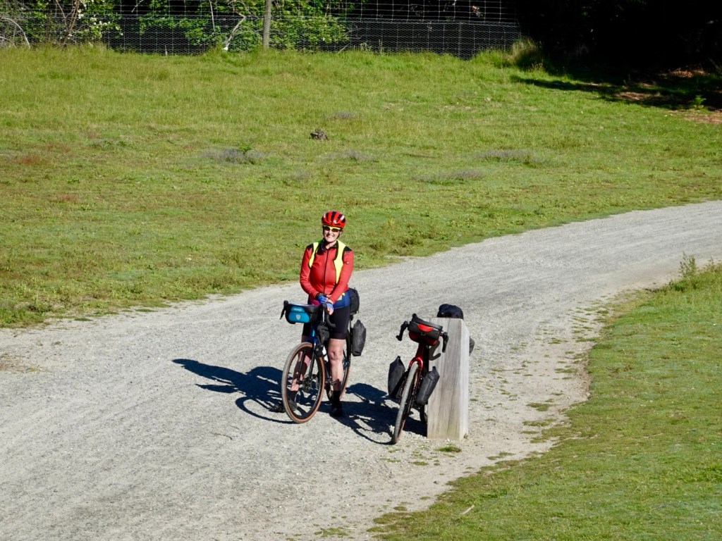
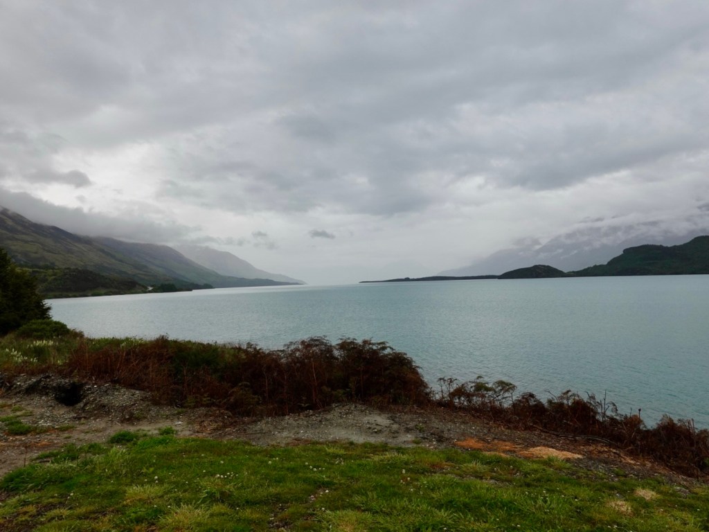
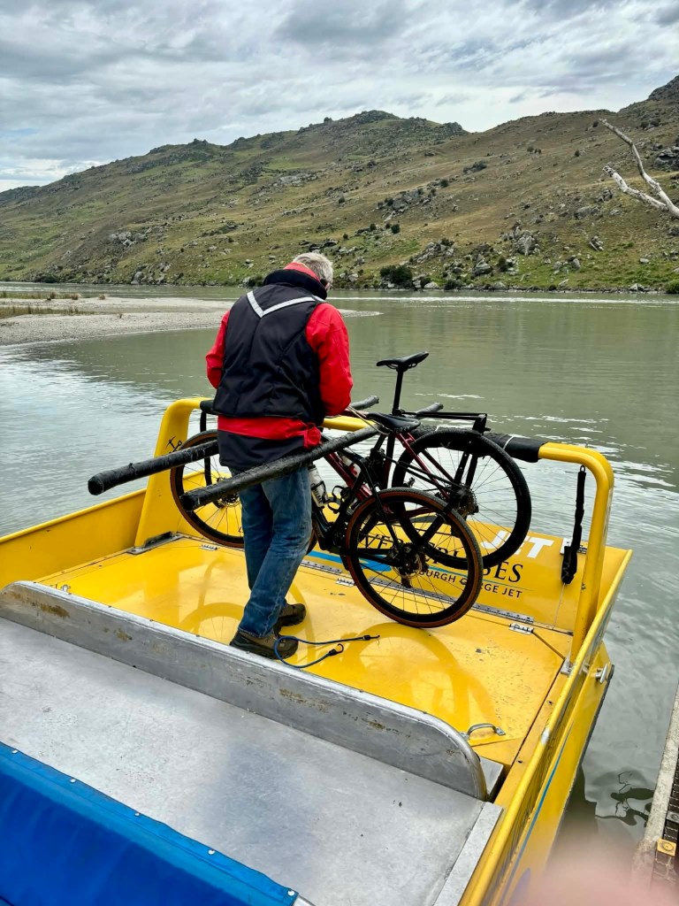
We reach Shingle Creek with about 50 minutes to spare. Time to look around and prepare the bikes for the transfer.
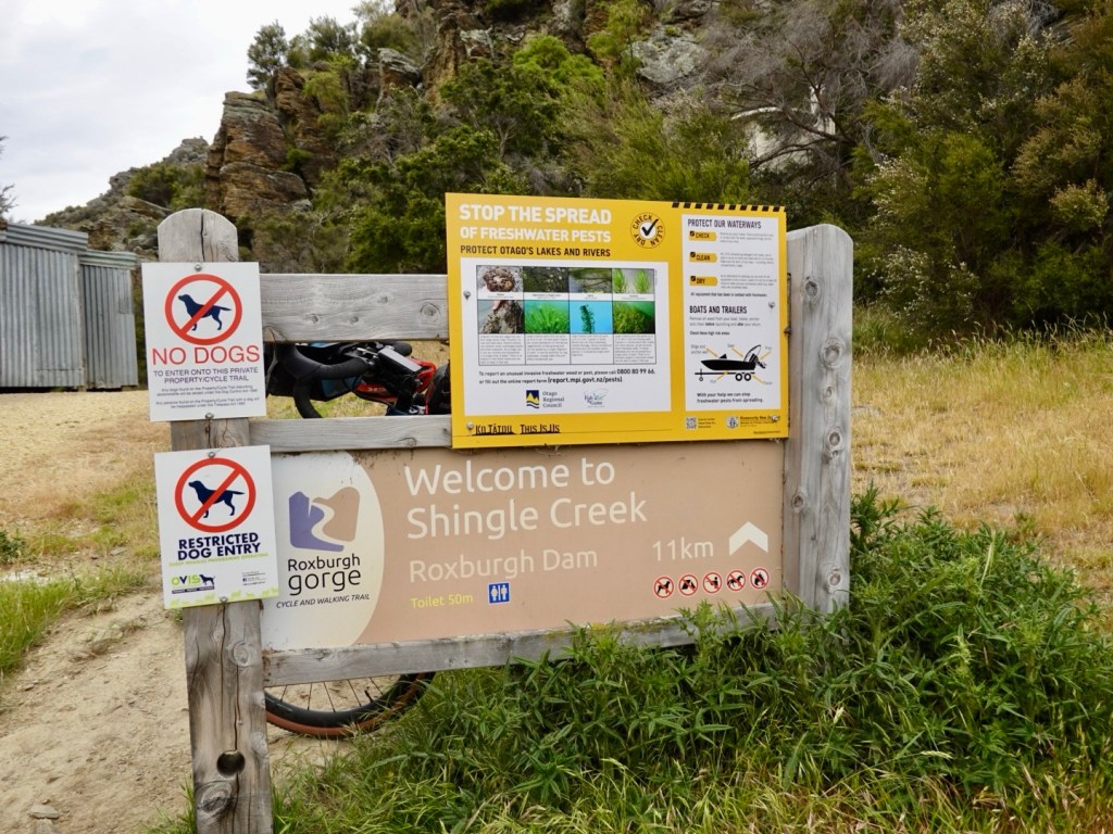
Shingle Creek trail wise is a dead end. There is nowhere to go other than by water, or returning to Roxburgh.
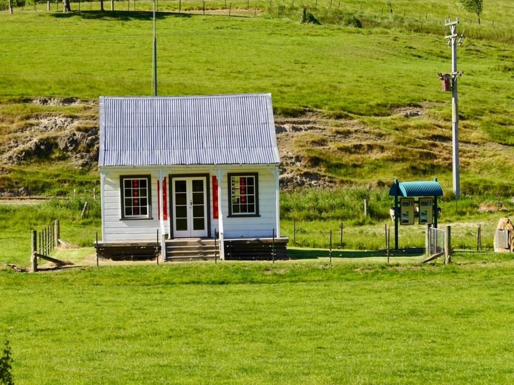
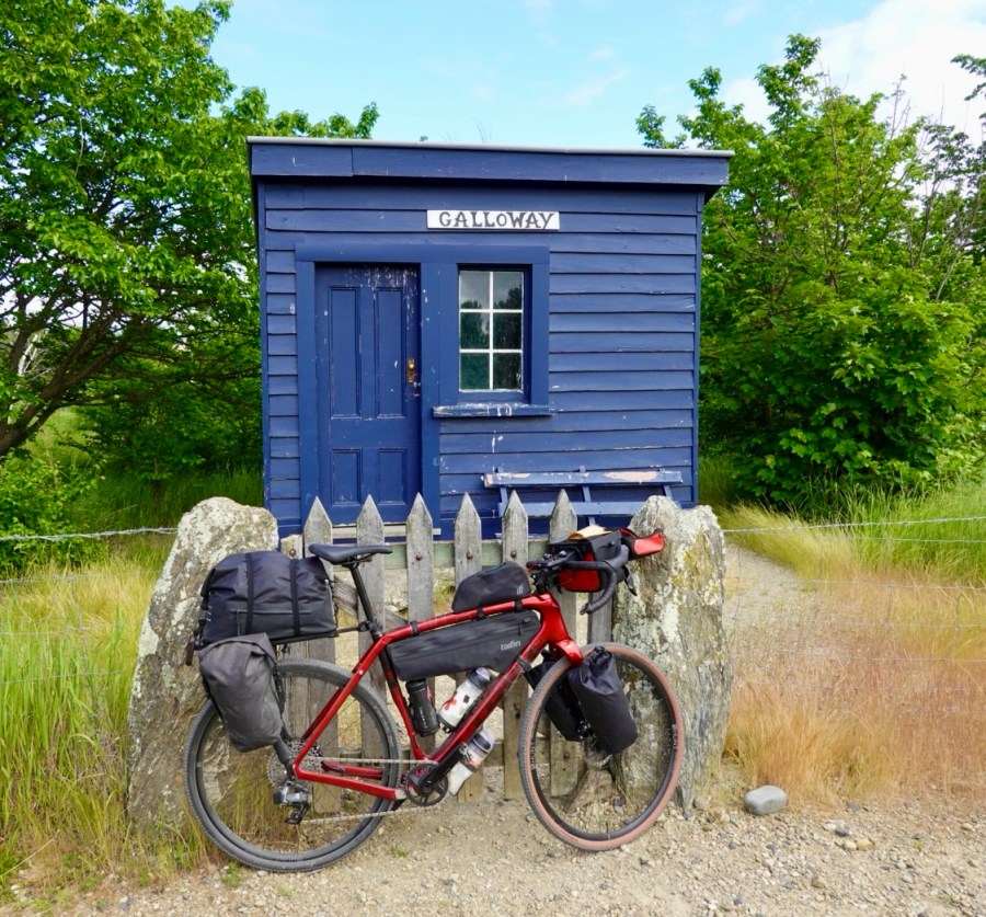
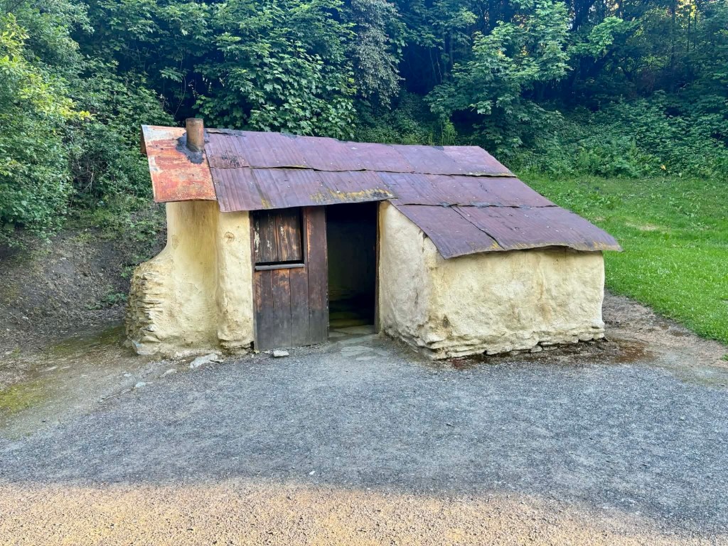
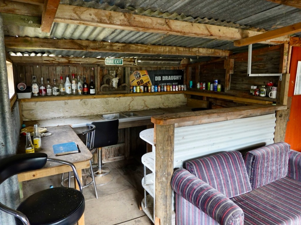
This little ‘shelter’ had a very dodgy floor, full of old furniture in various states of disrepair.
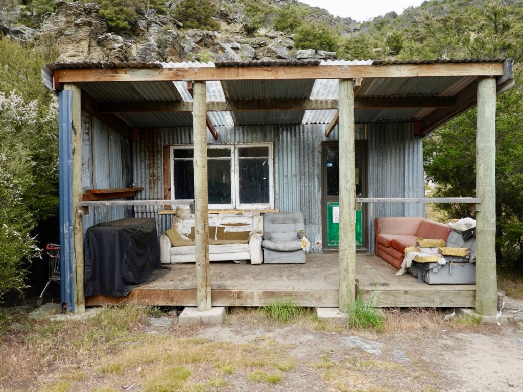
There is an old telephone sitting on the bench, along with empty drink containers.
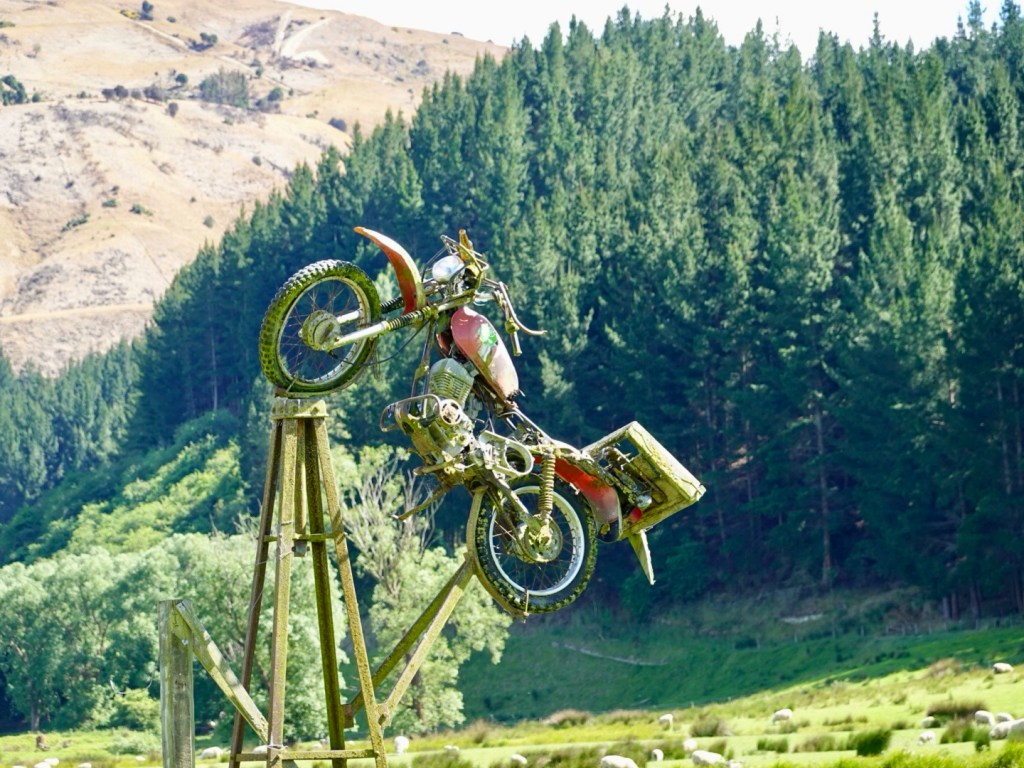
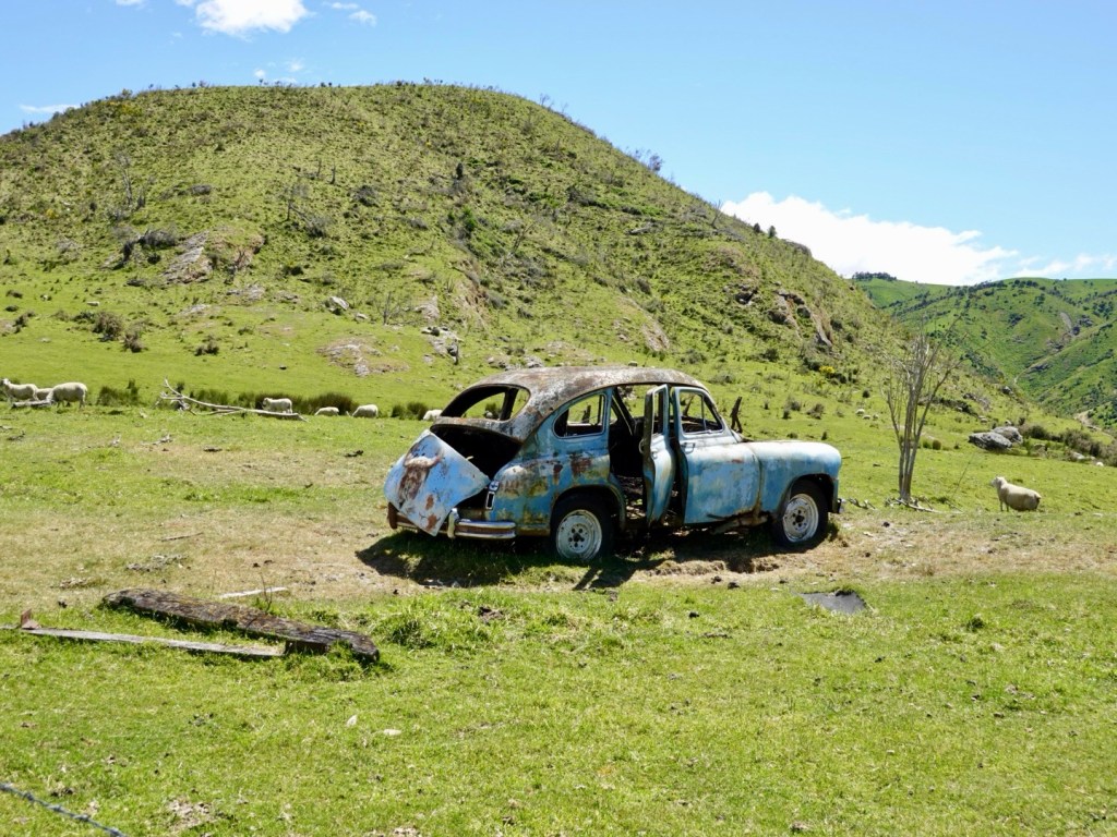
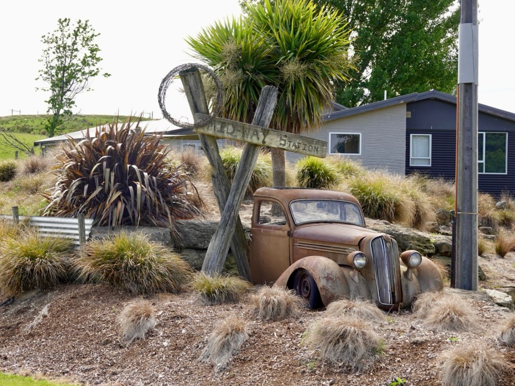
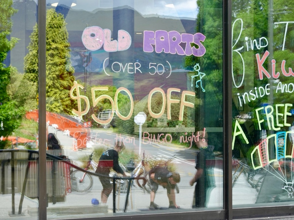
This amused us. I’m sure the supermarket will be along shortly to collect.

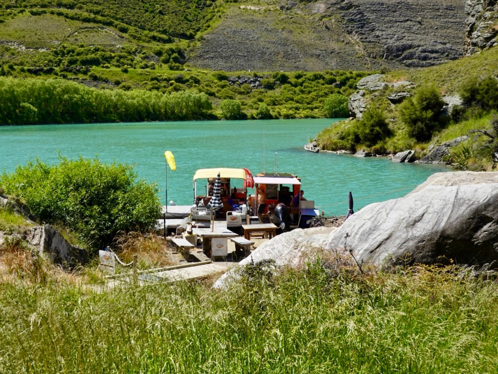
Total silence. As the time approached I hoped Laurence would arrive. Still very quiet. What if he thought we were being collected at Doctor’s Point? What if’s….still silence.
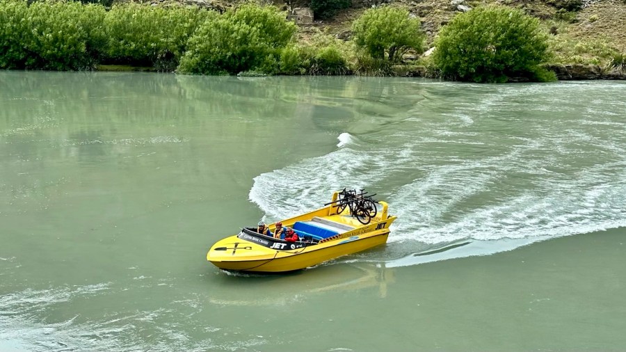
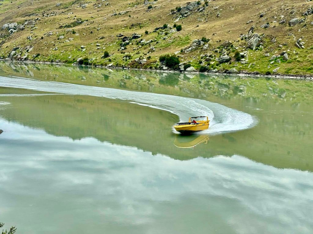
I was excited when he roared around the river bend at high speed, smiling from ear to ear. A man who loves his job!
Laurence sorting our now unladen bikes out.
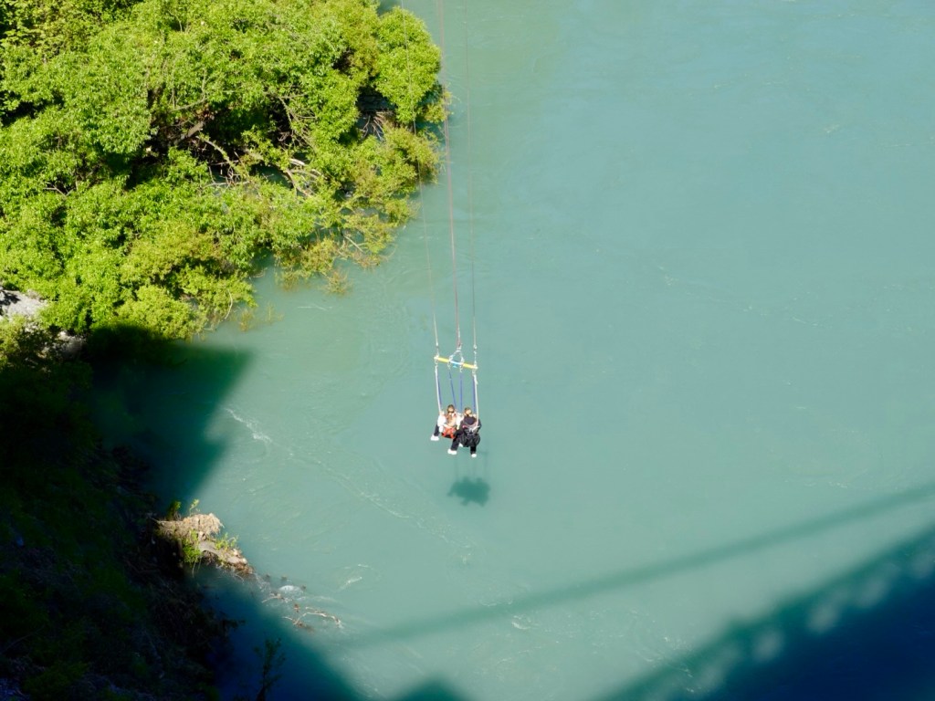
As I boarded I stuffed up, accidentally dropping my cycling glasses in the murky water. Murky due to recent rains stirring up the sediment.
Shoes and socks off, sleeves rolled up, I searched around the area (Lawrence reversing the boat out). I could feel timber, bark, but no glasses.
Close to giving up, Laurence called out to go in a bit shallower. There they were! I was a bit lucky.
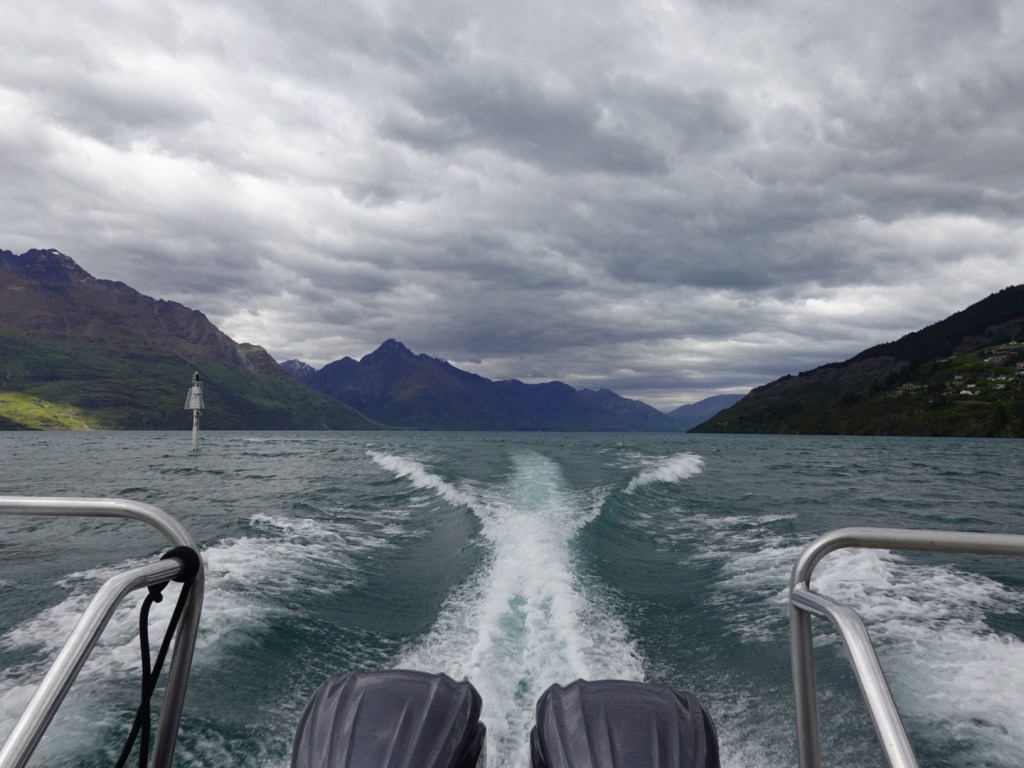
Back on board, I presumed Laurence would floor the boat to Doctor’s Point but no, he provides a super interesting commentary on the local history.
A native of London, he has been transporting cyclists and walkers for 10 years now, and you can tell he is passionate about it.
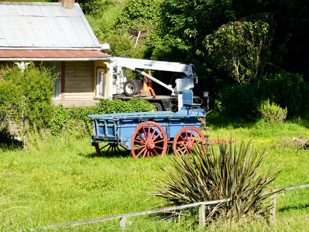
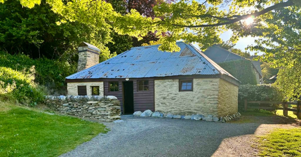
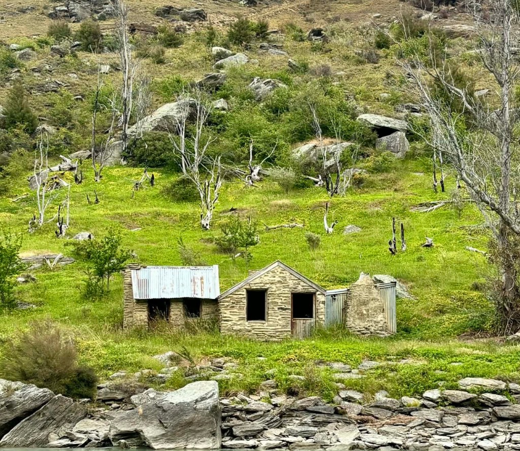
This house was built and owned by the only female miner. She operated a small shop here. She lived into her 90’s, by then retired and living in Roxburgh.
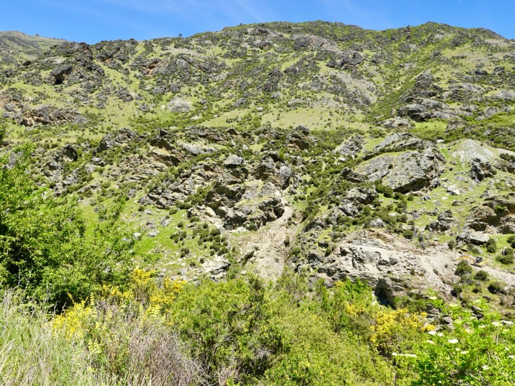
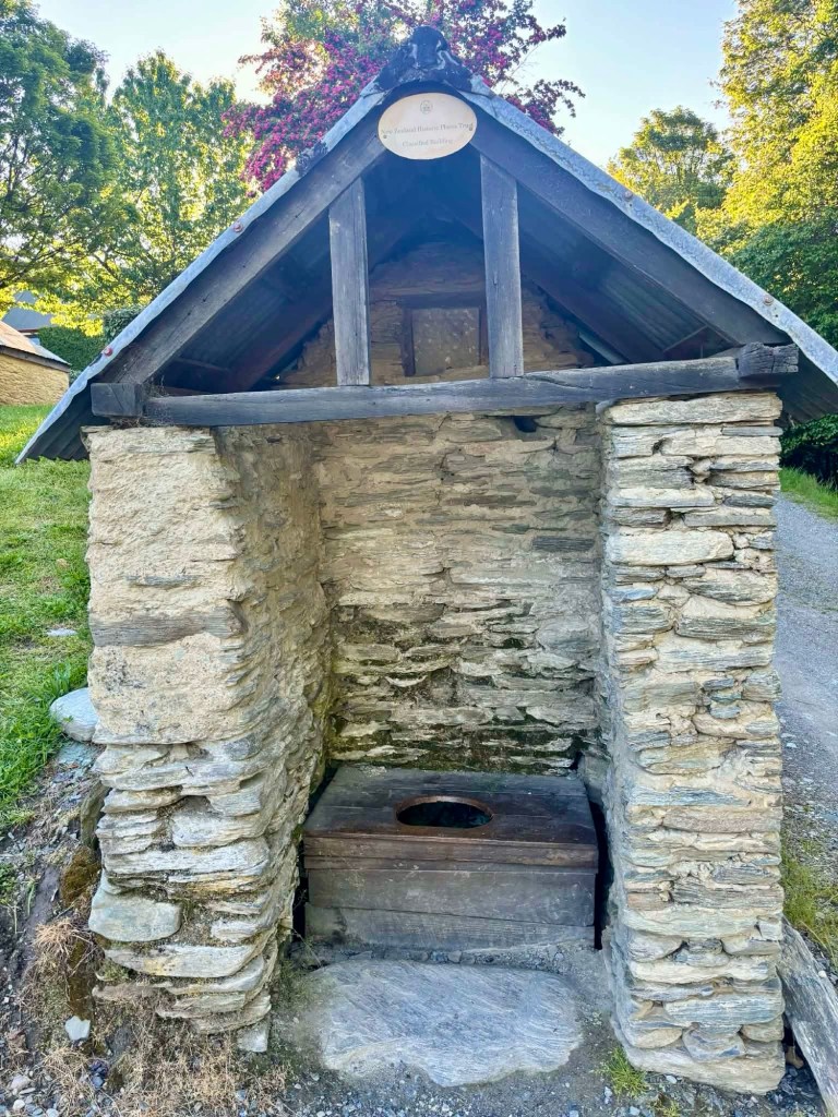
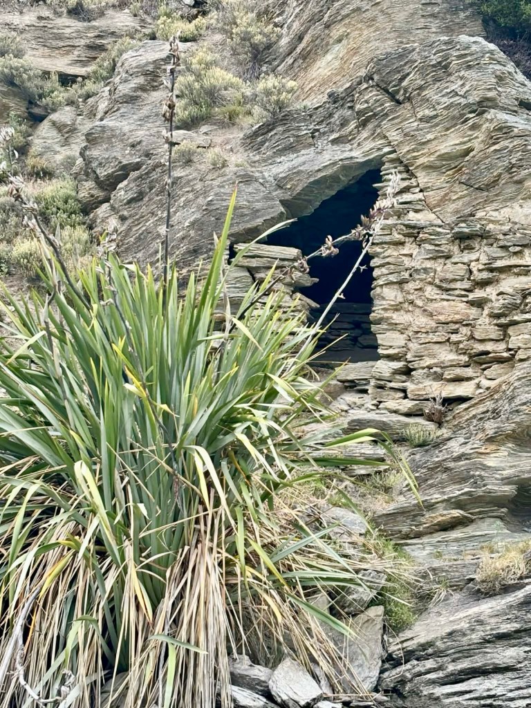
Most miners did not have the luxury of a house. They looked for rocks with overhang and built walls , such as the example below. You can see a stone bed inside.
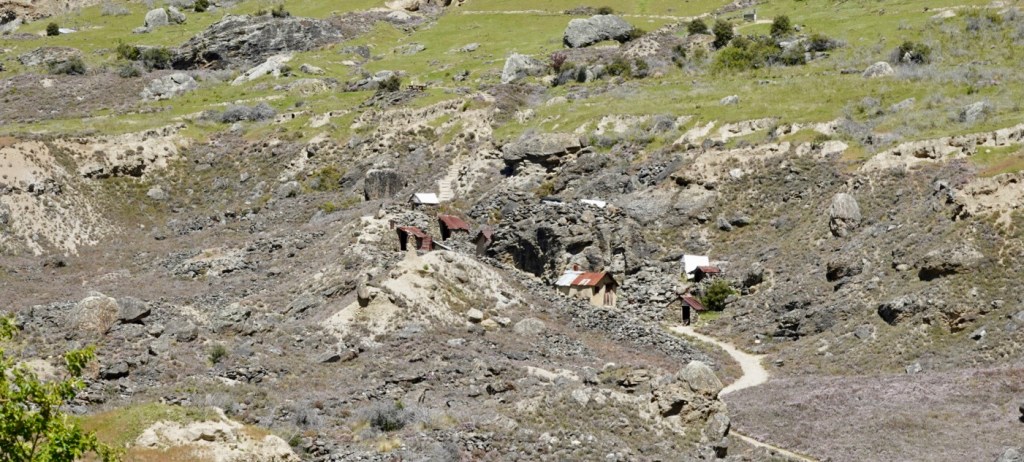
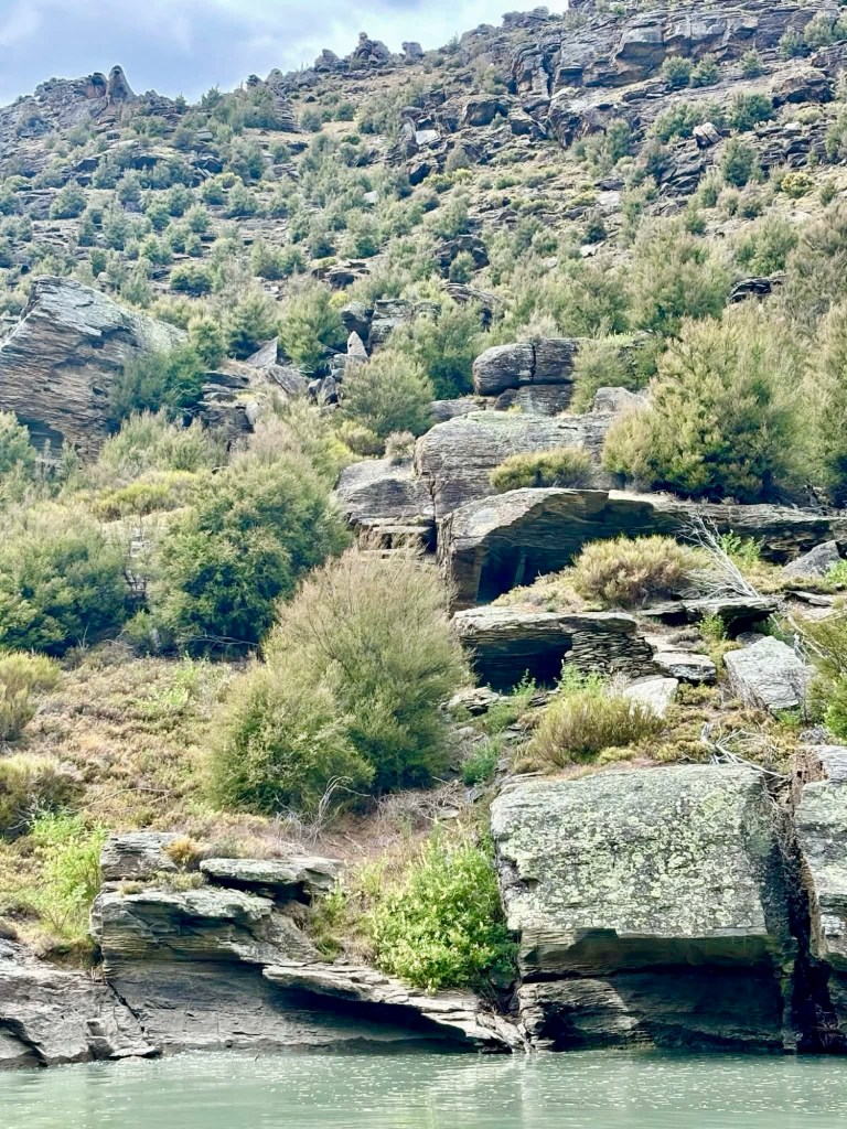
There are three such ‘houses’ in this picture.
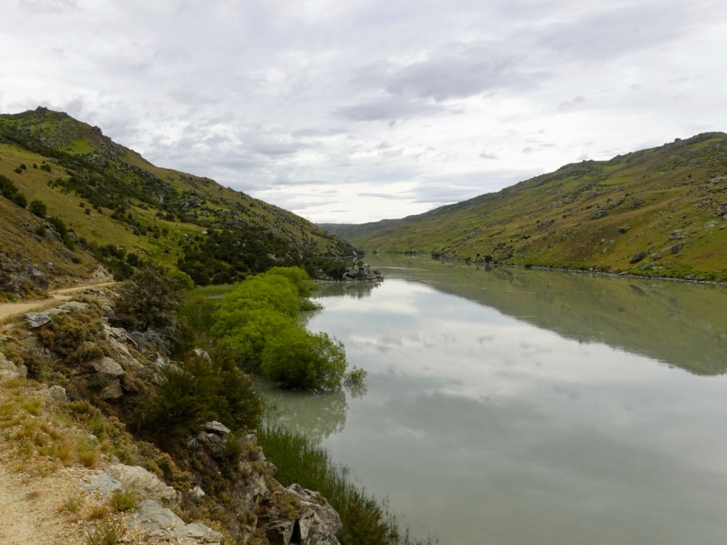
Underneath the flooded waters there are hundreds more of these shelters, inundated with the flooding of the river for hydro power. As Laurence said, a World Heritage area.
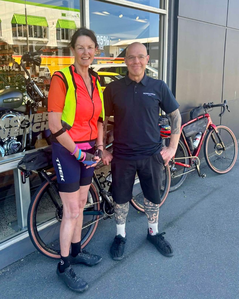
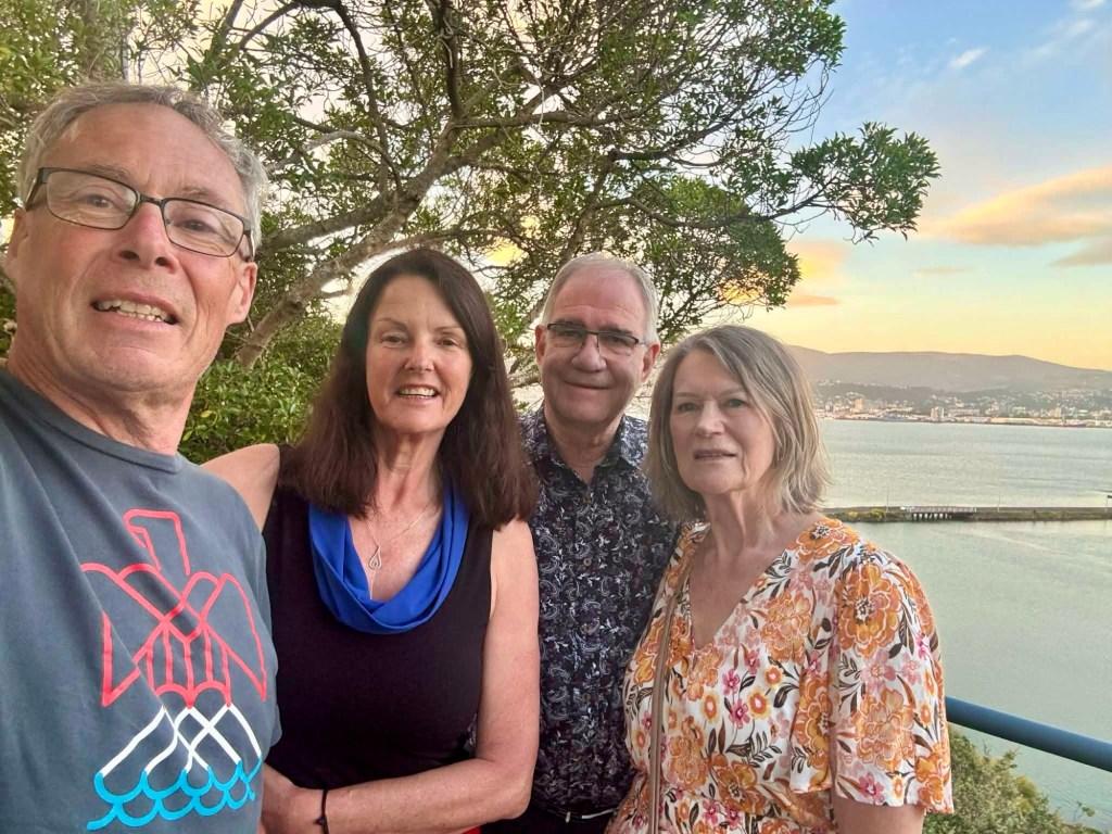
A photo of us arriving into Doctors Point, taken by Ian, a Zwift friend who had ridden out from above the Clyde dam to meet us, and ride back.

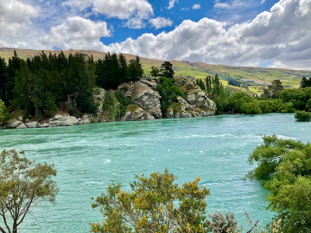
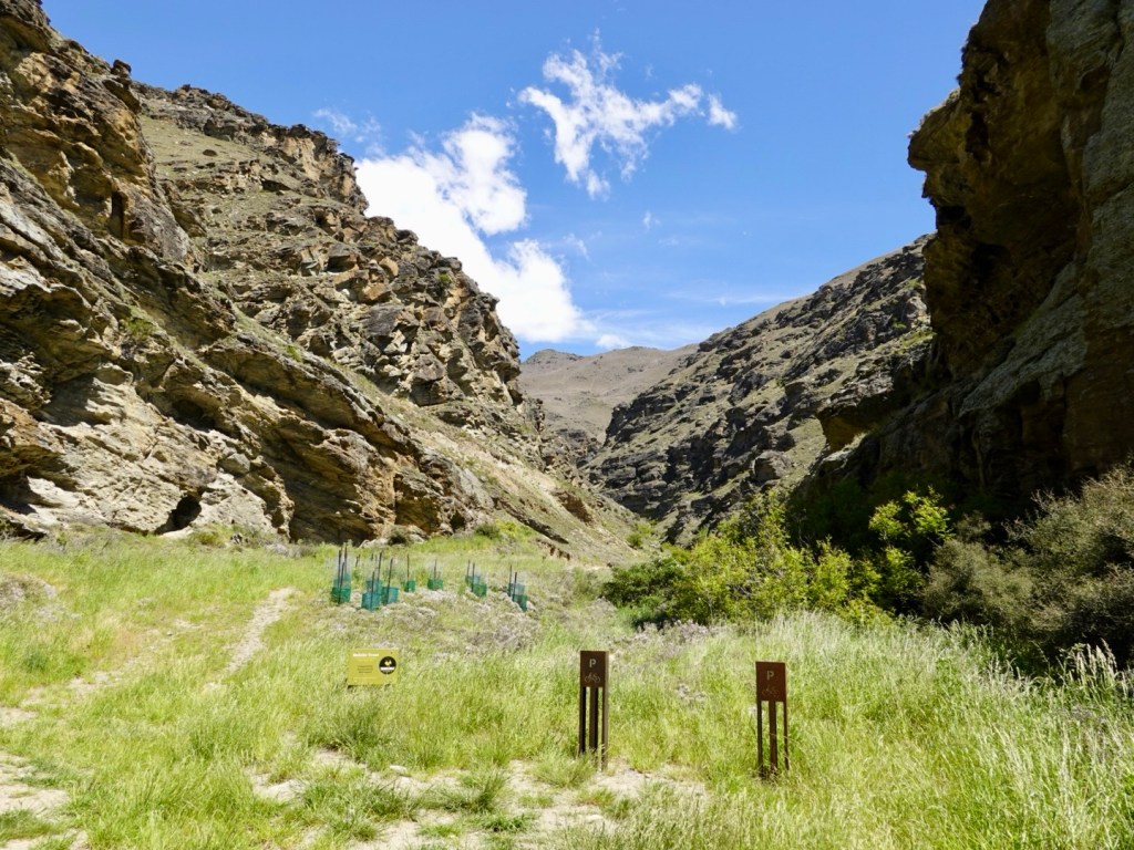
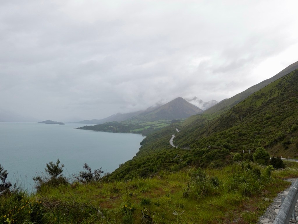
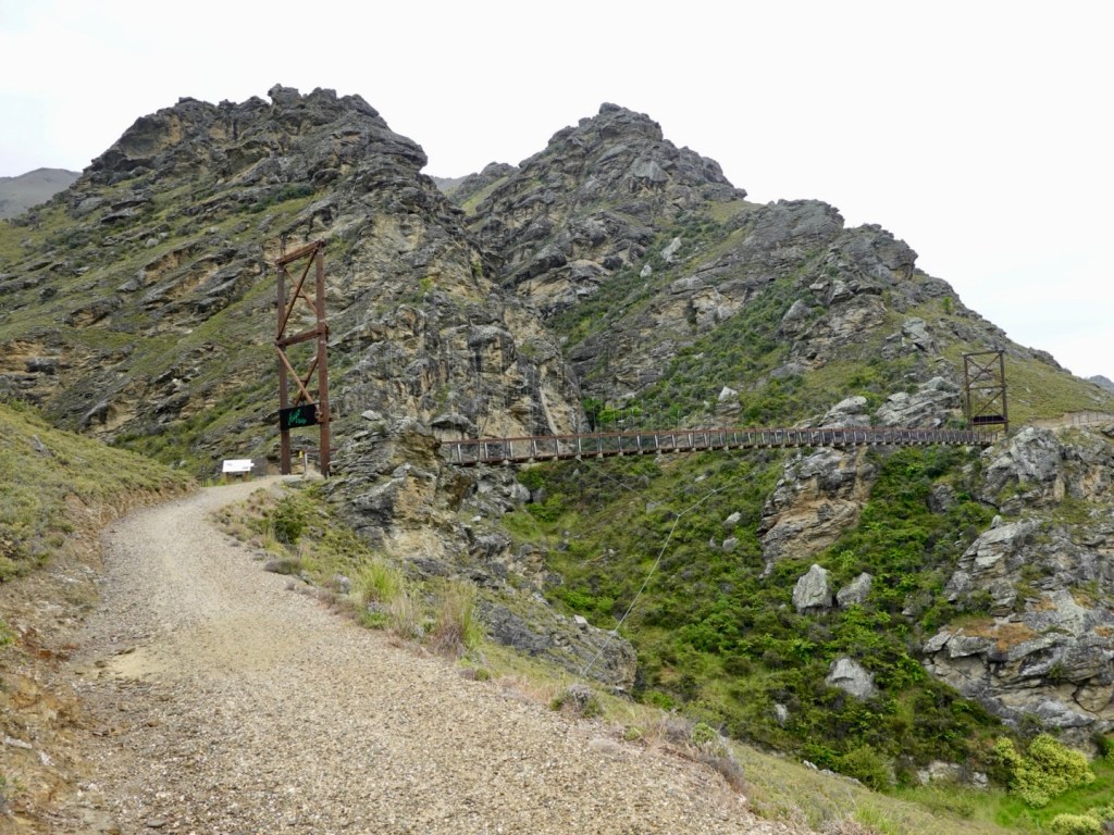
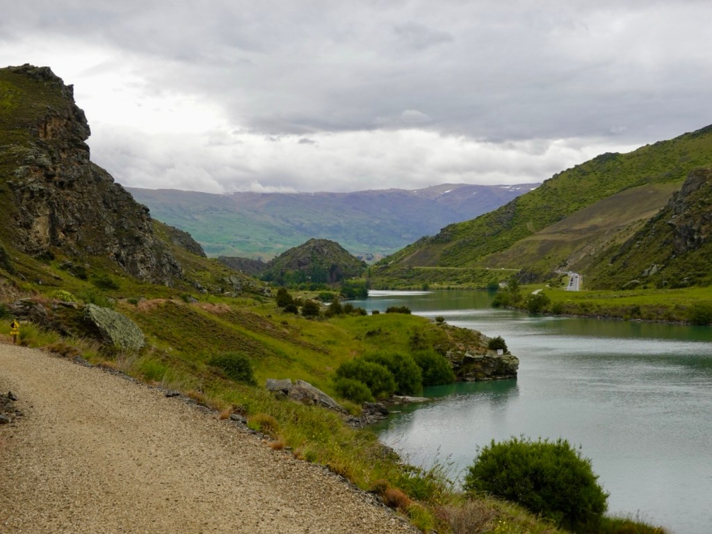
Still following the Clutha River, this crag is Nil Desperandum Bluff. Quite the name.
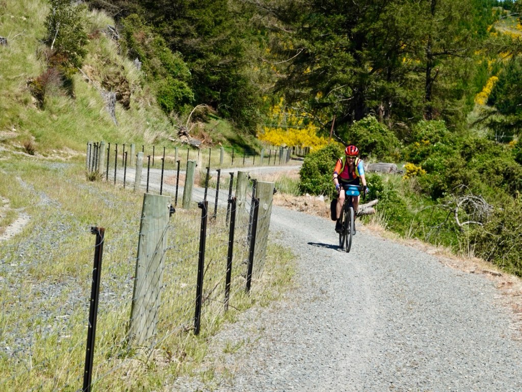
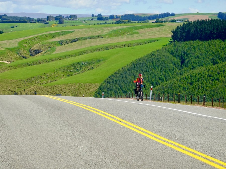
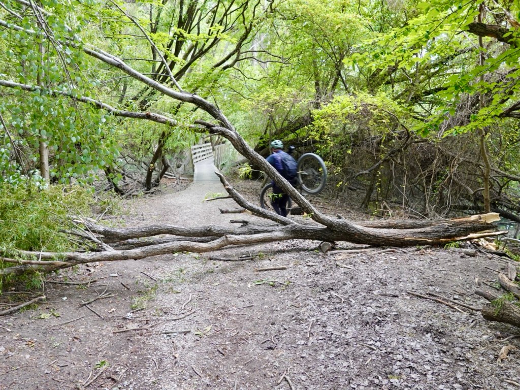
Another obstacle, Ian lifts his bike across.
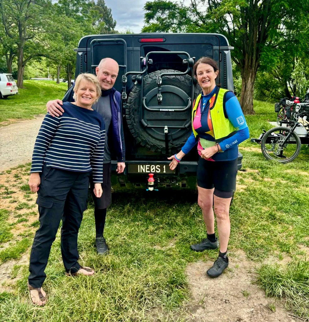
After 20 km or so, we arrive at the campground where Ian and Vicky are camped.
We shared a delightful lunch and really enjoyed their company.
Final pic in front of their very cycling oriented registration plate.
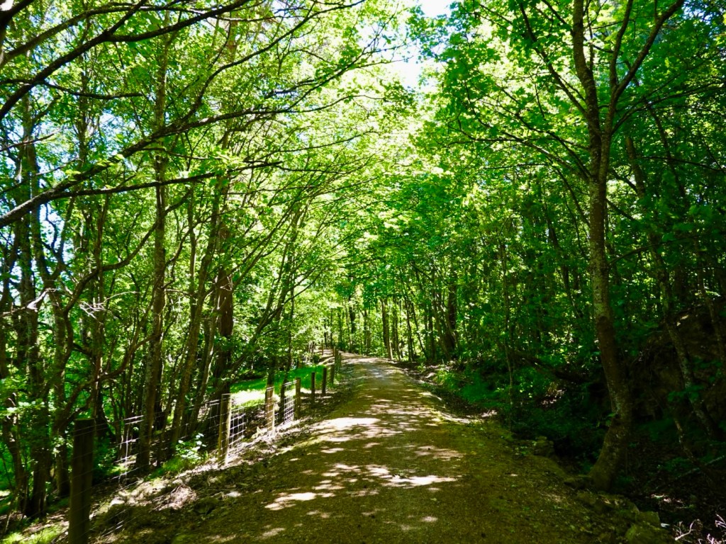
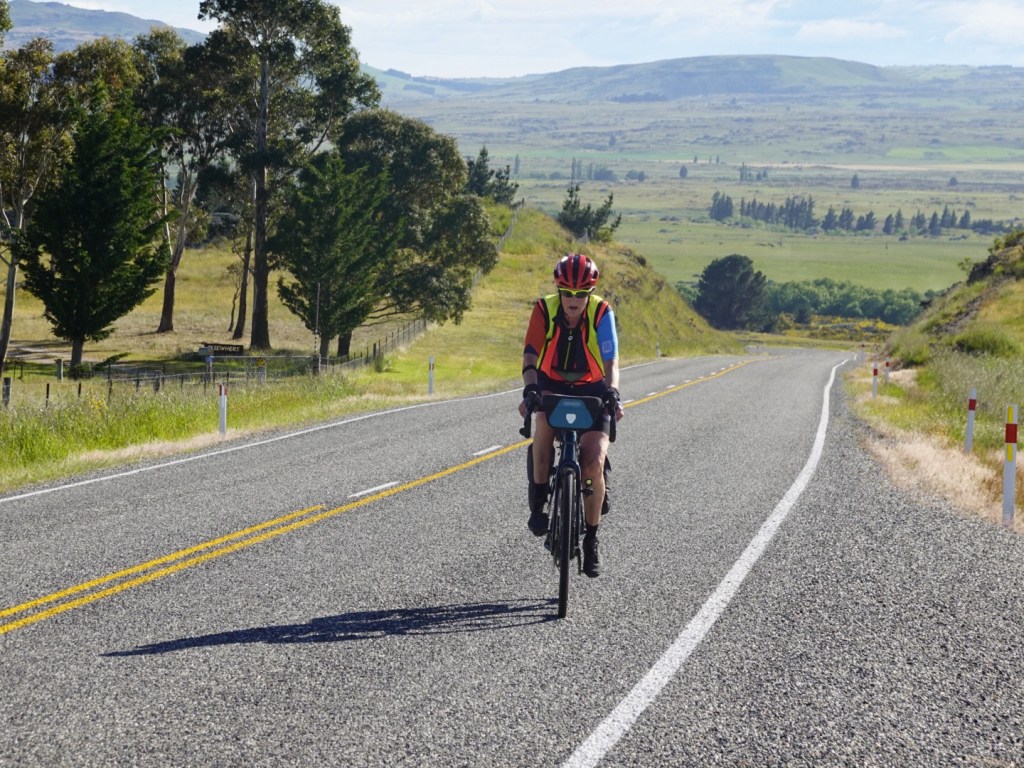
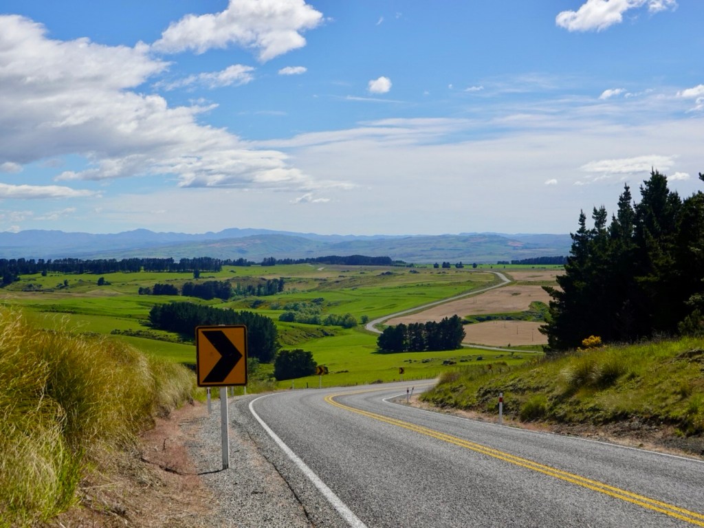
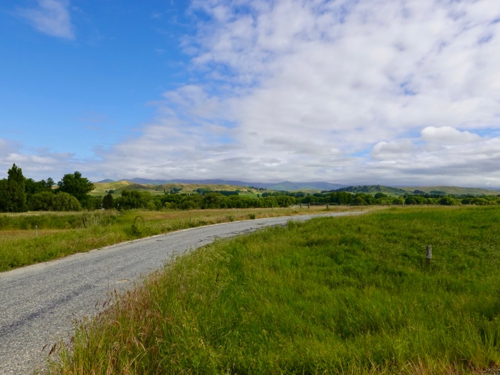
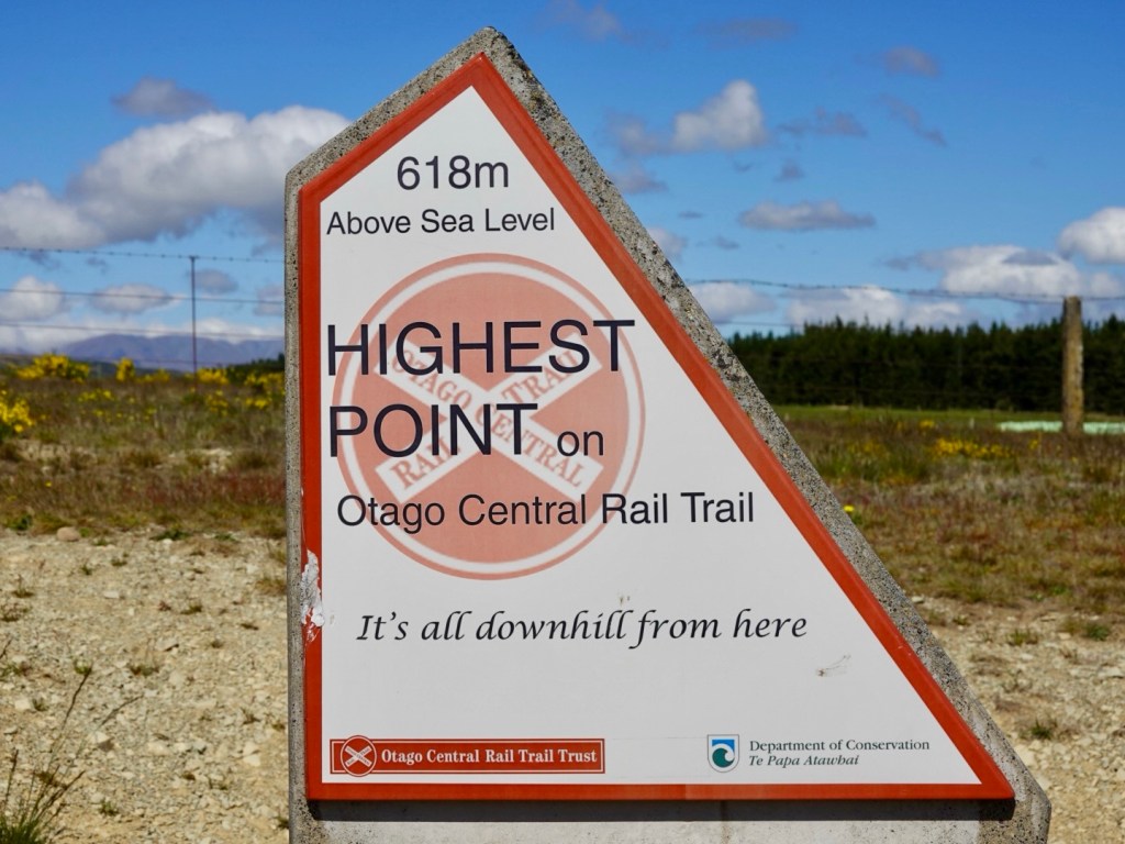
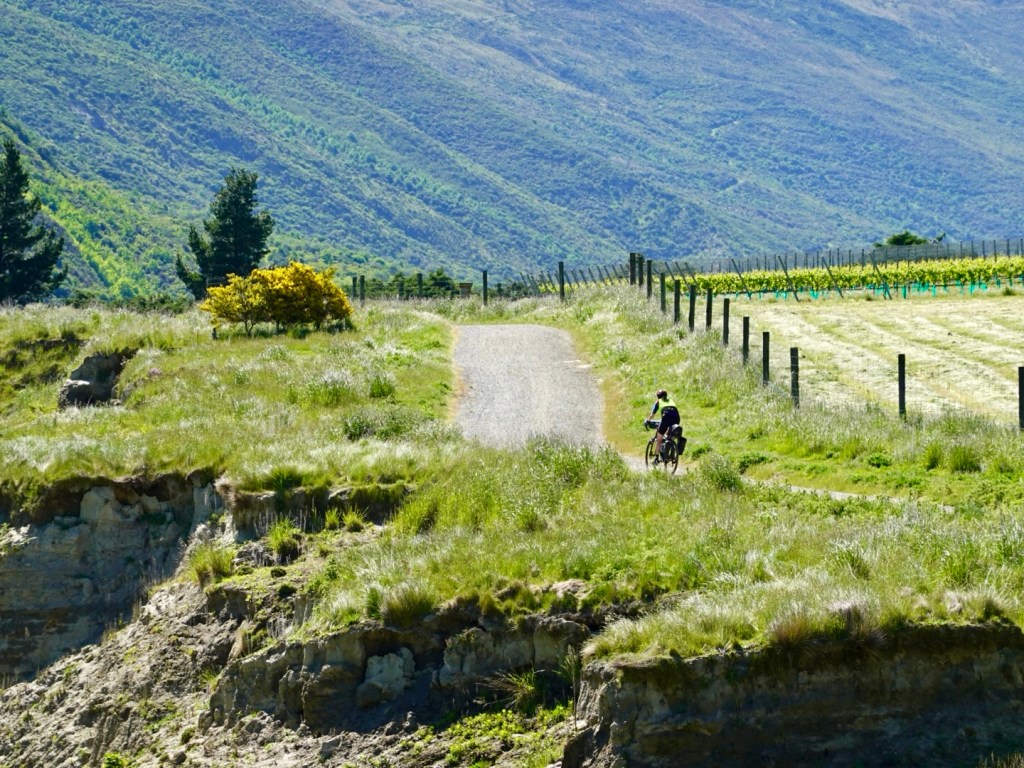
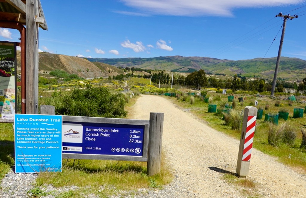
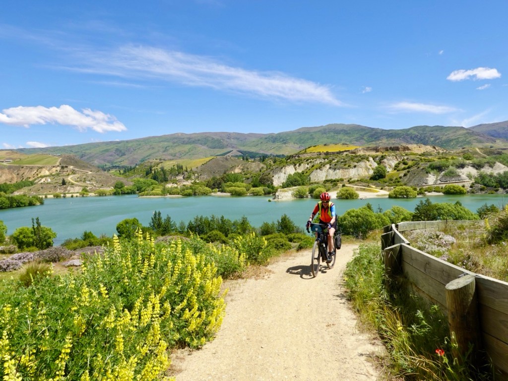
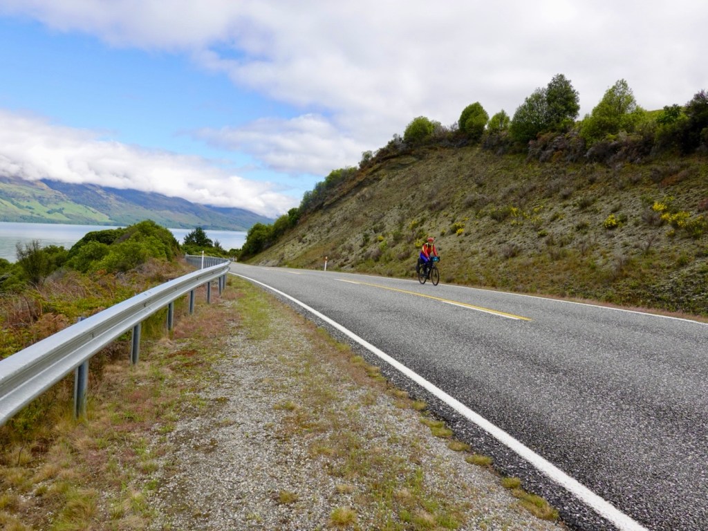
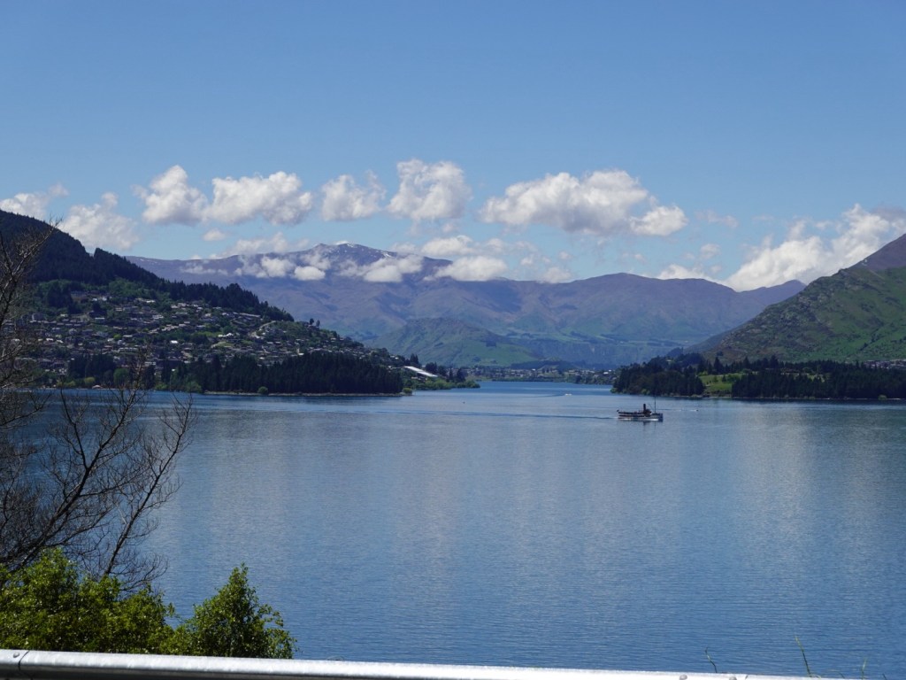
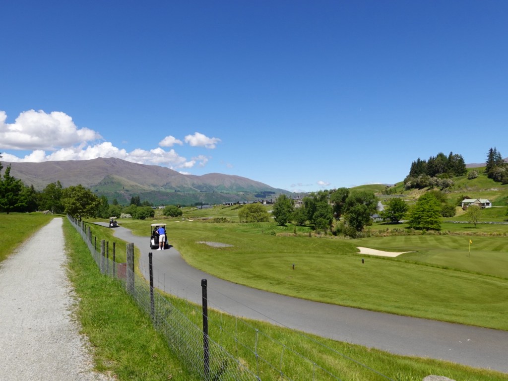
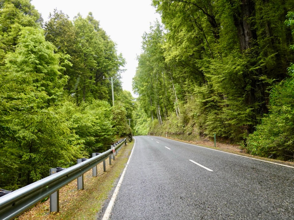
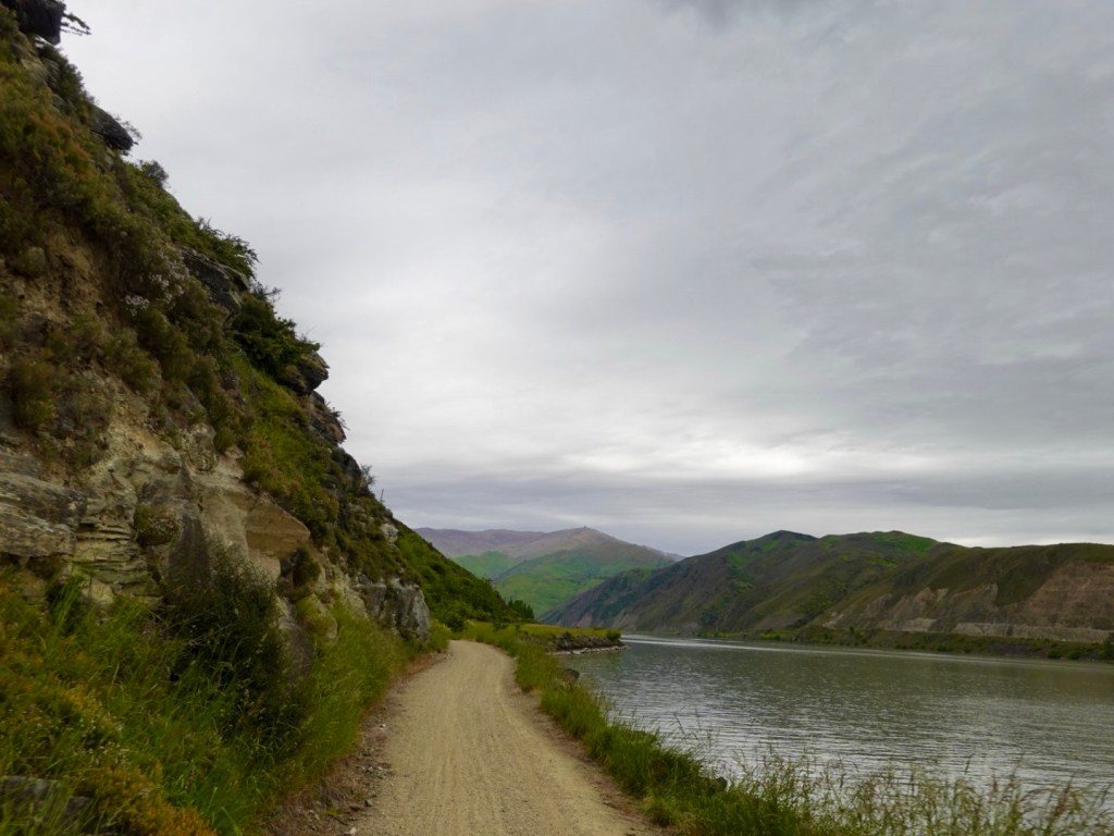
Back in the trail and we’re now doing reverse Lake Dunstan trail, from the previous Sunday.
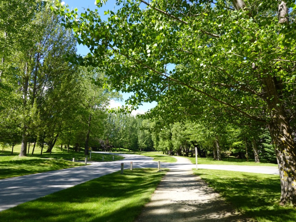
It starts off nicely, but as we know from last week, it is gnarly in places.
An example, this is a blind bend, very narrow, drop off, two way traffic. Most of the traffic coming the other way were e-bikers of various competencies.
The tour group ones never stayed left, at any point, with the companies name blaring brightly from the one sided rear pannier. Numerous times I stopped for them but never the reverse.
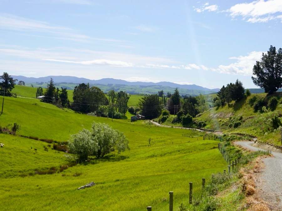
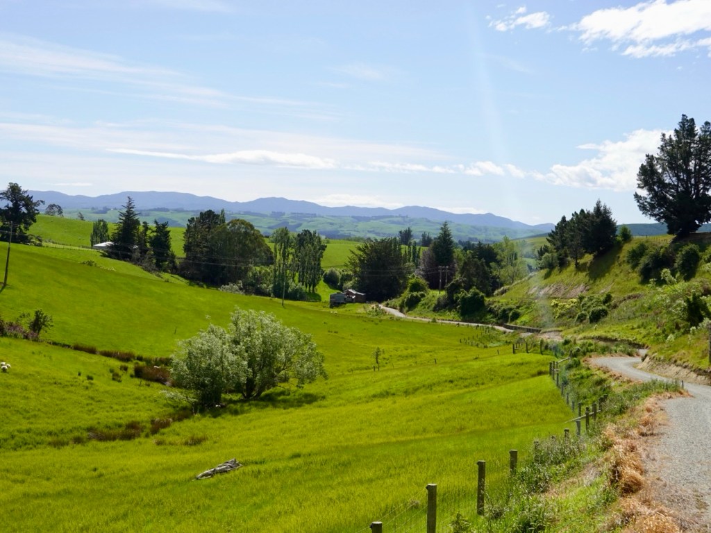
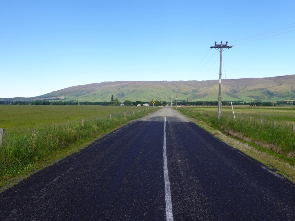
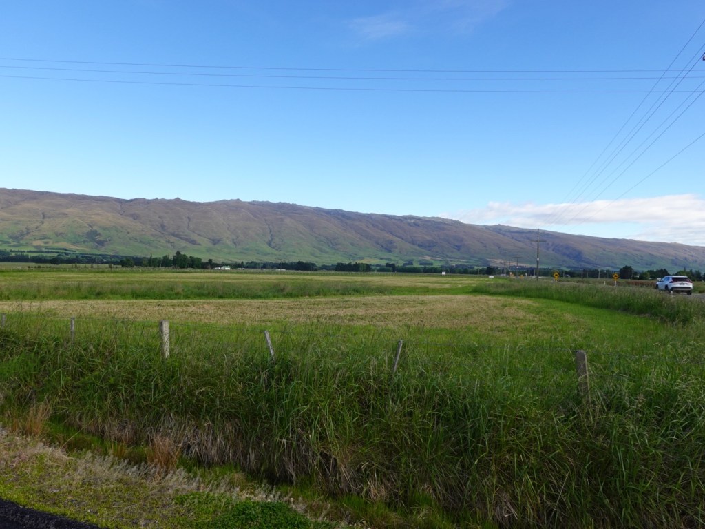
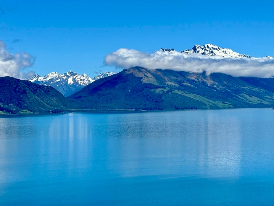
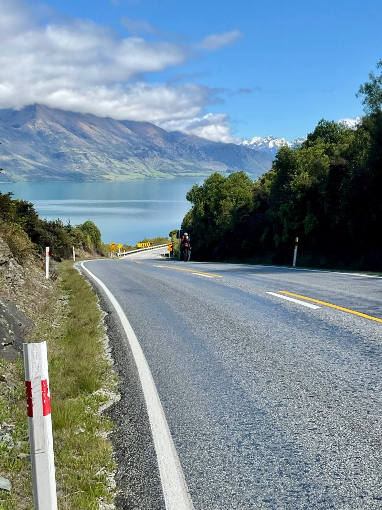
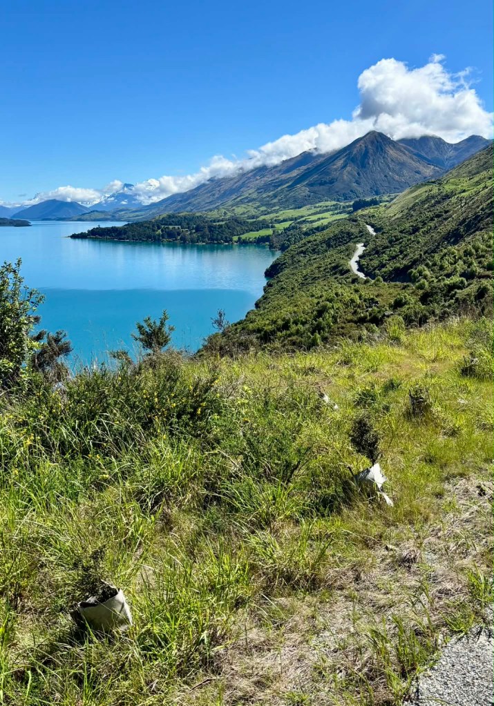
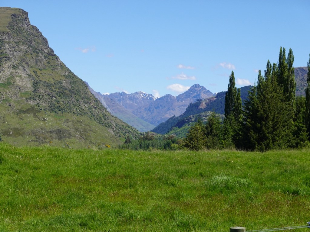
Lovely views.

A section where you can see a good length of trail.
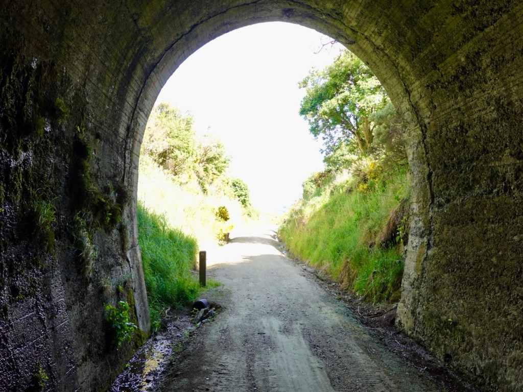
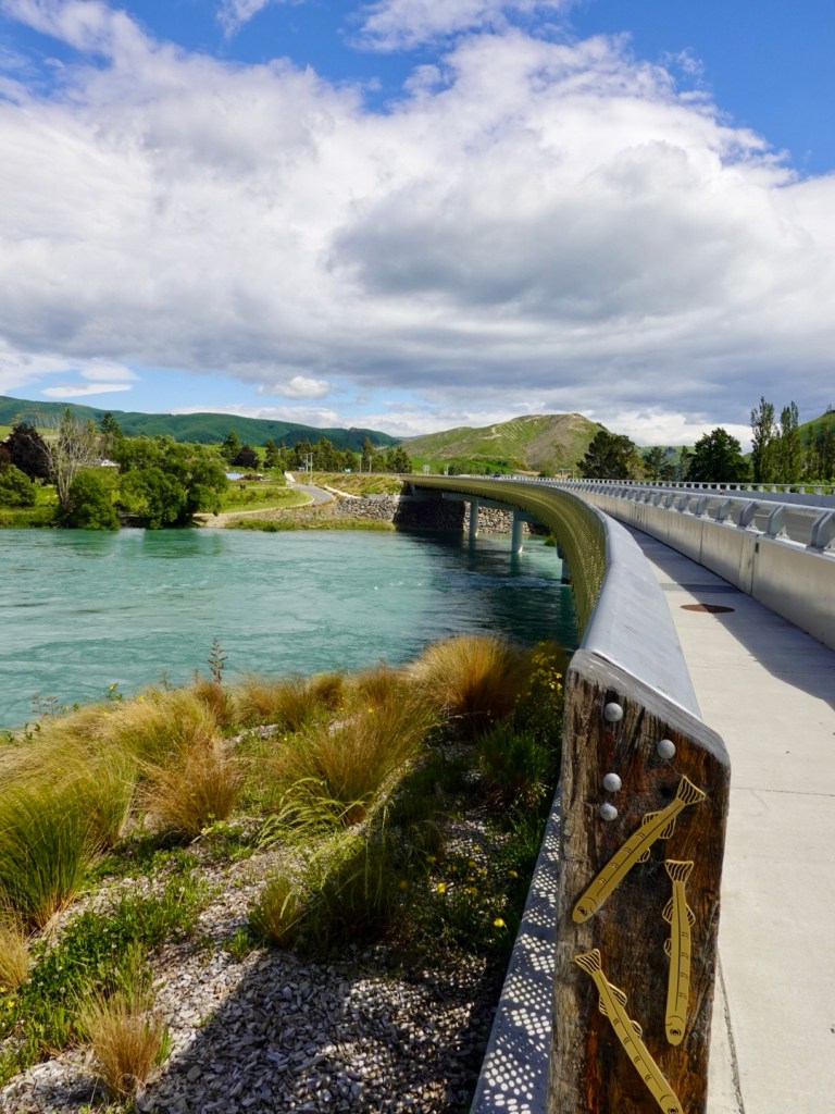
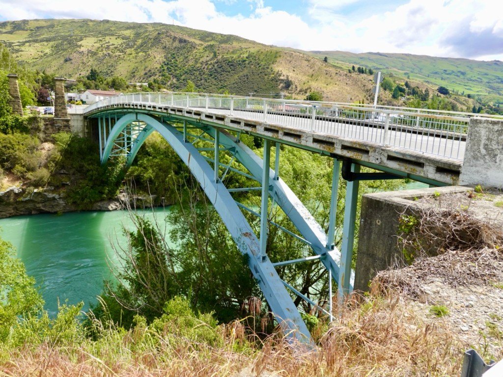
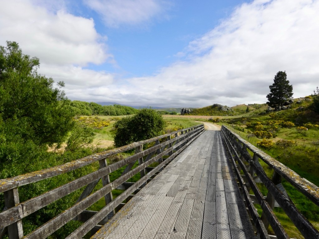
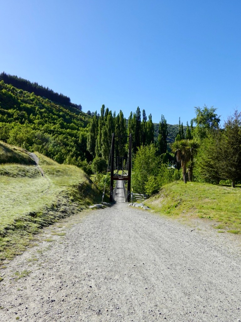
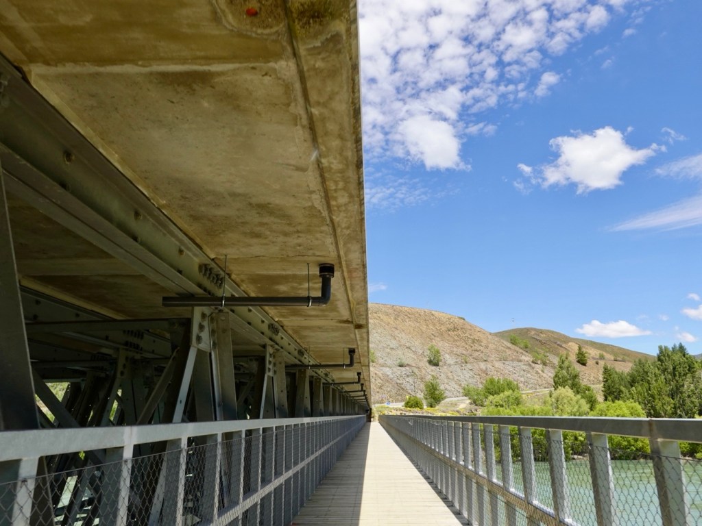
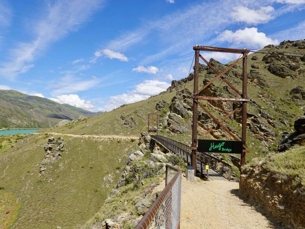
Back up to Hugo bridge.
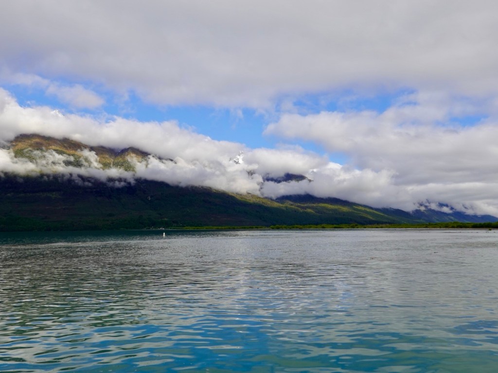
Looking back down the trail, now experiencing light mizzle. Raincoats are on.
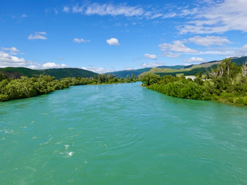
I love the different colours in these views. By now we had the trail to ourselves. With the mizzle, and impending heavy rain forecast, that likely detracted.
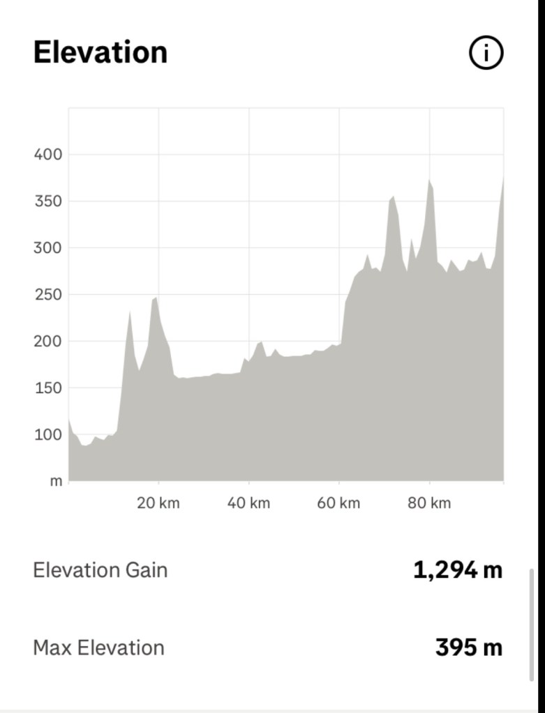
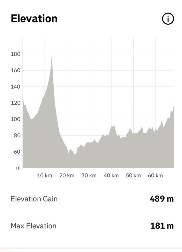
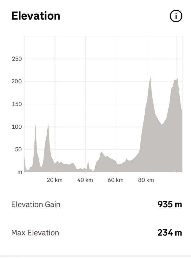
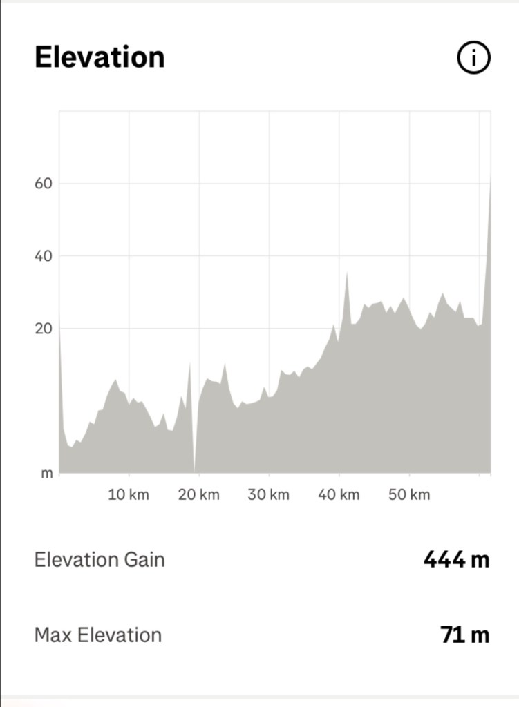
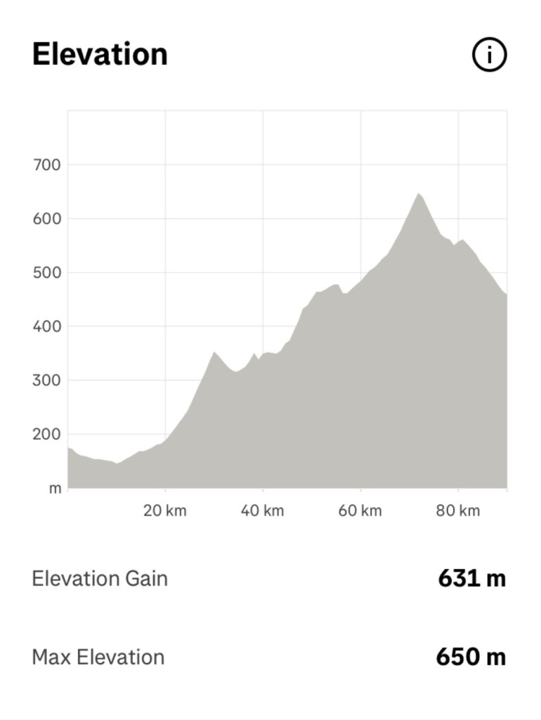
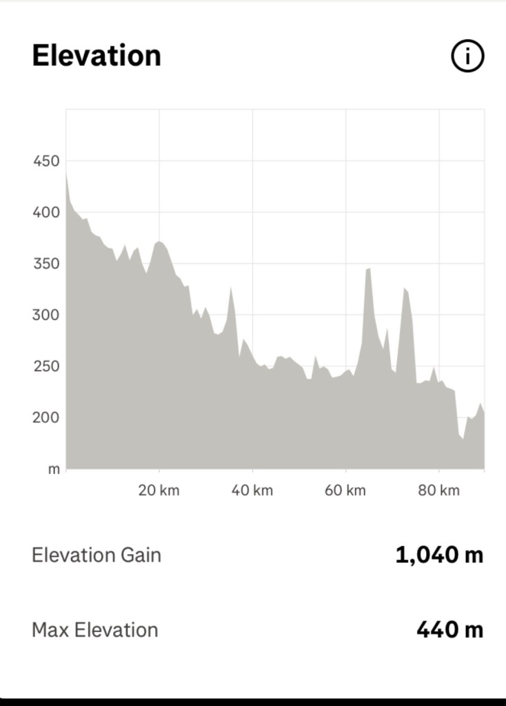
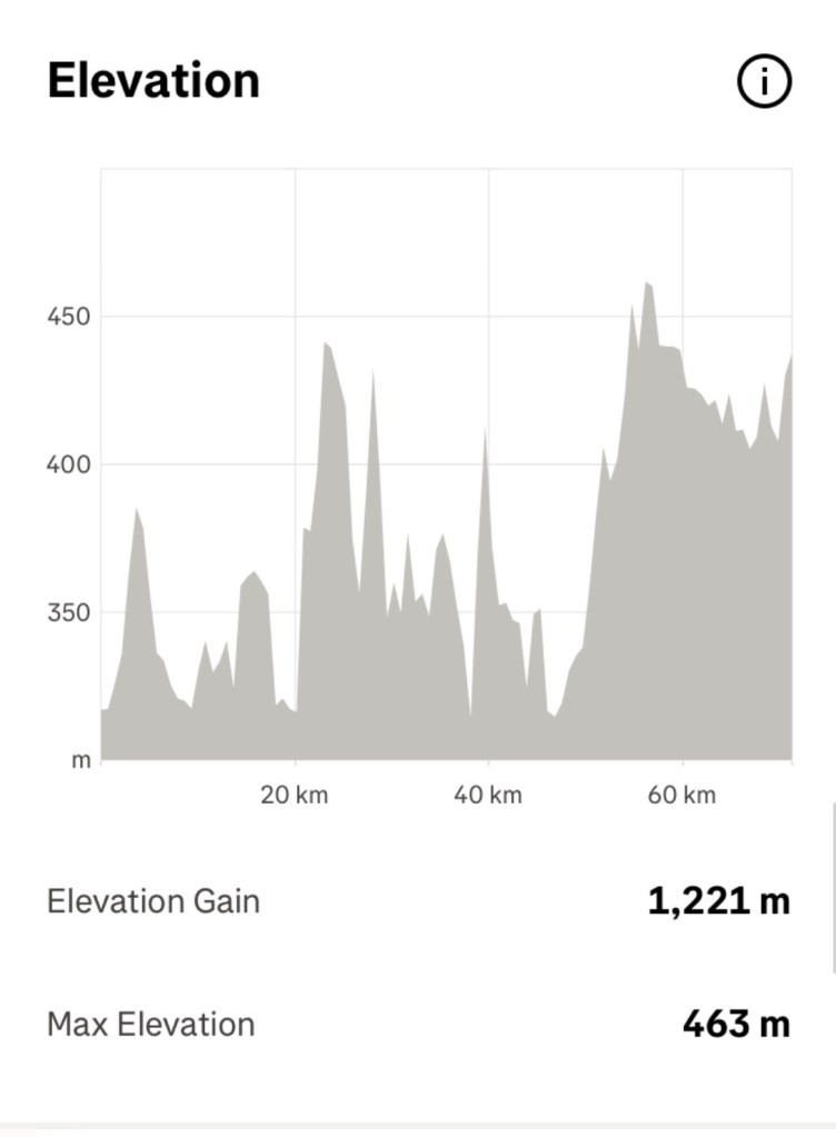
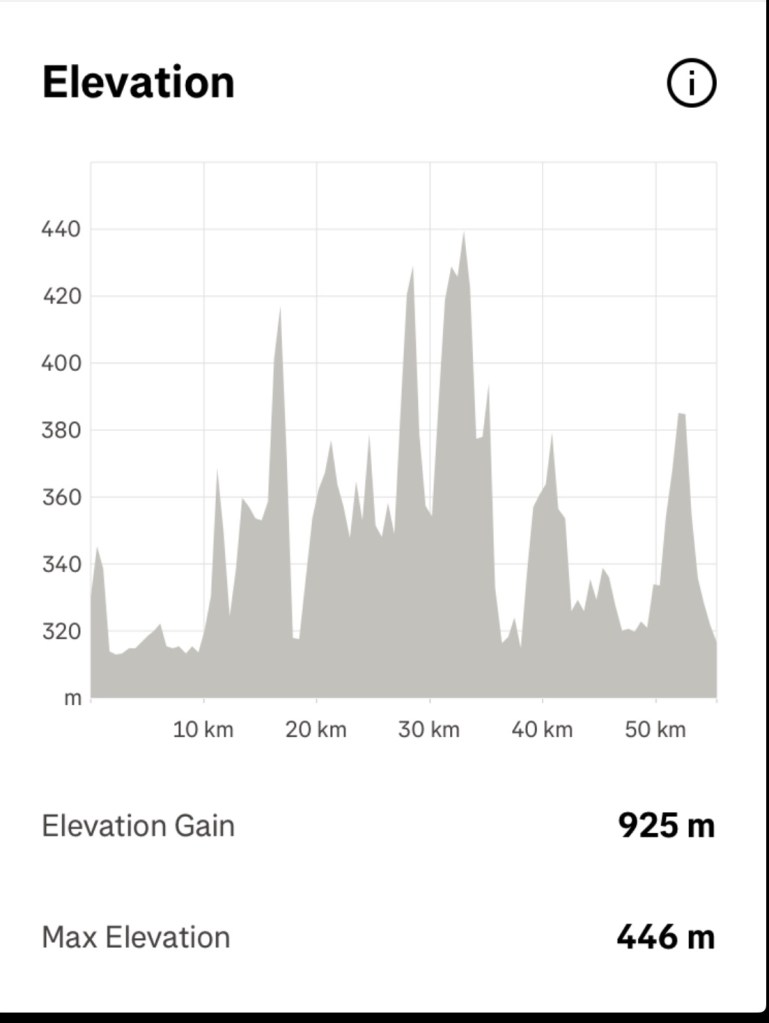
It was a long day today. 82 km riding, 80 km gravel, plus the water taxi adding another 10 km.
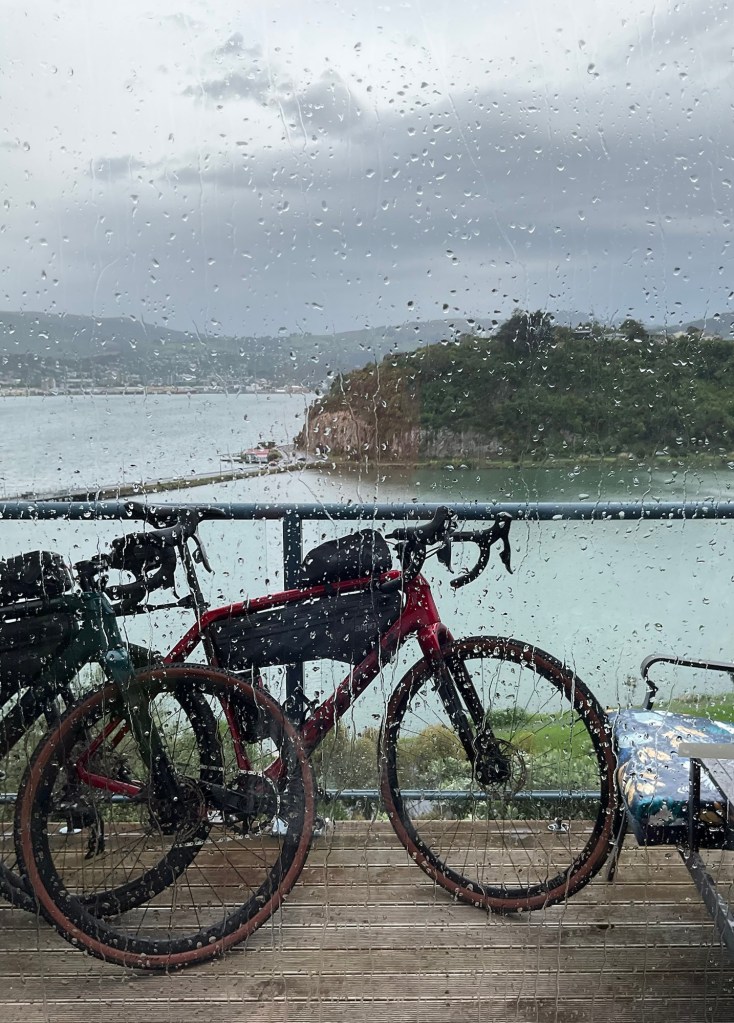
We got lucky with the weather. The forecast rain did not transpire.
Wind, none! I think we had a section of a few km on the Lake Dunstan trail but it did not last.
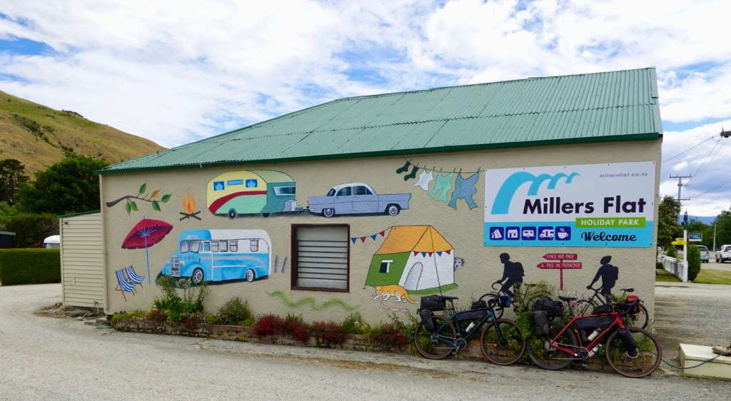
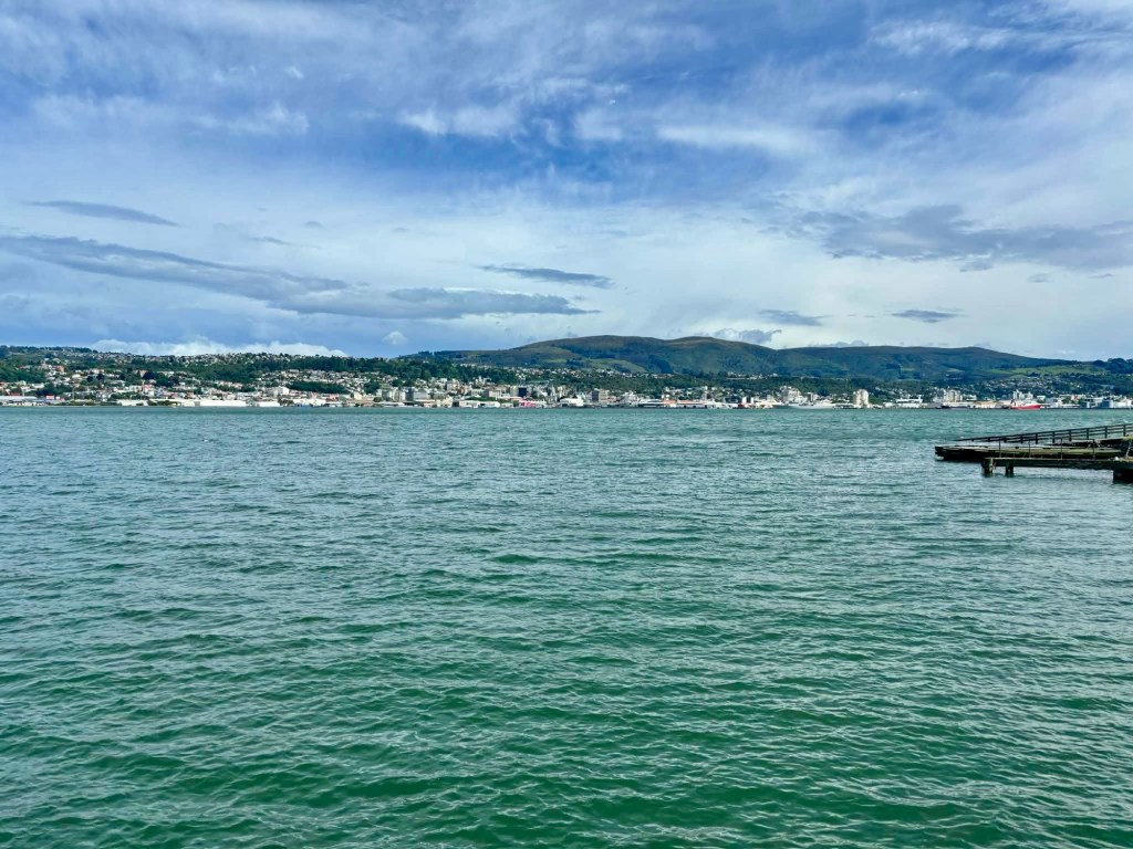
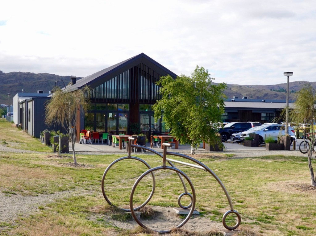
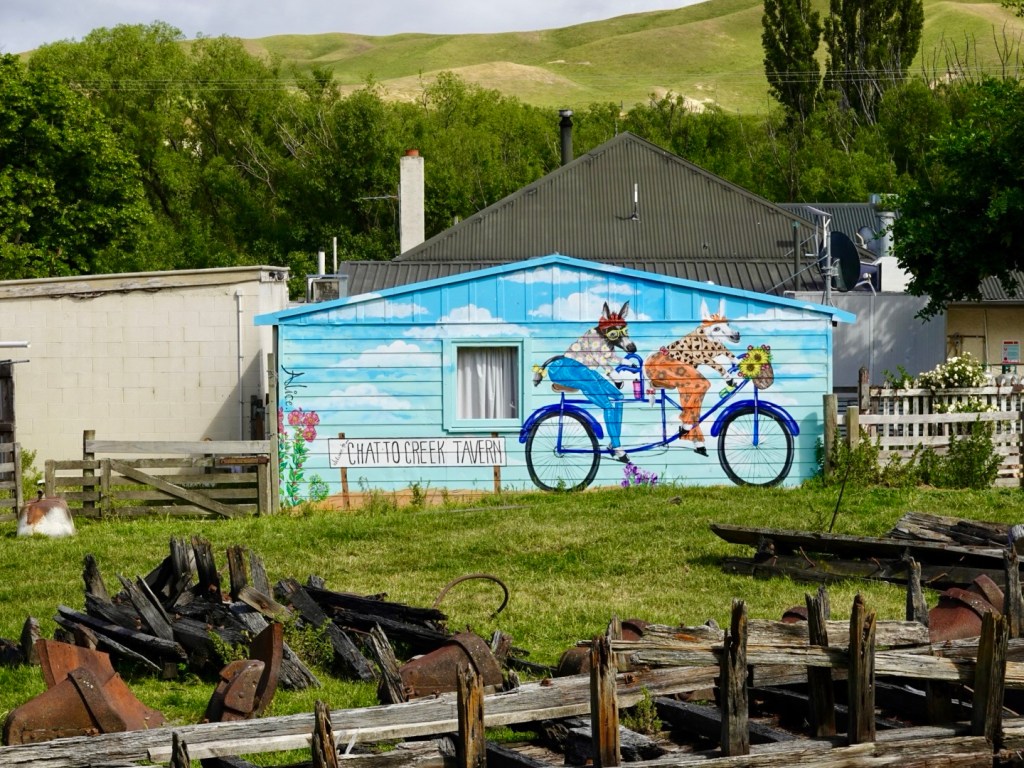
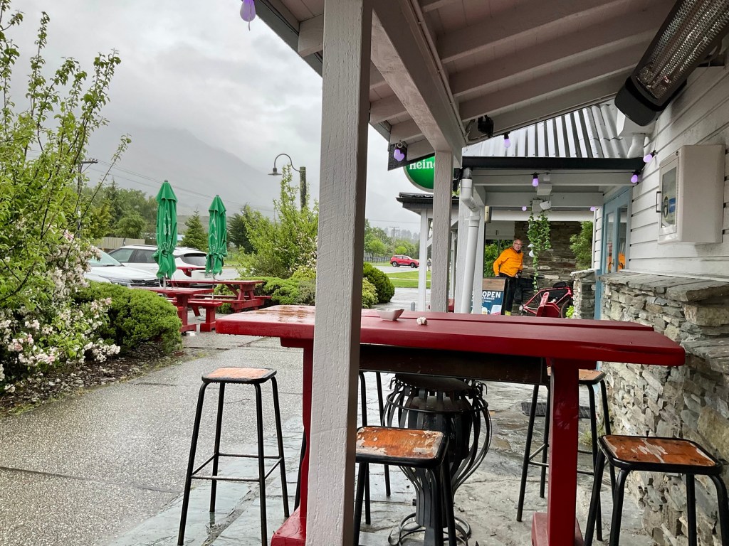
Dinner was at the only place open in Bannockburn, and it was nice.
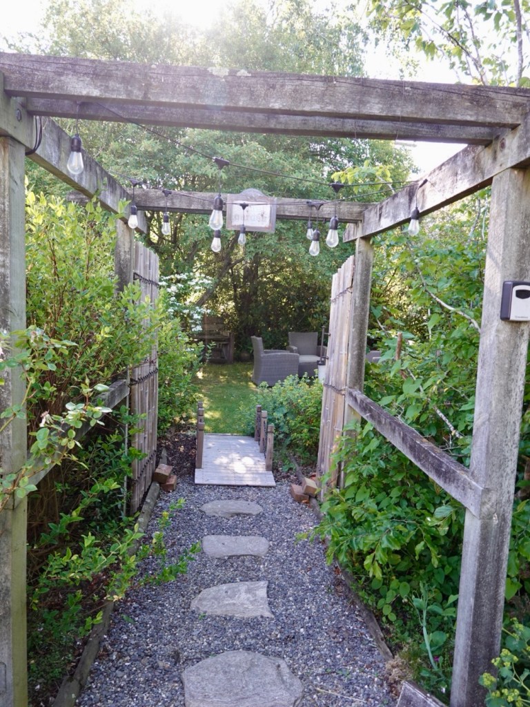
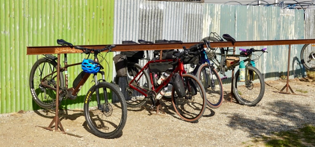
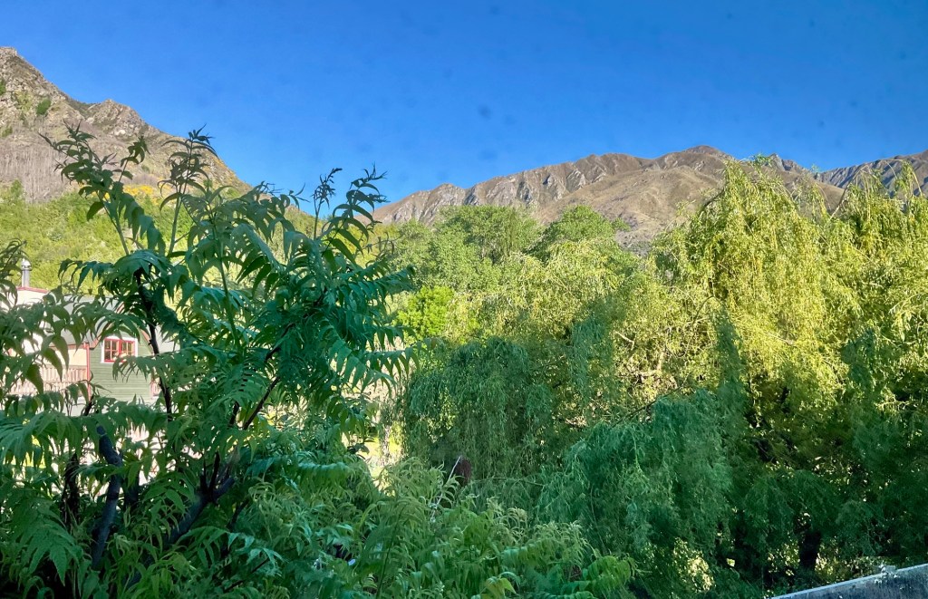
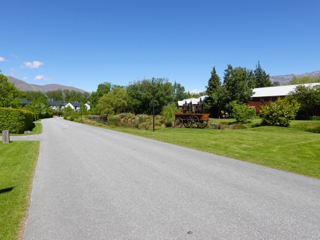
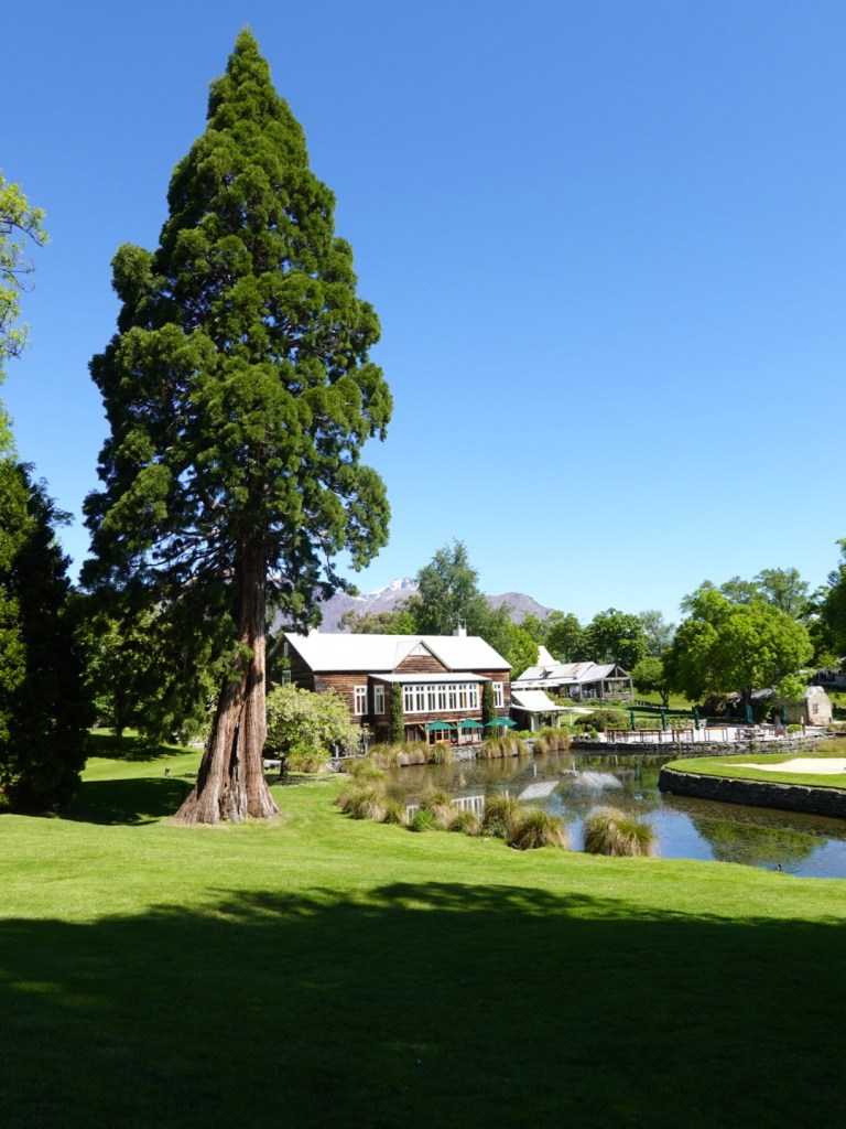
Up to our overnighter, a lovely couple who have an olive grove, and had their garage open ready for our bikes. There is a door between our unit and the garage, so very handy.
Another wonderful day. A day of highlights including the amazing Roxburgh Gorge, the brilliant transfer with Laurence (Clutha River Cruises), riding with Ian, lunch with Ian and Vicky, not getting too wet!
It was a tough riding day, 80 plus km on gravel with loaded bikes is tough, plus nearly 1,300 m climbing.
Go us! 🤣
Thanks for reading, rest time 😊❣️