Finale

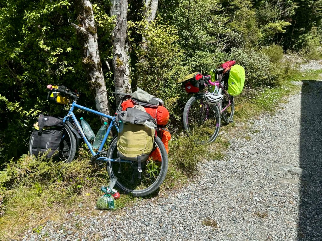
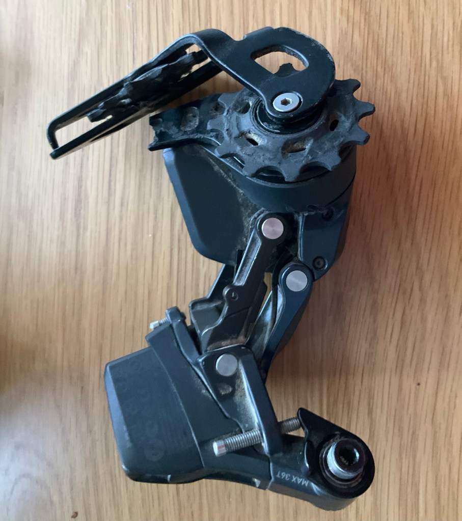
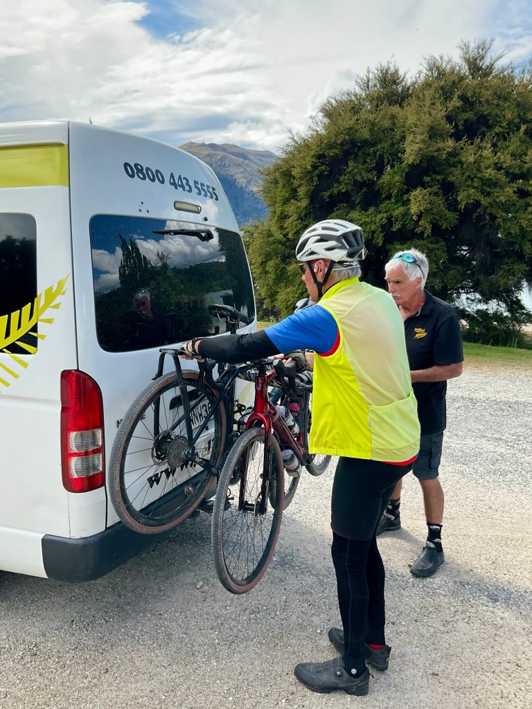
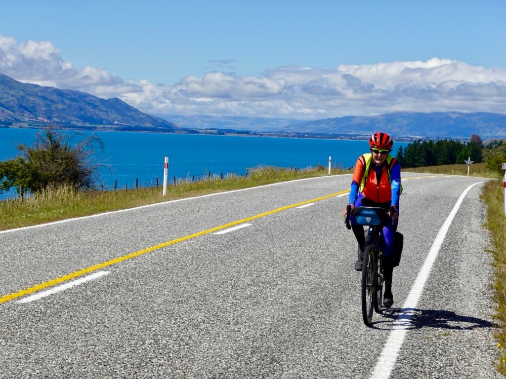
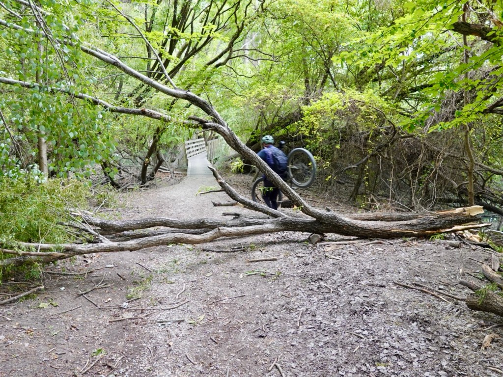
With the derailleur failure our cycling journey was over. However, we still had a few days left of our trip.

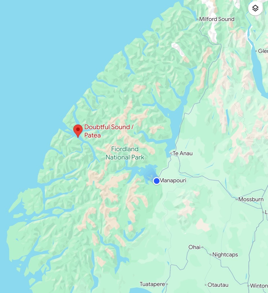
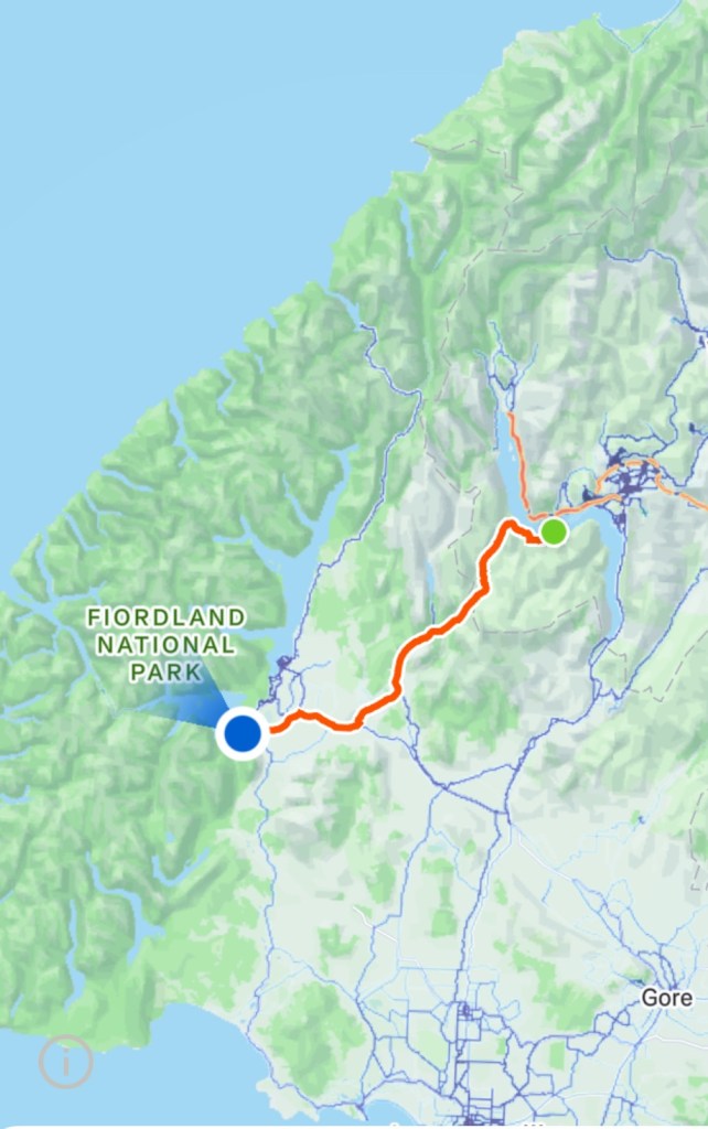
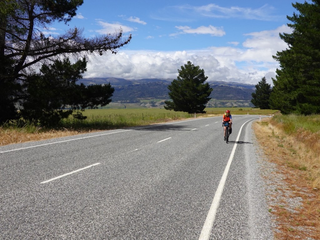
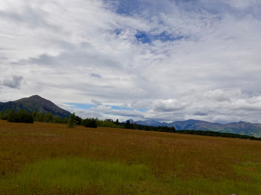
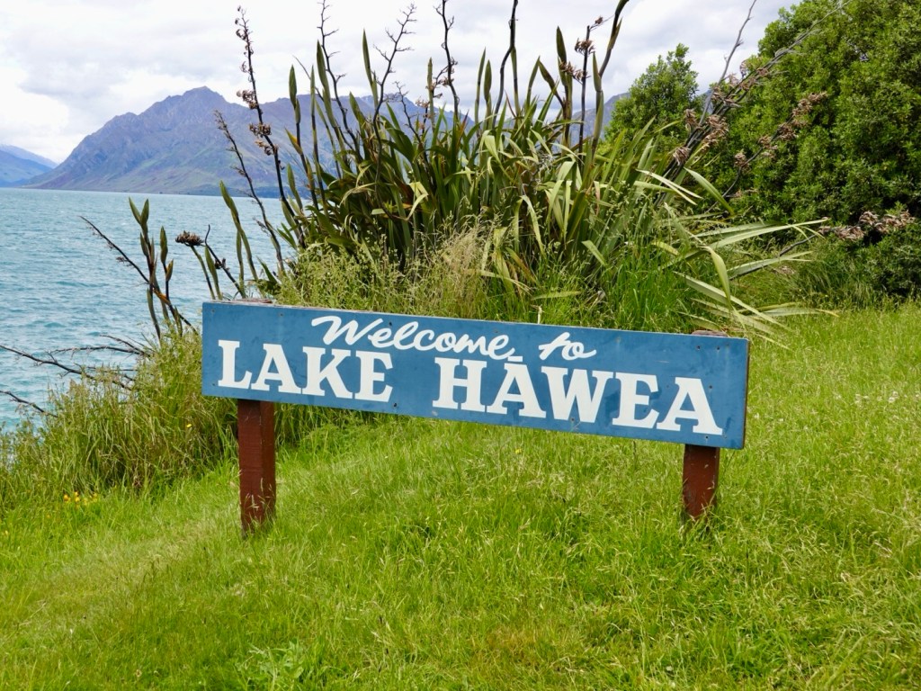
With the benefit of Toby’s Ford Ranger, we trotted off from Manapouri to Te Anau, only 19 km by road.

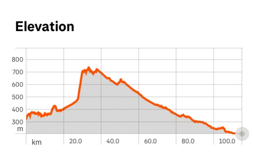
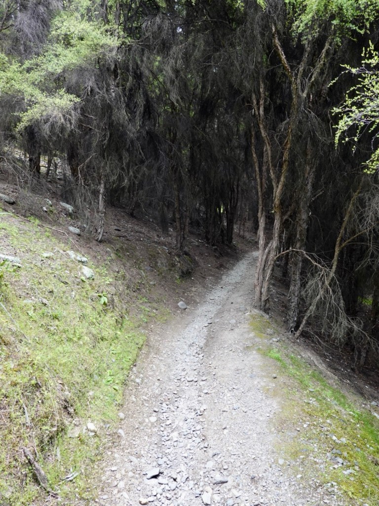
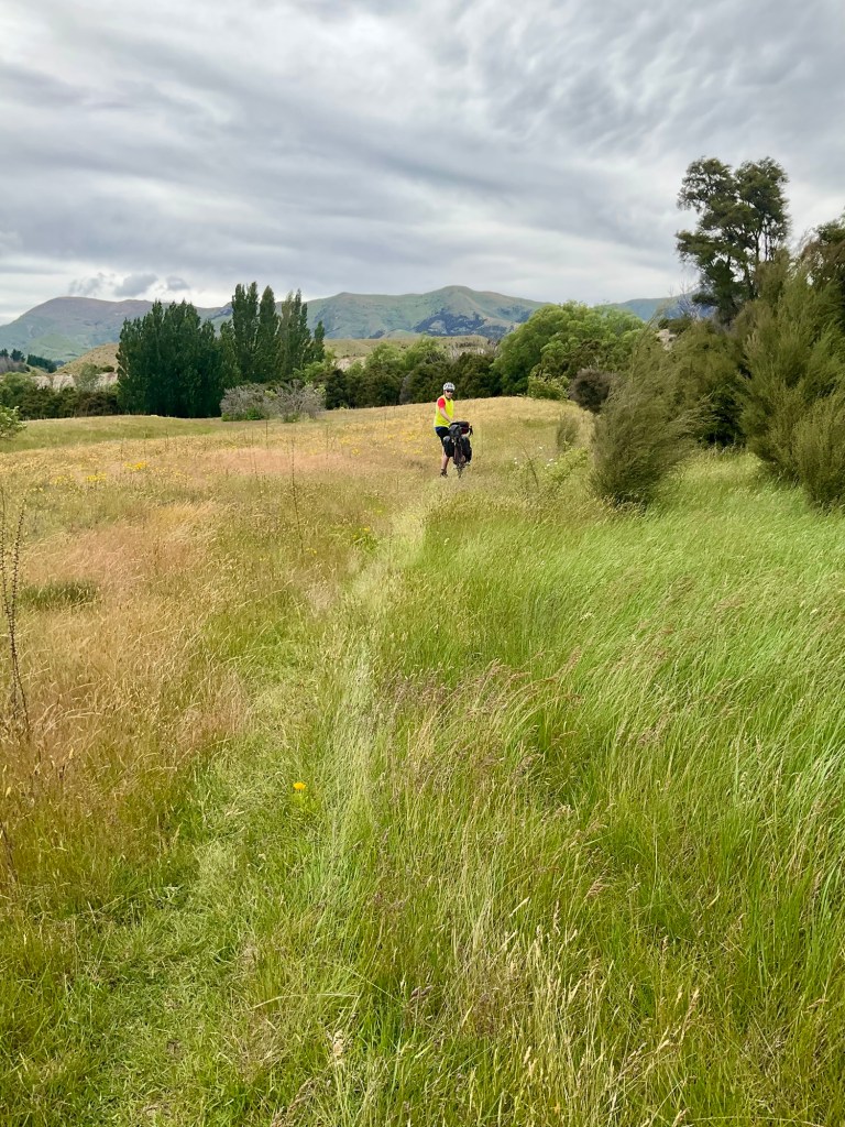
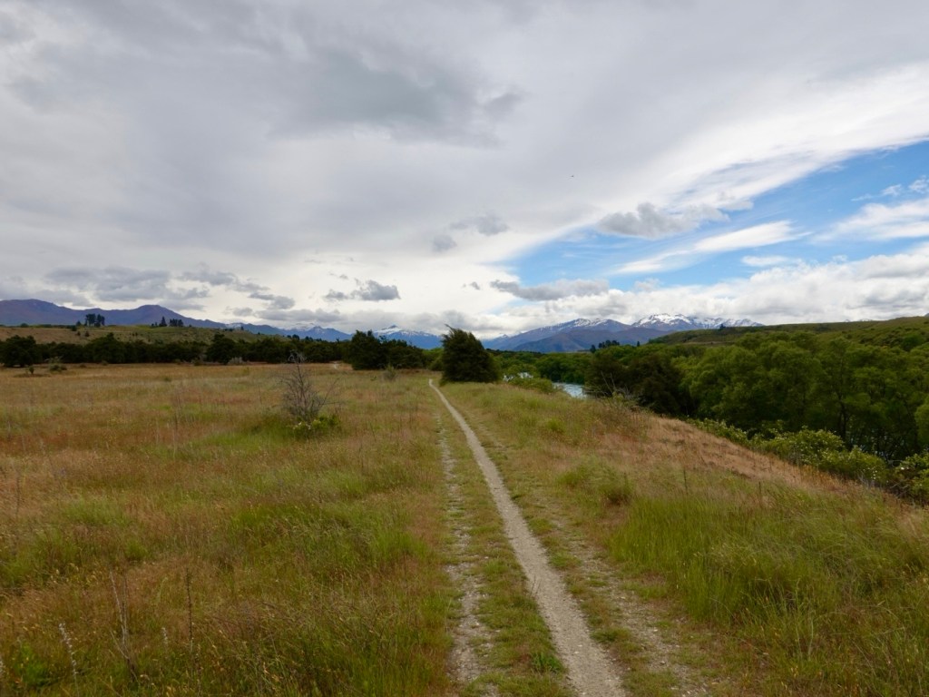
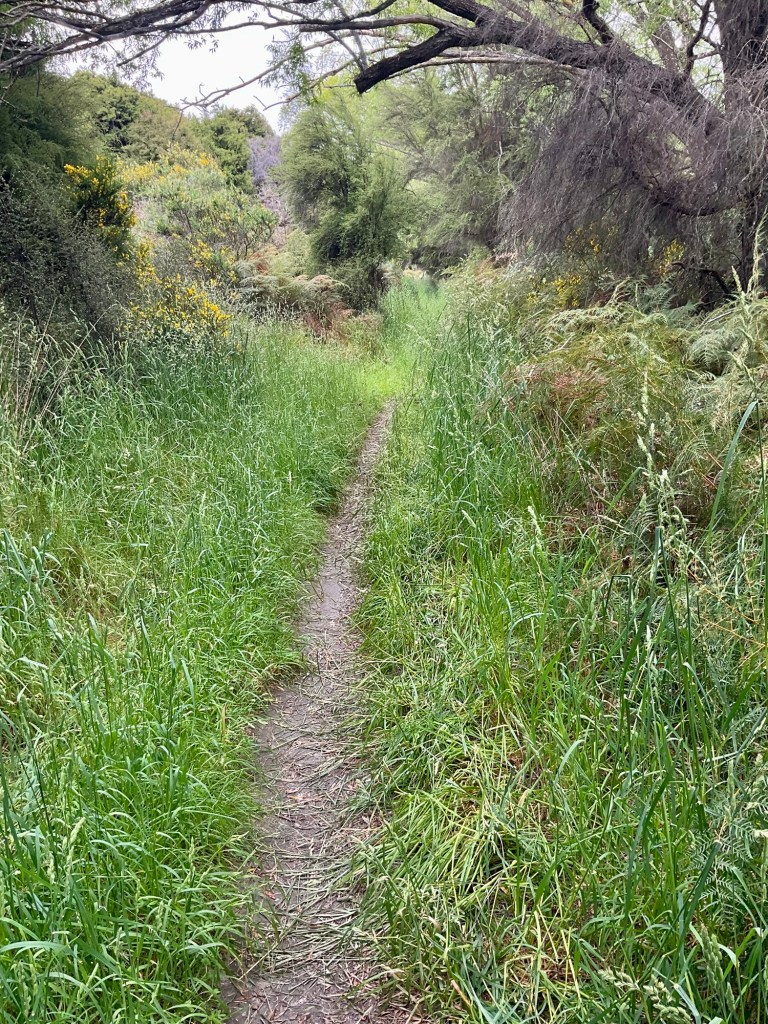
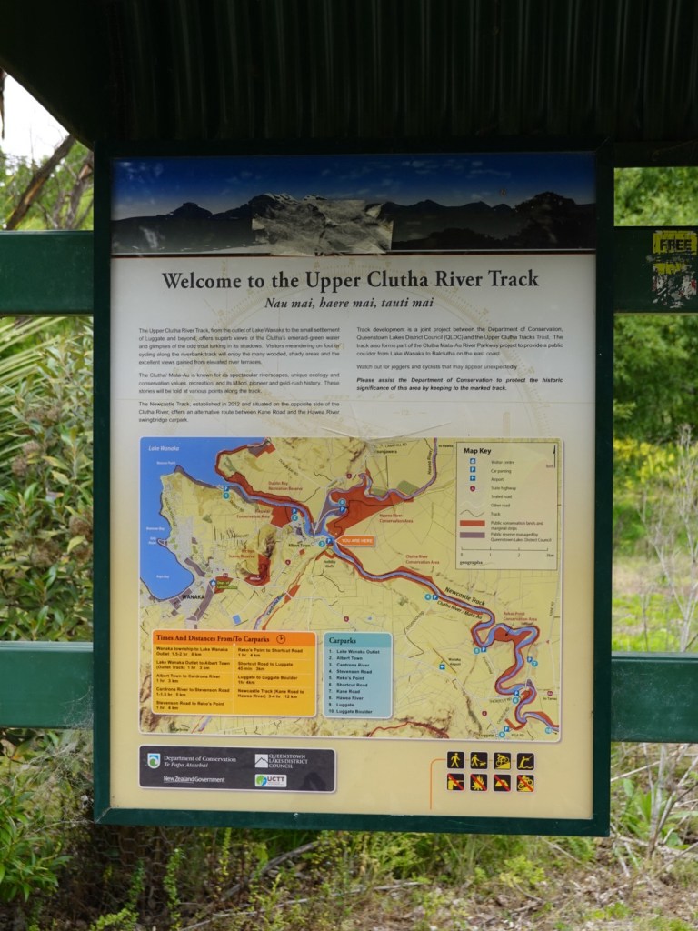
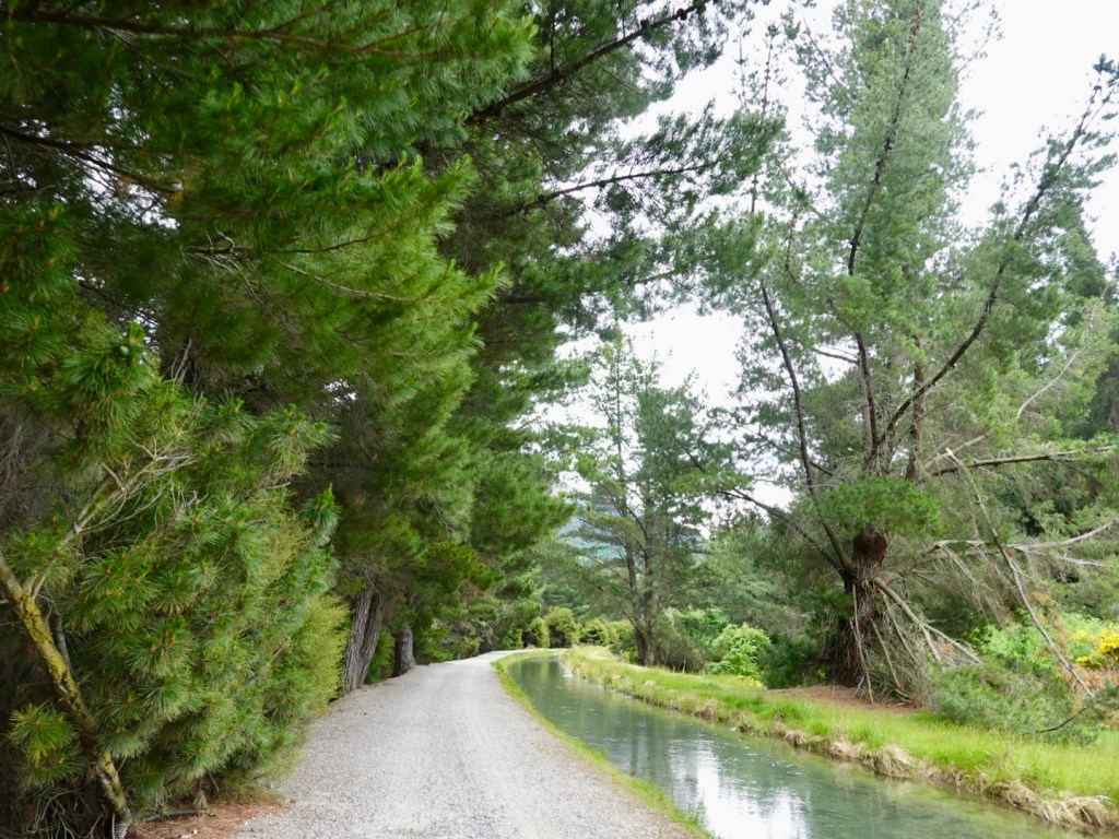
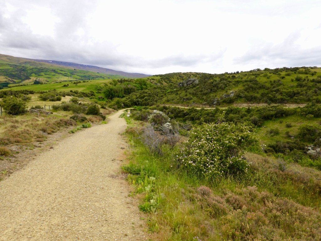
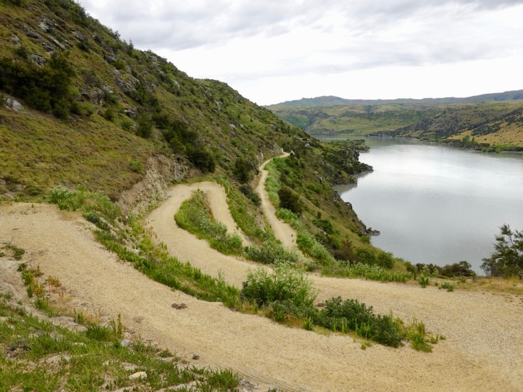
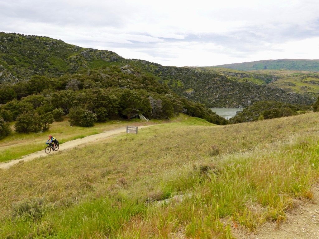
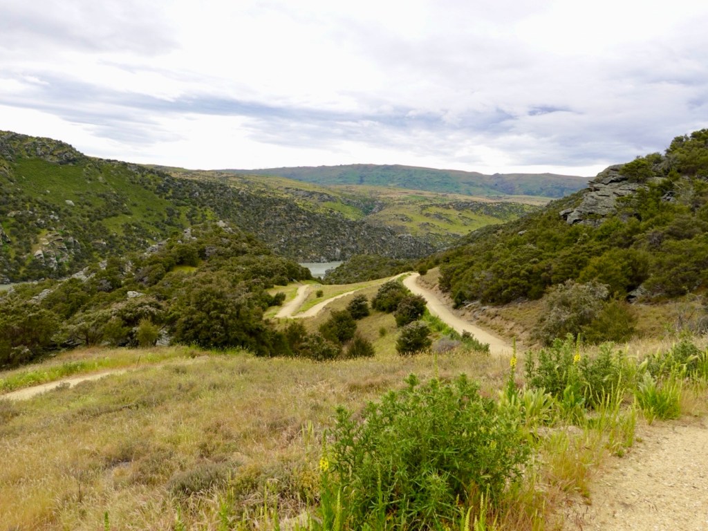
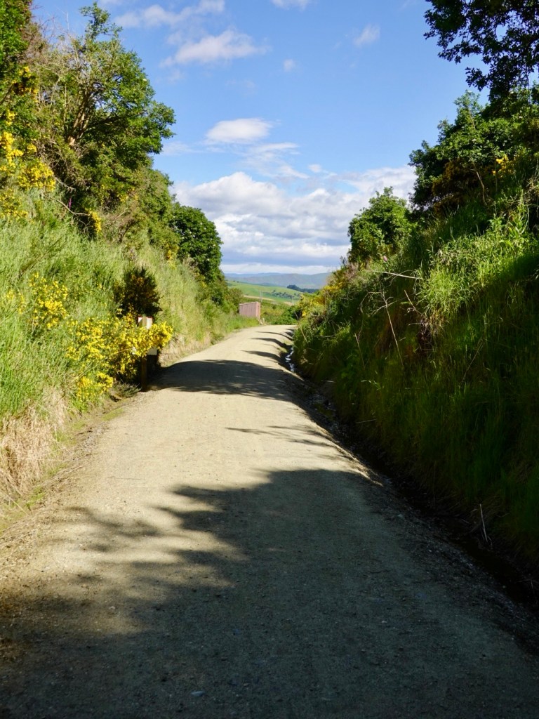
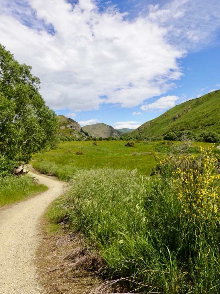
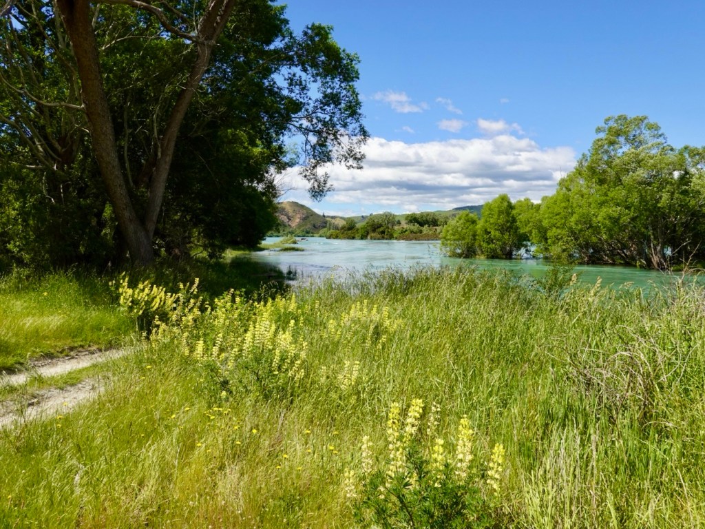
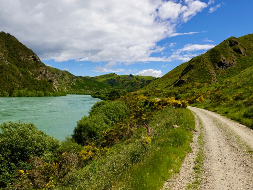
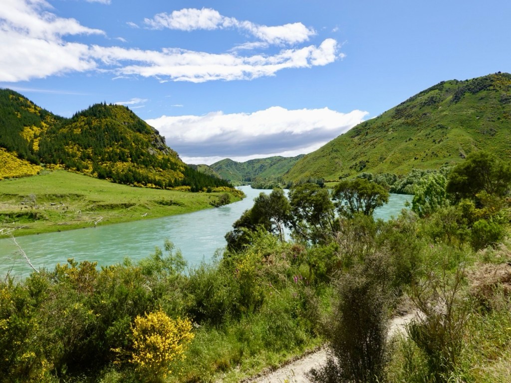
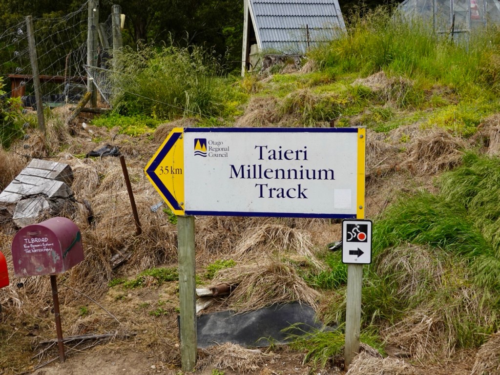
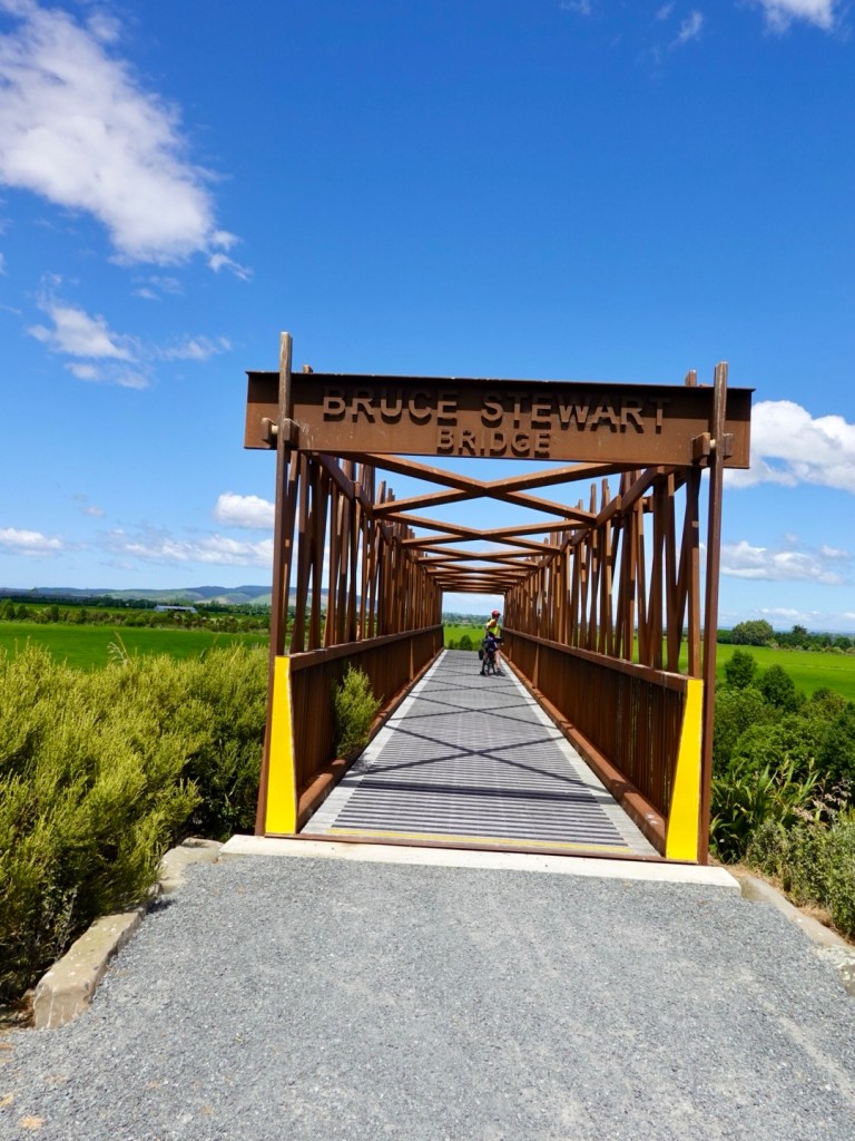
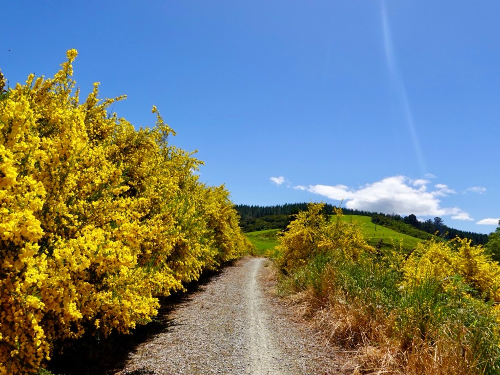
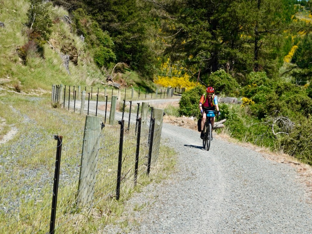
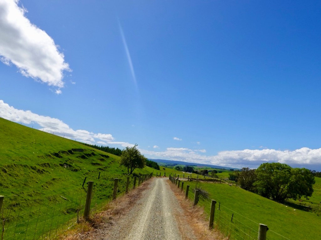
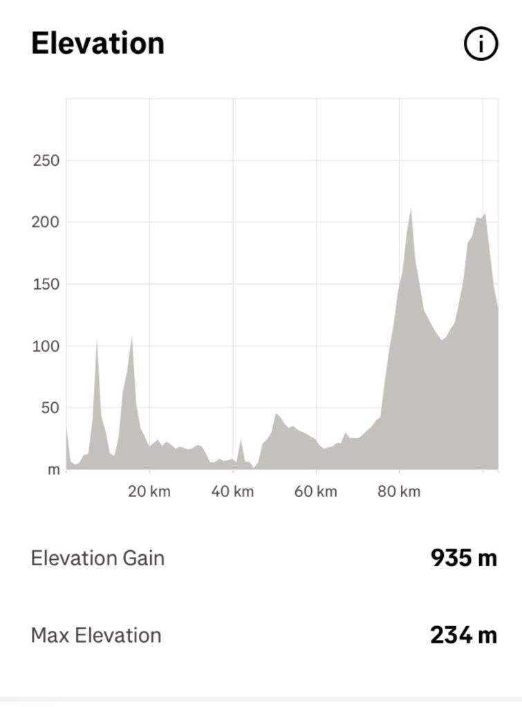
We were to ride this via a trail. It was a short day of around 35 km.

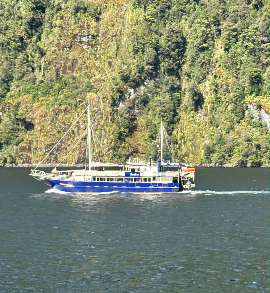
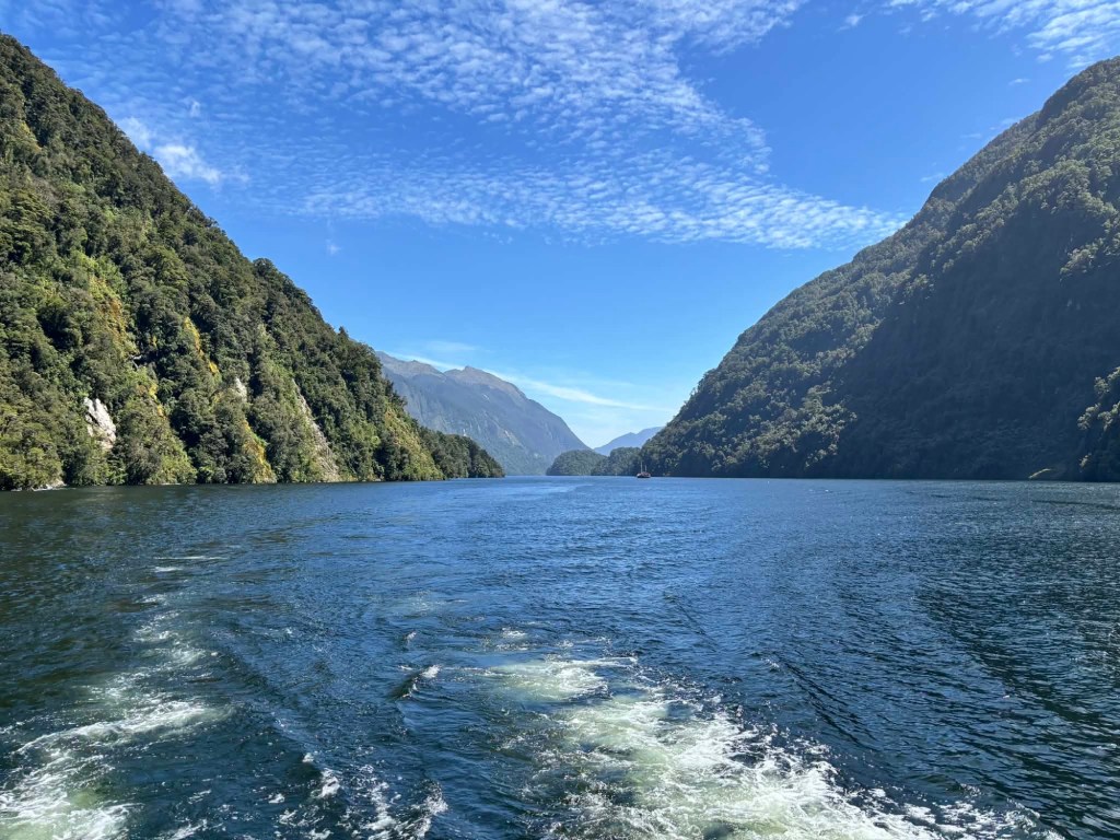
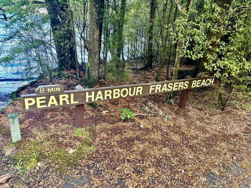
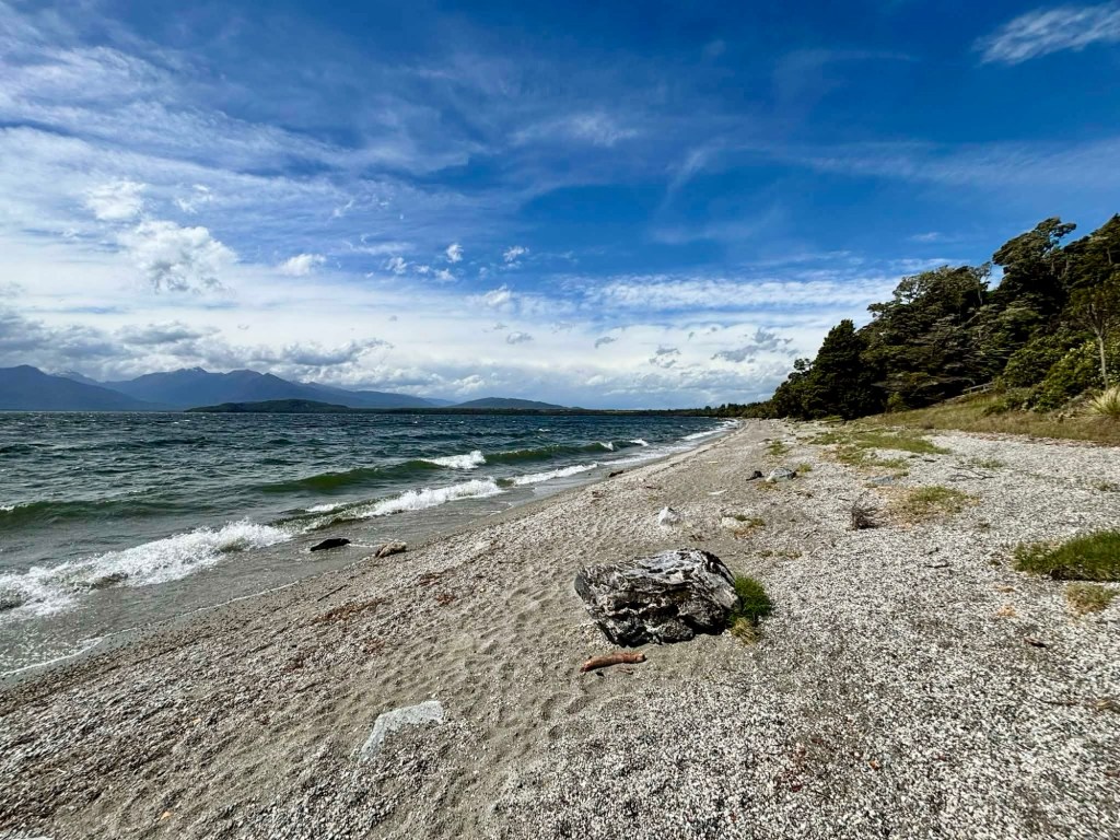
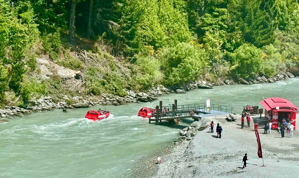
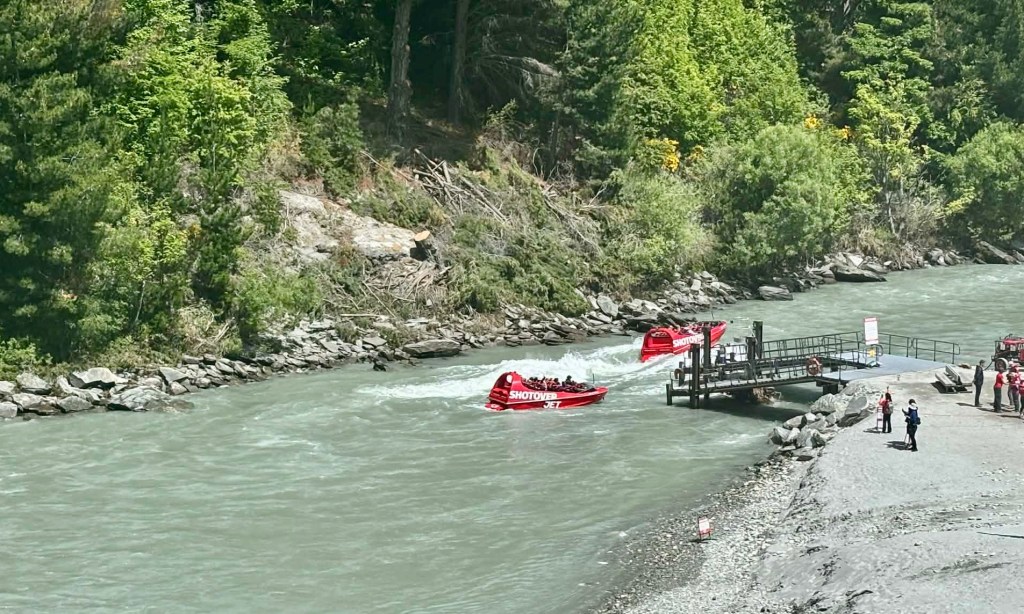
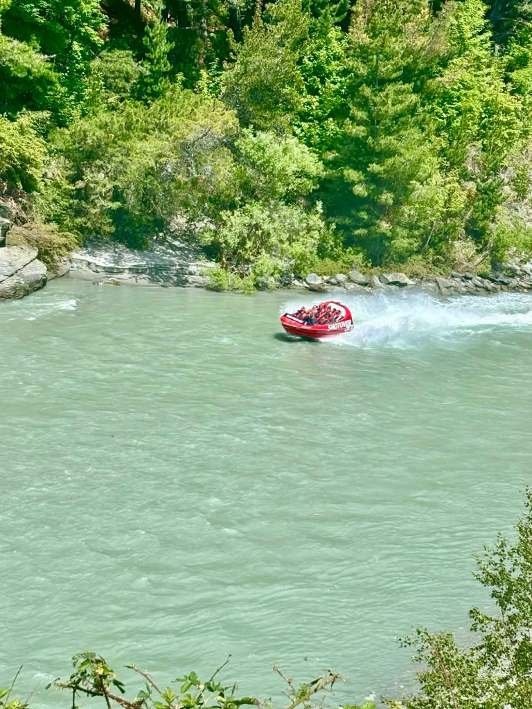
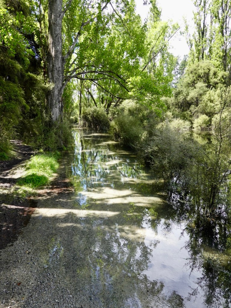
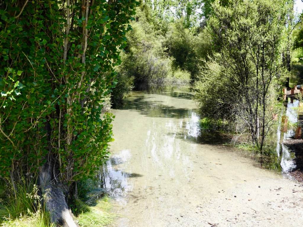
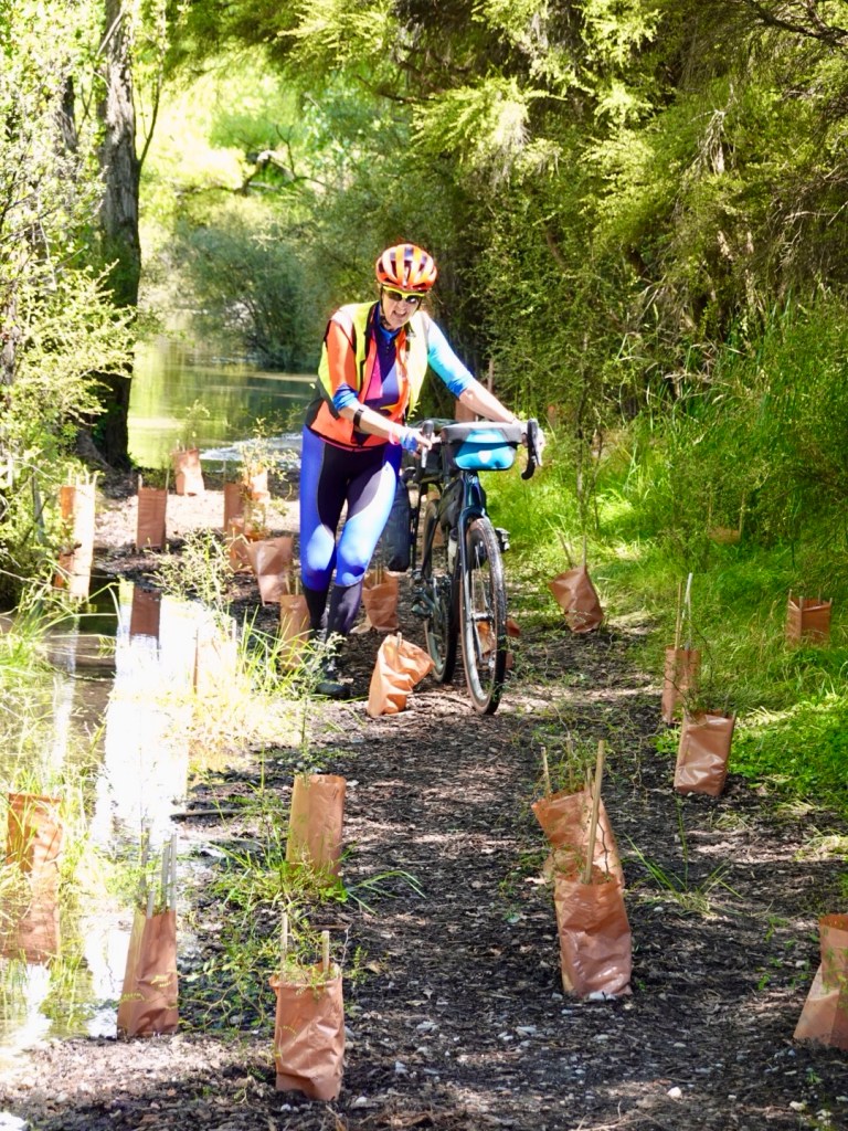
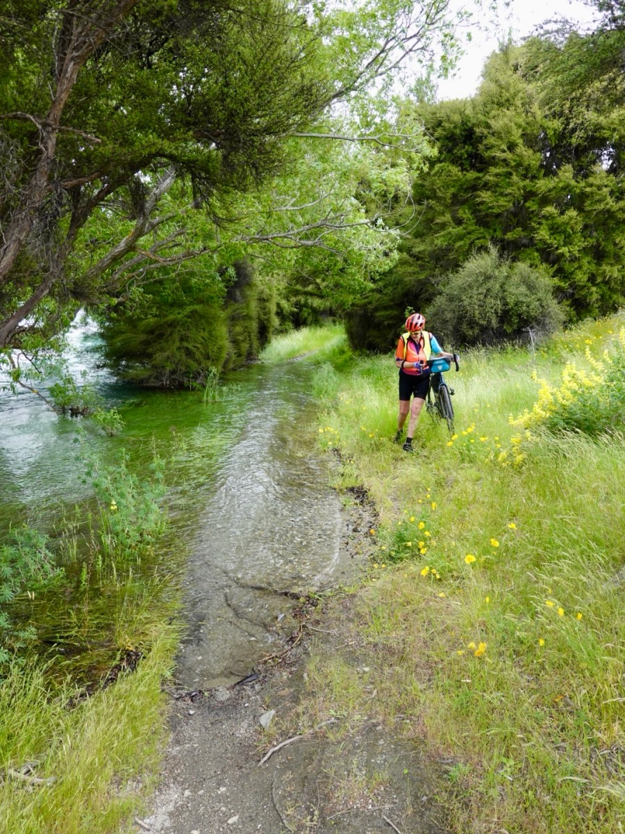
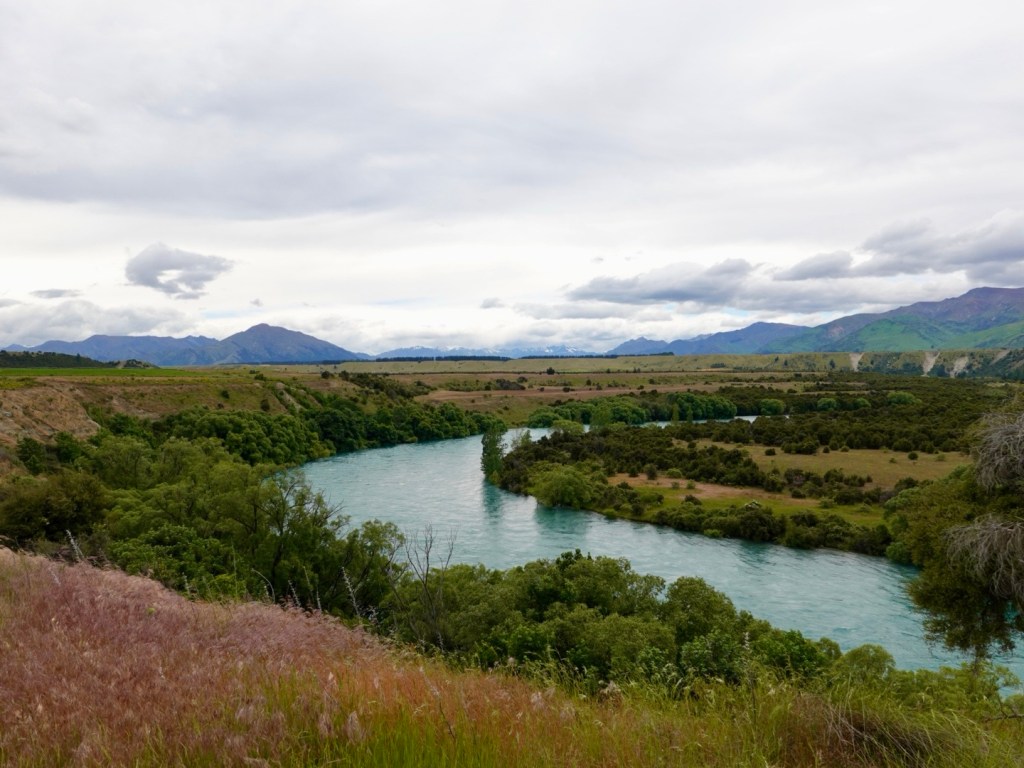
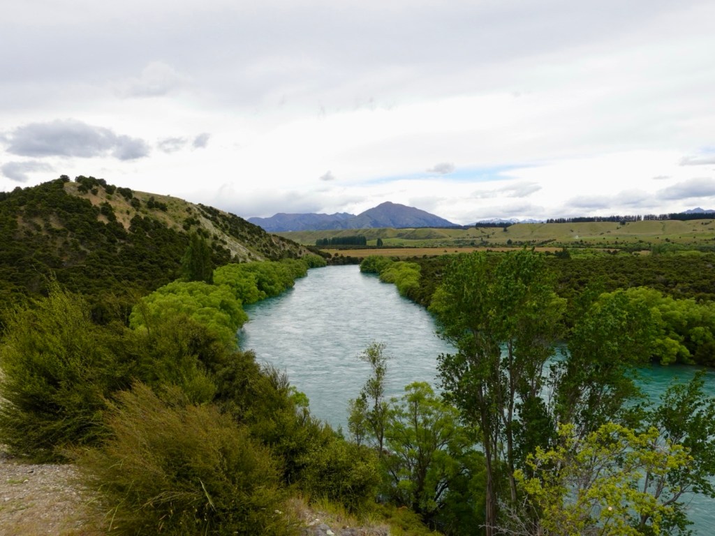
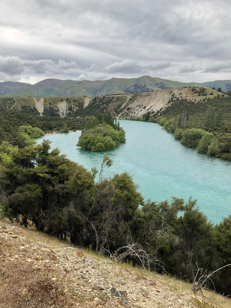
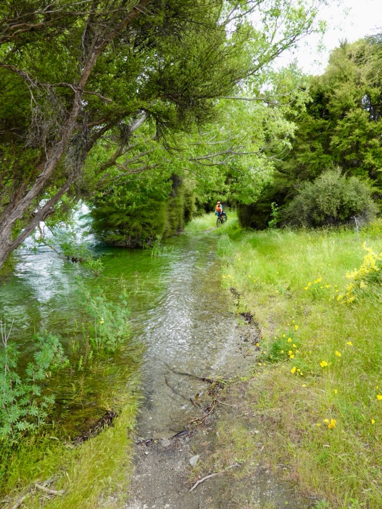
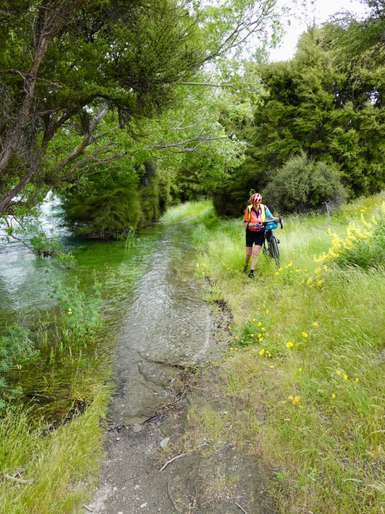
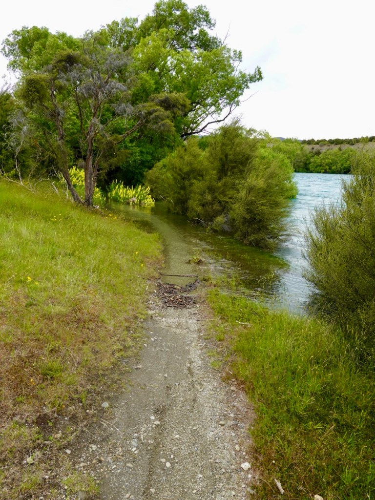
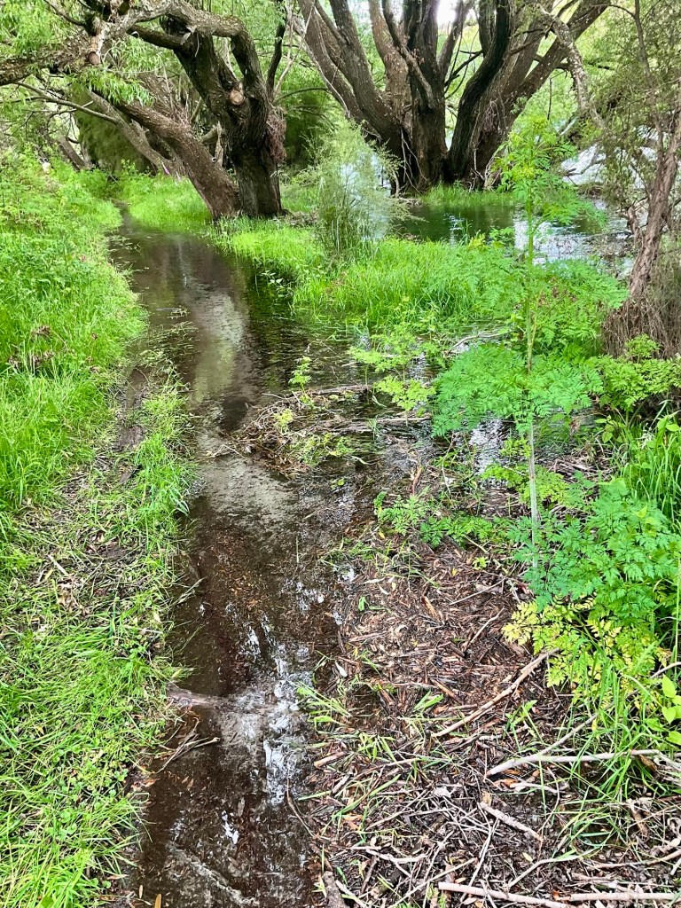
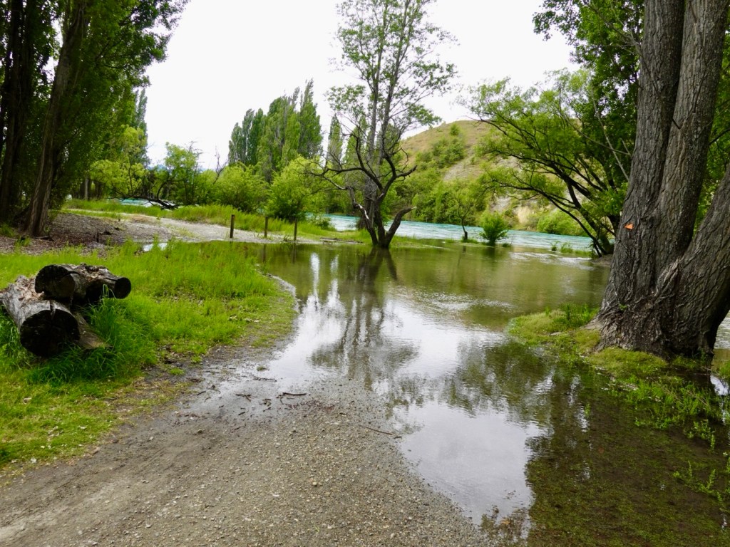
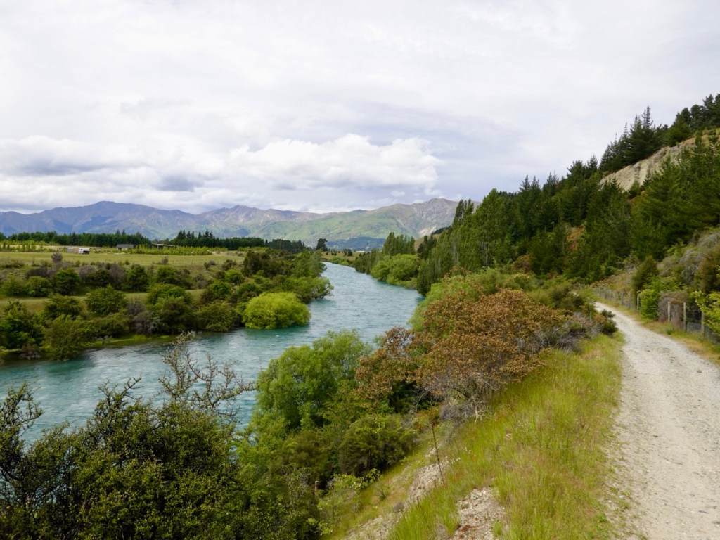
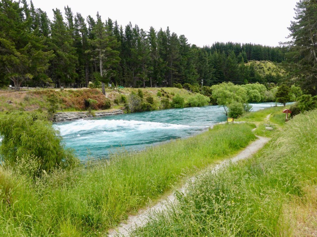
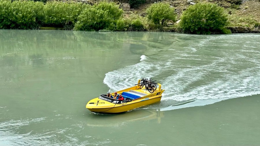
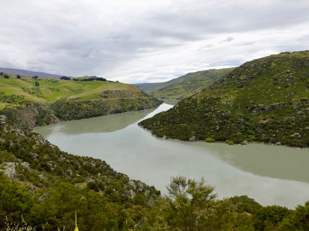
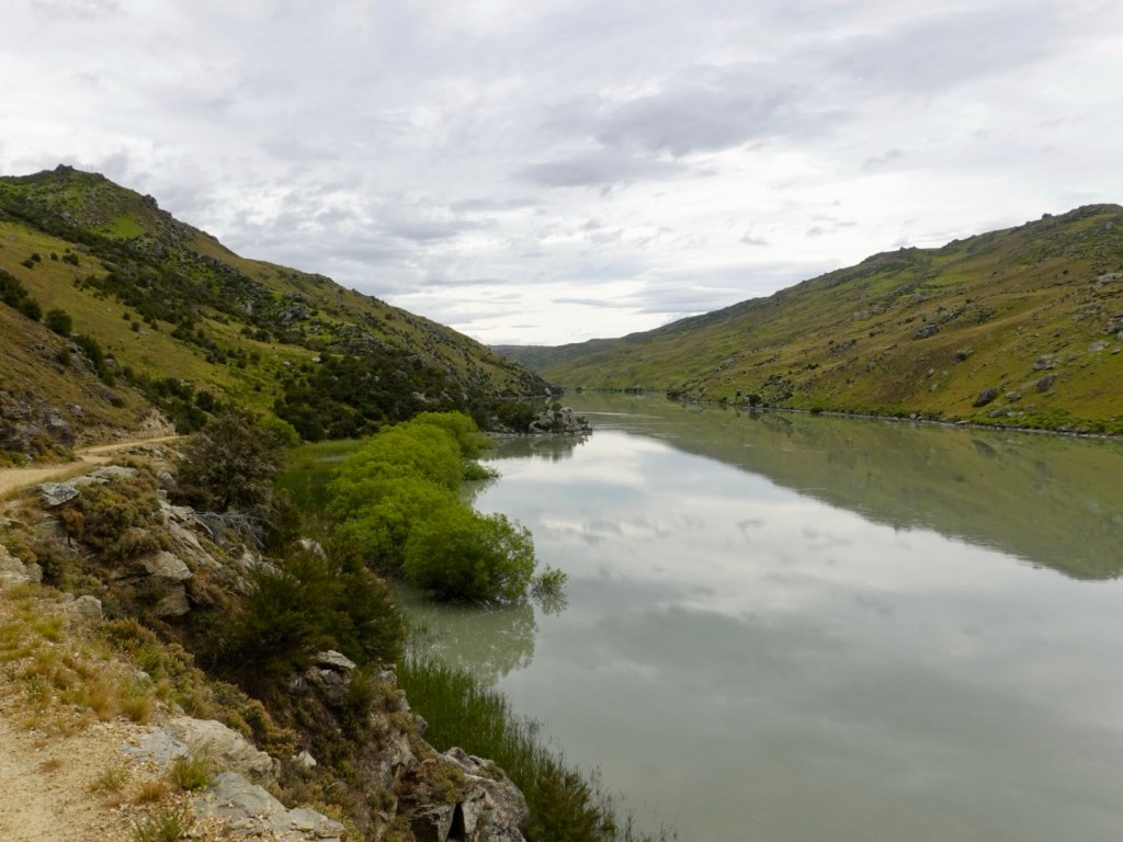
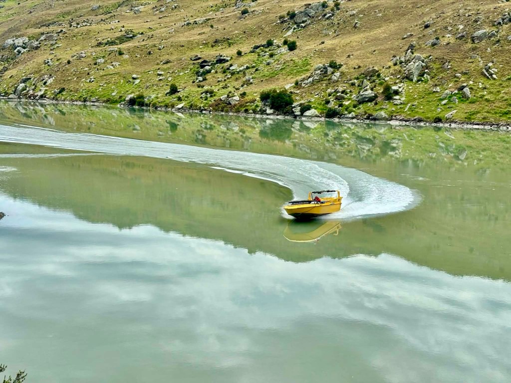
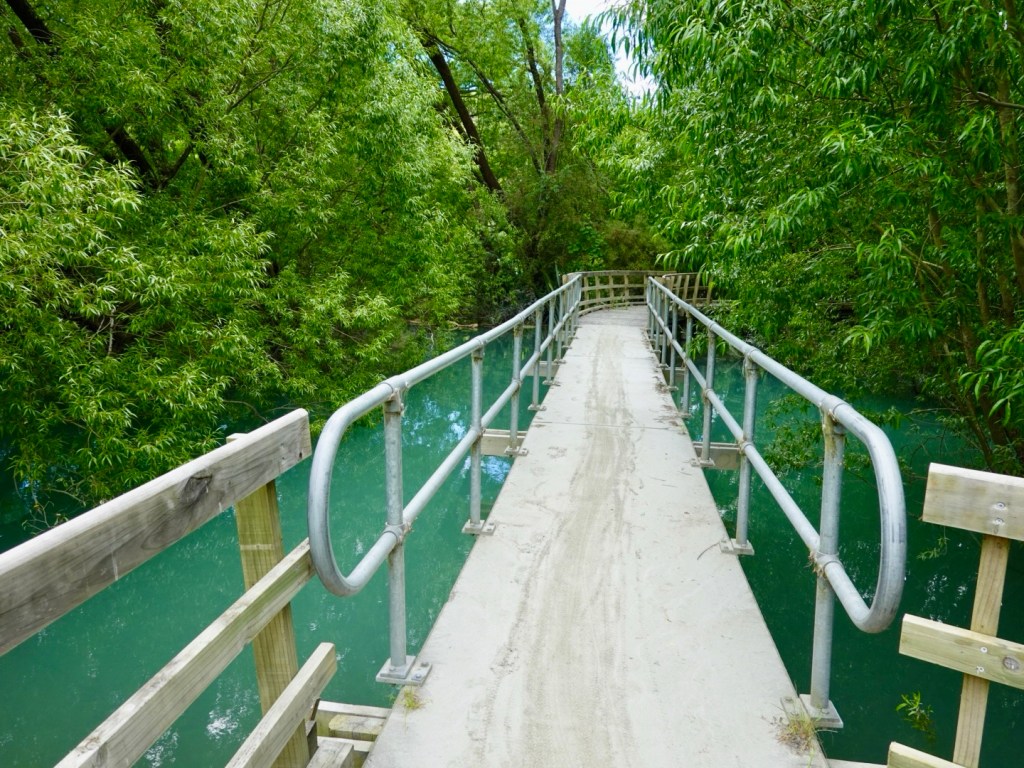
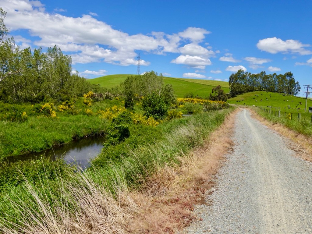
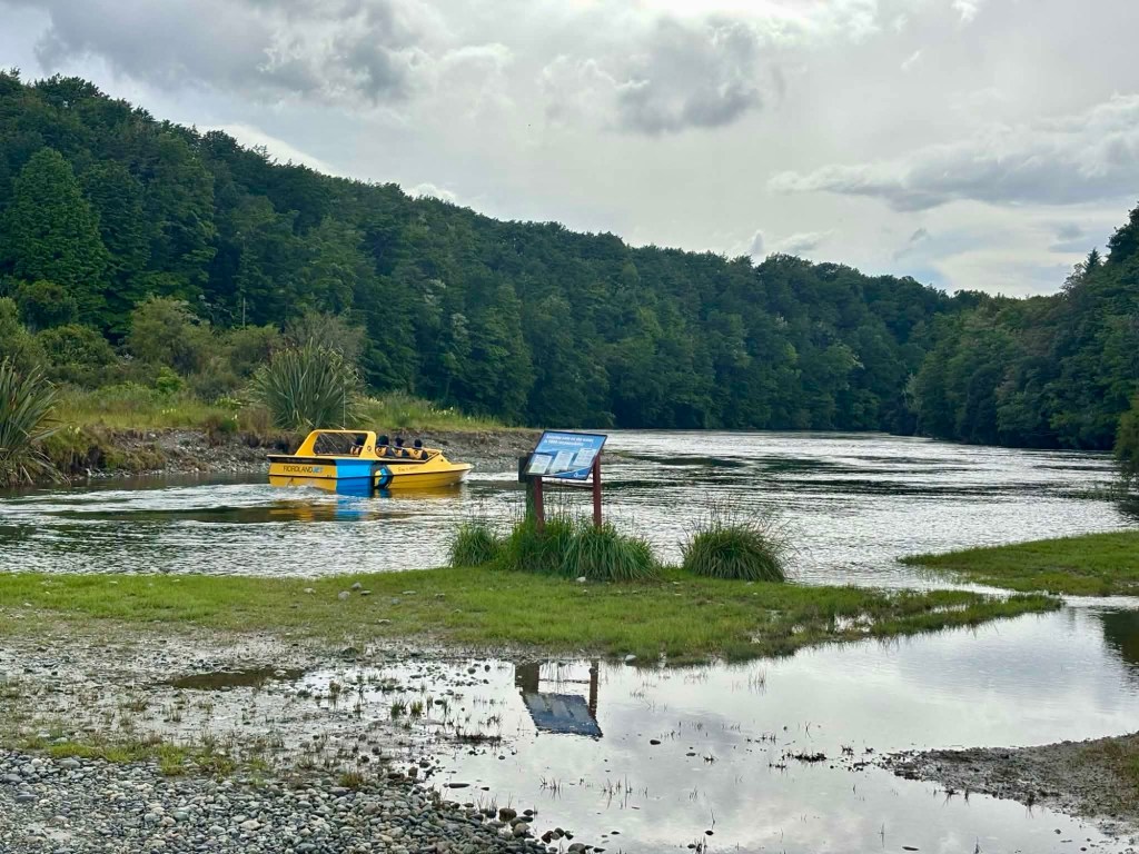
We did head off the main road to intersect the trail. The overnight heavy rain was evident, as the trail was flooded, and a jet boat prepares its next round of victims for a drenching.

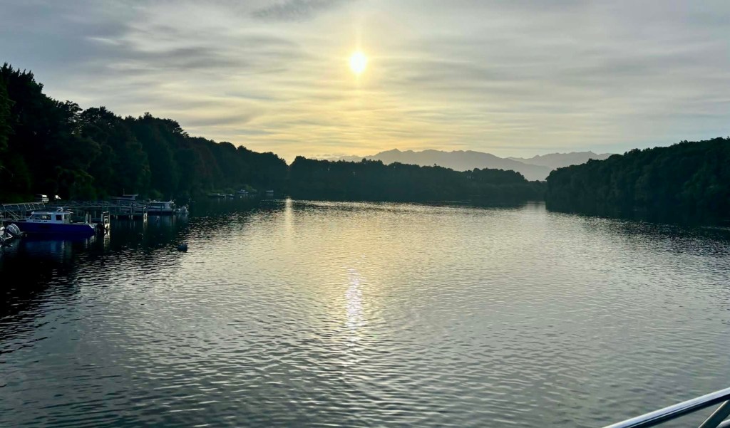
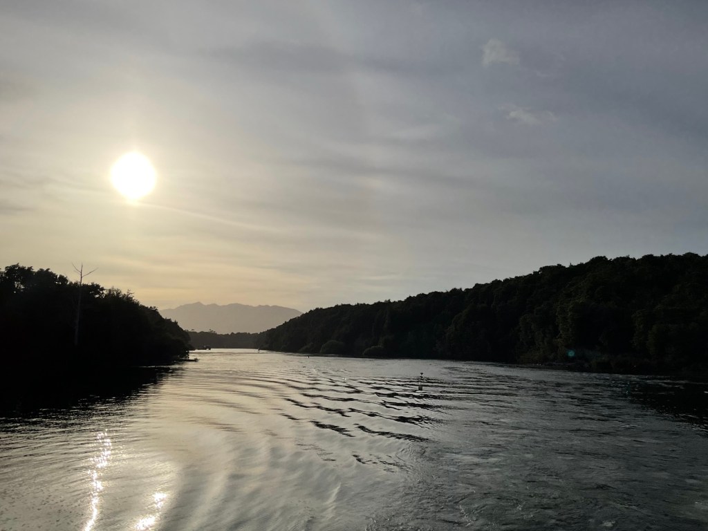
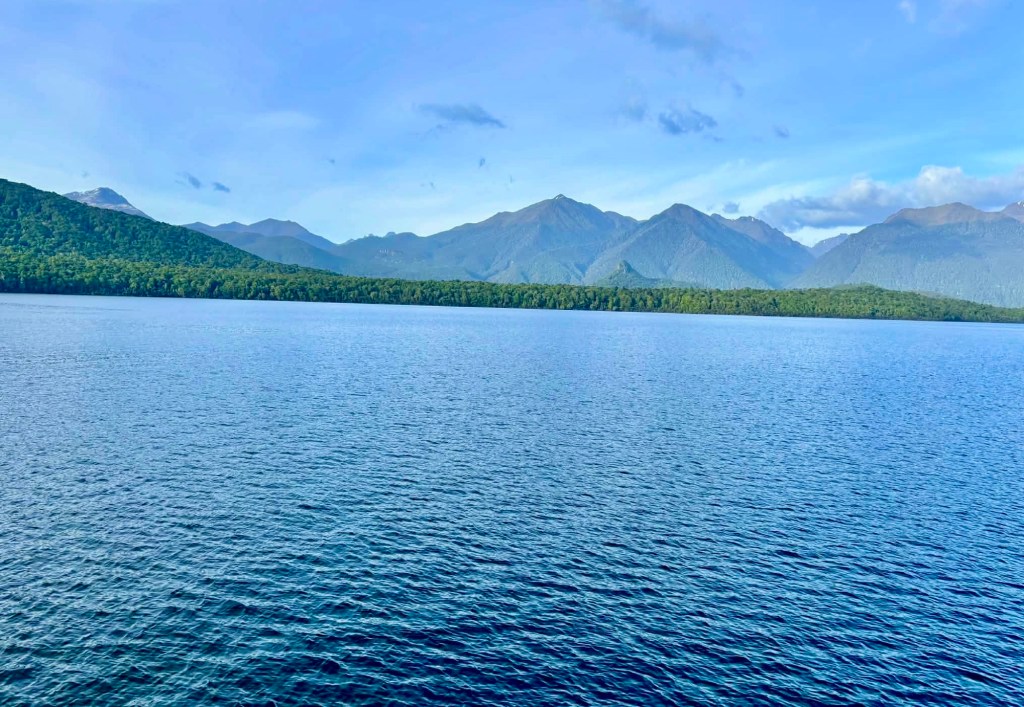
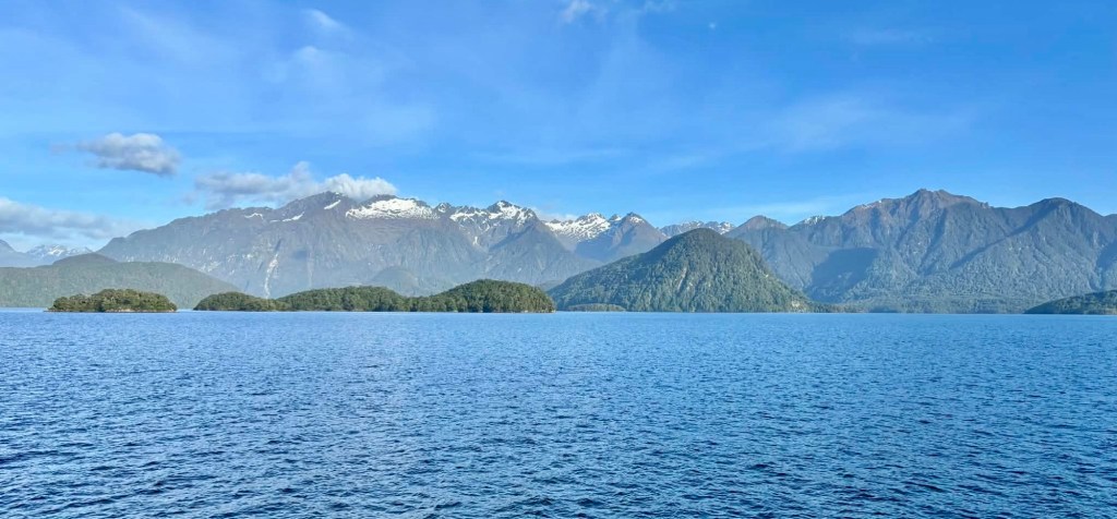
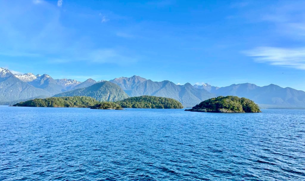
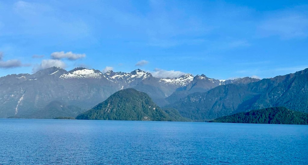
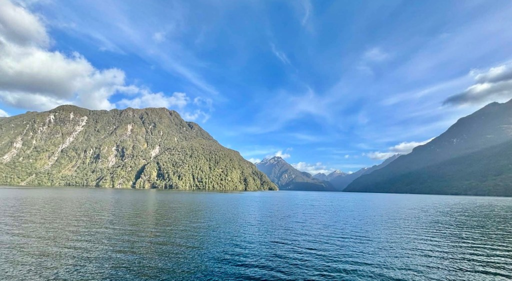
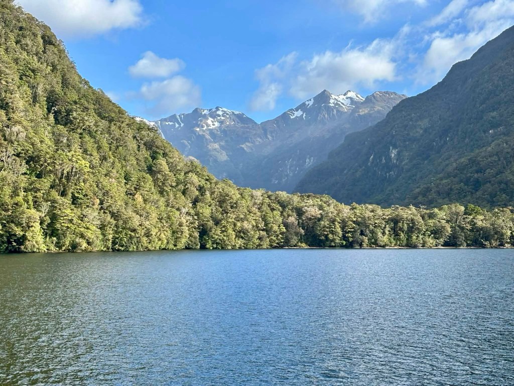
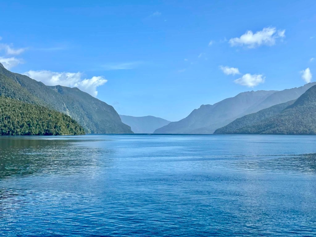
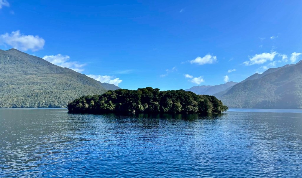
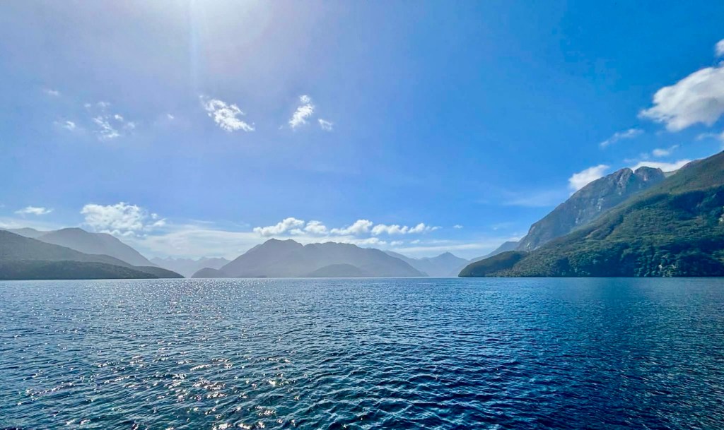
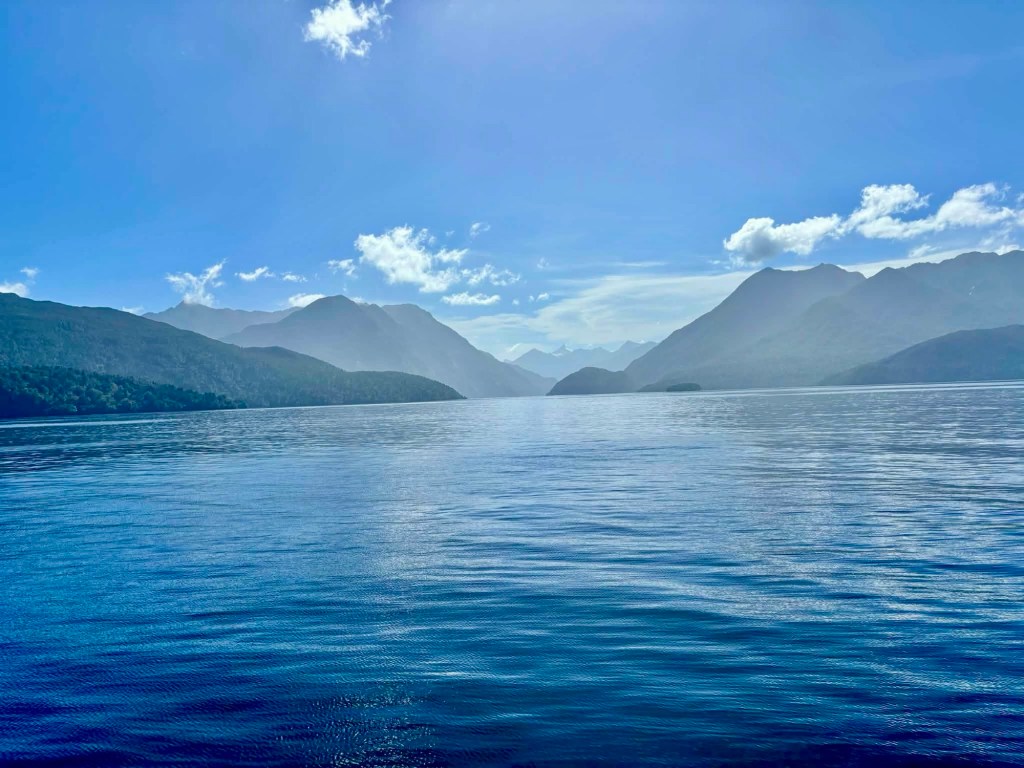
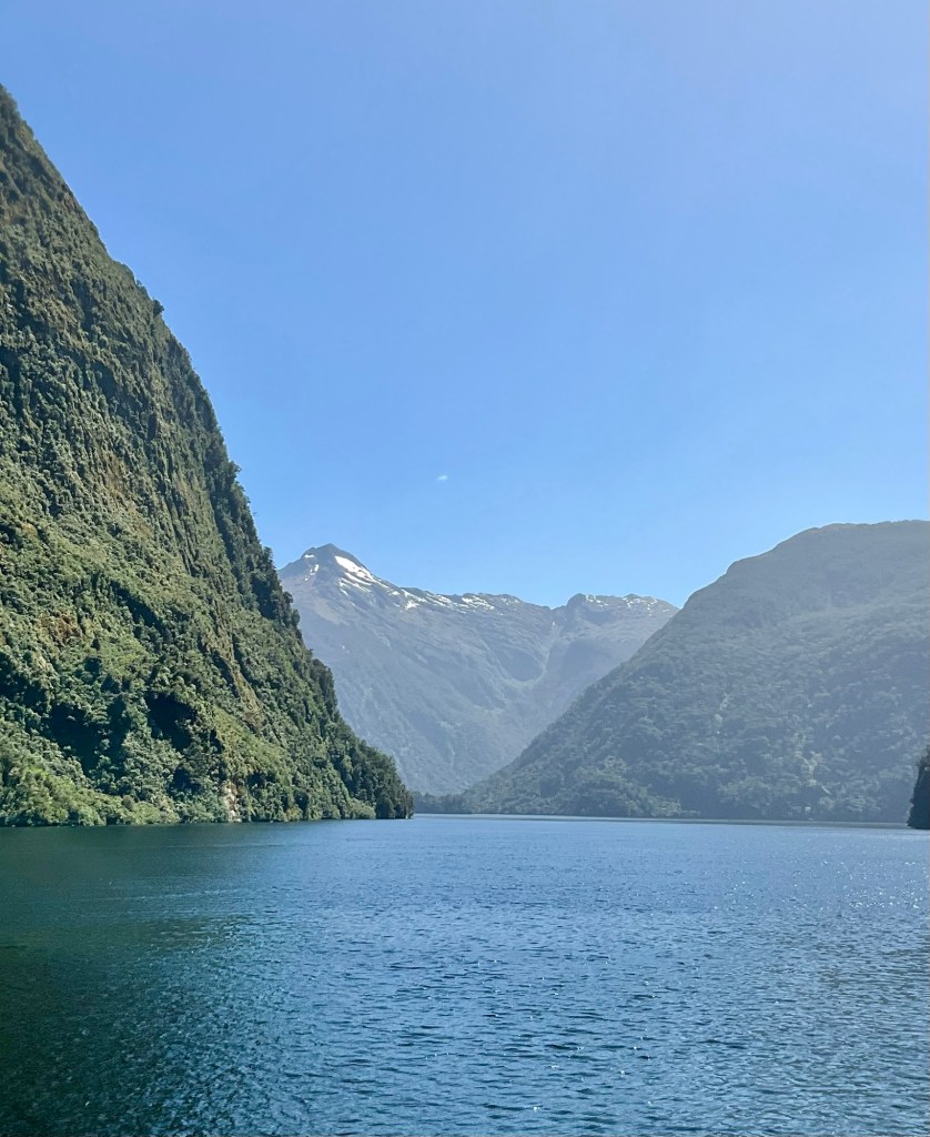
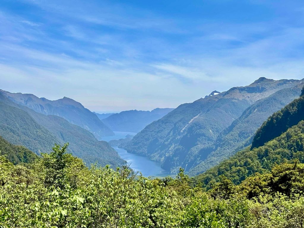
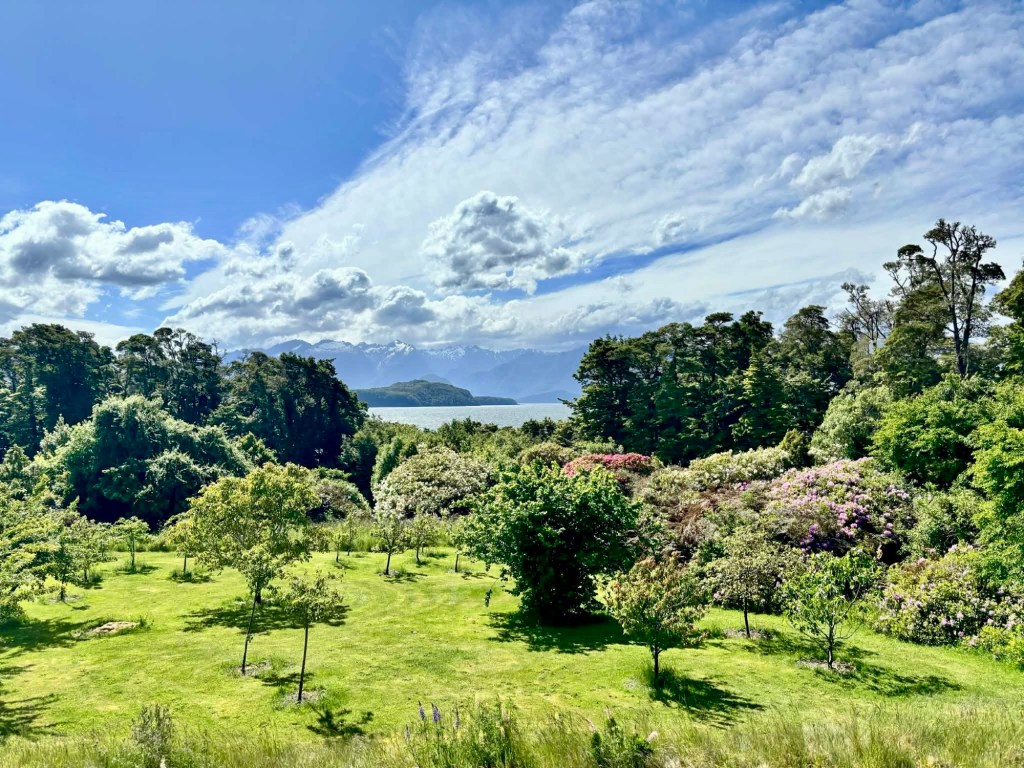
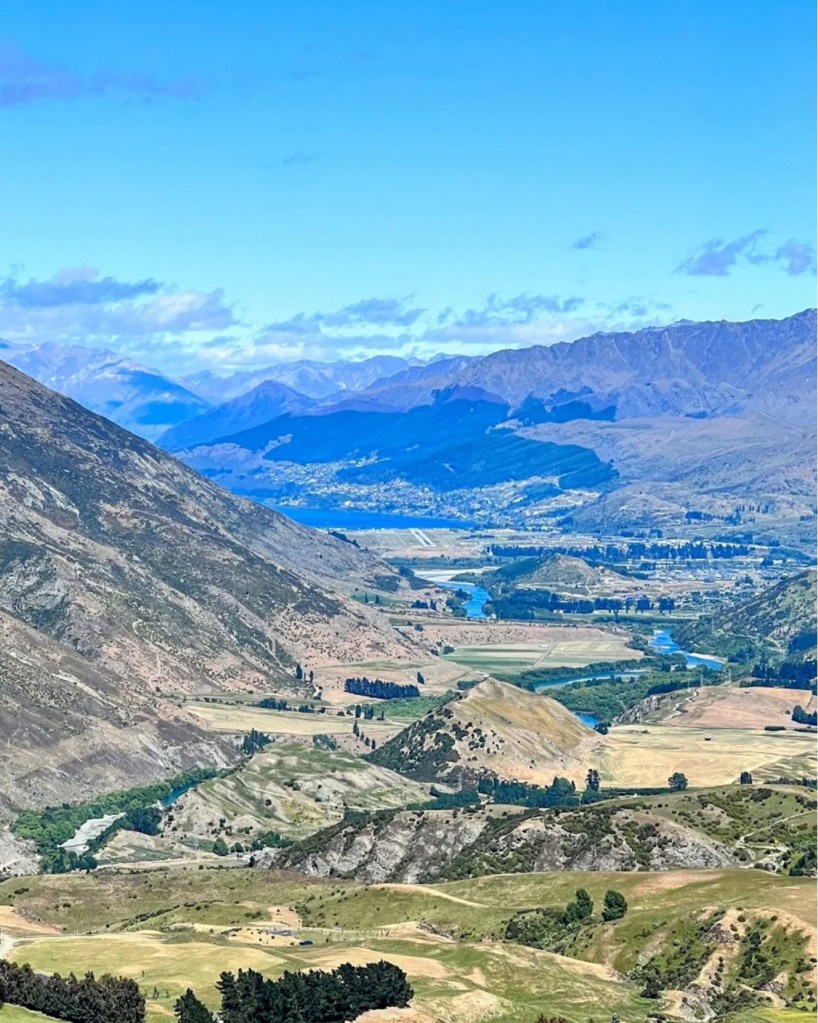
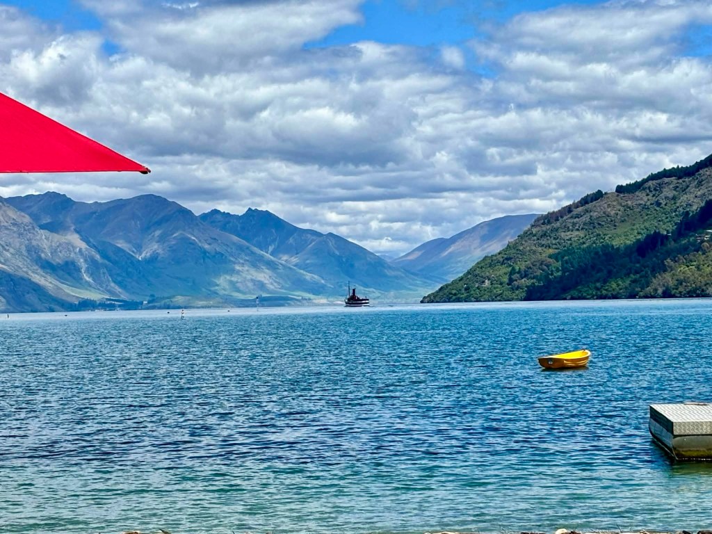
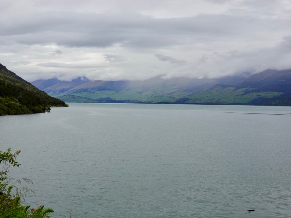
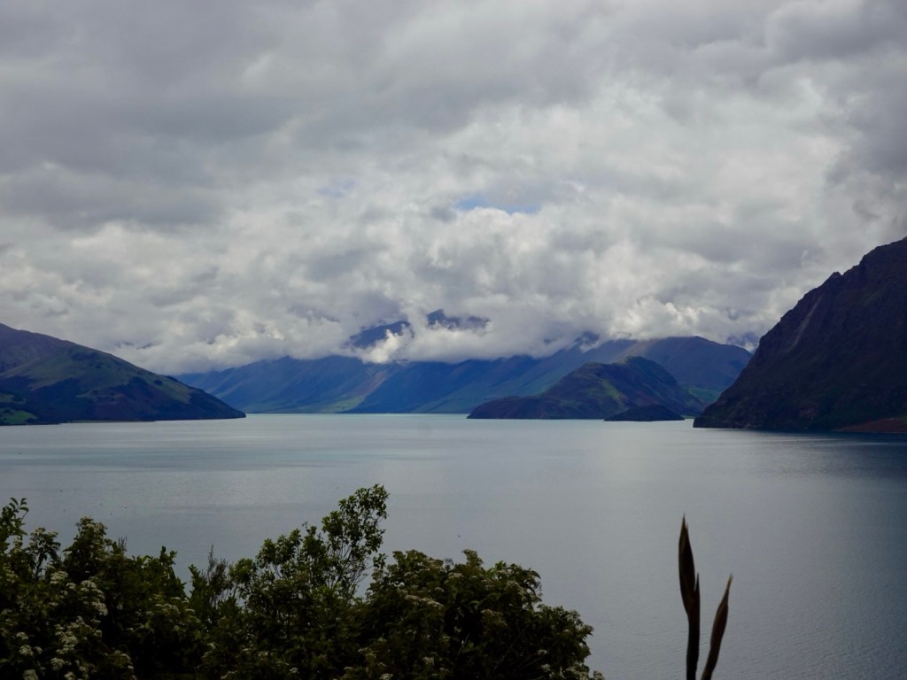
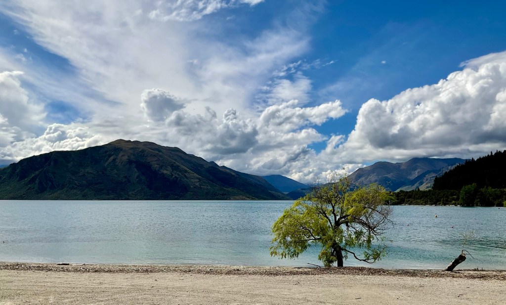
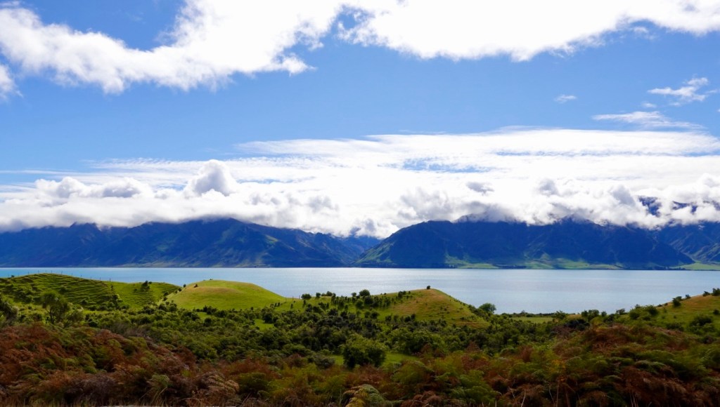
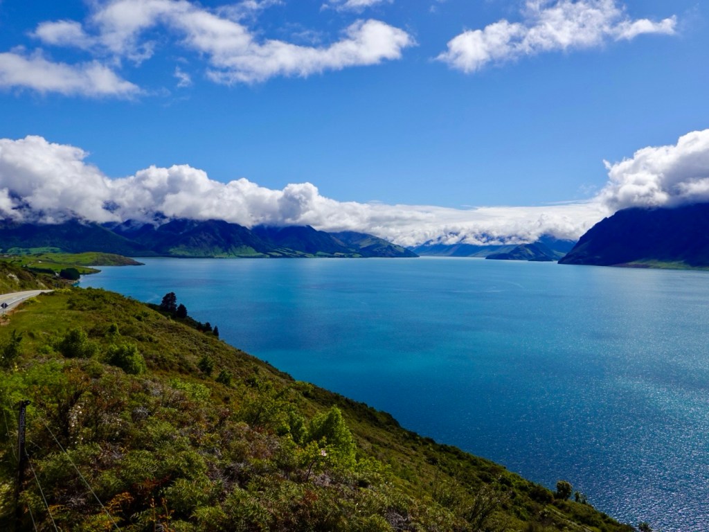
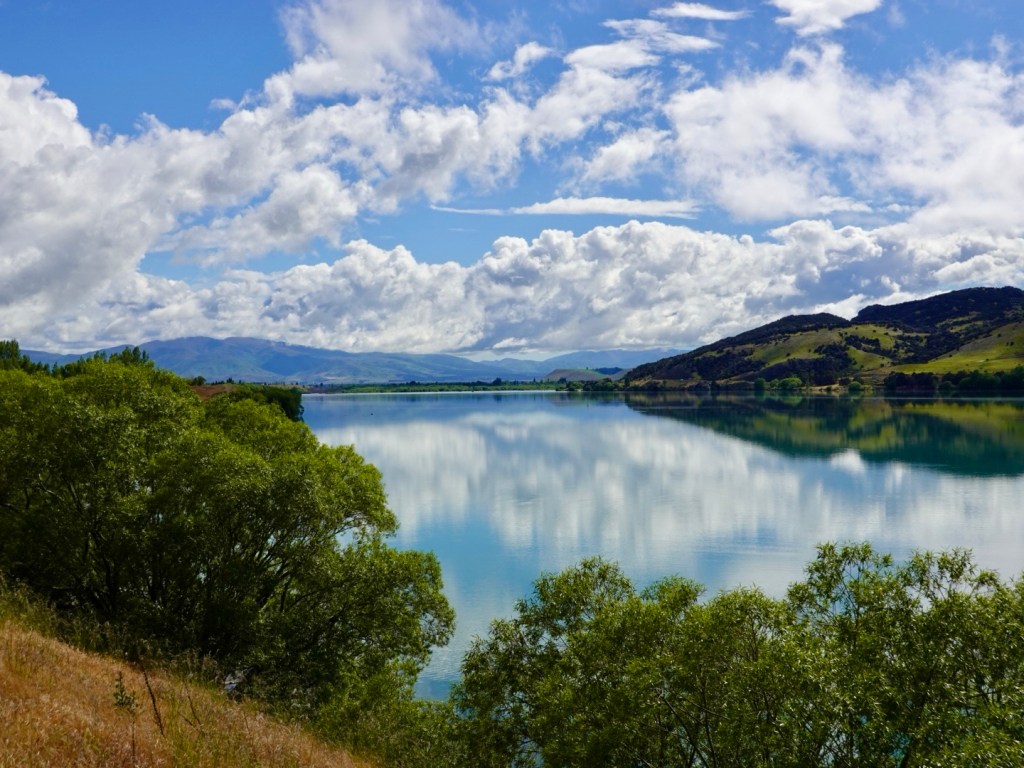
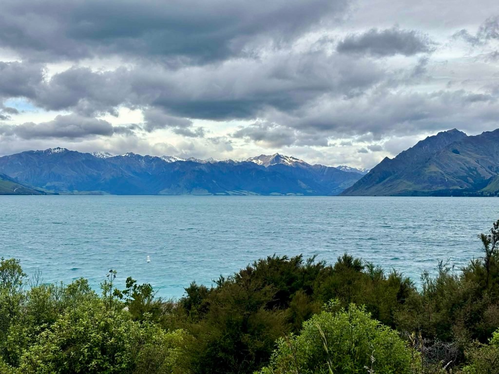
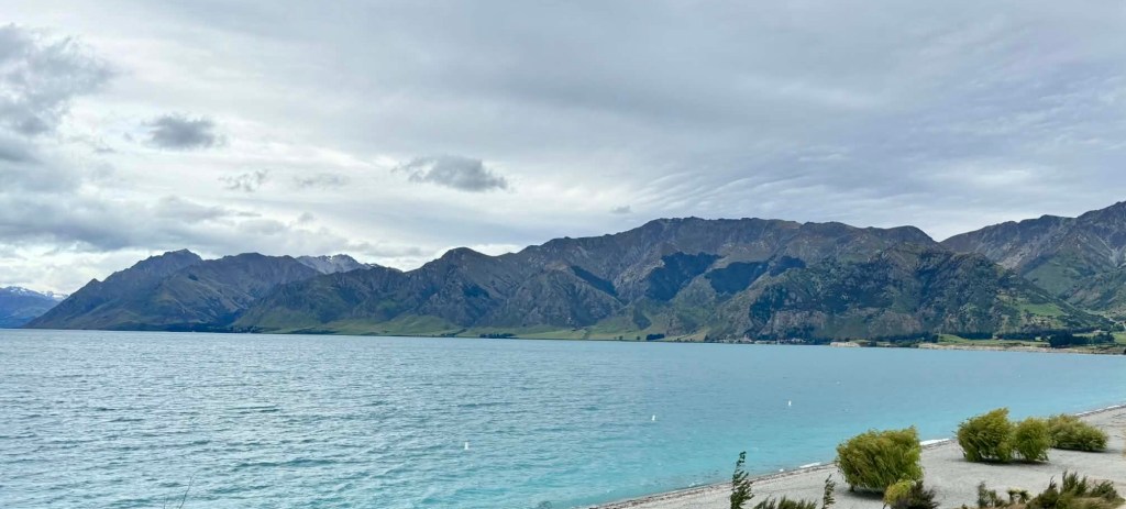
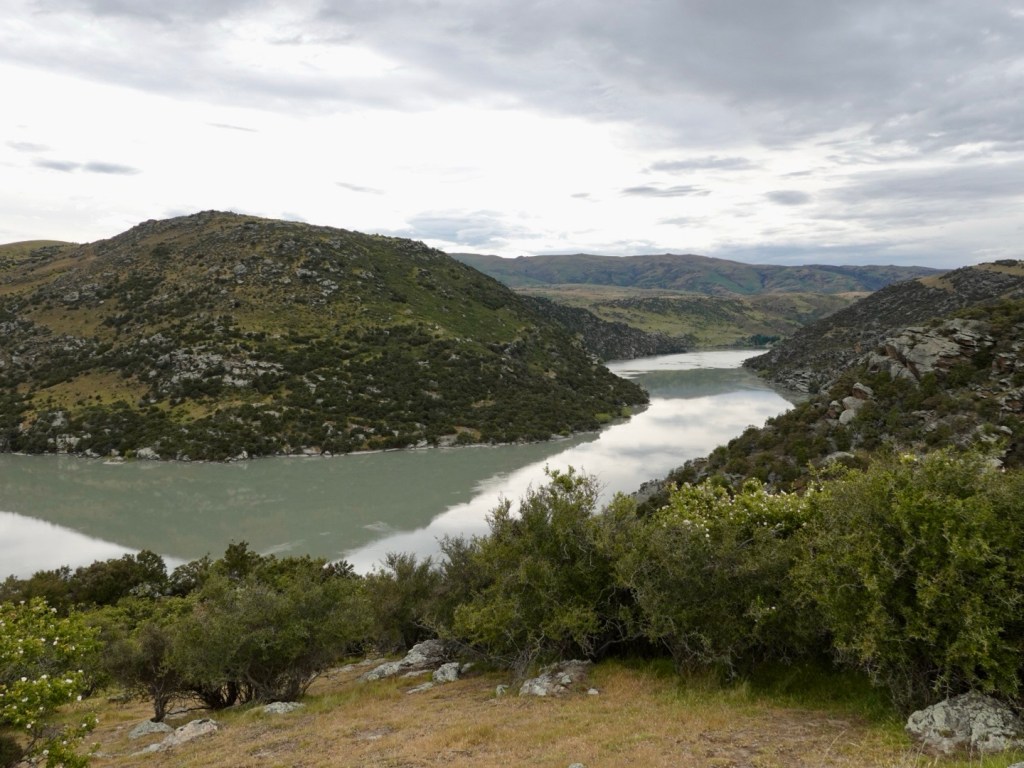
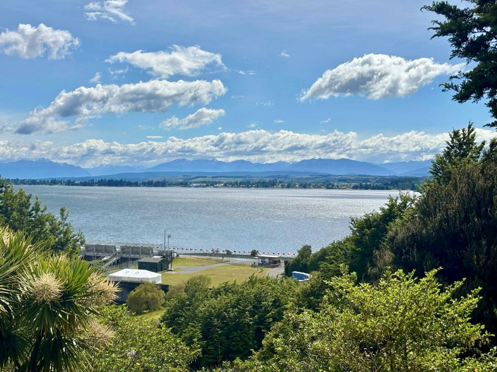
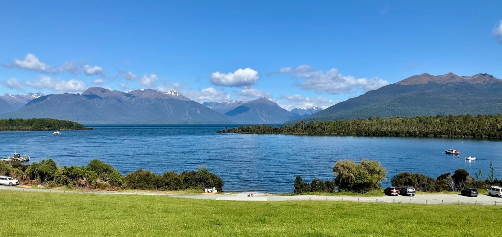
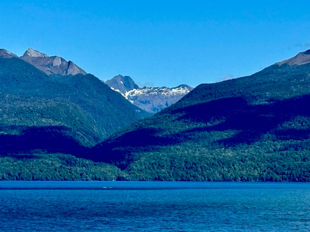
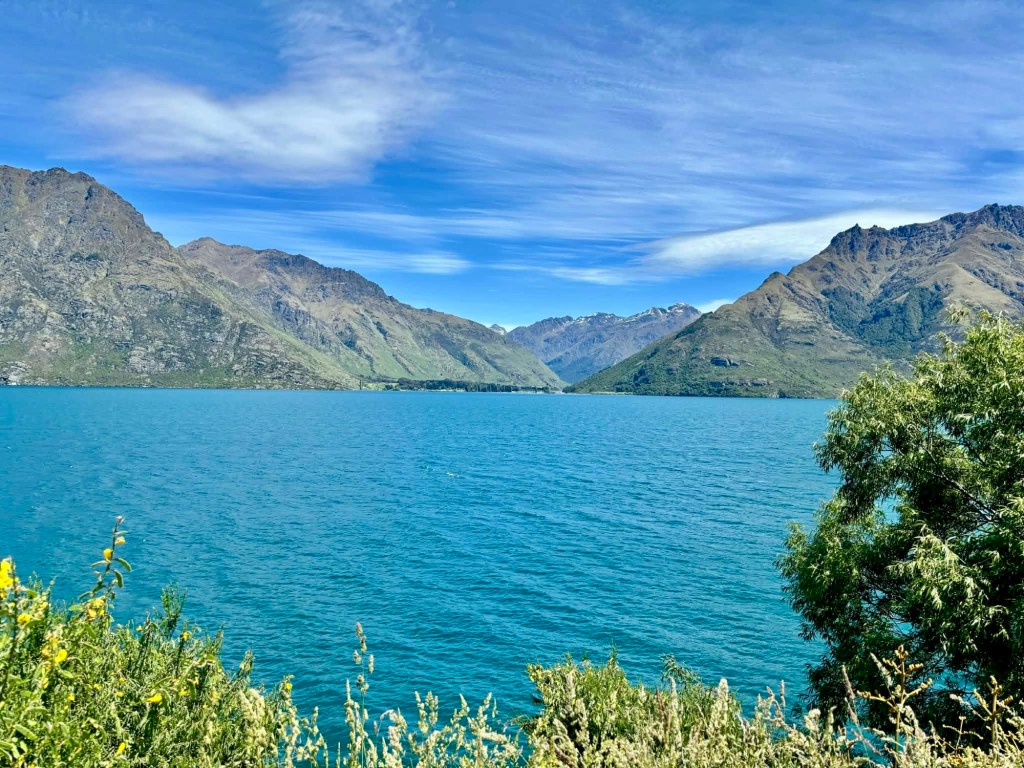
We drove up to a viewpoint overlooking Lake Te Anau.

Volunteers were packing up barriers and banners from the previous day Kepler Track endurance run.

We arrived in Te Anau late morning, despite dragging our heels.

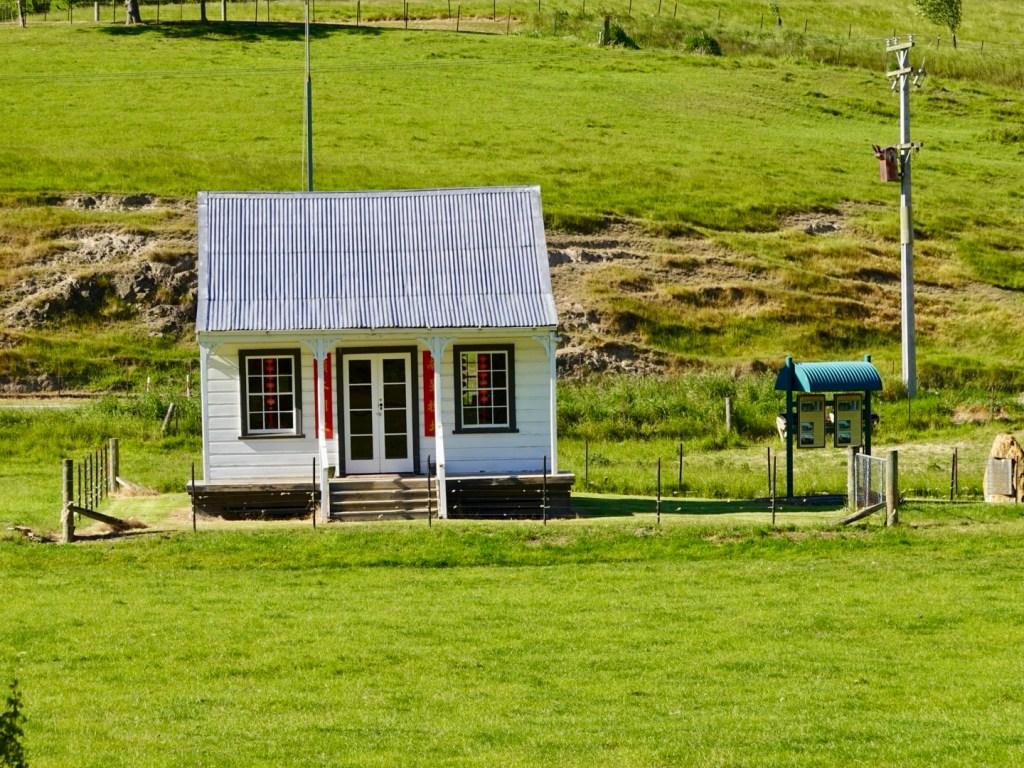
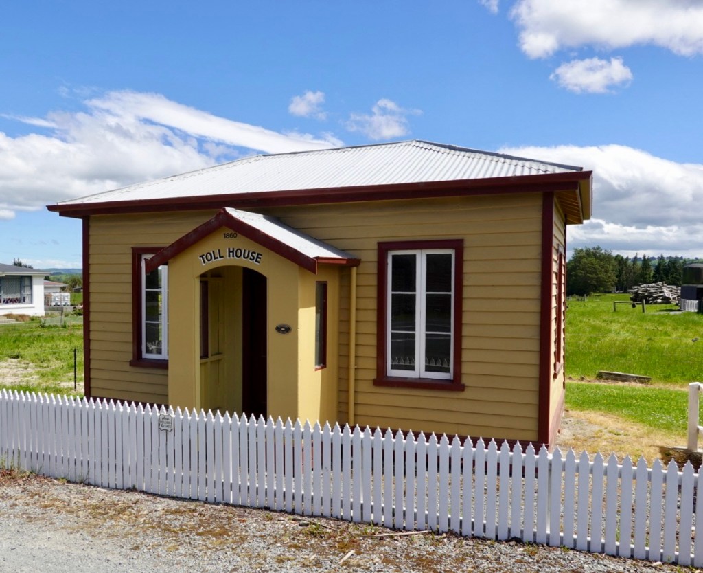
We checked out the Department of Conservation visitor centre, which provides a dearth of information on the region, plus pictorial history.

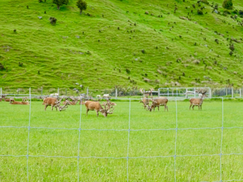
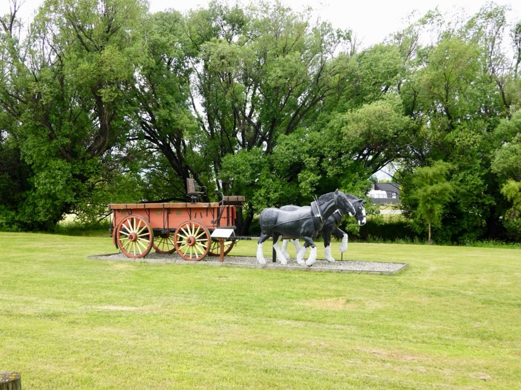
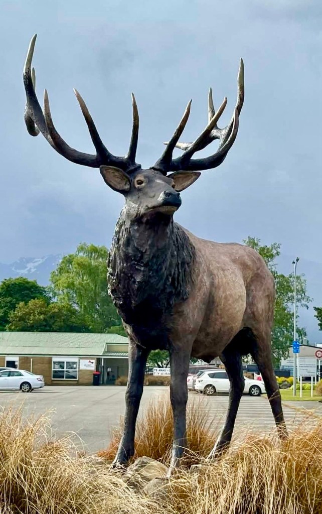
We have a big penguin at home, but here we have….a big deer.

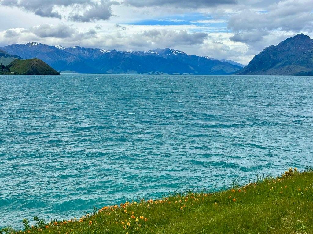
I ended up in a bookstore, buying the latest Paullina Simmons book to read. Nearly 600 pages should keep me busy. I started to read it as we parked by Lake Te Anau chilling.

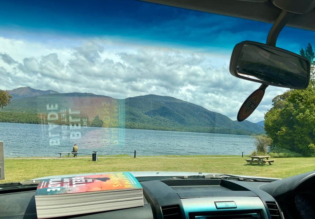
I read it in 24 hours, finishing it before we even left Te Anau. Not often I have such time to enjoy a book.

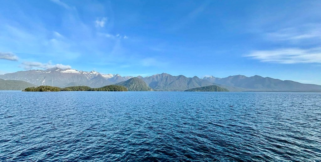
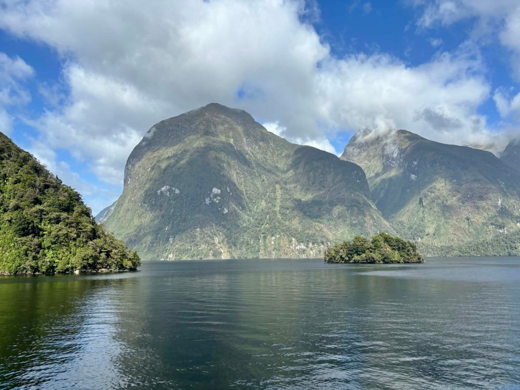
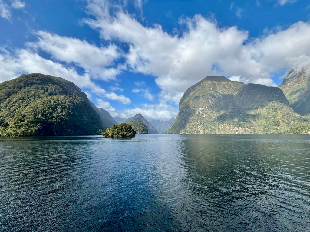
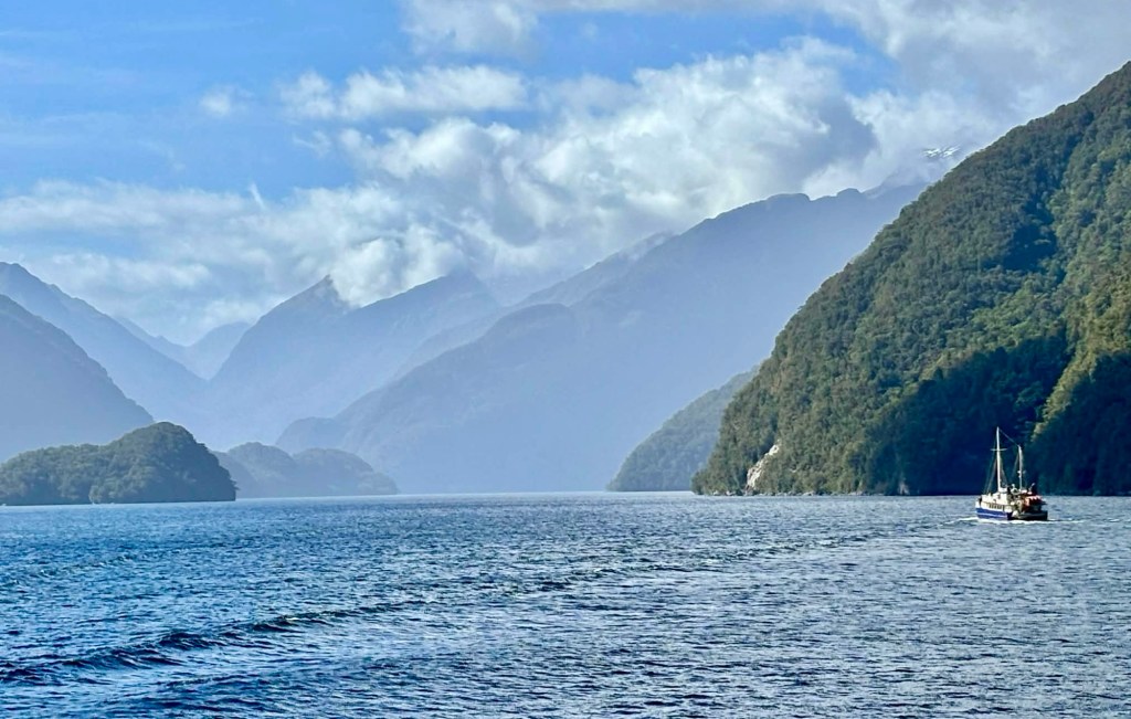
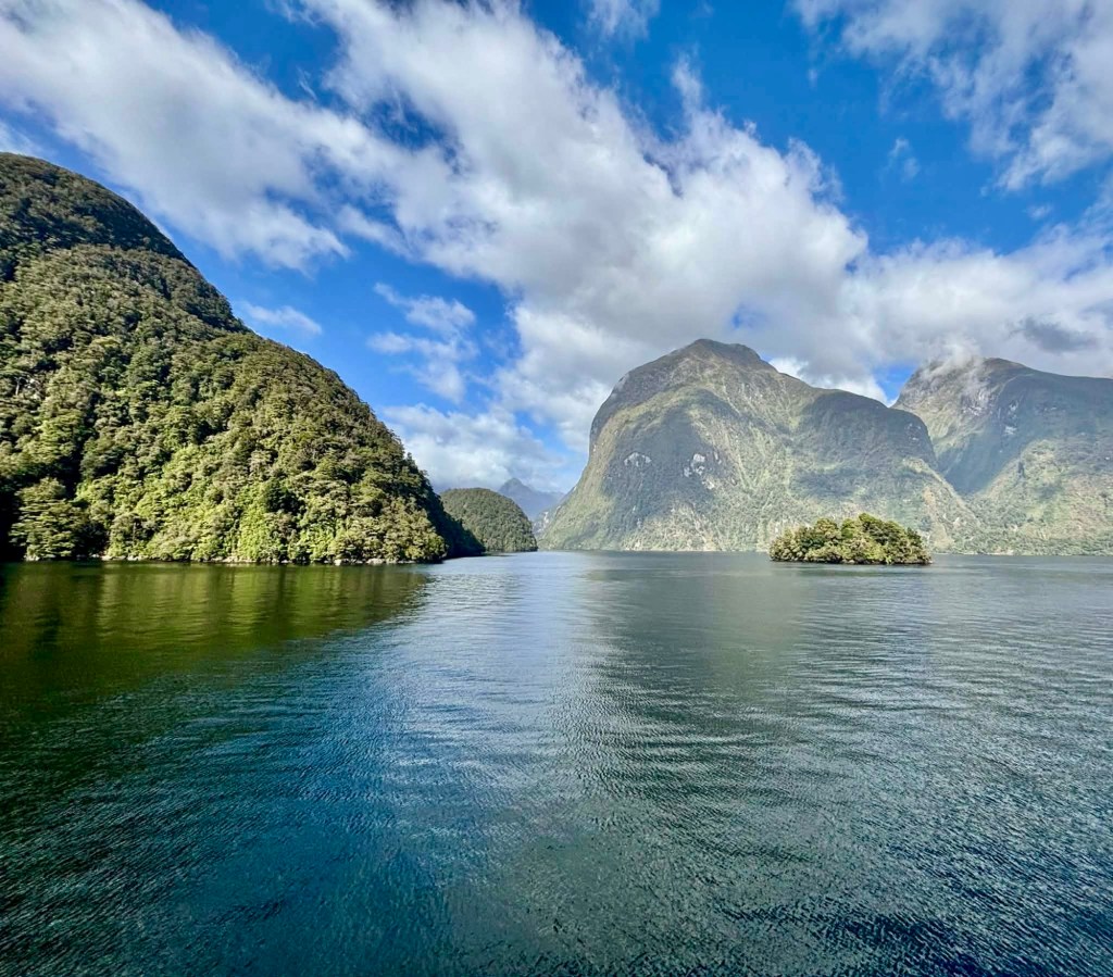
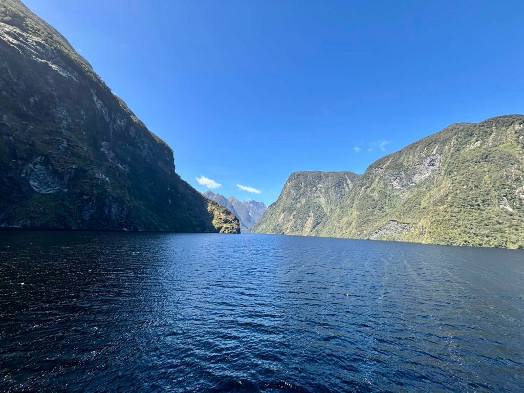
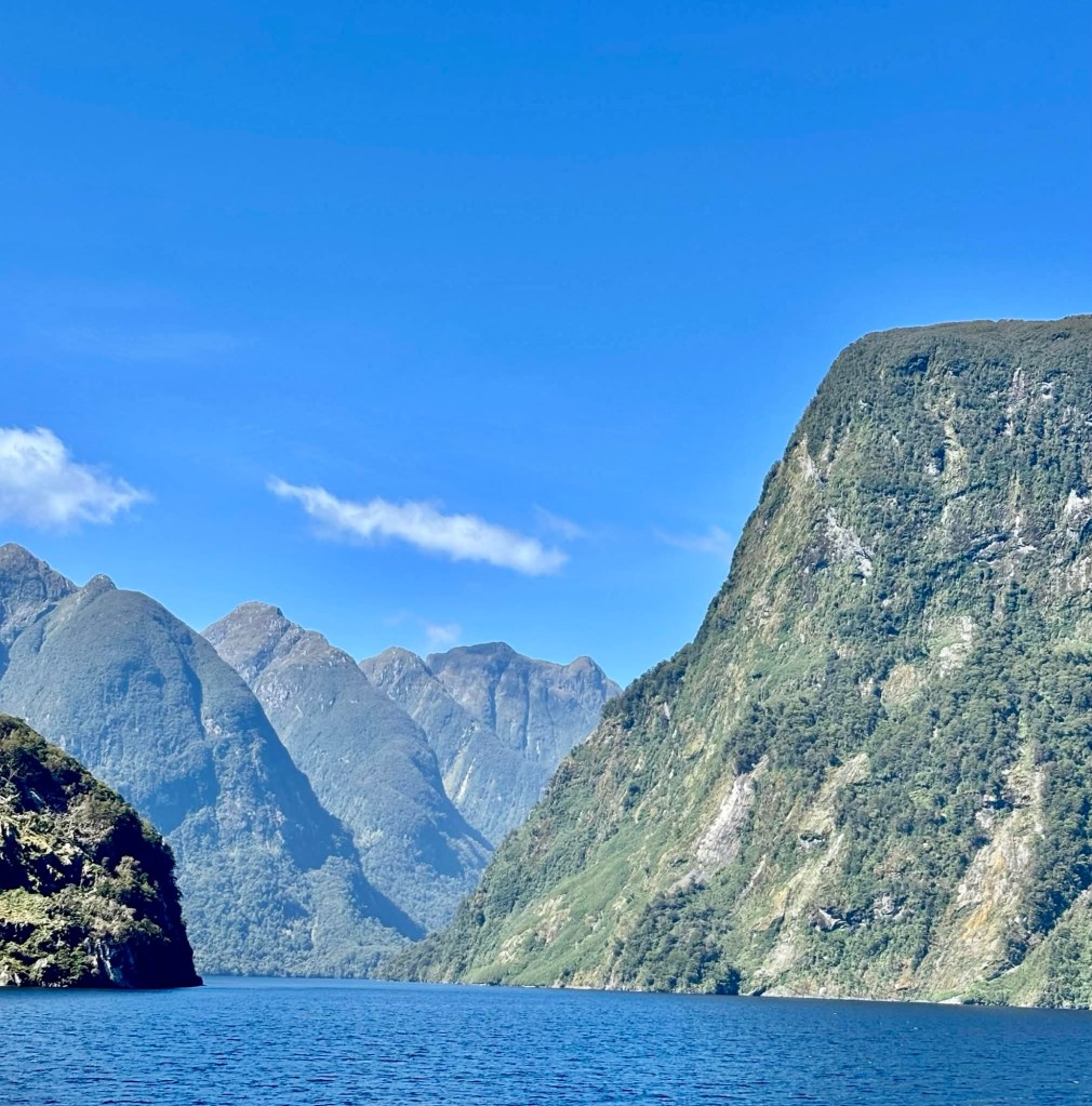
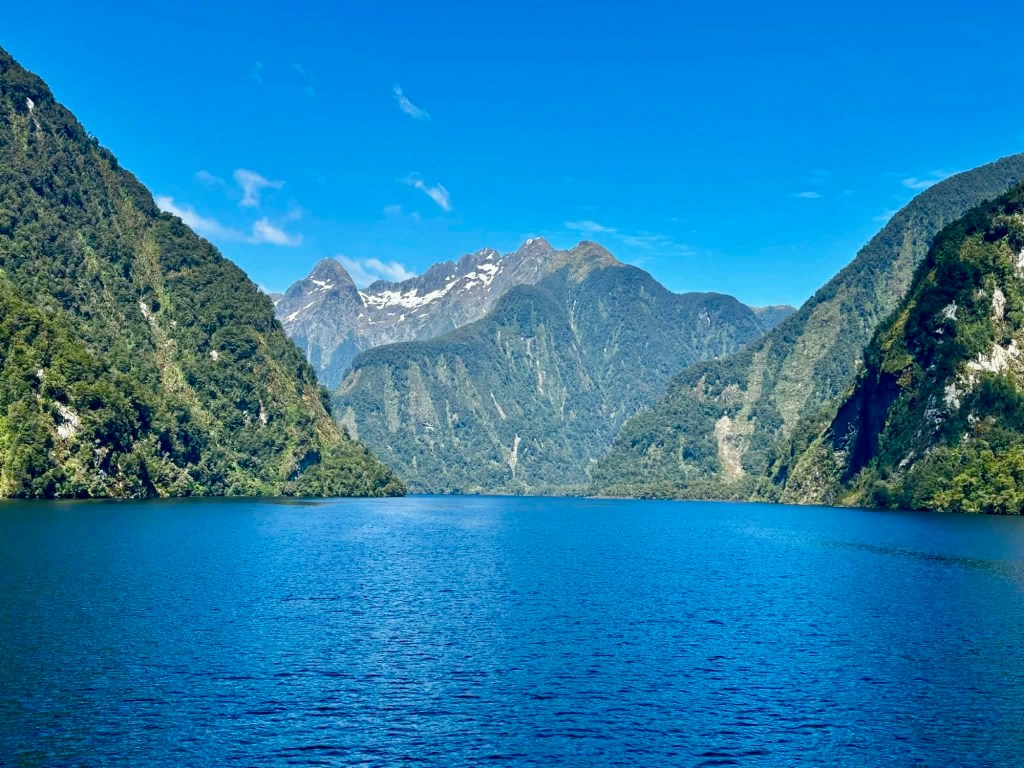
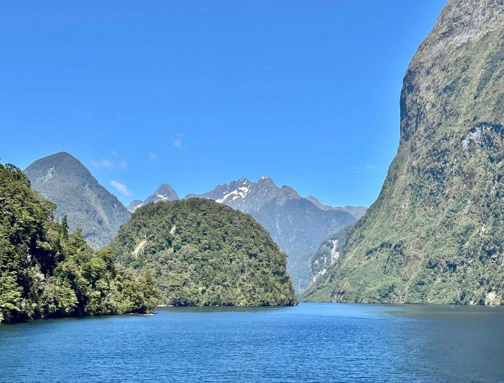
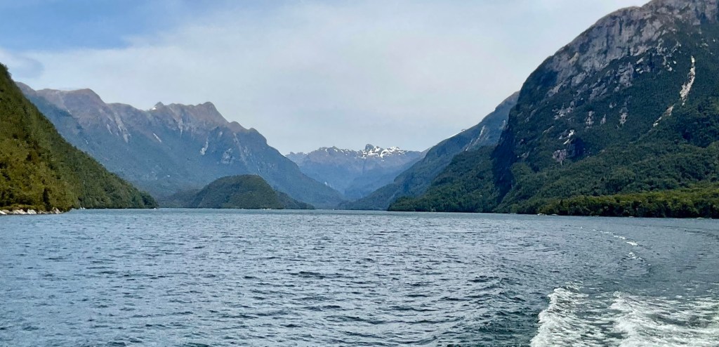
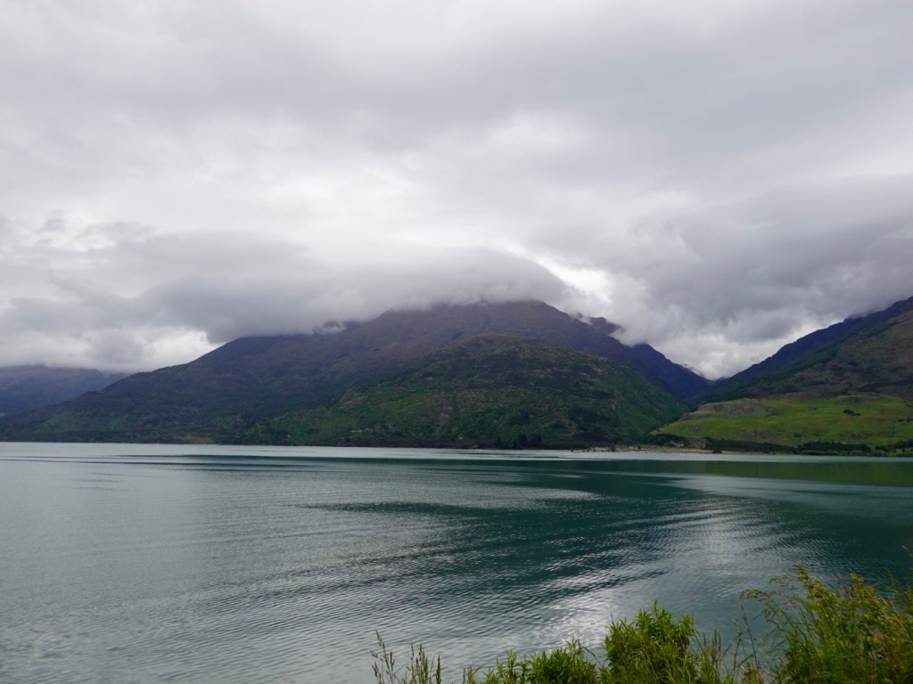
Te Anau is a busy town, the base for all travel via road to Milford Sound. Thousands upon thousands of people descend daily to the Sound, car after car, motor home after motor home, and the most incredible number of buses.

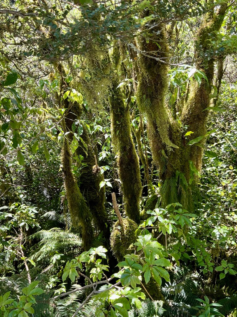
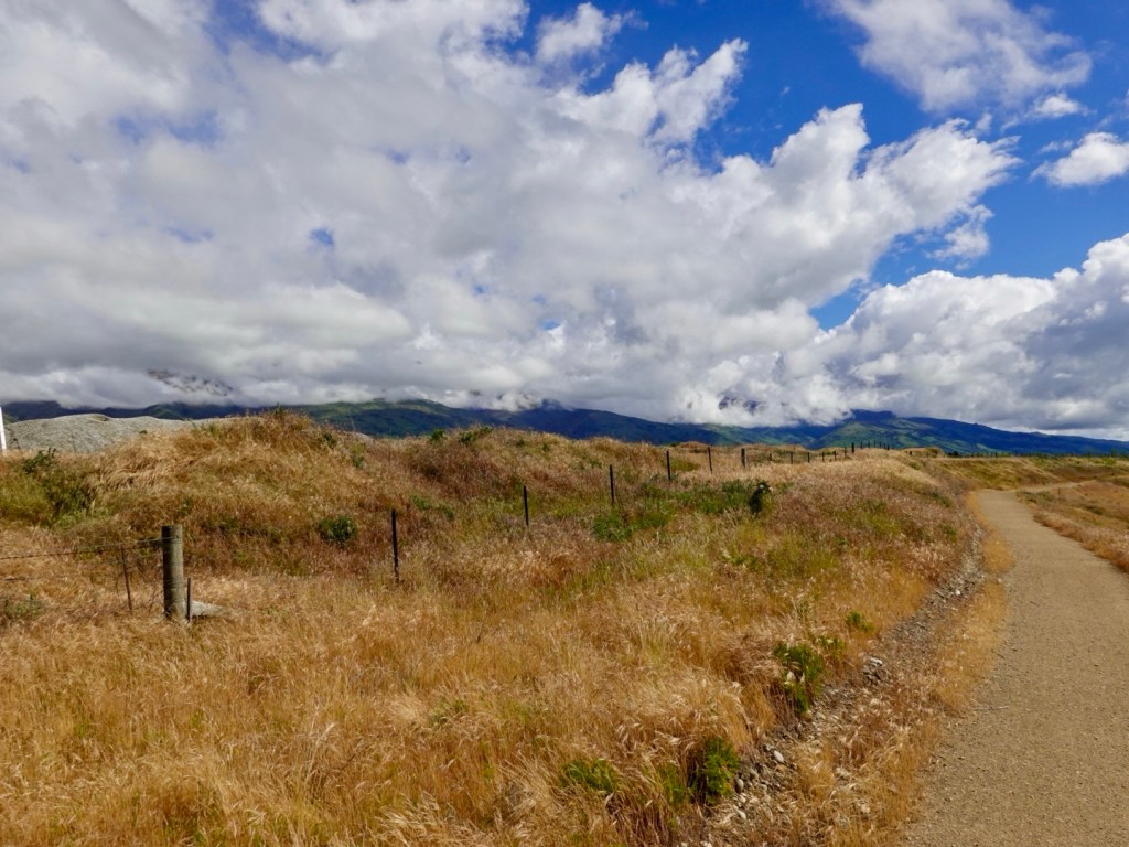
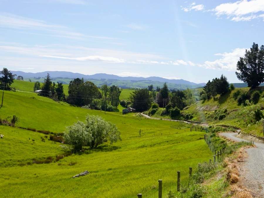
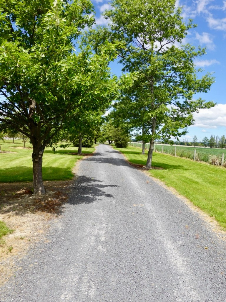
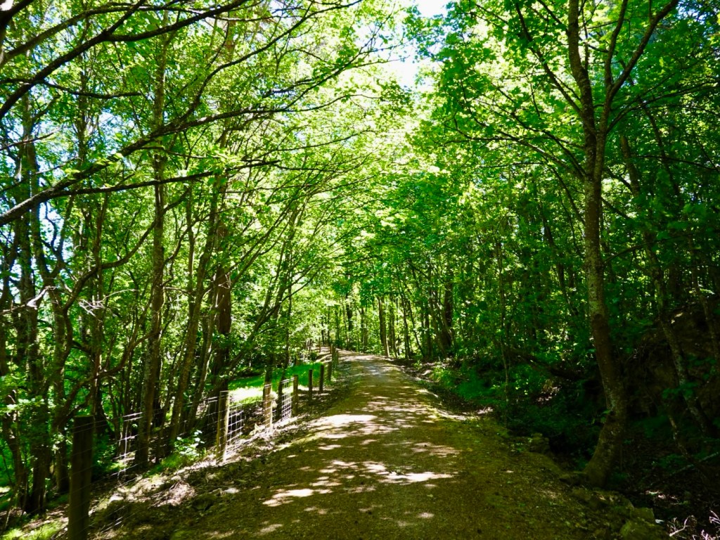
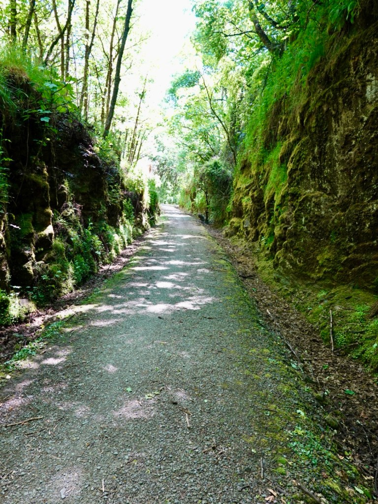
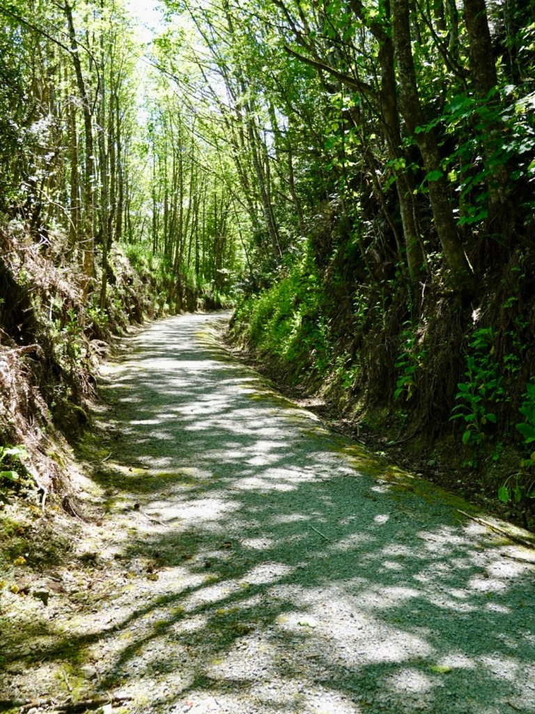
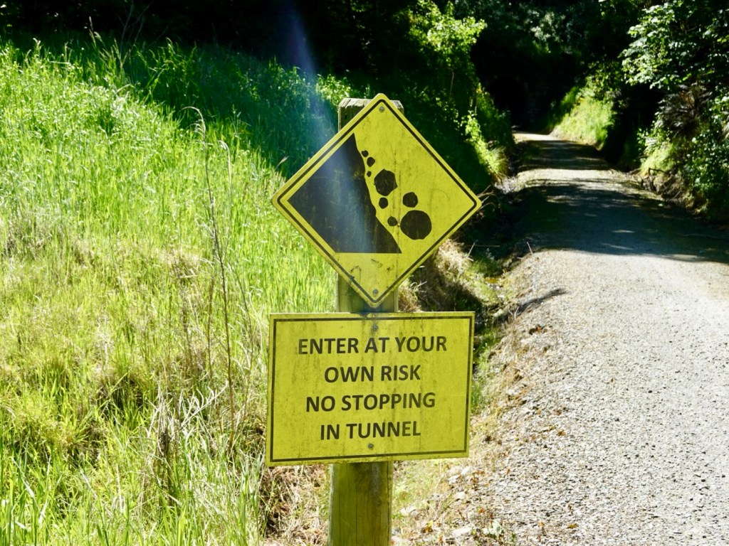
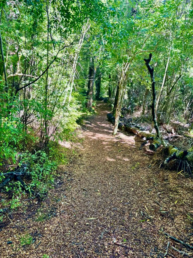
The following day we joined the convoy for some 20 km, heading to Lake Mistletoe. There is a circuit walk to the lake, through lovely forest.

A super easy walk, nice forest.
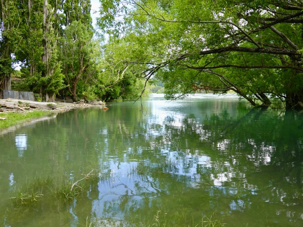
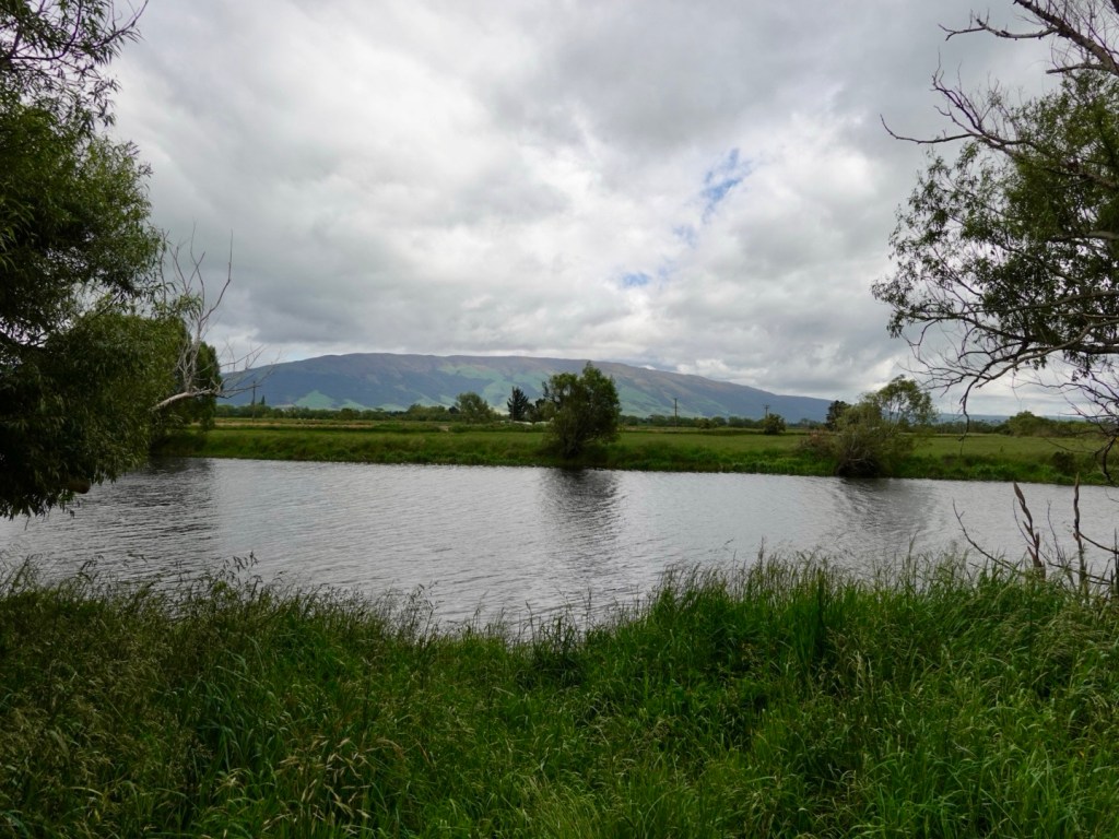
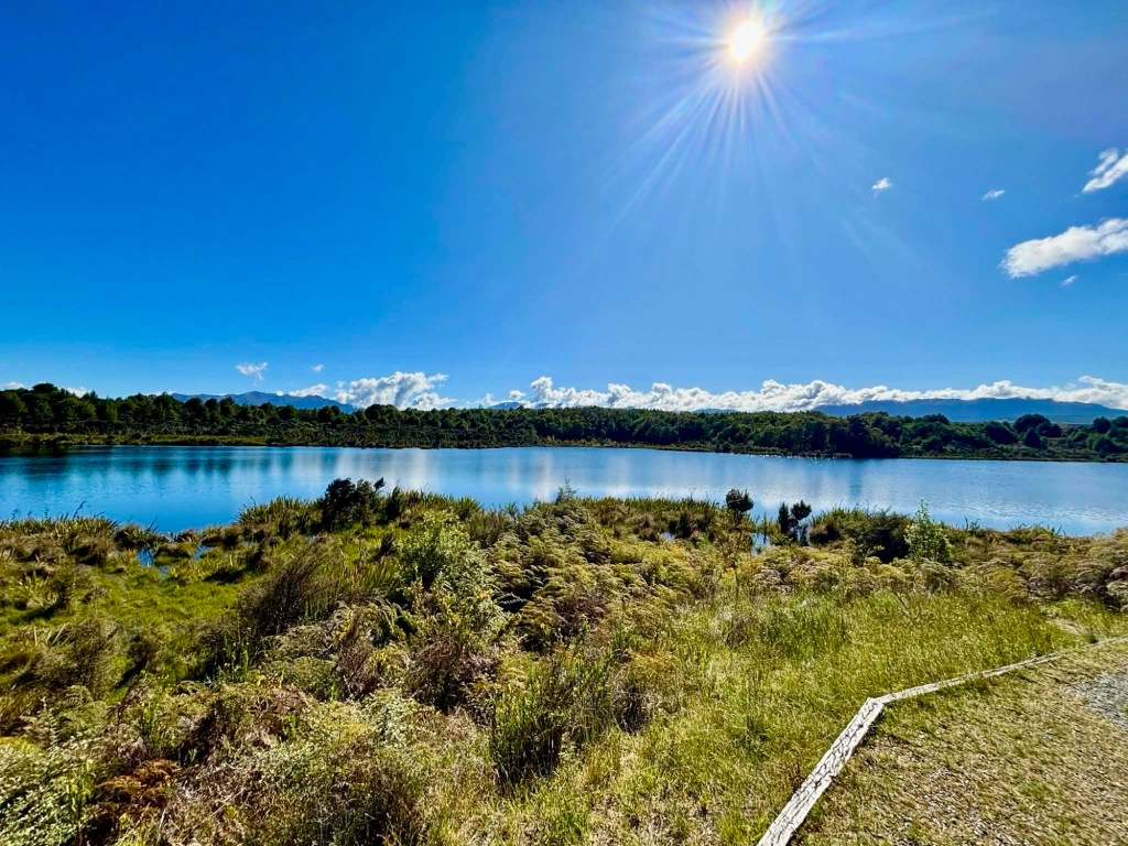
A pretty lake.

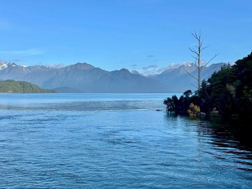
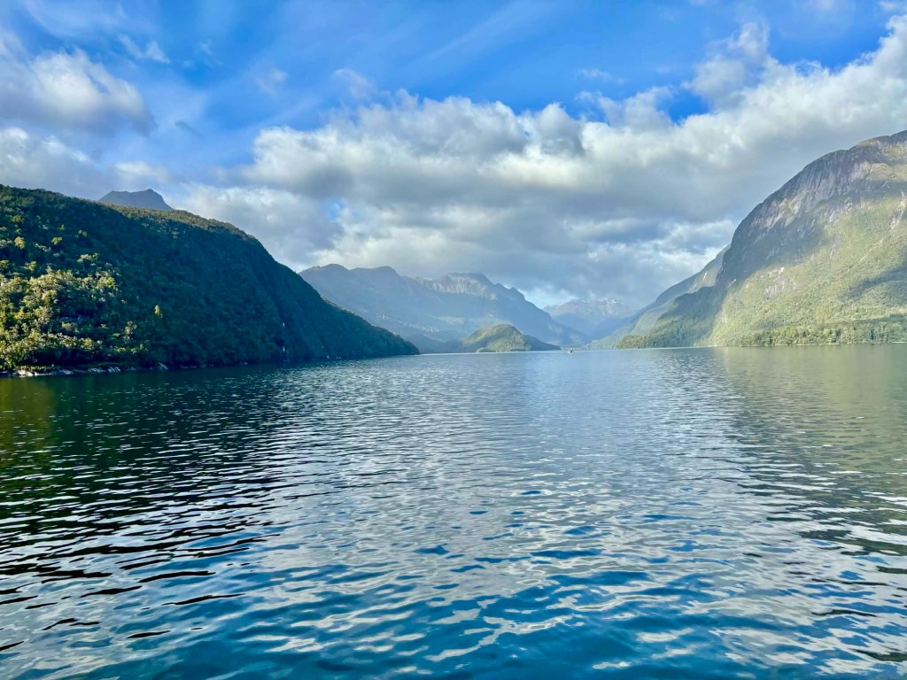
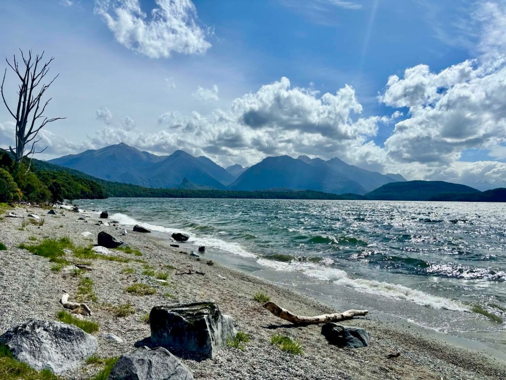
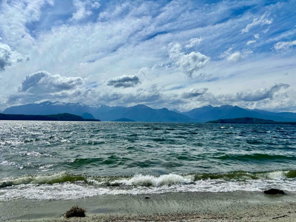
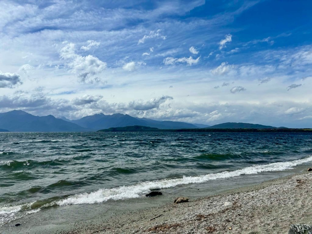
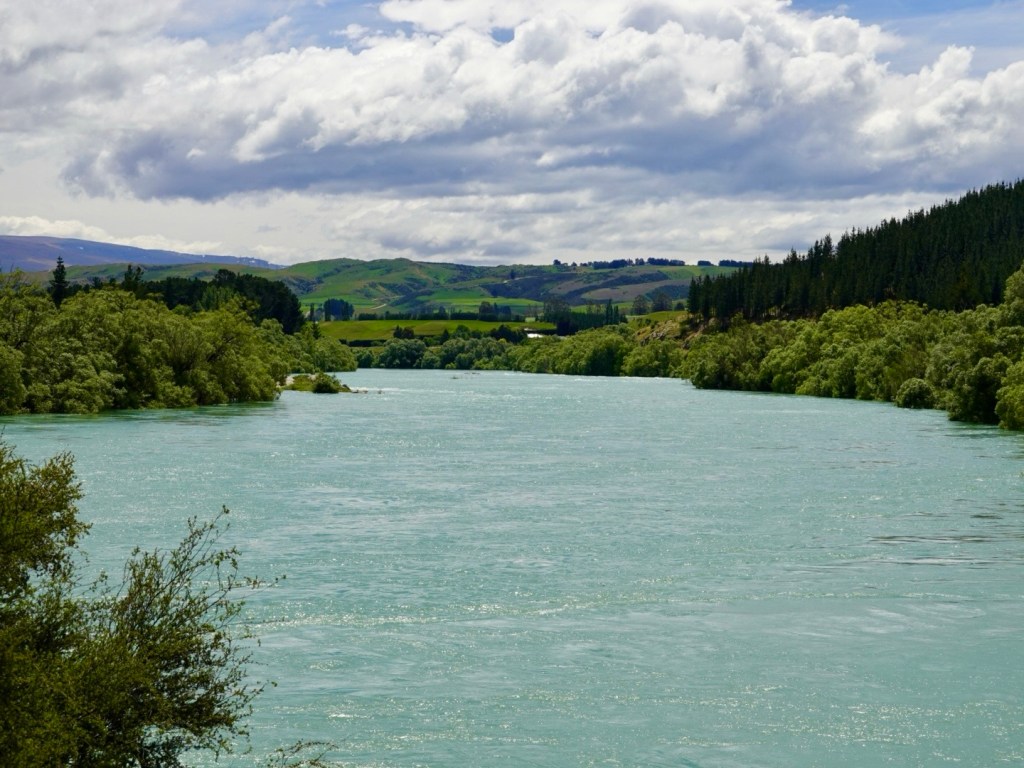
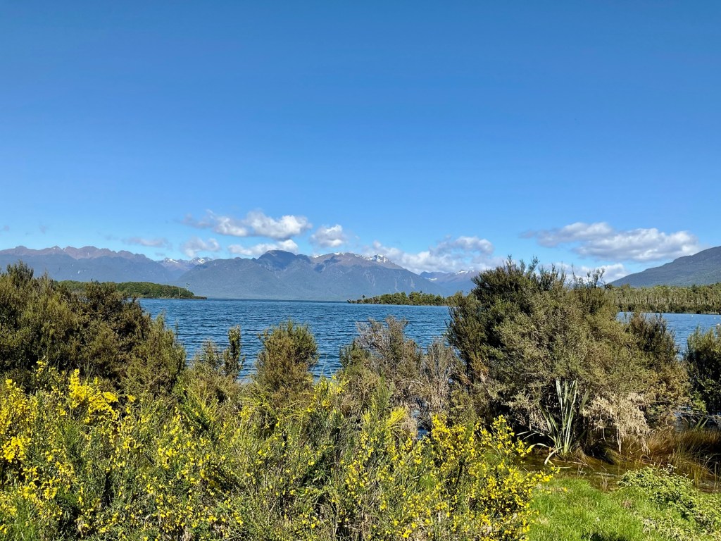
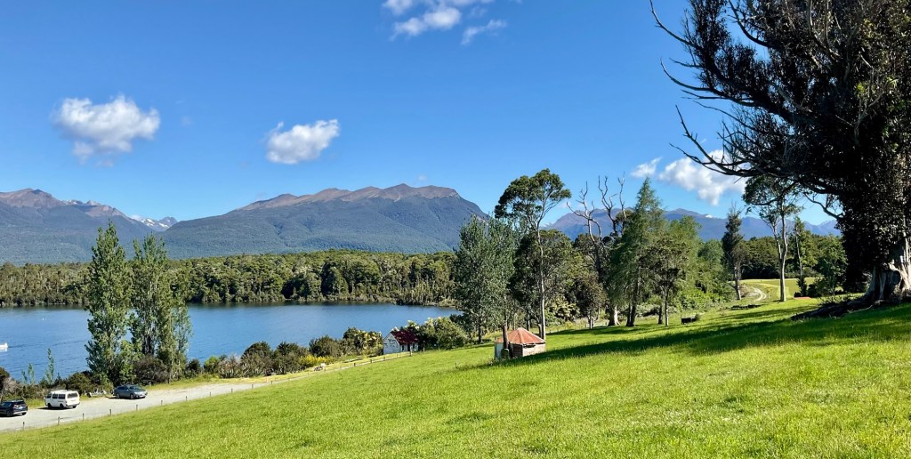
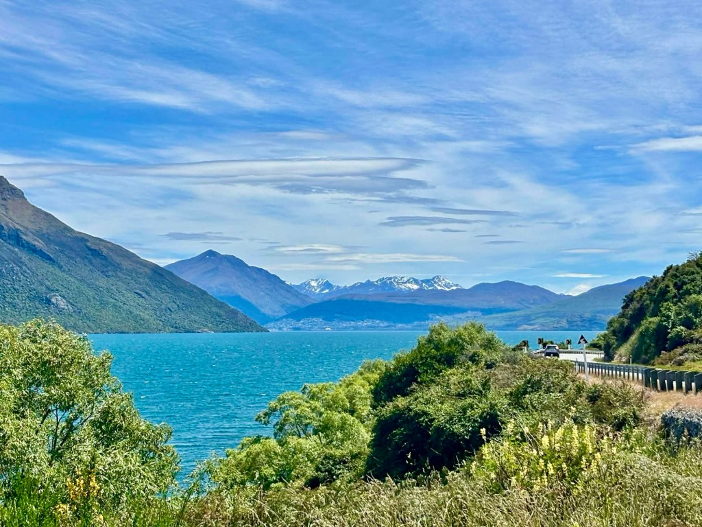
Back at the carpark looking to Lake Te Anau.

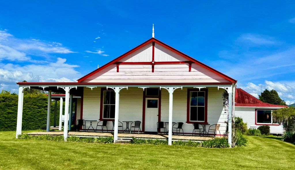
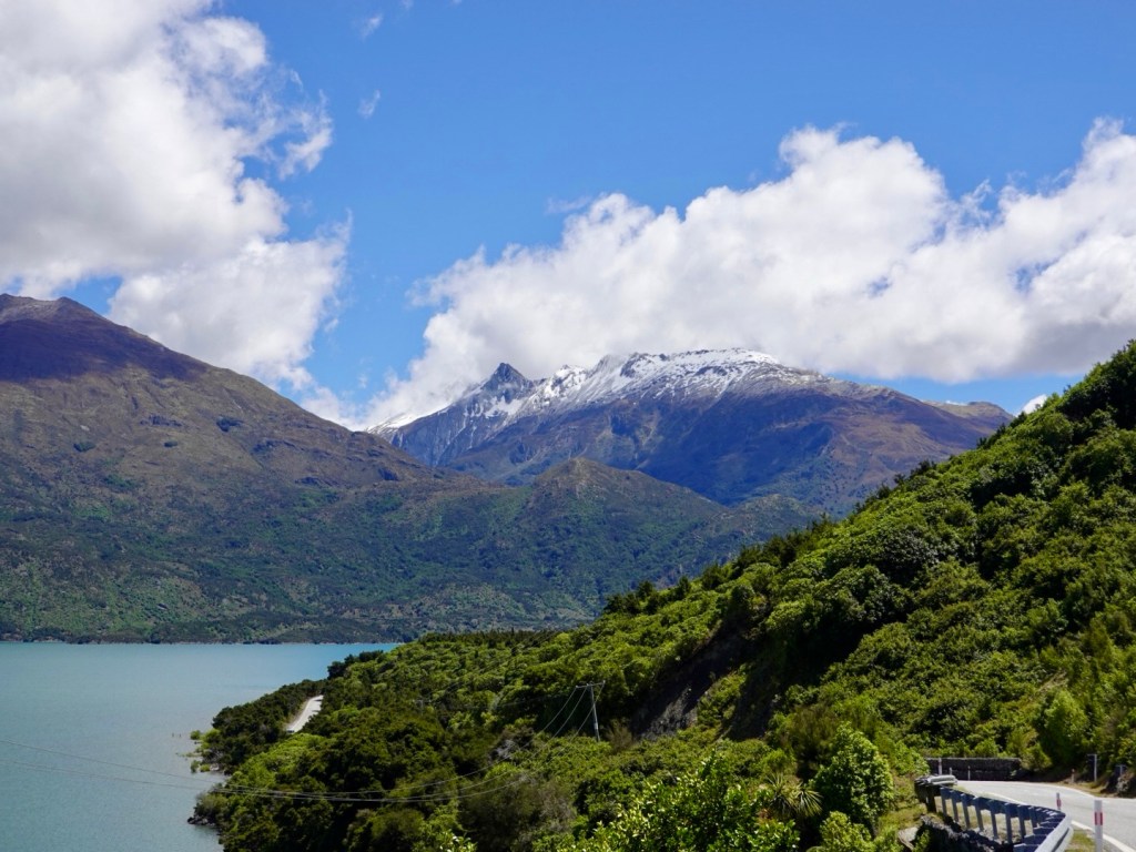
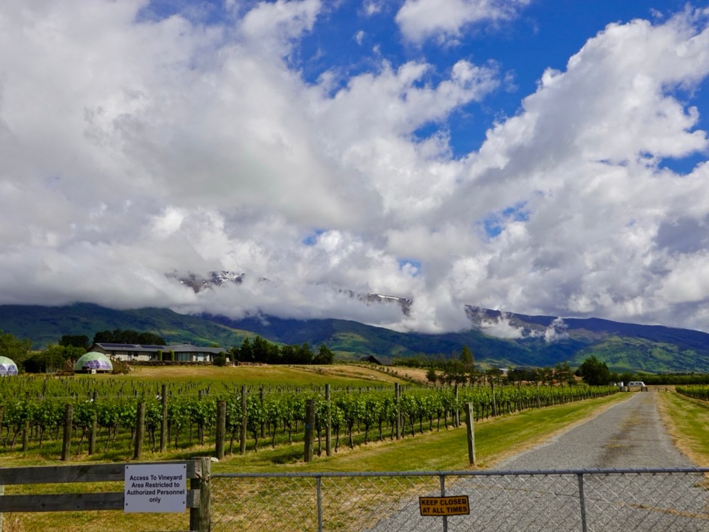
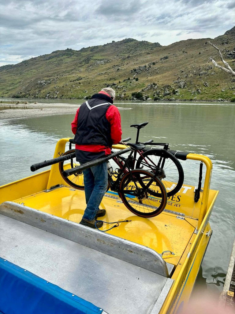
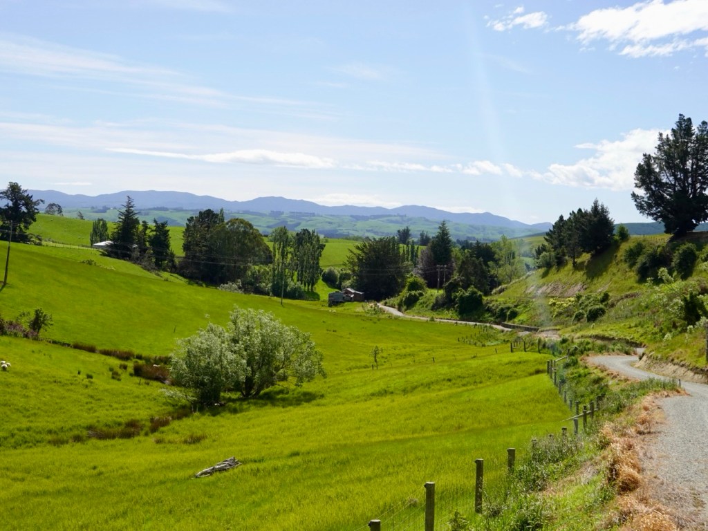
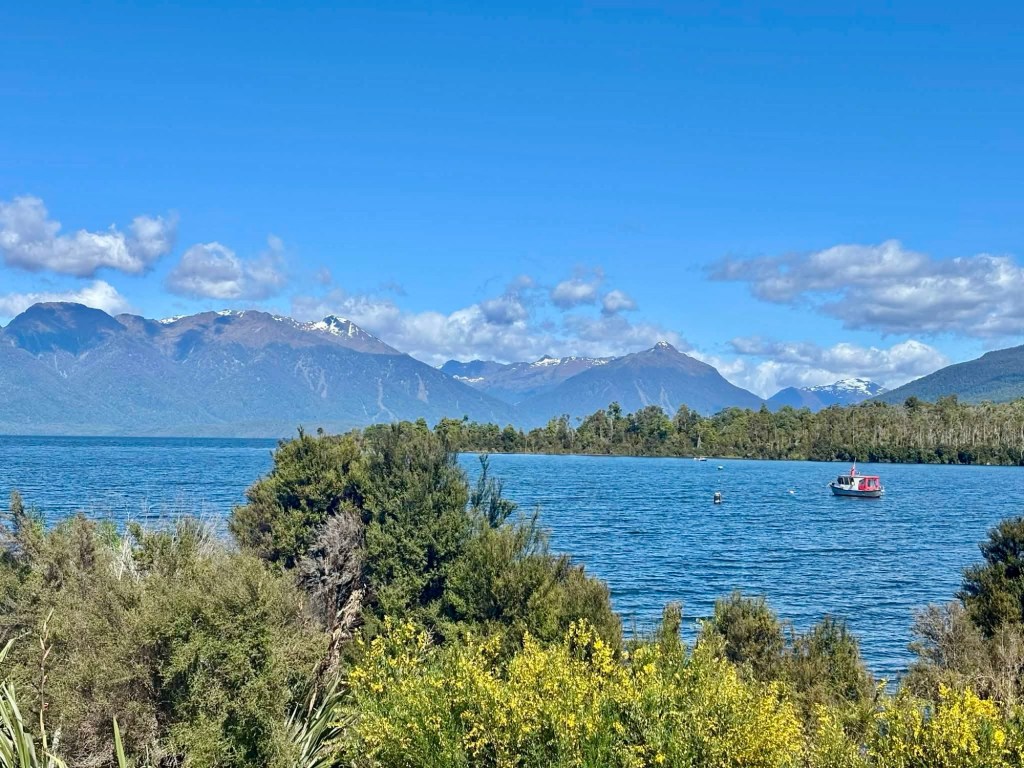
A little further up the road is Te Anau downs, site of a well known farm, as well as the departure point for walkers doing the Milford Track (transported by boat across the lake).

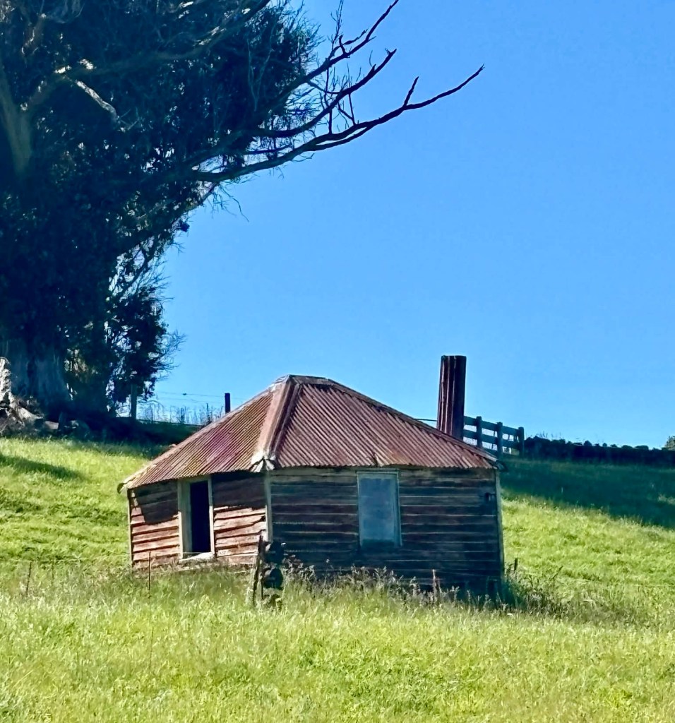
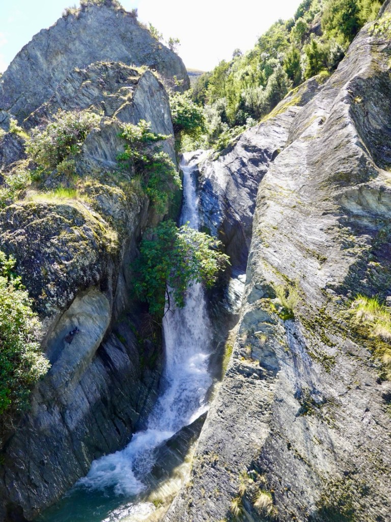
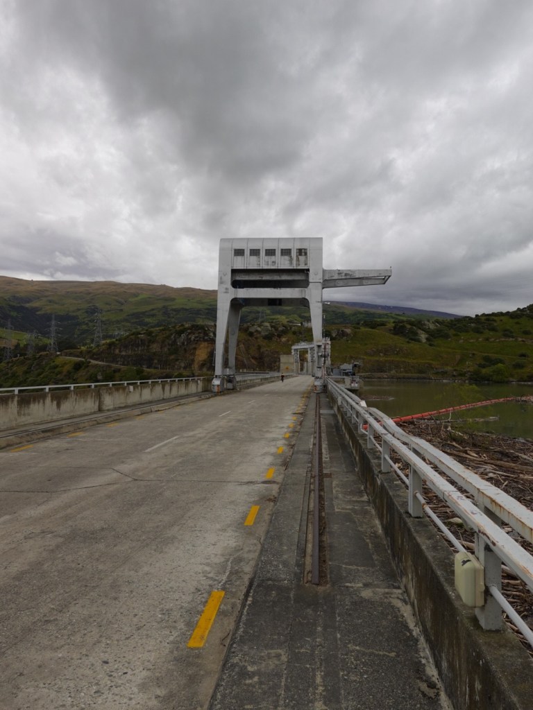
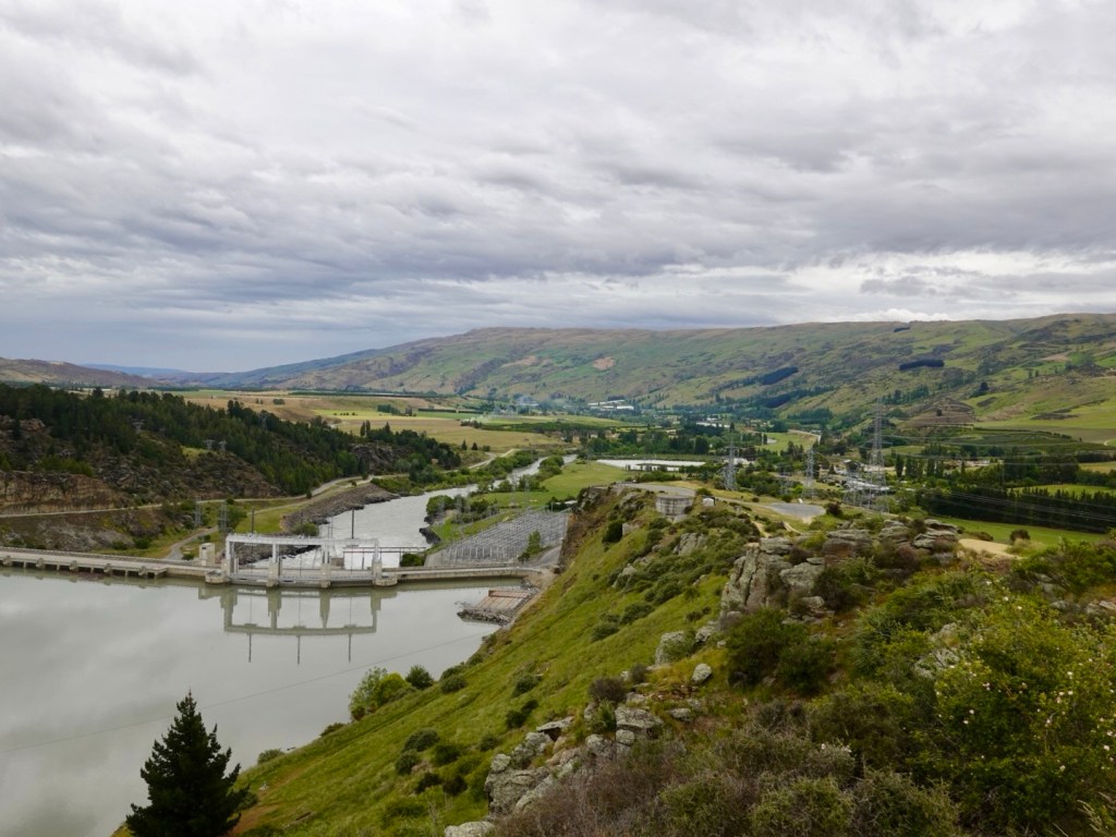
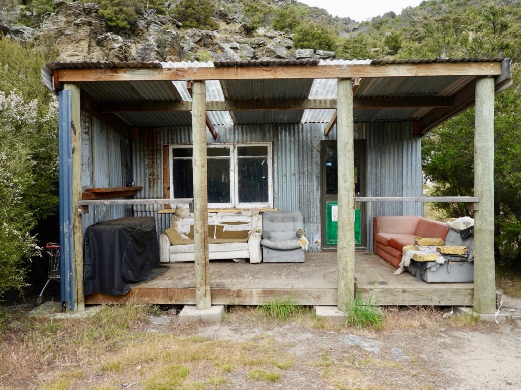
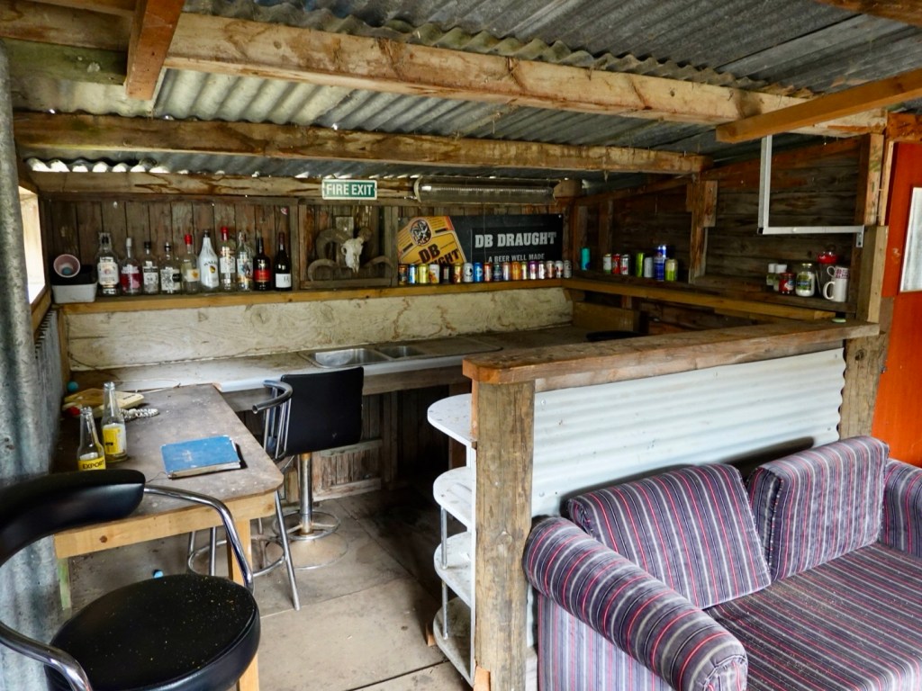
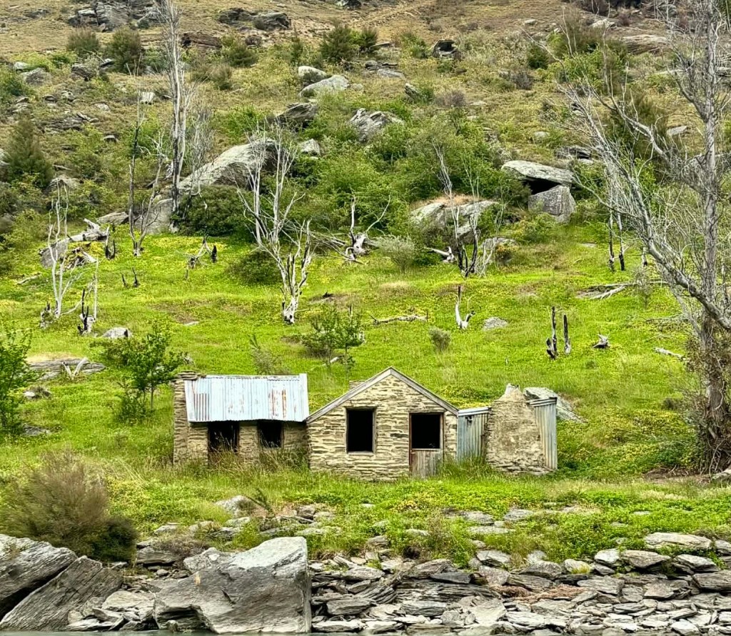
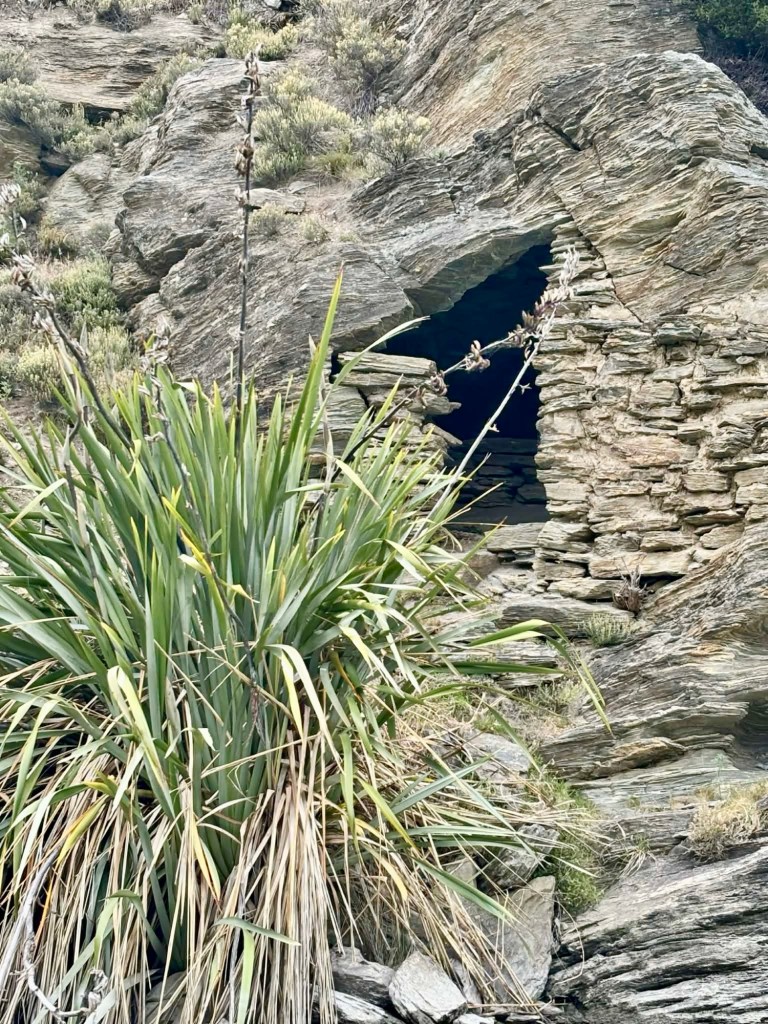
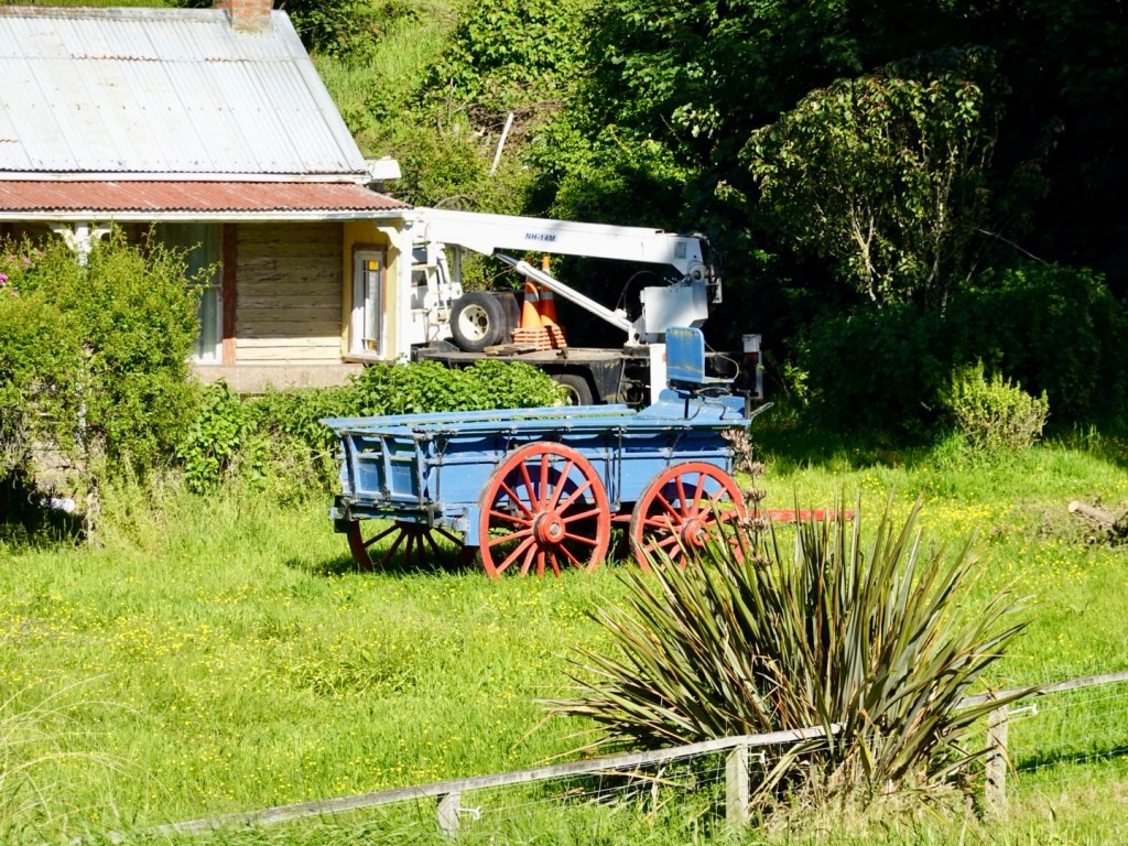
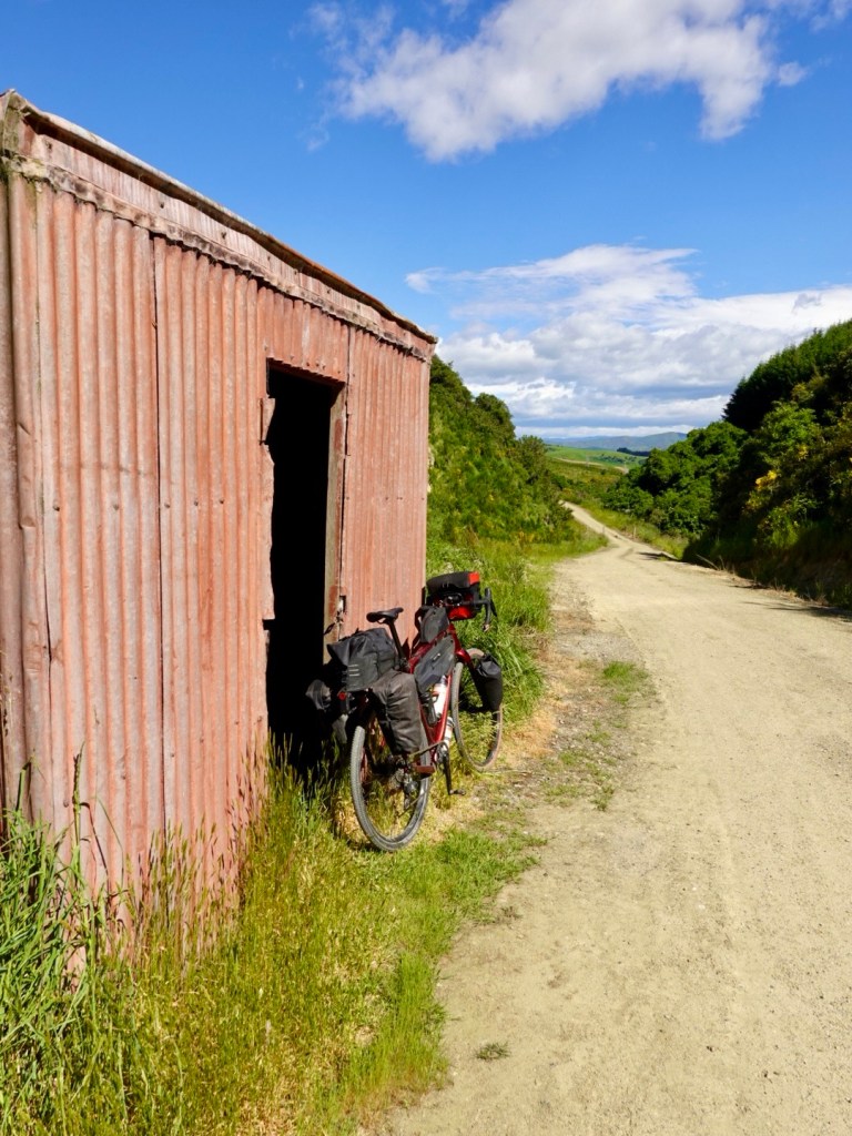
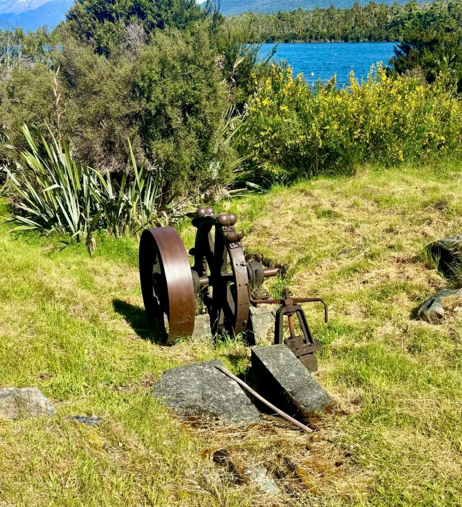
This is an old shearer’s shed, which is to be renovated. It is adjacent to the first historic mini hydro scheme in the area,now in ruins.

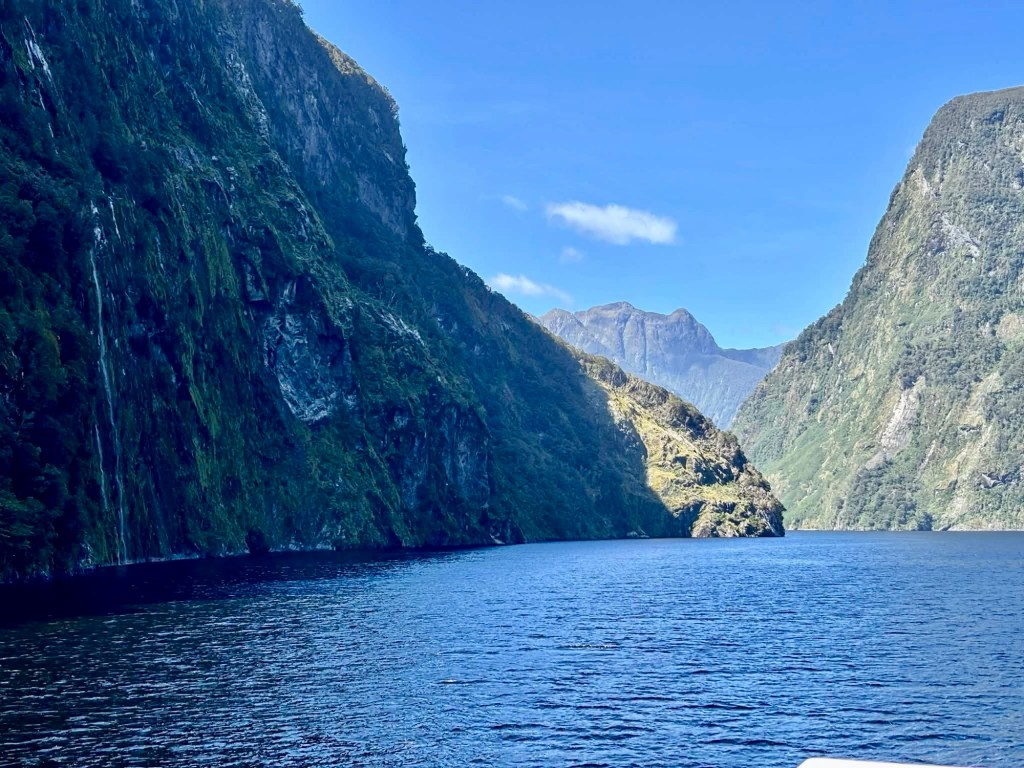
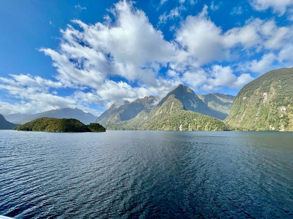
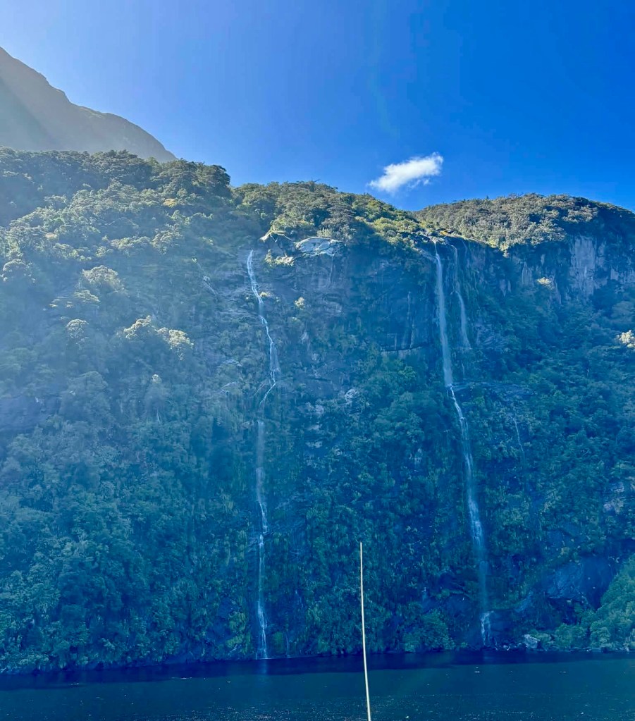
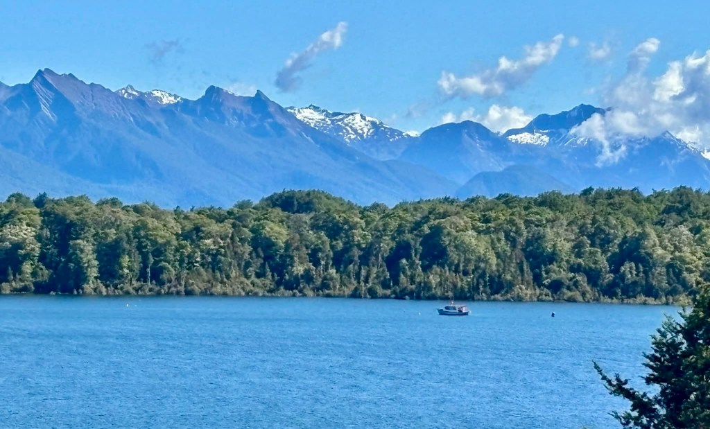
Another look before we head back to Te Anau for some lunch, then off to the cinema to watch the short feature film, Fiordland.

Good to watch, showing various aspects of the Fiordland National Park during the four seasons, with extensive use of drone photography.

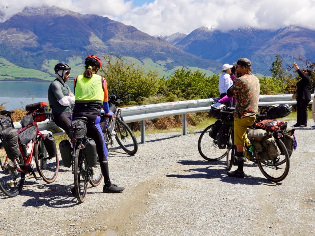
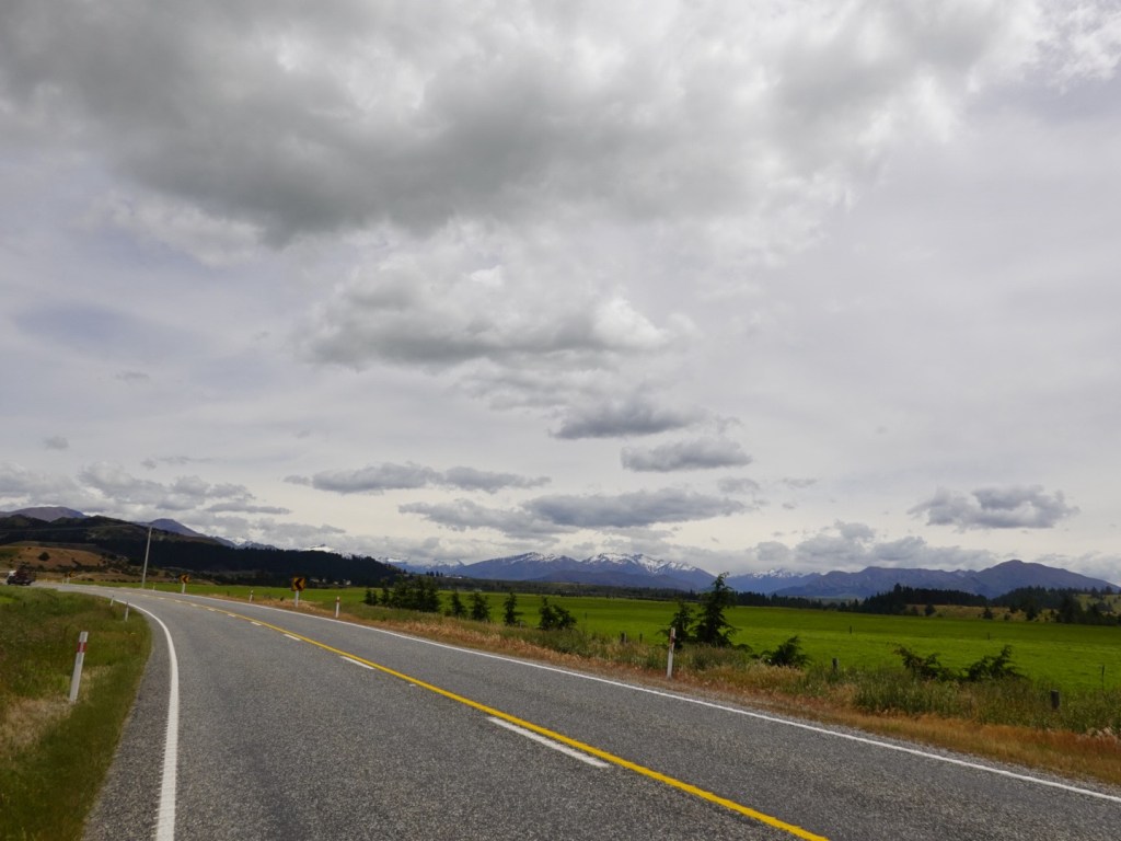
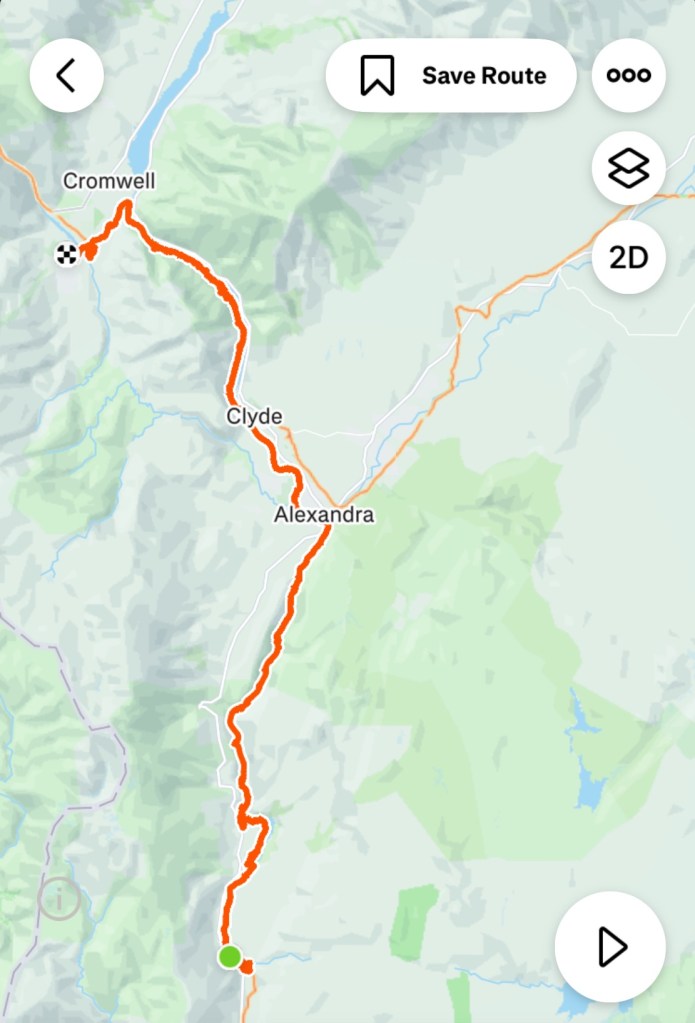
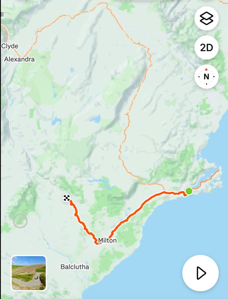
Next day it was time to head back to Queenstown for our final two nights.

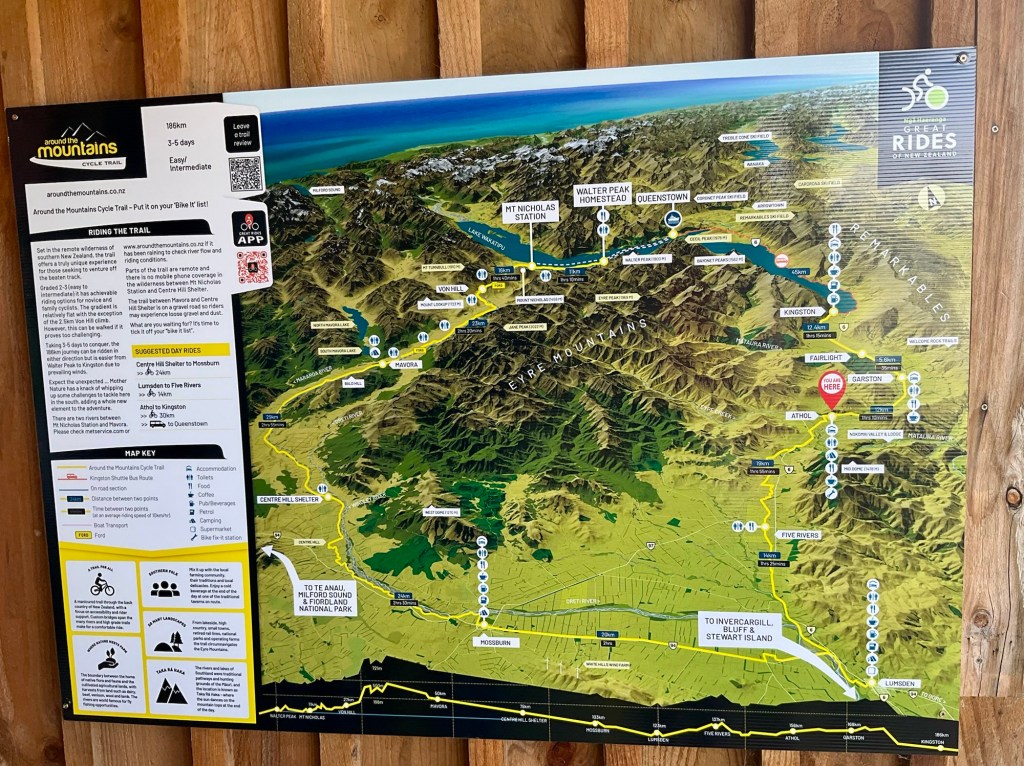
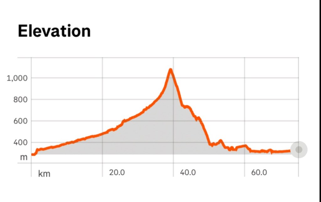
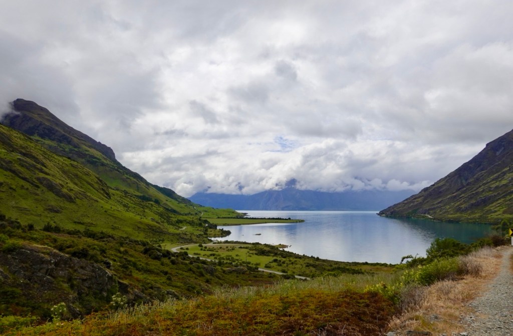
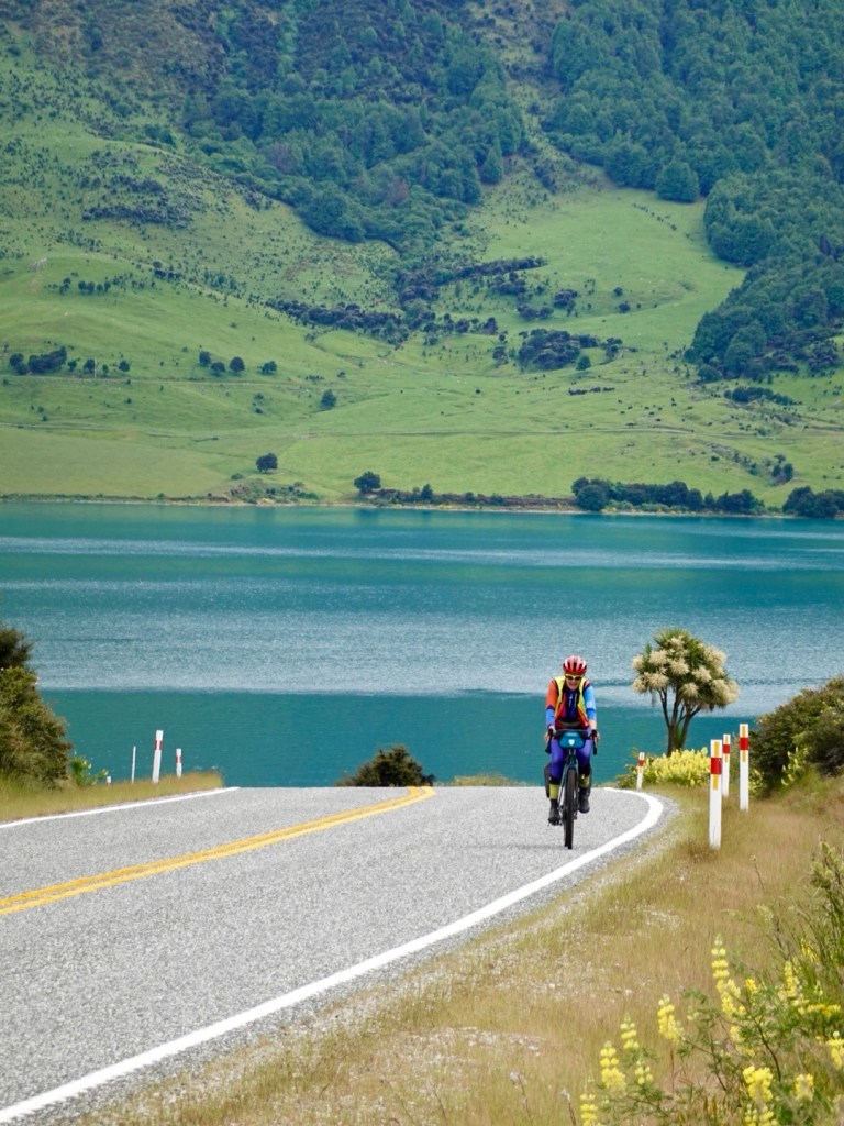
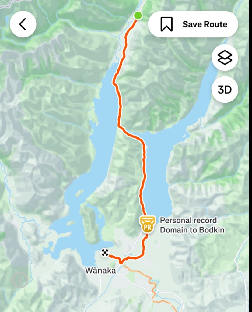
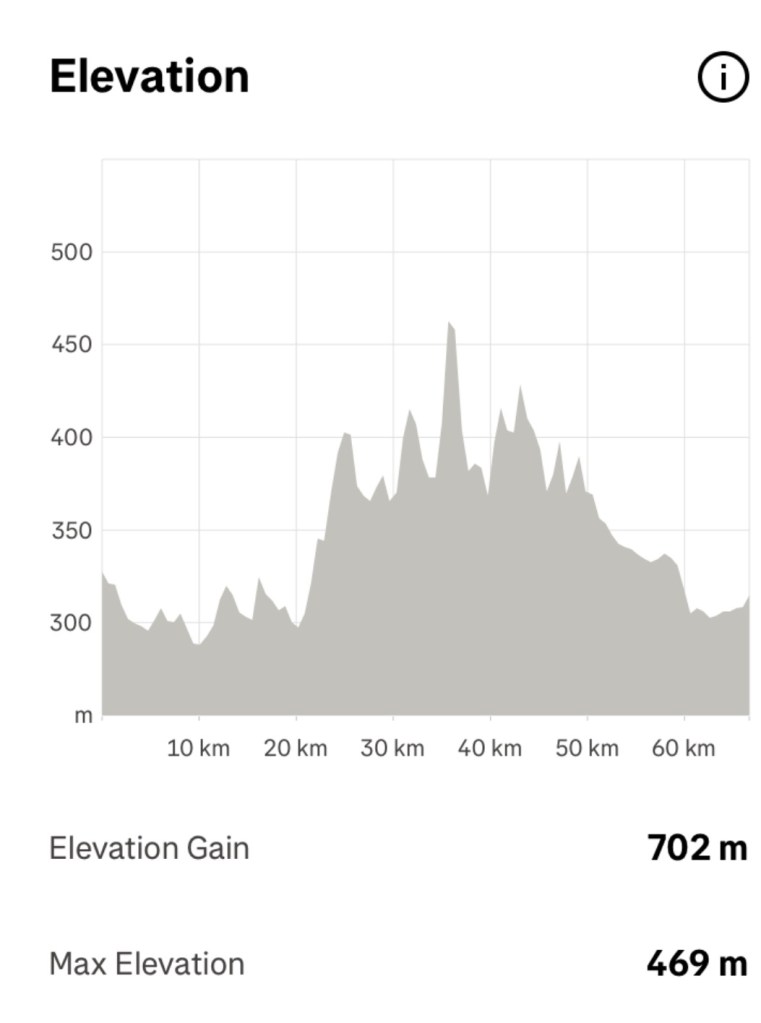
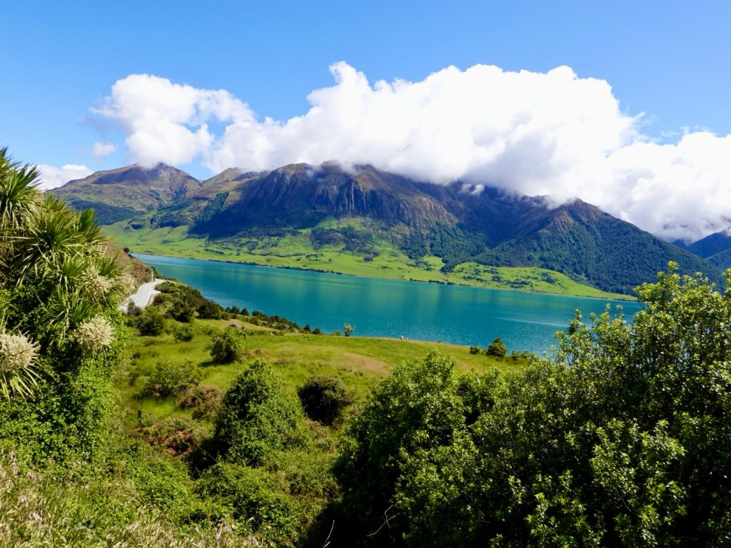
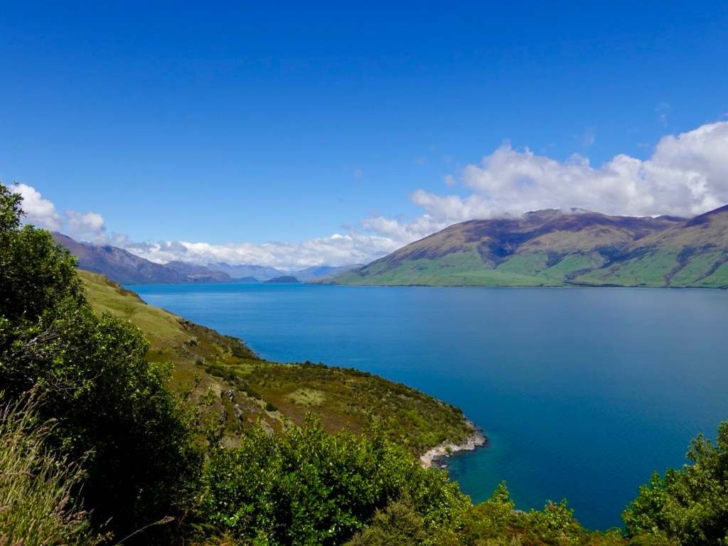
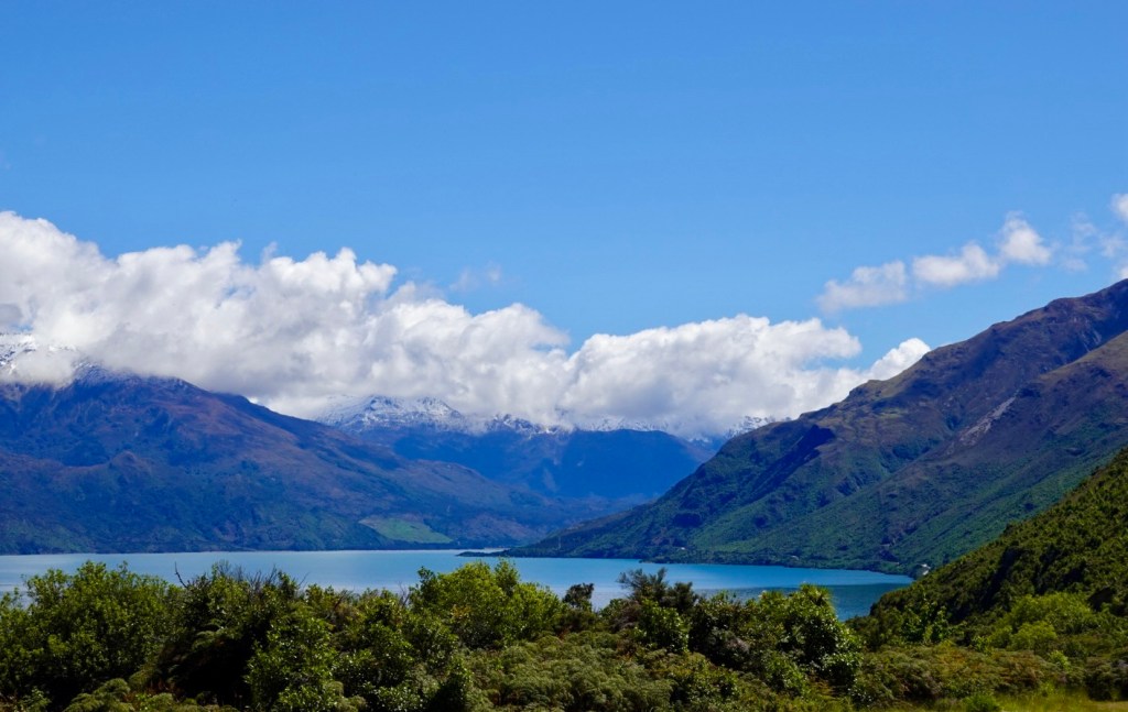
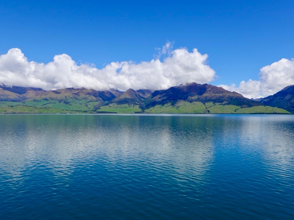
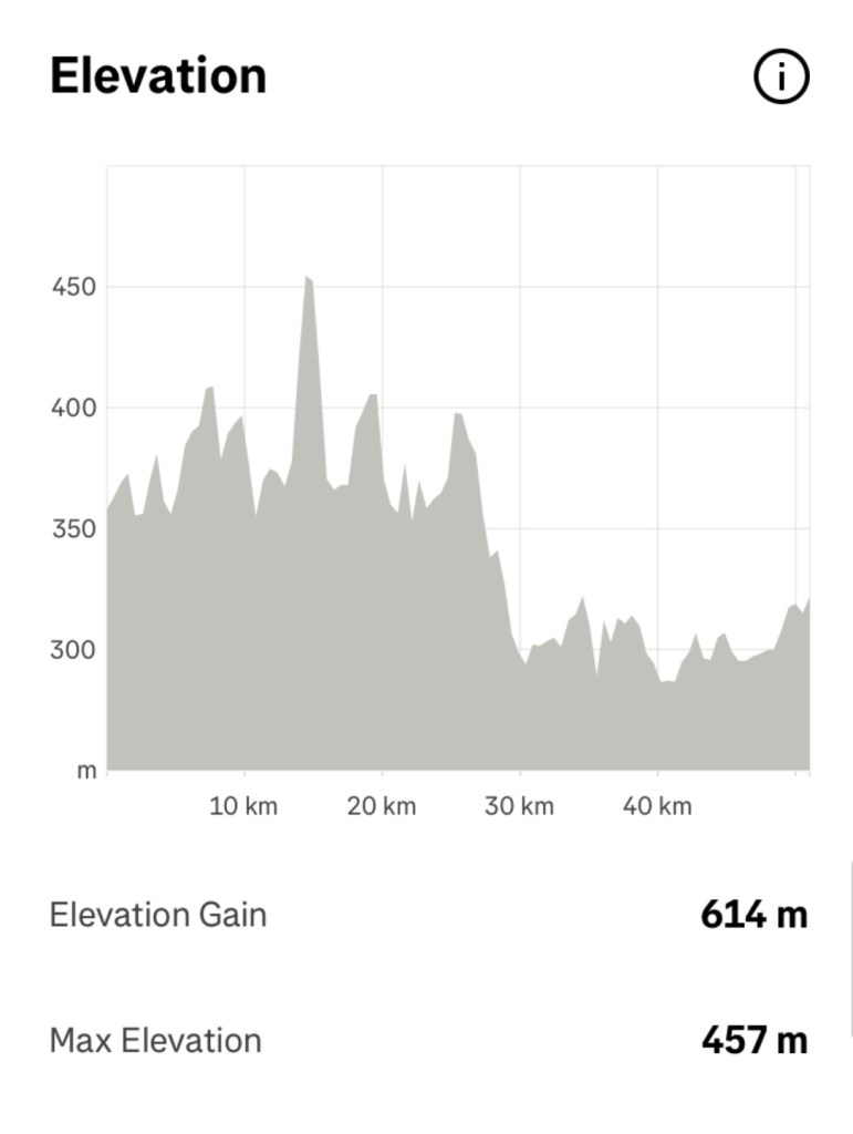
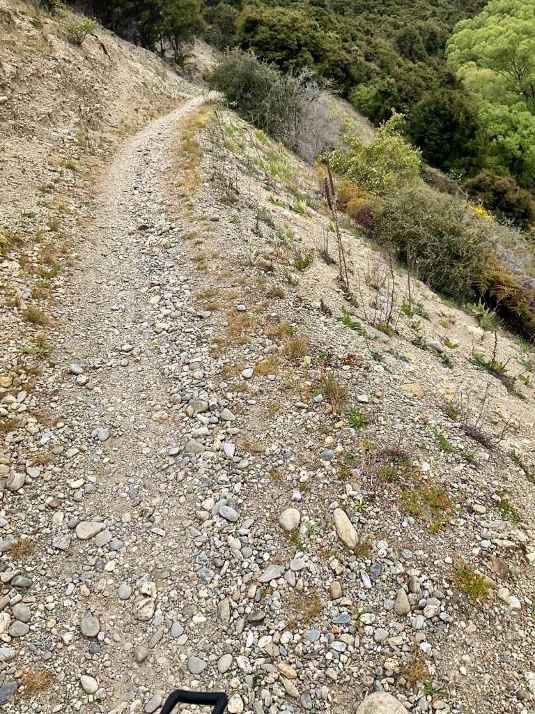
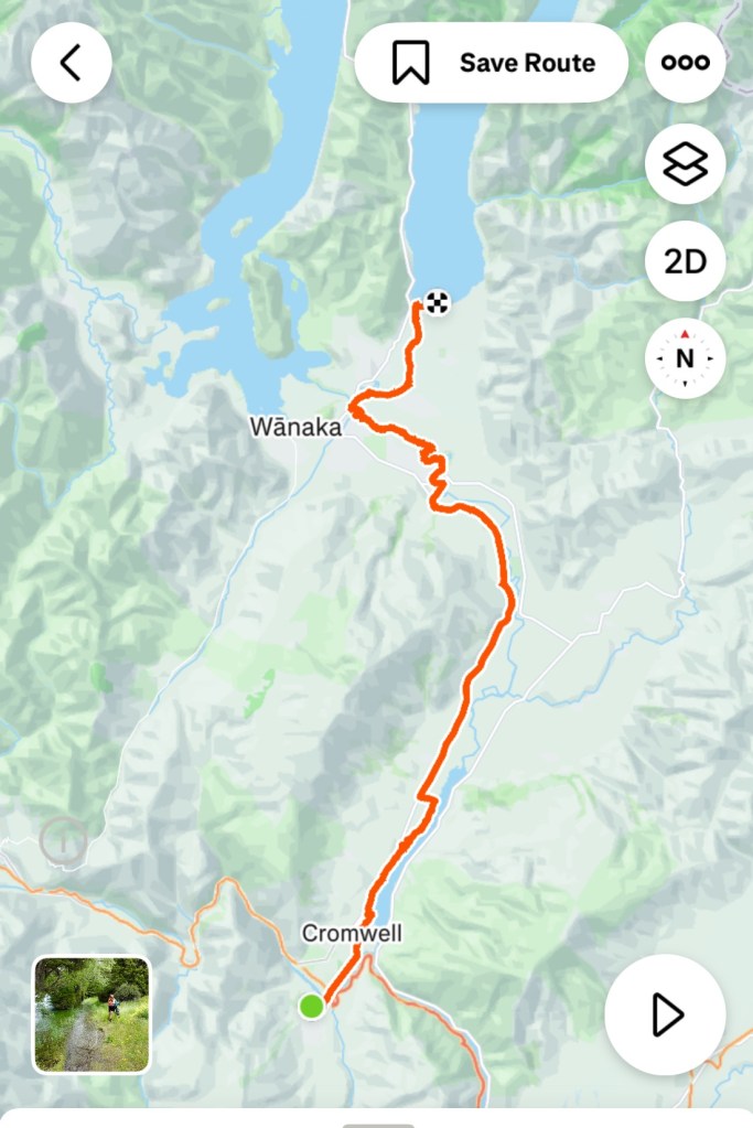
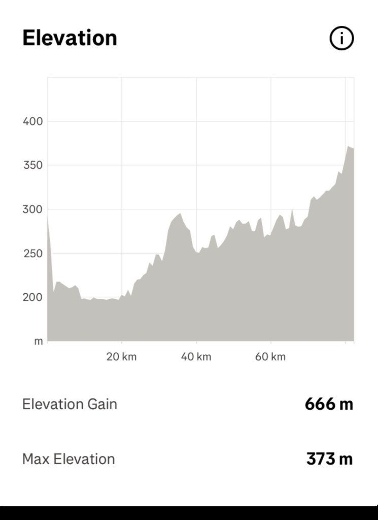
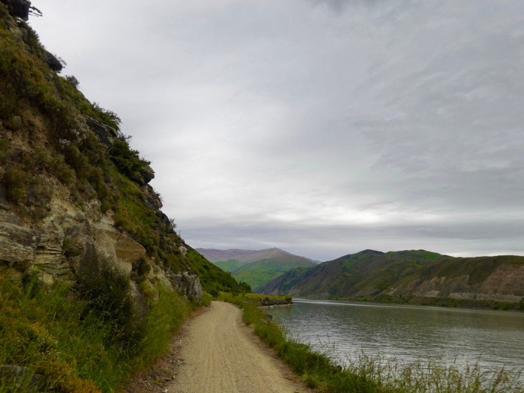
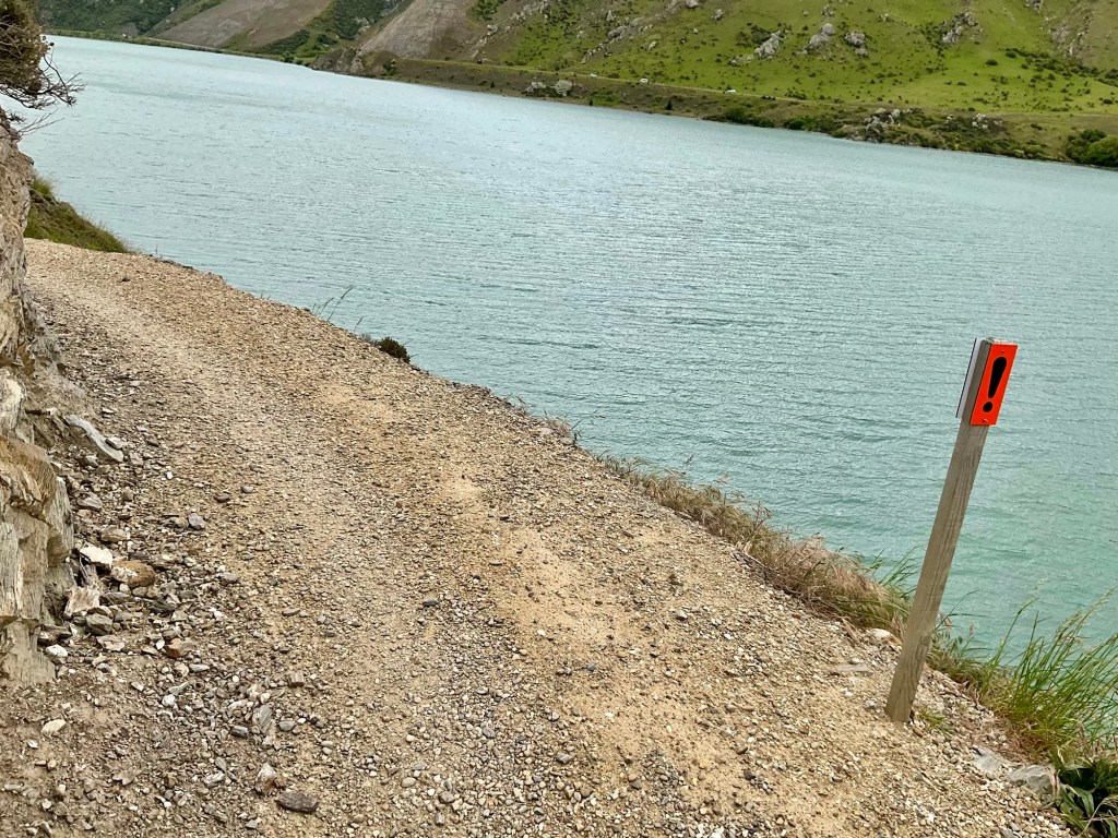
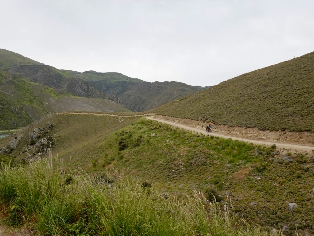
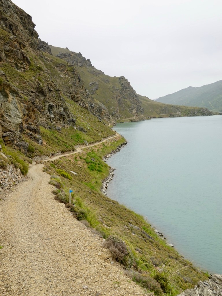
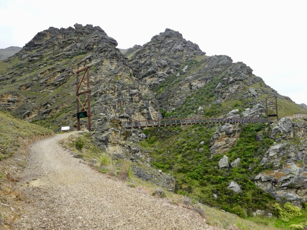
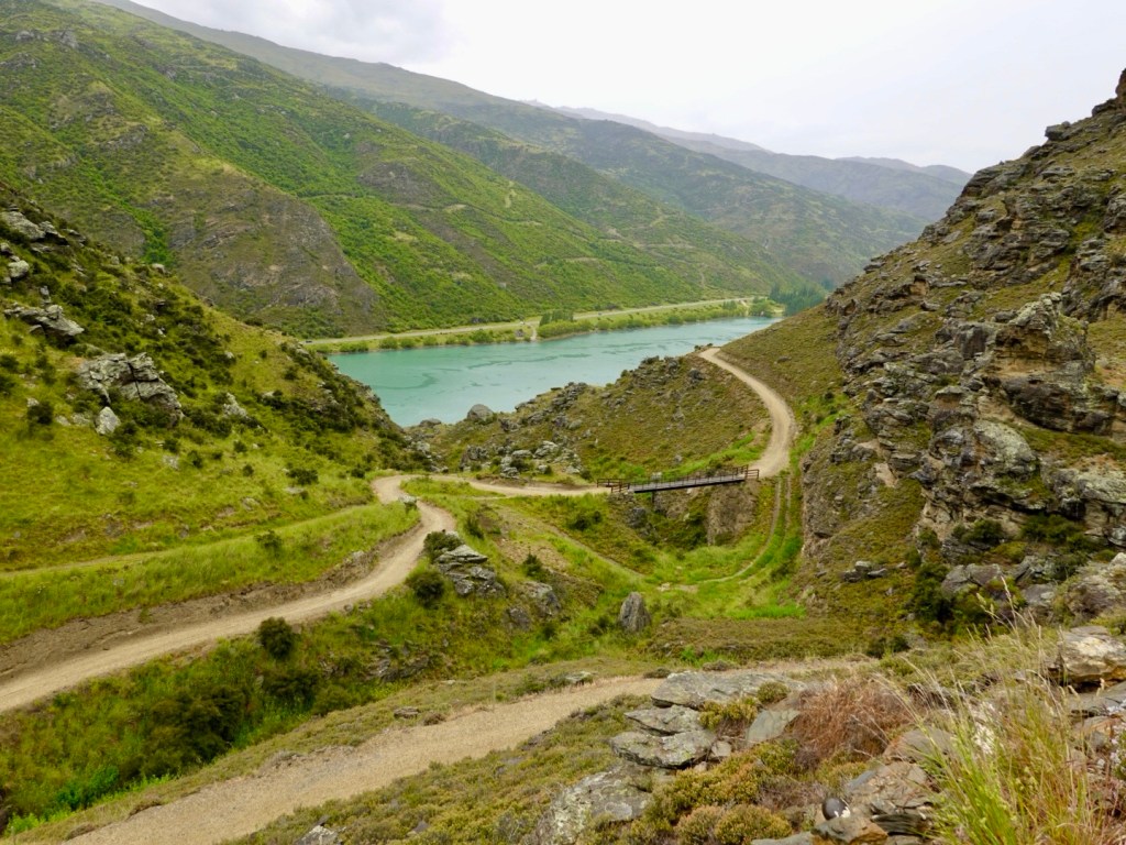
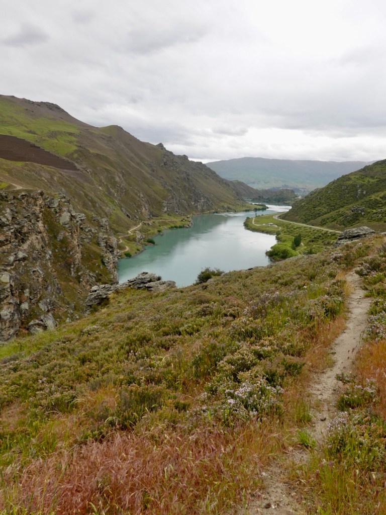
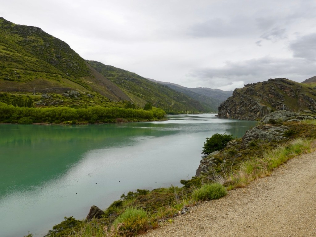
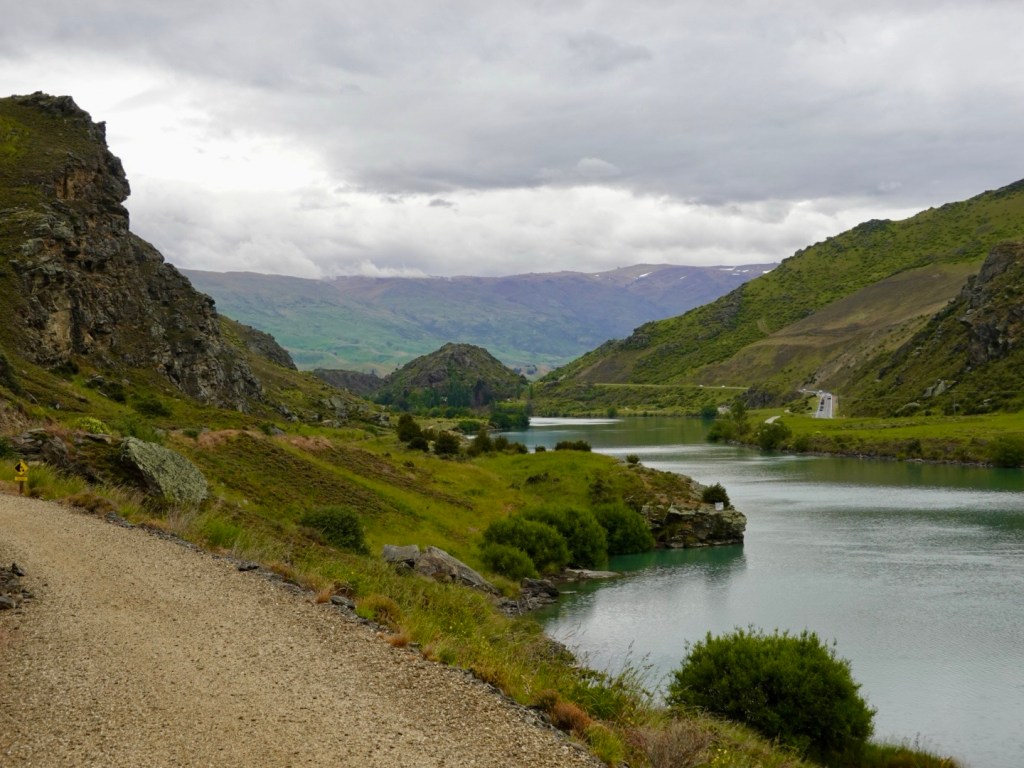
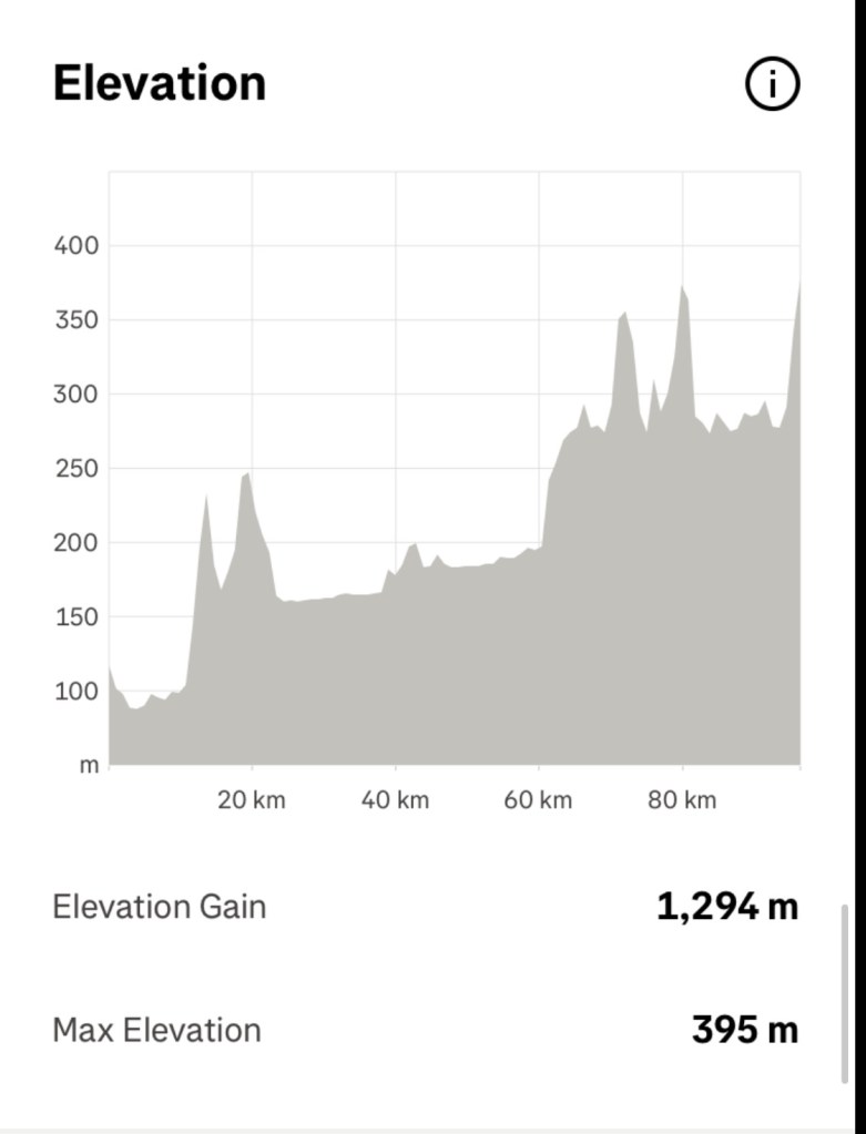
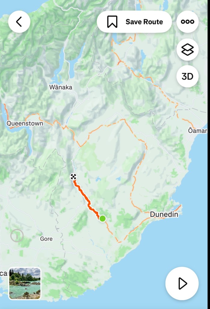
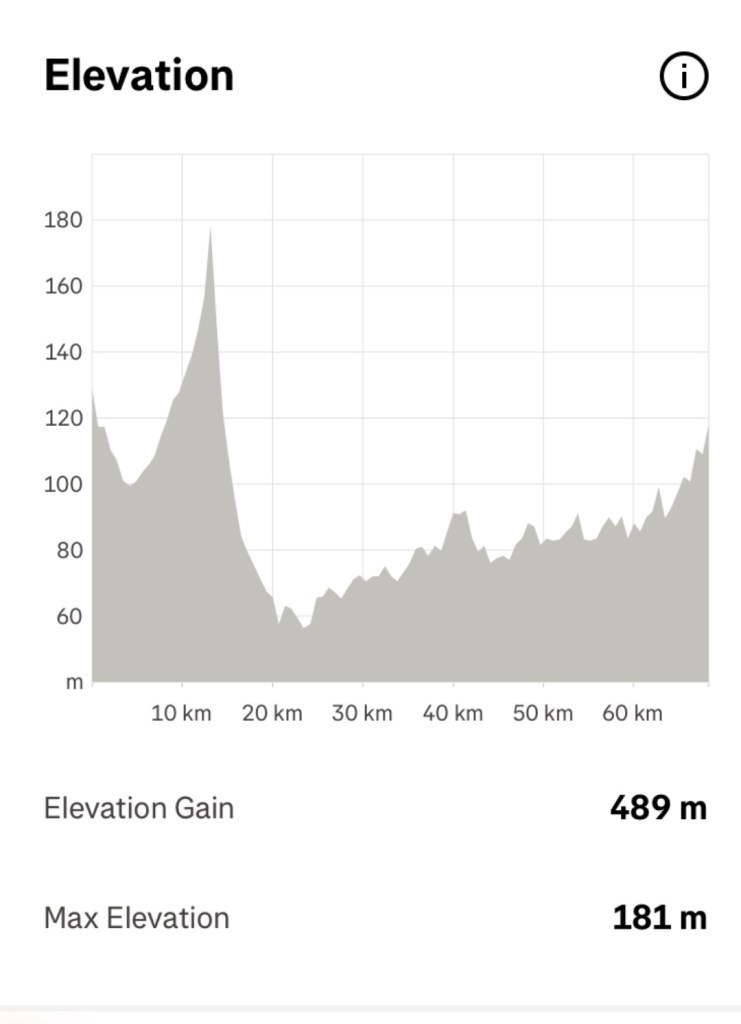
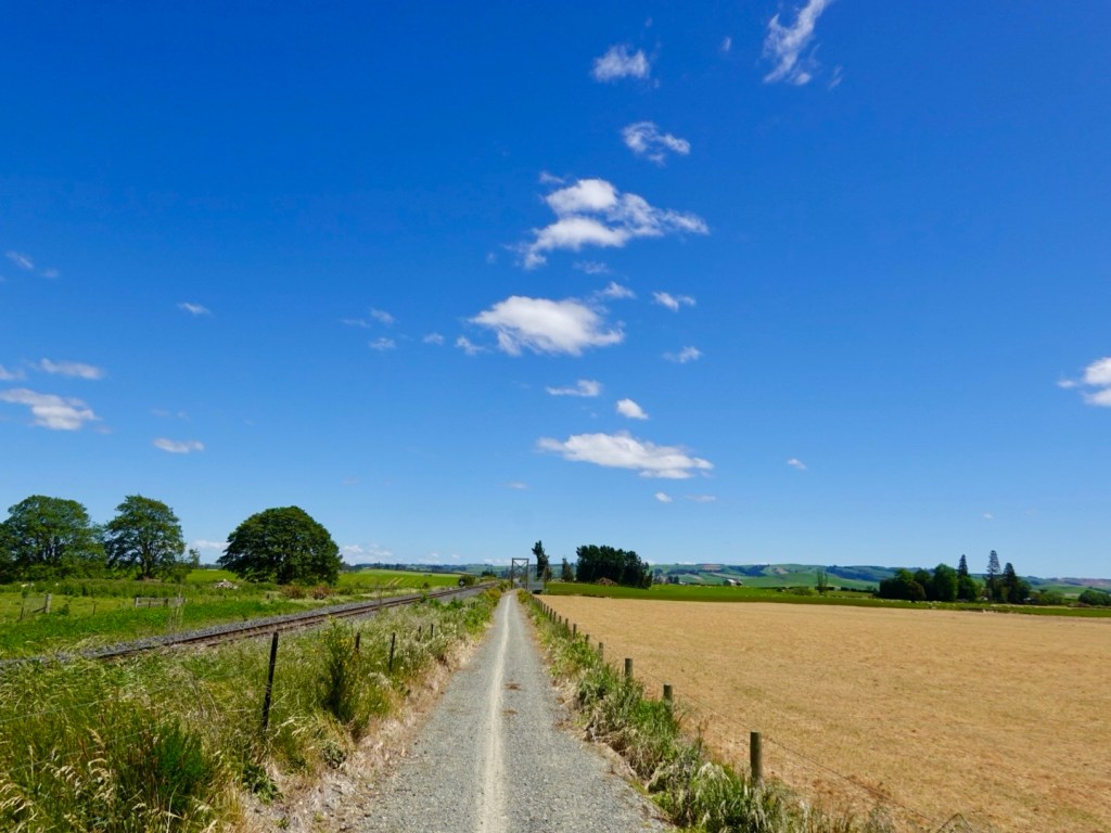
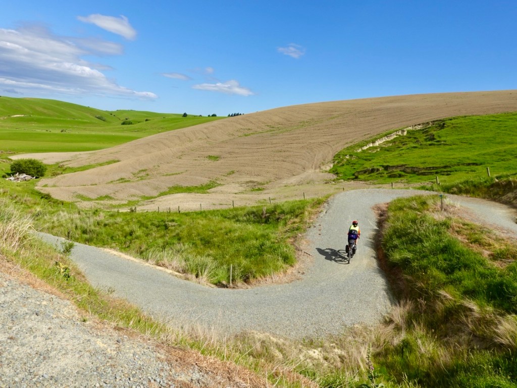
We would have been following the Mountain Trail to Walter Peaks, then ferry across Laka Wakatipu, then riding to our base. 125 km day riding.

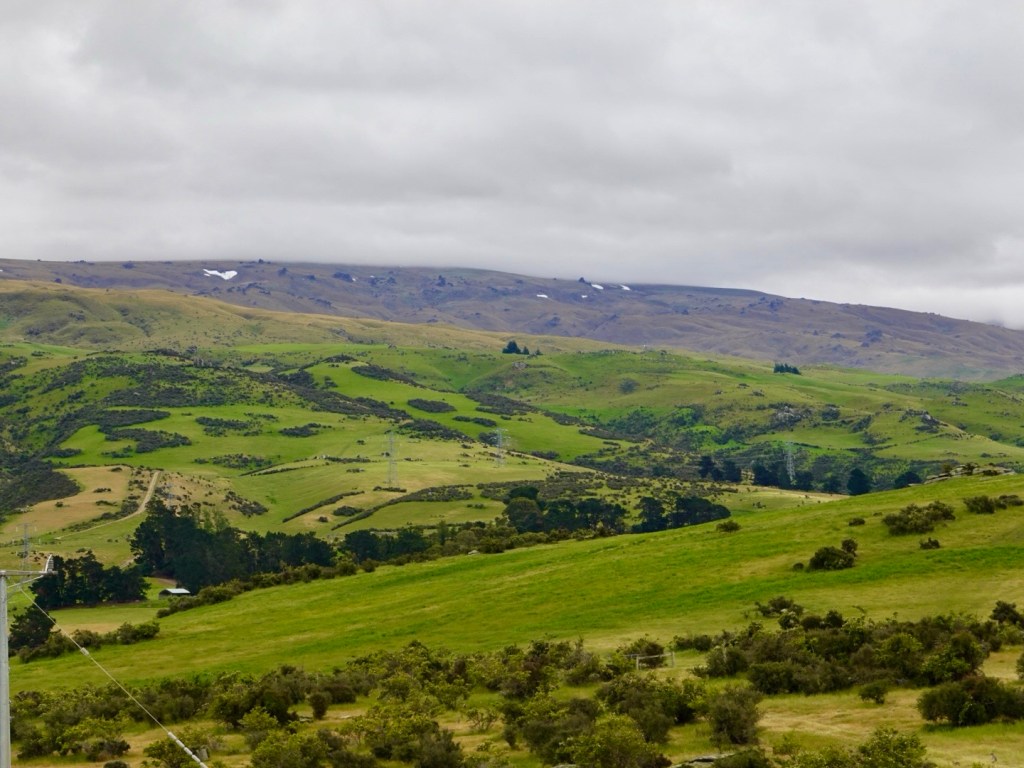
We could see it was quite windy around the trail area, and wondered how the creeks would have been after the projected 200 mm in the mountains.

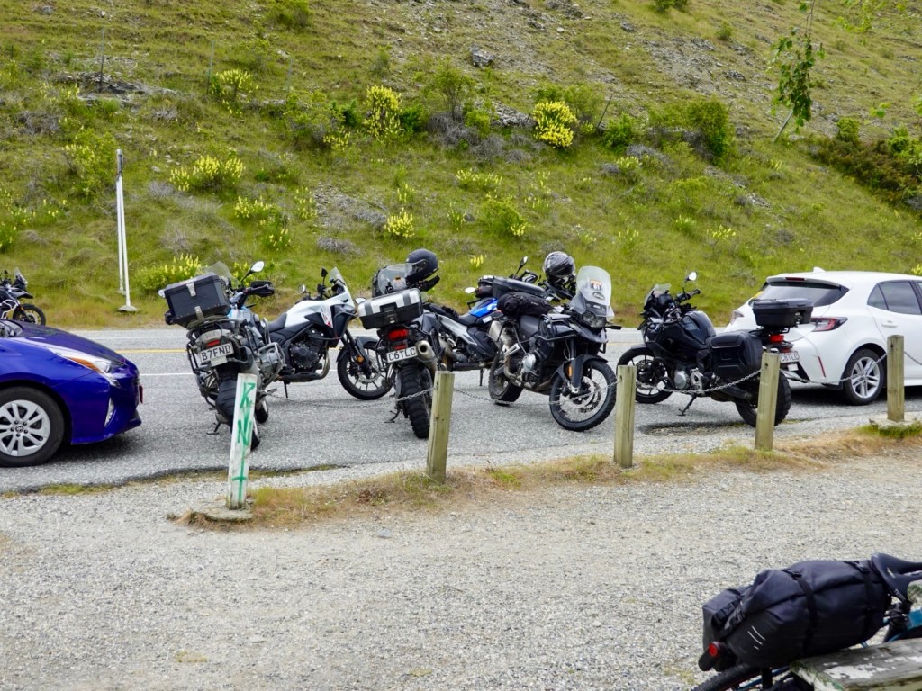
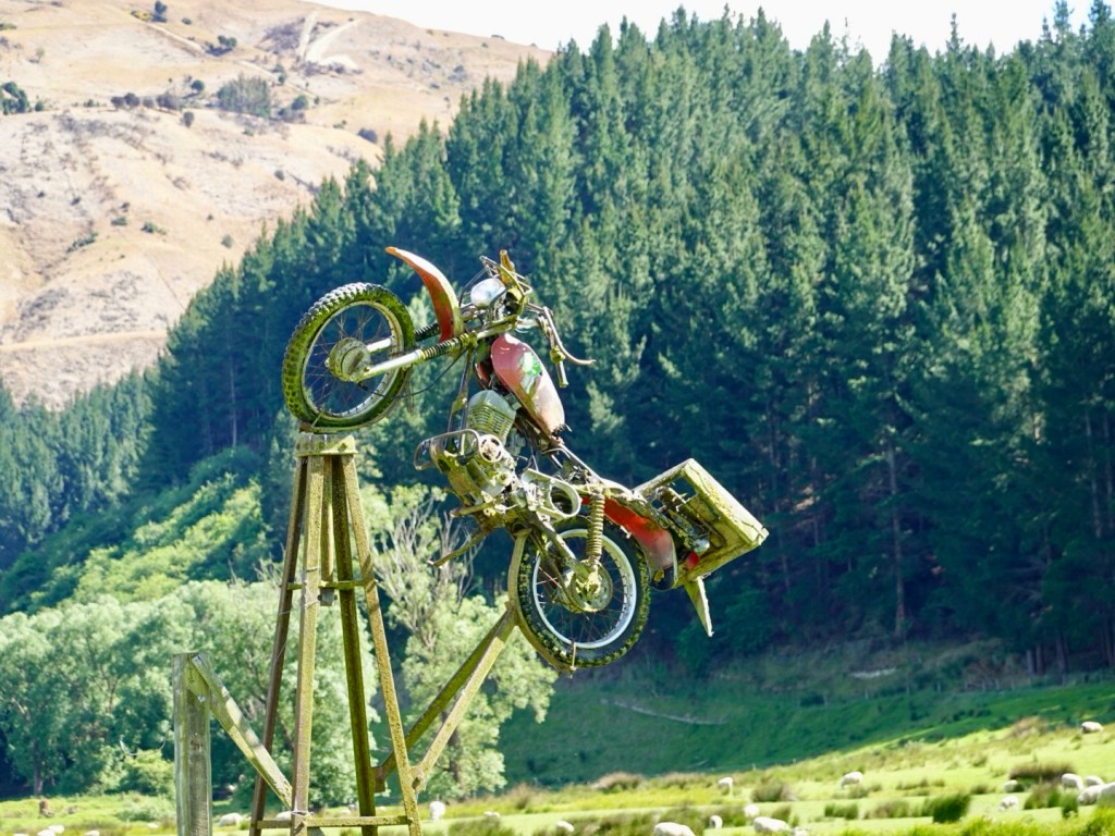
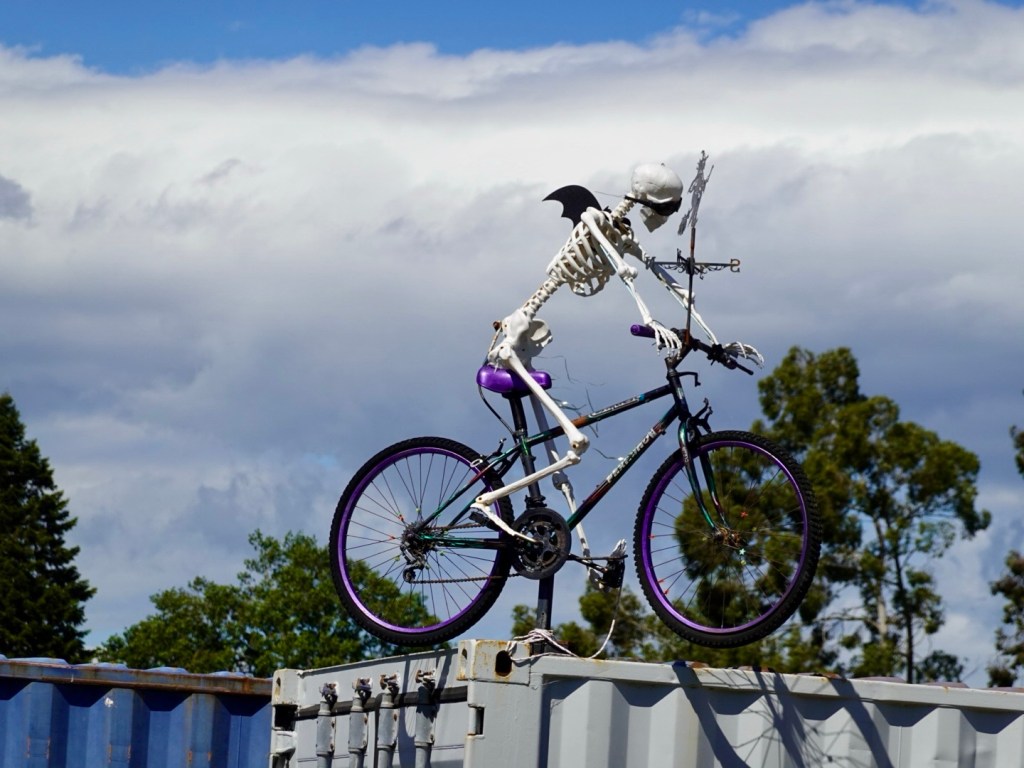
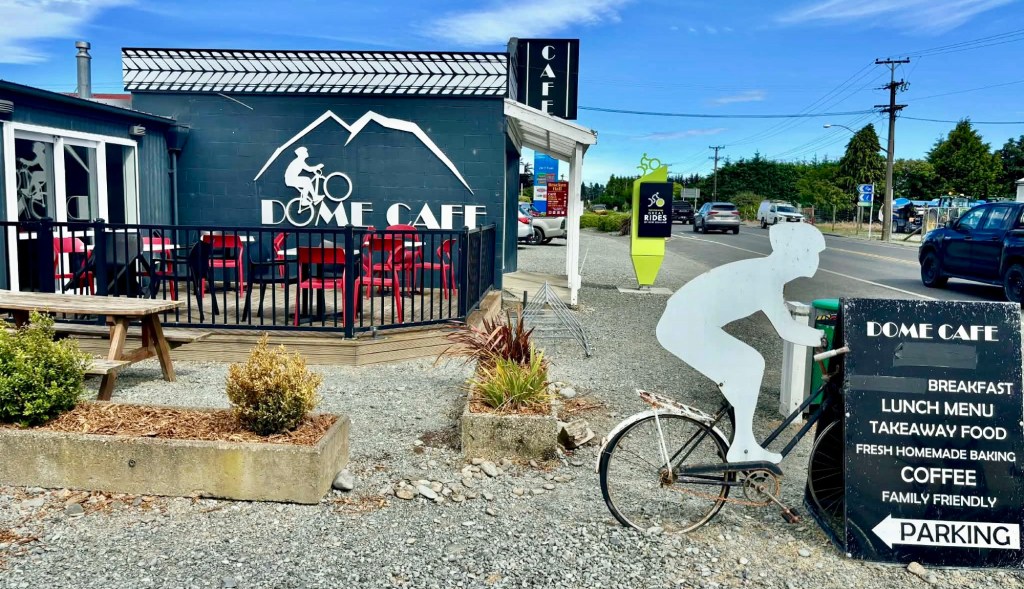
We stopped at this cafe just because of the bike pictures. Inside staff were busy cleaning up from a rogue customer who had used the tomato sauce bottle like a water pistol spraying sauce everywhere. Chairs, tables and carpet were all squirted. Idiots!

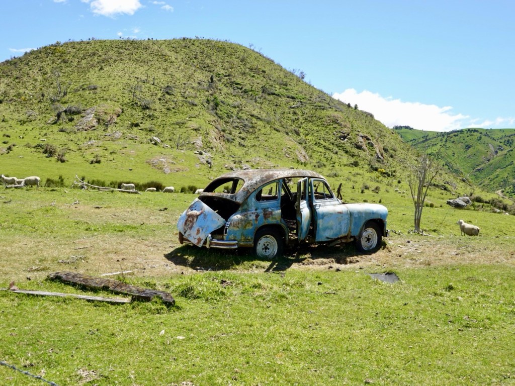
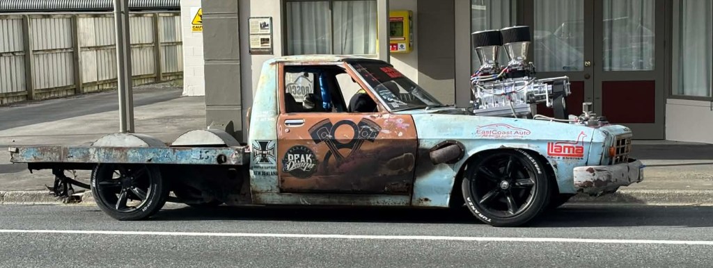
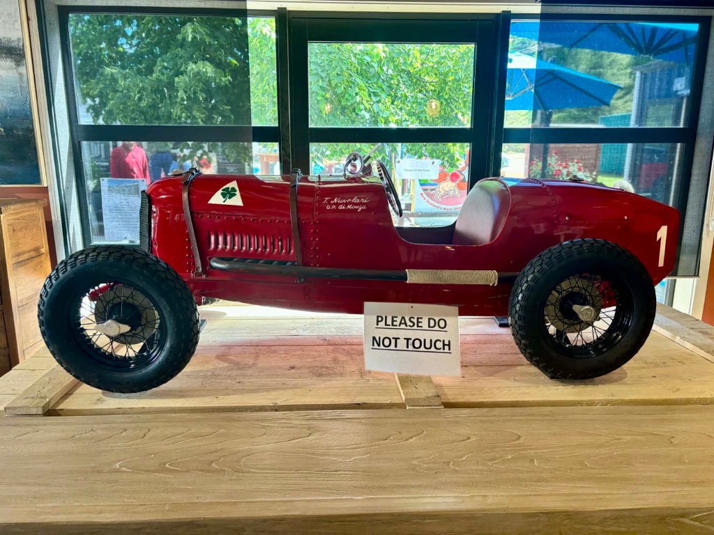
We stopped at the Honey shop which also had interesting old cars like this.

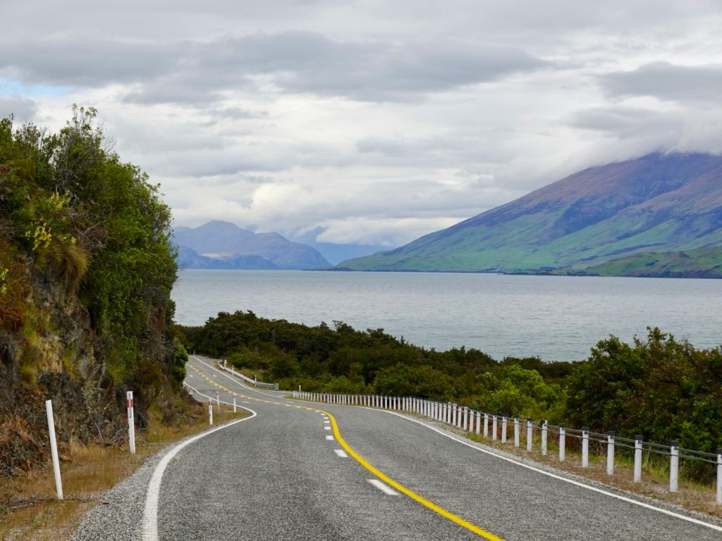
Driving back along the Devils Staircase, I note what a wonderful bike ride this would be heading in this direction. Just the issue of the cars and no verge though. We saw no cyclists.

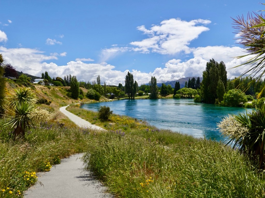
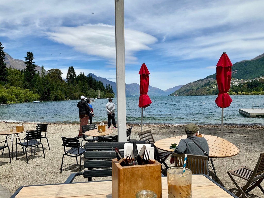
Back in Queenstown we headed to Queenstown Park and back to this water edge cafe we are familiar with.

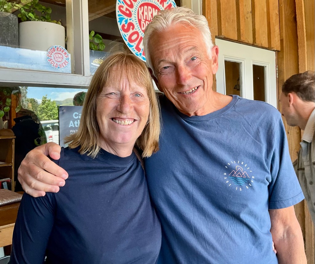
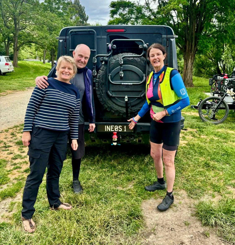
We returned Toby’s car up to Arthur’s Point, leaving it parked on the street with the keys sitting on the left wheel. That is a concept that I found difficult, hoping his car remained safe.

We cannot thank him enough for stepping in when he did. 😊❣️

Yesterday we finished cleaning the bikes and packed them up.

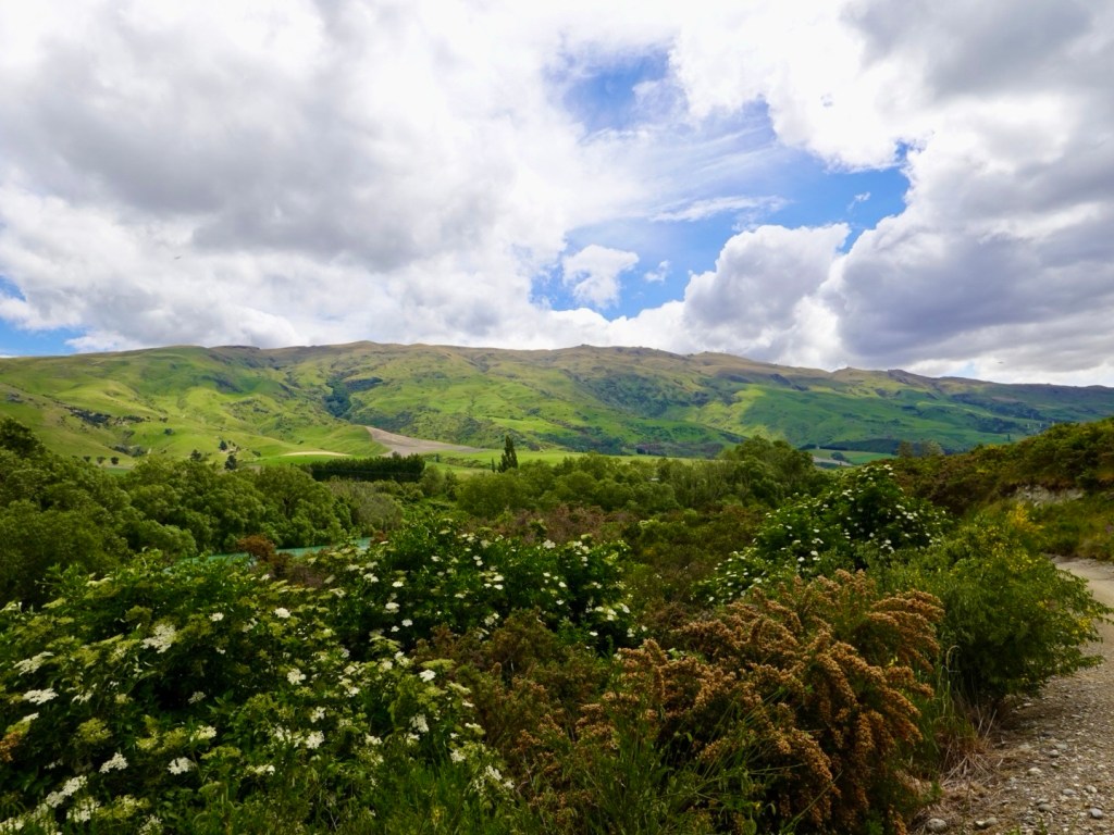
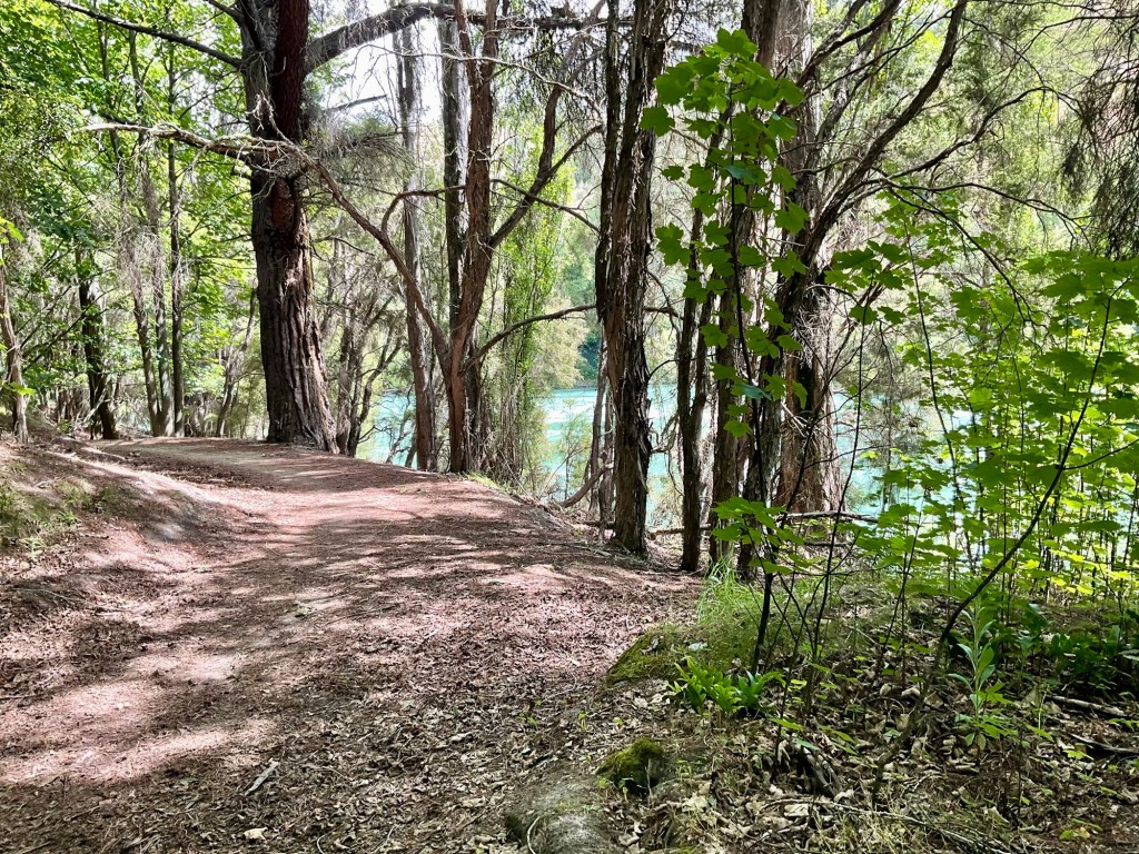
We then walked. Around 10 km but broken up as my knee is still complaining mainly downhill (slopes, steps).

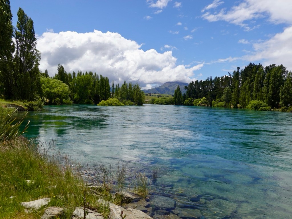
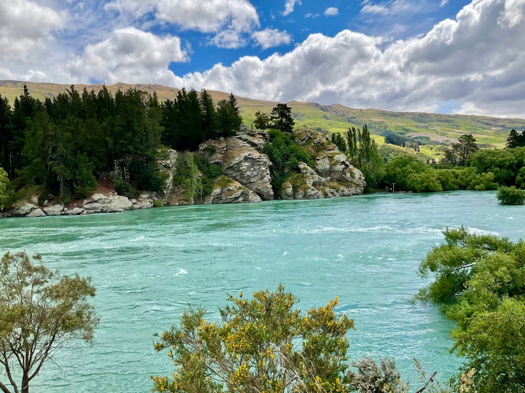
We walked along the Kawarau river trail to the Hilton cafe, sitting in the sun for about 90 minutes, watching the boats, planes, people.

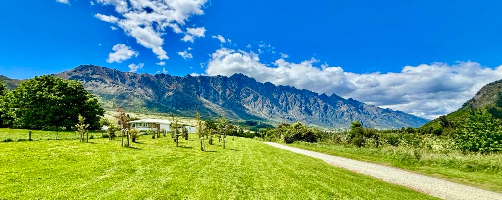
Walking back, great views of The Remarkables. I do enjoy looking at this majestic and rugged range.

What a holiday and adventure. Nearly 1,000 km ridden, over 14,000 m climbing and many memories created.

We are ready to go home, see Khaleesi and keep planning our next adventure.

To be sure, it is booked! It is a long one (3,200 km), six countries, and less climbing than we have just done, and I doubt very little dirt! Certainly nothing like we have experienced here on some of the trails.

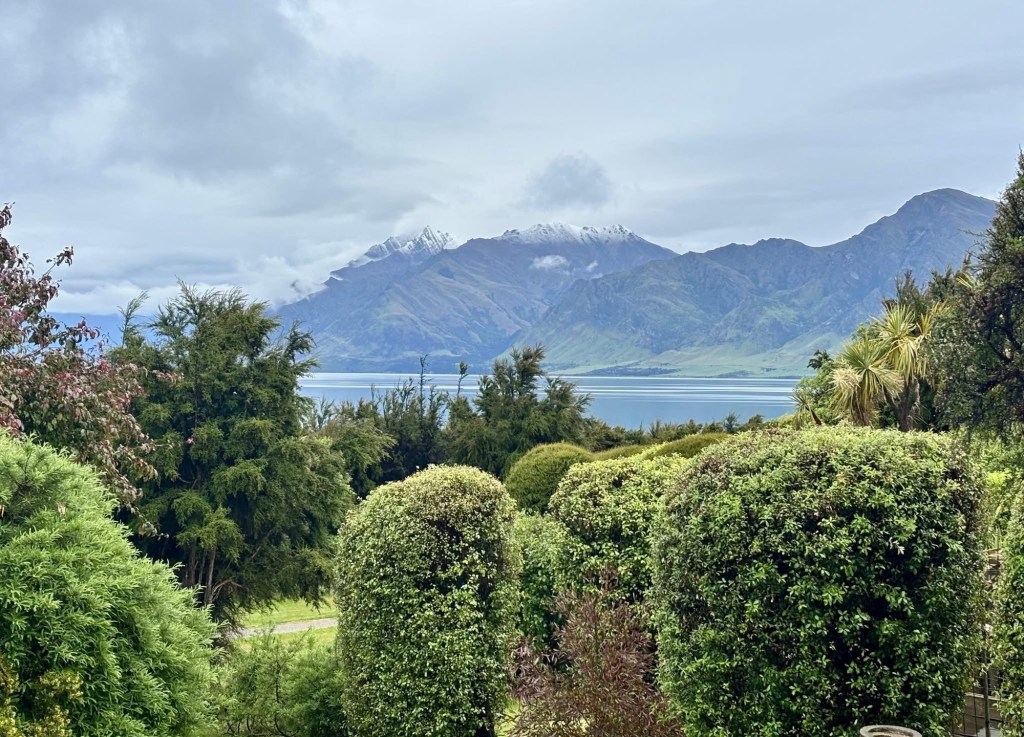
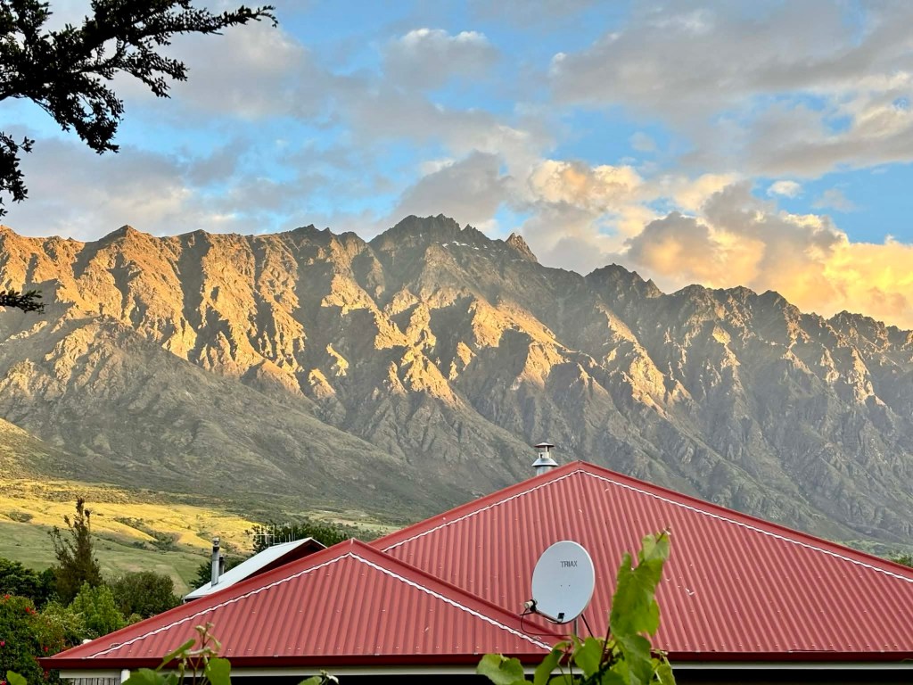
One last view, out our door, as the sun starts to go down,

The Remarkables are just that. Quite remarkable and leave me in constant awe.

Thankyou to those who joined us virtually on this journey. We appreciate your thoughts and comments left here and on Facebook. 😊❣️

To keep doing the blog is something I toss around, but I thank Honu’s mum for its continuance for a further year.

Honu is a friend of mine from Zwift. He is my co captain on a weekly Trek ride we lead. He relocated from the west coast USA to east coast to care for his older parents, who have some health challenges.

Honu’s mum reads daily. I think Honu casts it onto a larger screen and he told me how much she likes to follow.

I was honoured and thought, another year at least. I contacted WordPress who ‘did a deal’ with me, saving me $.

To Honu’s mum, and everyone, thankyou. Over 8,600 views, over 5,000 visitors in 2025.

Ooroo 😊❣️

Day 16: Doubtful Sound

Today was magic. A trip and life highlight.

We were not scheduled to ride today. It was one of our two planned days off the bike.

When I researched and planned I determined Milford Sound was not a suitable riding route due to tourist traffic volume, narrow verges, amount of climbing and not being able to leave early enough to miss the highway of traffic heading in.

Then I discovered Doubtful Sound. I had not heard of it before.

Doubtful Sound is the largest of New Zealand’s fiords.

Captain James Cook sighted the entrance on his first voyage in 1770.

Unlike its more famous neighbour Milford Sound, you can’t drive there. It is remote. Hence there are less visitors. It was sounding very appealing in so many ways.

Cycle touring you do not tend to be around lots of people. We become satisfied with our own company, or the company of just a few people, and masses does our head in.

This map shows Milford further north. The blue dot is our current location.Doubtful Sound area with the red tag.

The Sound spans an amazing 40 km from the head of the fiord to the Tasman sea. It is the deepest of New Zealand’s 14 fiords.

The Maori named the fiord Patea, meaning place of silence.

After an early breakfast we walked down to Pearl Harbour.

By 7.30 am we were boarded on our first boat trip, sitting upstairs, out the back.

Closer up map. We need to cross Lake Manapouri, the western arm. This takes one hour.

We then transfer via bus across the top of Wilmot Pass down to the shores of the Sound. This also takes one hour. We manage to sit directly up and behind the driver scoring good views out the front window.

We will spend 2.5 hours on the next boat and travel out to the Tasman Sea and explore various arms.

Then a further two hours returning via bus and boat to,our starting point.

Here we go, looking back at Pearl harbour.

Looking forward, the weather forecast is great. We’ve got very lucky given tomorrow’s forecast.

Here are a series of photos crossing Lake Manapouri. Visually stunning.

We reach the western arm, also the power station base that powers much of South Island. The only sign of man’s invasion really. However, as a result of this a road was constructed. That means tourists can get to the Sound.

A series of photos from the Sound are next. We sit upstairs and outside again to maximise our views.

The fiord was carved out during the glacial age. A marine reserve rich with fur seals, penguins, visited by various whales and sharks seeking a feed.

The amount of wow’s was high. We were super gob smacked.

Owned by the same company, Real NZ, this is the overnight boat
Tasman Sea
Tasman Sea
Fur seals on the rocks at the entrance to the fiord.

It was such a joyeous privilege today. It is not a cheap excursion, but one I’d highly recommend.

Near the finish, we entered an arm and all motors turned off for five minutes. We were asked to not talk, take photos, but to think and reflect.

It was incredible. What a moment. 😊❣️

Back on the bus for an hour, we stopped at the top of Wilmot Pass. This is looking back down on Doubtful Sound, our last view.

We travelled the length of the sound to the Tasman Sea and return.

This is a sad story about a young bloke during the building of this road. His wife was due to give birth in Invercargill. As no options were available to get there quickly, he walked. He had not checked the explosion detonation schedule and was killed at Wilmot Pass.

Beautiful vegetation.

Further down the Pass, we stopped again for another view, but this drew our curiosity, There were two touring cyclists.

Tony tried to engage with them but they gave him nothing. Later we researched and discovered you can apply for a permit to ride the section we did by bus, but then?

Back on the final boat I gaze back out towards the area of the Sound. It was an emotionally uplifting experience. The sheer, unadulterated beauty.

An extraordinary day.

Tomorrow, 200 mm of rain is forecast for the Sound. How lucky did we get?

Do yourself a favour. Come to this part of the world, go to Doubtful Sound, stay at Murrell House, you won’t be sorry.

Thanks for reading 😊❣️

Day 15: Queenstown to Manapouri

A new day. I slept well, and deeply. I felt a lot better than yesterday. Maybe the Panadol and chamomile tea helped.

Both knees are still painful, particularly toileting. I’ll try and hold on longer lol.

We made our way out of central Queenstown, heading back to the road jam near Frankton. The view from a young blokes car 🤪🤪

First stop was Kingston, but before that we drove along the devils staircase. What a name. Basically a windy, narrow road adjacent to Lake Wakatipu.

The Kingston Flyer was ready to depart. It is a 28 km return trip.

The associated cafe does not open until its return. I think they are missing sales there with a train full of people pre journey.

This was interesting. This steam boat was the one featured in a photo yesterday heading from Queenstown to Walter Peak station.

Precisely!

Looking back down the lake from where we travelled.

We stopped in Athol for coffee and as we departed mused over this map and where we would have ridden.

Serendipity! Lincoln (England) ambassadors Sue and Simon struck up a conversation with us.

I reckon we chatted for at least an hour and I can see we need to add Lincoln to our bucket list to see….their cathedral of course.

Once the tallest building in the world, after the spire was added in 1311, overtaking the Great Pyramid of Egypt….but then the spire fell off in a storm.

Another reason is that ‘my’ Eleanor of Aquitaine had her viscera buried there.

The cathedral owns one of four remaining copies of the Magna Carta, plus is “THE BEST” example of Gothic architecture.

Plus, yes there is more, Sue and Simon live nearby in a small village and we ‘clicked’, Sue and I both having an avid interest in family history.

After departing Athol the weather turned very shite and windy. Trees were bent over, small branches flying around, then the rain started.

We grimaced realising we would have been riding in this. We dodged a bullet. We smile smugly.

We later learned of gale force wind warnings in the region of up to 100 kmh, and that some areas lost power. Eek. That is not rideable. Still smiling smugly.

Arriving in Manapouri, the weather was still crappy but looking like it would improve. We chilled in our room for a bit then headed out on a reconnaissance walk.

Our accommodation is the house with the red roof.

Closer up. The house is from the late 1800’s and New Zealand’s oldest continual family owned accommodation, starting off as their ancestors family home.

The family surname is Murrell. I ask the current owner Rob a few questions because I worked with Linda Murrell, who passed await sadly in 2018, married to Stephen, a Kiwi born Murrell.

The gardens lakeside.

We wandered down to the lake and headed towards Pearl Harbour.

From Pearl Harbour we wandered through the small village and down to Fraser’s Beach.

Super windy on the beach.

Various views from the beach on Lake Manapouri, a natural freshwater lake located within the Fiordland National Park, a world heritage region.

We had been pre-warned that an annual ultra endurance running race was being held in the area tomorrow and to book for dinner both nights.

There is only one place in Manapouri, The Church. We had booked and it was packed. Not sure they were ultra endurance runners though, more like the locals gathering together.

Today’s proposed bike route differs somewhat from the car route.

By car, we followed the south eastern section of Lake Wakatipu, before heading in a more westerly direction.

We missed out on a tough climb too 🤪

Thanks for sticking with us. 😊❣️

Day 14: Wanaka to Queenstown

We have made it to Queenstown, but not by the form of intended transport.

No luck anywhere with the derailleur. Everyone needs to order it in from the distributor.

Kind thanks to friends with their offers including posting from Australia and ‘can it be 3D printed’. No, it can’t.

A derailleur is quite complex. Mine was a SRAM Force AXS, 12 speed, wireless electronic. Uses eTap (how I change my gears), so not a standard, off the shelf item, and not cheap either.

After failing to secure one, Tony has ordered one in Australia, on sale, circa $600. Will likely beat us home.

This is the stuffed derailleur.

As to the cause, after the crash, upon inspection there was a chunk of grass caught in the mechanisms that likely caused the catastrophic failure.

If I had noticed that grass earlier likely could have resolved. Not sure where I acquired the grass as neither of us recalled a grassy patch we’d ridden through so must have been some overhanging bad luck.

Anyhow, even if we’d been able to acquire a new one, I do not think I was physically capable of riding.

I slept badly, very uncomfortable and woke aching all over, still feeling a bit nauseous. That alone, I could have ridden but it is both my knees that are giving me the most grief.

As an example, getting on and off the loo is very hard and painful. Climbing up the Crown range would likely have been impossible.

Walking up and down stairs I am walking like a crippled old lady. Tony teases me, but he has been very supportive as I deal with the guilt of it all.

Our taxi driver Eric rolled up at 9 am, maxi van with a trailer!

Tony dropped the front wheels off the bike and stored them in the back of the van, we tossed our bike bags in and off we went.

Eric was delighted to drop the trailer back to home base as it was very noisy, clunky and bouncing around.

Then we started off on what would also have been our cycle route, heading to the Crown Ranges, and New Zealand’s highest road peaking just over 1,000 m asl.

As can be seen, a solid climb.

It was interesting viewing it from the van.

The town of Cadrona is nice, with the famous hotel of the same name being one of New Zealand’s oldest pubs.

Then we climbed and climbed, but not hard on the knees or lungs or heart at all in the van.

For Eric it is slow going as it winds up, and then we find all the cycling tourists with panniers. Maybe 20 or so.

Some were more comfortable than others, but there were quite a few pushing their bikes up. I felt for them.

Some even had road cleats, making the walk even harder. We use mtb cleats touring. They are recessed meaning we can walk vs waddle.

There was nowhere obvious for them to pull over to rest either.

Not the safest climb for a cyclist but a challenge many undertake as it is there to be done, plus a lack of alternative routes unless you take the longer route via Cromwell. I think that may be a better option safety wise.

At the top there is a lookout. You can see the airport runway at Frankton.

Rexby.com

The descent is steeper.

We arrive at our Queenstown accommodation at 10.15 am. Check in is 3 pm, but our room is ready and they hand over the key.

I have a nanna nap as I am seriously wiped out.

We then get another taxi to pick up a loan car from a Tassie friend Tony worked with at Simplot.

An extraordinary gesture. Tony said he’d had support from friends overseas before when needed, and he likes to ‘play it forward’. ❣️

Arthur’s Point is high up above the Shotover River. We grab the car, complete with its Sex Wax dangle off the rear view mirror 🤣.

We stop at the Arthur’s Point activity area, near the bridge to watch the action.

Every 15 minutes two boats take new passengers from this point. firstly upstream, then turn around screaming past us and under the bridge heading downstream.

A video of the boats in action if you click play.

Back to our room, I had another nanna nap and then we walked down to the lake edge.

A lovely cafe with this view. We think we might wander down for breakfast there tomorrow.

It is so gloriously beautiful here.

You can see a steam boat crossing the lake. it is heading to Walter Peak station, where there is a farm.

We were to cross tomorrow at 7.30 with bikes. We were then riding 115 km along and through that mountain range to Manapouri.

With that ride out of contention, I rang the ferry operators. Given the first trip was less than 24 hours away they said bad luck but would look at the return.

They came back to me and fully refunded the whole $278. Super kind and that covered our extra $260 from Wanaka.

Our initial Air BNB host (where we stayed upon arrival, have our bike bags, due there next week) agreed to take our bikes.

So we drove up to Frankton (near airport) and deposited the bikes, all our cycling gear.

We have very minimal casual clothes for the next week as we were to wear cycle clothes daily. It is what it is.

So there we have it, the DNF is confirmed.

The stats. We rode 989 km, climbed a solid 10,341 m. I think that climbing is more than we did over 35 days in Europe earlier this year over 35 days.

It is certainly more than our next scheduled 35 day trip next year, so we have done ok still.

So our intention is to stay at our remaining booked accommodation, do Doubtful Sound.

We have lost four days cycling, as we had two days off the bike in the next six.

Such is life.

Thanks for reading 😊❣️

Day 13: Makarora to Wanaka

Today finish was very unplanned. We came to a crashing halt. Literally.

Before that for some 66 km we had a brilliant day.

The weather was cool at 7 degrees C. We rode 5 km up the road to go to the brilliant cafe we had stopped at yesterday to grab breakfast.

A paddock of male deer belonging to the trophy shooters farm. The antlers on these boys are like works of art.

At our now favourite coffee haunt the resident pooch looked like he had a hard night. At the other end of the couch, a log fire was roaring, and he looked super cosy.

The staff here are amazing. Their service and friendly chit chat is exemplary.

Back on the road with full tummies, whilst the clouds were much lower than the previous day, we soaked up the desolate beauty.

There were more cars heading to the west coast than our way so traffic not as busy.

Of course, we climbed but all were reasonable, with just one tougher hill with an extended 10% section.

Looking towards Lake Hawea, we have climbed over The Neck.

Lake Hawea is beautiful and really is these colours. the sediment seems to have settled from the recent rains.

Another climb

We had been looking for the cows and calves from yesterday. Here they are chilling in a lovely paddock with a view, far more relaxed than their long highway walk the previous day.

More climbing and views.

We stop at the lookout and remove our rain over booties. Our feet are sweating.

A group of German motorcyclists stop, along with their support van. There were about 15 or so riders all up.

We stopped in Lake Hawea township to grab lunch, bumping into a cyclist we had met a few days ago.

We then chatted with two young lads on their roadies, and one wearing a Nice jersey, telling us he rides Pro Continental for the same named team.

We crossed paths about 30 minutes later as we crossed the road for the Lake Hawea river track and they sped up the roadway at lightening speed, so light on their pedals.

We rode this path a few days ago. Overall quite a nice track that ends at the suspension bridge.

Heading this way I realise that the bridge has a decline so I crossed it far quicker, with less wobble.

From Albert Town we follow the track named Upper Clutha! Again? WT? We thought we had finished with Upper Clutha tracks but no, it said welcome back, let me finish you off.

The waters were clear and beautiful.

There was a lengthy flooded section. We could see tyre marks where other intrepid cyclists had headed slightly inland to detour.

Ah the serenity.

Then shit happened. I was pedalling along a nice section adjacent to the river and felt my gears were not right. I pushed my right foot down to pedal and the whole bike locked up.

I fell left, fortunately on a smoother piece of track.

My legs….oh they hurt, my front handlebar bag had opened and stuff went everywhere.

When I eventually composed myself enough to sit up, I checked my legs, and despite the pain, felt nothing broken.

When Tony returned wondering where I had got to, he picked up the bike and cussed along the lines of ‘oh, it is stuffed’ , but stronger language.

Aside from pain, I felt a rush of guilt and disappointment.

The rear derailleur had a catastrophic failure twisting and jamming between the wheel spokes. The chain twisted and was stuffed too. The wheel seems ok.

Grass had got caught in my cogs likely causing this.

He removed the derailleur and the hanger was still ok. Usually they are the sacrificial lamb, and break to protect the far more expensive replacement derailleur.

We were out of mobile range, still 10 km from our destination. We had to push the bikes a few km to the nearest road and there we had mobile reception.

First taxi company would not assist. I cried.

Second one would, but about 45 minutes time.

This is the view we had as we sat and reflected. We also contacted all bike shops in Wanaka but none had the right part. It would need to be shipped to them.

Lots of scenarios played through our heads.

The taxi arrived and this is it. Not what we planned but at least no broken bones. This taxi driver was very kind, and we saw him a bit later in Wanaka, and went over and thanked him again.

Now at our hotel in Wanaka, offers and ideas have come through from supportive and sympathetic friends.

A well timed face time from my daughter Hannah and granddaughter Willow was perfect timing. Little kids always make you smile.

I need to see how I pull up overnight as my left leg hurts a bit when I stand up and not sure how it will go pedalling even if we can get the part.

This is the part. Not a cheap part. likely cost around $600 plus to replace.

Today’s route 67 km, we nearly made it falling 8 km short. Still managed over 700 m climbing in what was otherwise, another brilliant day.

What’s next? Need to sleep on it.

Thanks for reading 😊❣️

Day 12: Lake Hawea to Makarora

When the clouds lifted a little, we realised it had snowed on the upper peaks.

Lake Hawea has beautiful vistas.

We were riding towards Haast today, mountain country. The clouds were over most of the peaks, but as the skies lifted, it was amazing.

We rate today’s ride in our likely top 10 rides ever. We’ve done a few too.

The views were incredible and seem closer than photos indicate, and we could see the snow vs the clouds easily.

The road, well, it is a busy tourist route. Well formed, minimal verge and fast.

We just hope that the cars behave. Most gave us a wide gap.

Lake Hawea was to our right.

There were hills. One was tougher and longer with an extended 10% section but we were comfortable enough.

This is looking back towards the town of Lake Hawea.

The views kept us amazed.

Heading down this hill and bearing left, we are heading towards Lake Wanaka.

Then this! A herd of cattle being moved down the road. Mums and their calves. The mums were very noisy with the calves trotting behind them to keep up with mum.

We rode to the left of that little calf. Cars moved slowly through as the cows dispersed.

The mess on the road was significant.

Climb again and we leave Lake Hawea.

The Neck, a higher point between the two lakes.

Lake Wanaka.

We stopped at this roadside viewpoint and were quickly joined by three other cycle tourers.

The guy on the left is from Switzerland, having started his ride in the far north, Cape Reinga heading to the Bluff. He has been riding 35 days or so. Wanaka was his next overnight stay.

The couple on the right are from Austria and were heading over Haast Pass to the West coast.

They were loving the area and scenery, coming from very mountainous countries themselves. They did note that the whilst the mountains are quite high the roads here don’t go as high as theirs so you don’t get to ride the dizzy heights.

You can see another group behind us. The man in white asked to take a photo of the five of us. We all laughed but agreed.

On we headed with Lake Wanaka on our left.

Lots of mountains and snow on the upper peaks.

Waterfall Creek, aptly named.

Looking back towards Wanaka.

Looking to the direction of our destination.

Another creek that flows under the road into the lake.

Just glorious.

Lake Wanaka ended and it was the Makarora River to our far left, that feeds into the lake.

We noted many deer farms.

More cyclists touring.

We stopped at a cafe some 5 km before our accommodation. Super nice, and this is the resident dog that sat with us.

The food was nice, and likely where we will go for breakfast tomorrow, but they do not open until 9 am, so we will start later. That’s fine, if the weather behaves. There is some rain forecast, but we will see.

We stopped here as Tony was leaking some tyre sealant. This time, the hole needed two plugs then it sealed fine.

I was horrified by the trophy hunting sign. This farm had a paddock of male deer, and a few paddocks with I presume females. How that works with trophy hunting I am not sure, but farm raised animals for trophies? I find it sad.

I’ve done too much work in and around abattoirs as part of my job and it has affected my mind set on animal killings.

A final view before our overnight stay.

We arrived early and have had a chilled afternoon. Good to relax as I am carrying an injury/issue and hopefully this will help.

That’s it today folks. This is an out and back section, so hoping for more good weather tomorrow to see it all again from the reverse perspective.

Thanks for reading .

😊❣️

We have covered some ground in this area now, noting the orange are where we have ridden before, from our Strava data.

Day 11: Bannockburn to Lake Hawea

We woke up in a peaceful setting surrounded by olive trees. Over 200 olive trees in fact.

We lazed about a bit thinking today was ‘easier’.

We chatted with the owner about the additional bike trails being constructed, and she expressed the positivity and local economic impact for the region.

Tasmania, this is what we can do too, more of! We do not need everything to be sealed, good compact gravel for a fraction of the cost will suffice. Come and visit New Zealand!

The olive oil is ready to be purchased. Next door, they sell honey and we had some with our breakfast. Super nice.

Down the hill we rolled, and what a pleasure that was to start the day with. I had noted this sign when we climbed the hill the previous night.

Apparently the area is a very dry region.

From the sign looking across the hills, the clouds were still low.

Heading out of Cromwell, they have some large fruit.

We followed a lake trail alongside Lake Dunstan. Gentle and well formed.

It winds its way through a place called Pisa Moorings, a quiet area with nice homes and meandering lakeside paths and vistas.

The clouds were lifting as we neared the end of the trail.

The trail ended and we climbed a steady hill up to the state highway. A large vineyard with an interesting roadside stall.

The vineyard also has two domes, presumably used for visitor accommodation.

It was with some trepidation we headed off on the busy road. I do think more traffic was heading to Cromwell than our direction.

At times there was a good verge, at others, it did not exist and at other times, we had those bumpy side lines to contend with when cars passed by. No consistency.

Nice views as we head to the mountains.

The headwinds started on the road and we made slow progress.

Hard to tell in the photo vs the clouds, but we could clearly see the snow capped mountains now.

After 28 km of highway, we reached the town of Luggate. Our first option for a food stop, and food timing was great as it was lunchtime.

Turns out we stopped at the wrong place, the local general store with limited options. Soon thereafter we found the far nicer area with pop up vans, nicer seating…

Leaving town just before we hit the Upper Clutha River trail.

We held a lot of optimism for this trail, high above the river. Despite being very wind exposed, it offered nice vistas.

Nice path, what could go wrong?

Great views…

Then the trail started to become a bit sketchy. By that I mean, loose, rutted, ill formed and not maintained.

The first photo it’s hard to get the descent angle across, but that is fairly steep, and I walked it. It winds, larger rocks just ‘pop up’ and a recipe for a fall.

The really really shitty sections, I do not stop.

Back on nice path, this pulled me up too! So I called out, asking if he had ridden through it? He laughed and pointed up the creek.

So off I went, pushing my bike further inland and over.

We thought maybe this is a one off. More like hoping!

Nope here I at the next one. The Clutha River is in flood it seems.

Hiked a bike around on semi firm ground.

And again….there were multiple flooded sections of the track requiring us to head away from the river and push.

The flooding is extensive, and we headed up onto higher ground that we could see was reasonably accessible.

Pushed through the paddock.

Track improved.

Getting a bit narrow, but the base is ok. I remember riding through this longer grass being thankful that there are no snakes in New Zealand. I’d be freaked out doing this in Australia for any extended length.

We came to a flooded area not pictured. There were no inland options here, and after listening to a few cuss words come out of Tony’s mouth, in essence he said…we need to walk this one…( polite interpretation).

It was knee deep water, and you could feel the strength of the current. Fortunately the track underneath was a solid gravel with no obstacles.

It was refreshing and my leather bike shoes will take some drying later on.

I walked very carefully as I have an iPad and passports in my front handlebar bag that need protecting.

No evidence of this section though as we concentrated on getting through it.

Finally the trail ends by which time, Tony has renamed the trail.

Neither of us believe the trail should be open when the river is in flood. There are no options for alternative exits.

I thought Roxburgh Gorge was tough. Upper Clutha laughed and said hold my drink!

This is the hardest trail I have ever been on. It is not suitable for touring bikes in any weather.

We headed off to meet our next trail to Lake Hawea , but Clutha wanted one last revenge after our unkind words.

We contemplated jumping onto the sealed road, but thought, it cannot be worse surely.

A good decision not to, as the Lake Hawea track is lovely, following the Hawea River, that flows from Lake Hawea into the Clutha River.

This is a long suspension bridge. That is me walking my bike, again, as if I find it quite disturbing to ride with a sway from side to side, three planks wide.

I got about half way across but it was still swaying from Tony’s crossing.

Lovely views across the fields towards the mountains and our destination Lake Hawea.

Well formed path, lovely views.

Waves appear in the water, and note that yellow sign.

A note for surfers! I’d like to see them in action, as a former surf life saver, I’d not be keen to do a rescue there for my own safety concerns.

There is a canal of very clear water around the outskirts of the Lake Hawea township.

Finally, here we are.

Elements of Lake Garda, Italy here.

Our overnight is a distance down the lake frontage and we are so happy to have a nice warm shower, wash our clothes, hang them on the windy clothes line and head off to dinner.

It was a tough, challenging day. I estimate I hiked my bike maybe 1.5-2 km today. Safety first.

Sealed road for about 29 km, gravel 53 km. Climbed over 650 m.

This trip is by far the most physically challenging trip we have done. We have ridden further, we have climbed higher, but never been as physically and mentally challenged as we have here.

But we are intact, with tenacity and resilience that comes from numerous adventure holidays.

Today will be a day we remember.

Thanks for reading. 😊❣️

Day 10: Roxburgh to Bannockburn

Up early as we needed to finish the Clutha Gold Trail, ride the Roxburgh Gorge Trail to rendezvous with our ‘water taxi’.

Leaving Roxburgh it was quiet, crossing the dam with one main gate open.

We then climbed up a dirt track to the top of this hill, looking back towards the dam. Nice views in the distance including some remaining snow.

I’m always ready to stop on gravel. We’ve experienced a lot of loose drifts at bends and climbing. My back wheel spins or front wheel lifts, I stop!

Nothing to worry about in this section of path though, very nice.

This is trickier, with tight hair pin bends. Beautiful views of the approaching gorge.

You can see the path down the far mid left,

It was a very nice ride, tricky in places, but wonderful views. Very peaceful, and we seemed to have the path to ourselves.

The trail goes on and on.

Courtesy of the various dams along the Clutha River, the water levels are 40-50 metres higher than the natural pre dam river.

We reach Shingle Creek with about 50 minutes to spare. Time to look around and prepare the bikes for the transfer.

The sign those getting off the water taxi would read as they head the way we came from.

Shingle Creek trail wise is a dead end. There is nowhere to go other than by water, or returning to Roxburgh.

This little ‘shelter’ had a very dodgy floor, full of old furniture in various states of disrepair.

There is an old telephone sitting on the bench, along with empty drink containers.

This amused us. I’m sure the supermarket will be along shortly to collect.

Total silence. As the time approached I hoped Laurence would arrive. Still very quiet. What if he thought we were being collected at Doctor’s Point? What if’s….still silence.

I was excited when he roared around the river bend at high speed, smiling from ear to ear. A man who loves his job!

Laurence sorting our now unladen bikes out.

As I boarded I stuffed up, accidentally dropping my cycling glasses in the murky water. Murky due to recent rains stirring up the sediment.

Shoes and socks off, sleeves rolled up, I searched around the area (Lawrence reversing the boat out). I could feel timber, bark, but no glasses.

Close to giving up, Laurence called out to go in a bit shallower. There they were! I was a bit lucky.

Back on board, I presumed Laurence would floor the boat to Doctor’s Point but no, he provides a super interesting commentary on the local history.

A native of London, he has been transporting cyclists and walkers for 10 years now, and you can tell he is passionate about it.

This house was built and owned by the only female miner. She operated a small shop here. She lived into her 90’s, by then retired and living in Roxburgh.

Most miners did not have the luxury of a house. They looked for rocks with overhang and built walls , such as the example below. You can see a stone bed inside.

There are three such ‘houses’ in this picture.

Underneath the flooded waters there are hundreds more of these shelters, inundated with the flooding of the river for hydro power. As Laurence said, a World Heritage area.

A photo of us arriving into Doctors Point, taken by Ian, a Zwift friend who had ridden out from above the Clyde dam to meet us, and ride back.

Still following the Clutha River, this crag is Nil Desperandum Bluff. Quite the name.

Another obstacle, Ian lifts his bike across.

After 20 km or so, we arrive at the campground where Ian and Vicky are camped.

We shared a delightful lunch and really enjoyed their company.

Final pic in front of their very cycling oriented registration plate.

Back in the trail and we’re now doing reverse Lake Dunstan trail, from the previous Sunday.

It starts off nicely, but as we know from last week, it is gnarly in places.

An example, this is a blind bend, very narrow, drop off, two way traffic. Most of the traffic coming the other way were e-bikers of various competencies.

The tour group ones never stayed left, at any point, with the companies name blaring brightly from the one sided rear pannier. Numerous times I stopped for them but never the reverse.

Lovely views.

A section where you can see a good length of trail.

Back up to Hugo bridge.

Looking back down the trail, now experiencing light mizzle. Raincoats are on.

I love the different colours in these views. By now we had the trail to ourselves. With the mizzle, and impending heavy rain forecast, that likely detracted.

It was a long day today. 82 km riding, 80 km gravel, plus the water taxi adding another 10 km.

We got lucky with the weather. The forecast rain did not transpire.

Wind, none! I think we had a section of a few km on the Lake Dunstan trail but it did not last.

Dinner was at the only place open in Bannockburn, and it was nice.

Up to our overnighter, a lovely couple who have an olive grove, and had their garage open ready for our bikes. There is a door between our unit and the garage, so very handy.

Another wonderful day. A day of highlights including the amazing Roxburgh Gorge, the brilliant transfer with Laurence (Clutha River Cruises), riding with Ian, lunch with Ian and Vicky, not getting too wet!

It was a tough riding day, 80 plus km on gravel with loaded bikes is tough, plus nearly 1,300 m climbing.

Go us! 🤣

Thanks for reading, rest time 😊❣️

Day 9: Lawrence to Roxburgh

Just as we were about to leave, I took these photos of the little garden adjacent to our cottage. A very peaceful garden setting,.

Back onto the gravel paths of the Clutha Gold Trail, the first sight of interest was this house. The Chinese gold miners had a settlement in the area. There are efforts afoot to recreate more houses based upon old photos.

Quirky.

Just the one tunnel today, 434 m in length. A warning sign indicated there was a structure to avoid midway, which we did manage to do with our lights on. So much better with my sunglasses off today too 🙈🤣

Heading out of the tunnel that was the top of our first climb. An easy climb given we are on an old rail line.

There is a passport available for you to collect stamps, if that appeals.

I guess you’d need a pencil or crayon handy! Can’t say we have either in our must carry list.

An old shed, with pathway stretching ahead.

I’m sure there is a story here. That would have taken some concerted effort to mount.

There were only two settlements near today’s ride. The first was Beaumont about 20 km in.

Leaving the official pathway, we crossed over the fast flowing Clutha River, to find the pub. Coffee time. We were served by a young lady from Colorado, now living here permanently.

Back over an older railway bridge, the river is a lovely colour.

The Clutha River is the second longest river in New Zealand, and the longest in the South Island. It flows out of Lake Wanaka (we will be there in a few days) and drains into the Pacific Ocean, south of Dunedin.

A nicely designed information board.

The path followed the river quite closely, undulating and weaving. Sometimes old rail line, others local roads or newly created paths.

We had the path to ourselves today for many hours . Very quiet and peaceful.

We detoured to visit an old bridge, The Horseshoe Bend Bridge. It has an interesting history, and the current bridge is the modern firm. Kids used to sit in a flying foxlike contraption in an earlier version and have to pull themselves across to go to school.

Back onto the main track, and we hit the 100 km point for the trail, which we started at lunchtime yesterday. Each and every km there has been a guidepost.

Just before Millers Flat (a small town) we crossed a waterway near the river. It appears to be subjected to flooding.

Keen for some decent food, Millers Flat disappointed. We saw numerous cyclists here, starting and finishing trail sections. Real food is not available but what an opportunity.

Cold drinks it was.

The last section to Roxburgh was very scenic.

We left the trail at this bridge, as our overnight is in the town of Roxburgh. At the top of a very steep hill, of course!! We often joke, accommodation is always at the top of a hill after a days riding.

67 km today, mostly gravel, mostly headwind, mostly fun and awesome adventures.

We noted that Tony had two punctures today. We run tubeless tyres and the sealant did what it was meant to and sealed the hole. The evidence was some sealant hitting his legs and part of the bike frame, hence why he stopped to check.

The only place open for dinner tonight was the local Chinese joint. Not even the pub was open. We both ordered special rice and it was the largest rice dishes I have ever seen. We could have shared one and still not go through it.

Guess what is for breakfast 🤣

On our walk back we can across this, situated right outside the public toilets. Interesting references to the significance of gold mining in the region.

Our map is taking shape as we cover off more southern ground.

An easy day climbing wise.

Well time for me to get some sleep. We intend to leave earlier as we have a commitment at 10.15 am that we cannot be late for.

Thanks for reading 😊❣️

Day 8: Dunedin to Lawrence

We had a longer day ahead of us leaving Dunedin and heading to the Clutha Gold Trail and Lawrence.

Leaving our home of two nights, we pushed our bikes up the first 100 m slope, and then rolled on down to the bottom.

Leaving via the suburbs, Dunedin has a large spread. Interesting fact, Dunedin has one of the largest geographical spreads globally at 3,314 km2, comparable to the size of English counties Cornwall and Cambridgeshire.

We went through St Clair, recognising it from dinner the previous night. We then climbed.

Two climbs early on to get us out into the country. The first alongside a motorway had a separated bike path.

We were also facing a SW wind, in our case, a headwind. It was quite gusty at times.

We rode about 17 km along the verge of the SH1 main highway. Busy with lots of forestry trucks, we were very glad to finally hit the quieter country roads for the rest of the ride.

Nice distant views, some 40 km into our ride.

Alpacas? llamas? Im never sure. They were funny to watch with one skipping around.

Always a good sign to see bike route signs.

We followed the Taieri River along a quiet gravel road, dotted with farms and forestry operations.

The town of Waihola was a good place to stop and grab a hot drink and rest. We chatted with a cyclist who had left Lawrence that morning, benefiting from the tail wind he was enjoying 🙈

A wild town pub.

Here we go, Clutha Gold Trail this way.

This section of the trail is a more recent 62 km extension. The trail is now 135 km long.

This first section involves a considerable length of decking. There were further examples of this later in the ride. I think we’ve likely ridden 1.5 km of decking today.

The trail continues to follow the lake, with quirky features.

The Trail crosses many roads, always with signage where to continue. No way to get lost!

We went through numerous farms. In the distance there were two brown red structures that we were curious about, as the path headed there.

The first was a covered bridge.

The second, something the Vikings built.

A significant structure that crosses the farm road and stock crossings. Perhaps it floods here in winter too.

This was a beautiful property. We felt we were riding down their driveway.

Milton township would be our last chance for food, so we stopped for lunch at our now frequent Four Square store. Nice, fresh sandwiches and drink.

Leaving town was this old Toll House. It is the last one remaining on South Island.

The headwinds were quite difficult around this section as it was so open. Further along there were ploughed paddocks, with the wind whipping up dirt that we rode through.

I enjoyed this section through the flowering broom plants.

Riding through this forested area was nice and cool, offering us wind protection.

There were two tunnels today, the first Mt Stuart.

It was hard to believe this was 442 m long, but riding through we agreed it likely was. We thought it looked shorter.

We turned our front riding lights on to see more clearly. It is a solid muddy like surface, that kept climbing slightly.

Out the other side, and the trail climbed some more.

The Swiss flag was flying proudly.

Bike junk.

Another animal obstacle. These two horses did not budge. You can see the gap is narrow between their head and fence for two riders.

Another rail cutting as we head to the second tunnel.

Warning sign pre tunnel. Seriously there was no turning back.

A shorter tunnel.

This tunnel was curved.

Out the other side, descending, we found this little roadside shop. Elderberry juice $10. If you don’t have the $ now, pay next time you come past.

More farms and cycling quirky.

Our final climb.

Our final descent.

Ah, another obstacle on the trail. We detoured to the adjacent road, on the outskirts of Lawrence.

We had seen lots of trees damaged earlier on the Trail that had been cut up and removed off the track. Must have been a recent big storm.

Lawrence, our overnight destination. We’re here for the revrockandhop!

We settled in, showered and walked into the centre of town in search of food.

The local pub had good fare and we both enjoyed our meal.

Car enthusiasts were all around and this car caused quite a commotion when he departed. Incredibly noisy.

Heading out of the pub, very Kiwi….leave your gumboots at the door.

A solid 104 km today, with 940 m climbing. Our orange route of where we have ridden has started its circle back.

That’s it for today. Tomorrow is a shorter day and we will need to chill along the way.

Thanks for reading 😊❣️