Life is a beach

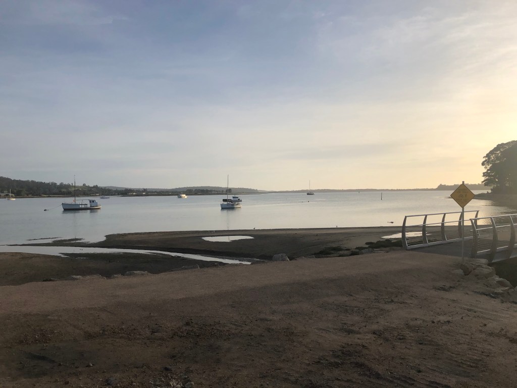
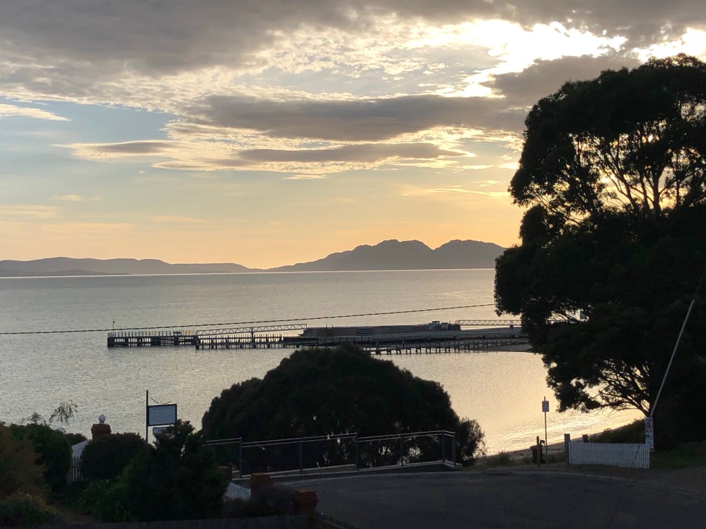
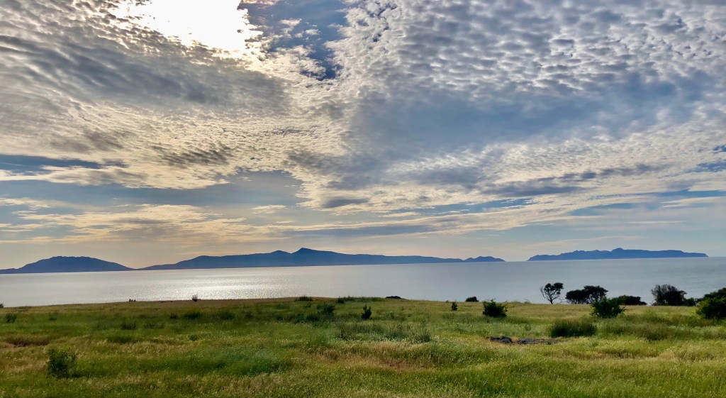
A beautiful start to the day as the sun rises above the Hazards.

Swansea sunrise

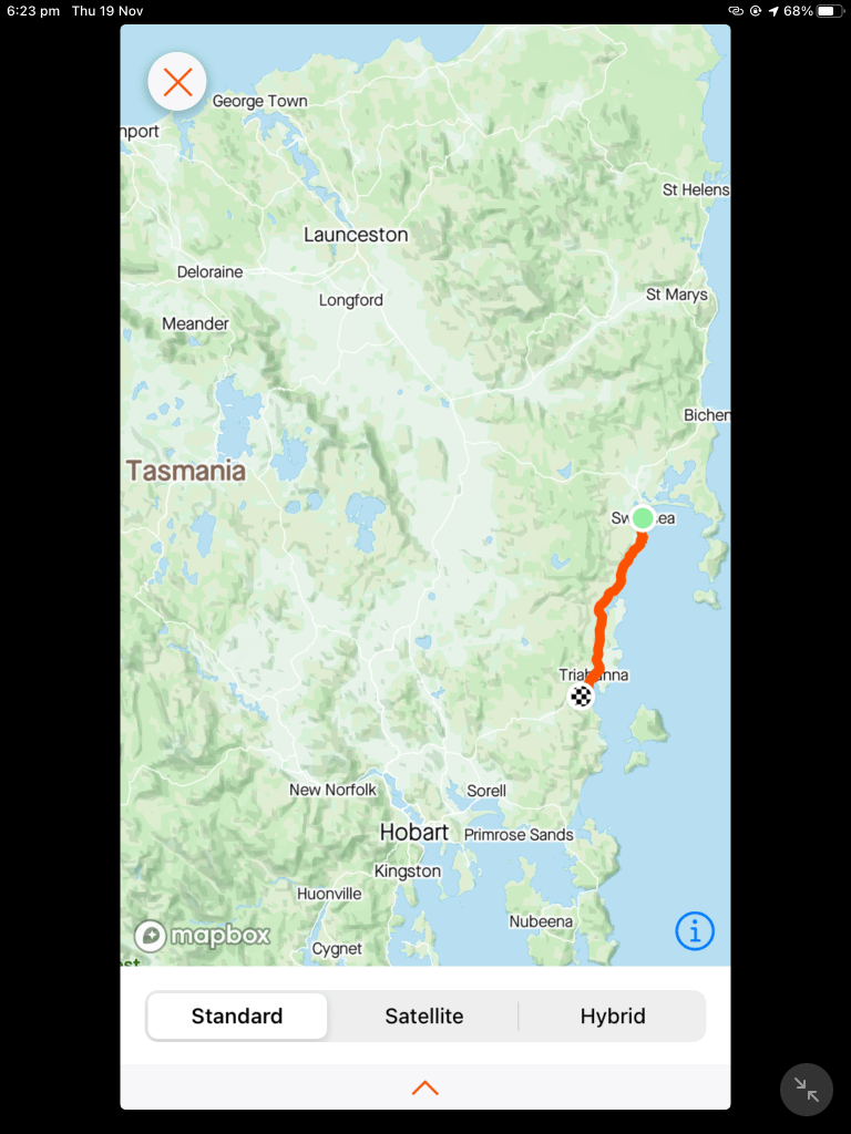
We headed north to the Bush Mill to grab some food, before turning south towards Triabunna and Orford.

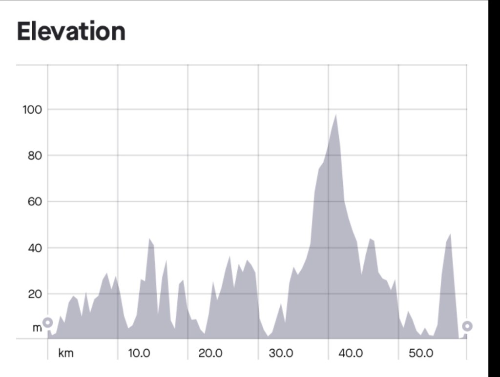
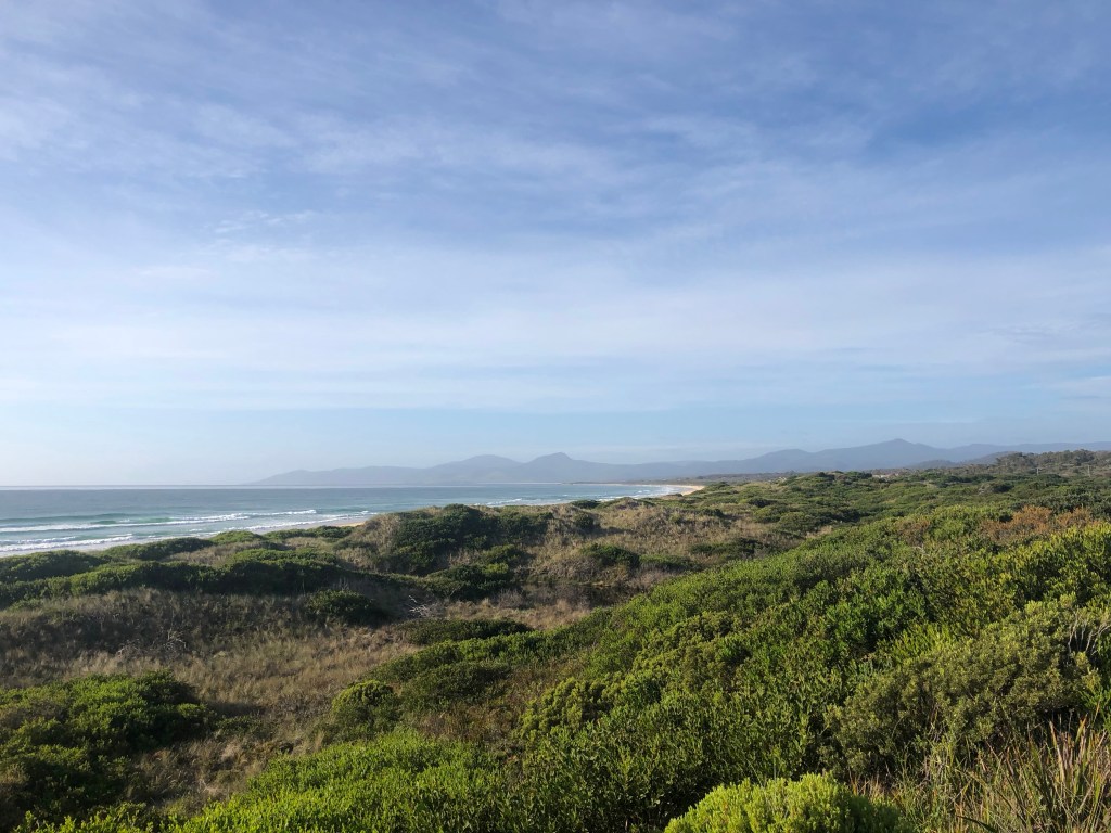
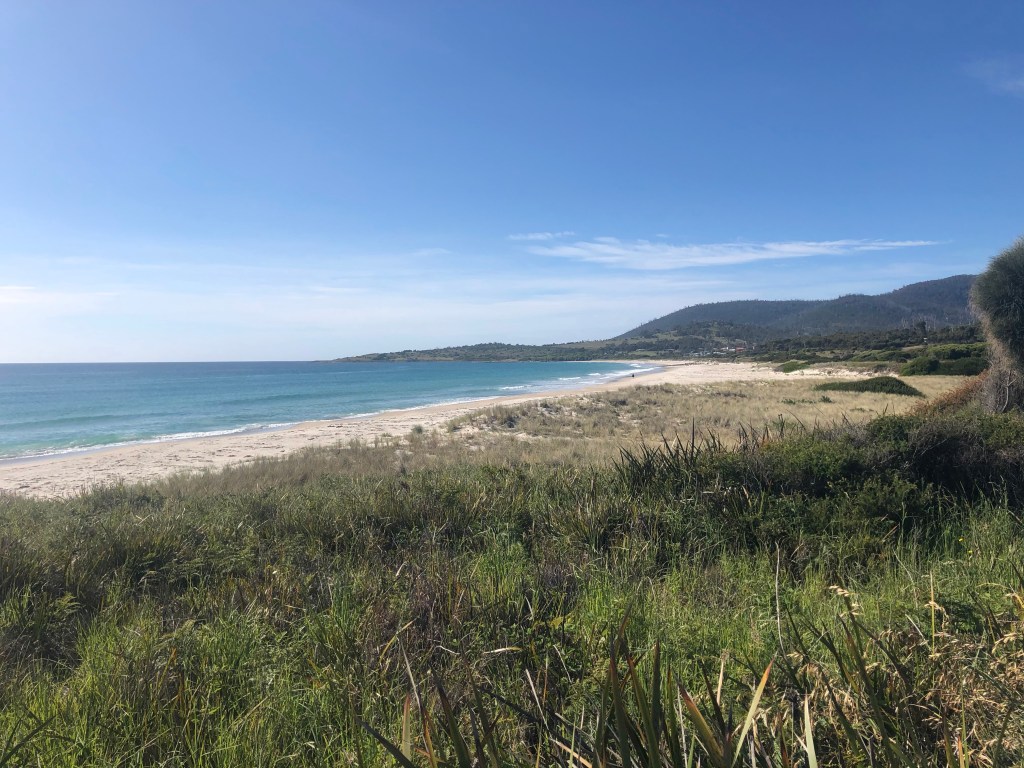
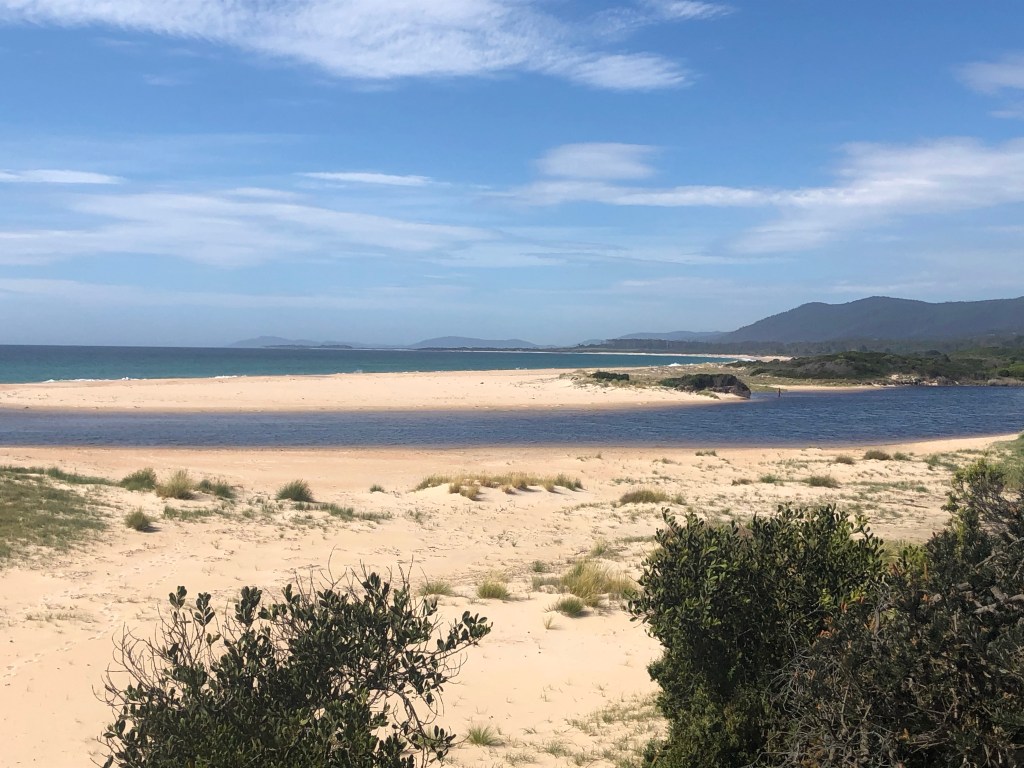
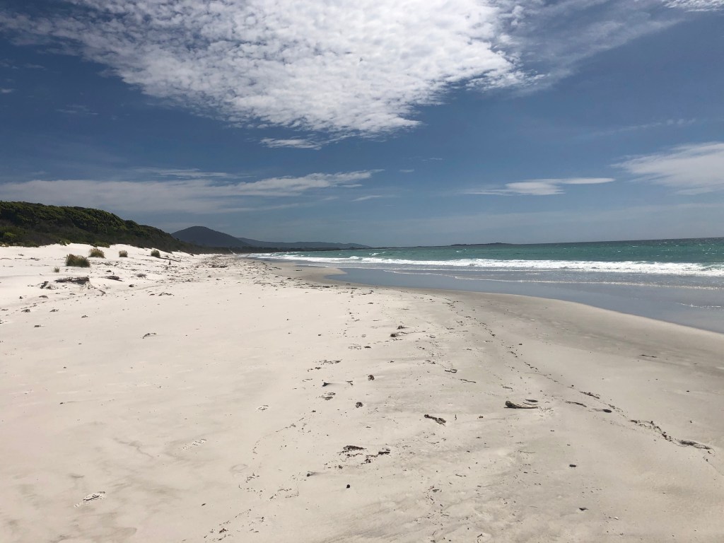
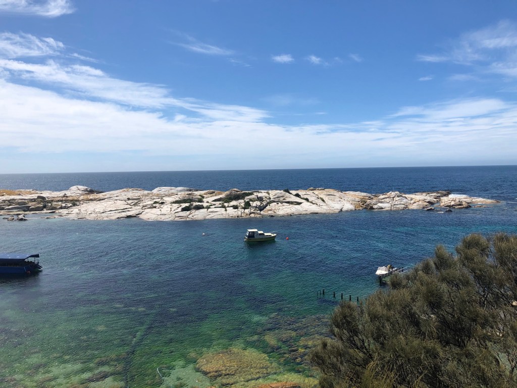
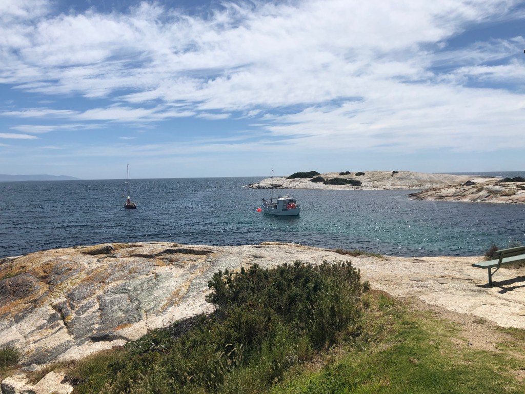
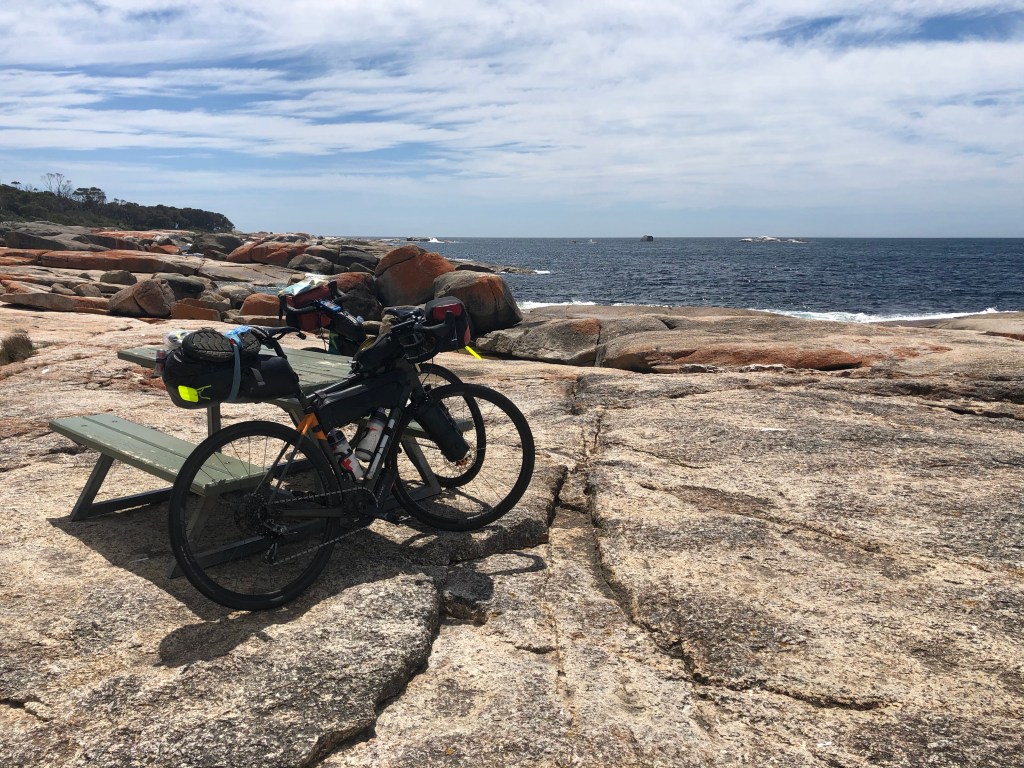
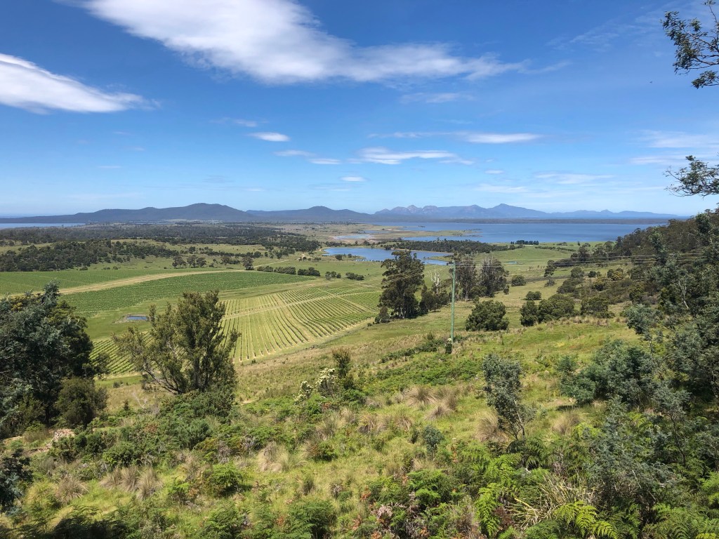
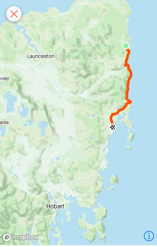
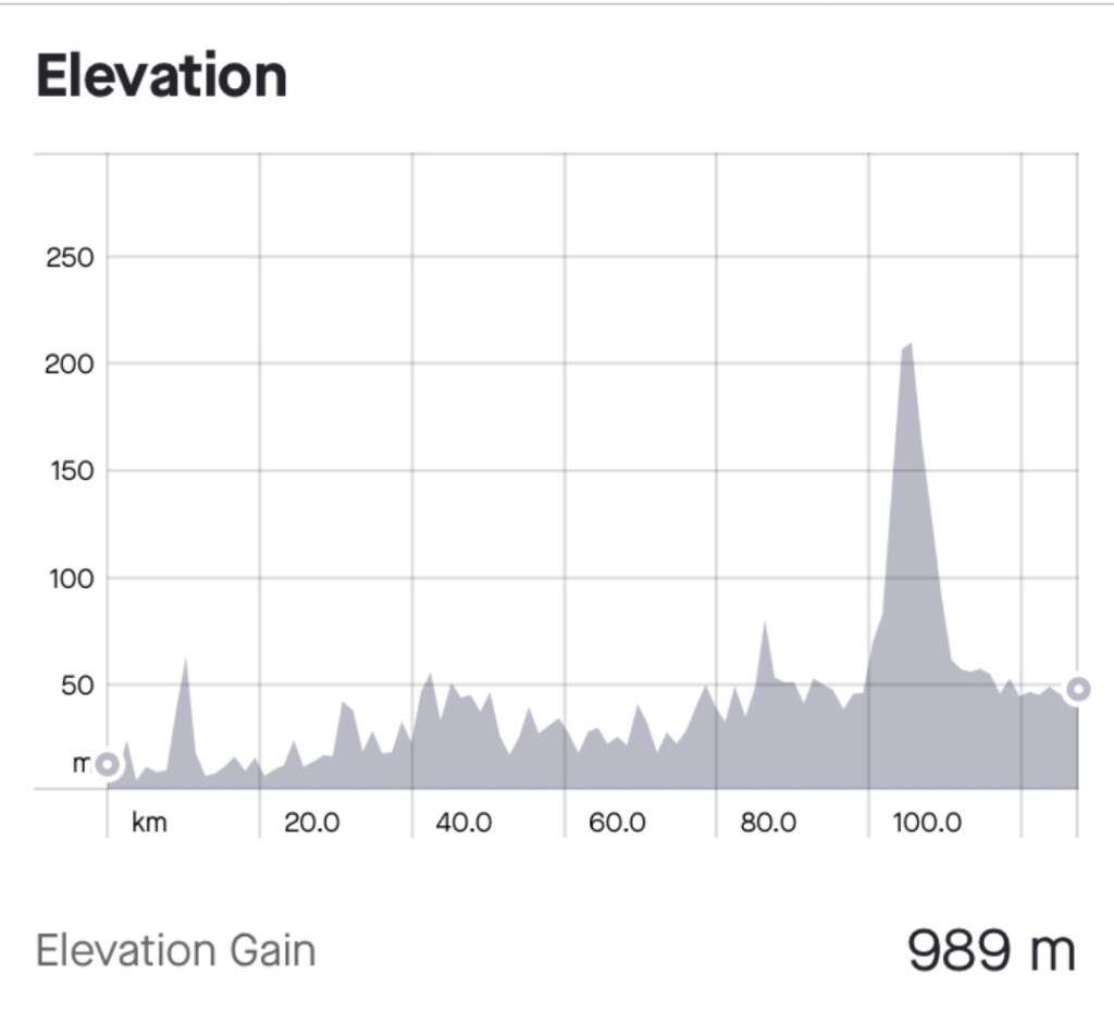
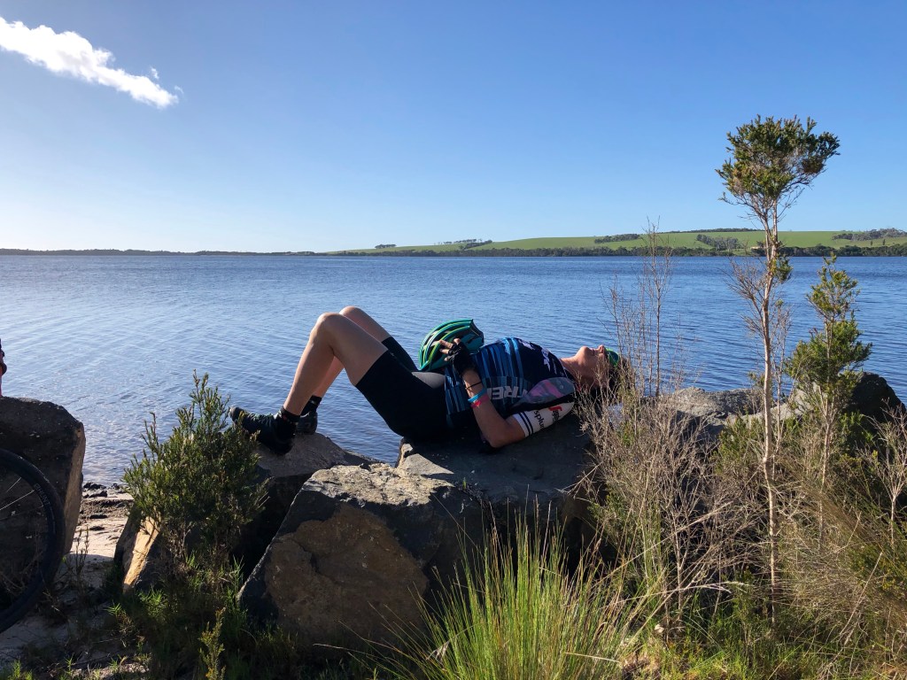
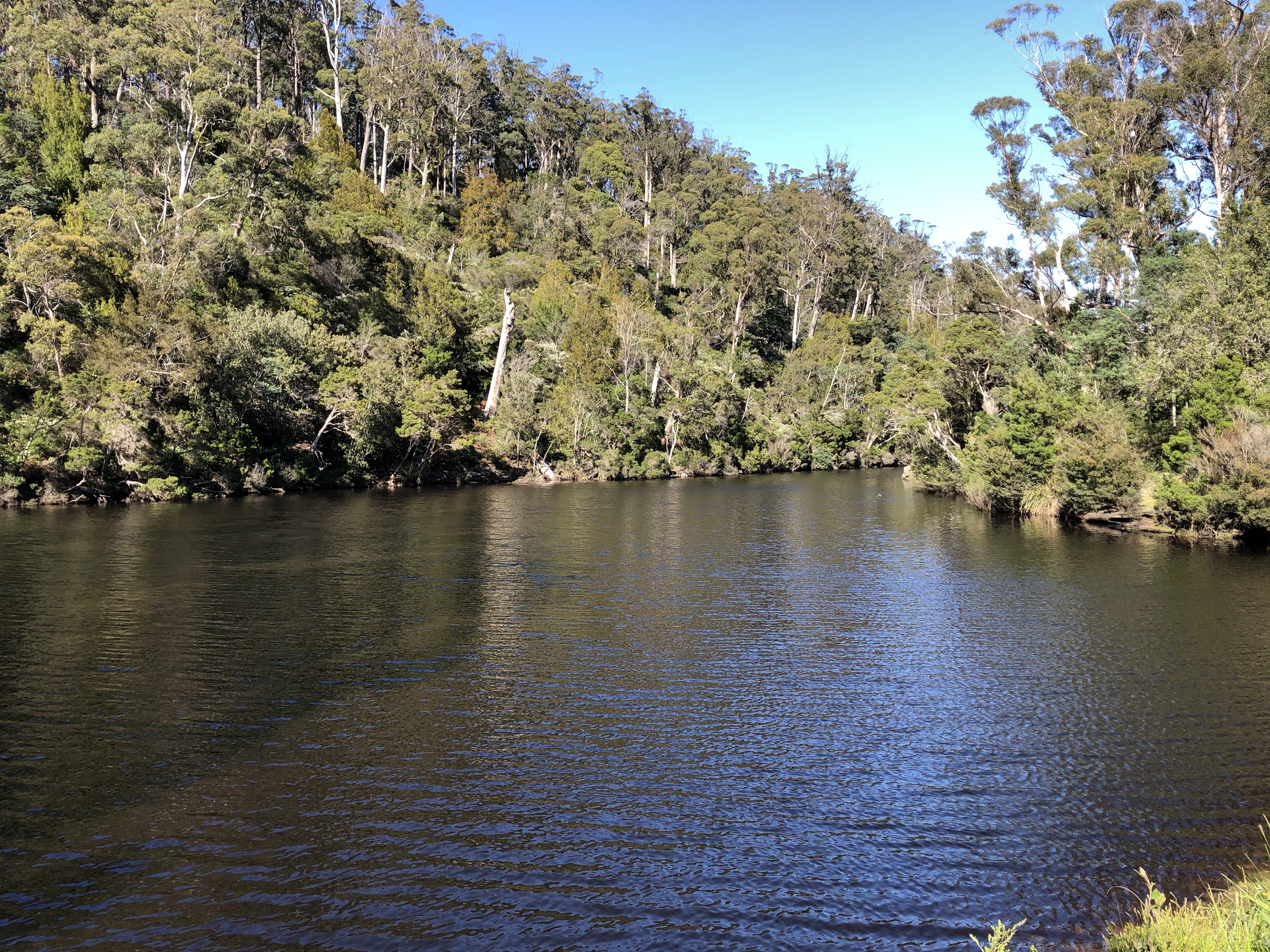
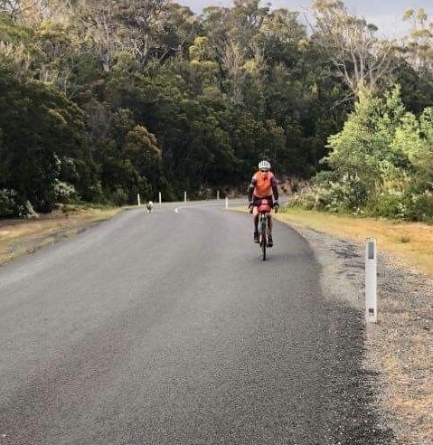
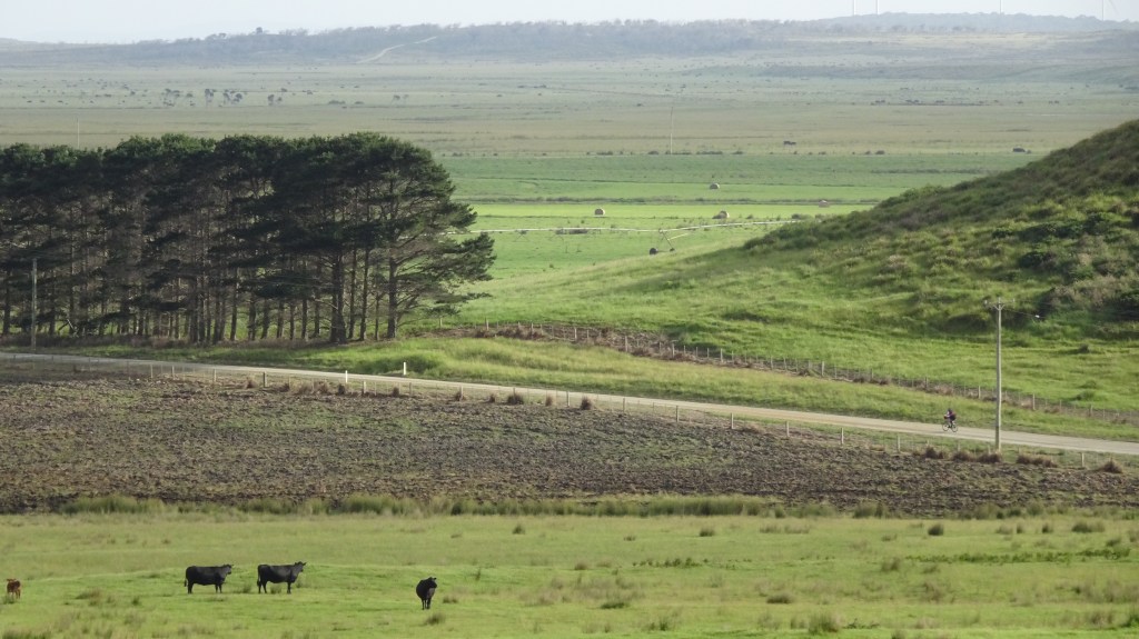
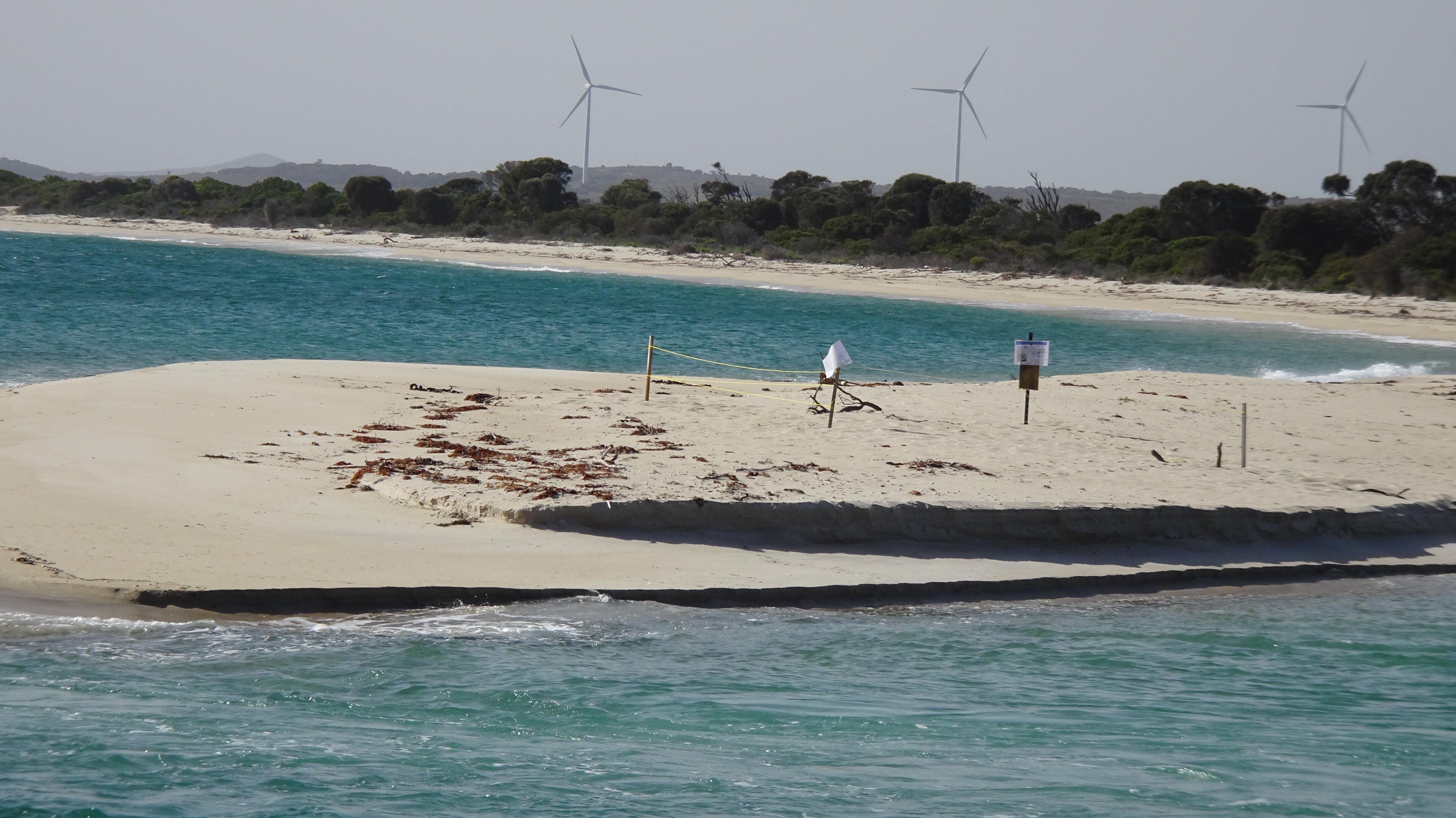
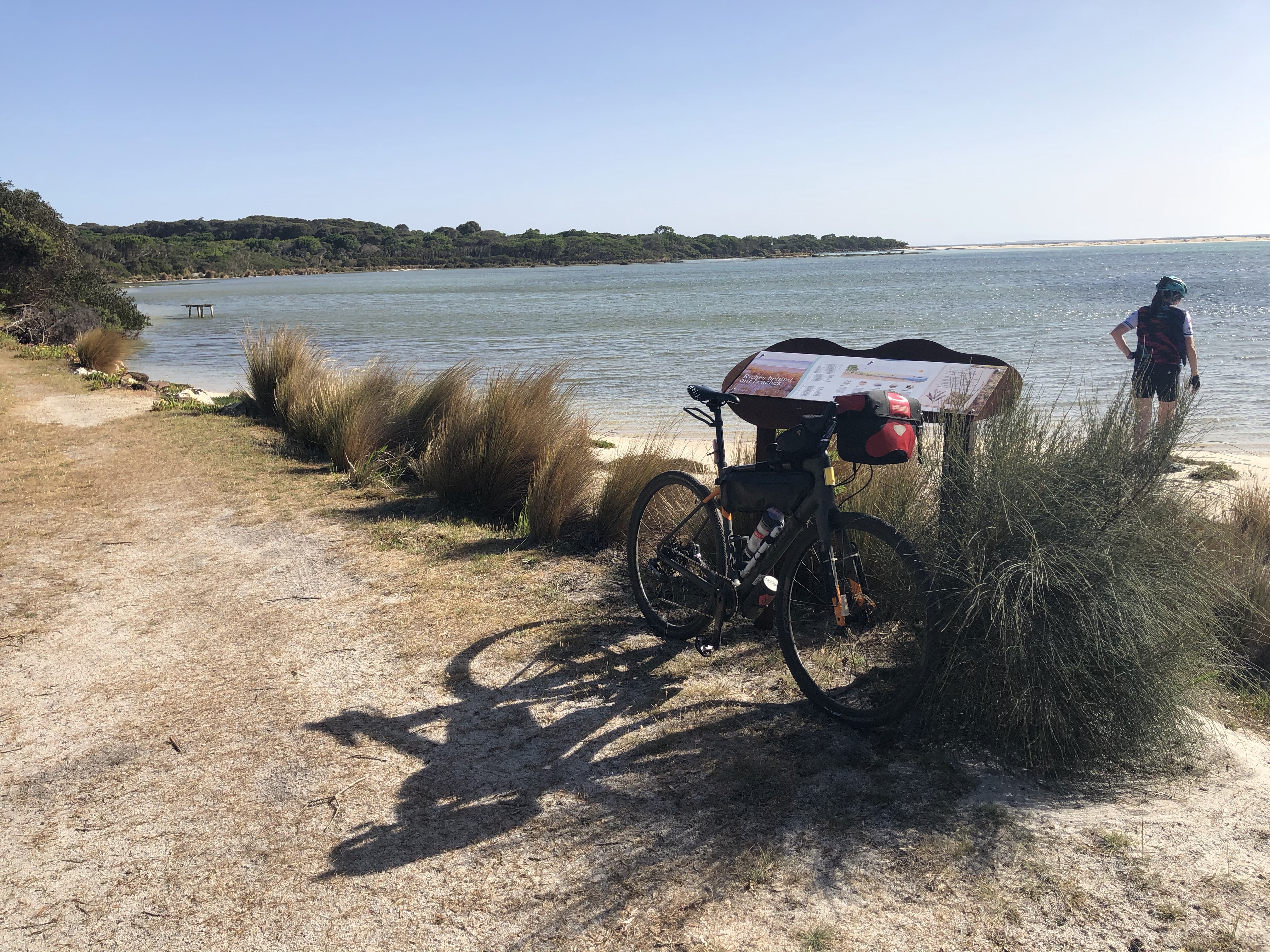
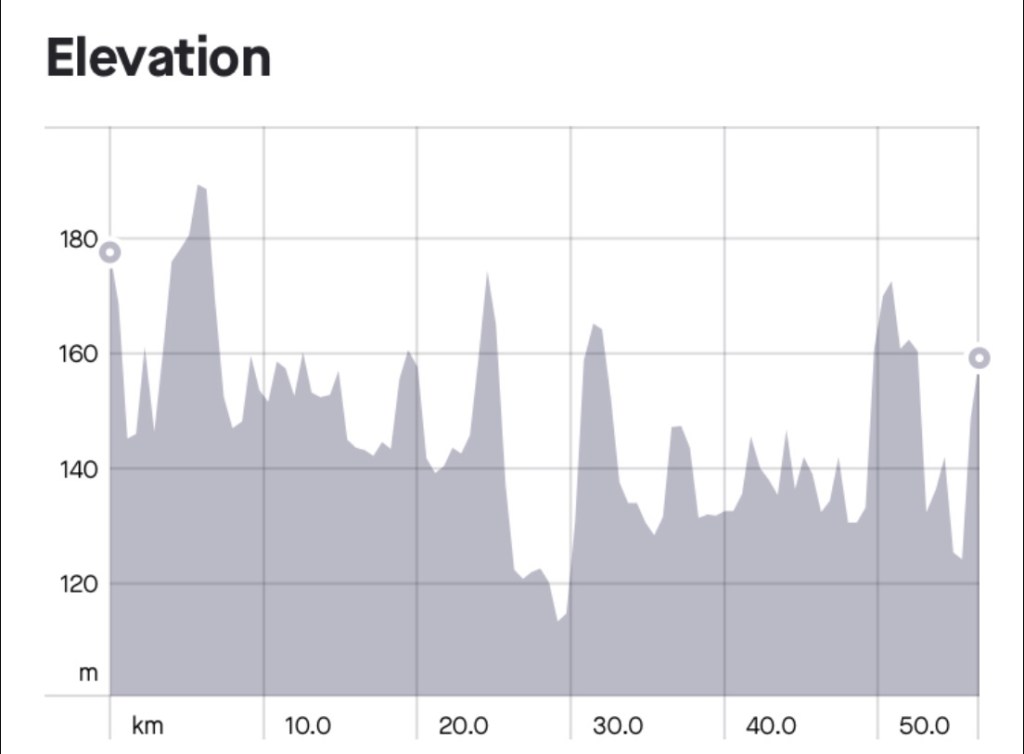
Today was shorter, a mere 60 km with around 500 metres climbing. The views for the first half was beach after beach, with the omnipresent Hazards and later, Maria Island.

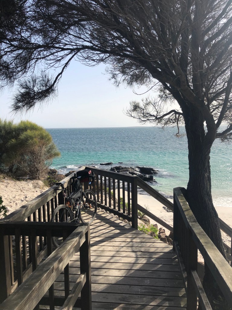
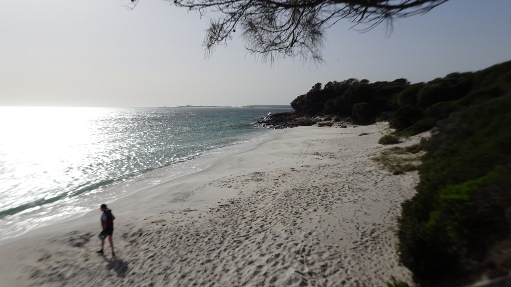
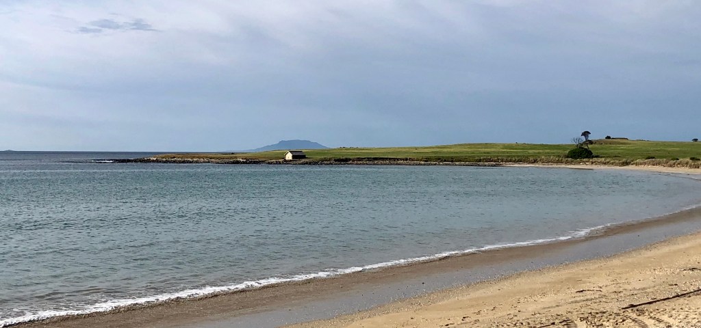
We stopped at each beach turnoff, including Cressy, Spiky, Kelvedon and Mayfield.

South of Swansea
Cressy Beach
Cressy Beach
Highway view
Kelvedon
Kelvedon Beach

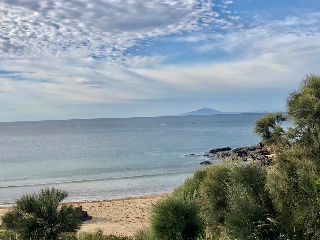
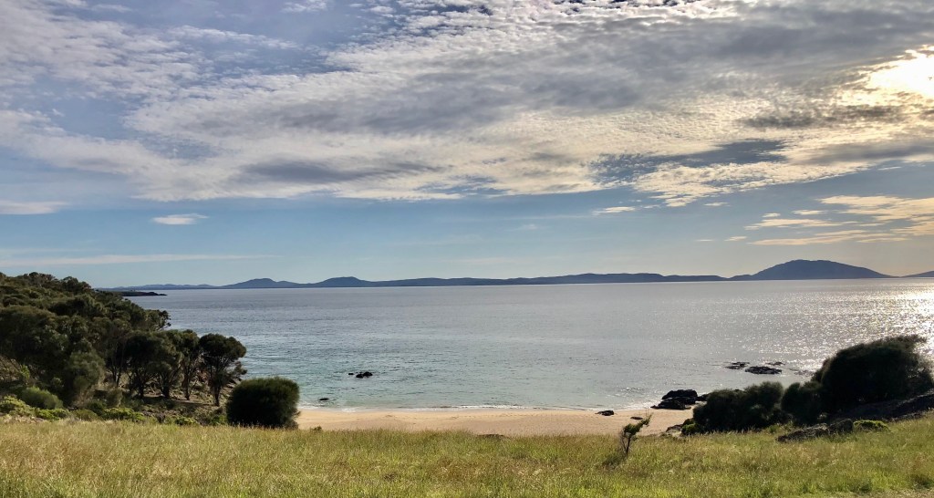
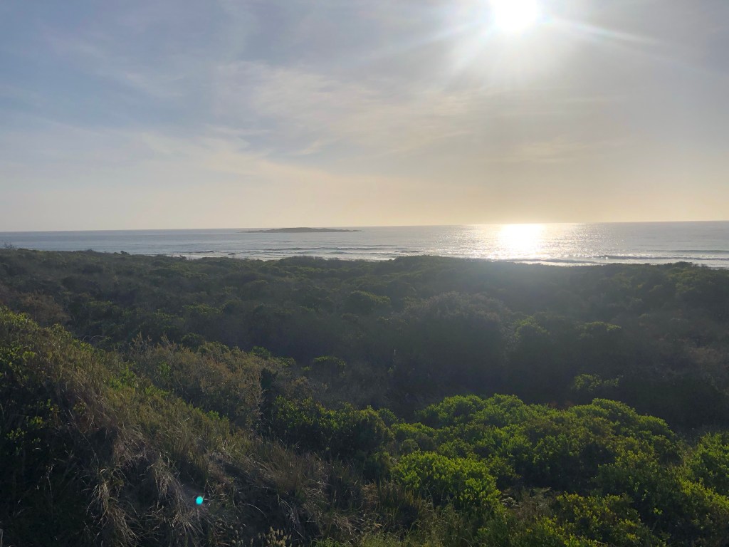
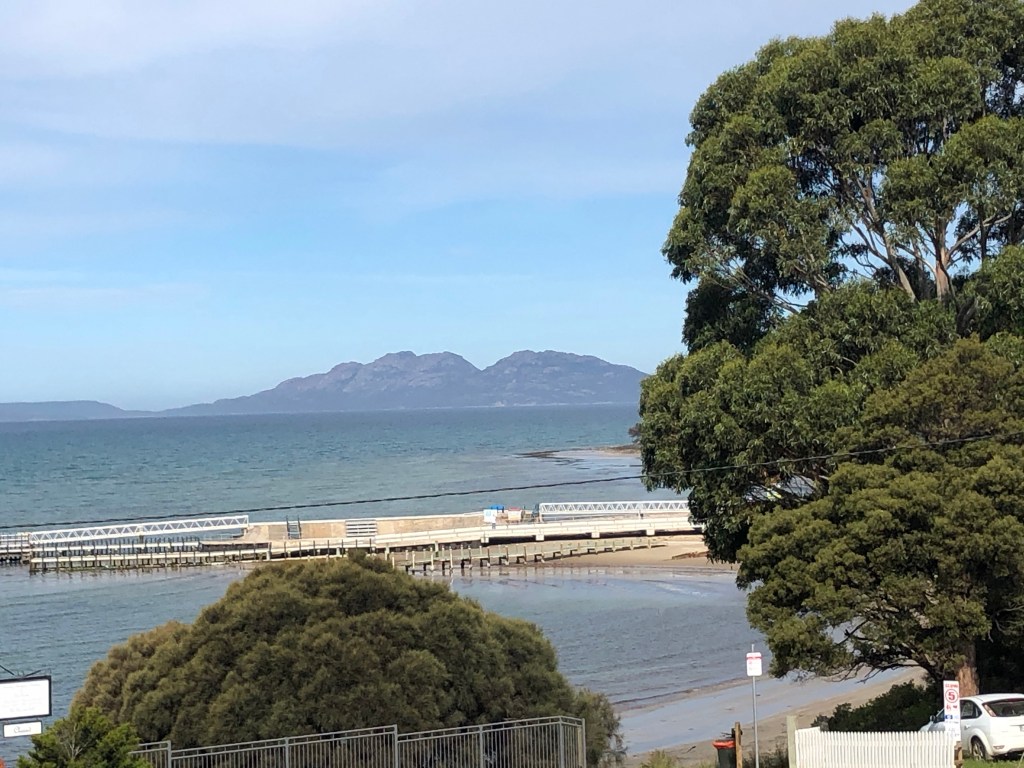
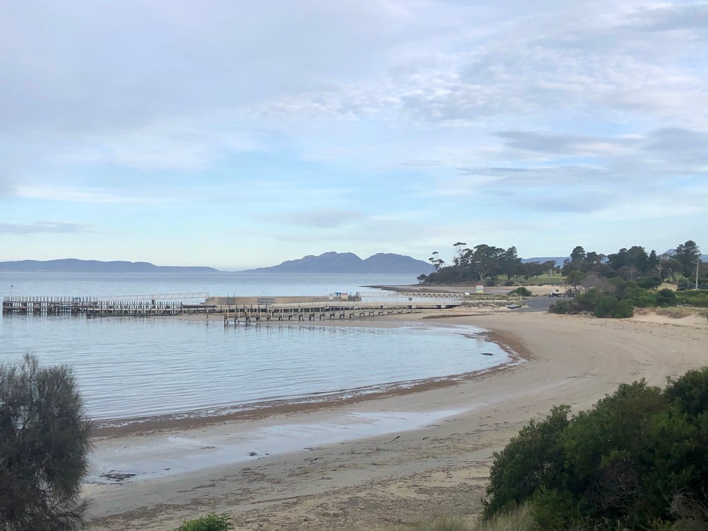
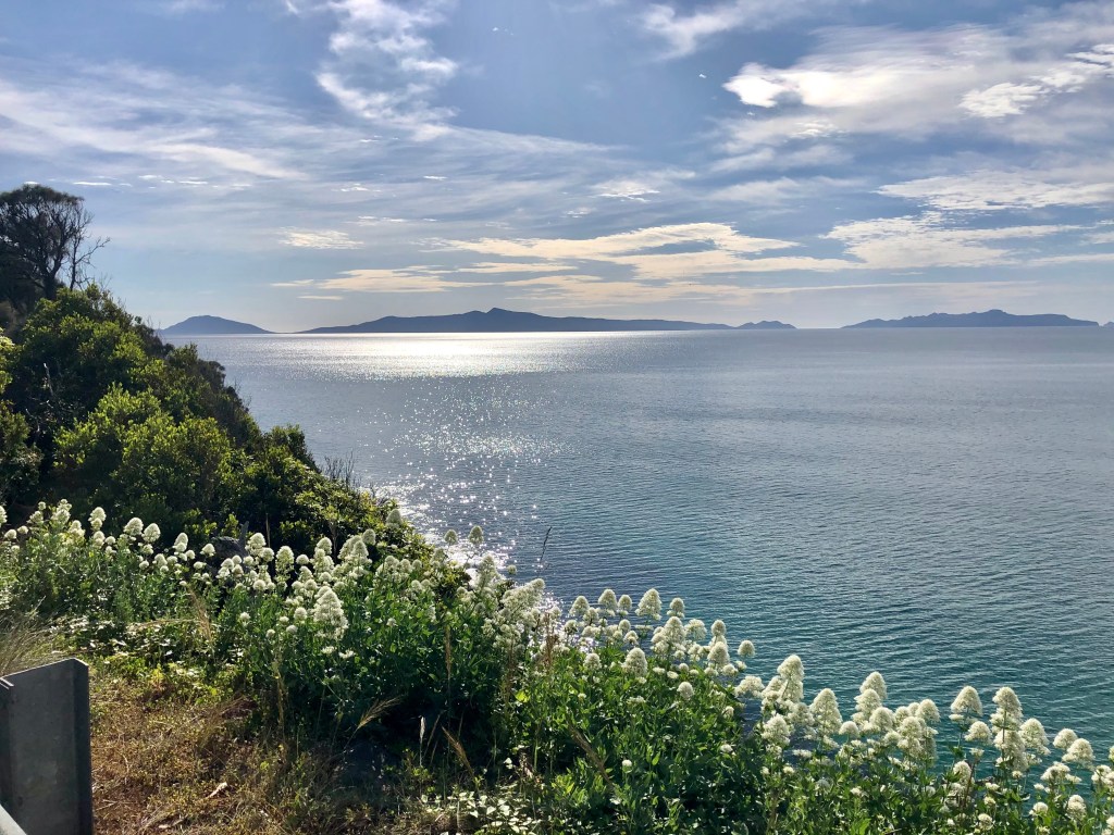
I particularly liked this view at Kelvedon Beach looking towards a farm building and Maria Island poking its head behind.

Kelvedon Beach
Spiky Beach view

Roadworks were occurring on the northern approach to the Spiky Bridge so we could not ride over it today.

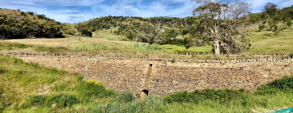
Built by convicts in 1843 the bridge was made from field stones laid without mortar or cement. The parapet features field stones laid vertically, giving the bridge a spiky appearance.

Spiky Bridge
Just before Mayfield Beach

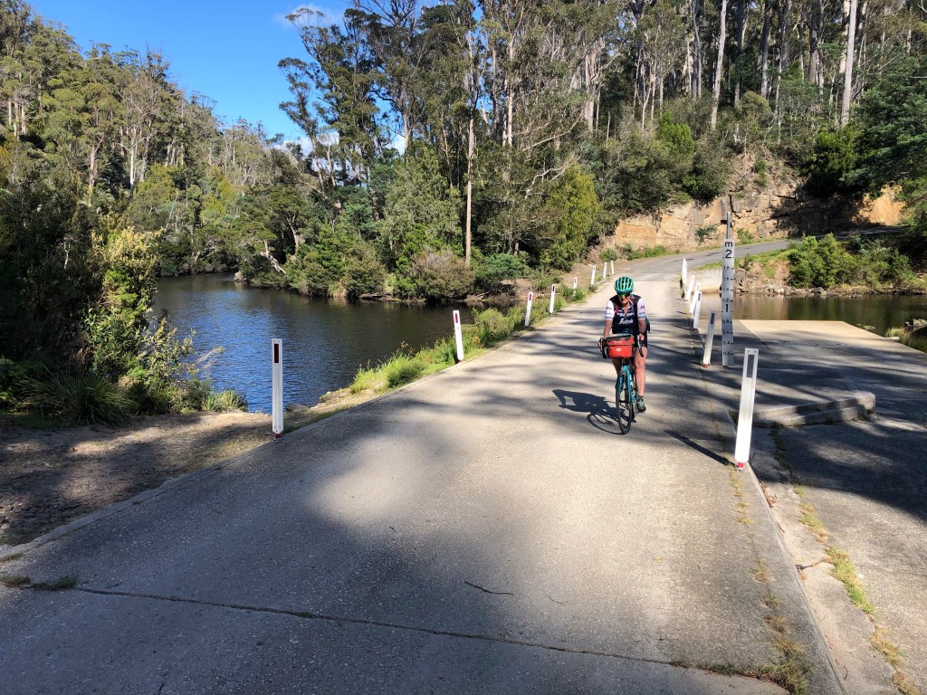
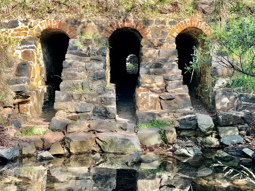
Three arch bridge is a short walk, or bike push at Mayfield Beach. The bridge was built in 1845 by convict labor from the nearby Rocky Hills Probation Station, as part of the old convict built coach road that connected Swansea to Little Swanport.

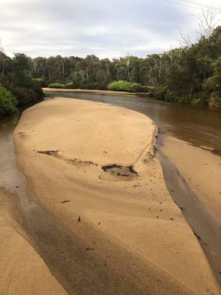
The bridge spans Old Mans Creek and has the current highway built over the top, some 10-15 metres higher.

Three arch bridge

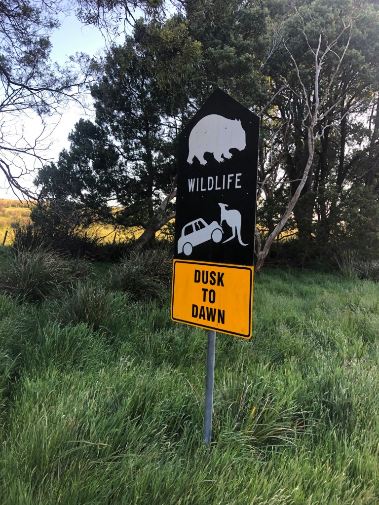
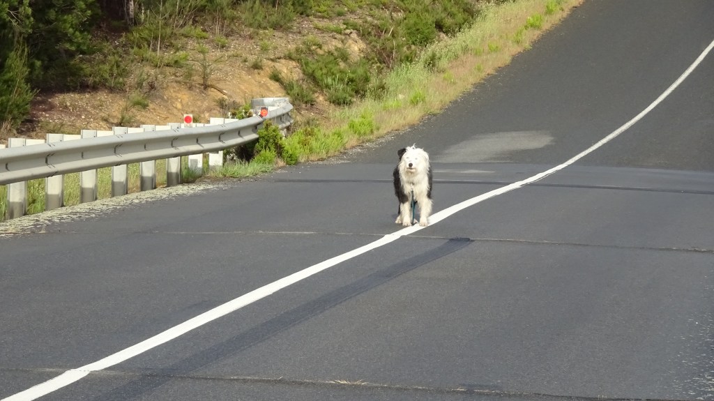
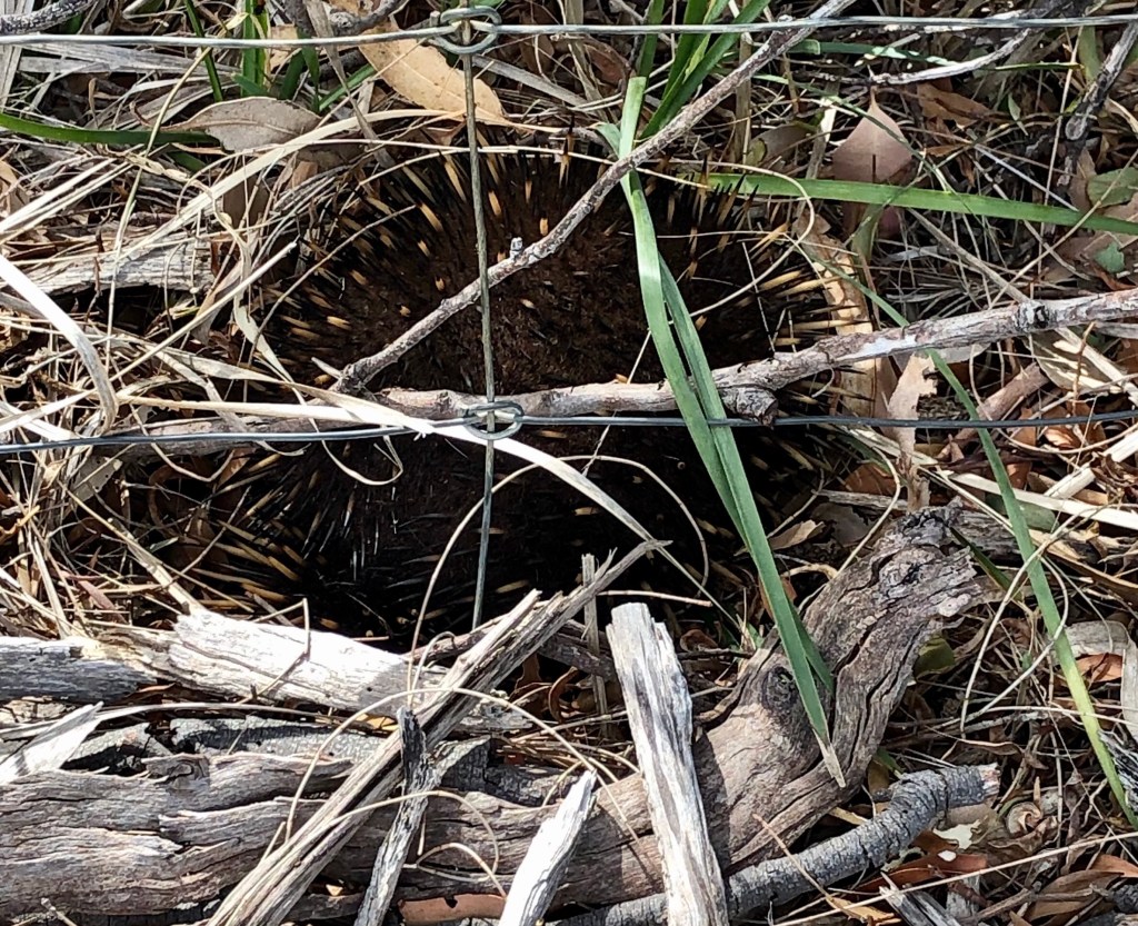
Just after we left the Mayfield Conservation area we came across an echidna, not keen to be photographed as it tried to bury itself. Great to see one alive, as sadly we past one earlier that had been killed on the road.

Echidna

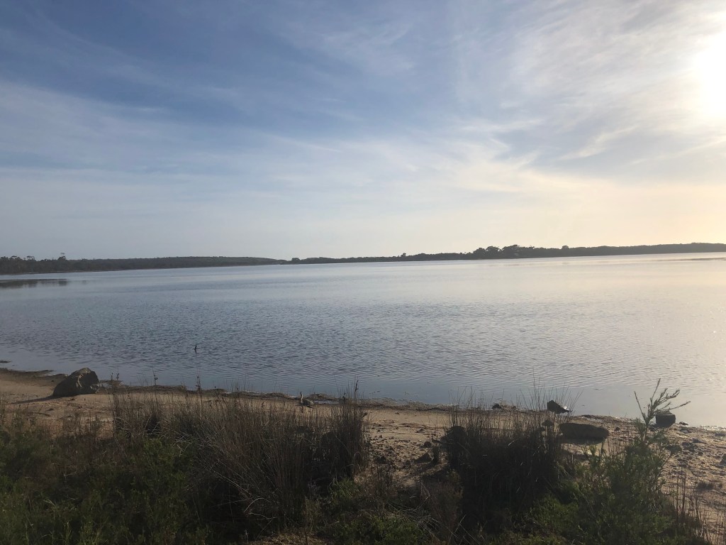
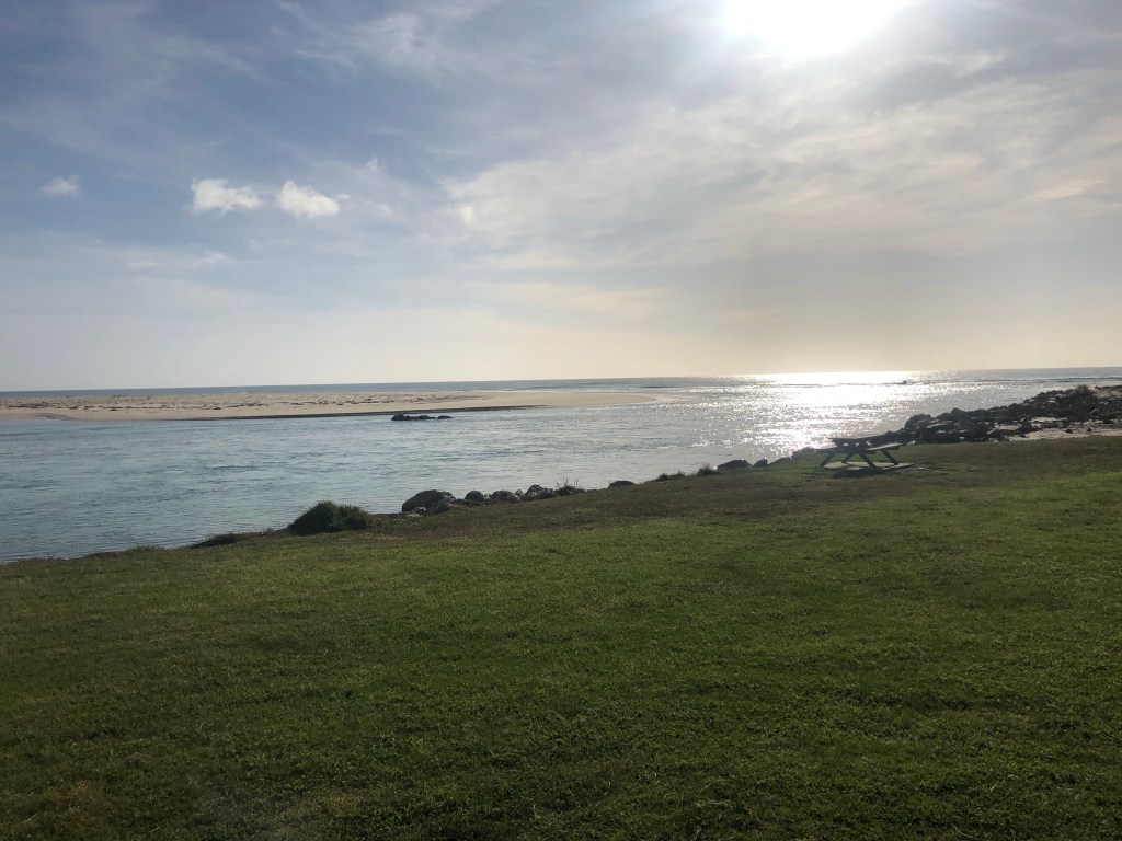
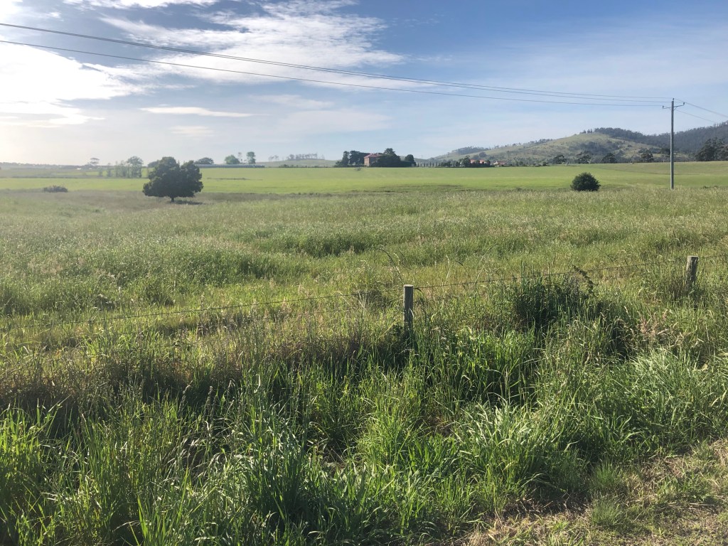
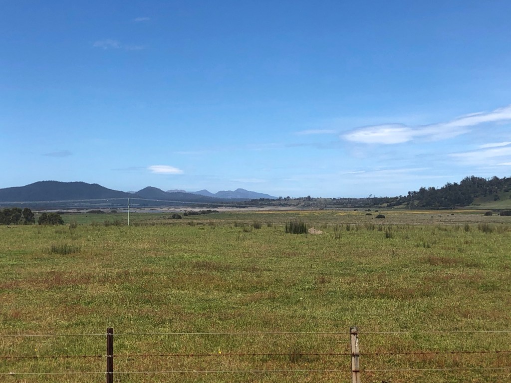
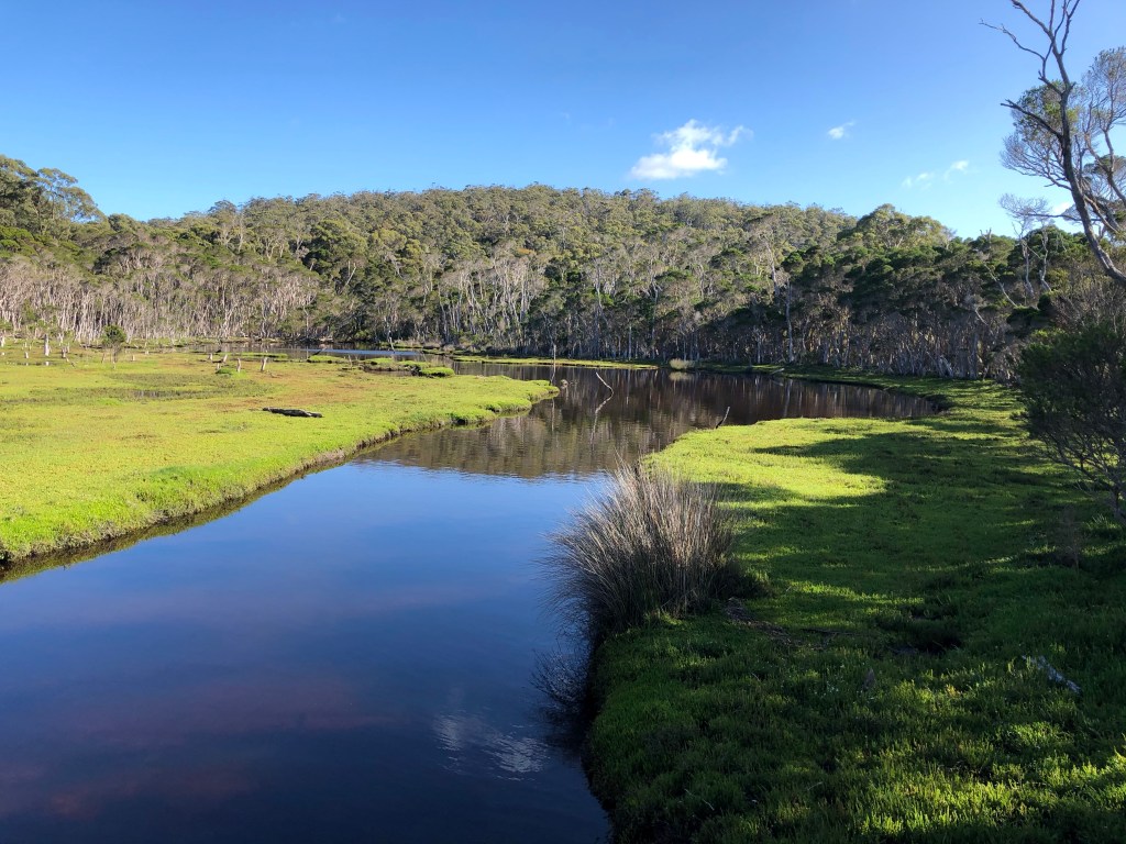
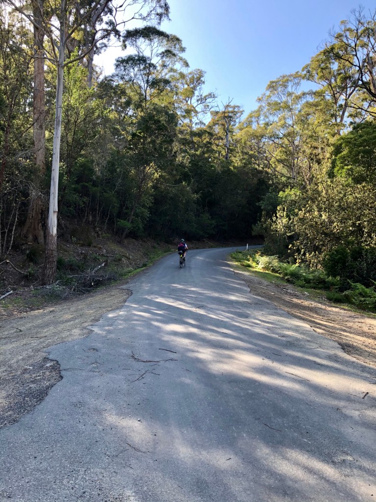
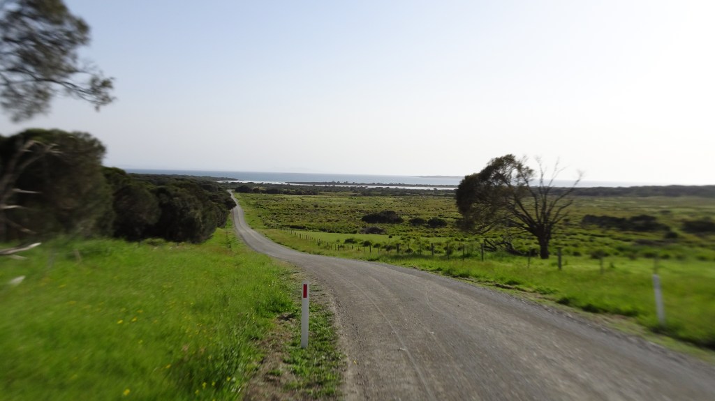
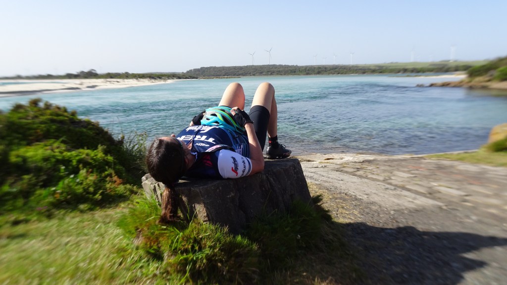
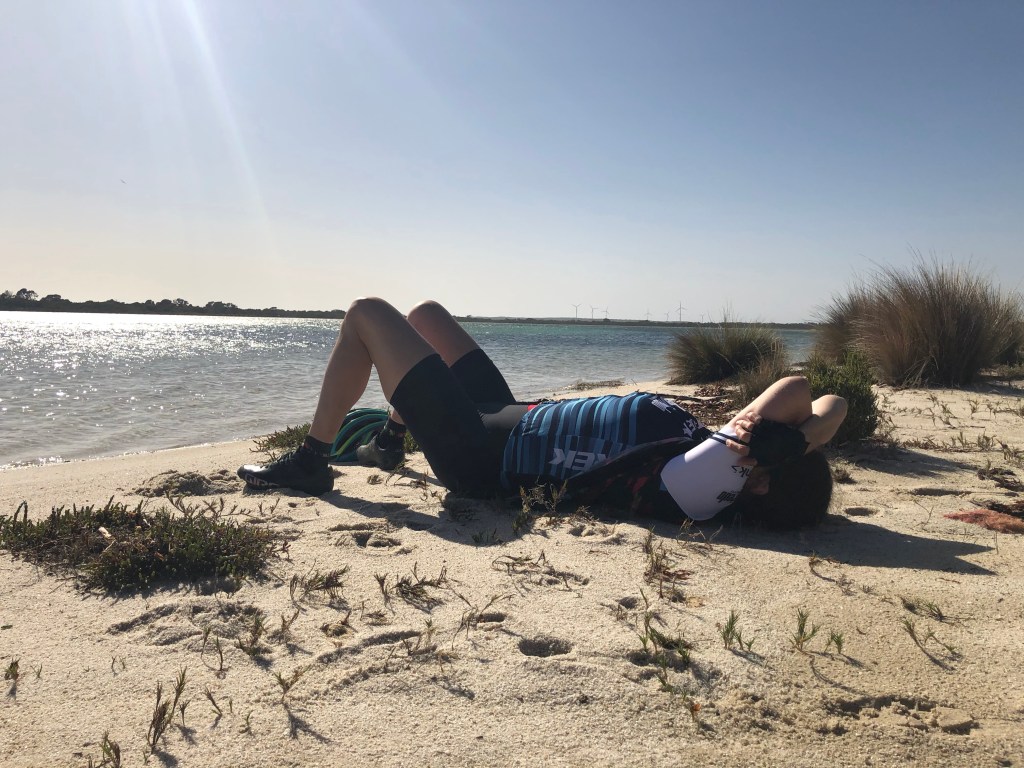
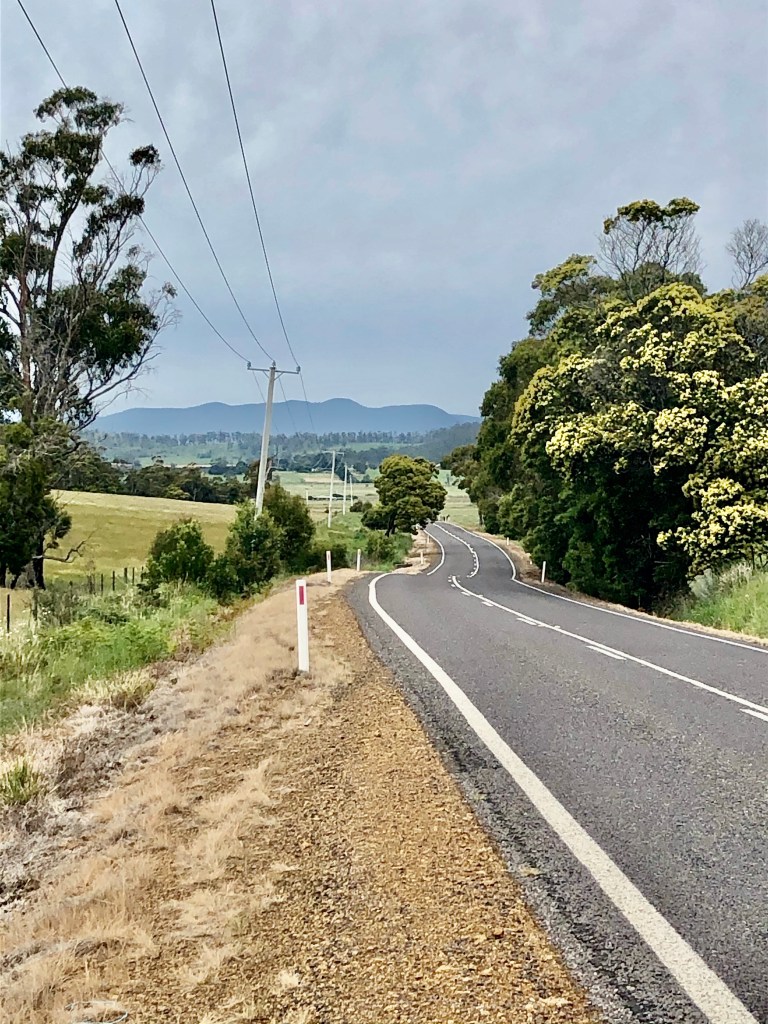
Another beautiful view as we approached Little Swanport.

Highway view

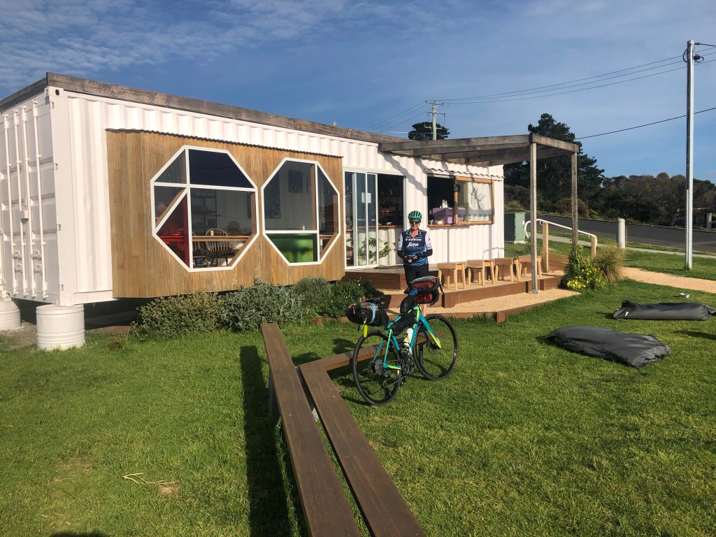
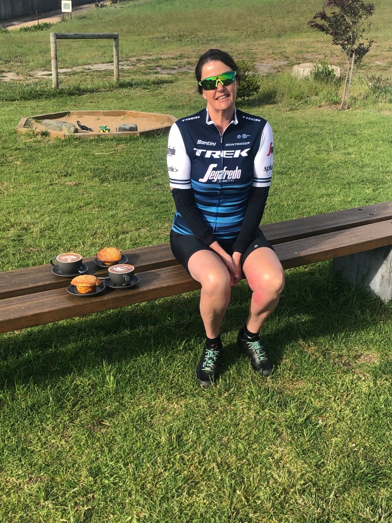
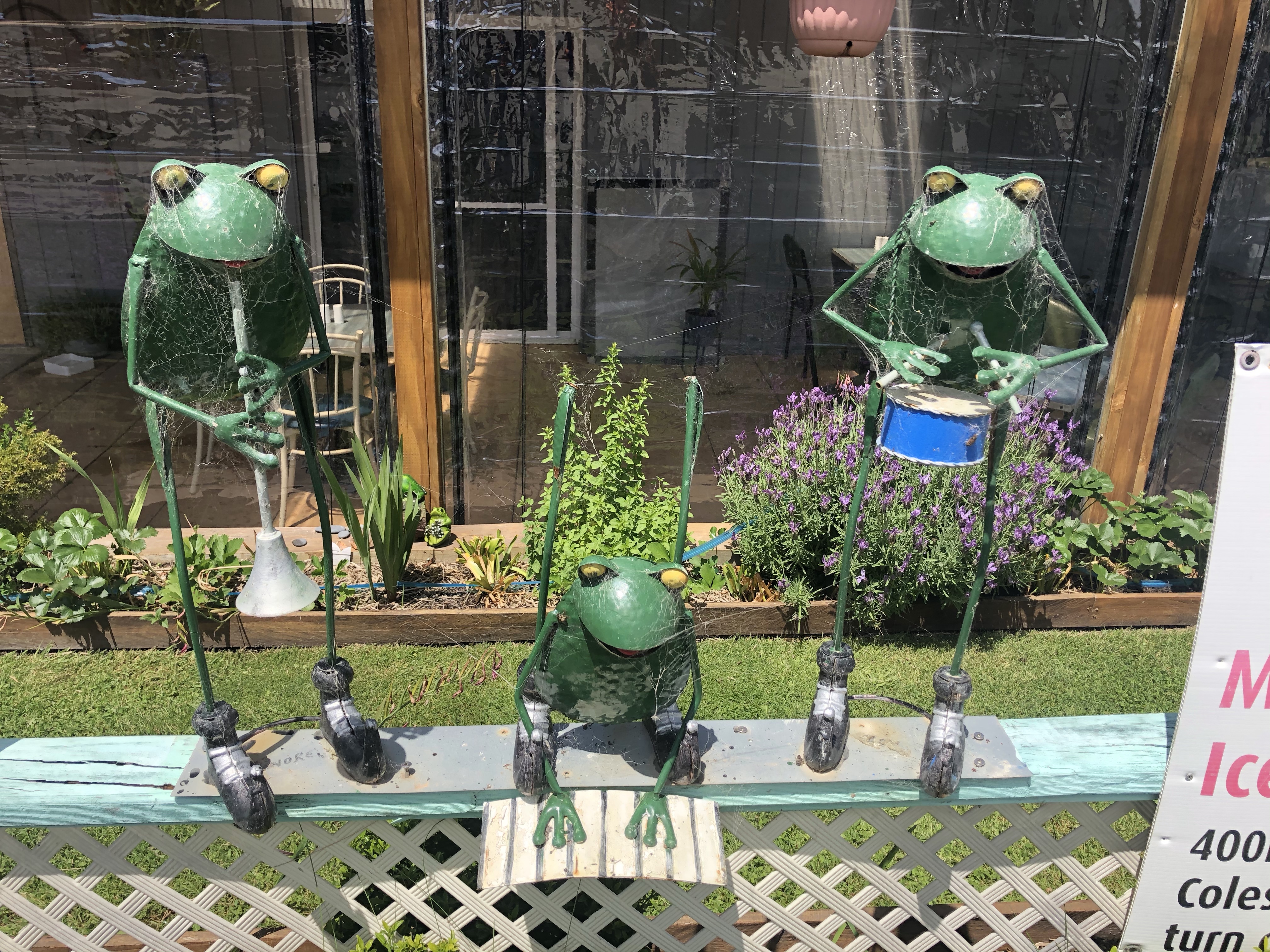
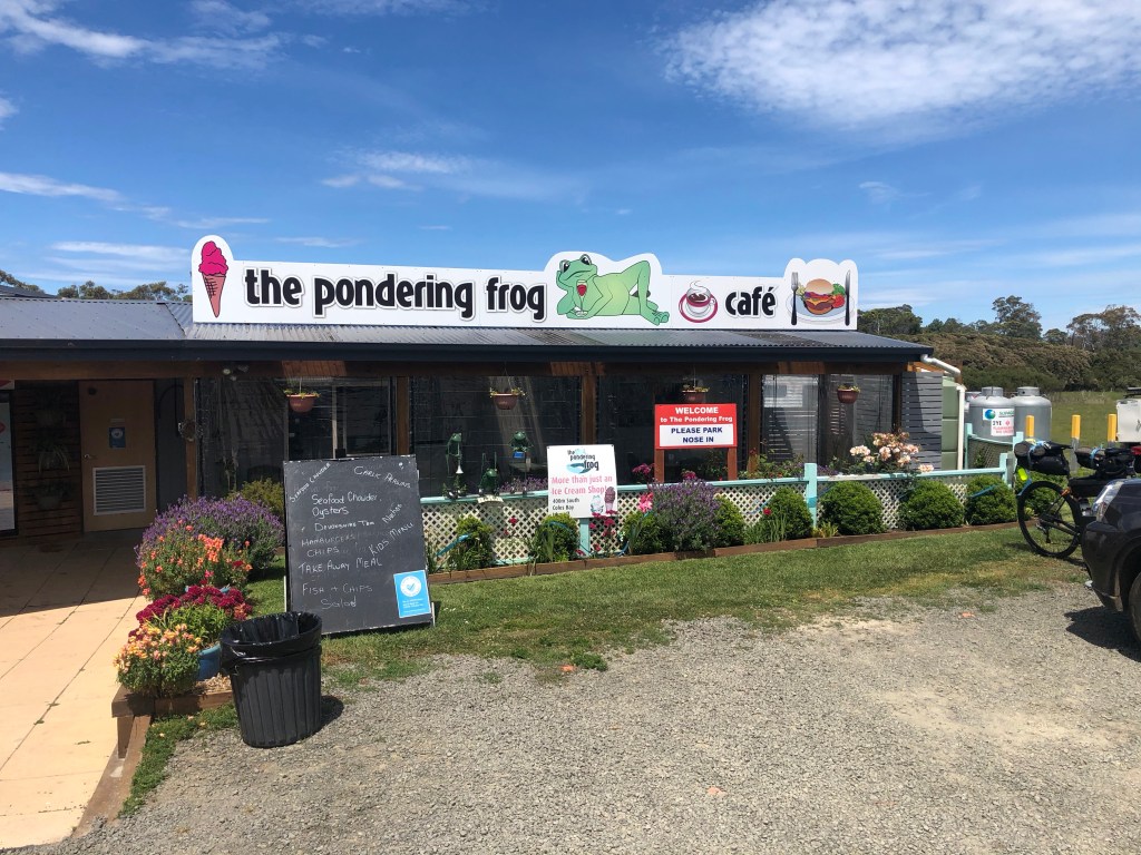
We had not planned to stop for coffee until Triabunna mainly because we did think there would be anything. When we came across this cafe in the middle of nowhere, we thought ‘why not’. We had time to kill today so we chilled here for 30 minutes or so, until 3 guys on motor bikes arrived and we offered up our table (there was only one).

Cafe stop

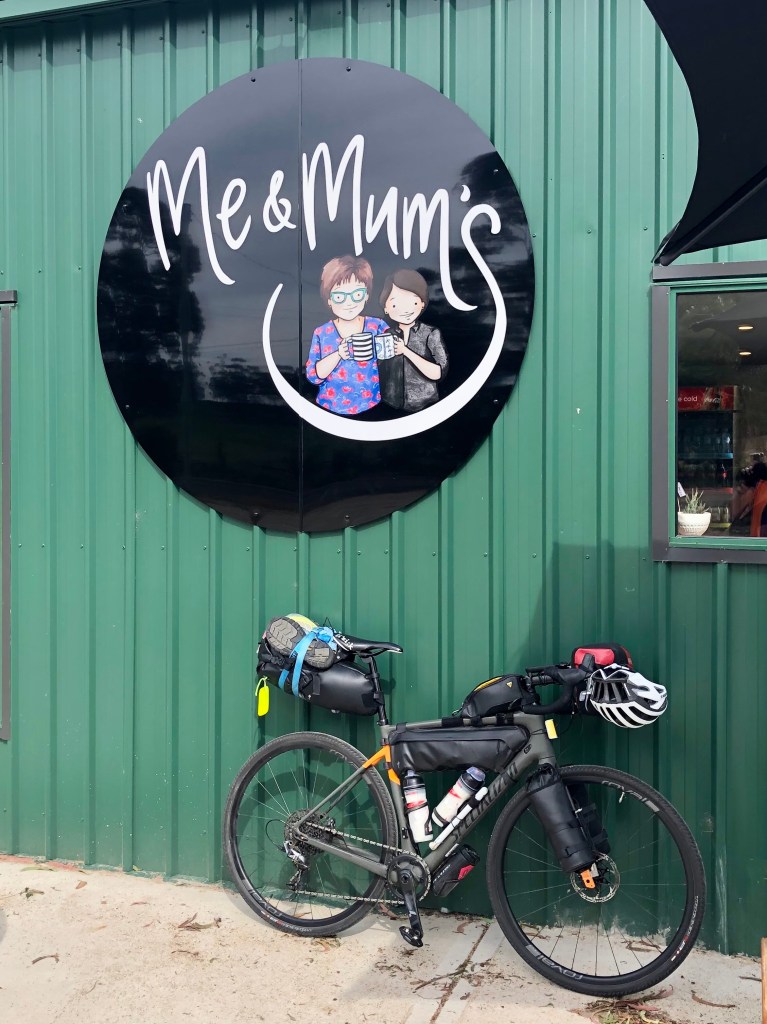
The owners dog came over for a pat, making us think of our two loved dogs Simba and Jack hoping they are going ok at the kennels.

Dog patting
Highway view

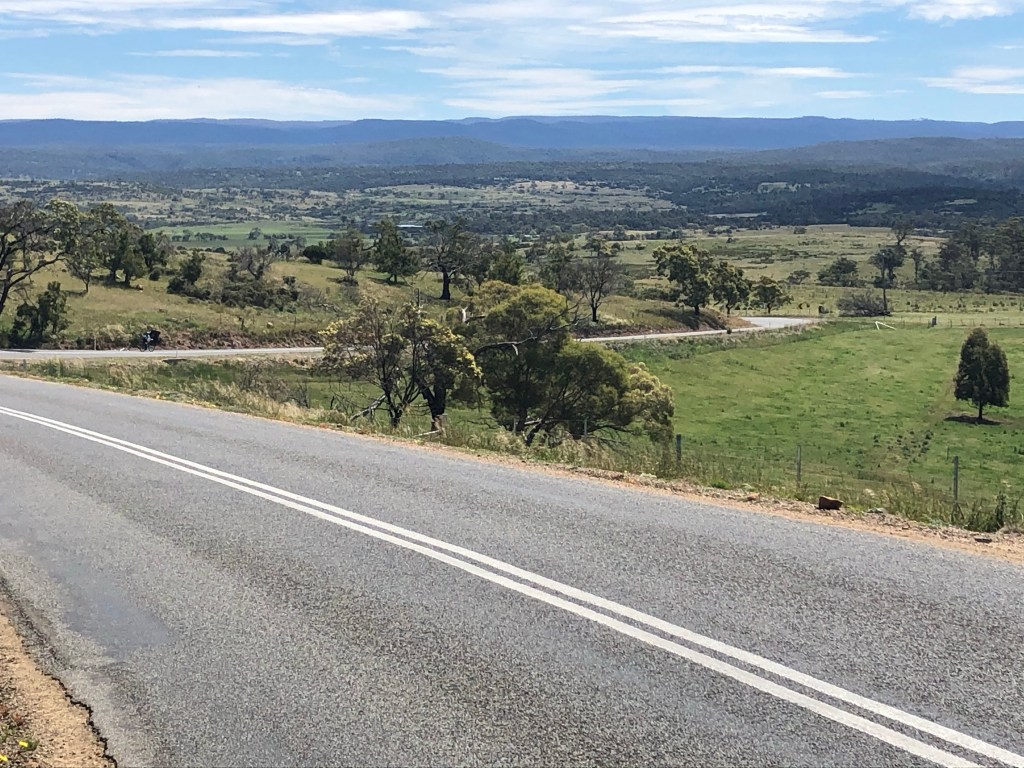
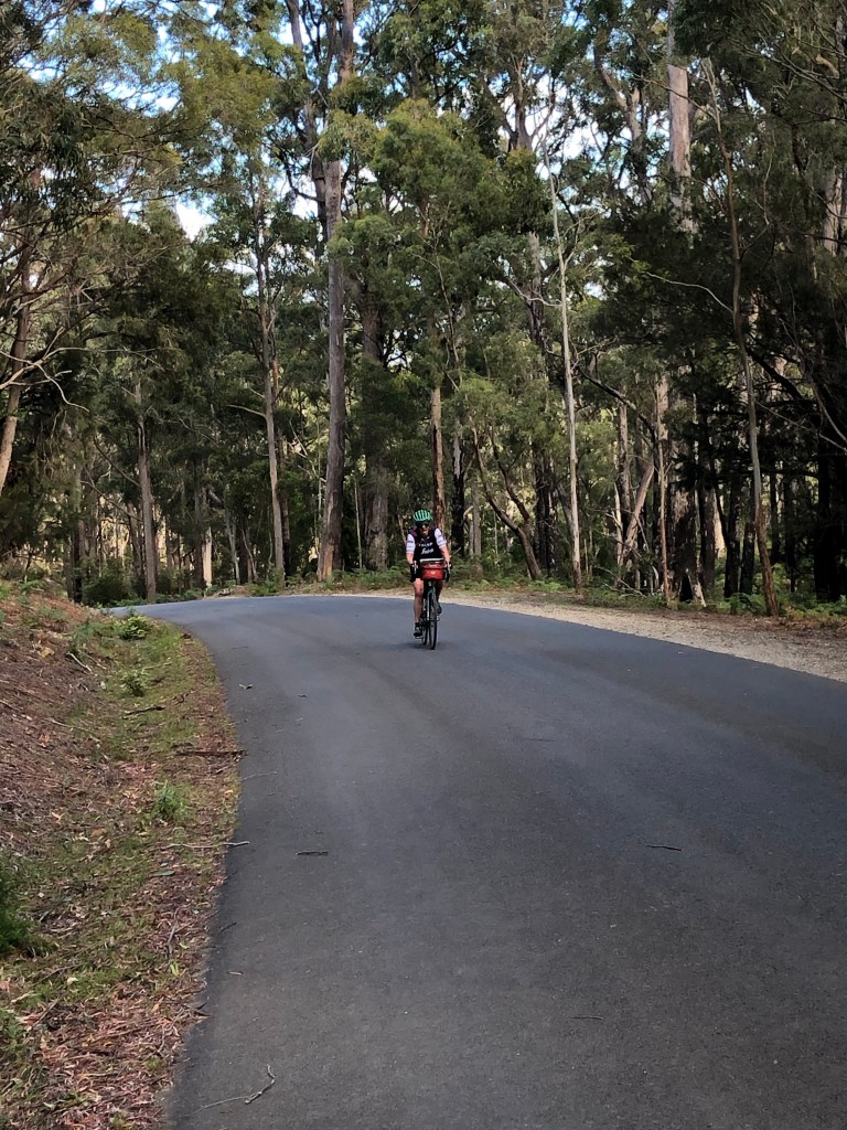
The Highway is quiet here. Traffic overall was not too bad today with one major exception. One idiot driver of a red convertible Mercedes, registration starting with MHH…I was hoping we might see the car in Triabunna or Orford so we could have a chat! He came within inches passing us, making no attempt to leave a 1.5 metre gap.

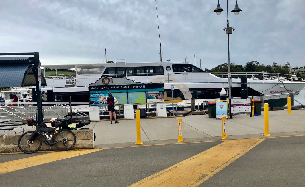
Triabunna is the gateway to the Maria Island National Park. Decent looking ferry and we’ve added that trip onto our local bucket list.

Triabunna wharf
Archie

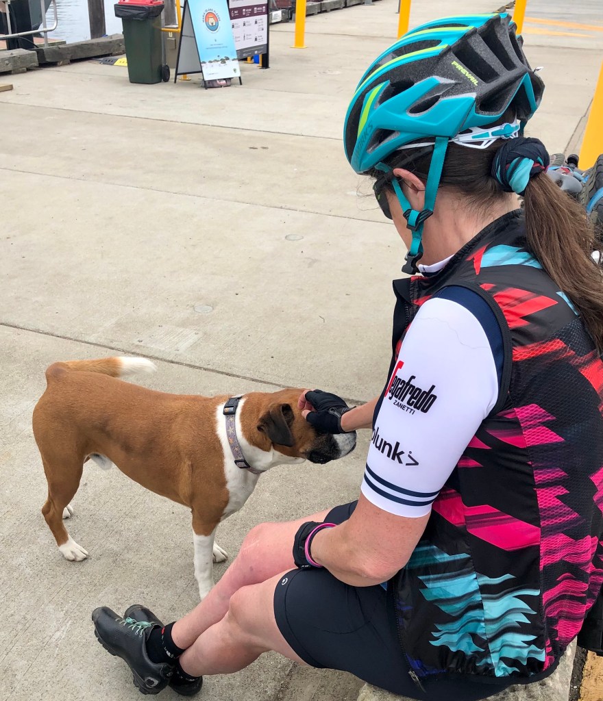
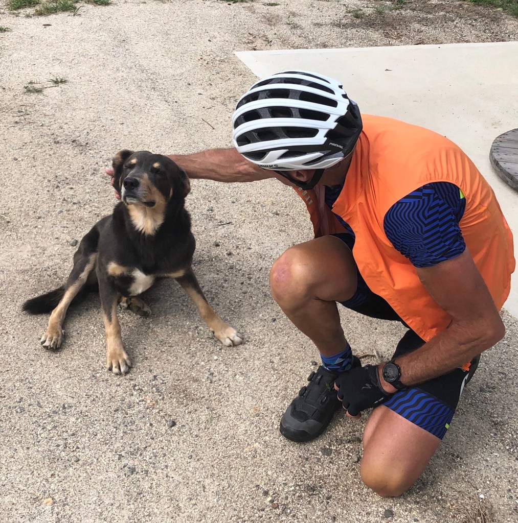
Another dog came over for a pat. This is Archie who walked ahead of an elderly lady walking with her frame. She told us Archie belonged to her grandson and that he is a good boy. I think she meant the dog.

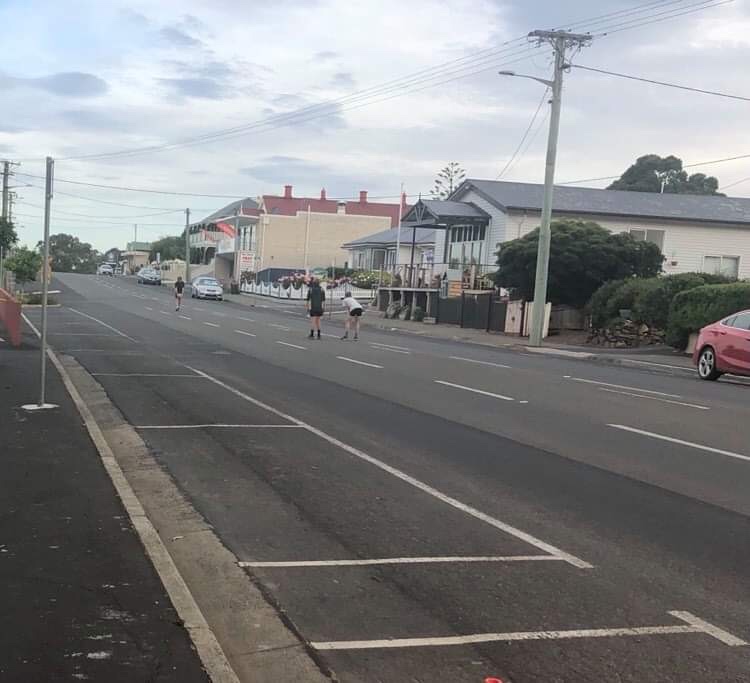
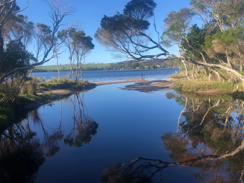
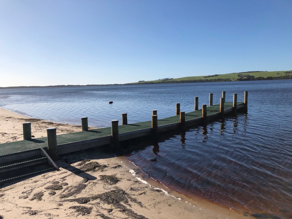
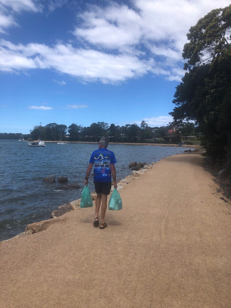
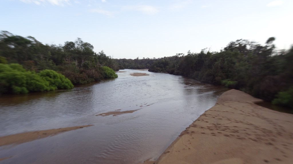
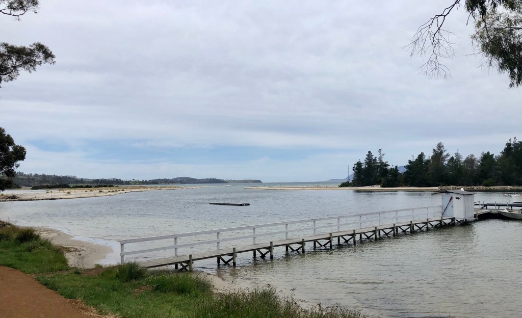
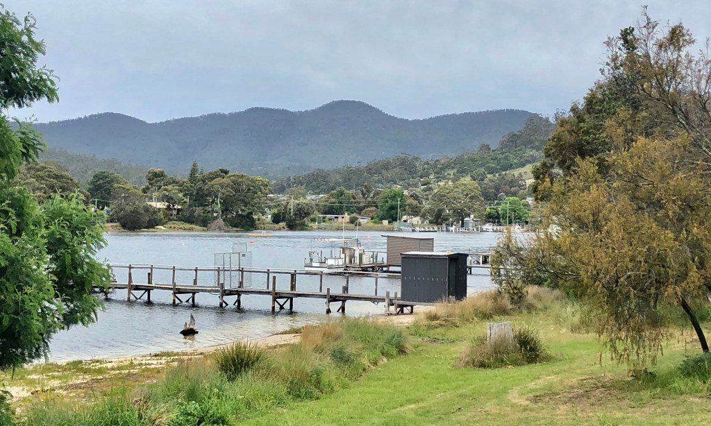
We knocked off another hour at Triabunna making the final 7 km ride to Orford, located on the Prosser River. Another very quiet town. Interestingly the jetties are all privately owned.

Prosser River, Orford

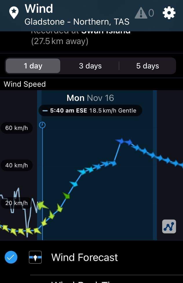
So a short day but tomorrow is a tougher day as we head to Port Arthur. We have a few different possibilities route wise but will make our mind up in the morning depending on the weather. The forecast is potentially problematic wind wise, so we will see how bad it is and tweak accordingly.

We are planning another early start, having purchased breakfast supplies. The wind tends to be kinder earlier in the day.

Thanks for reading. Ooroo.

Brilliant day to be riding a bike

Up early, ate, packed and headed south at 6.40 am. The day was looking great and we were keen to get cracking as we had about 125 km to ride, all on the Tasman Highway. No options for quieter roads.

It was quite cool and at 2.94 km Tony realised why he was feeling cold. He had left his gilet hanging over a chair in the kitchen at our accomodation. Worse still, we had locked the unit and put the key into a box, and reception did not open until 9 am.

A few phone calls later, the jacket was retrieved and we headed back out like Groundhog Day. What is an extra 6 km on such a beautiful day?

Just a glorious morning.

We arrived in Scamander, and the local supermarket has a series of metal characters.

Scamander is a small town, with lovely vistas and a great coffee shop.

Off we rolled, making good progress and riding at a very chilled pace. That is the beauty of cycle touring. If you get the daily distance and destinations right, and you are lucky enough to have the weather gods on your side, it is very pleasant as you have all day to ‘get there’.

An agricultural region, this old farmstead was quite impressive even at a distance.

Approaching the Chain of Lagoons.

The Chain of Lagoons was very pretty, with an expansive camping area, surprisingly quite busy.

I like the chains on the chairs, taking a seat I enjoyed looking out at the beach and ocean.

Today was all about beaches following the East coast south and it is hard not throw a few more beach photos in. The beaches were all fairly secluded with few people visible.

Arriving into the town of Bicheno marked 75 km of our ride, and whilst a bit early for lunch, we had some anyway.

Why does the word visitors have its own metal sign? Did they stuff the spelling first time? Is it interchangeable? What other words might we out there? The big questions in life.

Bicheno has some wonderful geological formations.

The Gulch
The Blow Hole
The Blow Hole, take 2
The bikes chilling on the rocks

At the junction of the Tasman Highway and the road to Freycinet National Park is this kitsch cafe. They sell good icecream though! If you ever desired a frog souvenir, they will have it.

First glimpse of The Hazards. We had originally planned on cycling there, but there was a distinct lack of reasonably priced accomodation. At the time, the minimum there was well over $200 for the night, plus it is an in/out ride that did not overly appeal.

The biggest climb of the day was Cherry Hill, and it provided lovely views of Freycinet.

What goes up, must go down. This is the descent looking towards Cranbrook.

So here we are now in Swansea, a very quiet town on the shores of Great Oyster Bay looking towards Freycinet. This is the view from our room.

The beach here is not as great as earlier beaches. I realised today that this area was the scene of one of my great faux pas in life.

When I was at Uni, I did some sailing, crewing for a Uni friend Peter H on his beautiful wooden enterprise class dinghy.

This particular weekend we had the Tasmanian Championships. I was sharing a room with his mother, my former Home Economics teacher at high school. She gave me some ear plugs to wear as she said she snored badly. She did not exaggerate.

The following morning we had our first race and we had our best start ever. We were flying, and before we knew it, it was all over. Another dinghy crashed into the side and apparently it was my fault as I should have seen it coming. Whoops!

Major damage was inflicted. Some 25 years later I worked with his wife at the LGH. She went home and told her husband and he said ‘ she wrecked my boat’. Ouch.

For dinner we walked up the road to the old Bush Mill passing by this wonderful shoe in the local primary school yard.

Today we rode the Tasman Highway the whole day, and we had three close encounters. Firstly a black van with Victorian registration that came within inches, then a B Double who underestimated his length before cutting us off requiring evasive action not only by me, but the cars coming the other way, and finally an arrogant black Porsche driver who also buzzed us closely.

So it was with a smile on my face as I watched these kids playing football in the middle on the Main Street, that is also the Highway. Swansea is a sleepy town after hours.

A fantastic day on the bike, with the wind behind us for most of the time. 128 km, nearly 1000 metres climbing. Tomorrow is a shorter day so we will chill a tad…besides, we cannot get access to our bikes until 7 am. I needed to negotiate a more secure arrangement for the bikes than the rear of the building, outside!!

Thanks for reading, Ooroo.

Hanging out on dirt roads.

We awoke early, had breakfast, packed and were in the road by 6.40 am.

We had discussed various routes with Angela, one of the pub owners the night before and had decided to take the dirt road option to St Helens. Why? Well certainly not due to my ‘ love’ of dirt roads, as you would all know now that dirt is not my favourite option.

We chose it simply to minimise traffic.

Heading off on the same route as the previous day to head to the Cape Portland wind farm, we descended and crossed the Ringarooma river and today the dog was not present.

At the two km point we veered right to start our dirt adventure. We were heading to Anson Bay some 25 km away and despite the dirt, it was a pretty well maintained road, even by my highly judgmental gravel index.

I love these signs. Our kangaroos are super strength, able to lift the front of cars up. They are also bigger than cars it seems. International tourists must be shocked when they see the local wallabies. The wombat is relatively larger again. Mind you, both animals can render significant damage to a car.

Our route formed part of the Great Eastern Drive promoted by local tourism authorities.

We enjoyed this section, the weather was cool but pleasant, we were protected from the winds and the scenery was pleasant. The road dissected the Mt William National Park. Neither of us had been before and made a note to return and head up to Eddystone Point.

Some limitations, all seem reasonable.

As we entered Ansons Bay the road thankfully was bitumen as it was a steep descent, to the so named remote paradise. What a pretty bay.

Just behind the bay was this lagoon.

Back at the bay one needs to maximise opportunities to rest. This was one of my least comfortable choices.

Further along the bay was a boat ramp and jetty.

After the steep descent into Ansons Bay we figured there would be a climb out. Dirt climb through lovely virgin bush.

We rejoined the main dirt road and another very steep descent to this flood crossing, reminding me of Spellman’s Rd, near home. Tony has the route in his Garmin and could see what was ahead, reminding me to drop into my granny gears.

Oh my goodness….17 percent climb out and it was a bit much with the bike weight for my knee and I bailed about half way up, walking a few hundred metres before riding at a mere 11 percent. I was astounded that I actually recleated my bike shoes back onto the pedals, but riding was easier than walking!

Just starting the climb

Just finishing the climb

Some interesting areas passed including conservation and farming land.

A lone wombat sign. So far we’ve not seen any live wombats but sadly have found 3 dead roadkill.

We ventured upon the newly opened Derby to Bay of Fires MTB track half way point. Plenty of bike racks, two tables (you cannot sit as nothing to sit on) and a wash station.

Given you can’t sit and chill at the table, I might as well rest.

We arrived in St Helens around 11 am, plenty of time to chill, starting with a nice coffee. After checking into our accomodation we headed to the local supermarket to grab dinner and breakfast supplies, walking along the new foreshore path.

So this photograph is really for one person, who will laugh. Leon White! We found your stolen donut trailer!

Day 4 done and dusted. Tomorrow we head down the East coast to Swansea, overlooking Freycinet and the Hazards.

Thanks for reading, Ooroo.

Gnarly

What a unique bed head, made by the pub owner from wood acquired from the Portland wind farm. Appropriate as that is where we were planning to ride, and that is Tony checking out the wind forecasts.

Not looking great. Better get moving!

Leaving Gladstone we descended to the Ringarooma River. Looks like a great place for a dip on a hot day.

What goes down must go up when cycling, and I laughed as I noticed Tony being chased up the hill by this dog. The dog was barking, and when it stopped, started howling. Not sure if it was seeing Tony off, or wanted to join us.

Note the dog back left running up the road.
Not a bad runner but we out cycled him.

Looking ahead towards her coastline.

A great photo as Tony took this from the top of a hill watching me further ahead

We had a pretty good ride up until the last 5 km before the wind farm. Then we had a northerly headwind, confirmed by the turbine blade positions. The picture below shows a good aerial shot providing perspective.

We rode to the very end of the gravel road, and found this walkway and great little beach.

Heading back along the road we turned off to Little Musselroe Bay. The shots below are from the boat ramp (fairly rugged construction) with some delightfully located ‘rustic’ shacks.

Further along the same road, we rode into the campground, and that was really nice.

There are two shacks off the campground and position, position, position. Tony went past the ‘do not enter’ sign and took these two photos.

The Tebrakunna Visitor Centre was to be the next stop a few km past the campground, up a hill with extraordinary wind exposure! The centre was excellent and well worth visiting. It was a welcome respite from the winds (inside the centre).

Mannalargenna was born c1780. His clan was the pairebenna and his homeland tebrakunna ( Cape Portland). Mannalargenna was a revered bungunna, formidable warrior, and in his older age, considered a seer.

Before the arrival of the white colonists, he and his people had lived an uninterrupted cultural life world. Throughout the 1820’s mannalargenna led his warriors in a war of resistance. Ultimately the story is shocking, with the decimation of his people too sad to write about. They were hunted and killed and their clan of over 10,000 reduced to 300 and then they were shipped off to Flinders Island.

Some wonderful examples of aboriginal arts see on display.

The wind farm has 56 turbines, 80 metres in height. Each turbine blade is 44 metres long and each turbine has 3 blades weighing 7 tonne each. Each turbine can generate 3 megawatts.

The average wind speed at the wind farm is 9.1 metres per second, or approximately 33 km/h, so hardly surprising the farm is very windy and is regarded as a world class wind resource. The turbine blades feather and stop turning at 90 km/h ( 50 knots) but are designed to withstand wind gusts of more than 250 km/h.

We later checked to see how strong the winds were that we were experiencing on our ride out and found out that it was 48 km/h gusting to 67 km/h. Close to non rideable, and questionable safety wise.

We continued to battle staying upright and the gusts continued throwing us around. We rode in the middle of the road, as we had good visibility both ways and it provided us with a few extra metres from the left gutter margins.

A welcome reprieve was a necessary stoppage to allow this herd through.

No more pictures were taking heading back to Gladstone as we really struggled, and put our head down and counted the km down . We had intended to visit Little Blue Lake, but keen to get the bikes, and us, off the roads. It was scary riding in this wind and I did my best to control the bike and stay on it. Progress was slow.

We are the only guests at the pub, and the pub is closed on Mondays. The owners were at a private appointment in Bridport, and would not return for another two hours. Once we arrived back we killed time sheltering from the wind out the front, with a direct view of this renovators delight across the road.

This old church is for sale a few doors down. Not well maintained externally but internally quite nice and only $130,000.

Tomorrow we head to the East coast. We are hoping the forecast winds are a bit less…and intend to set off early. Most of the ride will be gravel, so it will be a slower ride, regardless of the wind possibilities. We have chosen it as the main road is quite narrow and windy.

Thanks for reading, Ooroo!