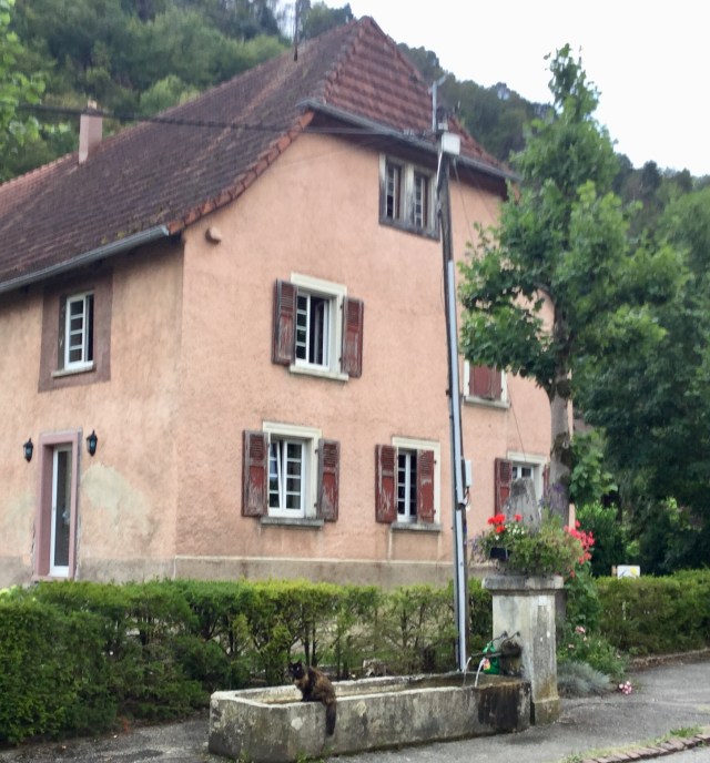
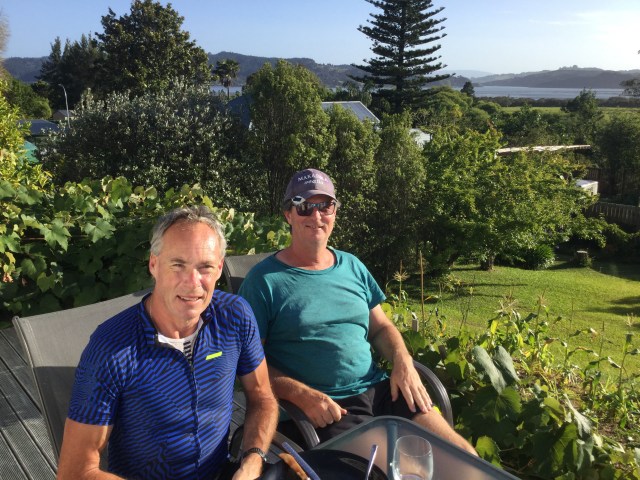
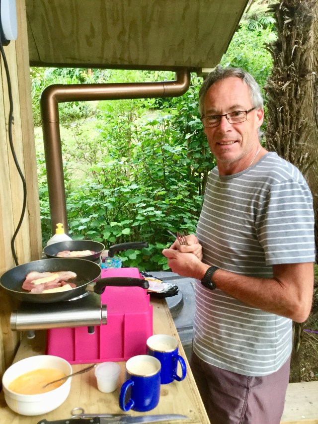
A beautiful morning, fabulous breakfast, great company….hard to get moving! Enjoying our breakfast on Blair’s deck. This is my second visit to Blair, who lives in Rawene, a village on the shores of Hokianga Harbour.
He’s one of those guys you just get on with! You do not have to to watch what you say…as there are no pretentious airs, but a down to earth good fun guy. We had some quite numerous conversations over dinner on topics that the politically correct would rue.
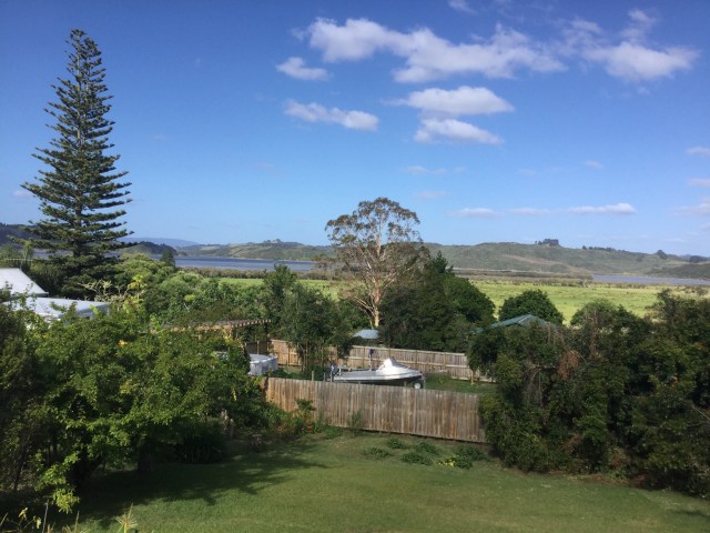
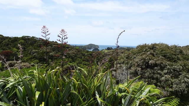
The view across the back yard is very peaceful and serene.
Yummy breakfast cooked on Blair’s bbq and fresh food including bananas from his neighbours garden.
But farewell we had to bid, as today was all about hills.
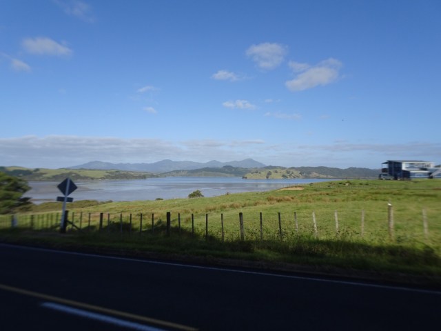
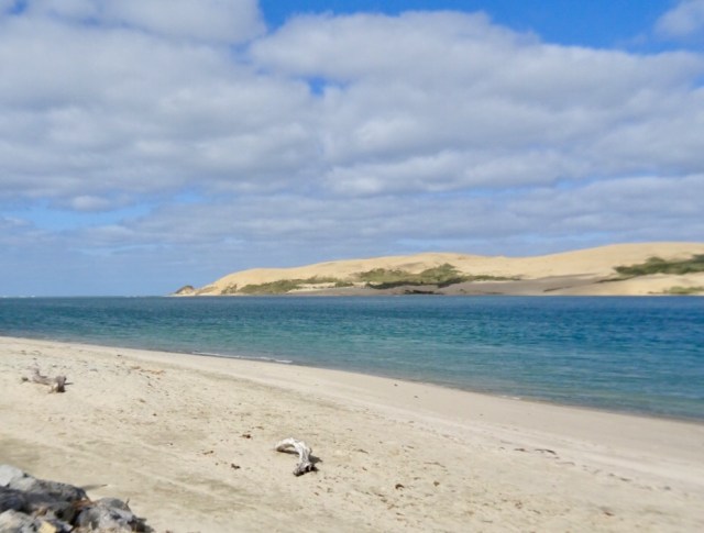
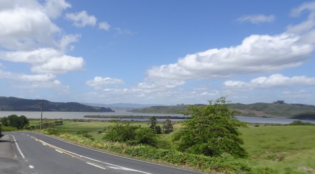
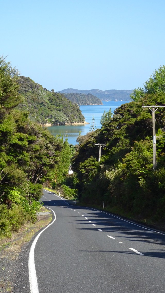
 Leaving Rawene views of Hokianga Harbour. Unfortunately our camera has developed an issue we cannot resolve, hence blurred edges.
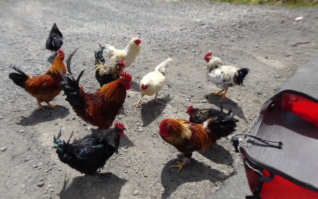
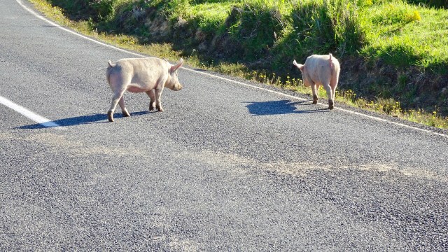
Out to greet the roosters at the intersection , we turned right onto SH12. Fortunately it was fairly quiet still being early Sunday morning.
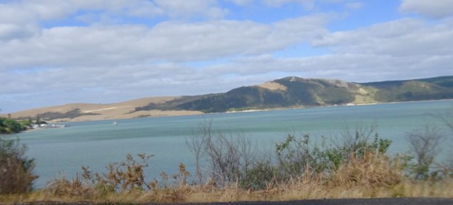
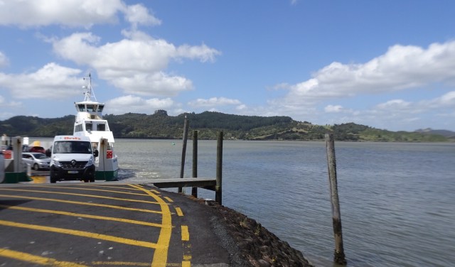
Opononi was awake and we grabbed some items from the 4 Square store for the day. I like Opononi. The waterway here is still Hokianga Harbour, but close to the mouth where it enters the Tasman Sea.
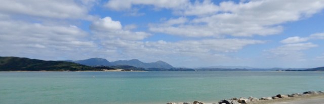
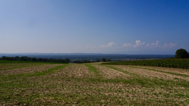
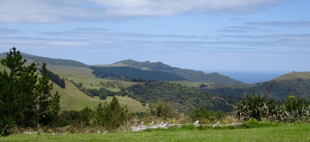
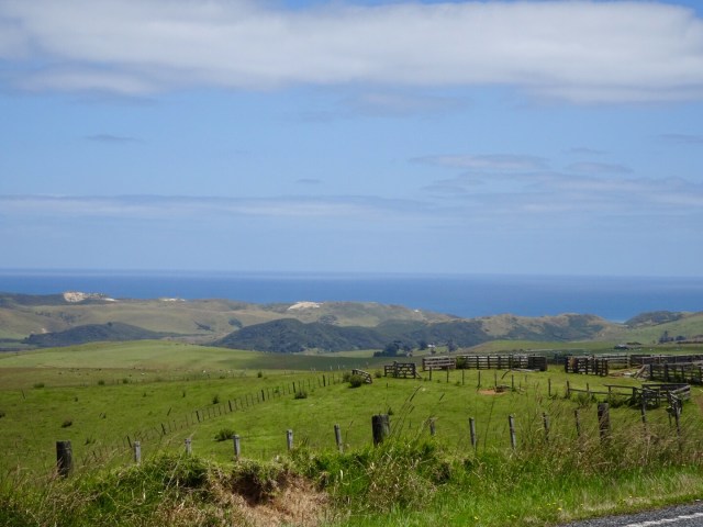
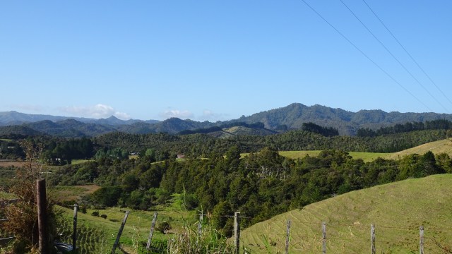
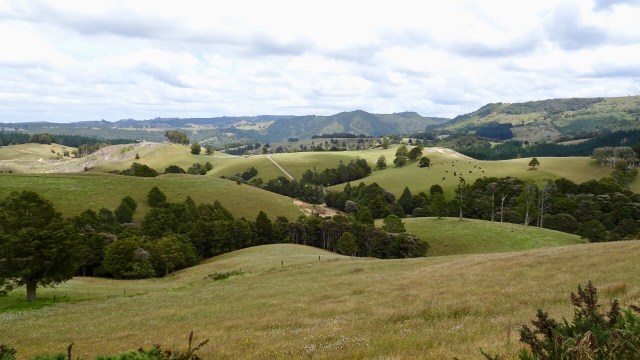
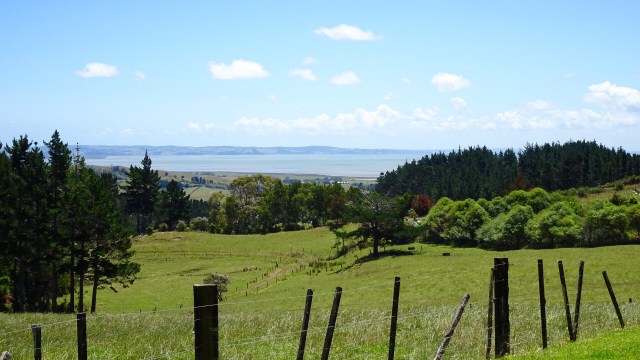
After Omapere, the hills kicked in, but nice views again. I think a house on this land where the cows graze would be really nice!
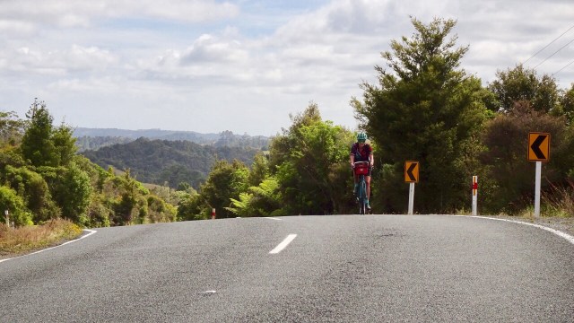
The road turned south after the climb, and we hit a headwind that was to become a real pain in the butt later in the day.
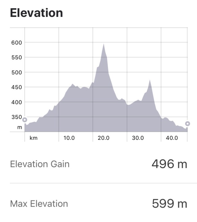
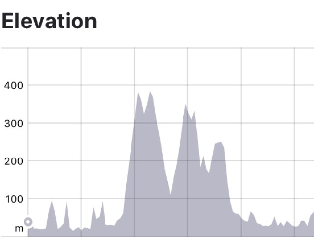
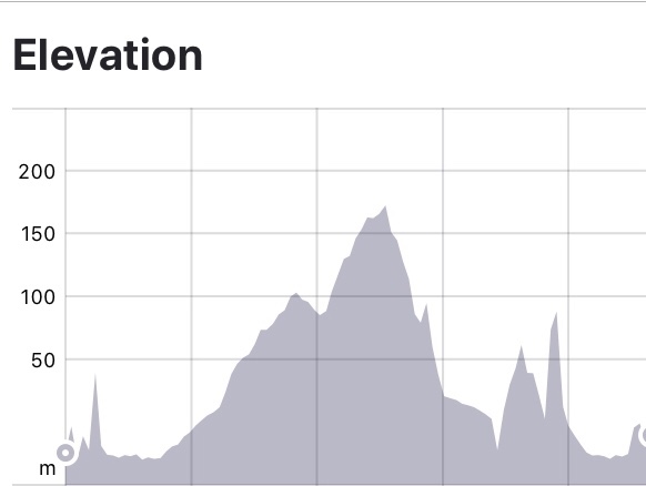
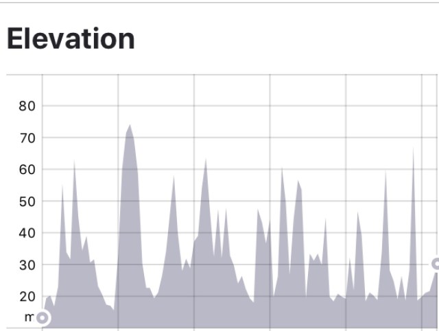
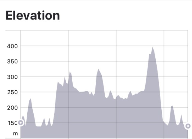
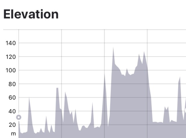
I’m going to throw the climbing graph in now. You can see that there are a couple of descent climbs. Carrying luggage makes these climbs tougher…slower…anything over 10% with luggage is hard work. We’ve had heaps of 15% climbs.
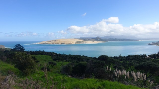
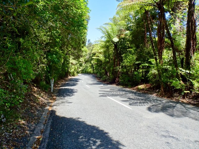
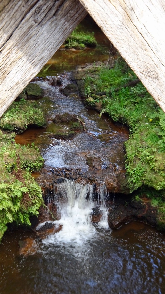
The longest climb today though was the one up through Waipoua Forest. It is an enjoyable climb though as it has a steady gradient. It provided relief from the wind, shelter from the sun and is scenic. Hawkers not welcome either!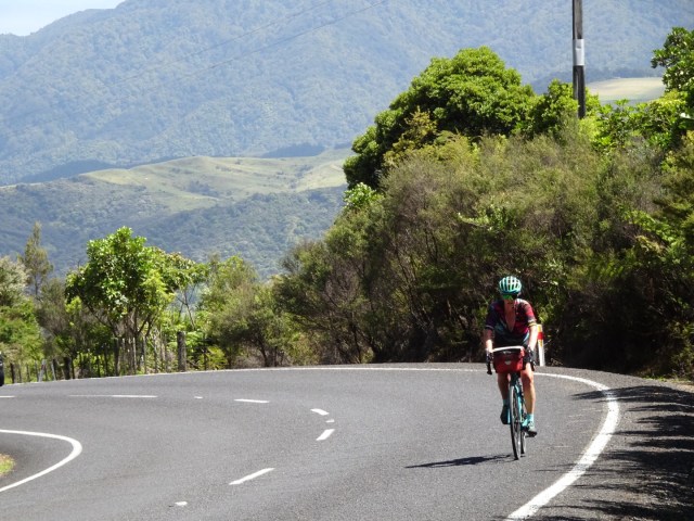
After you peak the first climb, you descend about 75 metres in altitude and arrive at Tane Mahuta.
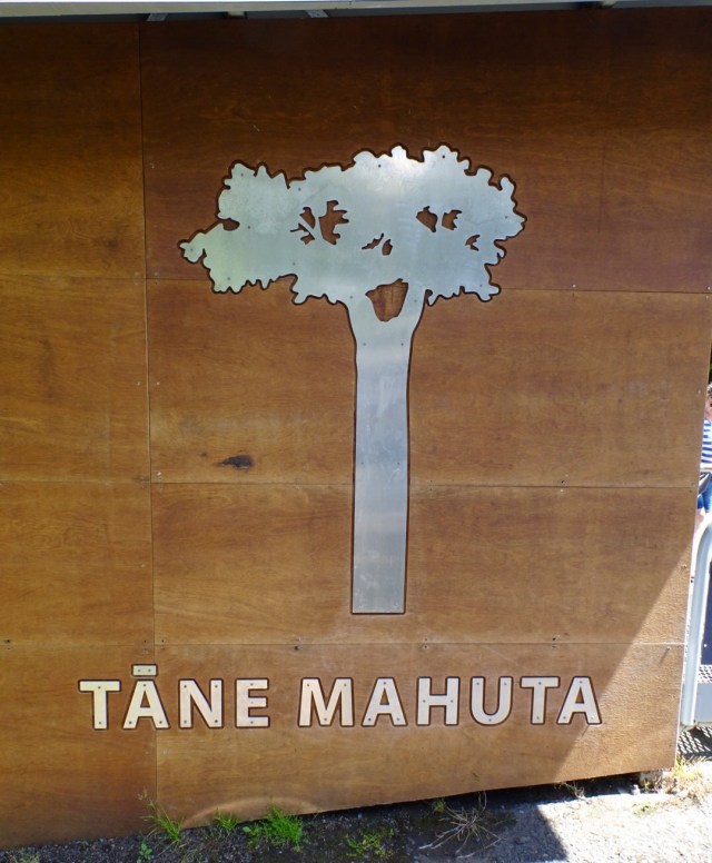
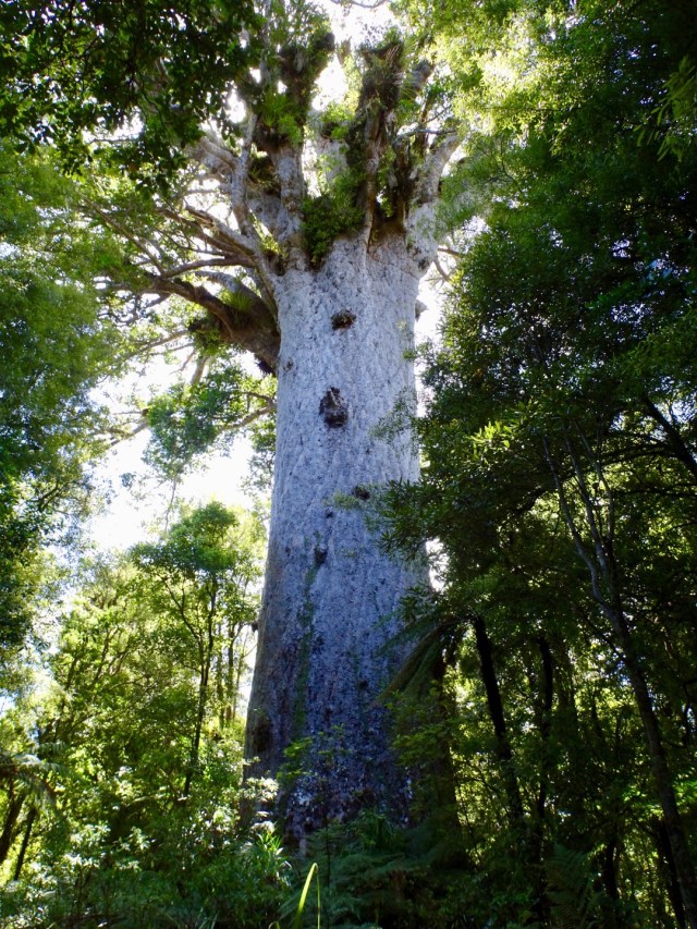
Tane Mahuta is reputed to be over 2,000 years old. The tree is also called Lord of the Forest and is a Kauri. It is named for the Maori god or forests and of birds.
In 2002 measurements were taken of the tree dimensions. The tree girth is 15.44 metres. The trunk height is 17.8 metres. The tree height is 45.2 metres. It is reputed to be one of the oldest and largest trees in the world, but is under threat from Kauri dieback that is decimating many of the native trees.
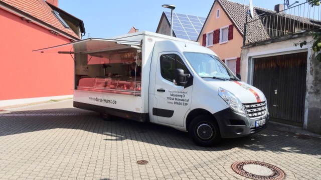
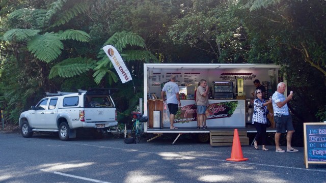
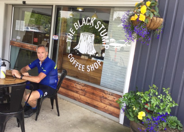
Some refreshments from the well located van.
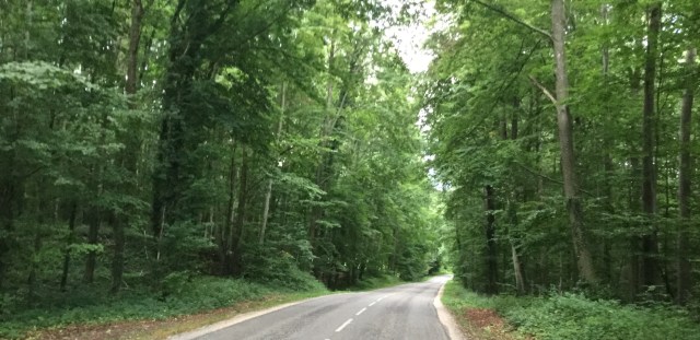
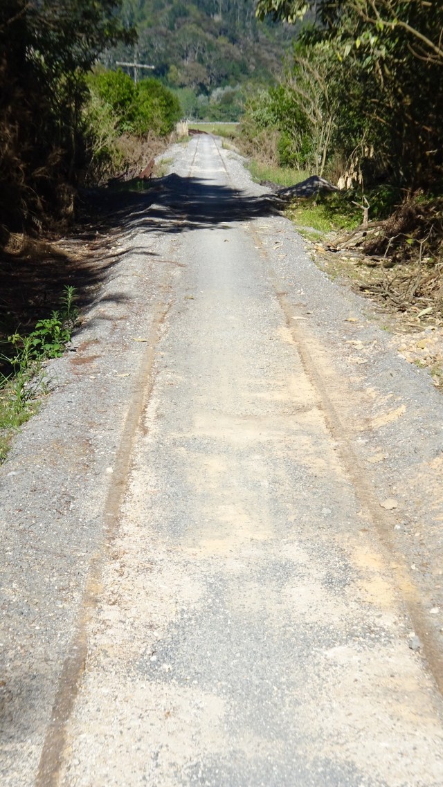
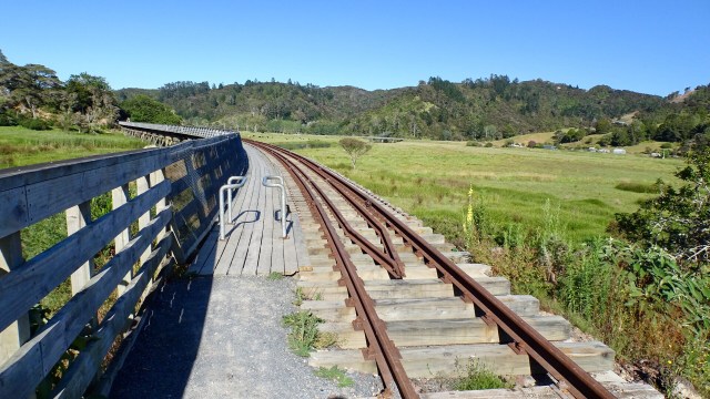
Onwards we rolled up and down.

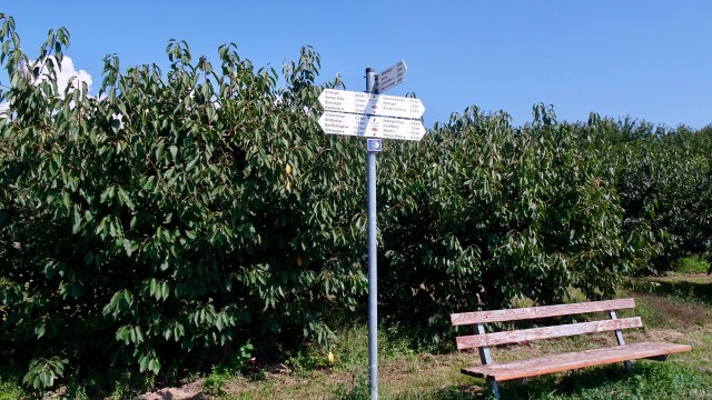
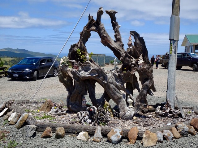
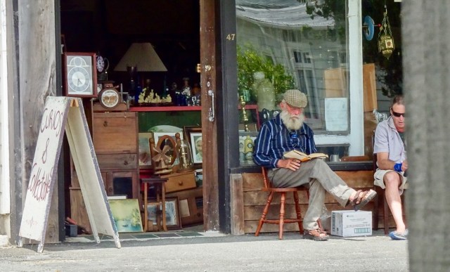
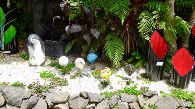
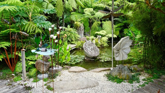
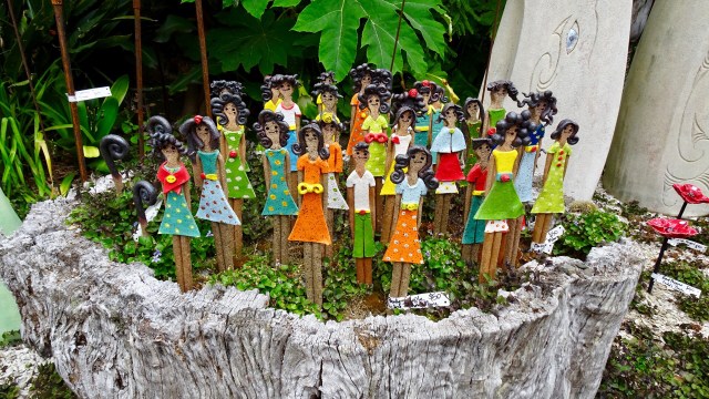
We visited a Kauri shop on top of a hill. An old piece of what we assume is Kauri decorated with….garden gnomes…..once upon a time, in my younger years, a friend and I were known for selective gnome relocations!
In the shop, the little old bespectacled lady with bucked teeth and gold fillings asked where we were riding to. She advised one small hill and down hill the whole way.
My memory of having ridden this section last year was foggy but looking at the surrounds it seemed a little impossible. It also made me recall similar advice Sue and I received on a stinking hot day en route Auckland to Wellington. That time a little old lady told us all the hills were done.
Both were wrong, both need new glasses, and I suspect both drove automatic cars! I stopped counting after 10 climbs of varying length. Never trust little old ladies assessment of what constitutes a hill on a bicycle!
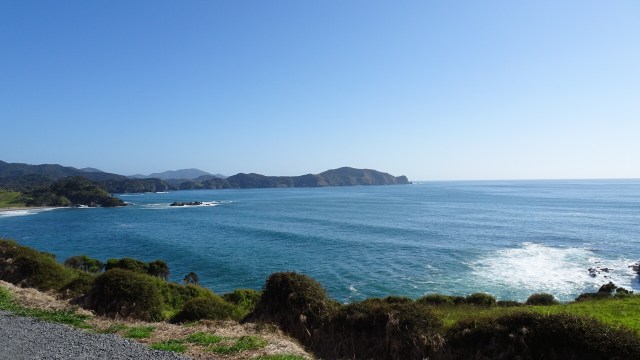
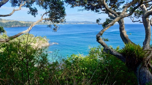
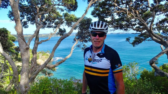
The last few hours we really battled strong winds…not behind us either, making tough work of the easier sections! The west coast of North Island is in view, and we rode reasonably parallel south to it.
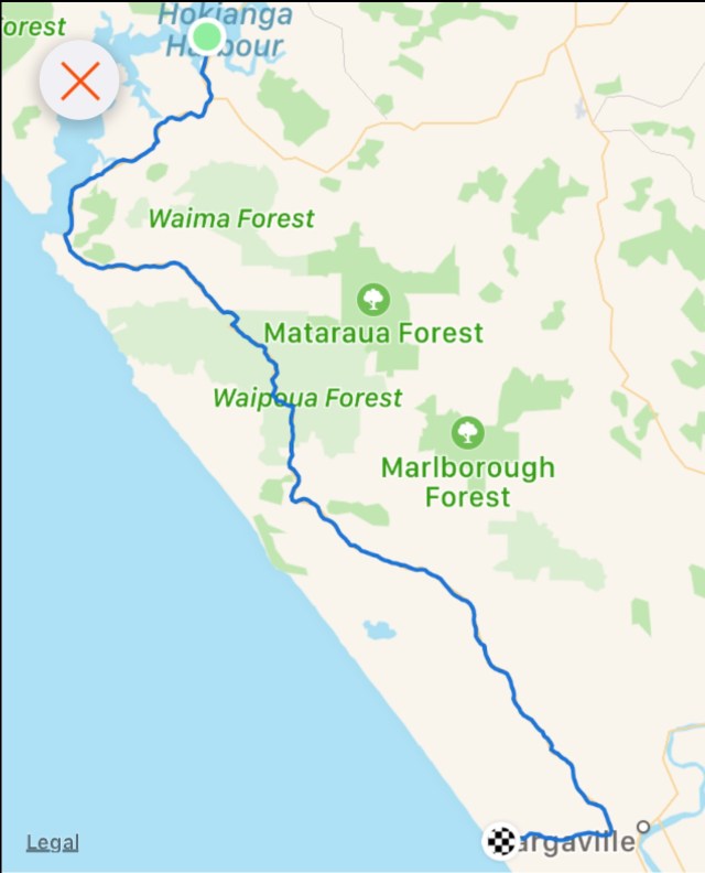
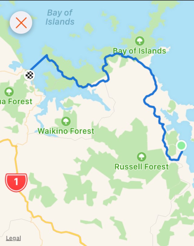
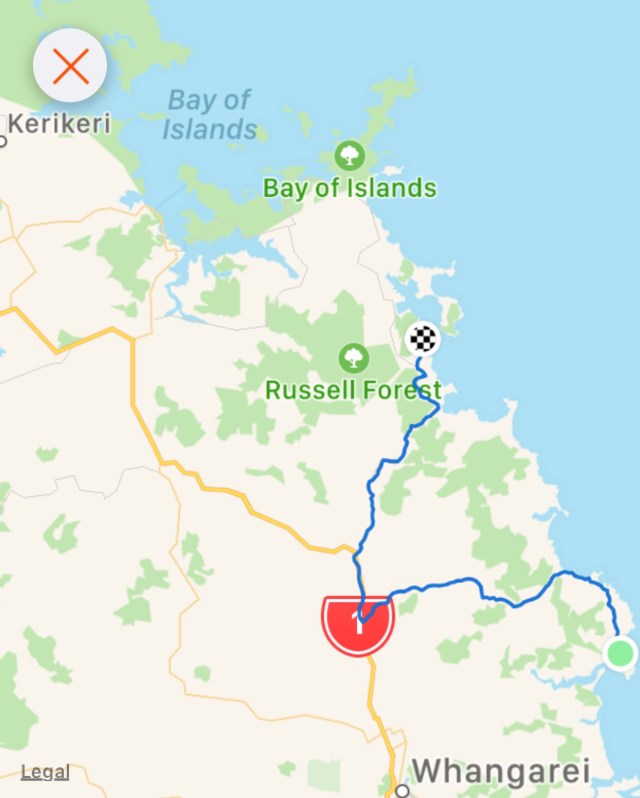
Our route map.
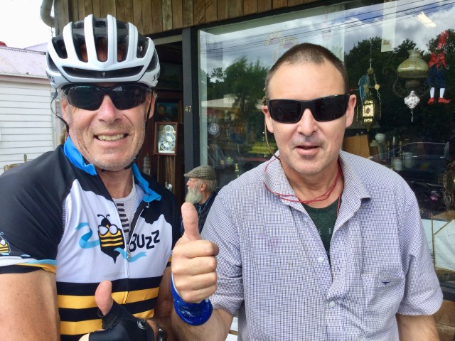
The traffic on SH12 really built up during the afternoon. We had a few dickhead drivers (my term for those drivers who deliberately buzz us and take no action to be anything other than selfish road hogs).
On the other hand, we had an awesome milk tanker driver…
On the back of Tony’s bike is his rear red flashing light ( I ride with my rear light flashing too) but his has an inbuilt radar. It notes cars before we can hear them. It sends a message to both of our Garmins (bike computers mounted on our front stem) with a beep and a dot that moves up the screen the closer the car gets to us.
When I hear the beep I then check my Italian cycle mirror, mounted off the right hand handlebar, look to see if I can move off the road anymore than I am, to provide the greatest margin I can between myself and vehicle. (These mirrors are excellent, and were recommended to me by a Kiwi riding friend Greg. When we ride in Europe, we swap the mirrors over to the left hand side).
In the case of the milk tanker, Tony was a bit further ahead and the radar had unsynched, but as I climbed I could head a truck well back changing down through his gears, but seemed a bit too low. Checking my mirror I realised he was moving slower than he was capable of to protect me as he had a few cars behind him.
So I got up out of the saddle and put in a bigger effort to get to the top of the climb, where Tony was, and off the verge.
He gave us a huge wave, as we did back. He was a great example of someone looking after us!!
Approaching the outskirts of Dargaville reminded us of what this town is famous for.

The last 8 km was a real slog. Again, I had inadvertently found accomodation that required climbing to get to. The wind was very strong and we had tired and at the 110 km point, having climbed nearly 1700 m with our gear on board, we were pleased to arrive in Baily’s Beach.
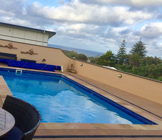
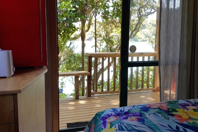
Nice view from our bedroom.
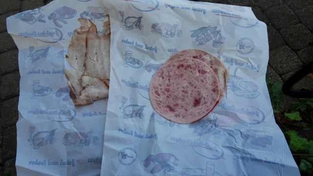
The local shop is the dairy, takeaway and restaurant so off we headed for a steak, starting with garlic bread. As we finished, I was amused to note the paper lining the base of the garlic bread plate.

Here we are in New Zealand, where they do a fantastic job of promoting their products. But sometimes, you just cannot get away from home…..
Thanks for reading,
Ooroo


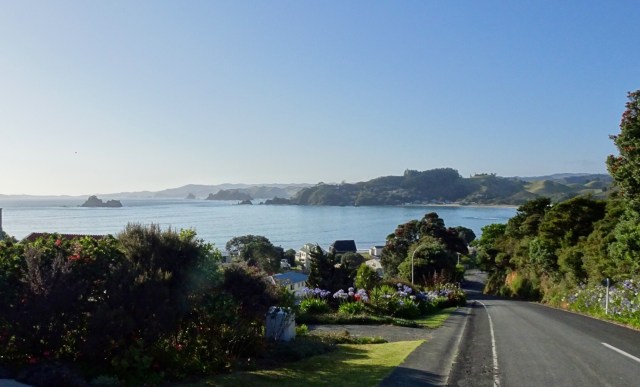
 We were very glad to turn off to Rawene.
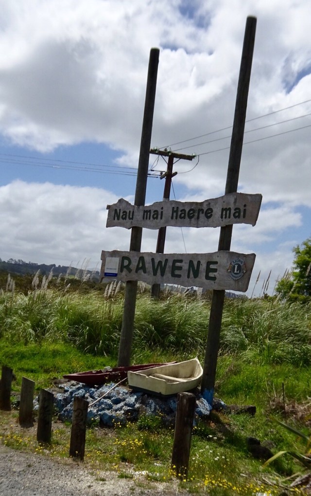

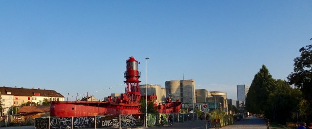
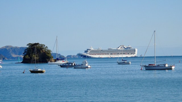
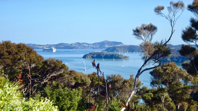
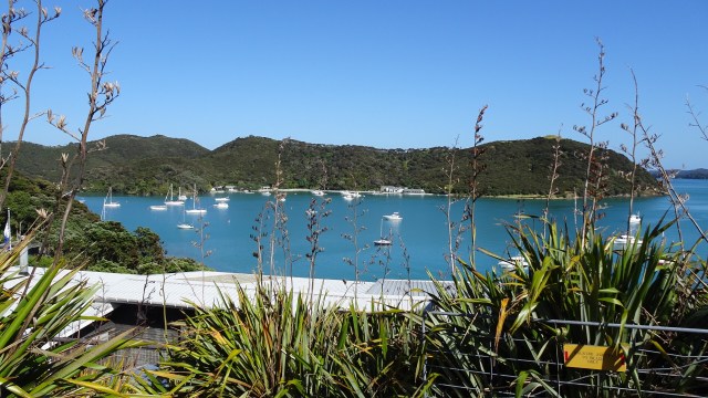
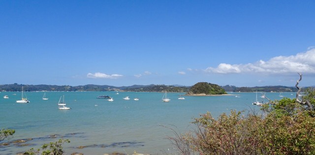
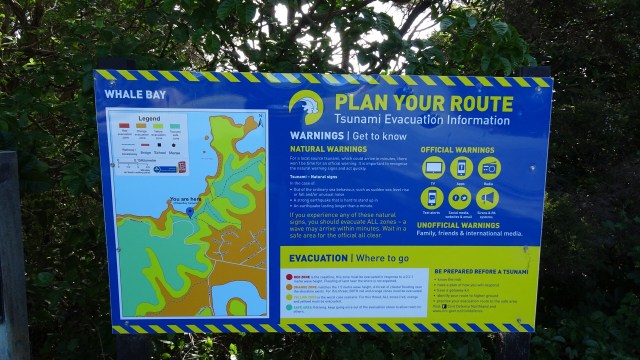
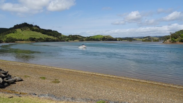
 From the same viewpoint is this boat…waiting for the tsunami action plan? It is about 75 metres above sea level and not in the greatest condition either.
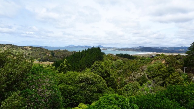
 Looking north towards the Bay of Islands.
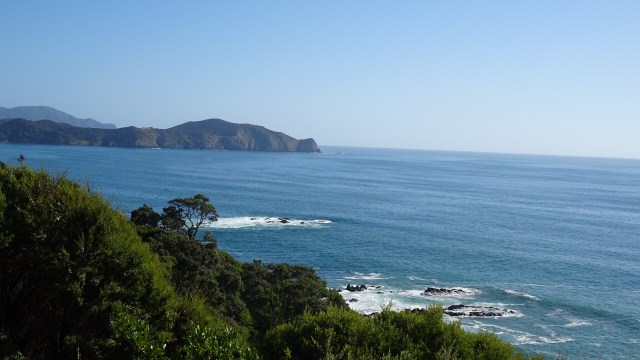
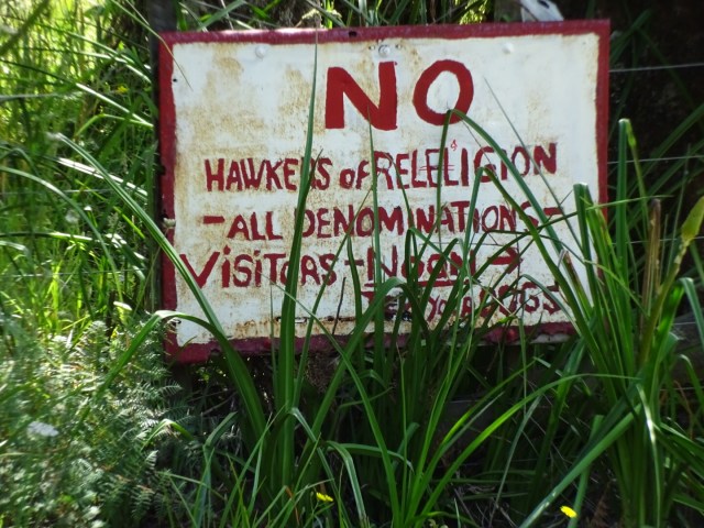
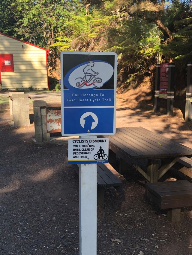
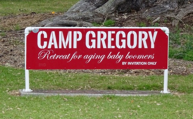
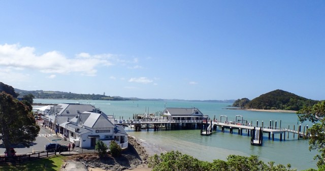
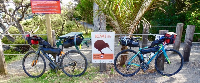
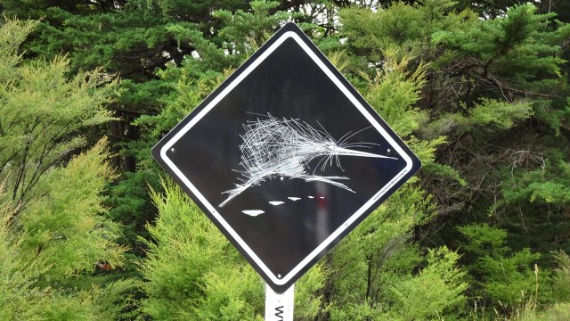
 I could not resist taking a photo of this sign. 😂🙈
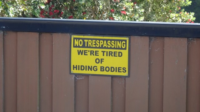

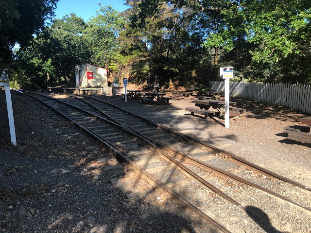
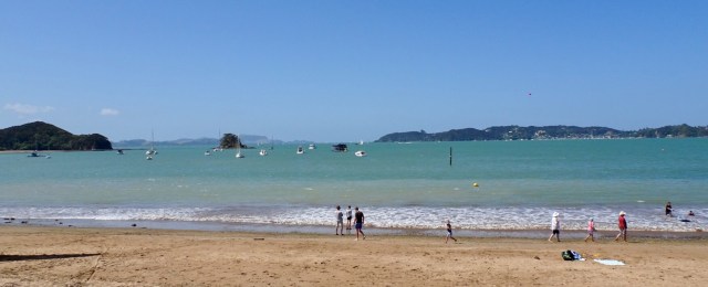
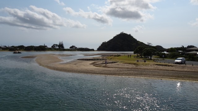
 Looks like fun
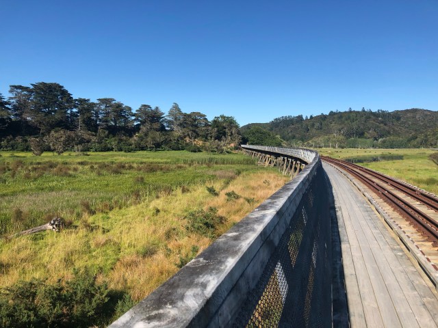
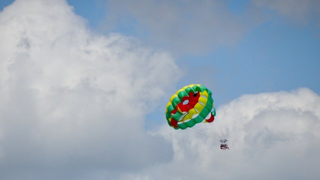 Hello, or Hi ya Paihia and the big marlin. You can see me pushing my bike through here.
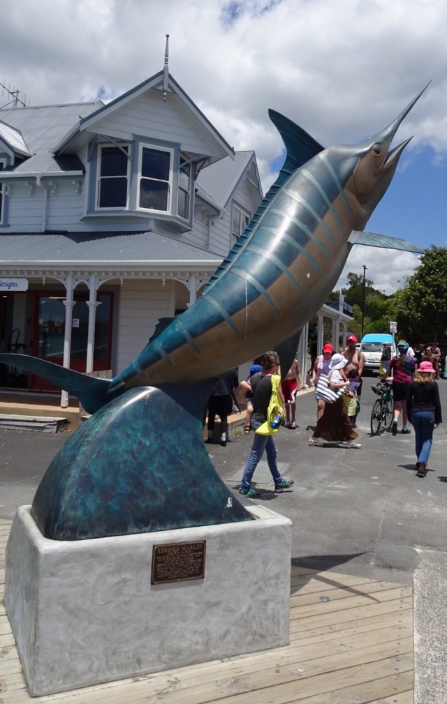


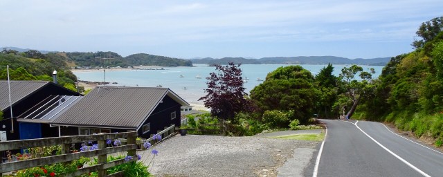

 We are staying in a cosy little cabin, akin to an enlarged cubby house.
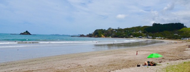
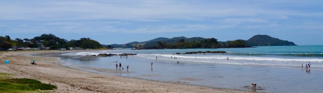
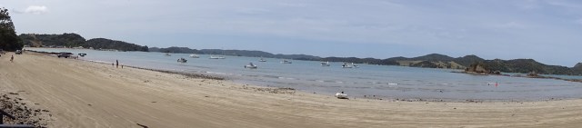
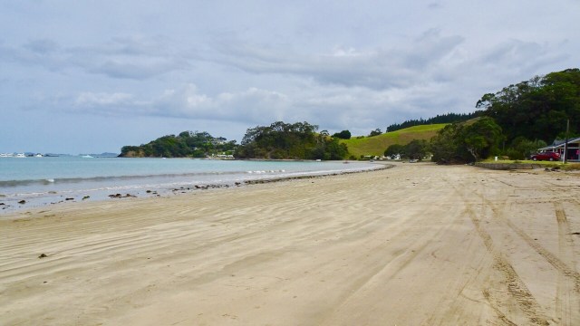
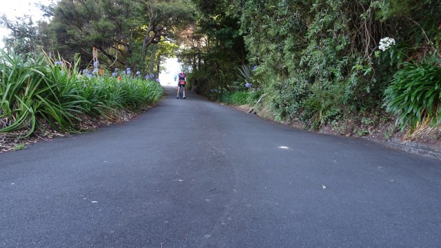
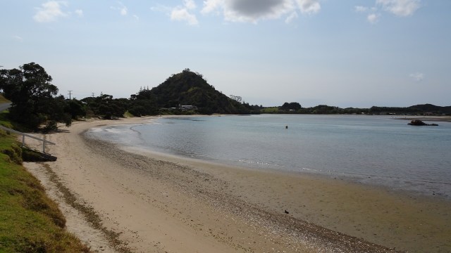
 We decided to do a short Christmas ride cruise to Matapouri Bay, some 9 hilly km away. Bonus was the local store was open and we were able to grab a nice coffee. The owner was doing a roaring trade with a constant stream of customers.
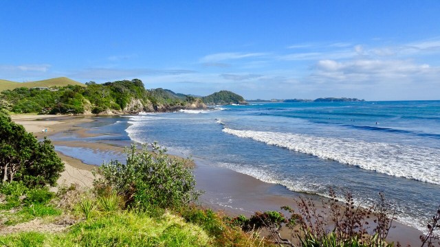
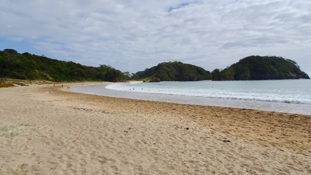
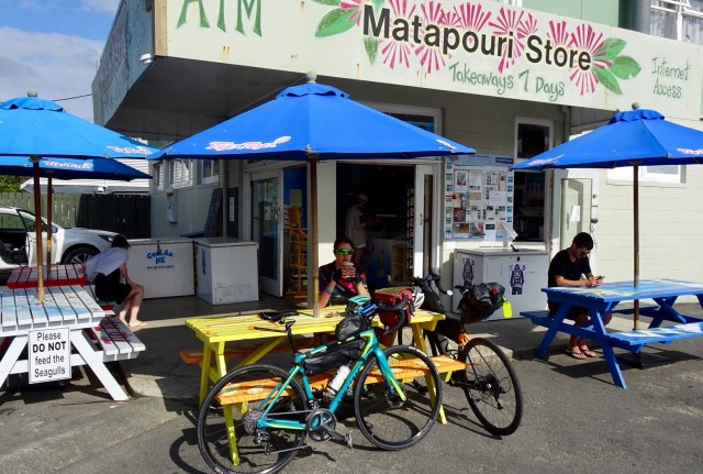 Matapouri Beach is a long crescent shaped beach.
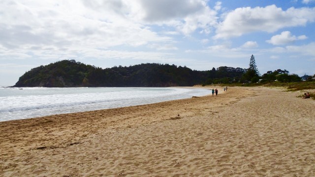
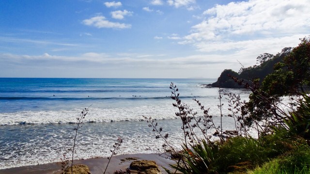
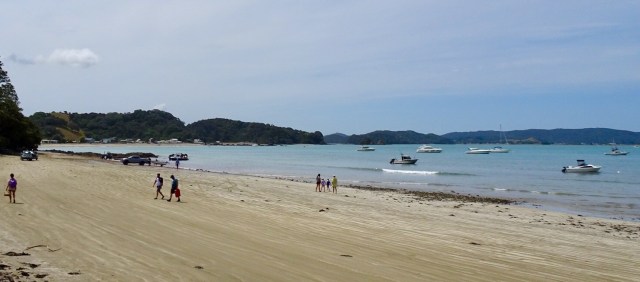
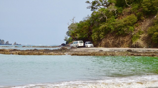
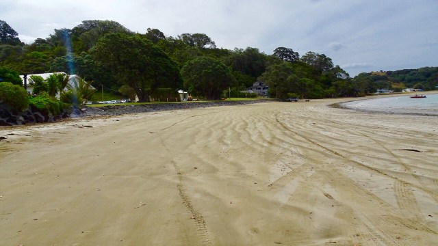
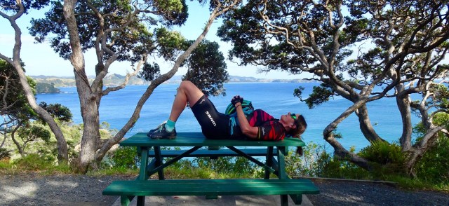
 We parked the bikes on the beach and got our bathers our to test the waters.
 Brrrrrr….not immersing the whole body!
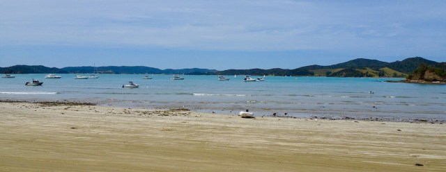
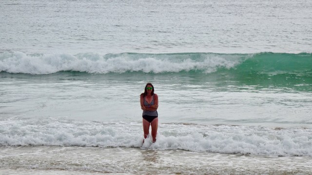 Heading down the beach….
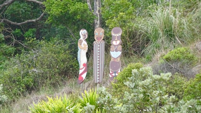
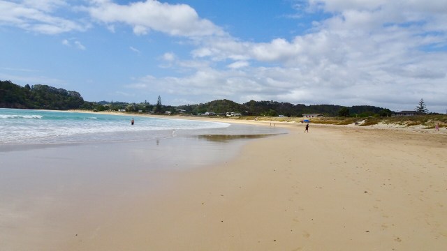 A walkway to another beach reveals these Maori totems.
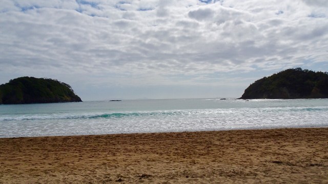
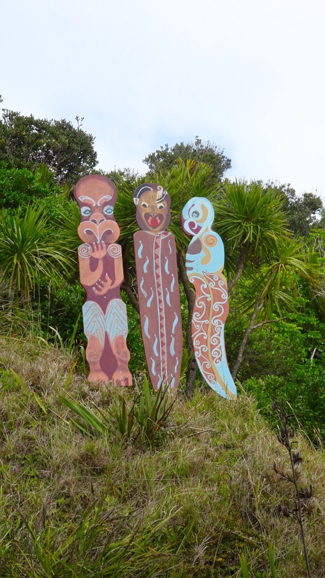 Volcanic beach on the other side.
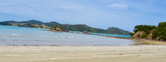
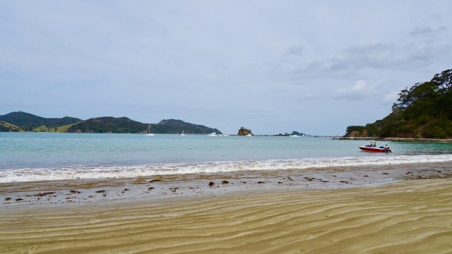
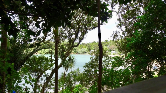
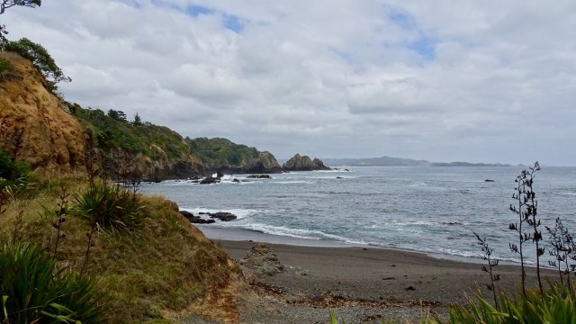 Continuing along Matapouri Bay…wading through water to find a couple of small and private beaches.
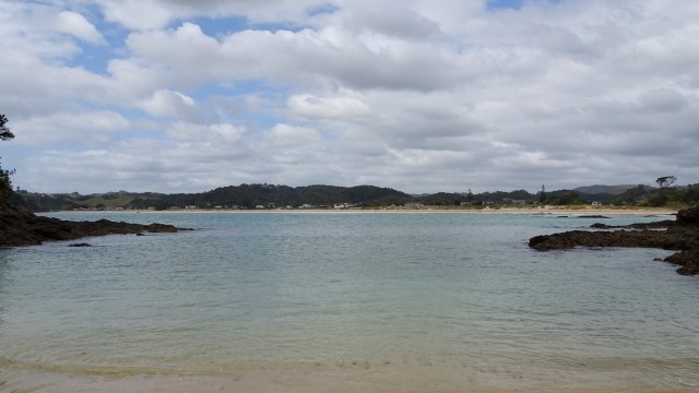 More totems. The area where these totems are has a tapu on it, and is closed for regeneration.
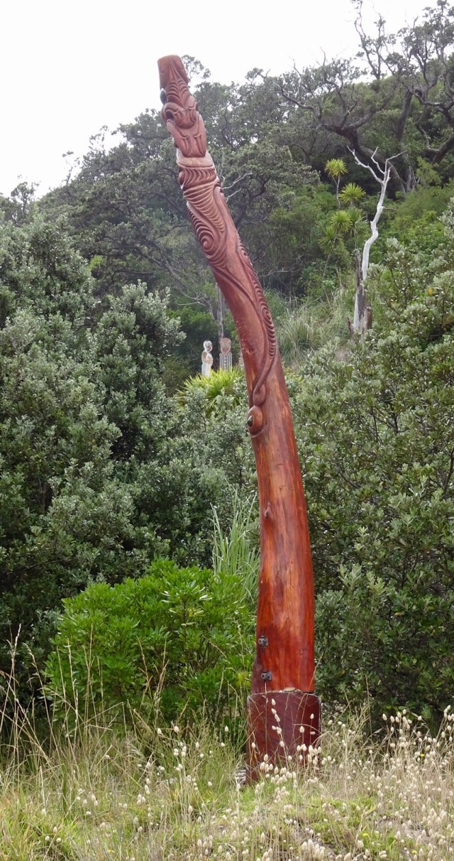
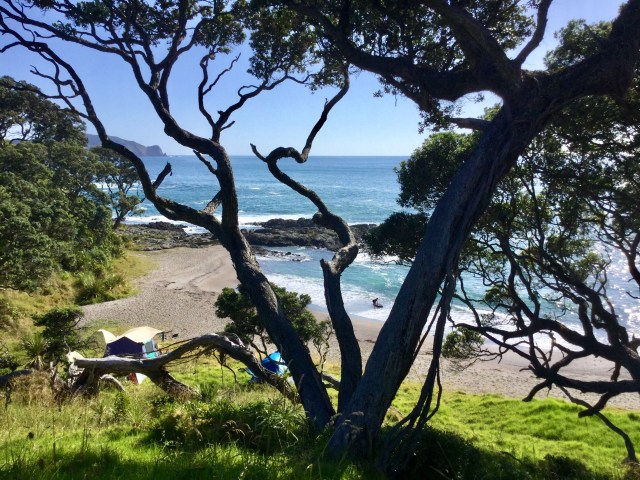
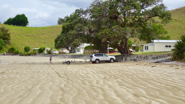
 A lazy day, but very pleasant day.
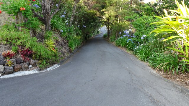
 I probably should have entitled this ride something to do with the letter S.
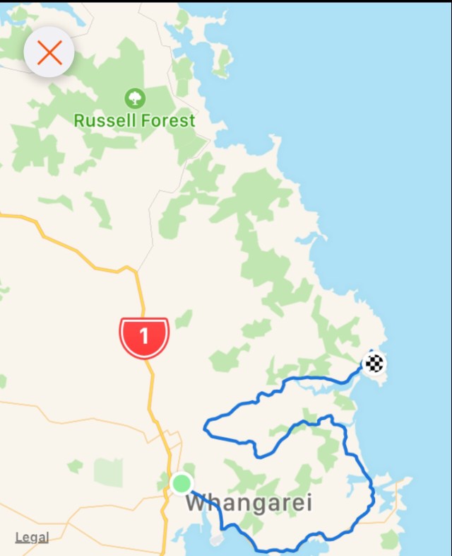
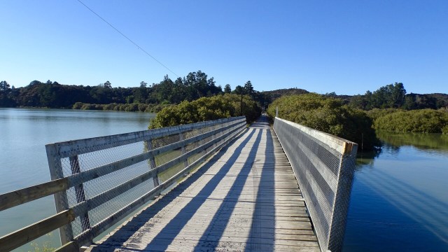
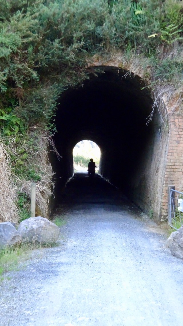
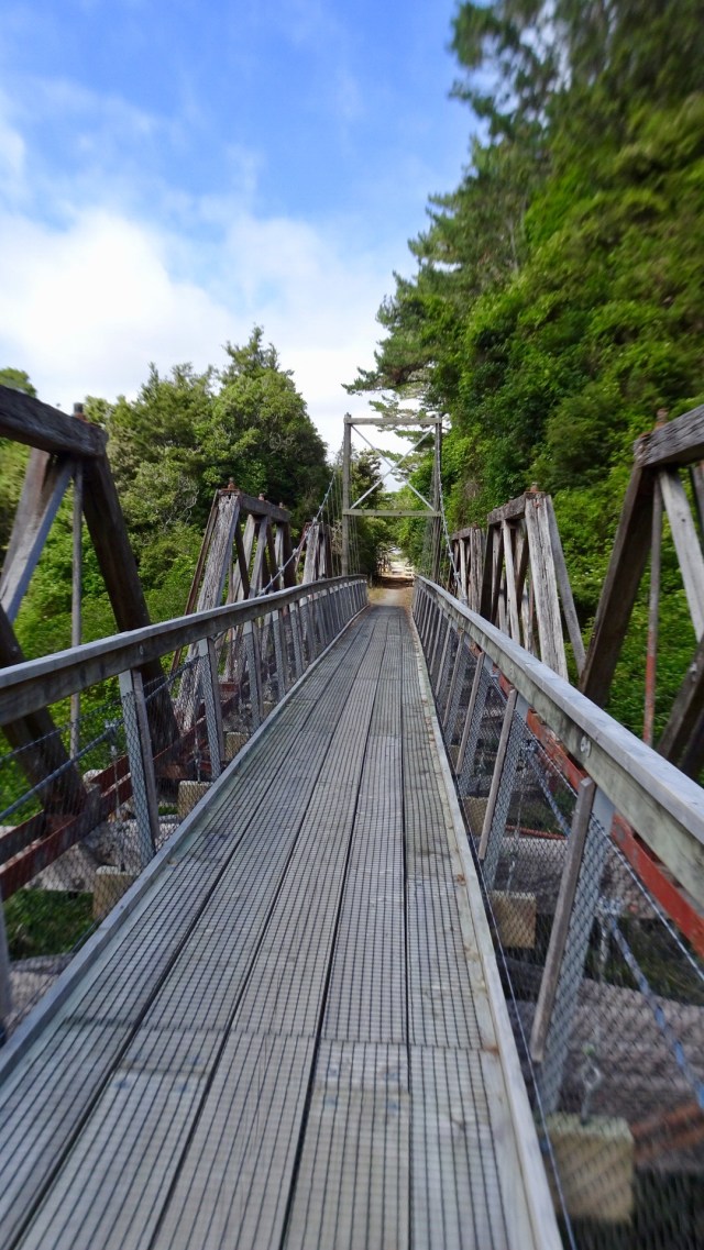
 The road came to an end but there was a foot bridge connecting to Pataua North. Here I am walking my bike across the bridge.
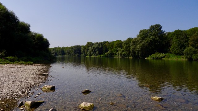
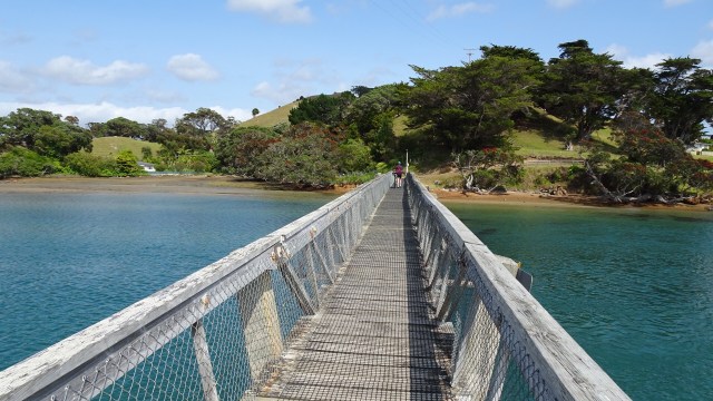 No cafes, so we pulled up on the banks of the river to have a snack and enjoy the view.
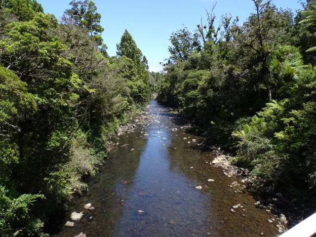
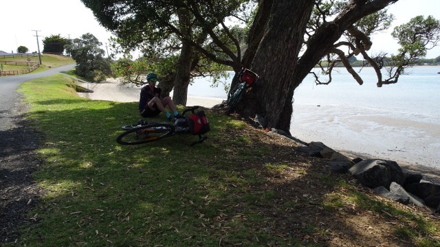
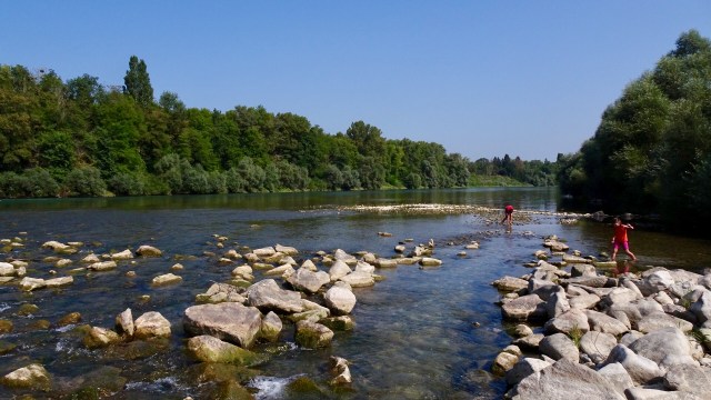
 Kids playing in the bay.
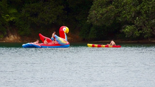

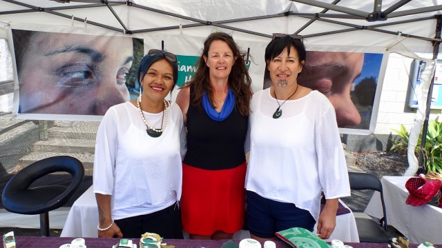
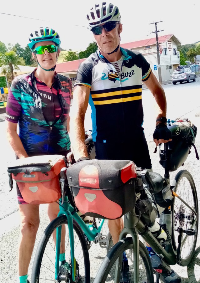
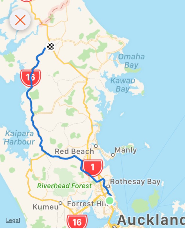
 I am so fortunate to have a number of wonderful friends in New Zealand. I truly value and appreciate the friends I have made through cycling. Coffee and Christmas tarts with Gervase and Debra and we were on our way leaving Forrest Hill around 11 am.
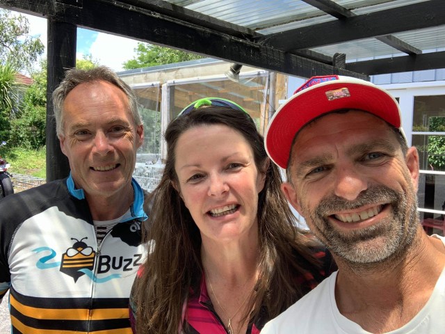 Kaukapakapa was next after bidding Dave ‘ooroo’. This was the town where my stolen backpack was located in March last year by an eagle eyed cyclist.
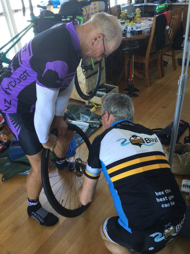
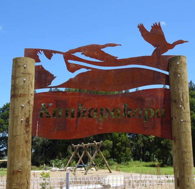 The bikes all geared up.
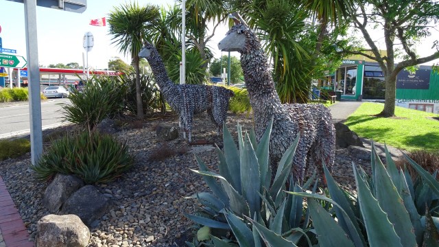
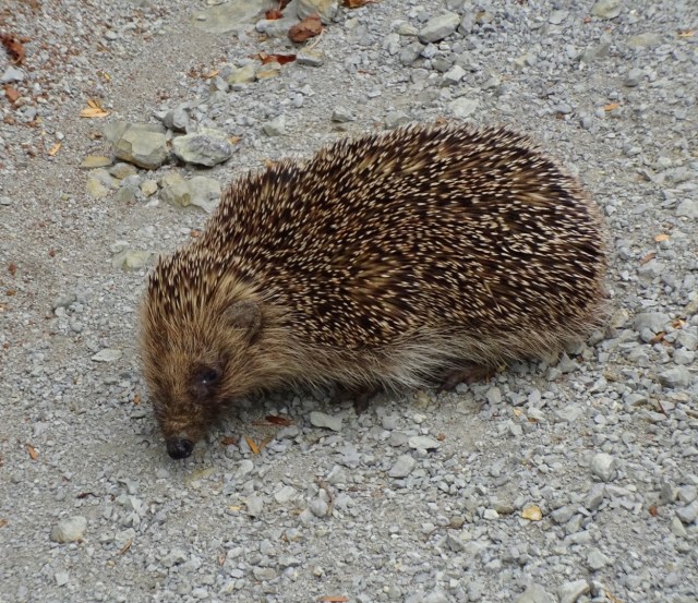
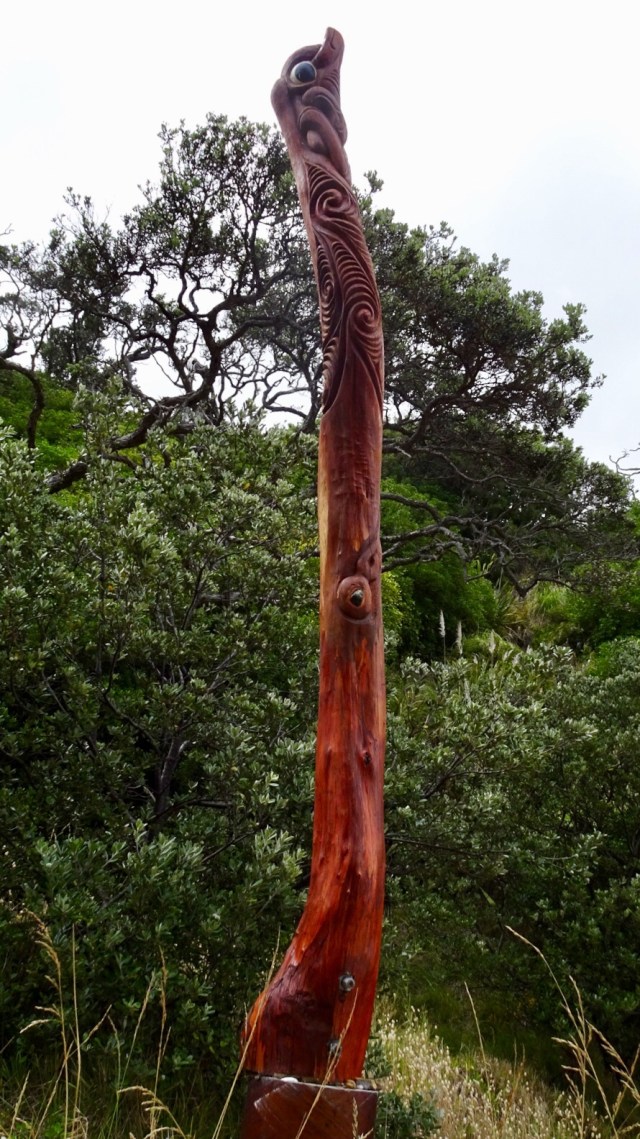
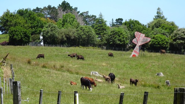
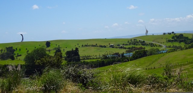
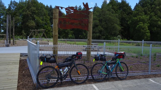 I am not sure what this is…fish? Maybe you can stand on it and walk along it for balance? Maybe you just look at it and photograph it.
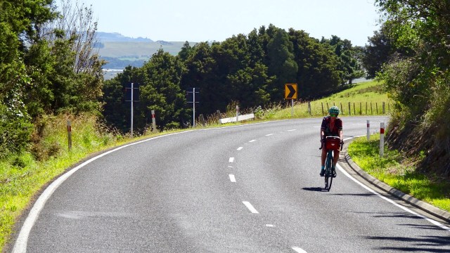
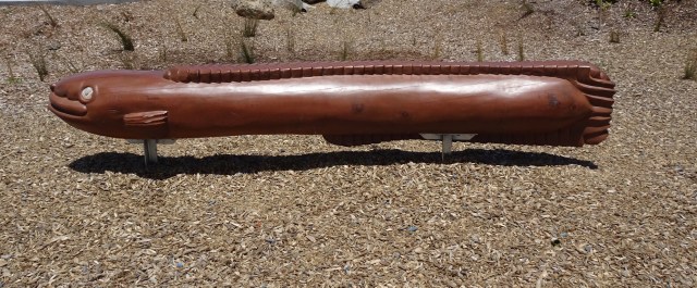 The hills started to get a bit more serious with some 13% pinches. The temperature had picked up to high 20’s. There was a really stiff breeze. Predominantly a headwind with occasional side gusts from our left, pushing us further from the verge.
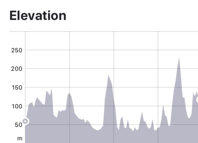

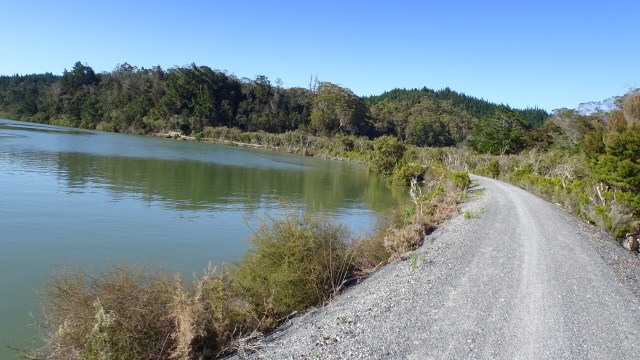
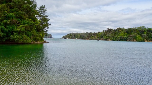
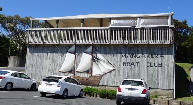
 A very tidal river does not prevent a boat club from existing. Mangakura Boat Club has a lovely position alongside this river. We could see from tops of hills, that this river feeds out to a larger harbour and the west coast of North Island.
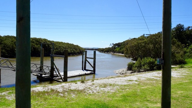
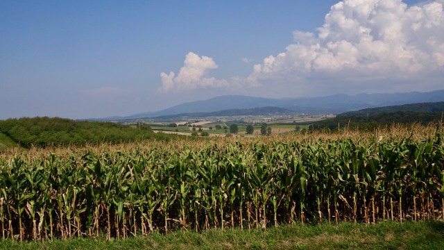
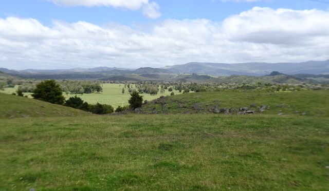
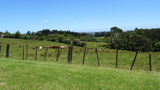
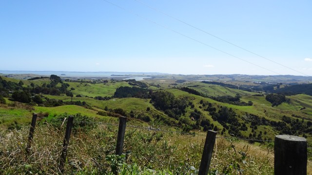
 Incredibly lush green farm land. In Tasmania many farms are already very dry and brown, so there must be solid rainfall here.
 Looking to the west.
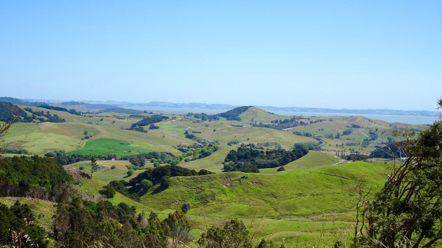
 What goes up, must go down….so it was a nice descent and a few more rolling hills to arrive in Wellsford, a busy service town, and our overnight stop.
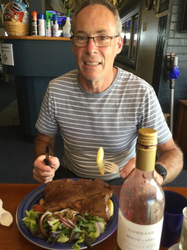
 Returning to our accomodation two final sights.
 So thanks for reading. Tomorrow is another day…new adventure….new memories.