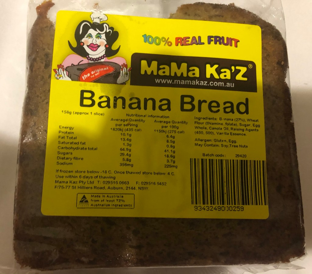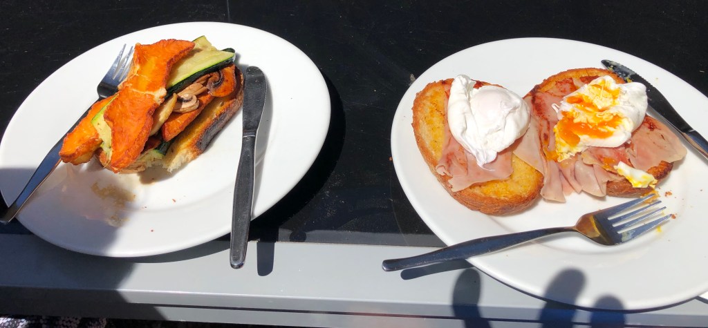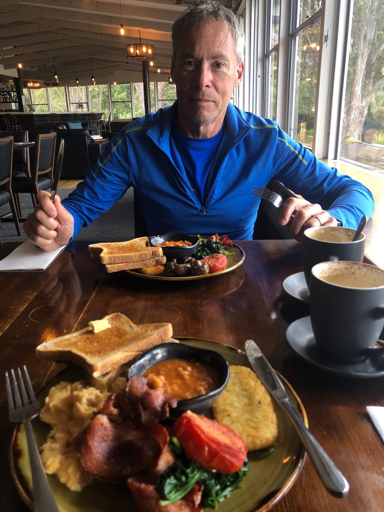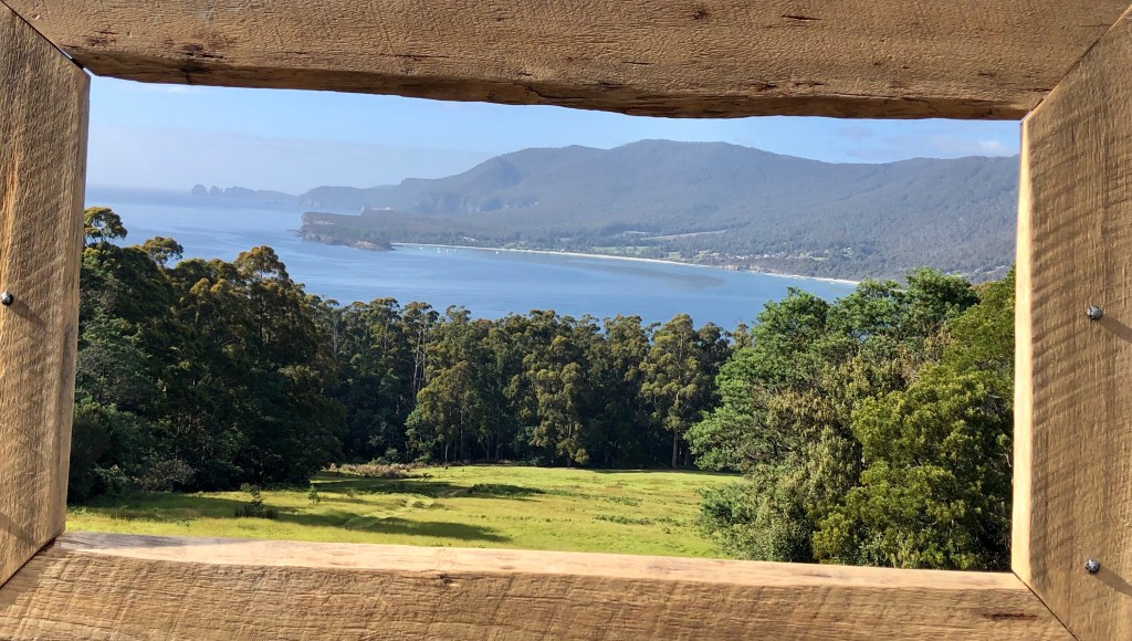
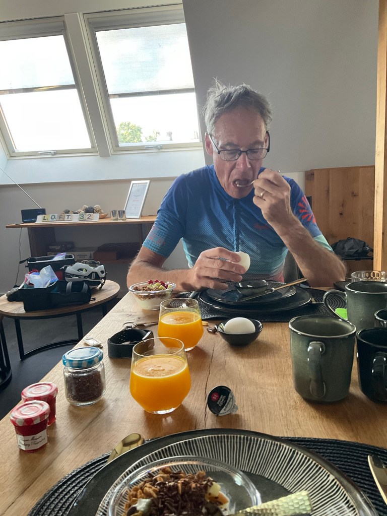
Another beautiful day. The young girl from the bakery below made her way up the steep external stairs with two trays of our breakfast, freshly baked.
I complimented her on getting up with no spillages as they are quite steep!

They also make and sell the granola we ate. Tony gets two eggs as I don’t enjoy egg. Never have since I was a little kid forced to eat it. I have since learned to eat scrambled eggs and omelettes.
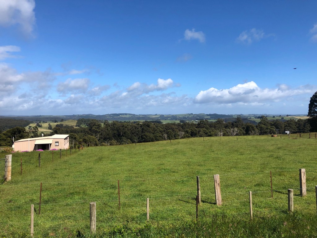
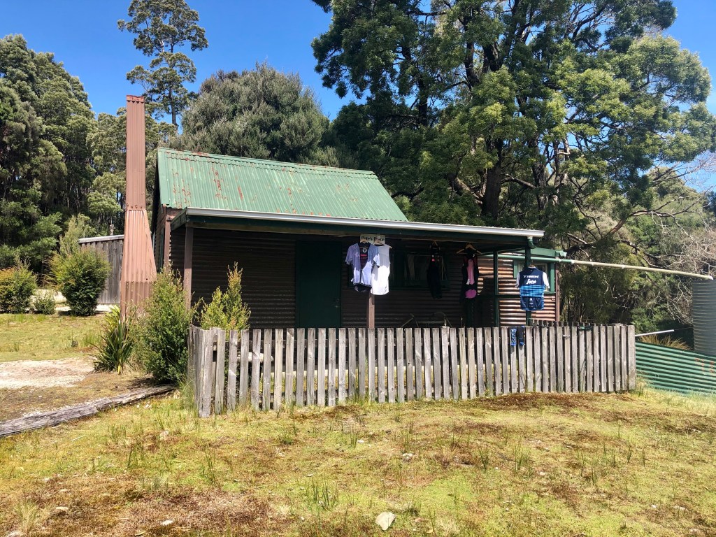
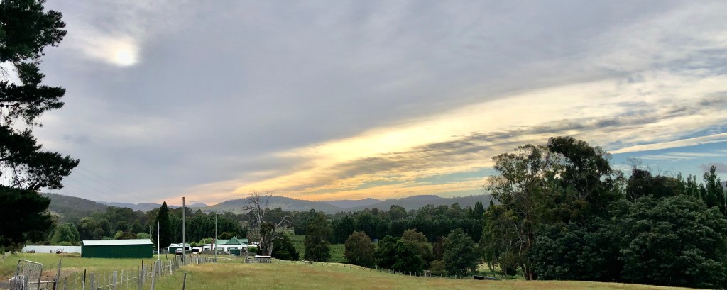
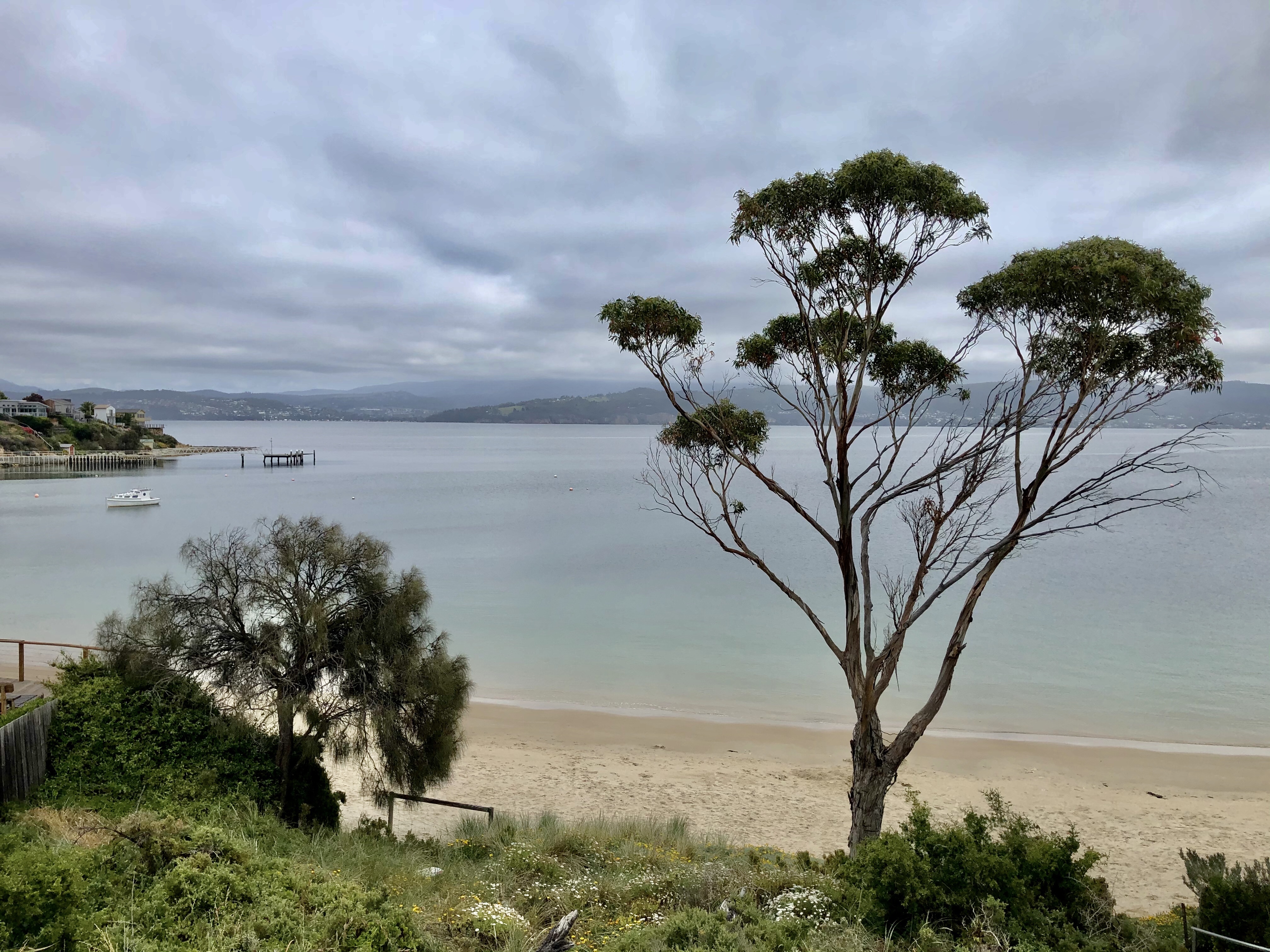
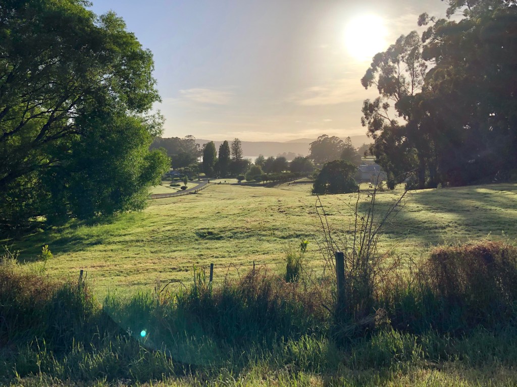
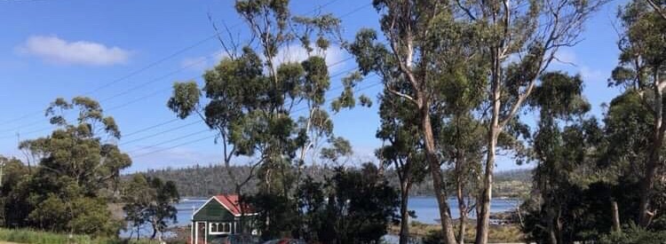
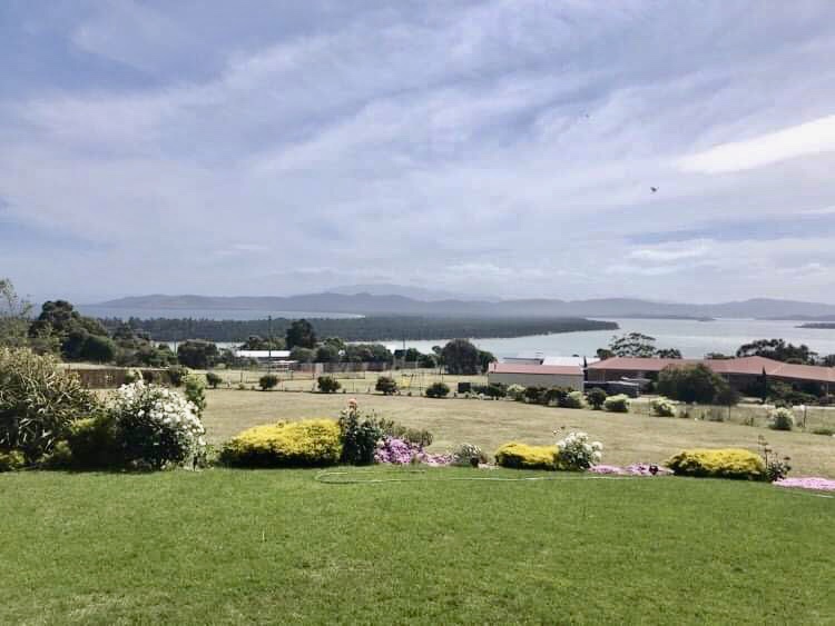
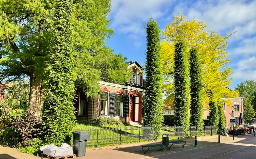
Looking across from the bakery, a nice local house and greenery.
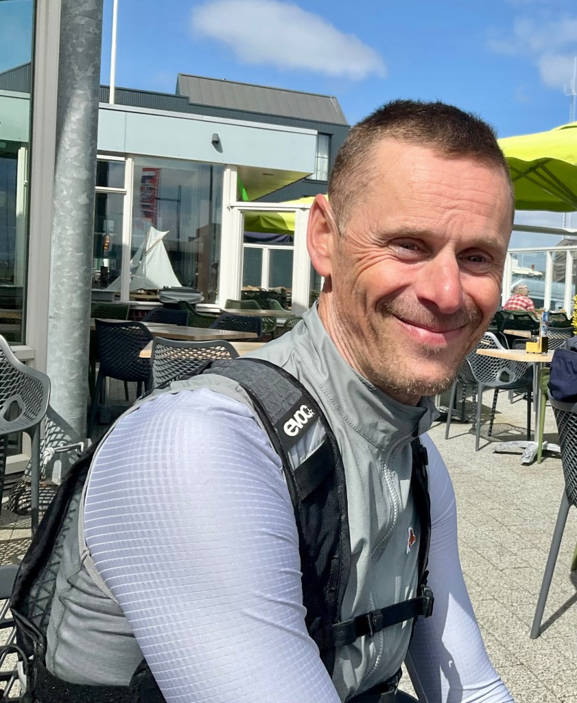
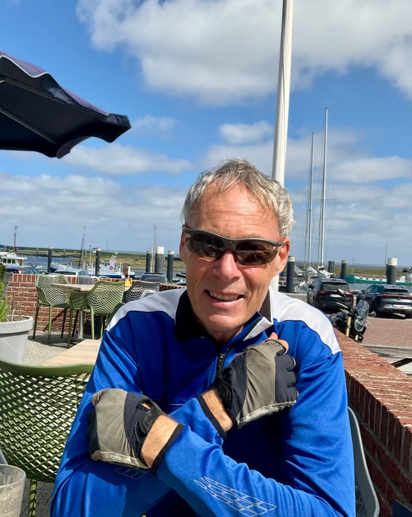
Today was a special day. We were joined by our Zwift friend Jeroen. He has zwifted for 9 years, me 10, so have ridden together virtually often over the years. More so pre heart surgery as I used to participate in faster events.
Jeroen has ridden for two hours to get to us, taking a day off work where he works with a leading Dutch tomato producer, in charge of 150 workers, and some high tech equipment.
The thing that always impressed me about Jeroen was the way he talks about his wife and children, with such respect, love and reverence.
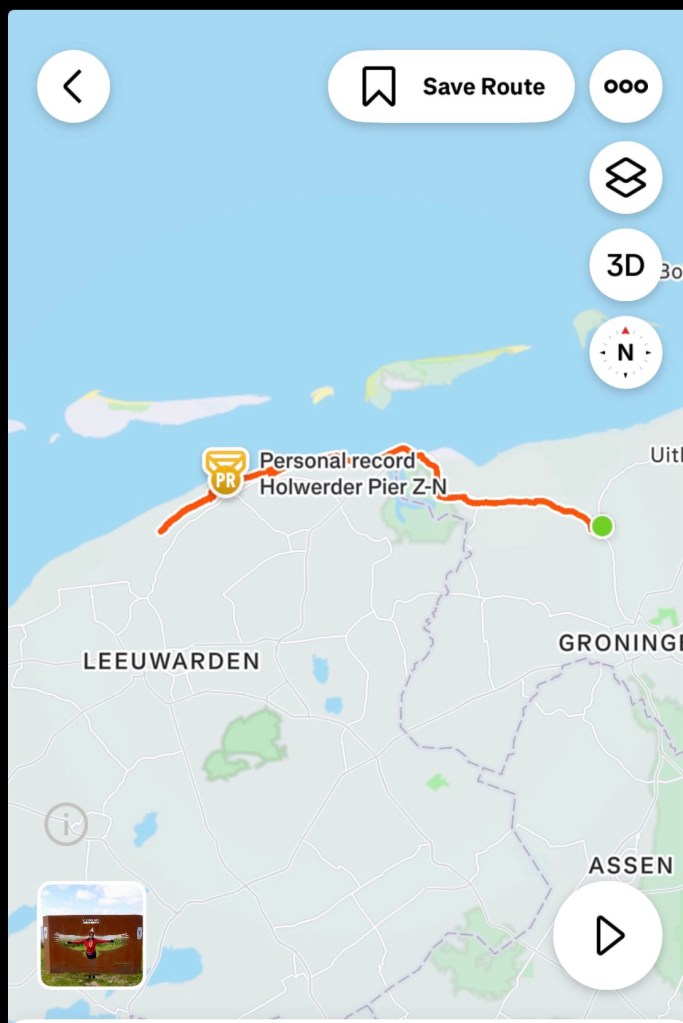
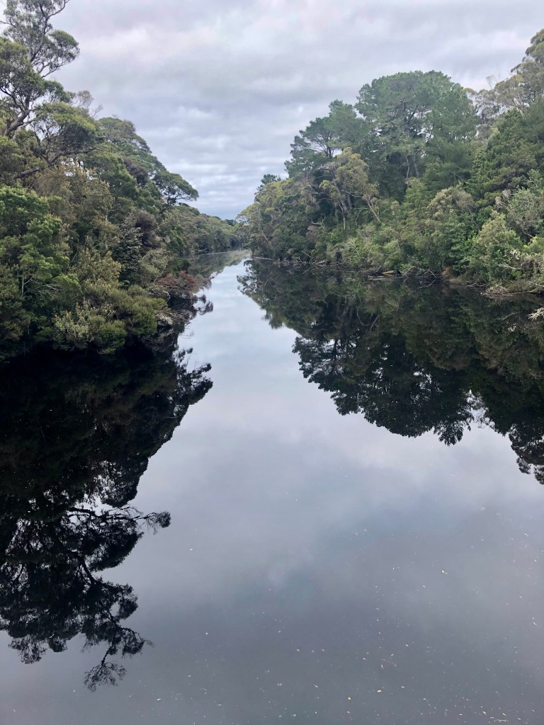
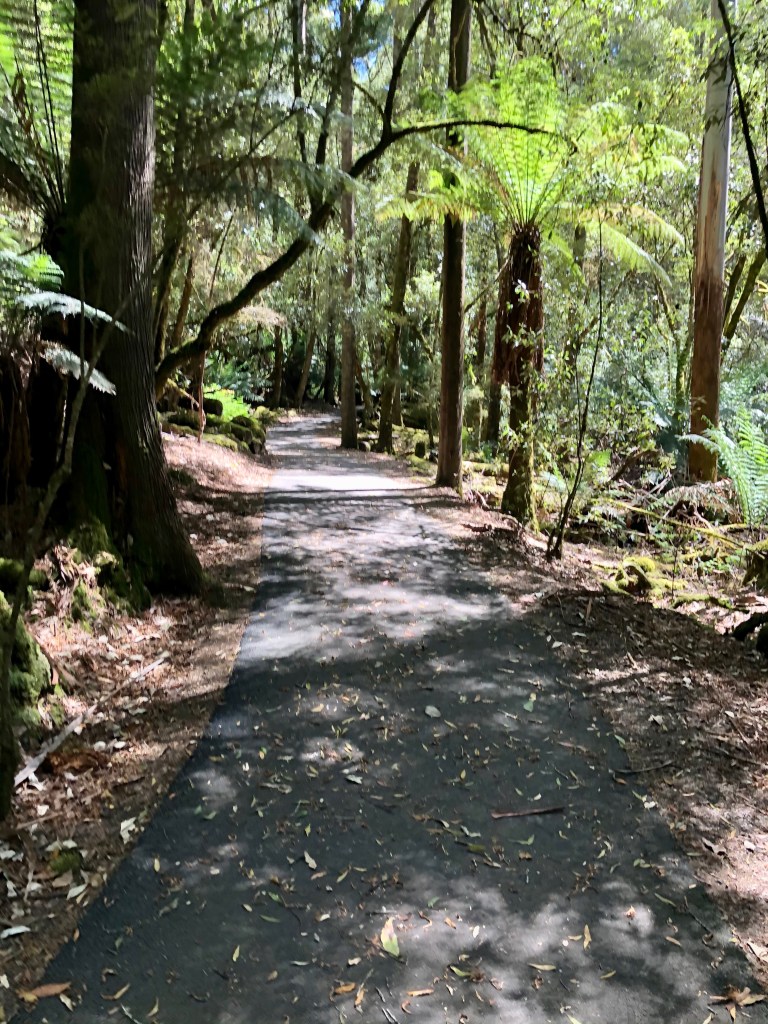
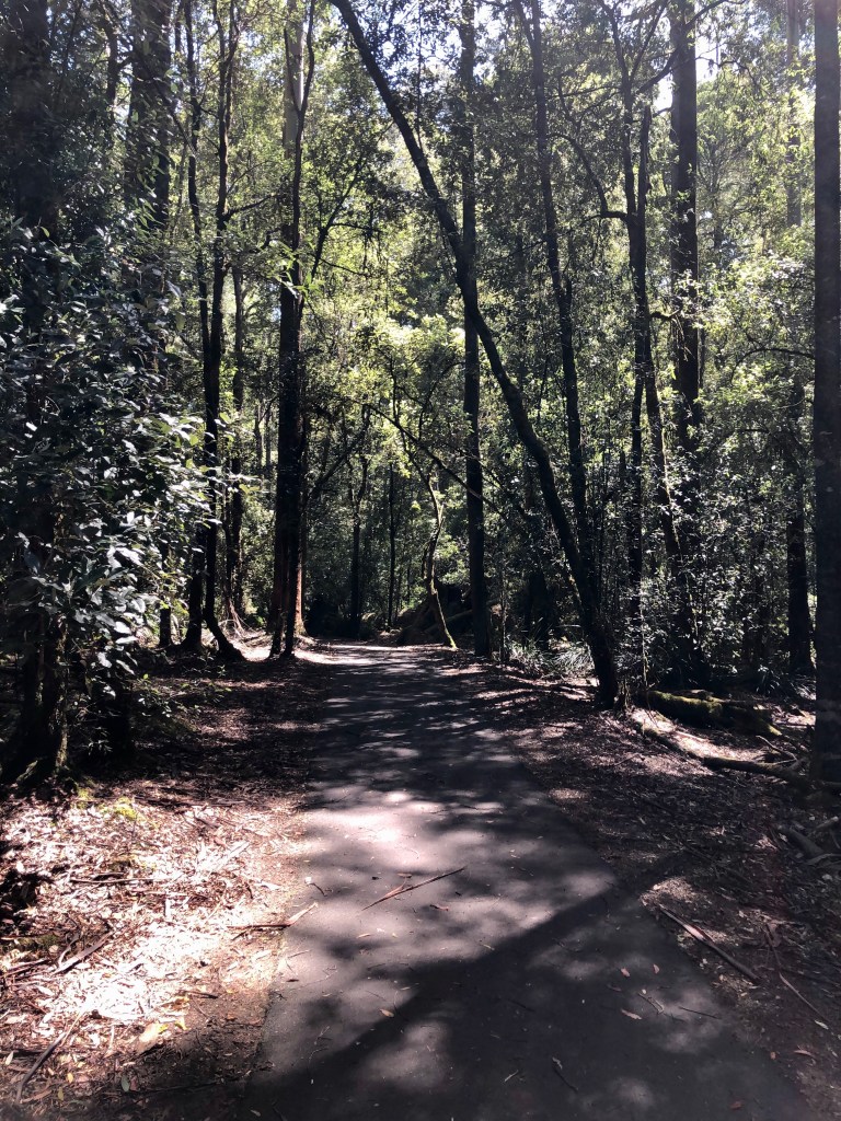
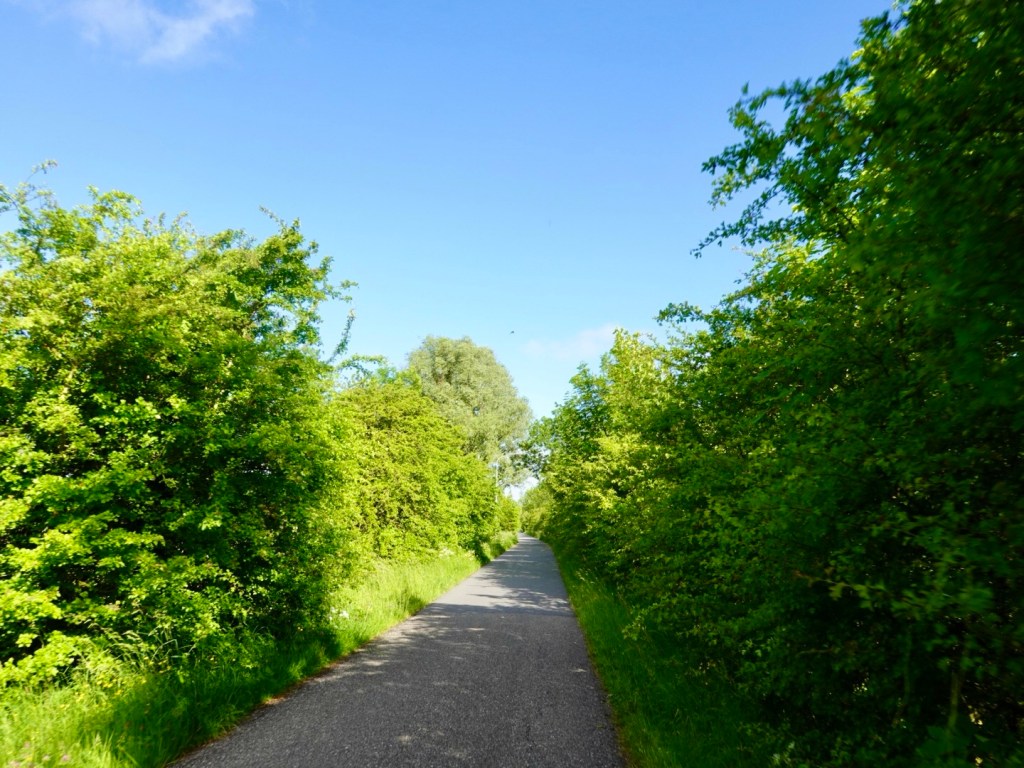
We start off along nice bushy paths as he head to the very north of the Netherlands.
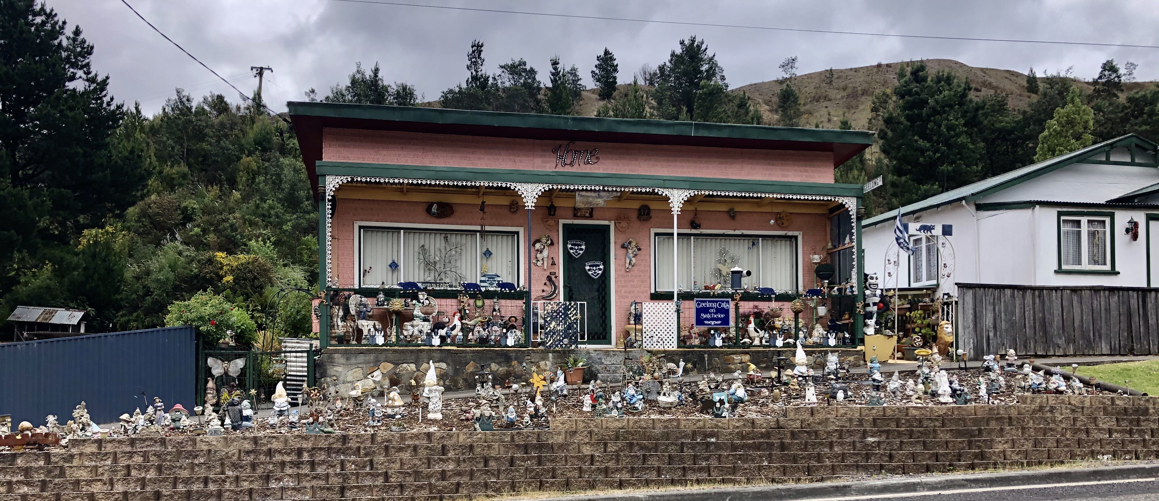
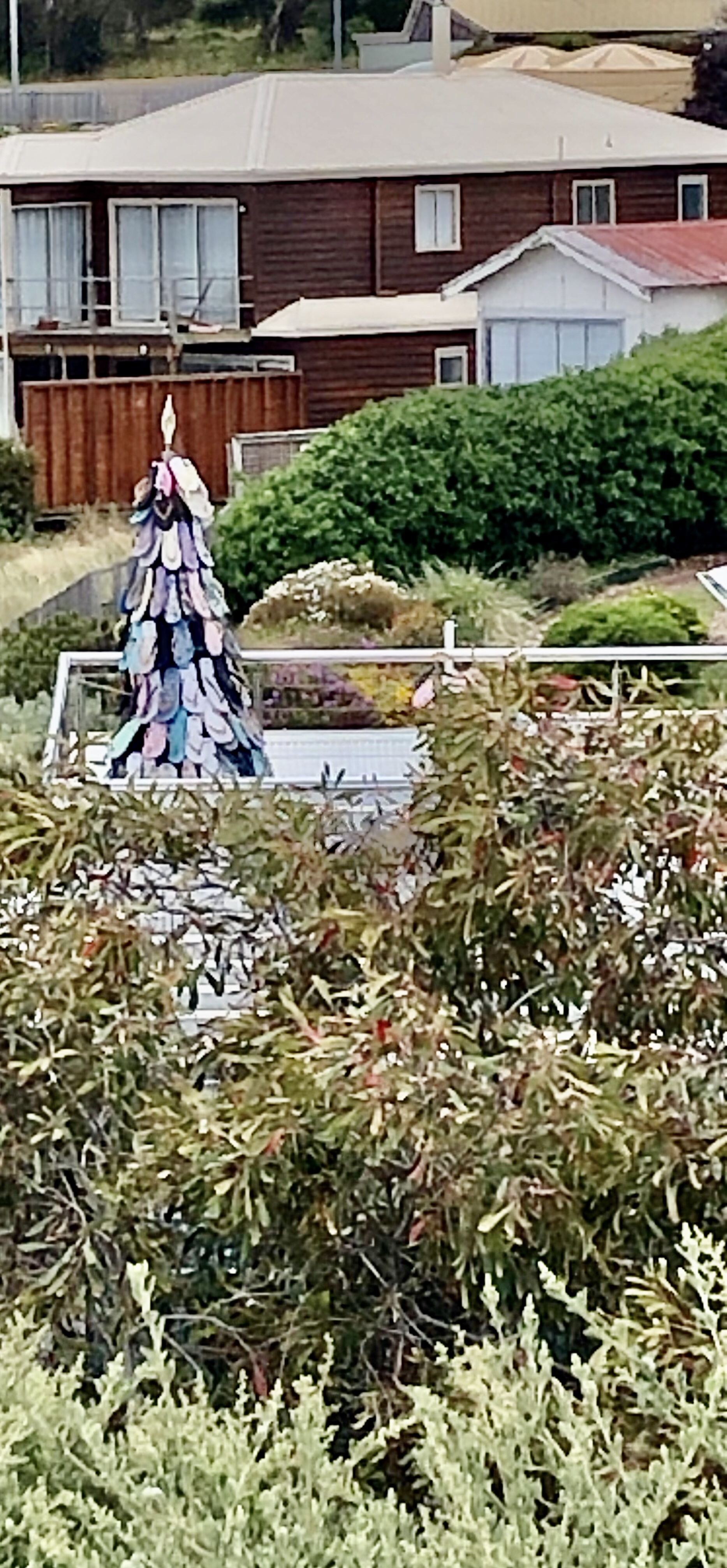
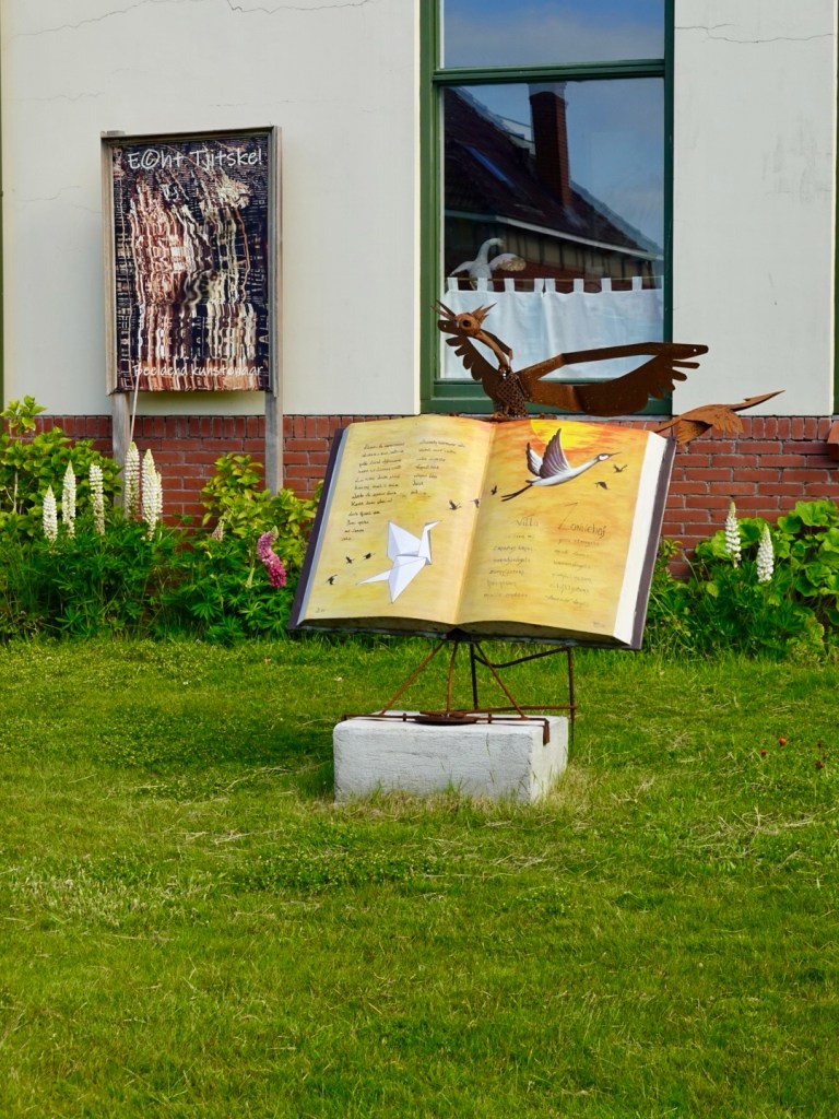
This is in someone’s front yard. There must be a story behind it.
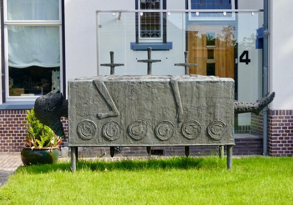
The neighbours too have an interesting art installation, seemingly more peaceful.
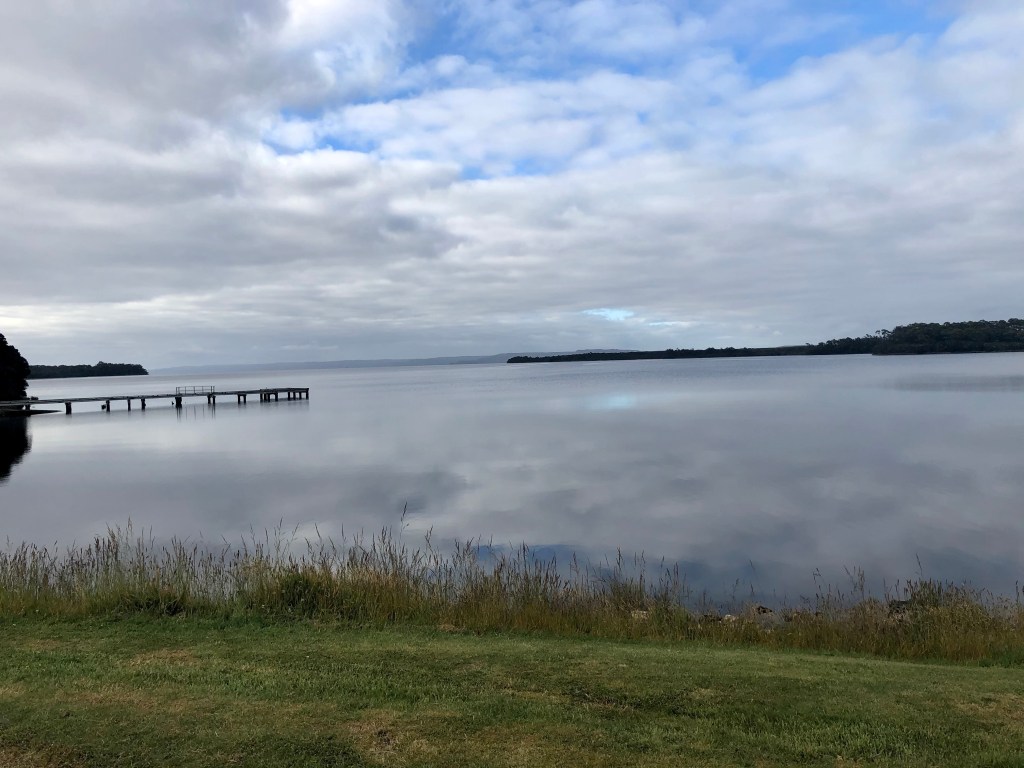
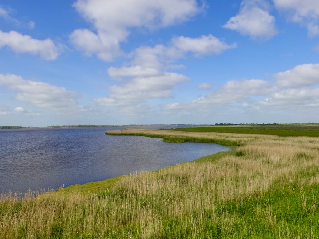
As we hit the far north, the waterways increase. The north is home to a huge range of bird and aquatic wildlife, including migratory birds.
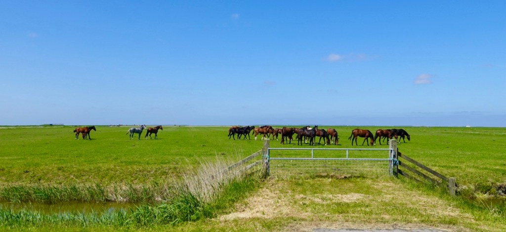
In addition, there are huge flocks of wild horses and cows! These are treasured and valued, restricted in some ways by the various dykes and canals.
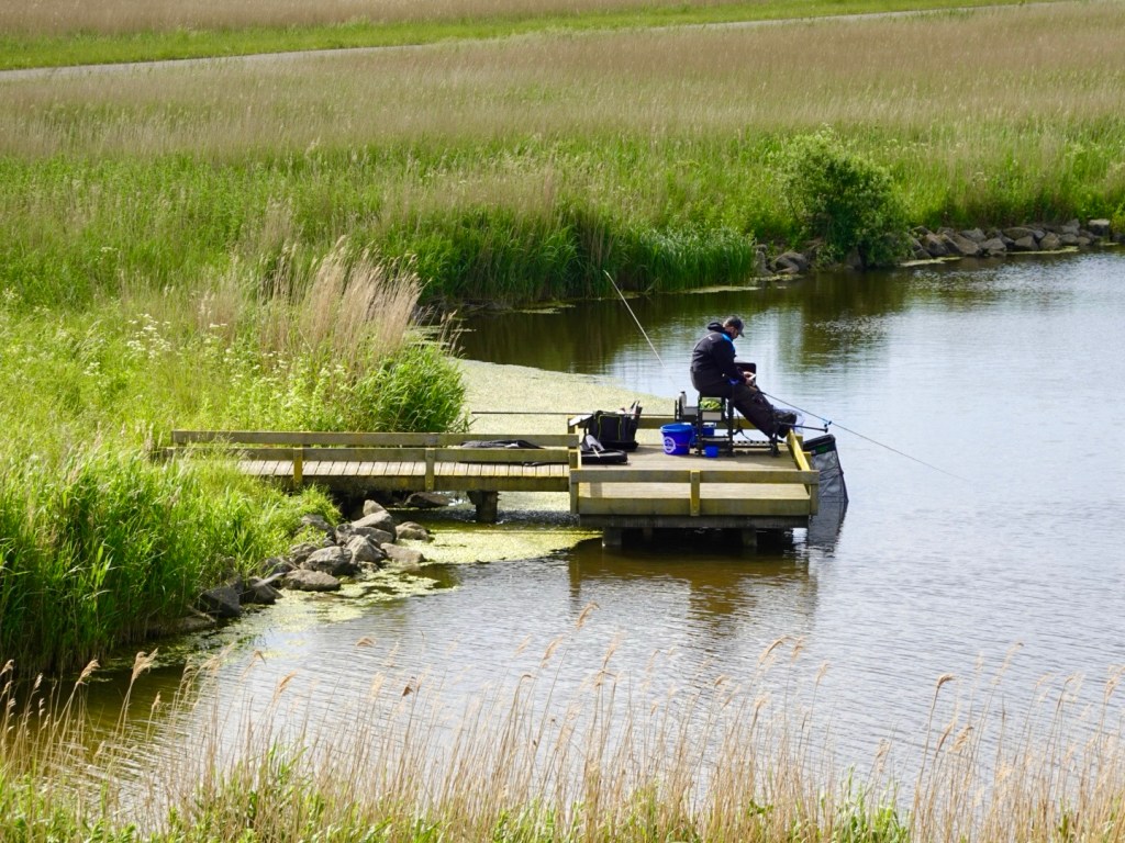
We stop at an observatory. A man is setting up with a long lense camera and binoculars.
A younger lad has set up fishing.
You can see some wild horses here.
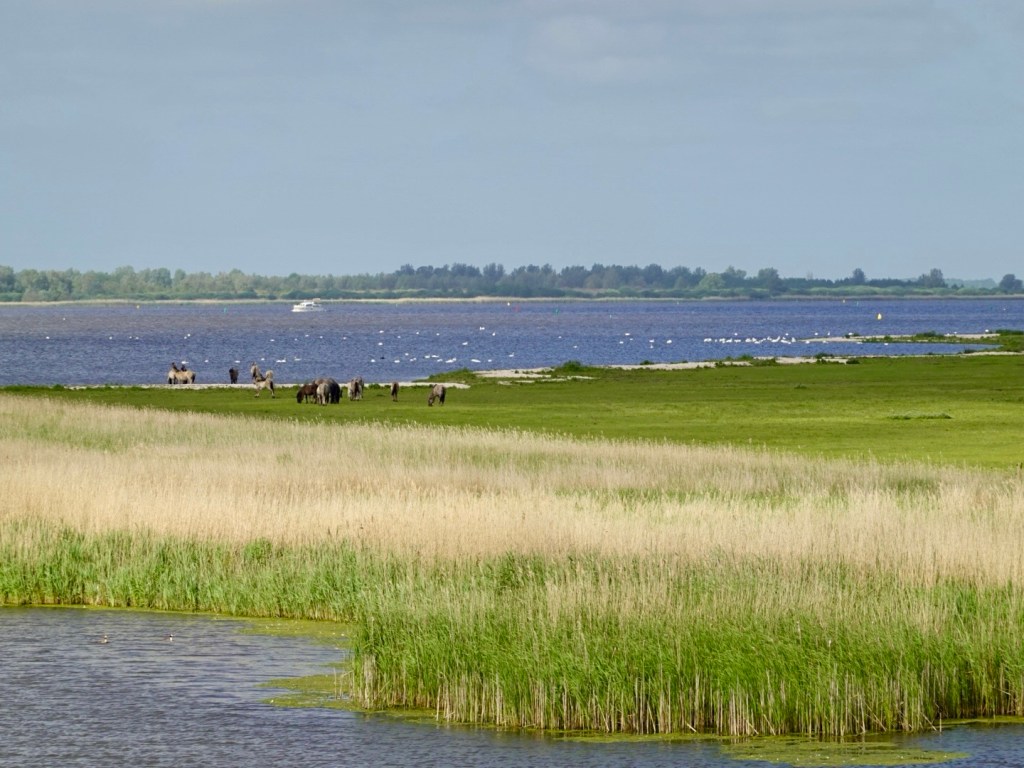
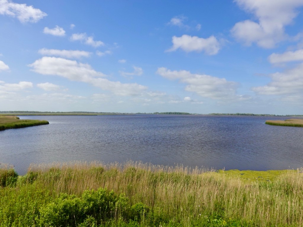
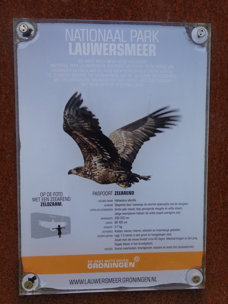
This area is in the Lauwersmeer National Park, part of the Dutch Wadden Sea conservation area and a UNESCO World Heritage region.
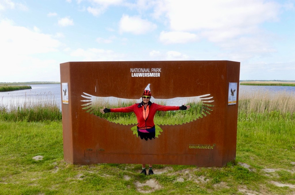
The zeearend, a sea eagle, is regarded as a precious local bird with a huge wing span of up,to 2.5 m.
My arm span falls short somewhat.
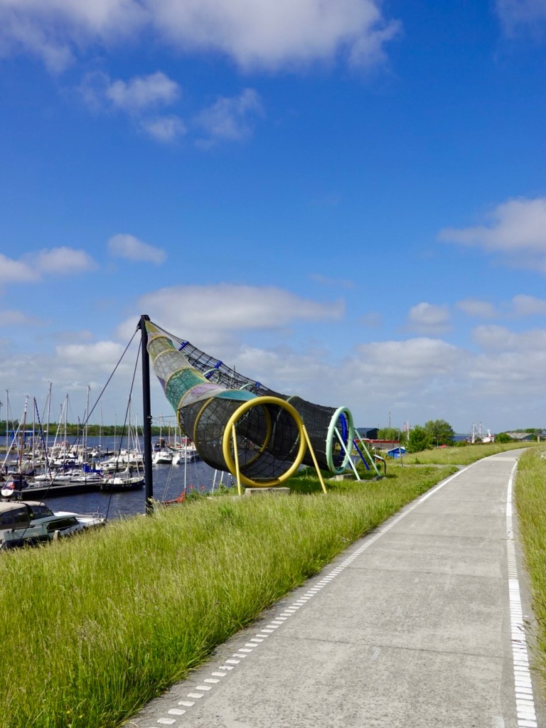
Back on the path and we traverse the north coast and note this fishing net art installation aside the marina.
Morning tea included apple tart.
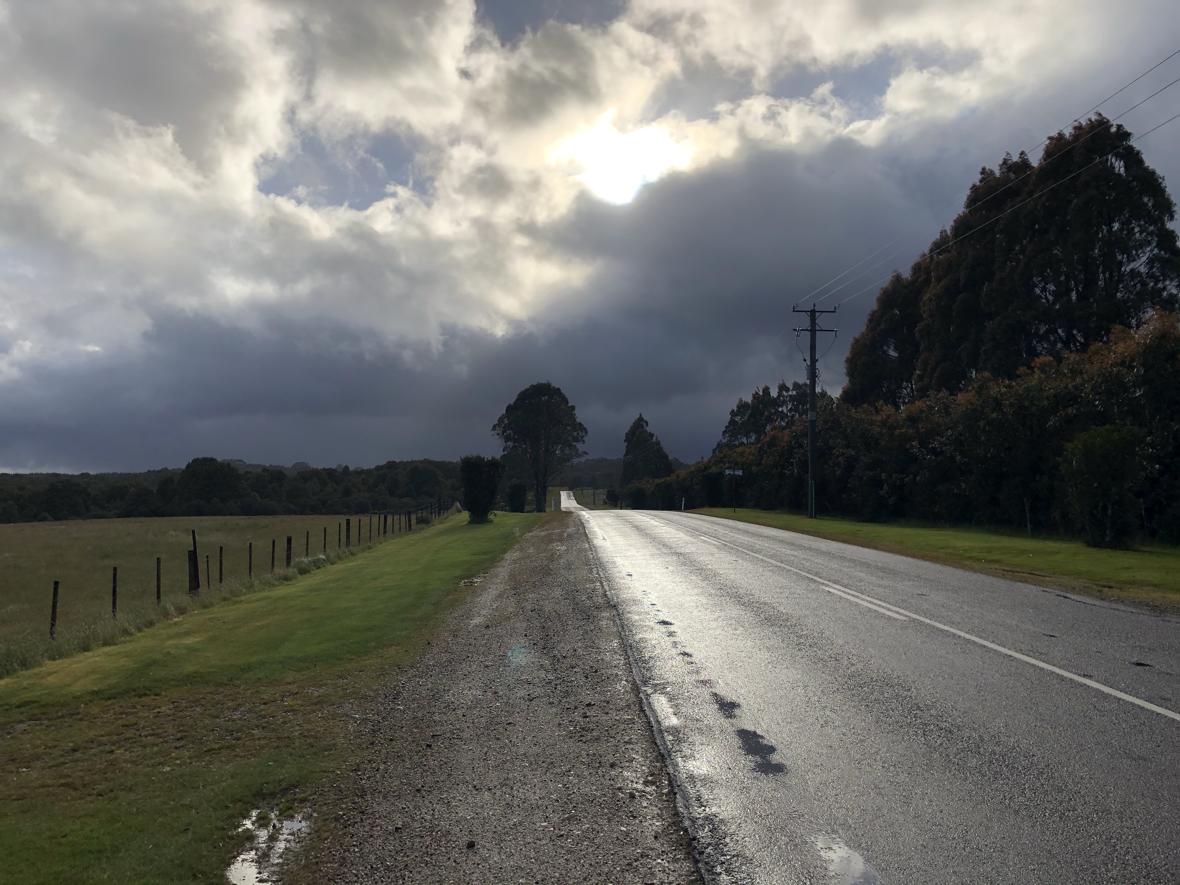
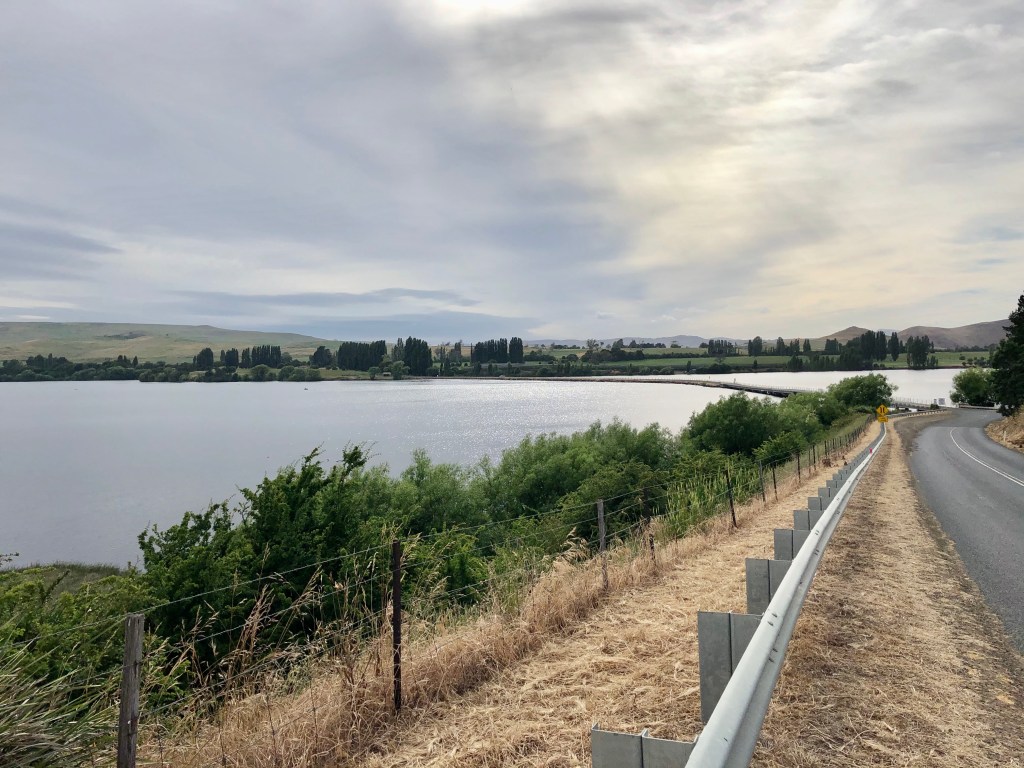
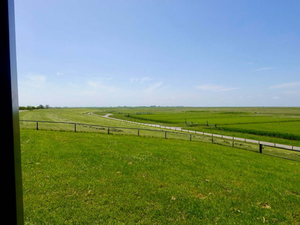
We follow the foreshore along the top of a dyke. Hard to tell from this photo but there is quite the slope here. Note that the tide is out.
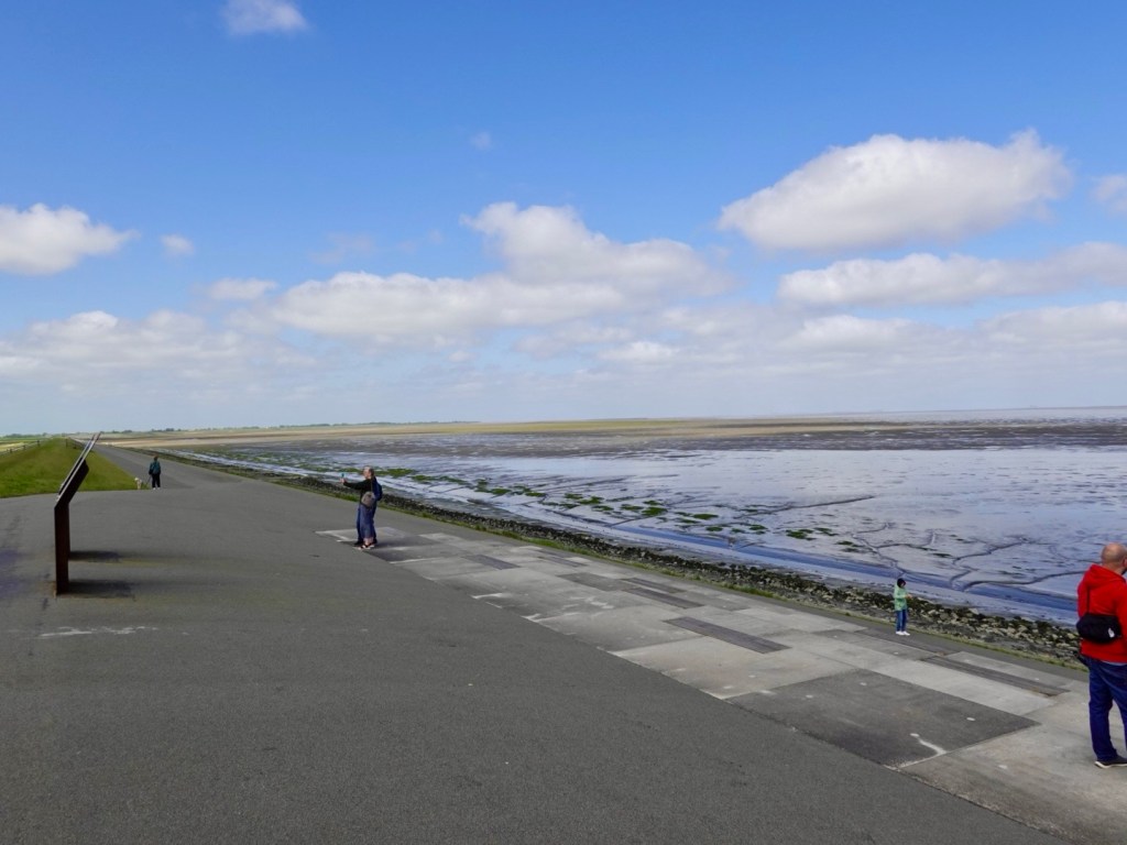
Way, way, way out. It is incredible how far out the tide is. In fact we have trouble working out just where it is!
When big northerly storms hit, water comes well up the dyke, but the huge dyke protects the super flat, low lands behind it.

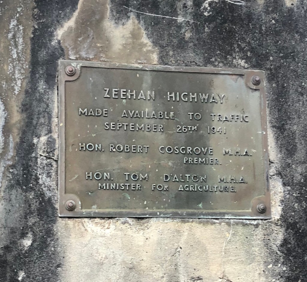
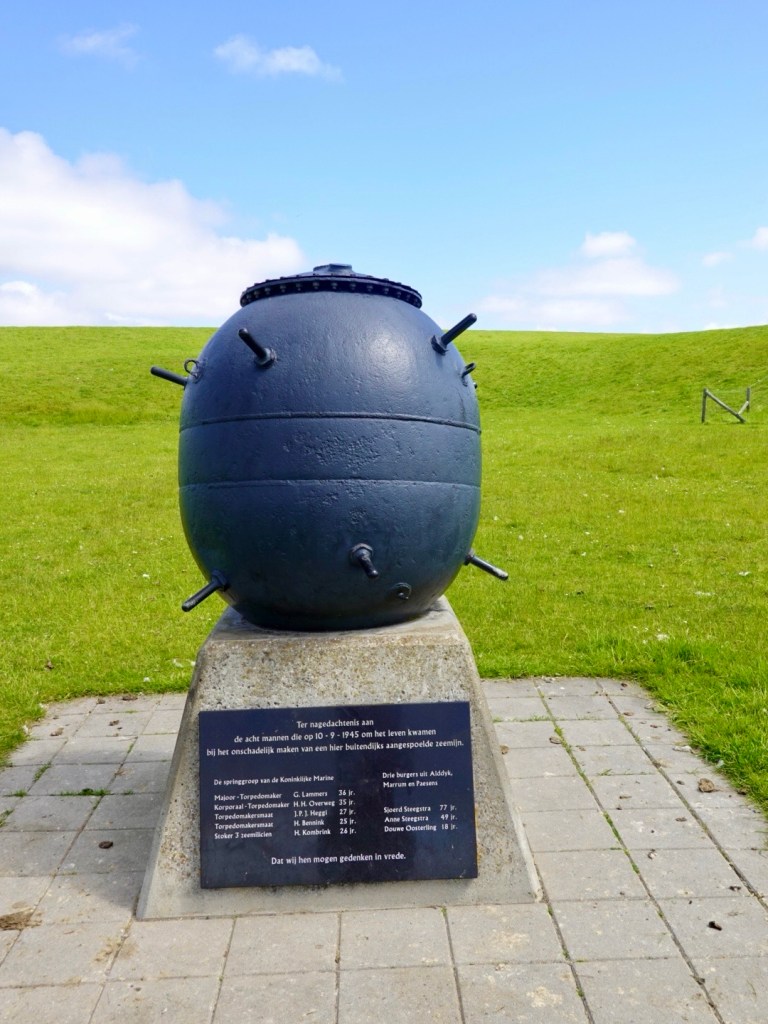
An old sea mine bomb.
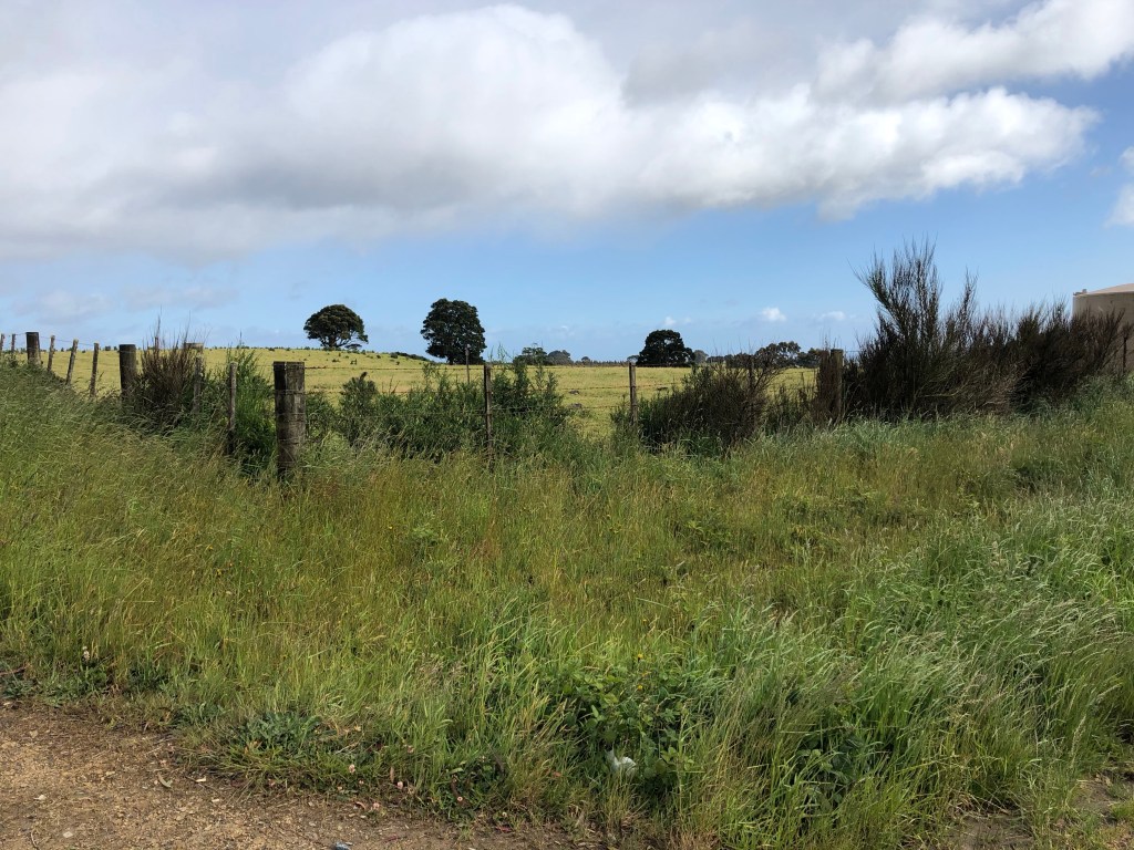
A cute farm vista across the wheat fields.

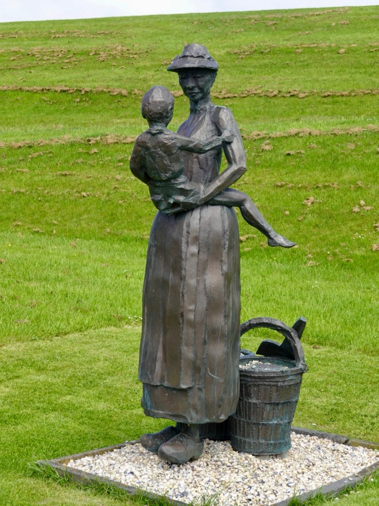
Nice art installation. I think this one was called Fisherwoman, referring the husband being at sea fishing, with the wife at home caring for the family.
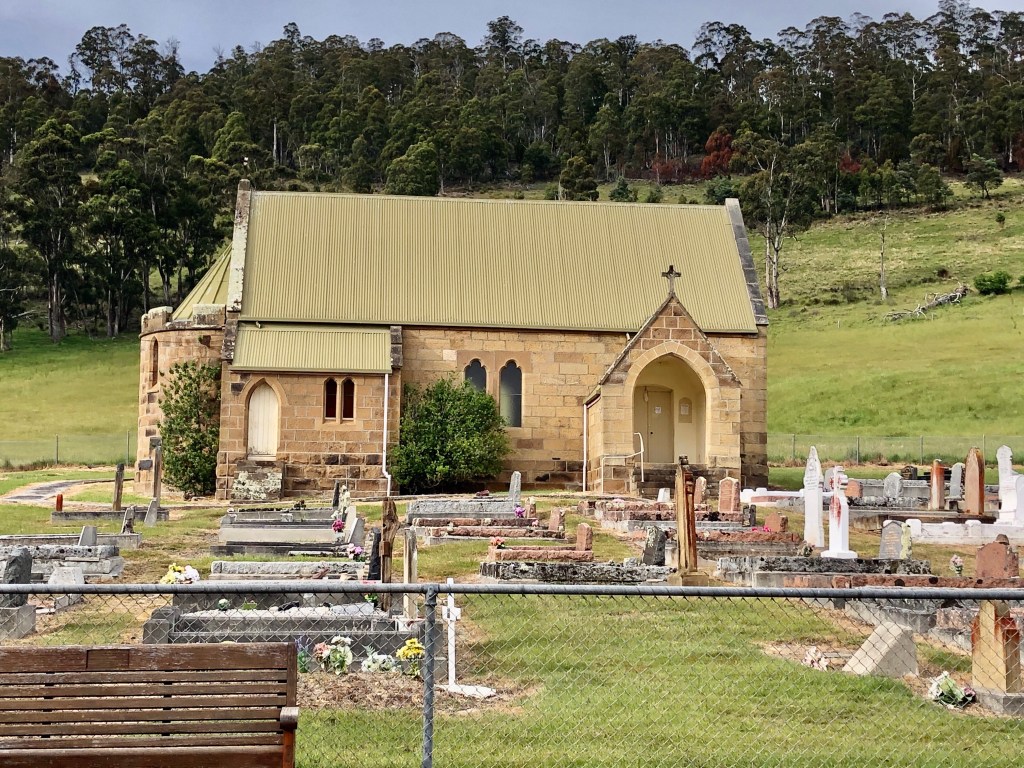
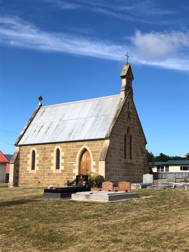
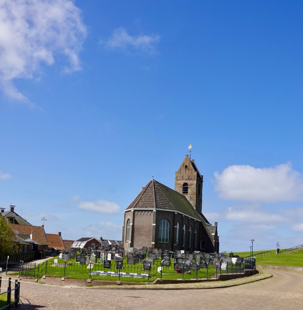
Village church.
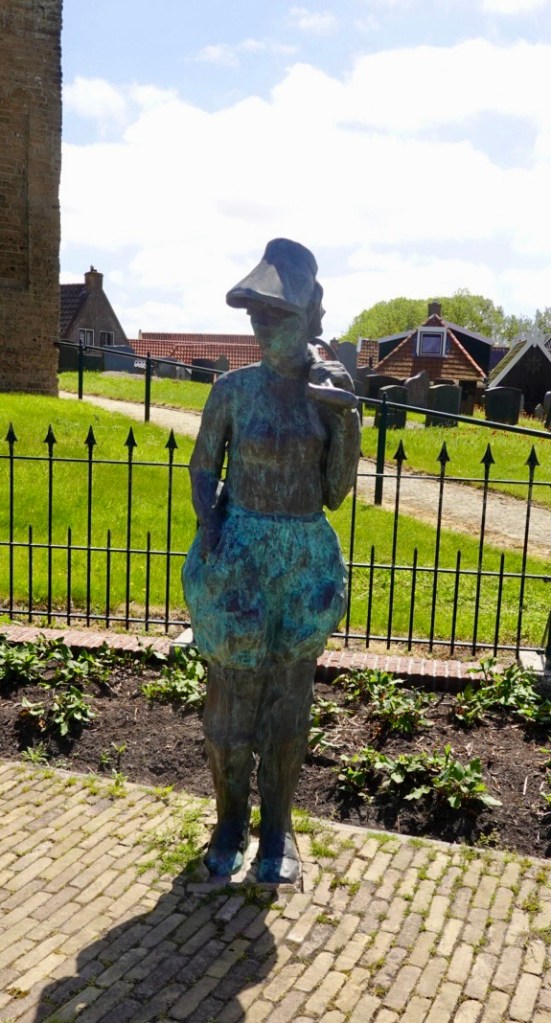
Another art installation.
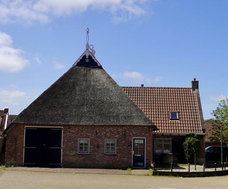
Hard to see in this photo, but interesting swan detail on the roof. I gather it has a historic perspective. The thatch is very thick and even when you see the edges. Quite the skill.
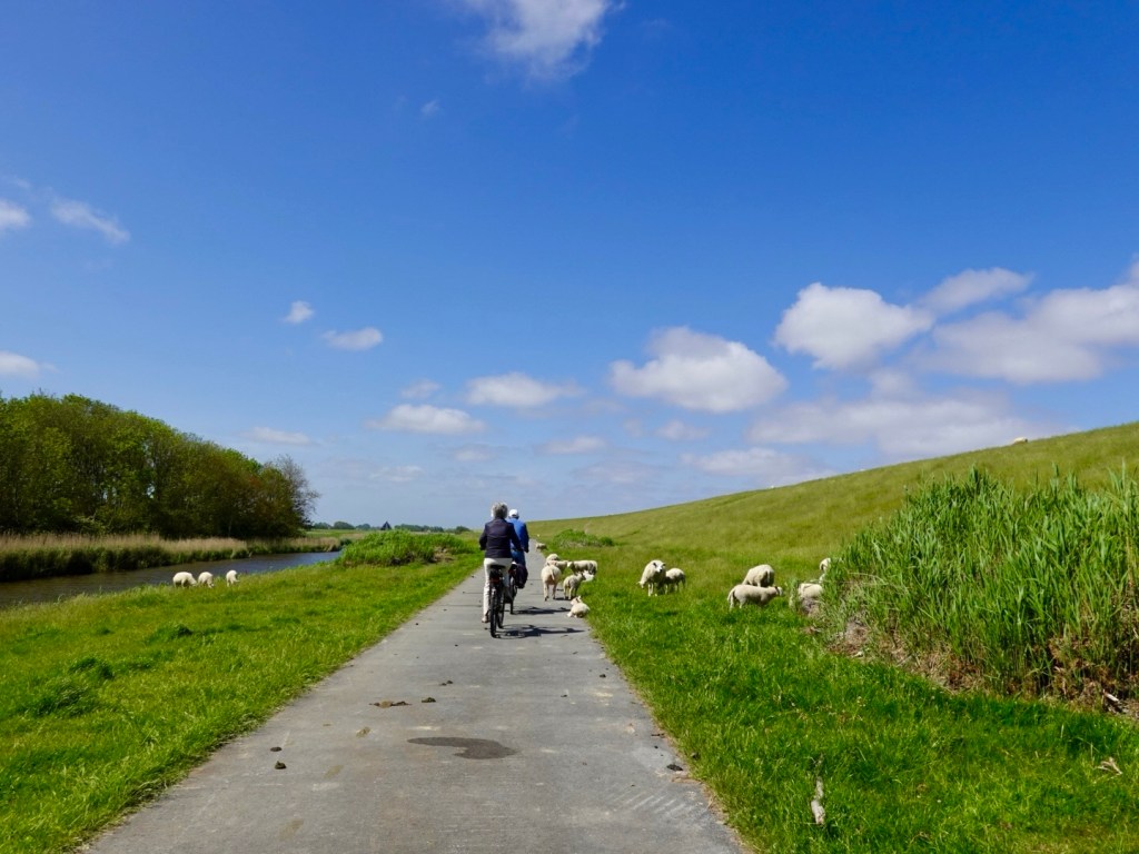
We rode along many km of path like this, with sheep grazing on the dyke banks, canal to the left.
This section fairly clean, but lots of sheep poo on most. The sheep are often on the path, laying along the edges. You need to be careful that they don’t suddenly move and you take each other out.

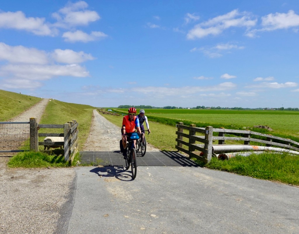
Lots of gates and cattle grids to keep the sheep contained, bounded by the dyke and canals.
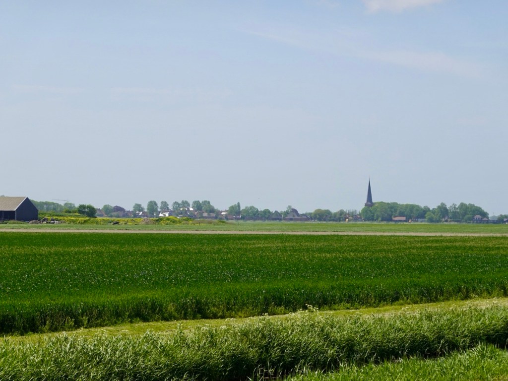
A distant village view across more wheat fields.
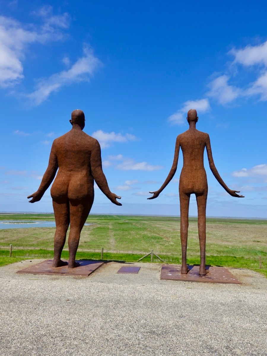
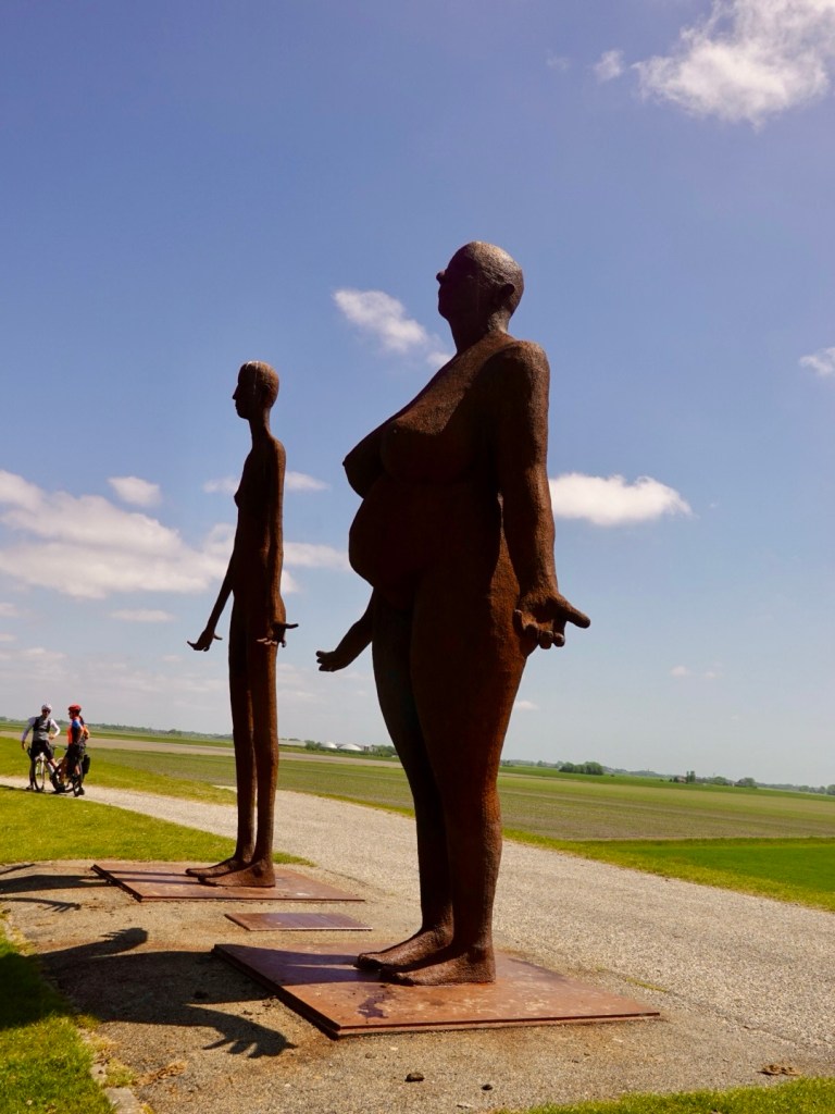
Famous sculptures looking towards the sea, waiting for the water. Naked and pregnant lady with an emasculated, very skinny male.

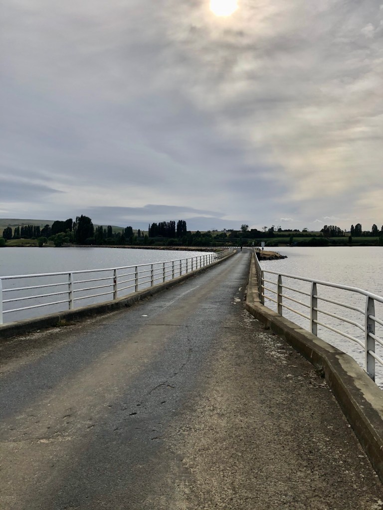
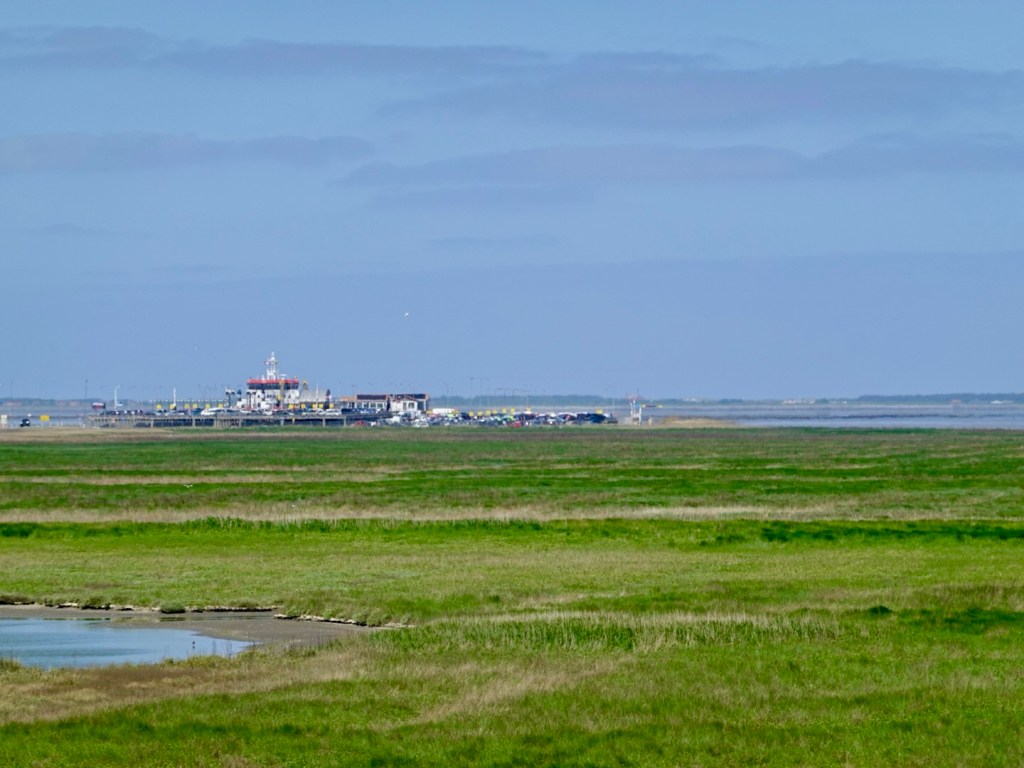
The ferry port just 2 km away. We headed there to secure our tickets for the latter ferry. About 45 euro return for 2 adults, 2 bikes. The crossing takes about 45 minutes, yet the distance (direct) is only 3km but the boat needs to weave around the channel.
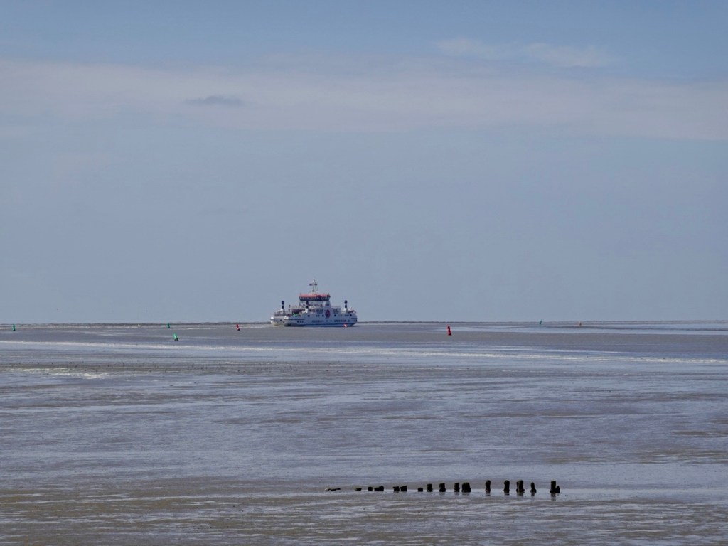
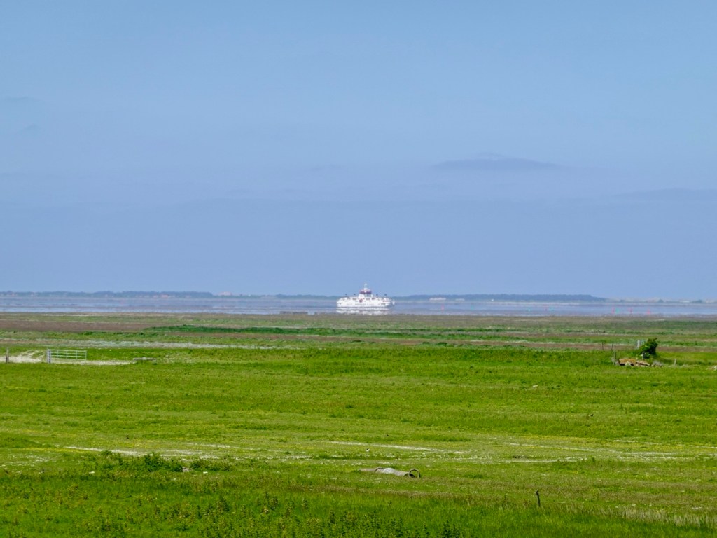
A ferry out in the channel now, guided by the coloured buoys, most of what you see is boggy sand.
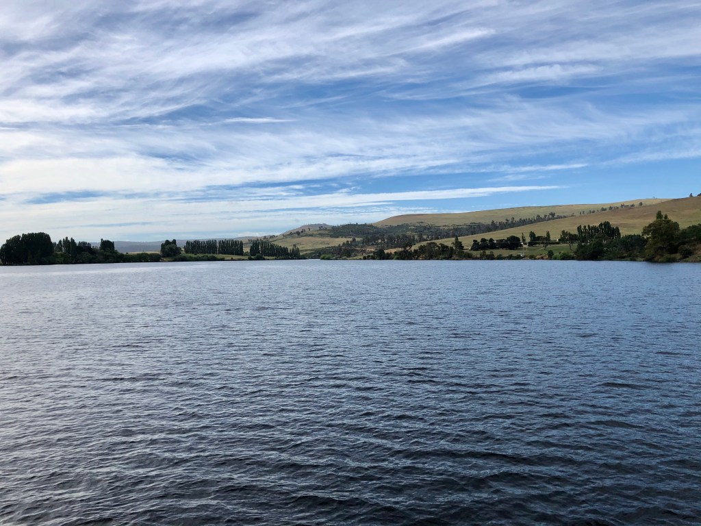
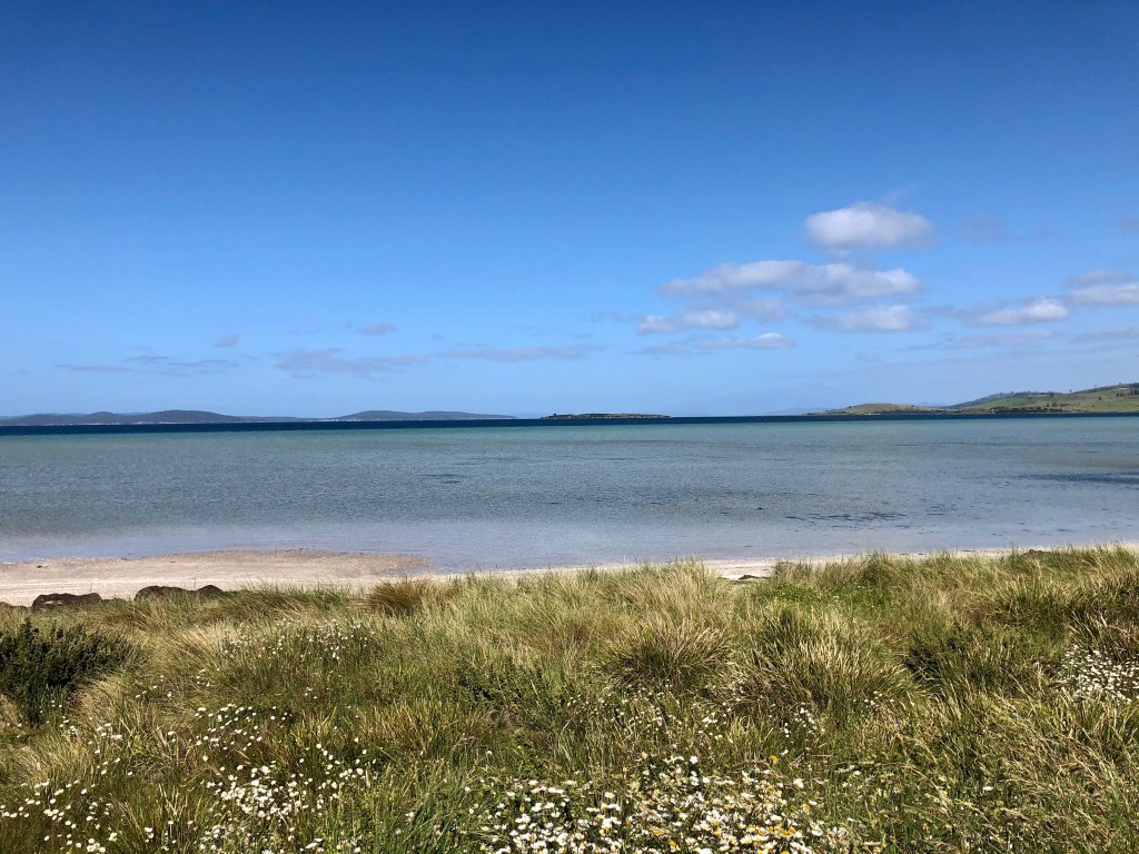
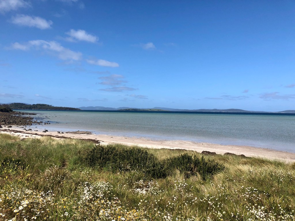
We then ride back out and along the coastline, where there is am area of outstanding natural values. Low land, green, protected zones for the wild horses and bird life.
Generally only accessible by walking or riding, although the occasional car breeches to drive along.
It was super peaceful along here, and we enjoyed a tail wind.
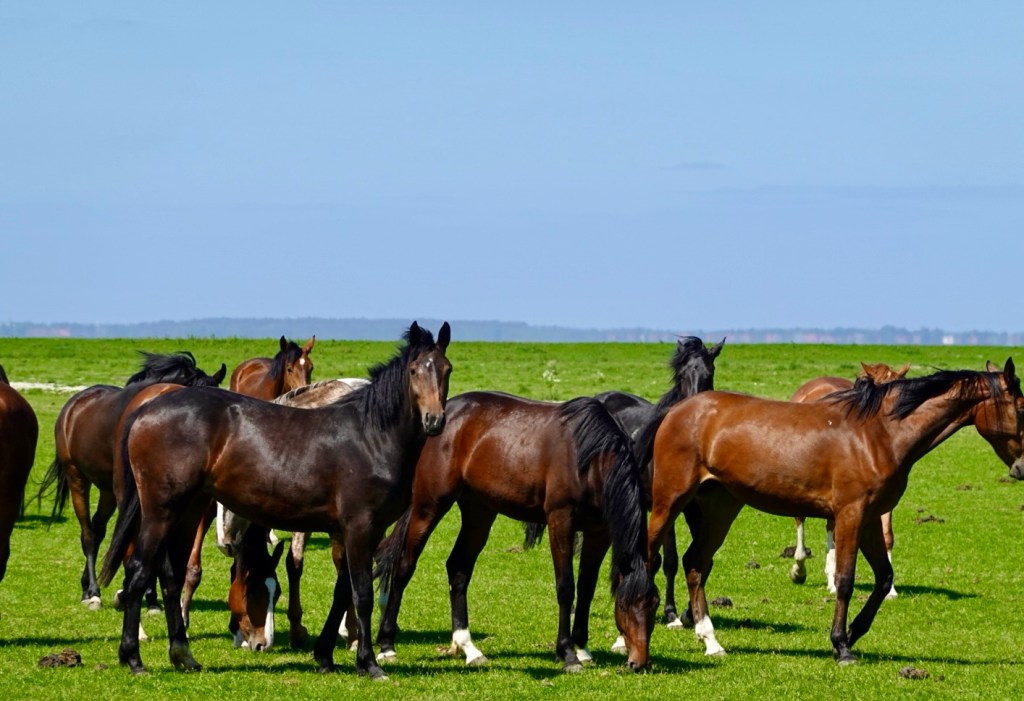
The wild horses are living life.
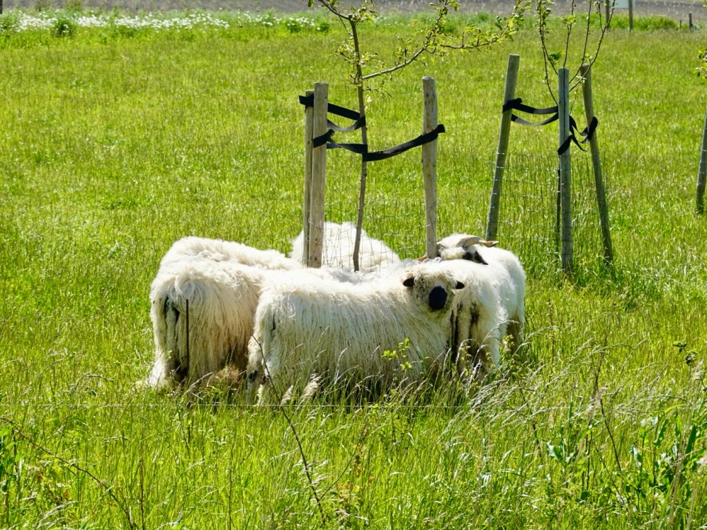
They look fit, strong and healthy.
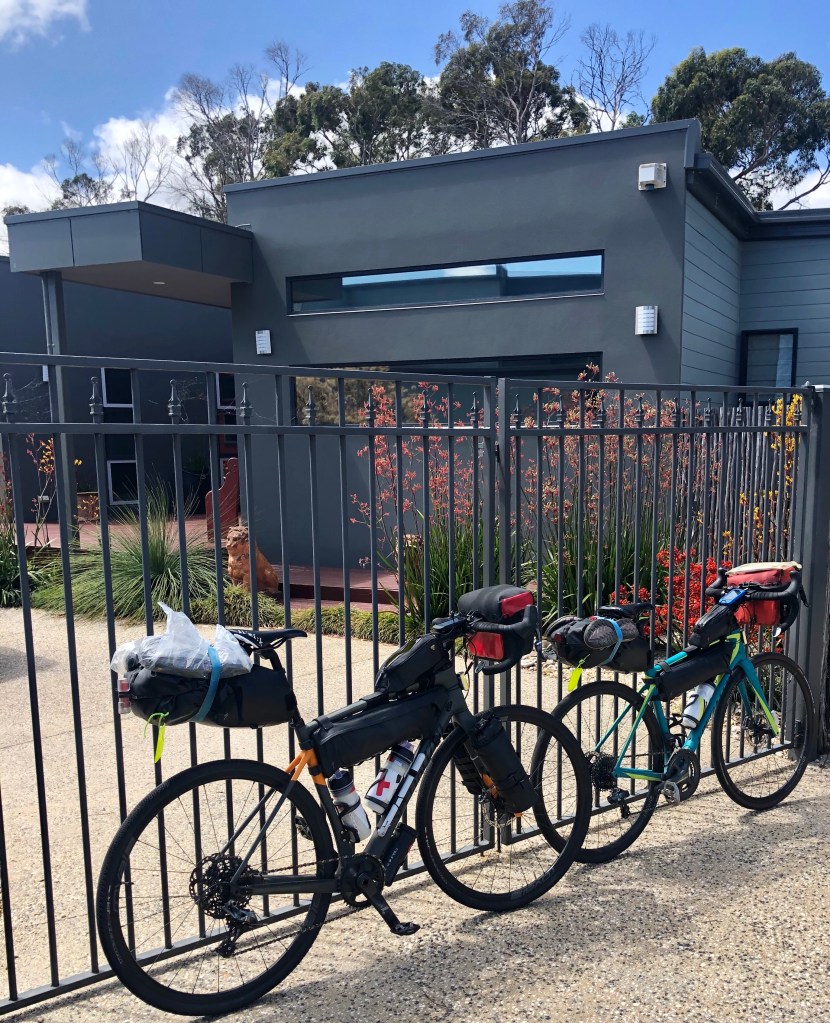
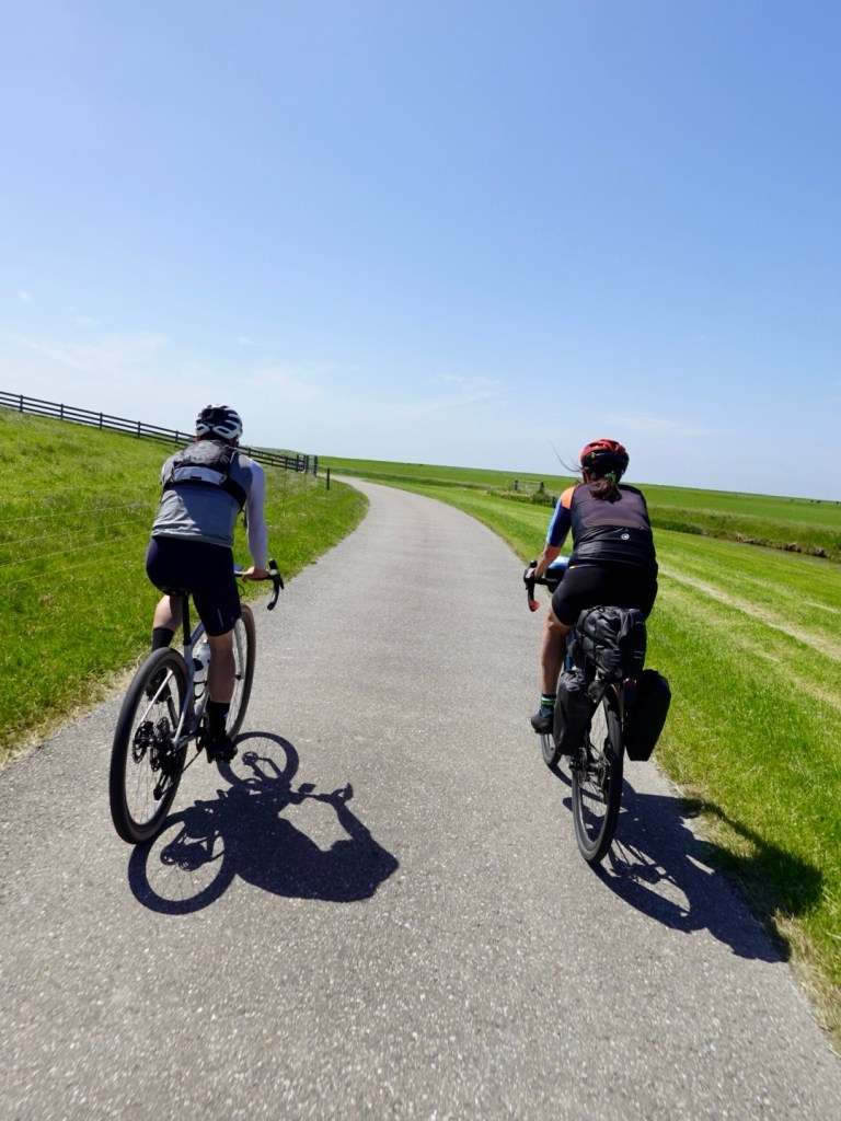
Just like these two. Jeroen heads off on his new Specialized gravel bike to do a series of epic gravel climbs in France and Italy in a few months. Hard trails like Alpe d’huez gravel version.
He’s fit and fast and with good weather, will nail it. Training for mountains are difficult in the Netherlands.
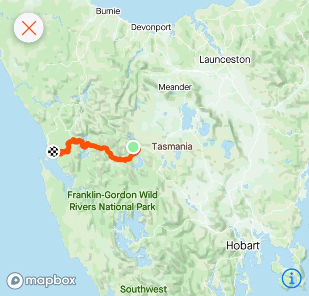
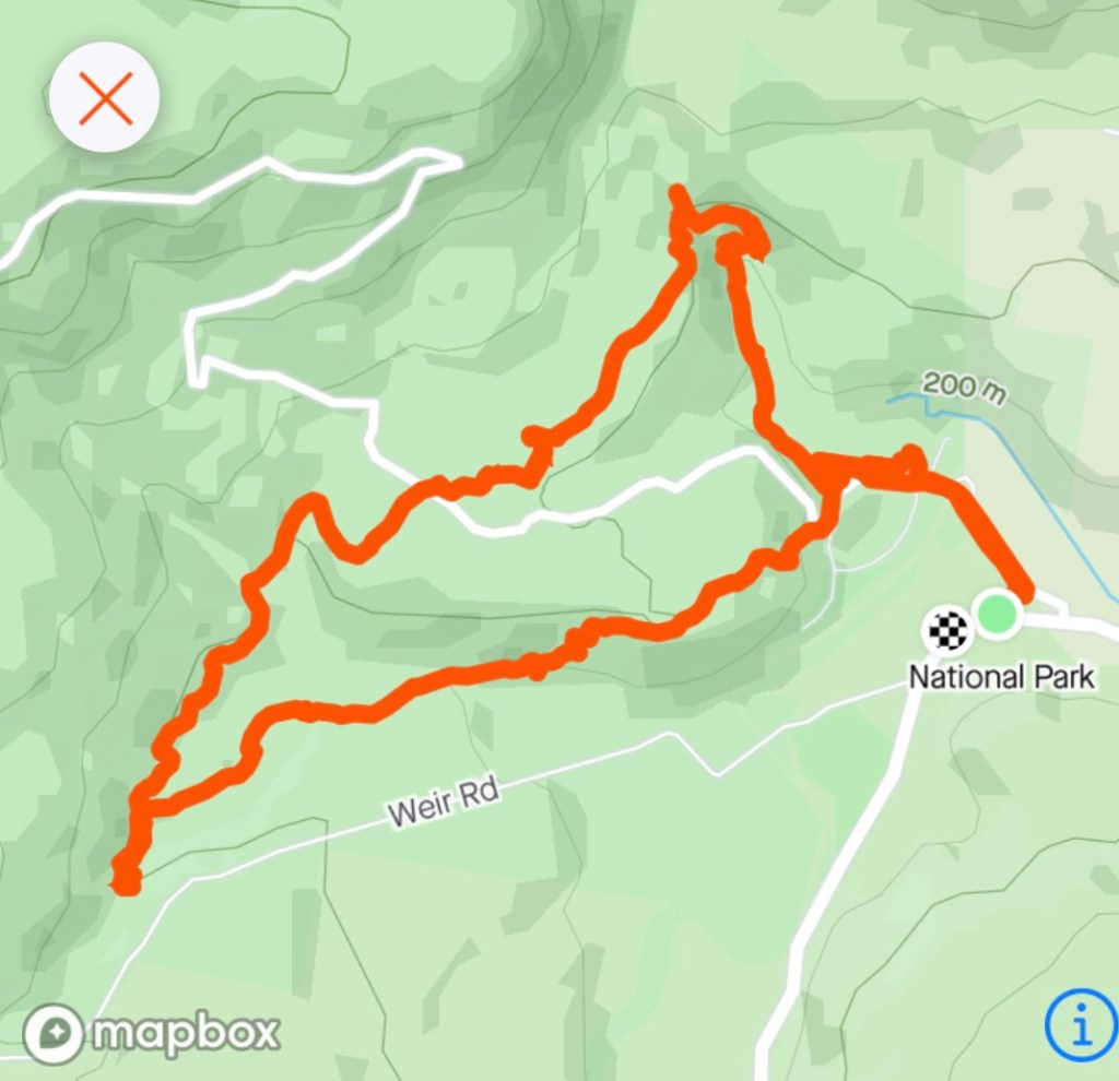
The name of the route we had been on. Worth checking out if in the area.

This is an architects installation along the top of the dyke. It is a popular place for wedding photos.
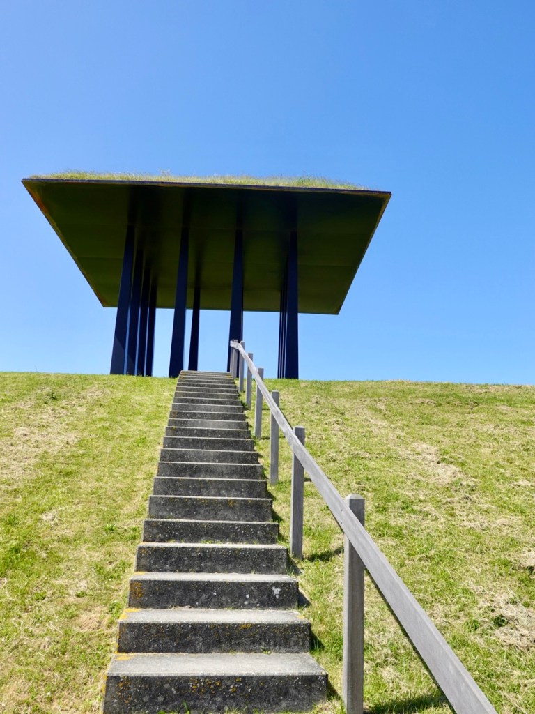
Looking behind the dyke. There is a pathway ocean side, road internal side.
The three bikes lined up.
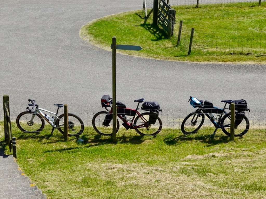
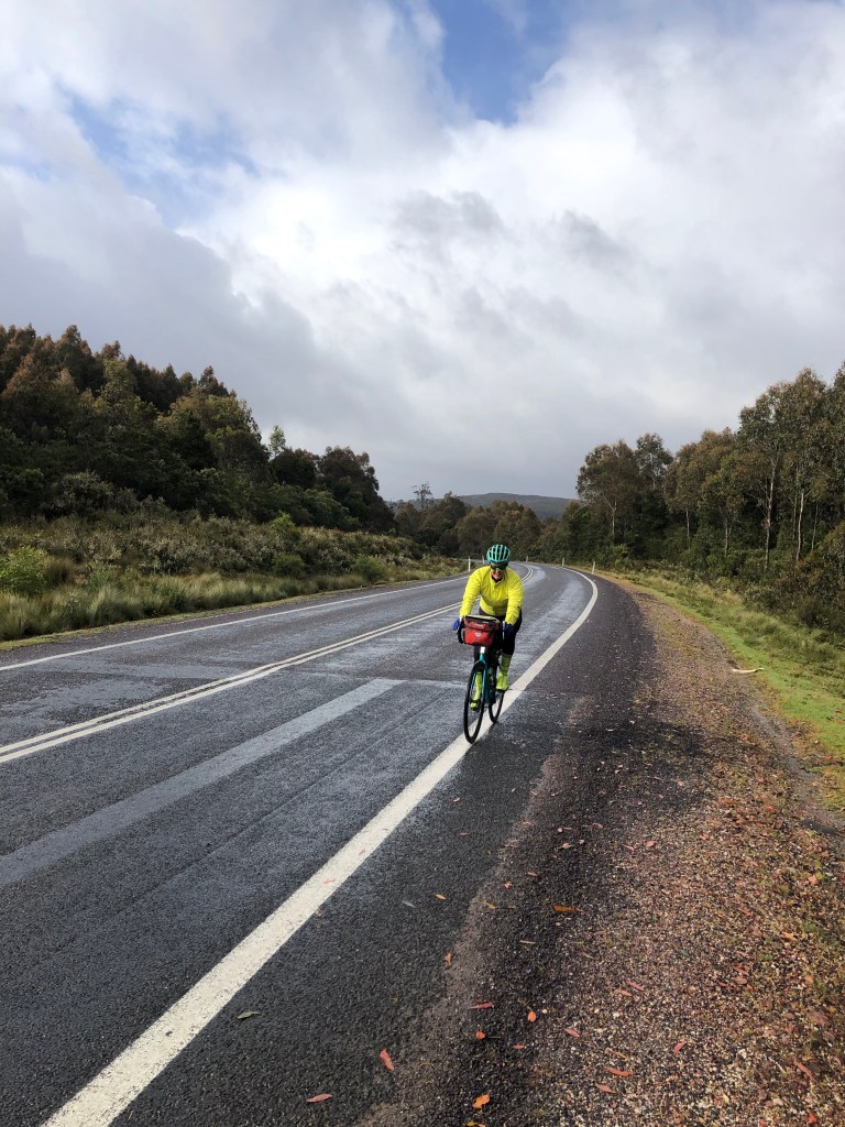
It was a headwind for the 13 km back to the ferry. Jeroen took the lead and covered us back into the strong headwinds.
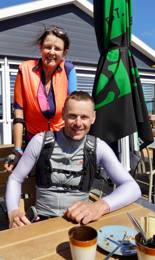
We had one final chat and afternoon tea at the ferry cafe and it was farewell, or Ooroo as I say.
I always get said saying bye to wonderful people that we gel with. Jeroen made me laugh, putting it into perspective.
He said, well we don’t live in the same house, so it has to be goodbye.
True. A friendship and day we will treasure.
Thankyou ❣️😊🚴
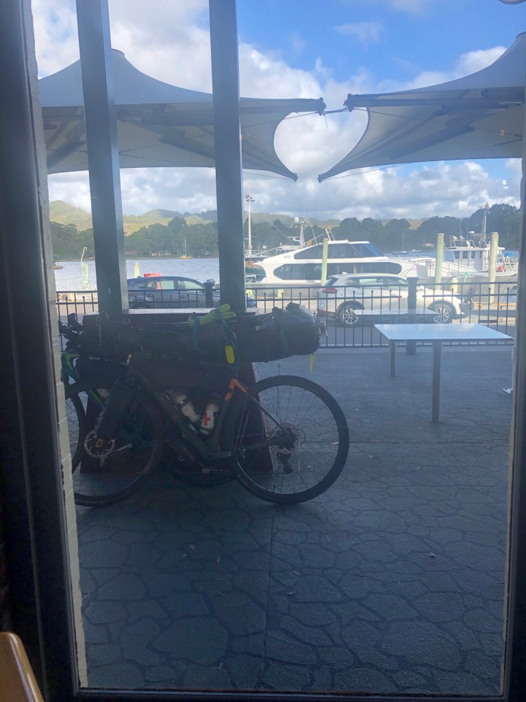
So with that, it was onto the ferry and across to Ameland, where we scooted off to our home above the house, just 2 km away.
We fell asleep on the couch early and tomorrow brings new adventures.
Thanks for reading ❤️