The Bay of Islands comprises around 140 sub tropical islands, known for undeveloped beaches, big game fishing, and Maori cultural artefacts.
It is home to the 19th century port of Russell, with a waterfront promenade lined with remnants from its days as New Zealand’s first colonial capital.
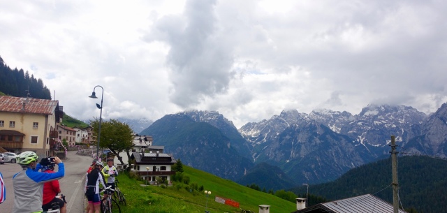
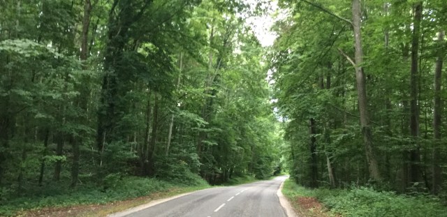
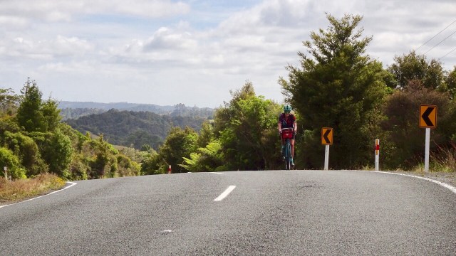
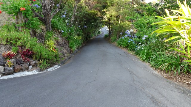
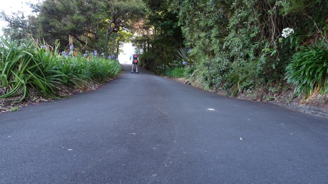
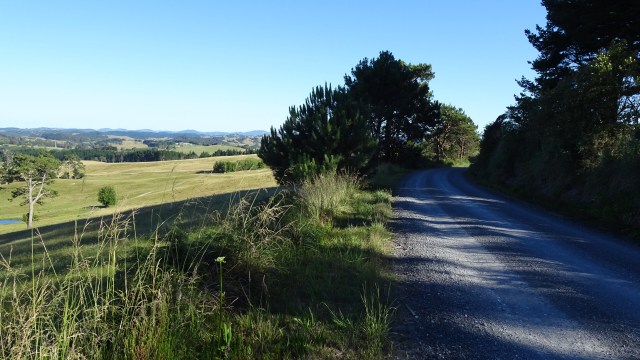
To get to this area from Oakura means a lot of hills and today did not disappoint, with an 18 percent climb from our overnight accomodation…..again!! Around the corner, and again, climb out of the village. Nice views looking back towards Oakura Bay.
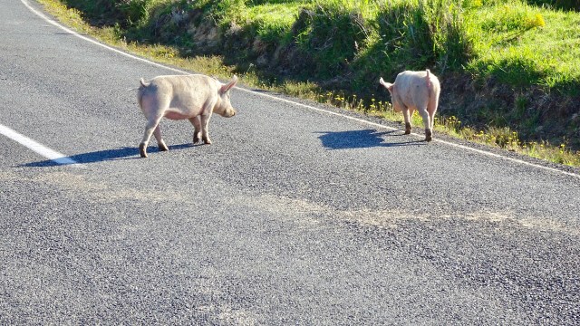
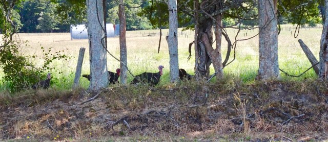
I have had to stop riding many times for various animals, but never for pigs! These guys must have escaped knowing the inherent dangers for them, particularly at Christmas time.
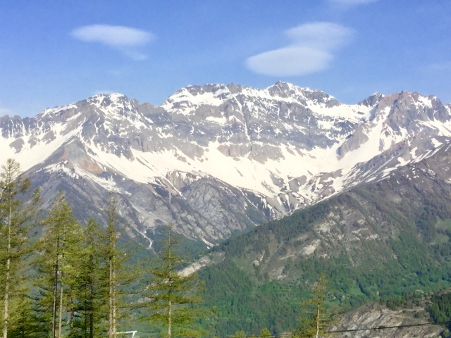
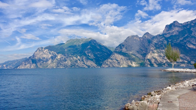
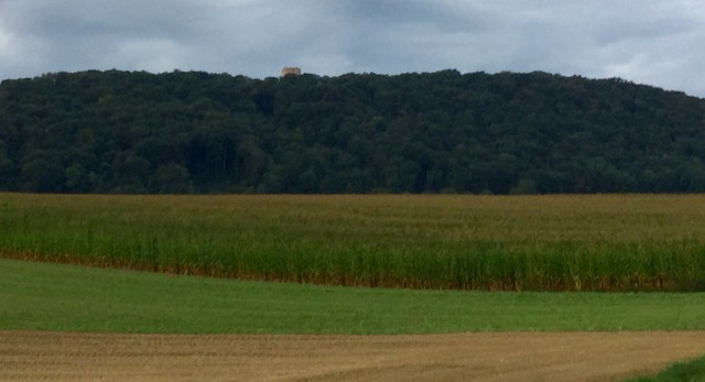
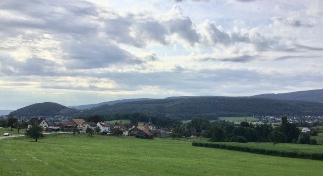
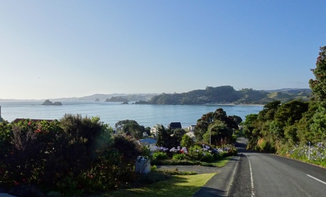
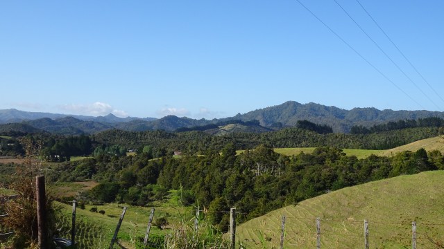
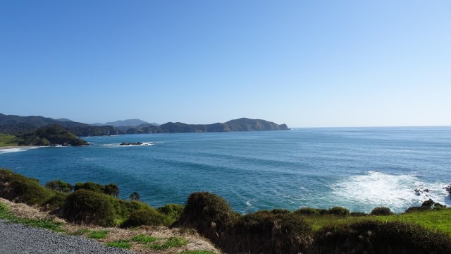
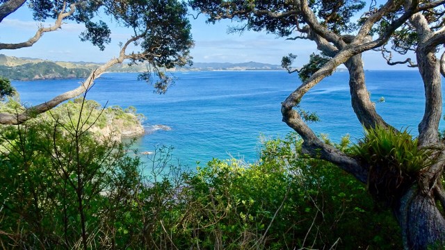
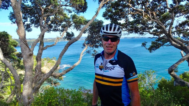
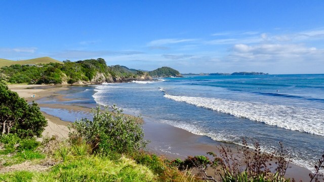
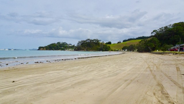
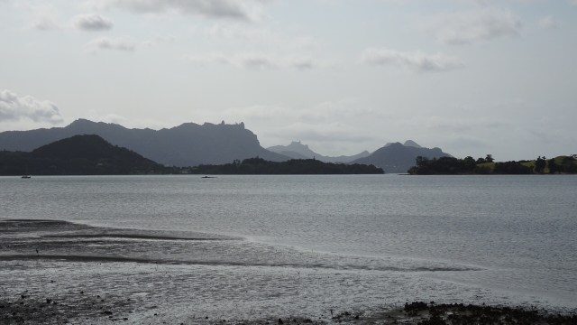
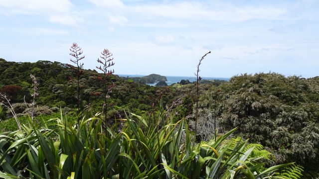
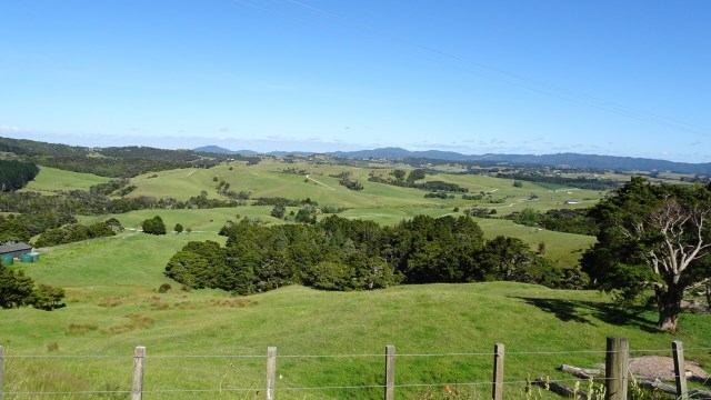
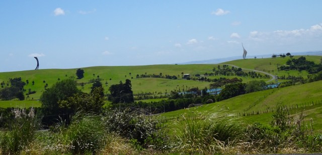
Climbing gives great perspective to the surrounding landscape. This first one is looking south.
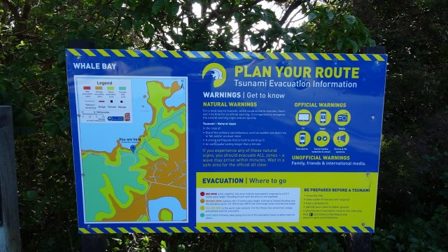
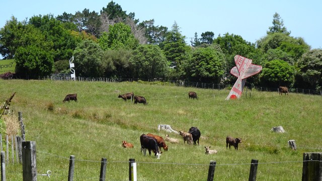
 From the same viewpoint is this boat…waiting for the tsunami action plan? It is about 75 metres above sea level and not in the greatest condition either.
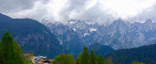
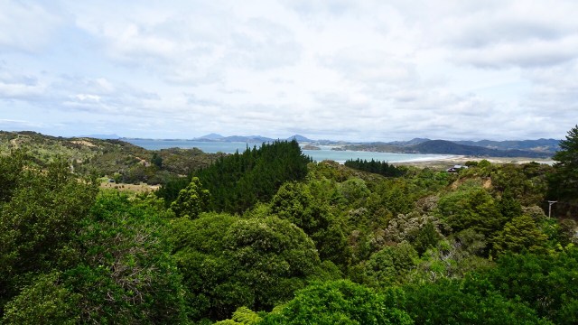
 Looking north towards the Bay of Islands.
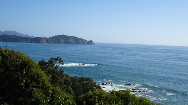
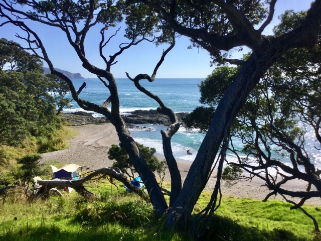
I quite liked the campsite chosen by these people. Highly unlikely to have many others join, as to get there you need to clamber down a steep bank with your gear.
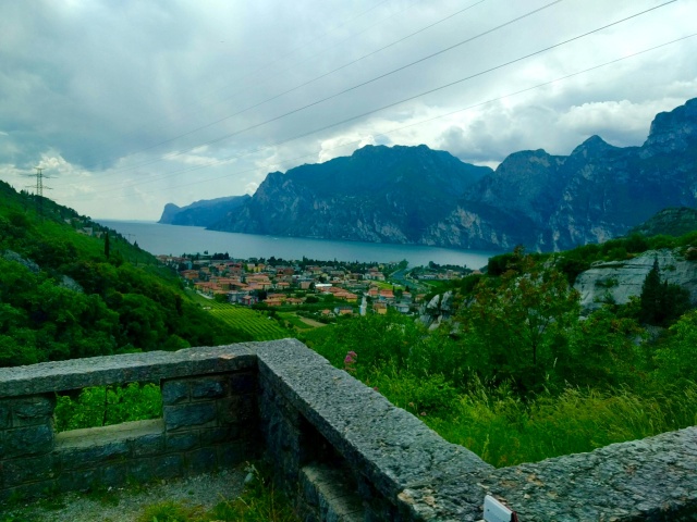
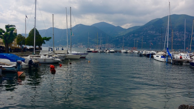
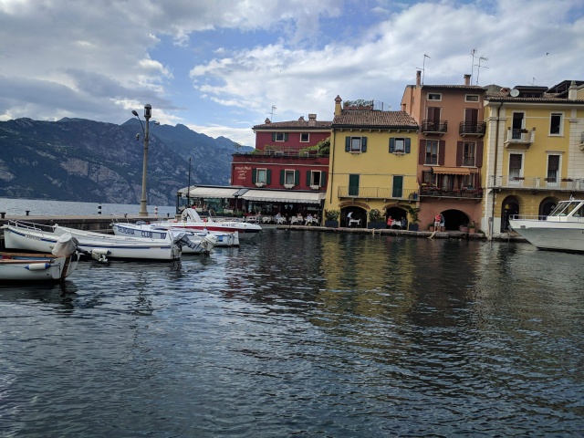
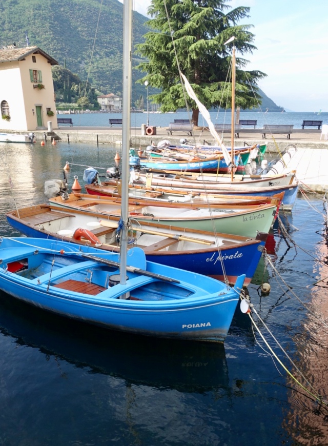
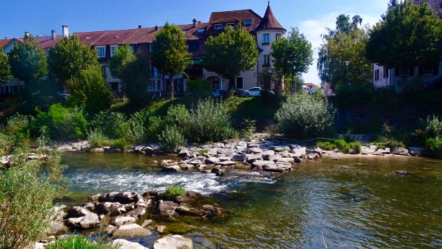
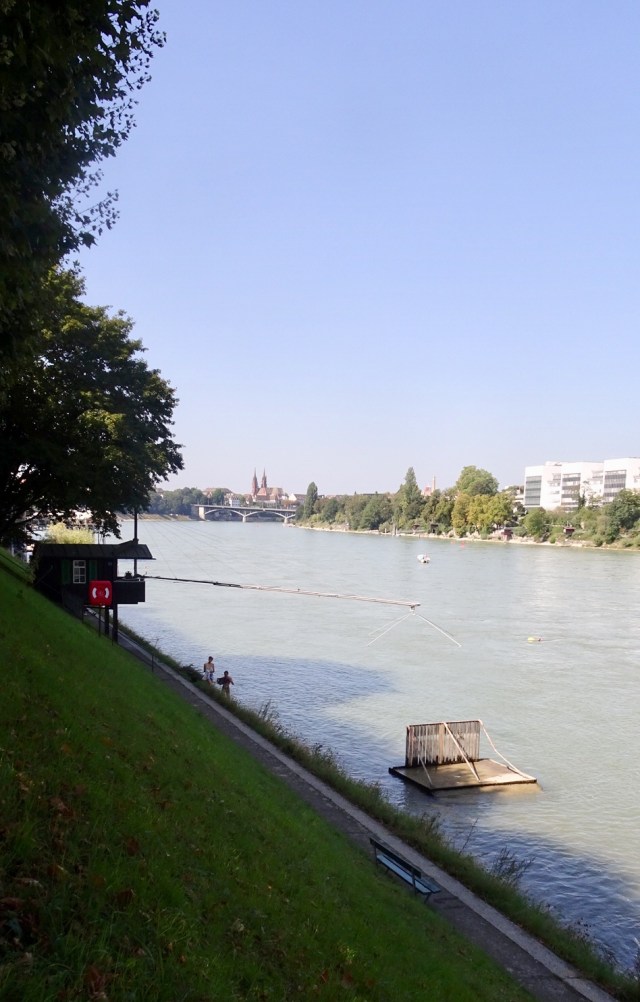
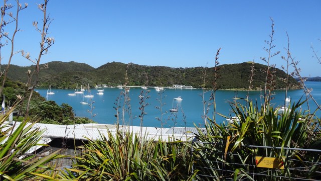
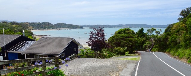
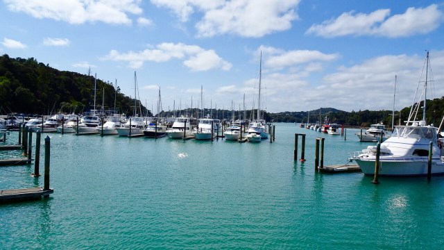
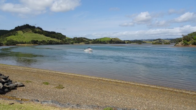
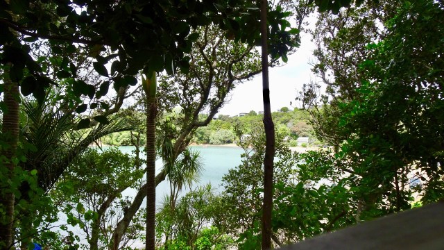
We liked this view, just before a descent, looking at the boats in the harbour.
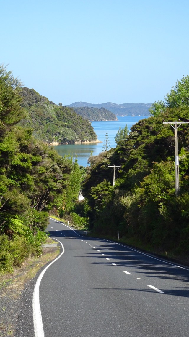
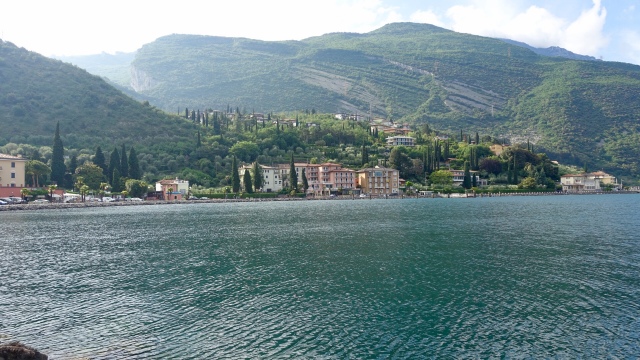
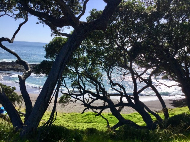
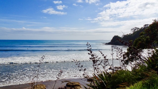
A few more coastal views before we headed towards Russell.
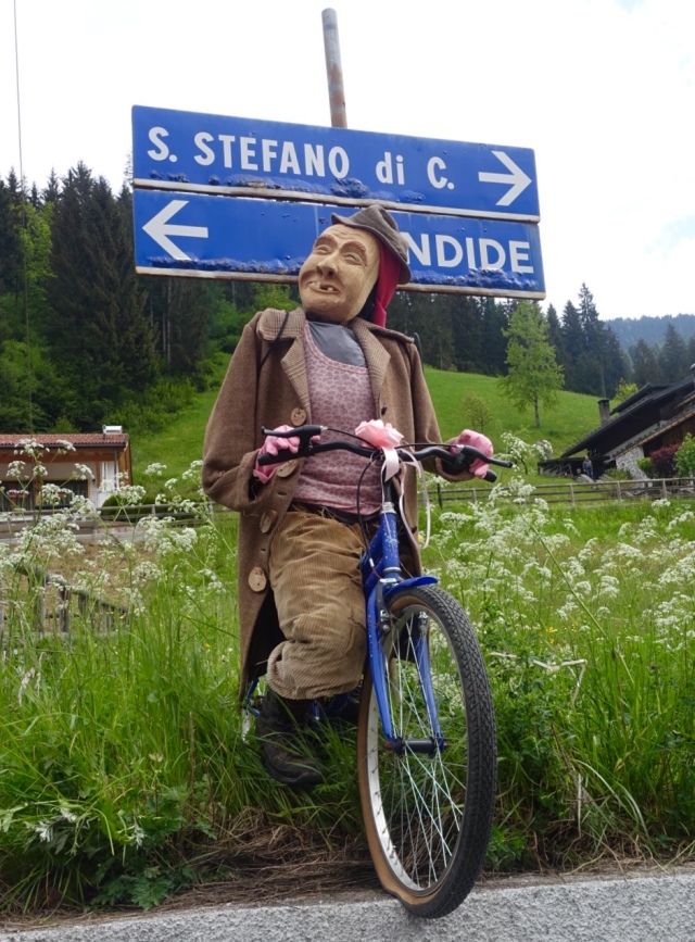
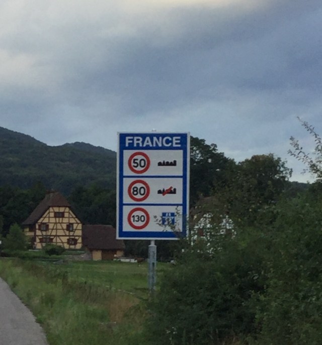
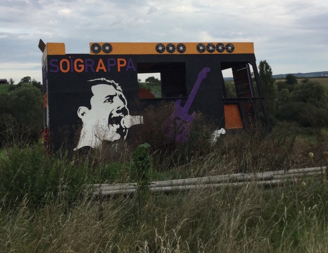
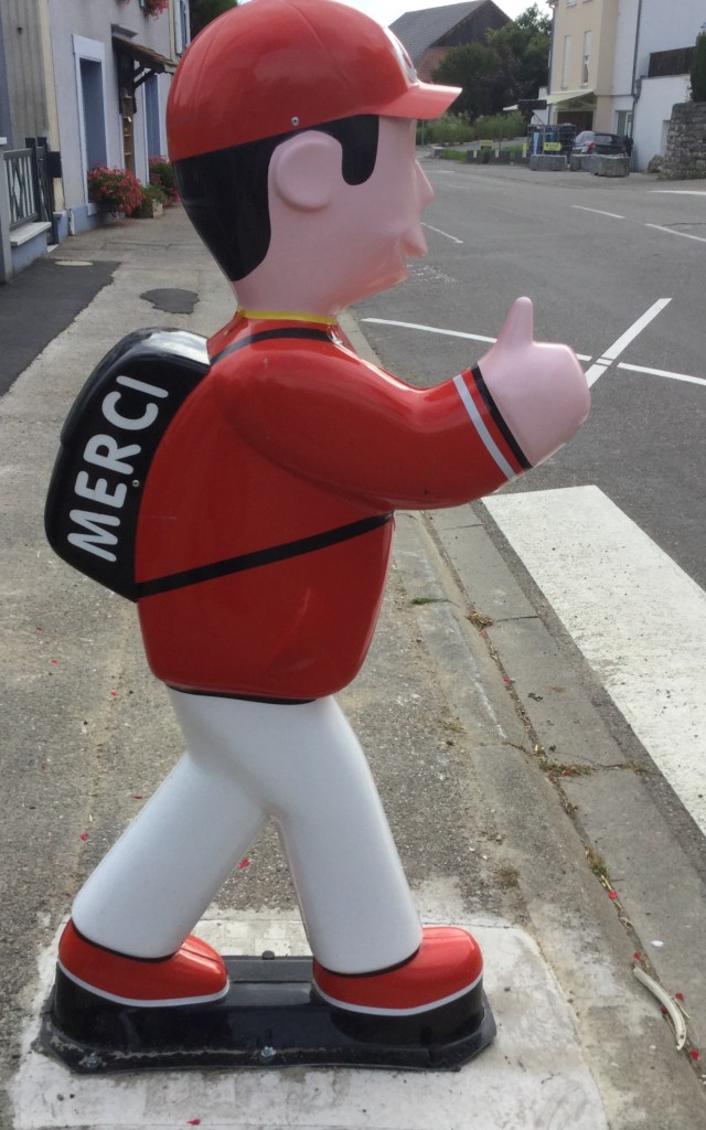
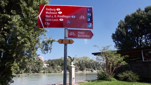
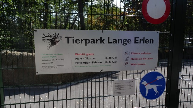
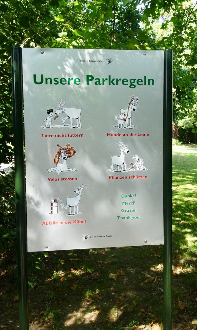
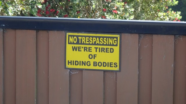
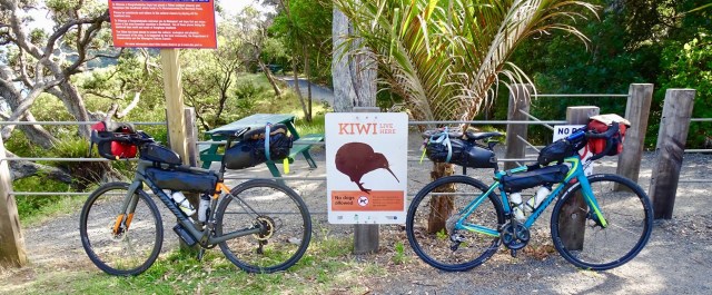
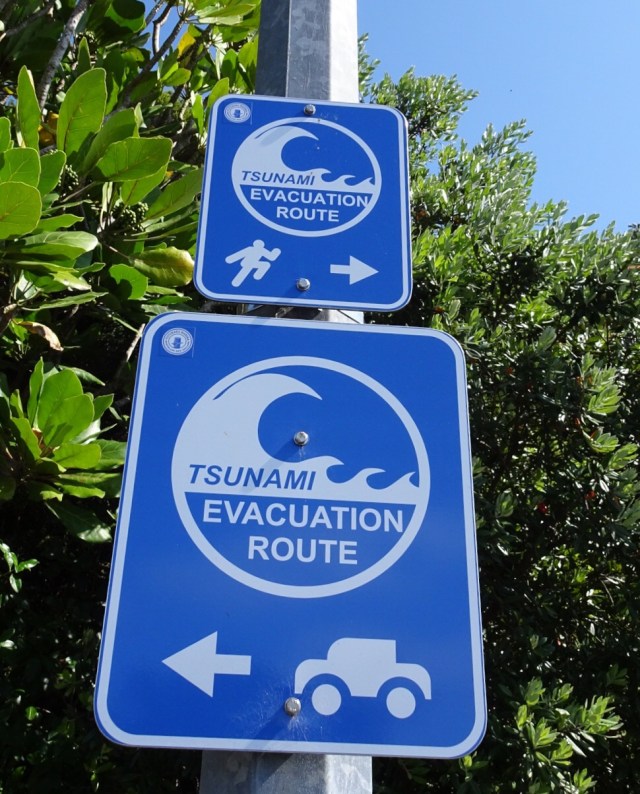
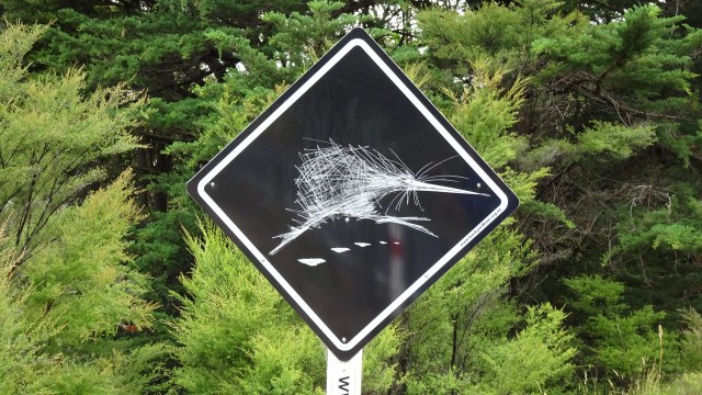
 I could not resist taking a photo of this sign. 😂🙈
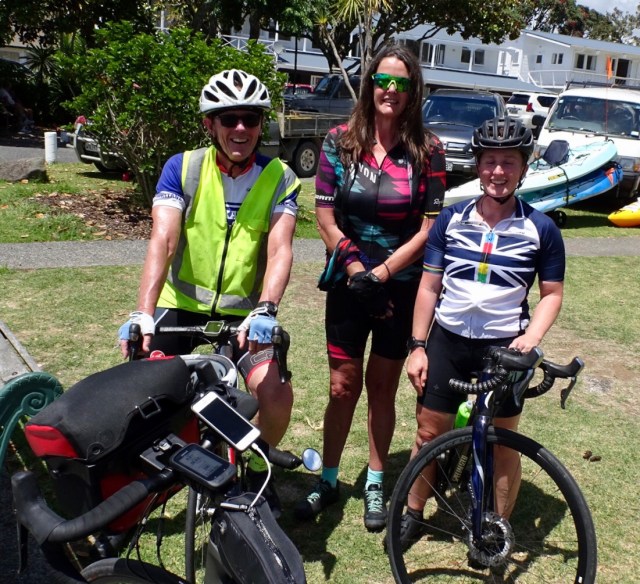
Arriving in Russell we headed straight to a cafe I had been to before for an iced coffee….but they gave us iced chocolate. Ho hum, but for the first time in 5 days we had more than two bars reception.
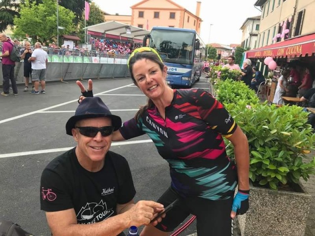
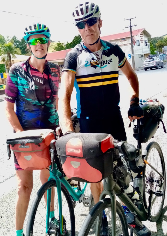
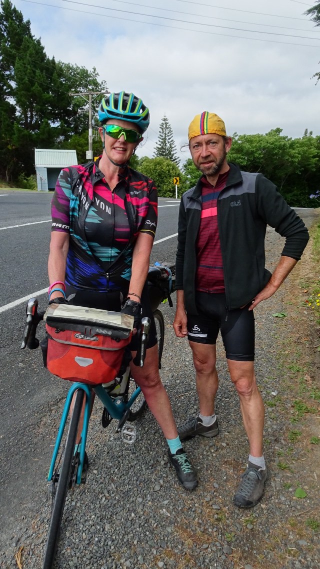
We met a father and daughter (Dave and Annelise), who had just ridden into town. They are on holidays in the region, but live in Whakatane, near White Island volcano. Lovely to have a chat before they headed off for a family lunch.
Russell was the first permanent European settlement and seaport in New Zealand. A small population of 720 in the last census, numbers are swelled by significant tourism.
Before European settlement, Russell was inhabited by the Maori, attracted to the area by its climate, and the abundance of fish, food and fertile soil.
In the early 1800’s the indigenous Maori recognised the advantages of trading with the Europeans, and started to supply food and timber to the Europeans using the Bay of Islands for safe anchorage.
In return, Maori sought respect, firearms, alcohol and other goods of European manufacture.
However, whilst Russell (then known as Korarareka) blossomed, it quickly earned a bad reputation for a town with no laws and rife with prostitution. It became known as the “Hell hole of the Pacific”.
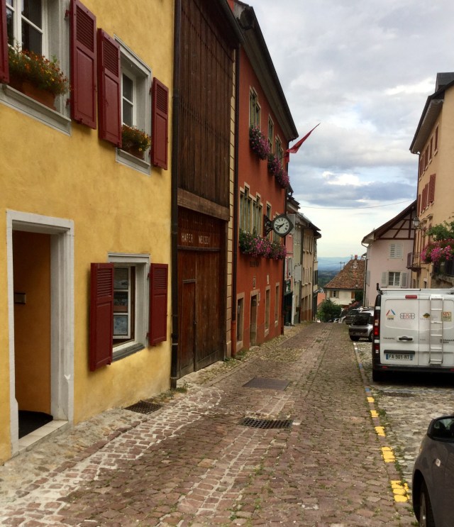
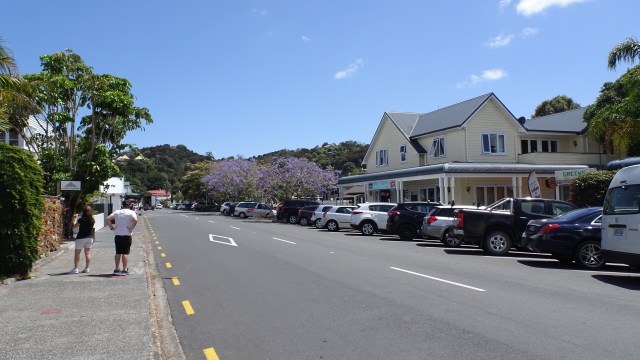
The Main Street today is colonial and quite sedate, bearing no resemblance to its former reputation.
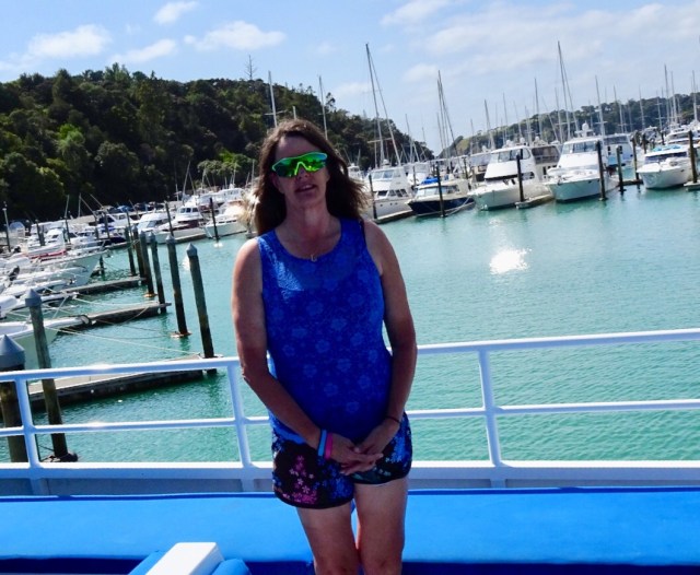
Nevertheless, we headed out of town via the ferry to cross over the harbour to Paihia.
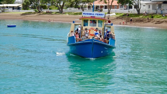
Nice views whilst crossing.

Farewell Russell.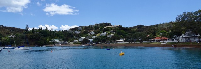 Looks like fun
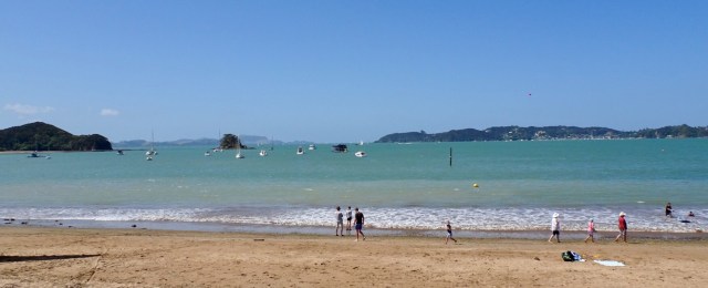
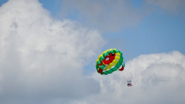 Hello, or Hi ya Paihia and the big marlin. You can see me pushing my bike through here.
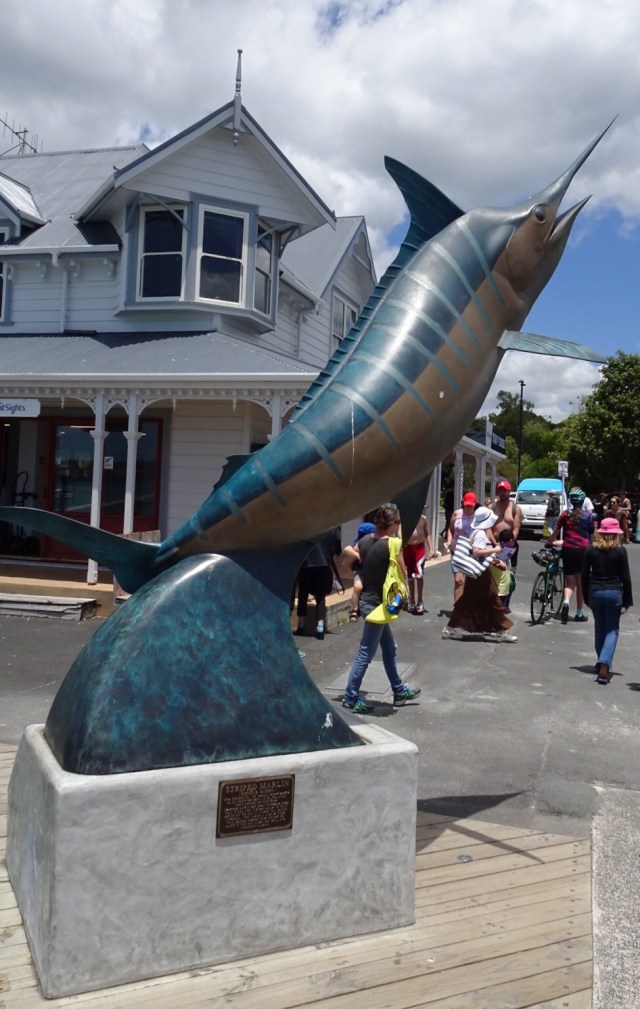
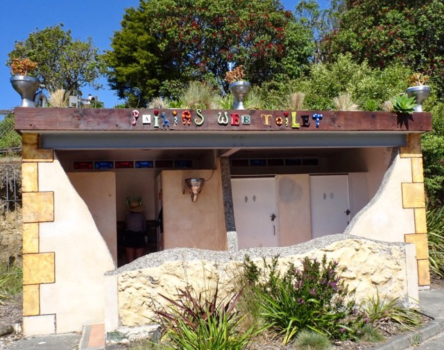
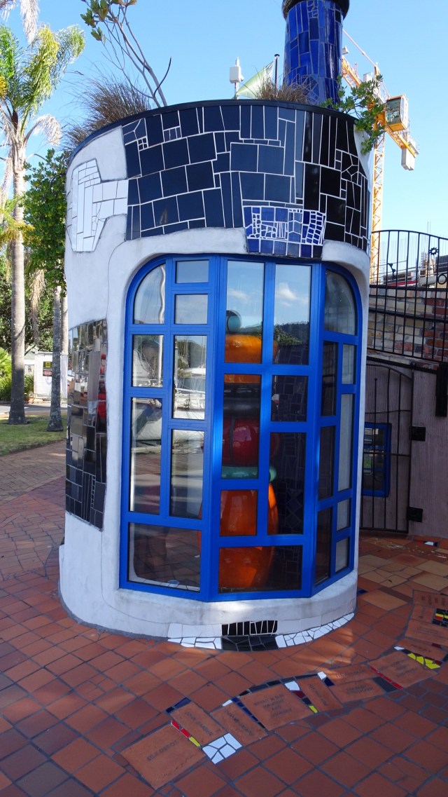
Paihia is very touristy. There are less colonial looking buildings, replaced by many modern accomodation businesses. There are some little gems though, such as this ‘wee’ toilet.
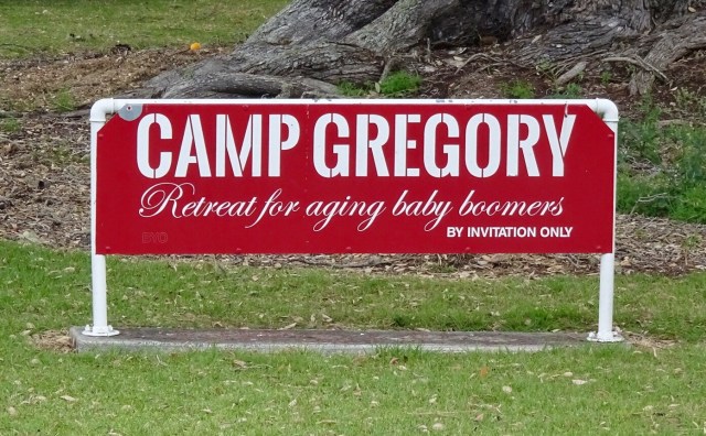
Camp Gregory also appealed to me. I think this is a sign in a private home garden….I do like their sense of humour.
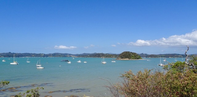
Nice views from a lookout, just above the ‘wee’ toilet. The first one you can see Russell on the far shore.
This one is looking South.
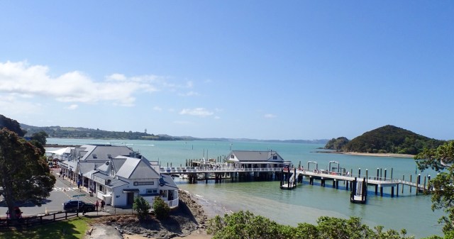
The local ferry terminal with requisite tourist activity businesses selling everything from parasailing, helicopter tours, kayaking, artisan arts and crafts to plastic junk.
Tomorrow 3,500 Australians arrive on a large cruise ship!! Horrid!! Glad we’ll be on the road out of town!
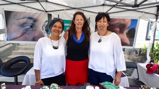
In town earlier I had noted this stall promoting a Maori made product for eczema and dermatitis. I have both skin conditions and I have a spot of eczema on my arm currently driving me nuts. So we went back to check it out. I met two lovely local Maori sisters, Karina (left) and Judy (right).
I have purchased a small tub of the Taiamai balm made from the kumarahou plant, used by indigenous Maori for the treatment of bronchial, kidney infections and topical remedy.
The best value tub size was the large one but given my ceramic purchases yesterday, space is now ultra critical! Fortunately Karina can post to Australia. Check out her Facebook page, as I can tell you now, the itching has already stopped, so that should allow the skin to heal. ( Facebook….Taiamaiheritage).
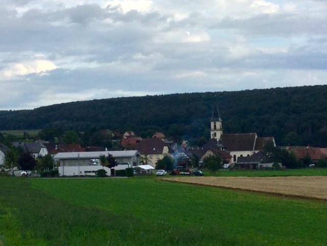
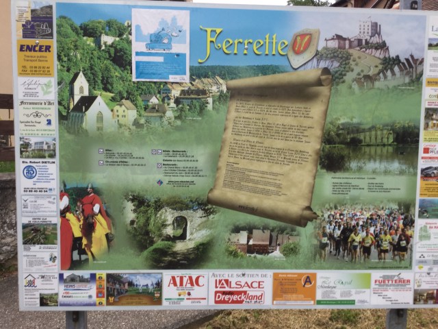
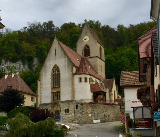
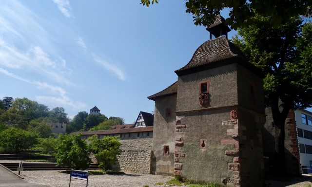
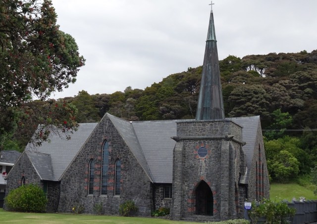
Heading back to our accomodation, we passed an interesting stone church with an information plaque.
In 1831, thirteen Maori members of the northern tribes petitioned the King of England, William IV for a representative of the English Crown to be sent to New Zealand to establish law and order and give protection to all Maori people.
In response, the King appointed James Busby the first British resident, who in 1833 landed on the beach nearby. He was accorded a naval salute of seven guns and greeted by 600 Maori’s with a ceremonial haka.
Both Maoris and Europeans then assembled in the church grounds to break the letter on the royal seal. This ceremony was the precursor to the signing of the Treaty of Waitangi seven years later. This current church is the fifth built on the grounds.
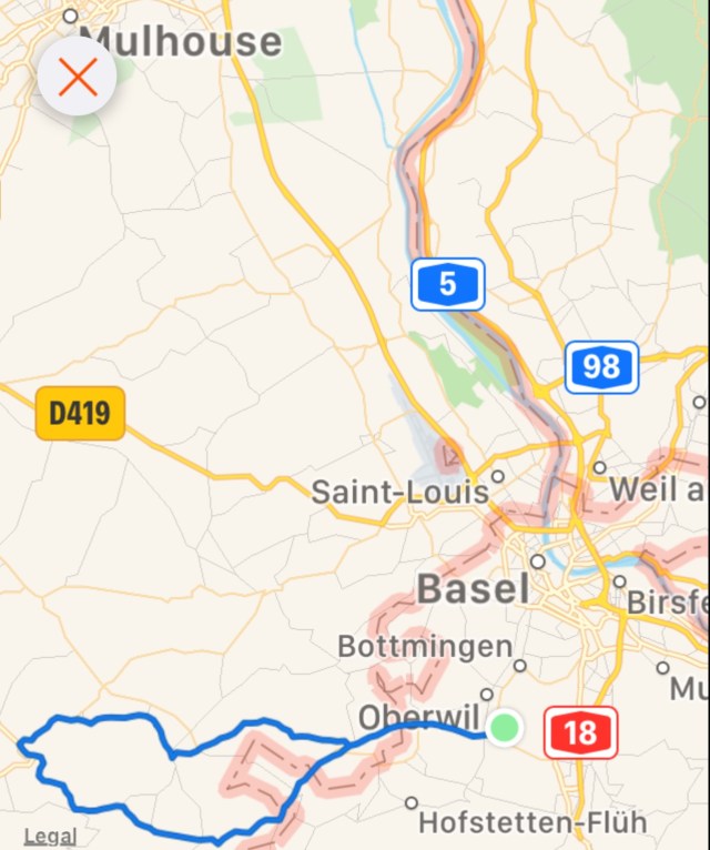
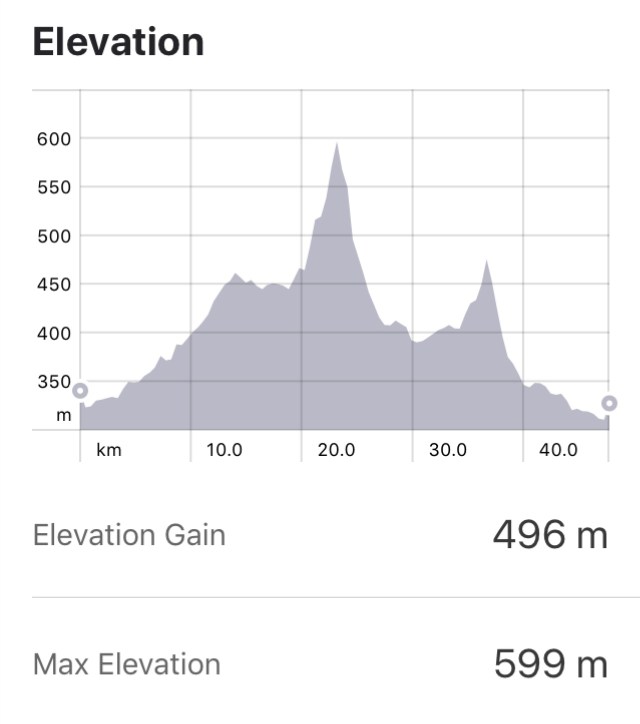
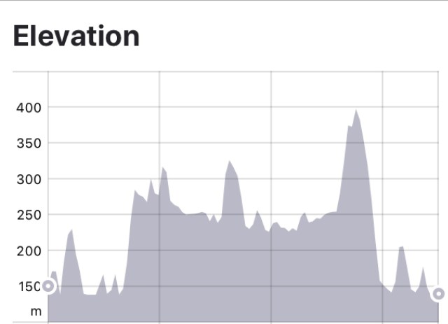
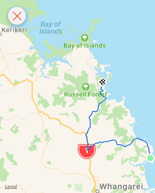
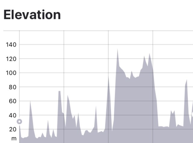
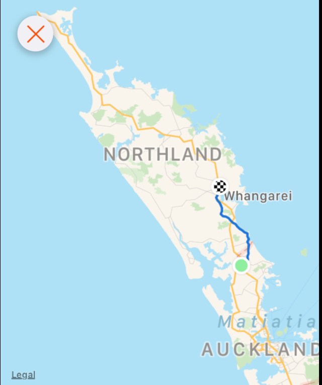
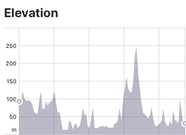
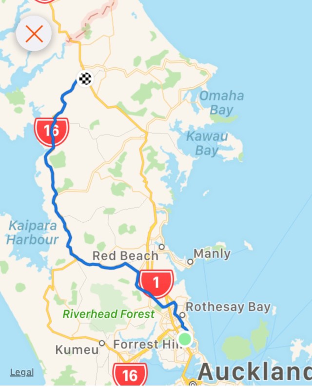
Another day done and dusted. Route and elevation maps.
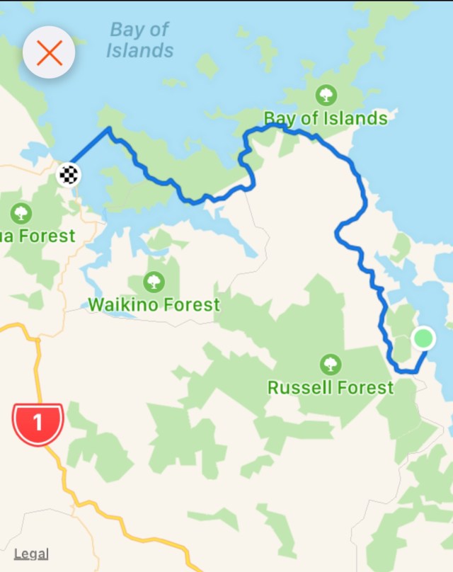
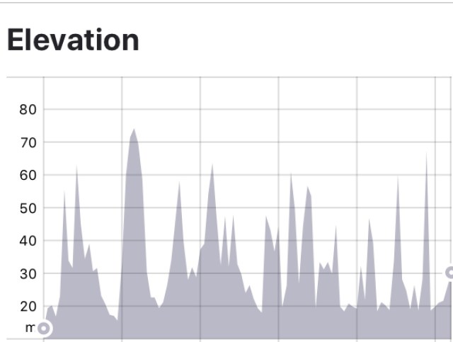
A shorter ride today, but plenty of climbing to keep us ‘honest’. We have been lucky with the weather, and hoping that continues.
Thanks for reading
Ooroo
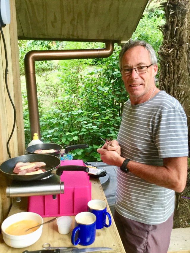


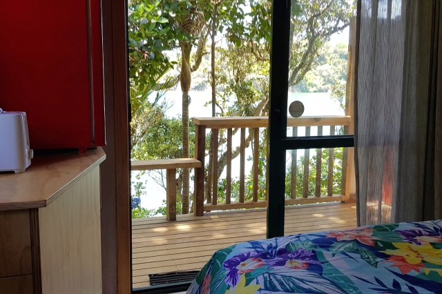
 We are staying in a cosy little cabin, akin to an enlarged cubby house.
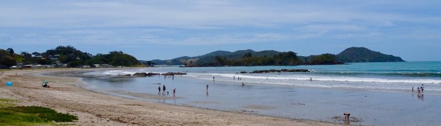
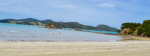
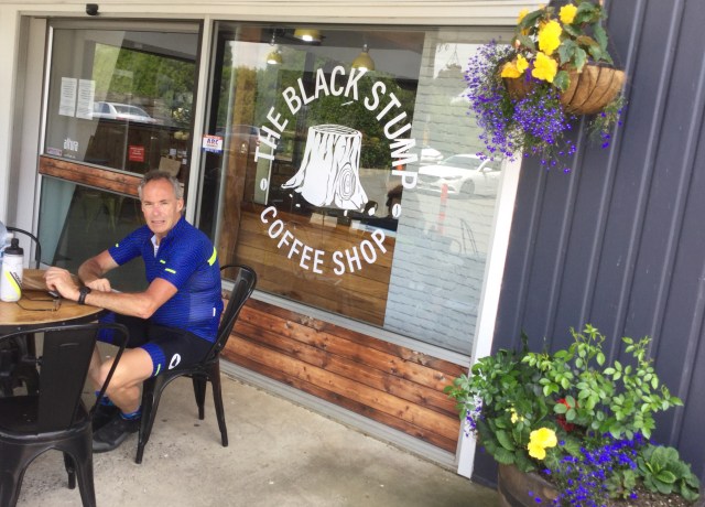
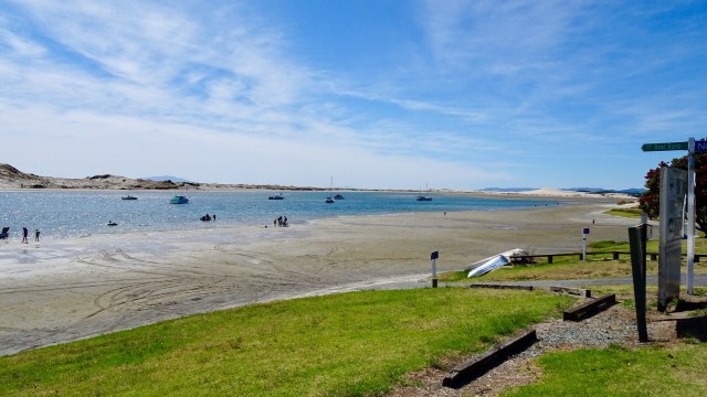
 We decided to do a short Christmas ride cruise to Matapouri Bay, some 9 hilly km away. Bonus was the local store was open and we were able to grab a nice coffee. The owner was doing a roaring trade with a constant stream of customers.
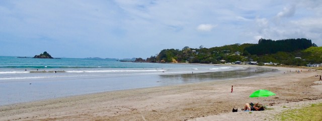
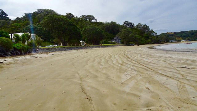
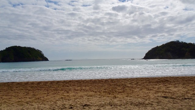
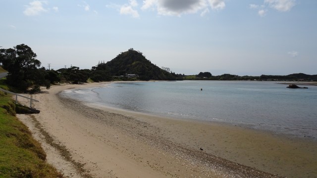
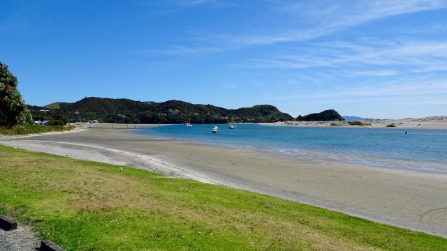
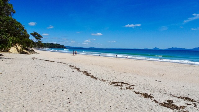
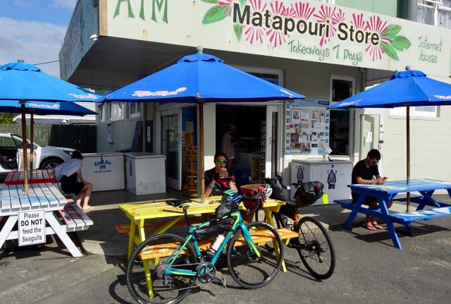 Matapouri Beach is a long crescent shaped beach.
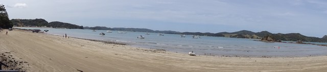
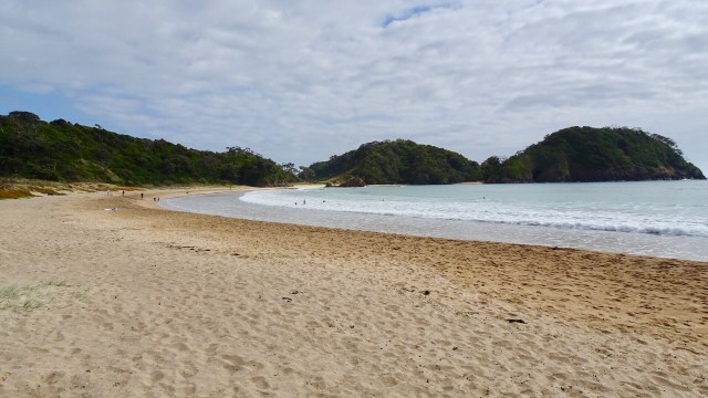
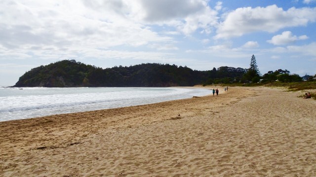
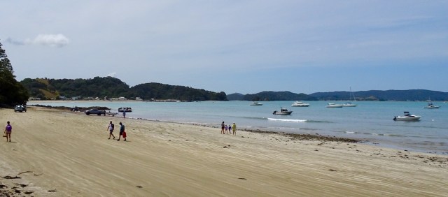
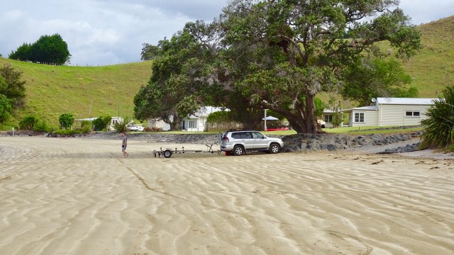
 We parked the bikes on the beach and got our bathers our to test the waters.
 Brrrrrr….not immersing the whole body!
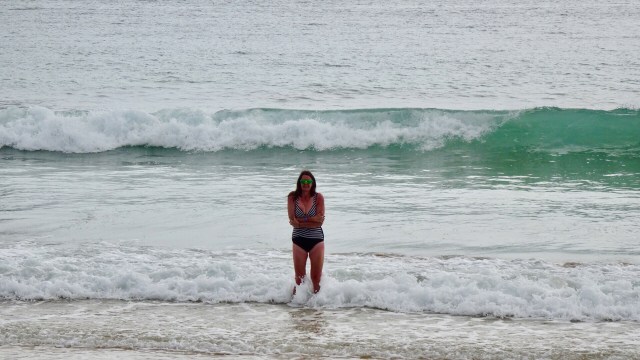 Heading down the beach….
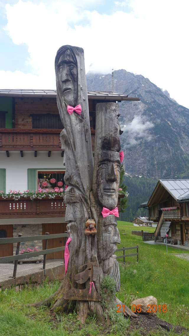
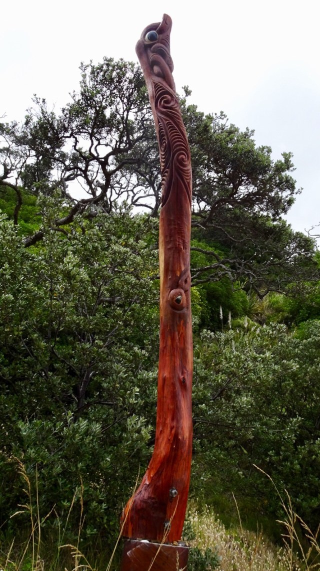
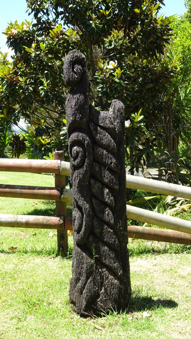
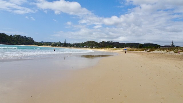 A walkway to another beach reveals these Maori totems.
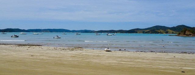
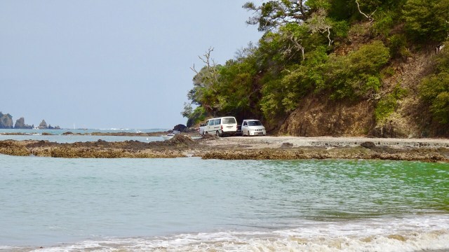
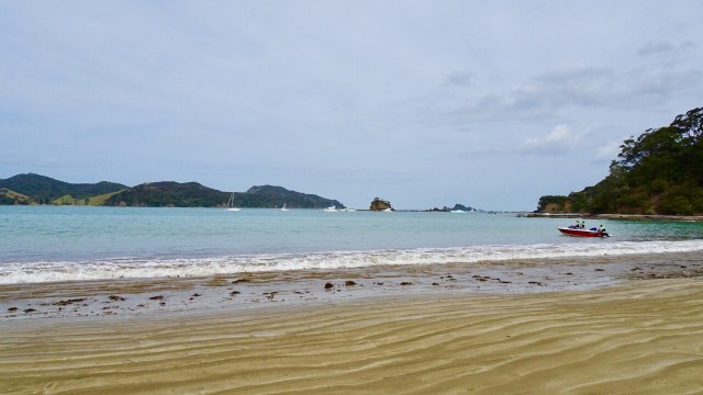
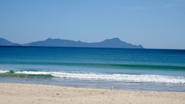
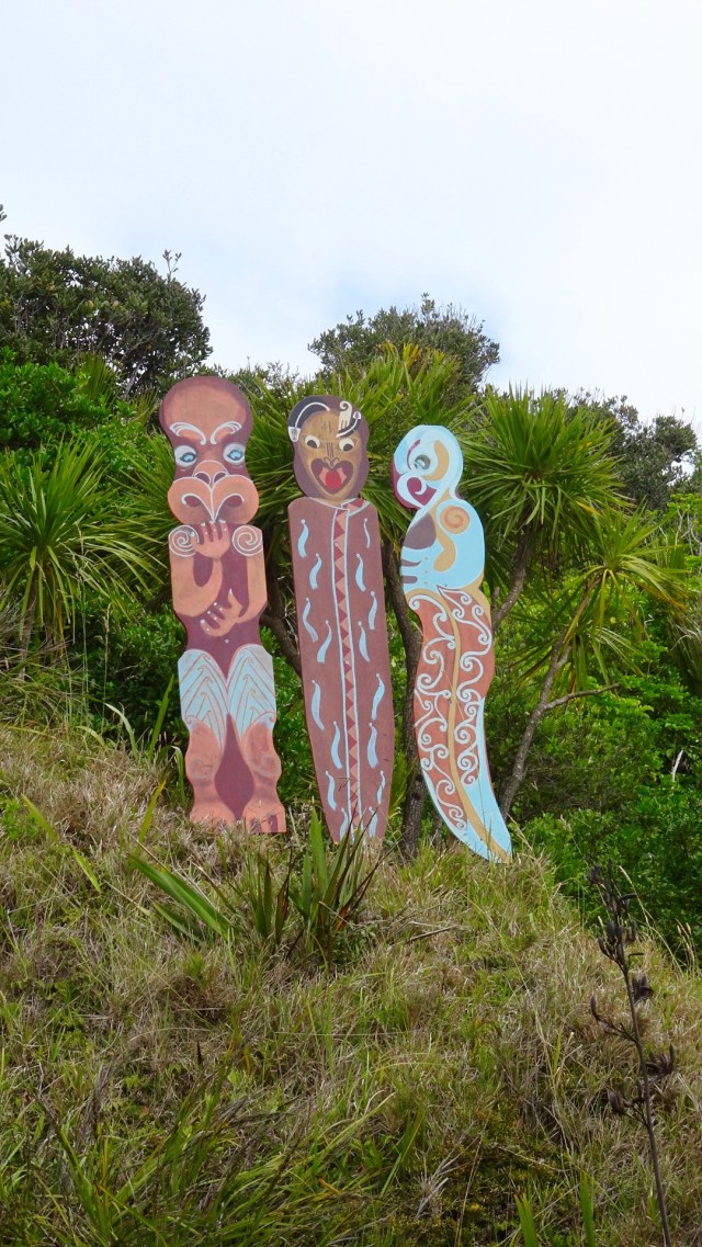 Volcanic beach on the other side.
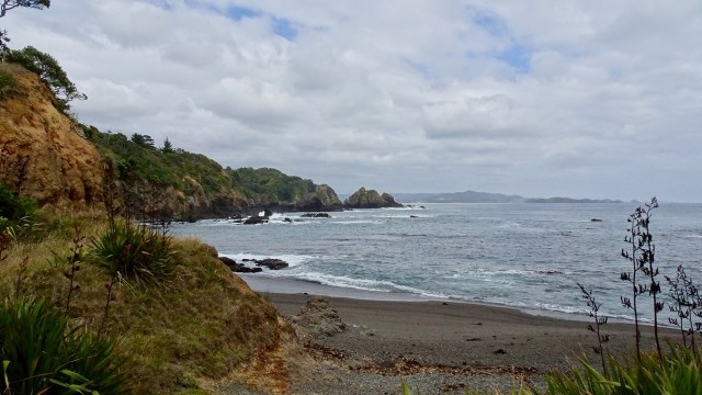 Continuing along Matapouri Bay…wading through water to find a couple of small and private beaches.
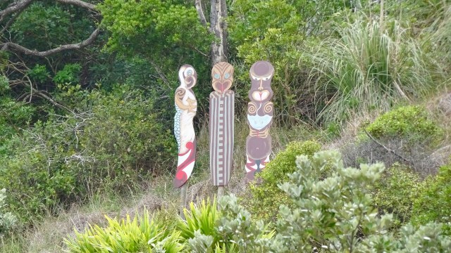
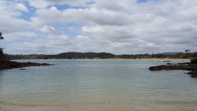 More totems. The area where these totems are has a tapu on it, and is closed for regeneration.
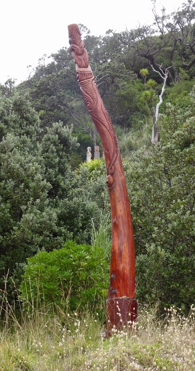
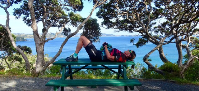
 A lazy day, but very pleasant day.
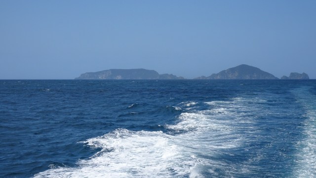


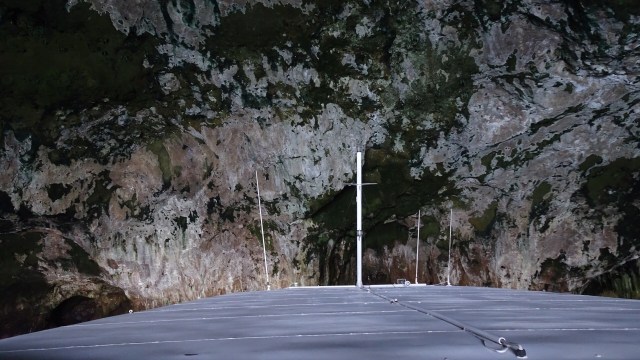
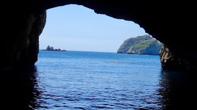
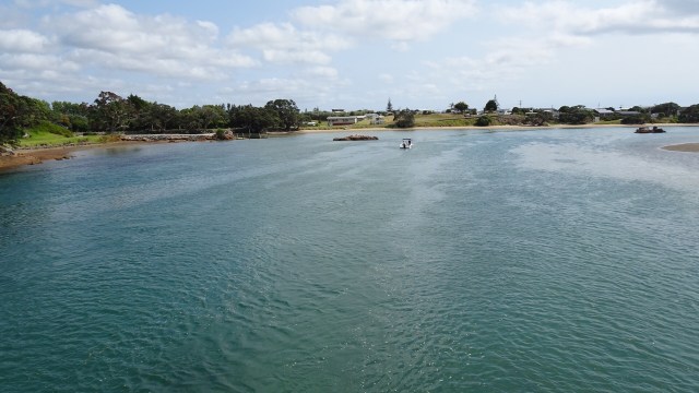
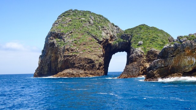 We motored through it. So the reverse view…
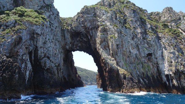
 I probably should have entitled this ride something to do with the letter S.
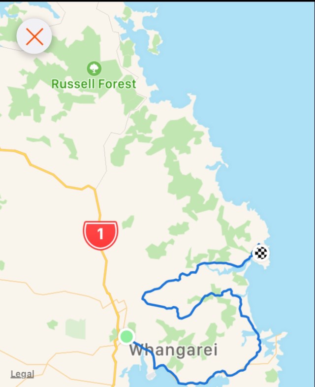
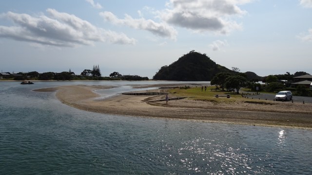
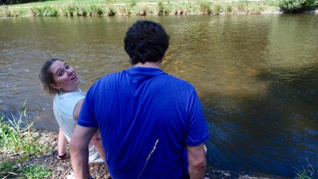
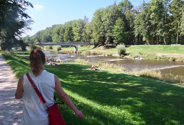
 The road came to an end but there was a foot bridge connecting to Pataua North. Here I am walking my bike across the bridge.
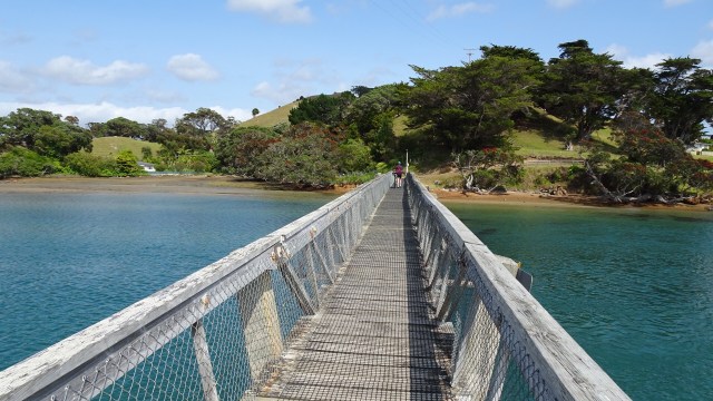 No cafes, so we pulled up on the banks of the river to have a snack and enjoy the view.
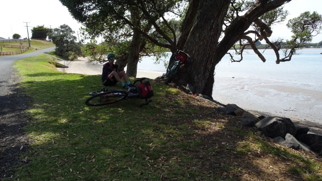
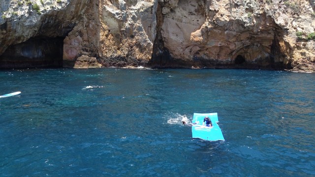
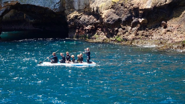
 Kids playing in the bay.
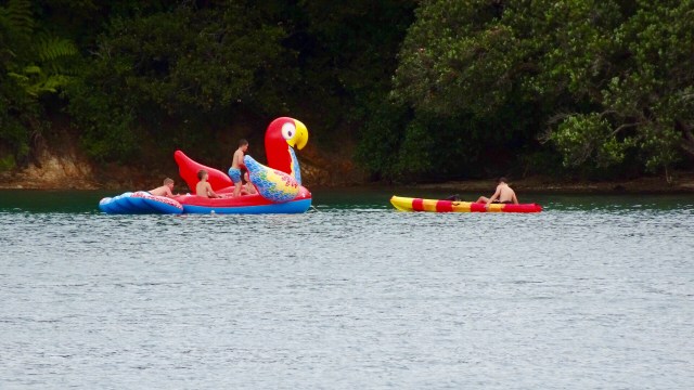

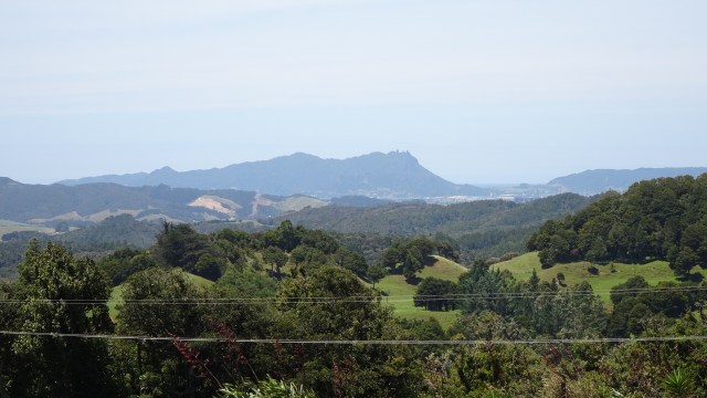
 I liked this view with the distant knobby hills.
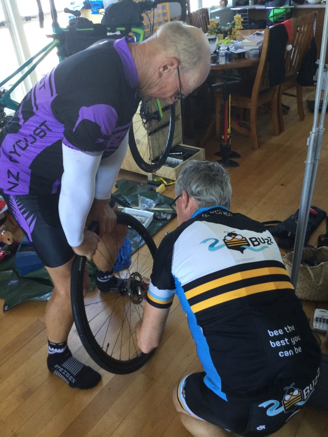
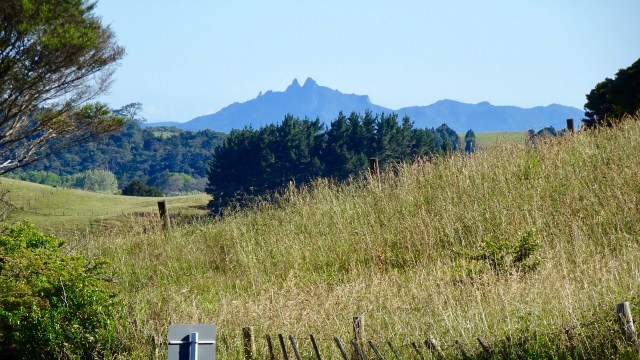 Back onto bitumen these photos were taken from the top of a climb. The lower one shows an electric fence that Tony needed to get over, as the reflective flag had blown off the rear of his bike in the gusty winds.
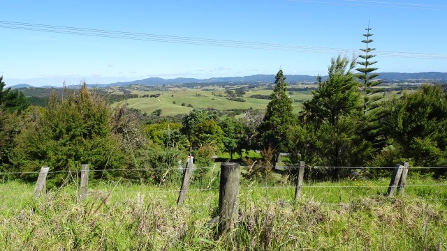

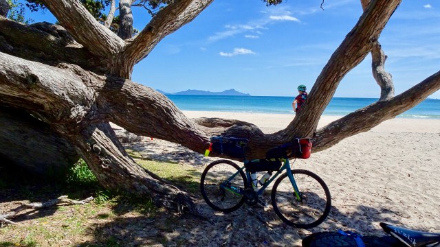
 For me, the day’s highlight was beautiful Lang’s Beach, a stunning white sandy beach framed by craggy headlands, gnarled trees and wonderful views to offshore islands.
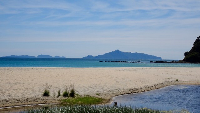
 The lone rock on the right hand side is known as Sail Rock, a common mark used for yacht racing.
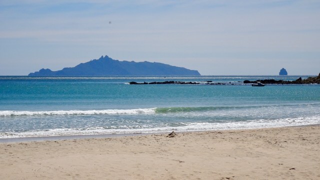
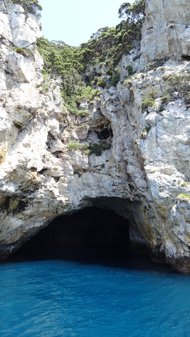
 The dirt road had very few cars on it, so that was a plus. We were shocked when we arrived at the Waipu Caves how many cars were there. The place was packed.
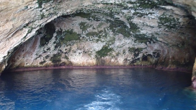
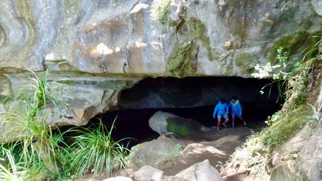
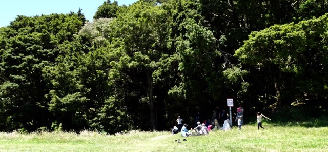 The cave is unmanned and you can just wander in. There is a 175 metre chamber. The limestone cave has stalactites, stalagmites and glow worms near the entrance. The cave system is considered regionally important for geomorphology because it is the largest cave passage in Northland.
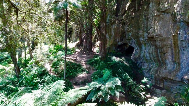

 The busy Basin.
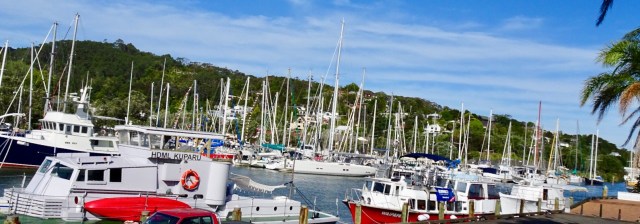 Looking up the hill towards our accomodation
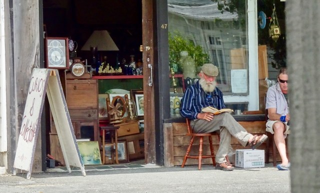
 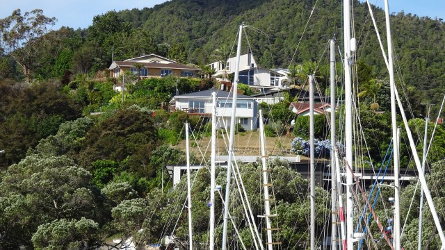 The clock museum with a giant sundial.
 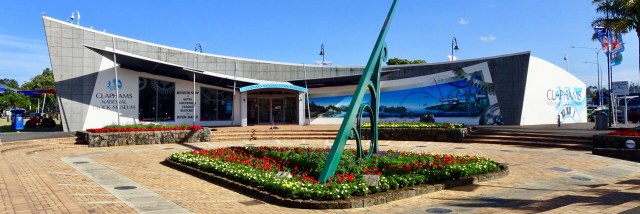 A telephone box with a working telephone.
 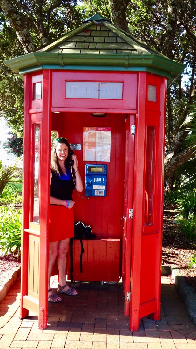 So day 2…done and dusted. Despite my anxiety on gravel, I lived to tell the tale. I really do suck at gravel!
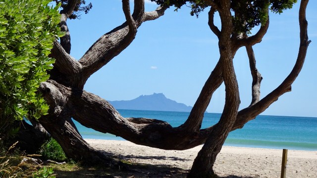
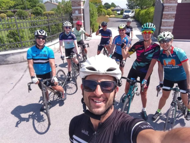
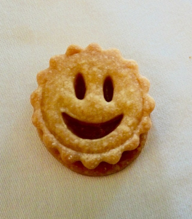
 I am so fortunate to have a number of wonderful friends in New Zealand. I truly value and appreciate the friends I have made through cycling. Coffee and Christmas tarts with Gervase and Debra and we were on our way leaving Forrest Hill around 11 am.
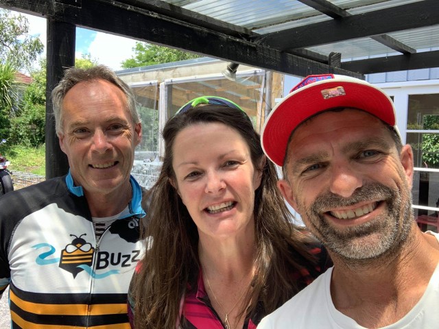 Kaukapakapa was next after bidding Dave ‘ooroo’. This was the town where my stolen backpack was located in March last year by an eagle eyed cyclist.
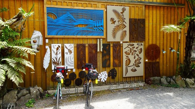
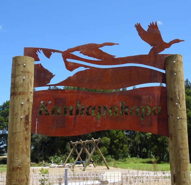 The bikes all geared up.
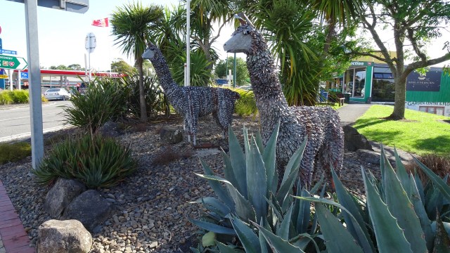
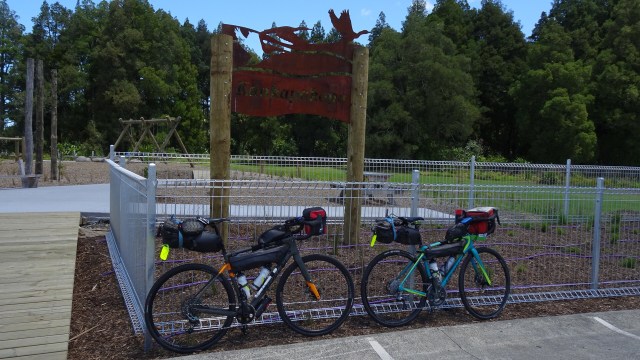 I am not sure what this is…fish? Maybe you can stand on it and walk along it for balance? Maybe you just look at it and photograph it.
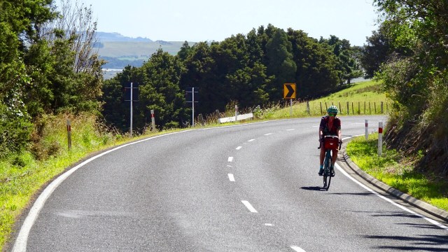
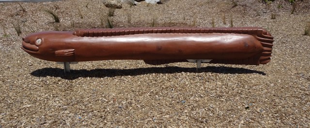 The hills started to get a bit more serious with some 13% pinches. The temperature had picked up to high 20’s. There was a really stiff breeze. Predominantly a headwind with occasional side gusts from our left, pushing us further from the verge.
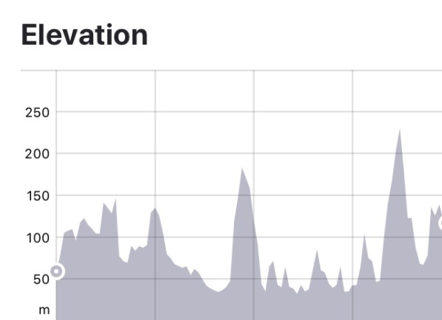

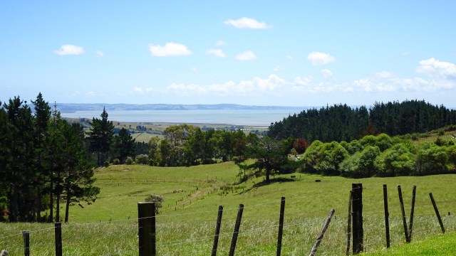
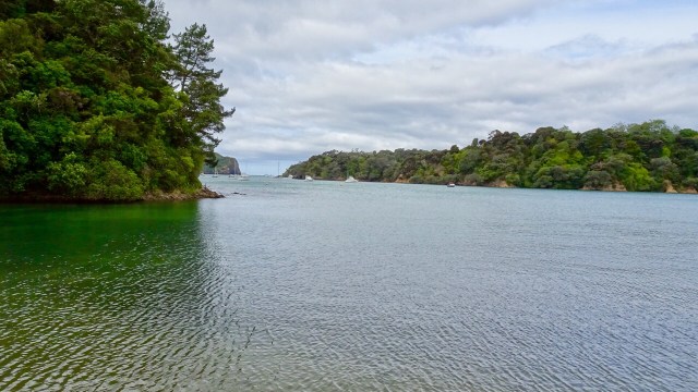
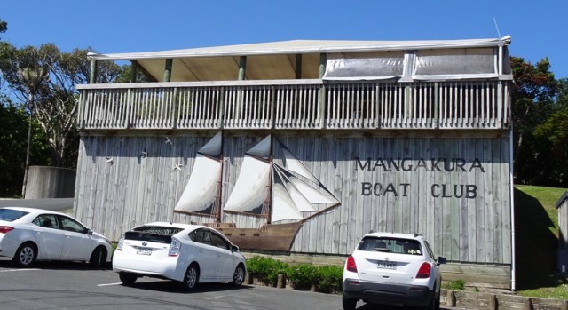
 A very tidal river does not prevent a boat club from existing. Mangakura Boat Club has a lovely position alongside this river. We could see from tops of hills, that this river feeds out to a larger harbour and the west coast of North Island.
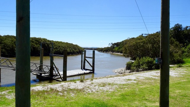
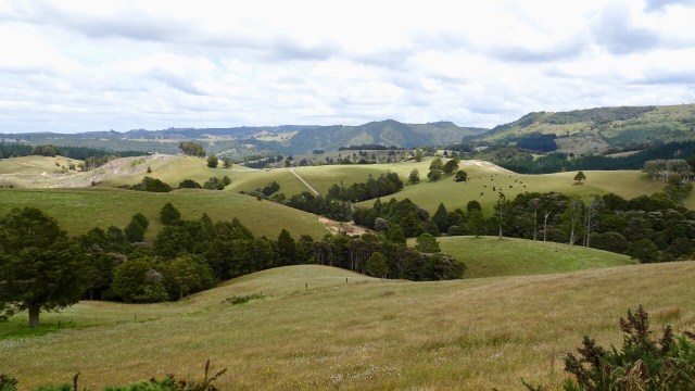
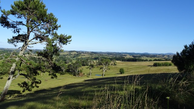
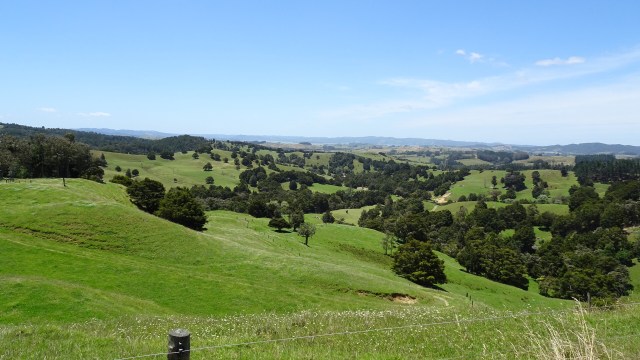
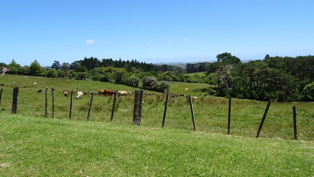
 Incredibly lush green farm land. In Tasmania many farms are already very dry and brown, so there must be solid rainfall here.
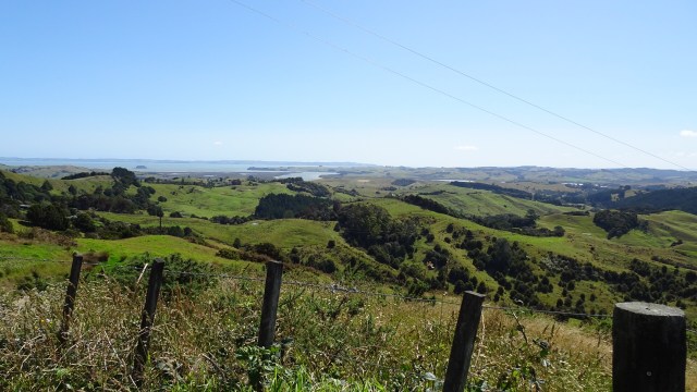
 Looking to the west.
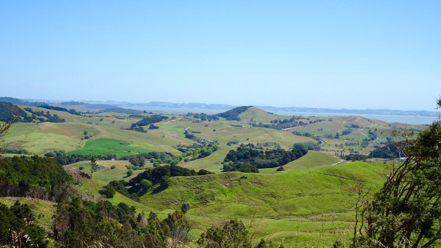
 What goes up, must go down….so it was a nice descent and a few more rolling hills to arrive in Wellsford, a busy service town, and our overnight stop.
 Returning to our accomodation two final sights.
 So thanks for reading. Tomorrow is another day…new adventure….new memories.