Day 19: Soca Valley

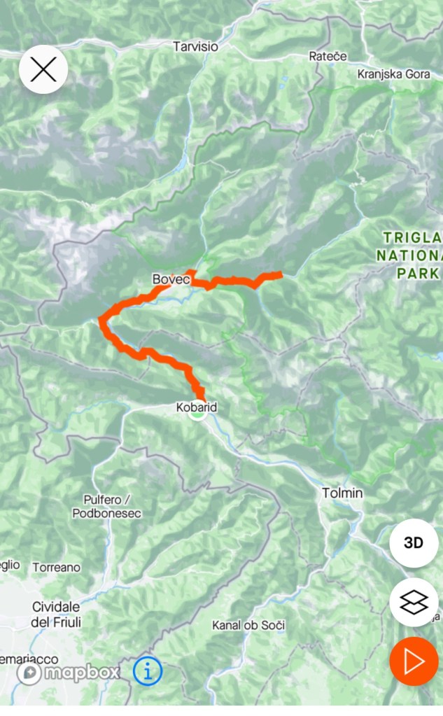
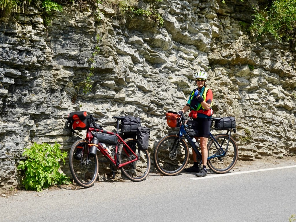
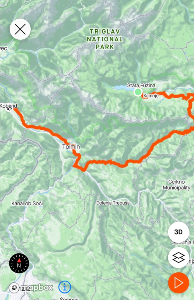
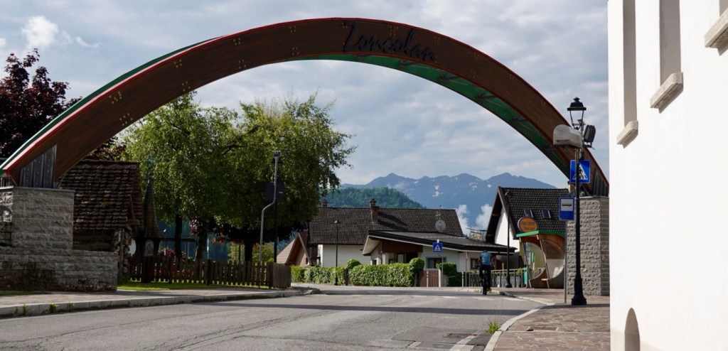
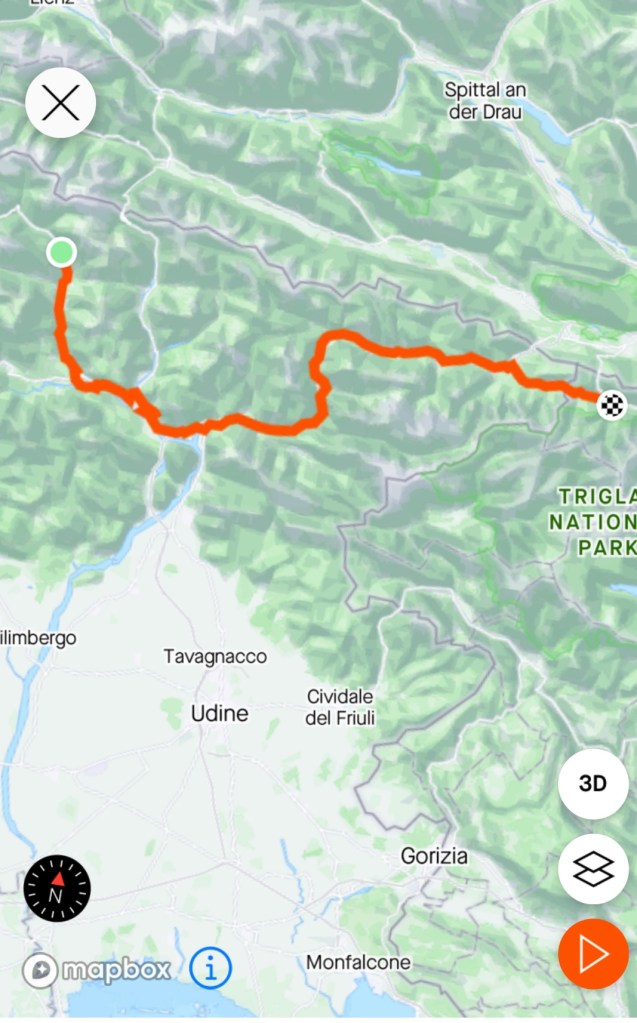
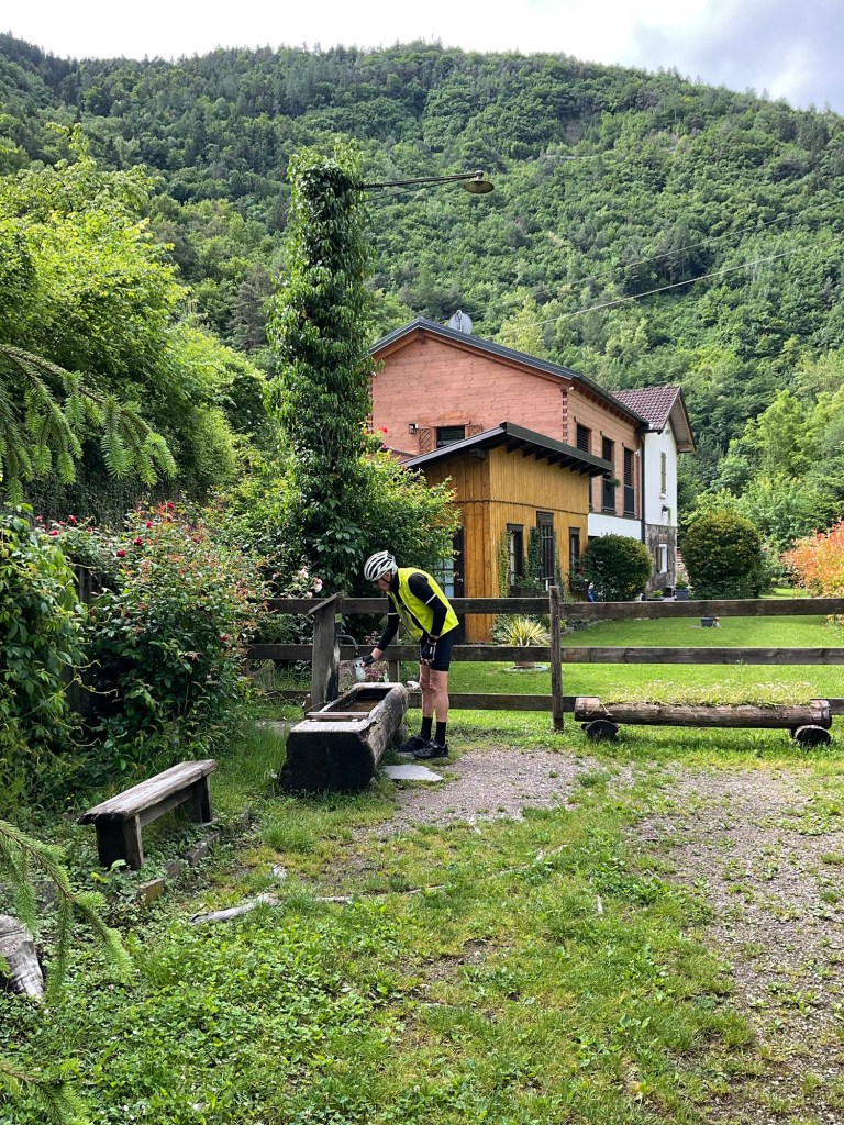
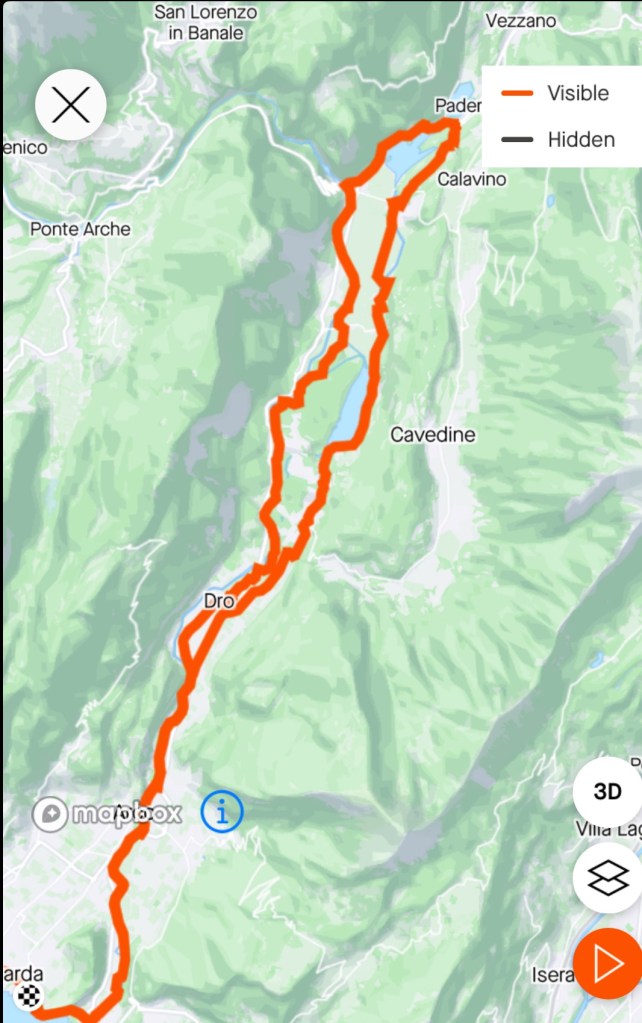
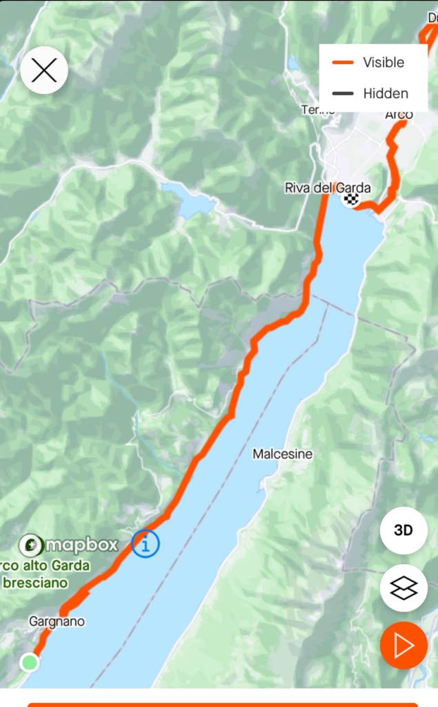
A beautiful morning. No rain forecast. The plan today was to do an out and back ride along the upper reaches of the Soca Valley.

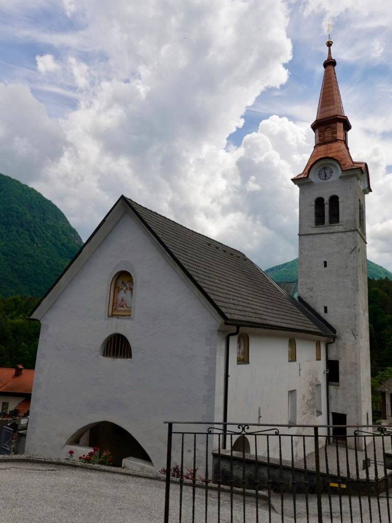
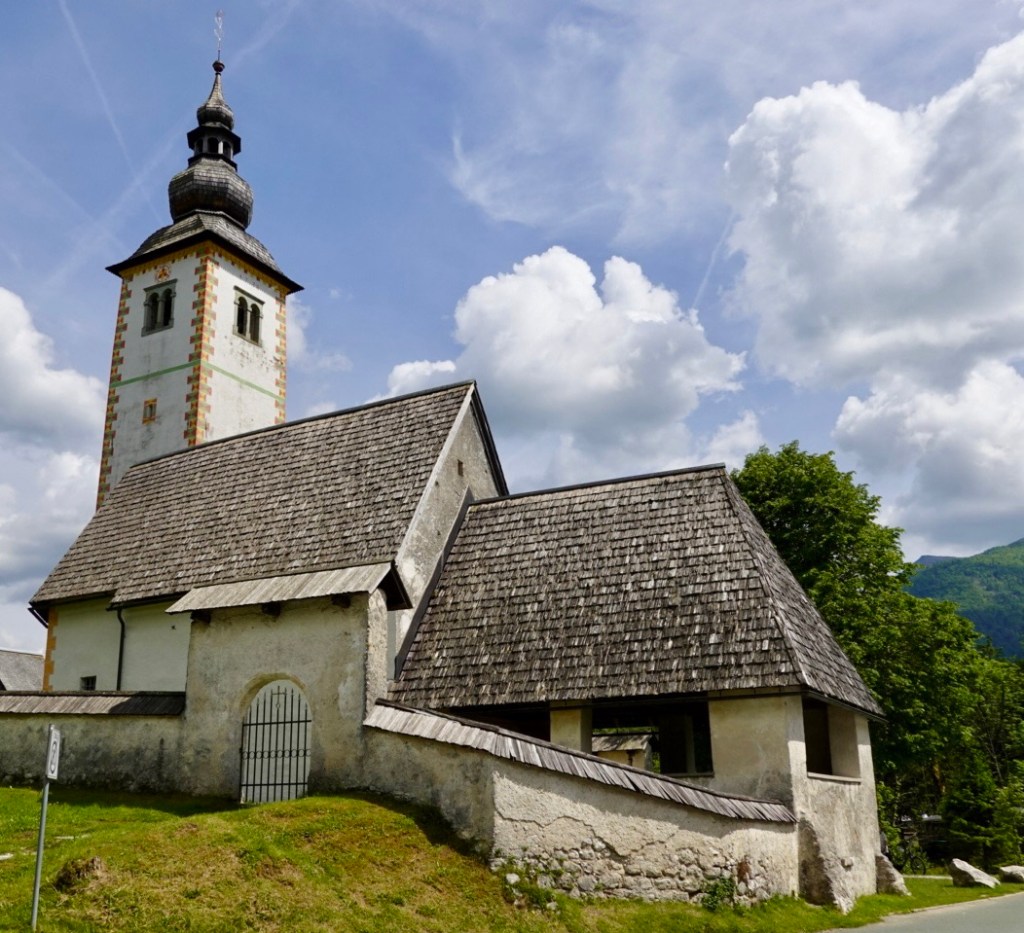
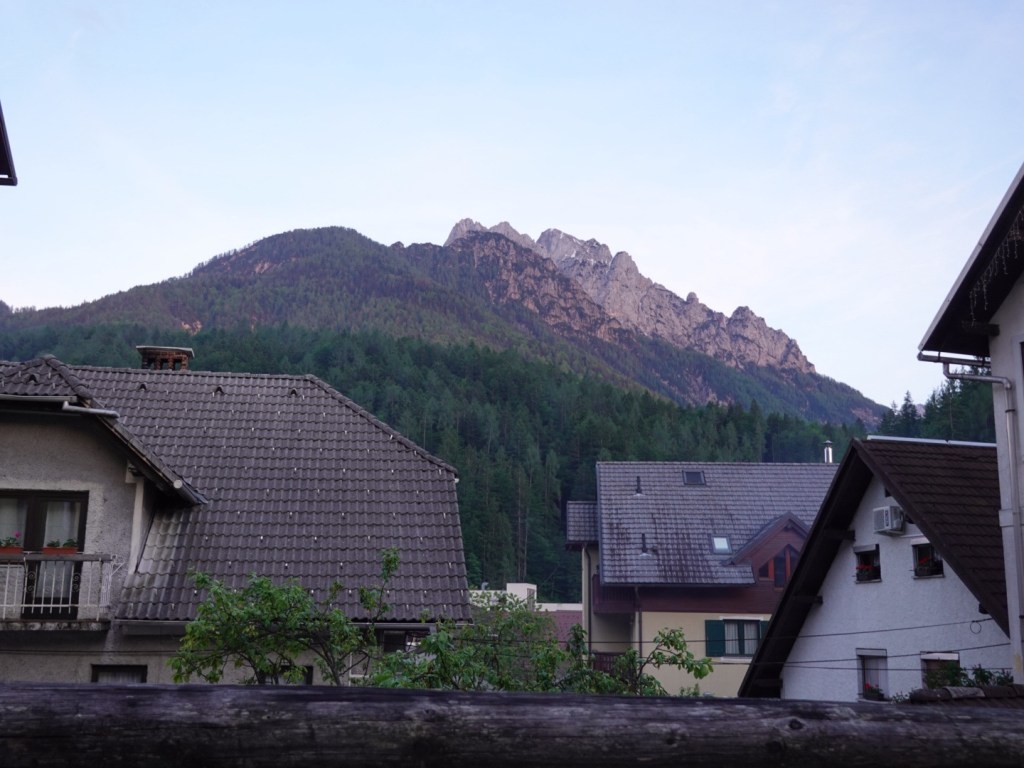
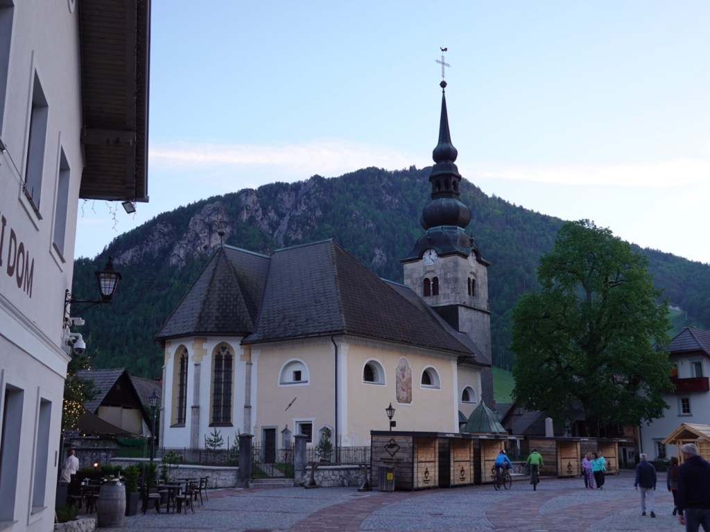
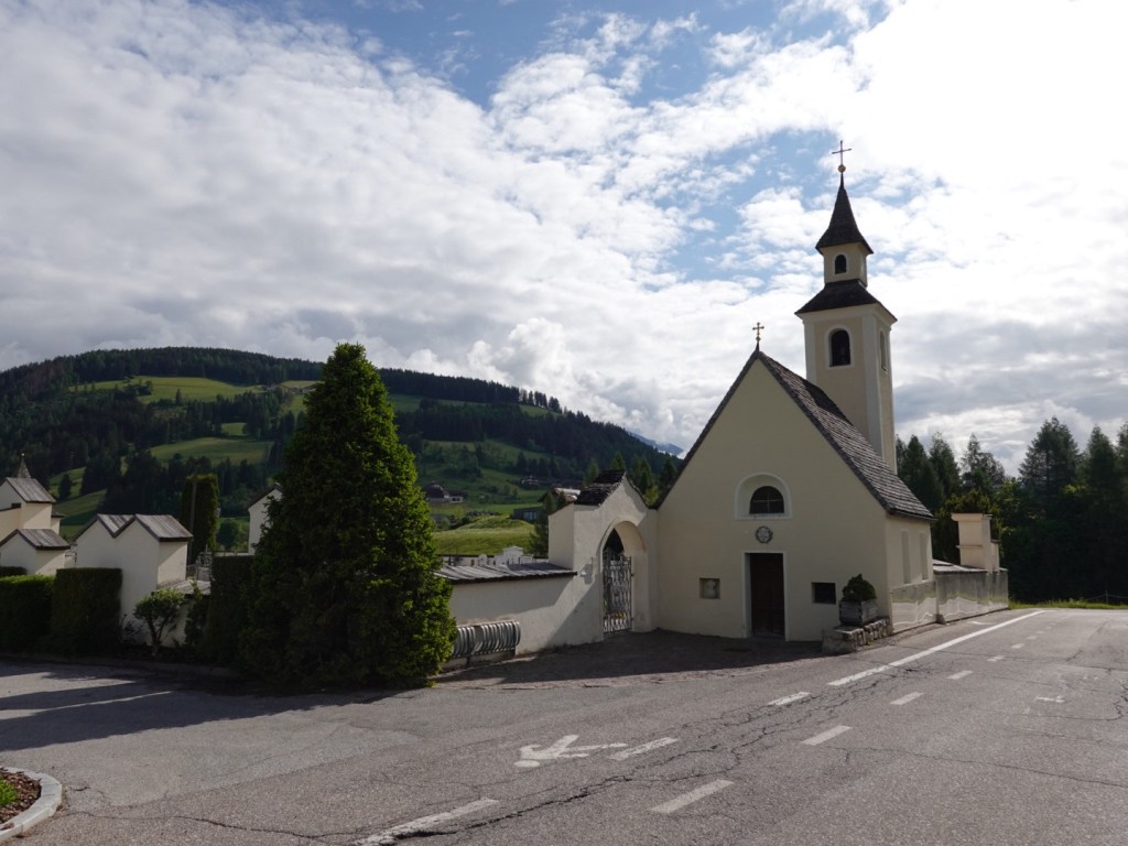
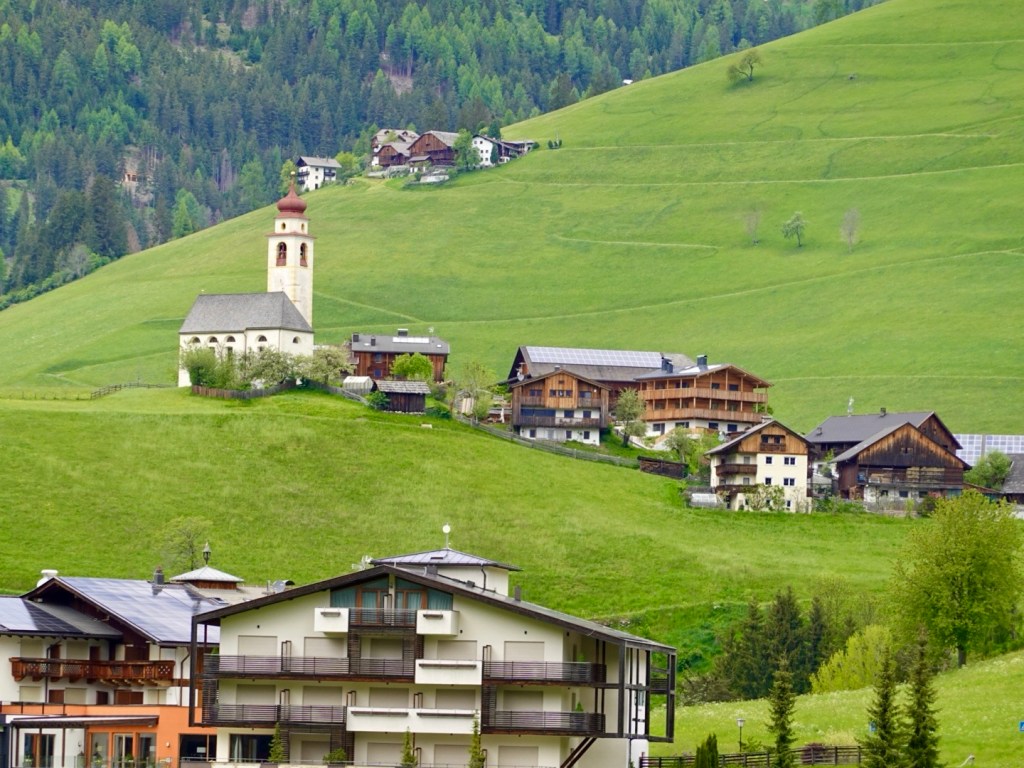
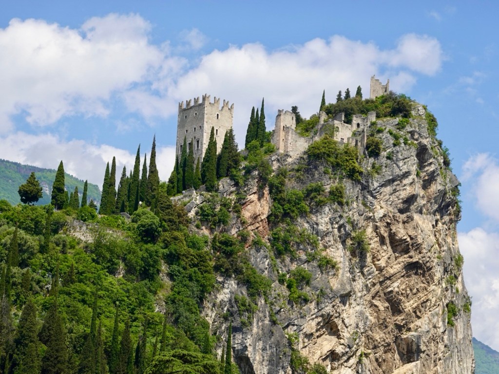
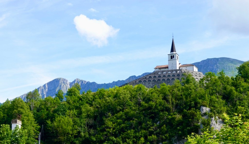
Leaving Kobarid, high on the hill is the Church of St Anthony, that also includes an ossuary containing many arranged bones of soldiers killed in the World War One battle front.

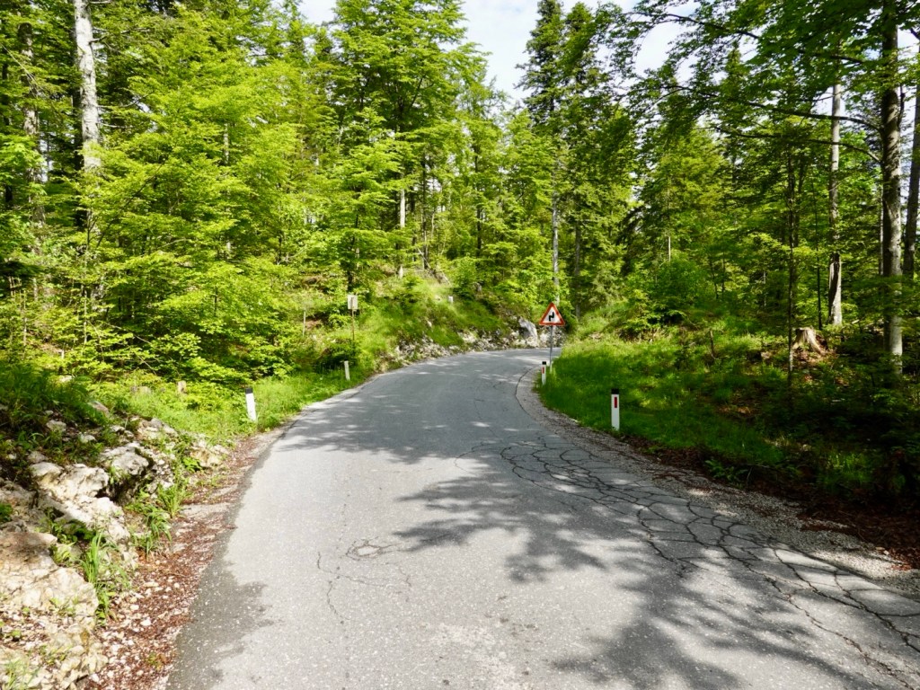
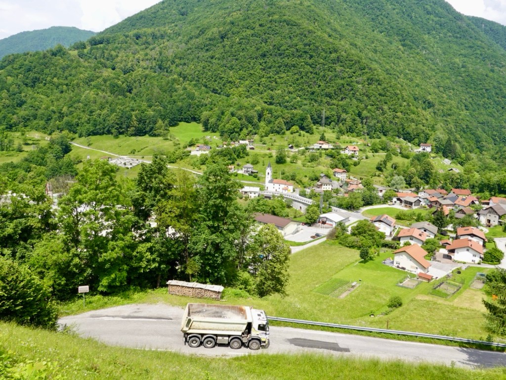
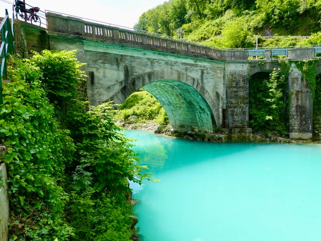
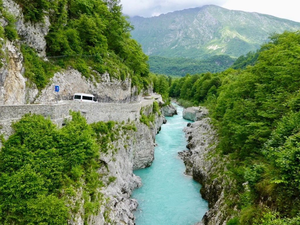
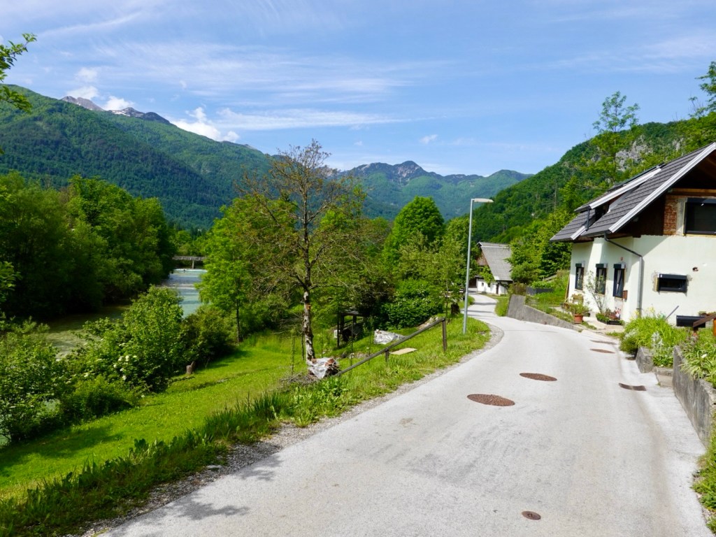
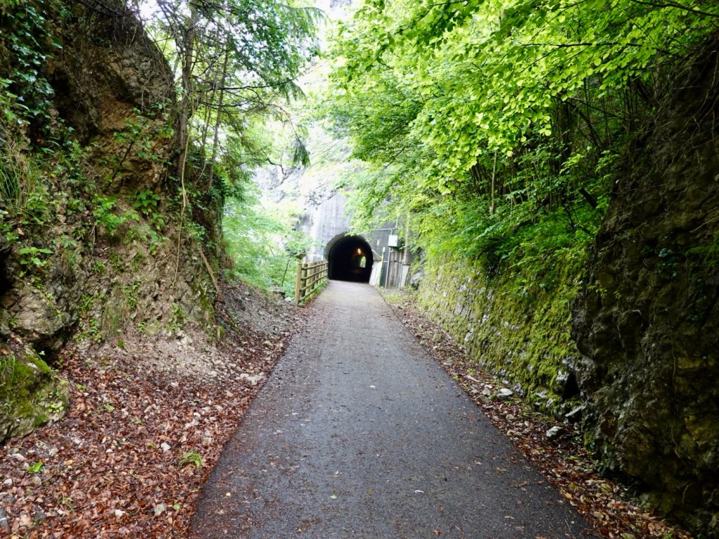
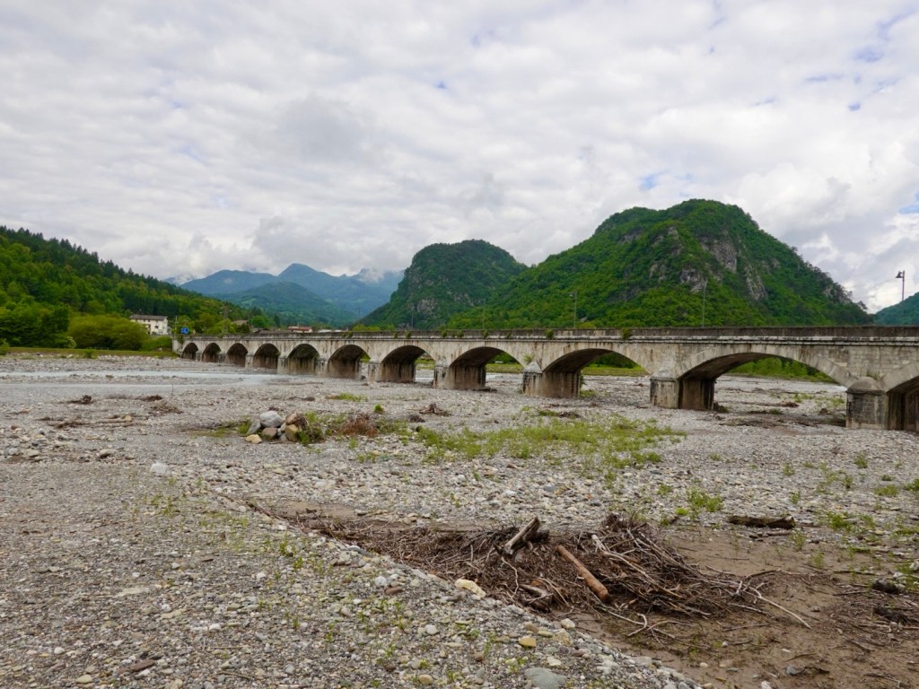
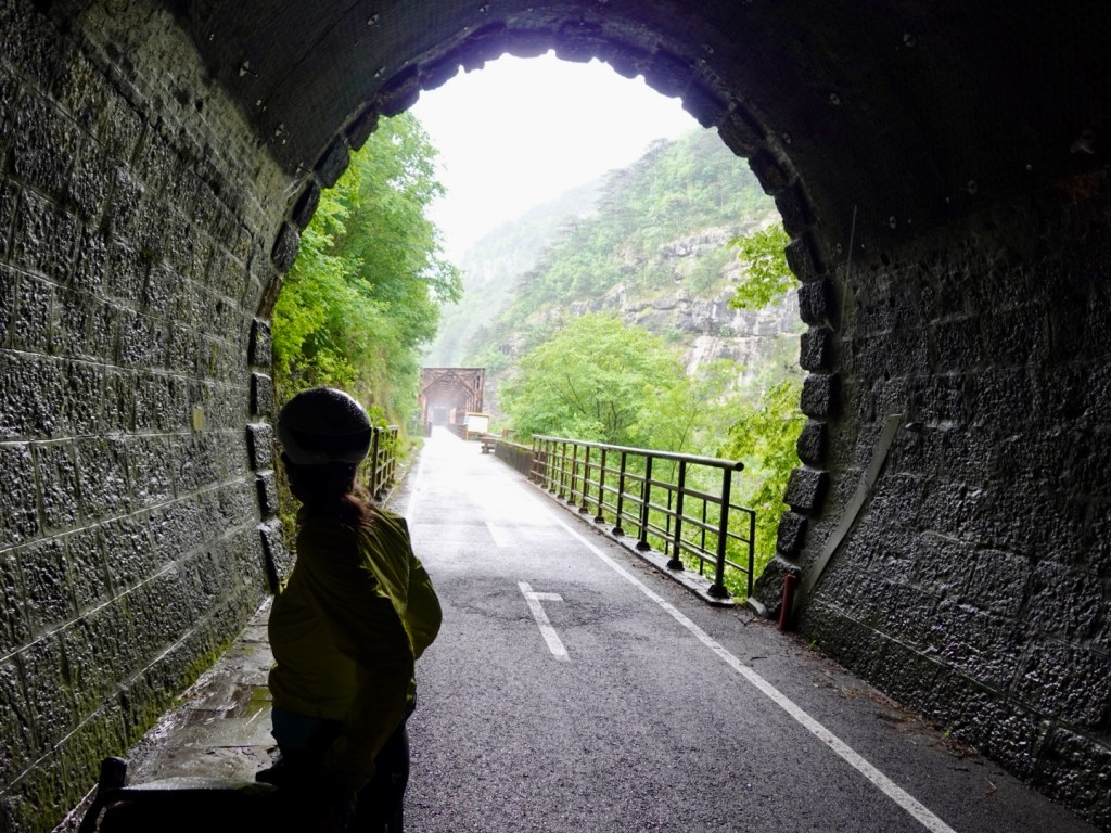
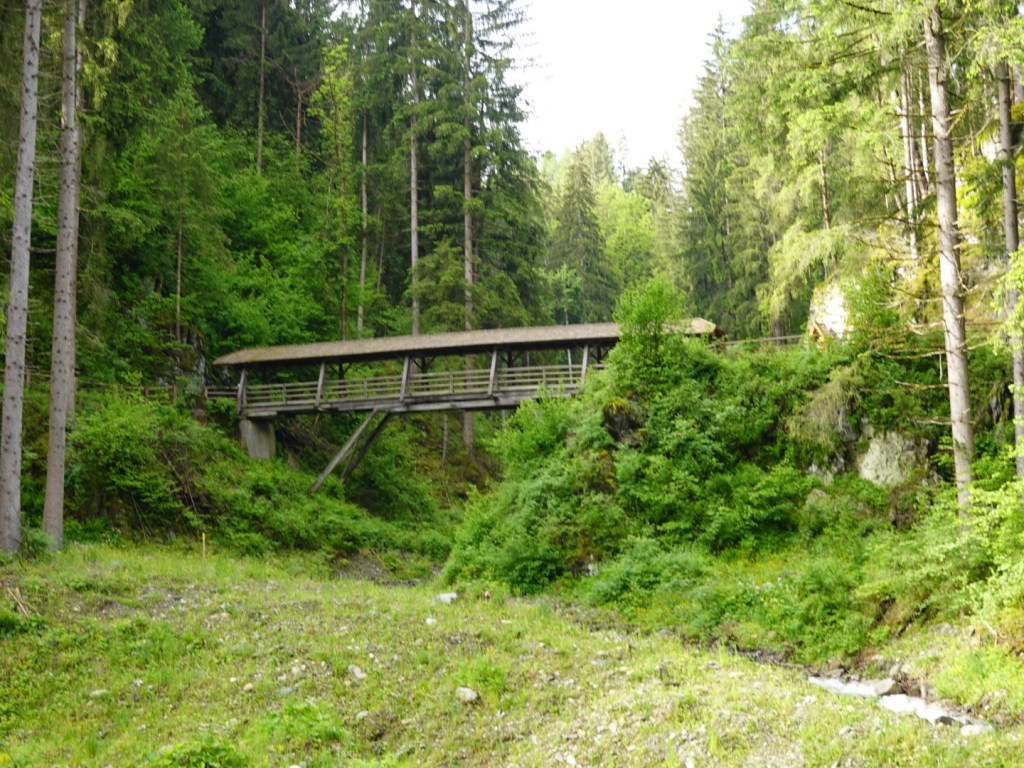
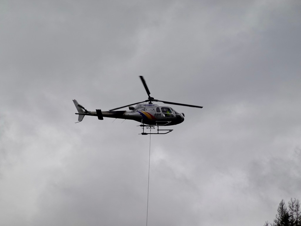
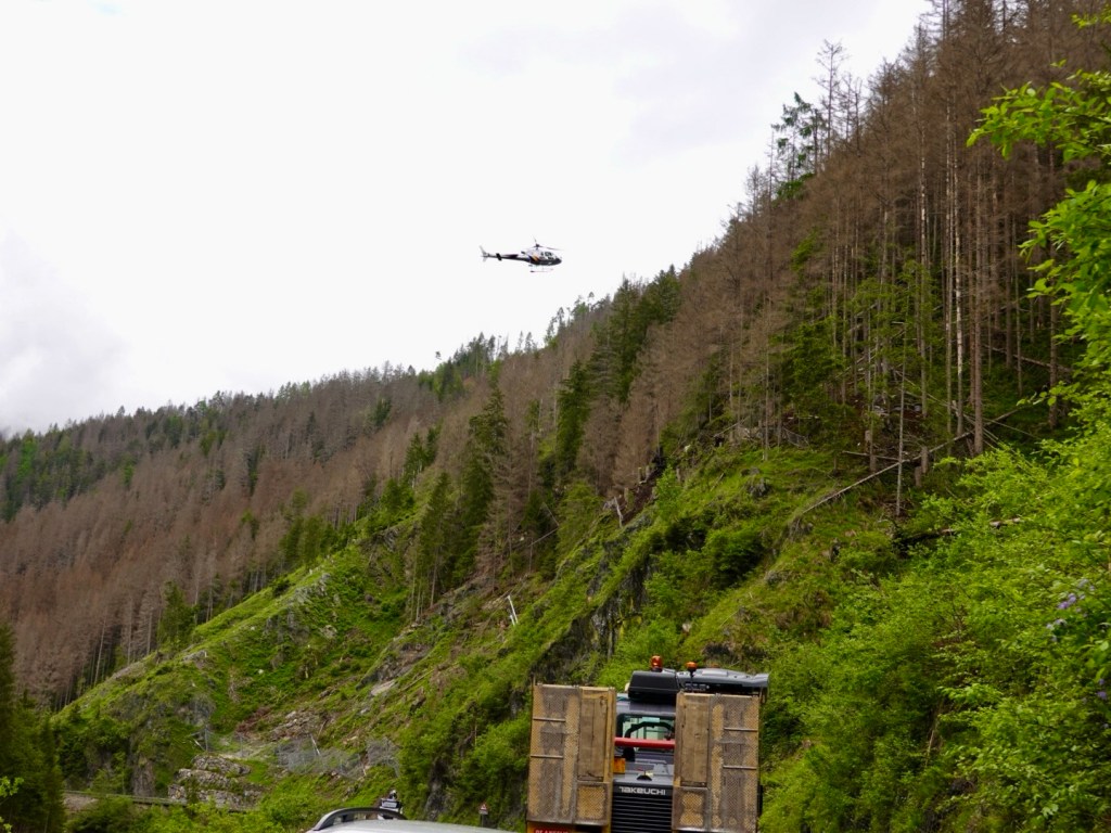
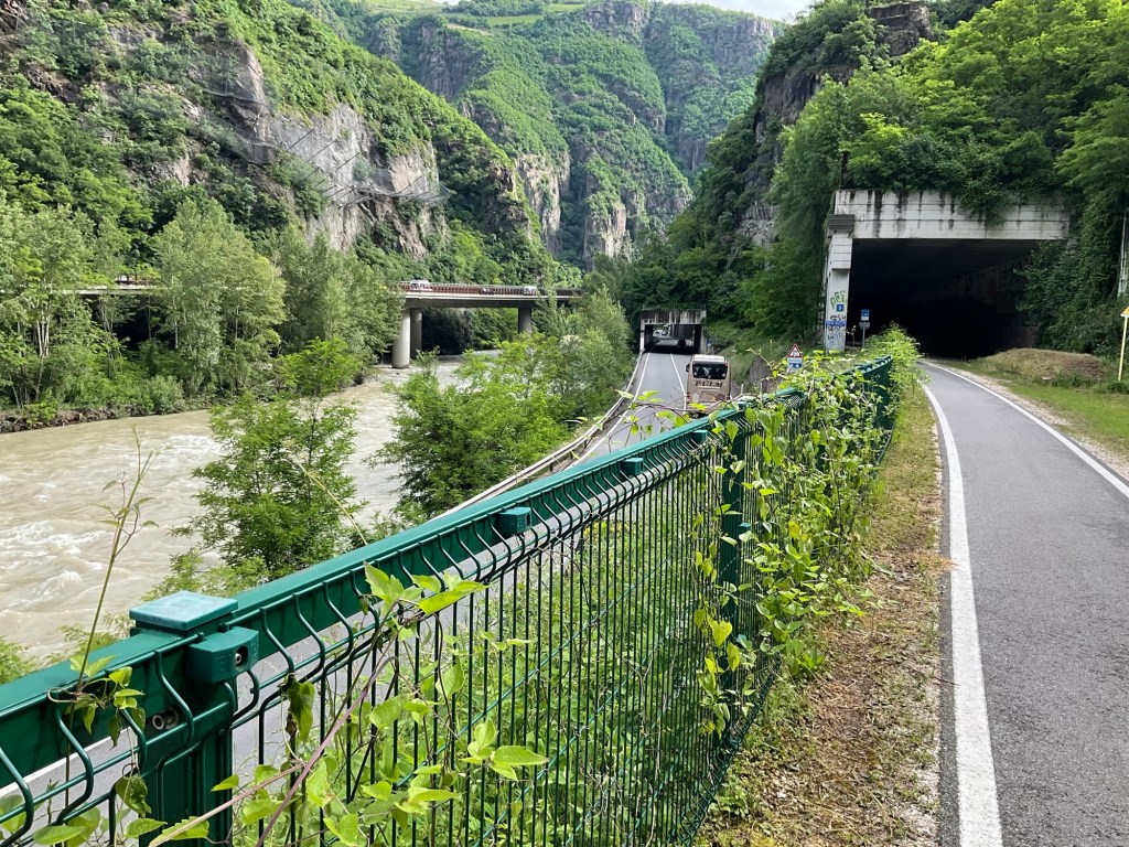
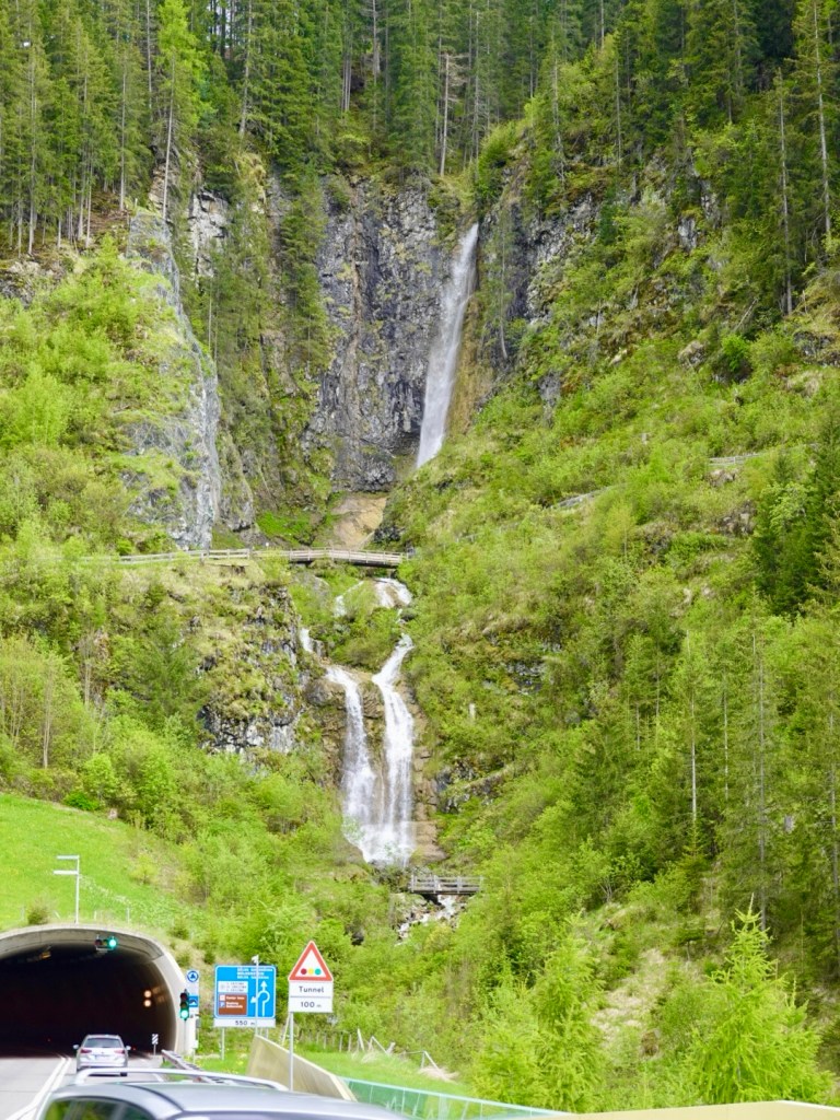
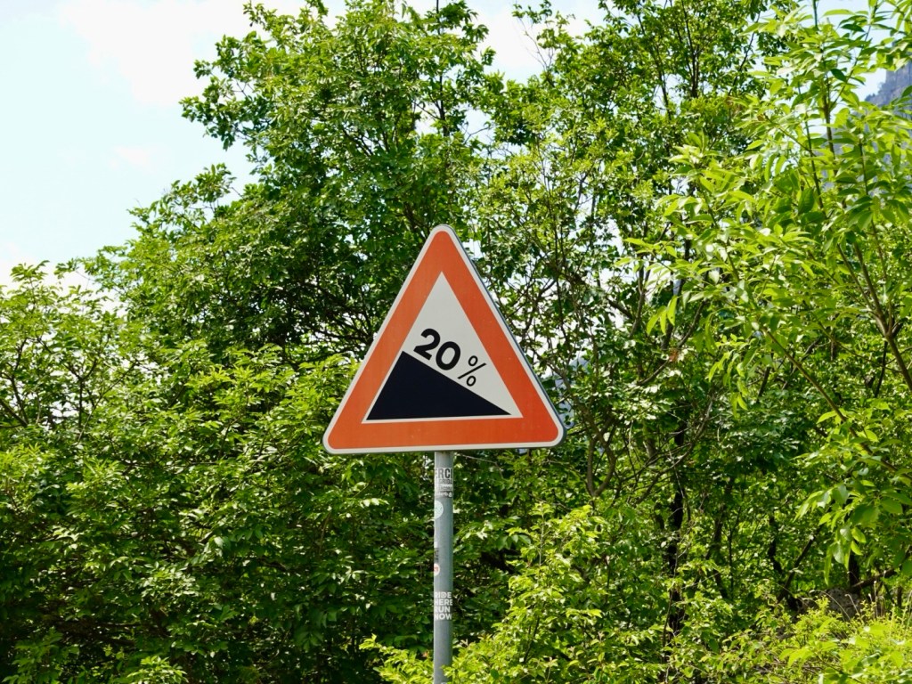
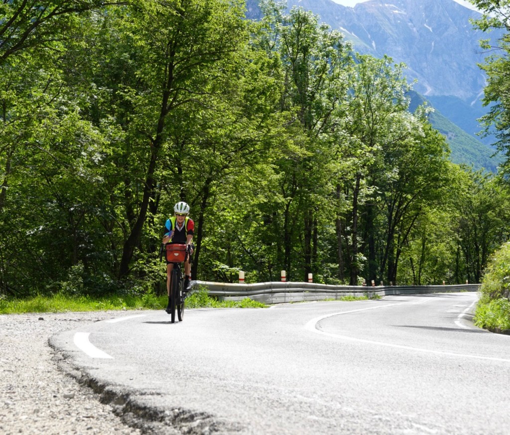
We immediately started climbing and part way had to stop, for five minutes due to roadworks, where a bridge is being replaced/widened.

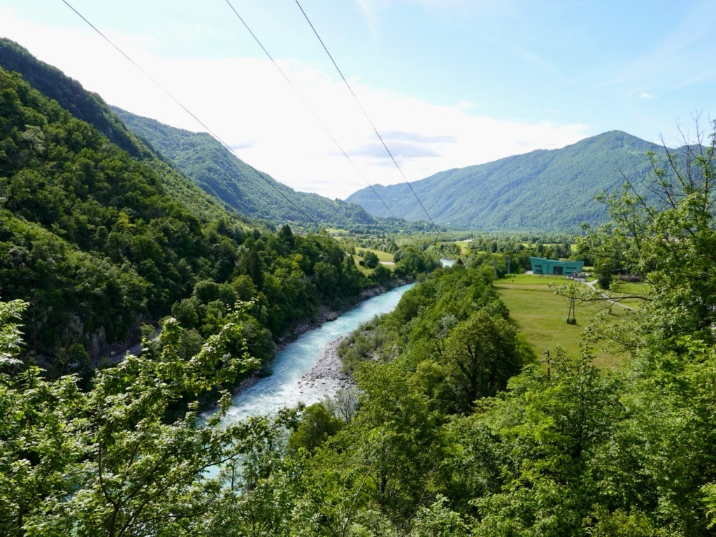
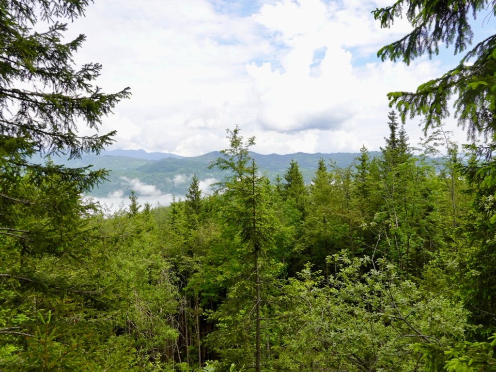
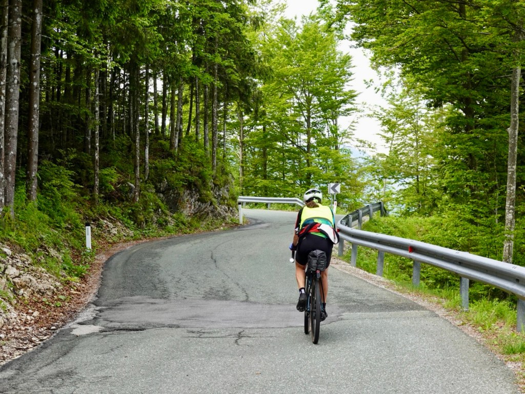
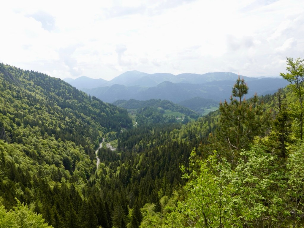
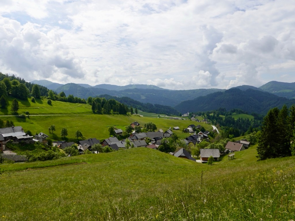
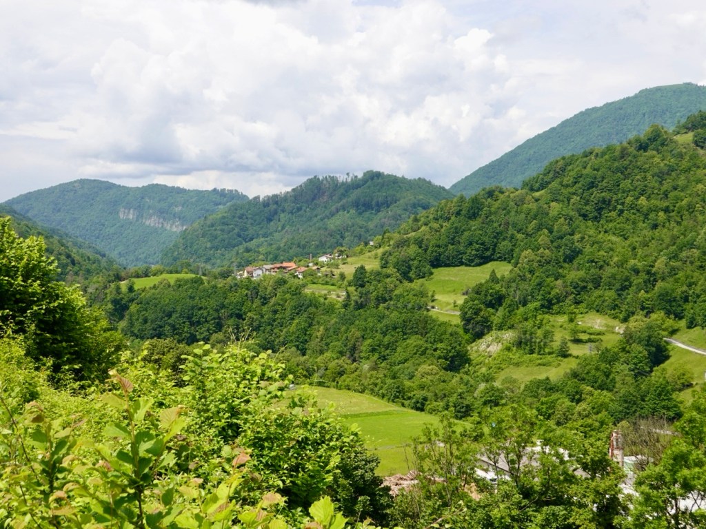
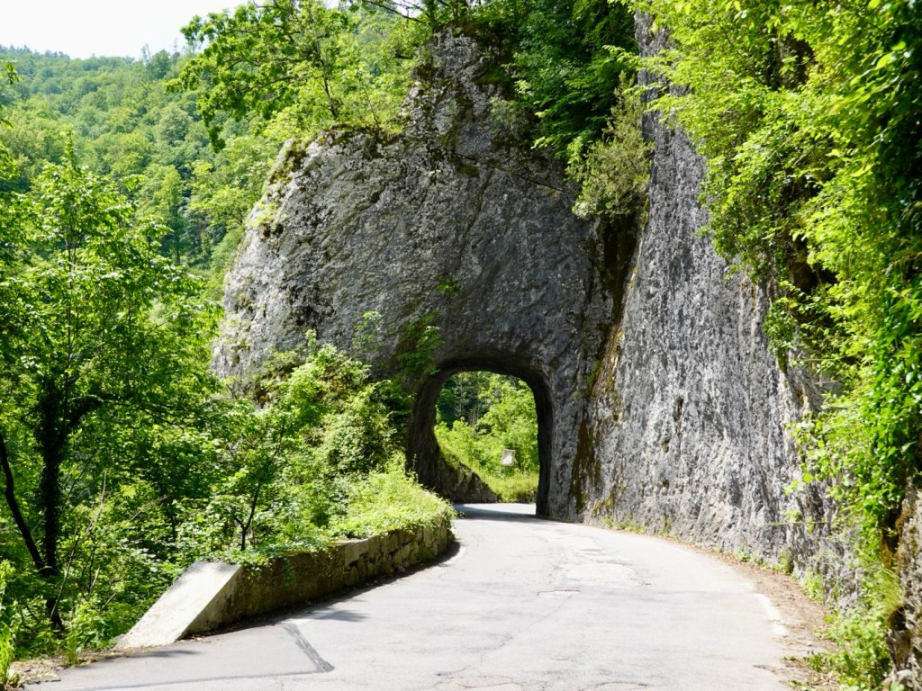
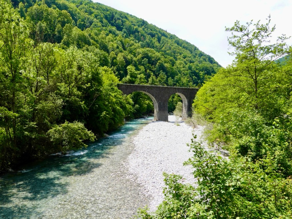
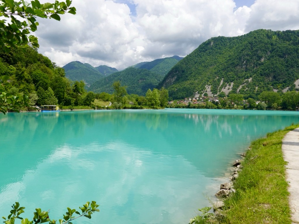
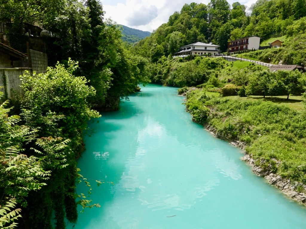
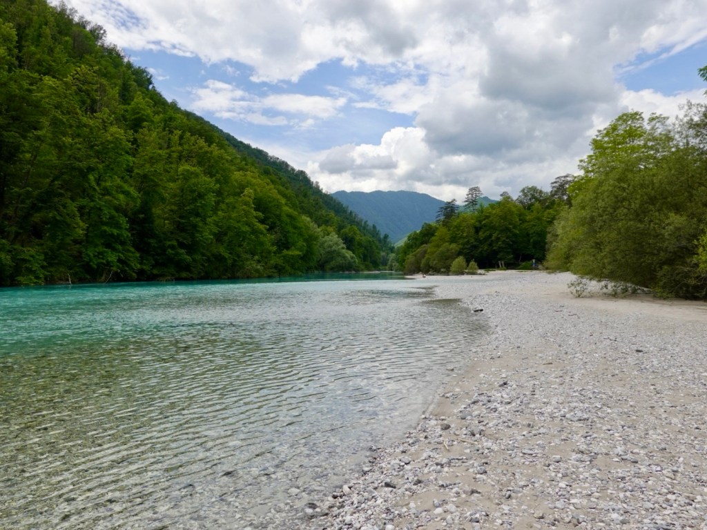
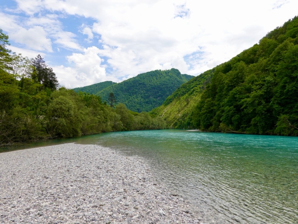
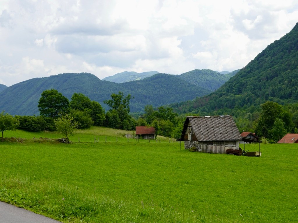
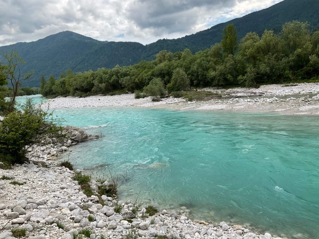
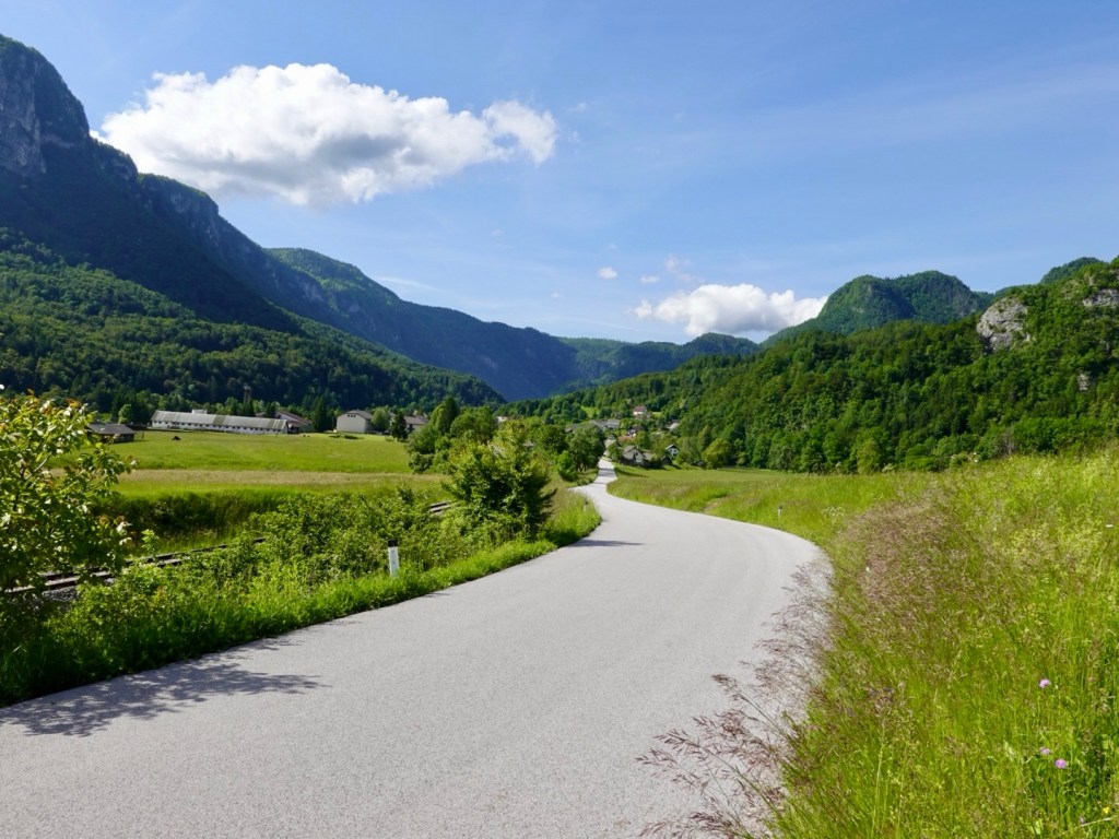
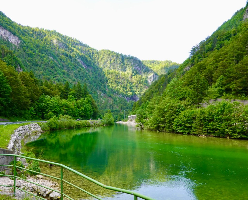
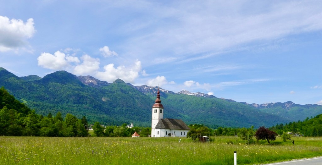
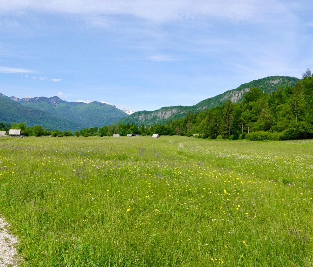
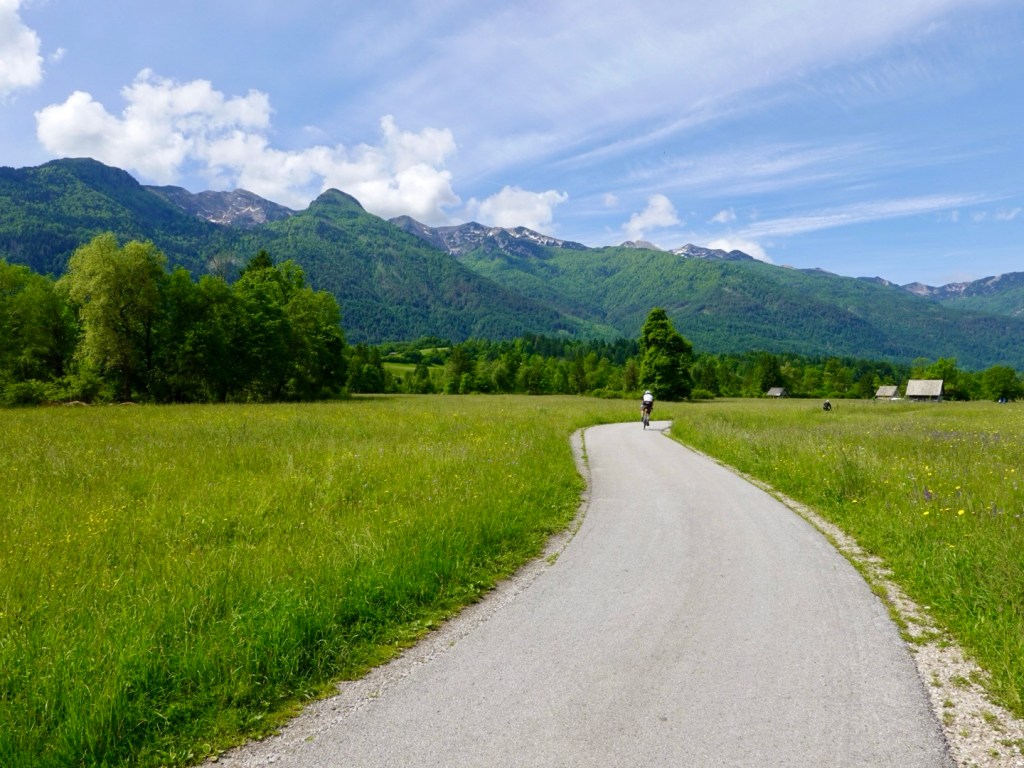
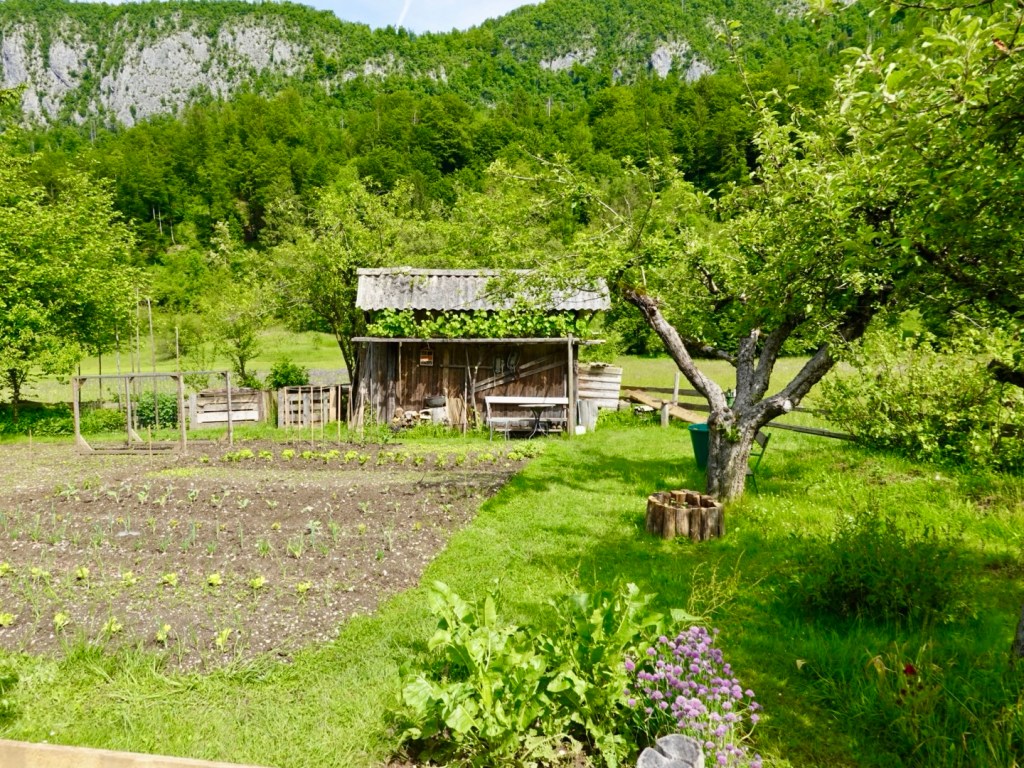
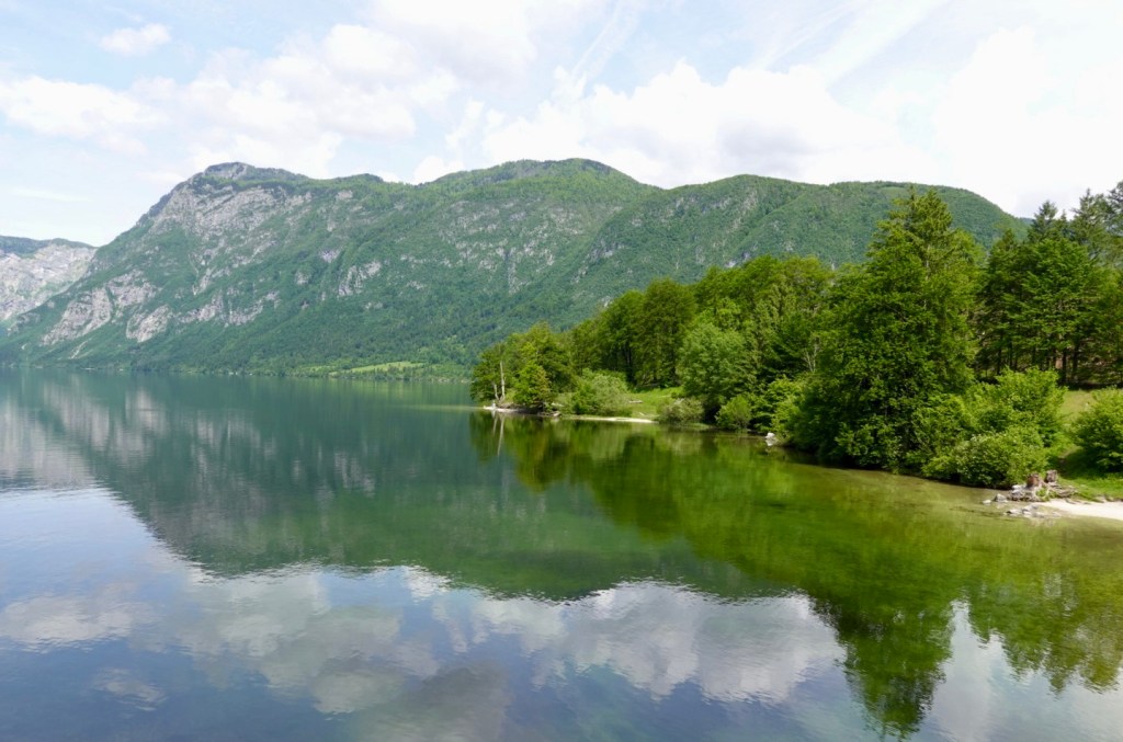
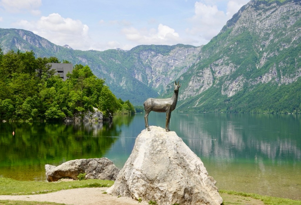
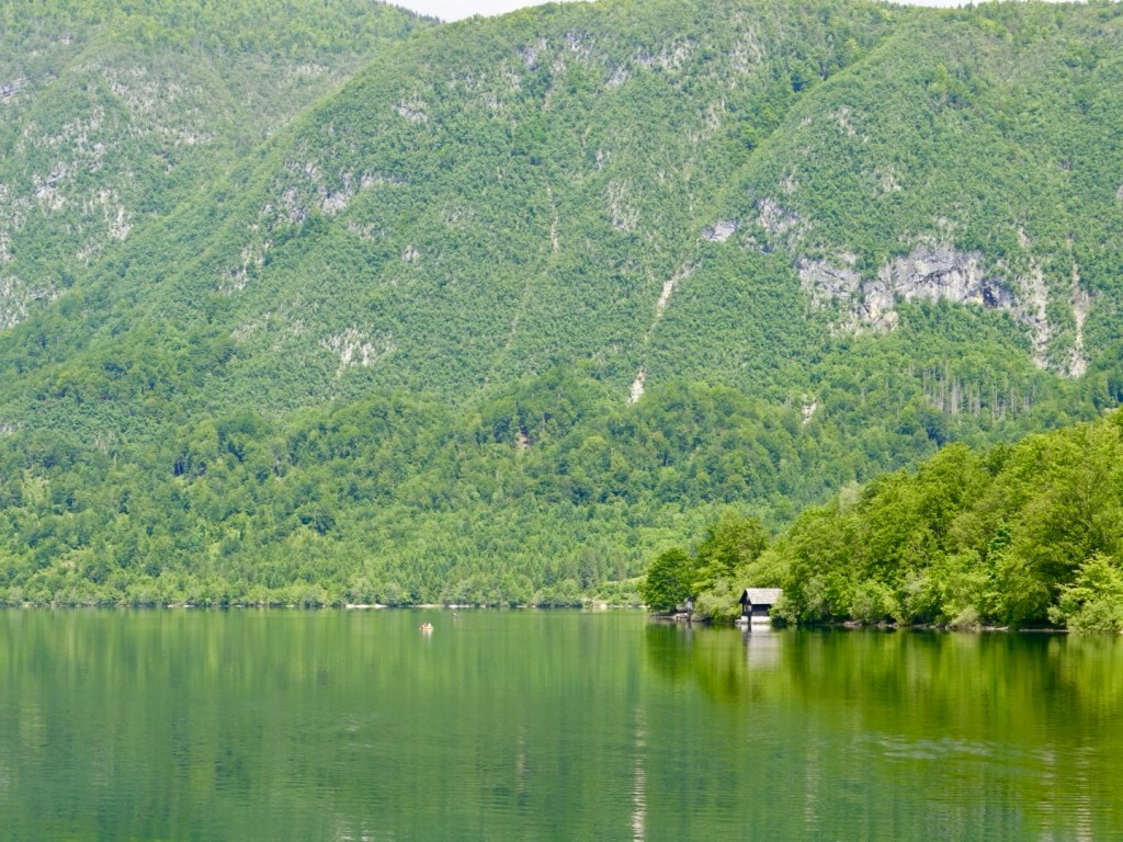
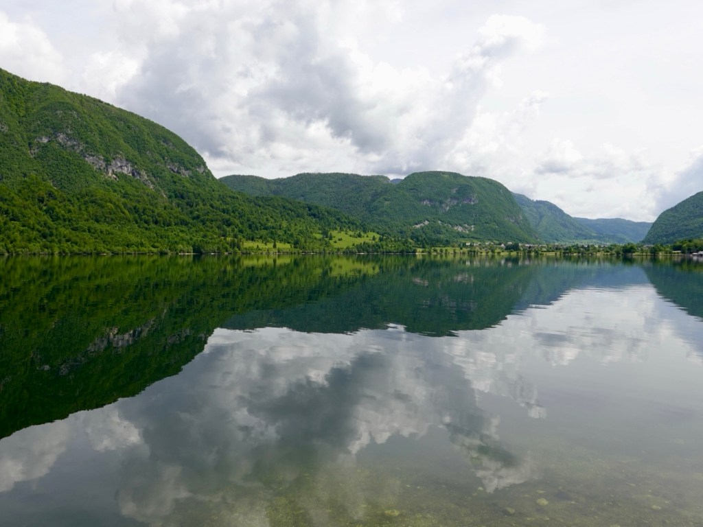
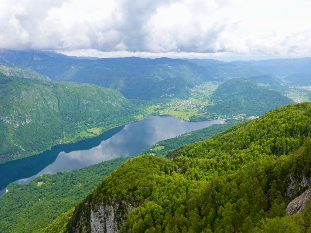
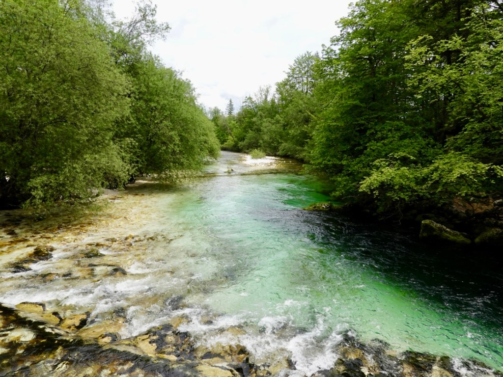
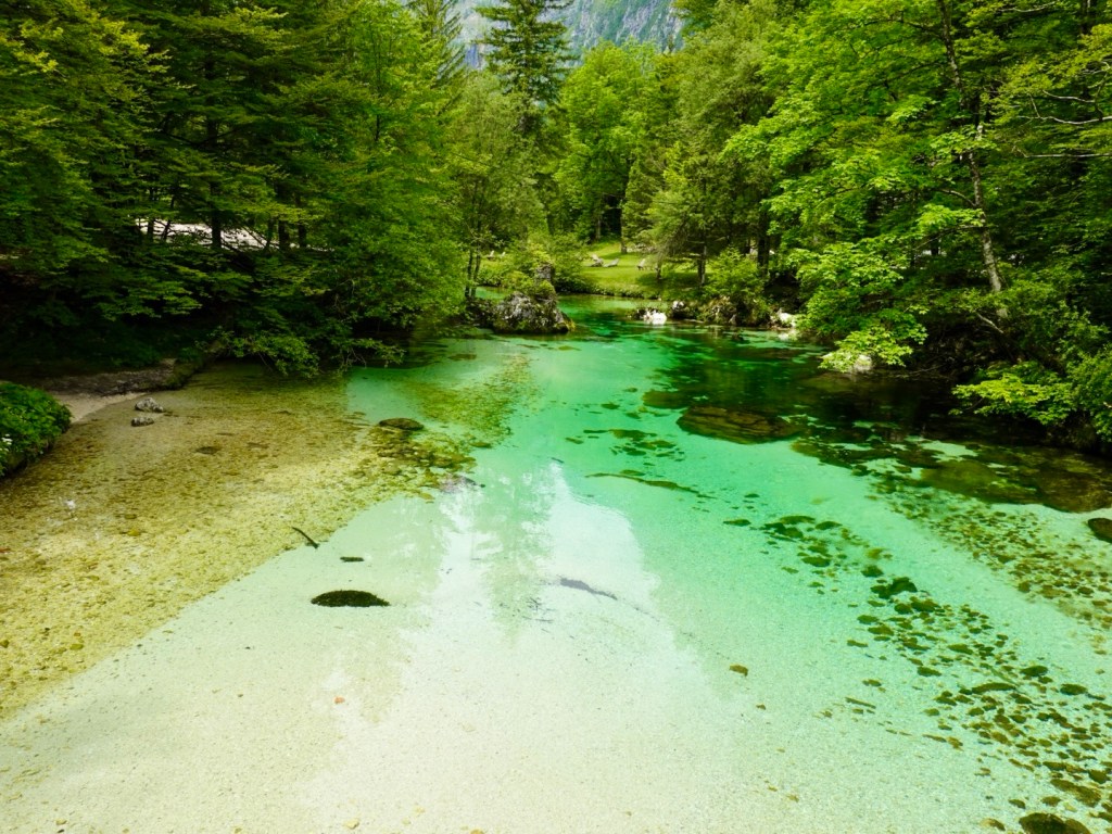
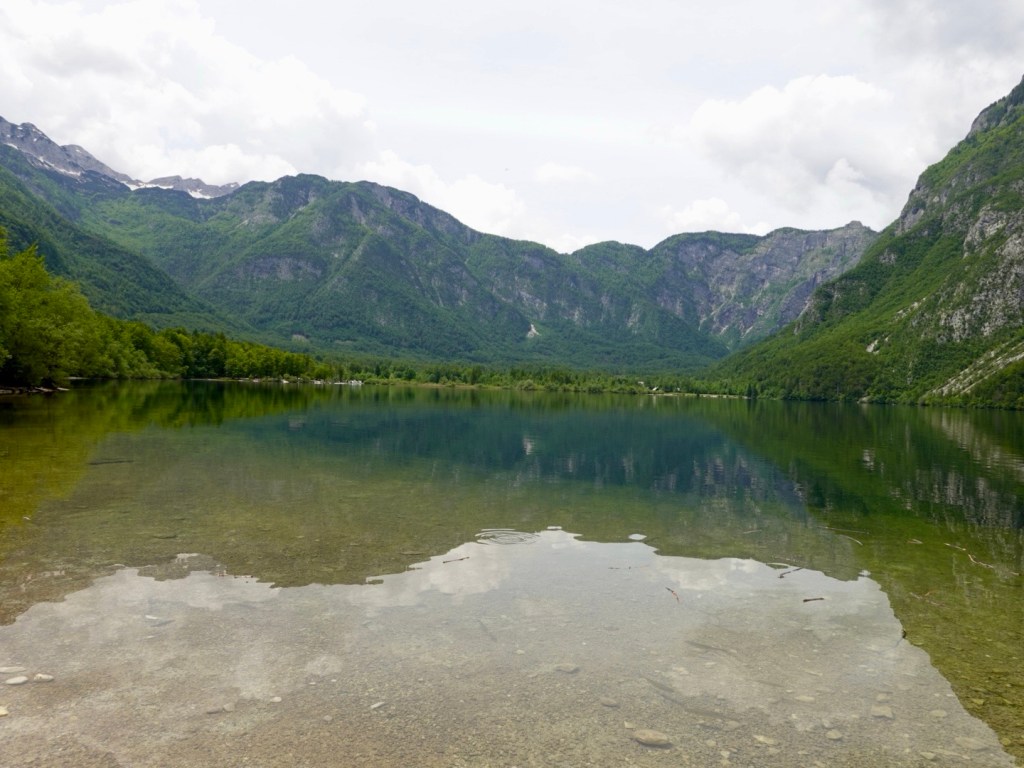
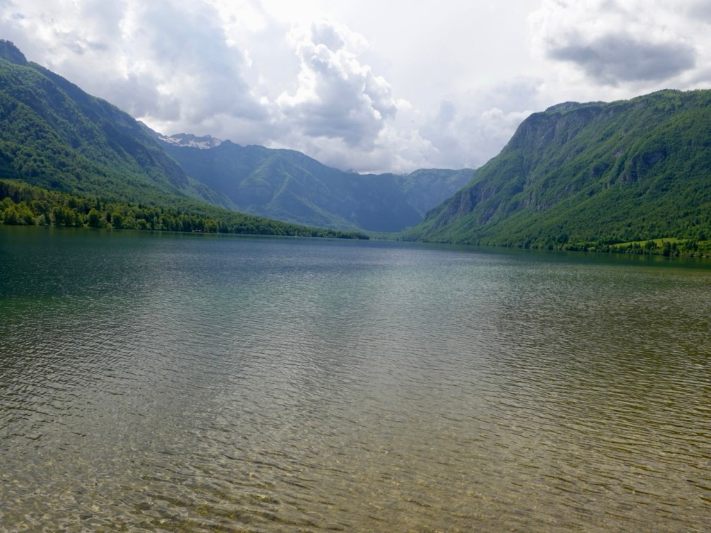
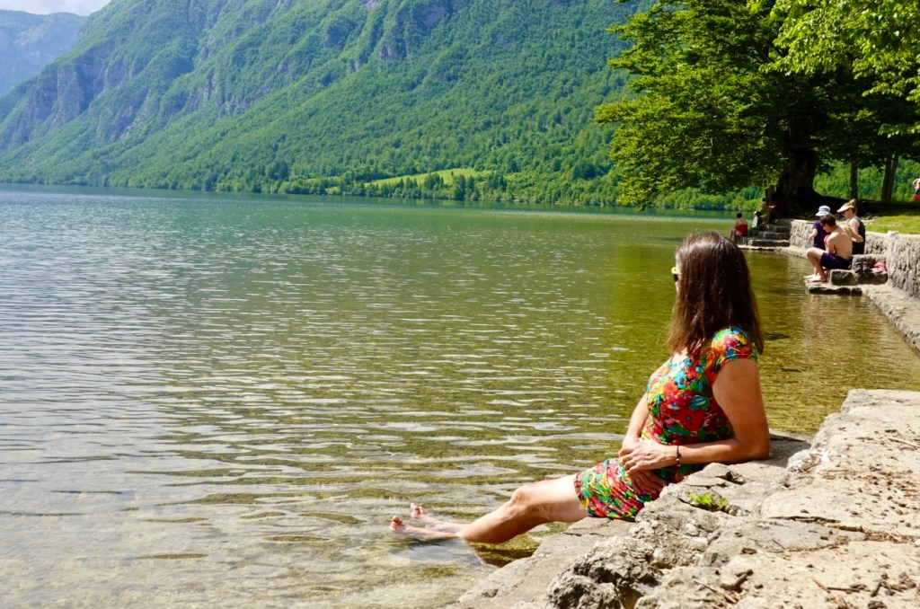
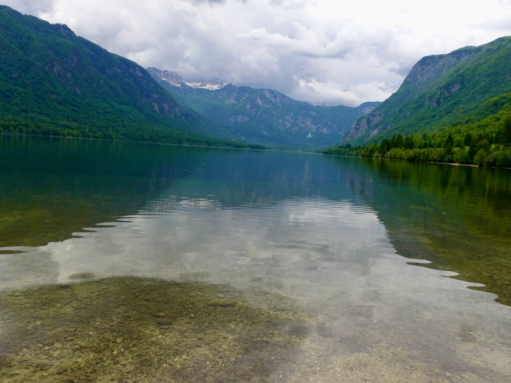
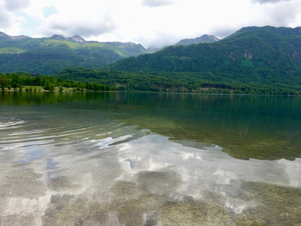
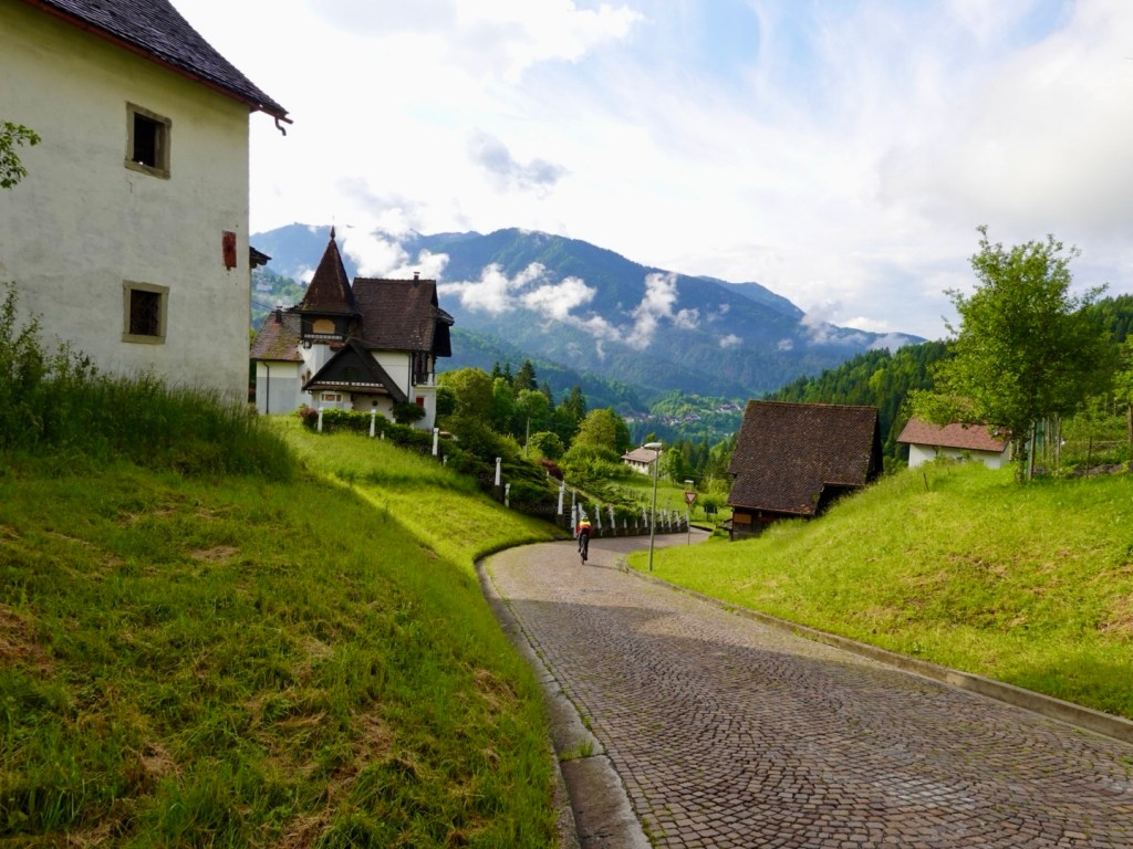
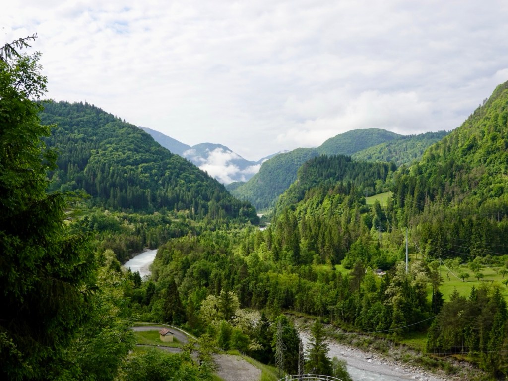
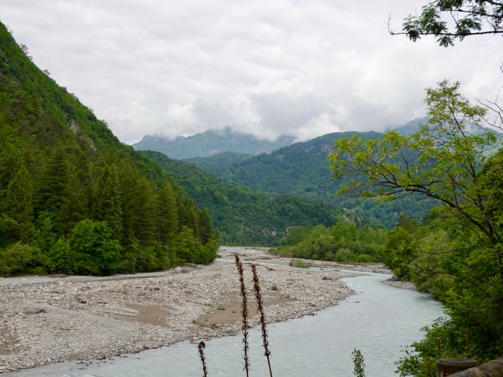
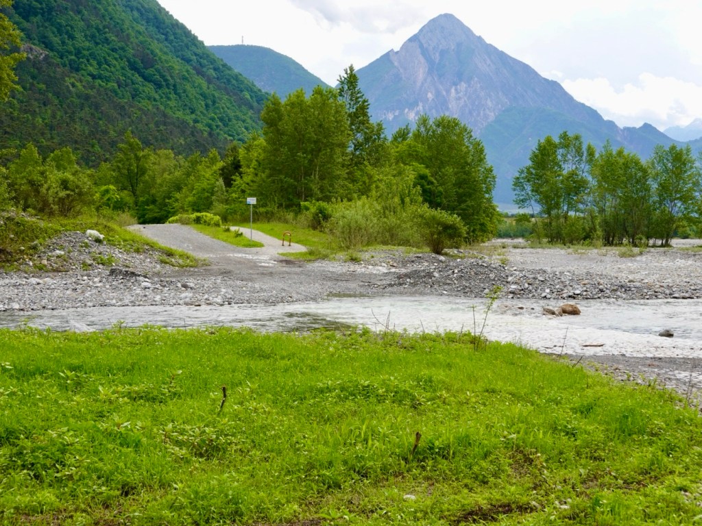
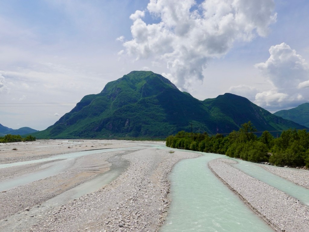
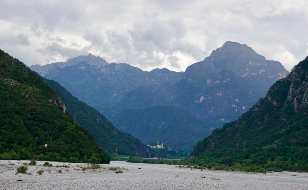
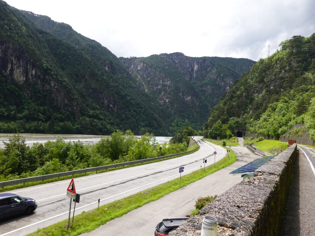
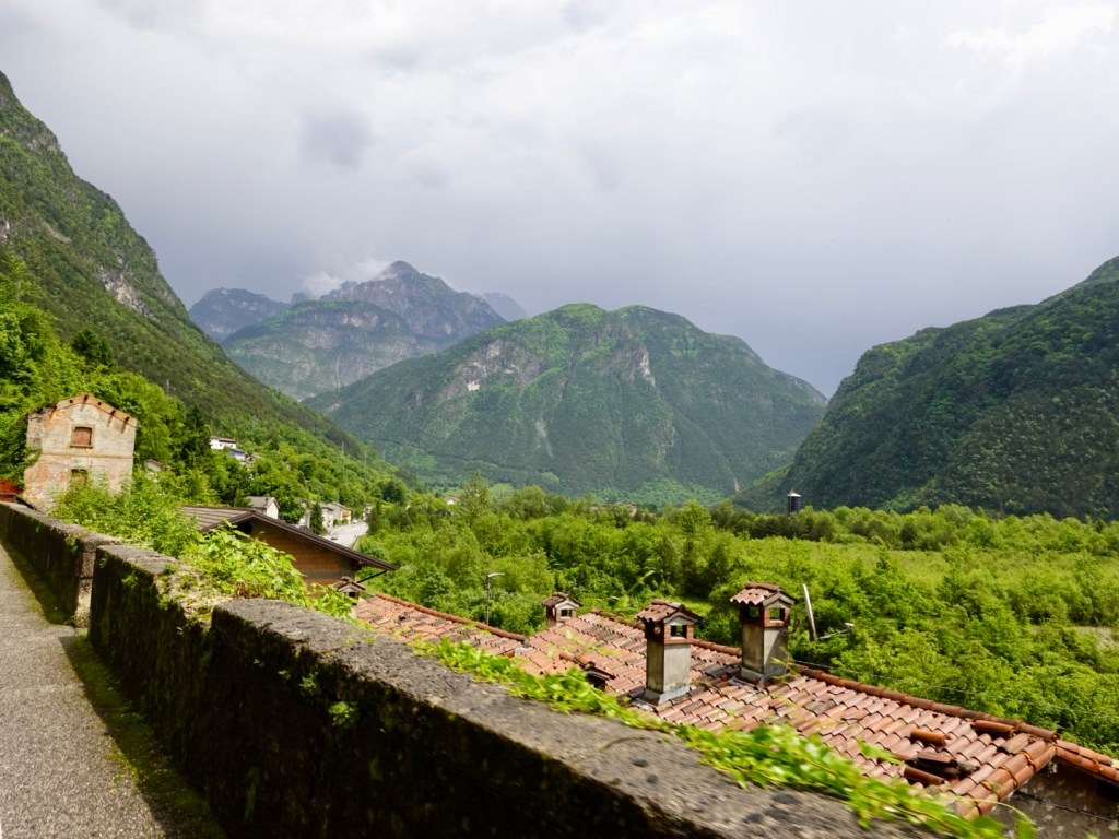
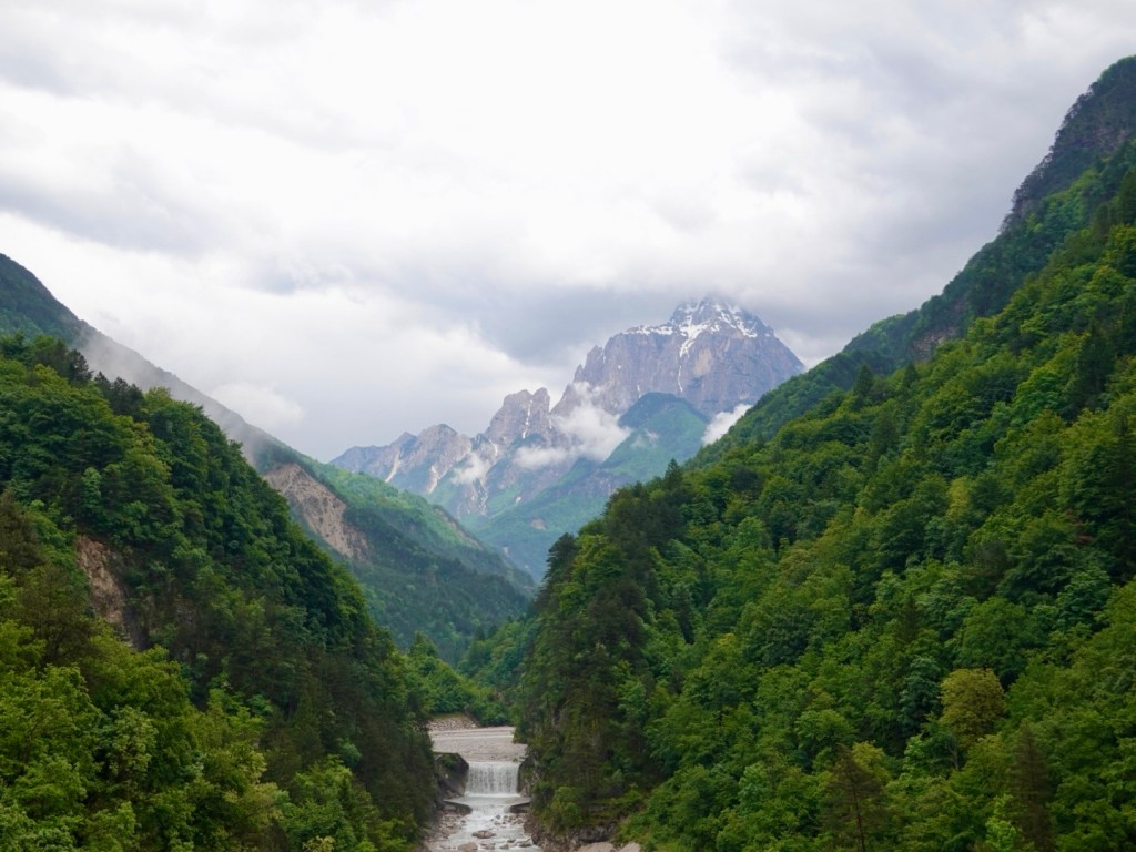
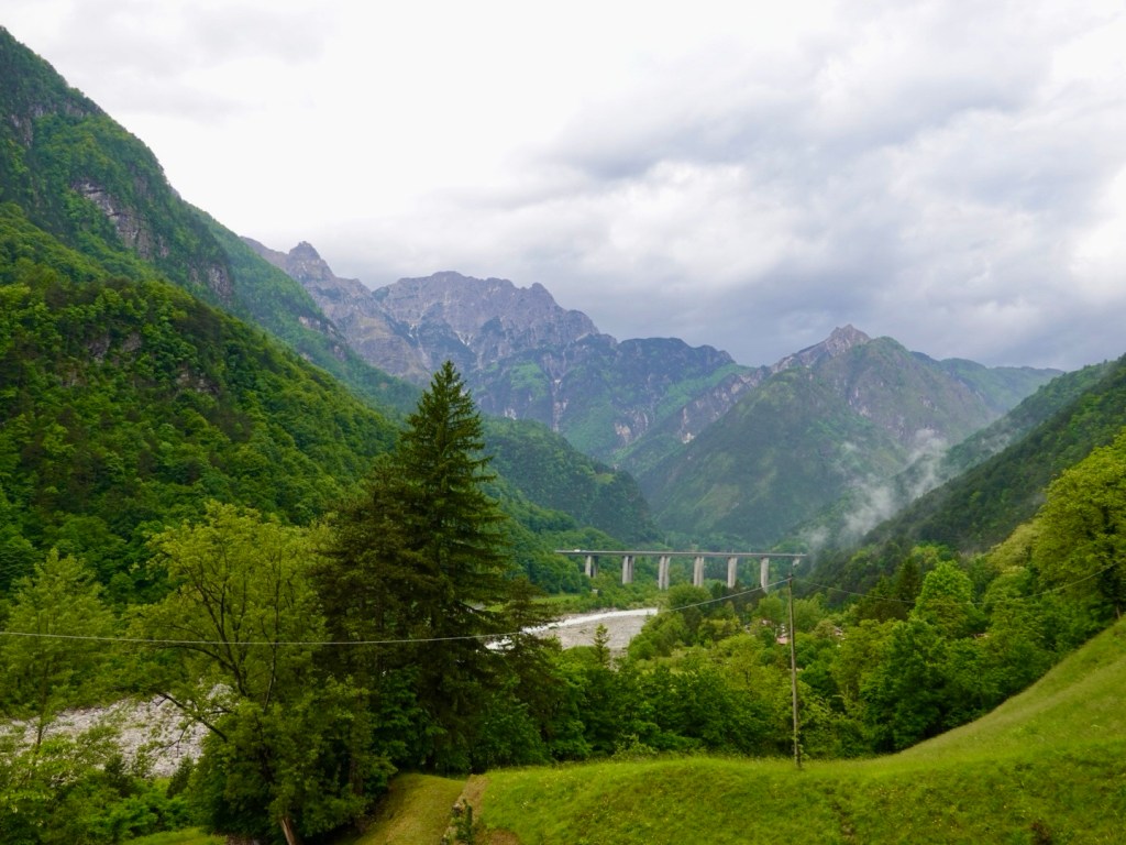
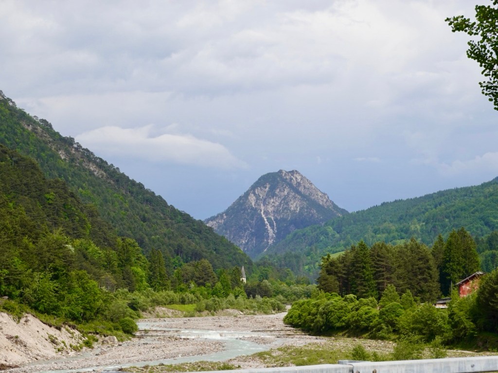
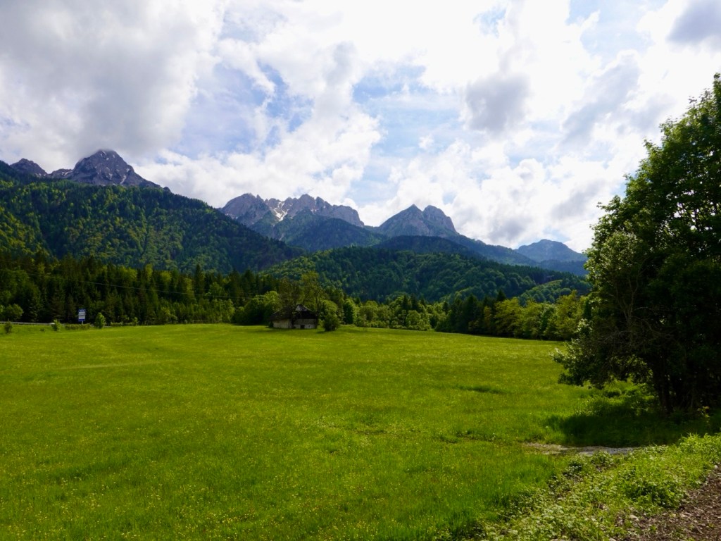
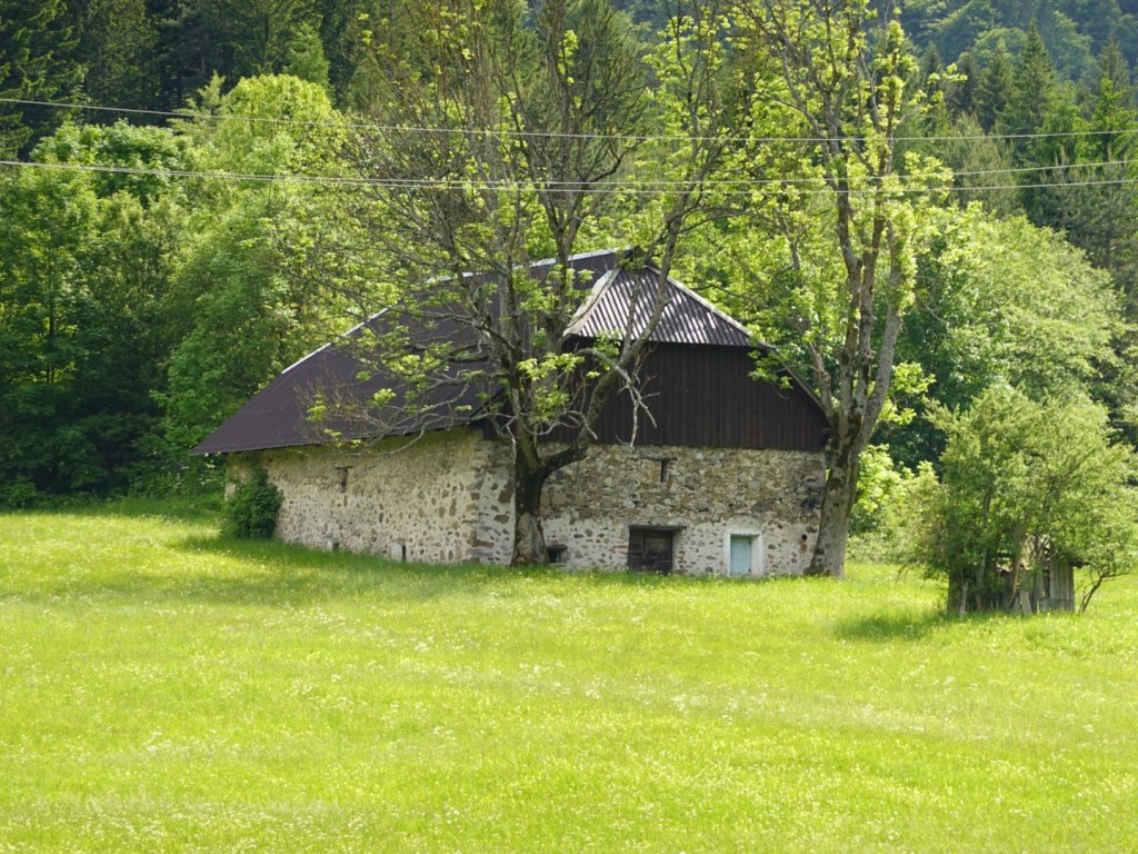
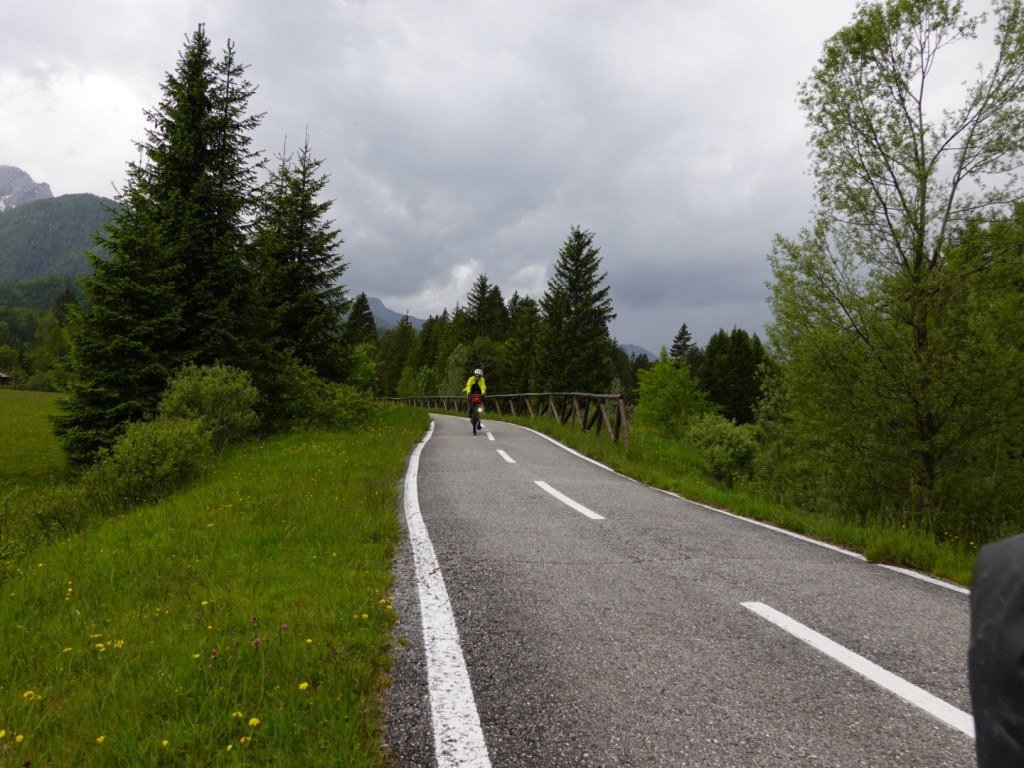
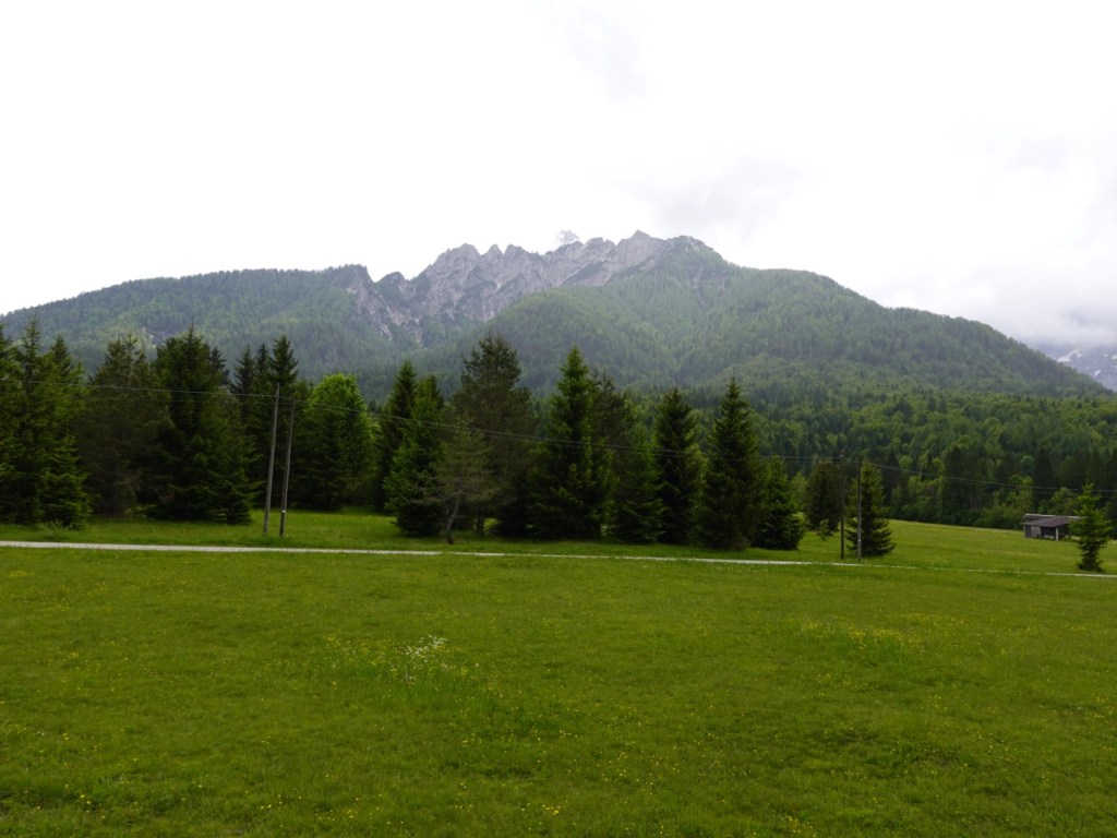
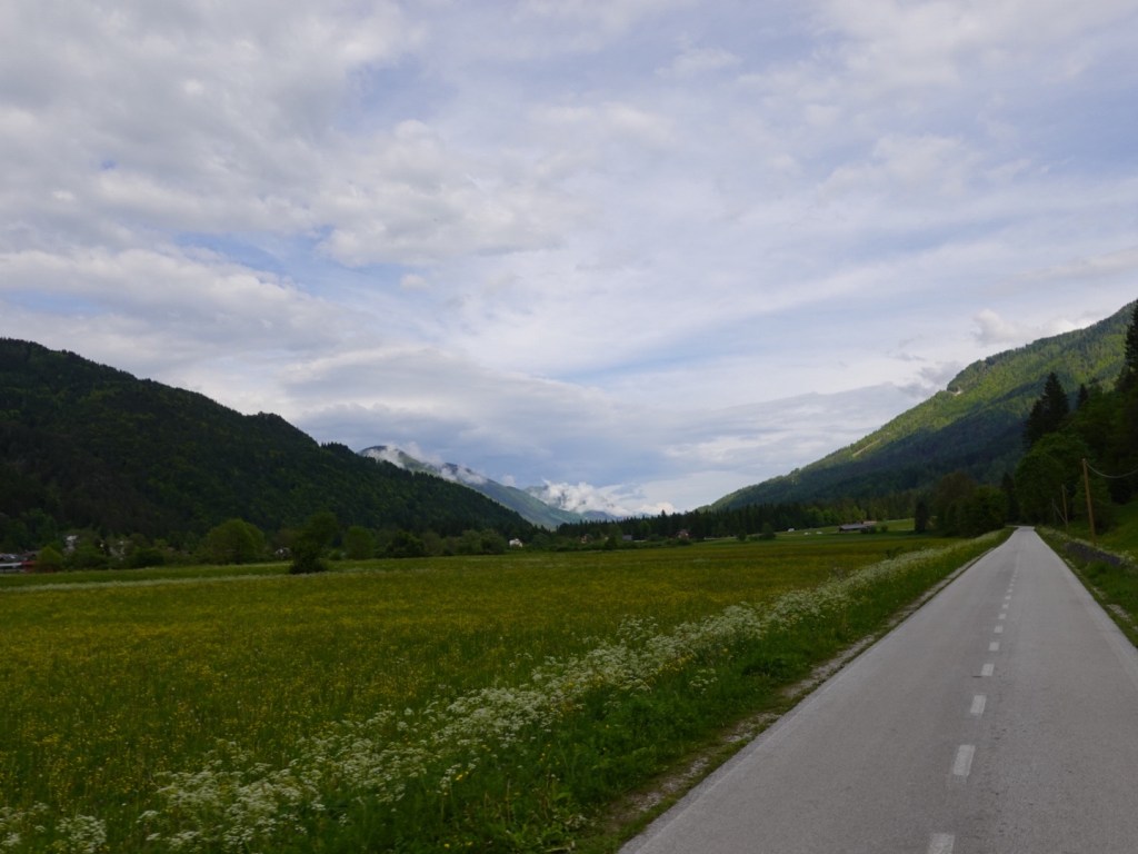
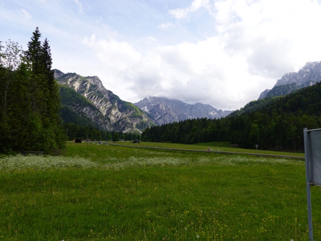
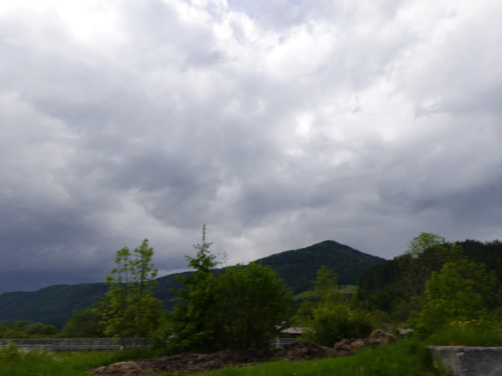
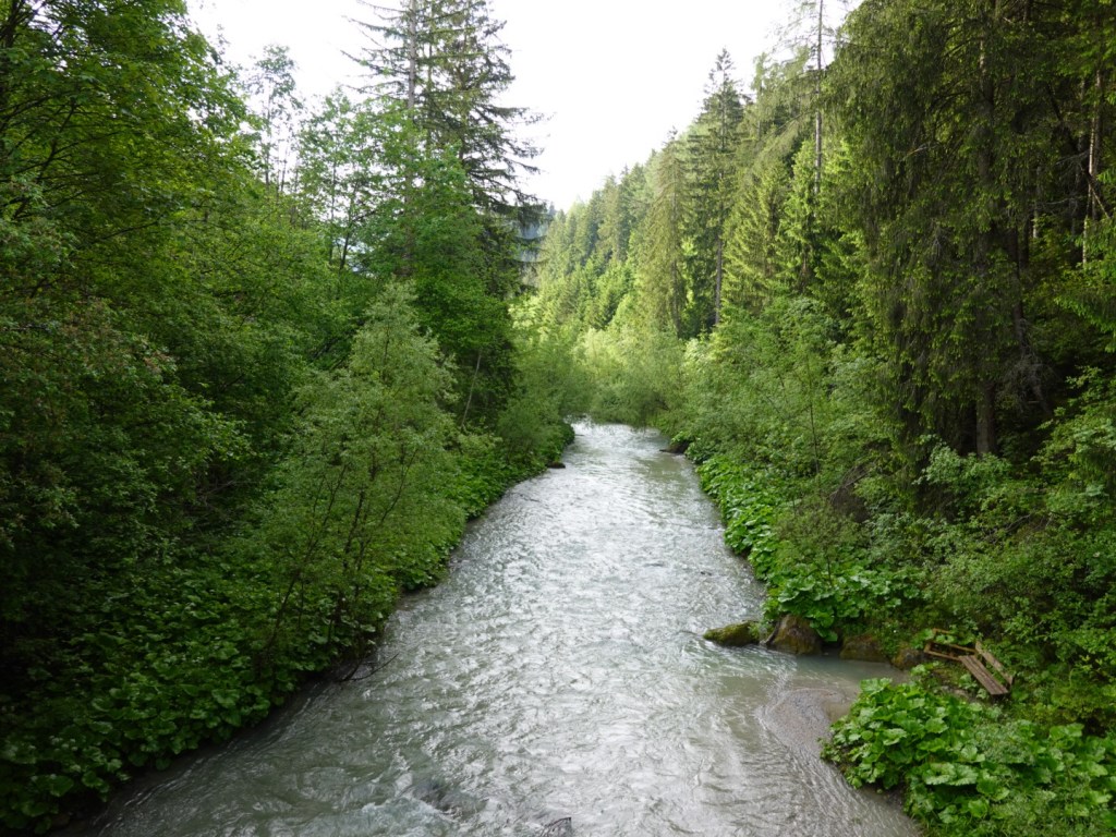
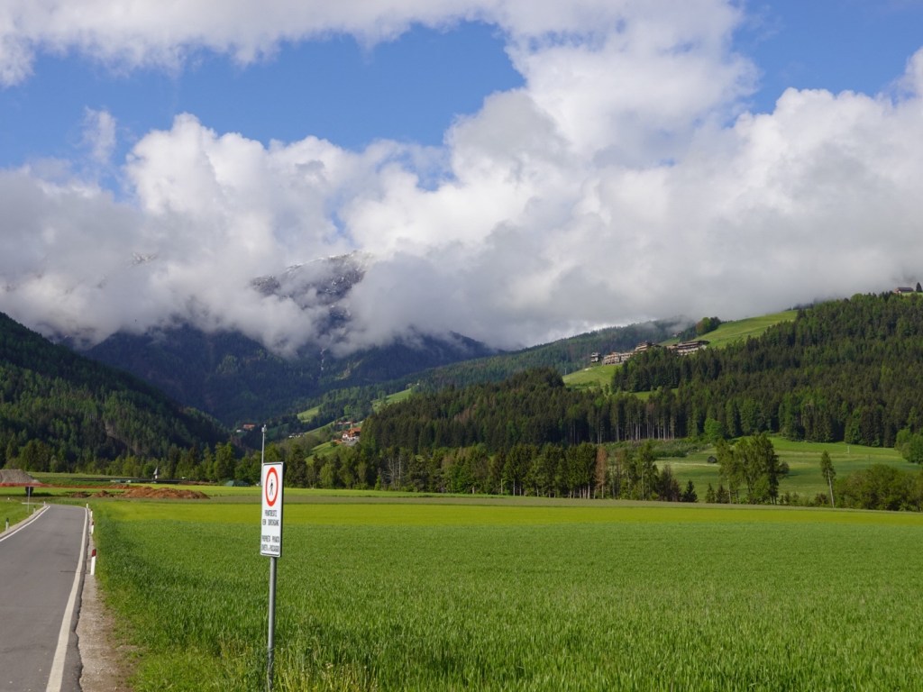
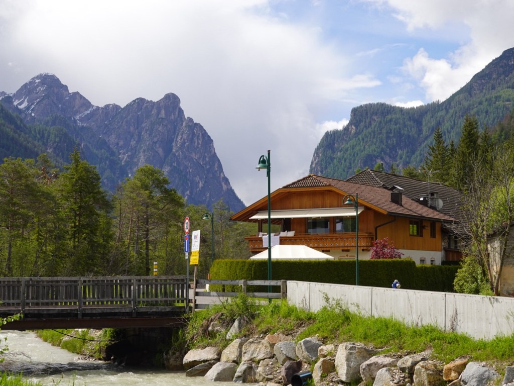
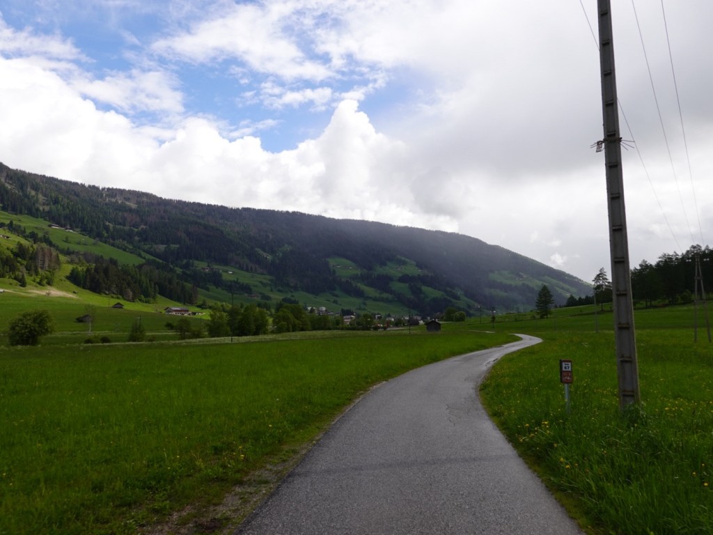
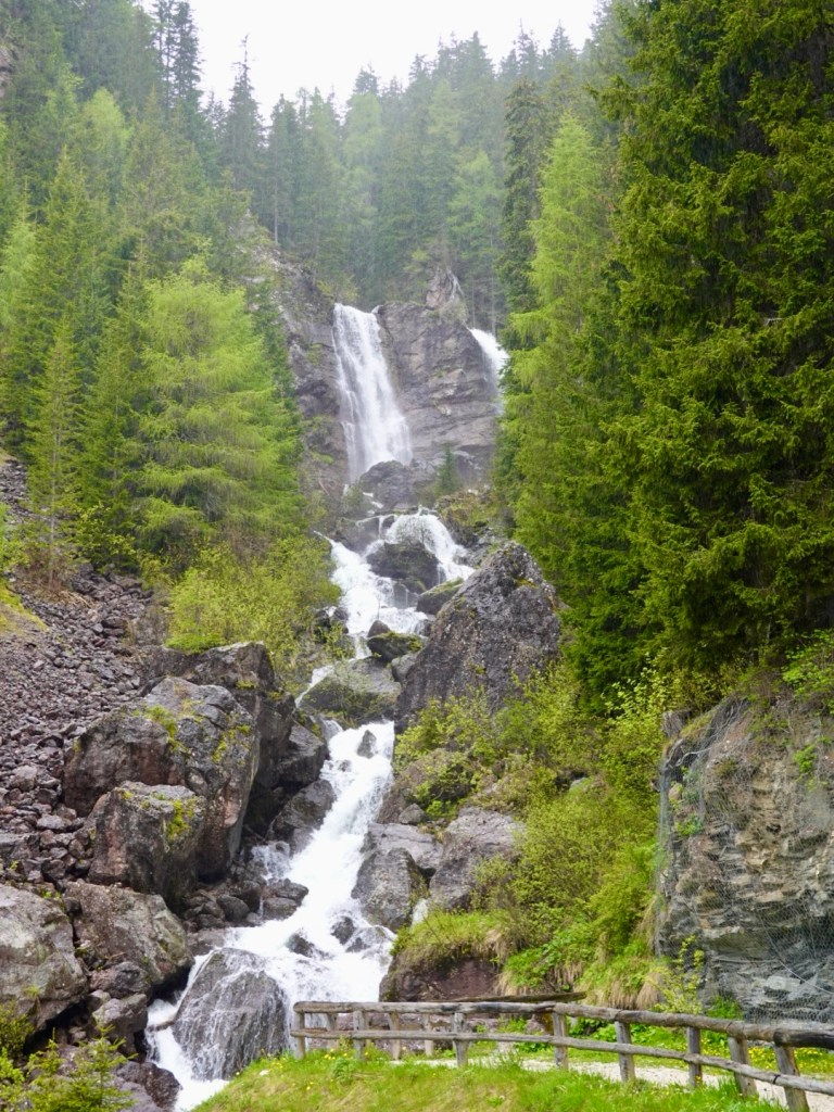
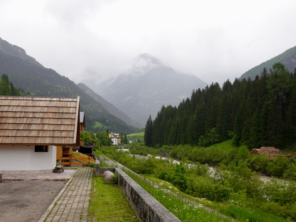
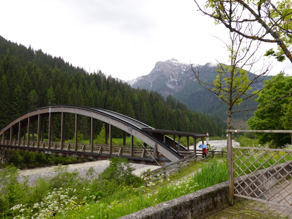
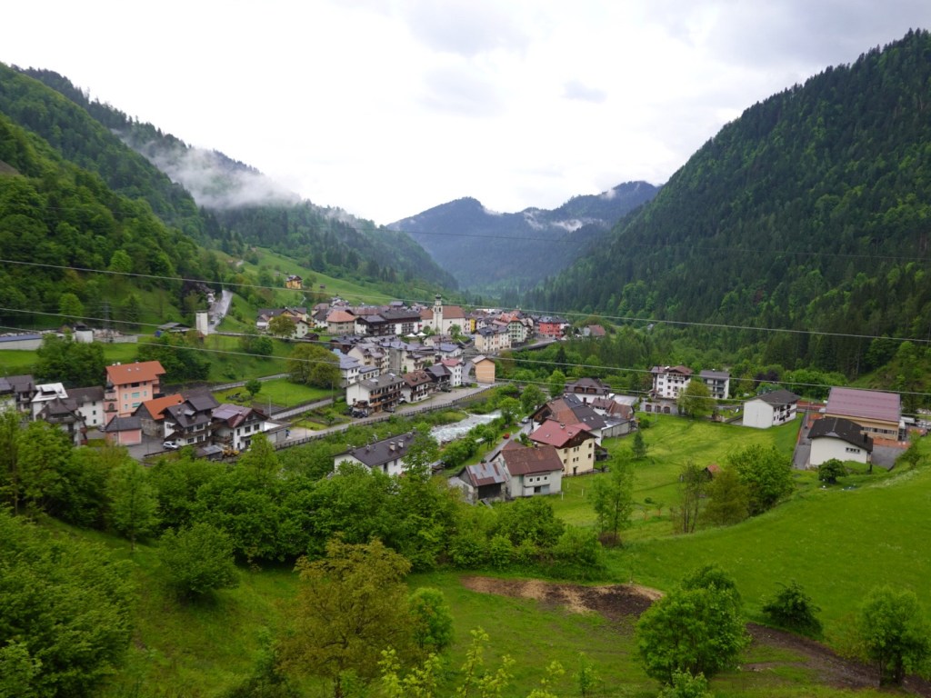
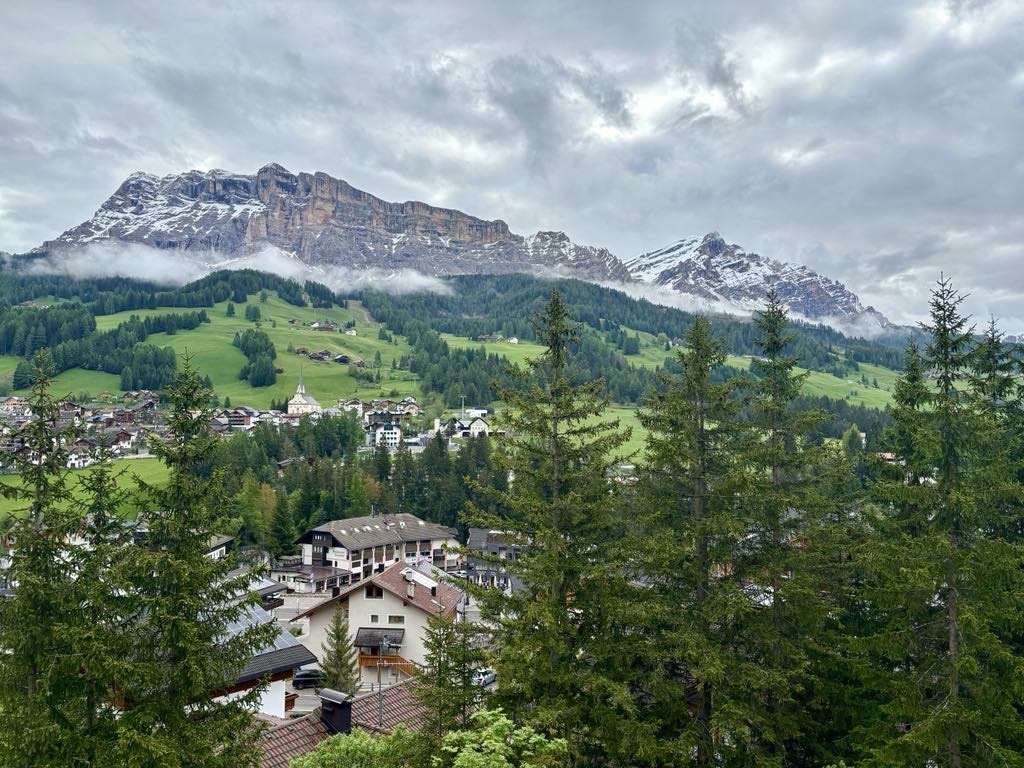
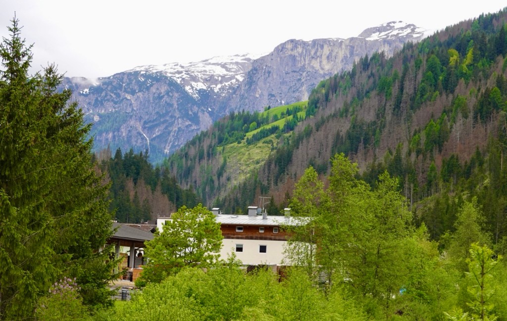
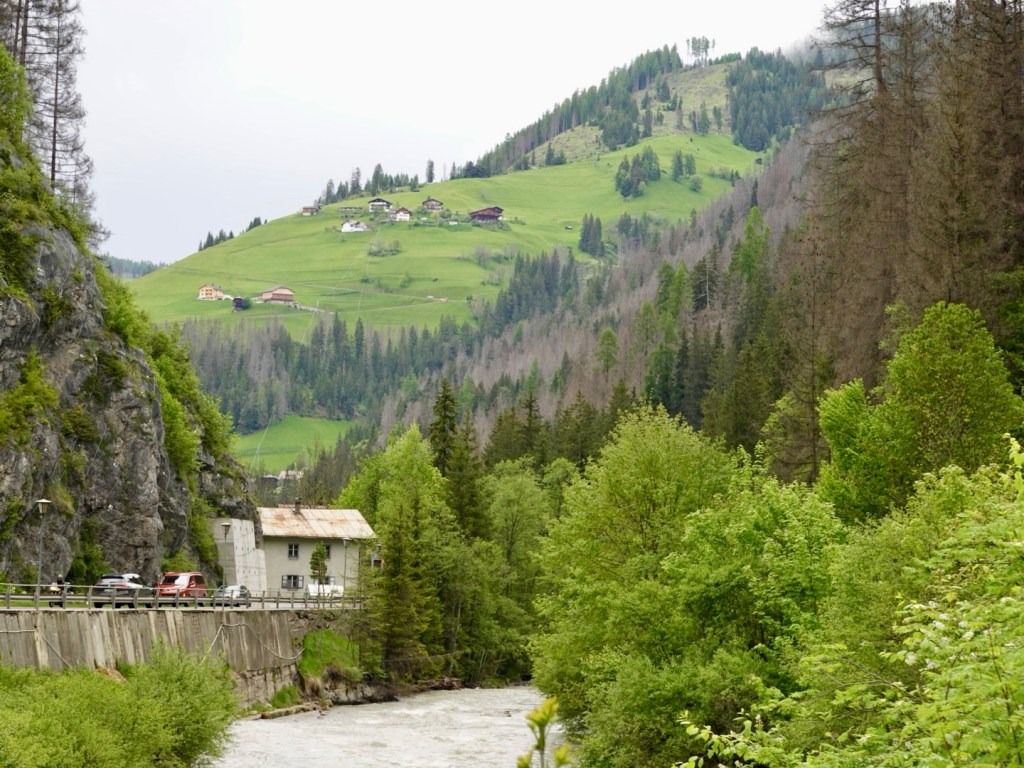
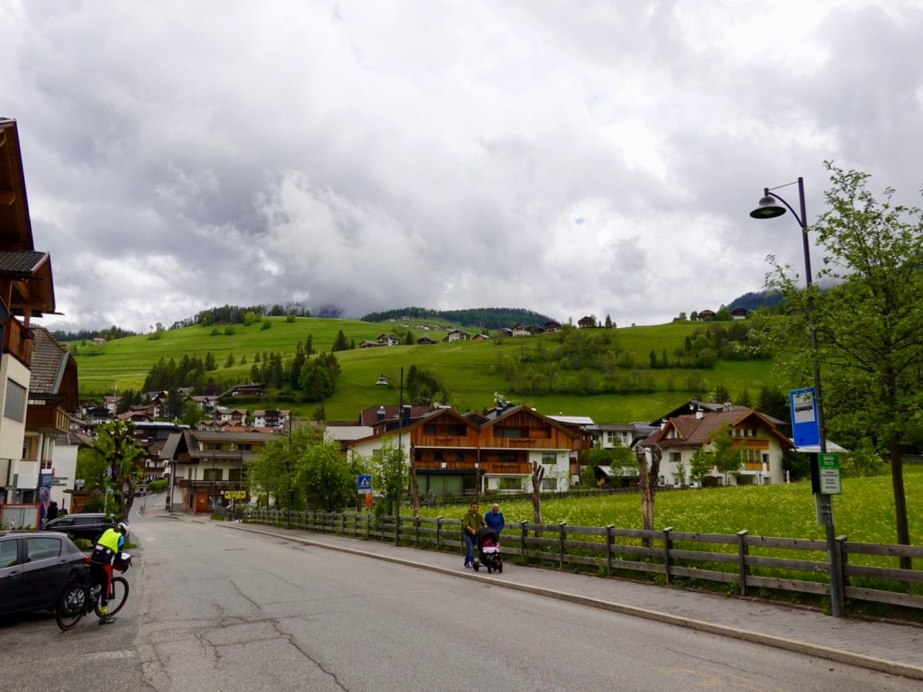
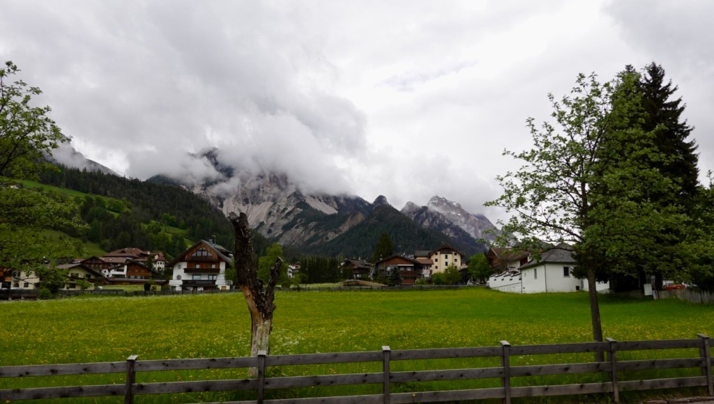
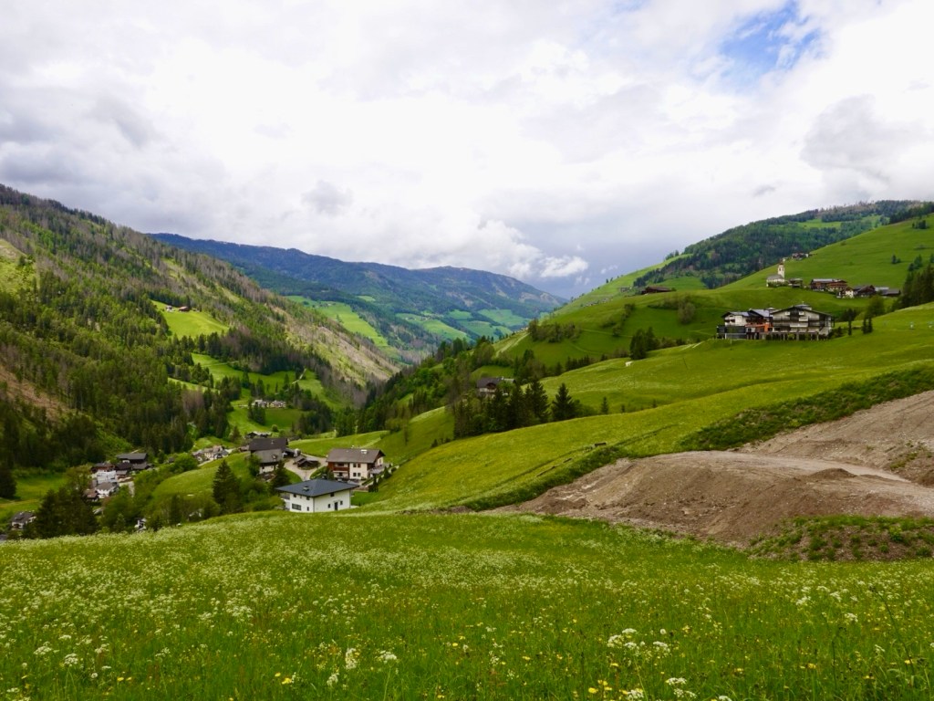
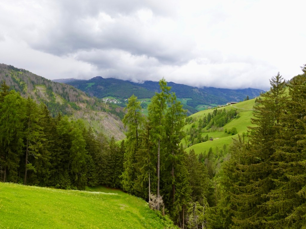
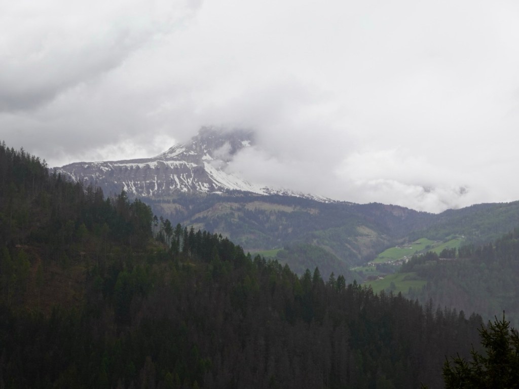
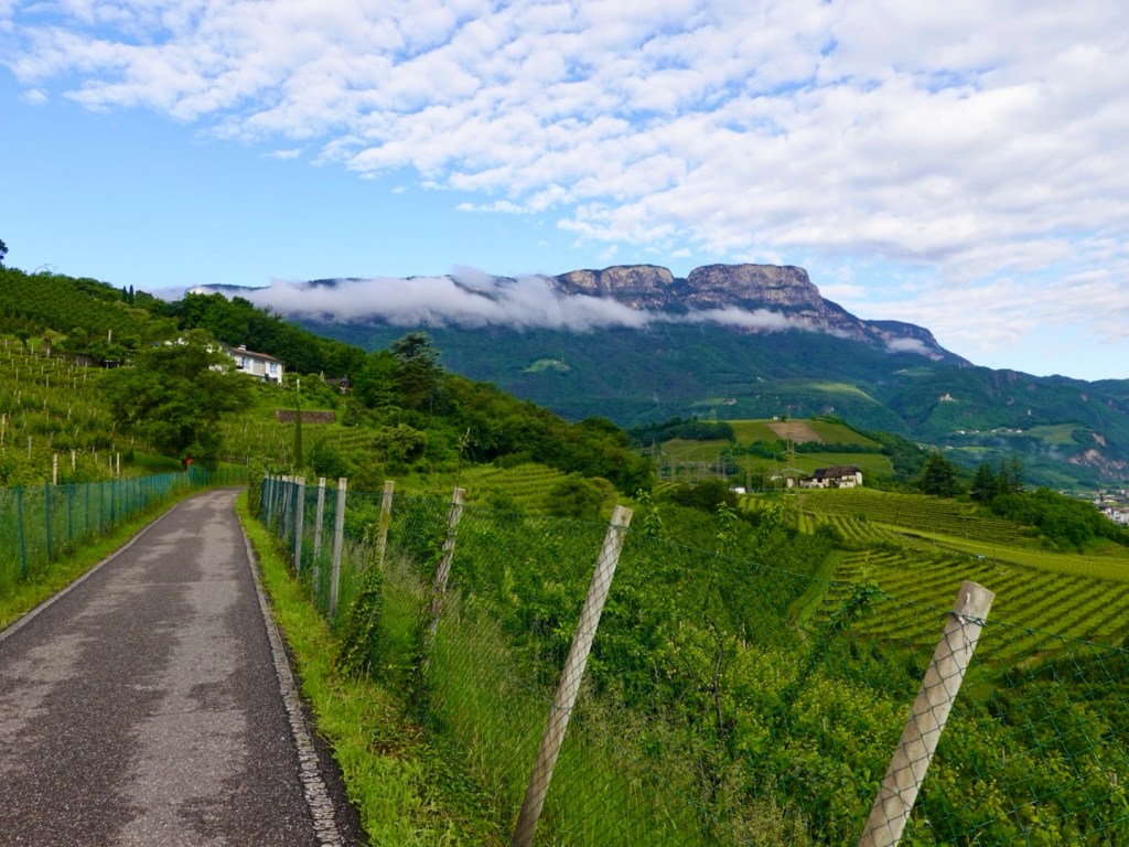
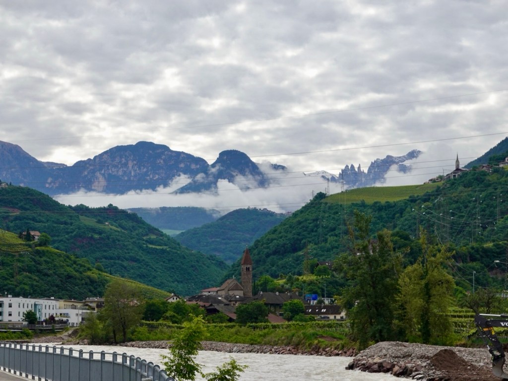
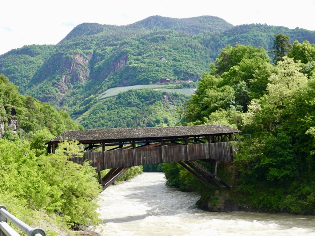
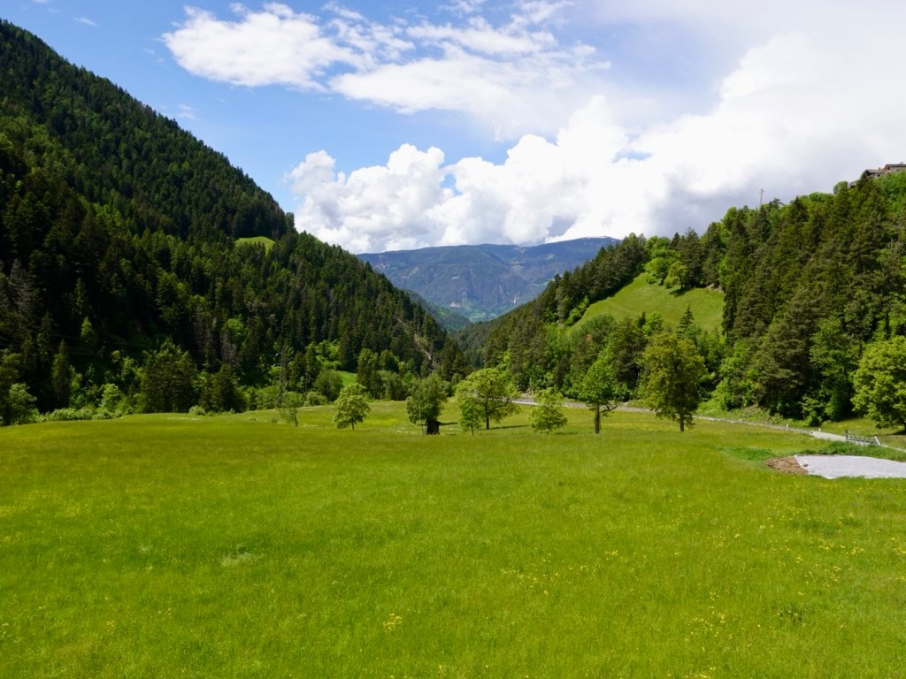
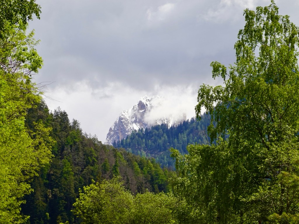
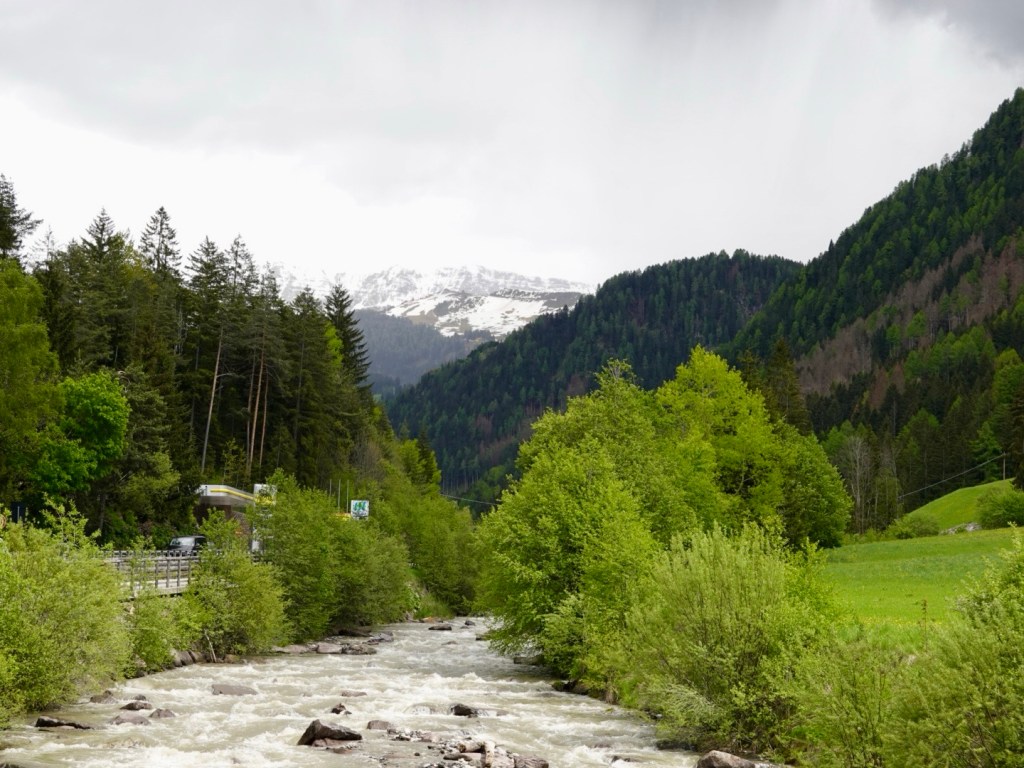
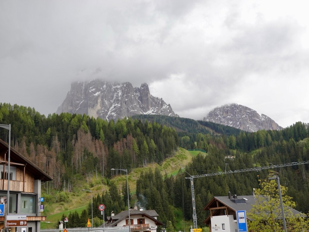
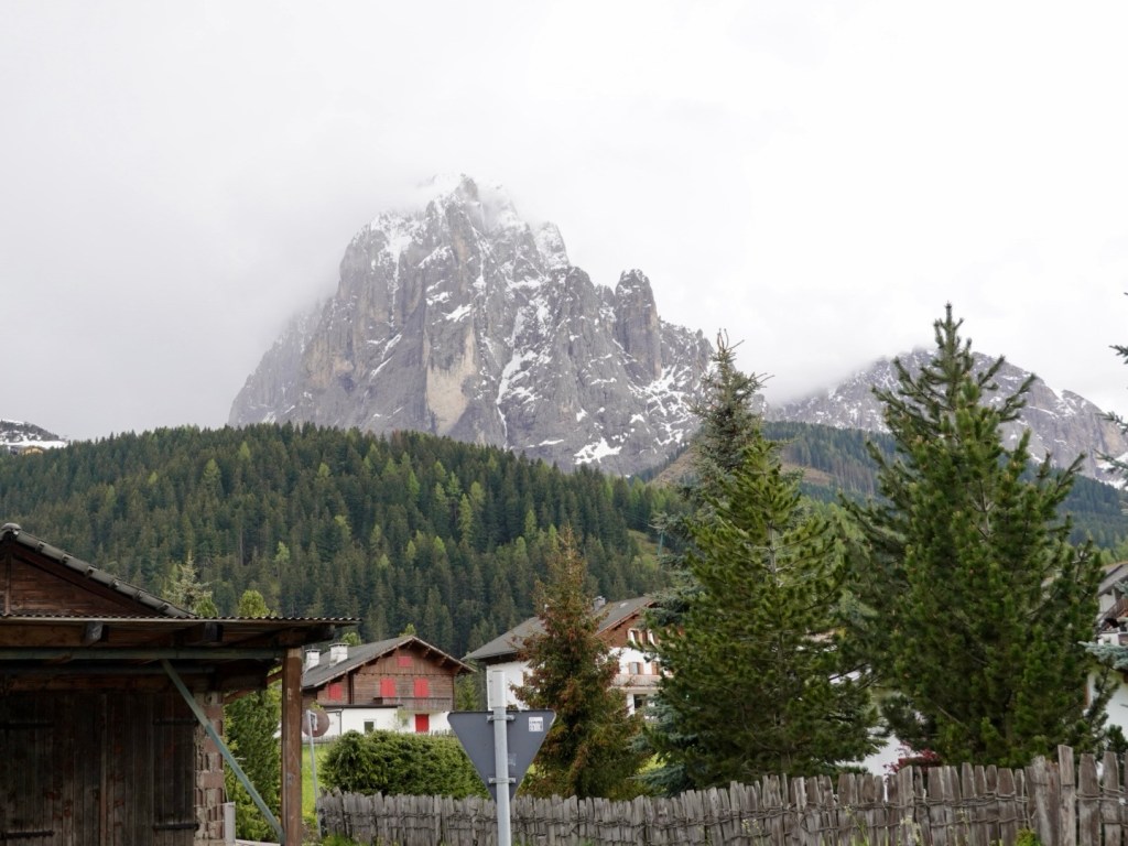
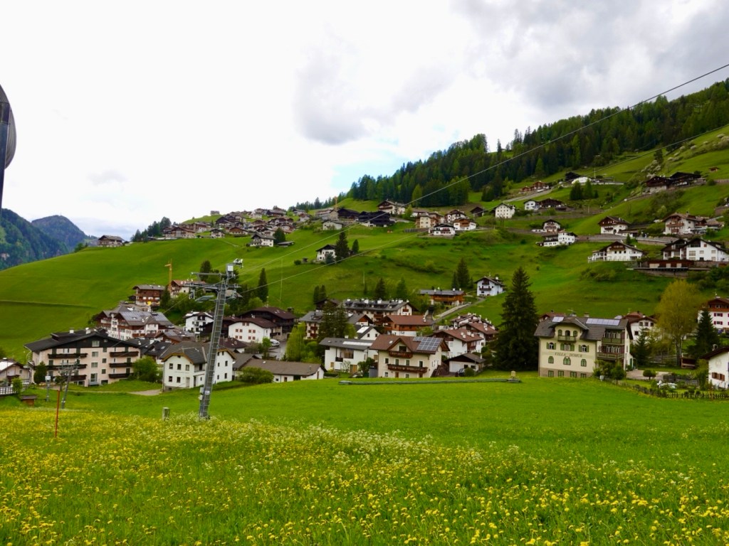
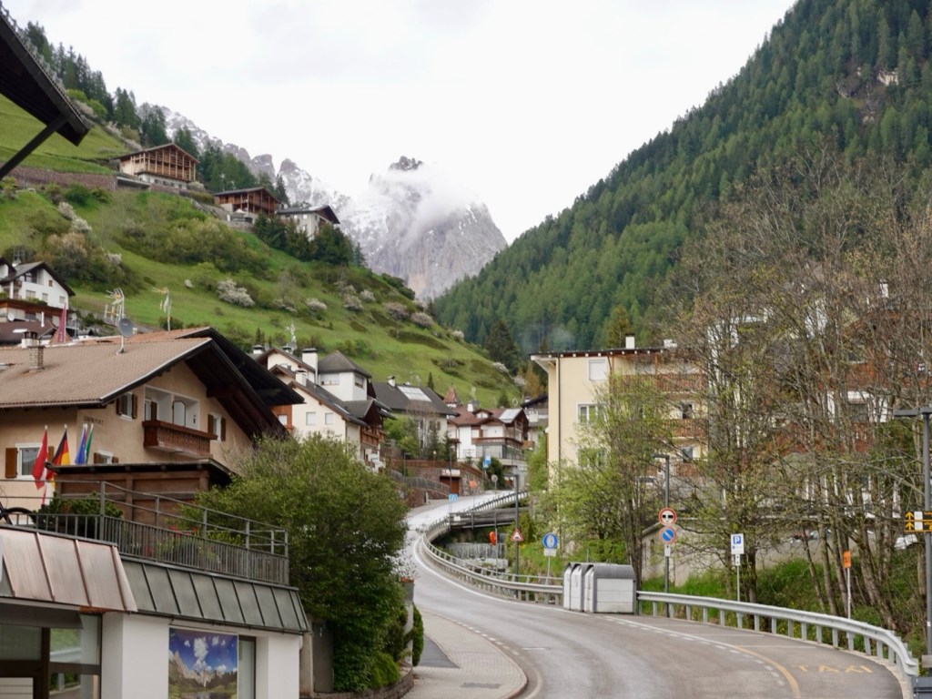
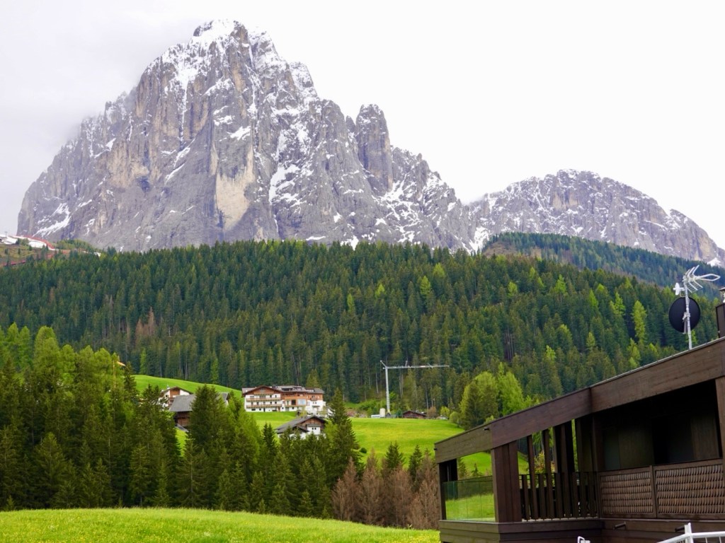
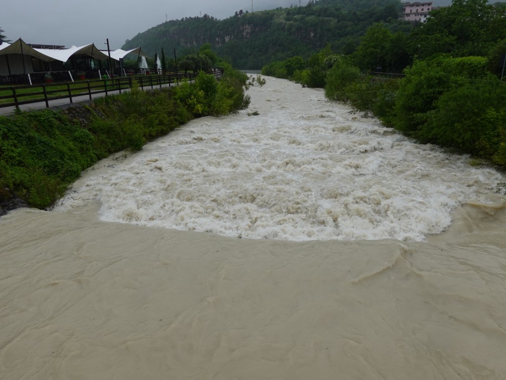
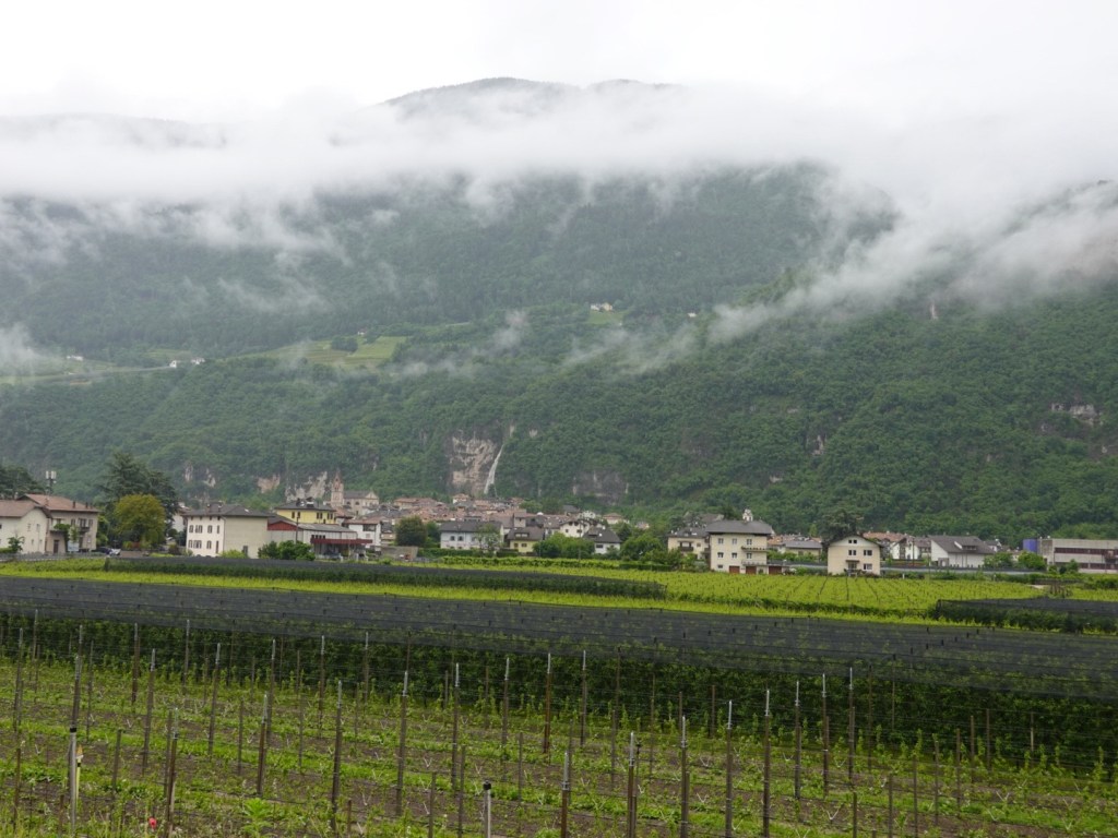
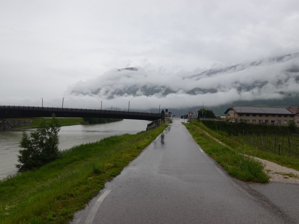
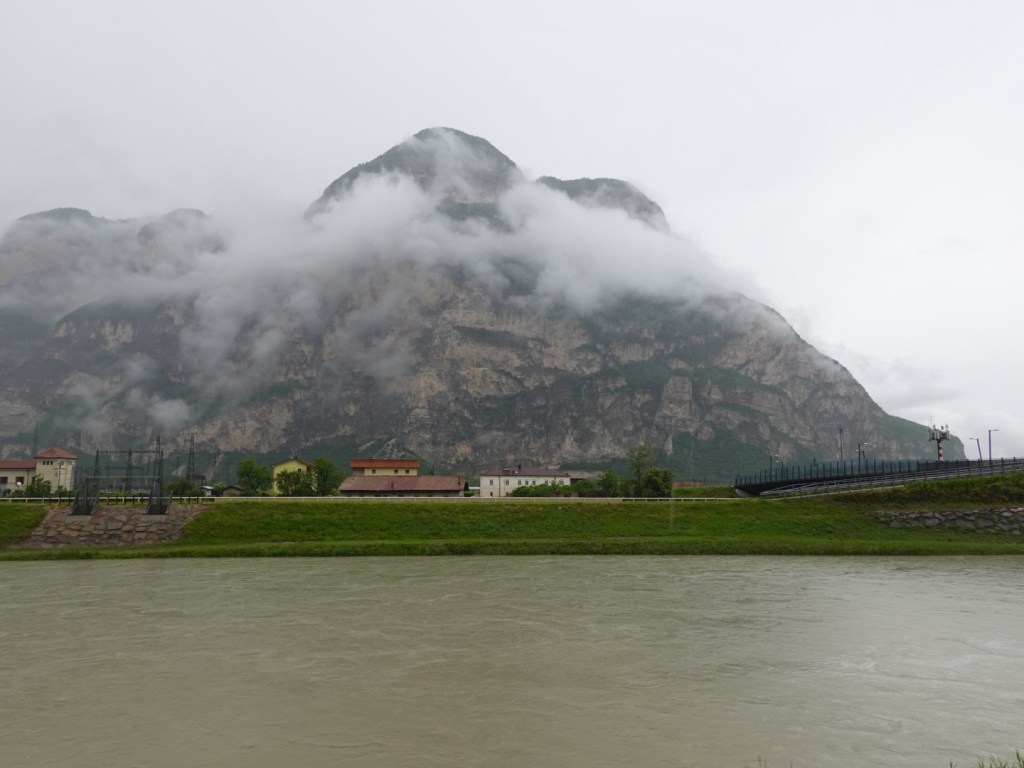
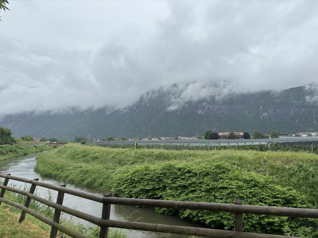
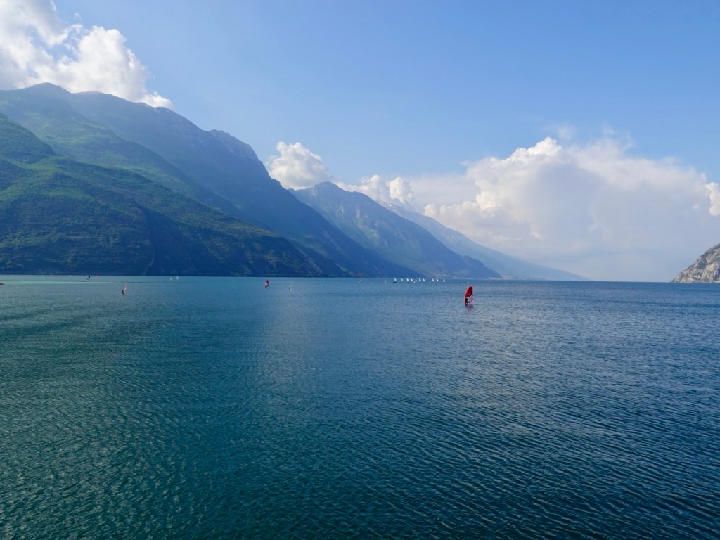
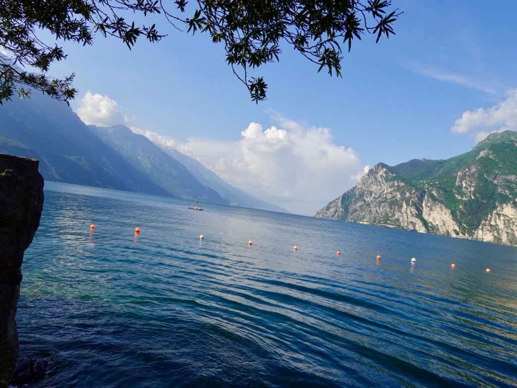
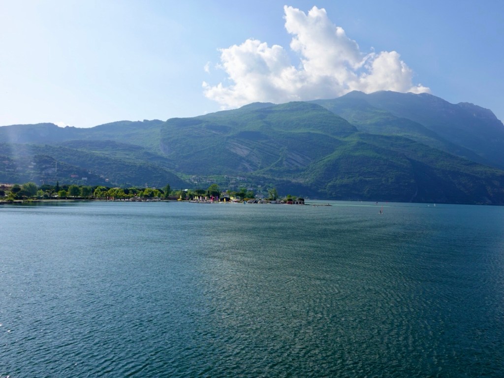
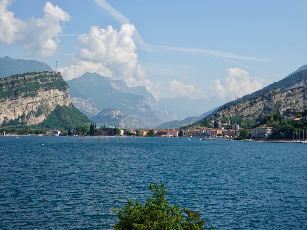
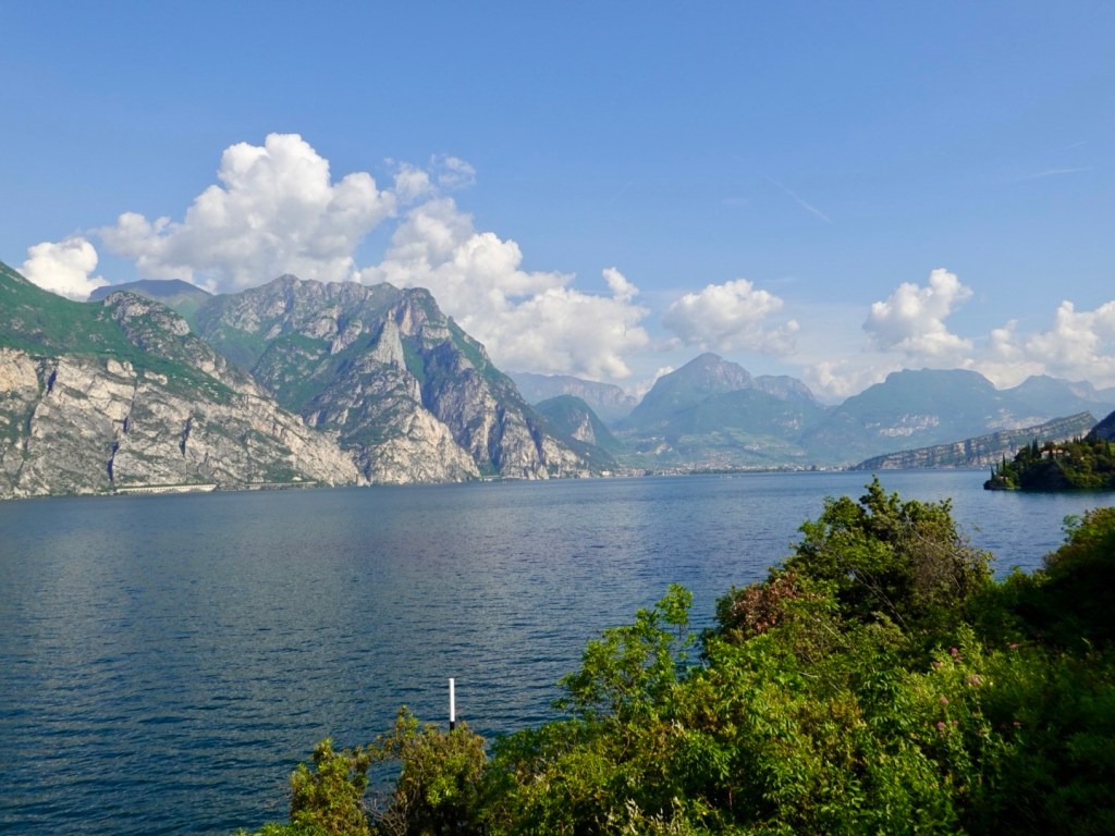
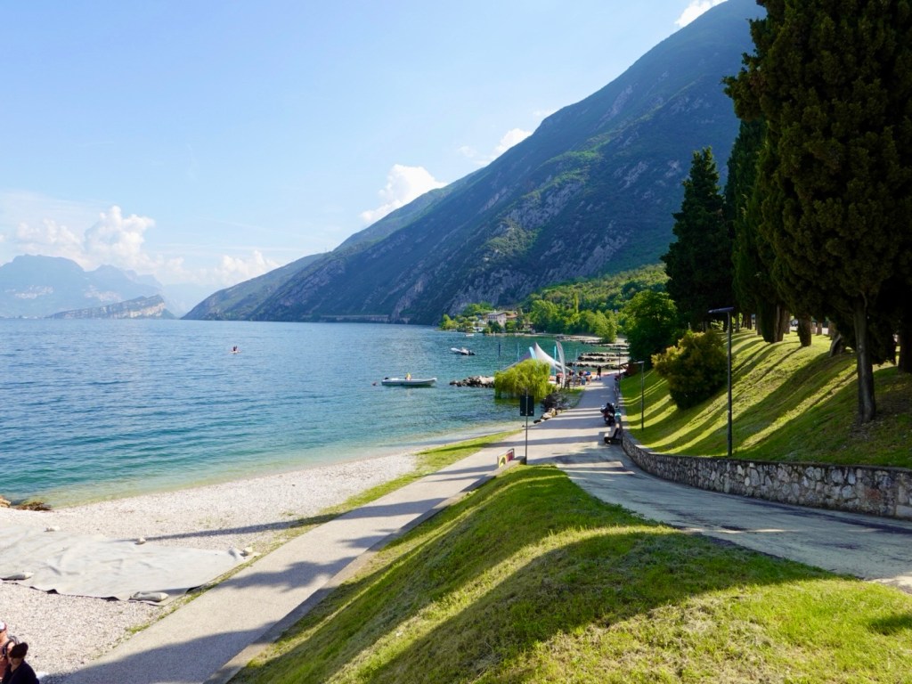
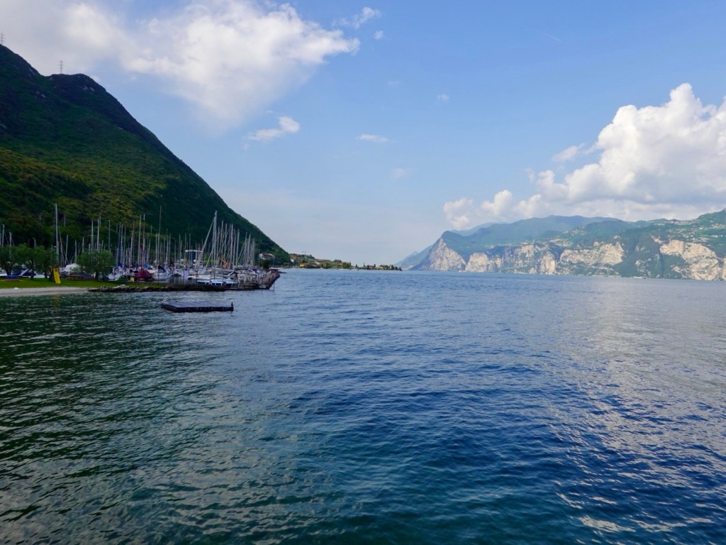
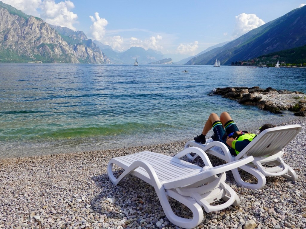
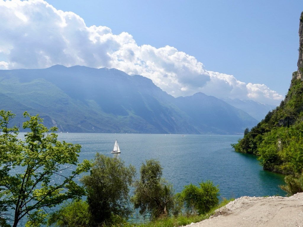
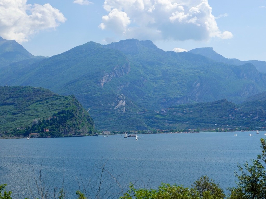
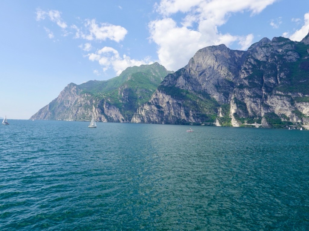
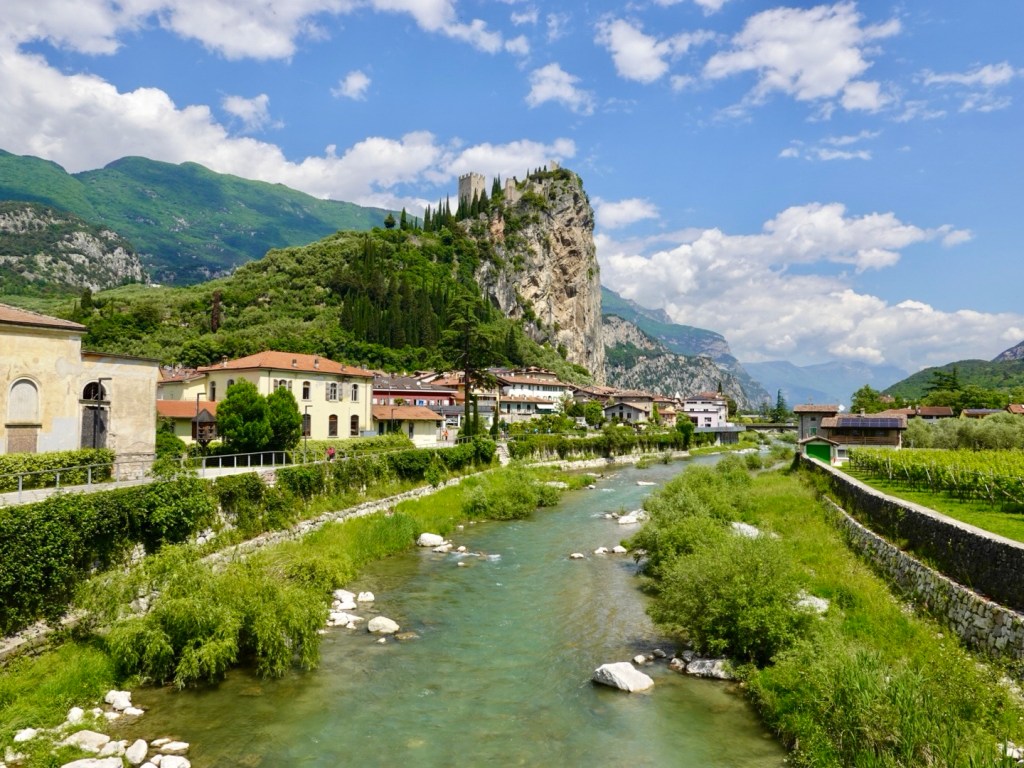
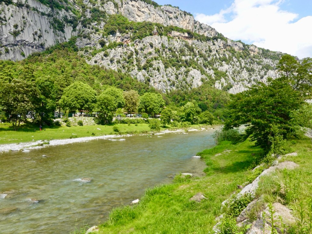
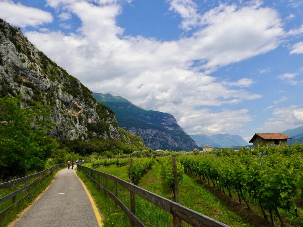
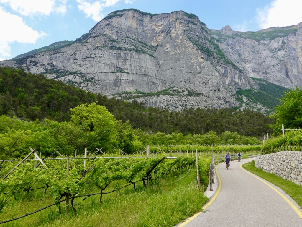
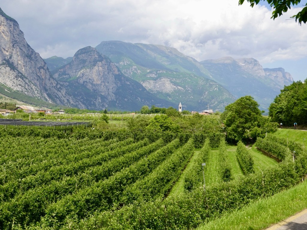
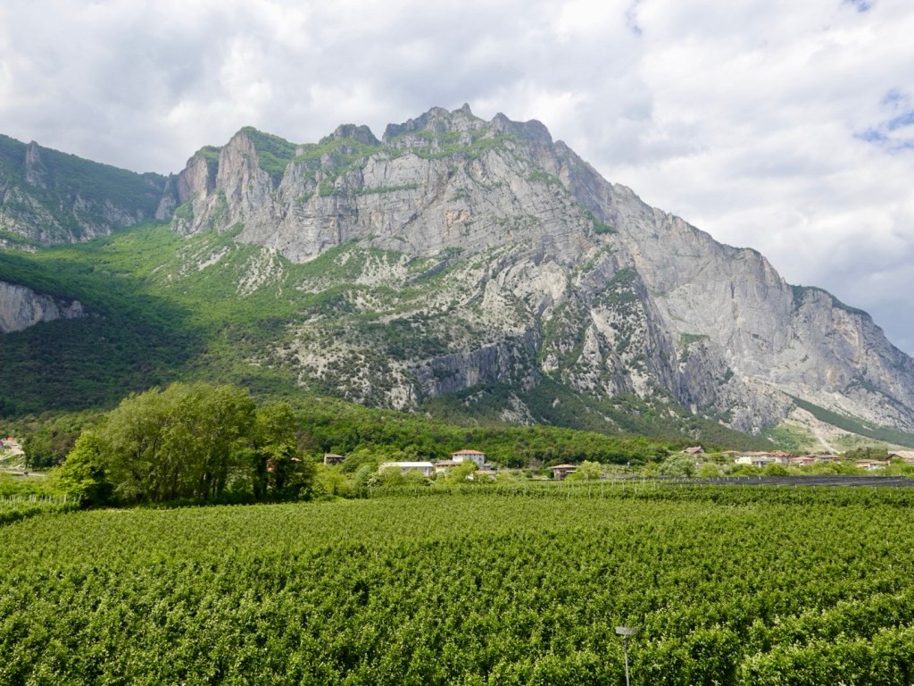
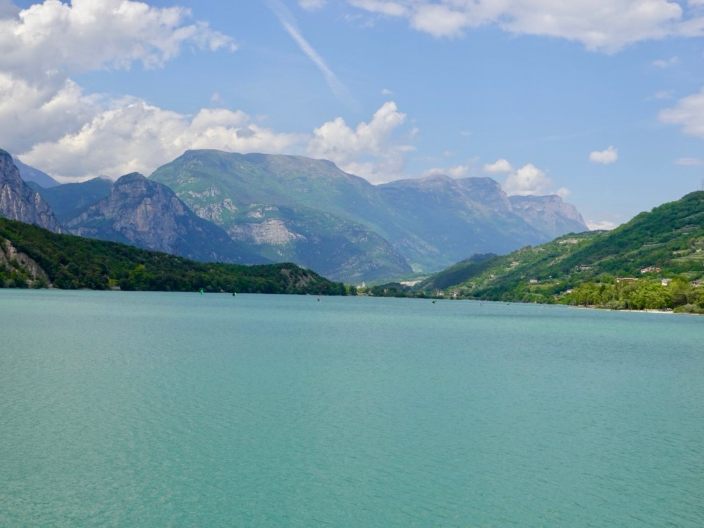
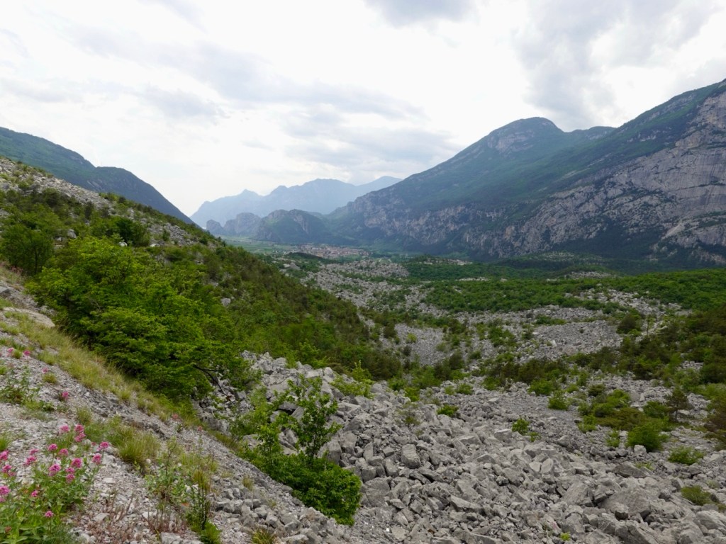
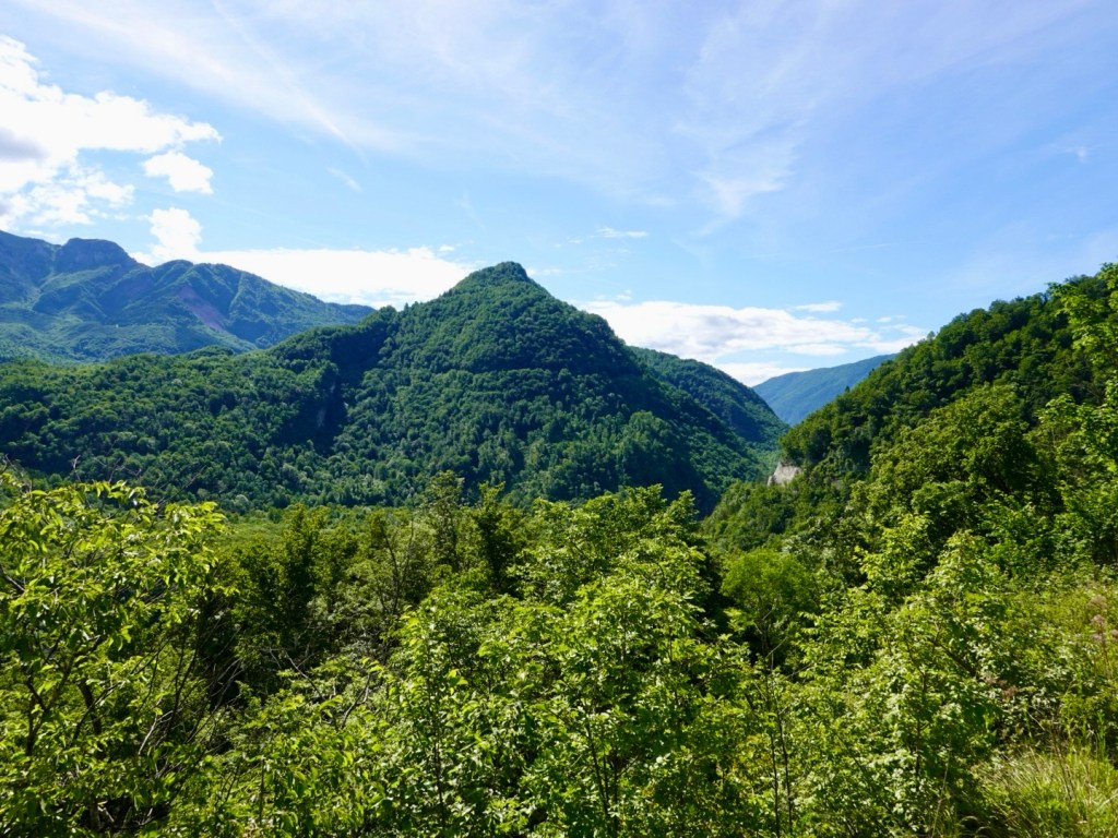
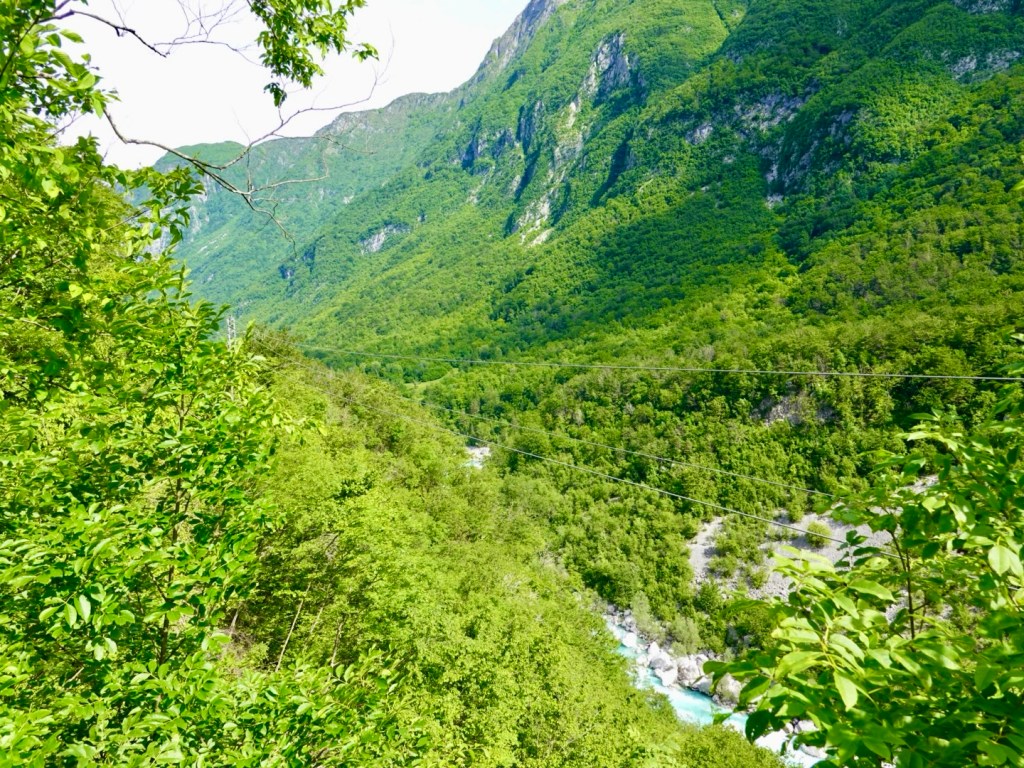
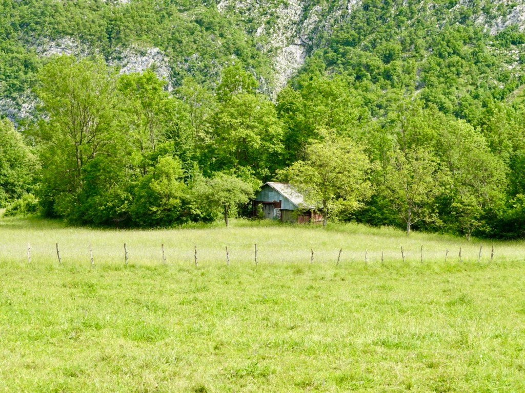
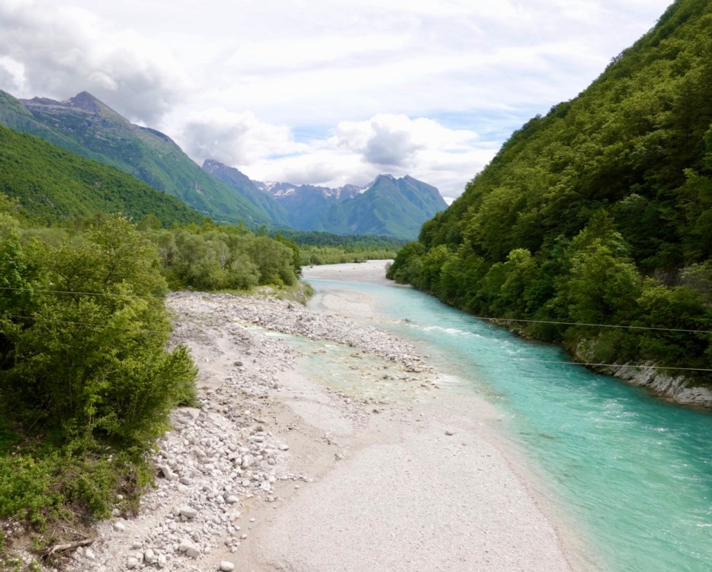
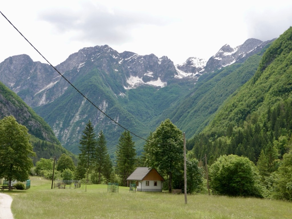
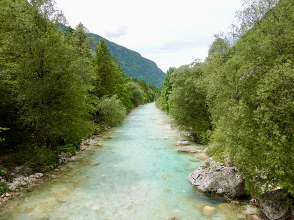
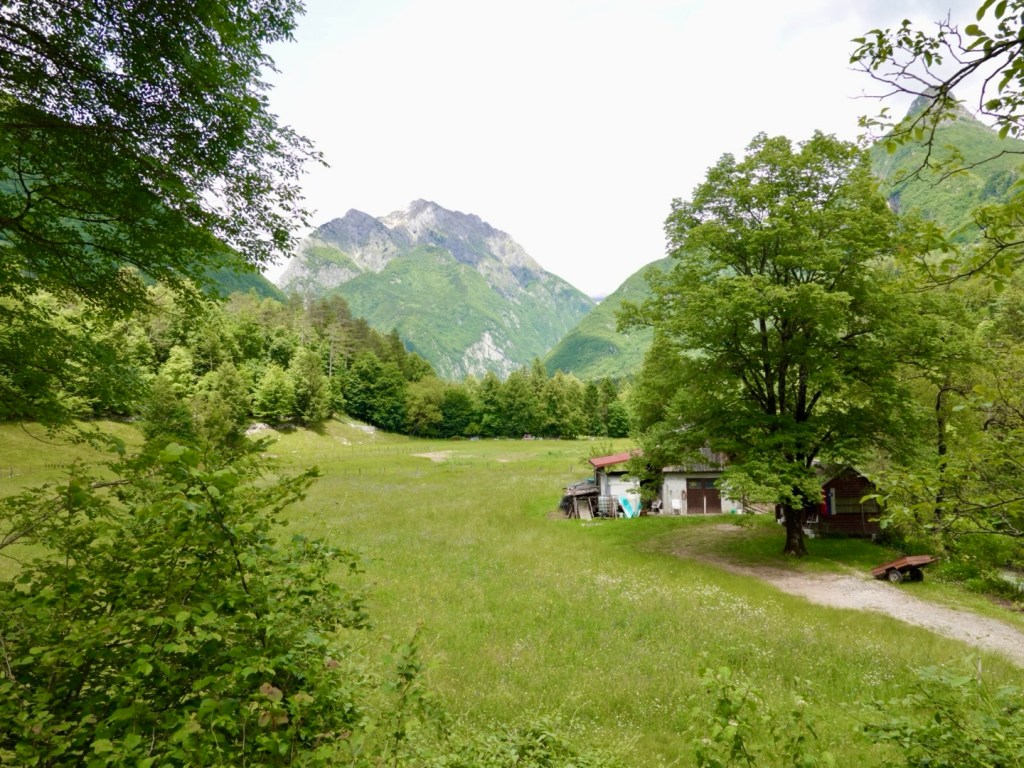
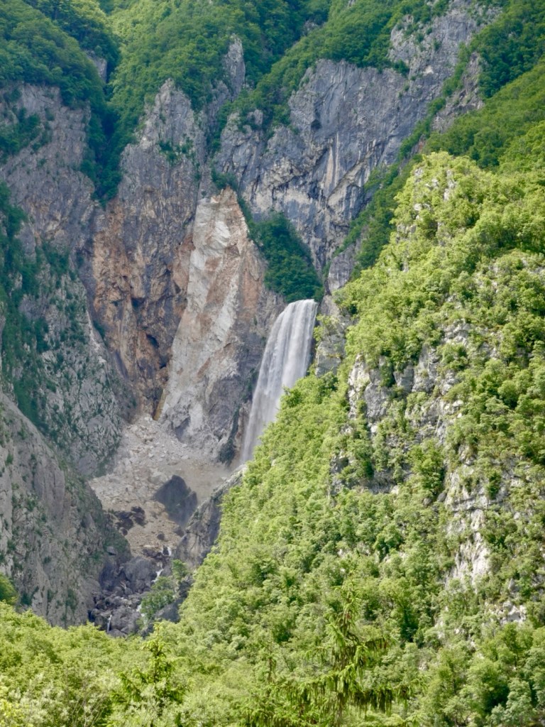
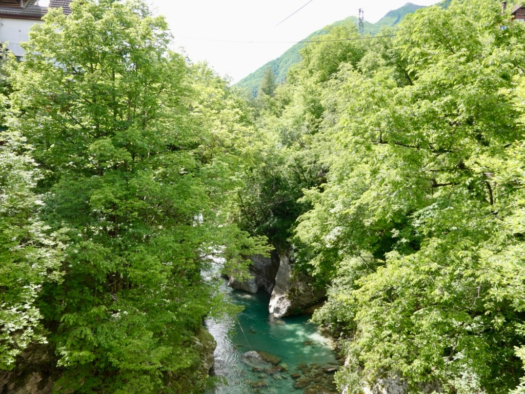
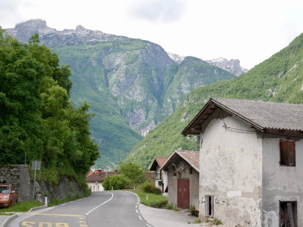
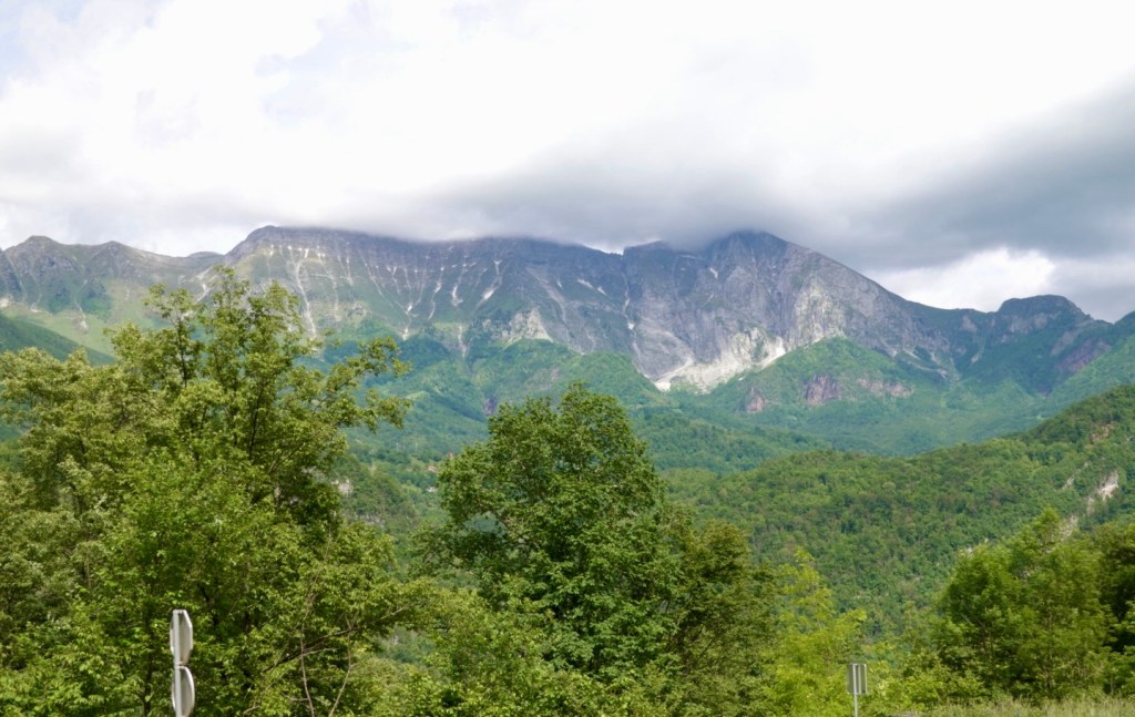
It was a lovely valley to ride through, up and down, but very comfortable climbs. We were riding at a super chilled pace, stopping frequently to watch the goings on in the valley and river.

Near the top of one of the climbs
The road was excellent, but quite busy at times. Many trucks and motor cyclists, as well as vans carrying canoes and rubber duckies.
Local hero memorialised
You do not tire of looking at the beautiful Soci river

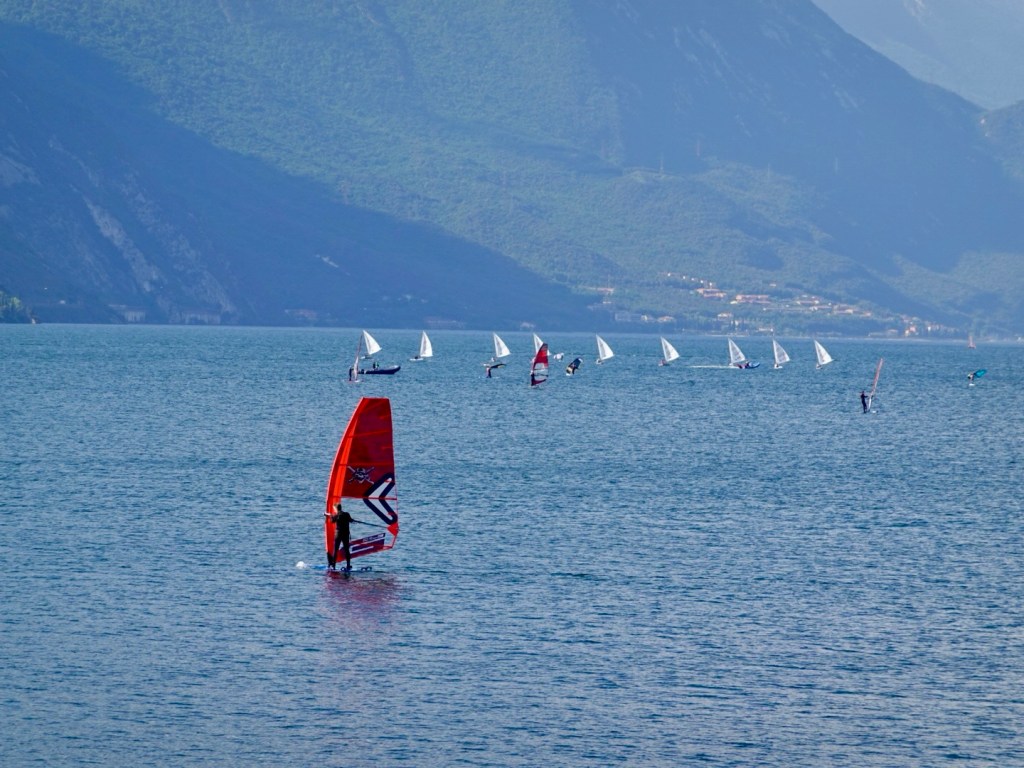
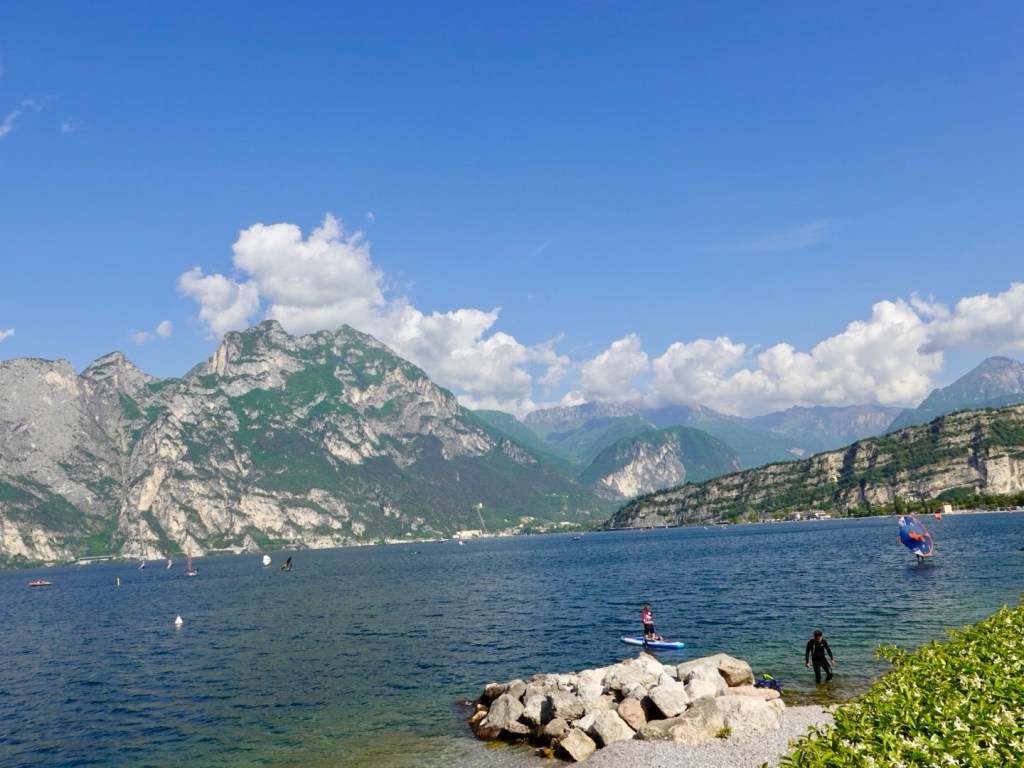
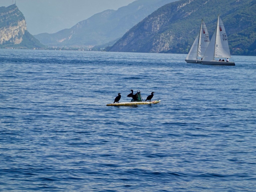
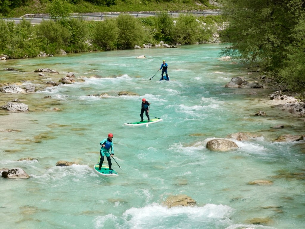
Stand up paddle boarders. The guy in red is waving at us, and was super chilled, spinning around to go backwards whilst he watched his charges.

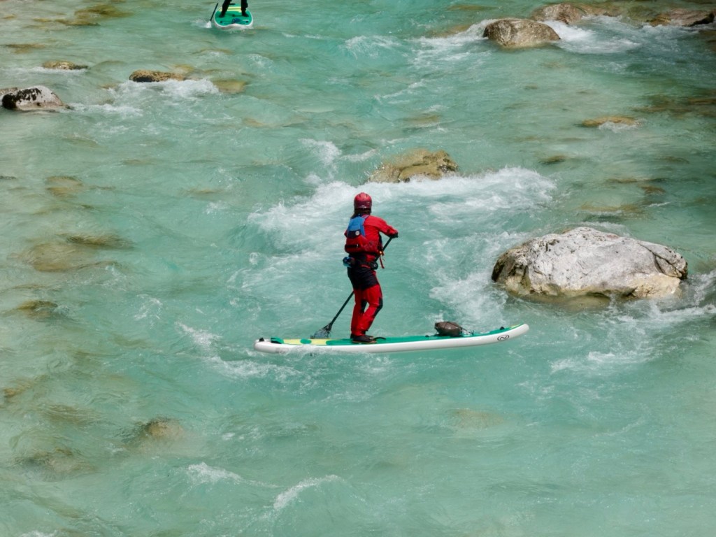
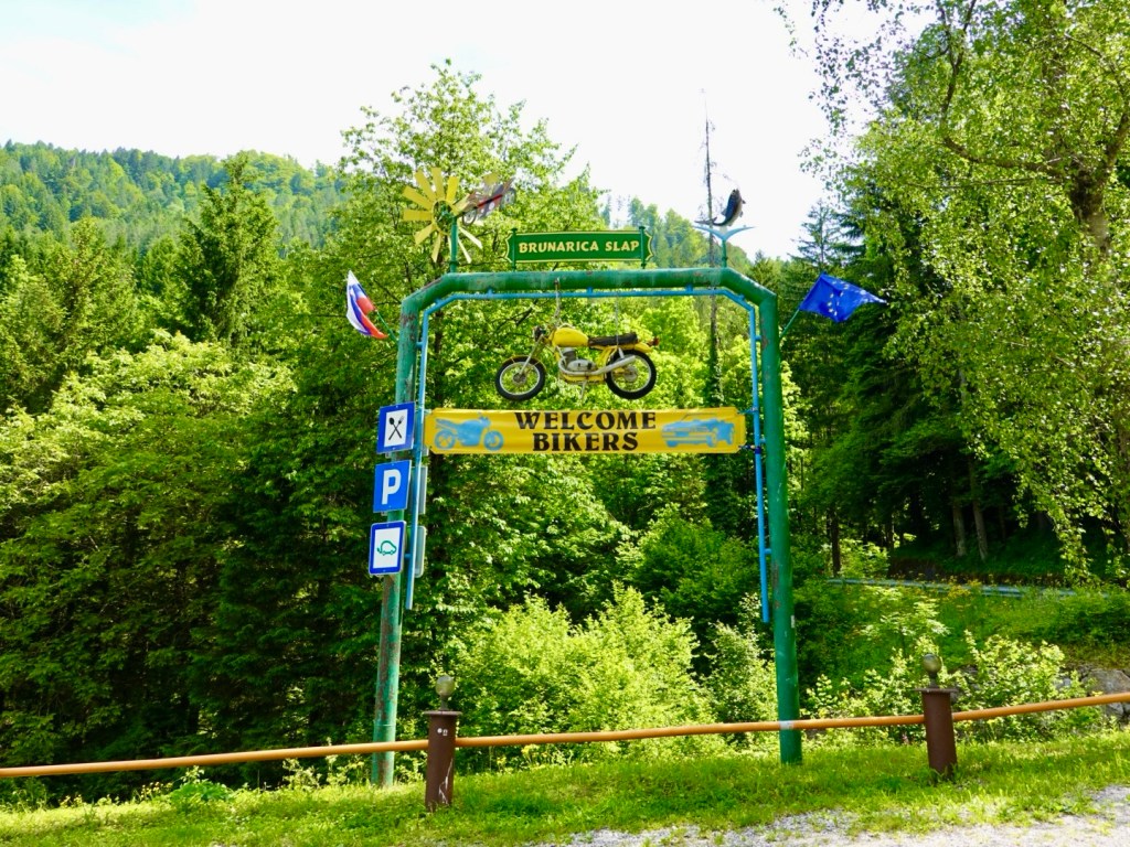
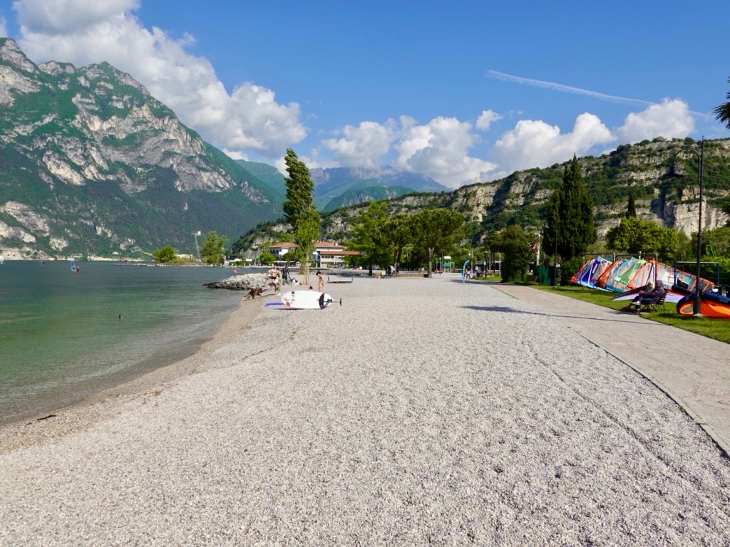
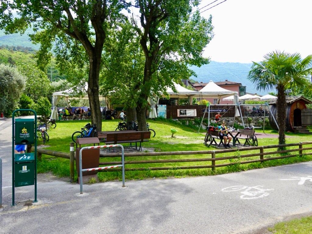
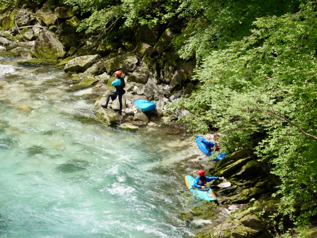
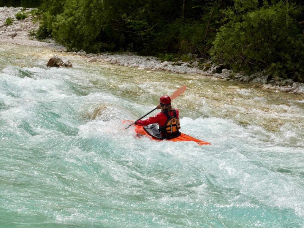
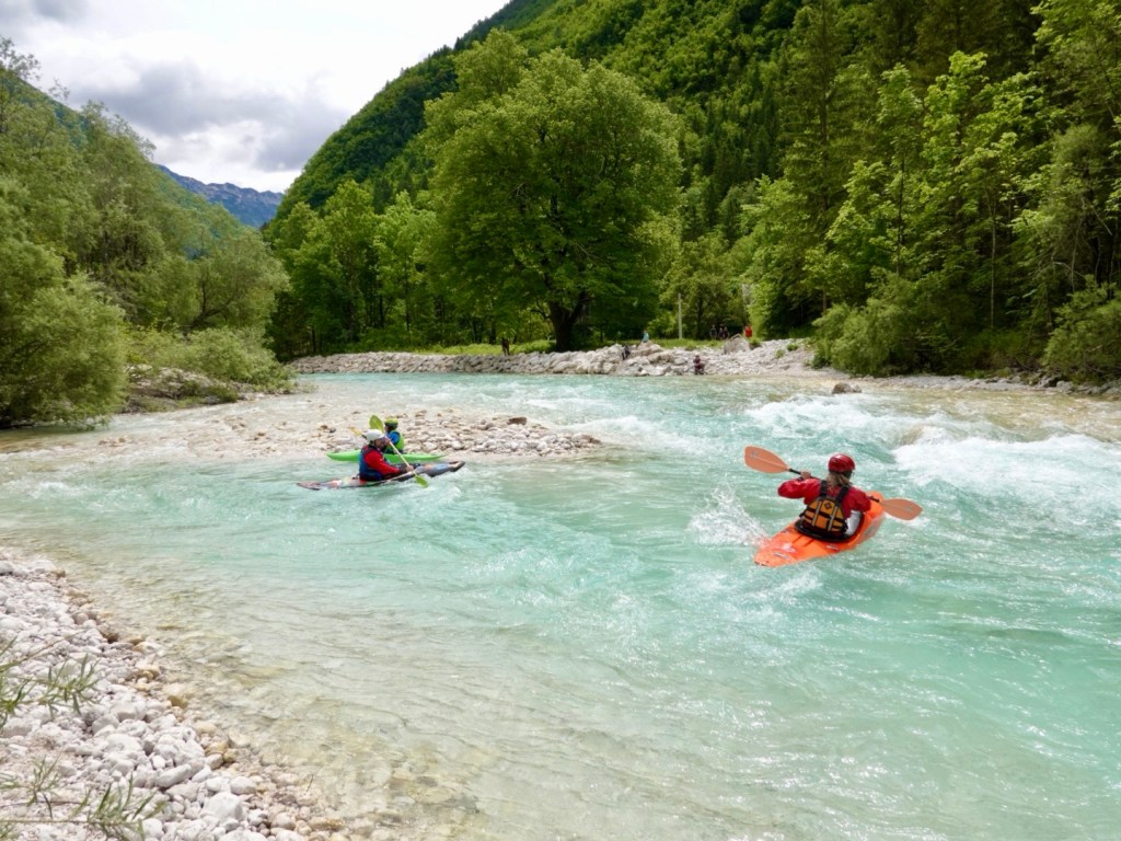
Canoeing and kayaking was super popular, with many vehicles carrying watercraft passing us, and many towns and villages with signs promoting their local businesses for the same.

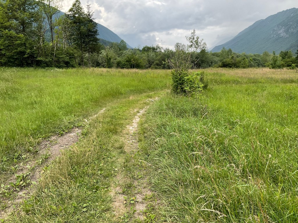
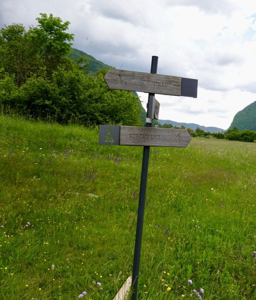
Bushwalking is another popular activity, with trails around the river and valleys.

Quite a deep gorge here, I got vertigo looking at the lady on the other side.

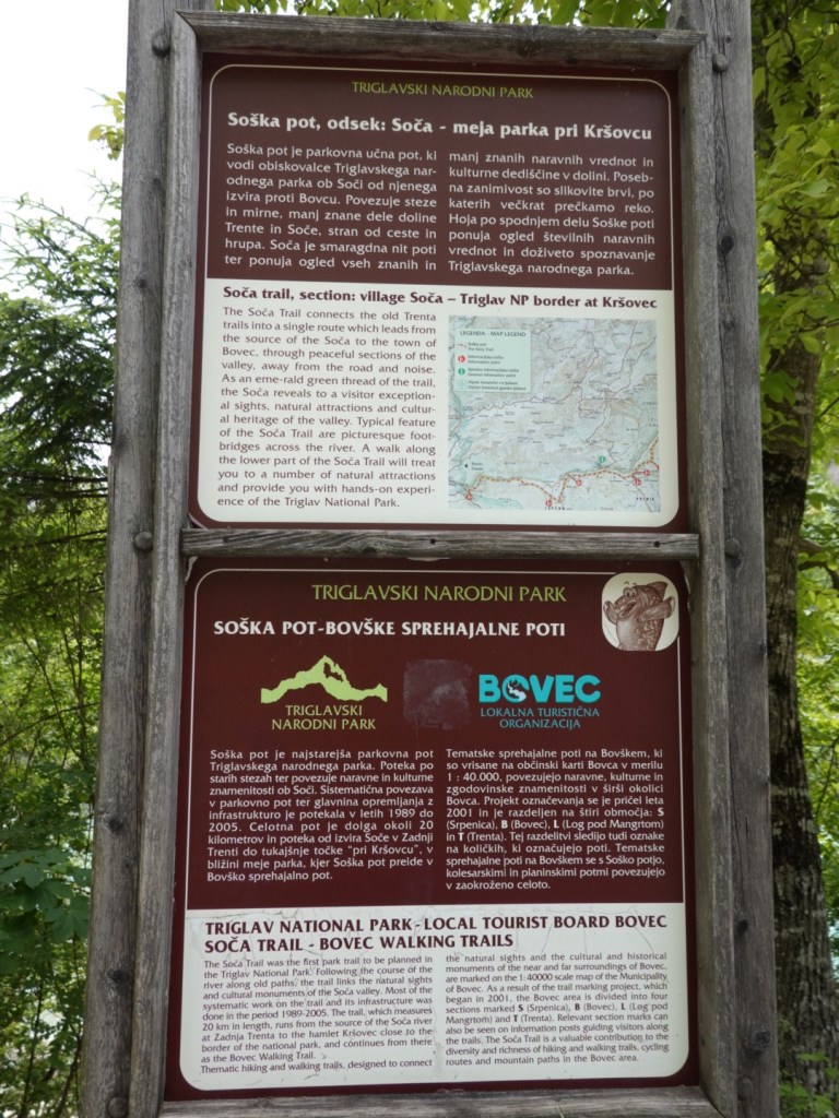
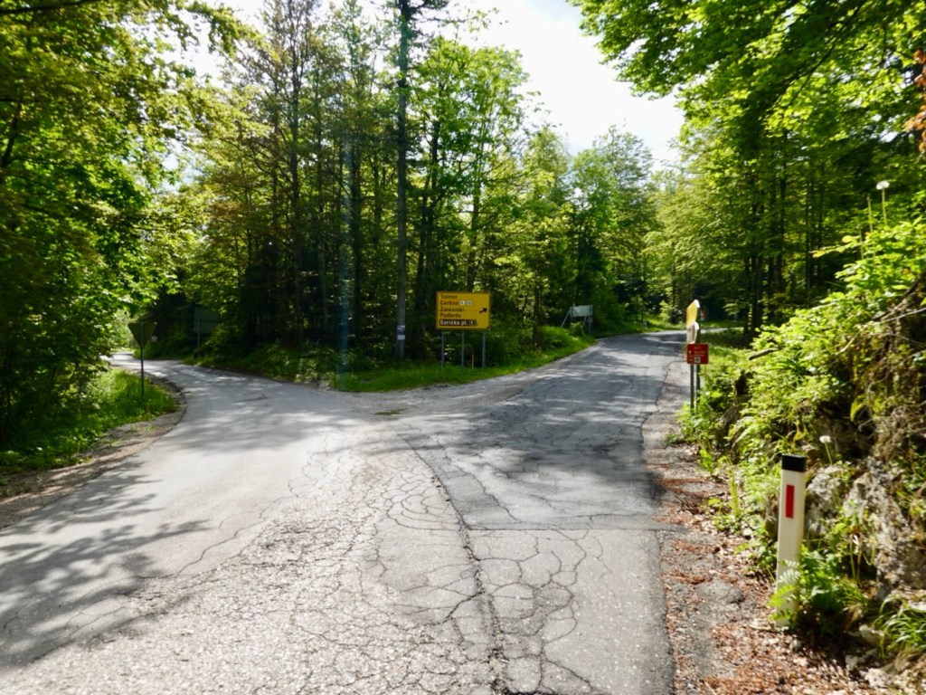
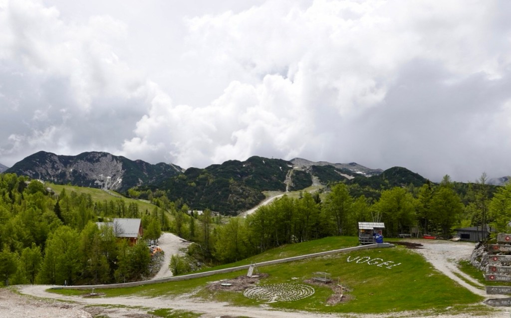
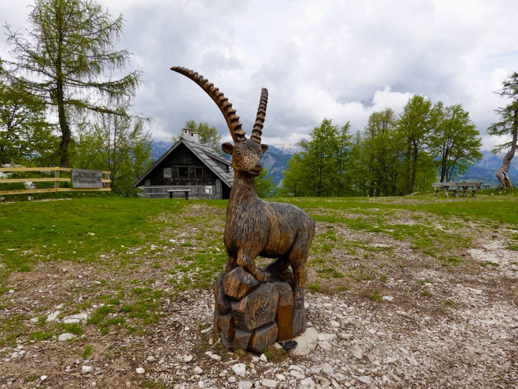
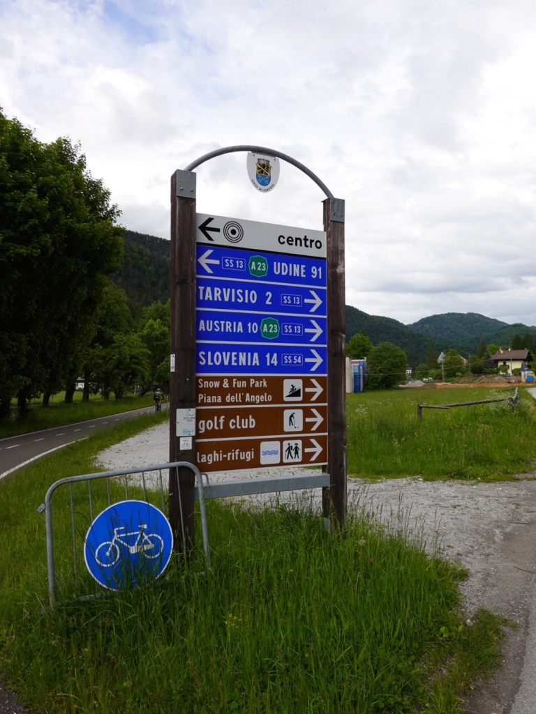
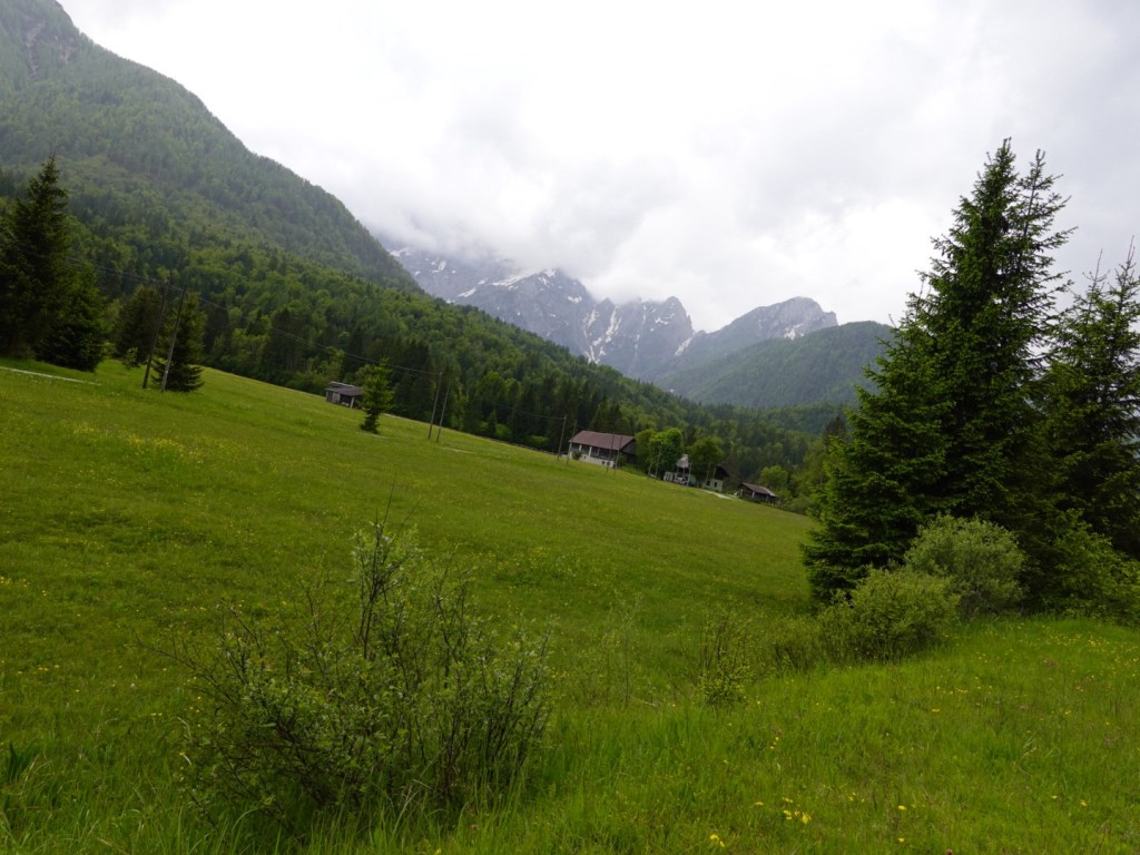
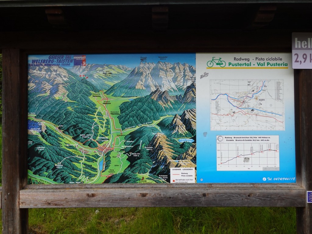
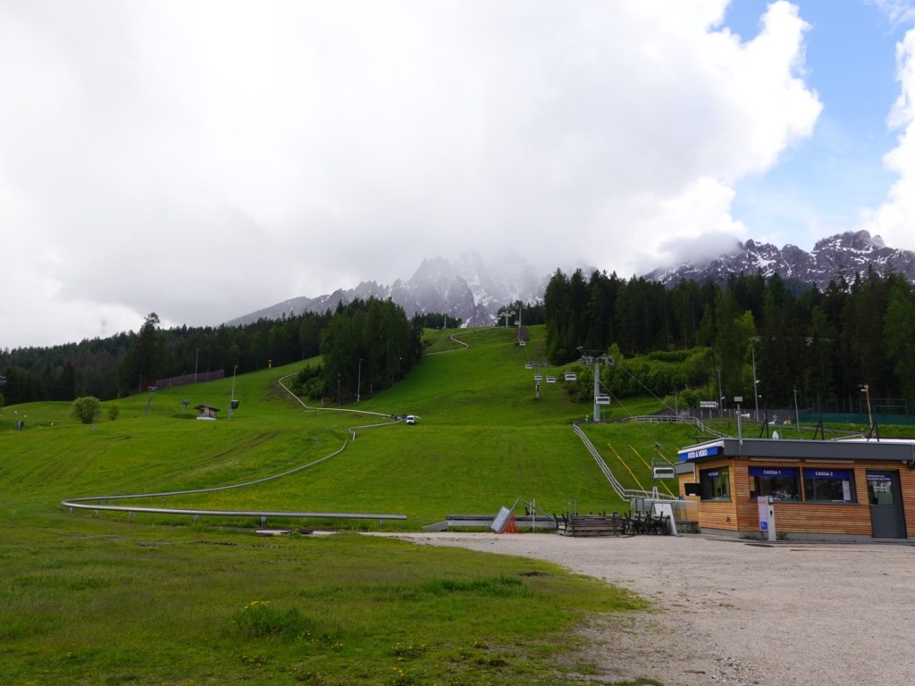
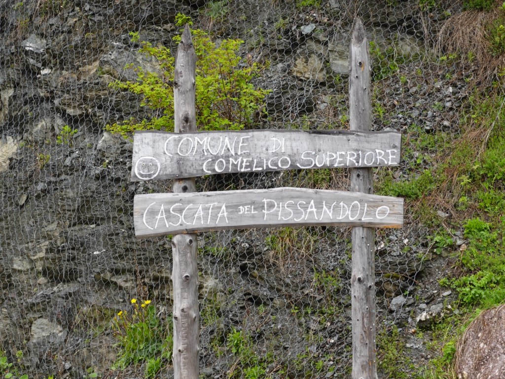
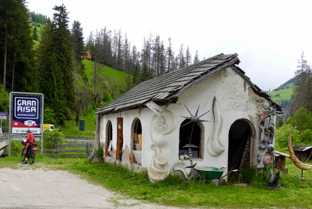
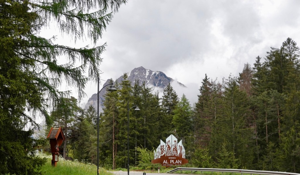
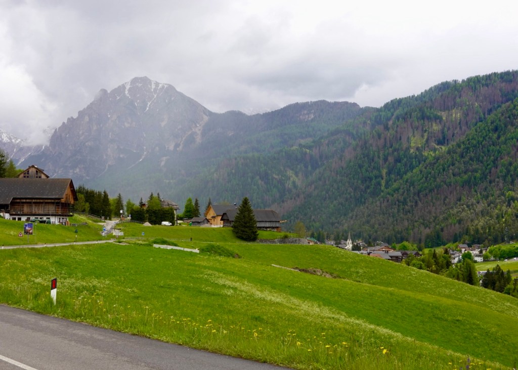
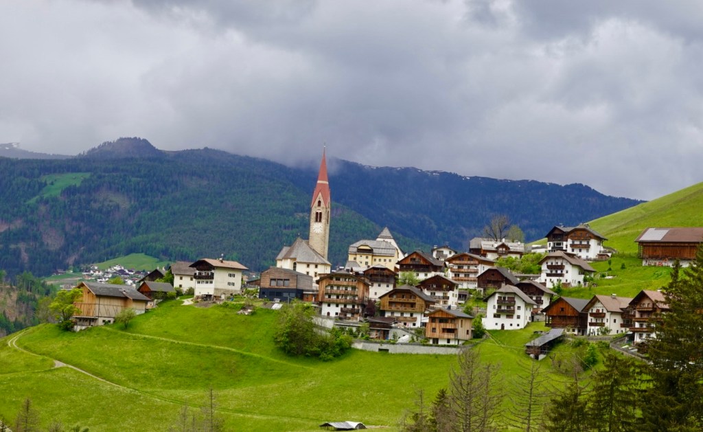
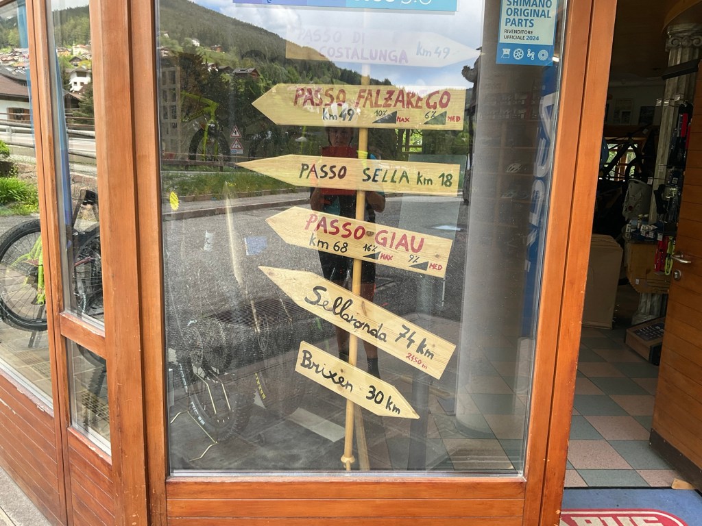
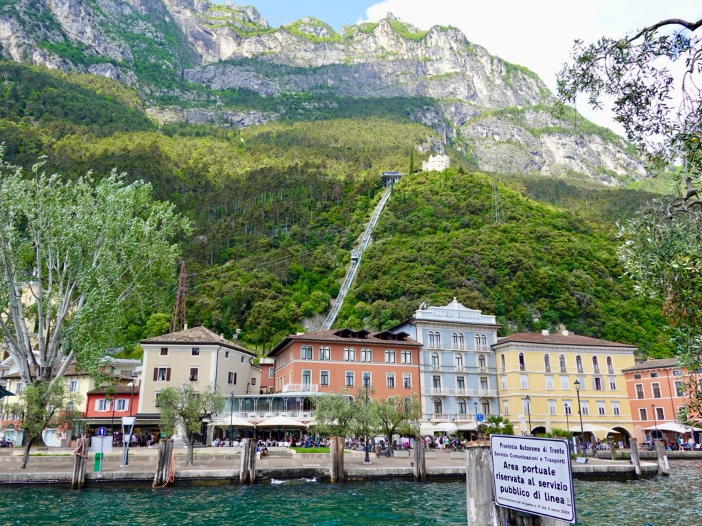
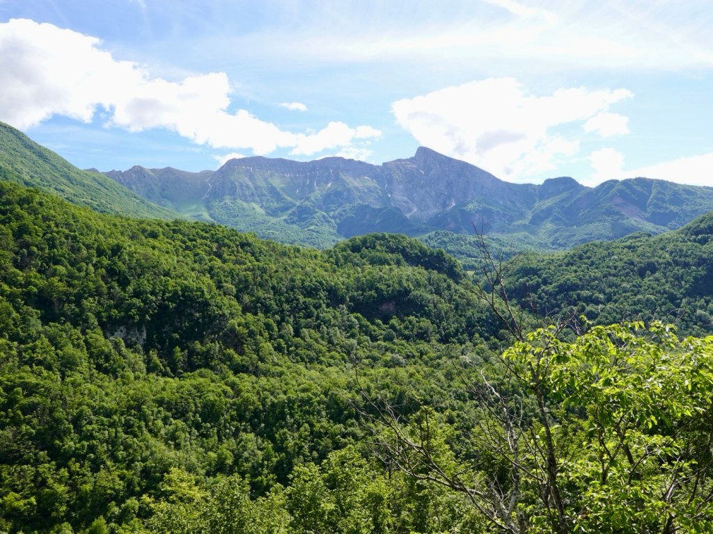
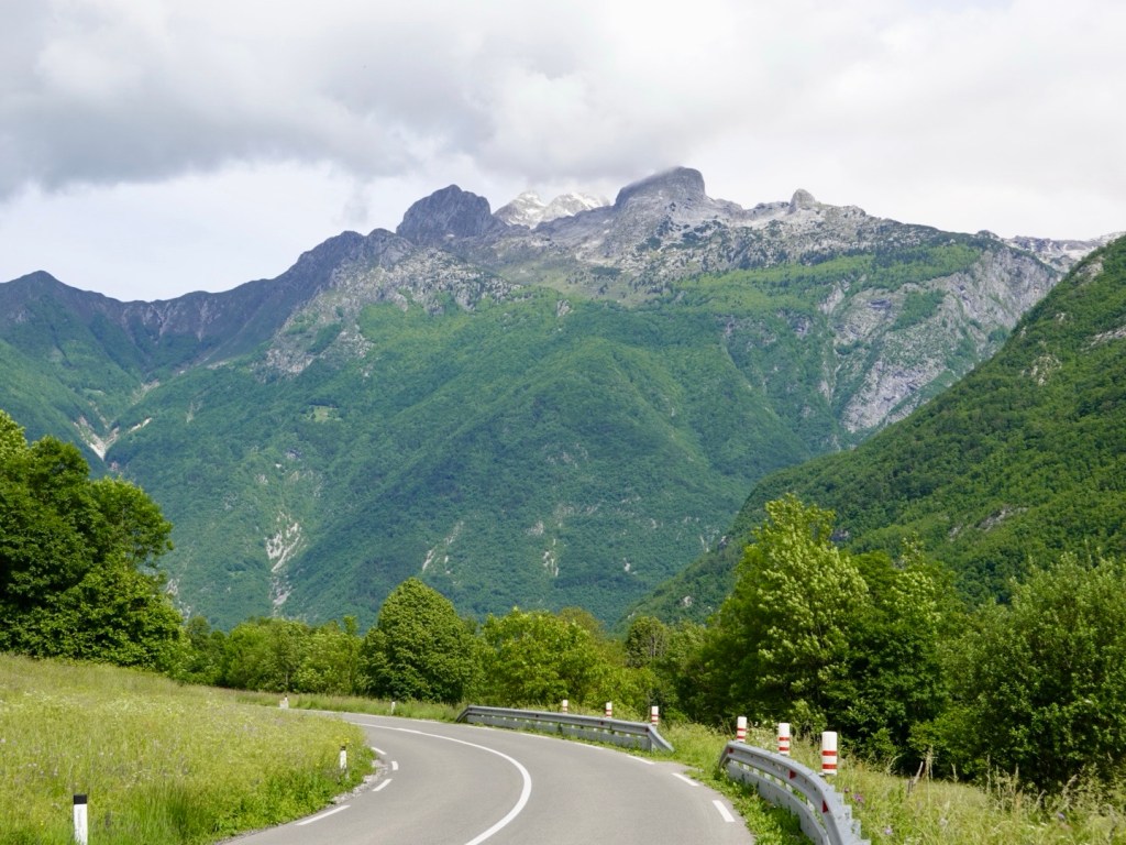
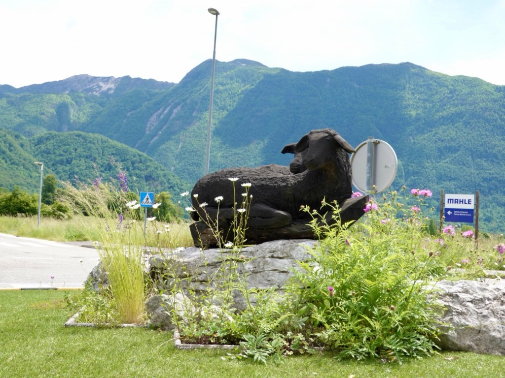
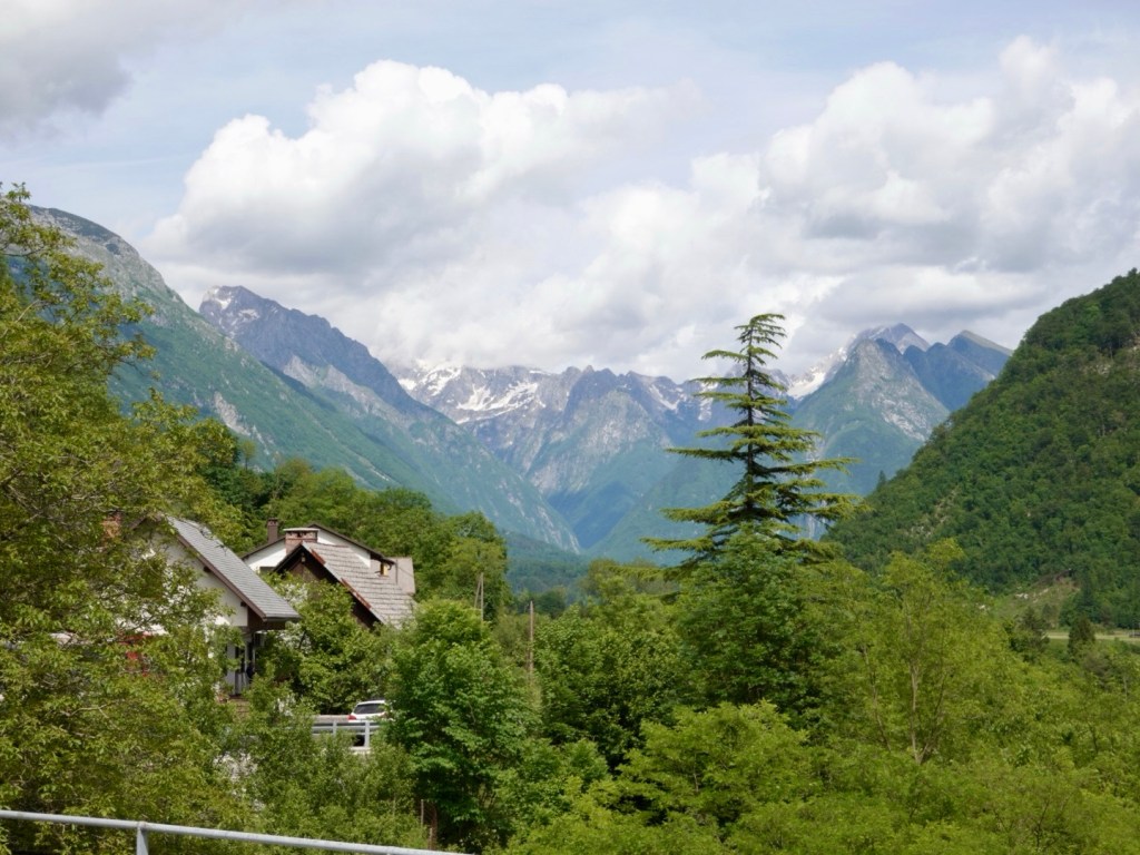
Our plan was to ride to Bovec, the adventure centre of the valley, but we continued on up the valley to the village of Soca.

Just beautiful
Calmer river

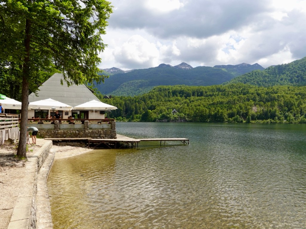
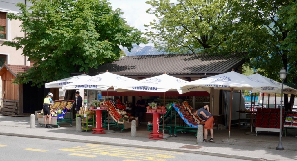
At Soca there is one little bar/shop where they have nothing to eat but you can buy from their little grocery store and eat that outside. Most seem to stop for a beer or coffee. cash needed as their eftpos stopped working some time ago…

This guy was at that stop.

We met a lovely German couple at Soca who had arrived by car, but are also into cycle touring, and wanted to talk about bike set ups with luggage.

Sabina and Tobias have done some awesome cycling adventures including the Black Sea route to Istanbul. We recently followed a USA couple who did that route and followed their video blog. Always lovely to talk to like minded people who ‘get’ why you do what you do.

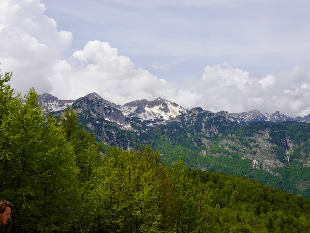
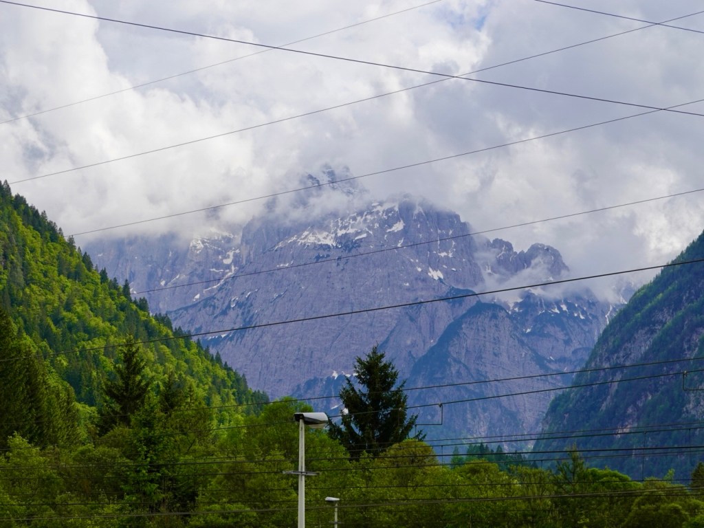
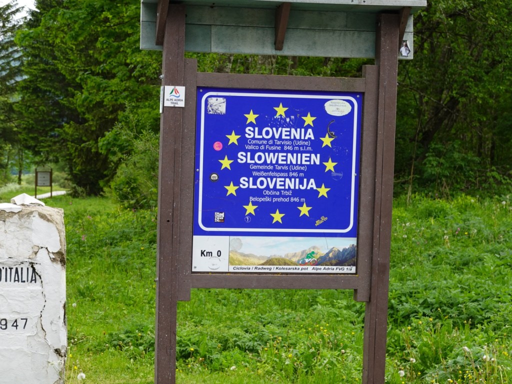
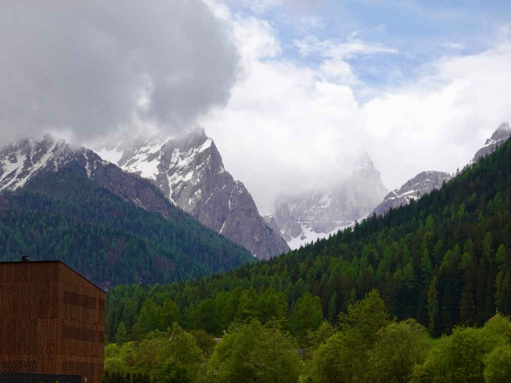
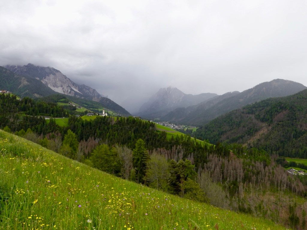
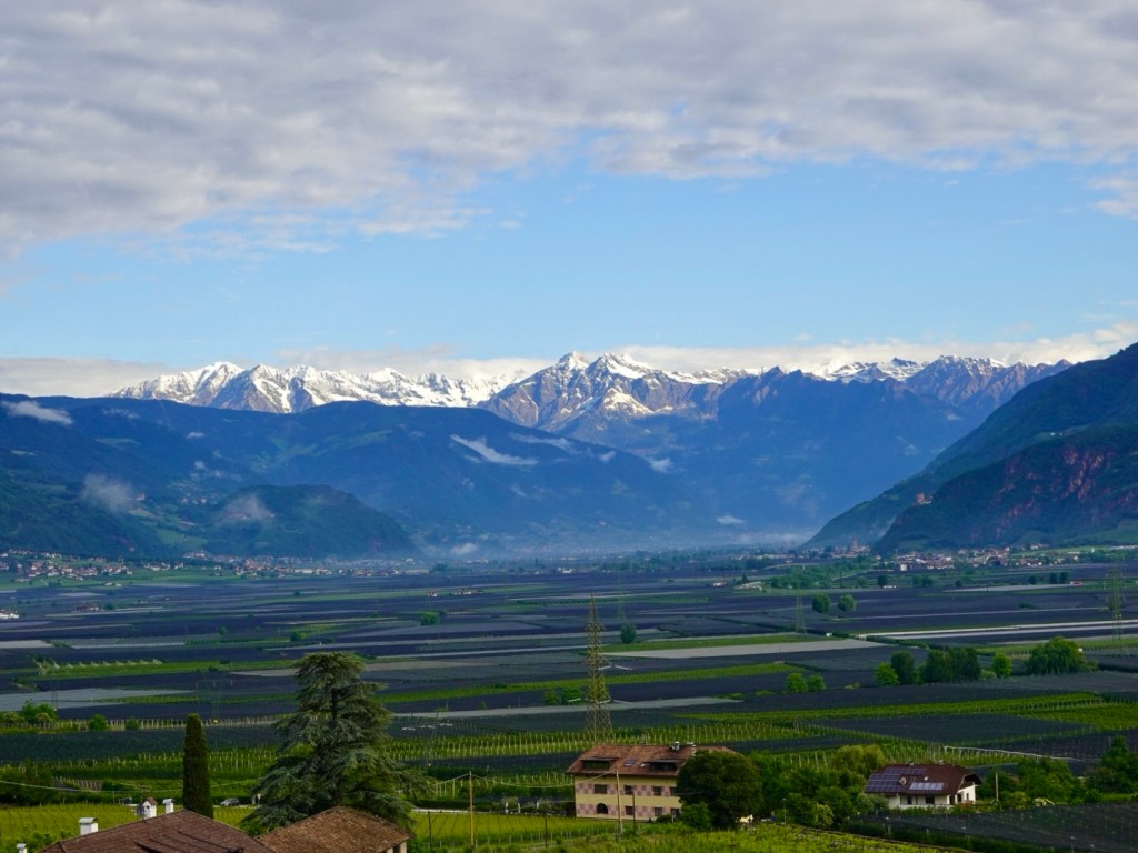
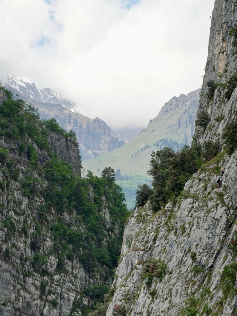
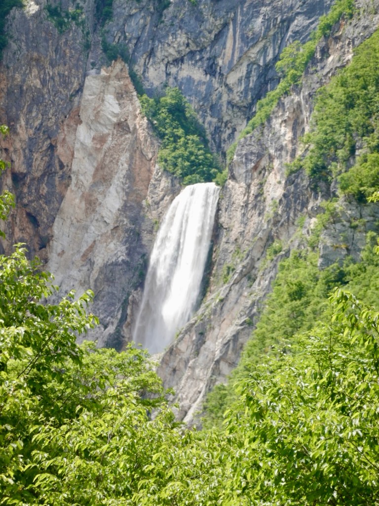
If you keep heading up the valley further, you get to Vrsic Pass, the highest alpine pass in Slovenia at 1611 metres. Between WW1 and WW2 it was the border between Italy and Yugoslavia, but today both sides are Slovenia 🇸🇮.

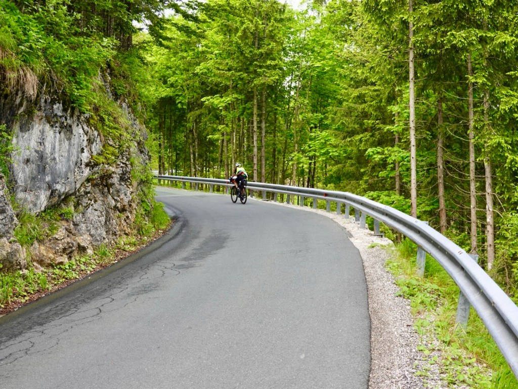
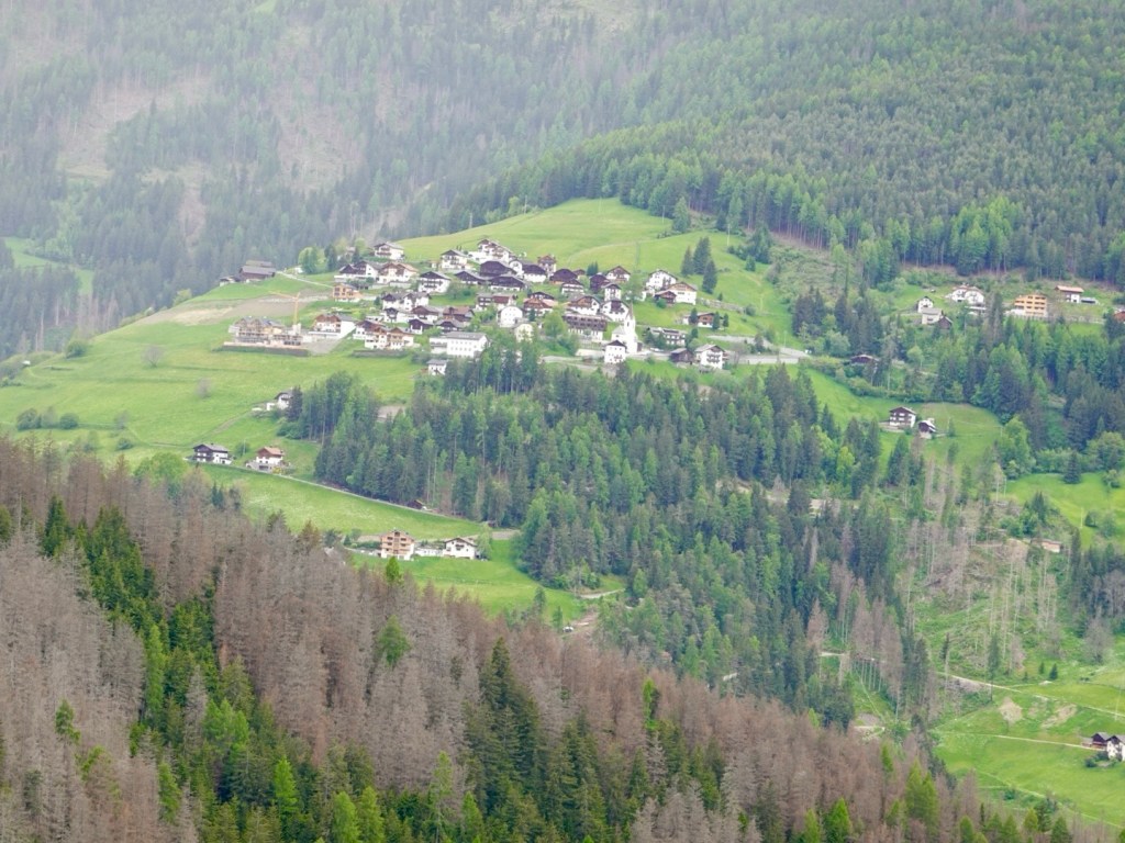
We headed back along the same route offering a differing perspective.

Roundabout sheep

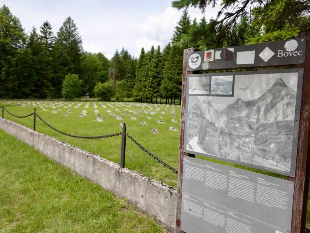
A poignant reminder of war, where there are burials here of Austro Hungarian soldiers. There are four fields like this with only this field having markers. There are no names on the markers.

My paternal grandfather fought in WW1 (Light horseman in Egypt), my great uncle Alex died at the Somme (I have his bible), my maternal grandfather was in WW2 (musician entertaining troops PNG). I do not understand war….so many innocent people die. Just all to sad.

Stopped for fruit here in Bovec, grabbed a couple of nice bananas
Nice waterfall high up Tony saw when he went scrub for a nature call
Beautiful gorge as we crossed a bridge in a small village
I think zip lining may occur here as there was a wooden base near the bridge with the cable.
Beautiful mountains, serene views
Looking back
Looking sideways
Plenty of tourist info available, including English

It was a really nice ride today and I can highly recommend it.

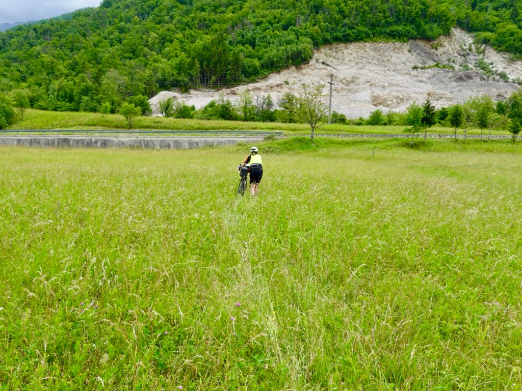
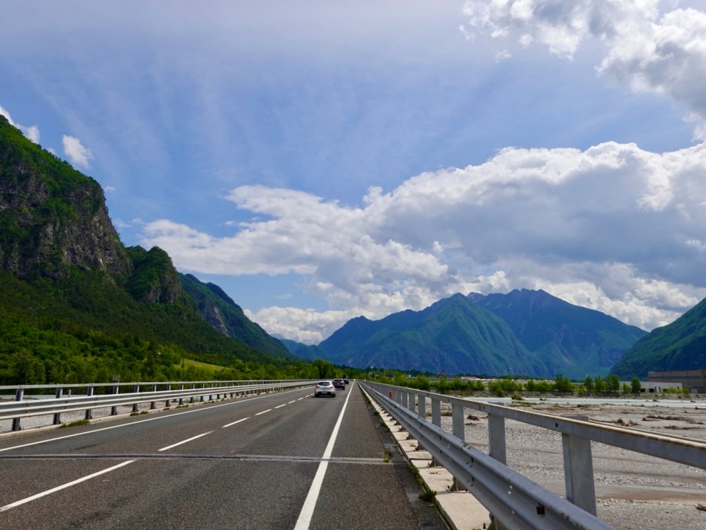
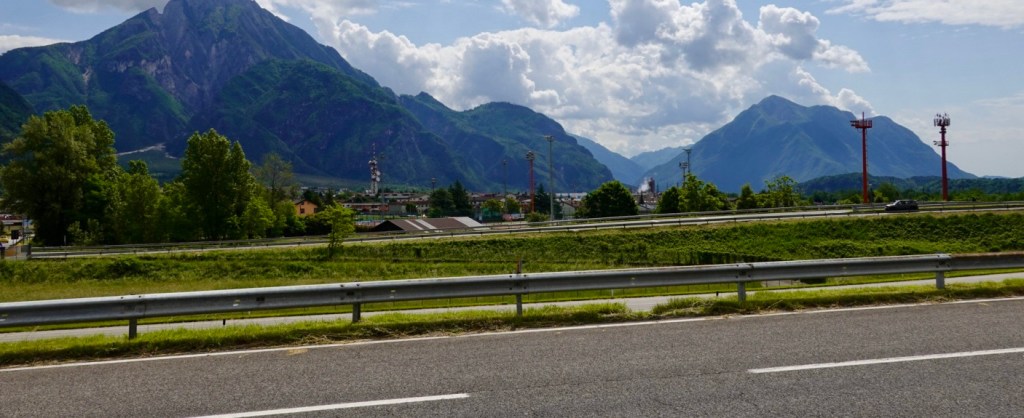
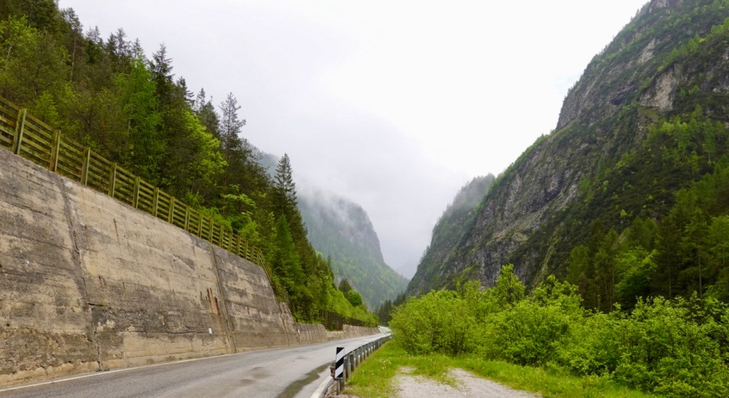
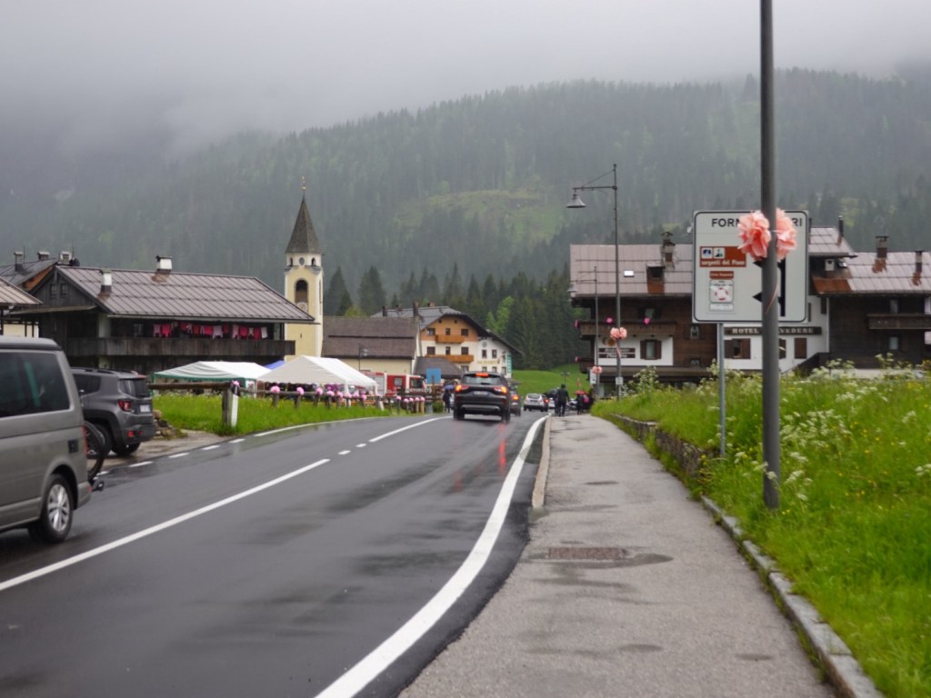
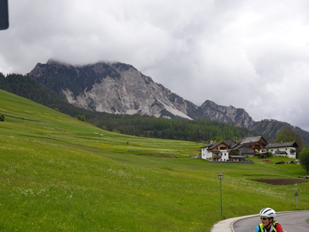
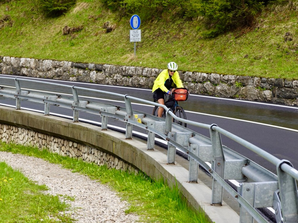
The road was fairly busy with some cars zipping by fairly closely so you needed to concentrate and hold your line, and hope they hold their too! No bikepaths here.

Despite the savage and barbaric history of the Soca valley that saw the deaths of 1.7 million men, the displacement of 300,000 local residents (many did not return after the war, their houses having being taken over by soldiers or destroyed) the region survives.

Likes the phoenix rising from the ashes, the Soca Valley and Slovenia are on a positive, upward trajectory with fun and happy people filling the valley and making positive memories in a gorgeous, and unprecedentedly beautiful setting.

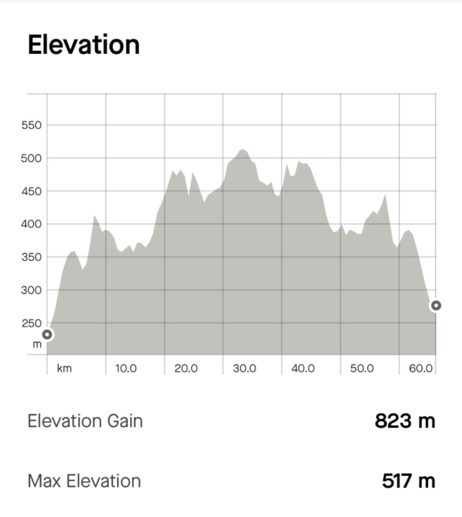
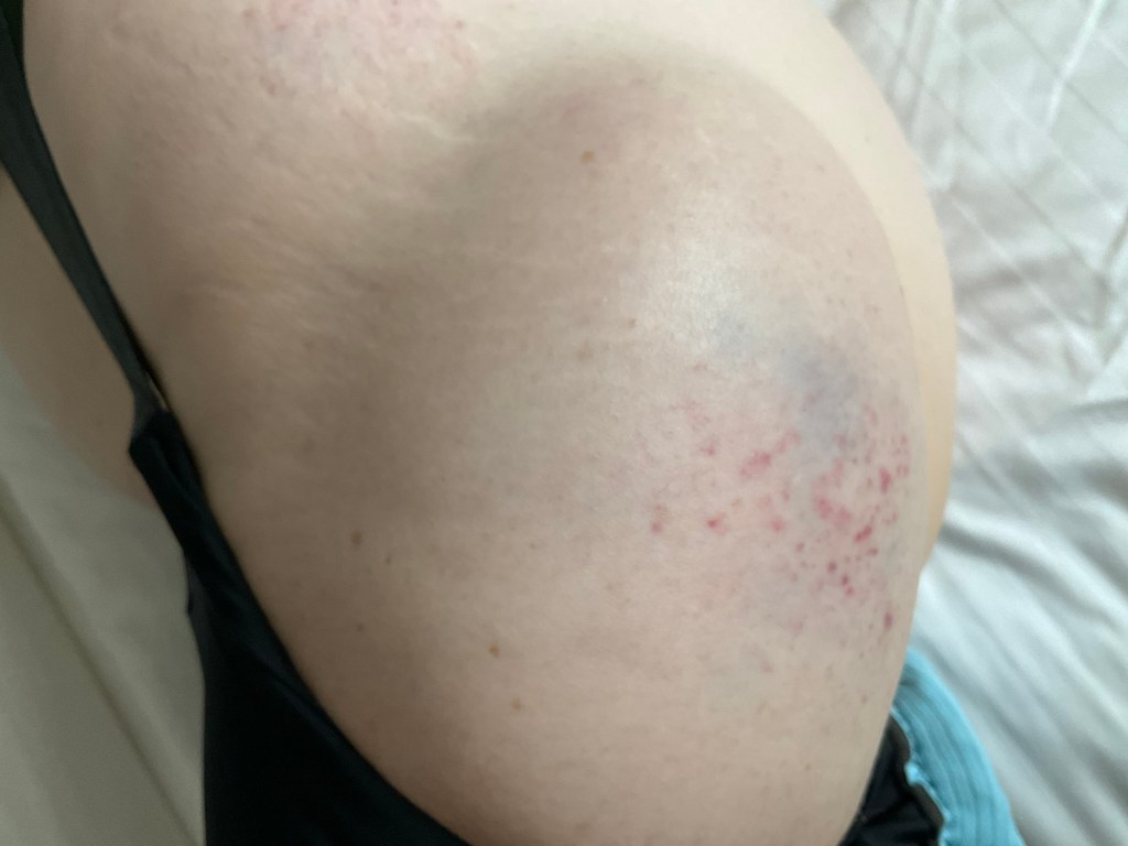
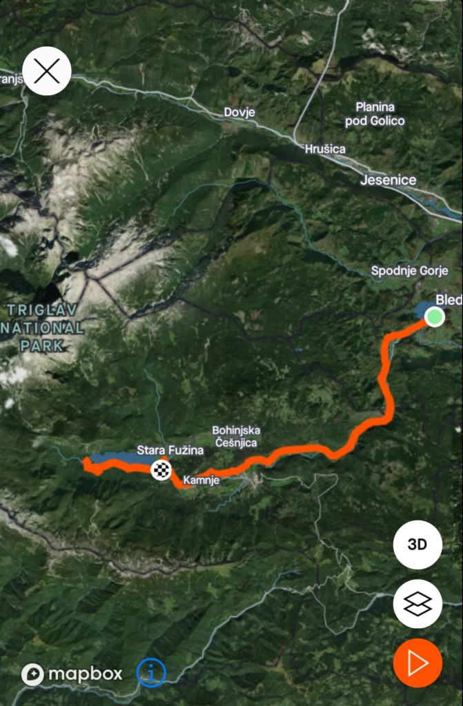
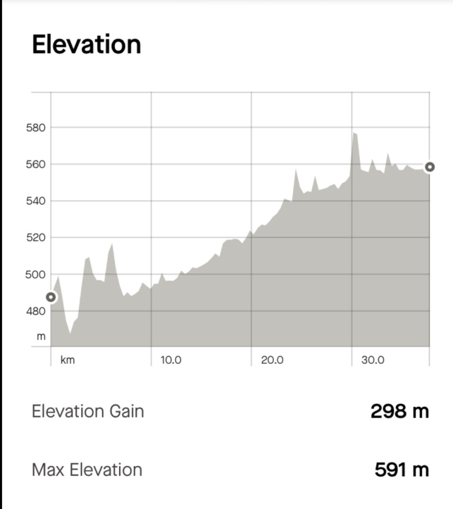
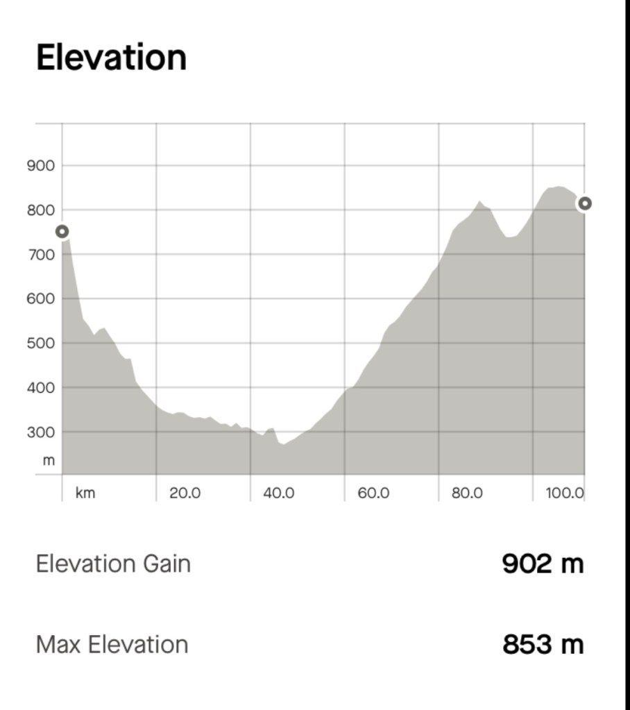
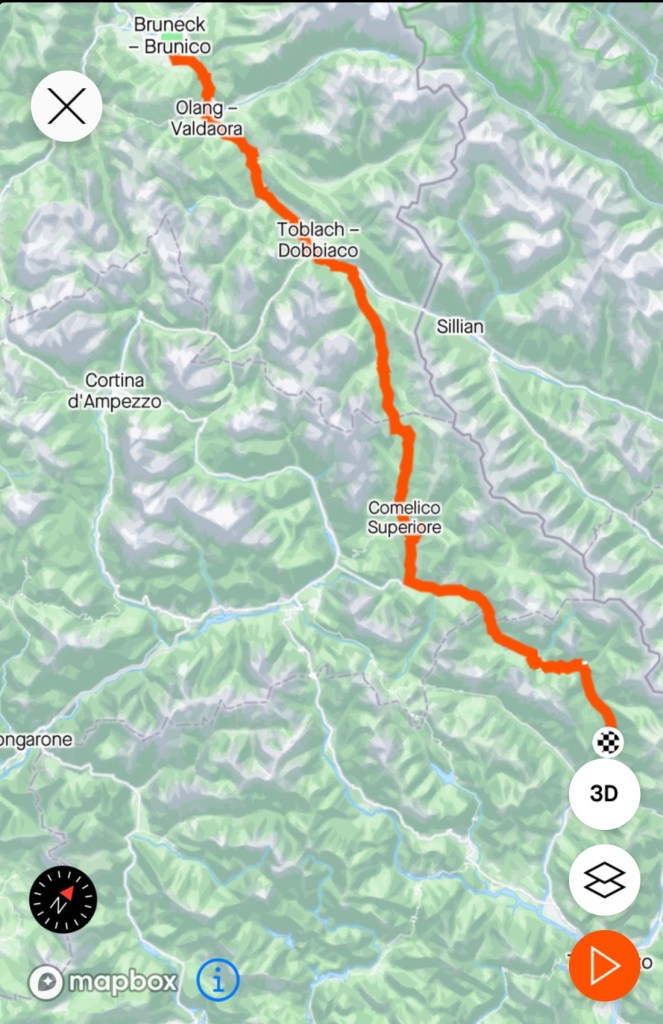
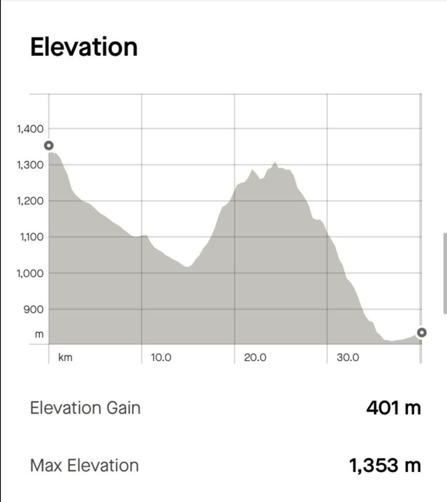
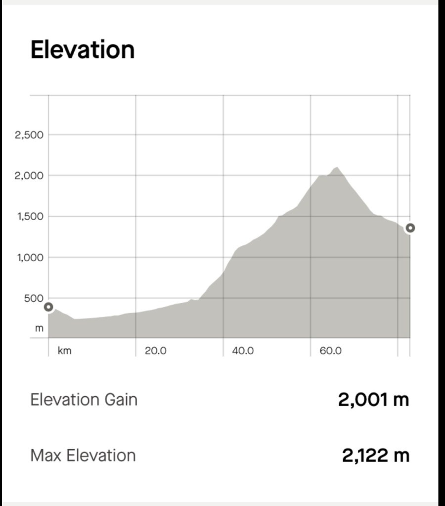
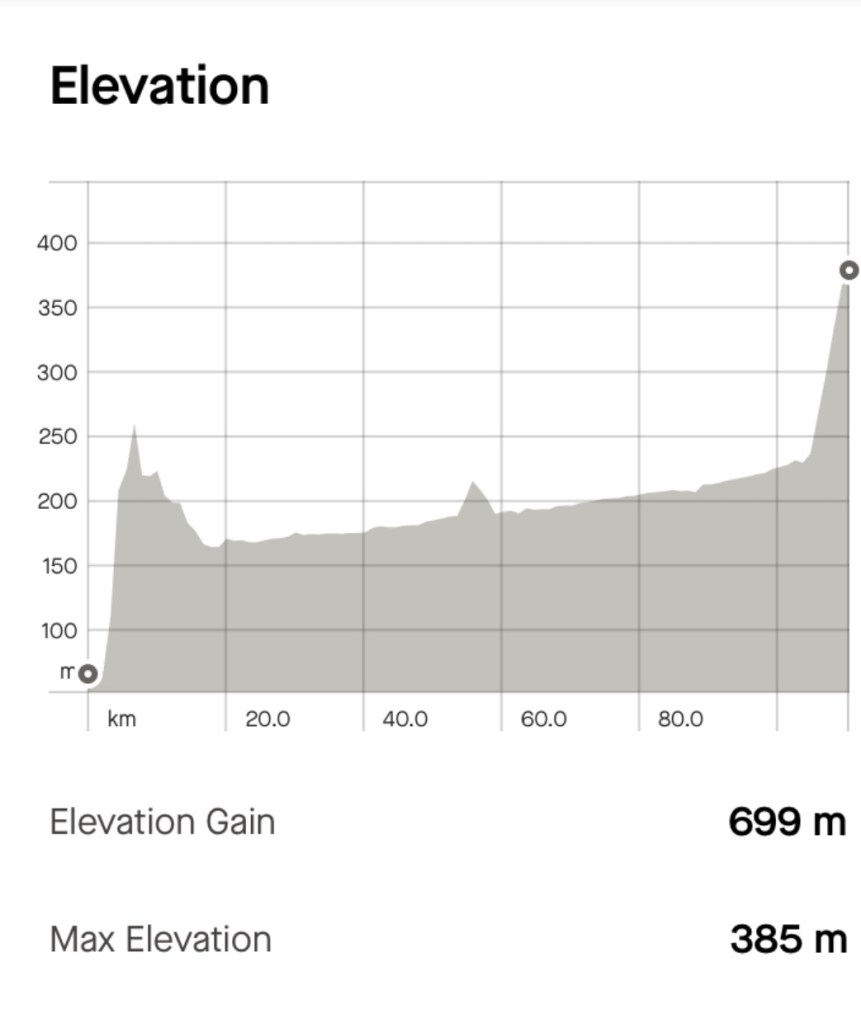
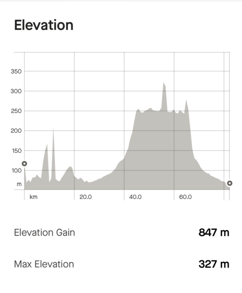
Today’s route was 66 km, with 823m climbing. My bruised hip hurts less on the bike than sitting on a chair or the bed!

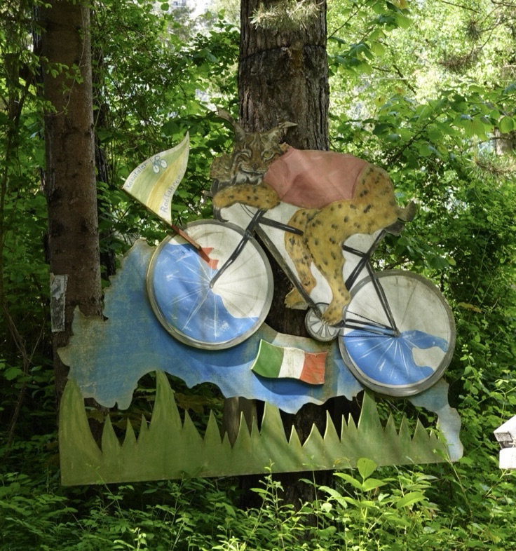
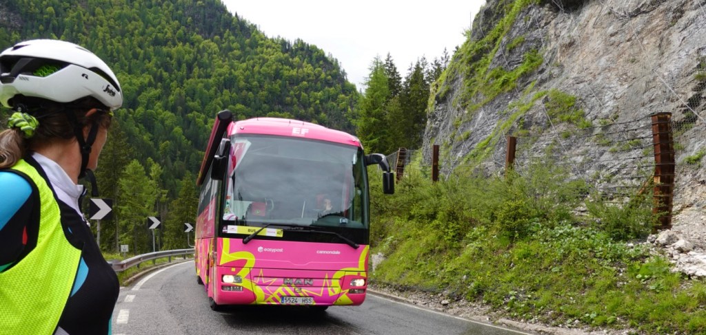
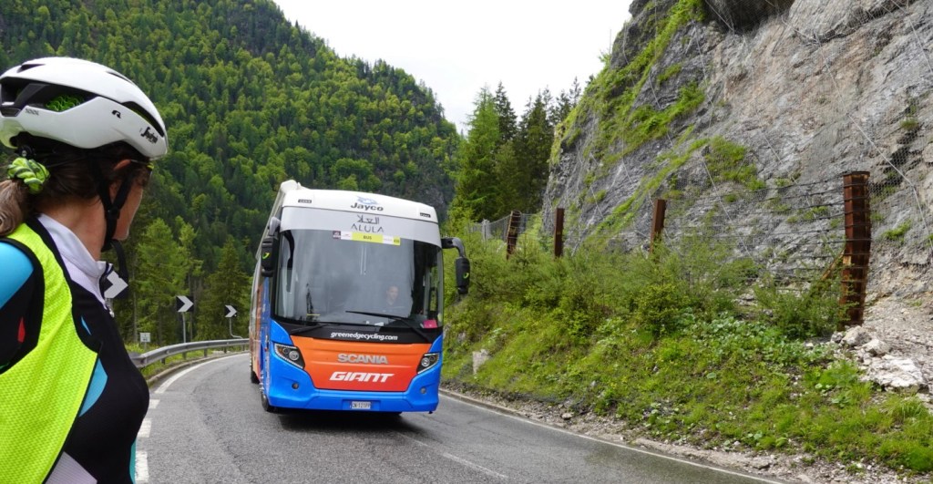
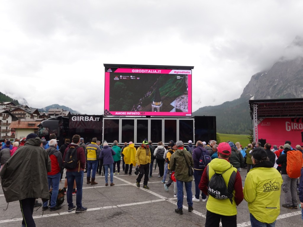
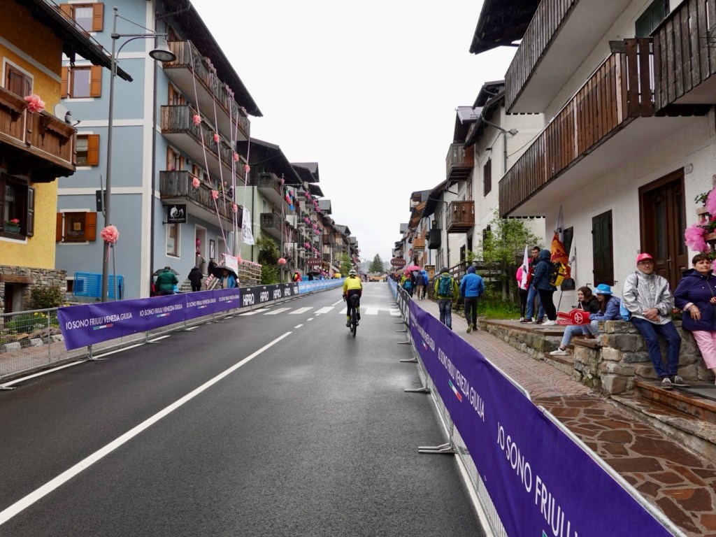
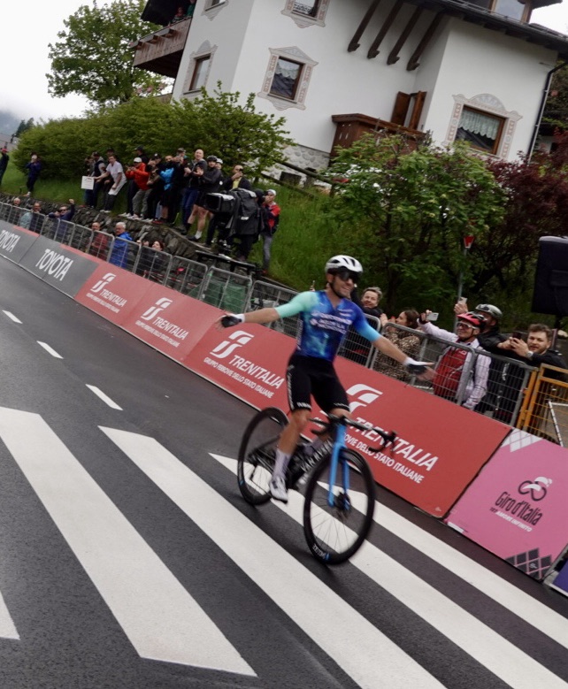
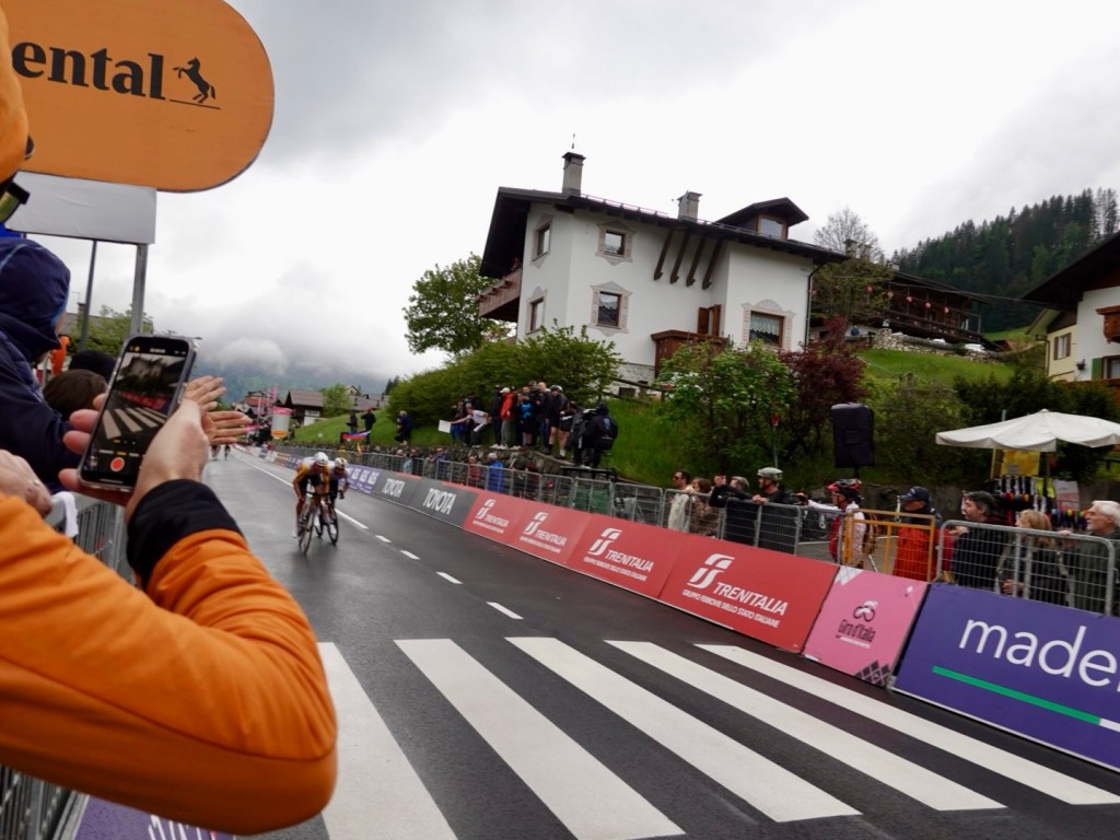
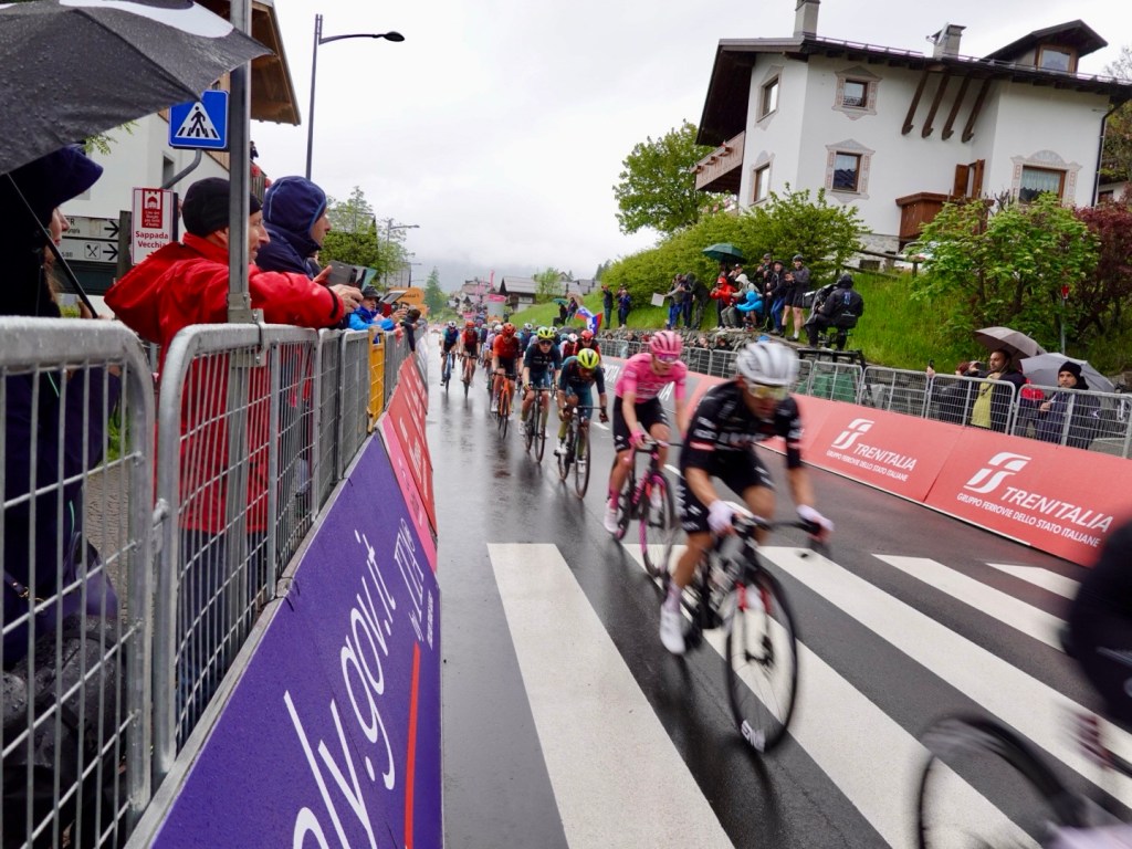
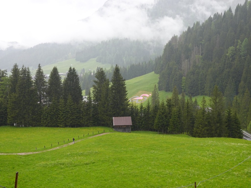
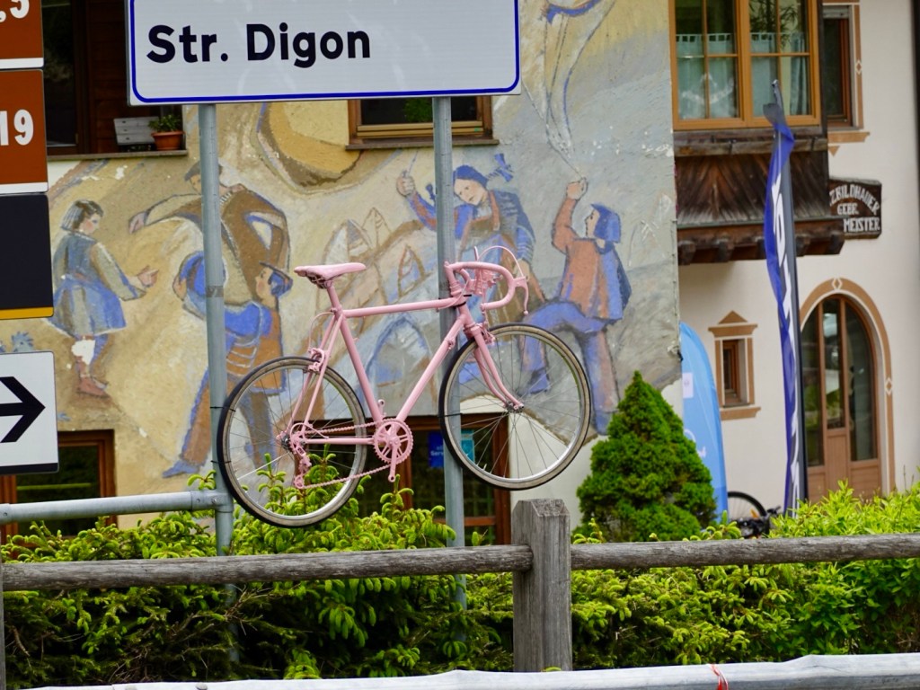
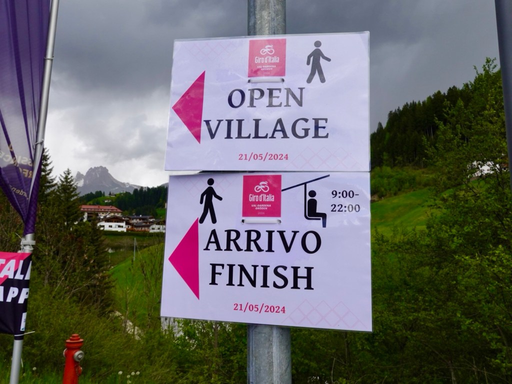
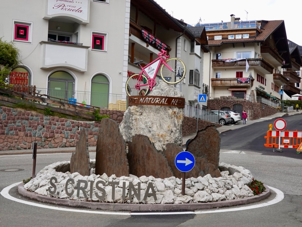
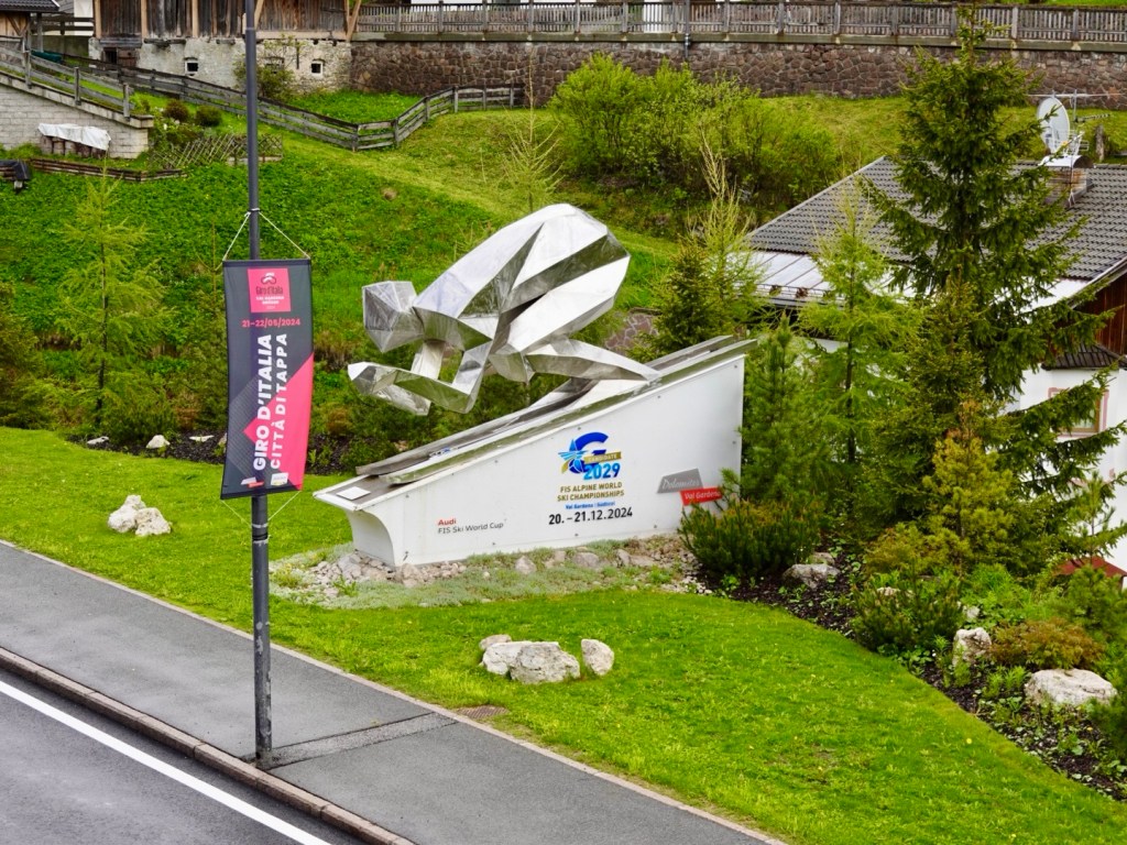
I suspect the Giro d’Italia may have had a stage through here in a prior year as the road is well sealed ( often happens before a major tour comes through) and there were numerous pink bikes with Slovenian flags in villages.

Thanks for reading 😊❣️

Day 18: Ribcev Laz to Kobarid, Slovenia

I was a bit nervous about today. Not sure why. We had climbed higher and steeper, but I was just a bit nervous. I certainly wanted to complete the climb prior to any rain. That was forecast for later on.

We were riding from beautiful Lake Bohinj to Kobarid, in the Soca Valley. In between were the Julian Alps.

The climb is up to a pass at Soriska Planina and is the second highest climb in Slovenia.

Road quality is known to be poor and narrow.

Slovenia as an independent country is young. Other countries have fought to own and control it. It was part of the AustroHungarian Empire, then Italy, then communist Yugoslavia.

It was only in 1991 that the country became independent and they are concentrating on tourism as a way to improve their economic returns.

It is a beautiful country, lovely culture and people, and with time, more improvements such as super shite alpine roads will improve.

Slovenia is one of my all time favourites that we have visited, twice now.

We started off by retracing our steps the previous day along the wonderful cycle path, then turning off to Bohinja Bistrica. We avoided the central part of town skirting around to start the climb at 8 km into the day.

Our legs had warmed up nicely.

Roundabout just before the climb starts

Some climbing data.

The climb is 11.2 km long, average of 6.7%, gaining 752m. The steepest full km is 9.5%, more than hard enough for this chook, maximum slope is 16%.

The first half of the climb is very doable. It was more like 3-5%, but you know that if that is under the average for the whole climb, the second half is going to get sharper and harder.

Views were clouded by low level cloud.
Climbing
Nice views
Still climbing, good piece of road
Views increasing

The road was fairly quiet and climbing the road was patchy in places but better than we expected.

The road was mainly used by motor cyclists and we only saw one other couple cycling up….must have been locals as they had no gear and we passed them. They were doing very wide S’s up,using both lanes which concerned me should a car suddenly appear and they are on the wrong side.

There was a blind bend I approached, could hear a truck ahead and I jumped off. Just as well as the truck took all available space as I wedged into the rock wall holding my bike.

The second half was far tougher. There was around 4.5 km of 9-10% with no easing at bends, it just kept at that percent consistently.

Finally the top, we made it and no rain and no issues.

On Strava there is only one other person we know who has done this climb, and it is our extraordinary friend Kat from Czech Republic, who is the global leader in km on strava all time females cycling! She probably did it as a day trip from Prague!!

Soriska Planina is a base for winter activities, predominantly skiing but many MTB and walking trails are in the area.
Ski fields

We added extra clothing layers on for the descent. The roads were definitely worse on this side of the pass, very cracked up and patchy with overlays of fresher bitumen there and there.

It was a slow descent to ensure we pointed our front wheel away from trouble!

Lovely views across green pastures to villages
Many places have signs out for the motor bikes, seems a very popular route for them
The church is the central feature in every village. We got to stare at this one for about 5 minutes as this was on a climb and we met a red light for roadworks! It tolled at 12 noon, but went on and on with the chiming for maybe 3 minutes.
We then descended. We were at the front of the queue at the roadwork stoppage but let the traffic behind us go first. For that, we copped lots of dirt being dispersed by the truck. A series of hairpins here and we caught him as we descended faster than him, but eased back to not get his diesel fumes.
Road very narrow here, that is just one car width. This is a main arterial road.
Railway bridge
Stopped to take photos
Most na Soci bridge, and our first glimpse of the famous Soca river, otherwise knows as the Emerald Beauty attracting many people to view it first hand

Most na Soci is at the confluence of the Soca and Idrija rivers. Over 7,000 grave sites have been excavated from the Bronze and Iron Age. Of course, the Roman’s hate to miss out, and there is also evidence of villas and walls here.

Whilst these photographs were being taken,I swung my leg over the bike to hop off, but did not swing that leg high enough, clipping the luggage, falling to the road. Feeling annoyed with myself for the misjudgement got up, rubbed my sore hip and shoulder, moaned about the scratch on the shifters, and decided I needed icecream!

Mine on the left, Tony on the right. Lovely cafe, sitting in the shade.

Down the Soca valley towards Kobarid, our destination for two nights.

Despite all the map planning, routing time I spend, there are occasional stuff ups. This is apparently the most popular route in the area..I doubt it somehow.

This was not too bad, I could keep riding but I’m thinking ‘what the’?
At this point, I am like ‘you’ve got to be kidding me’…
But it gave us a nice view of the river….
Looked at the map and decided that there was only one thing to do…push through this field to the nearest road. There was evidence of many other cycle marks in the paddock as we got closer to the road, so we were not the first….

My left hip was pretty sore by now and felt like I had a balloon riding on it. Rubbing my hand over it, it was quite swollen. Feeling more annoyed with myself again.

We arrived in Kobarid, just missing the rain again, how lucky!

Kobarid was occupied by the Italy between the two world wars, and featured a battle for the Soca Front, until the first blitzkrieg in Europe broke a stalemate between Italy and Austro-Hungary.

This photo was taken from the small bridge crossing the Soca river. Tomorrow we hope to ride where than van is heading and further up the river valley.

Lovely small gorge

Checked in to our accomodation and finally looked at the lump on my hip.

Quite the lump, the length of my hand, width of two hands…not sure when I am laying the egg! That is my hip bone…

So I have iced it, had my hip up as high as I can, slept restlessly as it is the side I usually sleep on so that did not happen. It has reduced in size overnight thankfully, still very large but not as ‘intense’ so hopefully a good sign!

It is likely worse due to my cardiac medications…

Anyhow, nothing broken!

Todays route.

Thanks for reading 😊❣️

Day 17: Lake Bled to Ribcev Laz (Bohinj)

Years ago we were talking to cyclists about Slovenia and they said – go to Lake Bohinj as in their opinion it was nicer than Lake Bled.

So today we are heading to Lake Bohinj.

We had a lovely breakfast and headed off, for what would be another ‘active recovery’ day as the distance between the two lakes is not great.

We were on road for some distance then on bike pathway. The bike pathway infrastructure is being increased and we saw multiple construction sites today where pathway is being built.

A series of shots as we travel down the valley in the sun! When we were in forested areas it was still quite cool so the arm warmers would get dragged back up.

The water is amazingly coloured and clear.
I expect Julie Andrews to start singing about now.
I love the flowering meadows
Me chilling
Winding our way through small villages
Lots of cycling options
A random vegetable garden and shed, recently planted. The grapes are growing over the front of the shed nicely.
Beautiful forest trail
More meadows, and a popular flight path above

Lake Bohinj is surrounded by mountains on all sides, dotted by walking trails and well preserved old villages.

Ribcev Laz is the main settlement at the eastern end and our overnight stay. It was only 10.45 am when we arrived, well short of our 2 pm check in.

I approached reception to see if we could drop some of our luggage off and was told we could check in. Chatting to the lady about our adventures, she ventured to ask about my chest scar. I explained.

She processed our passports (ie seeing our age) and told me she had upgraded us to their ‘best’ room, that has two balconies on a corner overlooking the lake from both! How nice 😊❣️

So I loaded up a trolley with our gear whilst Tony minded the bikes.

We then headed off down the lake towards Ukinc and the Vogel cable car.

Arriving at the cable car base we debated what to do with the bikes. Should we hope for the best and leave them (decent thieves get through locks super easy with portable cutting devices these days), do we take turns?

I decided I was happy to chill, so Tony went up with around 25 people in the one cabin. It only takes four minutes to reach the top at 1532 metres (remembering we rode to over 2100 metres only a few days ago at Passo Gardena).

At the top there are other chairlifts that take skiers higher again to the differing runs.

There were nice views across Triglav National Park and the Julian Alps, the highest and most extensive mountain range in Slovenia.

Julian Alps
Bohinj Basin
Ubiquitous!
Numerous carved animals were at the cable car stop.

Upon Tony’s return, we rode to Ukanc a small settlement on the western end of Lake Bohinj.

We loved the Sava Bohinjka river. What a little alpine gem. it has the clearest water imaginable! It really does look this colour.

Lower side of the bridge
Higher side of the bridge
Yet another lake view

Back to our hotel, we stored our bikes, showered and laundered. We then went on a walk around the eastern part of the lake where bikes are not permitted.

We past this church that is apparently one the most photographed in Slovenia, although I would think the one on the island at Lake Bled may win that competition.

The church site has a significant history with coins found going back to the first century. The current church was build mid 11th century.

The bell tower was the first musical bell tower and plays the song…..Oh Triglav, my home. I have not yet heard the bells ringing!

Church of St John the Baptist with the musical bell tower.

Walking around the lake, of course, more lake photos 😊

Cafe lakeside
I soaked my legs. Initially it felt super cold, but as I adapted, it was pleasant. Tony was convinced to do similar shortly after taking this photo.

We walked further and lay on the finer gravel ‘beach’ just enjoying the view, waiting to see if we could note the cable car ascending. Good luck if you can spot it.

We were motivated to get moving after listening to the thunder.

Looking towards a neighbouring village.

Well signposted walks
Rules! Despite being private property, the lower green sign means that those activities are tolerated in the path through the property. just do not walk on the meadow!

A tandem paraglider came and landed 20 metres away from where we watched. I am amazed at their landing skills.

Just off the pathway was this little cottage lakeside. How adorable.

Opposite our hotel now is this statue de,nesting the first four men who scaled Mount Triglav.

Looking back at the church with the musical bells….still not playing!
A joy for OCD.

Our map today. A short ride (38 km) but a lovely ride. We need this recovery as we have a more difficult day tomorrow, and the weather forecast is not brilliant…..but let’s wait and see. 😊

Day 15: Rigolato (Italy) to Kranska Gora (Slovenia)

Out of bed, coffee, packed and off we headed motivated by the stomach for some food. It was cool and brisk, and we had our warm weather gear on as the forecast was not very high.

Descending down through villages..

Monte Zoncolon in the far distance. A tough climb the Giro riders undertook in 2018. I was there the same day and stopped part way up just before the 25% section.

Beautiful valleys and rivers.

The cycle path following an old rail line, including three tunnels in this section.

Looking back up into the clouds from the direction we had started.

The river must flood at times.

All was going well until here, then as I followed Tony an explosion of ‘stuff’ blasted out his rear wheel. He had a puncture, and as he has tubeless tyres that ‘stuff’ was sealant.

It was a reasonable gash and he was able to plug it with two plugs, pump it up, and the sealant did its job. Whilst he repaired, I cleaned.

We only went a few hundred metres and came to this…a river crossing. Unfortunately it was about 30-45 cm deep and decided we were not prepared to get that wet, just yet….so we detoured back, up and around onto the main road for a few km before rejoining the path.

We stopped for coffee in Tolmezzo then headed off on a quieter route out of town. We came to this impenetrable road block. Mountains to the left, river to the right, not a lot of options.

We rode back towards Tolmezzo and cut down to join the highway to cross the river to the other side.

The highway was good as it had a decent verge and we crossed the river and continued on our way back to the quieter route.

The quieter path ran out and for three km we were back in a major arterial road near the freeway. It started to pour. By now we were in lighter weight clothes as we were hot…now we were cold again…

There were many people stopped under the freeway crossover sheltering, including this nice young lad who from the Netherlands. He currently is studying in Austria and had ridden to Sappada the previous day to watch the Giro, and he was riding home.

I’m looking at his phone here as he was curious as to our destination. he did not have a rain jacket with him!

He told us the bike path we were about to join was fairly new and he was super impressed with it and thought it better than anything in the cycle friendly Netherlands.

He was right. We had about 50 km, mainly in the rain, of this wonderful pathway, freshly sealed, involving maybe 20 tunnels, the longest of which was 950 metres in length.

At most tunnels cyclists were sheltering at either end waiting for the rain to ease before heading off again.

The mountains and rivers were great viewing.

Then there are the locals who do things like this to make you smile.

An example of a well done pathway.

At an old railway station, Chiusaforte, is this amazing place. It is a cafe/ restaurant with an area for purchasing maps, cycling spares, souvenirs, maintenance area. Many cyclists had stopped as did we as the rain had eased.

But the rain came back and here we are in one of the tunnels.

As we got closer to Slovenia, the dramatic mountains increased.

Trail art

I really liked these old huts.

Tony took a fancy to this sign,

A picture of contradictions. Beautiful wild mountain vs cables.
Closing in on the three country borders.

7 km from our destination we arrived at the Slovenian border.

Slovenia – a country that we rode through back in 2019 from Maribor to Ljubljana to Trieste. This time we are in the Alps region, to the north west of the country, dominated by the Triglav National Park.

The history is rich and deep with evidence back to the Bronze and Iron Age. The Romans arrived in the 1st century AD.

We were just km from the Austrian border and it was tempting to climb another hill, but we are fortunate in that we have ridden in Austria on previous trips and we were keener to get to Kranjska Gora, our overnight destination.

Finally we had some downhill after climbing gradually for over 50 km.

Kranjska Gora is in the Sava Dolinka Valley and the northern gateway to the Soca Valley, where we will be in a few days time.

The town was a key supply base for the Soca Front during World War I but today is Slovenia’s premier winter sports playground with world championship level skiing events to hiking in Triglav.

The Church of the Assumption in the town’s main square dates from around the 14th century. The Romanesque bell tower is original, but most of the rest has been updated over the years.

Another great hotel, with our bikes stored in the very secure ski room. We cleaned up and headed out for dinner, finding a lovely restaurant a few hundred metres away. No room inside so we sat outside, which was not too bad as we had our warm jackets on and it was fairly mild. It stopped raining at the border!

We were entertained by a very noisy, celebrating group who were singing in another language and then started tossing their freshly poured wine over each other. Super weird.

I asked our waiter and he laughed and said ‘oh, they are Polish’!

This dog we watched too. It came with a family group but was tethered so it could have no family interaction. The noises it made were similar to our Khaleesi so we did watch it.

It was wanting to participate, have some pats, but instead the female owner wacked it around the head, pushed its head into the ground whilst we were gasping and saying no! Some people do not deserve dogs!

The dog heading off with its just as crabby male owner.

Back to our room, what a view!

It was a longer touring day today at 118 km, 902m climbing. An interesting climbing graph shows how long we climbed for.

Thanks for reading 😊❣️

Day 14: Brunico to Rigolato (Sappada), Giro d’Italia day

Today was going to be special, we hoped. When planning this trip, I was aware it coincided with the Giro d’Italia, one of the world’s three huge three week cycling events, attracting the best riders.

When the stage routes were announced, I then played around mapping to see where we could intersect, and with a stage finish in Sappada in the Dolomites, that had to be it.

Now the Dolomites are not the easiest area to bike pack ride into due to the size of the climbs over the passes, but with our successful climb over Passo Gardena we were on our way.

We left our accomodation in Brunico knowing it would rain later in the day.

We followed a river path for quite some distance, predominantly gravel, with hot mix here and there.

Utilising what seems to be an old rail line and tunnels

The path became sealed weaving through and around villages. The Dolomites to our right, an Austria to our left, as we were within km of that border.

Beautiful green everywhere
Map of the valley
Bike maintenance point at a local rail station
Looking in at a few Dolomites peaks
Great path here kept us off a busy road. We were climbing most of the day until we reached 1600m, as you can see below.

It was raining at higher altitudes and in the valley ahead. We were able to miss most of it early on seemingly following it but the roads were wet.

We needed to climb more steeply to get to the top of Passo Croce. Some views along the way.

We were in a ski region and this made us laugh
Streams winding their way down slopes
Signs announcing arrival in villages
Finally the top of the climb at 1636m. I am quite rugged up here despite climbing most of the morning. I have a few layers on under my rain jacket. I added my skull cap and snood for the descent.
Tony was a bit braver with bare legs. It was cold up here. He added more layers for the descent.

Part way down we stopped at this waterfall. I thought it had a funny name….

That valley is where we are headed…aagh.

We needed to complete another 10 km climb up to Sappada, and the number of cyclists on that climb was significant. Predominantly road cyclists with small backpacks and minimal gear on, locals more used to the conditions it seemed.

Still raining ahead

We stopped here as there was a convoy of tour team buses also coming up the climb.

About 2.5 km from the top the police had closed the road. Cars were parked to the right, and people were walking into Sappada up the hill. Cyclists could ride on through.

Nice decoration Sappada

We headed to the tour village where there were giveaways, promotions and big screen. The official Giro store was there if you wanted to buy memorabilia. We got given water and bandanas. If I had a dollar for everyone checking our bikes and gear, I would pay the trip off.

We headed off to try and find our spot to watch the finish. We rode part of the final km, but they turned you off with 700 m to go.

Me with about 1100 m to go to the finish line.
I liked this dude
Some dress up
Cute decorations

In position we had about an hour to wait. We were positioned with about 110 metres to the finish line. Our bikes leaned on the side railing. We could see a big screen diagonally over the road.

Winner, Andrea Vendrame as he passed us on his way to victory.
Lucas Plapp, Australia just in front as he finishes 5th. Great to call out “Aussie, Aussie, Aussie”
Rosa maglia wearer ‘ Pog’.

It was surreal for me to be back in Sappada. I had been there for the 2018 Giro stage finish. I do not think I would have thought it possible I could cycle tour back into the Dolomites for a second stage finish.

I was teary as I know how hard the journey had been for me personally over the last few years to get fitness back enough to undertake our current tour.

My gastro played up here too, quite annoyingly. Timing!!

Trying to get to get out of Sappada was hard. There was a people crush as we needed to keep moving. Our accomodation was 15 km further along the road as I had not been able to get accomodation in town, even the day the tour route was announced…others must have known!!

We needed to cross the riders route from the finish line to their team buses and I felt sorry for them as they had maybe 90 cm at best, despite the physical police shoving people on their chests and shoulders to get back.

Caleb Ewen, the Aussie, was one who we recognised as he came through the crush.

We had one climb left, Clima Sappada, doing it in the opposite direction to the days stage. The road was freshly resealed, so nice and smooth.

We stopped at the village of Clima Sappada, not having eaten much today.

Nice to get warm food in
Clima Sappada
Overview of another village
Todays route

We are now in the village of Rigolato and will be leaving the Dolomite region.It was a nice ride downhill, to here but cold as it was after 7 pm when we had arrived.

Tomorrow we enter Slovenia for a range of cycling adventures there.

Thanks for reading 😊❣️

Two reminders of the Giro we grabbed to bring home …street decorations. Now this was Tony’s handiwork, not mine, despite my prolific convict ancestry.

Day 13: Brunico

This is the view from our hotel room balcony. I’m going to give this hotel my number one vote, particularly cycle friendly.

From the moment we arrived, the bike room, the room, the view, the staff, the food…. Melodia Hotel, Alta Badia. they also lead a few rides a day in the area and have hire bikes available.

A section of the locked bike room
Tools, cleaning products, hoses, air compressor, tyre pumps all available.

As we were checking out, the manager came to see where we were riding today and asked to check our route for today and tomorrow.

Today, we had originally planned to ride Sella Ronda (minus most of the gear), pick the gear up and move on to our next night in Brunico.

The weather was not suitable for high altitude riding, wet, cold and sleety, nor was our inclination present, so we decided to follow his route with a side way hillier ride to Brunico that he also said was safer avoiding tunnels he said are ‘lots worse’ than Lake Garda’s.

We started by heading down the valley 10 km, then deviating and climbing 6.5 km, and boy that seemed harder than it ought, indicating our legs had not recovered from the previous days mammoth climbing effort.

Unusual hut
Looking back up the valley
Looking forward

We were stopped in a small traffic jam as this helicopter brought in steel for work on the side of the hill.

Nicely, perfectly cut to length timber
Entrance to village of San Vigilio, a popular ski resort with groomed slopes, ski lifts.
Checking maps after we had done a reccy of the village looking lunch. We went back to the first place we saw.
Centre of town, we had lunch at the cafe to the right. The chef/owner came out to chat and ask about our trip and bikes, amazed the had no motor. I tapped my heart and said, ‘my motor’.
We left town on the left
Looking up the valley Klaus had suggested as a possible extension, weather permitting. We could see that there was low cloud and likely rain there.

Looking towards Brunico it still looked ok. Nice green pastures, groomed fields.

The rain was catching us
That is the valley we had come from, clearly raining
The peaks were shrouded

It started raining with about 14 km to go. We ended up in Brunico on a gravel cycle path. our nice clean bikes, courtesy of Tony, now had wet gravel all over them. He was unimpressed.

Castle above Brunico

We found our hotel by the river. The male receptionist asked for us to bring our gear inside off the bike before showing where the bikes would go. I explained the gear was wet and dirty, did he had an old towel we could place them on so as not to get his floor dirty.

No, so in came the muddy gear. I try to treat these places like I would my own home but sometimes they do not care as I guess it is not their job to clean it.

It rained for hours and we eventually went to the supermarket using their umbrellas for supplies, then headed out for some dinner.

Our over booties
My main luggage bag, opened right up, it folds down.
Under my bag and frame

So that’s it for today. A longer day tomorrow, with rain forecast, hopefully still later in the day.

Day 12: St Michael to Badia Abtei (Dolomites)

This was to be one tough day as we headed off to climb Passo Gardena in the Dolomites.

Our Air BnB did not offer any breakfast or coffee, so we put on our still damp clothes and headed off in search of food.

As we dropped down towards Bolzano what an amazing view. This is looking towards Austria and the Brenner Pass, which we have been through before on bikes.

We were predominantly on bike paths to the turn off to Passo Gardena. It was a slight incline of 1-2% .

Nice views, vineyards everywhere
This was curious with the machinery perched on the flooded rivers edge pulling out rocks and dirt and placing adjacent to the stone wall. Shortly after this photo the digger on the left removed a huge boulder.
Following the river
A nicely painted Rathaus ( town hall)

Things started going astray at this point with the three roads you can see. We stopped to take this photo and my left foot would not uncleat.

After much fiddling I removed my feet from my shoe and Tony had to remove a screw from the peddle, as I had lost a screw out of the cleats and the plate was mobile.

So Tony was able to replace the missing screw on my shoe cleats, but the peddle was not quite right and super fiddly.

This well meaning German stopped to try and help Tony but more frustrated Tony further.

At this time I realised I had an upset stomach. Maybe that seafood paella had one dodgy shellfish in it, but I needed scrub, quickly!!

We rode on with Tony taking the dodgy pedal meaning he had one foot cleated, the other on the flat side. Not ideal for the big climb ahead.

Water stop
Nice bridge
Nice Gusthaus
Green everywhere
Near the start of the climb after we had sourced more food to eat immediately, and carry with us.

Then it started. The signs said 31 km Passo Gardena, although we would be using a mixture of road and path thereby making it longer.

Passo Gardena is at 2100 metres above sea level. You can see from the graph it is a considerable climb, let alone bike packing.

The start of the climb is the start of this tunnel which climbs inside.

As we climbed, the Giro d’Italia team buses were descending along with the plethora of UCI, broadcaster and team cars.

There were signs of the Giro everywhere…including the Giro stage start at this village we rode through.

The starting town chose to dig up the Main Street today up that hill….timing !?!

With my gastro and Tony’s one pedal we kept moving

17 km into the 31 km climb, we found this bike shops and stopped. We purchased a set of new pedals.

Shop front signage
Next to the shop an interesting carving. There were quite a few shops selling wooden carved products today.

Up we went, interspersed with my sudden stops for my gastro.

World cup skiing being held here later in the year and they are vying for the 2029 World Championships. Obviously super popular in the area, as a path we had been on had pictures memorialising skiing greats.
Still climbing. Wet weather gear back on but we missed the rain here. The road was wet, but we did not get wet here.
Looking back
I’ve not given up yet…the road was fairly quiet by now. At this point there were occasional cars, but more cyclist heading down and some coming up. No one with packs in their bikes though!!
Beautiful scenery
The snow drifts are getting thicker. This is at about 1800 metres asl.
Counting down the km to the top. It’s getting colder so more clothes on.

With only 1.5 km to go, the thunderstorm started, along with some rain. It was getting cold but because the legs were working hard, that generates body heat. The thunder was scary and being at that altitude was not ideal.

The skies were getting quite dark.

About 500 metres from the top of Passo Gardena

I was delighted to get to the top in one piece. We took shelter under the eaves of a shop that was closed.

There were about 8 other cyclists there who gave me a cheer and thumbs up as I arrived, pointing at my luggage with looks of ‘ you’ve ridden up here with THAT?’

Yes we did. Do I recommend this climb for other cycle touring riders ? No way! Without luggage sure! It’s amazing scenery.

The cyclists were from the Czech Republic and were doing Sella Ronda ( a circuit ride of 4 peaks). I did not envy them as they started their descent.

We got out all of our warmest gear. I put my long legged bibs on over what I was wearing as there was no way I was stripping down in such cold weather.

This is the view at the start of the descent towards Covara. The sun is shining to the eastern Dolomites.

We froze our everything’s off on the descent. We had about 16 km to descend to our accomodation. Our fingers were cold, it was raining and as I followed Tony I could see his bike wobbling.

He stopped to check his wheels, as it looked like a spoke had popped, but no, it was his shivering. I was shivering too as the legs do not work descending so we are not generating body heat.

I encouraged him to keep moving slowly descending as we needed to get down to a lower altitude where it would not be quite as cold.

The road is wet as it is raining lightly, and there are many hair pin bends, so it is a very slow descent too to avoid slipping.

Covara looked nice, but we kept moving down the valley.

Arriving at our accomodation we were truly thankful. It is an amazing place with a fantastic bike room full of high end bikes, great cleaning and maintenance gear.

I had half board here. It cost us $415 to stay including dinner.

It was a delightful 5 course meal. Our room has an amazing view.

We are tired tonight. I think that is the hardest day we have done touring. Climbing 2000 metres on a climb that included over 14% sections, in weather that was not always supportive, me with gastro, Tony with one pedal for a chunk.

We did good! 😊❣️

Day 11: Riva del Garda to St Michael (Bolzano)

It is a shorter blog today as we did not take many photos and I can sum the ride up as … very wet.

We rode 110 km leaving Lake Garda up a hill I have ridden twice before. It had a special name we refer to it as that I cannot possibly commit to writing here. I’ve not done it with a loaded bike so it was harder again. I had planned a different route out but we tried to trim km due to the weather.

This is looking back towards Lake Garda 1 km into the climb. You can see how bleak the lake looks.

Northern Italy has had numerous floods in the past week and that was evident today with rivers raging and obviously higher than usual when you see playground equipment in the waters.

At Rovereto our original plan had been to visit an old cliffside church but due to the rain and the fact it was closed for renovation we moved in a more direct line to our destination.

On the edge of Rovereto there is a marvellous long distance bike path following the Adige River, and we would be on this path for most of the day. In fact I estimate we spent over 100 km of our 110 km ride on sealed bike paths.

This was certainly safer for us, as wet days in roads means you get road water sprayed every time a vehicle passes.

We were wet enough without that additional hazard.

At this point on the path were the cycling figurines and counter showing over 900,000 people had been through since opened. It also showed 11 people for the day.

Later on around Trento there was a similar sign and counter showing 1.8 million users and over 200 users for the day.

Finding shelter was not easy. The path had many signs stating we were on EuroVelo 7, the Sun route 🤣🤣. There were plenty of resting spots in the open, with bike racks, but not under cover.

Here we stopped under shelter at a recycling centre.

An old bike hanging above indicating metal in that bin, and there was an old bike in the bin too.

We stopped at a supermarket to grab some food, but stopping made us colder and we started shivering. Despite having a $500 highly rated cycling rain jacket water still makes its way through so I threw my best cycling jacket on over my thermals and under my rain jacket to ensure I looked like Michelin man and to generate more upper body warmth.

I also had a wooden skull cap and a rain cap under my helmet.

I had over booties on my feet and wool sox to keep the wet feet warm.

We needed to keep moving and spin the legs more to generate more body heat, which we did.

There was a spot for a few km where the rain eased to a drizzle about 30 km from Bolzano.

We had ridden through many vineyards and stone fruit orchards.

There were high rocky cliffs and hills on either side, many with waterfalls from the rain.

We saw lots of other bike packing cyclists today…maybe 100-120? They were all heading in the opposite direction, which was downhill, we were the ones on the uphills and only had two people pass us all day.

We also saw three of the Giro d’Italia tour buses caught in a bank up of traffic on the autobahn. Hope they got to their cold riders in time. We later learned the Giro route in the area had been changed due to snow at the higher altitudes bringing a freezing point to lower altitudes.

We are staying outside Bolzano up a hill, of course, in a town called San Michele. We turned up from the river path at this point and changed to a different bike path that appears to be an old railway one as we went through three beautiful old tunnels.

Our accomodation is an Air BnB and we are in a room in someone’s house. I did enjoy a nice bath, but she does not have a dryer and given the damp air, our clothes are not drying so we will be putting damp clothes back on.

We borrowed umbrellas and went for a walk and eventually found a nice place to eat in this very German looking town. We forgot to take the camera.

Tony had his ‘usual’ carbonara, and I had a really nice seafood paella.

Tomorrow is one of our big days, with around 2000 metres to climb to get into a more central part of the Dolomites. Rain is forecast but not like today.

There is no breakfast available here either so we will head off early sniffing out food.

We are in the South Tyrol region of Italy which is a German speaking. Signs are predominantly in German now. The border with Austria is not too far away.,

Today’s elevation and map.

Thanks for reading 😊❣️

Day 10: Lake Garda

Lake Garda is a stunning lake surrounded by extraordinary geology.

We had a few options for today including riding a lap of the lake (149 km) or riding to Sirmione and getting a ferry back, or riding to Malsecine and getting the furnicular to the top of Monte Baldo and riding back.

There were issues with each option, the latter being my favourite, but we found out you can only take bikes on the 8.00 or 8.30 cable car up. We missed that boat as we found that out too late.

We decided on a chilled semi rest day and exploring the area to Malsecine.

So we rode a total of 38 km (inc 5 km of 12 tunnels) at a super chilled pace, exploring the nooks and crannies.

We followed a variety of paths including loose gravel, pebbles, cobbles and the road.

Here are a selection of the photos from our cruising.

Just out of Riva del Garda
Hugely popular area for windsurfing, with numerous schools teaching people on land before they entered the water.
A groomed pebble beach. At 9 am there were already people sunbaking.
We met this dog as it reminded us of Khaleesi. The lady would throw a stick in the water and the dog would swim out, still on the lead. We laughed as we have Khaleesi on a long water lead too, otherwise she refuses to get out of the water.
Torbole
Looking back to Torbole and up the valley where we rode yesterday afternoon
A pleasant lakeside path
What a view, with me lounging back. I could have spent ages here.
Malcesine castle, with Etruscan burials located on the site, has a local history including the pesky Romans, the Franks and Napoleon Bonaparte who occupied the area in the late 1700’s.
Malcesine harbour. Ferry boats arrive on the outer edge, and you can hire boats starting at €80 one hour.

As we headed back we stopped at the paragliding centre to watch a number land. Fascinating to watch.

We did witness one bloke miss the green and we presumed he landed on a pebble beach.

As we rode past his shute was snagged in a tree and he was walking out of the lake. Lucky as the road was only metres away.

We then headed off and walked to Riva del Garda and back.

A history dating back to 1124
Lived the vast array of colourful pasta in this shop
An old city gate
Church of the Inviolata
A nice Australiana surprise, colourful callistemons (bottlebrush). I found five different plants growing around here.

The weather forecast is not great. It started raining around dinner time and has not stopped. We have some bigger days ahead but will take it one day at a time, such are the challenges of self supporting bike touring.

Thanks for reading 😊❣️

Todays out and back route

Day 9: Roina to Riva del Garda (Lake Garda)

Another beautiful day leaving Roina, a small village adjacent to Lake Garda.

At dinner last night, the waiter told us todays ride was ‘too dangerous’ due to the tunnels. Being a Sunday we hoped that they may be quieter and we did have a mapped route around one.

Waterfront at Gargnano

So this was our lovely detour route around the first tunnel. Nice and quiet, great views. You can see the sheer rock ahead where the first tunnel passes.

Ooh, this was not looking good. This was a serious road block. Impenetrable and it seemingly had been in place for some time.

That meant one thing, that we needed to retrace our steps and head up to the tunnel.

Here we are at the start of the first tunnel for the day. The first tunnel was 925 metres in length. I was hopeful with a traffic light system that meant one way would have the tunnel to themselves.

Wrong, part way down cars were travelling in both directions.

The rider in the Tudor uniform we chatted to. He is from Switzerland and works in marketing for one of the pro teams at the Giro. It was rest day at the Giro so he was going a casual lap of the lake (148 km).

The tunnel experience today was like nothing we had experienced before, even in Japan. All up today we rode through a massive 12.5 km of tunnel en route to Riva del Garda.

The tunnels varied. Some were complete black tunnels with lighting, others had opening on the lakeside to let in light and air.

One tunnel was 1.7 km downhill.

As we have no satellite connection in tunnels our GPS does not work so it appears we do zero speed but I would have been curious about the 1.7 km section.

The longest tunnel was 2.4 km, closely connected to a series of other long tunnels so not much blue sky.

My hope for not much traffic in a Sunday morning? Seriously deluded! There was lots!

Where there was blue sky out of a tunnel and somewhere safe to stop, we enjoyed the views.

Looking back to where we had started
Our bikes resting up
There is a small village at the base of the rock. In the tunnel we had just exited, on both sides there was an exit and entrance tunnel to that village, Campione del Garda.
Above Limone sur Garda

Lake Garda is developing a bike path to go around the lake. It was meant to be open late 2025, but I cannot seem how that will possibly happen. There is a 2 km section completed that is cantilevered out from the rock and some tunnels.

It is fantastic but in parts difficult to ride as there were lots of people walking in groups.

At the very end, to rejoin the road you need to get your bike onto its rear wheel and manoeuvre it through a chicane like barrier. Not at all bike friendly with packs on.

More great views as we closed in on Riva del Garda.

Riva del Garda is at the head ( or base?) of the lake, adjacent to Torbole where we had stayed on previous trips. This time we are staying in between both.

There is a furnicular transporting people to a viewing point.
Bike friendly, lots of bikes
Looking back along part of the rocky escarpment we had pass around or through. You can see why a dedicated bike path is going to be tricky without boring rock for more tunnels.

We arrived at our accomodation way too early to check in but our intent was only to dump some luggage at this point. They were ok with that and we then headed on a planned ride up Valle de Sarca towards Arco, Dro and Lake Toblino.

Flume Sarce (Sarce River)
Castello di Arco overlooking the town of Arco

The Castle was built in the 12th century upon the remnants of a 300 ad settlement. There are frescoes from the 14th century. It is visitable.

At Moletta there is a very popular food and drink garden establishment aimed at bikers. We stopped for some lunch.

As we waited for our food we noticed the goats roaming the field adjacent to the river. I saw 6 goats all up in this spot including two kids.
Lunch spot view looking up river
Lunch spot, with me at the lower table with our bikes.

Feeling replenished, off we headed. The further we went up the bike path the less cyclists there were. There was one little skinny snake that crossed our path.

We had battled our way in the first five or so km with hire e-bikes, riders being a safety menace, with zero skills or etiquette, but a serious amount of pedal power available. They are accidents waiting to happen without commensurate skill sets and knowledge.

Town of Dro

This is one of my favourite pictures for the day.

The path winds its way up and down the valley with farming enterprises predominantly grapes and plums.

I did say up….super steep pinch

Looking further up the valley towards Pietramurata, a village we rode through.

At the approach to the town of Sarche, we changed direction to head to Lago di Toblino, and then we parted ways with the river Sarca.

Last view looking up the river further.
Good signage heading back towards Lake Garda from where we had travelled.

We skirted around Lago di Toblino, with the famous Castel Toblino ahead. This is a 16th century building, renovated, and you can dine there these days.

We took a different route heading back, but again featuring rock, vineyards, plums, and a different river, Rimone.

The hills to our left are regarded as the start of the Dolomites, where we head in a few days.

Lago di Cavedene is a popular recreational lake.

A rocky flood plain below the lake.

Today was a total of 95 km, with 12.5 km not recording due to tunnels. It was an interesting day. We climbed 847 metres.

The ride along the shorelines, high above the water was a mixture of exhilarating and stressful. The latter due to the highest levels of concentration needed in the tunnels. The views were magnificent

The ride up the valley was not quite as easy as we anticipated due to other users antics. But again, the views were great.

For dinner, we headed off to a Japanese restaurant recommended by Hannah. When they were here only a few days ago. All you can eat for 27 euros. We waddled out.

Part two of our ride
Part one of our ride

Thanks for reading 😊❣️