This ride has been on the bucket list for some time, and the opportunity presented itself last week. The weather forecast was good, if a tad chilly.
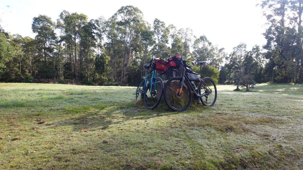
The big decisions – what bike? The obvious choice was to take my (Specialised Rockhopper Pro) MTB bike given the trail is all gravel and we would be doing over 50 km of gravel.
However, I do not generally do obvious! I chose to dust off my touring bike (Specialized Roubaix) as I had not ridden it since our last cycle tour in New Zealand at Christmas time, and I missed her!
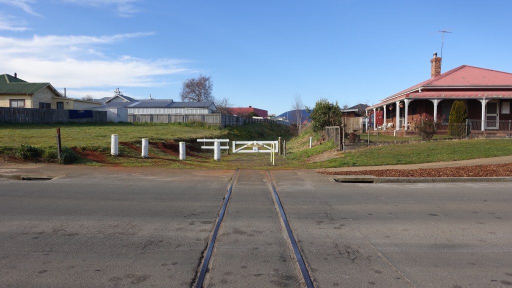
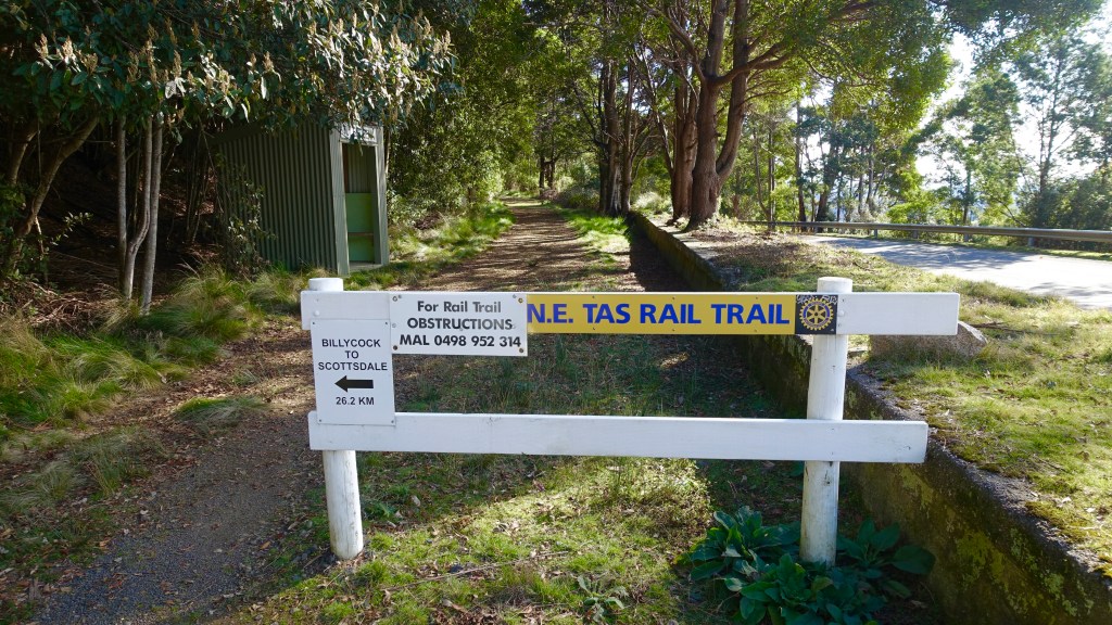
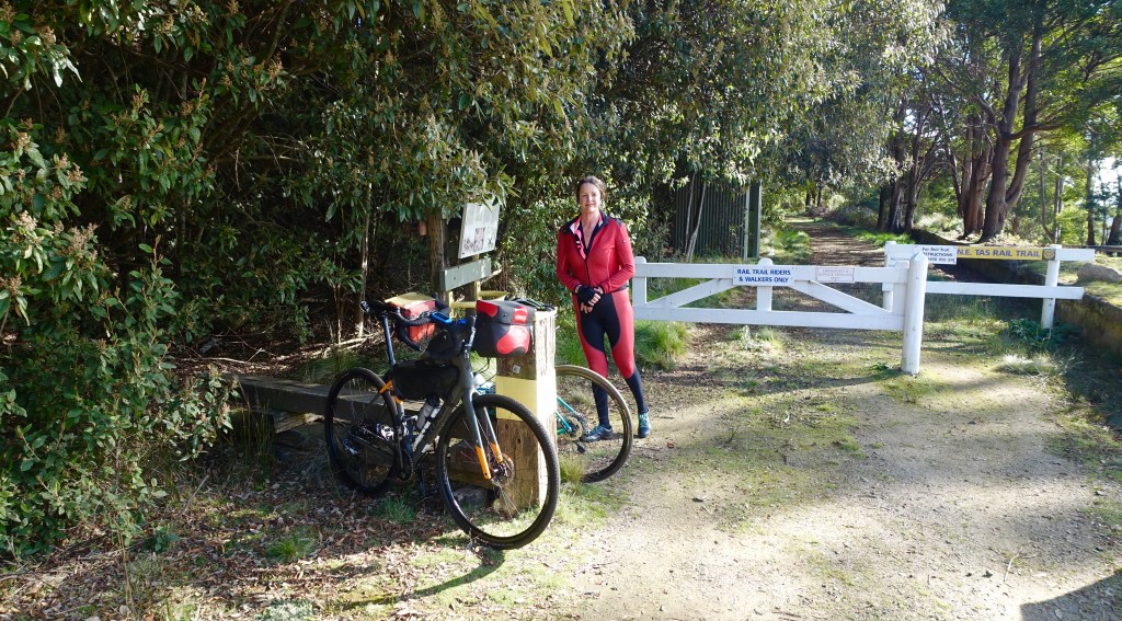
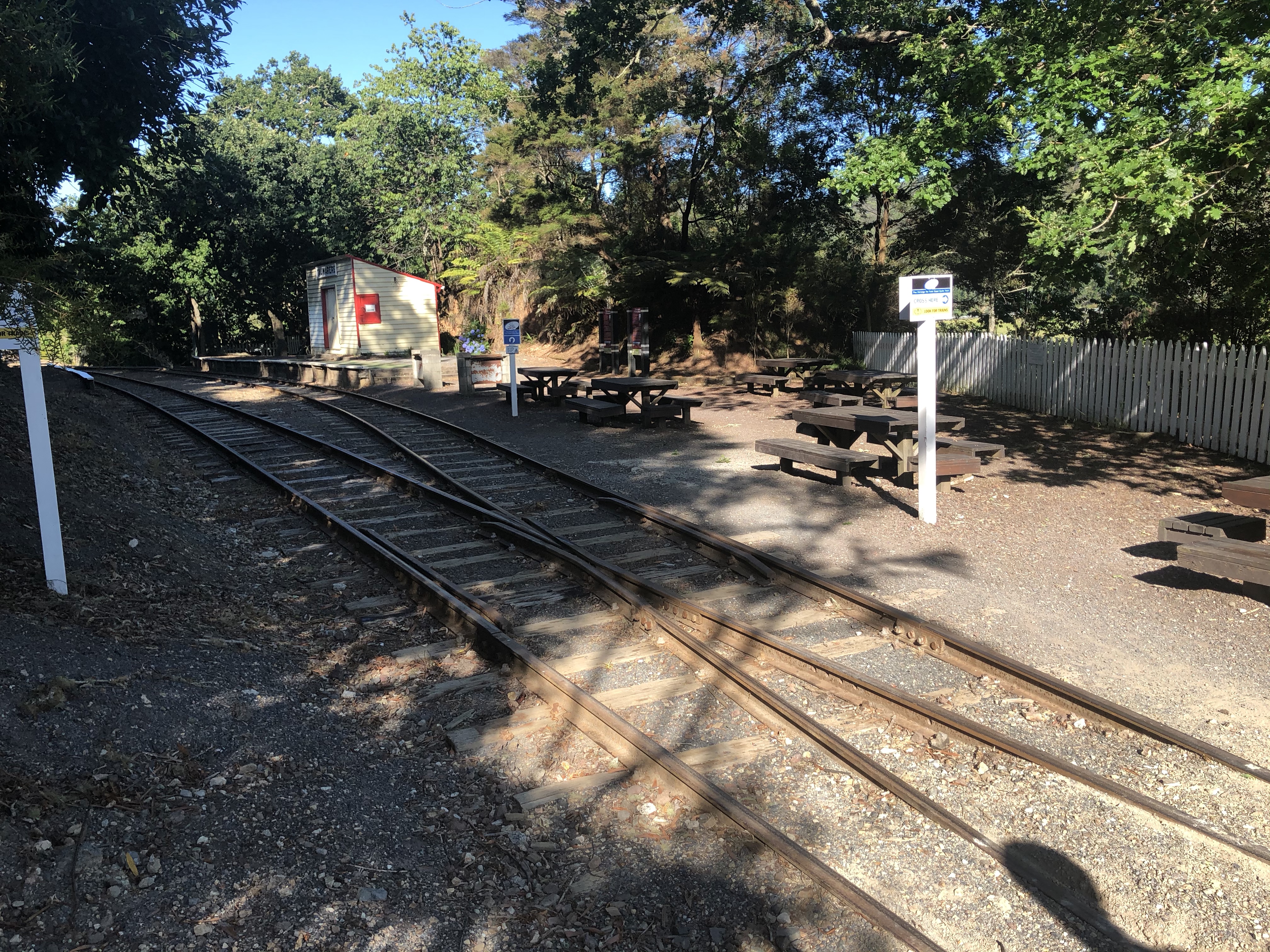
The drive to Scottsdale took a couple of hours, and crossing the Sidling I was feeling decidedly seedy (as I do suffer from car sickness at times). I was most relieved when we pulled into the old Scottsdale railway station site.
The Scottsdale to Branxholm line was built to accommodate both passengers and freight. In addition, there was an ambulance carriage to allow patients requiring medical help in Launceston to travel easier. Typhoid patients in 1918 resulted in the carriage being known as the Fever Carriage.
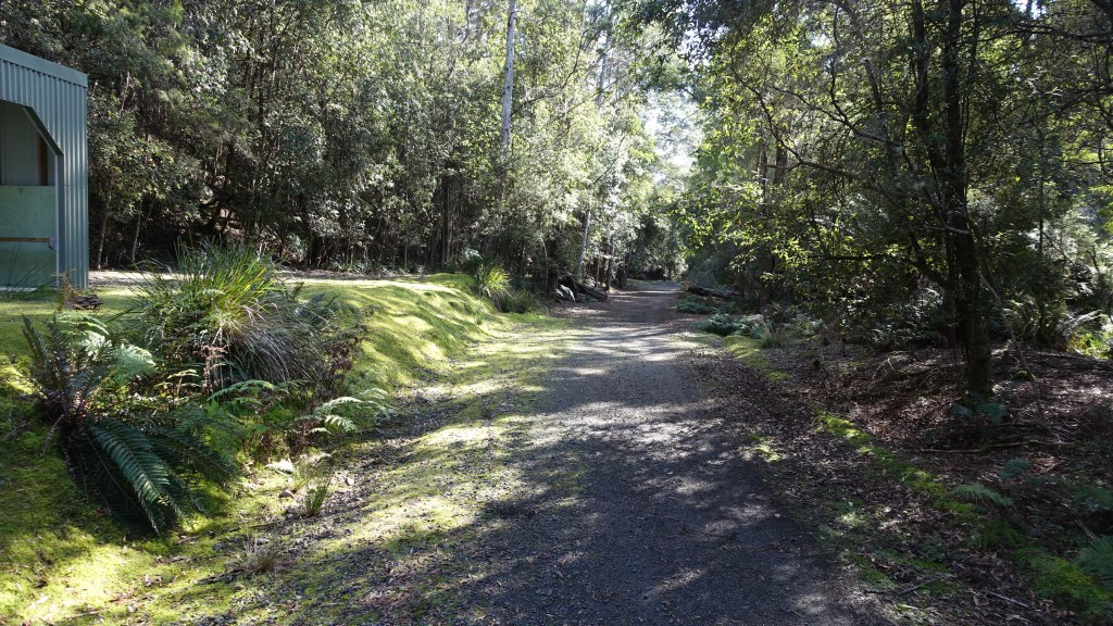
Leaving Scottsdale, the track gently descends passing by some homes and then farmland.
We saw a sign indicating toilets some 700 metres away at a camp ground and went to pay a visit – we did not find them, and went bush, then necessitating a short 16% gravel climb back to the main track!
Scottsdale’s strong heritage with forestry is undeniable as we pass by business involved in forestry and then forest coups. This warning sign ensured we did not stray off the track.
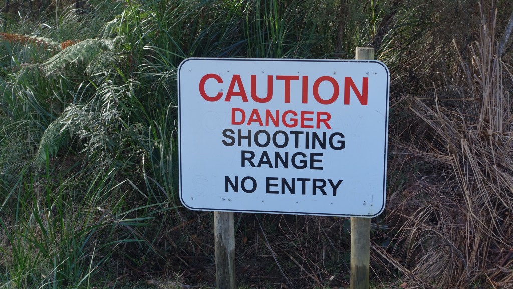
This sign brought back memories from Europe – one of when we were riding through France and entered a French armoured tank training ground, another when riding in Italy when leaving a rough path there was a warning sign advising the use of a Glock with trespassers…then there were the land mine signs in Croatia!
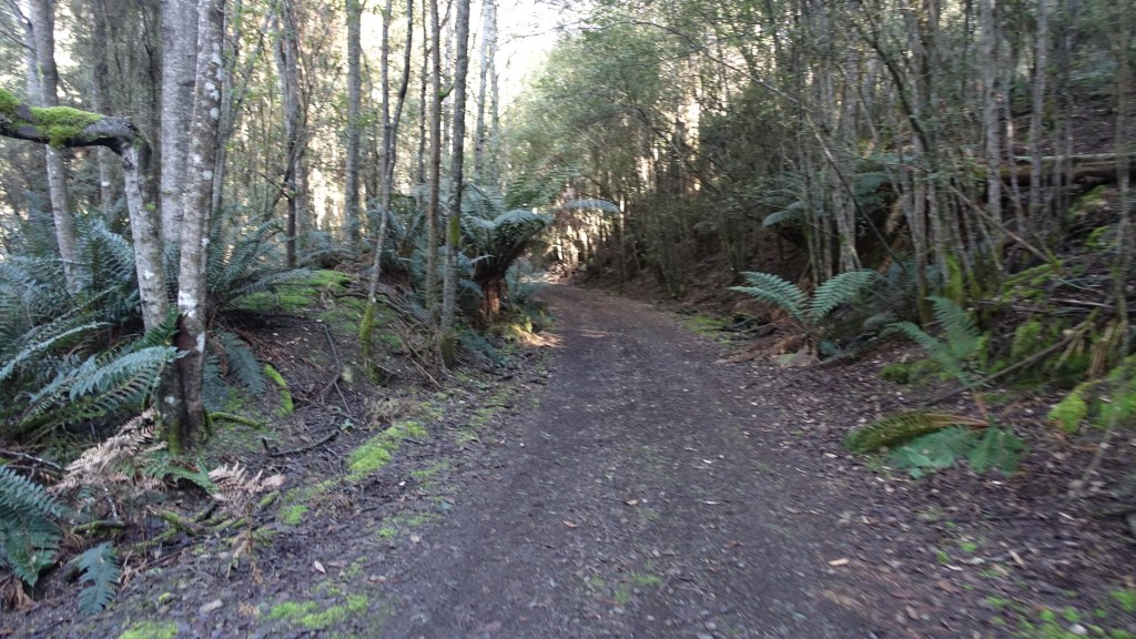
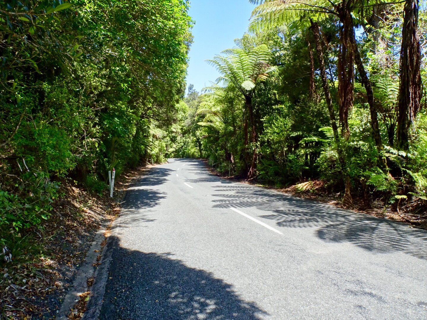
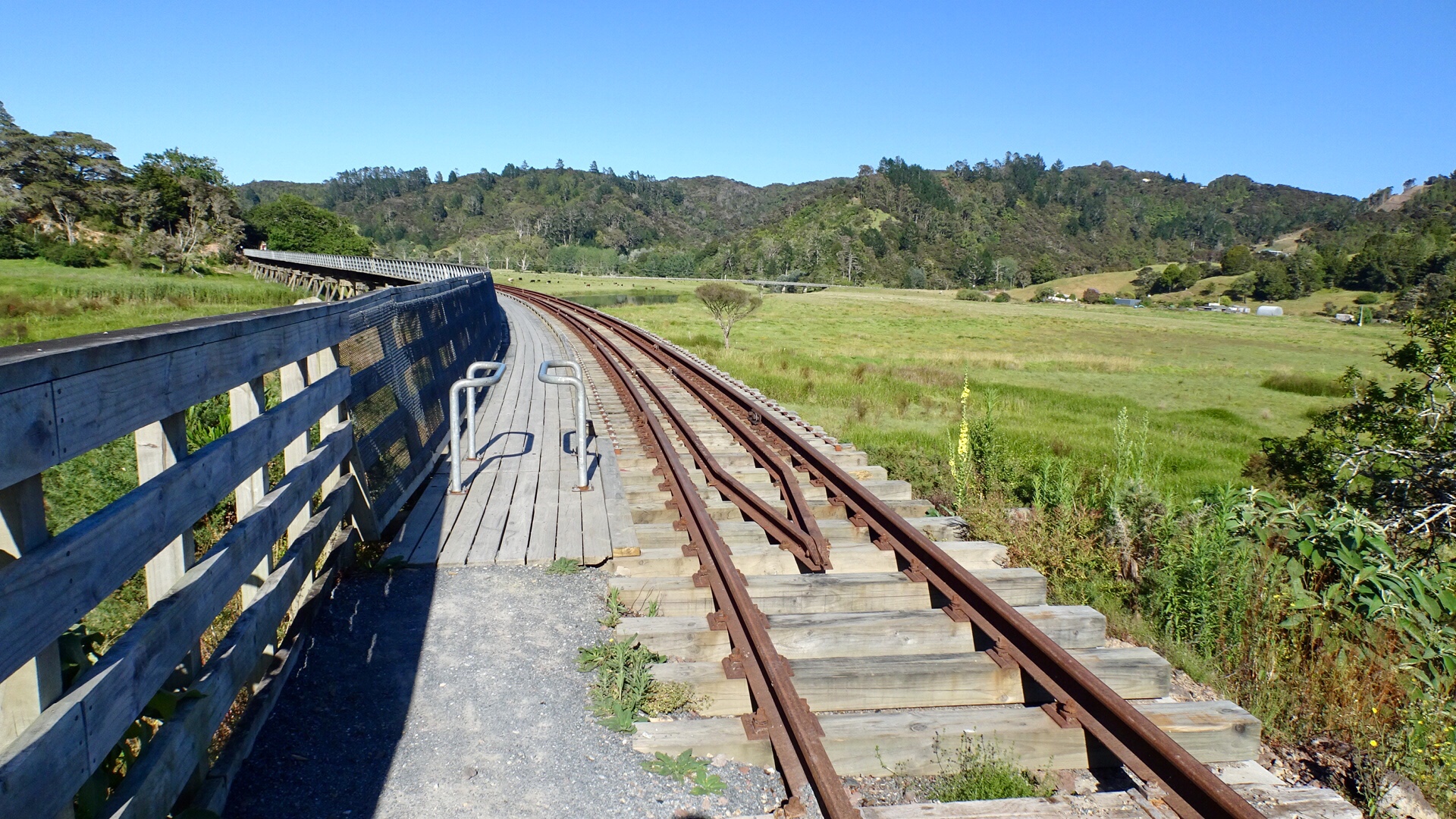
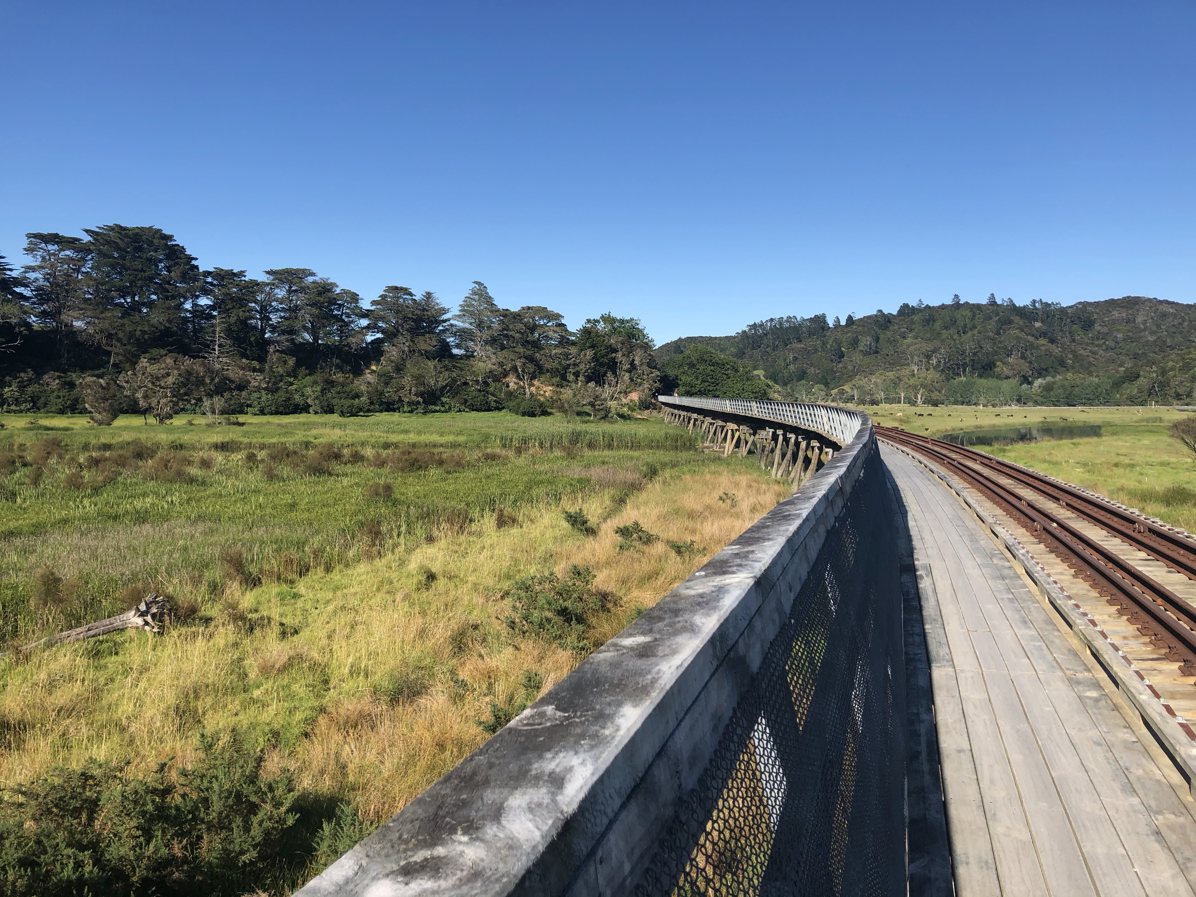
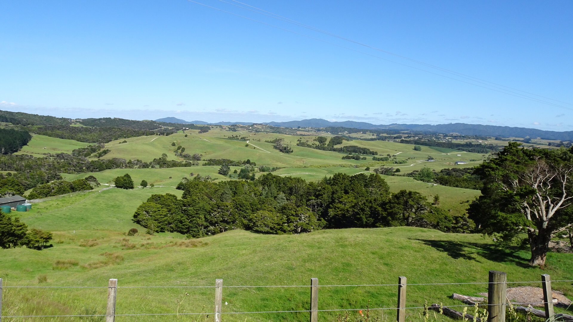
The track was well formed with lovely vistas.
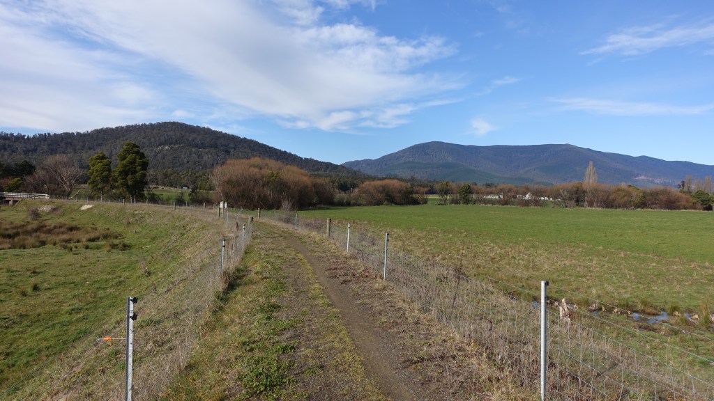
There were a few highway crossings, plus some well designed minor crossings.
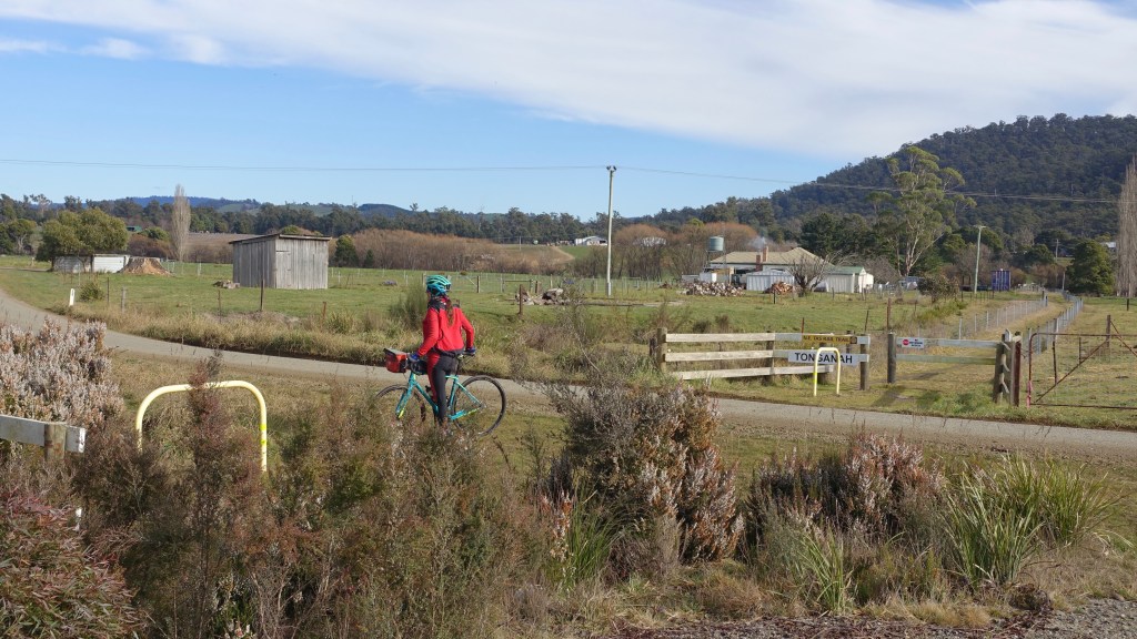
At the old Tonganah Clay Mine we left the rail trail and followed a dirt road for maybe a km or so. The mine pits, now full of water, were over the former rail area.
The mine produced kaolinite, a layered silicate clay mineral, a product that had been in high demand in pottery, refractory and rubber production.
The mine opened in 1975 and closed in 1999 – post the closure the area was rehabilitated and now forms part of the Tasmanian Forest estate.
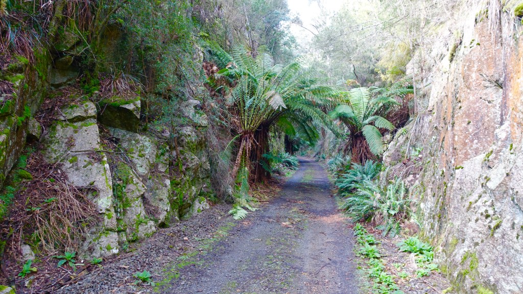
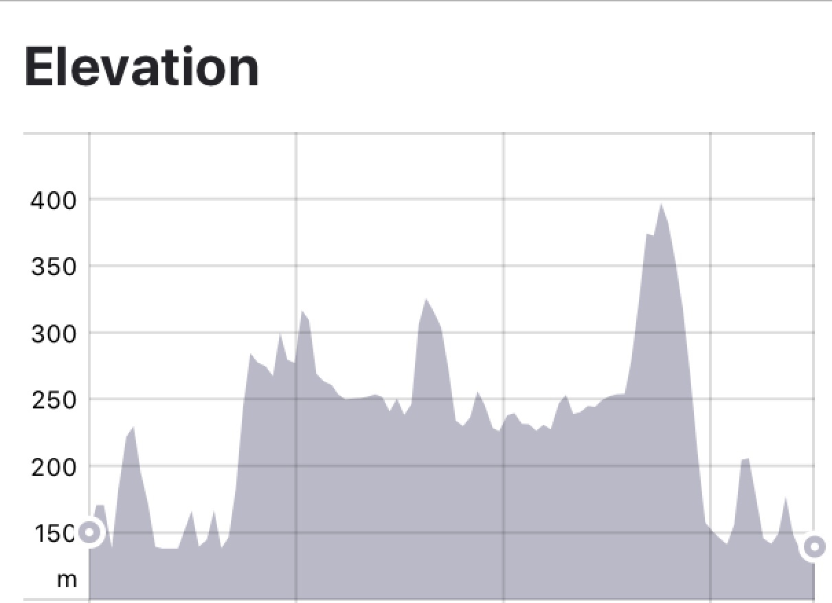
Perhaps the most impressive area of the former rail line is the section where massive cuts were made into granite. The construction of this section of railway posed many problems for engineers.

Teams of men were set the task of cutting through sections of solid granite and building bridges and embankments through ravines. It was also necessary to wind the track up and down the mountains to accommodate the maximum incline permissible on Tasmanian railways of 1 in 40.
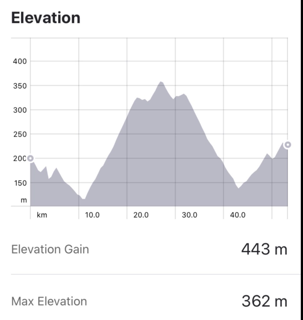
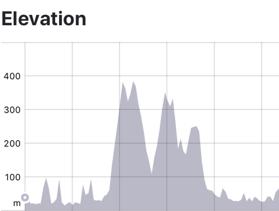
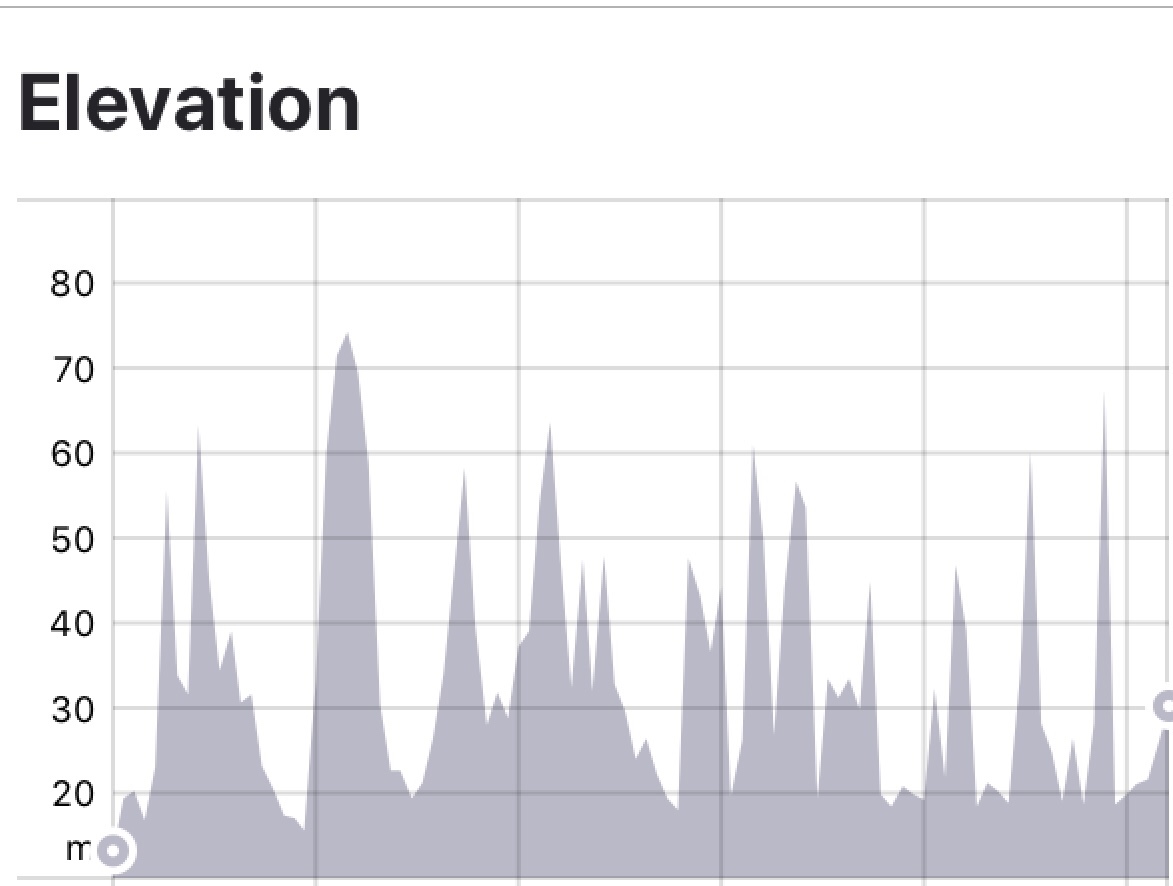
Along 7 kilometres of track 5 cuttings were made, with depths of 10,17,11,14 and 12 metres respectively.
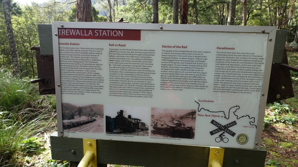
Trewalla Station lies 15 km from the Scottsdale station, and 204 m above seas level. The station was built to service the small farming area of Maryvale, a settlement that has since disappeared. Trewalla is a Tasmanian aborigine word meaning mountain.
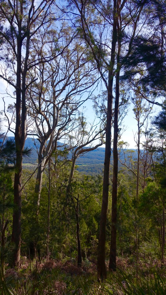
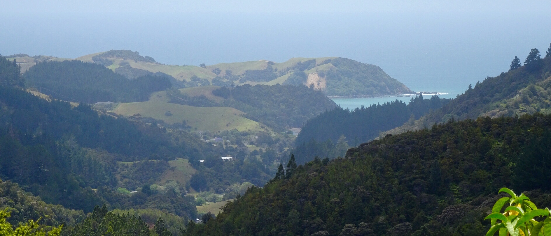
Riding through wet and dry sclerophyll forest, we reached a spot where the sign stated it is possible to view the Furneaux Group on a clear day – it was a clear day, but the horizon showed little ocean given the height of the forest. The Furneaux Group consists of 52 islands, and was the base for the sealing industry, but fortunately the last sealing permit was issued in 1828.
Kamona Station – an aboriginal word for venom, lies 5 km from the Trewalla Station towards Legerwood and is situated 311 m above sea level. This is 107 m higher than Trewalla station, making it the steepest section of the rail on this side of “Billy-Cock” with an average rise of 1 in 46.
The station closed in the 1950’s and none of the original buildings remain. However, there is an excellent shelter for picnics on the site now.
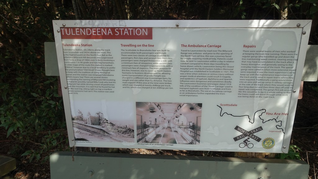
Tulendeena Station sits 24 km along the track from Scottsdale and 342m above sea level – making it the highest point on the North East Rail Trail, as the infamous Billycock Hill descends into Legerwood further on.
Tulandeena Station is the end of the trail, at the junction with the Tasman Highway. Time for a snack before retracing our steps.
We zipped back as it was a gradual downhill for about 15 km, then slightly undulating for the balance. No stopping. Very pleasant and enjoyable.
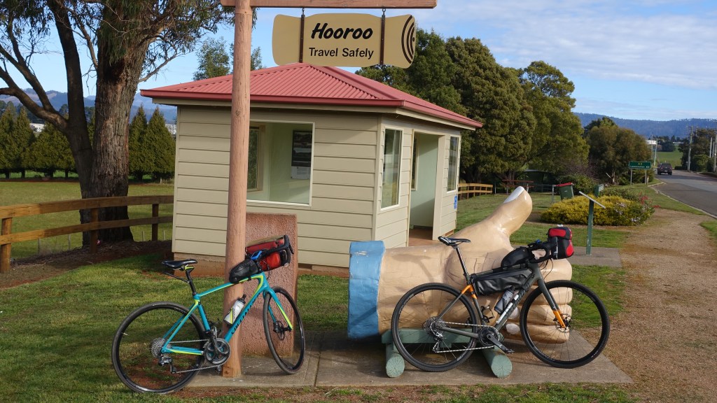
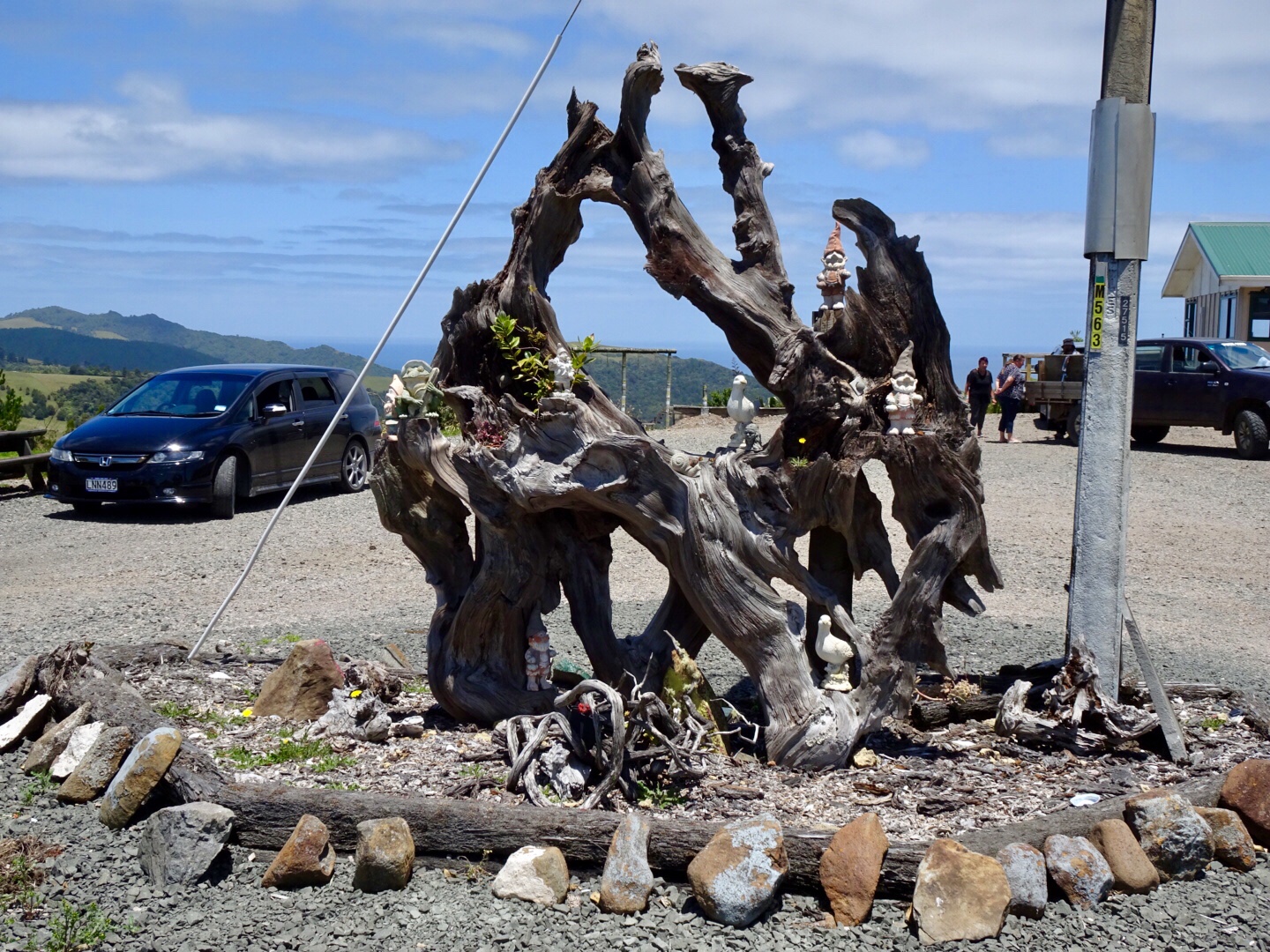
Back in Scottsdale we came across this amazing thumb with an interesting story.
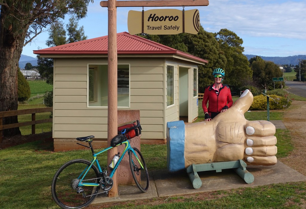
Joshie Janoschka was a local resident (formerly from Germany) and he had a tree fall across his gate after a fierce storm. Instead of cutting it into firewood, he opted to carve a Big Thumb, such was his sense of humour, and his gift to the district. Joshie passed away in 2004.
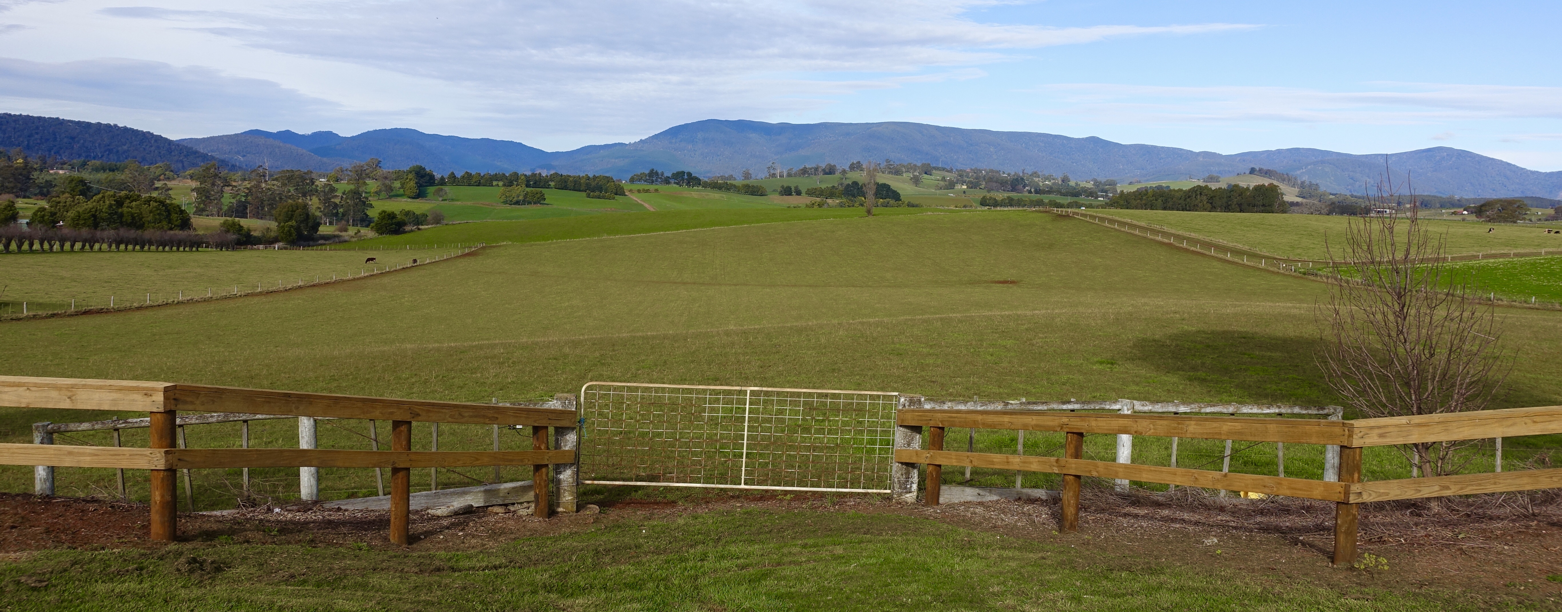
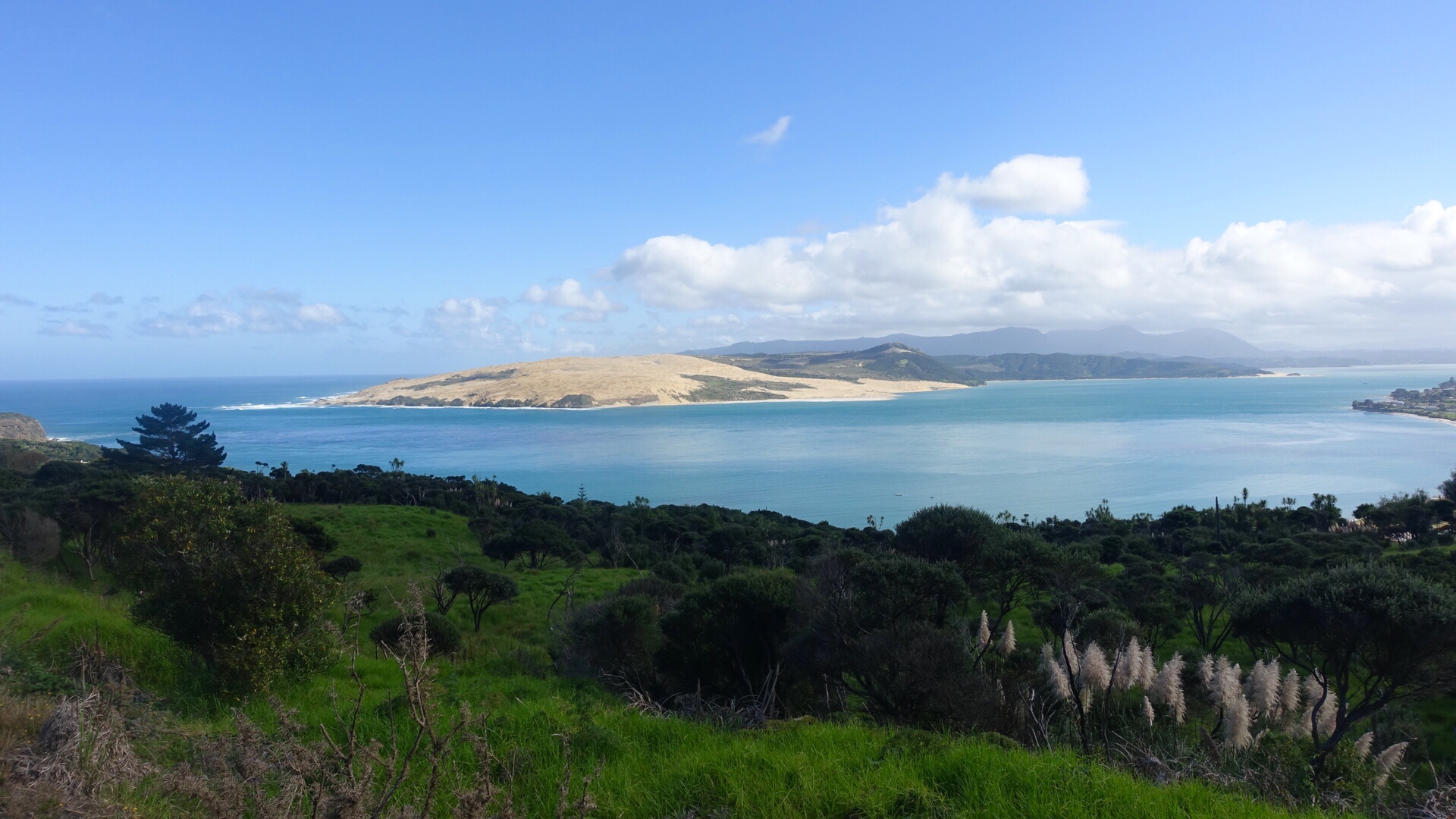
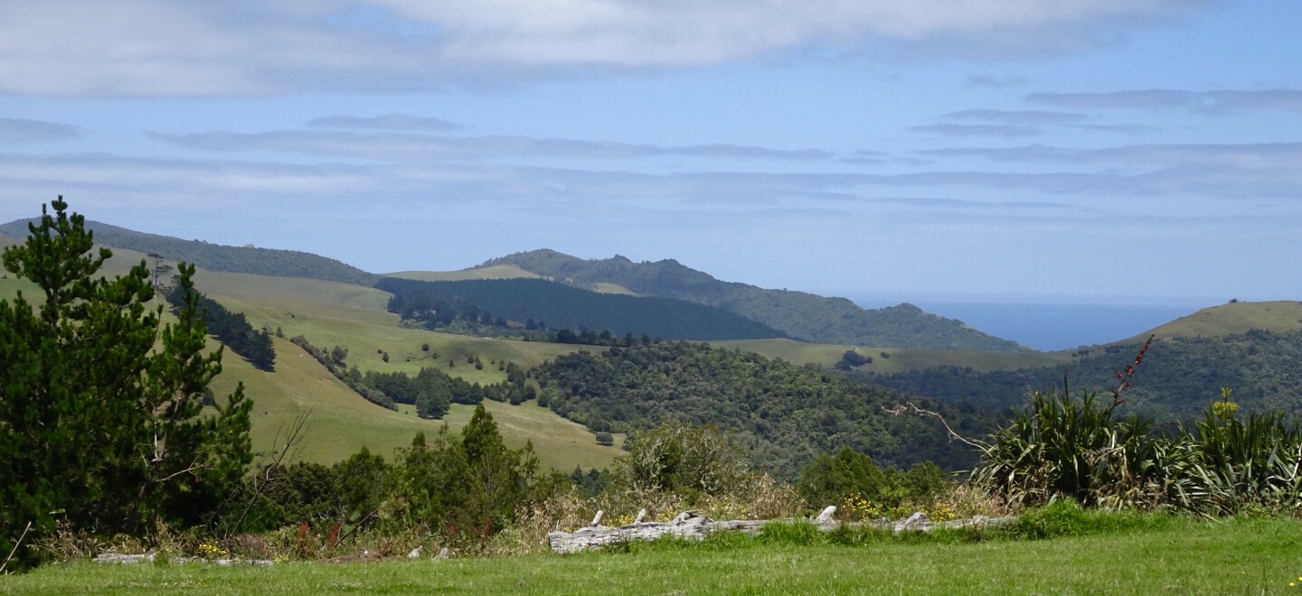
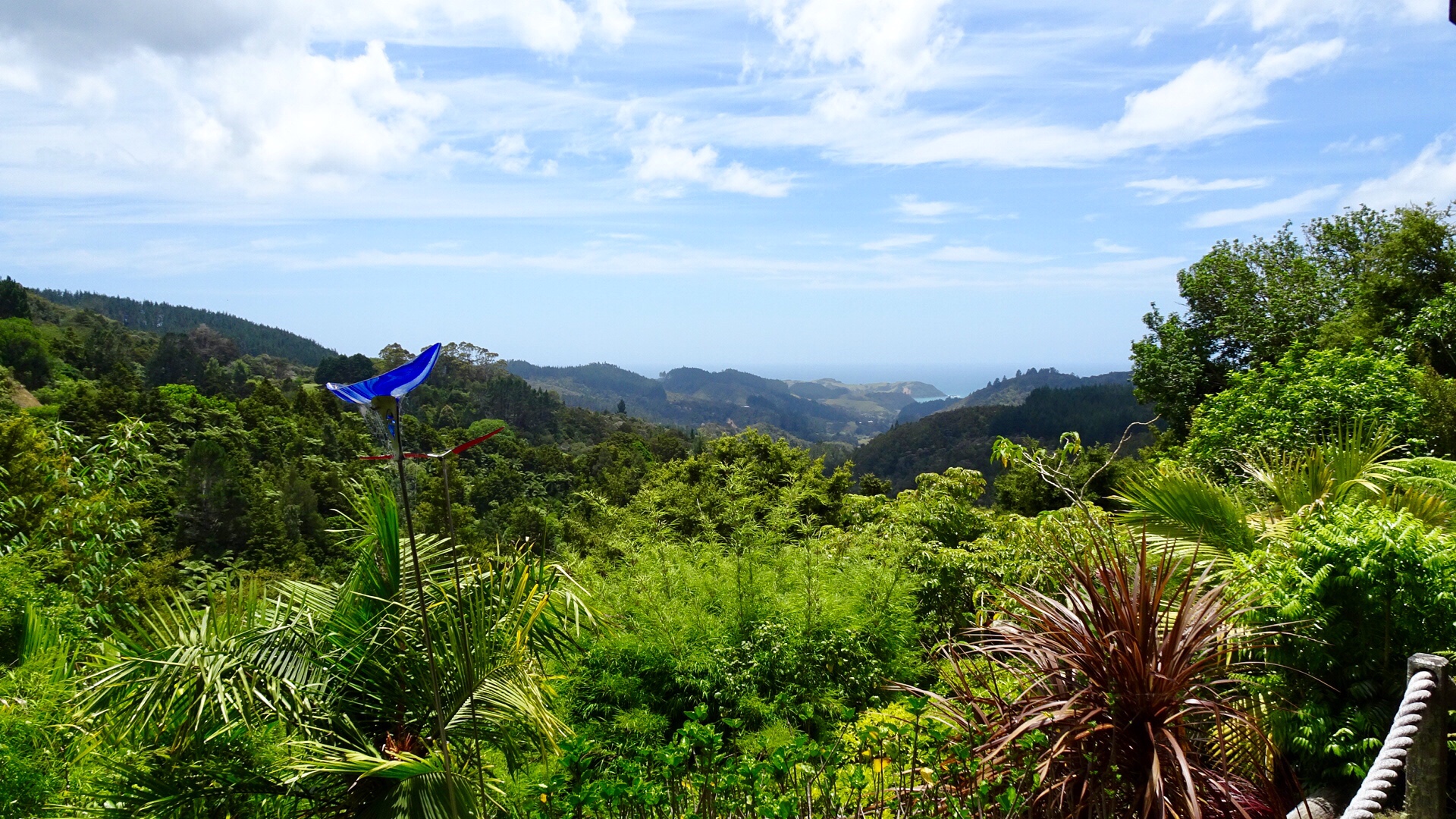
The final view is from Scottsdale looking back over the area we had ridden.
Is this trail good? Yes, 54 km return, well made, scenic, safe for families.
Well done Dorset Council and Scottsdale Rotary for their vision and hard work in establishing such a wonderful trail for the benefit of multiple users.
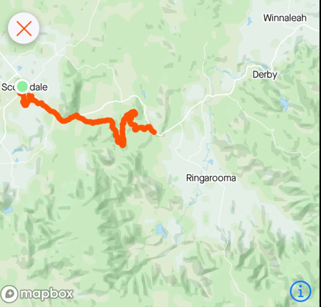
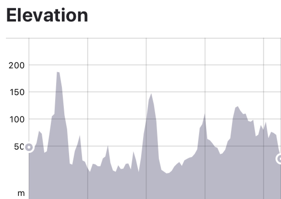
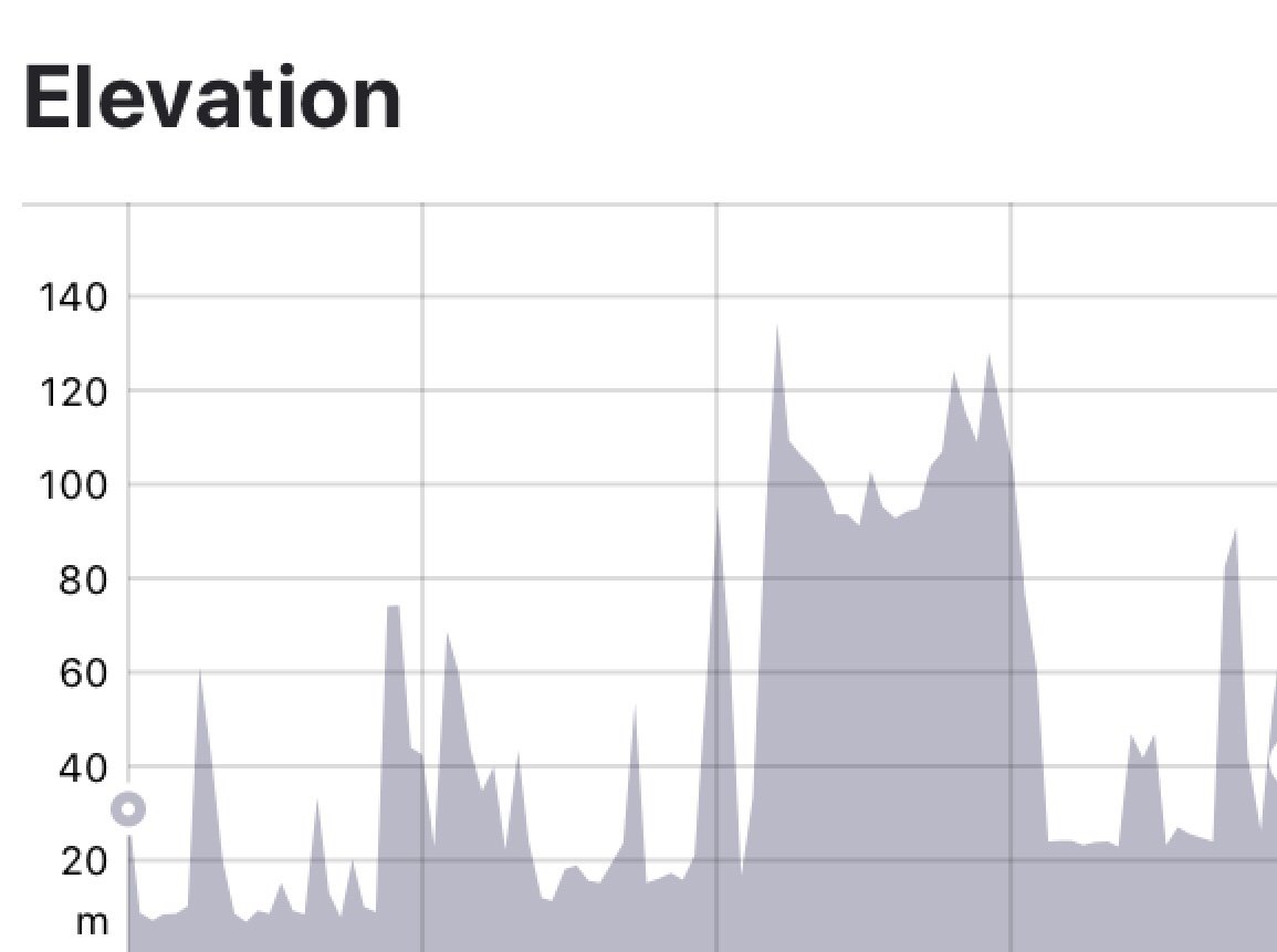
The area and incline data
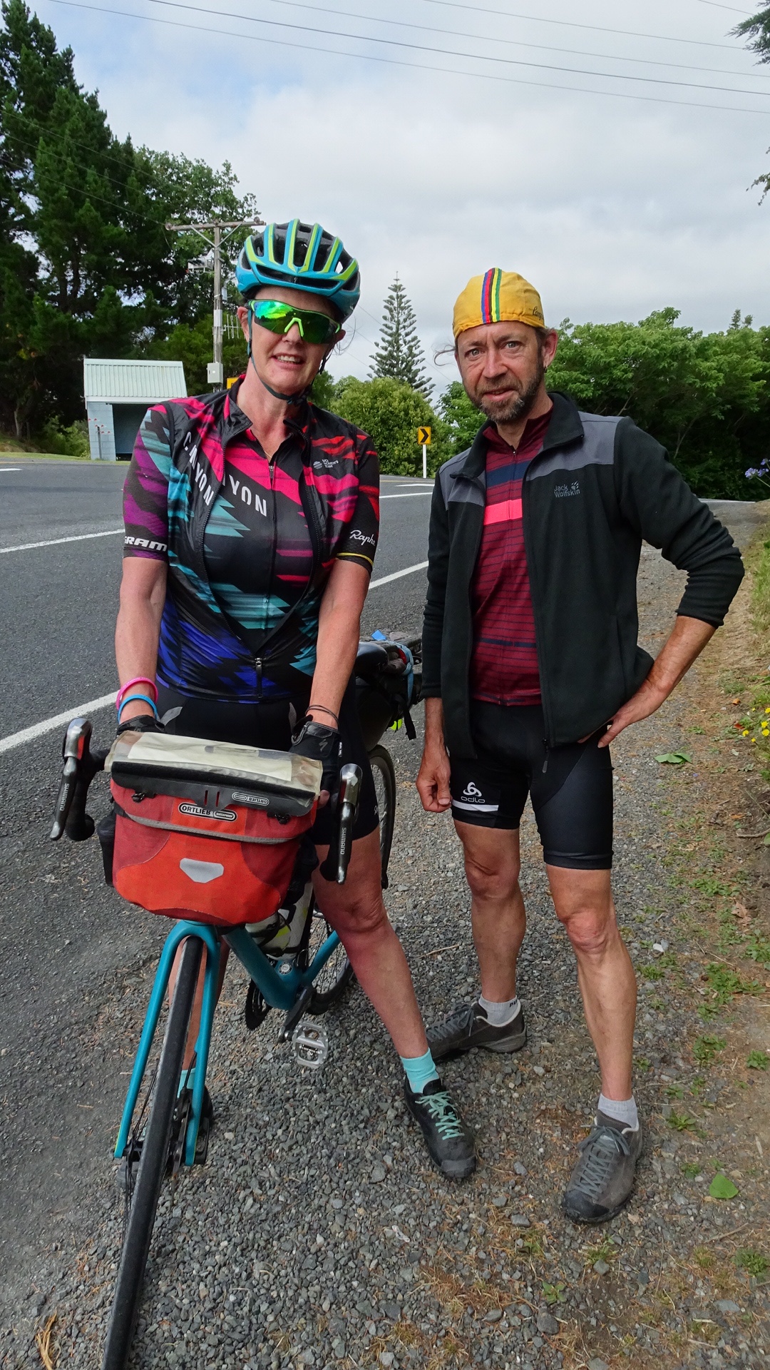
Ooroo
Sharron


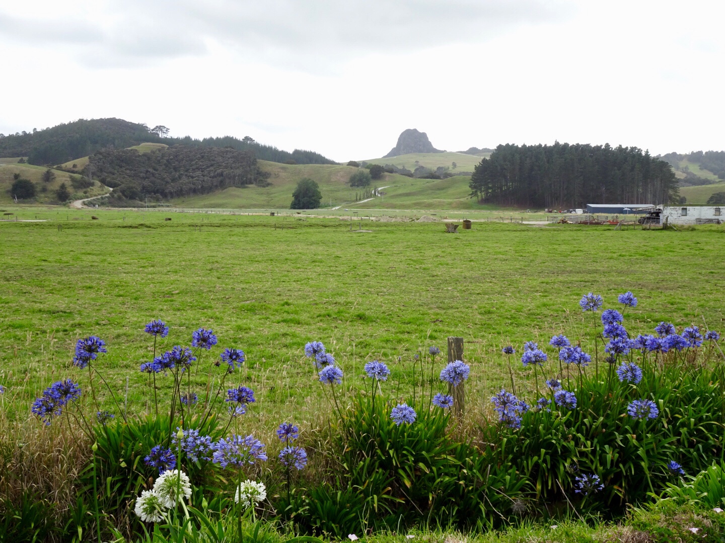
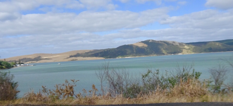
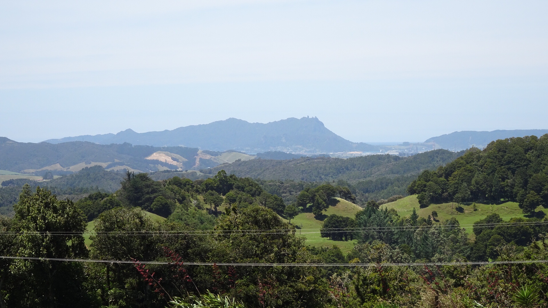
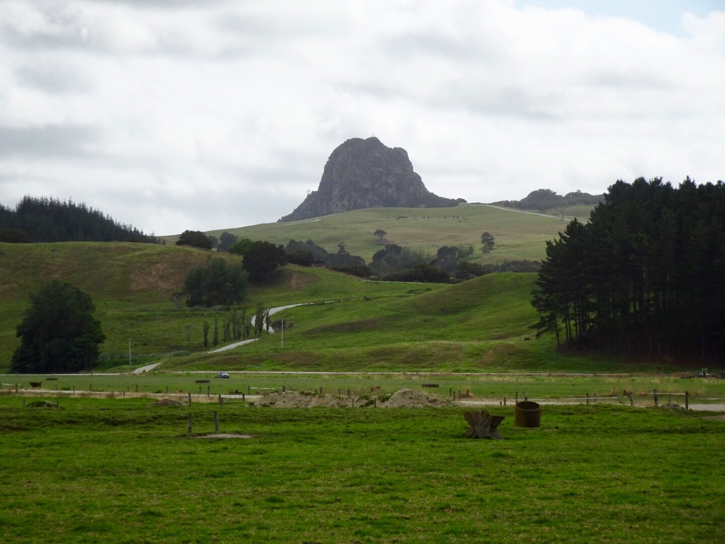 The peak below is Tokatoka Peak. It is a rare phenomenon as it is the plug of an ancient volcano. The material around the plug has also eroded over time, leaving only the hardened lava core.
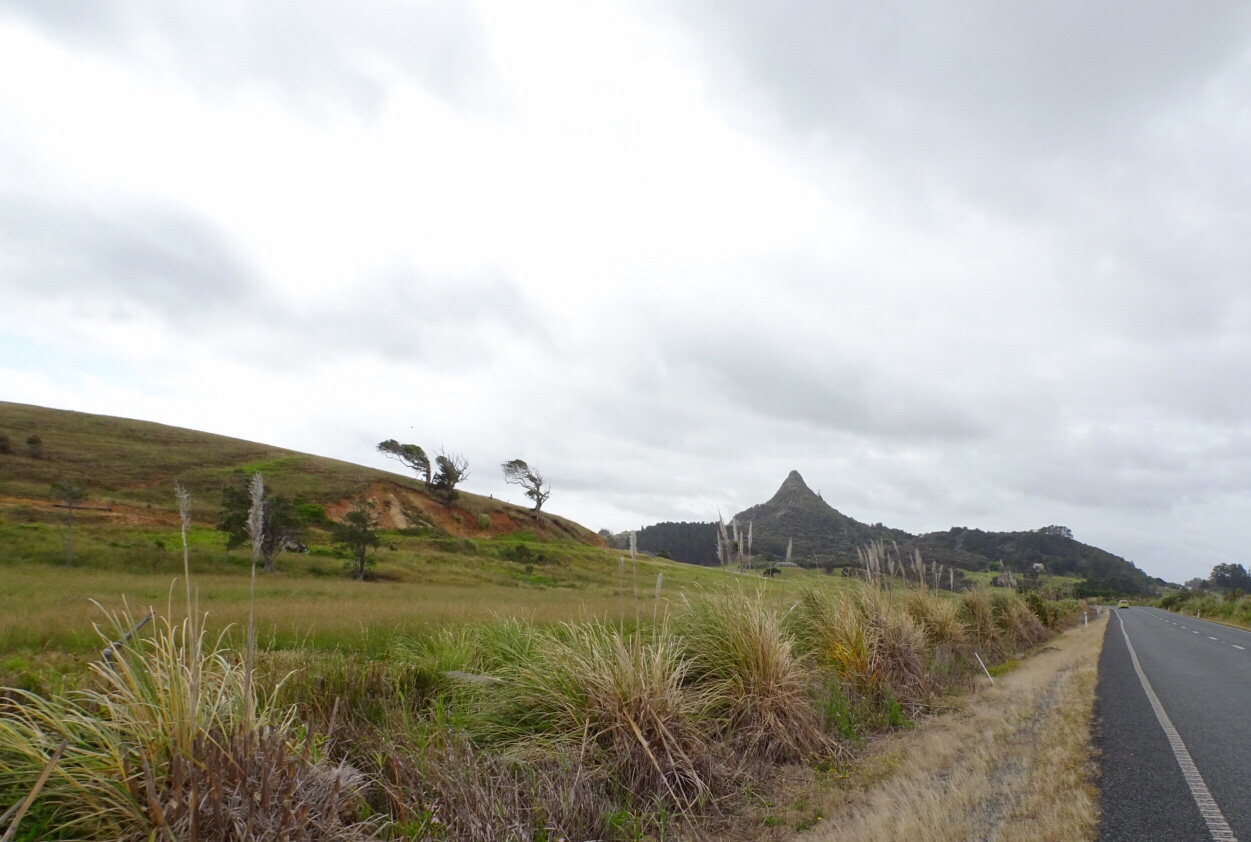
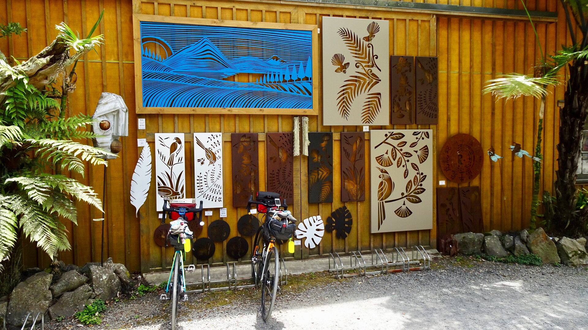
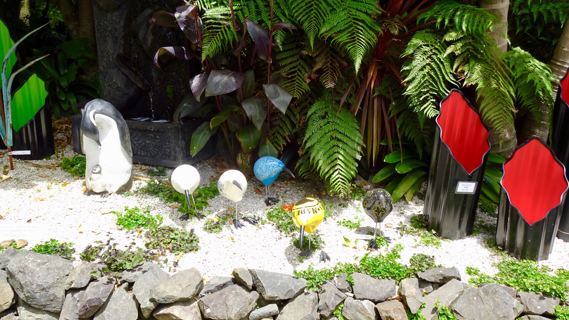
 The local shop has a collection of bikes. Lost yours? Might be here!
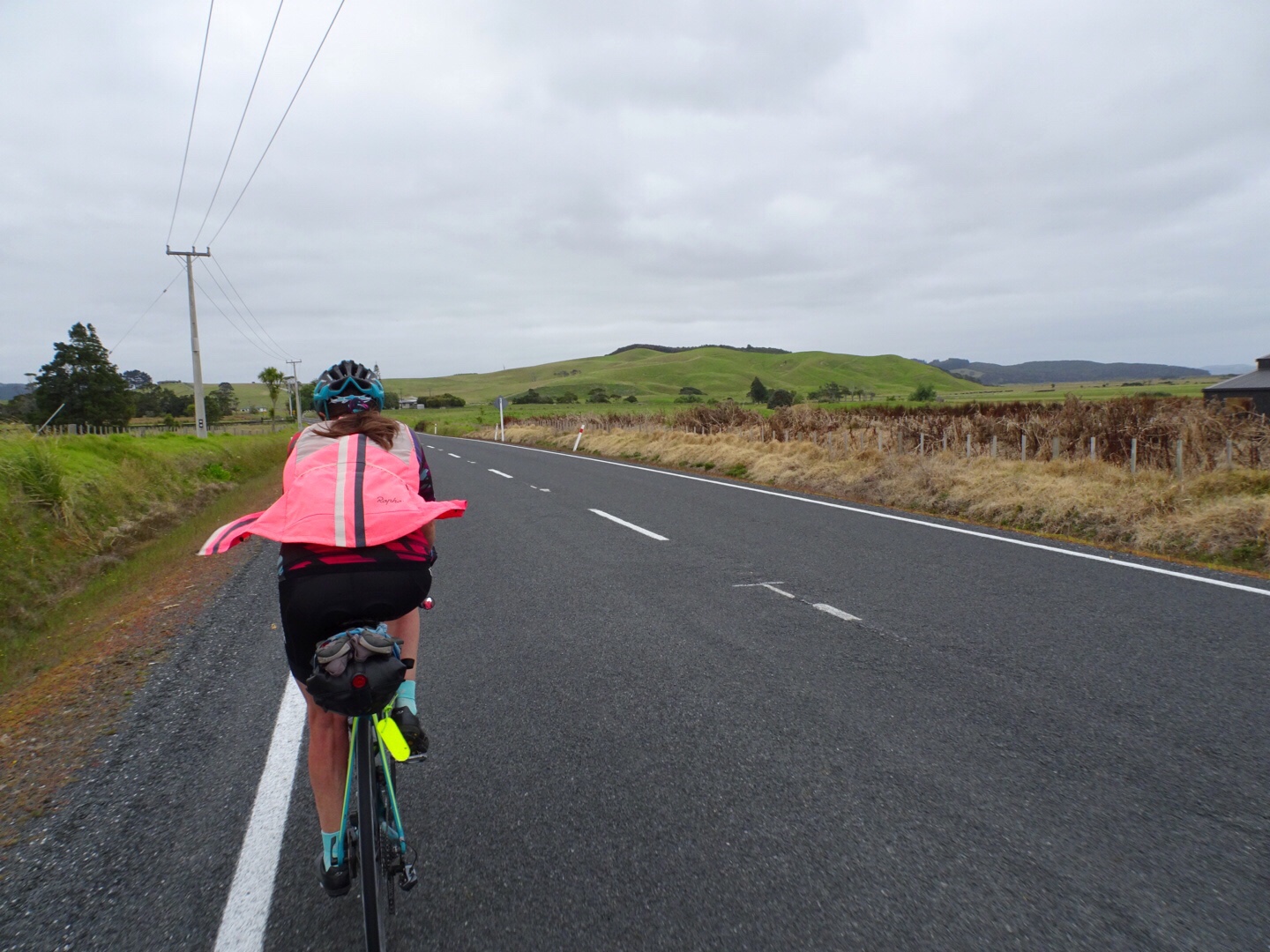
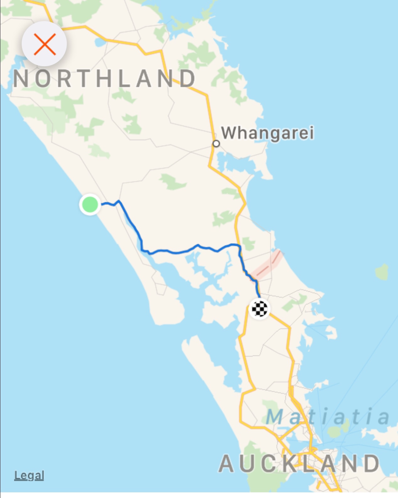
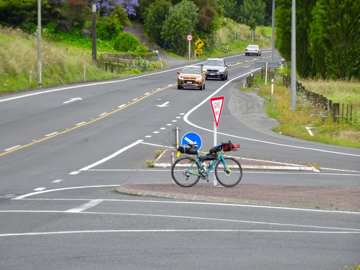
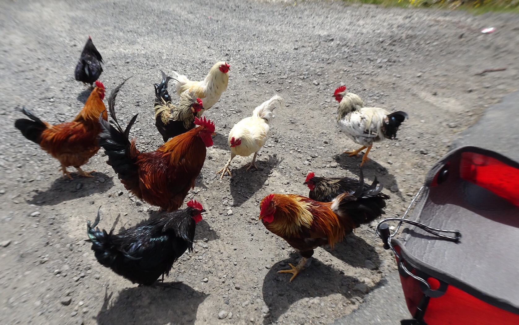
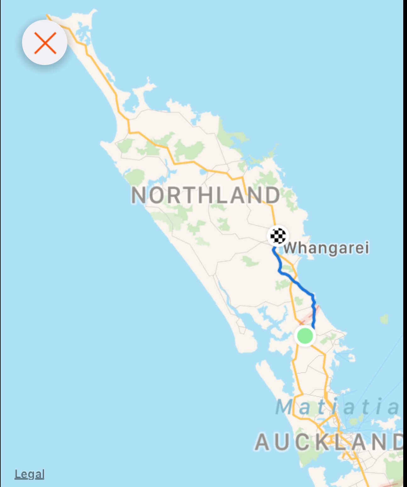
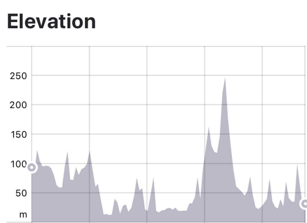
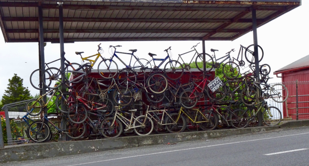 This is when our ride today got ugly. It was pretty horrid really as we were on a major highway, with verge ranging from zero to reasonable. It was incredibly busy and to make it more interesting (as if more challenges were required) it was drizzling lightly. Just nuisance value whereby your glasses end up with water on them to reduce visibility.


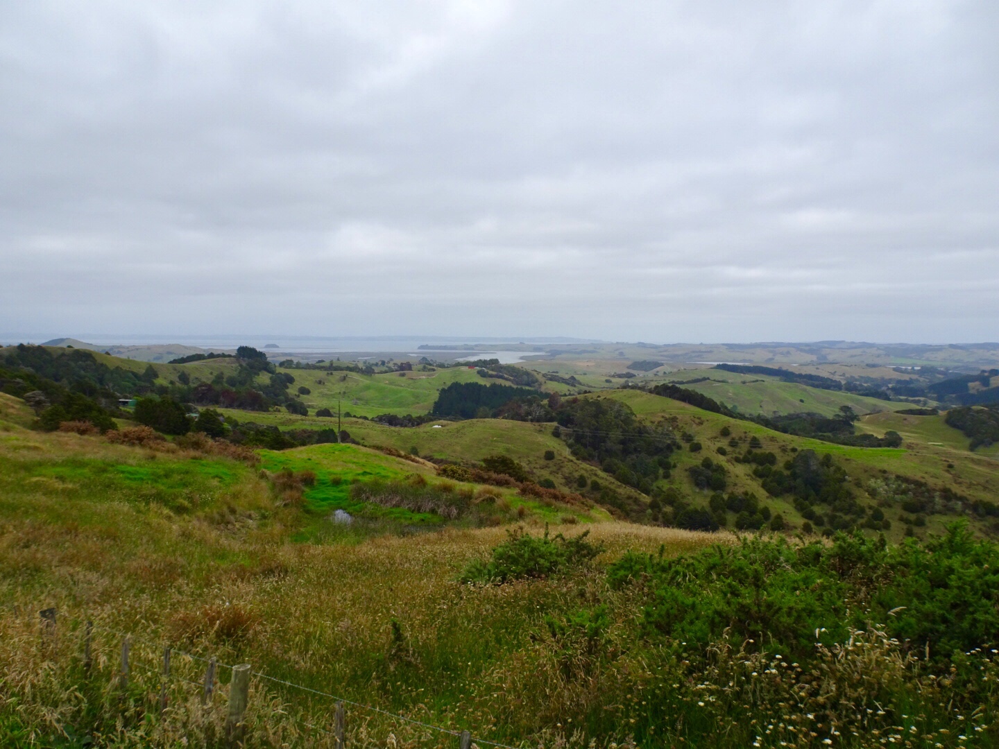
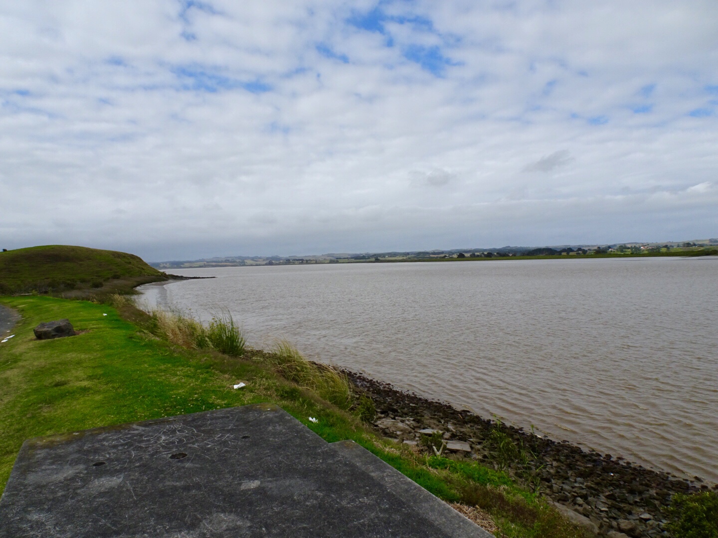
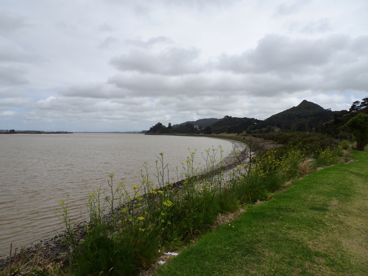
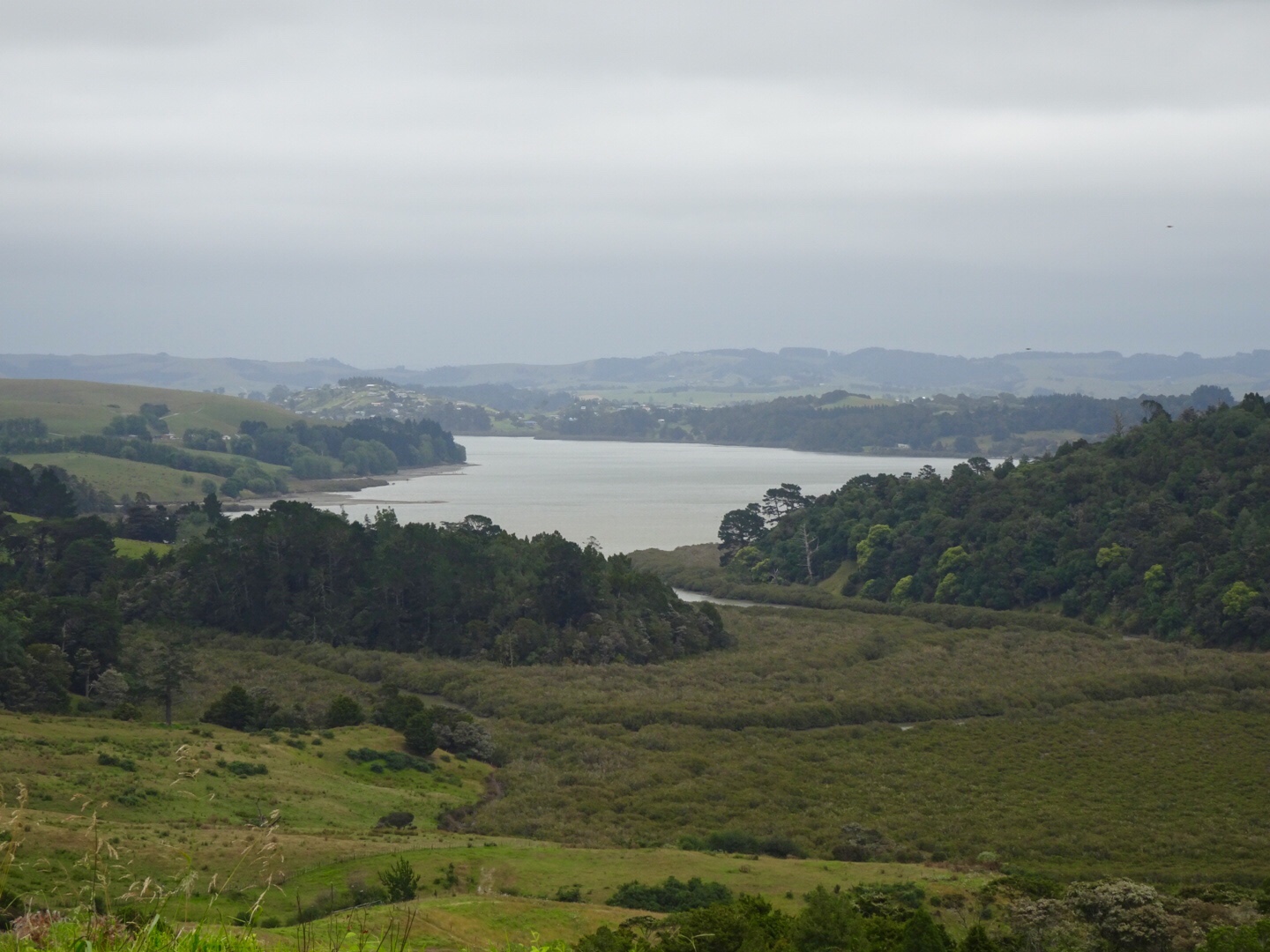
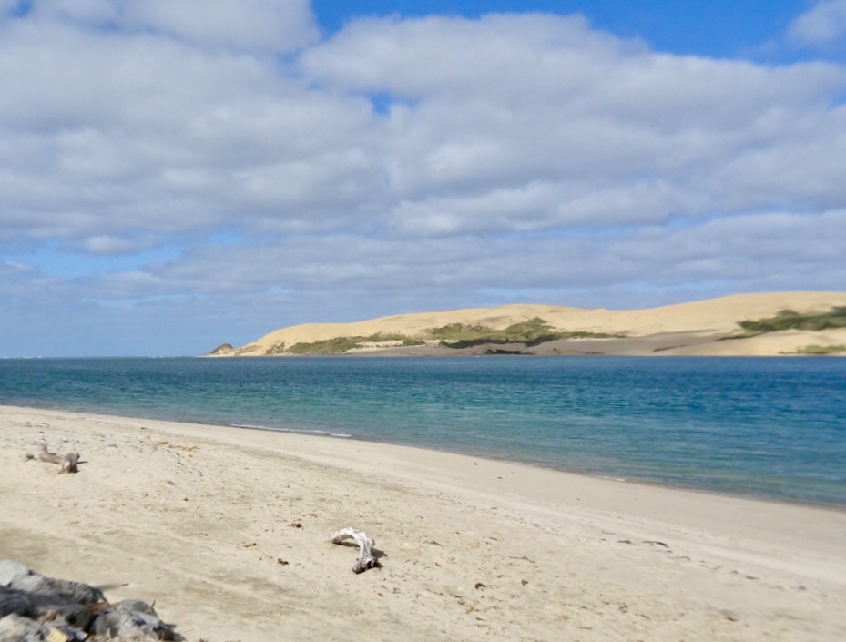
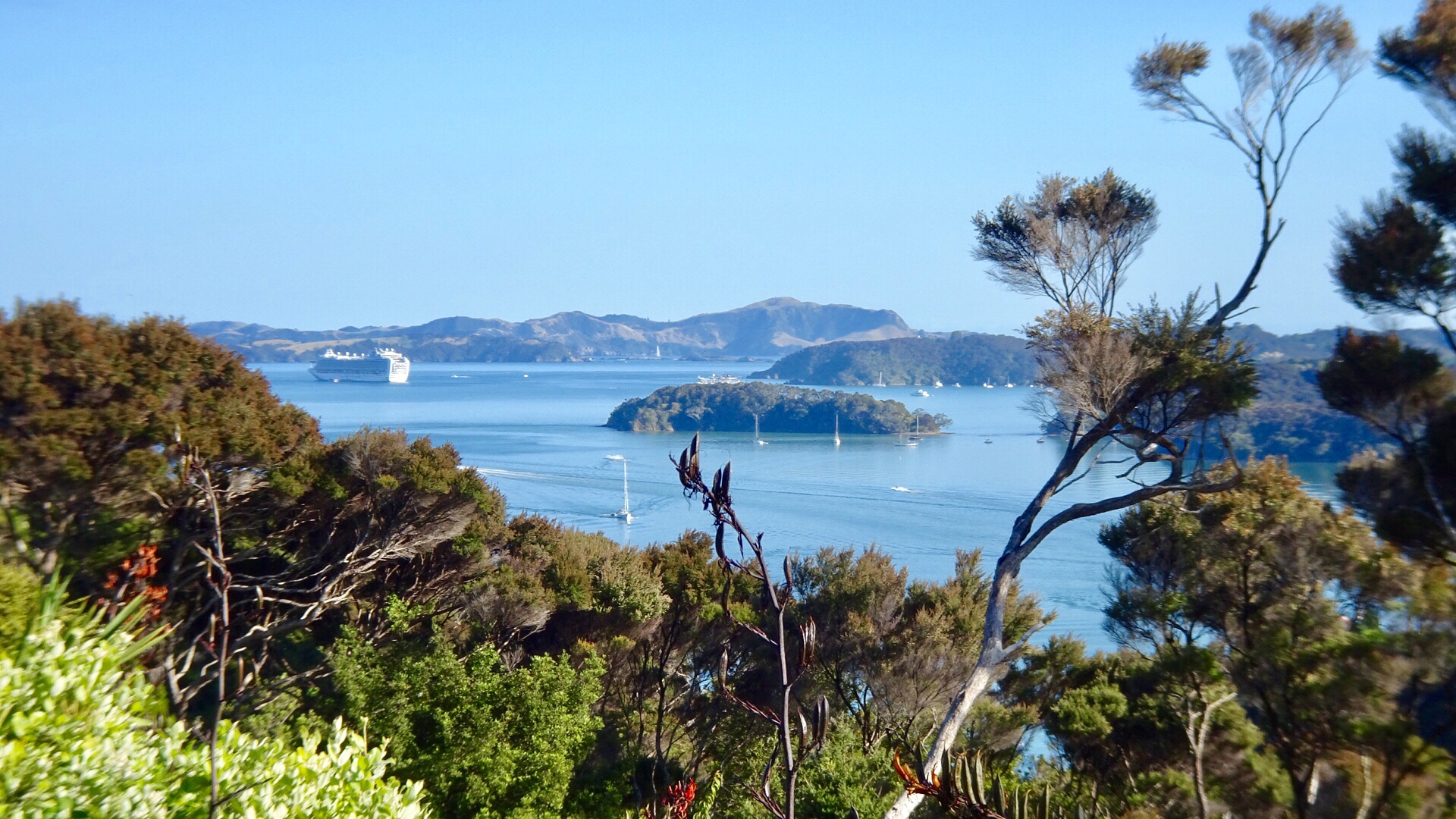
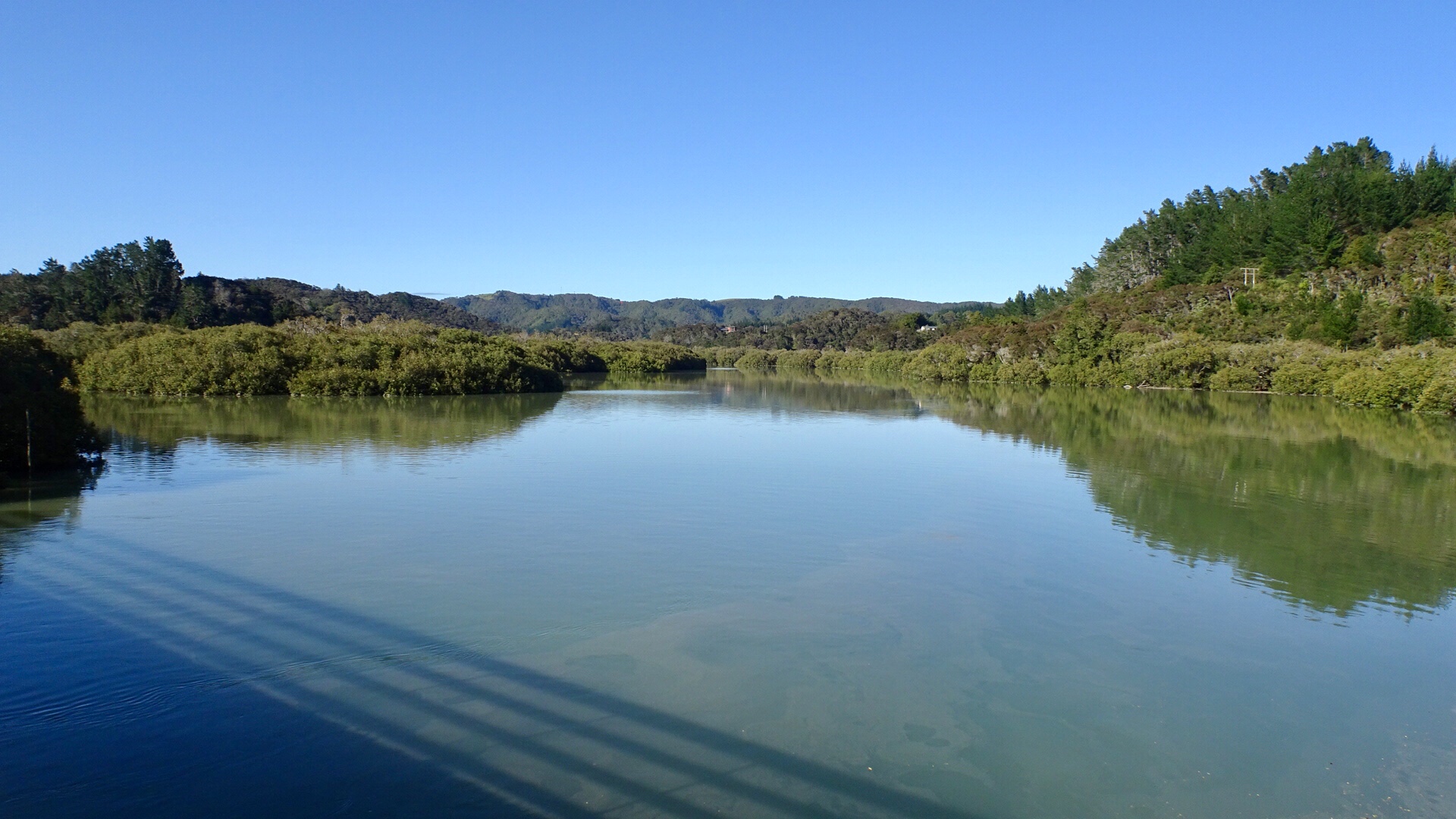
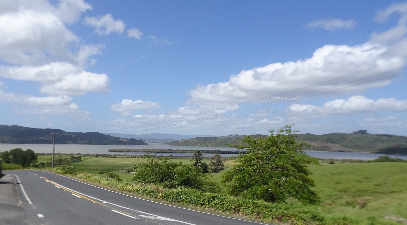
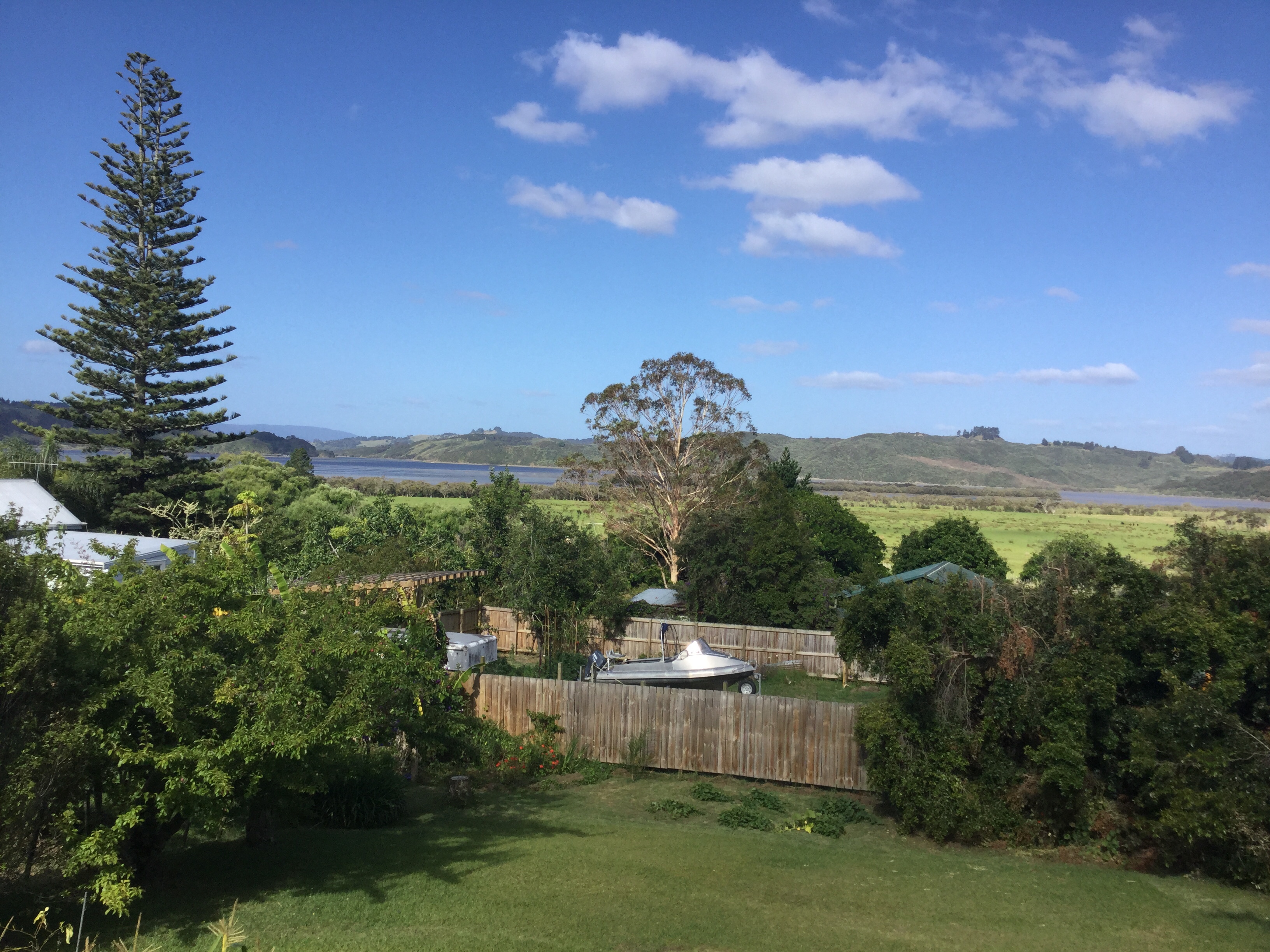
 Leaving Rawene views of Hokianga Harbour. Unfortunately our camera has developed an issue we cannot resolve, hence blurred edges.


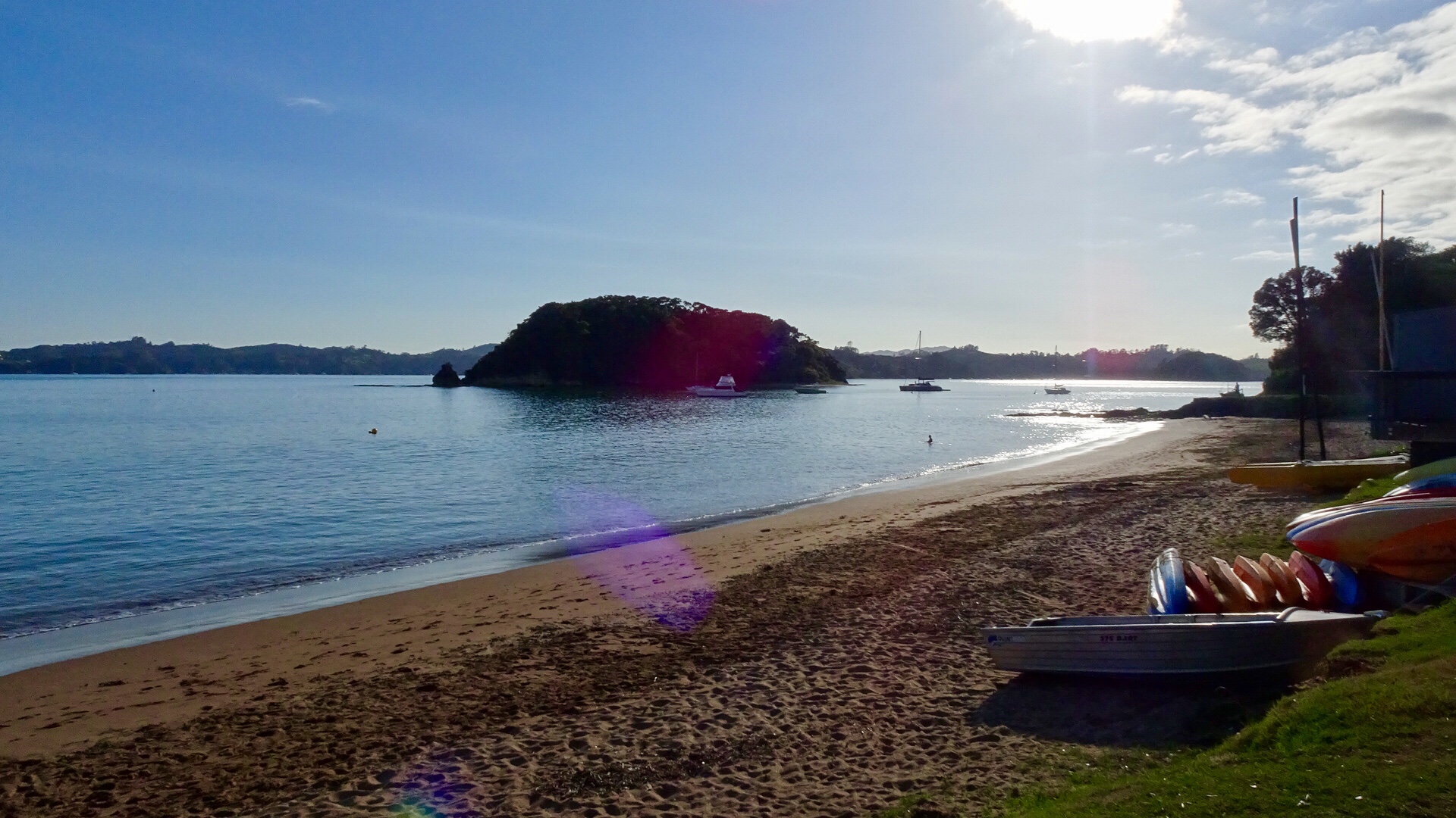
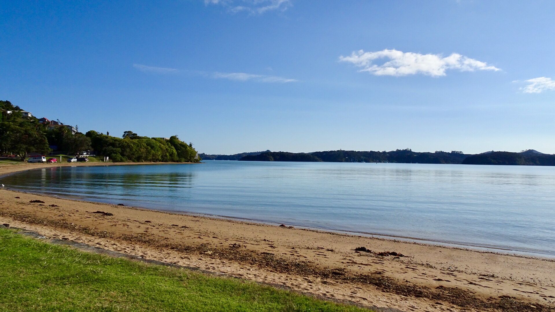


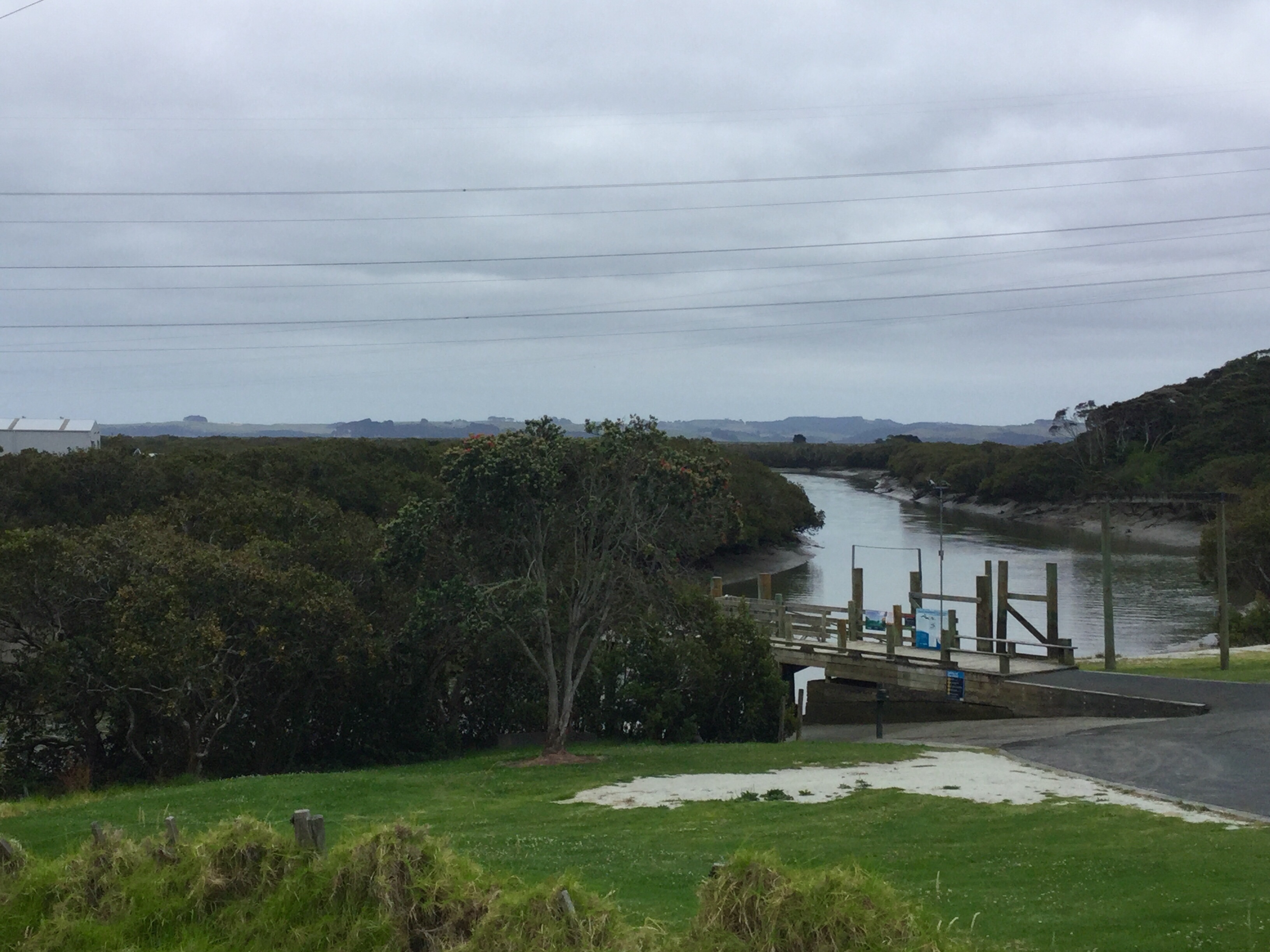
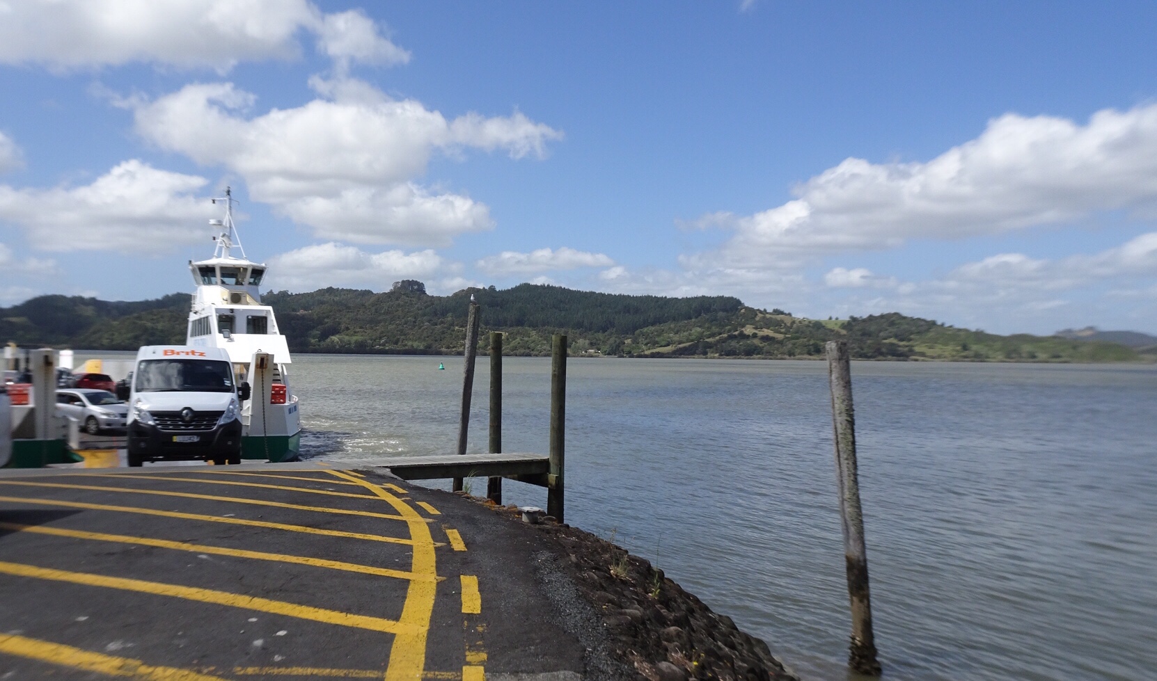
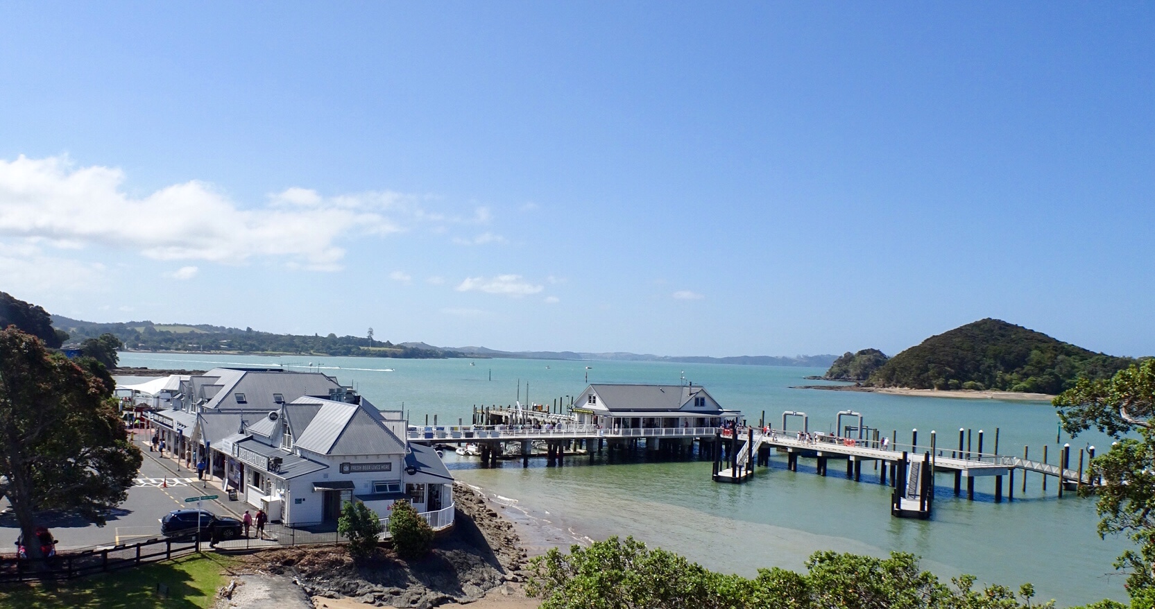
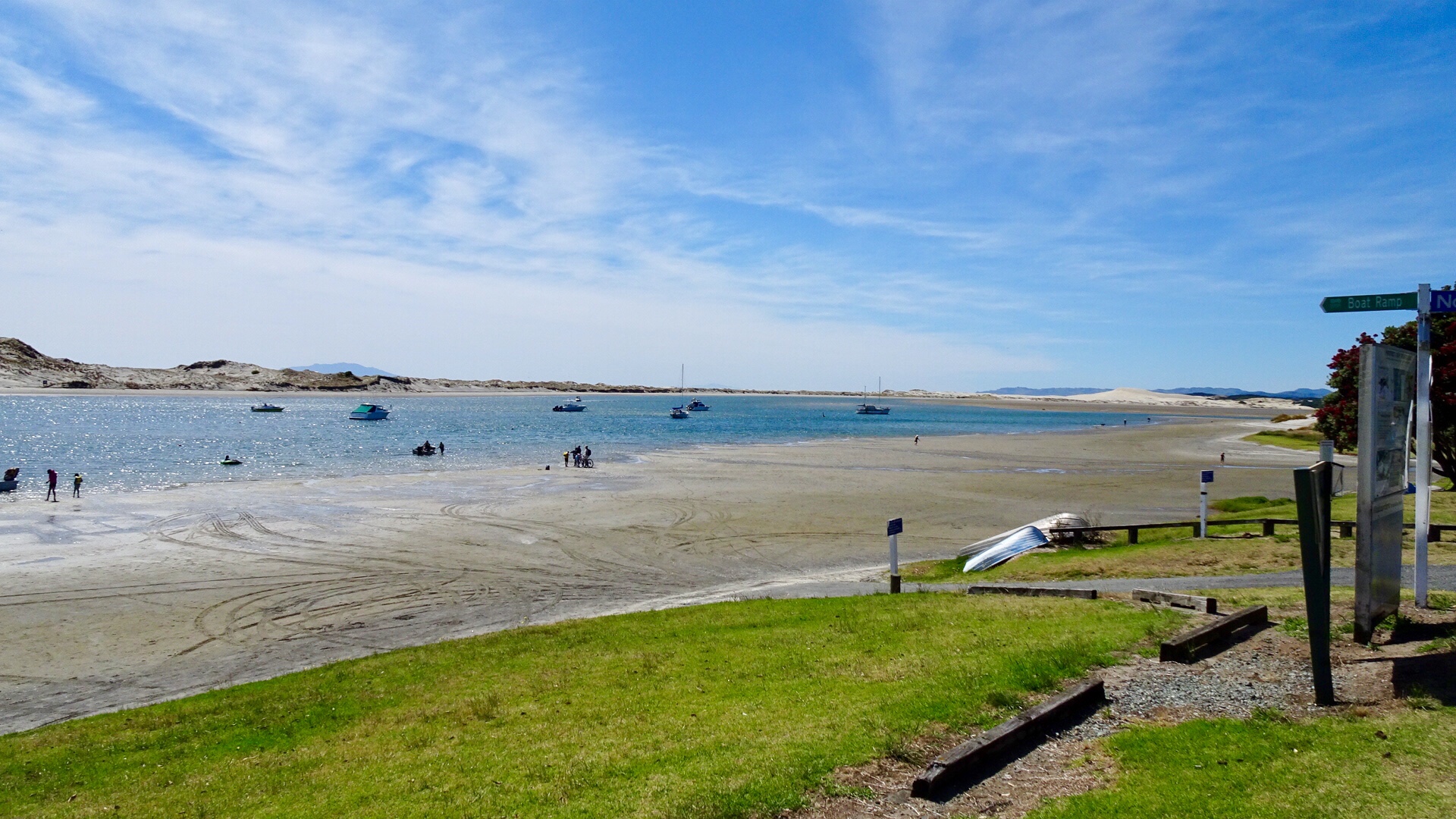
 We were very glad to turn off to Rawene.
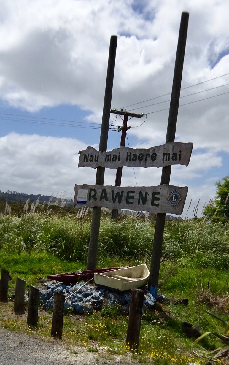
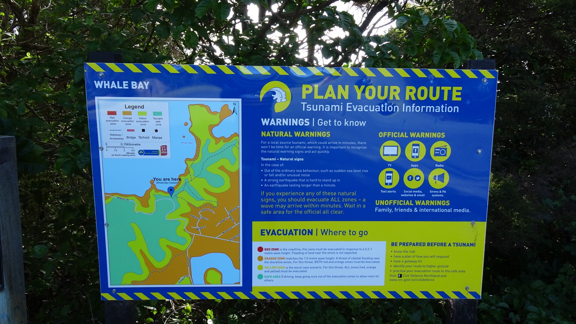
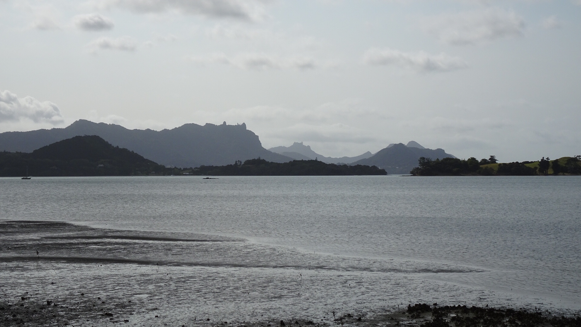
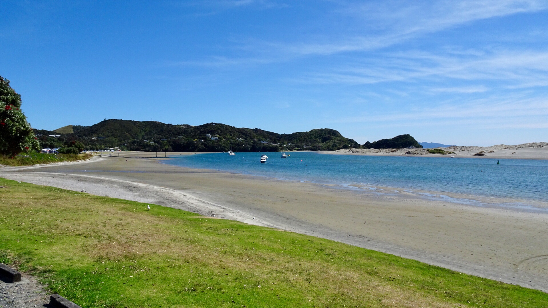
 From the same viewpoint is this boat…waiting for the tsunami action plan? It is about 75 metres above sea level and not in the greatest condition either.
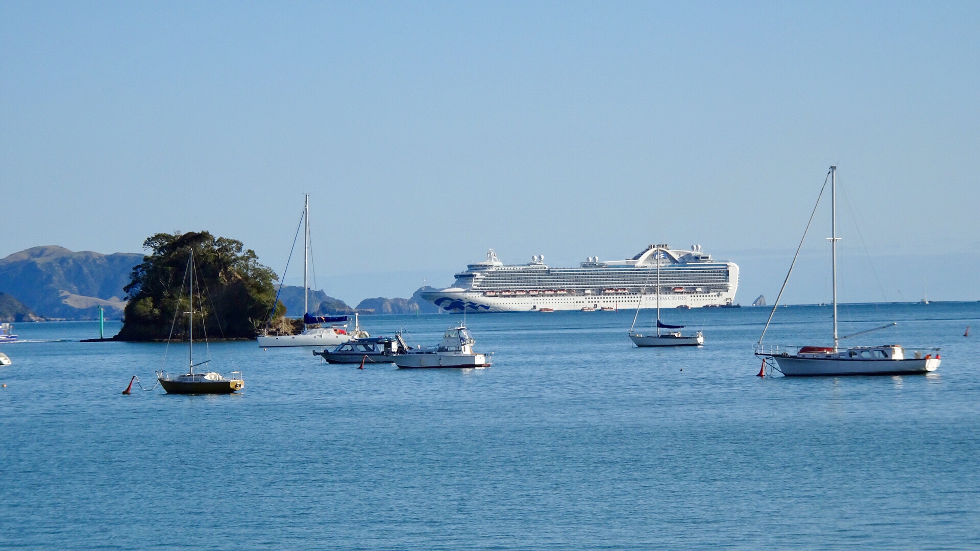
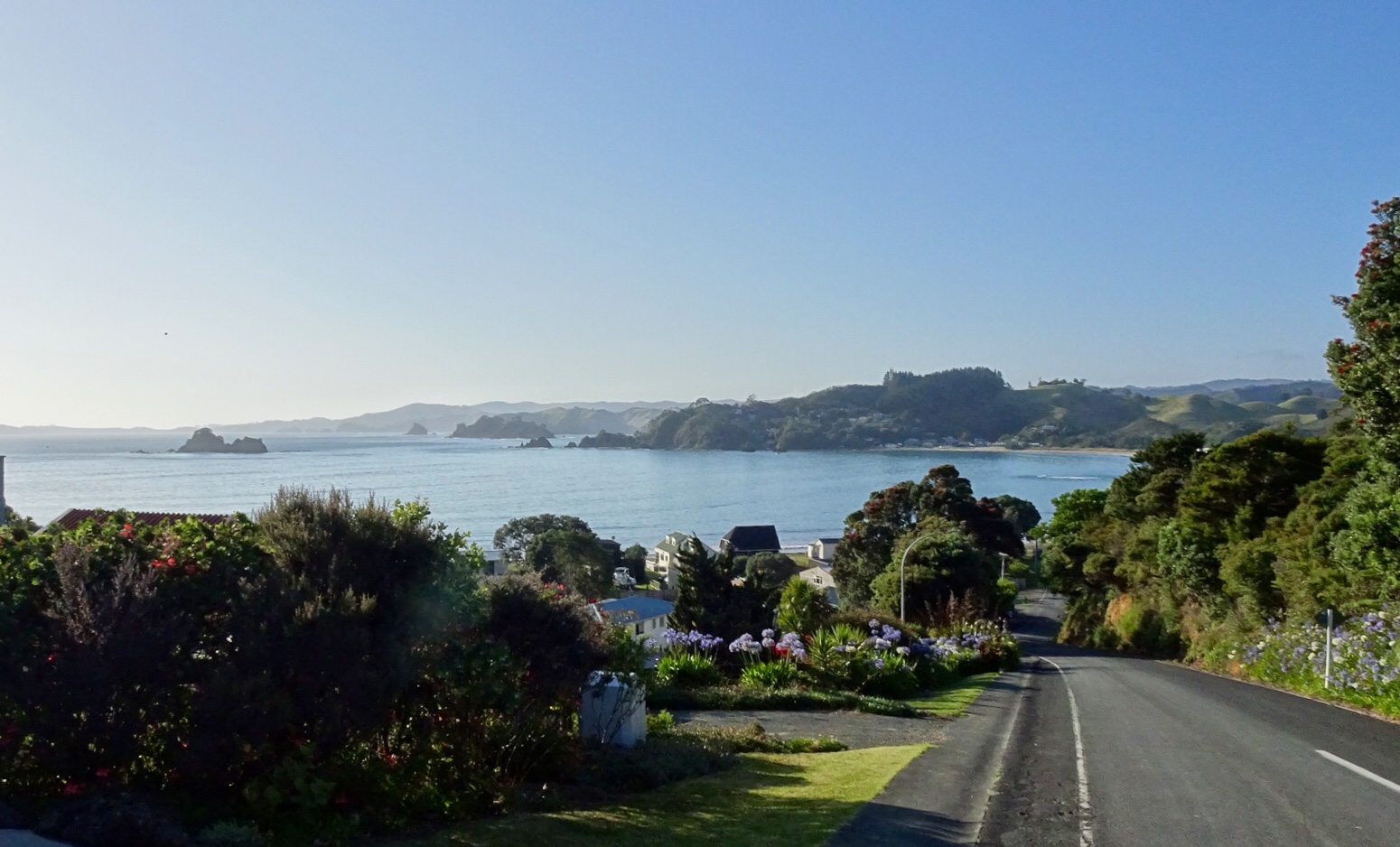
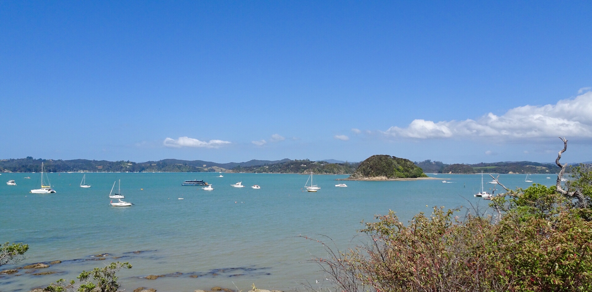
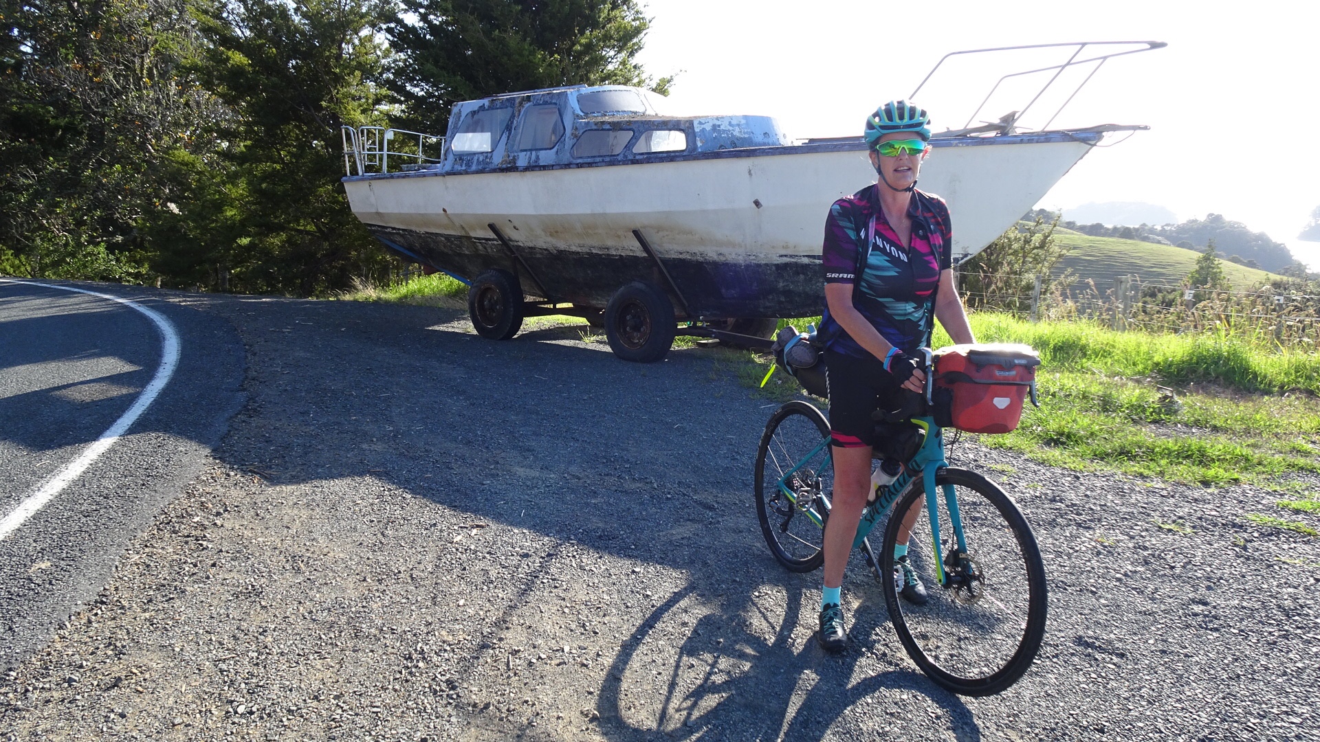 Looking north towards the Bay of Islands.
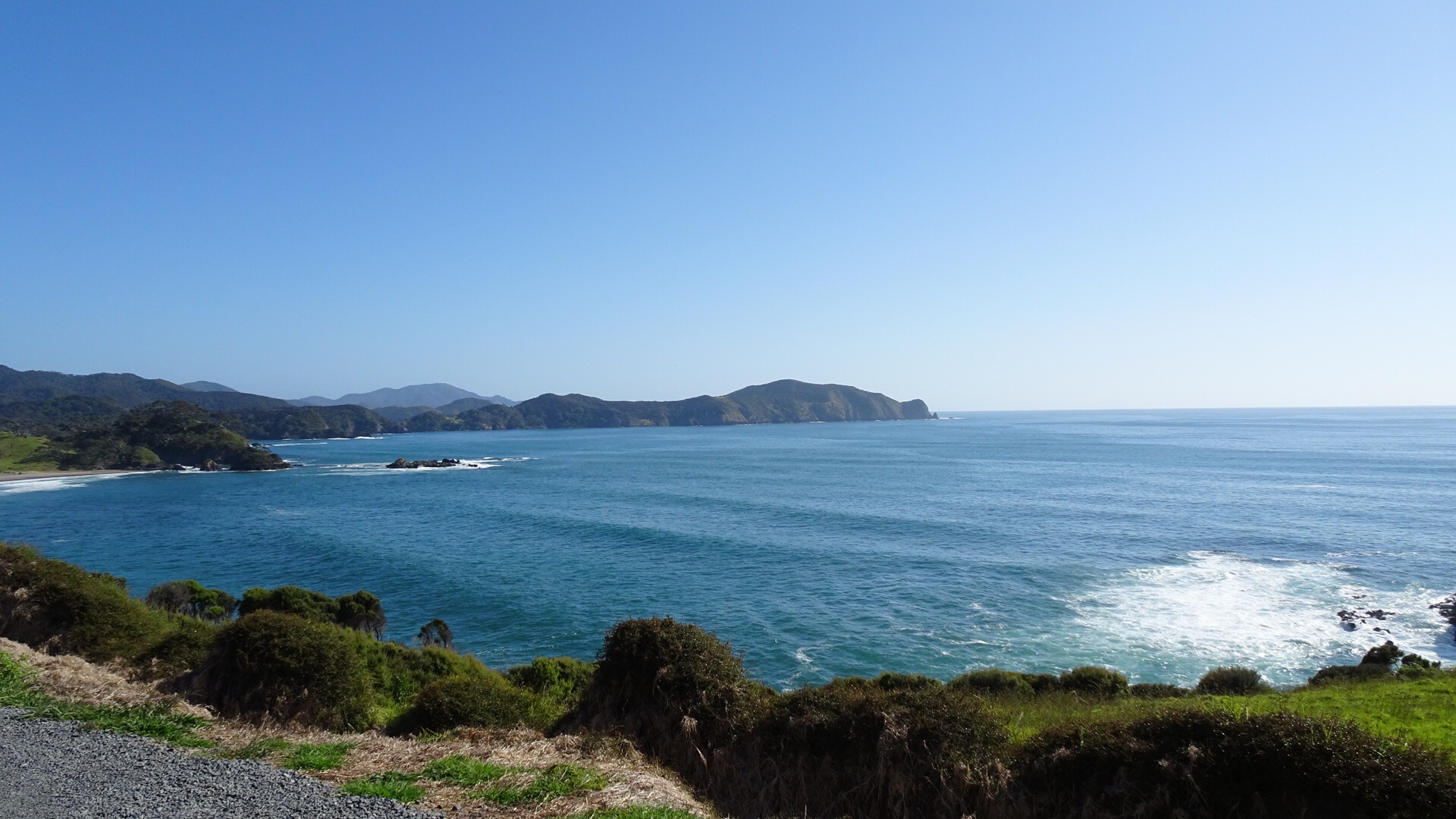
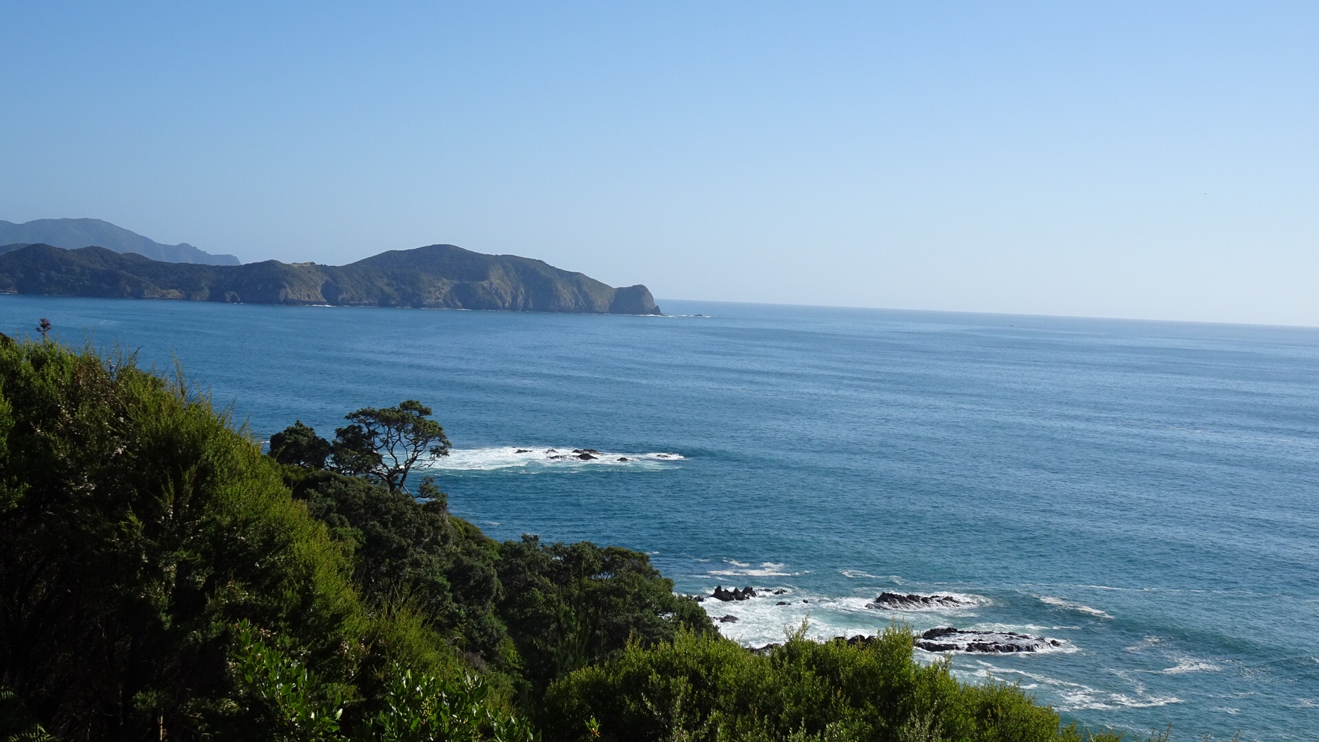
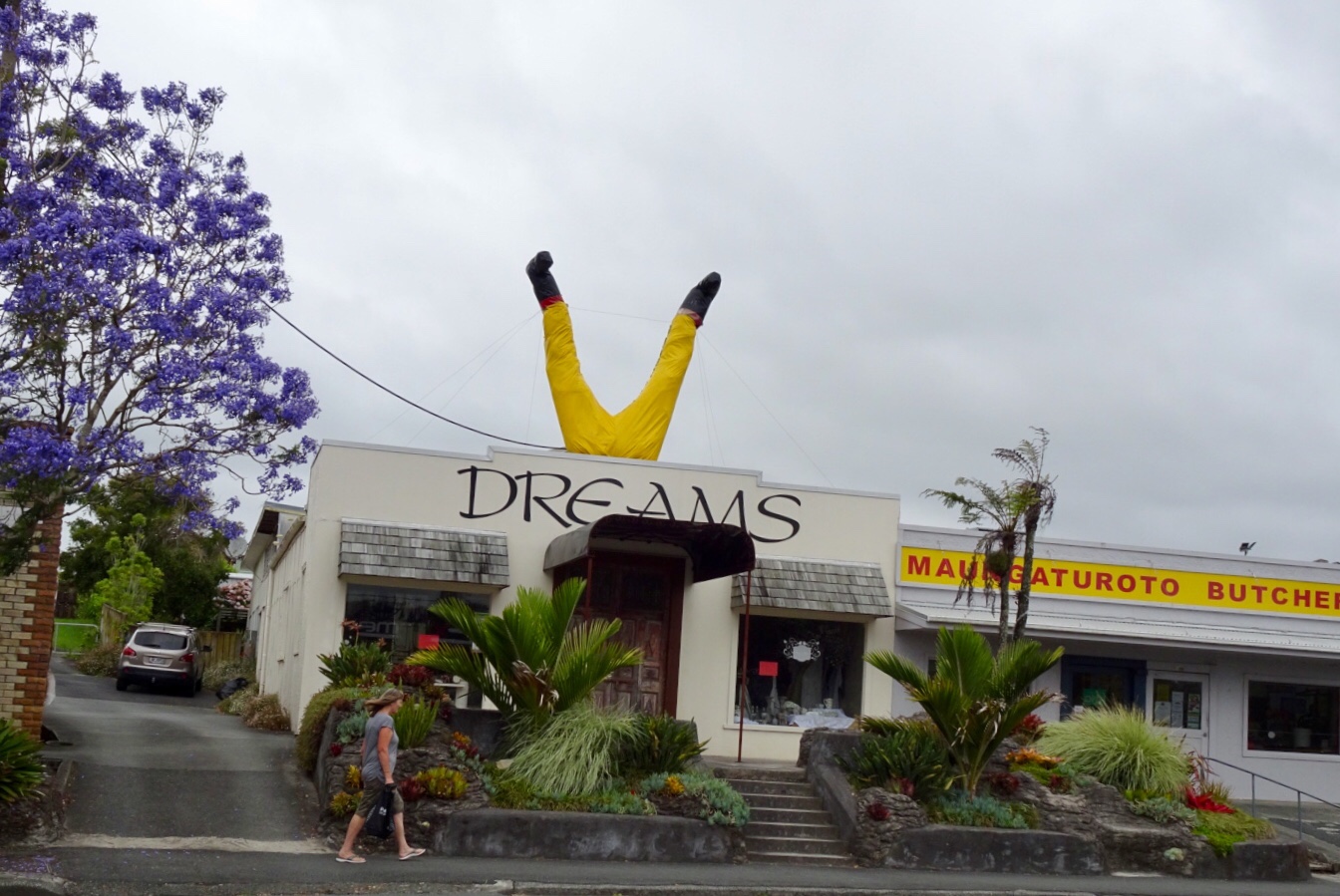
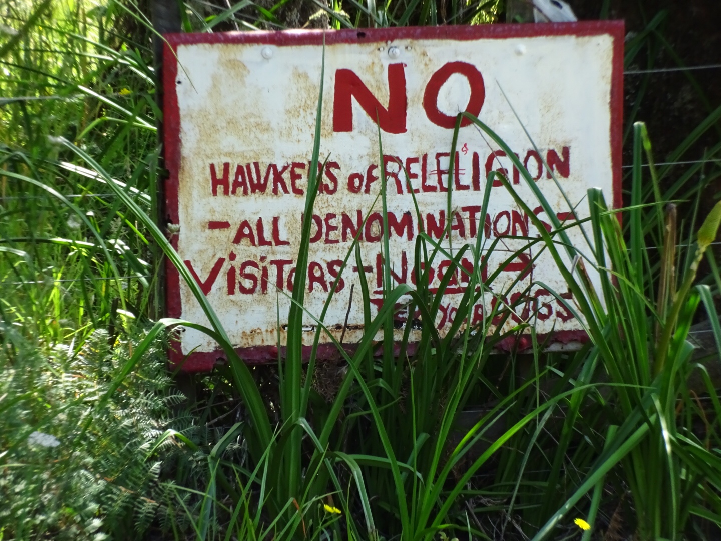
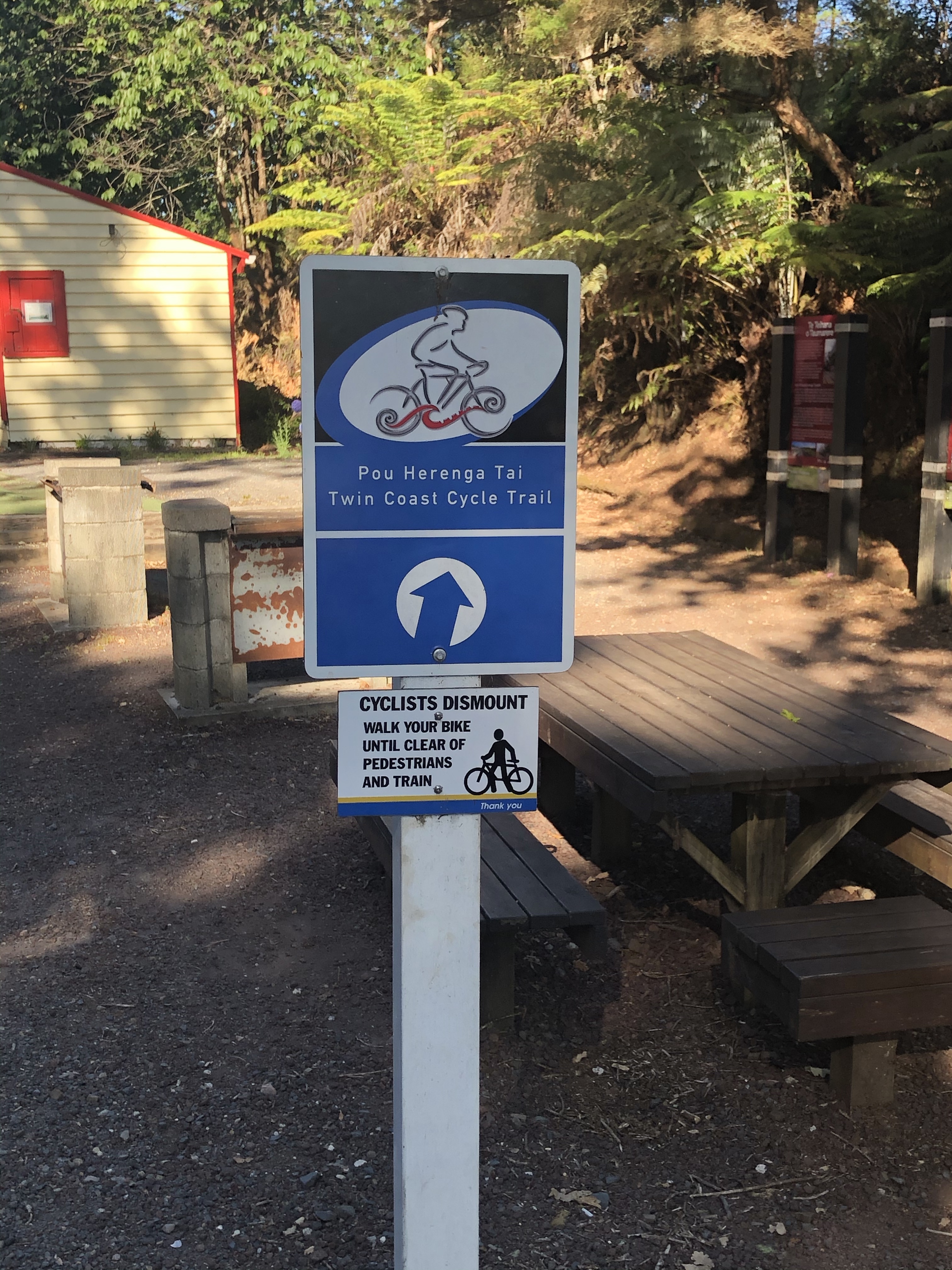
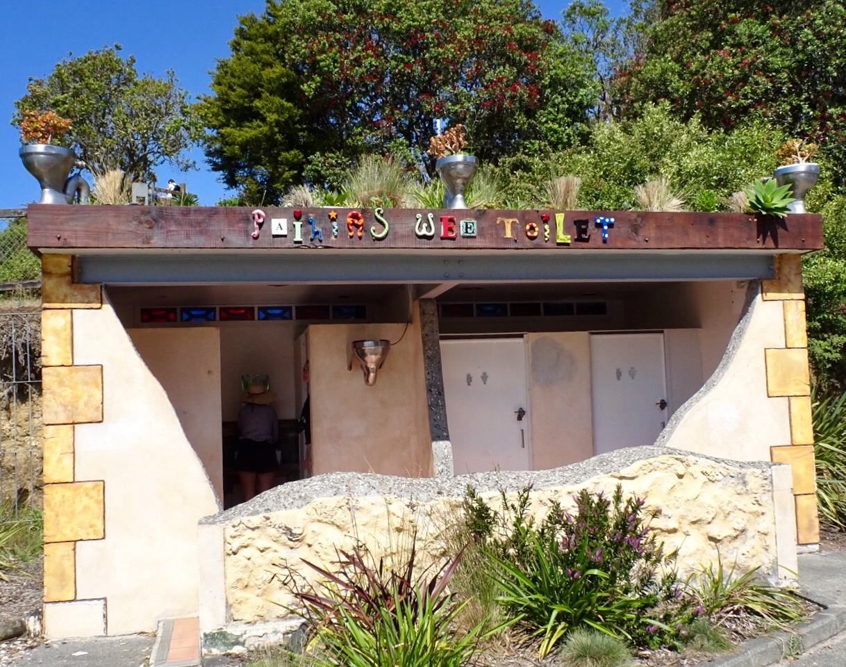
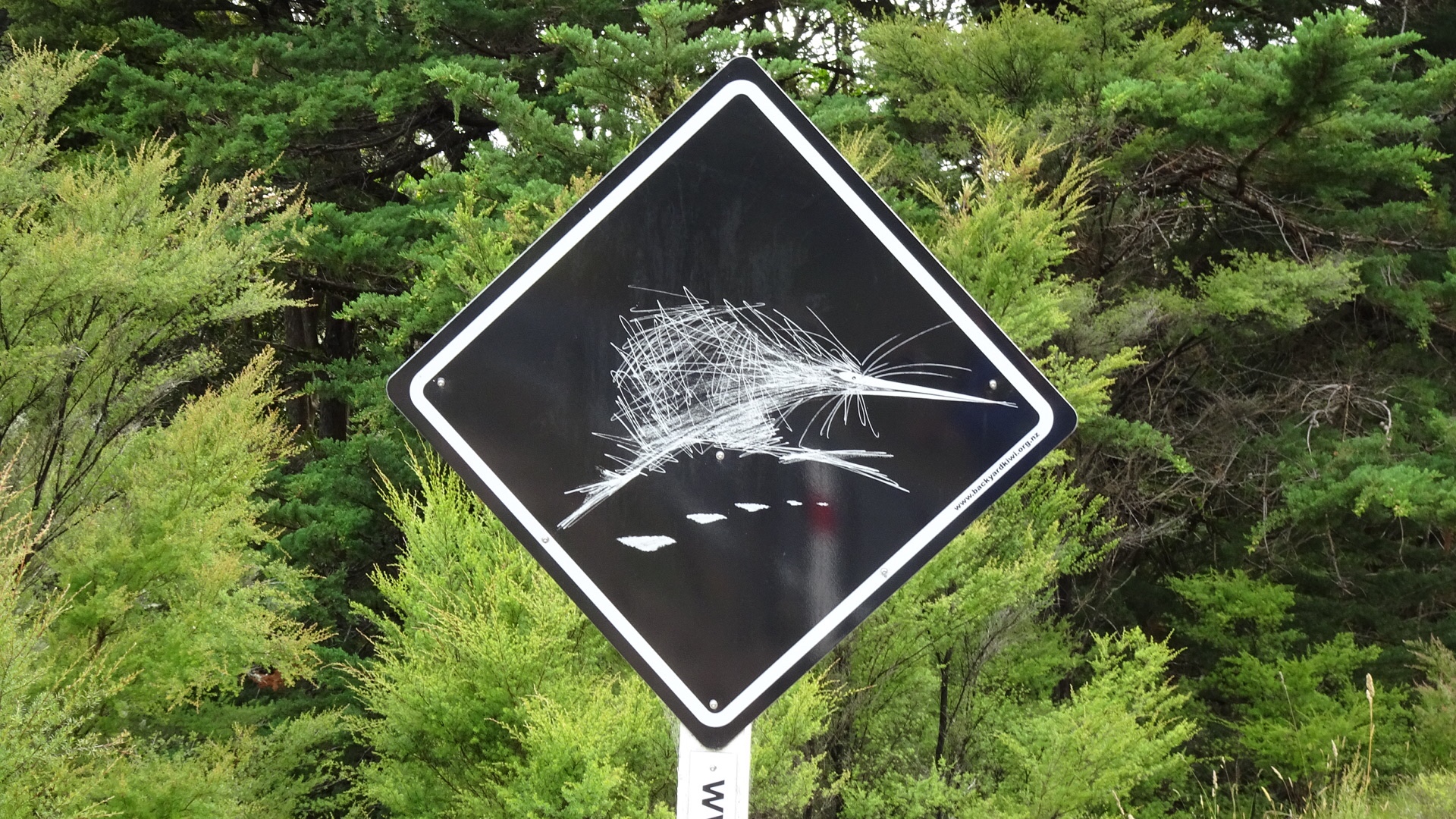
 I could not resist taking a photo of this sign. 😂🙈
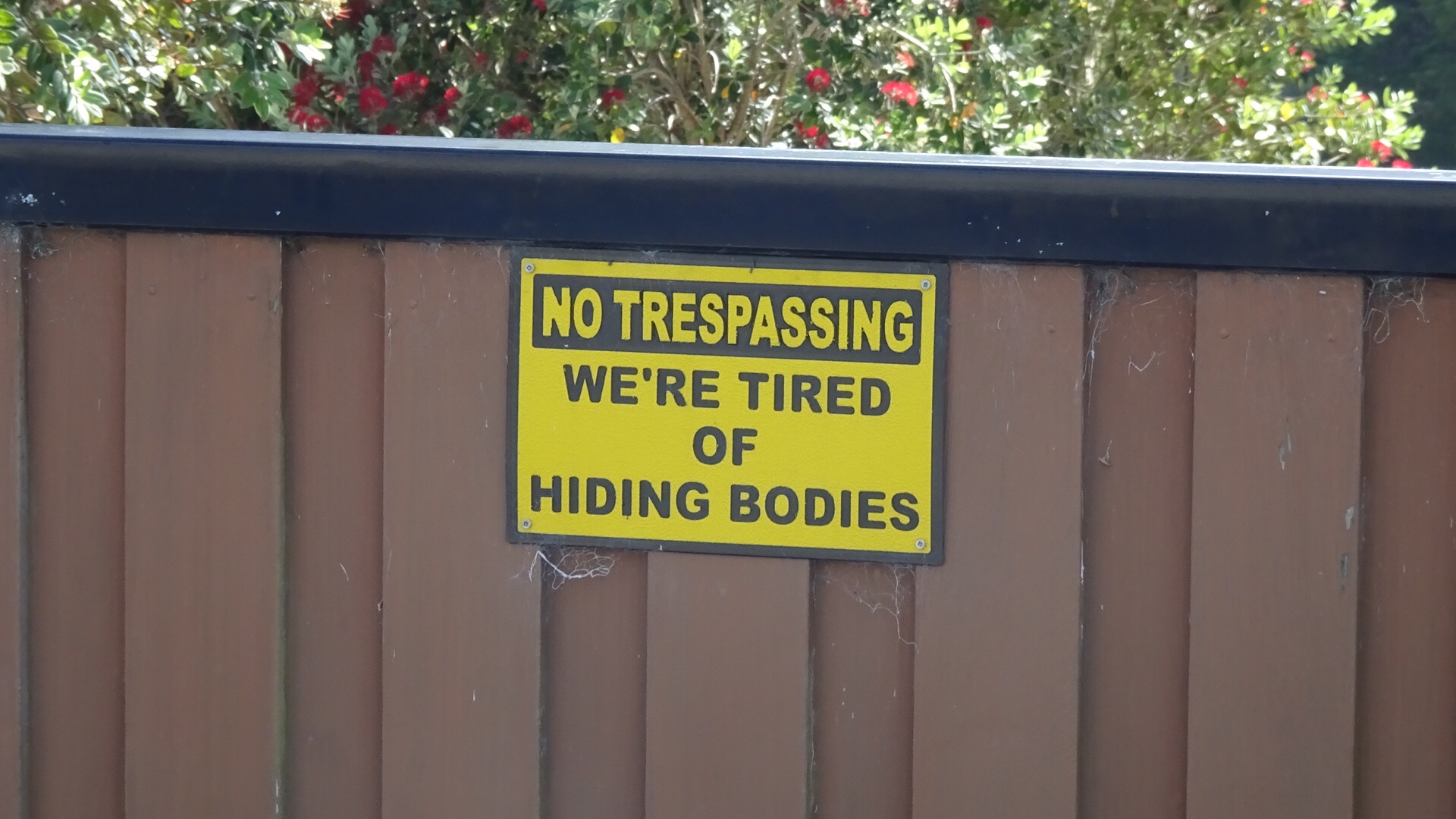
 Looks like fun
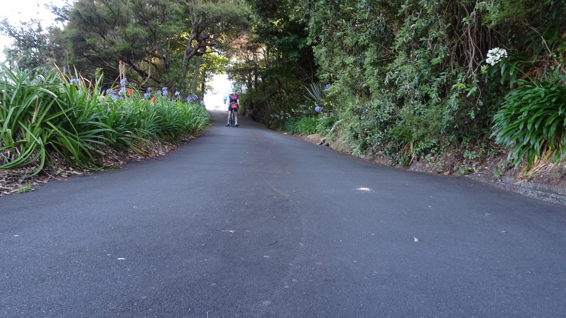
 Hello, or Hi ya Paihia and the big marlin. You can see me pushing my bike through here.
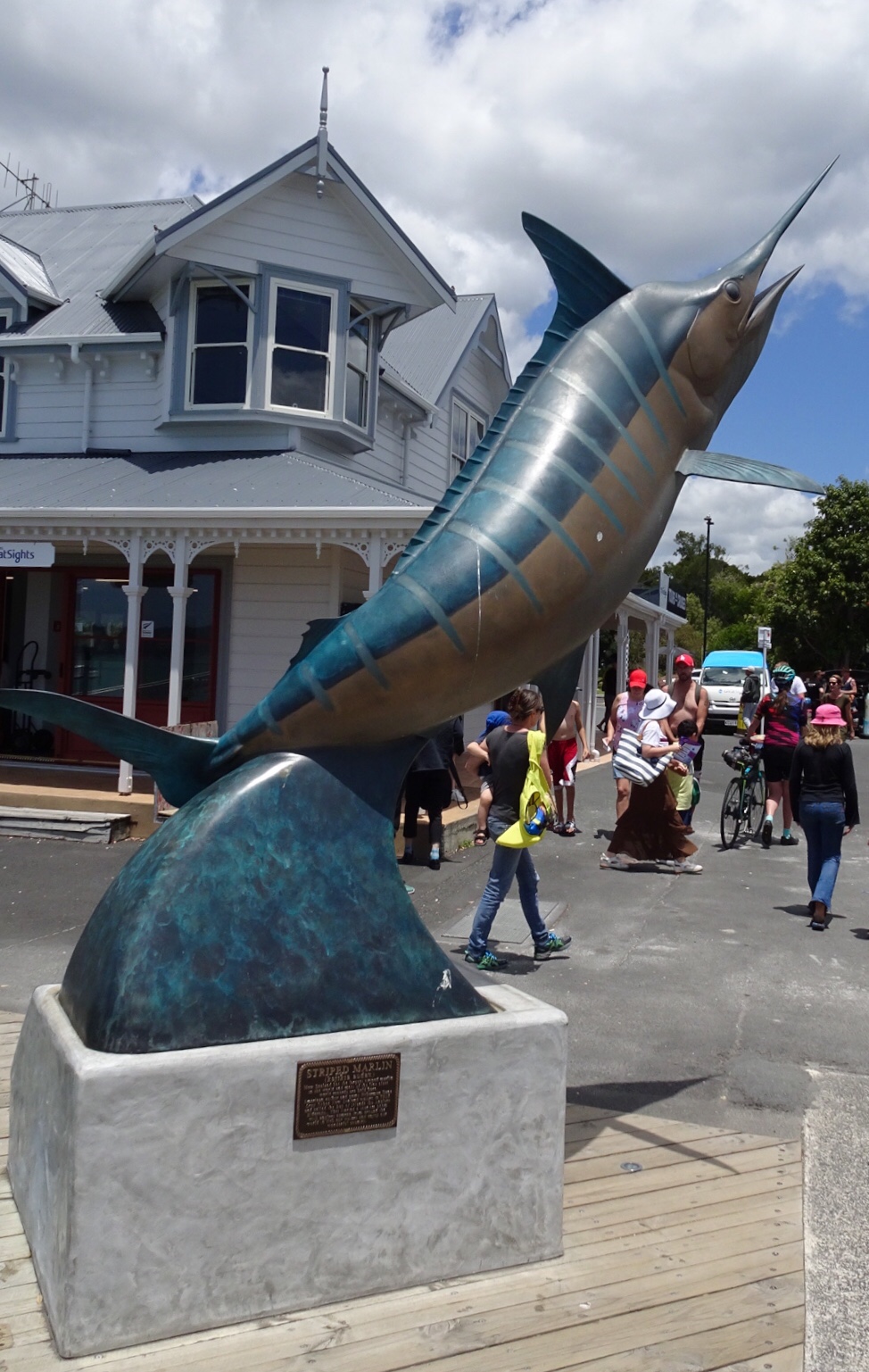

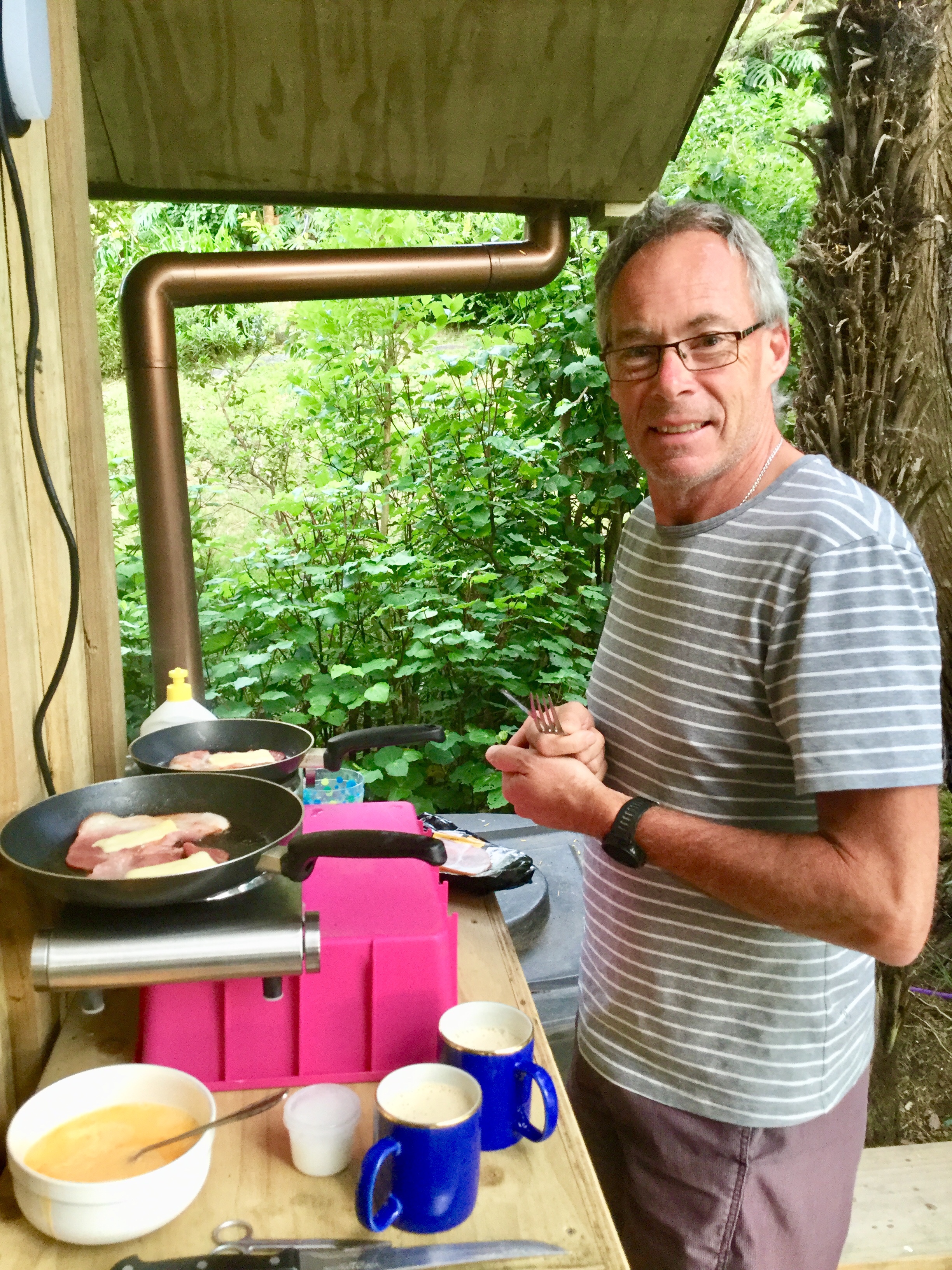


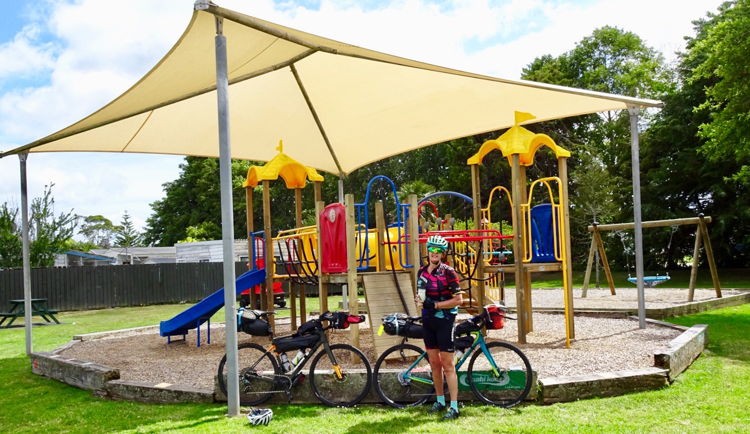

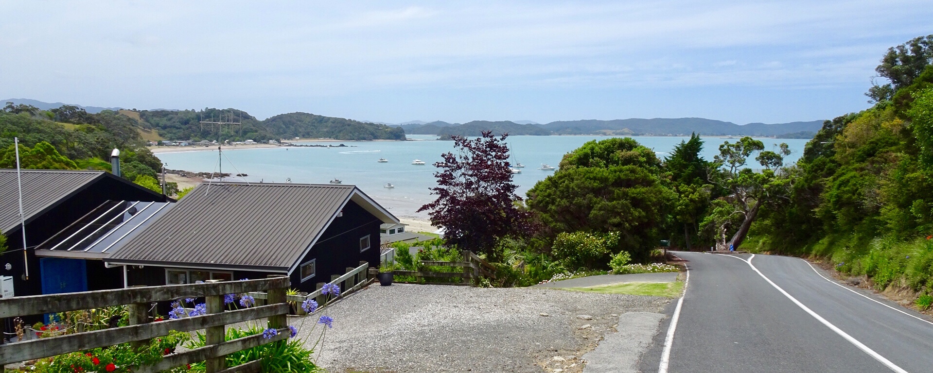

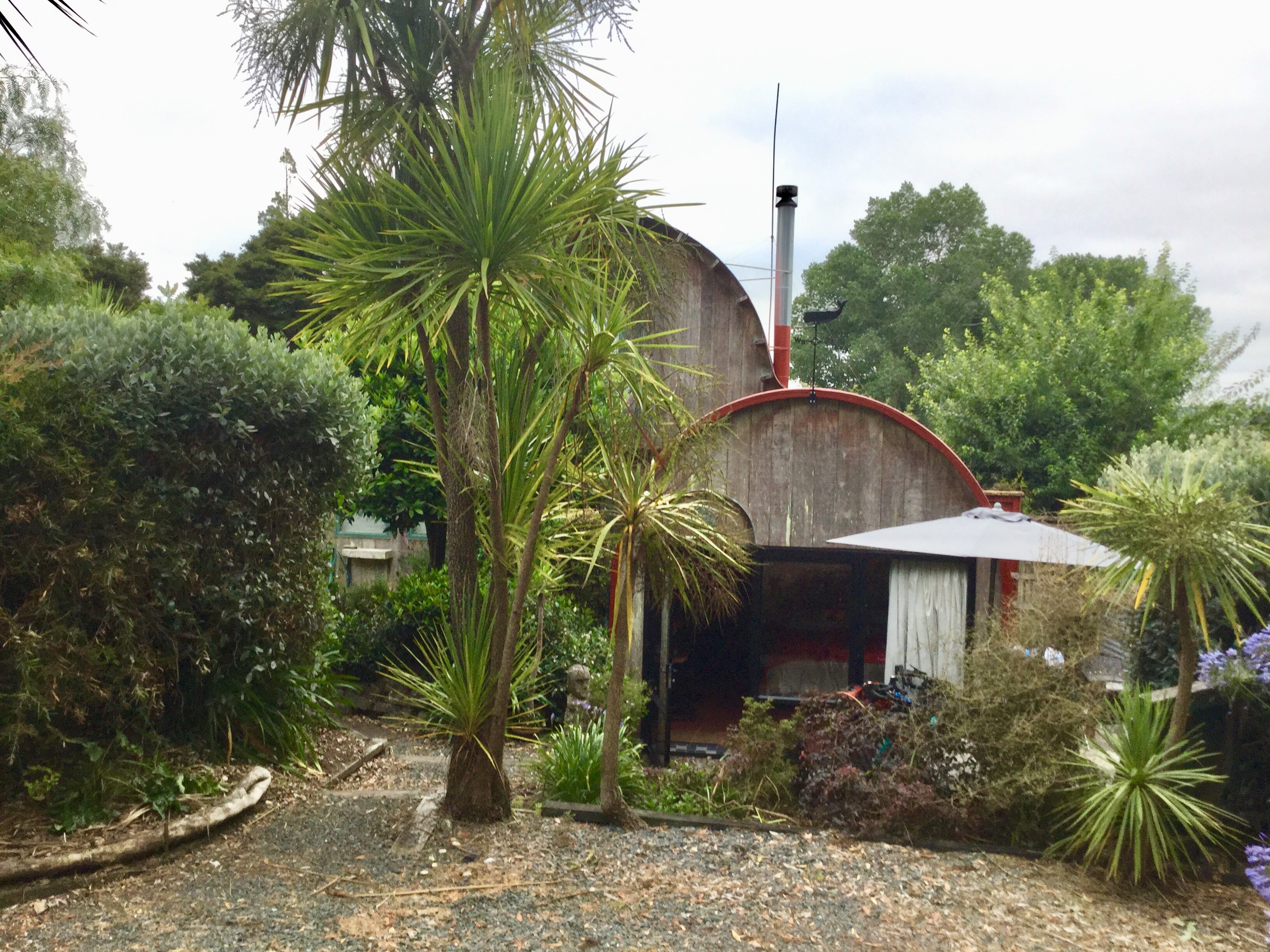
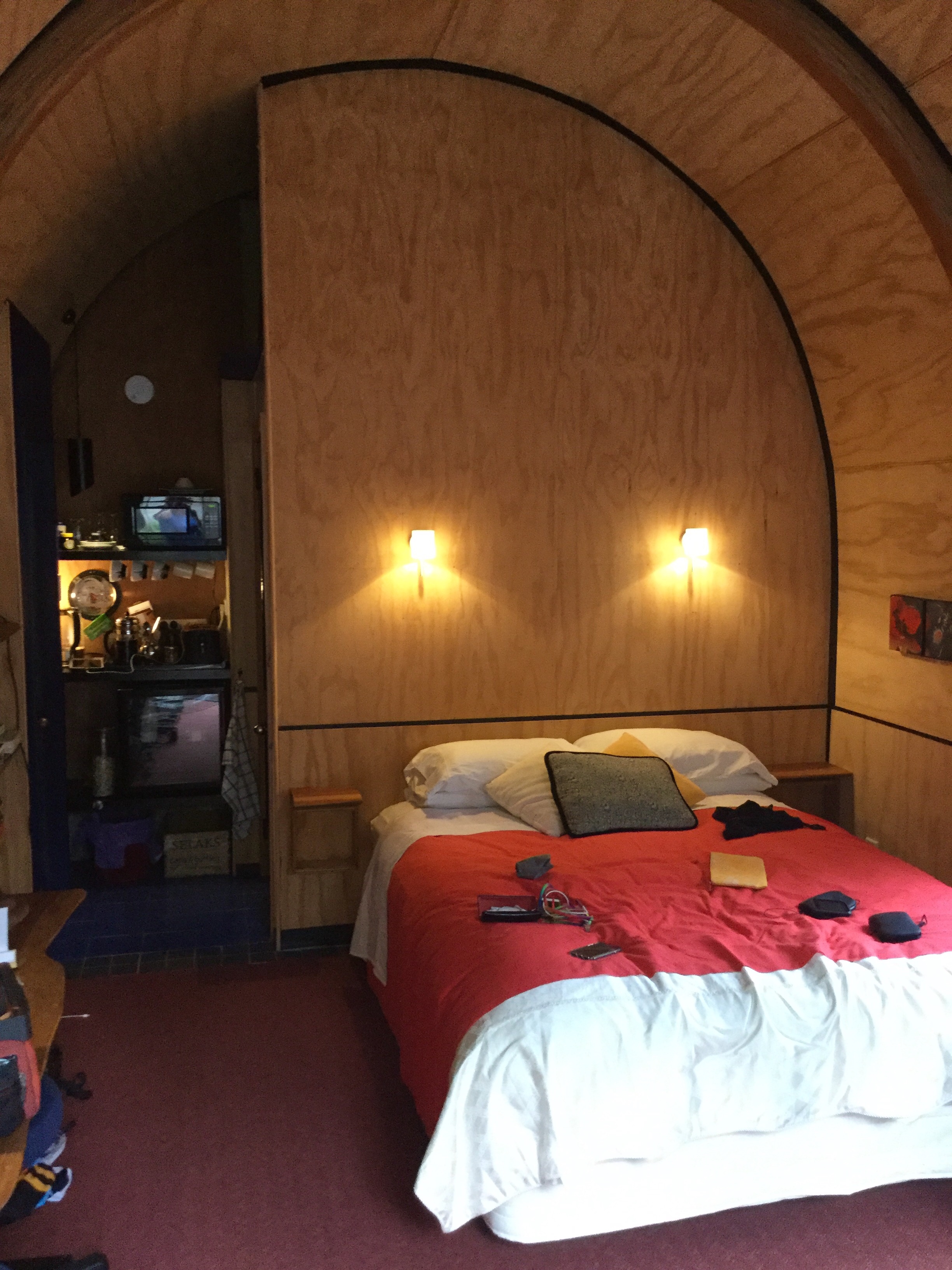
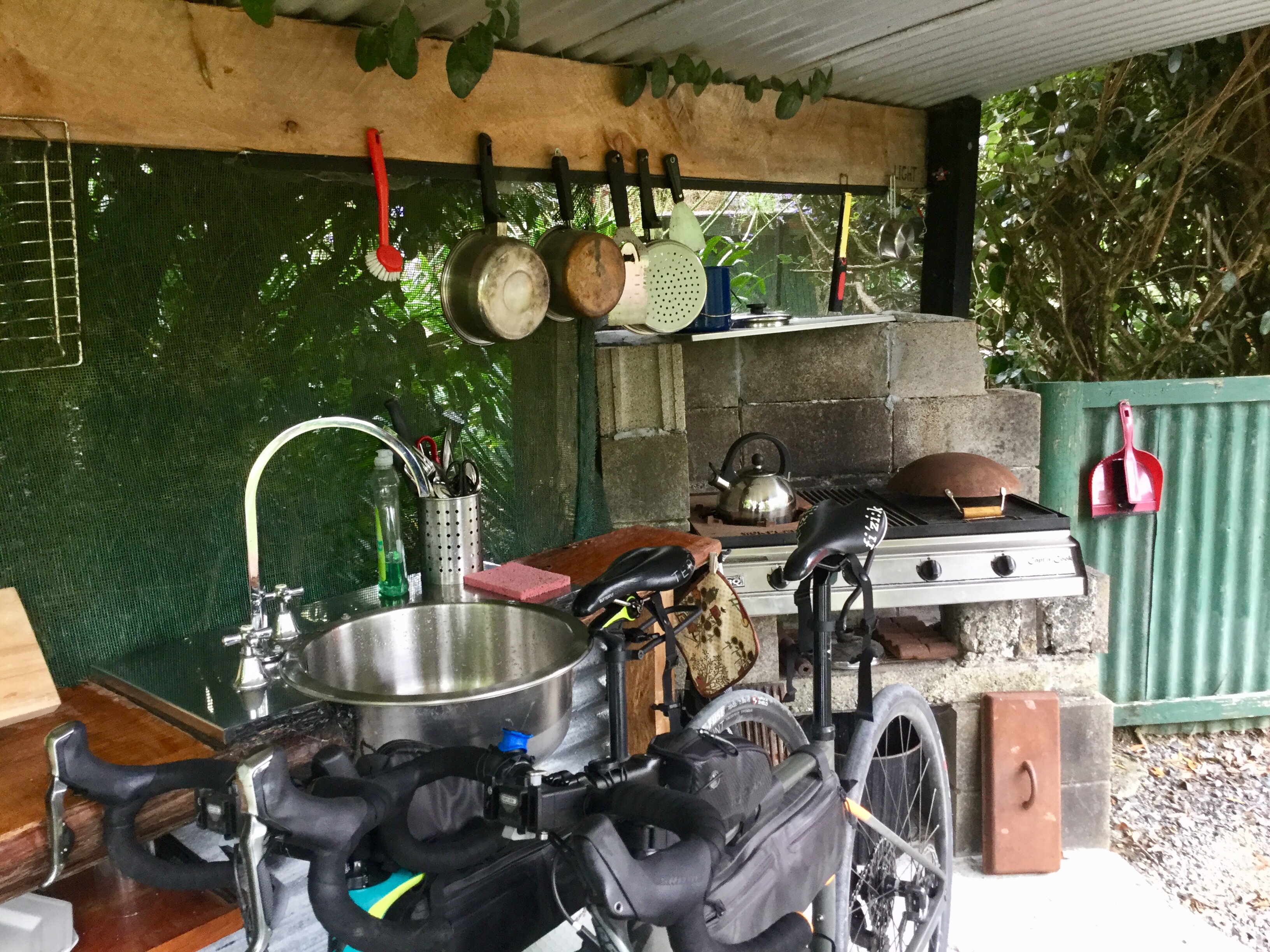
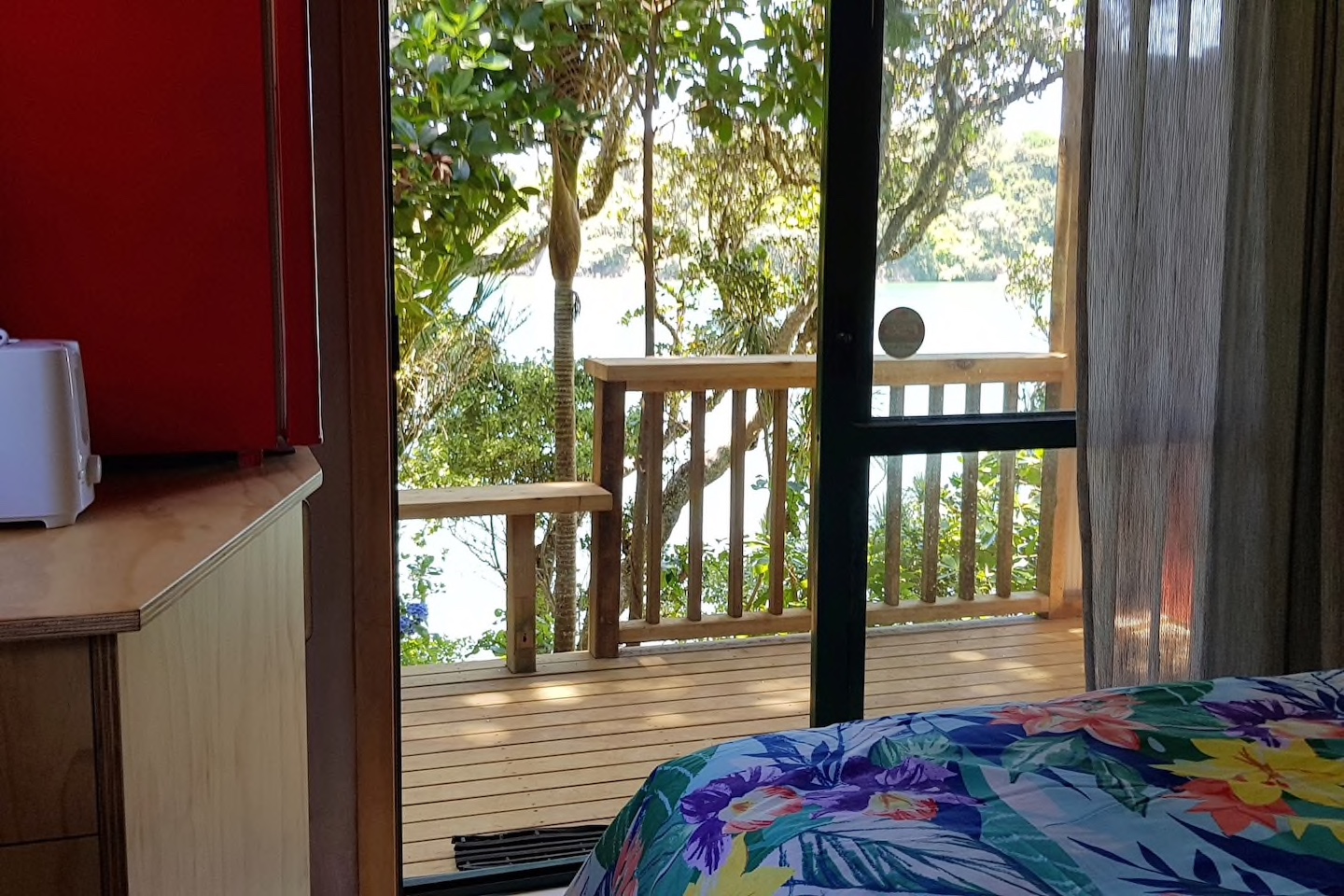
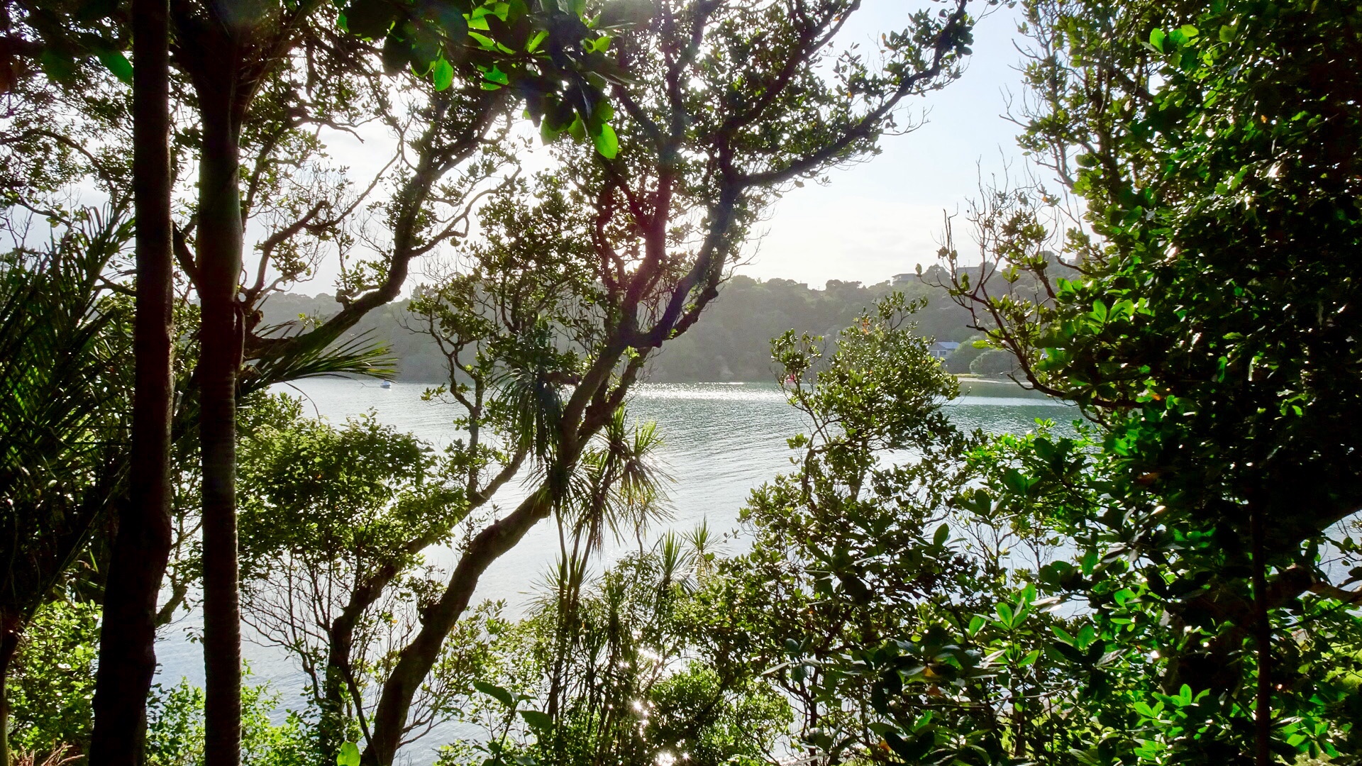 We are staying in a cosy little cabin, akin to an enlarged cubby house.
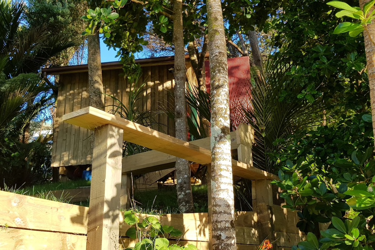
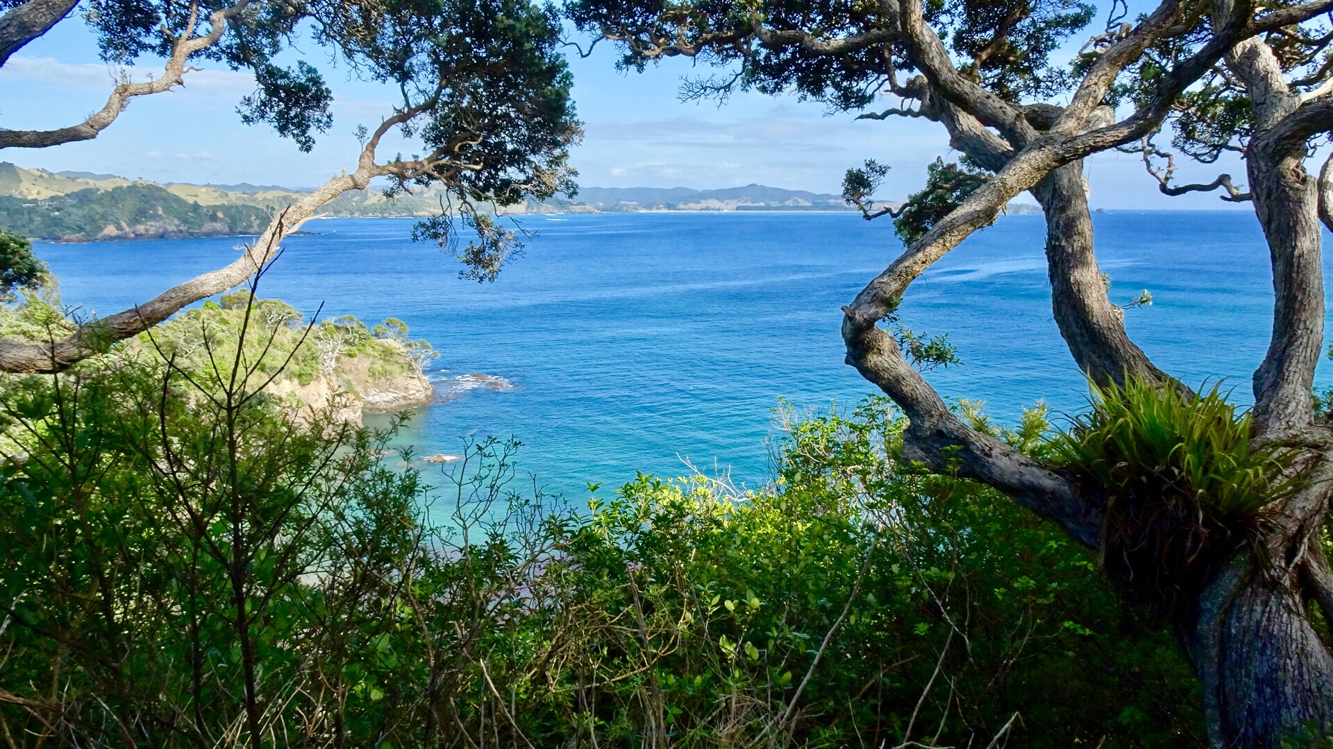
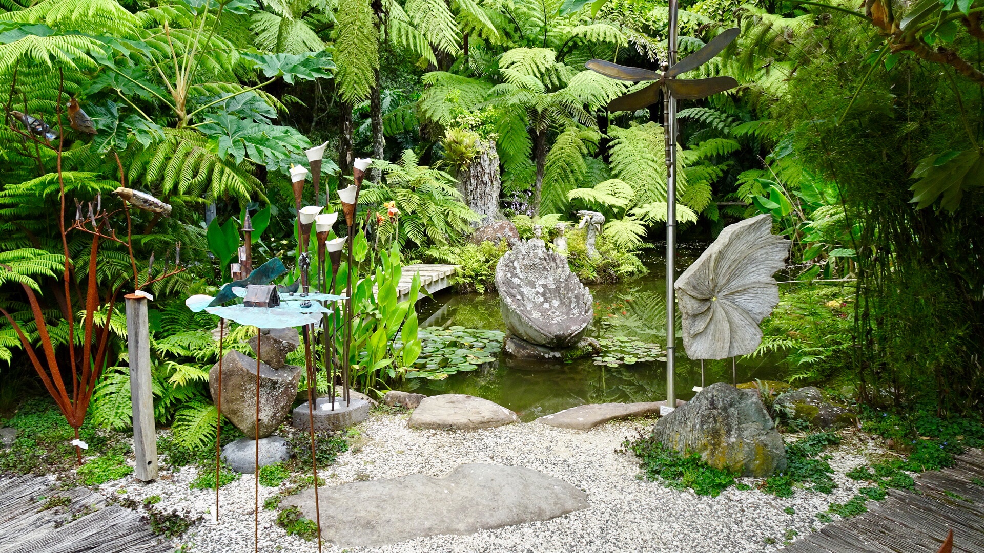
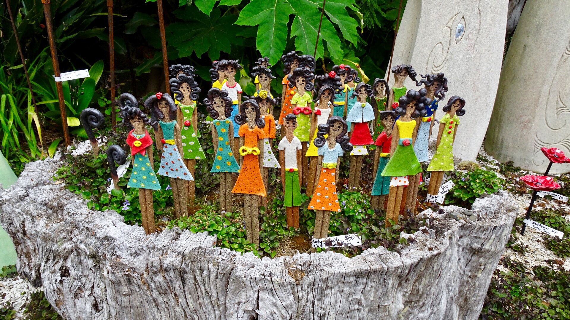
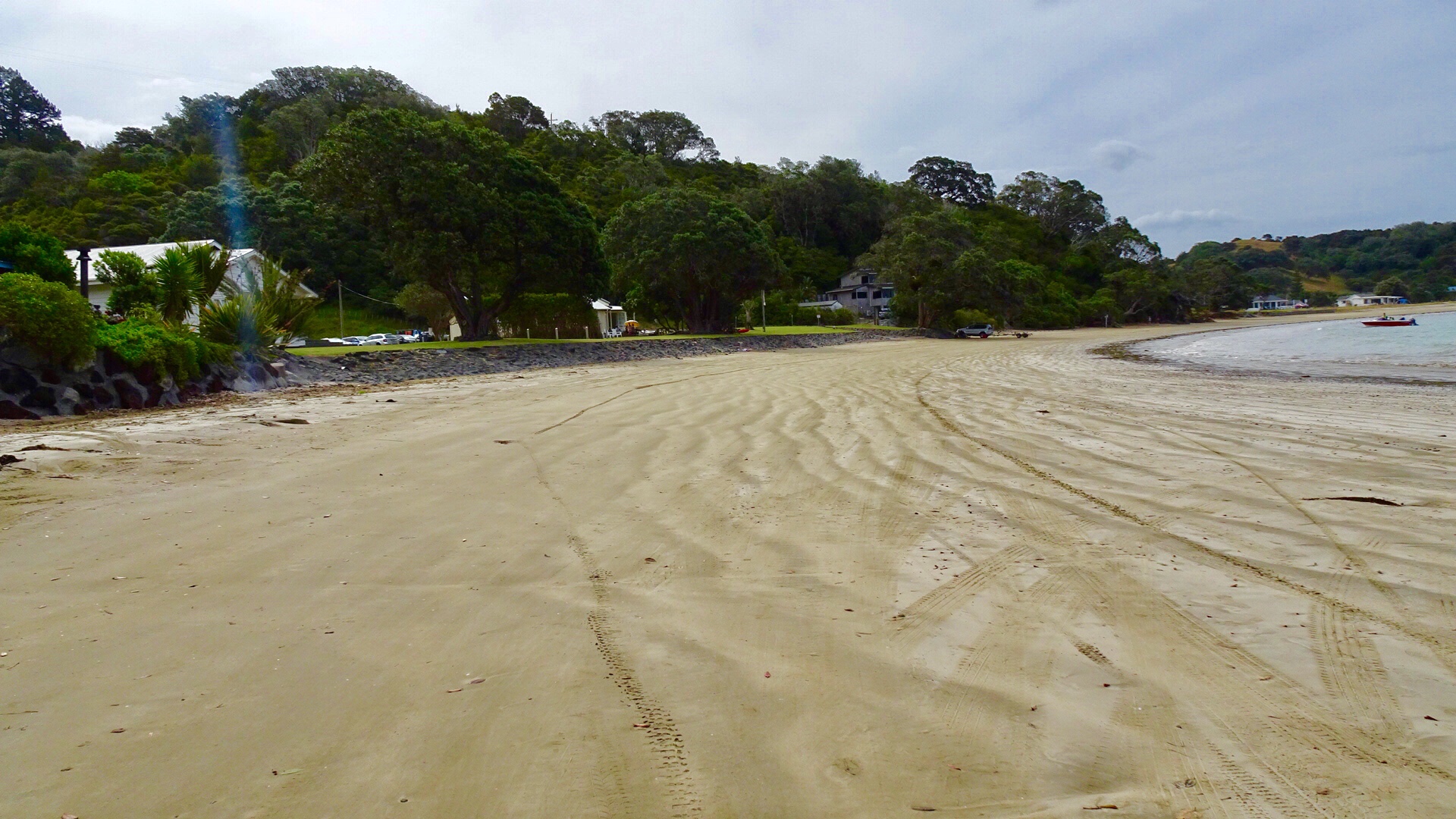
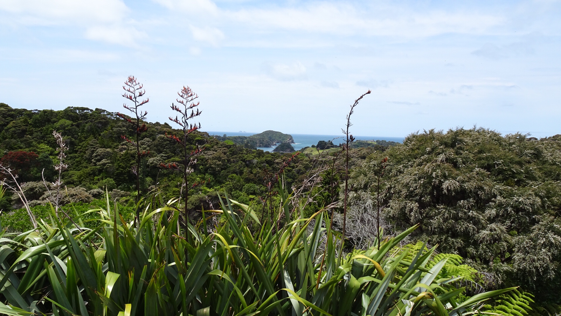
 We decided to do a short Christmas ride cruise to Matapouri Bay, some 9 hilly km away. Bonus was the local store was open and we were able to grab a nice coffee. The owner was doing a roaring trade with a constant stream of customers.
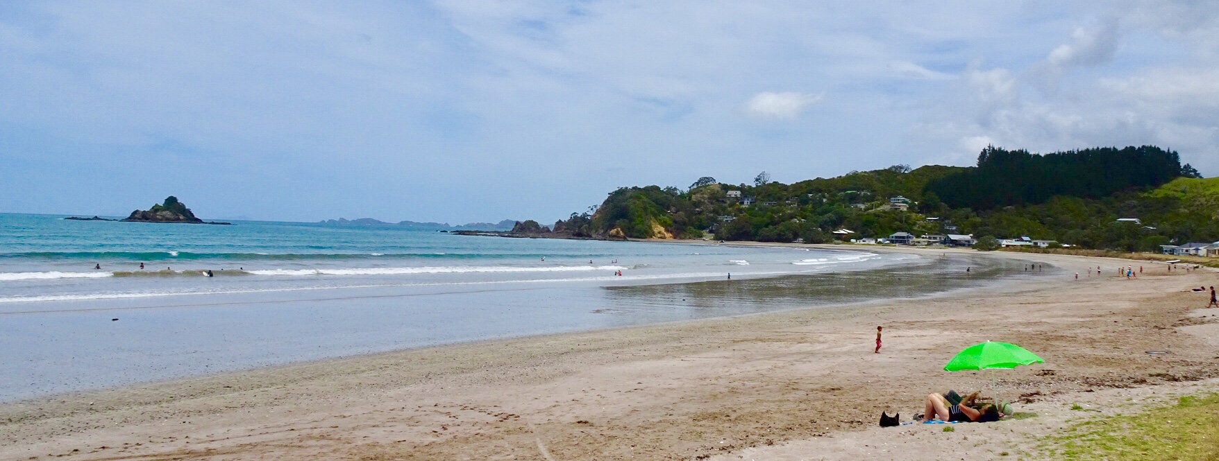
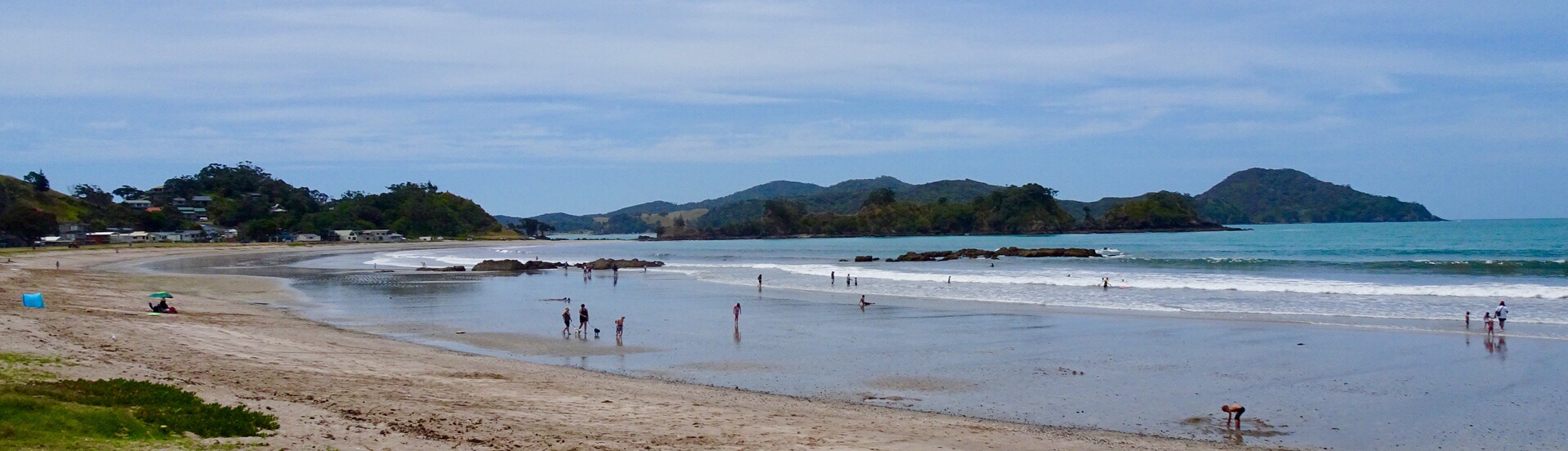
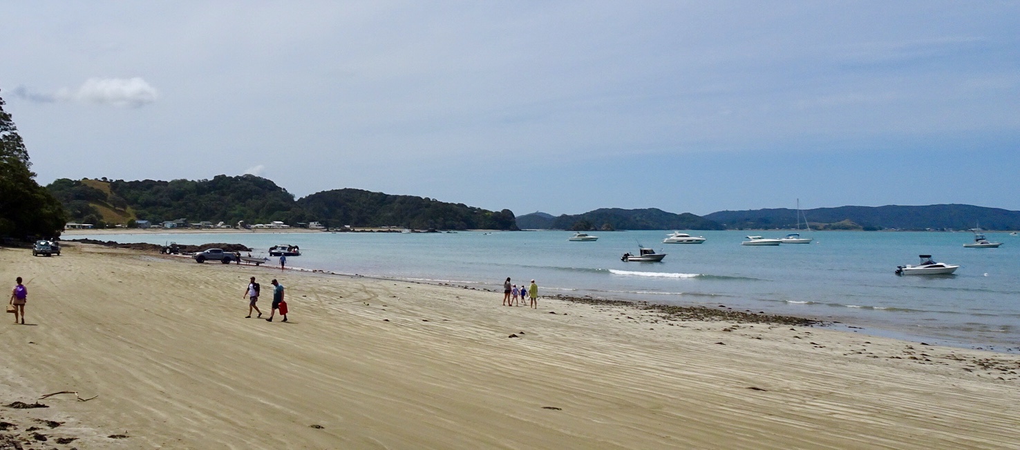
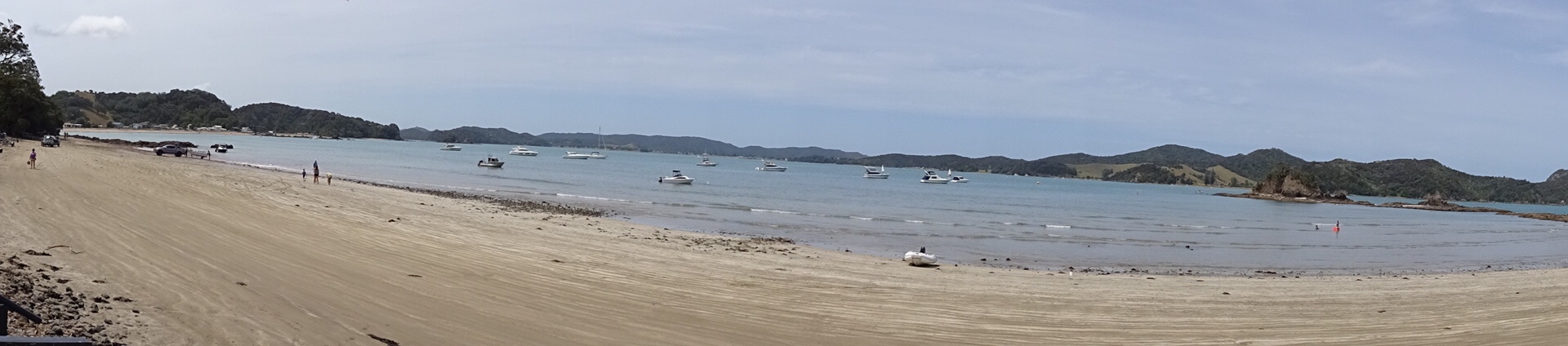
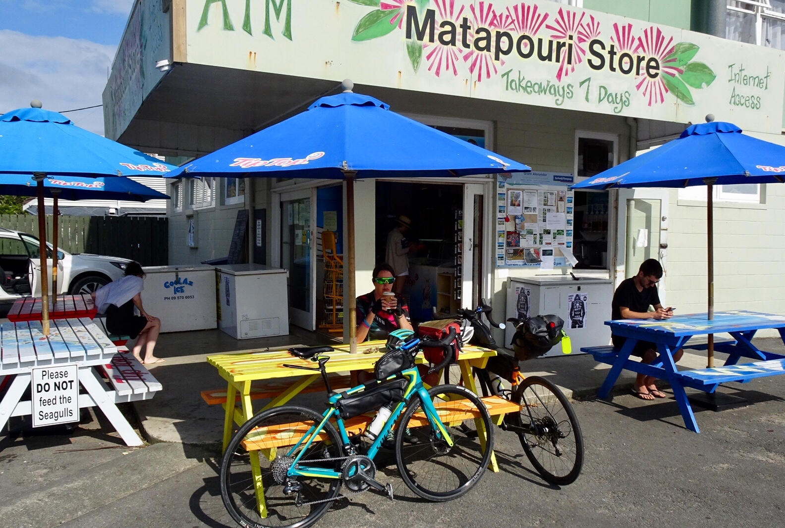 Matapouri Beach is a long crescent shaped beach.
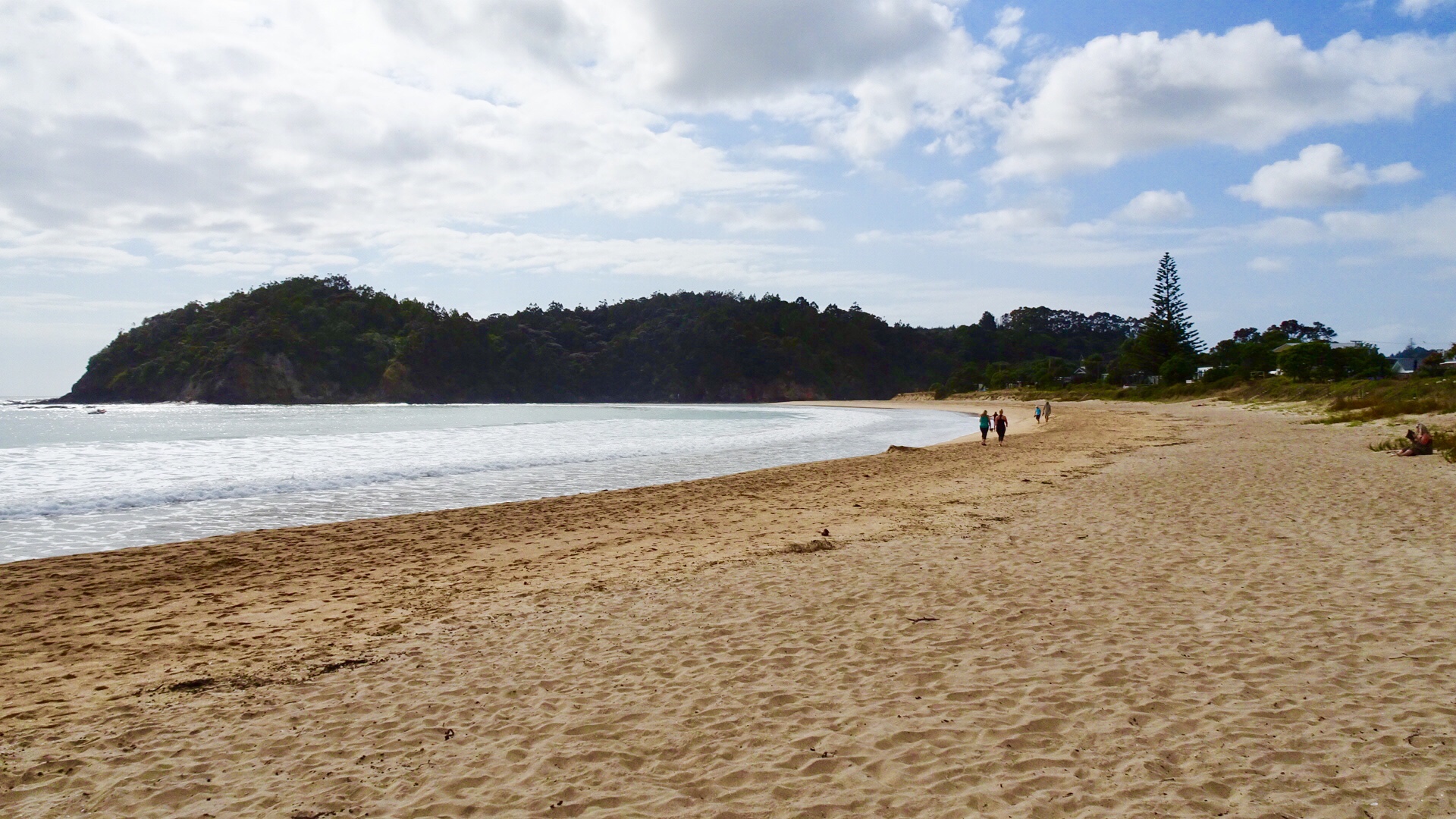
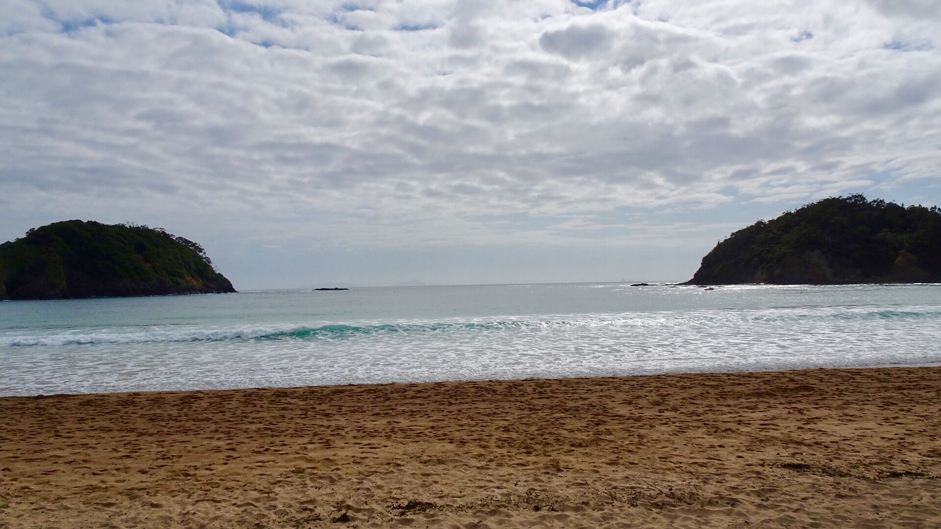
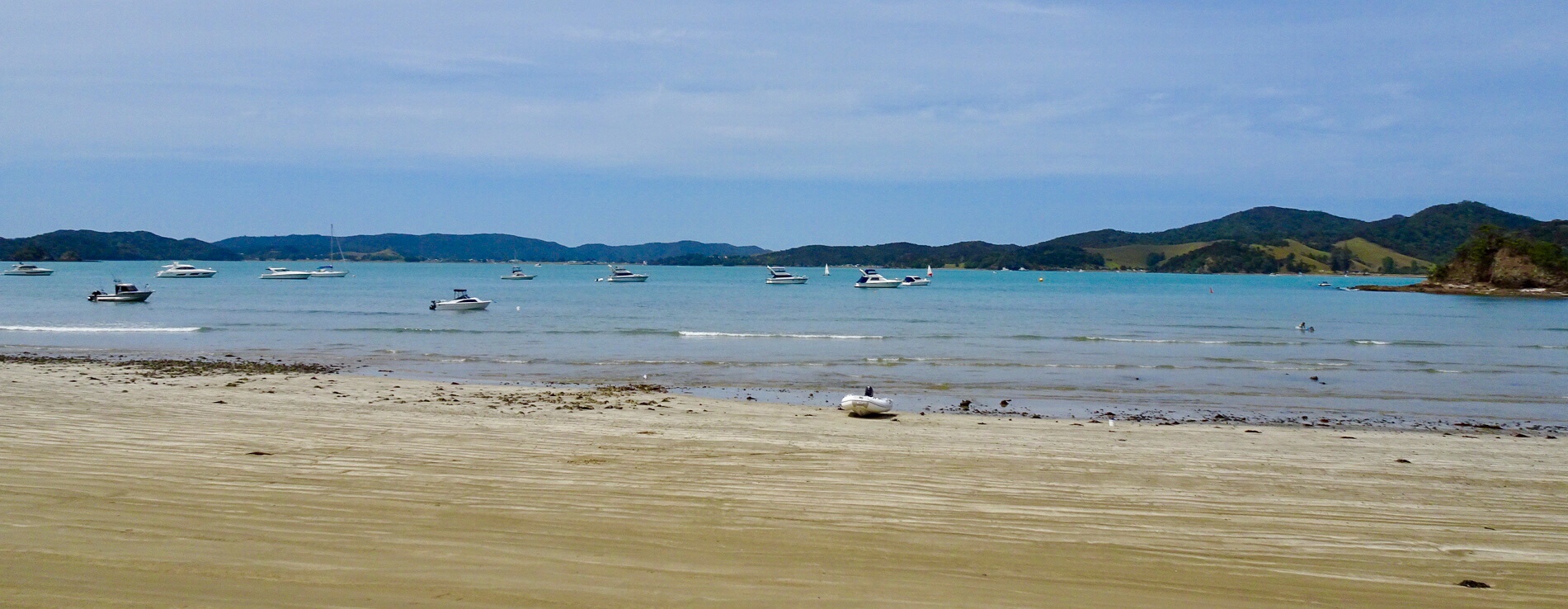
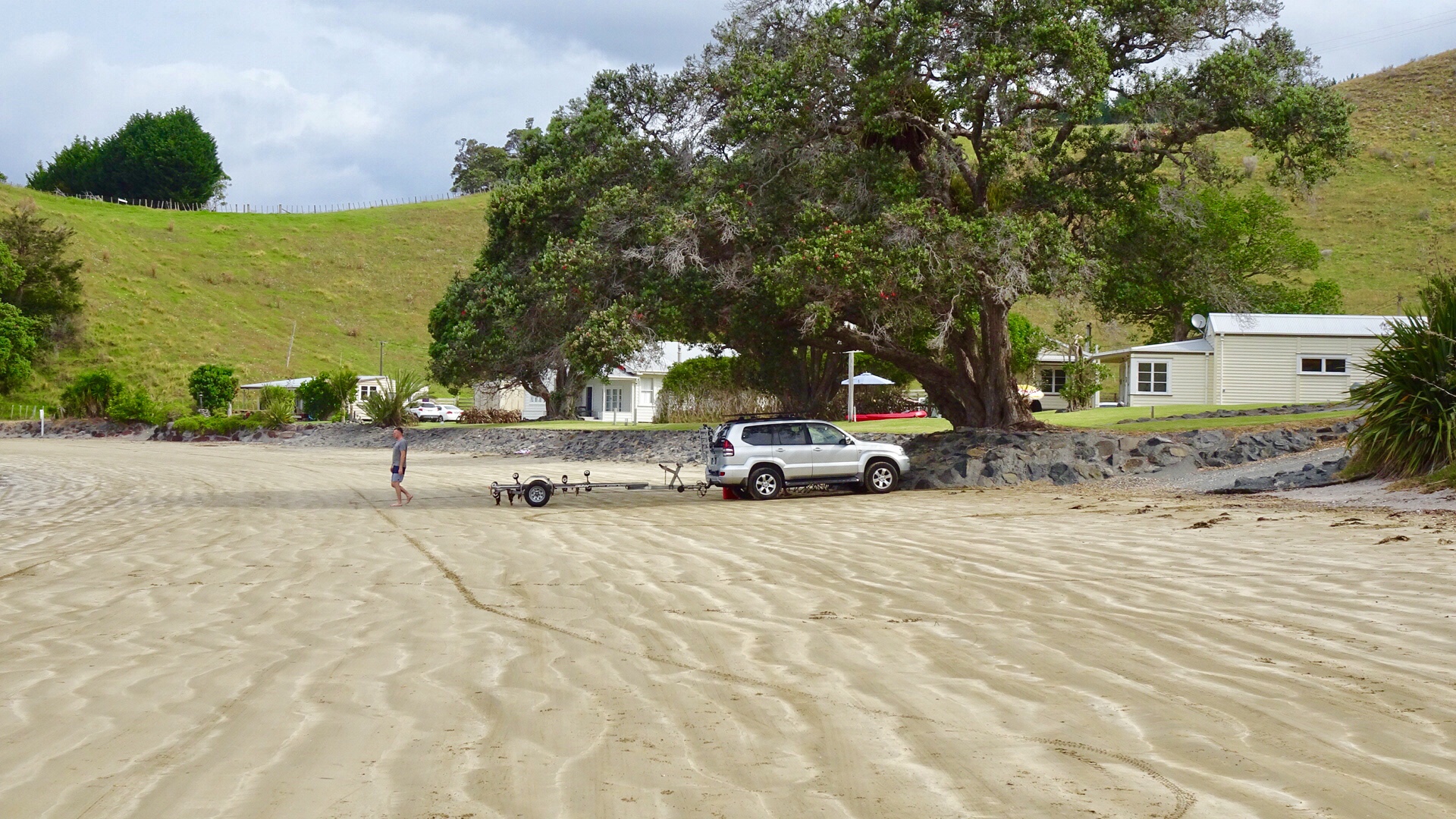
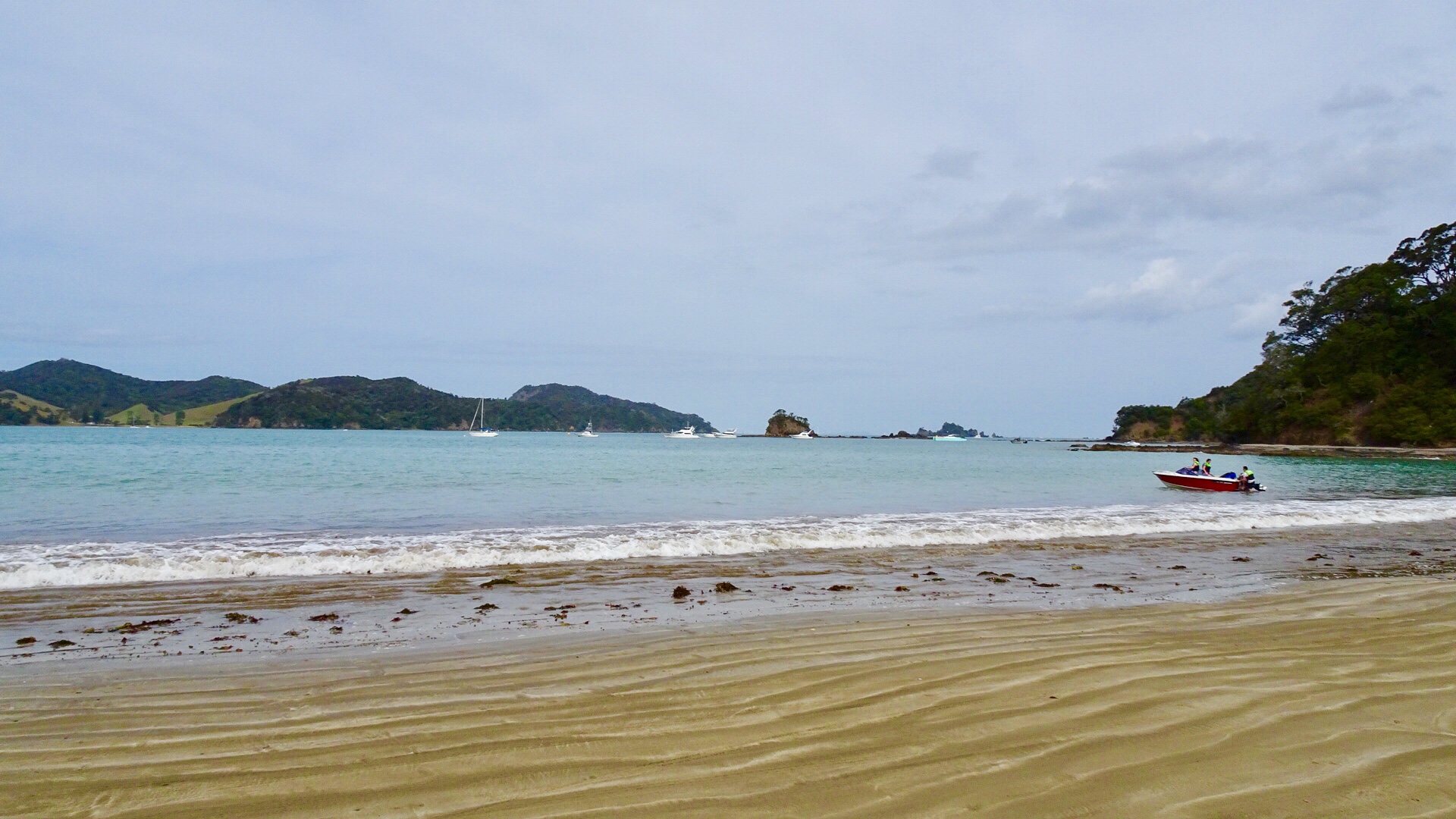
 We parked the bikes on the beach and got our bathers our to test the waters.
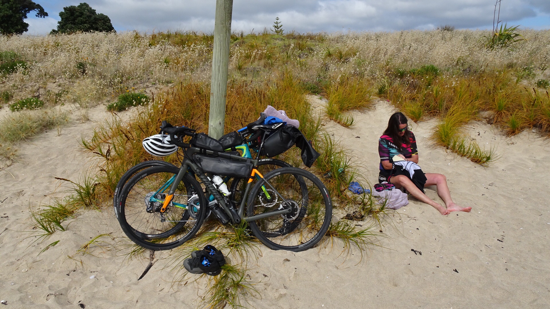 Brrrrrr….not immersing the whole body!
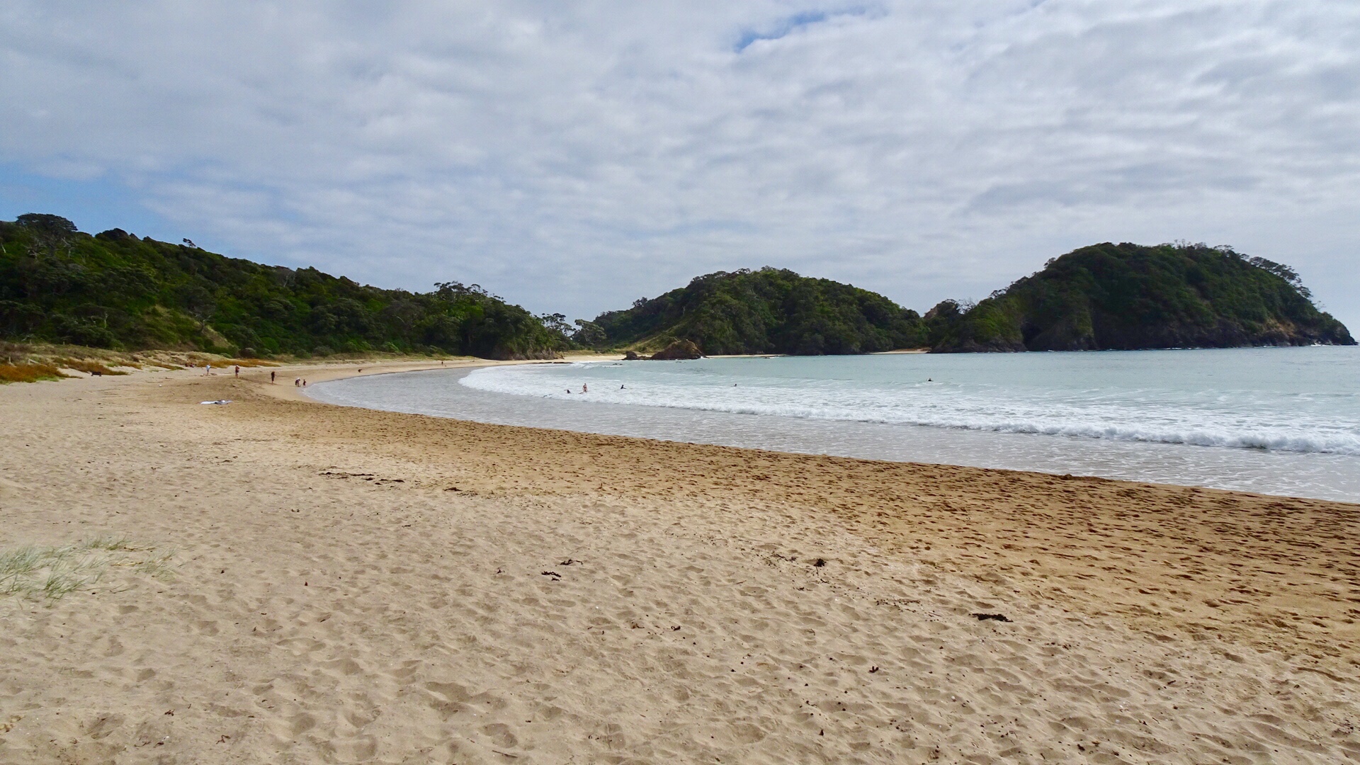
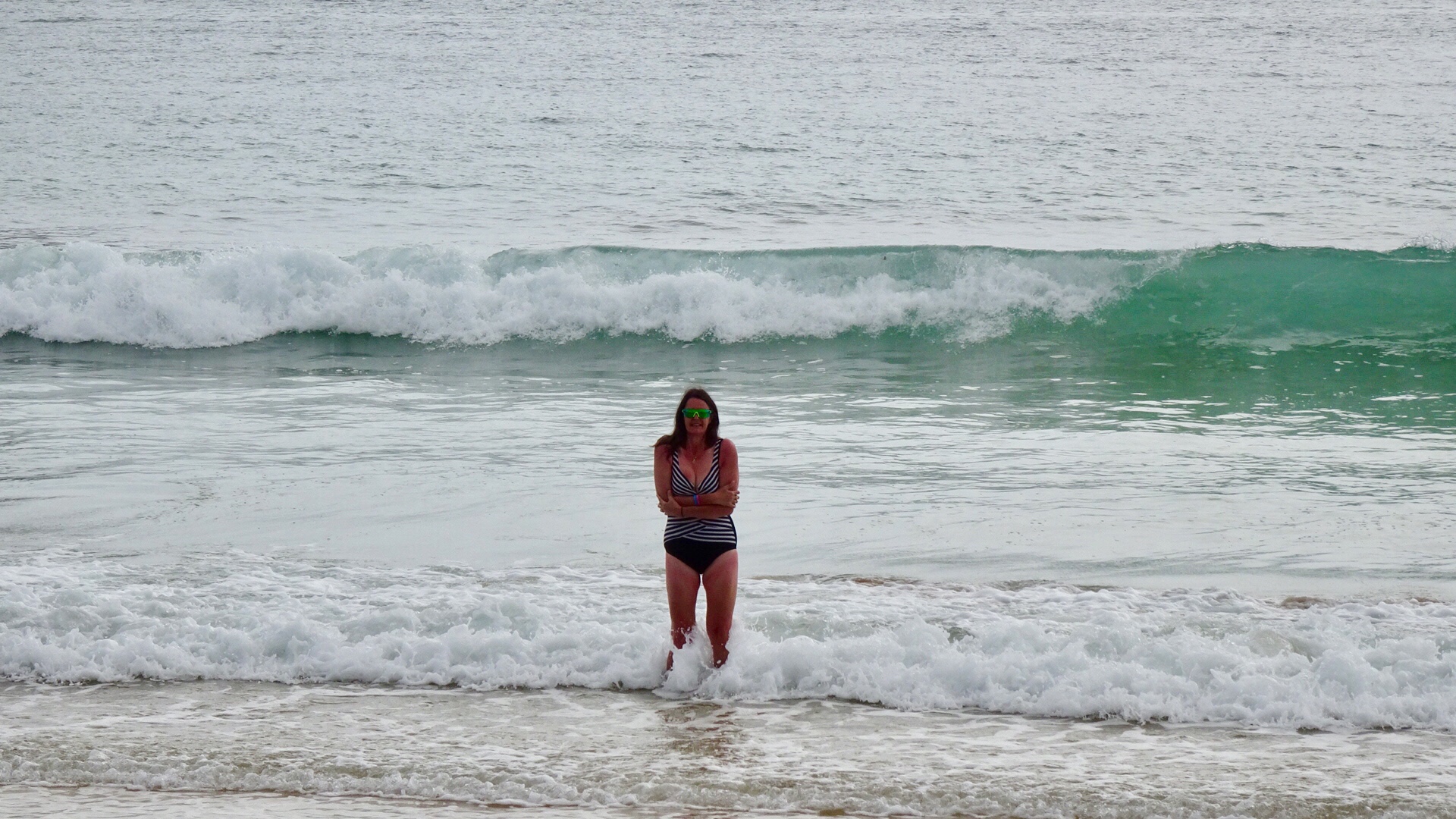 Heading down the beach….
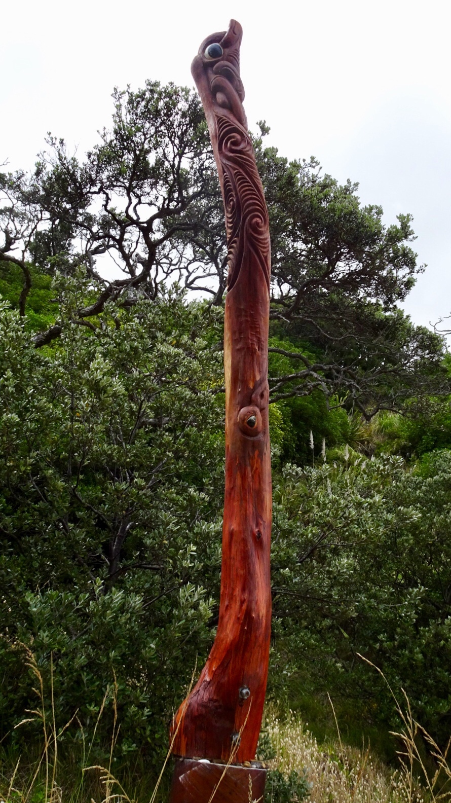
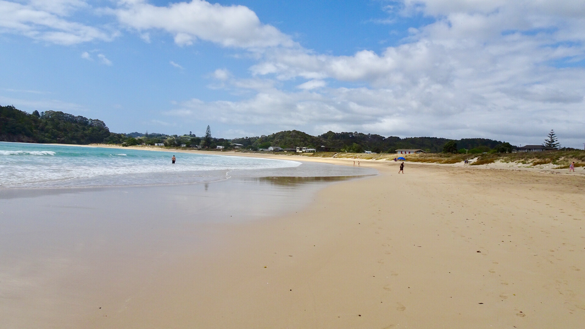 A walkway to another beach reveals these Maori totems.
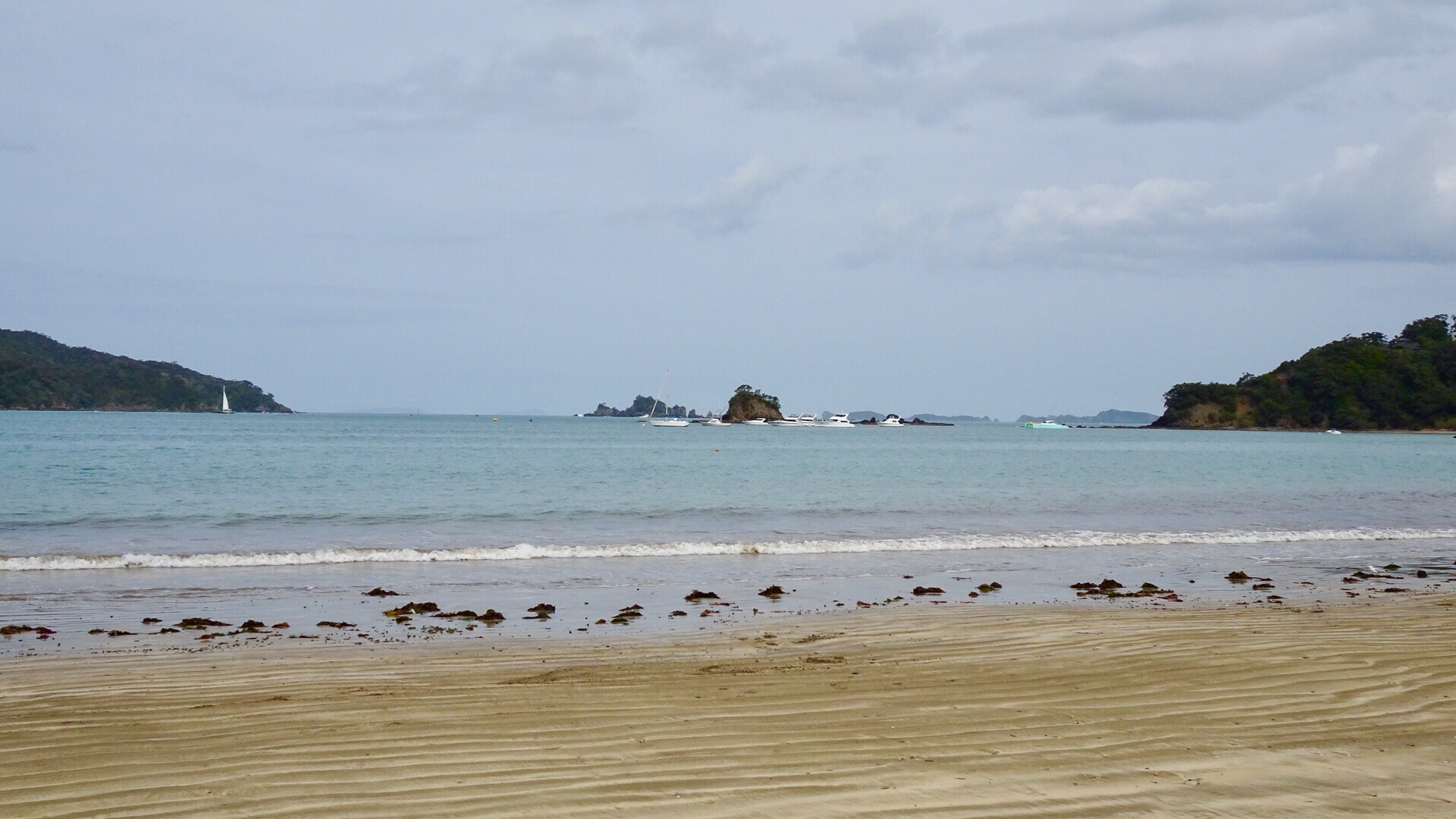
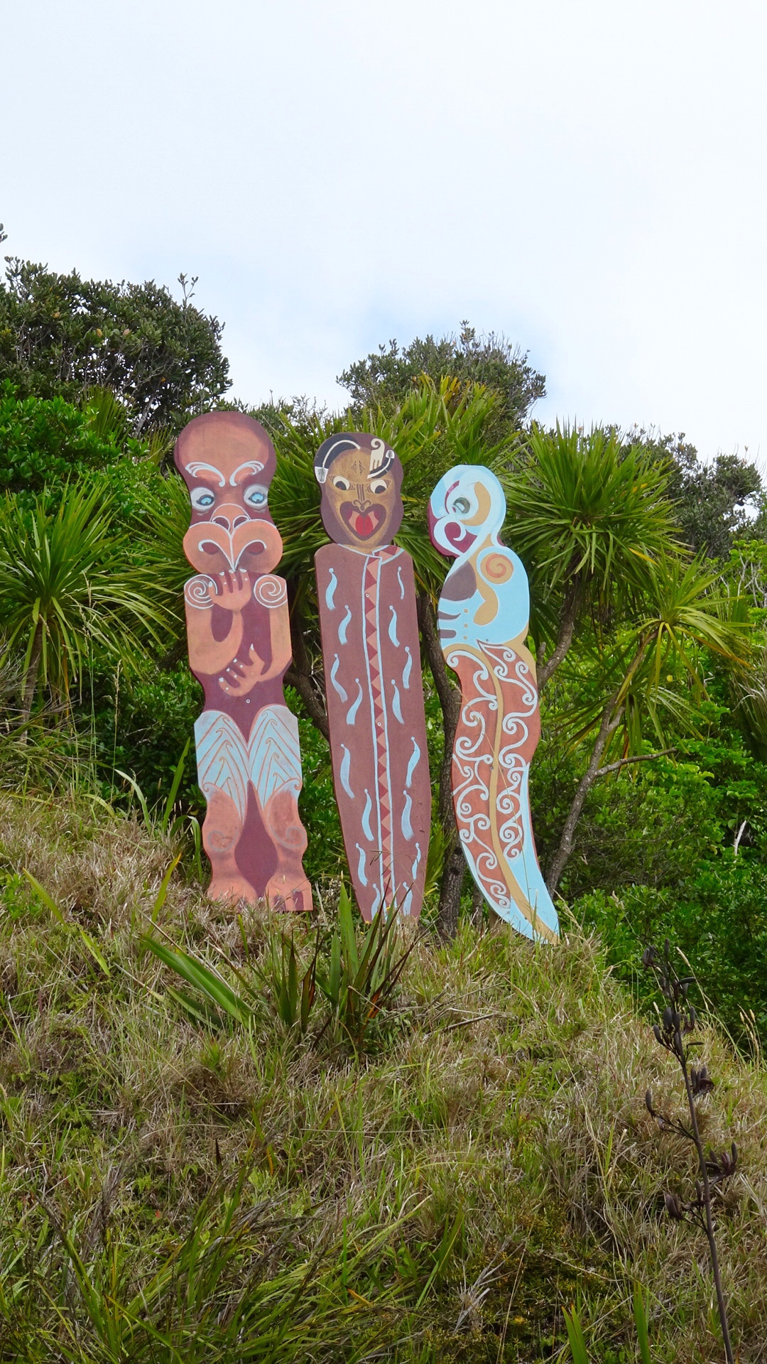 Volcanic beach on the other side.
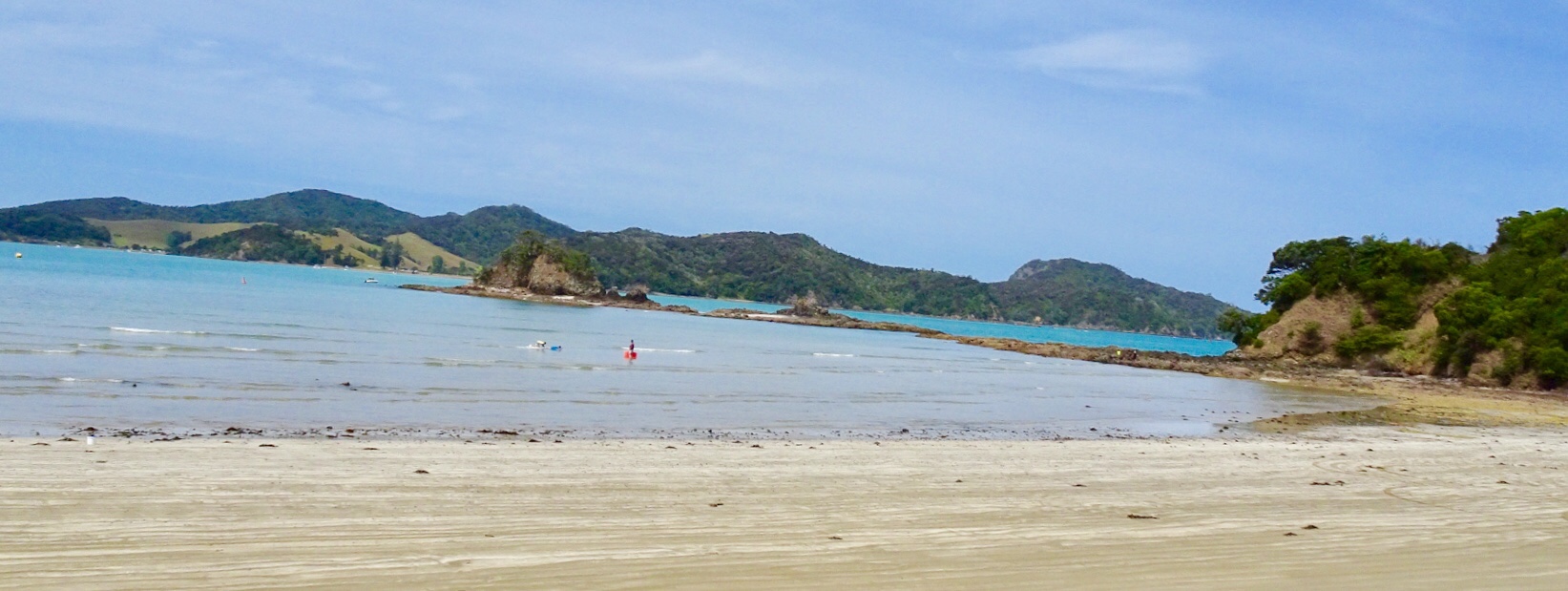
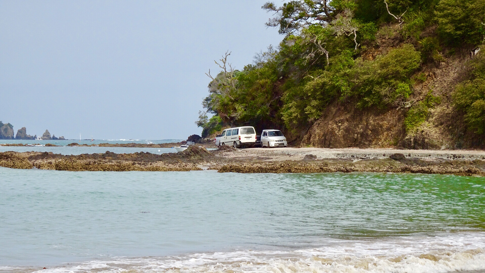
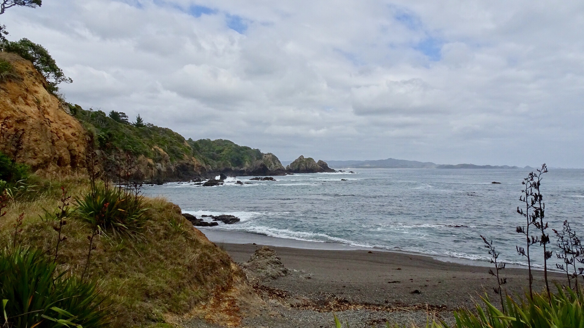 Continuing along Matapouri Bay…wading through water to find a couple of small and private beaches.
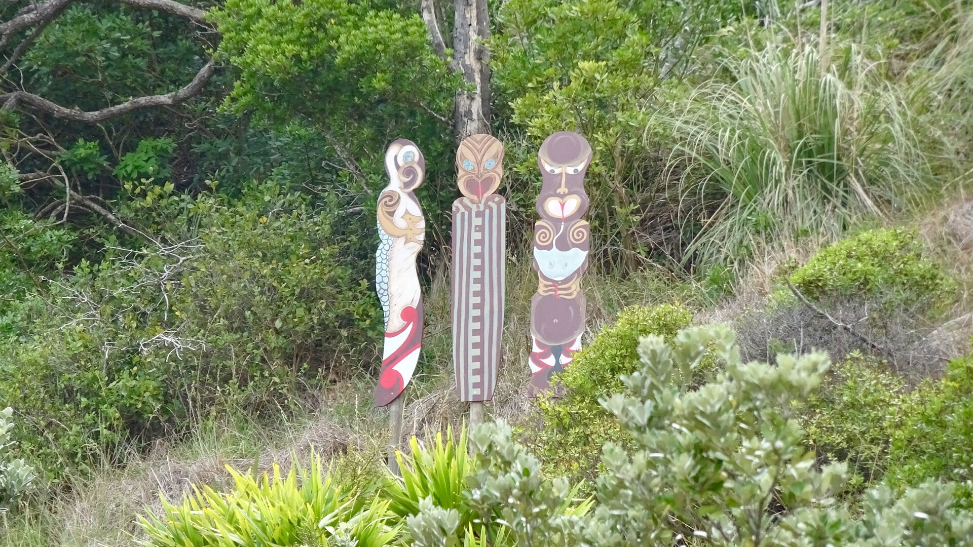
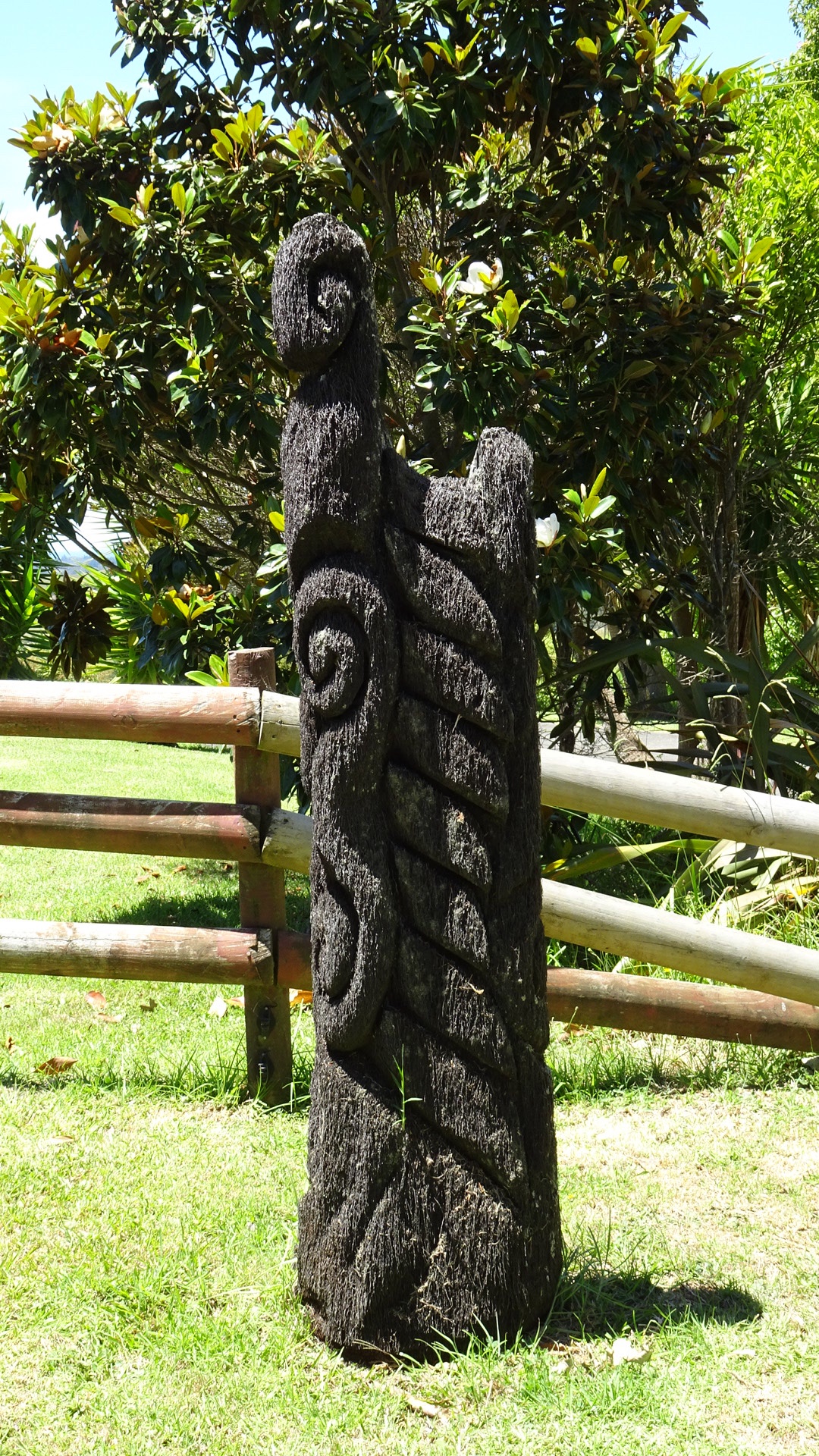
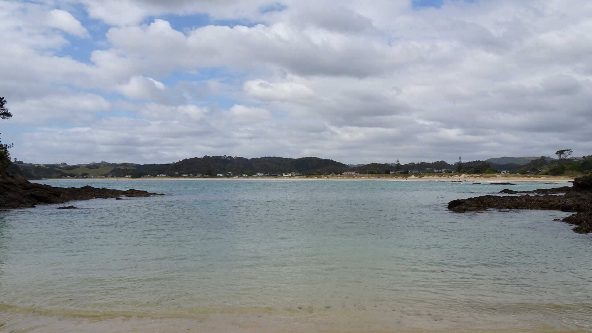 More totems. The area where these totems are has a tapu on it, and is closed for regeneration.
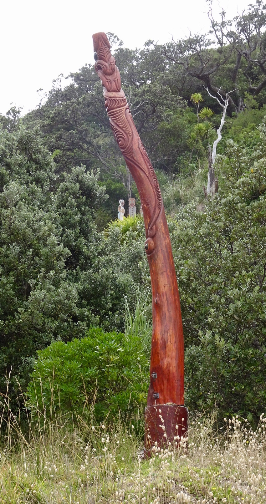
 A lazy day, but very pleasant day.
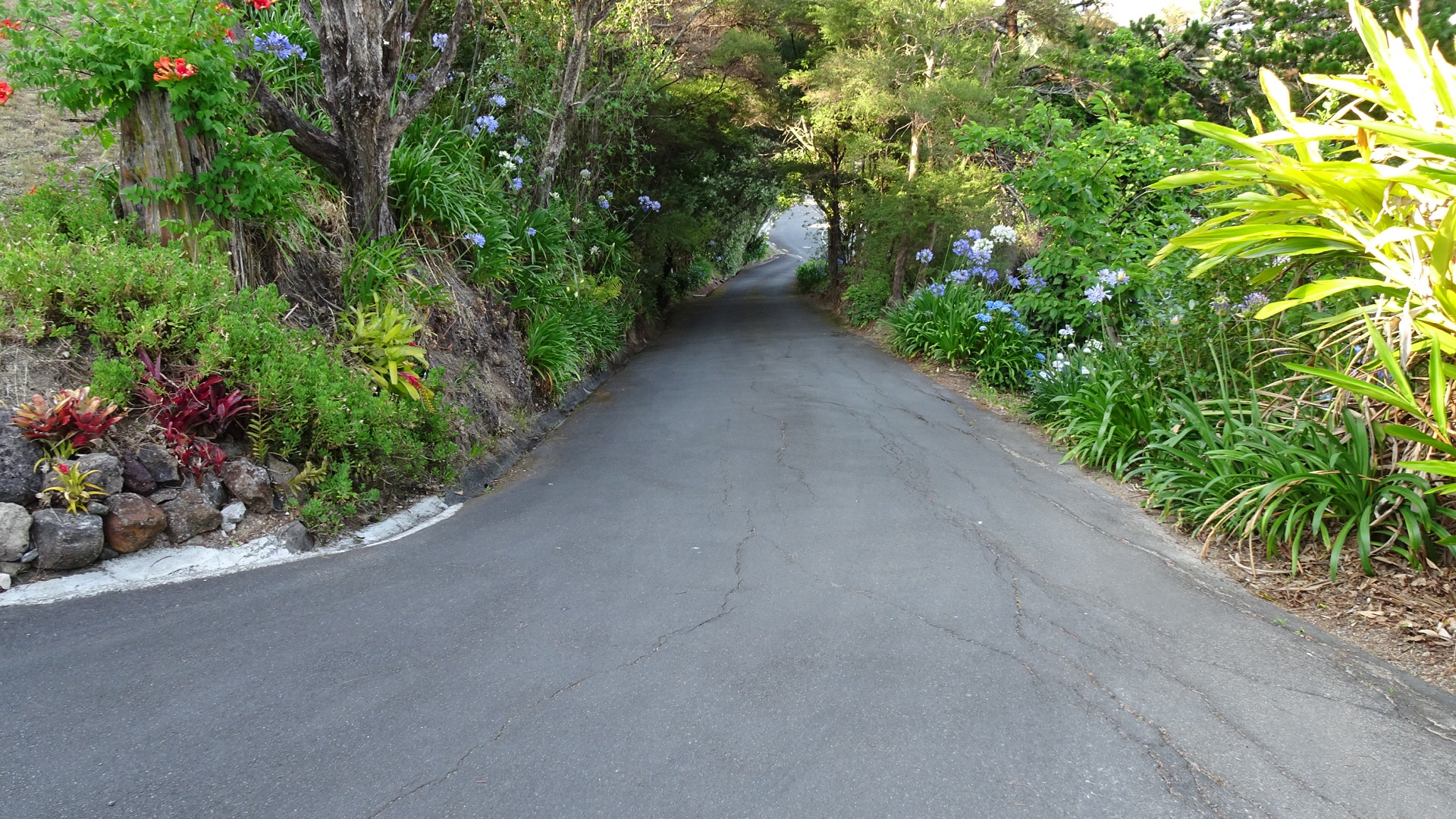
 I probably should have entitled this ride something to do with the letter S.
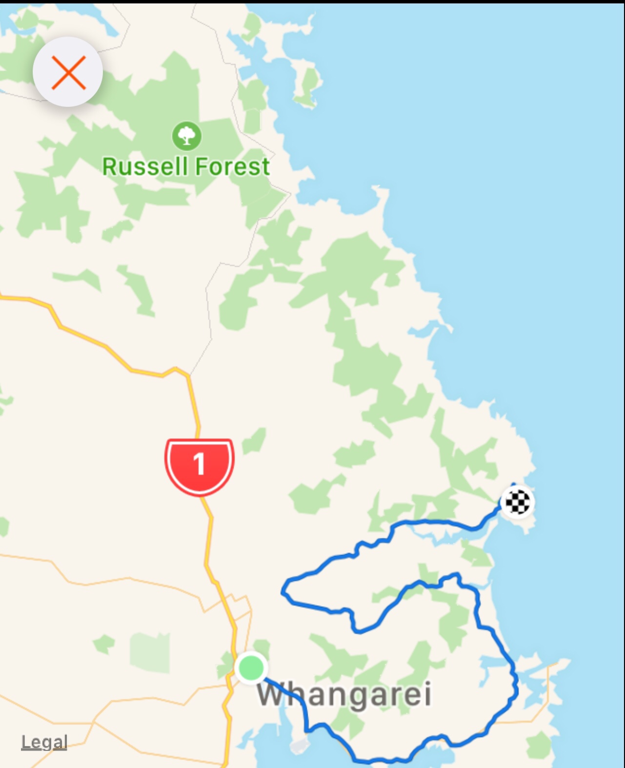


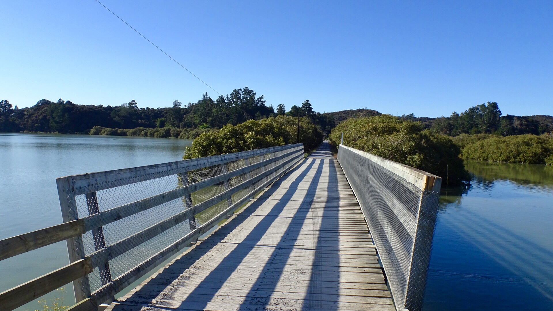
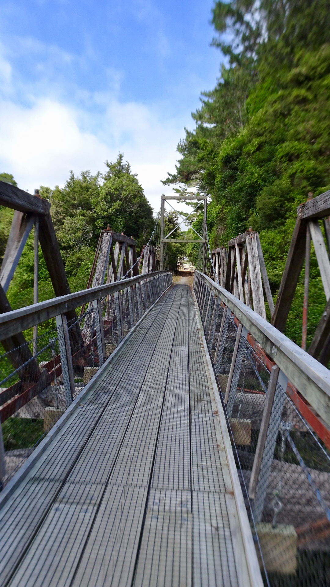
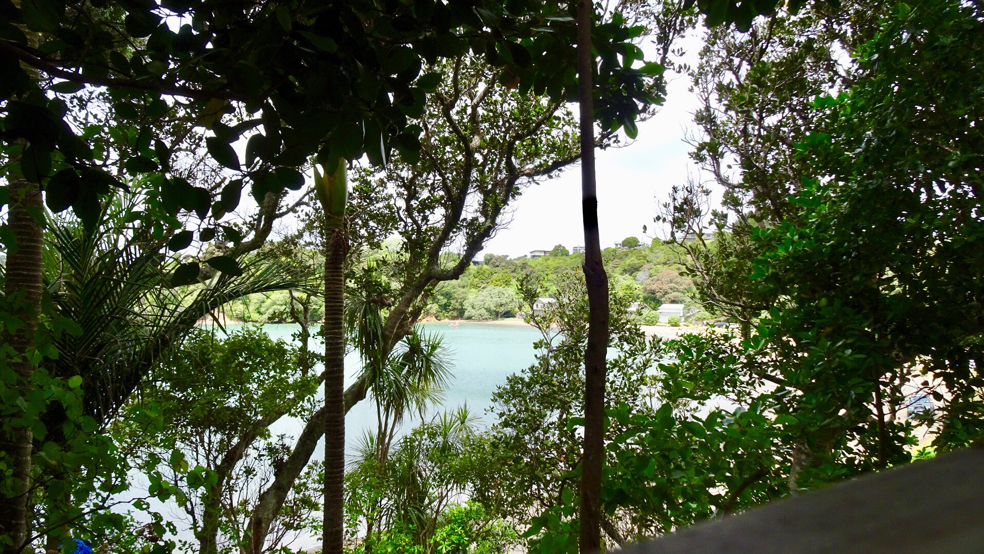
 The road came to an end but there was a foot bridge connecting to Pataua North. Here I am walking my bike across the bridge.
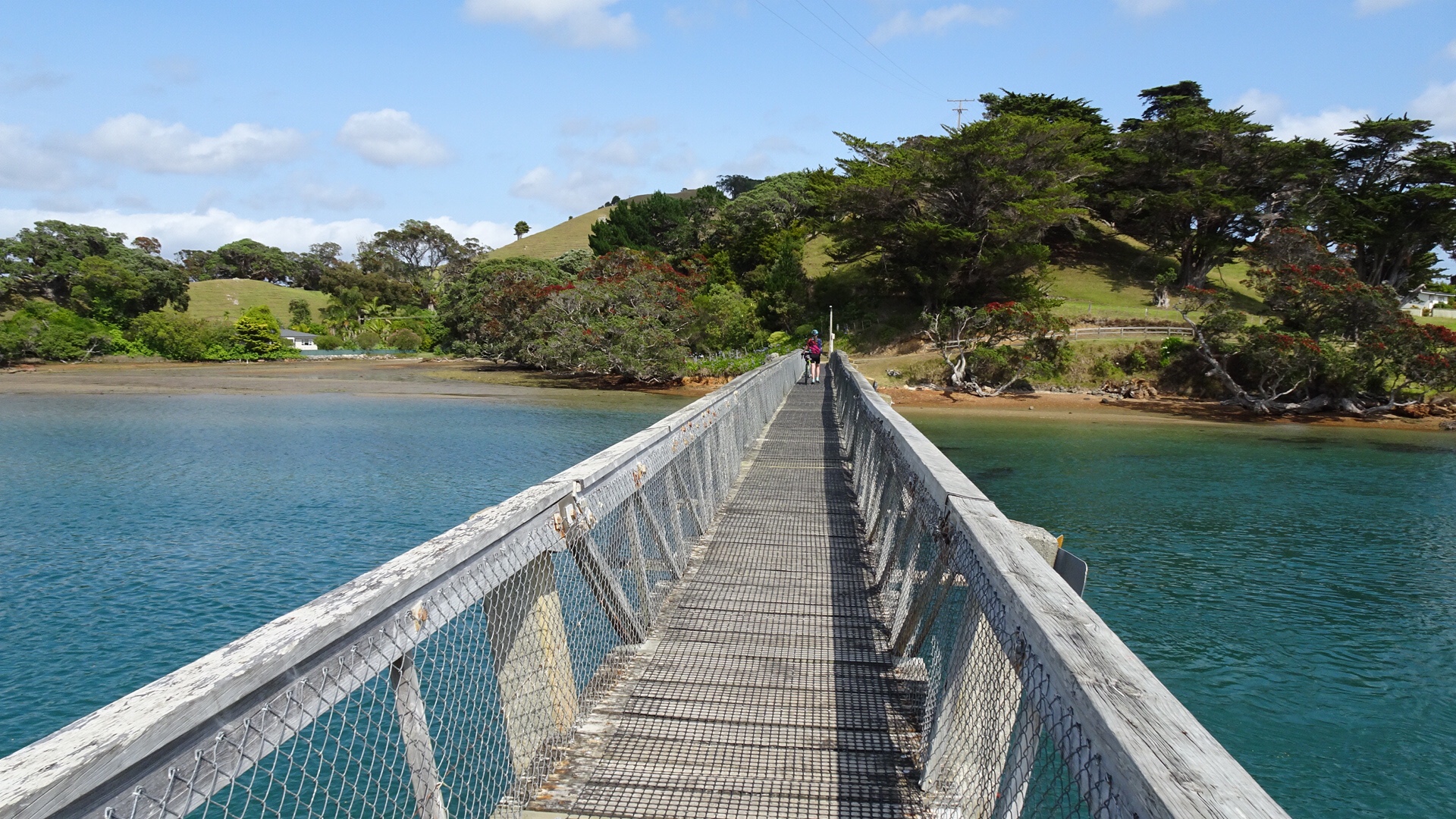 No cafes, so we pulled up on the banks of the river to have a snack and enjoy the view.
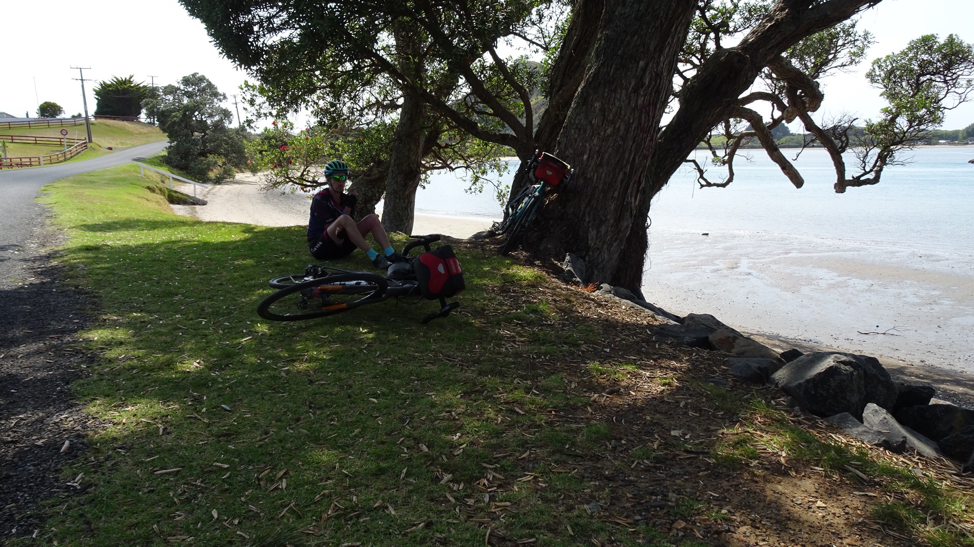
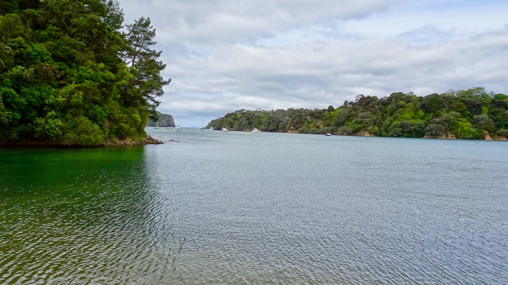
 Kids playing in the bay.
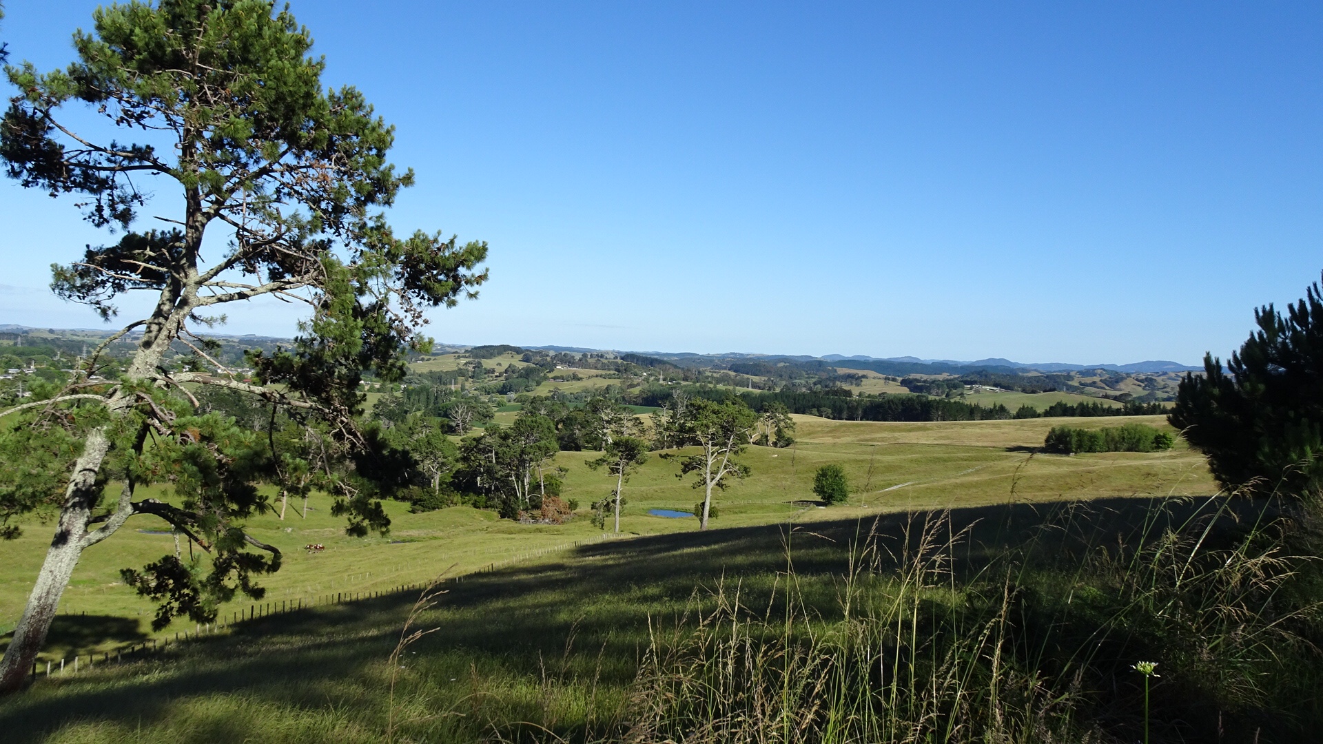
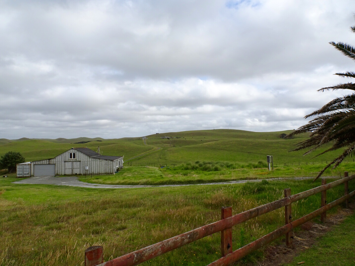
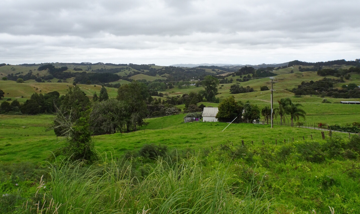
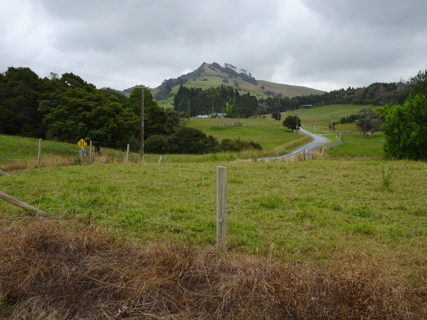
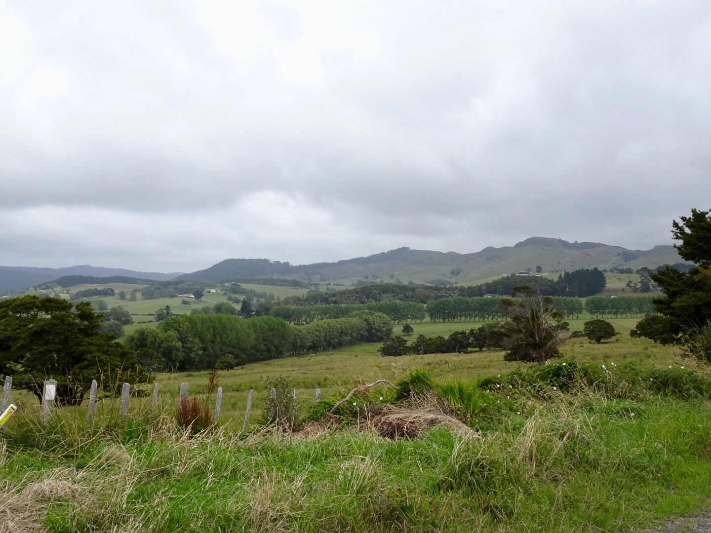
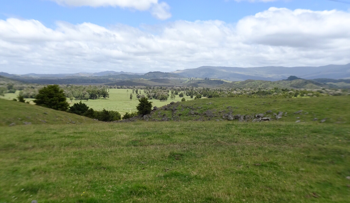
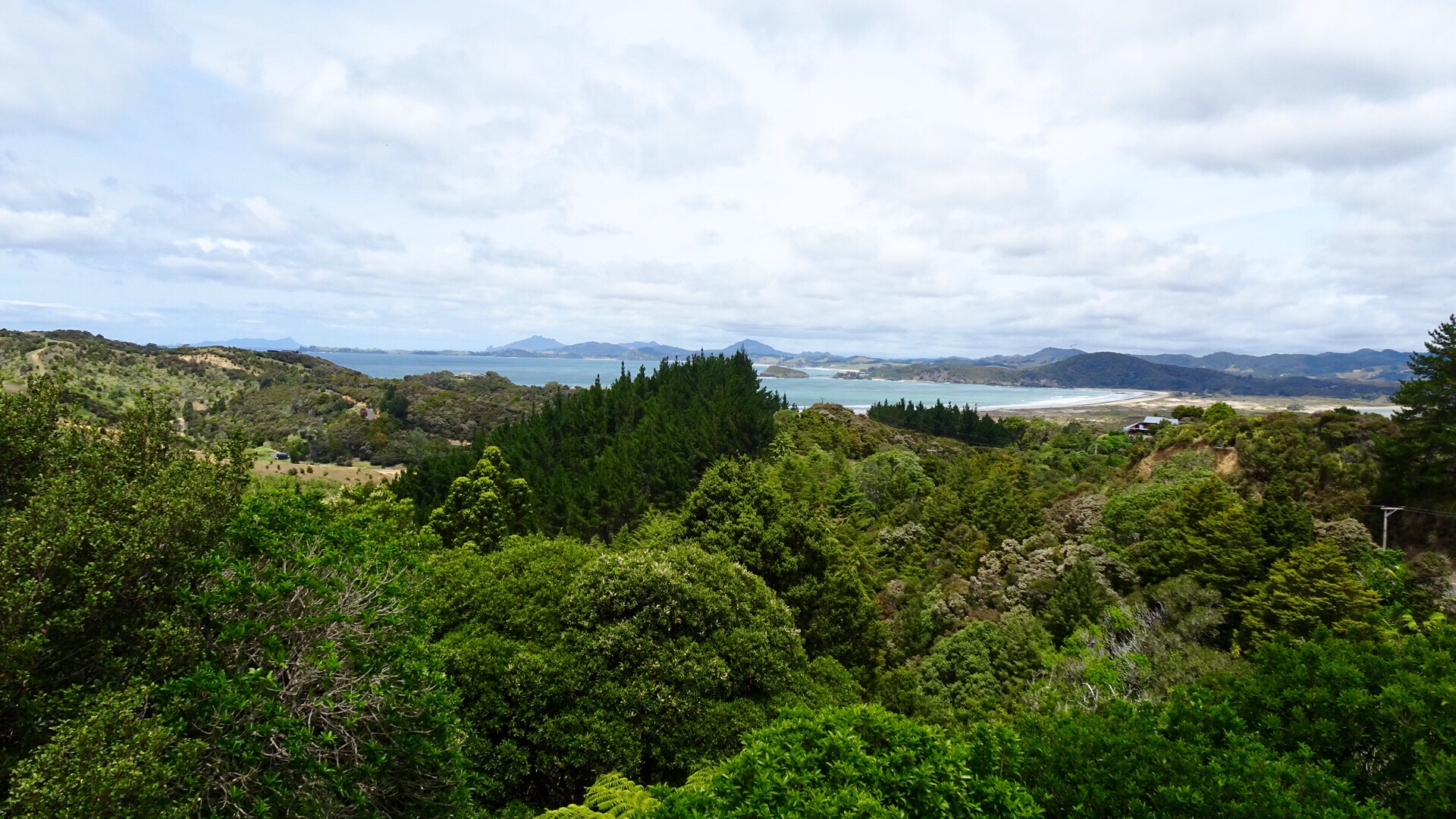
 I liked this view with the distant knobby hills.
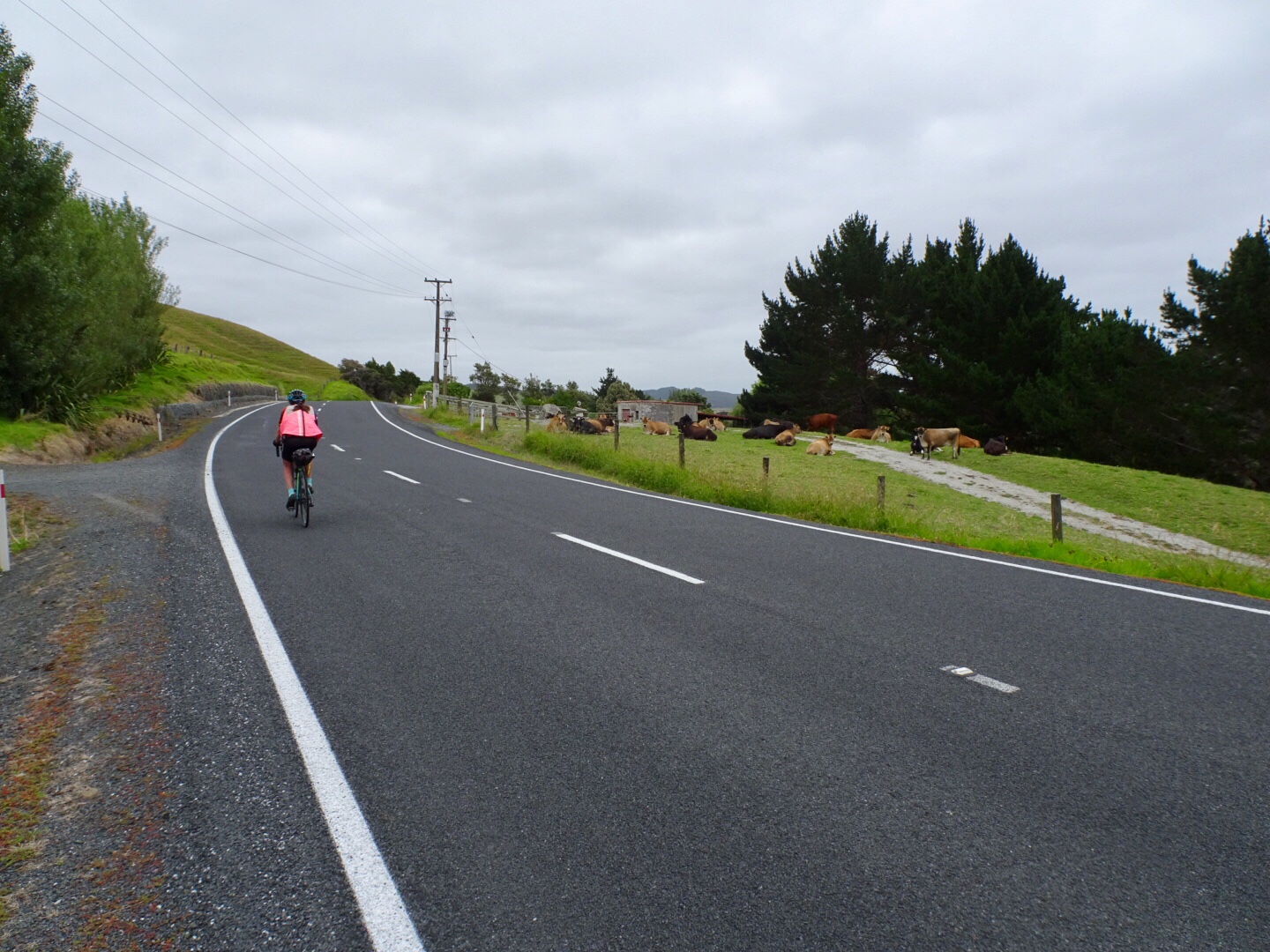
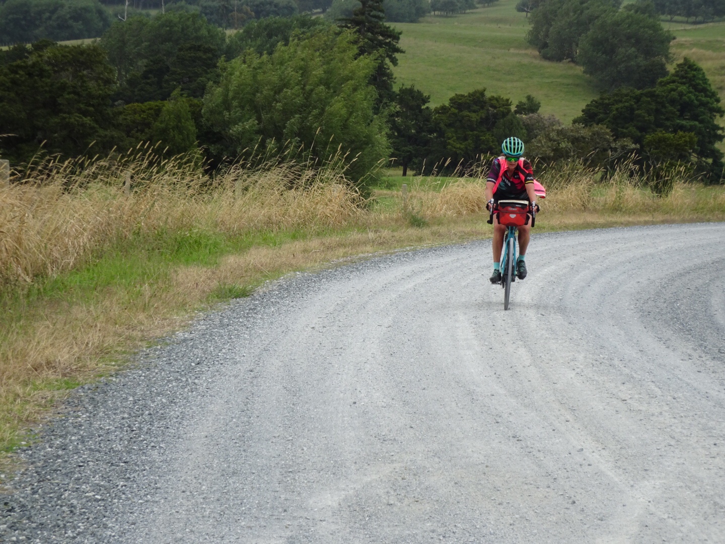
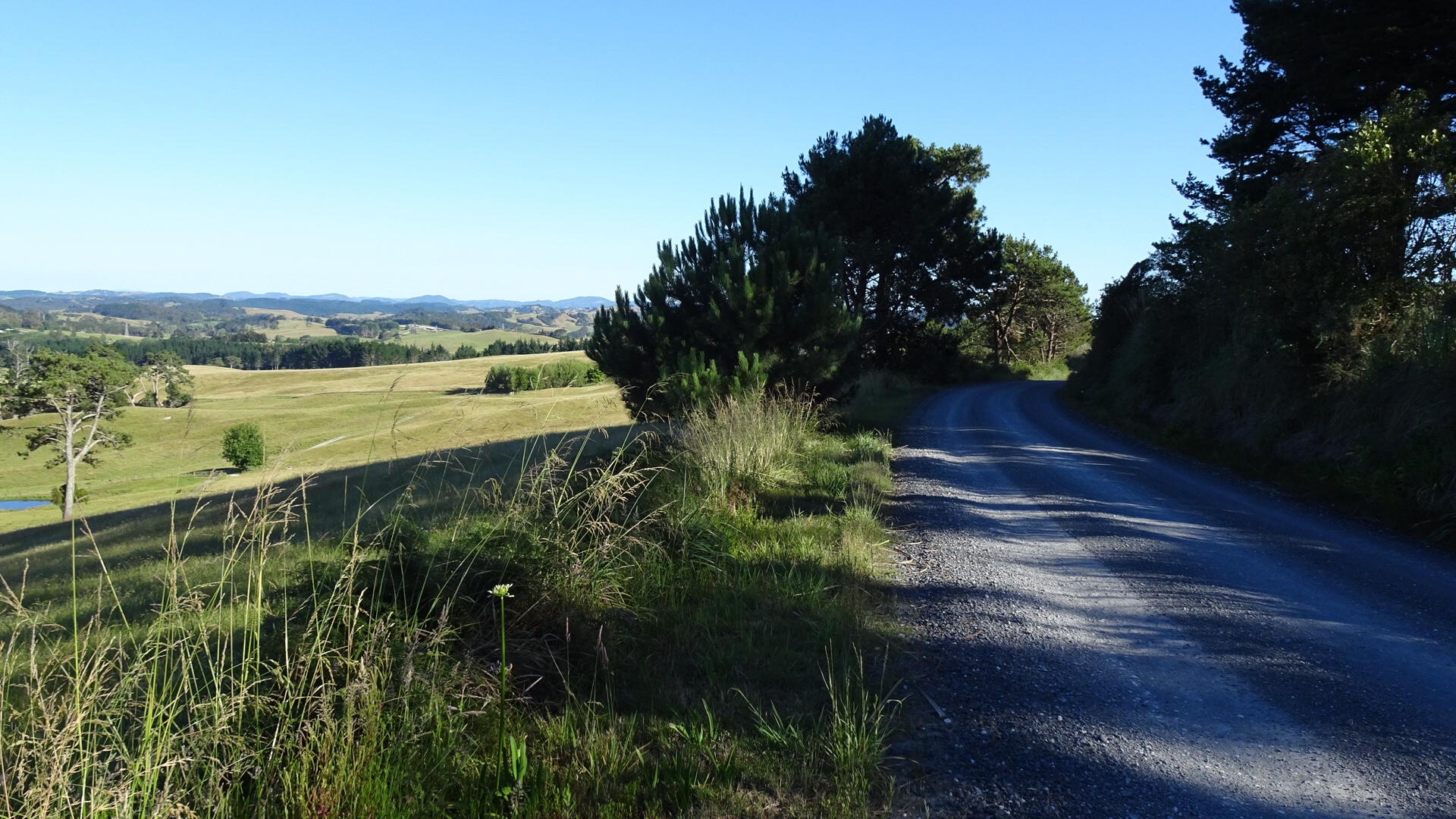
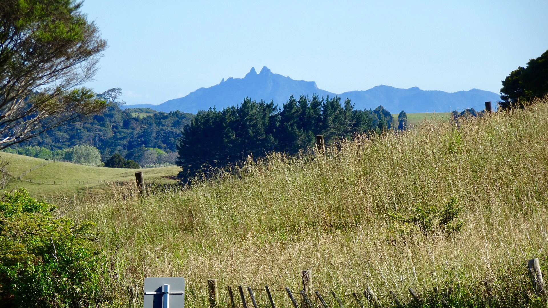 Back onto bitumen these photos were taken from the top of a climb. The lower one shows an electric fence that Tony needed to get over, as the reflective flag had blown off the rear of his bike in the gusty winds.
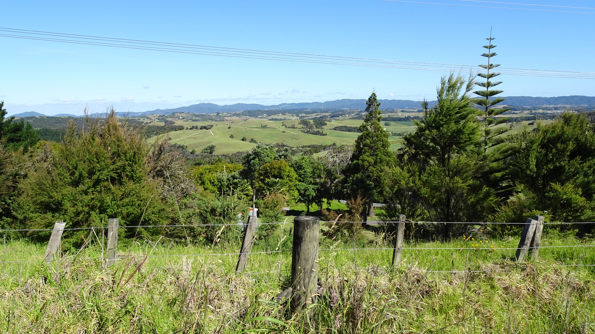
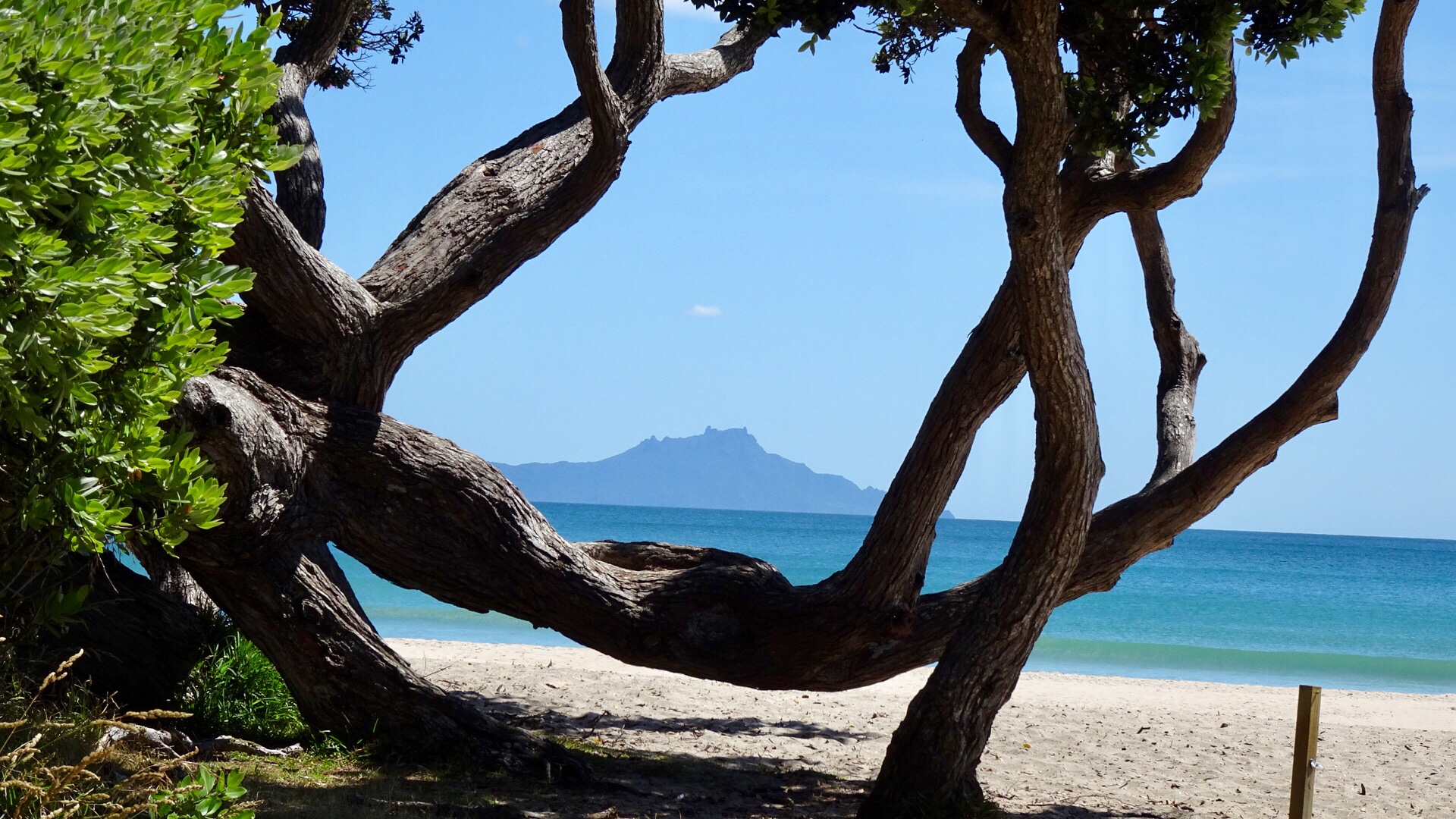
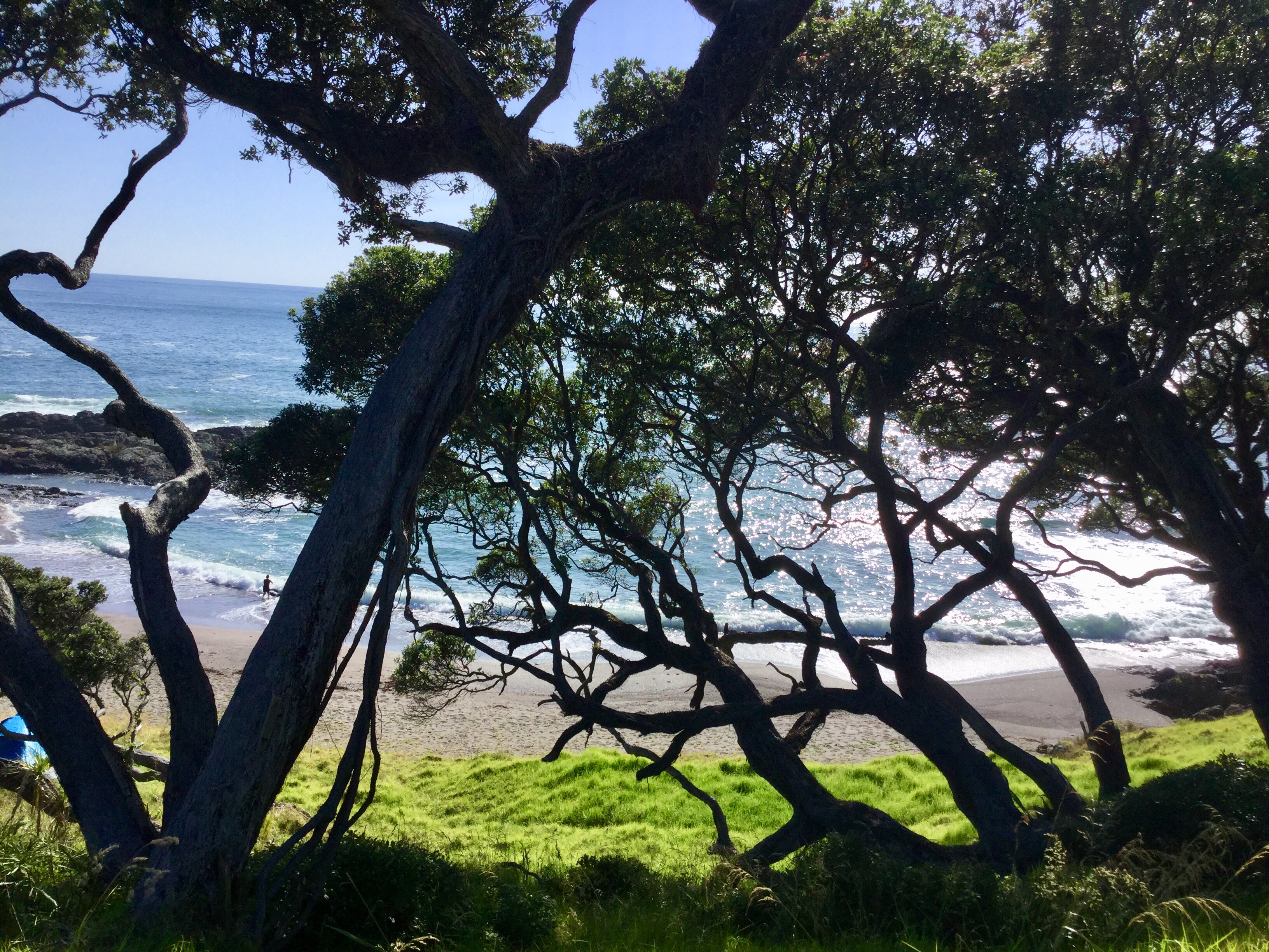
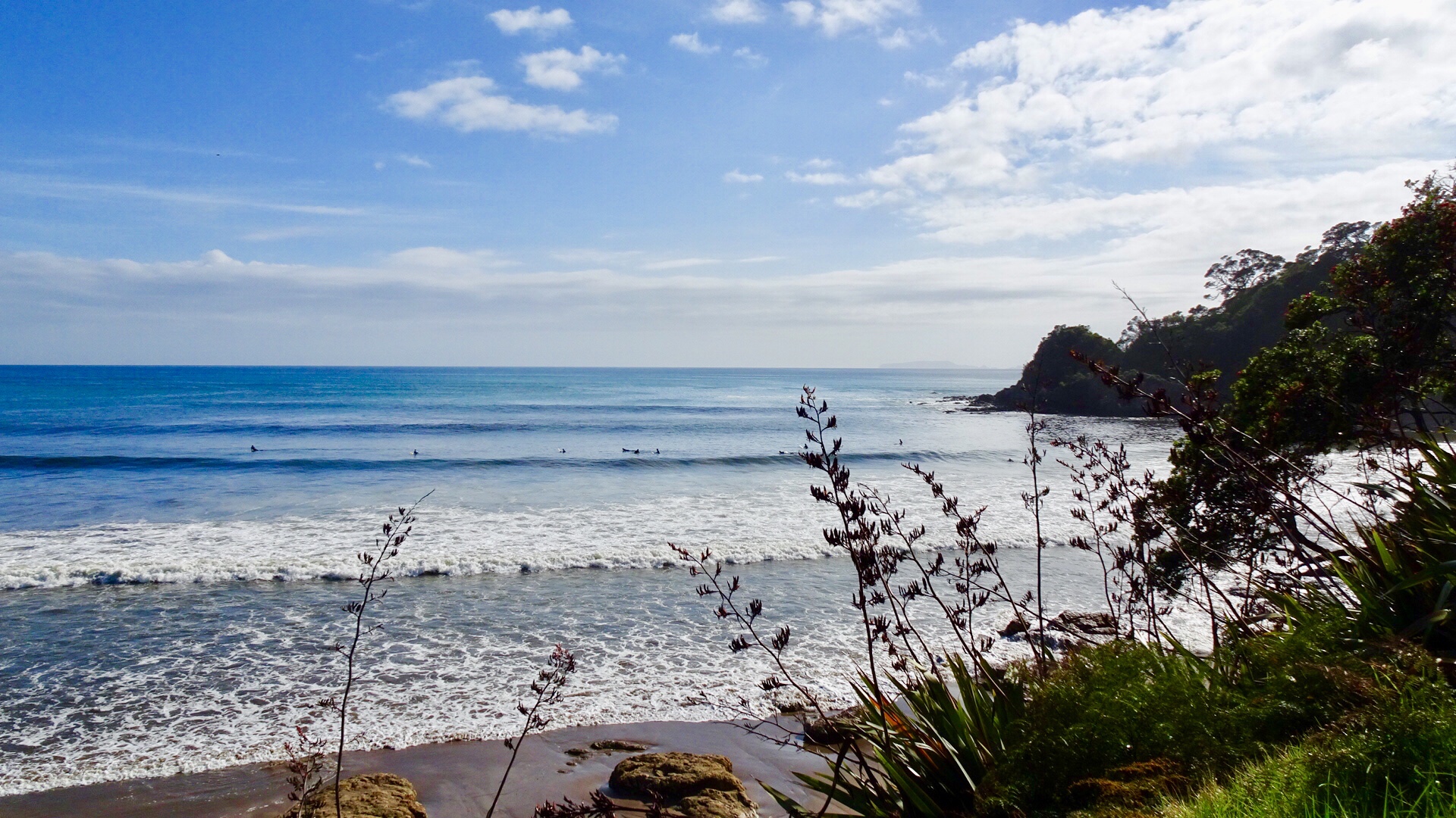
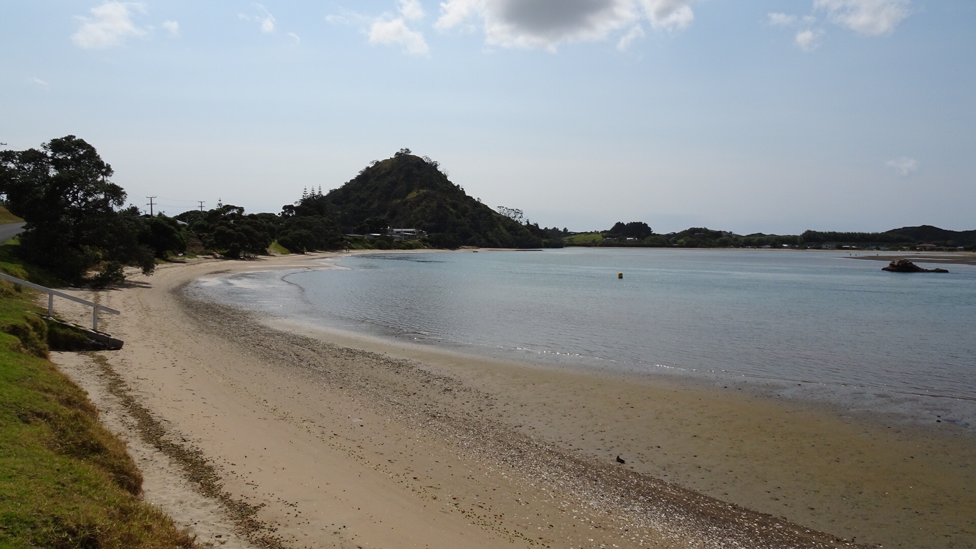
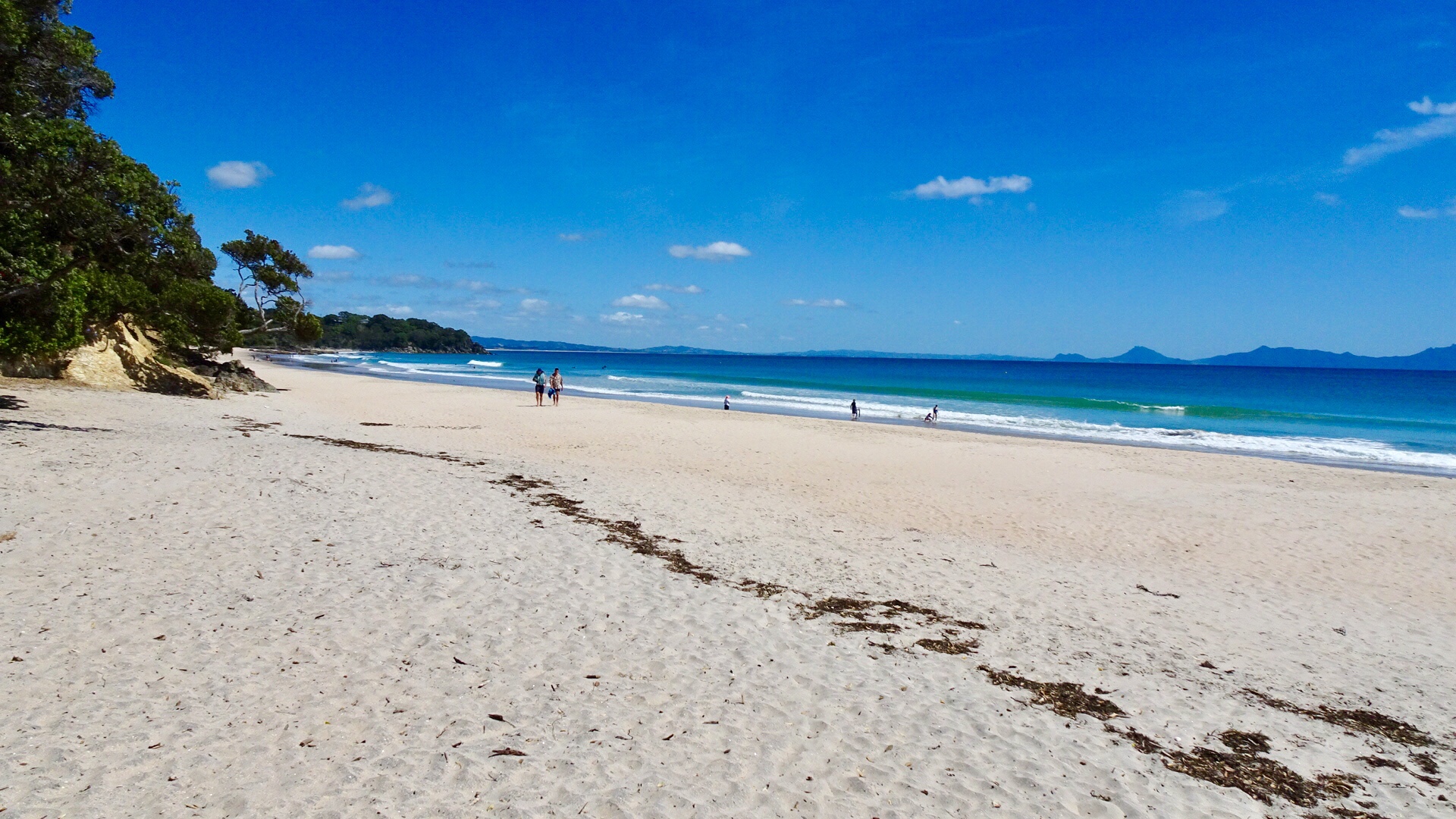
 For me, the day’s highlight was beautiful Lang’s Beach, a stunning white sandy beach framed by craggy headlands, gnarled trees and wonderful views to offshore islands.
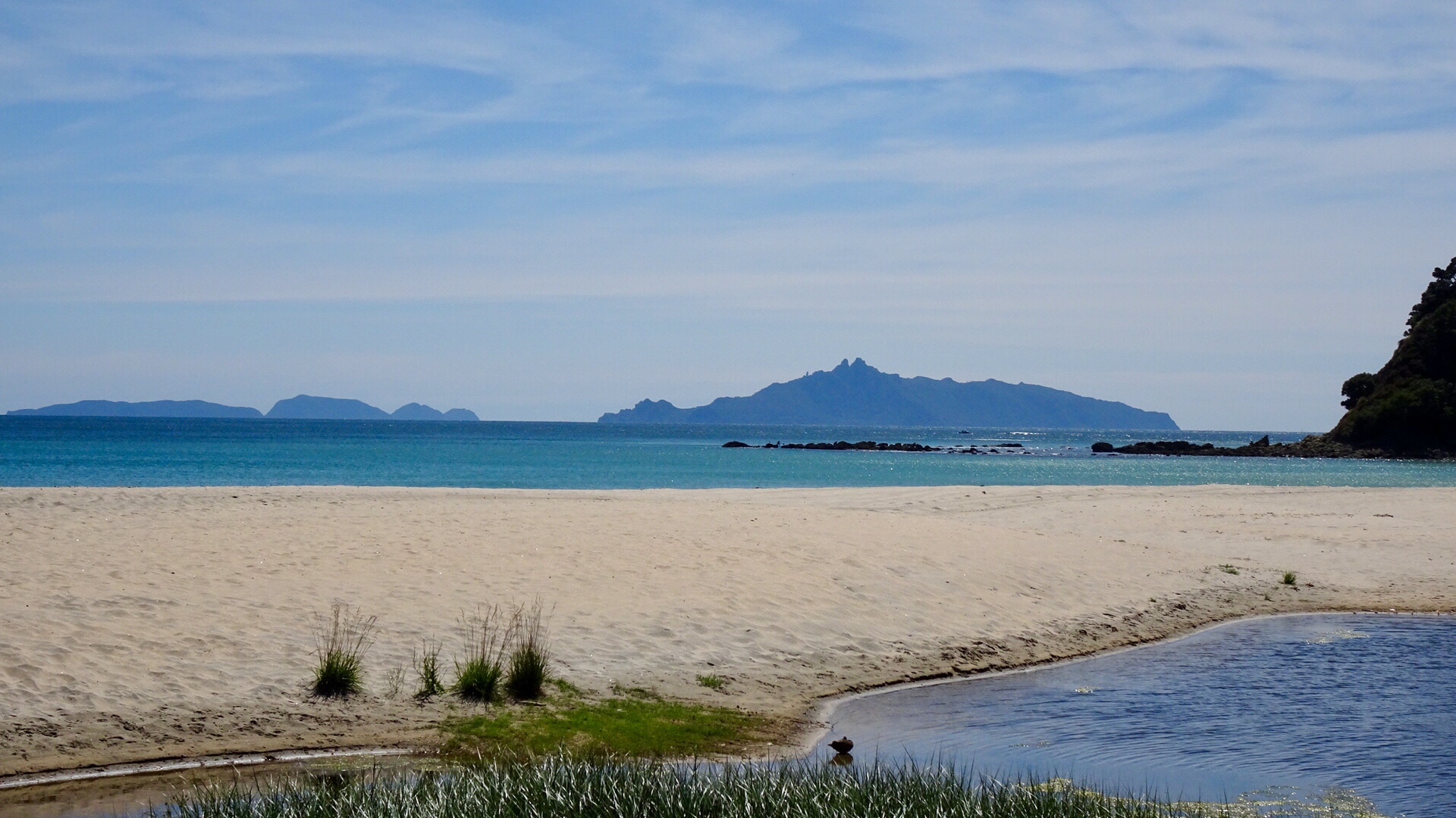
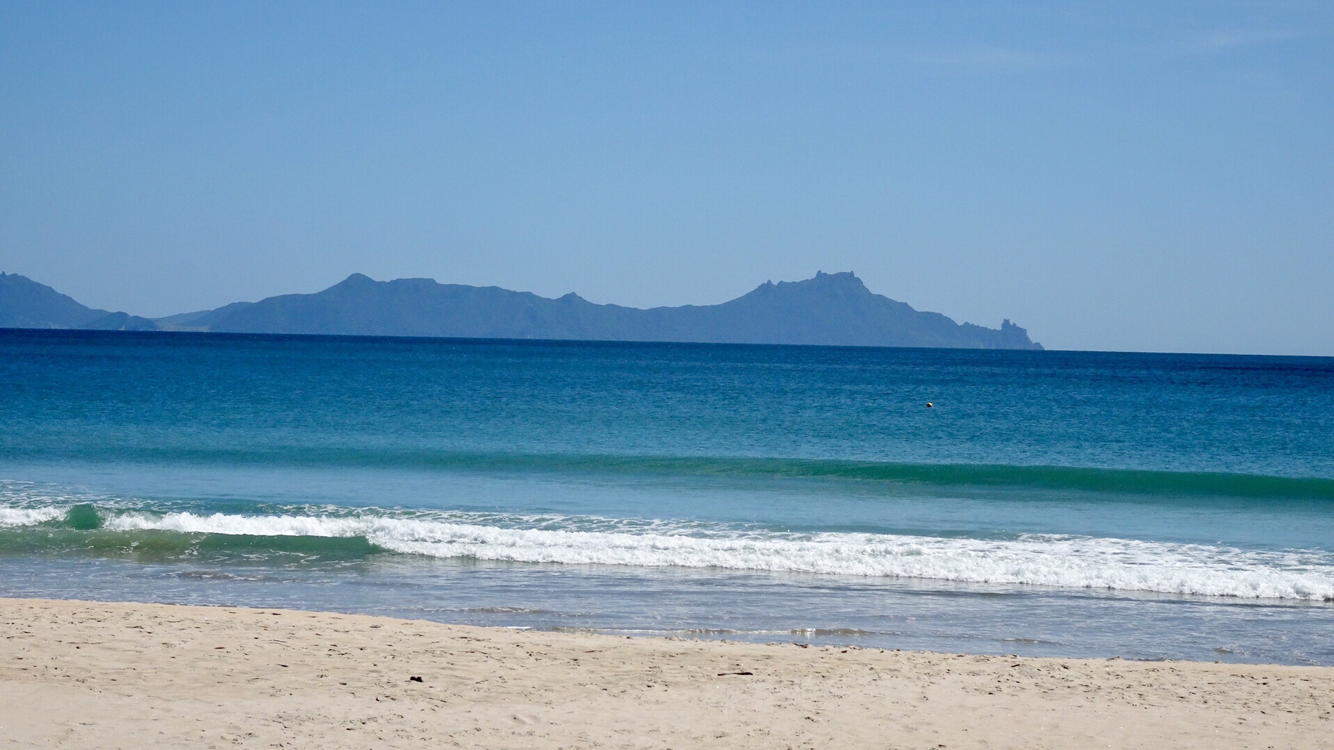 The lone rock on the right hand side is known as Sail Rock, a common mark used for yacht racing.
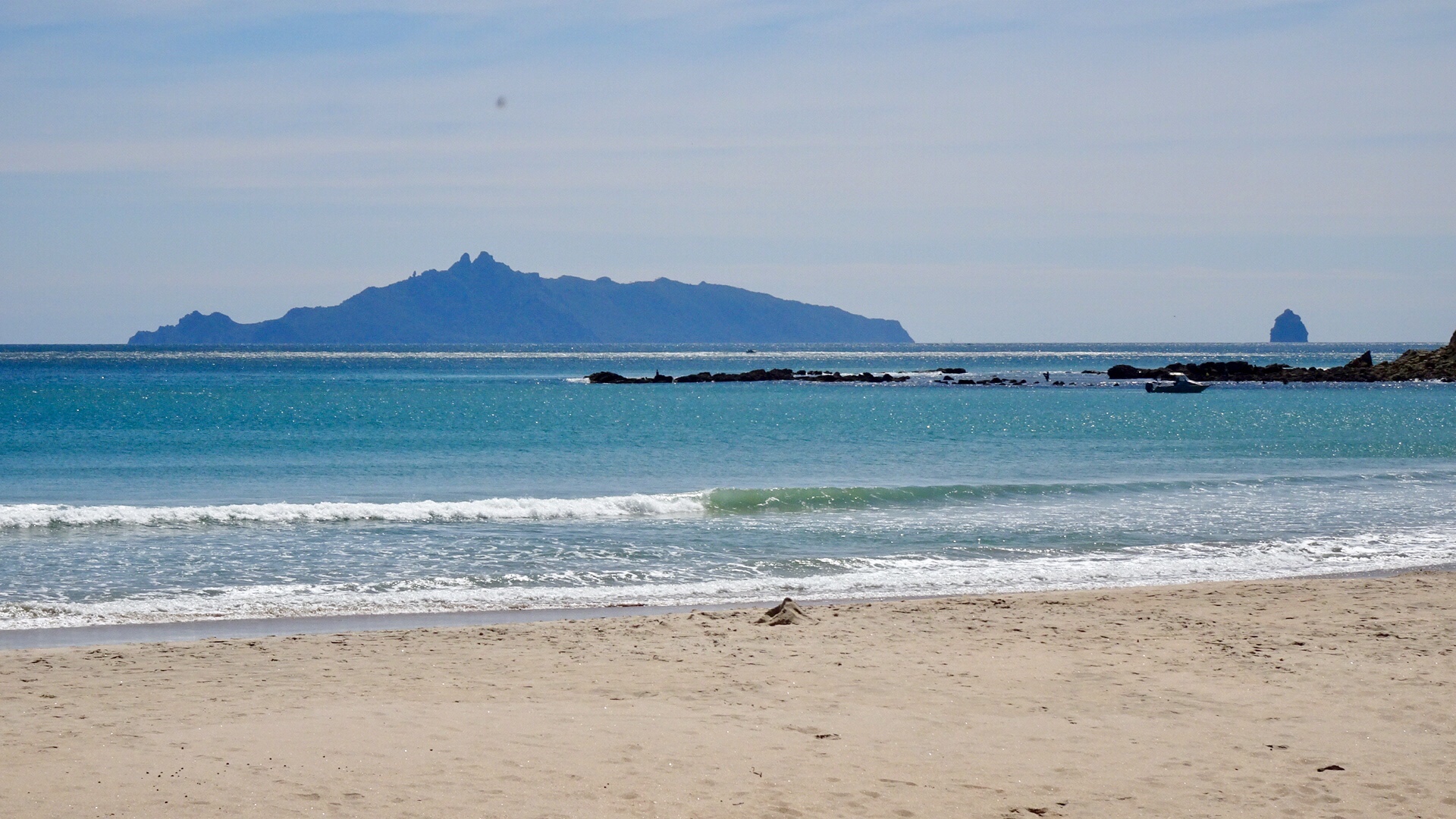
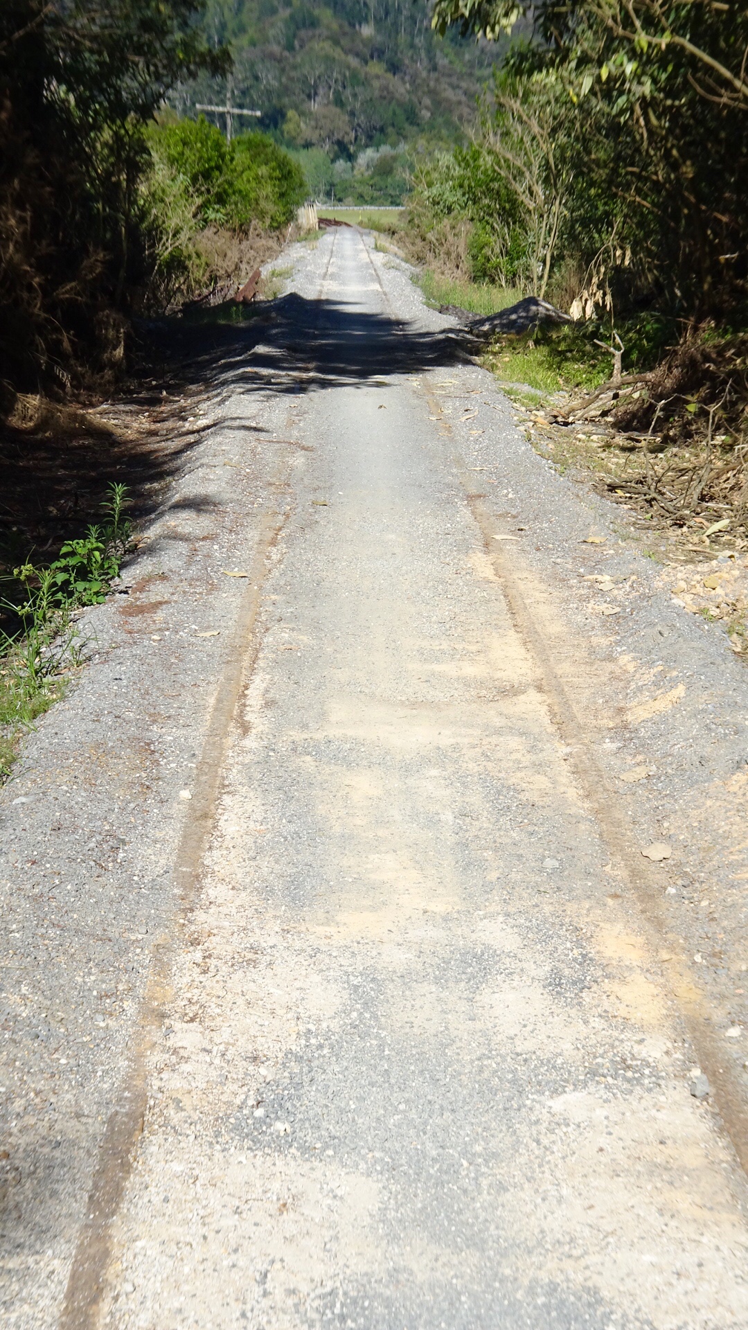
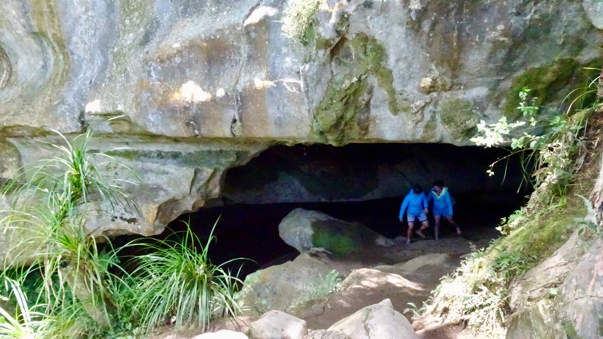
 The dirt road had very few cars on it, so that was a plus. We were shocked when we arrived at the Waipu Caves how many cars were there. The place was packed.
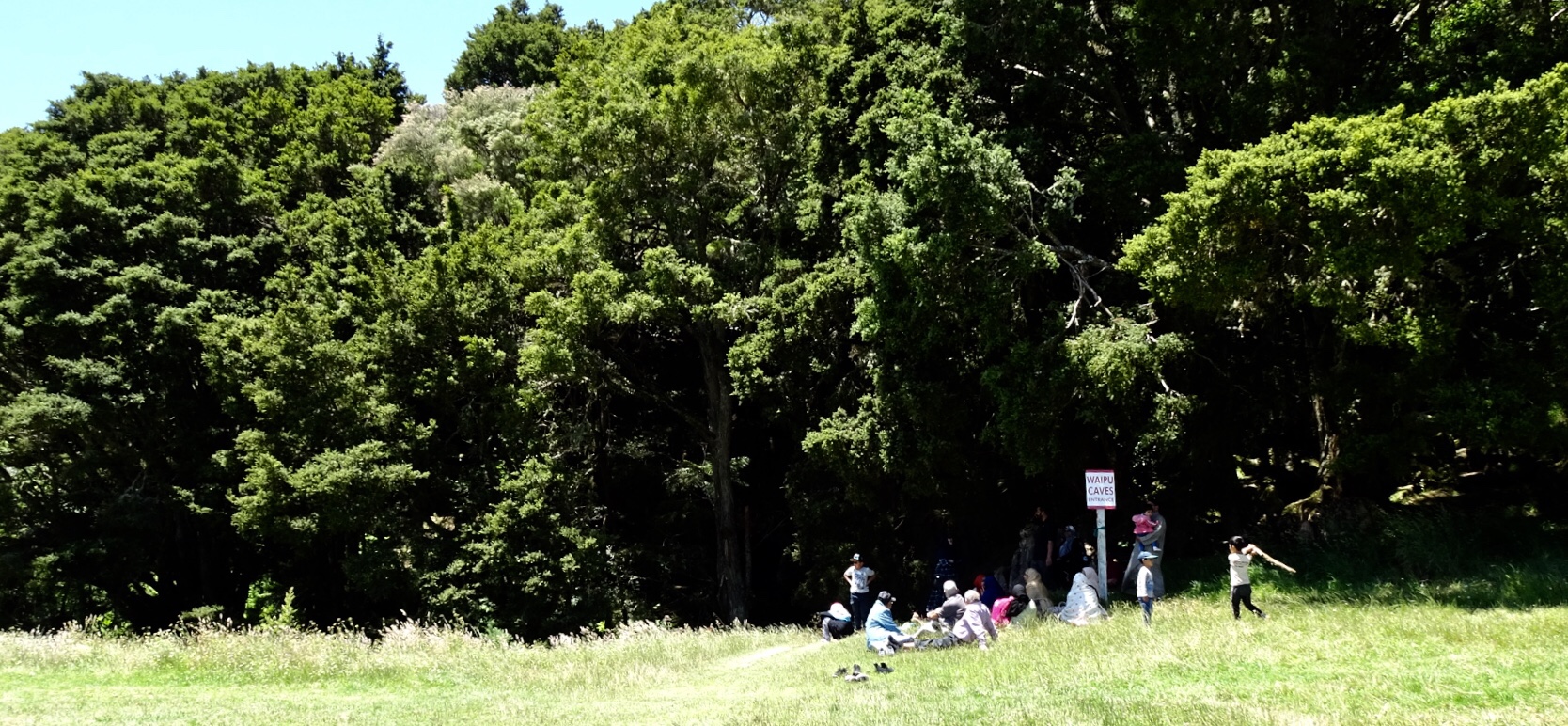 The cave is unmanned and you can just wander in. There is a 175 metre chamber. The limestone cave has stalactites, stalagmites and glow worms near the entrance. The cave system is considered regionally important for geomorphology because it is the largest cave passage in Northland.
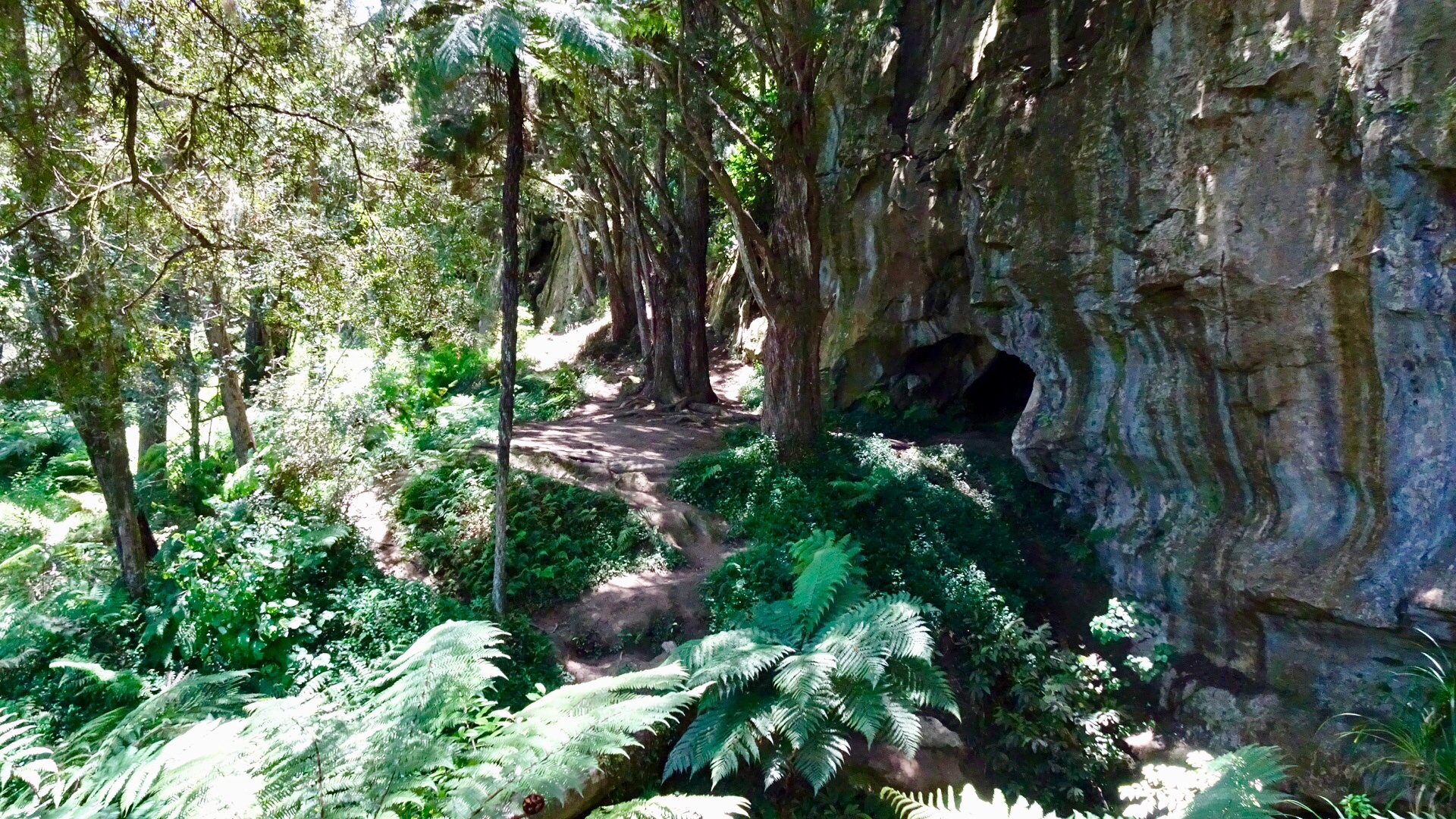
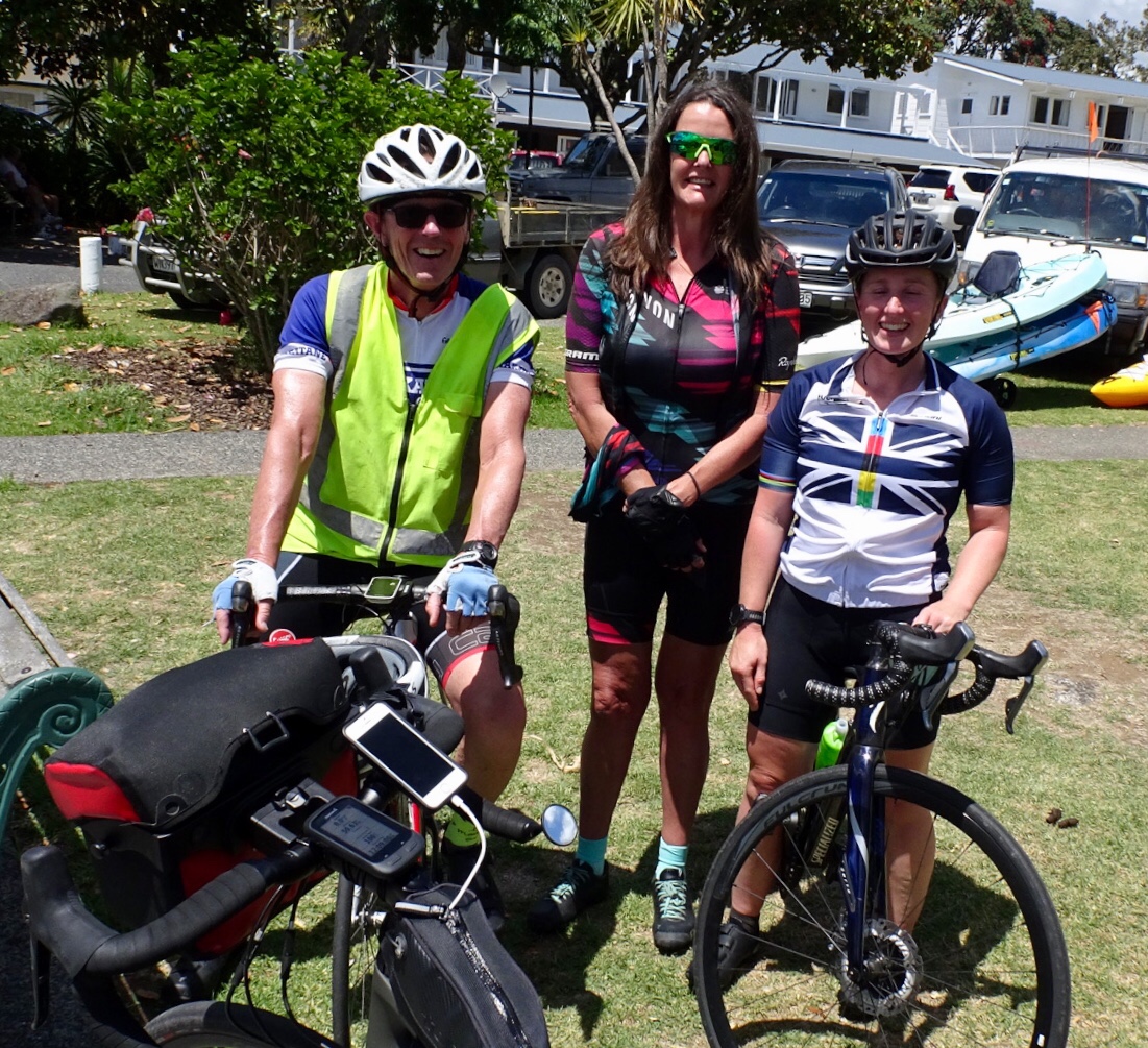
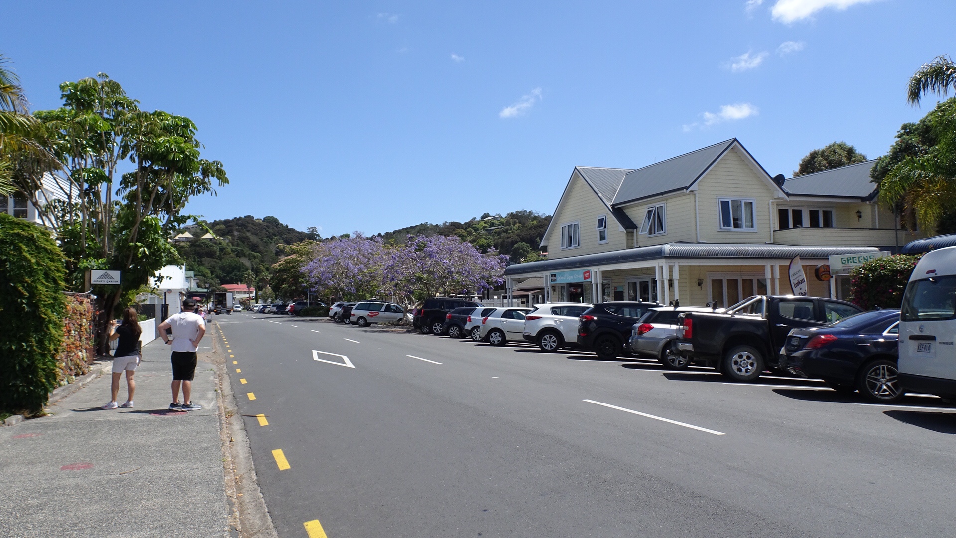
 The busy Basin.
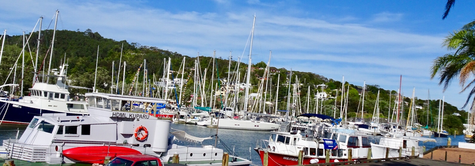 Looking up the hill towards our accomodation
 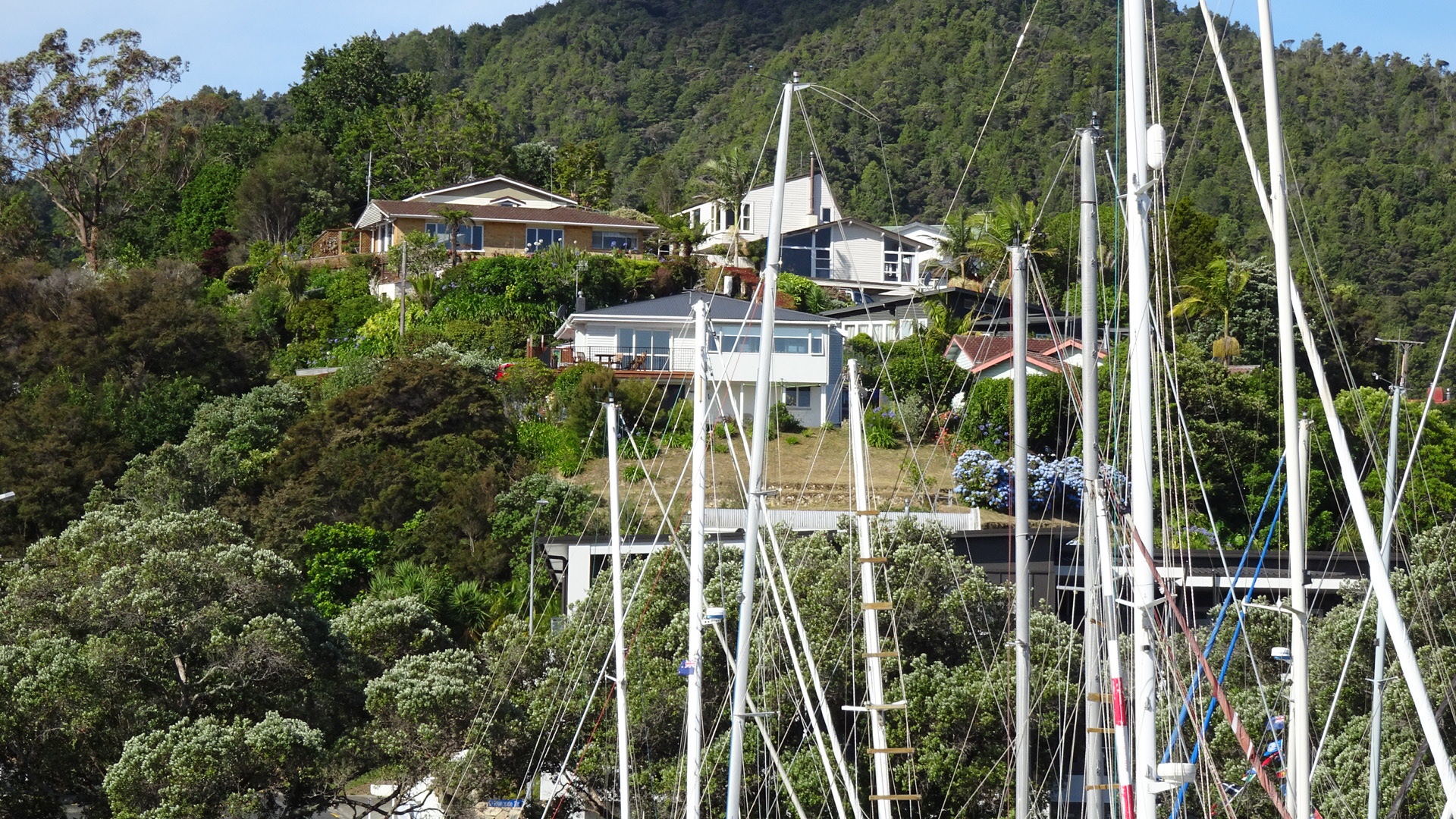 The clock museum with a giant sundial.
 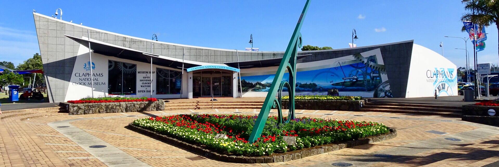 A telephone box with a working telephone.
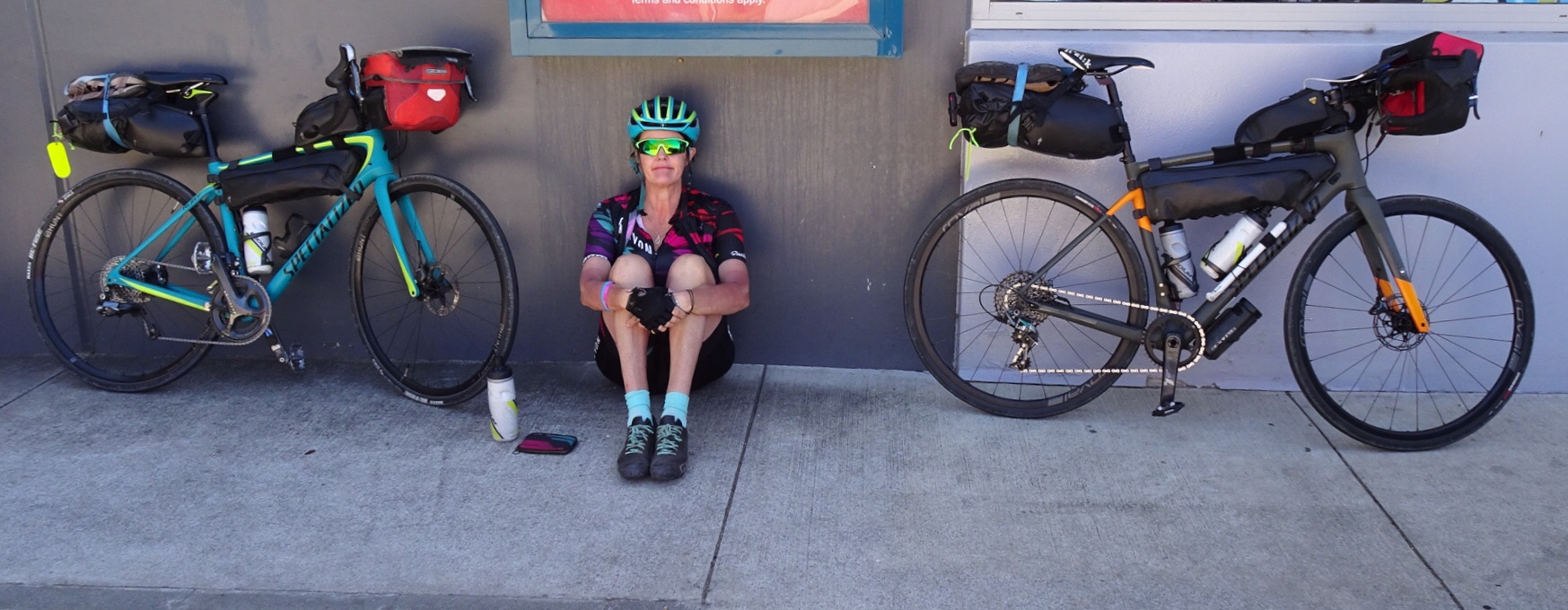
 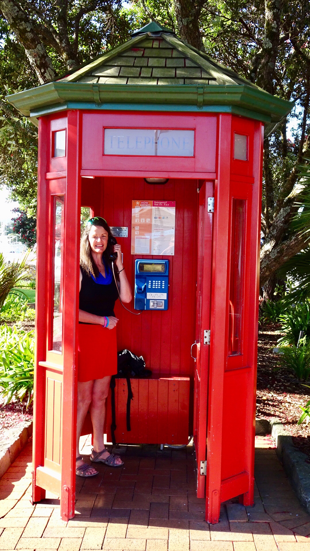 So day 2…done and dusted. Despite my anxiety on gravel, I lived to tell the tale. I really do suck at gravel!