


We were up early. Tony had forgotten to turn the weekday alarm off, so at 4.45 am some random song blasts out of the radio.
We got up, as we were wide awake.
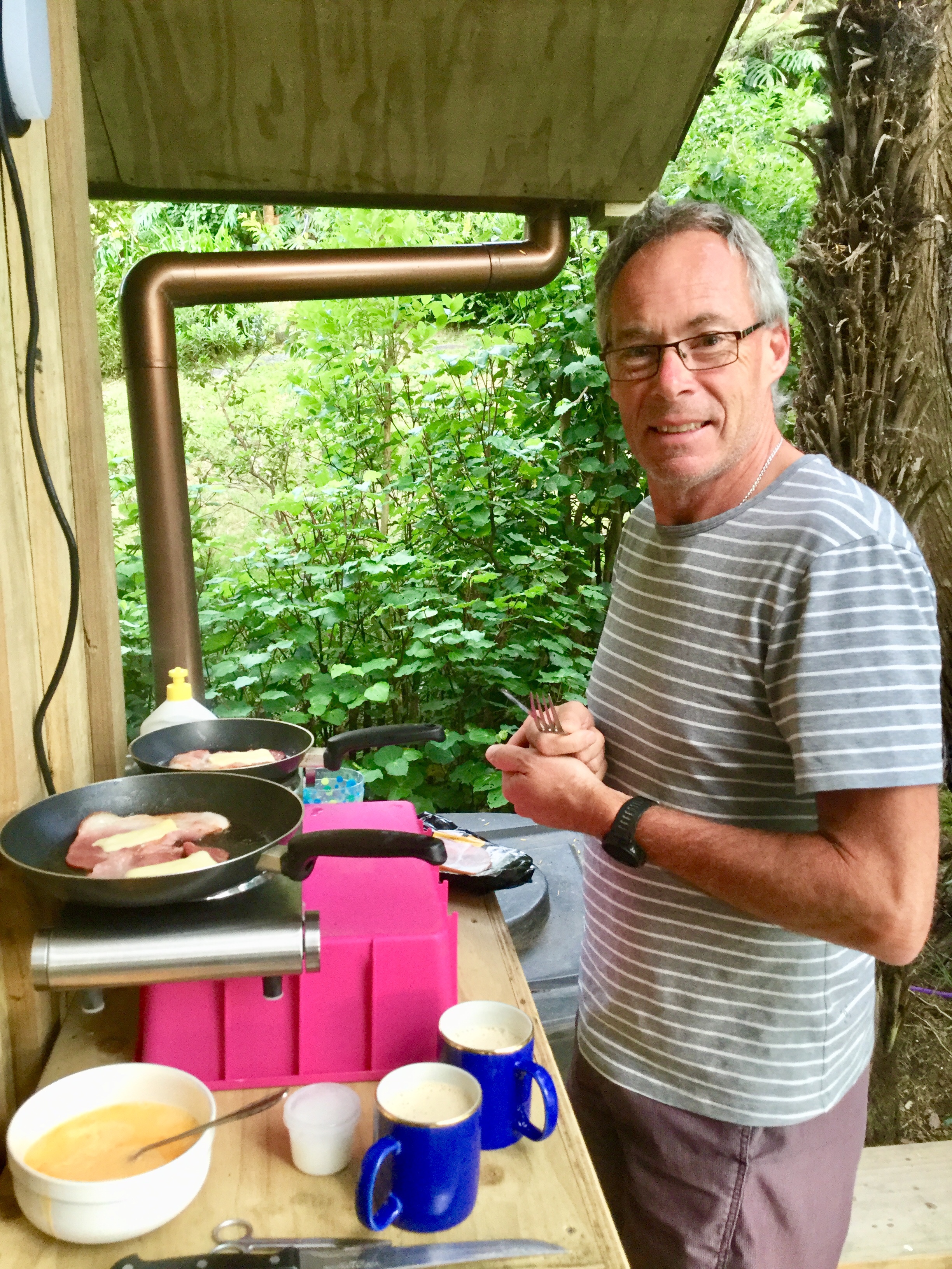
We took our time and had a solid breakfast including mushrooms, bacon and eggs.
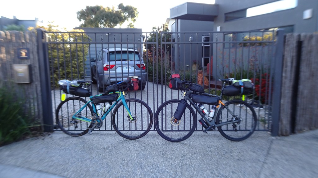
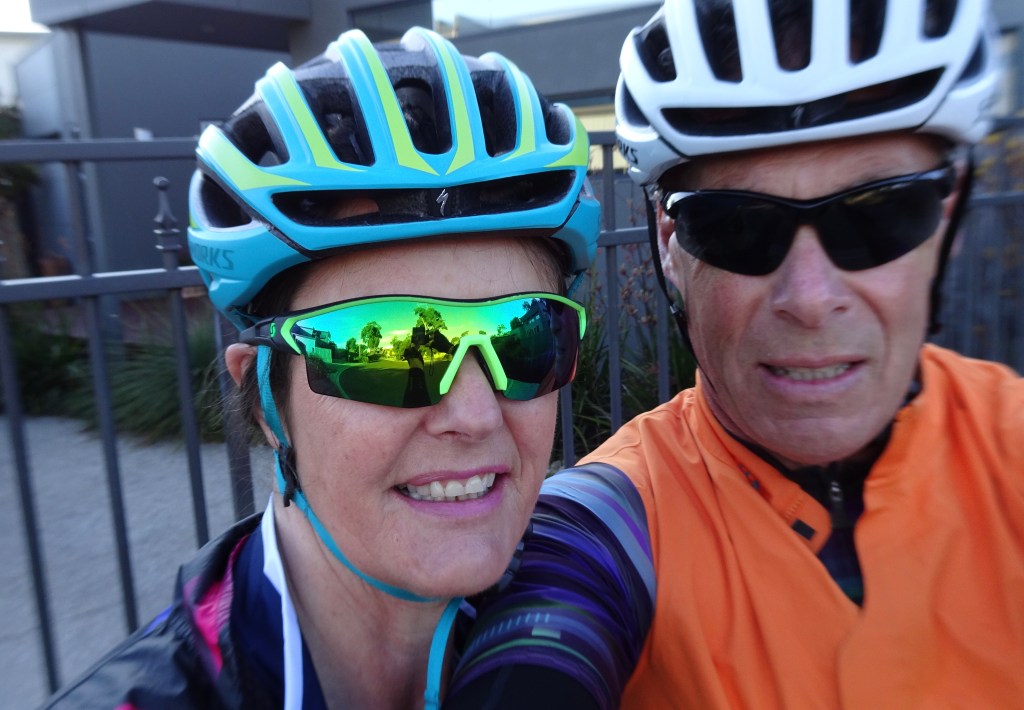
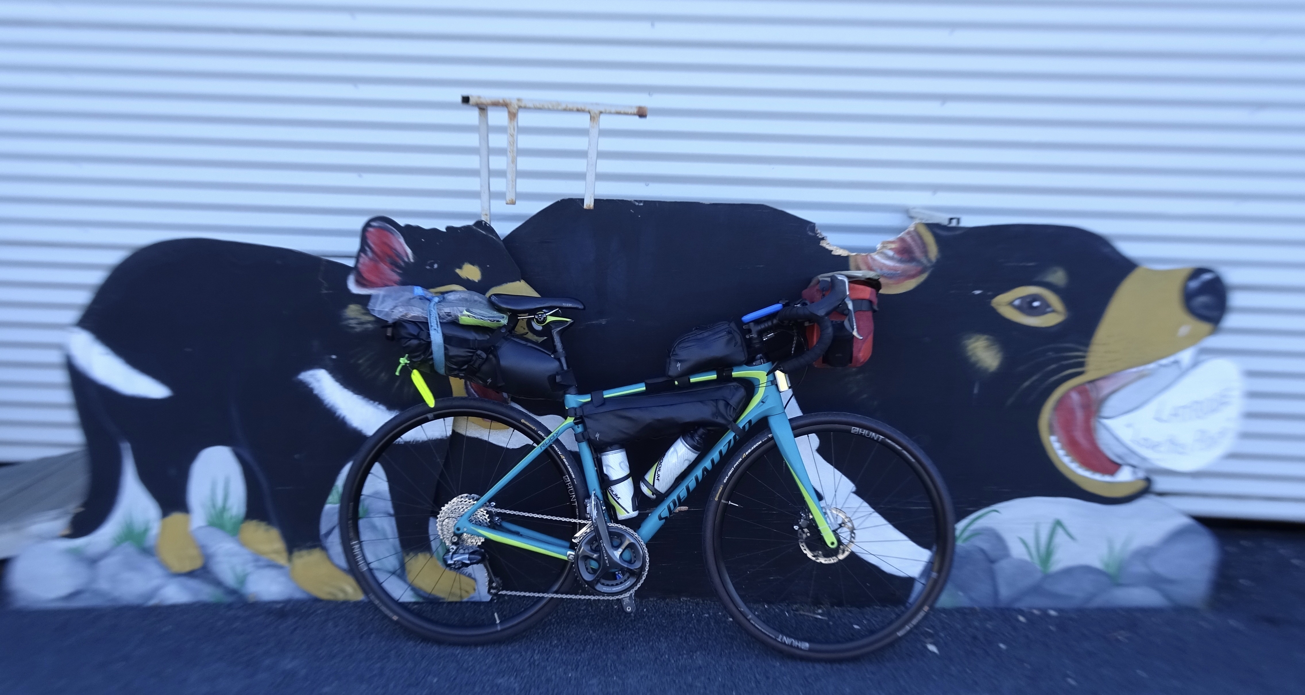
A few last minute checks and we were ready, rolling out the gate at 7 am. A note here about the photos…later in the day when uploading the photos we discovered an issue with the camera using automatic, it has applied macro, hence the blurring. Tony has subsequently found a way to override it….fingers crossed.
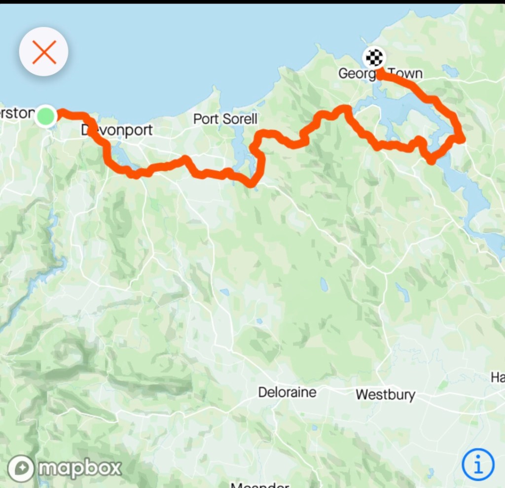
Our plan took us straight out onto the Bass Highway, through Don and skirting around Devonport to Spreyton and then Latrobe. There was no wind and we knew that would not last as the forecast predicted NW winds of 30 kmh plus. Westerly would be ok for a bit, but the northerly could become an issue later.


Made use of the public toilets in Latrobe and liked the following….well I am descended from about 18 convicts I have traced so far, including a First Fleeter.

I have no explanations though for this guy as he has a distinct lack of convicts in his ancestry.
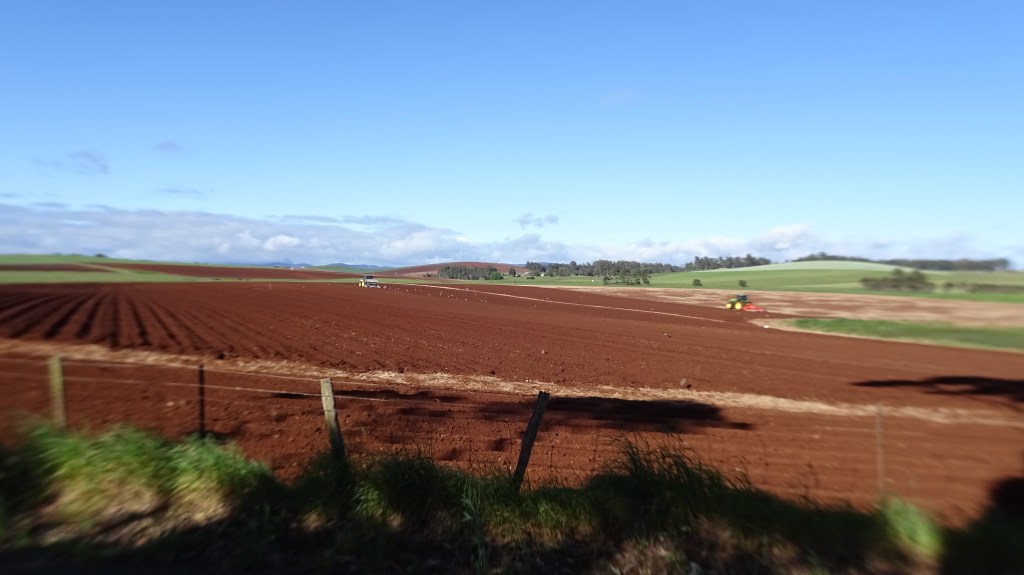
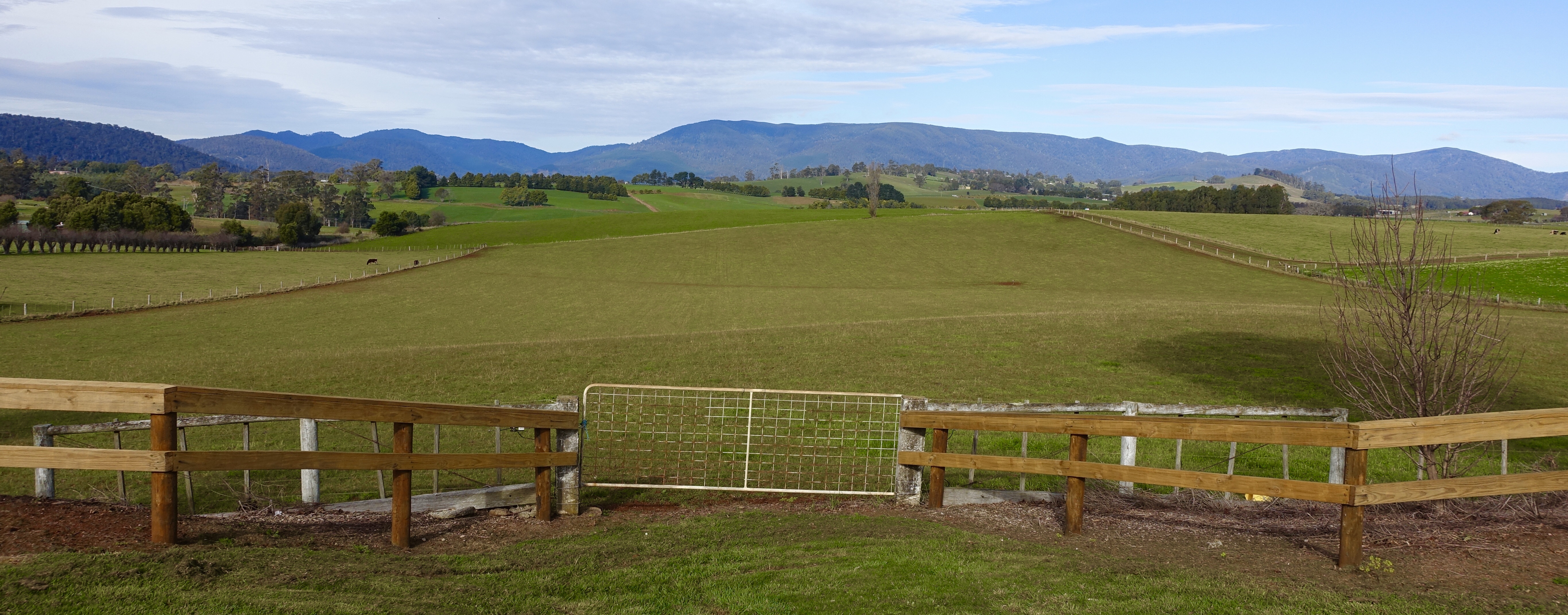
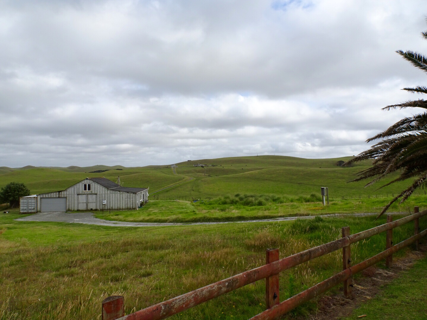
From Latrobe we started climbing up towards Moriarty and Harford, rich agricultural land.

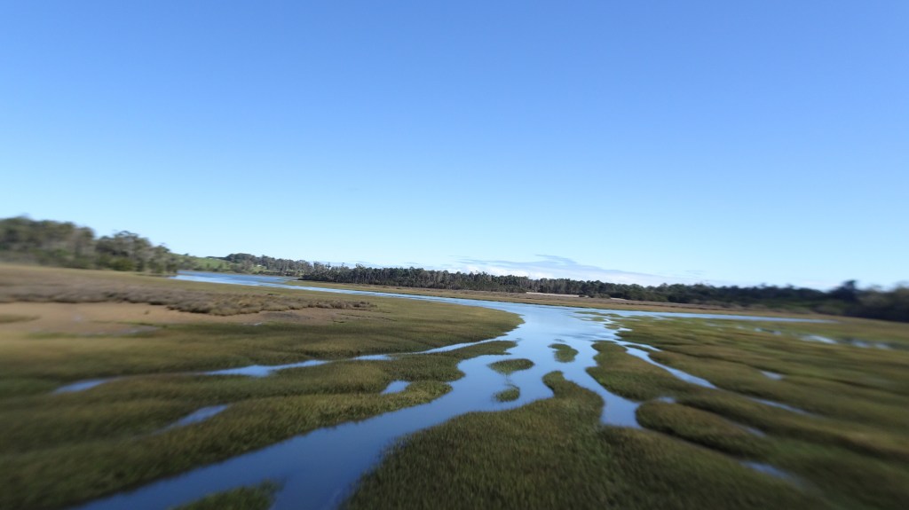
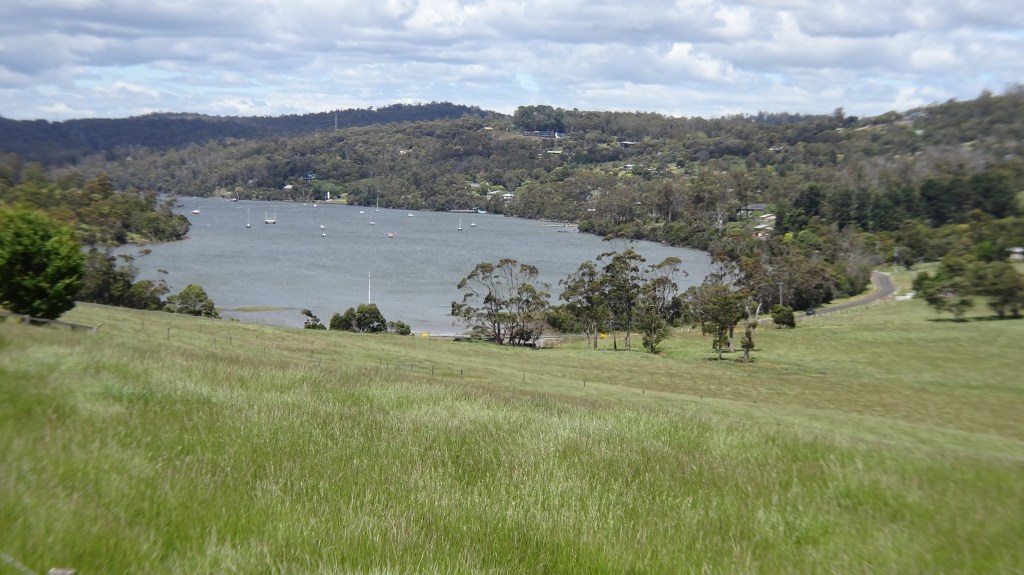
We crossed the rice grass infested Rubicon River as we edged our way towards Narawnaptu National Park.
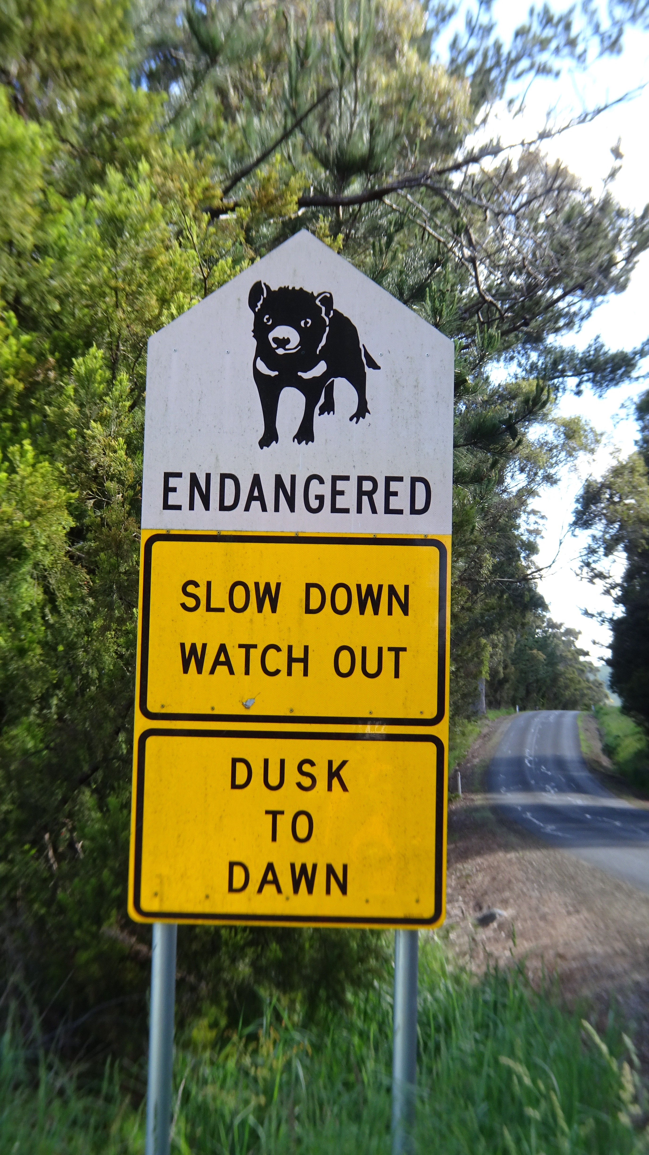
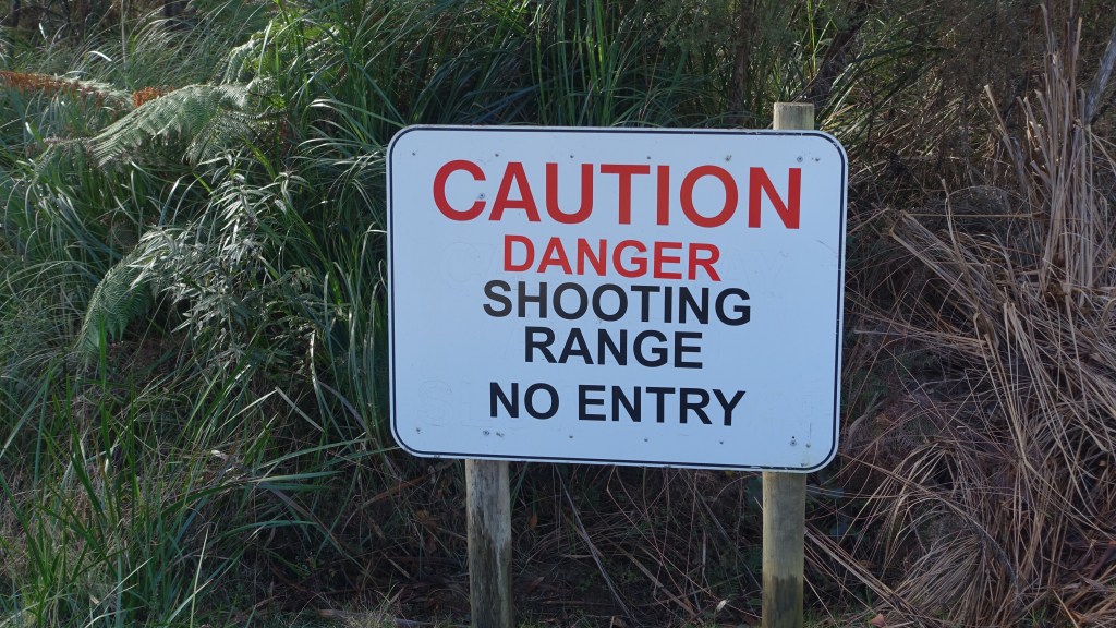
Before we turned onto the dirt road we came across this sign, not an unfamiliar one to most Tasmanians. The Tasmanian Devil survival is threatened due to a facial tumour disease that is a contagious cancer.
In this particular area, many undiseased devils have been released, and sadly killed by cars. The devils feed on carrion ( rotting flesh) and many native animals are killed by cars around dusk and dawn. The devils come out to feed on them ( in the middle of the road) and sadly they too get hit.
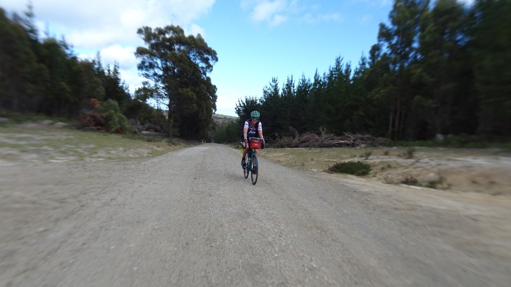
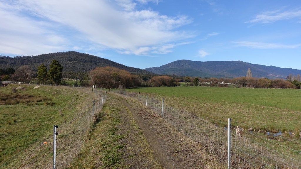
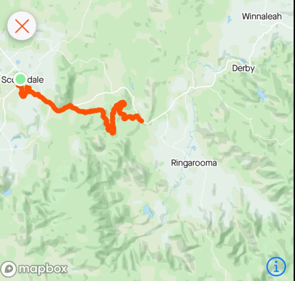
We had decided to take a dirt road option near the National Park boundary as it would get us off the narrow and winding Frankford Highway. The downside was that it was quite steep in places.
There were pinches of up to 12 percent with loose slippery gravel that also featured some delightful corrugation. Part way up an older couple stopped and told us ‘it gets worse’ and to be careful.
They were not wrong. I found it very challenging with my bike wanting to take a different line to the lower level, slippery camber.
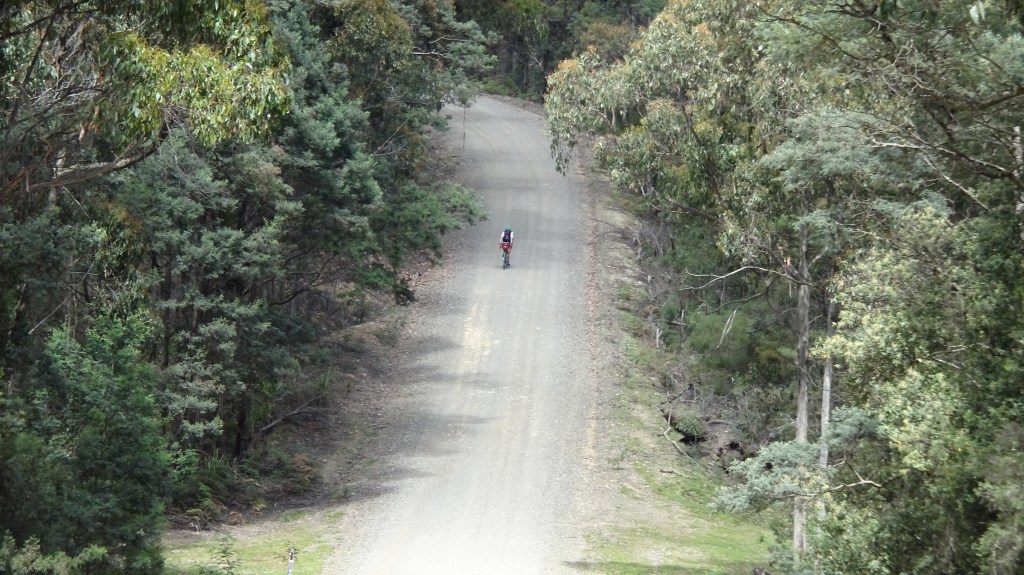
Worse was the descent. You could walk faster!! The descent was up to 15 percent so I was thankful that we did it the other way.
What did amaze us was that we crossed Municipalities into West Tamar, and the road improved out of sight. It was better compacted and far less corrugation.
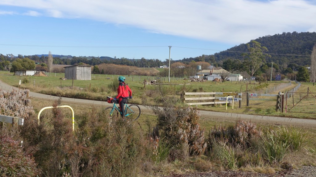
At the end of the dirt road is Yorktown, the site of the first permanent settlement in northernTasmania. The site was selected as fresh water was available and a town set out. however, it was an failure and did not proceed.
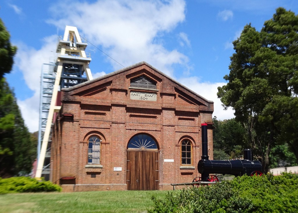
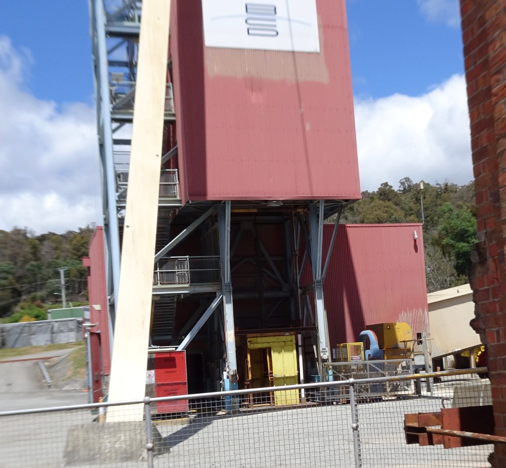
We were hungry by now, and Beaconsfield was about 5 km away. We check into a local bakery adjacent to the old Beaconsfield Gold Mine. Well know to Tasmanians as it has had a fairly checkered past, including the more recent disaster that will live on in many Australians memories.
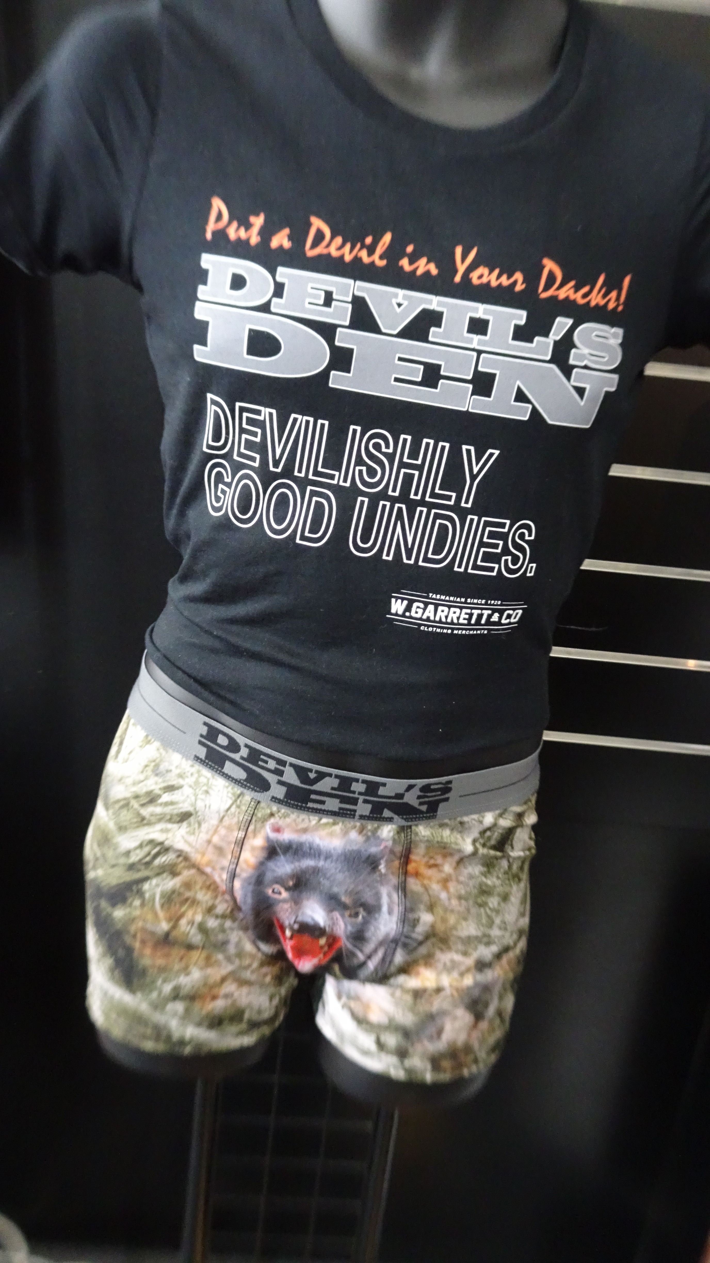
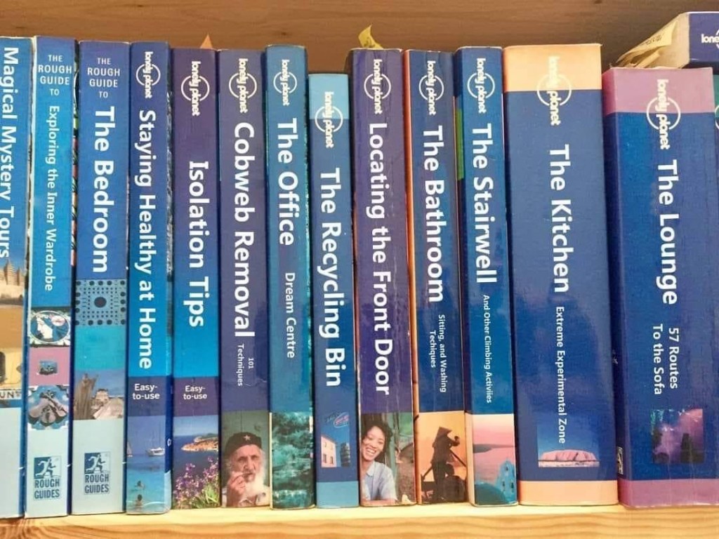
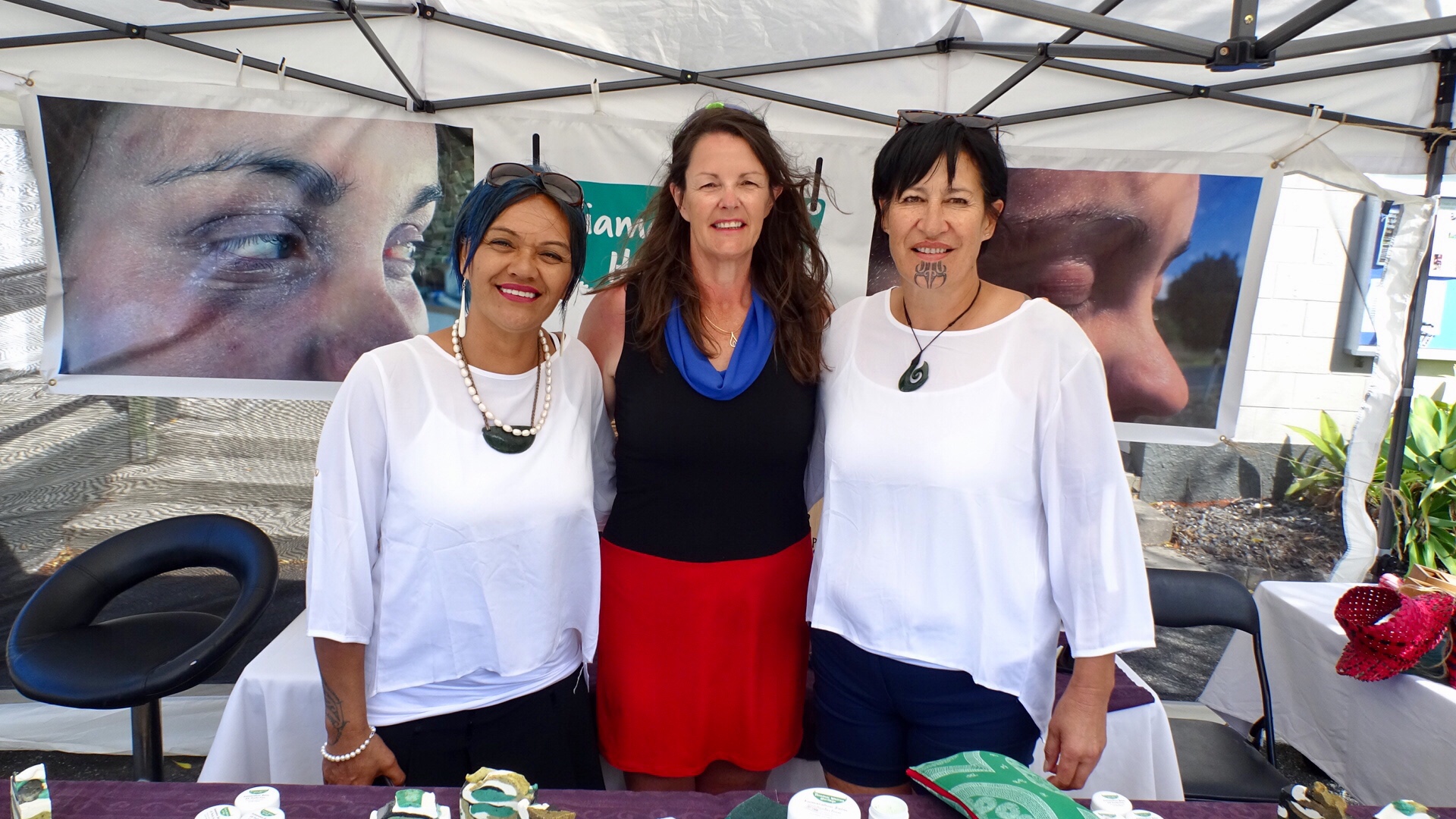
Are you looking for a unique Christmas present for someone special? The gift shop in the Heritage Museum had some unusual choices.

Moving right along…..we headed towards Kayena and Sidmouth

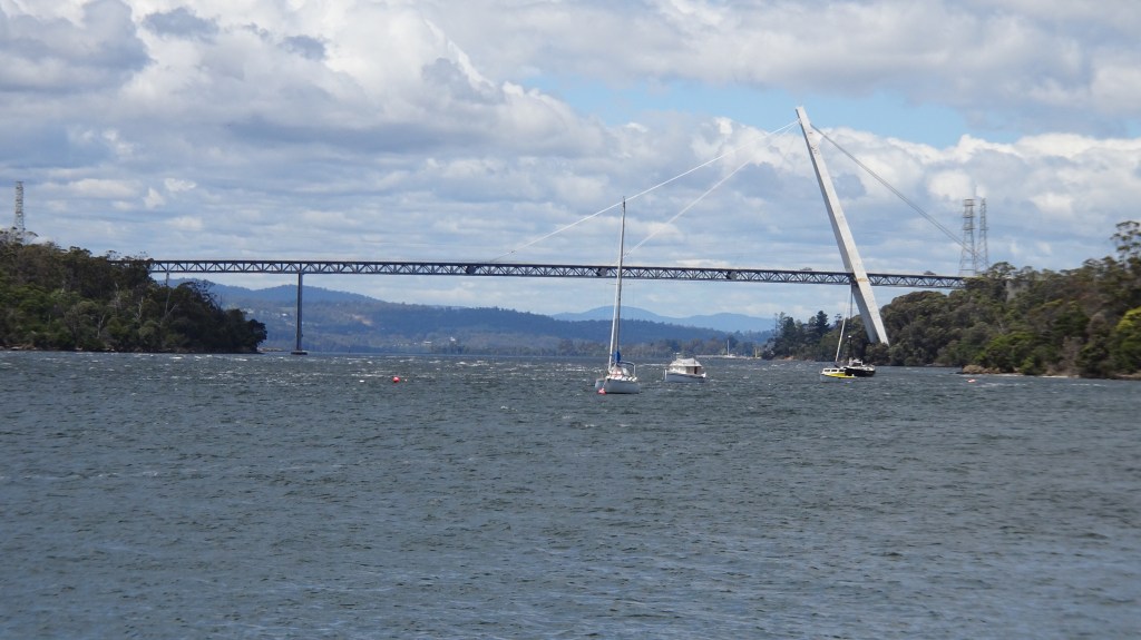
From Sidmouth boat ramp….Batman Bridge. At work the pronunciation discussion-debate has ensued for many years. Mike B, a Kiwi insists that it is Bat Man ….yes like the famous Batman character. However, he is wrong! We do like to tell him that.
This Batman is named after John, who founded Melbourne. Before that though, he lived in Van Diemans Land ( Tasmania) in the 1820’s rising to prominence hunting bush rangers and sadly through his participation in the Black War ( Colonists vs Tasmanian aborigines).
His name is pronounced Batmn.
The Batman Bridge is 432 metres in length and 91 metres in height. It was opened in May 1968.
I visited the bridge during construction with my step granddad. He was a Tasmanian Minister in Parliament having held numerous portfolios. He married my nan in 1967 and he passed away a few days short of their first wedding anniversary, also May 1968.
Therefore, my visit with Tom would be late 1967 or early 1968, aged 5. I still remember it though. In latter years, I did numerous cross country running events over the bridge.
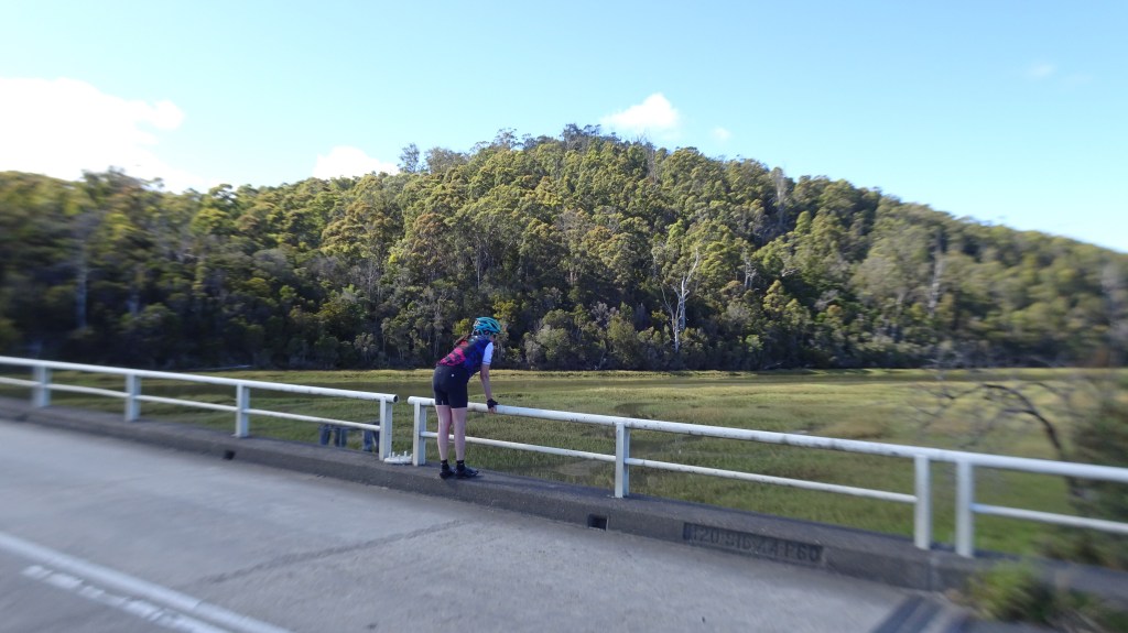
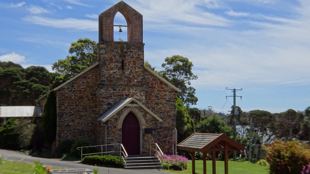
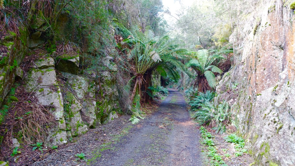
We needed to cross the bridge but chose to follow a dirt road around the Tamar River to visit the Auld Kirk church.
We crossed the Batman Bridge and the wind was really picking up now. Very gusty NW and we knew this was going to become a slog soon. Turning left onto the East Tamar Hwy we battled very strong head and side winds. Very slow as we climbed and just ticked the kilometres over.
We were relieved to arrive in George Town.

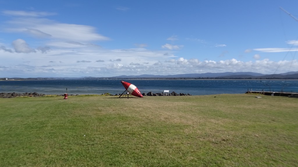
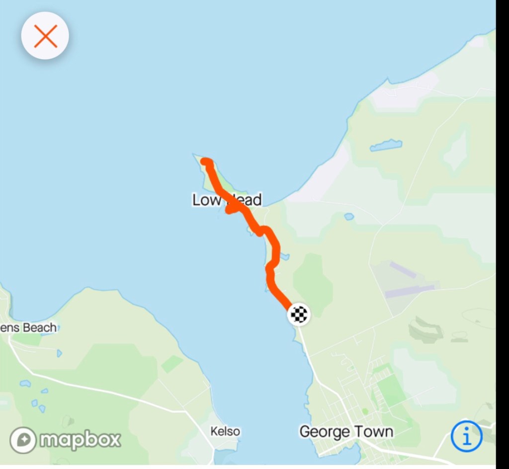
We did a quick reccy to check out food options noting lots of food shops closed. We then headed towards Low Head and checked in to our accomodation. Feeling a bit wind battered ( we checked the current weather reports and it confirmed the wind was 39 kmh NNW).
We were only 3.5 km from the Low Head lighthouse and initially just could not be stuffed as it meant headwind. Being out and back, tail wind home. Off we went.
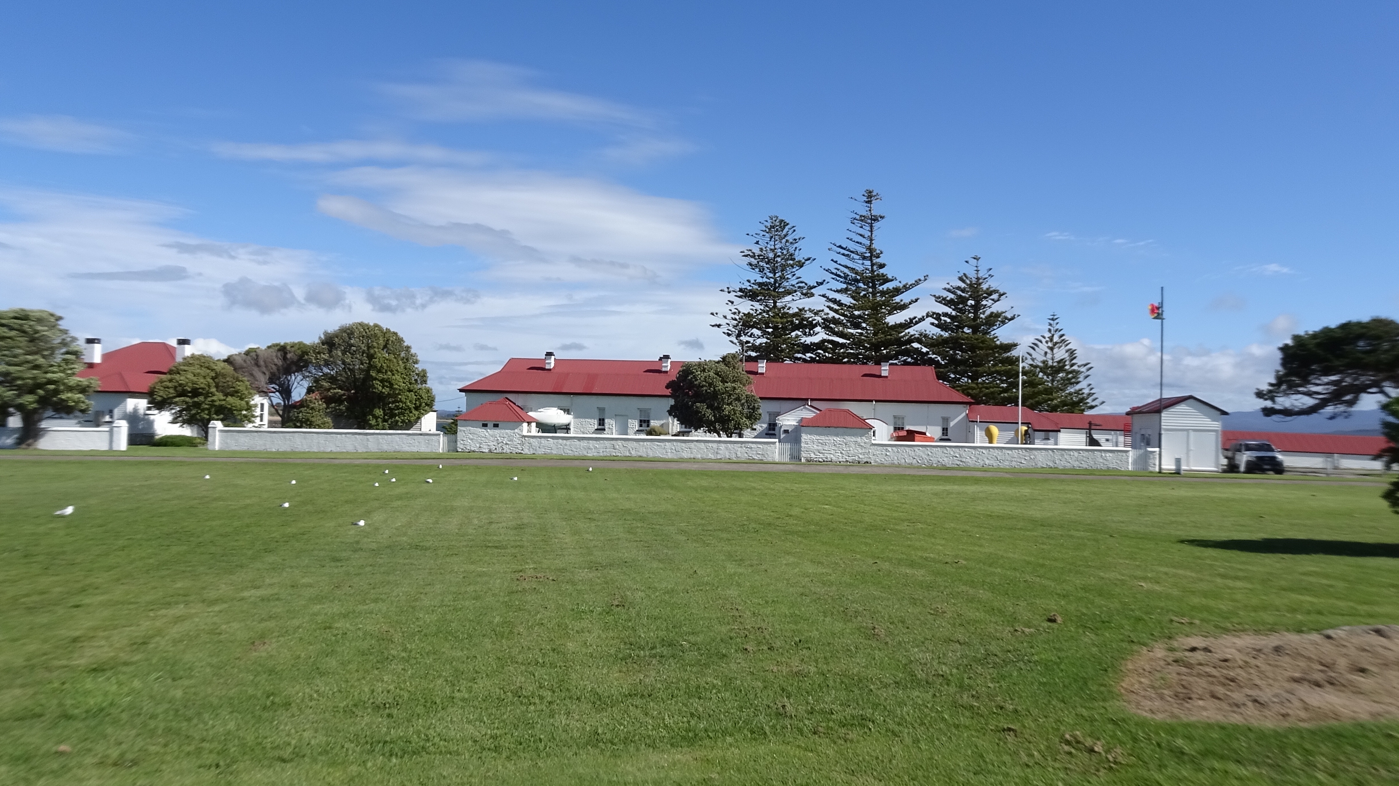
First stop was the old Pilots station. You can rent accomodation here, have a meal and there is also a museum. It was established in 1805 and is Australia’s oldest continuously used pilot station.
The lighthouse was established in 1833 and was Australia’s third and Tasmania’s second.
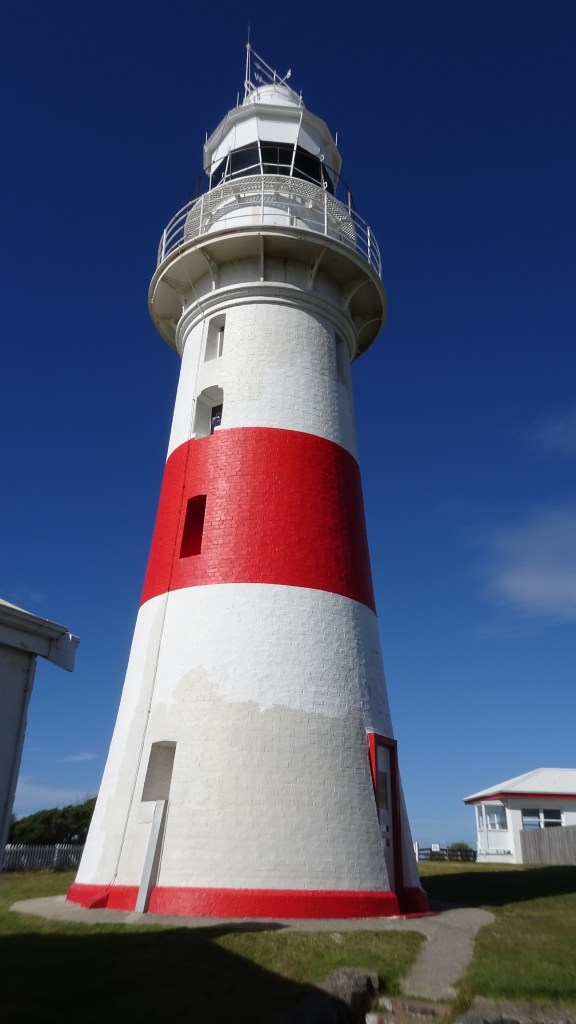
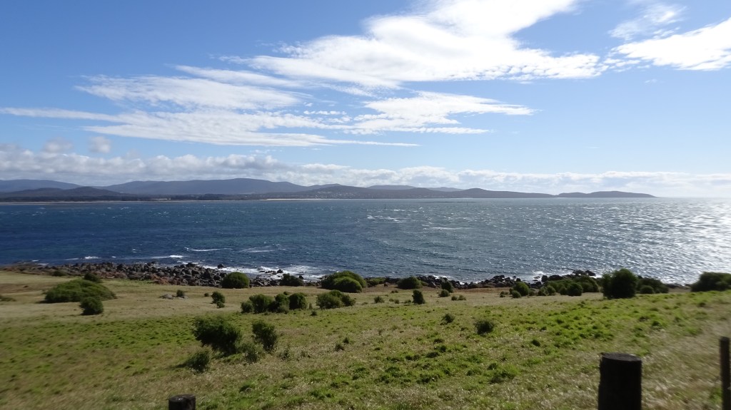
The lighthouse sits at the mouth of the Tamar River overlooking Bass Strait. It is a particularly rough piece of water.
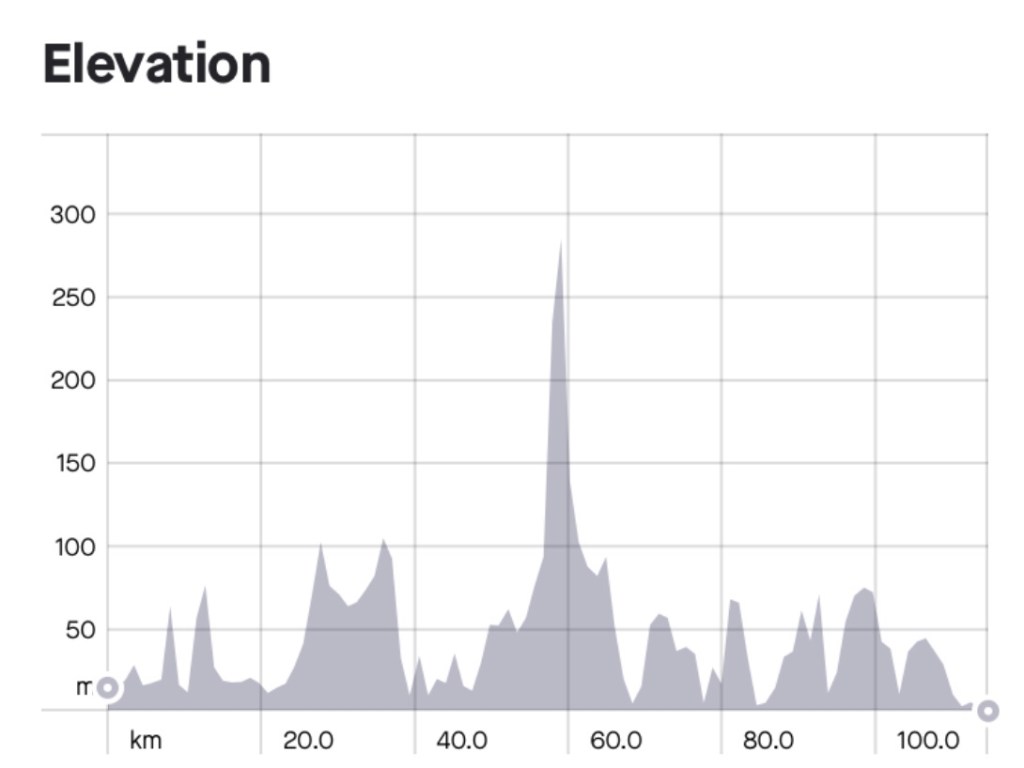
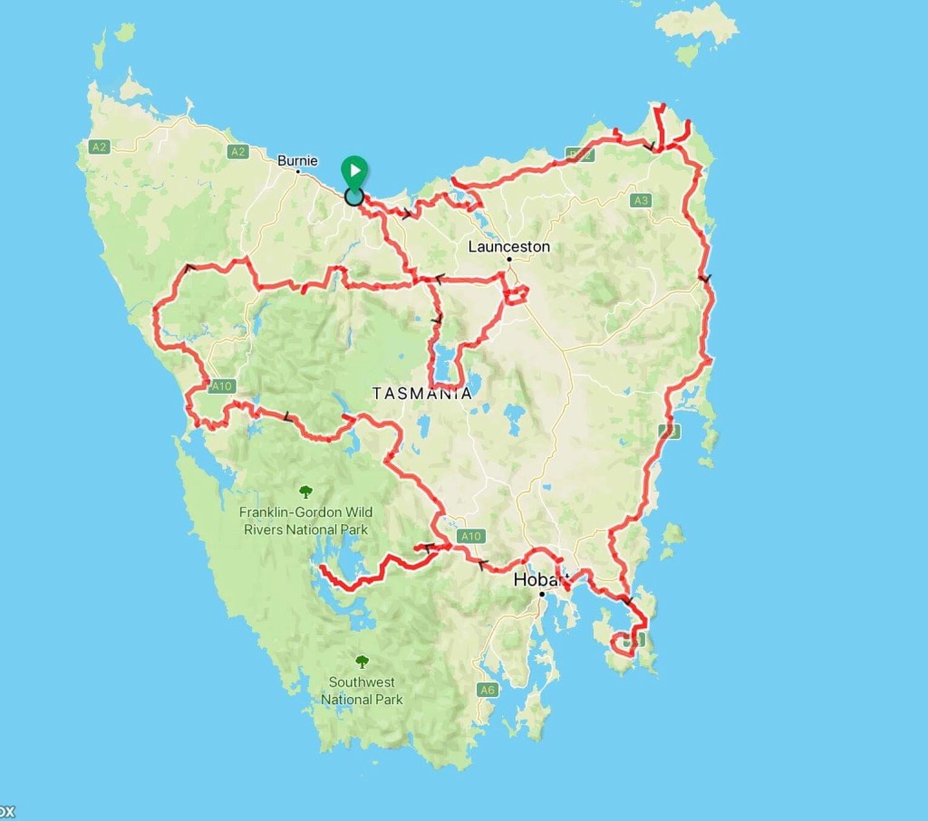
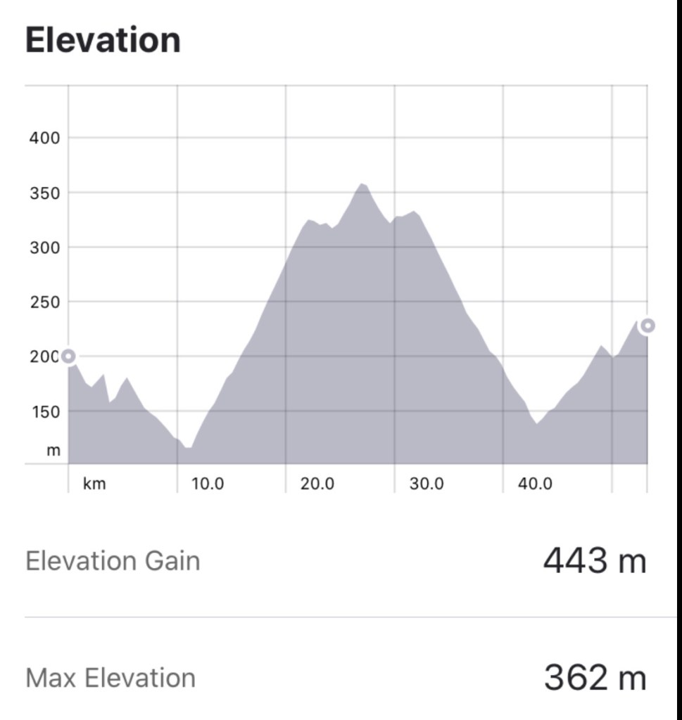
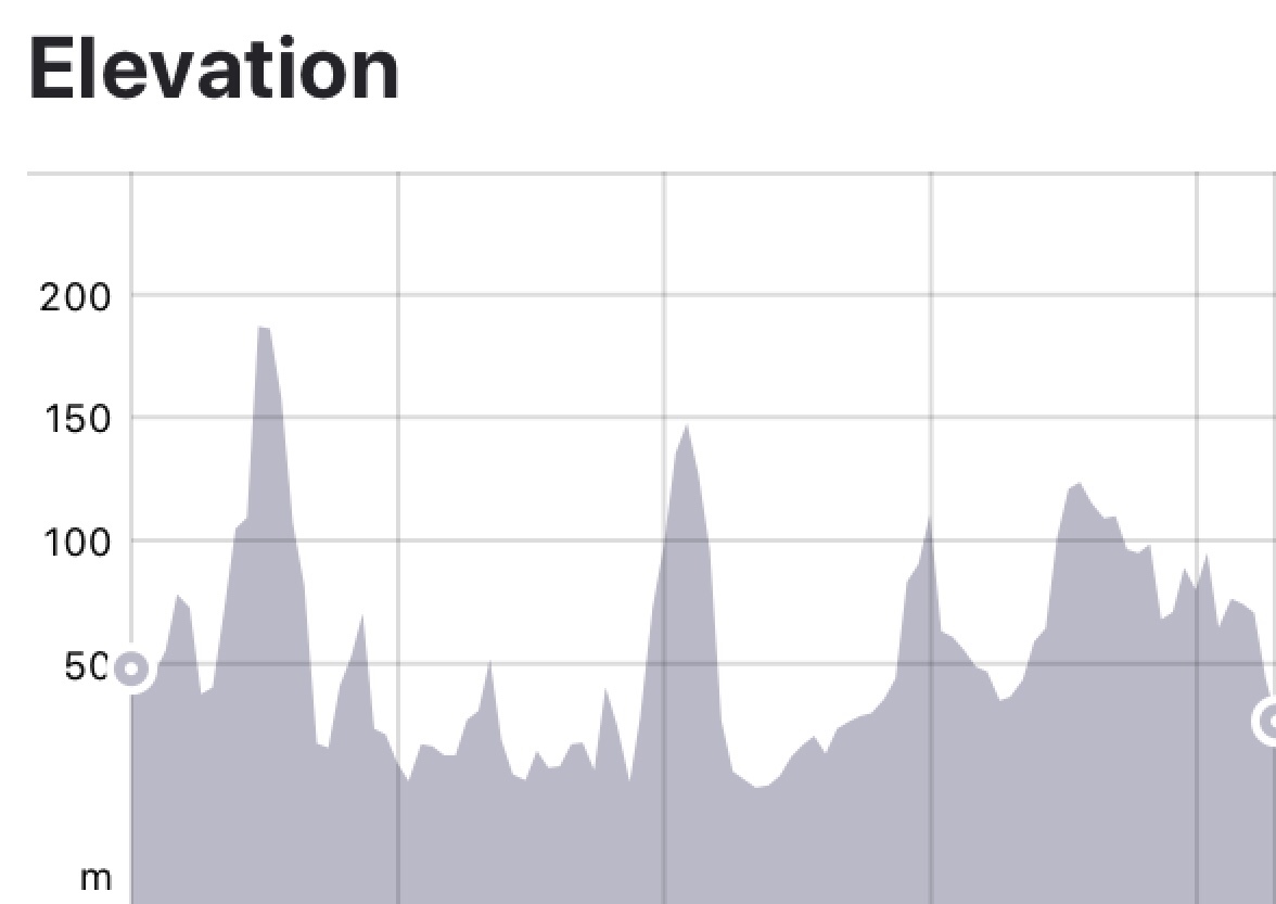
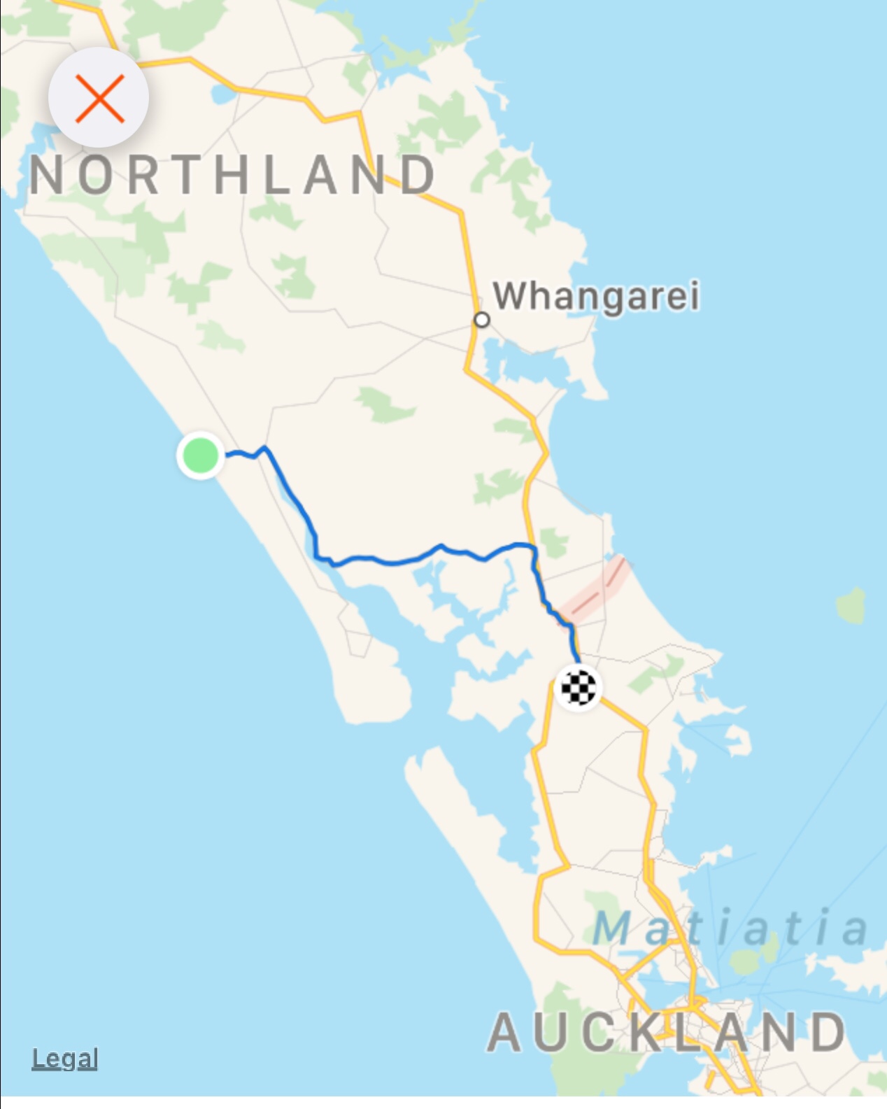
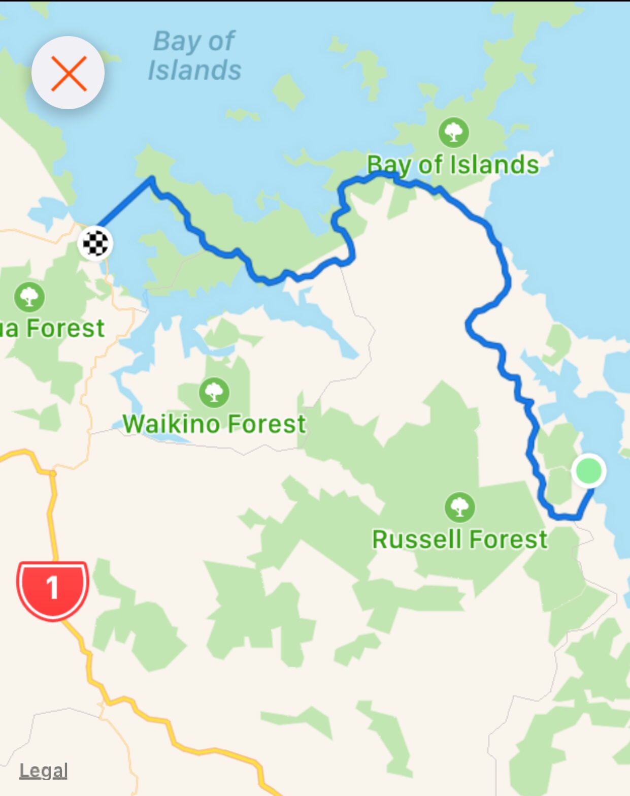
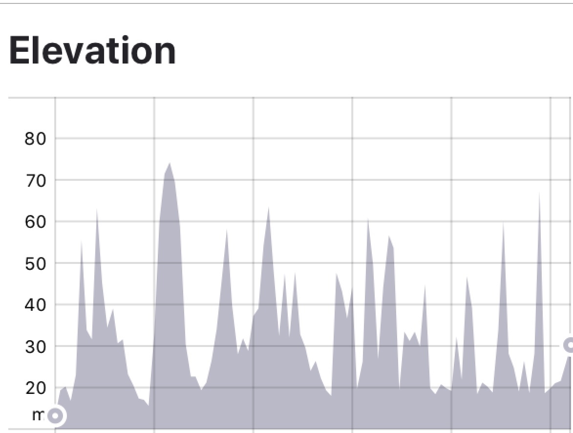
Big first day. 127 km and around 1400 metres climbing, too much dirt and crappy headwinds to finish off.
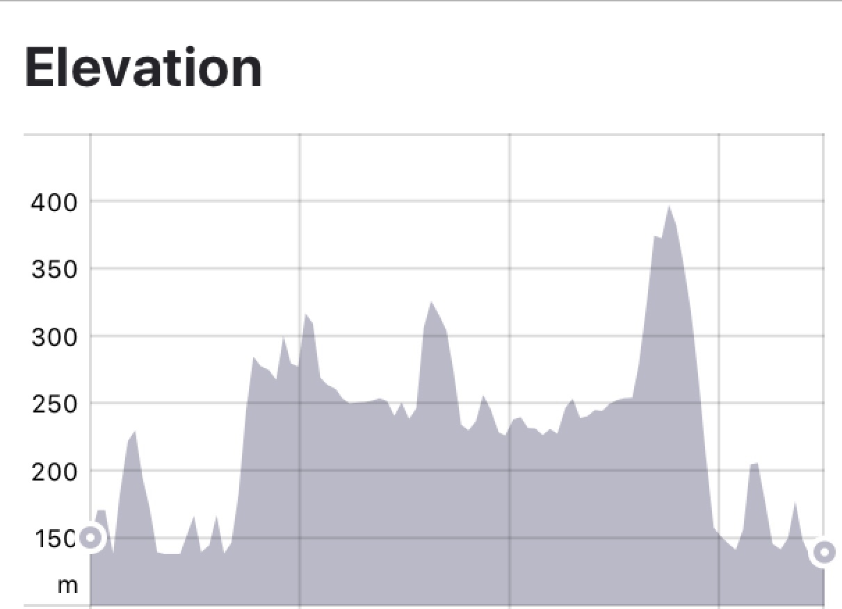
Tomorrow another big day so better get some shut eye. Thanks for reading. Climbing details and maps below.


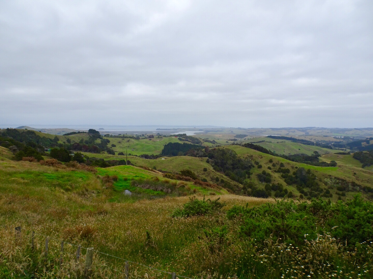


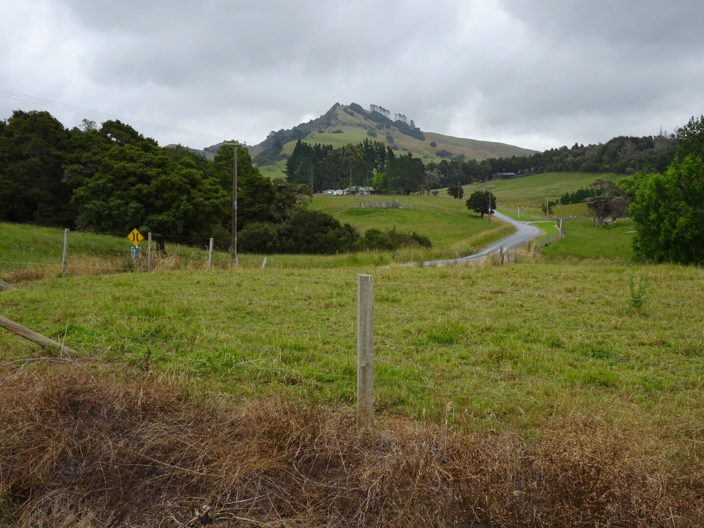
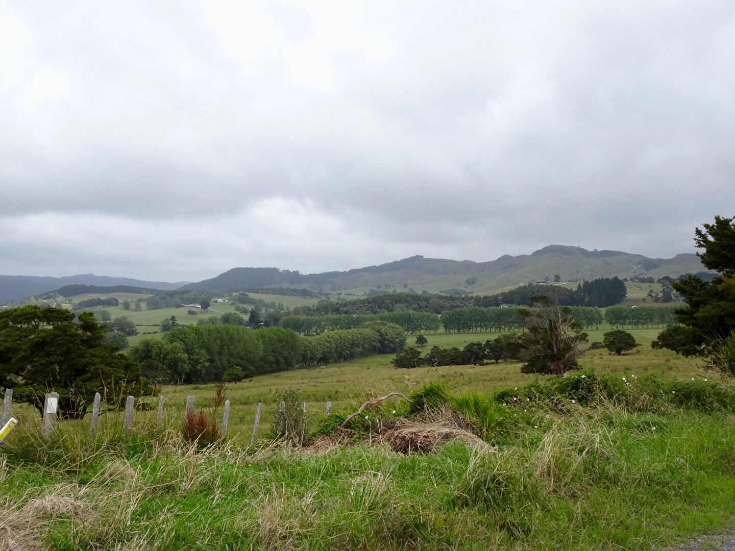
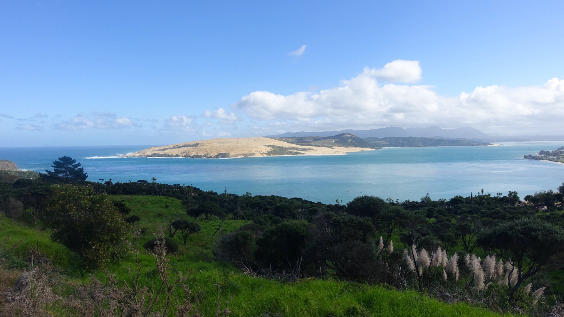
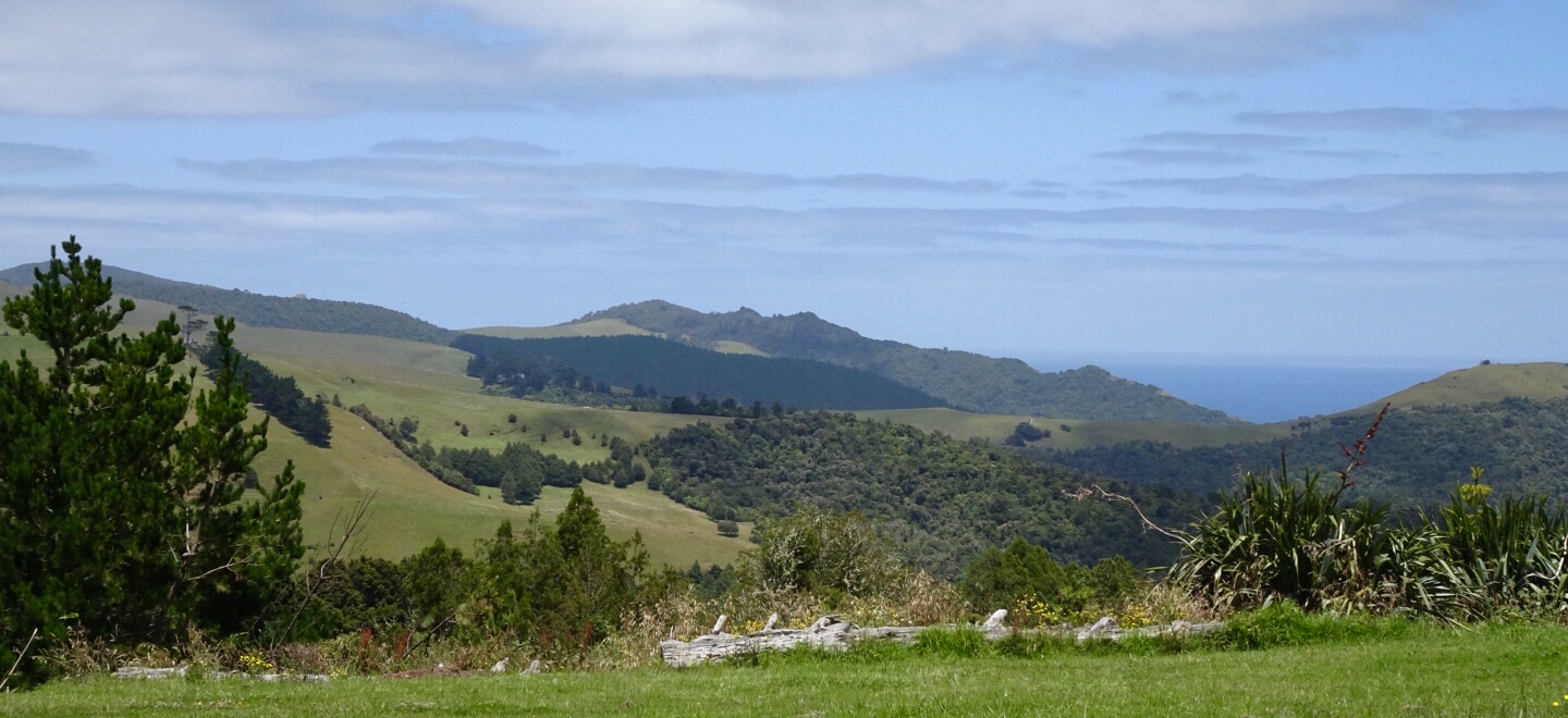
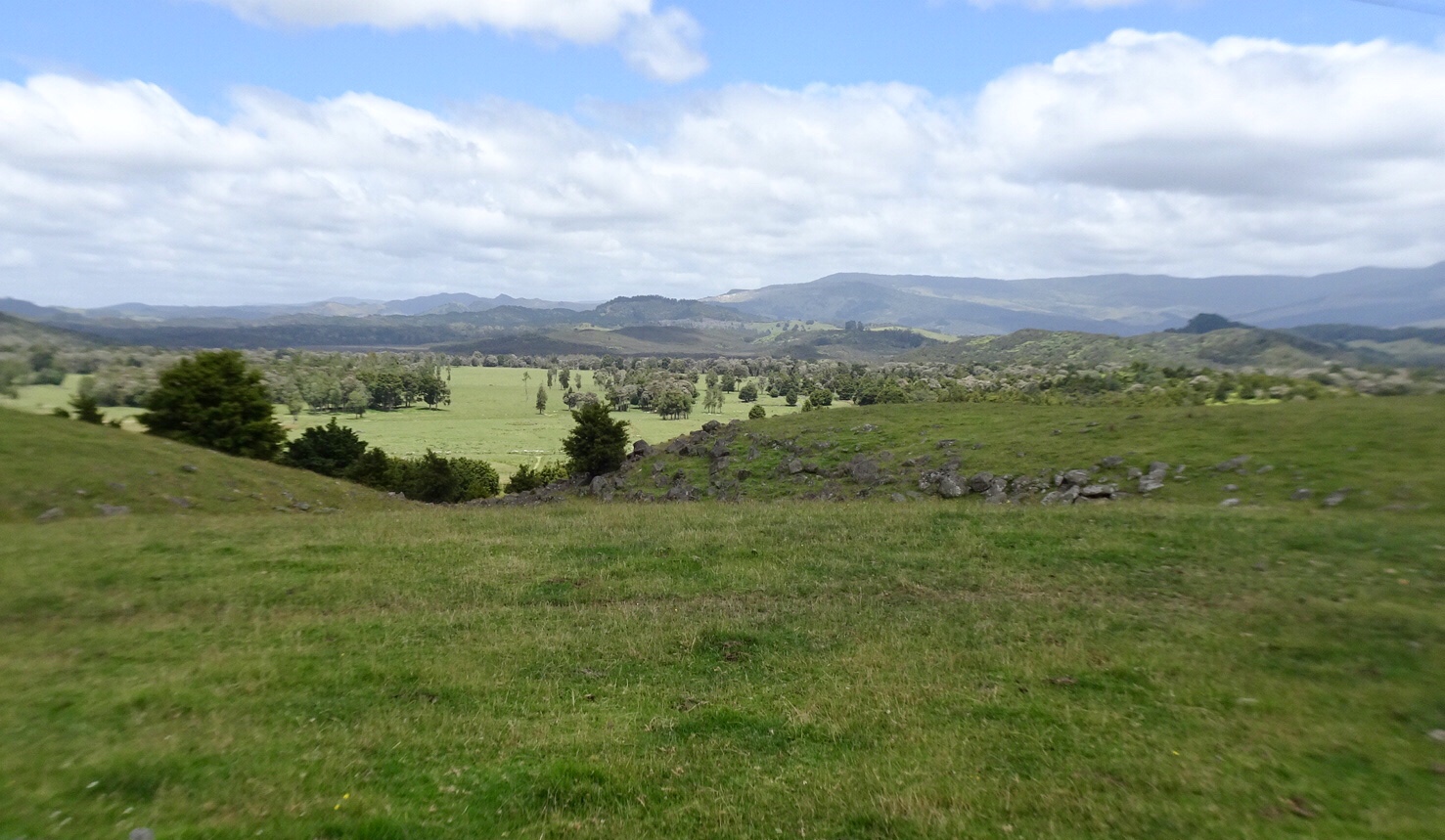
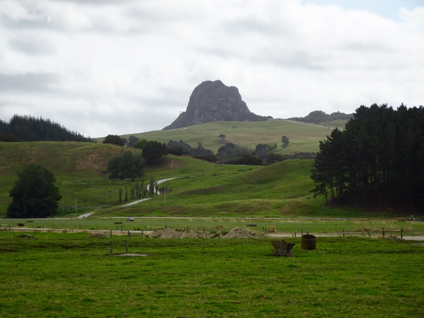 The peak below is Tokatoka Peak. It is a rare phenomenon as it is the plug of an ancient volcano. The material around the plug has also eroded over time, leaving only the hardened lava core.
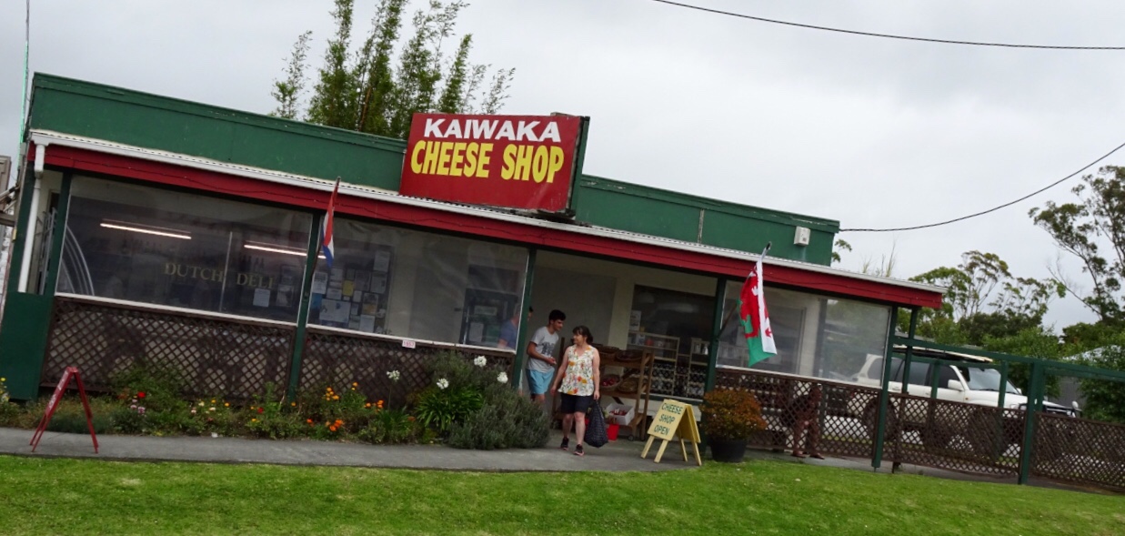
 The local shop has a collection of bikes. Lost yours? Might be here!
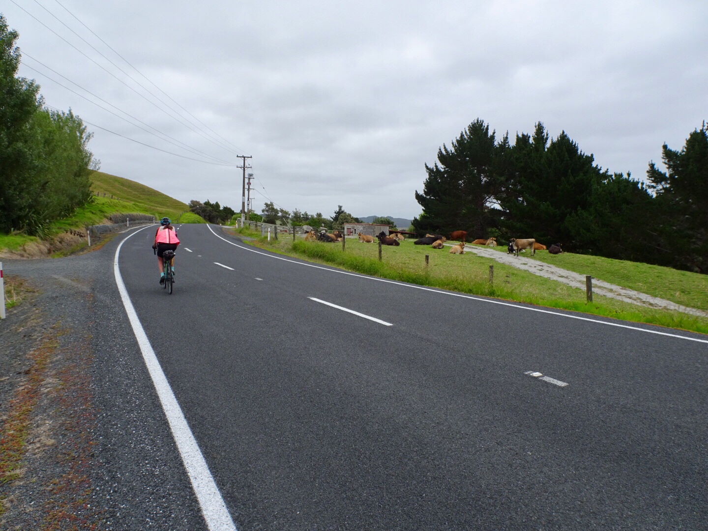
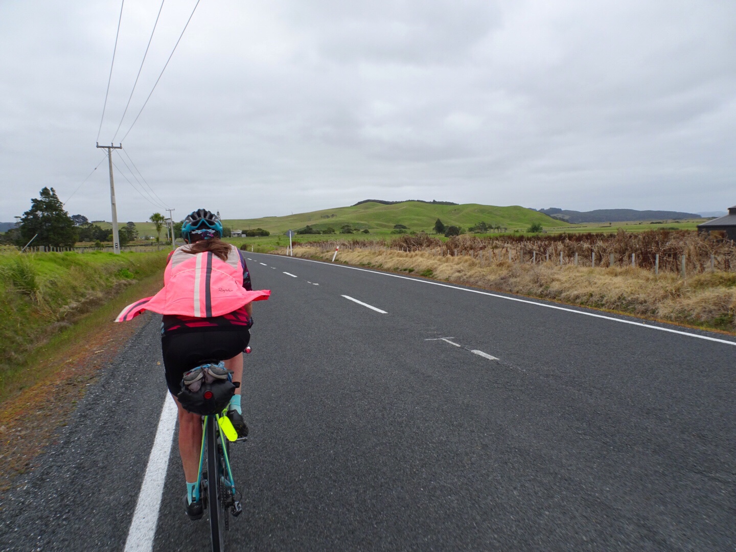
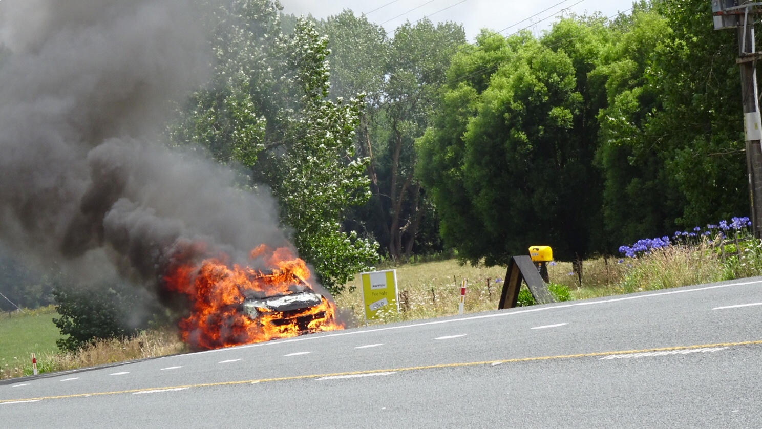
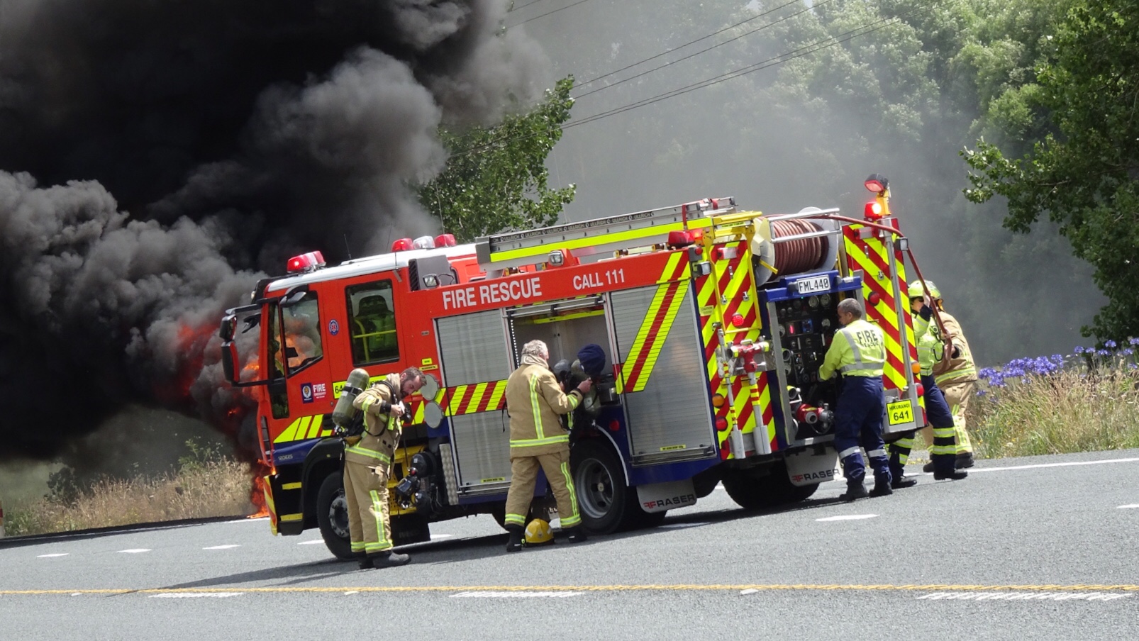
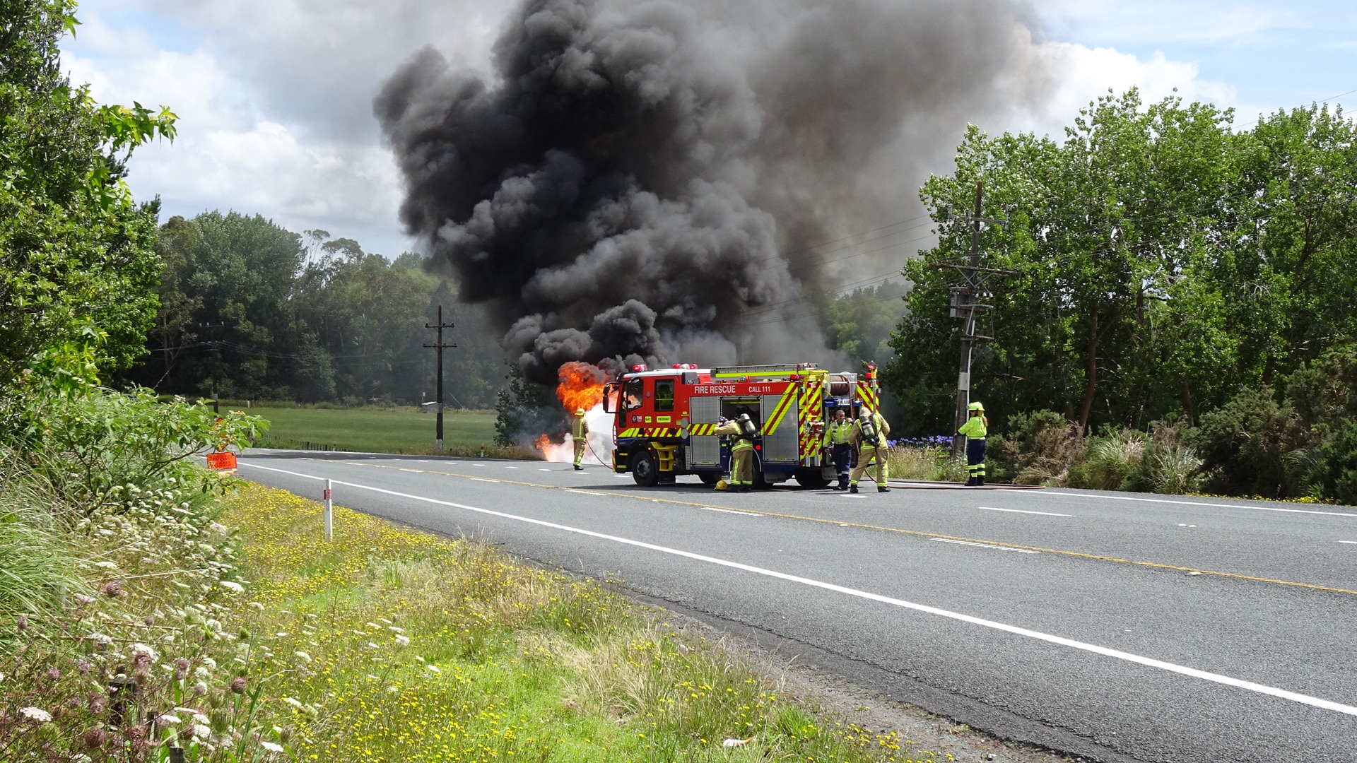
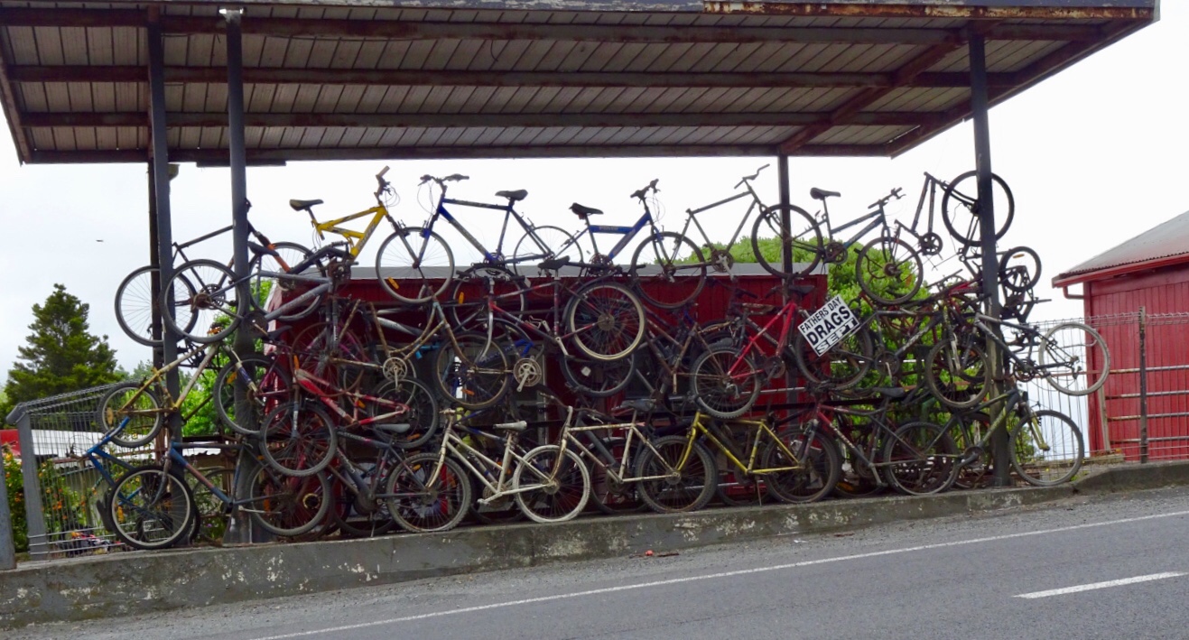 This is when our ride today got ugly. It was pretty horrid really as we were on a major highway, with verge ranging from zero to reasonable. It was incredibly busy and to make it more interesting (as if more challenges were required) it was drizzling lightly. Just nuisance value whereby your glasses end up with water on them to reduce visibility.
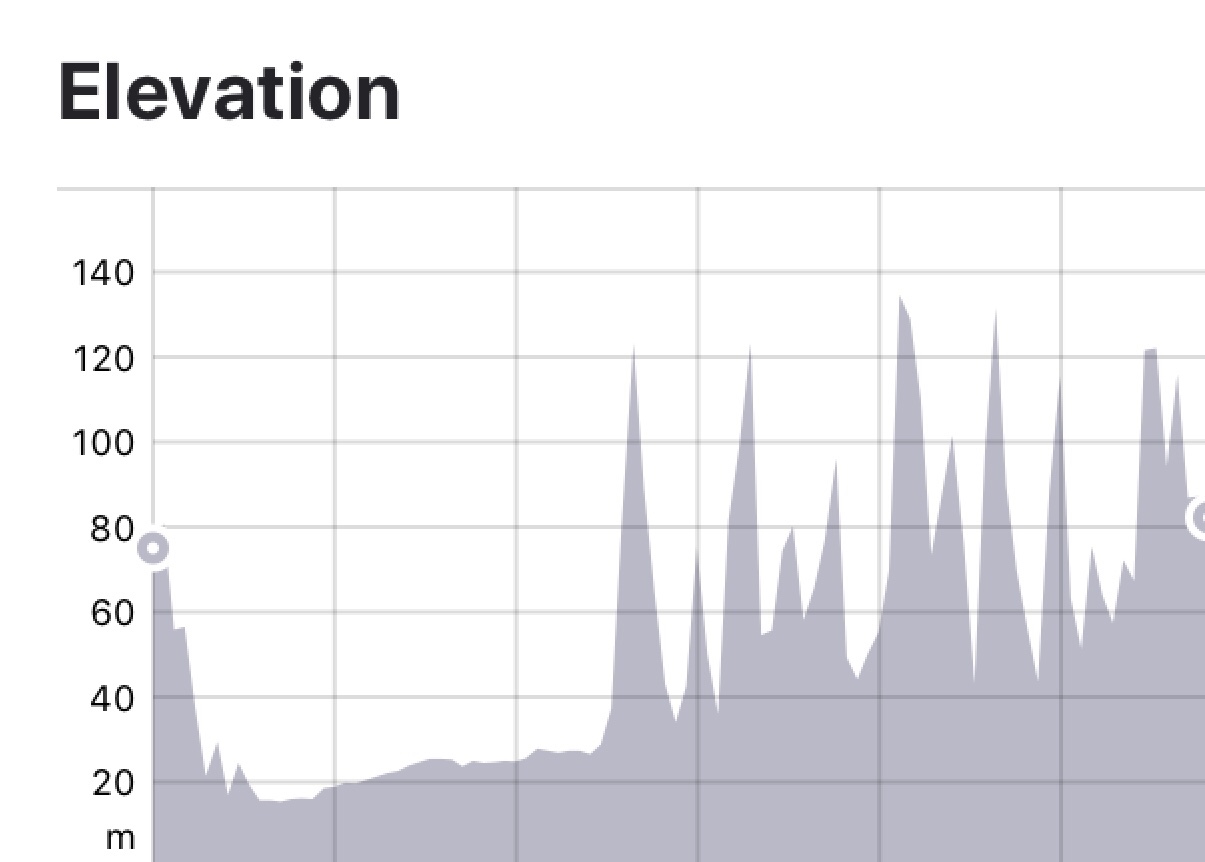


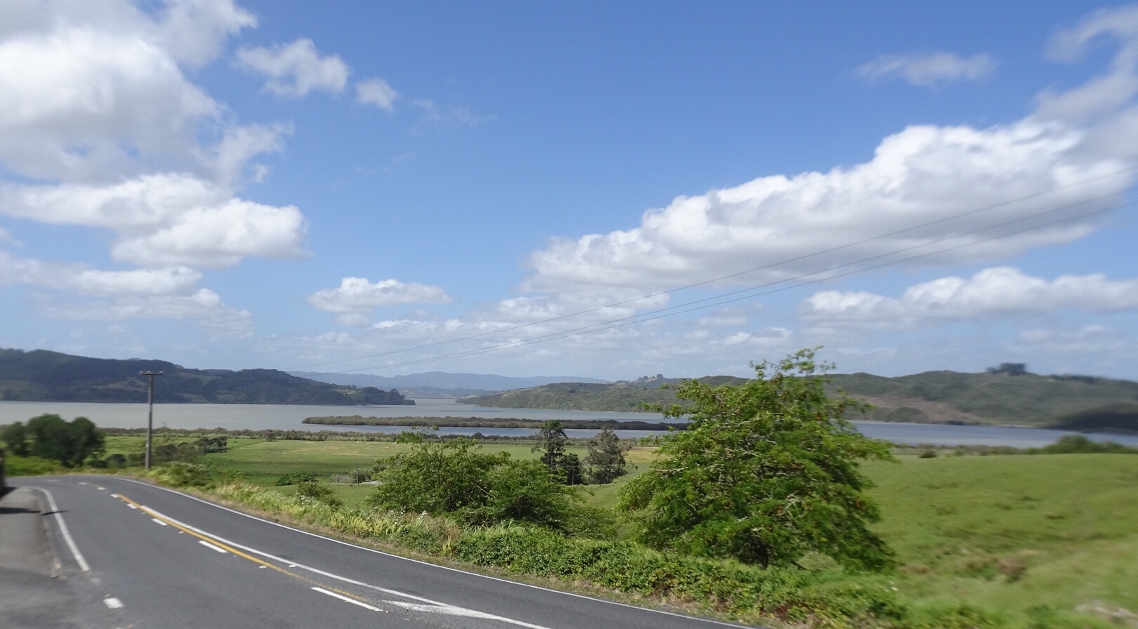
 Leaving Rawene views of Hokianga Harbour. Unfortunately our camera has developed an issue we cannot resolve, hence blurred edges.


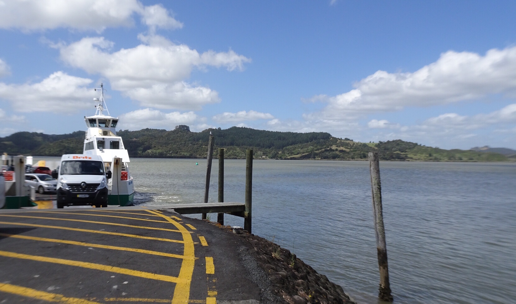
 We were very glad to turn off to Rawene.
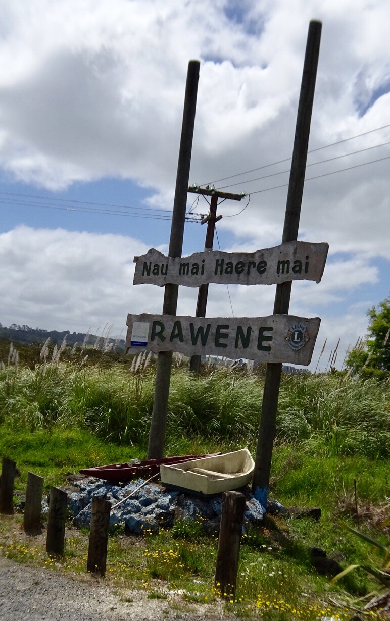
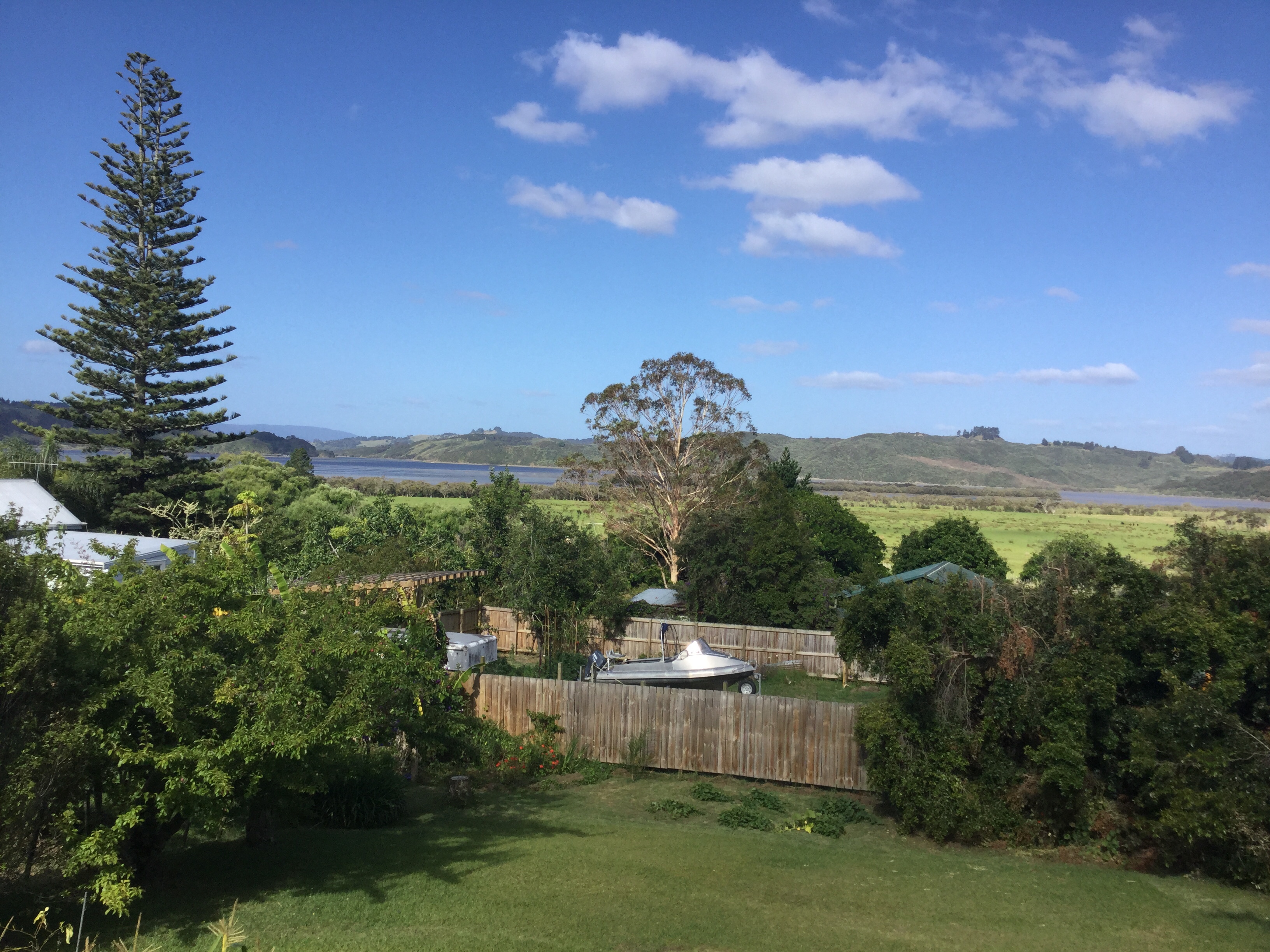
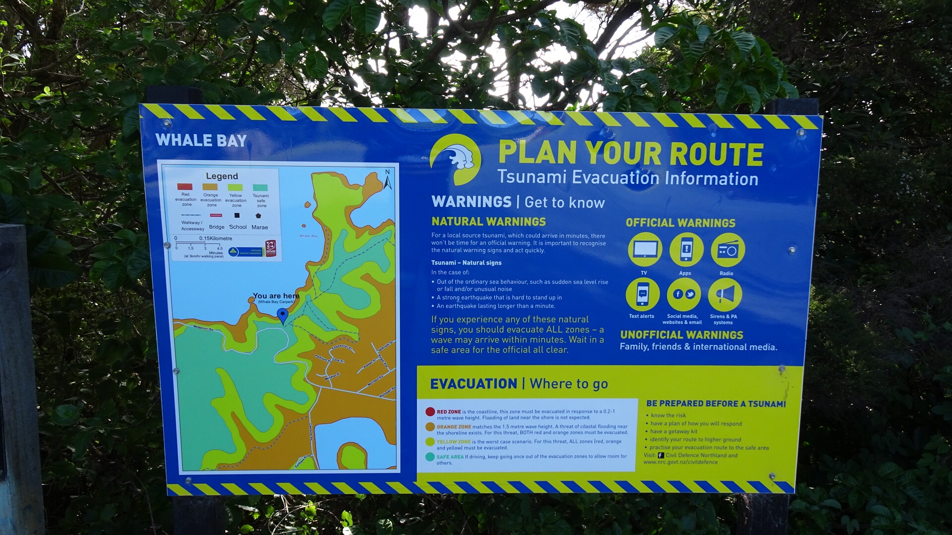
 From the same viewpoint is this boat…waiting for the tsunami action plan? It is about 75 metres above sea level and not in the greatest condition either.
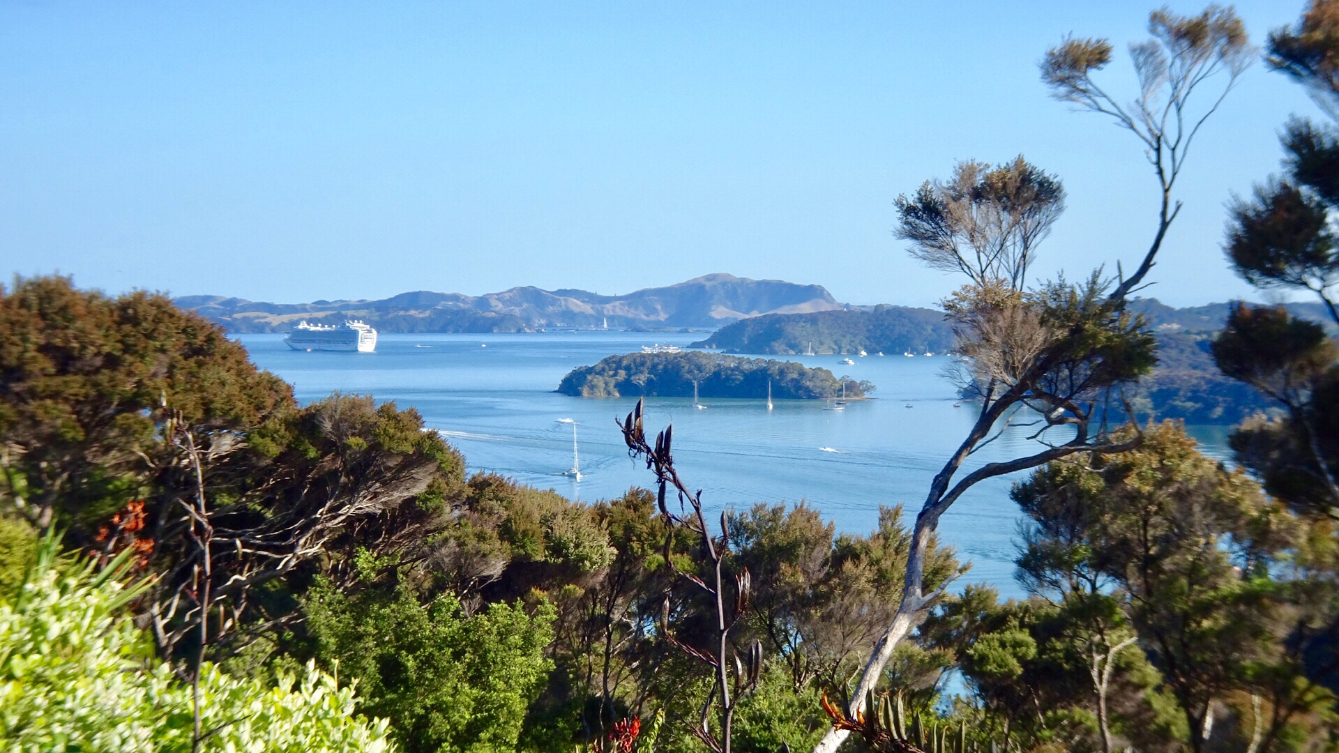
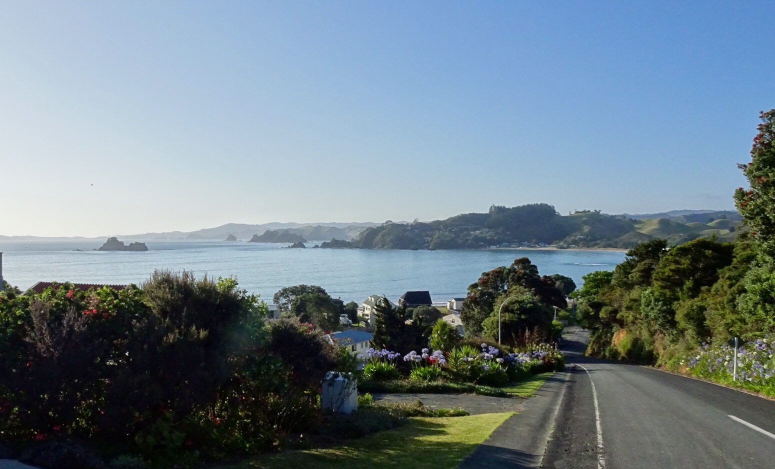
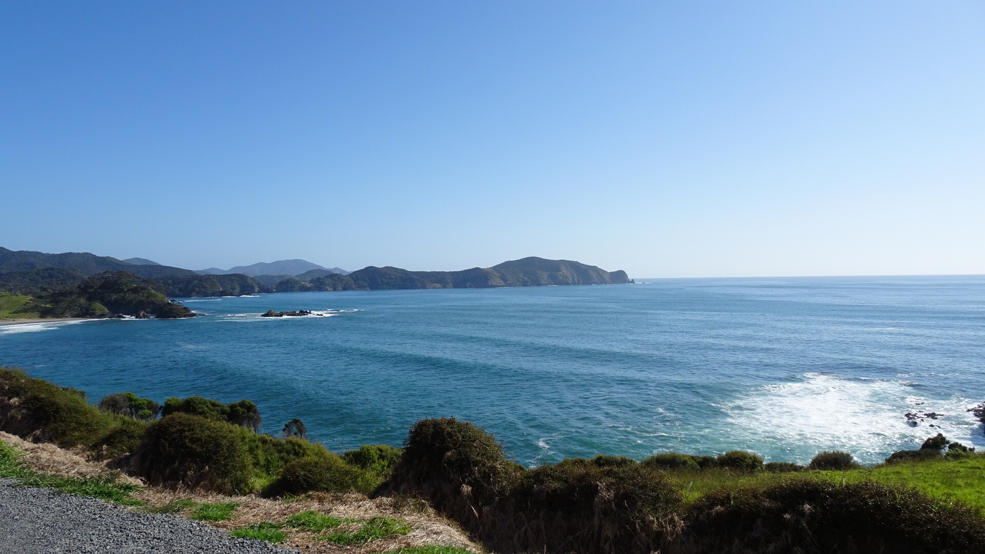
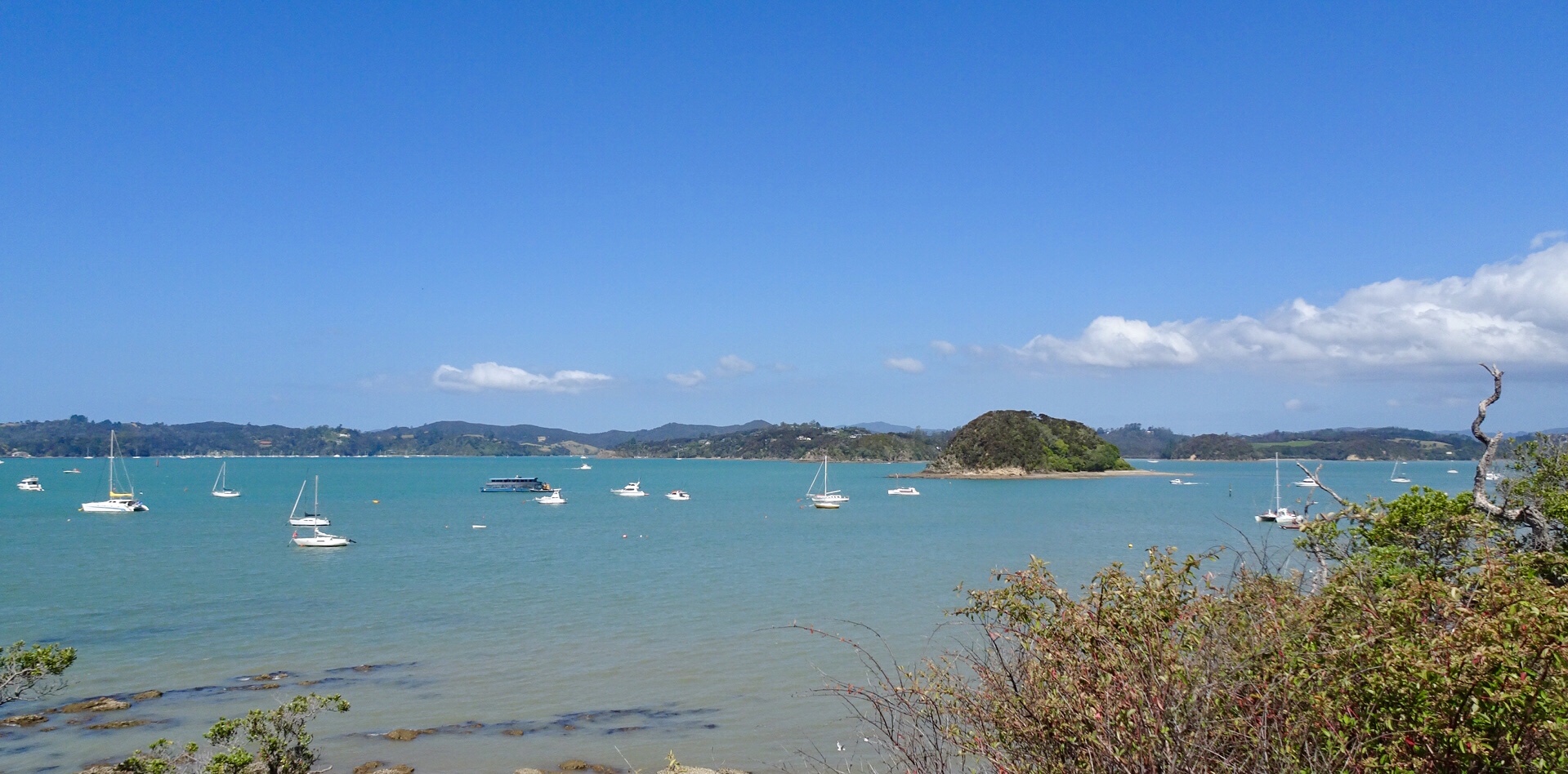
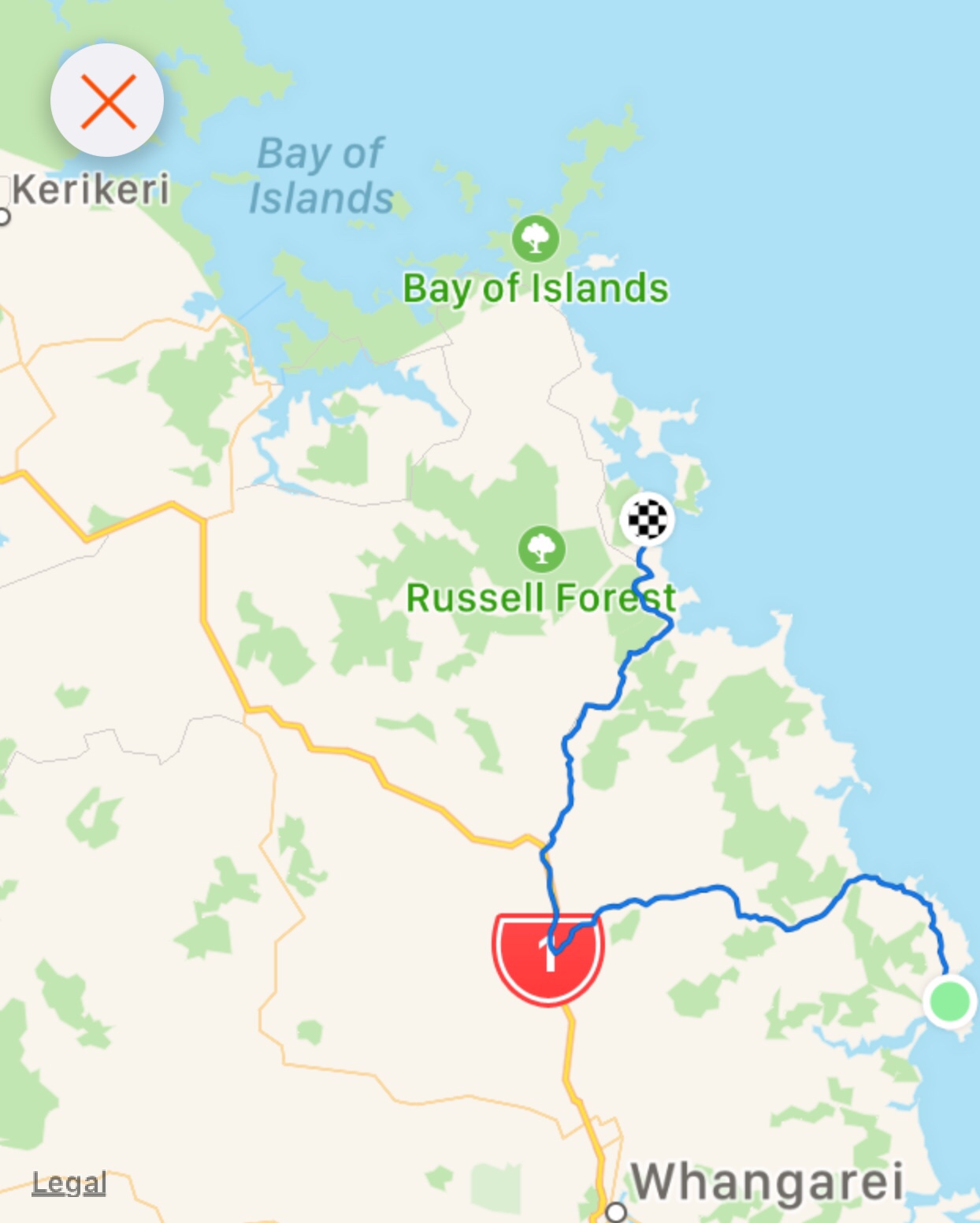
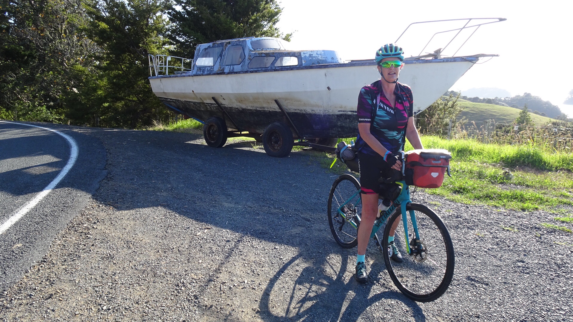 Looking north towards the Bay of Islands.
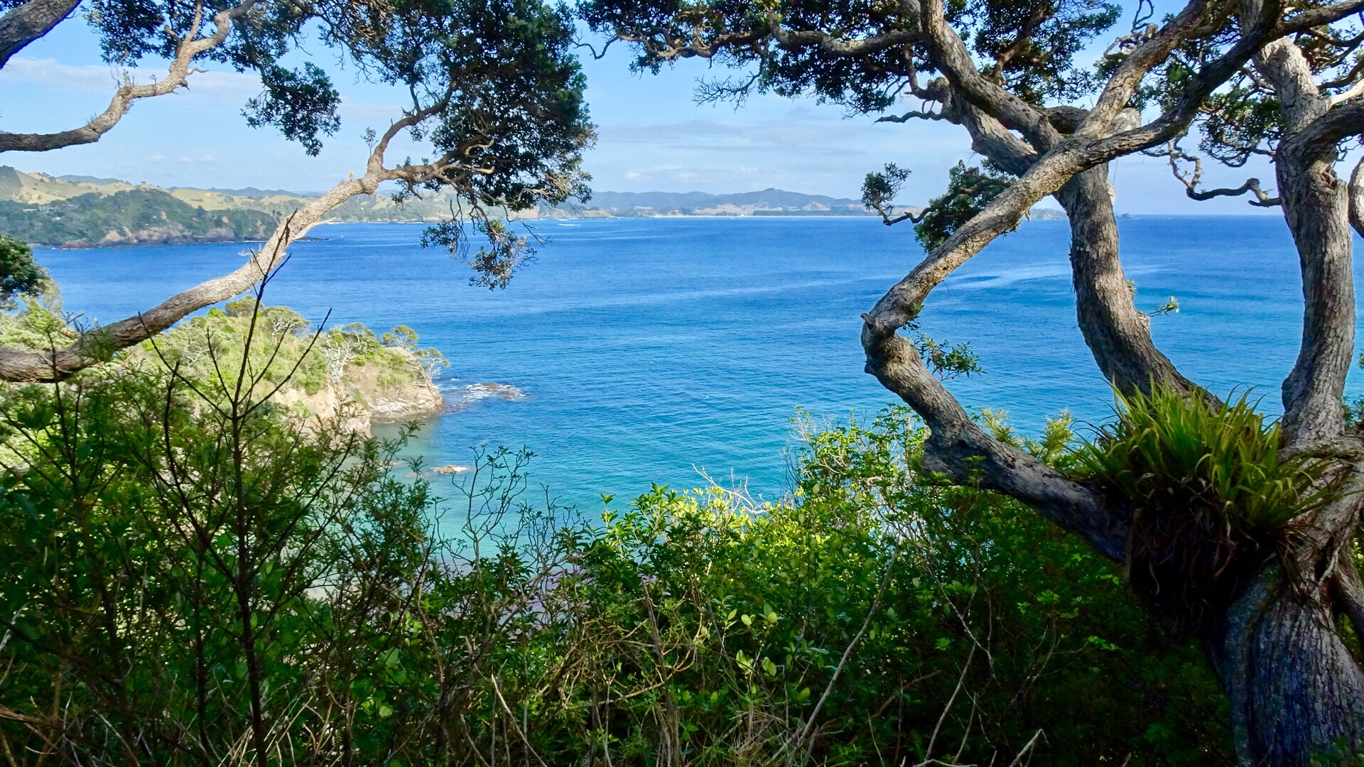
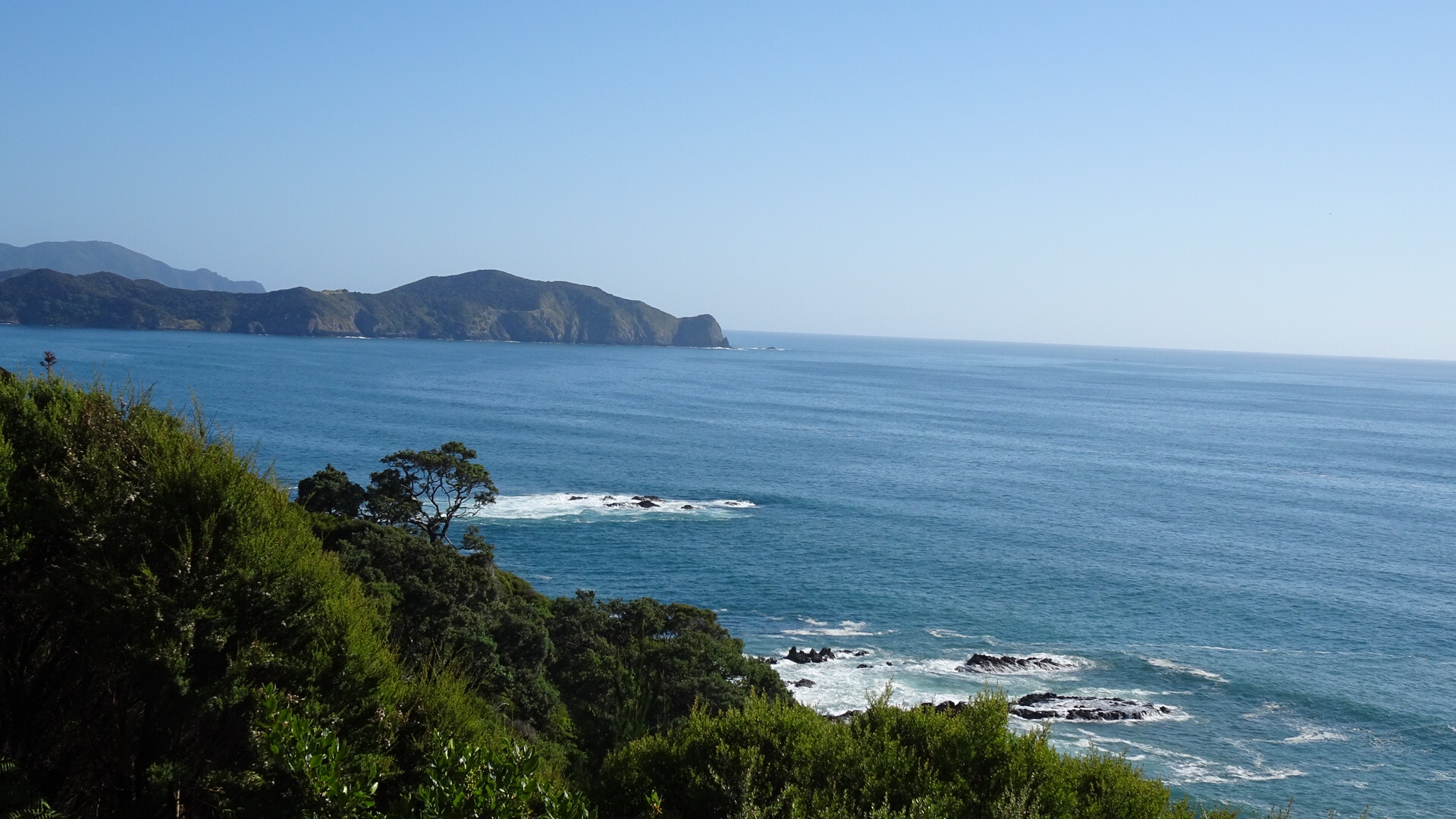
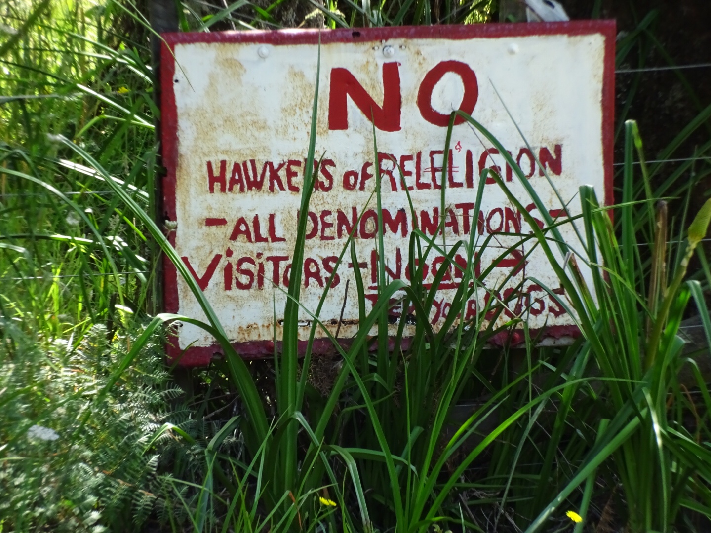
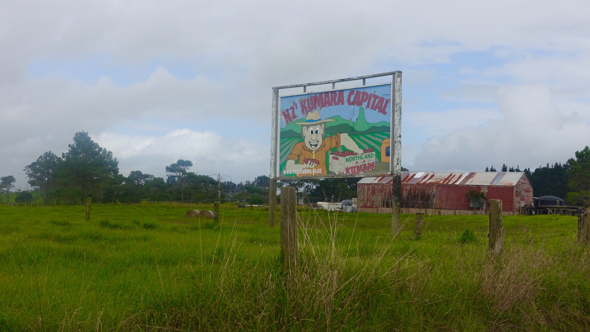
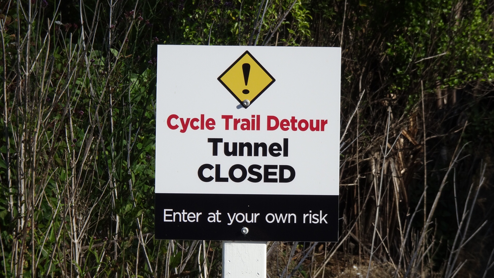
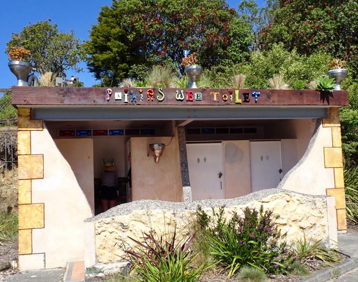
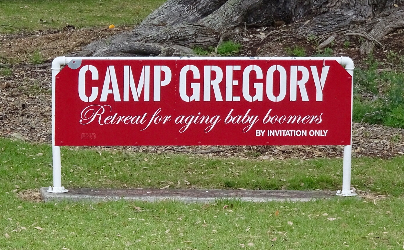
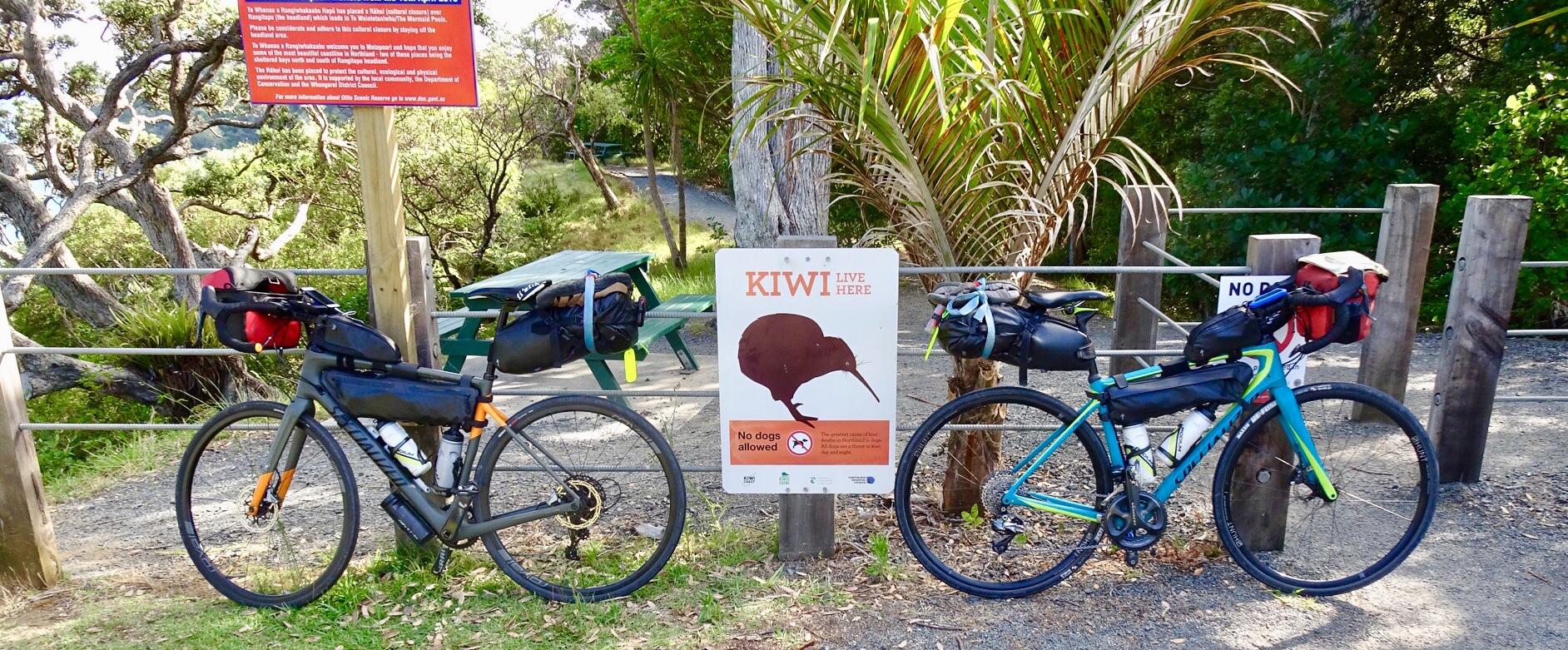
 I could not resist taking a photo of this sign. 😂🙈
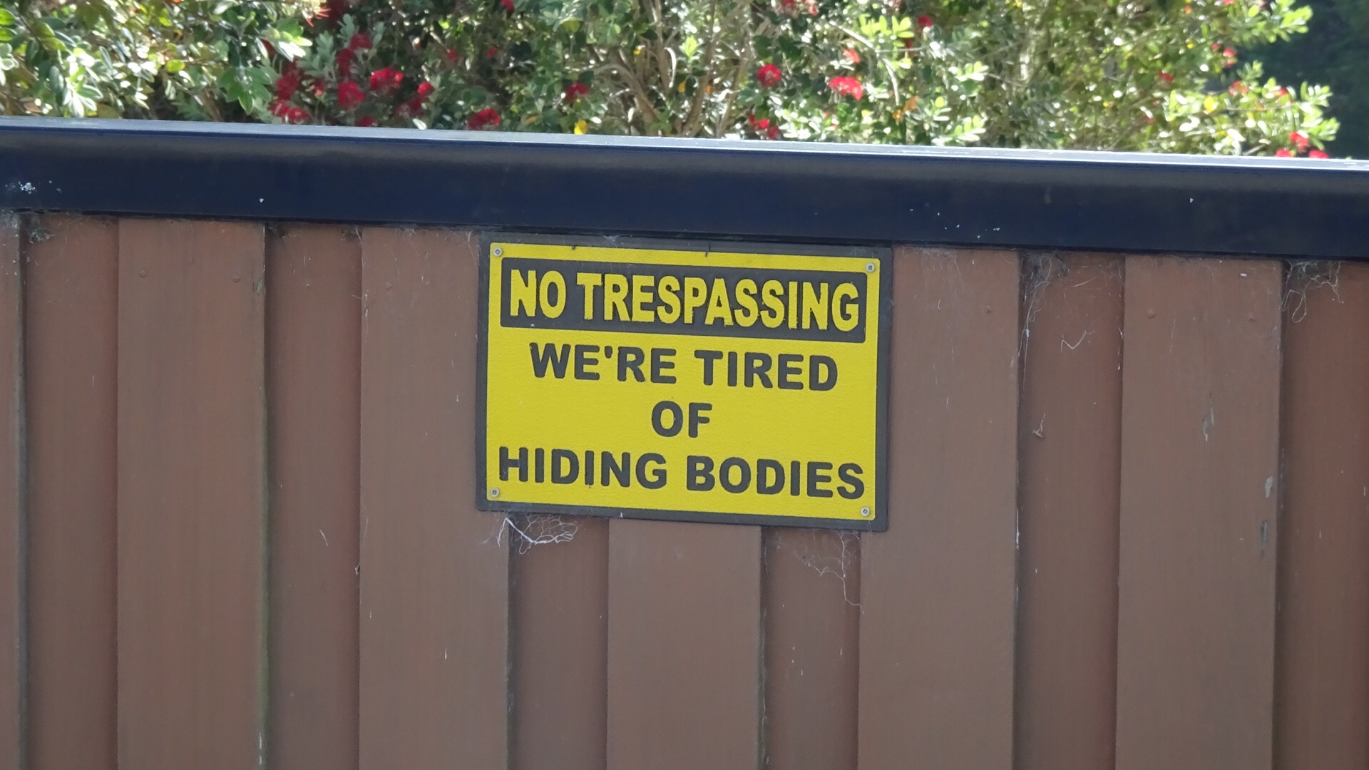
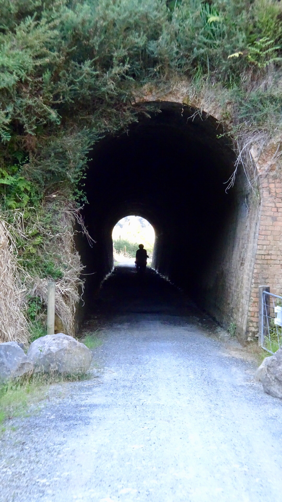
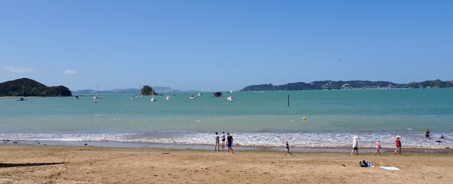
 Looks like fun
 Hello, or Hi ya Paihia and the big marlin. You can see me pushing my bike through here.
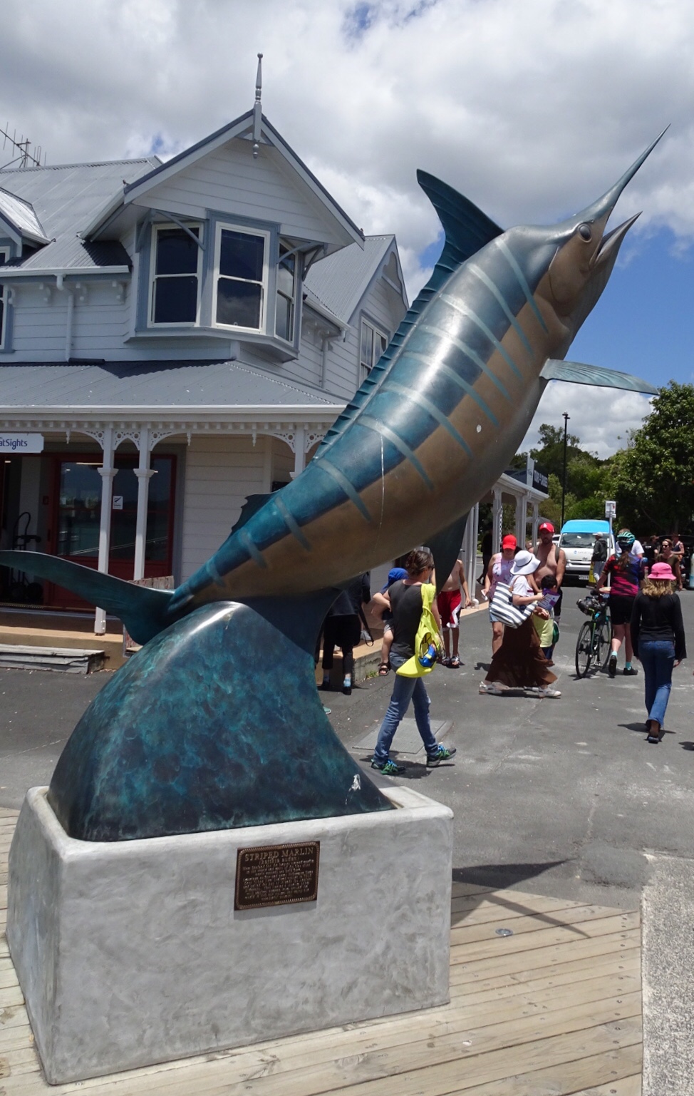
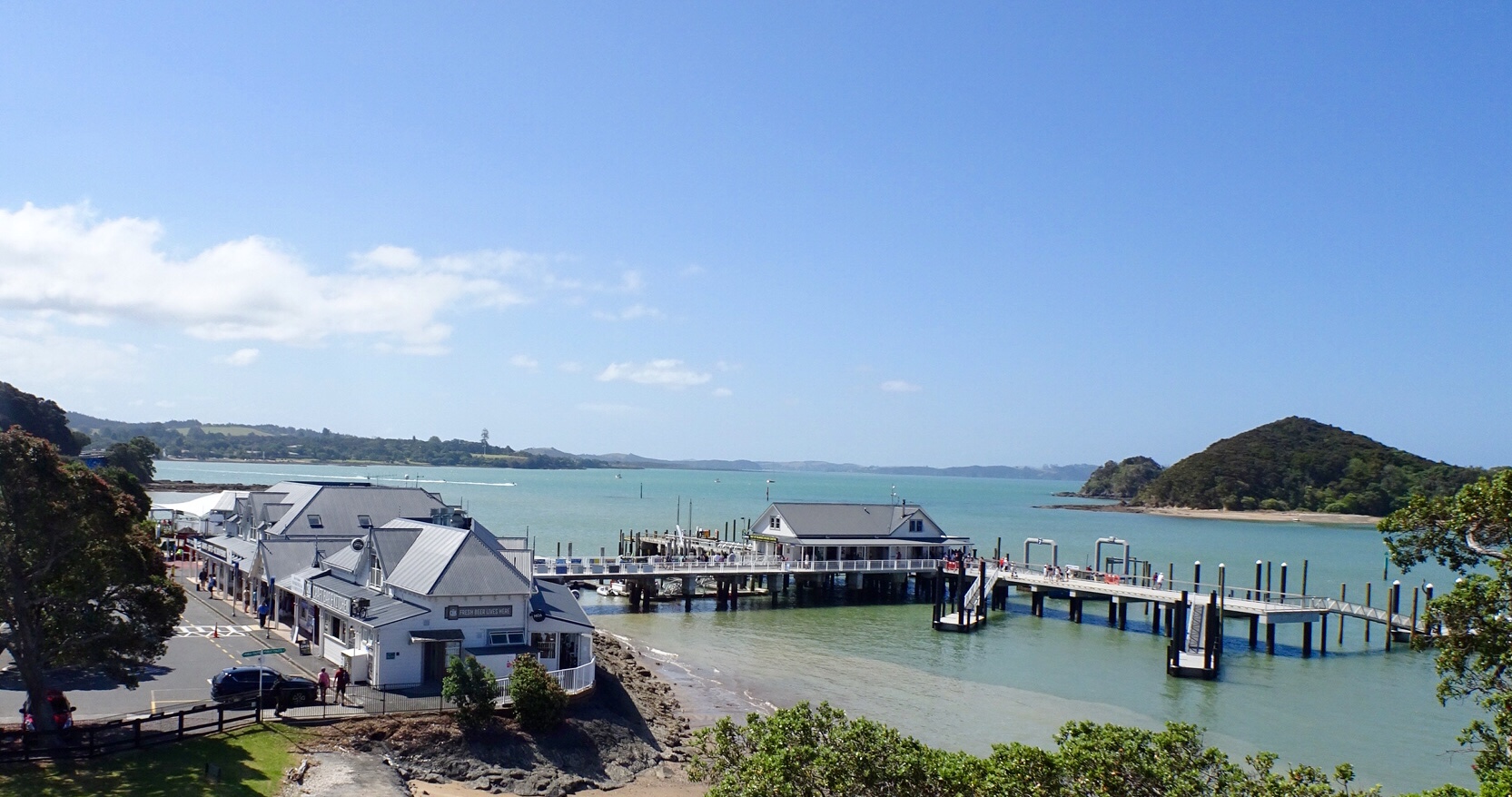


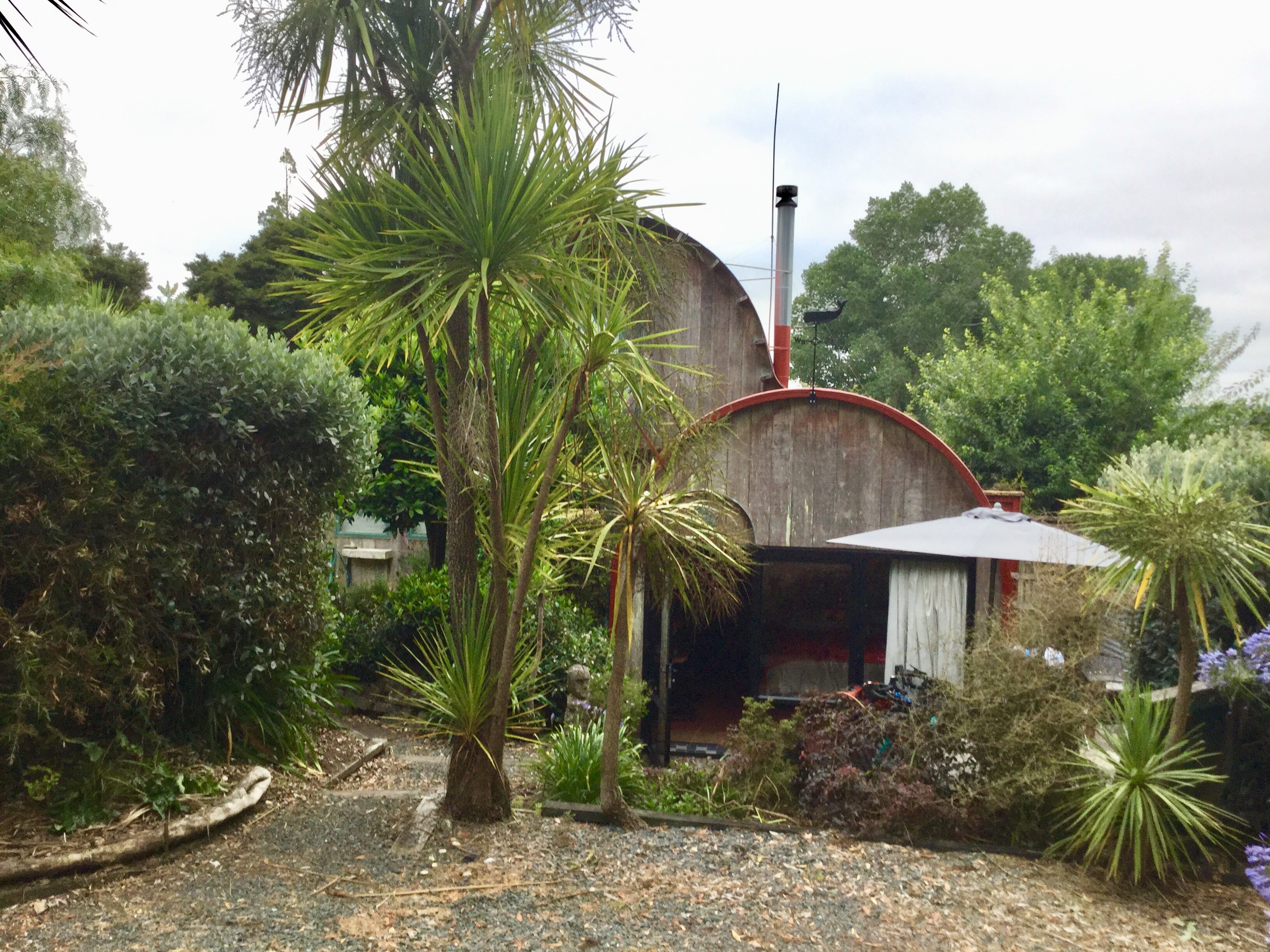
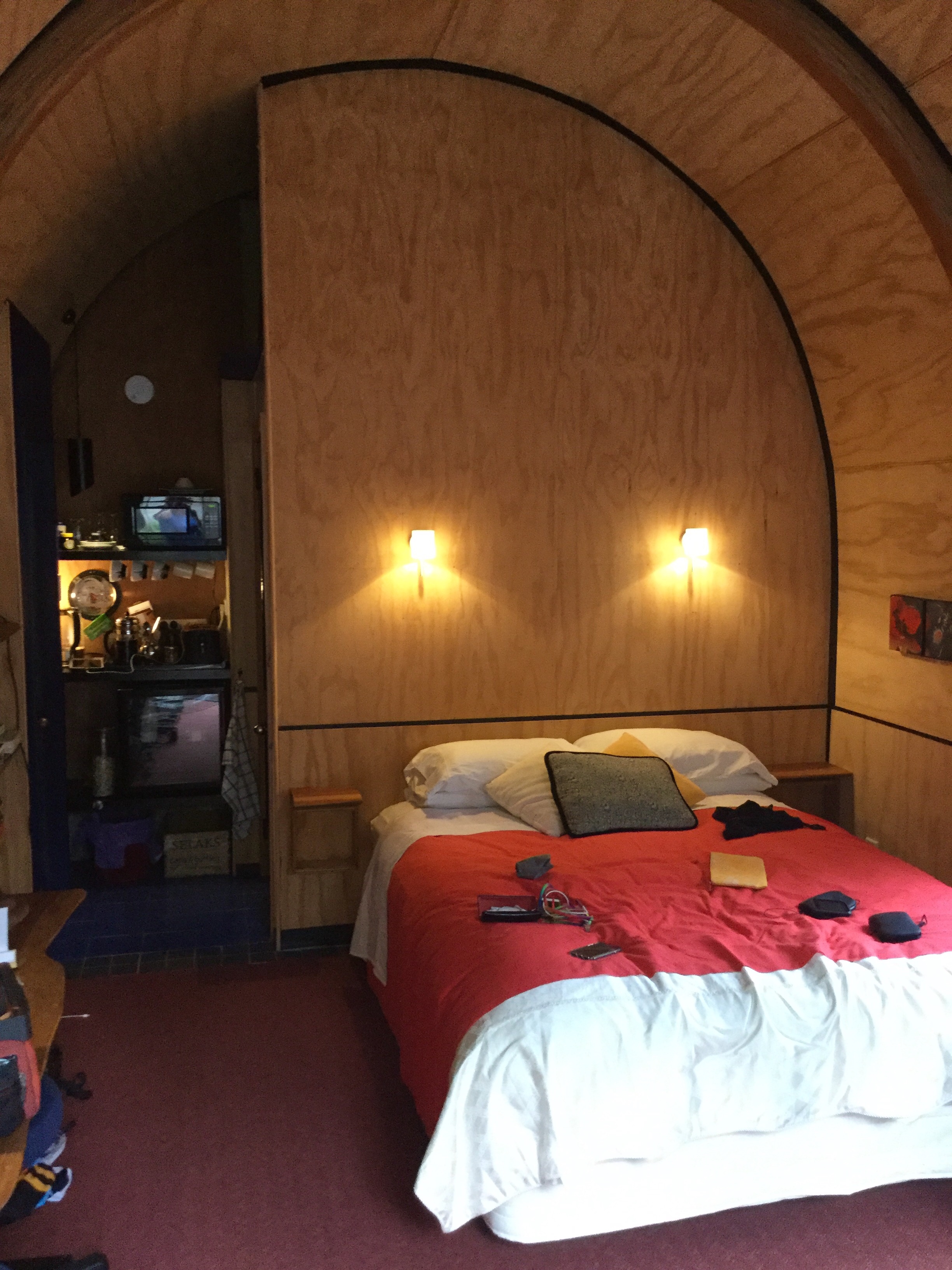
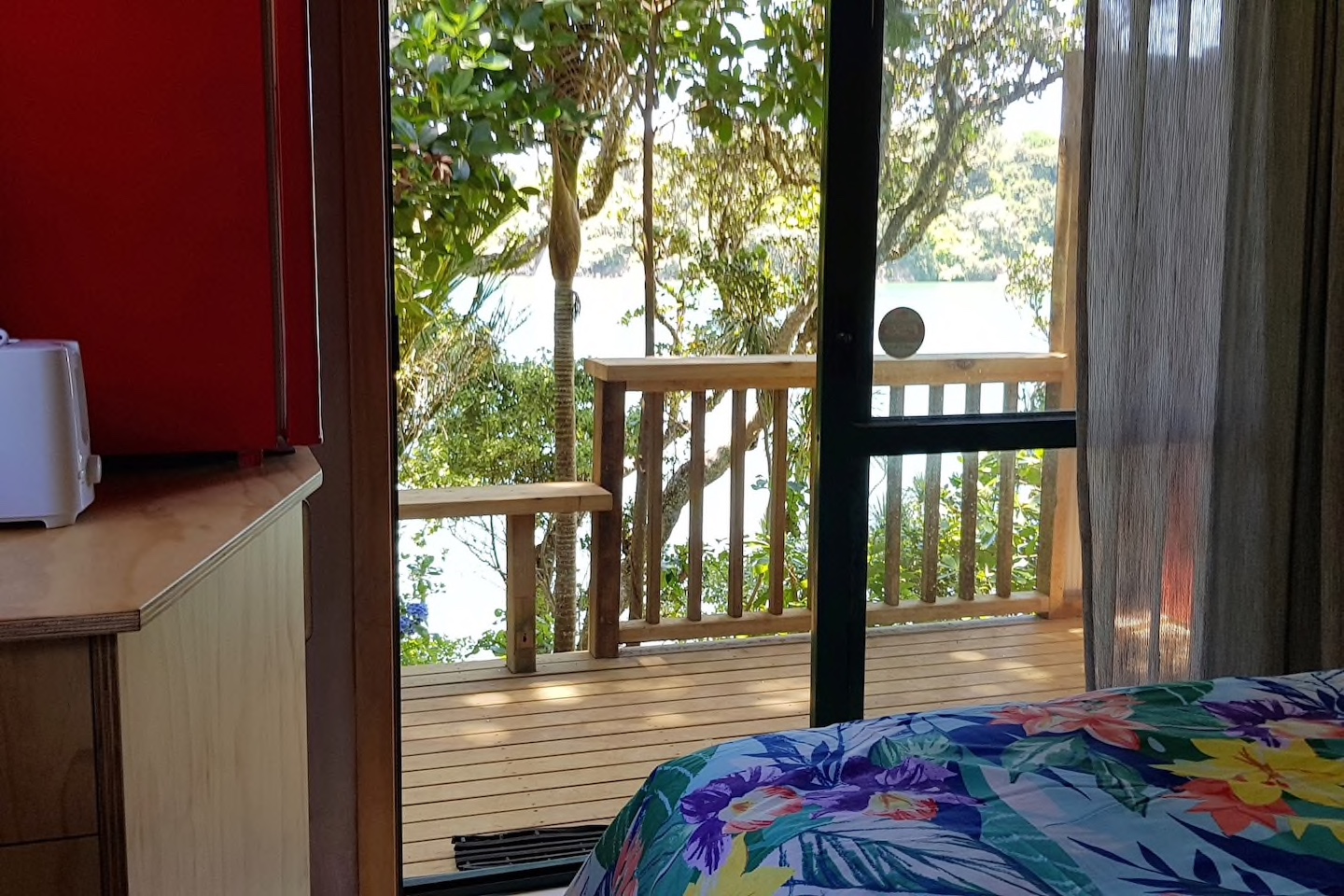
 We are staying in a cosy little cabin, akin to an enlarged cubby house.
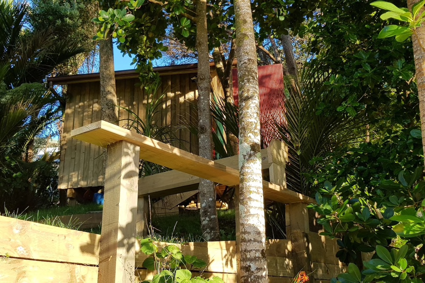
 We decided to do a short Christmas ride cruise to Matapouri Bay, some 9 hilly km away. Bonus was the local store was open and we were able to grab a nice coffee. The owner was doing a roaring trade with a constant stream of customers.
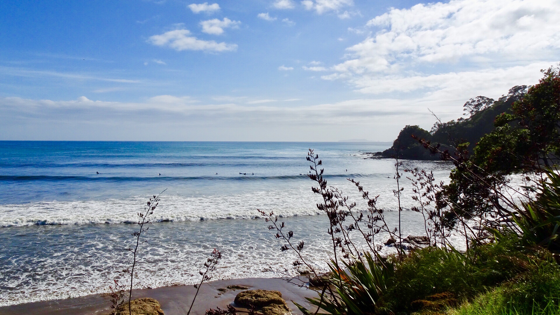
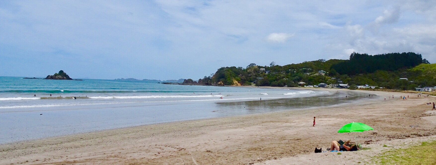
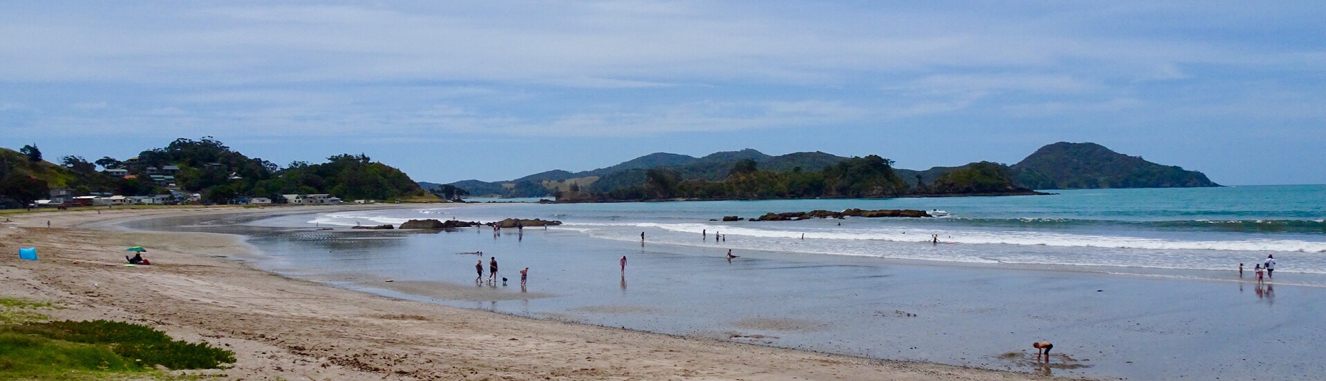
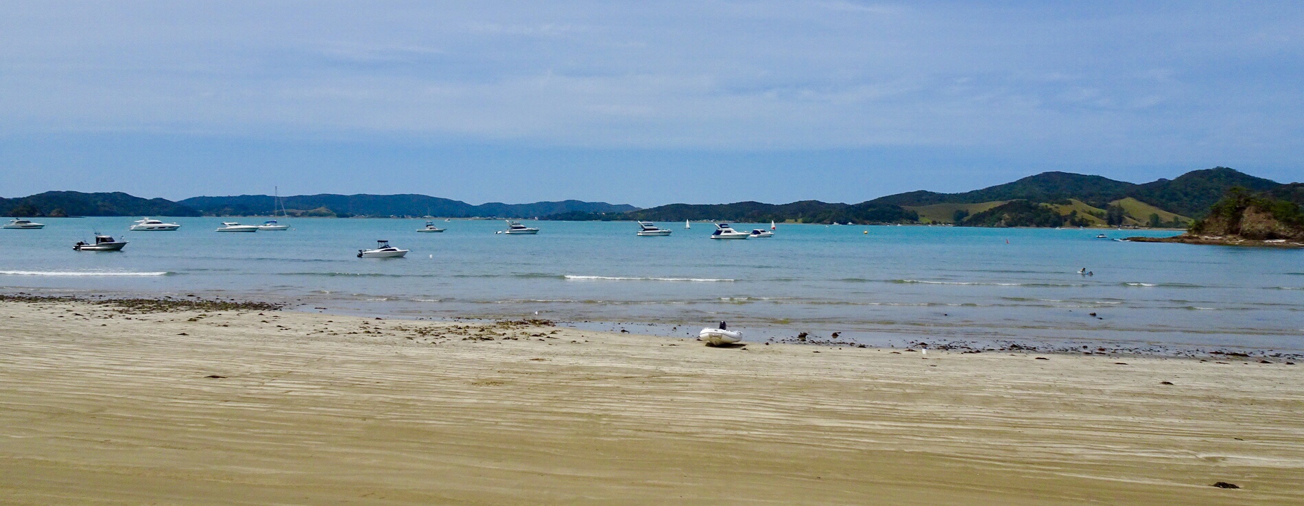
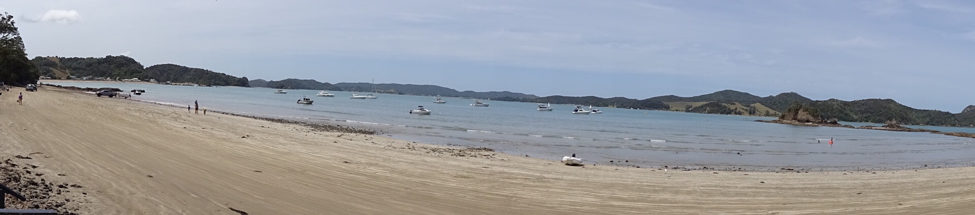
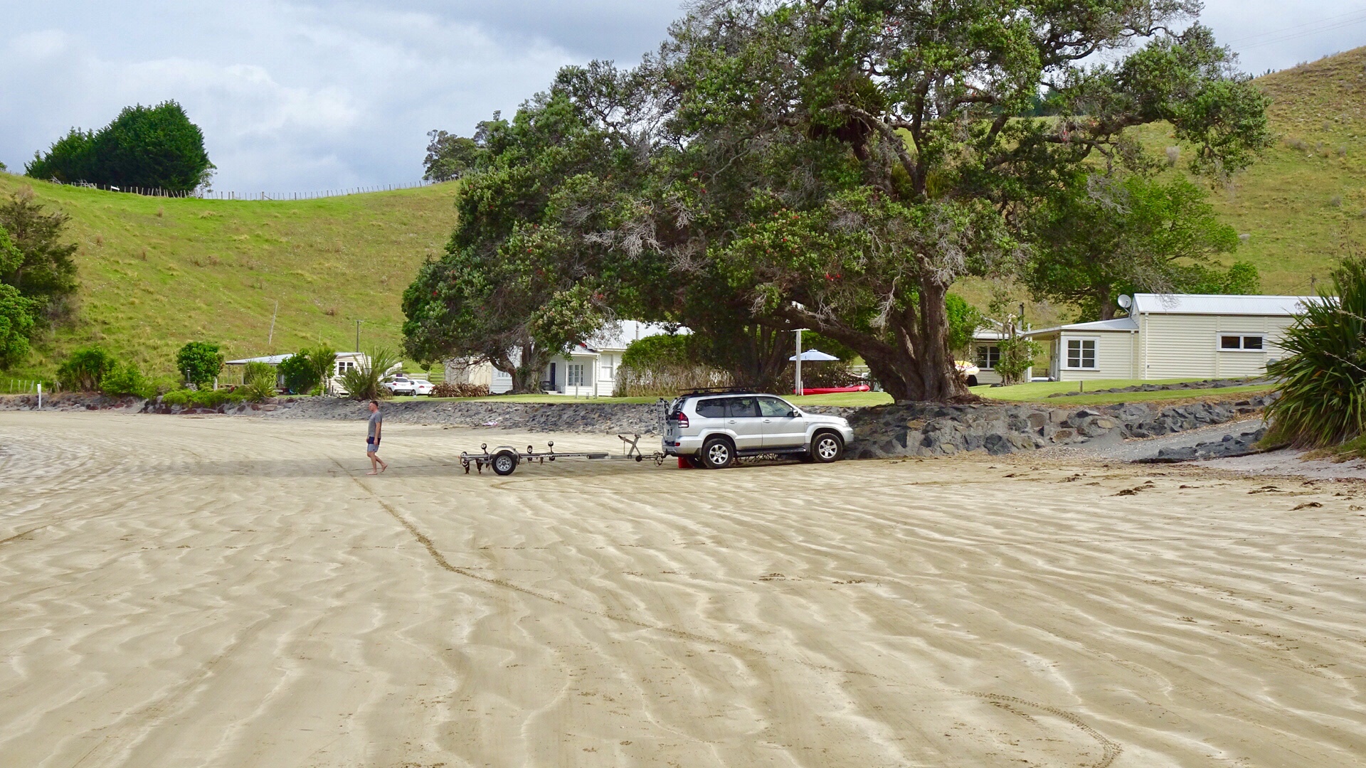
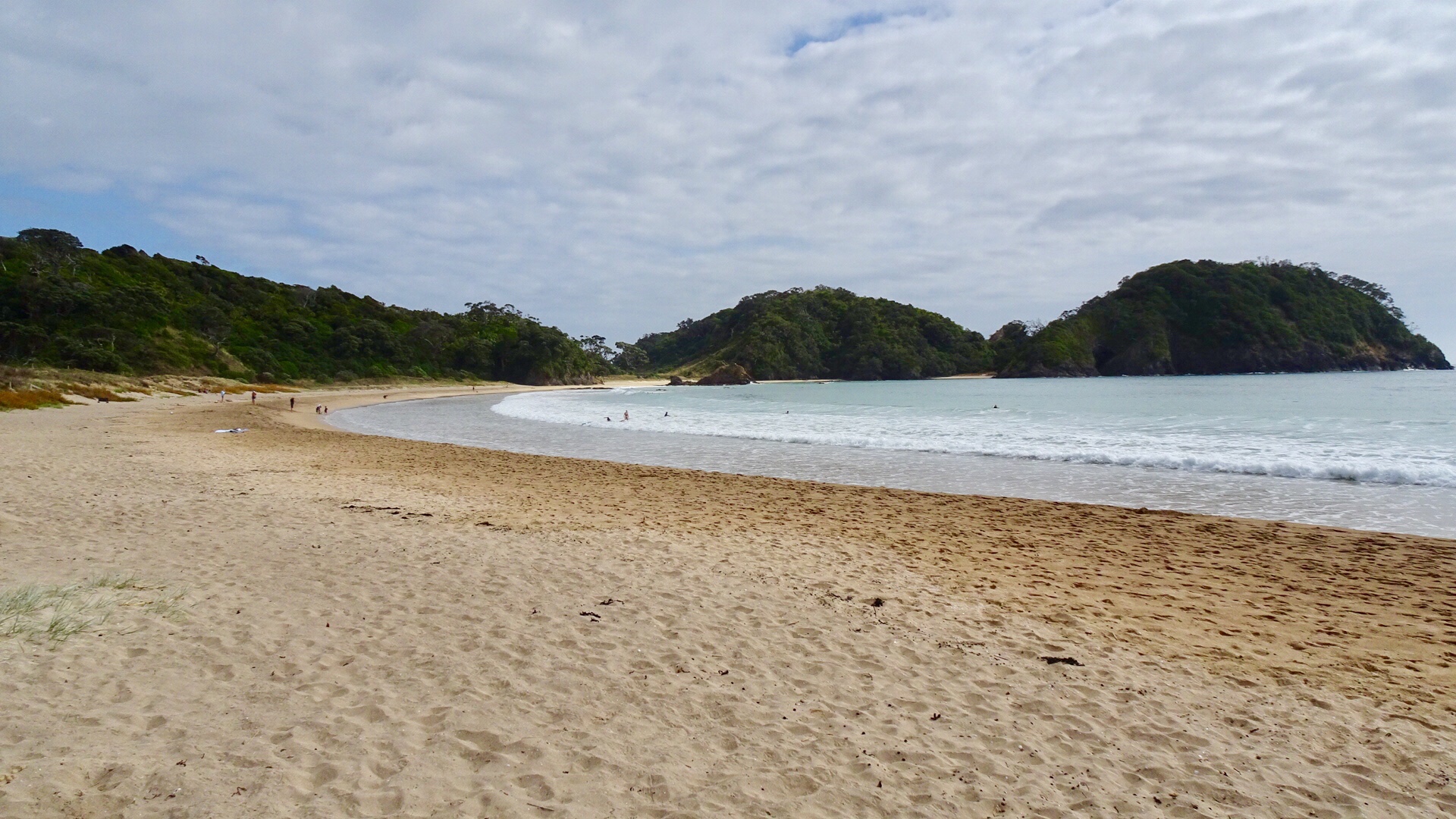
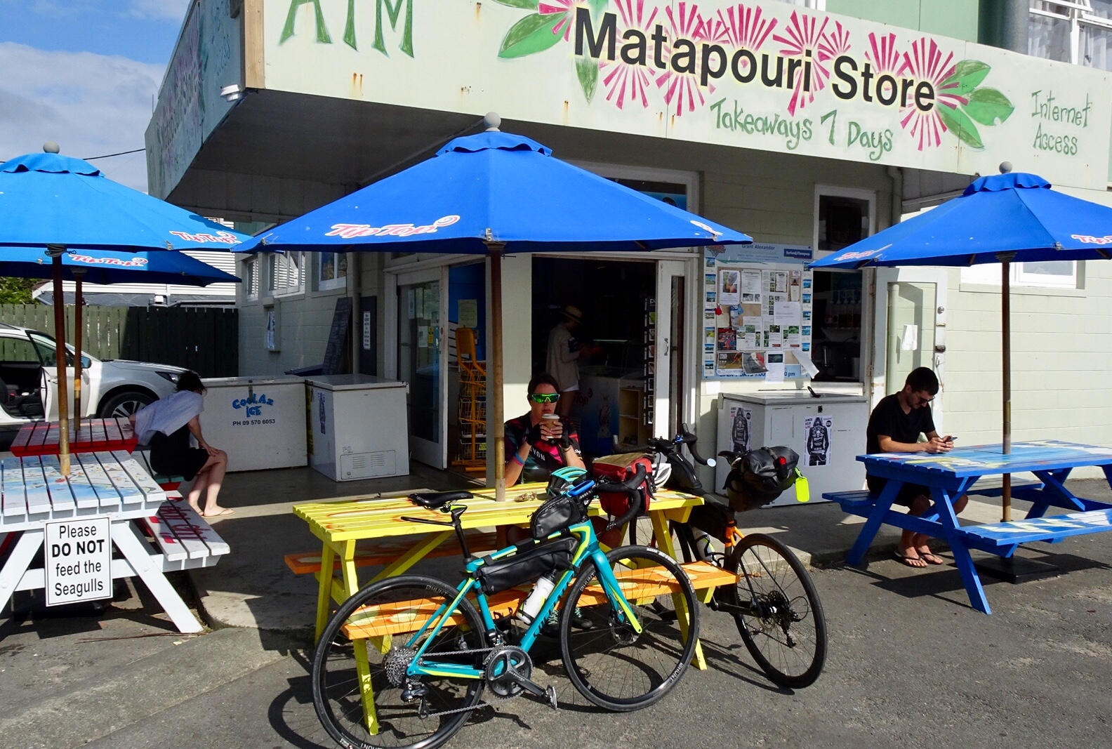 Matapouri Beach is a long crescent shaped beach.
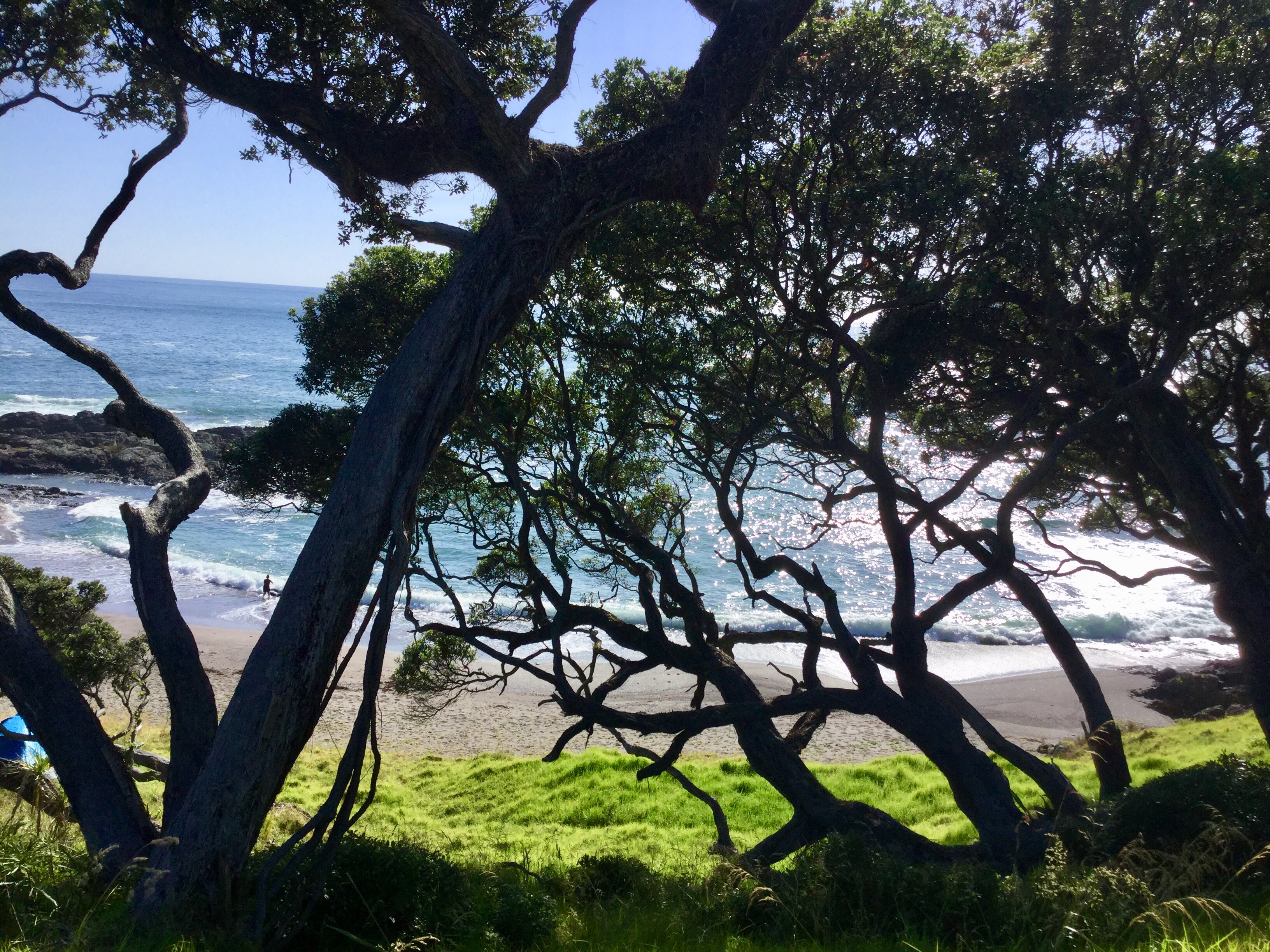
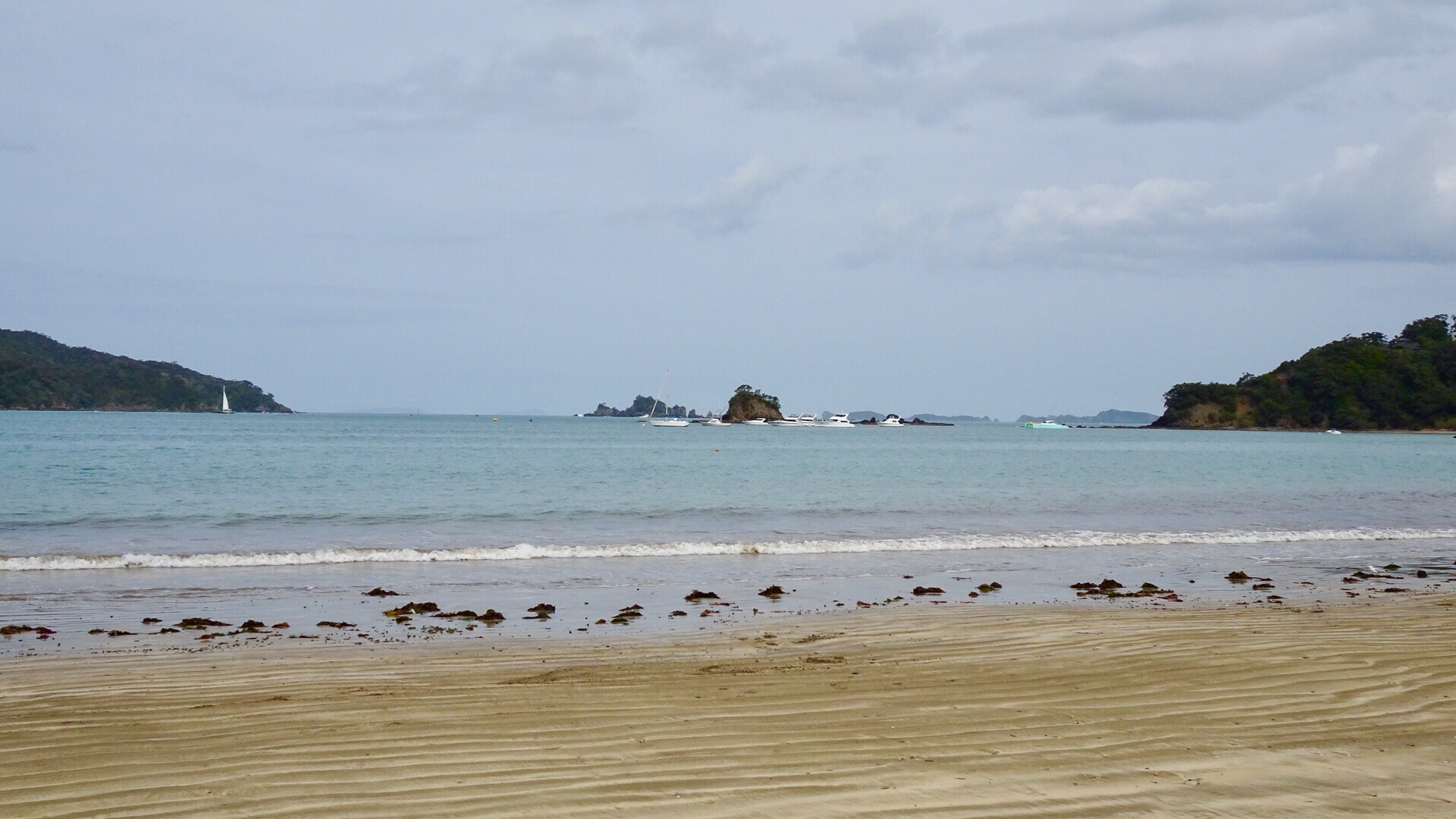
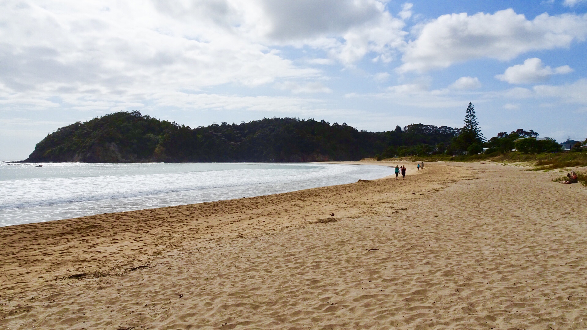
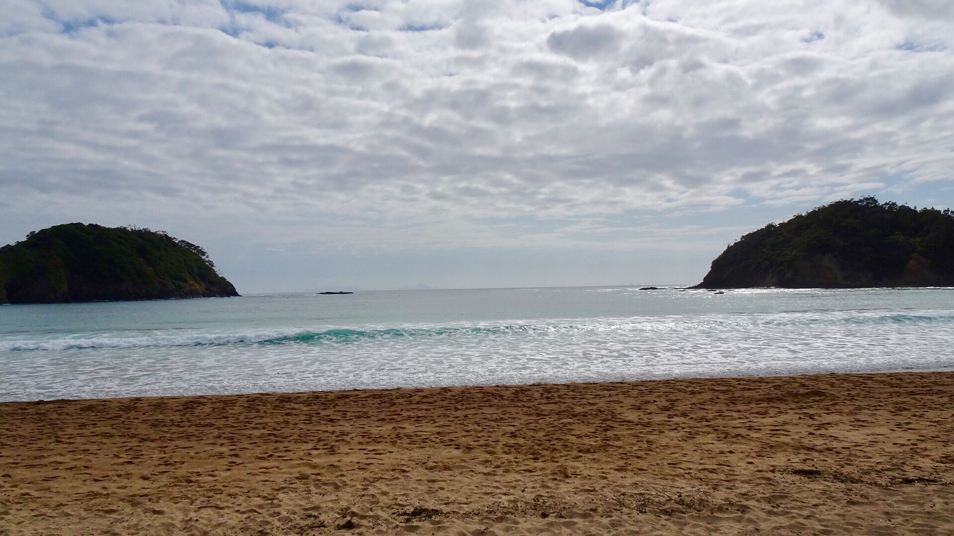
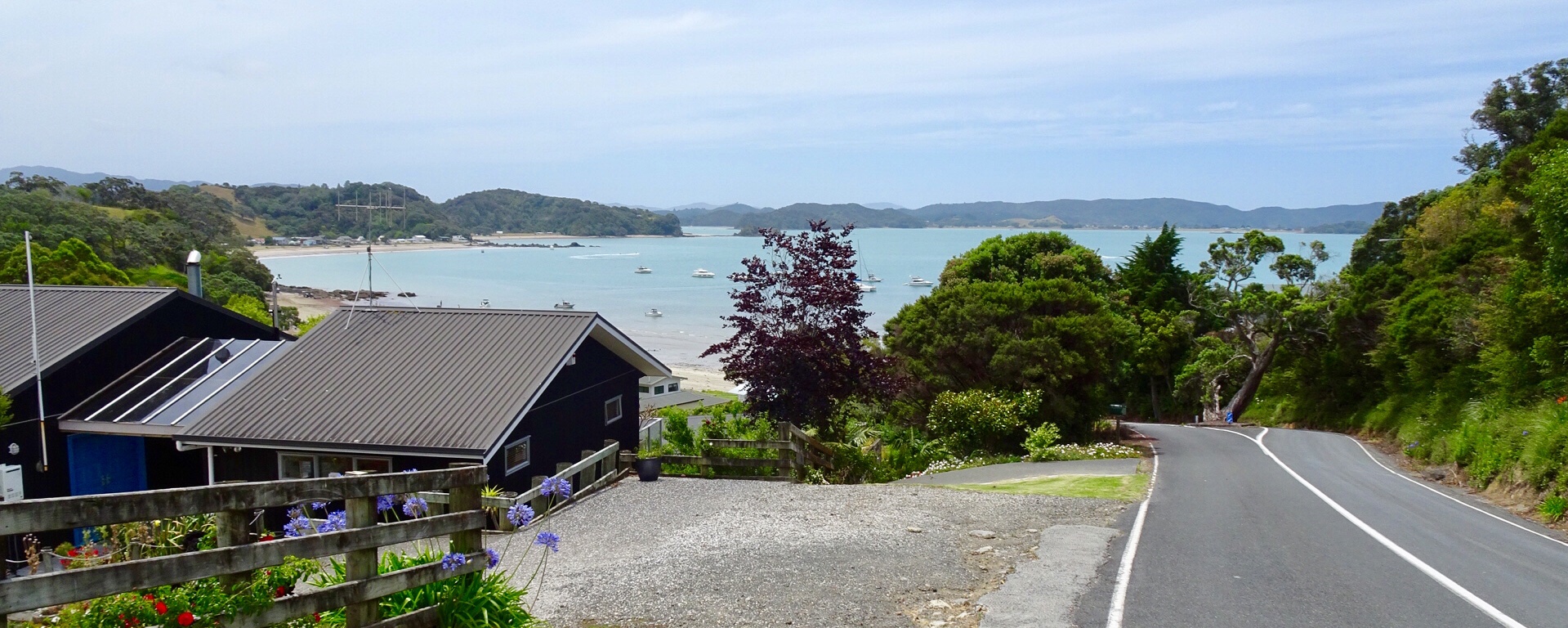
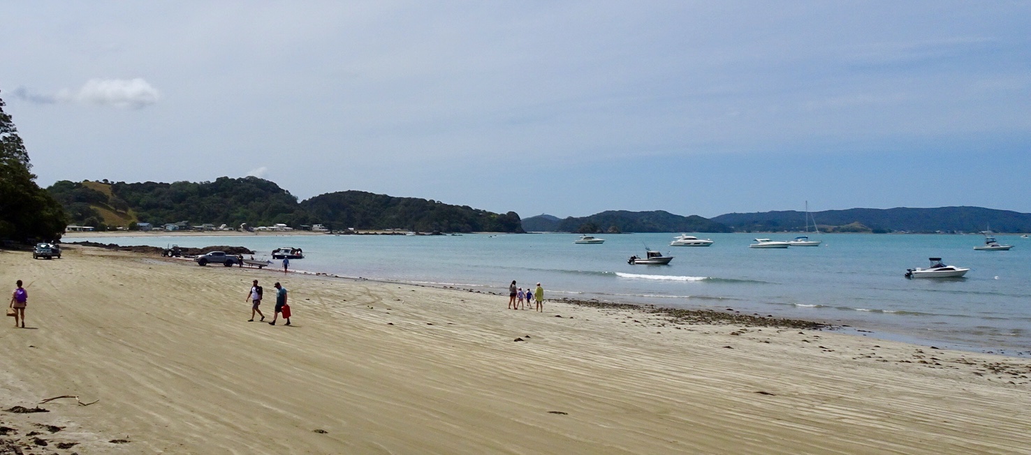
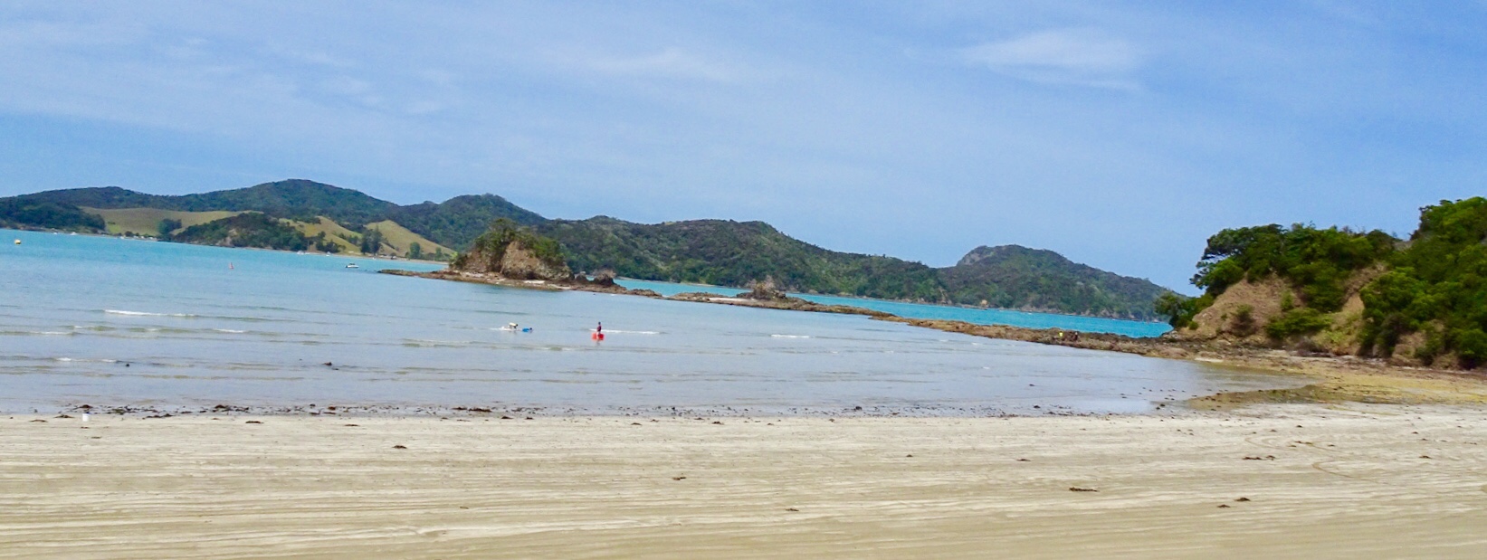
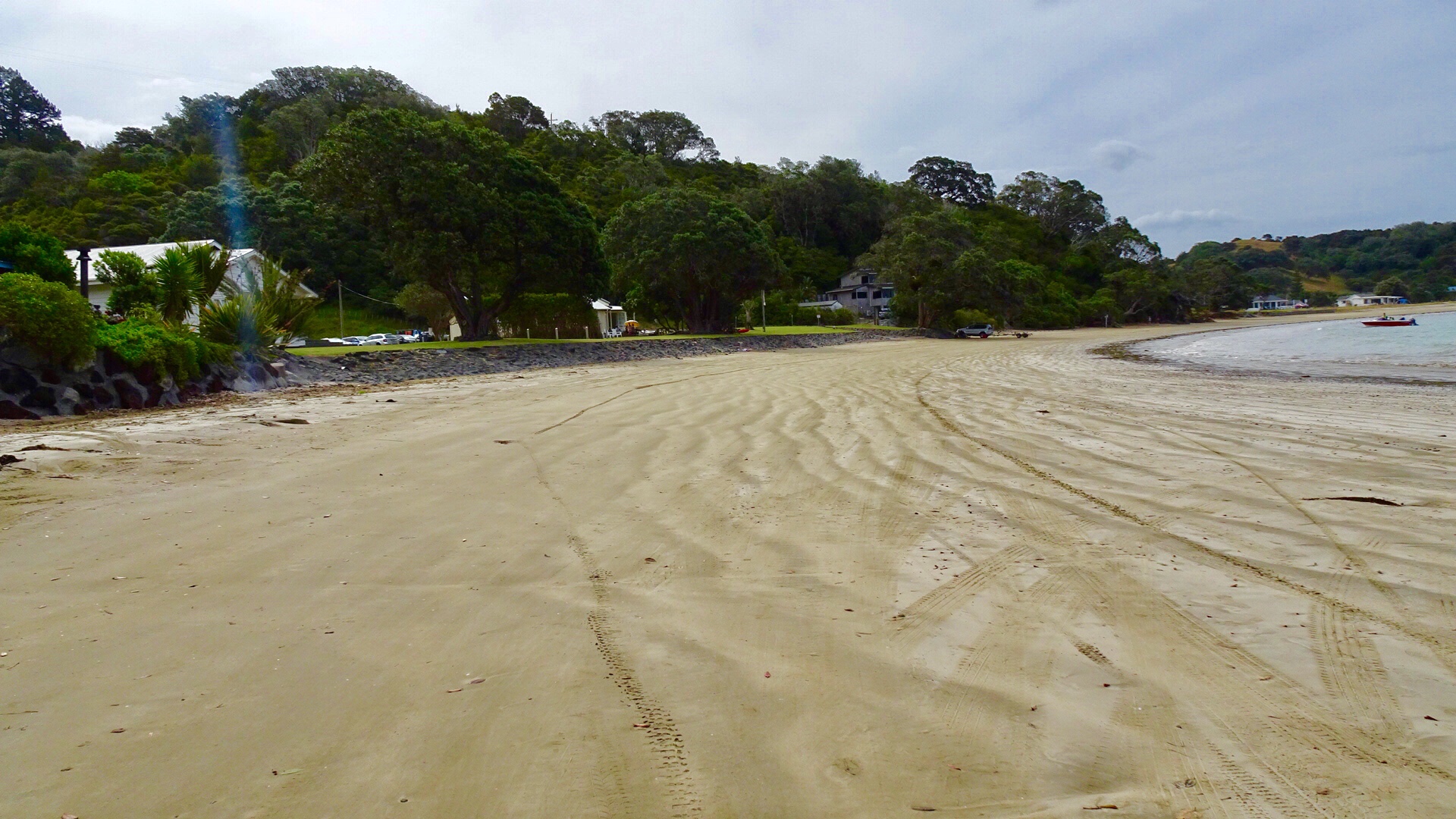
 We parked the bikes on the beach and got our bathers our to test the waters.
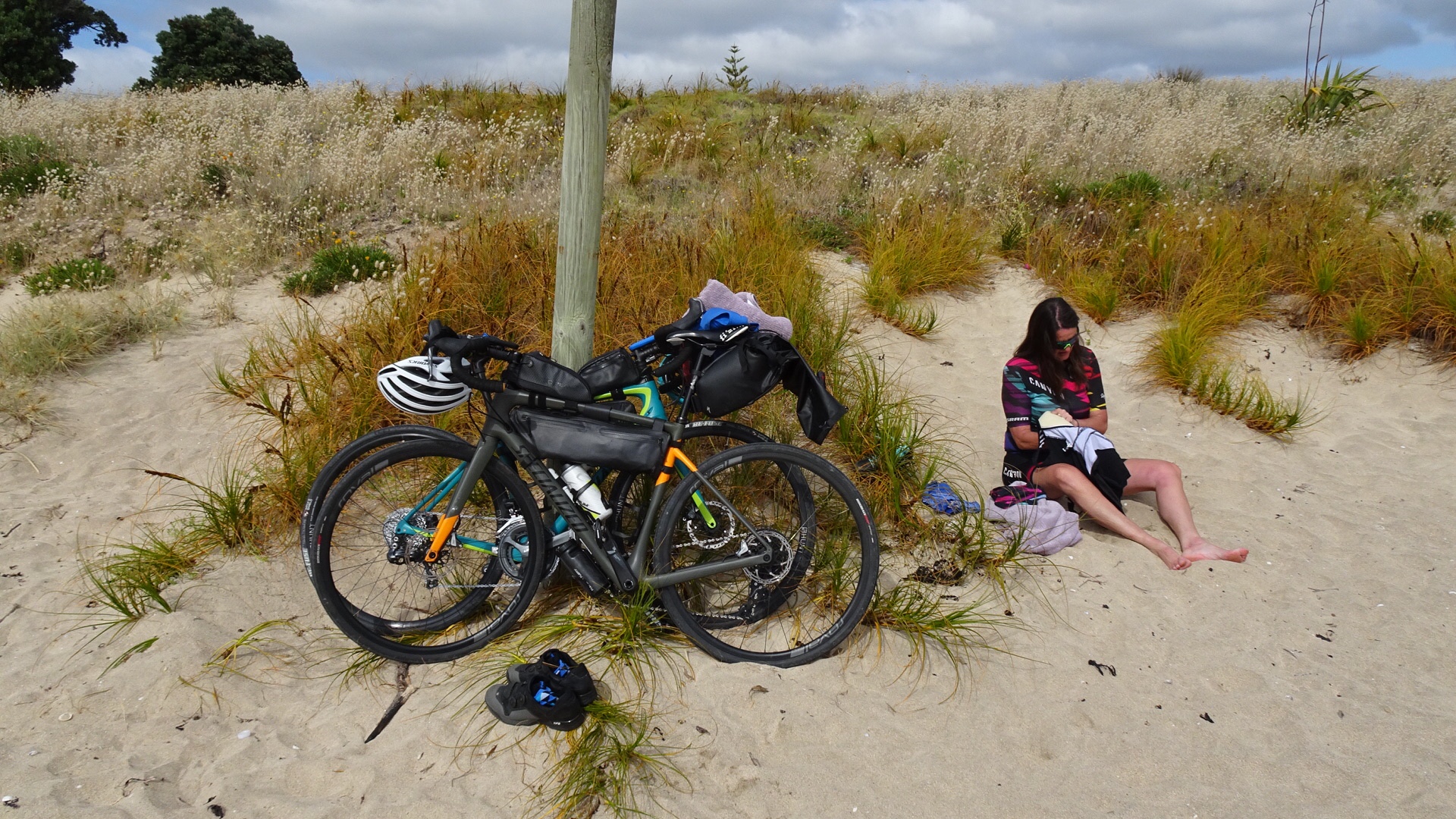 Brrrrrr….not immersing the whole body!
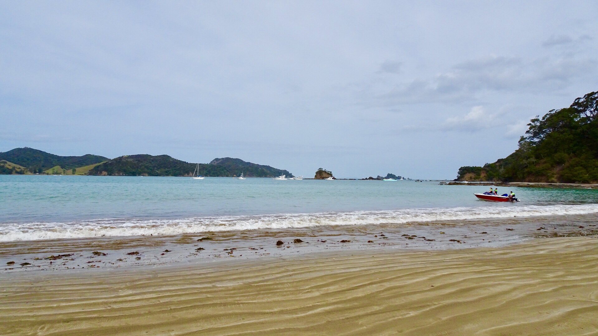
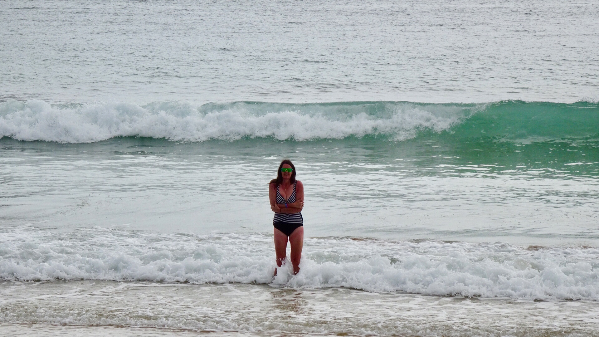 Heading down the beach….
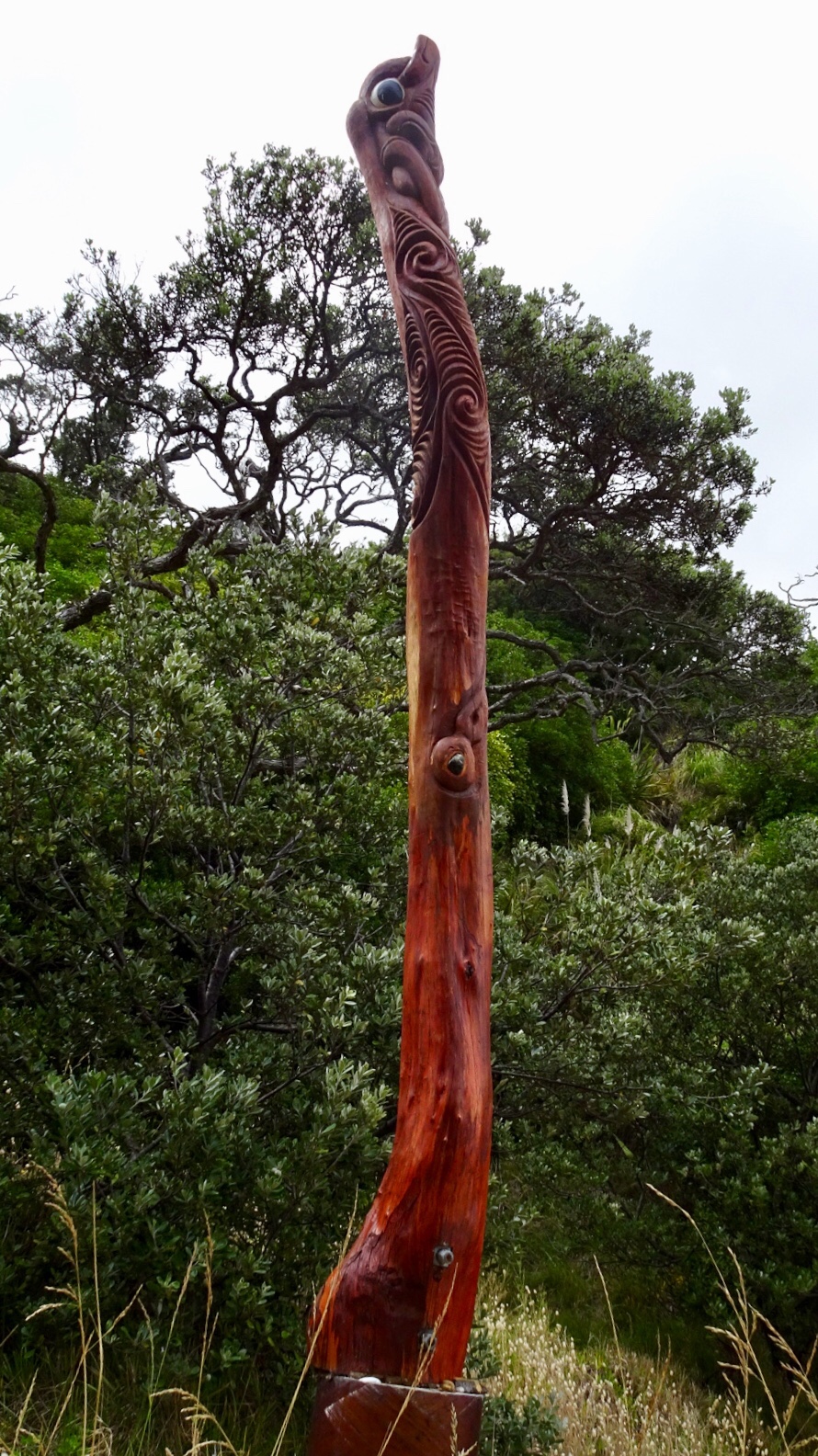
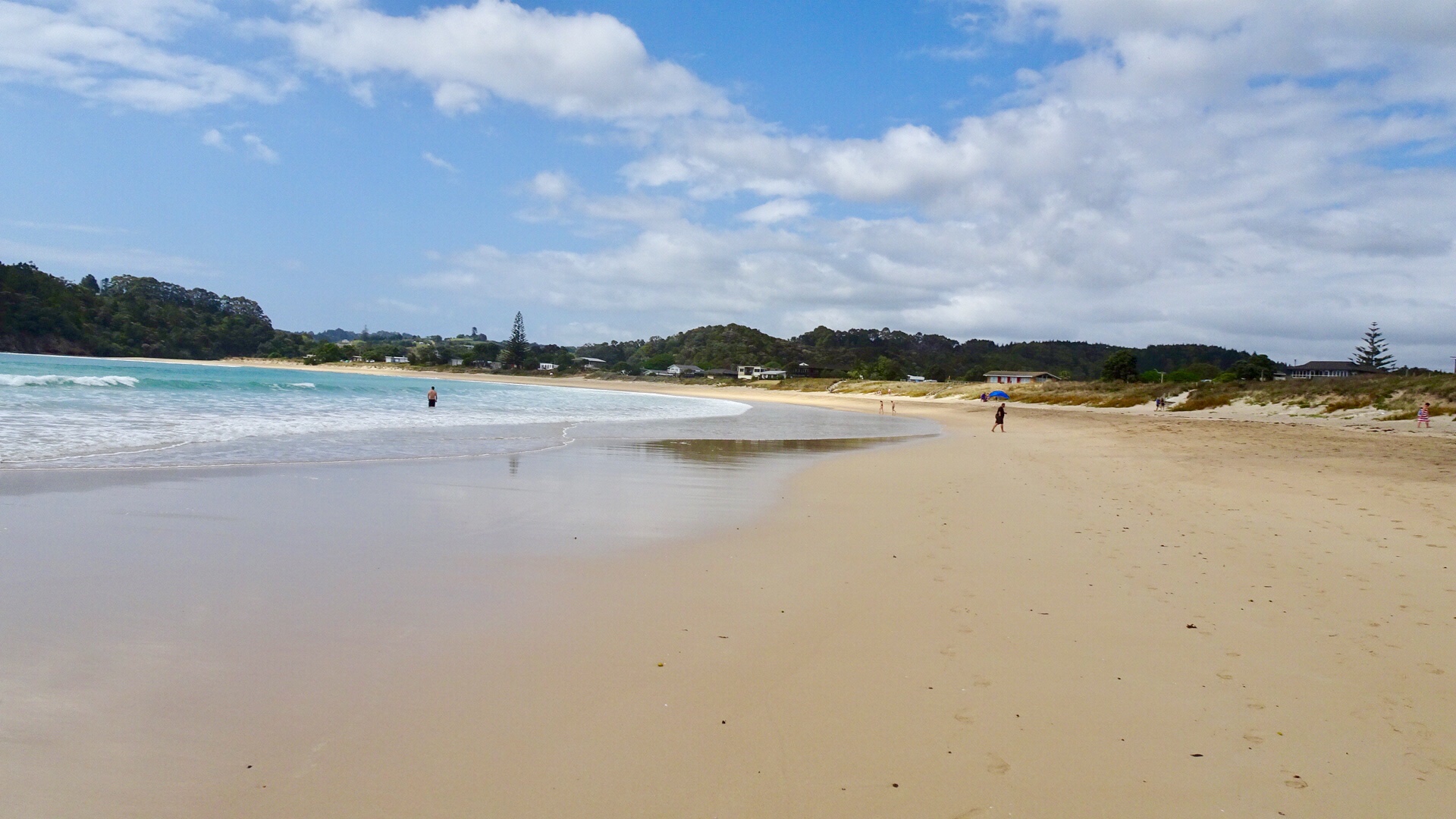 A walkway to another beach reveals these Maori totems.
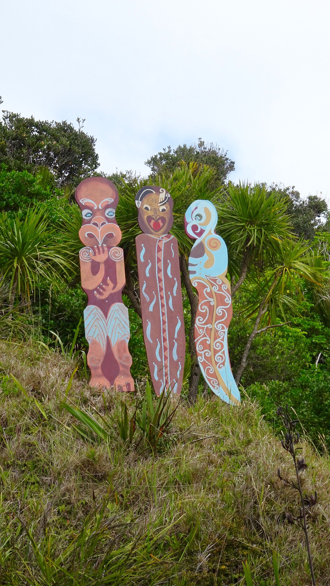 Volcanic beach on the other side.
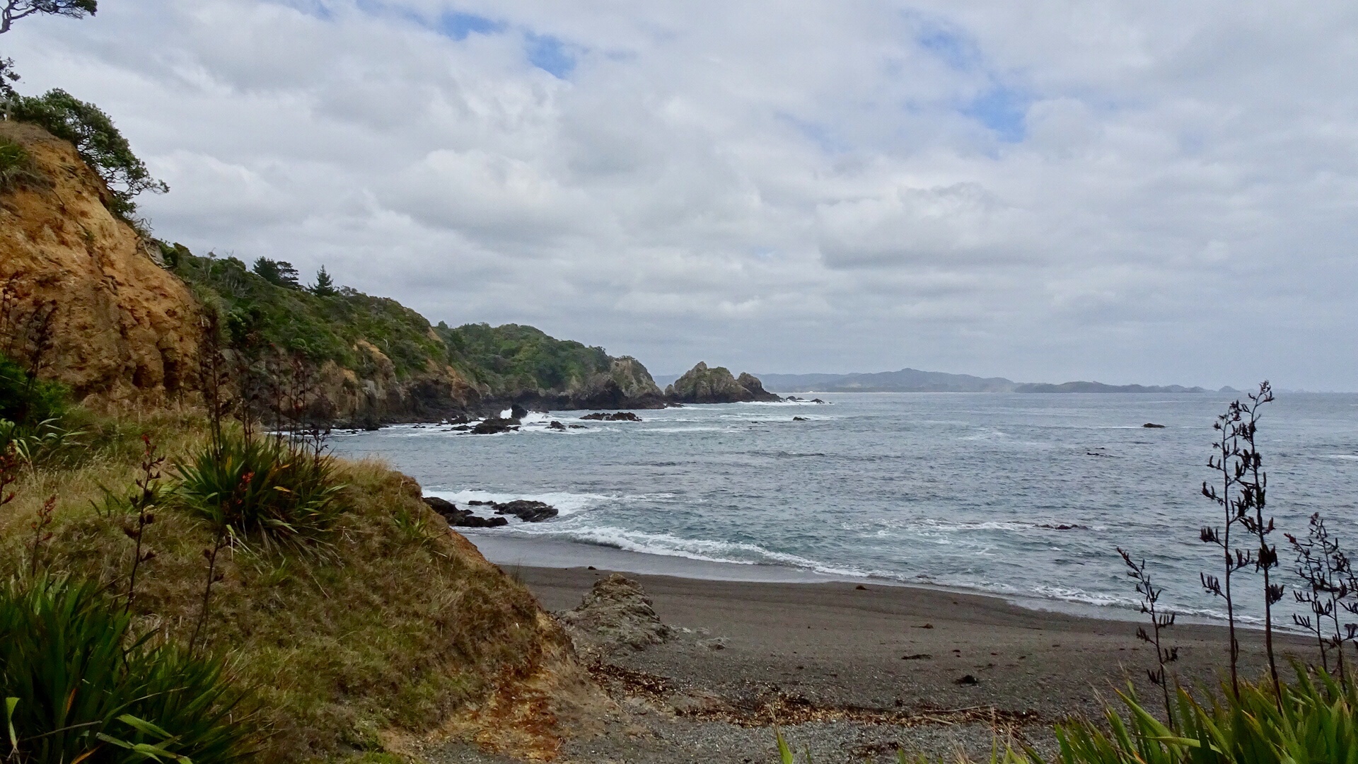 Continuing along Matapouri Bay…wading through water to find a couple of small and private beaches.
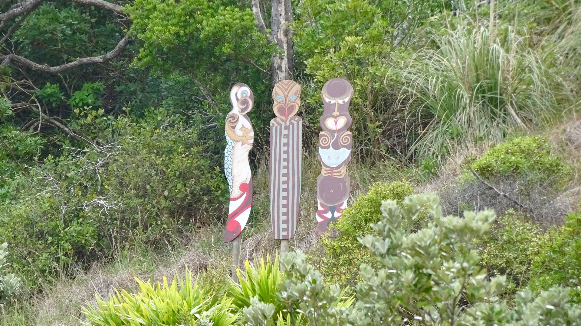
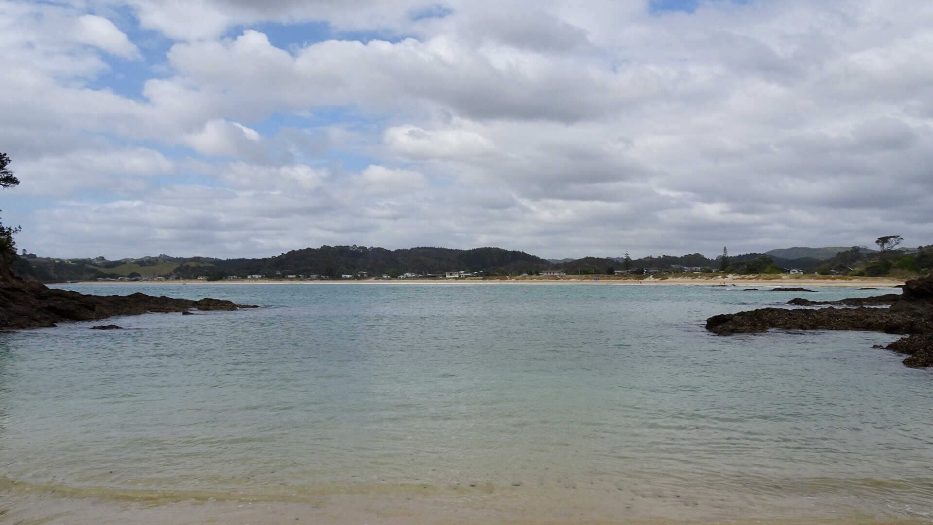 More totems. The area where these totems are has a tapu on it, and is closed for regeneration.
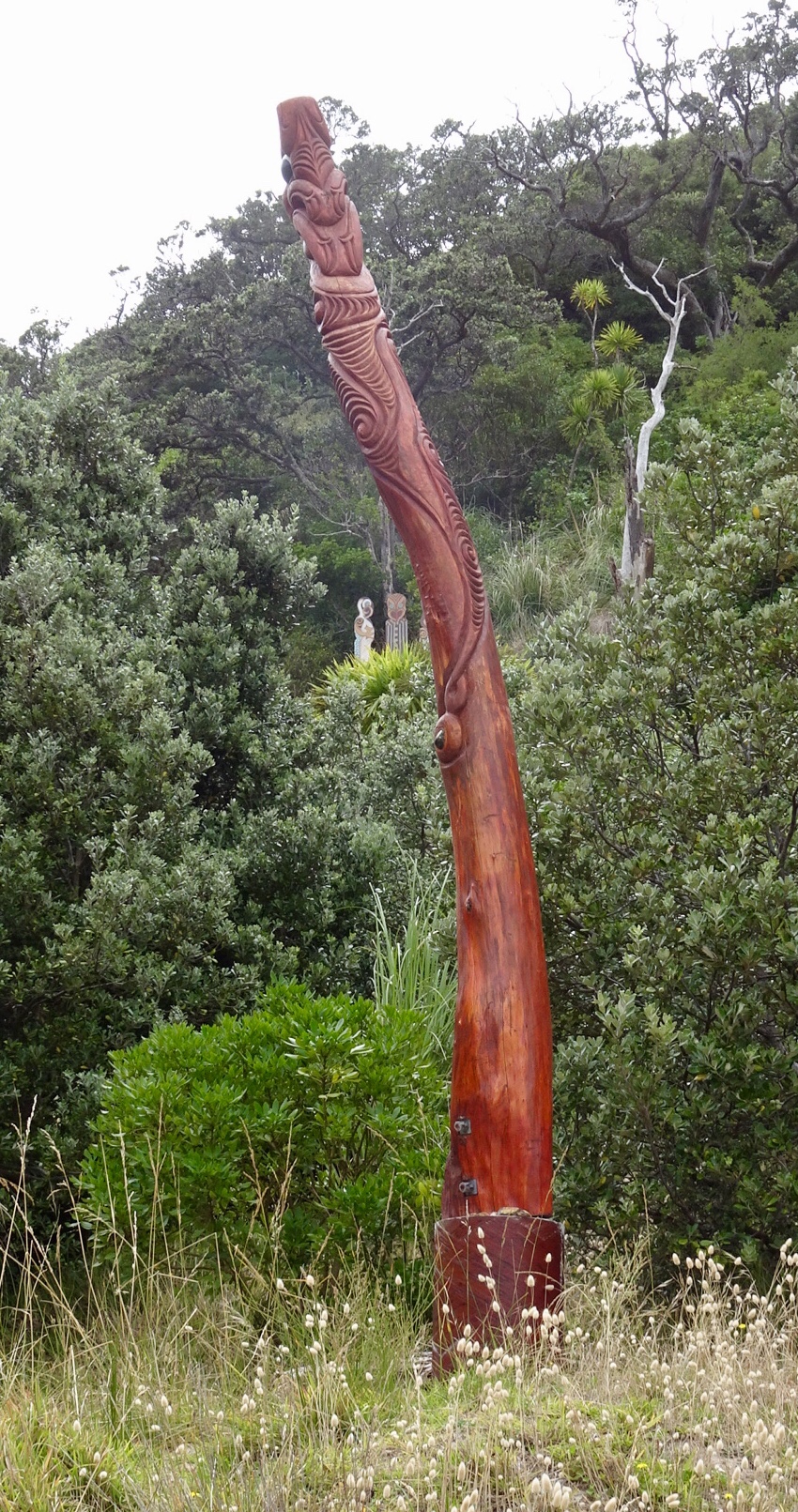
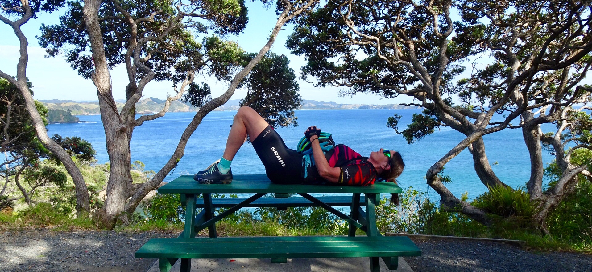
 A lazy day, but very pleasant day.