Second last day of this cycle tour…boo,hoo…but being down the business end means needing to navigate traffic into larger cities, and in our case, peak holiday period.
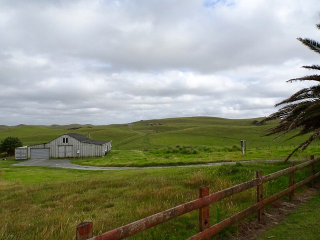
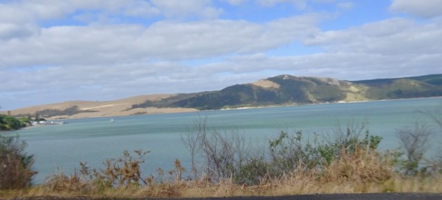
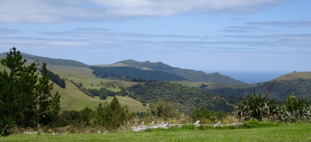
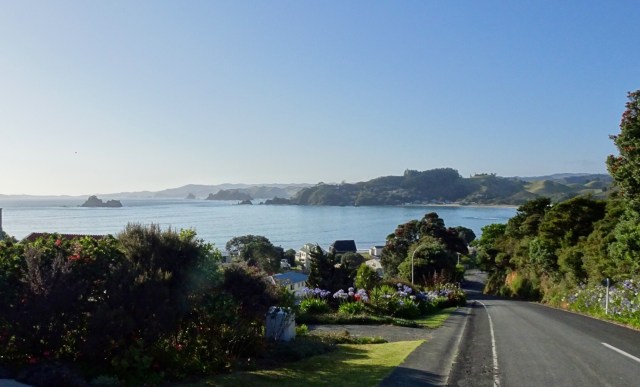
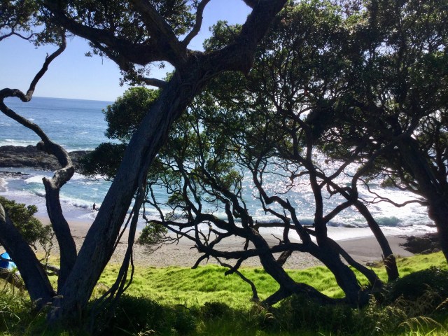
Our day started off pleasantly enough at Baylys Beach. This is the view we could see from our breakfast table. The rolling hills remind me of King Island, where links golf courses have been established in two coastal areas.
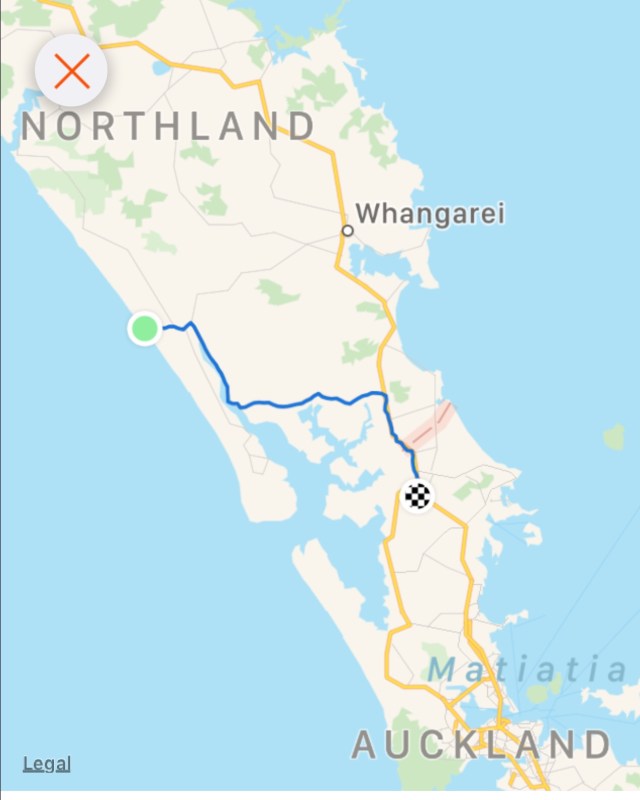
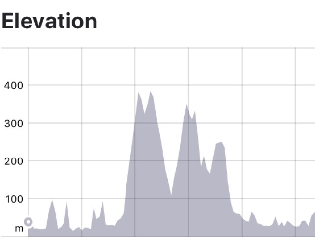
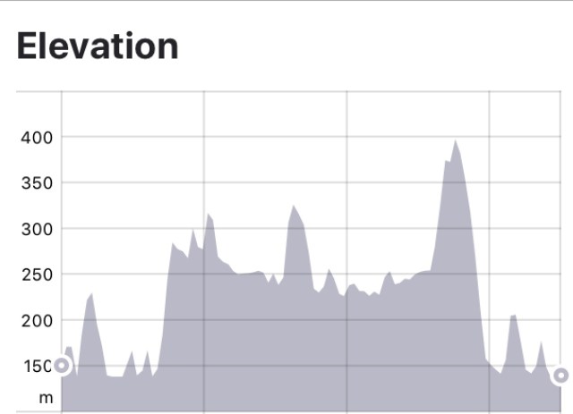
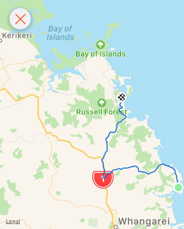
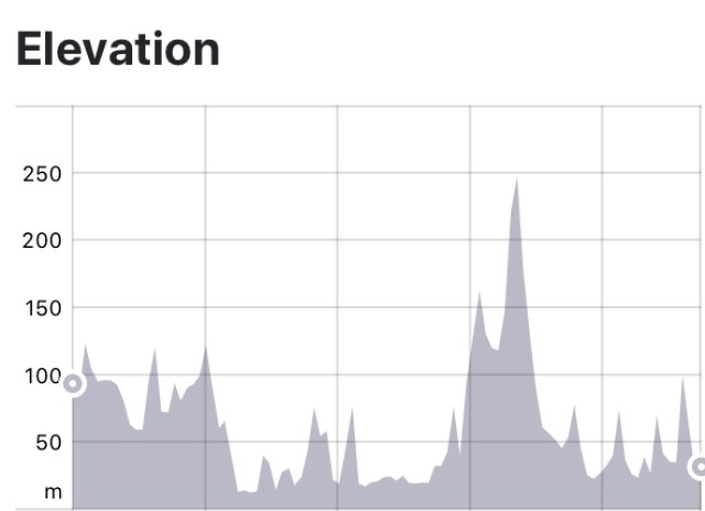
As breakfast was not until 8 am, we left later than usual. Not ideal as we knew we had about 118 km and 1150 metres climbing, and the latter half on New Zealand’s busiest Highway SH1. No options really.
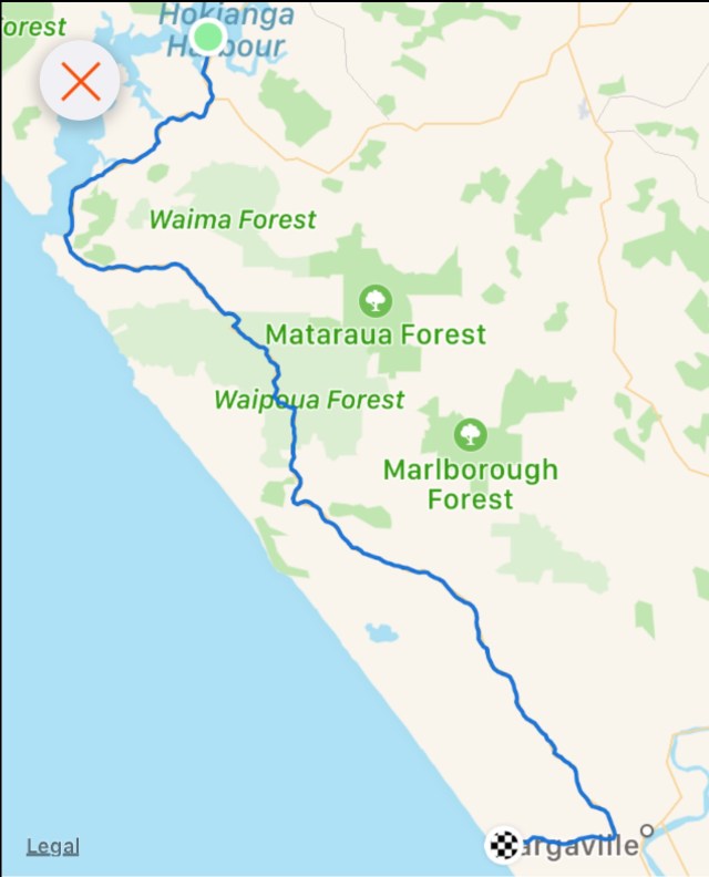
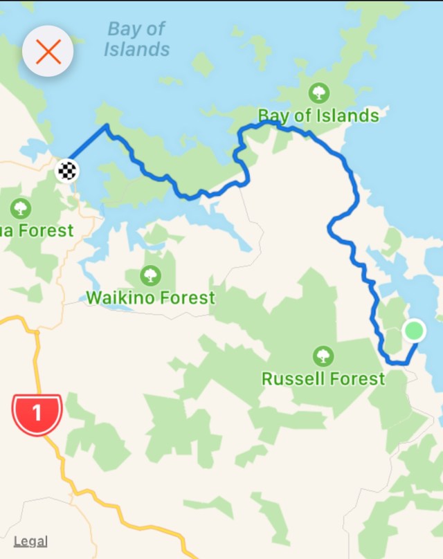
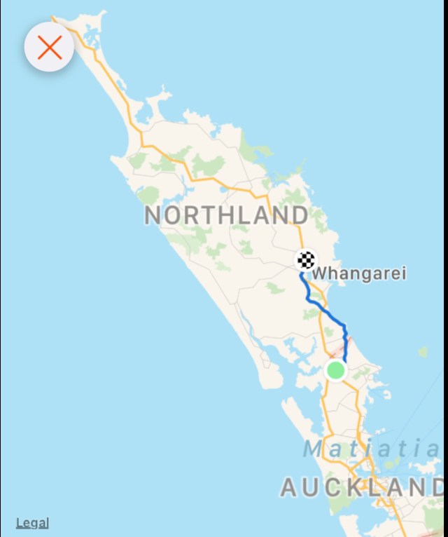
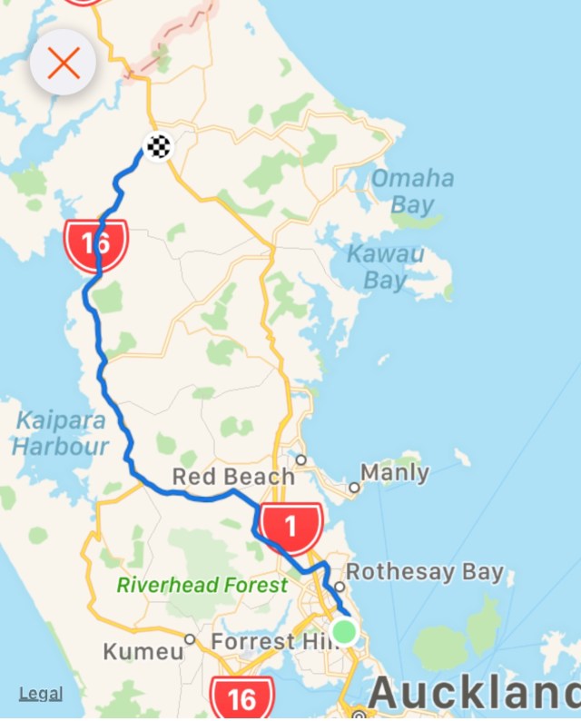
Today’s route. Essentially east, then south, east and south.
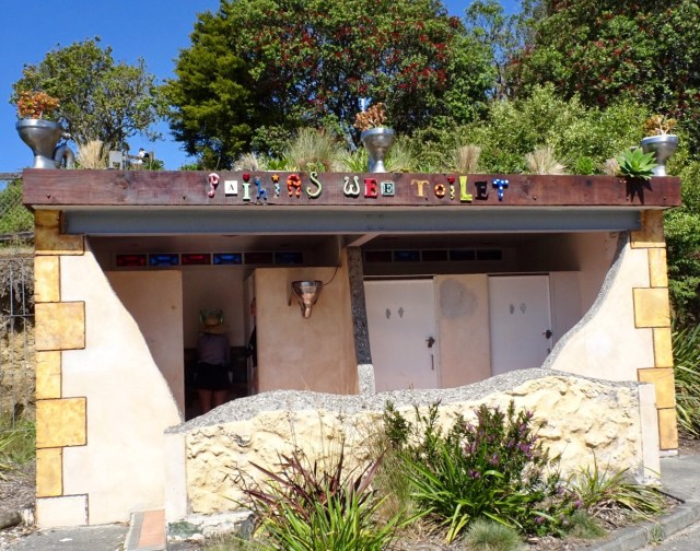
After rejoining SH12 first town was Dargaville. Not a particularly inspiring town, and in overcast weather looked a bit dreary. The toilets were nice and bright. We also crossed that long bridge, over the Wairoa River, which has no verge so we zipped across as fast as we could.

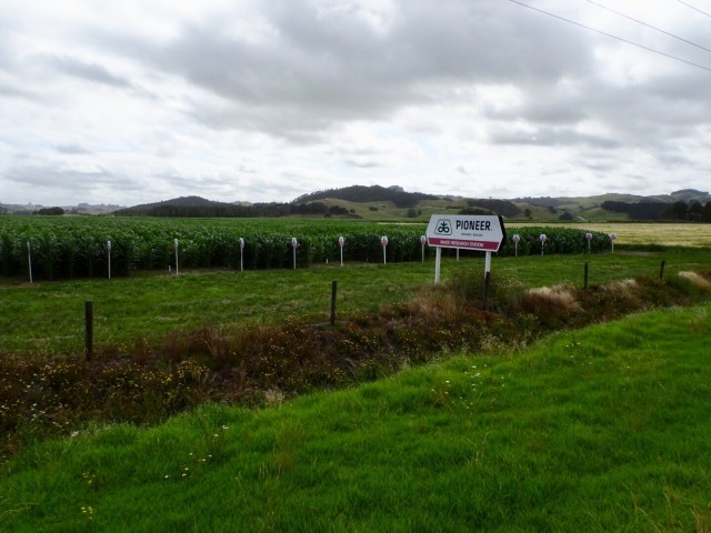
Then the road was very straight for quite a long time. Agricultural region boasting kumara and plenty of maize including trial crops.
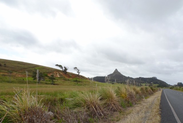
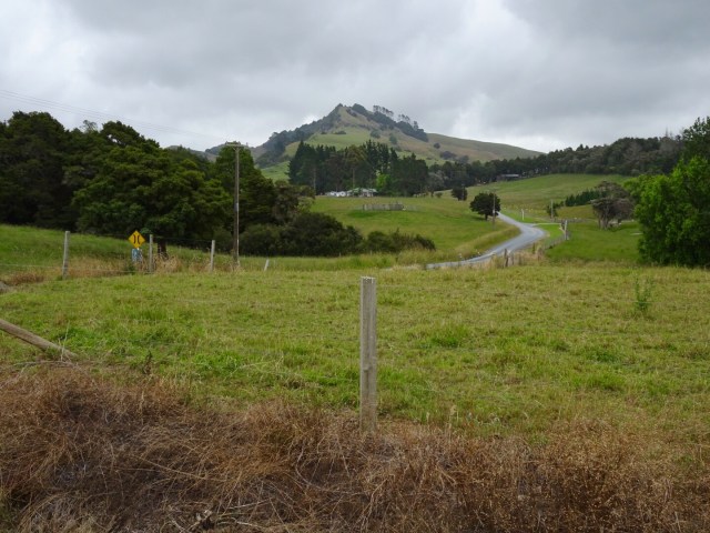
There were interesting geological features that stood out in otherwise flat farmland. The first is Maungaraho Rock, an extinct volcano plug that has eroded over time.

 The peak below is Tokatoka Peak. It is a rare phenomenon as it is the plug of an ancient volcano. The material around the plug has also eroded over time, leaving only the hardened lava core.
in the pioneering days, the river pilot lived at the base of Totatoka and would climb the peak to watch for sailing ships in Kaipara Harbour.
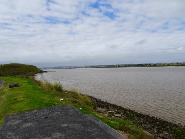
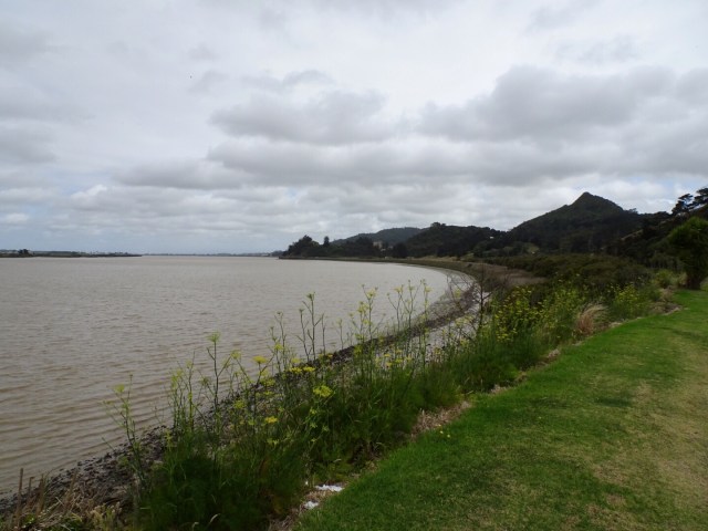
Wairoa River continuing its journey out to Kaipara Harbour.
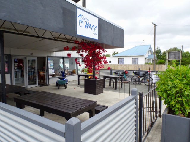
In the small town of Ruawai we stopped for refreshments. I recalled stopping here last year on my solo trip, and also recall the same scooter. Must be a local hangout for the elderly gentlemen.
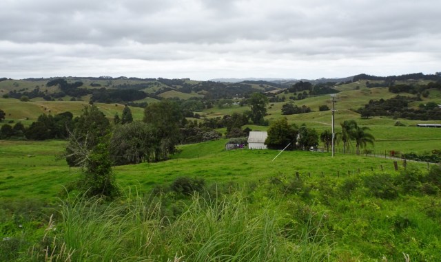
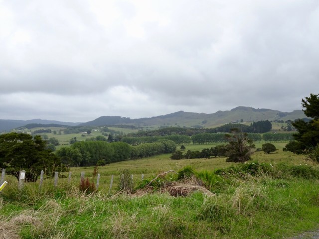
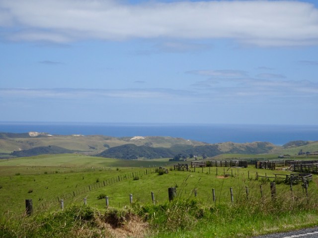
Moving on nice rural scenery.
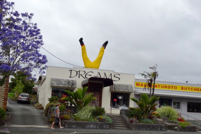
Before you know it, we have clocked up 75 km and decide to grab some lunch in Maungaturoto.
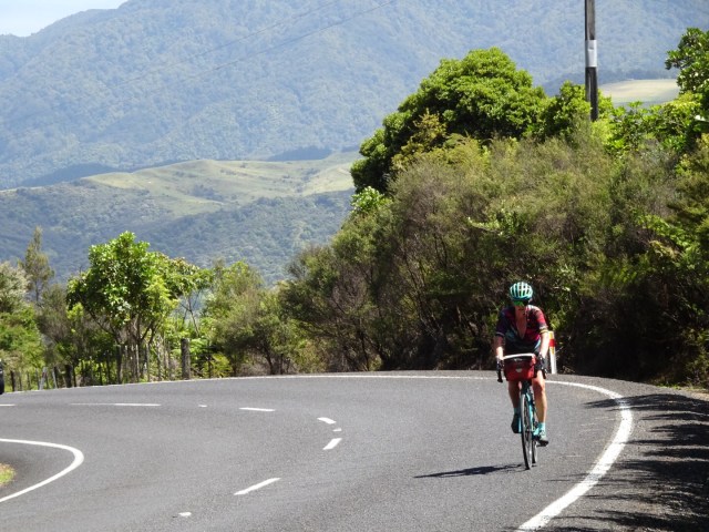
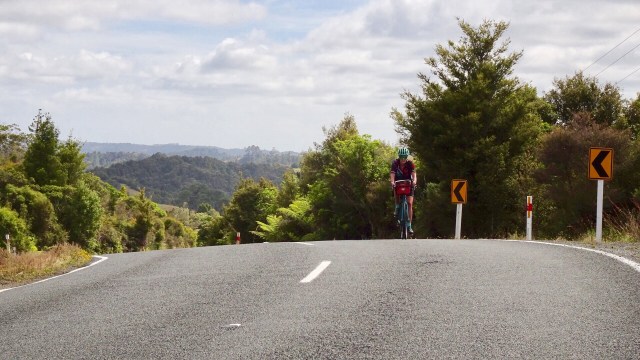
We were having to work a bit harder now as the hills became more regular. We climbed up to Brynderwyn and where else do you park your bike at the junction with SH1 to take a photo?
 The local shop has a collection of bikes. Lost yours? Might be here!
I needed more water and purchased the very last bottle from the staff member who seemed to be having a bad day. Very grumpy. When assistants are like that, I am extra nice, wishing her a fantastic afternoon. She just looked at me……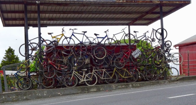 This is when our ride today got ugly. It was pretty horrid really as we were on a major highway, with verge ranging from zero to reasonable. It was incredibly busy and to make it more interesting (as if more challenges were required) it was drizzling lightly. Just nuisance value whereby your glasses end up with water on them to reduce visibility.
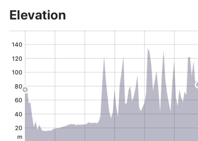
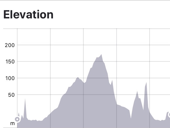
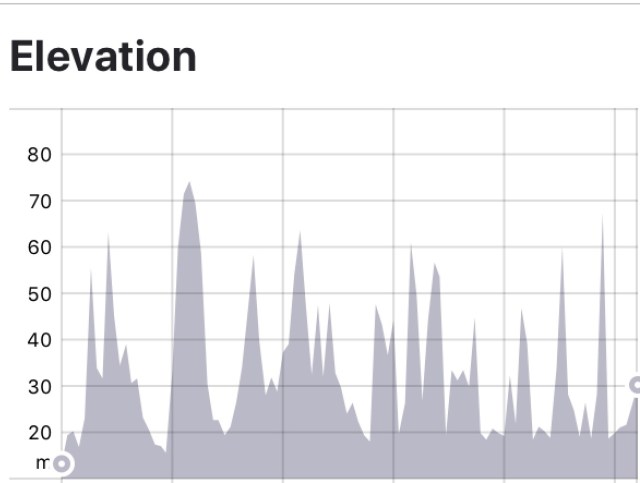
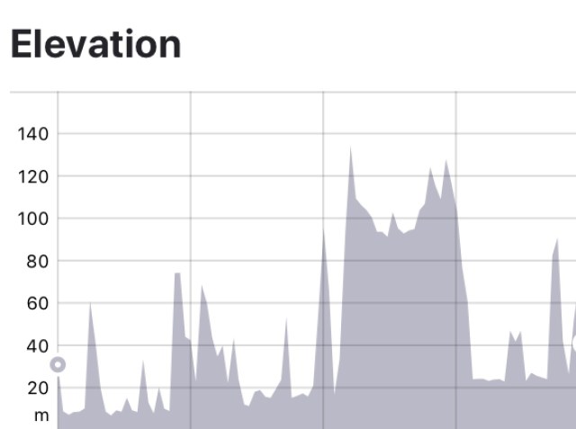
Utmost concentration was required. As can be seen from the elevation graph, it was hillier now too.
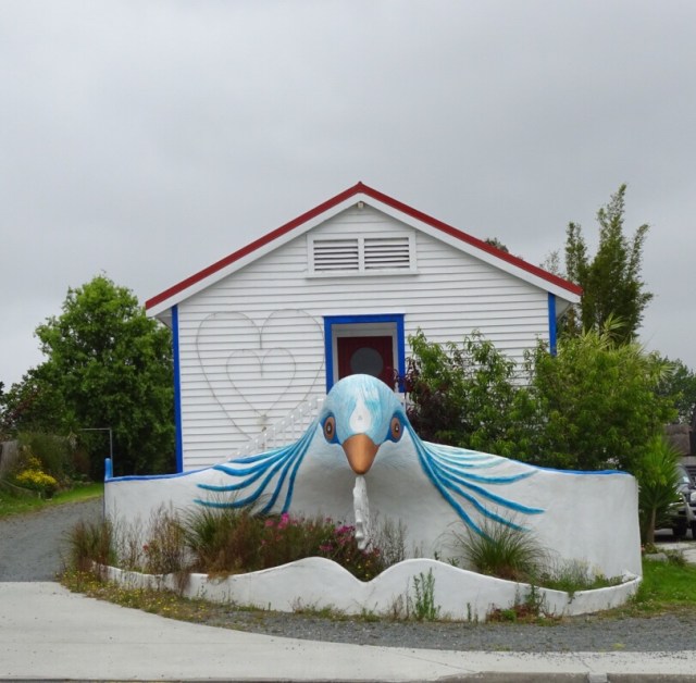
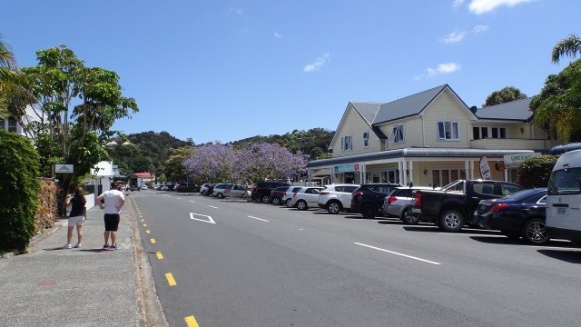
Lighter moments in the town of Kaiwaka. What this place is I am not sure…maybe a cafe? 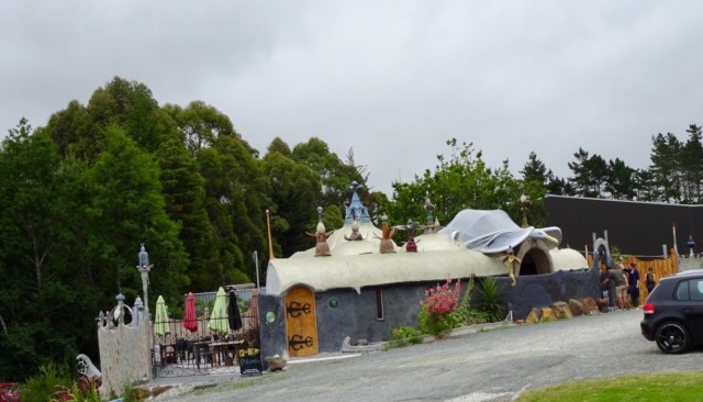
This building? No idea….
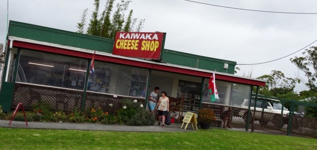
This cheese shop amused me. You can see on the left that it is a Dutch Deli…..but….they have the Welsh flag flying.
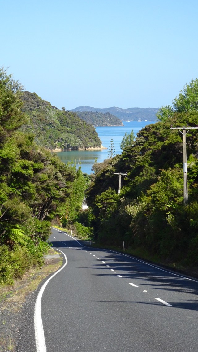
It was such a relief to arrive in Wellsford, despite the last climb. Curiously, traffic was crawling up the hill slower than us!
We picked up some food for dinner, as we are staying some 7 km south of Wellsford with no local food options.
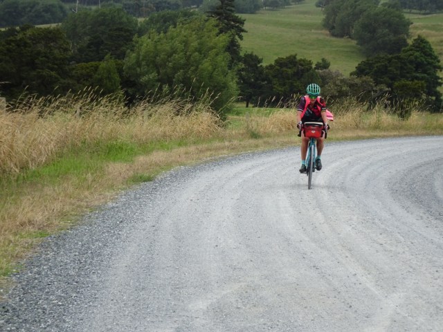
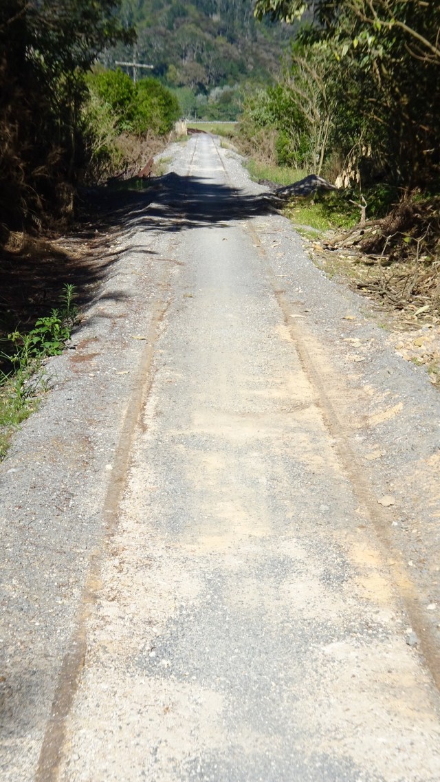
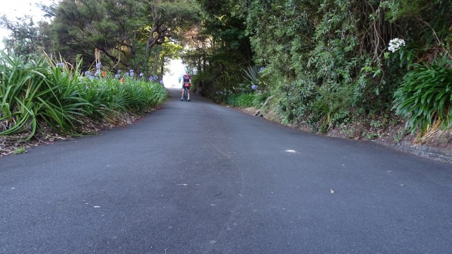
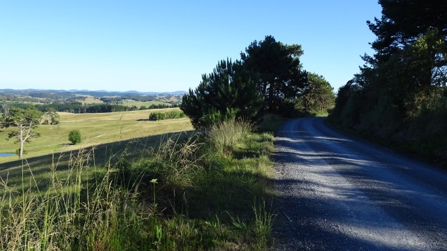
Aagh it was gravel….not again! 🙈 A picture of concentration as I climb up this gravel road.
It is a lovely area though.
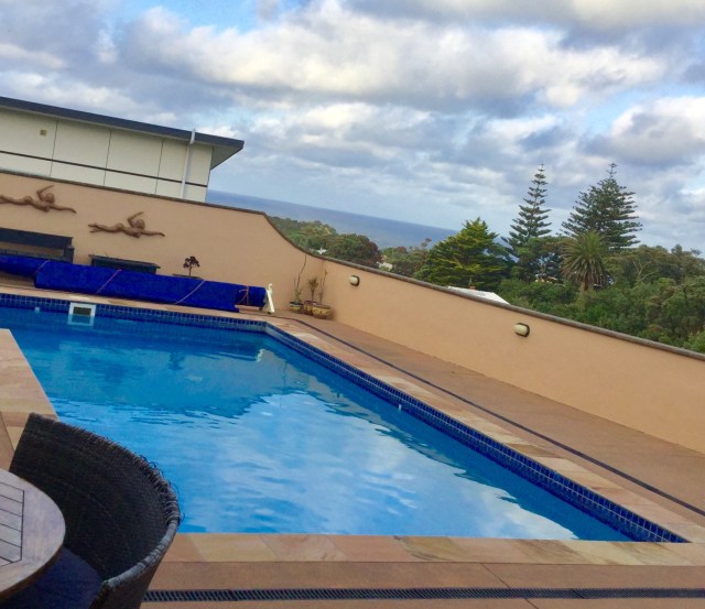
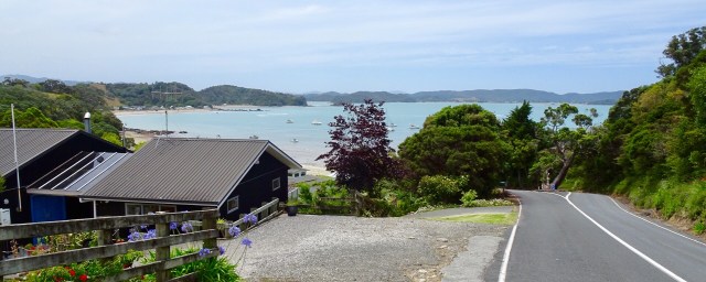
We are staying at Barry’s Air BnB. I stayed here last year on my solo journey, final night.
Barry is an interesting guy, currently working on set design for the next Lord of the Ring movie. He hand draws all set designs.
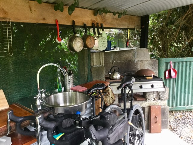
He constructed his house and is into recycling parts where possible.
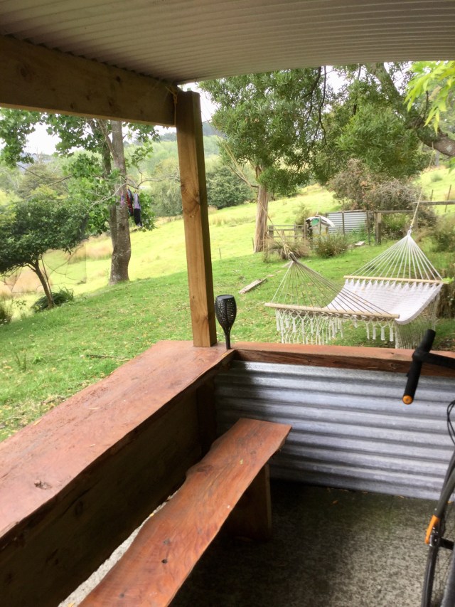
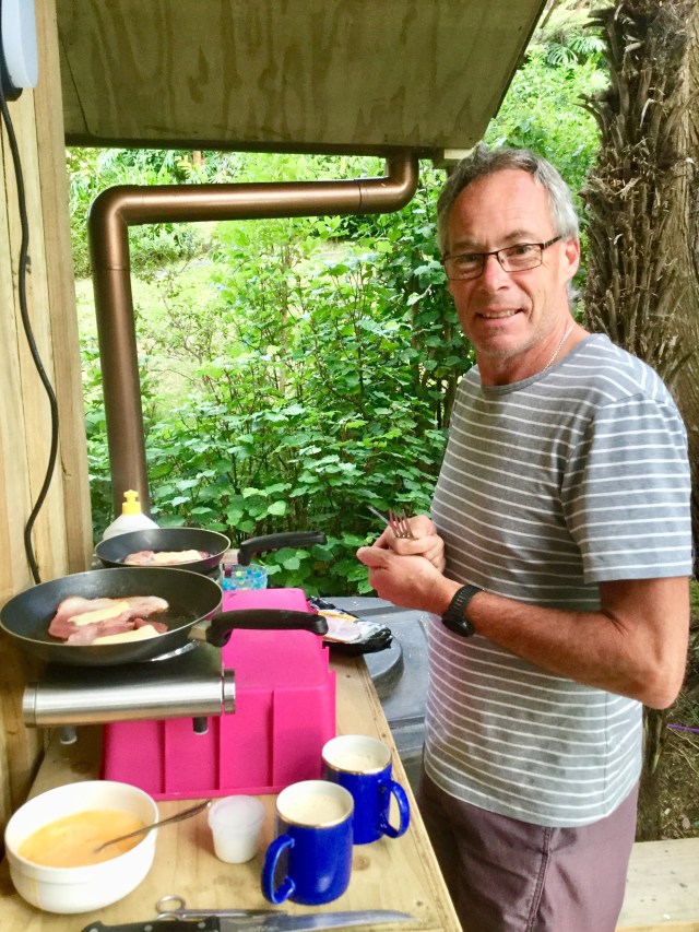
Since I visited last, he has constructed an external kitchen. We prepared and ate our dinner here. Useful for storing bikes too! If you look carefully you can see my cycle clothing hanging out to dry in the wind.
So here we are on the eve of our final day. We intend to get cracking early for a few reasons. Traffic for one and we want to be back at Gervase and Deb’s house by mid afternoon to start cleaning and packing our bikes up. Thats the worst bit…no time to celebrate!
Anyway that is tomorrow and we rest on our laurels for surviving today!
Thanks for reading,
Ooroo!!!
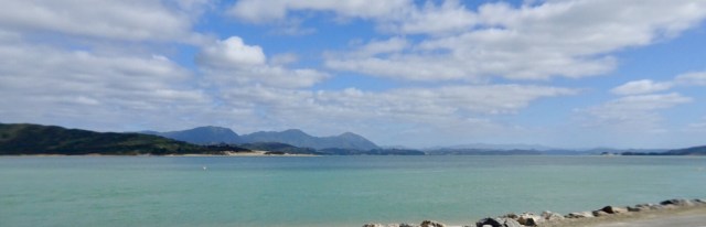
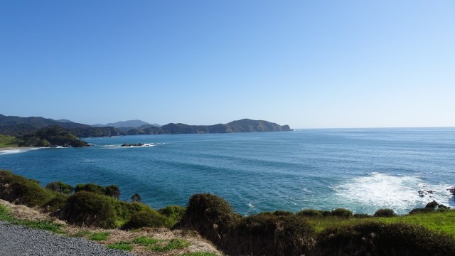
 Leaving Rawene views of Hokianga Harbour. Unfortunately our camera has developed an issue we cannot resolve, hence blurred edges.
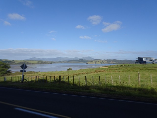
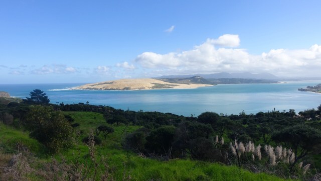


 We were very glad to turn off to Rawene.
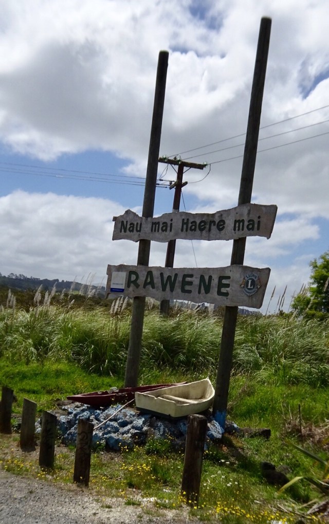

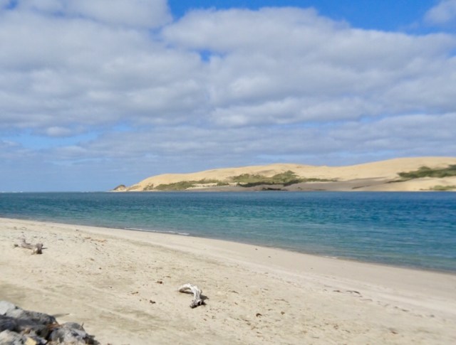
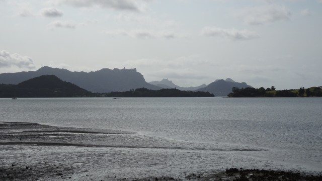
 From the same viewpoint is this boat…waiting for the tsunami action plan? It is about 75 metres above sea level and not in the greatest condition either.
 Looking north towards the Bay of Islands.
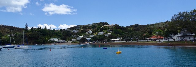
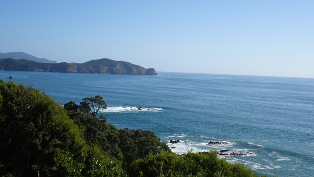
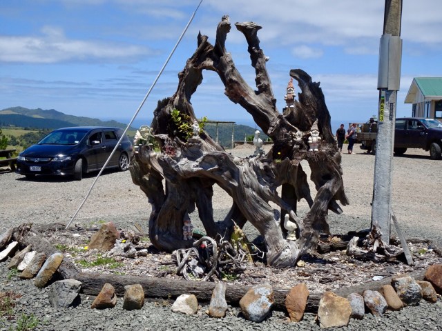
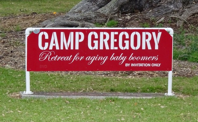
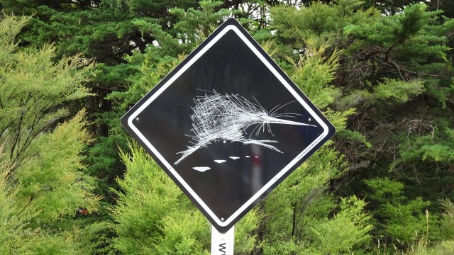
 I could not resist taking a photo of this sign. 😂🙈
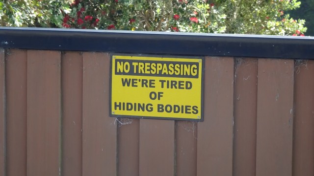
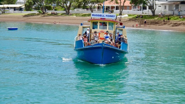

 Looks like fun
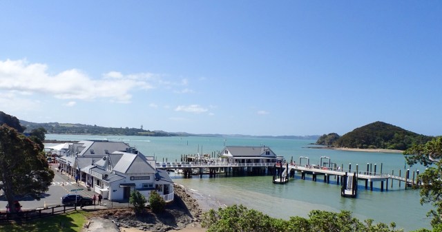
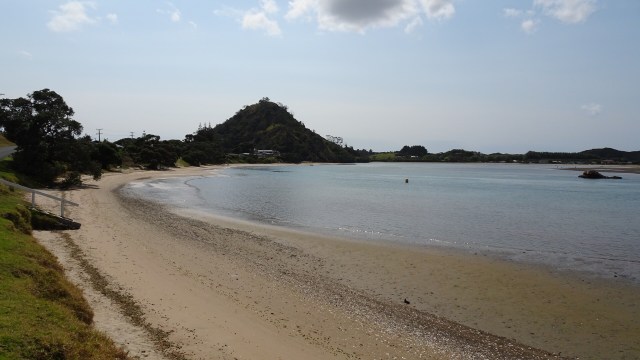
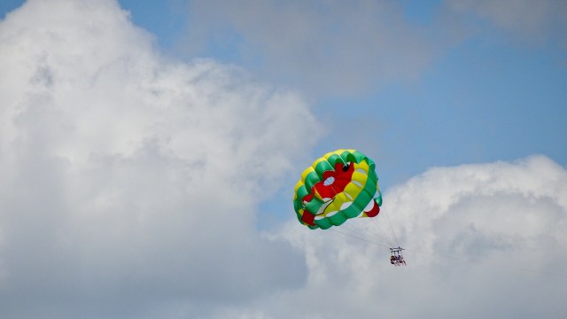 Hello, or Hi ya Paihia and the big marlin. You can see me pushing my bike through here.
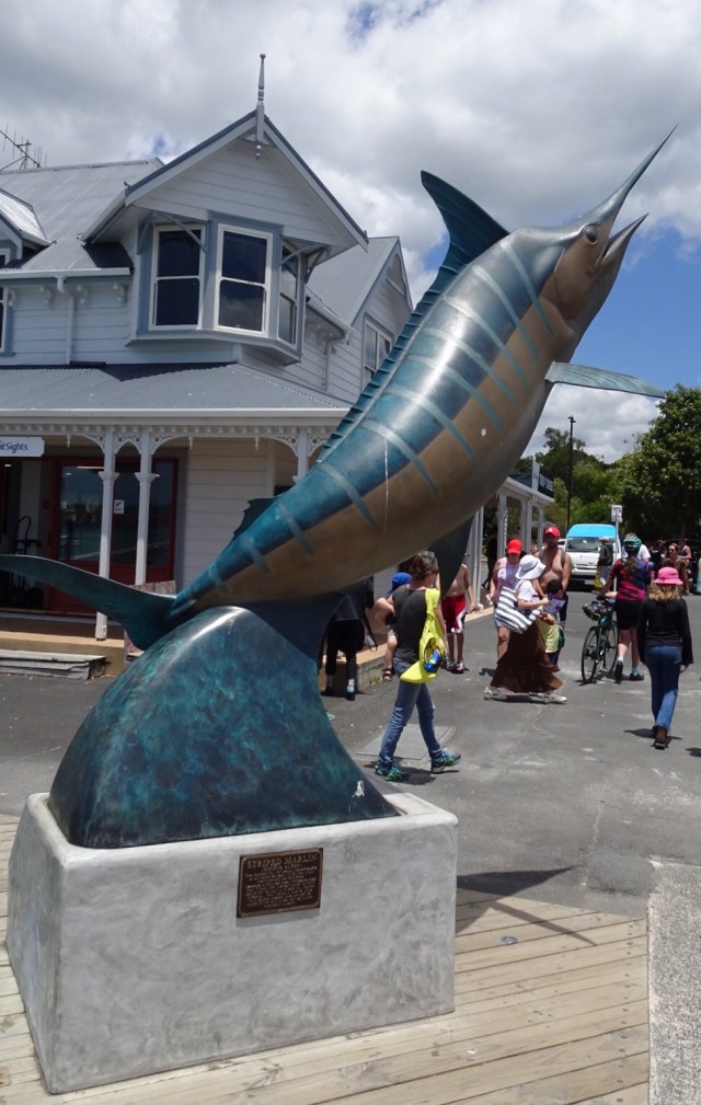


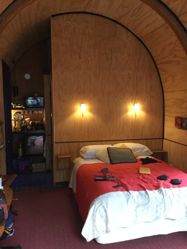
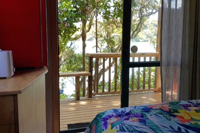
 We are staying in a cosy little cabin, akin to an enlarged cubby house.
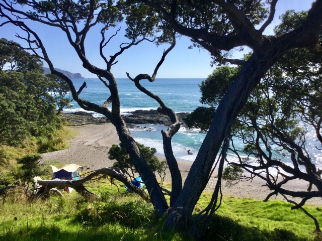
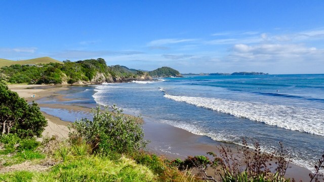
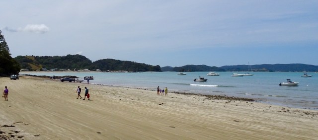
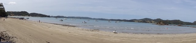
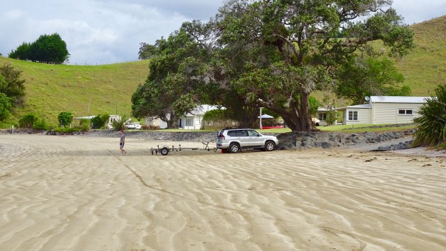
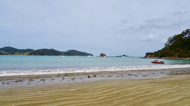
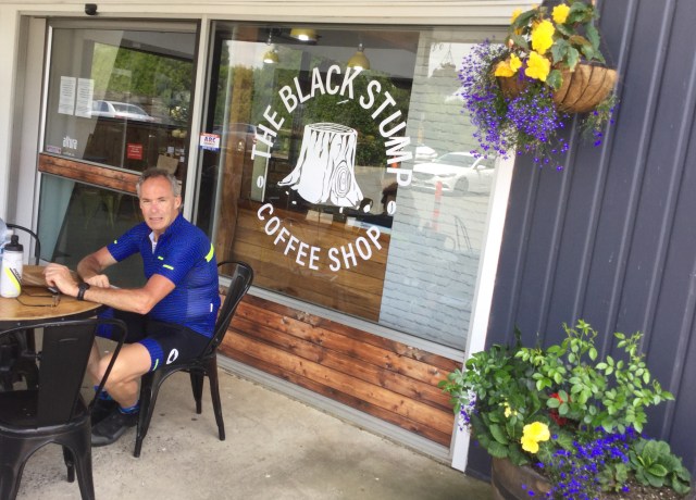
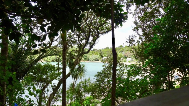
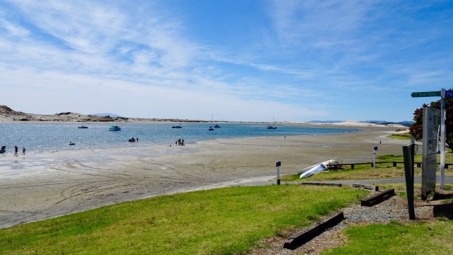
 We decided to do a short Christmas ride cruise to Matapouri Bay, some 9 hilly km away. Bonus was the local store was open and we were able to grab a nice coffee. The owner was doing a roaring trade with a constant stream of customers.
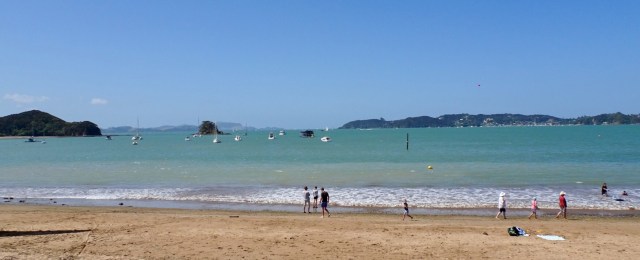
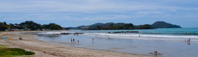
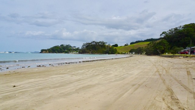
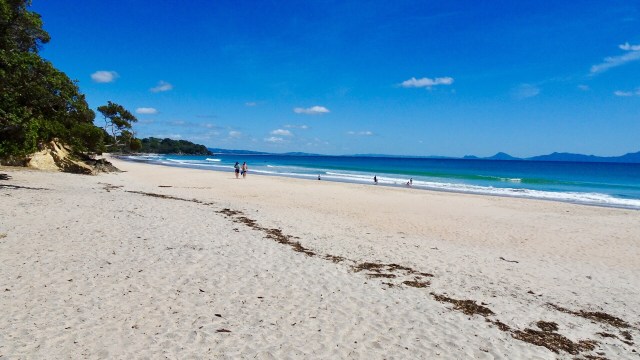
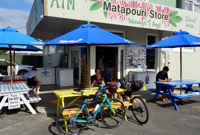 Matapouri Beach is a long crescent shaped beach.
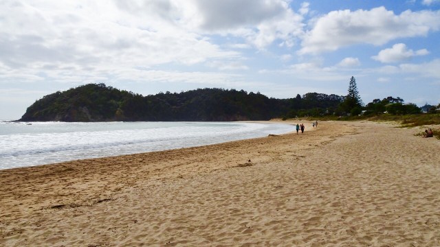
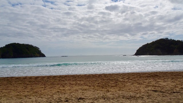
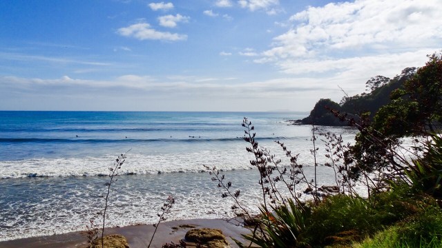
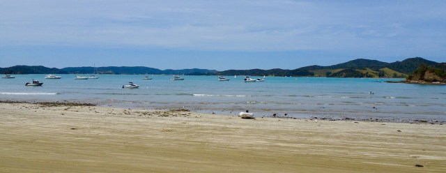
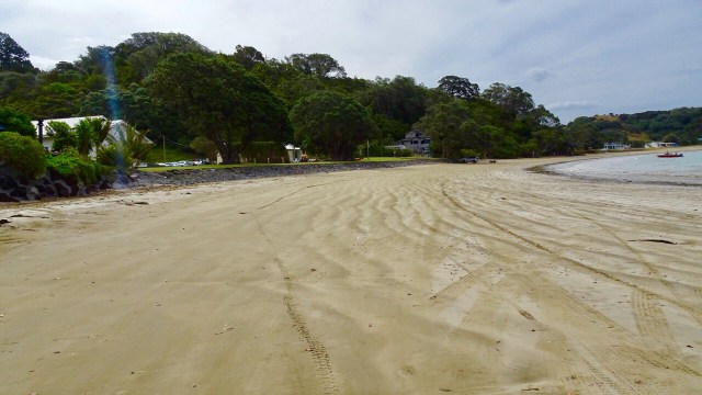
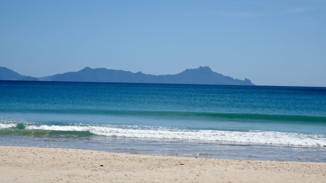
 We parked the bikes on the beach and got our bathers our to test the waters.
 Brrrrrr….not immersing the whole body!
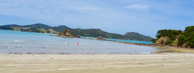
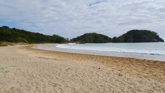
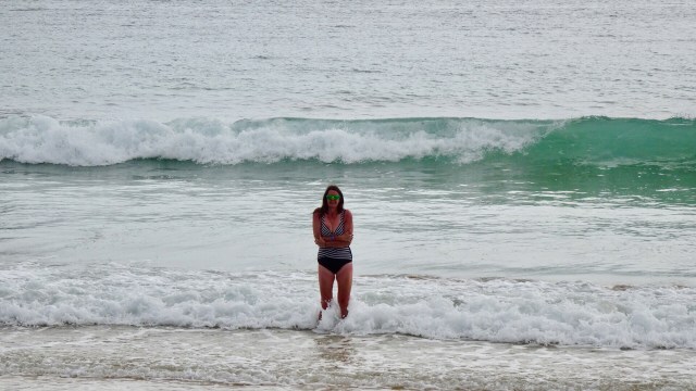 Heading down the beach….
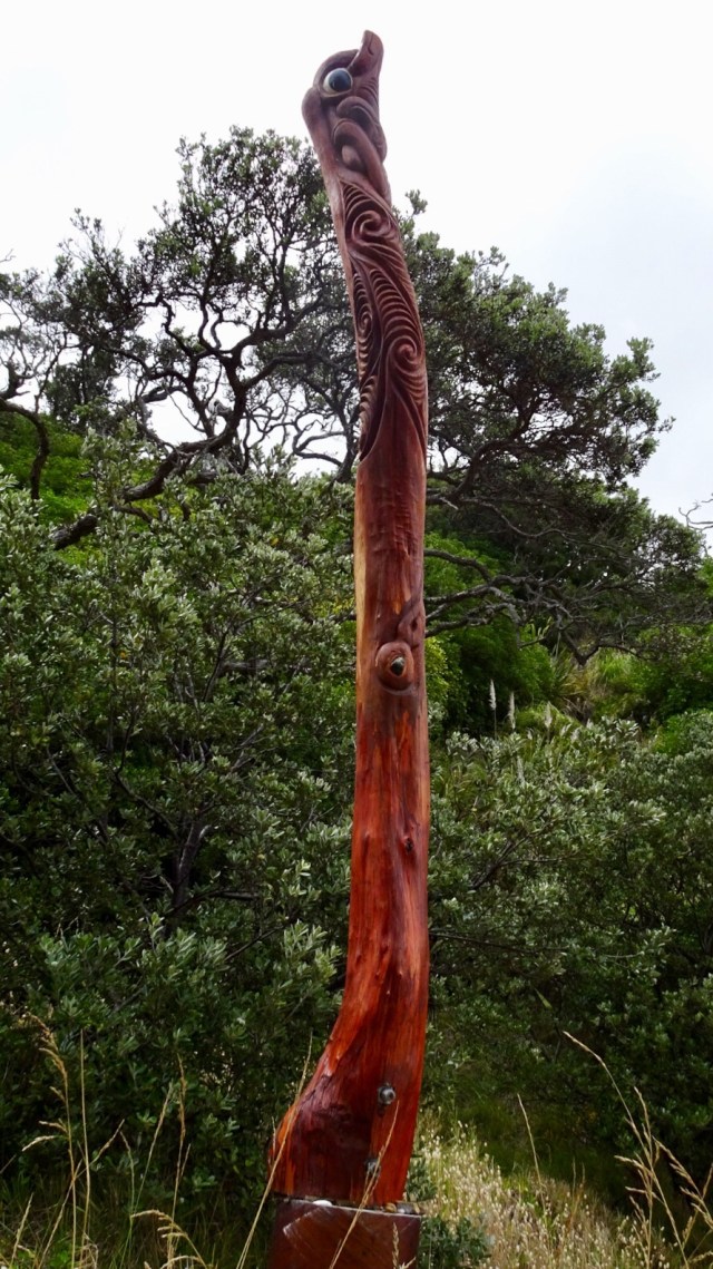
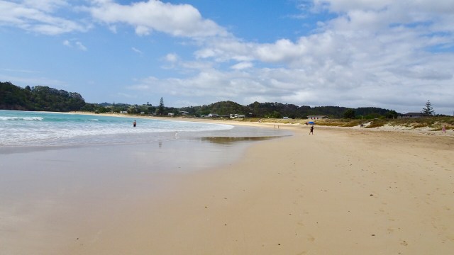 A walkway to another beach reveals these Maori totems.
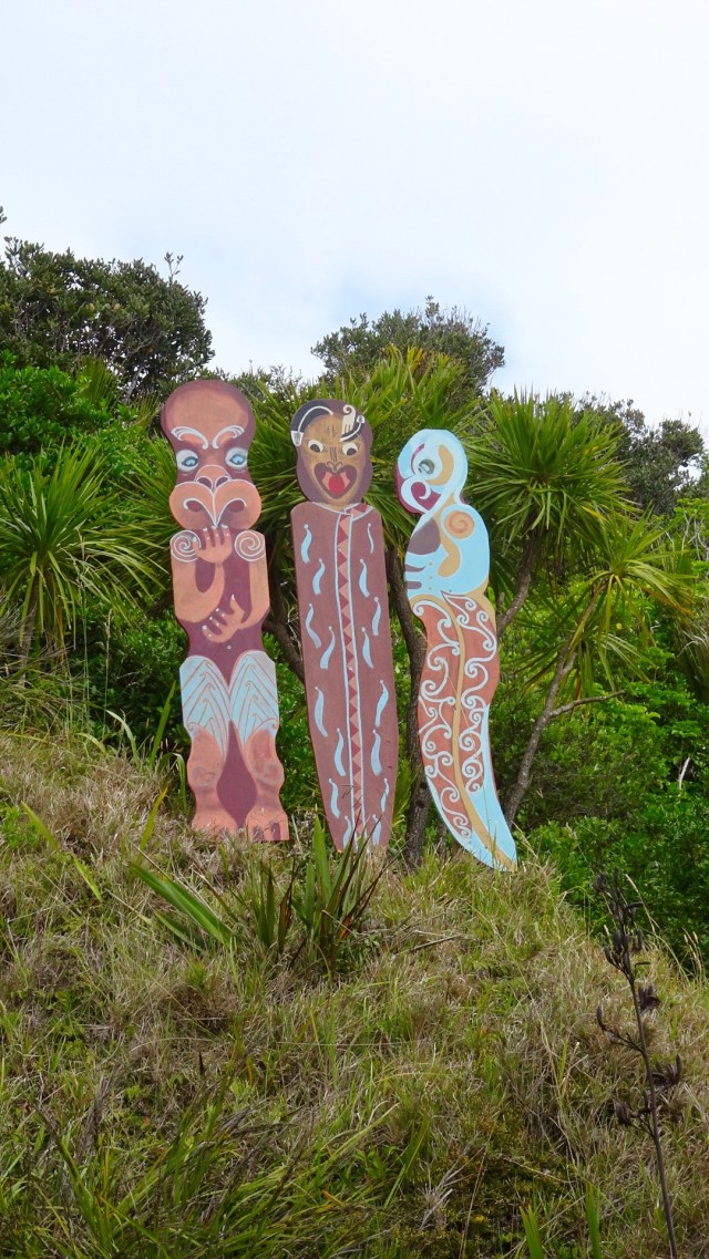 Volcanic beach on the other side.
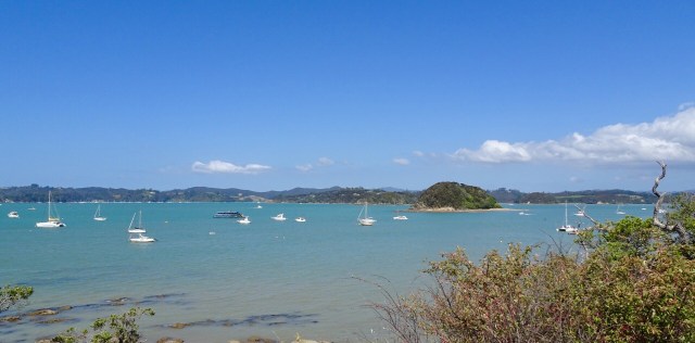
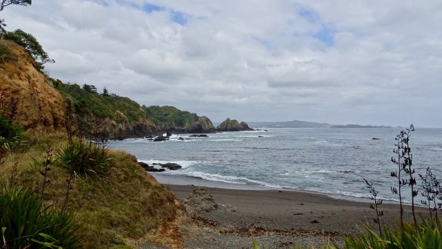 Continuing along Matapouri Bay…wading through water to find a couple of small and private beaches.
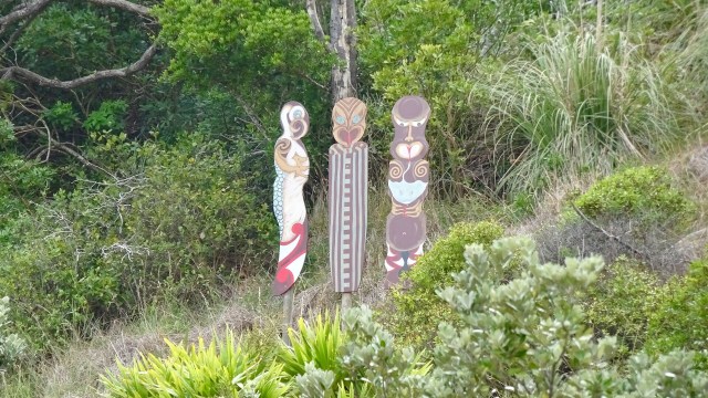
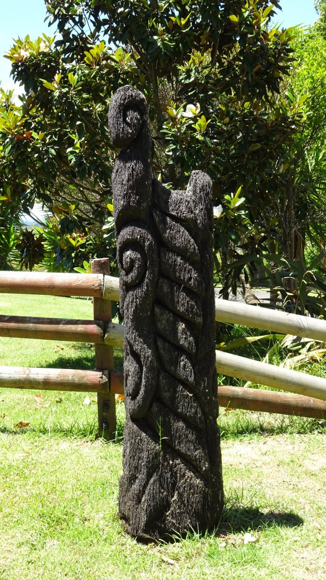
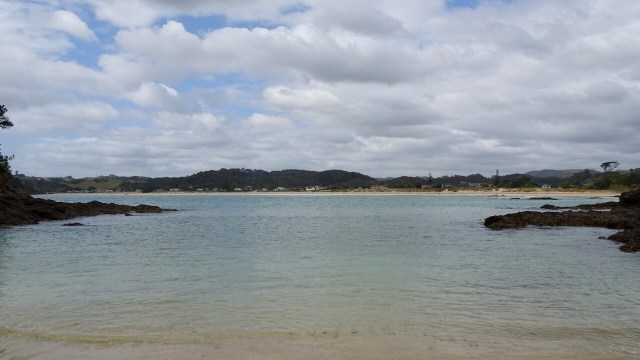 More totems. The area where these totems are has a tapu on it, and is closed for regeneration.
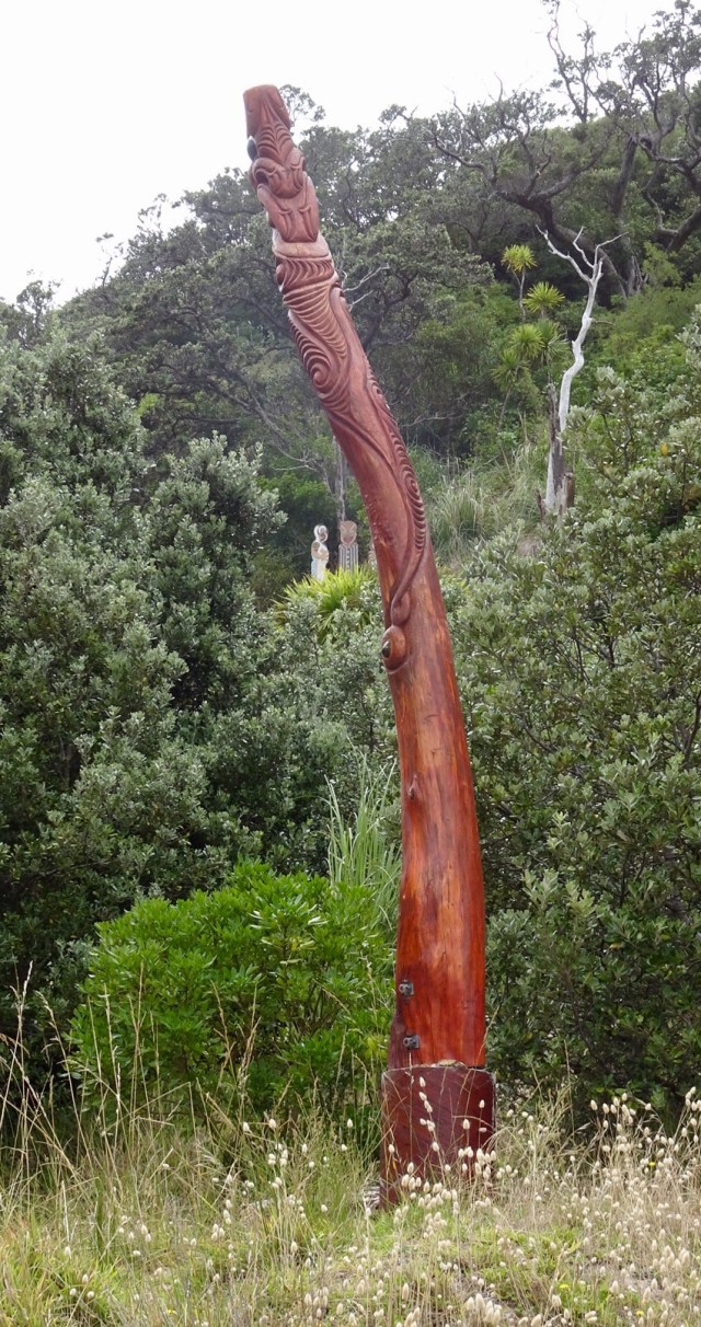
 A lazy day, but very pleasant day.
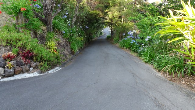
 I probably should have entitled this ride something to do with the letter S.
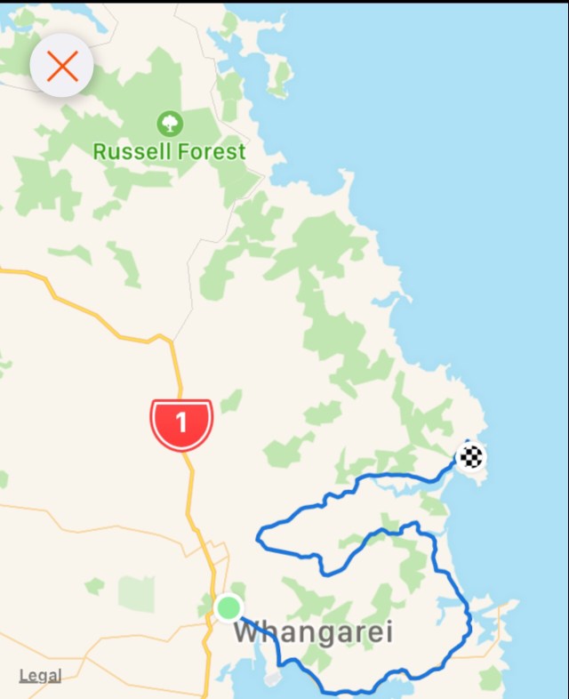
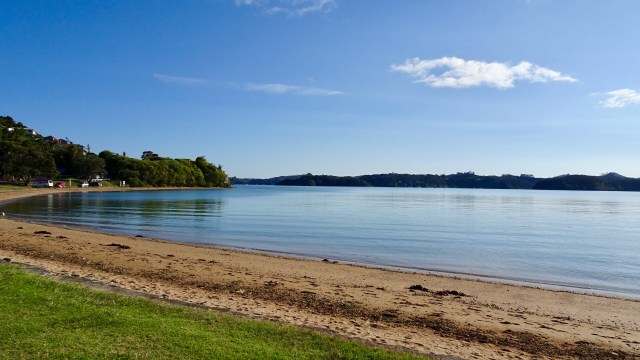
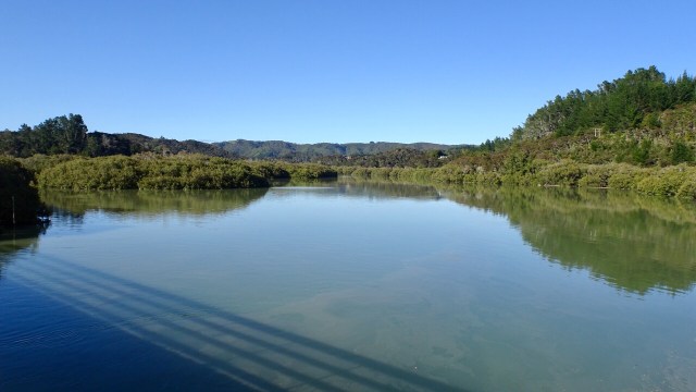
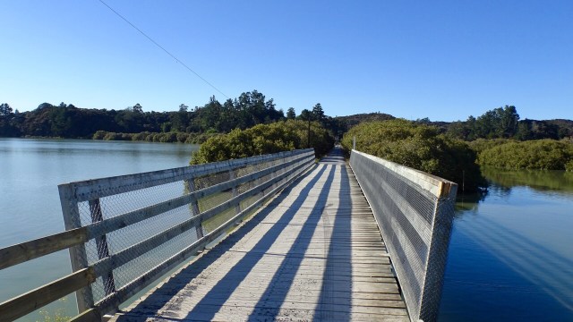
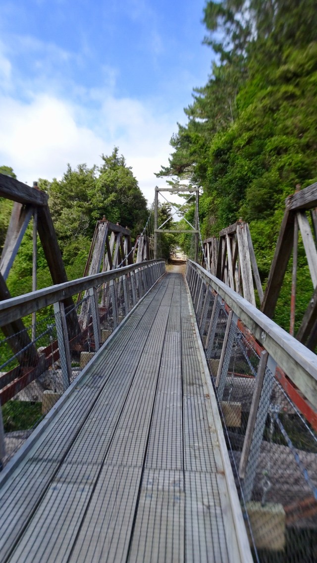
 The road came to an end but there was a foot bridge connecting to Pataua North. Here I am walking my bike across the bridge.
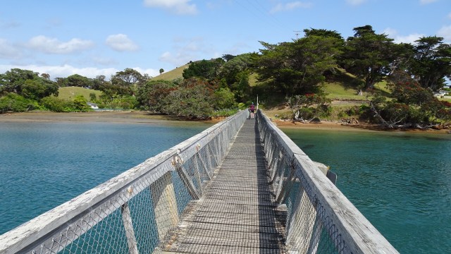 No cafes, so we pulled up on the banks of the river to have a snack and enjoy the view.
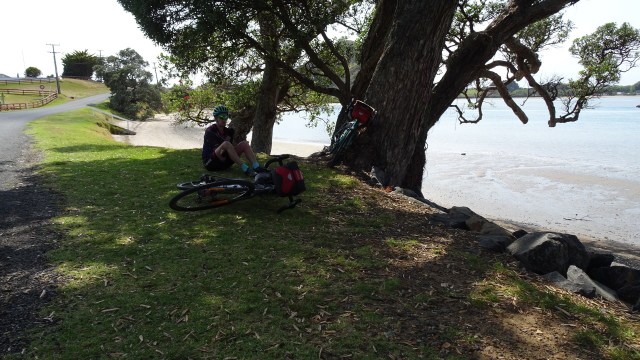
 Kids playing in the bay.
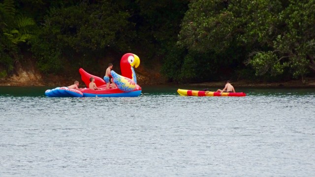
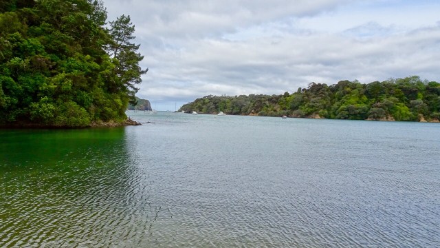

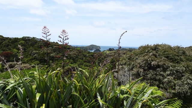
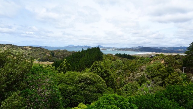
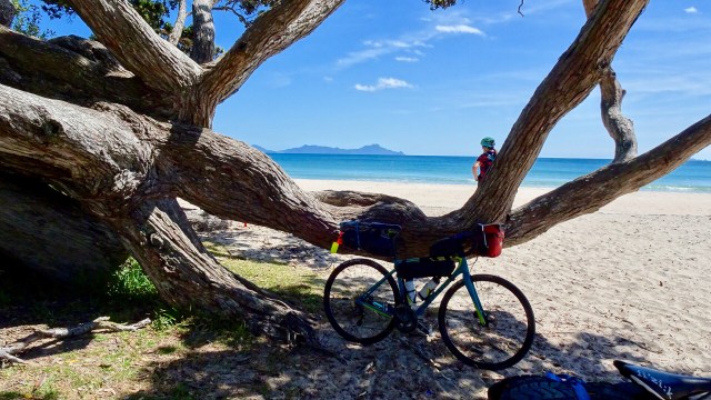
 I liked this view with the distant knobby hills.
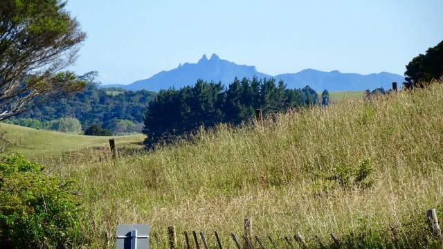 Back onto bitumen these photos were taken from the top of a climb. The lower one shows an electric fence that Tony needed to get over, as the reflective flag had blown off the rear of his bike in the gusty winds.
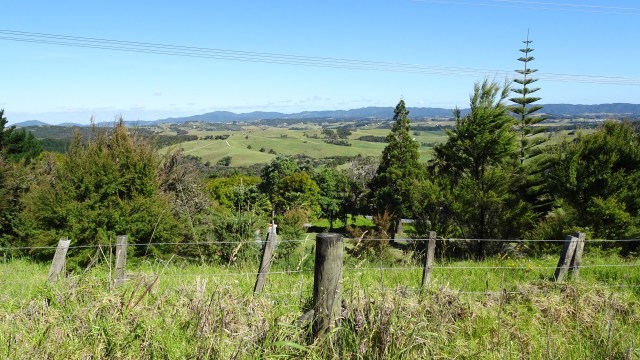

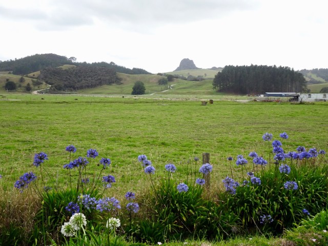
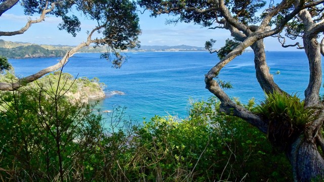
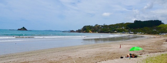
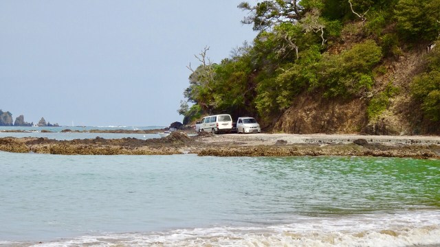
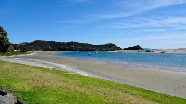 For me, the day’s highlight was beautiful Lang’s Beach, a stunning white sandy beach framed by craggy headlands, gnarled trees and wonderful views to offshore islands.
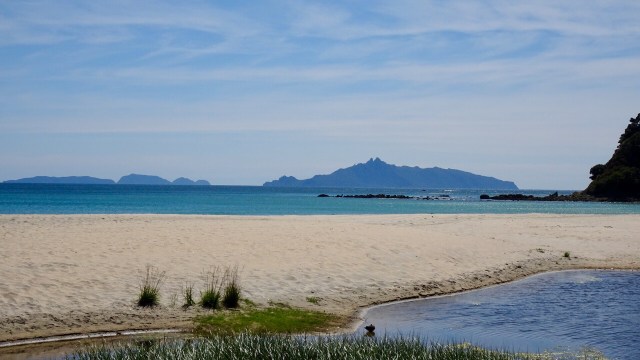
 The lone rock on the right hand side is known as Sail Rock, a common mark used for yacht racing.
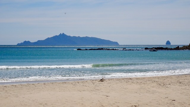
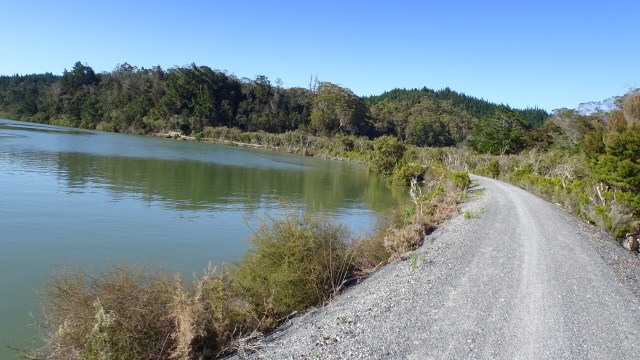
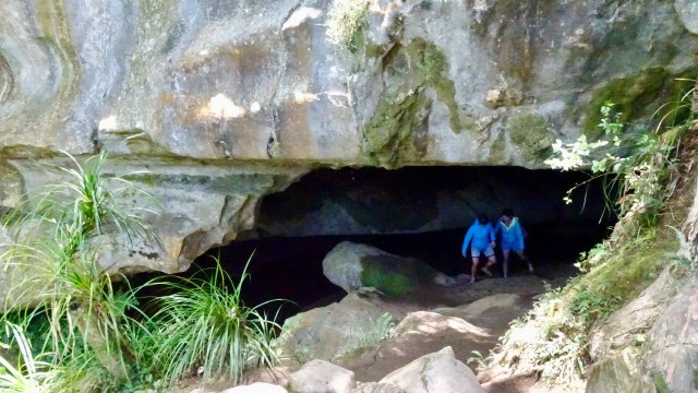
 The dirt road had very few cars on it, so that was a plus. We were shocked when we arrived at the Waipu Caves how many cars were there. The place was packed.
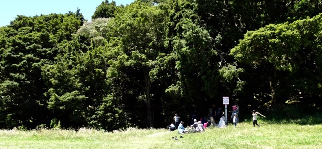 The cave is unmanned and you can just wander in. There is a 175 metre chamber. The limestone cave has stalactites, stalagmites and glow worms near the entrance. The cave system is considered regionally important for geomorphology because it is the largest cave passage in Northland.
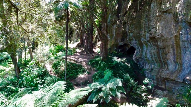

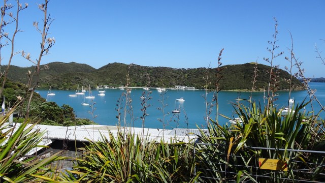
 The busy Basin.
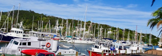 Looking up the hill towards our accomodation
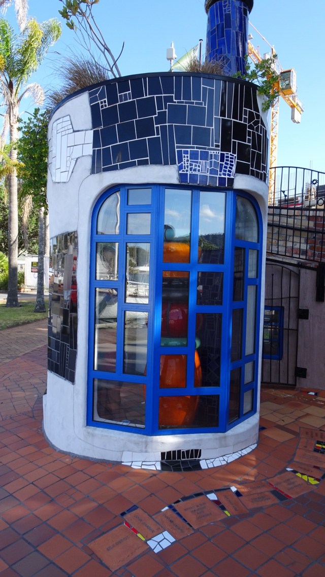
 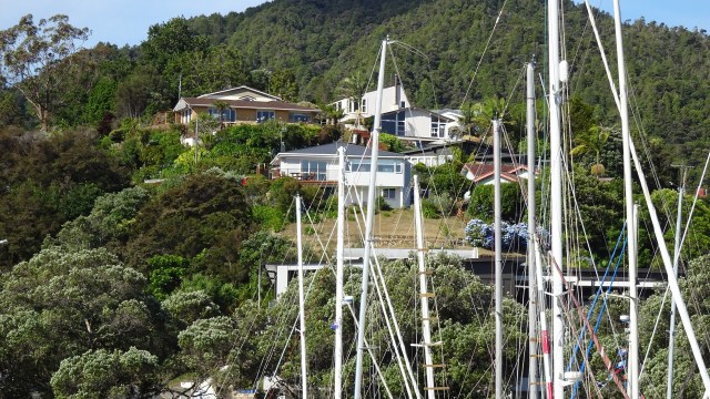 The clock museum with a giant sundial.
 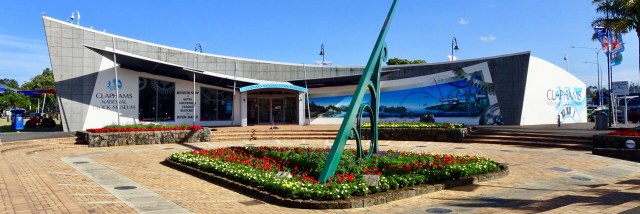 A telephone box with a working telephone.
 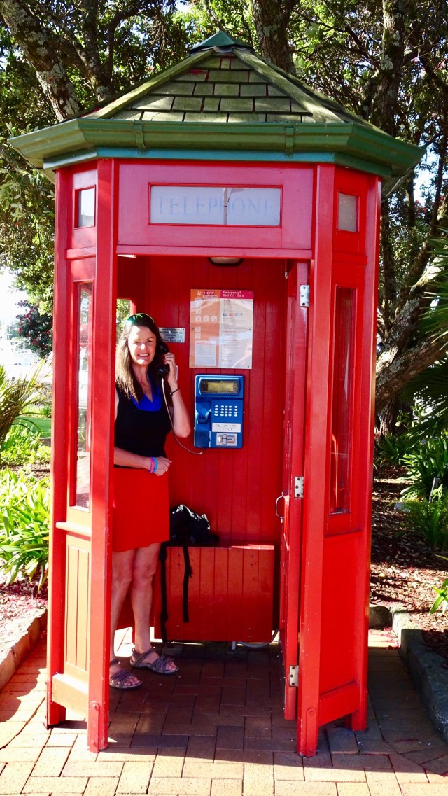 So day 2…done and dusted. Despite my anxiety on gravel, I lived to tell the tale. I really do suck at gravel!
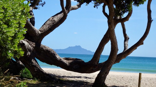
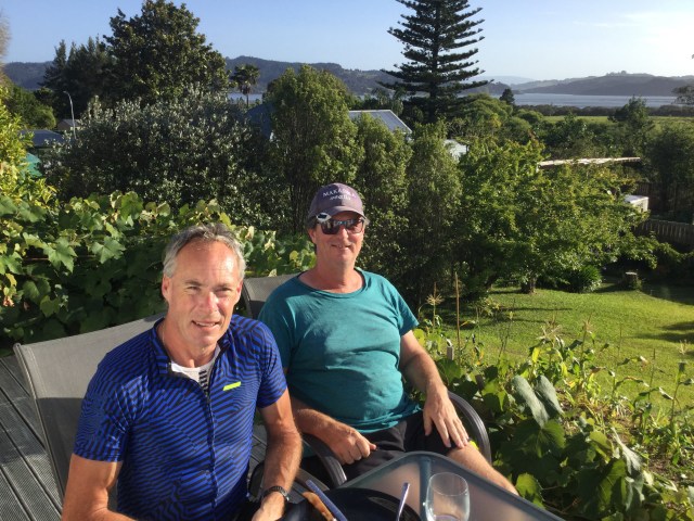
 I am so fortunate to have a number of wonderful friends in New Zealand. I truly value and appreciate the friends I have made through cycling. Coffee and Christmas tarts with Gervase and Debra and we were on our way leaving Forrest Hill around 11 am.
 Kaukapakapa was next after bidding Dave ‘ooroo’. This was the town where my stolen backpack was located in March last year by an eagle eyed cyclist.
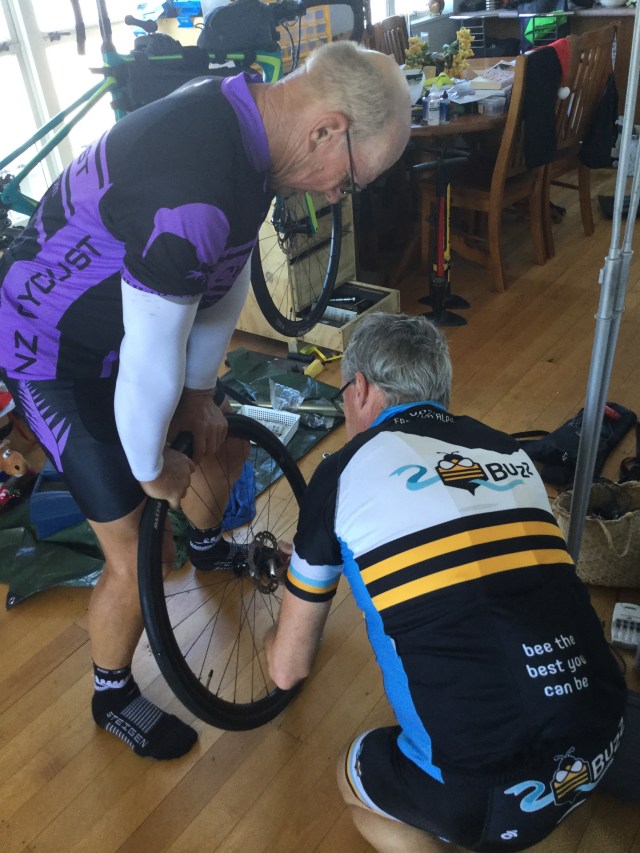
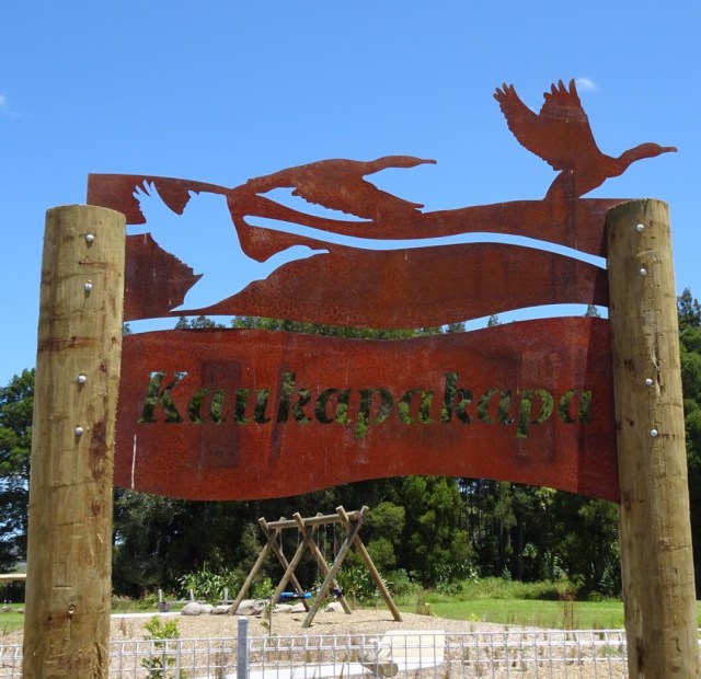 The bikes all geared up.
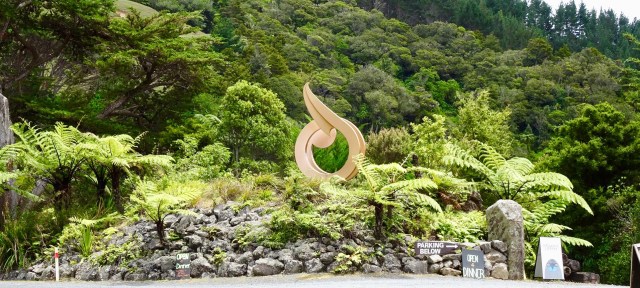
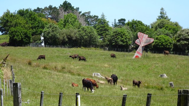
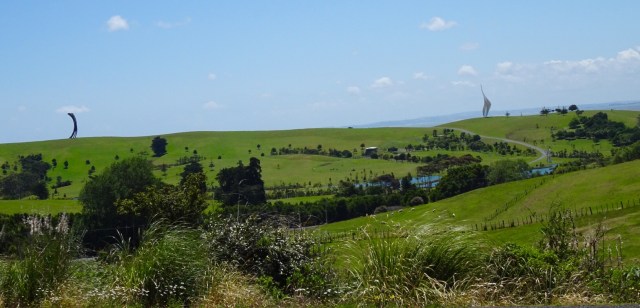
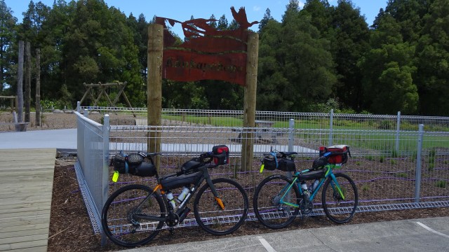 I am not sure what this is…fish? Maybe you can stand on it and walk along it for balance? Maybe you just look at it and photograph it.
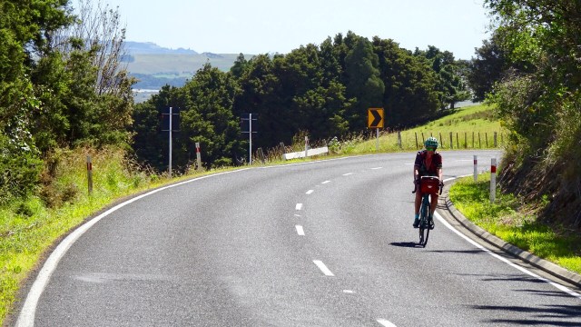
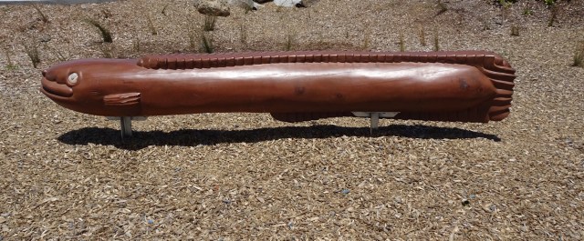 The hills started to get a bit more serious with some 13% pinches. The temperature had picked up to high 20’s. There was a really stiff breeze. Predominantly a headwind with occasional side gusts from our left, pushing us further from the verge.
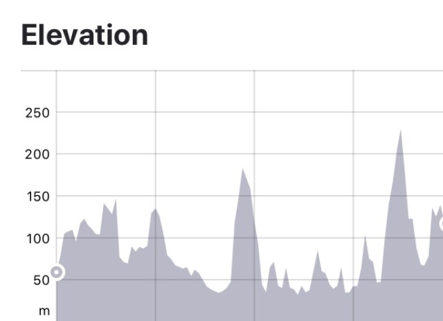

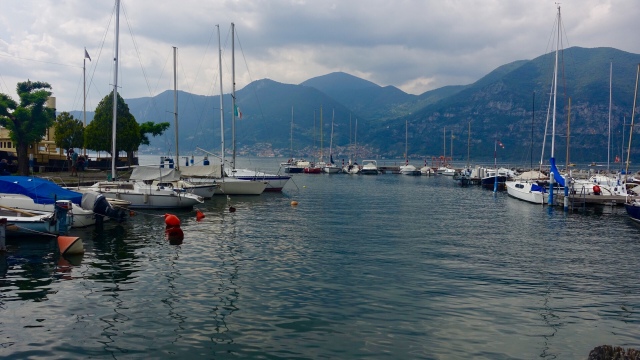
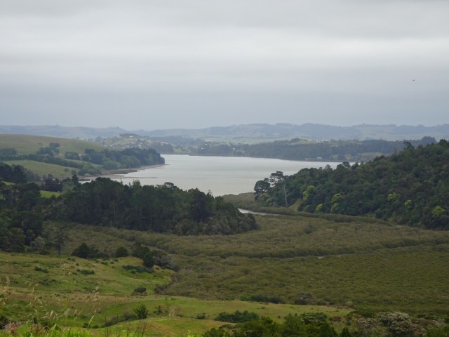
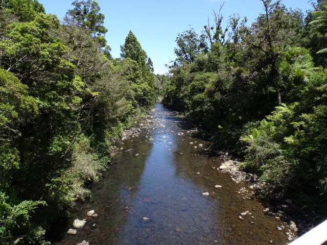
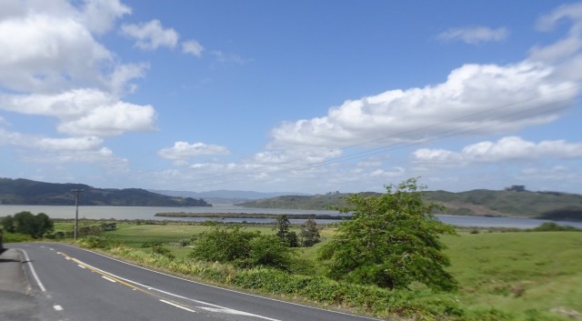
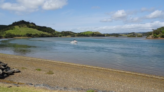
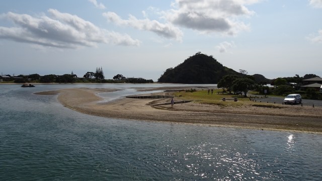
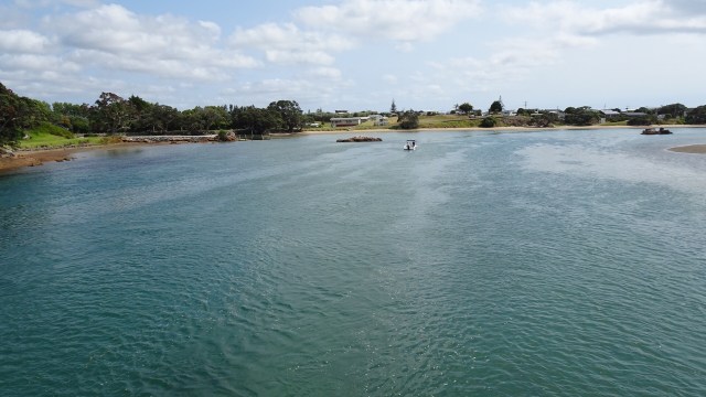
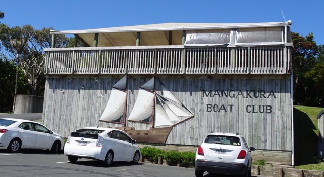
 A very tidal river does not prevent a boat club from existing. Mangakura Boat Club has a lovely position alongside this river. We could see from tops of hills, that this river feeds out to a larger harbour and the west coast of North Island.
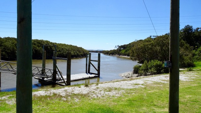
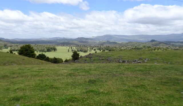
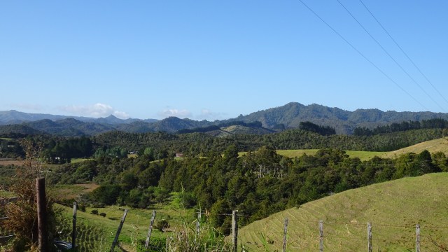
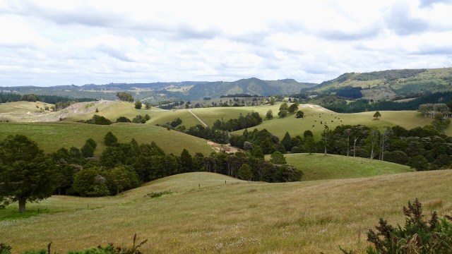
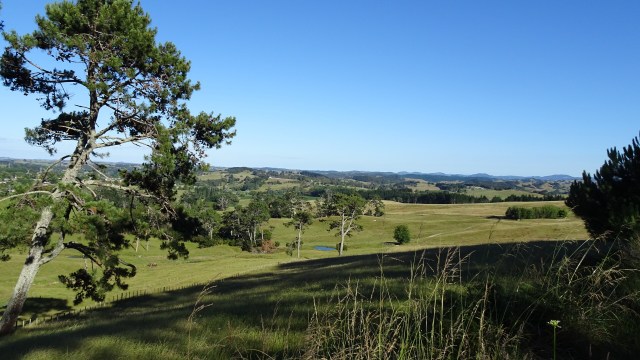
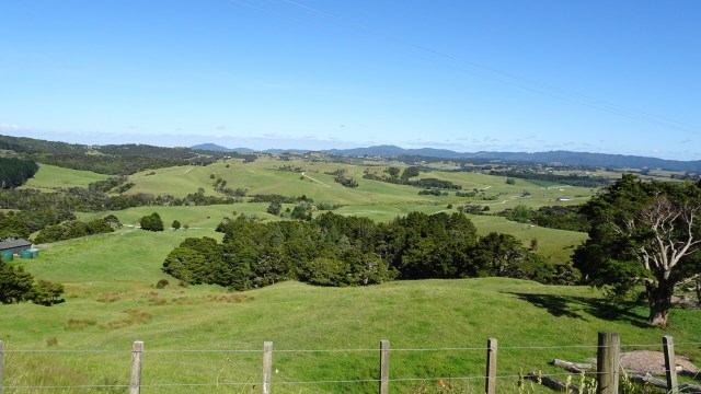
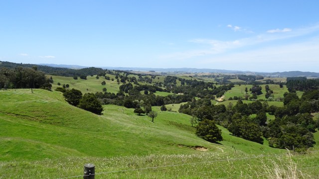
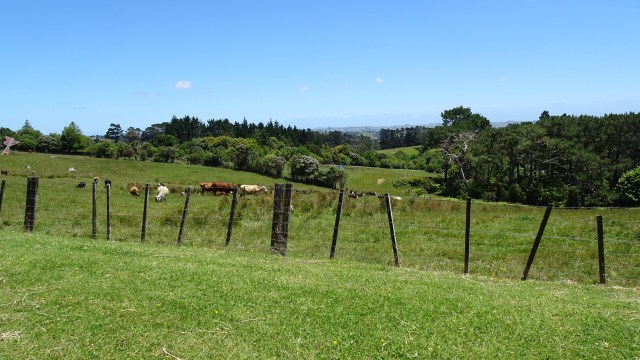
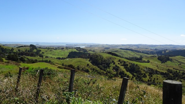
 Incredibly lush green farm land. In Tasmania many farms are already very dry and brown, so there must be solid rainfall here.
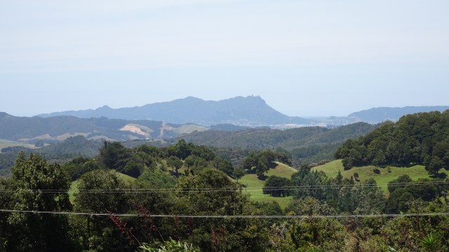
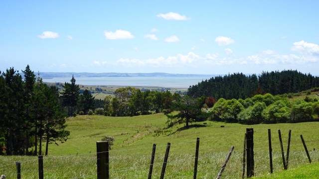
 Looking to the west.
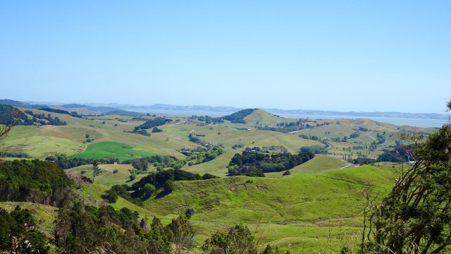
 What goes up, must go down….so it was a nice descent and a few more rolling hills to arrive in Wellsford, a busy service town, and our overnight stop.
 Returning to our accomodation two final sights.
 So thanks for reading. Tomorrow is another day…new adventure….new memories.