Ile de re

The view out the window revealed it had rained overnight. The sky was quite grey.

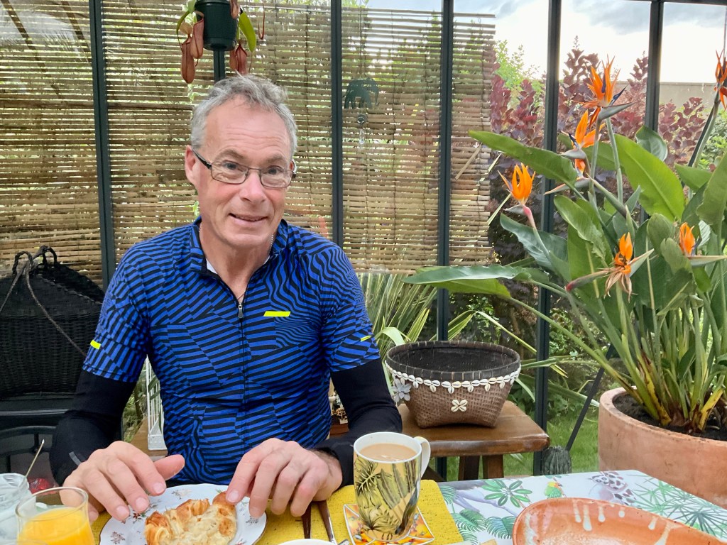
We were first down to breakfast yet again. Surprise. The French news channel was on the tv, and we listened (or rather watched) the weather and we thought we might just be ok, particularly apres midi (after noon).

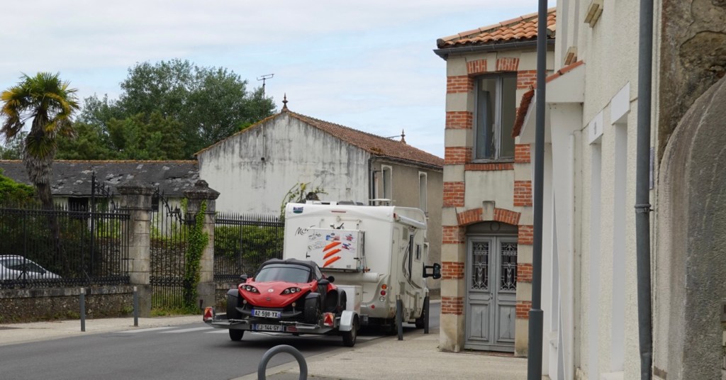
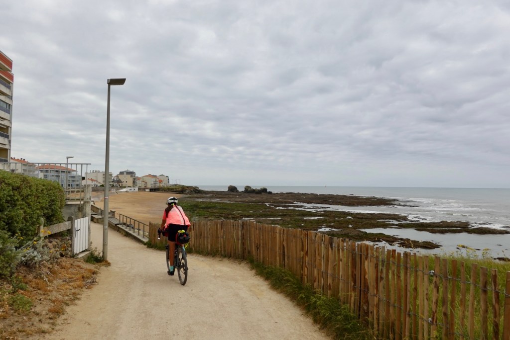
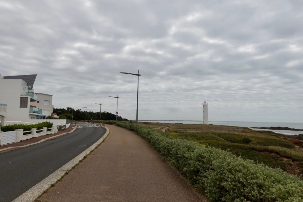
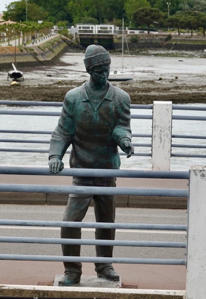
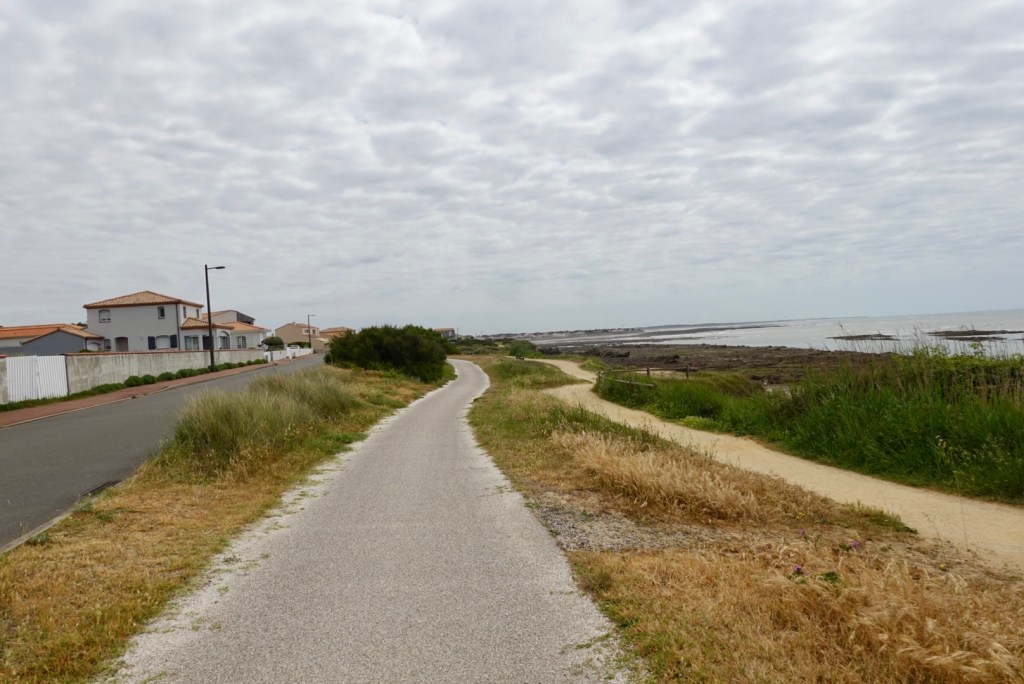
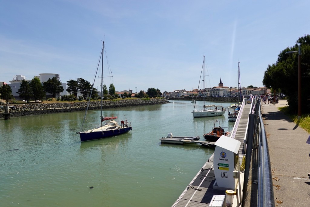
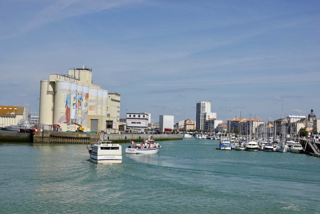
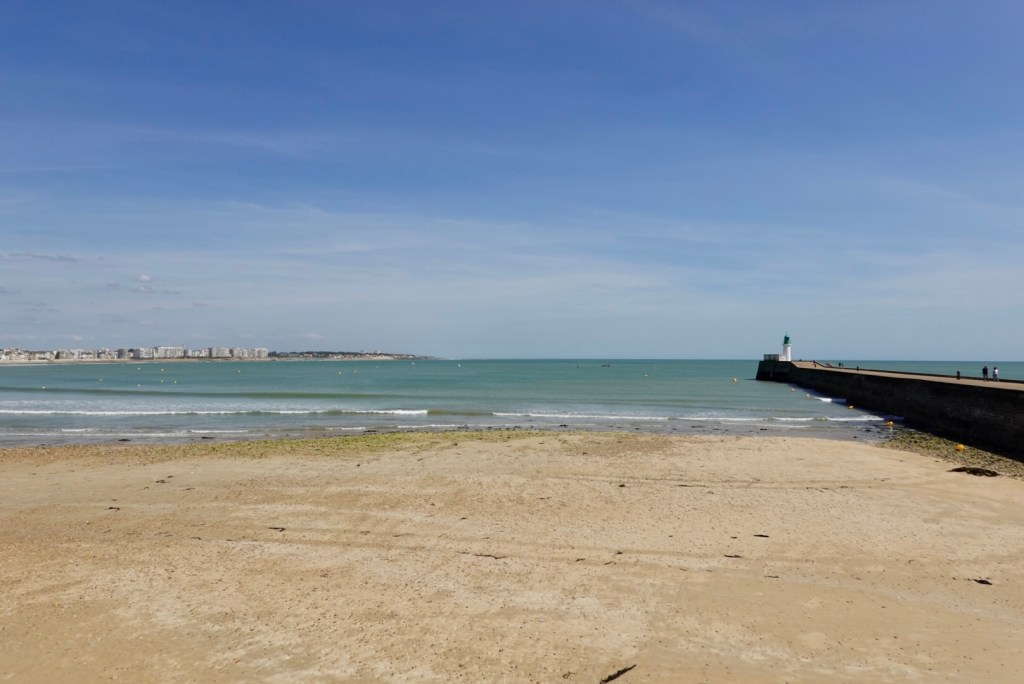
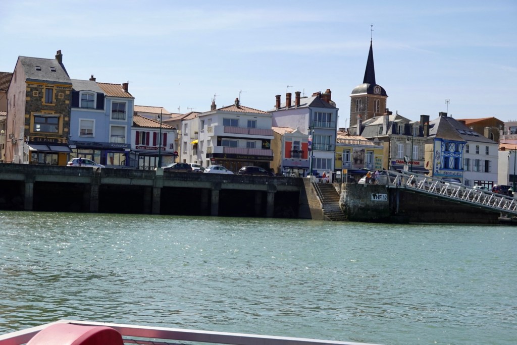
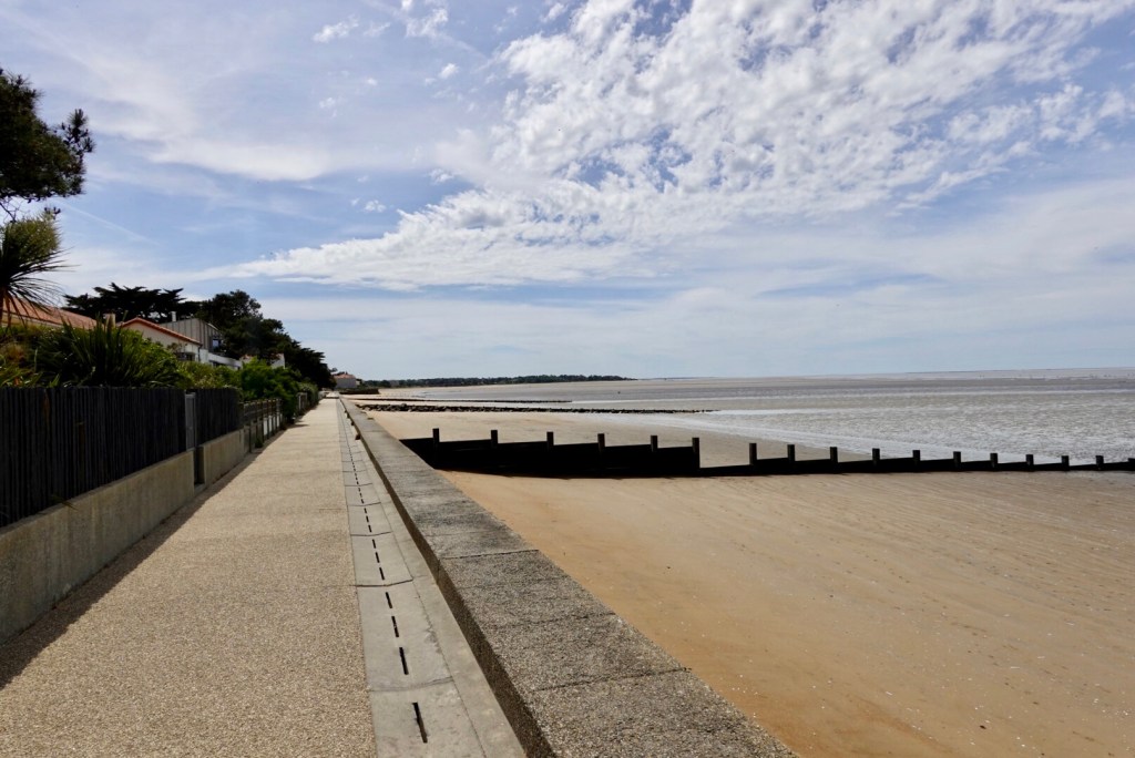
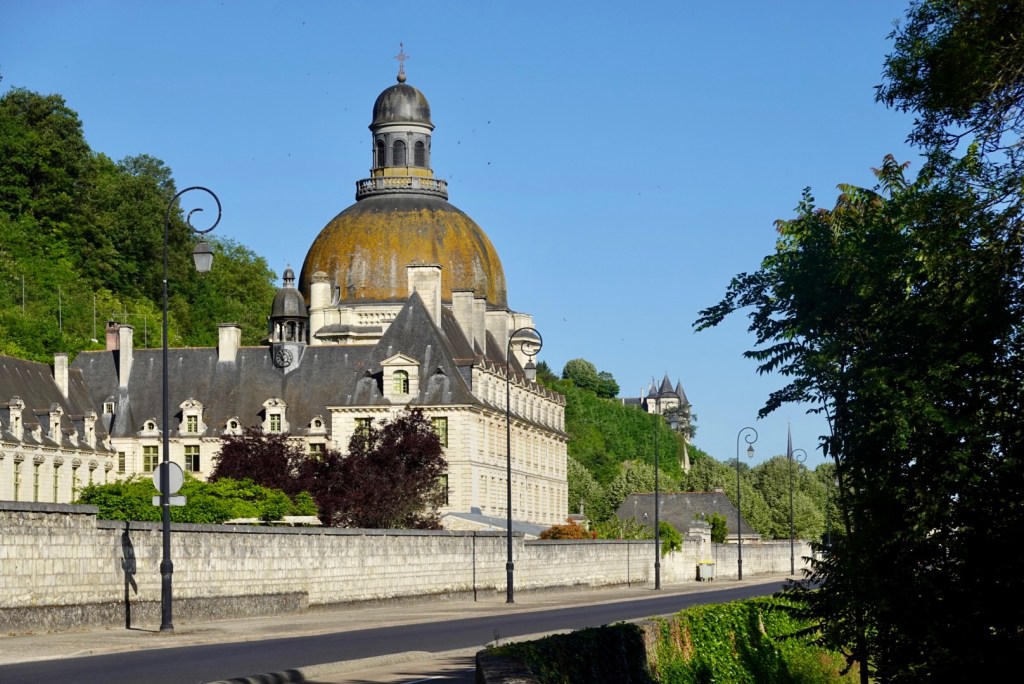
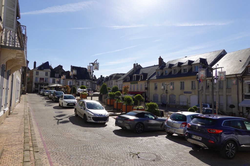
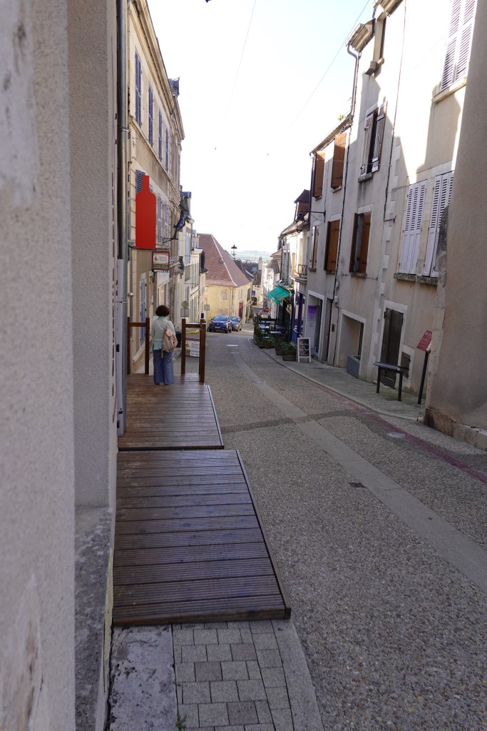
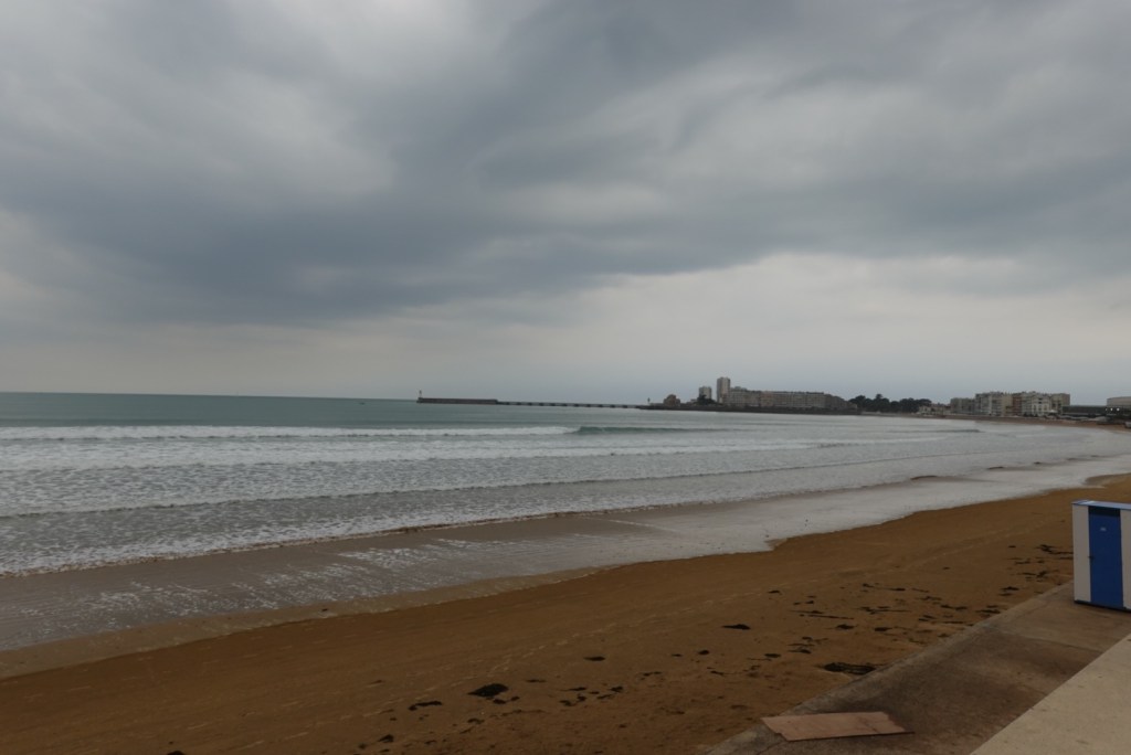
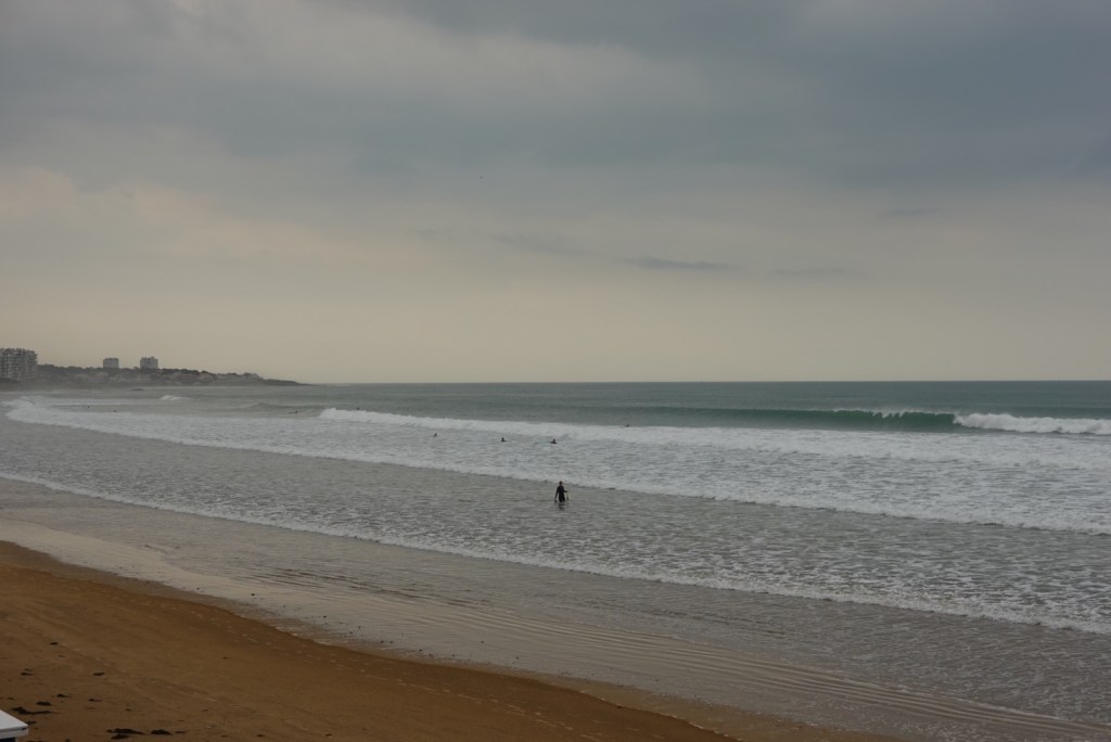
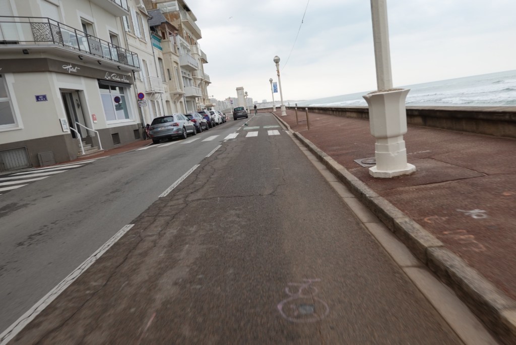
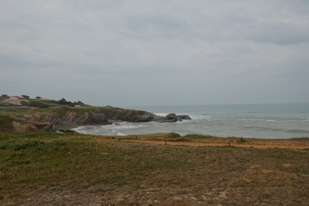
Our route out of Les Sables d’Alonne was surprisingly good for a busy city. Within a few km we were riding along the ocean boulevard with minimal people or cars around.

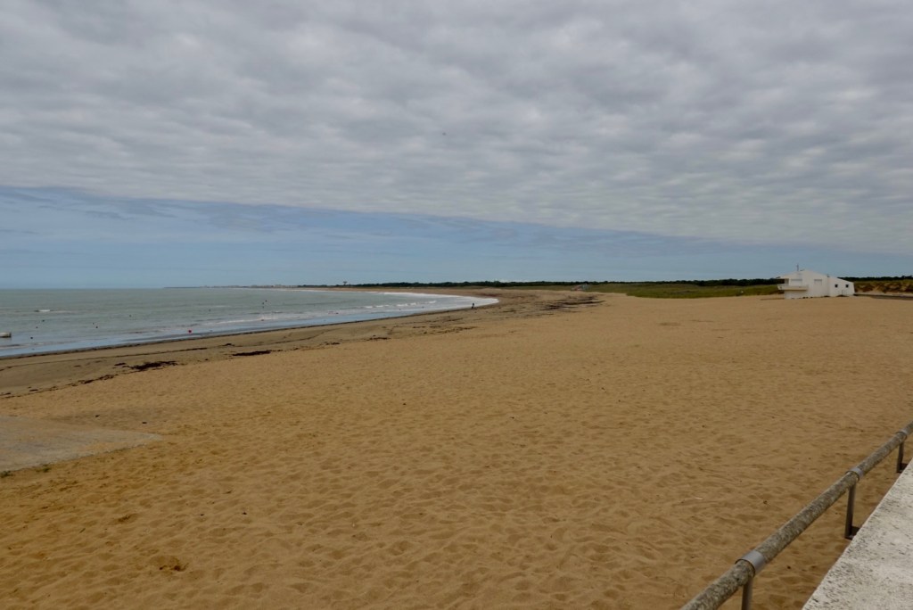
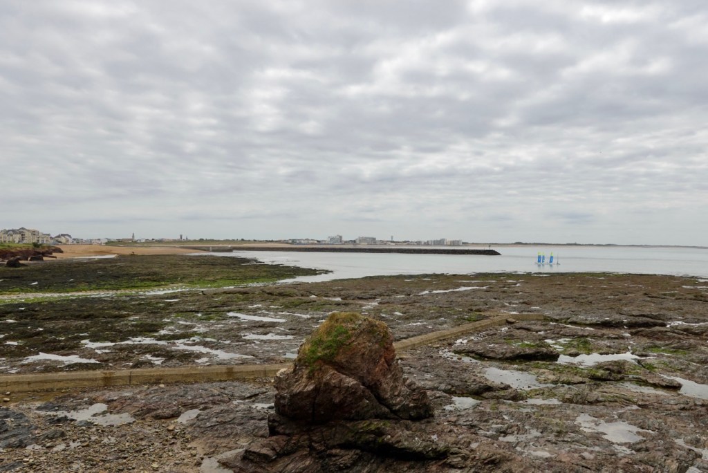
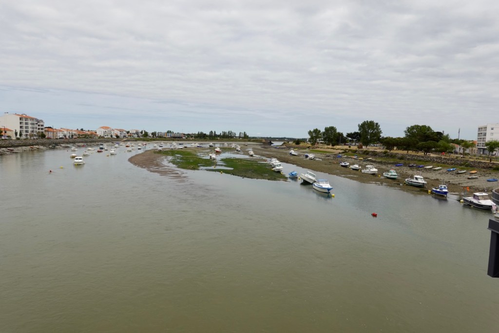
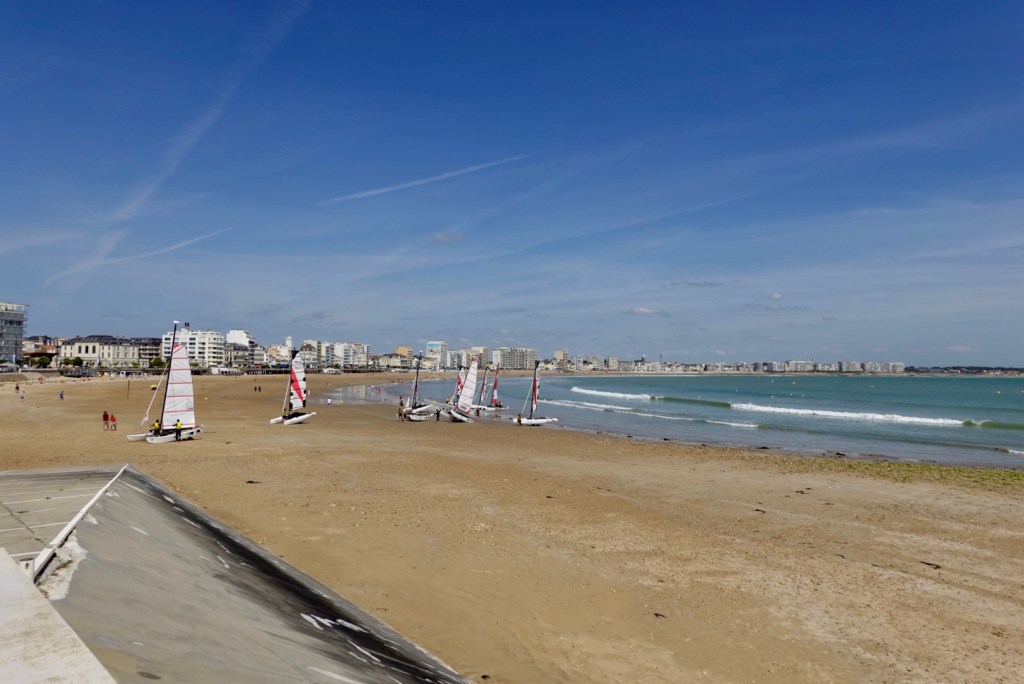
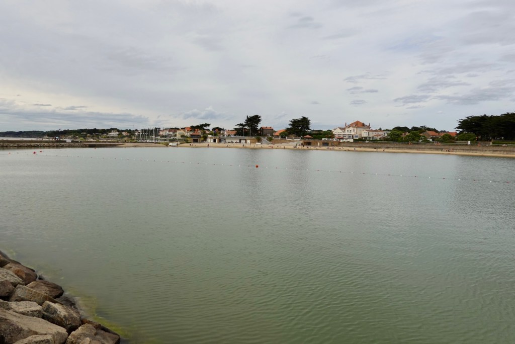
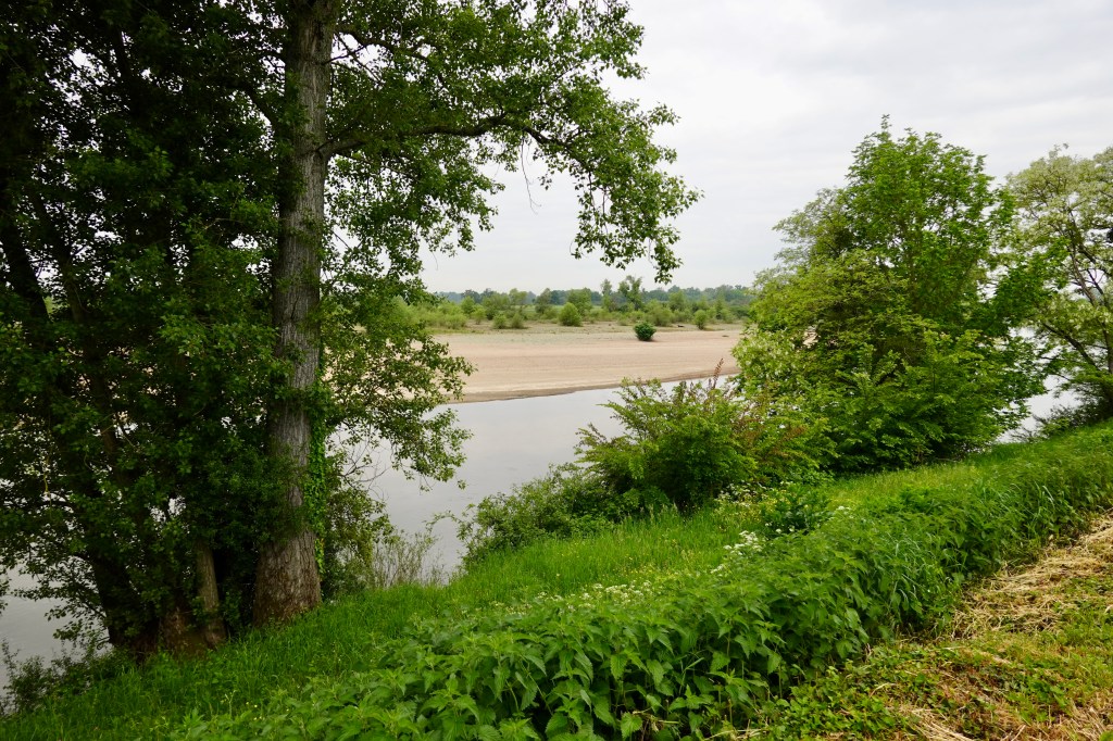
The tide was much higher, and the beach looked nicer.

Looking north towards the river channel
Looking south, the direction we were heading
Here this was the bike lane, as wide as the car lane.

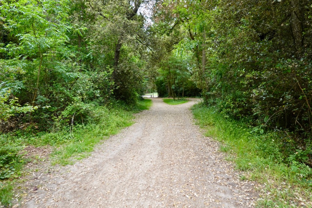
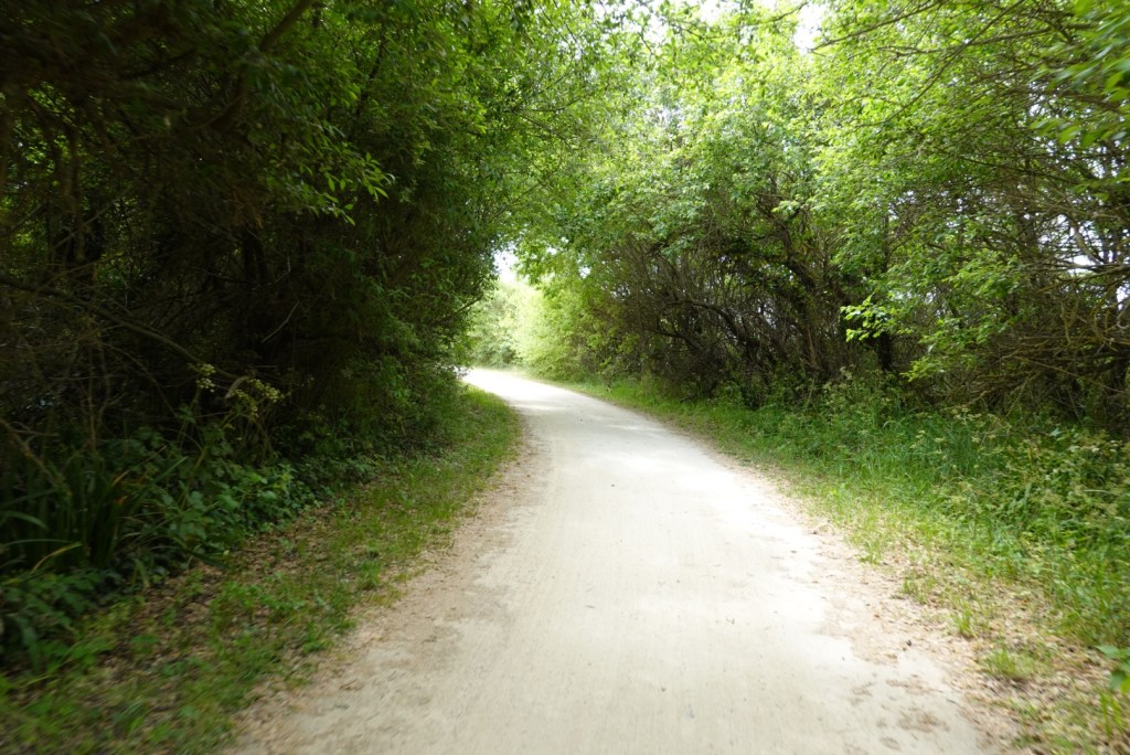
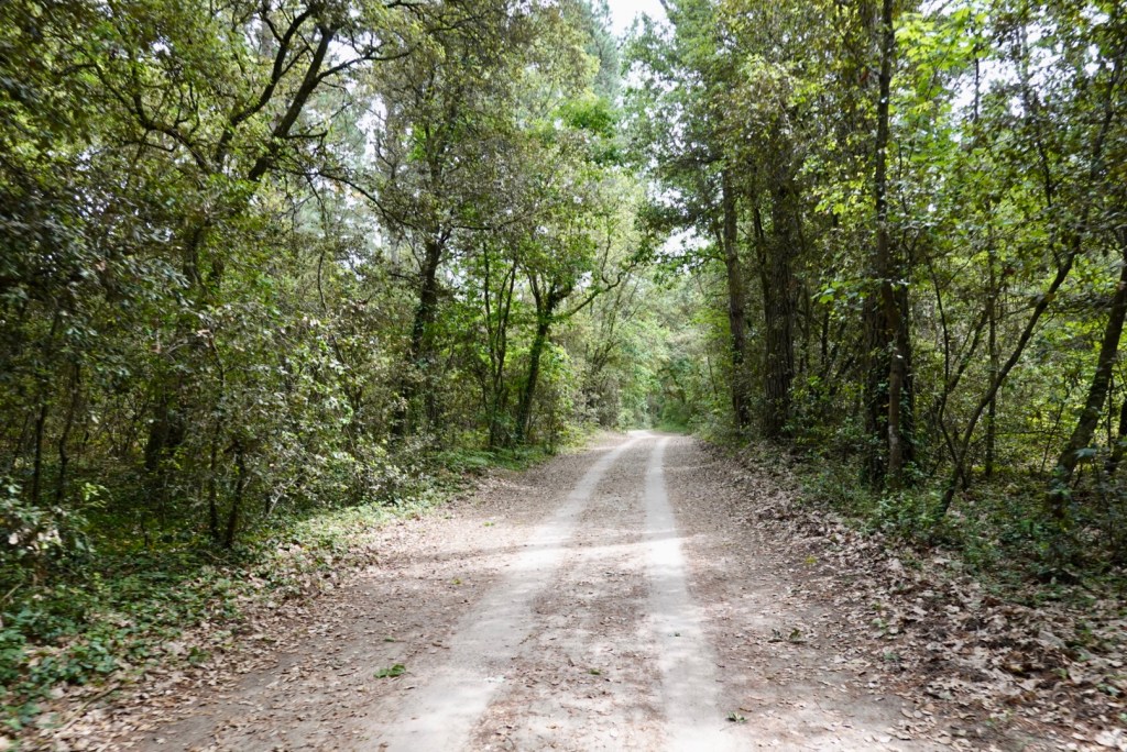
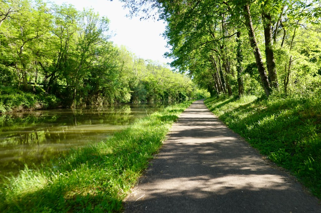
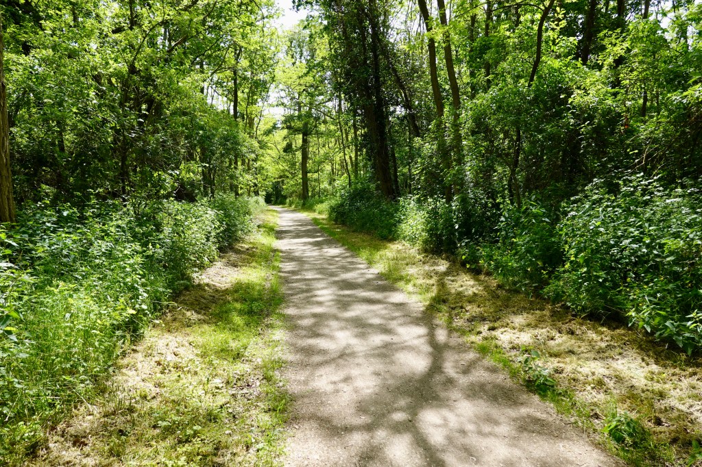
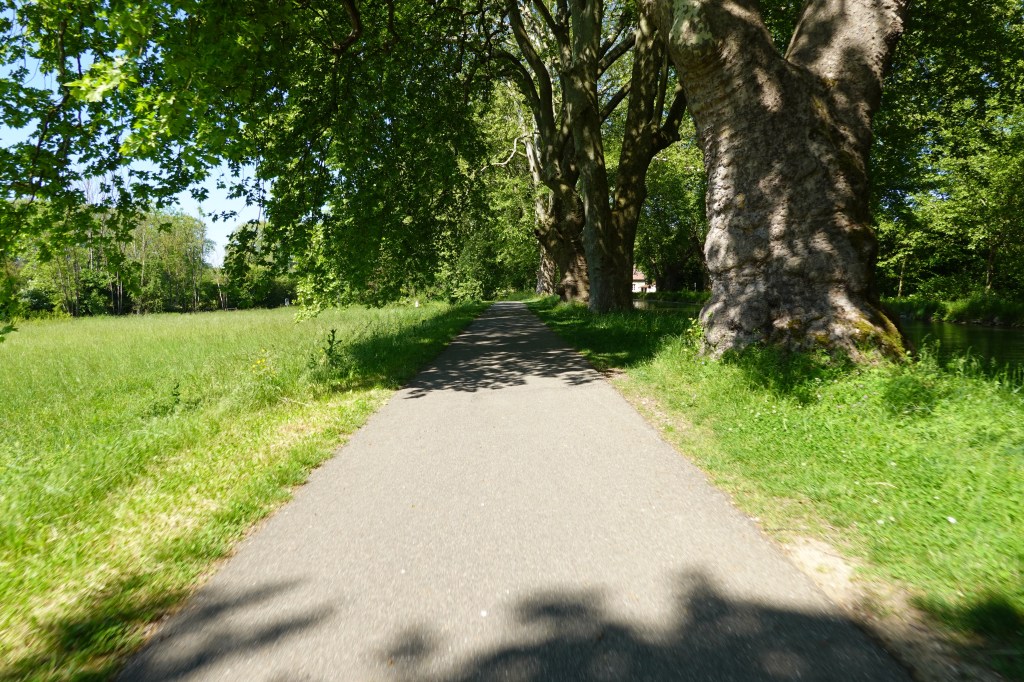
We were then on a series of crushed gravel paths winding around the coastline.

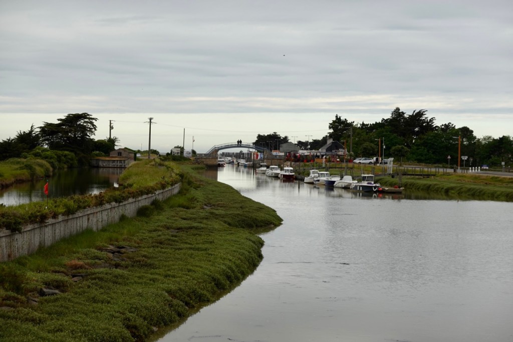
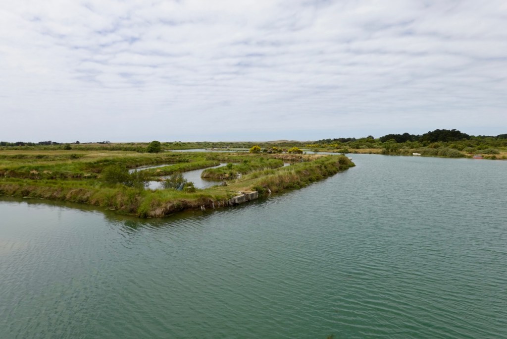
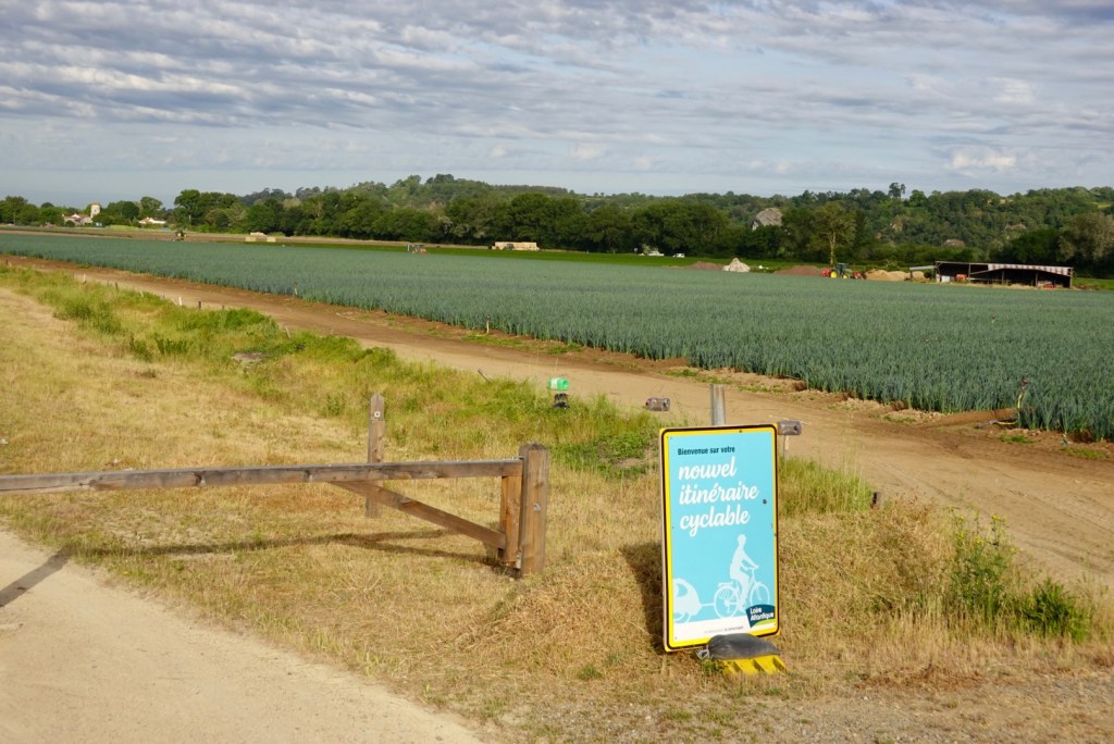
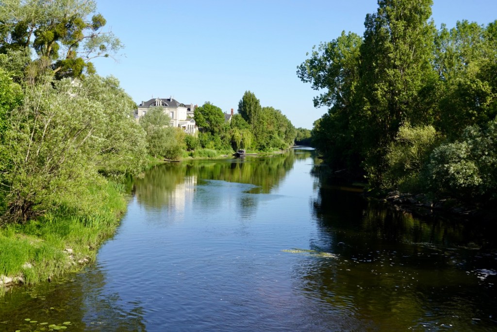
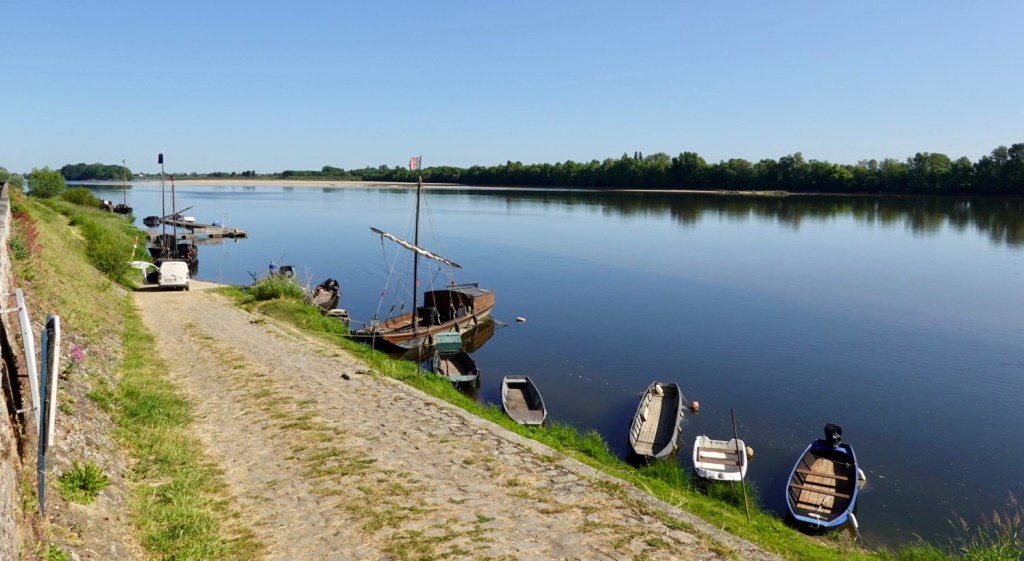
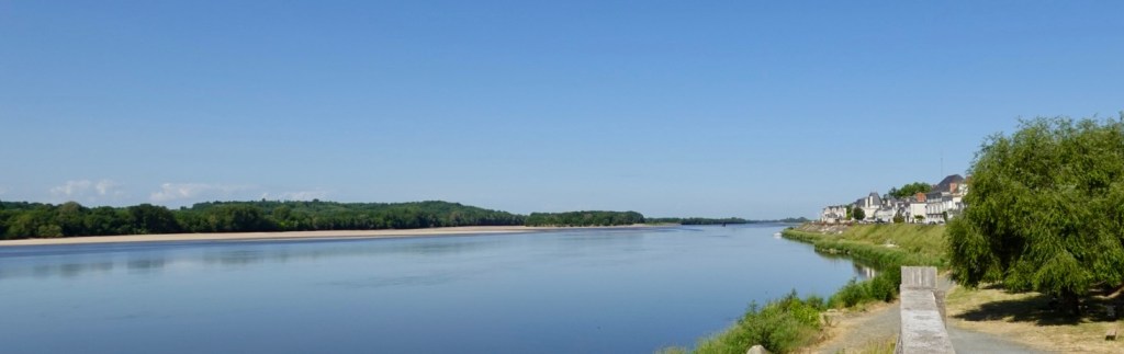
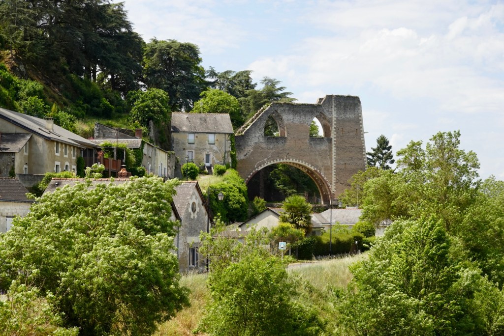
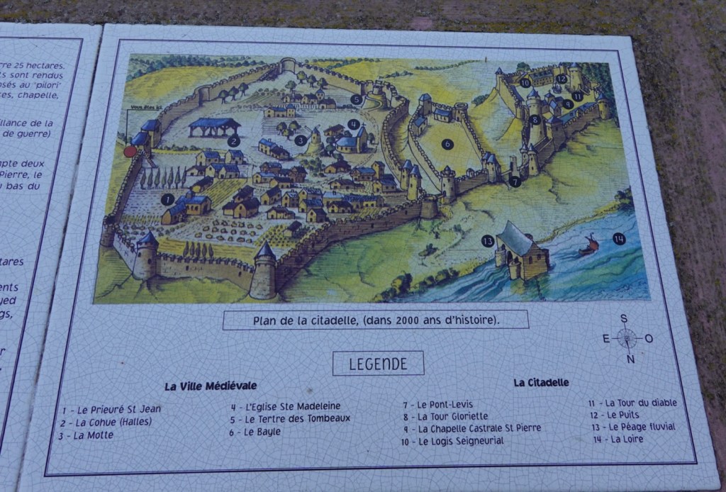
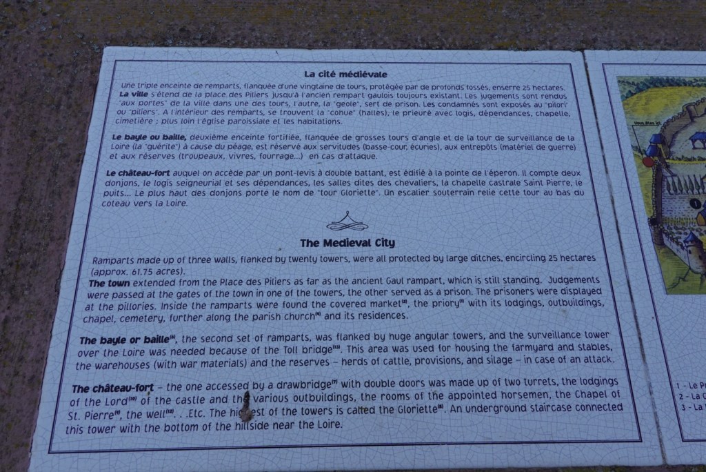
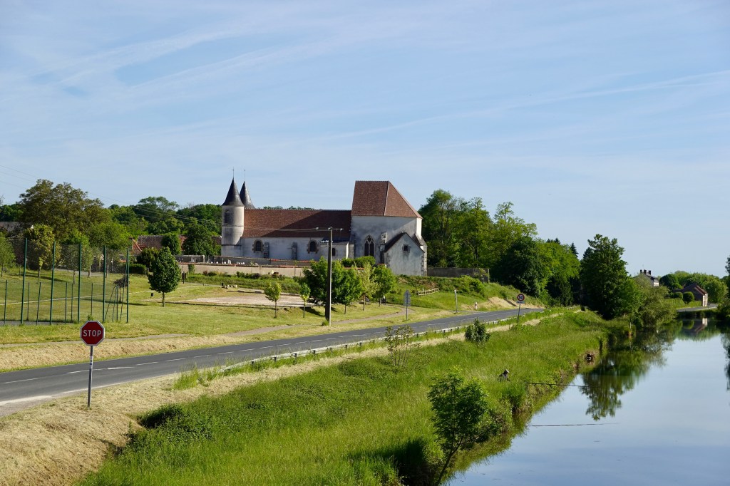
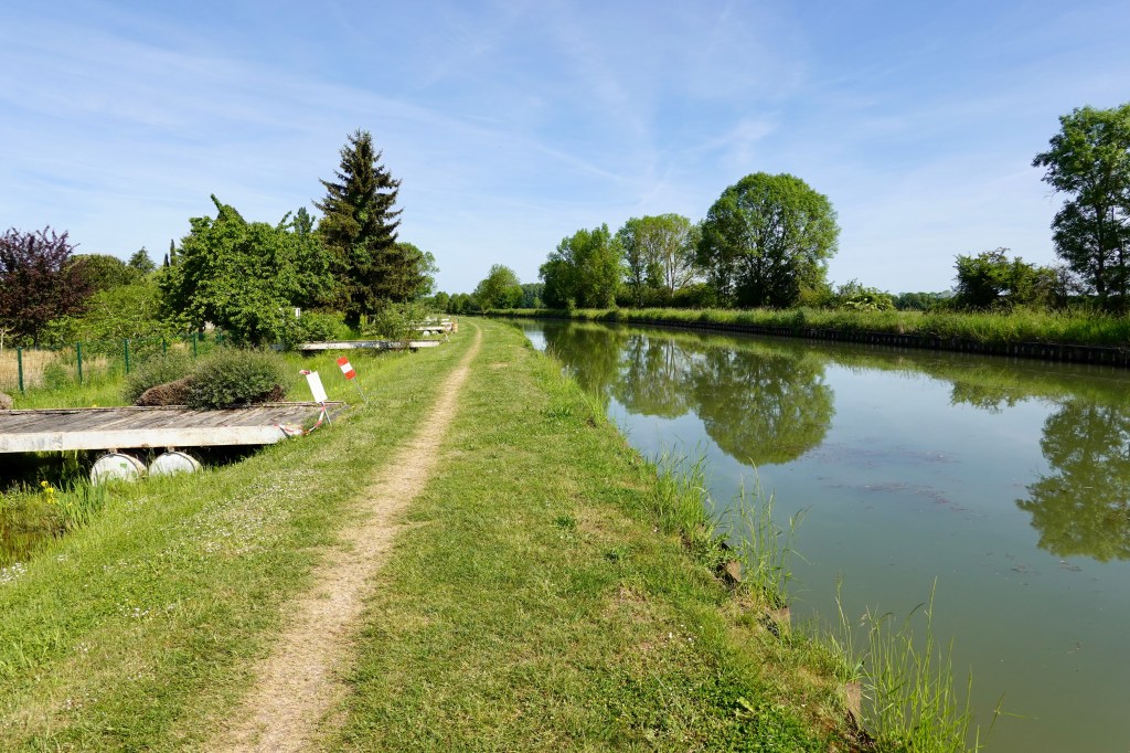
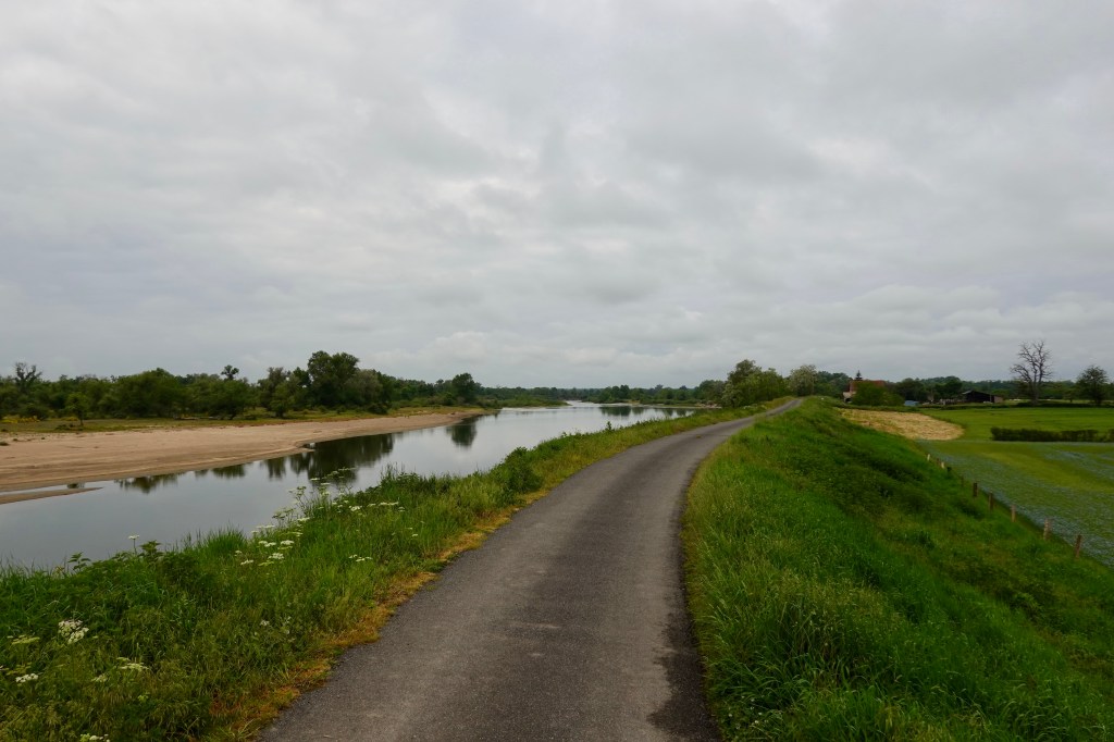
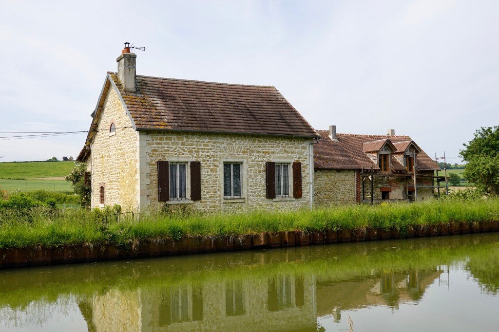
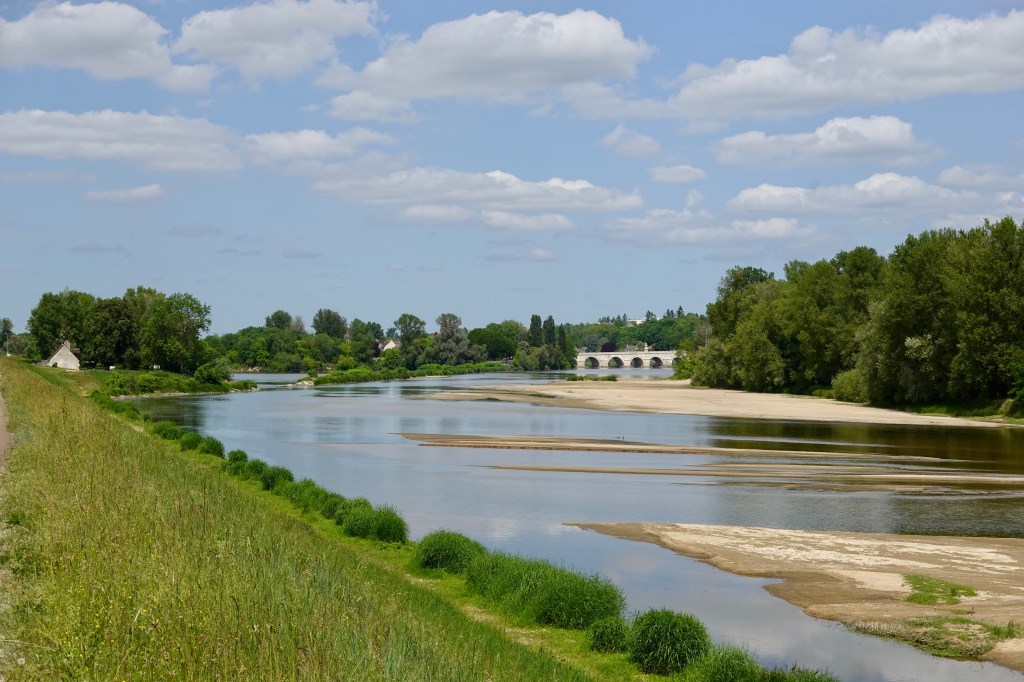
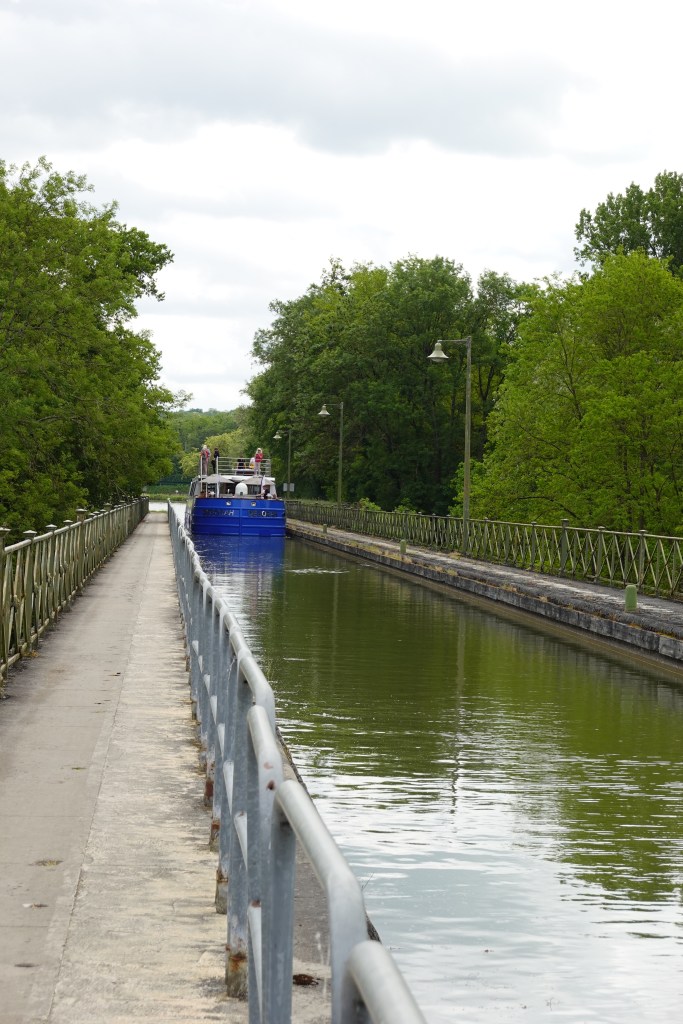
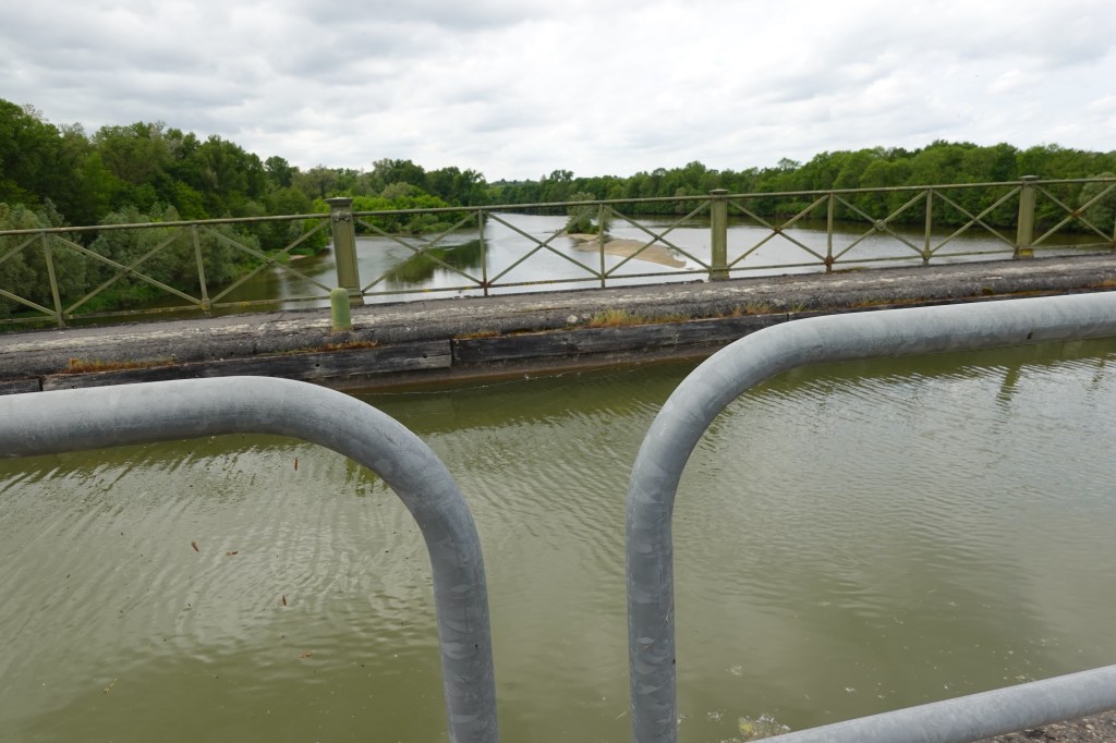
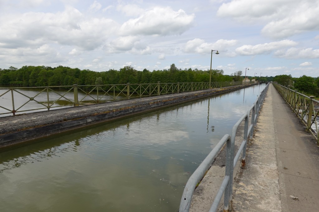
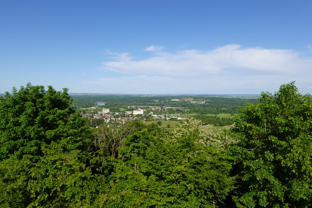
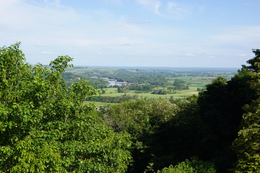
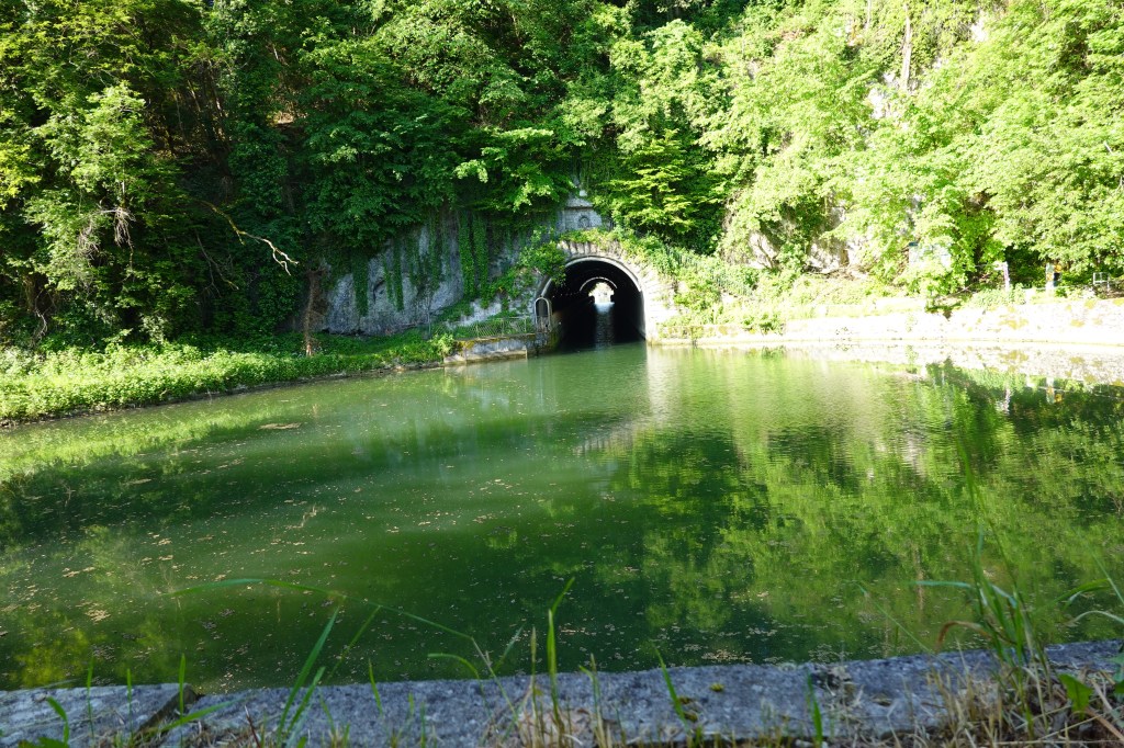
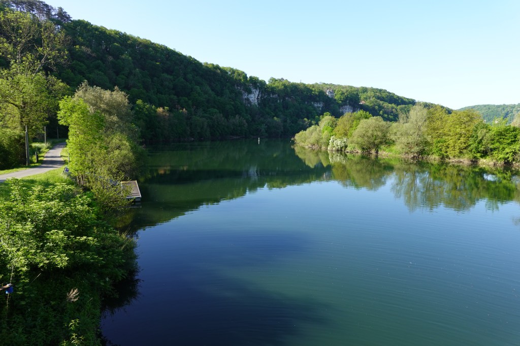
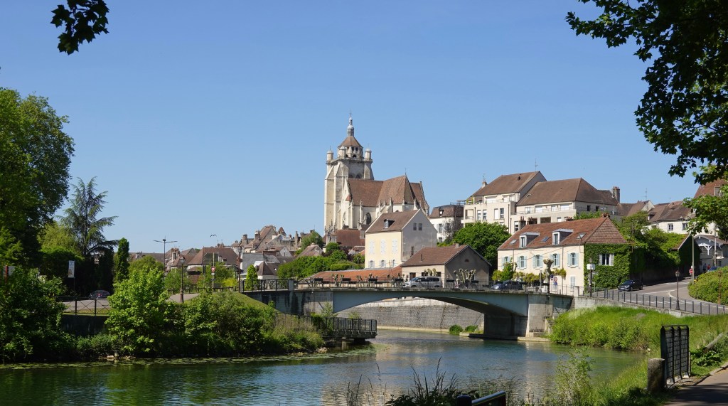
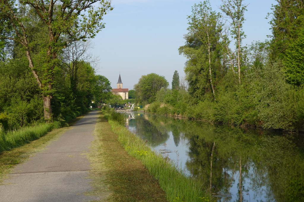
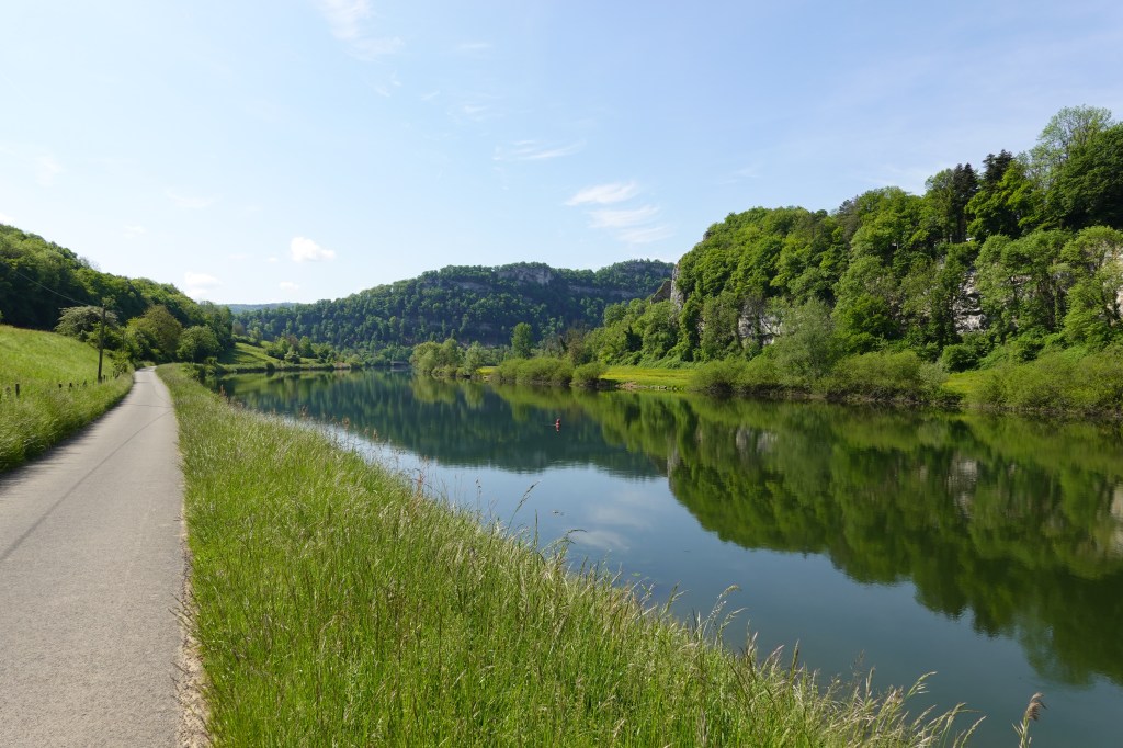
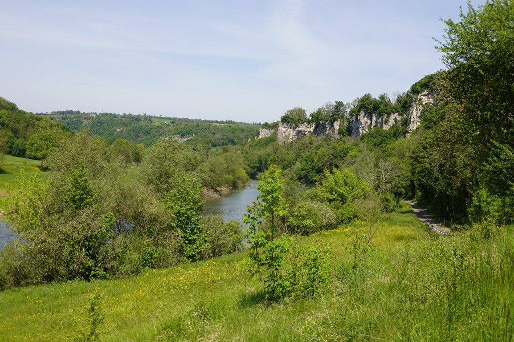
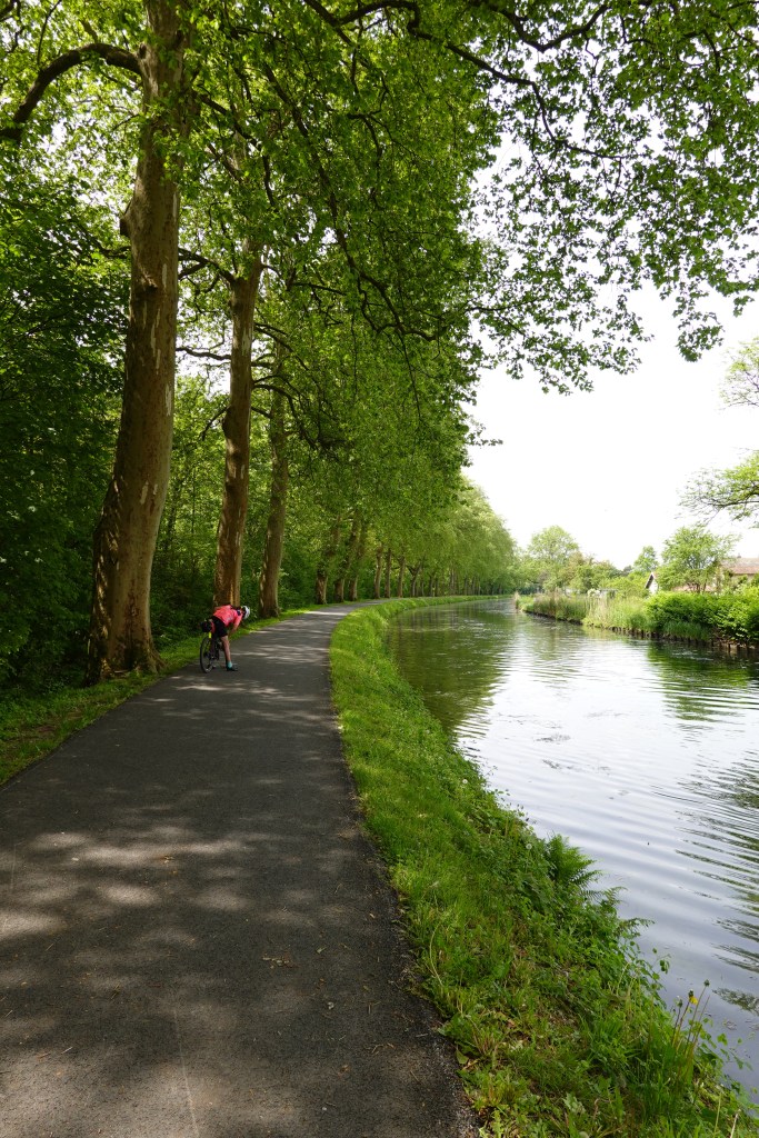
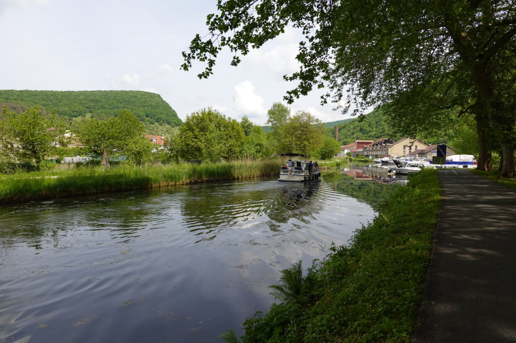
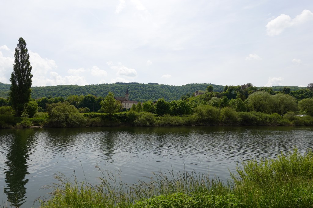
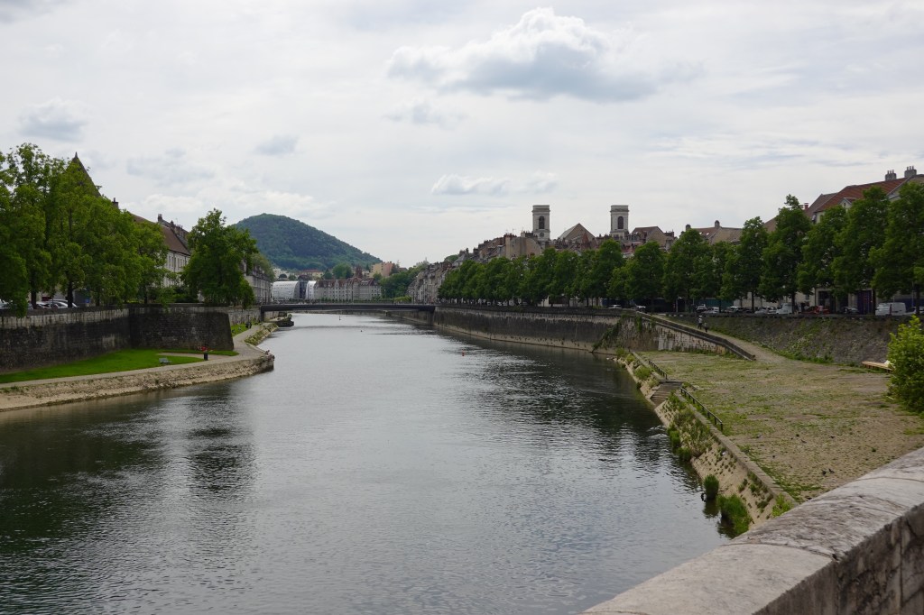
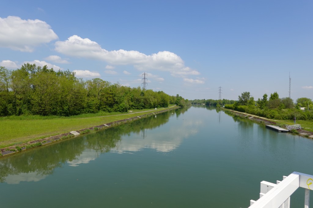
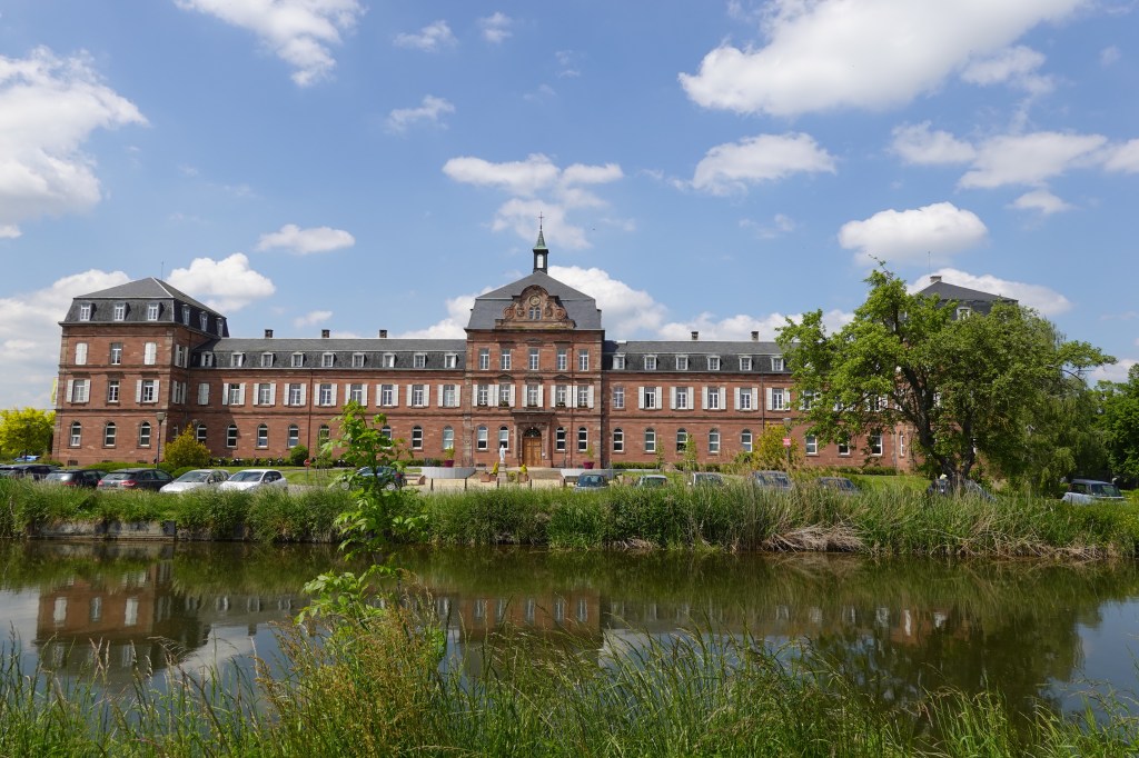
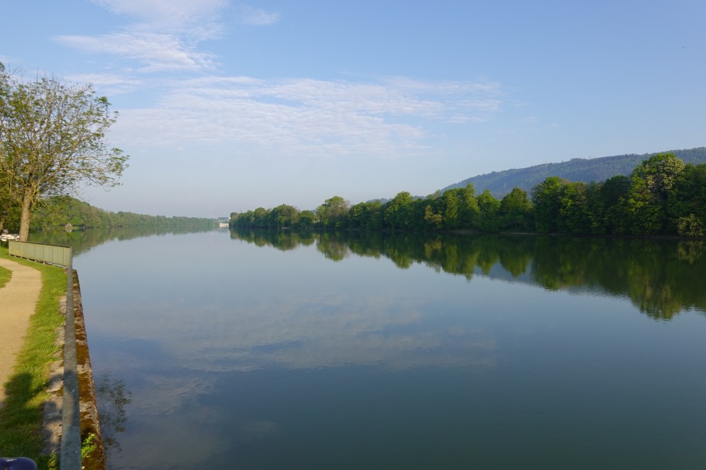
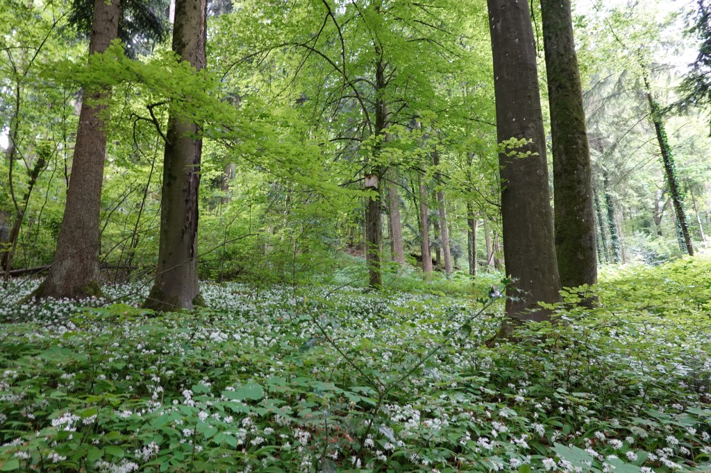
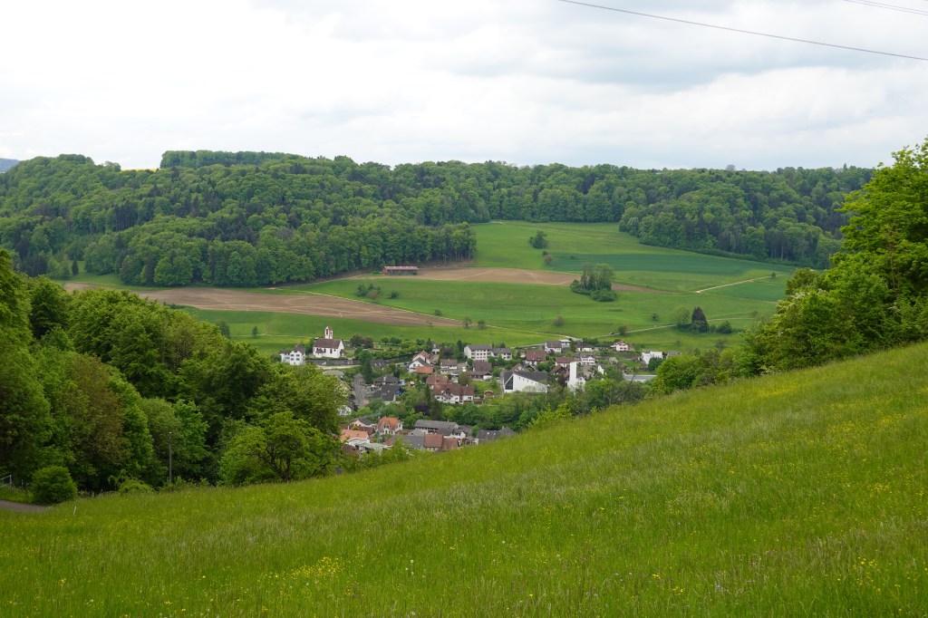
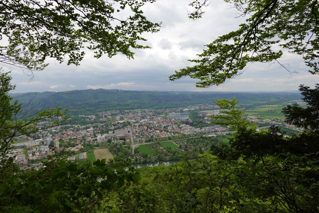
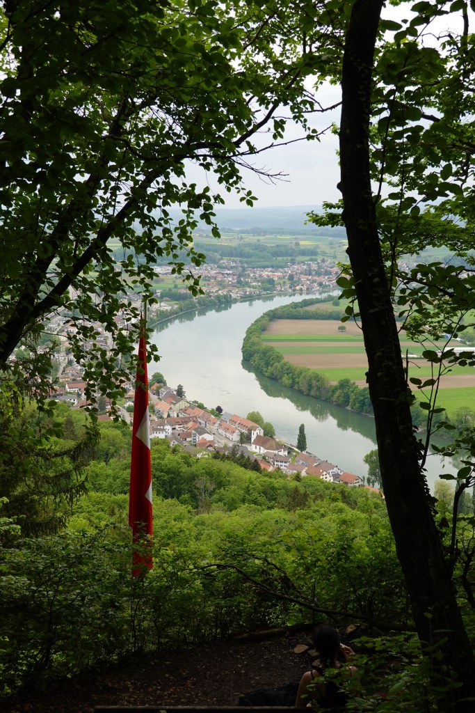
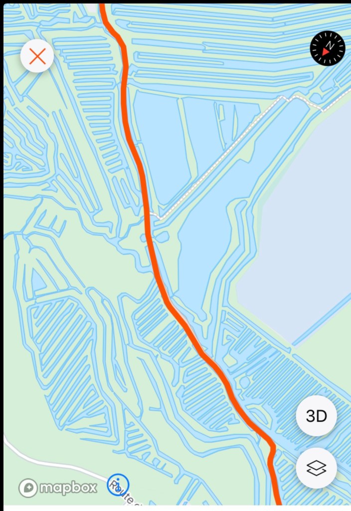
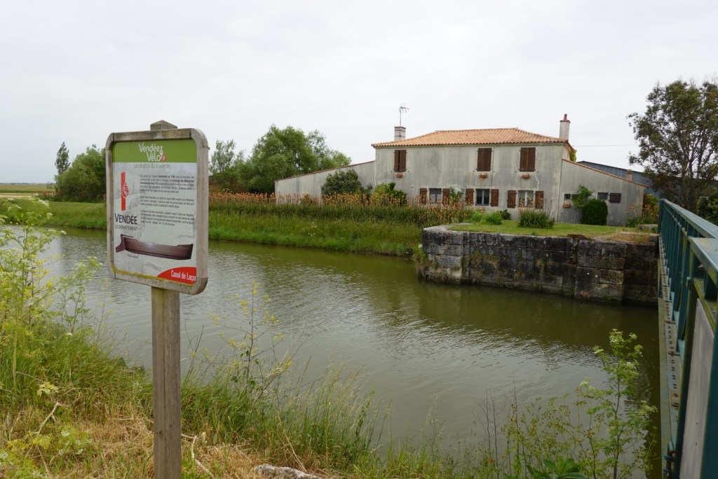
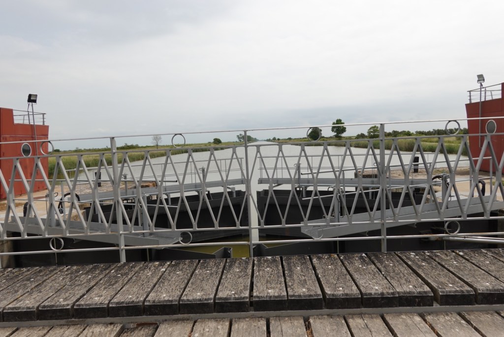
As with yesterday, we rode through areas of the famous Marais also referred to as Green Venice. It is an area of marshland covering 45,000 hectares. It is part of the ancient Bay of Brittany which was once speckled with islands. Only one island remains.

The first drainage ditches in the marshlands were dug by the Romans as early as the 1st century and these were expanded upon by the Benedictine monks from the XI to XIII centuries.

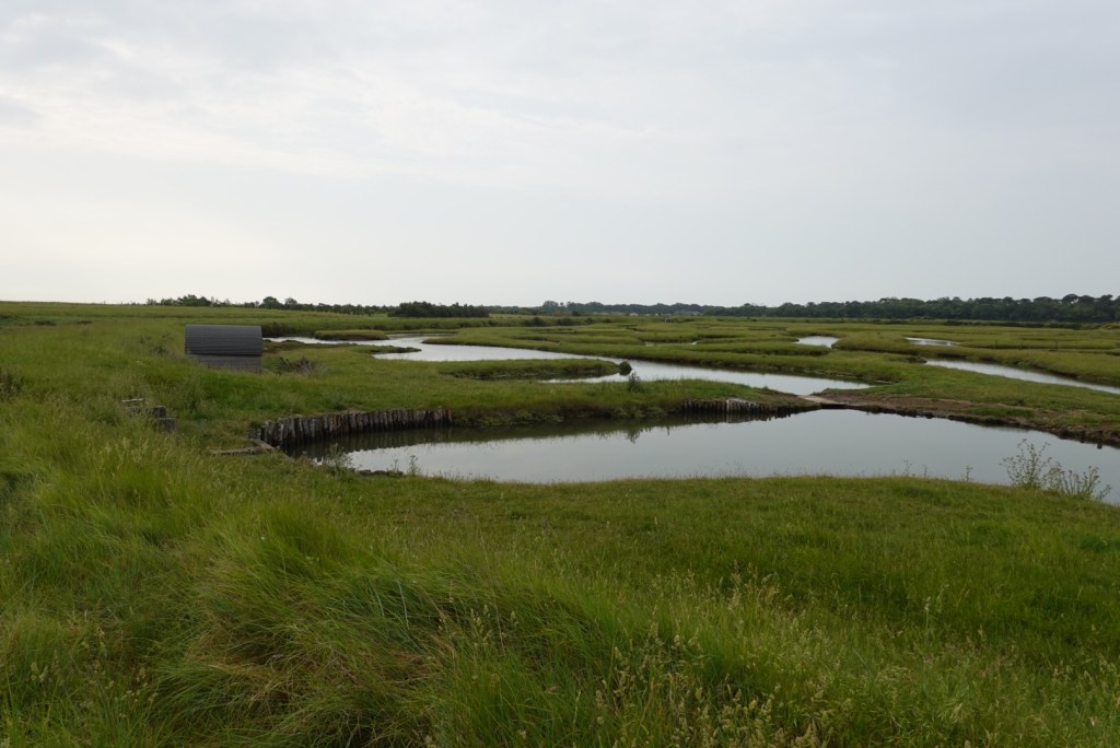
As a result of the building of the digues (dikes) the canals that control and allow sea water to enter the marshes, oyster farming is prolific and a major contributor to the regional economy.

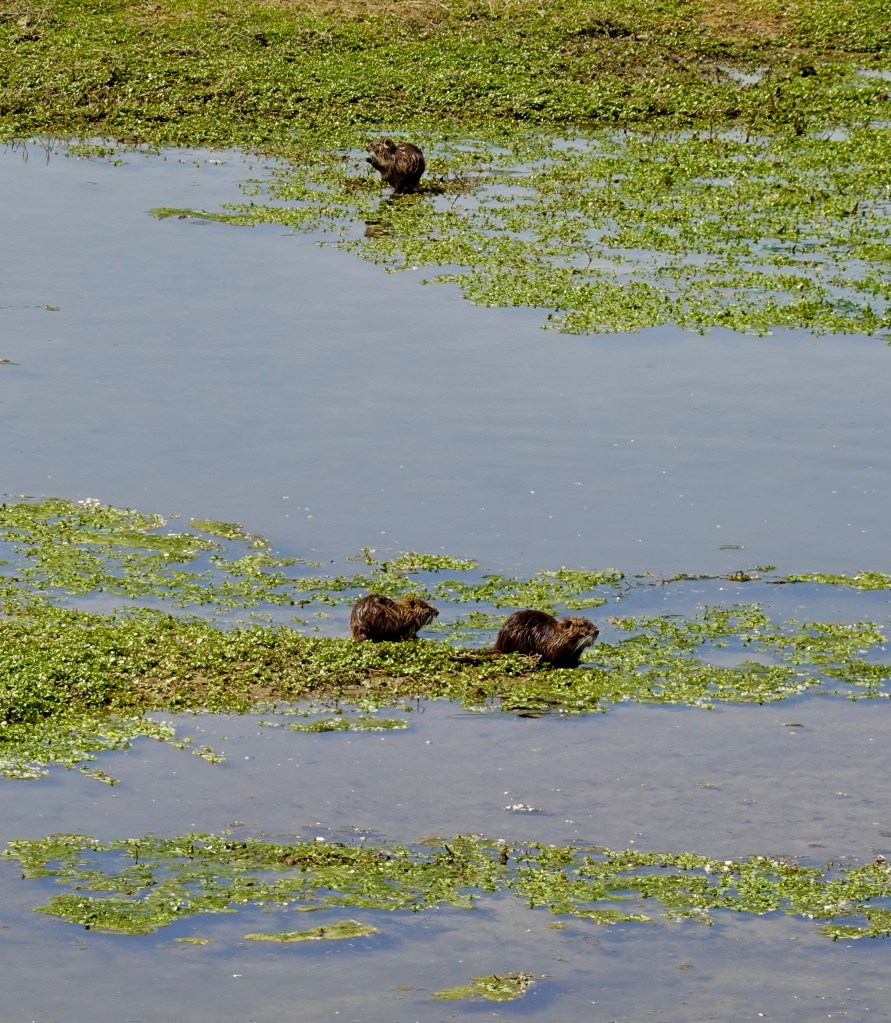
Ecologically it is a haven for a huge variety of wildlife, and of course, walking and cycling trails.

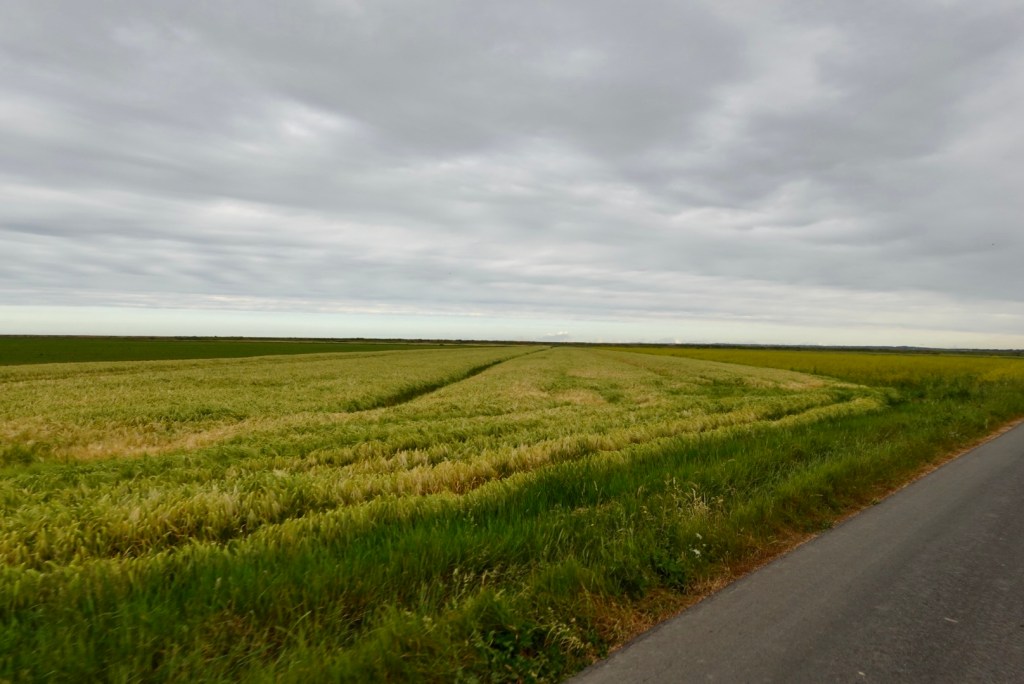
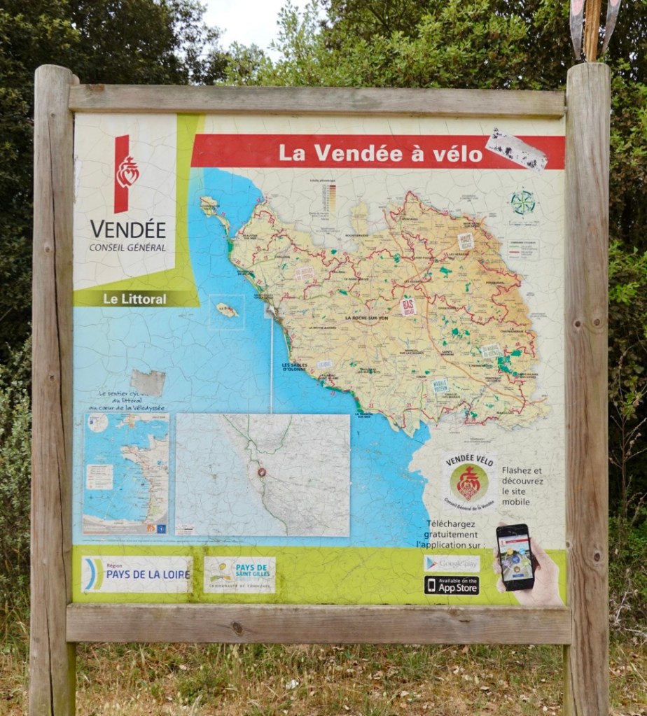
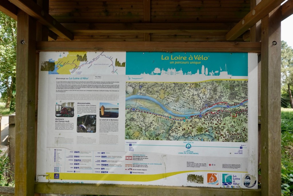
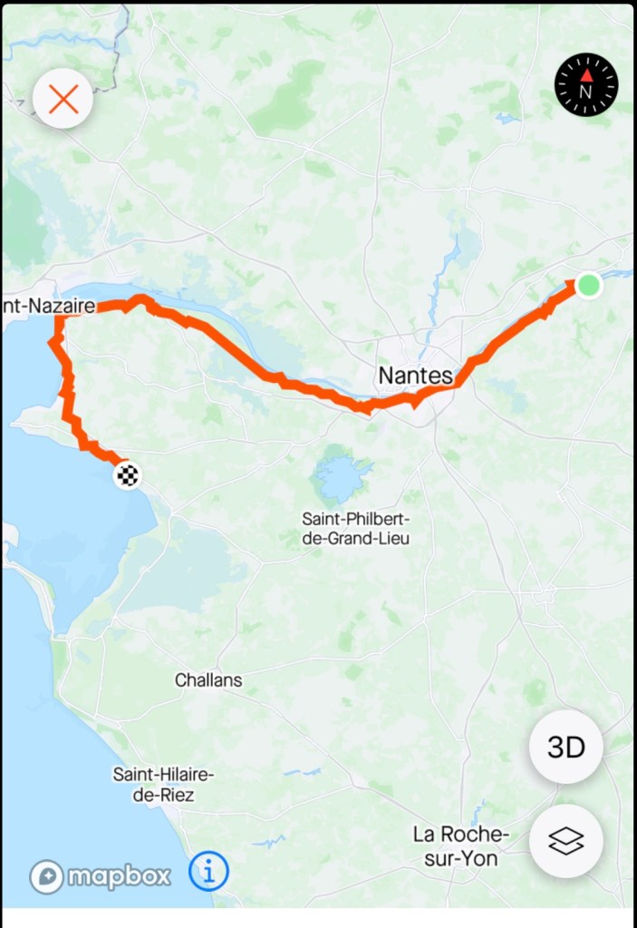
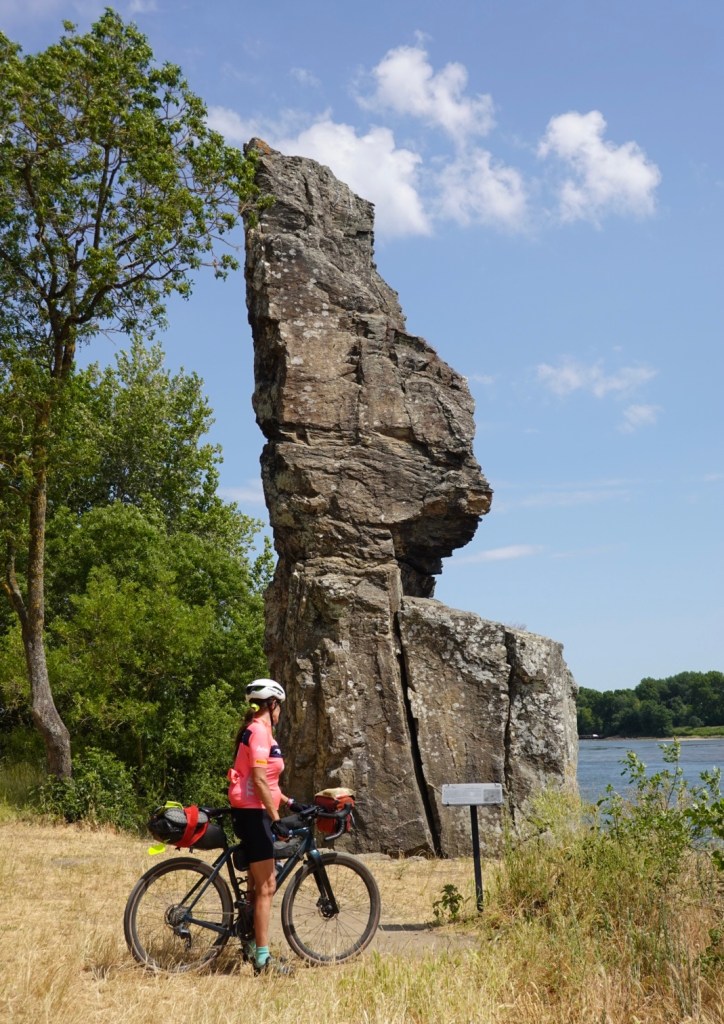
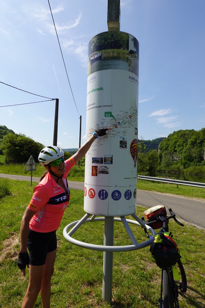
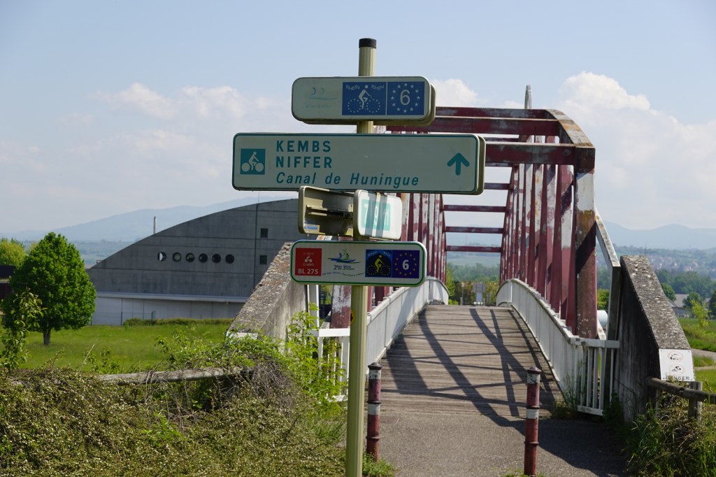
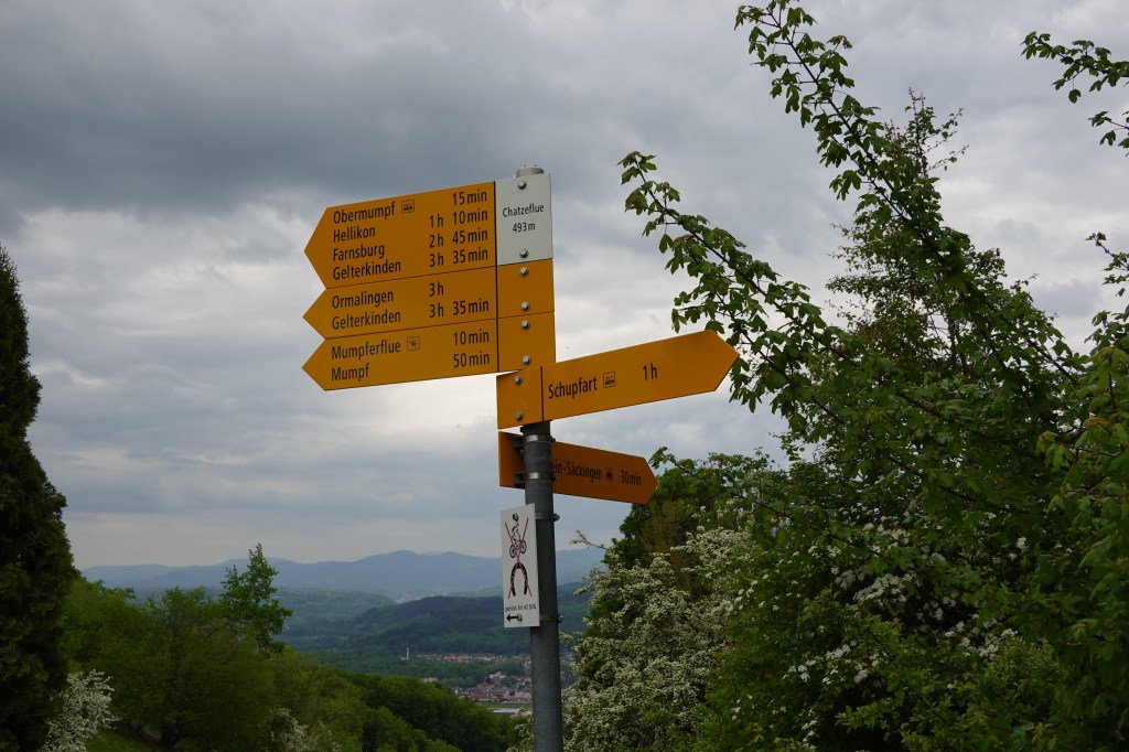
I have enlarged part of todays route showing you one small section we rode through.

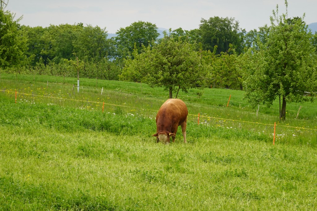
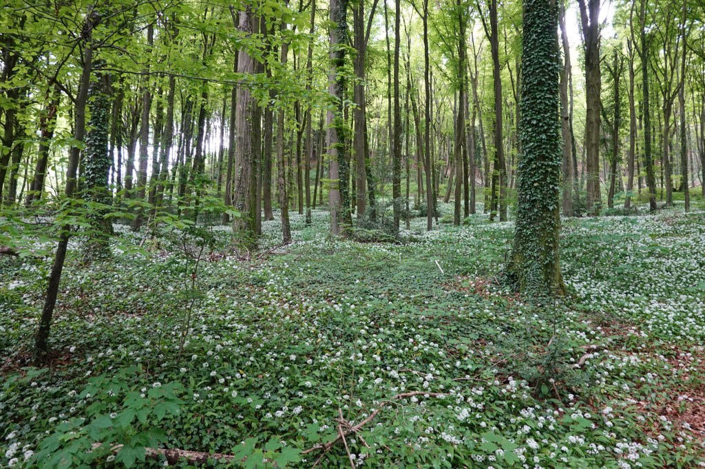
Lush growth abounds, and there were a variety of stock held including sheep and donkeys.

An old fortification

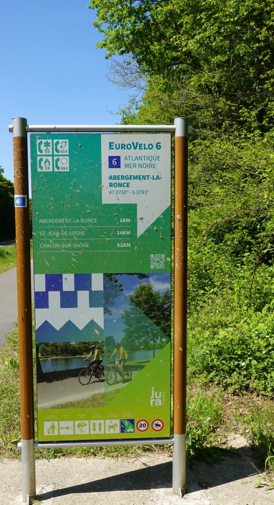
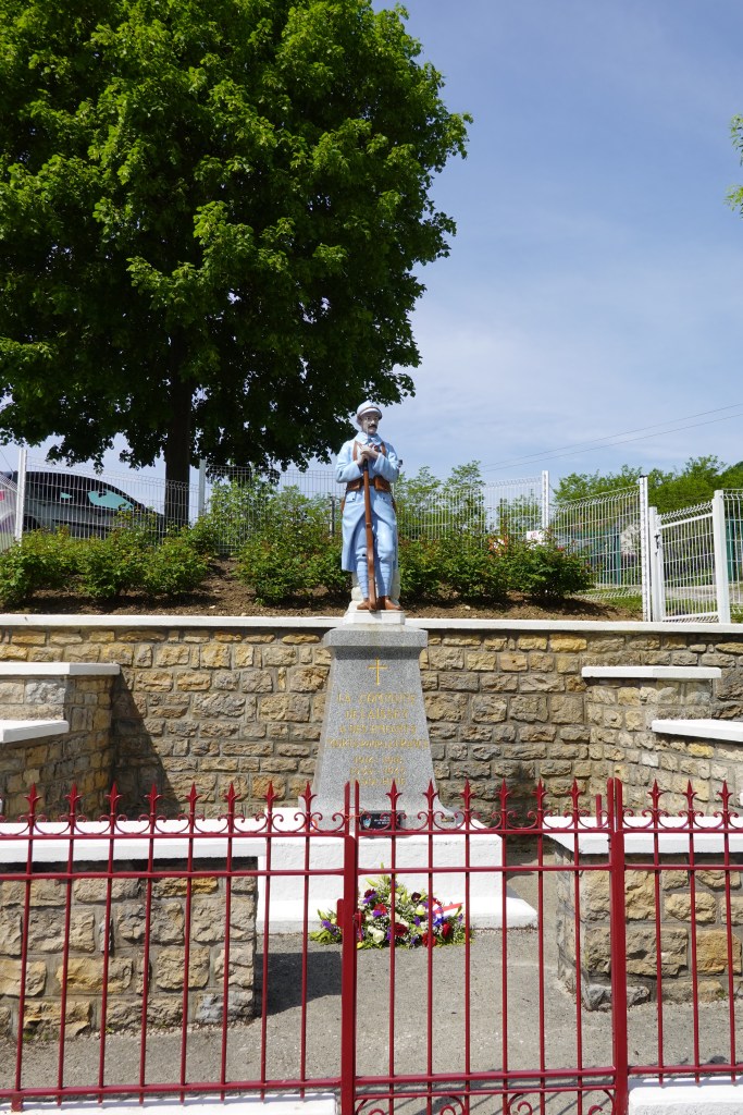
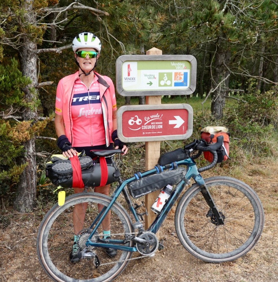
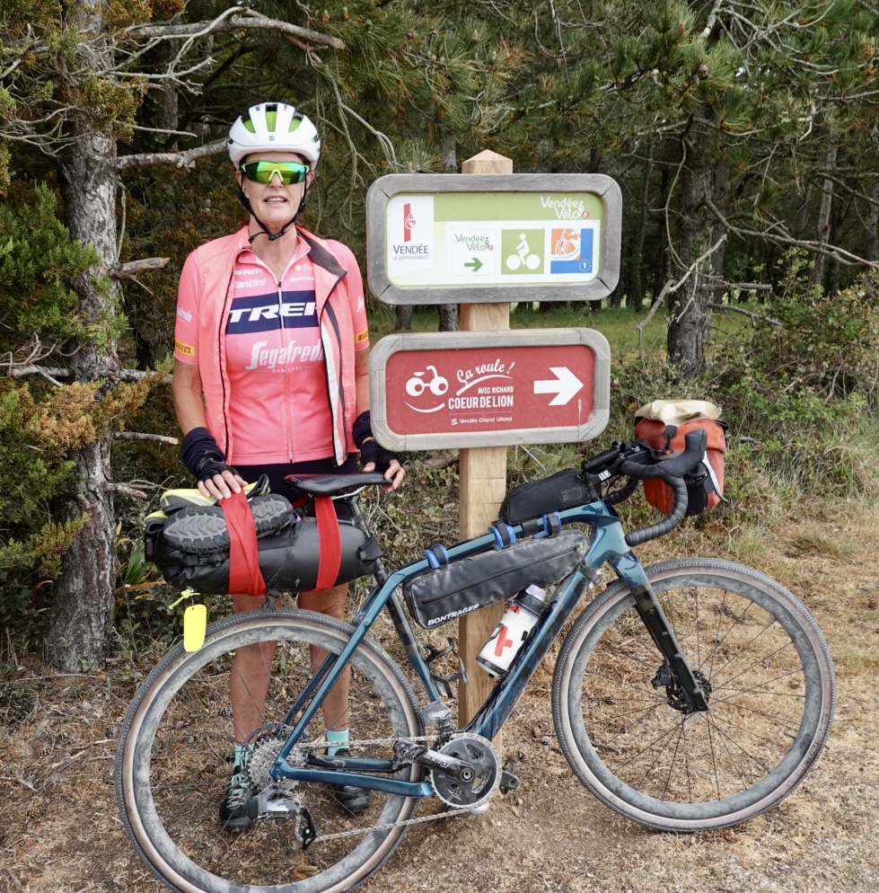
We were following a variety of routes as can be seen from the sign, but one also named King Richard Coeur de lion. He was better known as Richard the Lionheart, son of my Eleanor of Aquitaine. He lived in the area for many years (Tailmont) also close to where Eleanor was born.

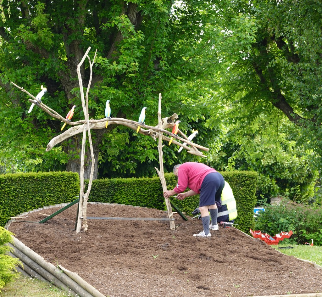
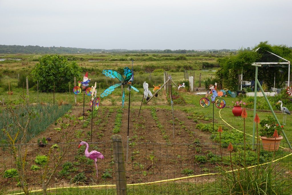
Passing by this garden we could not help but to smile at the keen gardeners attempt to keep birds away. They were all moving wildly as the wind had picked up.

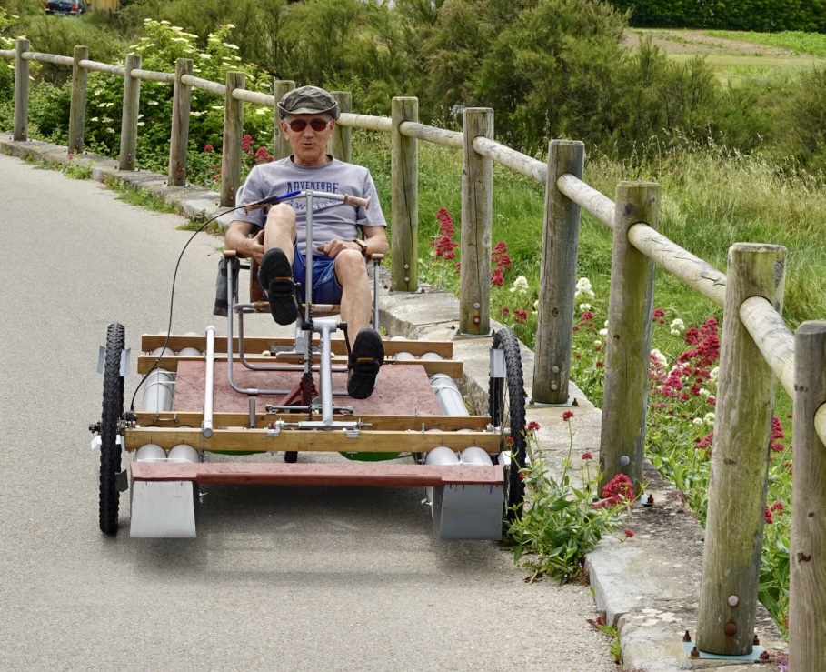
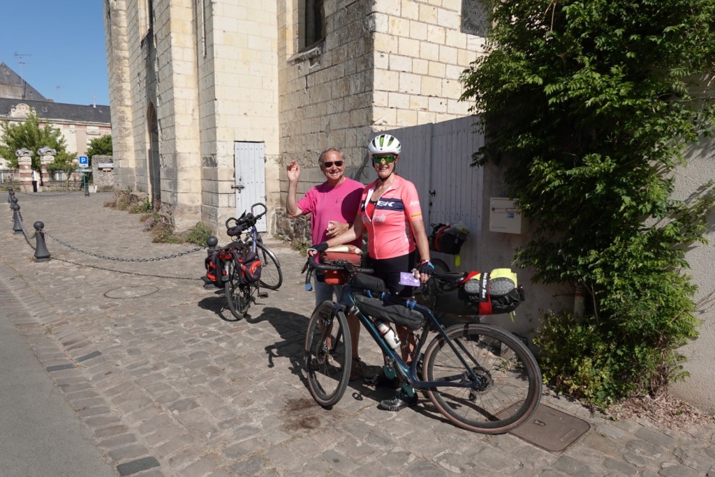
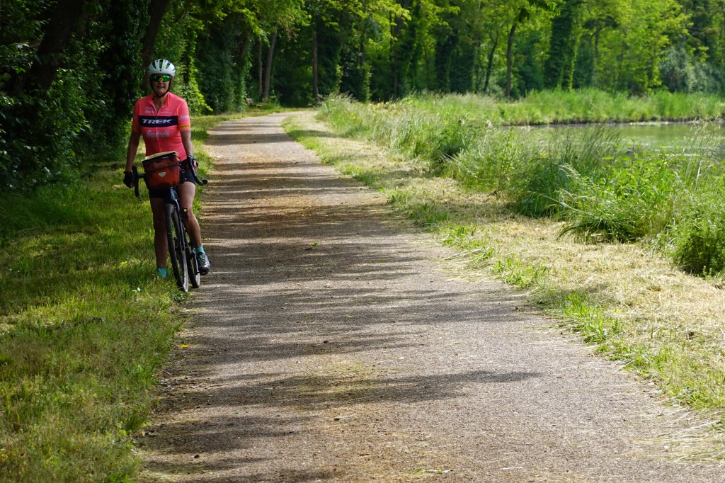
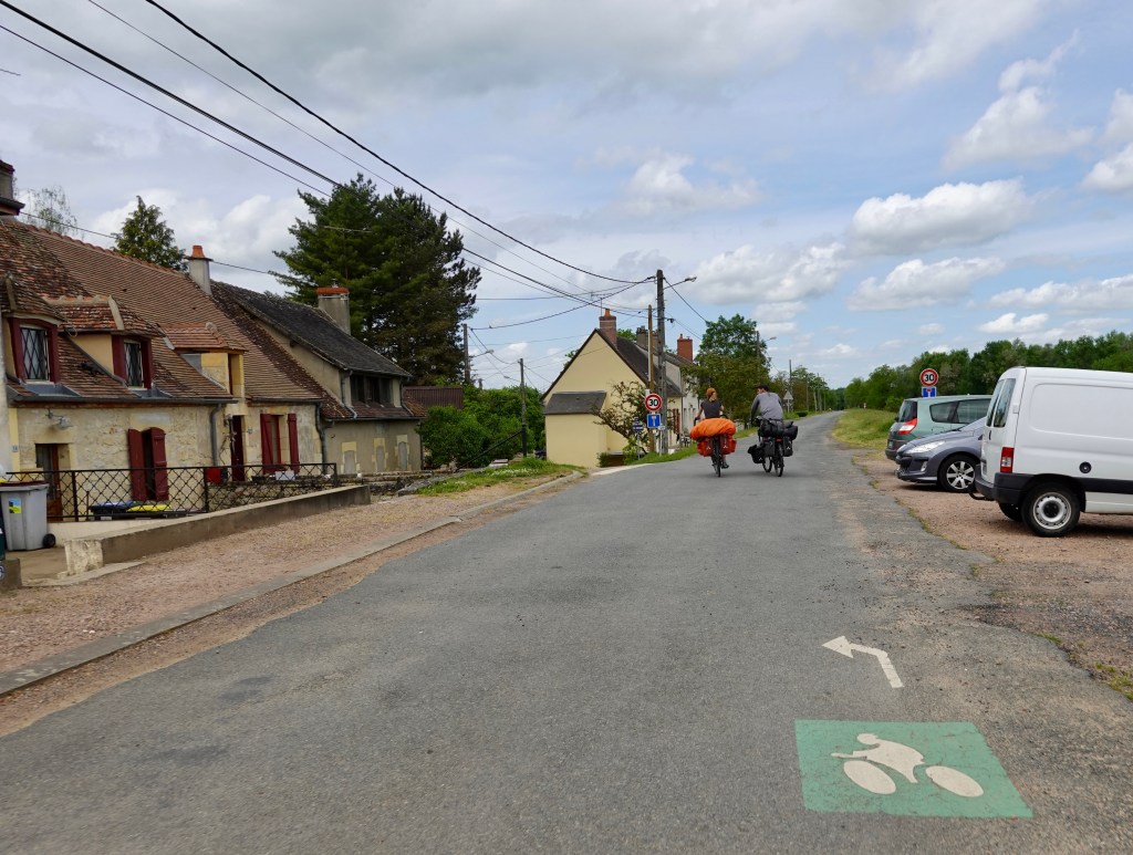
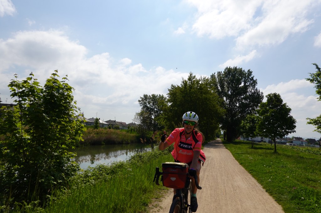
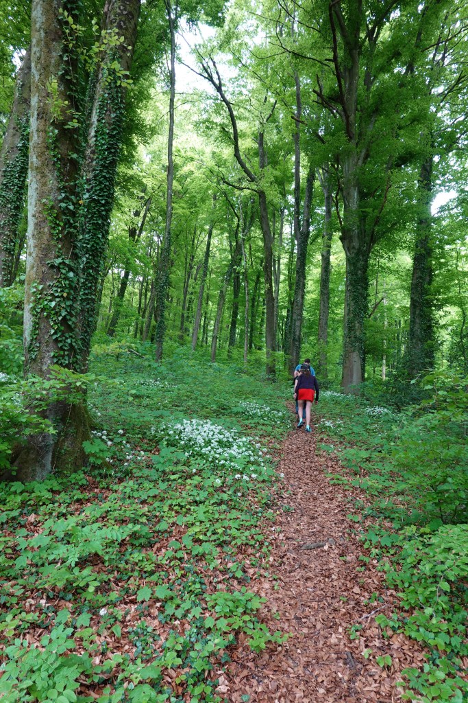
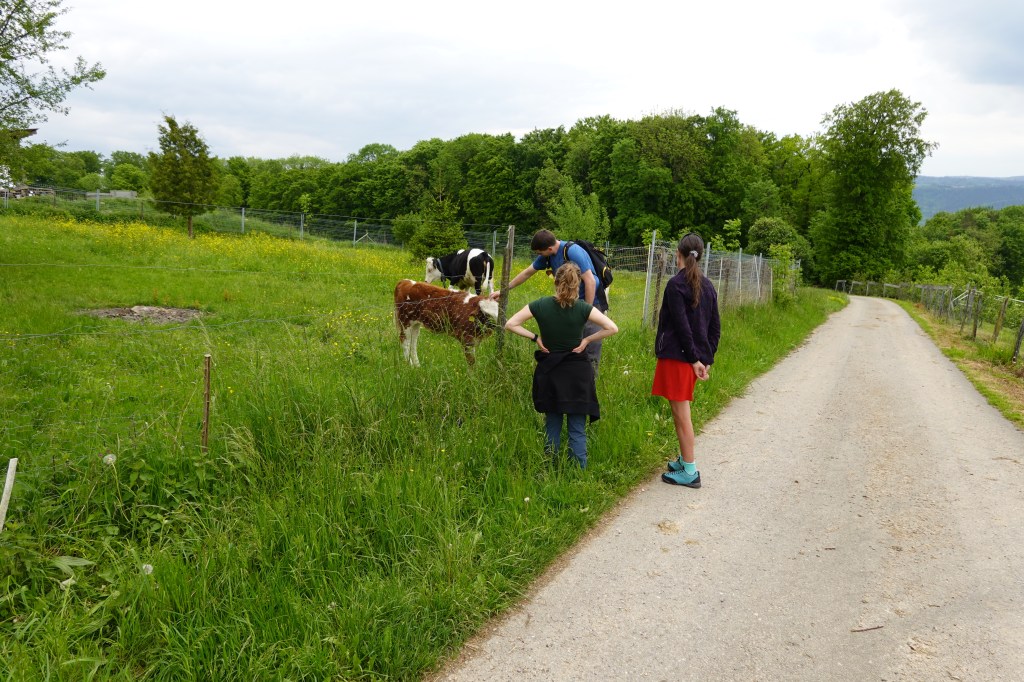
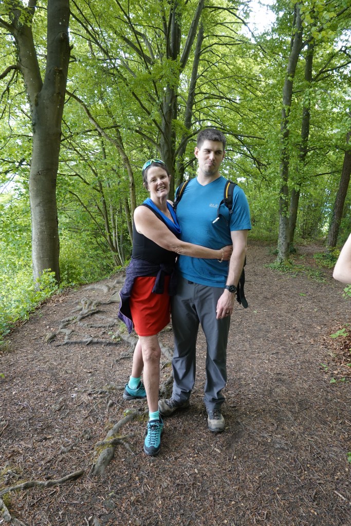
We had a bit of fun with the lady below, and her partner. He is ahead of the guy on the right. We first met them on a narrow forest trail. She is on an e-bike and had entered the trail and we were climbing a small rise. When we saw her behind us on an ebike we pulled over to let her pass as she was trying really hard and her partner was ahead.

Her helmet is on her luggage. Very useful in an accident 🙈

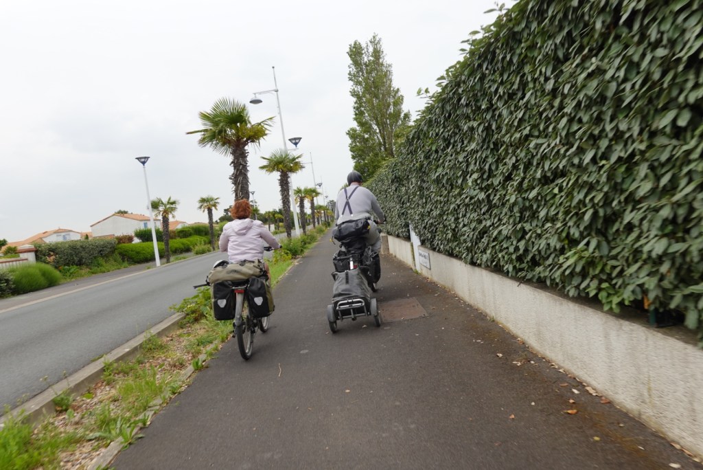
We stopped and waited a bit, had a drink and something to eat so she could clear out. However, we caught them quickly. We stopped again but caught them.

By this time, she and her partner were riding side by side, and they had no interest in letting us pass. They were well aware we were there as we noted their cadence lift. We were all doing 25 kmh.

So we sat right behind them. We could not pass as they would not move into single file. They had upped their cadence significantly again and her body was swaying from side to side. She would not last long. Her partner was trying to get her to go faster.

We just sat and waited…..

Then there was a sealed road section. We just upped the pace to 30 kmh and cruised past, as I said ‘ G’day’ 😊. We kept the pace up for a few km and laughed. Kept us entertained 🙈😝

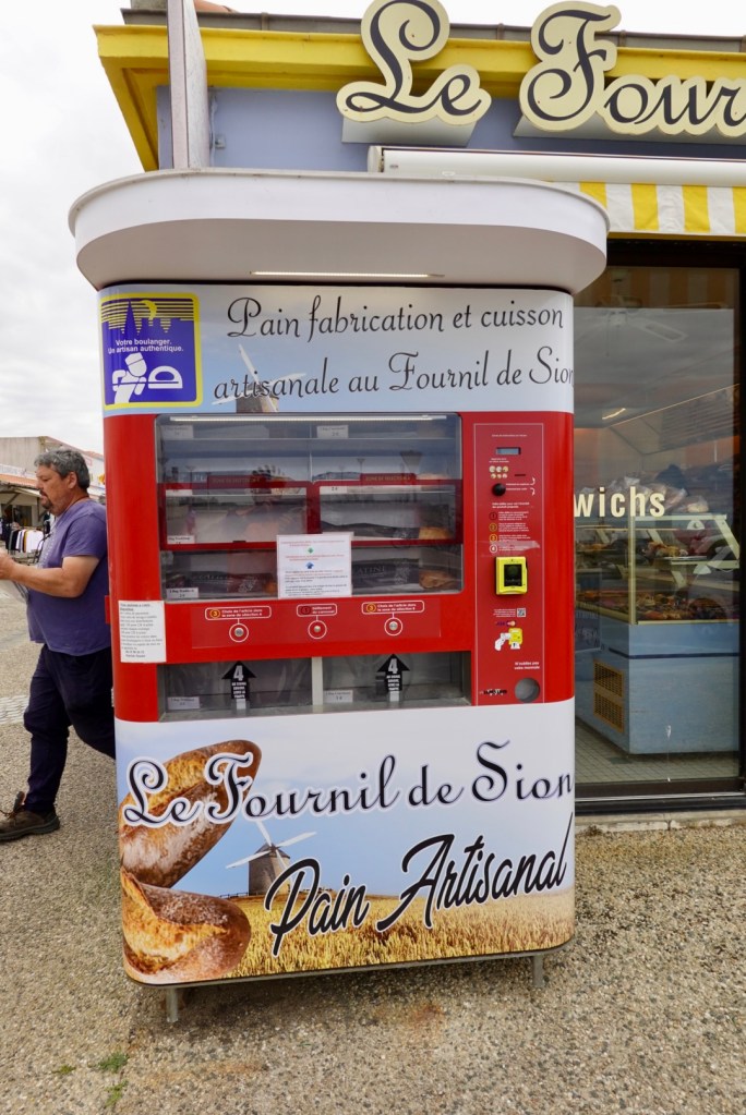
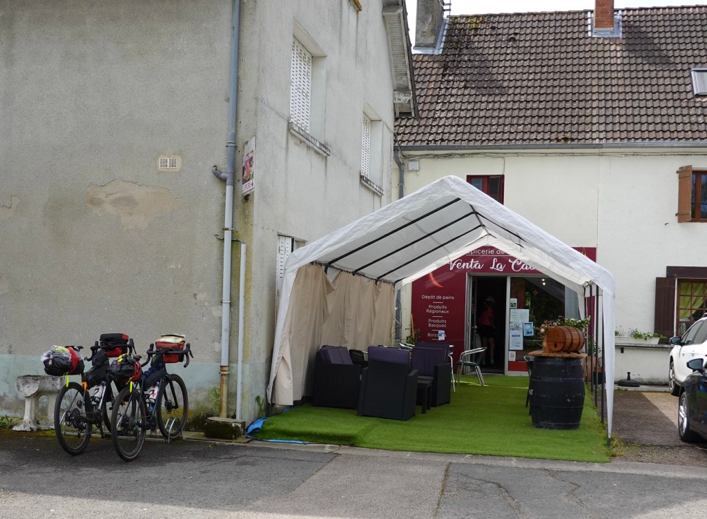
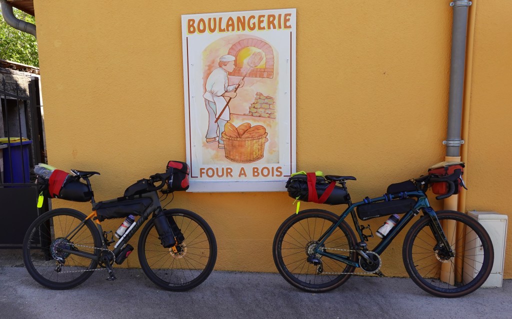
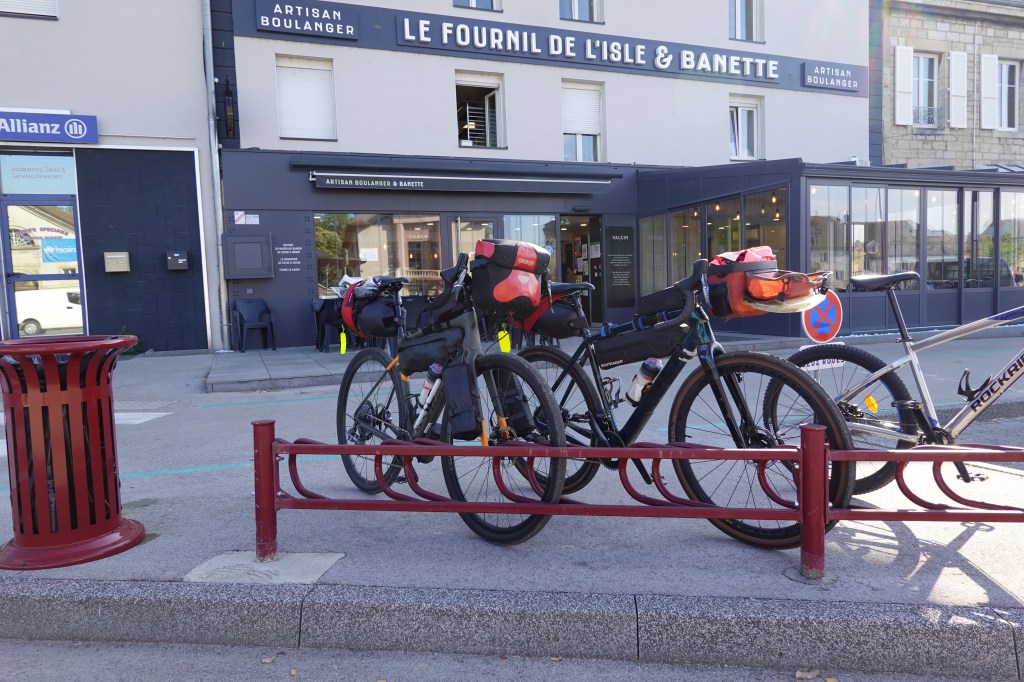
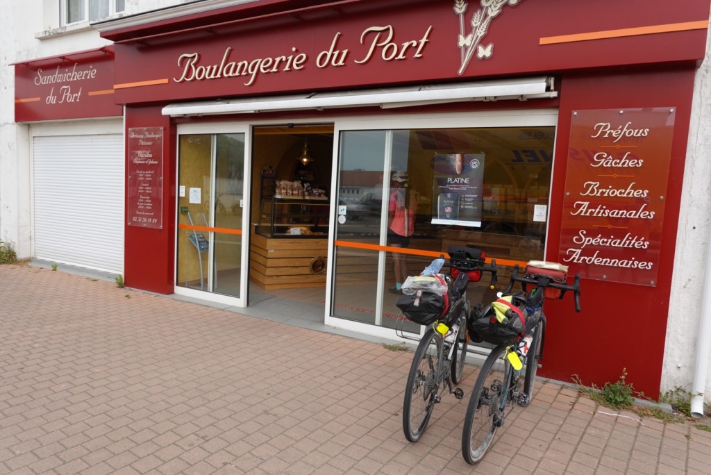
Then we stopped at a boulangerie.

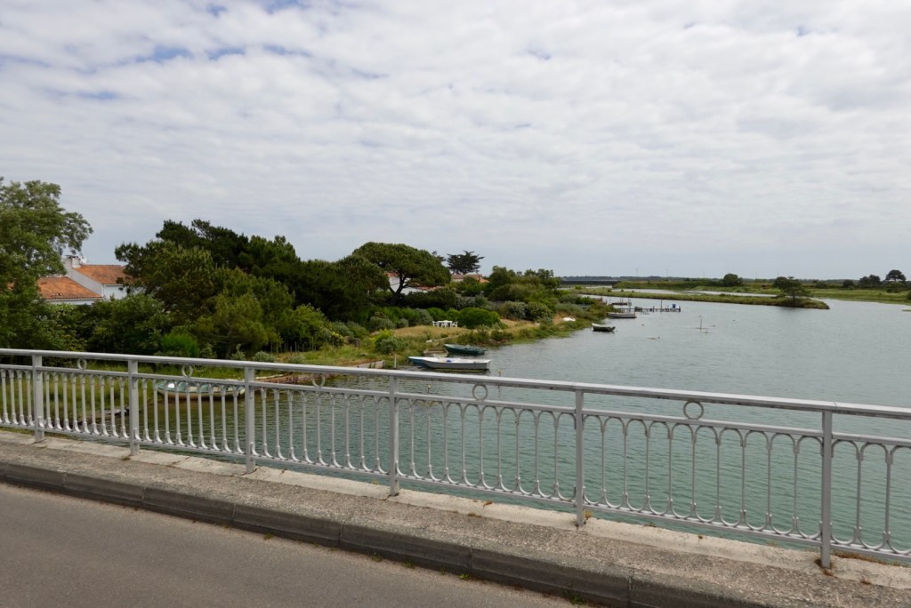
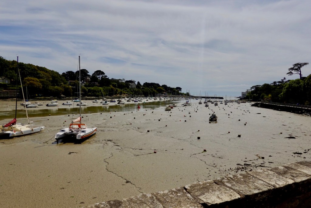
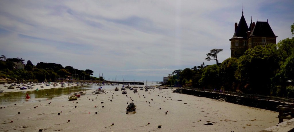
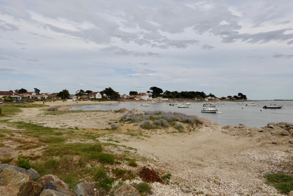
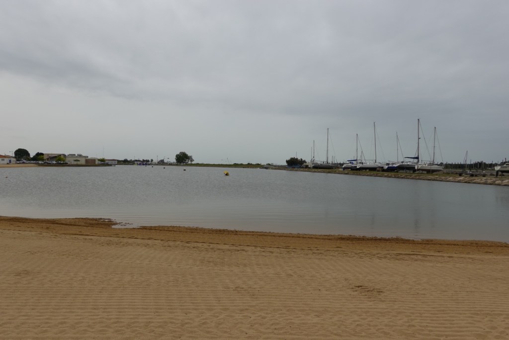
We sat on the wall overlooking this inlet. It looked like the sand had just been groomed.

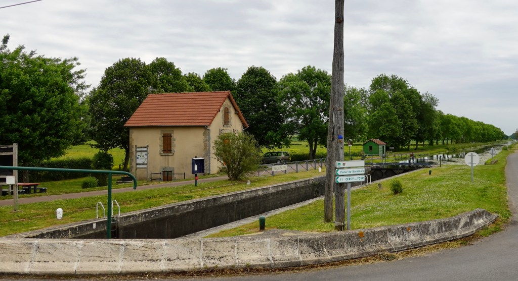
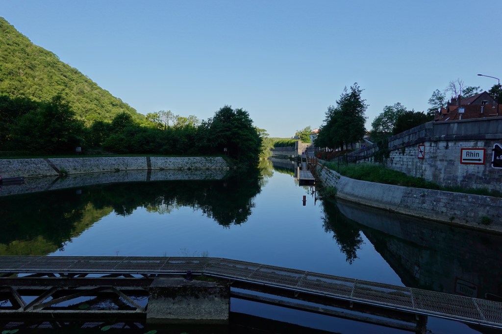
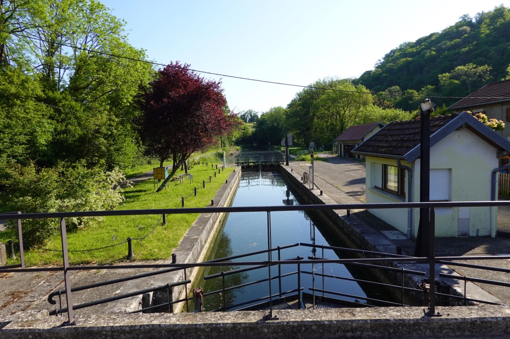
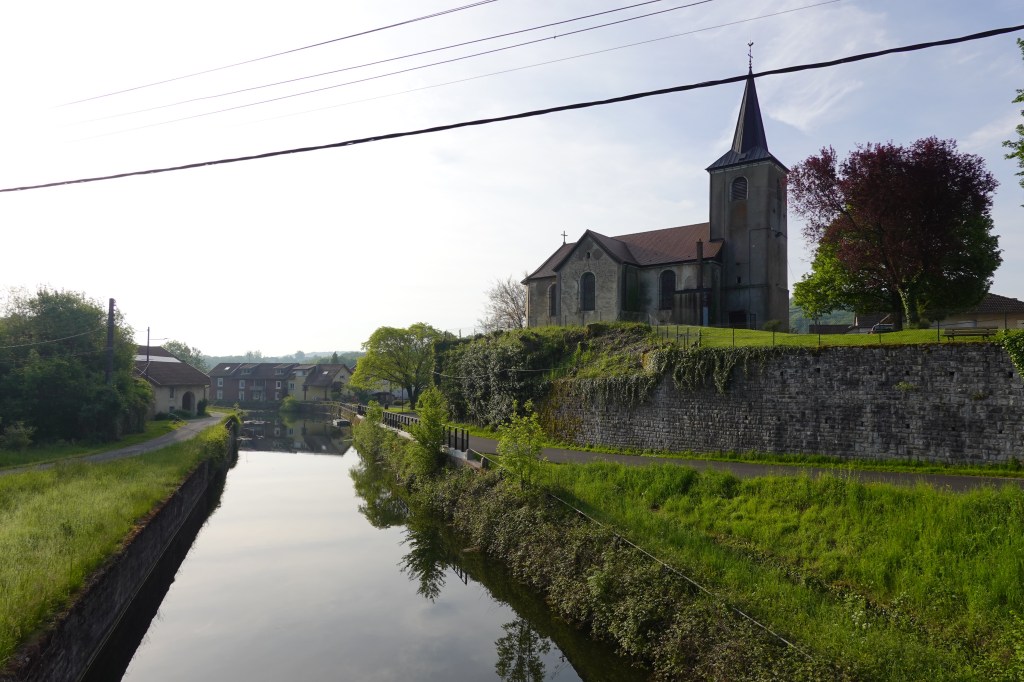
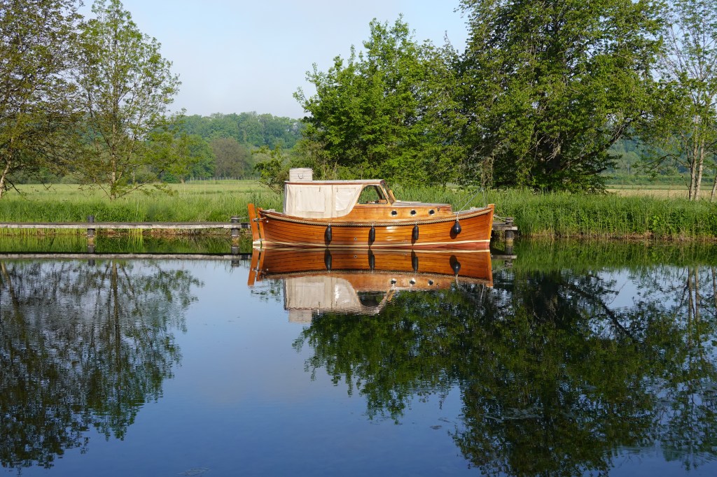
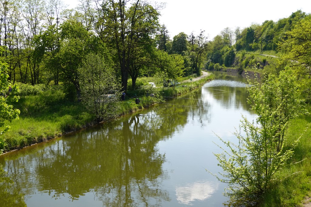
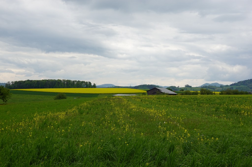
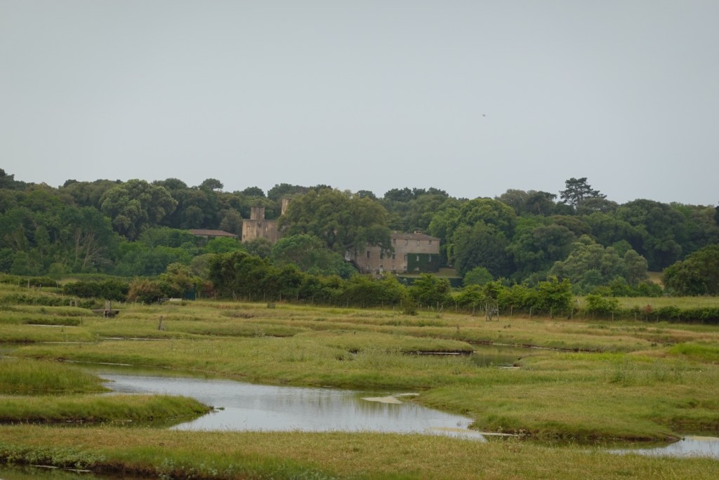
More of the Marais Marshland and a lock.

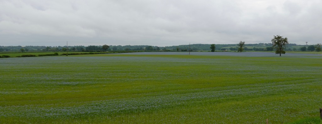
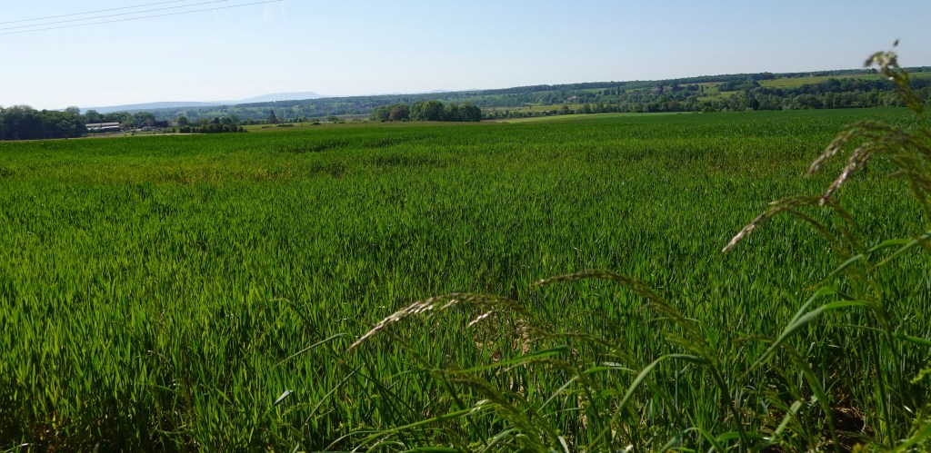
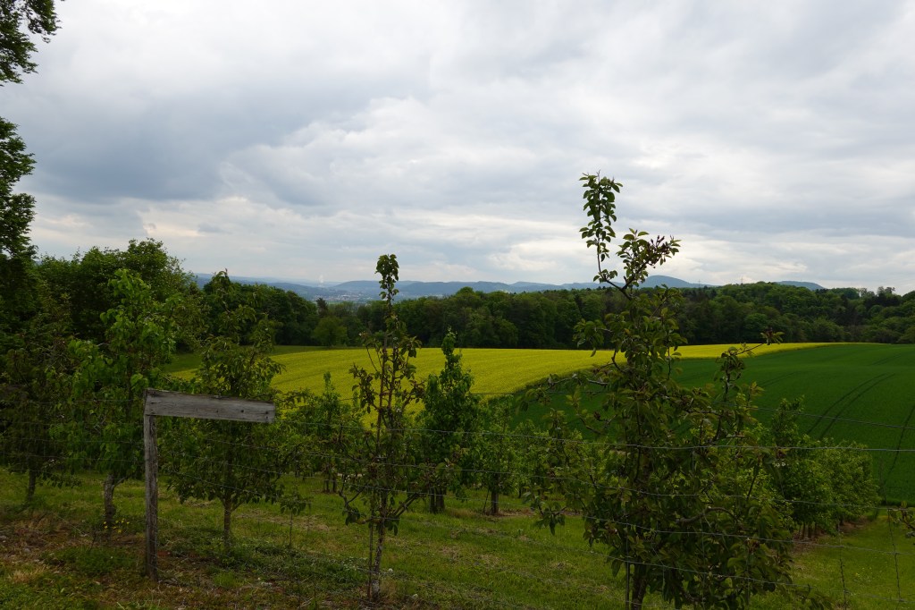
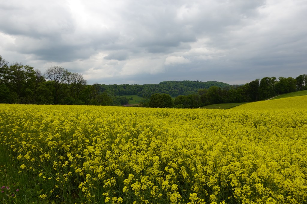
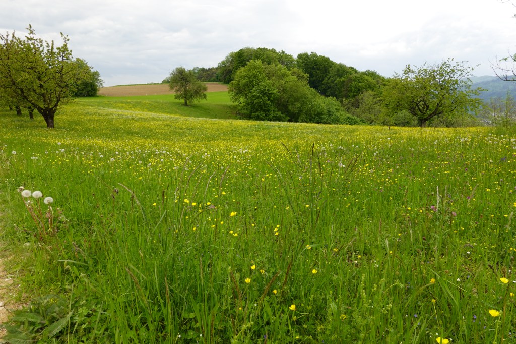
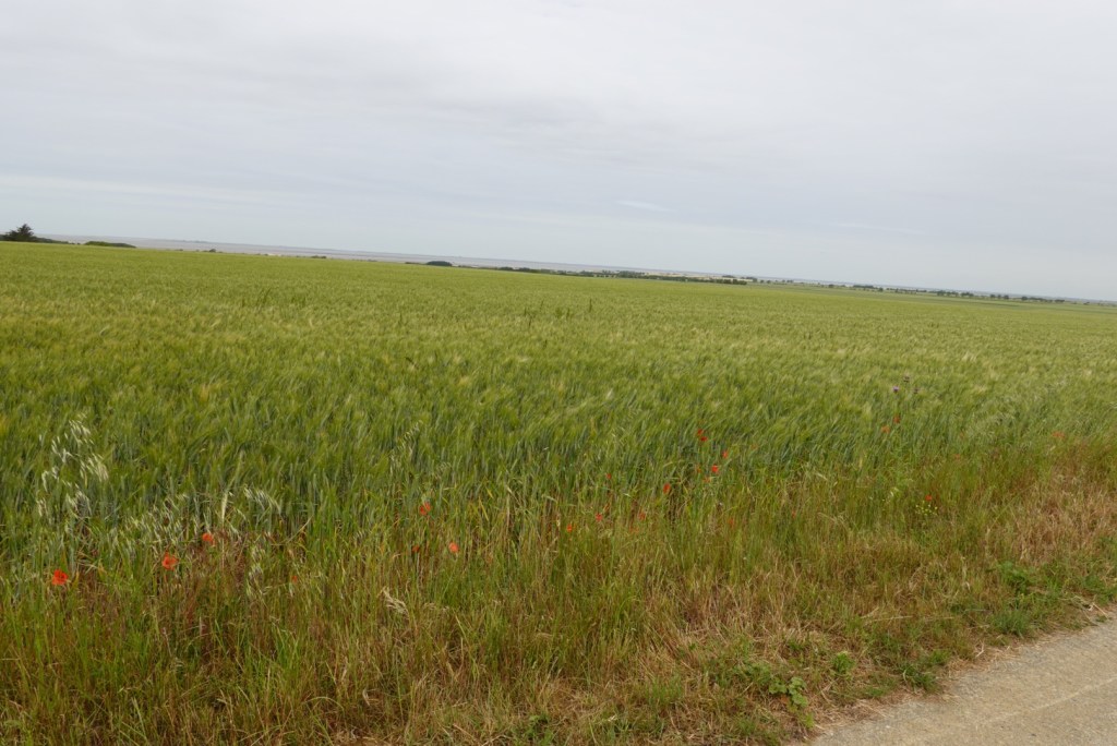
Pretty flowering crops.

Tony liked this car

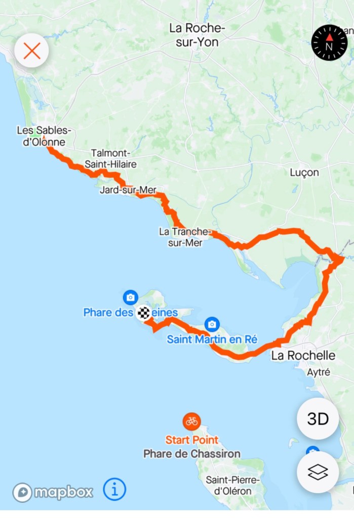
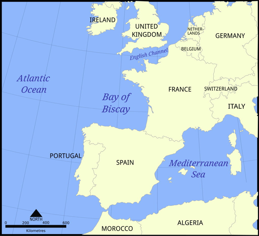
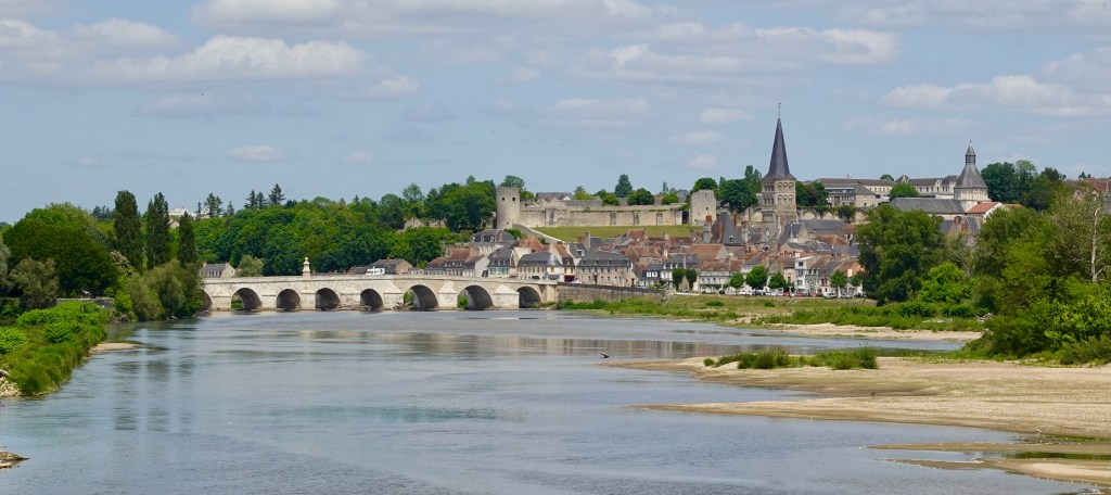
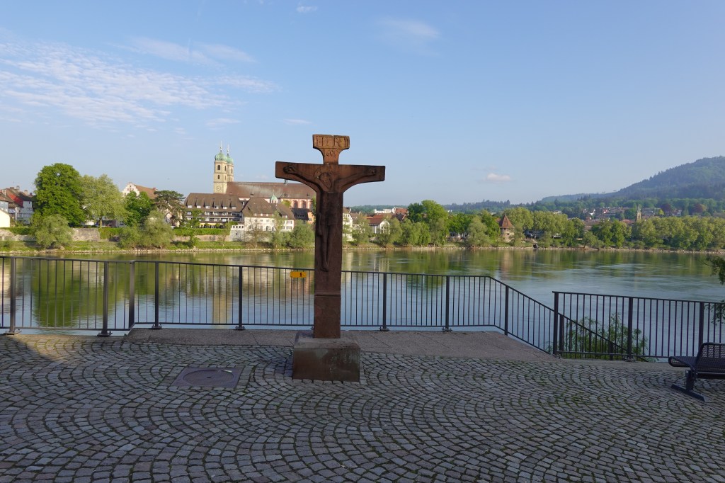
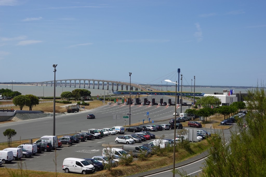
Our destination today was Ile de Re, an island off the Atlantic coast near La Rochelle. It is an Island about 30 km long and 5 km wide.

In history, it was once three islands, but with silting over time, they became one. The Islands became English when Eleanor became Queen of England but King Henry III (her grandson) returned them to France.

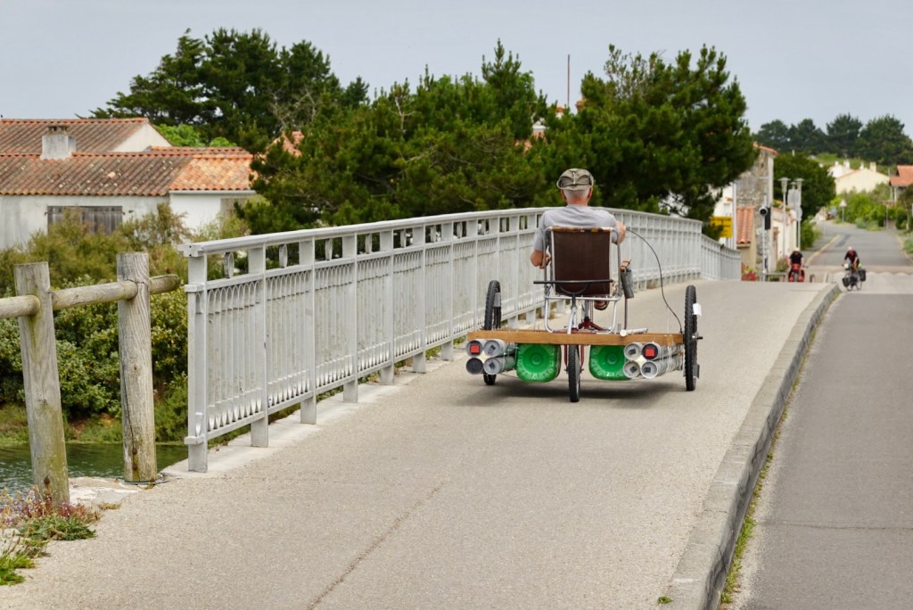
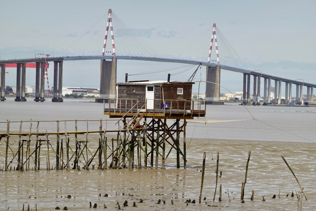
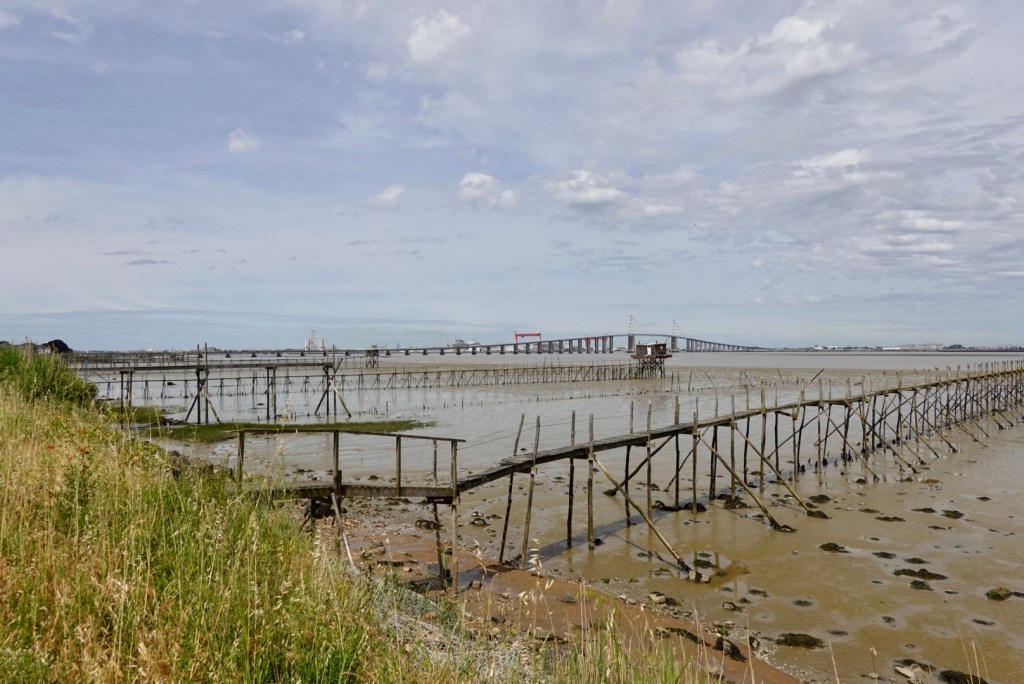
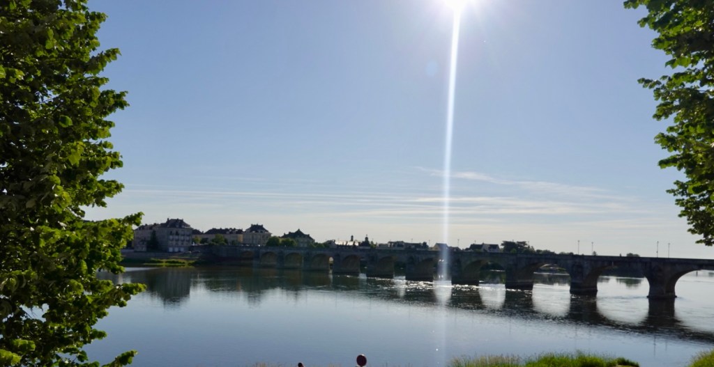
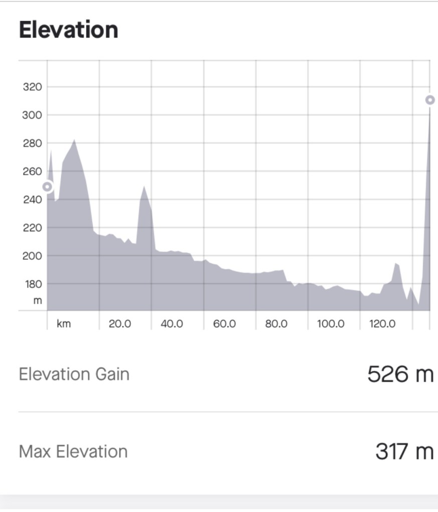
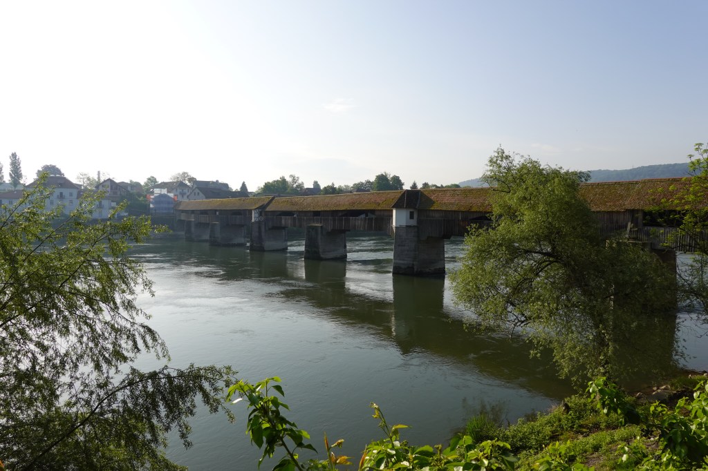
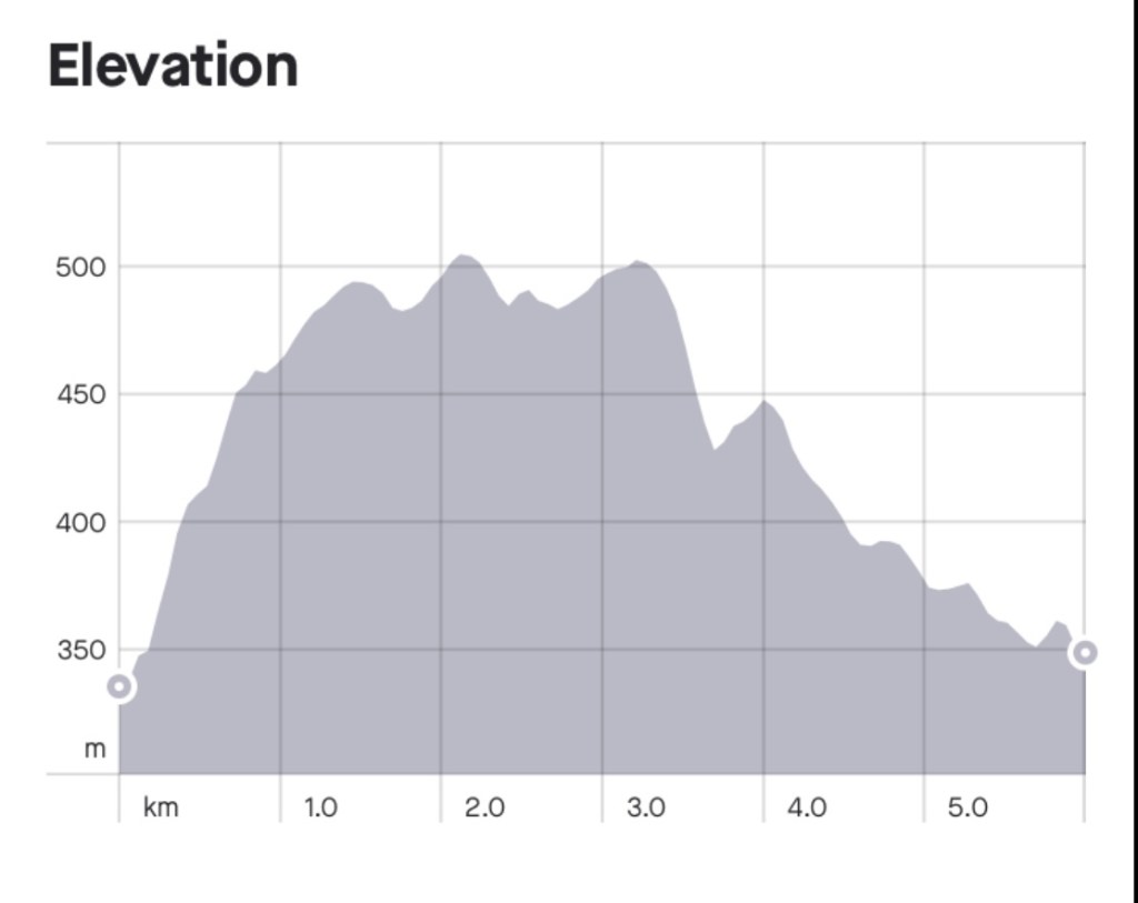
In 1987 a 2.9 km bridge was built connecting the island to the mainland. We rode across that bridge today. It was challenging as the last 40 km of our ride we had a driving headwind.

Approaching the bridge. Cars pay a toll.
Looking back up the bridge as we descended
The view from the Island

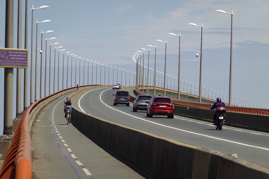
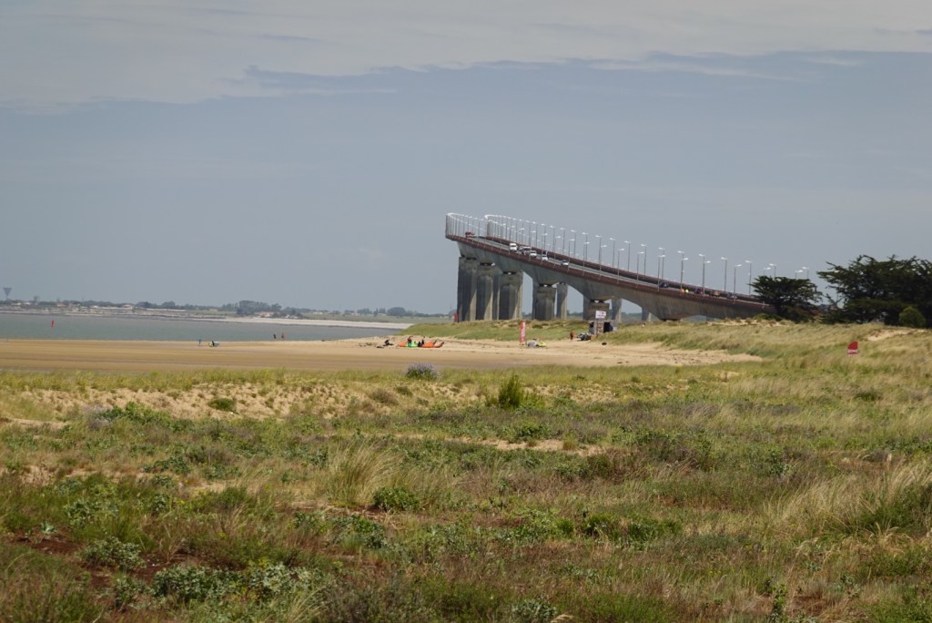
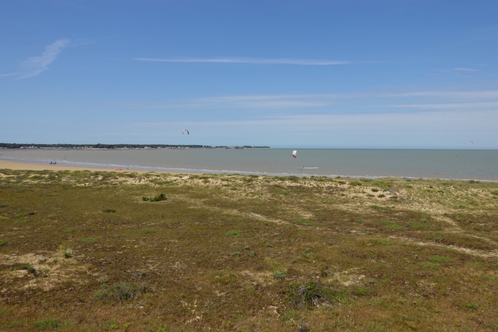
Some kite surfing on the northern shore. Once we crossed the bridge, we still had 28 km to ride. The wind was awful by now and we were hoping it will stay the same for tomorrow to aid us off the island. You can guarantee it will turn!!

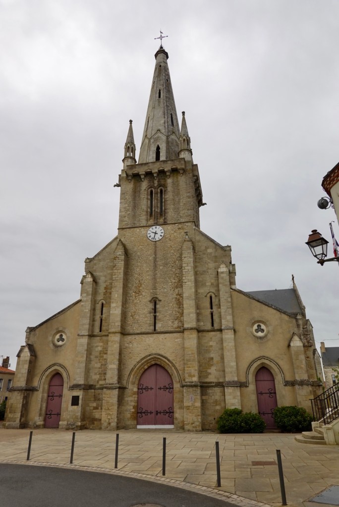
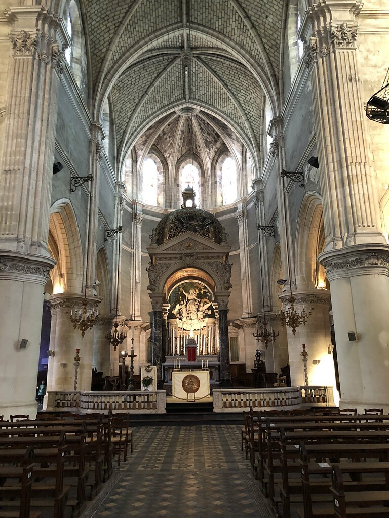
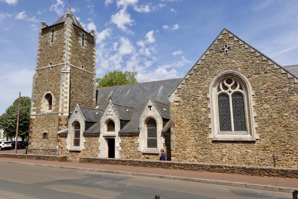
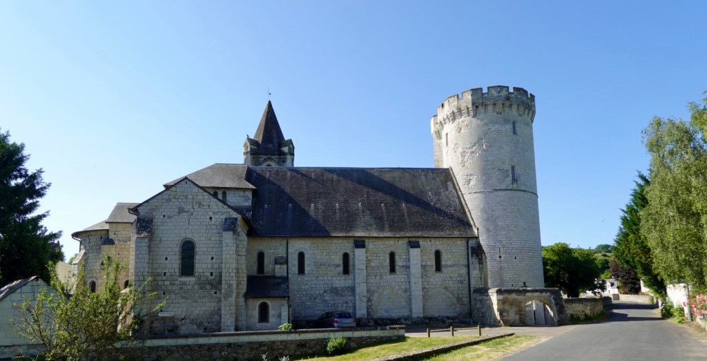
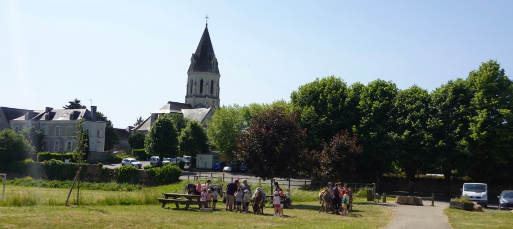
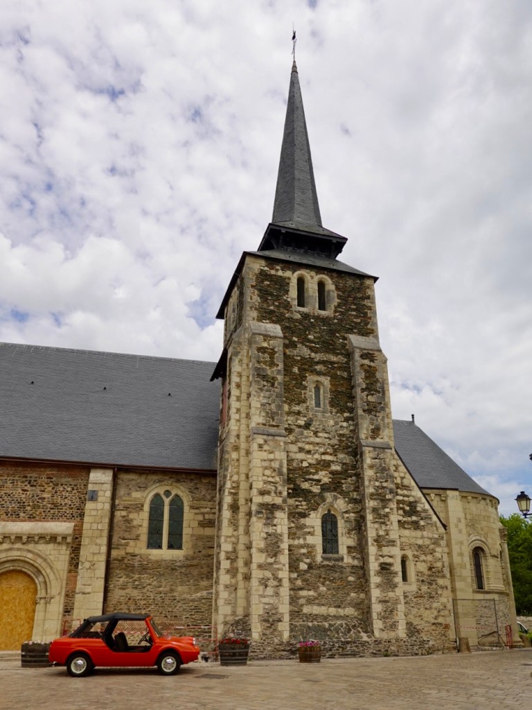
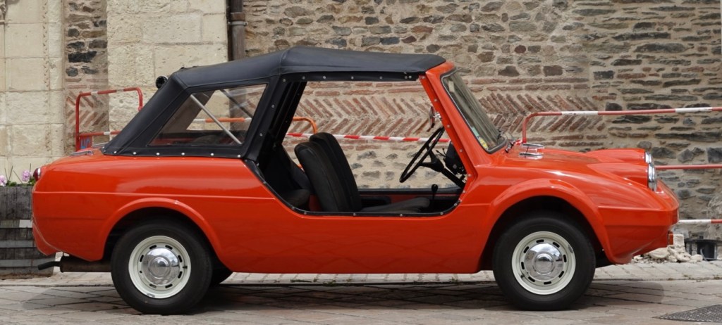
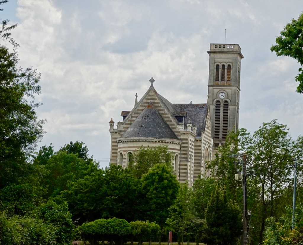
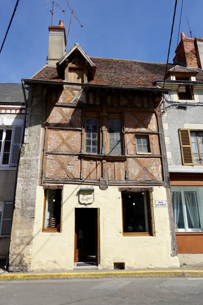
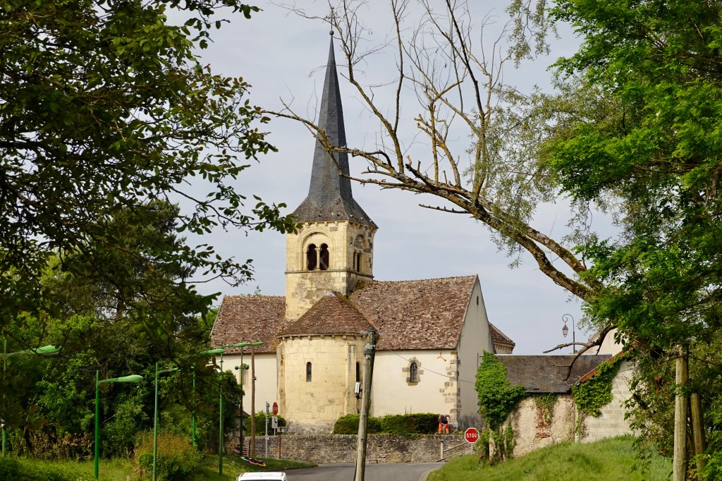
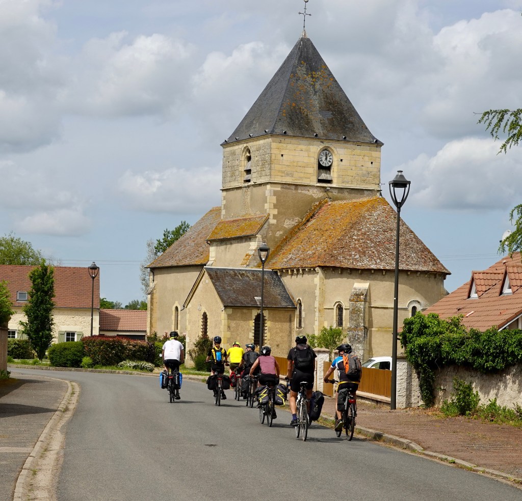
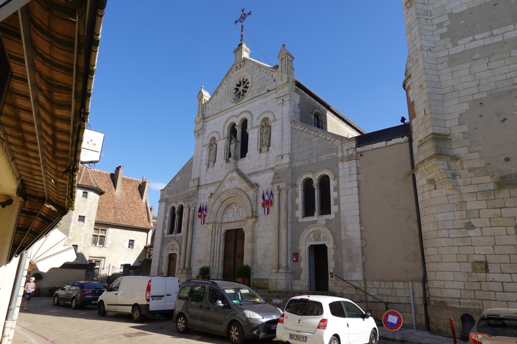
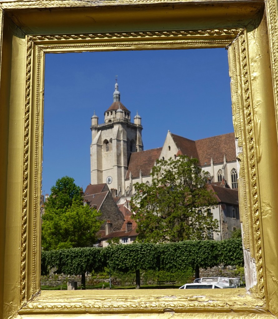
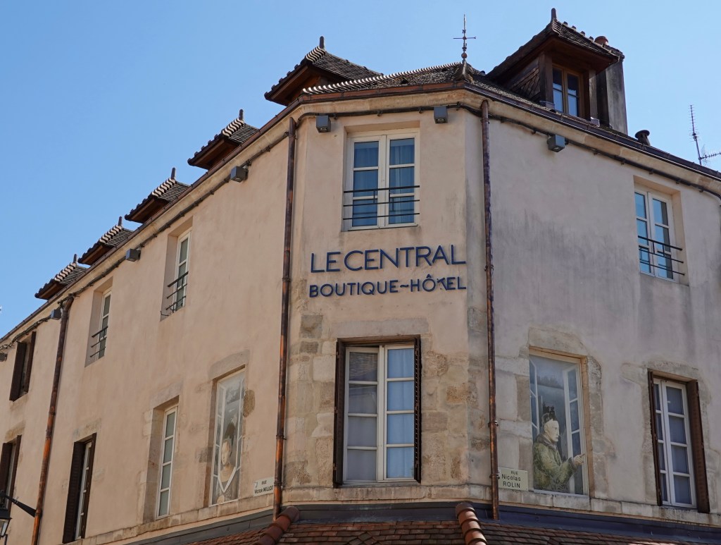
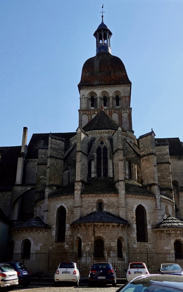
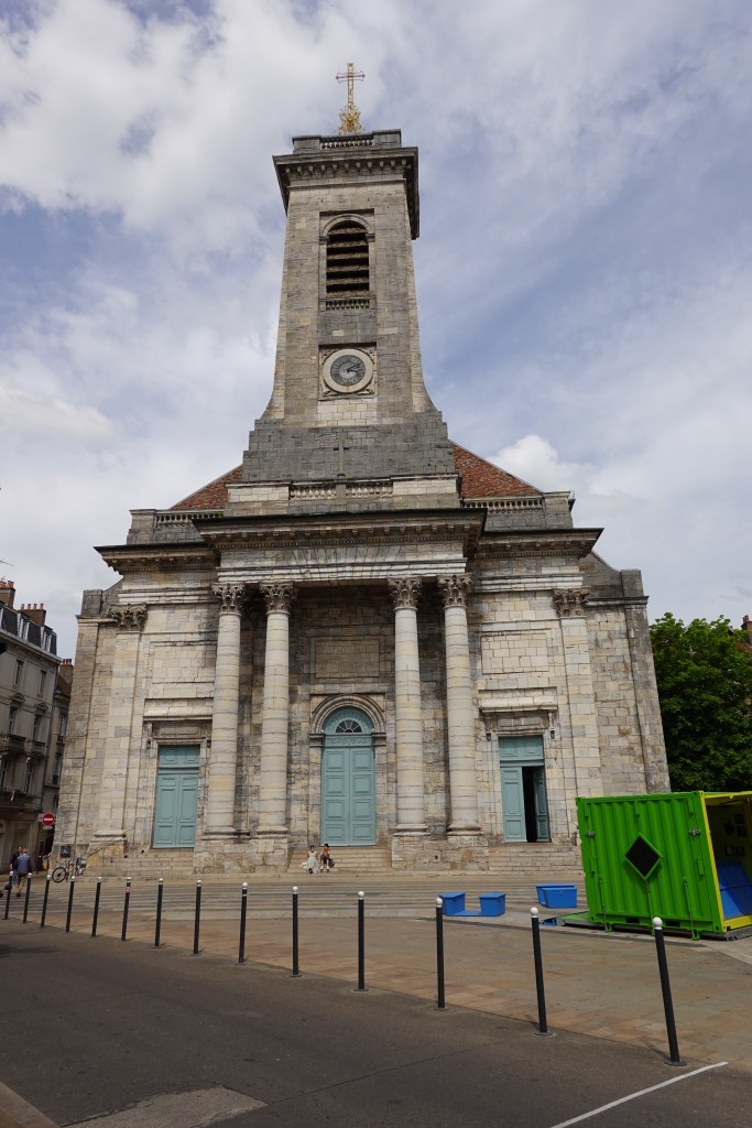
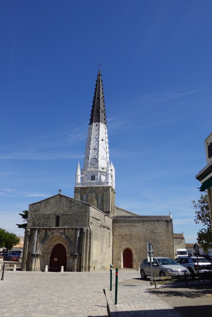
The church in the village off Ars de Re.

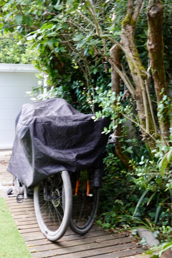
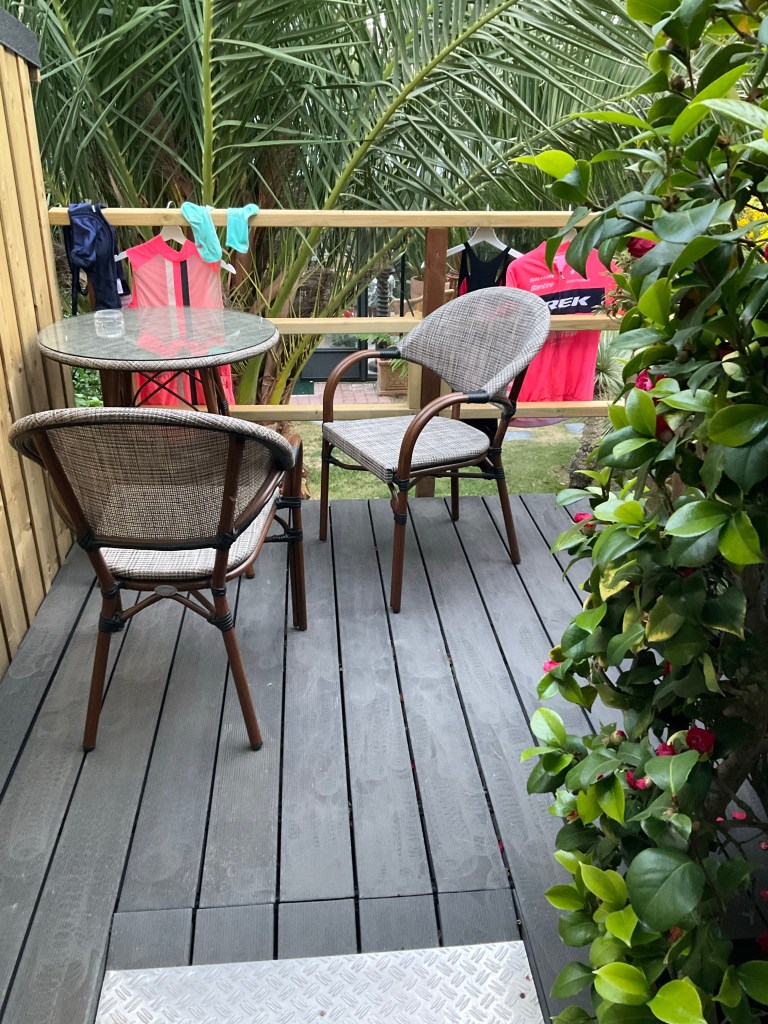
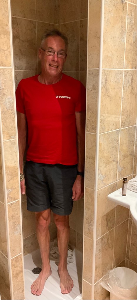
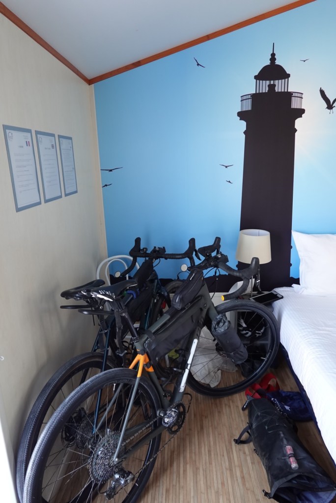
We are staying in a cabin park tonight. Cheapest accomodation of our trip at $89 but quite satisfactory. It is clean and functional with a huge bonus I will reveal shortly.

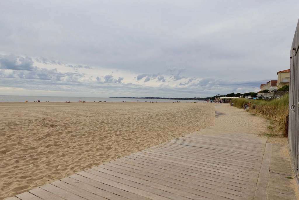
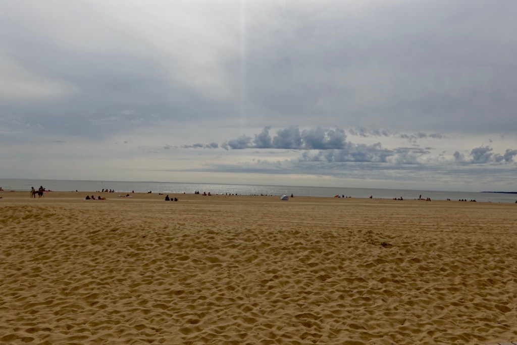
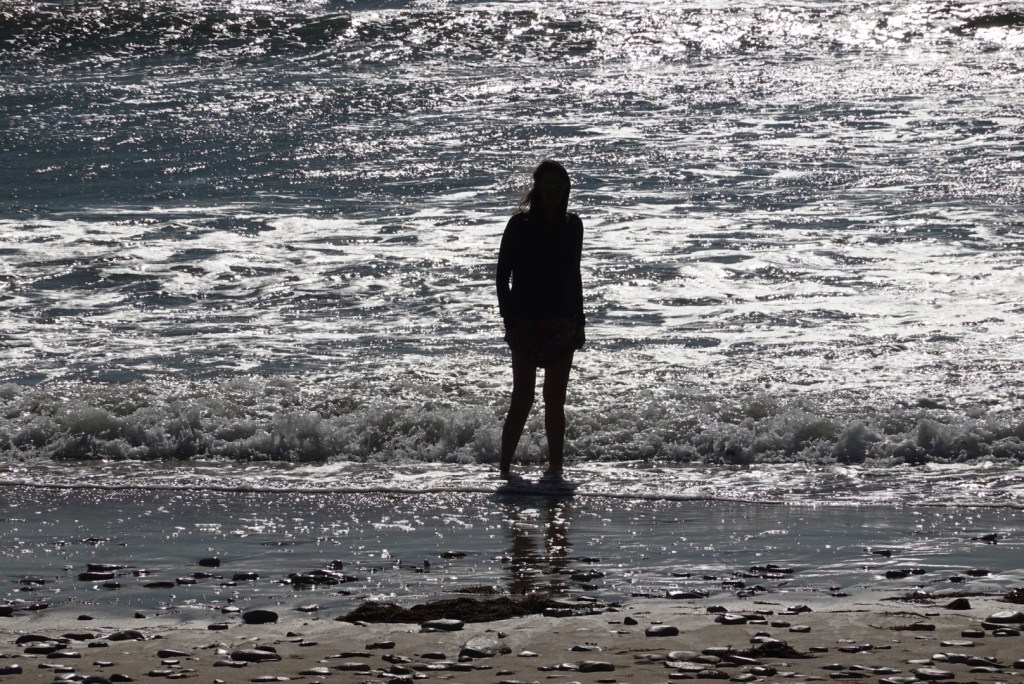
We went for a walk to the nearest beach, out the back gate. We were told to follow the blue paint on trees.

There was no clear path and the blue paint was like a scavenger hunt.

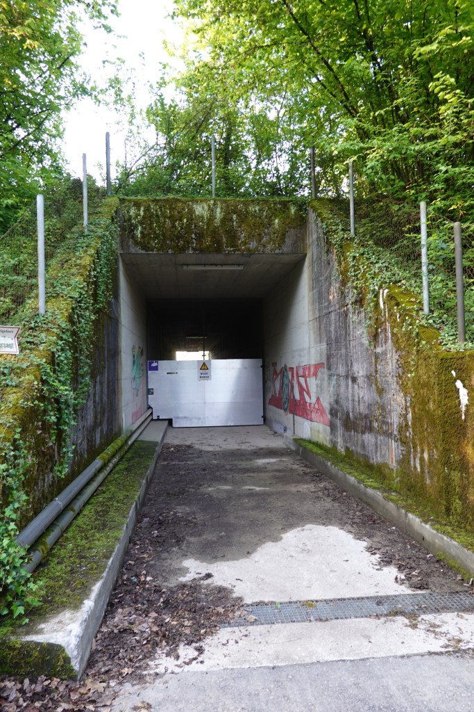
We started to wonder if we were on the wrong path when we saw the barbed wire and French military signage.

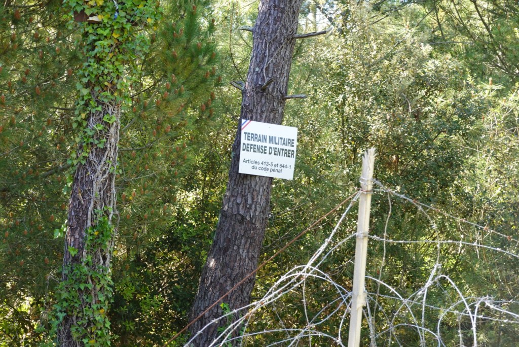
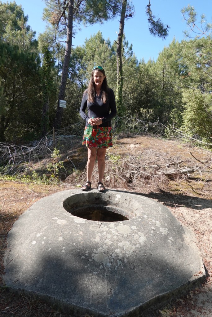
Then there was this bunker. Subsequent research revealed the Germans realised the strategic positioning of the island and occupied it during WWII and build many bunkers.

Finally we made it to the beach, a bit of a slog over sand dunes. Cycling is far easier.

Getting my feet wet in the Atlantic. I quite like this photo.

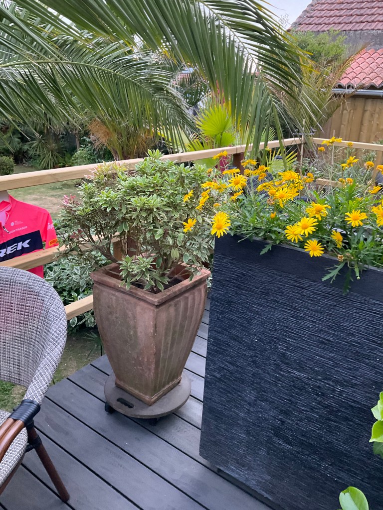
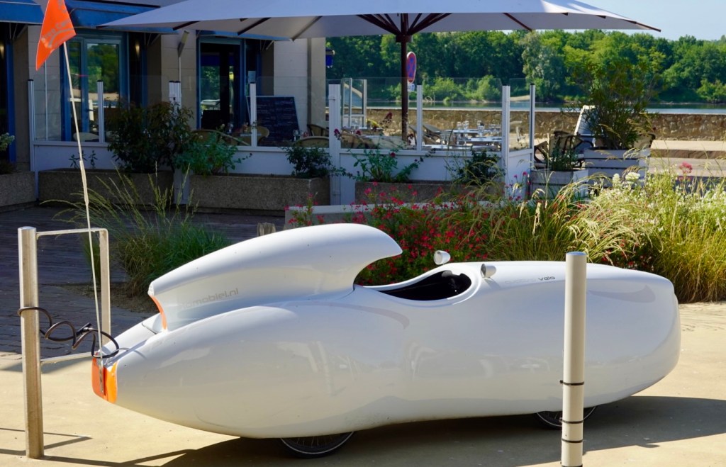
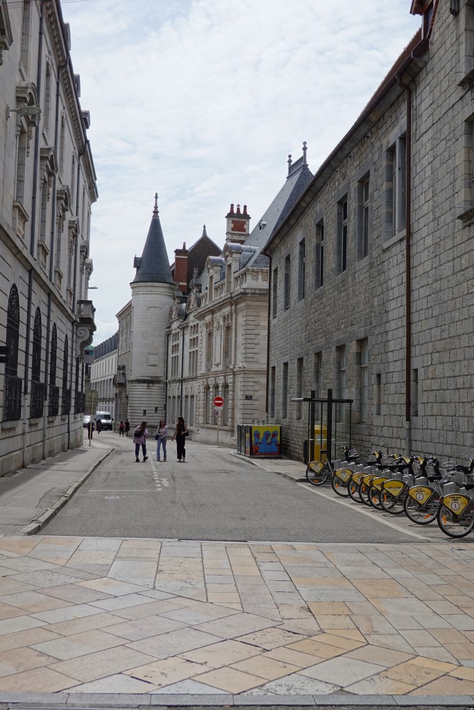
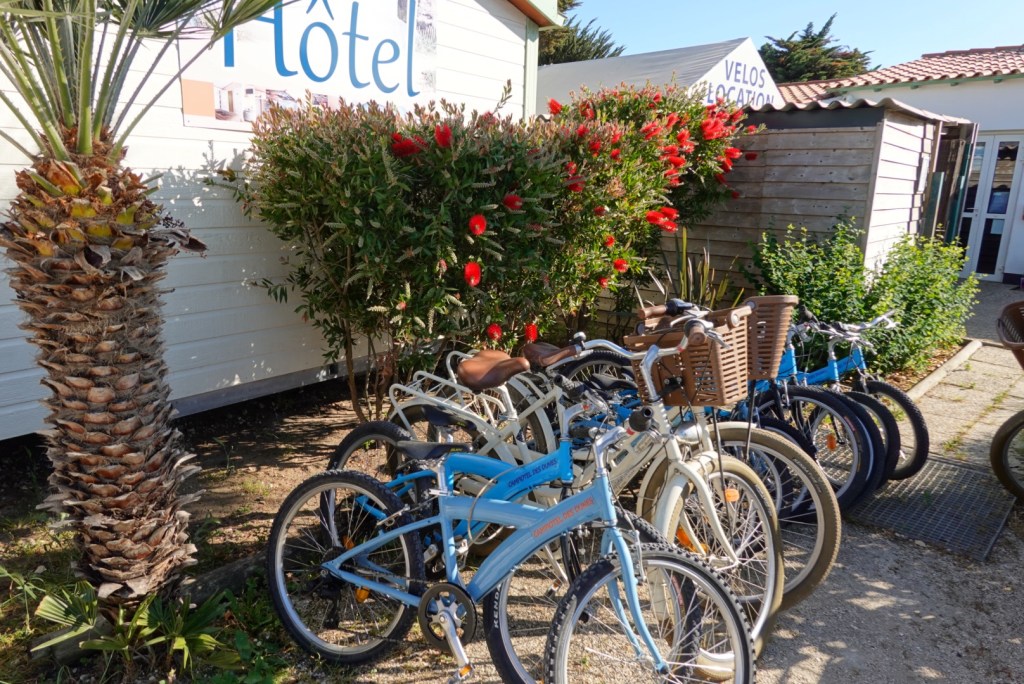
Back to the park and I noted a bit of Australia. Callistemons flowering (bottlebrush). Lots of hire bikes available.

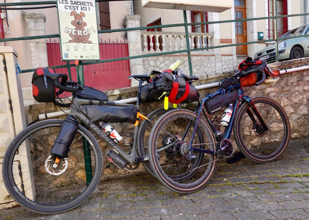
The big bonus. The park has bike racks outside each room however guess where our bikes are?? A picture tells a thousand words…..

Yes, that’s our bedroom. Tony has since rearranged them as that is his side of the bed 😝😝

Day 12 done and dusted. I do feel better today only having cramps for a few hours. We have done 133 km today, and nearly 1500 km for the trip so far.

We have reached our most westerly and ( nearly) southerly point and tomorrow we start our next lap across France at a lower latitude.

Thanks for reading. Stay safe, smile on 😊

A day to chill, smell sea air and recover

The day started with two big questions. Firstly, were the bikes ok? I had woken before 5 am but felt I could not sneak out due to a tricky and noisy lock on the door, so I waited inpatiently for Tony to awake.

Per the picture below they were there. Many hosts do not understand the value of bikes. I often do not understand why our bikes cost so much either. Without the value of the contents we carry the bike and fittings is over $10,000. Add the cycle clothes, and other bits and pieces we carry it would be $12,000.

Travel insurance will cover a maximum of $5,000 plus clothes. If stolen, apart from a financial deficit, your holiday comes to an abrupt end. Hence our care for their safe storage.

My new bike weights 7.9 kg. Very light, very transportable, very demountable ( eg wheels can be removed in a matter of seconds, not minutes).

The second question, the pot plant. The very first picture is of the deck, plant removed at 7.20 am, 10 minutes ahead of schedule.

Here is Tony enjoying his breakfast. Shortly thereafter I was sick with a tummy upset and did not finish eating, and later ended up,with a very empty stomach.

We left with me experiencing stomach cramps and nausea unsure how far I could go before experiencing another ‘stop’. I was dizzy (not ideal on a bicycle) but needed to try and push on best I could.

The area had lots of lower laying land swamp like. My bike computer showed the altitude to be below sea level in parts.

At Bouin I needed to stop urgently. Finding a Tabac open, Tony ordered coffee whilst I used their toilets. Poor Tony received two coffees, one with milk and one espresso. I was not in a position to assist him, so he was very perky.

The church over the road from the Tabac in Brouin.

At the next village, Saint Gervais, I found a pharmacy open and had a chat to the pharmacist and purchased some anti spasmodics. Around the corner was this statue of Saint Gervais. We snapped it as we have a friend in New Zealand with the same name, and I vaguely recall him saying something about being named after a Saint.

Whilst Tony waited for me, he saw this car.

Back into the forests again. I do enjoy these trails.

Another village, another Saint. This one being Hilaire. We stopped and purchased a hot chocolate each, and I kept mine down. Good sign. I was starting to feel a heap better with something in my system. At this point we had ridden 60 km.

Saint Hilaire
Another baguette dispenser

We followed the coastline along a variety of surfaces including compacted gravel, paving and bitumen.

The tide was low, heaps of exposed rock in this section.

A variety of various village and town views.

Ah back onto a forest trail, our happy place.

Good information is a available on the region known as the Vendee (formerly Poitou).

Here there are two tracks. The broader one is for cyclists, the narrower for walkers.

We stopped on a bridge to take a photo but we were distracted by ‘something’ heading our way, taking up most of the path. What on earth were we looking at?

The guy stopped. He only spoke French but we understood he made this himself, and it floats. He pedals it in the water and goes fishing. Really interesting.

The view that we stopped to photograph as we crossed the bridge
The other side of the bridge view

Ah back into the forest 😊

We arrived into Les Sables d’Alonne a few hours before check in (shorter days ride at 90 km), and fortunately we were given access to our room.

After showering and washing our clothes we walked around Port Olona ( Port de Plaisance) adjacent to our accomodation.

Following the waterway down Quai George V we boarded a little ferry (after paying 1.10 euro each) to cross over to the far side. The ferry takes all of about 90 seconds.

We wandered to Grande Plage (Beach). It is a long beach with lots of 10-12 story buildings overlooking the beach. we wandered down the Promenade.

Tough way to earn a living. Beach art. He had a mat out for donations.

Walking back to the ferry we entered a nice old church. Hard to photograph as it is in a narrow street, but the door was open. Music was playing and there were people seated. To my horror I realised I’d walked into a funeral. I did a very quick about turn.

A borrowed photos below sans funeral.

This boat is in dry dock, looks to be a bit of a challenge.

Back on the ferry, last few shots.

Thanks for reading, I am hitting the sack a bit earlier tonight. we have a bigger day tomorrow.

Ooroo,smile on 😊

Nasty Nantes and other navigational technicalities

Up bright and early, looking out the window of our accomodation. I note the boulangerie is closed. We were first to arrive at breakfast. Surprise 😲

Today we rode 122 km. On paper it looked straight forward but it was far from it. I do not think I have ever got on and off my bike, cleat, un cleat, walk crossings, avoid moving people, fast moving traffic, turned left, right, left quite as much as today.

One of the main reasons was the large city of Nantes, Frances sixth largest city with a larger metro population of around one million. We stayed on the southern side of the Loire to try and avoid the worst of it.

Before the Nantes urbanisation, there were some lovely vistas.

Beautiful field of red poppies
Onion farm, with a sign promoting a new cycle path through it

Photos around Nantes were not a priority. We just concentrated on getting in and out of urbanisation as safely as possible. Notwithstanding that, I actually did not spot one interesting thing. It was an ugly conglomeration of industry from todays perspective.

This was looking back at the main bridge between north and south Nantes. What you can’t see is that the traffic is barely moving. Lots of trucks just crawling.

I did do some quick research on Nantes tonight and the older area does have some redeeming qualities and history.

Sadly during WWII the Germans destroyed 2000 buildings and rendered another 6000 unsafe. The city wins awards for it’s innovation.

Some 10 km after the city, things calmed and we joined a canal path. Finally some piece back in nature.

Moi on said canal path

Looking ahead, that bridge is the last one that crosses the Loire before it empties into the Bay of Biscay. I have read reports from riders, mostly saying it is awful to ride across as it is exposed, windy and has a narrow cycle lane.

Here is the bridge to Saint Nazaire as we rode closer. The river has become muddy and quite ugly. Man has stuffed it up. In addition there is significant siltation, part of which I understand is the result of a competition between the incoming tide, and the outflowing Loire.

The incoming tide reaches 30 km up the Loire as far as Nantes.

There are numerous of these fishing jetties and huts, all privately owned. They are maintained to varying standards but the jetties look wonky in many cases. Low tide does not add to the appeal.

Finally we reach the west coast of France. We have successfully completed our second crossing of France laterally, at different latitudes. Our first was in 2016 en route London to Venice, albeit a more direct route.

Time to head south for a few days.

The first highlight was the Serpent of the Sea, an interesting metal sculpture. It is very long (130 m) and was made by Huang Yong Ping in 2012. It is installed in the intertidal zone at Saint Brevin, at the mouth of the Loire ( southern side).

It was low tide when we visited, but at high tide, most of times covered. The intention is that marine fauna and vegetation will invade it over time.

By coincidence, my neighbour Dayle sent me the picture below this morning, courtesy of David Attenborough. At higher water levels and a drone camera, it shows the magnificence of the serpent.

We followed a walking path along the beach. It was very pleasant.

Then there were areas where there was more extensive vegetation verges.

Food options had been scarce today, without deviation. We hung on and shortly after turning south, we found a village, with a boulangerie so we grabbed some lunch and sat under a nice shady tree of the church below. You could just see the ocean. We had ridden just under 100 km at this point.

It was hot again with 34C so we moved onwards. We were only about 28 km from our accomodation.

We rode into Pornic, an interesting town crawling with tourists. This had been our original overnight stop but due to issues with bike storage, I cancelled and moved us further south.

Again, the tide is low, and it is a very muddy river, boats stuck on the mud. You would need to time your boat trips well here.

We are now in the town of Le Bernerie en Retz, boasting a long sandy beach and lagoon. The water is part of the Bay of Biscay, that is part of the Atlantic Ocean.

The beach
Man made lagoon to swim in
Looking south

Our accomodation is nice but we are not happy re the bikes. The owner has insisted they stay in his front yard, adjacent to a 3 foot low fence. He says he has a 300 euro bike and it’s never been touched….I told him the value of mine, his eyes popped. He moved his bike and put ours in his rack, and we have our locks on them. Reality is a two minute job and they would be gone. 🙏

The annoying thing is we have a back deck. They could easily go there as the fence in the backyard is typical of many European homes. It would be about 10 foot tall and solid rock. It would be safe as.

Our little deck

However this guy won’t budge on the issue of our bikes. On breakfast I did score a win. Instead of 8.30 am he agreed to 7.30am.

At that time he will move a pot plant that stands between our deck and their deck and we may move about the back garden. It was stressed, not until the pot plant is moved!

The pot plant barrier 😊

Time to get some shut eye. It’s now 9.30 pm.

Thanks for reading, smile on 😊

Day 9: Fontvraud Abbey to Champtoceaux

What a delight it was to spend the night in the Abbey grounds. We headed off to breakfast in one of the converted older buildings to a nice breakfast offering.

The only thing I thought out of synch with the hotel in such historic grounds (initially constructed in the 1100’s) is a series of bright coloured, twisted metal ‘art’ such as you can see in the photo below. That is my view from our table looking out to an inner courtyard.

Leaving the Abbey and village, we rejoined the EuroVelo 6 at Montsoreau on the banks of the Loire.

We continue to be amazed at the variety of structures embedded into the cliffs.

This morning was spent more on bitumen whereas this afternoon was more gravel. The day was hot. It peaked at 34C. Some photos of interest from this mornings happy snapping.

Finding our bearings in a village, we were approached by a chap who only spoke French. He was curious about my Garmin radar. He asked if he could take our photo as he wanted to show his daughter. So we agreed and then reciprocated and took his photo.

Bonjour Alain 😊

A short distance after meeting Alain were a group of children with donkeys.

Returning to the banks of the Loire, Tony was intrigued by this ‘bike’ that was operated by pedalling.

What a beautiful river the Loire is. Sandy shores but still no more beaver sitings.

La Pierre Becherelle is a monolith that was a traditional landmark for the Loire bargees in the 16th and 16th centuries. It was larger as it was partially used for the construction the nearby railway, but still stands at more than 50 metres. Rock climbing classes are held here.

We both liked this little red car. Not sure what it is, but it is super small.

This arch is part of a larger cluster of ruins on a hill that we rode by.

I liked this piece of metal art! The rooster is France’s national emblem. The origins of this emblem date back to ancient history. At that time, the Romans would laugh at the Gauls due to a linguistic coincidence.

In Latin, the word gallus means Gaul, but also rooster. In time, the French king adopted the rooster as a symbol of courage and bravery.

A second piece of metal art I thought ok!

This church was near the end of our day.

We are now at Champtoceaux for the night, the sight of an ancient citadelle. Most of it is on private land. The gateway below was one of the original entrances. There is a plan of the original city plus some English information.

The end of day 9. 137 km completed today. The washing is done and hanging out of our window for people to admire 🙈😁. We have had a really nice meal in the restaurant of our accomodation.

It’s time to get some sleep. Thanks for reading, smile on 😊

Sancerre to Chateau-sur-Loire

What a lovely view to wake up to – a beautiful day and the sun is shining.

After a wonderful breakfast ( I would certainly recommend our B&b hosts if visiting Sancerre), we headed off. We were not in a rush as check in at our destination was 4.30 pm. That meant we needed to cool our heels.

The descent from Sancerre was gnarly. Our route took us down the seemingly steepest and shortest route, which just happened to be a gravel patch pitched at over 20%. I’m not too proud to say I walked it!

Once at the bottom we crossed this old bridge, and had a great view back up to Sancerre.

We soon hit a canal path and arrived in this little village. This church had a curious shape, square-ish at one end, rounded turrets at the other end.

An unusual church

A lovely canal path. We were to ride on a huge variety of paths today. Sealed like this one, but many unsealed too which adds some variety.

Everything we see riding is not all roses. Obviously there are industrial areas near bigger cities, plus there are power plants such as this one, 25 km from our starting point.

Nuclear powered stations are numerous in Europe. That is steam, not smoke billowing out. We are lucky in Tasmania with our proliferation of hydro energy power, but again, our power stations are not pretty but they are cleaner.

Our route took us adjacent to the boundary. They are serious about security it seems!

More like a prison.

About 200 metres after this photo was taken we came across a ‘no photo’ sign. But too late!

Then a further 500 metres or so there was a car park adjacent to the administration area. There were three camper vans parked on the edge with people chilling. There are so many nicer options around here than that view!

Back onto the canal and a grass track.

40 km in we found a boulangerie and so we stopped. Incredibly strong coffee and a treat.

It was a quaint town.

As we cut through the village and dropped down we came across this old chateau.

Like a replica of yesterdays picture of Charity-sur-Loire was this. However, this town is Gien, where evidence has been found of prehistoric occupation.

Gien

Charlemagne authorised the construction of a fortified mound at the site of the current castle in the 8th century. Viking raids led to its demise until Phillip the Fair purchased the area as part of his Royal properties.

The town suffered badly during WWII with the Luftwaffe bombs destroying 400 buildings in an attempt to stop the French Army from retreating.

A closer view of Gien

Sully-sur-Loire was where we stopped for lunch. It boasts a pretty impressive, privately owned chateau that commenced construction in the 1300’s.

A different angle view of the chateau

Back on another lovely track, compressed gravel.

I love this picture. We stood watching these beavers for some time as they played and fossicked.

The European beaver have started to return to rivers after being nearly wiped out by man who killed them for meat, fur and castoreum (secretion from scent gland, used in the perfume industry).

In the 1970’s small numbers of bred beavers were released into the Loire. It is wonderful to see these animals first hand and to know that they are being restored.

We arrived into our destination town about 90 minutes before we could check into our accomodation so we plonked ourselves into a park nearby that had a nice chateau and gardens.

Looking to the park entrance
Another view including the most gardens
A view of part of the chateau

6 days riding and we have been blessed with incredible weather. Today was around 25c and not a breathe of wind.

We are in a small B&b operated by an older French couple.They do not do early breakfasts, but that is ok as to tomorrow we cannot check in until 5 pm.

It is a longer day tomorrow at around 135 km. Today was 101km.

Again, it is late (9.30 p.m.) so time for me to get ready for bed. It took 90 minutes to upload the photos due to slow internet here.

Thanks for reading, and keep smiling 😊

Who booked our accomodation up the top of a nasty hill?

Oh that would be me….more later. Even Saint Hilaire is pointing his finger at me. 🪣

Today was a longer day completing 147 km riding from Bourbon Lancy to Sancerre.

With a 6 am breakfast, we were on the road well before 7 am. It had rained overnight as the roads were still wet. The sun was trying to break through.

Our first glimpse of the beautiful Loire River. I love the Loire, and we last saw it in 2015 when we cycled from Calais to Narbonne then across to Carcassonne, another great trip.

In a tiny village a little further on, boasting about three houses stood these seven carved figurines. They delighted me, particularly the first one earlier of Saint Hilaire. They are carved from trees that grew there.

Love these bikes! We were turning right and heading to Decize.

More pink bikes. The French are getting confused with the Giro. It is common to see pink cycling decorations in Italy as pink represents the Maglia Rosa, the jersey worn by the leader of the GC ( General Classification). In the Tour de France, the leaders jersey is the maillot jaune ( the yellow jersey).

Another village church

We spent a fair time riding flood levees today. The one below has the Loire on the left. At other times we were adjacent to canals.

A field of purple dainty flowers. I do not know what the crop was.

Again, lots of locks. This is a well kept lock.

We thought we would have a toilet/ coffee stop in Decize, about 45 km into our ride. The traffic was awful in this town. All variety of trucks and cars seem to converge into one lane snaking around to the bridge.

Whilst waiting to cross the bridge we noted the art installation over the road. Note the bird either end. It appears to be our Aussie sulphur crested cockatoo.

A closer up pic.

Once safely over the bridge we saw a safe spot to get off the road, allow our adrenaline to reset, aided by a coffee. Back on the road it was hectic for another km or so, pretty well crawling pace at best. Despite EV6 going through this town, I would avoid it if possible

Nice skyline river view

This hedge art was at a Loire canal lock. Well maintained and manicured gardens.

Another village, another church
A cute canal with addition under construction
Waiting whilst the photographer does his bit to aid our memories and blog.

We had seen many touring cyclists during the morning, all heading the other way. Finally we found some heading in the same direction but had to stop as they had stopped and blocked the cycle path, busy in conversation.

So we made our way ahead, and arrived in a village that had a shop open selling food. We had a nice quiche and treat each.

But whilst we were eating the group came past. There is a mixture of bikes there including a few e-bikes, particularly popular with older riders. We did catch up and pass them a bit later on after our lunch.

Heading off after lunch we came up behind these two riders. What intrigued us was the size (width) of the ladies luggage.

The next two photos are amongst our favourite for the day. The first sight was the lovely old bridge.

Then a little further on and more is revealed.

The town is Charite-sur-Loire. The bridge was constructed in 1520. Joan of Arc visited the city in 1429 attempting to take the heavily fortified place. Pretty cool.

Another fascinating site today occurred as we crossed the lock below. The barge is the Deborah, with about 20 or so guests on board. As we rode the path it was apparent this was an extraordinary engineering feat.

The canal crosses over the top of the Loire, then descends steeply at the next lock. Amazing.

You can see the Loire River on the left and the canal crossing directly over the top.

Our destination today was Sancerre, a hilltop town. Our angle of approach did not show the town quite like the picture below, hence my use of someone else’s photo. The picture also does not show just how steep it is to get up to the top.

Sancerre

Tony took this photo early into the climb. The area is renowned for its wine.

Our route took us up the steepest street in the town, of course! I looked at it and thought ‘ I don’t think so’. However with my newest granny gears I made it. Just. If someone had stepped out in my path from a shop I’d have been stuffed – or maybe they might have been!

If you look on the right hand side if the graph, that needle is the last 2 km. That’s a nasty spike 🪣

An interesting town with lots of narrow streets. We had some difficulty finding our accomodation and went down and back up steep streets just because!

I needed to negotiate better secure bike storage and fortunately the Dutch owner of the accomodation was very helpful and understanding.

Apparently the French Resistance used the town during WWII as a headquarters to thwart the Germans. Certainly there are very good 360 degree views from the top.

A few of the town buildings.

Famous for its former clock constructed in the 1500s
The local Notre Dame church, the seemingly most common name for a church in France

Time for me to get ready for bed folks. It is 9 pm and I need my beauty sleep. It is a later start tomorrow as breakfast is not until 8 am. However, it is a shorter day…I think 99 km?

So stay tuned, thanks for reading

Ooroo and smile on 😊

Beaune

Breakfast was an hour later today – they cannot do it before 7 am ‘as the bread won’t be ready’. We pushed our luck and rocked up at 6.55 am. The bread was ready.

Upon leaving Besancon it was a slow crawl for the first two kilometres. Cobbles, traffic, pushing our bike across pedestrian crossings and then the fluvial tunnel.

Built around 1880 it is some 390 metres in length and runs underneath the citadel. It provides a very handy short cut from one side of Le Doubs to the other, remembering that Besancon is on a horseshoe bend of the river.

It was a crawl as there was a queue. Runners, cyclists, walkers. Once out the other side it was shady and a cool 8c. It was not going to stay that way.

If you are a keen walker, you can head to Canterbury in England via Francigena, an old historic trail.

One last look back up the hill to the citadel.

Following a mixture of the canal, Doubs and Saone rivers today there were many nice vistas. I love the old fortifications high up on hills.

The canal of the Rhine and Rhone came to an abrupt halt here, with a water turning circle, and tunnel going under the hill. I later checked maps, and on the other side of the hill there is another canal that joins le Doubs. There is a walking path through.

Peaceful waterways continued.

I’ve seen more canal locks on this trip than ever before. Many have a little house nearby where in earlier years, a lock keeper would have resided.

Tony fancied this bike, or was it the red shoe?

Shortly thereafter we detoured from our route into a village and found the smallest boulangerie ever. We made do😊.

Sitting and eating this was our view.

This was our bikes view

Wheat dominated agricultural crops today,

There has been a distinct lack of loos on EV6, but today, we found one. A hole in the ground for males and females. Got to love that splash back! Interesting rock cliff adjacent.

We enjoyed the shaded areas. The heat had picked up and for most of the day it was 28c. That is pretty hot for Tasmanians riding. My preferred riding temperature is 10-20c.

We were heading in a southern direction overall, despite our river meanderings. As the day went on a southerly picked up. It did make riding a tougher ask but ever so enjoyable in cooling us down.

We rode around the edge of Dole along the rivers edge. The Notre Dame church dominates the skyline. it was constructed in the 16th century.

A closer look, with the picture frame located a little further along the rivers edge.

I mentioned yesterday the Euro Velo signage. Here is a different one, advising what villages are ahead. There is mess on the sign, being fresh grass cuttings!

We had crossed paths today with two older blokes on e bikes, who had stayed at our accomodation. We tried saying hi but they ignored us.

During the day we saw these guys multiple times and they gave us nothing! We dubbed them, the two cranky old French farts.

Shortly after our last sighting we came across these green things. We had no idea what we were catching. They reminded me of linen vehicles that zip around larger resorts.

We did overtake them although as you can see there is not much room on their left, so we needed to give them a shout. They were pedalling these contraptions and we assume given their pace, they were electric pedal power assisted.

Damparis

We crossed over the bridge below heading into Damparis. We saw the two cranky old French farts. We got a half wave…things were improving. We kept going. They were sitting outside a boulangerie but we headed to the local supermache and grabbed basic supplies including a banana and water.

As we headed back to the river we were surprised the two cranky old French farts were still there. This time, they stood up and waved! We made it! We need to rename them!

Alas, we have not seen them since as we left Euro Velo 6 heading country and towards our next destination of Beaune.

The last 40 km was a bit of a slog into the headwind and it was seriously warm. Village after village in a predominantly rural area.

Our route into Beaune was excellent and minimal traffic. The last km was slow as we were riding on my least favoured surface, cobbles. The bike shakes despite the big tyres!

Todays route is below. We are now in the capital of the Burgundy wine growing region (so I read, despite not seeing one vineyard today).

There was a site in Beaune I was looking forward to seeing and it was the Hospices de Beaune or Hotel Dieu de Beaune, a former charitable almshouse, founded in 1443 as a hospital for the poor.

The original hospital building still exists and is regarded as one of the best examples of Burgundy architecture.

I did the self guided tour whilst Tony sat in the shade outside. It is quite extensive with 26 points of interest.

The courtyard from the entrance
The courtyard looking towards the entrance
The beautifully tiled roof
The Great Hall of the Poor where there is a line of beds down both sides
In the kitchen, I quite liked the tap!
The pharmacy had hundreds of original product bottles lining the walls

We wandered around looking for a dinner spot noting some other buildings.

I liked the paintings on this hotel
More nice ties

Then we stumbled across the Notre Dame de Beaune basilica where construction started in the 12th century.

It was seriously very cool inside offering great refuge from the heat.

The view from the rear
Another curious building

So we had dinner, wandered back and oh look, whose washing could that be?

Our room was upgraded to a suite. Those two windows are in our bedroom, but I am in a room typing this blog to the right, where we have a lounge room, and a second bathroom with the tiniest walk in shower ever.

Tony kindly being the point of reference for shower size relativity

124 km done and dusted today, 356 km in the first three days. There is an 85% chance of us getting a wet bum tomorrow as thunderstorms and rain is forecast.

Breakfast here does not start until 8 am! The look on my face must have been something as the guy said “well not before 7.45” so 7.45 it is!

Maybe the bread takes even longer to cook here!! Given we will be awake and up and about by 5.30 am it will be a long few hours….no access to our bike to get it ready either.

So until tomorrow, Ooroo and smile on 😊

What a beautiful day to ride in France

Today rates as an excellent cycle touring day. The weather was brilliant, the route fantastic, and we both felt really good.

Charlie (Trek Checkpoint SL7) and I are bonding and I’m nailing my gear changes and changing from big to small chainrings far more intuitively today.

The route today continued to follow the EuroVelo 6, which is well signposted plus has occasional interpretive panels, per below

Taken today, I am pointing out where we were at.

Before I get too far ahead of myself, I need to wind the clock back.

When we arrive at accomodation touring, once we have secured the bikes we want to know only a few things. The wifi code and most importantly, what time breakfast is!

Our hotel this morning has breakfast between 6 am and 10 am. 6 am on the knocker we presented, ready and eager. We were first there. We often are!

It was a great breakfast spread – a quality offering with a range of cold meats and cheeses, wide range of breads and pastries, a few hot food choices, yoghurts, fruits, mueslis and coffee!!

I thought this was cute – it was a lemon favoured yoghurt

The weather forecast was for another warm day. I took the next photo seated at our table looking out the window.

We retraced our route into Montbeliard to head out. It was about 730 when we left, and the city was reasonably quiet.

Looking back towards Montbeliard as we crossed the canal.

We followed the canal ( du Rhone et Rhine) for some time, then this was interspersed with le Doubs (River).

The following photos are the canal and show the serenity. It was a beautiful time to be riding. The temperature was 9C, the air crisp and clean.

This is one of my favourite photos today. It was a magnificent wooden boat, well cared for, and what a reflection.

At around 30 km stopped at L’Isle on the banks of le Doubs. Coffee and …, well it was a boulangerie…read between the lines!

This photo is looking across le Doubs, and in fact, we rode down that side of the river shortly thereafter. The river was clear and seemingly clean.

What a wonderful bike path. We only encountered one section of gravel today in a section that was being prepared to seal. It is great to see the continuing upgrade of one of the most popular EuroVelo routes.

The further we followed le Doubs, the cliffs around started to increase in height.

Around a bend and we arrived in Laissey. We saw a bar with seating outside being used by cyclists, so figured we should stop. We had a light lunch of the most beautifully light quiche.

An advantage of stopping at places such as this is that you can use their toilets, plus they happily fill your bidons with cold water.

Where we had lunch in Laissey
Over the road was this war memorial.

We descended from Laissey heading back to le Doubsand passed this old car.

This is Tony’s favourite photo today, with the tree canopy and river. i am taking the opportunity to grab my bidon.

From the same spot, looking back up,the river at a canal boat. The couple had a few bikes on board.

One of our last river views before arriving into Besancon.

Besancon is located in a horshoe section of Le Doubs. It is dominated by this old citadel that was built from 1678 to 1771. It has had a variety of uses over the years, saddest being German occupation during WWII and the site where they exterminated 100 or so locals.

Today it is a peaceful place housing a number of museums and a zoo. The first photo below Tony took as we neared Besancon.

The second photo is borrowed, and shows how extensive the fortification is.

Arriving at our accomodation our bikes were stored away securely then it was time to hit the shower and wash our kit. This is a Yaxley ( and touring cyclists in general I guess) to be inventive in how to dry your clothes.

Many accomodation places have those useless coat hangers with no hook. Tony has cable tied them to the railing to access the sun. Within a few hours all clothes were dry.

Time to start walking! We wandered around with no particular aim, no map, no phone and hoping we would find our accomodation ok.

Some photos from our meandering walk.

St John’s cathedral, with parts dating back to the 9th century.
Street view
Saint Madeleine church – very cold inside, built mid 1700’s.
Looking up the river towards Saint Madeleine church.
Revolution Square
Tour de la Pelote, an old fortification.

Day 2 has been completed. A shorter day but solid enough with 95 km ridden. Our route is below.

Well as the day winds down we have had our dinner and will chill and relax and sleep soon ready for tomorrow.

We have very much enjoyed today. The route rates highly and can recommend it to any touring cyclist.

Thanks for reading,

Ooroo – smile on 😊

And so the journey begins…

I slept crap, again! Quite annoying waking 4 times a night whilst my body still has not adjusted.

Packing took a while as Tony needed to rig an alternative fastening system for one of our rear luggage bags, as the correct straps were left at home. A series of cable ties did the trick.

Tony working on his bike – nearly ready.
Mine is ready, sort of 😊
Each morning I have looked at this cat on the roof of the house across the road. It’s a black cat, let’s hope it is lucky.

Bidding Ben farewell we descended into Stein and crossed the Rhine into Germany.

It was a nice river path, with a variety of surfaces. The water was calm and peaceful.

Looking to the west, the direction we were heading.
Who captured my image on a broomstick without my permission?

We had decided to deviate from Germany and head back to Switzerland to a town we’d visited before en route London to Venice. Rheinfelden is a town in both countries, with a bridge joining.

Rheinfelden (Switzerland) to the left.
Looking across to Switzerland

The village was just waking up but we found a cafe to sit and have a coffee in the street below.

We had only done 20 km of what was to be a longer day so we needed to keep moving.

Back on a river track we had about 15 km to do to reach the outskirts of Basel. We rode through a series of buildings owned by Roche, which is where Ben works.

This stolen photo shows their twin towers. it was too hard to get a decent photo with this particular angle.

Looking towards the southern bank of Basel.
Looking to the north and Germany. Many barges go up and down the river.

We rode over the walkway connecting Switzerland to France at Port Louis and headed to Huningue and followed the canal, on and on and on.

The next canal was the south branch of the Rhone and Rhine canal, followed by L’Allan. One waterway seemed to become another seamlessly

Following canals can get a bit tedious. There are a variety of surfaces to contend with, plus more locks than I could count. There are also no shops meaning a lack of food options.

As we closed in around Mulhouse we departed the track to search for food, and lo and behold Paul’s boulangerie magically appeared. The food was horrid, just horrid…🤩🤪 No photos were taken as we were starving.

The building below was one of the few close to the waterways. This is a relatively modern building by European standards having been constructed in 1869. it is a seminary.

One final peaceful waterway pic.

We were pleased to arrive in Montbeliard as we were weary having ridden 139 km and adjusting to riding with the extra weight of our luggage.

Whilst it was relatively flat, we had had issues in a few busy city centres with road works, and needed to re navigate quite a few times

We were both pretty thirsty and hungry too. We had run out of water about 20 km short of our destination, so veered off the track and headed into a village. No shops. The school gates were locked but I could hear voices. I saw a lady outside her house so approached her and she kindly filled up our bidons.

We have showered and wandered around the town. Surprisingly most food places are closed tonight so made do with some basic food.

Breakfast in the hotel is at 6.30 am. We will be there promptly and will devour heaps.

Walkabouts in Montbeliard
Chateau de Montbeliard

The Chateau de Montbeliard is built on a rocky outcrop overlooking the town. There has been a fortress on this site since Gallo-Roman times.

In the 1300s the castle was privately owned until 1793 when it became part of Revolutionary France. It has since been transformed into a history museum.

Todays route is below. A three country day with 5 border crossings.

The bike survived its first full day. The Trek Checkpoint SL7 certainly handles the gravel and uneven surfaces well. it is slower on bitumen for sure, but you would expect that given the tyre size.

I am getting used to the gear change differences. Multiple times I tapped the right shifter to only make it harder lol. Etap uses shifters on both sides. I will get there.

I am hoping I get a decent sleep tonight and my tweaky back improves.

Thanks all,

Ooroo and smile on 😊

Mother’s Day jaunt

We were keen to get the bikes out to check and test before starting our cycle tour. I had a broken night sleep again with my body clock still out of wack. My back ultimately insisted I get out of bed and moving.

With Ben and Sharon still asleep, we snuck out and rolled down the hill into Stein. We thought we would just head to the Rhine River path, cross over to Bad Sackingen in Germany searching for a bakery to purchase items for our latter brunch.

We rolled out of Stein along a lovely bike path and arrived in Sisseln with a lovely smiley welcome.

We turned left and headed down on a dirt track to the Rhine River and admired the view.

My new bike, Trek Checkpoint SL7
Looking west along the Rhine River

We then followed this nicely formed path but were quickly turned back by a no bike sign. Then took the only other obvious option.

We pushed our bikes up a grassy hill and found another gravel path and headed back out onto the bike path, heading to Stein.

The view from the Swiss Stein side looking towards Bad Sackingen, Germany.

We rode back into Germany and nothing was open. You can see from our map we wandered around a fair bit.

Riding back into Switzerland across the covered wooden bridge. The bridge is 203.7 metres in length and is the longest roofed wooden bridge in Europe. It was built in 1272 and has been destroyed several times. The current bridge was completed in 1700.

Originally a road bridge, it is now only open for pedestrians since 1979

Viewing the bridge from the German side

Back at Ben and Sharon’s place we had a wonderful brunch with local. This was about half of what was on offer. We will need to ride 3000 km now!

We needed to work off some calories so we headed off for an afternoon walk in the local forest.

The first km was quite steep as you can see from the ascent map. Never shows in photos.

It was a beautiful forest, recently greened up with spring.

At the top of the climb, we walked around the edge of a farm with some curious cows.

The next paddock we managed to upset a bull who clearly indicated his discomfort with our presence, roaring and hoof scraping the ground. The single strand of electric tape seemed inadequate so we took the hint and moved on.

The upset bull.

Lovely farmland including flowering rapeseed (Canola).

Well signposted tracks clearly indicating direction and distance at Chatzeflue (top of this section of climb).

From Chatzeflue looking down the valley on the southern side towards the pretty village of Obermumpf.

Obermumpf

More pretty park like farmland.

At Mumpferflue, the ever reluctant Ben complying with the photographers request despite his wife’s pleading.

Mum and son

We then descended on the northern side of the hill, with views back towards Germany

Looking westerly along the Rhine, Switzerland to the left, Germany to the right.

No breeze to fly the Swiss flag

The very pretty forest carpeted with a white flower that is used for culinary purposes. It has a sweet onion smell.

Decent little walk. Our second for the day. Total walking today is 10 km, and total pottering ride, 17 km.

All set to finalise our bag packing for the morning. We plan to be on the road by 8 am at the latest. We just need Ben and Sharon to be up so we can say farewell for a few weeks.

So stay tuned, as our odyssey is imminent.

Smile on 😊