Day 5: Nesso (Lake Como) to Chiuso (Lake Garlate)

Breakfast at Nesso

It happened! The meteorologists were right! Damn them!

I lay awake in bed overnight listening to the rain hoping it would stop. It didn’t.

The view from our accomodation is deceiving. Believe me, it is raining quite heavily.

I contacted the Zwift Italy group for their thoughts about a possible ferry from Bellagio to Lecco. Most thought it would be ok, space permitting for the bikes.

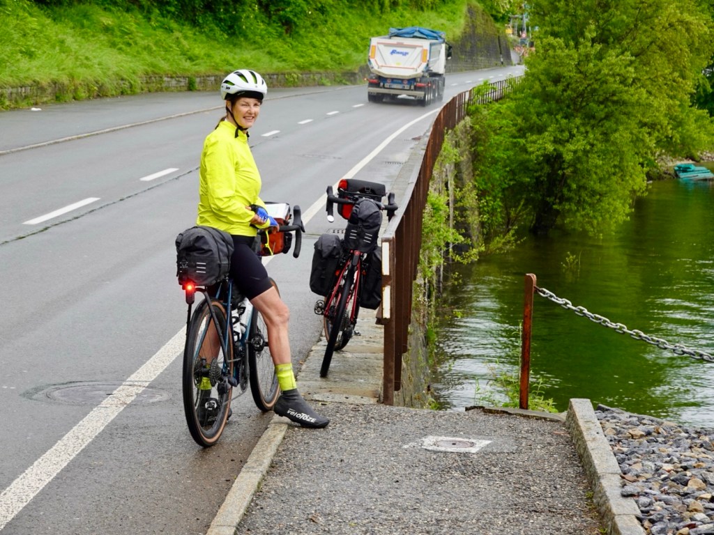
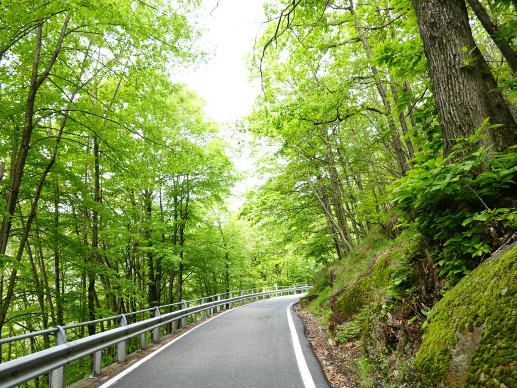
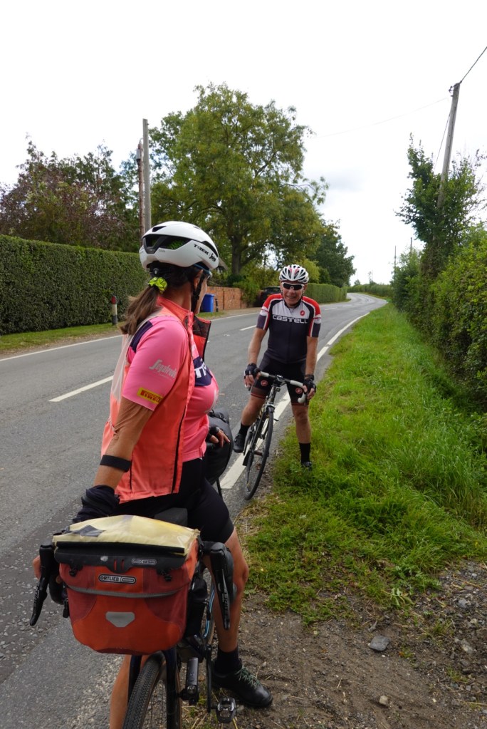
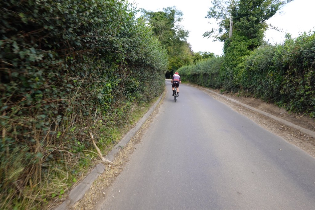
So we donned our thermals and wet weather gear and headed off in the rain.

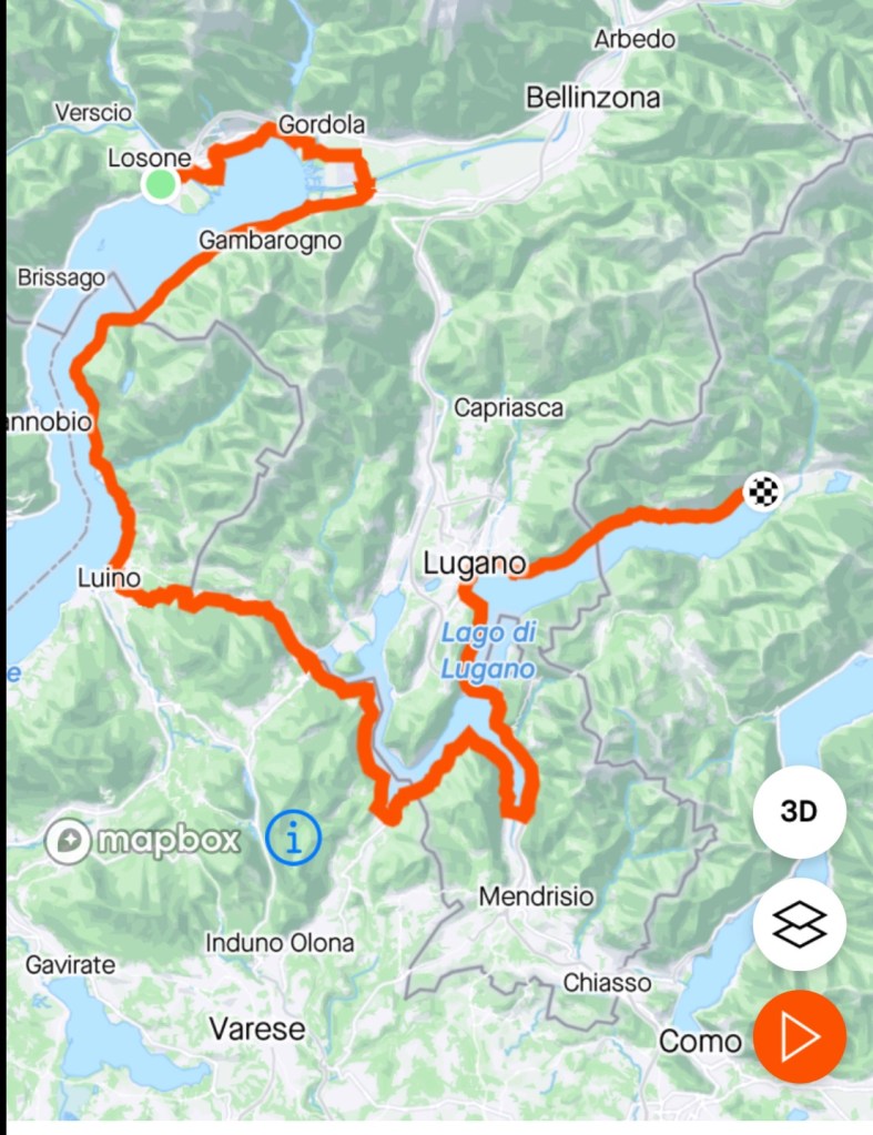
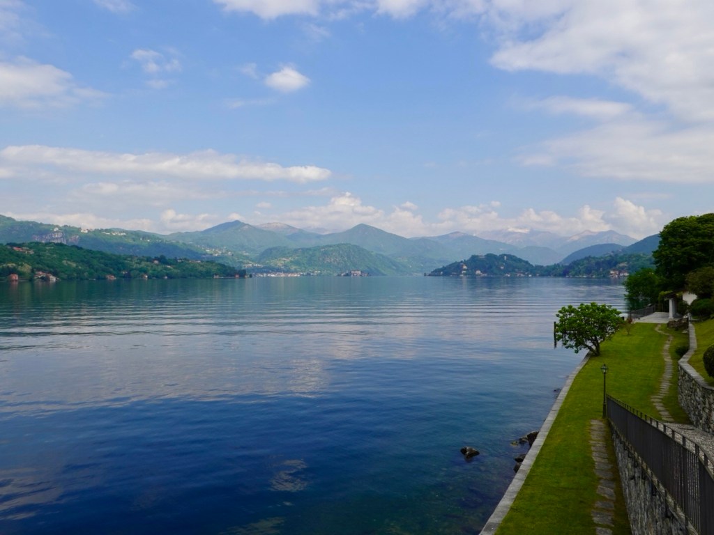
It is about 15 km to Bellagio. The cars were not that frequent until we got closer to Bellagio. There were a couple of short climbs that we welcomed as it helped to warm the large leg muscles up.

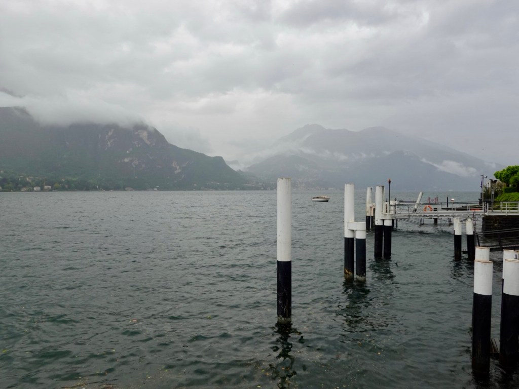
The lady at the ferry station told me the ferry would be at 12 noon, take 90 minutes, but could not confirm that the bikes would be accepted until the ferry was there and the captain confirmed.

We were not sitting around for 2 hours in the rain getting colder on a ‘might be ok’ scenario.

Another option was to take a different ferry across the lake then a train to Lecco.

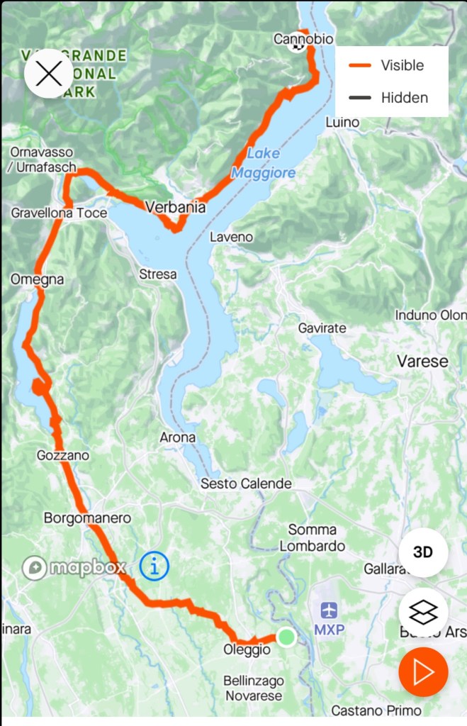
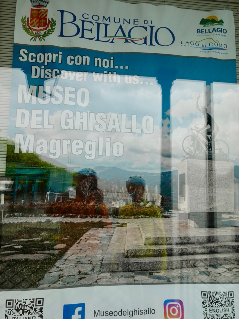
We decided to ride on but take a shorter route than originally planned meaning we would miss out on the Museo del Ghisallo.

So we took a photo of a promotional poster instead.

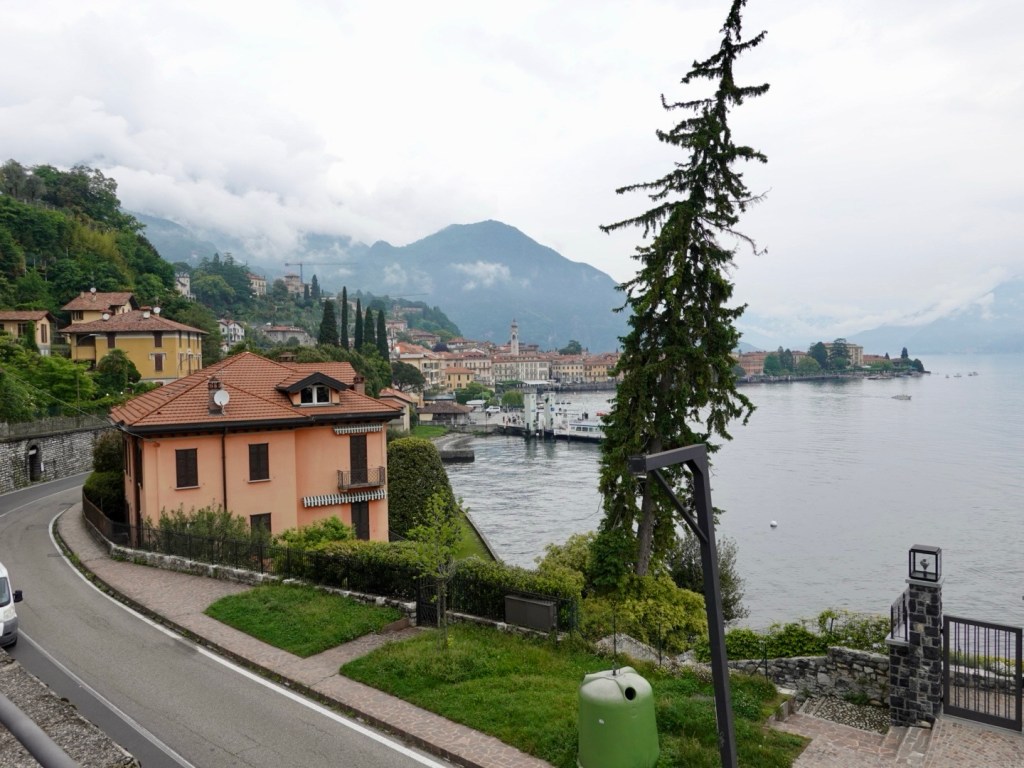
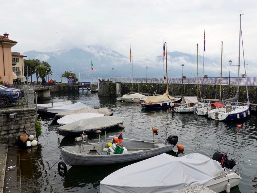
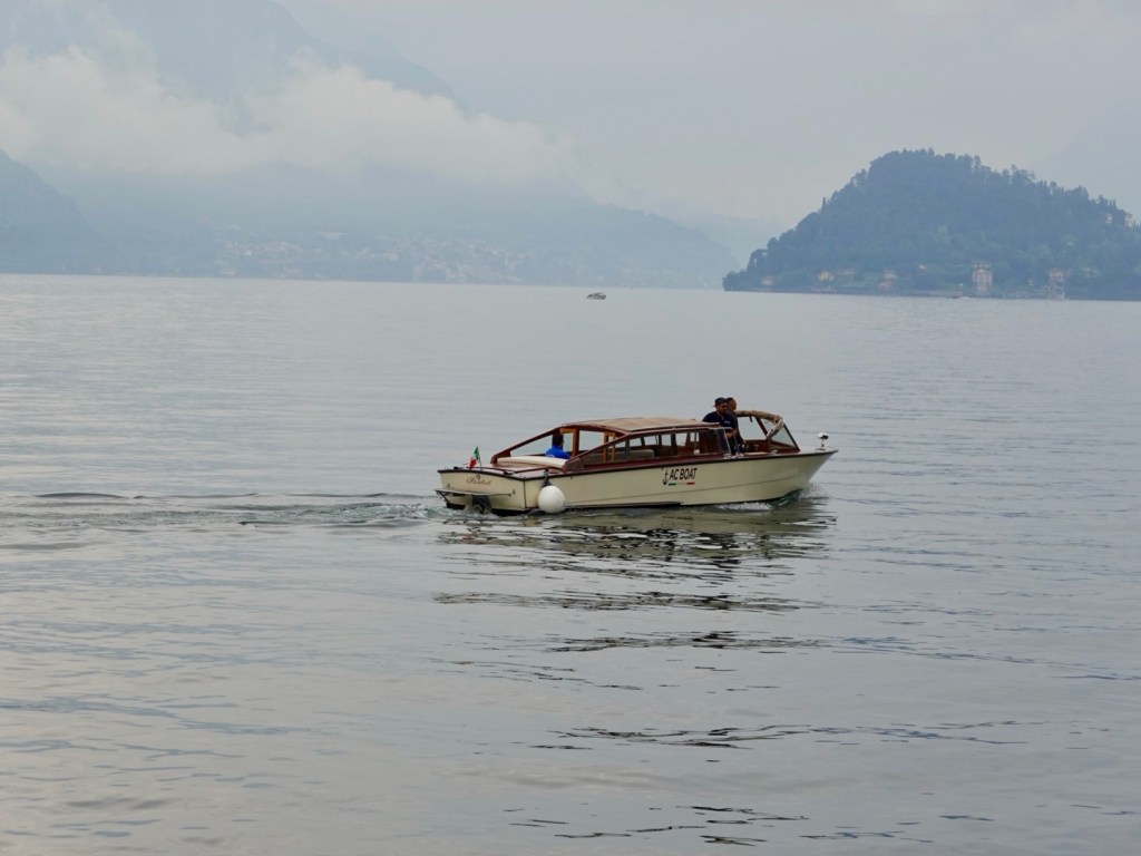
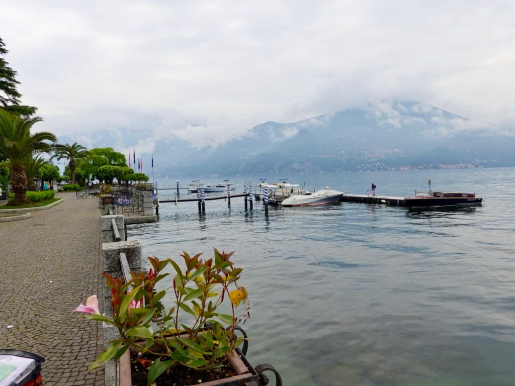
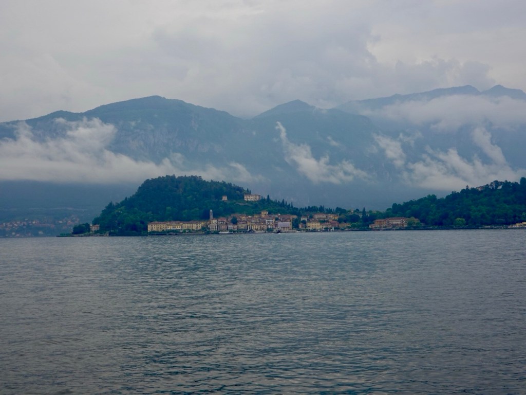
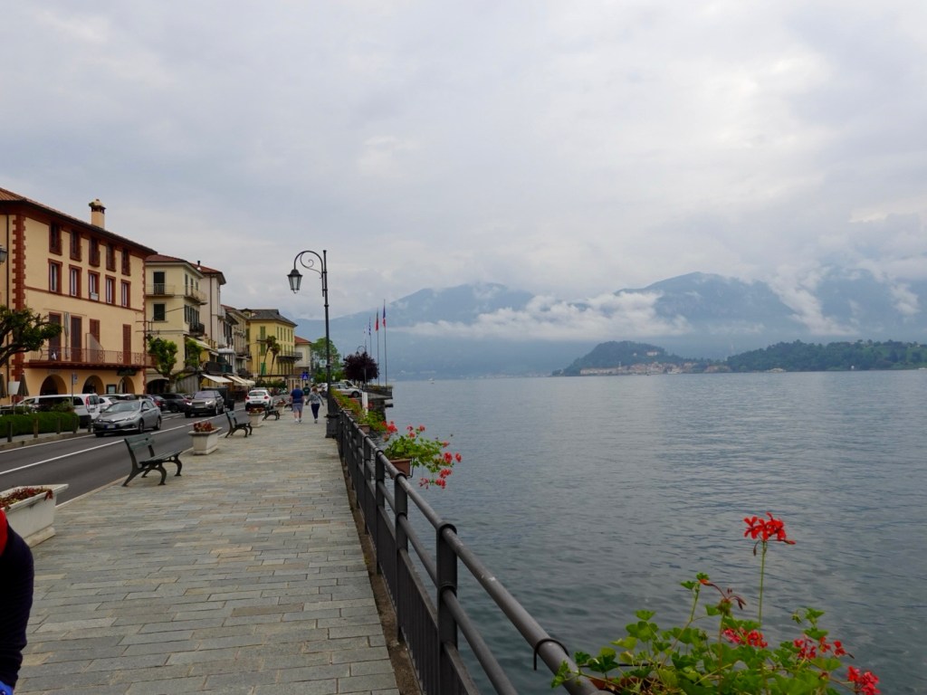
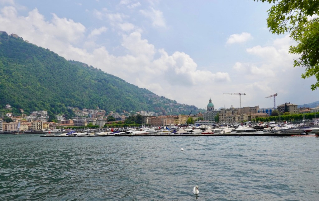
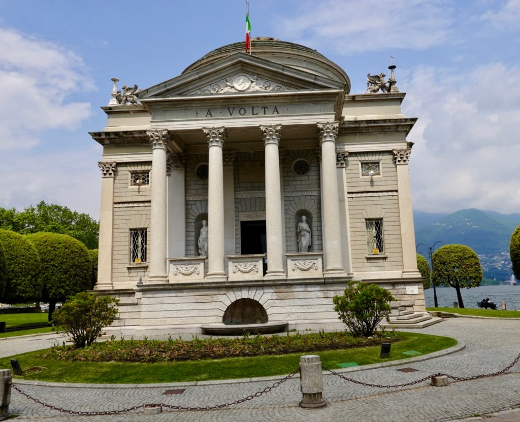
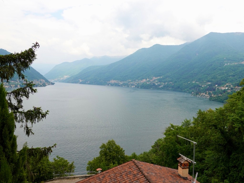
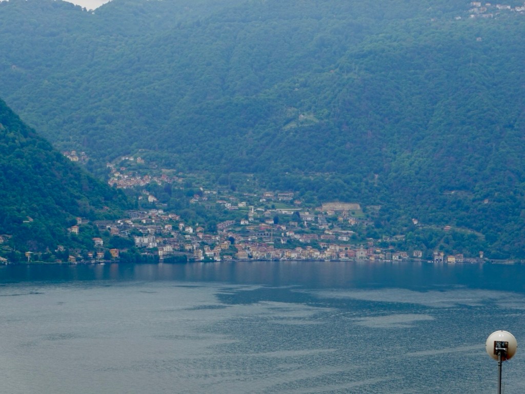
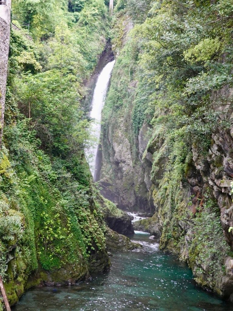
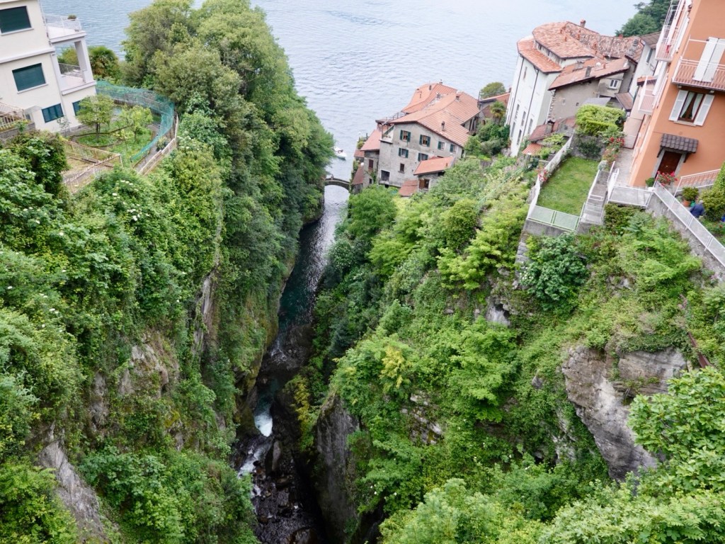
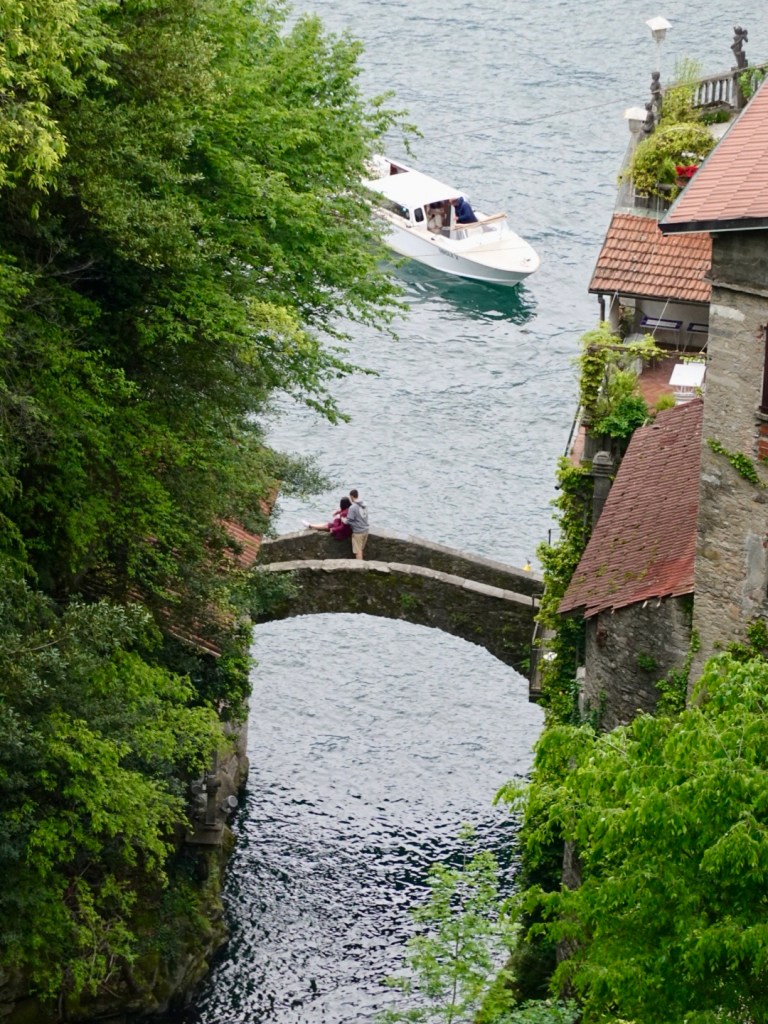
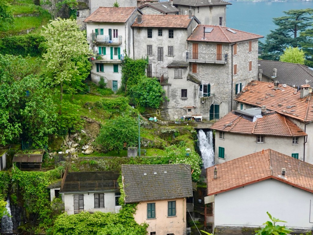
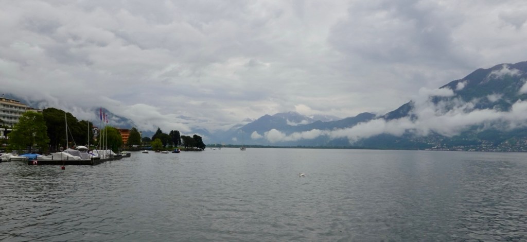
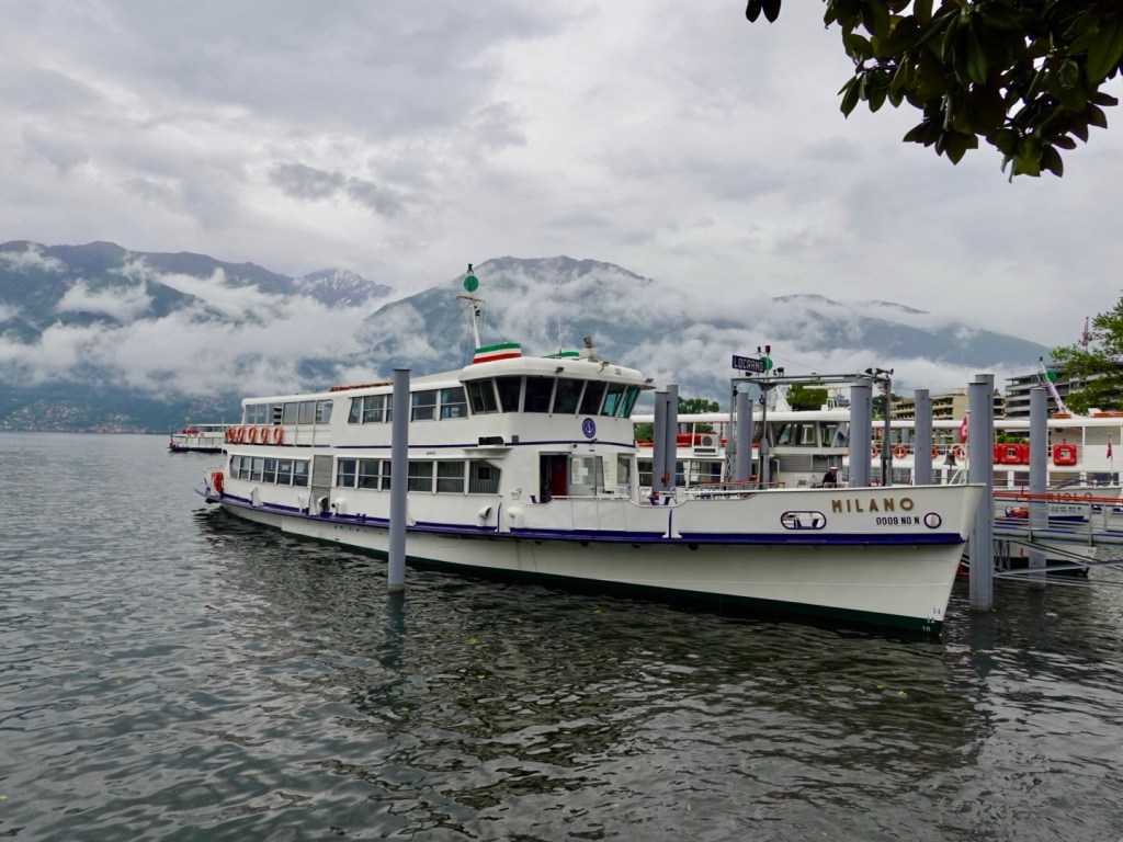
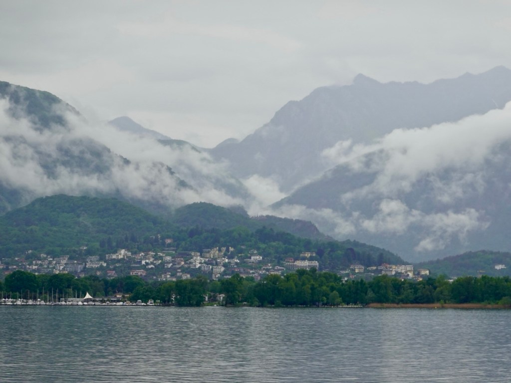
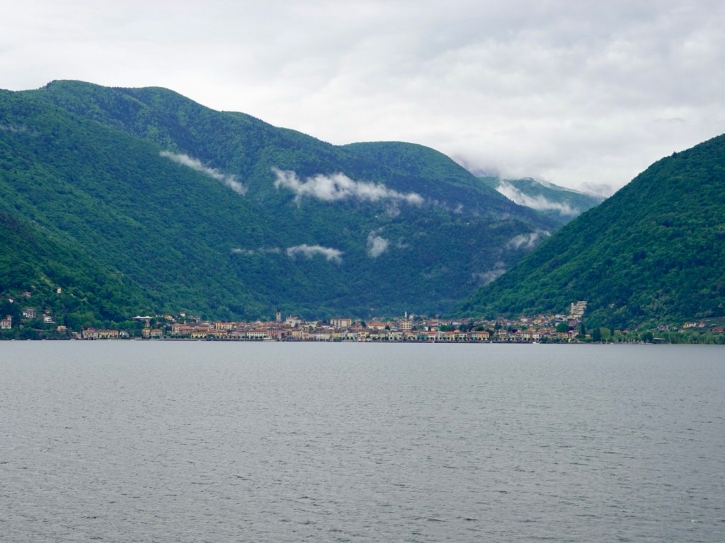
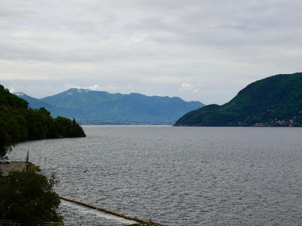
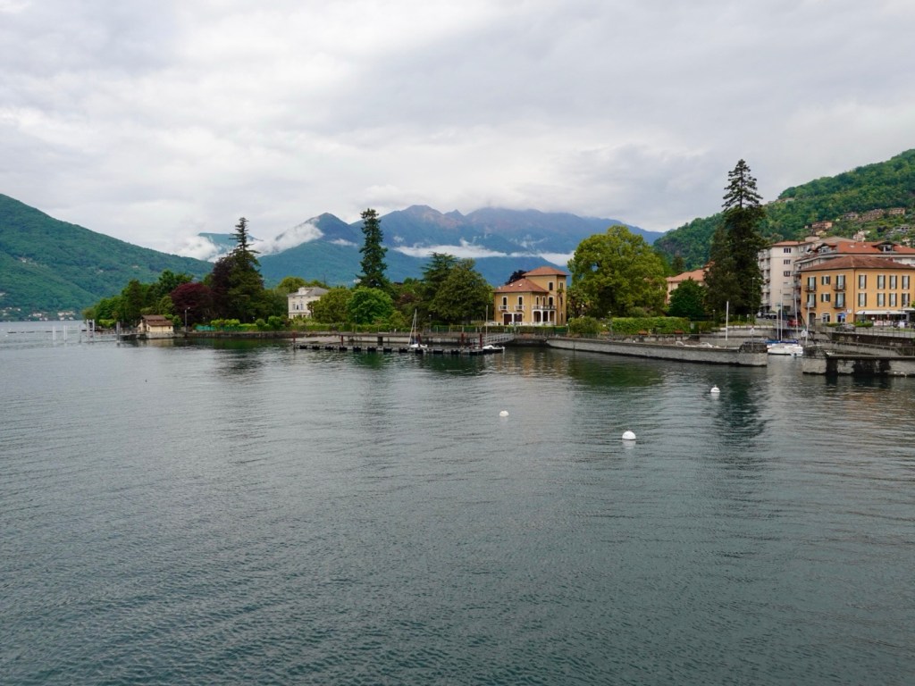
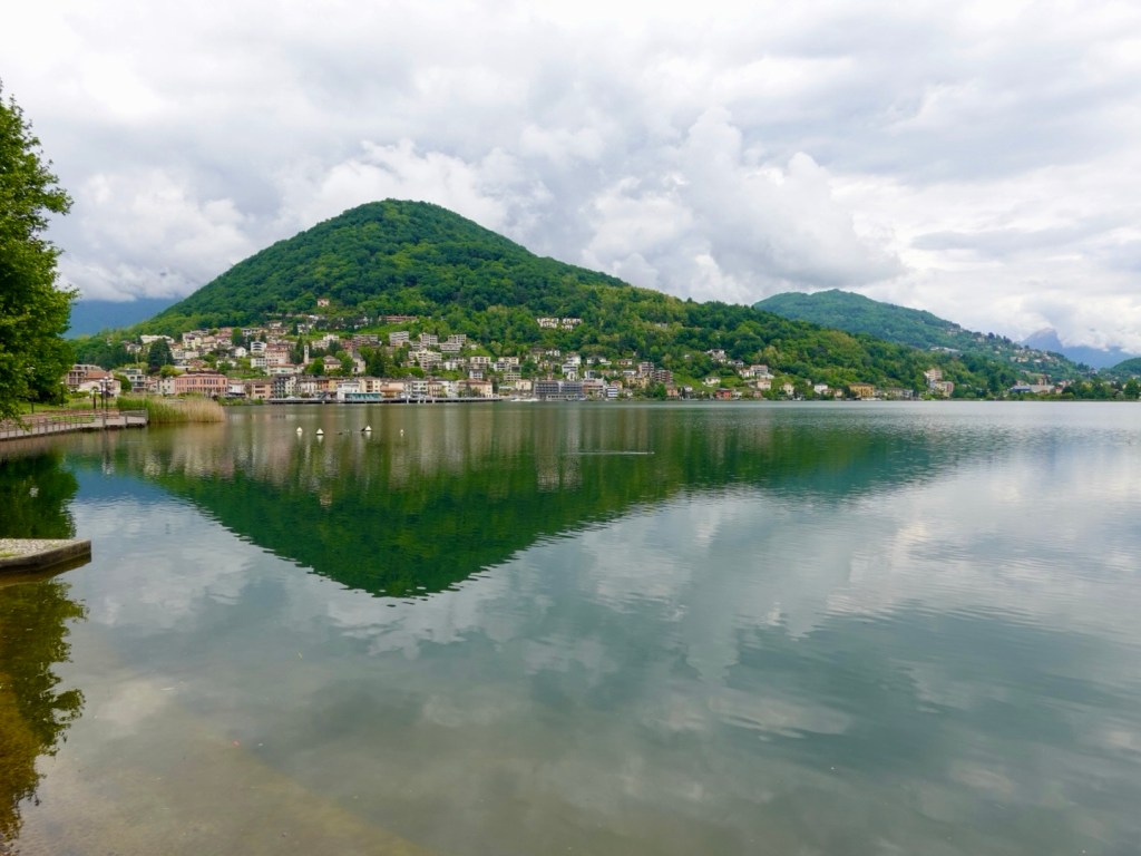
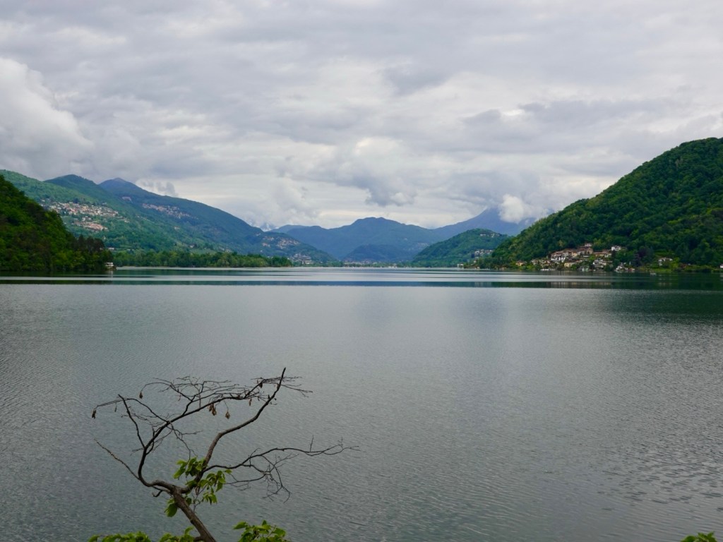
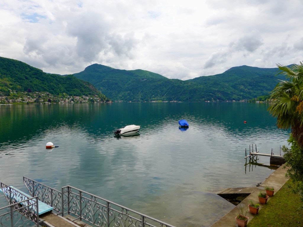
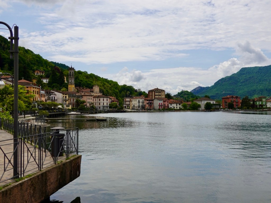
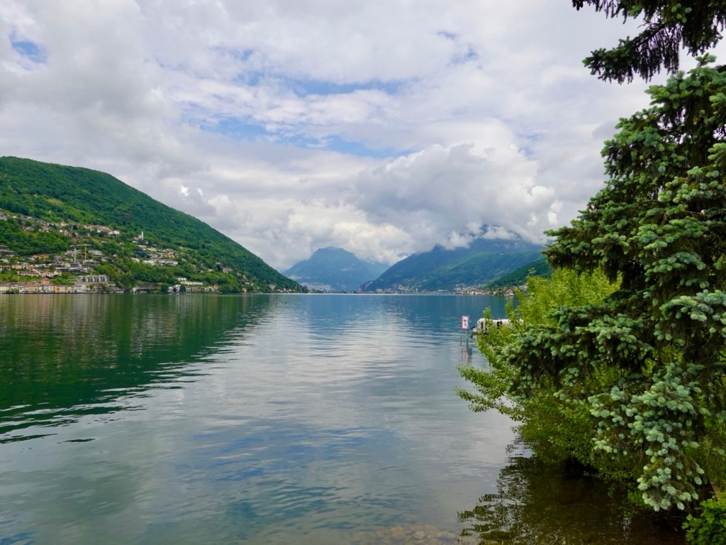
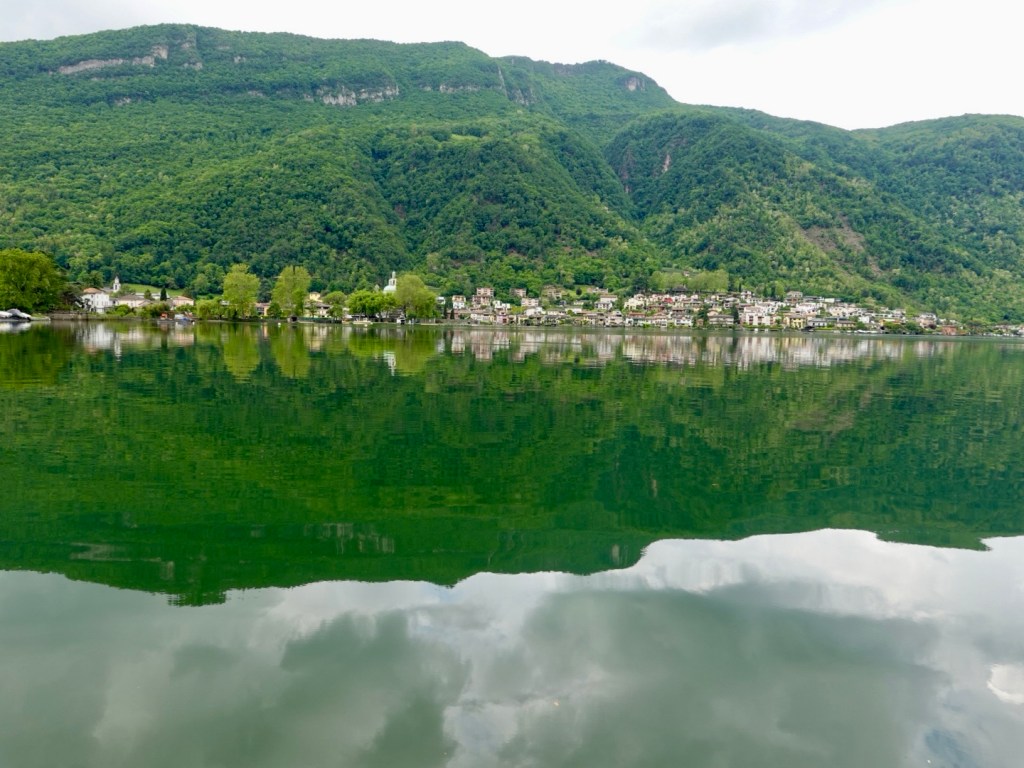
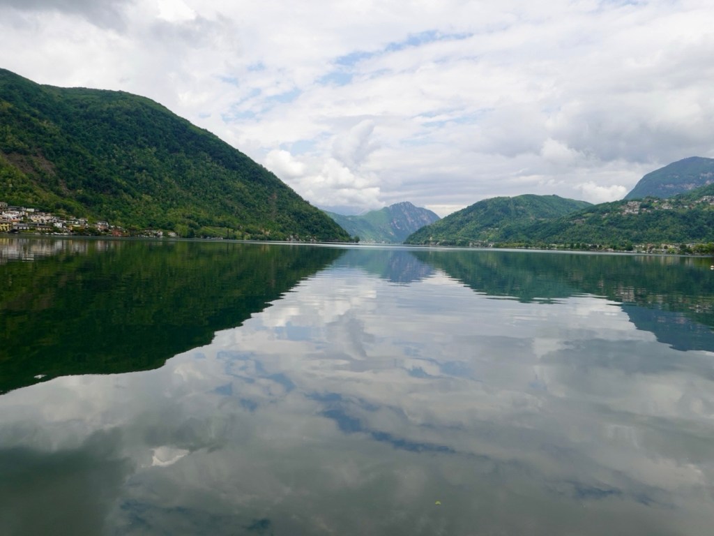
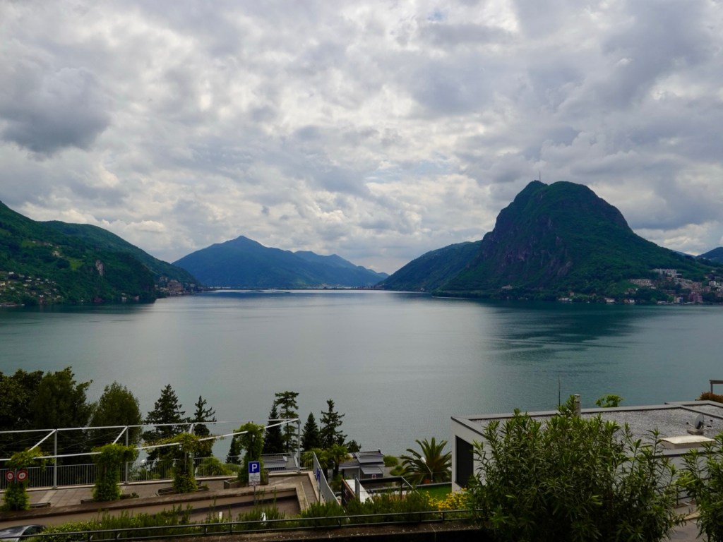
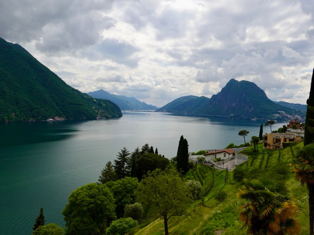
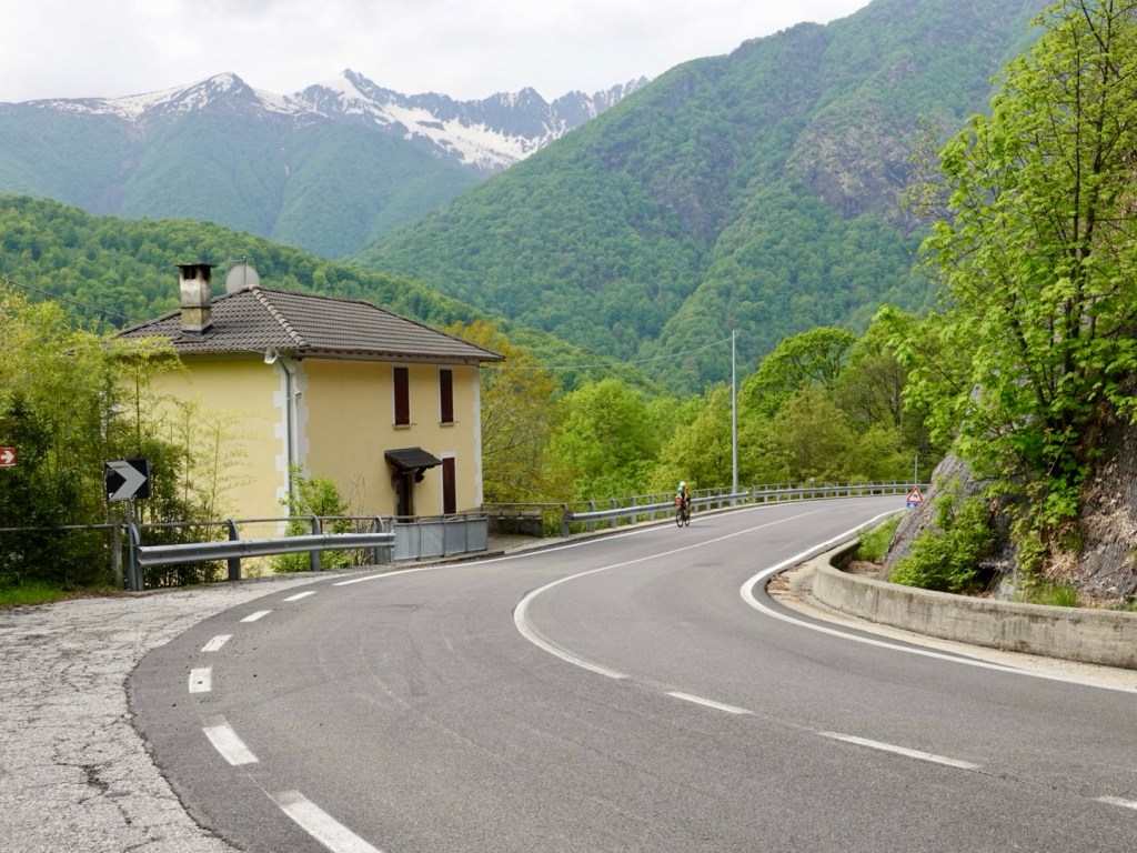
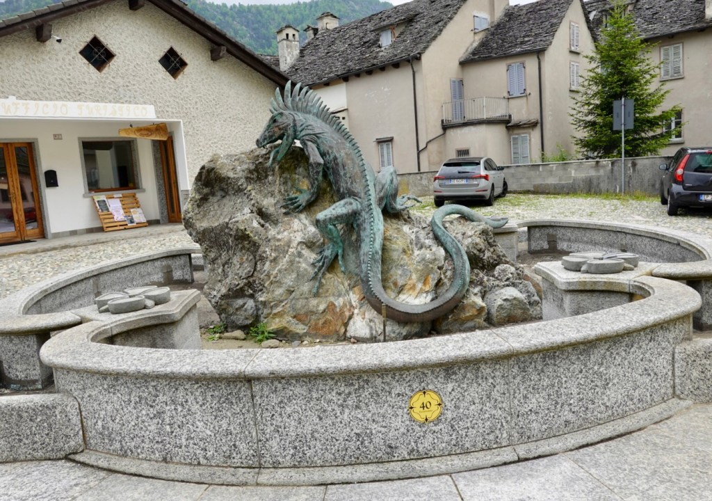
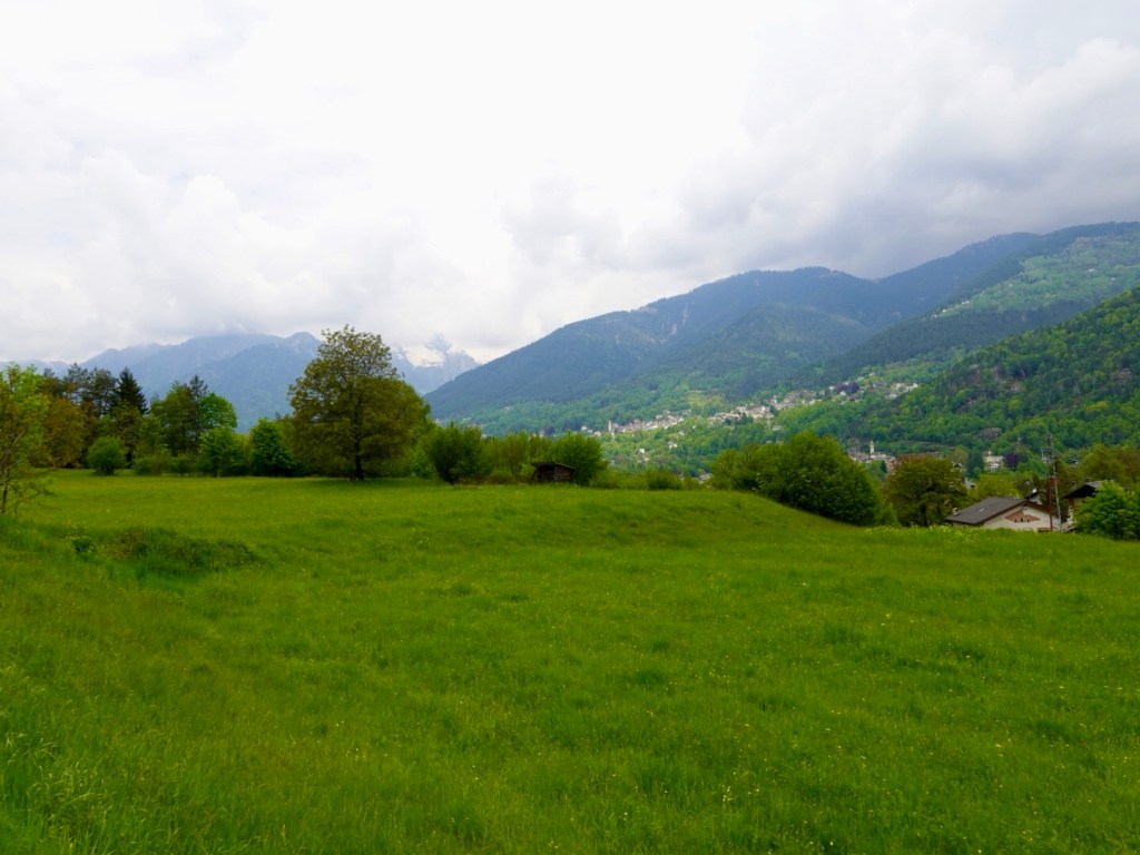
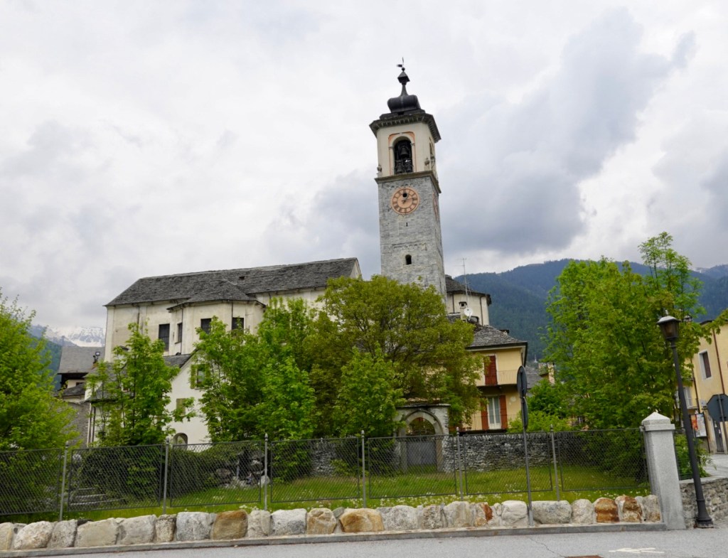
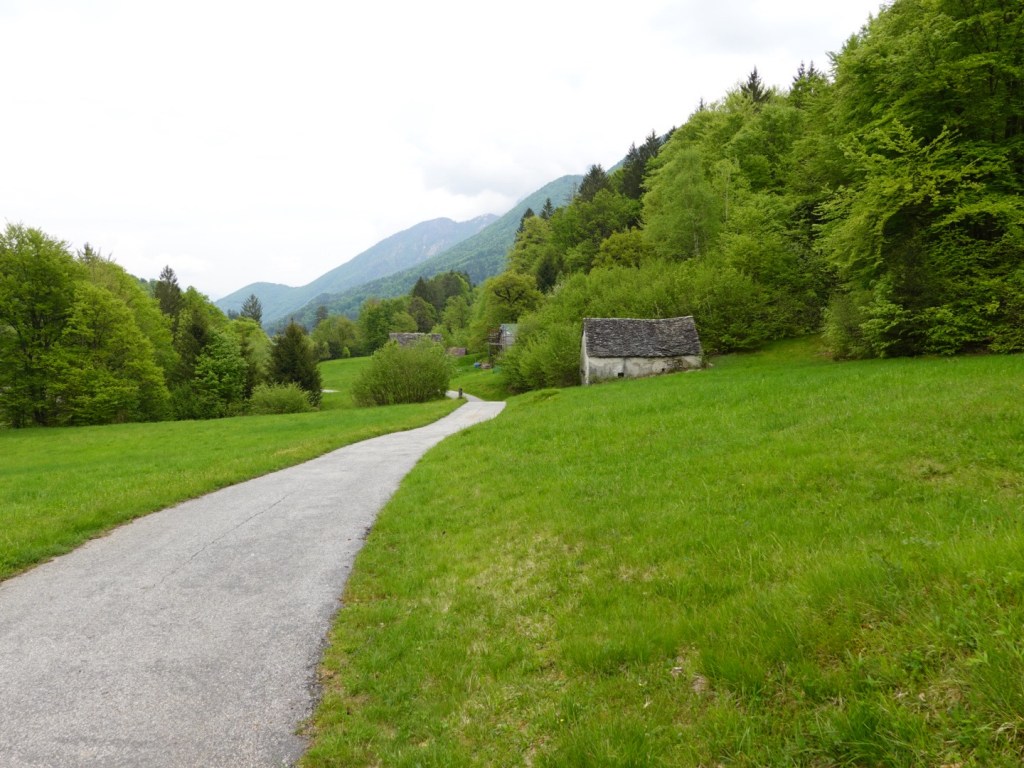
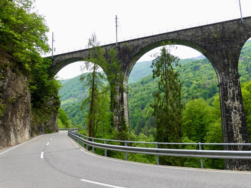
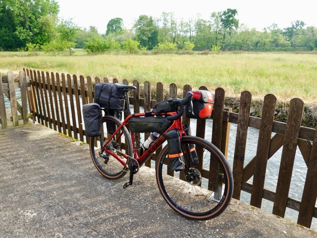
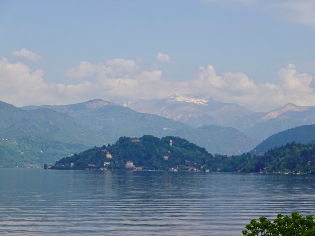
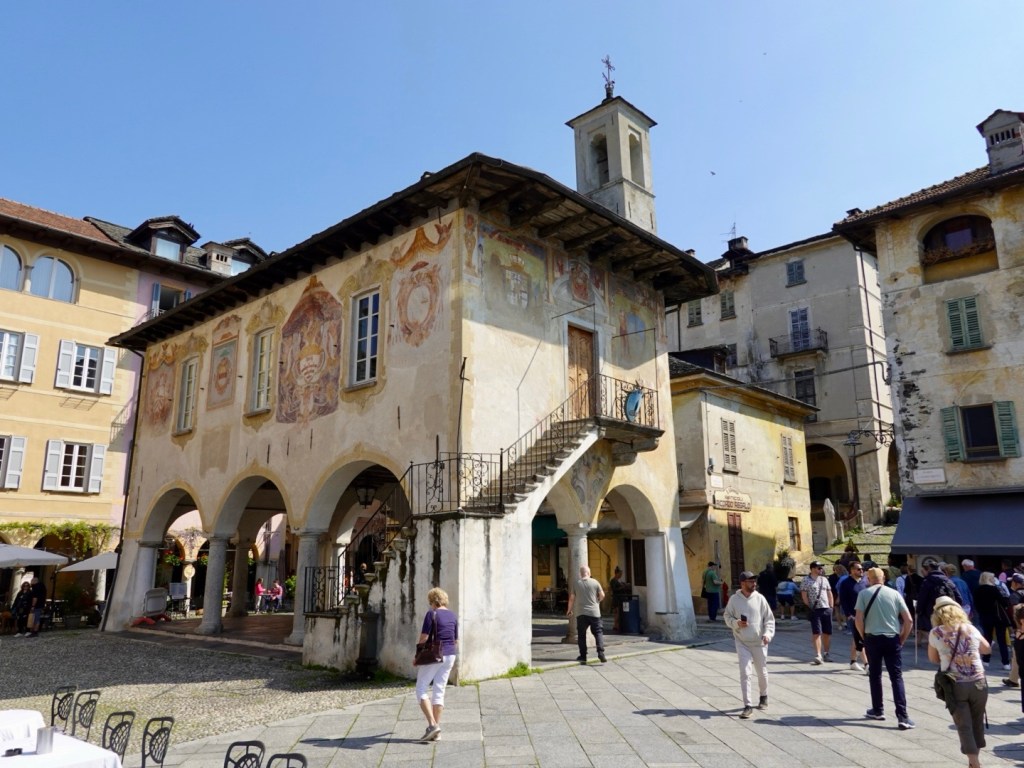
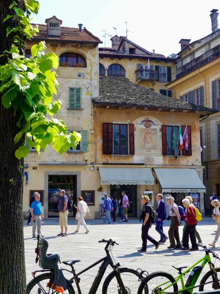
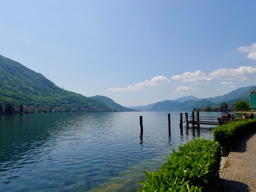
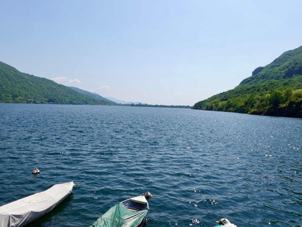
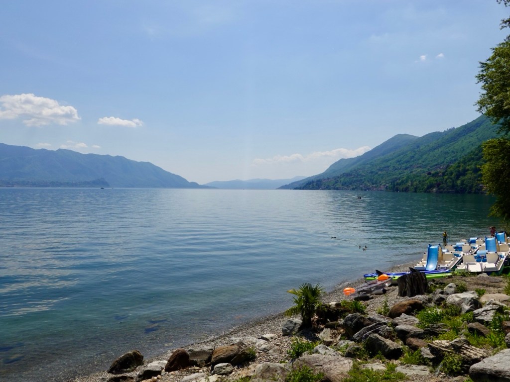
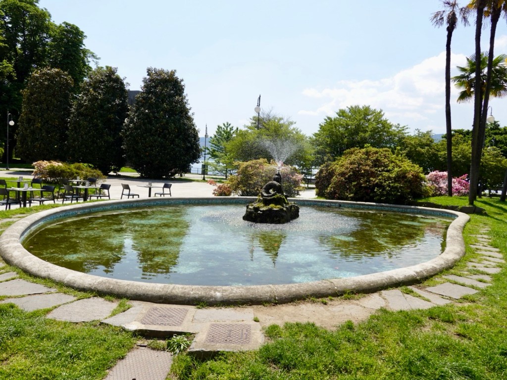
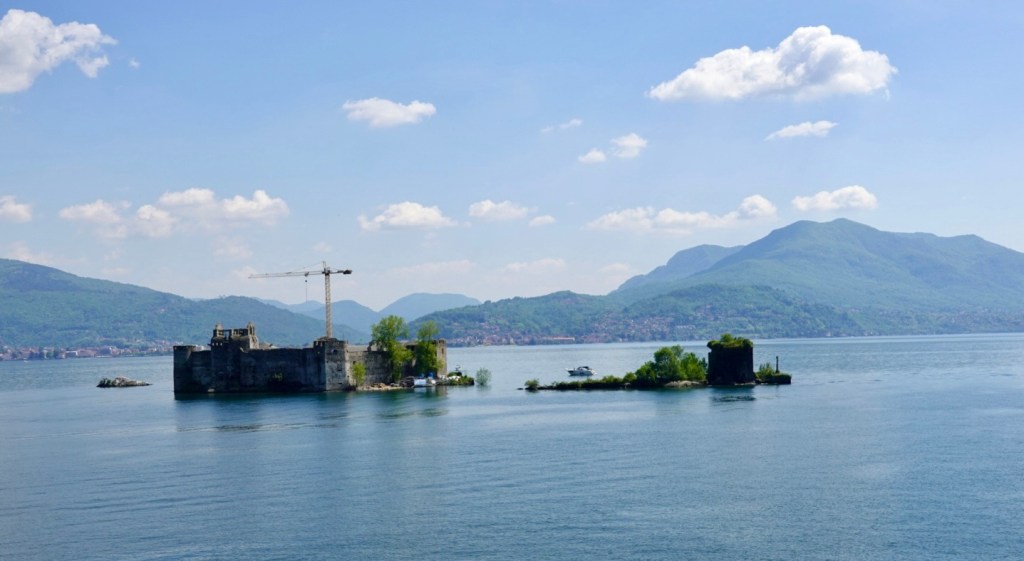
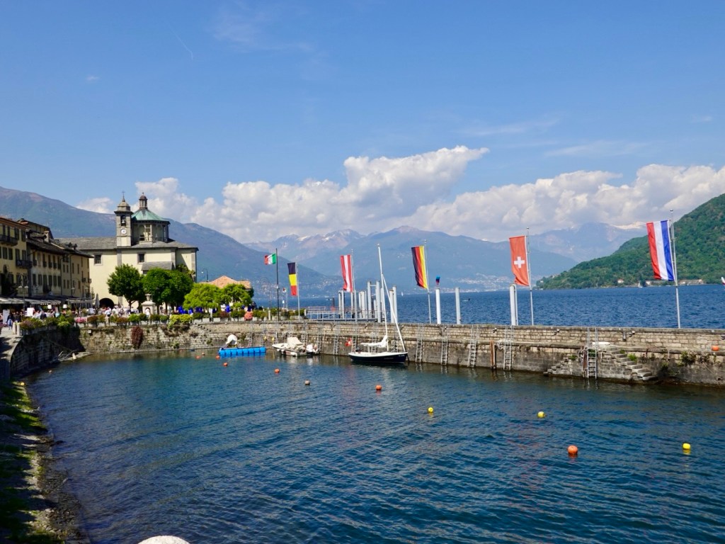
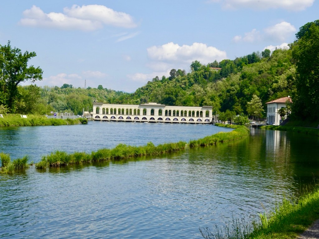
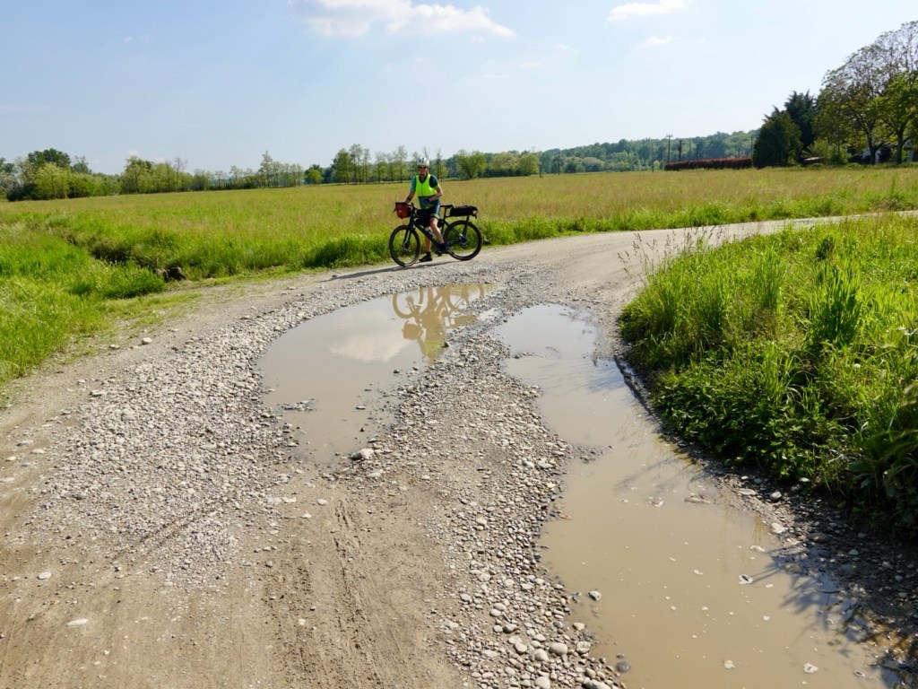
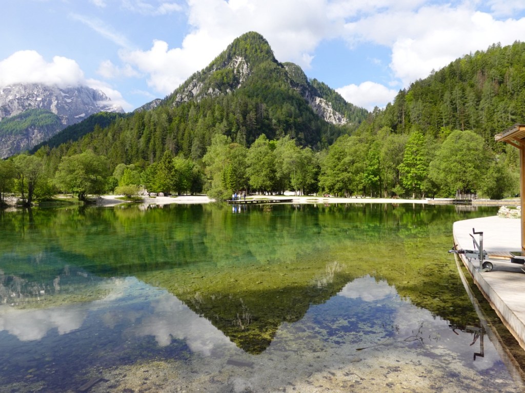
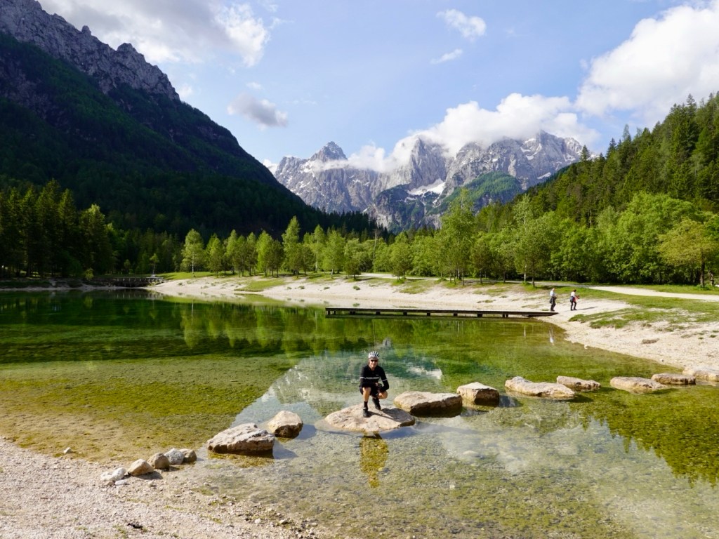
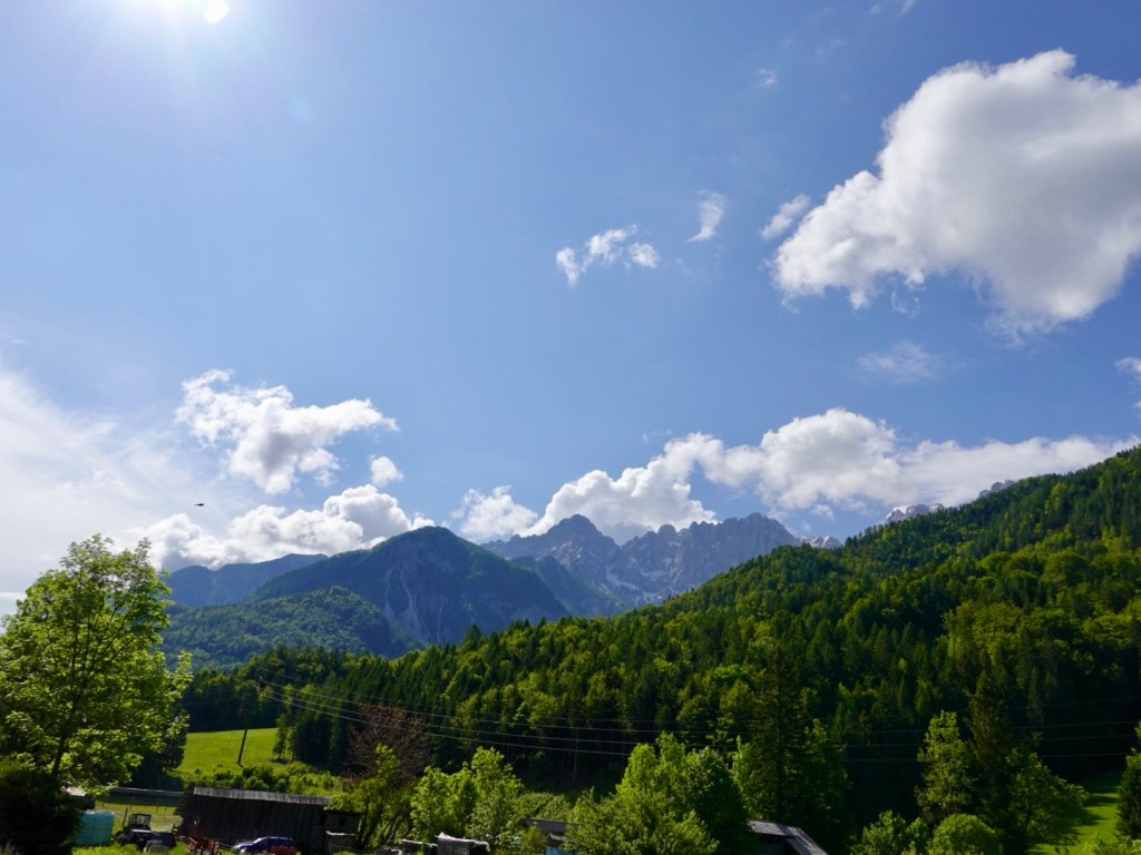
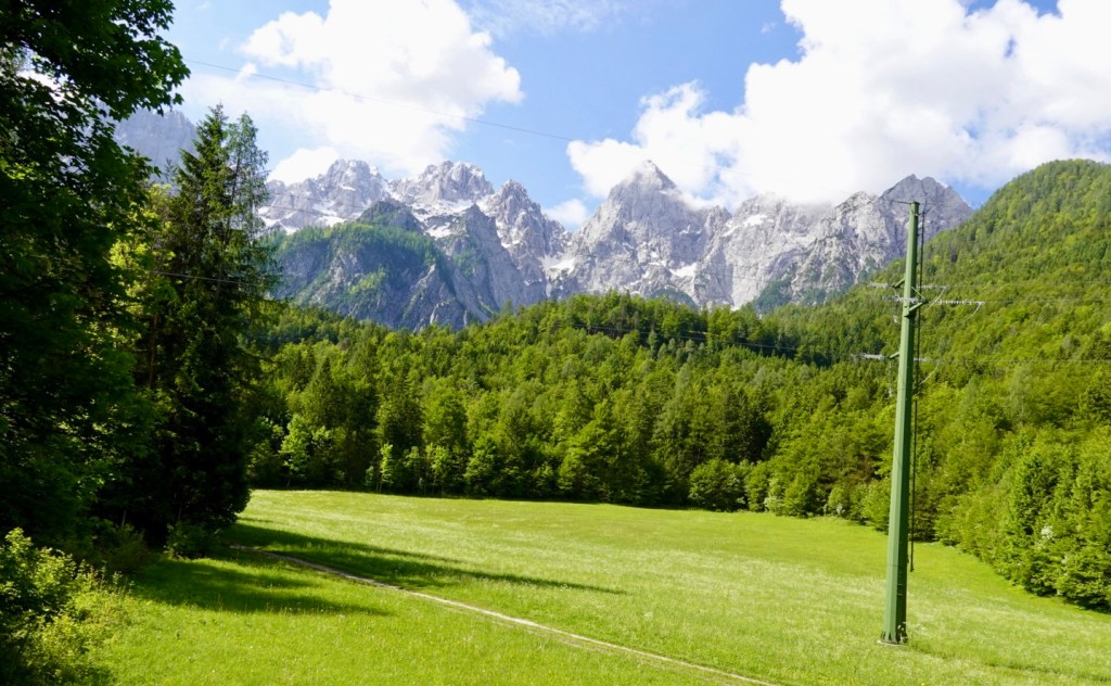
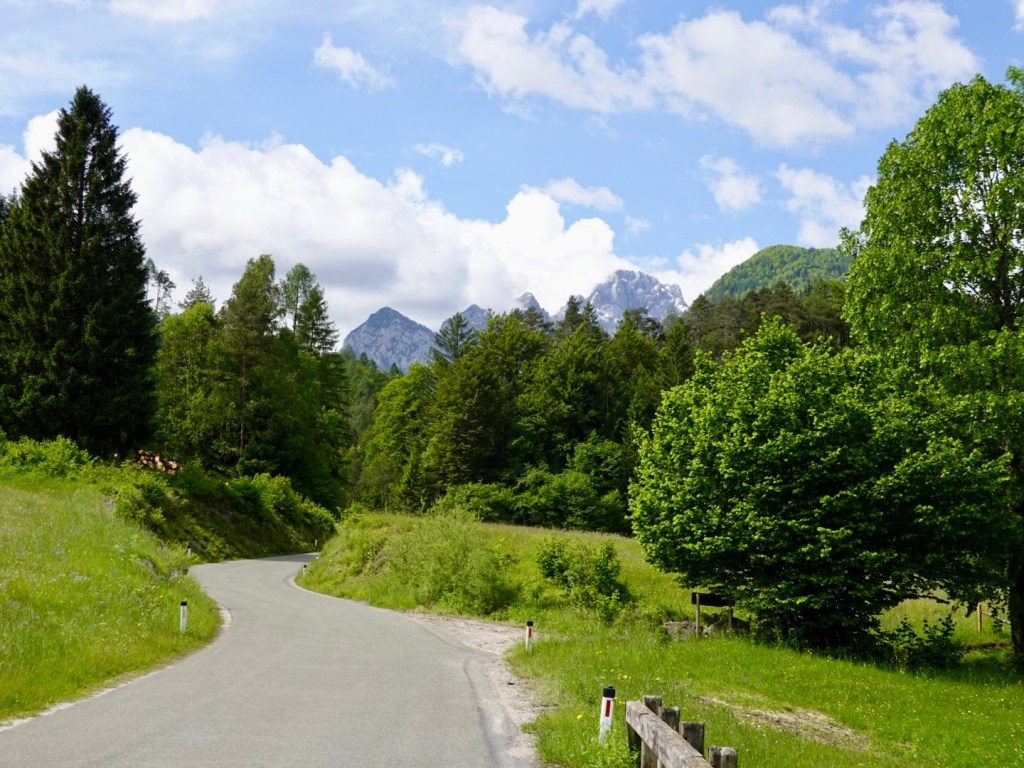
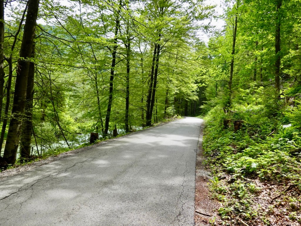
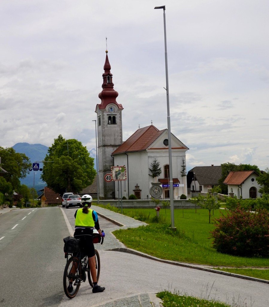
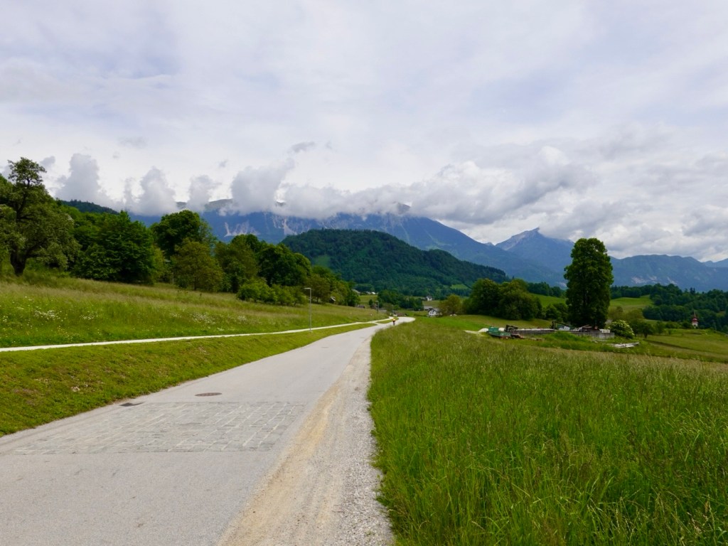
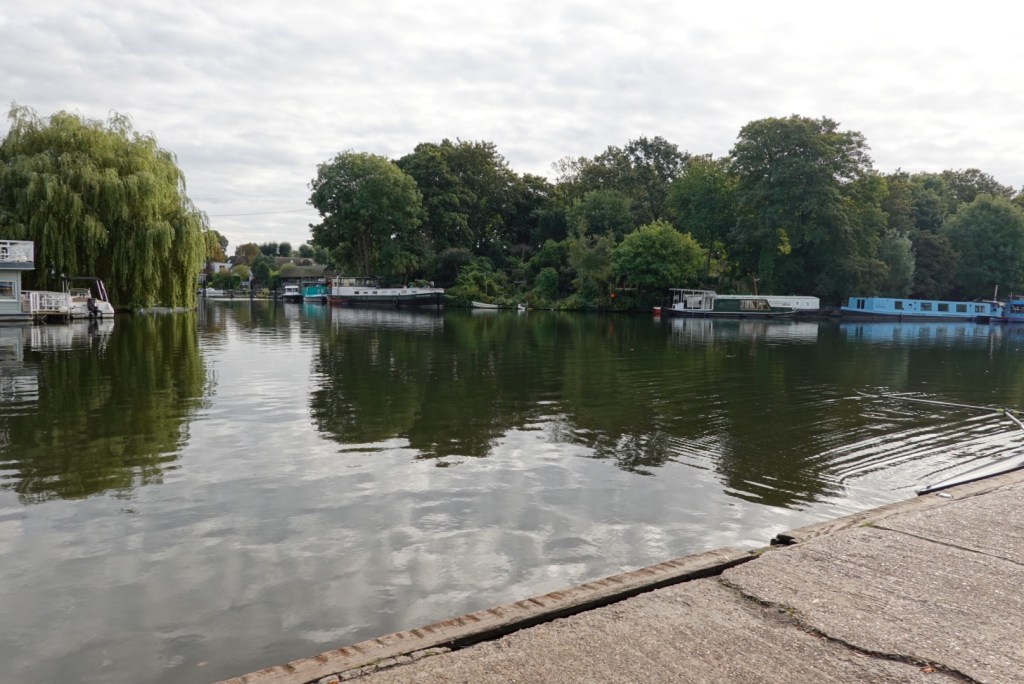
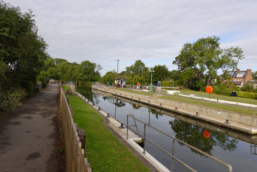
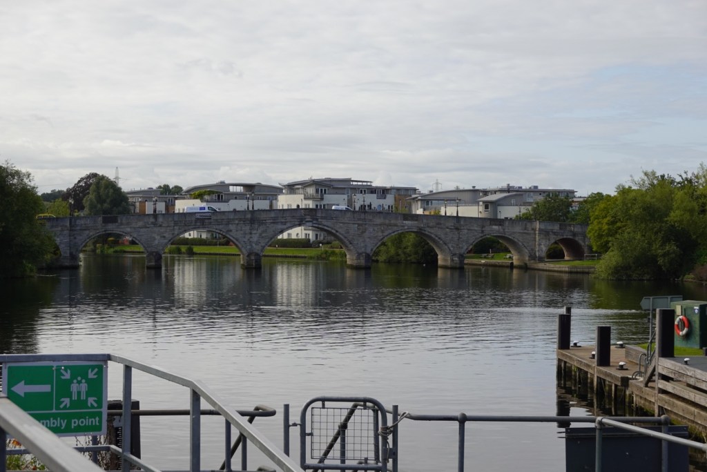
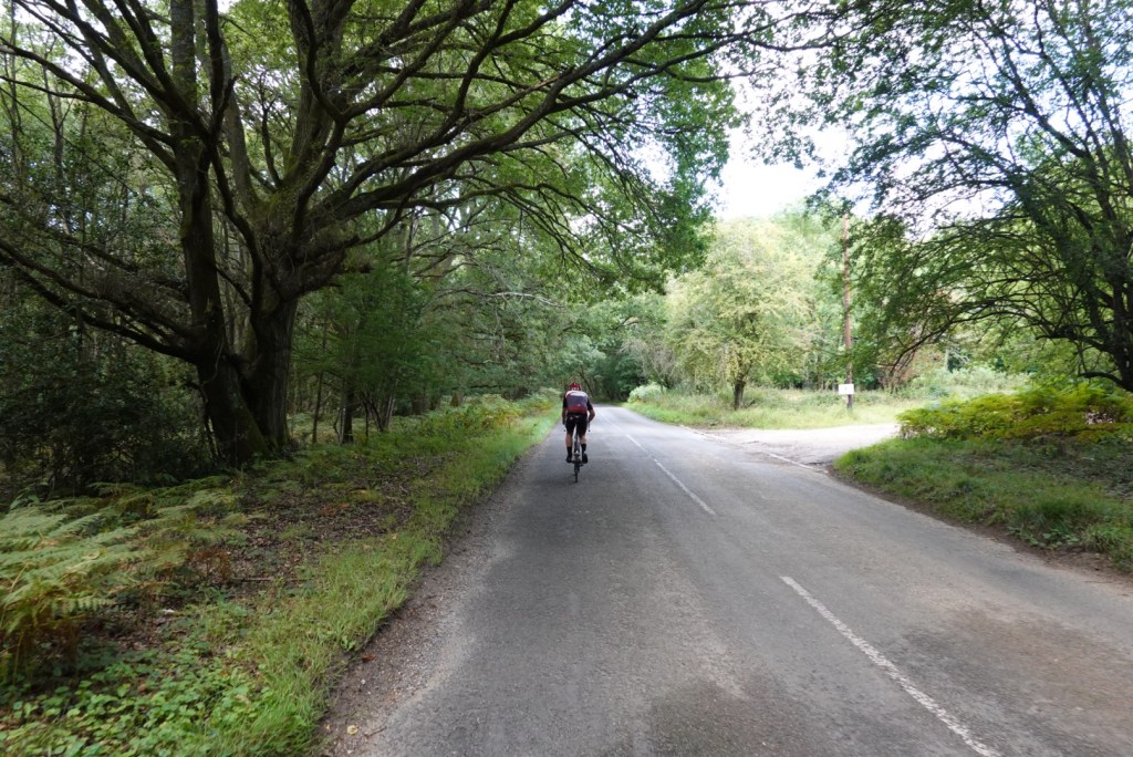
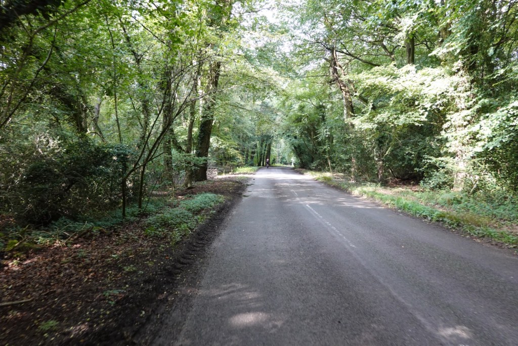
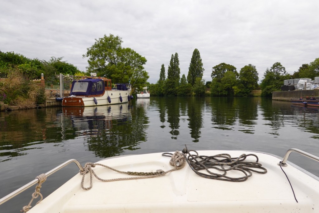
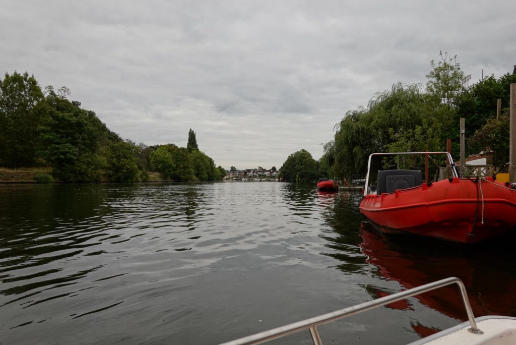
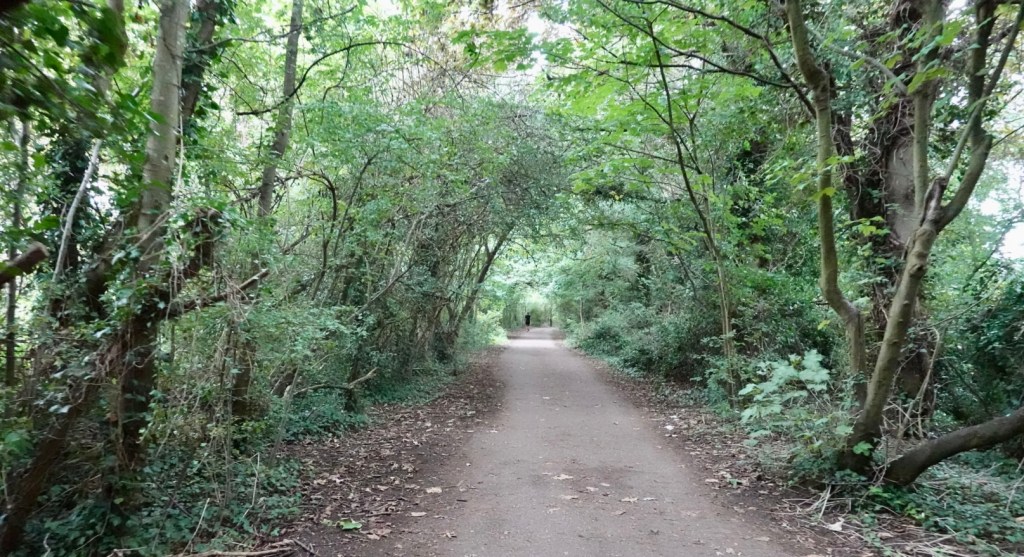
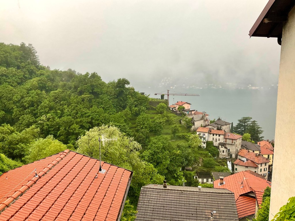
The photos below, it is pouring with rain, but you just can’t see that in the photo. At that time, according to the weather reports the rate of rain was in excess of 5 mm per hour.

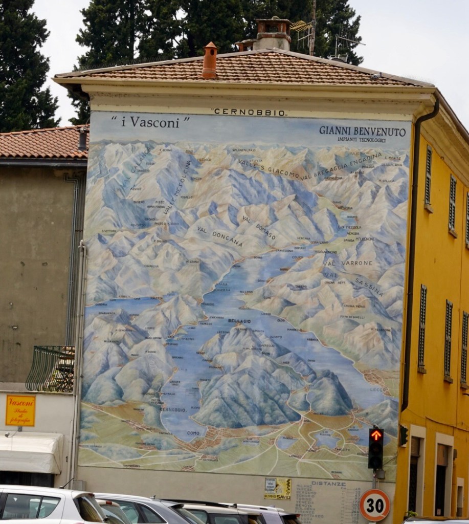
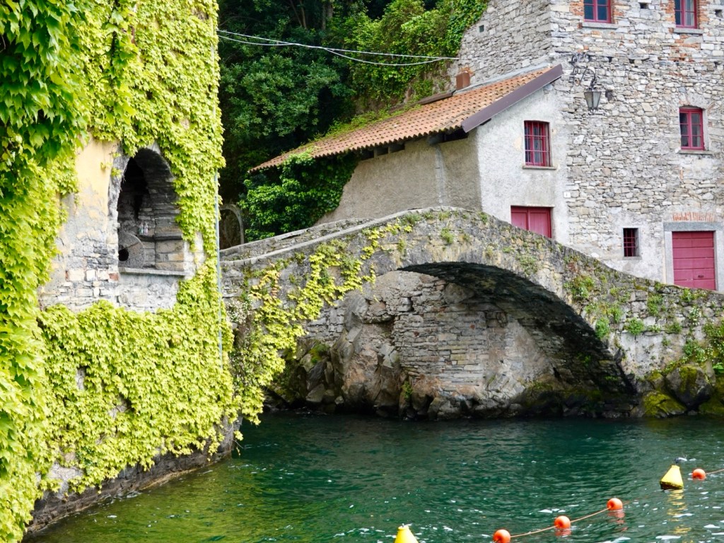
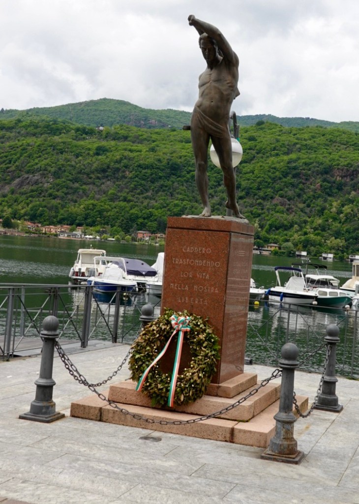
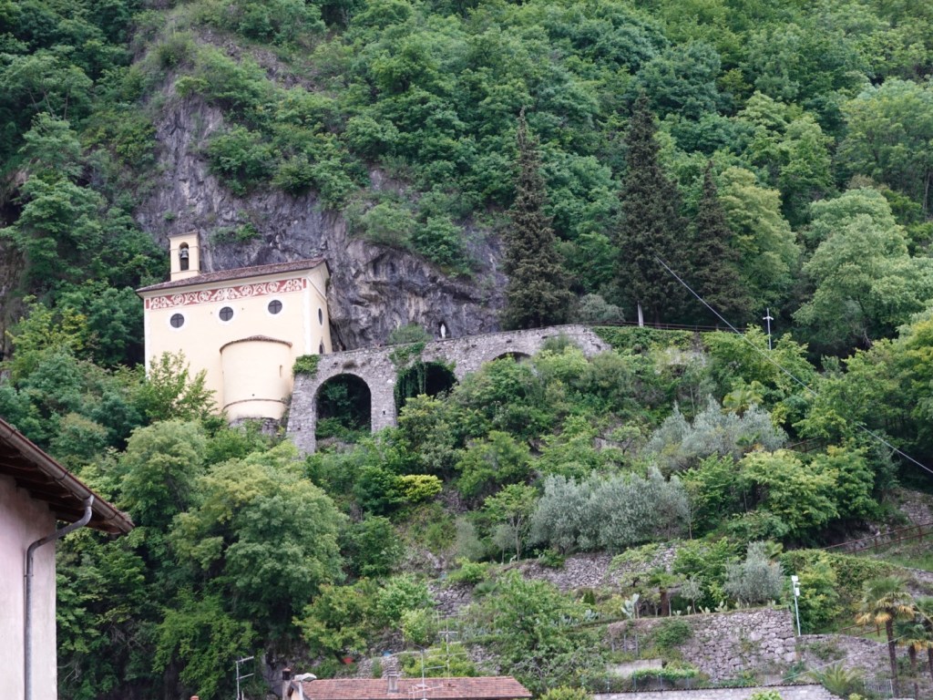
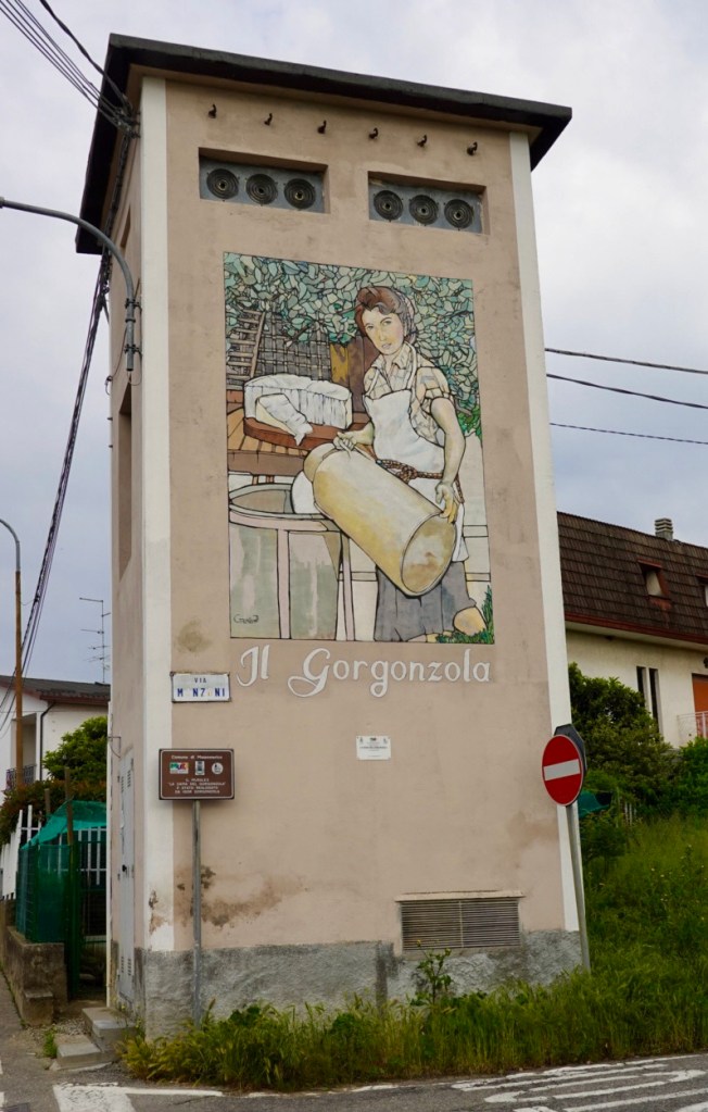
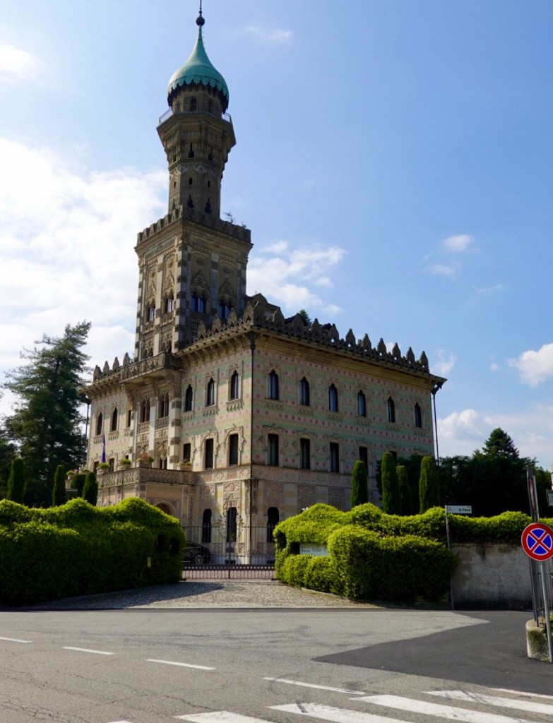
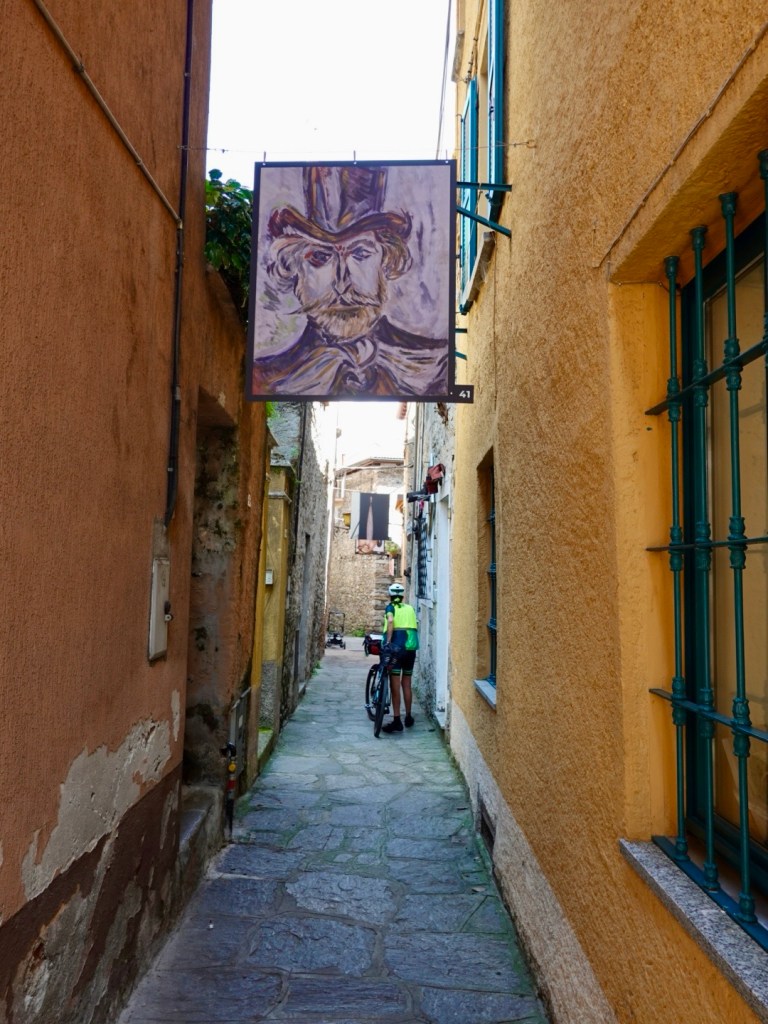
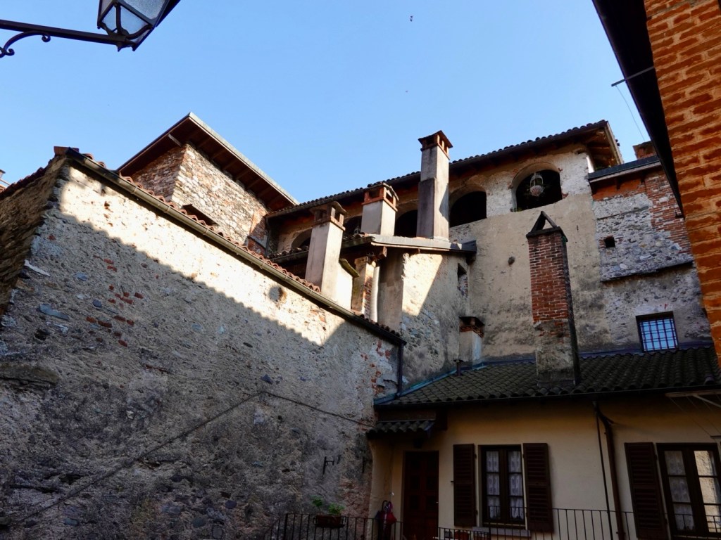
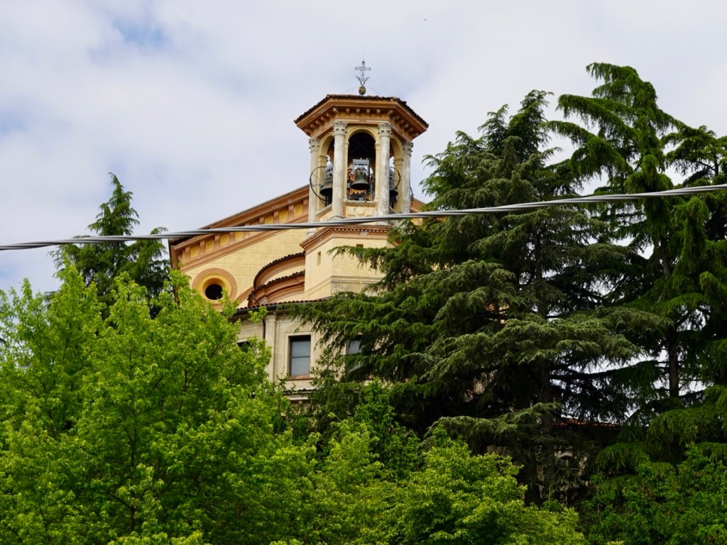
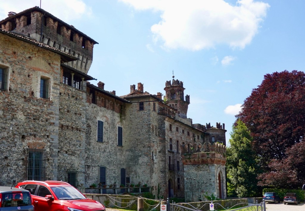
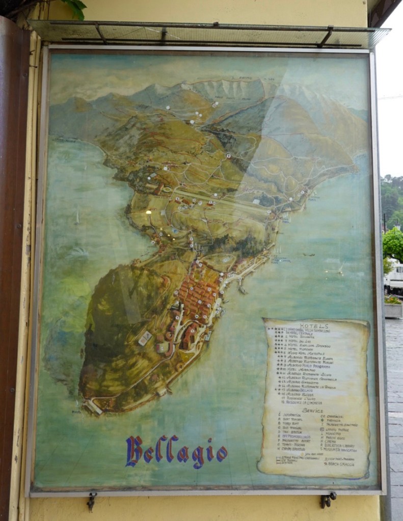
Leaving the waterfront we saw this old painting of the area.

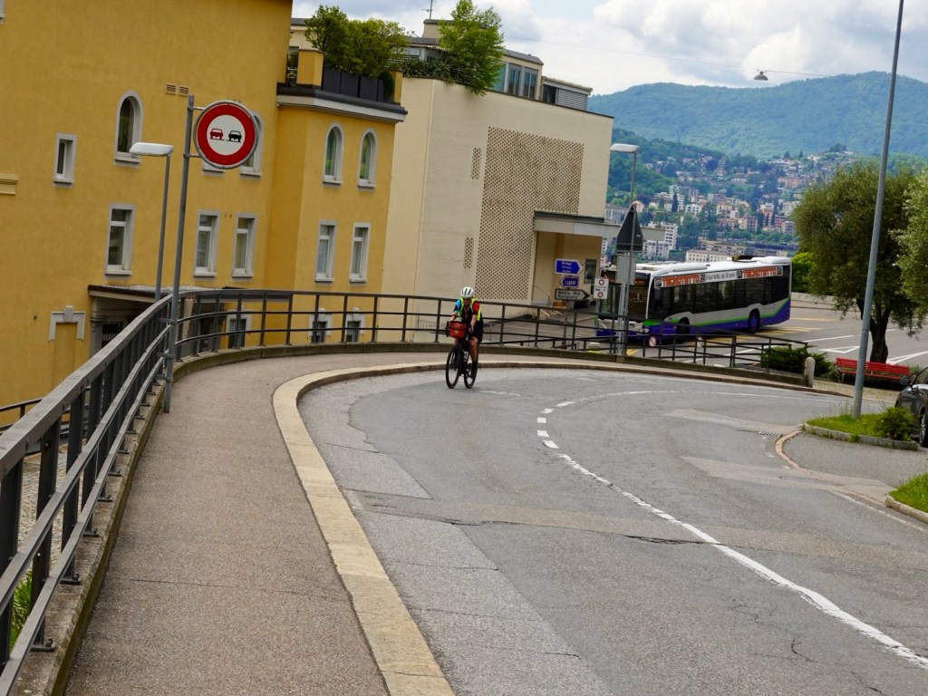
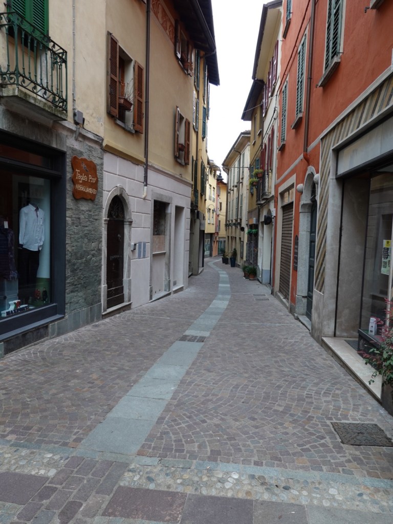
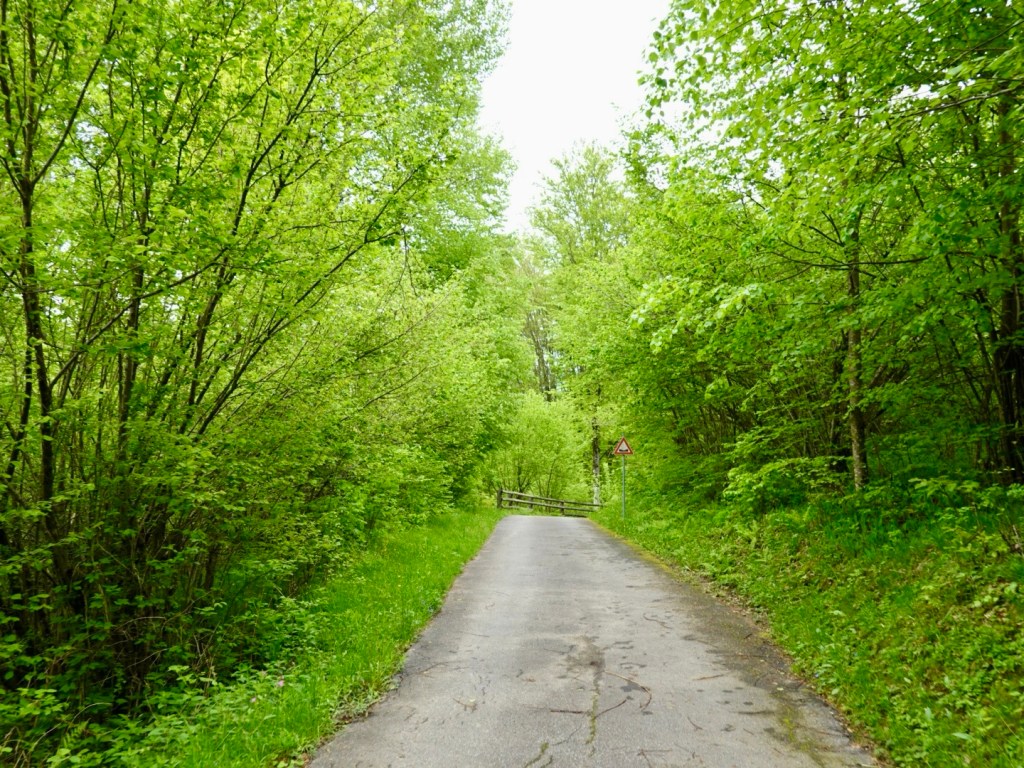
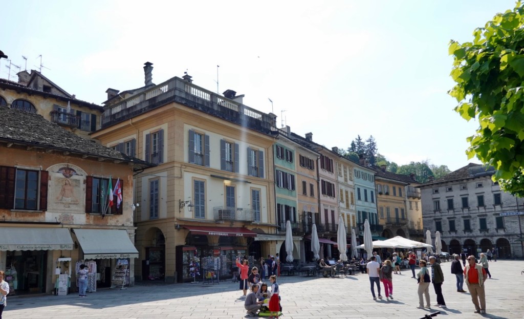
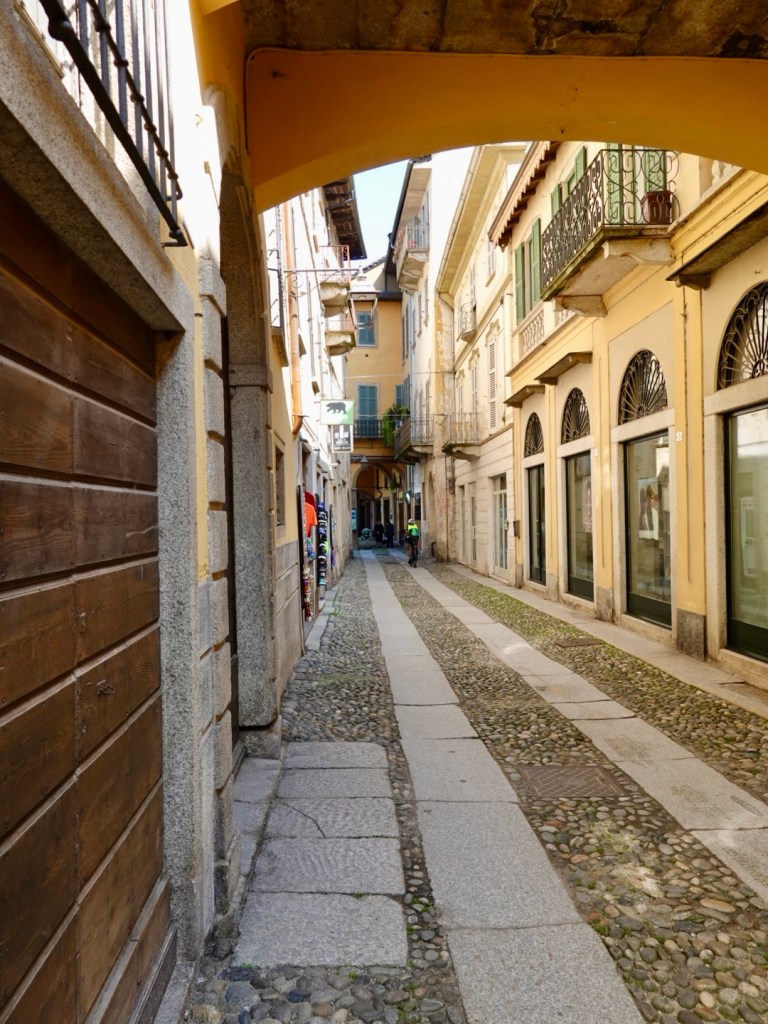
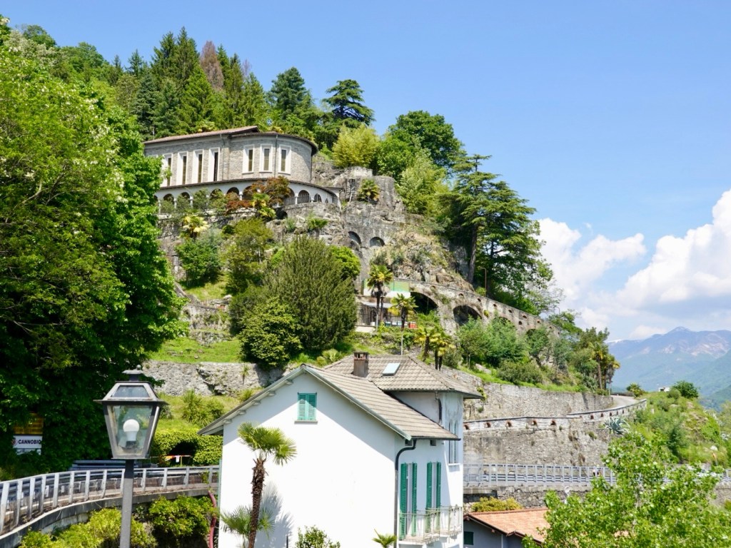
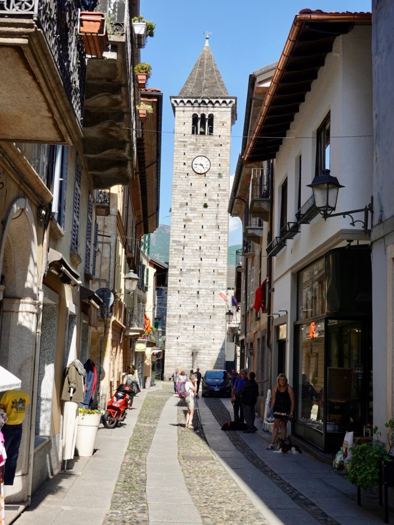
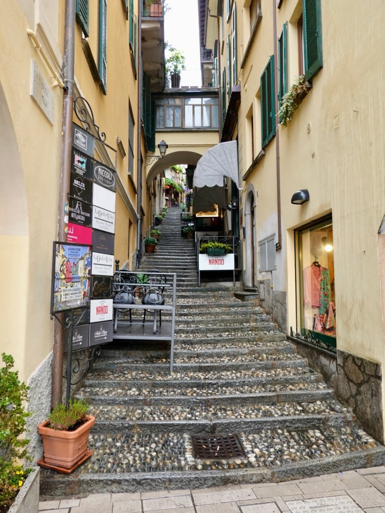
Steep alleyways. We actually ended up riding above this alley on our climb out of the city.

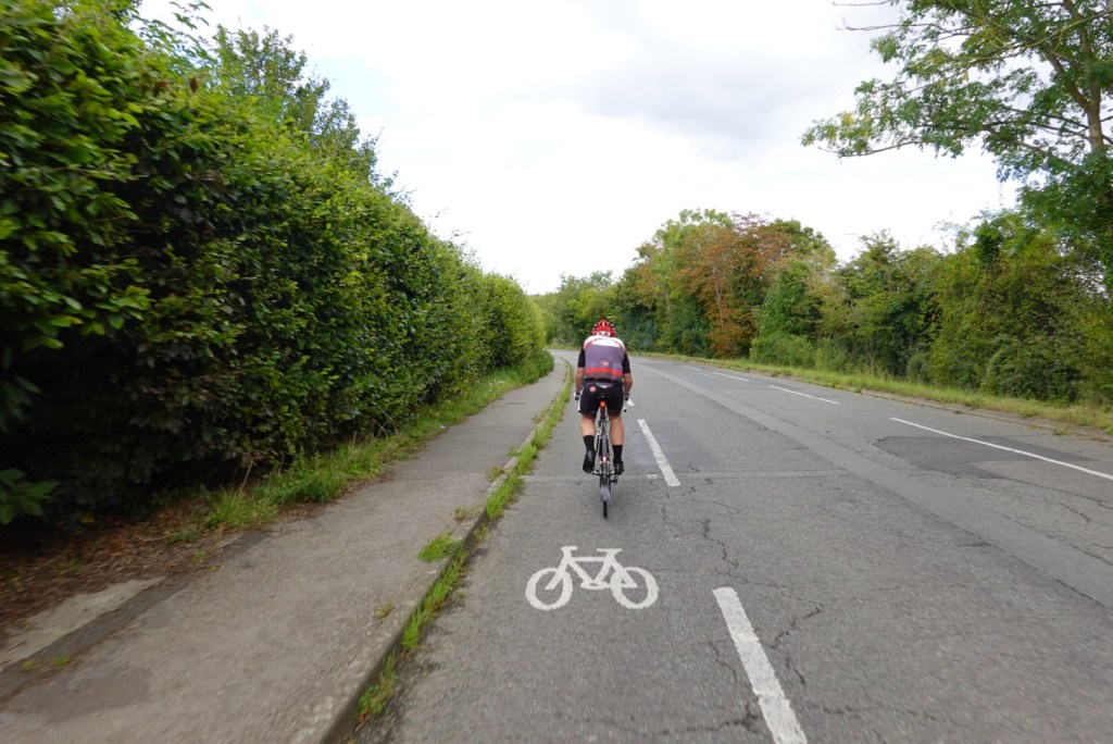
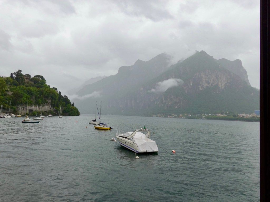
The closer we got to Lecco the more it rained.

Our chests and arms were dry, but we were wet everywhere else. Tony had to wring the water from his gloves numerous times as he had long fingered gloves on, but I stuck with my open fingered gloves. There is less glove to get satched!

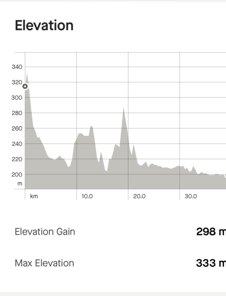
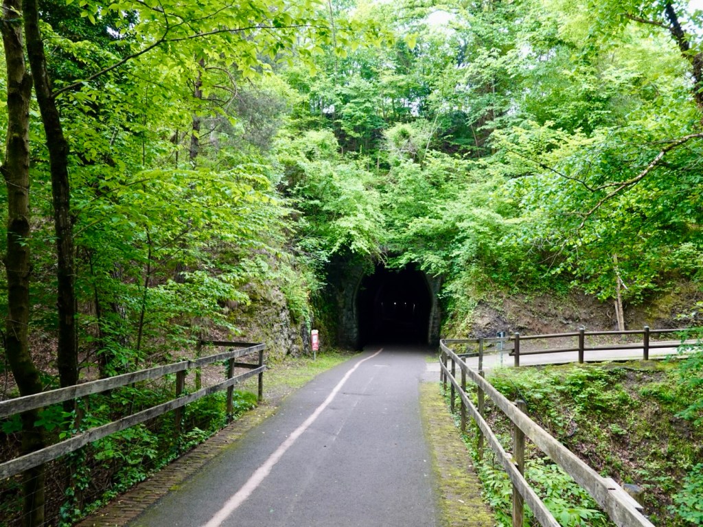
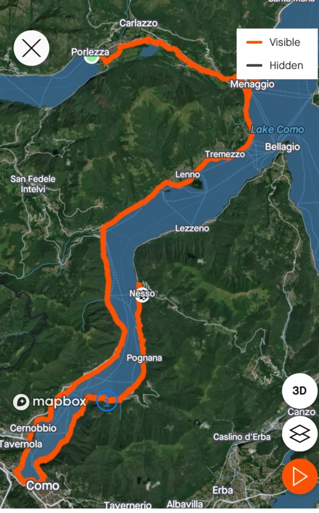
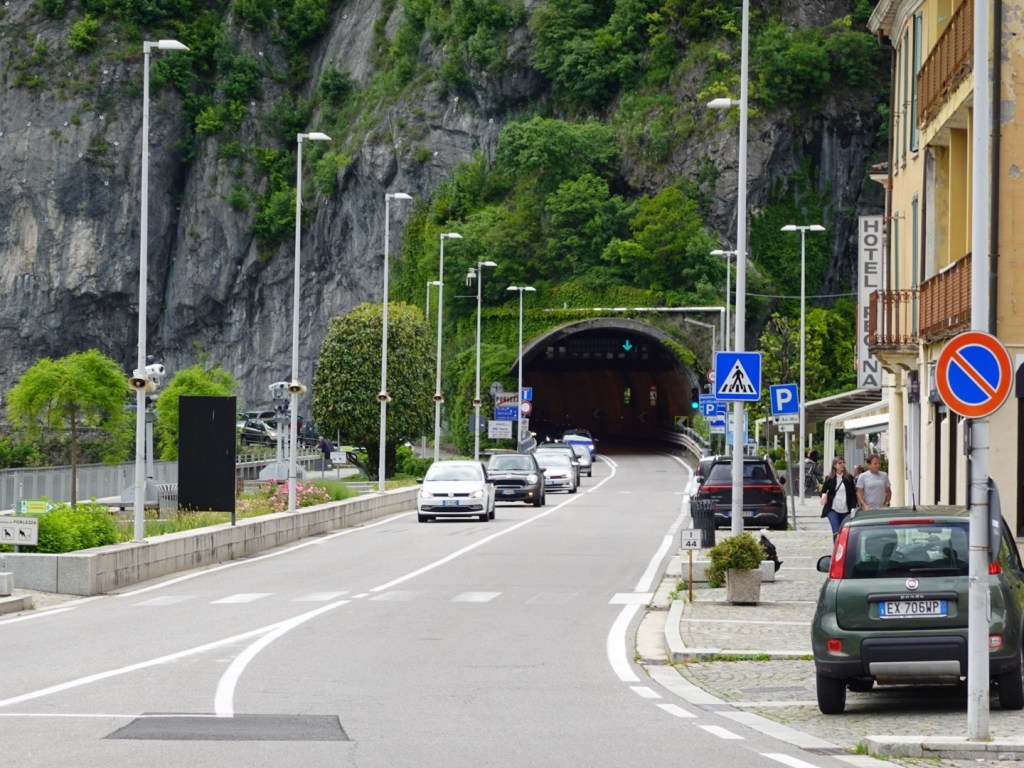
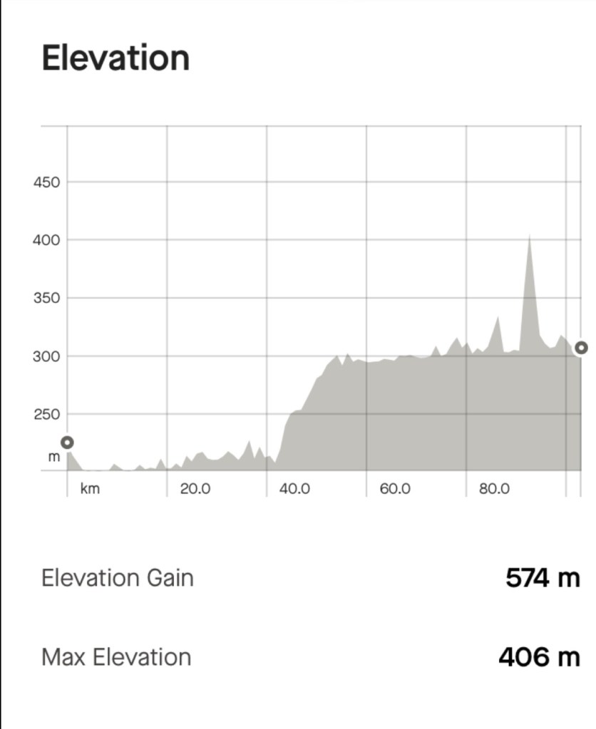
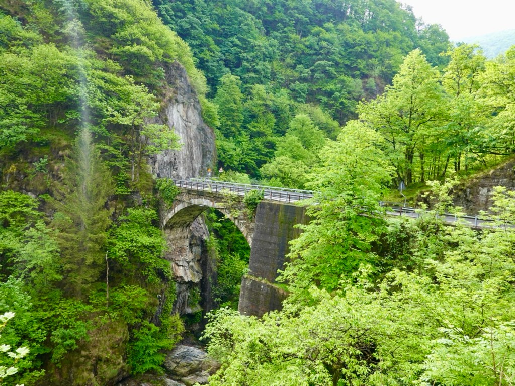
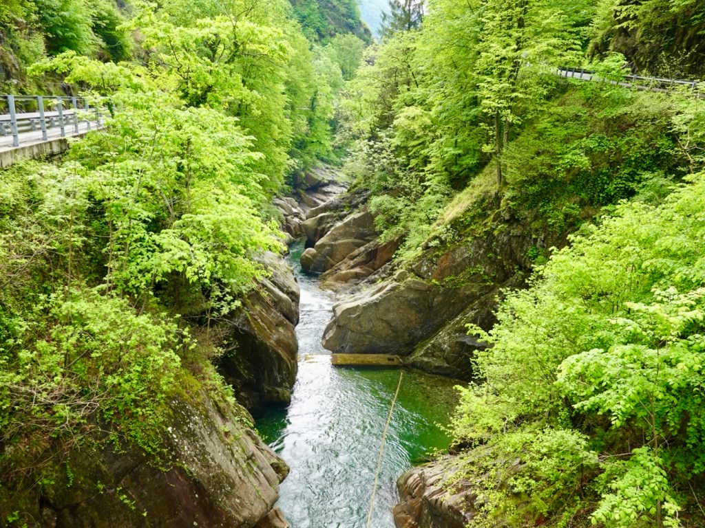
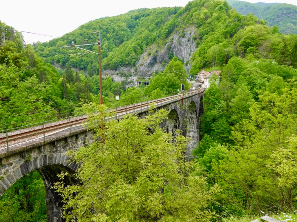
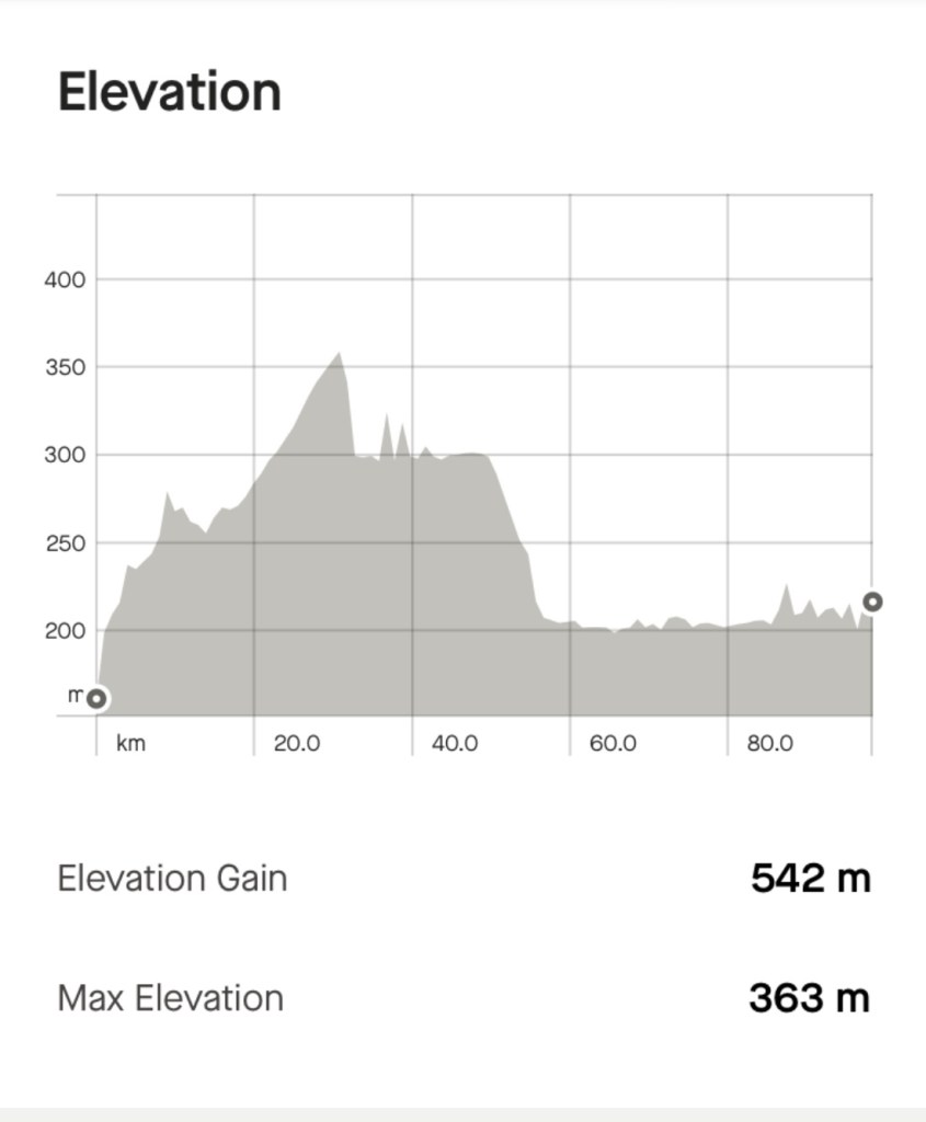
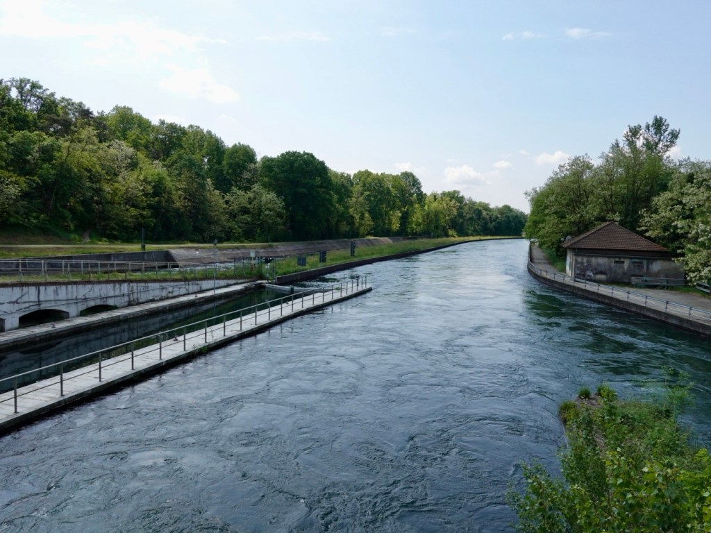
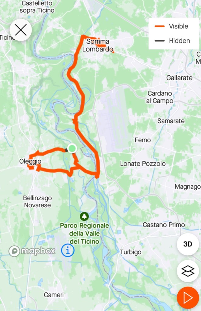
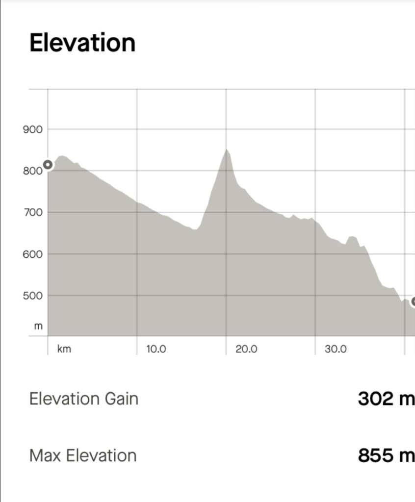
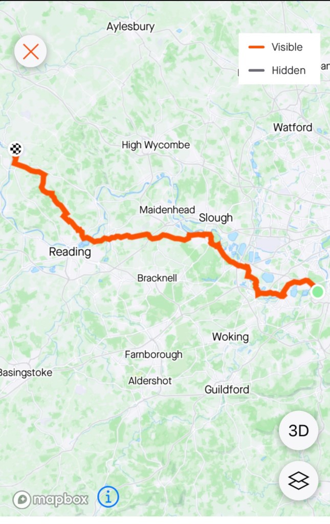
We knew that there were two long tunnels on this route and could tell from strava that it had heavy bike use.

When in the tunnels we lost satellite contact for our bike computers, hence the dead straight lines, but you can see the tunnels either side, Galleria Melgone and Galleria Pale.

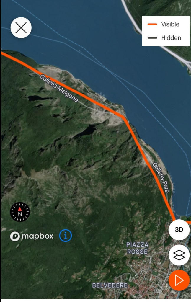
Melgone is 2200 metres in length, and two lanes wide. Pare is about 1600 metres long. They are both close together so we had quite the adrenaline rush.

The sound inside the tunnel is huge as it reverberates. So a single car can be deafening, let alone a truck.

I think both are ok for cyclists if sensible. We had our rear red Garmin radar light flashing, plus we had our front lights flashing too. The tunnels are reasonably well lit.

The huge bonus of the tunnels? It did not rain on us for 4 km!

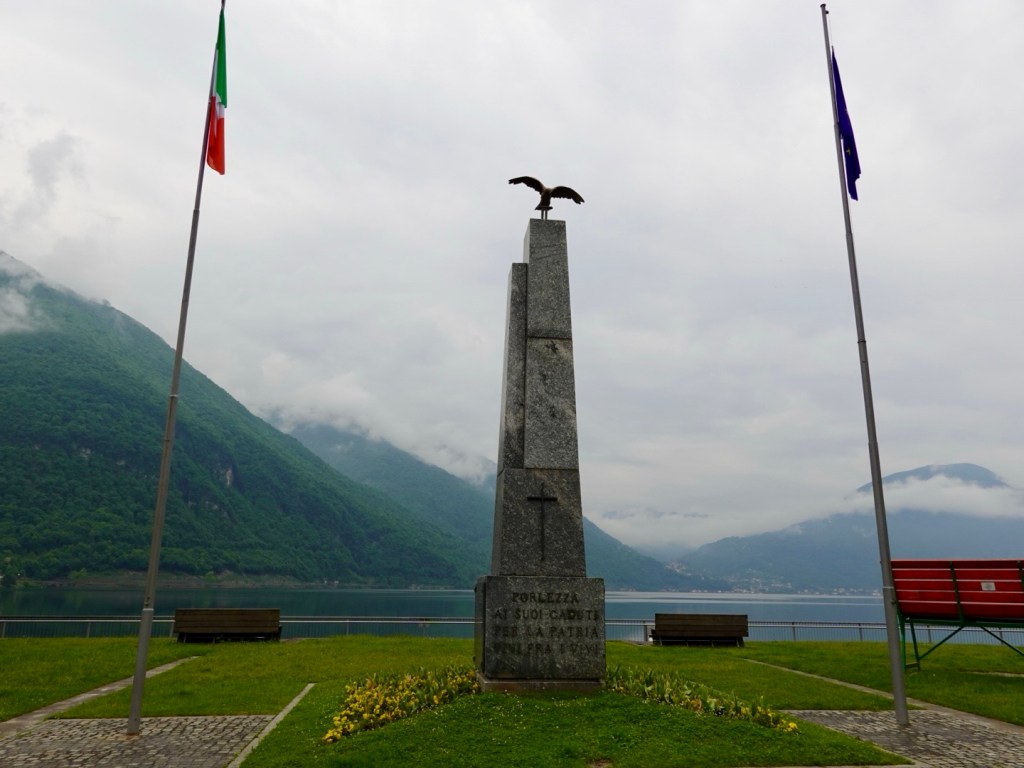
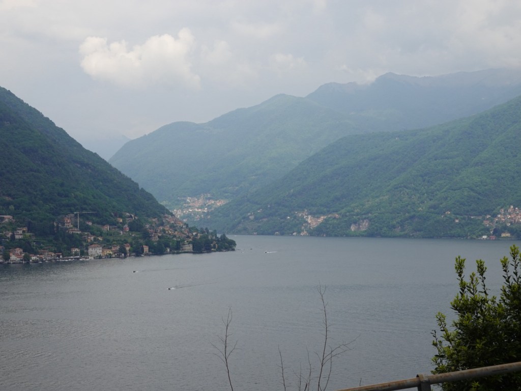
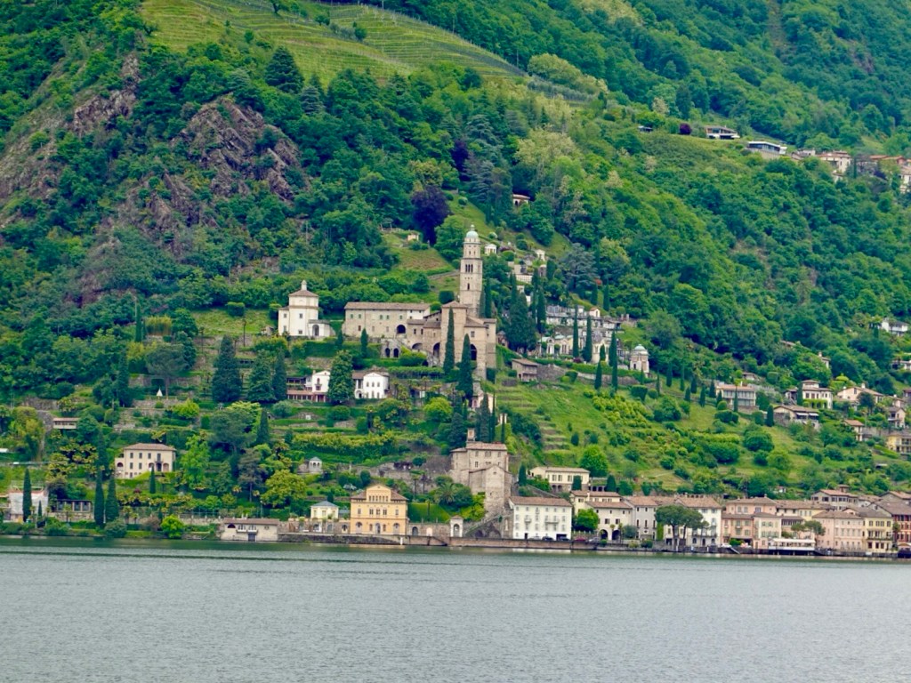
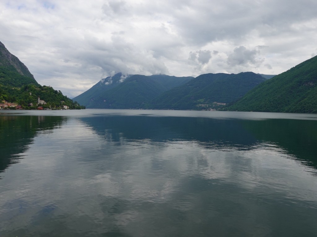
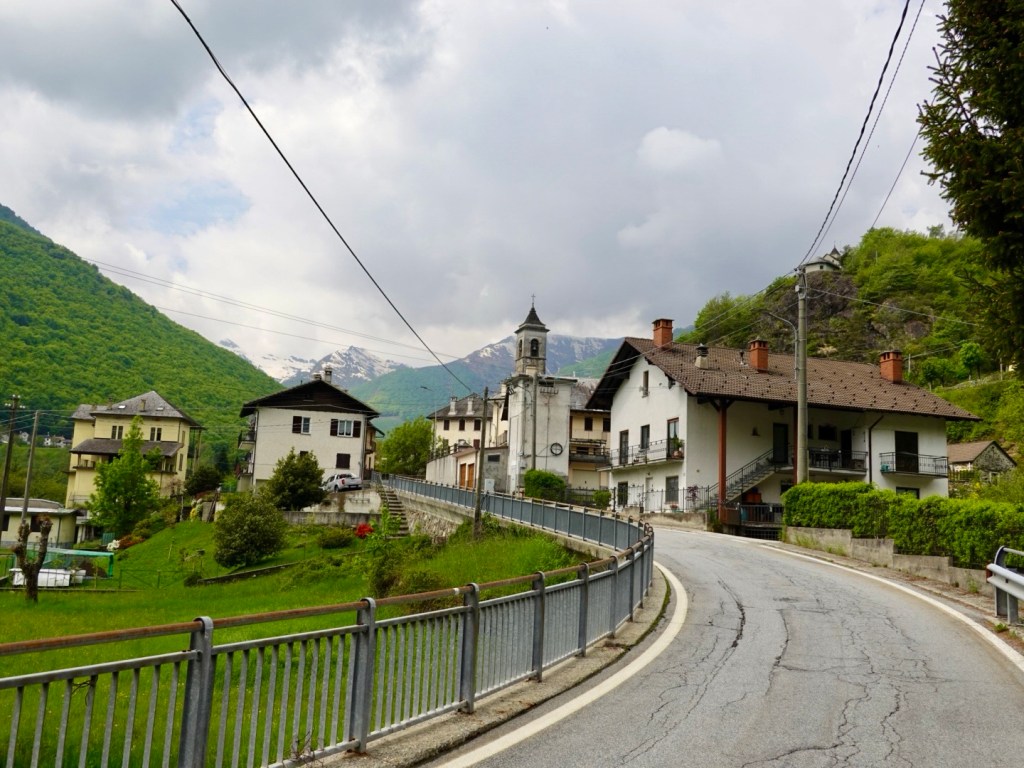
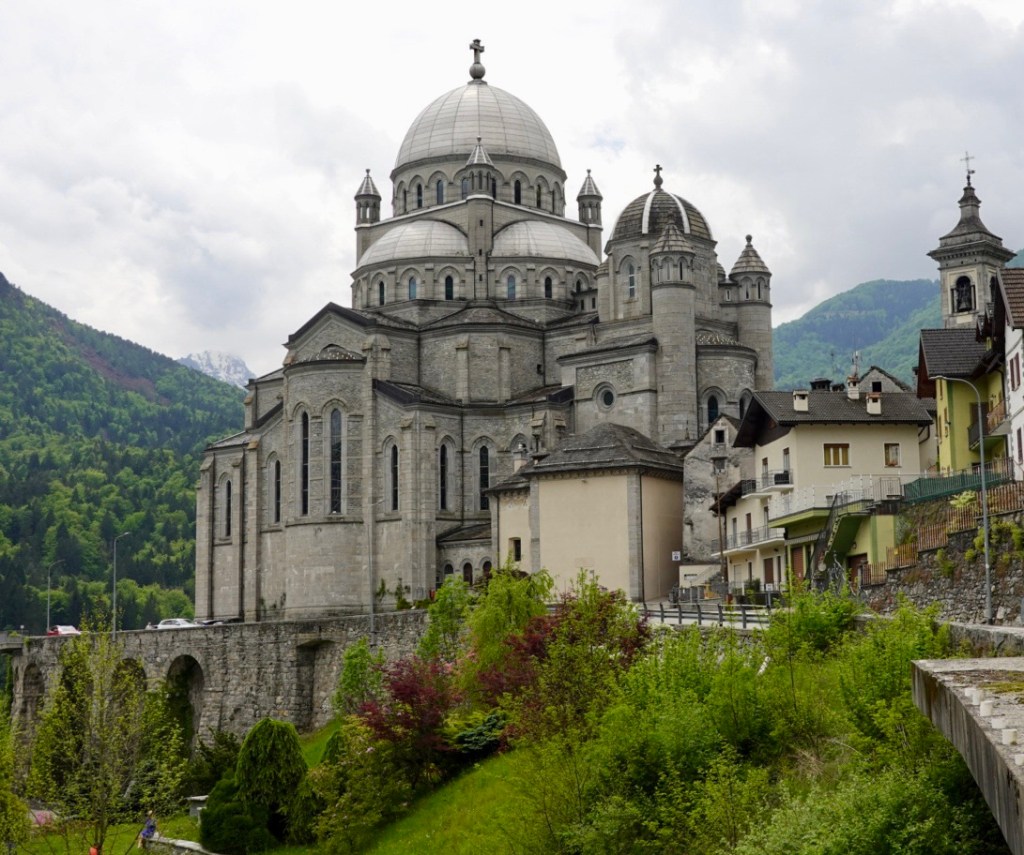
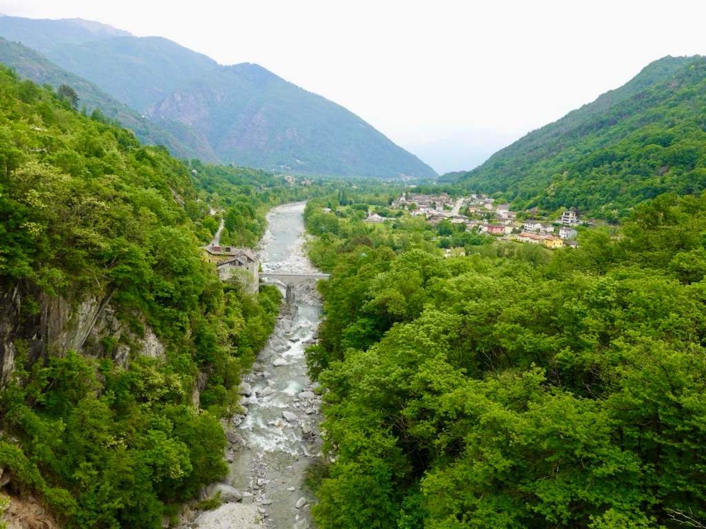
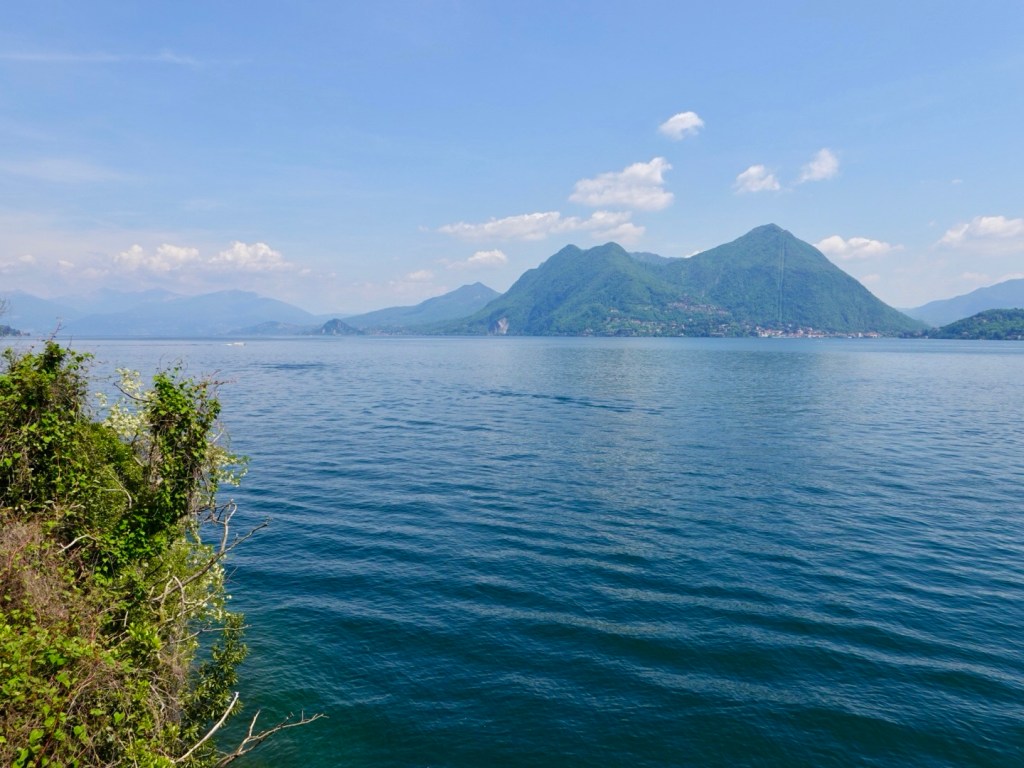
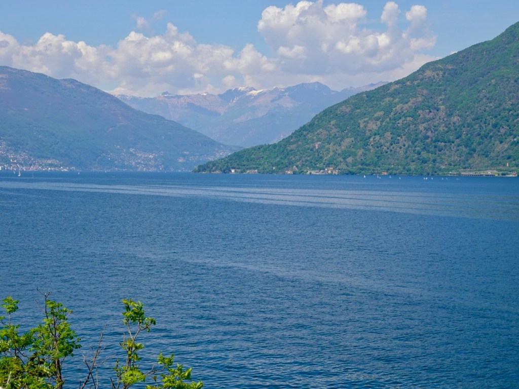
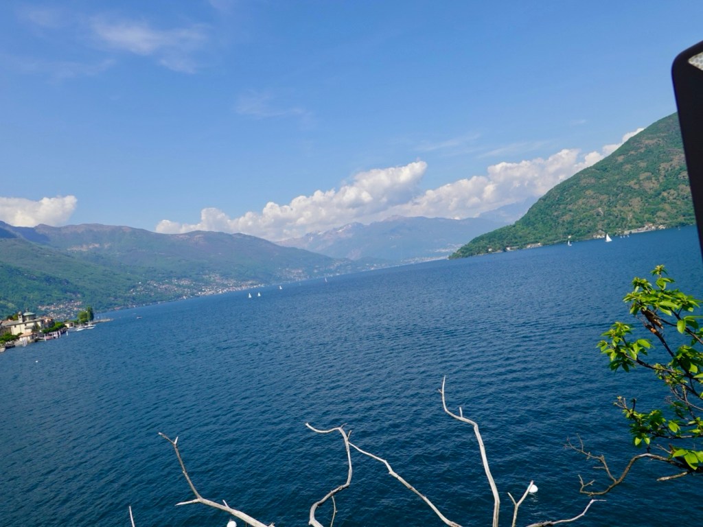
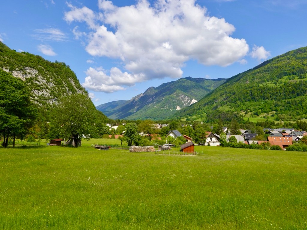
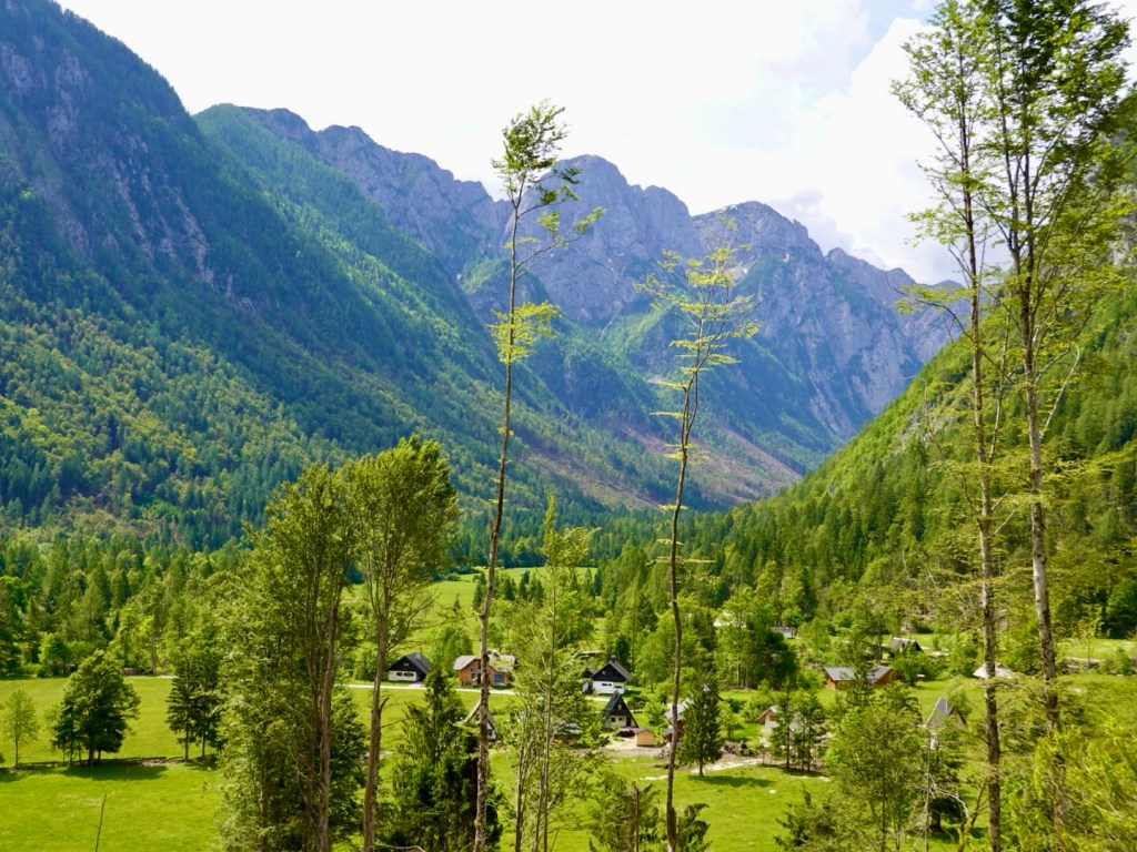
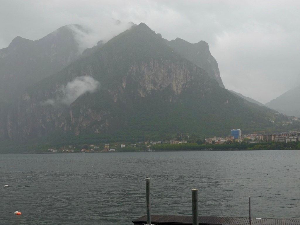
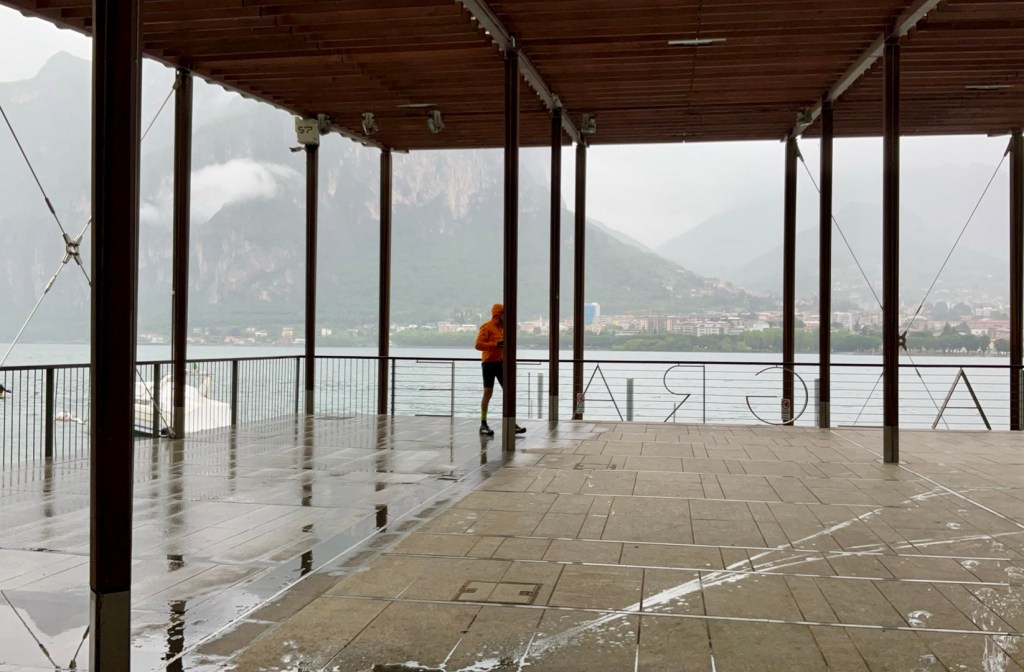
Popping out at the end is the sight of Lecco and surrounding geological formations.

We had arrived in Lecco at 11.30 am, so 30 minutes before the ferry was even leaving Bellagio. What to do in the rain ? Check in was 3 pm.

We found this large undercover area and parked the bikes. No one was sitting in the outdoor restaurant, but I did wander over to see what food I could buy.

That is Tony wandering back from taking the photo below. It is raining heavily .

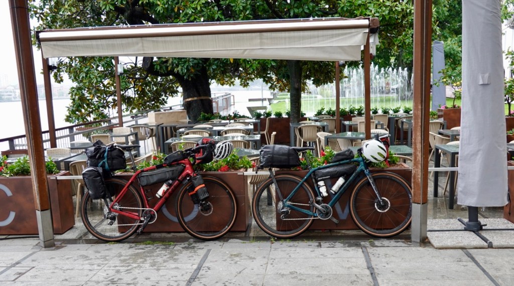
I checked our emails and noted a message from Fabio at our accomodation asking what time we planned on checking in. I explained our situation and he responded shortly after stating that we could check in now!

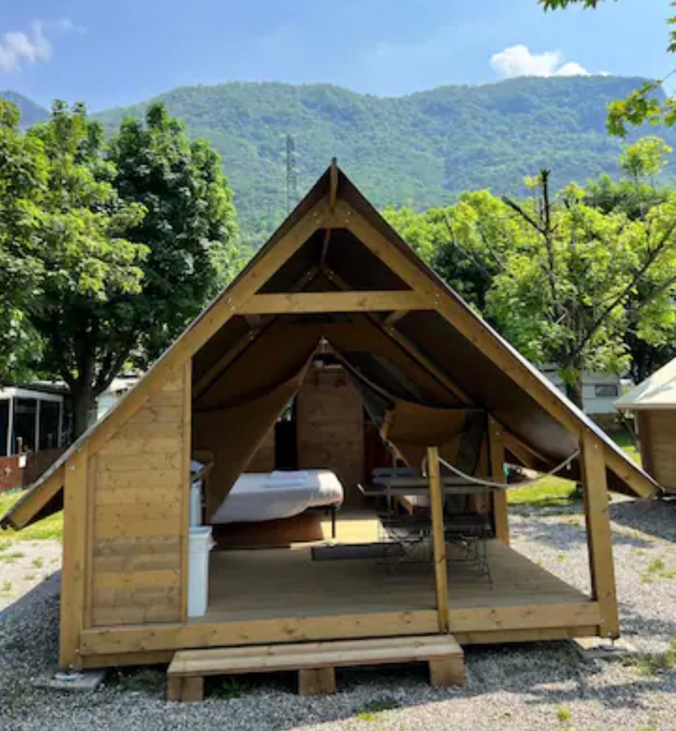
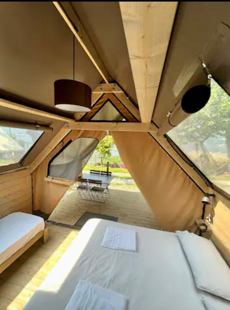
Whoot woo…..but we were glamping! How would that be? We had brought our bathers as there is a beach there to swim from.

Here is old granny Sharron on her iPad likely corresponding with
Fabio.

We were super cold riding the last 5 km. The puddles were enormous and there was a breeze.

We were delighted to arrive to a warm ‘tent’ complete with bathroom and warm shower. Our clothes are all dry courtesy of the air conditioner.

Huge thanks to Fabio for allowing us in early.

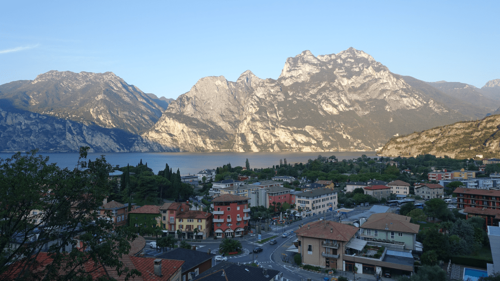
My daughter Hannah face timed us so I got to ‘chat’ with my granddaughter Willow. They are only a few hundred km away at Lake Garda. We get to see them in two days.

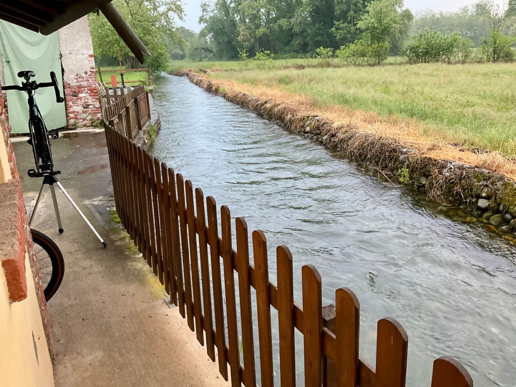
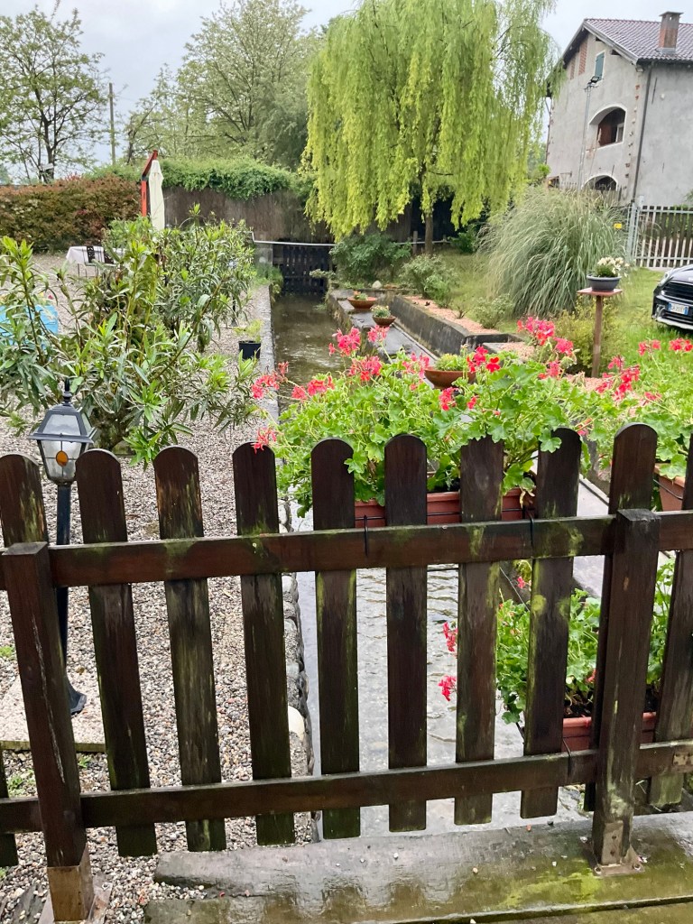
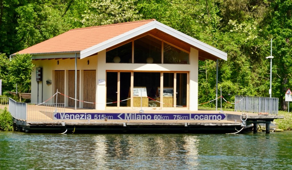
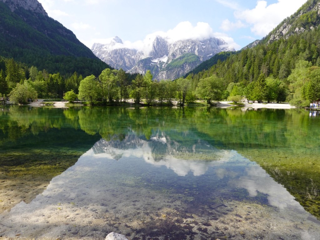
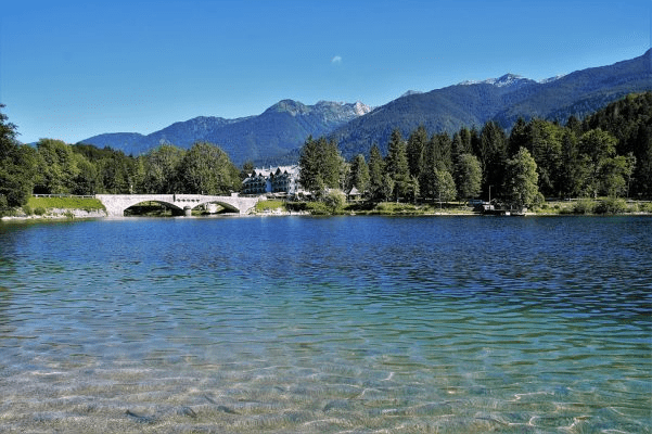
The photos below are from the Air BnB listing, obviously taken on a nicer weather day. This is a first for us using a glamping option but we have similar on Elba Island on our last week.

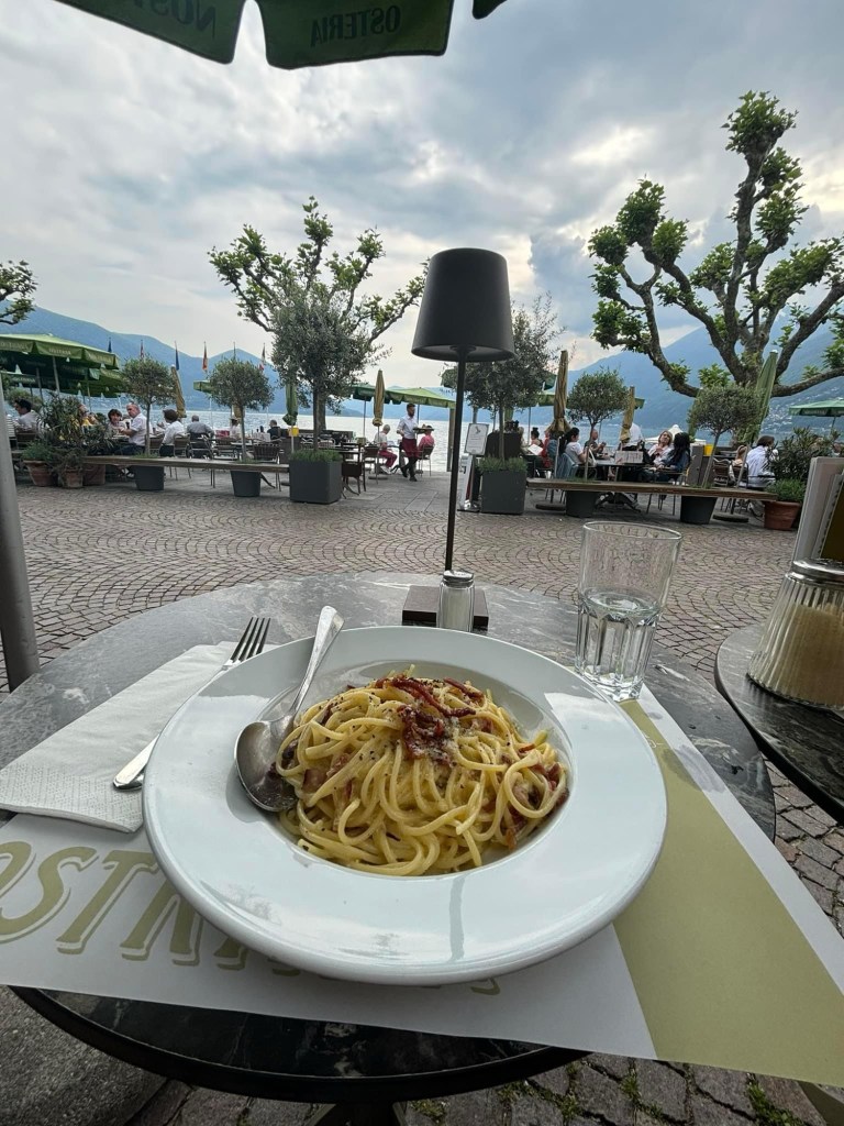
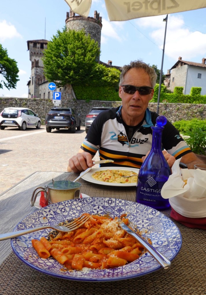
It is better than I expected. The bonus is that they have a bar area with food available, and Fabio’s dad prepared pasta for us and a hot drink for dinner.

Mine was nice, made from a local black pasta with vegetables.

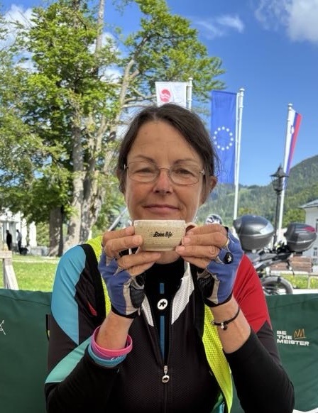
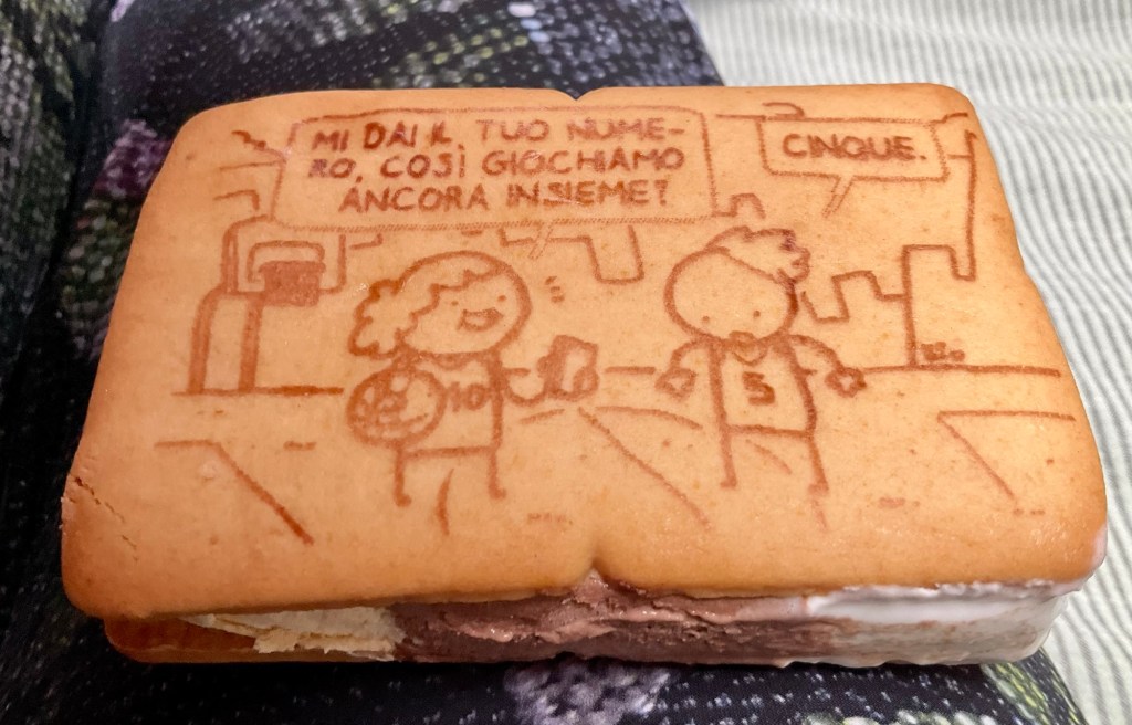
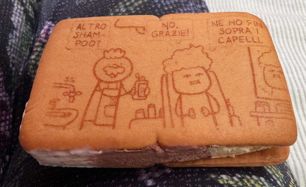
I grabbed this as a treat, opening it to discover I could practice my Italian.

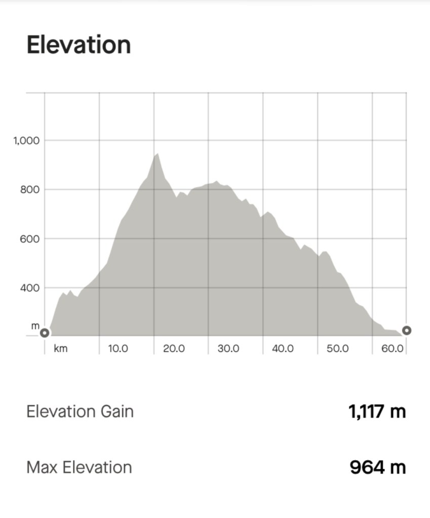
What will tomorrow bring? Seemingly an improvement in the quantity of rain, and we intend to leave here early if that is still the case in the morning. We will find some breakfast in the first 10 km or so, before our first hill climb.

Today’s shortened ride was 43 km, long enough in the wet weather conditions.

Day 4: Porlezza (Lake Lugano) to Nesso (Lake Como)

An overcast start to the day, looking back over Lake Lugano for the final time, before riding towards Lake Como.

Our route took us by this beautiful nature reserve lake.

From there, the bike path followed an old rail line.

Well sign posted. We were heading to Menaggio, a town on Lake Como.

Our first view of Lake Como.

By now the rail trail had fizzled out and we were on cruddy dirt descending to the lake road.

Looking towards Menaggio

We had plenty of time to kill today as our ride was shorter at only 68 km and we could not check in until after 2 pm.

Pootling around the town, the nicer vistas were unsurprisingly lakeside.

Tony liked this photo of the couple staring across the lake.

The lakeside road was quite busy, and narrow. Multiple times we had to stop as manoeuvres occurred for a truck and bus to pass in opposite directions.

We stopped at this church and the statue is further in at another church.

Stopped at red lights, this was a great graphic of the area we were riding.

Closer view of Como as we got closer

We stopped to check this interesting building out on the lake foreshore.

It is the Tempio Voltiano built in honor of Alessandro Volta, the inventor of the electrical battery, who was born and died in Como.

The museum is dedicated to the scientist, and houses many memorabilia related to his life including the first version of the battery.

The building was opened in 1927, 100 years after his death.

Como itself was super busy. A tourist infestation and in many places they wandered so aimlessly taking over all free spaces without any awareness of surrounds or other people. We walked to safely pass through.

We had hoped to sit down and lunch at Como but given how densely packed it was we just snacked on what we had with us at a quieter spot on the lakes edge.

Tony was amused by this couple with the girl busily preening herself in a lacy dress.

Heading out of Como involved four nasty little steep pinch climbs. The advantage is the view.

Our overnight stay is in Nesso, a lakeside village on the side of the hill. A 1.5 km climb got us in the general vicinity of the accomodation.

The instructions were then: find the striped house opposite the grocery store. Cross over at an angle and locate steps. Go down 7 steps, turn left. Proceed 30 metres and go down more steps….and there is number 26.

We knew rain was coming so we were keen to get out and walk…down countless stairs to the water front to the local famous attraction.

This bridge and the gorge behind it were made famous, apparently, by Alfred Hitchcock. The spot is known as Ponte Della Civera and the movie, The Pleasure Garden, shot in 1925.

It took time to have the bridge free of people as it is a popular photo stop. Water craft hovered to our right hand side, with passengers busy with their cameras.

Standing on the bridge, looking back towards the gorge and waterfall.

We then climbed far too many pebble steps back upm giving our quads and glutes more of a workout, as well as our lungs.

So this view is at the top looking back down, you can see how small the bridge appears.

Here is a zoomed in version of above.

Food for dinner was looking a bit scarce on our walk. There was the possibility of a restaurant opening at 6.30 pm further up the hill, but given a few were not opening Tuesdays, we took our chances with reheated pizza from the icecream shop.

It was actually heaps nicer than either of us expected and quite filling.

Heading back to our accomodation we noted the waterfall flowing under the houses.

The little shop near our accomodation had reopened at 5 pm, so we grabbed some fresh strawberries and yoghurt to finish off our meal.

Today’s route is below.

Tomorrow we are scheduled to ride to Bellagio, then climb to the iconic Ghisallo cycling museum before riding down past Lecco to Lake Garlate.

Weather warnings are out with solid rain the next two days leading us to plot Plan B. We will see what transpires.

Thanks for reading, hope to,catch you tomorrow and not be too soaked. 😊❣️

Day 3: Ascona (Lake Maggiore) to Porlezza (Lake Lugano)

The weather forecast was not great but we have learned to just wait and see how it pans out in the morning. Meteorologists have been known to get it wrong before.

It was raining but easing up. When we left we had wet weather gear on and I would call it mizzle. Nuisance rain, enough to get your bike dirty too.

View looking to the west from our room

Leaving Ascona we skirted through Locarno.I think we picked the nicer lakeside town to stay in. Low level cloud hovered just above the lake creating an eeriness.

One of the ferries that criss cross the lake.

Switzerland do bike paths and signage well.

Back on the main lakeside road, we had a small verge. We stopped here for Tony to take some photos of the lake, oh and me!

Looking across to Ascona where we spent last night
Looking across to Cannobio where we stayed two nights ago. The valley to the right is where we climbed up to Pantani Pass.

The lake was majestic. I do think rain and overcast weather adds a different dimension. Trying to be positive here, but the lake is beautiful.

Lake Lugano lays between Lakes Maggiore and Como with an area of around 49 sq km. Part of the lake belongs to Switzerland, the other part to Italy.

It took us about 10-12 km of riding to leave Lake Maggiore and arrive at Lake Lugano.

The lake seems a lot quieter and less touristy. here are a series of photos taken as we traversed the lake. The lakes weaves around as you can see from our route map

Lots of villages dot the lakeside

We ride through the city of Lugano without stopping, except at red lights, it was busy traffic wise. We immediately went into a 2.1 km climb out of the city. Here I am below climbing, with part of the city in the background. It was a nasty little climb.

The advantage of climbing is a differing perspective on the lake below. I think these are really nice pictures Tony took.

With only 1.5 km remaining Tony entered a 1.1 km tunnel, that was enough to make me look at our map better and I could see there was a route for bikes around the side but he missed that.

I had two choices and decided I would follow him. That was a shite and very long 1.1 km.

Here is the tunnel exit, it was one of those WTF moments and a bad error of judgement on our behalf. The adrenaline was surging. Not sure what speed I did as the bike computers do not work in tunnels as they cannot access satellite. But I pushed it!

Thanking out lucky stars we got out of the tunnel unscathed, our hotel was only a few hundred metres away.

We wandered around the town to find dinner.

High above town another cliff church, with a winding path up. This is the Church for the Fit!

We have seen many old olive trees in towns, and this one is a good example with its thick and ancient stump.

Narrow alley ways

Our last view for the night before we headed to bed. Tomorrow we leave this beautiful lake and head to another.

Our climbing graph for the day. The nasty climb out of Lugano is the sharp one at about 90 km. Our total ride today was 105 km.

Tony’s healing but his thigh hurts the most. You can see why.

Thanks for reading. See you tomorrow 😊❣️

Day 2: Cannobio to Locarno (Lake Maggiore)

Today was to be our first climbing challenge. Passo dello Scopello is a mountain pass that unites Val Cannobina with Cento Valli – and includes a memorial to the great Marco Pantani at the top of the climb.

Alice, our accomodation host, was most concerned about us doing this climb. Maybe she thought we looked too old! She indicated it was dangerous…narrow, winding and lots of cars.

I smiled and nodded, knowing we were doing it anyway weather permitting. Sunday morning hopefully would be quieter on the roads.

Our bike computer flashed the climb data only 200 metres up the road. A 20.5 km climb, climbing 925 m ascent. That’s a solid climb particularly on a loaded bike.

We rose quickly and looking back down the valley towards Cannobio and Lake Maggiore.

Looking up the valley it was misty and hazy. The gorge below was impressive but the photos do not show the depth of just how far down it was to the river.

At various intervals signs would indicate higher level villages, up steep and winding roads.

There were lovely bridges, greenery, occasional old structures.

This cyclist stopped at a lay by just to the rights, as did I. He photographed the sale sign and wandered around having a good look.

Up we climbed. Here is the graph for the day showing the climb. it shows that the top of the climb is just after the 20 km point, and that we reached 964 m above sea level.

More villages
Narrow roads really just wide enough for one car. Most motorists tooted their car horn at blind bends.
The occasional two lane section. Snow capped peaks, and that’s me climbing….
Up through a pretty, but quiet village.
A war memorial near the top of the climb,

Bliss and a feeling of satisfaction reaching Passo Pantani as it became known by cyclists and now appears on many maps.

Marco was an Italian road racing cyclist legend, and regarded as one of the best climbing specialists in the sport. In death he is revered, despite his hedonistic lifestyle that caused his early passing.

The memorial placed by passionate fans
In this box we found a guest book
People wrote and added pictures and memories
The best I could muster with shaky hands after the climb

The climb was tough but doable. We were passed by many super fit and very skinny male cyclists hammering their road bikes. Only one e-bike today and his was an mtb. I only noted two females heading up.

A pack of cyclists stopped at the pass for a recovery break, but they likely needed less time than us. We collectively all acknowledged a flying solo feat from a young cyclist who was flying up the last climb, clicked his watch as he crossed the top, then immediately streamlined into a super aggressive descent.

Tony checked Strava later. That young 18 year old got the KOM on a popular climbing route. He does ride professionally for an Italian club team, Overall. Watch out for Fabio Crespi in future years!

Down we went to Malesco, in the Vigezzo Valley, surrounded by the Val Grande National Park. Lots more greenery.

Found the lizard on a rock. This photo is taken for my Zwift friend Peta ‘smugpie’ Faragher.

We followed a shared pathway through the edge of the Val Grande National Park, pulling out at Druogno to find food,

A nice gentle slope down the main road took us through Santa Maria Maggiore and back to Malsena.

Santa Maria Maggiore was once referred to as the “valley of the painters”, but these days is known for its Chimney Sweep Museum.

Church in Santa Maria Maggiore
In Malsena many buildings have pictures with an information board that is a trail you can follow and learn more about 18th century life in the village.

Heading out of town on another shared pathway that went through multiple water streams, it eventually joined back to the main road.

Re is picturesque and only 7 km from the Swiss border. It is a site of pilgrimage to its imposing sanctuary dedicated to the Madonna of the Blood.

Hard to miss the Sanctuary/ basilica as you ride into town. To the left is the older church built in the 1600’s. The newer basilica to the right is 1900’s

I went inside starting with the older section. It is quite dark, but lovely paintings on the ceiling. The adjoining basilica features domes and stained glass, so light and airy and colourful.

Heading out of town, there is a better view looking back.

We did not ride very far before we came to a road closure. The narrow road has been blocked. With the motor bikes grouping at the front of the queue we went to have a look.

A truck had broken down and was jacked up. Not the best place for a flat tyre.

Descending gently down the valley towards Switzerland the train tracks cut a path through majestic scenery,

The closed border crossing. We are now in Switzerland

This view was very peaceful as we pulled into a lay by.

The house on the other side of the river intrigued us. They had a cable pulley system in place to send goods across.

Another incredible train bridge.

Getting closer to Lake Maggiore at the end of the valley ahead.

We have arrived in Ascona, on the shore of Lake Maggiore, not the far from where we spent last night in Cannobio.

I negotiated excellent overnight accommodation for our bikes here. They are in a locked out of order room and we have the keys. I was super impressed with the staff here.

Walking down around the lake front in search of food we found a nice Italian restaurant with a view.

Waterfront
Looking back towards Cannobio
Jazz wall, current art theme in town.
We tried hard to get a clean shot of this sign, but always someone else would just cruise in and stuff it up, without any awareness of other people. We gave up.
This is a boat …

How is Tony? Here he is at breakfast today. His lips are healing but still swollen, his left hand little finger not yet scabbed up. Worst is the huge hematoma on his upper thigh and what is causing him the most grief.

So day 2 done and dusted. 66 km and over 1100 m climbing. A good warm up for some of our rides in the Dolomites.

Day 1: Oleggio to Cannobio (Lake Maggiore)

First question…how is Tony?

He slept ok but I could tell he was in pain with various sounds during the night. Apart from his sore and swollen lips, missing skin on his left hand, he also has significant swelling and bruising on his upper thigh. Those upper leg muscles were going to get a workout today, so not ideal for him with a 100 km ride ahead.

Tony’s bike ready to leave our accomodation.The irrigation channel flows directly from Lake Maggiore, our destination today.

Leaving our accomodation it was back up the pot holed, dirt and muddy in places road heading to Oleggio, where we had visited yesterday.

We were on predominantly quieter rural roads for the first 30 km or so. We did pass through a few nice villages. A few shots from the early km’s.

Small village promoting their Gorgonzola cheese
Cycling sign on a building, Mezzomerico
We were in a wine growing region promoted by their Citta del Vino signage. This sign welcomes us to Suno, bids us farewell from Mezzomerico.
Church of Saint Bartholomew, Borgomanero commenced in 1225, but the current facade is baroque from the 1600’s

We commenced our descent to Lake Orta and what a beautiful view. The lake is 13 km long and 2.5 km wide. I had read is was less touristy than the neighbouring Lake Maggiore and added it to our route.

Lake Orta. Snow capped mountains are just coming into view.

Orta San Giulio is a very picturesque village, with narrow cobbled lanes, old stone walls and numerous little piazza’s (squares) dotted with craft and antique shops and cafes.

We could see it ahead, jutted out on a peninsula.

Orta San Giulio

We turned off the main road past the ornate building, which is an expensive hotel boasting a three hat Michelin star restaurant. Only 20 rooms for guests, I had a look to see how much a room would set you back. The cheapest room in the next few days is around 1000 euro. Sure….

Villa Conti. If I had a spare 1000 euro for the room, doubt I could afford the meal. Where would the bikes go?

The tourist buses and cars park near Villa Conti. People either walk down or catch the mini motorised tourist train.

At the base of the hill, by the waterfront is a piazza dotted with cafes and a range of tourist shops.

Nice frescoes on this structure in the middle of the piazza
Tourist shop with flags and frescoes
Narrow cobbled walkways
Boats take paying tourists out to the island Isola San Guilo, housing an old basilica and seminary.

Getting out of this village was not easy. I had tried to,route a traverse route but could not and once in the village could see why. Steep cobbled walk ways and steps were necessary to,find an upper level road. So we pushed our bikes up a 16 percent cobbled gradient until we found bitumen and headed back out to the main road.

The main road goes around this far shore section.

Back on the main road we were heading to the biggest lake town of Omegna, passing through this roundabout, which is my roundabout of the day award.

Not sure what these represent, but they intrigued me.
Quieter section of Lake Orta
Omegna

Omegna was a busy town and we were on a just as busy arterial road out of town heading to Lake Maggiore. However we detoured to ride around the quieter Lake Megozza.

Two pictures of Lake Megozza.

Lake Maggiore is Italy’s second largest lake and is 64 km long by 3-5 km wide. We were now on a shared pathway filled with cyclists of varying capacity, walkers, families out and about as it was Saturday.

The hardest part were some of the older e-bikers who had no sense of their surrounds nor bike handling skills to match the electric power output, and weaved around the whole narrow path, somewhat a menace to other users.

We stopped in the main piazza in Verbania shore side to enjoy some cold refreshments.

Lake Maggiore
Fountain from where we sat

Lake Maggiore has many lovely photo opportunities. Snow capped mountains to the rear.

They even have lemons

We missed the right alley way to turn left and got caught up in a myriad of alley ways trying to get back on route.

This one had interesting art work.

From the alley ways we had to take our bike up 52 steps…..yes, I counted them.

The remains of Castelli di Cannero, near Cannero Riviera are ancient fortifications from the early 1500 ‘s, built over the ruins of an earlier castle.

Houses are built onto the high side of the road, with impressive access roads. I imagine they would have brilliant views.

More lakeside views as we edge our way closer to Cannobio.

Cannobio is a nice lakeside town with an old history. Many of the waterfront buildings are over 600 years old.

We rode through but headed straight to our accomodation as the number of people walking around the piazza made cycling difficult. After showering, we walked back to see the town and more importantly find food.

We ate early at an Italian restaurant on the shore front and we were in bed by 8 pm still adjusting our bodies post jet lag.

Photos from around town post dinner.

Looking towards Switzerland. The border is a few km away.
We used this clock tower as our geographic reference to find our way around the alley ways.
Not sure what the go is here, but there are large plastic frogs hanging from buildings too.
Random plastic swans
An old church that was plain on the outside but amazingly ornate inside. The Minister was just leaving his confessional box,
The range of chimneys intrigued me.

So here we are, done, 100 km, 542 m ascent done. The weather conditions were ideal. A mixture of roads and surfaces, many beautiful vista’s. For Tony less than ideal but hopefully tomorrow his leg will be more comfortable.

The Polizia were not on our list of things to see and do.

I will fill you in on that shortly but first things first.

We arrived at our accomodation by 10.30 pm and jumped into bed, arising around 5 am as neither of us could sleep and out backs were complaining.

The bike bags fitted nicely into our rooms and Tony got cracking on putting them together, outside.

As we unpacked the bags, quickly there is stuff everywhere, and we have to carry it all in our bikes.

It is very noisy in our room as there is a mini river outside out door, quite literally just half a metre from our door.

The view from the bedroom door as Tony commences working on my bike

I wandered around before breakfast to check the site out. We are in a rural area some 14 km from Milan airport. Our accomodation is an Agriturismo accomodation place.

Another water course out the front of the home

I like donkeys and there are half a dozen here, along with some horses.

Tony did a great job with the bikes. They were finished before we headed off to breakfast at 8 am.

After breakfast we headed off to check out the surrounds leaving on a pot holed dirt road heading to the local village of Oleggio.

Clock tower in the piazza

We rode to this church, but were far too close to photograph it. we did. We did not venture inside as a funeral was taking place.

Crossing the Ticino River, we followed a canal. There were many people walking and cycling. The ducks enjoyed the sun. There is significant engineering infrastructure and water diversions.

It was very peaceful, bar the sound of jets departing nearby busy Milan airport every few minutes.

Colourful ducks
I liked this sign as we are going to all three places on our bikes…well Lido vs Venice bikes are banned in Venice.
Panperduto

We climbed away from the canal just after the Panperduto water edifice to the town of Somma Lombardo. A 2 km steady climb and a nasty polished river pebble cobble finish up the steeper section.

I jumped off ( vs falling on slippery cobbles) and pushed and admired Castello Visconte, parts which date back to the 9th century. An interesting fortification that you can tour.

Castello Visconte

Over the road is this monument to the carabiniere’s, the Italian police.

A well positioned restaurant over the road had a 15 euro lunch deal. Two courses, sparkling water and coffee. Far more food than we needed but decided that would be our main meal, and we would have a light dinner.

First course

We then went looking for a supermarket but many shops had closed for their siesta so we had to ride heading out of town on a busy road, finding a large shopping precinct, and my least favourite supermarket Lidl.

In every country their shops are a messy muddle, and now Italy was no different.

I eventually came out intact with some dinner provisions.

As we headed back to return to the river canal route, a car was reversed straight into Tony on the busy road.

I was behind him and saw it all unfold in seeming slow motion. The car knocked him over and he face planted the road.

I was immediately cranky with the lady who admitted she could not see past the larger car next to her.

Tony was dazed and I feared a knee injury the way he staggered, blood poured from his face.

Getting him off the road, looking after him, the car driver, then the police arrived at my request.

The local polizei were super nice, spoke minimal English. I had to write Tony’s statement as his left hand had skin off three fingers and he writes left handed.

Cleaned up the left cut runs deeper into his mouth, likely tooth did that.

Tony did not want to get checked out for a stitch…there was a hospital just up the road. He did not want to wait and wanted to see to his buckled wheel, as the bike could not be ridden.

If not fixed, the touring trip was a non starter.

We walked our bikes to the local bike shop.

The guy at the one shop was on siesta, so we waited. The lady car driver came with us.

After my initial annoyance with her, I decided I actually liked her. She spoke excellent English and was married to a Scottish born avionics engineer working for Lufthansa, currently based in Frankfurt. Her mum lived just above the bike shop. she arranged to pay for the bike repair. We have her insurance details.

The bike shop guy was not confident but trimmed the wheel beat he could, adjusting and tightening and checking each spoke. Tony thought he did a pretty good job. Let’s hope it lasts. It will be replaced, but this size, number spokes etc, not a quick and easy replacement touring.

An uneventful ride back to our accomodation stopping at a cafe at the Panperduto to buy a cold icy pole to place against his swollen mouth, then he ate it.

Back along the river flats this is the local road. Pot holes like this feature along the 2 km.

What started as just going for a shorter, chilled ride did not go as planned. We are super lucky it was not worse though so need to be thankful for that.

It is the first time Tony has been hit by a car and let’s hope it is his last!

Today’s route was 52 km, with just over 300 m ascent.
Looking out our bedroom door.

Day 16: Kransjka Gora to Lake Bled

A magnificent day.

A lovely breakfast and blue skies greeted us as we departed and did a slight detour to the gorgeous Lake Jasna, which are two small interconnected lakes only 2 km from where we stayed.

Whilst man made lakes, it is very scenic and pleasant at the confluence of two rivers. In fact, they removed gravel from the rivers flood plains to create.

The lakes are in a beautiful valley on the main road to Vrsic Pass.

Vrsic Pass we did consider crossing, but we wanted to go to Lake Bled and Bohinj and it just did not work out. The route has 50 hairpin bends and closed for around 7 months a year due to snow.

Some of our photos from Lake Jasna.

We then headed back into Kransjka to a coffee shop recommended by my coffee connoisseur son in law. We needed a decent coffee as the breakfast coffee today was insipid.

Interesting, this is the spirit of Prague(Czechia), another favourite country
View from the coffee shop

We then got on our way, take 2.

We headed out towards Lake Bled following a lovely cycle path that headed to Jesenice, but we were to turn off before then.

Lovely forests
Gorgeous views
Lovely wildflowers
We turned here, we were heading to Spodnje Gorje

Turning off the bike path, we were on a small country road that went through some villages. Whilst the ride had been cruisey we did have a nasty 2 km punchy climb that our legs did not appreciate.

We descended and noted a group of Backroad bike tour cyclists about to tackle the climb, from the steeper side, that was over 18%. Many were on super old bikes, not looking fit and we did question the merit of that, but they had no gear, and you can always push your bike up.

We stopped at this historic site that had a sad story.

It is all that remains of the Radovna hamlet.

In September 1944, as a punishment for a partisan attack on German soldiers a week before, the German army burned the houses with people inside, killing all 24 residents including a 7 months old baby.

Names of those who were murdered with the house behind.

A Hungarian family approached and asked if I could help them with directions to a gorge, which I had seen on maps and knew it was closer to Lake Bled so I sent them back in the direction they had come from. I do wonder what happened to them? What could go wrong? An Australian giving Hungarians directions in Slovenia!

This rock is known as Fat Stone. Local legend has it that one day a man heard a terrible noise. Scared stiff he turned to see where the noise was coming from. A snake slithered down the slopes, waving its tail, disturbing rocks, including Fat Stone. The snake slithered into the river, the rock stopped rolling, and here it is today.

More lovely views.

More huts
Lady fishing in the river adjacent to the village
Nice church

As we started to close in on Lake Bled, you can see Slovenia flatten out. Of course, we are not doing flat this trip in Slovenia ha ha and will be heading back to the hills.

You can just see Bled Castle on the hill towards the right
This is a road we followed

Lake Bled is perhaps the most recognisable feature of Slovenia with its fairy tale island and church in the centre middle of Lake Bled. The Church of the Assumption is regarded as a sacred site.

Church of the Assumption

Bled Castle is perched on a sheer cliff with magnificent views across Lake Bled. It was established int he 11th century as a fortress for the Bishops of Brixen who ruled the region until the early 1800’s. Today it is a museum and restaurant.

Bled Castle
The lake, a different angle, Bled Castle
The commercial side of Lake Bled
Little boats heading out to the island

The lake is 2 km long and wide, and around 30m deep

We chilled on the shores of the lake near our accomodation, which is just out of the main Bled township. Tony cleaned the bikes and replaced his rear brake pads.

Nice spot to wait, rest, do bike maintenance

We are in nice accomodation, bikes are stored in a very secure small garage only used for bikes, we had a lovely dinner and walk along the lake side.

The light was nice, and these were taken in Tony’s phone, not camera.

A nice day today. Active recovery I called it as we only rode 41 km, but did a pinchy climb that got the heart rate up.

Memories

Memory
All alone in the moonlight
I can smile at the old days
I was beautiful then
I remember
The time I knew what happiness was
Let the memory live again

We have booked a “big” trip for 2024, flying in and out of Milan, arriving early May 2024. I am researching and mapping in my spare time and lots of excitement as to the route that is unfolding.

So far it includes the Italian lakes Maggiore, Como, Iseo and Garda, the Dolomites (Corvara through to Sappada), a finishing stage of the Giro d’Italia (catching up with some of the Italy Bike Tour crew), then into Slovenia (Triglav National Park, Julian Alps) then Croatia (Istrian Peninsula).

Lake Garda is a firm favourite – that will be my third time there, and I cannot believe that I have to climb a shite hill for a third time to get out of there – first time I said “never again”, second time I said “you have to be * kidding me”), and I have mapped it to leave Torbole, shaking my head in disbelief that we will climb it with a loaded bike.

What makes it awful? You climb 100 metres in the very first km, with cold legs, with 14% pinches – no warm up, just straight up – but the view from the top is beautiful (see the video below London to Venice), plus photo taken in 2016.

The most affordable accommodation was at the top of that hill too – and that would mean multiple more climbs (as planning two nights) and I just laughed and said “that is not happening”.

View above Torbole, Lake Garda

Dolomites and Slovenia we have done before, but not around Corvara (maybe Sella Ronda too) and not Triglav or the Julian Alps.

Lake Bohinj (Slovenia) should be a highlight – and then the ride across to the Soca Valley. The Soca valley is super nice.

The Istrian Peninsula – rode through there in 2019 but from Trieste (Italy, on the coast) so looking to differ the route as we head to whichever port.

I need to stop mapping now as I impatiently await ferry schedules to be announced for next year to cross the Adriatic and back into Italy (hence do not know re Pula, Rovinj or Piran, and whether we will transfer to Pescara or Venice).

Leading towards Pescara as we’ve been to Venice at it is illegal to even push your bike on Venice island. We’d need to immediately ferry to Lido and ride from there….anyway all will fall into place.

Rovinj, 2019

Once back in Italy I am thinking Tuscany (again, but some different places and routes), the microstate of San Marino and then unsure which way we will head back up to Milan – but definitely not the Venetian plains.

We are starting near Milan airport and have secured an anchor point accomodation where they will keep our bike bags used on the trip from Tasmania. we will return there for our final night to disassemble and pack the bikes.

This process is not without frustration. I had a place identified but the owner contacted me privately requesting funds above and beyond the stated rate in Hotel.com. It was a non refundable booking, so a bit of a bind really.

It was resolved by Hotel.com in my favour, and they gave me a $250 aud voucher as a bonus!

Research continues and in that process I stumbled across two pieces of our cycle touring history:

  1. London to Venice – 2016 (England, France, Switzerland, Germany, Lichenstein, Italy) 2200 km
  2. Calais to the Med – 2015 (England, France) 1500 km

I used to do a video montage to music of our trips – put a huge amount of time in doing it and stopped in 2017 (Bordeaux to Barcelona) as I had some music copyright issues (but did not know which song!).

We did these predominantly for our memories, but for those that like cycling, like Europe, like music (well my kind of music that is), maybe these maybe of interest to you.

Warning – you do need some time, but you can stop and start the videos.

Both of these trips were before we did self-supporting trips. We used Bike Adventures, an English based company, who provided the route notes (yellow sheets in those days with a series of turn by turn instructions), transferred luggage, provided back up support and pre arranged accommodation.

We made many lifelong friends on these trips – and enjoy staying in touch, and catching up with some of them as we can including Graeme (recently in England), David and John (in Sydney and Tasmania), Graham (in Sydney), Geoff (Italy, Tasmania), Tony (Canberra), Brian (England, Tasmania) and of course, our wonderful friends John with whom we recently stayed with in England (and his gorgeous wife Val)and Alan and his lovely wife Sue in Wales(who have also visited us here in Tasmania….and I’ve likely forgotten someone with my post pumphead brain.

Facebook enables us to stay in touch with others including Helen, Neil, Phil, Jerry….great memories that we treasure and enjoy more and more as we get older, and have felt, firsthand, life vulnerabilities.

The links:

PS. I have not told my Director yet about the next BIG holiday – I am sure she wont mind ha ha ha. We can keep it secret can’t we?

Lake Bohinje, to the west of Lake Bled

The final curtain

The curtain has closed, we made it. 2750 km, 22, 550 vertical metres (2.5 times the height of Everest), four countries later we have returned to Benson, England.

The last 45 km or so we were joined by our friend John, who guided us home. His wife Val was waiting, camera in hand, champagne on offer.

I was teary. Happy, sad, thankful blurring together. To achieve this just 12 months after open heart surgery is truly incredible. Only Tony and my cardiac team really know and understand how hard that journey has been.

Big thanks to that team. Tony for having faith and patience with me as I recovered, supporting that process so that we could continue doing what we love doing.

To Val and John for hosting us and being our daily check in that we had arrived okay each destination. The love and hugs from Val and John are appreciated beyond words, love you guys!❣️

To Alan and Sue for hosting our two nights in Wales and seeing your local area, it was great renewing our friendship and sharing the way we did.

To Alison, Catherine, Graeme, Chris and Marion for taking time to catch up with us, thereby enriching our holiday. Kind thanks.

To family including Hannah and Kay for the regular updates and words of support and encouragement.

To the over 3,000 viewers of my blog, those that commented on Facebook or WordPress, thank you.

We have a full day today and do not leave London until later tomorrow. It will be a long few days, about 54 hours from waking up tomorrow to bed on Sunday night at home.

So, we did ride yesterday, about 85 km. Here are some photos.

We left our hosts in Thames Ditton after a great two nights staying on the island.

Karen, Tony and Captain Tony 😊

We rode maybe 20 plus kmh on the Thames pathway, predominantly dirt/gravel, sealed around the locks. We rode past many locks,

Think this is Molesey, water birds on the dam spillway
Some incredible house boats on the Thames River
Broader view across the Thames
Another lock
Bridge and lock

Our first port of call was Windsor Farm Shop, adjacent to the castle, owned and operated by the Royal Estate at Windsor.

To get there we took the road to Old Windsor, passing by Runnymede, the site being where King John ( brother of Richard the Lionheart, son of Eleanor of Aquitaine) was compelled to sign the Magna Carta.

Runnymede, the memories, is under the trees. We visited there in 2016 en route from Benson to London the day before we started London to Venice.

In 2001 the the Duke of Edinburgh conceived the idea of selling produce from the Royal Estates and the shop opened later that year.

The Royal Farm at Windsor operates as a mixed farm including 200 jersey cows, Sussex beef herd, 149 breeding cows, 1500 hens, 1,000 acres of arable land, 2,000 acres of grassland mainly used to feed the livestock.

I noticed plants for sale that had been propagated by the estate, with a sign saying, from our garden to yours (ours is just over the wall).

Choices
Out the front of the cafe
The farm shop. I noted Balmoral grouse for 12.95 (sterling). Not a cheap feed as there is not a lot of meat on a grouse.

As we left, this is one of the rear entrances to the castle grounds. I have always liked the gatekeeper cottage here.

Roundabout award for the day goes to the triple crowns, with Windsor Castle just behind.

The Long Walk to Windsor.

On the outskirts of Windsor along the Thames is this old plane.

Hawker Hurricane replica, used in WWII

We knew we would find John in the next 10 km as we had passed messages when we left the farm shop. Here he is, having just turned to join us.

As a trio we moved onto the town of Twyford, where John knew of a cycle cafe. Velolife is a great cafe with bike shop at the rear.

Bikes hanging on the rack out front
The bike shop at the rear. Glad we did not need a third spoke replacing! Spent a few $ on spokes.
I was checking out the local ladies club cycle clothing. Very tempted, but I need to carry it, plus we are on our flight maximum weight limits.

We followed John from here, and went home his preferred way through the Chilterns (1,700 sq km area of outstanding natural beauty).

In Stoke Row (a village) is the Maharajahs Well. In the mid 1800’s a little boy was beaten by his mother for drinking the last of the water in their house during a drought. The story was shared with the Maharajah of Benares who decided to fund the sinking of a well in the village of Stoke Row.

The story
The well
The well
The Chilterns
Our final church picture

At last we were nearing Benson and our epic journey was coming to a close as we followed our dear friend John home.

We have started thinking about what is next. We like goals and having something to look forward to and keep our fitness levels up. After 28 days riding we are quite fit and strong and it does goes backwards a bit when you return and not keeping up the same level of activity.

We have been riding 6-8 hours a day for 28 days. Head home and it’s back to our desk based jobs, but I still manage 3 hours a day fitness activity as I prioritise it!

Thanks for joining us in this journey. Over 3,000 views so far. Kind thanks 😊❣️

Tour of London

Today we did a 95 km tour of London, but not before joining Tony (English Tony from our accomodation) who offered to take us around the island in his boat.

Captain Tony

One side of the island is the original Thames river, and this side was dug out during the reign of King Henry VIII.

Hampton Court Palace is upstream by maybe 500 plus metres. The river near the palace was described as more of a broad and twisting stream, subject to the tidal influence still. The main channel was dug out and made straighter providing a grander entrance and providing some flood relief to the local village.

The island is great. Private access, brilliant views, and a lifestyle unknown to many city dwellers.

Tony and Karen’s home, we spent two nights here in a seperate room.

A broad outline of our cycle ride today. We covered a lot of ground. At times we were on busier roads, particularly in inner London. Often there were cycle lanes.

We mixed it with the famous London black cabs, red double decker buses and some super crazy food delivery people on bicycles.

We followed the Thames path on sealed and non sealed sections.

We rode through wonderful open spaces such as Richmond Park and Bushy Park.

Some photos of our day.

Kingston
Thames River
Thames Path signpost
Good section of pathway
Around Richmond?
Thames River and bridge

We arrived at Kensington Palace gardens. There are specific routes you can ride. Very popular spot.

We then scouted through Hyde Park and on towards Buckingham Palace and the Mall.

Kensington Palace
Kensington Palace
Queen Victoria, outside Kensington Palace, sculpted by her daughter.
Albert Hall and Royal Albert monument
Hyde Park
Hyde Park
Hyde Park
Buckingham Palace
Buckingham Palace
Down the Mall

Riding down the Mall was great, quite traffic free, smooth. This road is so often seen in Royal ceremonies including the more recent coronation of King Charles, and funeral of Queen Elizabeth.

It is also a road on Zwift’s London course, with a reverse sprint section here, but I did not sprint 🤣

Then we arrive at Trafalgar Square, and it is fairly busy from here around to the Tower of London, predominantly on roads and cycle lanes. We walk at roundabouts crossing at lights where possible for safety.

Nelson’s column and Trafalgar Square
Tour of London

At the Tower of London we cross Tower Bridge. It is super busy here on the bridge between vehicles and tourists crossing.

The Shard

We then headed north to cross the Thames again and head to Westminster.

Richard the Lionheart statue, Houses Parliament
Big Ben and the Houses of Parliament
Oliver Cromwell, Houses of Parliament
Westminster Abbey
Westminster Abbey

We then headed up through more parks, gardens including Battersea.

Peace Pagoda
Battersea

Past the Trek shop, popped in, popped out.

Onto Wimbledon, and we thought about having lunch in the cafe there, but the security guard insisted the bikes not be within our visual sight and out of sight around the corner. We moved on.

In the neighbouring Wimbledon village, up a hill, we found a nice pub with outdoor seating, next to our bikes, and had a lovely lunch. As I ate, this is the sign I could see that made me smile.

This one is for you Rodney V, they needed you!

Through Wimbledon common area and heading to Richmond Park.

Hire electric bikes on the street.

Richmond Park is one of eight Royal Parks in London. It is around 2,500 acres in size with over 600 free roaming deer. It is an extraordinary oasis in a big city where you can walk and ride.

Popular with cyclists doing very large blocks, there is a speed limit of 20 mph, but many capable cyclists ignore that using it as a training, racing circuit. I was climbing one hill and had a guy straight line the bend towards me and he was moving more like 70 kmh plus.

The park will be closed this Sunday for a duathlon. Great location and many thousands are competing including our friend Chris.

Some view of the park.

Hampton Court Palace was next, famous as a residence of King Henry VIII having ‘acquired’ it it in his usual style from Cardinal Wolsey.

Hampton Court Palace

Back onto the Thames River beside the palace grounds.

Thames River
Thames River

Onto Bushy Park another Royal park in London. About half the size of Richmond it is still extensive and provides amazing walking and cycling for locals, and also the deer that breed well. Signs were up re the annual cull.

Dinner with Chris and Marion completed another wonderful day.

I’ve know Chris through cycling (Zwift), when we were both with the same club and would do the same events.

We enjoyed our dinner together, lots of laughs and grateful for the opportunity to meet friends face to face.

Some closer up maps of our route.

One more day left riding.

Thanks for reading 😊❣️