Day 27: Kristiansand (Norway) to Skagen (Denmark)

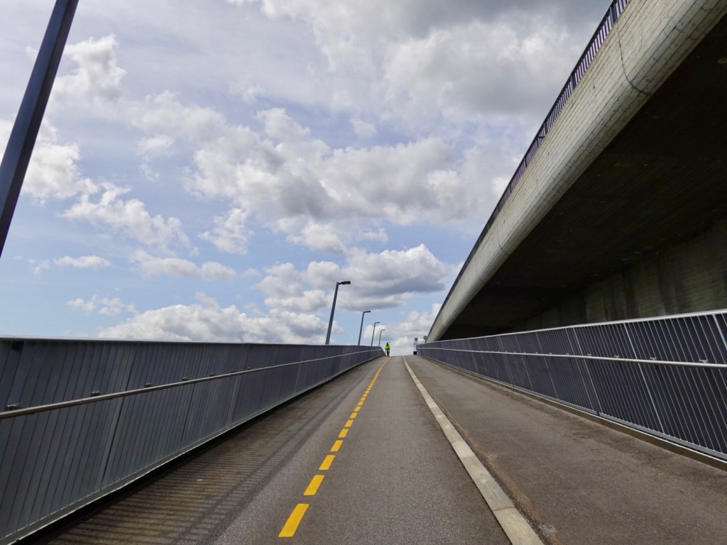
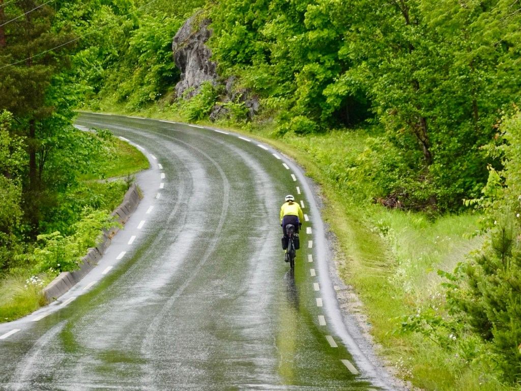
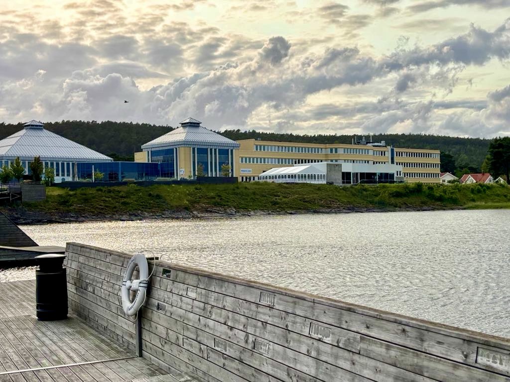
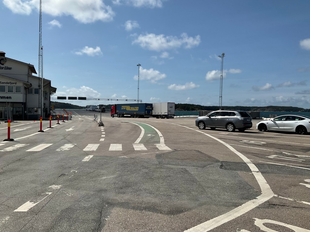
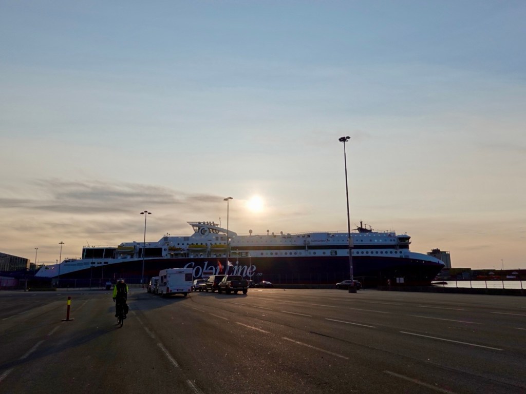
We left our lodgings nice and early, and literally rolled down the hill to the ferry terminal a km or so away.

Check in started maybe 15 minutes later, and we then went to the bicycle/motorbike lane and waited.

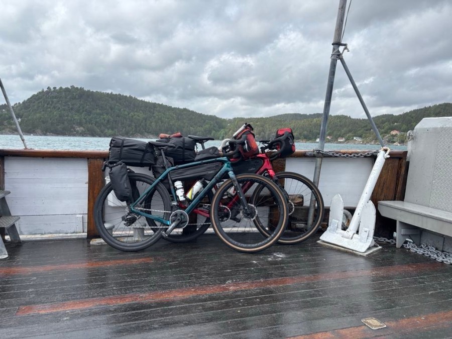
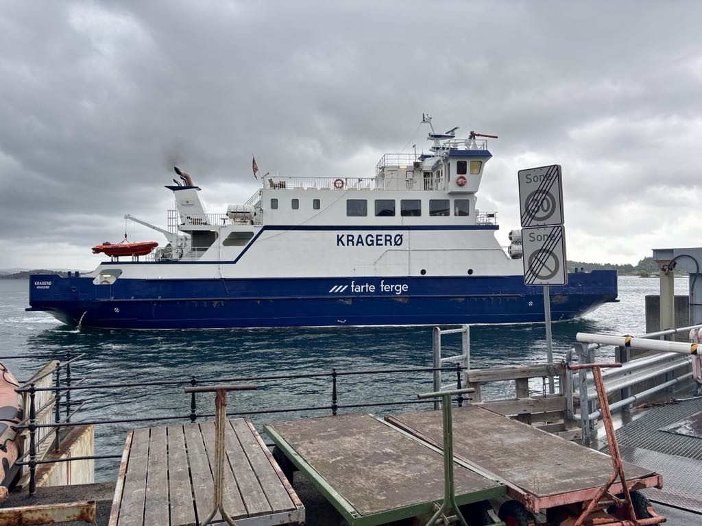
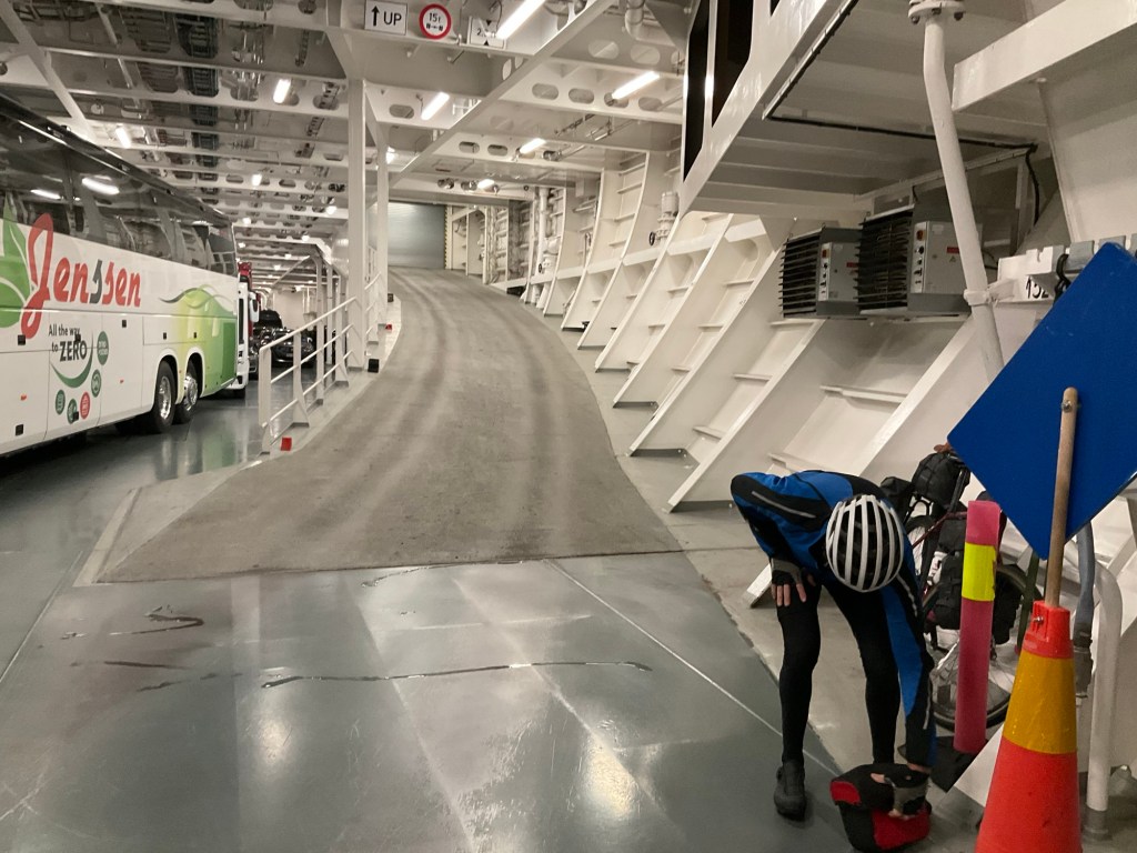
Once the gates were opened to the ferry, we were the very first on, riding to the very end of the cargo hold, lower level.

We are very impressed with Colour Line (same ferry company we used from Sweden to Norway). The cargo vehicle area is as whistle clean as I think any such area could be.

We make our way up to wait for breakfast to,commence, as I had prepaid for the buffet.

Once open, we enjoyed a selection from an incredible array and quality of food available.

When we finished, we hurriedly cleared out as the mass of people in the area around the food was overwhelming,

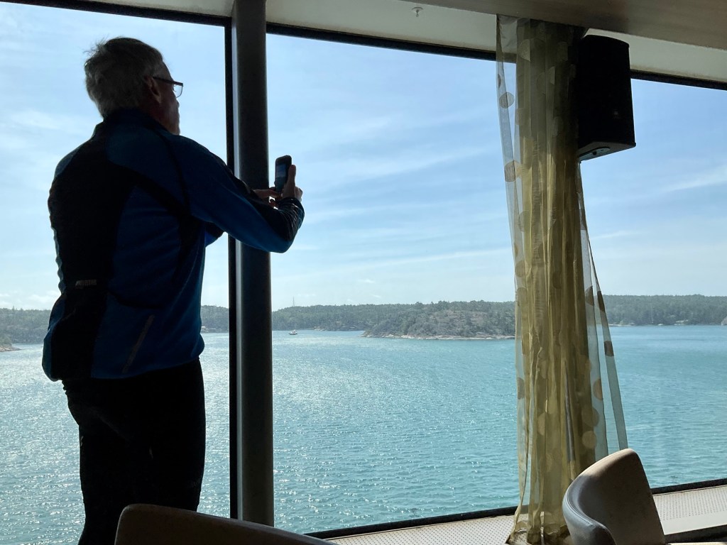
We went to the bar, of all places, as it was quieter. There were people drinking beer and wine already. Always amazes me as to why they think beer at 8.30 am and I think coffee!

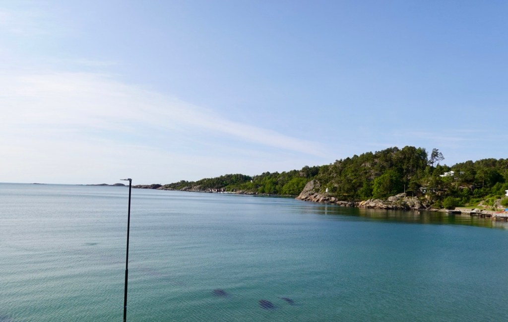
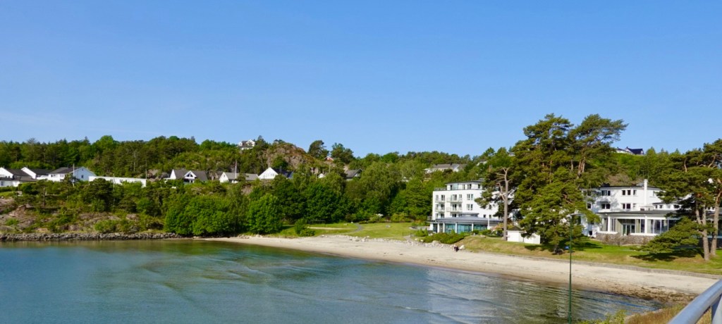
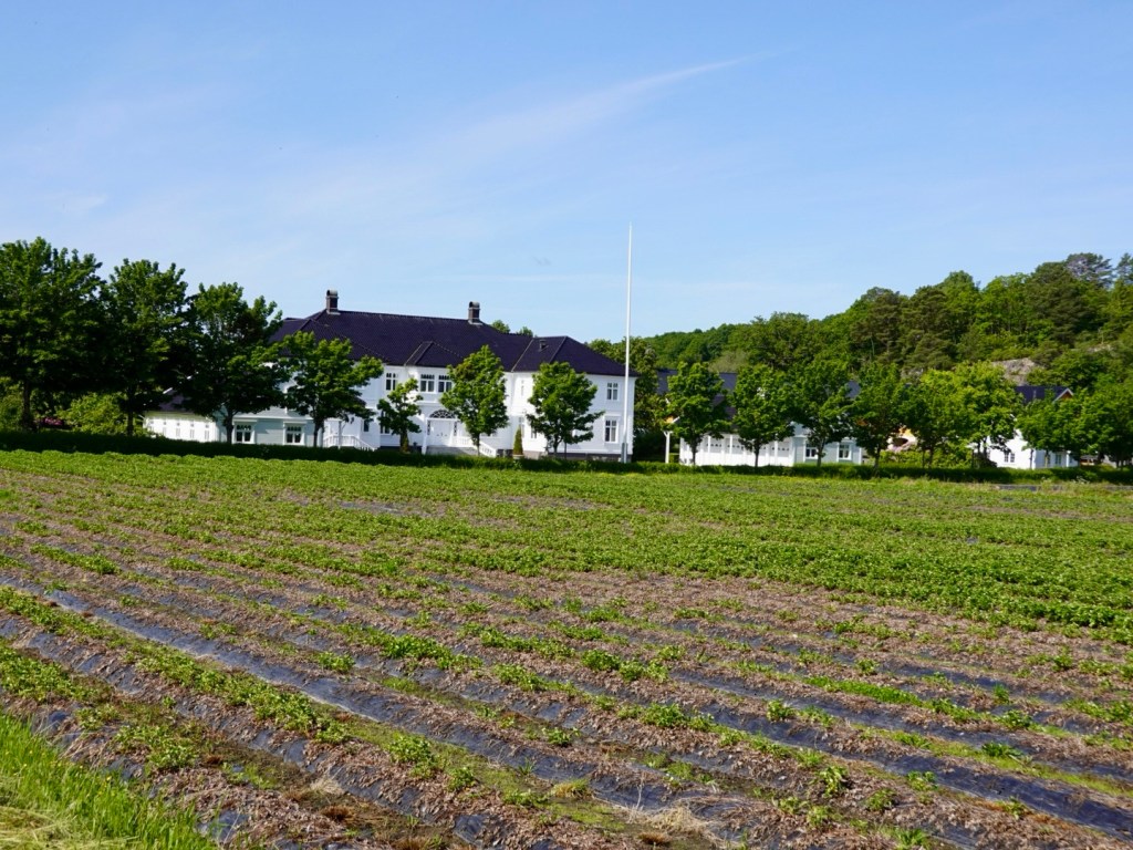
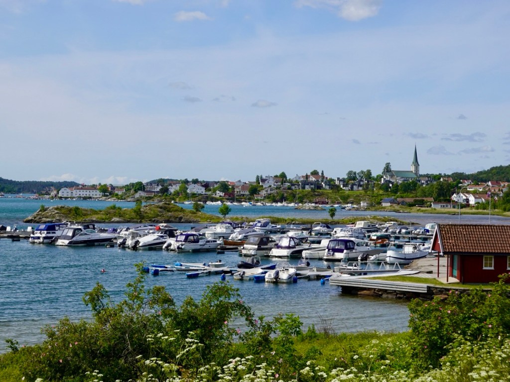
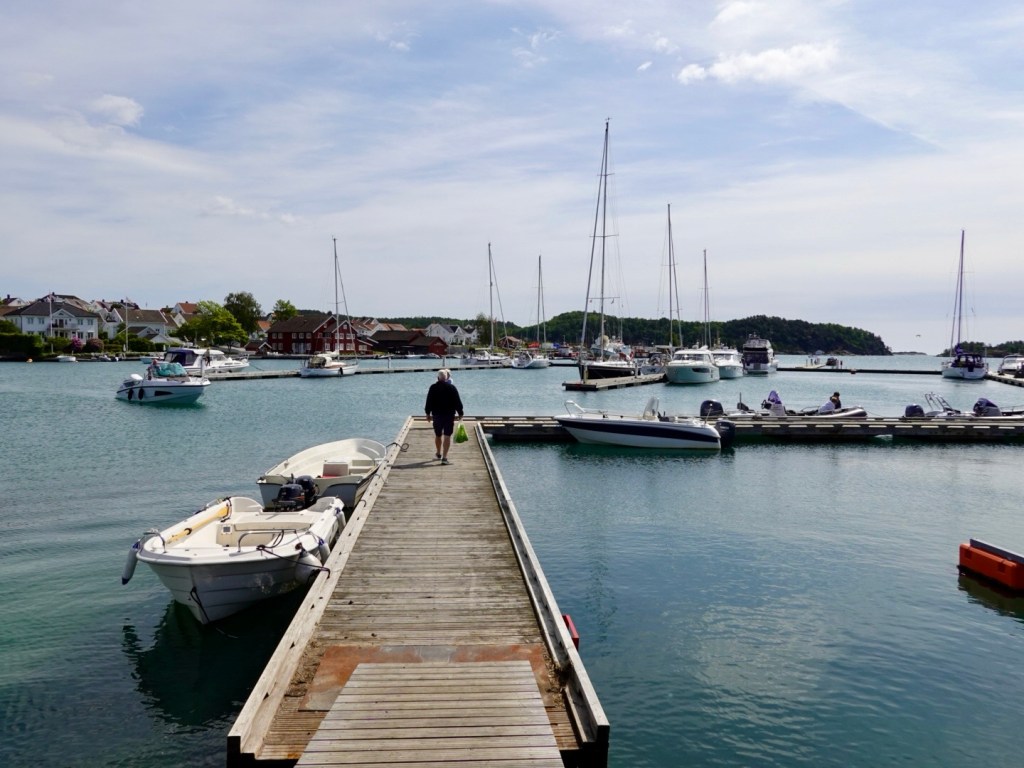
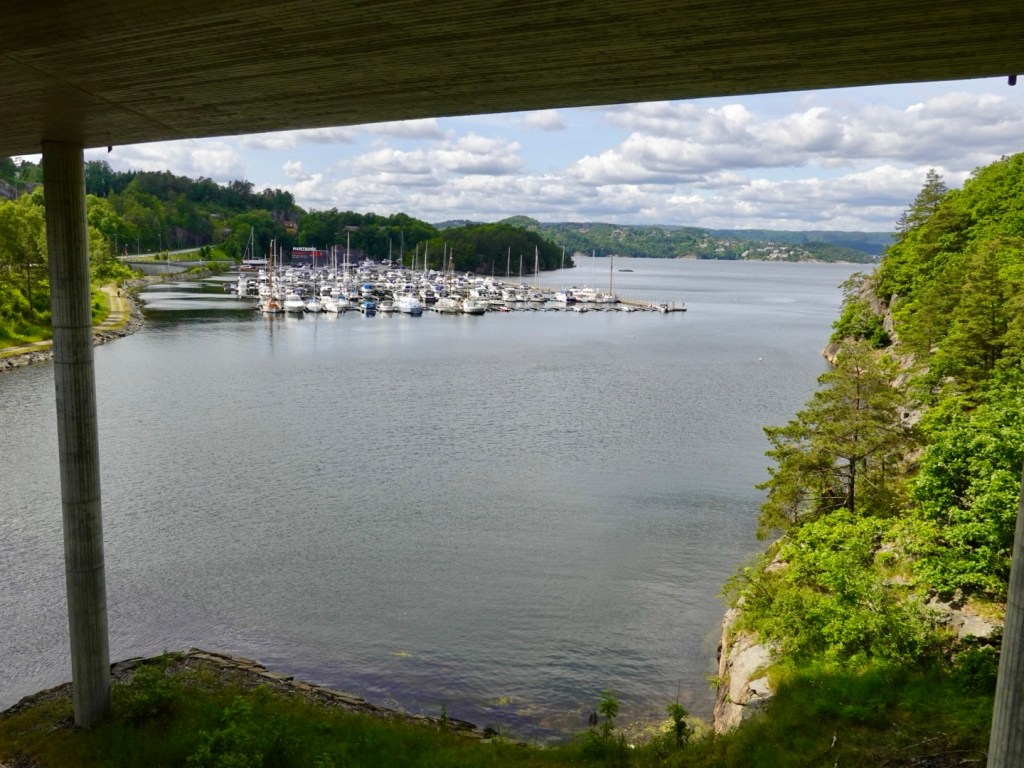
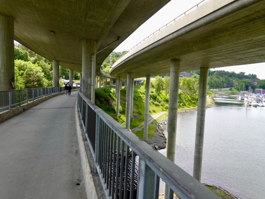
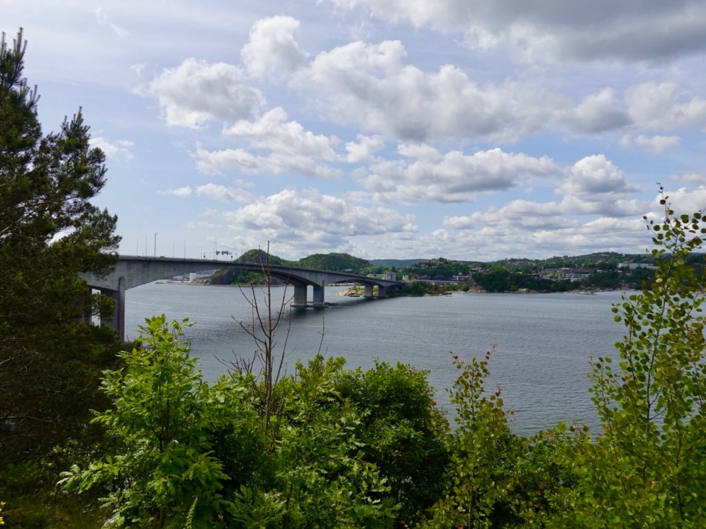
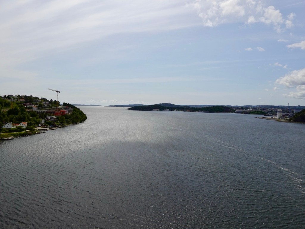
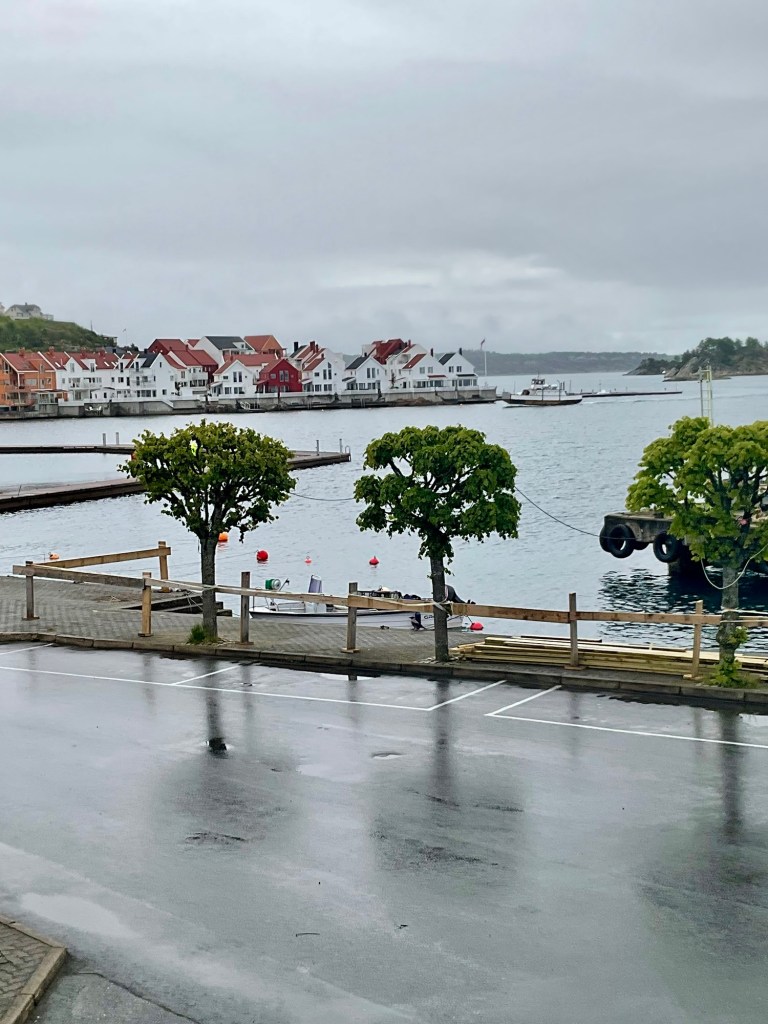
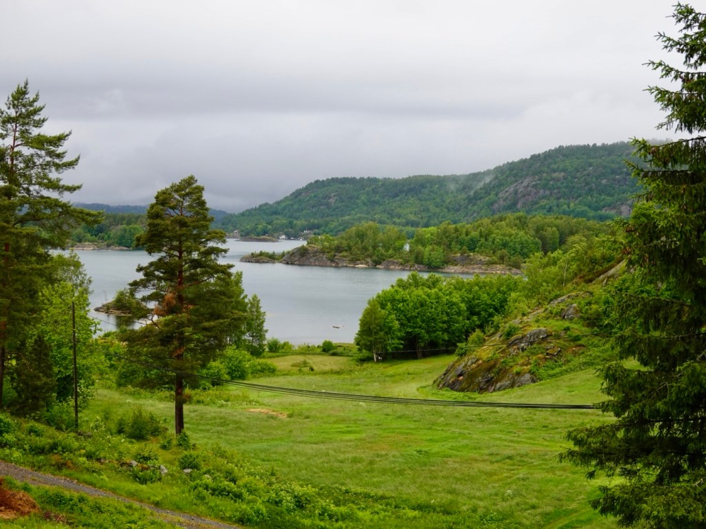
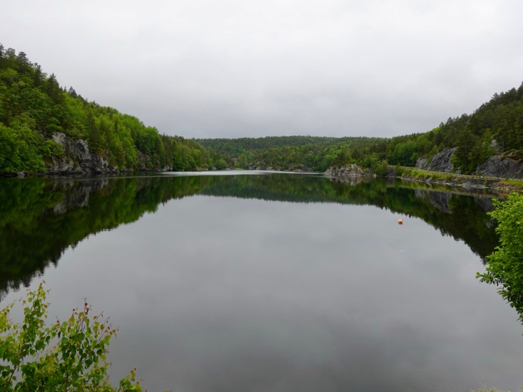
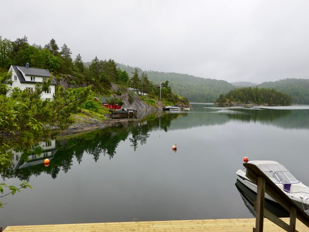
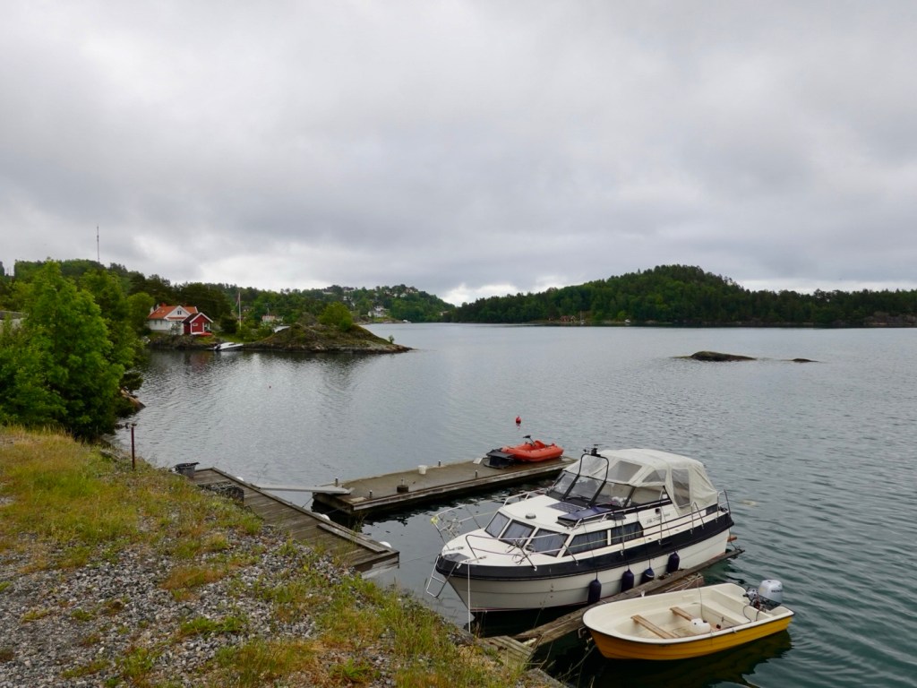
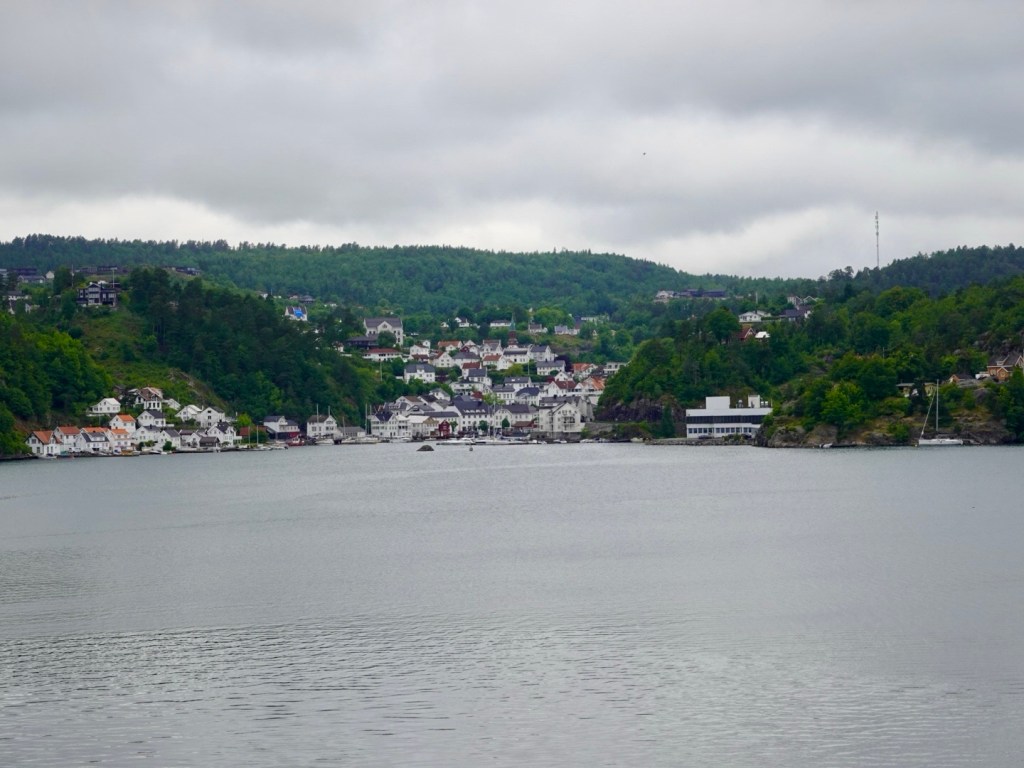
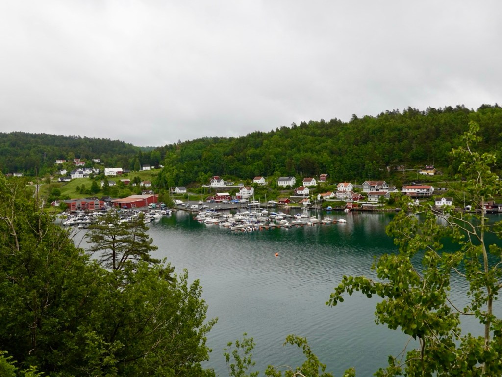
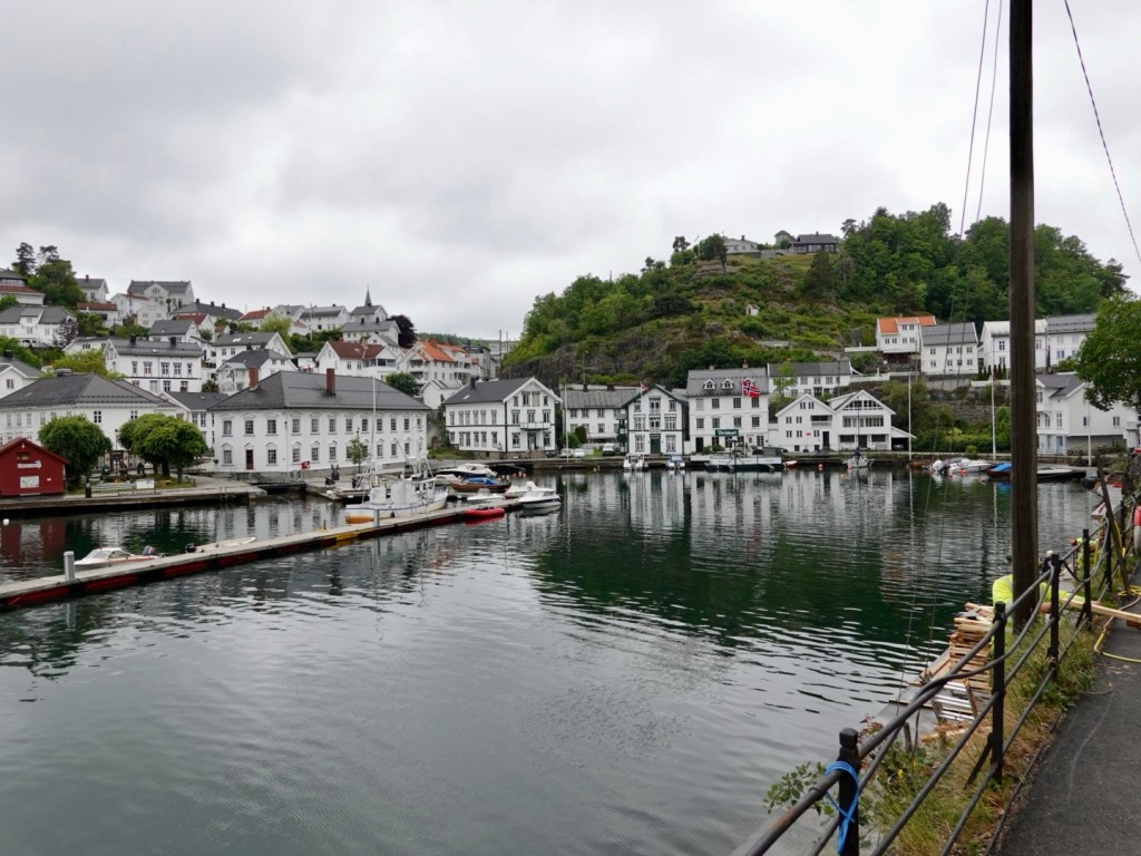
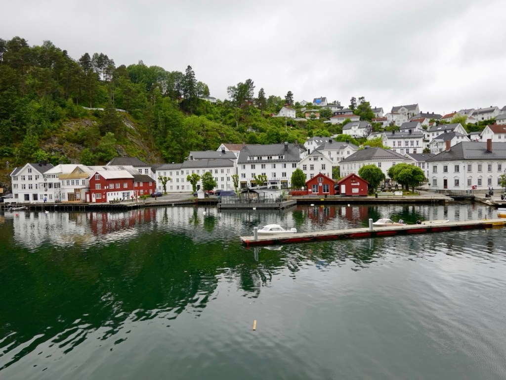
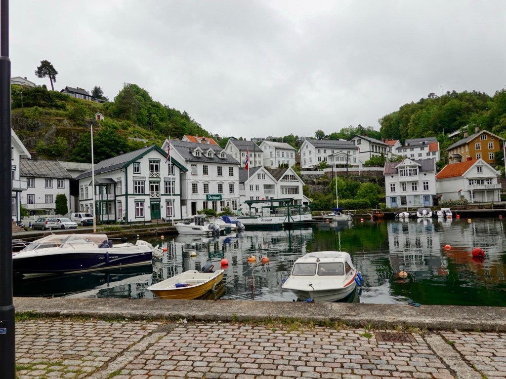
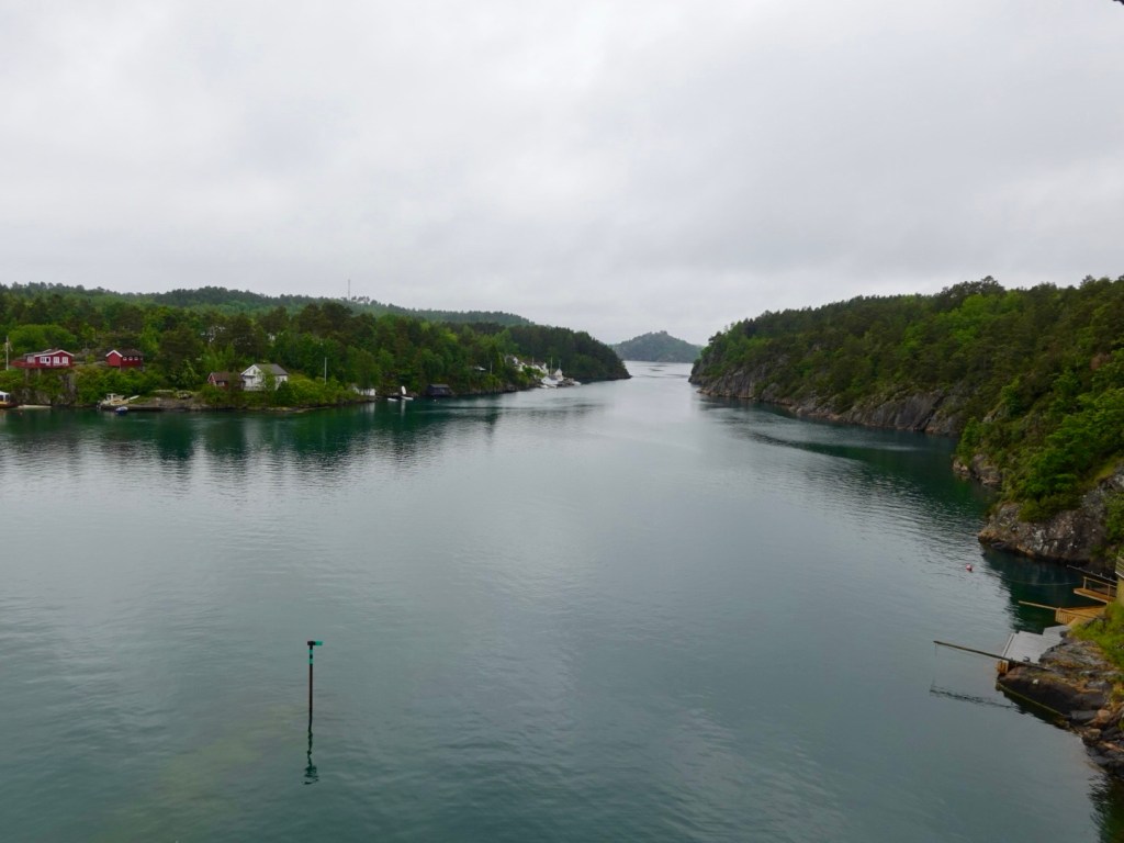
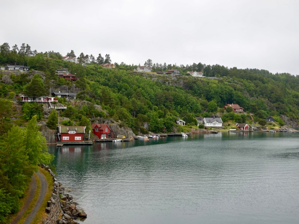
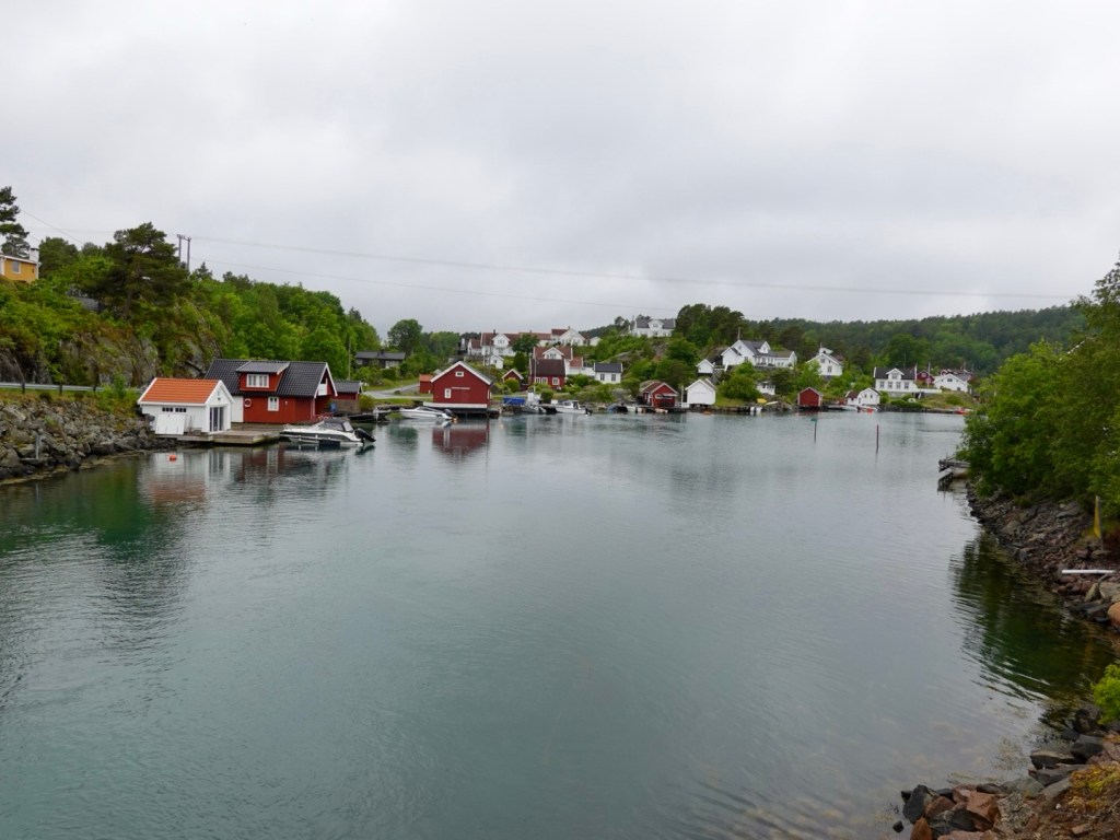
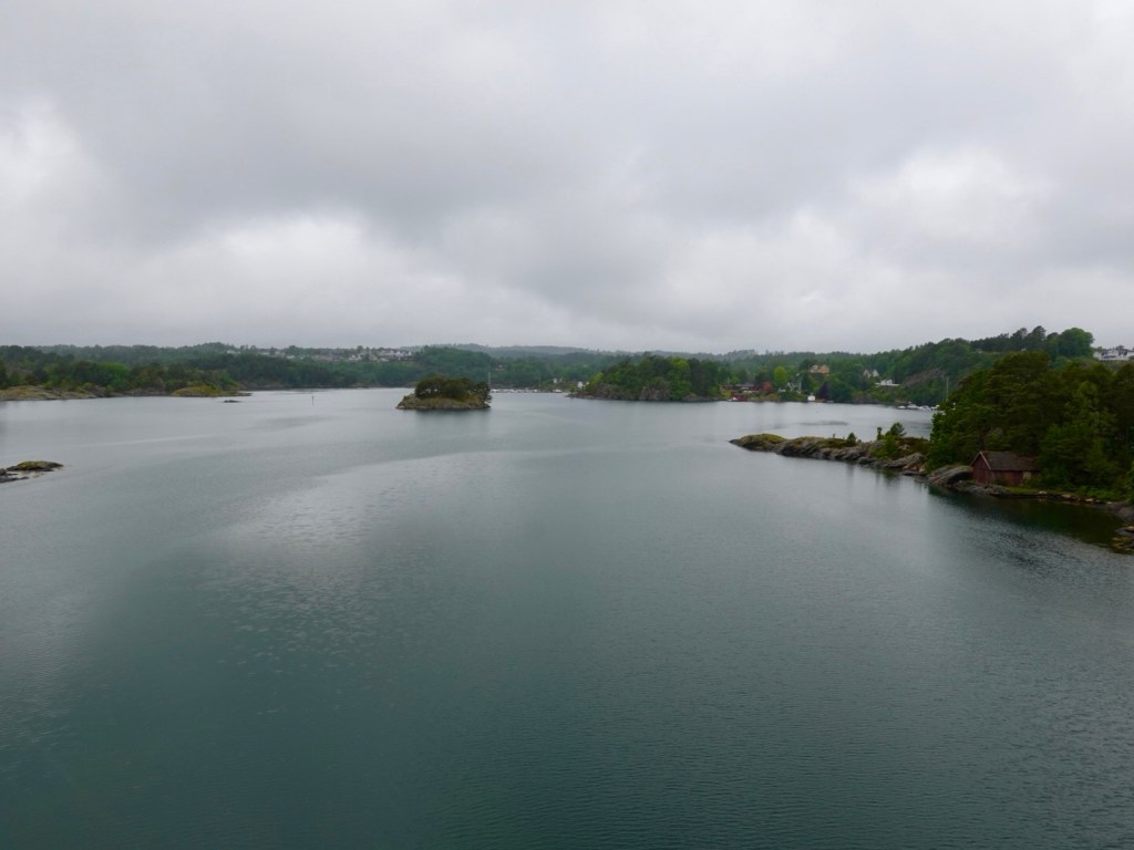
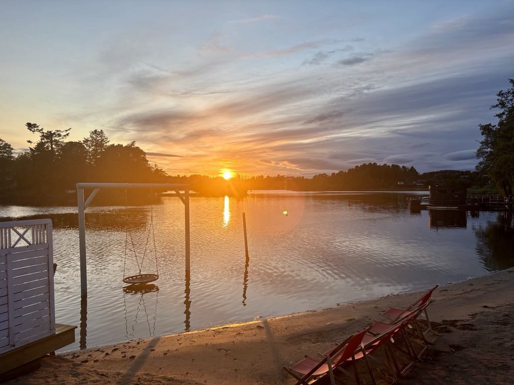
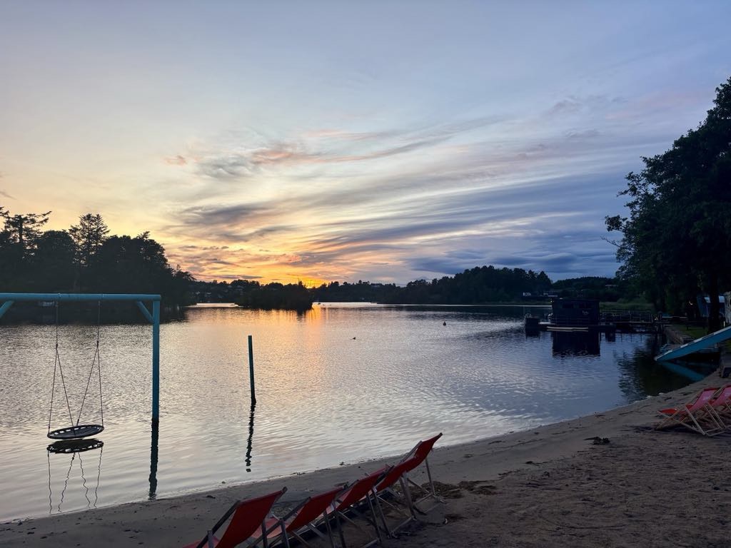
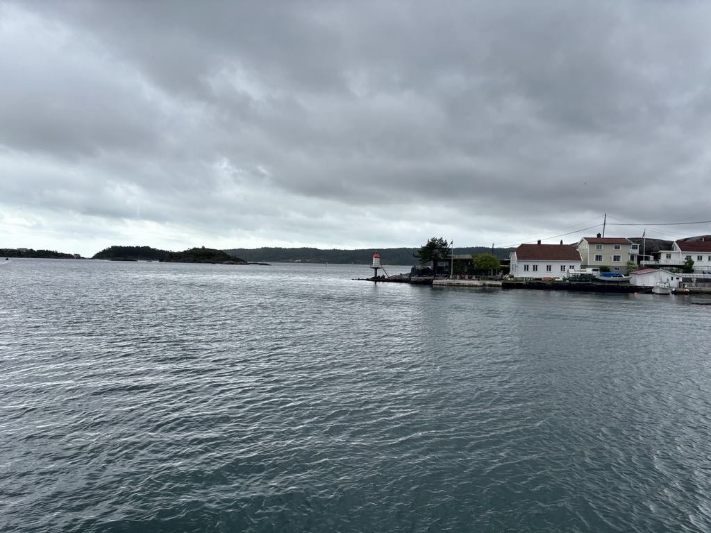
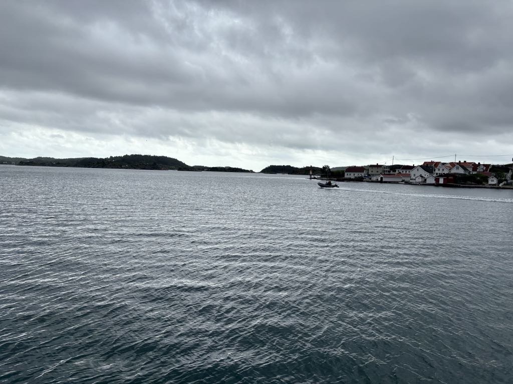
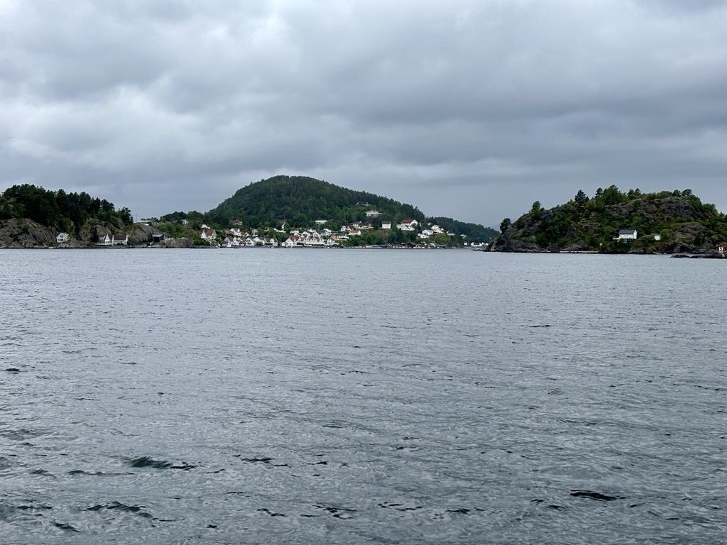
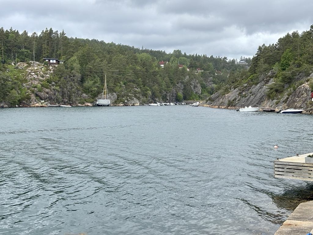
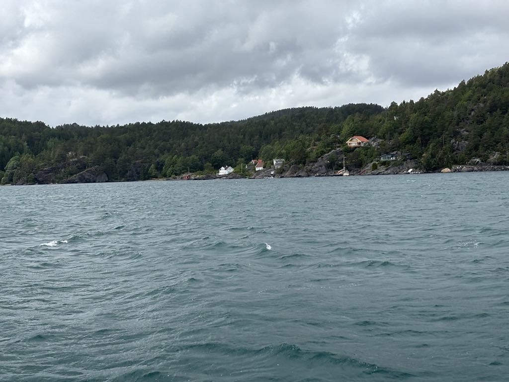
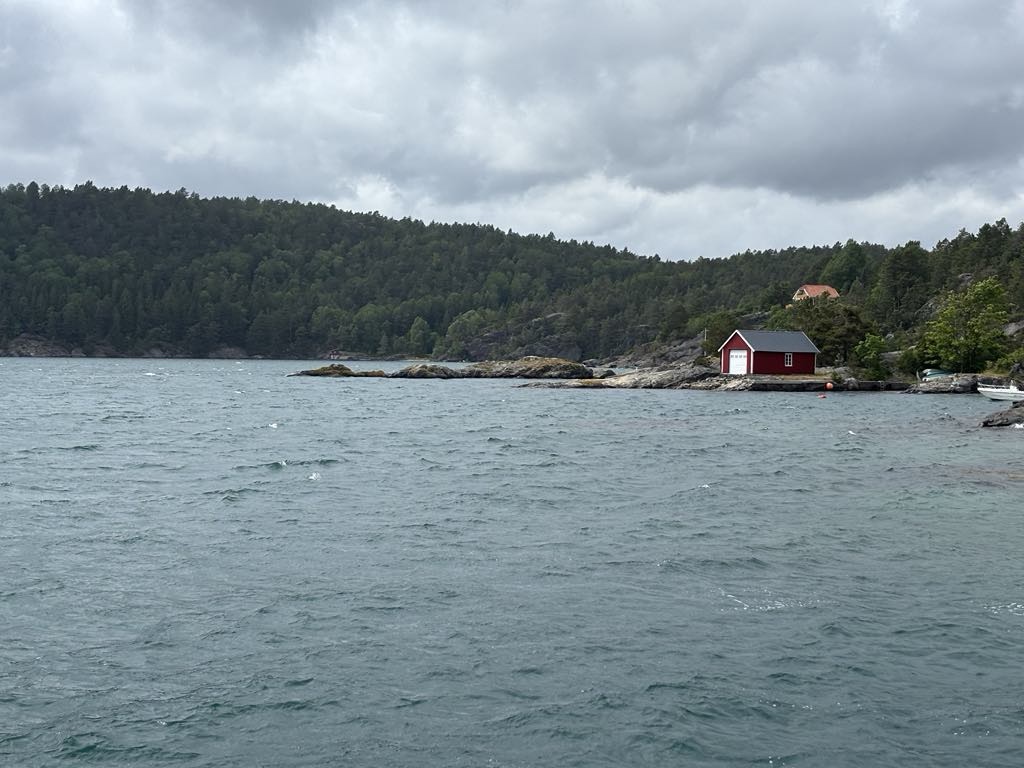
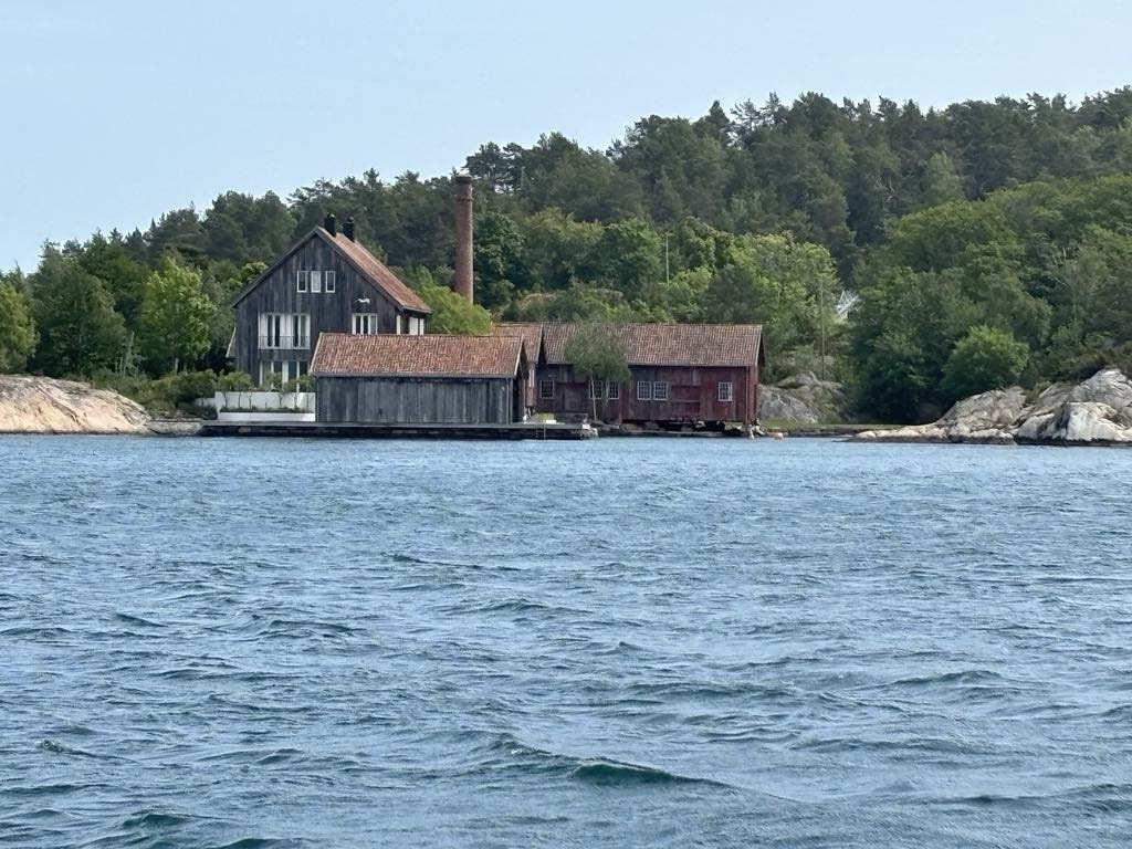
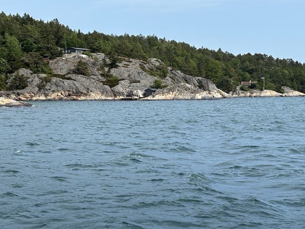
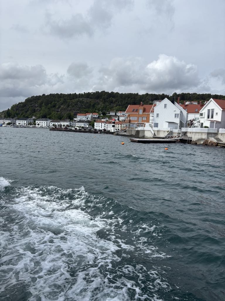
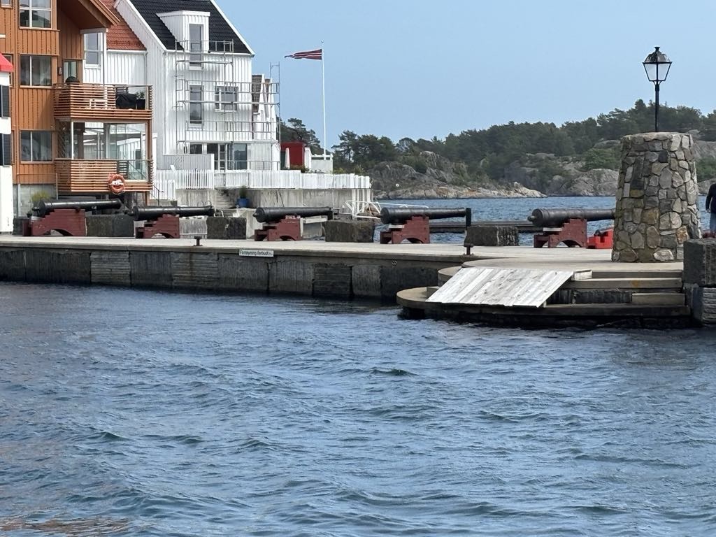
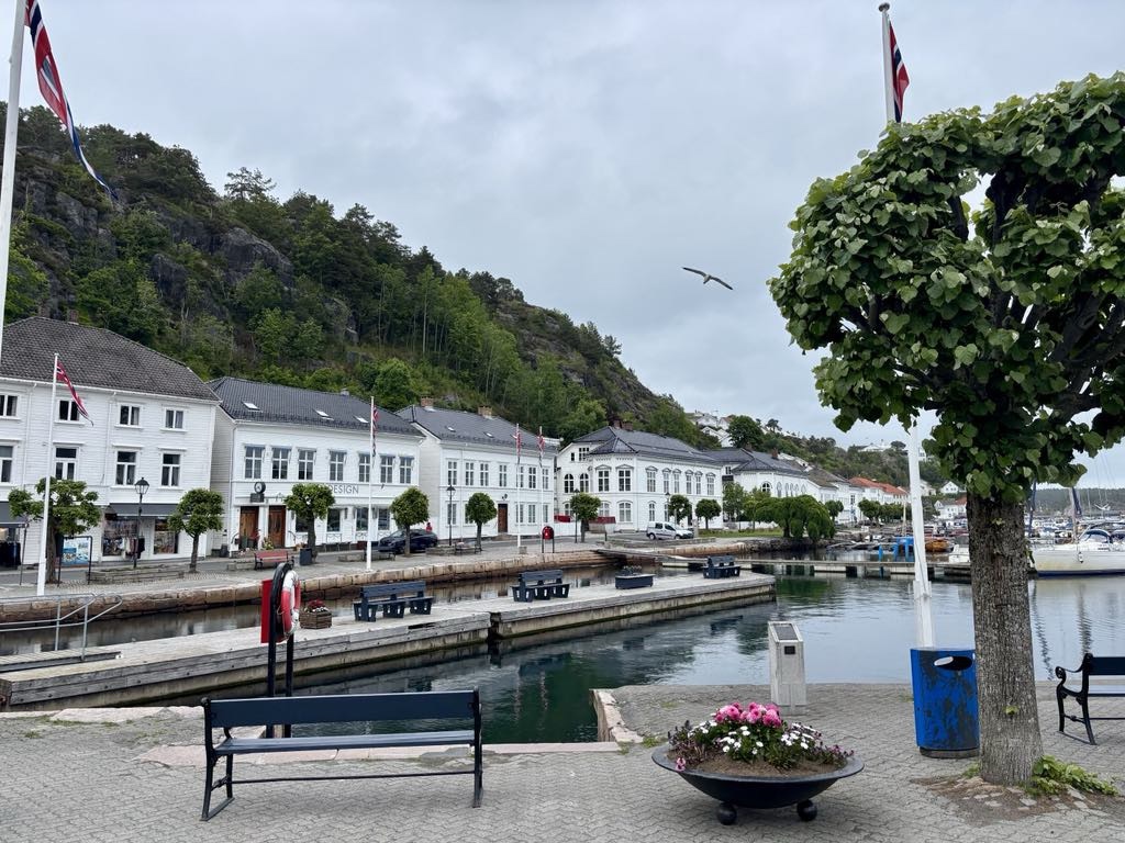
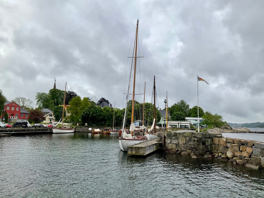
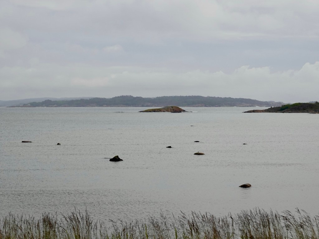
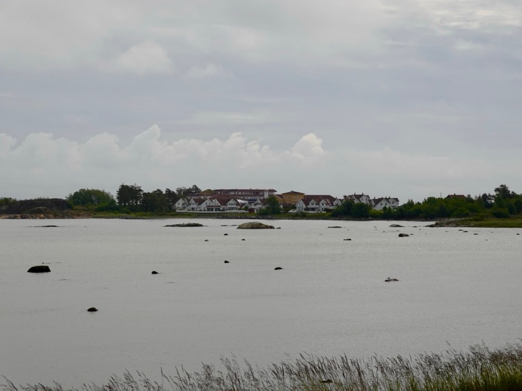
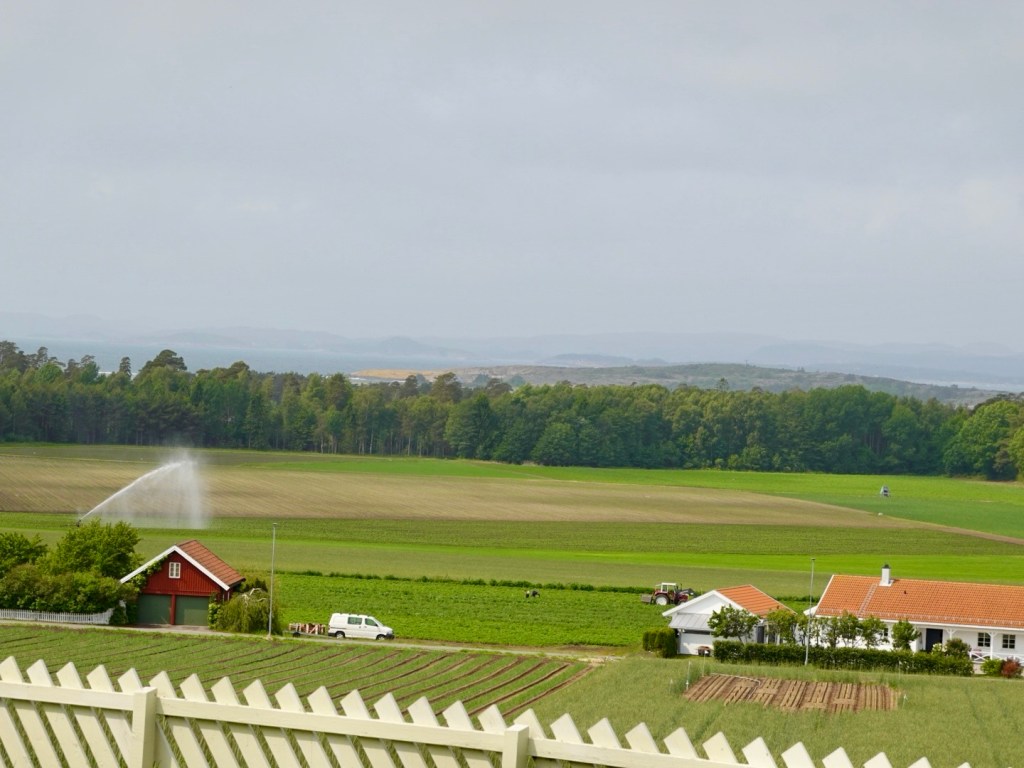
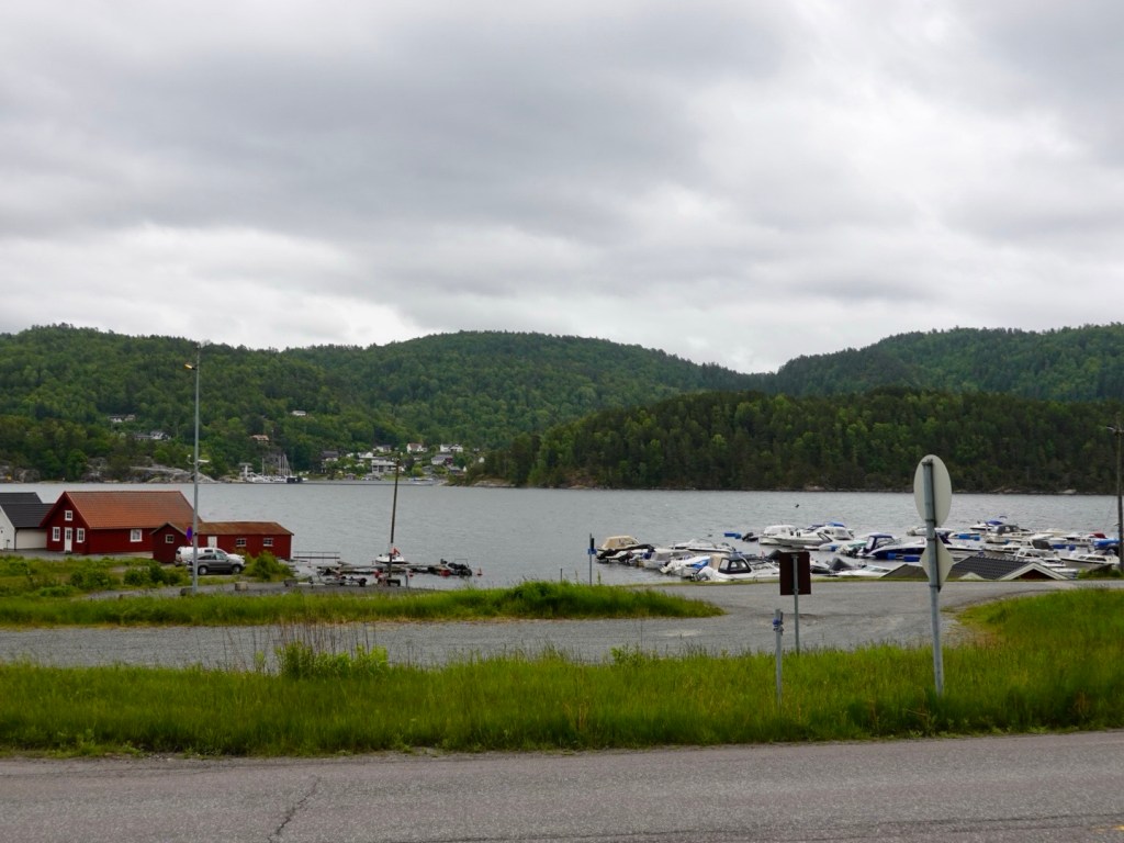
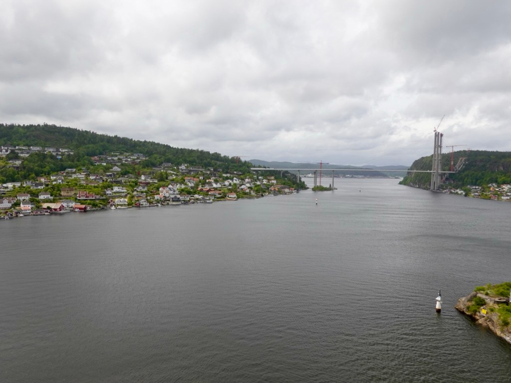
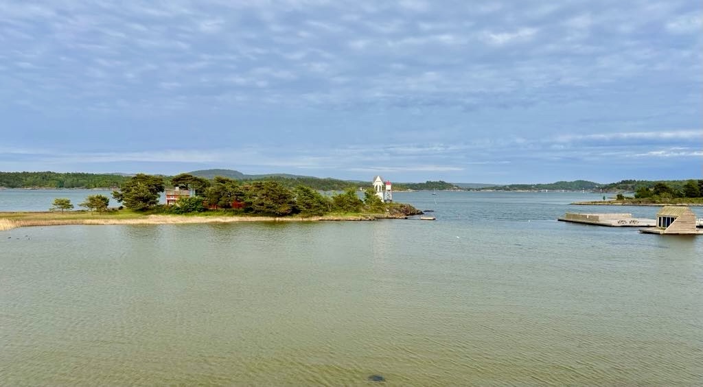
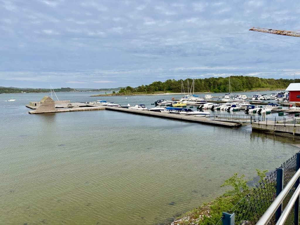
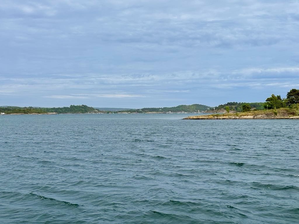
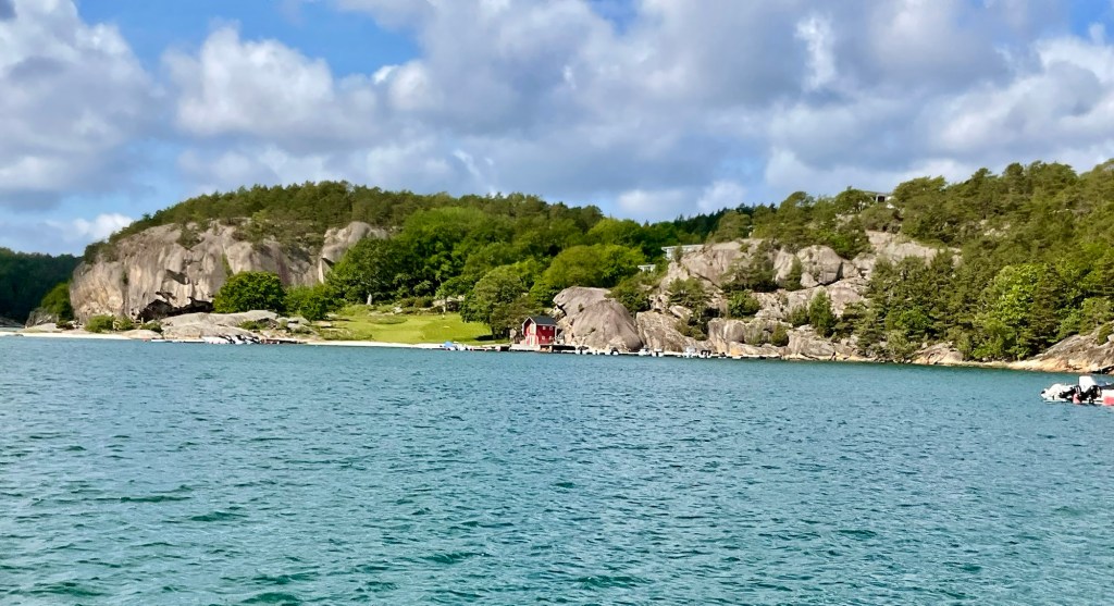
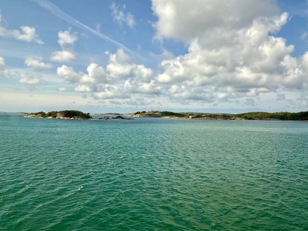
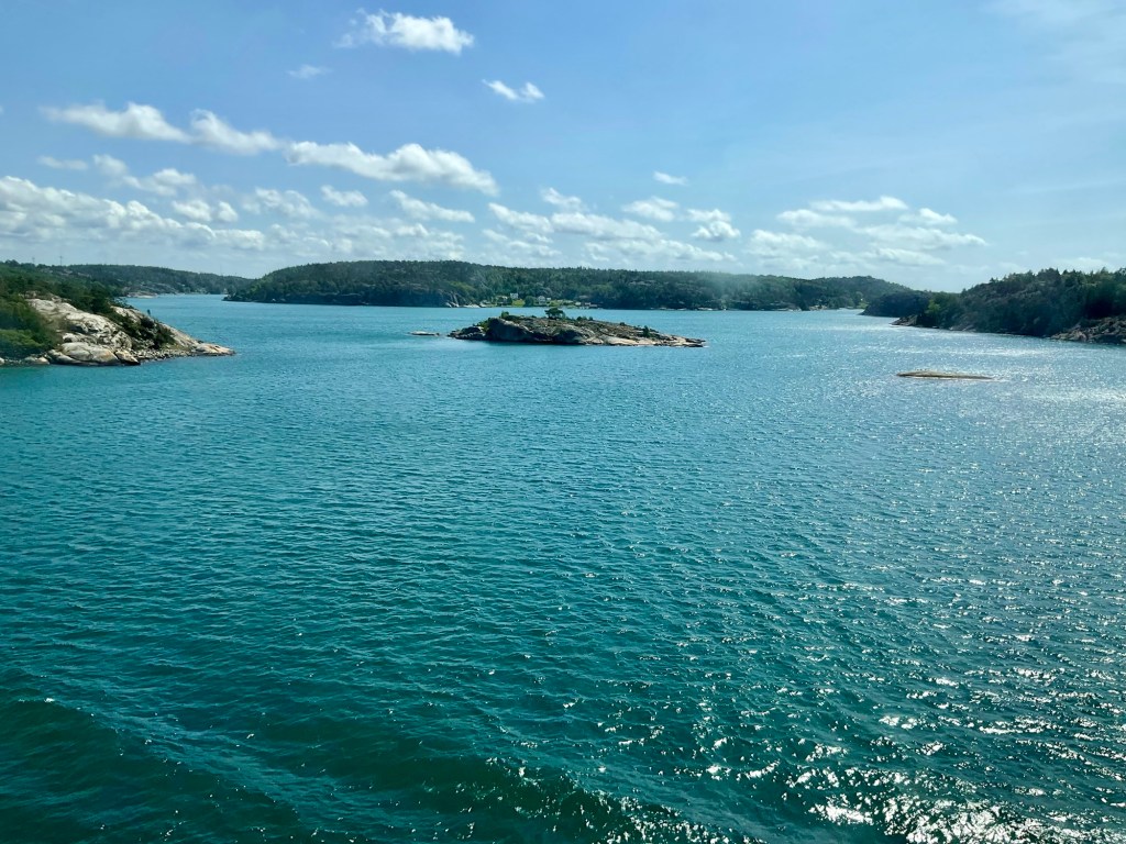
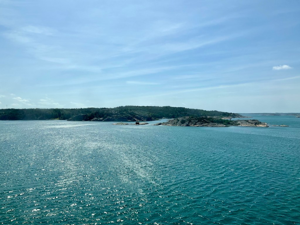
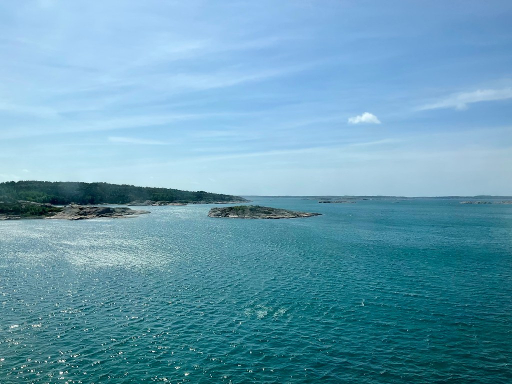
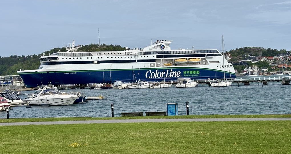
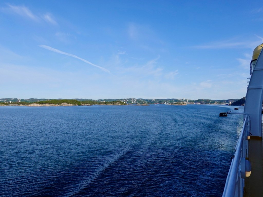
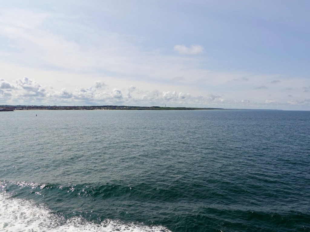
We had some nice views as we departed from Kristiansand.

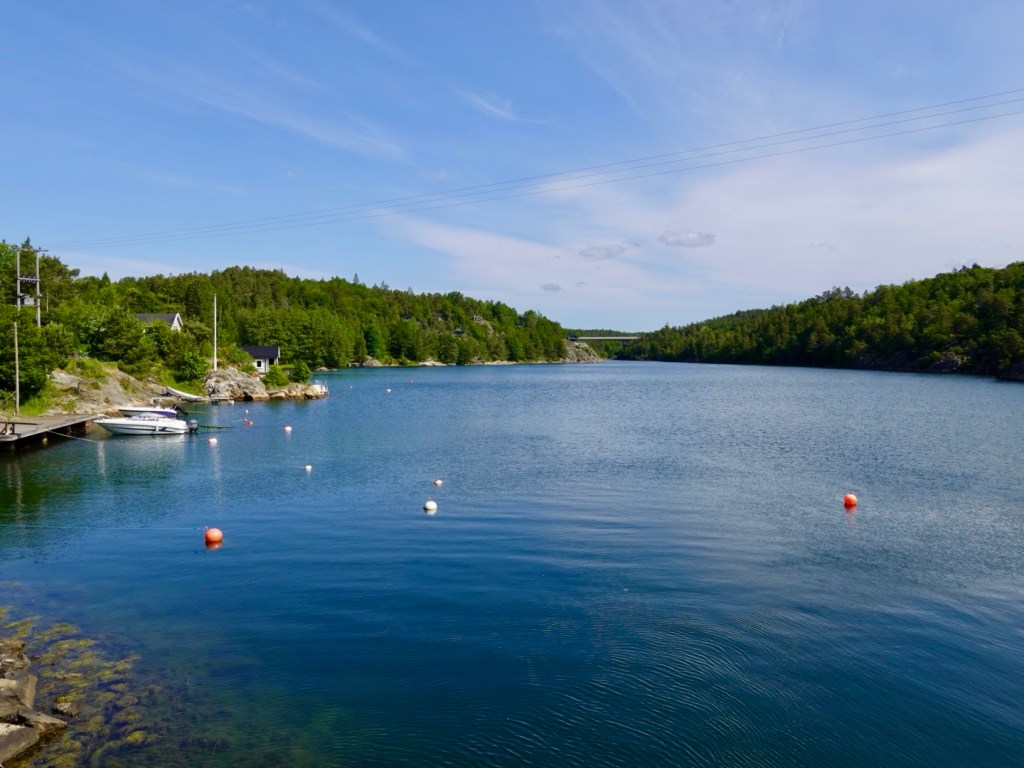
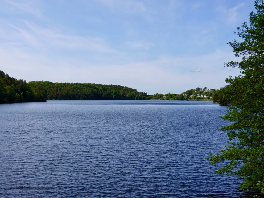
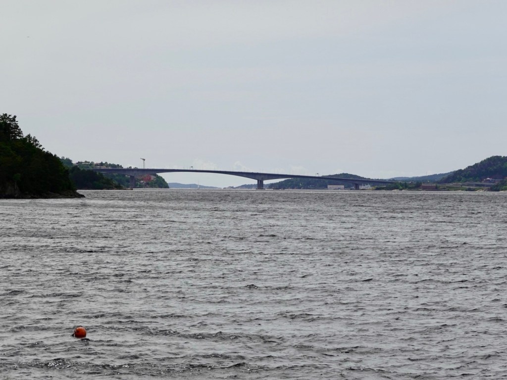
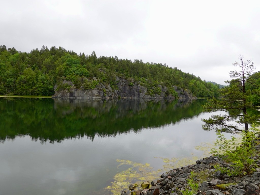
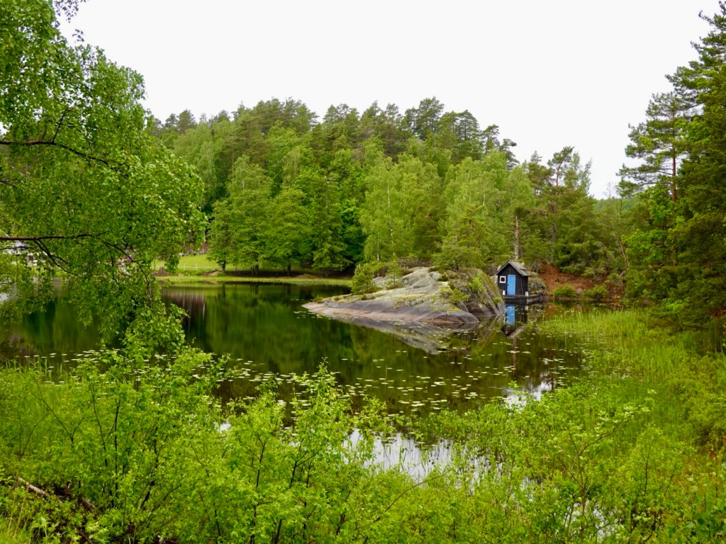
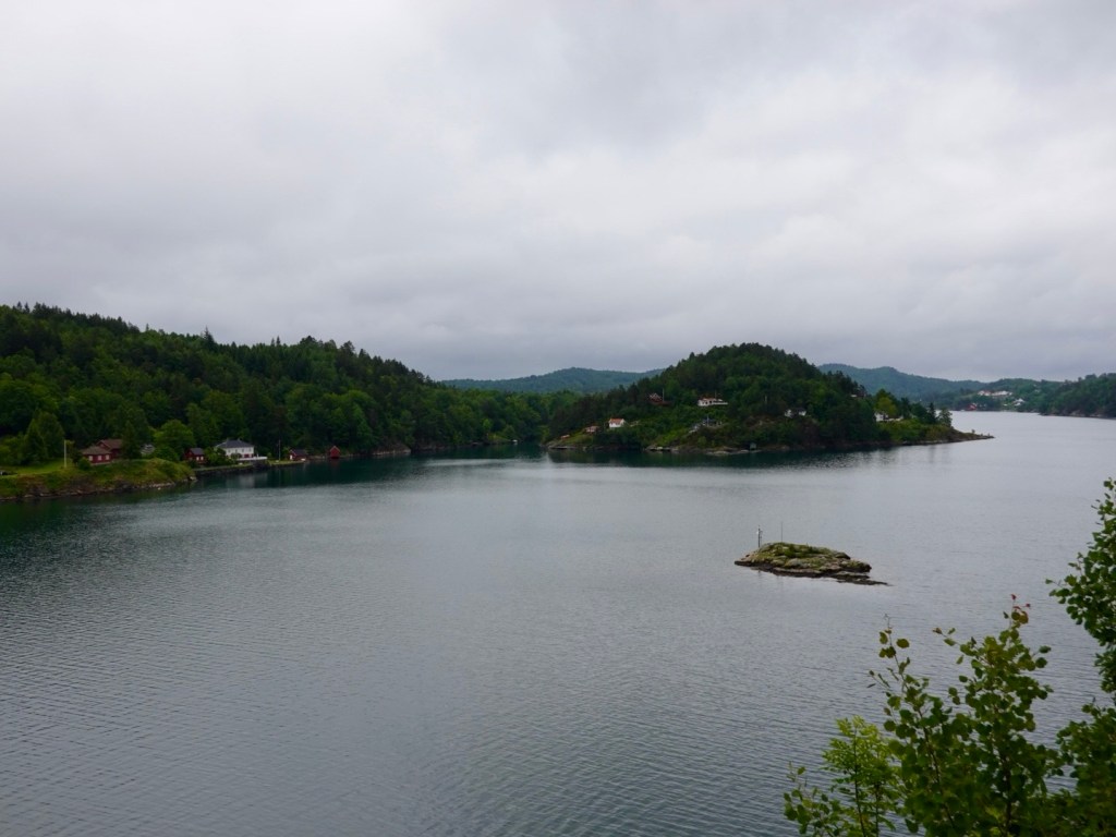
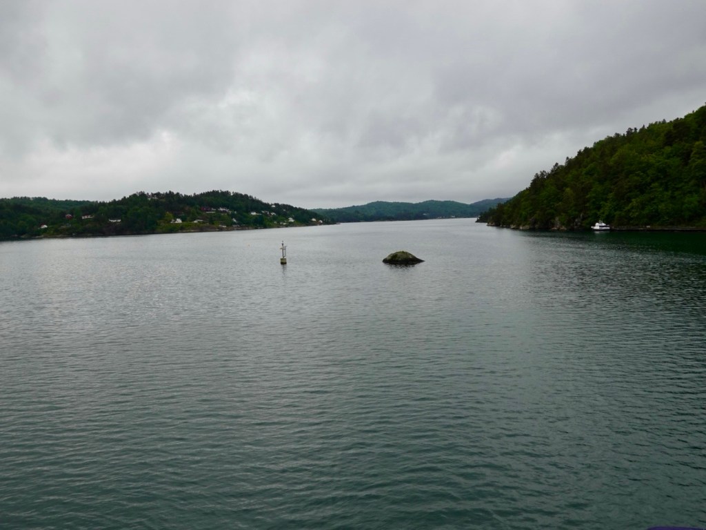
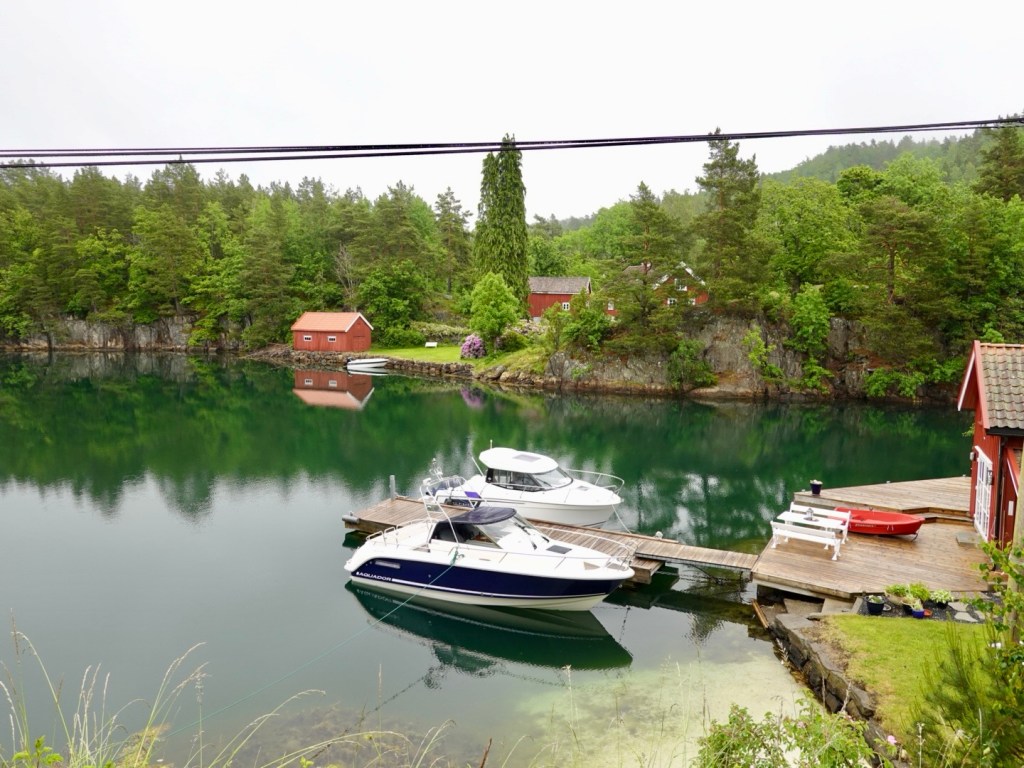
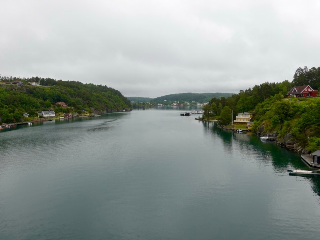
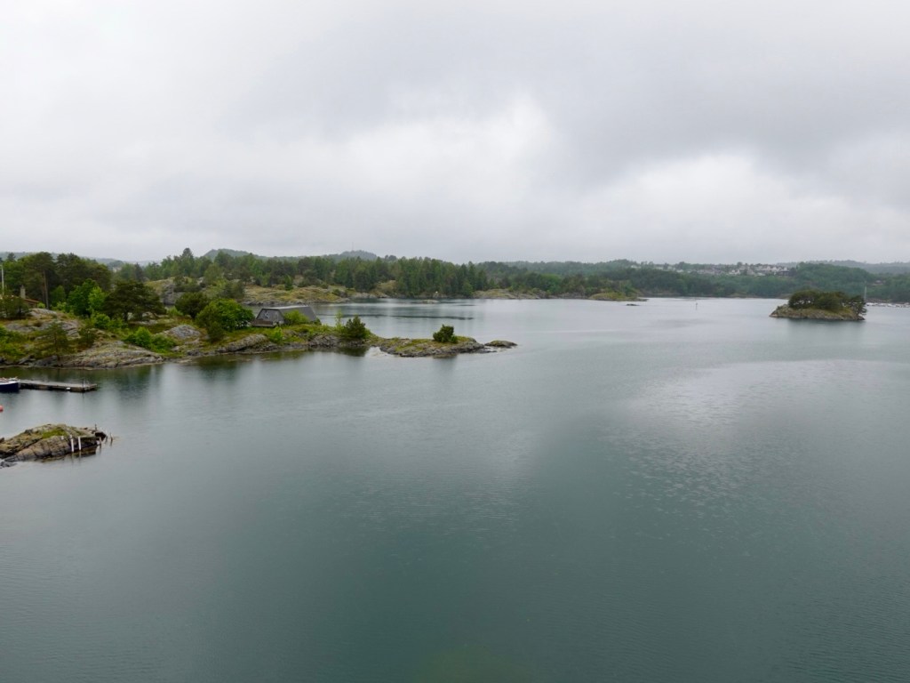
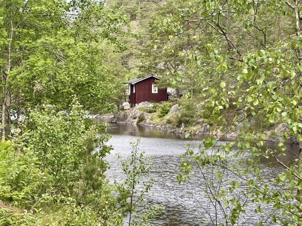
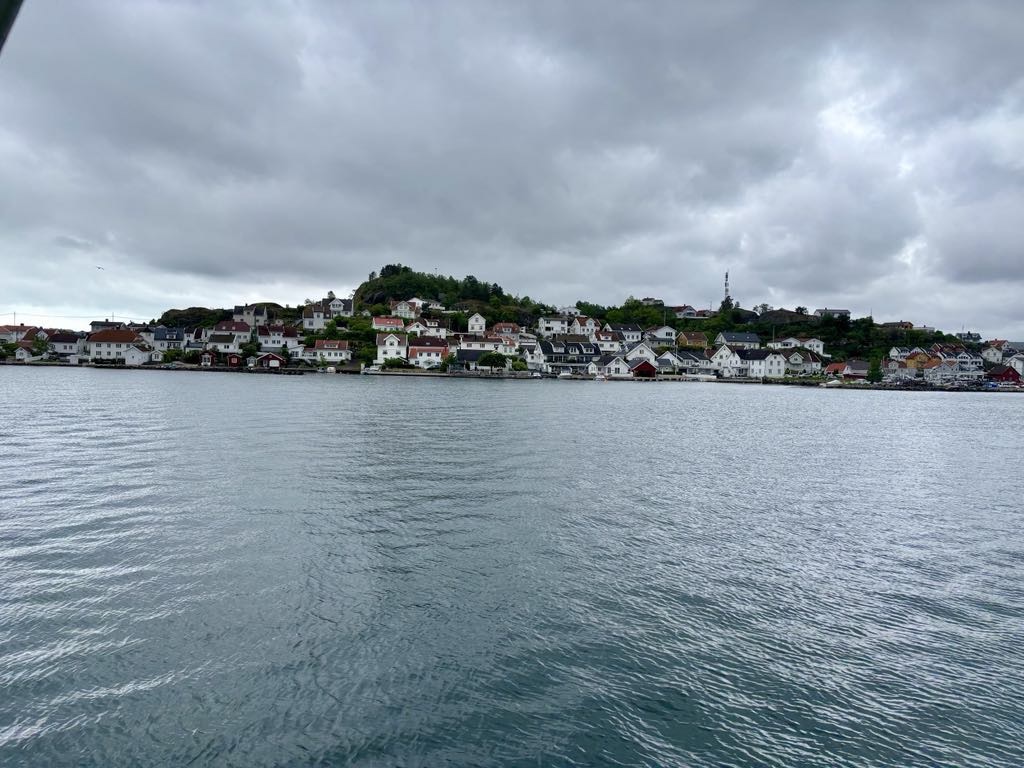
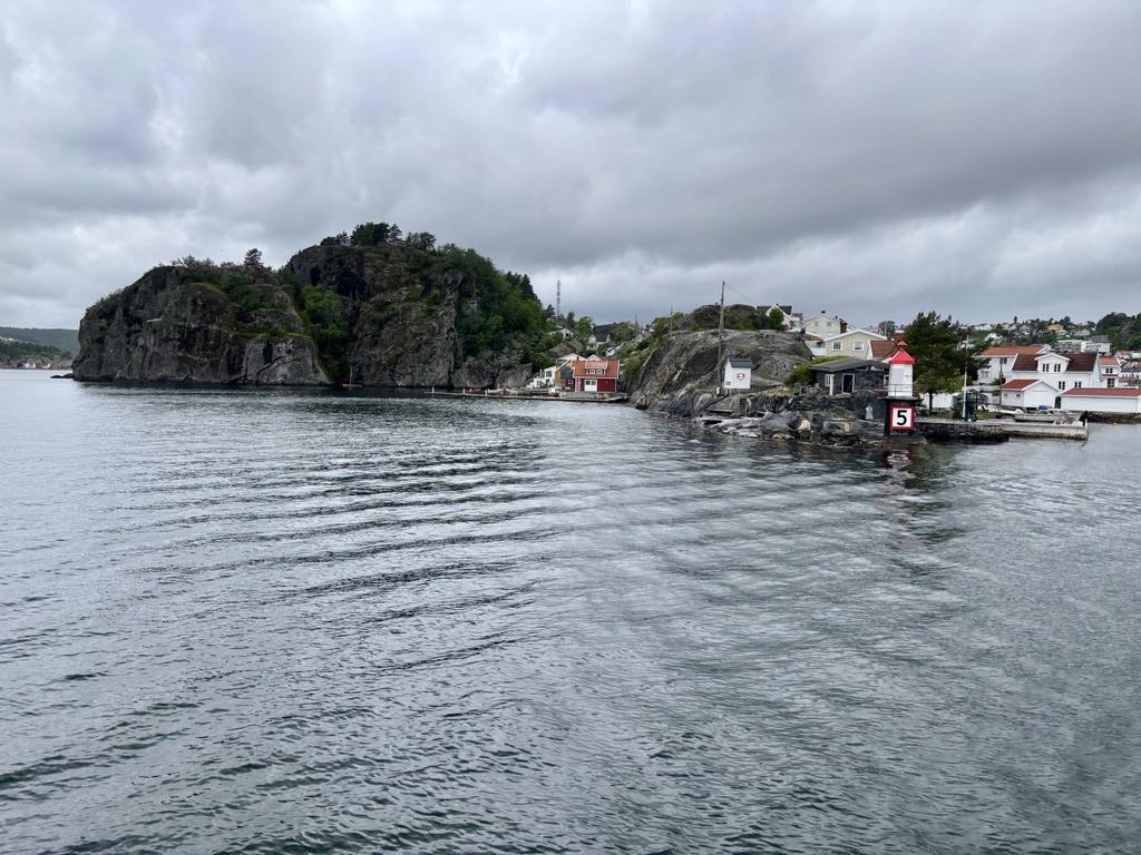
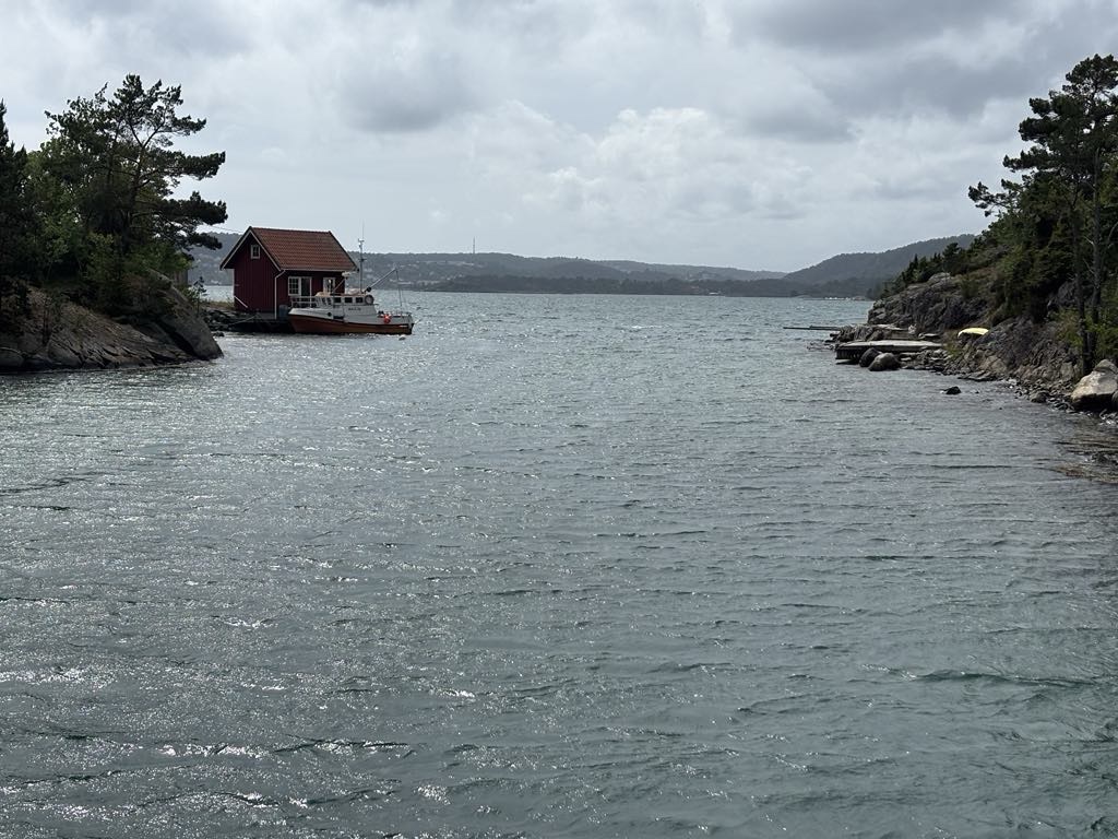
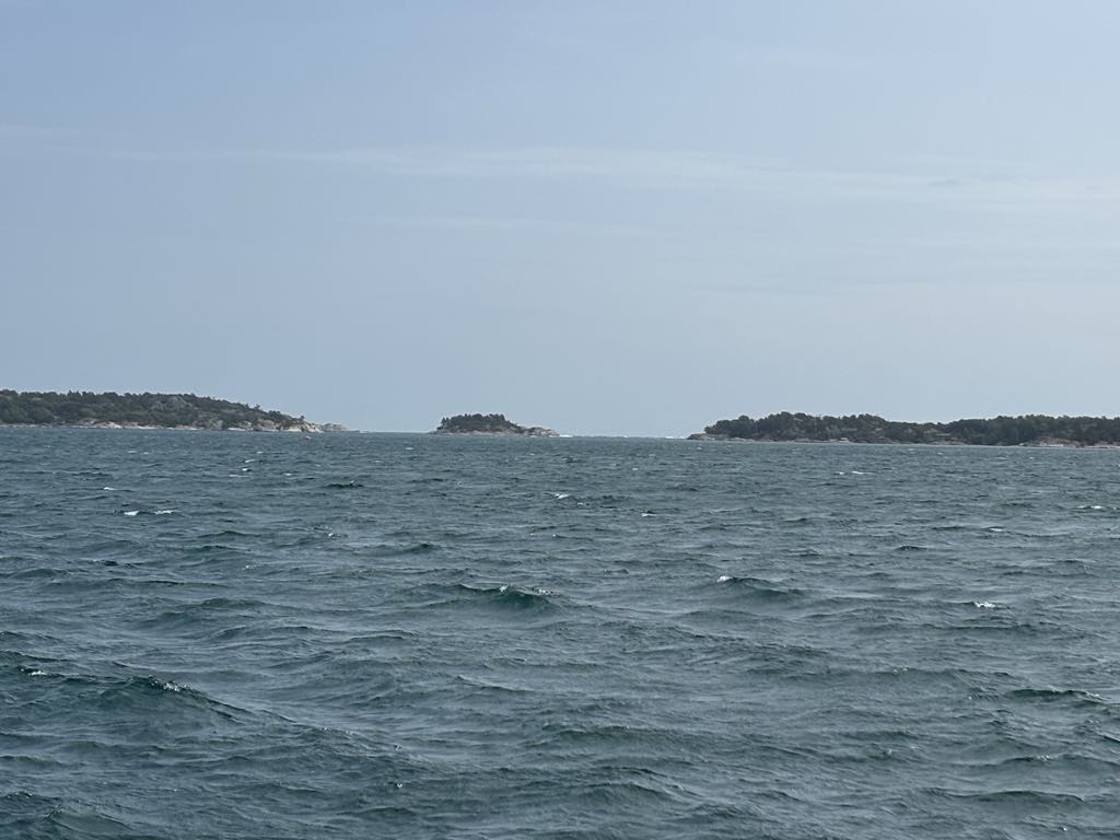
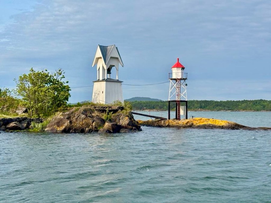
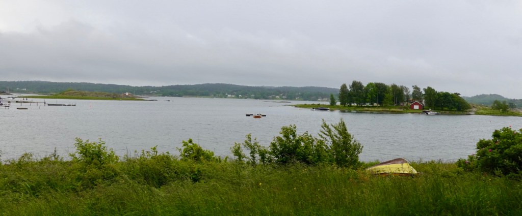
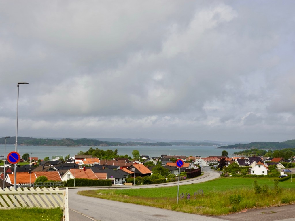
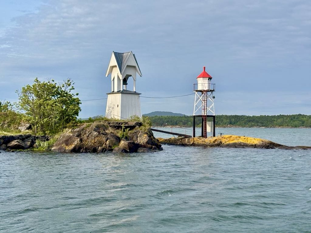
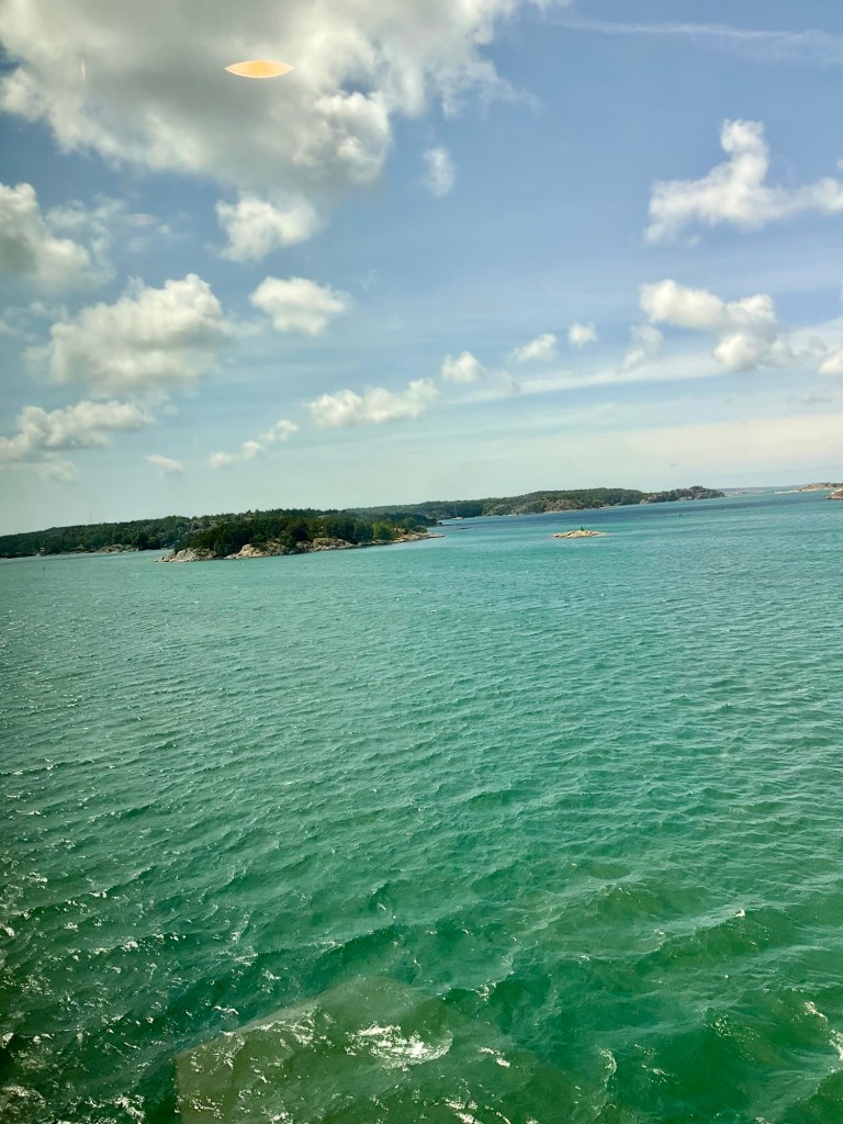
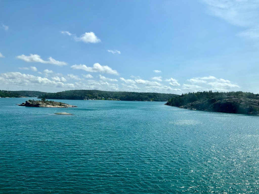
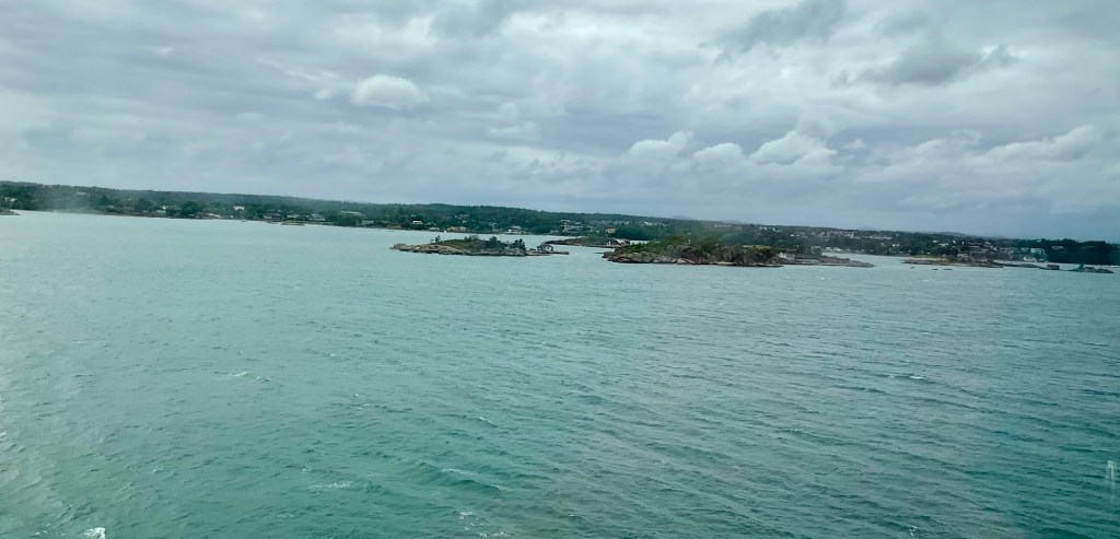
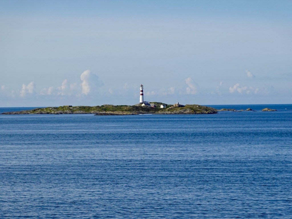
I like this one. I’m calling it my farewell Norway picture as it was the last island. Norway was very good to us, and I did feel a bit sad.

More adventures are ahead, and I try not to look back.

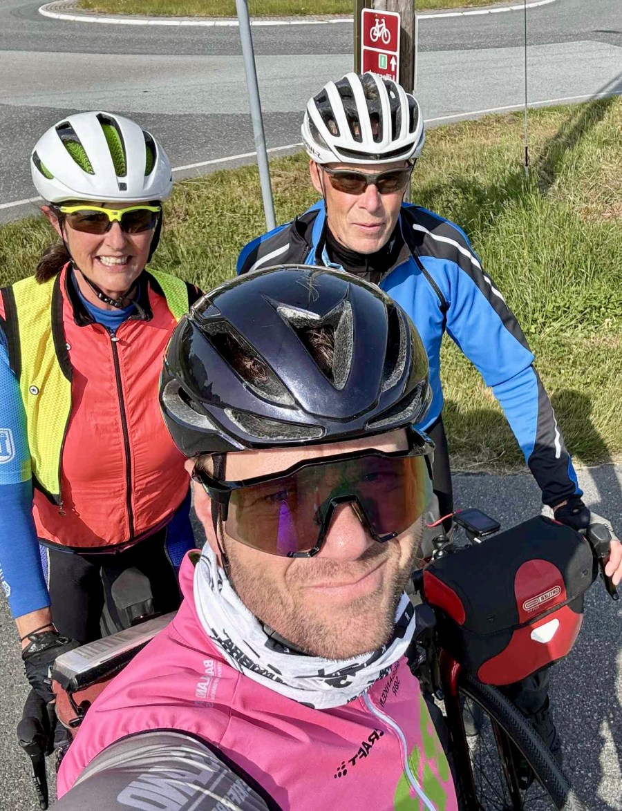
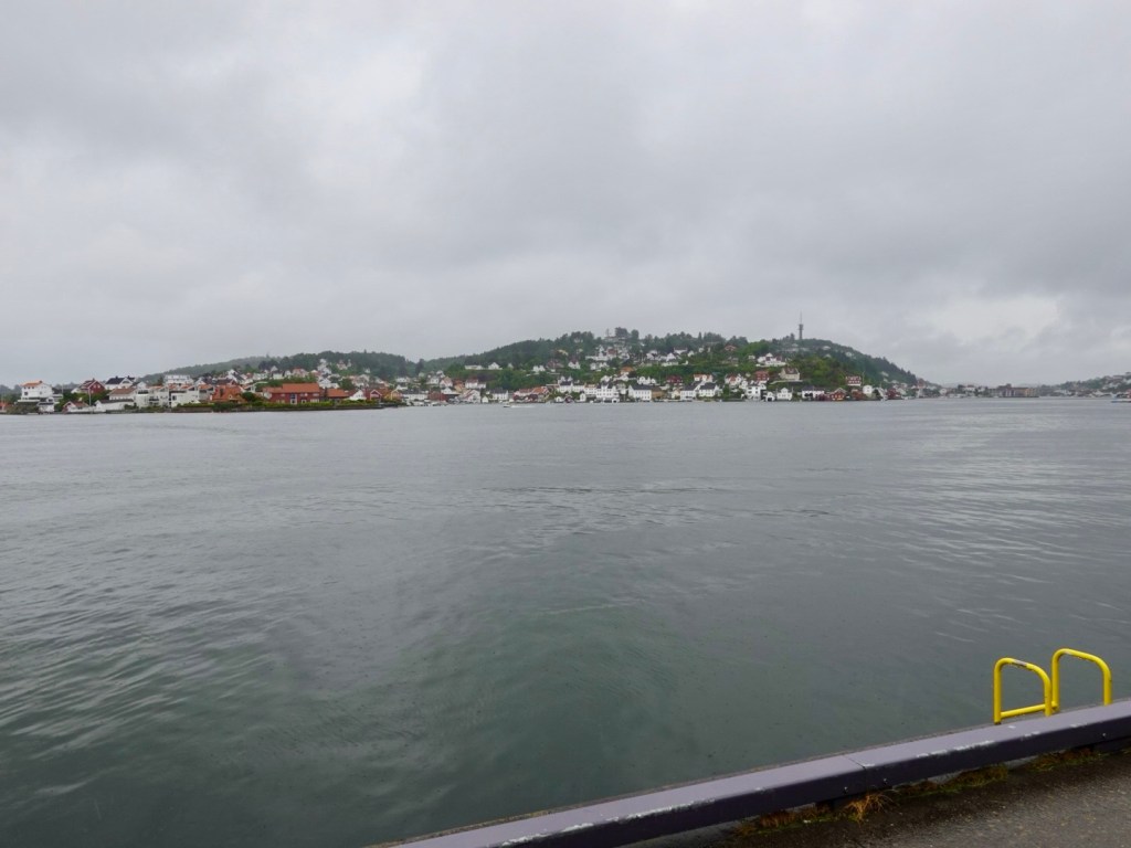
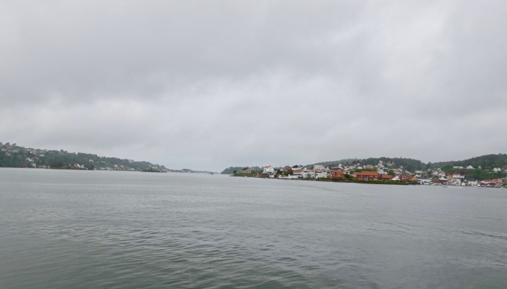
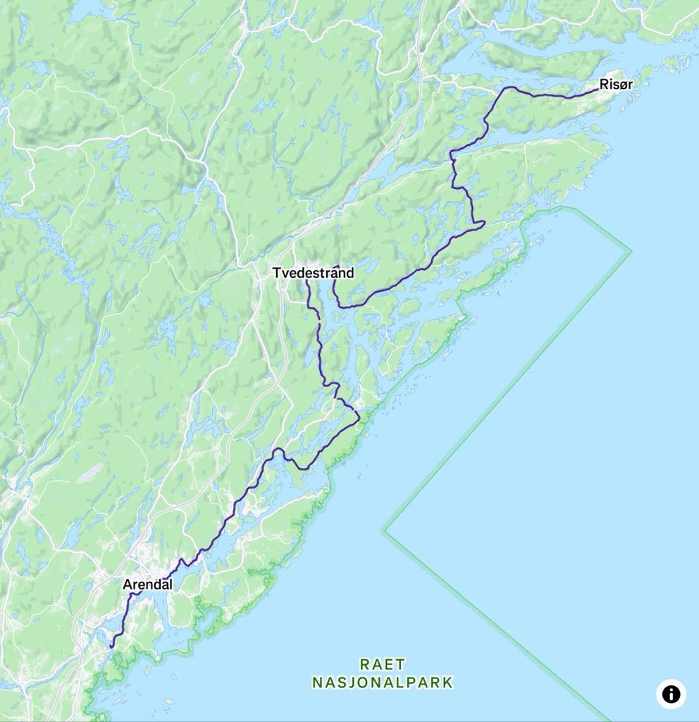
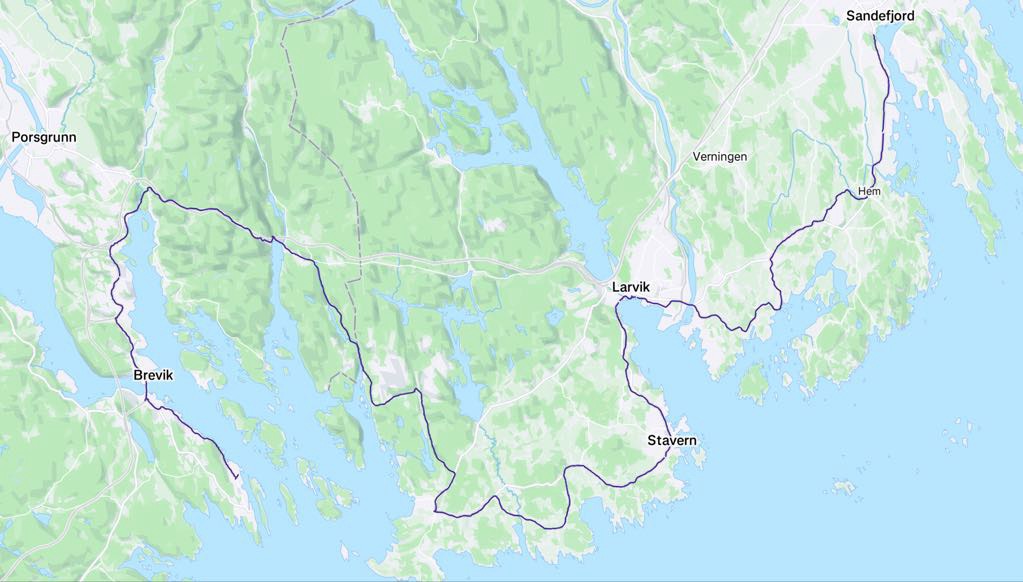
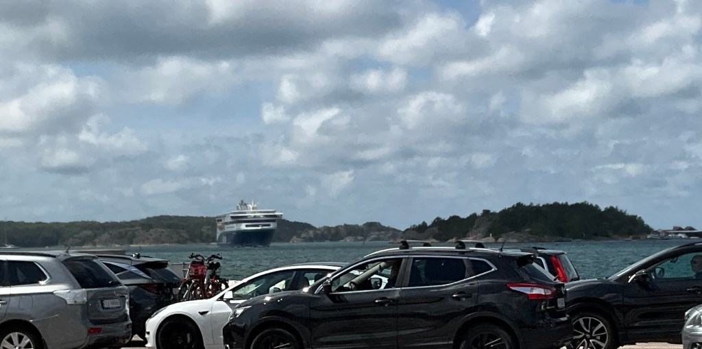
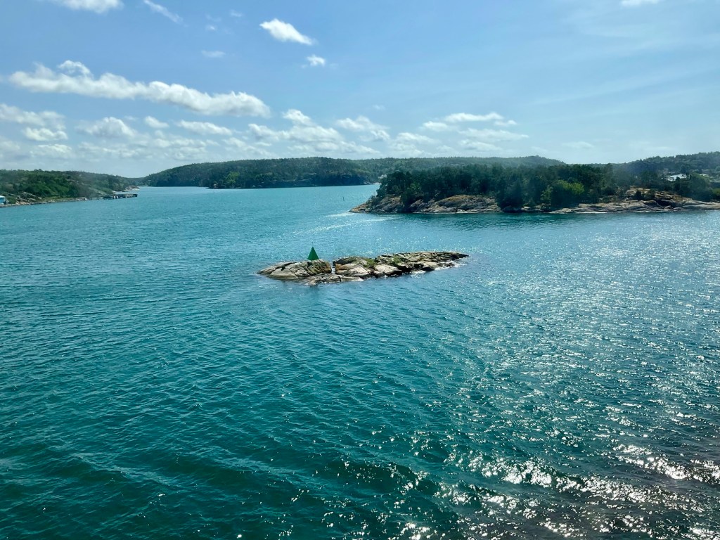
We did a ‘where are we’ check and it also shows our route.

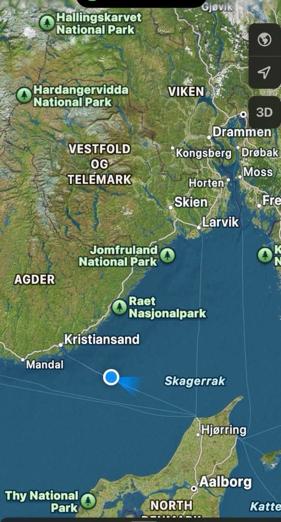
After 3 hours 15 minutes, we arrive in Denmark.

Land ahoy Denmark

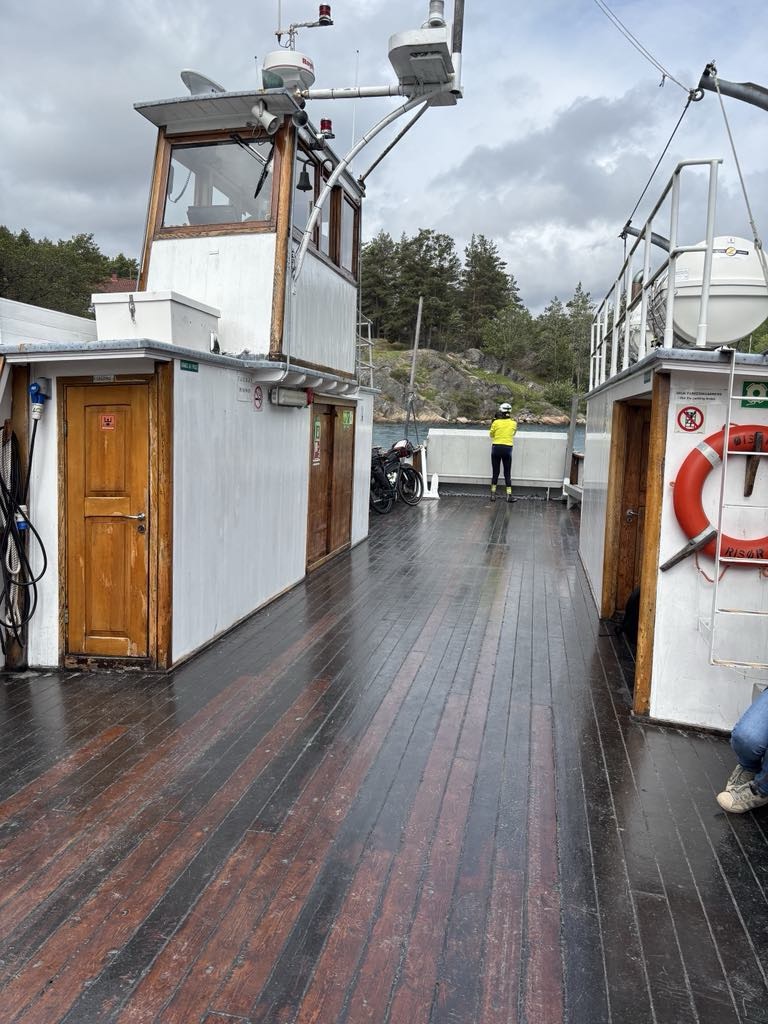
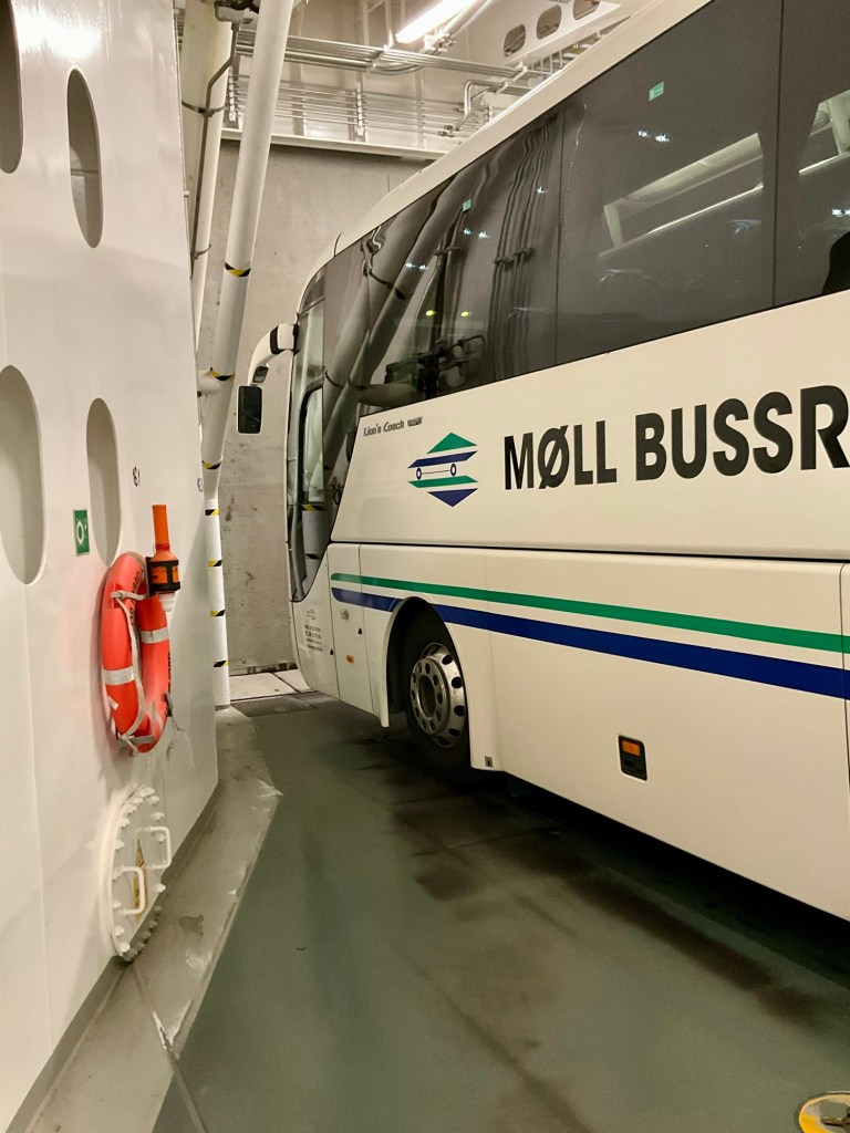
We go down to our familiar position, by our bikes, amongst the big vehicles. You do feel quite vulnerable there. All the drivers are in their vehicles, but we stand there hearing the very loud noises directly.

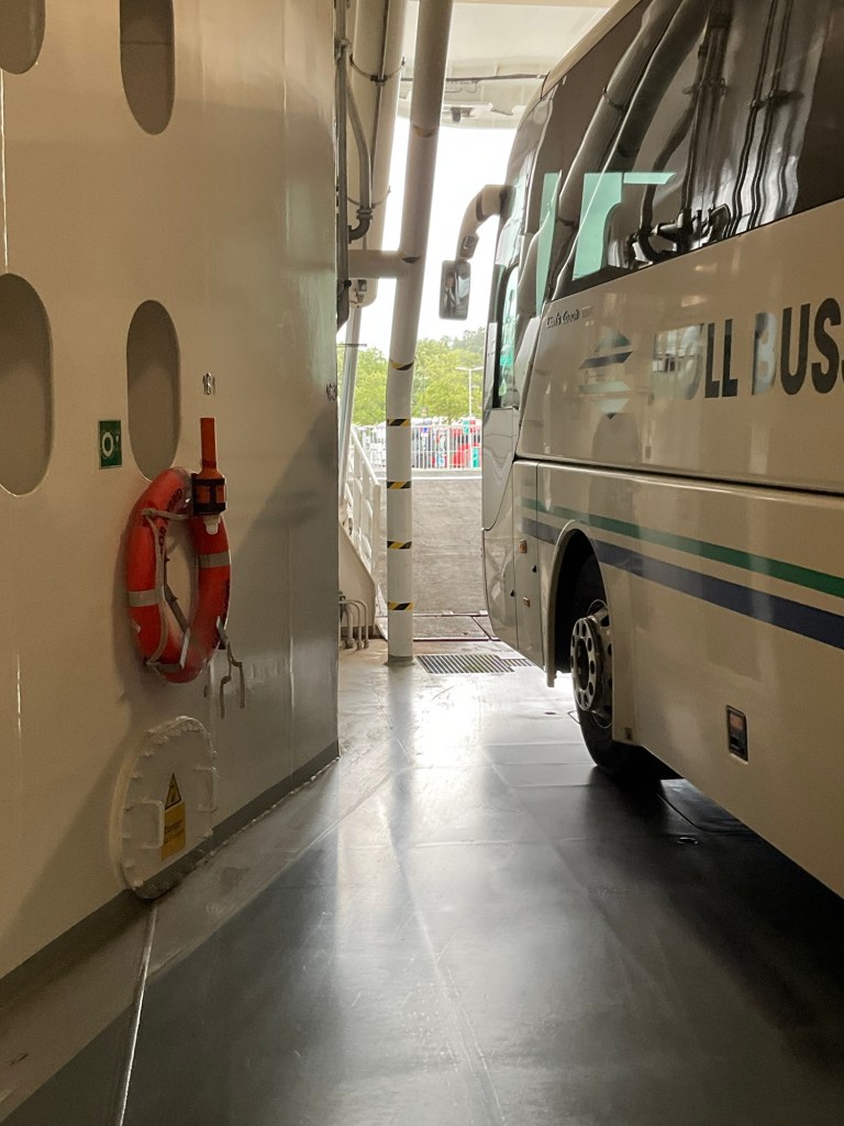
We are off first, ahead of the vehicles. It is good when they hold the vehicles so we can exit safely.

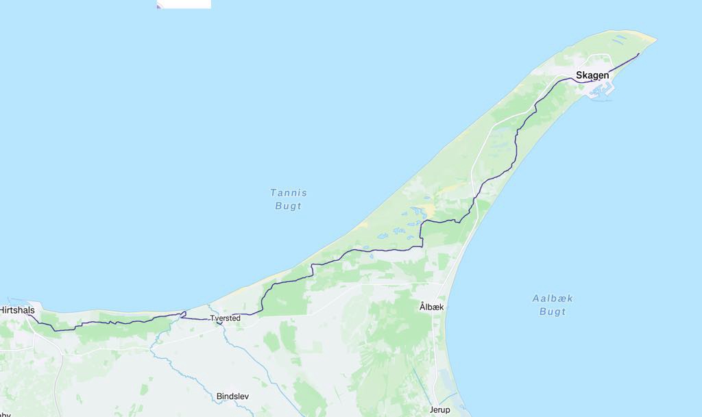
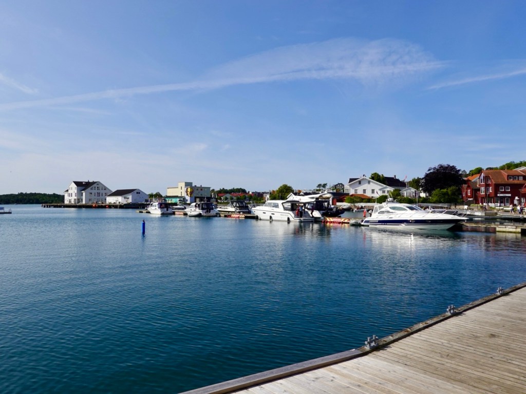
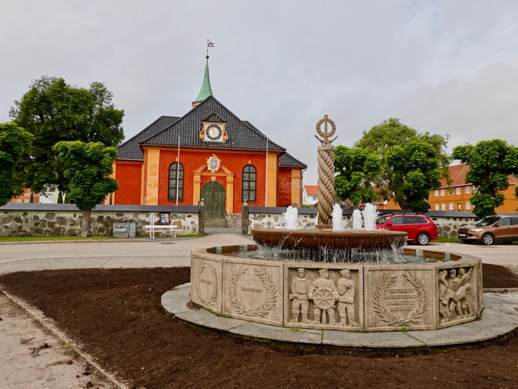
It is a fine day in northern Denmark, as we exit the port of Hirtshalls.

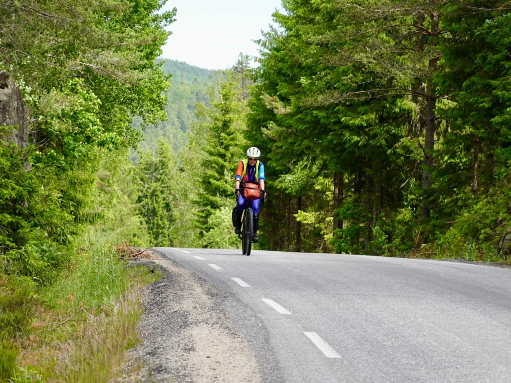
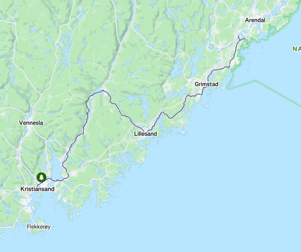
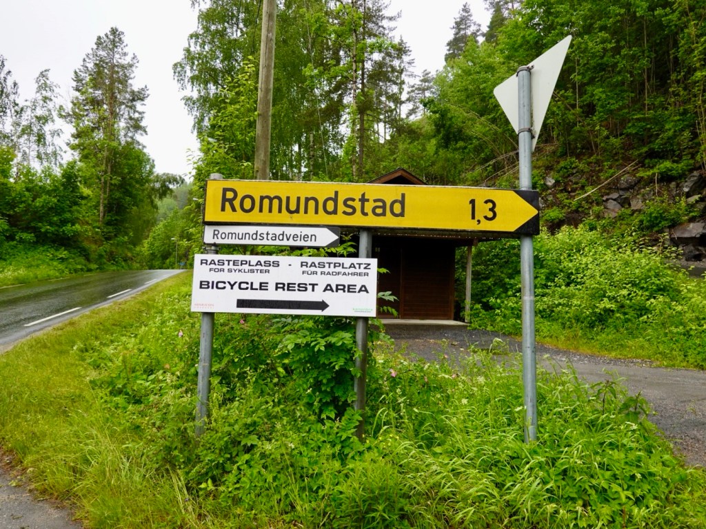
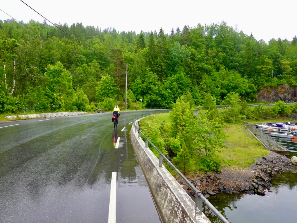
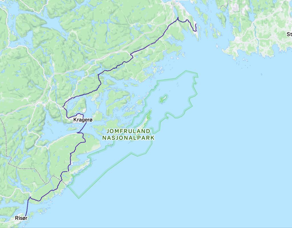
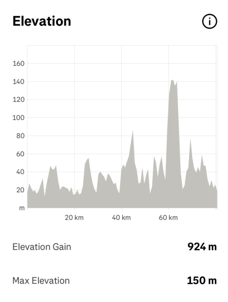
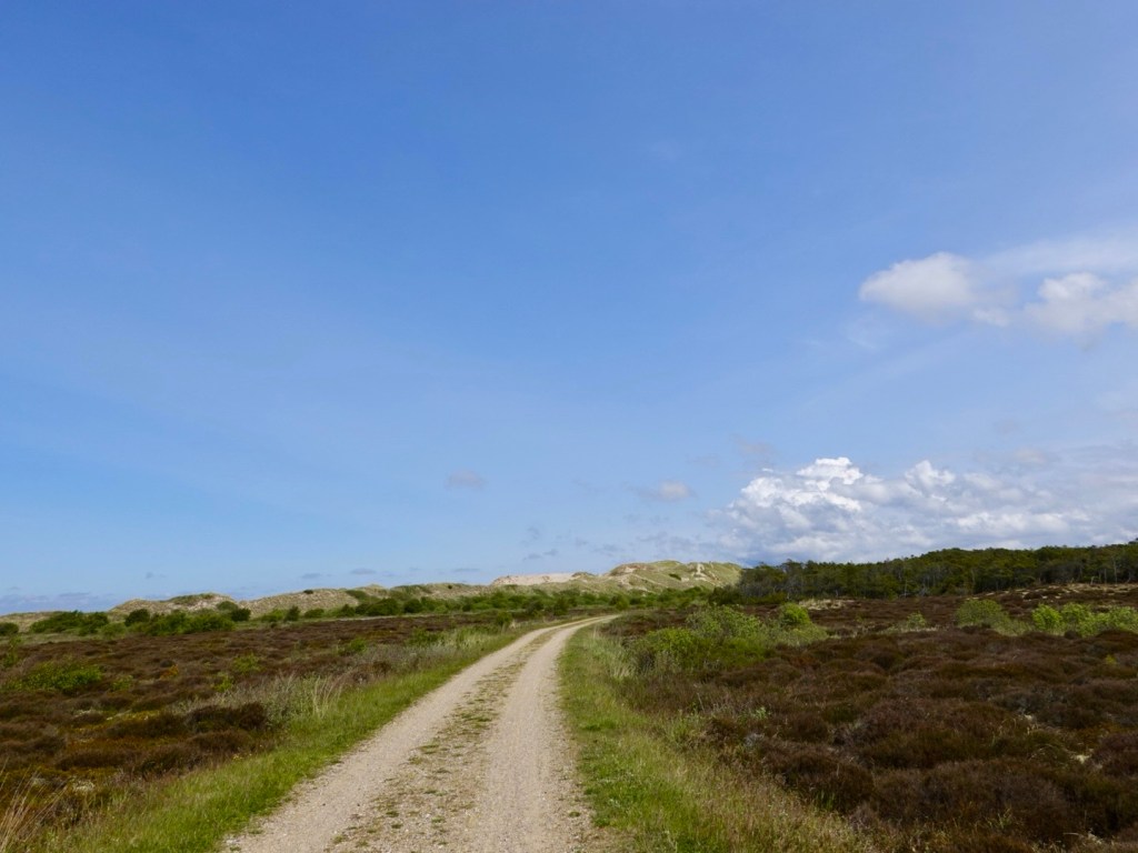
This is the route we then followed for what was a half day of riding, 59 km.

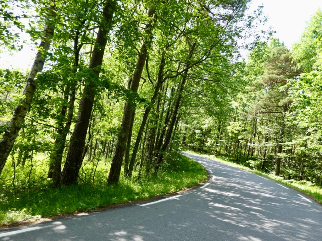
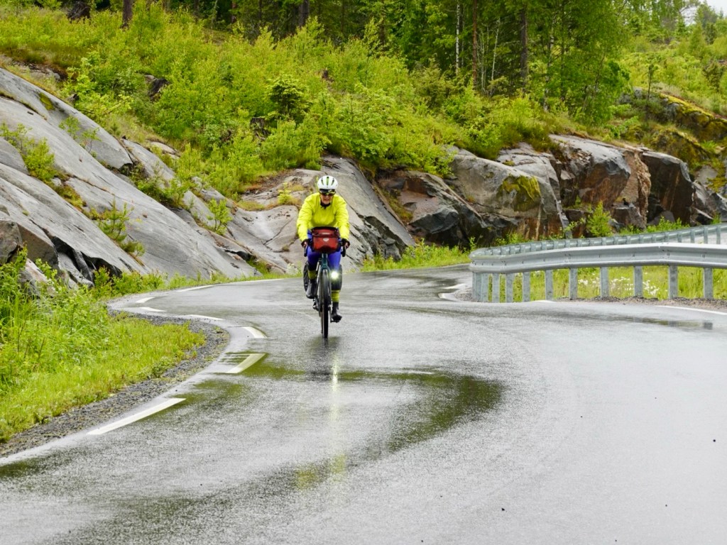
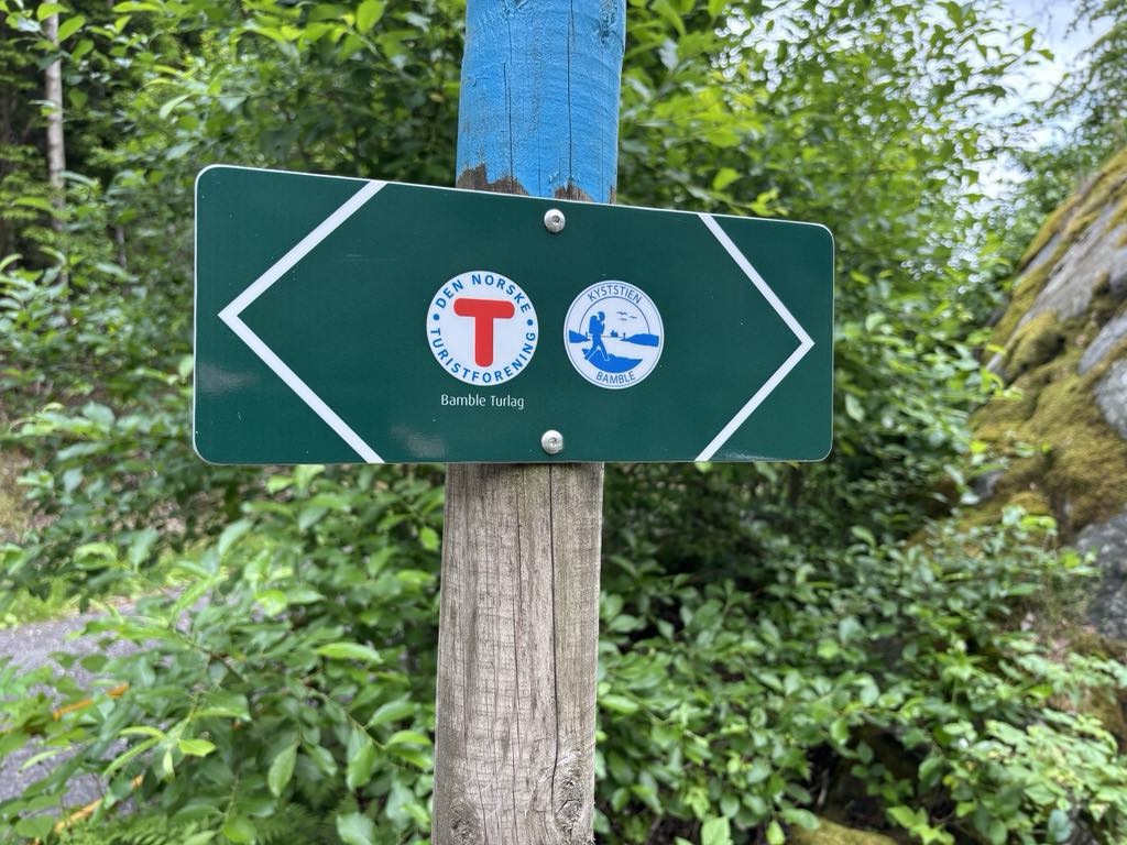
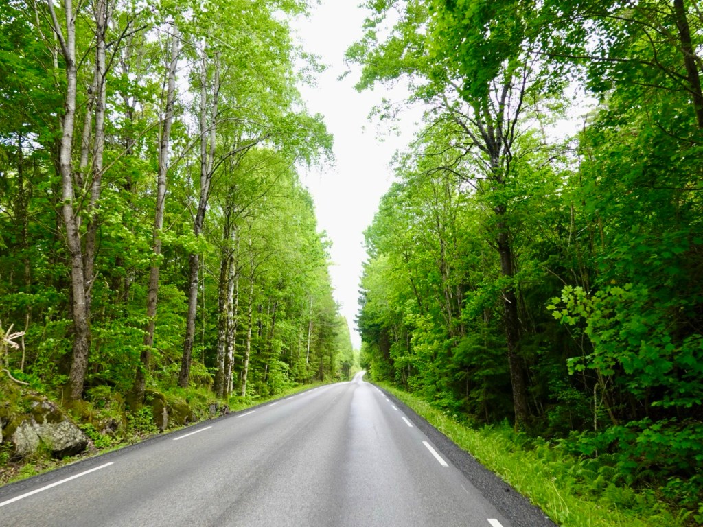
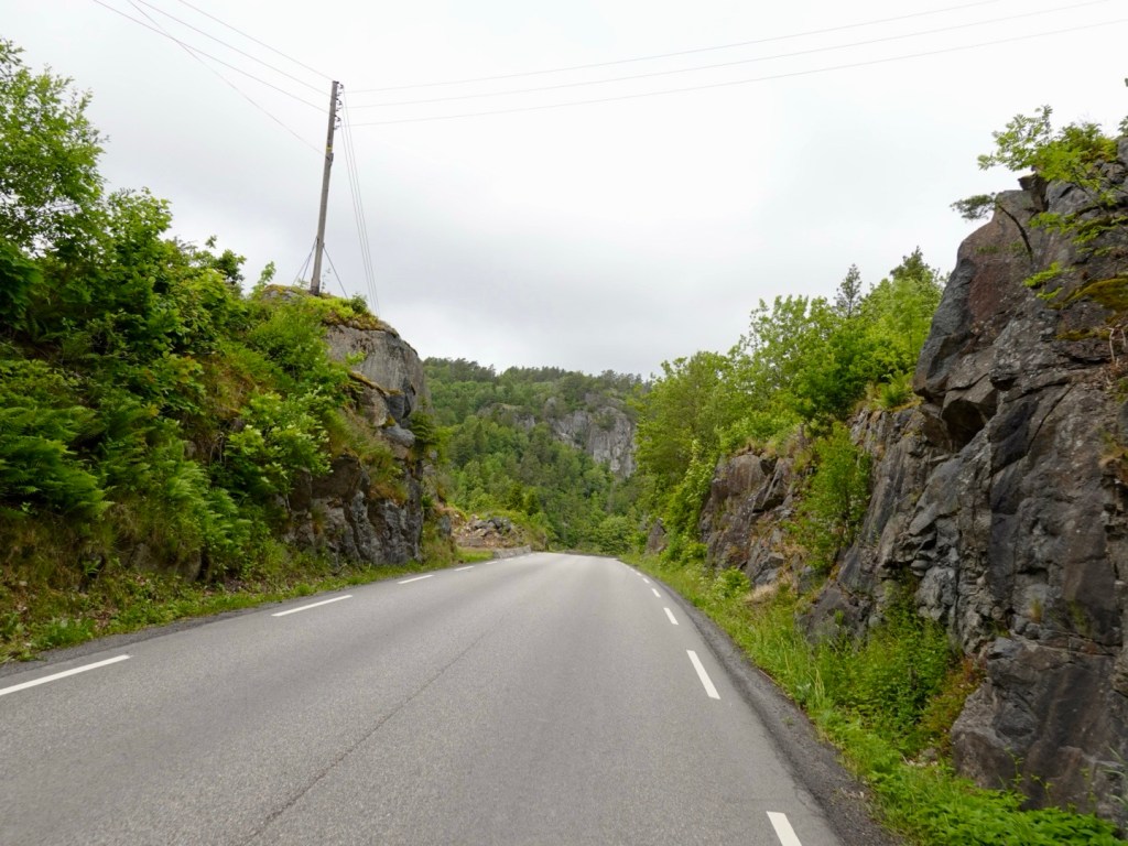
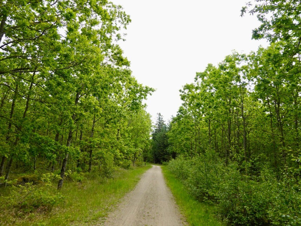
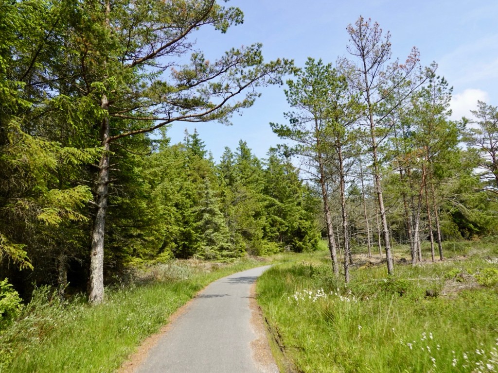
We followed a series of wonderfully marked cycle trails and paths today. We also noted series of walks that were also seemingly well marked.

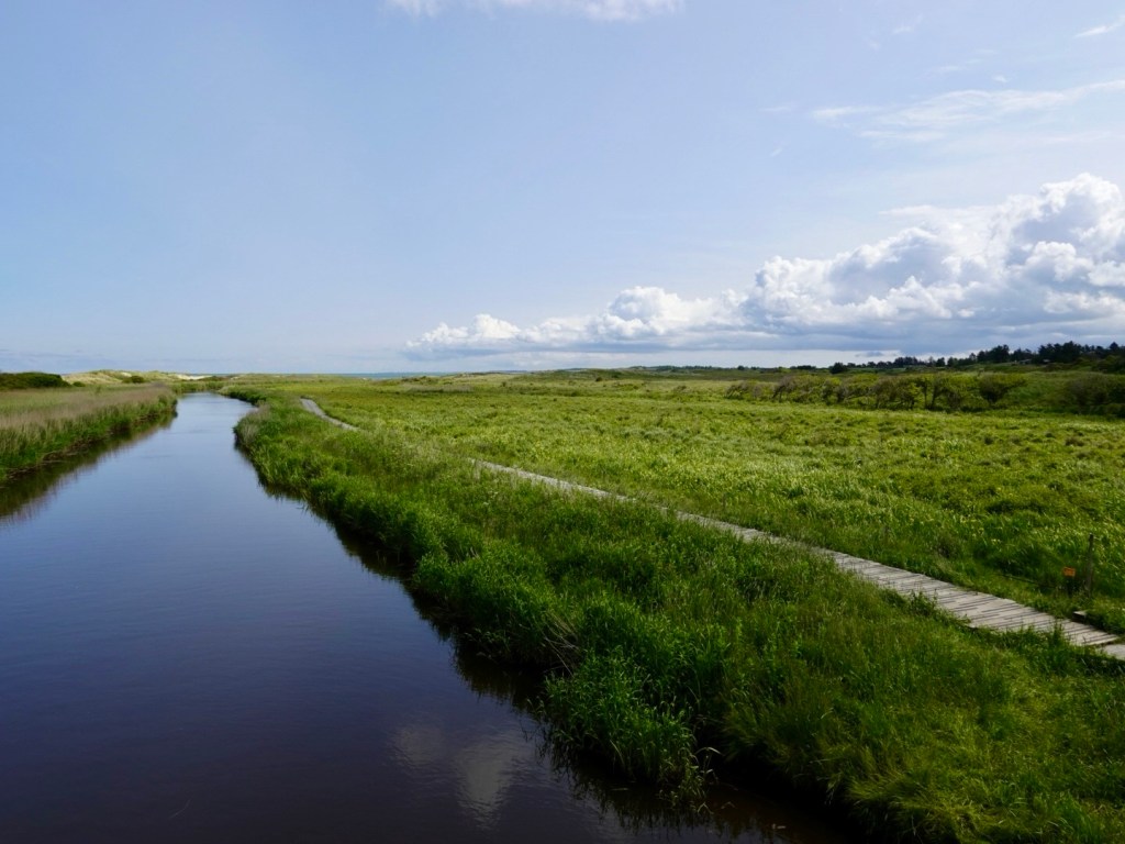
There was a mixture of sealed and dirt.

I probably should add bumpy raised boardwalks too (second photo, right hand side).

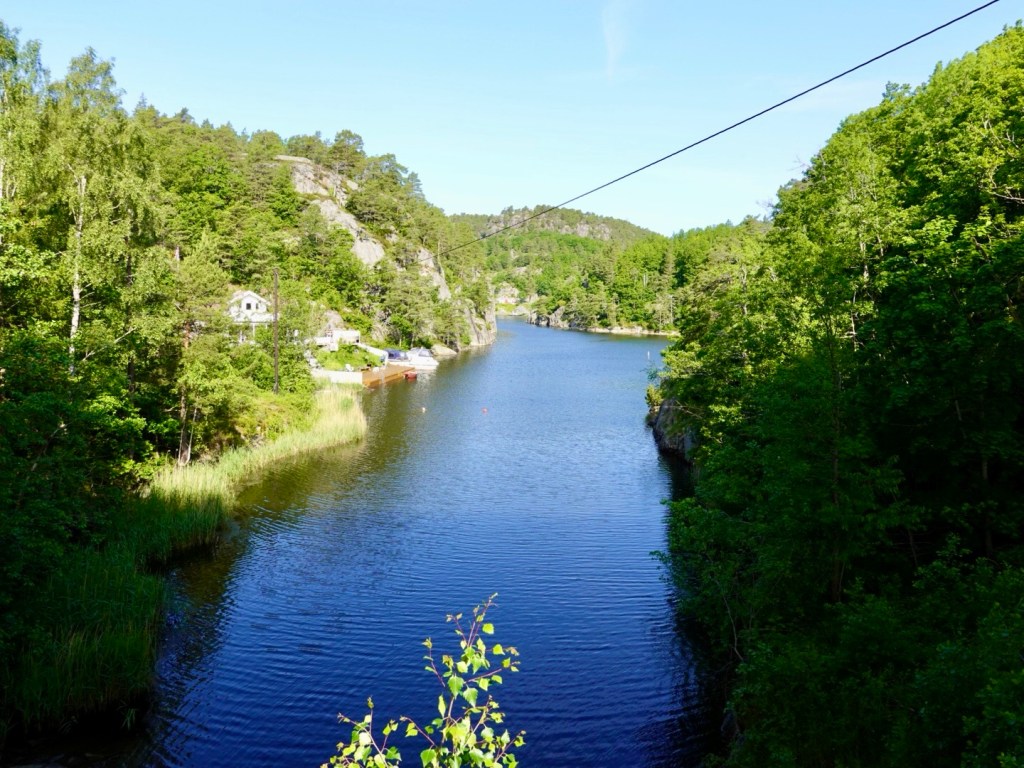
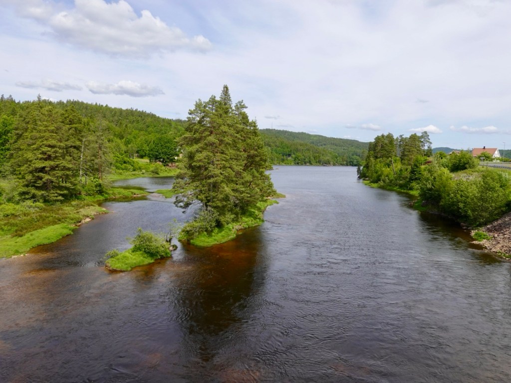
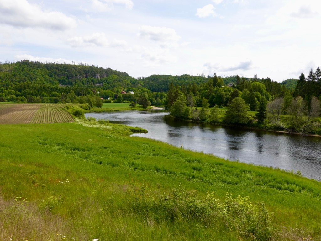
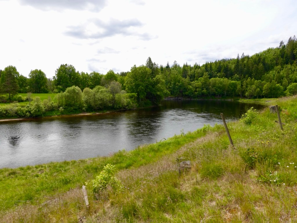
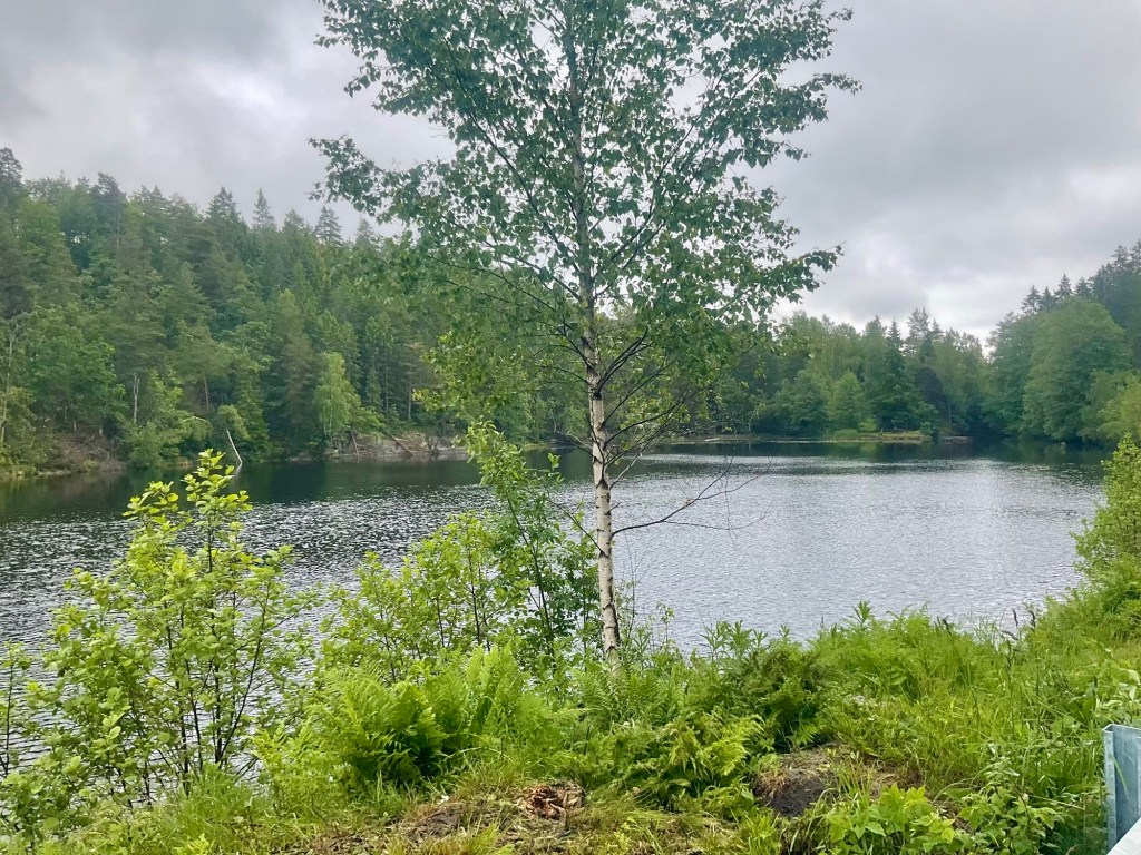
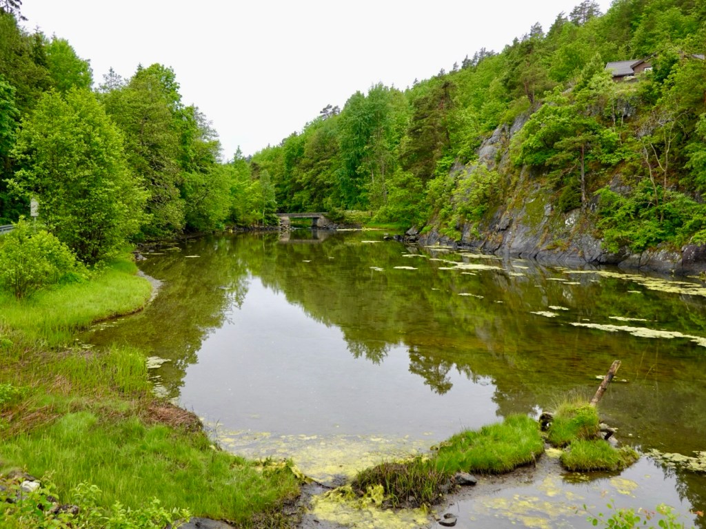
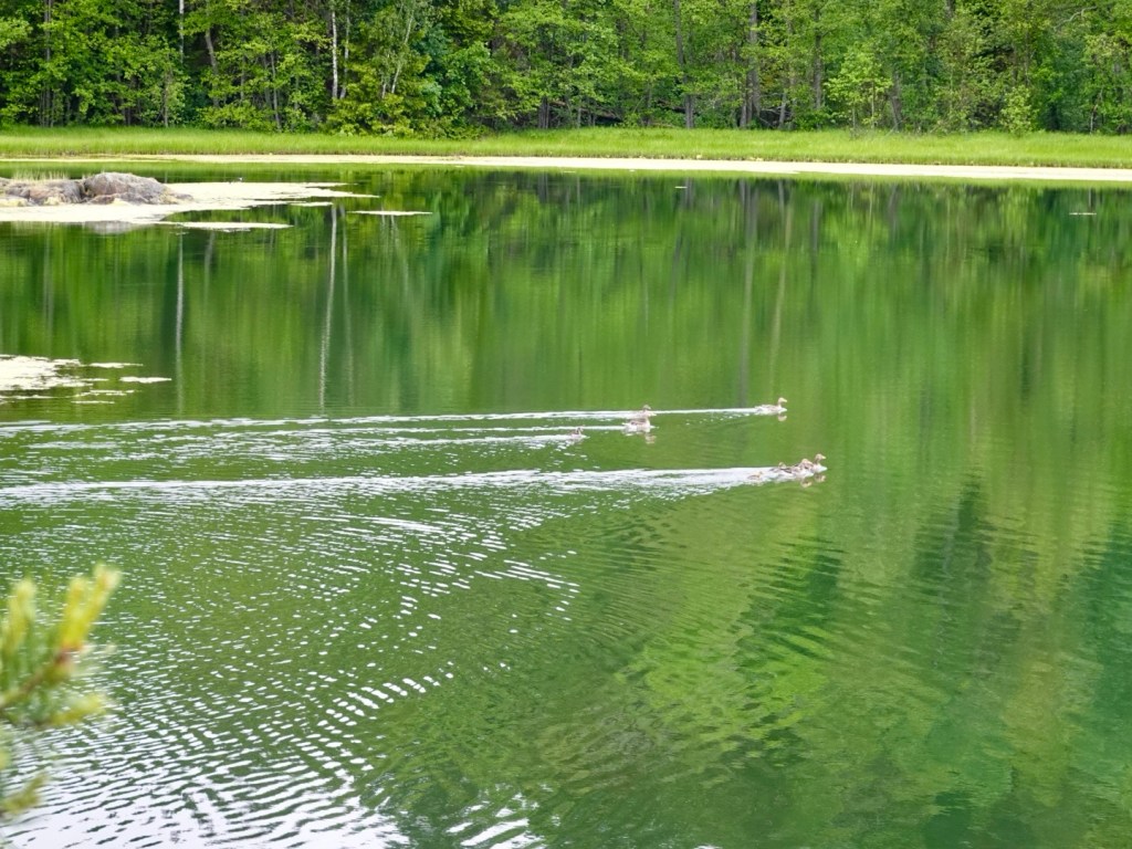
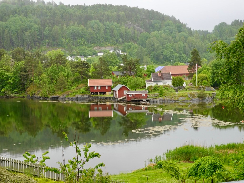
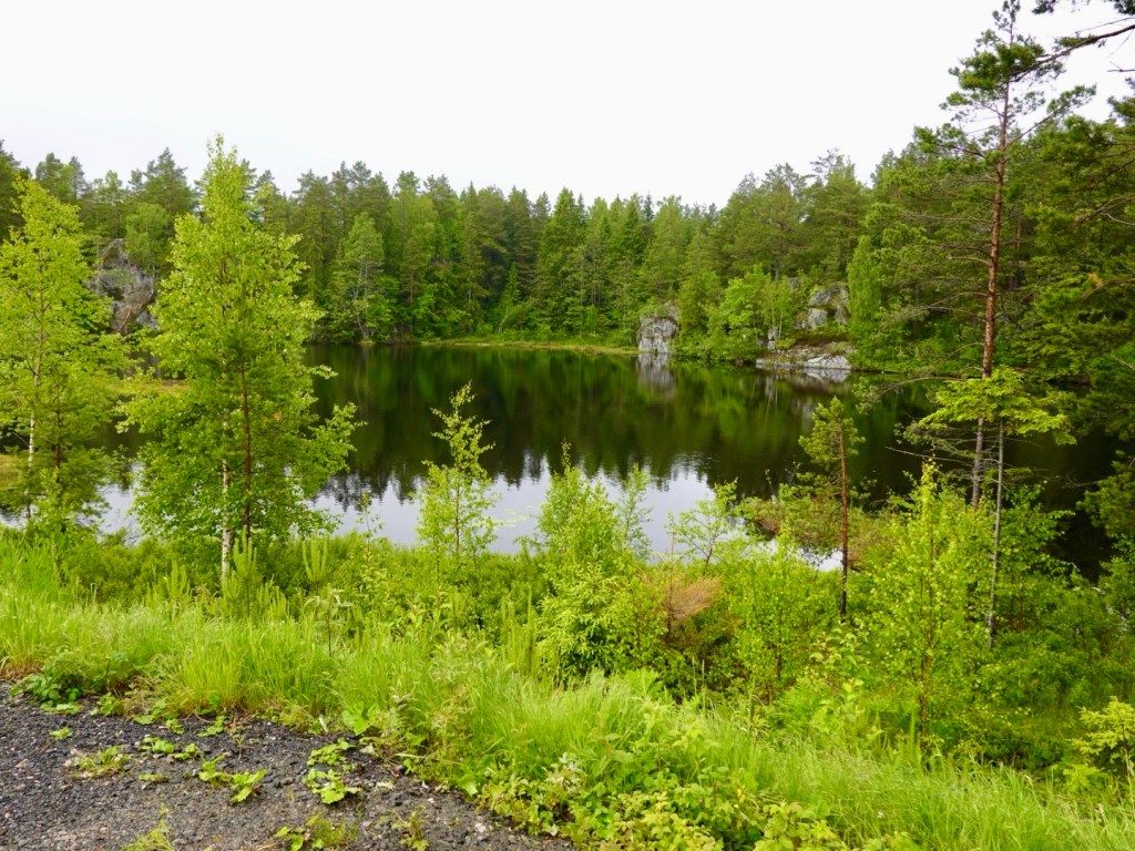
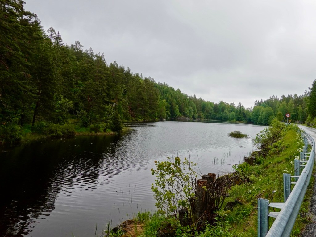
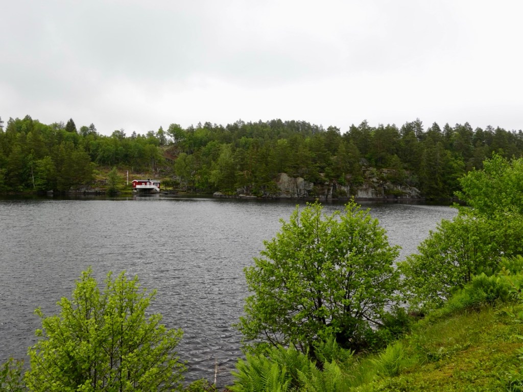
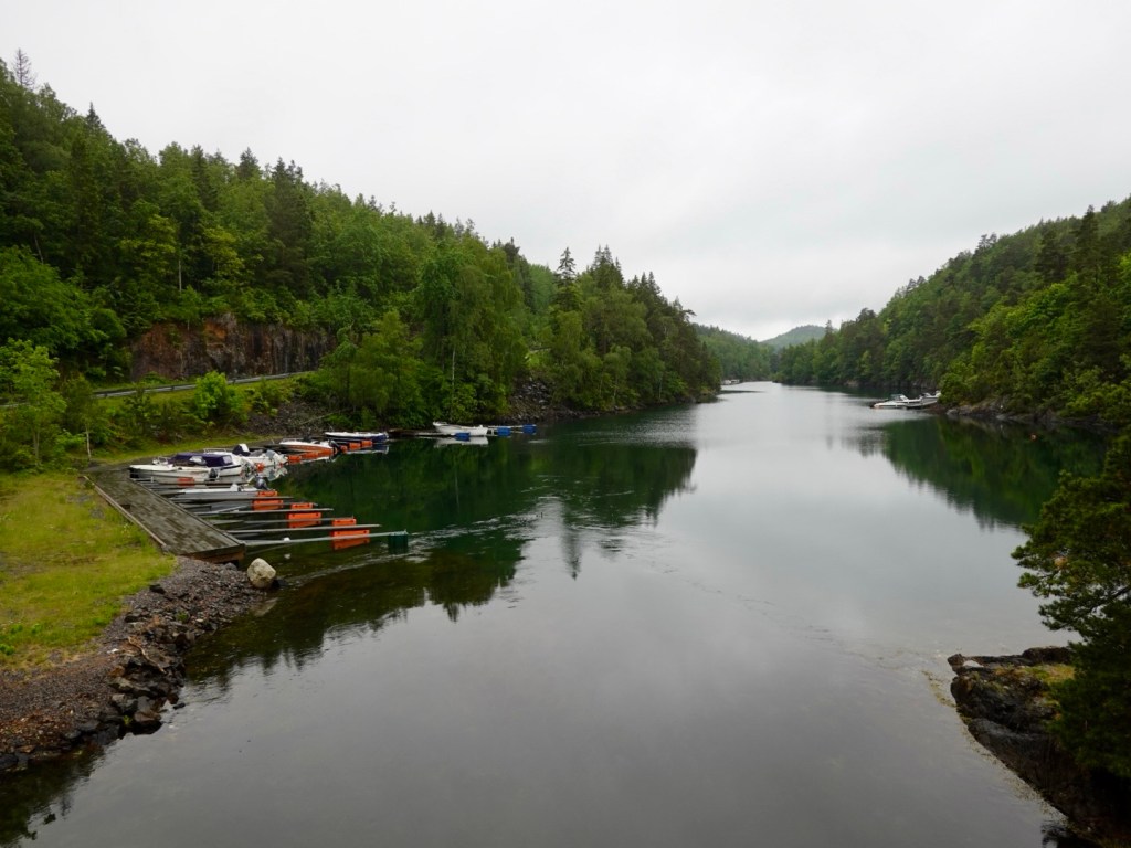
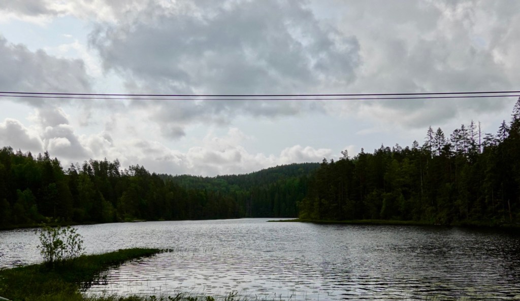
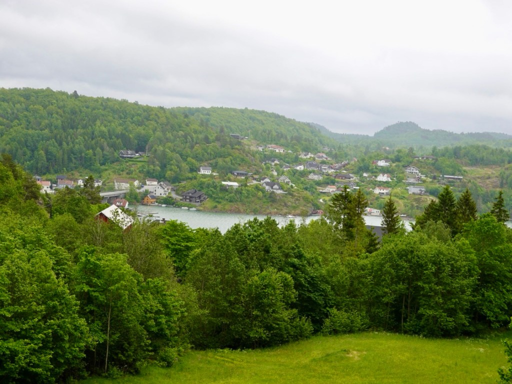
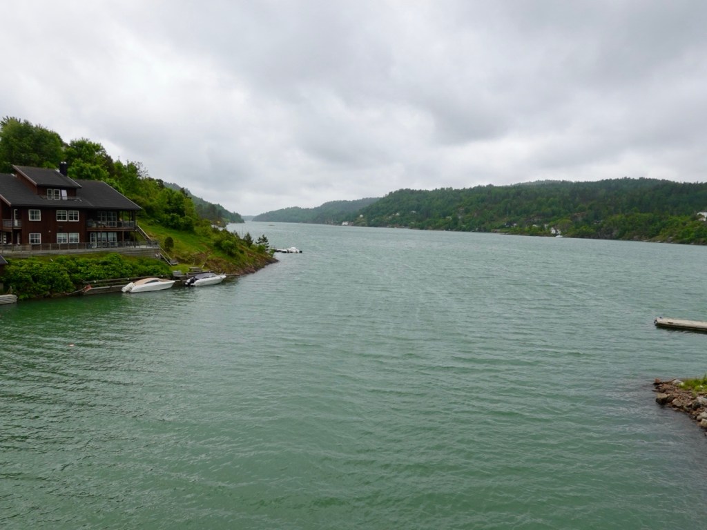
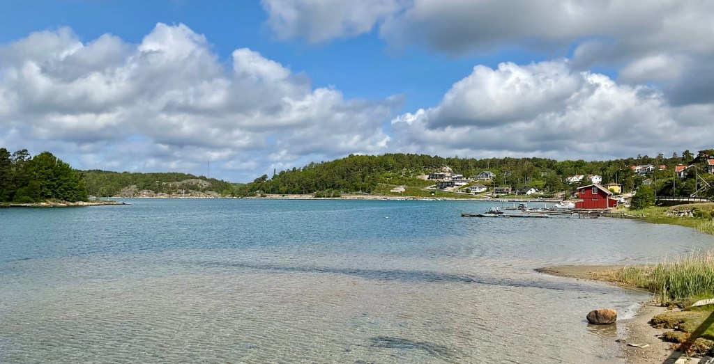
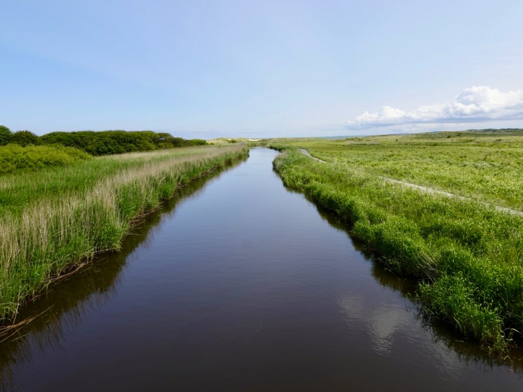
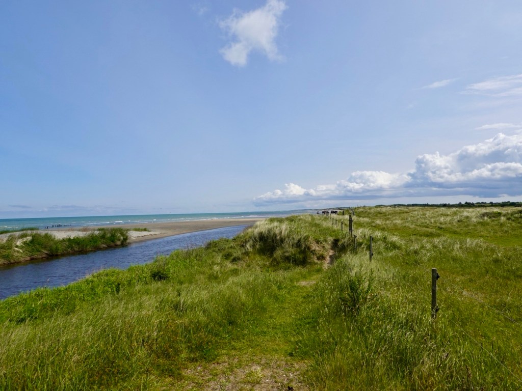
Lovely small river we followed, that drained out to the coast, not far away.

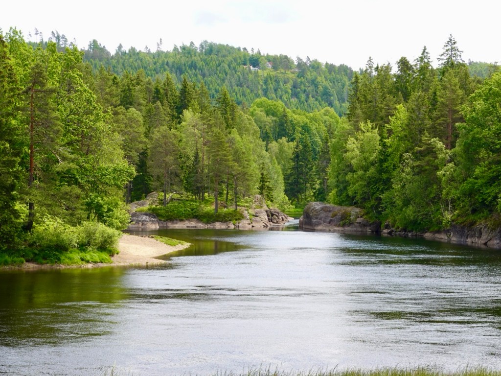
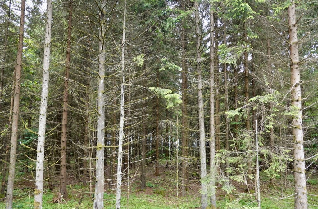
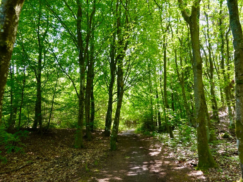
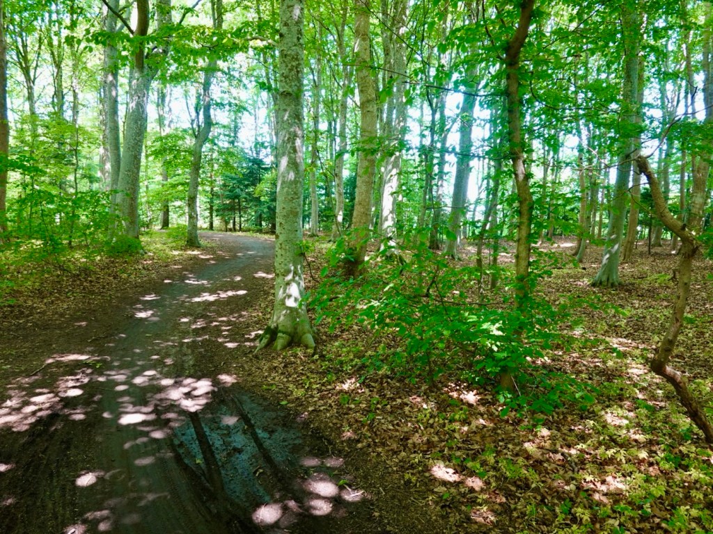
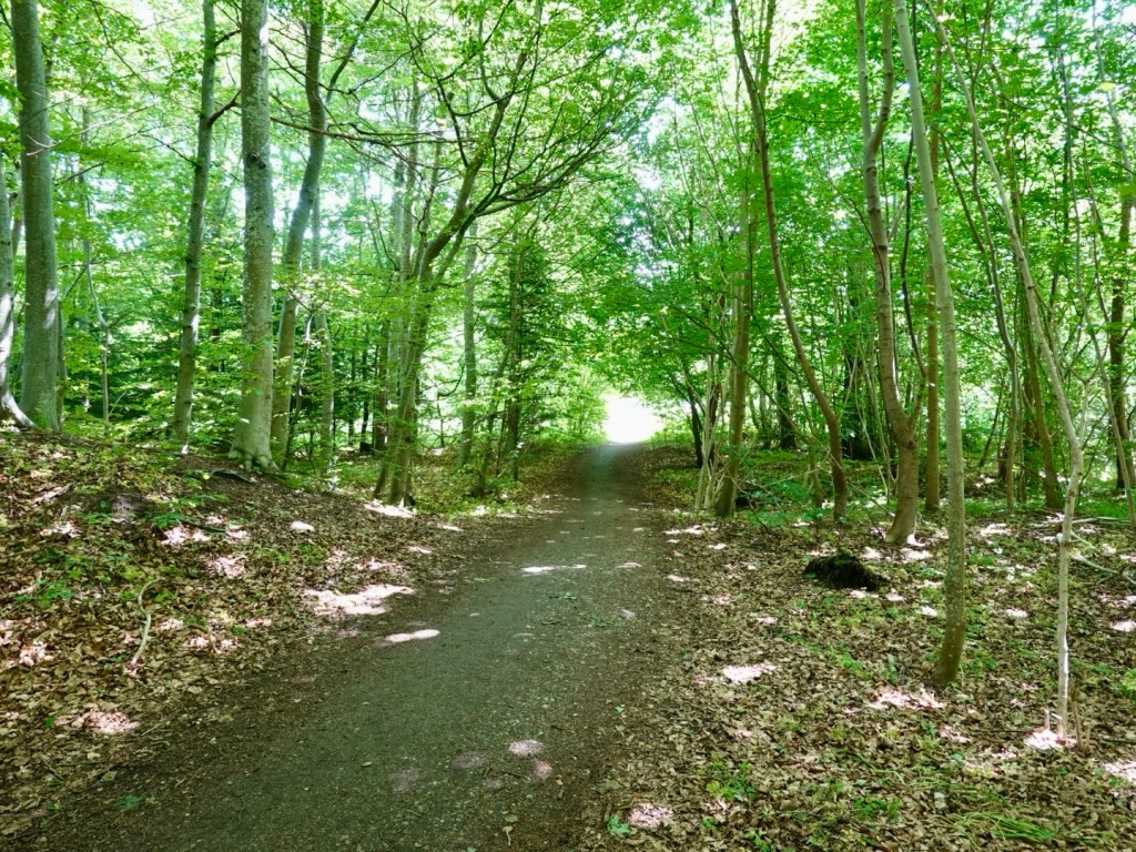
There were lovely green forests, reminding us of Poland and all the trails we followed there.

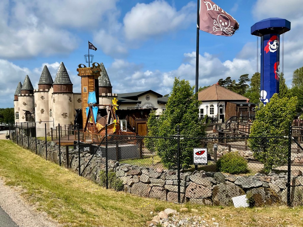
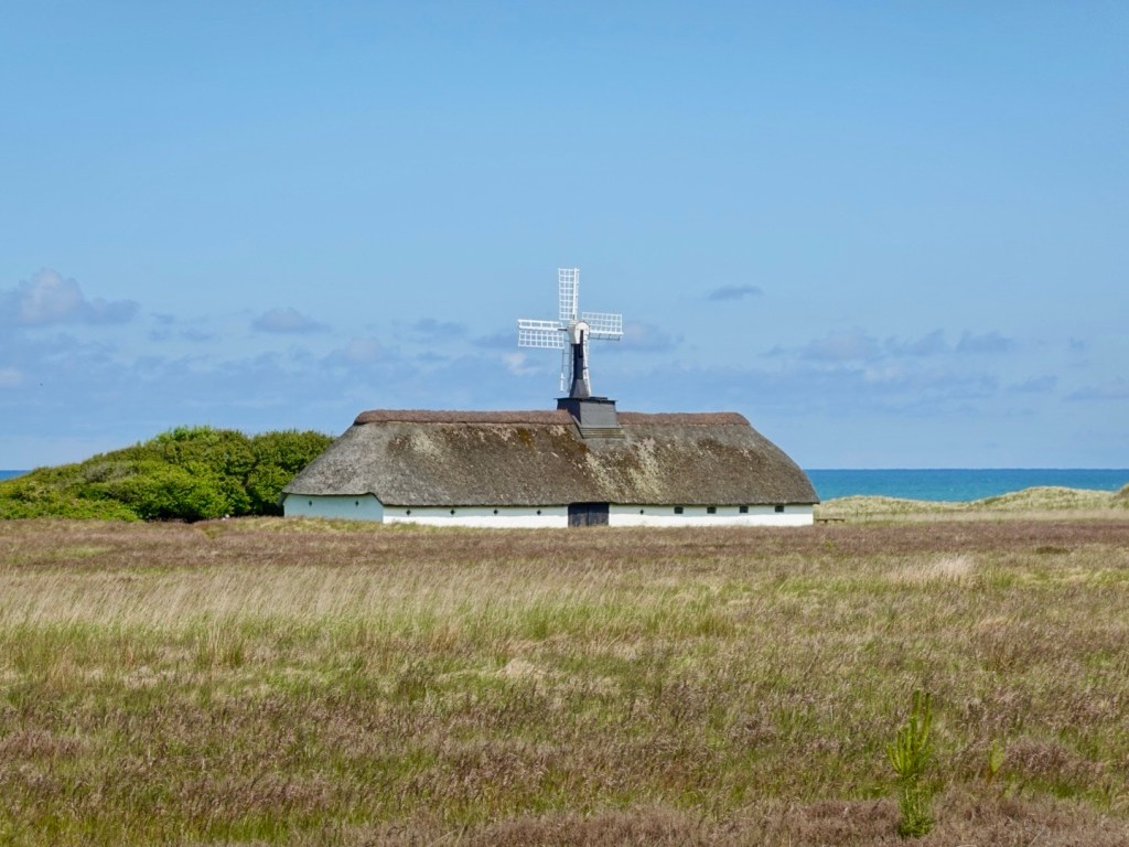
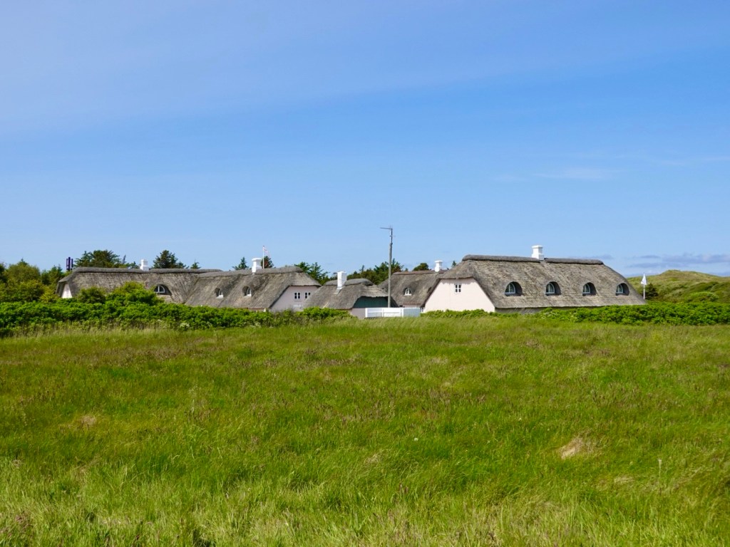
There were interesting thatched buildings and a windmill.

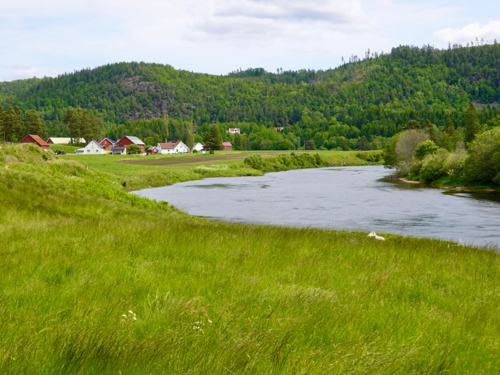
The lands were open and flat, with sand dunes on the coastal side.

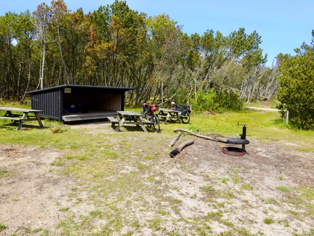
We stopped at a clearing off the track where we found this shelter. You can sleep in these shelters. They are a great idea and I imagine not a significant construction cost either.

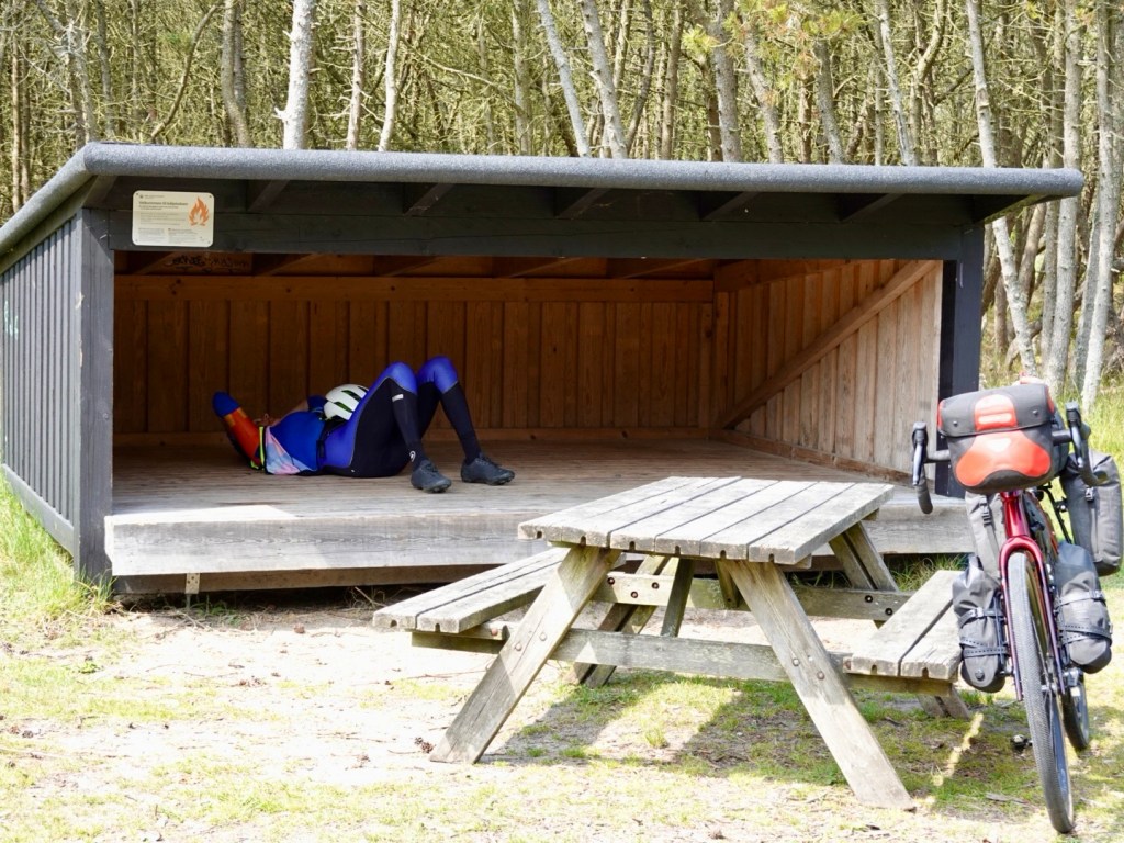
Tables, fire pit, and we spied another structure a little further away that we think was a long drop toilet.

The sealed paths were like this, weaving around forest.

We made good progress and arrived in Skagen, our destination, but rode through and out, as we were heading to the northern tip of Denmark.

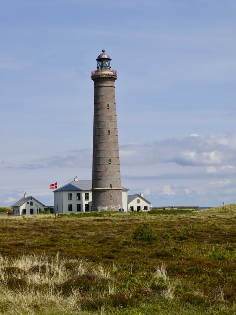
This is Denmark’s second tallest lighthouse, Det Gra Fyr. 210 steps, or 46 metres in height. From a distance I thought it was concrete, but in fact, it is brick. It was built in 1858.

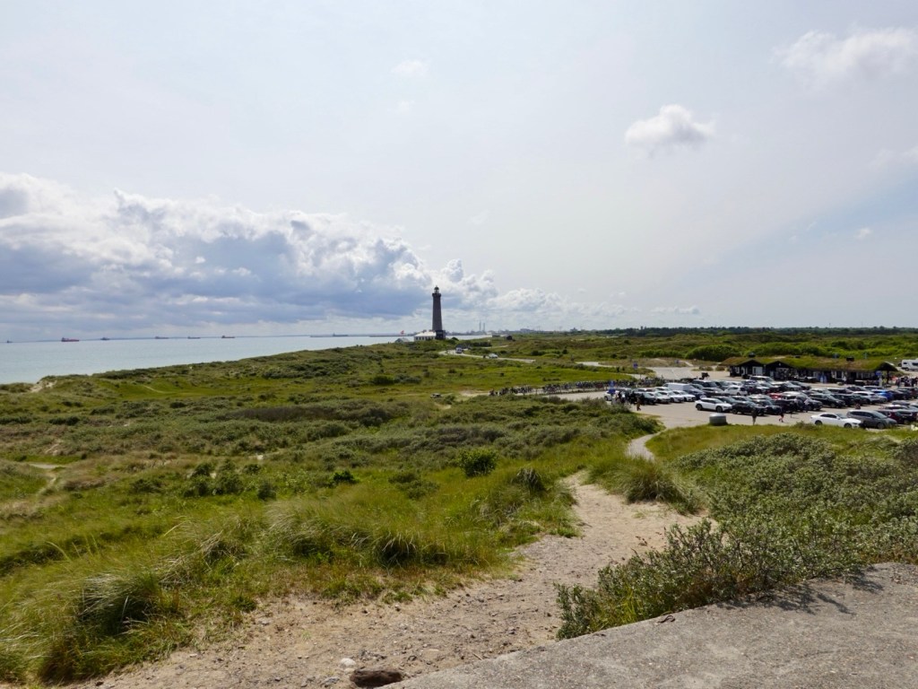
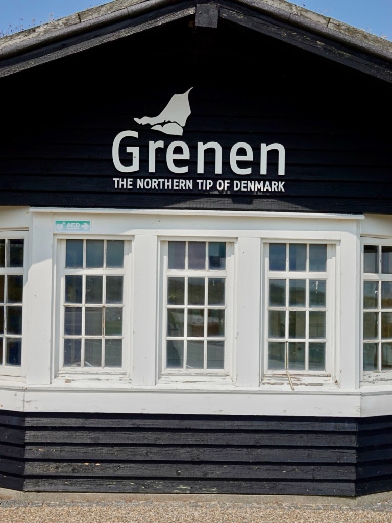
We rode as far as is possible to the north of Denmark, Grenen.

It is a tourism hotspot, busy carpark and souvenir shops, restaurant and walks.

It is apparently one of Denmark’s biggest tourist attractions with over a million people a year visiting.

There is a 3 km return walk along the sand spit to the very true north.

Tony climbed to the viewing vantage point, whilst I babysat our bikes.

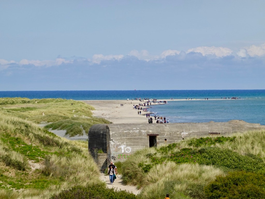
As well as the sand tip, there are also relics from WWII. We had ridden past many concealed bunkers earlier, with only the door showing. These were all constructed by the Germans.

Two seas meet at the tip. the Kattegat and Skagerrak.

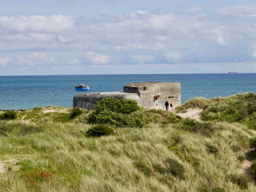
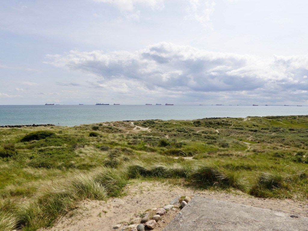
Many ships are anchored off shore waiting for their loads and berth slot.

Looking back towards the lighthouse.

It was only a 3.5 km ride back into Skagen and our accomodation. We are staying in a guesthouse that was a former farm. Our room is a former stable.

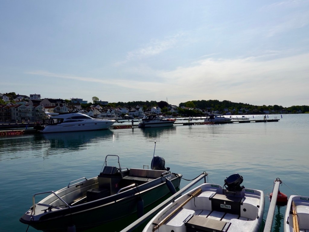
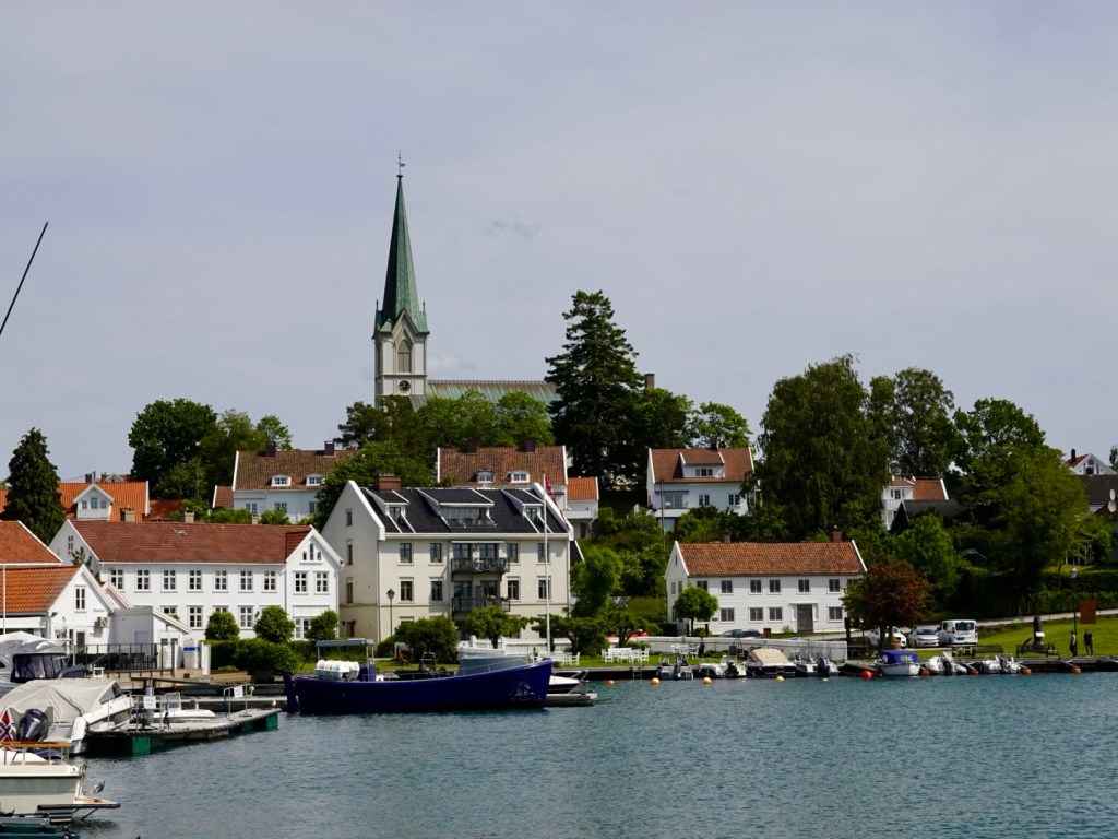
Skagen is a really nice town. We wandered through and down to the marina area where we found dinner at a fish restaurant in one of the old buildings.

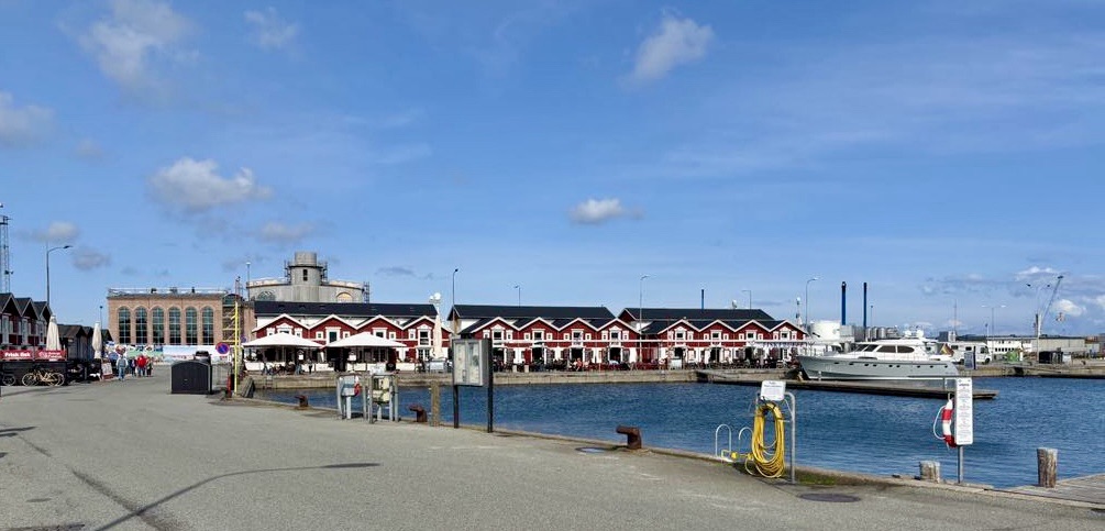
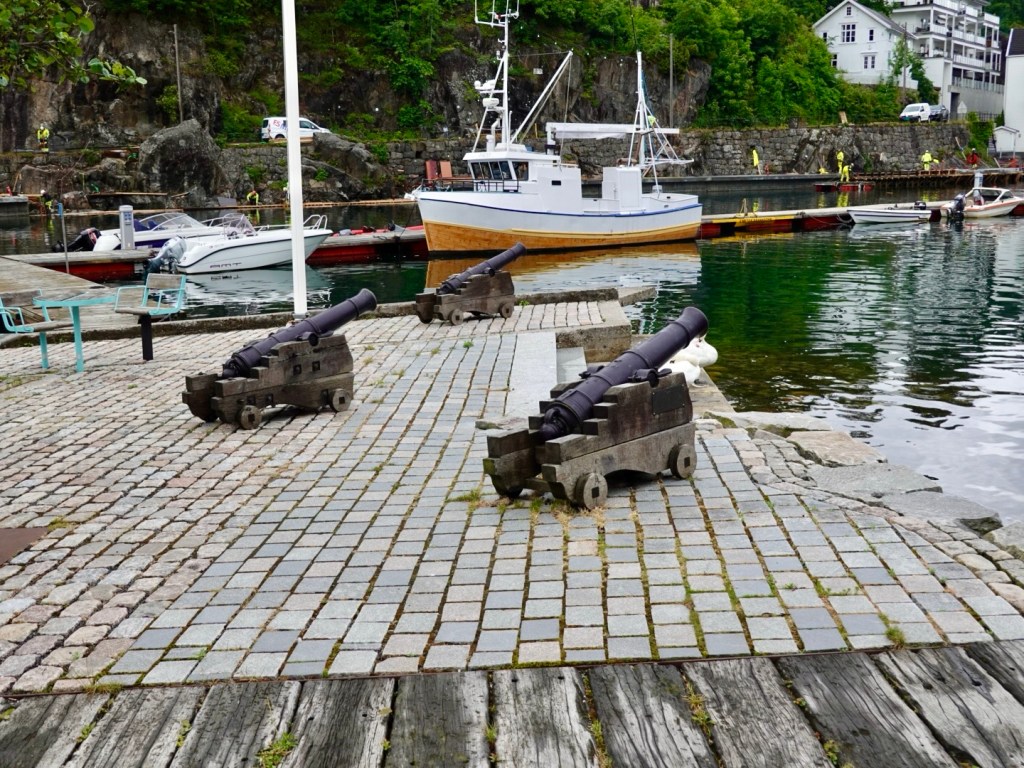
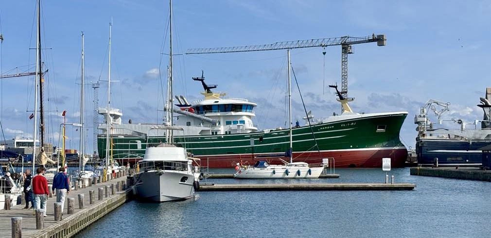
We noted three very large fishing boats, same size and build. They must pillage the seas dreadfully.

Tony told me that he talked to Magnus (the guy from Klåverön Island accomodation who did a boat transfer for us) that fishing in that area used to be excellent. However, large fishing boats had totally scoured the area, and now it was poor. 😢

Many people do not like fish farms, but I am not sure that ransacking our seas is the answer either.

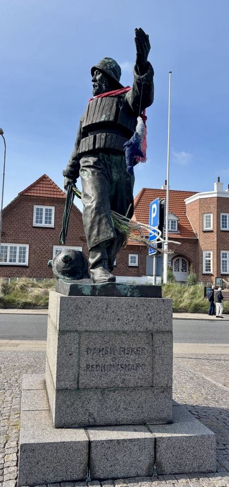
We liked this large statue, with knitted fish dangling!

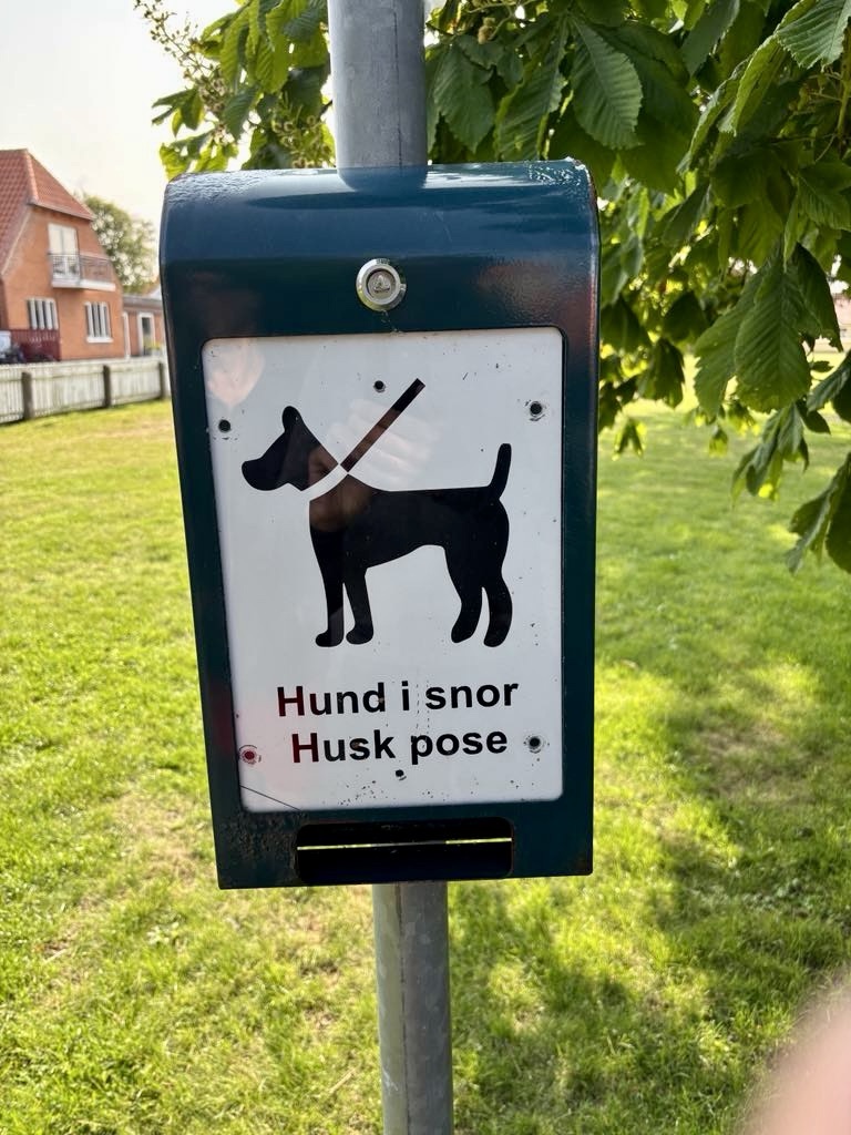
I laughed at this sign, only as I liked the words, and reminded me of our dog Khaleesi that we miss.

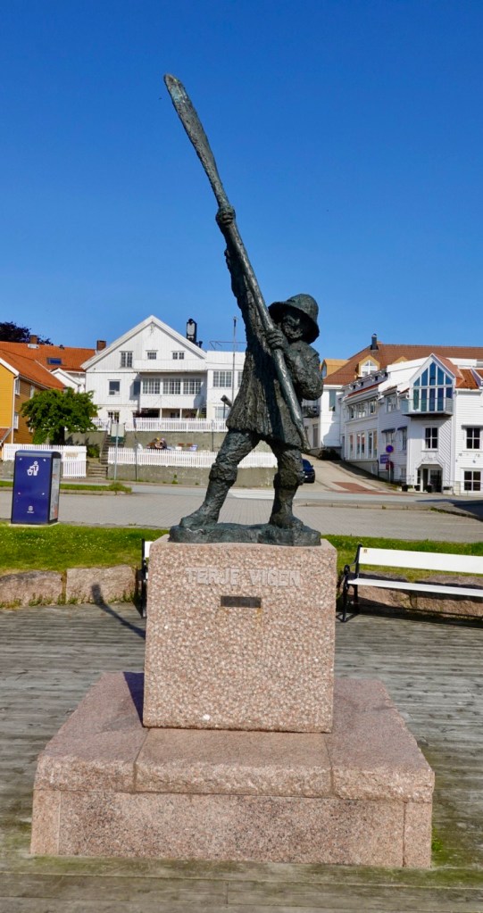
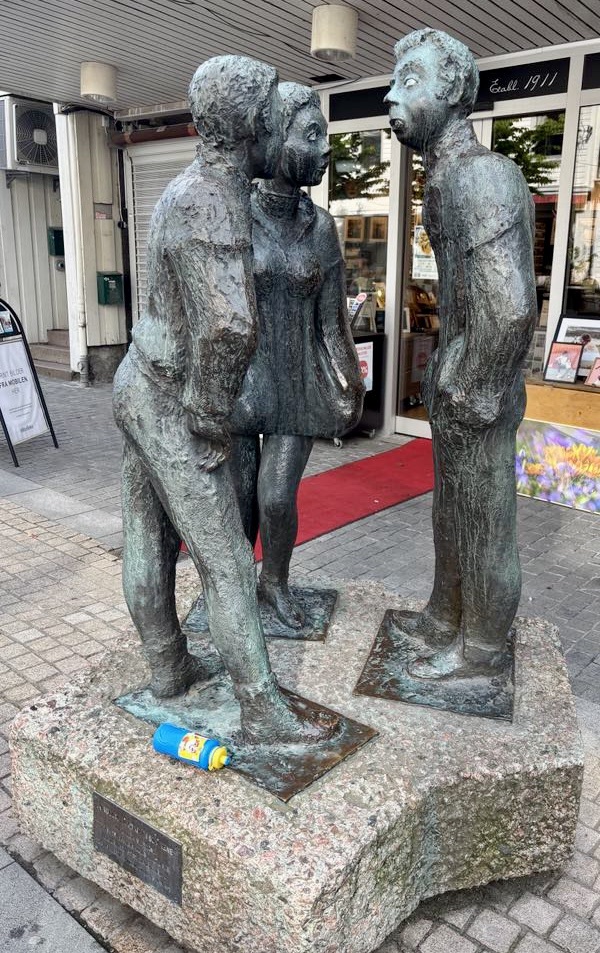
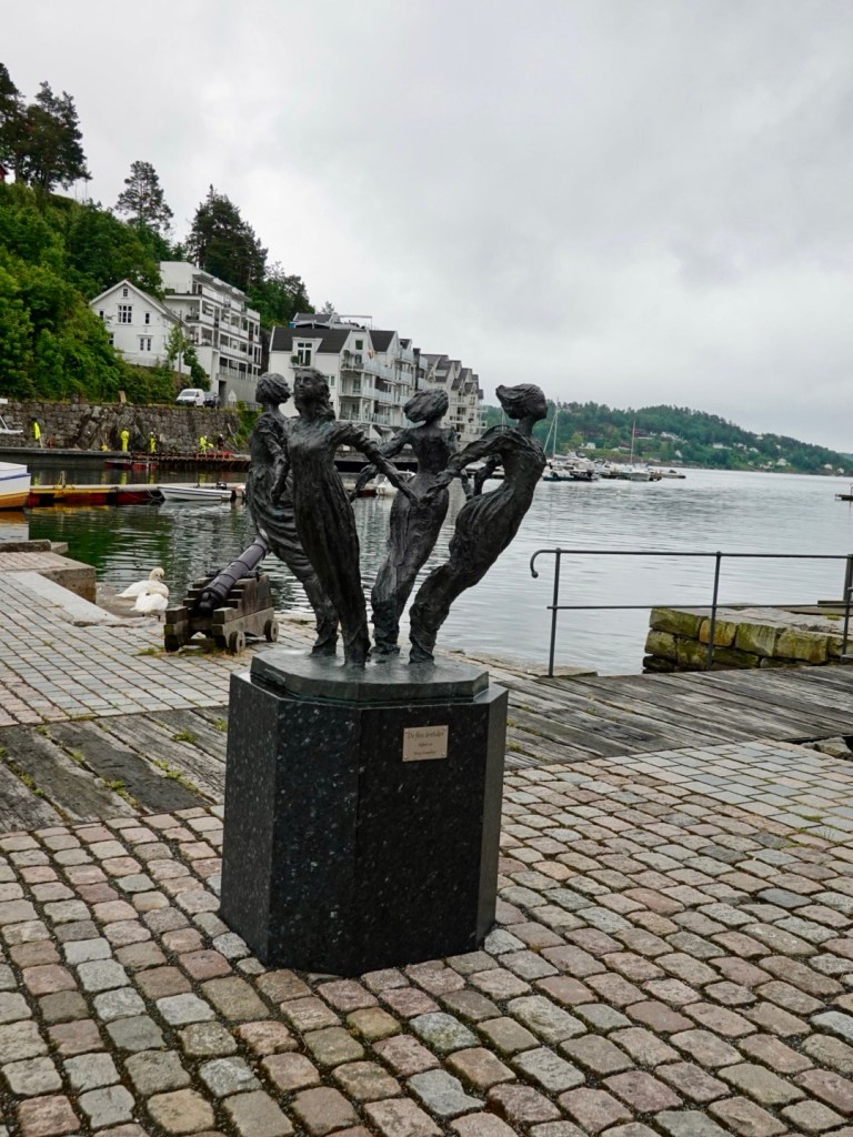
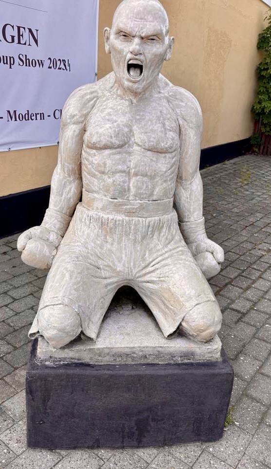
This is another statue we found. I think he won his bout.

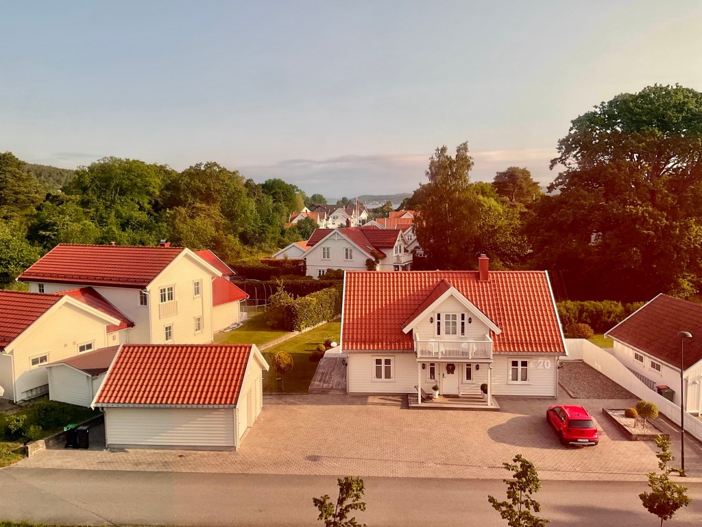
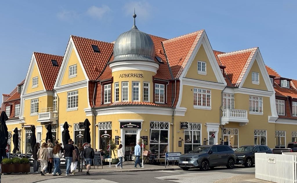
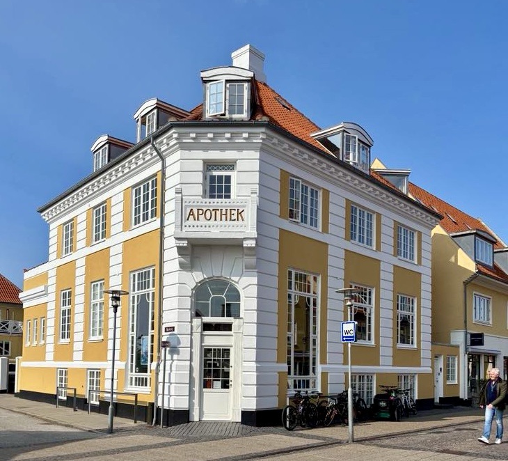
We have gone from white buildings in Norway to yellow with red rooves here. It is quite striking.

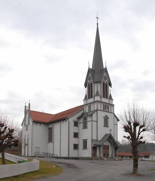
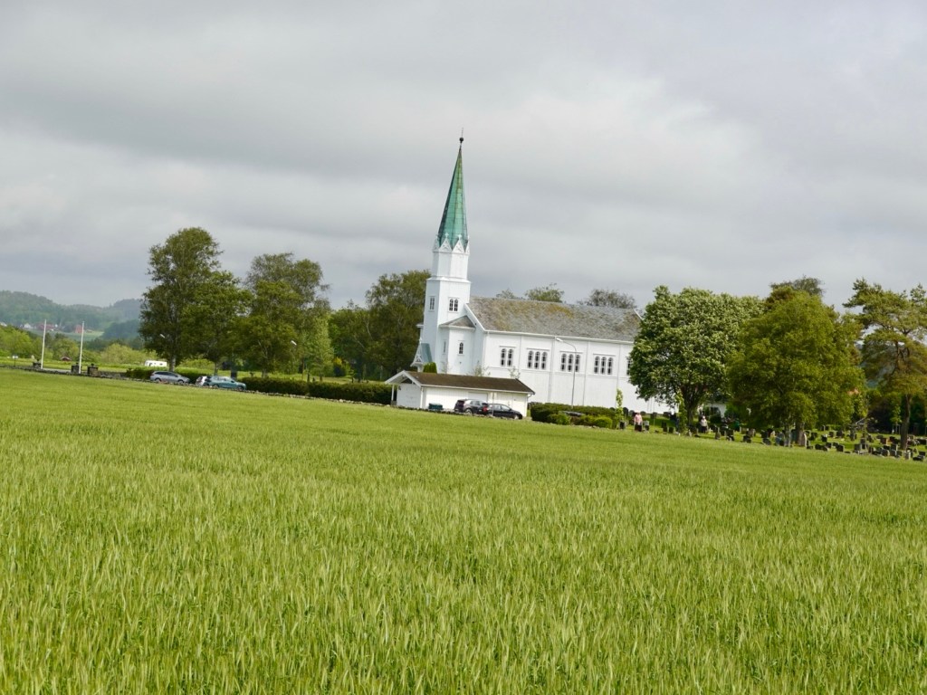
Skagen Kirke was built here after the severe problems Skagen experienced in the 18th century with sand drift. In 1795 the former church was covered in sand and was abandoned.

This newer church was built in 1841. You can visit the sand covered church some 2 km away.

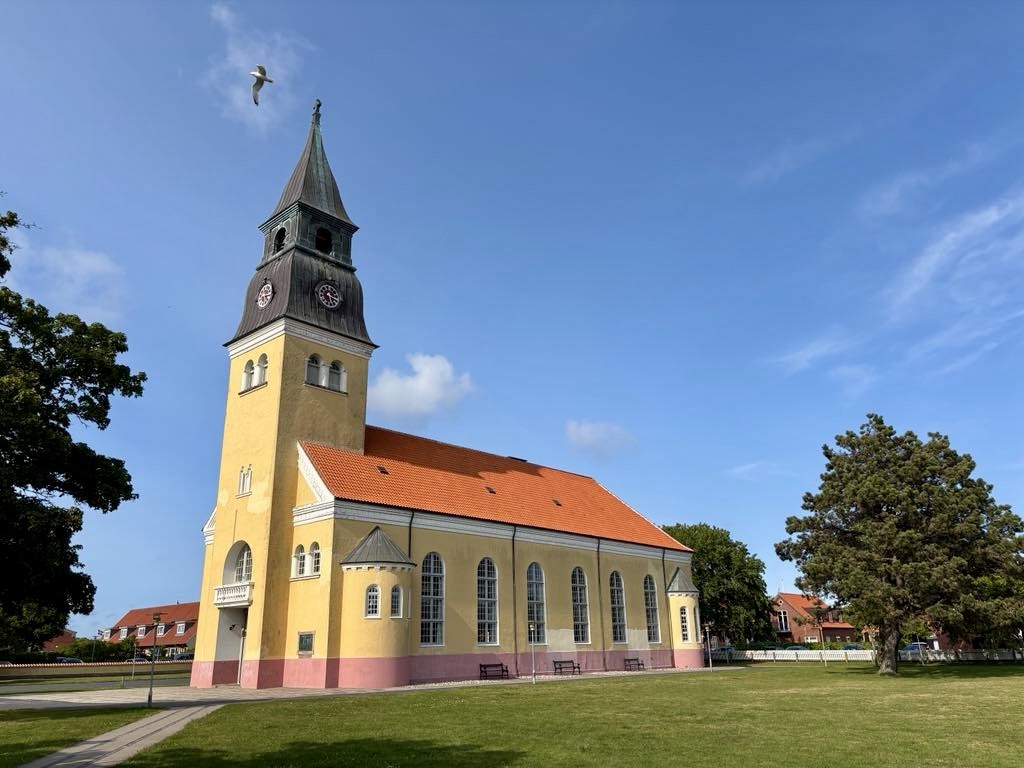
The church has extensive lawns, and features a large robotic lawnmower. I’ve not mentioned these previously, but particularly in Sweden, these were in many gardens working away diligently.

They were as ubiquitous as the Volvo car in the driveway.

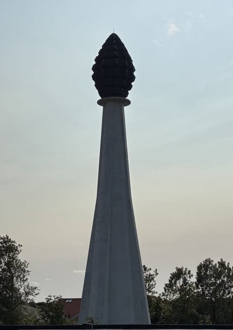
It is hard to miss this ‘feature’ near our accomodation. We wondered about it riding in earlier, we wondered about it again as we walked back.

Nothing on the maps, and we thought it looked like a hand grenade on a lighthouse base.

As we returned, one of the owners was wandering around, greeting guests sitting outside. I asked him what it was. He sighed and said, ‘artwork apparently’ but locals also think it looks like an oversized hand grenade. It is located within the property of a power plant.

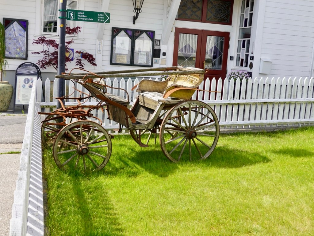
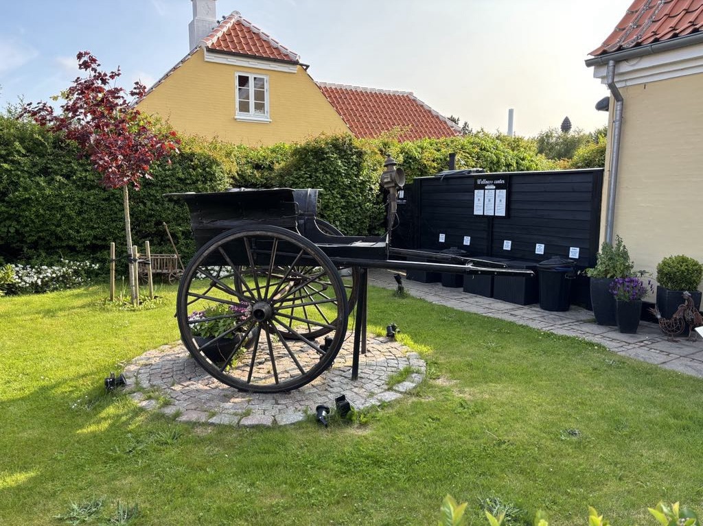
He told us about the history of the farm and the conversion, pointing out the buggy they had restored.

It’s been a lovely day back here in Denmark. We look forward to more cycling adventures tomorrow.

Thankyou for reading 😊❣️🚴💪

Day 26: Arendal (Norway) to Kristiansand (Norway)

A beautiful morning. Blue sky. No rain forecast.

View from our front deck

We rode to Rudi and Carina’s home, only a few km away, and shared breakfast with Rudi. We could keep chatting for ages, but we needed to get moving.

Rudi gave us a head start I dare say so he could smash it and get a workout in the catch.

We rode and chatted, stopping for photos.

This is a famous hotel, formerly a bathing hotel back in 1937. It is beautifully positioned with a lovely small ocean beach, near Fevik.

The views were fantastic, some gentle undulations, and we were soon at Grimstad, a town known for its white houses, cobbled streets and poets and writers,

This lovely statue is of Terje Vigen, a fictional character in a poem written by a local poet Henrik Ibsen, published in 1862. The story goes that during the Gunboat War (early 19th century), Grimstad was under a British naval blockade. Vigen decided to use a small rowboat to paddle to Denmark to get essential goods for his family.

The story goes on….

We then checked out a cycling display, honouring two local cycling legends.

Thor Hushovd was a three time Norwegian national road race champion, the first Norwegian to lead the Tour de France for multiple stages, and the winner of the 2010 World Road Race championship.

He is considered the greatest Norwegian cyclist ever.

The second honoured cyclist is Dag Otto Lauritzen who won a bronze Olympic medal and the first Norwegian to win a stage of the Tour de France.

There are two bikes on display (one a beautiful red and green Merckx) plus trophies. Unfortunately the photo did not work out to clearly show the bikes.

The rear of the display

Shortly thereafter we said our farewells to Rudi as he headed back home.

We were sad to say goodbye, but happy to have connected as well as we did.

Rudi took a photo of us both, a rare thing touring.

Then the selfie all together.

We had a hill to climb short thereafter to spin, spin, spin. We were enjoying the scenery.

Lillesand was the next larger village, located within the Blindleia archipelago. White painted houses, a lovely harbour, lots of little shops, and a guru meditating to classical music.

Our route then headed inland and we followed the Otra River. The Otra is 245 km long, and Norways eight longest river. There are multiple lakes and 12 hydro electric power plants, producing much of Southern Norways electricity requirements.

As we climbed and descended, the river was never far away.

The river flows to Kristiansand, our overnight destination. We need to cross that bridge in about 10 km.

The wind was quite strong this afternoon. We wondered how it would be when exposed at height.

We crossed a smaller bridge, where a foot and cycle lane was constructed below the vehicle lanes.

We approached the larger bridge, wind gusts from the side, dedicated cycle path.

Once at the top of the bridge, the wind from the left was evil. We crawled down to control our bikes when the gusts hit.

Good view though!

The city was super busy as there was a running event on. Sommerlopet had distances from 1 km to a half marathon, and it seemed to be very well supported.

We worked our way around runners and barriers, and found our accomodation, another Air B and no B, at the top of a steep hill.

It’s huge, we have a whole floor of an art deco period house to ourselves, with views towards the harbour.

The owner decided I must be riding with another female and set up two separate bedrooms. I assured him Tony was my husband, and as such could sleep in the same room.

He then went on with a long winded story about lesbians coming to stay 😳. I suspect he’d separate them too.

Tomorrow morning we transfer back to Denmark. It is a 3 hour 15 minute ferry on Colour Line, the ferry operator we used from Sweden to Norway.

In the search for food, we walked into the city centre. we headed towards the finish line as the very last runner finished to great cheering from the commentator. I think everyone else had gone, and felt a bit sorry for her as they were pulling down barricades etc.

The church below is the Kristiansand Cathedral. It is the fourth church on this site, with this one built in the late 1800’s. It seats 1,750 people making it one of Norways largest.

We went past at 5 pm and the bells chimed. We finished dinner nearby just before 6 pm and they were still chiming.

Love the Vespa’s. Takes me back to Muhlbach in the Tyrol, arriving at accomodation the day of the annual Vespa party.

Nice statues.

I liked this building.

This is for Kim, my friend who recently went to Japan. She photographed many interesting sewerage and water caps. This is the best one I’ve seen this trip.

A nice water fountain, as we meandered back up to the Air B and no B.

Todays route brings us to the conclusion if our riding in Norway.

Southern Norway, particularly along the waterways, has been wonderful.

Denmark awaits.

Thanks for reading

Day 25: Risor (Norway) to Arendal (Norway)

There were only handful of guests staying at the hotel. It was quiet. We headed off to breakfast and shown some food in the corner (cereals, yoghurt, bananas), so presumed, that was it.

Filled our bowls up. Then out came a massive platter with various cold meats, smoked salmon, cheeses, salad. It was huge.

Out came the bread basket followed by two fried eggs and bacon.

Ouch…so much food and two lovely ladies wanting us to devour it all…..well I don’t eat eggs and bacon, Tony had to deal with that.

We made up two nice rolls for our journey and it started to look like we’d eaten more than we had.

Back to our room, and this was our view out the window. Light rain and our lovely little ferry from yesterday arriving.

We left via the main road but after five km peeled off onto a lovely quiet road. This was a trip highlight, as it was dotted with lakes and fjord views. We rode around 35 km along this section.

Similar to yesterday, lots of ups and downs. With the rain and wet roads, all descents were taken slower.

You can’t afford to break heavily and slip out…oil, green grass, white lines, metal caps are all dangerous if you brake on them in the wet.

The rain eased during this section on and off. It would rain, the sun would try to come out, it would get darker, it would rain. Repeat.

Today we had no wind, not one breathe!

Some of the views.

We liked this house perched alone on this lake. Must be pretty in winter with the snow.
It had this little shed too
A video Tony took along this section.

The first town today at the end of this lovely section was Tvedestrand. From my strava map below, you can see it is at the top of a bay of water.

From a distance as we approach
Looking across at the marina
Looking back where we’d ridden from
A really pretty little town.
Borrowed aerial view photo from Norwegian tourism.
Nice statue along their boulevard
Baby canons
Looking back where we’d ridden

We then climbed up a hill on my least favourite surface, cobbles. Wet cobbles.

We continued to follow quieter roads, dotted with more lakes and fjords.

We crossed a high bridge just after Arnevik, connecting it to Strengereid as we had been on another island. Great views with a bit more height.

More water views as we approached Arendal

Arendal is a city with around 45,000 population. I was not aware that Germany had invaded any parts of Norway, but they did in 1940. The town was captured by a German torpedo boat.

The town has many car parks in the massive mountains of rock, as well as a few tunnels we rode through.

Actually one if the tunnels formed part of a climb, prefer my tunnel rides to be descents not ascents. The cars were tolerant.

In the city centre the Trinity Church.

Something we noted today with the rain. Many people do not wear rain coats in the rain. The umbrella below was the first.

The Norwegians seem to be very hardy, despite Helly Hansen being a wonderful Norwegian wet weather gear manufacturer.

Our route had us traversing around the harbour and then up to our accomodation another five km along.

It took us up a crappy gravel path, and off the bikes here.

This was navigable as we wheeled our bikes between the excavator and garage, Tony lifted them over pipe work and a rain eroded gap, onto that metal walkway. Shortly thereafter we were riding again.

We are staying at a camping ground in a cabin, listed as waterfront. That it is! View from our deck.

The bikes were filthy again from the rain, the earlier path in town and riding around the cabin park finding our unit.

A clean up was needed, and we used fresh water and rags to clean them up, and they stayed outside in the drizzle until dinner time.

With so much wet gear, we needed to be creative with drying. 🤣

At 6 pm, we were picked up by our friend Rudi. I met Rudi years ago on Zwift when he joined an event I regularly led. I adopted him, and I was ‘mum’.

It was truly delightful to have a meal with he and his lovely wife Carina in their home.

We spent a number of hours easily chatting away (they speak excellent English), about travels, Zwift and life.

We got to see his Zwift pain cave set up and very nice bikes that he has.

The Zwift circle of friends has been very good to me. Rudi is the third Zwift friend we’ve met this trip. Such meet ups I do value and treasure, being the sentimental sop that I am. ❣️

Despite recent shoulder surgery Rudi intends to ride with us for a portion of tomorrow.

We will ride to his house and share breakfast before heading off.

As I mentioned yesterday, sunset is much later here than home.

This is a photo Tony took after we packed some if our gear and hopped into bed.

The route today was excellent and I would highly recommend to any biking tourers.

We ride 75 km and climbed just under 900 metres.

That’s it for another day. Thanks for reading. 😊❣️💪🚴

Day 24: Langesund (Norway) to Risor (Norway)

Looking out our bedroom window, I gazed upon the local houses, thinking they looked like a Lego constructed home. The day was starting off fine, with forecast of rain in patches during the day.

A nice breakfast, we retrieved our bikes, packed and off we headed.

We were to ride most of the day through the southern Telemark region, dotted with islands and bays.

The first site of note, was Bamble kirke, a white wooden church built in 1845. It is impressive with its white timber exterior.

Adjacent were the Olavskirken (St Olav’s church) ruins, initially constructed around 1150, and left to fall into ruin after the new church was built.

St Olav is the patron saint of Norway.

We ended up on a horrendously busy road for a period, where a yellow bus overtaking Tony did not veer away at all. It was close.

We’ve sighted deer and squirrel, but still no moose.

Fortunately, after 10 km or so, we veered off onto a lovely country road that meandered around internal lakes and fjords, providing lovely views.

A walk in trail was well marked
Lovely lush vegetation

At Kragerø we were to catch a ferry at 11.30. We had arrived with 50 minutes to spare. Time to chill.

Waiting

Kragero kirke was built in the 1870’s replacing the previous built in the 1600’s.

From Kragero you can head to outer islands including Jomfruland National Park.

This was to be our journey today, crossing to Stabbestad, a 12 minute ride by ferry.

Our ferry arrived. An assortment of vehicles included a big yellow bus! I did wonder if it possibly could be the same one.

The we climbed out of Kragero with now very cold legs. They did protest. I think it was a 1.5 km climb too. Spin, spin, spin.

Today was all up down, climb, descend, repeat. We climbed 879 metres today in around 65 km.

We were inland again for a while, but again dotted with water views.

I had mapped the village of Oysang to check out. Down the hill we went. We decided not to leave and climb back up.

We had ridden about 65 km at this point and what we discovered changed our plans, for a few reasons.

We discovered this little wooden boat. It turns out it it Norways oldest wooden ferry still active. It travels a few times a day between Oysang and Risør (our destination).

The schedule works around school children taking them to and from school in Risor.

There was a 2 pm ferry scheduled. That was about 45 minutes away so we cleaned our bikes and ate some of our food.

At 1.59 pm three people walked down the hill and we paid 200 Norwegian kronor and hopped on.

The journey across the fjord is part of the North Sea cycle route. The route was threatened with closure in the 1990’s but a local interest group worked hard to keep the route open, with the ferry refitted in 2003.

The setting for the Oysang harbour is tiny and ever so pretty. We were really enchanted by the area.

Oysang harbour

We met a lady who lives in Oslo, but has a summer house here. She was on the ferry to get her groceries in Risor. She told me her neighbour is from Tasmania.

Me admiring the scenery
The bikes.
Exiting the little harbour, very narrow
Looking back, the white house belongs to the lady from Oslo.

It is a 25 minute crossing, and we quickly arrive in Risor. Guns on deck.

We checked in. I negotiated a preferable storage location for our bikes after rejecting the first suggestion (behind the outside bar).

I asked if she thought they could be stolen there (knowing I was not accepting this option already), and the response ‘you never know these days’ did not pass the test.

They are now in a locked room within the hotel!

We wandered around town. Most of the buildings are white and timber. One place was being stripped back and it was a lovely timber beneath.

We liked this food vehicle

We found a nice restaurant and feeling hungry ordered two courses. Entrees were bigger than anticipated and we battled eating main course.

Mine is fish soup. Very filling and this is entree.

Certainly not cheap eating here, spending over 1200 kroner, we walked a bit more to settle our stomachs!

It was a good day today. We had some rain, we had some wind, we had lots of climbing, but we had some great sights.

We certainly do not regret cutting the ride by 30 km to take the old wooden ferry as it was a beautiful experience on a piece of Norwegian history.

Thanks for reading and joining us.

😊❣️🚴💪

Day 23: Sandefjord (Norway) to Langesund (Norway)

We awoke to the sound of rain around 5 am. Over the next few hours it stopped and as I peeked out our north facing window could not see movement of the vegetation. That was promising despite the wind being from the south.

Neither of us had slept well, due to an inferior mattress. I had also wacked my head, twice during the night, as the bed was jammed in under the window sill, with a sharp edge adjacent to my pillow. I had mentally rearranged the bedroom furniture during the night.

Tony was feeling heaps better, not 100% but felt he could ride. I had told him of the train options I had identified.

Staying at an Air B’no B ( no breakfast) we left before our hosts stirred at 8 am.

We made our way out of Sandefjord along a bike path, with very grey clouds.

We found a supermarket in the small village of Asane open and grabbed some food to eat.

We turned off the busier road at Hem and headed further inland through predominantly rural land holdings.

Turning back towards the coast, I think this is at Bjonnes.

The busy city of Larvik we passed through stopping to take a photo of these older masted boats in a small harbour.

The roads were wet, and we fortunately dodged rain bullets again today. For much of the ride, we wore our rain jackets, as the water from the road that flicks up is far easier to clean from your rain jacket than other clothing.

Water views dotted the landscape.

Nice local war memorial outside this colourful building.

Ubiquitous rural churches.

The irrigators are going despite the rainfall.

Very pleasant outlooks to view as you ride what was very much up and down all day.

The forests have changed significantly from Poland. We are now around 59 degrees North. Over 33% of Norway is forest.

This image made us stop. It is a safety sign for car drivers to give cyclists space.

Today we rode in a mix of bike paths and open road. The rural back roads are quieter with no verge. The busier roads tend to have some verge that we try to ride within, or on the white line.

With side wind gusts not being a factor today, we can ride far right without the same risks imposed.

Rocks still feature. Many people have massive boulders in their backyards.

We liked this little cabin.

More water views.

That’s a high bridge!

One high bridge is never enough. Let’s build a second one.

This house has an interesting position, with a nice little under cover boat house.

We climbed over 900 metres today. That’s a fair amount with luggage. None of the climbs involve any great altitude, so it means lots of ups and downs and no significant longer flat sections.

We had 8 rated climbs per our Hammerhead (bike computer) but bar one, some of the nastier ones were unrated with sections up to 15%.

The longest climb you can easily see. It was about 2.5 km long and quite doable with luggage on a quieter road. We could see a freeway at greater heights where most traffic zoomed along.

Here is part of the climb.

That is me. I did not stop where Tony was taking the photos from as I was concerned I would not be able to recleat my shoes back onto the pedals. I’m not as clever as Tony 😁.

Not far from the top there were red lights. Never a popular sight climbing, but fortunately the majority of the climb was behind us, and the steepness had abated.

On we rode with an eventual green light. Shortly after the top of the climb there was a road block. One of those non negotiable road blocks. We are not going to be able to sneak through this one!

Fearing we were about to ride onto a freeway, as we rode on we were fortunately able to use the access road established for the construction vehicles.

These tunnels are part of a 17 km bypass of the city of Porsgrunn between Oslo and Kristiansand. This section being constructed is 5.2 km long.

We avoided Porsgrunn, cutting south. We are not a fan of riding through larger cities without good reason.

Norway is investing massive amounts into tunnel infrastructure, also building the world’s longest and deepest underwater tunnel.

The tunnel will run under the fjords, and will be 26.7 km in length and 390m at the deepest point.

That tunnel, when completed in 2033, will reduce travelling time between two of Norways largest cities, Stavanger and Bergen by 40 minutes.

Closing in on our destination, water to our left, we head towards the large bridge connecting Brevik and Stathelle.

I stopped to take a photo. The wind was dreadful up here, with a narrow path for bikes. As you can see, the safety barriers prevent a decent photo but the to the bottom left looked quite nice through the gaps.

Looking further along to the right, another new bridge being constructed! Lots of Kroner!

Round about of the day. Lots of metal. You need to use your imagination on this one! I’m not sure what it depicts.

It was a cruisey 80 km ride today despite climbing over 900 metres. We arrived before check in time so went to the local supermarket to grab some lunch.

The hotel was then happy to check us in early and wonderfully announced, before I spoke up, that they had a secure place for our bikes. 😊

Tonight they are locked in a meeting room off their conference centre.

Our accomodation buildings are large with an array of indoor and outdoor pools.

After dinner we wandered around outside.

From the accomodation view.

Getting closer, there is a sea pool and sauna on the deck edge. A guy walked out of the sauna in just his bathers and casually walked back to the resort. Meantime, I’m hugging my clothing tight as it’s about 6 degrees C and windy!

I like this photo. A small island with bell and mini lighthouse.

Distant view looking down Langesundsfjorden and where we head tomorrow morning.

Today’s route map.

Tomorrow is a big day. We need some rest. However, the sun will not set until 10.23 pm tonight, and will rise 4.15 am.

I hope the curtains block out the light!!

Thanks for reading and joining us 😊❣️🚴💪

Day 22: Dafto (Sweden) to Sandefjord (Norway)

Today was a day primarily concerned with getting the ferry across the North Atlantic Ocean from Sweden to Norway, so we could continue our adventures.

Also doubling as a ‘rest day’ as there was not a lot of cycling time available without pushing boundaries either end of the day.

We also like to make sure we leave plenty of time to get to a ferry in case of a mechanical issue, or medical as it turned out today.

Tony was feeling quite dizzy with vertigo after breakfast and we decided to maximise the time in our room until check out time of 11.

He slept and felt even worse when he woke up.

I transferred all our gear and bikes to a place we could assemble them, and checking out asked for a large taxi.

I waited and spoke with the lovely taxi driver explaining. He loaded the bike and took Tony to the ferry terminal. He also removed the bike from the van saving Tony the effort.

I then rode departing the pirate park.

I only needed to ride 5 km without Tony but it felt strange.

I had an hour to get there so stopped to take photos of this area we really rate highly.

Well perhaps not this guff, but the hotel was great.

This is what I’m talking about. Lovely coastal scenes, gorgeous little homes and fishing huts.

Loved this water feature. I am sure it’s a hit with the locals in summer.

Interesting information de the Kosterhavet National park, one of Sweden’s most popular holiday areas.

North and South Koster islands have been added to my bucket list of we return.

Just a beautiful region.

I found Tony sitting outside the terminal, pleasingly looking a bit brighter.

I tried to check in but needed to go and line up elsewhere with the motor bikes.

The ferry will dock here

Eventually our ferry arrived, dwarfing the surrounding islands.

It is quite a narrow passage and the ship reversed in, to the left of this photo.

The most incredible line up of assorted vehicles left the ship over two levels. The capacity is significant. We got very cold standing there with the biting headwind lashing us. All our warmer clothes were on.

We were the very first to enter the cargo hold, cycling to the far end and strapping our bikes to the side. The motorbikes and then buses followed.

The first things we noted on board.

I had purchased a lunch package with our ticket, and lined up behind the bus tourists at the buffet, to be told ‘oh no, you’re booked into the elegant restaurant on level 8’.

So up we went, in our cycling gear, and here we sat for the duration, enjoying the views in a restaurant with only three other guests! Nice meal too!

Some of the views from the Sweden end. I think you can see why we rate the Bohuslan archipelago highly.

The ocean swell was considerably larger than our crossings over the Baltic, and was glad when Tony put his head down, and fell asleep.

The crossing is 2 hours 30. Our first views of Norway.

Drivers were called down to the cargo area 20 minutes before docking.

Standing down there, amongst the high trucks and buses is a funny feeling. It’s also extremely noisy and you cannot be sure what is happening outside.

This ship has perhaps the cleanest hold I’ve seen, the floor is shiny and spotless.

Lots of cables and piping, again all looking pristine.

Finally the sirens start and the hydraulics open the hatches. Nearly out. Two buses and a motor home went out, then us.

We were shocked how cold it was and even windier!!

Our accomodation is in an Air BnB only one km or so from the terminal.

After checking in, we walked into town, with Tony feeling heaps better.

Our ship was just departing, slowly reversing out. The nose of the ship had lifted when we arrived but we’d entered via the rear hatch.

I had trouble getting up onto the big chair for this photo. It is very large!

This lovely old building was a health retreat and spa in the late 1800’s. The area is setting up for a music festival in the surrounds, hence all the tables.

The Viking ship is regarded as one of the most important contributions from Norway in world cultural heritage. This region was once one of the most famous areas for building Viking boats.

The skill is being taught again on this site.

I saw the boat and called out “Floki!”. Floki was a famous Viking boat builder in the TV show Vikings. He had a wicked laugh.

The Hvalfangstmonumentet (yes that is just one word) is a bronze memorial statue that rotates. In English that translates to the Whalers Monument.

It took the artist 7 years to complete, with the big unveiling in 1960.

We are hoping for good health and the winds to ease tomorrow. The latter looks unlikely but let’s see what the day brings.

Thanks for reading.

😊❣️🚴💪