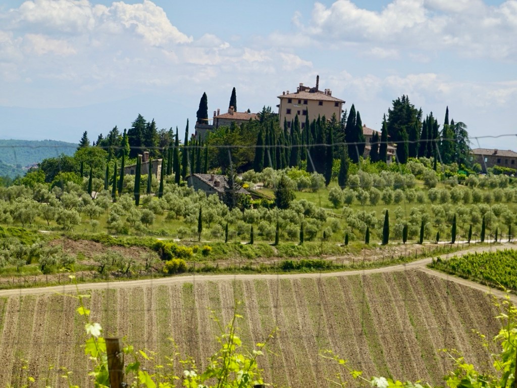
Chianti is one of my favourite areas of Italy and given today was also my birthday when mapping I decided on taking a longer and hillier route to Siena, so that we could lunch at Radda in Chianti.

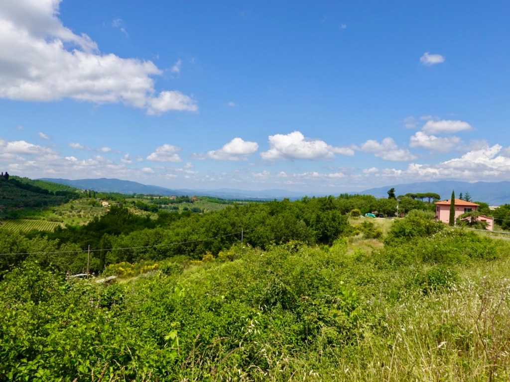
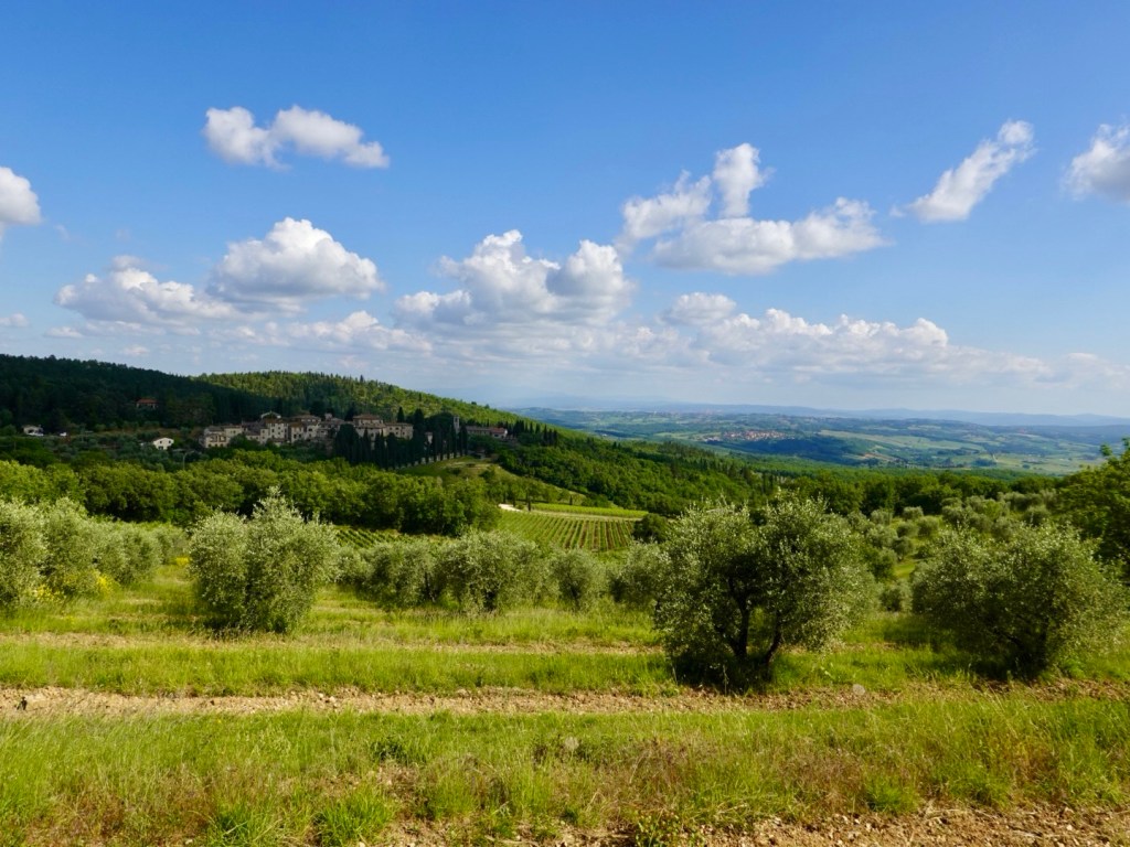
A famous wine growing region with lovely vistas of vineyards and olive groves.
We had ridden through Chianti in 2016, after completing our London to Venice bike ride.
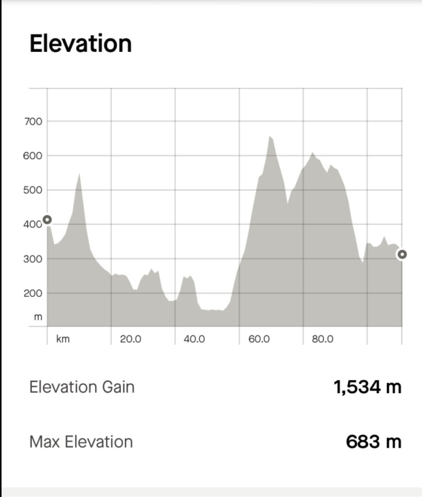
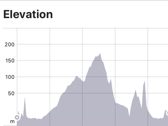
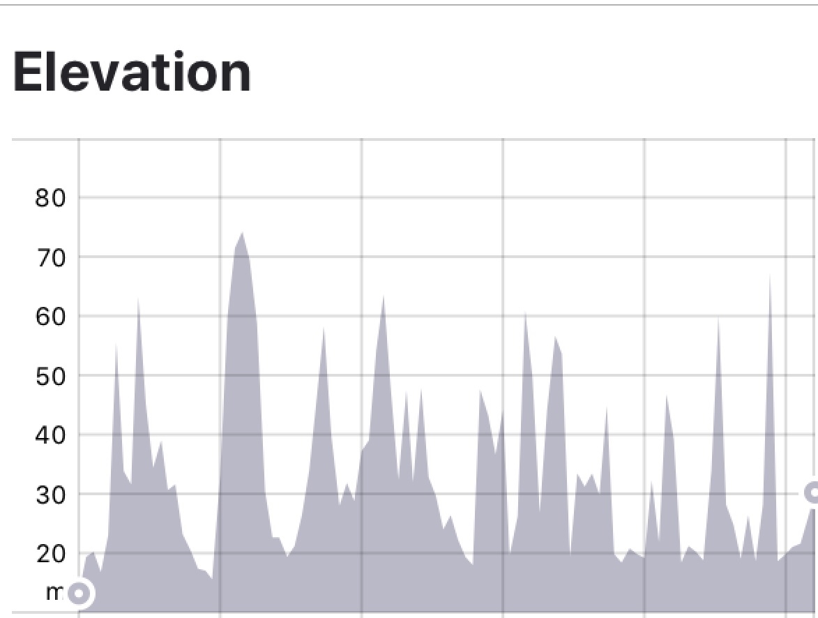
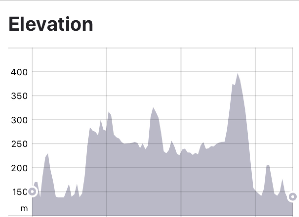
Another long and hilly day with 111 km and over 1500 metres climbing. The longest single climb today was 13 km in hot and sunny conditions.
Leaving Anghiari was no simple feat. We pushed our bikes up steep cobbled laneways to a position where we could actually ride safely.
I break today down to two chunks. Getting to Montevarchi and then Montevarchi to Siena.
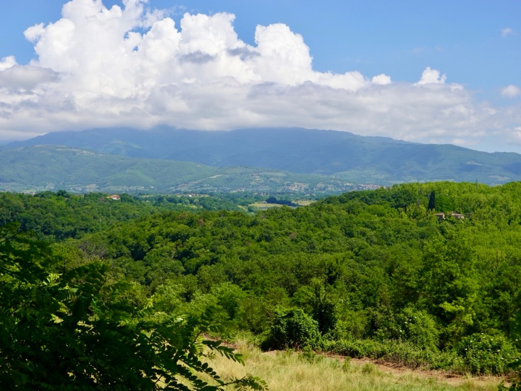
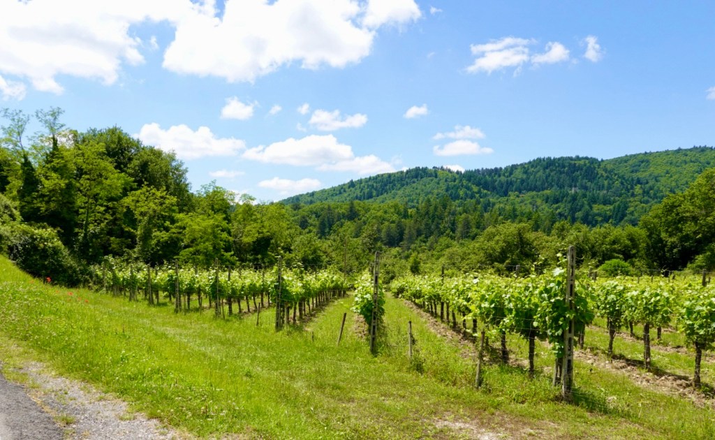
The second section is pure Chianti and a beautiful (and very hilly) region.
The town in the middle is a hole. No reason to go there. Worst city in Italy I ever been to …. twice! Once was not enough apparently.
I looked for redeeming features but found none. My judgement remains.
In the meantime there was nice scenery and work to be done.

Then we hit Montivarchi, a hell hole for traffic, road works and general ugliness. We spent one night here in 2016 on our very first self supported ride, three days in Tuscany. I was not self sufficient then, and paid for the route notes and accomodation through a bike tour company.
The night before returning to Florence was spent here and we just did not like the dirty, grotty town. It was so anticlimatic to Chianti. Given the beautiful villages nearby we could not understand ‘why Montevarchi?’
The biggest climb of the day started just out of town. 13 km and gaining over 500 metres. It was sweltering in the 30’s and we were sweating profusely, drinking regularly. Shade was rare but welcomed,

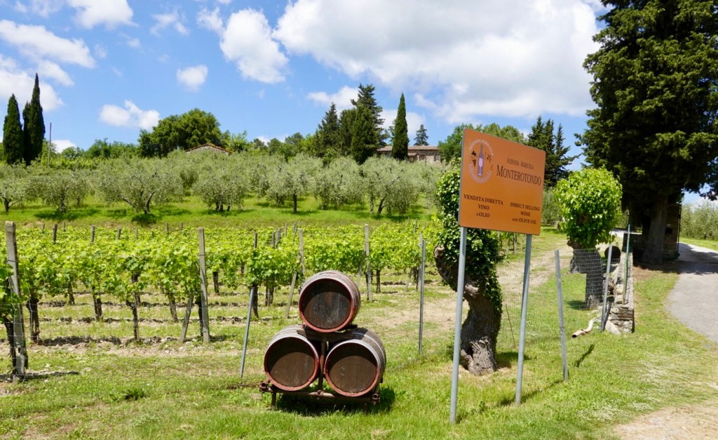
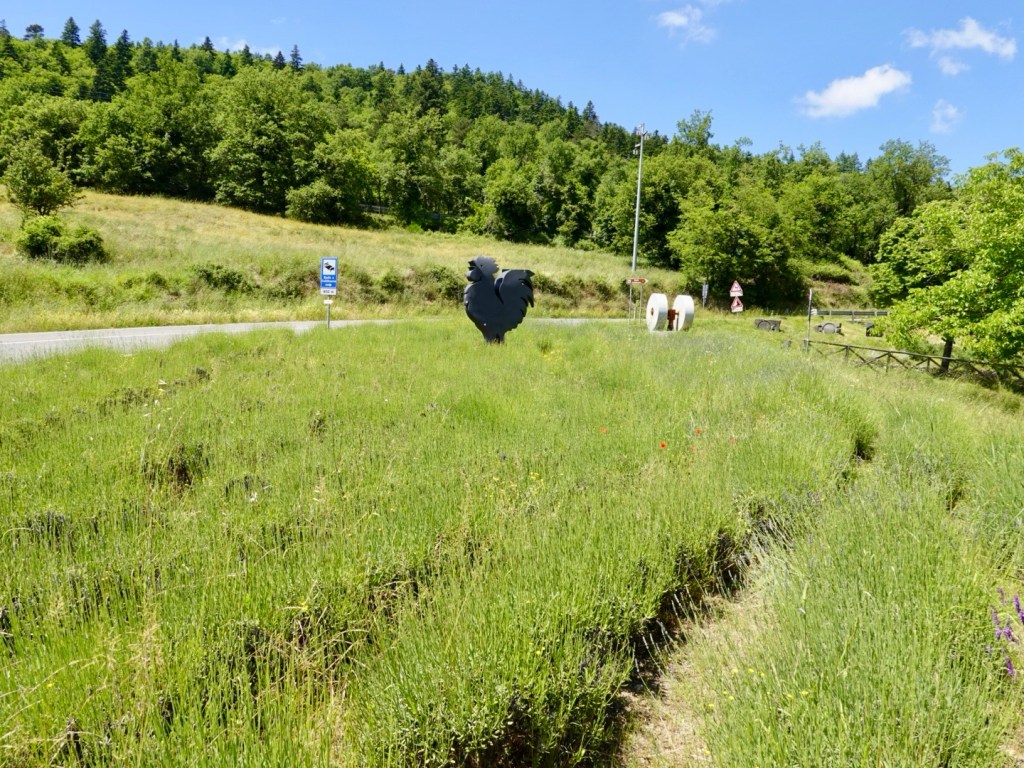
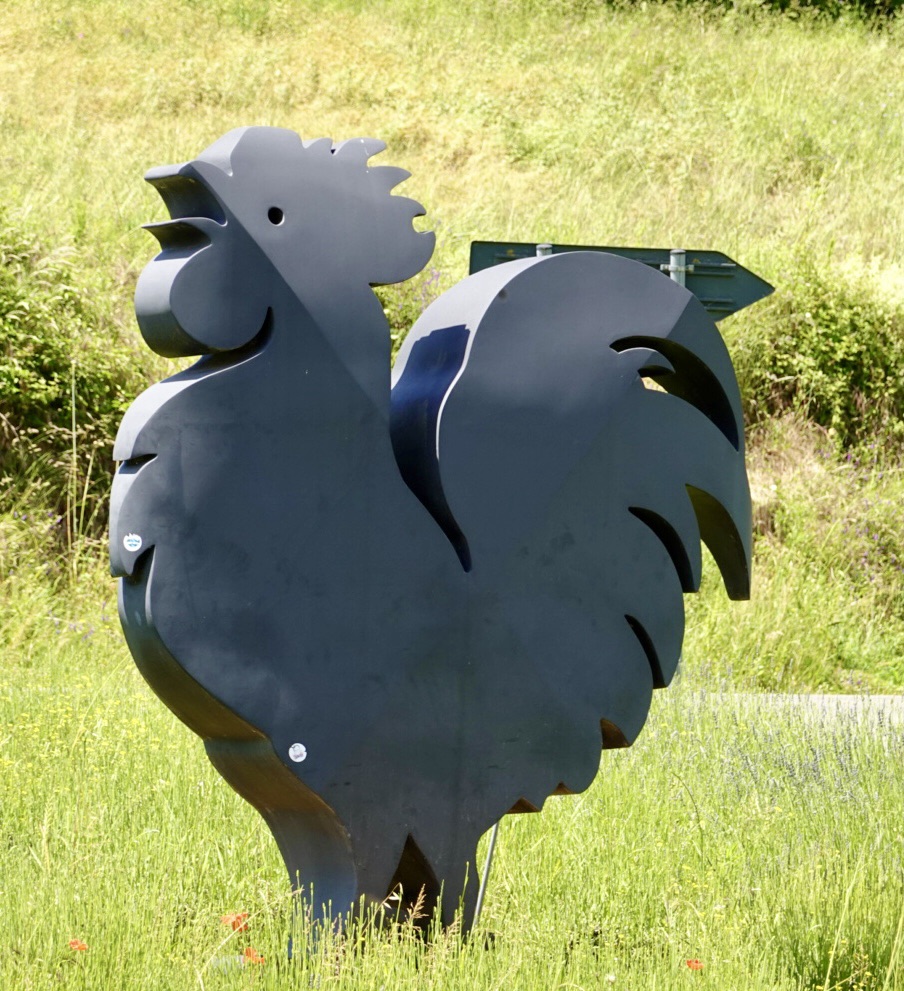
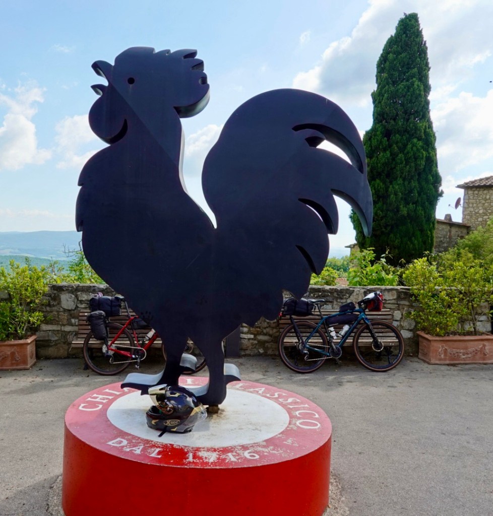
The black rooster needs an explanation. It is an important Chianti symbol for wine producers. When placed on the neck of a bottle, or label, it distinguishes Chianti wine from those outside of the region.
The symbol dates from the Middle Ages with a tale of war between Florence and Siena over control of the Chianti region. To settle the score they were each to send a knight, at dawn, awakened by a rooster. The point at which they met would form the new border.
The Florence rooster was white, well fed and woke after dawn. The Siena rooster was black, kept starving in a cage. It woke early and was ravenous. Therefore the black rooster knight had a time advantage and gained greater land.
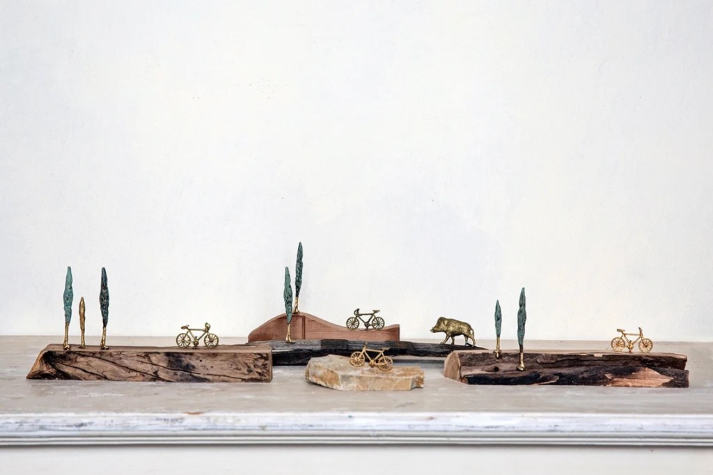
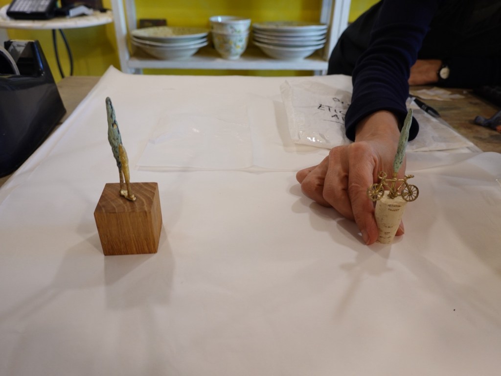
We stopped in Radda in Chianti to buy a trip momento to compliment our purchase from 2016. The artist makes many different items including a range of cycling in Chianti items such as below.
We stopped by at a local restaurant to eat. Tony had a main course pasta dish as he was starving, me bruschetta.
They were dreadfully slow though and we were later back on the bike than we would have ideally liked get into Siena.
We rode through Castellina in Chianti, another delightful town but only have this one picture.
We were keen to get into Siena. I came through in my bike in 2018 on a day trip out of Pienza, but Tony had not been.
We got into the old town alive, but it was hair raising and very deconstipating arriving during peak hour.
The accomodation was hard to find despite my best mapping efforts. We must have missed an alleyway that would take us to a lower level, as we were right on top of the route…literally.
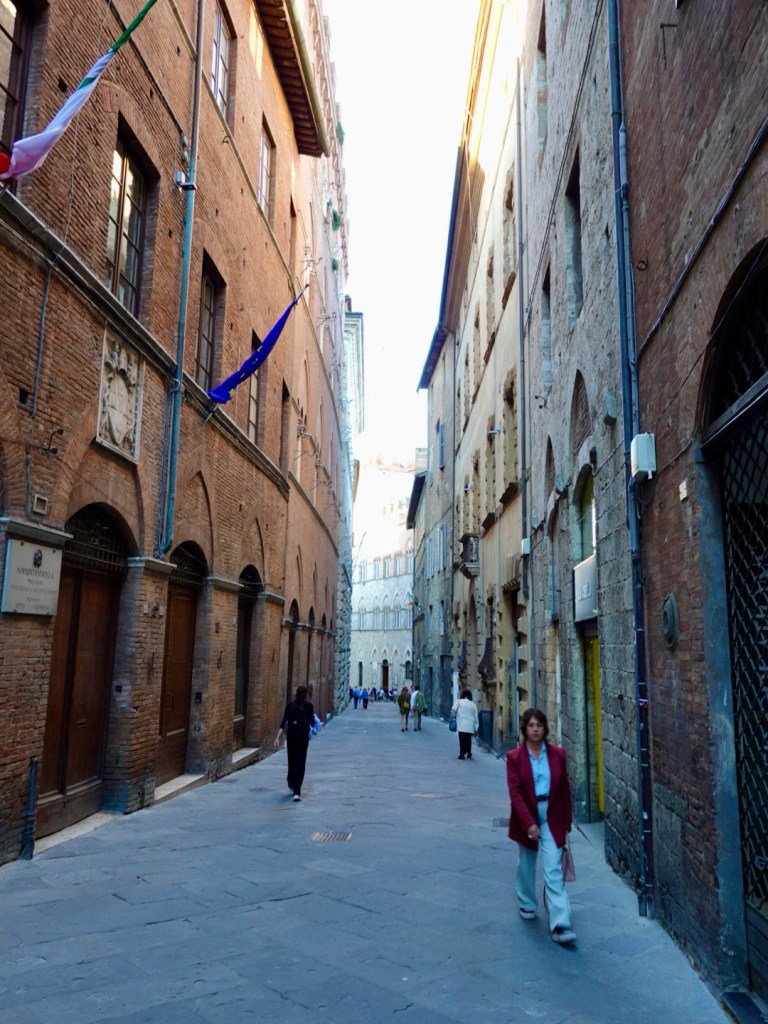
Siena is steep, cobbled, narrow alleys and by this stage, we were pushing the bikes trying to figure out how we went wrong, but more importantly how to get to the accomodation. We were within 100 frustrating metres! Look down Sharron, look down….ah under the laneway was another laneway.
Eventually we got there!
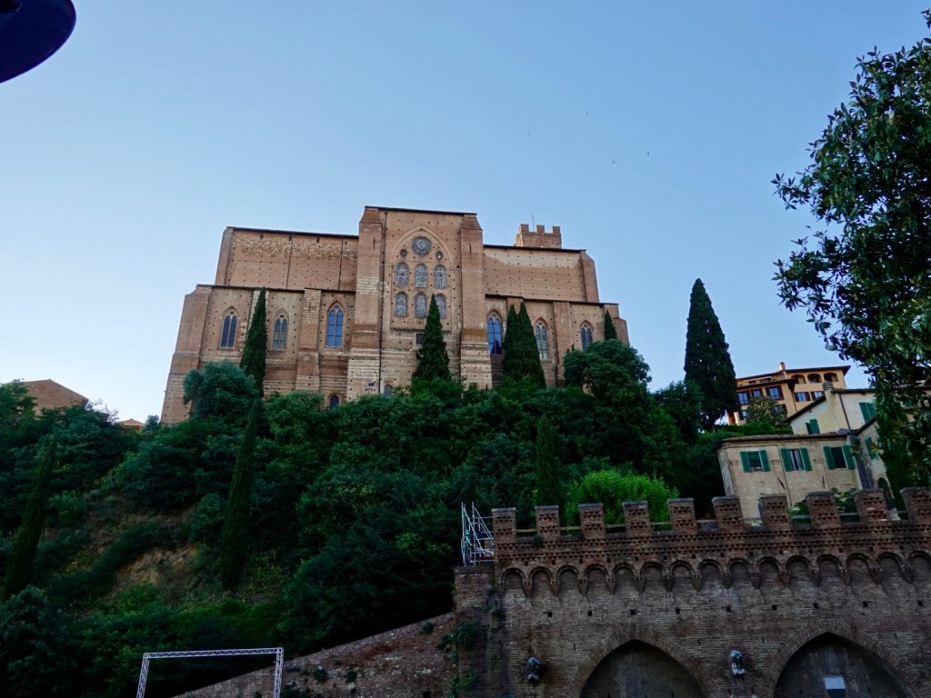
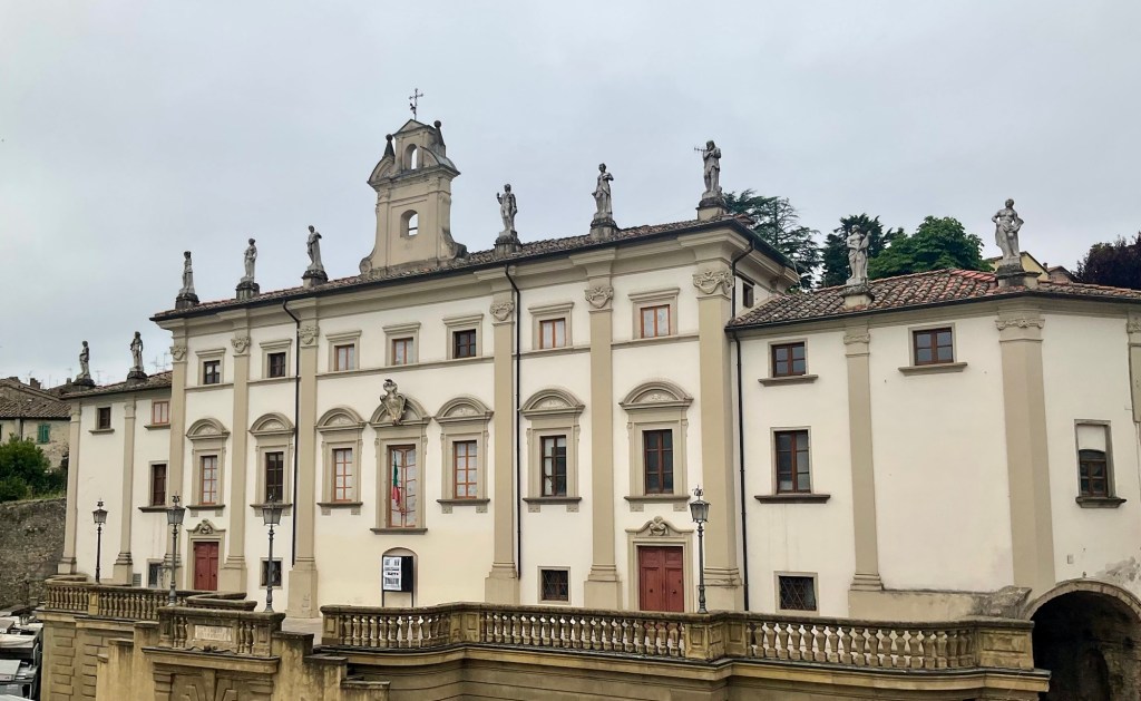
Siena was decimated during the Black Death in 1348 with Florence then dominating Tuscany thereafter. This was a piece of good fortune as it meant that Siena did not have the funds to modernise its Middle Ages buildings, but Florence did.
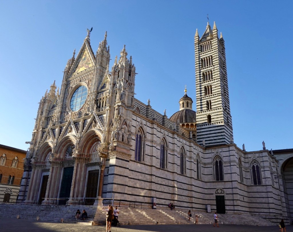
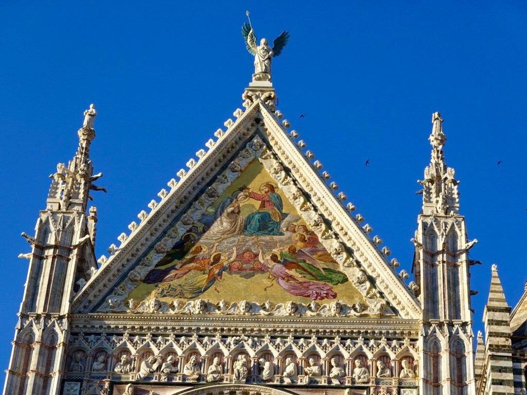
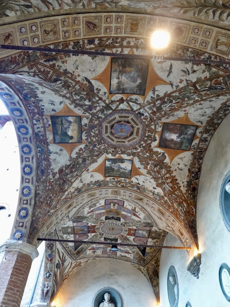
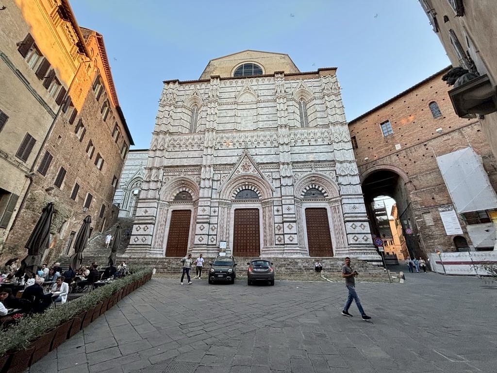
The Duomo is a massive Gothic cathedral boasting art from the likes of Michelangelo, Bernino and Donatello.. It was largely built between 1215 and 1263.
After showering, as it was so close, via the flat map at least, we headed off to the Duomo.
You could climb hundreds of steps or take six escalators….we took the lazier option! Not like our legs had not had a good workout already!!
Unfortunately the Duomo was closed, but my memory was that is it magnificent inside. These days you need a ticket and the evidence in the surrounding piazza with old tickets in the ground presumes it had been a busy day.
The detail in the stone carvings, tiled exterior is just beautiful. The Duomo stands testimony to the amazing people that did this work 800 years ago.
Those doors are incredibly high. I have often wondered why the doors need to be so high. What a pain if the door needs adjusting as it wont close properly? How do you oil the hinges? Is it easy to shut the doors as they must weigh a tonne or two!

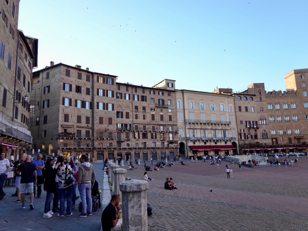
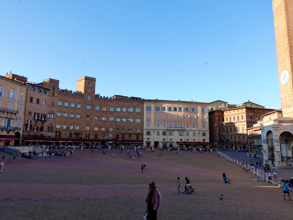
The alleyways are well signposted with which direction to walk to key points of interest. We walked to the Campo within a few minutes.
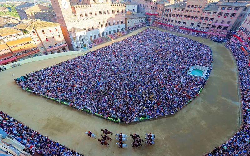
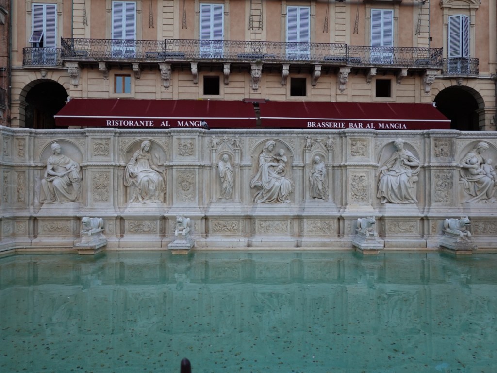
Piazza del Campo is a famous public square in the shape of a half moon. It hosts the biannual Palio horse race which goes back to the Middle Ages. It is a barerback horse race around the Campo but tonight we were fortunate to get a dinner table that viewed the Campo.
Quite amazing to think they hold an annual horse race here. It is on a slope, those poor horses.
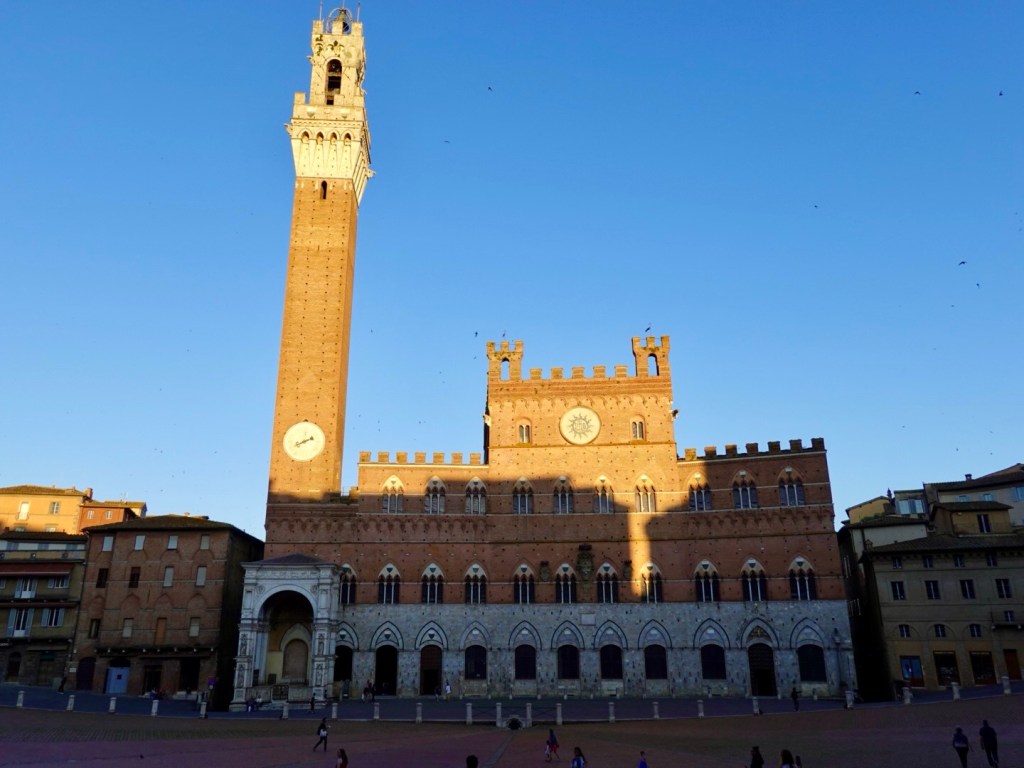
Torre del Mangia was built in 1338-1348 and at the time of construction, was one of the tallest towers in medieval Italy. Today it is Italy’s third tallest tower.
It was built to be exactly the same height as Siena Cathedrals, a sign that the church and the state had equal power.
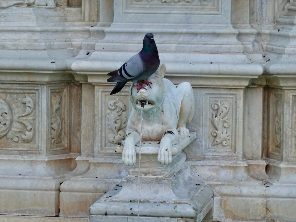
There is a nice water fountain in the centre, closed off to the public though.
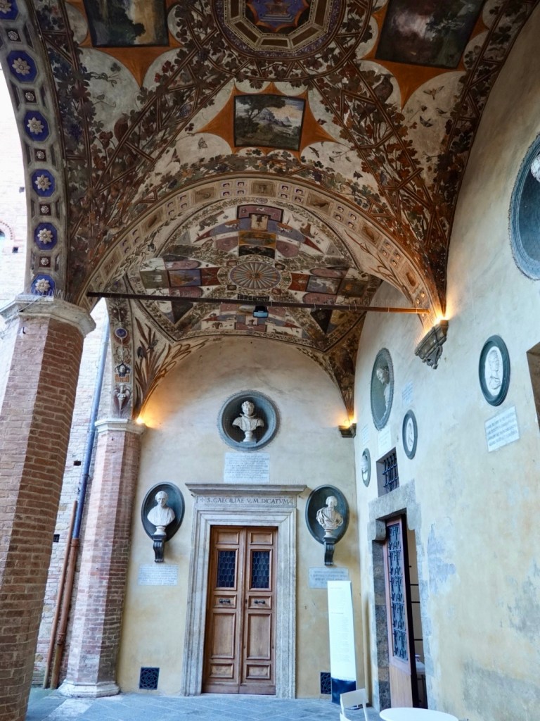
We wandered around d the darker alleyways.
Found this beautiful offshoot.
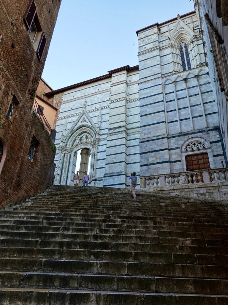
Arrived at the Baptistry of San Giovanni, built between 1310 and 1320, alongside the monumental staircase rising to another piazza. Closed, but photos showed its internal magnificence.
The magnificent staircase…up we went, through that arch arriving back at the Duomo.
I wandered around checking out the sculpture detail and doors more closely, before taking the soft option of six escalators back down to our lower accomodation level.
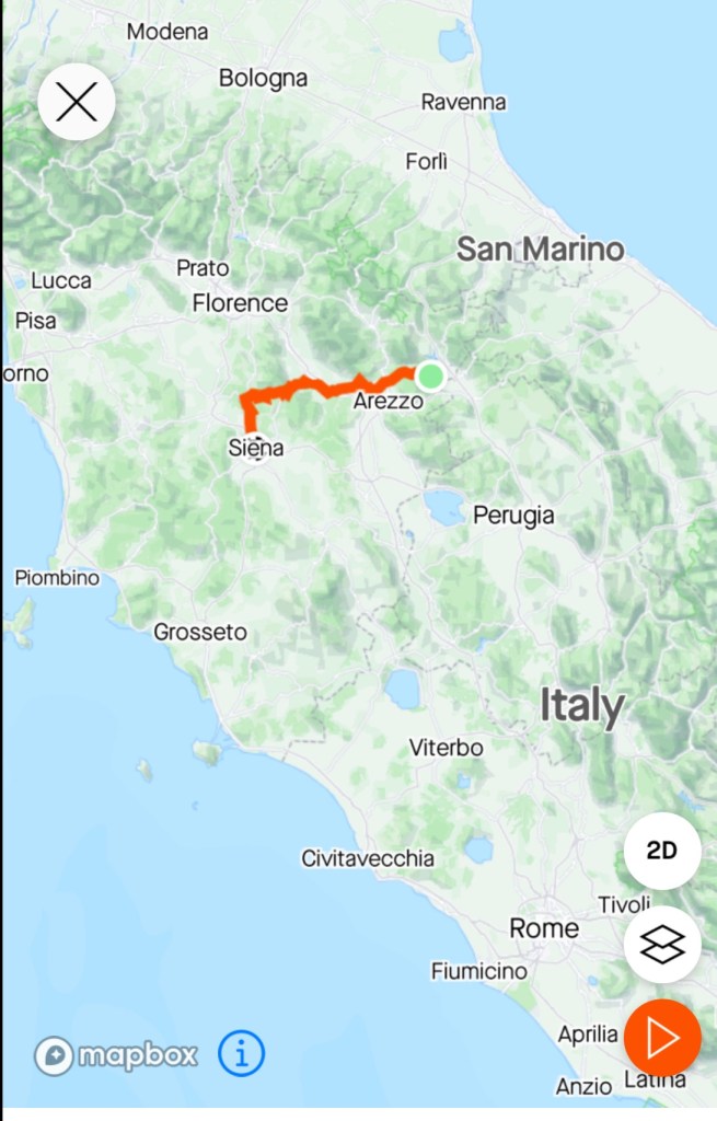
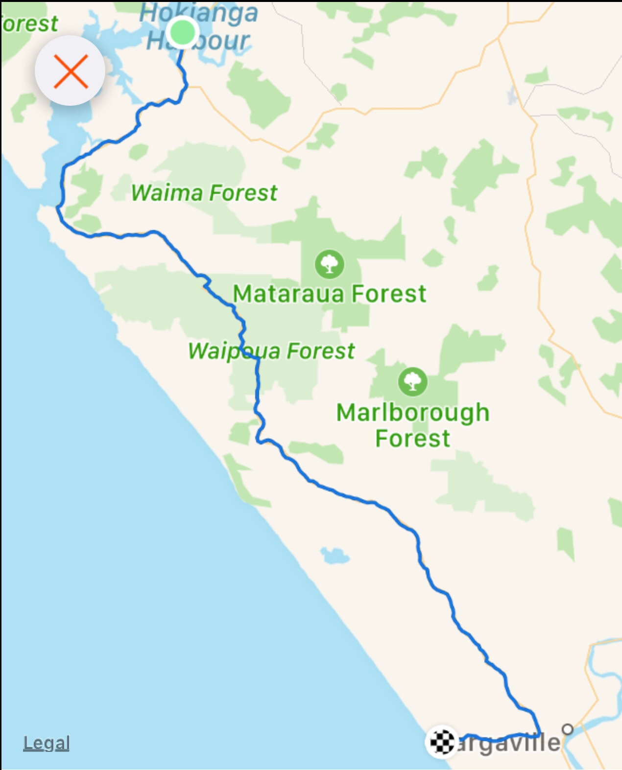
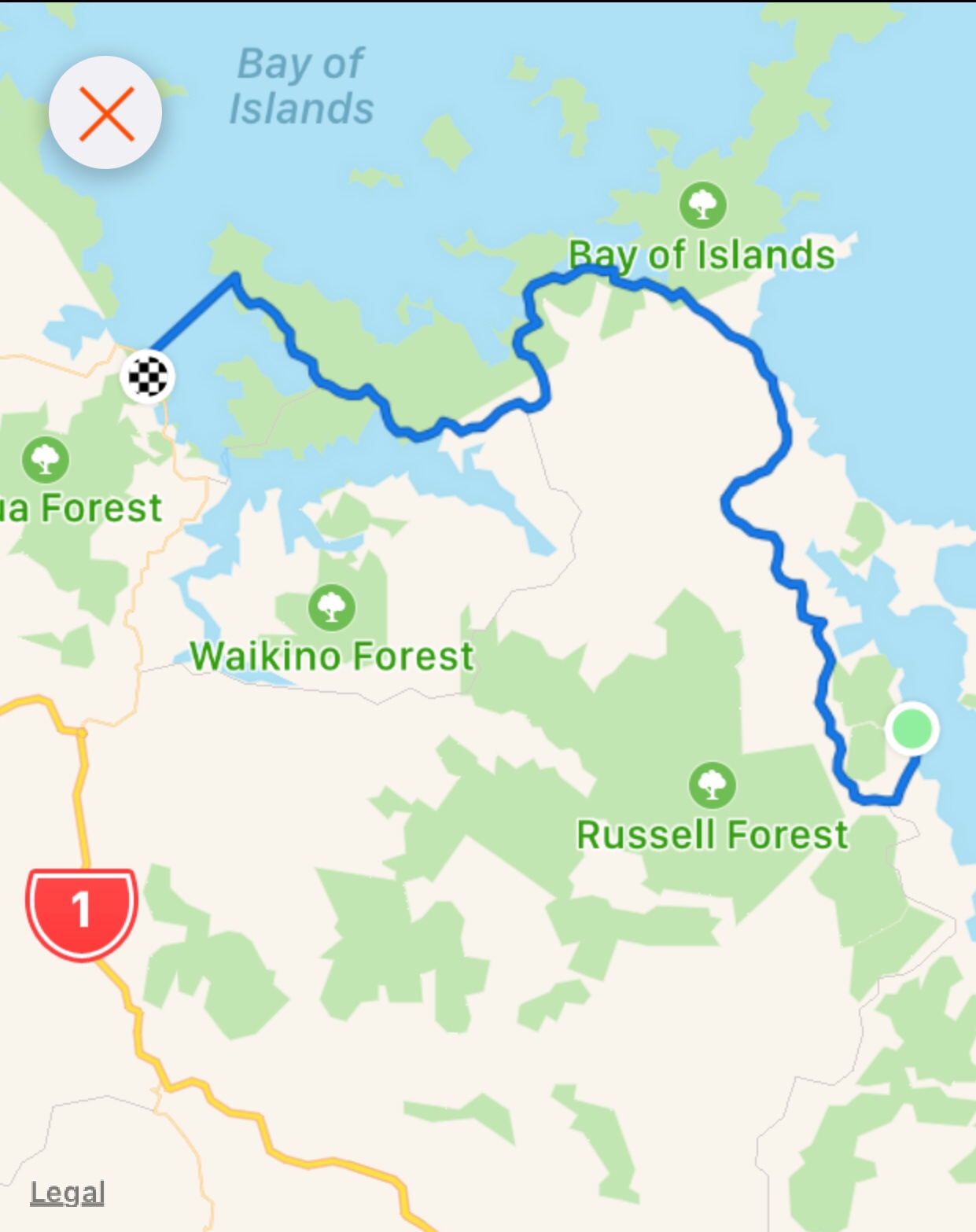
The map shows our progress across Italy. One more day and we will be at the Mediterranean Sea! What a trip this is! A big physical challenge but for us enjoyable and satisfying knowing we have done his under our own steam.
Thanks for reading 😊❣️
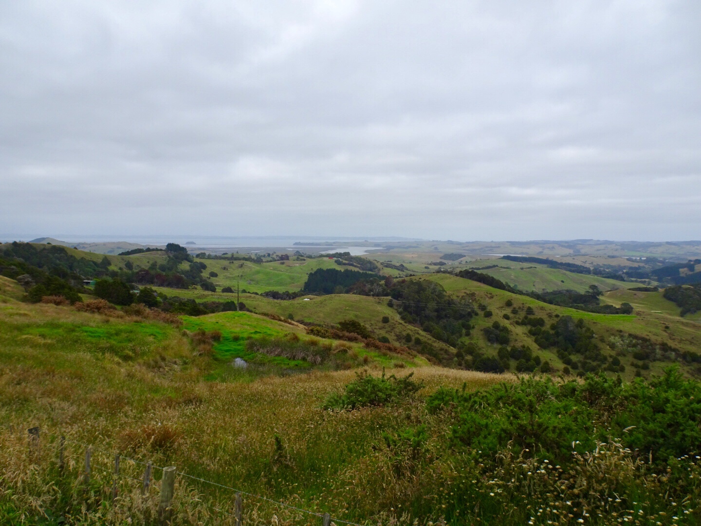


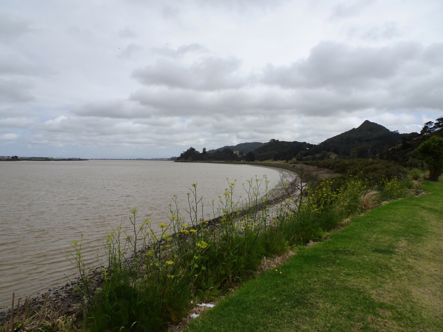
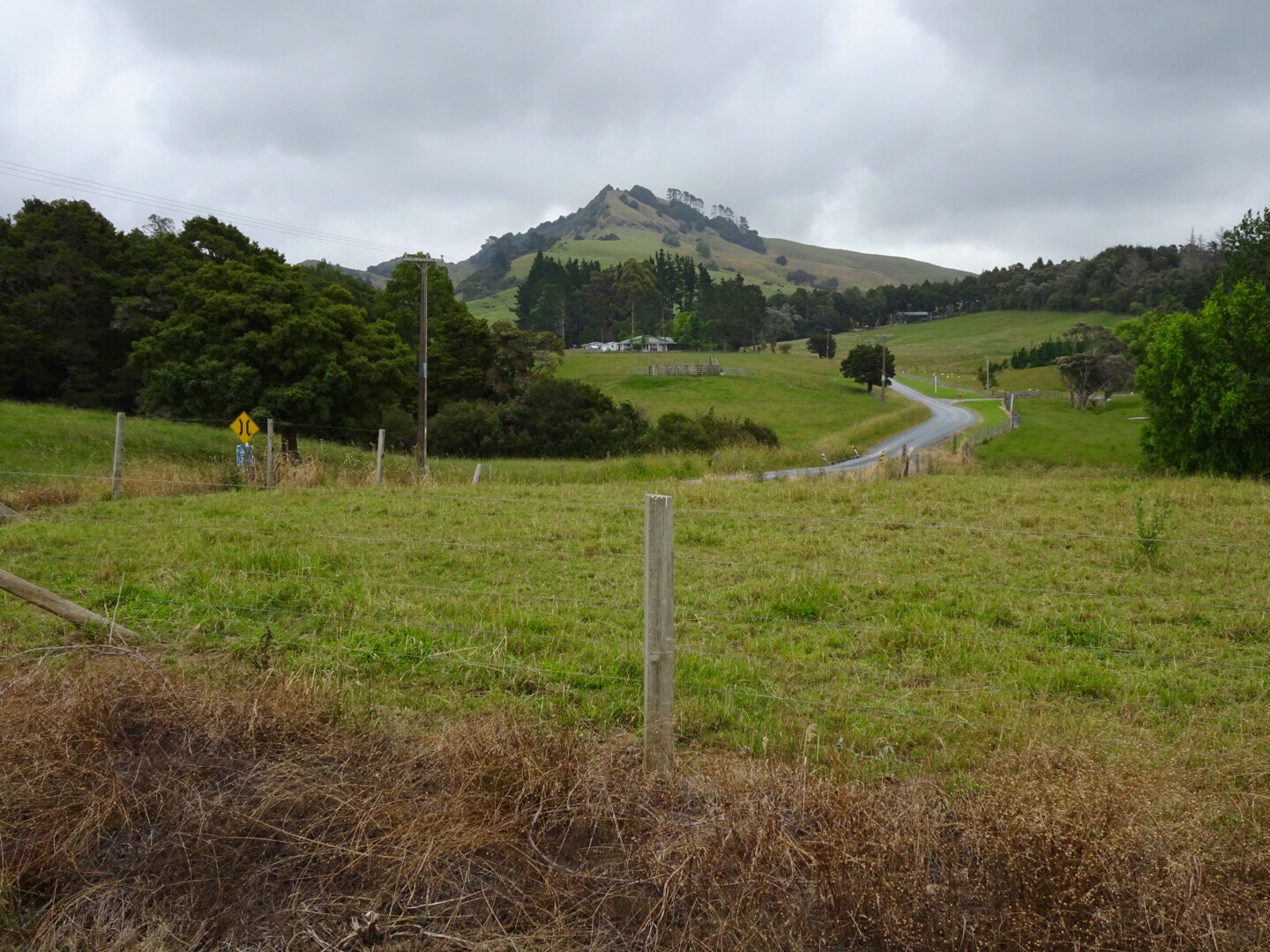
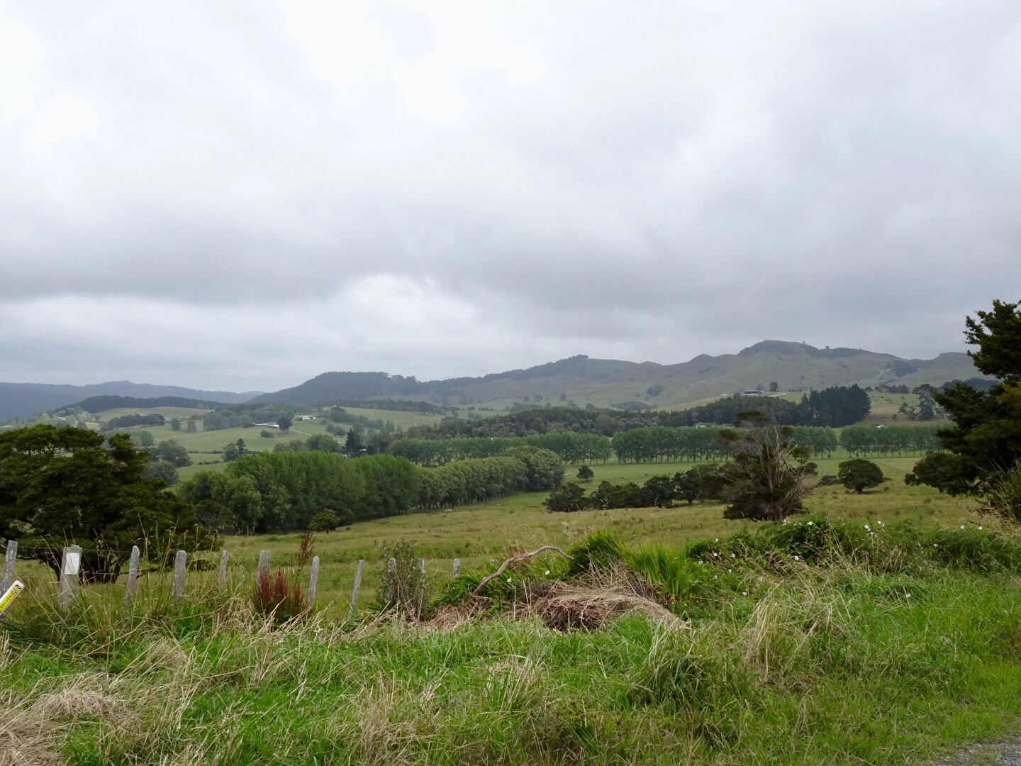
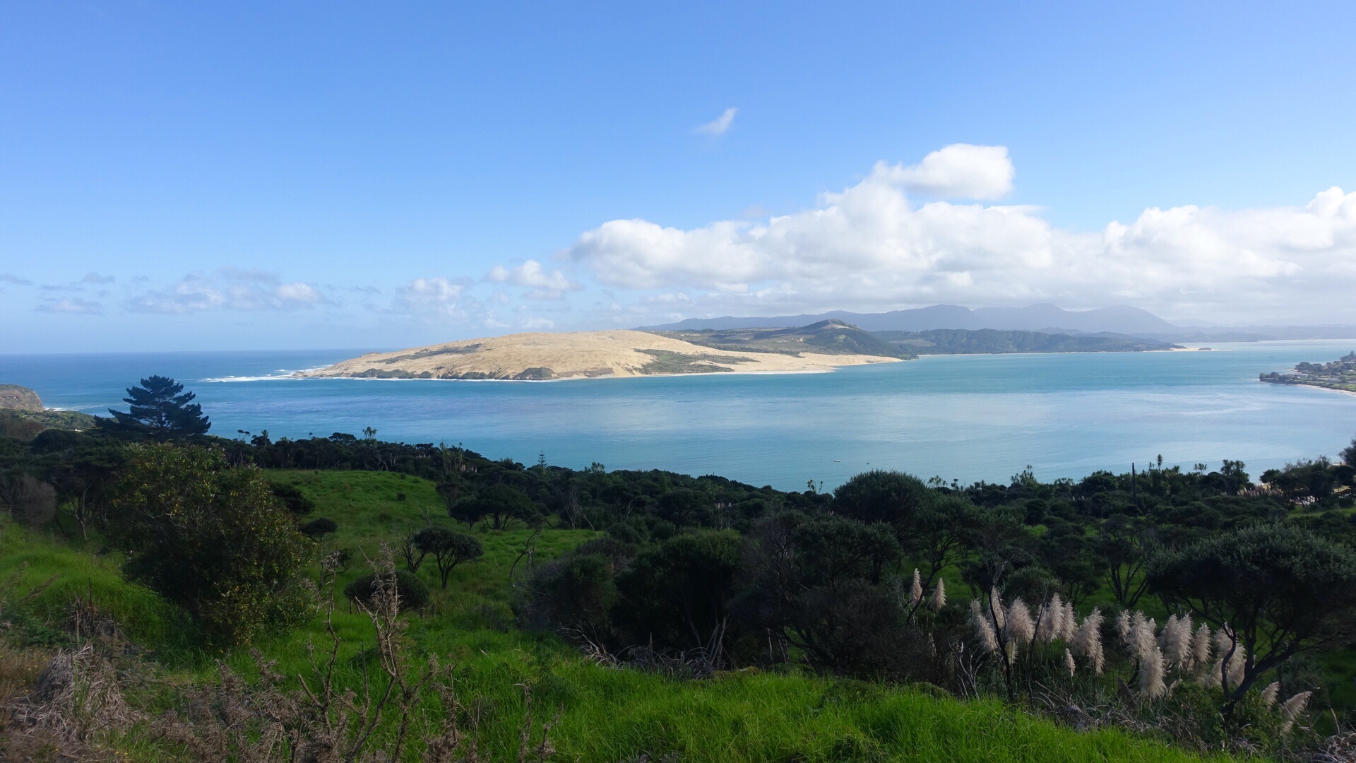
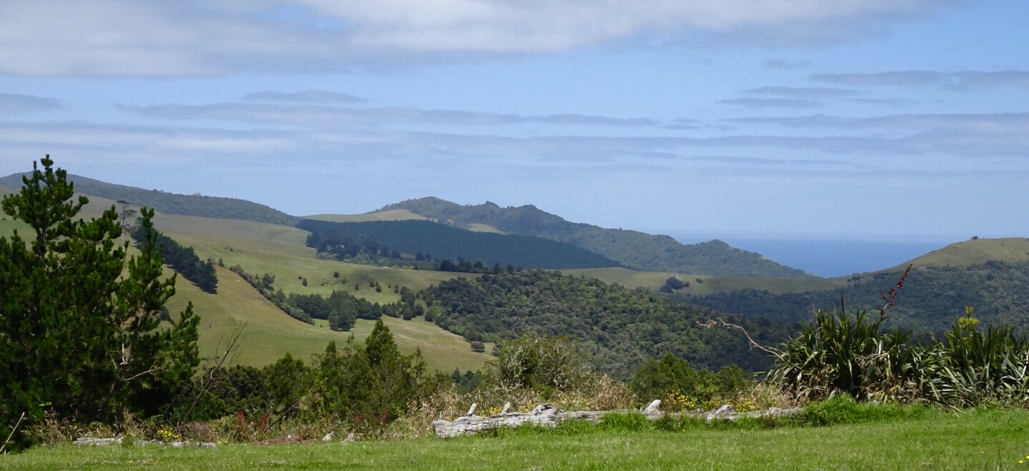
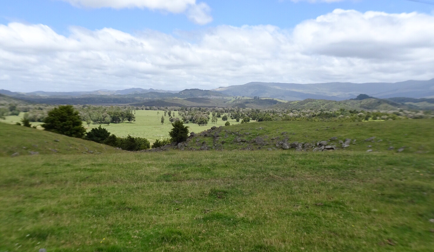
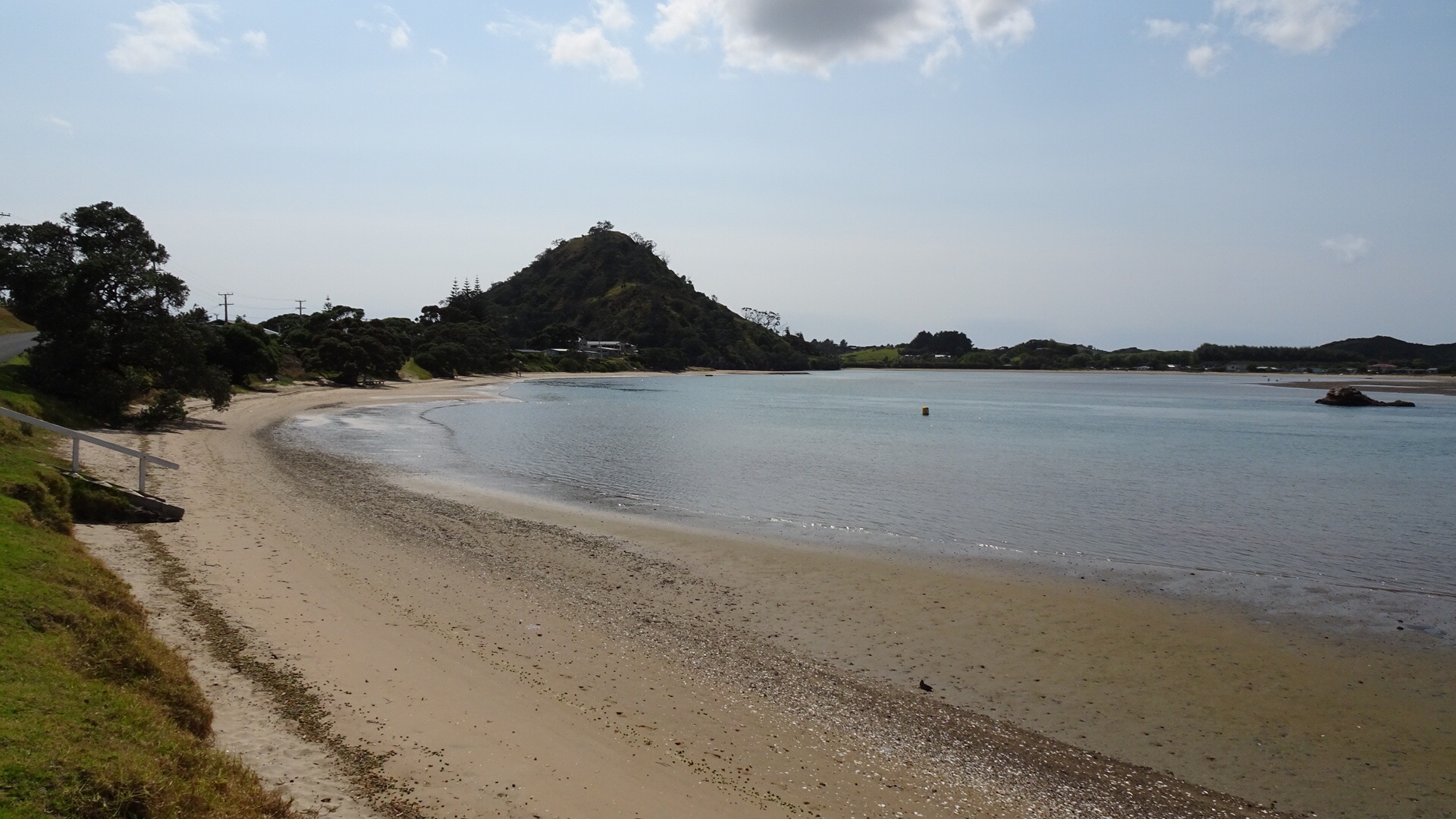
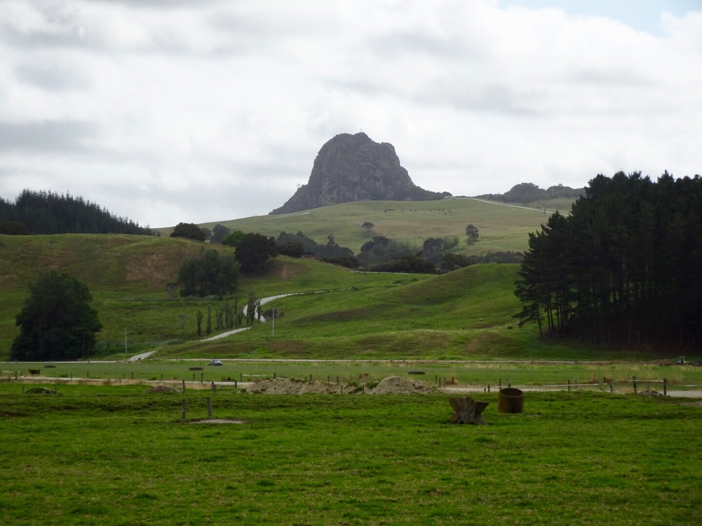 The peak below is Tokatoka Peak. It is a rare phenomenon as it is the plug of an ancient volcano. The material around the plug has also eroded over time, leaving only the hardened lava core.
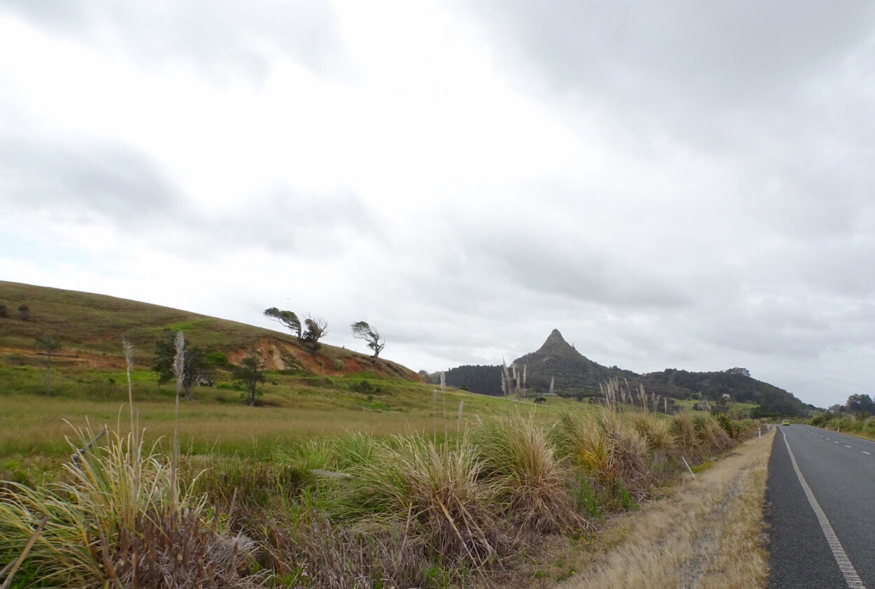
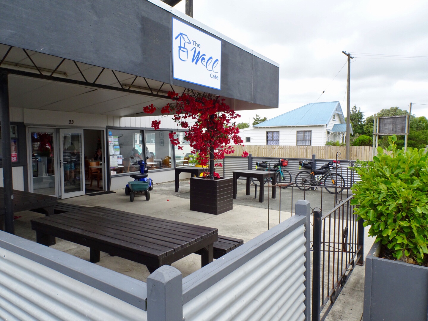
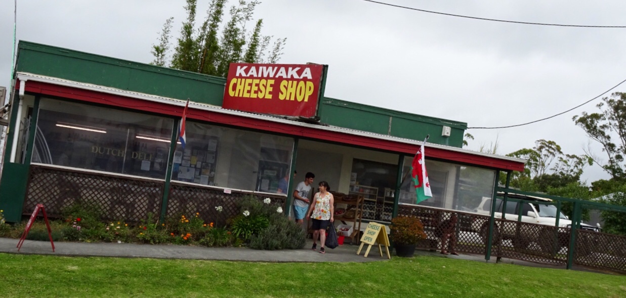
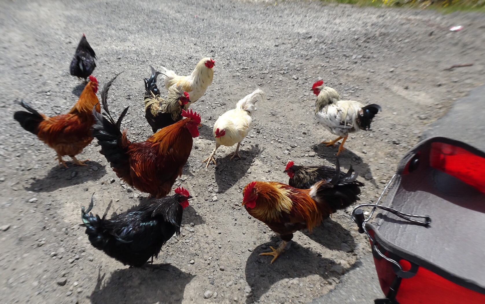
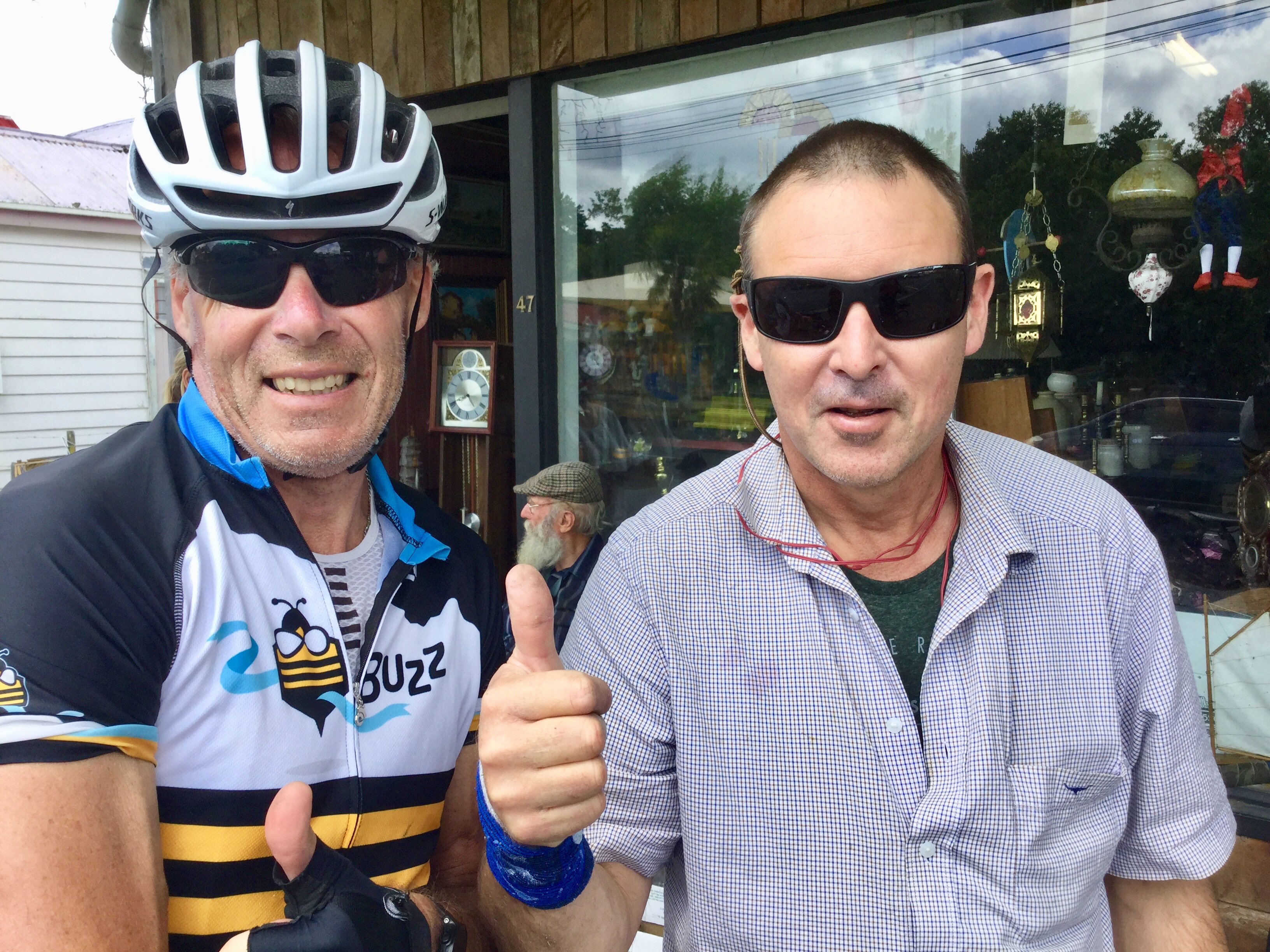
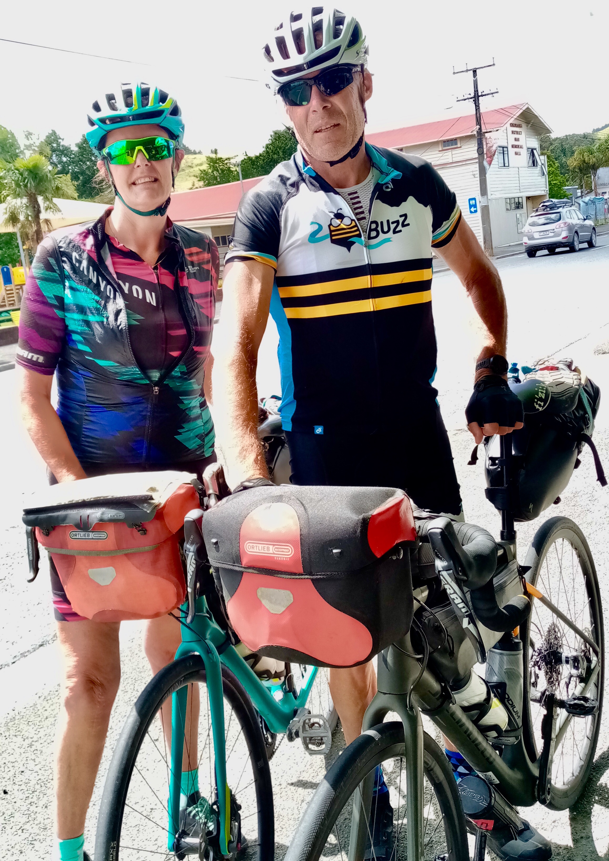
 The local shop has a collection of bikes. Lost yours? Might be here!
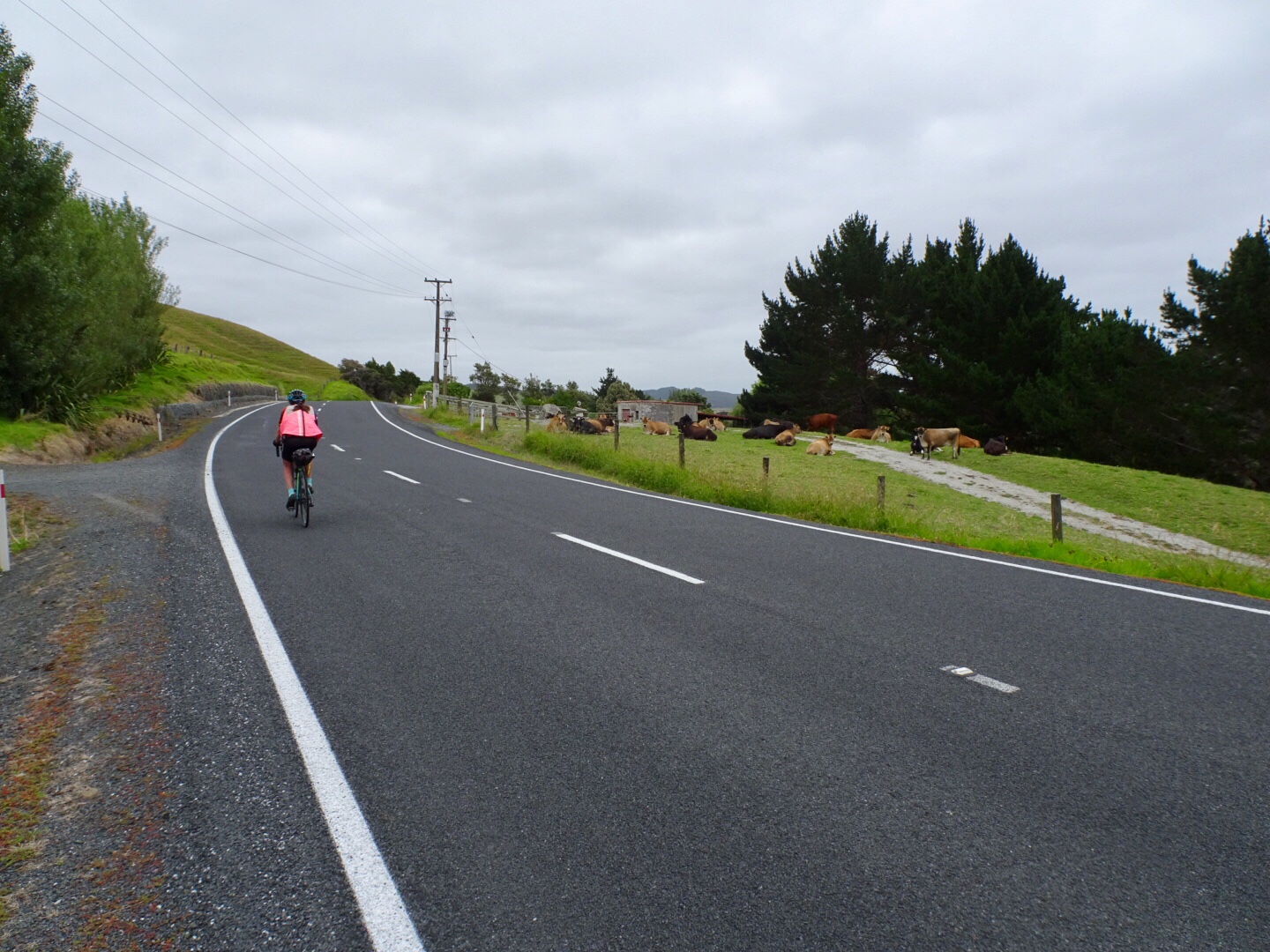
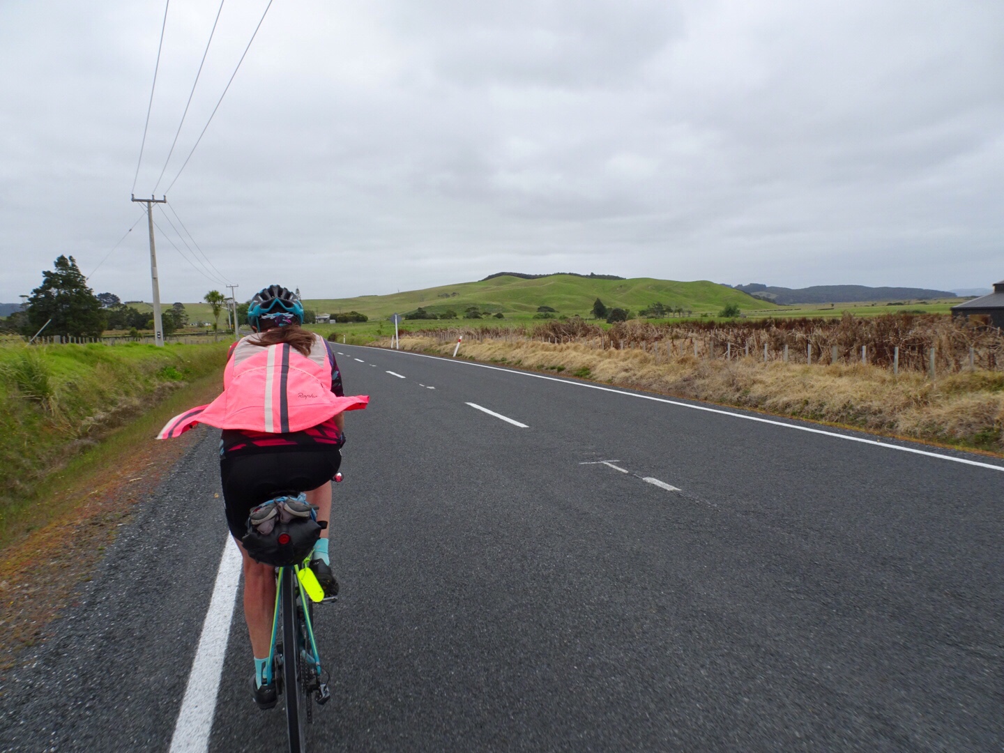
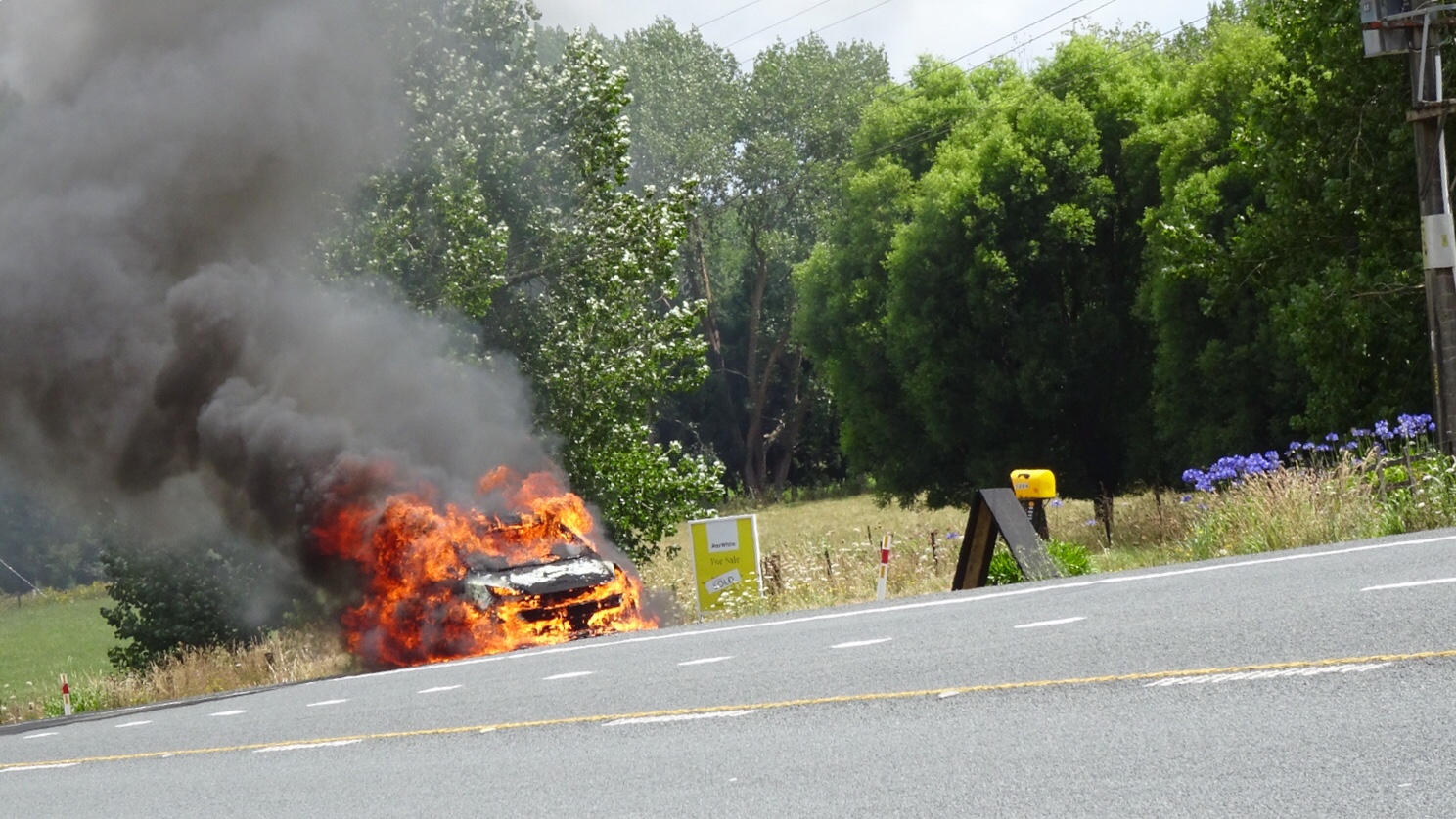
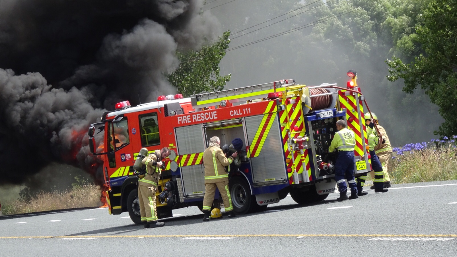
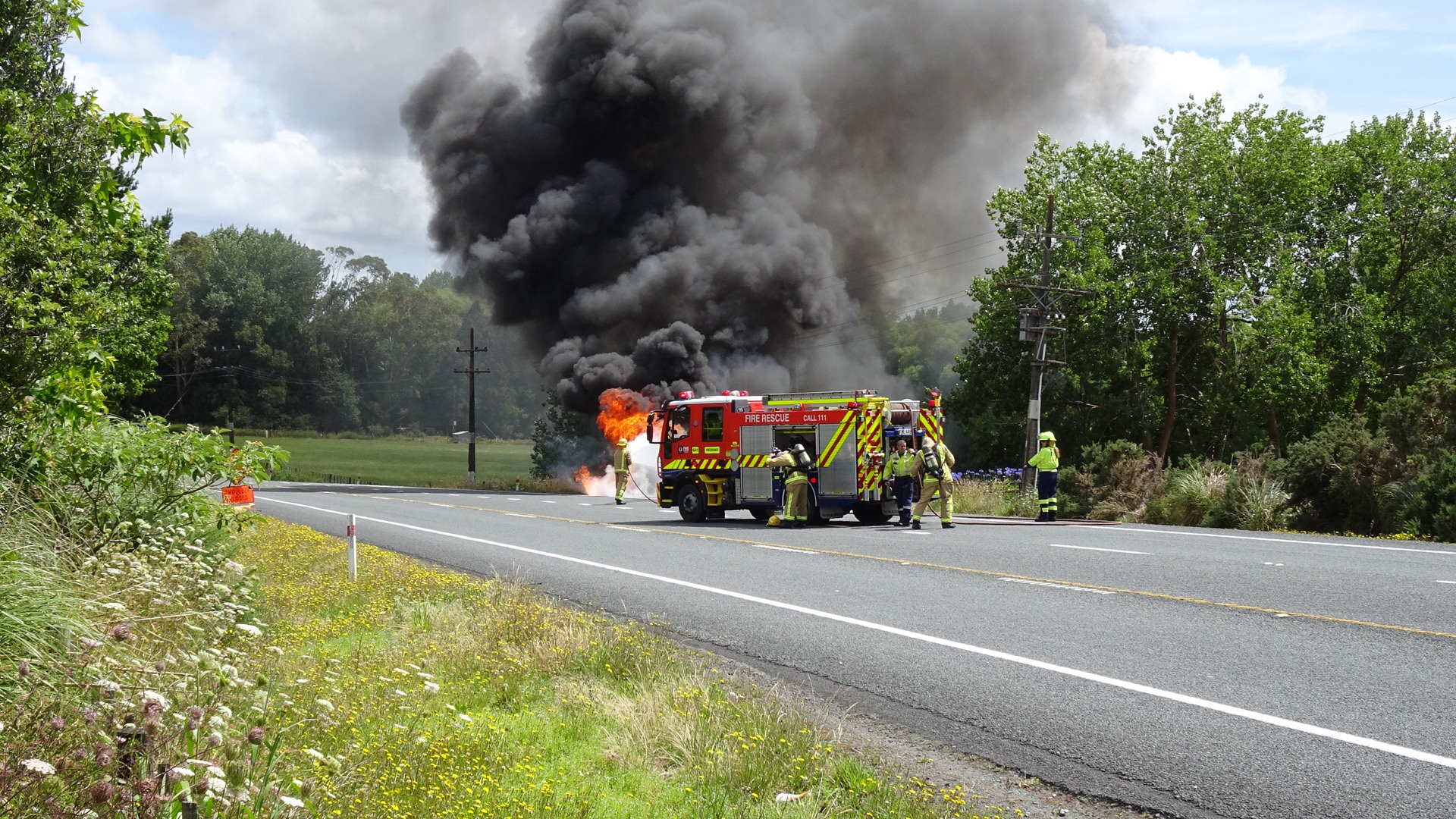
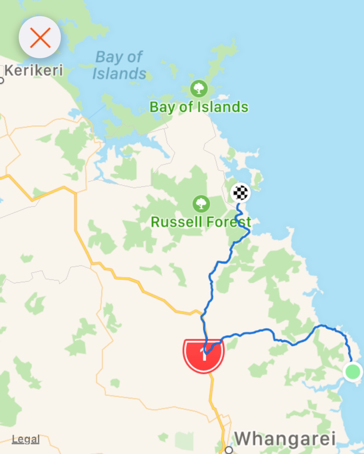
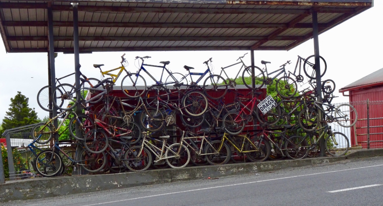 This is when our ride today got ugly. It was pretty horrid really as we were on a major highway, with verge ranging from zero to reasonable. It was incredibly busy and to make it more interesting (as if more challenges were required) it was drizzling lightly. Just nuisance value whereby your glasses end up with water on them to reduce visibility.
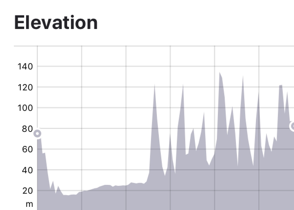


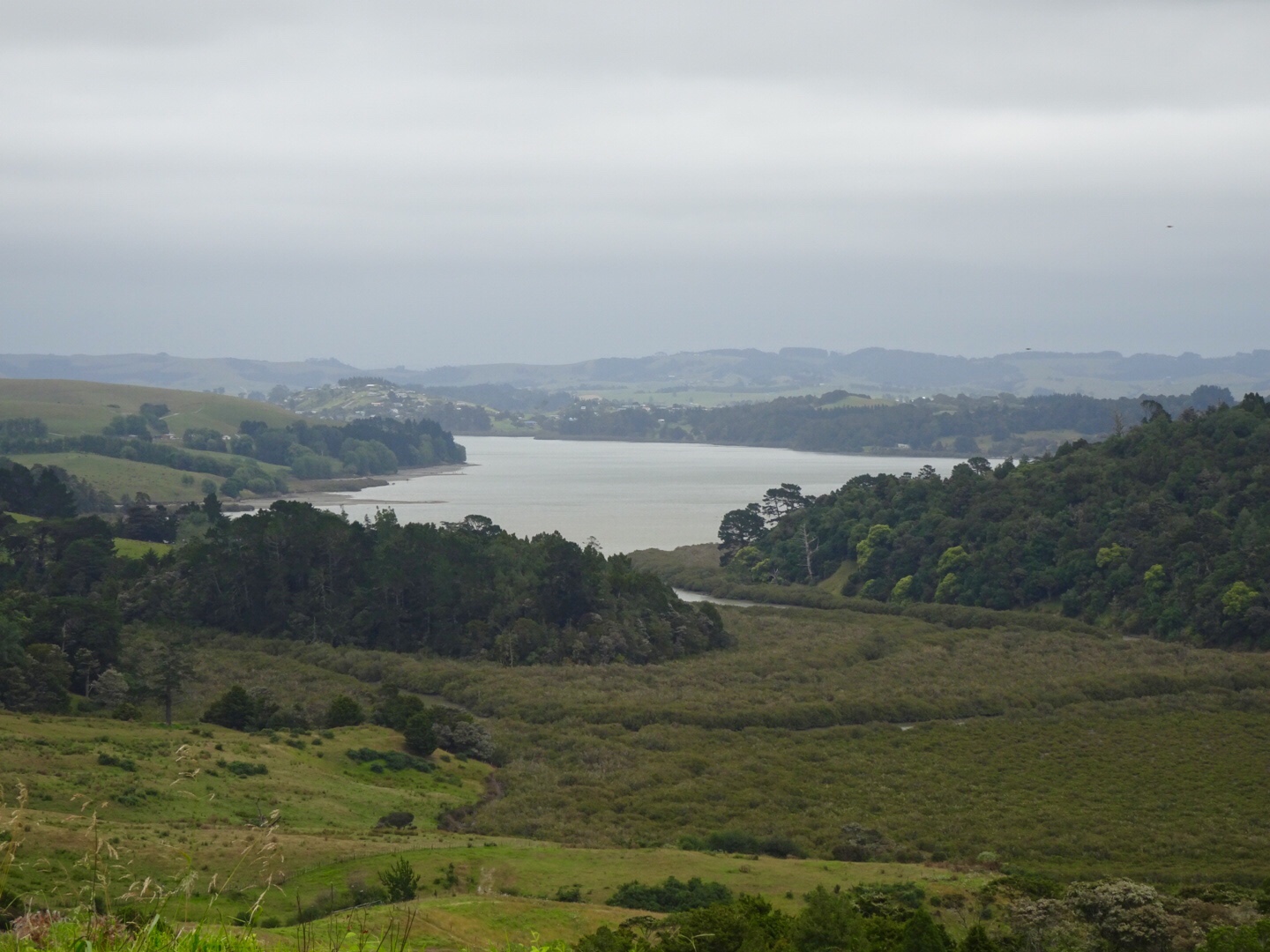
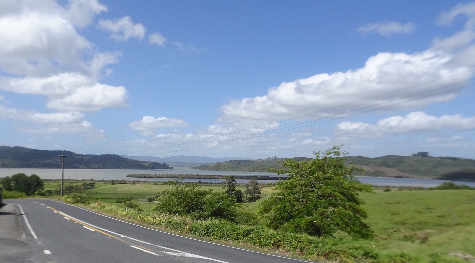
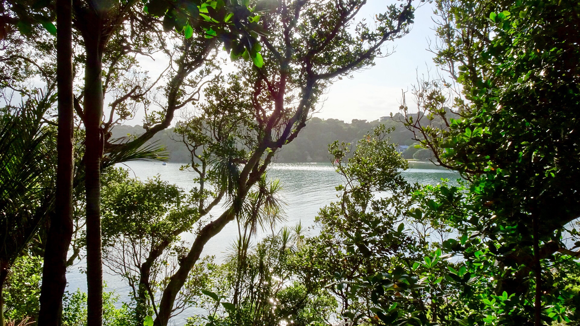
 Leaving Rawene views of Hokianga Harbour. Unfortunately our camera has developed an issue we cannot resolve, hence blurred edges.
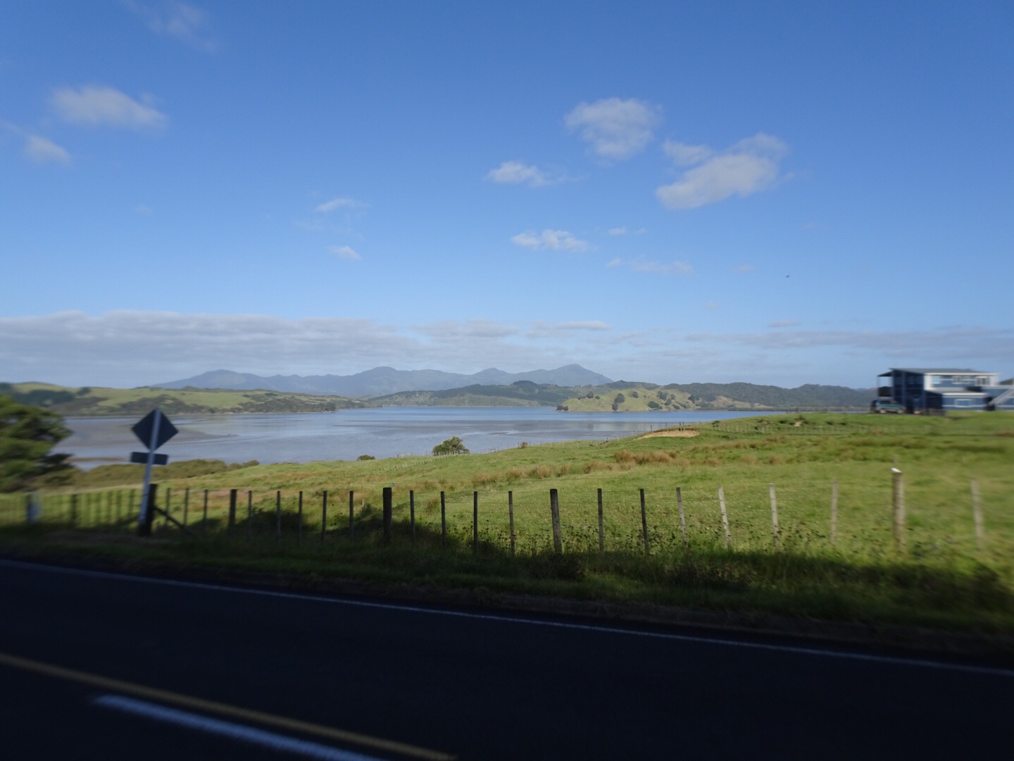


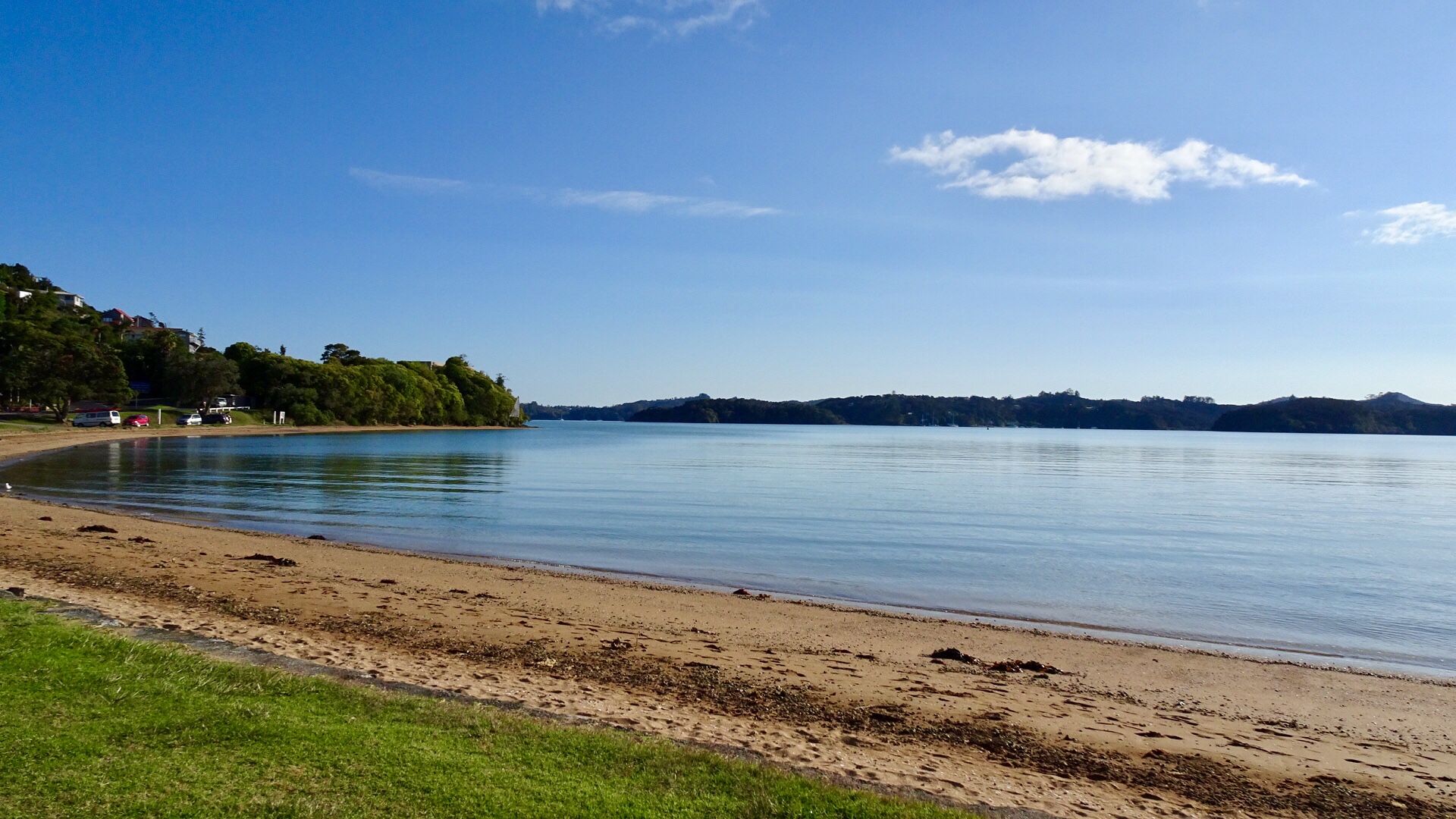


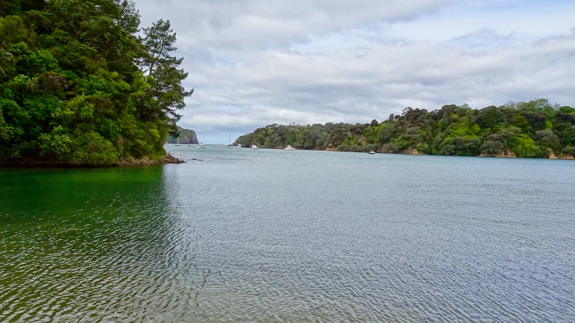
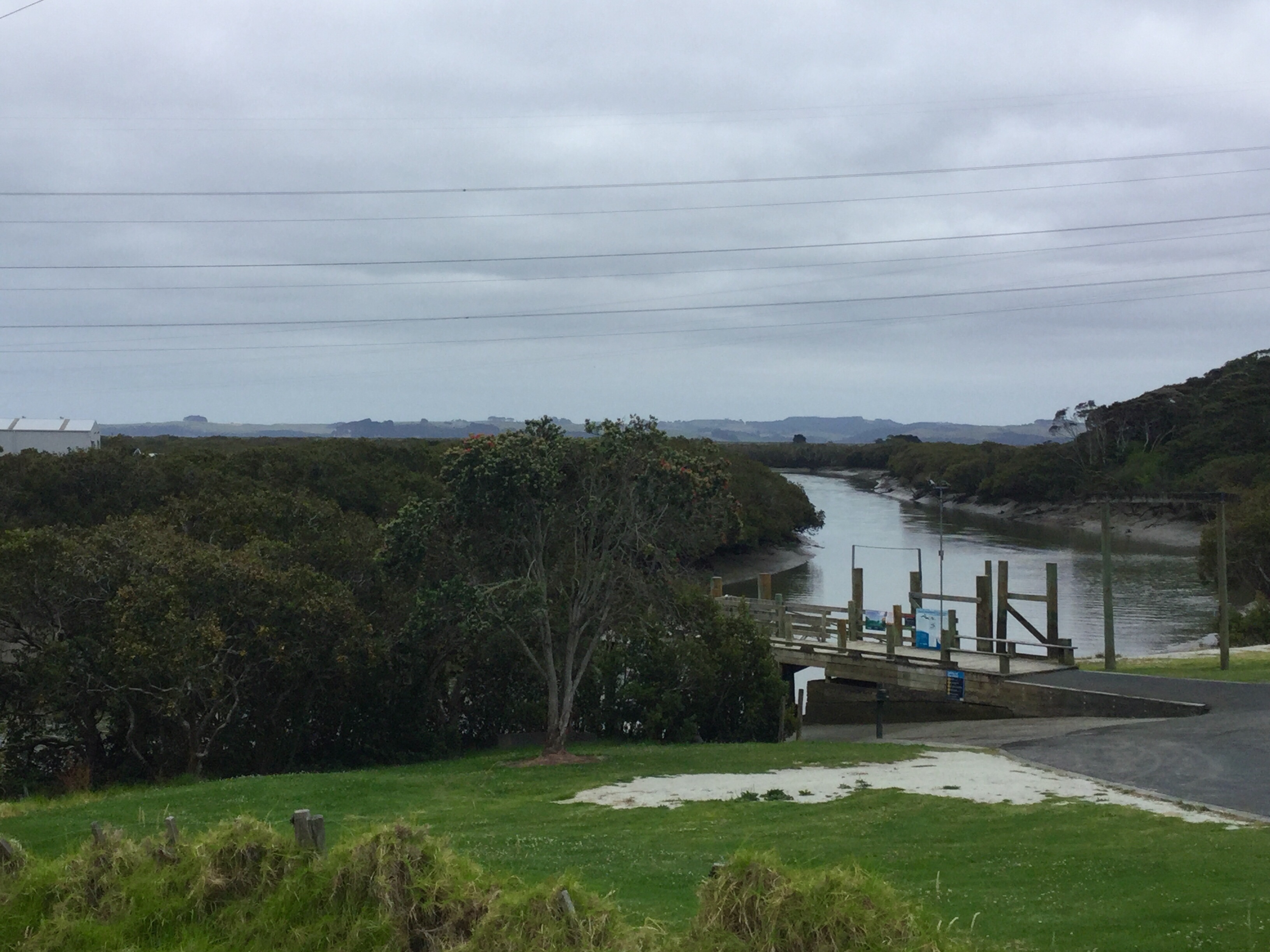
 We were very glad to turn off to Rawene.
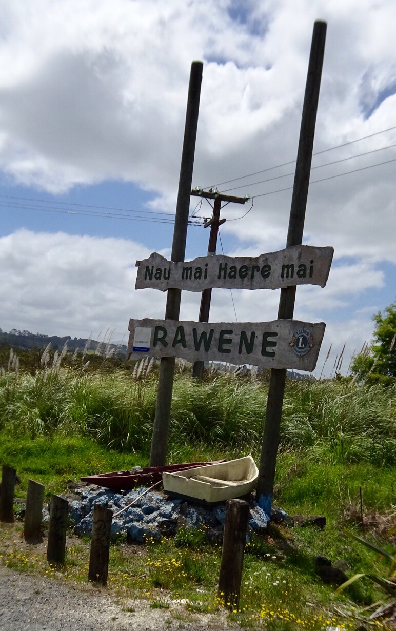
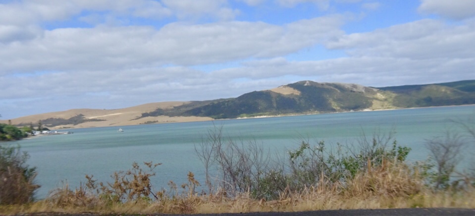
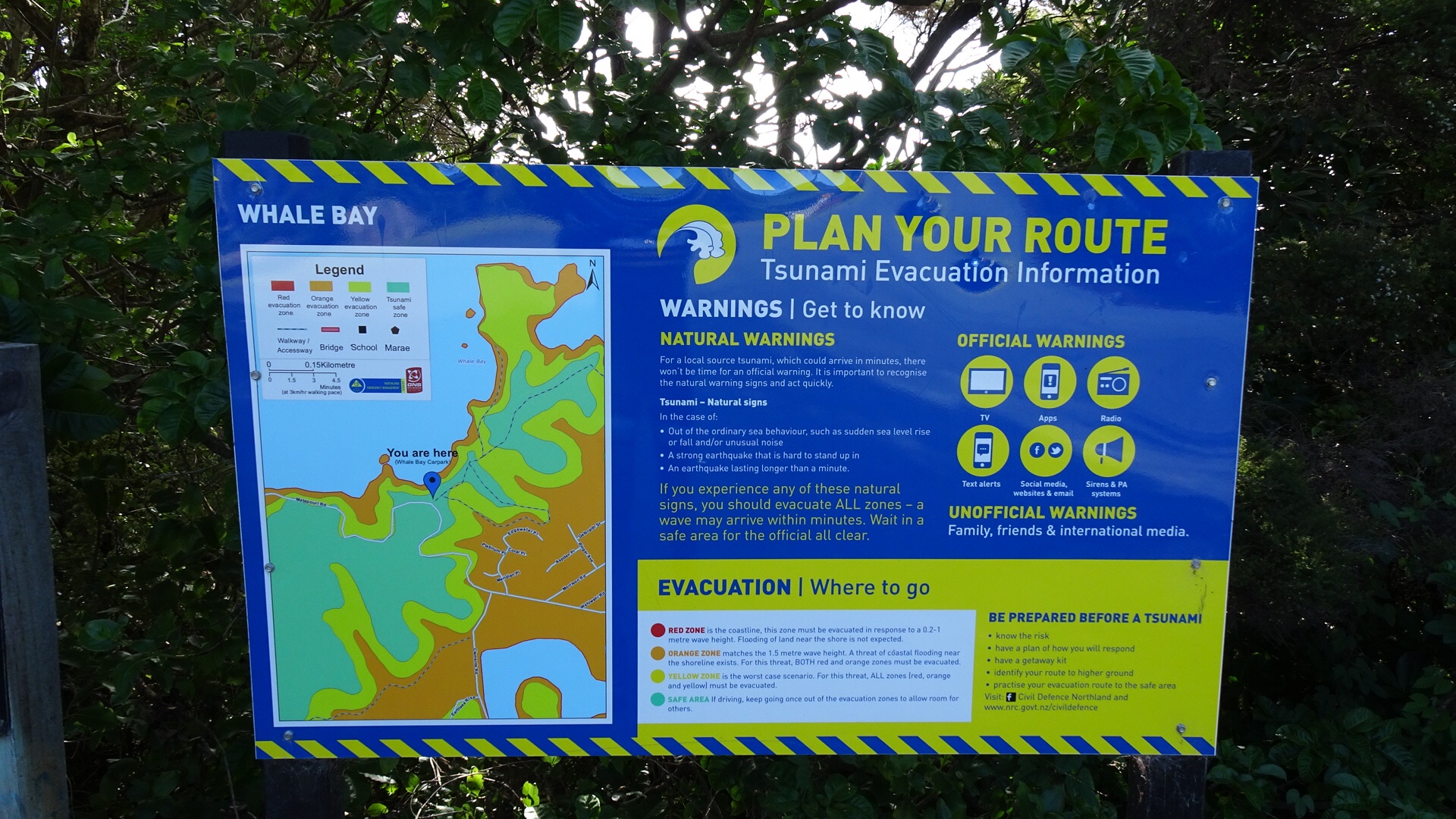
 From the same viewpoint is this boat…waiting for the tsunami action plan? It is about 75 metres above sea level and not in the greatest condition either.
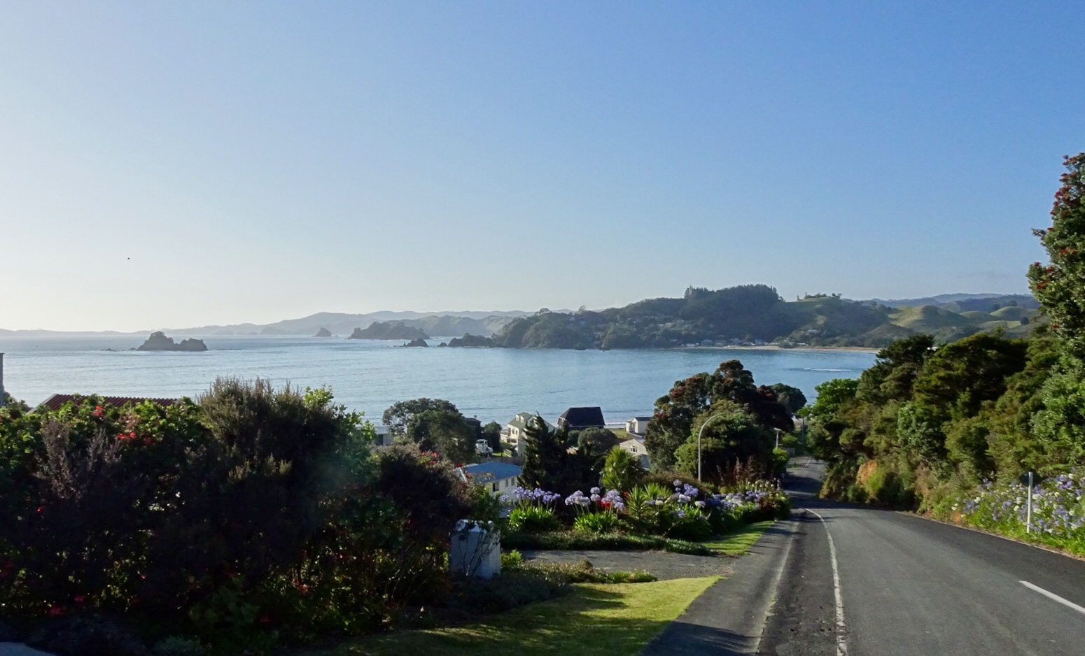
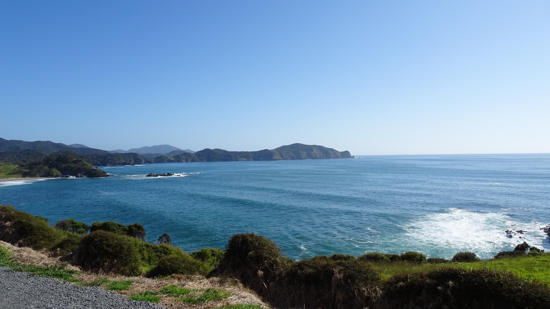
 Looking north towards the Bay of Islands.
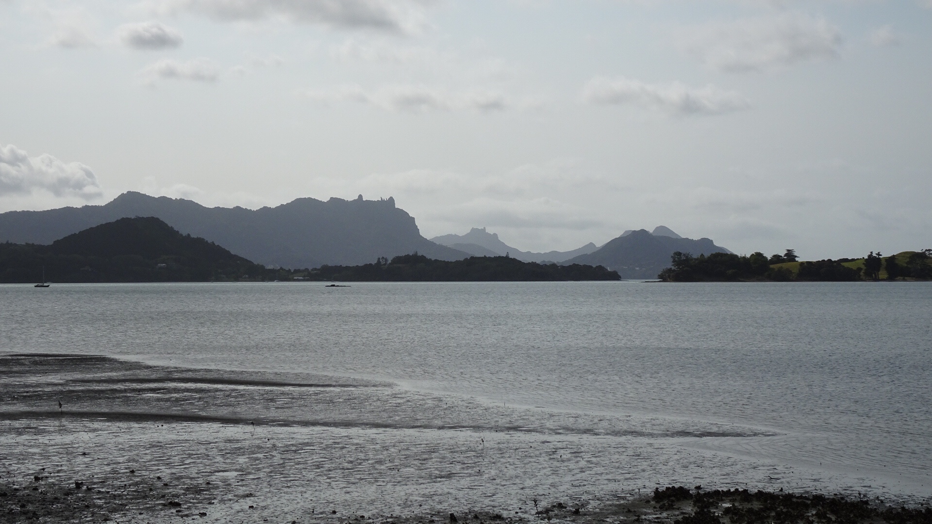
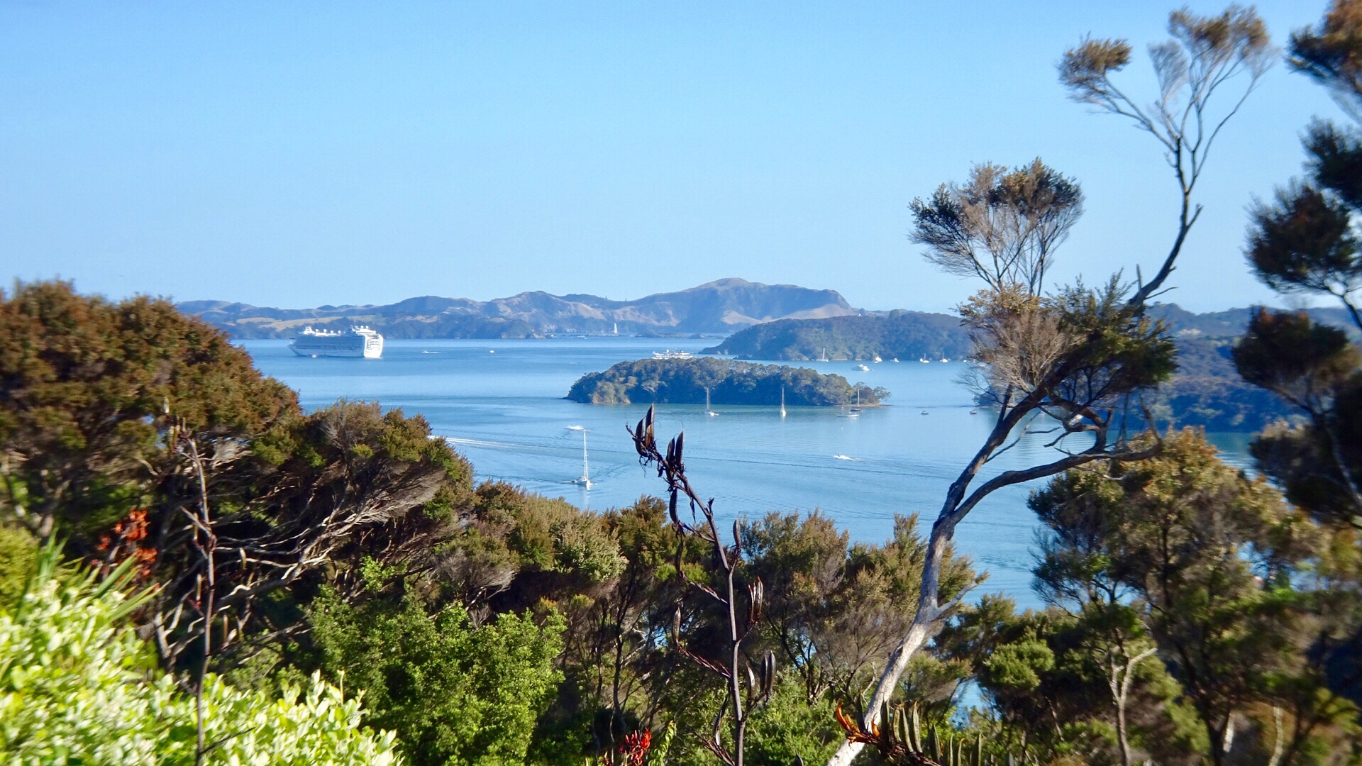
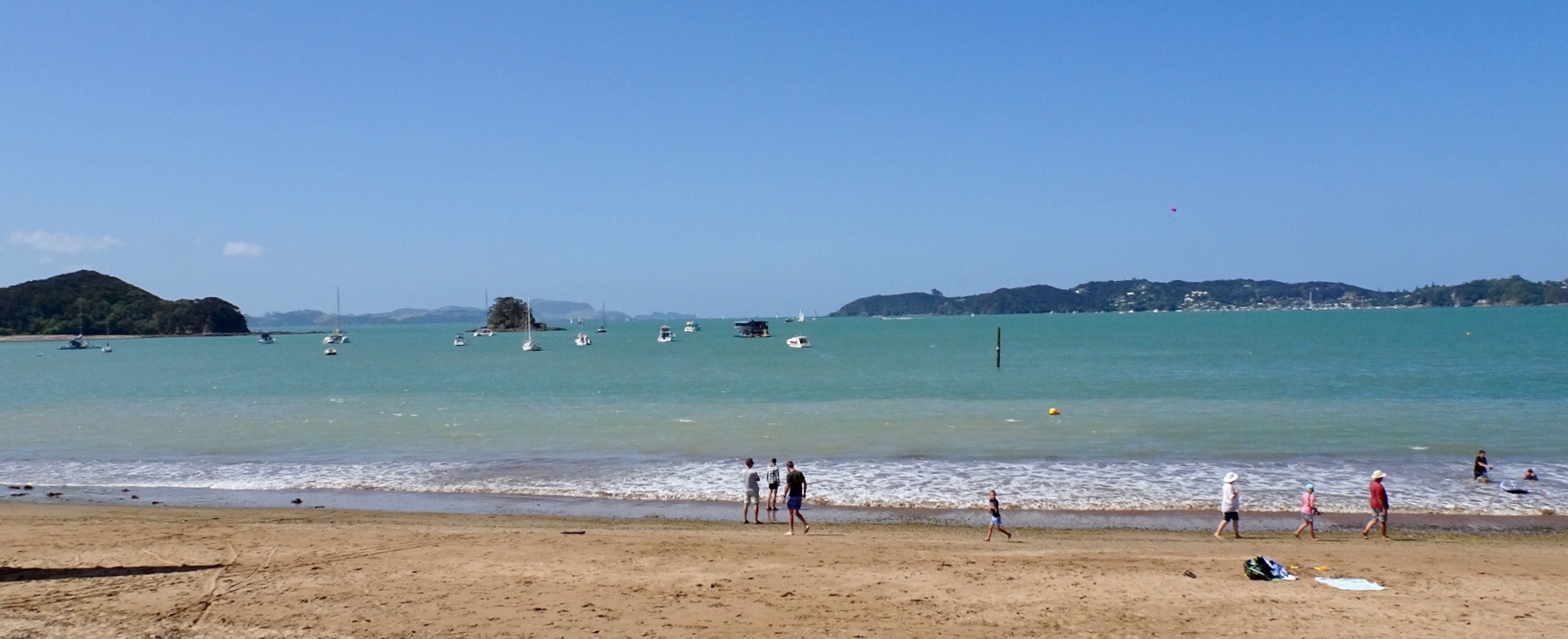
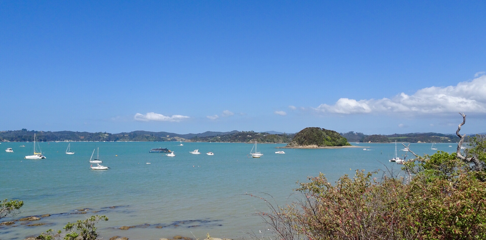
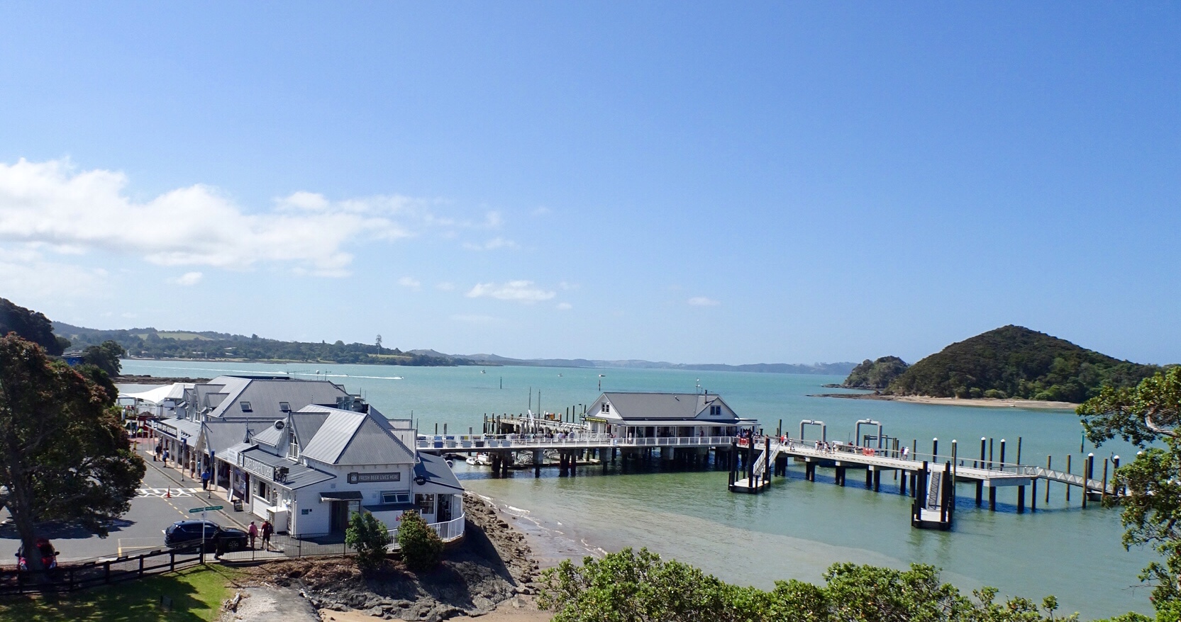
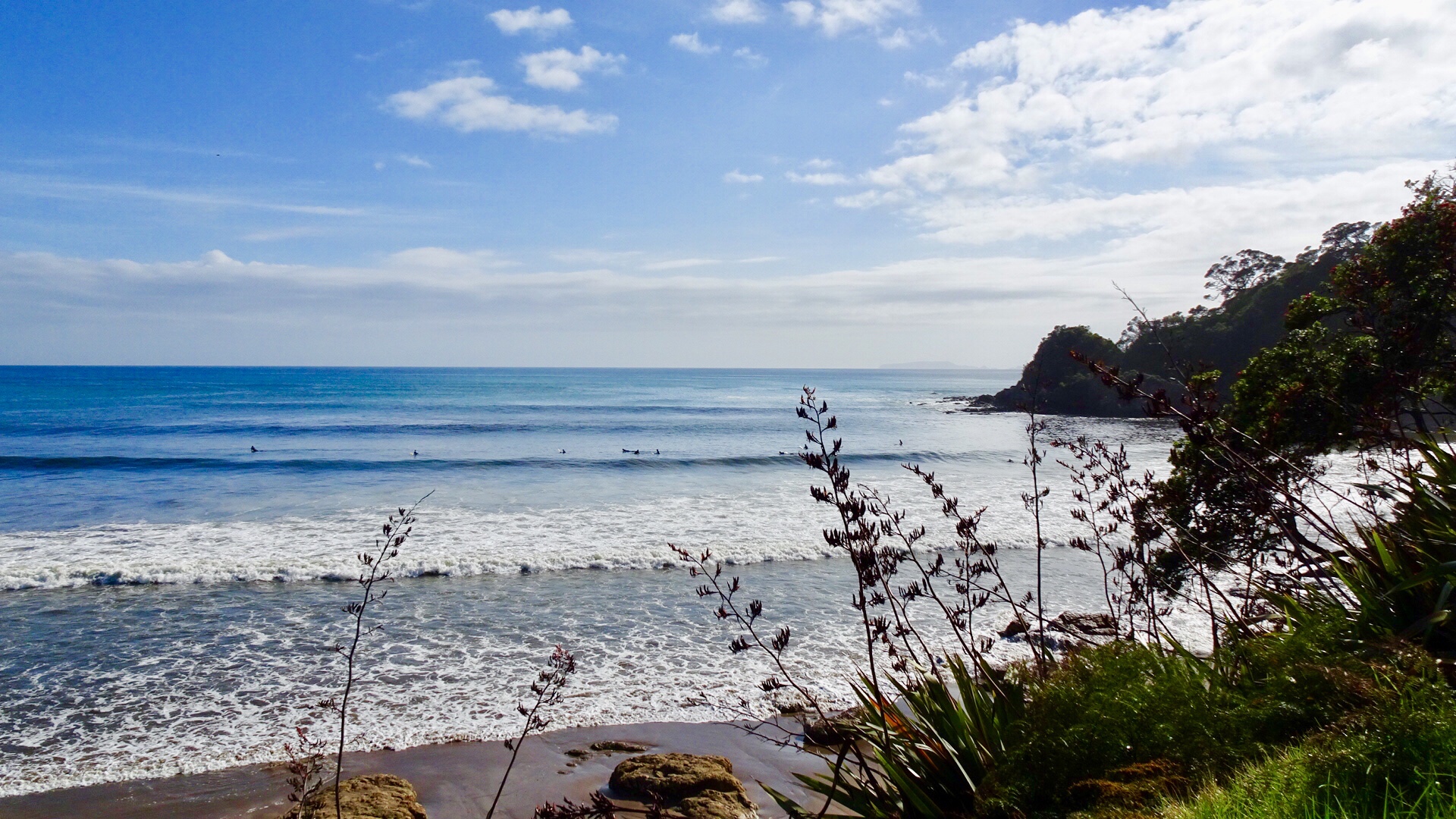
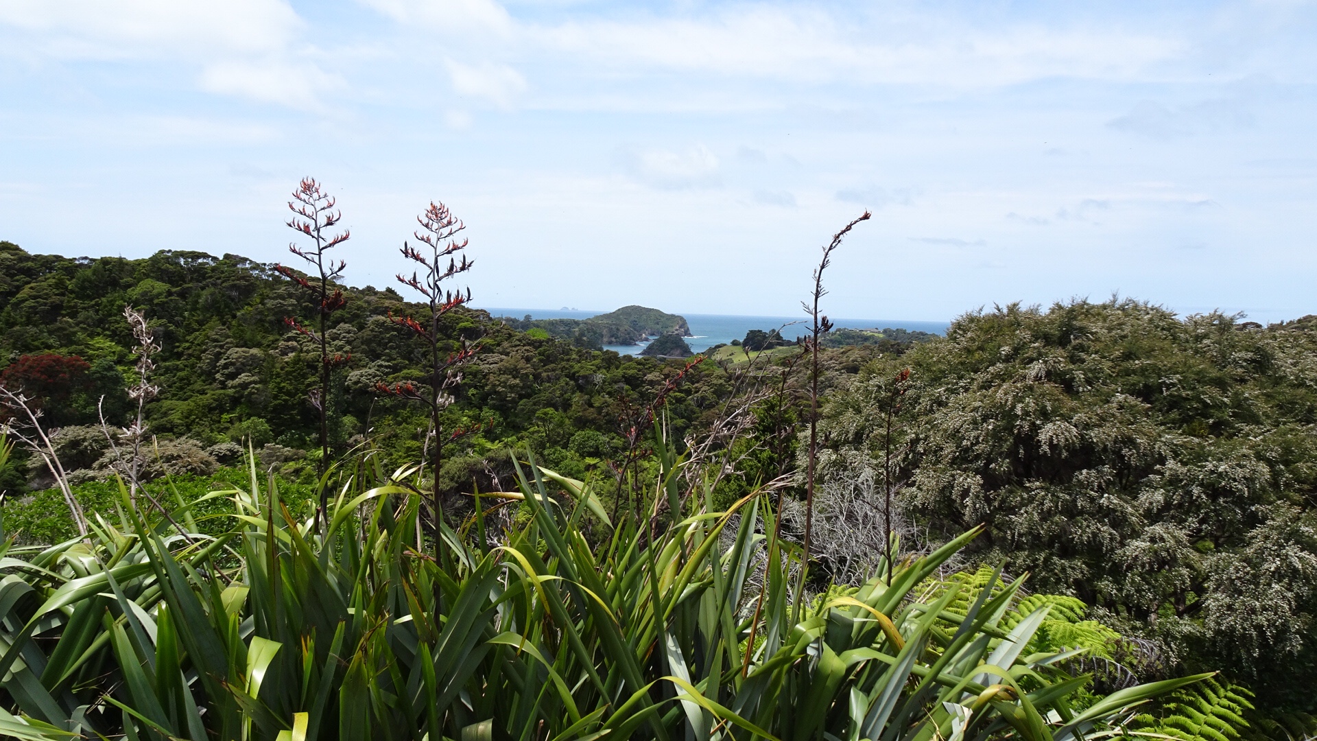
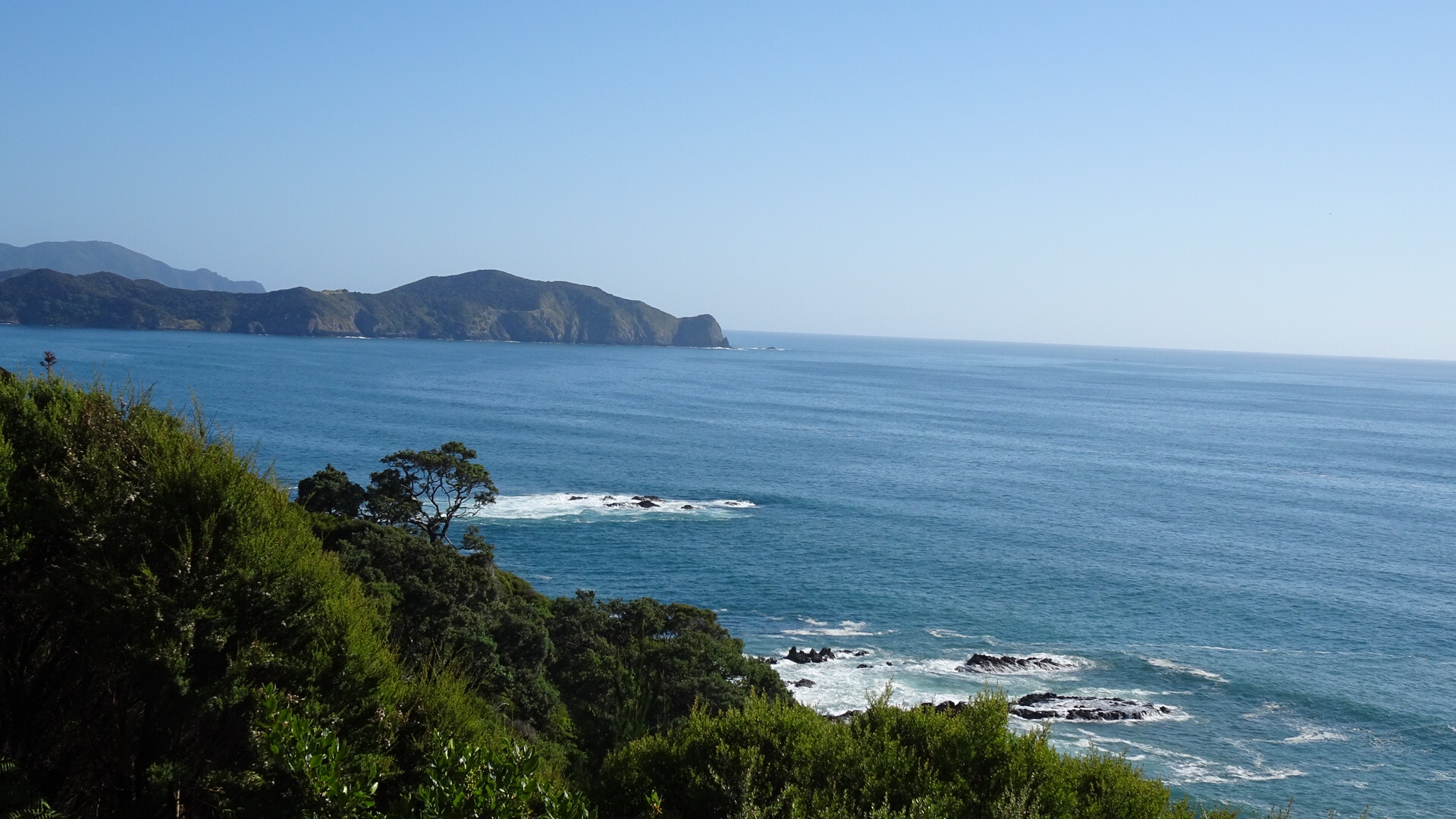
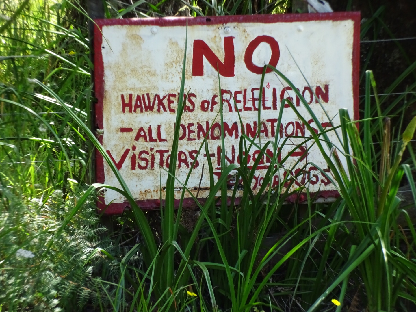
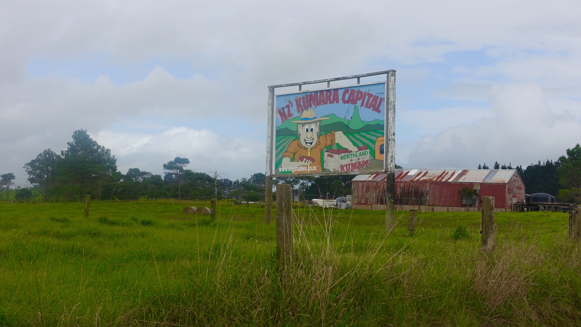
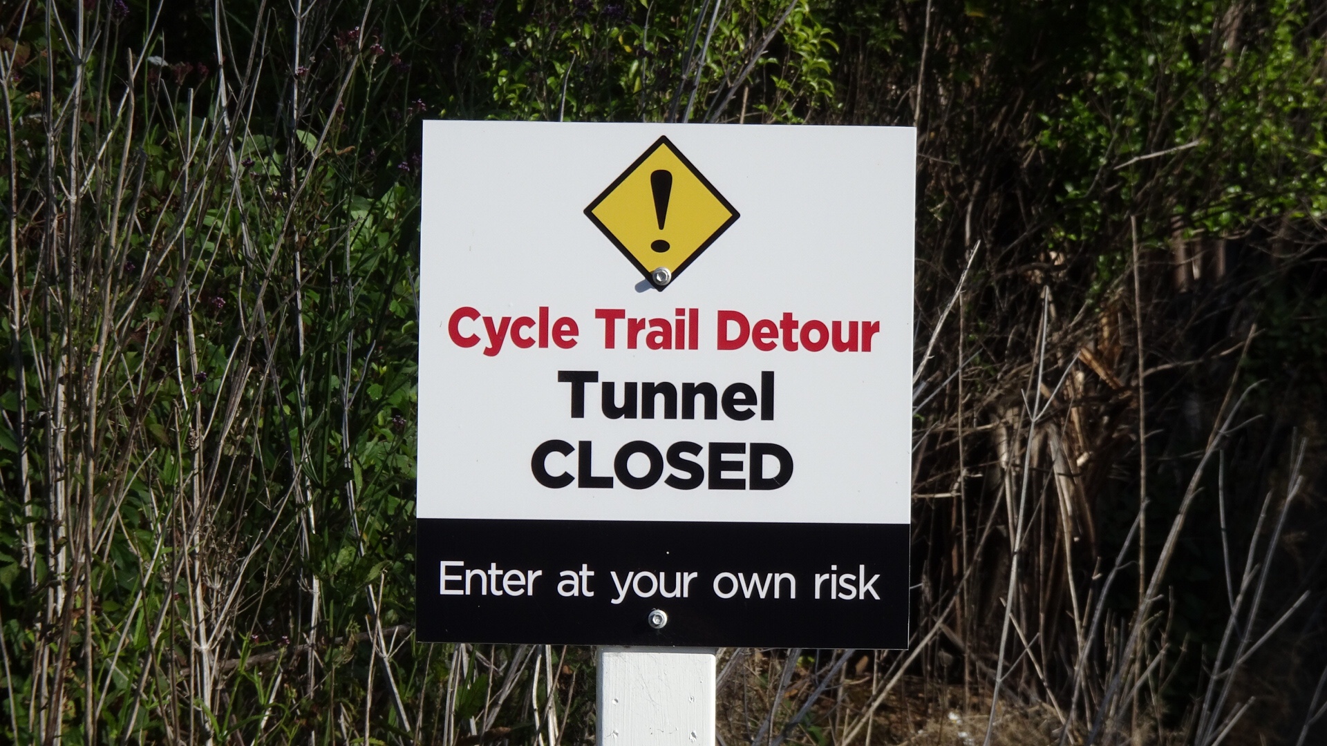
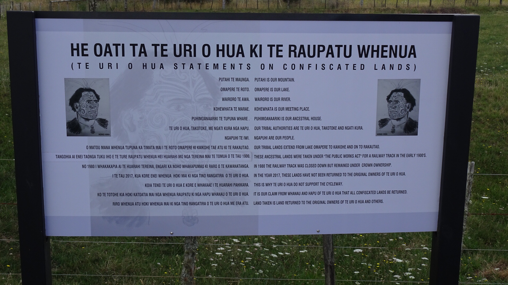
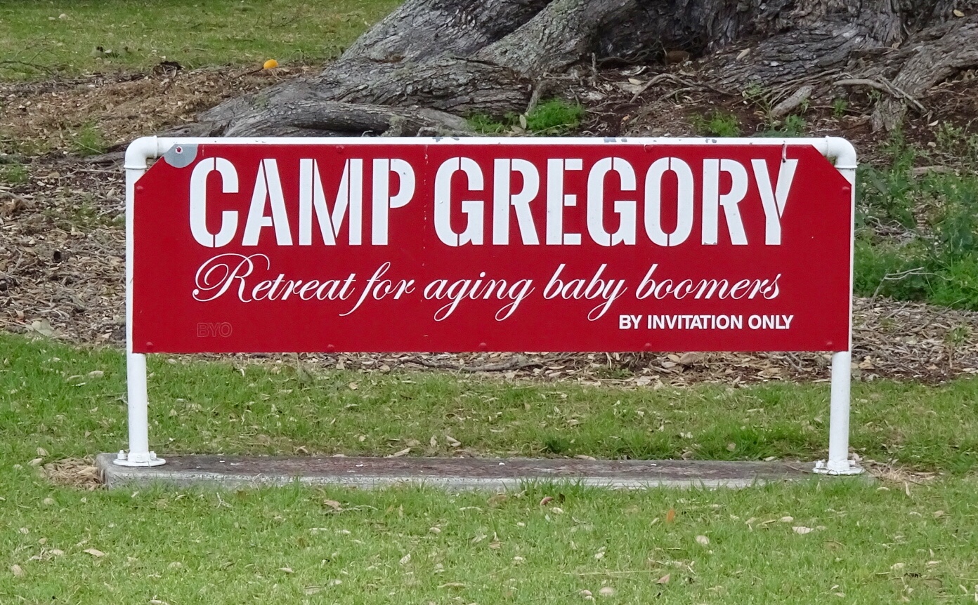
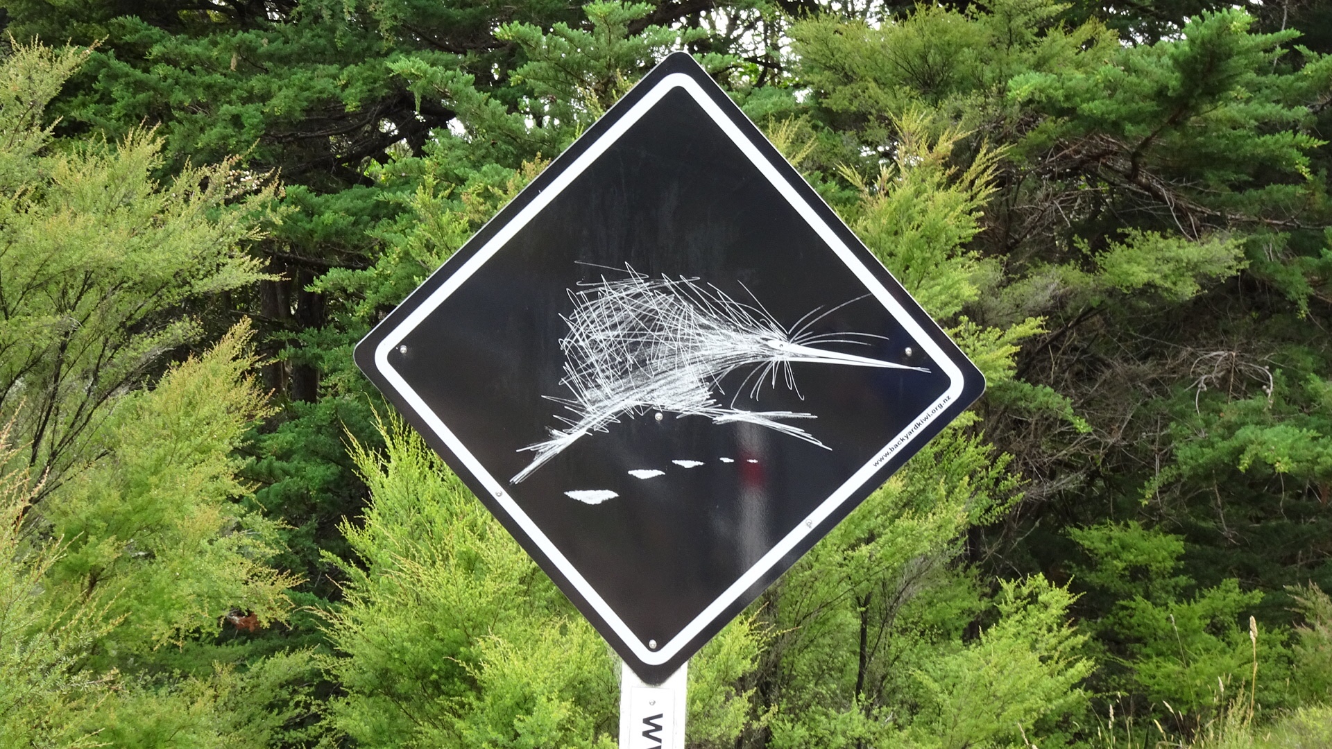
 I could not resist taking a photo of this sign. 😂🙈
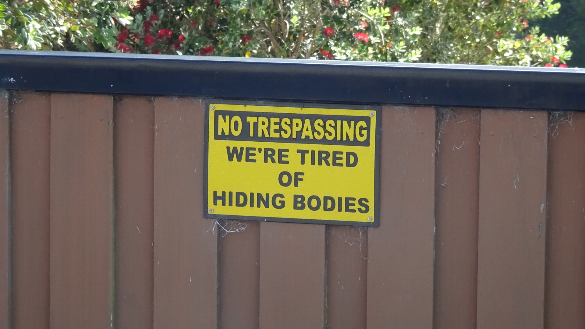
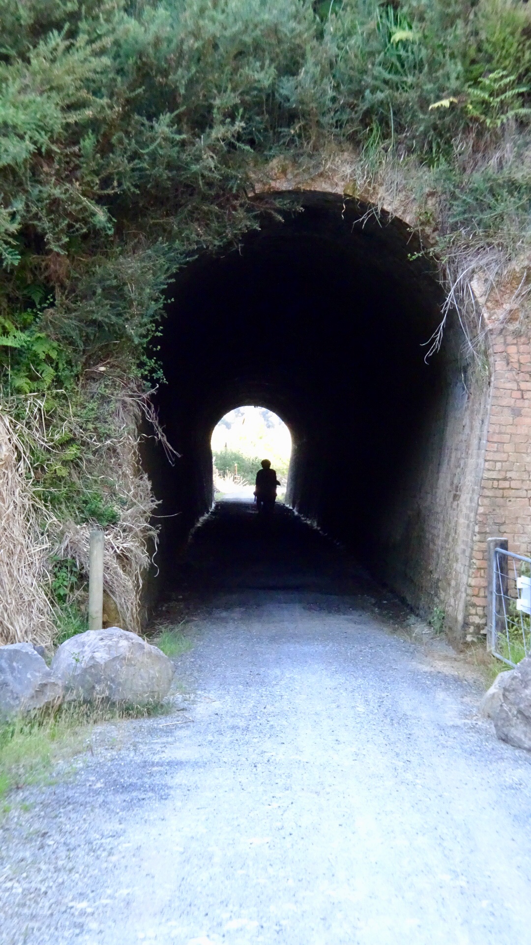
 Looks like fun
 Hello, or Hi ya Paihia and the big marlin. You can see me pushing my bike through here.
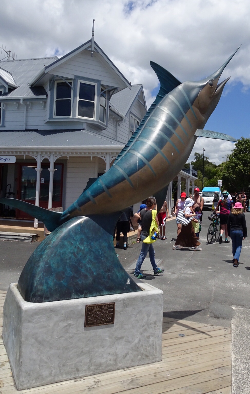

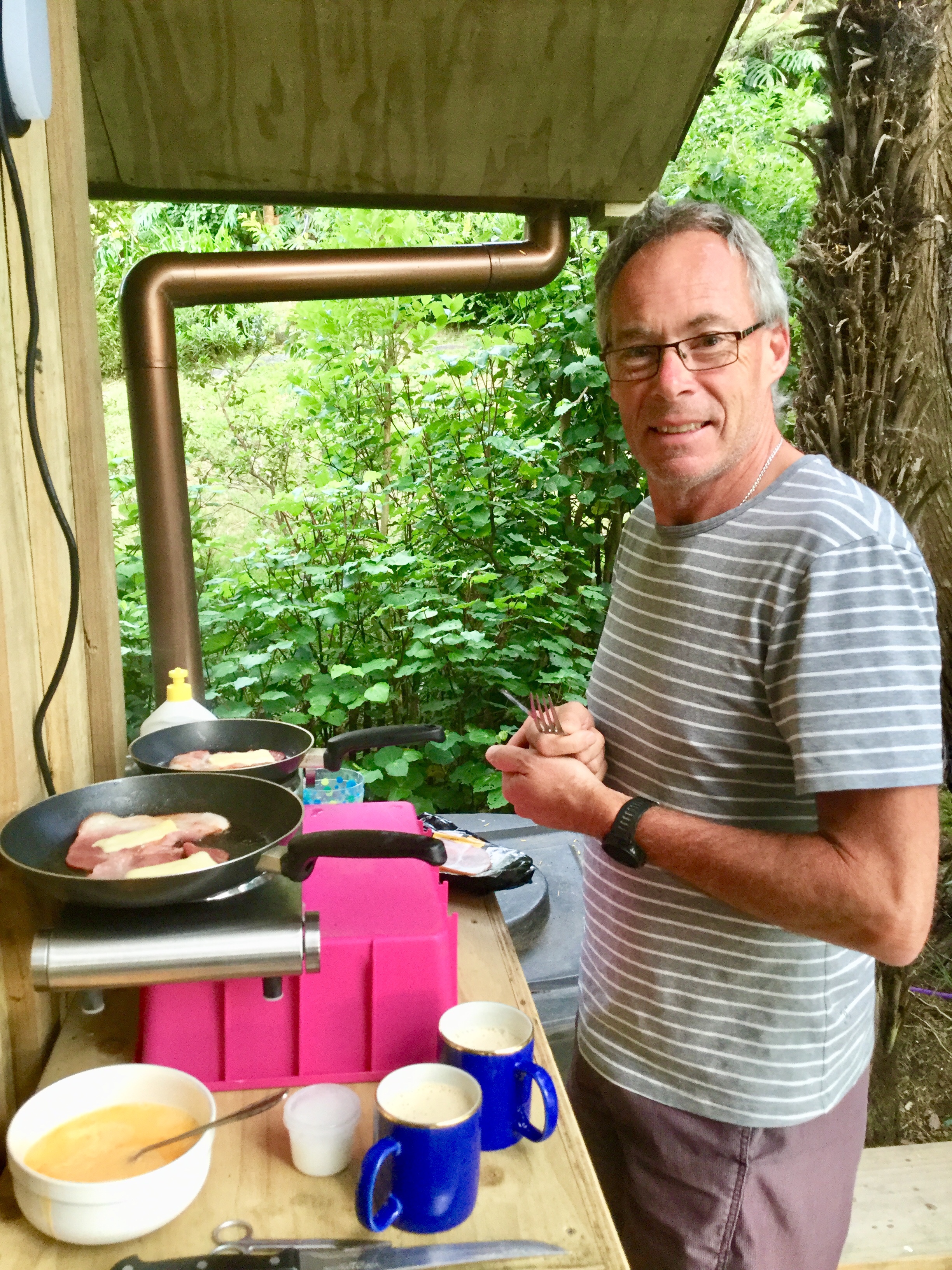


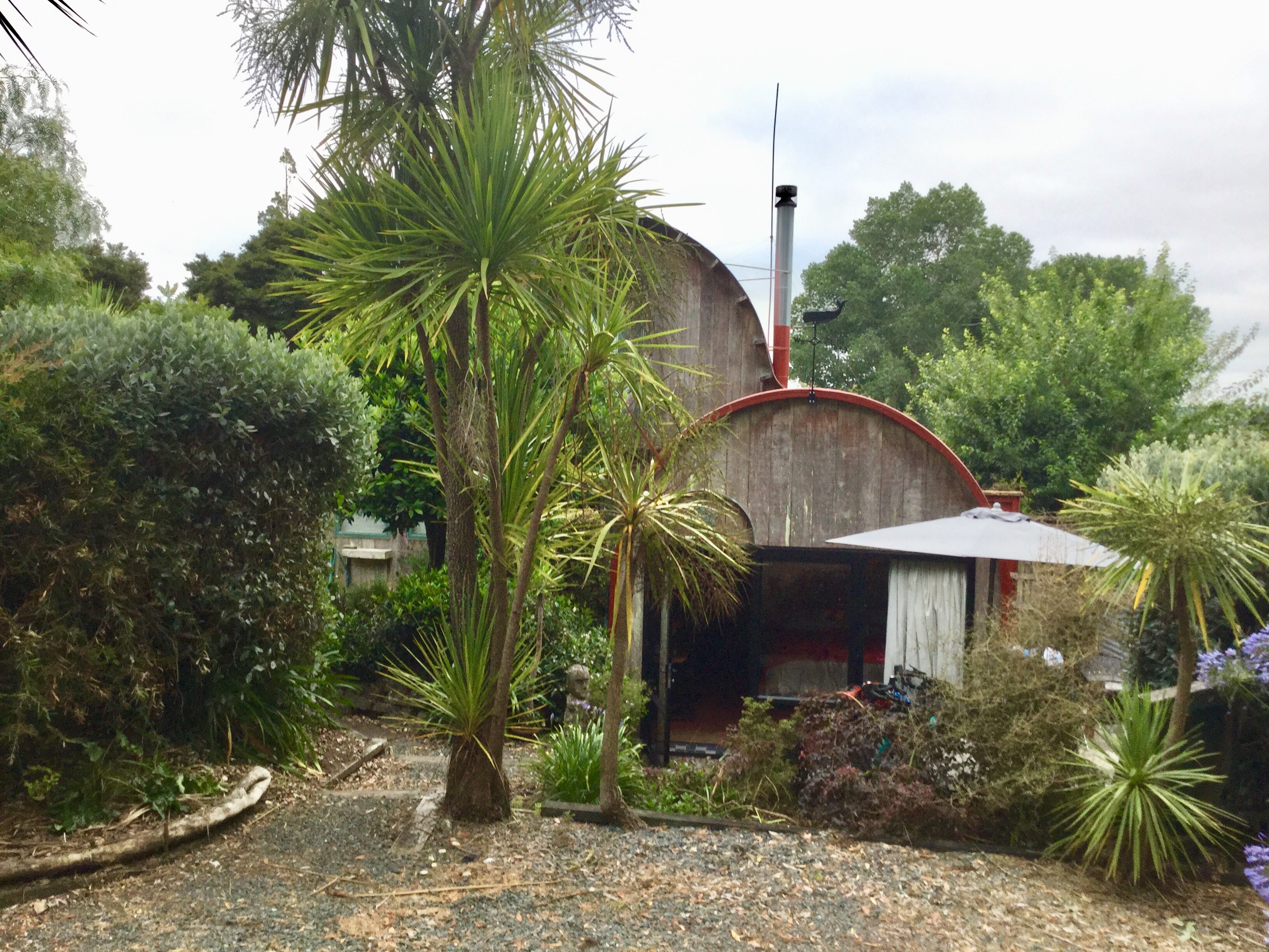
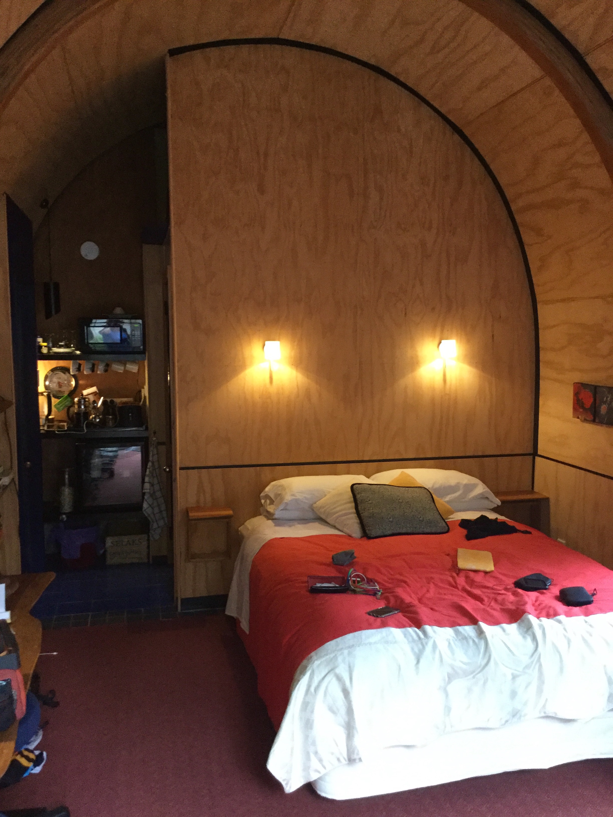
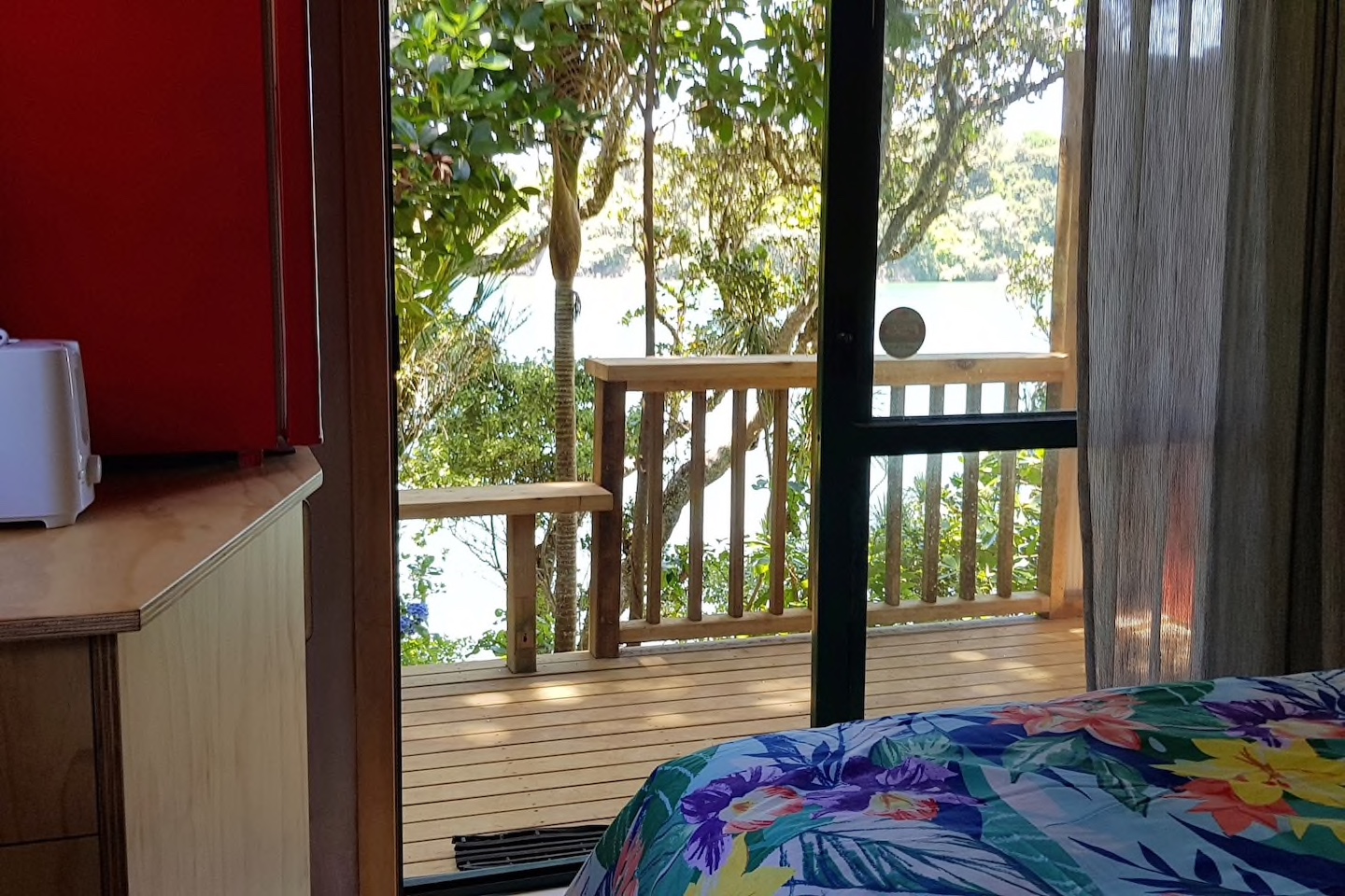
 We are staying in a cosy little cabin, akin to an enlarged cubby house.
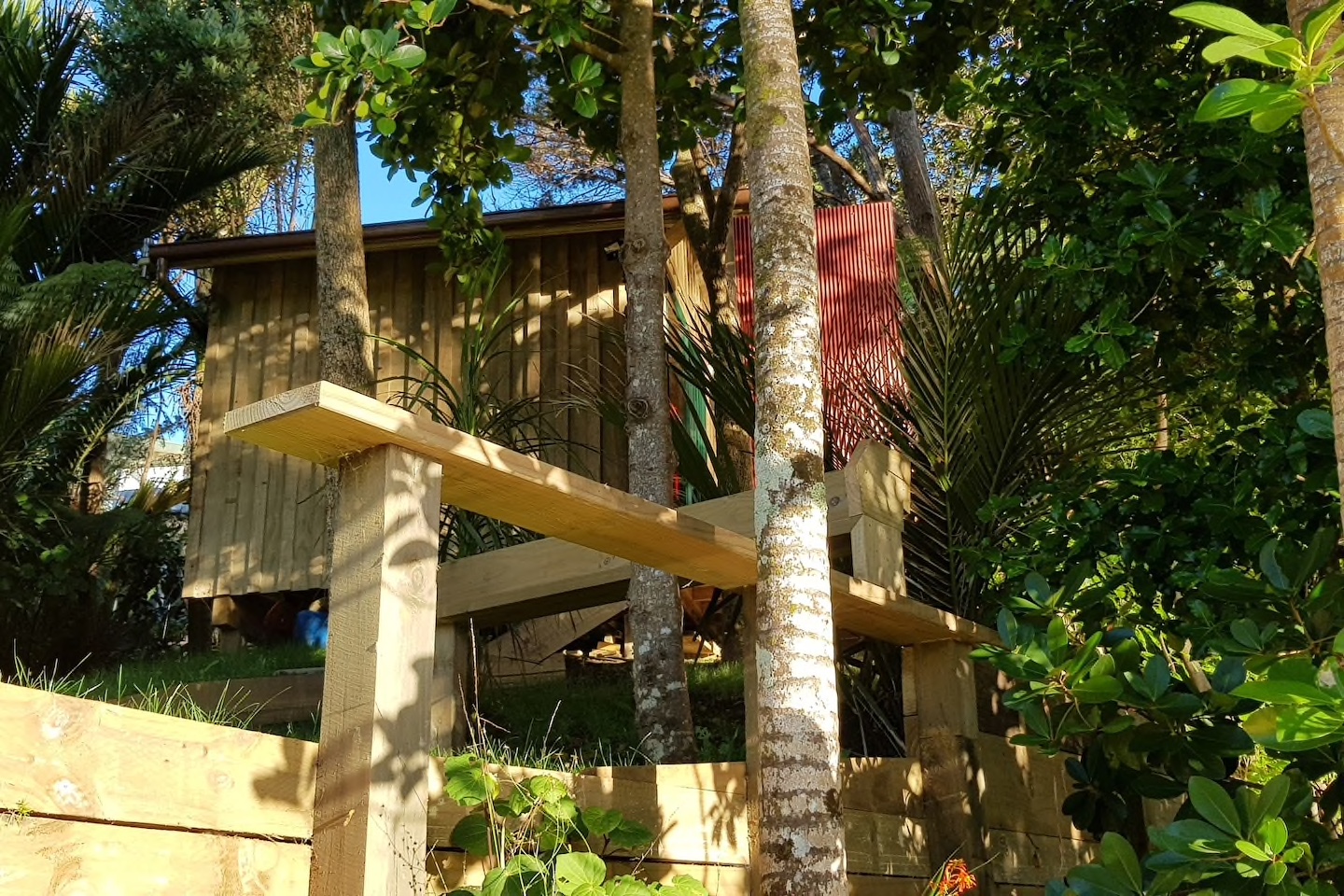
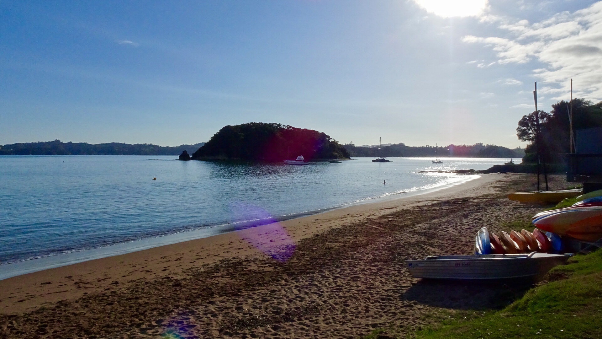
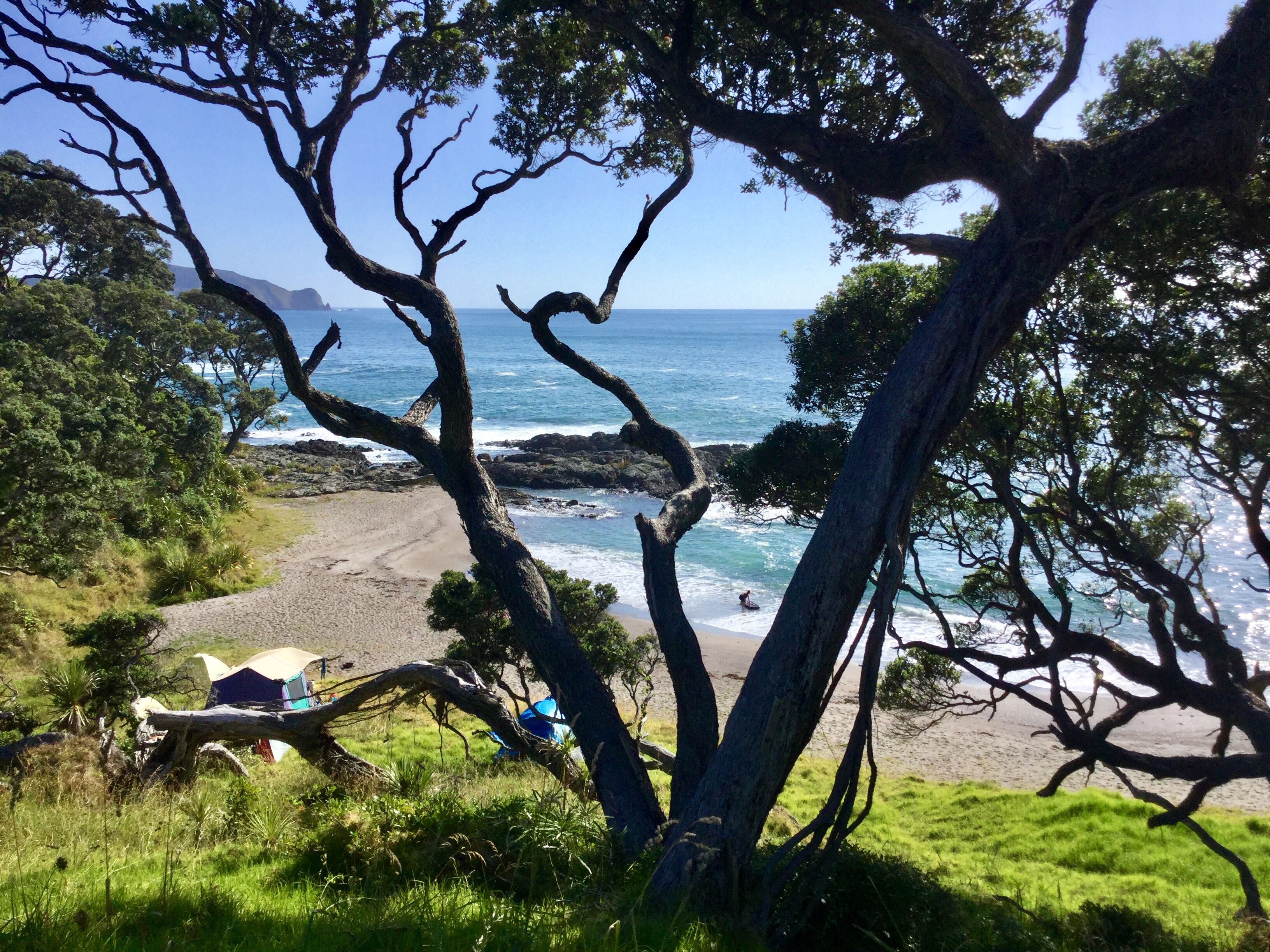
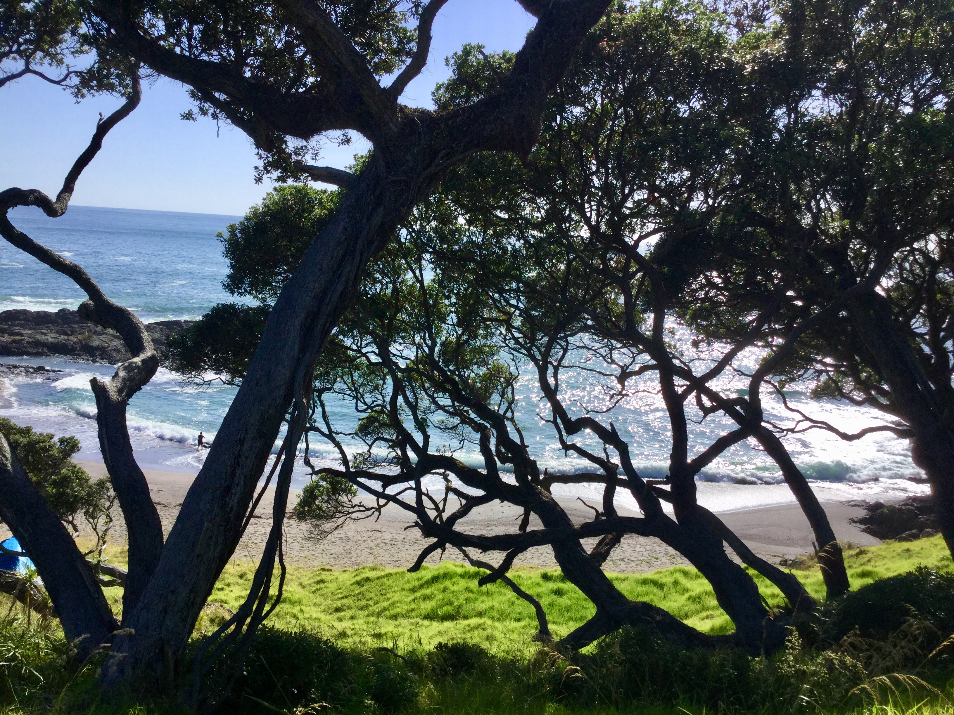
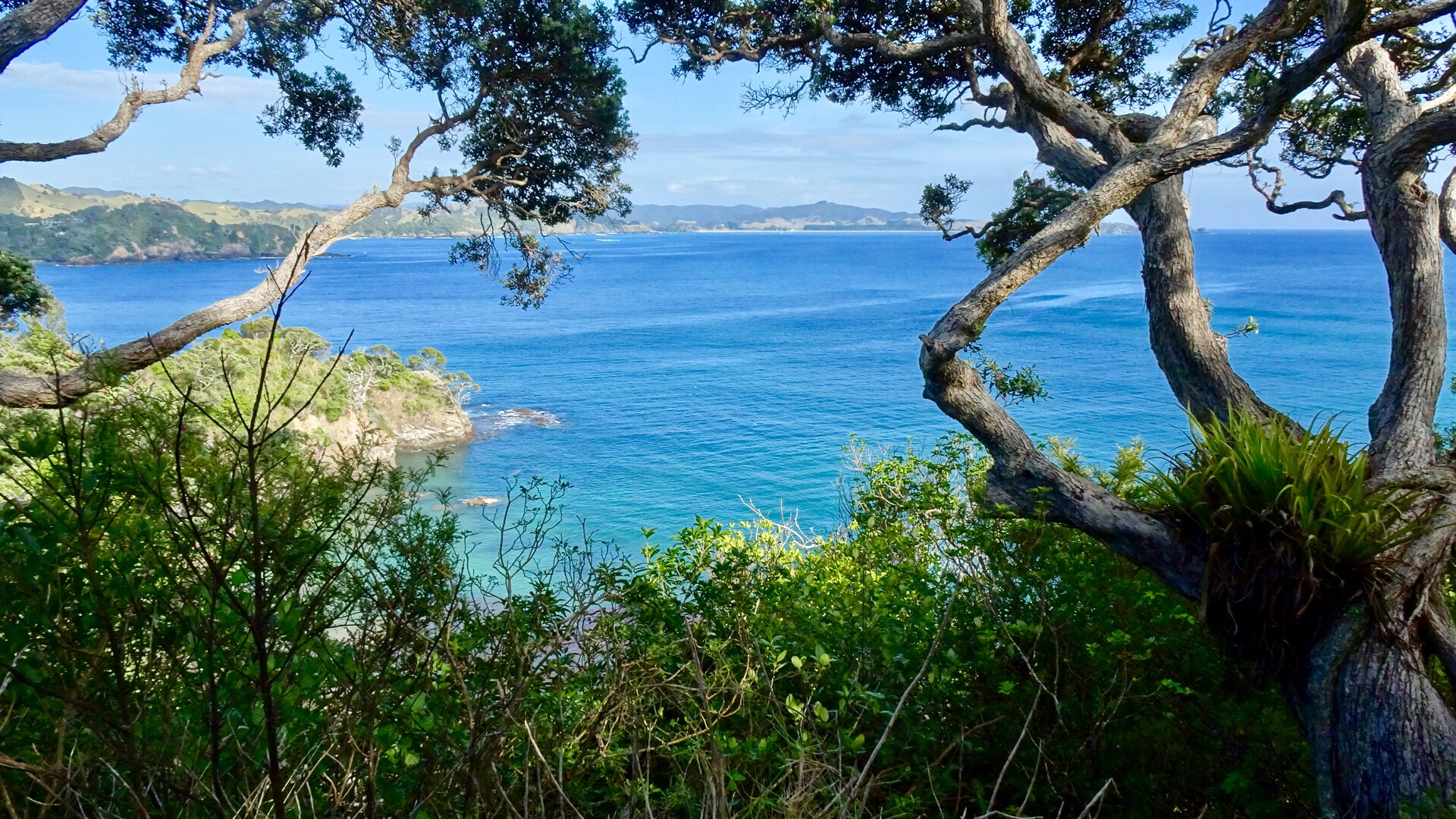
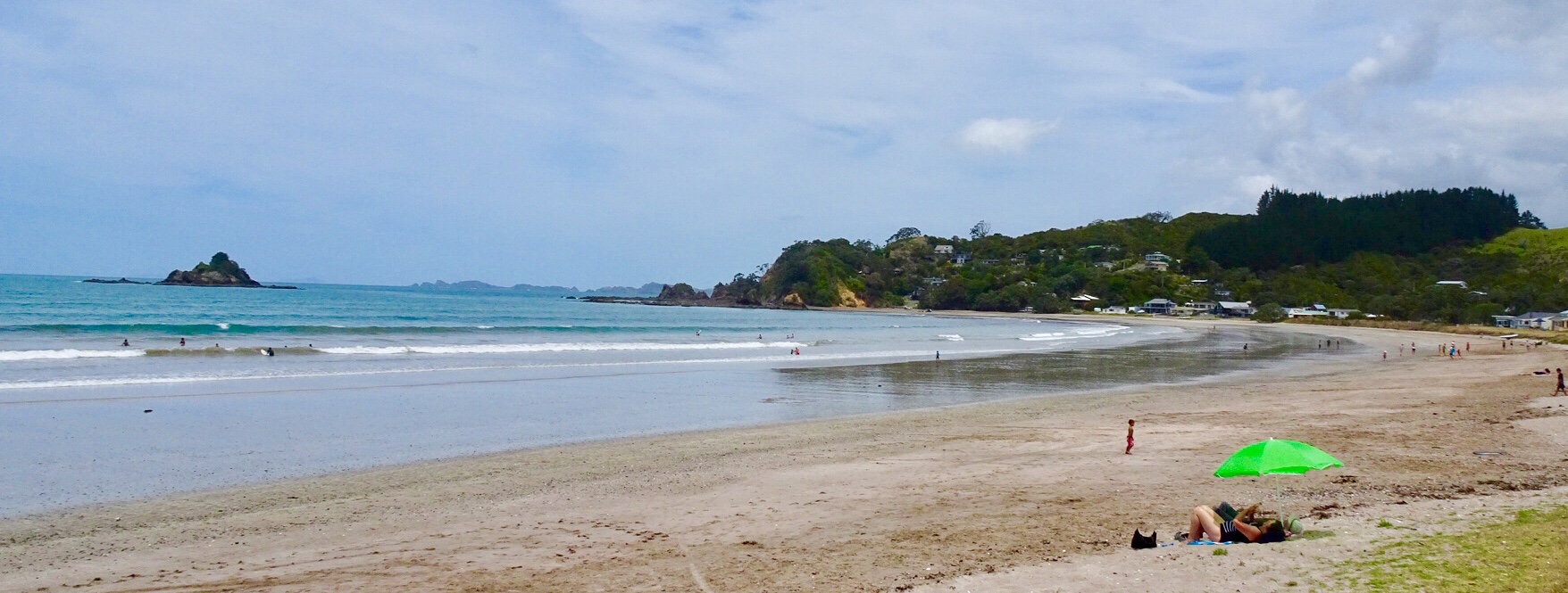
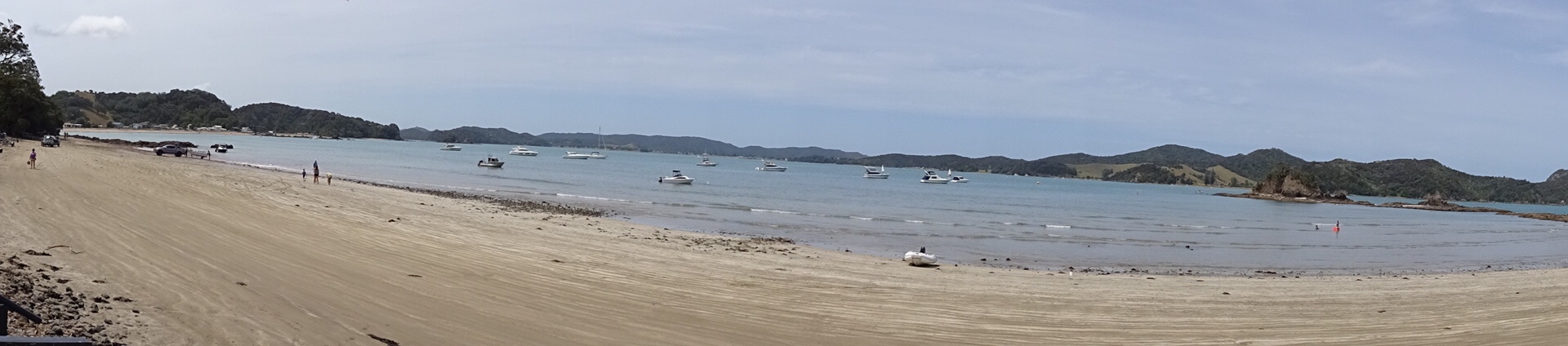
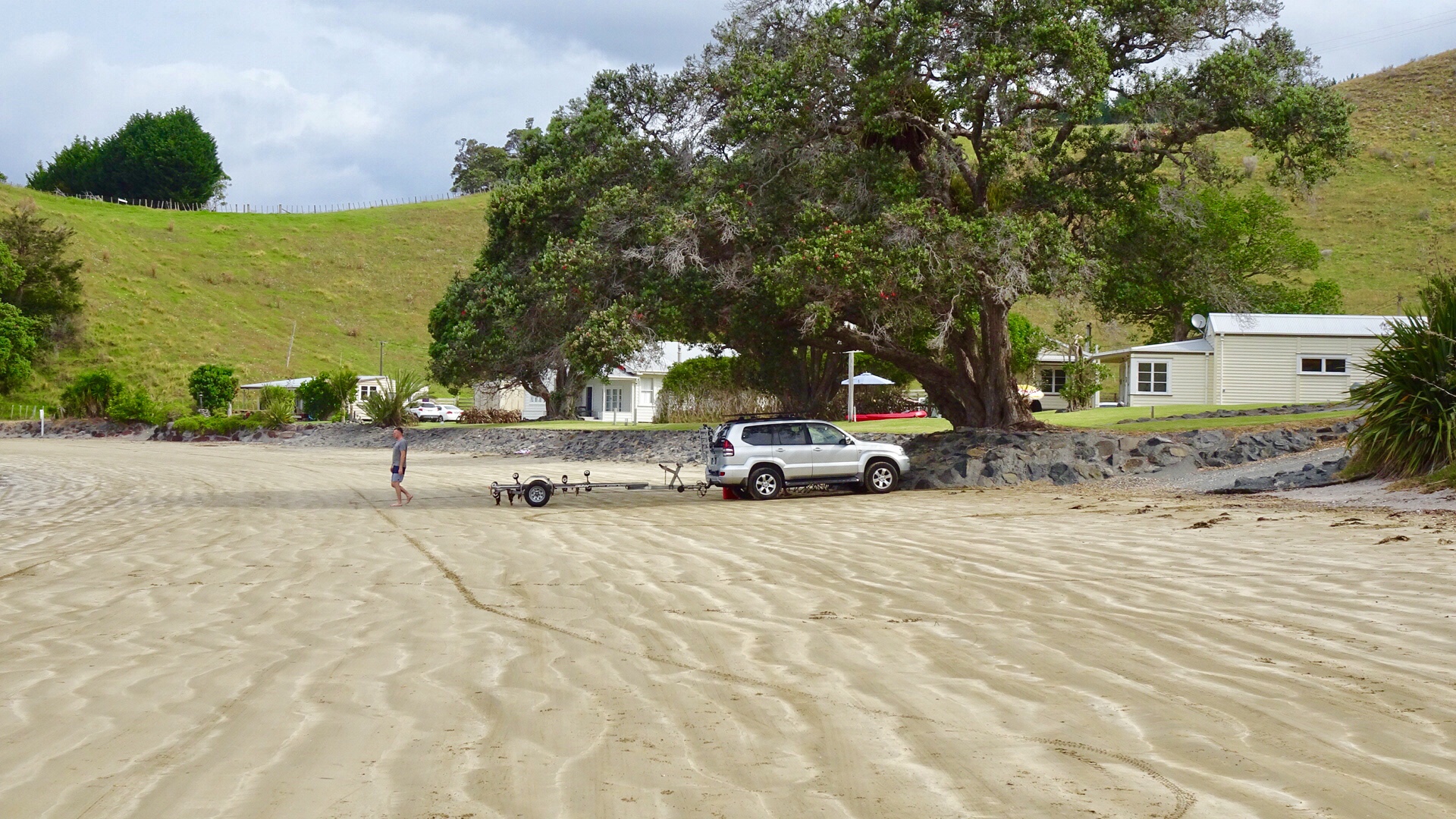
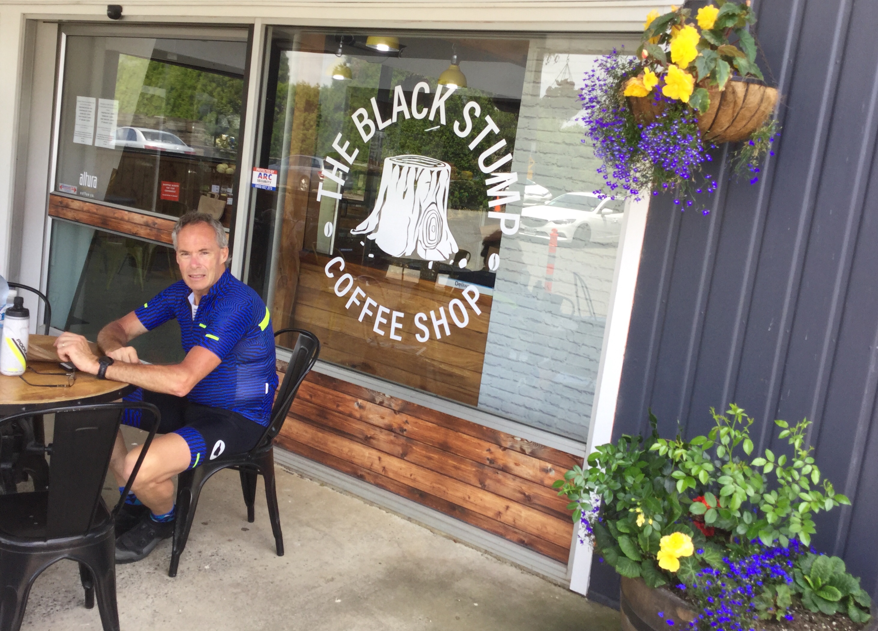
 We decided to do a short Christmas ride cruise to Matapouri Bay, some 9 hilly km away. Bonus was the local store was open and we were able to grab a nice coffee. The owner was doing a roaring trade with a constant stream of customers.
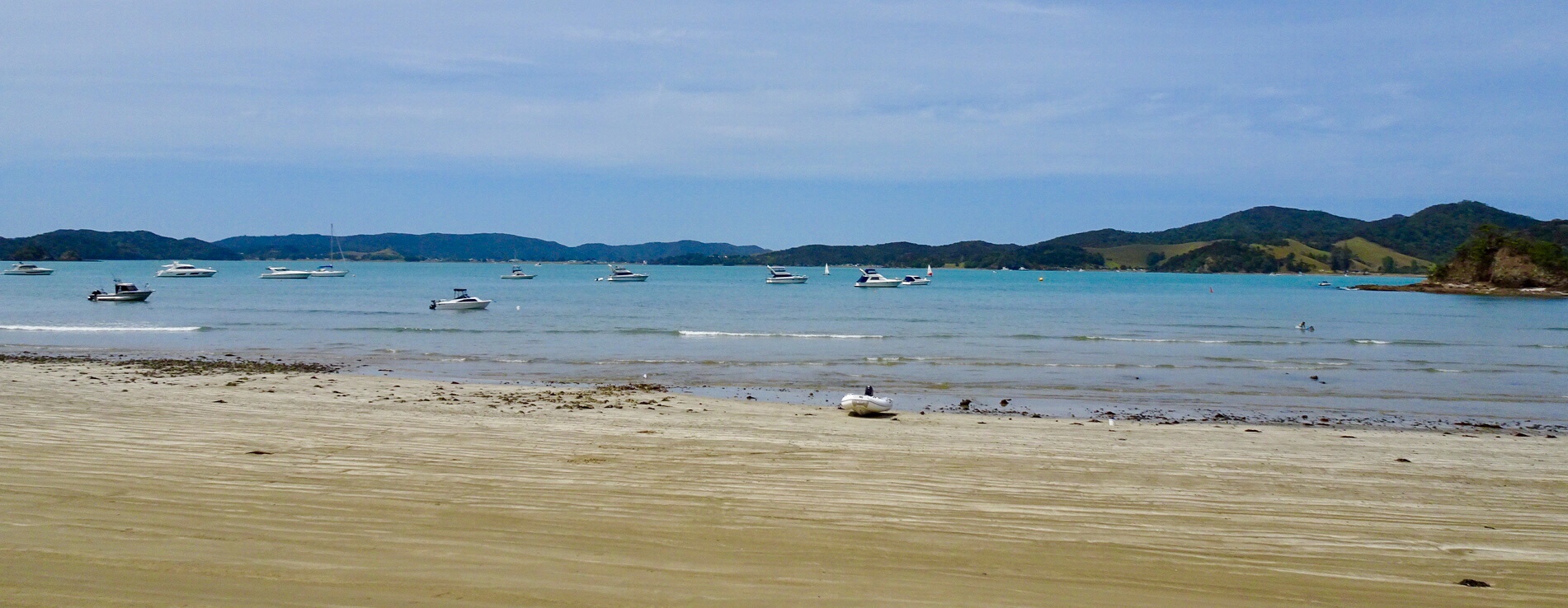
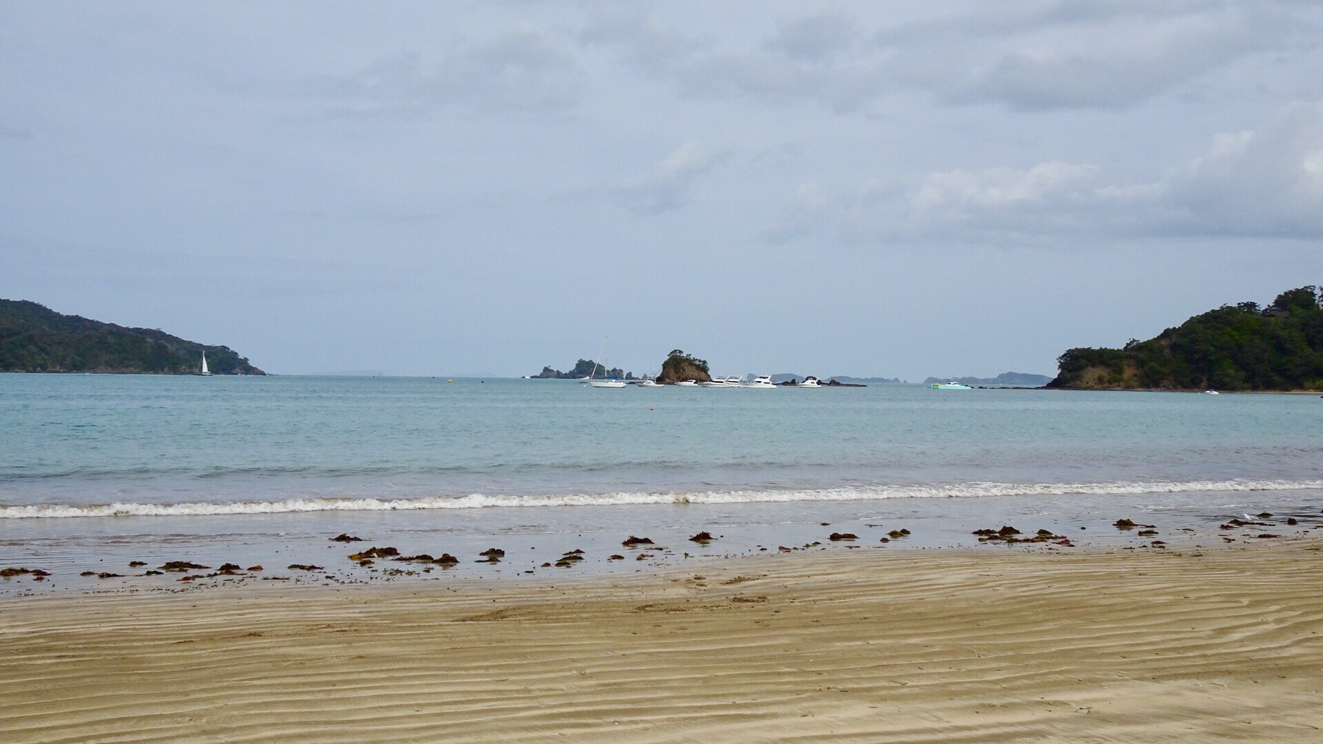
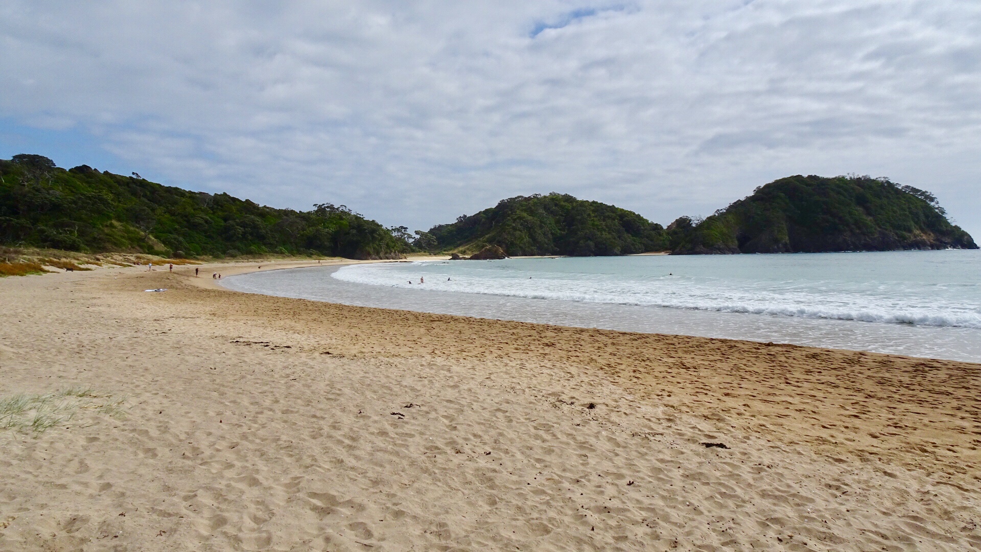
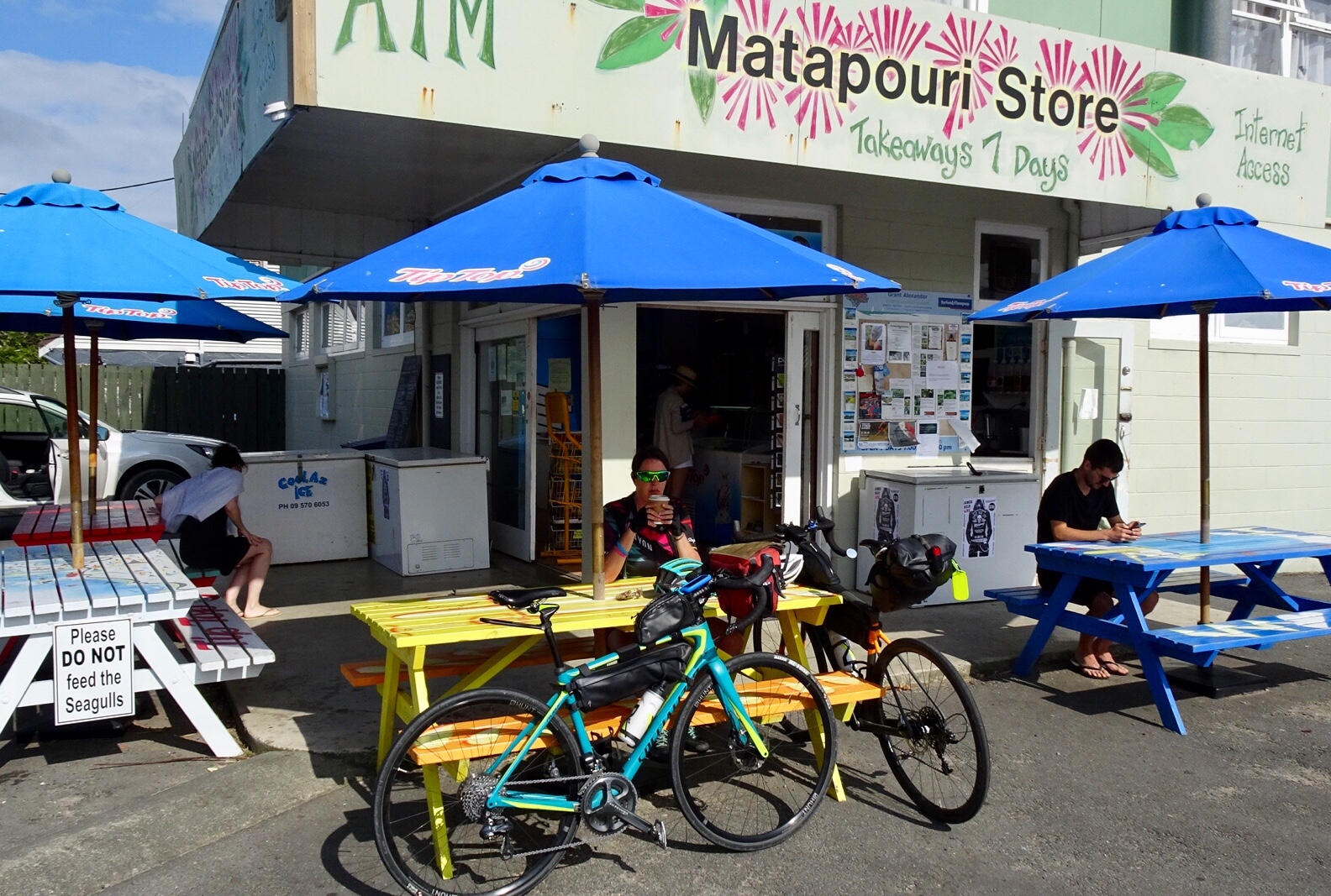 Matapouri Beach is a long crescent shaped beach.
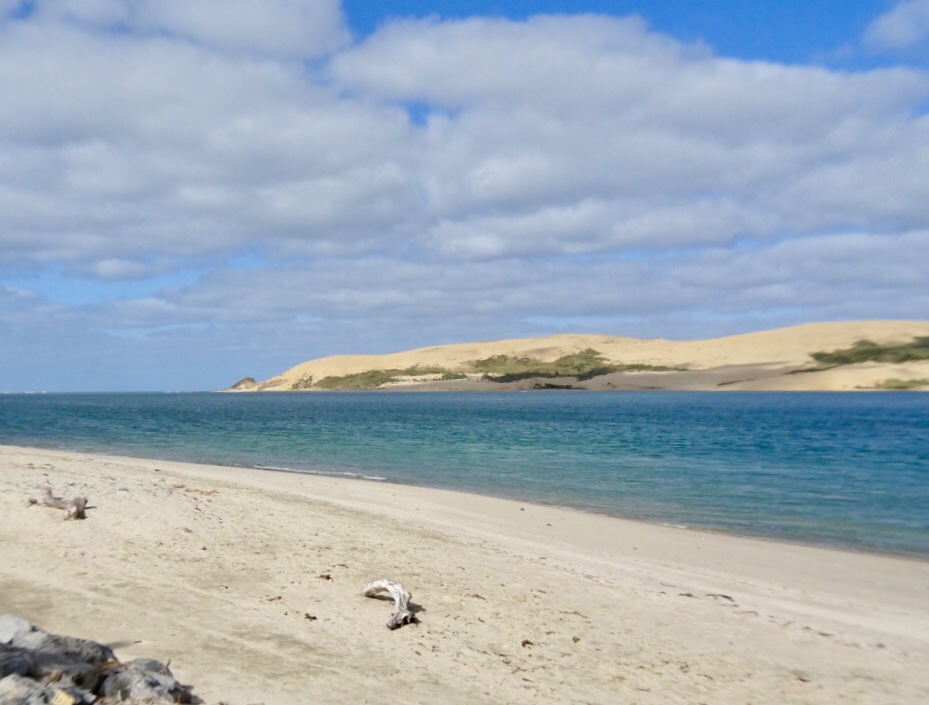
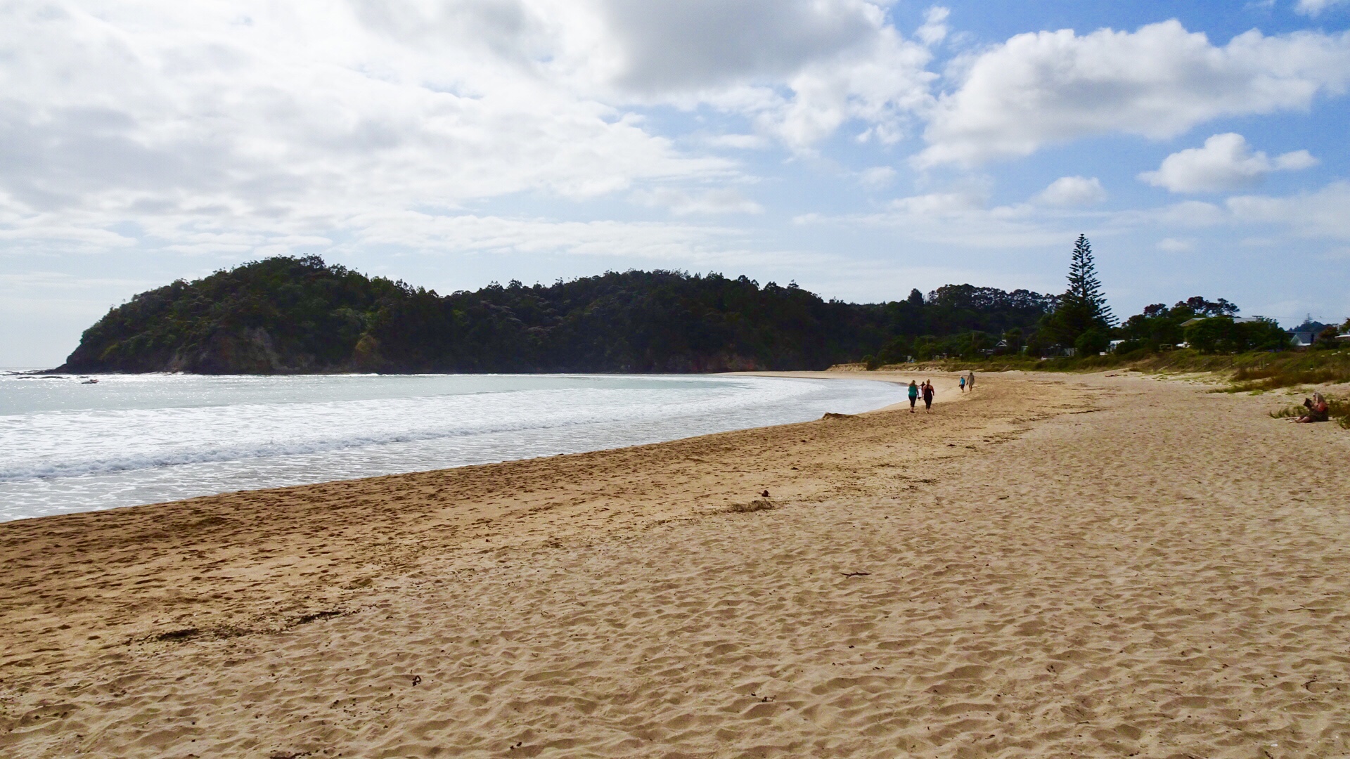
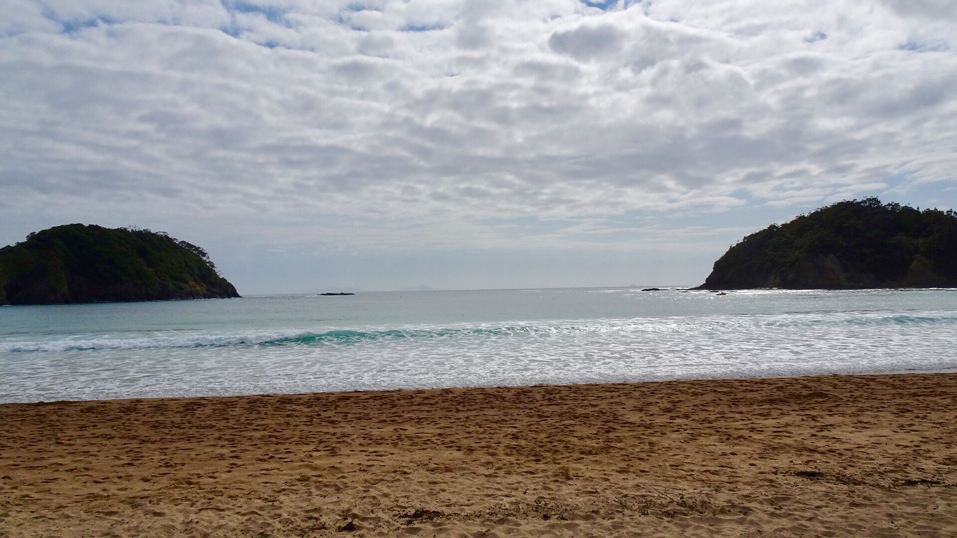
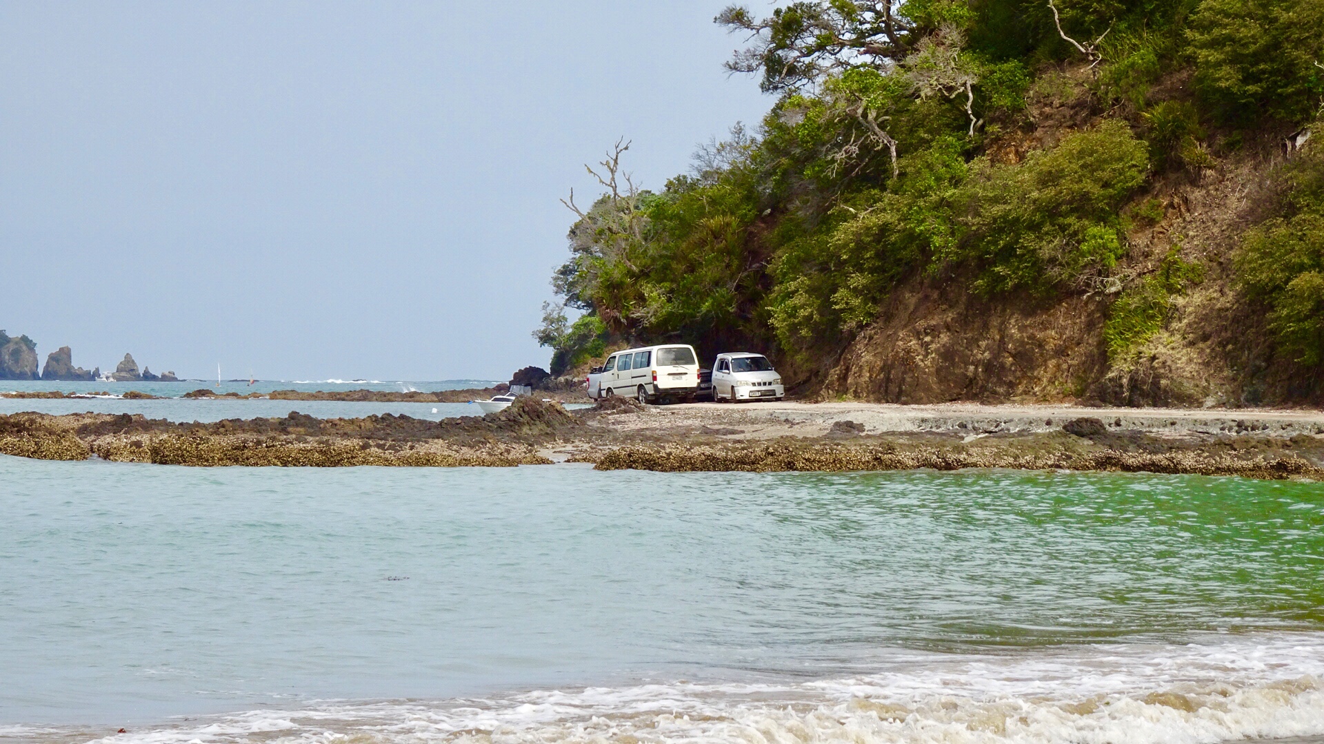
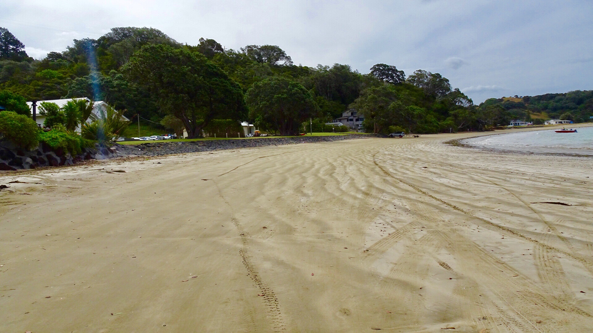
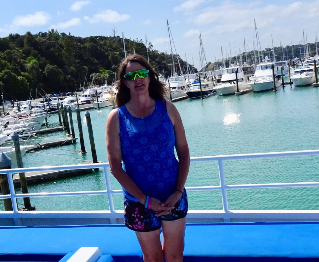
 We parked the bikes on the beach and got our bathers our to test the waters.
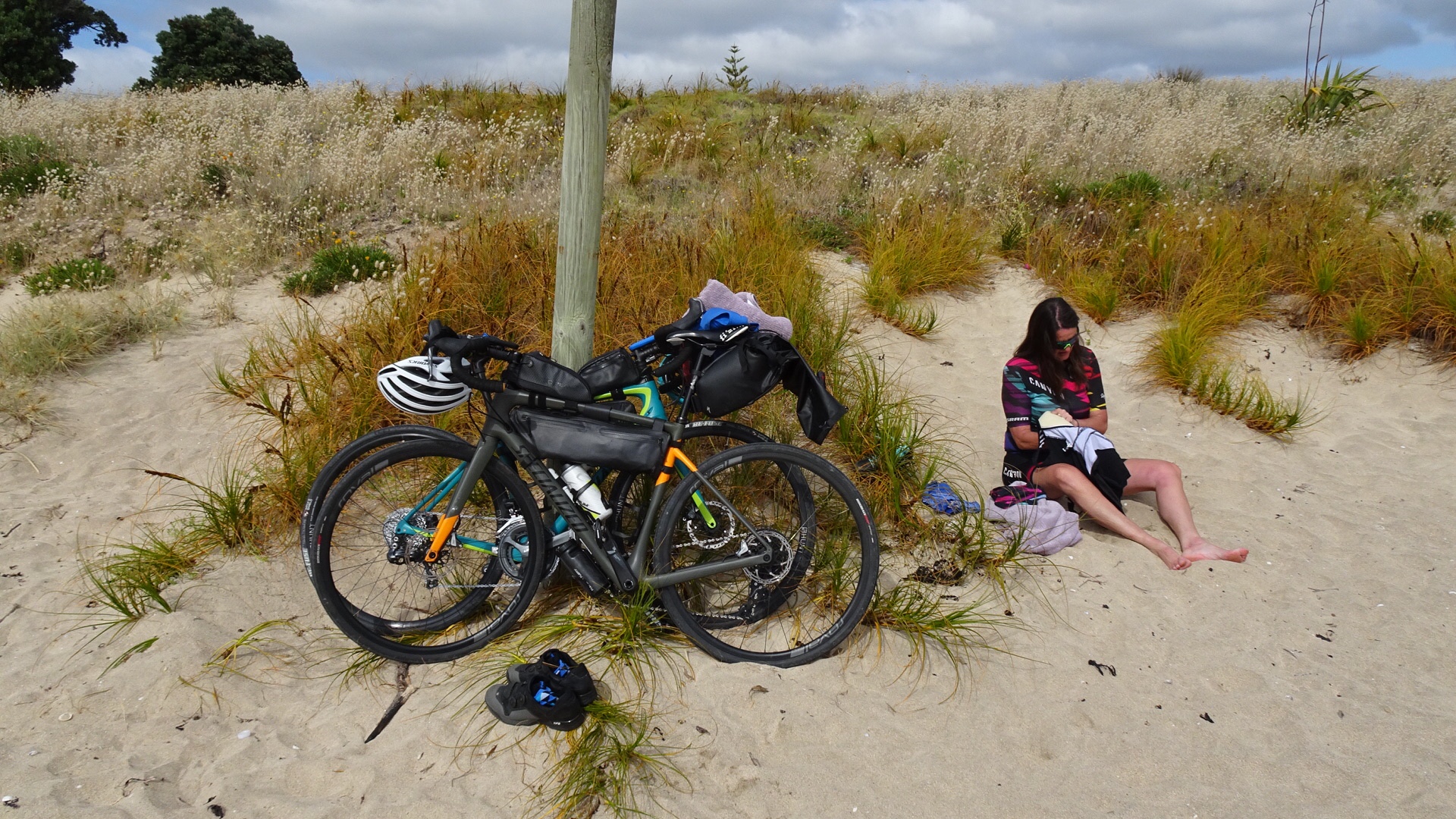 Brrrrrr….not immersing the whole body!
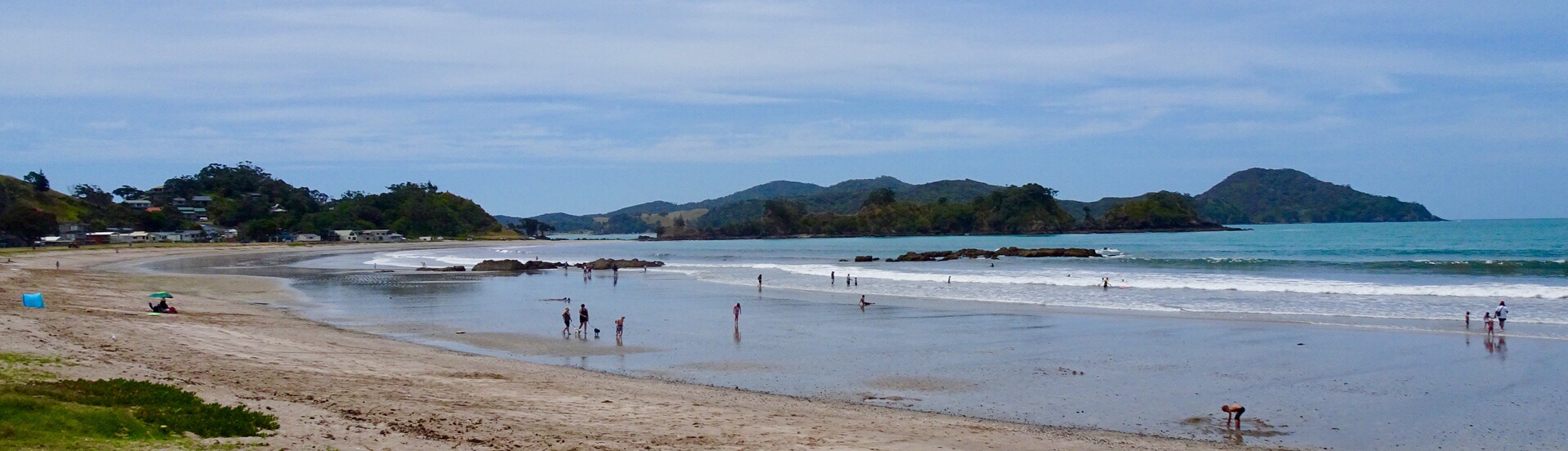
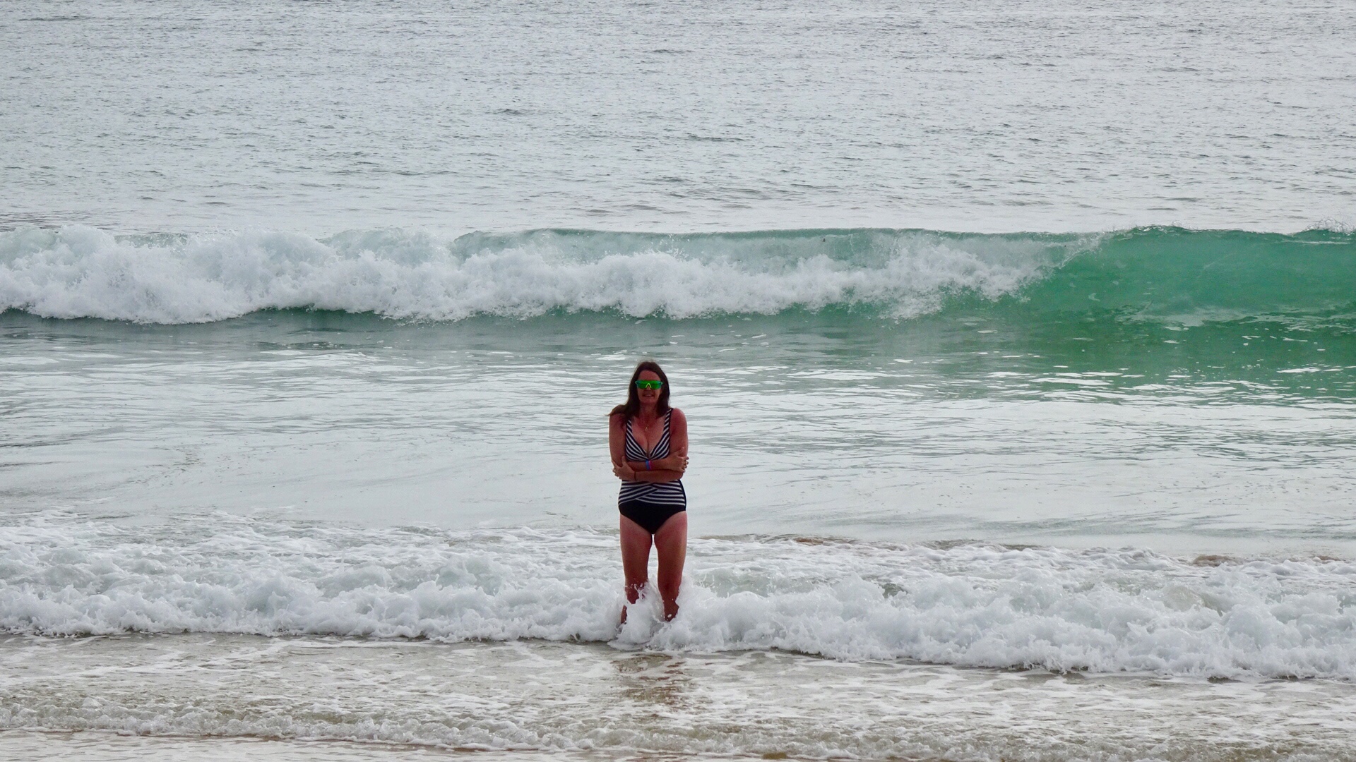 Heading down the beach….
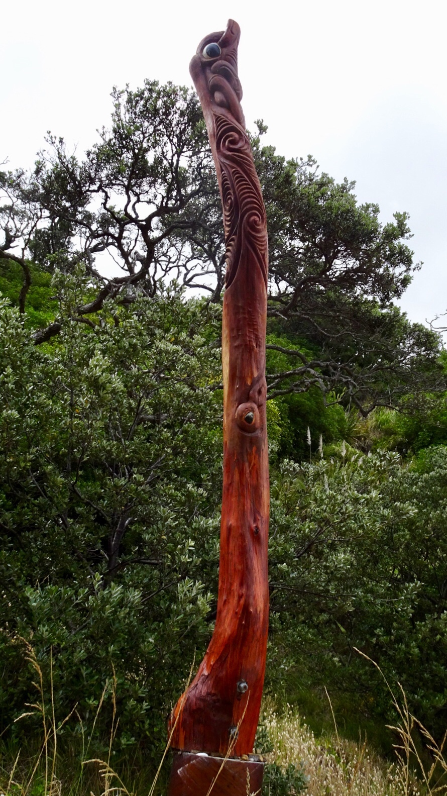
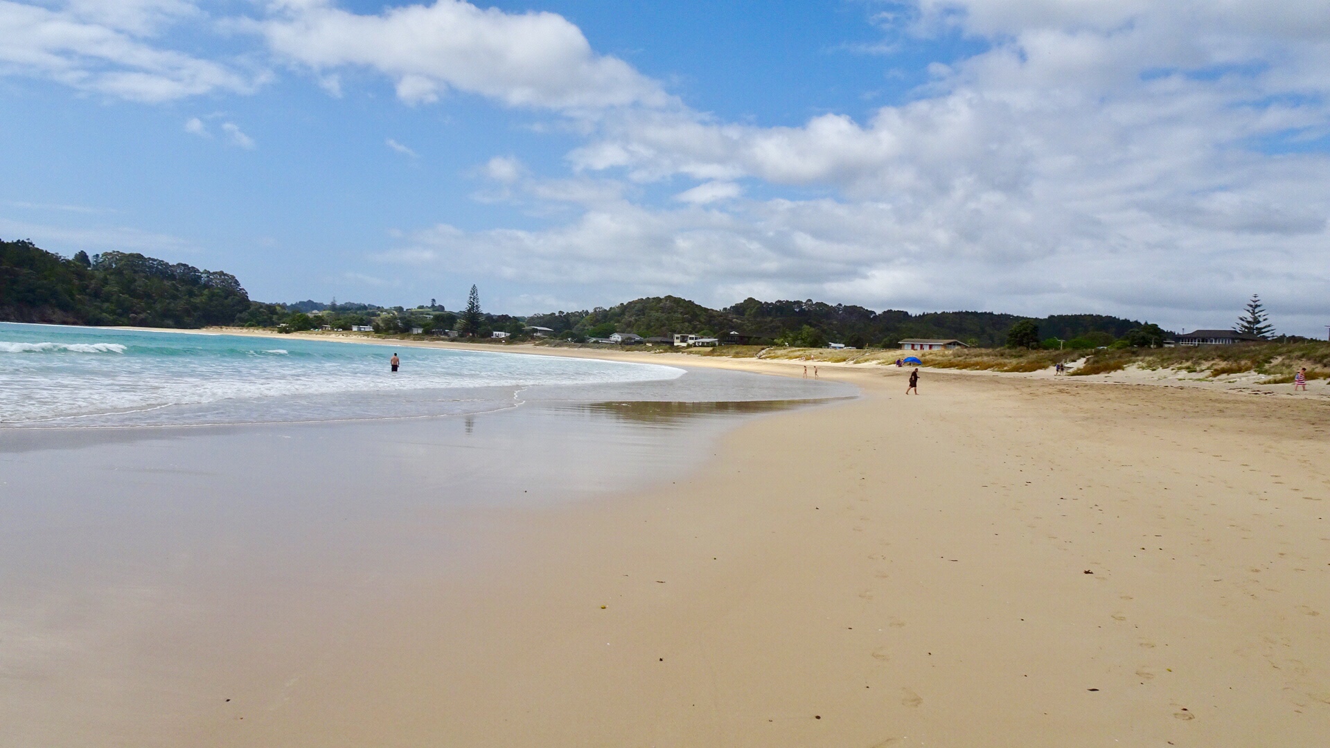 A walkway to another beach reveals these Maori totems.
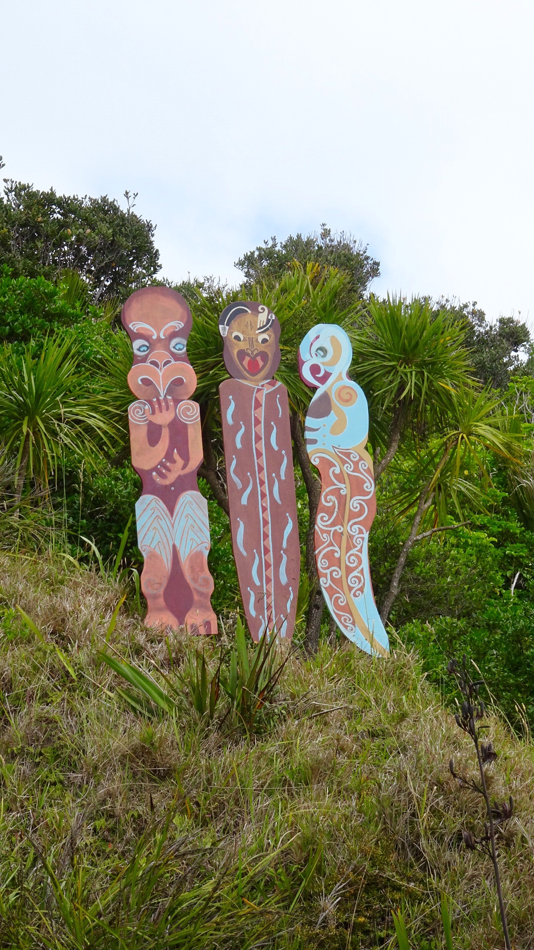 Volcanic beach on the other side.
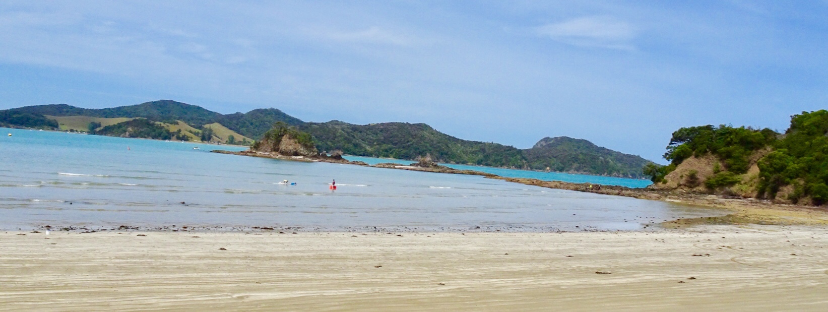
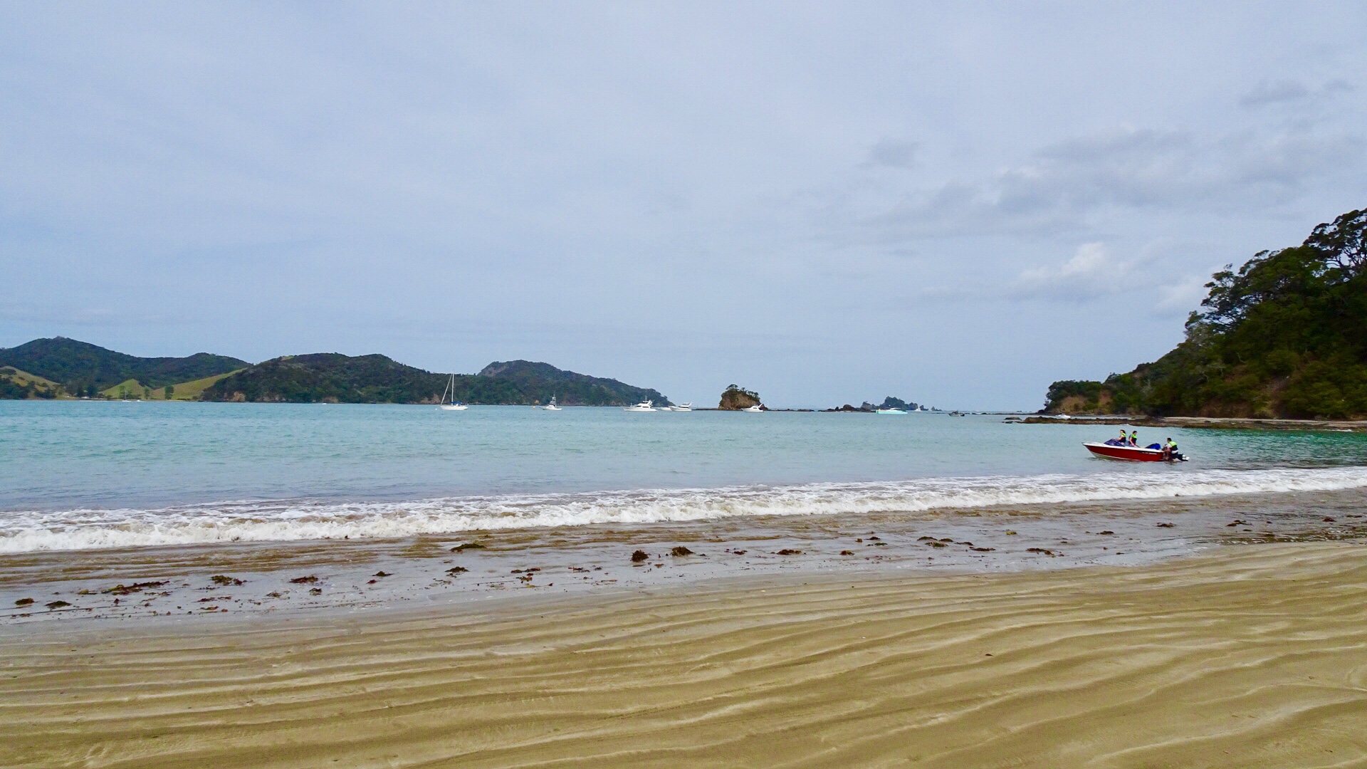
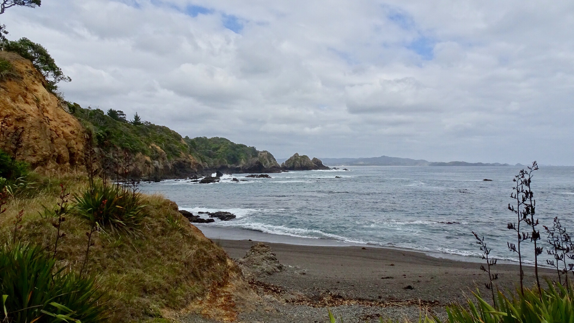 Continuing along Matapouri Bay…wading through water to find a couple of small and private beaches.
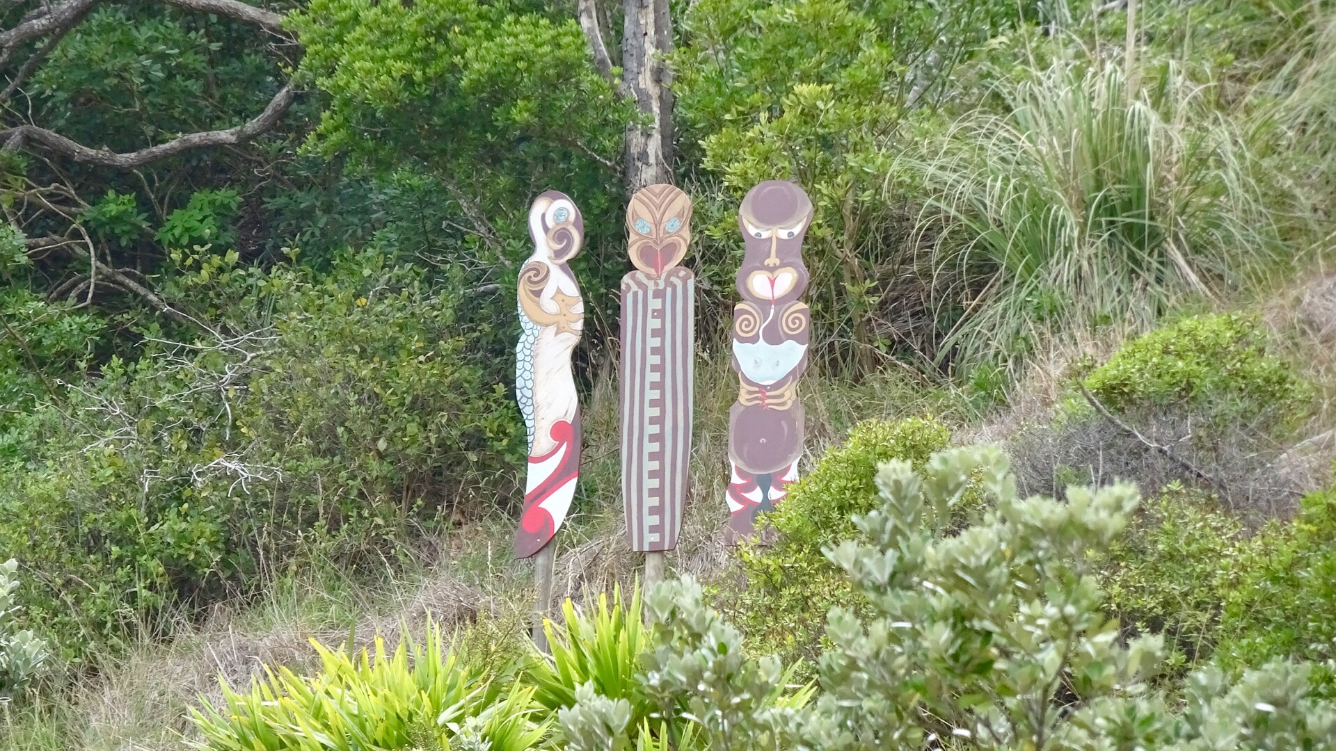
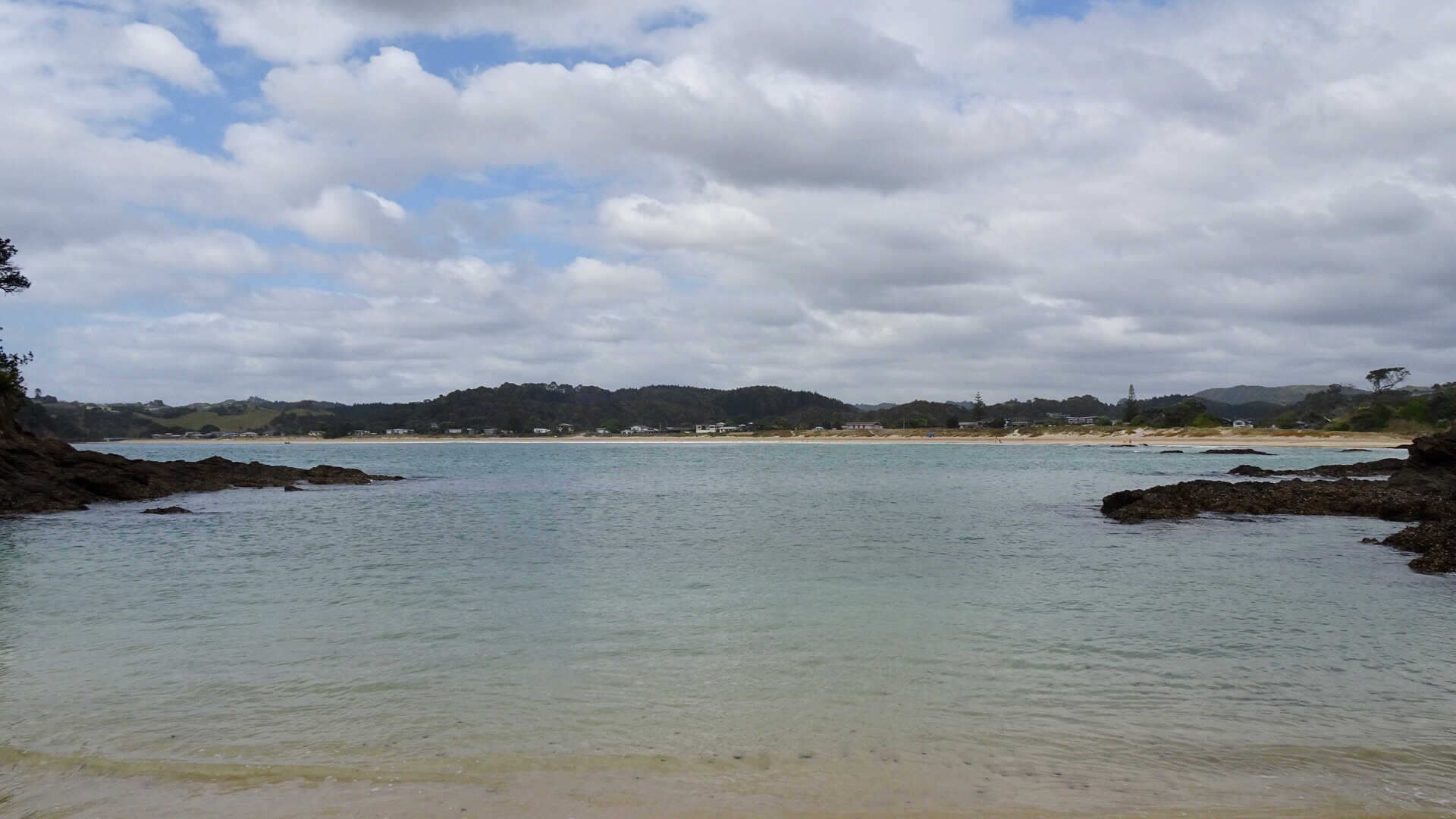 More totems. The area where these totems are has a tapu on it, and is closed for regeneration.
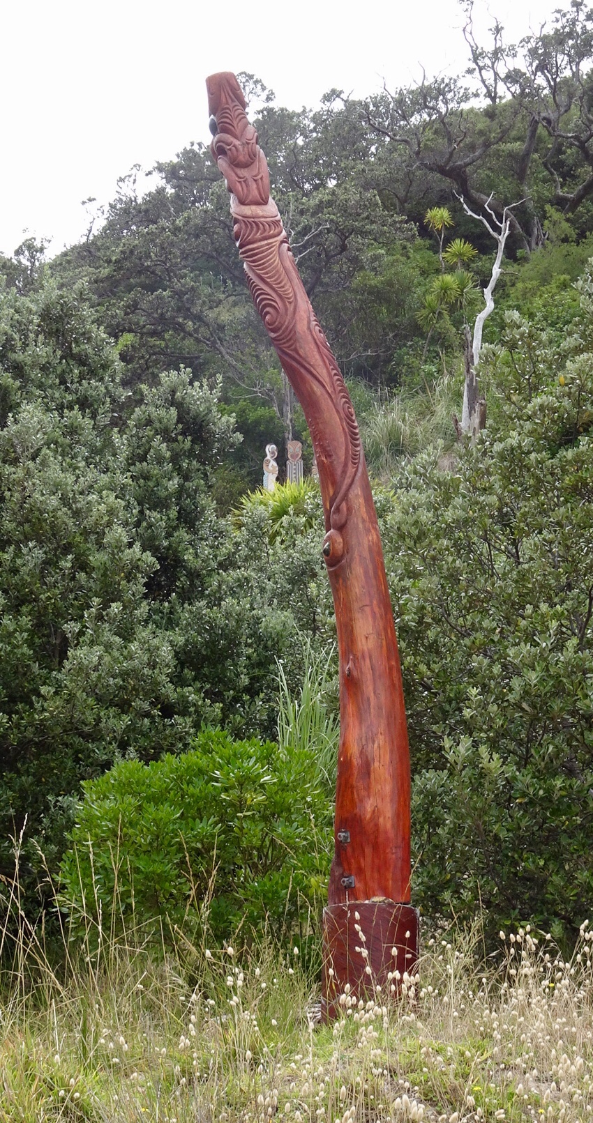
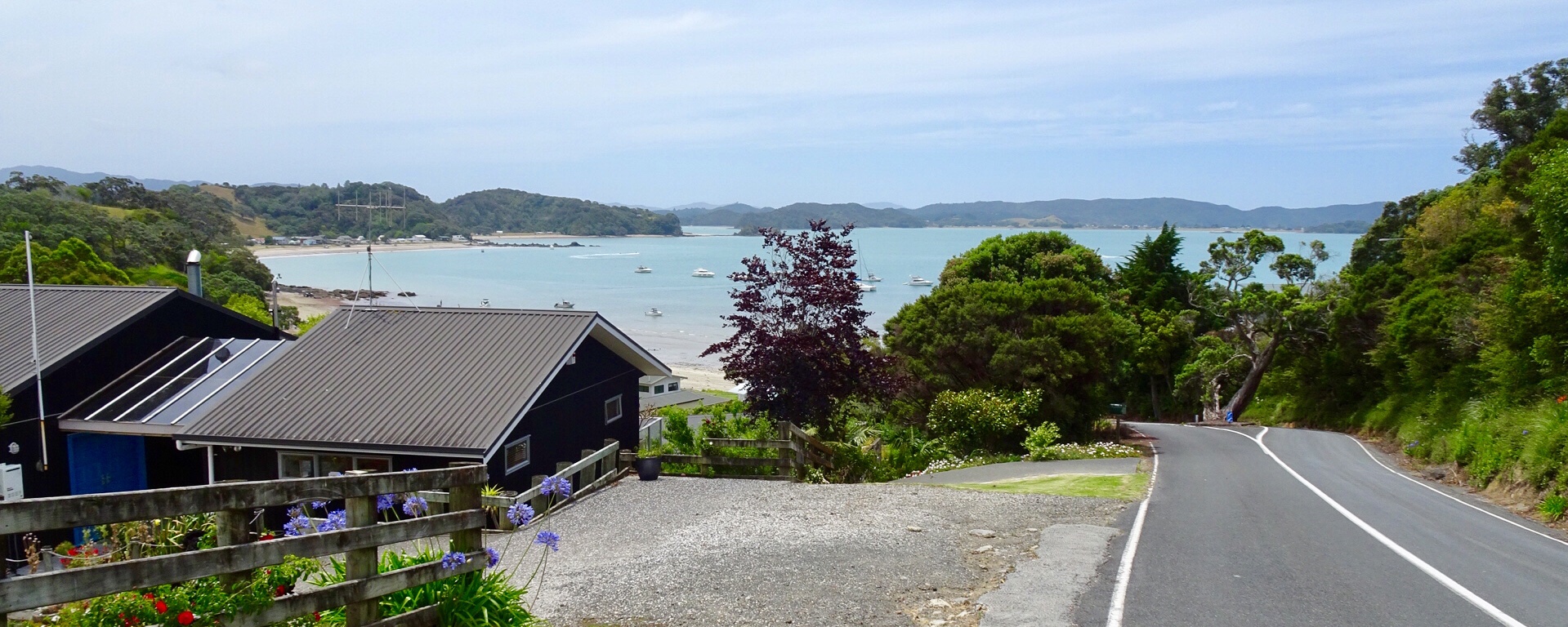
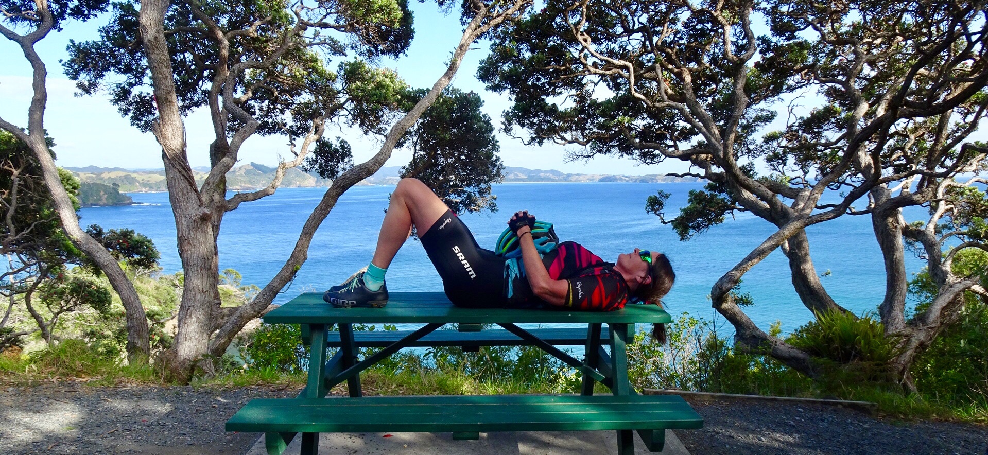
 A lazy day, but very pleasant day.


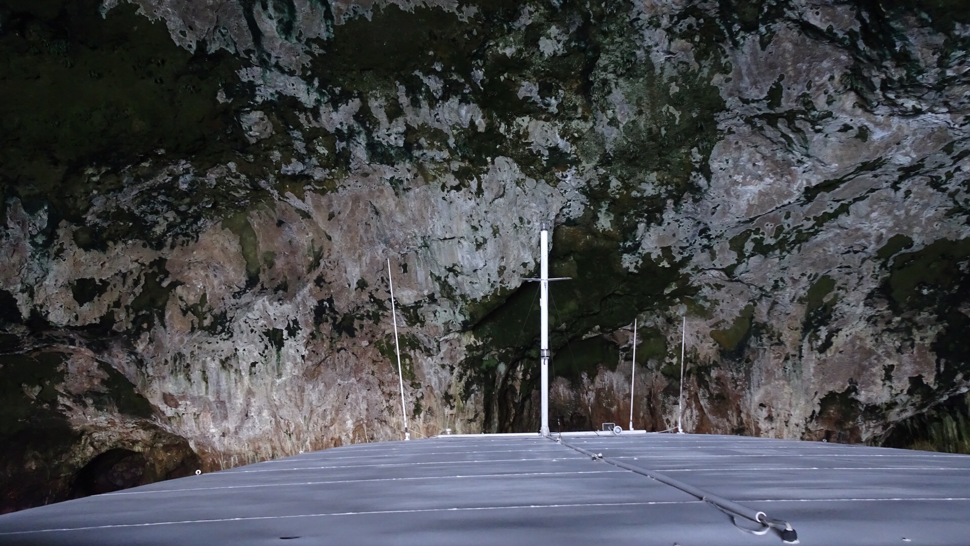
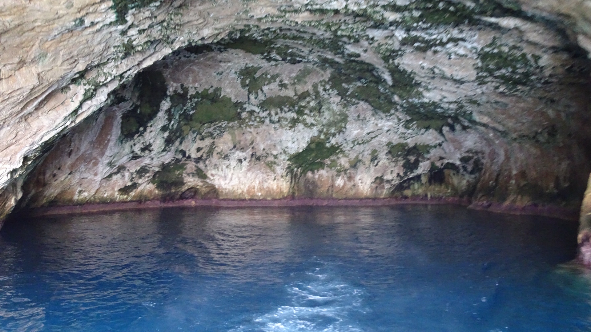
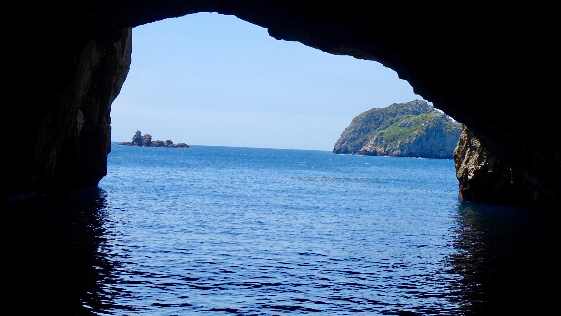
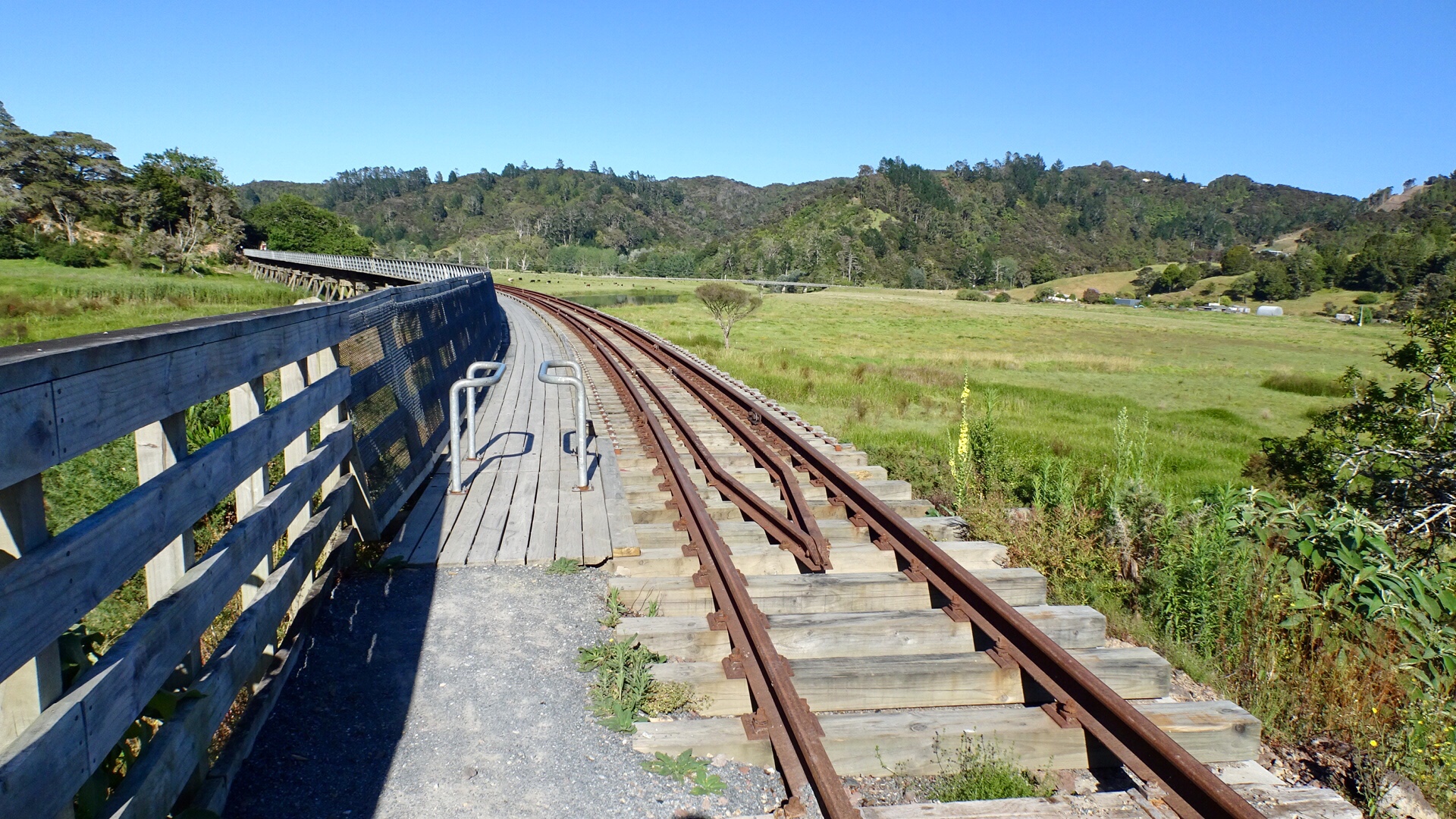
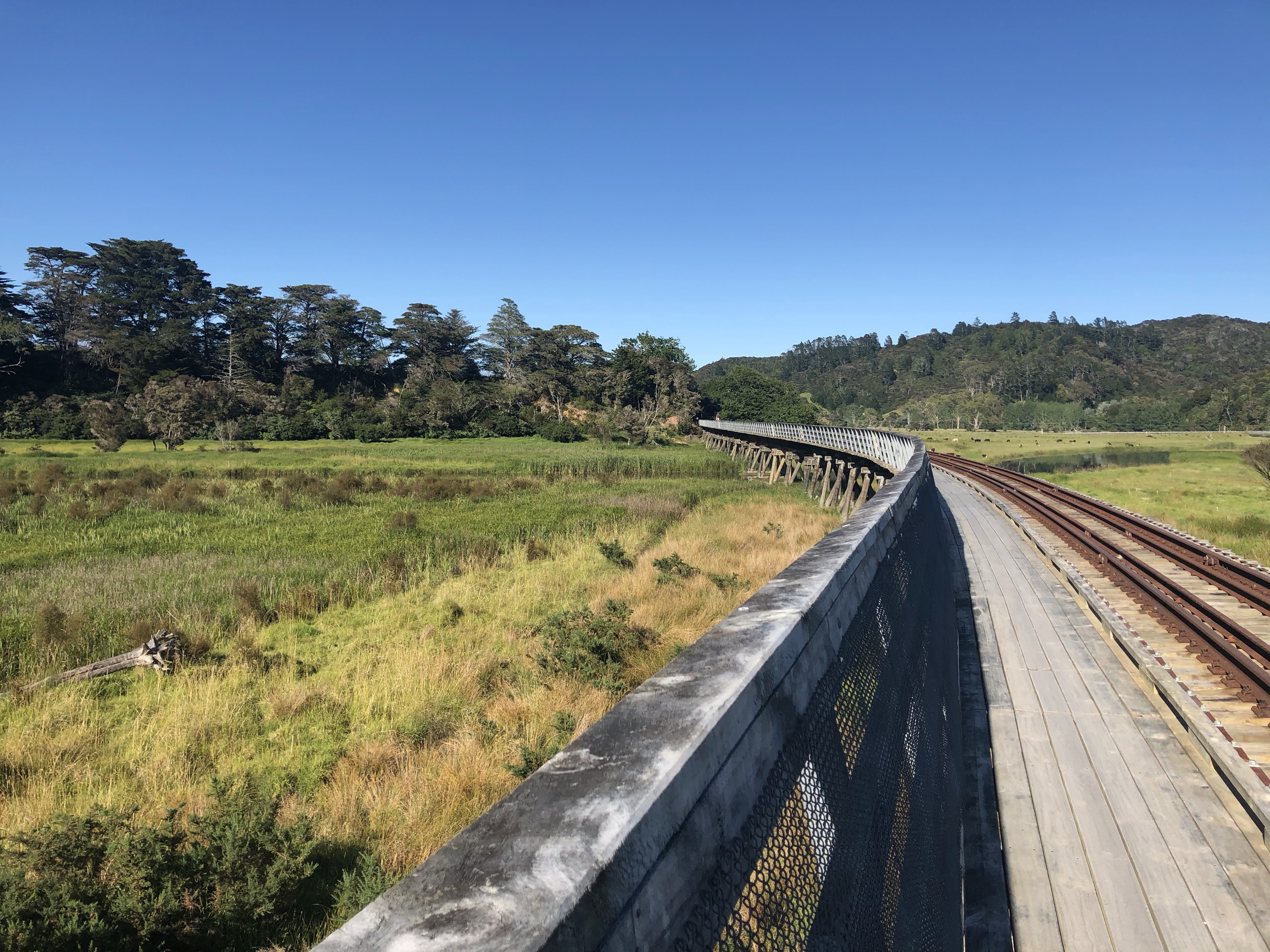
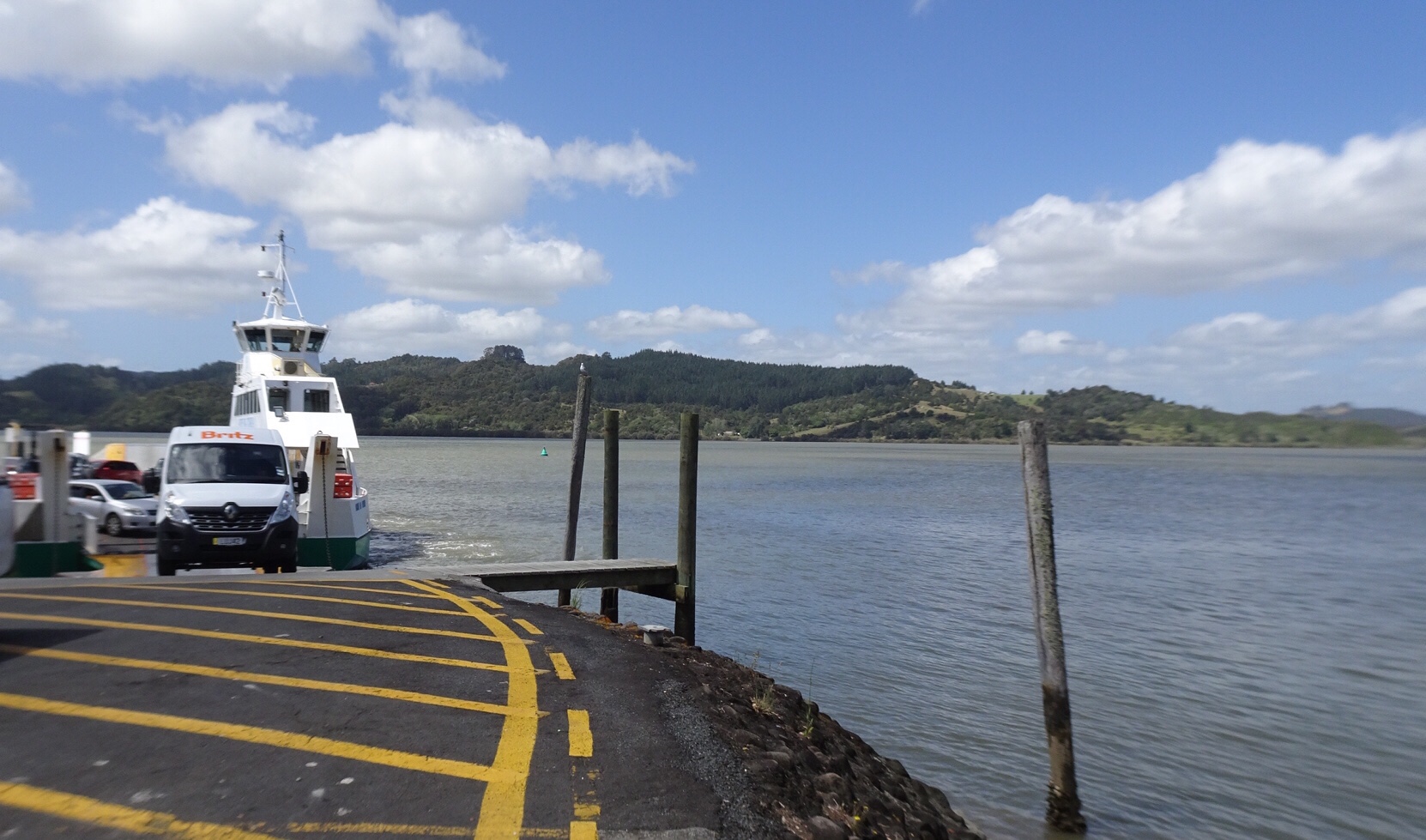
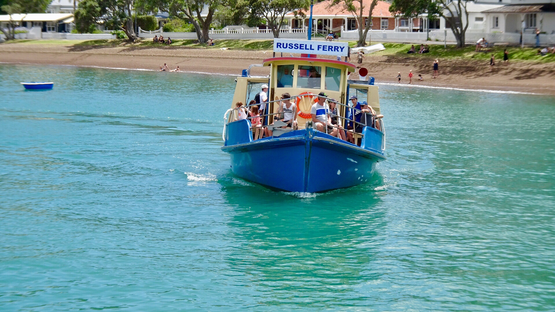
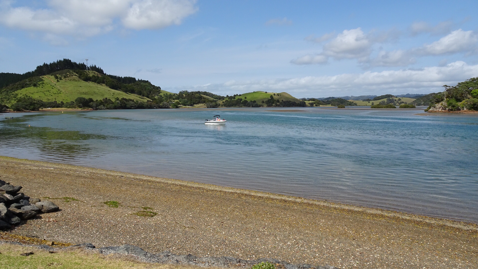
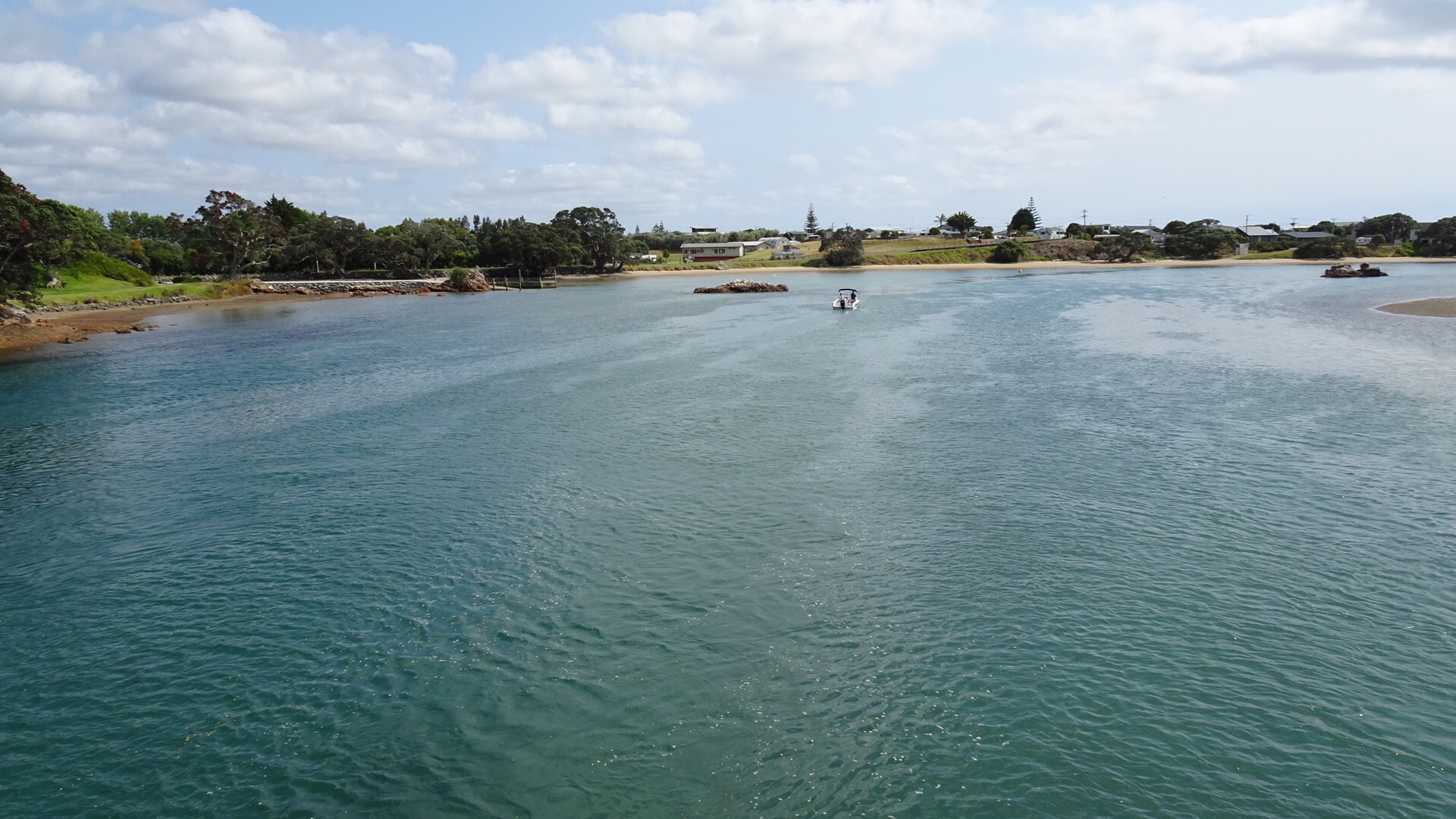
 We motored through it. So the reverse view…
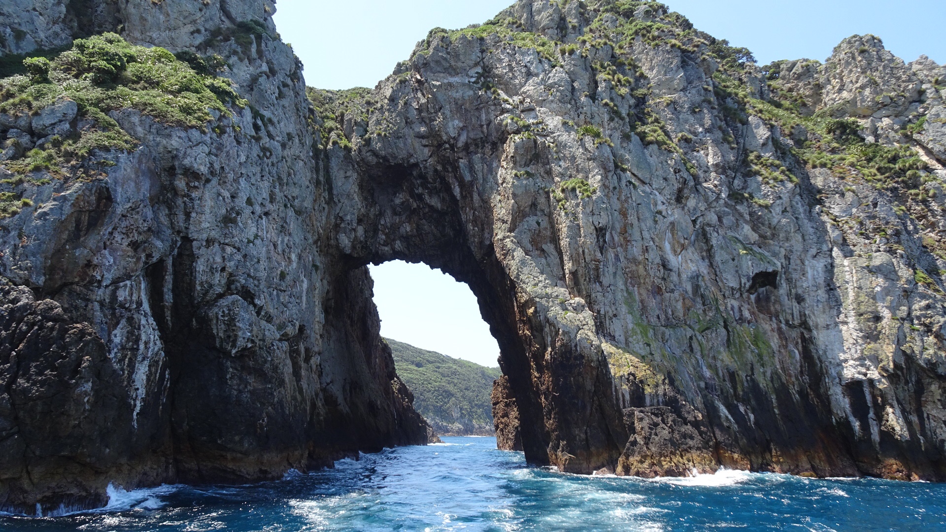
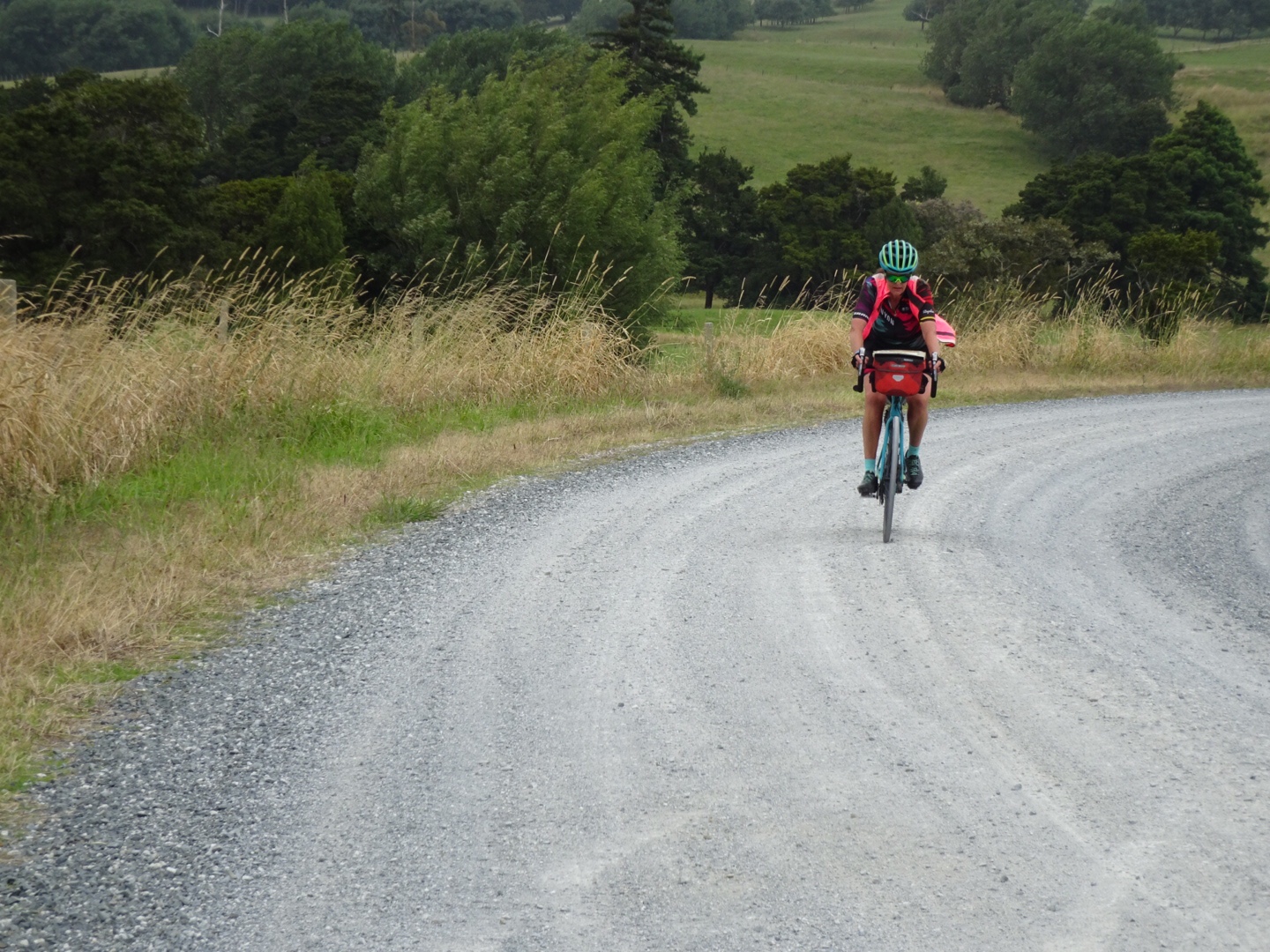
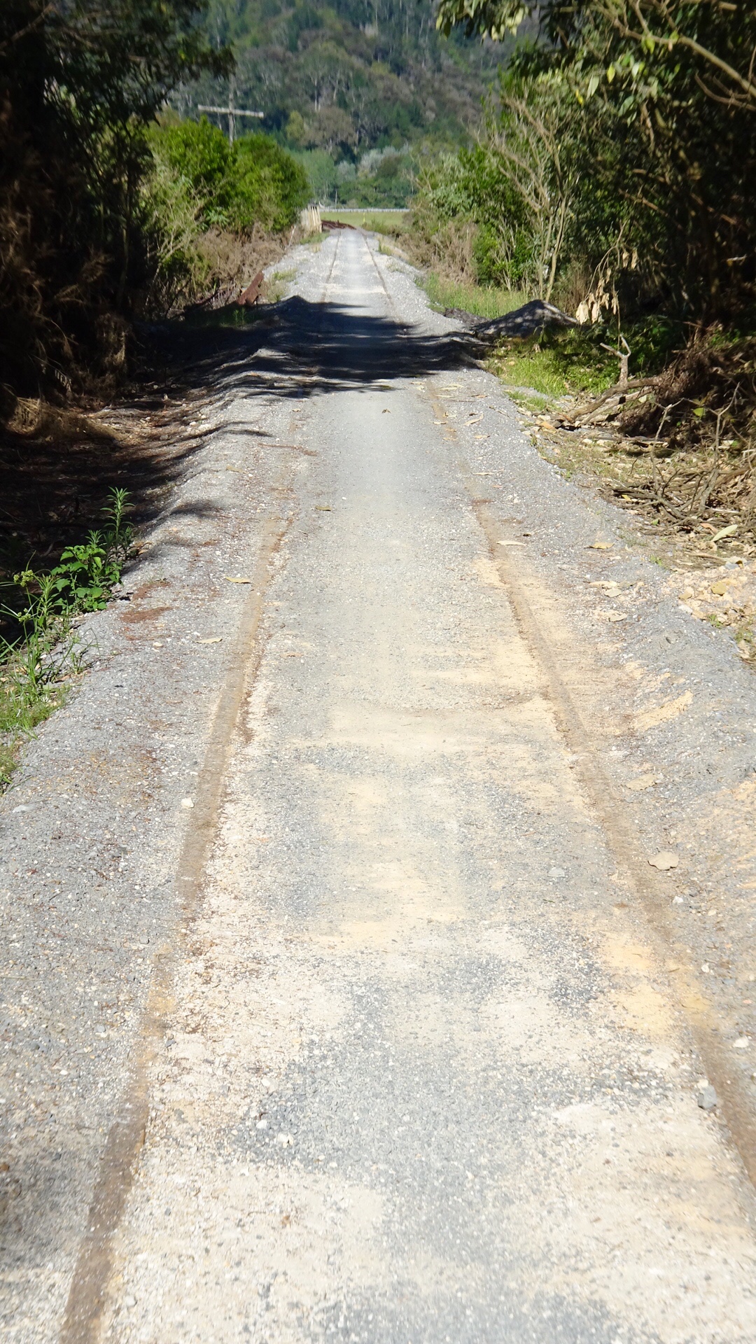
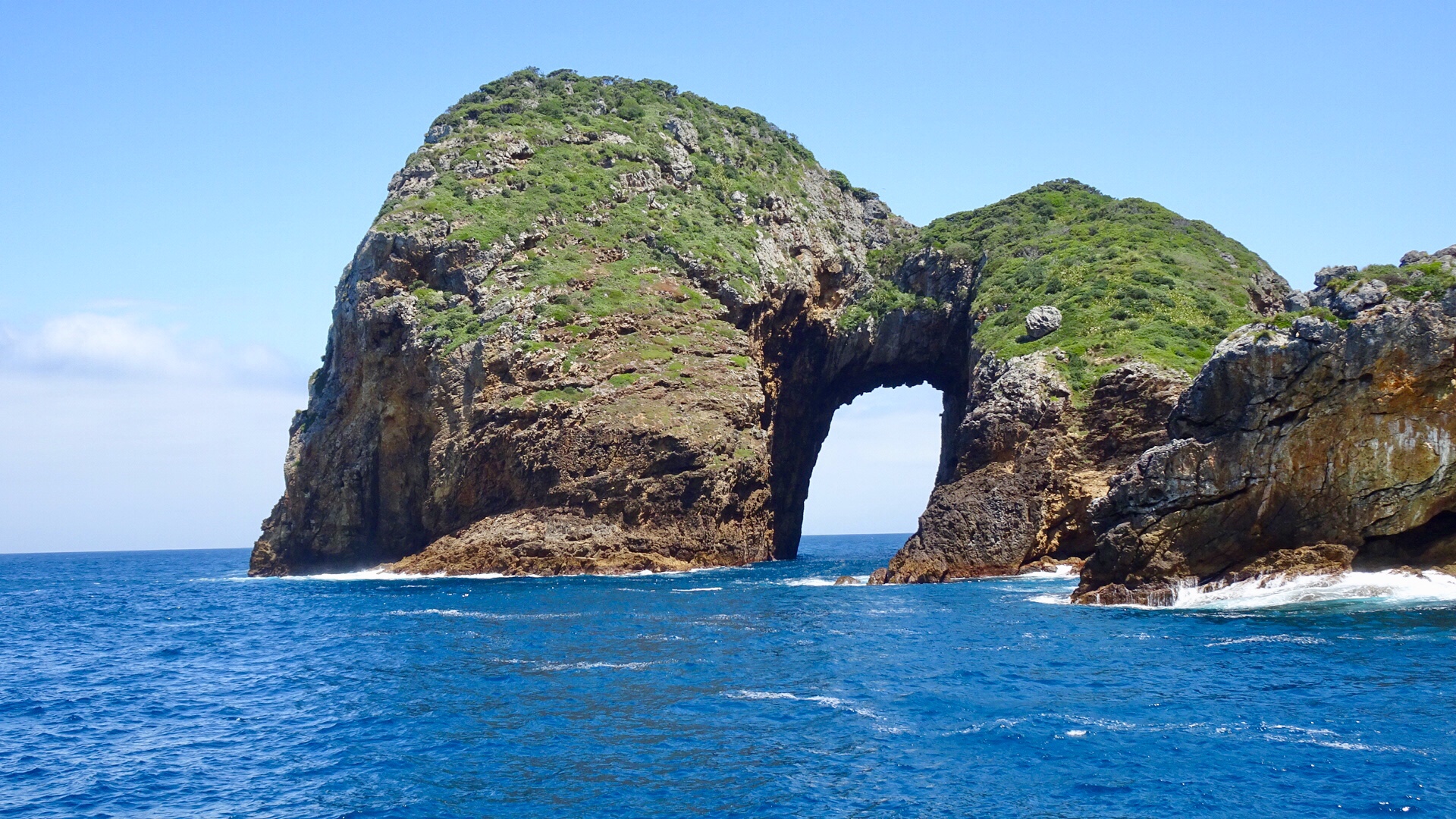
 I probably should have entitled this ride something to do with the letter S.
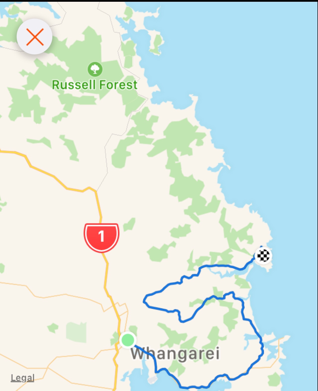


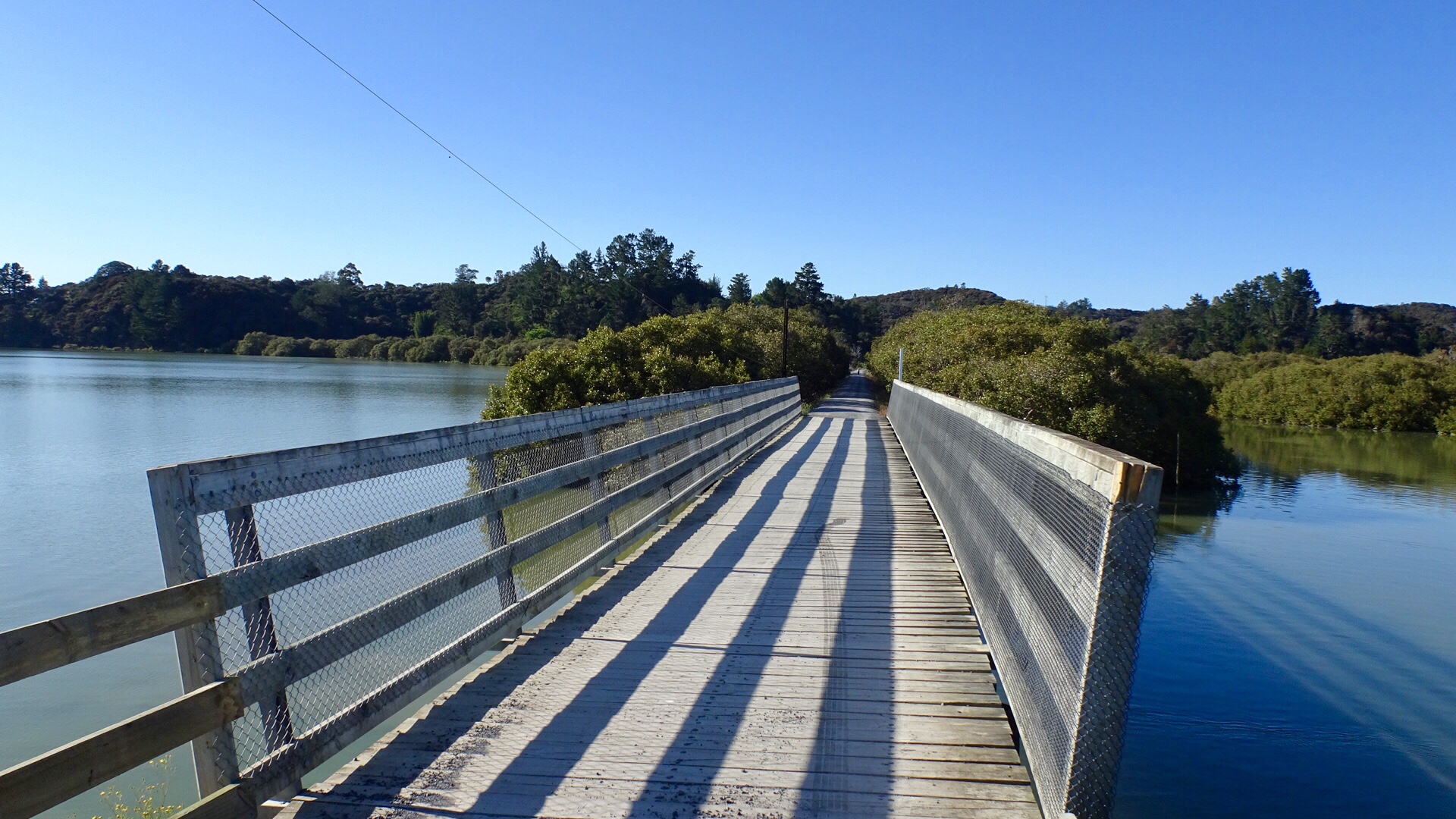
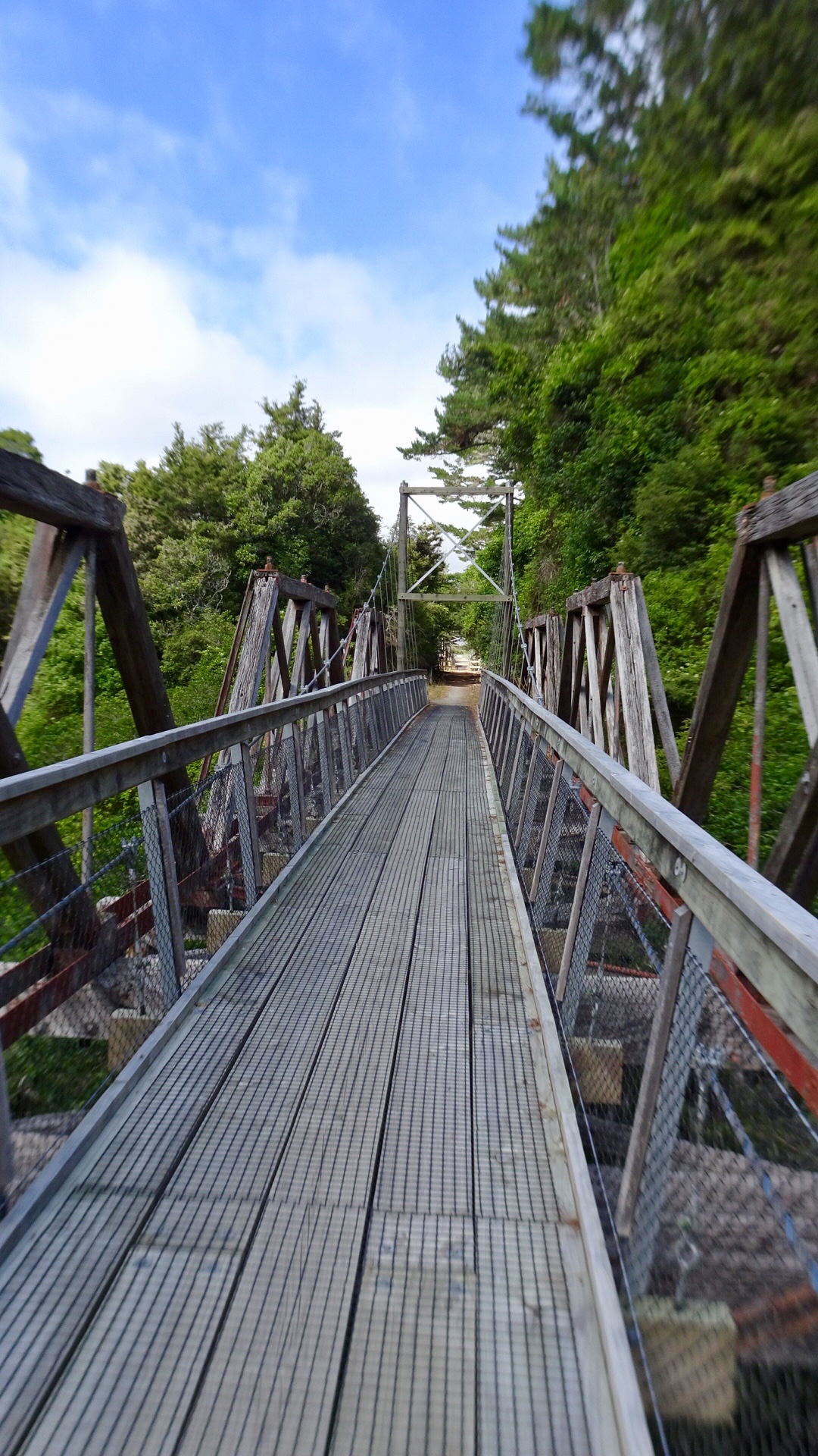
 The road came to an end but there was a foot bridge connecting to Pataua North. Here I am walking my bike across the bridge.
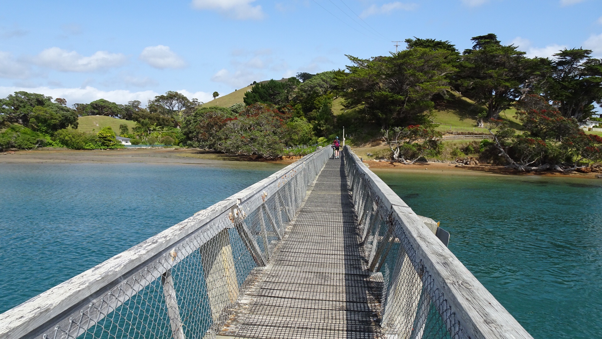 No cafes, so we pulled up on the banks of the river to have a snack and enjoy the view.
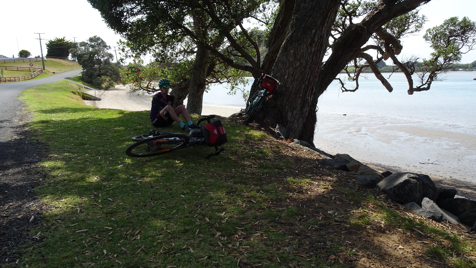
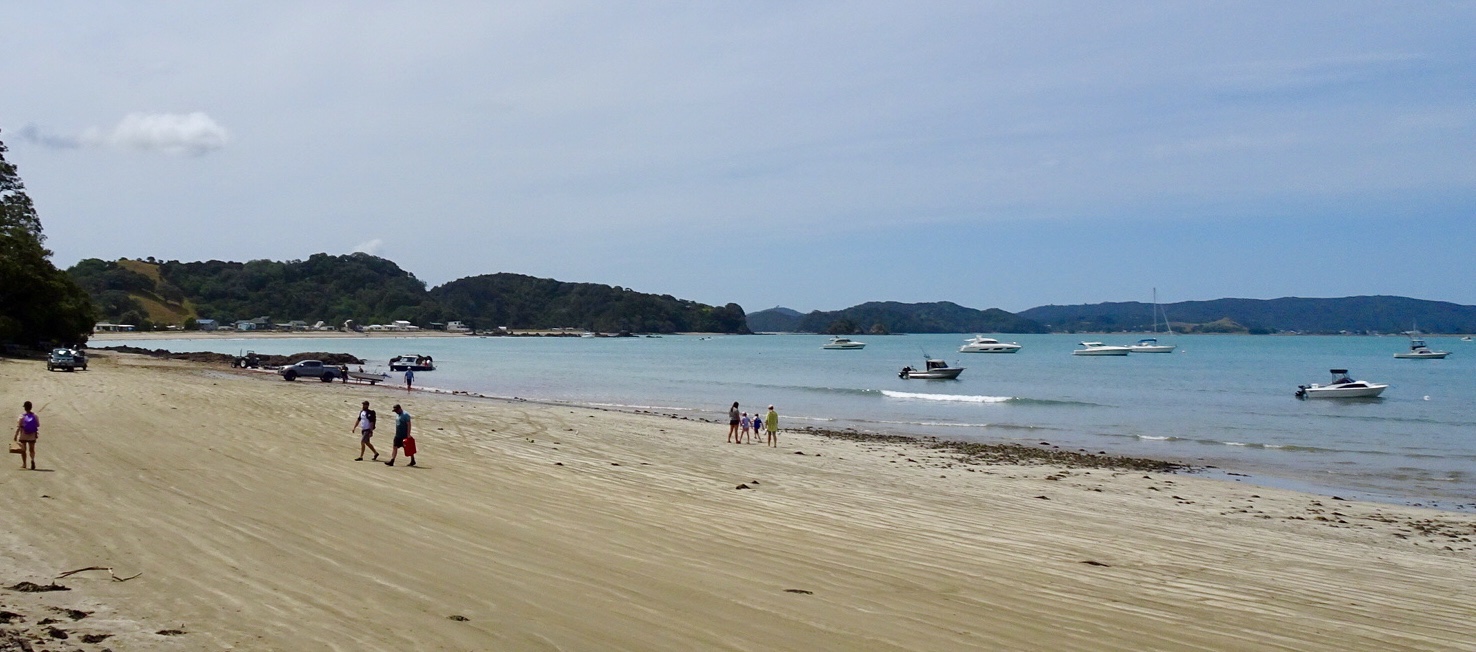
 Kids playing in the bay.