Day 4: Alexandra to Ranfurly

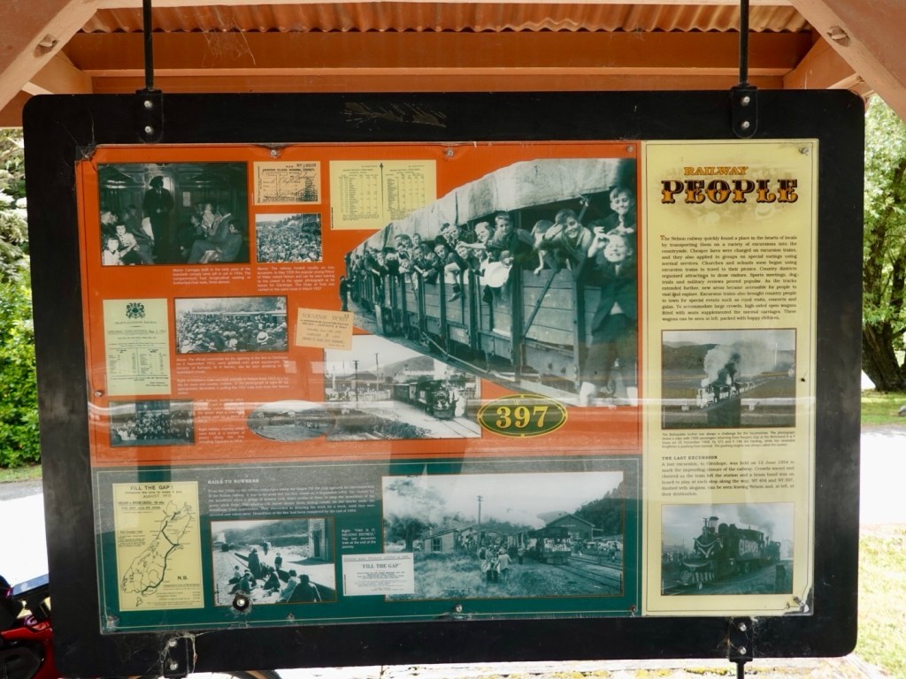
Otago Central Rail trail used to link numerous inland towns between Dunedin and Clyde during the early 20th century. When the trains ceased, the rails were removed and the trail was resurfaced. It is an incredibly popular trail for all kinds of people, whether cycling or hiking with over 80,000 users annually.

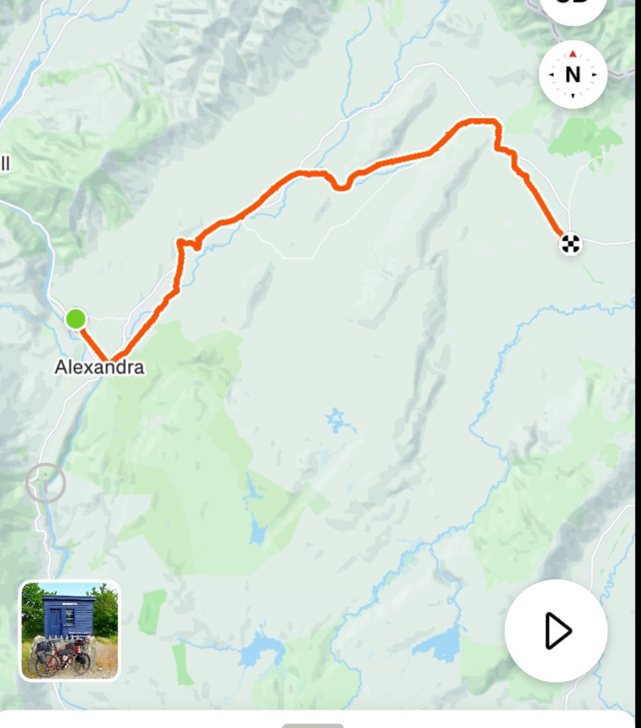
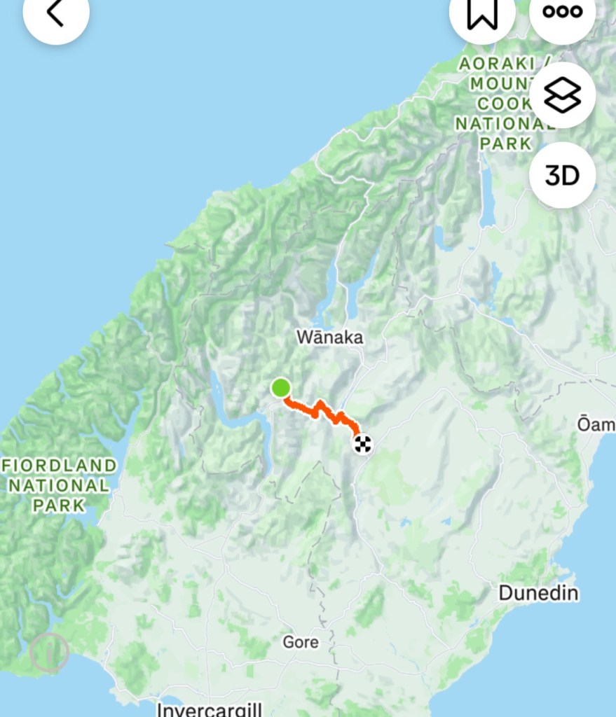
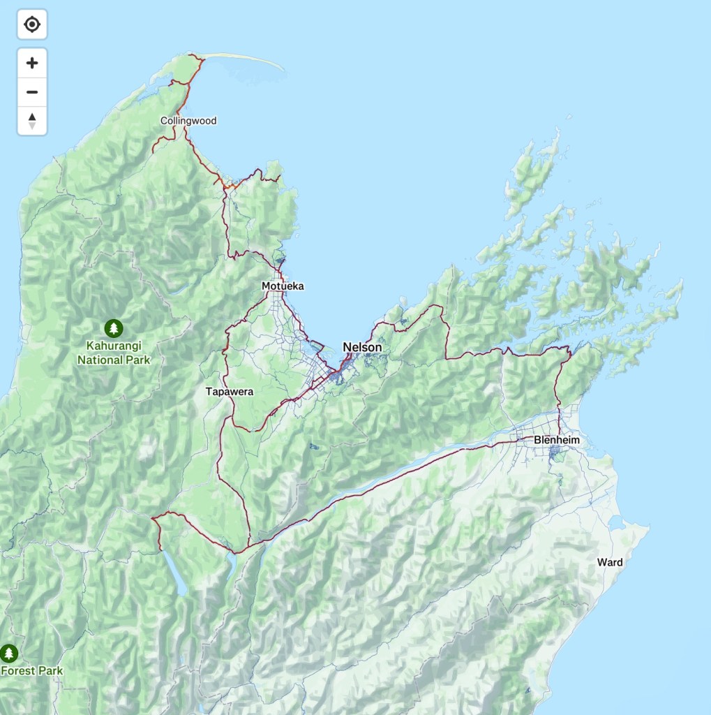
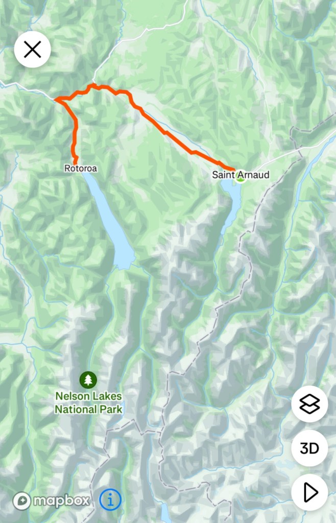
It is 162 km in length and today we would start our two day journey along the trail.

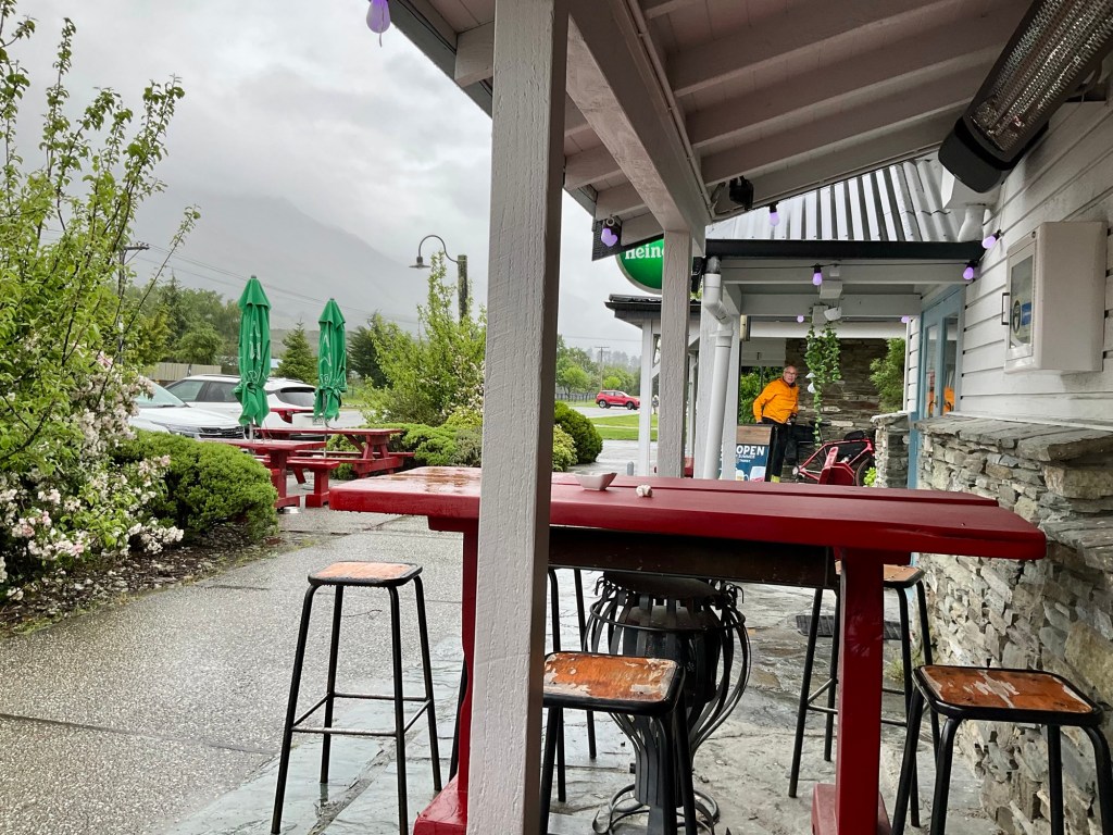
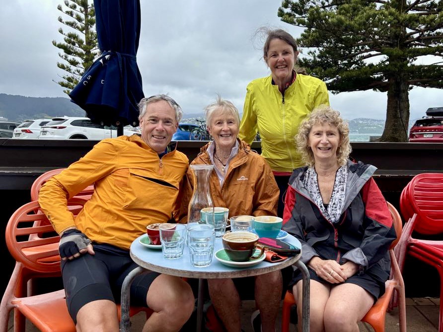
First things first, proper coffee.

Popular with cyclists, our two bikes are racked, the centre two.

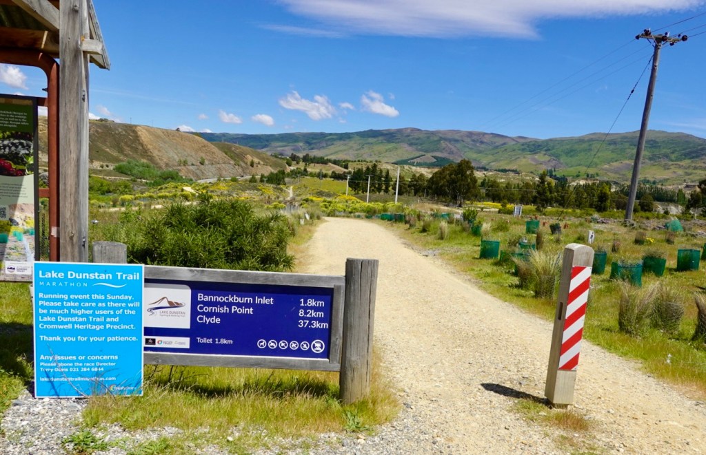
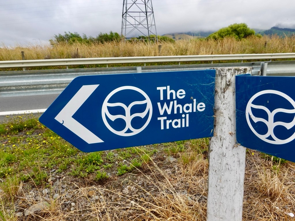
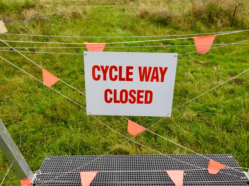
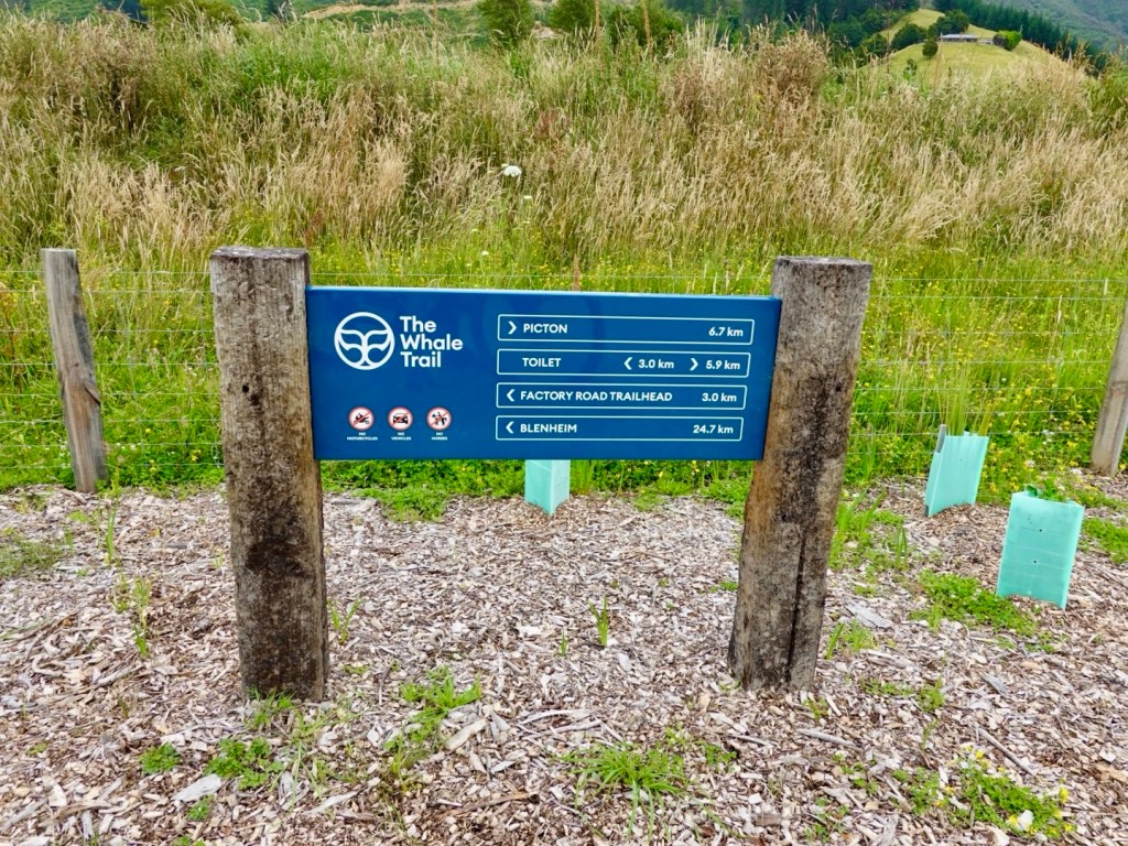
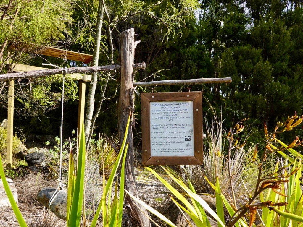
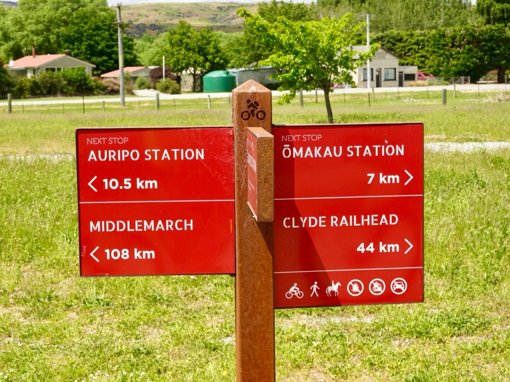
Signage is excellent and often.

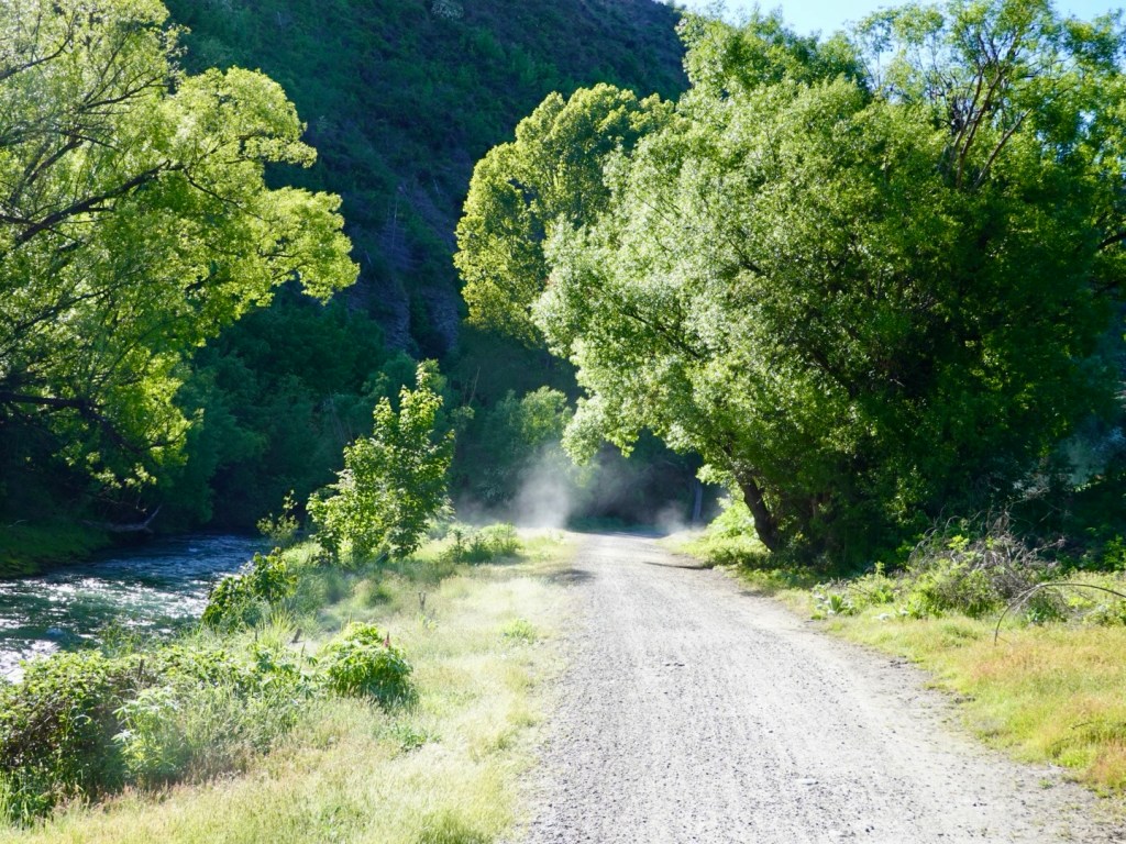
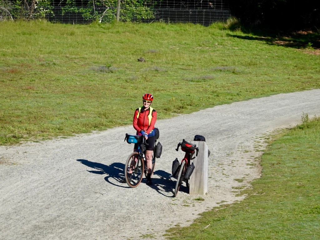
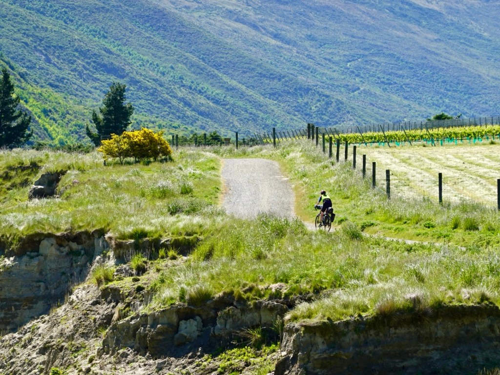
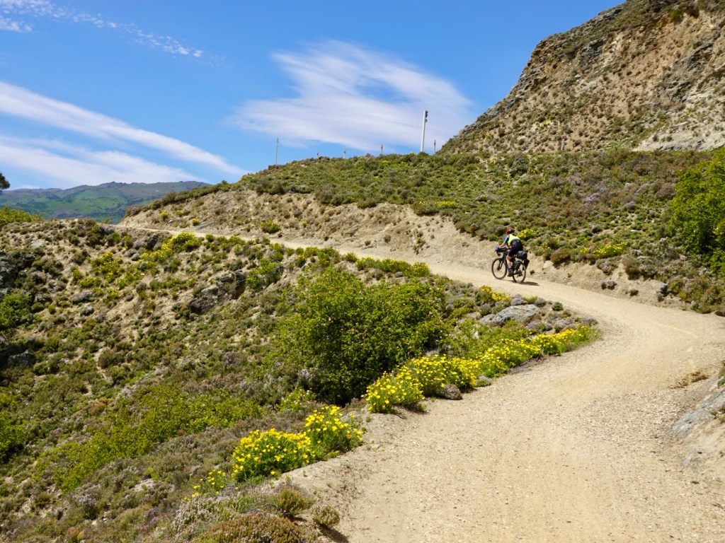
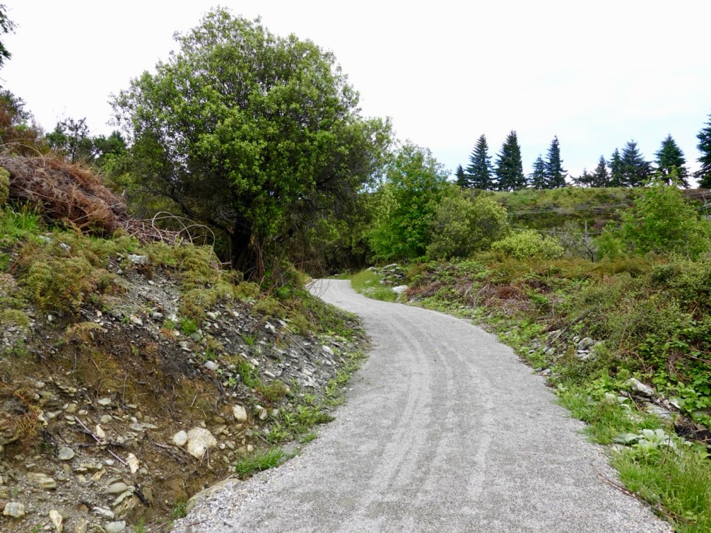
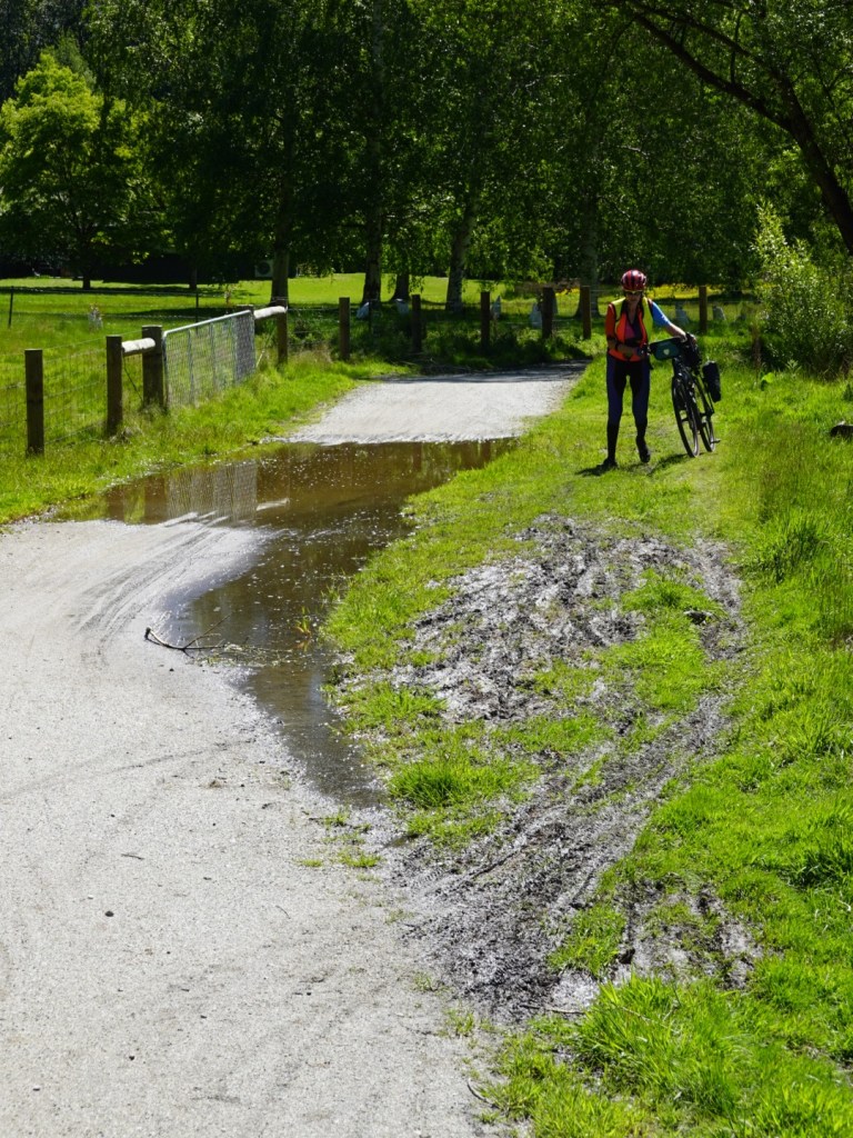
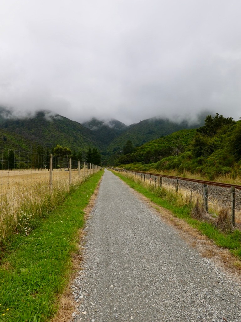
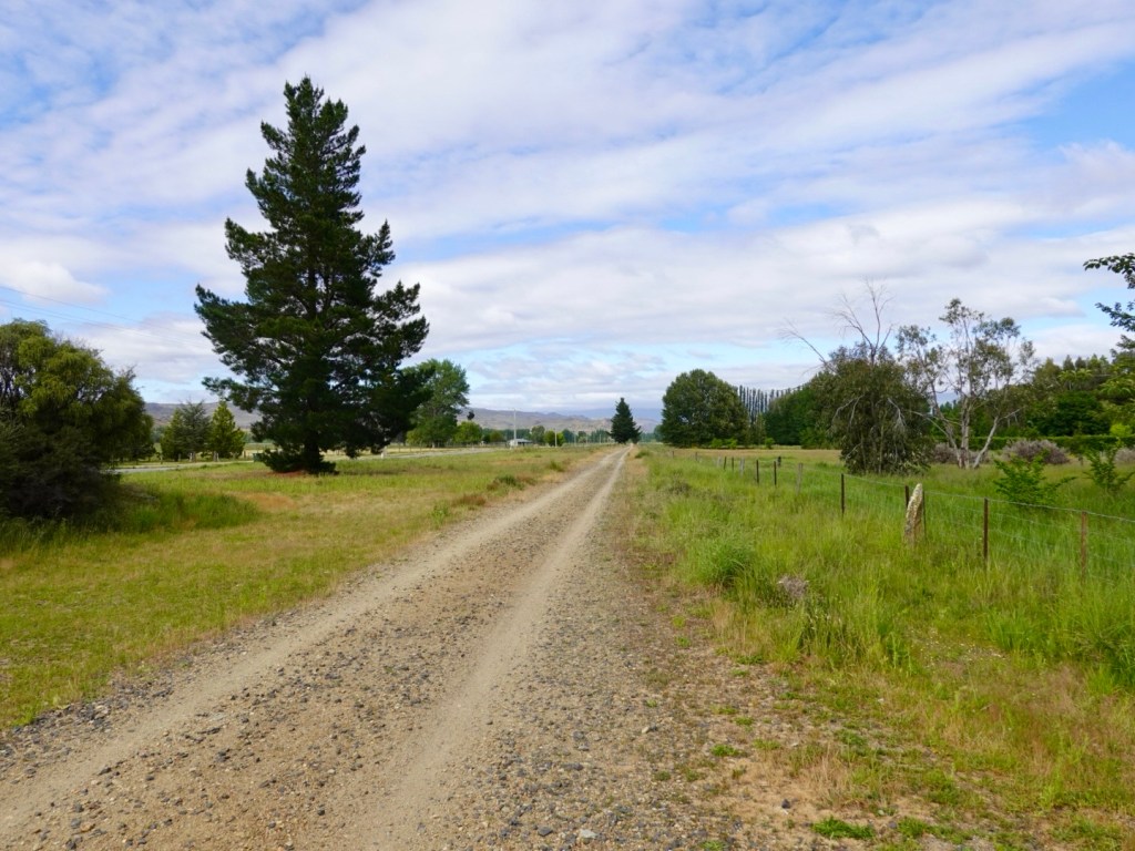
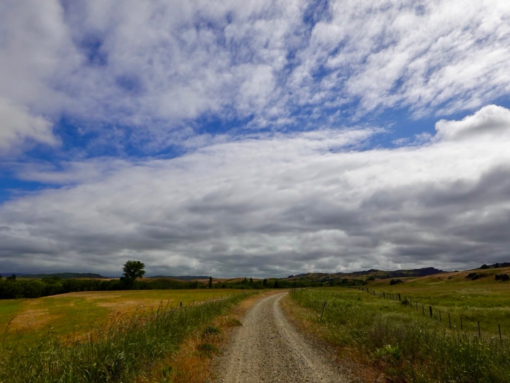
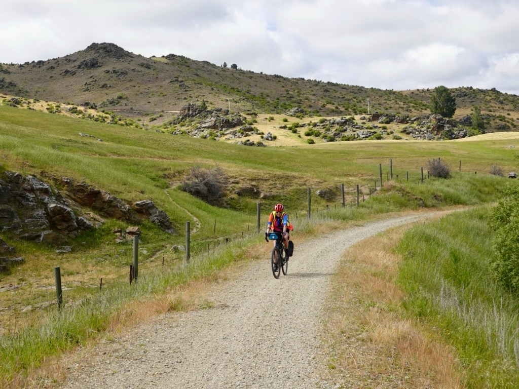
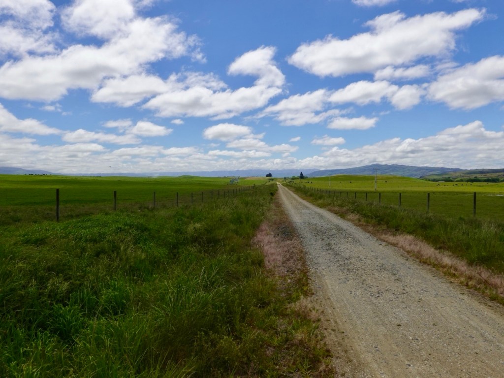
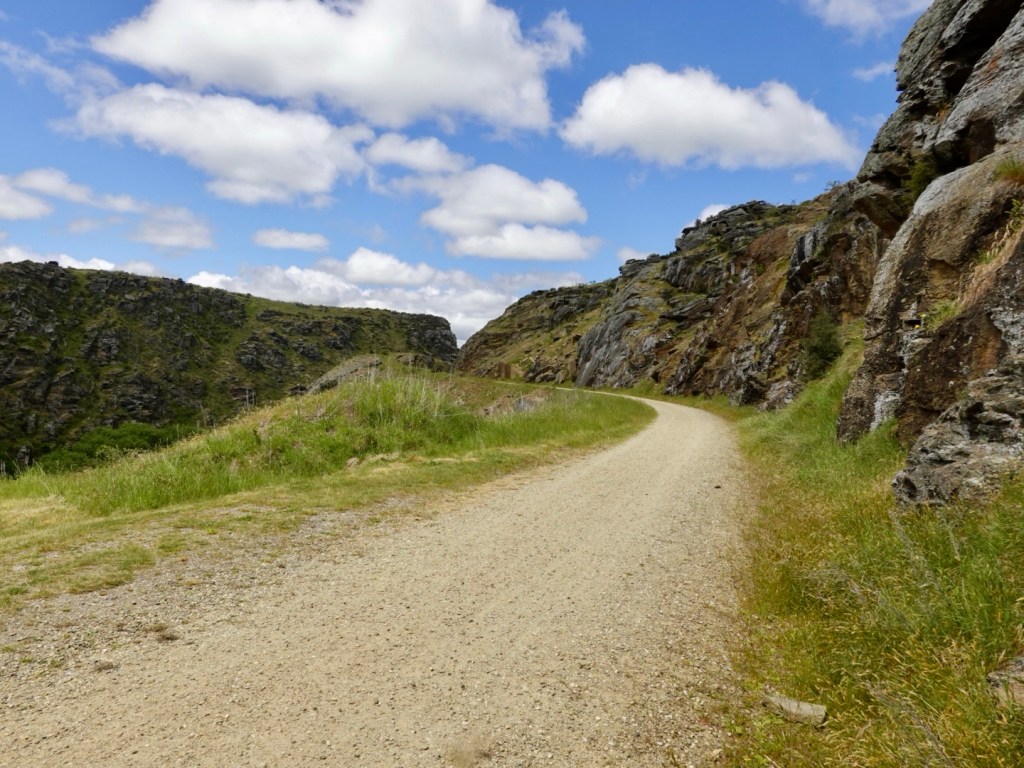
The trail has a variety of gravel surfaces, this being more common.

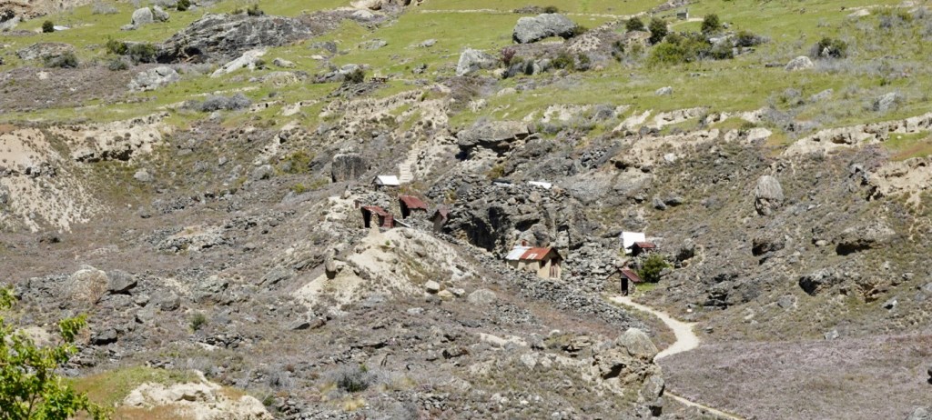
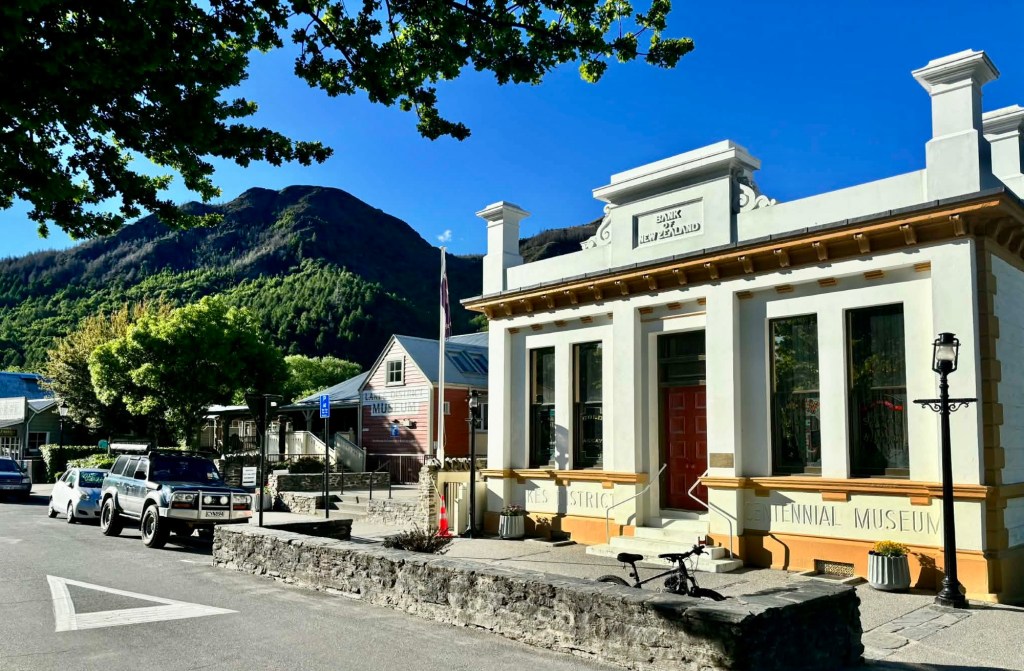
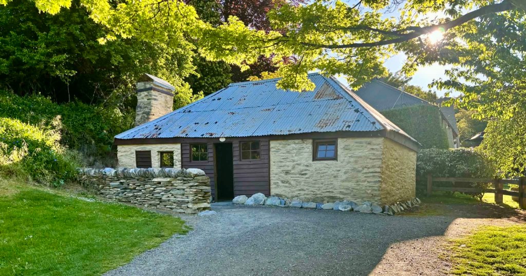
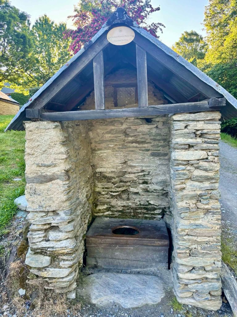
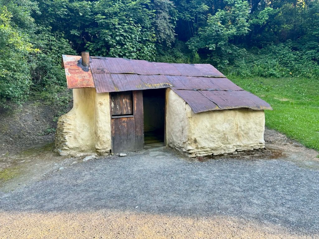
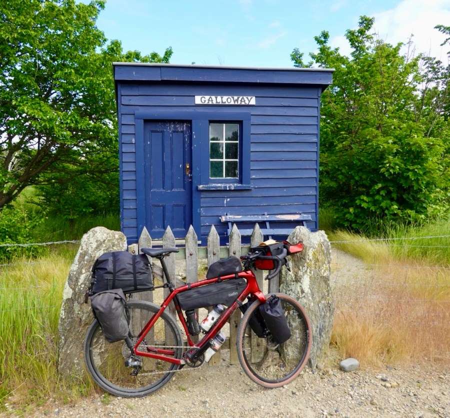
Lots of renovated stations and workers huts.

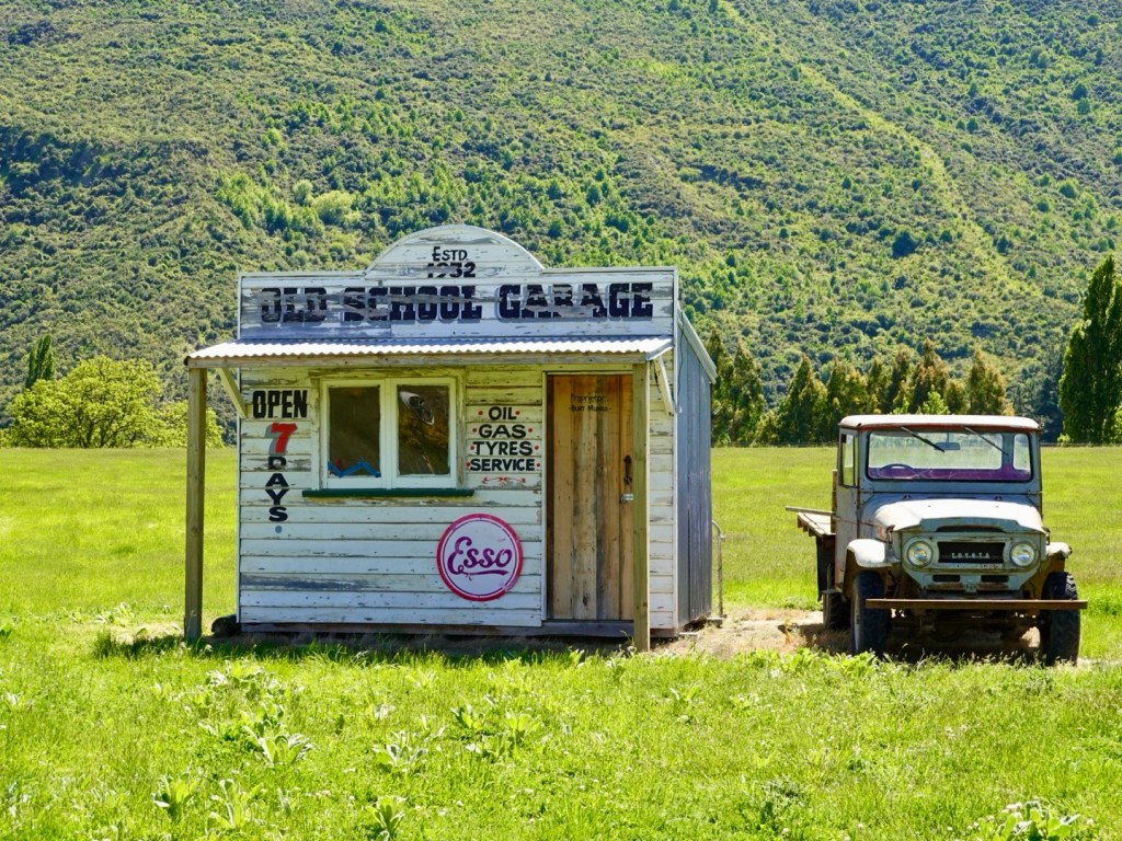
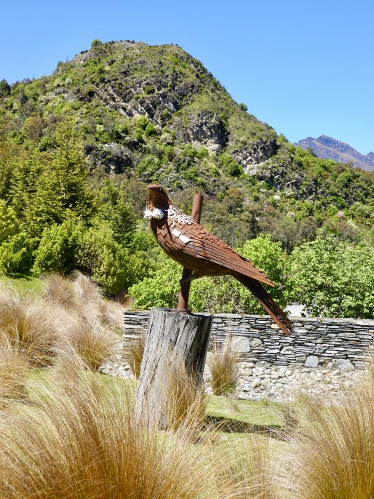
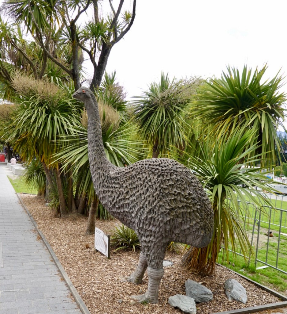
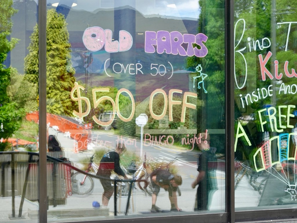
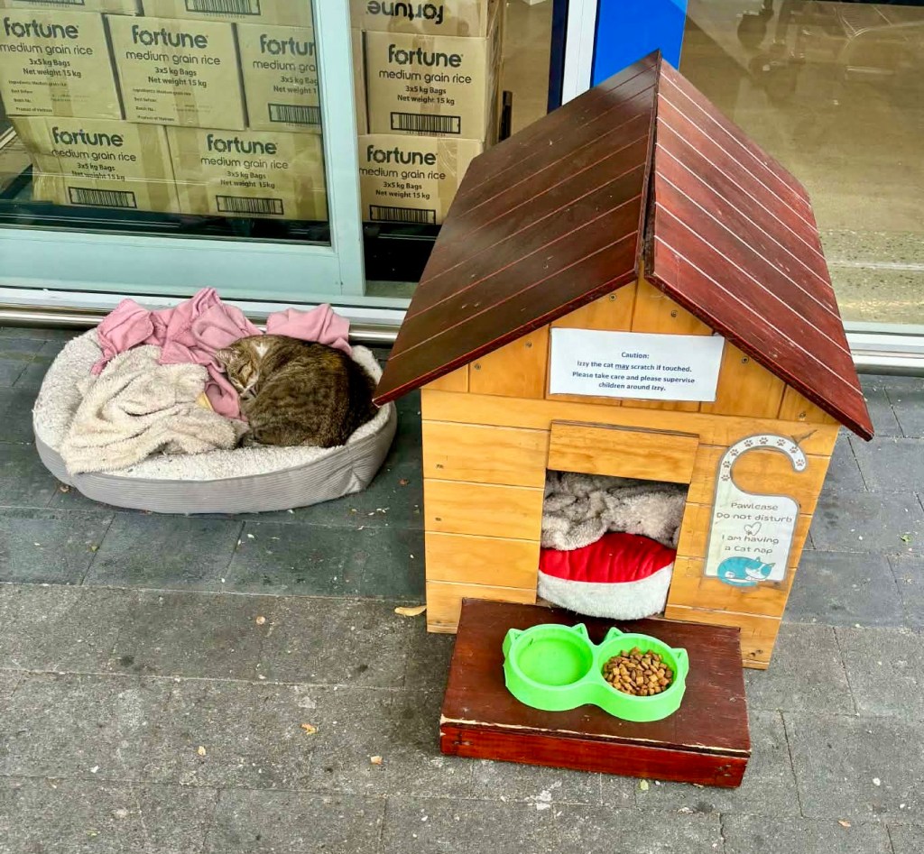
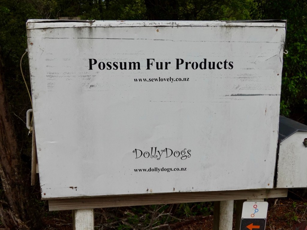
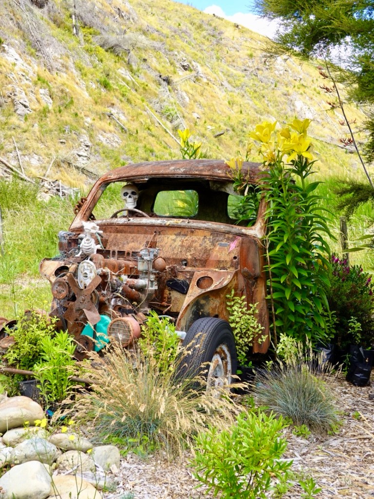
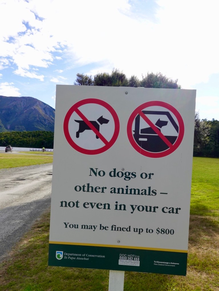
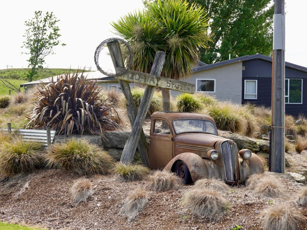
A local farm had this out the front.

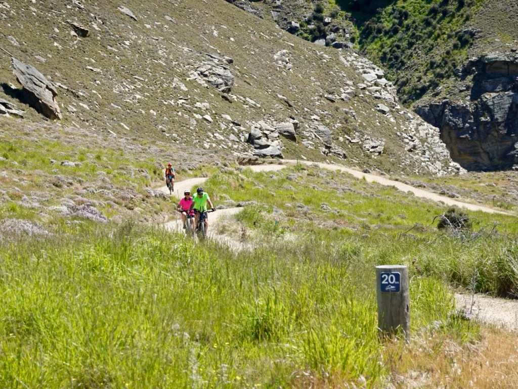
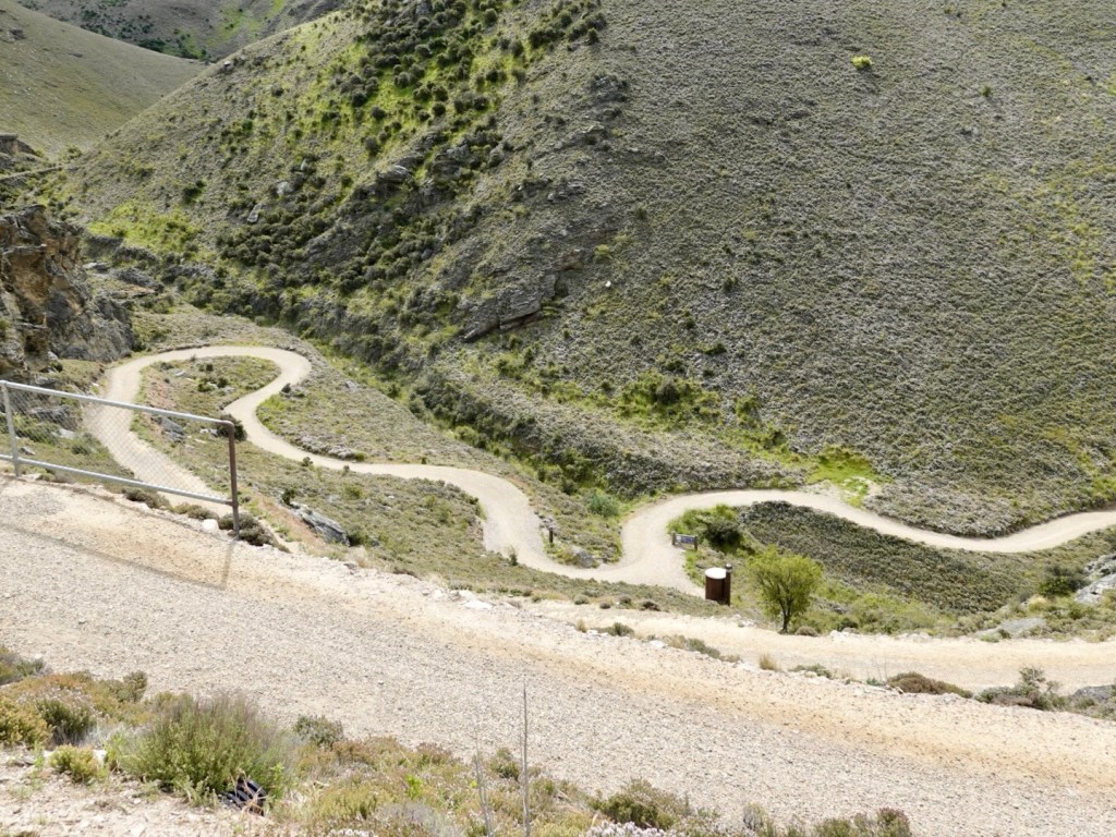
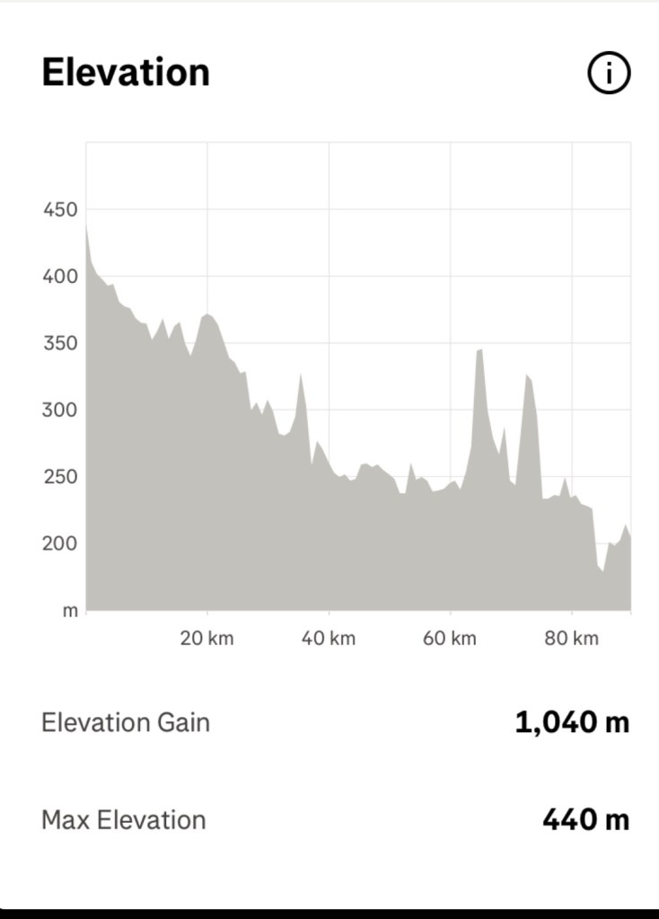
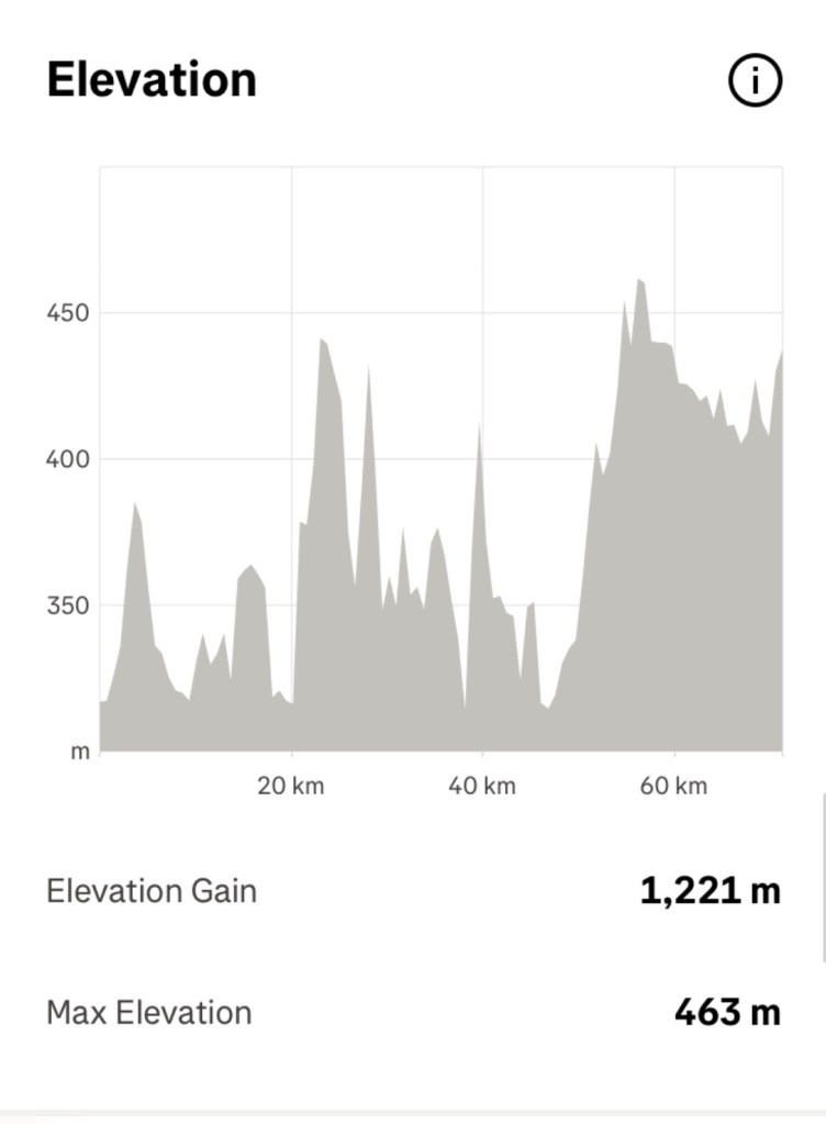
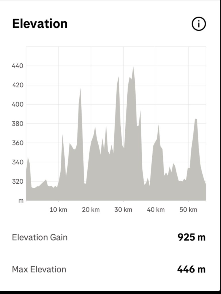
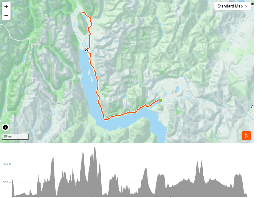
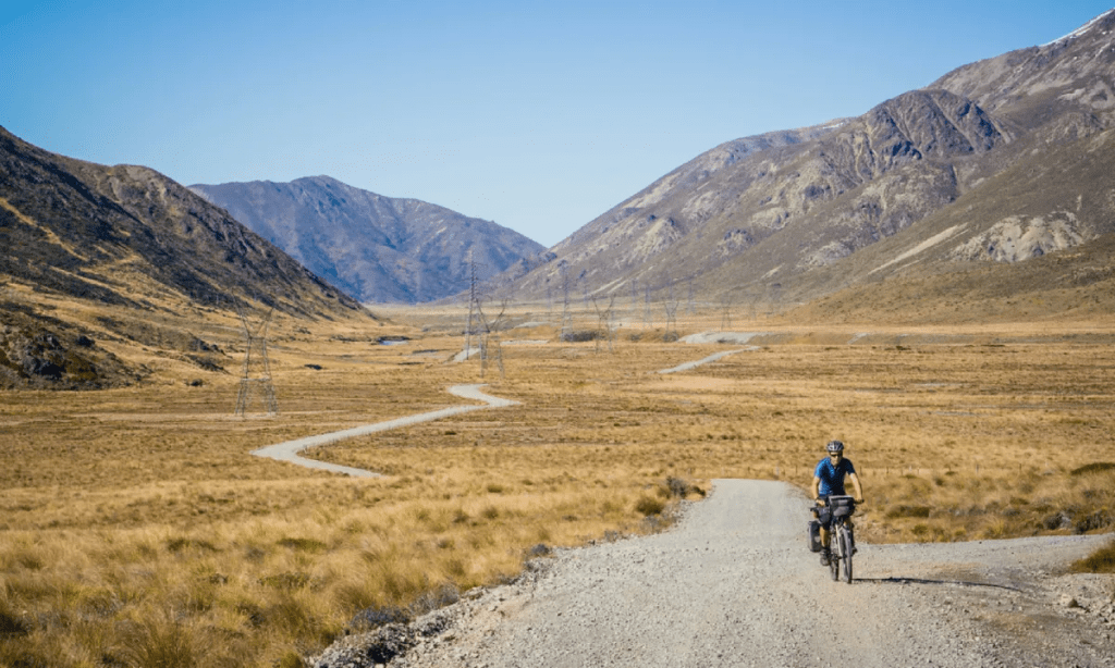
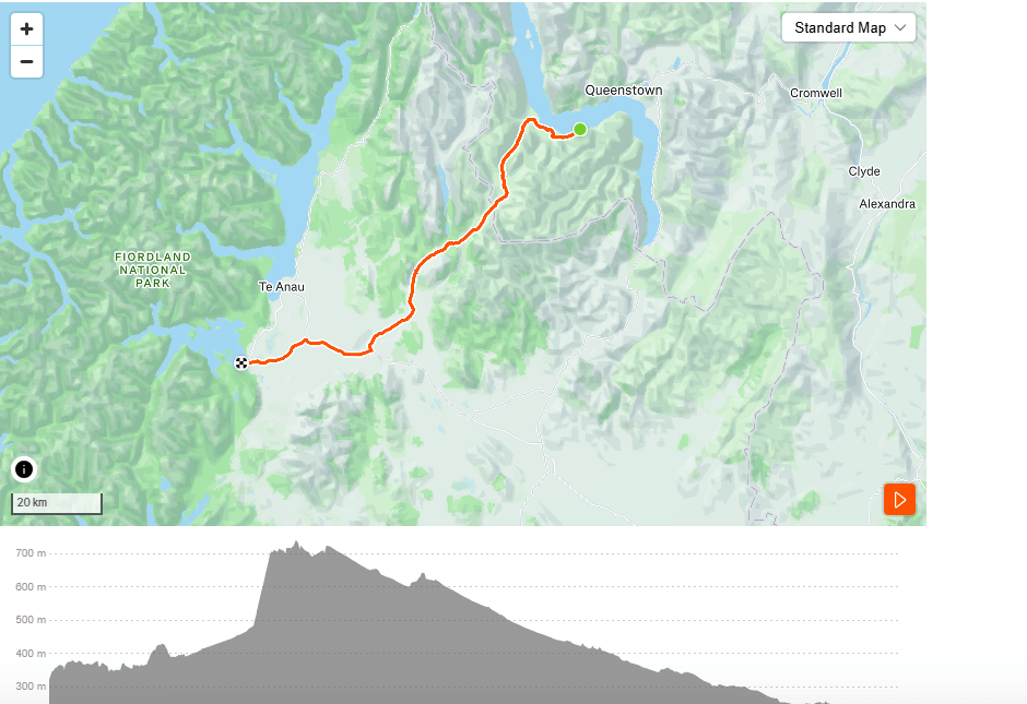
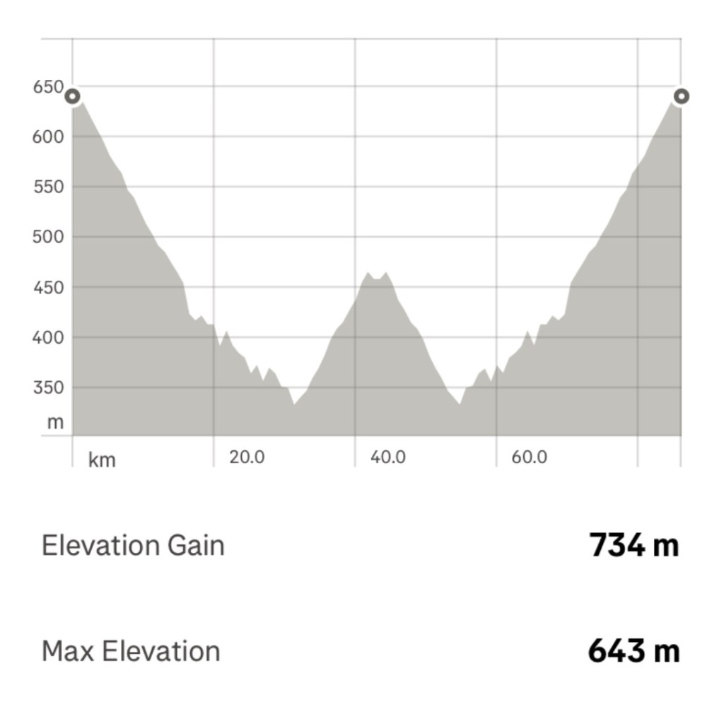
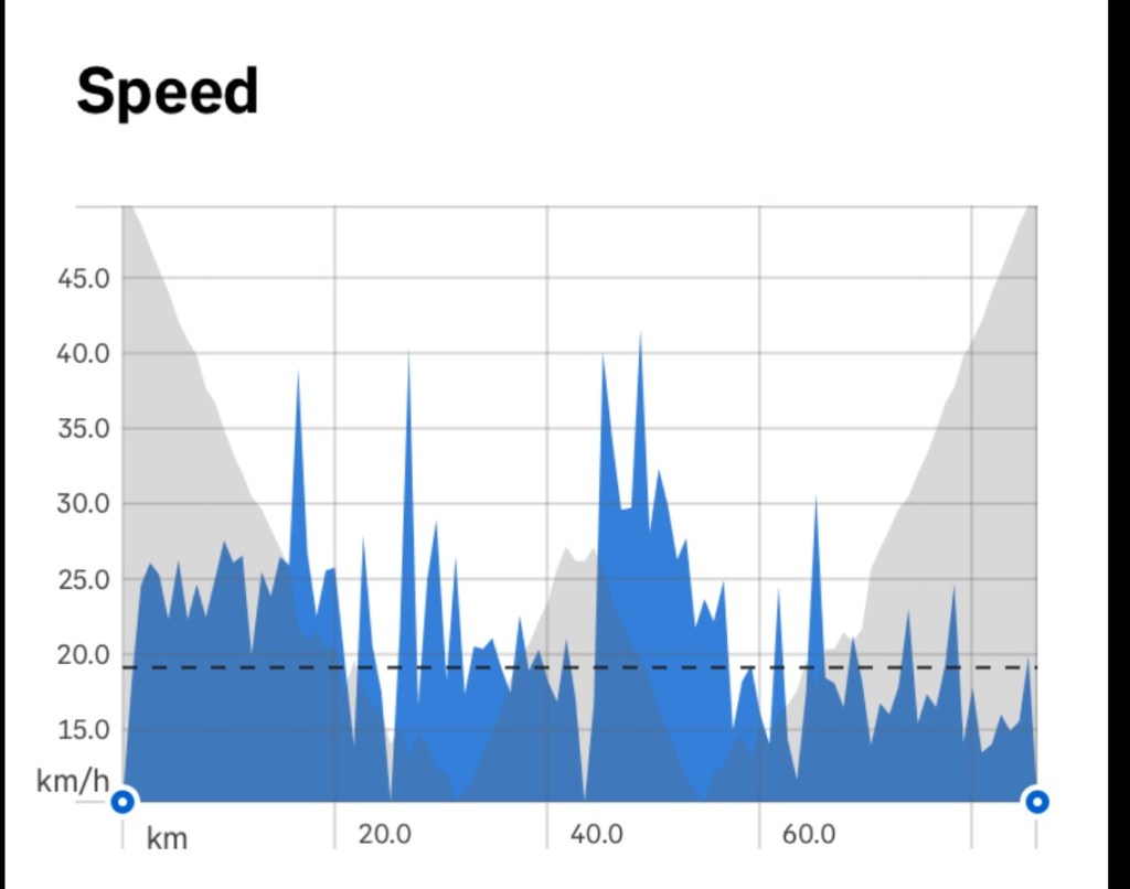
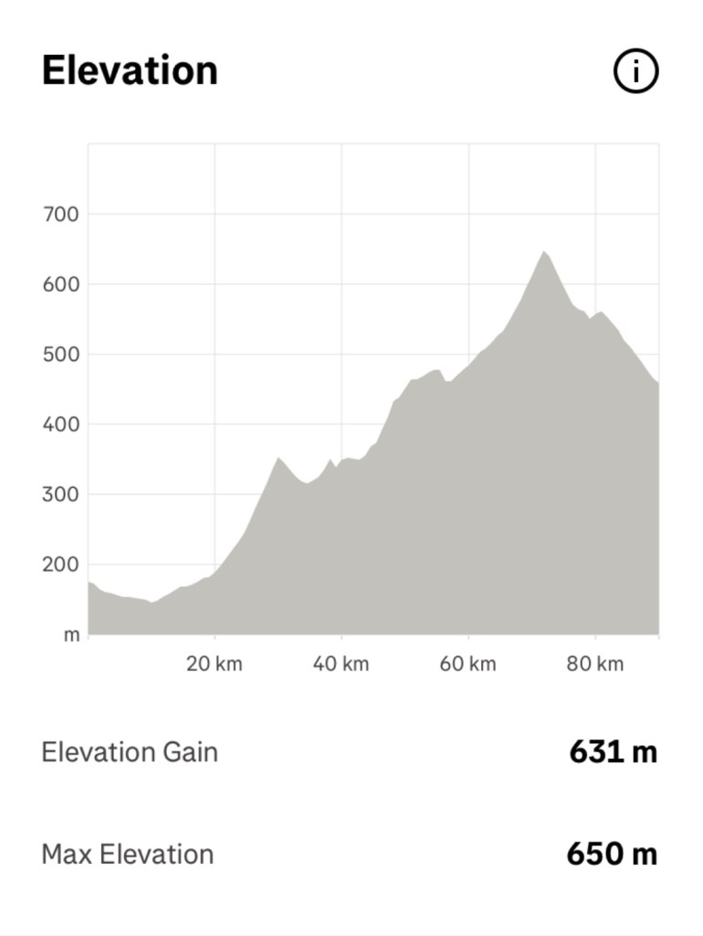
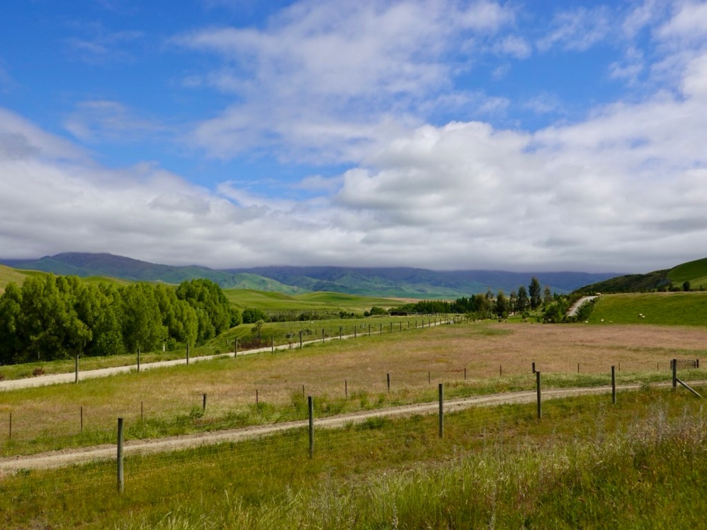
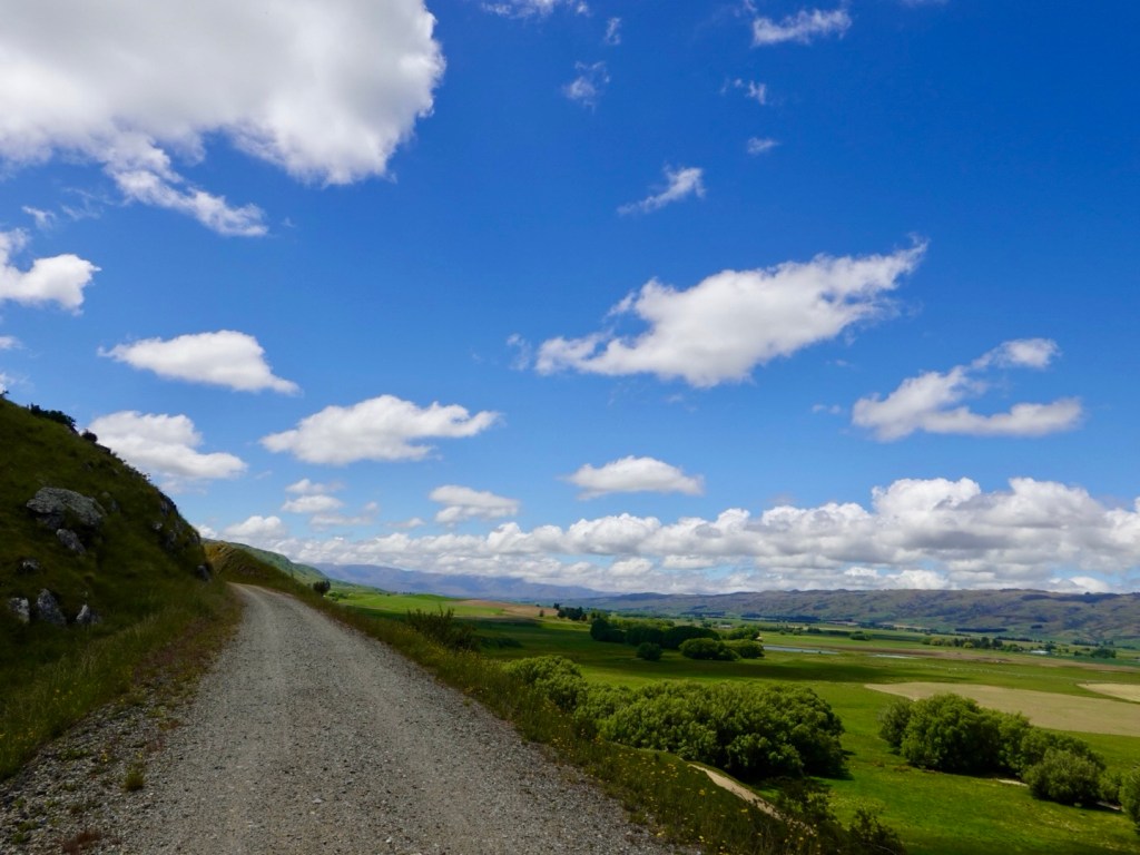
The trail climbed for most of the day, but being a former rail line, the incline was gradual.

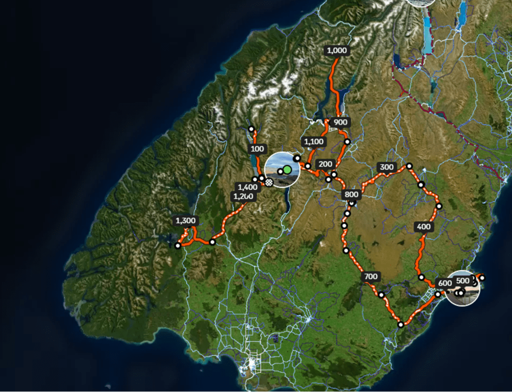
Today’s climbing graph shows how we were climbing fairly consistently.

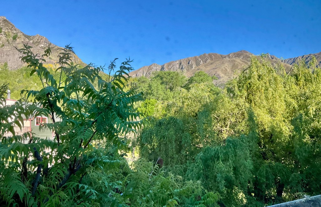
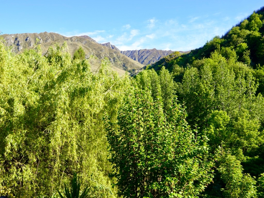
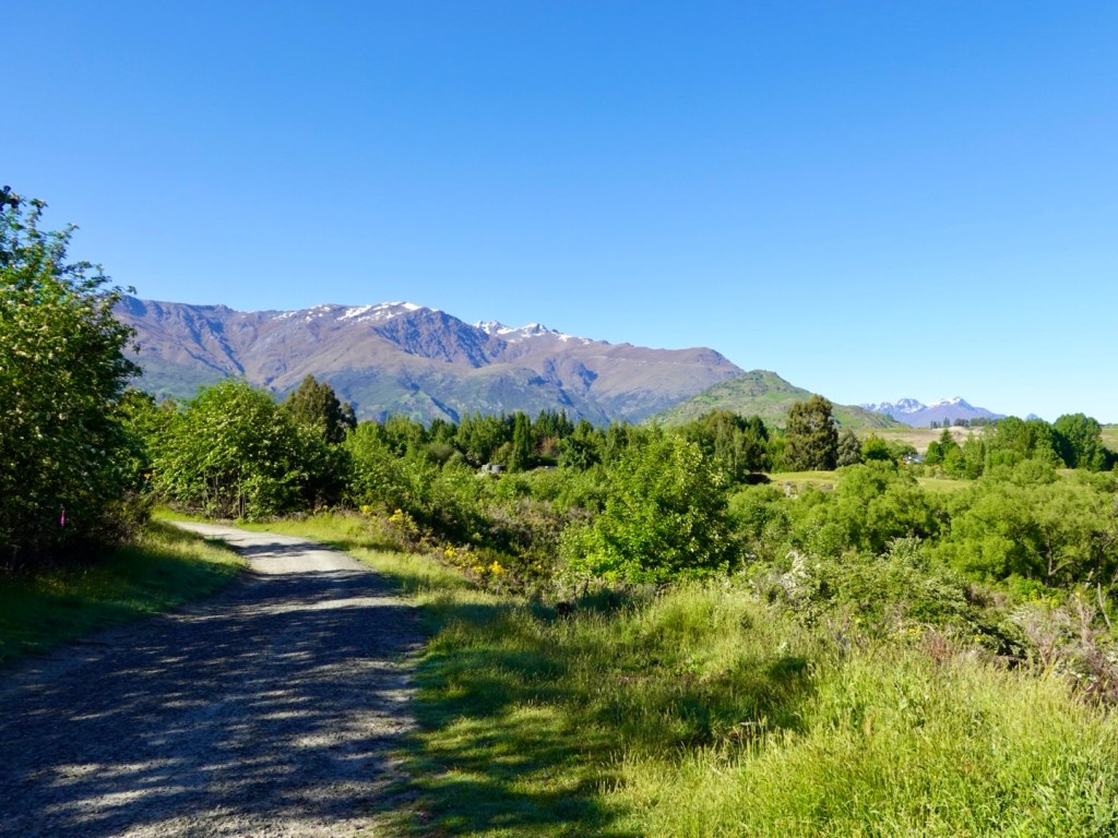
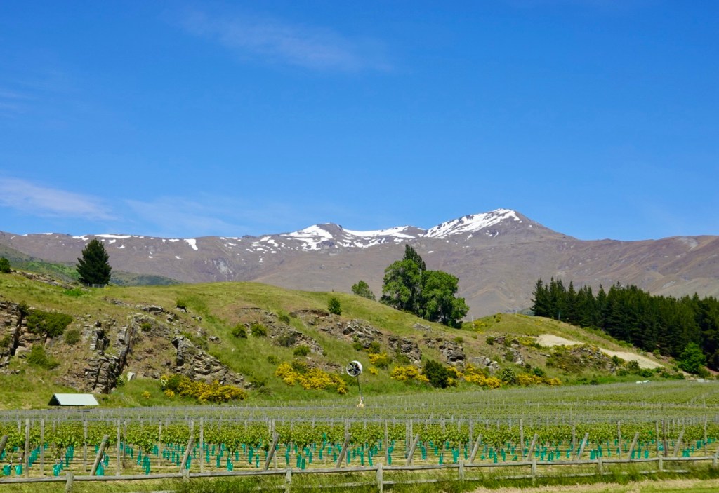
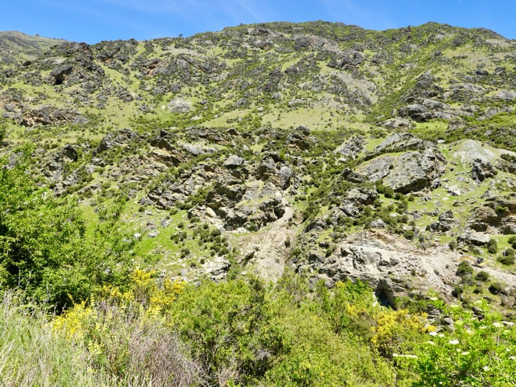
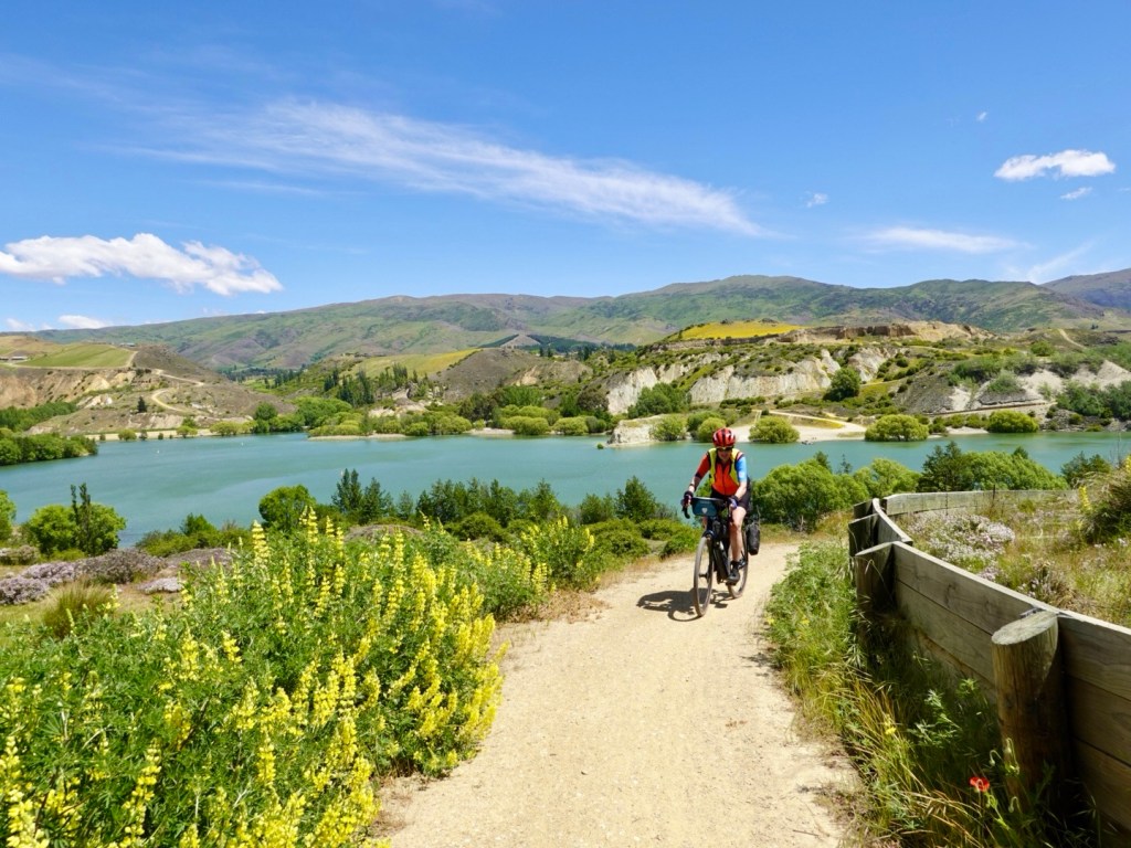
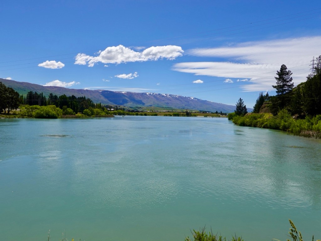
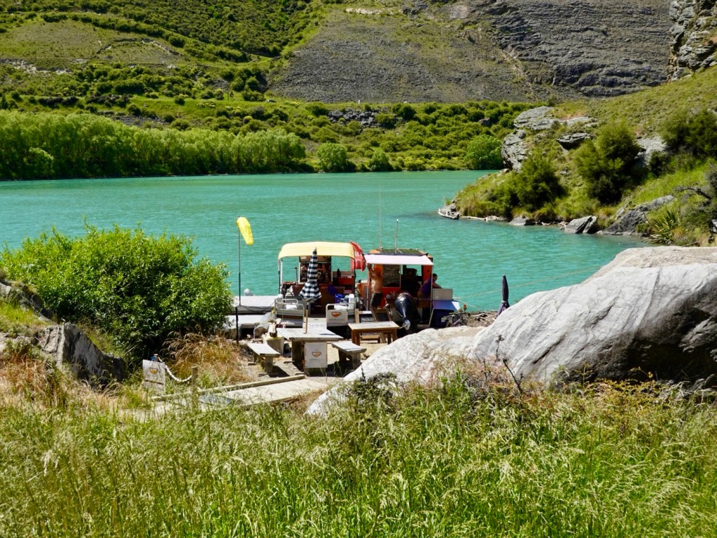
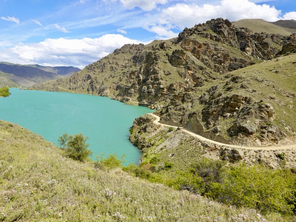
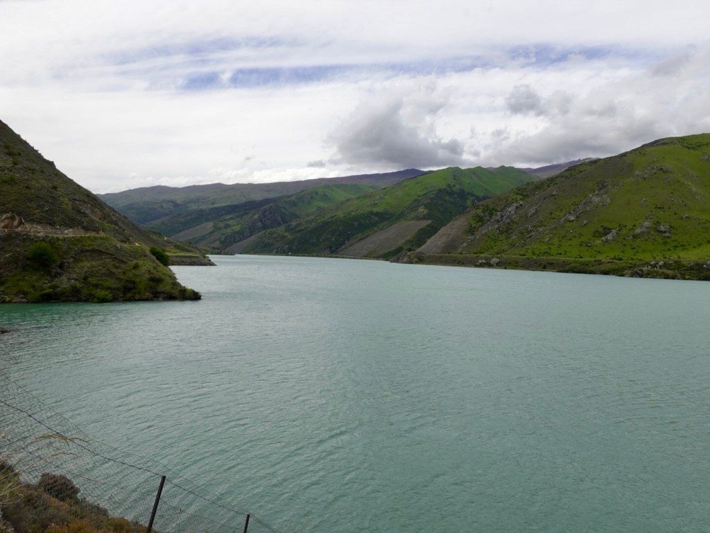
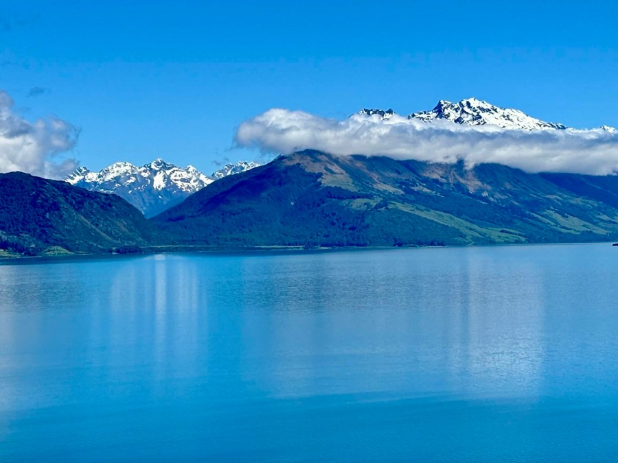
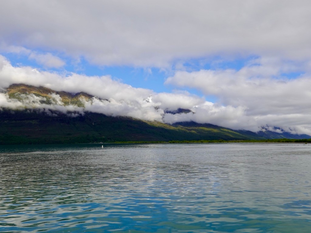
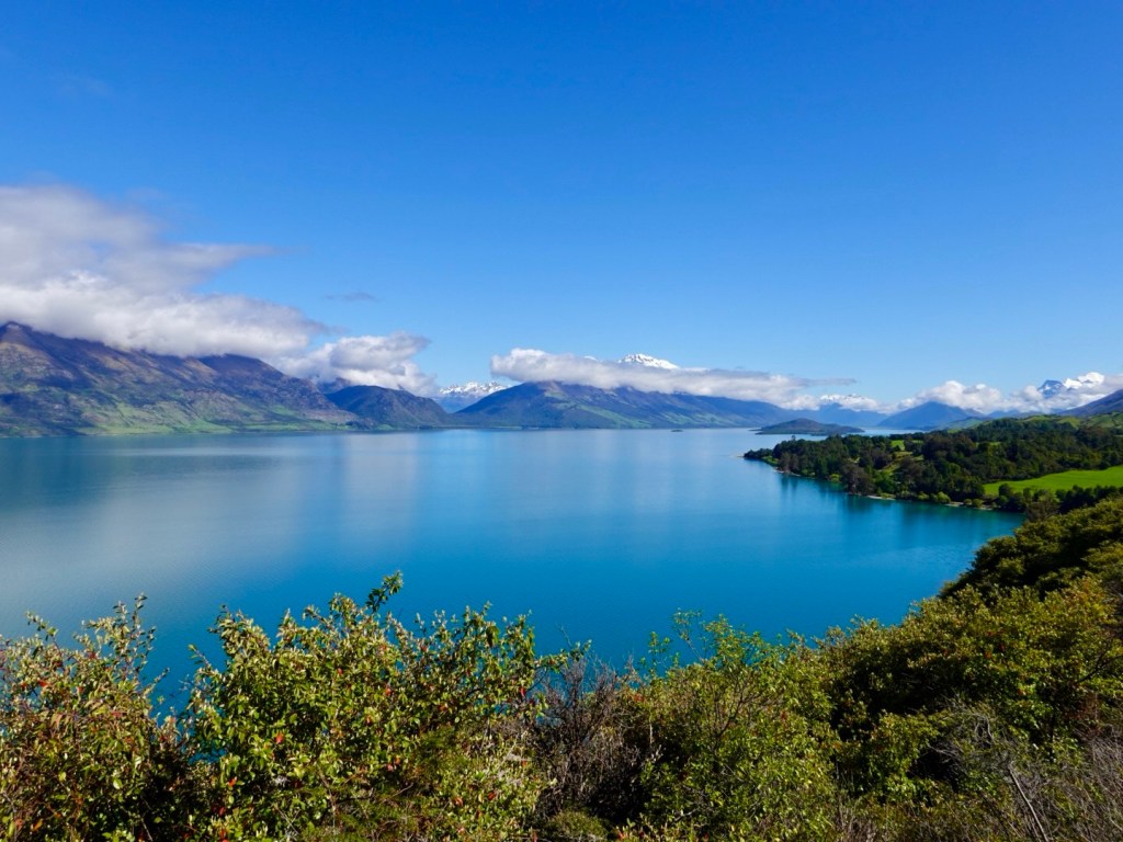
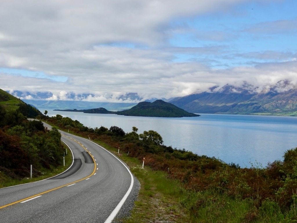
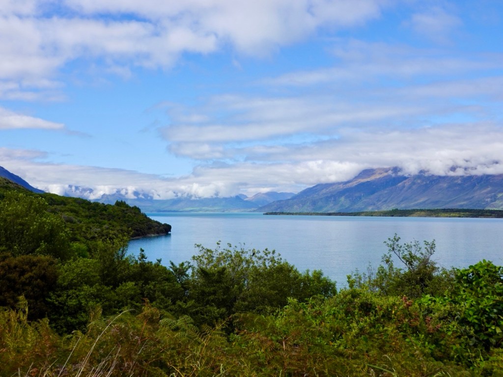
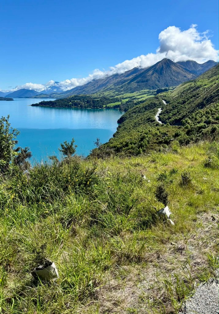
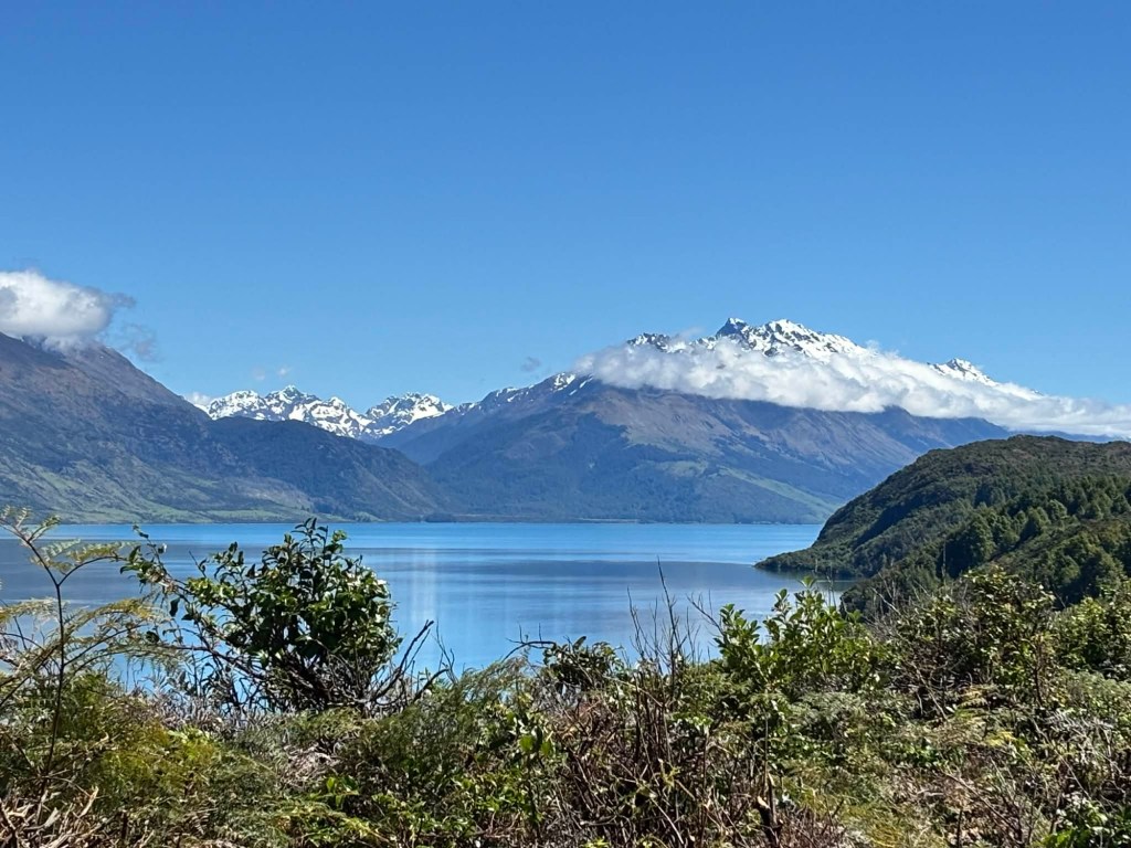
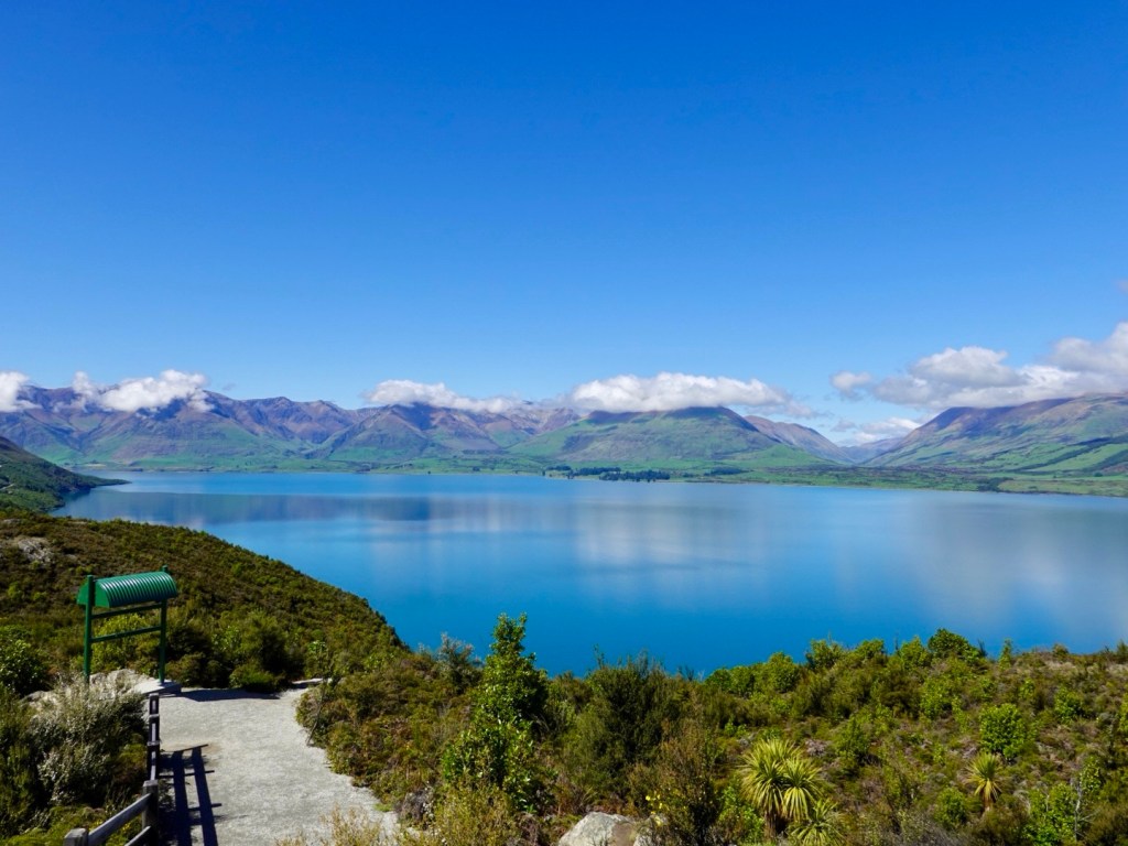
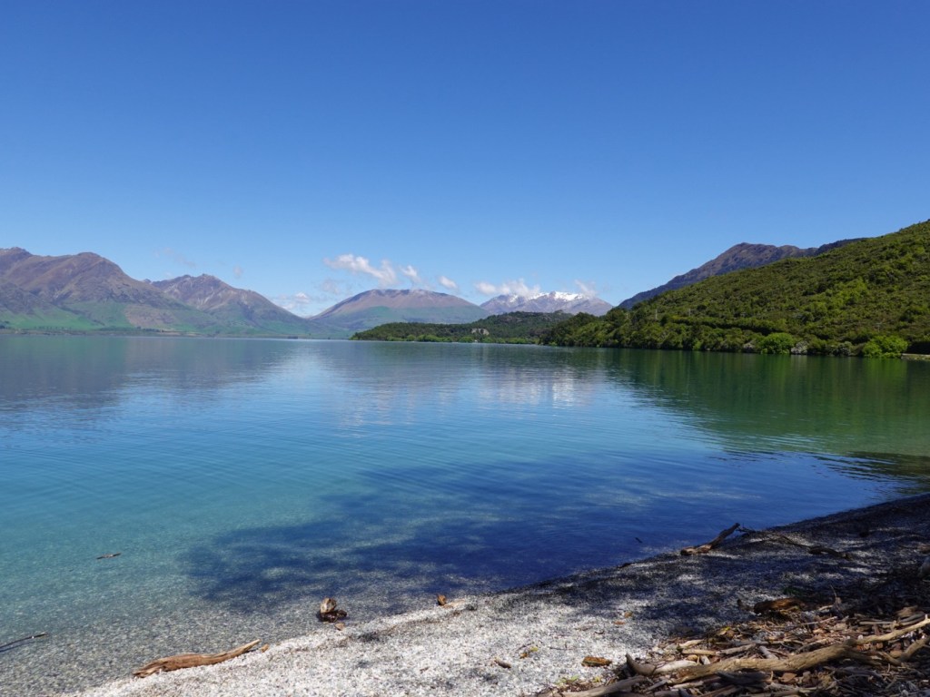
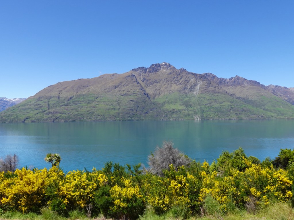
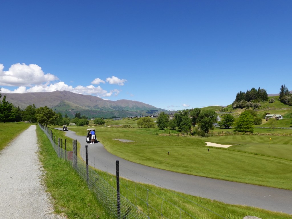
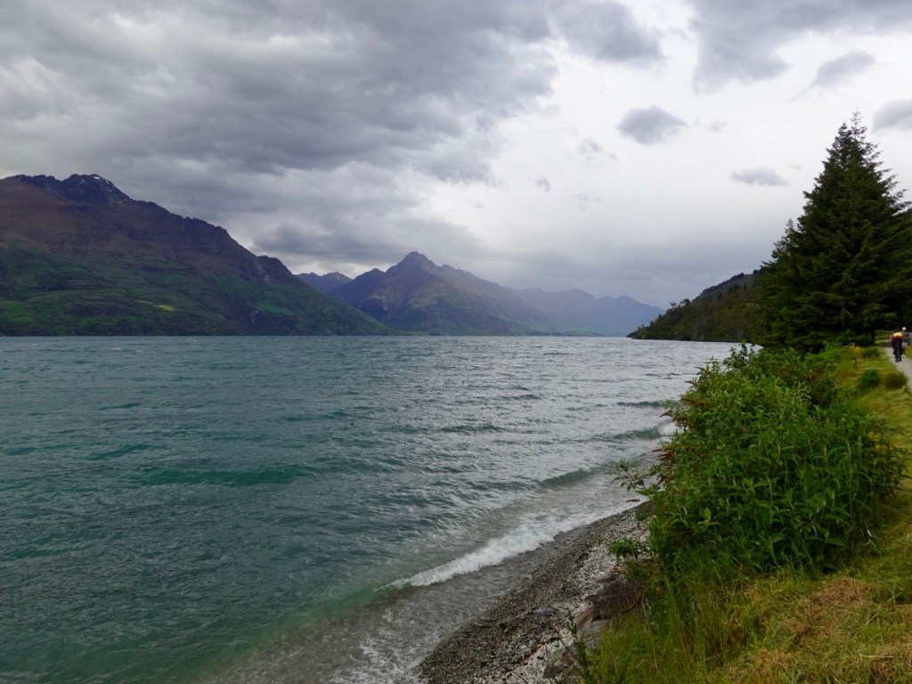
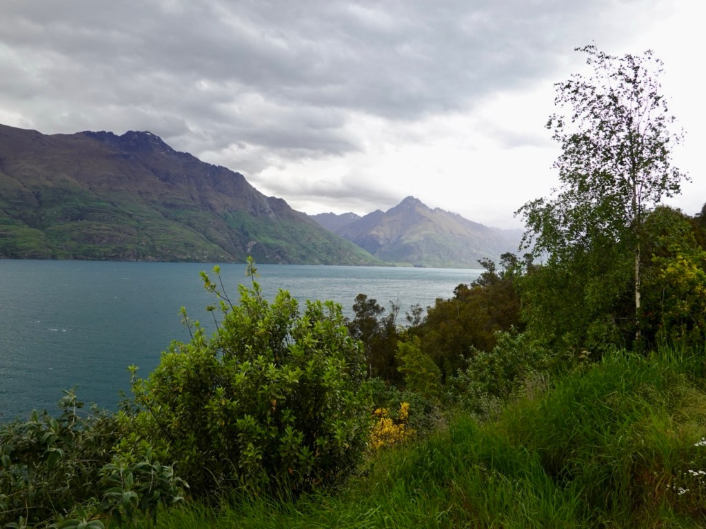
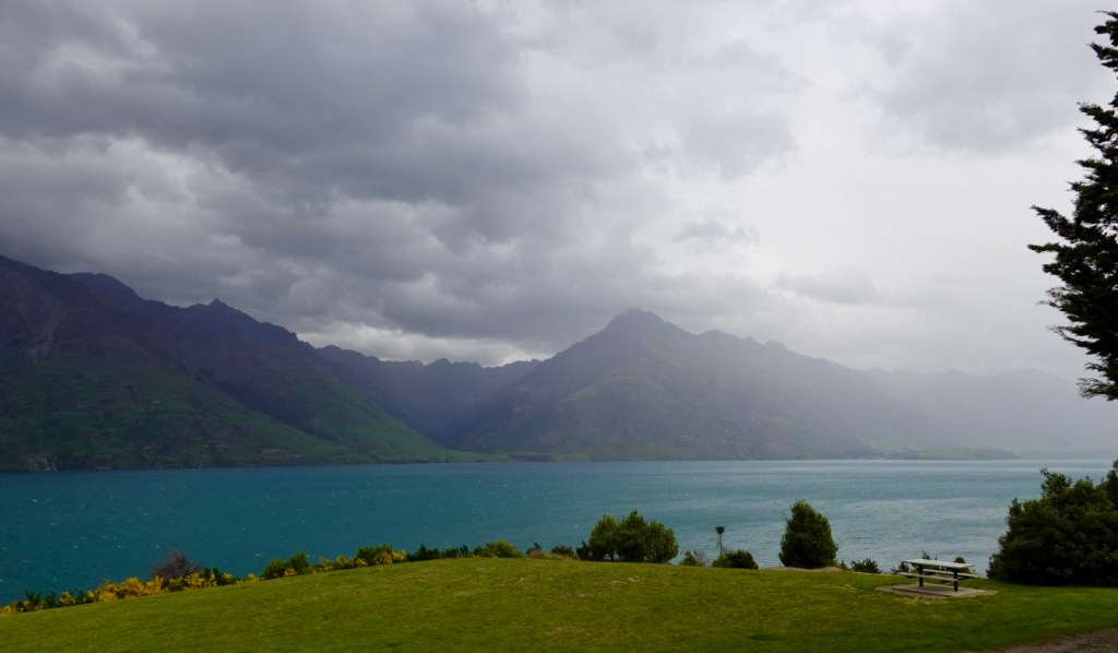
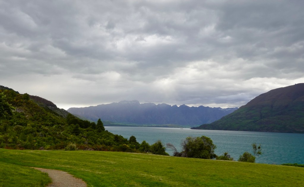
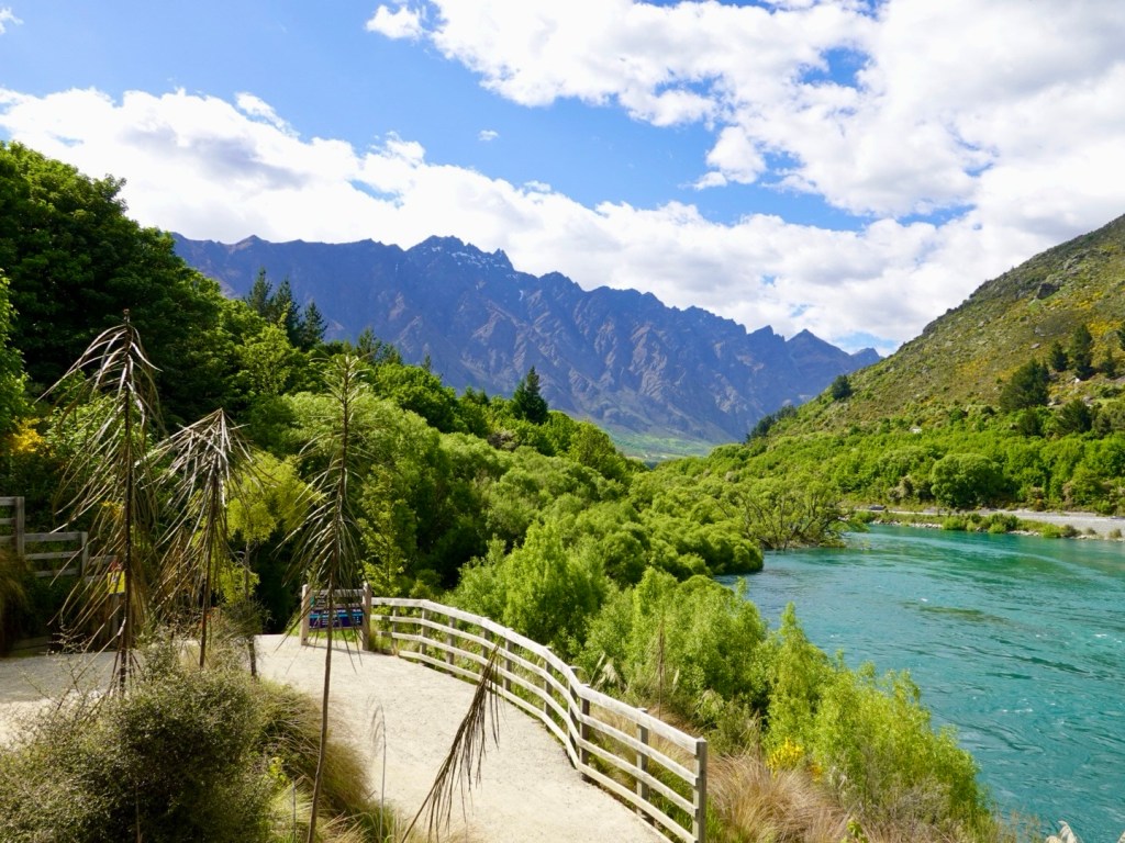
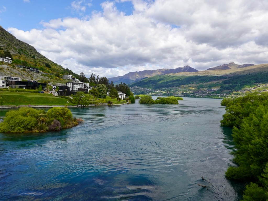
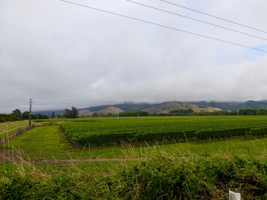
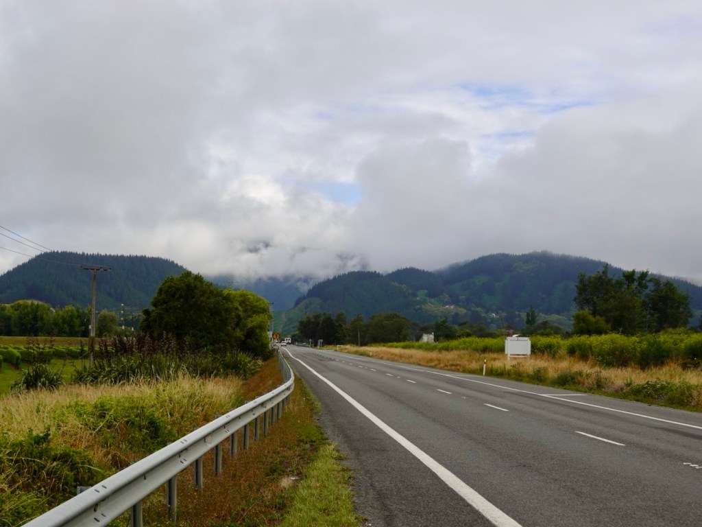
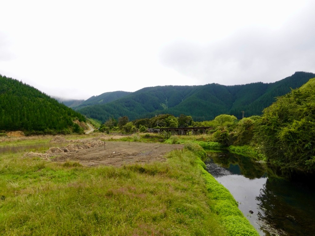
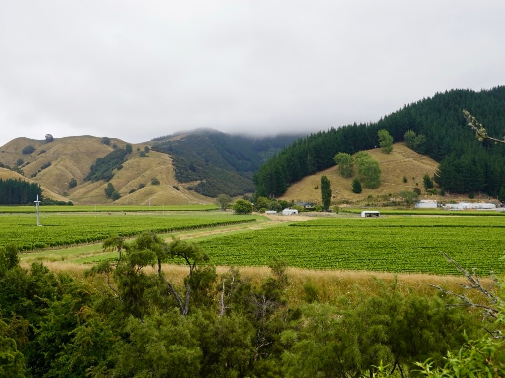
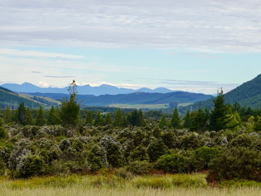
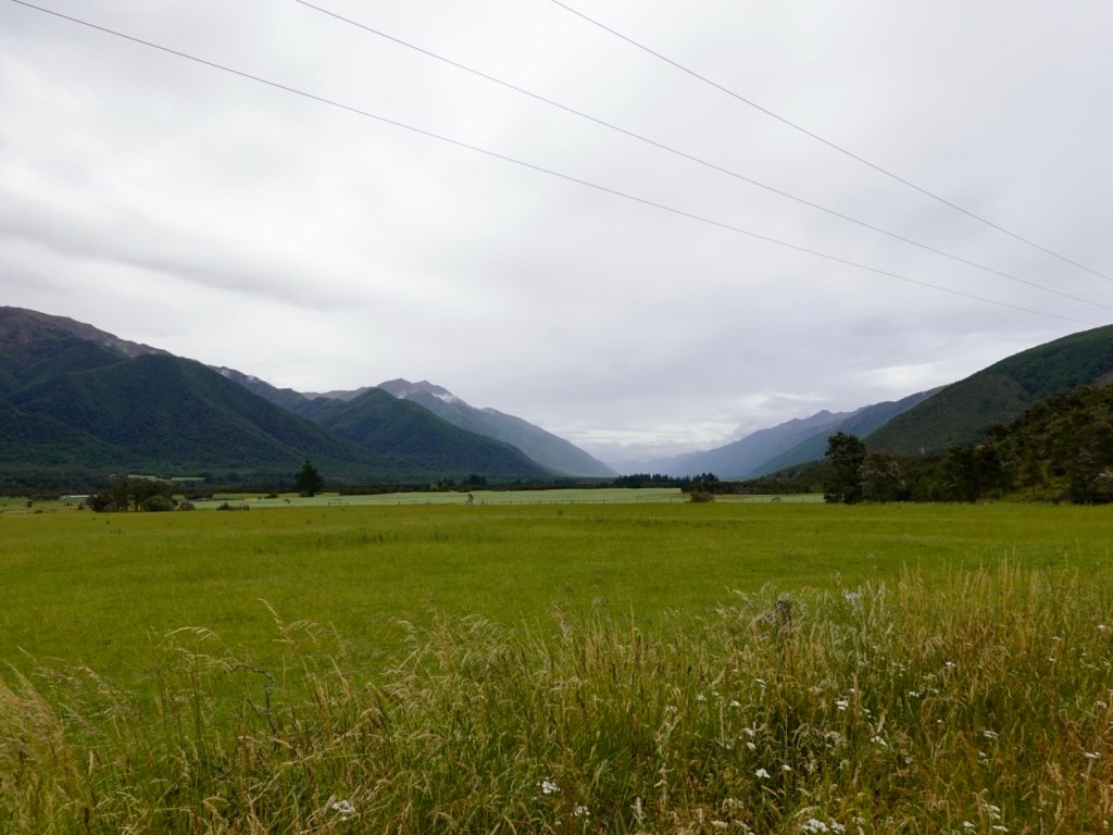
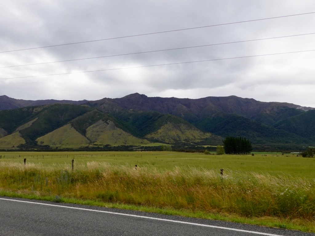
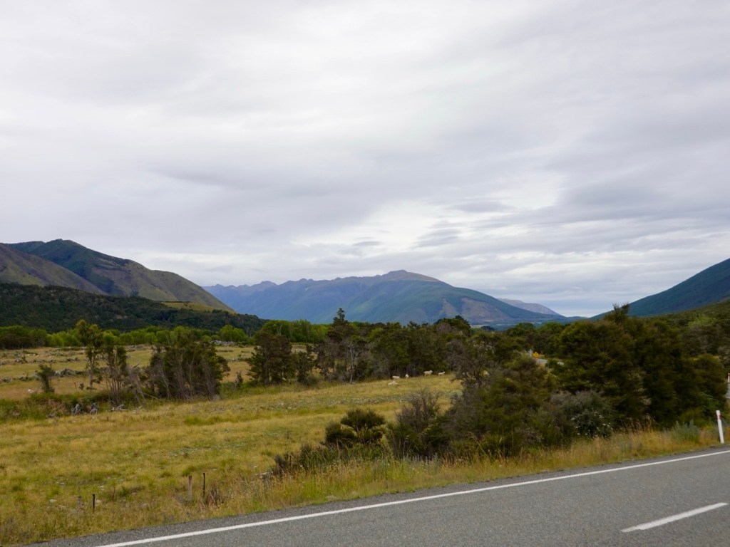
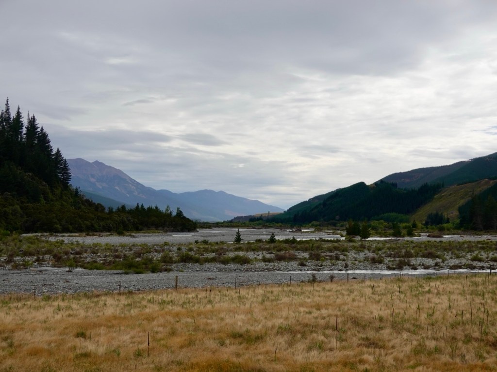
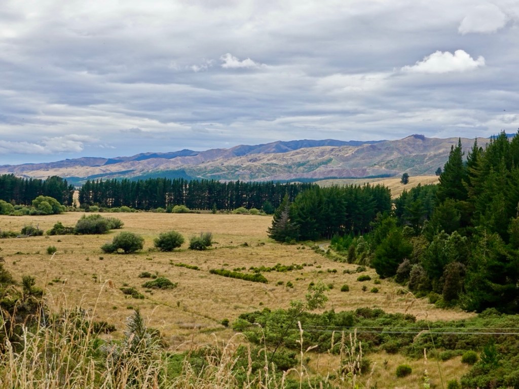
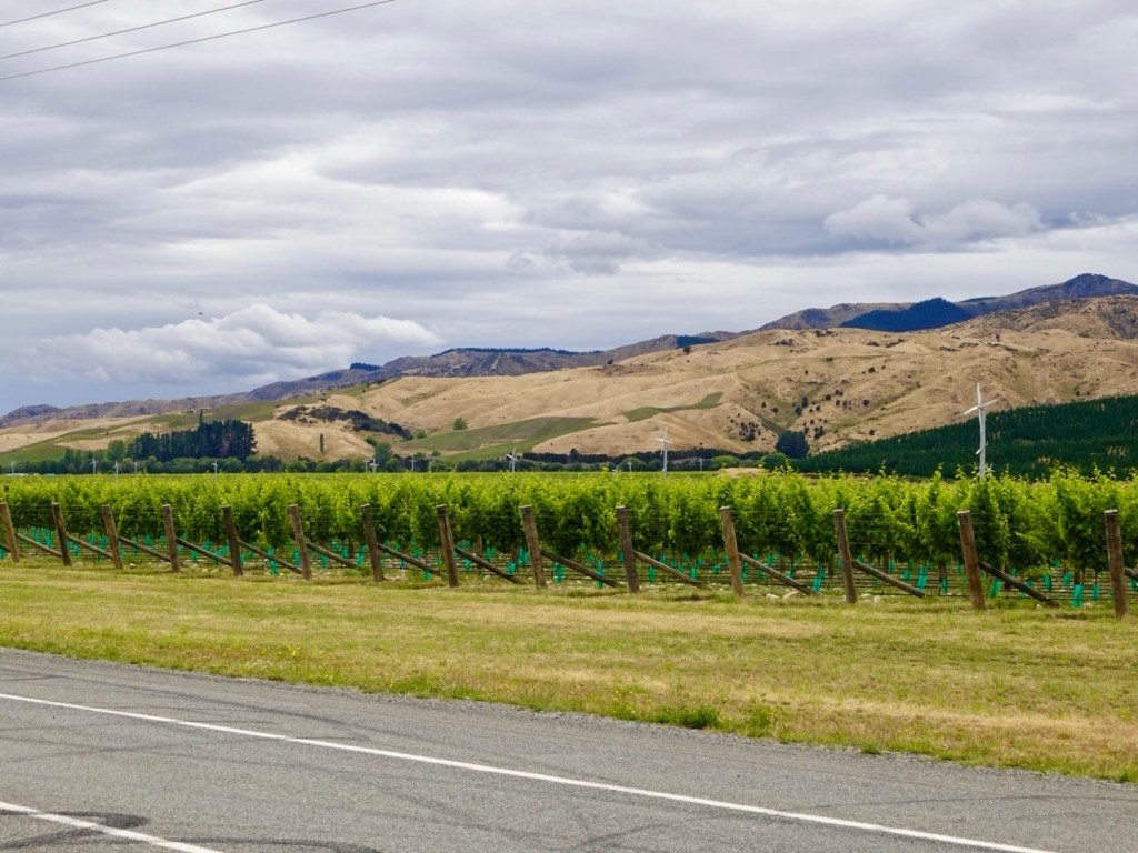
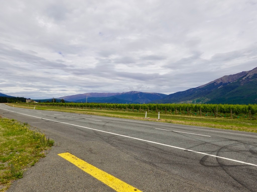
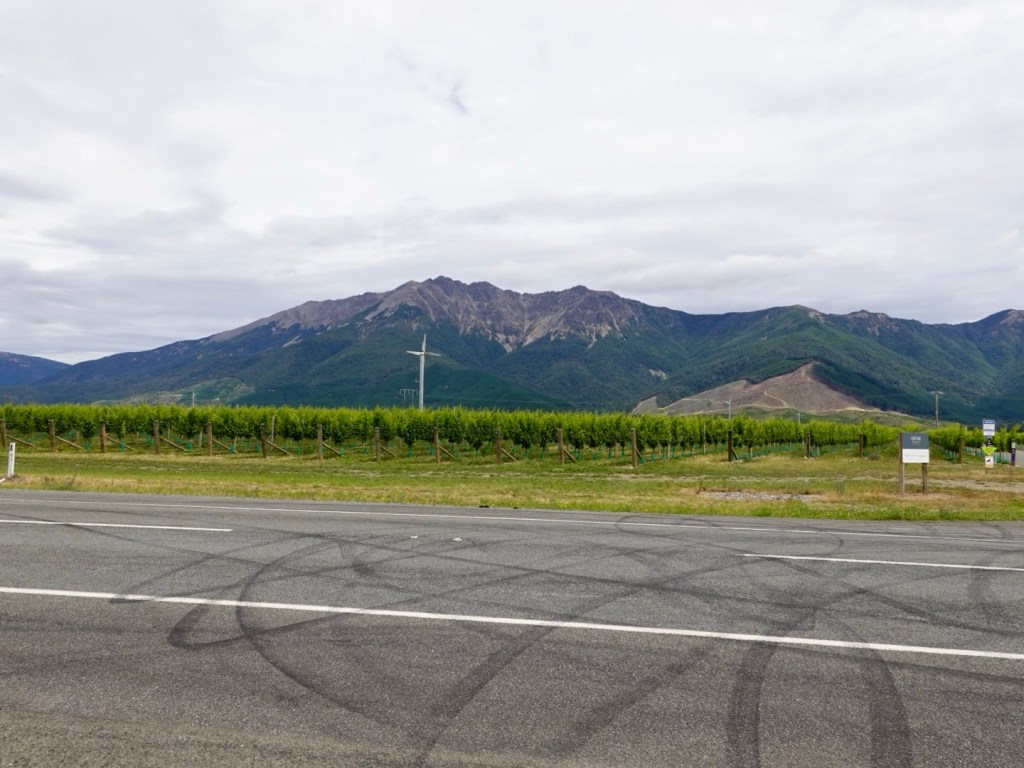
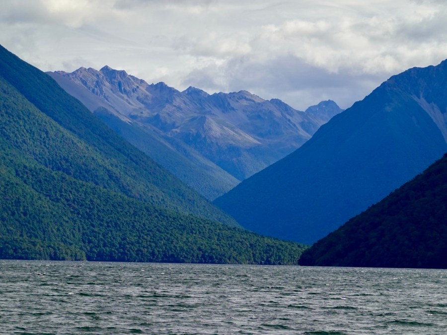
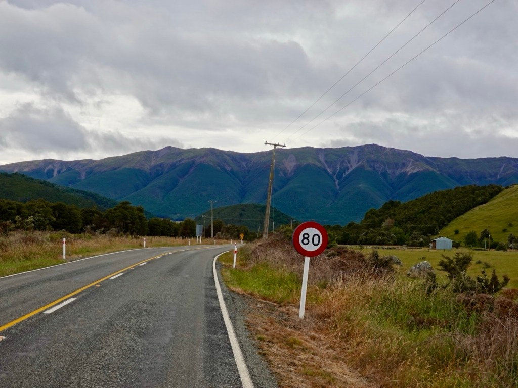
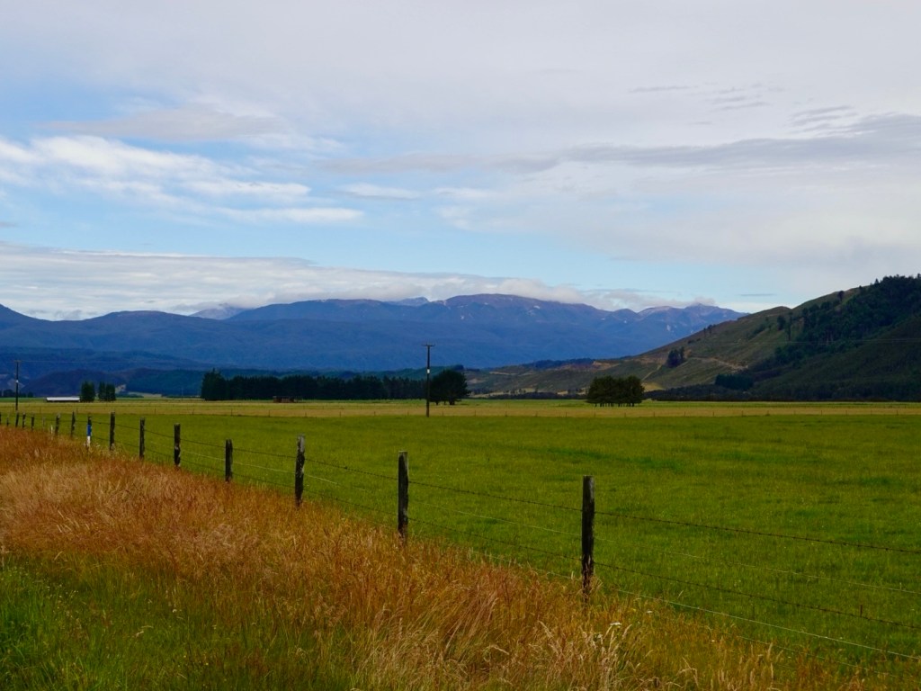
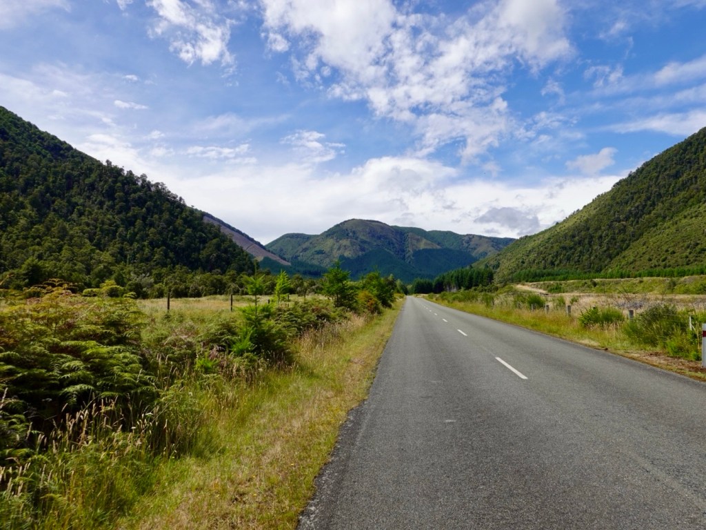
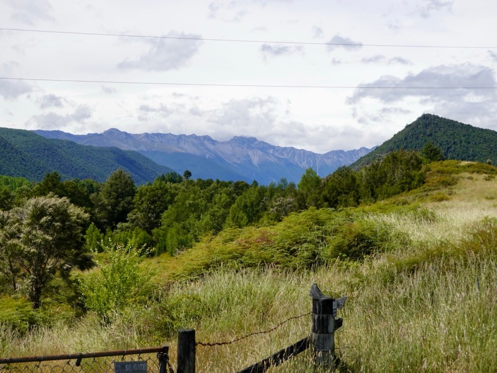
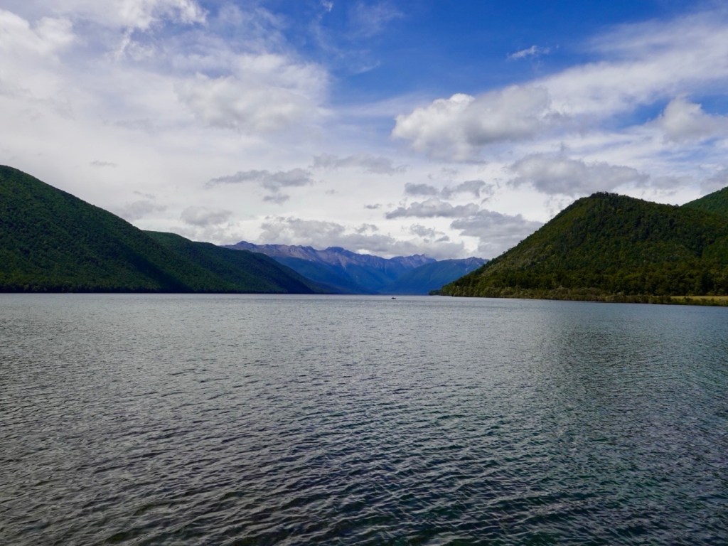
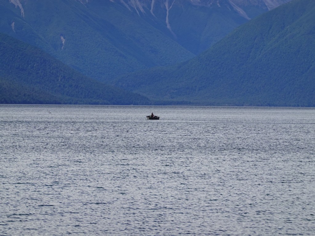
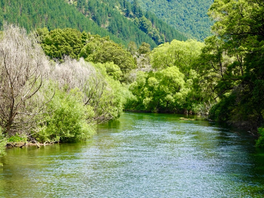
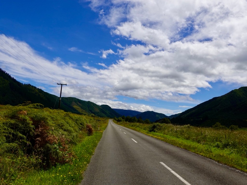
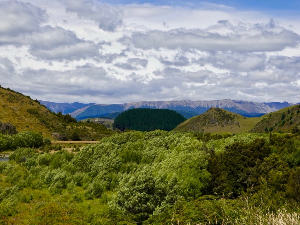
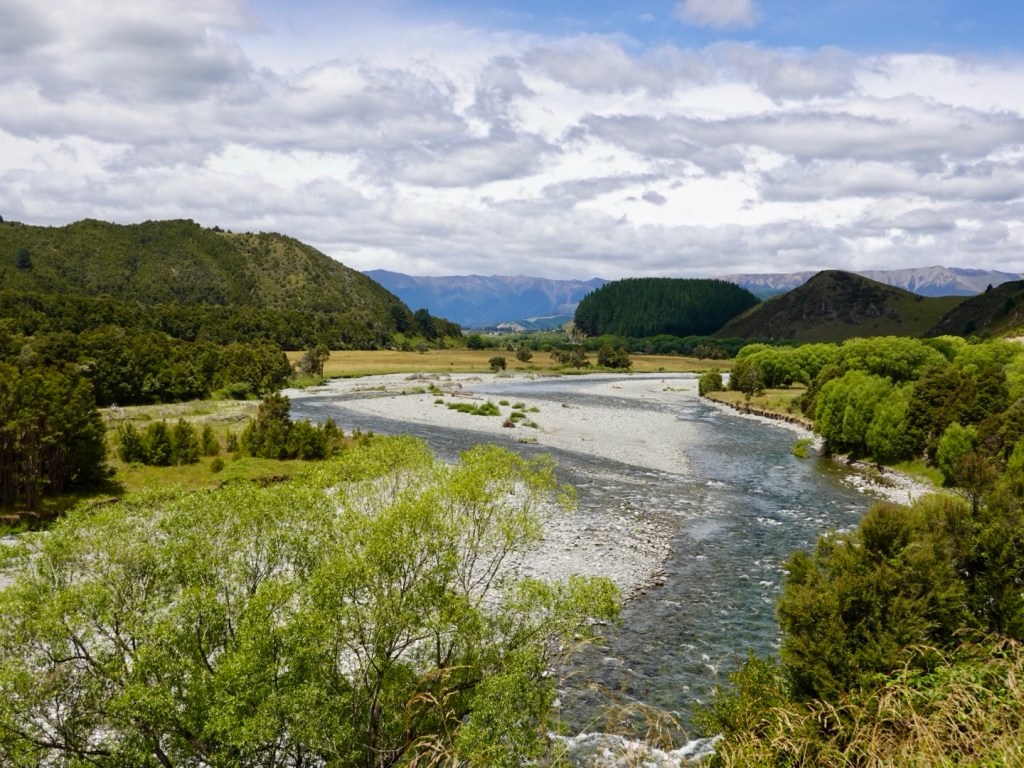
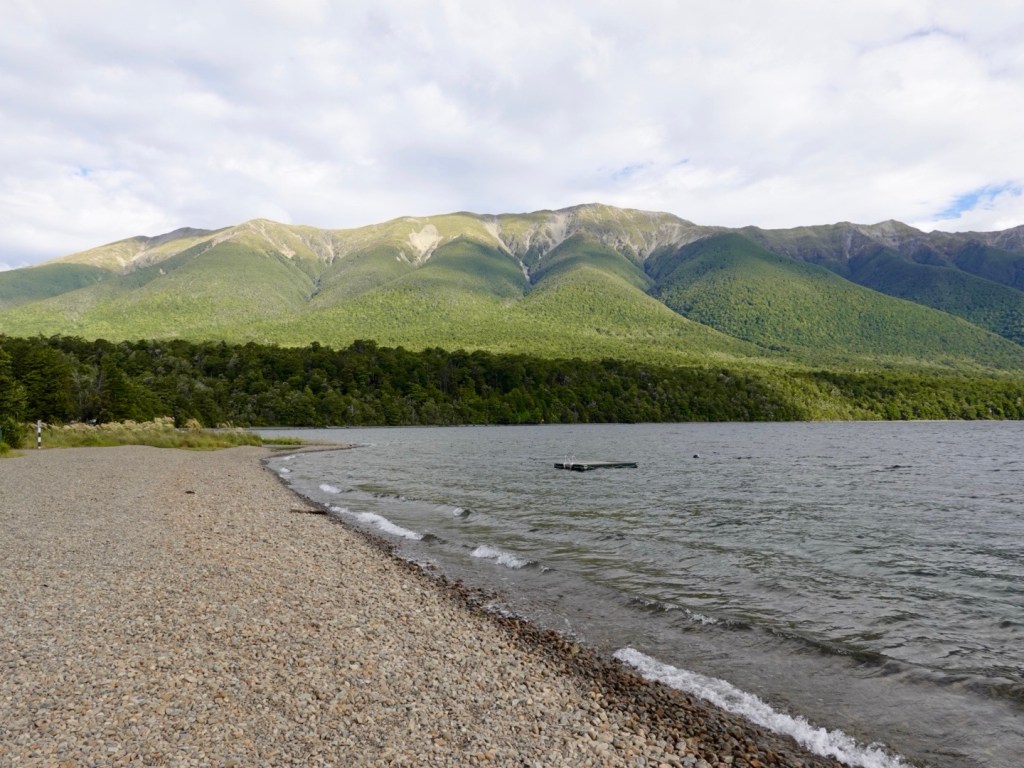
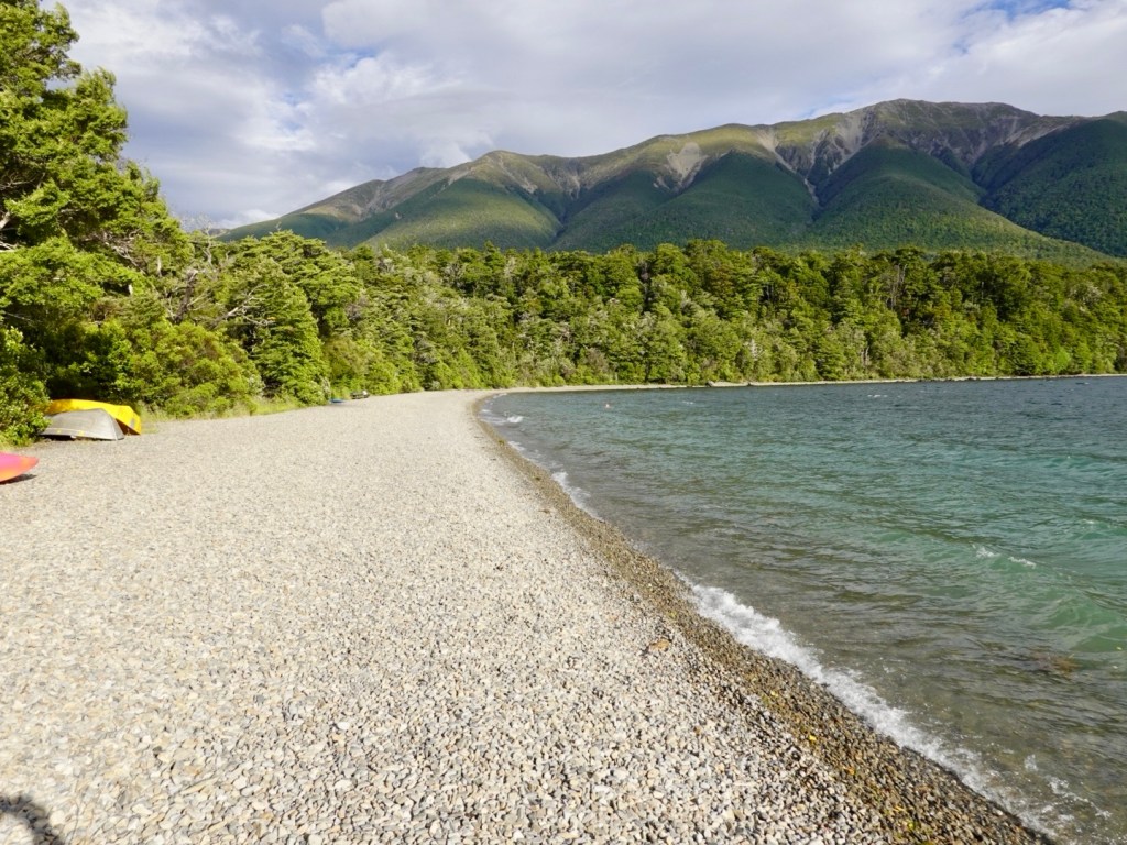
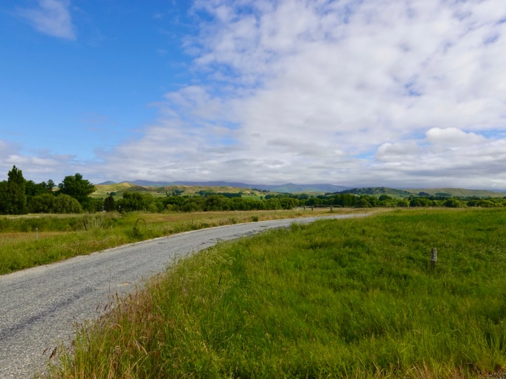
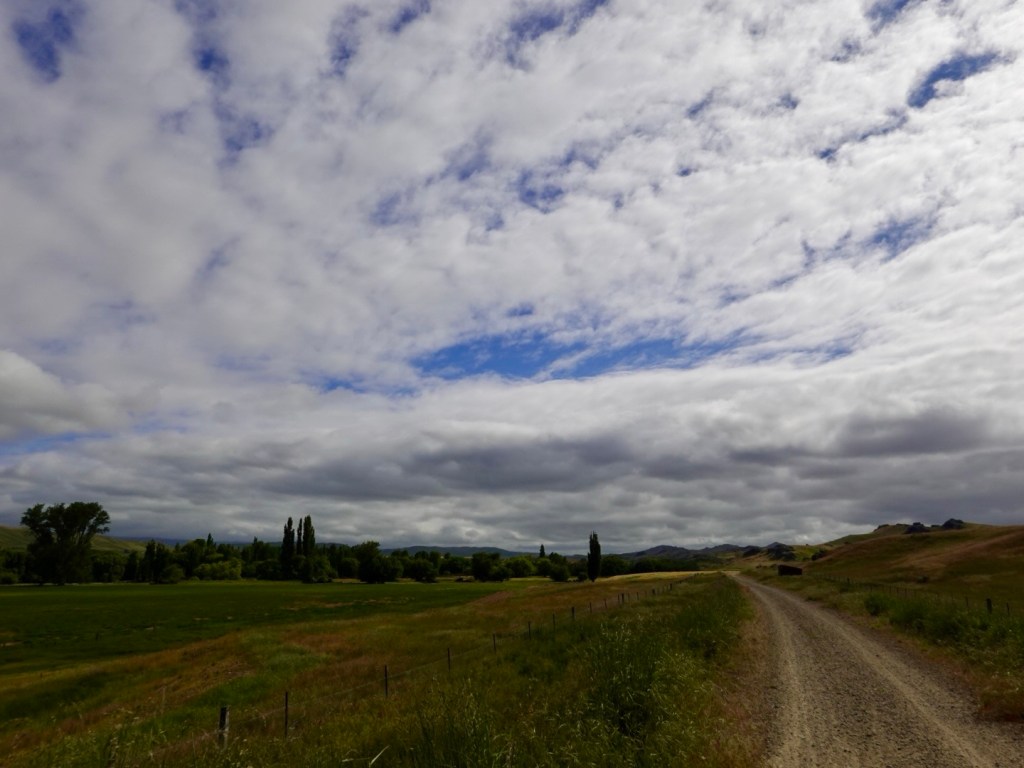
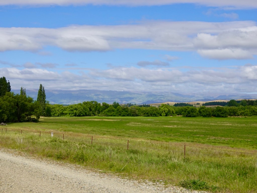
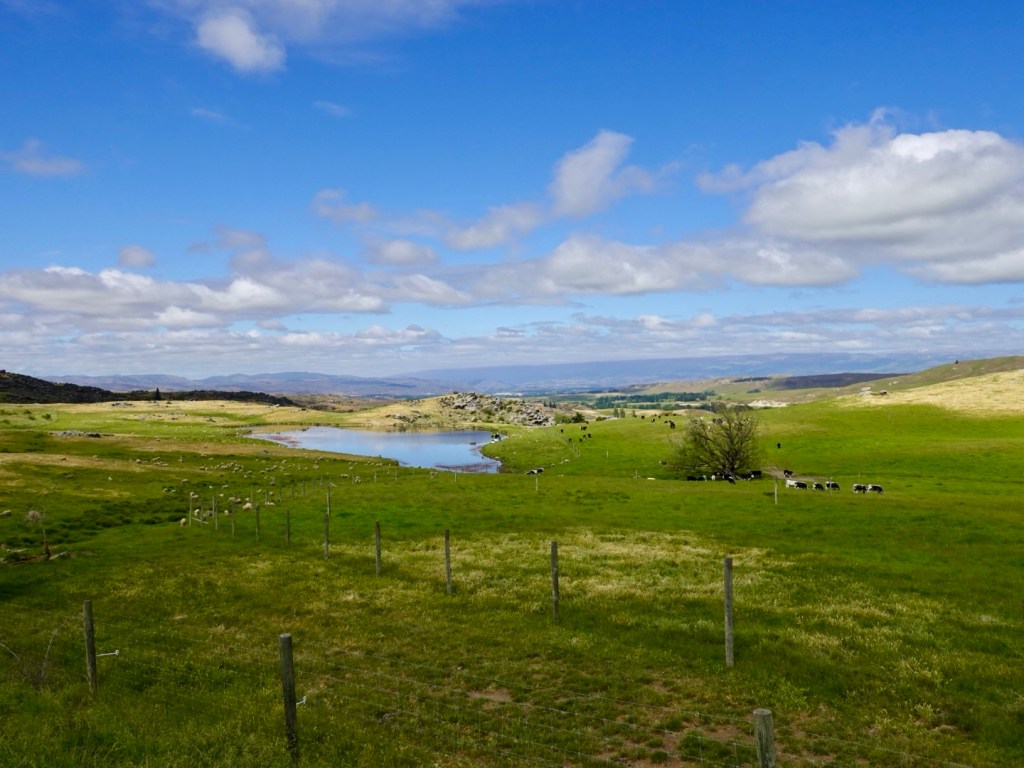
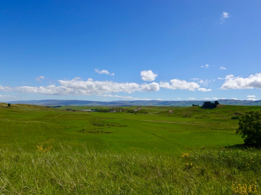
The views were broad, peaceful and serene. Predominantly a farming region, lots of irrigators were busy and grazing sheep the main other activity.

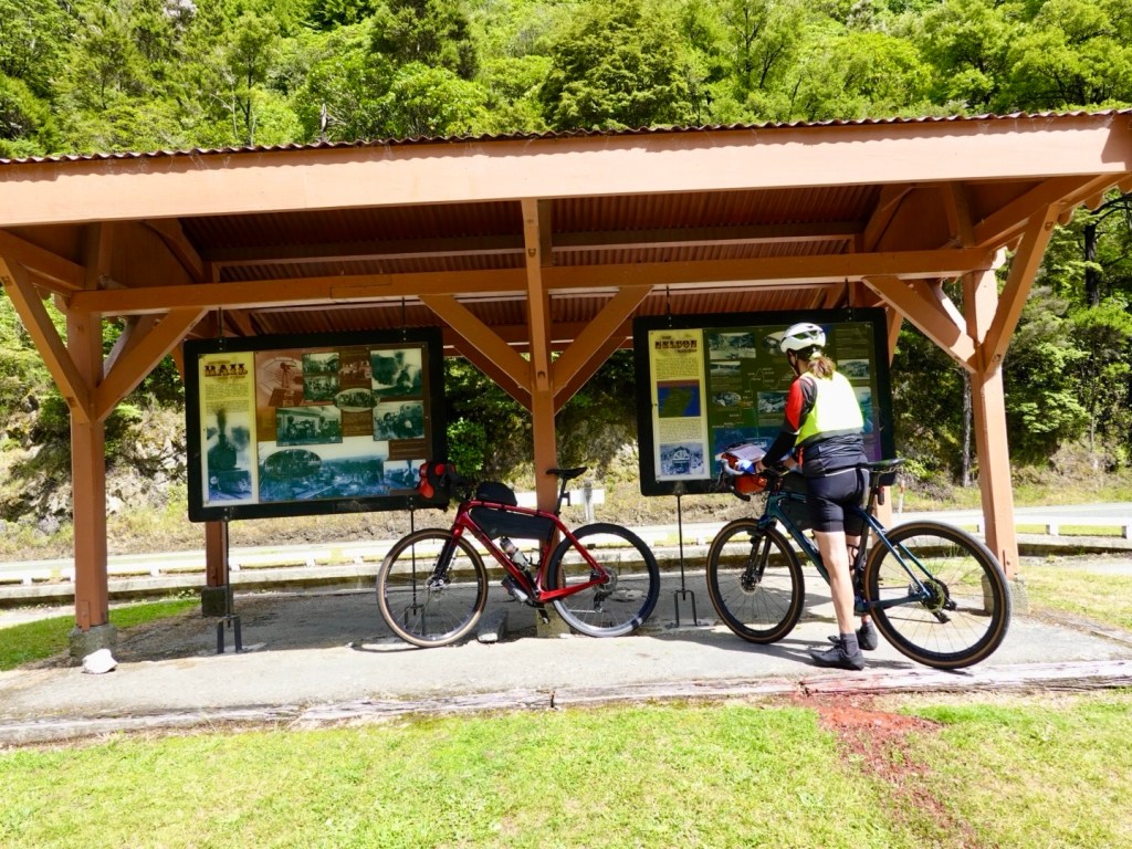
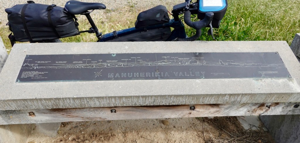
An informative plaque naming all the mountains, mostly hidden by cloud at this point.

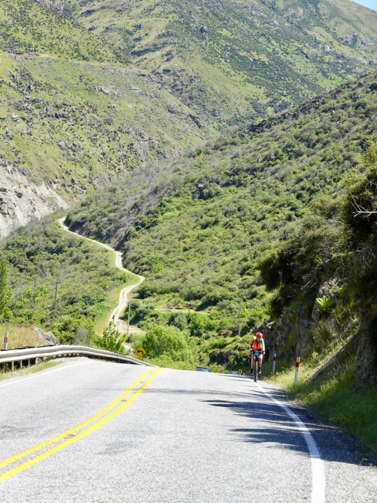
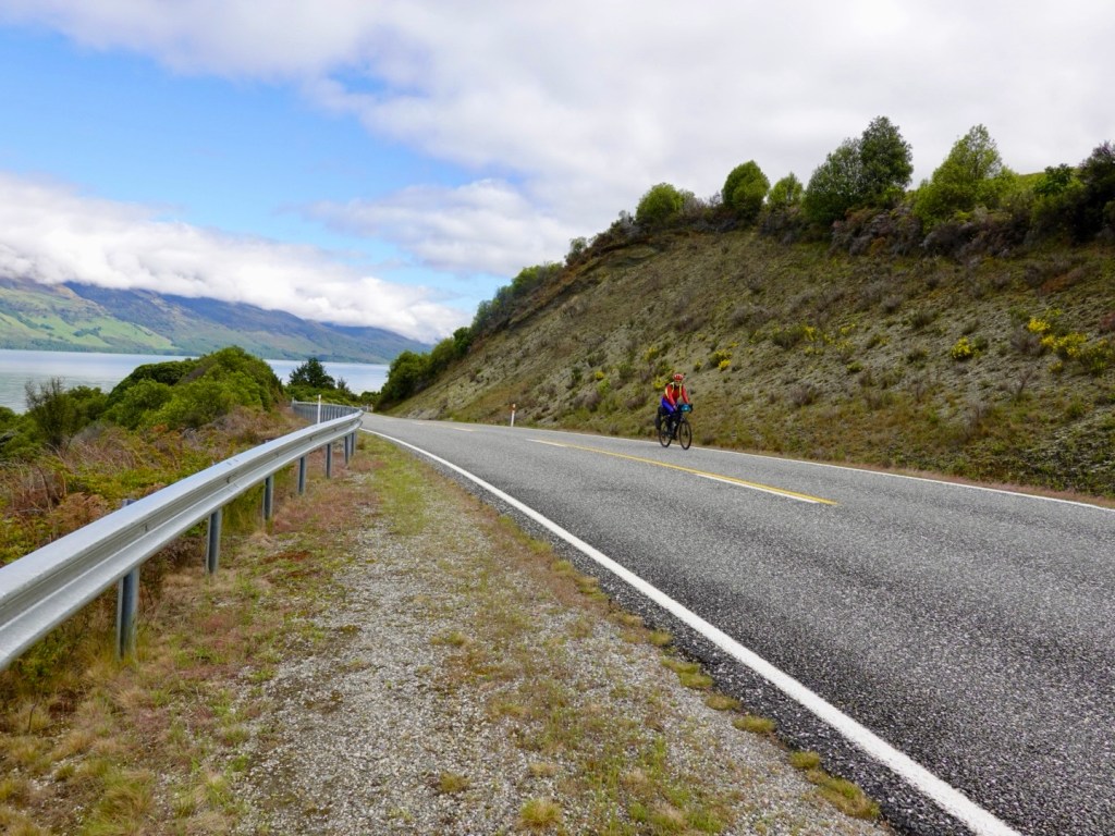
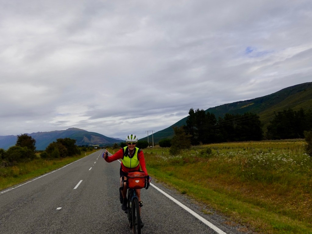
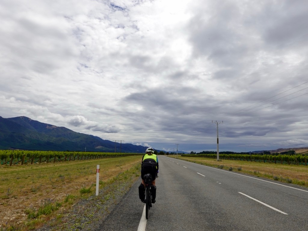
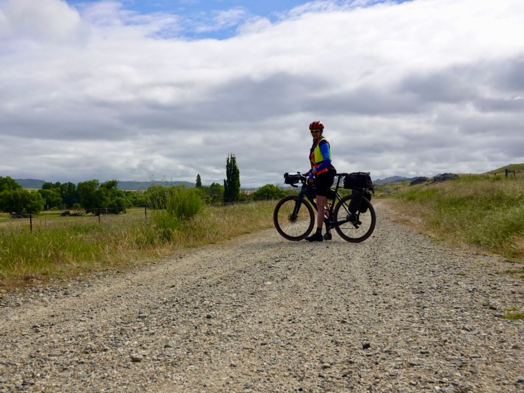
Taking up the whole path in safety, as vision was clear for long distances forward and behind.

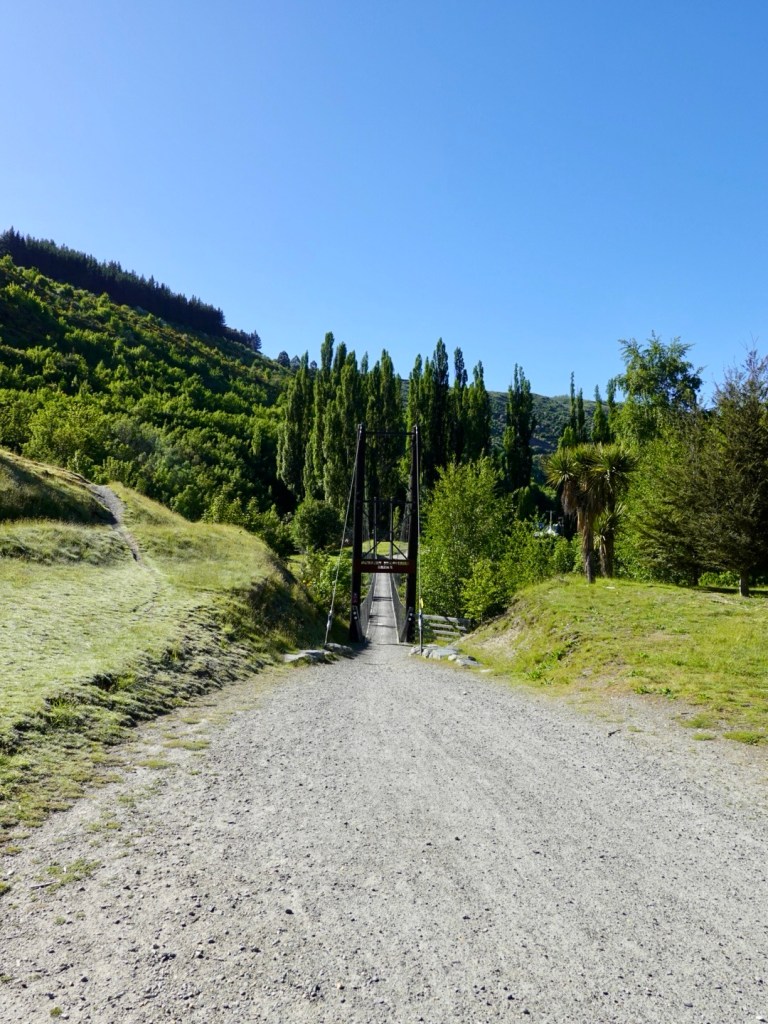
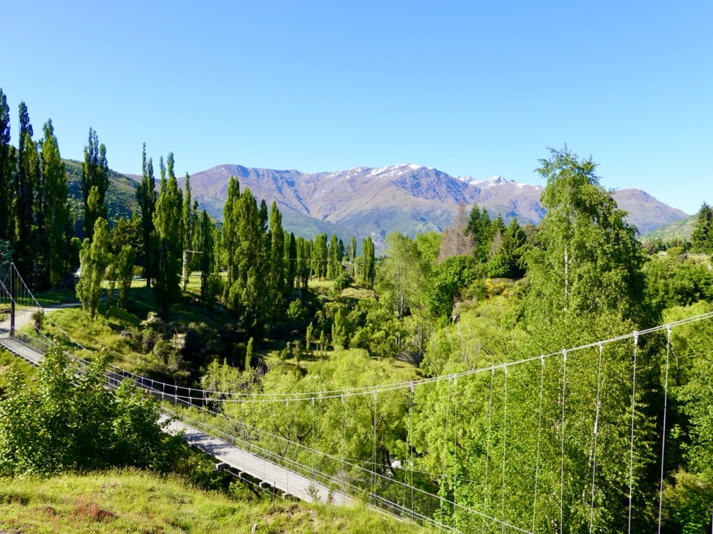
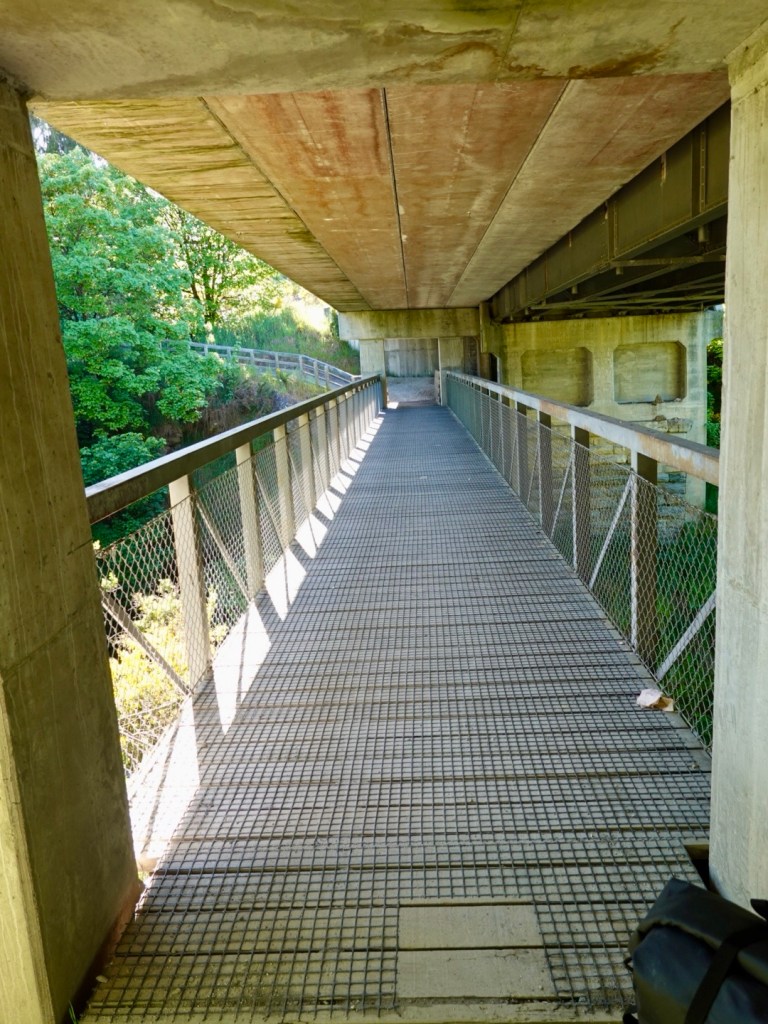
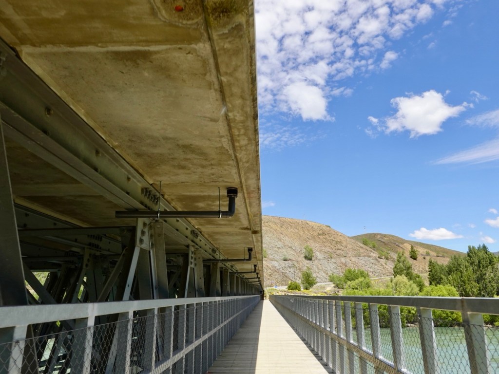
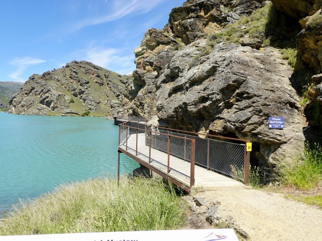
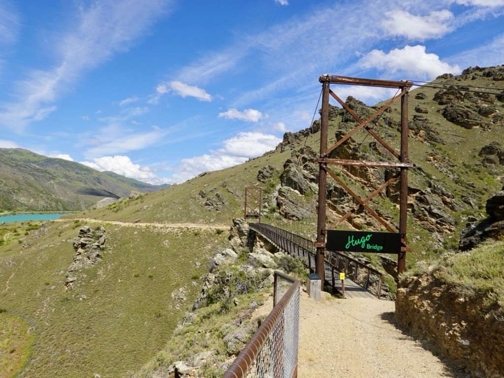
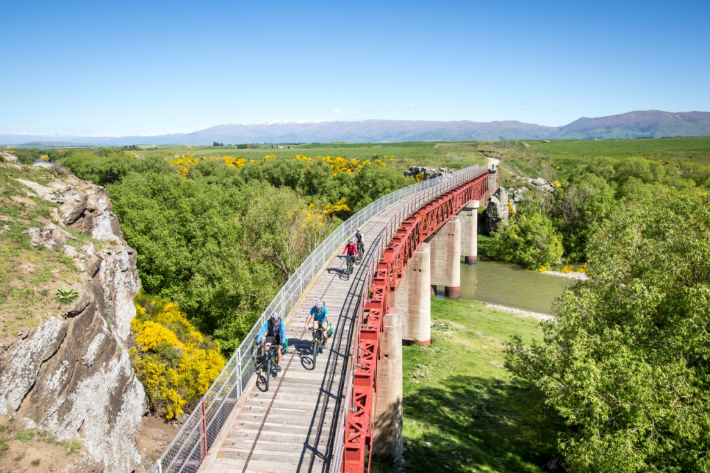
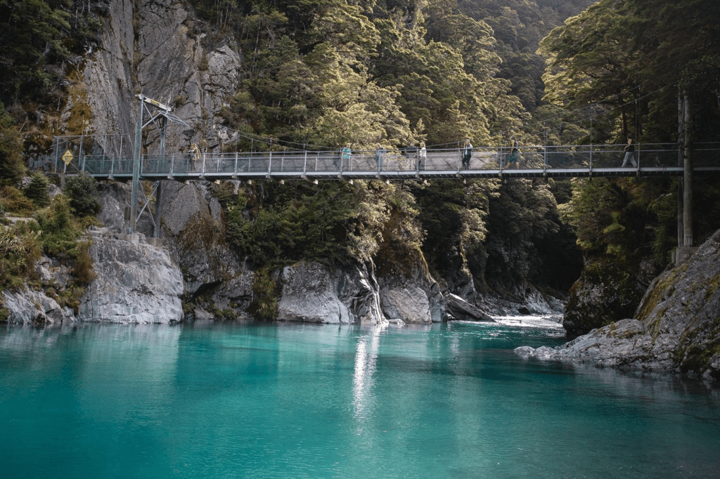
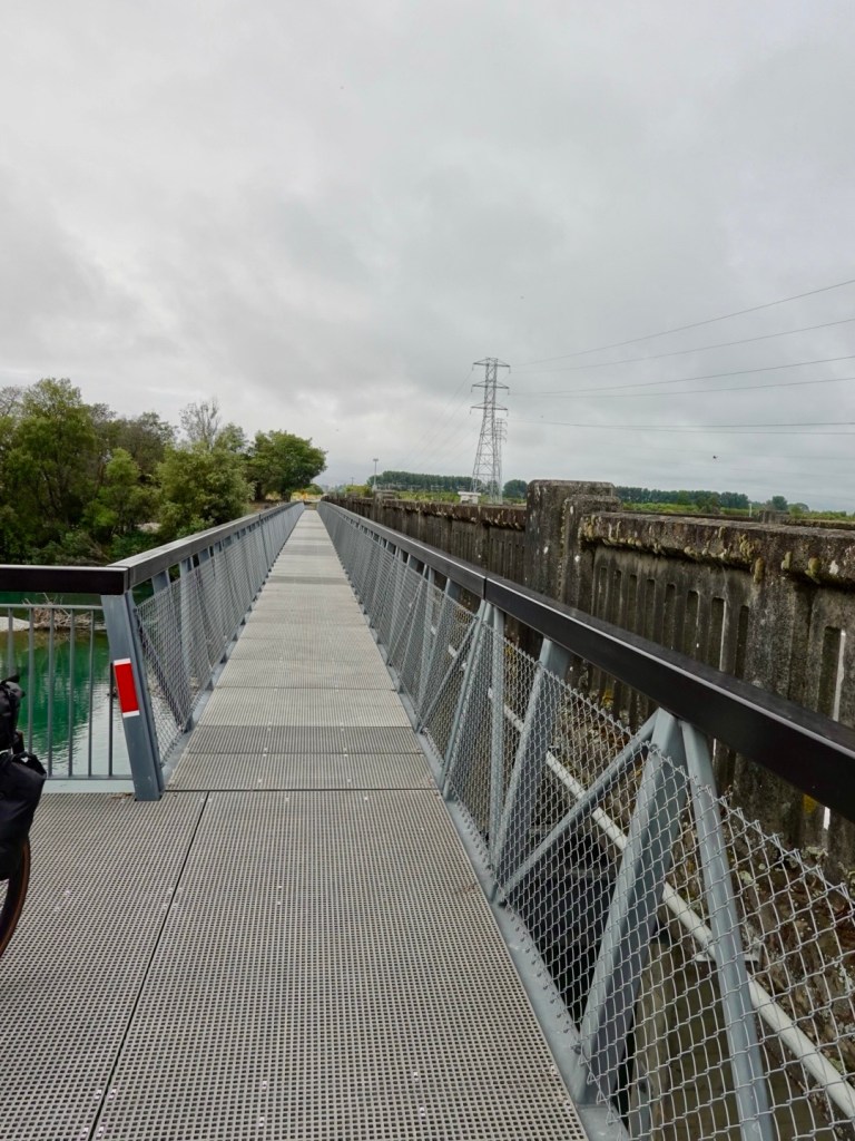
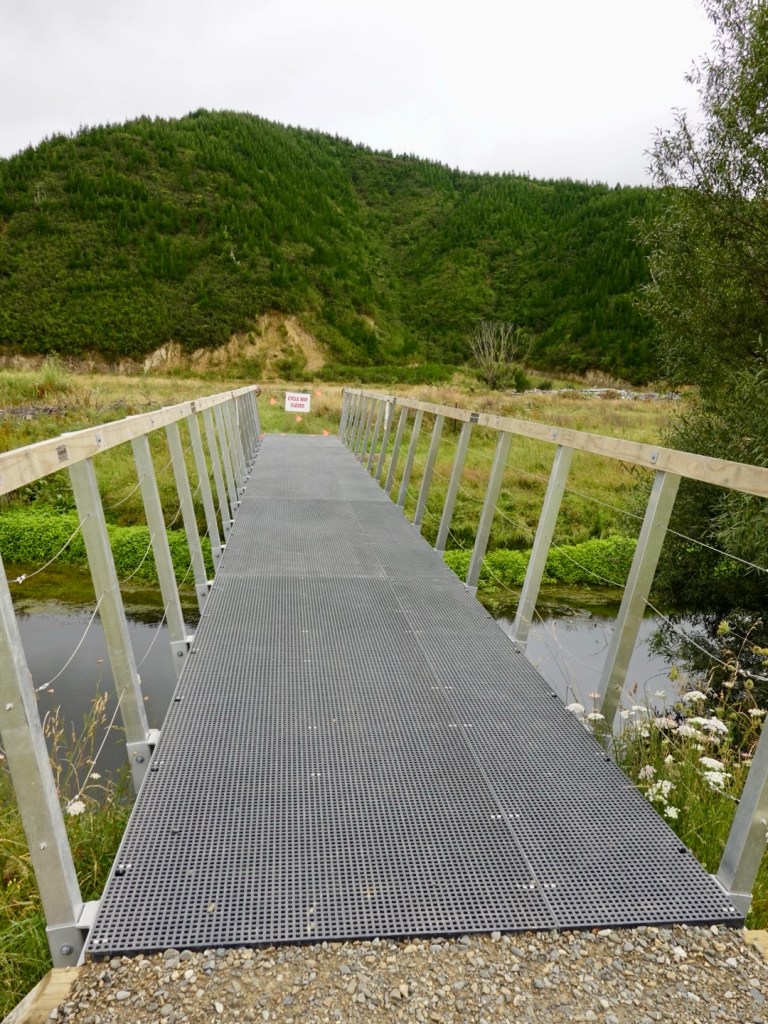
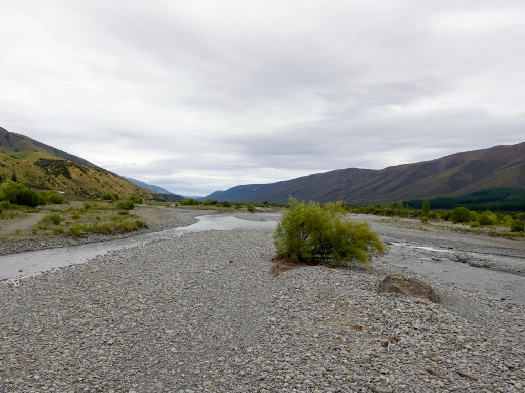
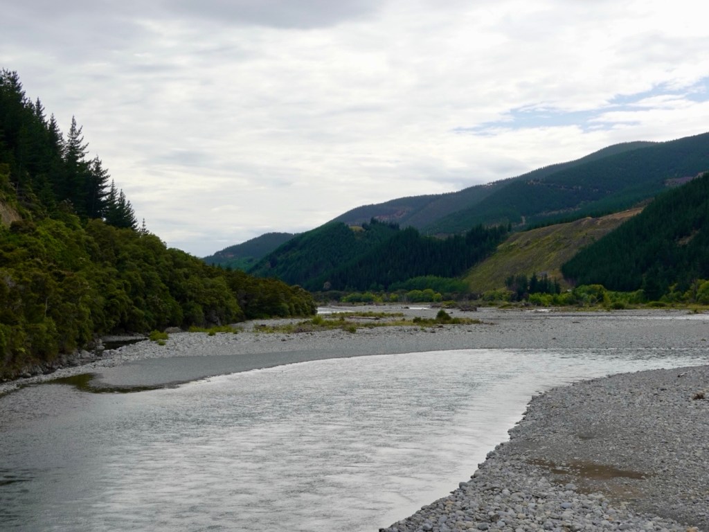
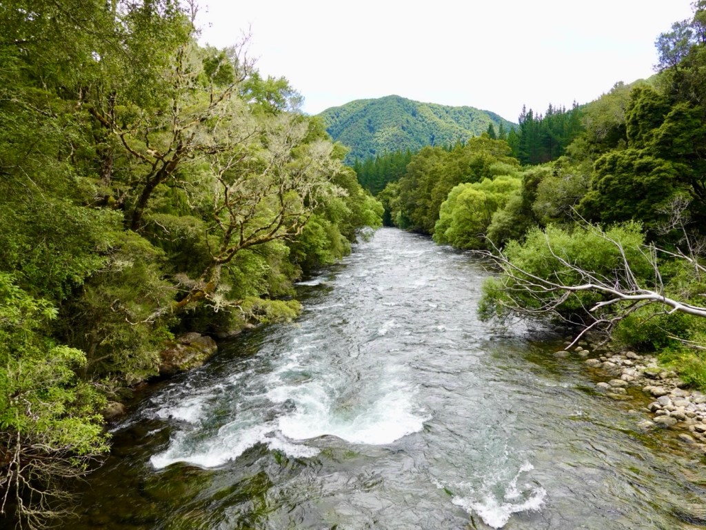
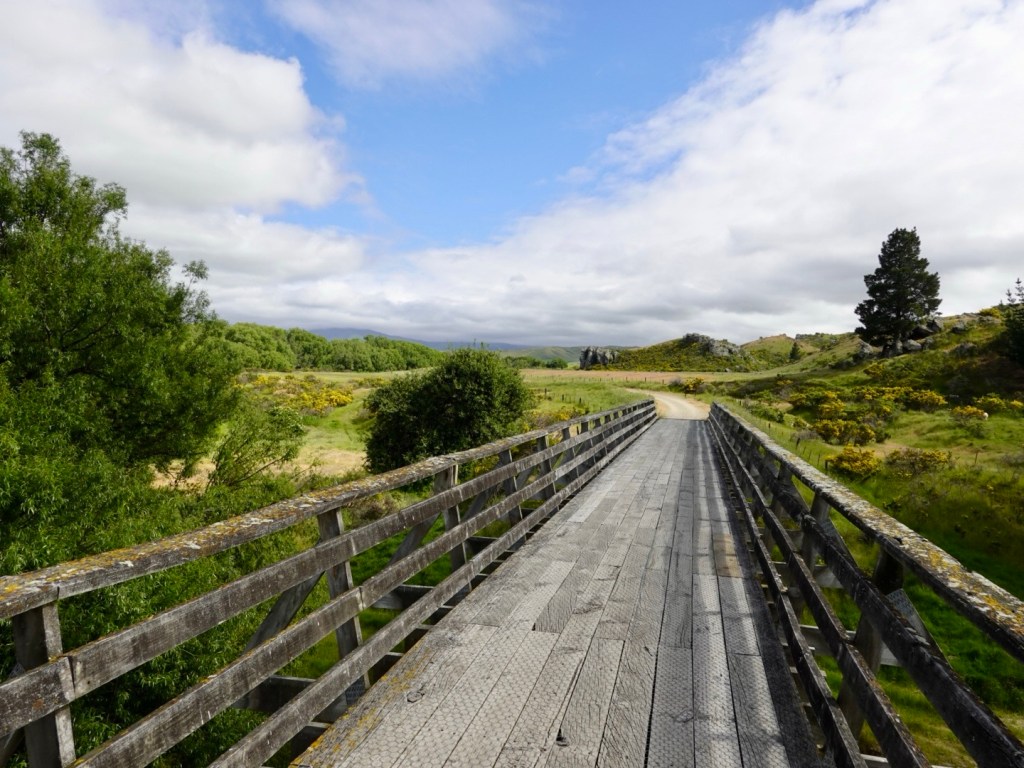
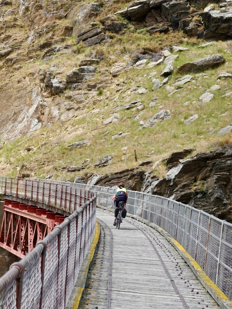
There were multiple old railway bridges to cross. Often quite long, and various surfaces.

Nice rivers to cross

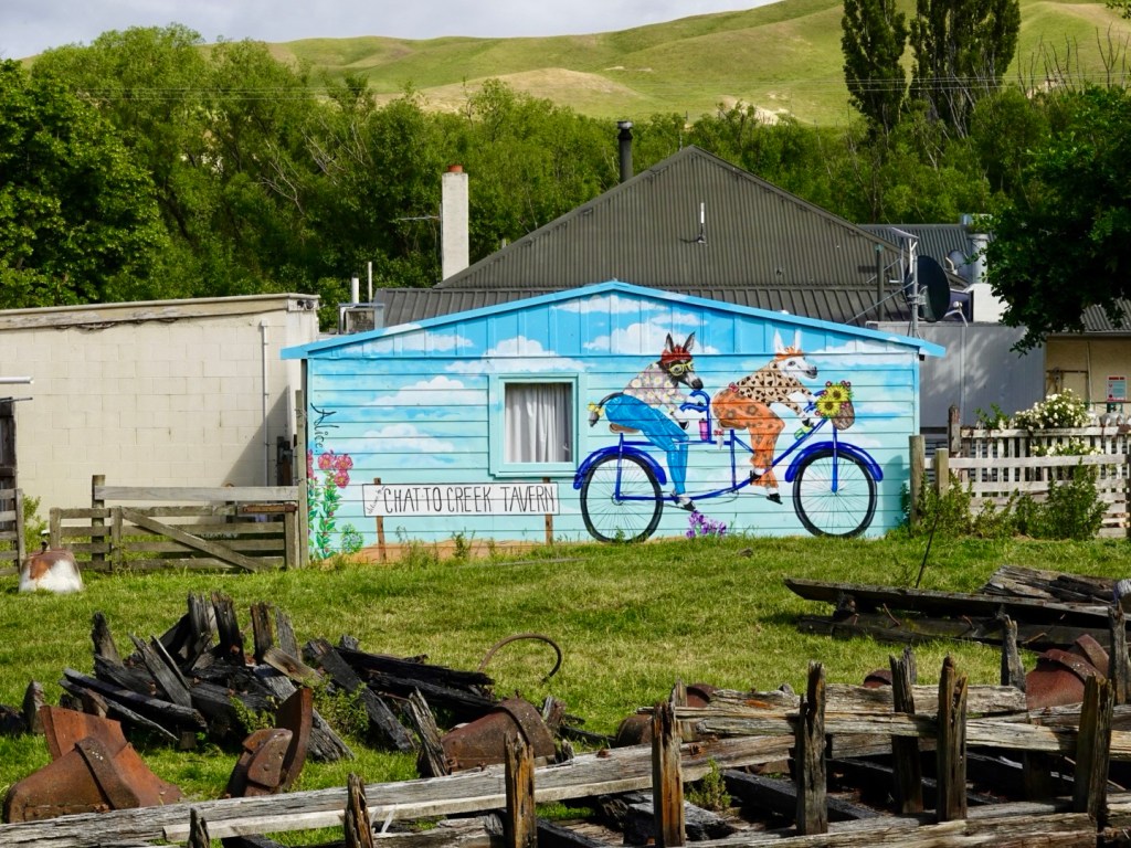
Chatto Creek tavern, did not open until 12 noon.

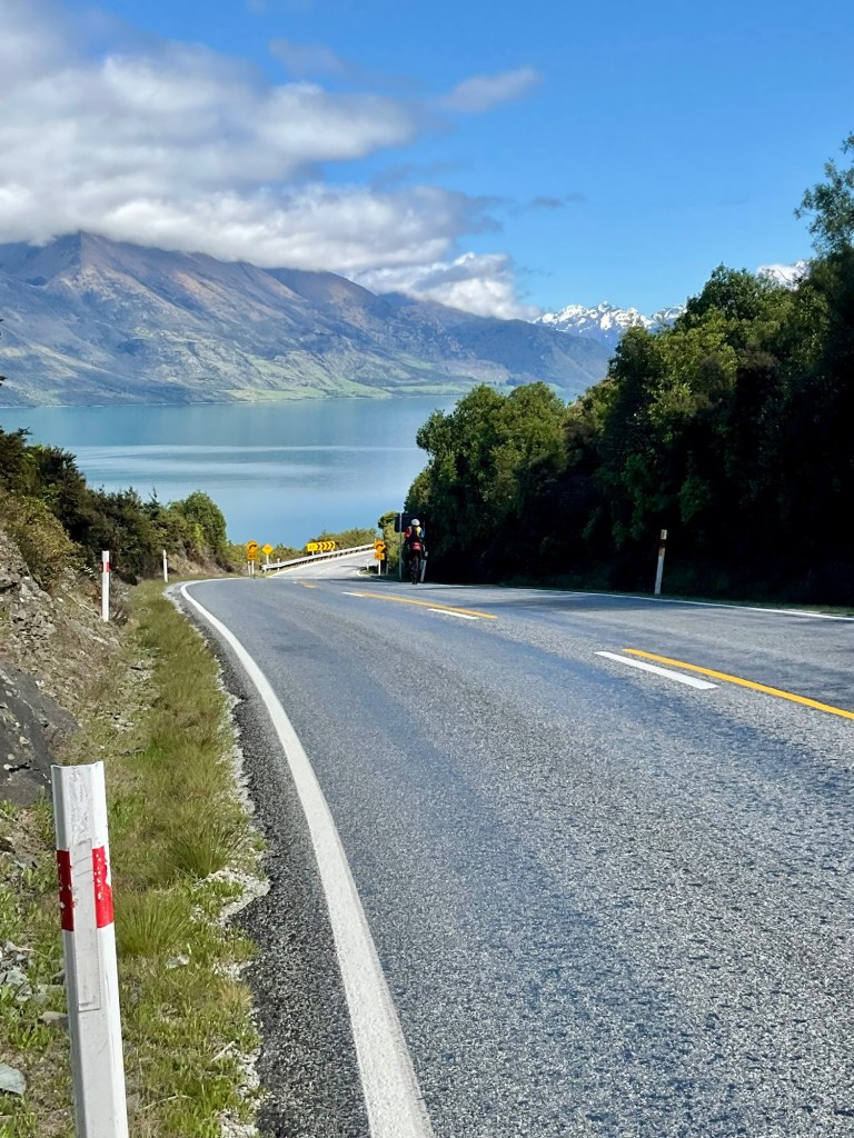
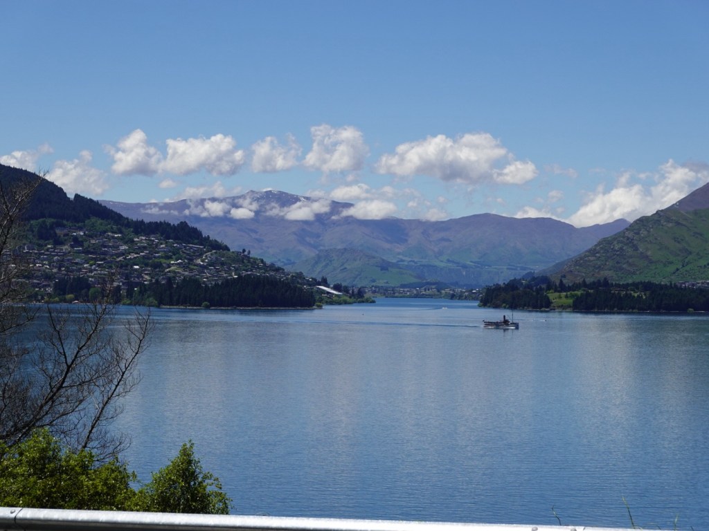
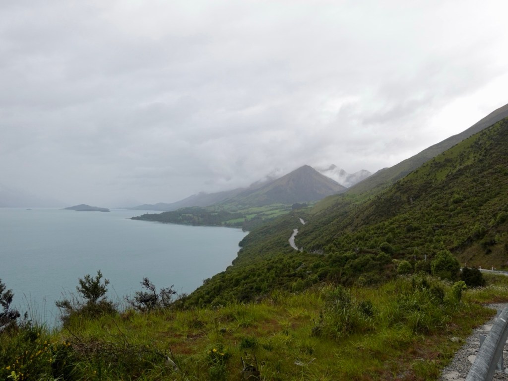
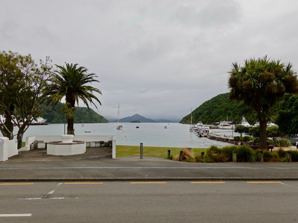
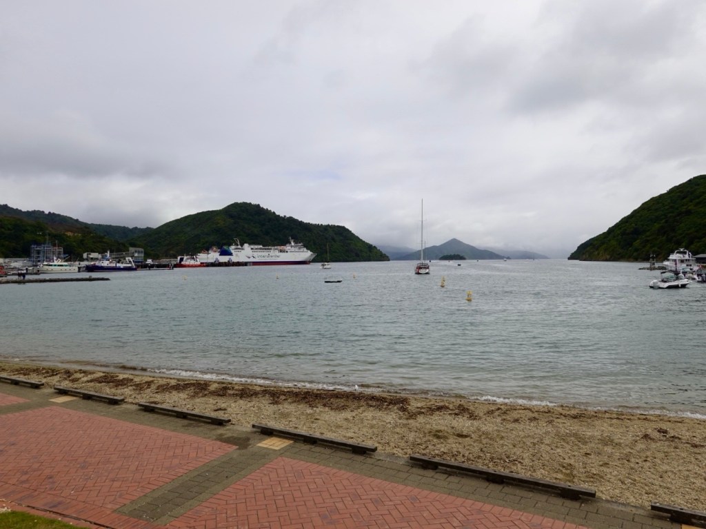
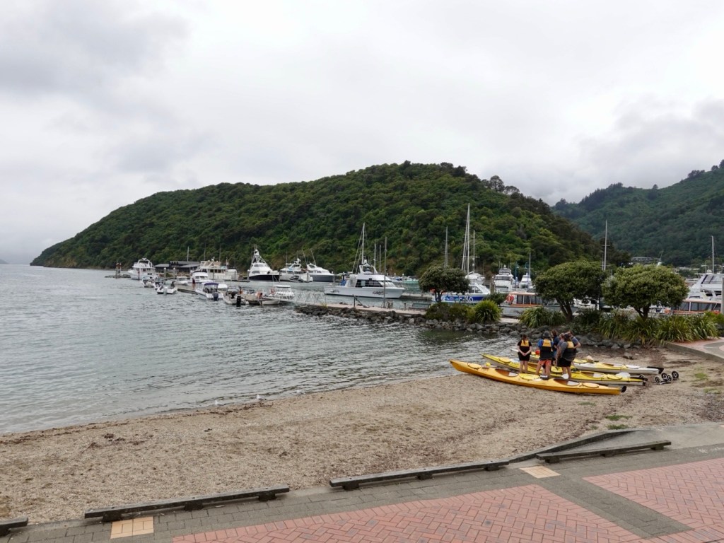
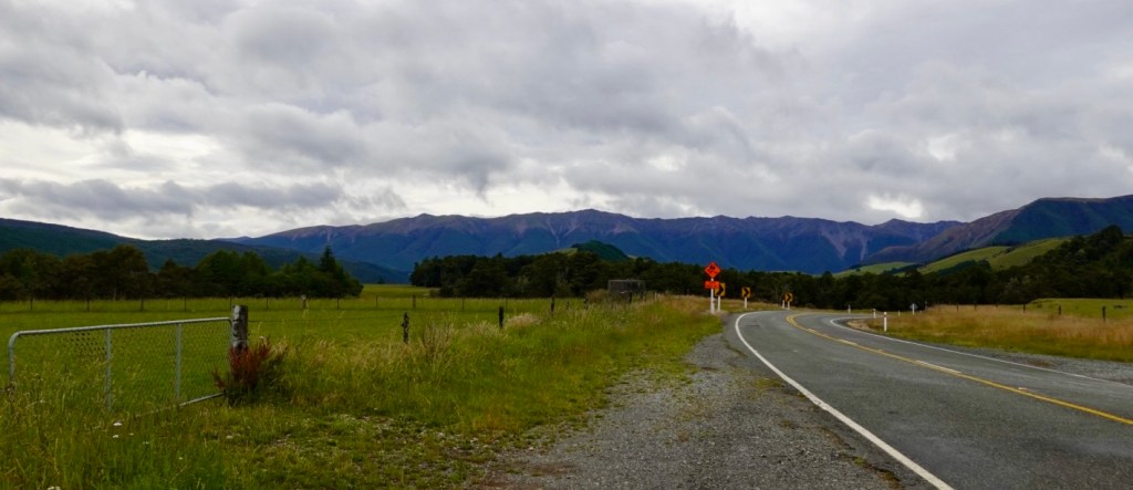
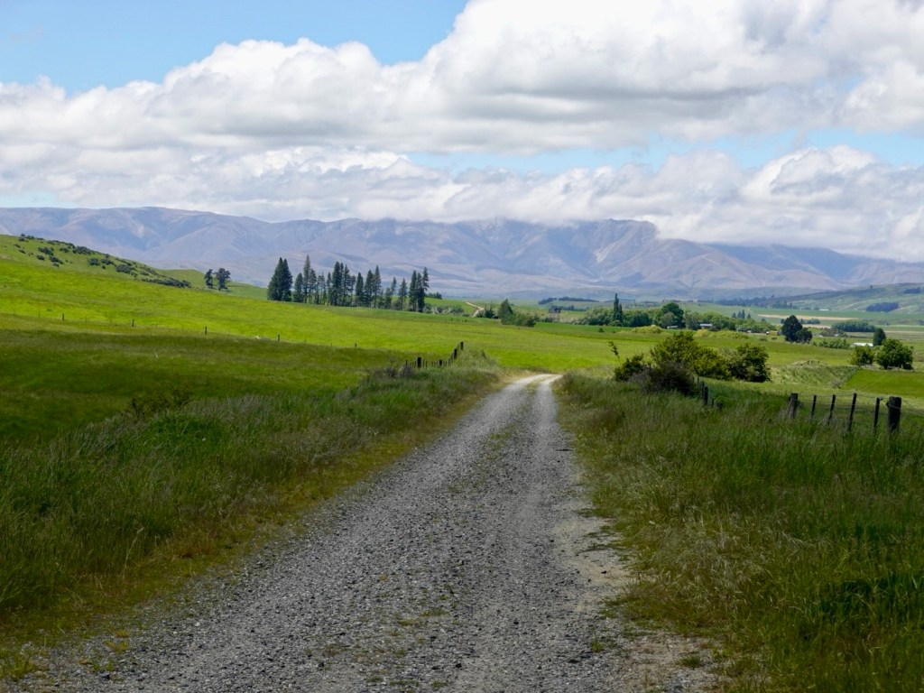
The views continued.

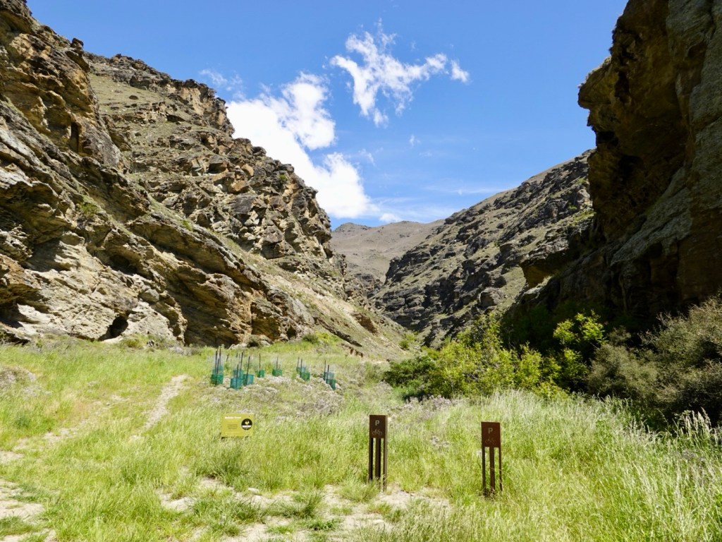
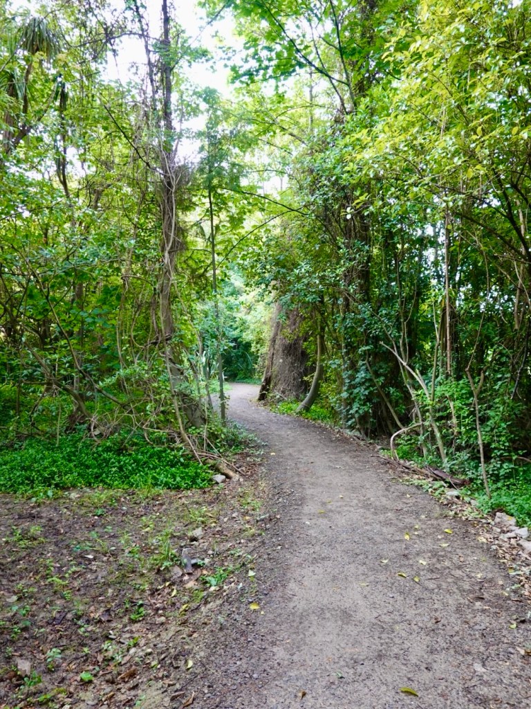
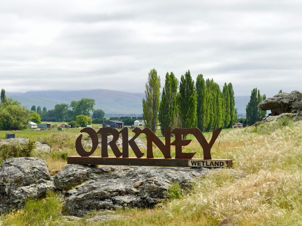
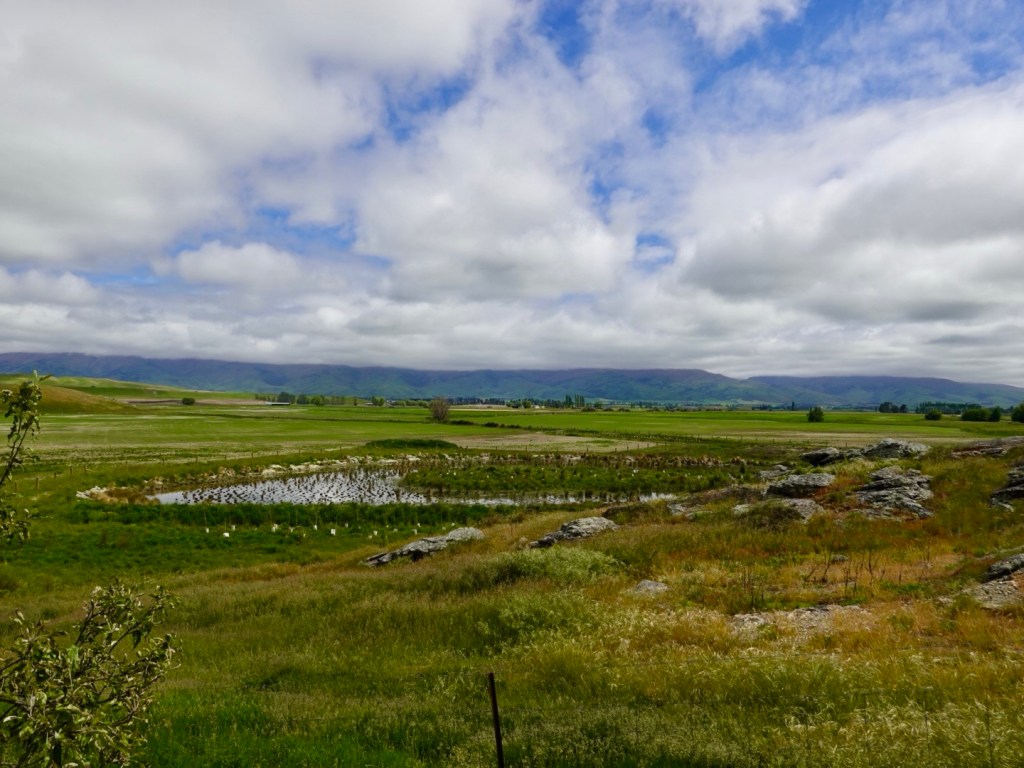
Orkney wetland is a new environmental project only two years old. It will develop into a lovely oasis.

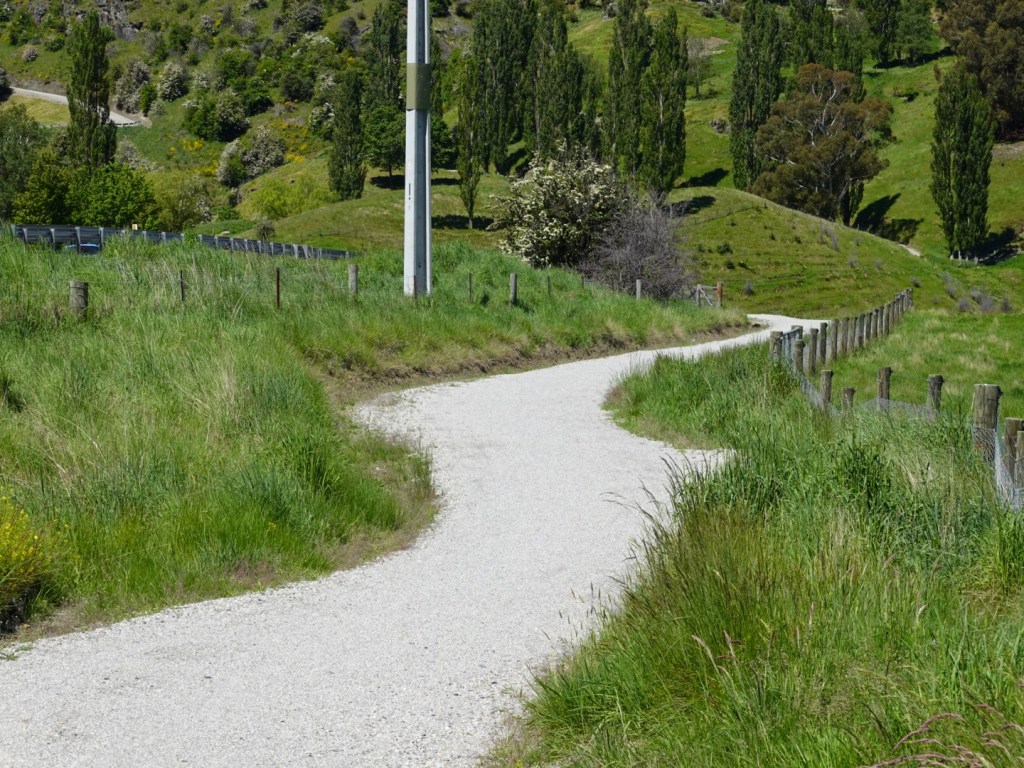
There were long straights.

We had lunch at Omaku at a cafe. We ordered two iced coffees but they only had enough coffee beans left for one! He said they had been busier than anticipated. So a cafe with no coffee for the rest of the day. Ouch.

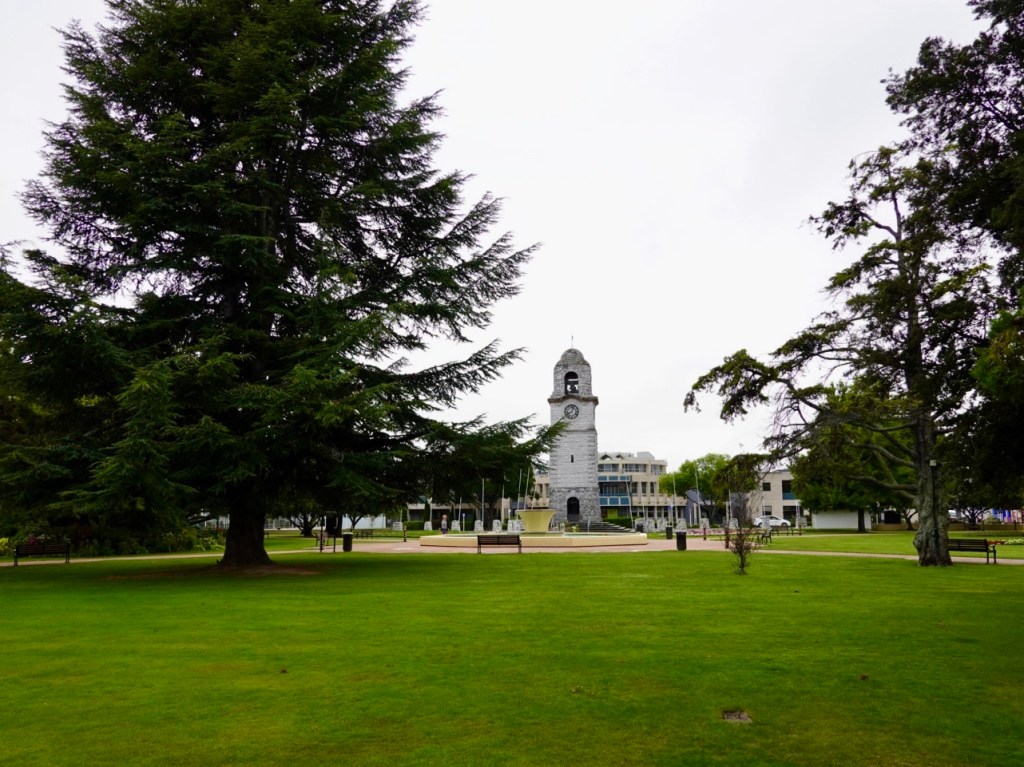
Middlemarch is our destination tomorrow night, and we had started near the Clyde railhead.

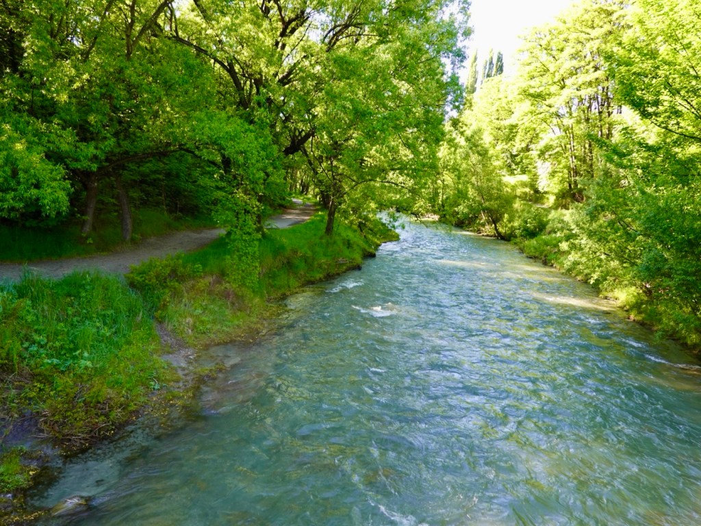
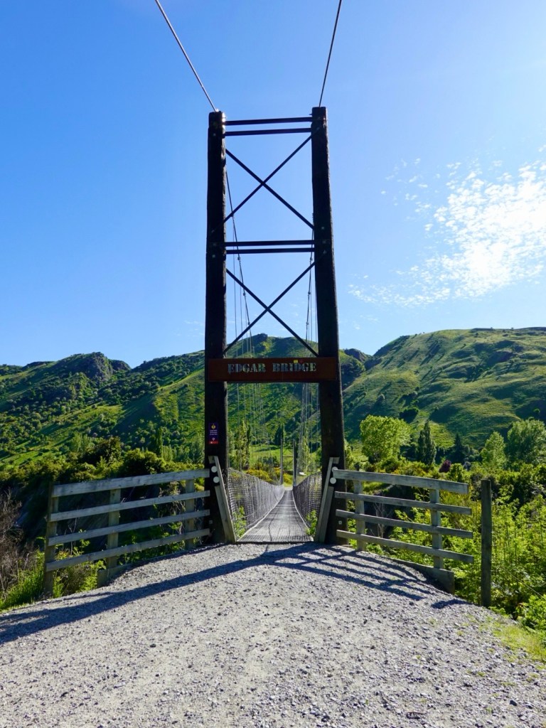
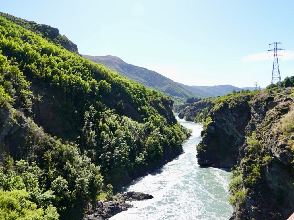
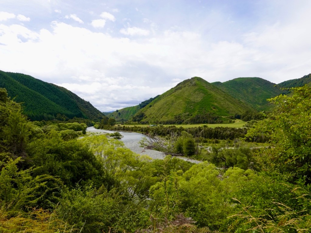
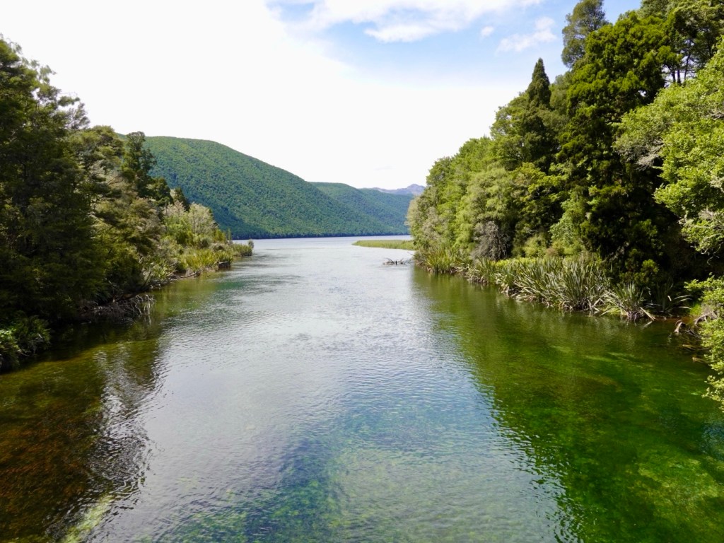
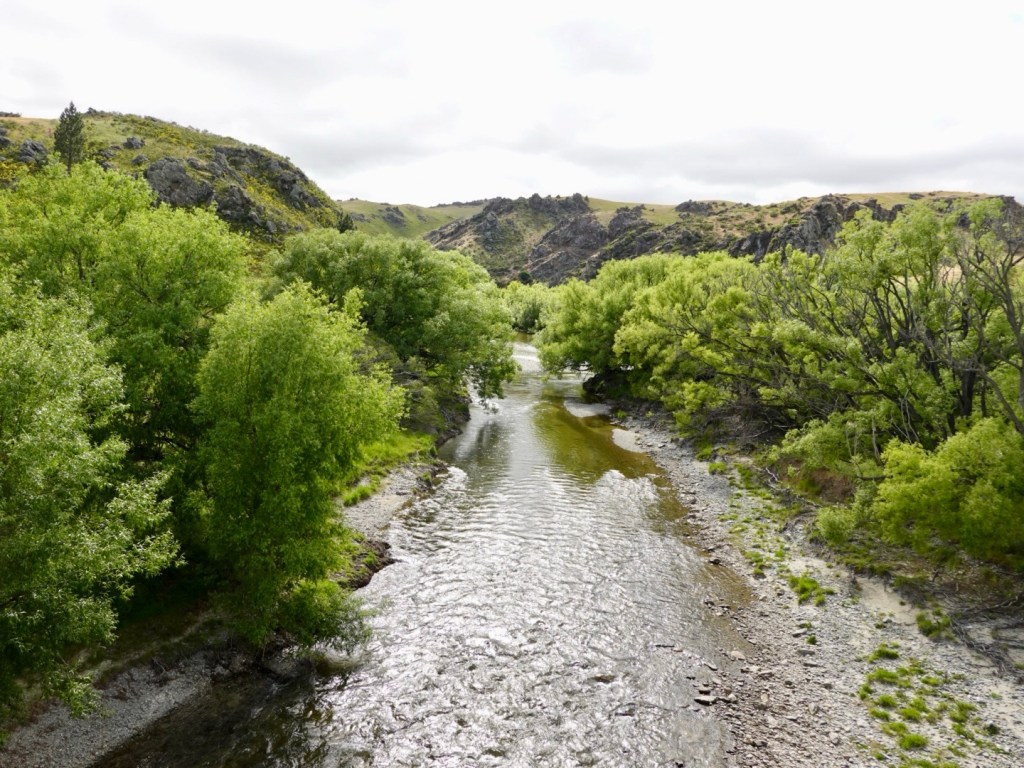
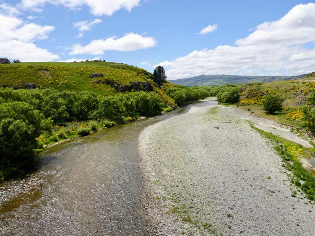
Along bridge crossing over a lovely river.

A very rickety rackety crossing that jolts your body on a non suspension bike.

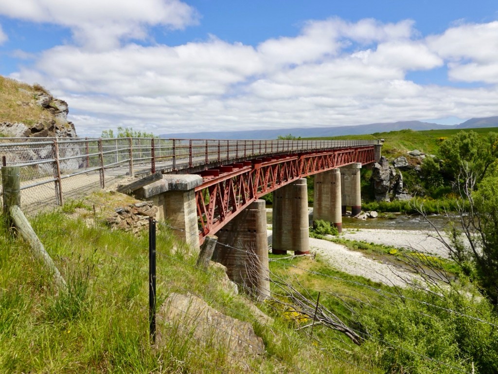
The Manuherekia Bridge was completed in 1904. And the second longest on the rail trail at 110 m. It has been progressively updated over the years to continue to provide safe crossings.

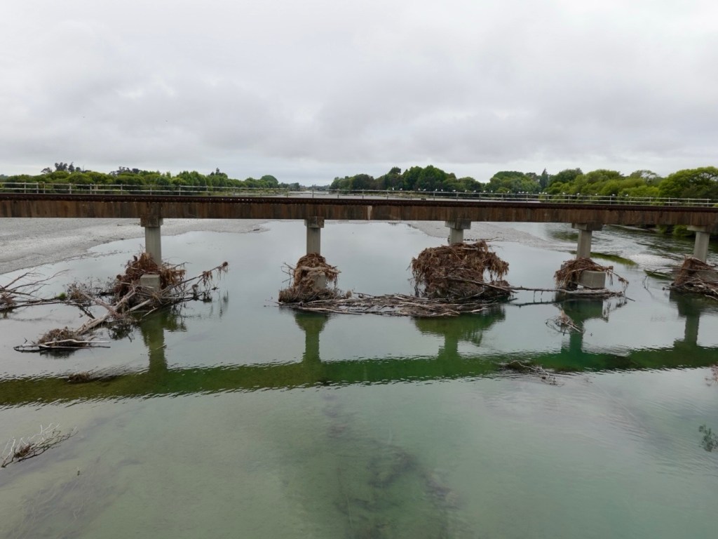
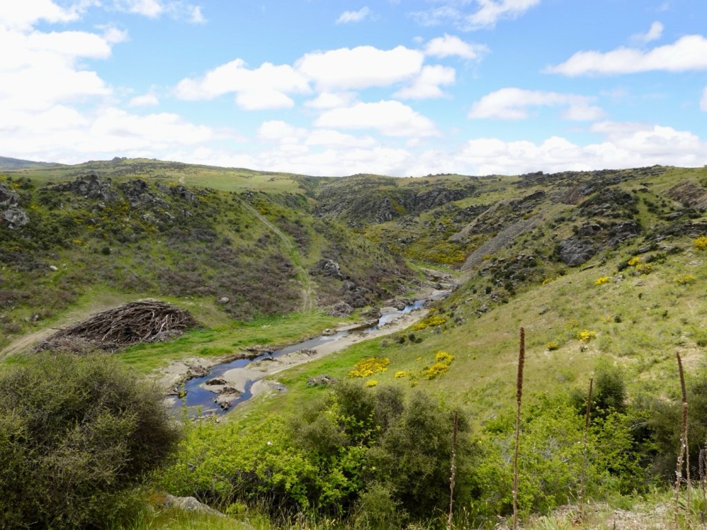
The river below has had timber piled. I presume the timber is from flood waters and will be burned or somehow removed.

Then our first tunnel. This is the first of two, fairly close together, in total around 400 m in length.

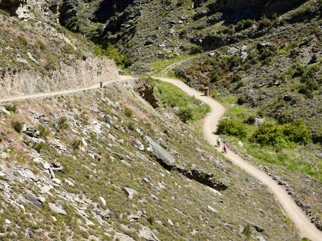
Numerous cuttings as we edge our way to the top of this hill.

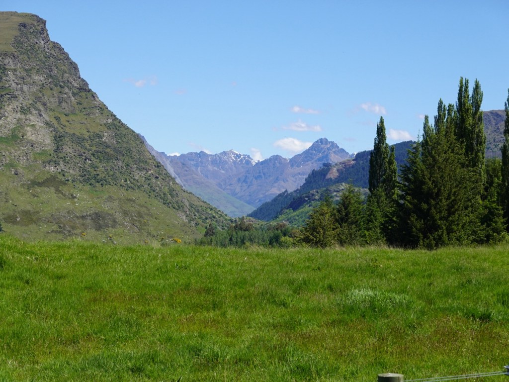
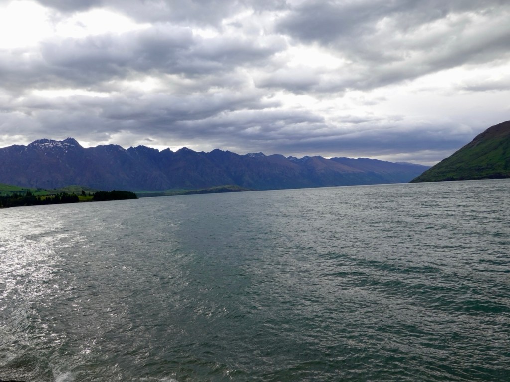
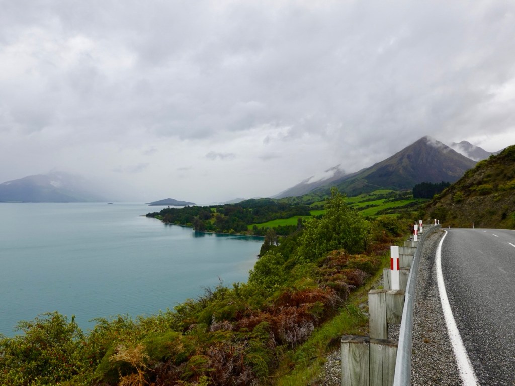
And around to a different but broad view.

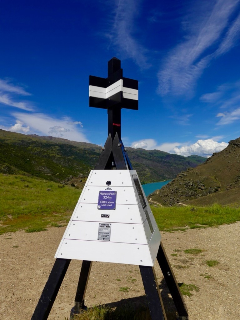
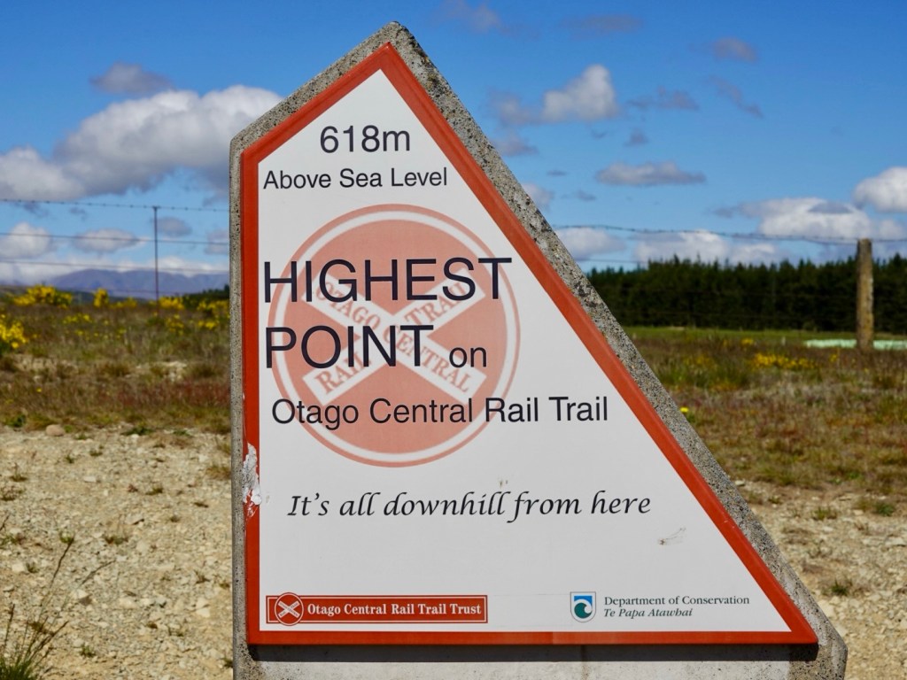
Finally after having gently climbed most of the day, we are at the highest point, and our bums are looking forward to the downhill.

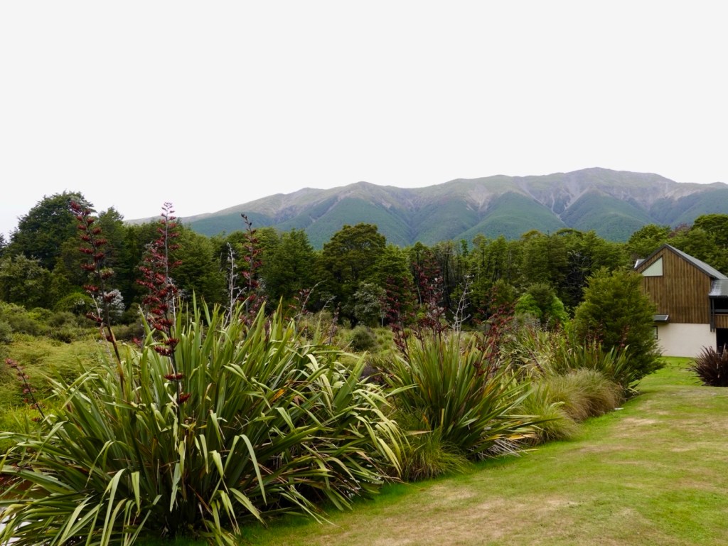
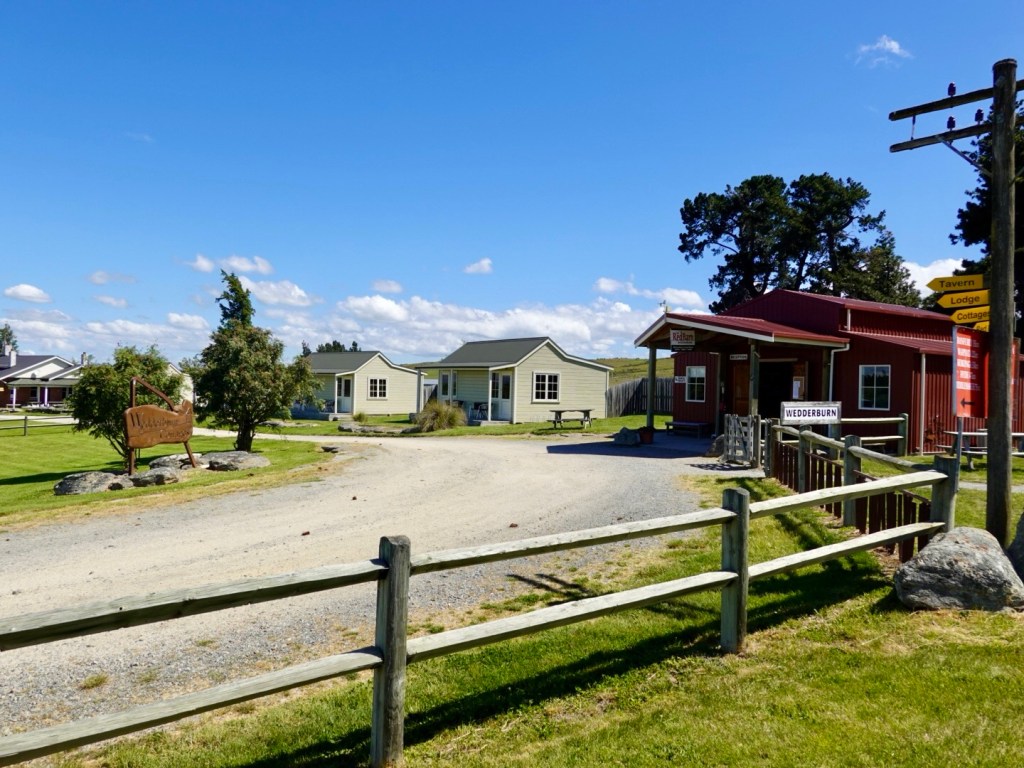
Wedderburn has this lovely accommodation option. These are nice looking units, plus there is a lodge for food. Not too badly priced either. Very pretty location.

Our last photo view before arriving in Ranfurly, a small town.

Keen to seek dinner, we enquired about the local pub and the accommodation provider told us it was “shit”. So where should we eat? Another town apparently.

So I sought the opinion of our neighbour. He told me the pub was the worst meal he had ever eaten and went on to describe all that was wrong with his steak.

So where should we eat? His answer? The pub!! 🤣

Not expecting much, we actually had an ok meal. We did not order the steak! We both had chicken schnitzel and I enjoyed both my and Tony’s salad.

Today was our longest ever gravel ride. We’ve ridden 90 km, climbed over 600 metres, and our bums are aware of having sat on a non suspension bike for that time over a variety of gravel surfaces.

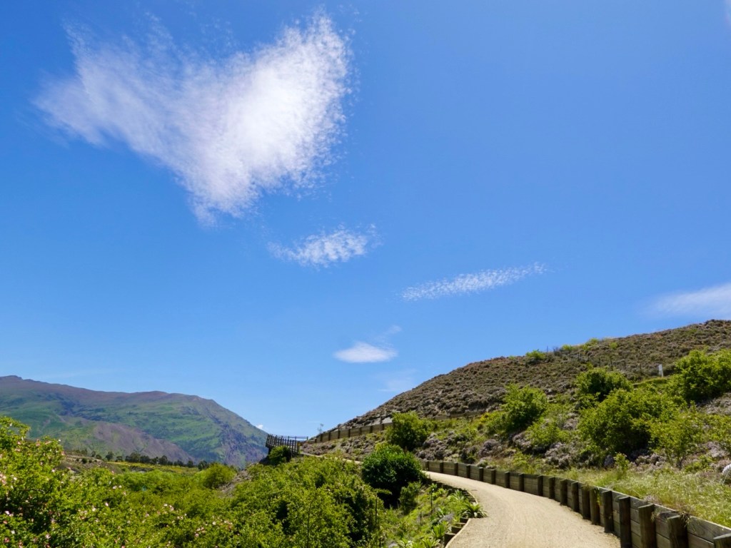
The weather was great, not too hot, occasional breeze.

Another great day to be riding.

Thanks for reading 😊❣️

Day 3: Arrowtown to Muttontown

What a beautiful day. I opened the curtain by our bed and looked out. This first photo is looking out that window.

Looking out the door of the bus.

We headed out of Arrowtown following the Arrow River on the Arrow River trail.

It was a great track, well compacted gravel that undulated.

Fantastic views wherever we looked.

Steamy mist rising from the wet grasses,

The bridges were something else today. They just get it done here!

Looking back on the bridge we had just crossed.

I have bare legs today for the first time this trip. I’m still well rugged up with upper layers…short sleeve body vest, jersey, gilet and jacket.

Tony removed his leg warmers at the bridge, it was already warming up nicely.

Here they built a bridge under the car bridge just for cyclists and walkers.

Another bridge. Edgar bridge is quite long. Another suspension bridge with a fair sway as we both crossed.

Looking back at Edgar.

Kawarau bridge was our first lengthy stop today. It was where the world’s first commercial bungy jumping operations commenced.

Looking down the river.

Customers pay $395 to leap off.

For a silly price still, but a far cheaper alternative, you could just buy this shirt.

More my style, a swing, but still a few hundred dollars.

I did find it interesting to read the history.

The history of bungy jumping is believed to have started on Pentecost Island in Vanuatu.

People would create ropes from vines and launch themselves.

Originally only women jumped. It was an annual fertility ritual held during the yam festival. The Christian missionaries put a stop to it as they were offended by naked women hanging upside down and demanded that only men be permitted.

When AJ Hackett opened this site in 1988, 28 people paid $75 each. Now they get hundreds every day paying $395.

We then followed the Gibbston River trail for far too short a section as they’ve closed most of it off whilst they extend the trail.

We were then on the Gibbston Highway for 22 km. Most of it had a small to reasonable verge but was very busy with lots of traffic.

Behind me you can see a portion of closed trail,

This is where they are cutting through currently. There were excavators, a dynamite storage unit and a lot of work ahead as they cut through the rock.

Part of a gold mining museum site where we stopped for an ice cold iced coffee. We were pretty hot and sweaty.

The Lake Dunstan trail looked promising from the start. We were heading about 4 km beyond Clyde.

Pretty poppies.

Well formed paths and retainers.

Great additions to the bridges.

Undulating.

Great views.

Getting narrower. Many of these bolt on decks are on this trail. Over 400 m I think I read.

Our bike computer had indicated a climb ahead. It turned out to be very gnarly and testing.

There is a coffee boat at the base of the climb. Might be more tempting after descending. Not sure I’d retain it ascending.

No more bolt on decks around cliffs. We headed up via this section.

And up. The couple a few bends down we chatted to at the top. The lady is on an mtb ebike and did not raise a sweat. Her words.

I did raise a sweat. It got narrow, loose and slippery, my wheels spun and the front lifted a few times. I felt scared, so I pushed until the trail got to an incline I felt safer and competent riding.

There were multiple narrow hair pin bends the higher we ascended. Even Tony pushed his bike for a few sections.

Finally the top.

Incredible engineering to prevent a landslide into the Lake, that apparently would cause an internal tsunami wiping out towns lower down and take out the dam at Clyde.

Another Hugo bridge. More climbing.

This trail tested us with two gnarly climbs on our loaded bikes. Mtb e-bikes were the super common bikes up here, and I was glad I did not meet one at the very narrow sections where it is barely wide enough for one bike, as you look left down the drop off.

This section had a fence…only one that I saw.

We arrived in Clyde, and were now below Lake Dunstan.

We grabbed some food at a supermarket and headed to our farm accomodation out of town.

Getting our washing done and hanging it in the sunshine, only to have it soaked when the big sprinklers popped up and drenched it.

Hair dryers and fans going now to dry it all ready for tomorrow.

What a day. 90 km and over 1000 m climbing.

The two gnarly climbs are the two steep spikes at around 65 and 75 km.

We need to do these next week heading back. Something to look forward to 🤪

We are feeling weary tonight. Three solid days climbing in the legs. The next two days are easier climbing wise.

What an amazing set of trails in this region of New Zealand. They set a tough standard for Australia who are years behind.

Tomorrow we hit the Otago trail, another tourism attractor for the region.

Stay tuned, thanks for reading 😊❣️

Day 2: Glenorchy to Arrowtown

Today was epic. Not particularly long (70 km) but seriously hard riding with a loaded bike.

We didn’t fuel adequately to start with, due to extreme lack of choice at Mrs Glens and nothing else open. We had snacks with us and kept munching through the morning ‘session’.

We lasted longer than England did in the cricket!!

When we got ready to leave it was 0c. We rugged up. By the end of the ride it was 20c and we sweated!

We started off by heading back down to the jetty, but the clouds were still low. Blue skies were peaking through, along with the occasional alp summit.

The road was quiet as we headed out, heading off the road to cross Hugo bridge. The bridge crosses the Buckler Burn, popular during the gold rush.

A good solid gravel path, that rejoins the main road at the top of one of the days hill climbs.

Today was marked by two aspects.

The first was the wonderful views as we hugged the edge of the lake all the way back to Queenstown. As the clouds lifted, the sun shone, the views were fantastic.

We have over 90 photos so have just picked a few to show here.

The second aspect, this is a hard ride on a loaded bike. There were at least half a dozen climbs either 14-16% sections, some extended lengths. On a couple of the extended sections I pushed.

When riding with your shoes cleated into the pedals as you climb and the speed reduces, there is a point of not enough momentum to keep the bike moving forward without falling.

You need to make that decision to hop off first, otherwise you are risking damage to the bike and self.

To twist my foot to remove my shoes from the pedal cleats I find hard after 12% as you need to do it when the foot is not under load climbing. If you keep going you are committed to the climb no matter what.

Better to be safe than sorry!

Pushing a loaded bike up a steep hill is also not easy 🤣 but here we are climbing ok.

Sharron just coming to the top
Tony heading up the hill having taking some photos a little way back.
Descending then climbing

Today’s climbing graph.

The views are what made today brilliant, here are a selection.

Queenstown is ahead to the left, Shotover River straight ahead.

We were looking forward to finding food, and headed to a supermarket for supplies.

After leaving a super busy town centre, we were on another cycle trail heading to Arrowtown. It was a good quality gravel path.

Evidence of recent heavy rains, in three places large puddles sat enticing the riders. We walked around this one.

The path runs around, and later through, one of New Zealand’s most famous gold courses, Millwood. Very peaceful and scenic. There are numerous accommodation sites within the resort.

Tonight we are staying in unique accommodation in Arrowtown, a renovated Bedford bus. It is comfortable including a very tiny shower/toilet.

Our bus overlooks Arrow Creek, where the cycling path also runs. We followed that into the centre, enjoying another nice Italian meal.

Arrowtown is a popular day trip for Queenstown tourists. The town evolved in the 1960’s following the discovery of gold in the adjacent Arrow River. The town has preserved around 60 original gold-rush buildings.

It was warm and very pleasant.

There is an interesting Chinese settlement, closer to our bus, where the Chinese miners lived during the gold rush. The last Chinese resident died in 1932. The huts have been restored. Sadly the Chinese suffered dreadfully with local racism, and were forced to rework old tailings and not seek new claims.

This was an old Chinese run store
A loo, preserved by National Trust
Three old reconstructed houses
Another reconstructed house on the site of the original

A very satisfying day. A magnificent but challenging ride, rewarded with breathtaking scenery.

Thanks for reading 😊❣️

Day 1: Queenstown to Glenorchy

The weather forecast for today was not favourable. Up to 28 mm rain, starting around the middle of the day.

We got ourselves organised and were on the road by 7.30 am.

We followed a path along the foreshore of the Shotover River, this little beach area being in Frankton.

After 8 km, we were in central Queenstown. Life looked quite scenic and pleasant. Council workers cleaning public facilities, and pressure cleaning the paving.

Gilbert Rees is regarded as the founder of Queenstown, establishing a sheep farm around the site of the Hilton hotel, where we had coffee yesterday.

Frankton, the area we stayed for two nights was named after his wife Frances. Walter Peak is named after his son.

It started to spit with rain very lightly as we left Queenstown, so we put our rain jackets on.

We were to stay in the main road all the way to Glenorchy, 45 km away.

I’d read that the road shouldn’t be too busy. That was wrong. It was super busy with lots of campervans, hire cars and trucks. Some of the tourists were a bit close!

The road was in excellent condition seal wise. Verges were narrow to non existent.

Fortunately there were several ‘slow lanes’ on the climbs.

It was very hilly, with pinches up to 14.5% gradient, testing my legs on a loaded bike.

None of the climbs were particularly long. I think the longest climb was about 2.5 km in length.

Lots of sharp pointy bits!

The plan had been to ride 89 km today, going out through Glenorchy to Paradise and returning to Glenorchy.

The forecast changed our plans. It’s gravel from Glenorchy, rain usually diminishes views, and it was forecast to bucket down in the afternoon.

The light drizzle was becoming heavier and we stopped at a very convenient shelter, donning our over boots to keep our drier.

We were cautious on the descents, as roads can be slippery in the rain.

The views were still great. Rain offers alternative perspectives.

A series of photos follow from just outside Queenstown through to the outskirts of Glenorchy.

Leaving Queenstown, rain ahead.
Looking back towards Queenstown, where it is clearer
We would head into flat vegetation areas to allow to pass us more easily, and to check out the views.
Nice spot here, raining ahead
Looking back towards Queenstown
The road was a nice seal, no verge, through nice forests and vegetation
Looking across the lake. We ride over there later in the trip.
This is about 10 km short of Glenorchy. We quite liked this view of the road ahead. There were a few less hills too.
Getting closer. Very pretty and green.
Still beautiful despite the rain
Looking across the lake
Another across the lake
Looking back down the lake where we’d come from

We stopped at Mrs Wooly’s General Store as we arrived in Glenorchy. It seemed every tourist vehicle that passed us had stopped there too.

There were some very impatient people wanting their coffee before people ahead of them. I felt sorry the young staff working under such pressure.

We found somewhere dry to sit, very close to our bikes. We had a nice early lunch and moved on to our accomodation only a few blocks away.

We sat outside Mr Glens (essentially a pub with food) adjacent to Mrs Glens (a bakery). Our accomodation is next door, where Tony is standing with our bikes.

Mrs Wooly, Mr Glen and Mrs Glen ….there is a theme.

We were far too early to check in (1500), so sat outside for an hour or so, putting some extra clothes on. A table inside close to the bikes freed up and we did enjoy the additional warmth.

A lovely Sri Lankan worker, named Fanta, allowed us to head up to our room around 1330, and we were very appreciative.

The bikes are stored in their alcohol store area. We cannot access them until 8 am when Mrs Glen opens.

Glenorchy is the gateway to the famous Routeburn walking track. SItuated on a shelf of flat land at the head of Lake Wakatipu, it is a base for horse treks, jetboat rides, helicopter flights or jumping out of mechanically perfect aircraft.

Lord of the Rings had location sites in the area too.

After a great dinner at Mr Glens we went for a walk around town. It is very quiet and appears most of the tourists are day trippers.

We wandered down to the foreshore adjacent to the mouth of the Rees River and the path has been flooded. Extracting ourselves we got wet and muddy feet.

We walked out along the jetty and could see the valley ahead is scenic, even with the low clouds.

The Dart River exits into the lake ahead, amongst the many willows growing on silted higher areas.

We enjoy breakfast at Mrs Glens at 8 am, so it will be a later departure. Distance wise tomorrow is not long (69 km) but around 1,200 metres climbing.

Tomorrow we retrace our steps back to Queenstown then head to Arrowtown.

The weather forecast is good! Sunshine and no rain!

Todays route

Thanks for reading, Ooroo 😊❣️

Off we go.

4 am I jumped out of bed. I’d had enough sleep. I booted up my work laptop and shot off a couple of work emails giving my two bobs worth about a particular issue happening. Estimates time in Parliament dominates work life.

Our great neighbour Brian rocked up bright and early. A Kiwi to boot. He kindly took us to the airport at a silly hour, whilst Maggie was hopefully still sound asleep.

At the airport, our plane awaits. It stays overnight in Devonport and the skies are looking nice and clear.

We have an 84 kg limit internationally with Qantas, 71 kg checked in with the two bikes.

The system said we were over weight. I had my usual spiel ready and yes, it was agreed I was right and the computer wrong. Override!

It always pays to understand what your limits are.

We had enough time in Melbourne after going through border control and security to pop into the Qantas lounge and grab some breakfast and chill.

Our flight to Auckland left and arrived on time. We had to collect the bikes and bag, walk around to the domestic terminal some 15 minutes away, do a bag drop and chill again. It was a warm 22 degrees Celsius.

The view on the flight from Auckland was clouds, until the last 20 minutes. What a spectacular area to fly over. The final descent into Queenstown is following a valley with mountains either side.

Mountains in the distance still had plenty of snow.

I think this is one of the most stunning descents ever.

Lake Ohau and Pukaki, we ride here doing Ocean to Alps. Lake Tekapo on the right. Mt Cook is nearby.
Lake Hāwea ( right) Lake Wanaka (left) are both featuring this trip

By 8 pm we arrived, but not without some drama. We reached our accomodation and realised we had left a bag at the taxi rank! The driver we had told us he’d put the gear in…we failed to double check!

It had an Apple air tag inside it, and we could see it was still there.

The bag had all our clothing, panniers. After the sickening realisation, we got an uber back to the airport. There it was still sitting at the taxi rank where we’d left it. A third taxi got us back.

We are staying 2.7 km from the airport. We spent around $90 all up 🤪 on taxis doing three 2.7 km trips 🤣😼

After an ok night sleep, Tony assembled the bikes, whilst I walked to the supermarket to buy some breakfast items.

We then headed off to hop on the water taxi. It was a pretty walk alongside the Shotover River.

Street art

The ferry stops at The Hilton, so with time to spare we grabbed a coffee. We watched the jet boats roaring past, heading up Shotover River.

The ferry costs $14 each for a 20 minute ride, $10 if you have a bee card. It is a scenic trip, stopping twice before Queenstown.

A variety of passengers boarded.

The first British arrived in the Queenstown region in the mid 1850’s, although there was evidence of a former Maori settlement. Being New Zealand, sheep farmers were the first settlers – but then the sheep farmers discovered gold on the banks of the Shotover River – so the prospectors arrived.

At the height of the gold boom, there were four paddle steamers and over 30 other craft on Lake Wakatipu.

Then the gold mining ceased and the town population dropped down to under 200. The town battled until the 1950’s when it became a holiday destination.

Today Queenstown is regarded by many as the adventure capital of the world. The birthplace of bungy jumping (that is a firm no from me!) with other activities including alpine heliskiing, ziplining.

Queenstown is on the shore of Lake Wakatipu. The lake will be a significant feature this trip – it is New Zealand’s third largest lake, with a depth of 372m. The water is super clean and super cold. Even in mid summer, the water temperature remains around 11.5 C.

Skyline gondola ascends through a pine forest rising to 400 metres above Queenstown. There you can partake in bike riding, or a luge, or bungy jumping, a swing, G Force Paragliding and eco tours.

Bikes are transported up both inside the gondola cabin and two attach to the outside with a rack.

We settled for some sushi from the cafe, very reasonably priced at $17 for 12 pieces. Lunch in the restaurant was $125 ish….presume that included the gondola fare of $ 66 return per adult.

Jellybean art is a thing here it seems!

The viewing platform provides great views. Shotover river is to the left. Our accomodation is close to the river, in Frankton.

We walked as high up as we could, following the very popular luge route.

Looking across the lake, at the far right, is where we transfer later in the trip to ride through that group of mountains.

Interesting sign to the ‘rest of the world’

We descended back to Queenstown, noting an irresistible offer for ‘ old farts’, better than bingo!

This was in the window of an indoor skydiving business. We kept walking!

We sat around the harbour waiting for the ferry, enjoying the sun. It was warmer than the top of the luge!

You can rent these coffin like, one person boats. Not for me.

Tomorrow our cycling adventure starts. The bikes are ready, not fully packed as we are unsure what to wear! Choices!

The forecast is shite. 29 mm rain, maximum 11 degrees Celsius at Glenorchy, our overnight destination.

We think we will head off early, as the rain is currently forecast heavier towards later morning. If it does bucket down, the day will be cut by around 30 km too as there is a section we can leave.

What will be, will be.

Fortunately the forecast for many days thereafter are favourable. If we do not get lots of nice photos tomorrow, likely we will the following day as we retrace our steps.

A nice story to finish with. Izzy the cat! She is a local icon, a rescue cat adopted by the local supermarket around 2016. She’s about 15 years old.

She has her setup at the front door of the supermarket, and is even noted on local maps.

When we left the shop she’d disappeared. Looking around she was slowly strolling across the carpark.

Thanks for reading. Stay tuned!

😊❣️

Cycling Adventures in Queenstown: A Journey Through New Zealand’s Trails

New Zealand has been a favourite haunt of ours for numerous years now. This week we head off again – this will be my eight trip across the Ditch since December 2017.

The destination this trip is Queenstown, in the far South Island.

We will be undertaking around 17 days riding, over 1400 km and lots of climbing (14,000 metres mapped, but invariably it turns out to be less than what the maps say). It is not our usual looking map with a few in and outs – the goal was to tick off the major cycle trails in the south, and that has been achieved.

The red lines to the right are where we have ridden previously as part of Alps to Ocean.

17 days riding plus 2 non cycling days days.

3 boat transfers including a speed boat down a gorge that caters for cyclists.

We will commence in Queenstown, arriving later on Wednesday night. Our anchor location is a B&B not far from the airport but some 8 km from central Queenstown.

On Friday the bikes will be reassembled and will undergo a short test ride. Weather permitting, we hope to go into central Queenstown and ‘catch’ the gondola up the mountain for a bird’s eye view of the region.

Skyline Queenstown stock photo image – if we can see a view like this, that will be great.

From Queenstown, we head off on Day 1 to Glenorchy, a smaller town at the northern end of Lake Wakatipu. We will follow the Dart River for a while, returning to Glenorchy for the night.

Day 1 planned map. Over 1200 metres climbing for our first day, no warming up like we usually do.

http://www.Experiencequeenstown.com photo of Glenorchy, looking back down Lake Wakatipu where will have ridden along. The weather will be as glorious – I hope….

Back to Queenstown and up to Arrowtown, regarded as one of New Zealands most picturesque towns. The town is named after the river Arrow, established during the gold rush in the 1860’s.

Firstlighttravel.com photo below. I am pretty sure we wont have snow at Arrowtown next week. Whilst the weather has been cooler ‘down there’ it is starting to warm up.

Notwithstanding, all our winter gear is being packed – same as what we took to Scandinavia earlier this year. Be prepared!

From Arrowtown we hit the trails to Alexandra and then onto the Otago Central Rail trail to Ranfurly and Middlemarch.

This rail trail was one of the attractors for this trip. It is a 152 km cycle route along a former rail line and referred to as the original Great Ride, being in existence now for over two decades.

Wanderlust photo – seems like modern power lines head through this section, but great views otherwise.

Trailhub.co.nz photo of the converted rail bridge on the trail:

We then head to Dunedin for two nights. The second day will be a day trip around the region, concluding with dinner with a friend Norm and his wife – not seen Norm for well over 30 years, when we both lived in Melbourne.

Dunedin is the second largest city in the South Island (after Christchurch) and the name comes from Dun Eidann, the Scottish Gaelic name for Edinburgh.

The concept for our day trip – very tweakable if we feel tired, or the weather is inclement.

After Dunedin we head to Lawrence, Roxburgh and Bannockburn along the Clutha Gold trails. Between Roxburgh and Bannockburn we are booked on the 10.30am jet boat transfer along the river, where a section of trail is not yet completed. Certainly not a cheap transfer at $280 but well set up for bikes (Photo Newzealand.com).

We then weave up past Lake Dunstan and onto Lake Hawea and Makarora, where we are hoping to get down to the Blue Pools (weseektravel.com)

We then head back towards Queenstown via Wanaka. From Queenstown we have an early morning crossing of Lake Wakatipu, cycling then from the famous Walter Peak High Country farm through the mountains and down to the Fiordland National Park.

Milford Sound is THE most popular day trip in the region, and certainly I spent time examining the cycle route in and out. It is a narrow road, no verge, lots and lots of tourist vehicles including buses and vans travelling in each day. Leaving early, we would not ‘beat’ the conga line of vehicles. It is also quite a hilly route. We would need to allow a minimum of three days all up.

Whilst researching the area, I discovered Doubtful Sound. We are spending two nights in Manapouri, with our ‘rest’ day spent doing a day trip to Doubtful Sound.

We will travel across Lake Manapouri by boat, transfer into a 4WD vehicle to go through mountainous terrain, arriving at Doubtful Sound, where we will spend a few hours touring on a boat (Newzealand.com)

Captain James Cook was the first British explorer to discover the sound, and he sailed past, refusing to enter the sound because the fjords height made it ‘doubtful’ he would get enough wind to sail back out.

Doubtful Sound is the second largest fiord in Fiordland National Park, over 400 metres deep and stretching for 40 kilometres. It is three times longer than Milford Sound.

Hoping for good weather again – in fact, each and every day!

We then have a short day on the bike riding to Te Anau, where we have another rest day – maybe the glow worm caves?

Finally we we head back to Queenstown via the mountains to Walter Peak Farm, and an awaiting boat transfer to Queenstown.

We think this trip looks pretty cool and interesting and look forward to those readers who join us.

Ooroo Australia and Kia Ora Aotearoa.

Day 13: Wellington, our final day.

Our last full day in New Zealand before flying home tomorrow.

The weather forecast is for rain and wind. Got to love summer, sounds like a Tasmanian weather forecast.

We are staying at Rydges Wellington Airport. I had prevaricated with making a booking here being right at the airport, but there were advantages given we were arriving around midnight and the bike path to the ferry was around 10 km and flat.

More importantly they agreed to store our bike bags for our return.

When we left to start our ride, we were told to take the back lift that would take us to the carpark. On our return, press the buzzer and they will electronically open the door.

That did not work upon returning. No one answered. So we rang and were told we would have to enter the airport and wheel the bikes through the airport to the hotel.

That alarmed us. Seemed odd to us to wheel loaded bikes through. Nevertheless we did as requested, up two escalators in the process (not easy with the extra weight on the bike).

They did not blink with our bikes going to our room.

Today we went back down through the hotel and airport to do a short coffee ride into the city to meet up with friends, sisters Dale and Shona, who had been bushwalking and visiting family. Great to catch up and share adventure stories.

Headed back to our hotel via the coastline. The weather was forecast to deteriorate as the day went on.

Wellington is hilly and the hill elevators are quite common for transporting people and goods from the road level up to their homes with a view.

Couple of hill elevators ahead. Many have a garage at road level.

This bay had people swimming the previous day. In fact, there are a few to the left today. This bay was much calmer and sheltered, featuring boat houses.

I liked this boat house.

Nearly back at the airport, we swung right at this point, a Hollywood like Wellington sign on the hill.

This tunnel goes under the main Wellington airport runway.

We ride up to the airport main doors, walk in and up this escalator, turn right up a second escalator and we’re in our hotel.

Bikes can fit on escalators. Easier without the luggage to balance.

Off the second escalator and onto this long carpet strip to reception, turn right to head to the accomodation room lifts. super convenient.

Back in our room and it’s the part Tony hates. He is smiling here….for now 😁

Our Zwift friend Thomas kindly picked us up for dinner, just as a massive storm hit Wellington. Super strong winds and a huge amount of water streaming from the hills into the gutters.

We joined another Zwift cyclist Peter and enjoyed a lovely few hours together talking all things cycling.

I first ‘met’ Thomas and Peter via the Trek team rides I’ve been involved with on Zwift.

The opportunity to meet like minded cyclists is one of the greatest gifts our touring has given us.

Thomas, Peter, Tony and Sharron.

Our map loop has been completed. 12 days riding, 1,010km, 6986 m ascent. No injuries or mechanical issues.

Lots of good memories ❣️🚴

Thanks for reading. There is more to come, as I intend to do some various country highlight blogs leading into our next big adventure commencing in four months time.

Where? Well five countries, 3,000 km cycling and think Baltic and Scandinavia! ❣️❣️

Day 12: Blenheim to Picton to Wellington

To finish this trip, we needed to ride to Picton to catch the ferry, then once in Wellington, ride to Wellington Airport to the Rydges Hotel.

We had both slept well in our hosts Air BnB, and had a delightful breakfast awaiting us. Anyone needing accomodation in Blenheim, I can highly recommend Ella.

Leaving town we passed by Seymour Square and their town clock.

We started off on a mix of highway and gravel shared pathway adjacent to the highway which was quite busy with trucks and cars heading towards Picton and the two main companies that plough across Cook Strait.

The day was very overcast with low clouds hanging over the hills and ranges thereby limiting views.

Crossing the Wairau River (followed for much of the previous day), two things of note. Firstly the amount of timber debris caught up on the pylons of the railway bridge. One would presume similar underneath the bridge we were standing on.

Secondly, as part of the shared pathway, a bridge had been attached adjacent without the use if online but using the main bridge structure for support. It’s a great, safe crossing and well done to the regional council.

Looking back towards Blenheim

We noted signs for The Whale Trail and decided to follow it, given the calibre of signage.

Later research revealed that the Whale Trail inception was at 12.02 am on 14 November, 2016 when the magnitude 7.8 Kaikoura earthquake struck the region.

Sections of the state Highway and rail corridor were obliterated isolating communities.

The trail, upon completion, will be a 210 km cycling and walking trail from Picton to Kaikoura.

At one junction was this poignant reminder. The loss of a young persons life, and suffering friends and family. Unopened bottles and cans of beer, fruit juice, photos all serving those who loved him as a sad reminder of the tragic loss of a young life.

This section of pathway weaved through dense vegetation.

The signage continued with no warning of this…

There is a significant drop from this bridge. The track just ended. There is a 2-3 metre drop off the end.
The track has not continued as far as we could see forward.

Whilst it’s a great track, there should have been a reroute sign nearby 2 km cycling back tracking cyclists back onto the highway.

We rode part way back until we found a spot we could push the bikes back up a hill to the highway.

On we continued. Still low clouds but pleasant views.

Still the vineyards continue

Then just as the track had suddenly stopped, we noted its reappearance, again with no signs to take you from the highway.

We hopped across just after Picton Airport as there had been a fenced railway in between.

An example of the signage, however you cannot ride to Blenheim as it suggests. Once completed it will be a fantastic and safer route for cyclists.

Back on the trail, this section gradually climbed around a hill, and was quite soft to ride on. It will compact more with time.

Arriving in Picton we decided against the additional 15 km planned along an adjacent hill to a lookout. The clouds were still low, rain threatened.

We found a cafe and had a coffee, then moving across the road to the picturesque park to start cleaning our bikes, as we had a few hours to kill.

Cafe view
In the park, a ferry us just departing
Kayakers ready to head out
Bike cleaning in progress.
That is our ferry arriving

We have been on many ferries now with our bikes. Procedures are different everywhere. Sometimes we line up with the cars, others have a lane for motorbikes and cyclists.

Once our bikes were strapped to trailers and we went aboard as a foot passenger.

Here, we were to wait until the luggage truck headed to the ferry after all passengers transferred in shuttle buses. It was a bit eerie being the last passengers so far away from the ferry wondering where that luggage truck was.

Just as I was chatting with a Maori, donning a very heavy backpack, wearing gumboots, with a sign saying Wellington (he was hoping to hitch a lift with a car going on the ferry obviously not realising that he needed a ticket) the truck appeared and waved at us to follow.

Before I could get a photo, off we sprinted to catch up with the truck and follow it across the dock. Onto the very back of the ferry we tied our bikes up and headed to our cabin.

There we remained as we both felt seedy with the ferry rocking and rolling a bit more.

Last on, first off.

There are multiple vehicle levels. We are on the lowest deck, which is last to load, first off.

The door is still locked.

We were warned that the noise would be super loud as the hydraulics kicked in. They did not underestimate this!

The guys are waiting with their barriers. We are not that silly….

Anyhow it was a mere 10 km or so back to our accomodation following the coastline.

At one spot we debated which way to go and a cyclist passing by says ‘ Hi, I’m Thomas’.

Wow! Thomas is a Wellington based cyclist I know from Zwift ( but not previously met in person) who came out to find us! He found us and led us to our finishing line.

We were both very humbled by his kind gesture and will be having dinner with him and another Zwifter tomorrow night.

Thomas caption from his ride to find us.

So here we are. Wellington. One day remains and it will be social and practical. Thankyou for reading today’s blog. 😊❣️

Day 11: St Arnaud to Blenheim

Packed up and ready to roll, we enjoyed a wholesome breakfast (large bowl porridge, granola, fresh fruits including strawberries, raspberries and blueberries) and the ubiquitous ‘Sharron cannot ride without’ coffee.

Great view from our table. We watched the melodious honey eaters searching for nectar in the flax flowers.

The front of our accomodation after forking out $1,025 NZ for two nights, two dinners, two breakfasts….gulp. I don’t feel quite so guilty for breaking the glass in the unit that shattered into so many pieces as we were leaving.

The accomodation itself is a common motel presentation but it is the location at this time of year that has driven the nightly price up. The meals were excellent too, with the porridge with add ons (fresh fruit and granola) being $32 each.

On paper today our ride into Blenheim would be an easier ride, despite its 103 km length.

There was a gently 5 km uphill section before a very gradual downhill run, which would have a few undulations.

The first half was wind free. We thought we were on easy street and then bang, just like that, there it was, as ubiquitous as my morning coffee. I like my coffee strong, and so it seems, wind too 🤣🙈. Happy New Year Sharron and Tony, love from the Weather Gods 🤣

View from the top of our climb.

We were in the Wairau Valley, following the river of the same name, ridges and mountains including Mount Richmond either side.

Enjoying the ride, I’m quite layered up here as it was quite cool.

We crossed over the Wairau River, which is very wide and silted in places but you can see that gravel is removed regularly, similarly to what we see with European alpine river systems.

New Zealand does not have venomous creatures like Australia. You can go for a bush pee without fear!

However, they more than make up for it with geology. This valley forms part of the Alpine fault and is moving at 30 metres per 1,000 years. That is considered to be significant.

South Island is also overdue for a major earthquake. There is a 75% chance of major earthquake happening in the next 50 years. There is an 80% chance it will be a magnitude 8+ event.

The Alpine Fault has a regular history of producing large earthquakes. Over the last 8,000 years the Alpine Fault has ruptured 27 times.on average, every 300 years. The last significant quake being in 1717.

The valley is also famous for wine growing. 30 km or so, both sides of the road, were dedicated to grapes. the word Wairau in Maori means ‘river garden’ and today could see why. Fertile soils, multitude of labels and vineyards to visit.

The road was incredibly long and straight. The last 50 km was headwind.

Look at the wind map. Seems common. The wind comes up the east side of South Island, swings west, then south across Nelson and bang into our faces riding.

More views!

There were no places we could stop to grab a drink or food today for 90 km. It is a public holiday today here, but even on a business day, it would be necessary to be self sufficient for the ride.

We stopped here at a small cemetery as there were toilets.

Our route took us through Renwick with only 13 km remaining. It had started to sprinkle rain. We found a supermarket open and grabbed a banana and roll and put the two together!

Rain jackets on it got heavier as we approached Blenheim, some two hours before we could check in to an Airbnb home.

We took shelter in a covered bus stop. By chance, our Airbnb just wrote to us confirming 4 pm. I let her know we were in town sheltering and she said we could check in at 3 pm. We were super grateful ❣️

So here we are. Last full day of riding completed. here is our riding route to date. The blue lines are from our comp,eyed riding data. We will join that line from Blenheim to Picton tomorrow.

Todays route

Thanks for reading….two half days if riding remain.

😊❣️🚴

Day 10: Nelson Lakes National Park

Today we were set to explore a section of the Nelson Lakes National Park, home to the beginning of the Southern Alps.

Our base is the town of St Arnaud that we arrived in last night.

Looking around at the other guests at our accomodation, many are here to do walks, mountain biking and boating.

Unlike Tasmanian National Parks, we have been able to access the parks here free of charge.

Two alpine lakes, Rotoroa and Rotoiti form the heart of this 102,000 hectares park.

Both lakes are surrounded by steep mountains, and surrounded at shore level by honeydew beech forests.

We had a great breakfast and set off.

Here is today’s route. essentially only three roads were ridden on.

St Arnaud-Kawatiri Highway, turning into the Kawatiri-Murchison Highway, then turning left onto Gowan Valley Road. Hard to get lost today.

The roads were all good quality but the middle 6 km (each way) section on the Kawatiri-Murchison Highway was busy, narrow, little to no verge. The other two roads were quiet and far more enjoyable.

Essentially riding three valleys today

The gradient replicated the three roads. The down is the first two roads, then the up to the lake and opposite to return. Whilst it looks steep it wasn’t. The average gradient climbing was mostly 2-3%.

We had a headwind on the first downhill hoping it would not change direction for our return journey. Of course, it did and we did the climb home into a growing intensity headwind.

Our graph a mirror image being an out and back route.

Weather wise, it started overcast with a small probability of rain.

We left well rugged up. I pulled out my long sleeve thermal base to wear, then my cycling jersey, then my wind gilet, then my Assos wind jacket, then my Assos visibility vest. Legs were bare but they do all the work. I had leggings on the bike I could put on if need be.

Layering is what gets you through inclement weather…taking layers on and off, having somewhere to store them too as you ride.

By the time we returned I was down to my more usual kit with the thermal and jacket both off and stored away.

Looking back towards St Arnauds
Looking forward
Looking ahead
We crossed many nice rivers. This is the Buller River.

Reaching the junction of our second road, the Kawatiri-Murchison Highway there is a pleasant roadside stop, toilets, historical information.

The Great Taste rail trail that has featured heavily earlier in our trip used to connect with the former station here.

Turning towards Lake Rotoroa we see the mountains again forming the St Arnaud Ranges.

Finally after 43 km we arrived at the lake. Superbly majestic.

This is looking towards the St Arnaud Ranges
Popular with boaters

A family were preparing to launch their boat.

We had planned to spend time sitting by the lake. Little black biting insects had other plans and we stood there slapping our legs silly.

New takeaway? Find a small insect repellant to add to the first aid kit I carry. Preferably flat sachets!

As we ate some food, slapped our legs like a crazy Finland Fish Song Dancer we read about Peter Johanson, a Swedish immigrant and early pioneer of the area.

This is the remnant of one of his hand cut canoes.

An interesting story. Click the photo to enlarge the writing.

Heading out from the lake we crossed this bridge where the Gowan River flows into the lake.

The road out was still quiet. Mostly the traffic was heading towards the lake.

The Gowan River flows adjacent to the road.

An interesting scar. Forestry to the left, native to the right. Very steep banks with evidence of little soil to replant the pines.

I have read before that it was a Tasmanian who introduced possums to New Zealand. Whilst regarded as a pest, there are others who make products from their fur.

Living in Possum Lane, Turners Beach, we have two types of possum (brush tail and ringtail) that visit (as seen on our security cameras at night and evidenced by Khaleesi carrying on when they walk along the fence).

The only time they have annoyed us, or should I say me, is when one destroyed my zucchini’s last year. I was unimpressed.

Quirky and someone with a sense of humour set this up in a paddock.

Heading back along that final road was the steady climb and the most annoying wind direction had swung around to be a headwind with increased gusty intensity.

It is a cyclists curse when that happens as you hope you will benefit one way at least. Not today….again!!

We made slow you going of the last 20 km. At times the wind was so strong I could not even do 12 kmh.

Here is our speed graph for the ride. you can see how the speed dropped from just before 60 km. That is the wind factor.

We had great views looking back towards St Arnaud’s. This is a great road for cycling, despite the wind. cars were considerate and the road was quite wide.

Buller River
Getting closer

After 85 km and 734 m climbing we were back at our accomodation

After dinner we went on a 3 km walk down the road to Lake Rotoiti.

A local resident had this natural weather indicator in their front yard. Click the photo to enlarge the writing.

No dogs, not even in your car!

Lovely views along the lake. It was quite windy and cool down by the lake, nevertheless there were a group of kids swimming as their well rugged up parents watched.

Views around the lake.

Various watercraft hidden under bushes around the lake

It’s been great visiting the alpine lakes and seeing the northern mountains of the Southern Alps. Quite the contrast after our predominantly sea view trip.

Tomorrow is a new year, 2025.

We’ve had a great 2024 with our cycling adventures, visiting Italy, Switzerland, Slovenia, San Marino, New Zealand completing over 4,000 km outside of Australia.

My strava data tells me I did over 21,000 km in total for the year.

Whilst that sounds pretty ok, a lot of that is on Zwift, an easier way of amassing training km than outdoors as there are no weather elements and cars to contend with and the cycling speeds are higher, draft benefits are strong. It keeps me fit though for what we do touring wise.

I want to pay homage to our friend Kat Secteur in the Czech Republic.

Kat has done over 55,000 km for the year and it is all outside. 100%. She does not have a trainer. What’s more, the weather whilst she rides now is winter, so lots of snow and her ride a few days ago was minus 1c.

Well done Kat. I had the pleasure of doing a day ride with Kat back in 2018 of about 235 km. We rode out towards the border of Czech Republic, Poland and Germany. That is my biggest outside ride and it was with a wonderful group.

Well done Kat, inspiring women globally.

Happy New Year readers. Thankyou for your continued support and may 2025 be happy and healthy. 😊❣️