Day 24: Langesund (Norway) to Risor (Norway)

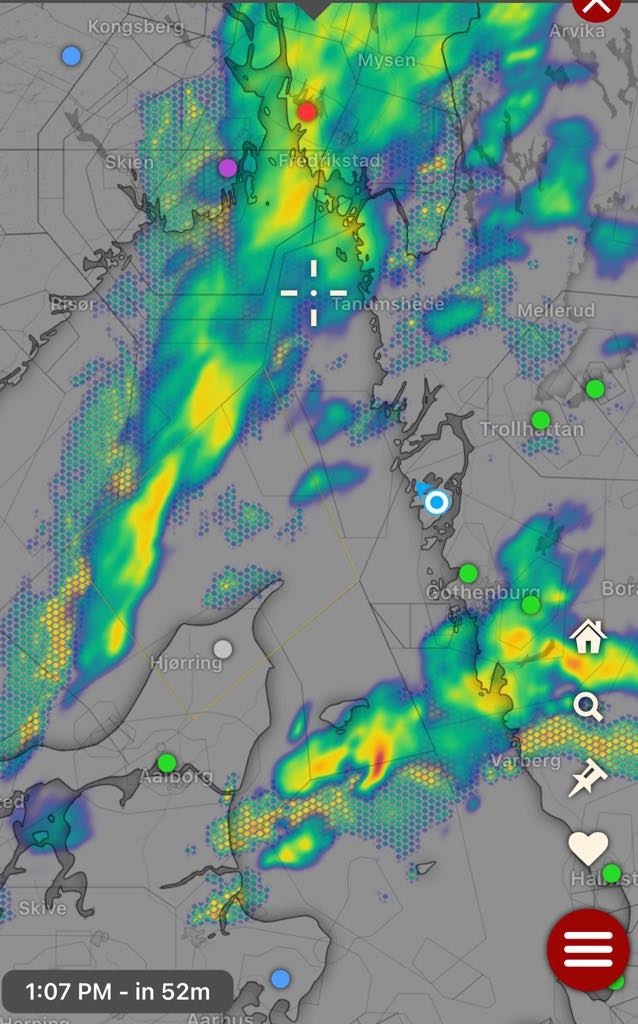
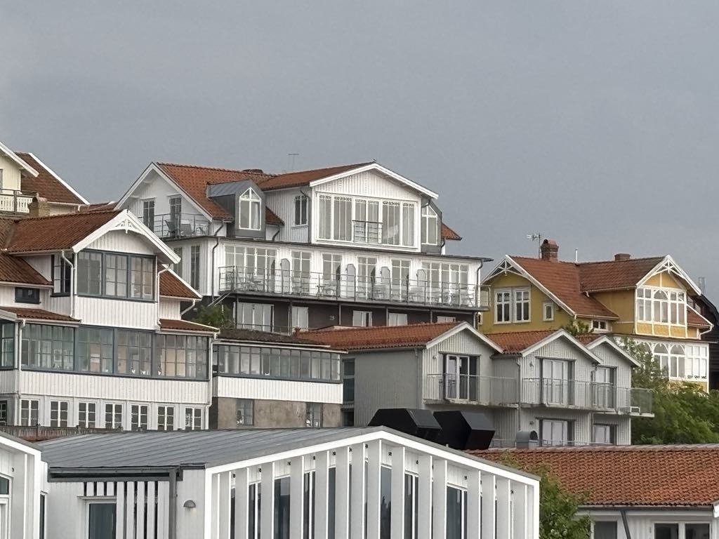
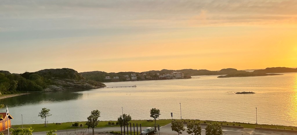
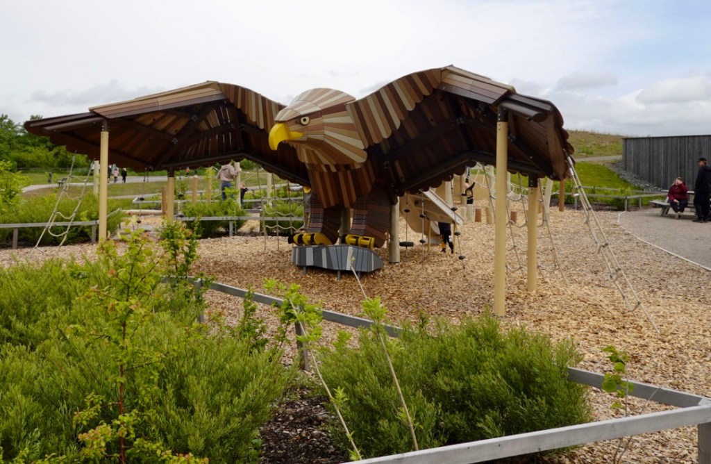
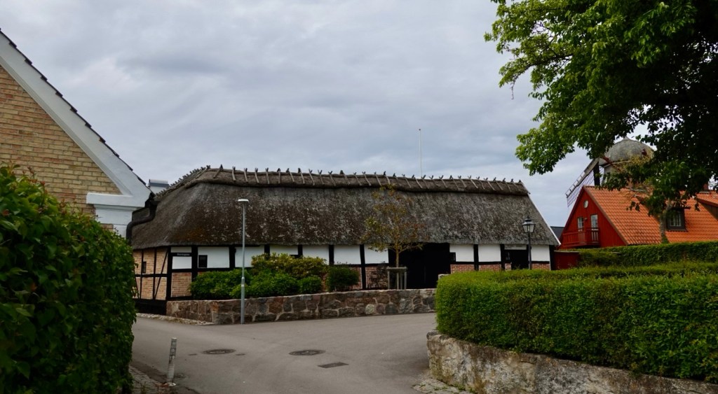
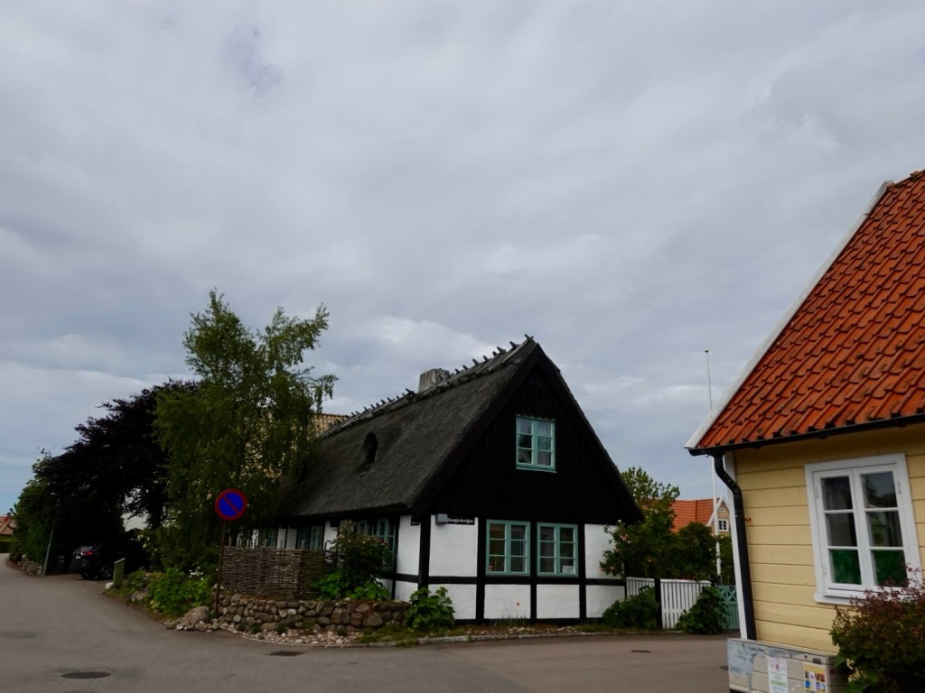
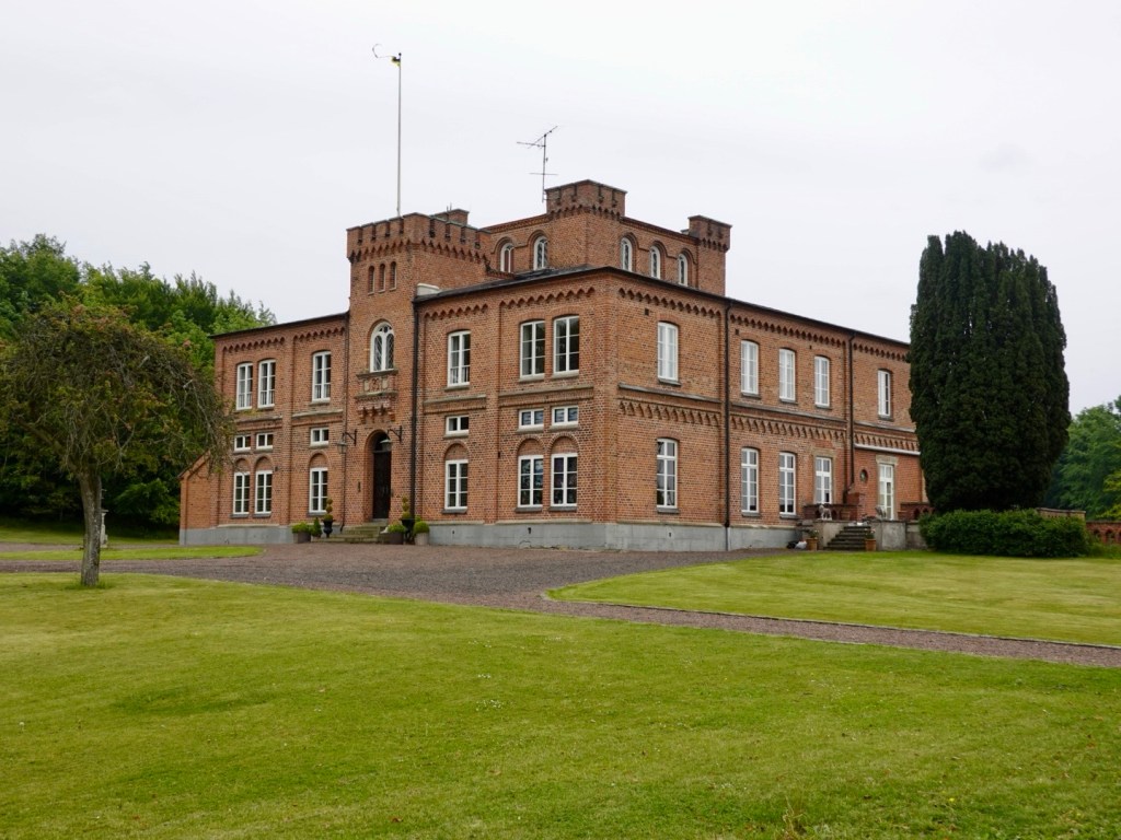
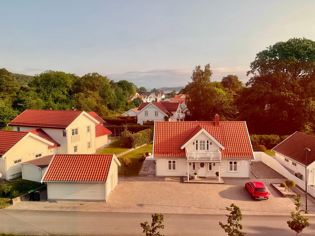
Looking out our bedroom window, I gazed upon the local houses, thinking they looked like a Lego constructed home. The day was starting off fine, with forecast of rain in patches during the day.

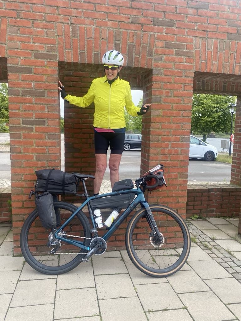
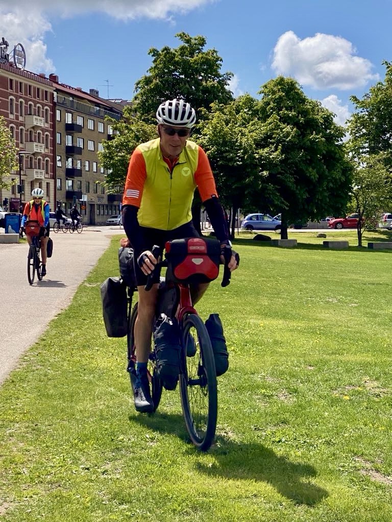
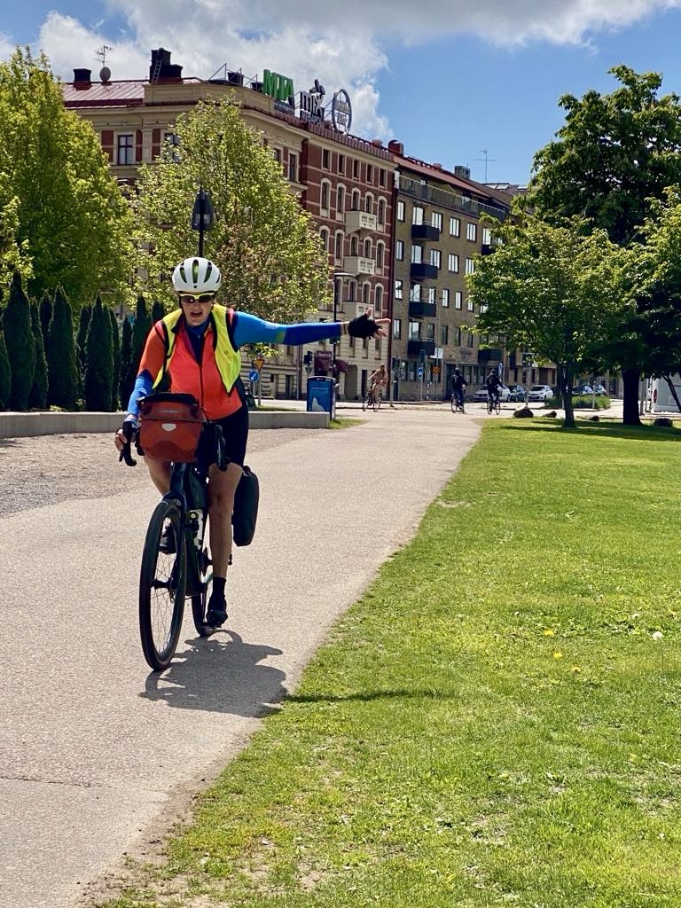
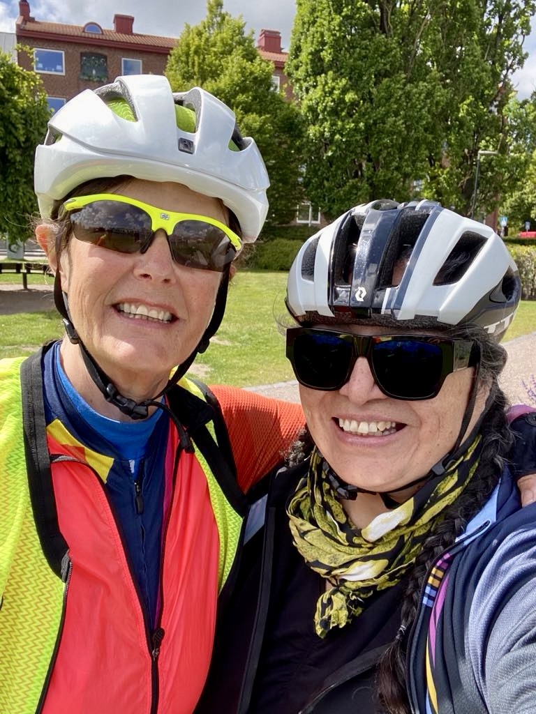
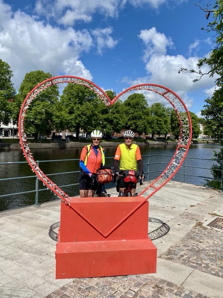
A nice breakfast, we retrieved our bikes, packed and off we headed.

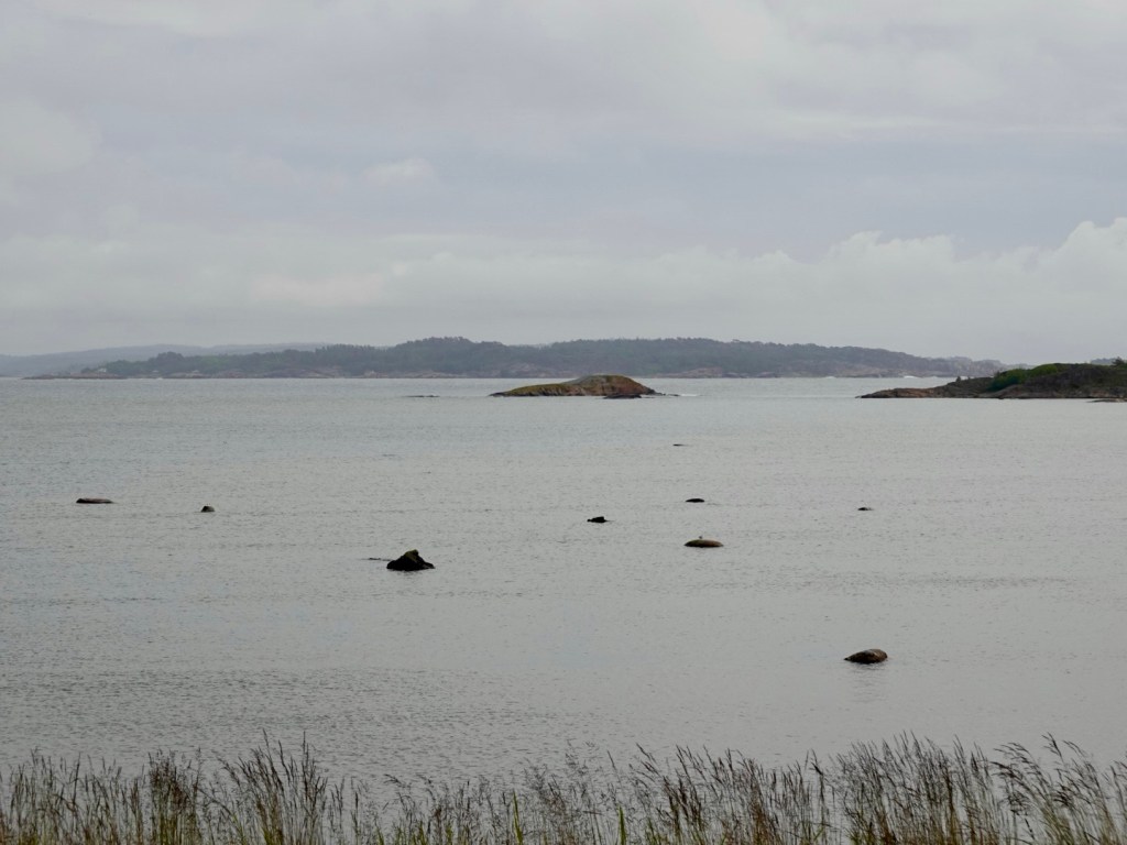
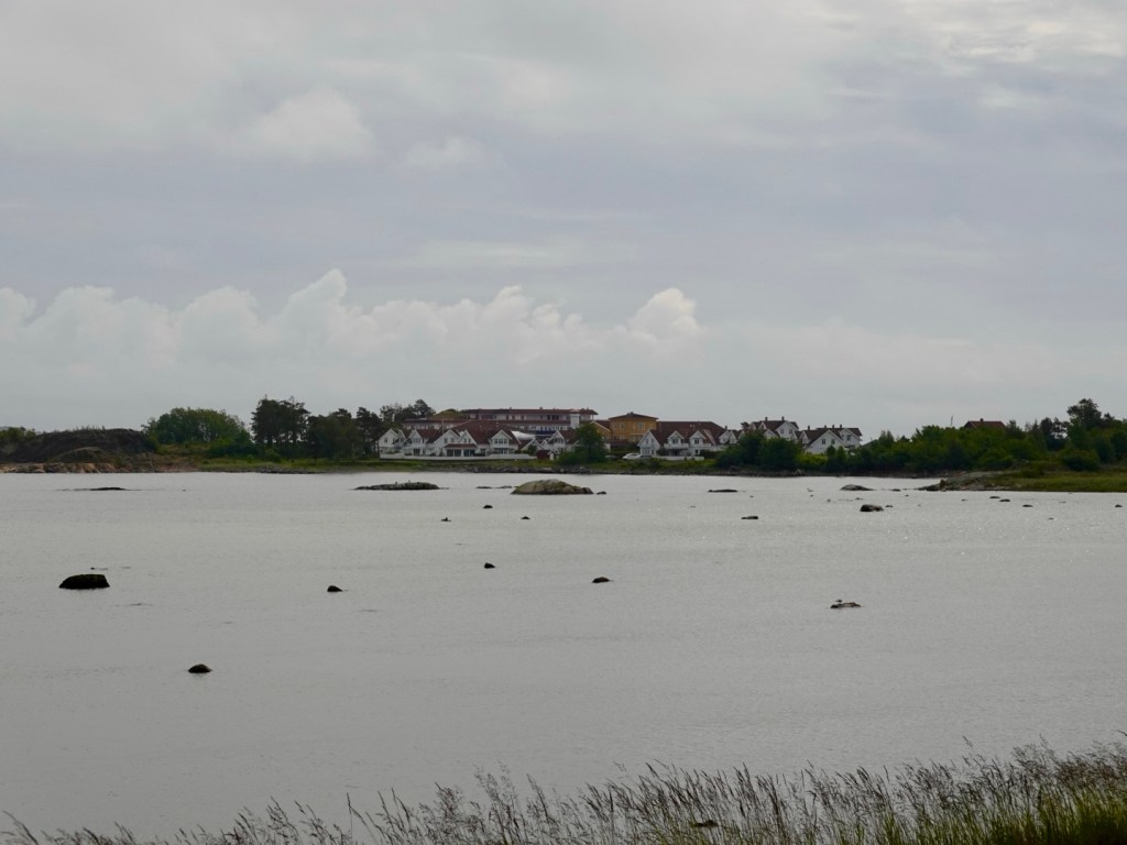
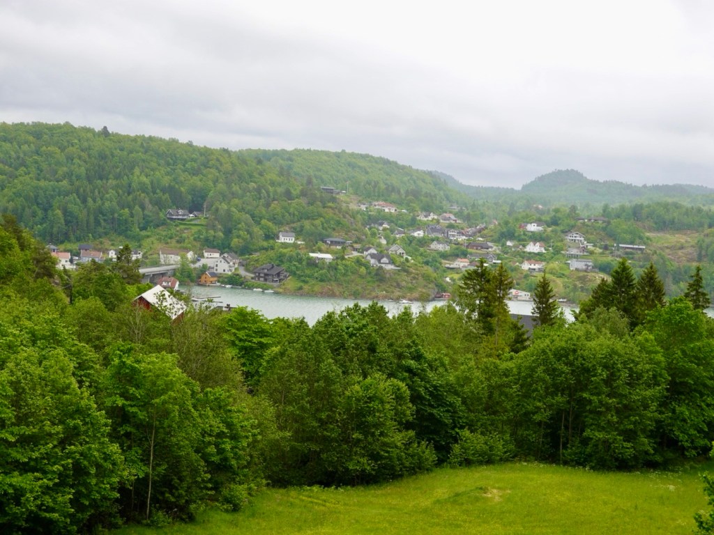
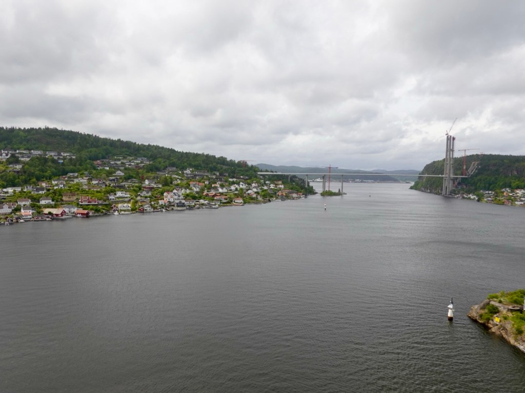
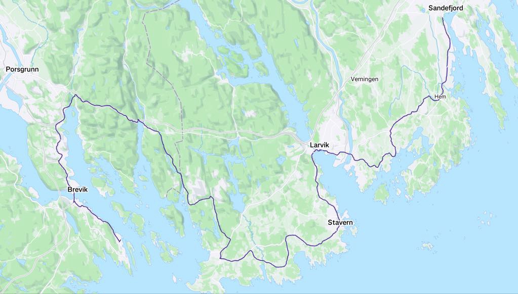
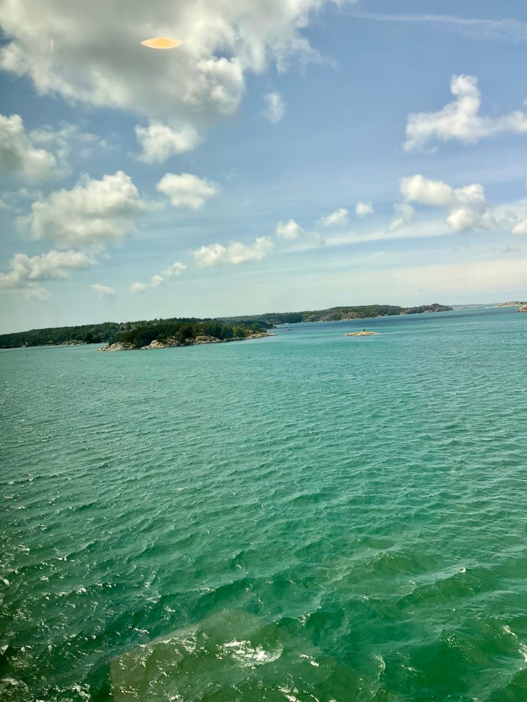
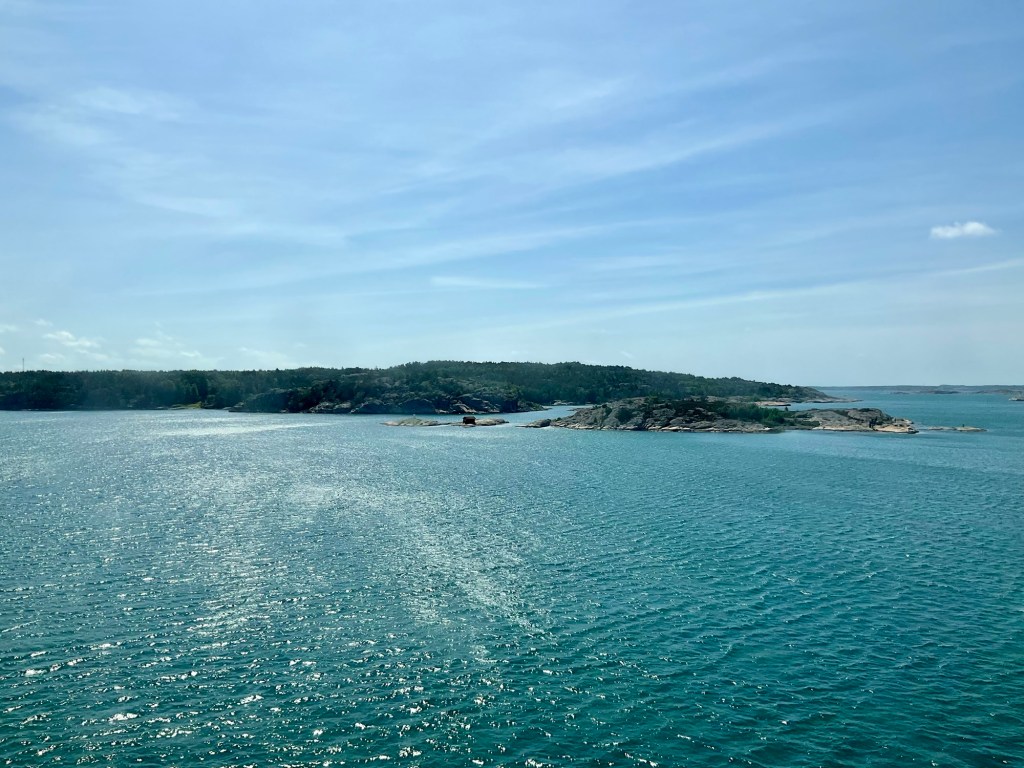
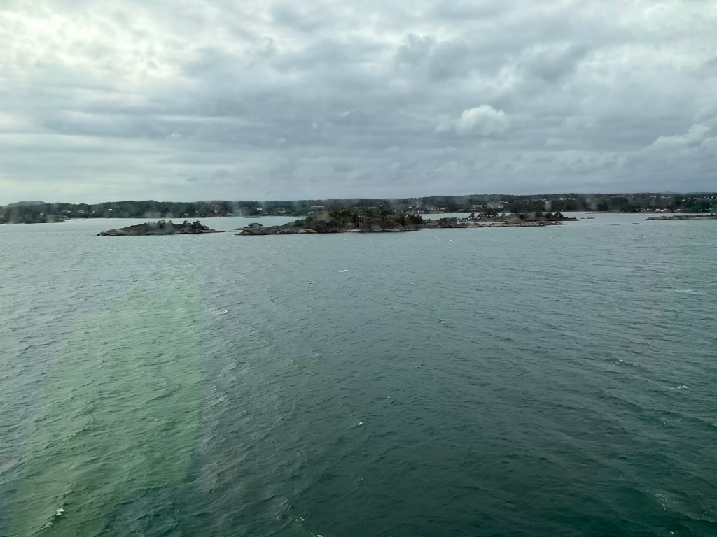
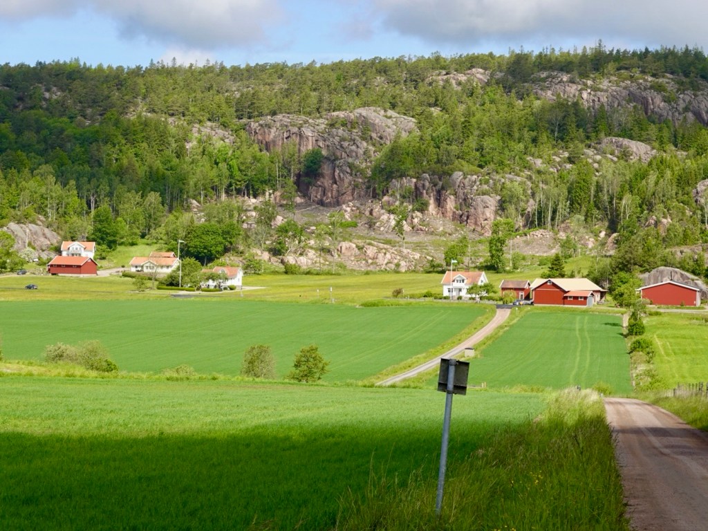
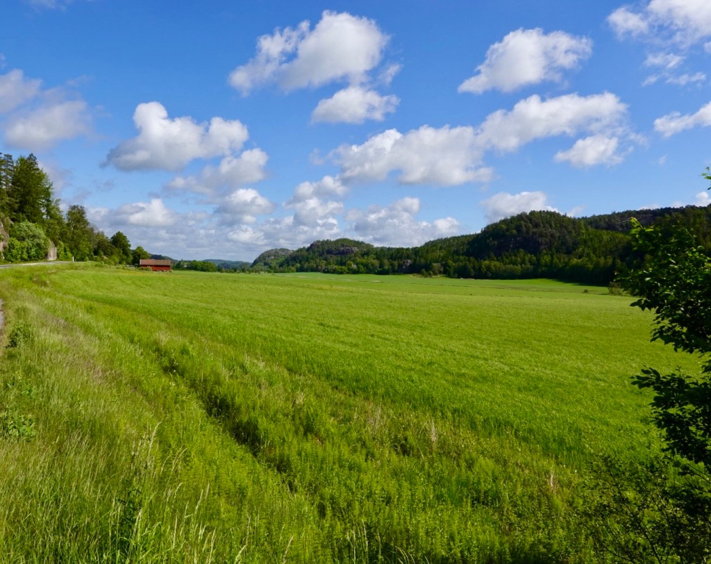
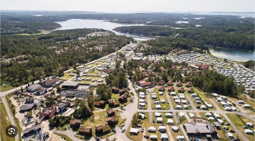
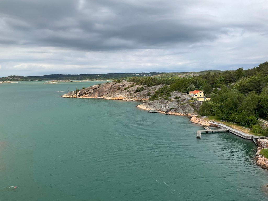
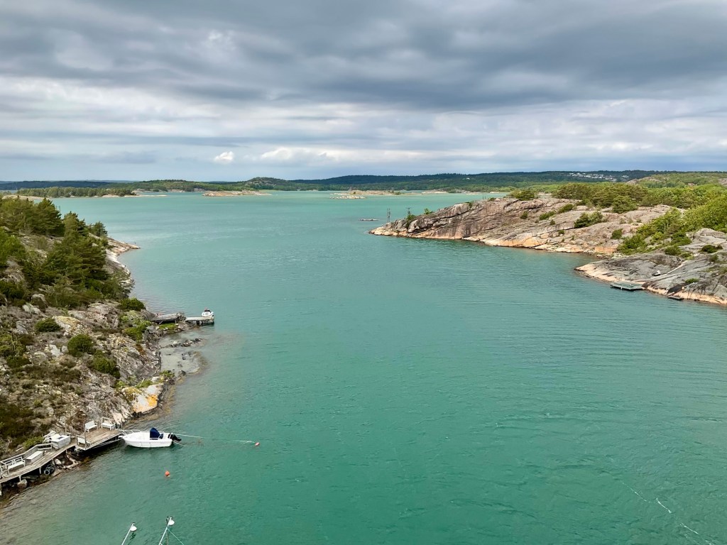
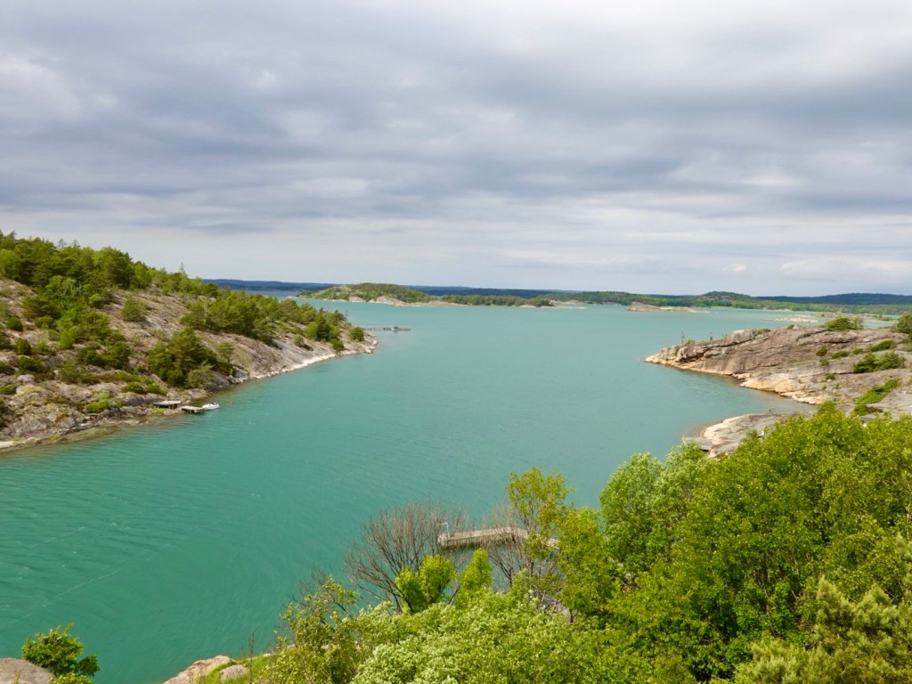
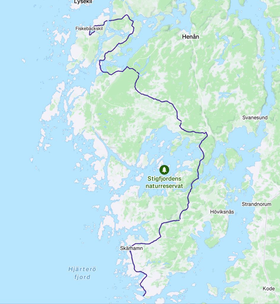
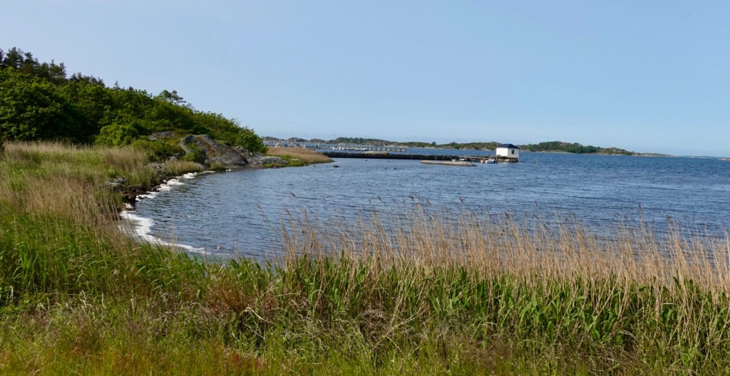
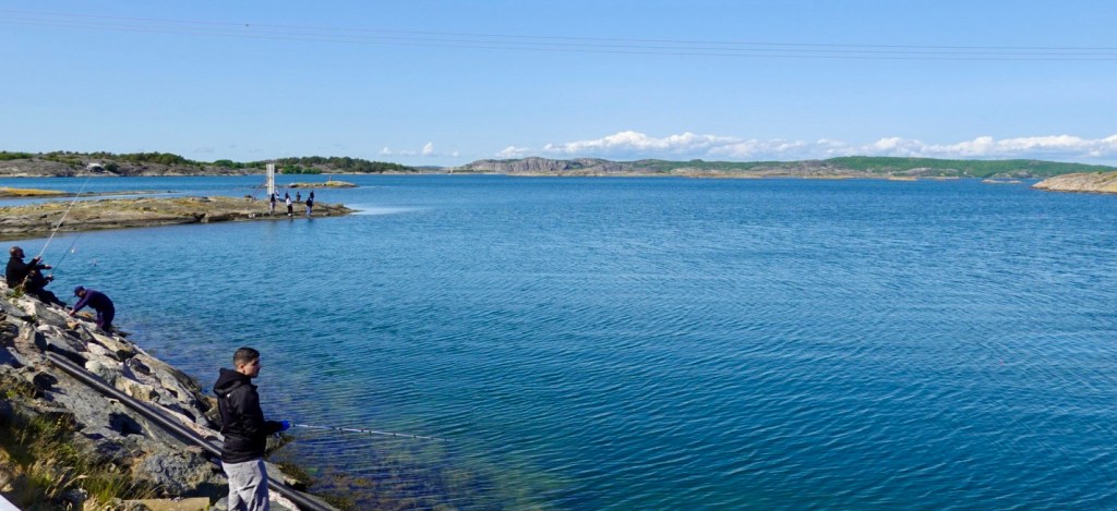
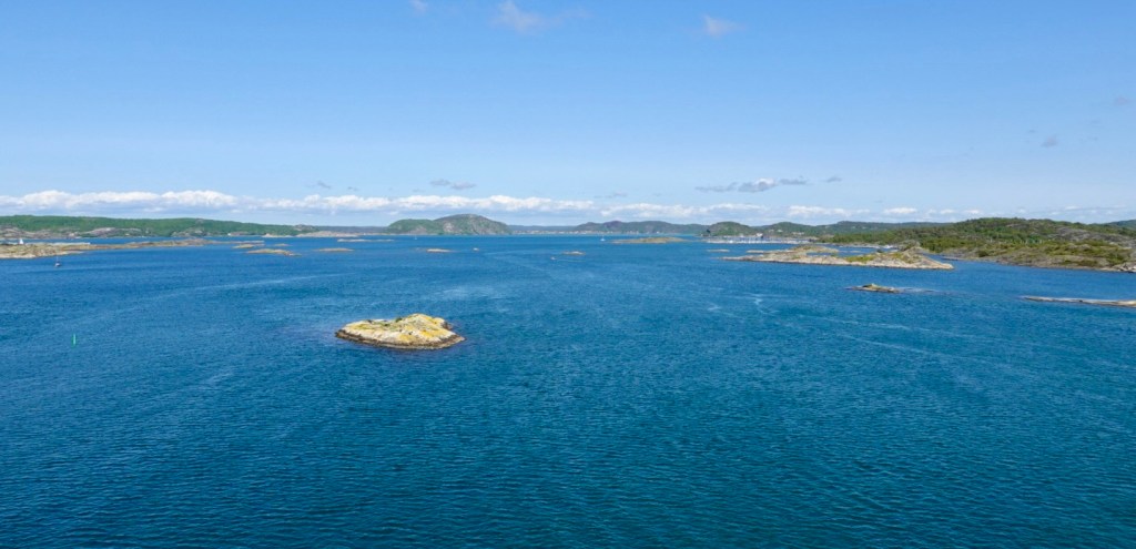
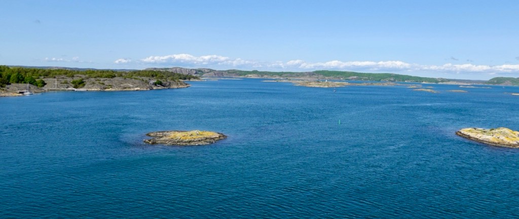
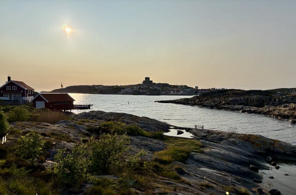
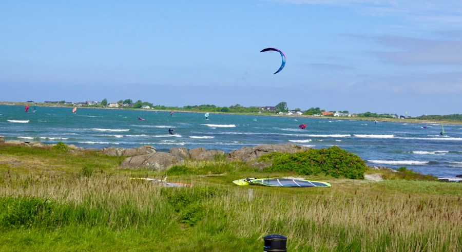
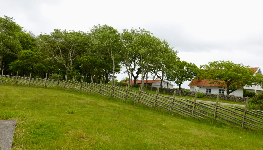
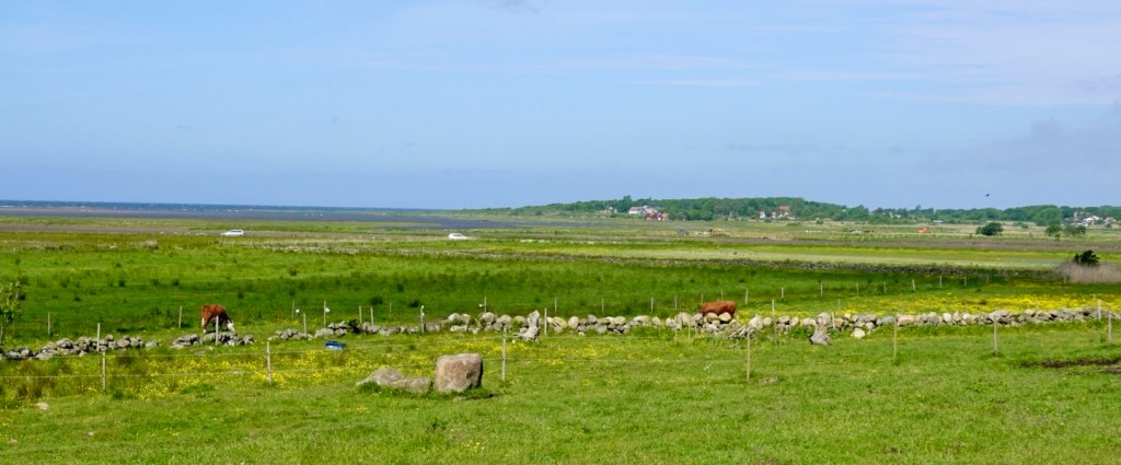
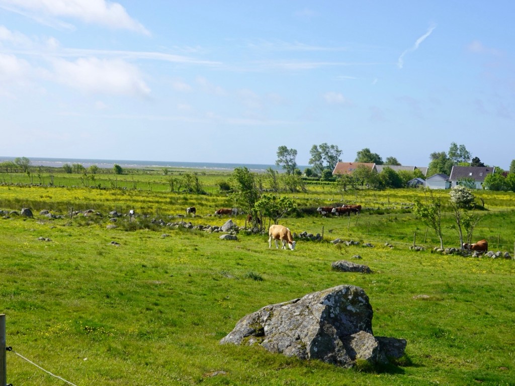
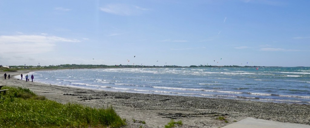
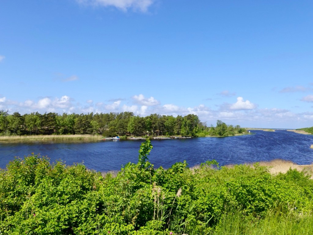
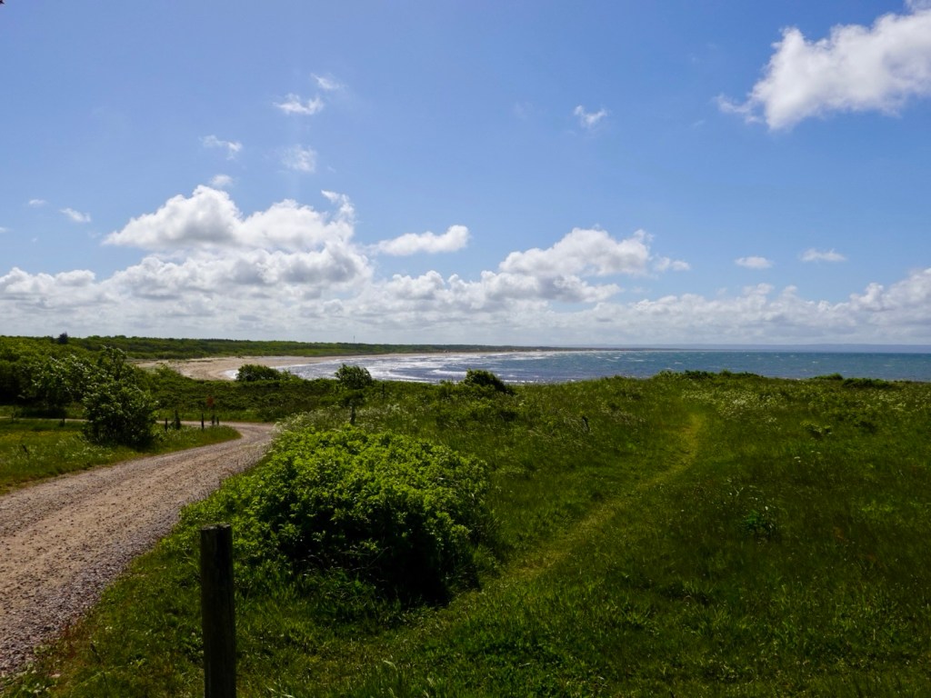
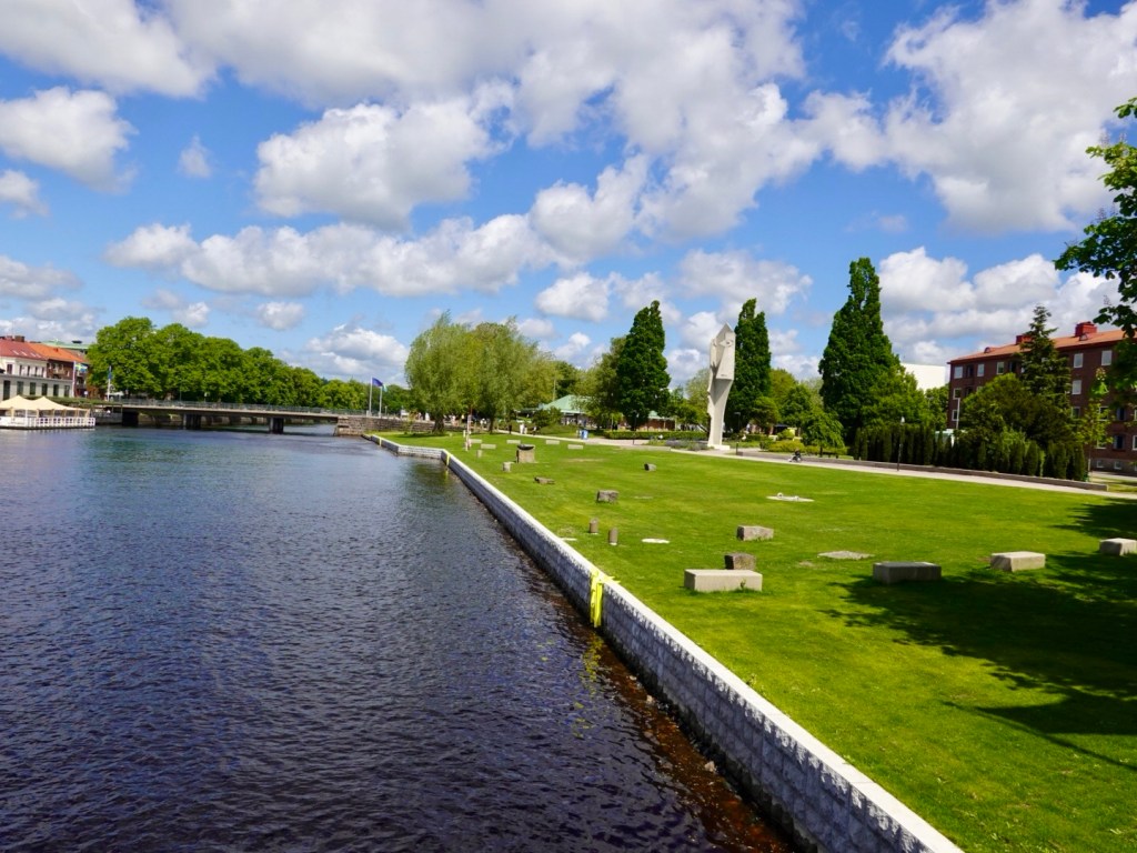
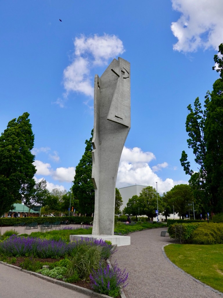
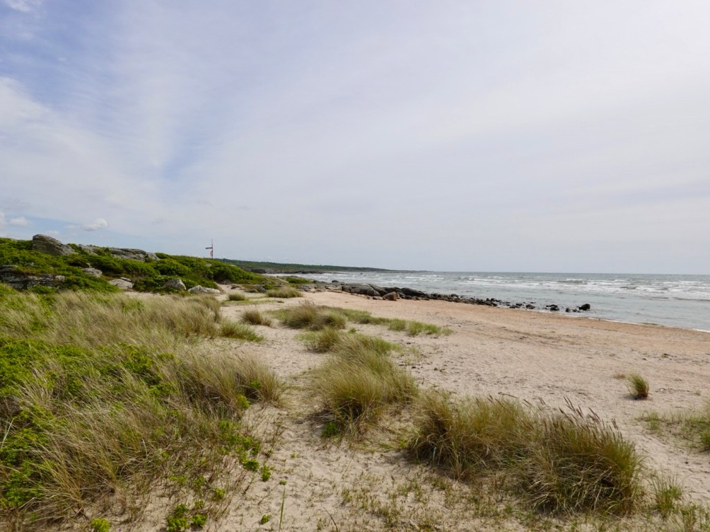
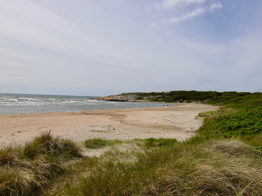
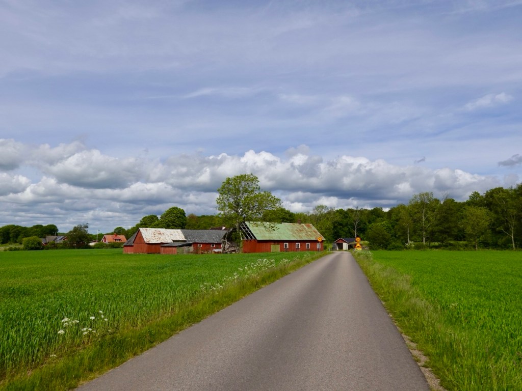
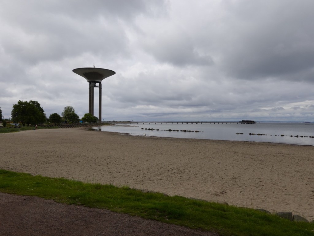
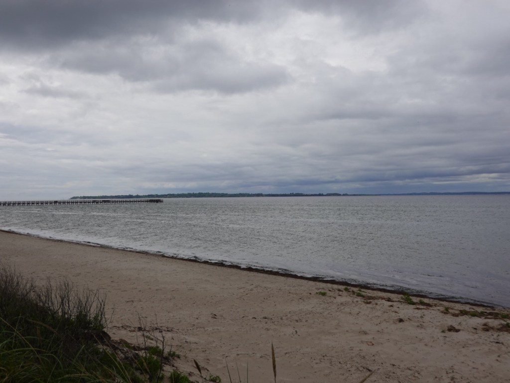
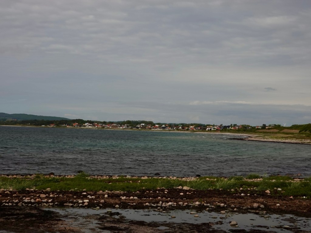
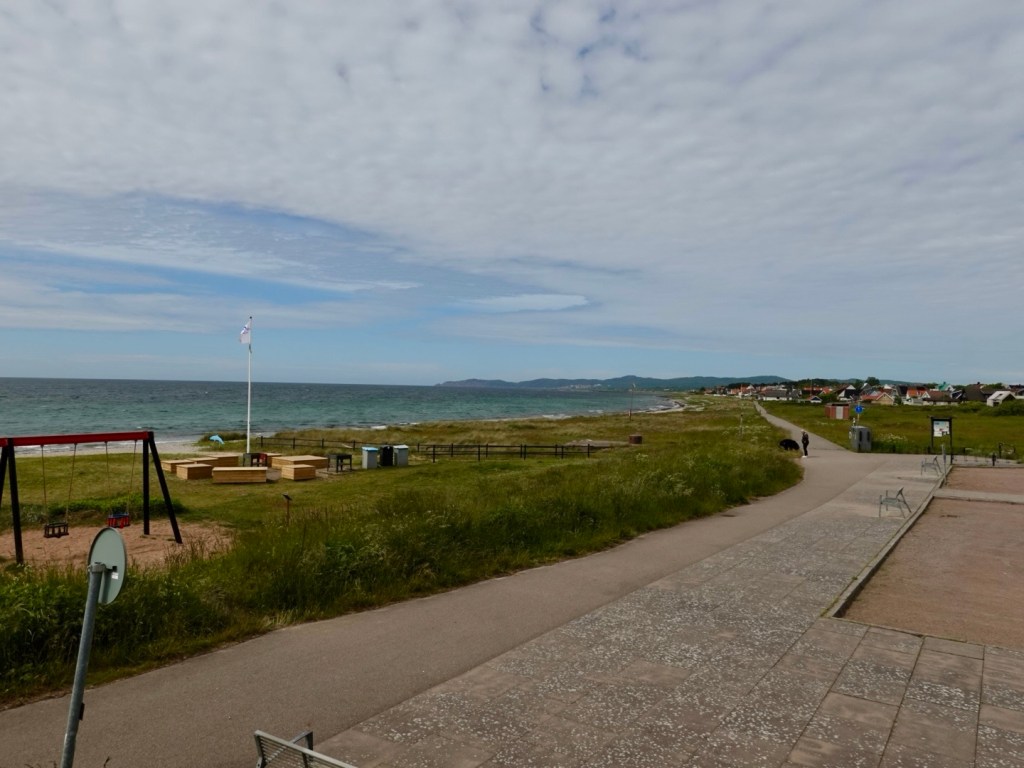
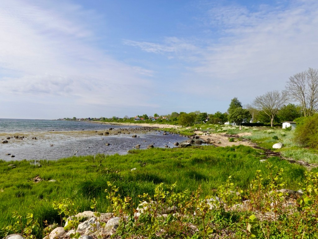
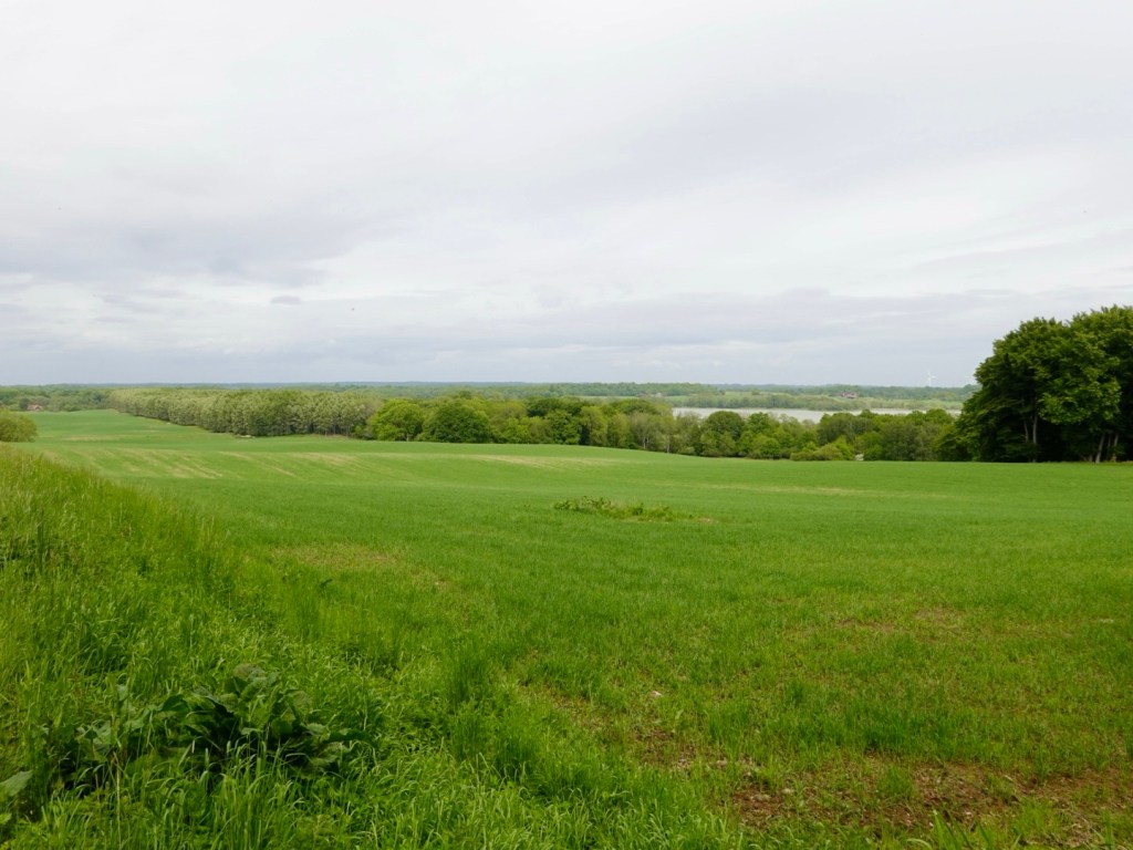
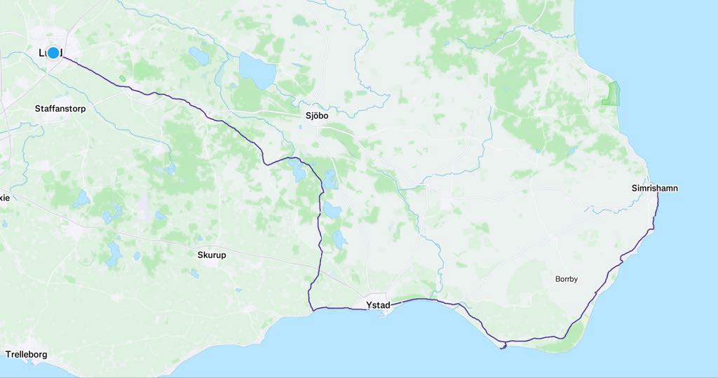
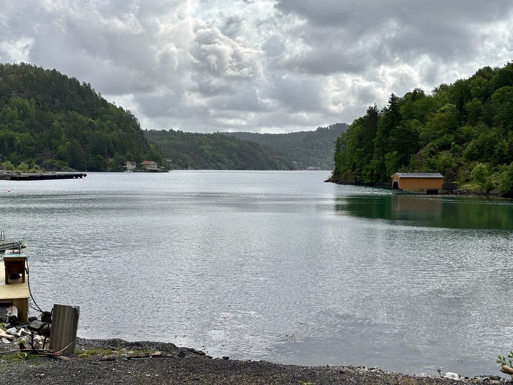
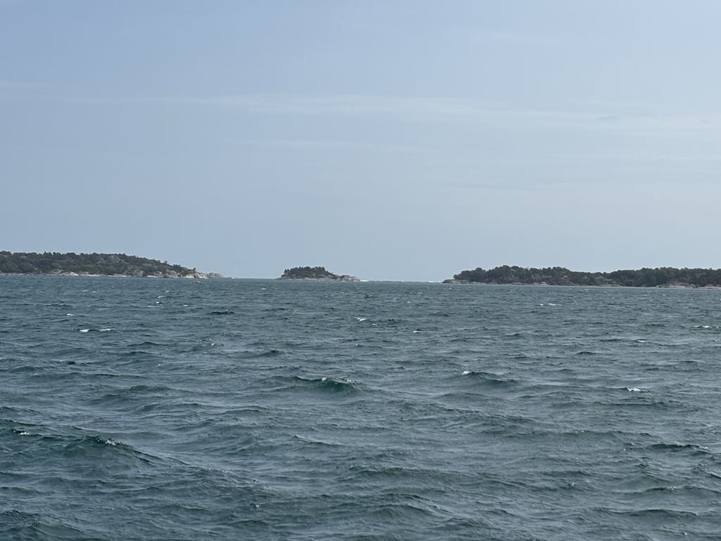
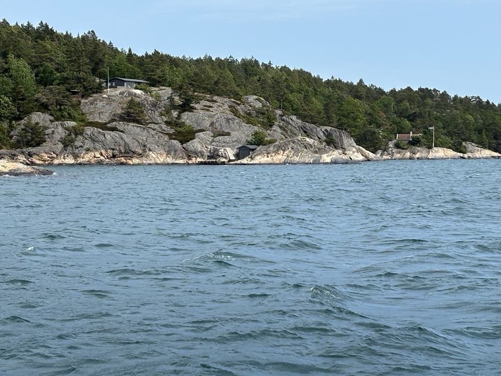
We were to ride most of the day through the southern Telemark region, dotted with islands and bays.

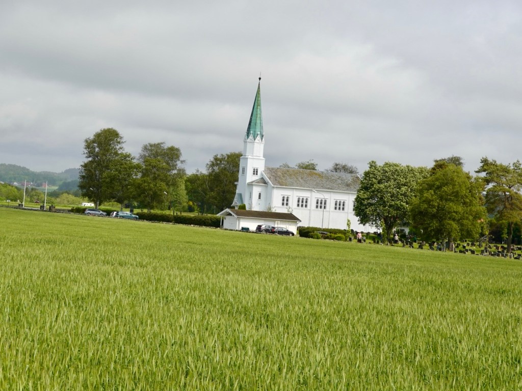
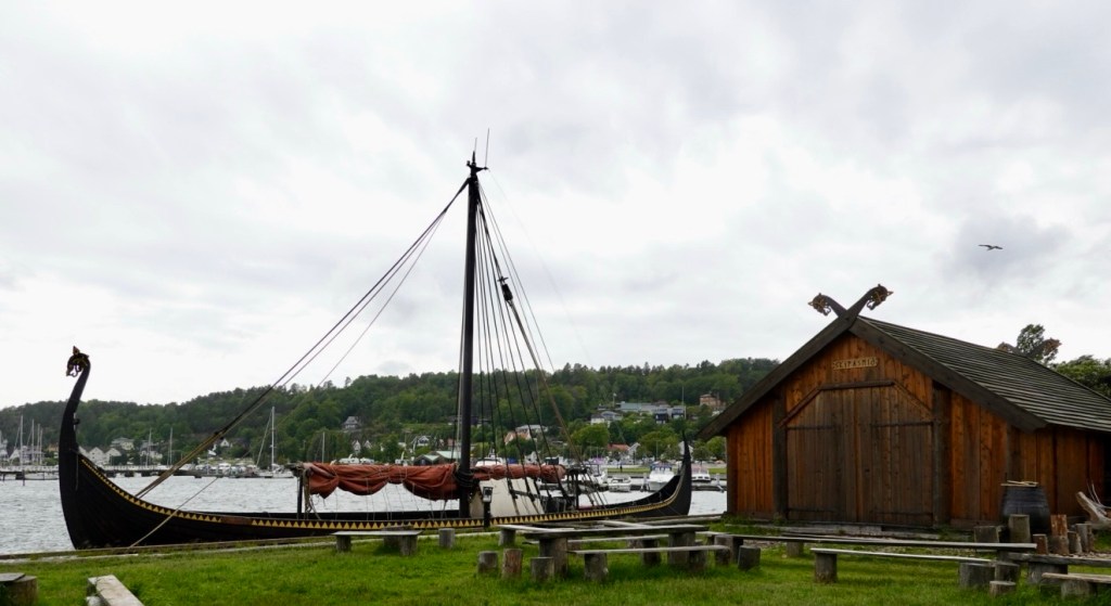
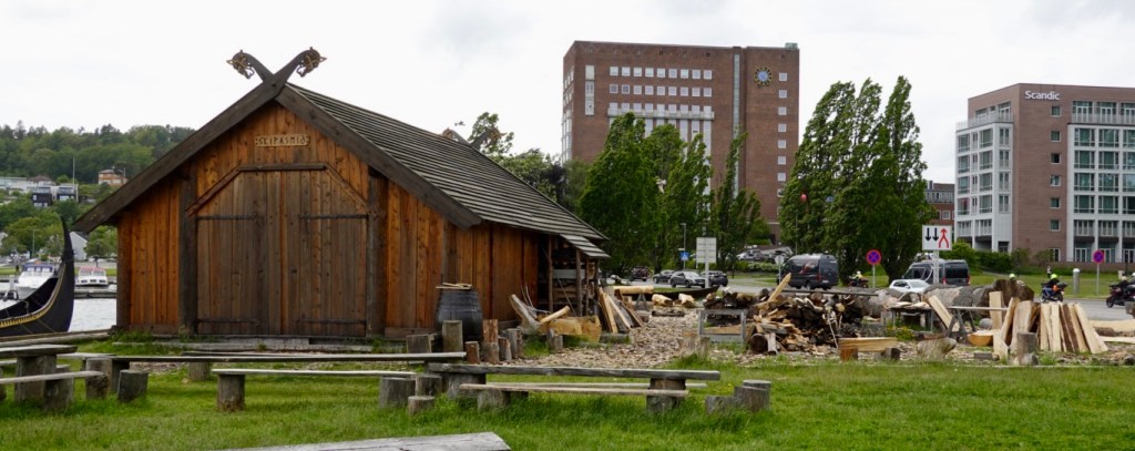
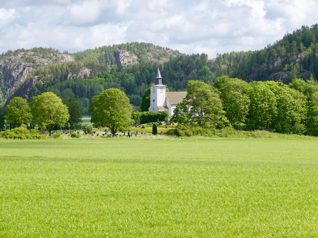
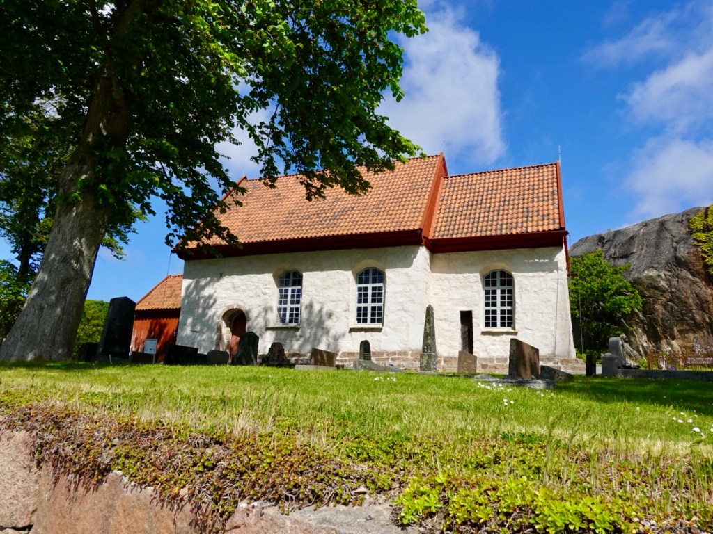
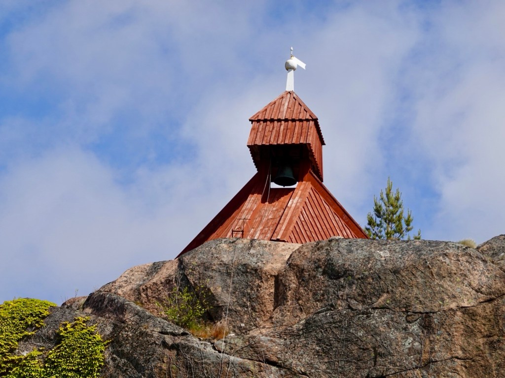
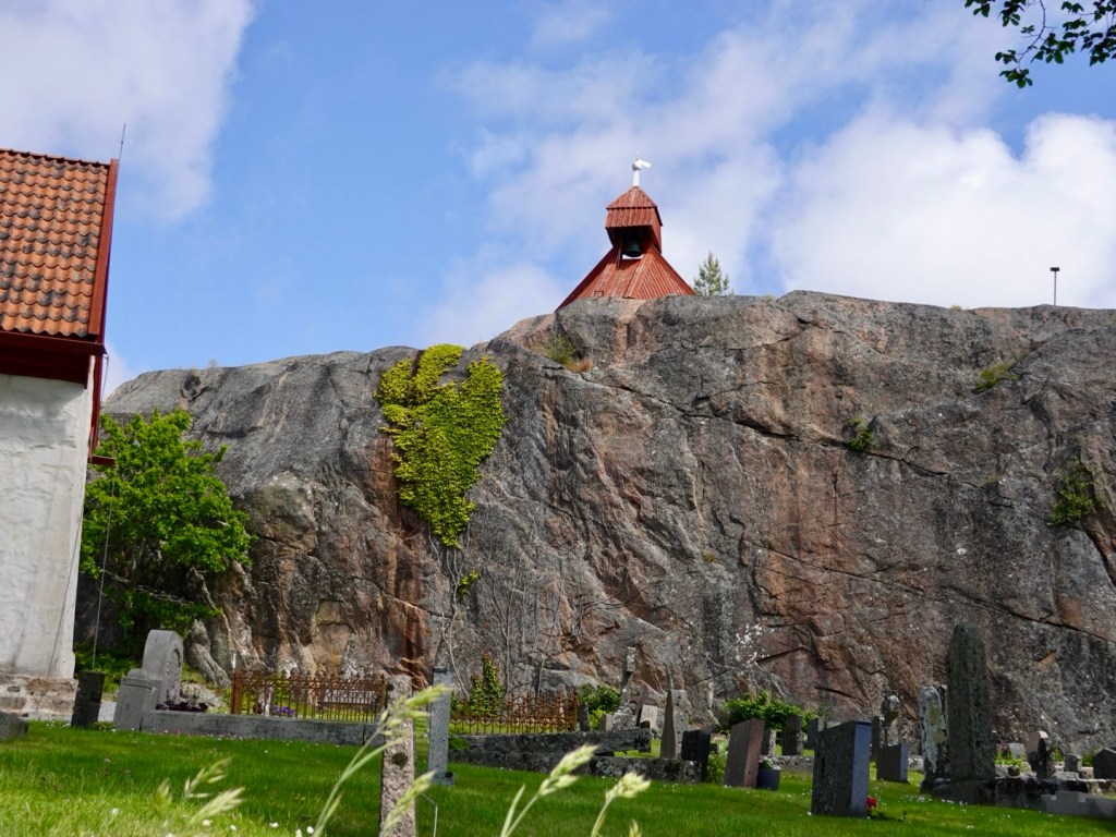
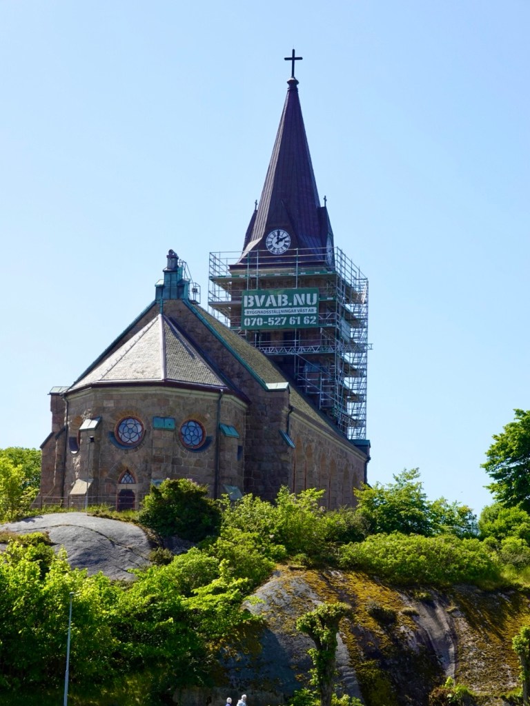
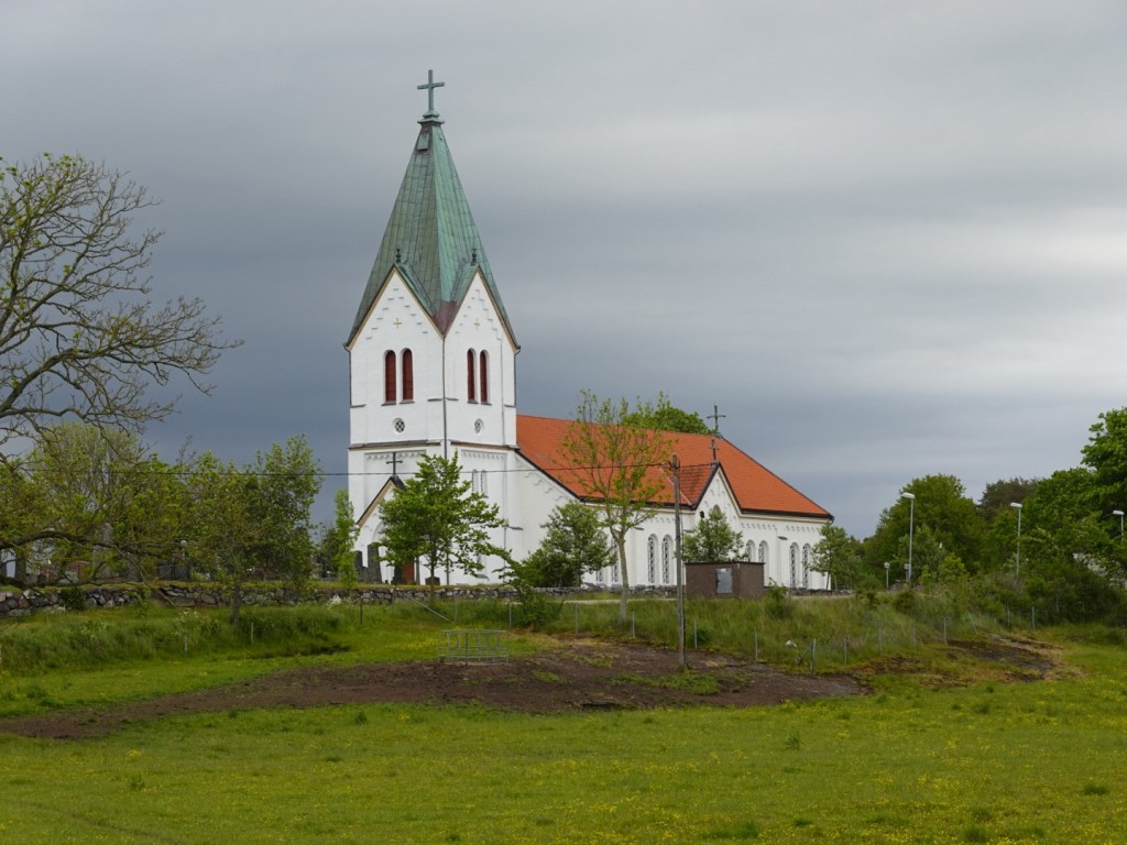
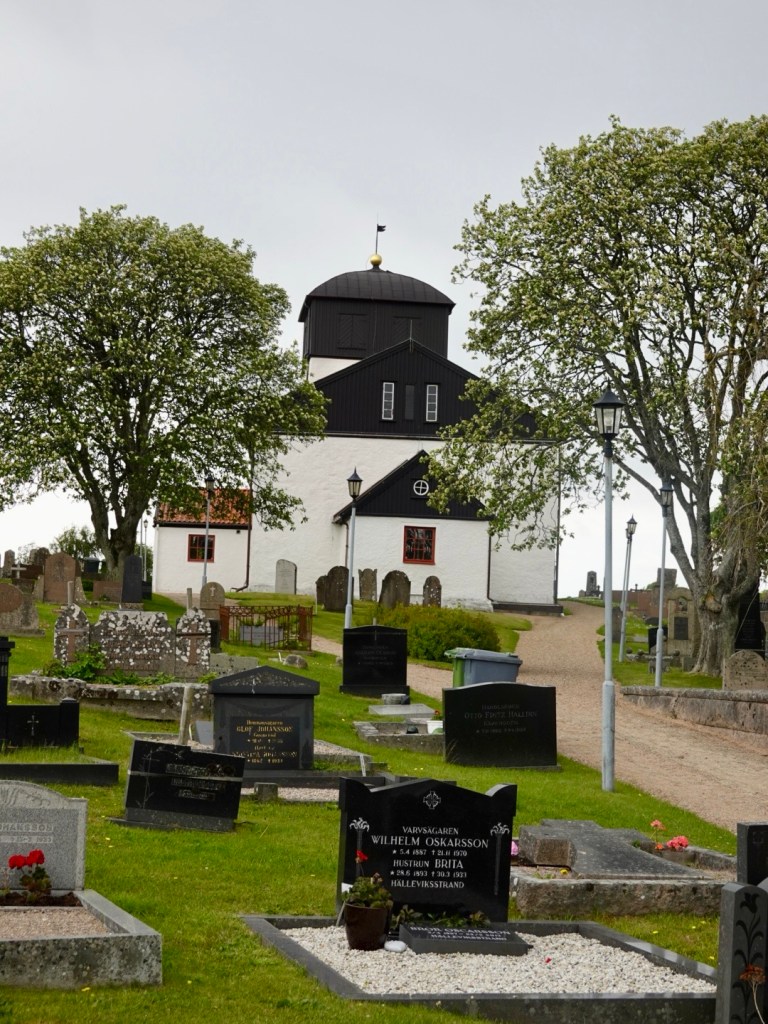
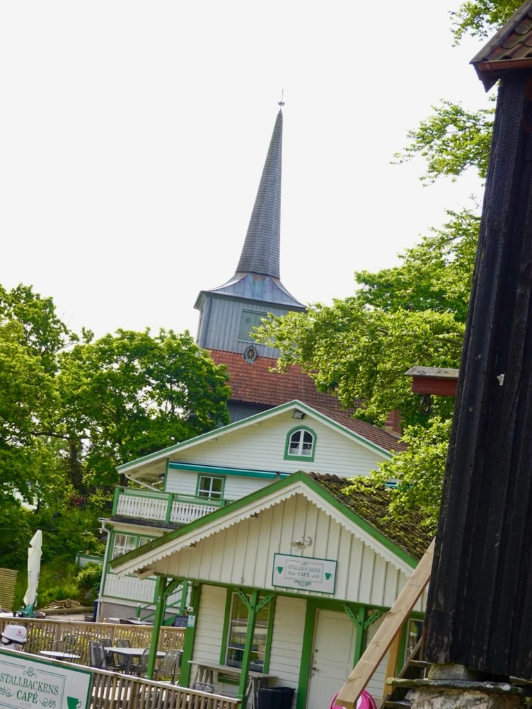
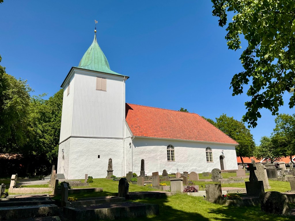
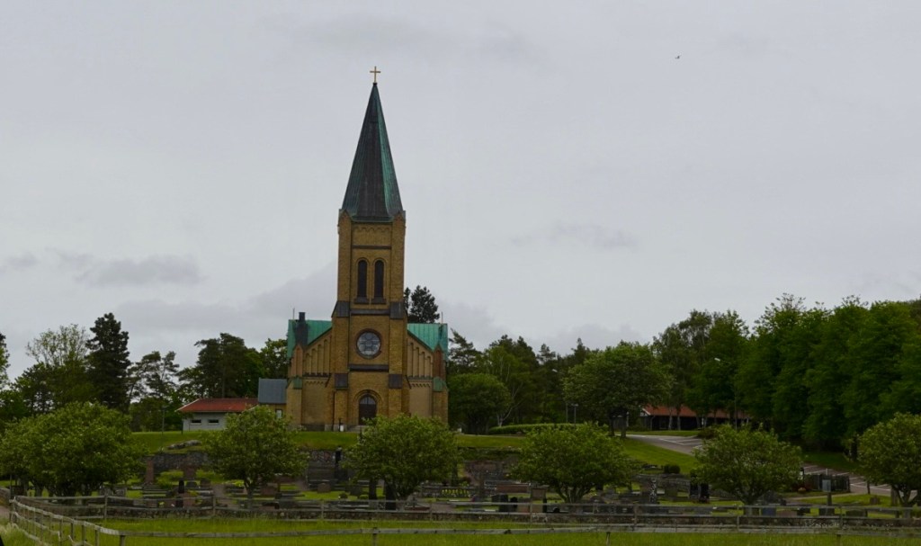
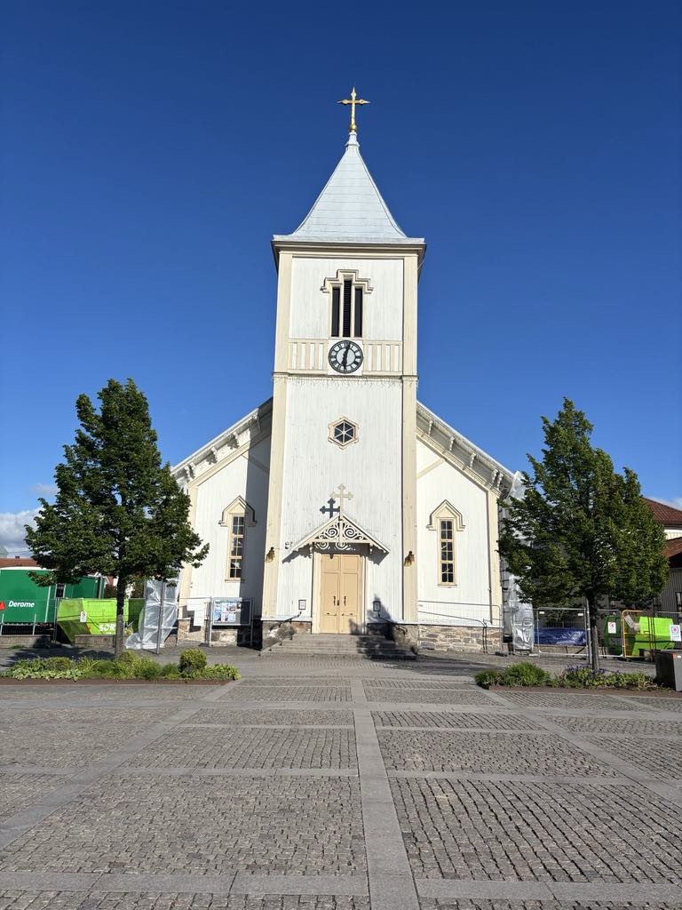
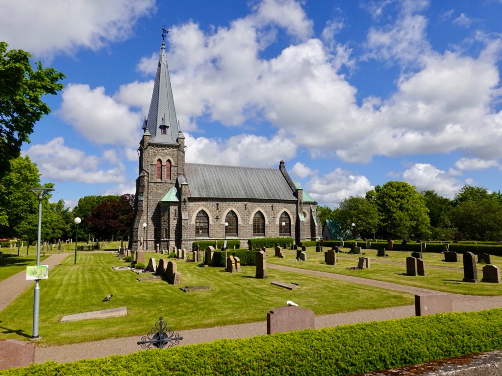
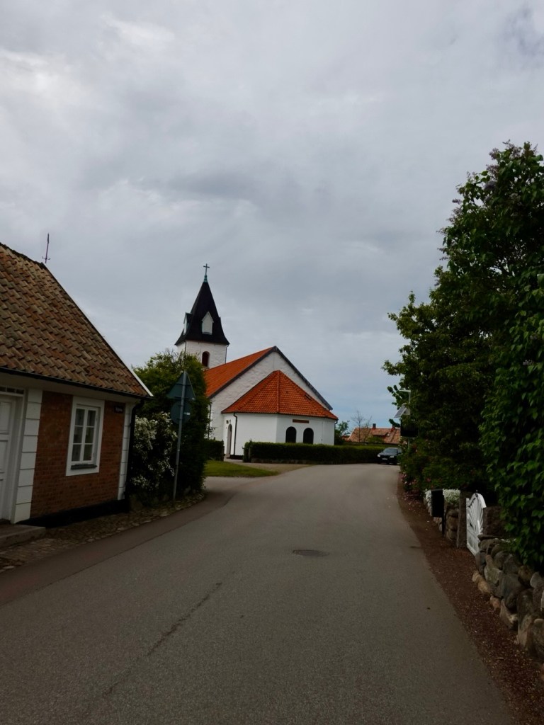
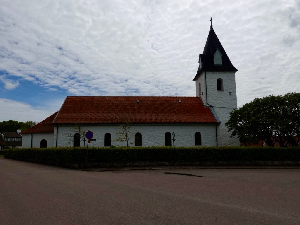
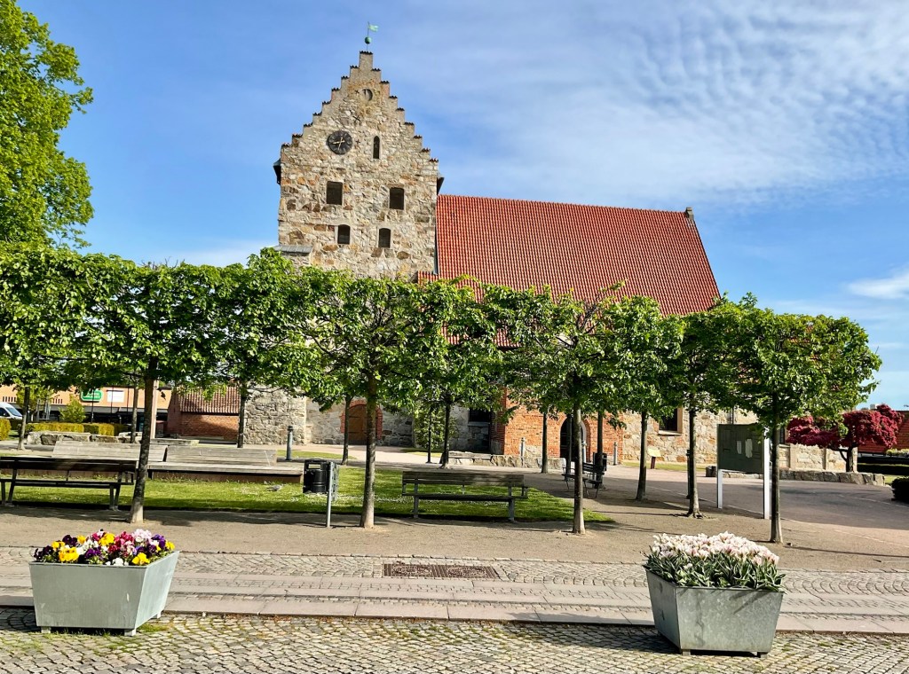
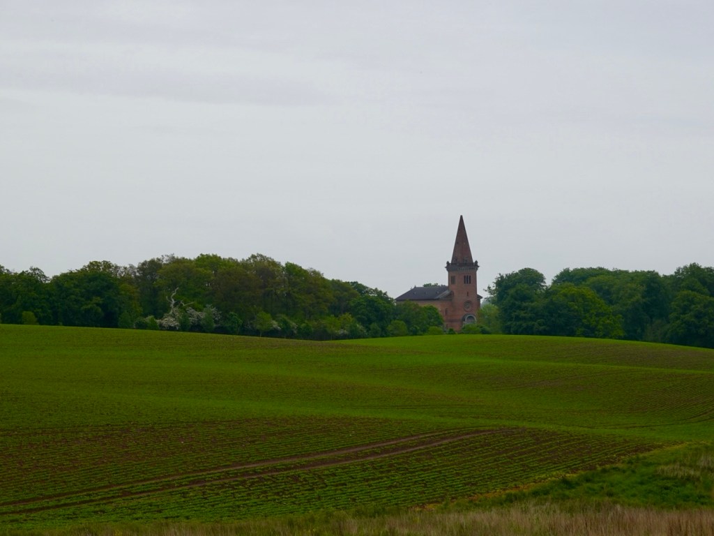
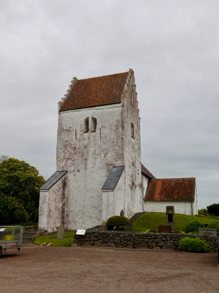
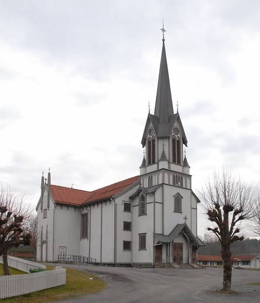
The first site of note, was Bamble kirke, a white wooden church built in 1845. It is impressive with its white timber exterior.

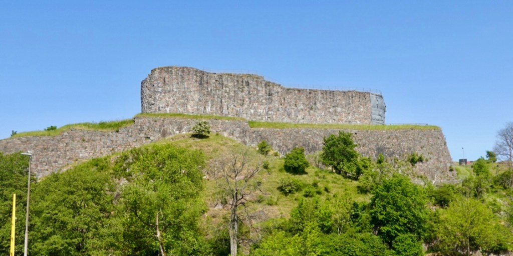
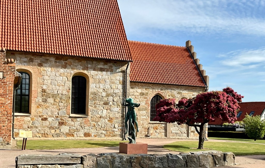
Adjacent were the Olavskirken (St Olav’s church) ruins, initially constructed around 1150, and left to fall into ruin after the new church was built.

St Olav is the patron saint of Norway.

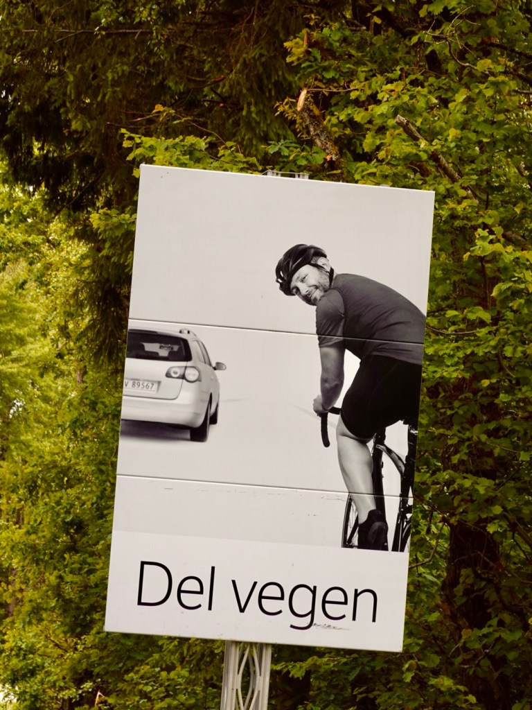
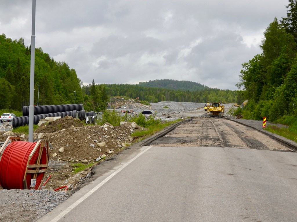
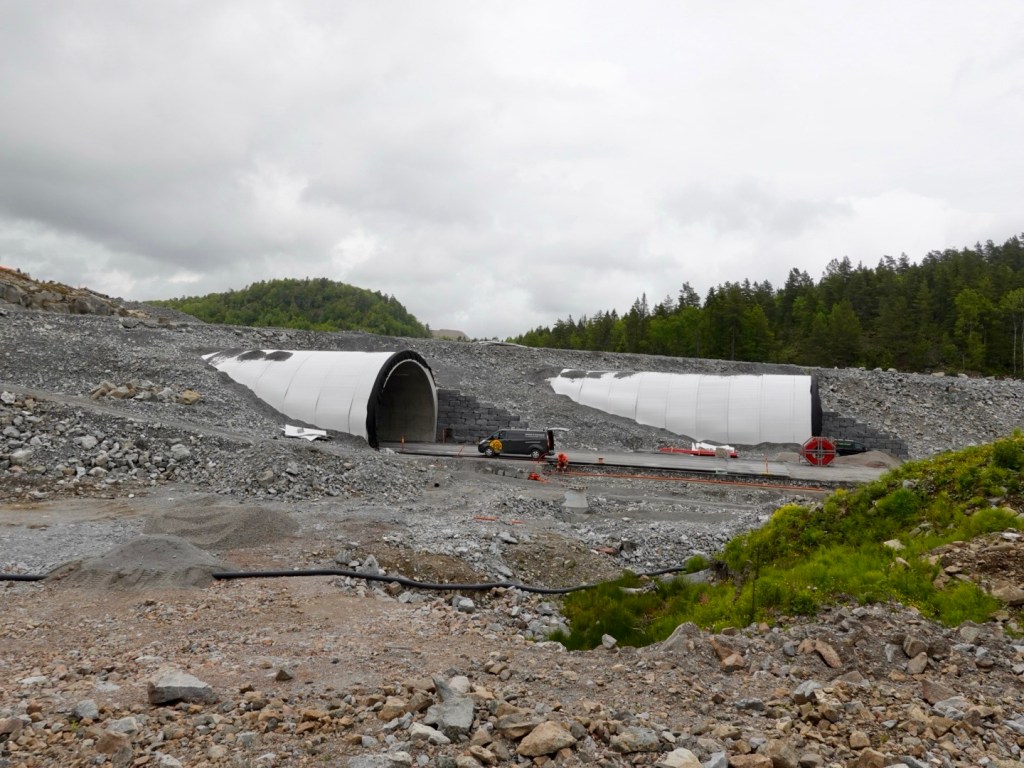
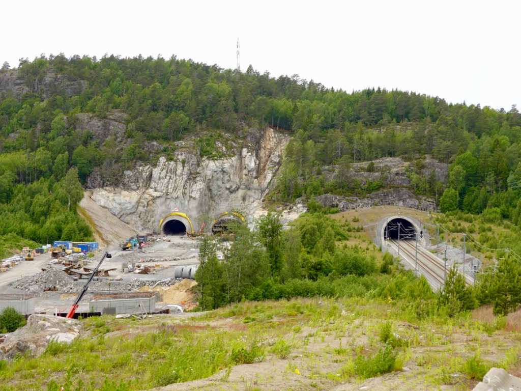
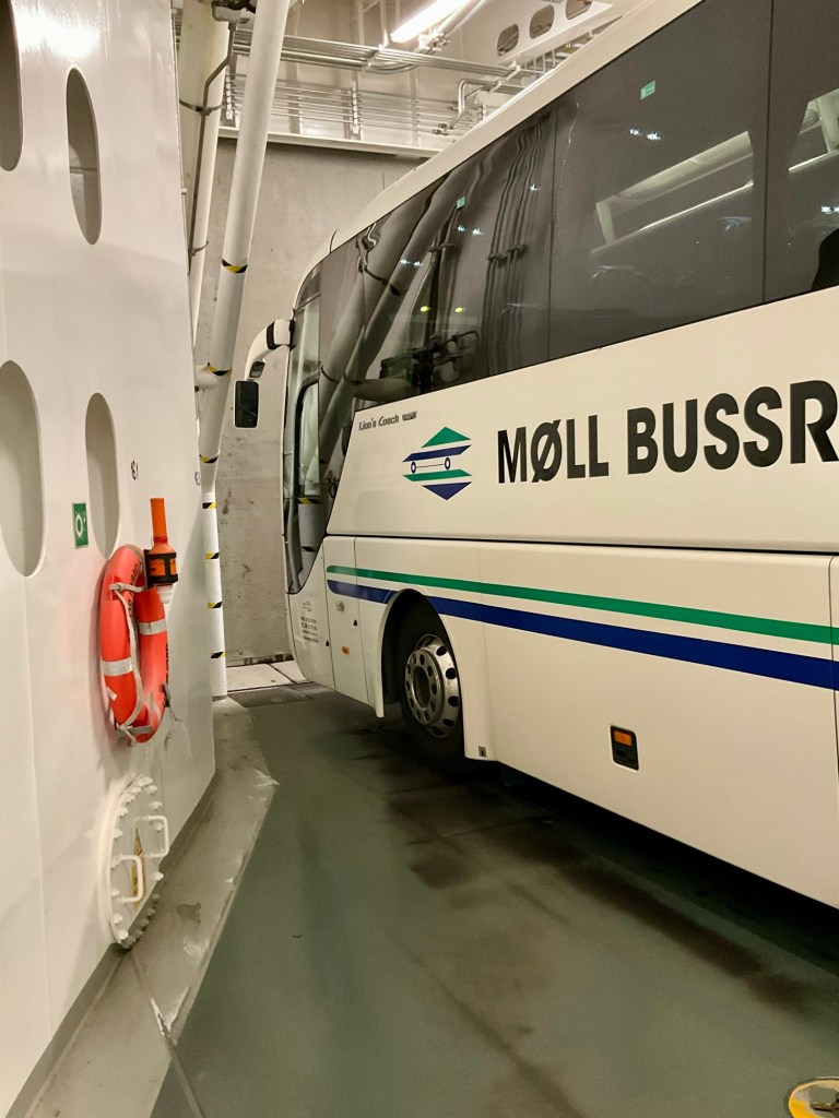
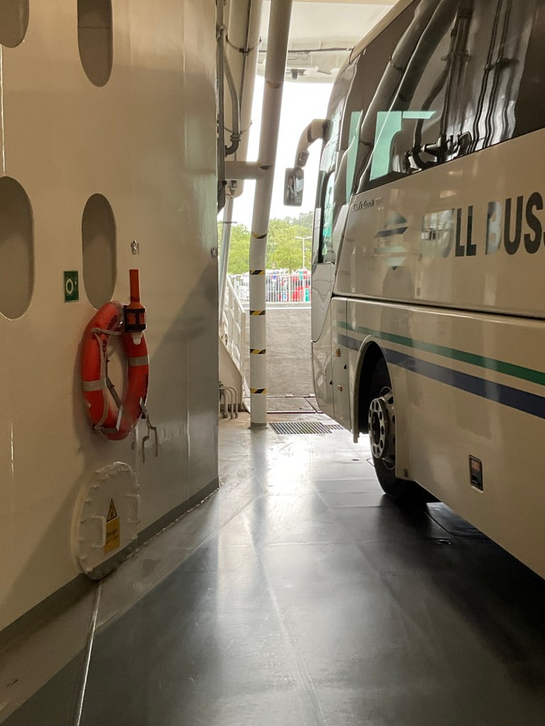
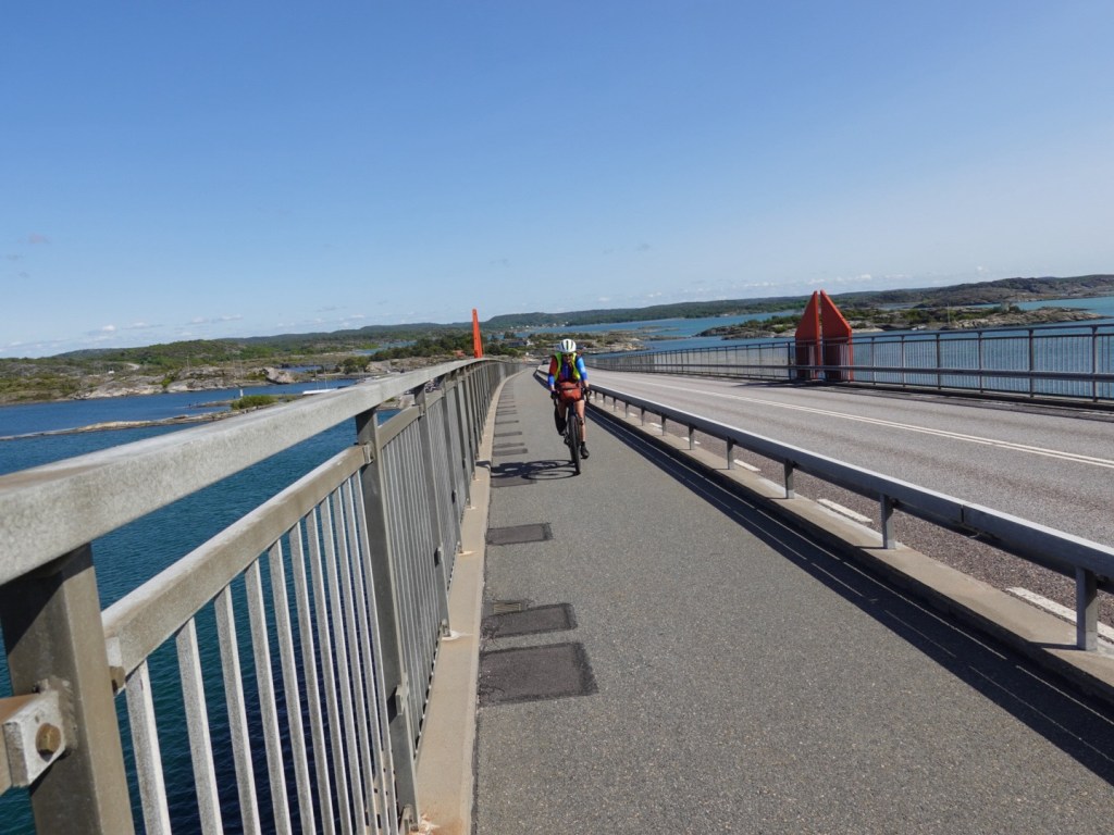
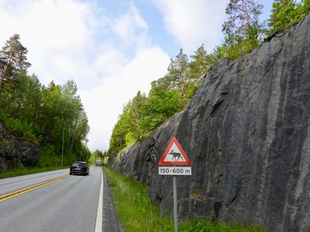
We ended up on a horrendously busy road for a period, where a yellow bus overtaking Tony did not veer away at all. It was close.

We’ve sighted deer and squirrel, but still no moose.

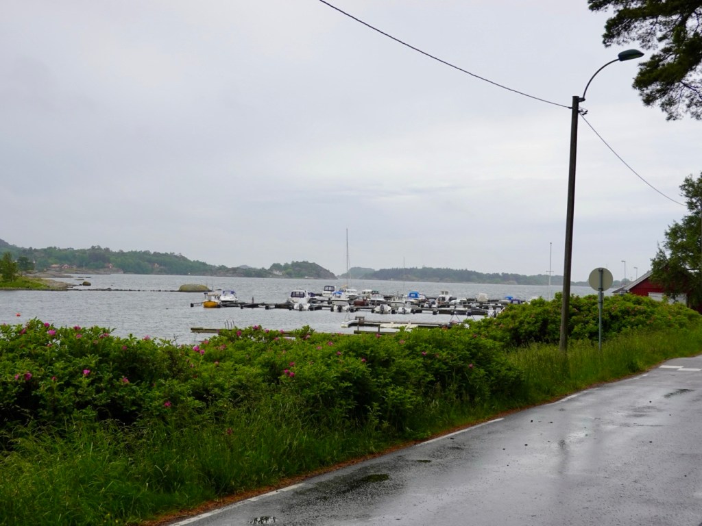
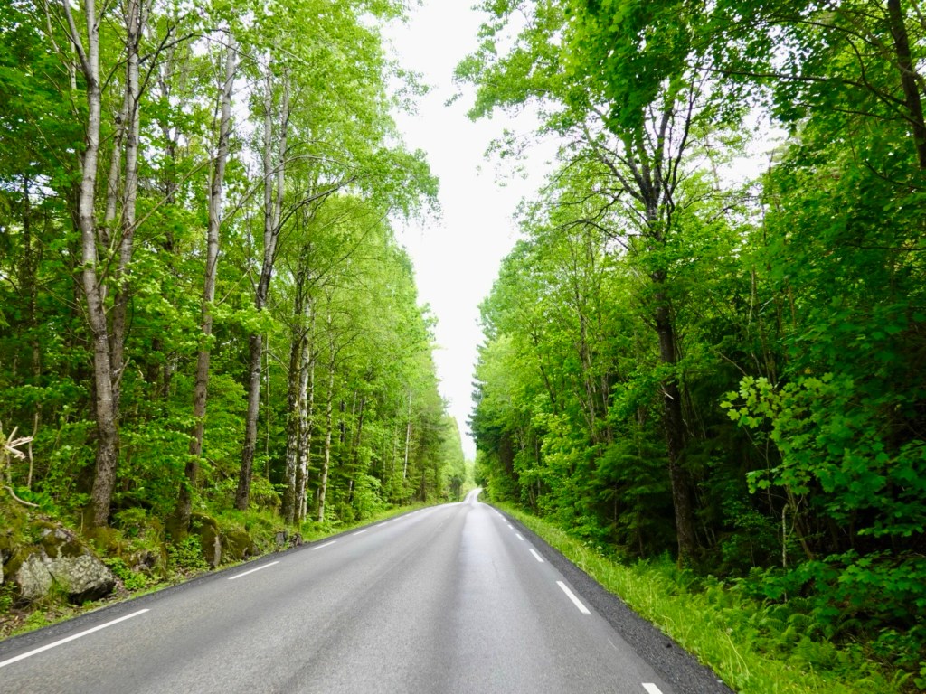
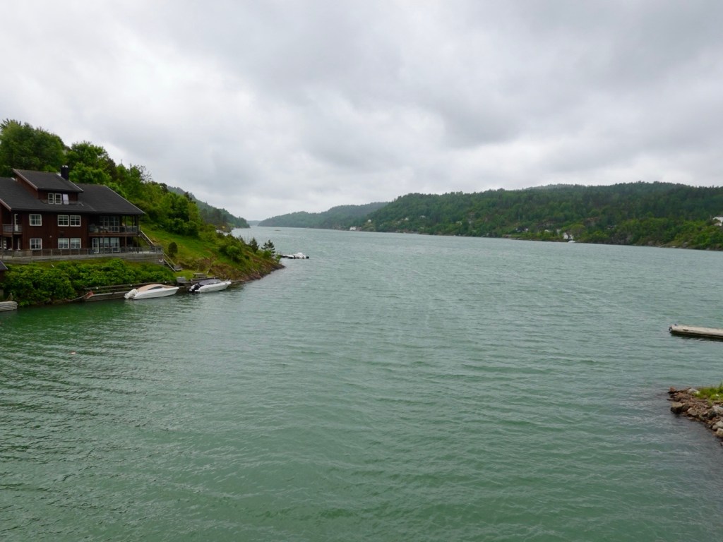
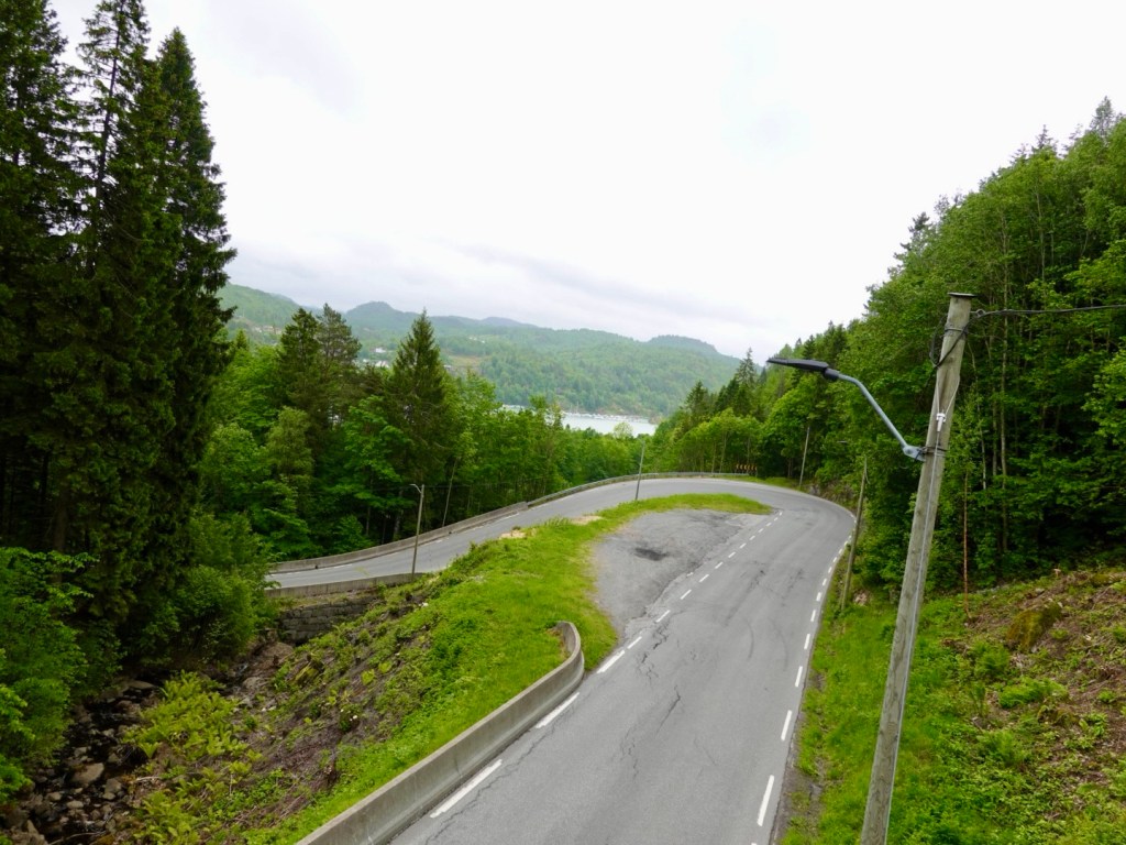
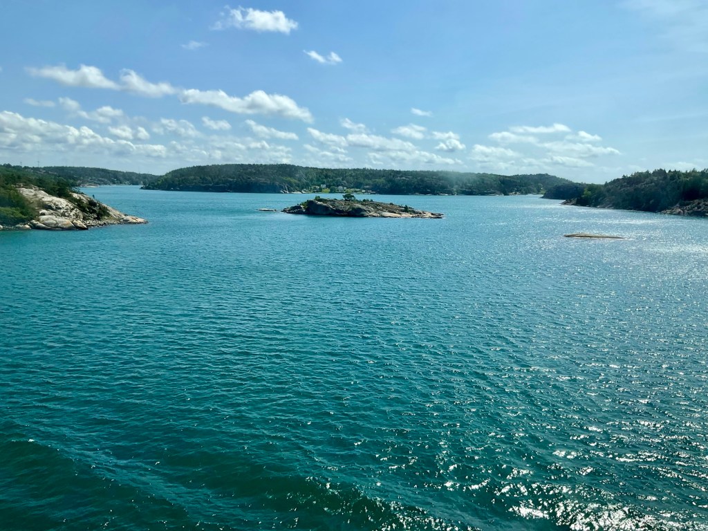
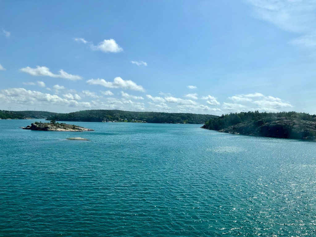
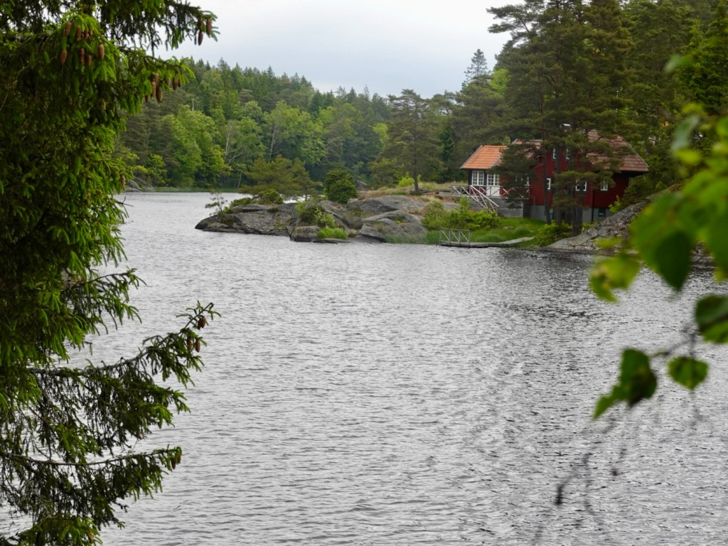
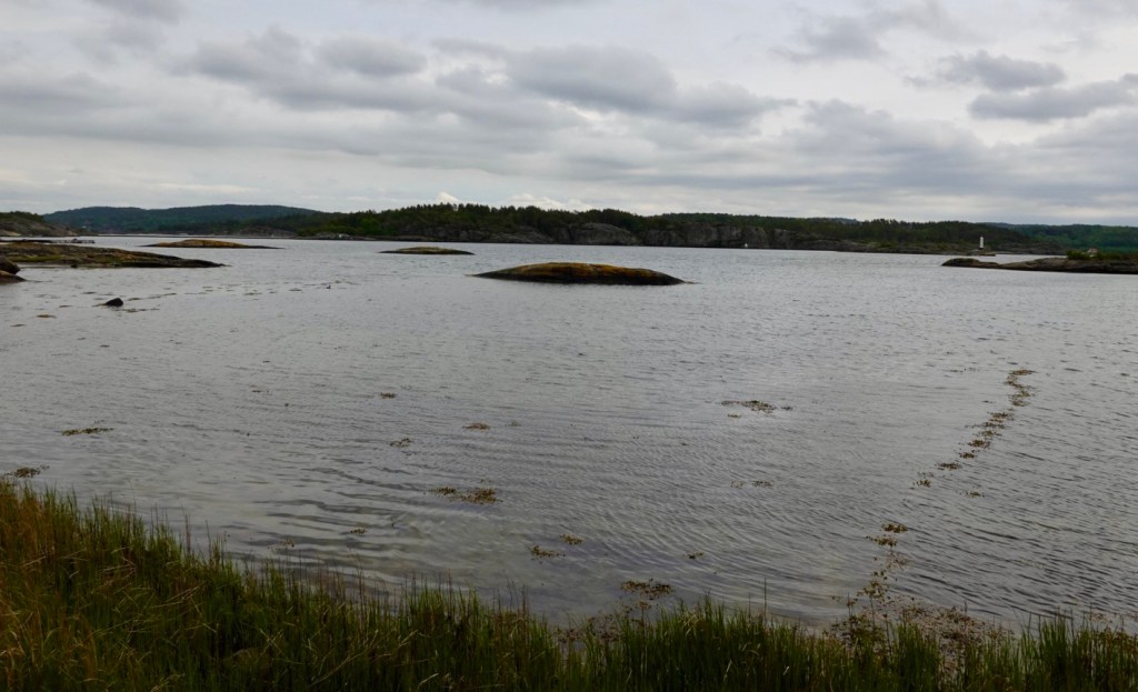
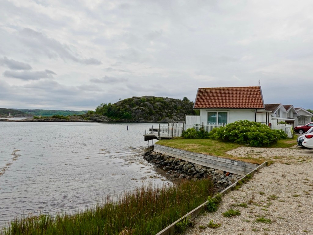
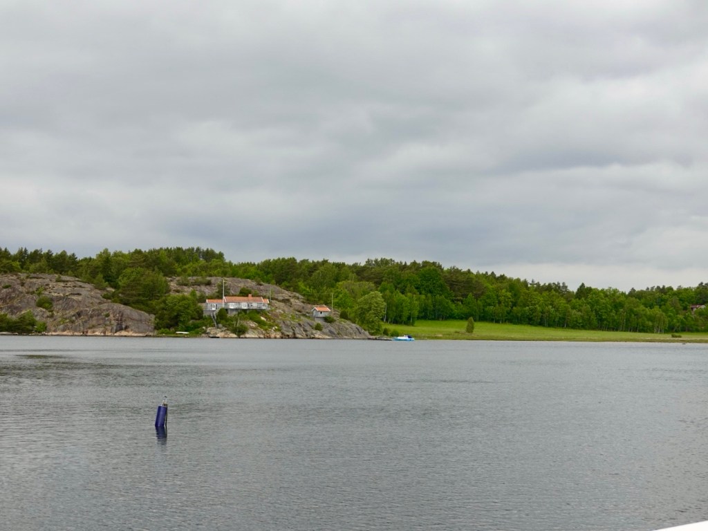
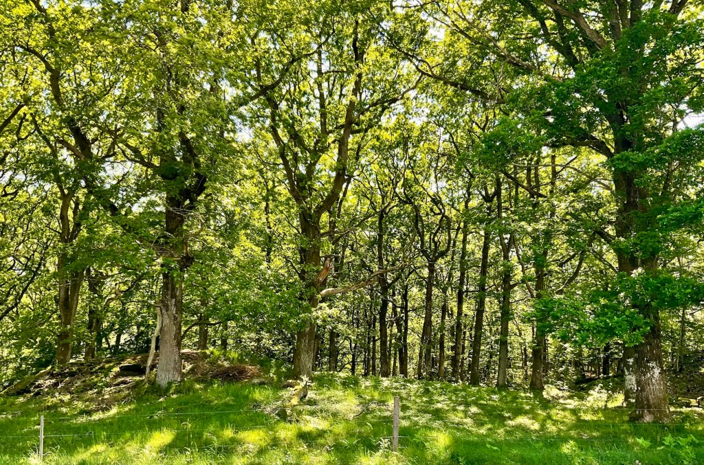
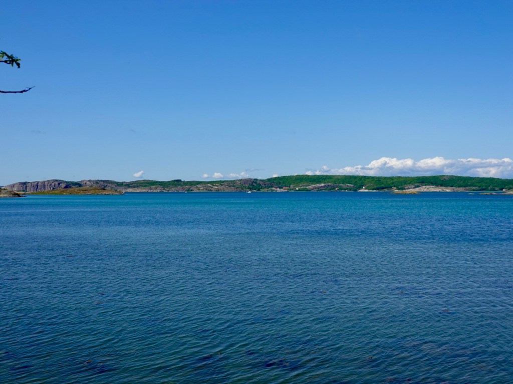
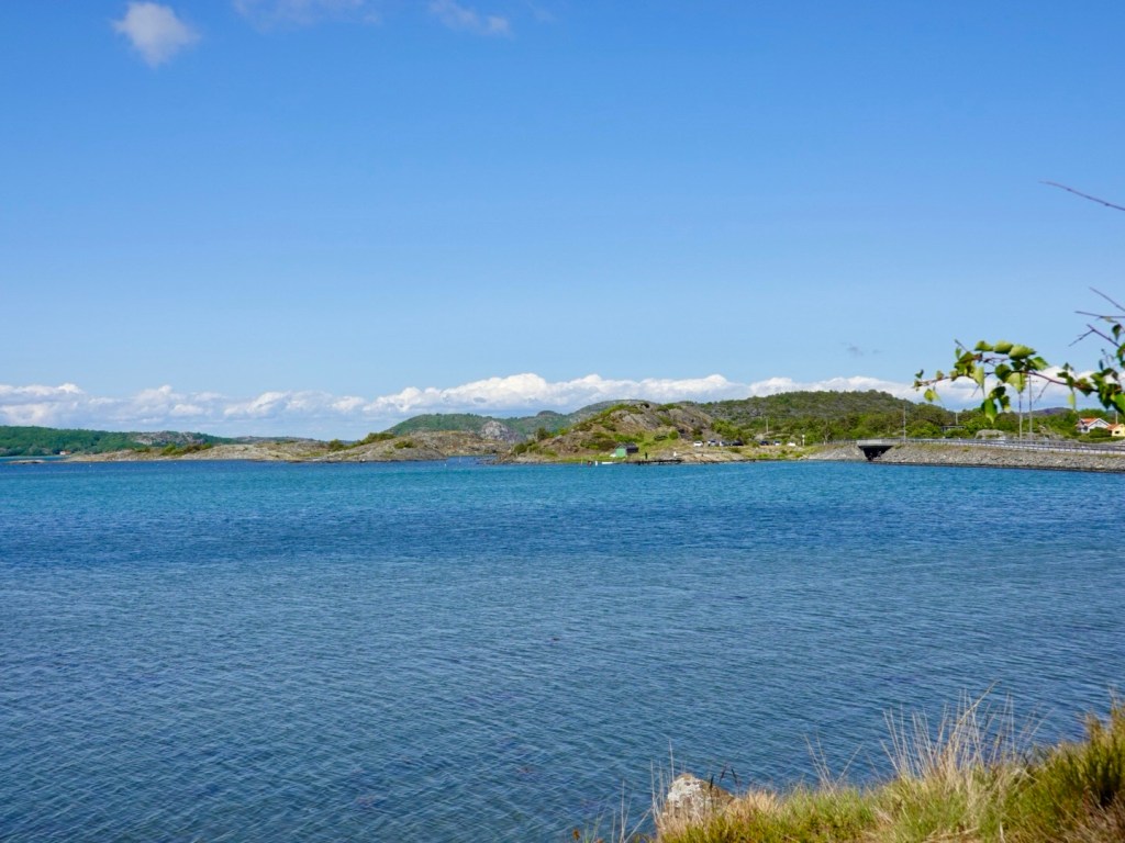
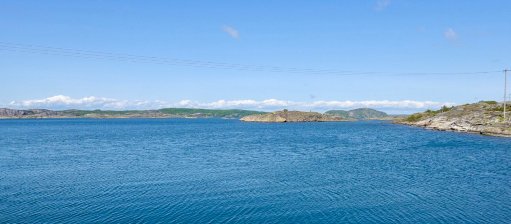
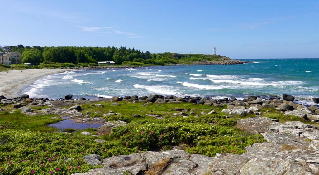
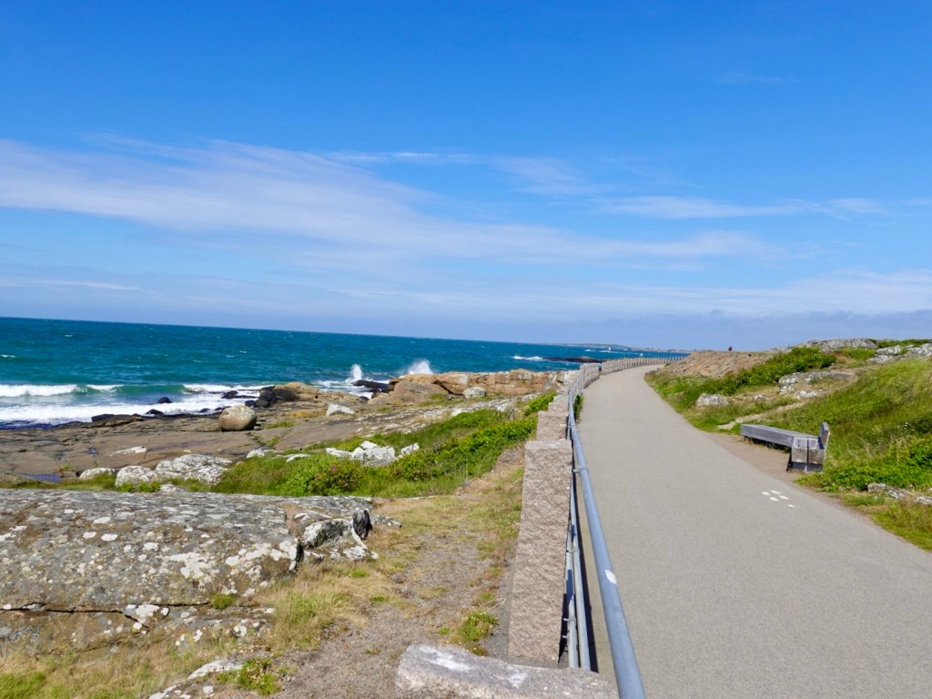
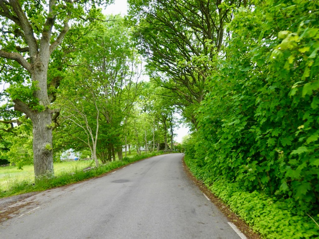
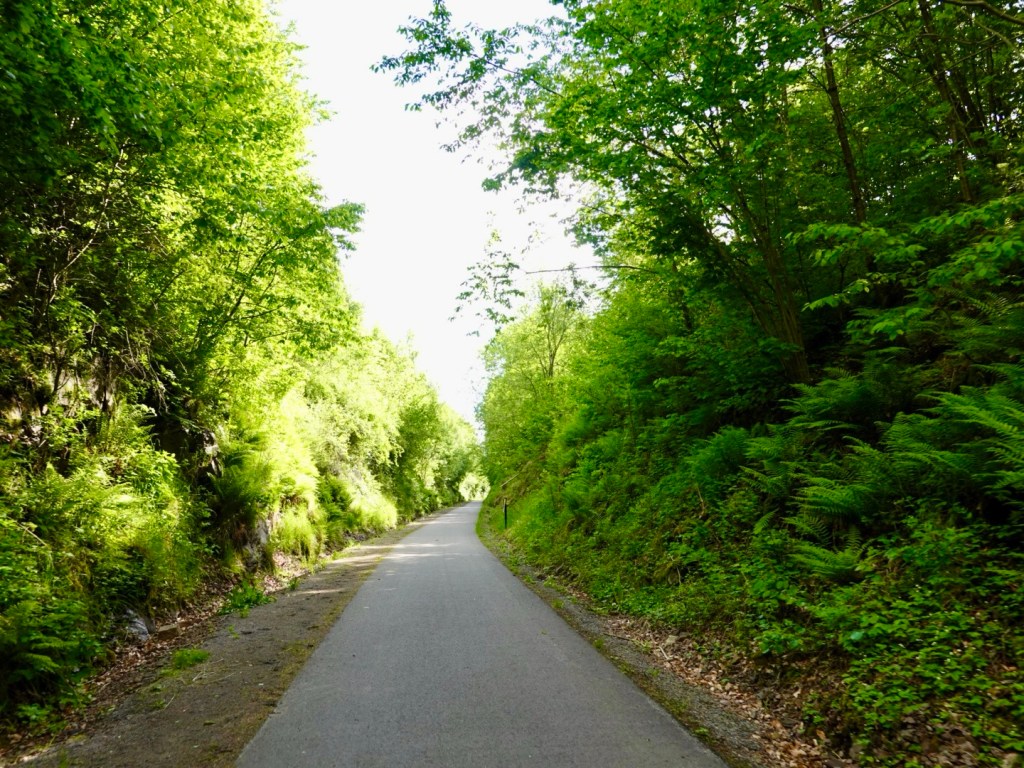
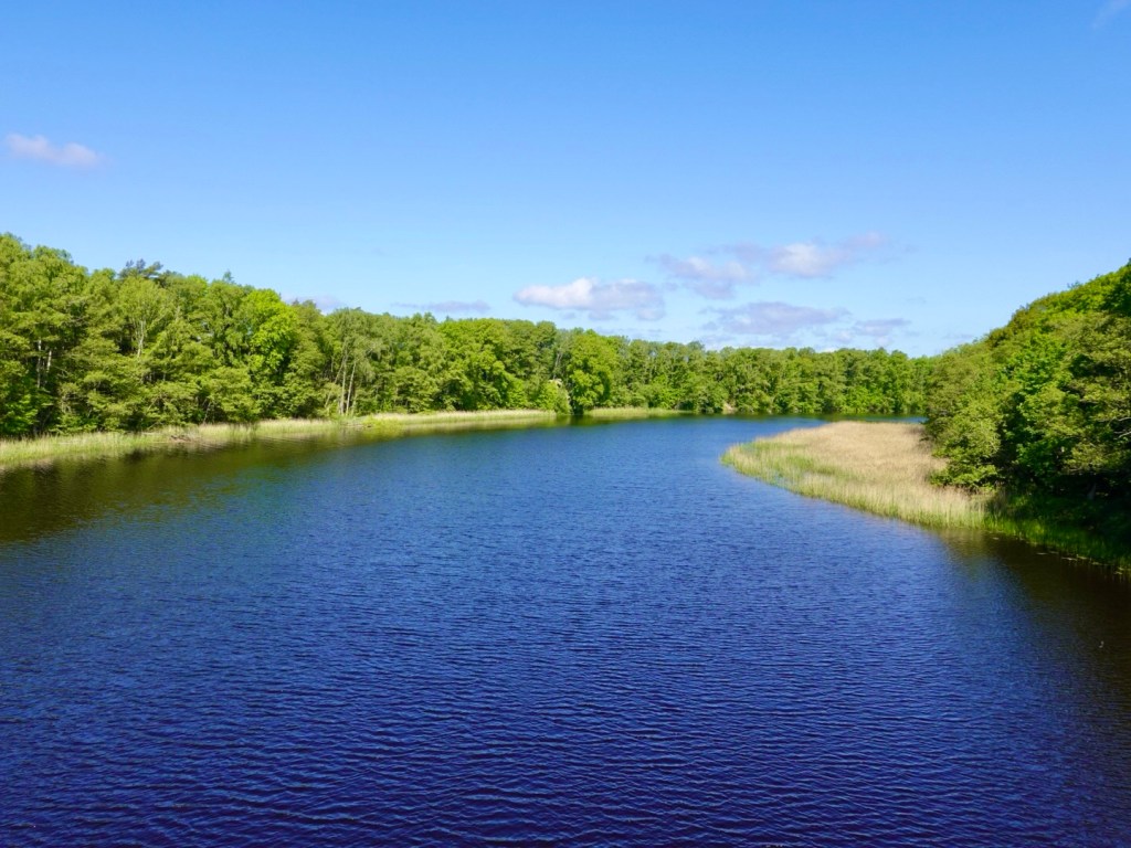
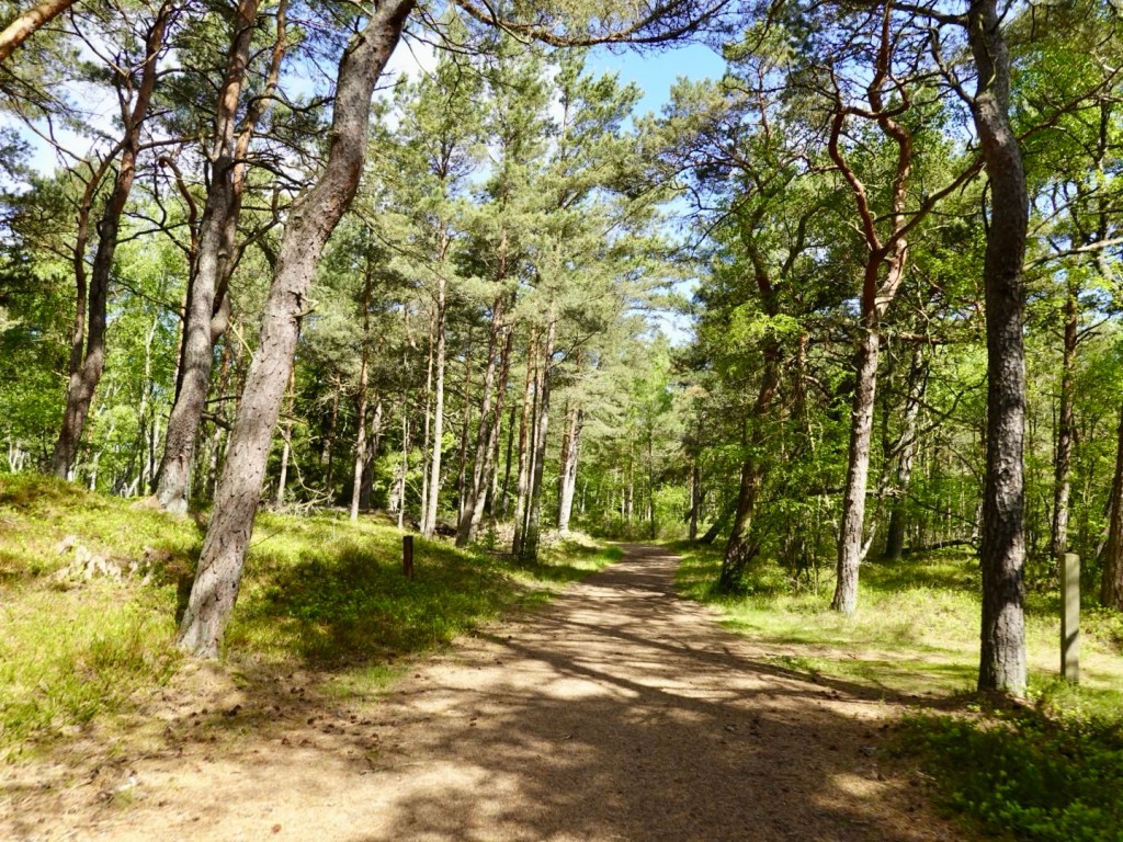
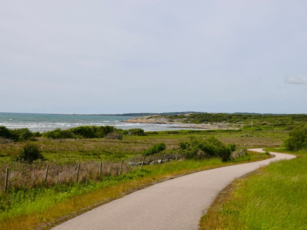
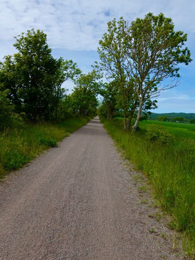
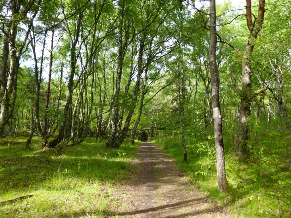
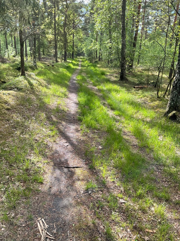
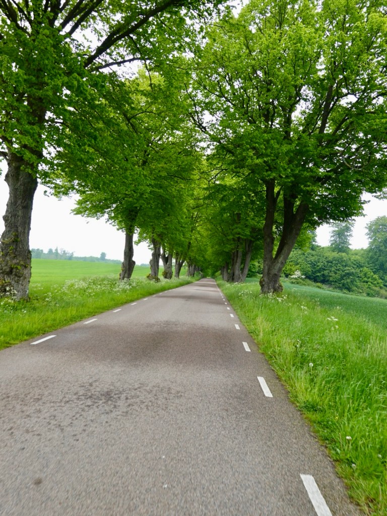
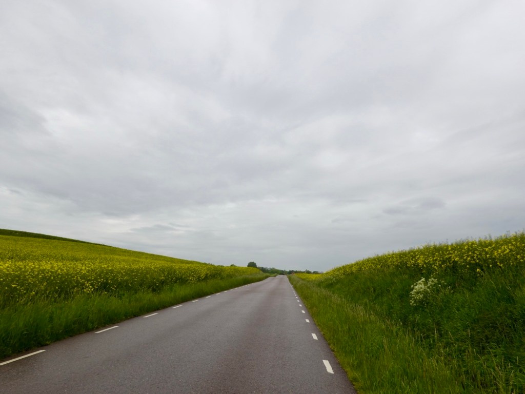
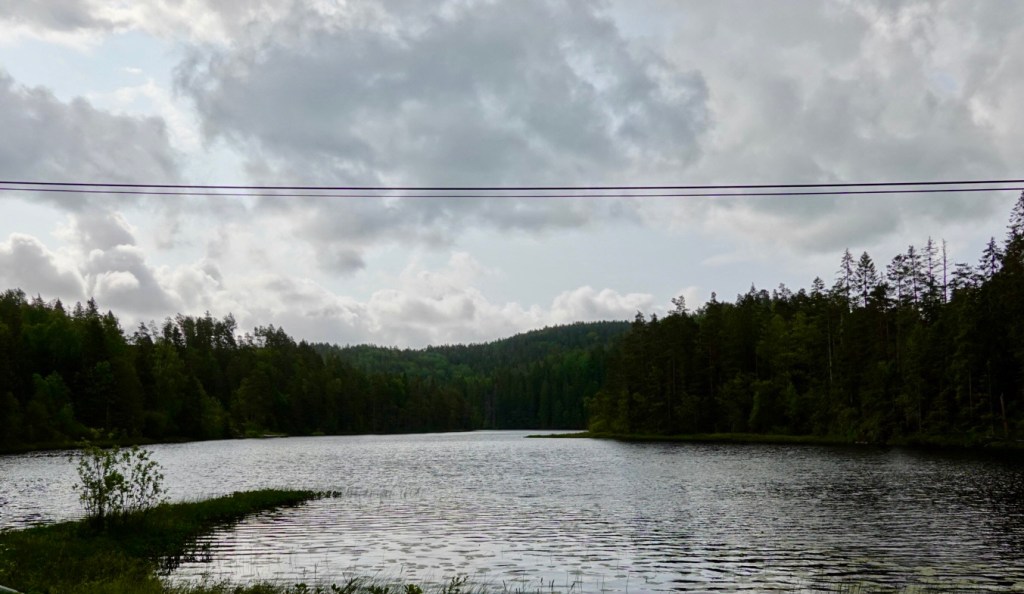
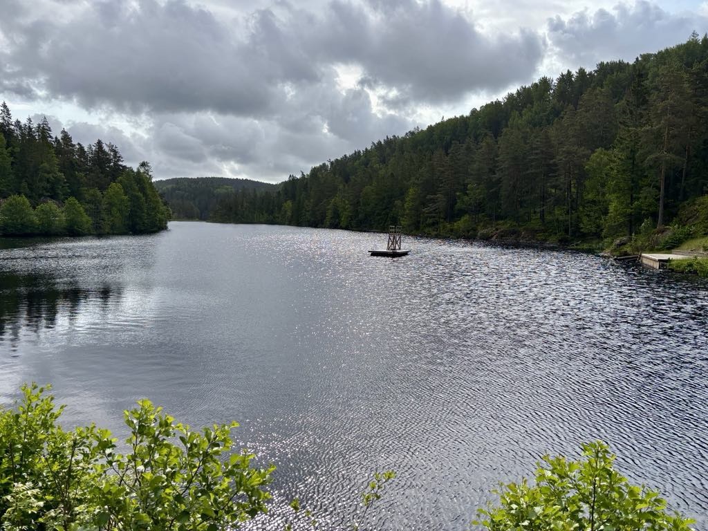
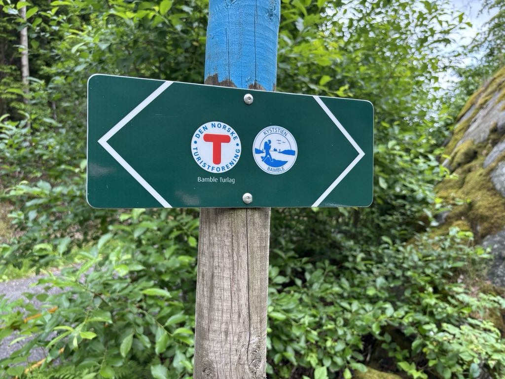
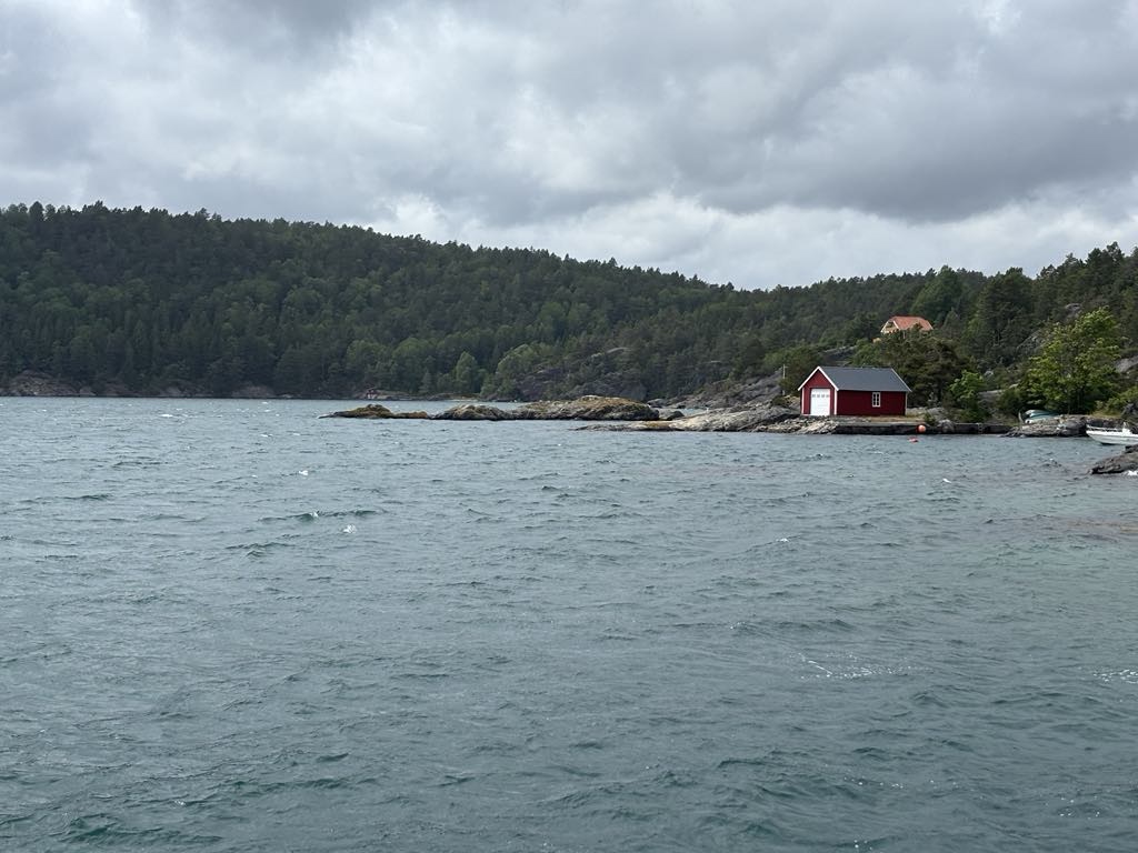
Fortunately, after 10 km or so, we veered off onto a lovely country road that meandered around internal lakes and fjords, providing lovely views.

A walk in trail was well marked
Lovely lush vegetation

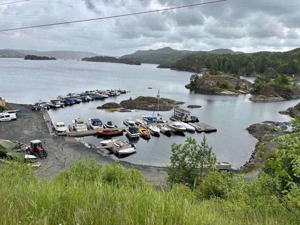
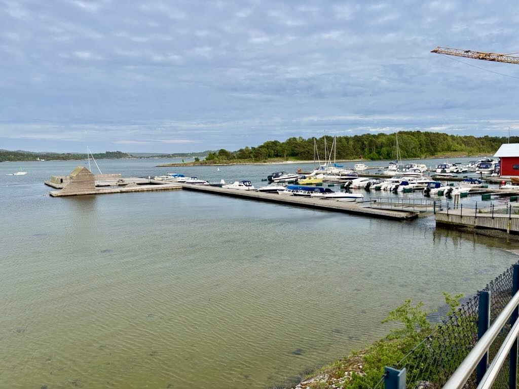
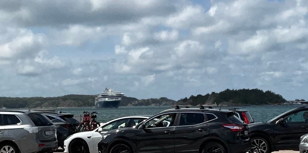
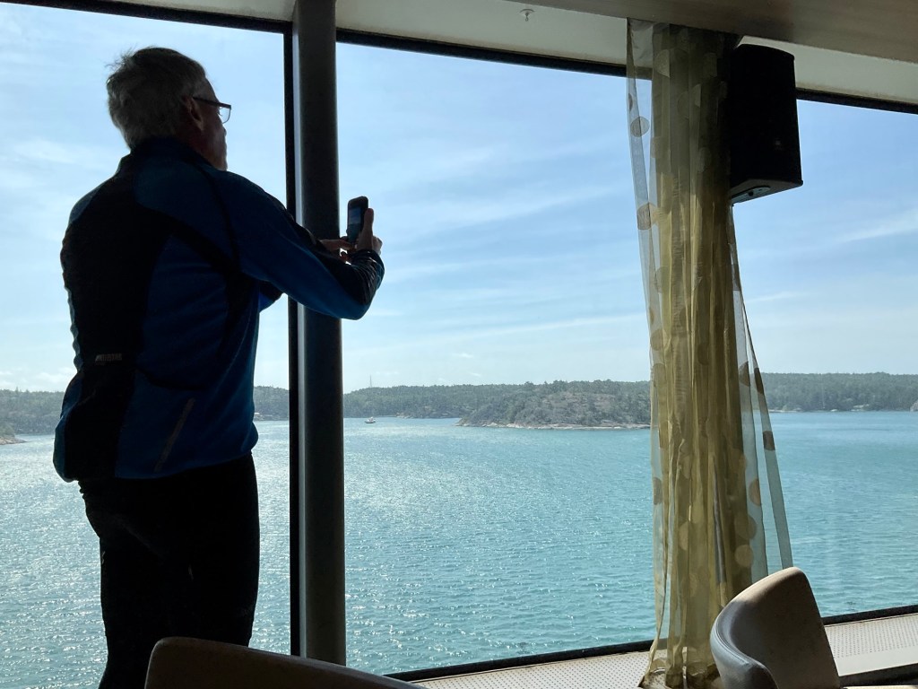
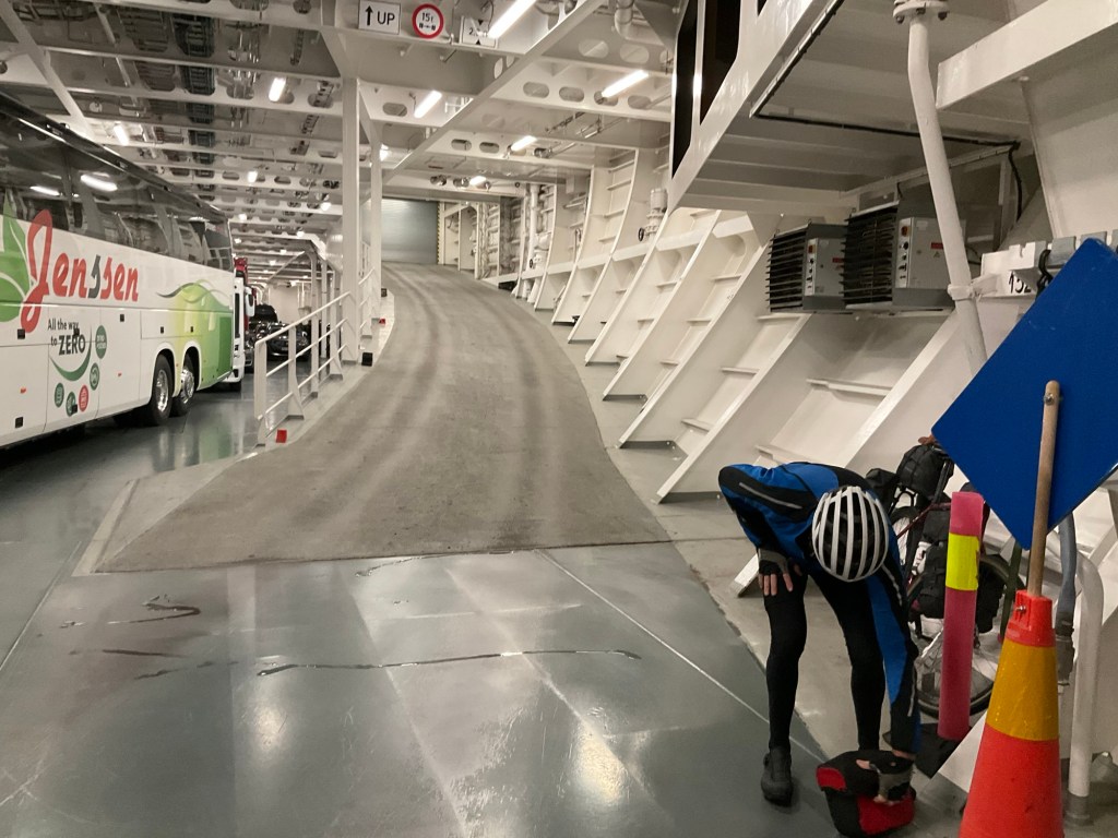
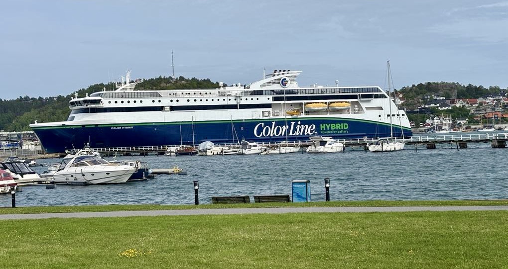
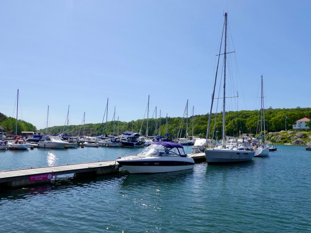
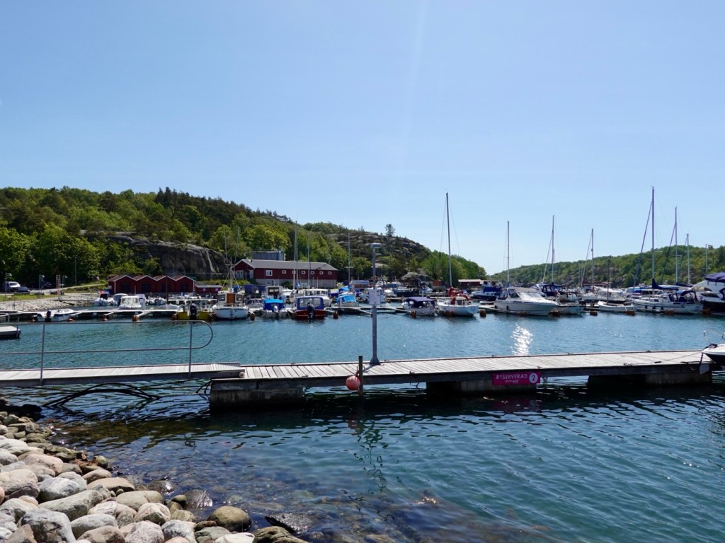
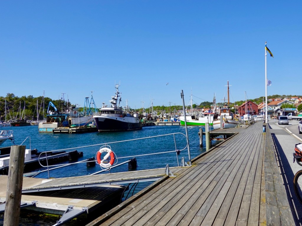
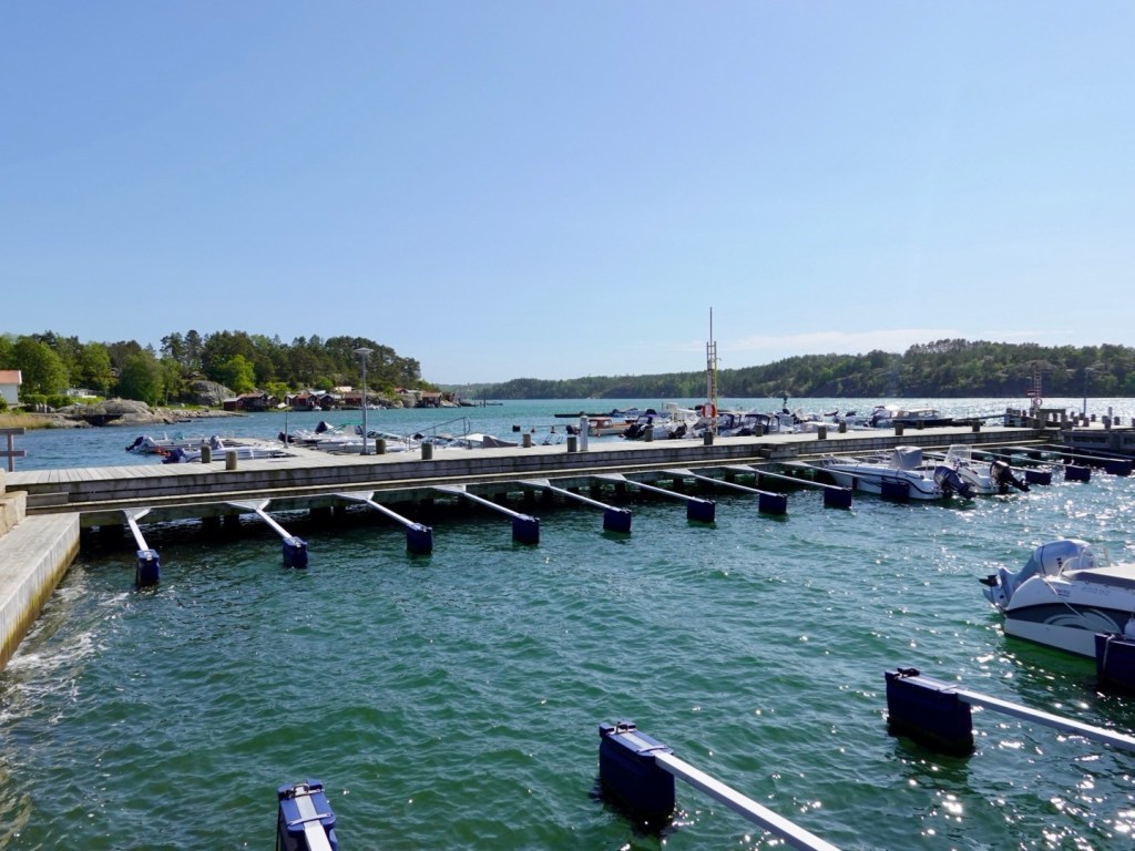
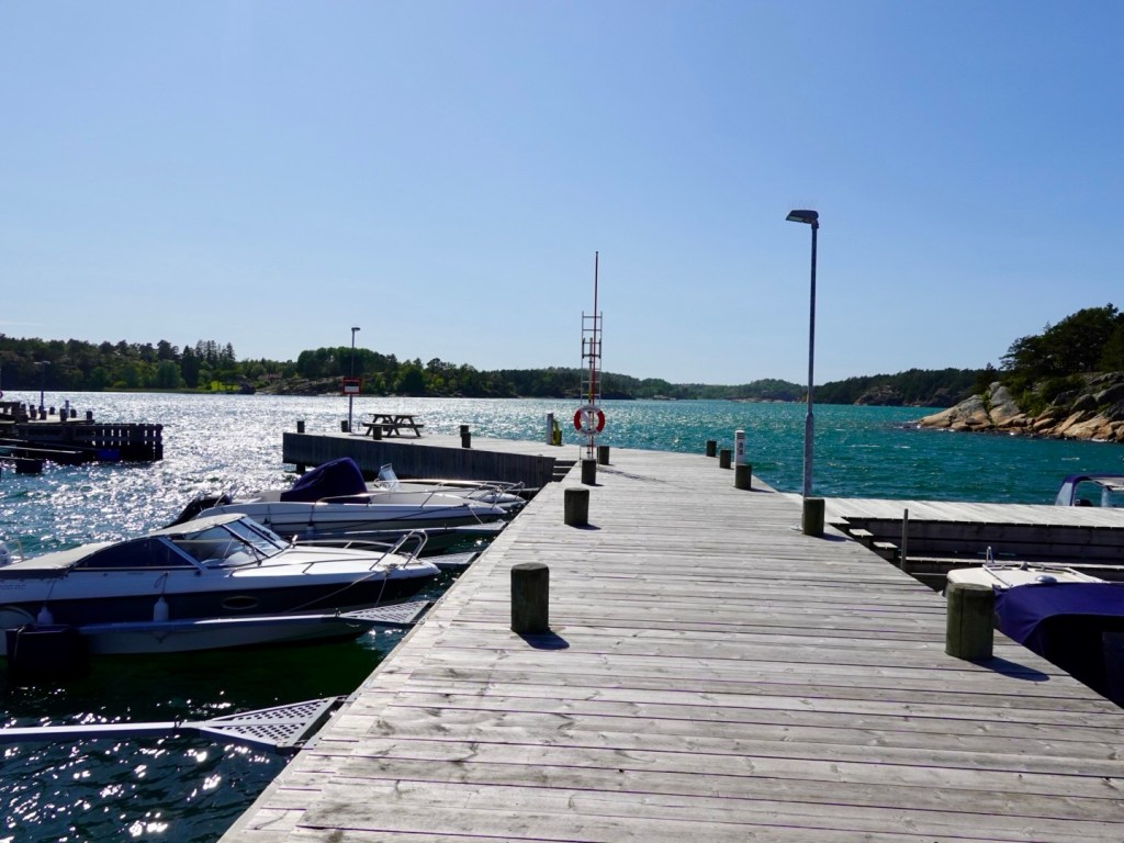
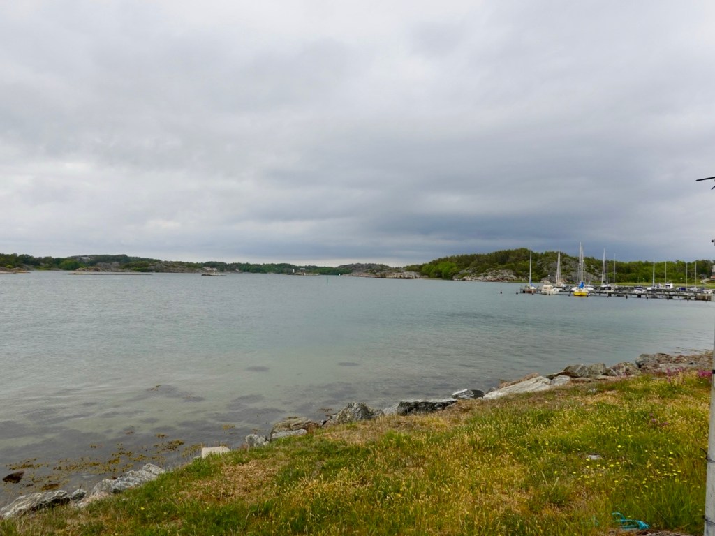
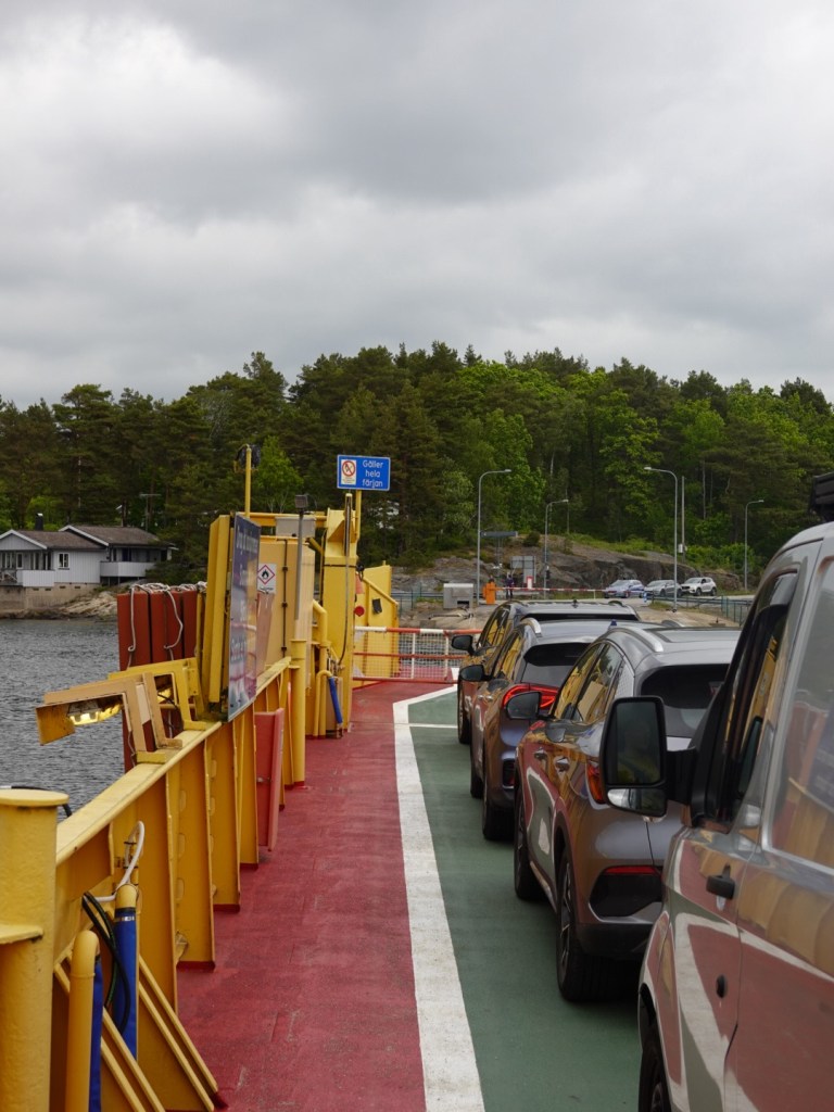
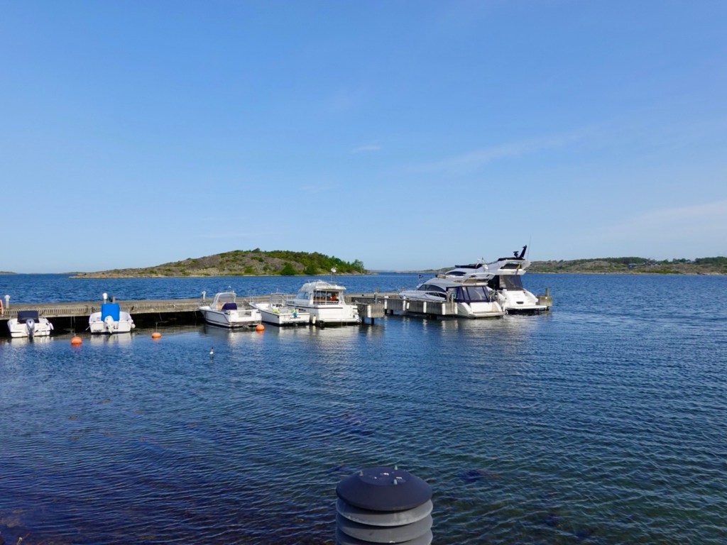
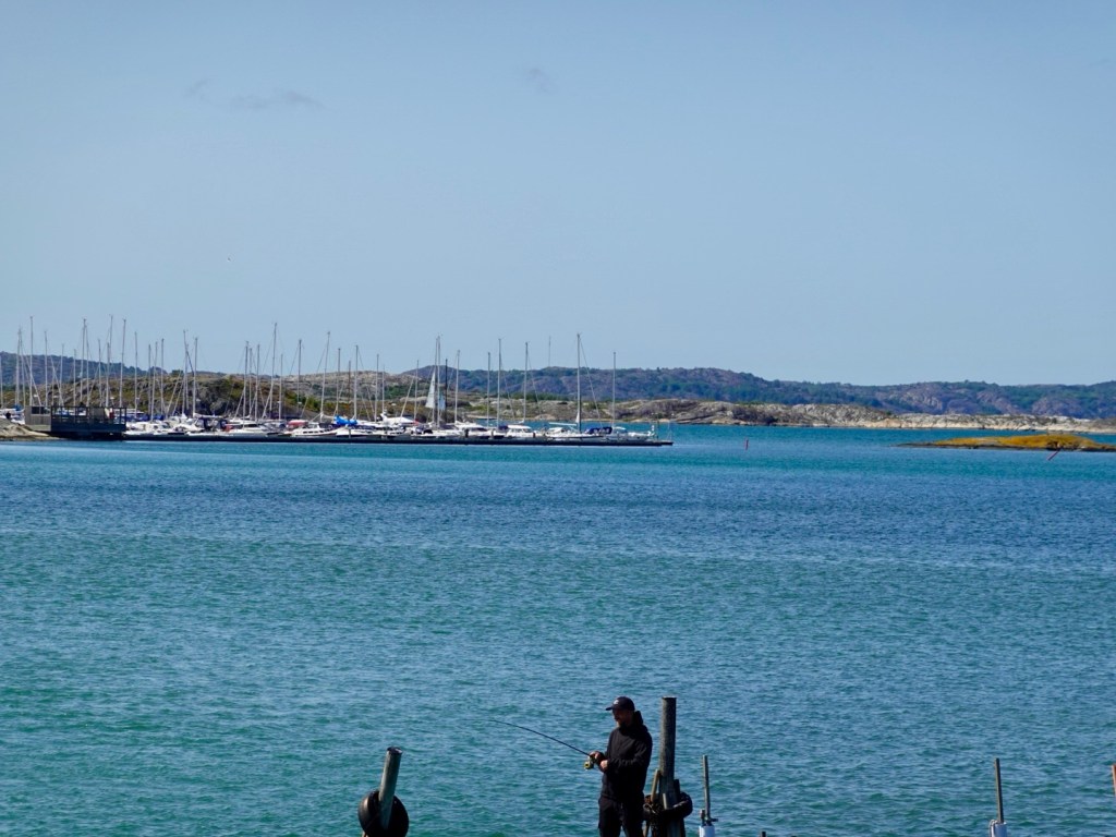
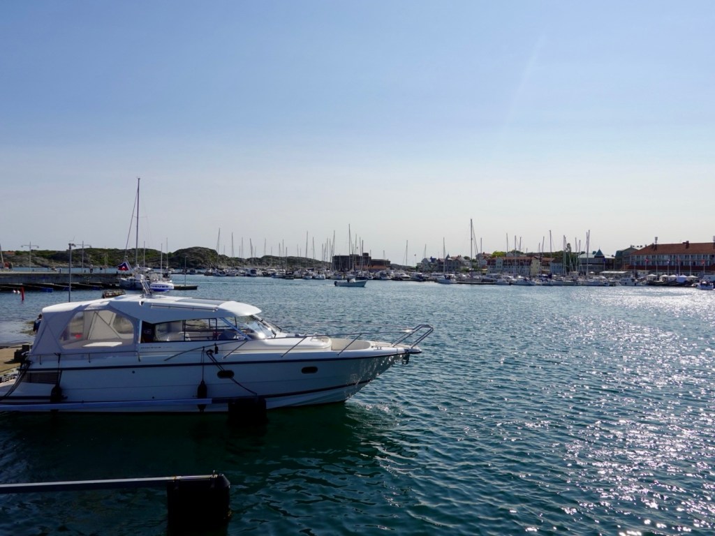
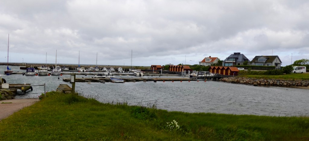
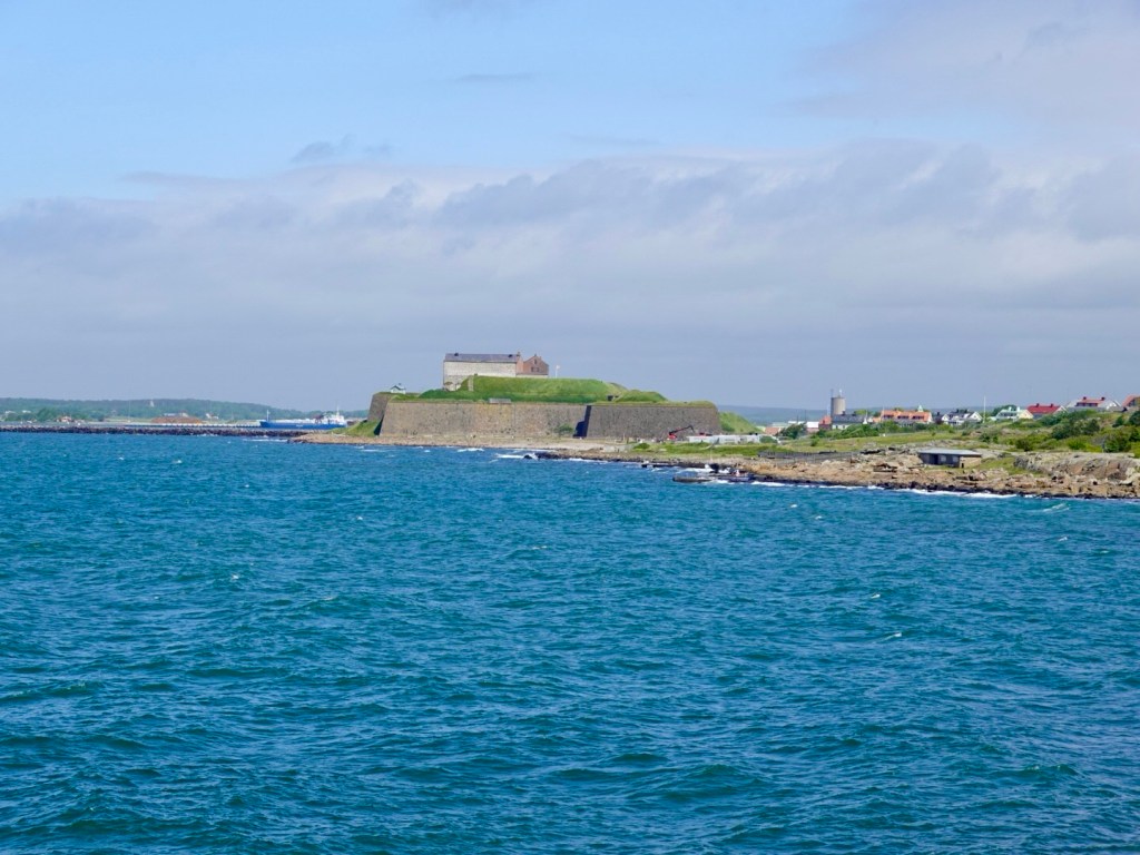
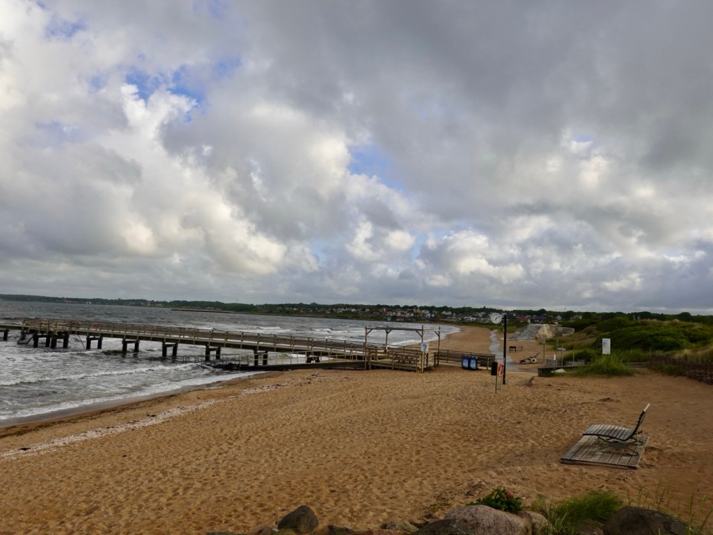
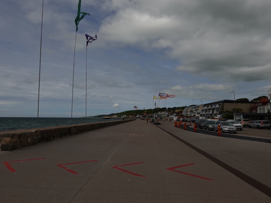
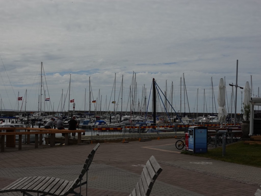
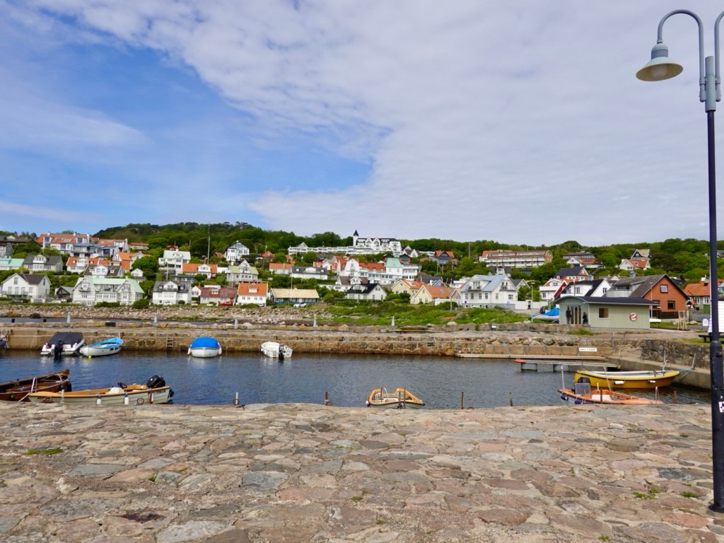
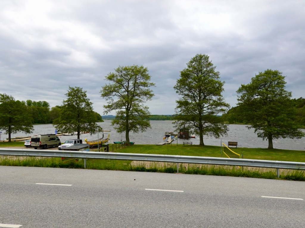
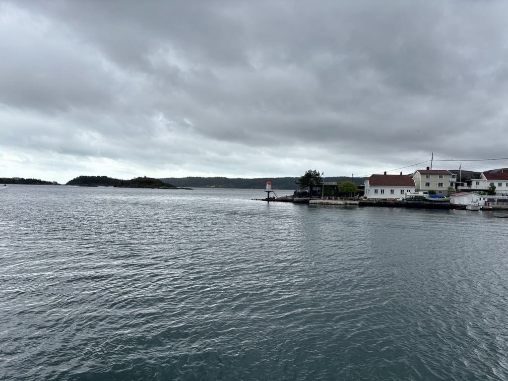
At Kragerø we were to catch a ferry at 11.30. We had arrived with 50 minutes to spare. Time to chill.

Waiting

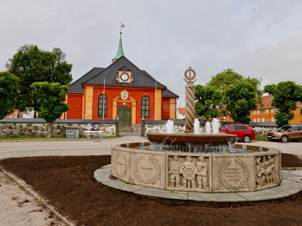
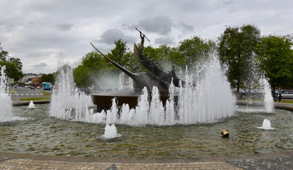
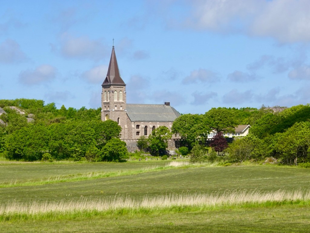
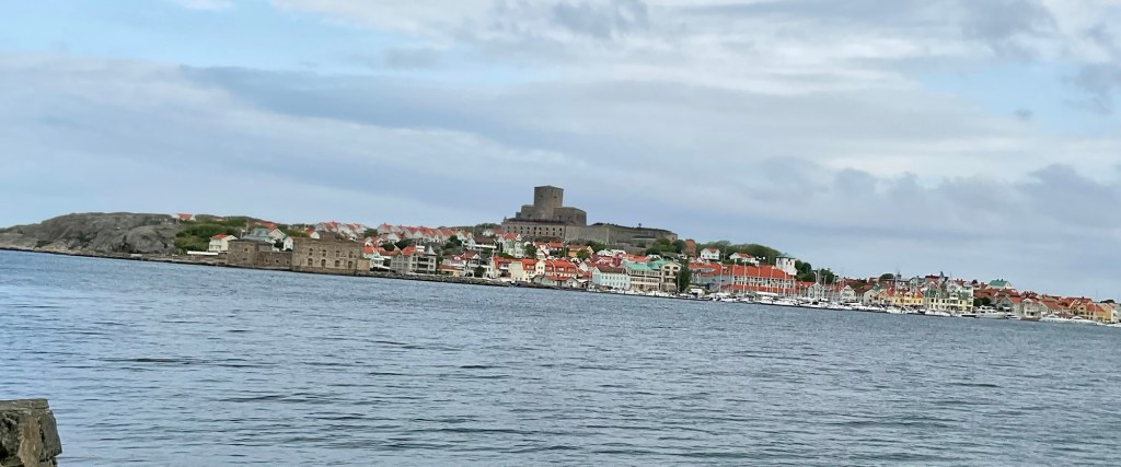
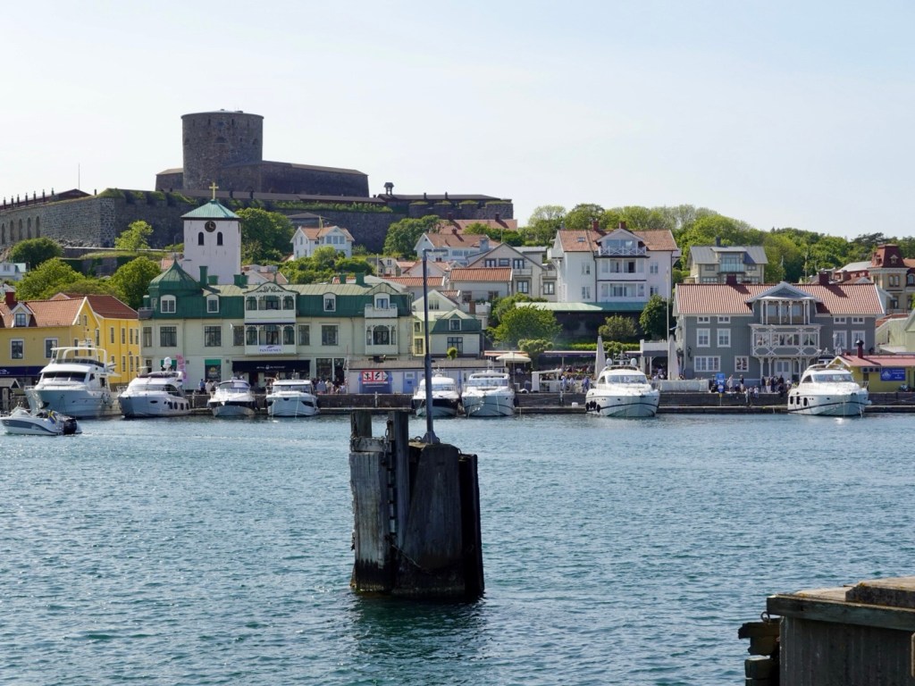
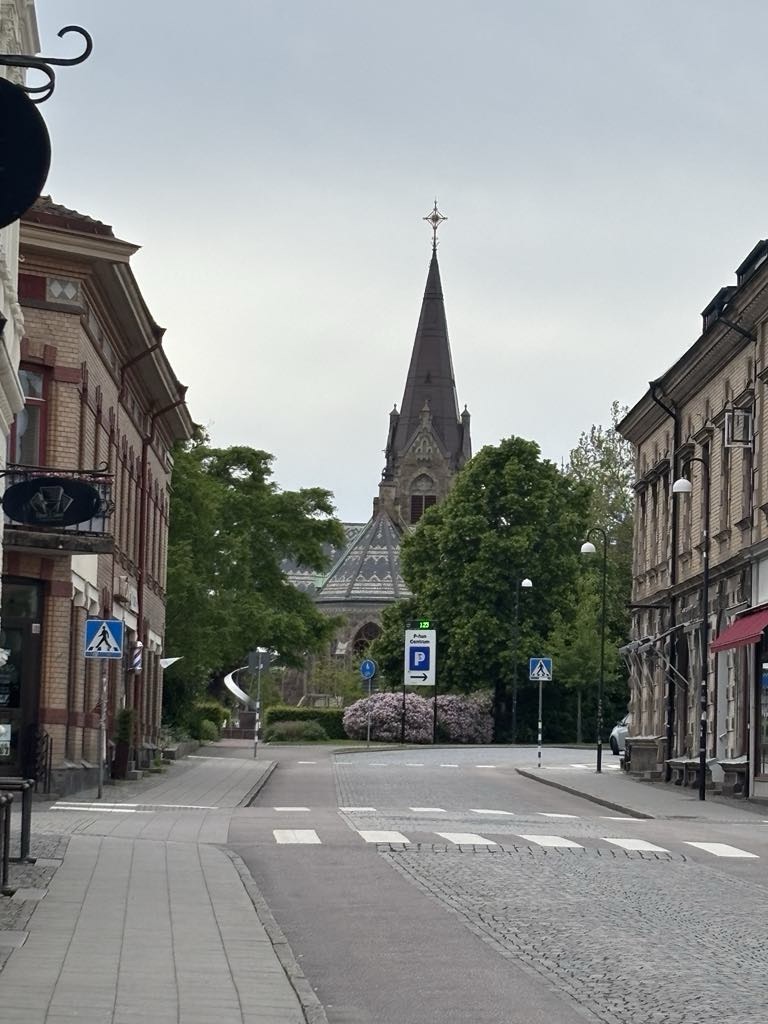
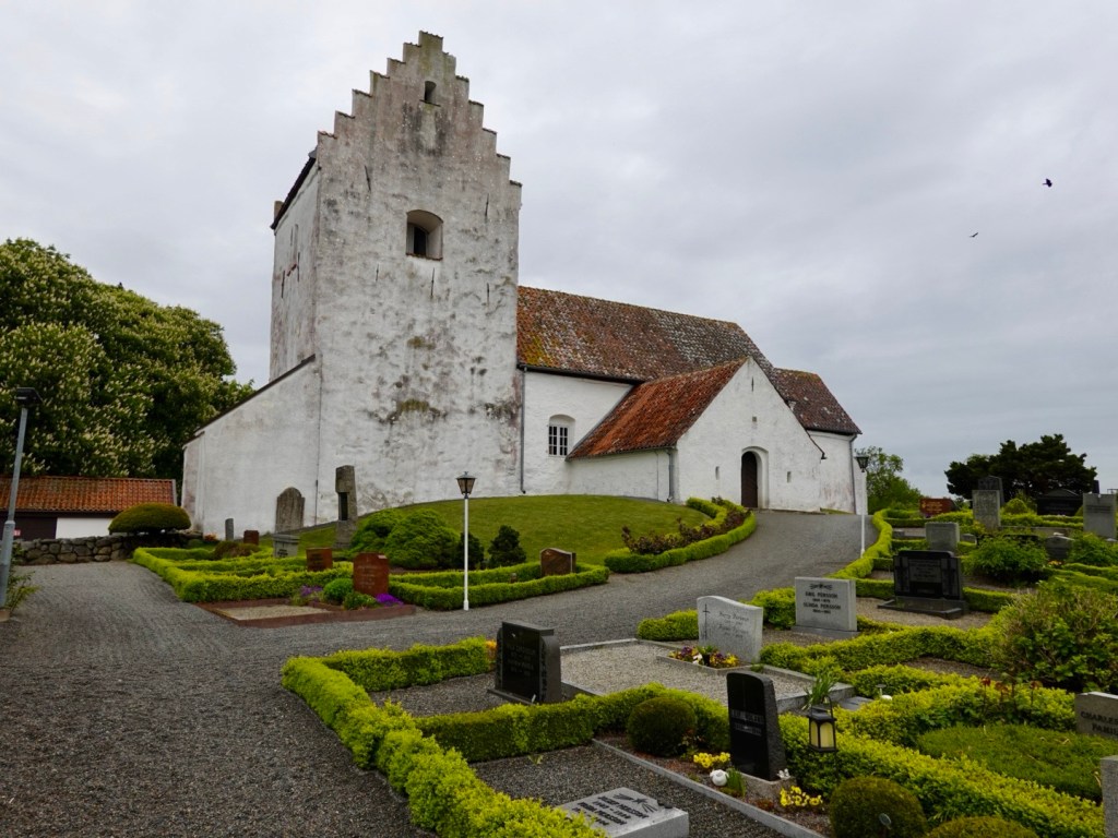
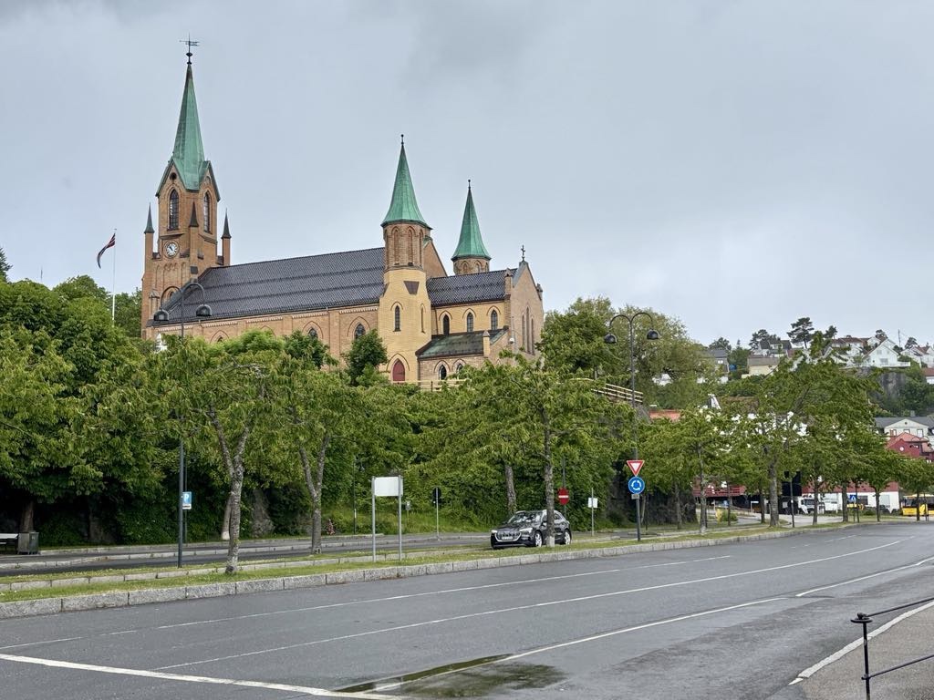
Kragero kirke was built in the 1870’s replacing the previous built in the 1600’s.

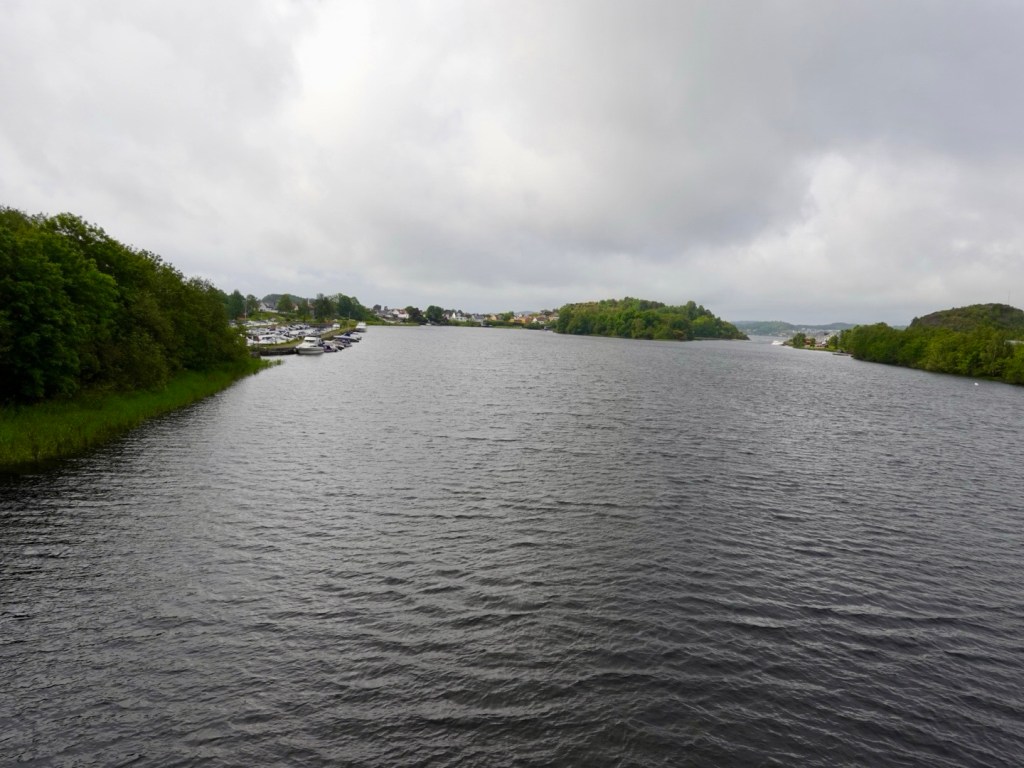
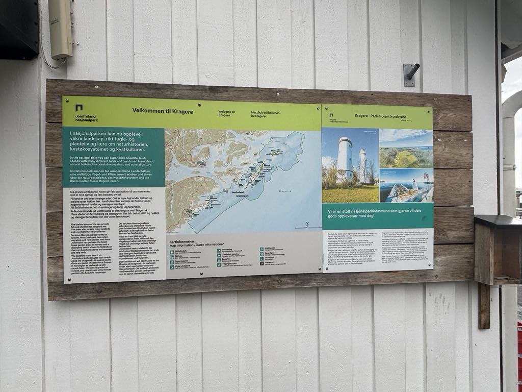
From Kragero you can head to outer islands including Jomfruland National Park.

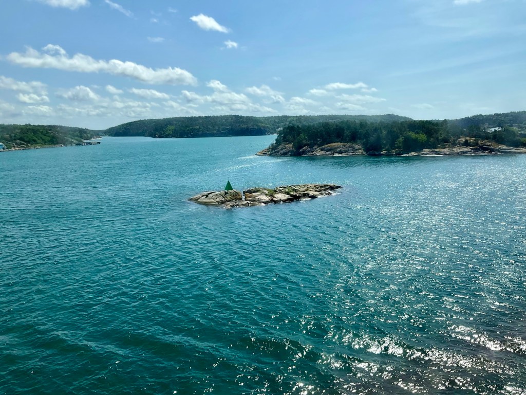
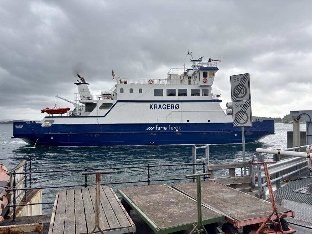
This was to be our journey today, crossing to Stabbestad, a 12 minute ride by ferry.

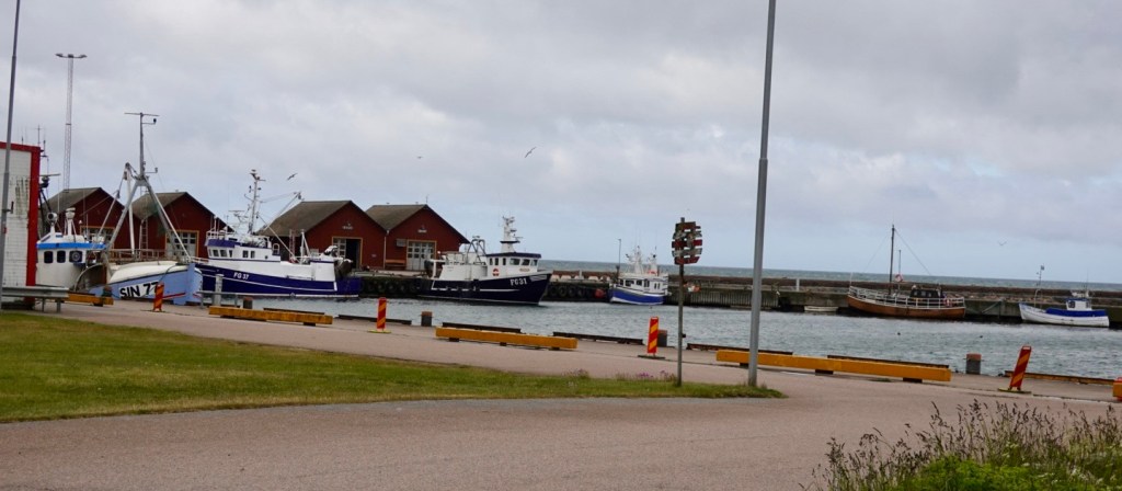
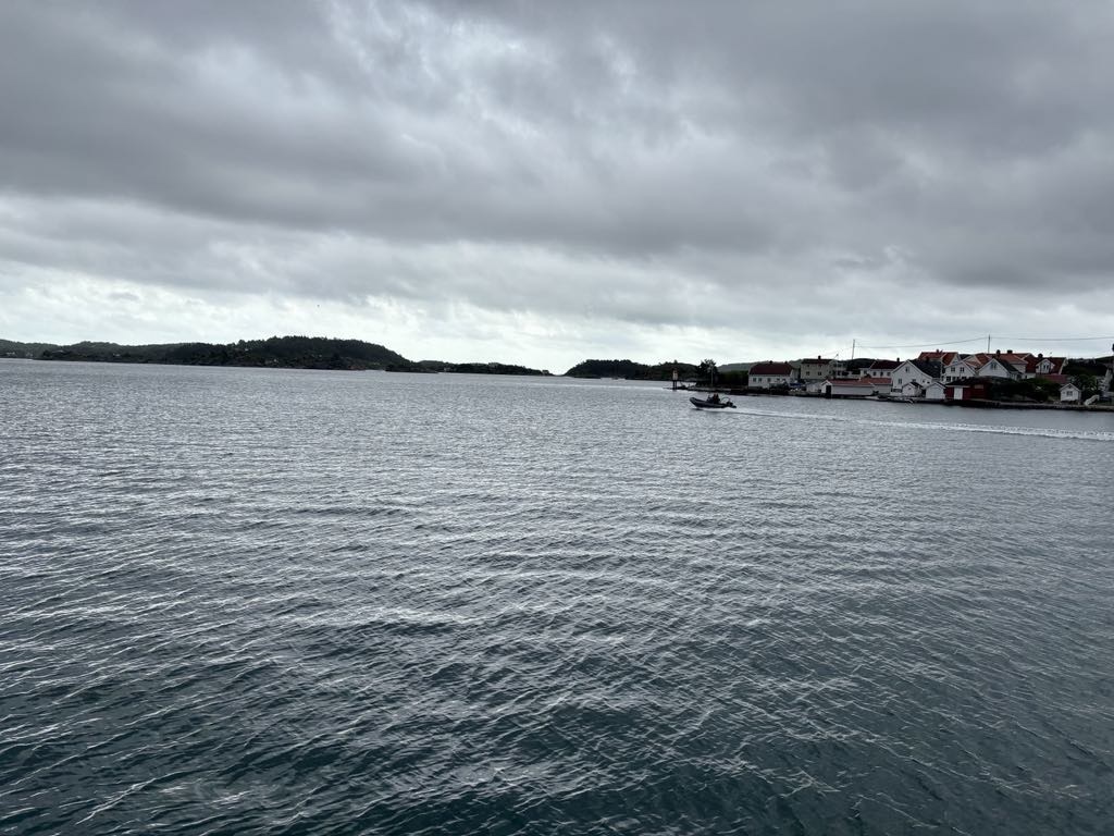
Our ferry arrived. An assortment of vehicles included a big yellow bus! I did wonder if it possibly could be the same one.

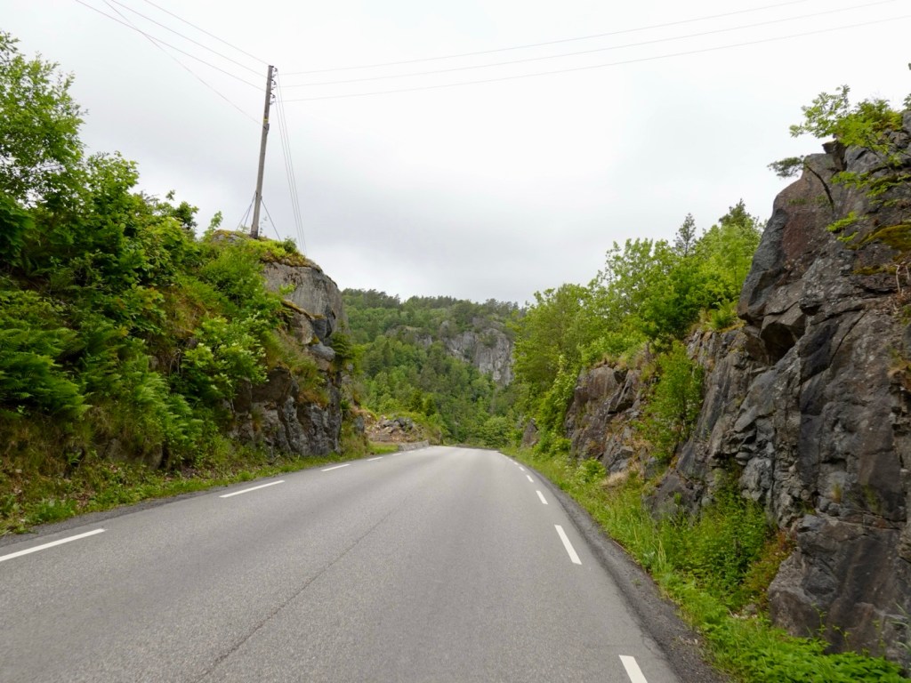
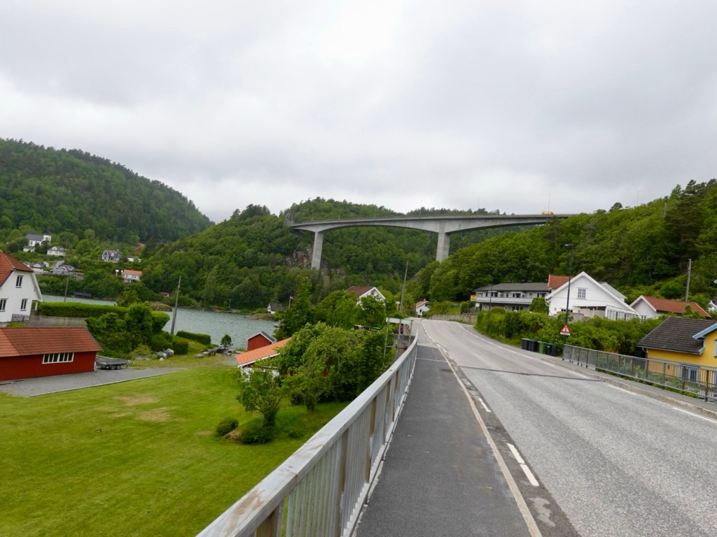
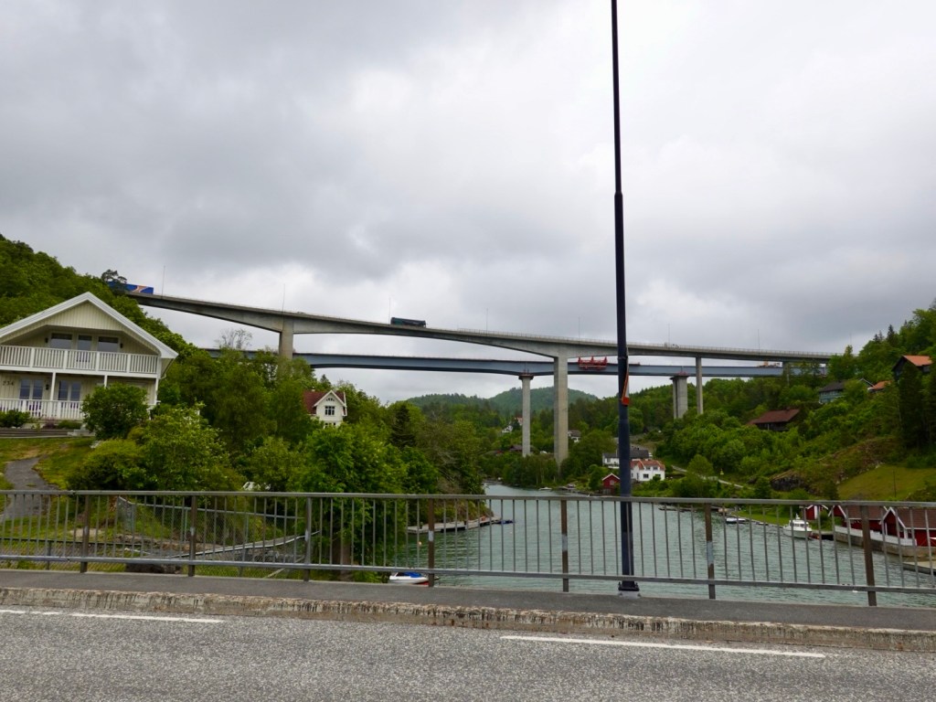
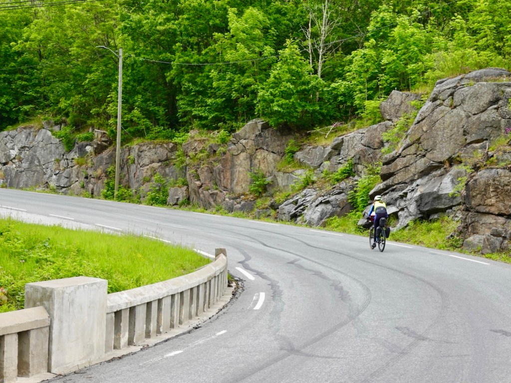
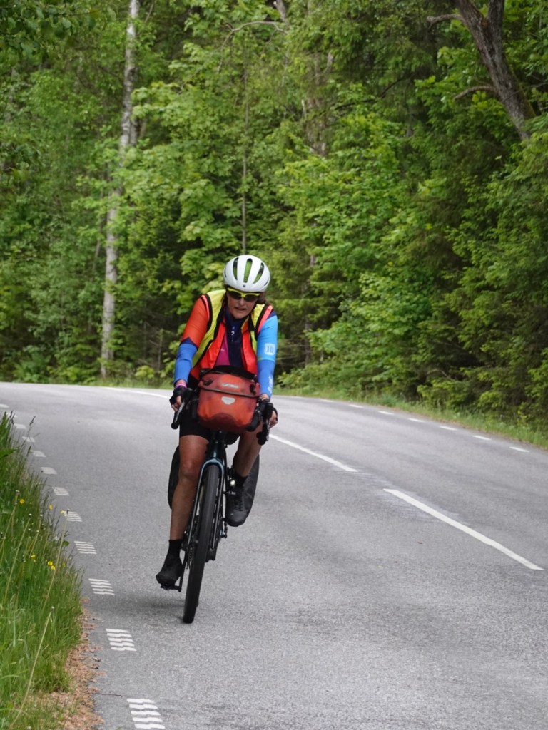
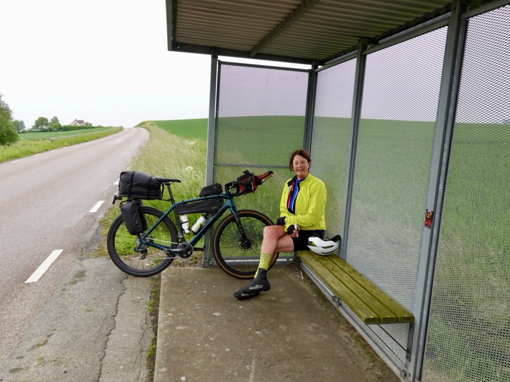
The we climbed out of Kragero with now very cold legs. They did protest. I think it was a 1.5 km climb too. Spin, spin, spin.

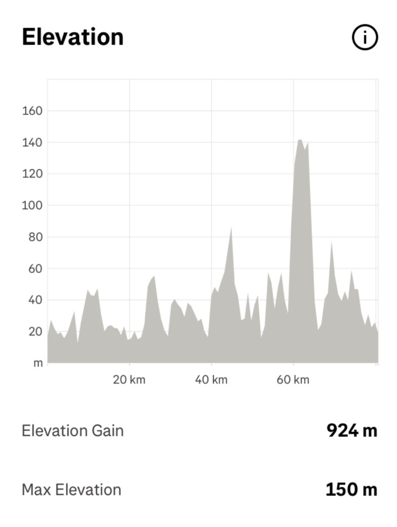
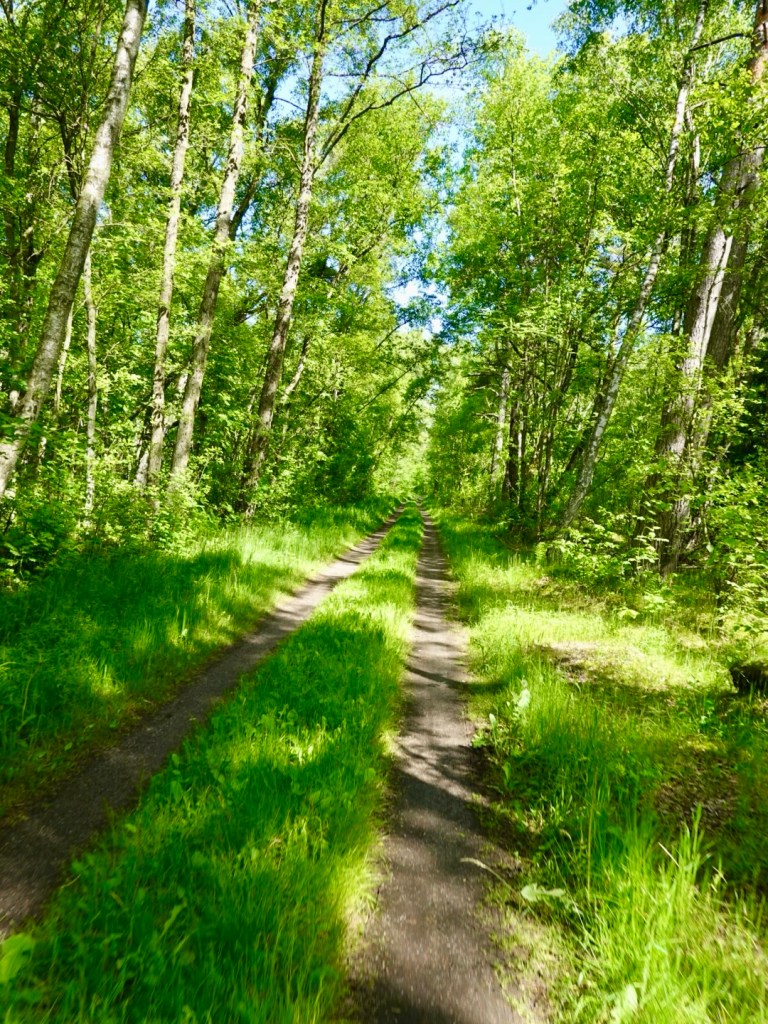
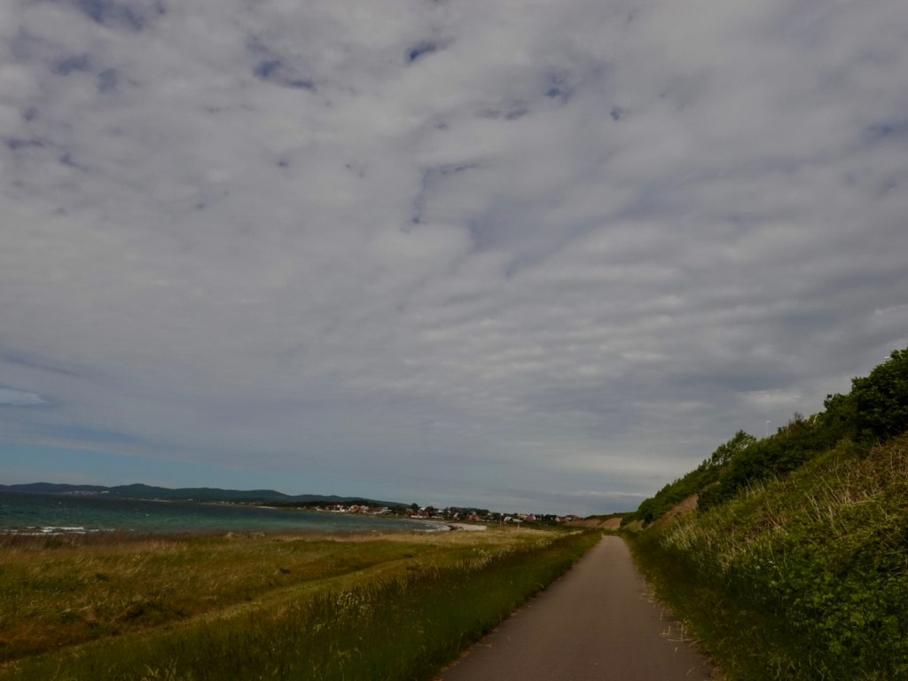
Today was all up down, climb, descend, repeat. We climbed 879 metres today in around 65 km.

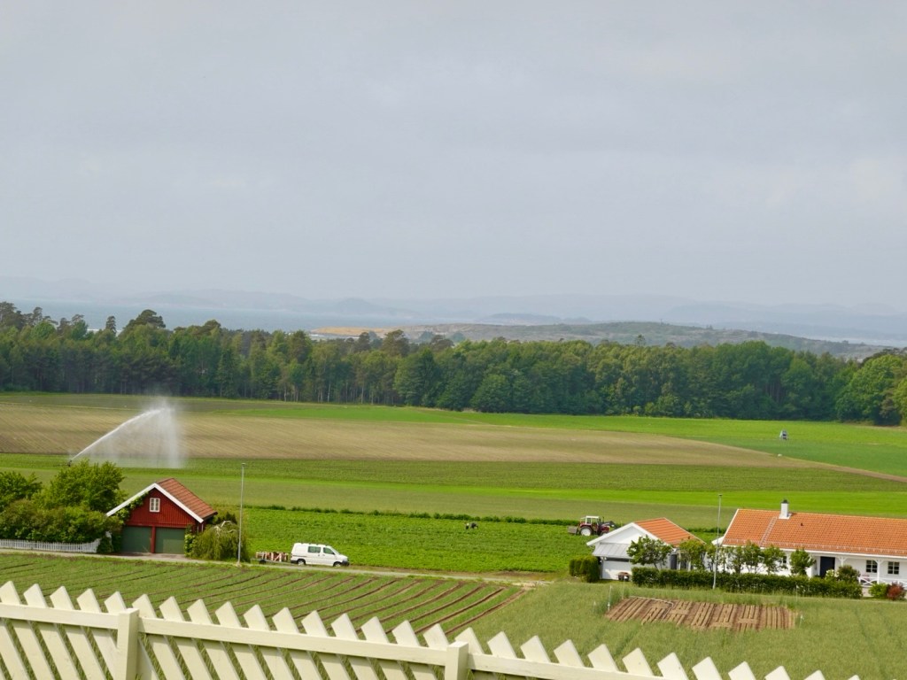
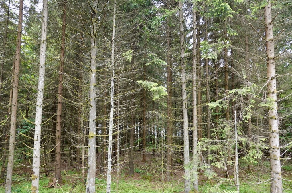
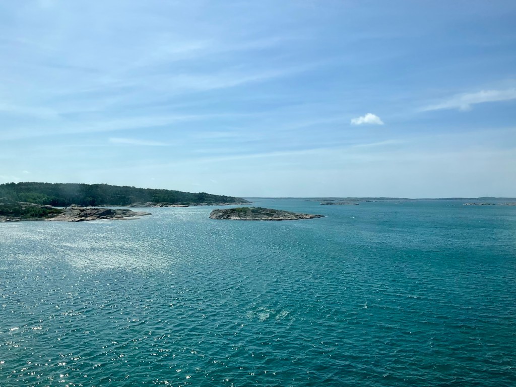
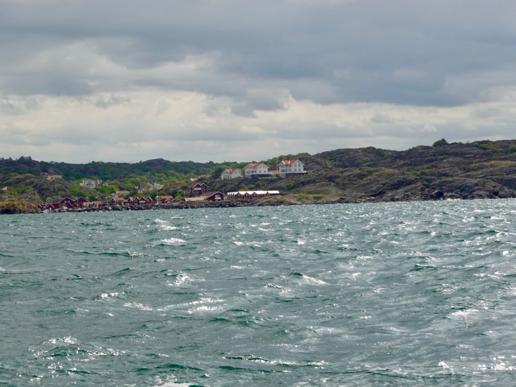
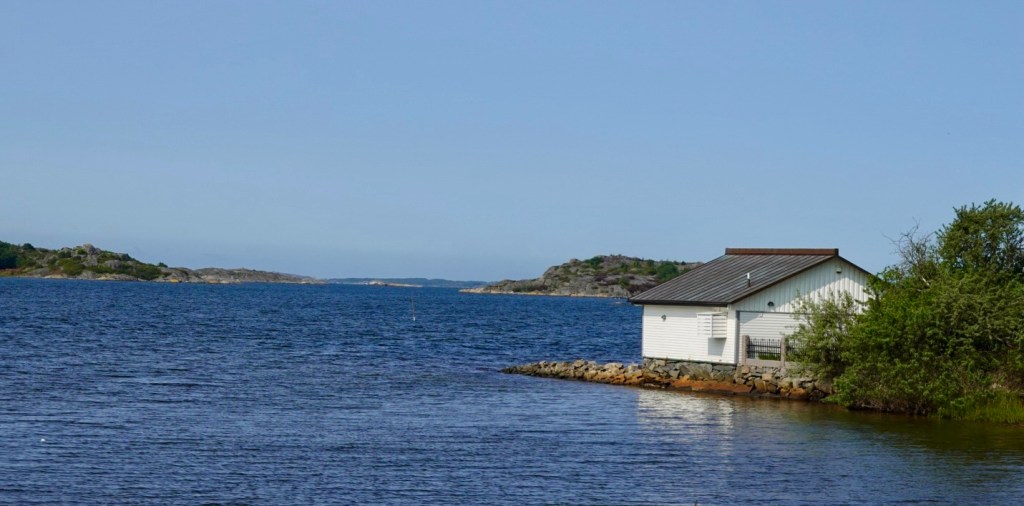
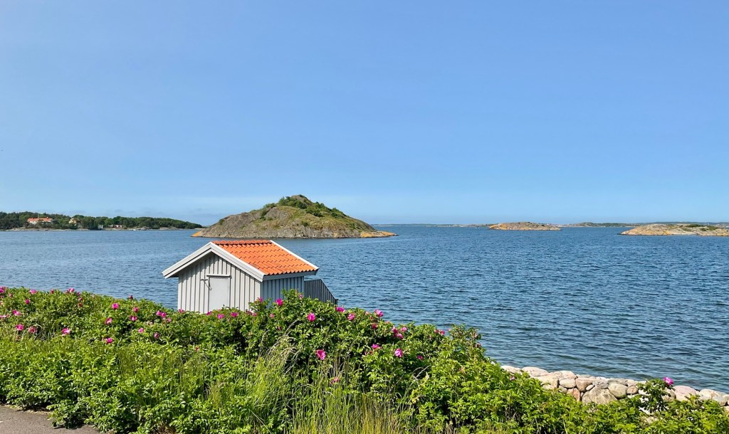
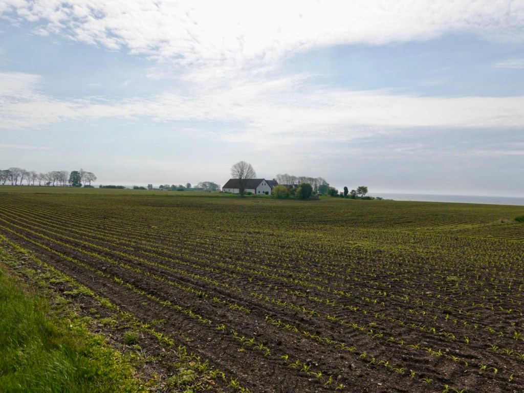
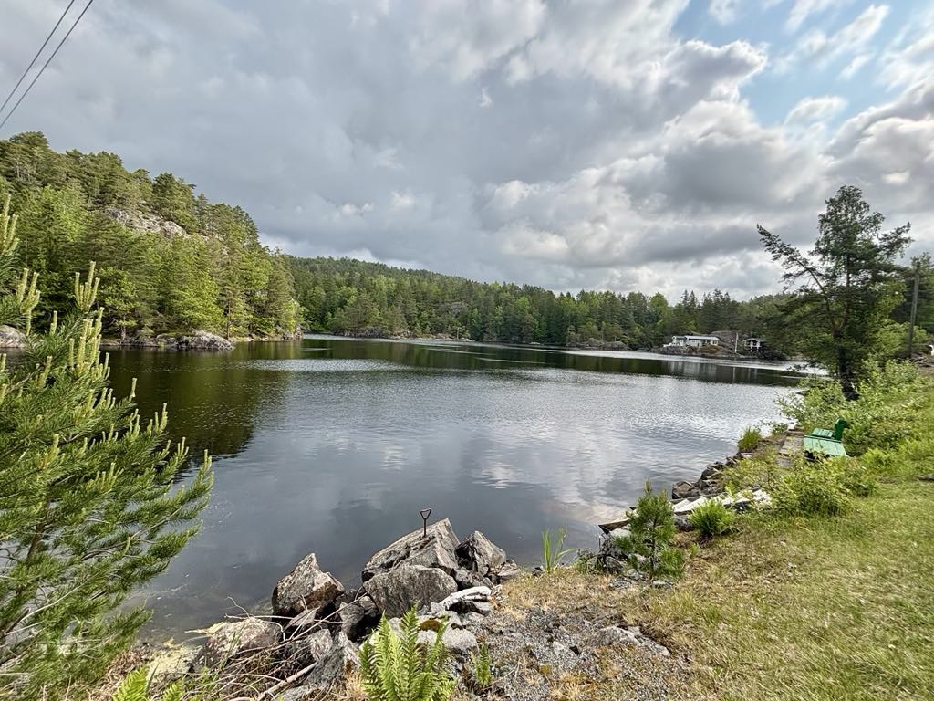
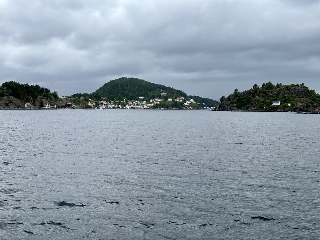
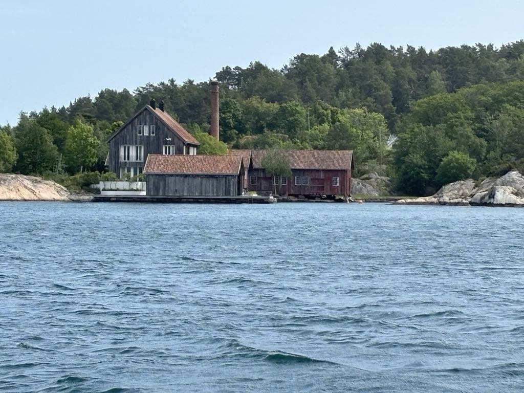
We were inland again for a while, but again dotted with water views.

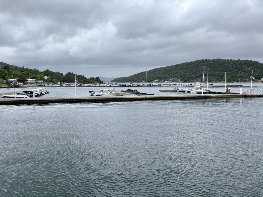
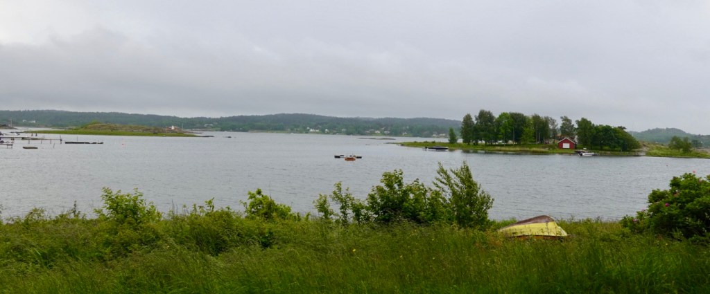
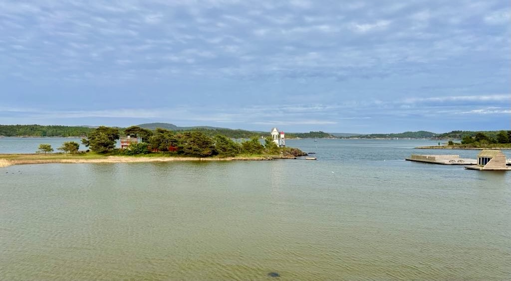
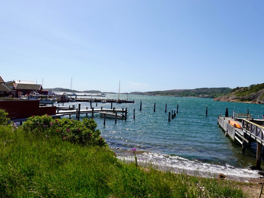
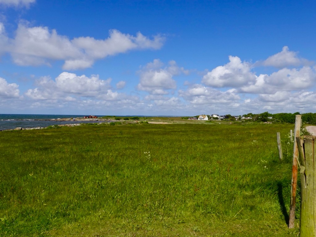
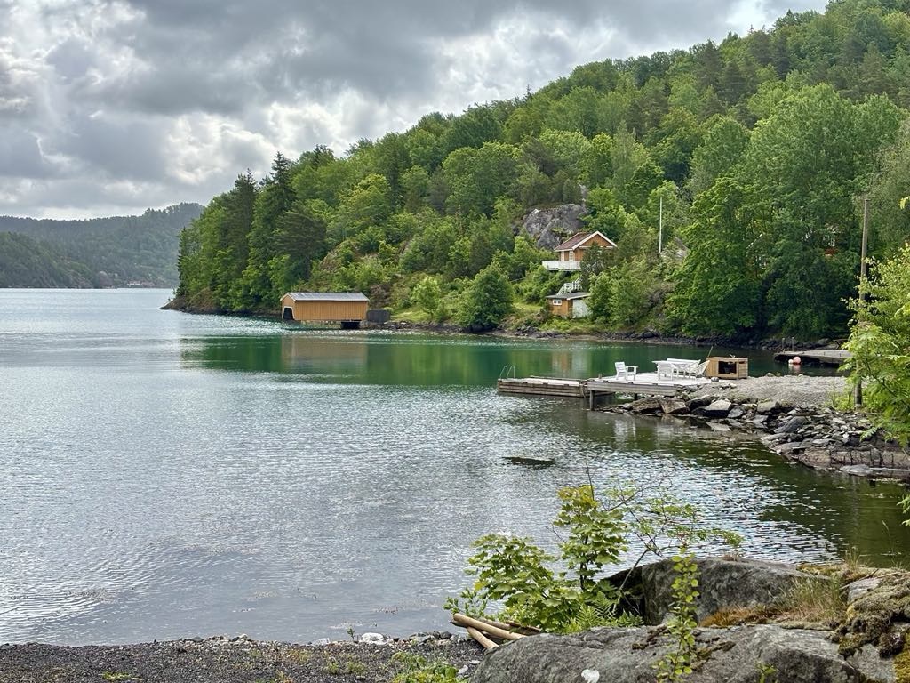
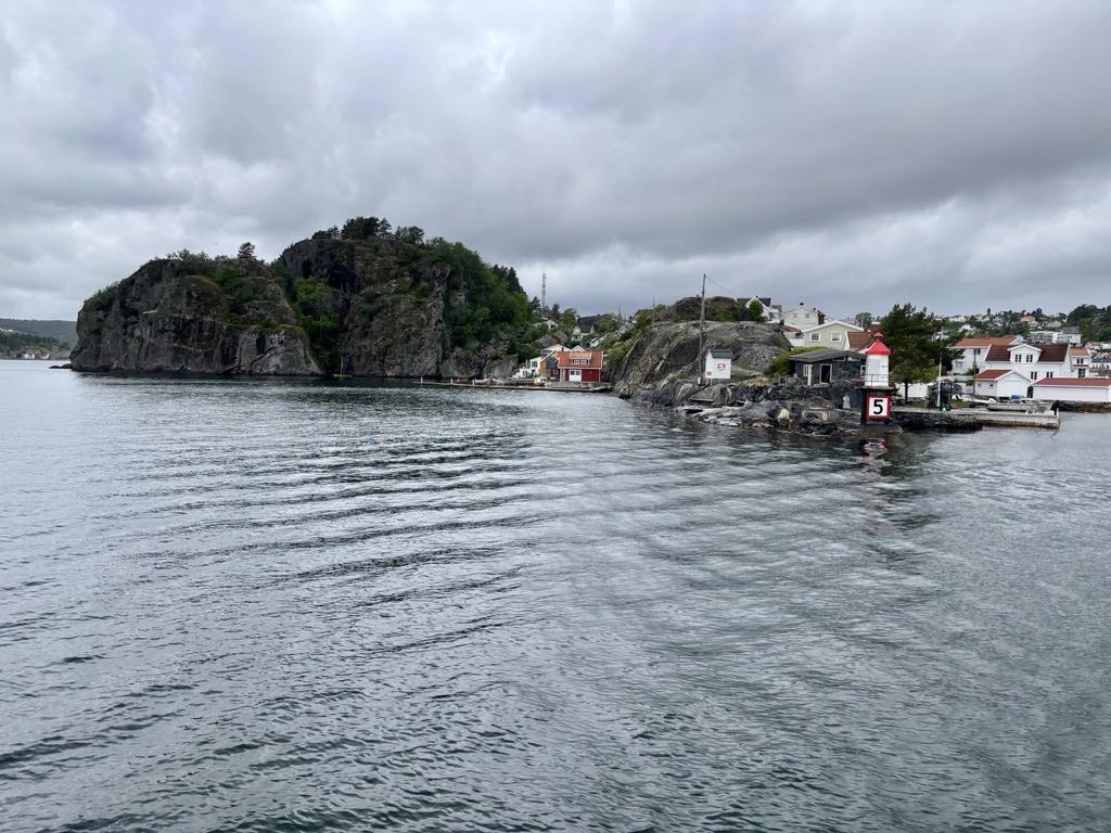
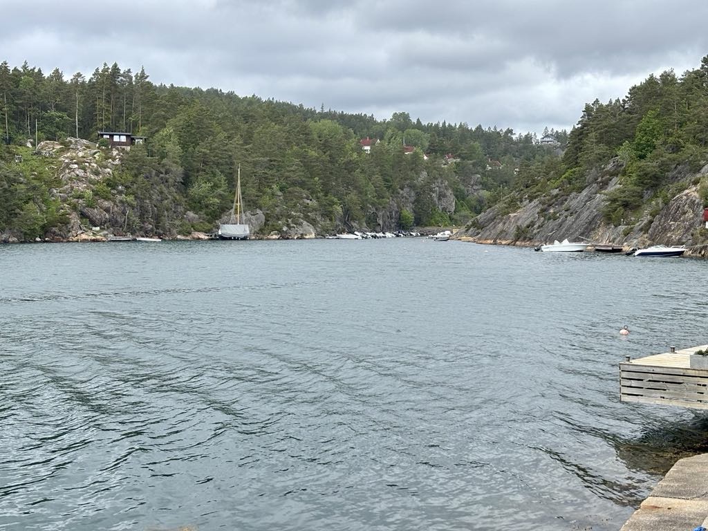
I had mapped the village of Oysang to check out. Down the hill we went. We decided not to leave and climb back up.

We had ridden about 65 km at this point and what we discovered changed our plans, for a few reasons.

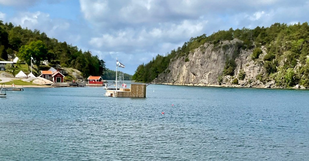
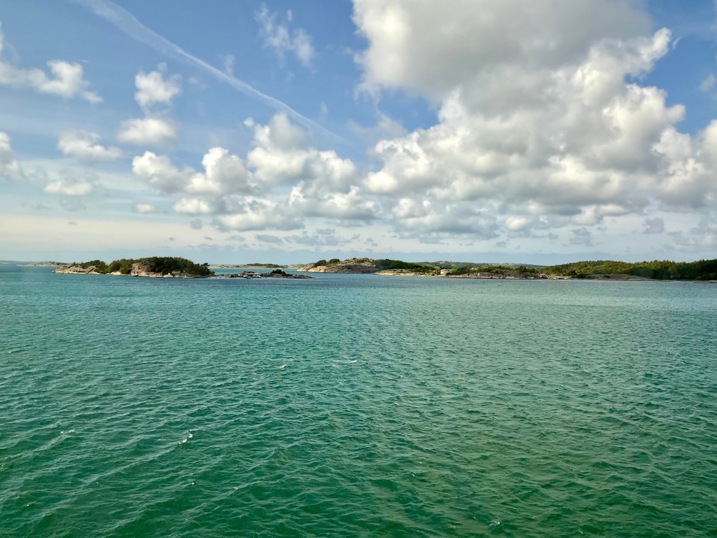
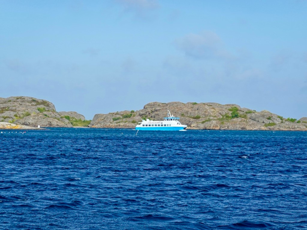
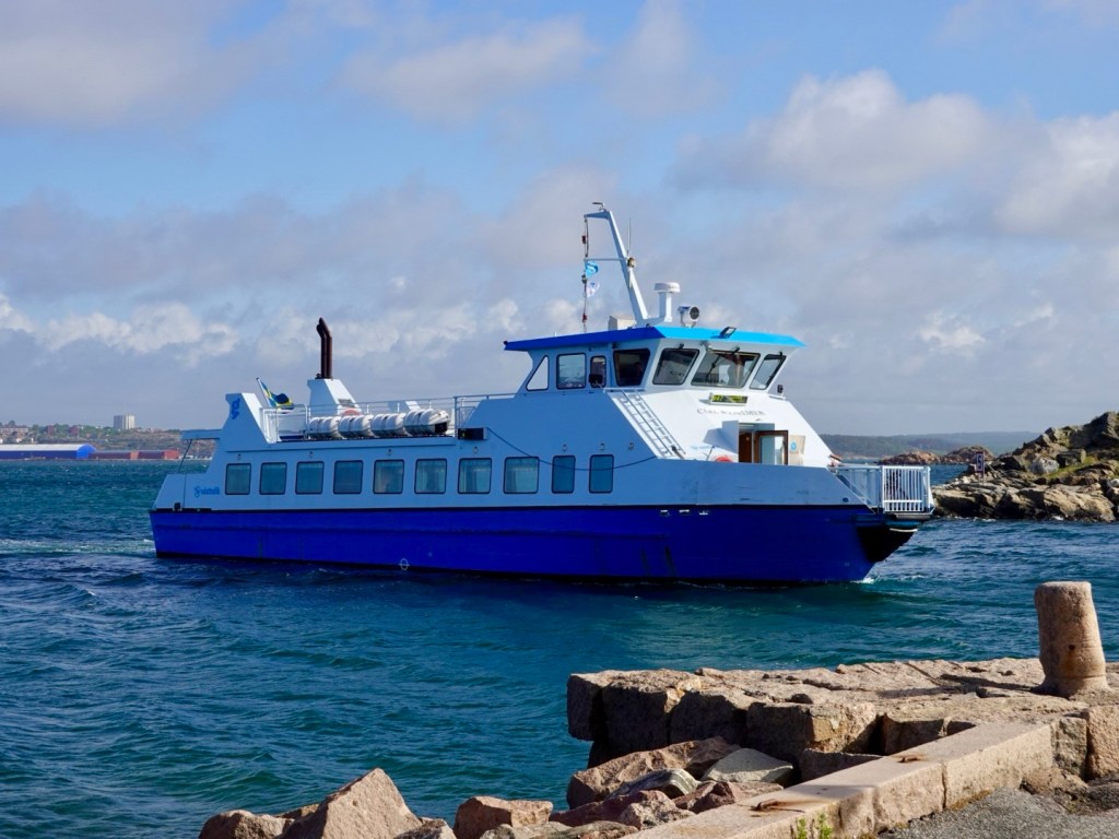
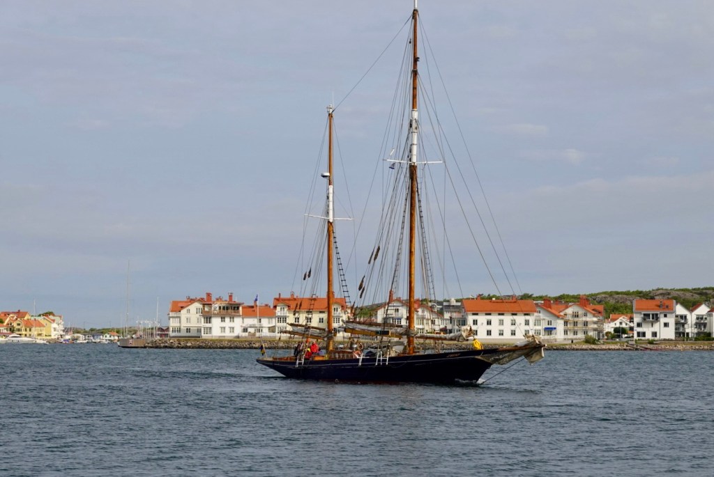
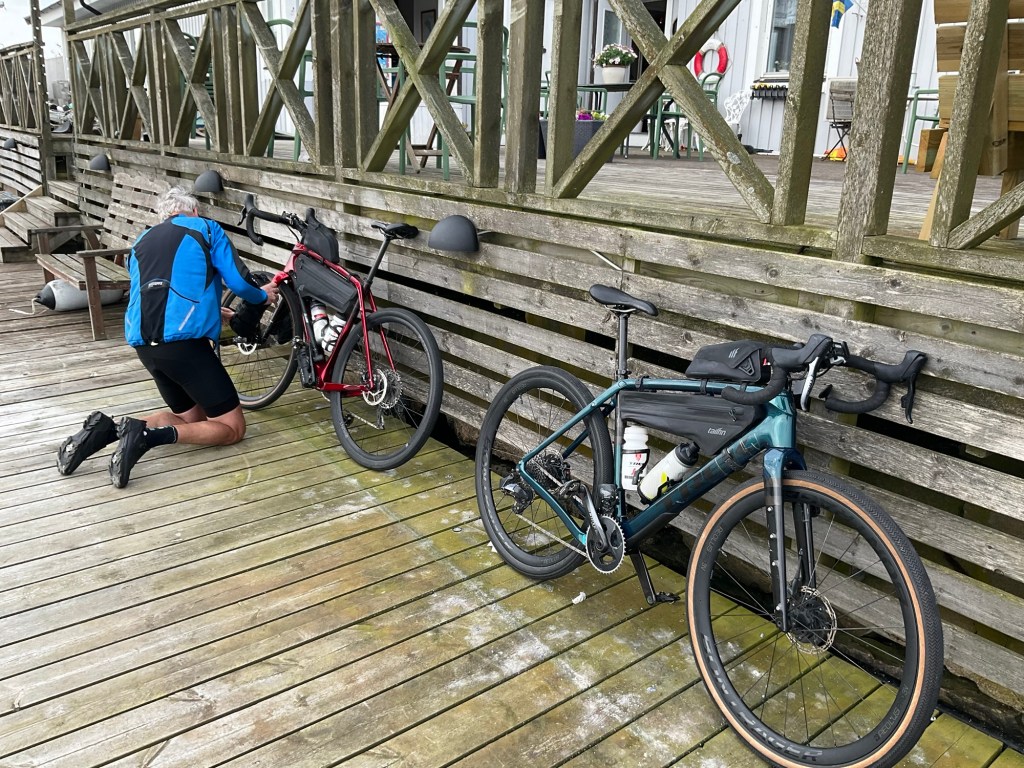
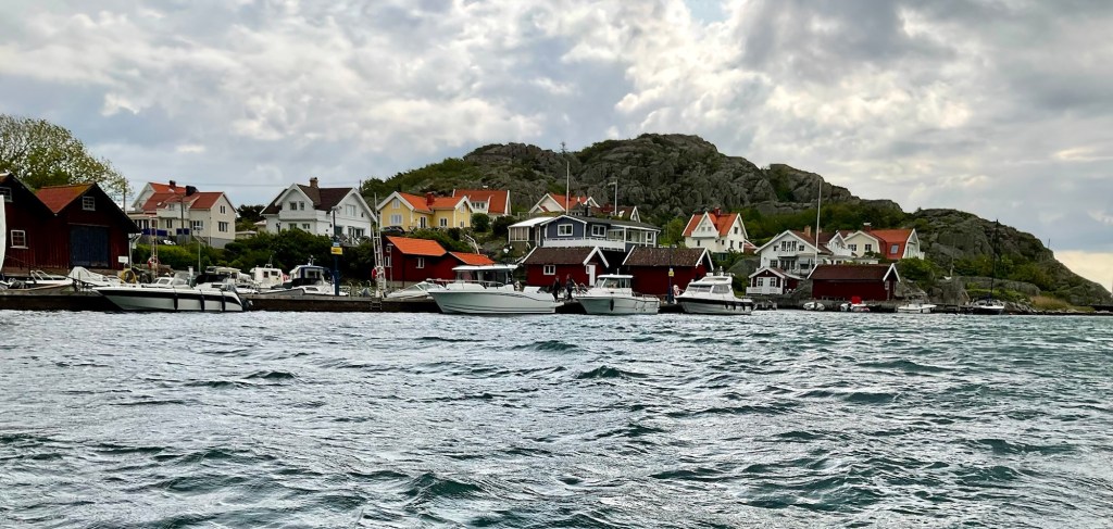
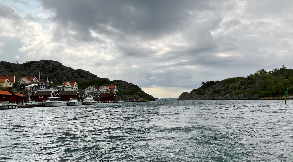
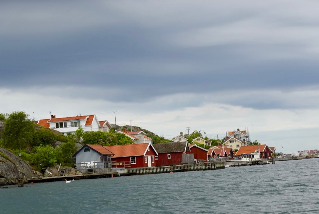
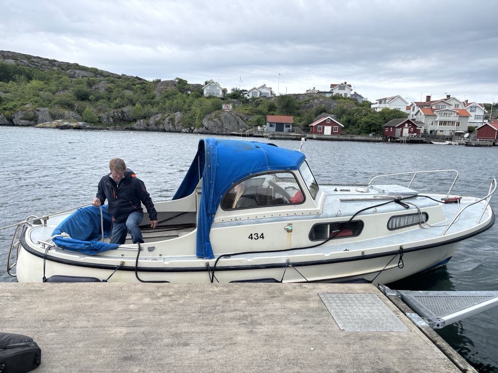
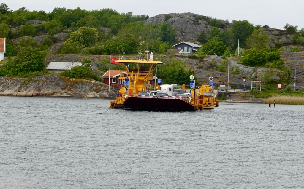
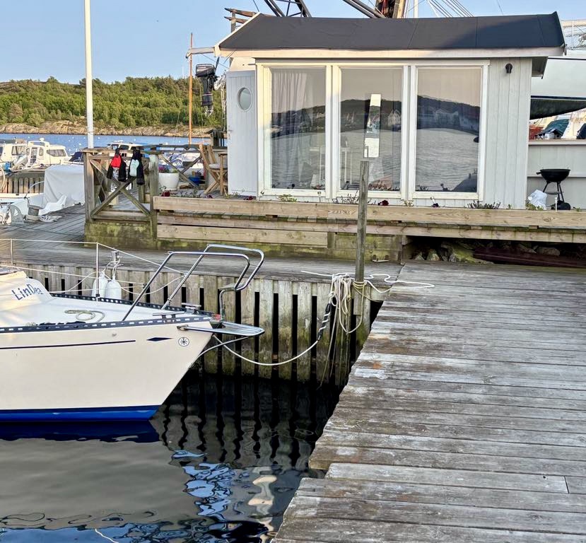
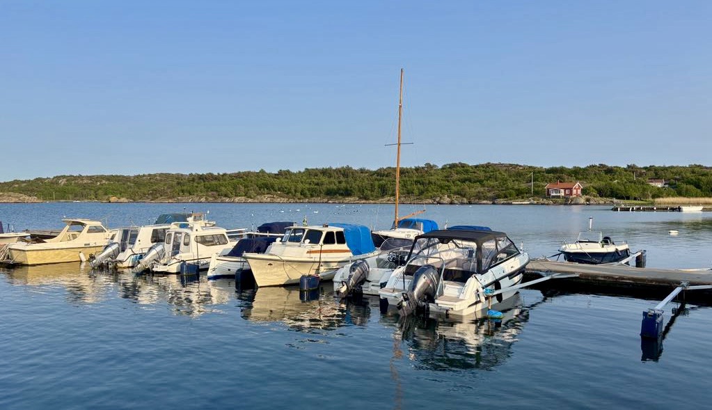
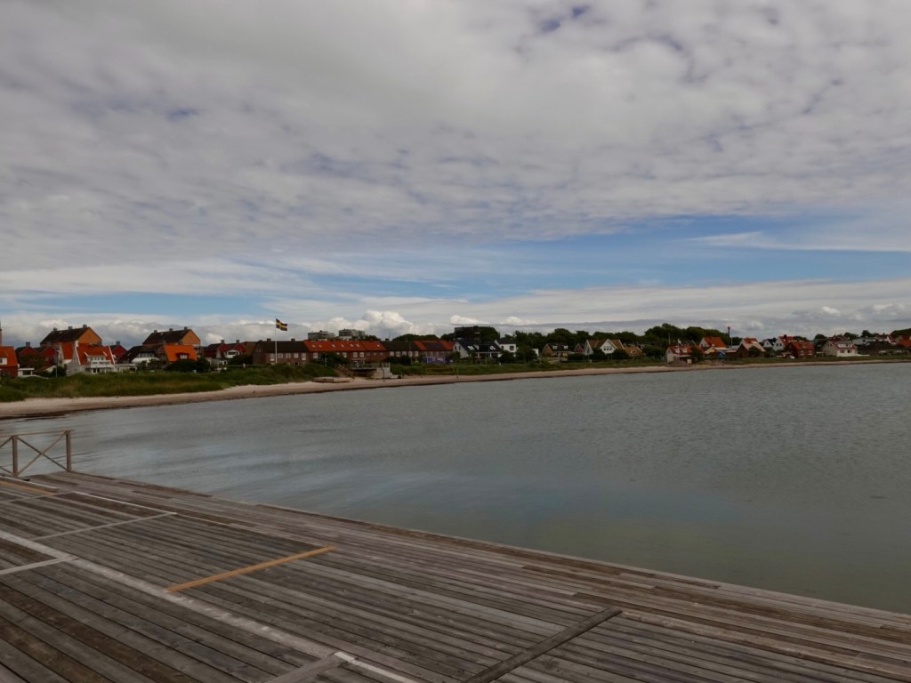
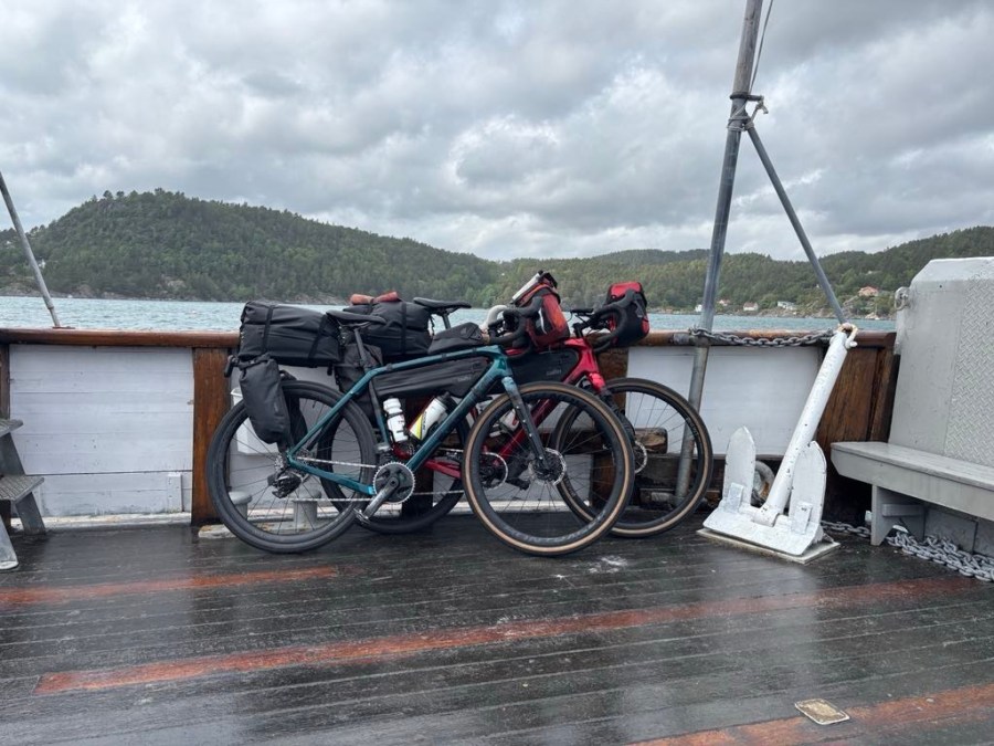
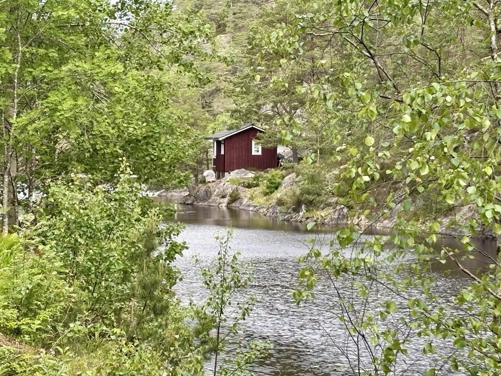
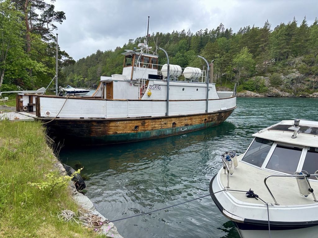
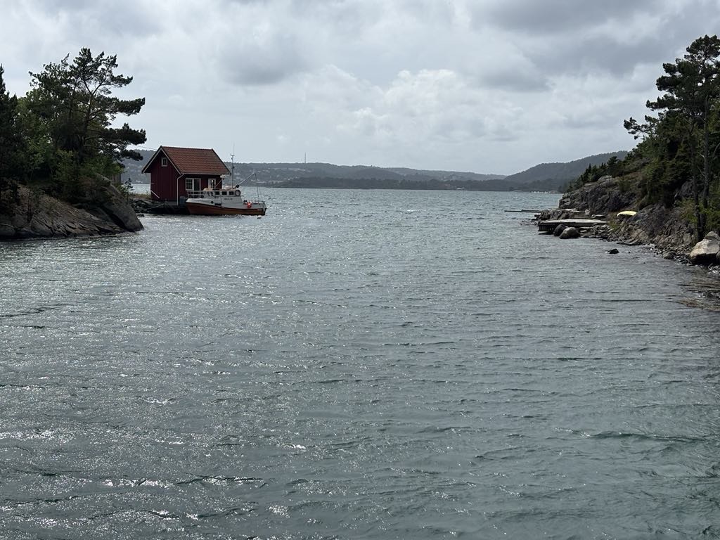
We discovered this little wooden boat. It turns out it it Norways oldest wooden ferry still active. It travels a few times a day between Oysang and Risør (our destination).

The schedule works around school children taking them to and from school in Risor.

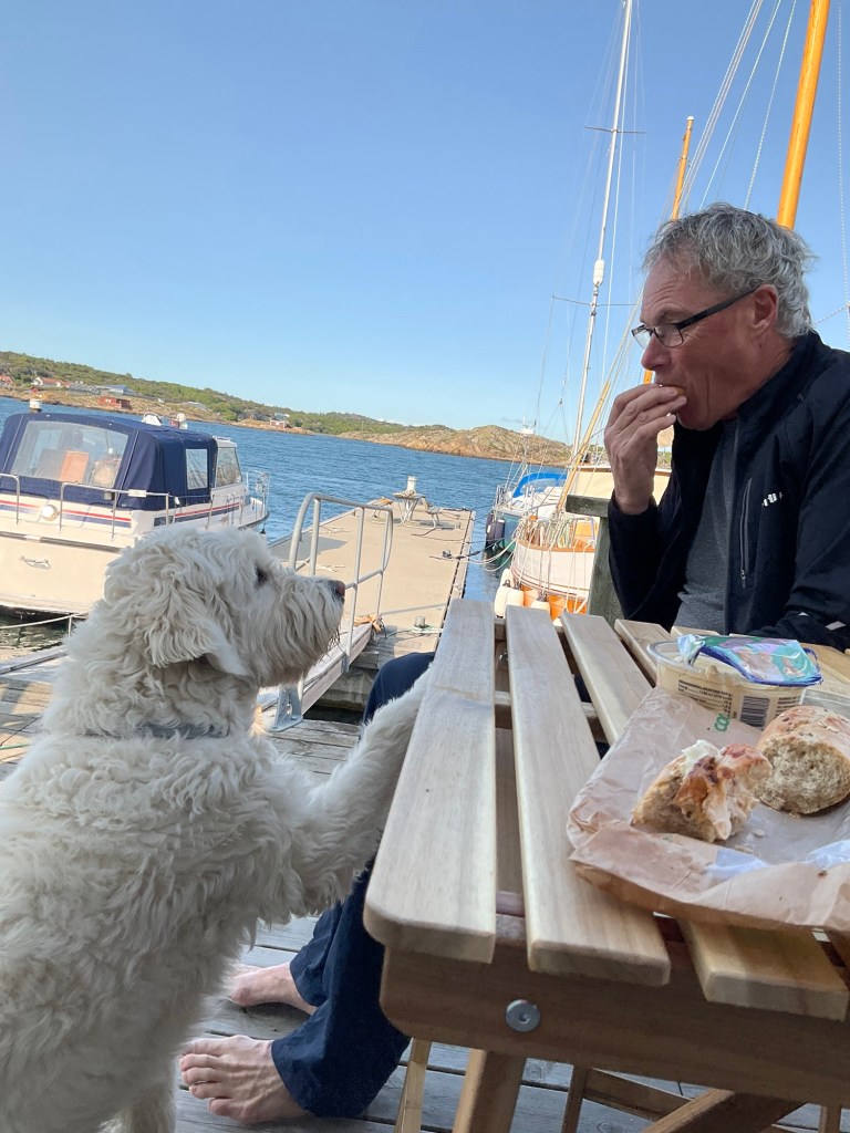
There was a 2 pm ferry scheduled. That was about 45 minutes away so we cleaned our bikes and ate some of our food.

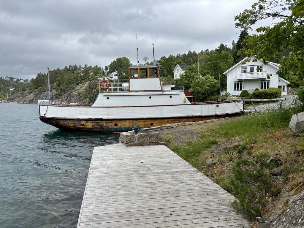
At 1.59 pm three people walked down the hill and we paid 200 Norwegian kronor and hopped on.

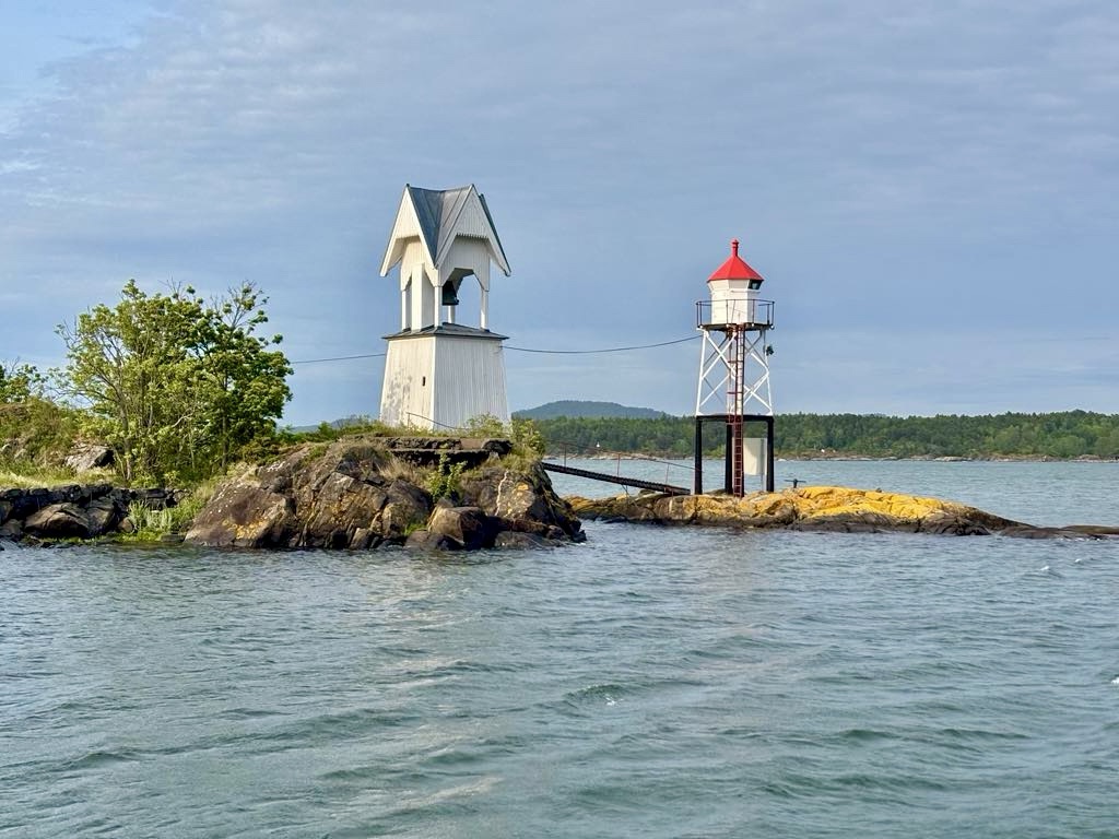
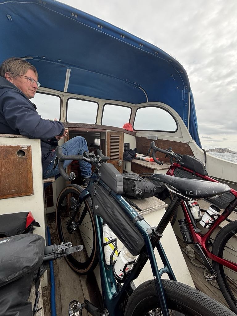
The journey across the fjord is part of the North Sea cycle route. The route was threatened with closure in the 1990’s but a local interest group worked hard to keep the route open, with the ferry refitted in 2003.

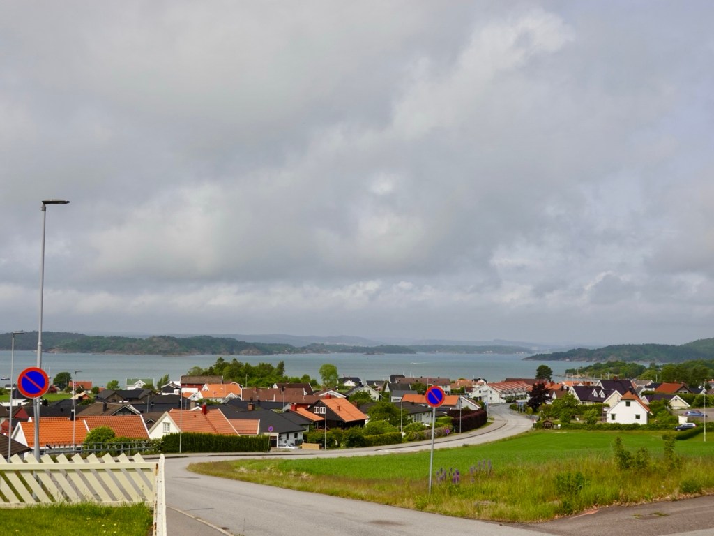
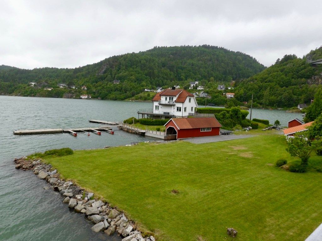
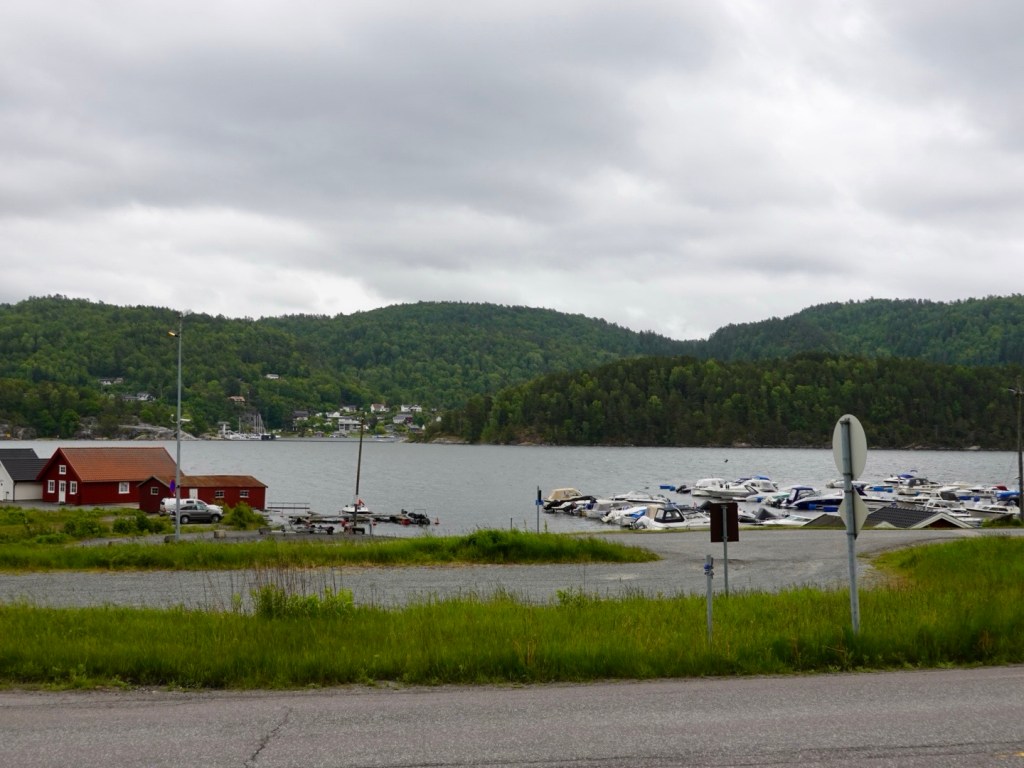
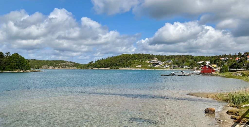
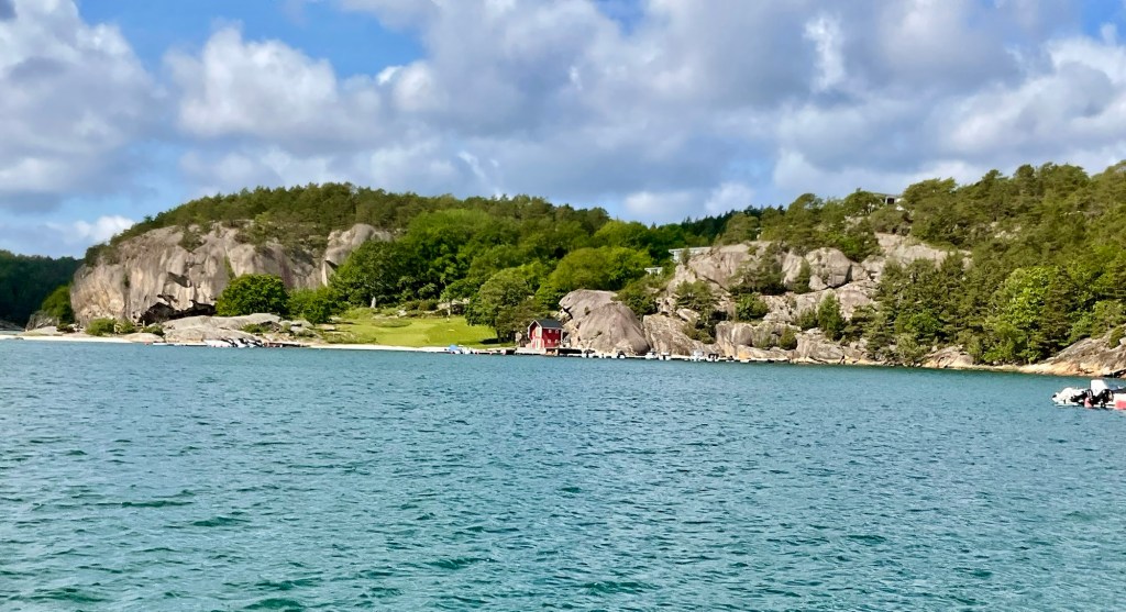
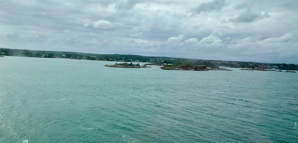
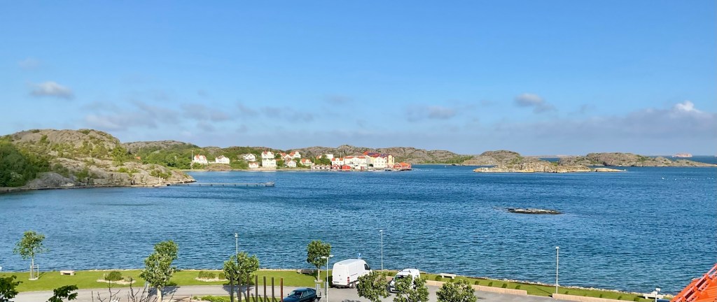
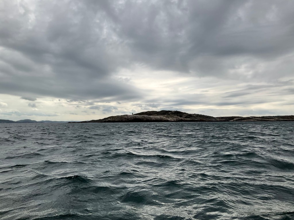
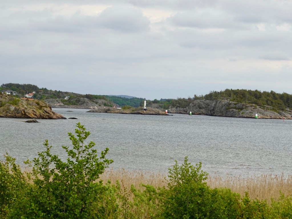
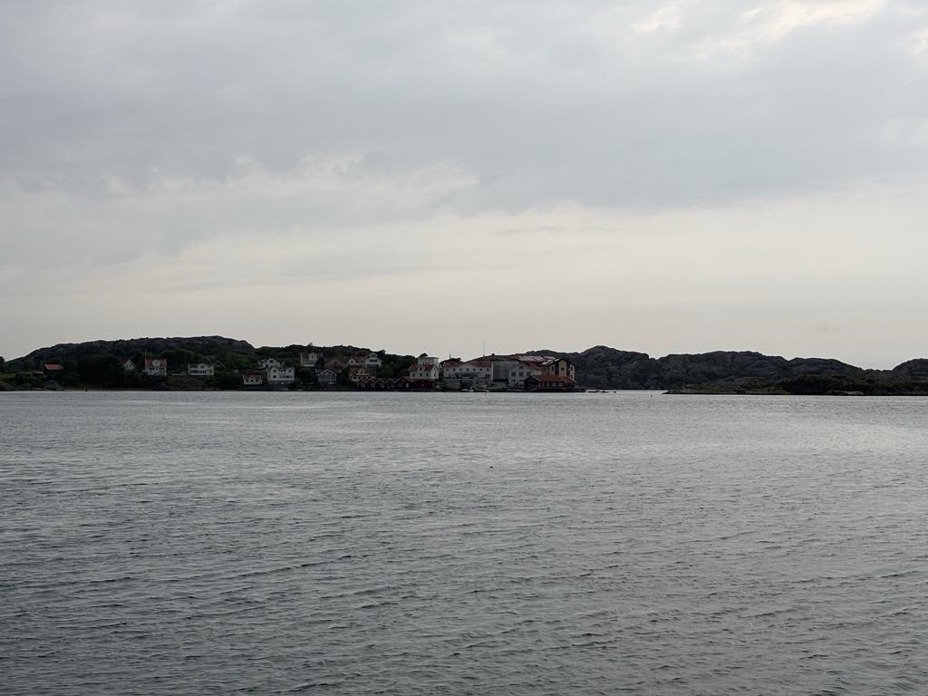
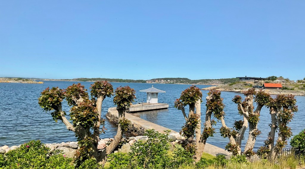
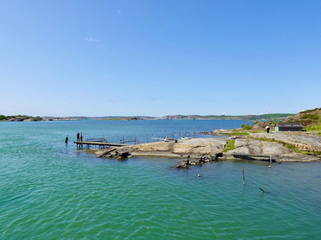
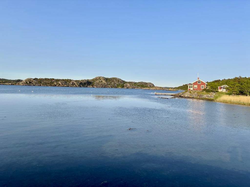
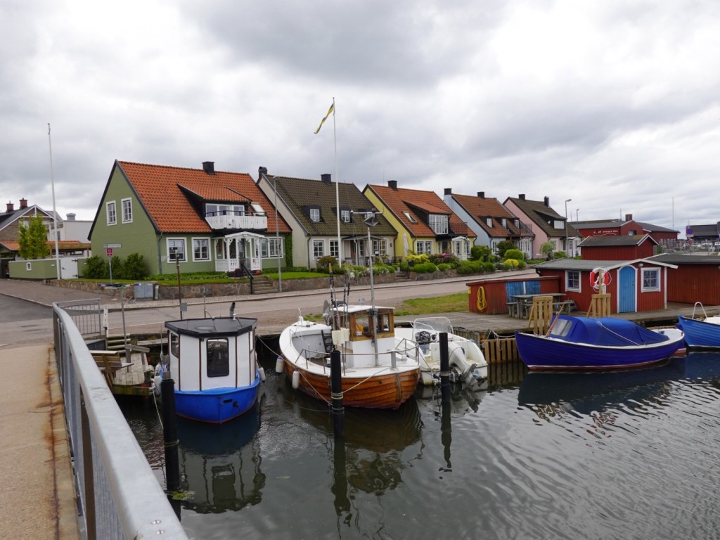
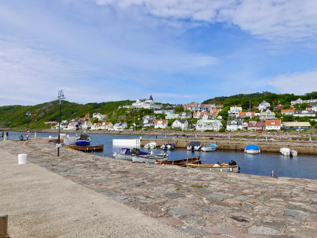
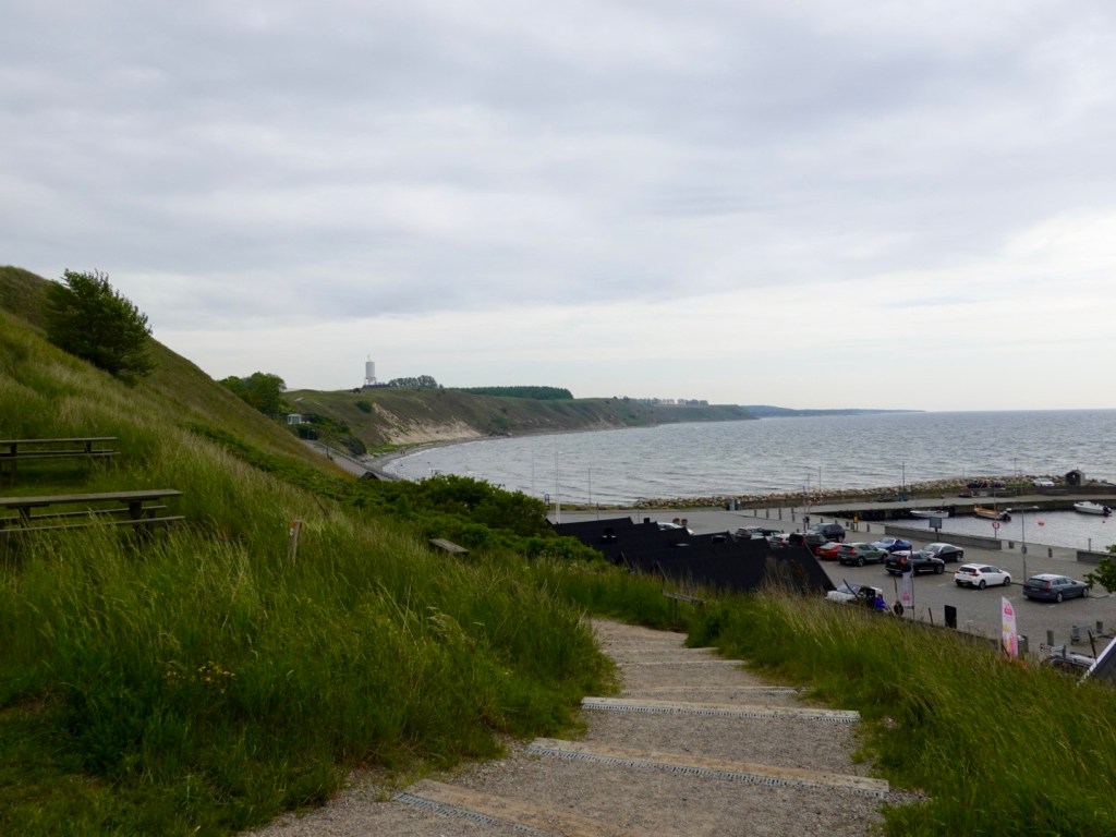
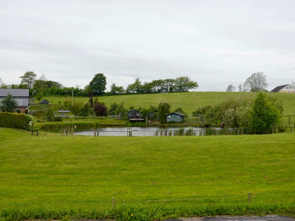
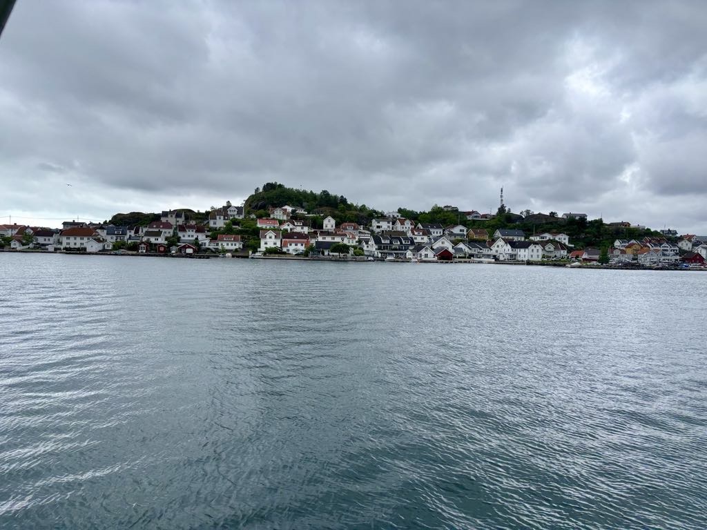
The setting for the Oysang harbour is tiny and ever so pretty. We were really enchanted by the area.

Oysang harbour

We met a lady who lives in Oslo, but has a summer house here. She was on the ferry to get her groceries in Risor. She told me her neighbour is from Tasmania.

Me admiring the scenery
The bikes.
Exiting the little harbour, very narrow
Looking back, the white house belongs to the lady from Oslo.

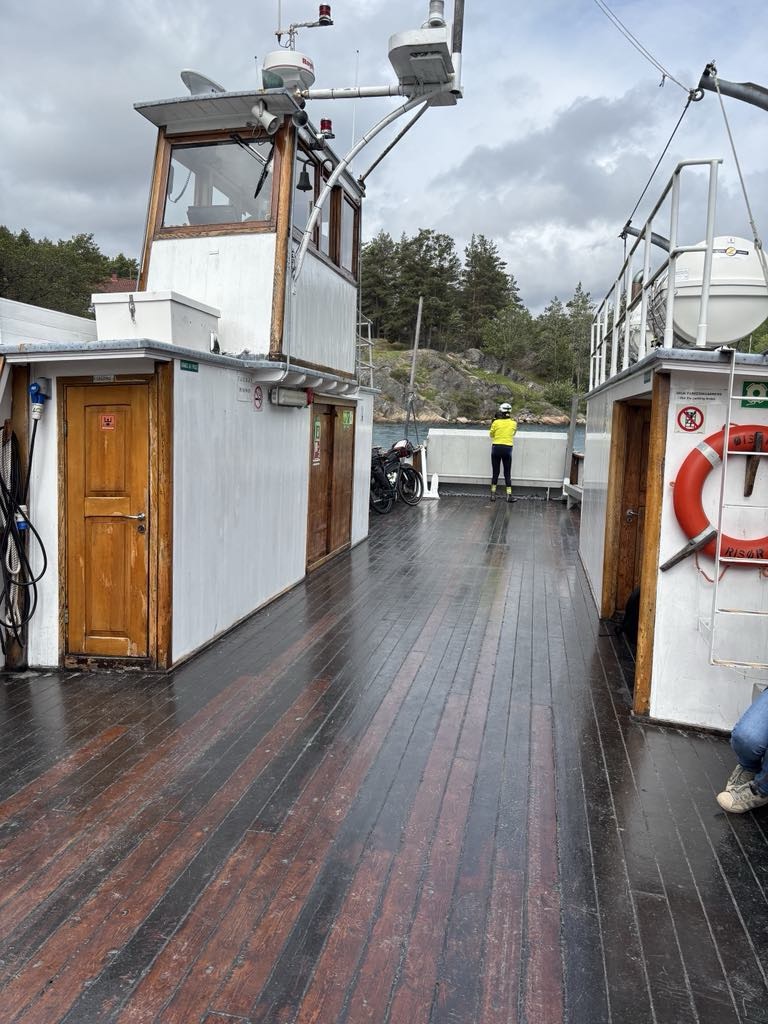
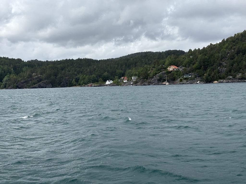
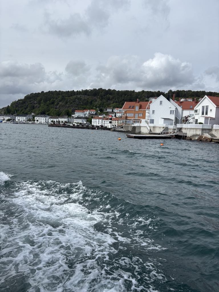
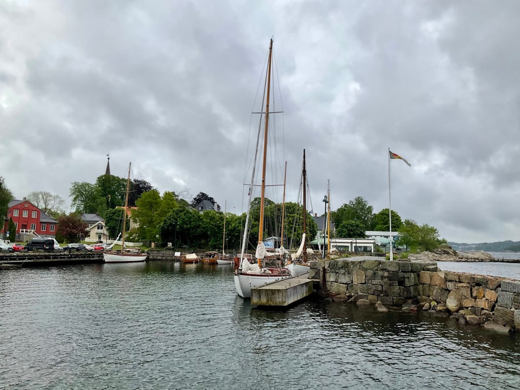
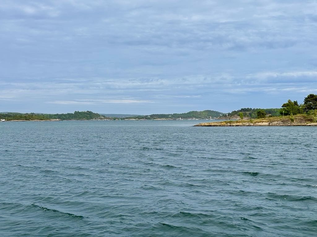
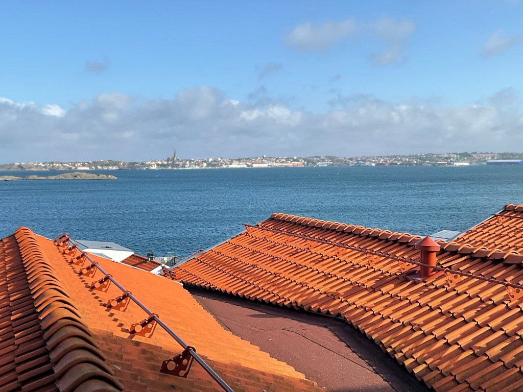
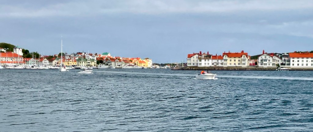
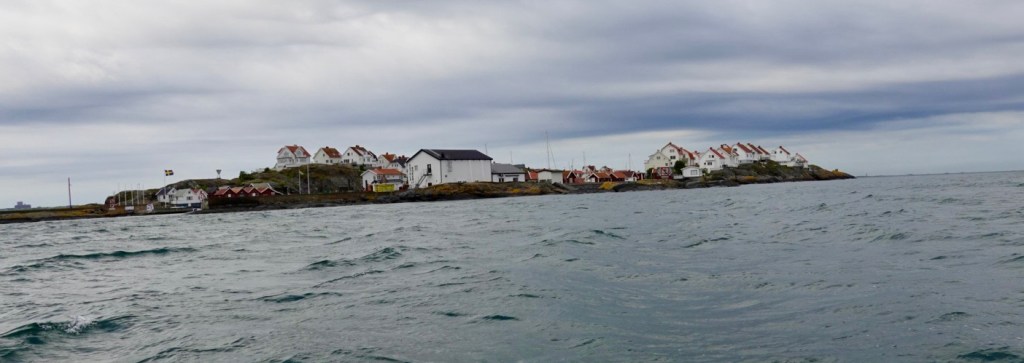
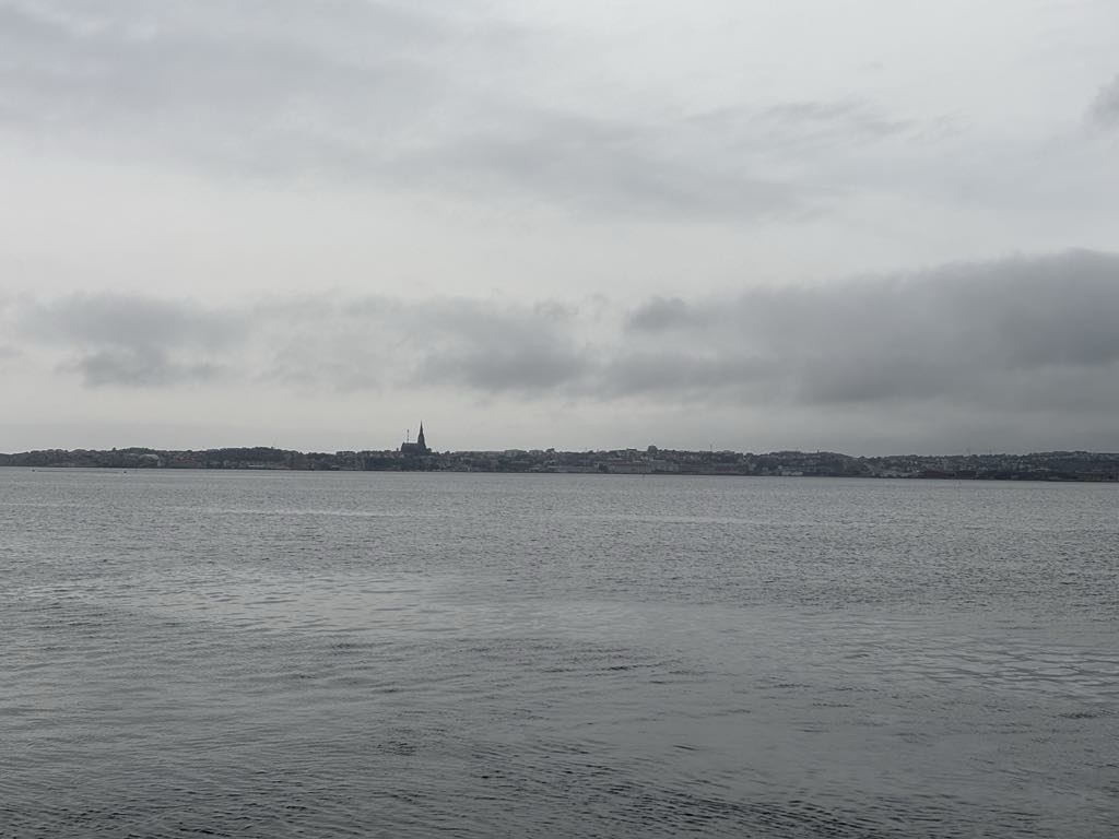
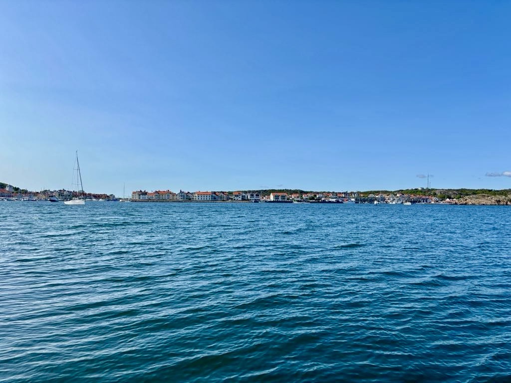
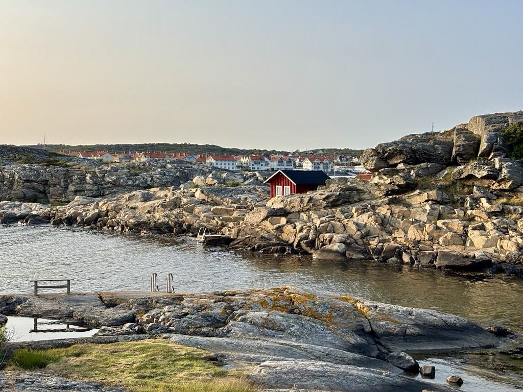
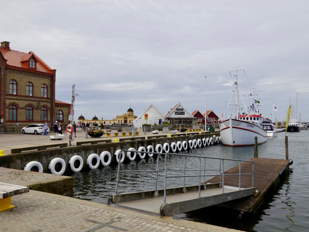
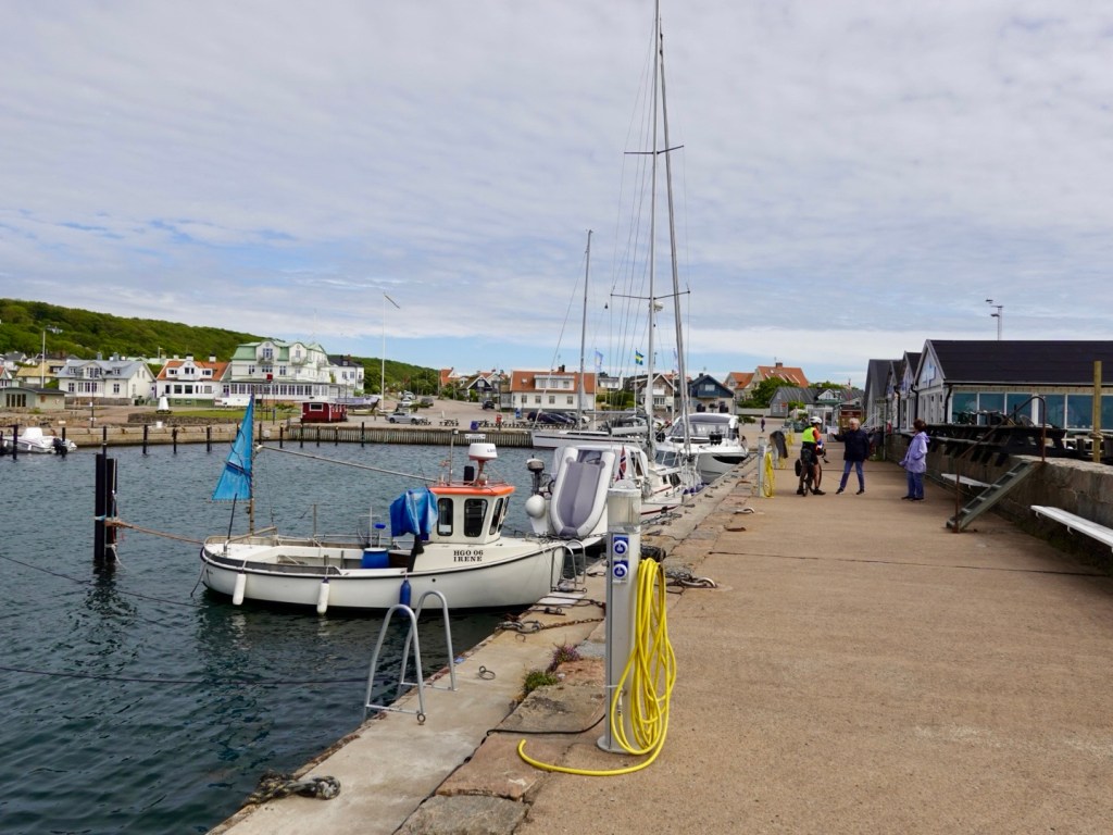
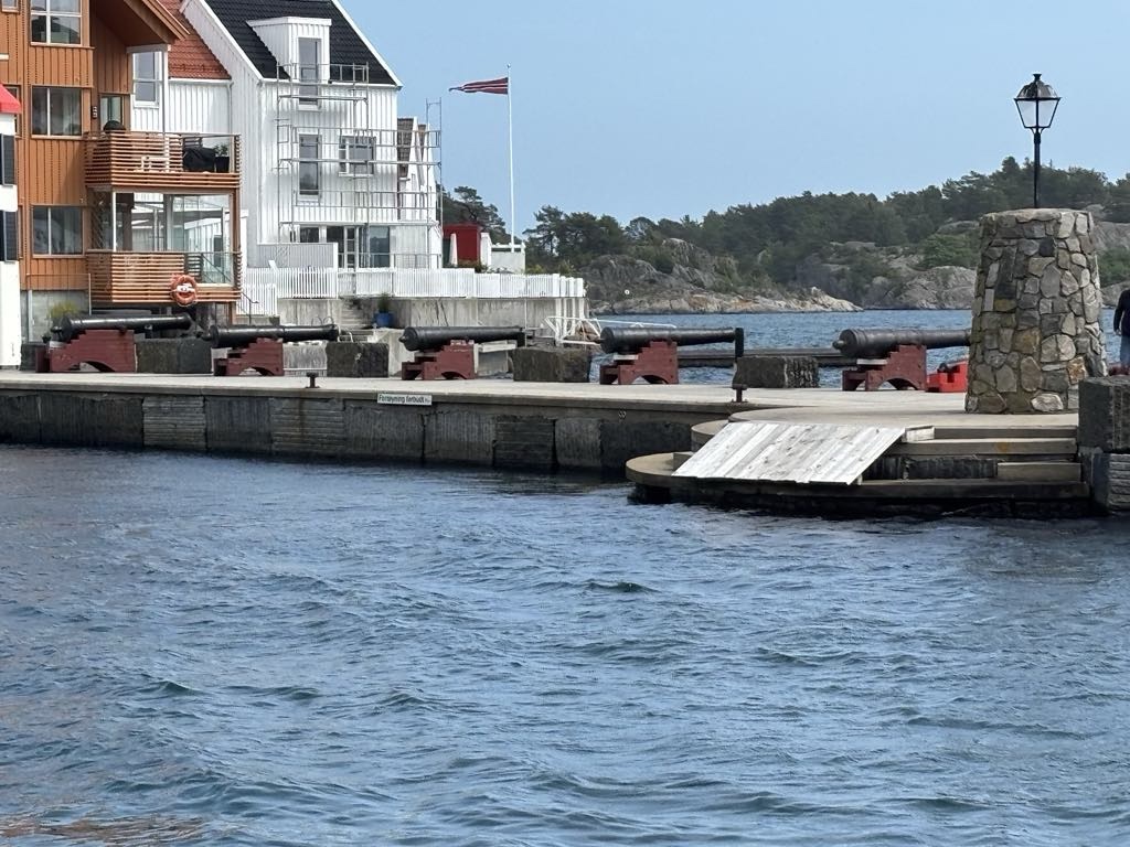
It is a 25 minute crossing, and we quickly arrive in Risor. Guns on deck.

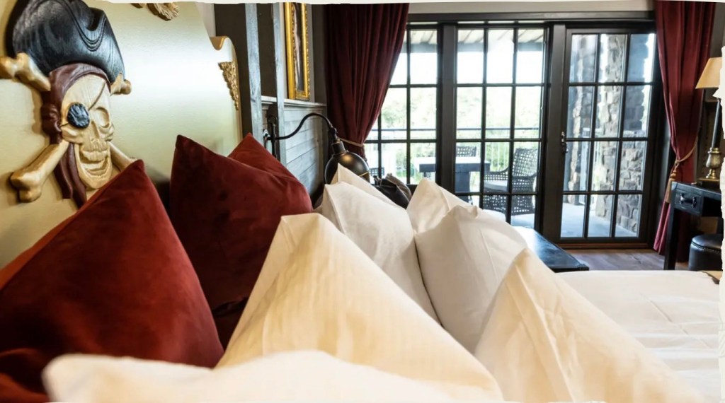
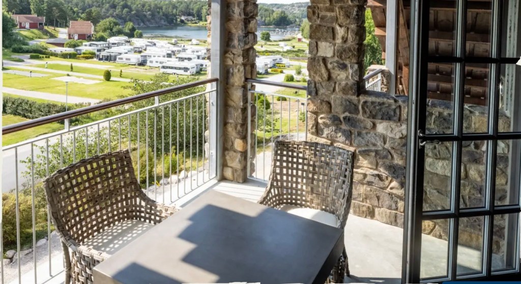
We checked in. I negotiated a preferable storage location for our bikes after rejecting the first suggestion (behind the outside bar).

I asked if she thought they could be stolen there (knowing I was not accepting this option already), and the response ‘you never know these days’ did not pass the test.

They are now in a locked room within the hotel!

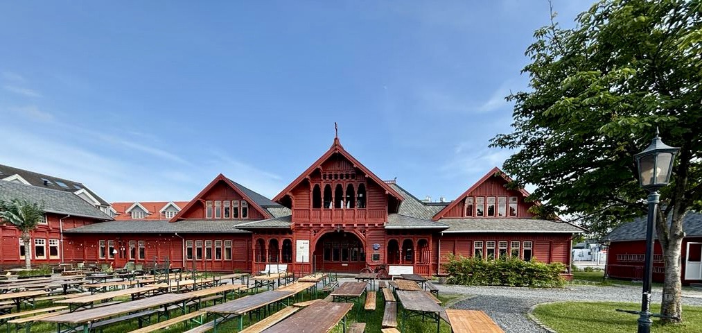
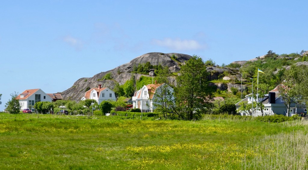
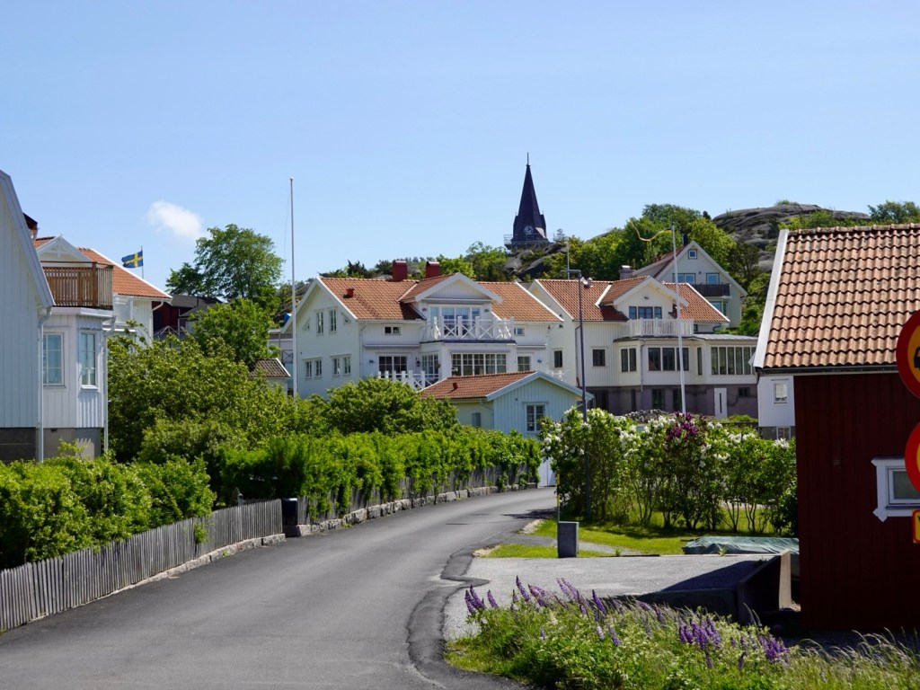
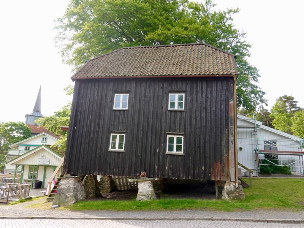
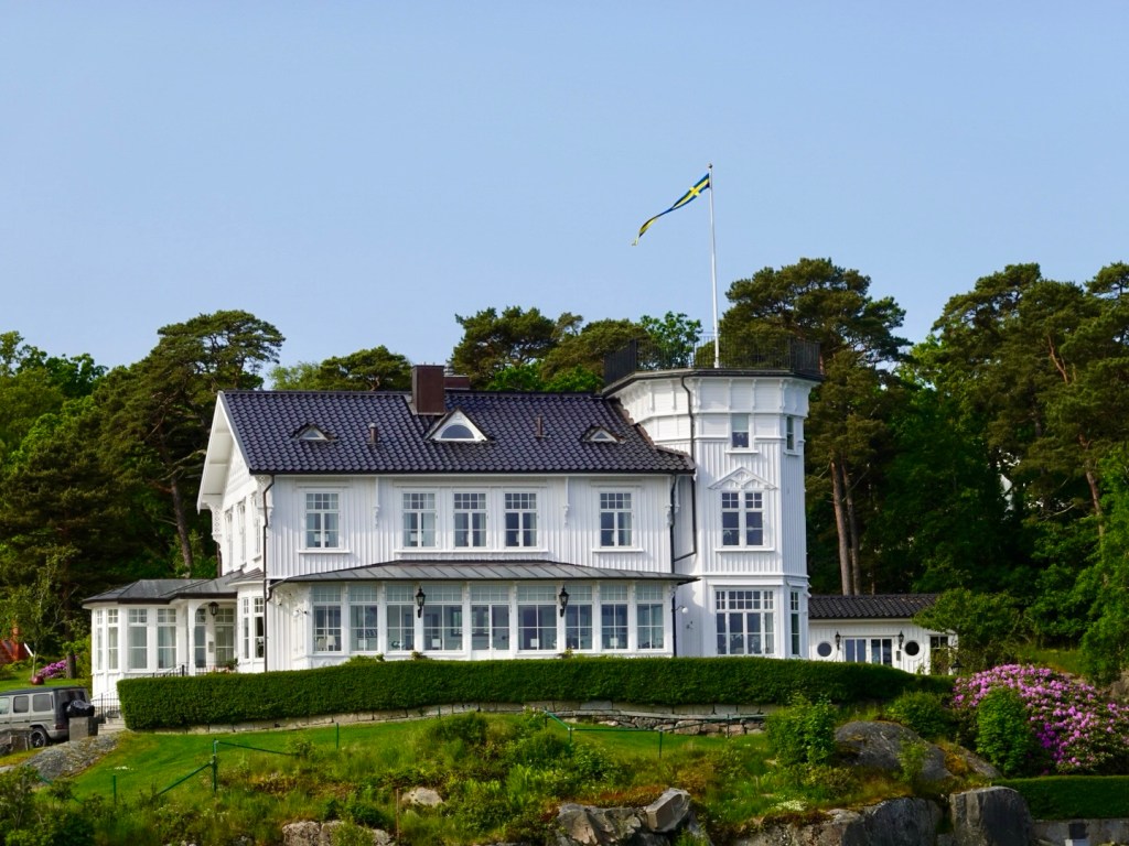
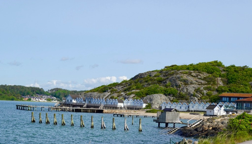
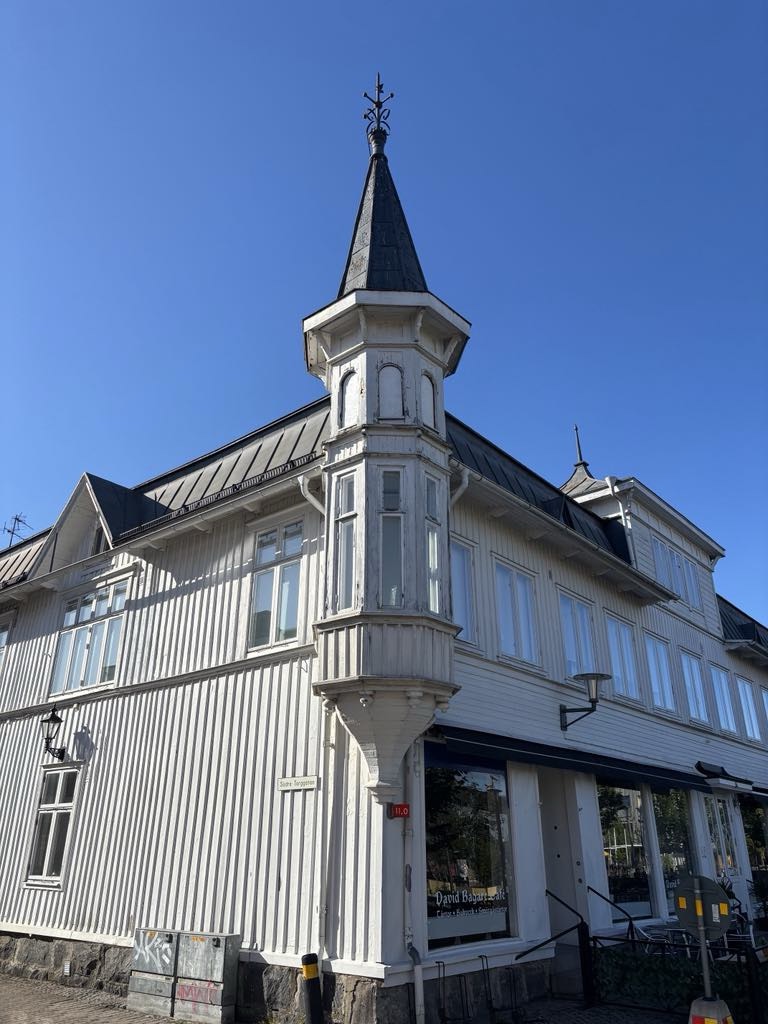
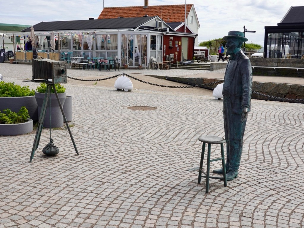
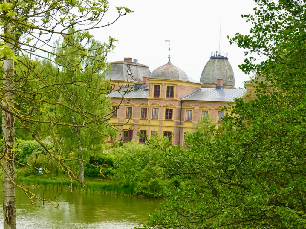
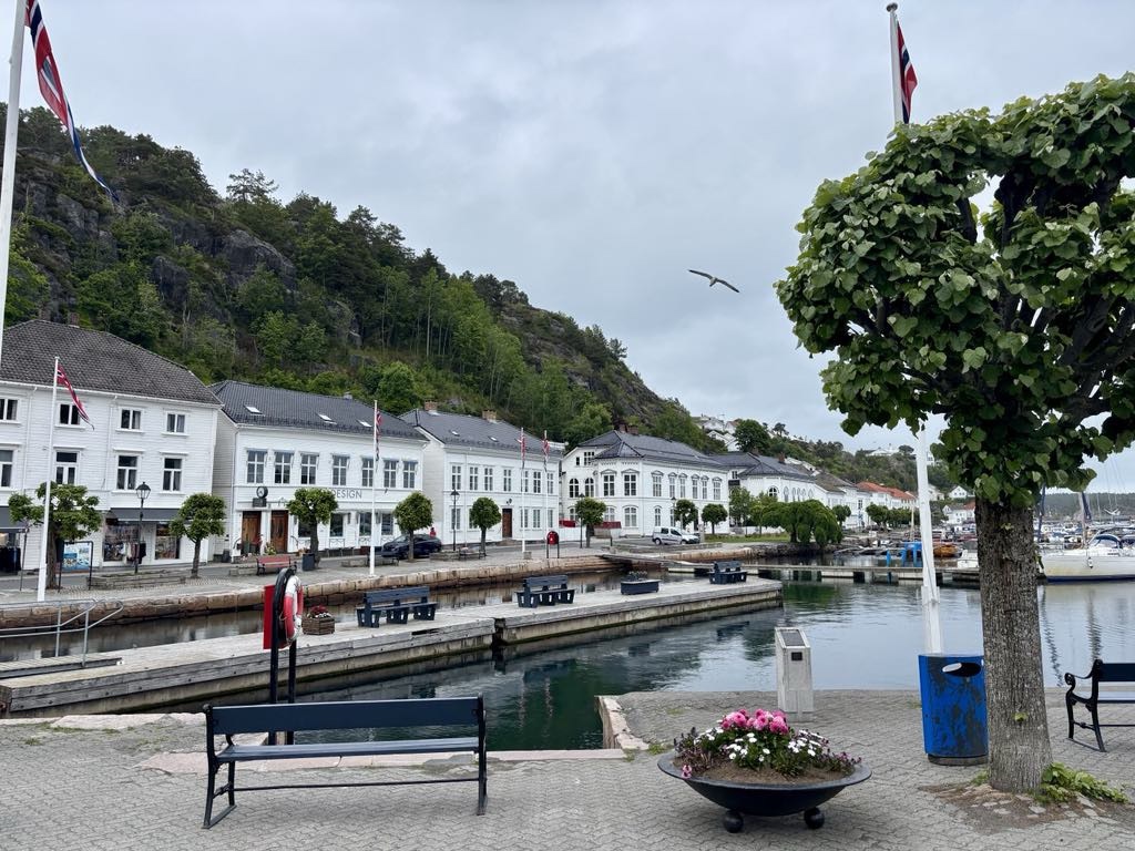
We wandered around town. Most of the buildings are white and timber. One place was being stripped back and it was a lovely timber beneath.

We liked this food vehicle

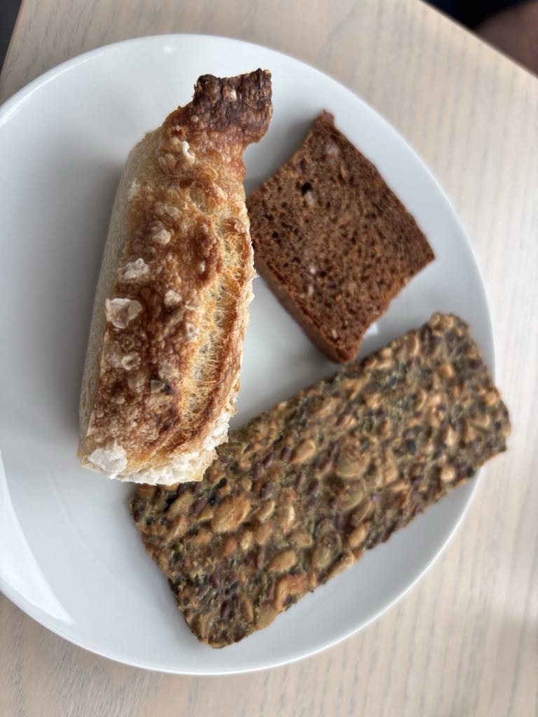
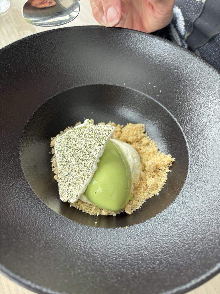
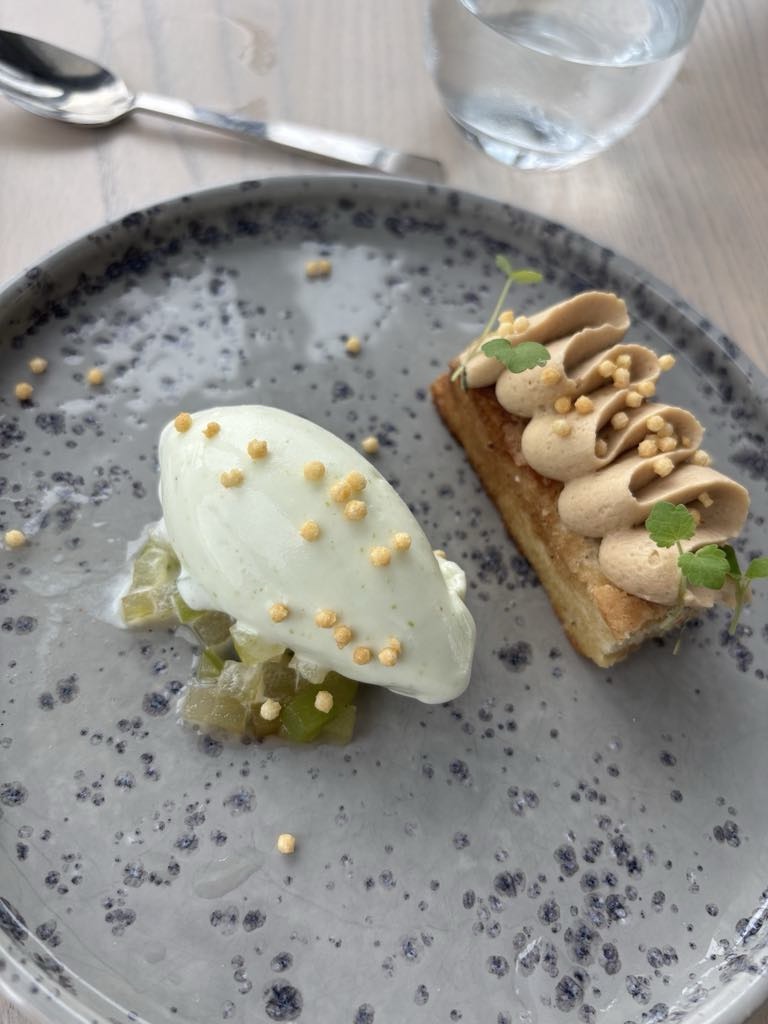
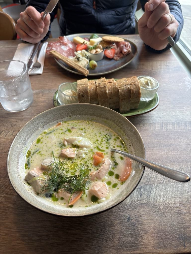
We found a nice restaurant and feeling hungry ordered two courses. Entrees were bigger than anticipated and we battled eating main course.

Mine is fish soup. Very filling and this is entree.

Certainly not cheap eating here, spending over 1200 kroner, we walked a bit more to settle our stomachs!

It was a good day today. We had some rain, we had some wind, we had lots of climbing, but we had some great sights.

We certainly do not regret cutting the ride by 30 km to take the old wooden ferry as it was a beautiful experience on a piece of Norwegian history.

Thanks for reading and joining us.

😊❣️🚴💪

Day 23: Sandefjord (Norway) to Langesund (Norway)

We awoke to the sound of rain around 5 am. Over the next few hours it stopped and as I peeked out our north facing window could not see movement of the vegetation. That was promising despite the wind being from the south.

Neither of us had slept well, due to an inferior mattress. I had also wacked my head, twice during the night, as the bed was jammed in under the window sill, with a sharp edge adjacent to my pillow. I had mentally rearranged the bedroom furniture during the night.

Tony was feeling heaps better, not 100% but felt he could ride. I had told him of the train options I had identified.

Staying at an Air B’no B ( no breakfast) we left before our hosts stirred at 8 am.

We made our way out of Sandefjord along a bike path, with very grey clouds.

We found a supermarket in the small village of Asane open and grabbed some food to eat.

We turned off the busier road at Hem and headed further inland through predominantly rural land holdings.

Turning back towards the coast, I think this is at Bjonnes.

The busy city of Larvik we passed through stopping to take a photo of these older masted boats in a small harbour.

The roads were wet, and we fortunately dodged rain bullets again today. For much of the ride, we wore our rain jackets, as the water from the road that flicks up is far easier to clean from your rain jacket than other clothing.

Water views dotted the landscape.

Nice local war memorial outside this colourful building.

Ubiquitous rural churches.

The irrigators are going despite the rainfall.

Very pleasant outlooks to view as you ride what was very much up and down all day.

The forests have changed significantly from Poland. We are now around 59 degrees North. Over 33% of Norway is forest.

This image made us stop. It is a safety sign for car drivers to give cyclists space.

Today we rode in a mix of bike paths and open road. The rural back roads are quieter with no verge. The busier roads tend to have some verge that we try to ride within, or on the white line.

With side wind gusts not being a factor today, we can ride far right without the same risks imposed.

Rocks still feature. Many people have massive boulders in their backyards.

We liked this little cabin.

More water views.

That’s a high bridge!

One high bridge is never enough. Let’s build a second one.

This house has an interesting position, with a nice little under cover boat house.

We climbed over 900 metres today. That’s a fair amount with luggage. None of the climbs involve any great altitude, so it means lots of ups and downs and no significant longer flat sections.

We had 8 rated climbs per our Hammerhead (bike computer) but bar one, some of the nastier ones were unrated with sections up to 15%.

The longest climb you can easily see. It was about 2.5 km long and quite doable with luggage on a quieter road. We could see a freeway at greater heights where most traffic zoomed along.

Here is part of the climb.

That is me. I did not stop where Tony was taking the photos from as I was concerned I would not be able to recleat my shoes back onto the pedals. I’m not as clever as Tony 😁.

Not far from the top there were red lights. Never a popular sight climbing, but fortunately the majority of the climb was behind us, and the steepness had abated.

On we rode with an eventual green light. Shortly after the top of the climb there was a road block. One of those non negotiable road blocks. We are not going to be able to sneak through this one!

Fearing we were about to ride onto a freeway, as we rode on we were fortunately able to use the access road established for the construction vehicles.

These tunnels are part of a 17 km bypass of the city of Porsgrunn between Oslo and Kristiansand. This section being constructed is 5.2 km long.

We avoided Porsgrunn, cutting south. We are not a fan of riding through larger cities without good reason.

Norway is investing massive amounts into tunnel infrastructure, also building the world’s longest and deepest underwater tunnel.

The tunnel will run under the fjords, and will be 26.7 km in length and 390m at the deepest point.

That tunnel, when completed in 2033, will reduce travelling time between two of Norways largest cities, Stavanger and Bergen by 40 minutes.

Closing in on our destination, water to our left, we head towards the large bridge connecting Brevik and Stathelle.

I stopped to take a photo. The wind was dreadful up here, with a narrow path for bikes. As you can see, the safety barriers prevent a decent photo but the to the bottom left looked quite nice through the gaps.

Looking further along to the right, another new bridge being constructed! Lots of Kroner!

Round about of the day. Lots of metal. You need to use your imagination on this one! I’m not sure what it depicts.

It was a cruisey 80 km ride today despite climbing over 900 metres. We arrived before check in time so went to the local supermarket to grab some lunch.

The hotel was then happy to check us in early and wonderfully announced, before I spoke up, that they had a secure place for our bikes. 😊

Tonight they are locked in a meeting room off their conference centre.

Our accomodation buildings are large with an array of indoor and outdoor pools.

After dinner we wandered around outside.

From the accomodation view.

Getting closer, there is a sea pool and sauna on the deck edge. A guy walked out of the sauna in just his bathers and casually walked back to the resort. Meantime, I’m hugging my clothing tight as it’s about 6 degrees C and windy!

I like this photo. A small island with bell and mini lighthouse.

Distant view looking down Langesundsfjorden and where we head tomorrow morning.

Today’s route map.

Tomorrow is a big day. We need some rest. However, the sun will not set until 10.23 pm tonight, and will rise 4.15 am.

I hope the curtains block out the light!!

Thanks for reading and joining us 😊❣️🚴💪

Day 22: Dafto (Sweden) to Sandefjord (Norway)

Today was a day primarily concerned with getting the ferry across the North Atlantic Ocean from Sweden to Norway, so we could continue our adventures.

Also doubling as a ‘rest day’ as there was not a lot of cycling time available without pushing boundaries either end of the day.

We also like to make sure we leave plenty of time to get to a ferry in case of a mechanical issue, or medical as it turned out today.

Tony was feeling quite dizzy with vertigo after breakfast and we decided to maximise the time in our room until check out time of 11.

He slept and felt even worse when he woke up.

I transferred all our gear and bikes to a place we could assemble them, and checking out asked for a large taxi.

I waited and spoke with the lovely taxi driver explaining. He loaded the bike and took Tony to the ferry terminal. He also removed the bike from the van saving Tony the effort.

I then rode departing the pirate park.

I only needed to ride 5 km without Tony but it felt strange.

I had an hour to get there so stopped to take photos of this area we really rate highly.

Well perhaps not this guff, but the hotel was great.

This is what I’m talking about. Lovely coastal scenes, gorgeous little homes and fishing huts.

Loved this water feature. I am sure it’s a hit with the locals in summer.

Interesting information de the Kosterhavet National park, one of Sweden’s most popular holiday areas.

North and South Koster islands have been added to my bucket list of we return.

Just a beautiful region.

I found Tony sitting outside the terminal, pleasingly looking a bit brighter.

I tried to check in but needed to go and line up elsewhere with the motor bikes.

The ferry will dock here

Eventually our ferry arrived, dwarfing the surrounding islands.

It is quite a narrow passage and the ship reversed in, to the left of this photo.

The most incredible line up of assorted vehicles left the ship over two levels. The capacity is significant. We got very cold standing there with the biting headwind lashing us. All our warmer clothes were on.

We were the very first to enter the cargo hold, cycling to the far end and strapping our bikes to the side. The motorbikes and then buses followed.

The first things we noted on board.

I had purchased a lunch package with our ticket, and lined up behind the bus tourists at the buffet, to be told ‘oh no, you’re booked into the elegant restaurant on level 8’.

So up we went, in our cycling gear, and here we sat for the duration, enjoying the views in a restaurant with only three other guests! Nice meal too!

Some of the views from the Sweden end. I think you can see why we rate the Bohuslan archipelago highly.

The ocean swell was considerably larger than our crossings over the Baltic, and was glad when Tony put his head down, and fell asleep.

The crossing is 2 hours 30. Our first views of Norway.

Drivers were called down to the cargo area 20 minutes before docking.

Standing down there, amongst the high trucks and buses is a funny feeling. It’s also extremely noisy and you cannot be sure what is happening outside.

This ship has perhaps the cleanest hold I’ve seen, the floor is shiny and spotless.

Lots of cables and piping, again all looking pristine.

Finally the sirens start and the hydraulics open the hatches. Nearly out. Two buses and a motor home went out, then us.

We were shocked how cold it was and even windier!!

Our accomodation is in an Air BnB only one km or so from the terminal.

After checking in, we walked into town, with Tony feeling heaps better.

Our ship was just departing, slowly reversing out. The nose of the ship had lifted when we arrived but we’d entered via the rear hatch.

I had trouble getting up onto the big chair for this photo. It is very large!

This lovely old building was a health retreat and spa in the late 1800’s. The area is setting up for a music festival in the surrounds, hence all the tables.

The Viking ship is regarded as one of the most important contributions from Norway in world cultural heritage. This region was once one of the most famous areas for building Viking boats.

The skill is being taught again on this site.

I saw the boat and called out “Floki!”. Floki was a famous Viking boat builder in the TV show Vikings. He had a wicked laugh.

The Hvalfangstmonumentet (yes that is just one word) is a bronze memorial statue that rotates. In English that translates to the Whalers Monument.

It took the artist 7 years to complete, with the big unveiling in 1960.

We are hoping for good health and the winds to ease tomorrow. The latter looks unlikely but let’s see what the day brings.

Thanks for reading.

😊❣️🚴💪

Day 21: Fiskebacksil (Sweden) to Dafto (Sweden)

A beautiful morning looking off our balcony.

That’s where we need to get to first off. Lysekil, situated on the southern tip of Stangenas peninsula, also at the mouth of Gullmarn fjord.

A nice breakfast overlooking the water, we packed up and headed to the ferry, adjacent to the accomodation.

Behind our accomodation block was this windmill, overlooking Fiskebacksil and well placed for wind, although we have not seen any of these older windmills operating.

The little ferry terminal. Tony checking the ferries progress.

Getting closer.

Really close now as it navigates its way through that very narrow channel, then reverses in for passengers to walk on board.

First little hill climb was out of Lysekil and soon we were following either busy roads or quiet rural. It was a real mix today, with very little cycle paths available.

The wind was a factor today. It was a SW of around 35 kmh with gusts around 57 kmh.

Our route was one of zig zagging our way further north.

On the zig, it seemed to be busier roads, with the wind a huge factor hitting us more to the front and side. Scary at times when the gusts hit, as we are in the right hand side of the road, we did not have much road leverage with drop offs etc.

The zags, they were better as we often had the wind behind us! The roads tended to be quieter as well.

We had a lot of climbing today. 900 metres in our 103 km of riding.

The scenery. Most of the photos are whilst we are in the zags, as it is possible to stop safely.

Slightly inland from the coast, rocks still prevail. Lovely scenery. Dotted by the occasional church, forest and village.

This church is in Svenneby and is one of Bohuslan’s oldest churches. Dating from the 12th century at a time that this land was Norwegian. The baptismal font and belfry both stand on the rocks high above the church.

A little further up the road, Svenneby has a second church.

We turned off and headed into the village of Hamburgsund. Eventually making it into the supermarket for food (as numerous people came up to ask about what we were doing, our bikes etc), we sat and ate by the pleasant harbour and marina.

The town sits by a long channel separating it from the island of Hamburgo. We met a lady on a ebike who was filling her panniers up with food from the supermarket as she lives on Hamburgo. There is a small ferry connecting the island to the mainland.

Time to keep moving. More churches, marinas and villages to see.

Built on solid rock.

We are staying in Dapto, about 5 km south of Strömstad, our final Swedish destination.

Our accomodation is in a kitschy place I would ordinarily roll my eyes at. However, the range of accomodation is extensive, spread out over a huge area.

We are staying at a Pirate themed park! We are in a 12 room hotel, and I have seen no other guests in this part of the complex at all.

The hotel is very well appointed, with pirate themed ‘artwork’ adorning walls, the occasional skull, treasure chest and chocolate filled coins to eat.

Our room is huge, with a lovely corner balcony, with an undercover area for the bikes.

Our washing dried beautifully outside, plus the heated towel racks in the bathroom were turned on (often they are not).

Our room and balcony.

The complex takes up all the land this side of the waters including the green hill to the left. There is a theme park bottom left, conference facilities and the widest variety of accomodation possibilities.

It is very quiet here at the moment fortunately. Dinner was super quiet and nice.

Today has been our last full day riding in Sweden, and what a blast it has been.

So many highlights from meeting Jennie and Cecilia, to the outstanding a Bohuslan archipelago and everything in between.

I love the Swedish supermarkets, the range of food exceeds what we have available. Price wise, the food is still quite reasonable despite the AUD fx rates. many items are cheaper than what we pay.

Riding has been exemplary. With the exception of today, around 75% has been on sealed cycle paths. To date, we have ridden 1,039 km in Sweden alone.

Todays route. You can see the Norwegian border lines, to the upper right and ocean.

Would I come back to Sweden to ride? Absolutely, this country rates as one of the more cycle friendly countries we have visited.

We had been pre warned that Swedish drivers were not as courteous as Danish, but they have been excellent.

Polish drivers are better at road crossings, but as long as you wait, all has been good.

Even the weekend pack riders use the cycle paths here vs the road!

Thanks for reading 😊🚴❣️💪

Day 20: Kloveron (Sweden) to Fiskebacksil (Sweden)

Waking up to the mazing views from our little overnight cottage on Kloveron Island, a peaceful and serene place.

Sunday morning and a conga line of boats start to head out from Marstrand Marina for their days adventures.

We enjoy a lovely breakfast on the deck delivered by the enchanting Astrid, 12 year old daughter of our host Magnus.

I could spend more time here, easily. We have discovered that there are trails across the Island that are rideable.

But, life goes on, and our adventures need to continue.

Looking off the deck early morning:

We had organised a private transfer with Magnus in his boat to Ronnang, which would save quite a few hours of waiting for different ferries.

The map below shows Ronnang in the north. We were on the large island to the south of Marstrand and Arvidsvik.

Today, the first day of summer, was to deliver the wettest day so far with 9-10mm predicted for mid afternoon.

Whilst we awaited the agreed time, we cleaned our bikes.

Off we went, bikes snuggly on board, with gear removed. Magnus at the helm, the most chilled boatman. We both really liked him and were thankful for this transfer.

If ever you decide to head to the Bohuslan archipelago, you need to stay there! Contact me for more info.

I sat next to Astrid who talked to me about her school in Marstrand, going to the Fort at lunchtimes, the curriculum that includes a compulsory Swedish programme for 11-13 year olds that incorporates subjects include mental health, your body, exploitation and so on.

I was very impressed at the depth of her knowledge, and her grasp of English as a second language (she also speaks German).

At this stage she would like to become a psychologist and help troubled teenagers supporting other current Swedish mental health care programmes.

With young ladies like Astrid, Sweden’s future is in excellent hands.

Some of the views along the journey.

Within one hour we arrived in Ronnang and bid farewell to this lovely family.

Magnus and Astrid departing Ronnang

We headed along the marina and back out onto solid roads.

Crossing a large and high bridge afforded views across the Stigfjorden Nature reserve.

Our path today was a mixture of Bohuslan archipelago views, rural views as we rode through mid sections of islands, nature reserves and small villages.

A lovely church with the skies darkening.

Curios roadside.

There is a walking trail in the area, as shown by the map. We noticed many of the road post indicators.

We liked this view from a lay by we pulled into.

Another lovely old church.

Back to the coastline and the first of two ferry crossings. These are free and operate on demand. The ferry is winched across with cables.

I like this view. There are so many rocky outcrops. little lighthouses dot the area.

Rain wise, we kept dodging bullets. There were wet roads in places. The skies darkened numerous times and the wind got stronger but we kept moving forward.

Tony checked the radar numerous times as it was changing fast! We are the blue dot and the weather is either side.

On we went, loving these islands.

The second ferry we were super lucky timing wise. Tony saw it was about to leave and put his foot down just as they started to lower the entrance. He made it, they lifted it and on I then went.

The excellent thing about these ferries acting as a bridge, we likely have no cars passing us for 10 minutes.

The last 20 km or so are a series of sharp and short climbs, up to 12-13%.

With only 5 km to go, the rain gods could control themselves no more. Down it came.

We arrived into our destination of Fiskebacksil, riding along my least preferred surface, cobbles.

I am still super cautious on cobbles having broken three teeth and two ribs on cobbles back in 2018 in Switzerland.

Fiskebacksil is at the mouth of the Gullmarn fjord. A smaller town with around 400 permanent residents, boosted by tourism.

It is another glorious setting, but it took us 30 minutes to appreciate this as it was pouring, I needed to check in.

I knew they previously were ok with bikes in the room, but they were now very wet. They were still ok with that much to my surprise.

We are in one of their apartments, and it took us far too long to figure out the lift in the rain! We over complicated it as it had a key pad with numbers. Google scan and translate and we had it sorted, transferring our bikes and gear up to our apartments ( oh and one set of stairs to carry up up as the lift did not go to our level).

Our accomodation is in the middle of this picture, the building with a long and open balcony. We are on the floor below but able to see over the red pitched roof.

Although not as clear with the rainy weather it is a great view with Lyeskil over the water, where we stay riding tomorrow.

We get better photos after dinner and showering.

We walk into accomodation always sussing out how we will dry our clothes after washing them! Given it was raining, using the balcony (where we put our wet bikes, but under the overhanging canopy) was not an option. This is the setup I came up with.

Tony’s bedside table, rubbish bin inverted, fan! Needed to be in this position as the hangers are those non removable one, which we hate!

We booked into the hotel restaurant and this turned out to be an expensive meal, quite fancy, but nice, as we sat there in our clothes that have been stuffed in touring bags….

A nice assortment of bread to start. Main meal we both had veal cooked a few different ways, and decided to go full hog and have a less is more dessert.

My dessert is a rhubarb creation, deconstructed! Tony’s was a caramel something!

We went for a wander as the rain had cleared. We think our best photos were those a bit later from our balcony overlooking the fjord.

Another awesome day. Loving this north west section of Sweden.

Tomorrow is our last full day riding in Sweden as we close in on the border with Norway. What a ride it has been through Sweden.

A shorter day today with 70 km ridden, but over 600 metres climbing. We’ve now done Everest once with cumulative 9205 metres.

Thanks for reading.

Day 19: Kungsbacka (Sweden) to Kloveron (Sweden)

What a day. Lots of memories.

After a big breakfast we packed our bikes, just as Cecilia arrived on the train from Varberg to Kungsbacka. The train station was just over the road from our hotel, big waves indicated our presence.

Weaving around the town outskirts, we were soon on the wonderful bike path.

Cecilia and I chatting away, although I find this hard as I have minimal hearing in my right ear and the added noise from the wind, makes it difficult.

We rode through the village of Saro. A pretty village with quaint buildings adjacent to a national reserve and lovely coastline.

Clear path signage and quirky art work.

We are now in the Bohuslan region of Sweden. There are about 3,000 islands and 5,000 skerries (islets), forming part of the Gothenburg archipelago, Sweden’s second largest after the Stockholm archipelago.

The Bohuslan coastline was named 7th by CNN Travel amongst the world’s last great wilderness areas.

Lots of wows today.

Heading inland towards Goteborg (Gothenburg), Sweden’s second largest city, boasting a population of over one million. It takes 17 km or so riding through the suburbs to reach the centre.

Fortunately there were excellent pathways.

Some photos of the city.

We had a nice sojourn in the park, heading over to the central station to say ‘see you later’ to Cecilia as she was catching a train back to Halmstad, before journeying back to her home town of Huskvarna.

One final job. The Kattegatleden we had been following starts/finishes at the train station. It is a messy sign.

The sign has been enhanced with a Bikealicious sticker, the club that Cecilia leads on Zwift, boasting over 11,000 members.

Having Cecilia, or Cissi as she also calls herself, ride with us was special. Over three days she has shared around 135 km with us.

Given her mobility and complicated and compounding other health issues this is inspiring.

Cissi does not make excuses. She could easily sit at home and do nothing, as many in her situation may do. But she has an inner spirit and resolve that does not allow the word ‘I cannot’.

She finds a way! Through Zwift and her ebike this is the answer to her expanded horizons, adventures and satisfaction.

A fabulous communicator, to me, she is the heart and soul of Bikealicious and Zwift. Not those accumulating lots of km (like me pre open heart surgery) or being fast racers this is real!

So see you latter Cissi, thanks for the memories! ❣️💐xx

It took many km to leave Gothenburg behind, predominantly industrial areas. The path followed a major highway for some distance, before we started to peel more to the west.

The imposing fortification high on the hill was near the larger town of Kungalv.

This is the site of the former border with Norway, constructed in 1308 by King Haakon V Magnuson.

They are grilling Vikings nearby.

The rear view

Nice villages and forests.

Back to the Bohuslan coastline. The last 5 km were fantastic.

We crossed five islands in as many km.

It was busy both on and off the water.

Our riding destination was Mastrand. A popular town for celebrities and ordinary holiday makes, sailors and fishing.

We purchased some food for dinner, then rang our host, who promptly turned up at the agreed spot to transfer us to the island of Kloveron.

The fortress dominates town

Kloveron is a hidden gem in Bohuslan with 15 residents calling it home. We are staying in a converted cottage with views towards the island of Marstrand.

The government decided to change the name of the island to Klaveron, but the islanders call it Kloveron still.

We are close to Mastrand still
Our cottage

Eating our dinner we have a new friend. She thinks chicken scraps should be for her. She belongs to the owner Magnus, who also operates an adjacent boat repair business.

Our new friend, Kaysa

The island is peaceful and quiet, yet we meet three people.

Mum and daughter returned to the island as they lived here for many years. They popped past to grab an icecream. Magnus sells those in a self serve room.

Then a young lad of about 13 engages us in conversation, quickly swapping to English. He tells us his parents have a summer house here.

We have a bit of a wander.

A magical place to finish our day.

We have now cracked 2000 km in 19 days. The final two weeks we do a lesser amount per day.

I think north west Sweden is amazing. The forecast is not great for tomorrow ( wind, rain) but hoping it’s not as bad as predicted so we can continue to enjoy this wonderful coastline.

Thanks for reading.

Day 18: Falkenburg (Sweden) to Kungsbacka(Sweden)

Hello headwind, my old friend

I’ve come to ride with you again,

….

Another day. More wind. But, great sights, experiences and riding with Tony and Cecilia, who was doing the first 45 km with us.

We met outside her hotel.

Her hotel was close to the old bridge and town.

Riding predominantly the Kattegatleden cycle trail involved pathways, open road, trails through villages, nature reserves, forests, coastal tracks and trails.

Interesting stone on the side of the road.

This tourist information hut was cute, full of local information and maps. Cecilia grabbed some maps to take with her. This is around Olofsbo.

Tony liked the bike pointing to the campsite.

We deviated from our route to check out a coastal area around Glommen, including lighthouse, harbour and an old sea land mine and torpedo.

This style of fencing is quite common in this region made with branches from trees. I would not think it would hold a strong beast.

The coastline was changing the further north we headed. Smooth large rocks along the coastline and the start of some of Sweden’s famous islands,

The wind was strong and the wind and kite surfers were making the most of it. Out of the wind, the sun was warm.

These photos were just south of Varberg.

The shared pathway into Varberg is fantastic, broad, wide and smooth, hugging the coastline.

We round a bend and Varberg Fortress appears. Built in the late 1200’s, as protection by a Count, against Eric VI of Denmark who accused him of murdering his father, Eric V.

The Fortress fell into Norwegian hands for many centuries.

Today it is a museum and accomodation where Cecilia booked in for the night.

Photo taken by Cecilia from within the Fort looking out.

We bid Cecilia farewell after enjoying time at a cafe. We will see her tomorrow as she will take the train to Kungsbacka to meet us, and ride with us to Gothenburg.

As we left we rode around the harbour. I liked this art installation of seagulls on a slide.

The harbour

We rode through the edge of Getteron nature reserve, an expansive water nature park for bird lovers. One of Europe’s largest wetland parks with over 170 species of birds recorded.

The playground kept with the bird theme.

A lookout in the park.

Back onto open road, this part quieter through small villages and forests.

We had a 10 km section on open busy road with a small verge. We had just finished climbing a small hill when there was a lay by we pulled into, noting this lovely stone structure.

With 20 km remaining, it started to rain. Jackets on, camera away. With 5 km or so to go it stopped, camera came out at this village church.

It was so windy that our outer clothes were dry by the time we reached our destination in Kungsbacka, after having 98 km today.

We arrived at the same time as another touring cyclist. He started in Zurich (Switzerland) and has completed 2,000 km and is riding to North Cape (tip of Norway), with 2,500 km remaining. Respect.

We had dinner in the hotel as they had a 100 SK buffet (aud $16). You could order a la carte with most main meals around 240 SK, still ok but not matching the buffet!

Food in Sweden has been reasonably priced vs Denmark. This buffet was a bargain, nice quality, tasty and filling.

We ate too much so went for a wander around town.

This church is currently being restored. It is timber, and panels are being replaced.

Another timber building with nice corner piece.

A statue of sorts. Looks like something out of the Wizard of Oz.

Hello cyclist sign in the town square with supporting tools and air. We laughed with the brown house mention, taking us back to 2013 when we started cycle touring, back then, supported.

We had yellow notes, km by km, where to turn and it would often reference colours of houses. So ‘by the brown house’ made us say, looking around….’where is the brown house’.

I remember when we were riding through Troyes, France, the house referred to had been painted a different colour! Steve, the tour group manager came up in his van cursing the change of house colour.

Technology has improved in those 12 years and we have Hammerhead bike computers with our route on detailed maps. Satellite technology tracking us.

Our final photo walking through the park. We both laughed as it reminded us of our dear Khaleesi ‘backing one out’. Made from a famous white granite by a local artist no longer with us.

Day 18 done and we are over half way day wise, and well over half with km ridden (1,922). We have nearly climbed Mt Everest in height. A few more days.

Todays route.

Thanks for reading 😊❣️🚴💪

Day 17: Angleholm (Sweden) to Falkenberg (Sweden)

Tony woke feeling heaps better and started eating the various bits of food we did have with us.

We had spent the night in a functional and clean cabin in a park and hit the road early in search of more food.

Quick look at the beach where the waves were angry with the wind. It was still there and in our face.

We rode through lots of little villages and once we started crossed the peninsula had some relief from the wind. All shops were still closed.

For some distance we followed what appeared to be an old rail line with dense vegetation either side, and later, cows grazing in the forests.

Randomly on the side was this Japanese inspired art installation.

We sourced plenty of food at a wonderful Willy’s supermarket around 40 km into our ride on the outskirts of Bastad.

We sat at a table in the sun, out of the wind devouring our late breakfast.

I could have spent sometime just wandering and looking as Swedish supermarkets offerings are so interesting.

We crossed the bridge over the river Lagan, near Mellybystrand

The Kattegatleden is a 390 km coastal cycling pathway that we predominantly followed. Mainly sealed, there are some open road sections and non sealed. The non sealed is in good condition. Two examples from today.

Distant coastal views, the wind in our face, but peaceful places to be experiencing.

Another nice and neat church and cemetery.

Tony was fascinated with this frog as it slowly made its way across the pathway to safer longer grass.

After 66 km we were in Halmstad, where were to meet someone special.

The agreed meeting place was the large Picasso statue, one of two in Sweden.

There it is at a distance
The Picasso statue.

Here we come….

At this point, I was singing ‘Cecilia’, the Simon and Garfunkel song.

Let me introduce Cecilia, a Zwift friend who has travelled by train from Huskvarna, many hundreds of km away.

Our first greeting.

Cecilia is the head of the Bikealicious club. I do as many of their events as I can when time zones align ok.

Cecilia is multi talented, speaking three languages, having been born and raised in Chile, moving to Sweden as an older teenager.

Cecilia took this photo of us by the Nissan River.

We grabbed some lunch, sat in a park before hitting the road.

Cecilia would be joining us for the rest of the ride to our overnight destination of Falkenberg.

Halmstad castle dates from the 1600’s. The county governor lives there.

Halmstad airport with this interesting plane, including ‘occupants’ at the entrance.

It was lovely riding with Cecilia.

Cecilia has a Trek ebike as she has various joint and mobility issues. This is a real game changer for her, enabling her to participate with us for a section of our day.

I liked this quirky promotion.

The path headed back our closer to the coastline.

Through farmland and open roads, crossing cute bridges.

Finally we arrived at our destination of Falkenburg after 114 km, and 502 m climbing.

Cecilia is staying further in town, so after cleaning up Tony and I did a 6 km round trip walk to spend the evening with her.

Cecilia is a Zwift treasure. As I listened to her, the pleasure and passion she gets from helping others is evident.

Despite the challenges she personally faces, she is there for others.

The world would be a better place if we had more Cecilia’s in it. ❣️

Todays route.

Thanks for reading. 😊❣️🚴💪

Day 16: Lund (Sweden) to Angleholm (Sweden)

Breakfast, we met the owner, Stefan. Friendly and chatty, asking what brought us to Lund from Australia. Explained our trip knowing full well what the next question was. “So where are your bikes now”. Gulp….

Leaving Lund we were impressed at the older architecture. It is one of Sweden’s oldest cities with over 1,000 years history.

Kungshuset is another interesting building, built by the Danish King Frederick II in the late 1570’s, intended as a residence for the Bishop of Lund.

The skies are very white with clouds as you can see below with this photo of Lund’s cathedral that dates back to the 12th century. It was built when Lund was still part of Denmark.

We started off with raincoats on as it was lightly spitting but the rain was not an issue today bar remnant puddles.

From Lund we headed towards the eastern Swedish coast and Landskrona, an interesting town, on the shores of the Oresund.

The Oresund is the stretch of water separating Sweden and Denmark.

First roundabout entering Landskrona.

Nice building and statue I’m yet to identify.

We headed to the waterfront and the Landskrona Citadel, a fortified building constructed by Christian III of Denmark.

An aerial view picture borrowed shows two moats. We rode around the path you can see between the two moats.

A few of our pictures.

Back along the waters edge, this is a water tower. In the far distance is Copenhagen.

We noted many lovely statues today.

We also noted the former battery fortifications all along the coastline each 100-200 metres.

The island beyond the jetty is Ven, where you can do day trips. Apparently a nice ride in the bike too.

We continued along the coastal path, mixture of sealed and gravel, to the outskirts of Helsingborg.

Cute houses along the harbour.

Another statue, outside part of the University of Lund’s Helsingborg campus. We figured maybe the building once manufactured boots.

Central Helsingborg was busy. A cleanup,effort was happening just to our right with grass being removed from the pavers by a large scrubbing brush attached to a machine.

Nice old harbour building at the entrance to the dock.

Flags are flying as it was windy! So much wind! None of it tail today.

This group were just sitting around

Along this broad boulevard, we struggled to do 15 kmh into the wind.

We climbed a hill and lots of tourist buses were parked. Sofiero Slott was one of the Swedish royal family’s country estates. With the death of the King in 1970, it was gifted to the city.

Lots more windmills today.

Our route took us out along a peninsula that features numerous little fishing villages including Viken, Hoganas and Molle.

The headwind was crazy and we did contemplate cutting across the peninsula and heading to our overnight stay, but we kept going.

Some lovely vistas.

This type of thatched roof is not uncommon.
I did like the simplicity of this slide in the water. Good old fashion fun including scalding your legs on a super hot day.
Crowded marina
Nice villages, with great decks to sit on.
Villages still to conquer
One of the paths
Still not there…
Gravel path. Seemed like an old rail line and we got occasional wind reprieve with the trees providing some protection
Now we are in Molle, more statues.
Molle
Molle
I liked this statue. Made me think of my dad, a photographer with a passion for old cameras. He has a beard and glasses too.

I was looking for an iced coffee but I got found first. These two ladies were very curious, aged 87 and 90. They later tooted us as they passed in their car. The lady on the right, has been to Australia.

Another guy, one who was in a boat just out of picture, then joined in. He wants to do a ride in Italy starting in Trieste and heading beneath Venice. Chatted with him as we have ridden that area.

Then two other blokes rocked up asking if our bikes were Madones (Trek). No they are Checkpoints (Trek). Ah!

Still no iced coffee and the ice cream shop does coffee, it does ice cream, but it does not do iced coffee…..bit tricky it seems!

So we got cracking with another 30 plus km to finish our longer day of 129 km.

We did enjoy some tail wind for about 20 km too!

Finally the last few km was along a trail.

That’s ok
Getting narrower
Nope! Pass.

We are in a cabin tonight. Very functional, quite busy and it had a restaurant, unlike the scary scene from Hel in Poland.

Unfortunately Tony has been quite unwell tonight and no longer benefits from the meal.

Hopefully tomorrow he will feel better as we meet someone special tomorrow.

I have investigated train options just in case.

Todays route.

That’s it folks, thanks for reading.

❣️😊🚴💪

Day 15: Simishramn (Sweden) to Lund (Sweden)

We were the first to breakfast. The owner Stephen was there but beyond us saying hi, he did not speak, and left the building shortly thereafter. We smiled.

Ideal as we could get the bikes out through the breakfast room without raised eyebrows.

So nobody knew, and no traces of our bike storage faux pas, we left Simishramn.

The weather was sunny with blue sky, but the forecast was for rain later in the day.

It was windy, our constant companion on this trip.

This is the church over the road. St Nicholas church dates from the 1100s, originally built as a chapel for fishermen.

The first section of coast was mainly rocky. Today was going to be our last day following the Baltic Sea.

We rode through small villages by the sea. A few views.

We turned off the main cycle path to head to Ales Stenar, a megalithic monument, in the shape of a stone ship.

We pushed our bikes up a dirt path, following other tourists, but rode the flatter top section.

Lots of tourists heading in.

The feature is 67m long formed by 59 large boulders, weighing up to 5 tonnes each.

Research and scientific testing indicates that they were placed some 1,400 years ago towards the end of the Nordic Ice Age.

The purpose could be a burial site or alternatively a sun calendar.

My question, regardless of original purpose, how they got the boulders here, into position.

An aerial view from a local tourism group

We left down this path. I ended up walking my bike down, squeezing the brakes as there were steps and slippery looser sections.

I am slower than Tony walking my bike down. It is steeper than the photos look too ha ha,

There were some lovely cafes just opening along the foreshore and we grabbed a coffee and Swedish treat.

We took the time to put on our over booties as the skies were clouding in and we could see rain to the west, our direction.

Back up to the main path and we headed towards Ystad, where we had been on Day 1, staying in the water tower, catching the ferry to Bornholm Day 2.

It had started to lightly rain just as we said farewell to the Baltic, here at another smaller group of stones. These are known as Disas Ting. This was a burial site during the Iron Age as skeletal remains have been found.

Further theories date it to the early Stone Age and believe it to be a large megalithic tomb. A Stone Age settlement was known to have existed nearby.

We headed inland, across this road and up quiet road.

This section of the day was to be our favourite, full of wonderful slotts (castles), frames, homes, churches and nicely undulating roads.

Charlottenlund Slott is a more modern castle built in 1849.

It was around 12.30 pm and we were peckish to we stopped at this bus stop to eat some of our supplies. Bus stops provide great shelter.

We liked this garden.

Old wagon and milk vats, reminded me of Benny Hill for some reason…

A church in the distance across the fields.

Marsvinsholm Slott dates back to the 14th century, originally owned by the Danish royals. The current castle was constructed in the 1600’s after it fell into private ownership.

An aerial view from the website Marsvinsholm Slott shows just how expansive the property is.

The roads were delightfully quiet.

Skarby kryka (church) was built in the 12th century with additions in the 15th and 18th centuries.

A lovely garden, well maintained. Our goal here was more water! Cemeteries nearly always have fresh water available.

You can see the gardening maintenance tools all nearly stored for users, and the tap!
Looking towards a lake, the fields are lush.

Rolling hills and roads helped keep us warm, as the temperature had dropped.

A view through the vegetation of Snogeholm Slott, on the shores of a lake of the same name. there was a fortress on an island in the lake back in the 13th century.

In 1690 this castle was rebuilt after the former burned down, but the current castle dates to the 1870’s.

The last German Kaiser, Wilhelm II, also eldest grand child of Queen Victoria, spent time here hunting.

This is our last photo of the day. It was blowing very hard here.

We found a supermarket nearby where I entered to buy some food. It was not raining when I entered. When I came out it was spitting. Tony had checked the radar and said we were going to get wet.

So we gulped down our drink and put our heads down, now into head and side winds, and raining. We had 40 km to go, and it rained for 35 km.

The last 5 km the rain stopped, and the wind dried us out.

We navigated Lund via a cycle way that went through parklands, and only had a few cobbled streets to ride. Lots of cyclists everywhere here.

We arrived at our accomodation dry, but our bikes were grotty. It is amazing how much sandy grot attaches itself when wet despite being on sealed surfaces for 99% of the day.

Another self check in B&B, with accomodation on the first floor.

As I transported our luggage up over multiple trips, Tony cleaned the bikes.

Our intent was to take them to our room that had washable floors we could wipe down.

Task completed, and another breakfast room to get the bikes past (but not through!) tomorrow.

We went for a wander for dinner and found a nice Japanese restaurant. Lund is a very vibrant, happening city with a population of around 130,000.

It is also University town and that was evident as we people watched.

Today we rode 119 km, climbed 685 metres, so a solid day.

Rain is forecast overnight, and due to STOP by 8 am. Fingers crossed…

Today’s route.

Thanks for reading.