Day 7 : Doteuchi to Furado

Brilliant day today. Superb. One photo summary!

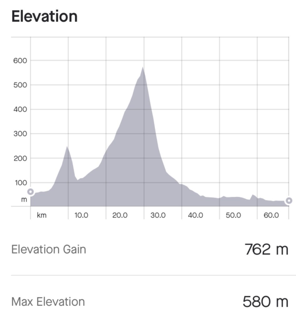
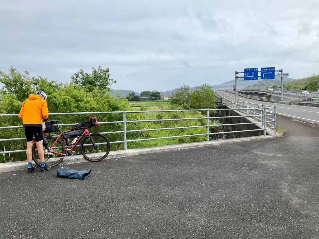
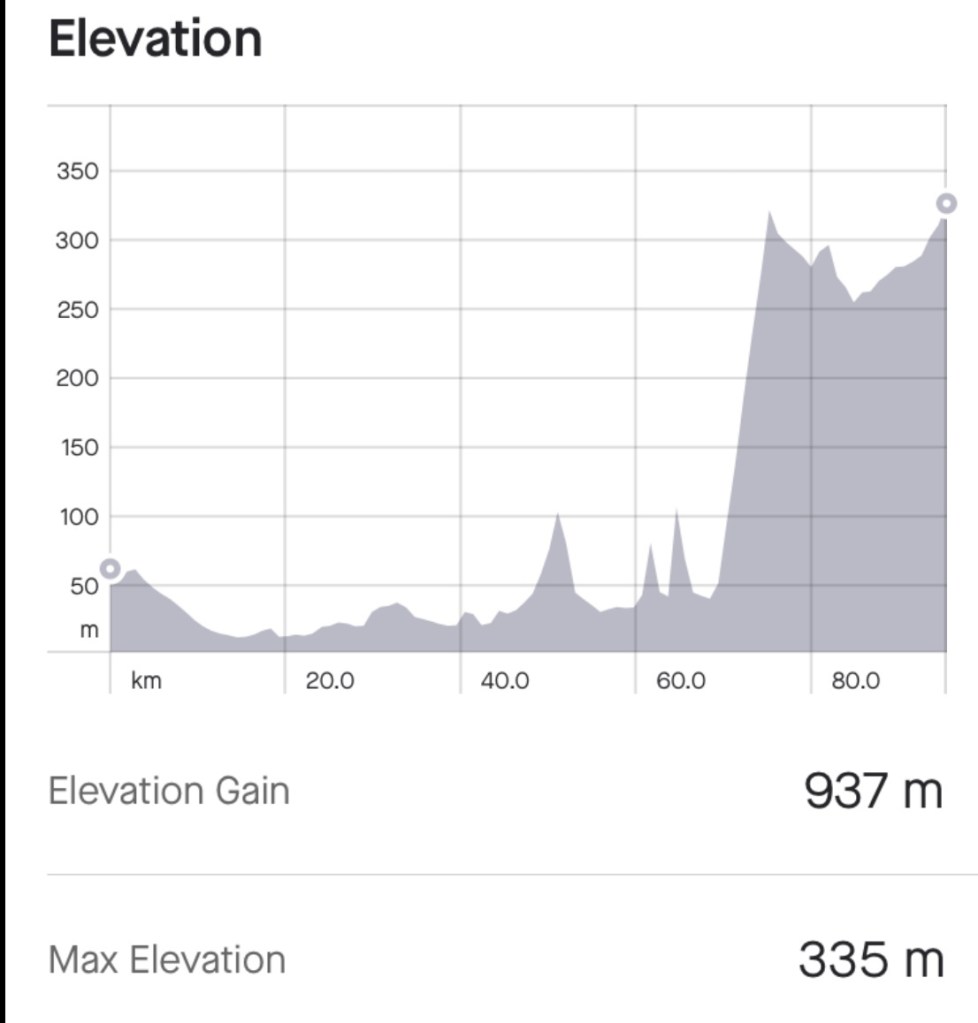
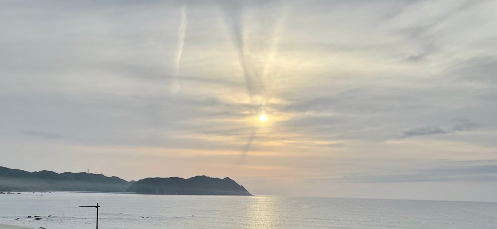
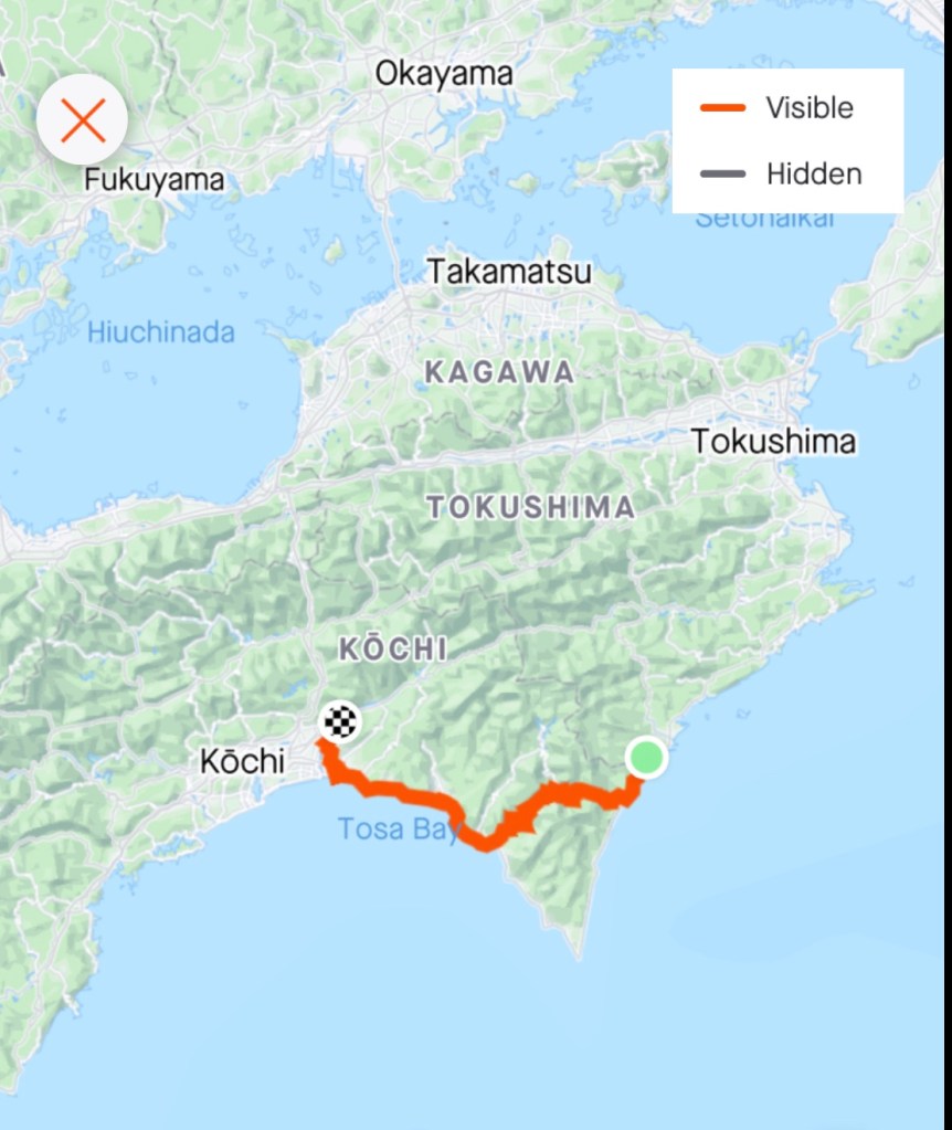
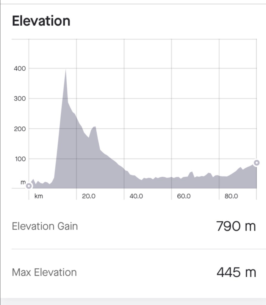
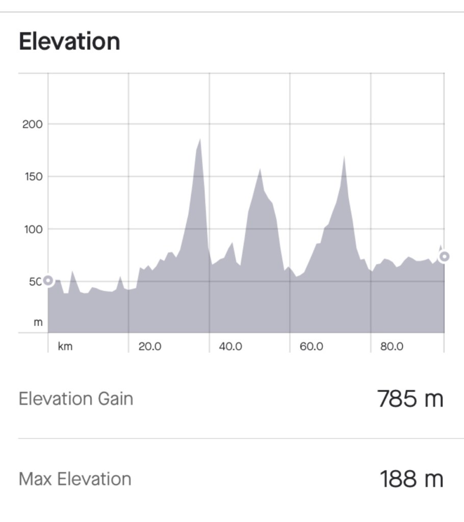
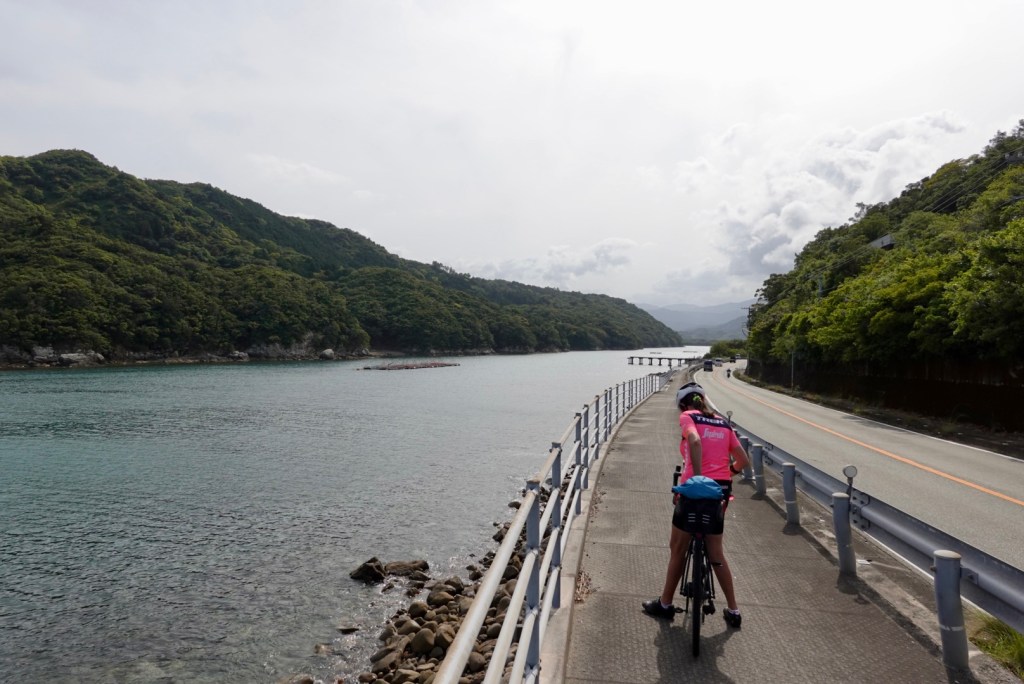
The weather was warm and sunny. The wind left us alone most of the time. The views were beyond our expectations. The infrastructure amazing. We’re a bit sunburned. 92 very enjoyable km.

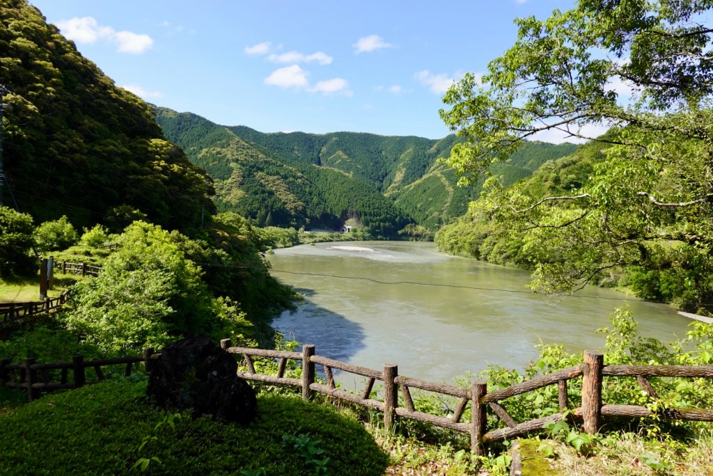
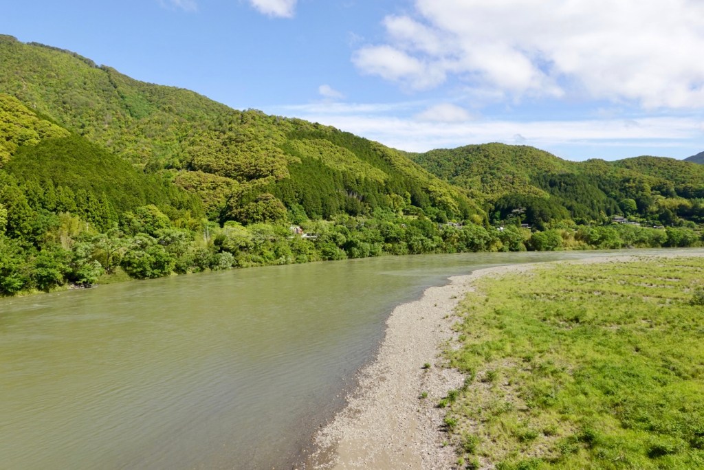
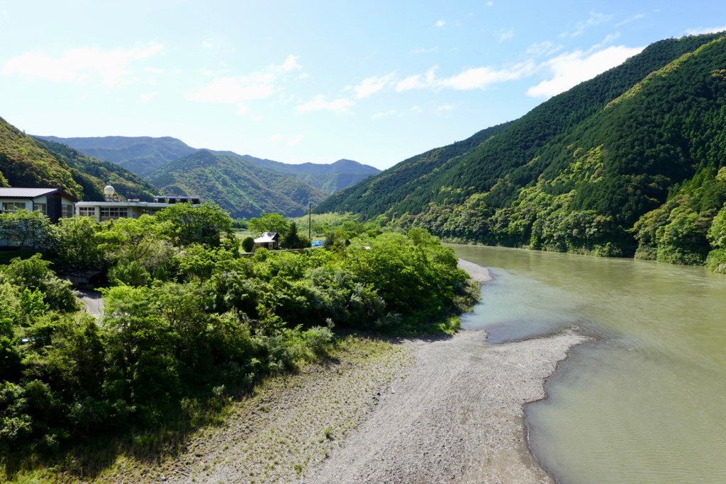
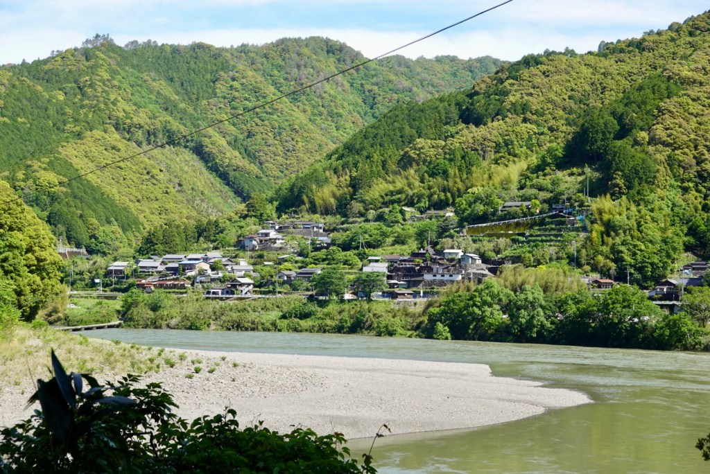
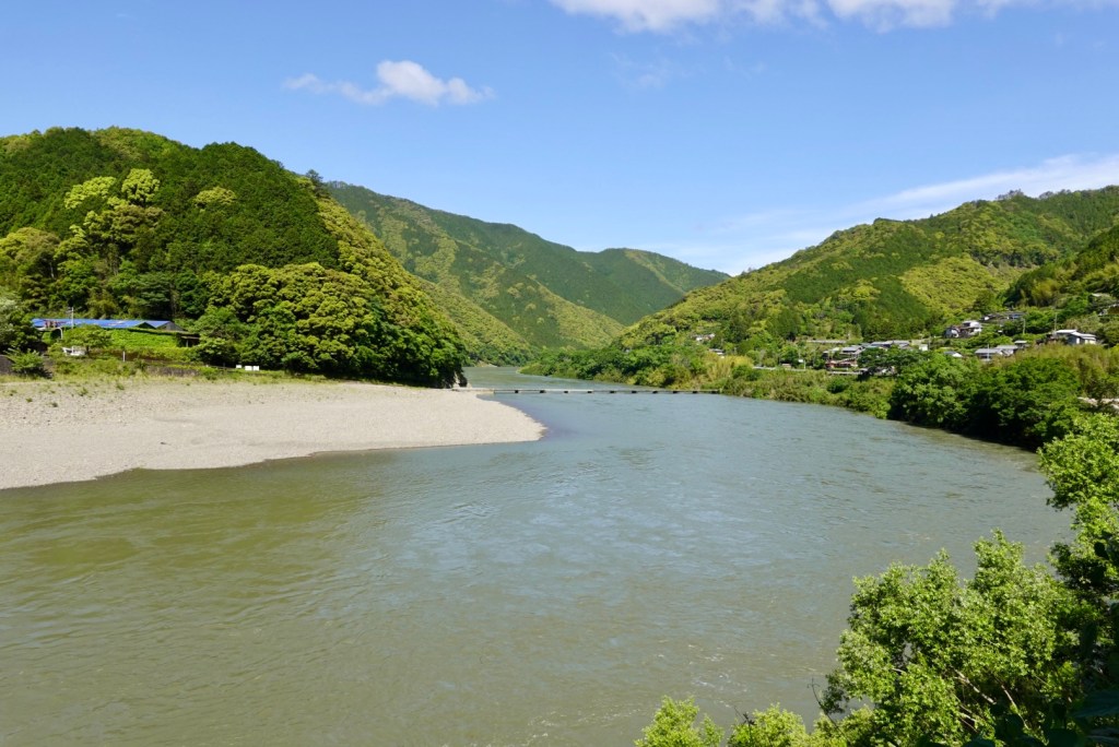
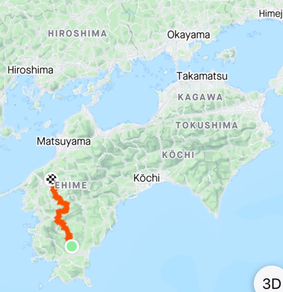
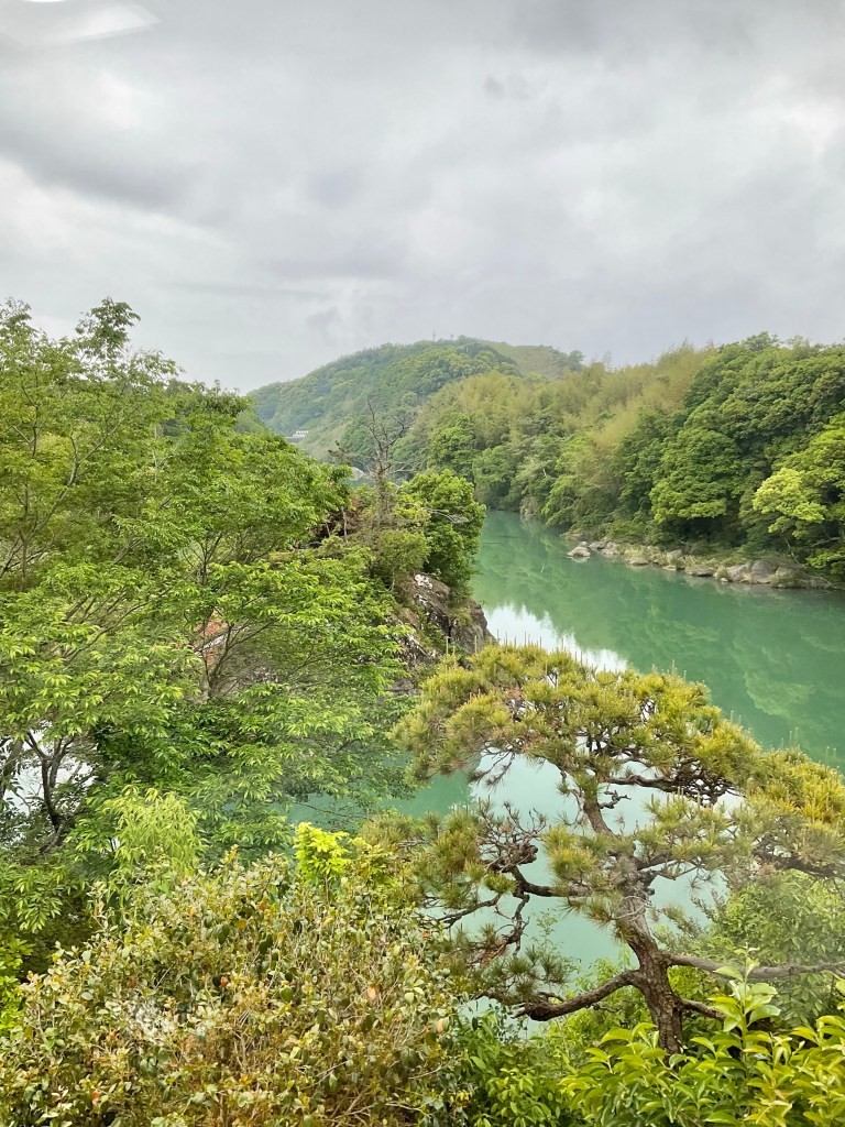
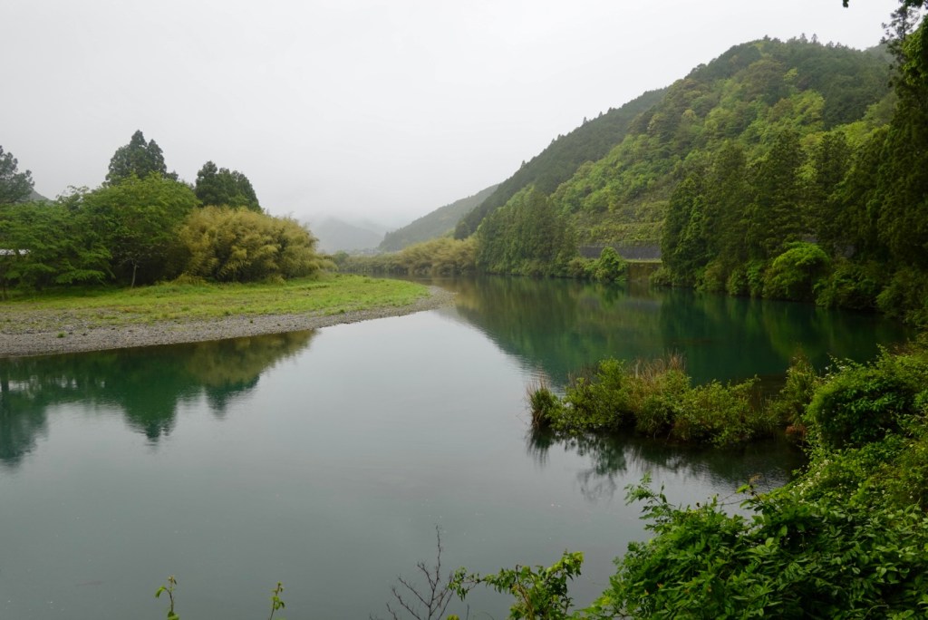
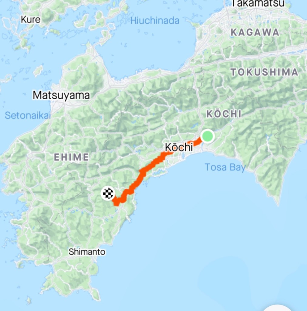
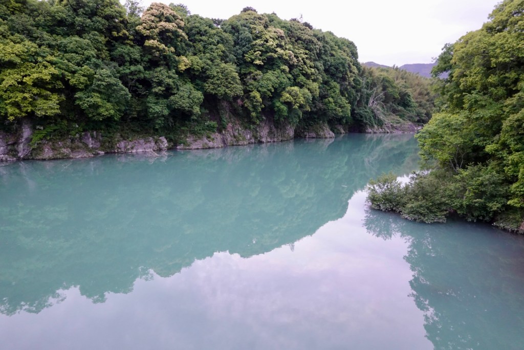
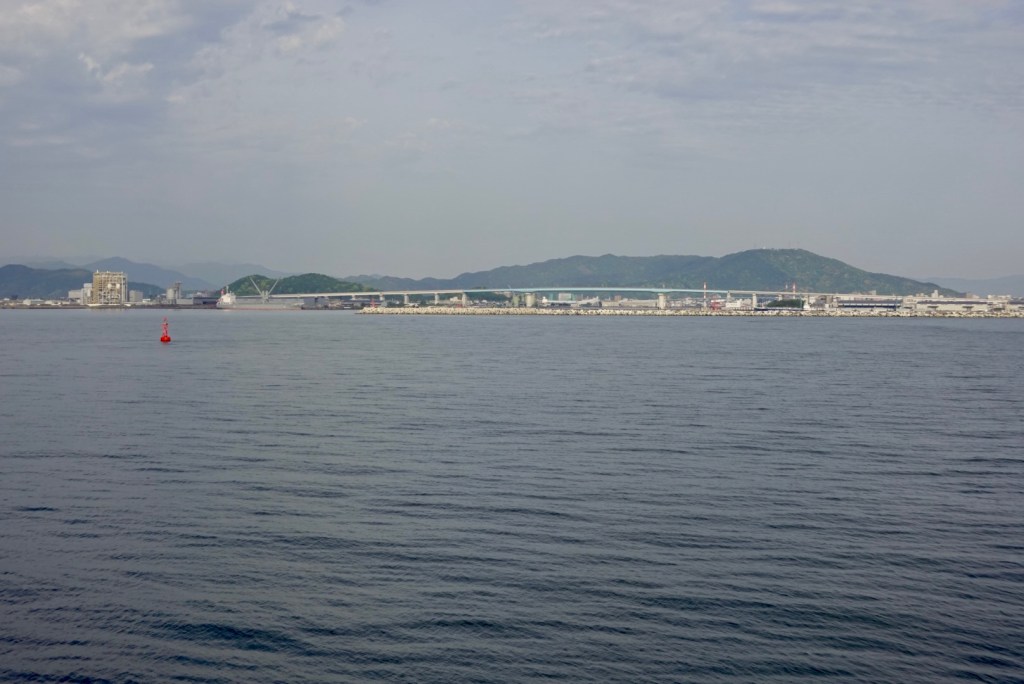
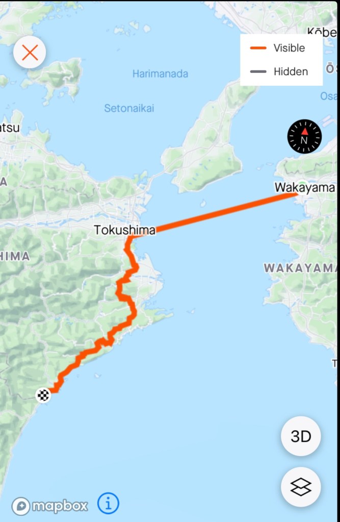
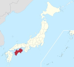
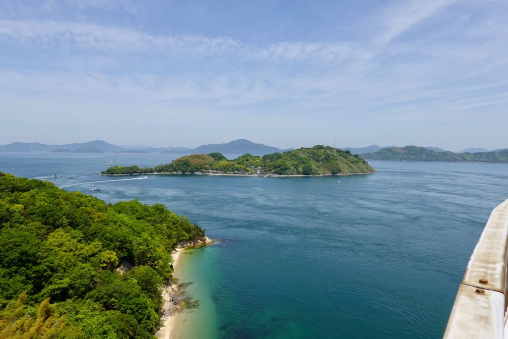
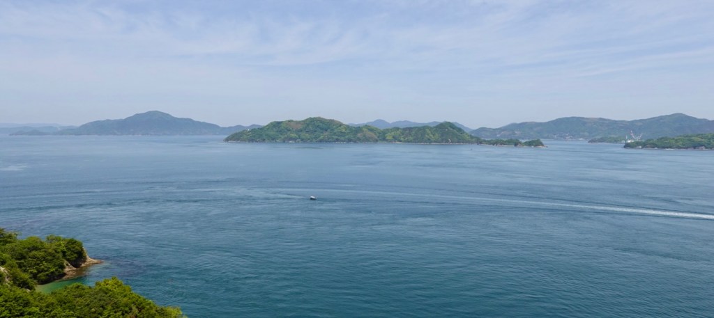
We predominantly followed the coastline today. The body of water on the map is the Seto Inland Sea, and it separates three of Japan’s main islands (Honshu, Shikoku and Kyushi). It serves as a waterway connecting the Pacific Ocean to the Sea of Japan, and contains over 3,000 islands.

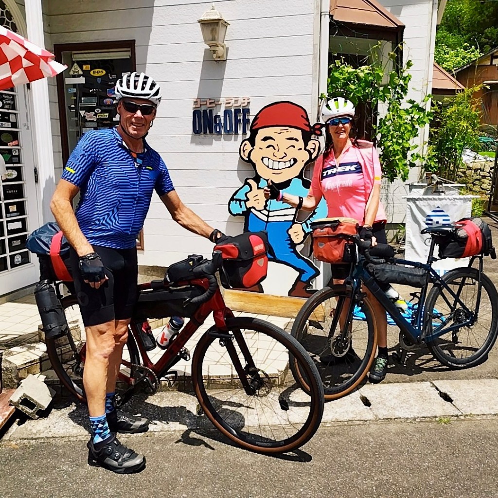
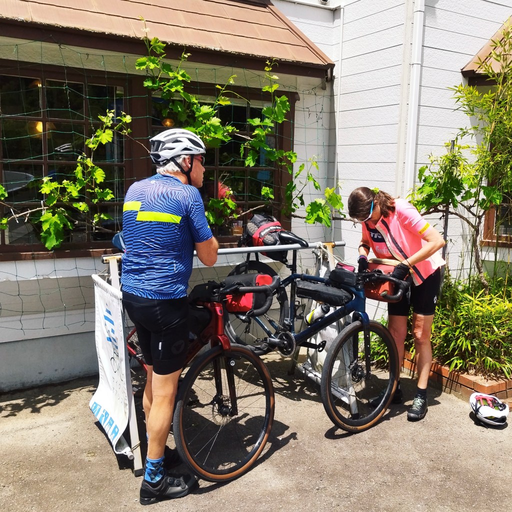
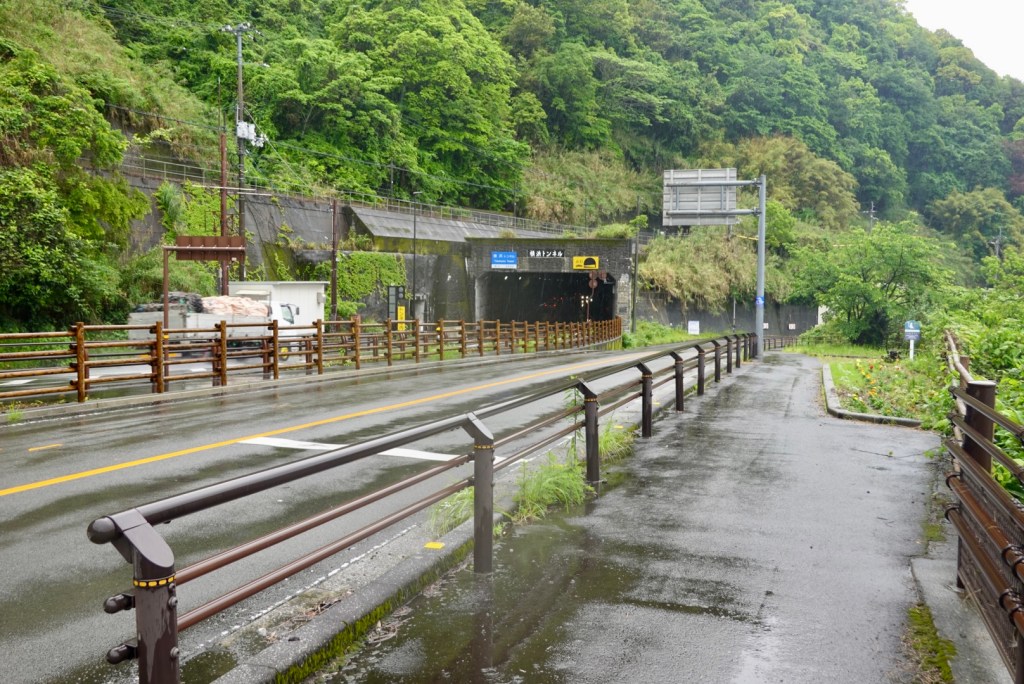
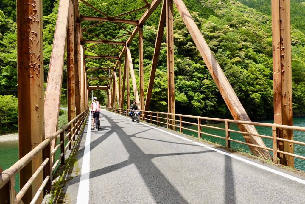
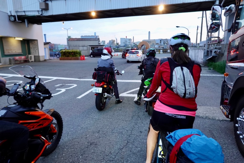
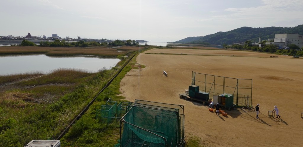
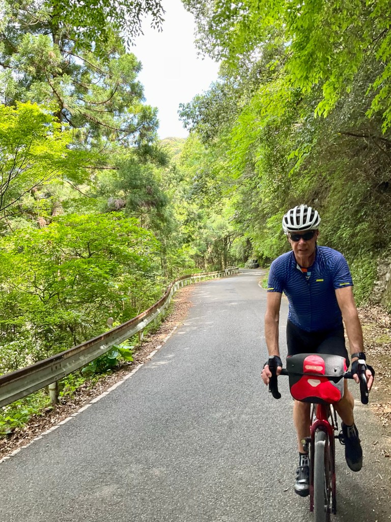
Leaving our accomodation by 8 am we stopped to pull the camera out countless times. Let’s get started!

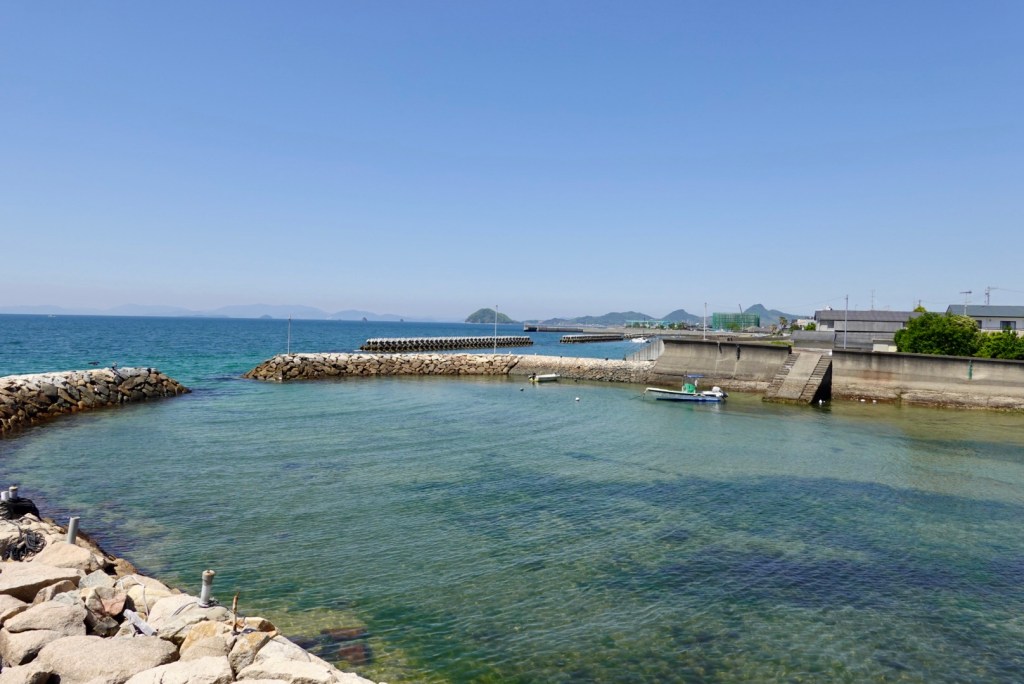
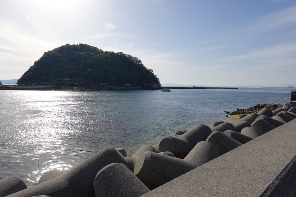
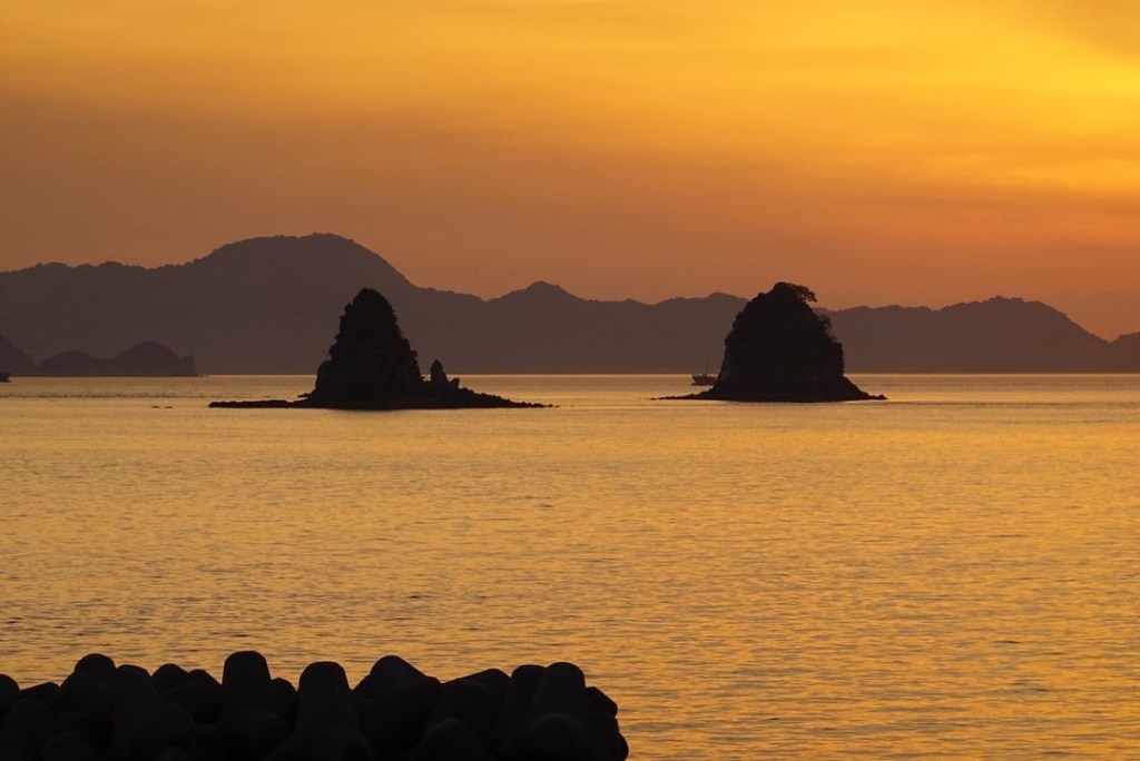
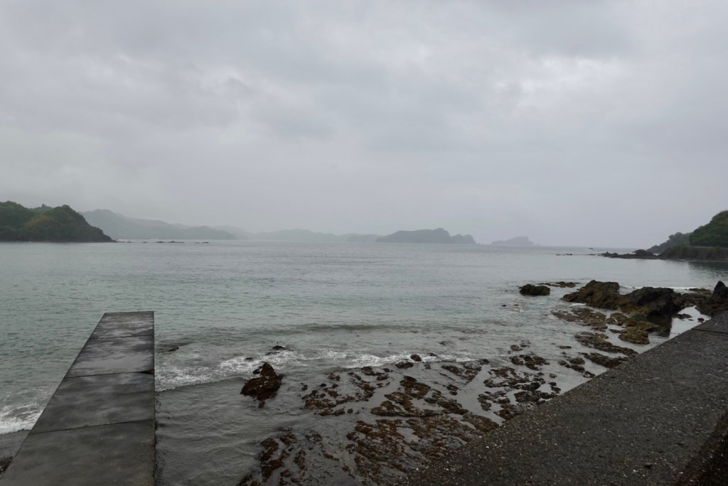
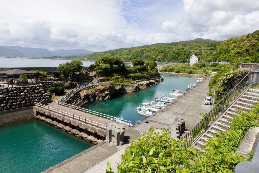
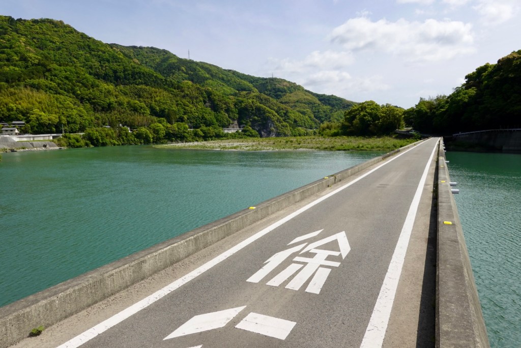
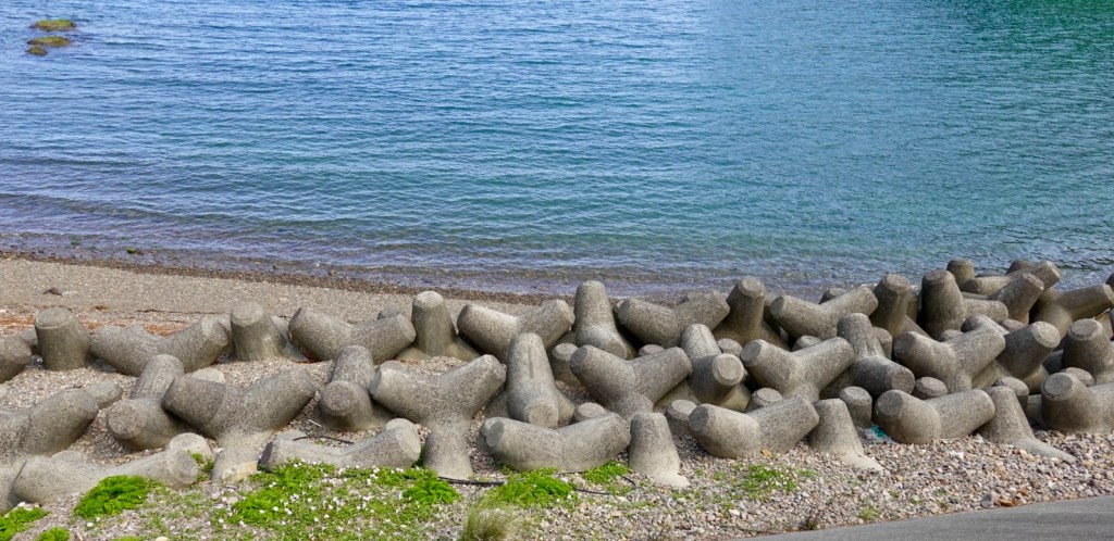
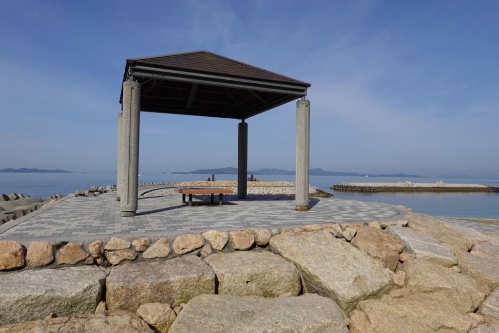
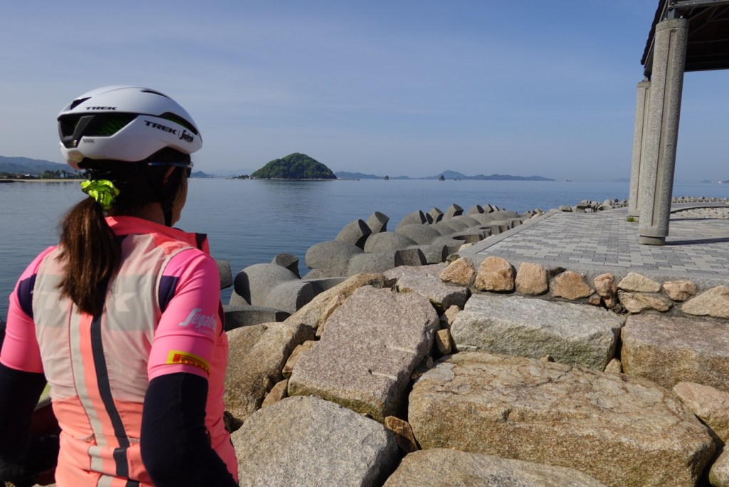
First stop just up the road was a breakwater with paved top and lovely views.

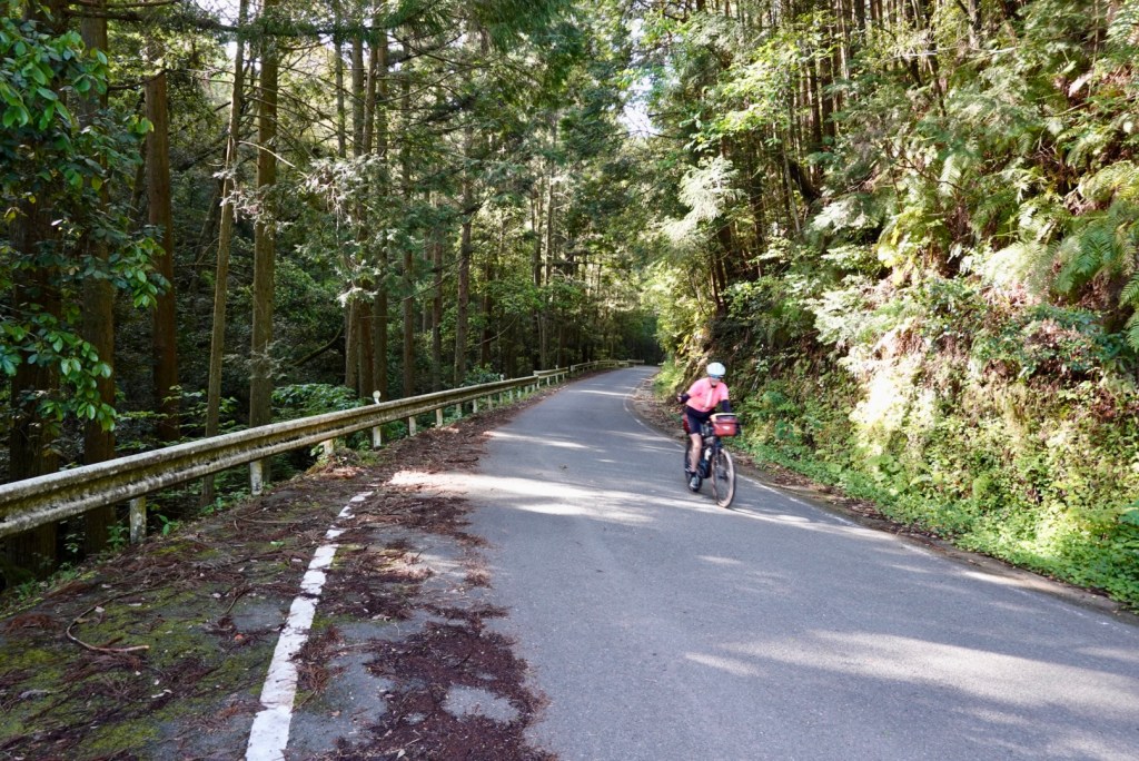
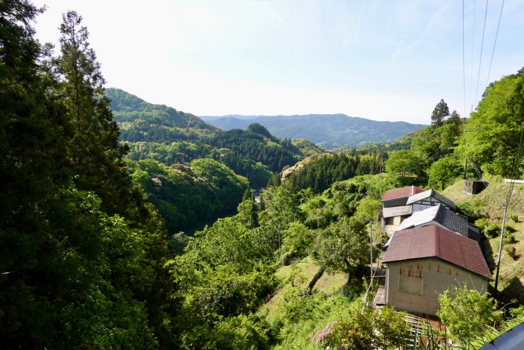
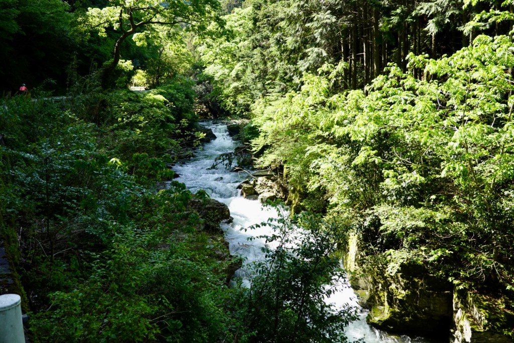
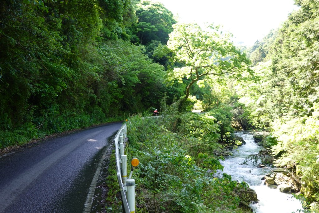
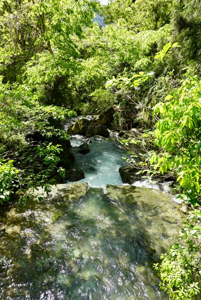
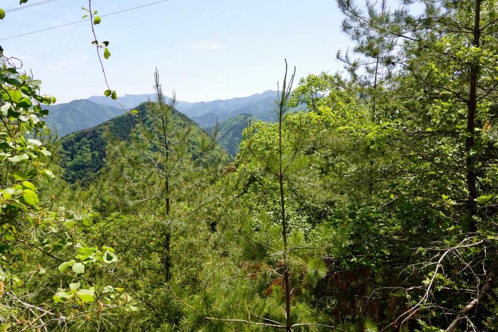
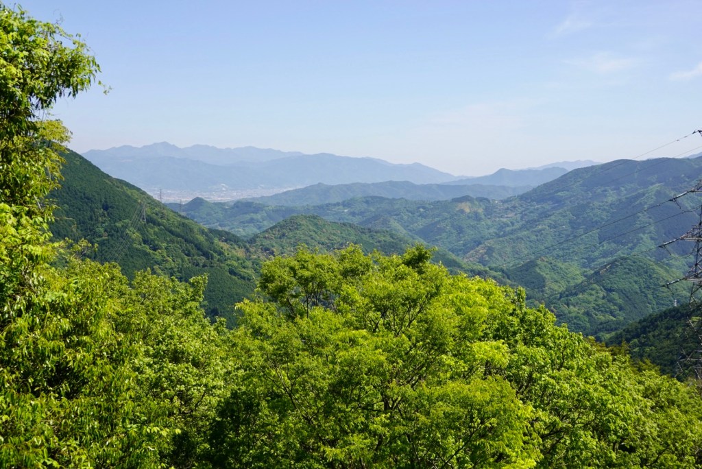
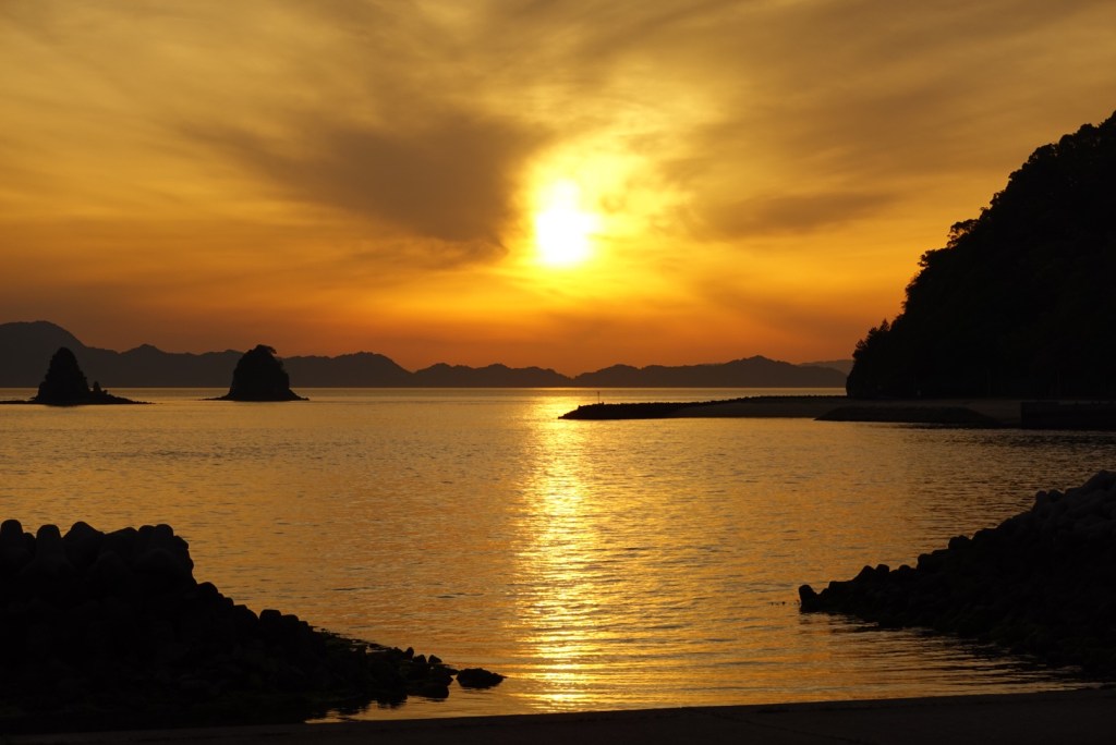
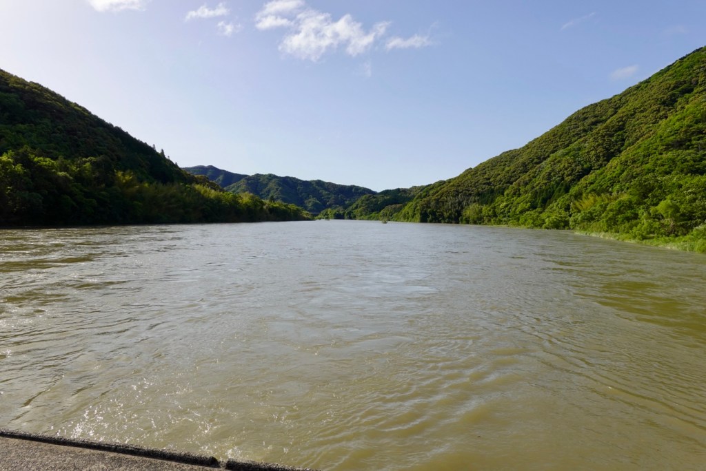
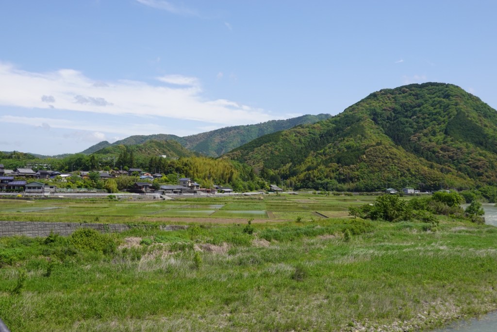
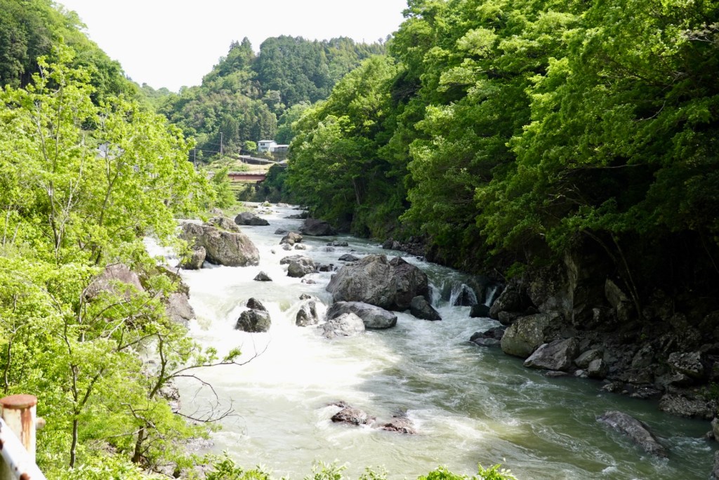
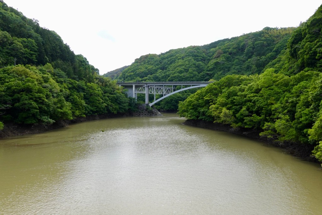
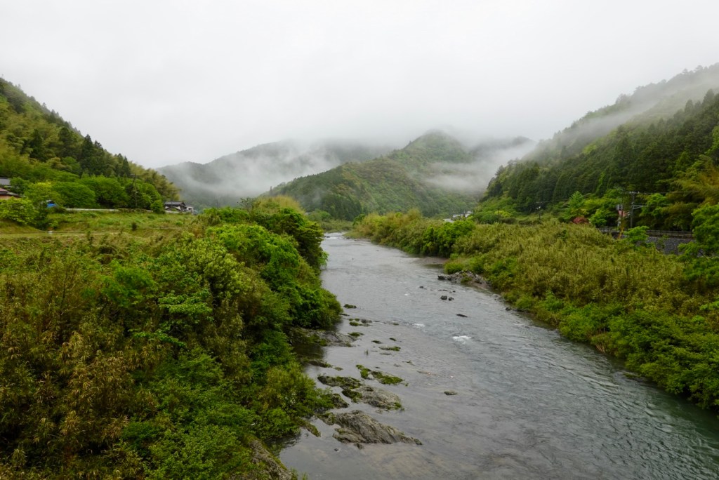
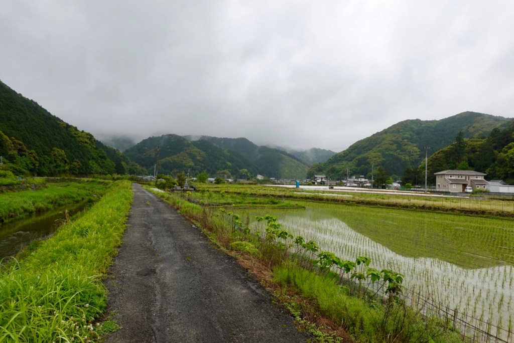
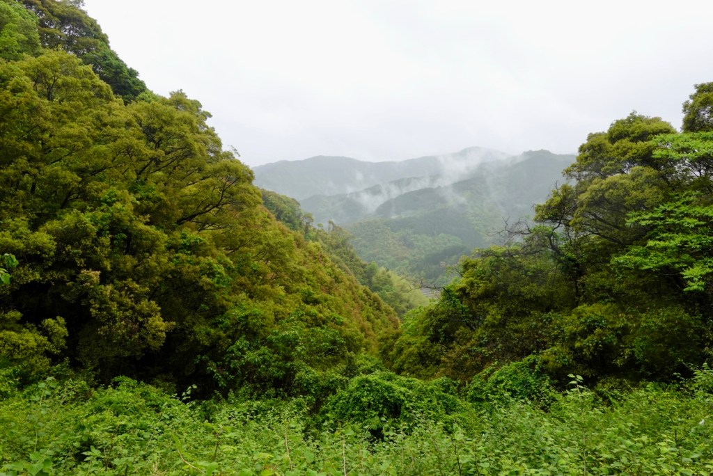
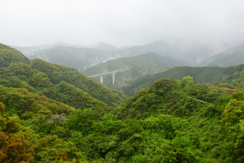
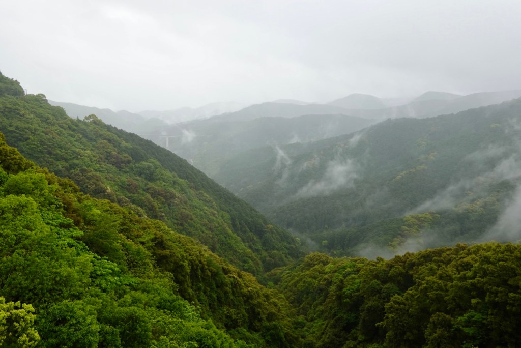
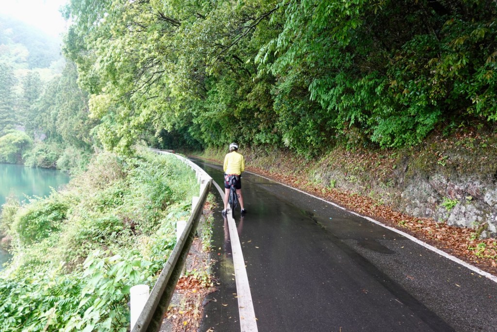
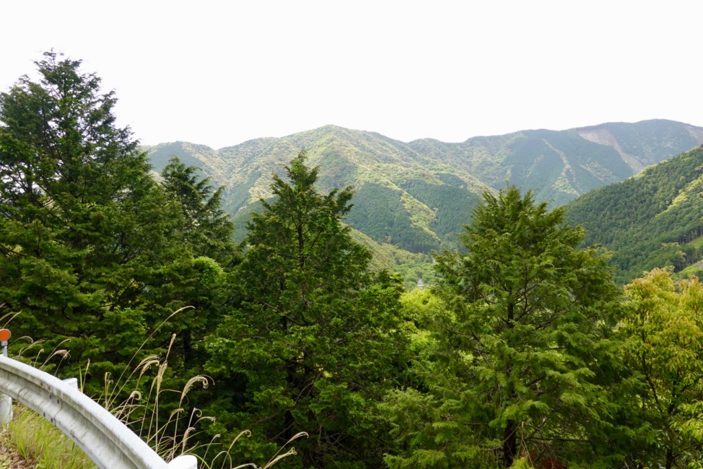
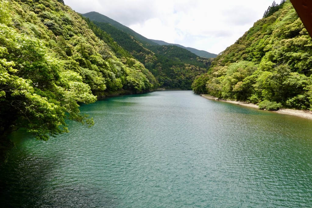
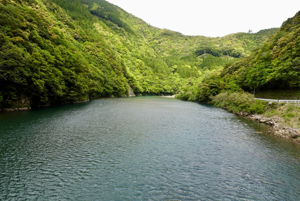
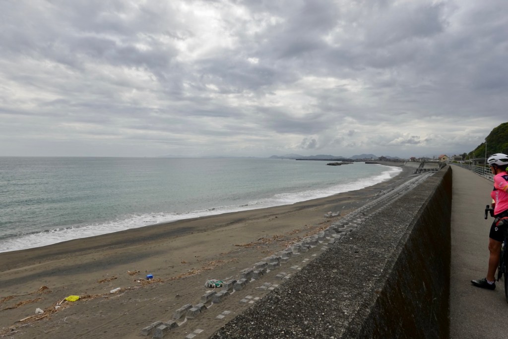
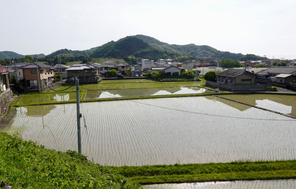
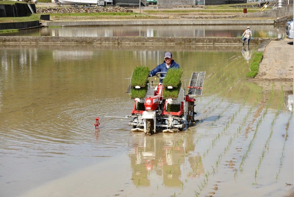
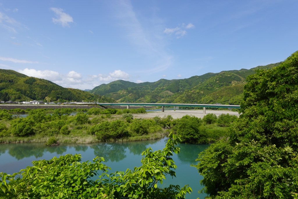
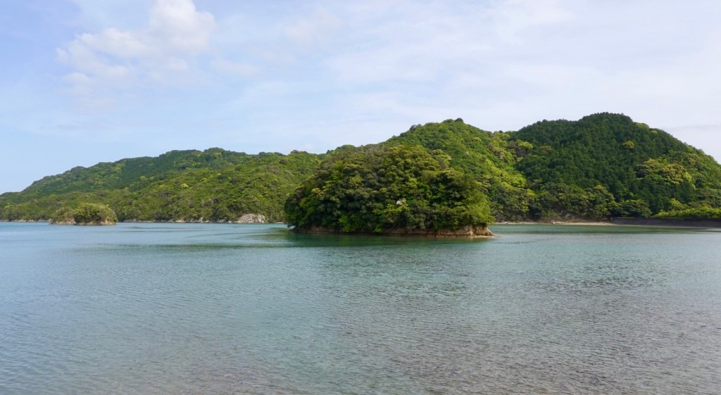
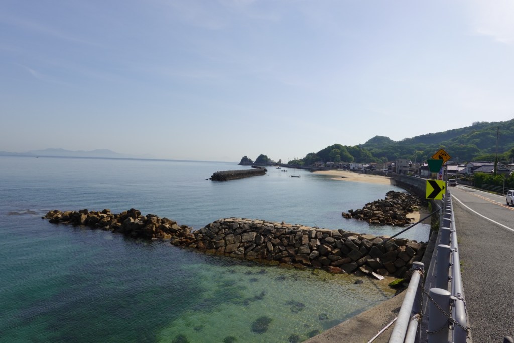
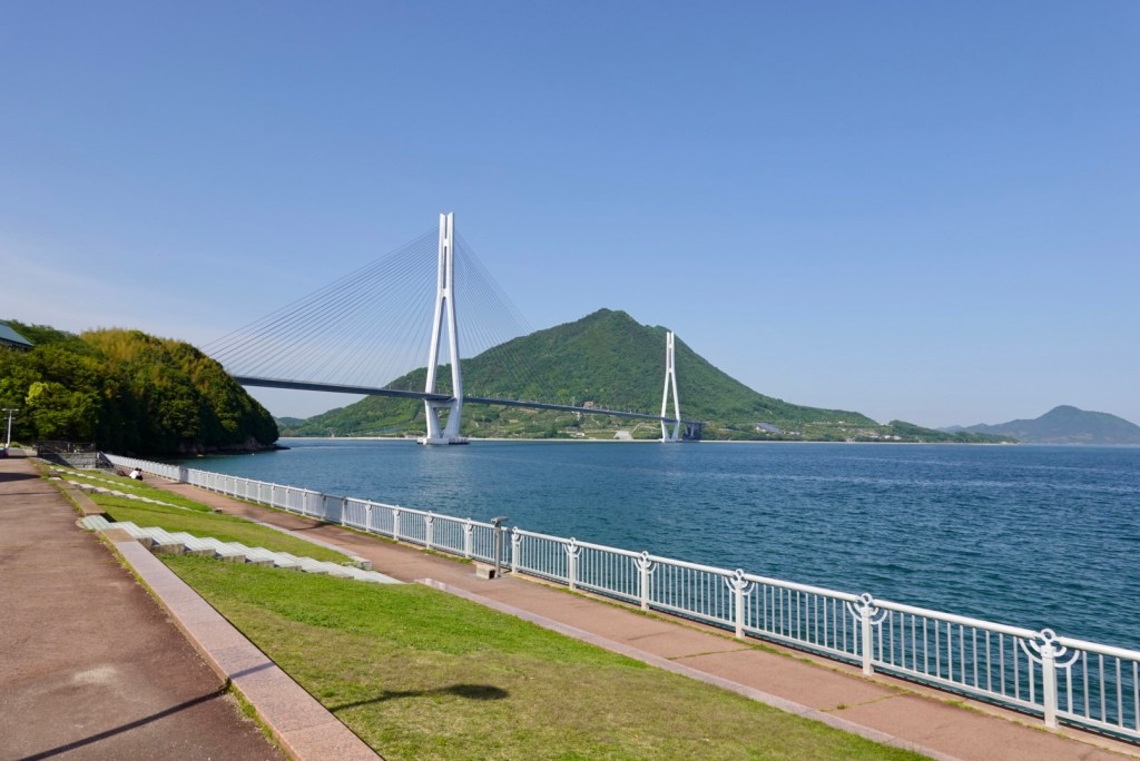
The scenery to our left as we headed towards Imabari.

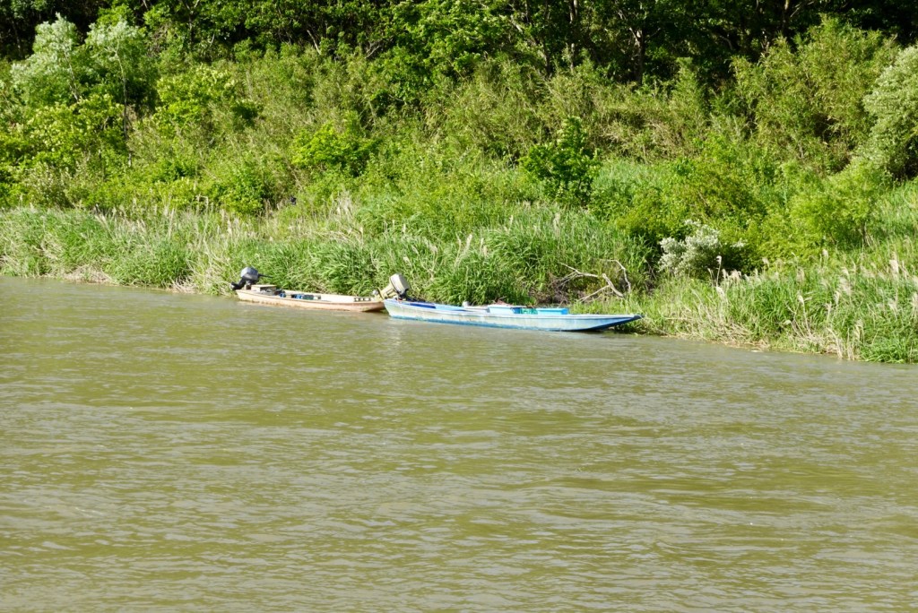
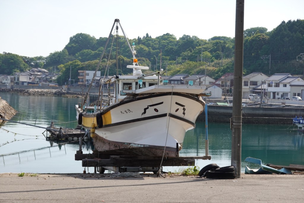
We liked the ‘eyes’ on this boat.

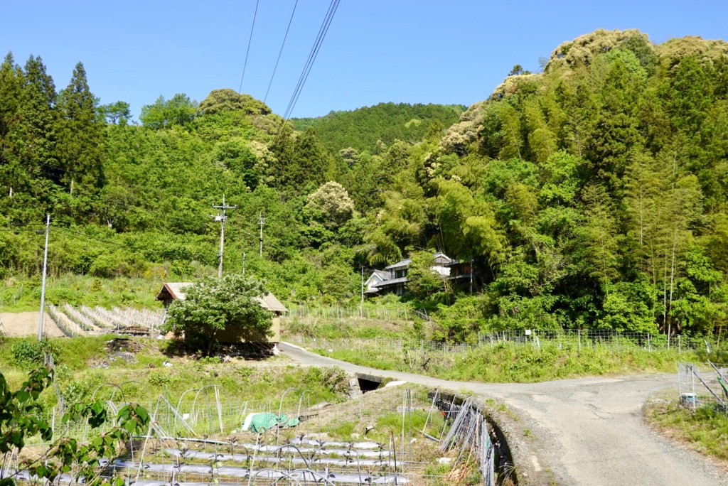
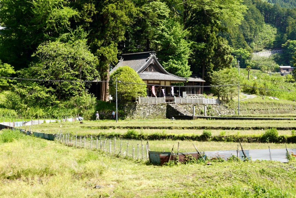
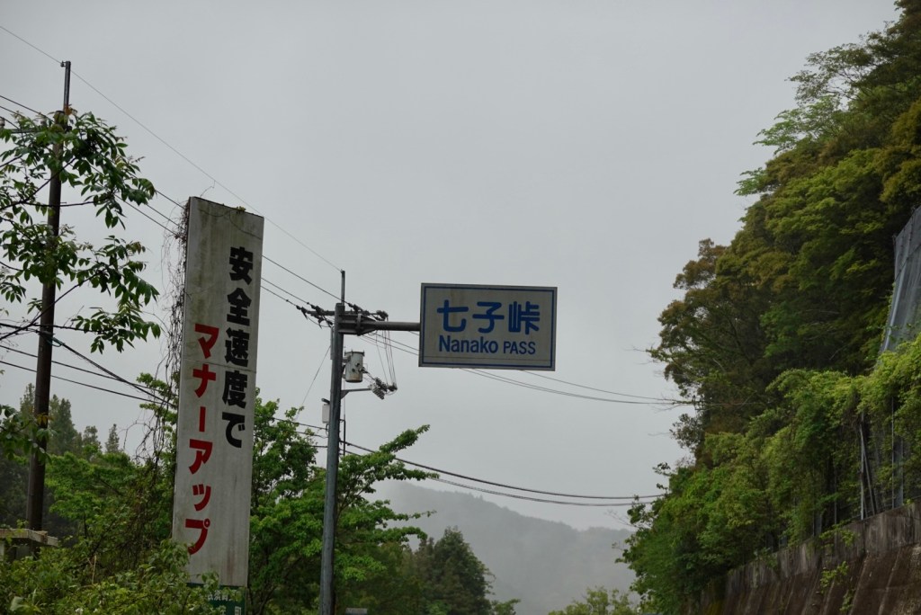
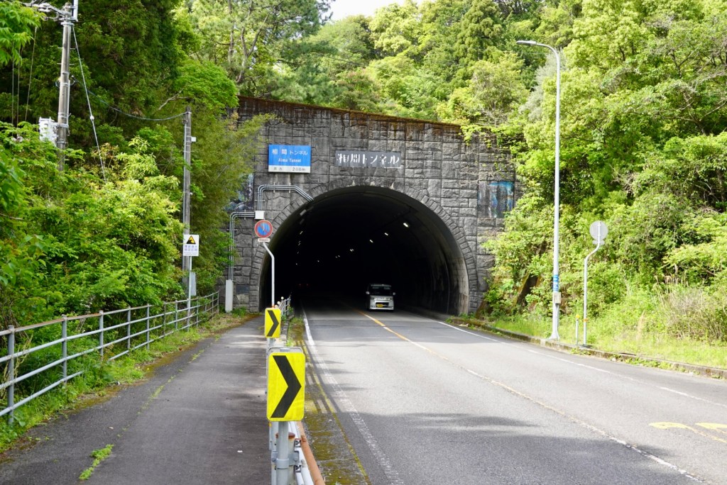
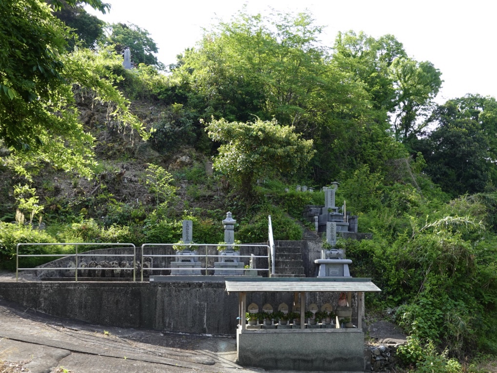
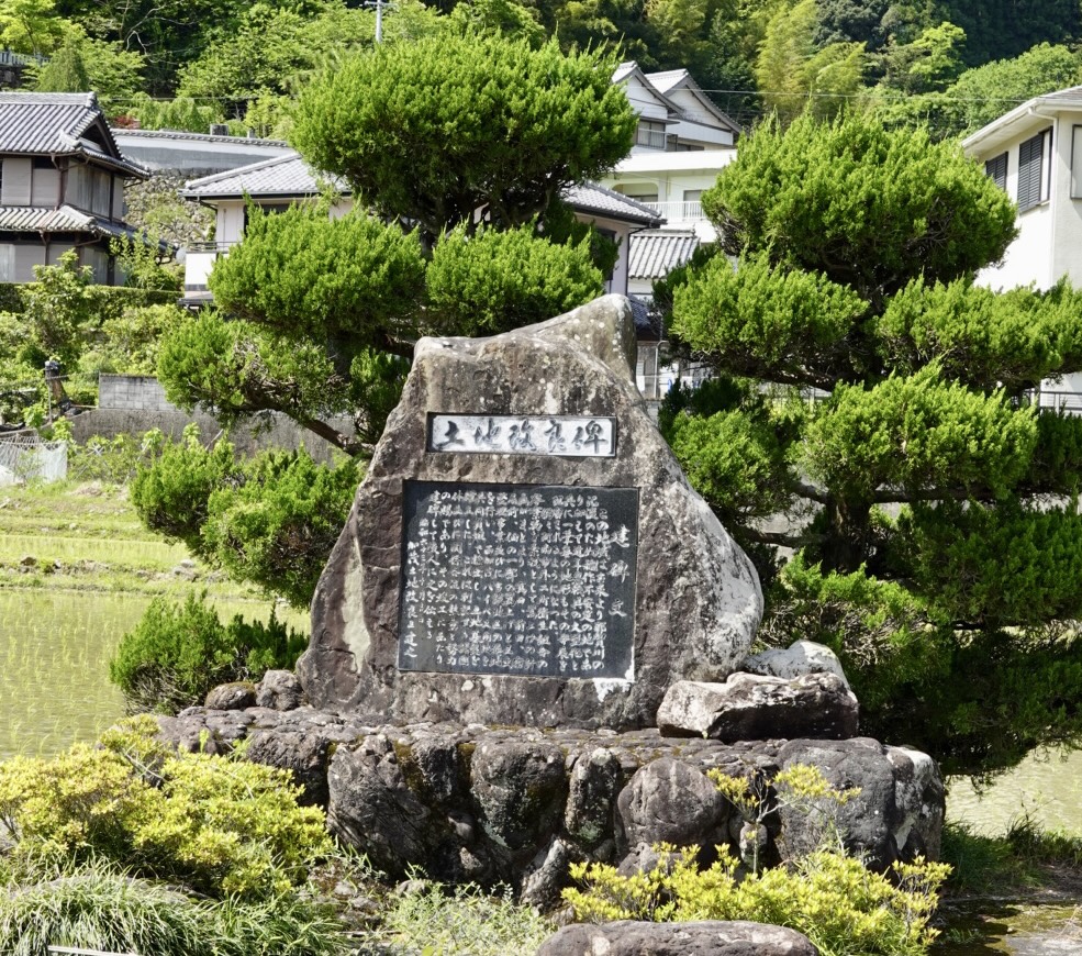
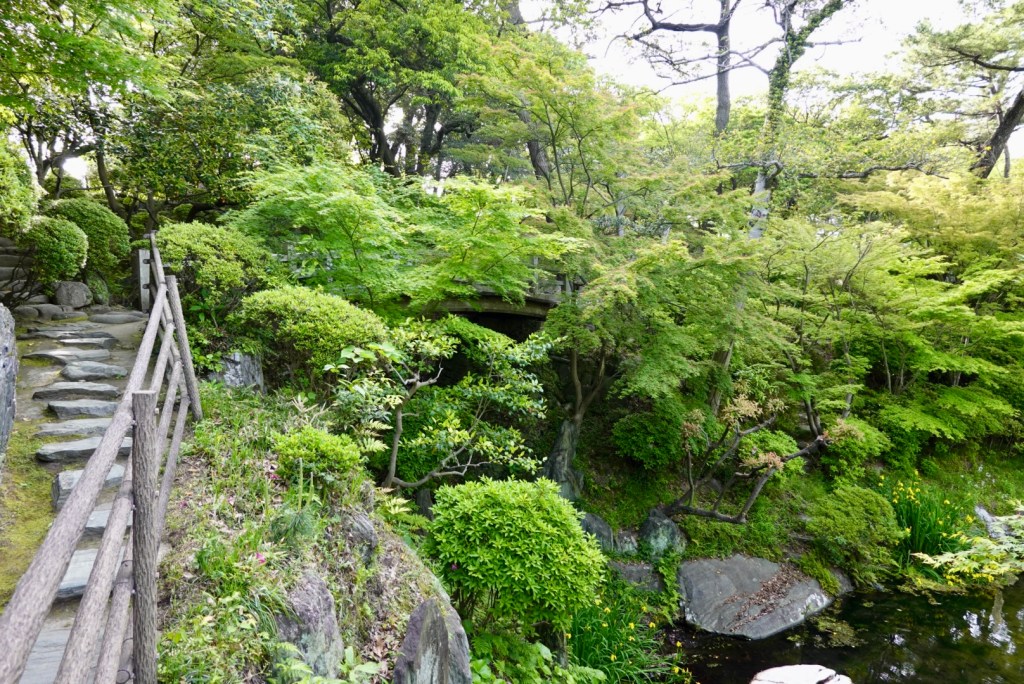
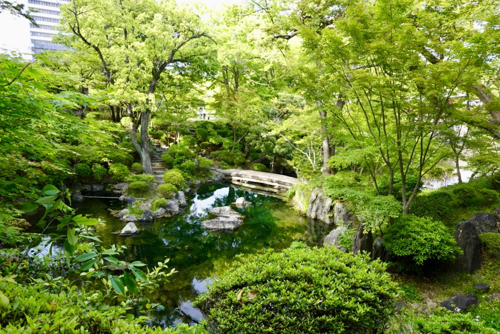
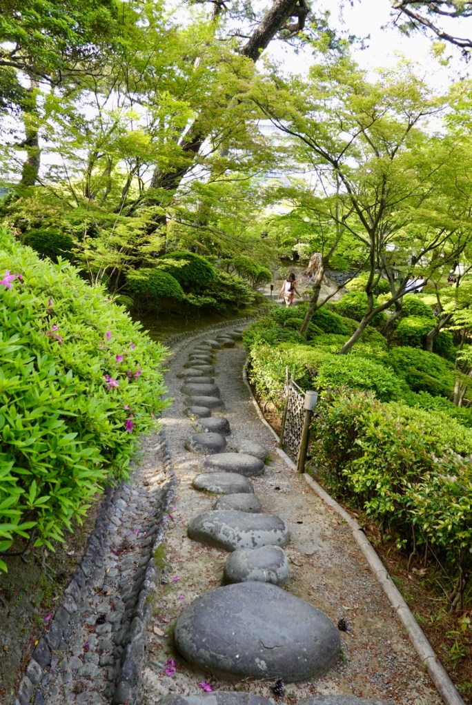
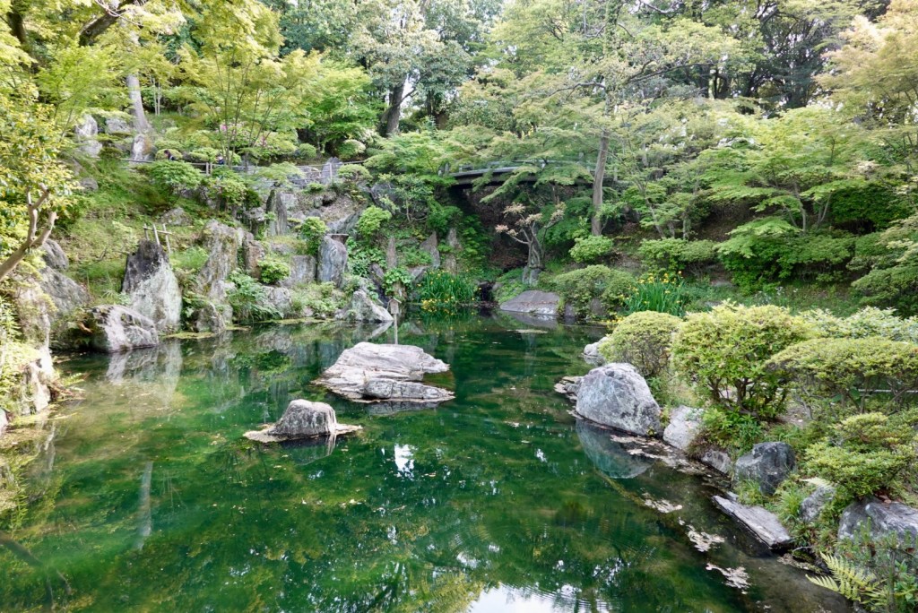
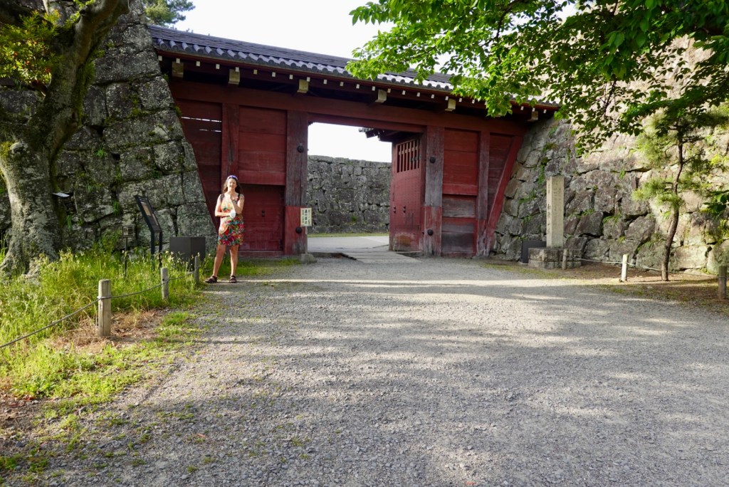
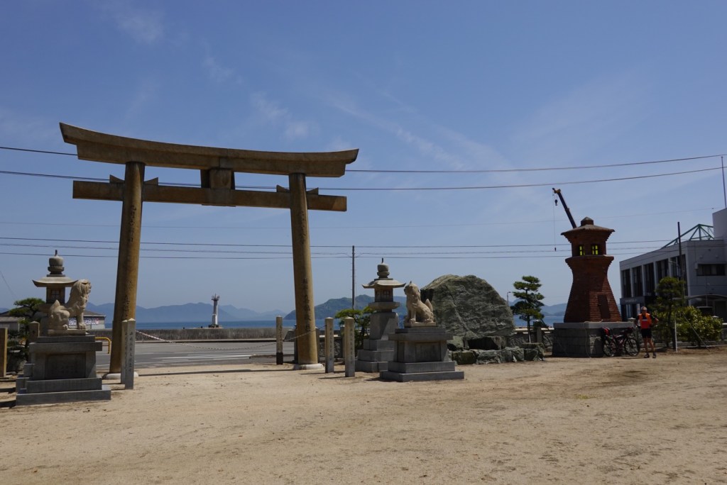
Shrines are very common. We must have passed at least 50 or so today.
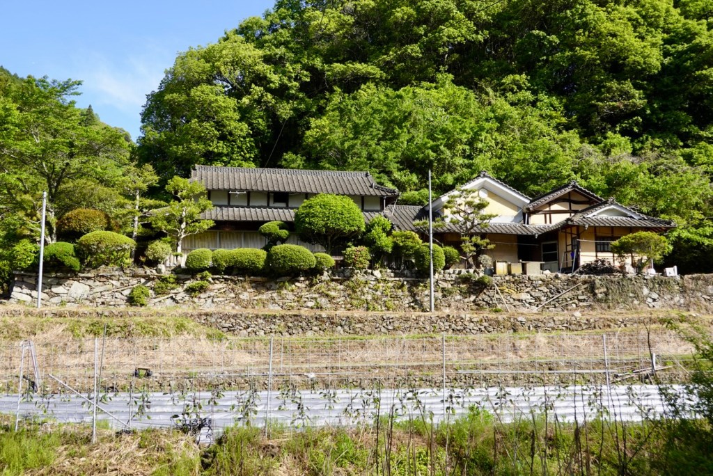
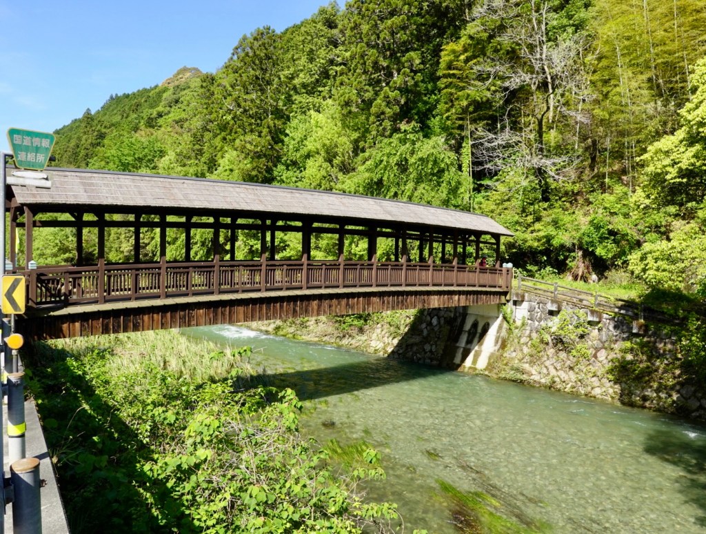
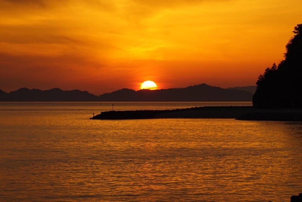
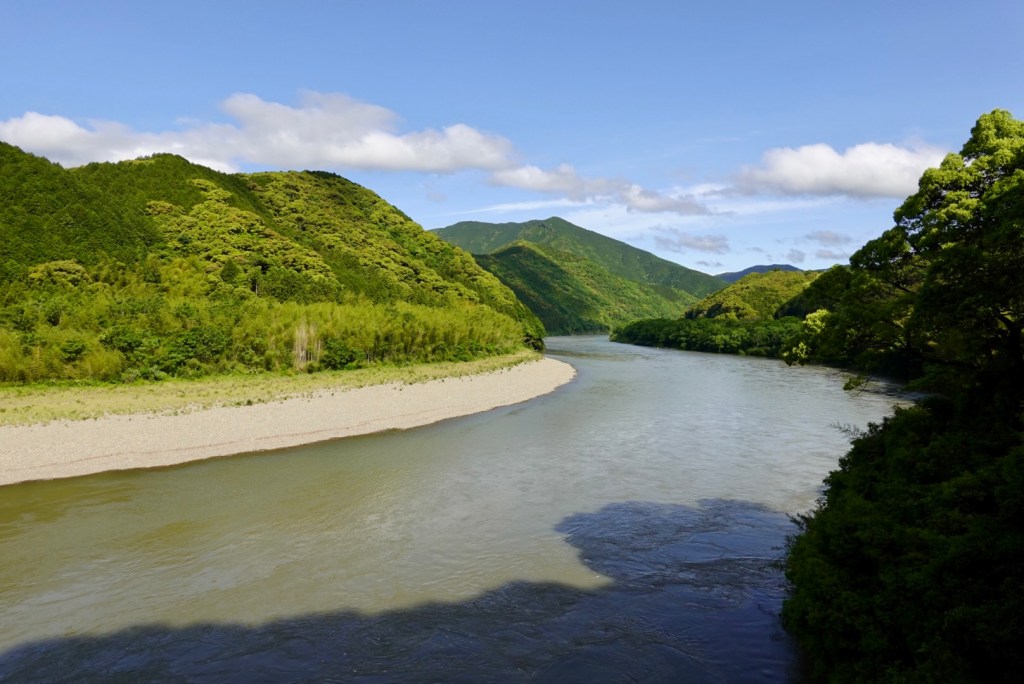
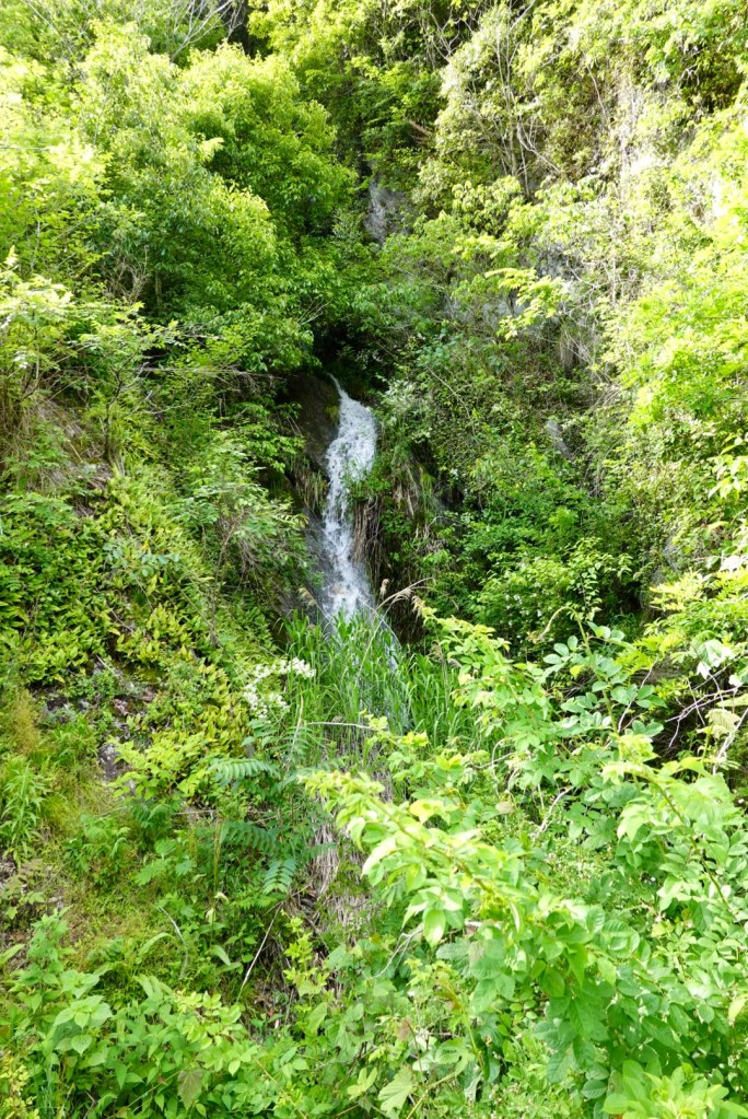
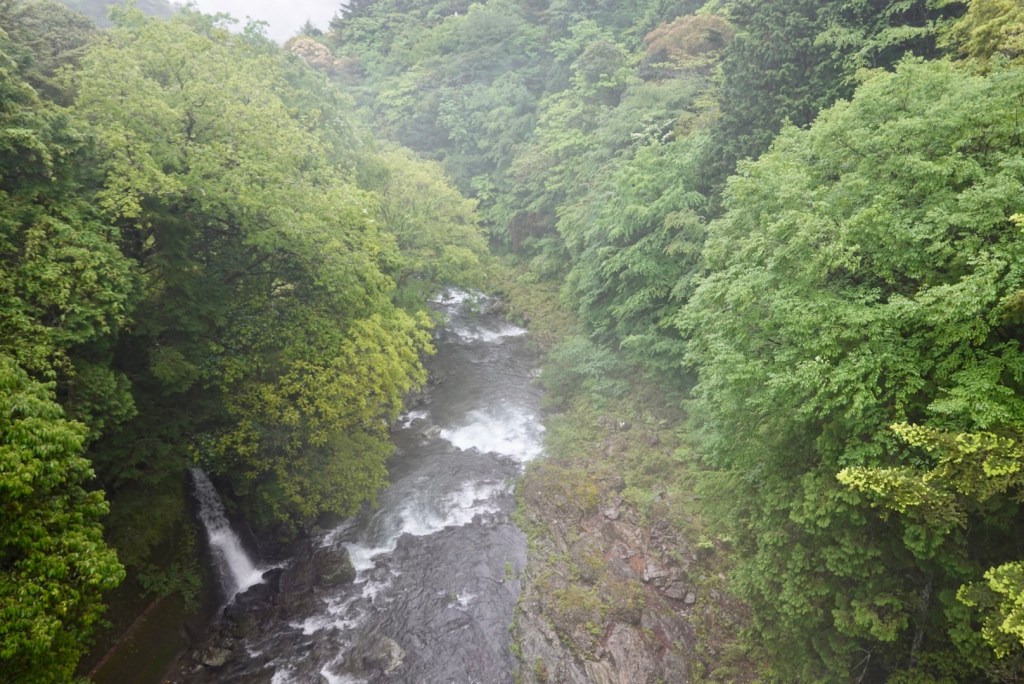
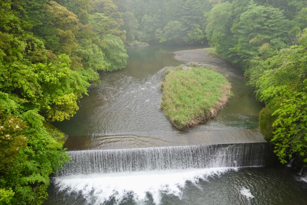
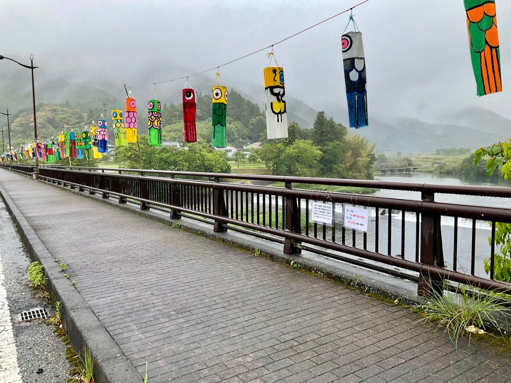
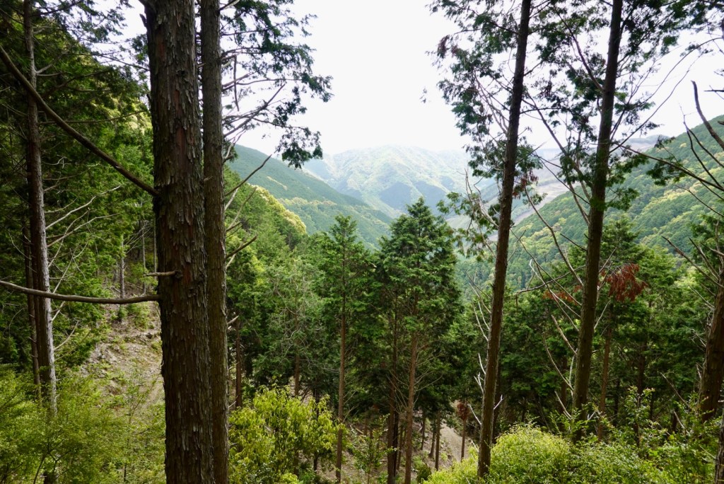
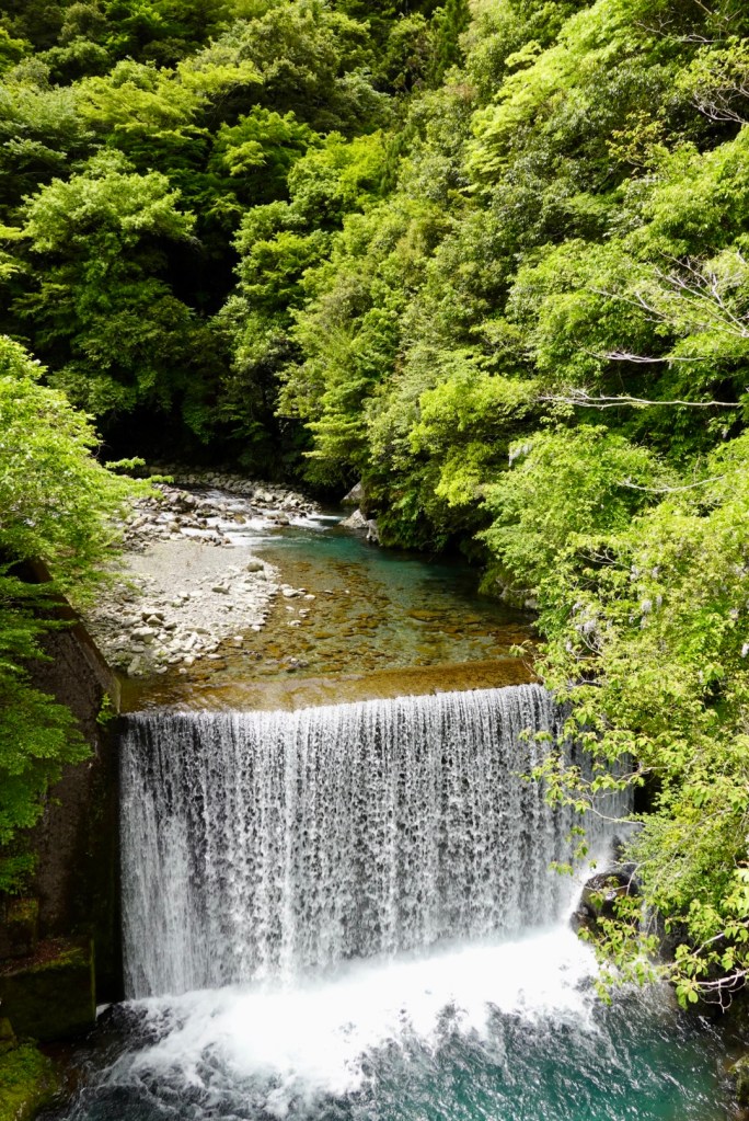
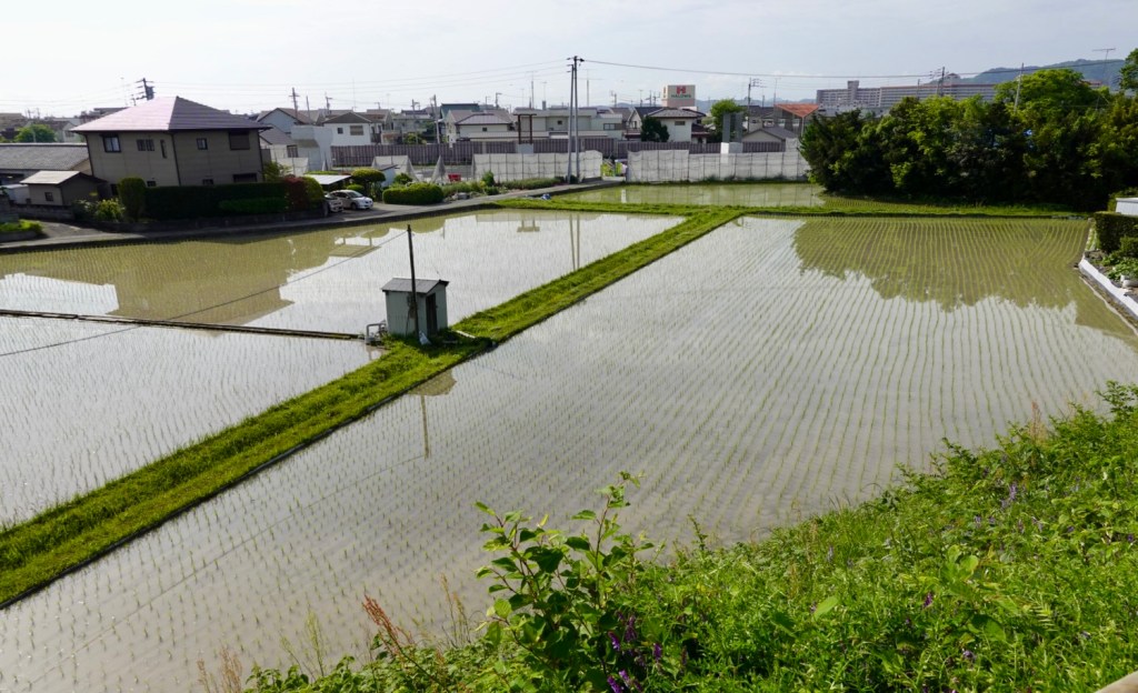
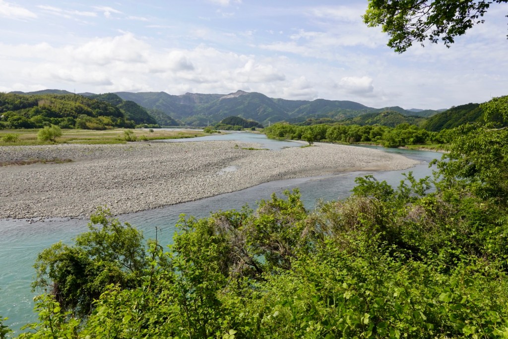
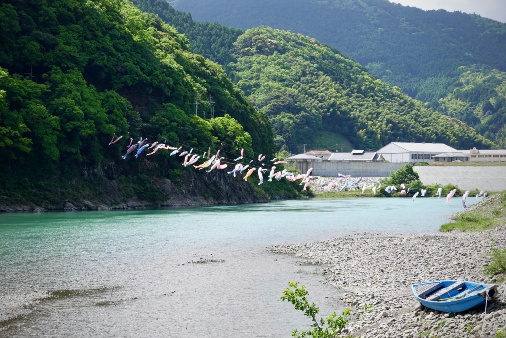
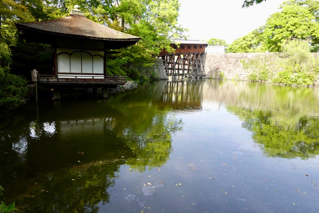
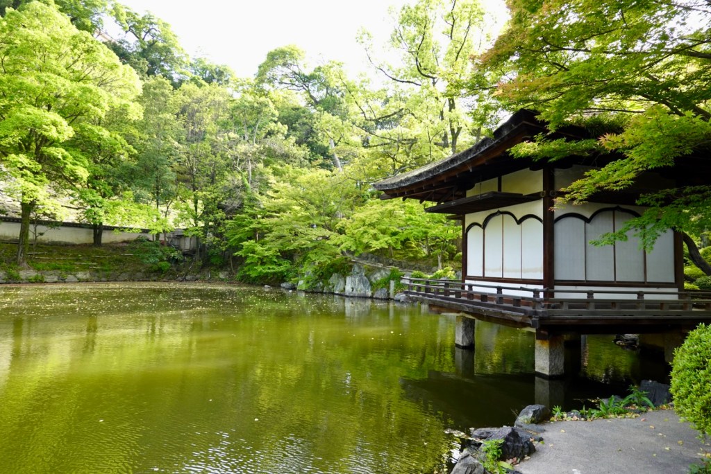
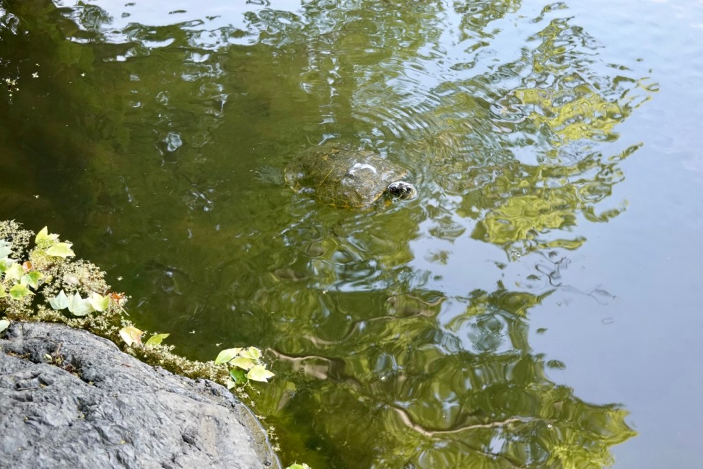
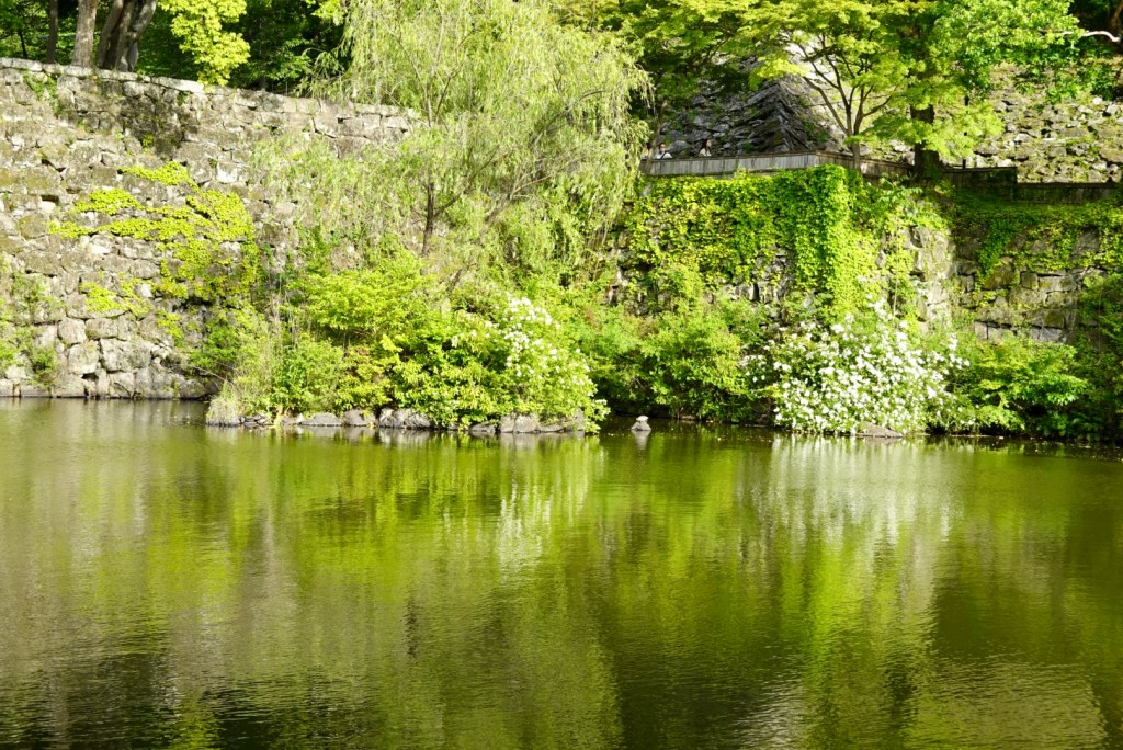
Just beautiful.

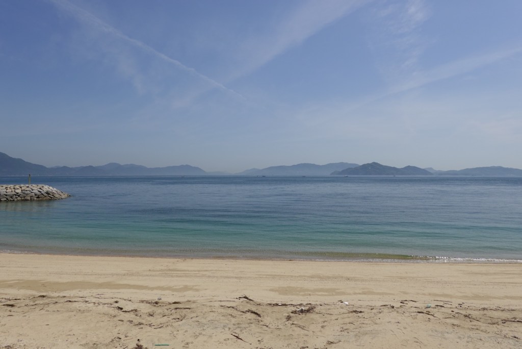
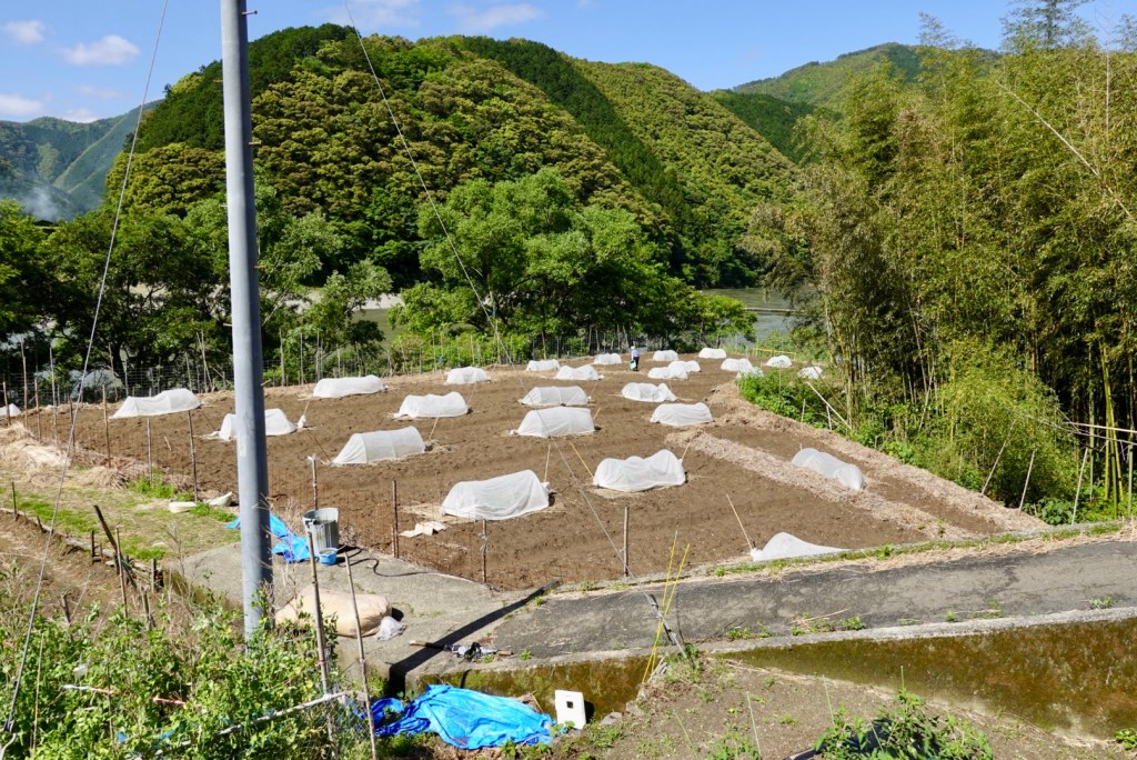
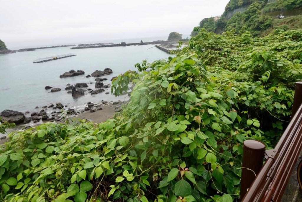
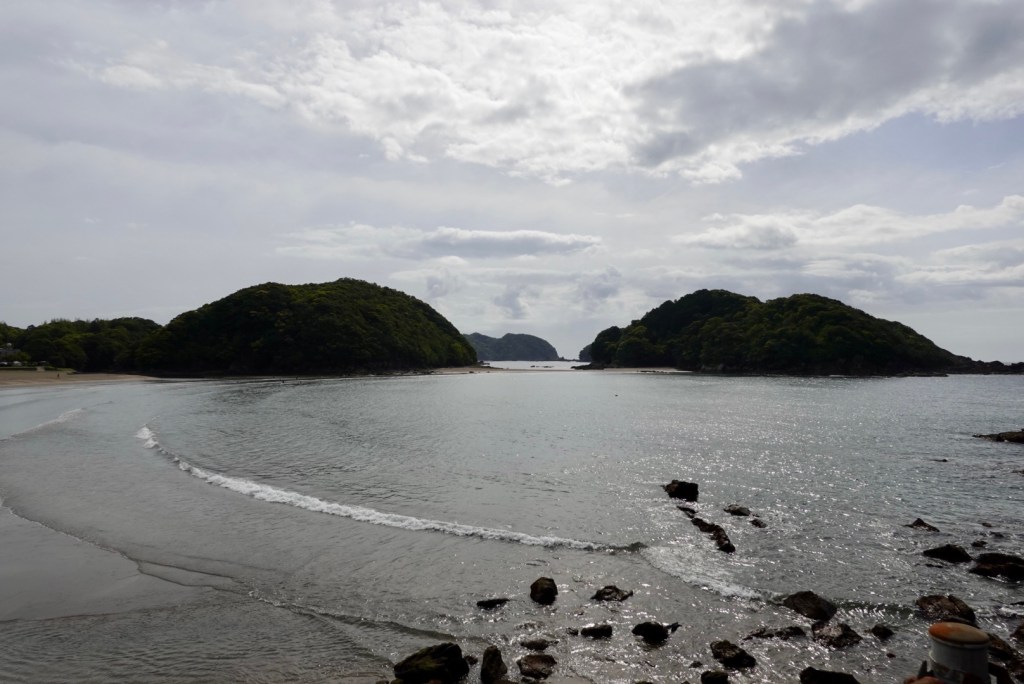
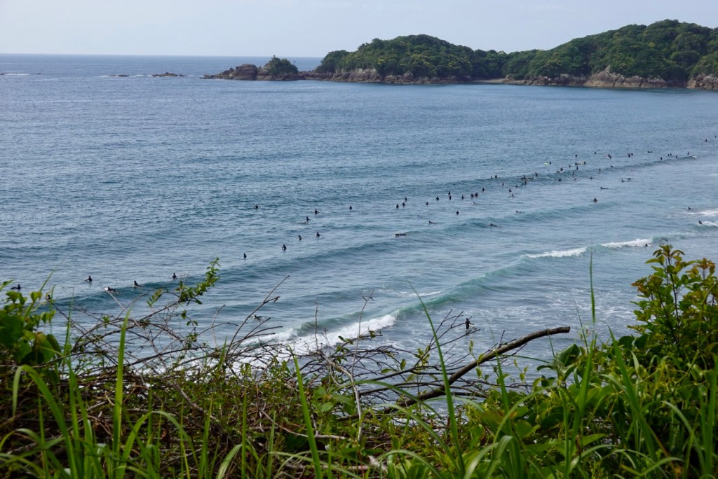
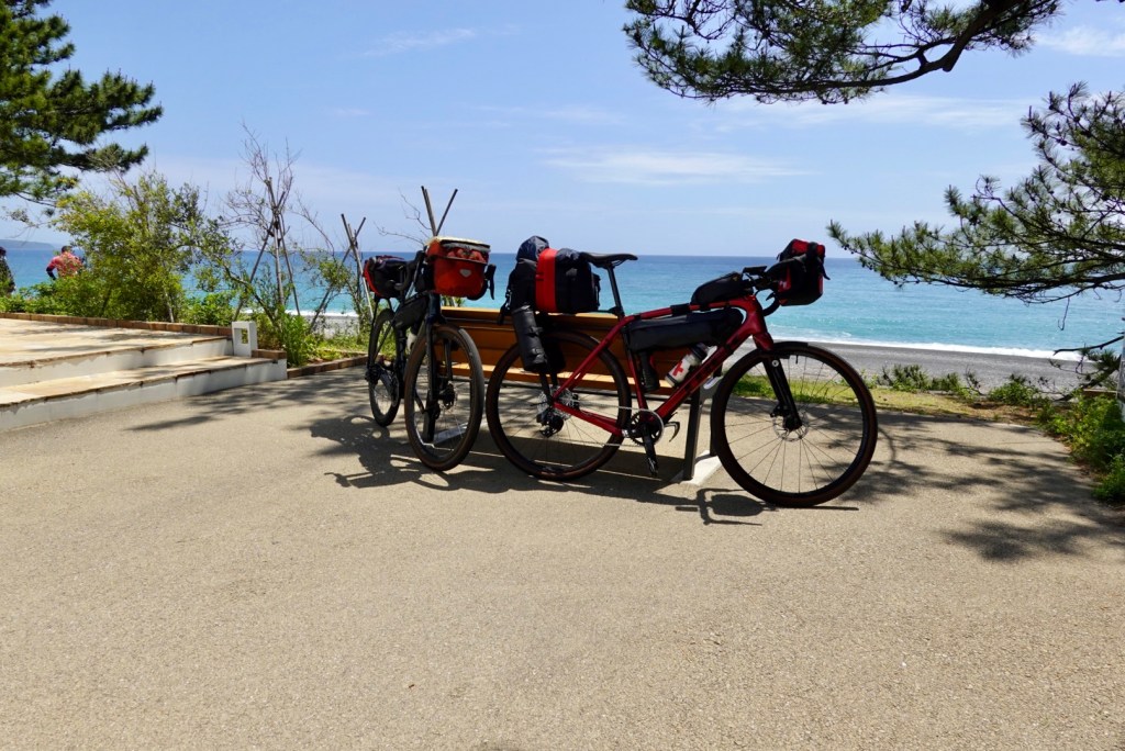
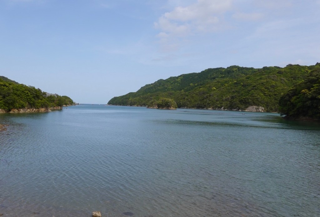
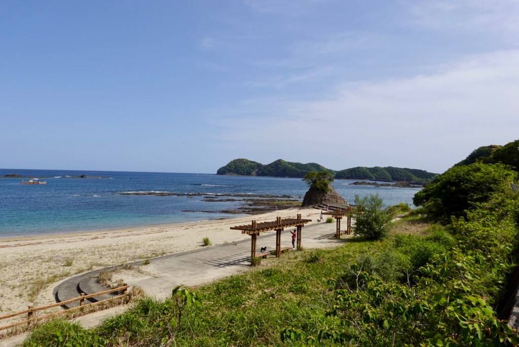
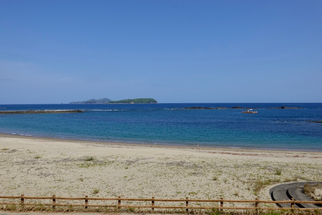
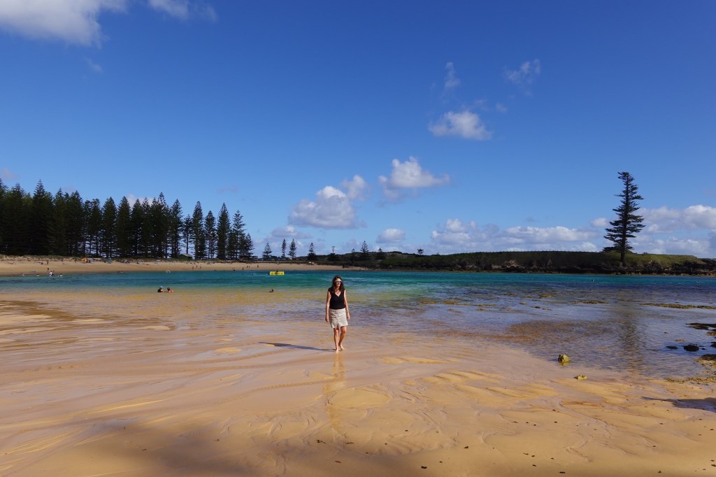
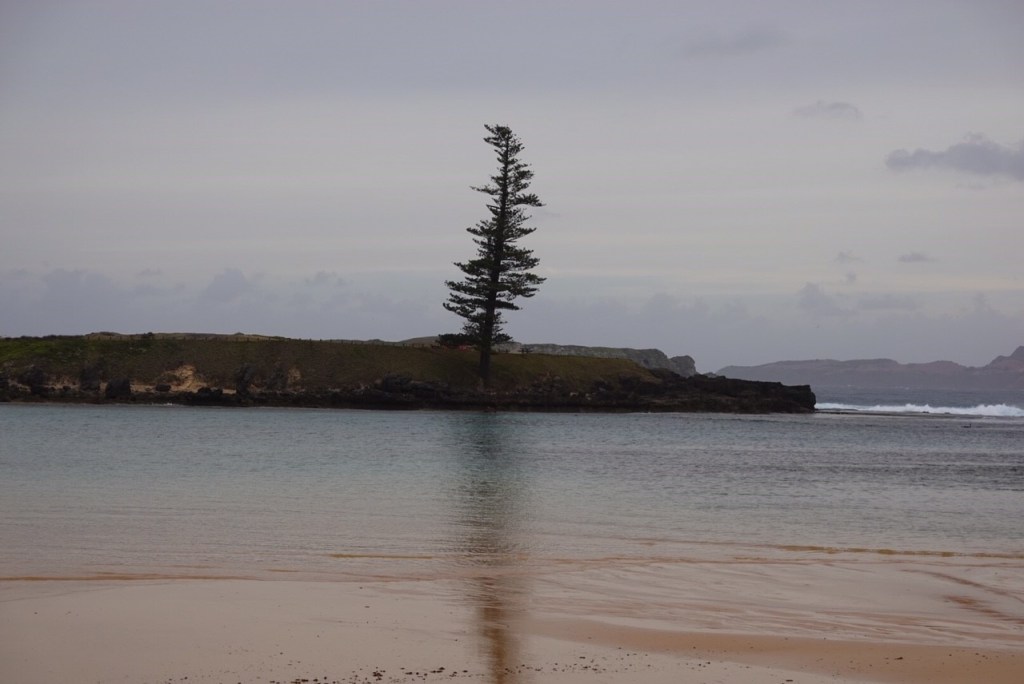
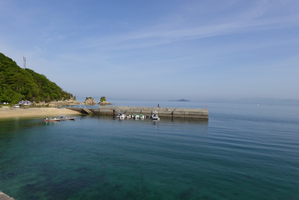
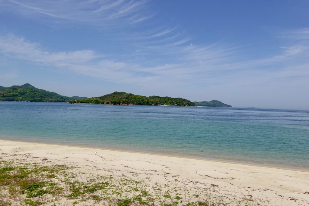
Having time to ‘kill’ today we took a few detours, including this one to Kamoike Beach. A really cute bay and inviting to swim.

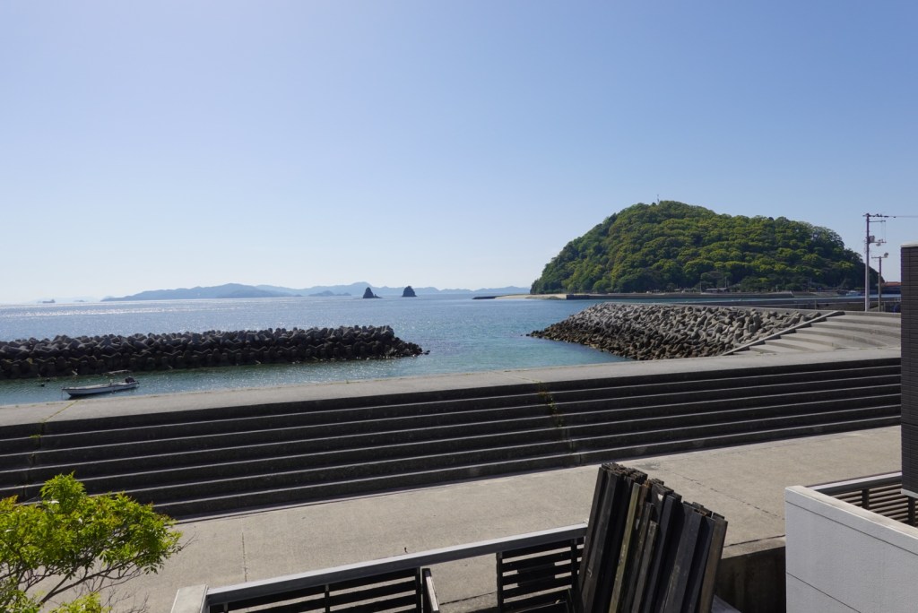
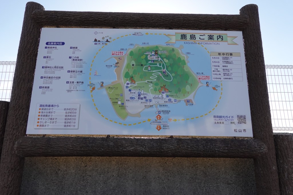
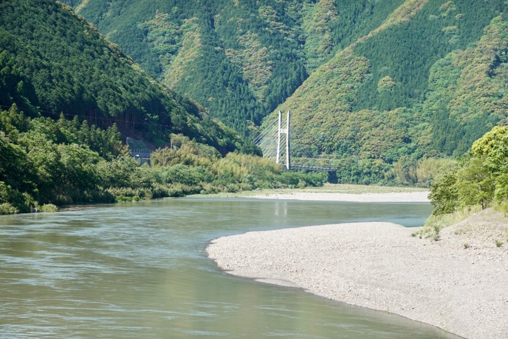
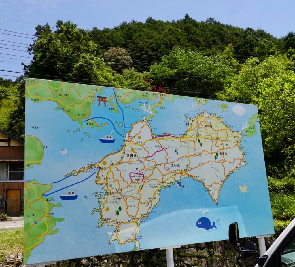
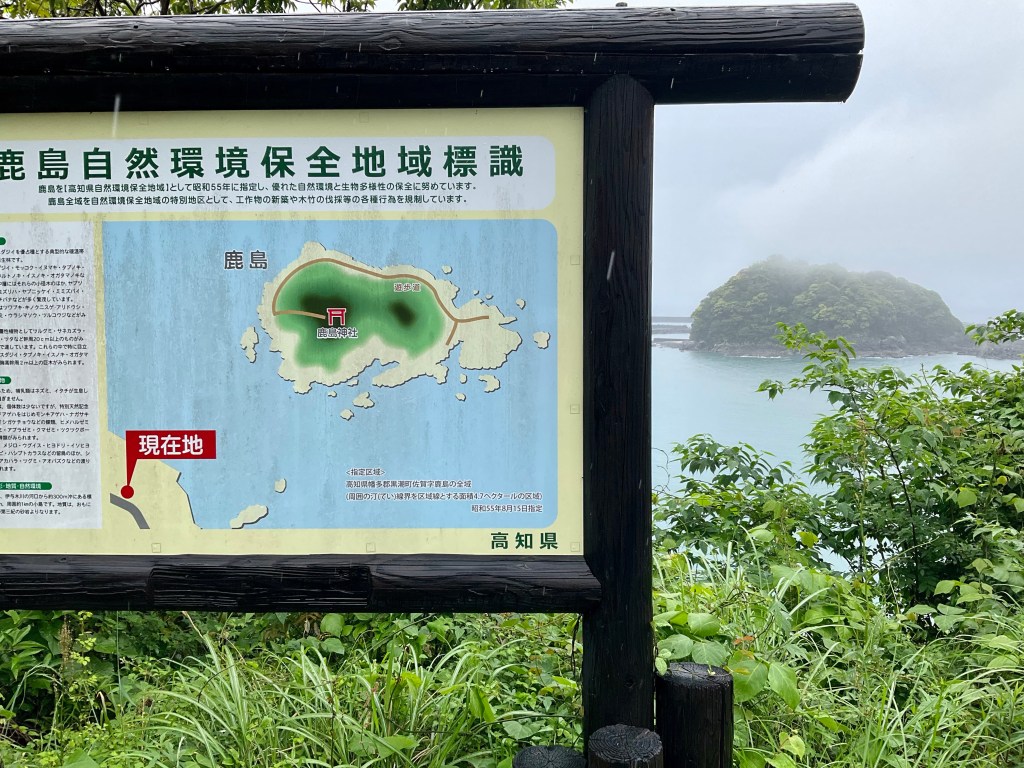
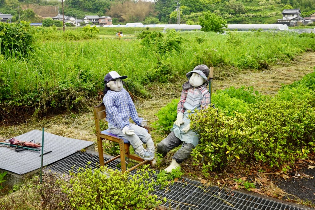
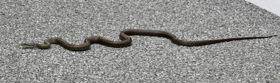
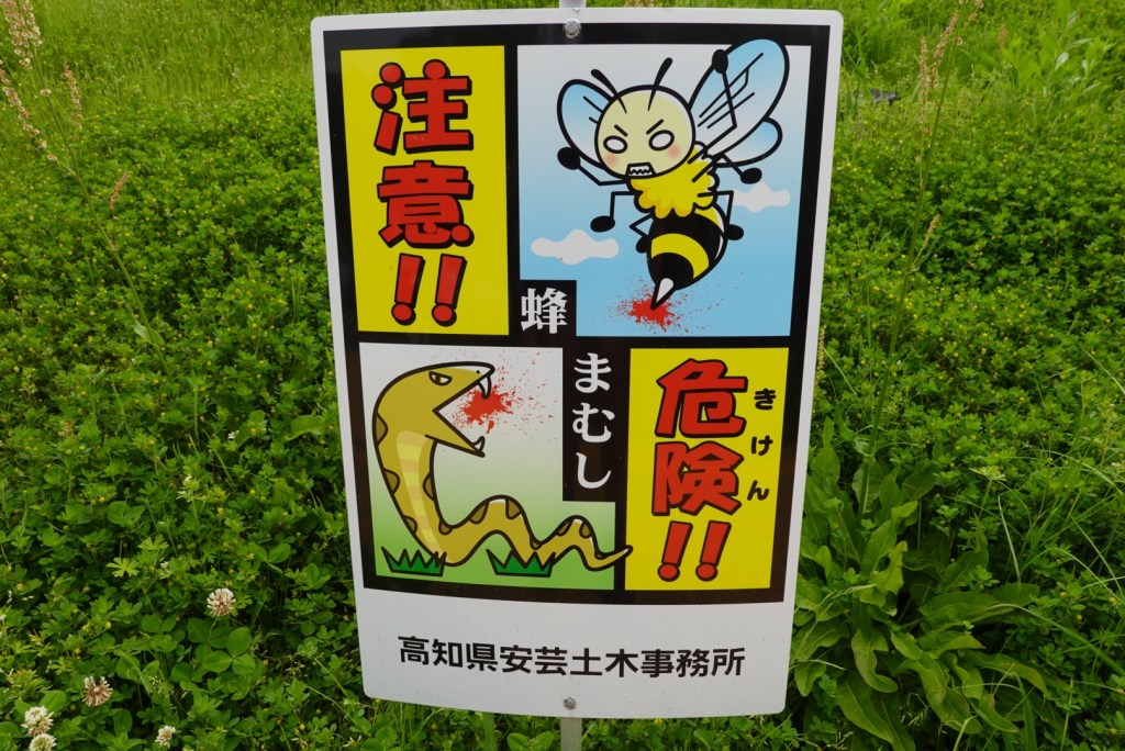
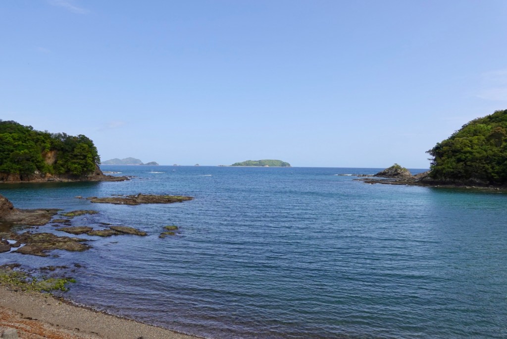
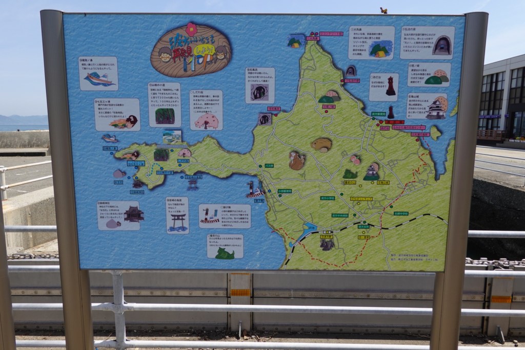
The jut of land to the left is Cape Kajitori and we headed out there winging it. We certainly did not see any wildlife depicted on the board.

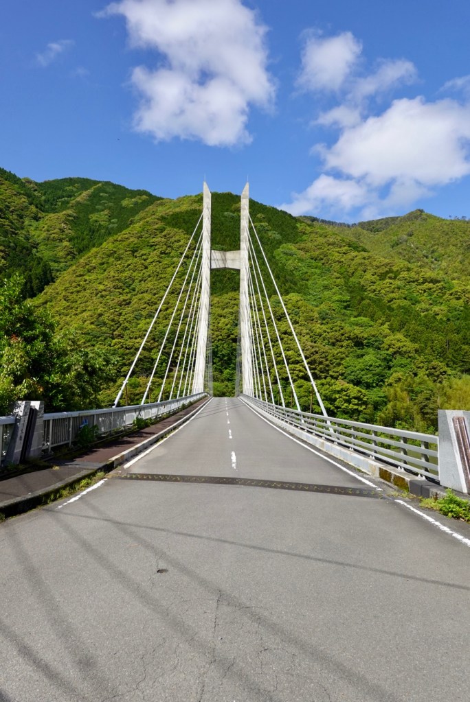
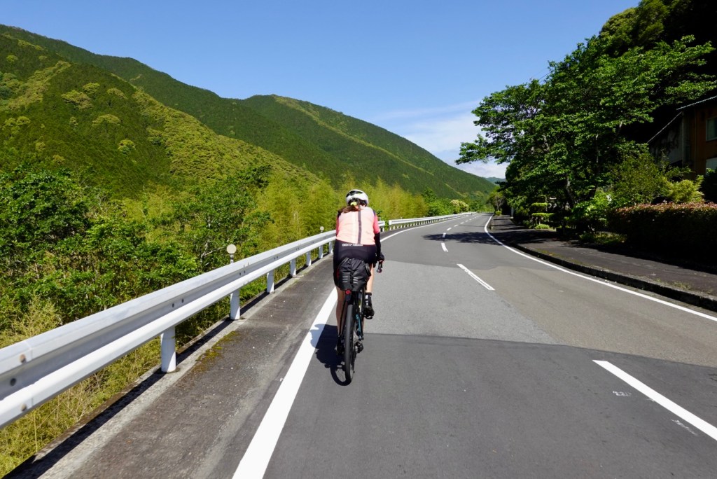
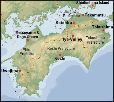
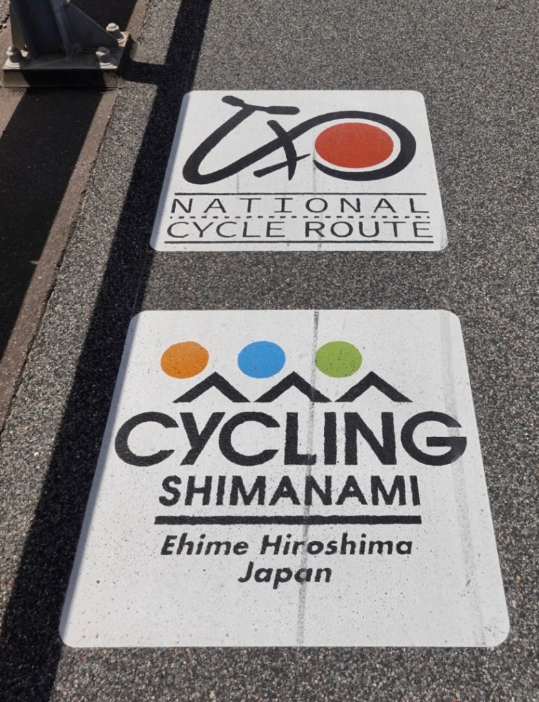
Shimanami kaido fast approached. What is the Shimanami kaido you ask?

it is a 70 km cycling road between Onomichi (Honshu) and Imabari (Shikoku).

It attracts cyclists globally to Japan due to its uniqueness. The cycle highway connects six islands Seto Sea via seven bridges.

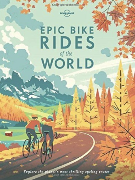
I first learned of the route from this book.

In planning this trip it was determining what we could ride in addition to the 70 km. That’s when I discovered an official around Shikoku route and the mapping started to incorporate both.

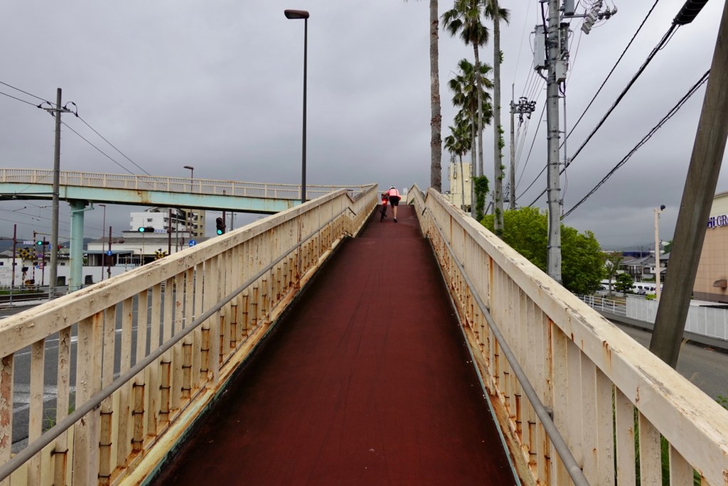
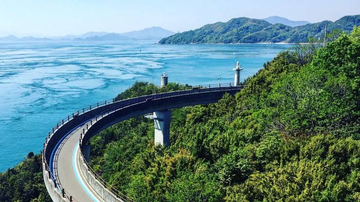
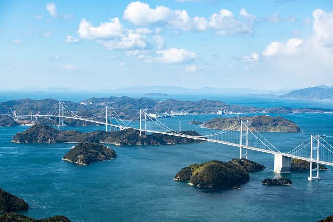
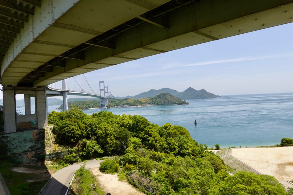
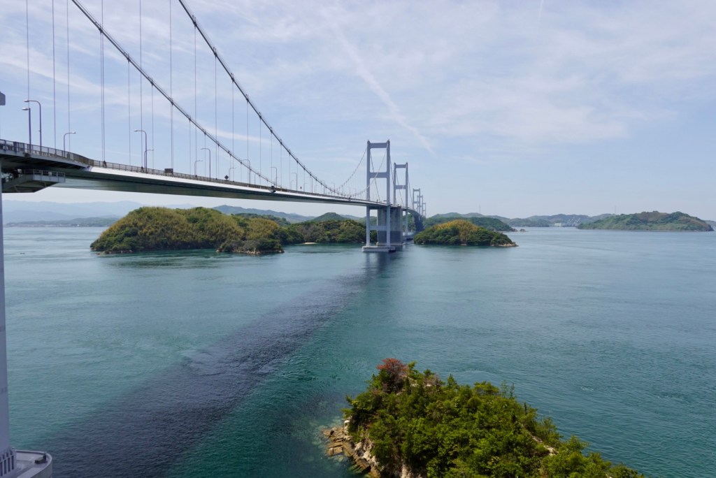
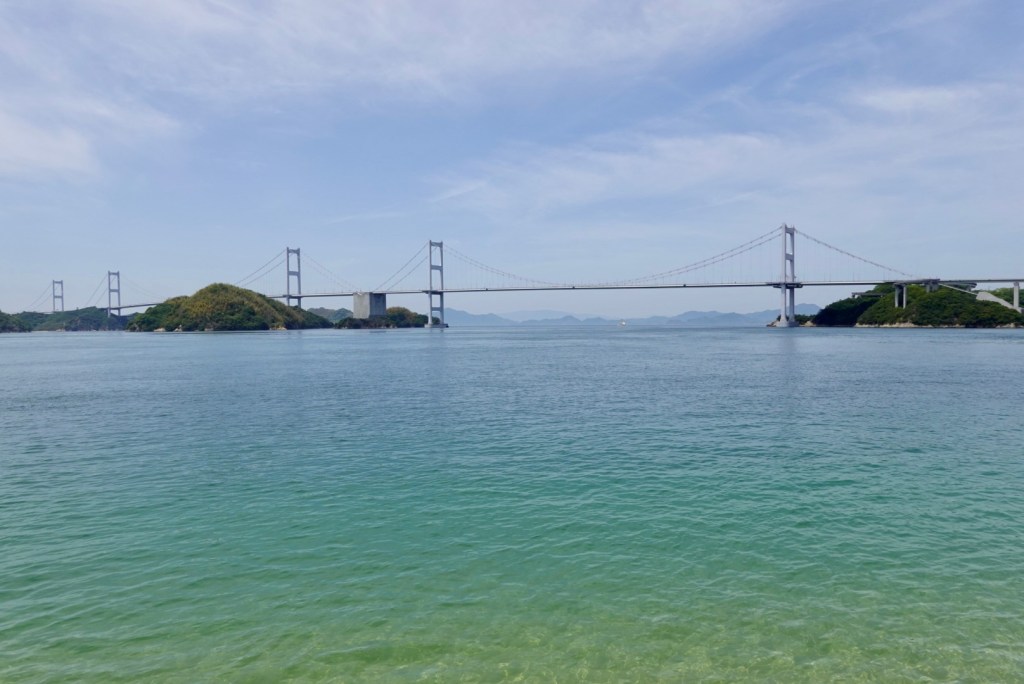
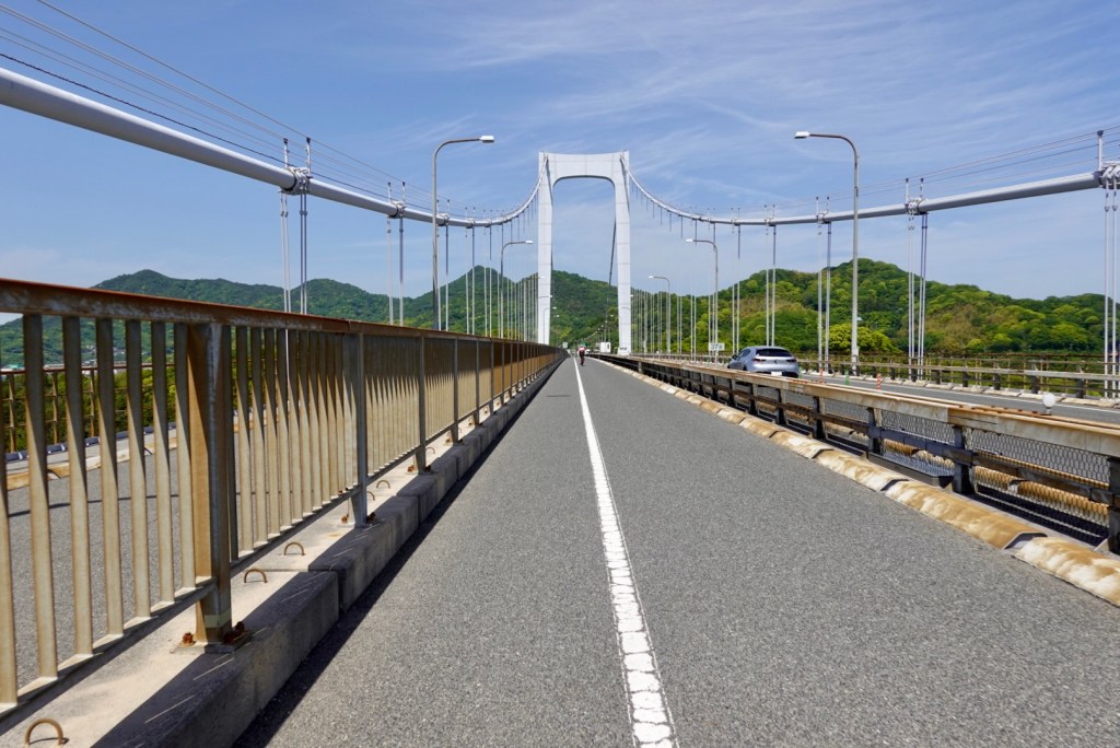
Heading from the south, the first bridge is the most impressive. The Kurushima-Kaiyo bridge, which is 4 km long, opened in 1999. the worlds first three continuous suspension bridge. It crosses Kunshima Strait.

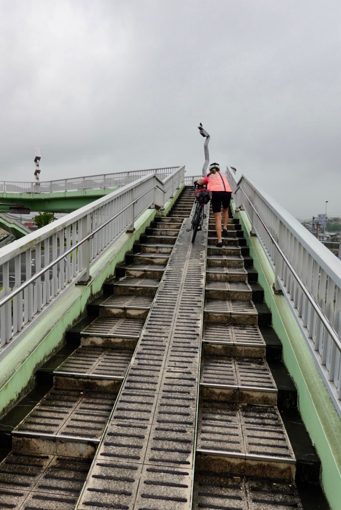
The cyclists circle up a ramp multiple times to gain the required height to access the bridge.

Here we’ve started the climb but are underneath it still. You can see a few spans.

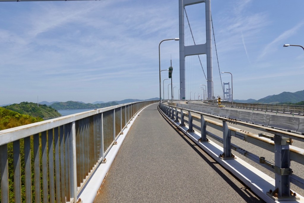
Once on the bridge, this is the cyclists path.

Tony took a video for part of the first crossing.

Spectacular views to the left.
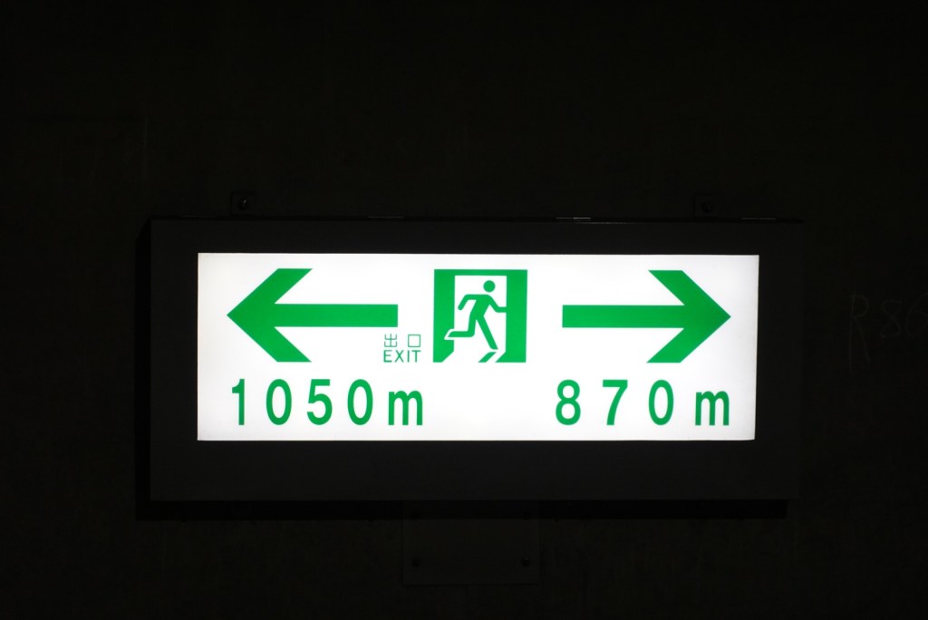
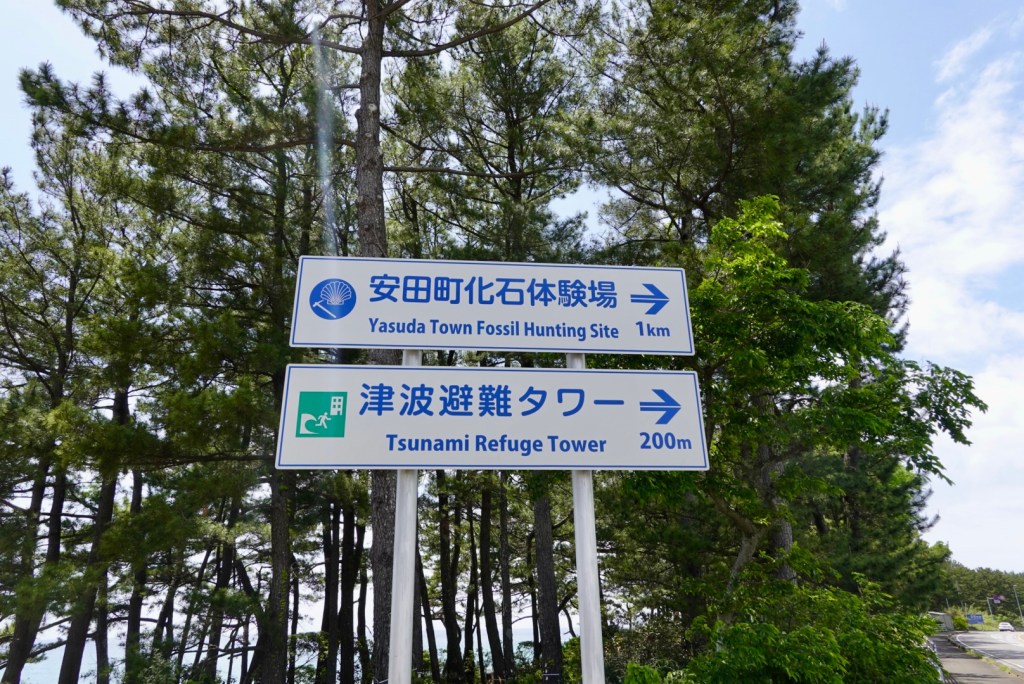
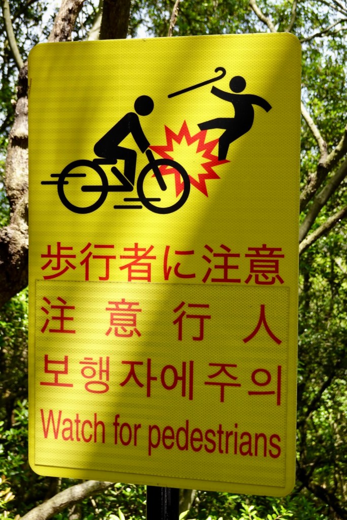
Clear signage.

Exiting the first bridge.

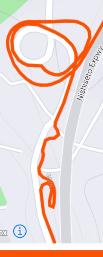
On the descent looking back towards Imabari.

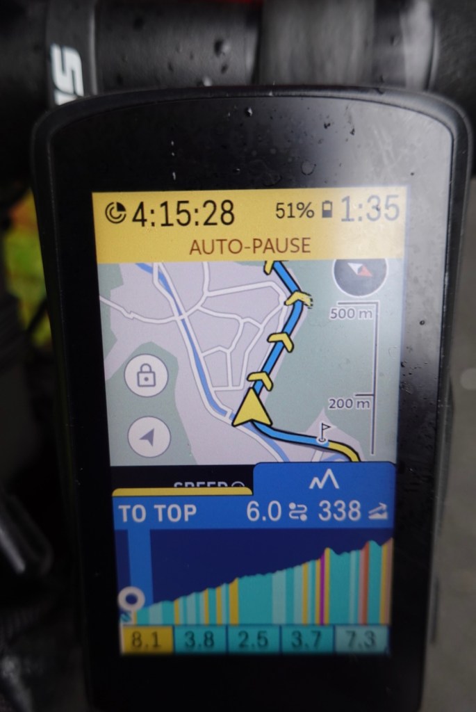
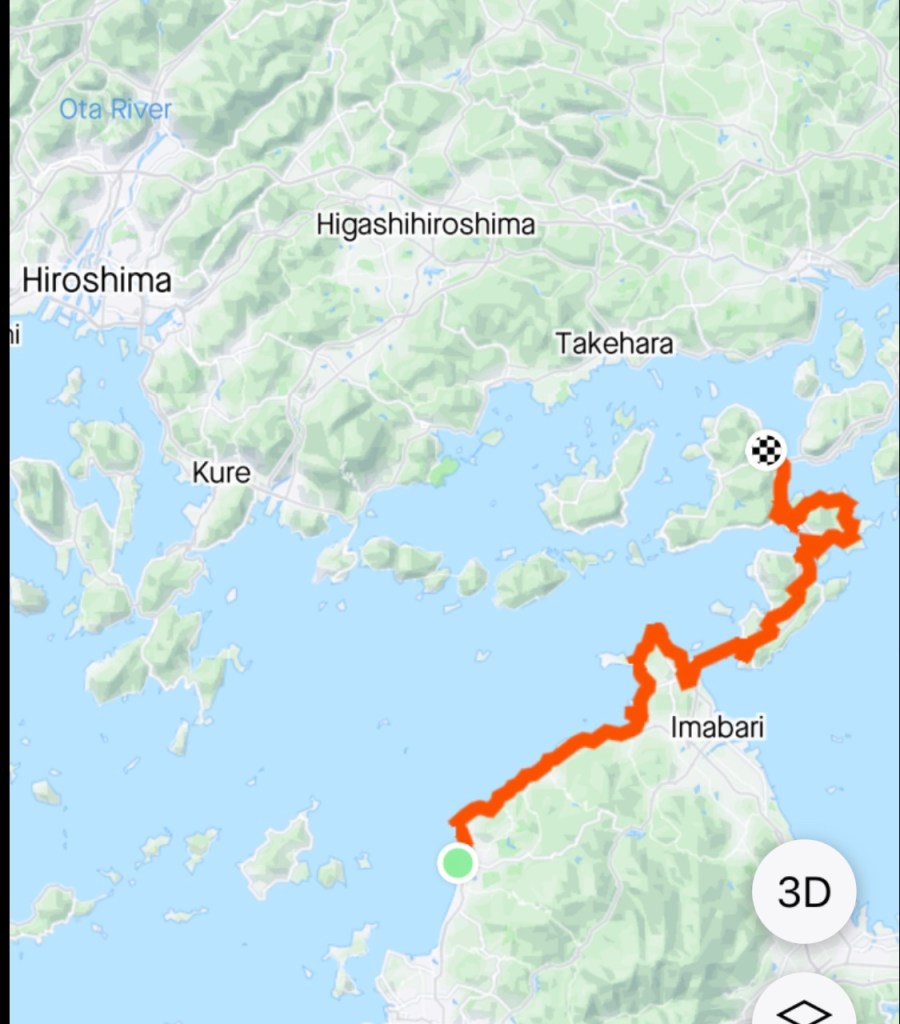
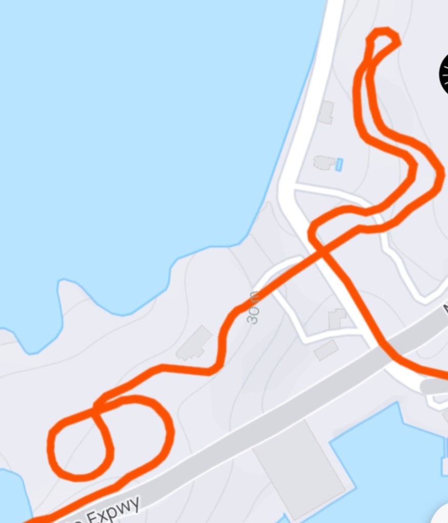
My GPS data showing how the path descended.

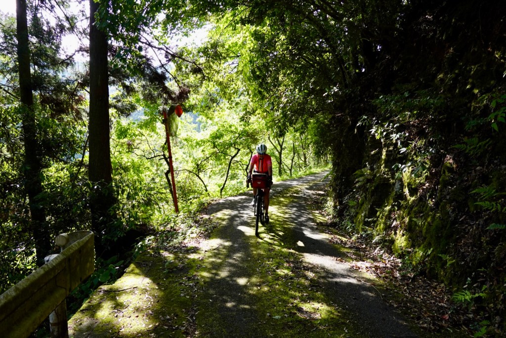
Walkers can also use the pathway!

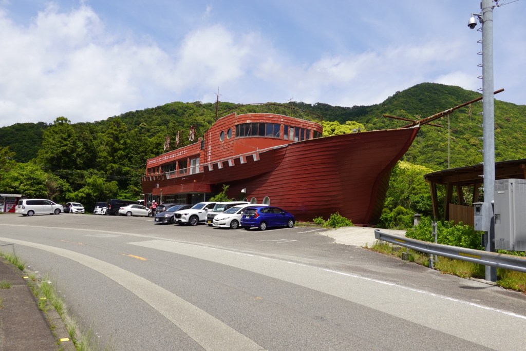
We wandered around the first island descent, with plans to do a small loop but an elderly man in his garden indicated a big NO as we went past his house, so we turned and headed back in search of food.

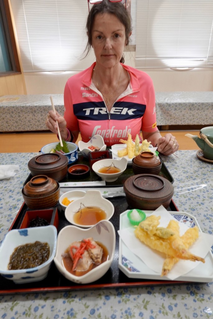
We found a place but it was mainly deep fried and neither needed or desired that. We would look for a Lawsons!

This more distant view of the first bridge gives you a bit more perspective of its length.

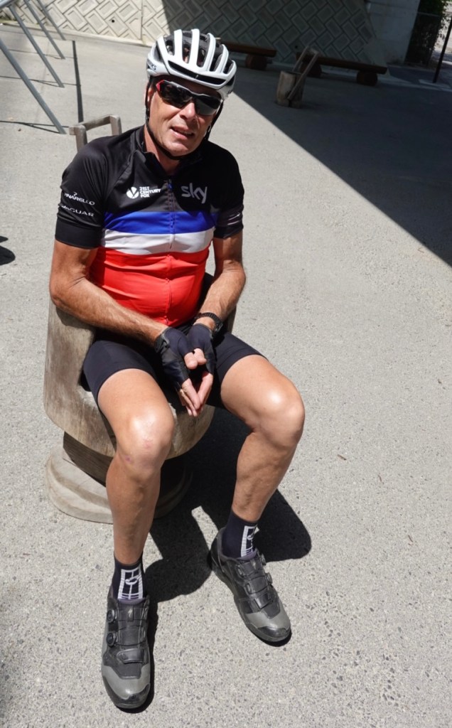
Tony found himself a comfy seat, reminding me of those baby seats.

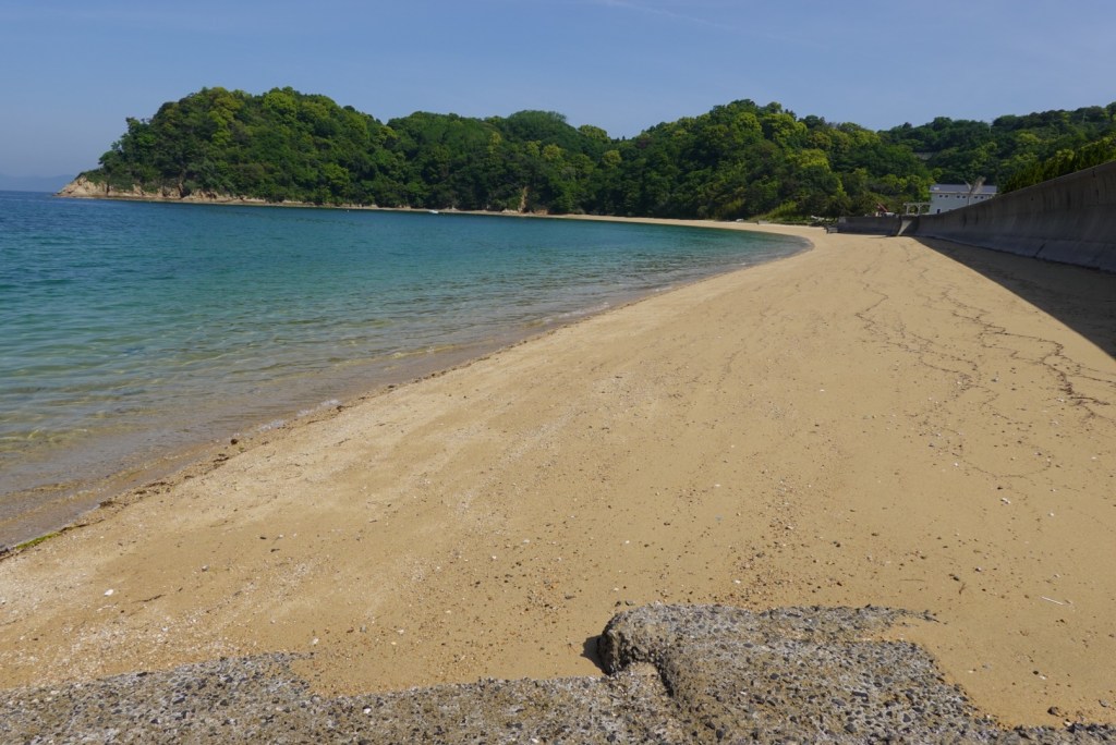
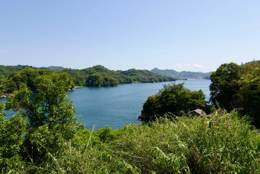
Making our way to the second bridge more nice beaches.

The second bridge is Hakata-oshima an was built in 1988. It was the first bridge with box girder structure adopted!

More sea views! We rode around this island and climbed a hill and found a lovely rest spot, providing wonderful views to chill for a while. We were still well ahead of schedule time wise, and check in was not until 4 pm.

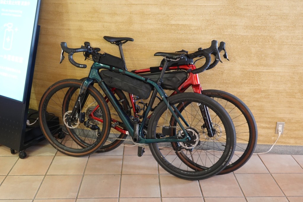
Tony’s bike looking snazzy.

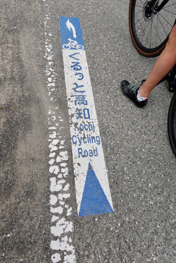
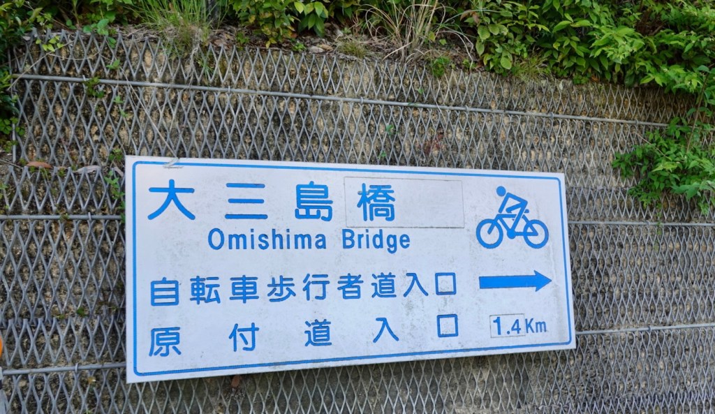
As mentioned earlier, the signage is excellent. An example below for the next bridge crossing. On the road, there is a solid blue line painted next to the solid white line, indicating a cycle route.

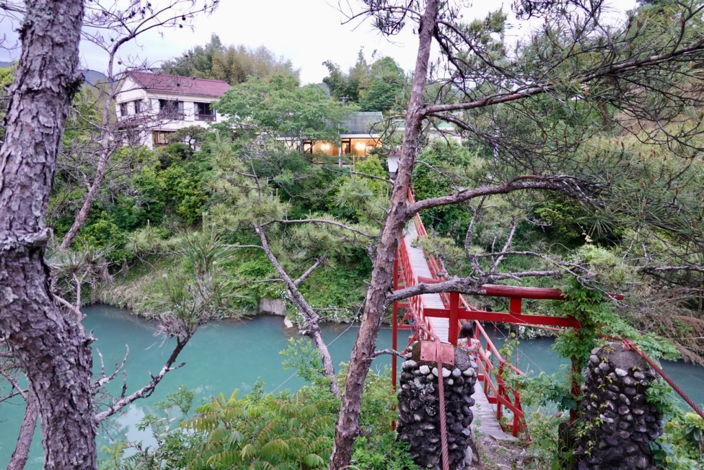
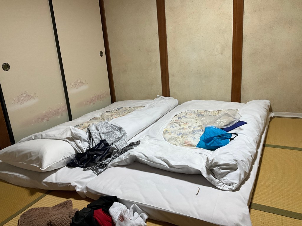
We will cross this bridge tomorrow. We are staying on the island of Omishima tonight and tomorrow will cross to do a loop to Ominichi and return.

Shimanami kaido will rate in our top ten best ever rides. I can see a blog one day with my top five or ten.

I found it hard writing tonight as I was overwhelmed with so many scenic pictures. This region of Japan just keeps giving. 😊❣️

Thanks for reading and smile on 😊

Day 6: Uchiko to Doteuchi

Overnight, I received an email from Takahito with the two photos he took outside his shop yesterday. Thankyou Takahito 😊❣️

Today was to be a mixed bag. The first half was rural countryside, the second half urbanisation. I prefer the first half, but urbanisation is something hard to avoid cycle touring.

We had purchased some items for breakfast and headed off around 730 am. Our accomodation had a laneway at the side, and this is where we packed our bikes.

A conga line of school children passed by us, nodding politely. They were all extraordinarily well behaved. A teacher stood at the end of the laneway marking them off her check sheet.

The children walked in groups of four or five. Often the one at the front carried a flag.

We rolled down the hill and started what was going to be a shorter ride of about 67 km. The challenge would be a long climb and the busy city of Matsuyama. It was a cool 11c.

We started a short 3 km climb first through a narrow wooded valley. We passed through small villages with just a few homes and vegetable gardens.

The road narrowed.

The views backdown the valley are always worth the climb.

We ended up on a major road, and road a mixture of footpaths and open road. This bridge caught our eye reminding me of a longer wooden bridge over the Rhine River, between Stein (Switzerland) and Bad Sackingen (Germany).

Our longest climb of this trip was about to start. 11.2 km in length, average gradient of 3.8%. Here is our climbing graph. So we would gain 500 metres in the one climb.

We just pootled up and stopped several times for photos, conserving energy. We climbed through multiple lush valleys, with rivers alongside.

Another lovely home with their crop gardens.

Climbing you often wonder what the view will be like at the top. Great view of just how hilly and green Shikoku is.

The descent was far shorter, but steeper than the climb. It was exhilarating. We both commented that we would not fancy climbing up our descent.

Very soon Matsuyama was upon us. The largest city on Shikoku with a population in excess of 500,000. It is the capital of the Ehime prefecture.

We stopped and started heaps with red lights and crossings, and the plants at this house were very spectacular.

Our route took us right through this elongated indoor shopping strip stretches for over one km. I had a quick glance over 50 metres!

I walked into this small Japanese bakery. I do love looking at the different foods that are made and sold in other countries.

Leaving the mall we continued towards Matsuyama Castle which was first constructed in the late 1500’s. A bit like the story with Wakayama Castle, it has had significant portions rebuilt after damage over the centuries including the bombing of Matsuyama during WWII.

Once there, we realised we could not even push our bikes into the grounds, plus it was impossible to get a view in total from below. So I have ‘borrowed’ this one from Google giving a birds eye view!

Leaving the busier part of Matsuyama we headed for the coast. As we rode along the coastline, there were numerous man made harbours.

We started to feel excitement because for the next three days we will be out on some of the islands, and at this stage, the weather is looking good.

We are staying about 10 km north of Matsuyama in a small village Doteuchi that faces the Seto Inland Sea.

Our accomodation is a unit on the second floor. It is immaculate and well appointed. The bathroom and separate toilet have glass walls!

This is the view off the deck. The island to the right is Kashima.

After showering, putting on a load of laundry, walking to the supermarket to buy fresh supplies for a home made dinner, we headed up the sea front to the ferry terminal.

If we had a few spare hours, this could be a nice half day trip.

Heading back to the unit, fish flying high.

A local house being reroofed. No harnesses required here!

What a magnificent sunset to end the day.

Thanks for reading as we continue our cycle tour of Shikoku.

Smile on 😊❣️

Day 5: Takase to Uchiko

We awoke early, and it was not raining! However it sure was windy, per the forecast.

We had enjoyed our stay with Kenji who was a lovely, friendly, helpful guy. We also had the opportunity to meet the other guests. A couple from Paris, and two female friends from Germany.

Kenji had arranged our dinner the previous night from a local fishmonger, and it certainly was very fresh and tasty.

After bidding our farewells, we headed back across the Takase chinkabashi bridge. The Shimanto River would be the focus of our ride today, following its path through valleys heading to our destination Uchiko some 100 km to the north.

I think the submersible bridges are a great idea in areas susceptible to flooding but they are narrow. As we crossed, a car came up behind us and we stood by the edge to let is pass. I’m glad he held his line!

I found this video on the bridges that may be of interest.

.

The river was flowing faster today, and was muddier, courtesy of the last few days heavy rain. Here are a few earlier shots of the Shimanto.

We thought this local attraction sign was well crafted.

Our first toilet stop was very scenic. Lush vegetation and a waterfall.

The roads varied today from narrow riverside, seemingly suitable for one lane, but in fact are two lanes, to national highway verges/‘pathways’.

The only hassle today was the wind. It was a very strong headwind and we both had some back tension, likely from holding the bike tight in the gusts. We carry Panadol!

Wind is crazy. The first few days we were heading south westerly, and the wind? South westerly of course, but maybe no more than 15 kmh. Today we headed north? The wind wanted to share our adventures and turned to the north, but more like 30 plus kmh. The forecast was up to 75 kmh gusts for the area.

But looking at the pictures, all looks serene!

An older man was tending his vegetable gardens. I love that aspect of cycle touring, watching people get about their day to day activities.

Proof that I occasionally sit on the front!!! 🤣🤣

Today we had over 4 km of tunnels, including our longest to date that was 1.92 km long. This is quite a new tunnel, with a great shared pathway. It is well lit, and is even brighter if you remove your cycling glasses!!

Features on the wall include regular signage indicating how far to each opening. There are regular SOS telephones and a few wider bays that a car could pull into.

We only had snacks for breakfast today and was keen to buy some solid food. Alas it was not here. But you could buy a beer in one of the vending machines.

More hills and rivers.

Tony noted this large map of Shikoku and we stopped to take a photo.

Then we saw a bike rack outside the business. The owner came out encouraging us to use his rack. I asked what he sold. One word had us. “Coffee”.

So we entered and this was at our table.

On the back wall this cute painting. I think it makes you smile 😊

We learned the owners name was Takahito. He was super friendly and chatty, telling us his father had established the business in 1987. His niece had done the drawings.

He showed us photos of some motorbike rides he’d done and was impressed that Tony used to sell Honda and Yamaha bikes.

When we left, he took some photos of us with our bikes in front of this dude. I explained how to find my email on this blog, so hoping he does and we can get a copy.

We took one with Takahito and me.

Arigato Takahito 😊

The stop at Takahito’s was very worthwhile. It was delightful to engage with him. We also had spare time. Check in was 5 pm. The headwinds had made slower progress but we were not fussed, just chugging away and preserving energy.

We continue to be amazed just how hilly and green Shikoku is.

Not all that glitters is gold. There are houses abandoned, seemingly beyond repair. What is interesting are the layers of straw under the old sheeting, presumably used as insulation.

Did you know we followed a river today?

Off the side of the road, there were so many waterfalls of various heights. I guess flowing more after the rain. We had ridden through many puddles today, and now with the wind, trees litter scattered, and a few rocks that had slidden down the slopes.

We arrived in Uchiko an hour early, but were let in. We are in hostel style accomodation tonight, with about 4 other guests here. Towels are not included! I needed to hand over 300 yen for two towels.

We have a room with a double bed, but there is a common roof and I can hear three men chatting. I hope they are quiet soon enough! I also hope I do not have one of my very audible nightmares otherwise they might have a night to remember!! 🤣🙈

At dinner we sat with an architect who lives near Mt Fuji. He is here to prepare plans for a public park over the road from the accomodation.

Wandering around the town there are such delights as below. Reminds me of someone….

The town of Uchiko became famous for the production of wax. Rich merchants lived in cream coloured houses that were rendered with a mix of wattle and daub mud walls.

This house is a few doors up from our accomodation and is rendered as described above.

This is our accomodation.

To summarise today….it was a fantastic rides and route. Despite the persistent headwind, we enjoyed riding alongside the Shimanto River for a good part of our 100 km today, through lush, green valleys with lots of waterfalls flowing.

Meeting Takahito invigorated us, as he was so positive and excited for what we were doing in his country and that he met us! He made our day. 😊❣️

Day 4: Matsubagawa to Takase

I slept restlessly listening to the rain and hoping it would all blow over. I played through a Plan B and a Plan C. I got up at. 4.45 am to check out the plausibility of B and C.

We had another extraordinarily good breakfast and got ready to leave. It was a steady drizzle.

Once the bikes were ready we headed out across the red bridge adjacent to the hotel for a quick squizz.

To the right.
To the left.

I noted this sign at the hotel, and could not agree more.

This is the ‘huge’ hotel sign we missed in yesterdays location confusion.

This sign led to our confusion, but all ended well and we had a good overnight stay, with two wonderful meals.

The rain was a heavy drizzle by now and we hoped that it did not deteriorate. The upside was that there was minimal wind and it was not cold. So getting wet was more tolerable.

The camera does not come out very often when it rains either, so less photos today.

We followed the Shimanto River from our accomodation for maybe 12 plus km. Here are a couple of photos. It is a pretty river, with lush vegetation.

We had over 2 km of tunnels again today, and this one was a bit of fun. for about half the length we had it to ourselves. I practised my best Freddy Mercury ‘ay-oh’ calls. They reverberated beautifully.

Hitting the coast it all looked a bit dismal.

This island has a shrine on it. Guess the pilgrims need a boat. In the photo you can just see the opening to the shrine path at water level.

Same island a bit further on.

This car and motorbike have been consumed by the creeper.

Today we stopped at a few Lawsons shops so I started calling the day Tour de Lawson. We had time to kill as the accomodation check in was 4 pm and we had a shorter day of about 77 km scheduled.

Lawsons have clean toilets, a wide variety of fresh food to eat, and this one had a coffee machine. It provided us shelter and we could watch some of the heavier rain despite the fact we were soaked.

Ride bikes, have fun, feel good!

Shimanto city arrived soon enough, another Lawsons to grab some food to take to our accomodation as it does not provide any food options, and is somewhat remote.

Red seems to be the favoured bridge colour. I must look into why.

In Shimanto City we were meant to turn right about 50 metres short of the bridge but decided to see what the road was like adjacent to the river. It was a great little road and we were able to follow it to our accomodation.

The full length of the Shimanto River is 196km. There are 47 submersible bridges. They are designed to withstand the forces of floods, which occur 3-4 times a year courtesy of typhoons.

A map showing some of the bridges

We had time to spare so decided to visit the first bridge. Curiously there was a security guard at the car park. There were about 6 cars there, in a car park that could take say a hundred.

As we rolled down to the bridge there was another security guard who indicated we could not ride on the bridge. We dumped the bikes and walked out, took our photos and headed off.

Imanari submersible bridge (chinka bridge)
View from the bridge upstream
View from the bridge downstream

Closer to our accomodation these boats were moored alongside the rivers edge.

Our accomodation is over the Takase submersible bridge.

Looking upstream
Looking towards Takase

Thankfully the owner was willing to let us in early. The bikes are stored in his bike shed along with out wet gear and shoes hoping it might dry a bit overnight.

Kenji relocated here from Tokyo many years ago, buying this house and developing three accomodation rooms. Ours is made up of two rooms, both with tatami flooring (no shoes, sleep on the floor Japanese style).

Our windows look out on this lovely garden.

What a day. Certainly less than ideal riding conditions that make it all a bit slower, but it was actually enjoyable and refreshing. I think the fact that it was a Sunday helped, as the traffic was less than it might have otherwise been.

The weather forecast indicates tomorrow should not rain, but instead is talking about a northerly wind of up to 50 kmh. Guess which direction we are heading tomorrow 🤣. You just have to laugh and hope it all works out fine. 😊

Thanks for reading. I’m looking forward to getting to bed a bit earlier tonight as last night was later, and I got up earlier.

What a brilliant trip this has been so far. We have covered just under 400 km in four days. Huge cultural learnings, wonderful scenery, lovely people.

Thanks for reading, smile on 😊❣️

Day 3: Kōchi to Matsubagawa

The view out our bedroom window, through the glass. Rain was forecast, but was ok at this point.

Had another amazing breakfast presented in a series of smaller dishes and we carefully negotiated out way back up the shiny, slipper stairs in the one size does not actually fit all soft slip ons that you are required to wear.

I walk up sideways, as my feet are also longer than the tread, so probably a comical look.

As we left, the manager used his iPad translator to express his concern for us as rain was forecast. So far, the Japanese people have been incredibly nice and humble and wanting to help as much as possible.

The first part of the ride, some 30 km or so, was getting through Kōchi. We followed a series of shared pathways, and on the whole it was a good route.

We stopped and started a lot as there were many road crossings. At this one, Tony readjusts his gear.

An example of an excellent snared pathway alongside the river

Big cities have busy intersections. It was not always a matter of crossing at the lights. We had a couple of very steep overhead crossings to negotiate, pushing our heavy bikes up, then controlling the descent with the brakes.

This one was smooth, but steep. That’s me pushing, nearly at the top
This one is different again. Push the bike up the ramp, whilst walking stairs. This particular overhead crossing had four such arms, descending to your required corner,

In a small residential, mixed farming area we noted this beautiful blossom tree.

Not far away, this lovely couple appeared.

This was their view through the tunnel under the rail line.

By this point we had donned our rain coats several times for rain showers. Up in the hills heavy mist descended.

We passed through another two km of tunnels today. The longest was 983m long. There is an older tunnel to the left no longer in use. This tunnel was ok as it had the shared pathway through.

We eventually reached the coast, but the weather ensured less than ideal viewing conditions.

The longest climb today was 6.2 km. Yesterdays tough one was 5.8 km. Distance is less relevant than how much climbing you have to do.

Yesterday the climb averaged 7.9% for the entire distance. That’s not an easy climb. Today the average was around 4.6% so much more ‘doable’.

This is Tony’s bike computer showing the climb. He was 200 metres in, as indicated by the white circle. The colours on the grid relate to steepness. Red and orange are the worst.
This is our ride data for the whole day. You can see the climb in question.

Climbing usually means great views. We climbed in drizzle. We took our rain jackets off as climbing makes you hot and you become a sweat box. We preferred the drizzle.

A few photos taken by Tony during the climb.

Looking back to the bridge we had crossed.

The climb had a name….Nanako Pass. It’s always a great feeling to reach the top.

Heading towards our overnight accomodation we rode alongside the Shimanto River. Our accomodation was well signposted…so we thought. Great road.

Arriving at what we thought was our accomodation, it turned out it was a day spa. I was very confused as I was certain I’d mapped this correctly. I had a horrible thought I’d totally stuffed it and was getting frustrated because the last 5 km it bucketed down, and it was still pouring and I was not keen to head back out.

After maybe 20 minutes of uncertainty, it turned out there were two adjacent buildings and only 50 metres away was a little sign saying ‘hotel’. Phew!!

Happily ensconced in another traditional Japanese style room, we both headed off to the day spa!! There is no shower in our room, you go to the onsen.

You wear your designated gown, strip off, enter the onsen, sit on a little bucket stool and shower, enter the spa, sit, soak, get out, shower again and wash your hair….then leave into another room where your towel is to dry and dress.

Tony progressed to the showering stage but chose not to go another few metres to the spa. The water is incredibly warm.

Dinner was at 6 pm. We approached three rooms with closed sliding doors. We were not sure which to open but then I saw this.

We had an incredible meal. We thought we were done after the first few dishes, plus our own little hot pots cooked next to us.

Then out came the tempura, then the salted fish, then the rice and miso, then the savoury custard.

Finally icecream turned up and we presumed that it was done!

A great day on the bikes, despite the weather. We are somewhat concerned about tomorrow as this is the radar. I sometimes wonder why we dry clothing knowing it’s going to get wet incredibly quickly.

The weather forecast for tomorrow is 4-6 mm each and every hour!

Try and find where we are 😳

Todays route.

Anyhow, smile on 😊 Thankyou for reading ❣️

Day 2: Shishikui to Kōchi

Hardest mattress ever, with a pillow that actually felt like it had woodchips in it, I slept ok! Looking out the window, this lovely view greeted me.

I had to show you these. Each place we’ve stayed has had different attire for us to wear, so I tried this on for size, and it was surprisingly comfortable. I felt like I was off to theatre to operate!

Breakfast was at 7 am and we got dished up these 10 courses plus green tea, and awful airline style coffee. The food was great, but too much, and I over ate.

Other guests wore those operating theatre pj’s to breakfast!

Back to our room and some of breakfast did not stay with me. I felt really pretty shite with stomach cramps. But we pushed on and headed off for another day.

Our bikes were where we left them, in reception.

Heading along the coastline there were some lovely vistas.

At this beach, the surfers were out. I did not see much surfing as the waves are pretty flat. Maybe they just sit and chill and chat with their mates.

Yesterday we had around 3 km worth of tunnels to ride through. One of those tunnels was super scary with a 30 cm lip for cyclists. I got off and walked as there is no room for error and if you deviate slightly, your off the lip and into the traffic.

This was our first tunnel today, and you can see there is a walking/bike path that does narrow considerably, but was ok.

Today we had a tunnel that was 960 metres long, no verge. So we put our front lights on and we already had our rear radar flashing and road through as fast as we could. Cars overtook us and were very considerate.

Our bike computers work off GPS so when in tunnels it cannot connect, thereby not acknowledging the distance. Today we did around 2 km of tunnels, so 5 km in two days.

We turned right away from the coast to head inland. Looking at todays route, you can see why. We cut off the coastal tip saving many km in reaching our destination. However, Shikoku is hilly and the trade off was a climb.

It started off nice and friendly, but that did not last for long .

We had a decent climb to do. 5.7 km long, nearly 500 metres ascent, with pinches over 12 percent. I still felt sick as a dog. Here is the first climb graph.

I recall saying in my first blog I was at up to 90% pre open heart surgery. I am not! I found that climb difficult today. More difficult than before. I think it is more like….65-75%.

I stopped several times to decrease my heart rate, protecting those coronary grafts. My back was behaving today so that was a bonus, and my knee coped. I just spun it up in my granny gear.

The vegetation was dense forest with steep drop offs. The road was very narrow.

Here I am at the pass, thankful that I did it, given what happened to me 9 months ago. My body has been brutalised, I have had life saving surgery, but I have recovered enough to make it! I was quite emotional as I did think a lot during the climb about my cardiac journey and recovery. I know not many OHS patients get to do what I have achieved. I still hate climbing 🤣

So we spent 5 minutes or so at the pass recovering and looking around. There are a series of walks.

I found this old sign leaning against the loos. No idea what it says.

What goes up must go down. The joy of the descent. Silly me did not notice my bike computer had paused and missed 5 km of descent data at speed. Ho hum.

Here is an interesting scene on a hillside. Quite a significant infrastructure which we were thinking to prevent a landslide??

I mentioned earlier the road is narrow. We had pulled over to let the truck pass us, and boom a car was heading up.

We watched this unfold with interest. The driver of the white car did a marvellous job. He was literally only cm off the barrier. They took turns moving a few cm until they were clear.

Moving on, we continued following this river, all the way out to the ocean.

I particularly like these few snaps of the river.

We found a vending machine in this village so stopped for maybe 10 minutes. I was starting to feel normal again.

As we left the village, we encountered this reptile. Not our first this trip.

The snake is a Japanese rat snake and not venomous unlike the mamushi which is venomous and inflicts numerous deaths in Japan annually.

Yesterday Tony was within cm of running over a rat snake. The snake doubled back and there I was on Tony’s tail. I let out a shriek, as I had visions of running over the snake and it getting caught in my spokes or chain or higher, my legs. Nothing happened, the snake survived, as did I.

We stopped to look at this snake today and it did not move. We gave it a wide berth and again it did not react. I reckon two minutes later it would have as we passed a car heading into the village.

Japanese rat snake

Back on the coast we noted the refuge tower. There are lots of signs along the coast warning which areas are subject to tsunami inundation. The refuge tower points to the hills.

Found some toilets so stopped here. Nice view from the seat.

By 1.30 pm I felt I could eat, so we stopped at a Lawsons ( like a seven eleven), and grabbed a few items. The older lady who served me reached over and touched my chest scar and said ‘heart.’ I said yes, and she put on a sympathetic sad face. Very sweet of her.

Tony noted this brute of a car. I’m standing there as a reference point. It is a tiny car.

Views along the coast as we approached Kōchi.

By chance, following the Kōchi Cycling Road. Misnomer of a name, as a lot of the route we went in today was footpaths, barrier wall roads, residential laneways and so on.

The route had a detour due to civil construction works, and took us past a rest area. This sign was on the grass, well would be grass if mowed, but it is protected for bees and snakes!

This is an example of a barrier wall path we were on. Well made and quiet. Volcanic sand beach.

Castle like structure high on the hill.

Our accomodation has a small onsen. No bathroom. No shower. You use the onsen.

So off I go in my robe, to be confronted by 5 naked females…my first mistake was the robe needed to be left in the first room not the onsen room.

Second mistake was I brought my towel with me.

Third….I hopped into the very warm water with these women who had no inhibition vs me 🤣😳🙈

I felt like the elephant in the room! They were all so…petite…

Then a lady maybe my age but larger came in.

I sat in the water wondering how long they’d all stay….one by one they left until it was me and the other larger lady.

I got out to wash my hair (special area) and she got out and we started talking. She was Japanese and spoke a little English and told me she’d been to Esperance (WA) and had held a koala.

I got back to the room feeling somewhat….still prudish. but I had ventured further that Tony. He did not proceed past the first room.

Dinner was eaten here. We’d paid half board. A beautiful dinner with far too much food again.

We went for a short walk to the suspension bridge by the accomodation. Lovely views of the river.

Today we rode 103 km. I climbed a decent climb and survived. ❣️

Tonight we sleep tatami room. Beds on the floor.

I did not tidy up for the photo!

Rain is forecast tomorrow. 96% chance, 45% chance of thunderstorms. Hopefully we can work around the rain, otherwise we will just get wet. One way of washing without feeling like the elephant in the room 🤣🤣🤣

Thanks for reading. Smile on 😊❣️

Day 1: Wakayama to Shishikui

We woke up super early today as we needed to board the 5.30 am ferry from Wakayama to Tokushima on the island of Shikoku.

Here is my side of the bed, and that is my bike. I do love my bike, but I’ve never slept quite that close to it before. 🤣

It was only a short 3.5 km ride to the ferry. I needed to buy bike tickets (I’d purchased ours online but the bikes I needed to do at the port).

We were directed to Lane 4, alongside the motorbikes and a semi trailer in Lane 5.

That’s me, waiting patiently. The little backpack has 3 bananas and a bun to share for breakfast.
The ferry at the end of the building.
Tony’s bike. The crew strapped it and placed wheel chocks.

The ferry is a decent size and the vehicle deck was about 3/4 full on the first crossing of the day. On board we sat in an area with tables and vending machines selling a huge range of drinks and snacks.

That is how our coffee came today, in a can. My caffeine connoisseur would be barista son in law Rory would be super unimpressed.

The sun was poking its head through as we left the port of Wakayama.

A few hours later we approached the island of Shikoku and the port of Tokushima. The crossing was very smooth with hardly a ripple.

Docked and we rolled off, following a criss cross of residential lanes to keep us off the main roads, but eventually they came. Hard to avoid in big cities.

We watched these young lads setting up for their baseball. Very flat and pristine pitches. Wonder how they keep the weeds out?

Flying into Osaka yesterday, we flew over Shikoku and was very curious about greyish looking wet areas. We now know what we were looking at.

In France it is wheat field after wheat field to support their habit of eating bread. In Japan, replace the wheat with rice fields. They are everywhere, jammed between homes, anywhere that is flat.

There is an intricate drainage system in place, with turtles galore. I did wonder how they keep the turtles out of the rice fields as I imagine the turtles would be a pest there.

The rice fields are just being planted out, and it is fascinating to watch. There are tractors that automatically plant the young crops.

Another thing that intrigues me are the number of cemeteries on hills. Shikoku is hilly so maybe there are not a lot of options given flat land seems to be taken by the rice fields.

For a period of time we followed this lovely river, the Naka.

Most villages have a shrine at their entrance.

Our bike computer told us we had 15 climbs today. There were a few three km climbs, but all were quite comfortable gradients.

Many were through heavily wooded areas above rivers, and the various shades of green were lovely.

We noticed a number of walkers doing the Shikoku Pilgrimage, where they walk (or cycle) to 88 temples. The standard walking route is 1200 km can take 30-60 days to complete. The white shirt, hat, staff is part of the standard attire.

Our route seemed to bypass food options so we were delighted to come across Noah’s Ark! Not sure of the name of this restaurant but I recognised it from a v-blog I watched by two Malaysian cyclists who stopped here.

After removing our shoes we were seated at a table that is low to the ground but has a generous footwell below it. Green tea appeared.

We ordered slightly different meals, as included some sashimi with mine. It was super delicious and all up very reasonably priced at 2900 yen ( about $35 aud).

I do find paying cash in foreign currency difficult without glasses to read the numbers….the magnifying glasses are on whilst I sort the yen out 🤣

My back was being quite tweaky after lunch so we stopped here so I could stretch it, surrounded by vending machines. They are every where .

We hit the coast around the Muroto Anankaigan National Park. Very picturesque.

These man made cement blocks are interesting, used to stop erosion. Reminded me of knuckles, the game that was played when I was younger…just a few years ago, but a giants version.😊

We are now in Shishikui, a coastal village. The washing is out drying, of course! A lovely view from our room. Dinner we lashed out at the Seven 11….I had a bag of salad and some pickled squid. Tony had a few nori rolls.

Breakfast is at 7 am. We will be there on the dot.

Today was a solid day of just over 100 km. It was about 50% footpaths of various construct and quality, 25% road, balance agricultural dirt and sealed tracks and residential lanes.

This is the longest day I’ve done on the bike since open heart surgery 9 months ago too. So thankful I have the opportunity to do these adventures. It will take my body a few days to adjust and adapt.

Trains, planes and….bikes

It has been a long two days, leaving Devonport 5 pm Monday, arriving in Japan 6.30 am Wednesday. We overnighted in Melbourne, had an early flight to Sydney with 90 minutes between landing and the international flight departing to Hong Kong.

We did see our bike bags in Sydney as we transferred by bus to the international terminal, by ours chance. We were pretty pleased as all that luggage had international connection tags.

We had an agonising 8 hour wait in Hong Kong leaving there at 2 am! We arrived in Osaka at 6.30 am this morning.

After showing our QR codes to immigration and customs, scanning our passports three times, finger printing and photos taken I join the queue to obtain a rail ticket.

It’s a long and slow queue and I’m tired. I get to the front to be told I’m in the wrong queue…..aaaagh. Fortunately no one was in the other queue a bit further up the way.

Two trains and we arrive in Wakayama at our hotel and it’s only 9 am, checkin is at 3 pm. For an extra 8800 yen (about 100 aud) we get to our room early (after eating tomorrows breakfast today, as they would not refund but would allow pre eating!)

Kensai airport is on the little island off Osaka (to the left of the O in Osaka on the map). We then travelled to Wakayama by train, and tomorrow Tokushima on the island of Shikoku by ferry.

We immediately hit the sack and slept for a bit over 2.5 hours feeling somewhat less tired than earlier.

Then it was down to business putting the bikes together. Tony does a great job and today had very little wriggle room.

Tony is wearing the pj’s issued by the hotel. Curiously I have noted people wandering around the hotel in them.

My job is to do the washing, cleaning what we wore on the plane, and hanging it up to dry. Hence why Tony is wearing the pjs.

You can see Wakayama Castle in the background.

Having noted Wakayama Castle from our window, once we were all sorted and showered, we headed off for a walk towards the castle.

We entered via this gate

Beautiful gardens surround the castle.

Our first animal sighted in Japan is….a turtle.

There is also a turtle basking in the sun on the small solo rock.

At the bridge entrance we were required to remove footwear.

The timber may look smooth, but in fact they are overlaid planks that hurt hurt feet longer than the plank width. So tip toeing easier.

The castle was built in the late 1500s as has been reconstructed a few times due to destruction. The last rebuild was more recent, with the castle razed during WWII.

Tony finds cats hidden away including this dozing feline.

We departed by the rear gate where equine activities used to take place.

We found our dinner at a supermarket in the railway station, adjacent to our hotel. Very yummy and reasonably priced. The sushi cost around $15 aud. The strawberries were sweet and succulent.

We also purchased some snacks to carry in the bikes. Needless to say, these are mine. Two of those packets Tony will have zero interest in. He has his own supply, the high sugar type.

I do love wandering around food shops in other countries to see what is on offer.

Years ago we acquired a reputation from our friend Helen, whom we met doing LeJog and then a French north to south ride. She told us she knew the Yaxleys had arrived (in Dover) by the windows.

We actually got into trouble at Cheddar (England) as the owner did not appreciate the ‘look’. 🤣

I often think of Helen and did today as we headed back to the hotel and saw this…..

Check the windows a few floors from the top
Close up

Tomorrow we are booked on the 5.30 am ferry. We need to be there just after 5 am and ride there, so we will be up early.

We are going to hand over our luggage being stored here for a fortnight, then hit the sack.

The adventure starts tomorrow, stay tuned. 😊❣️

Life goes on

It is eight months since my life saving open heart surgery. Time has marched on, and a lot has happened.

On the downside I suffered a known complication of open-heart surgery. 40% of open-heart patients leave hospital with fluid in their left chest area. Most reabsorb and a small percentage do not.

Of course, I wanted the full experience and ended up in Mersey ED one Monday afternoon and was diagnosed with pleural effusion and a partial lung collapse.

I ended up having my chest drained at a hospital in Launceston. That is not overly pleasant as they access the pleural area in between ribs in your back with a long needle. The specialist physician had two cracks at it and it is a very sharp nervy bony pain.

Pleural rub continued for a few more weeks and I got to see my favourite cardiac surgeon and cardiologist again.

Pleural rub is where the inflamed pleural lining, that usually sticks to your lungs, has become separated and inflamed and rubs against your lung. It is not painful but somewhat perturbing each and every breathe.

One can never have enough radiation of one’s lungs. I have had at least 10 plus chest X-rays in recent times. My chest X-rays are fascinating post surgery.

Cable ties…101 uses. Although these are stainless steel/titanium ones.

At Christmas we were with two of my children in Hobart that included the bonus of being with my young grandchildren.

We then headed to Norfolk Island for a week. In the middle of nowhere some 2500 km east of the Australian coast. A fascinating history and I really looked forward to this sojourn.

One of my ancestors came out with the First Fleet into Port Jackson and was transferred to Norfolk Island a few weeks later. A very interesting story of his life in England, then Norfolk Island where he had many children, including my great great….grandmother Sarah.

I have done a lot of reading and research on Richard and his daughter Sarah and I loved being able to walk over where his farm was before the family moved to Van Diemens Land.

This tree is on my ancestor’s former farmland now known as Hundred Acres Reserve – the Moreton Bay figs were planted by the English and are massive now, and very old.

We chilled most days on the beautiful beach at Emily Bay. I swam and snorkelled and loved watching the fish in the fringe coral reef.

The lone Norfolk Pine on the right is known as…the lone pine! Captain Cook mentioned that tree on his voyages, meaning my great great….grandfather would have seen that tree in Emily Bay, and here I was walking where he once would have.
Lone pine

Returning home, we determined that my rehab goal was to get myself fit enough to start cycle touring again.

I was doing around 3-4 hours rehab per day but reduced that now to a mere 3 hours that includes cycling, walking, swimming, weights and stretching. I am not back to where I was but maybe 85-90% and that’s good enough for our plans.

The best way to live life, is just to get on with it. It is the best way I know how to thank my specialists who saved my life. ❣️

Where are we going? Japan. A shorter trip as I have some work commitments either side, but still away 19 days, cycling for a fortnight predominantly on the island of Shikoku and including the famous Shimanami Kaido, a 60 km dedicated cycle way over many islands on the Seto Inland Sea.

Shikoku – one of Japan’s five main islands
The island of Shikoku. We will catch the ferry to and from Tokushima to start and finish our ride.

Our route will take us around the whole island, and include mountainous areas including the Iya Valley.

Part of the Shimanami kaido bike route
A broader view of the Shimanami kaido.

It is only a fortnight now until we go – routing is finalised and uploaded to our Hammerhead GPS devices that sit on our bike showing the route. I have organised the accomodation, a real mixture of western and Japanese. I love Japanese food too!

I am thankful to be able to be fit enough to continue what we love doing so let’s get this show on the road! Stay tuned!

Thanks to Greg for the image below that he created – it is the logo for the group I set up known as Heartz.