Gravel is not my thing.

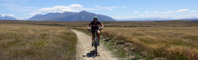
We had grabbed some breakfast supplies the previous night to prepare in our kitchenette. We were able to hit the road by 8.15 am with the temperature hovering around 16 degrees Celsius.

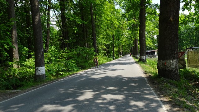
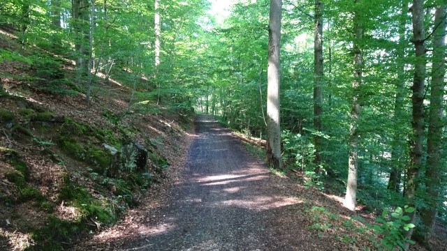
Skirting around the back of Wellsford we quickly hit the first patch of gravel for the day, but fortunately it was only for about 5 km, and very rideable. We chose this track to minimise our riding on State Highway 1, busy most days, but even more so now that people are heading off on Christmas holidays.

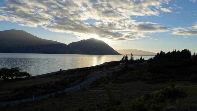
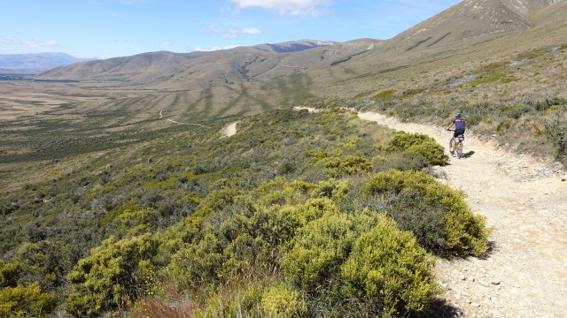
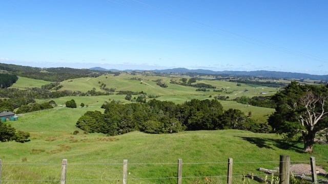
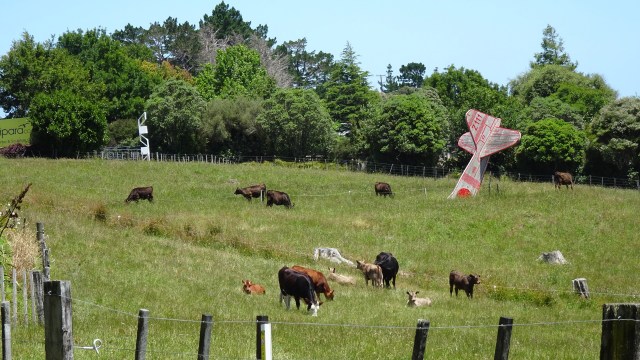
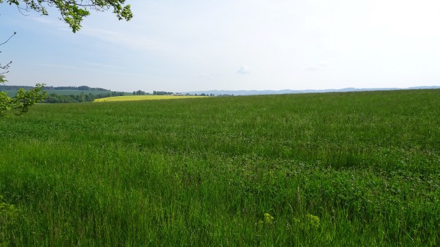
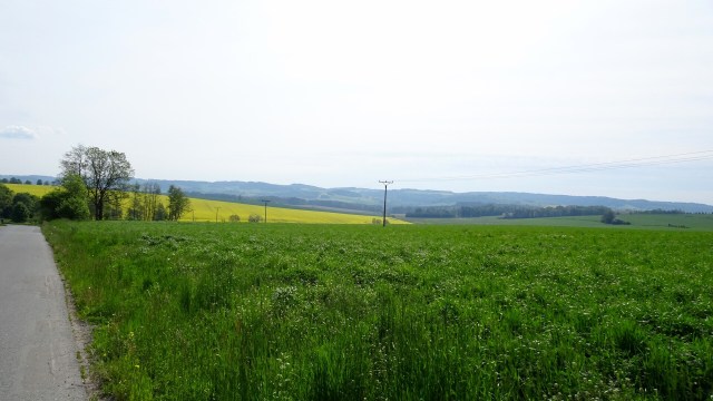
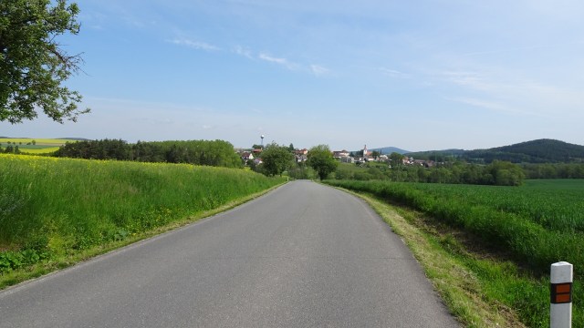
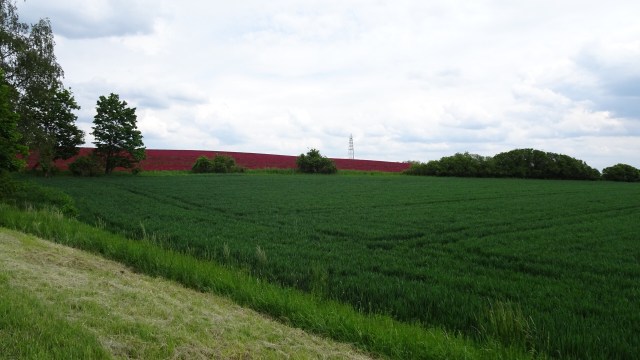
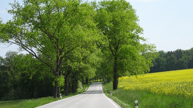
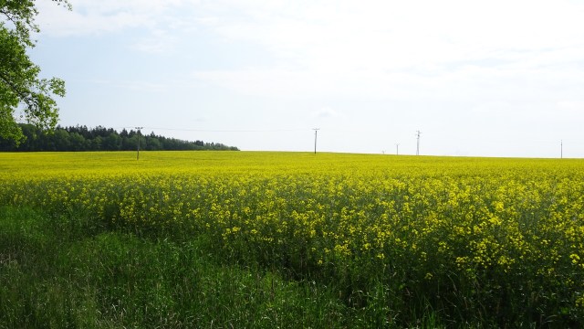
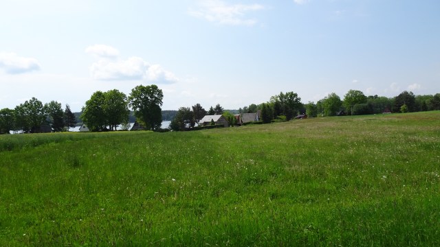
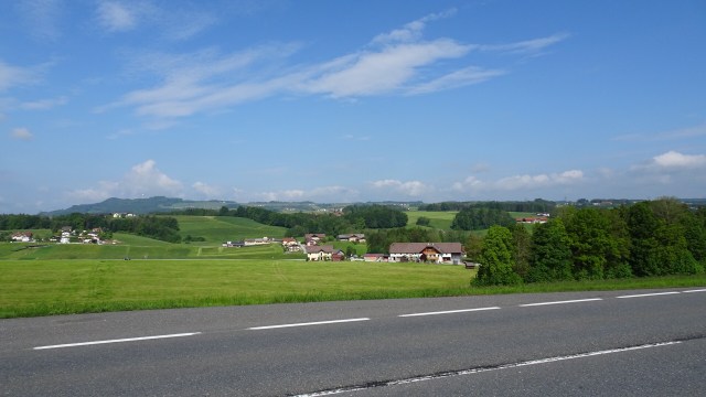
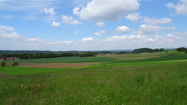
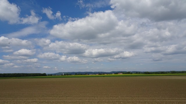
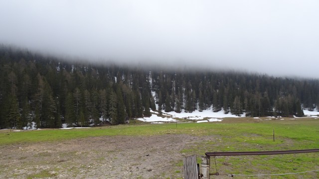
Rural scenes, still very green.

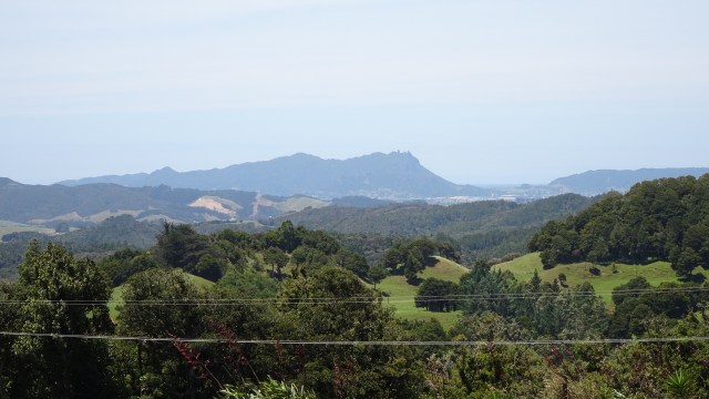
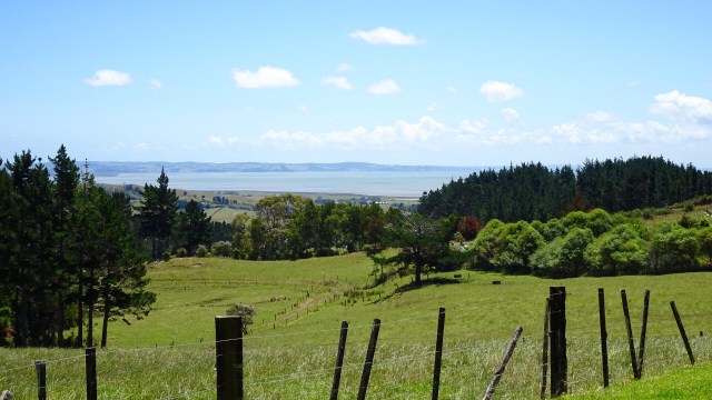
I liked this view with the distant knobby hills.
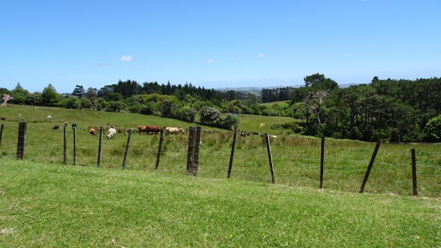
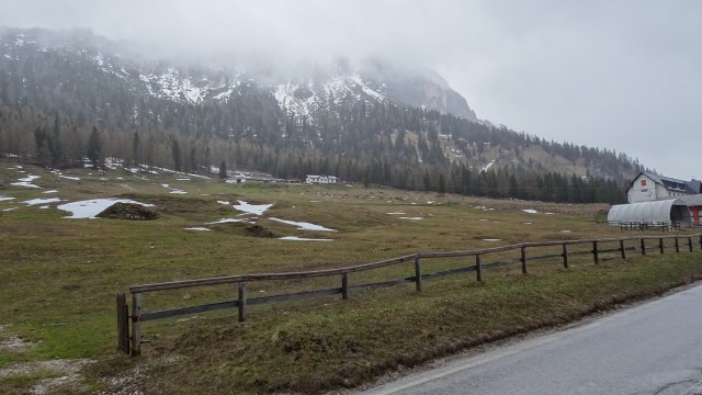
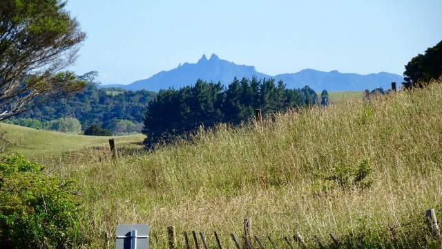
Back onto bitumen these photos were taken from the top of a climb. The lower one shows an electric fence that Tony needed to get over, as the reflective flag had blown off the rear of his bike in the gusty winds.

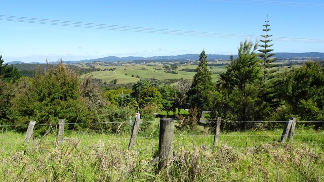
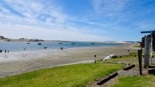
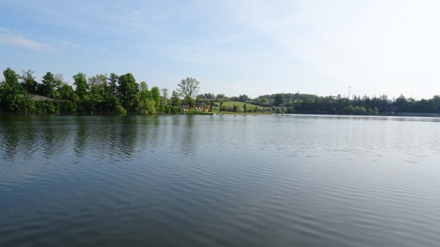
First stop of the day was Mangawhai Heads, a town that I had stayed at during my solo ride last year. We rode around and settled on coffee at this joint. They also provide free, very cold, sparkling water for your drink bottles.

We did a reccy of the town and this is the local waterway…low tide.

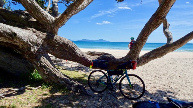
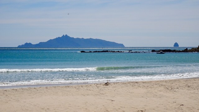
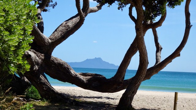
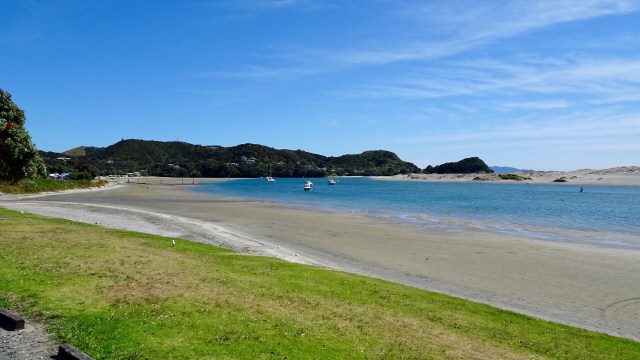
For me, the day’s highlight was beautiful Lang’s Beach, a stunning white sandy beach framed by craggy headlands, gnarled trees and wonderful views to offshore islands.

The islands that can be seen from the shore are Tauranga and Marotiri or, the Hen and the Chicks. They are the remains of long dormant volcanoes, once part of the Pacific Ring of Fire and are now wildlife sanctuaries.

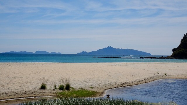
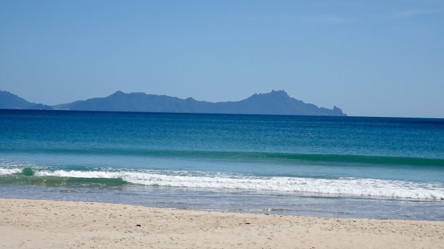
The lone rock on the right hand side is known as Sail Rock, a common mark used for yacht racing.

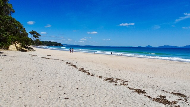
A few more beaches and then we headed inland to Waipu.

Waipu is a village rich in Scottish heritage. The Waipu Highland Games are held every New Years Day and people come from around the world to dance and compete in traditional Celtic challenges.

Today we just wanted lunch. There were plenty of choices, but we chose one promoting ‘honest’ food. Very nice iced coffee and an omelette later and we were back riding.

This is where the day got tough. We had been subjected to strong winds all ride. We were close to the junction of State Highway 1, the quickest route to our overnight destination of Whangarei.

However, quickest is not always the safest, and we chose to head further inland, across some lumpy hills towards Waipu Caves. We figured there was a chance they may be gravel, but to start with they were bitumen.

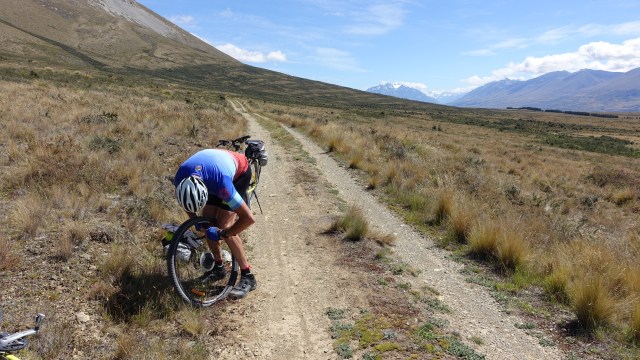
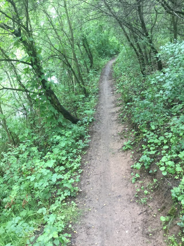
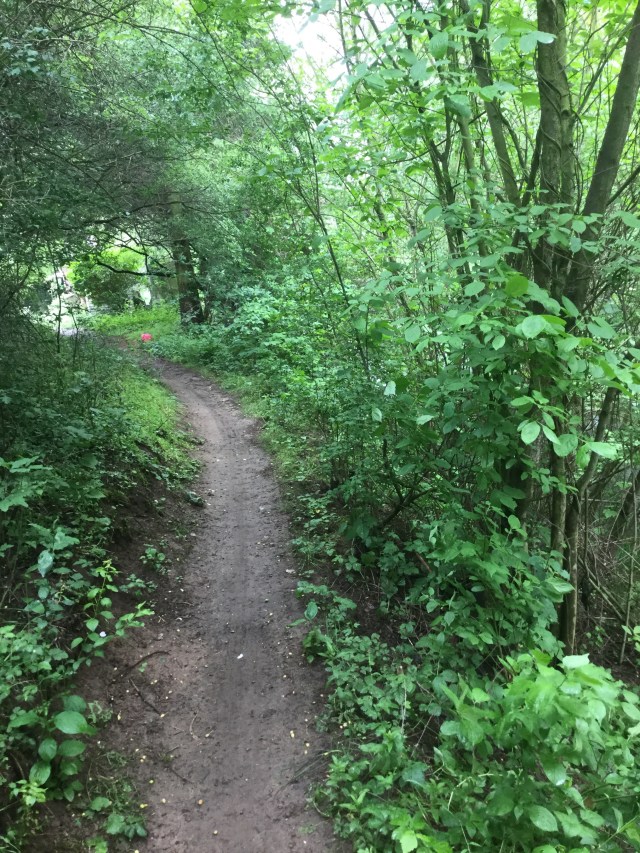
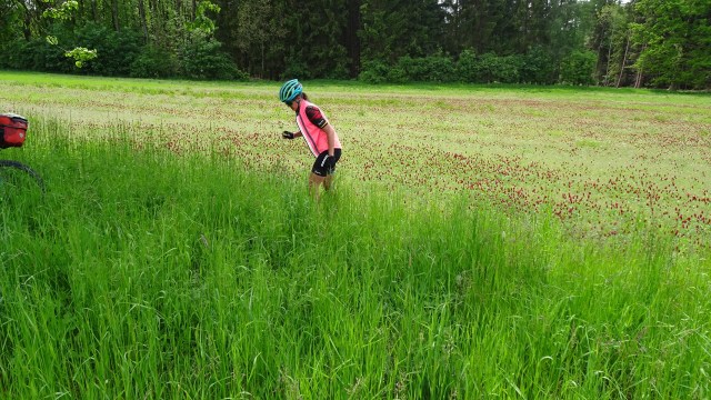
Then our luck ran out. It was dry, lose, slippery gravel with drifts on bends, adverse cambers, punctuated by some cussing. I knew where I needed to be, but my bike seemed to head to where it ought not.

Very frustrating and I will admit on some of the 13 plus percent climbs I jumped off on bends as I did not want to fall. Downhill I was even more cautious!

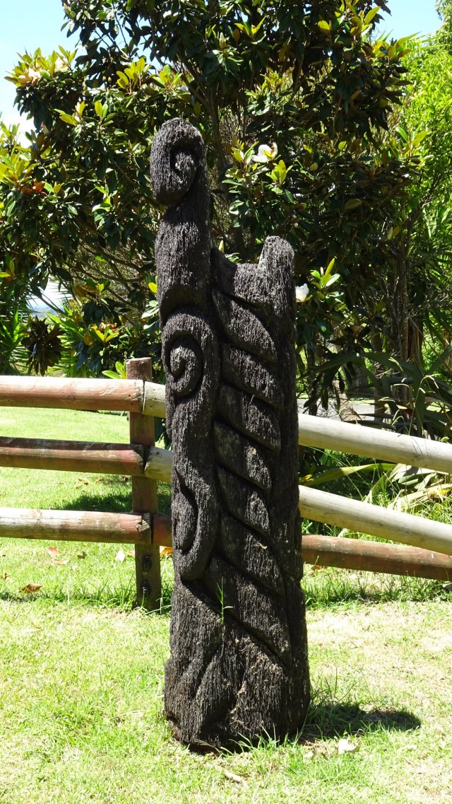
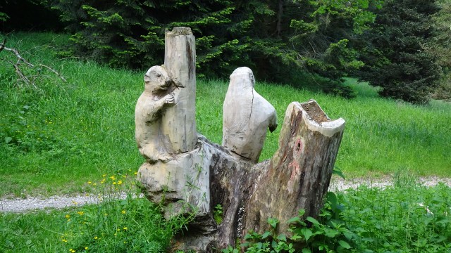
Anyway…life goes on. We liked this totem.

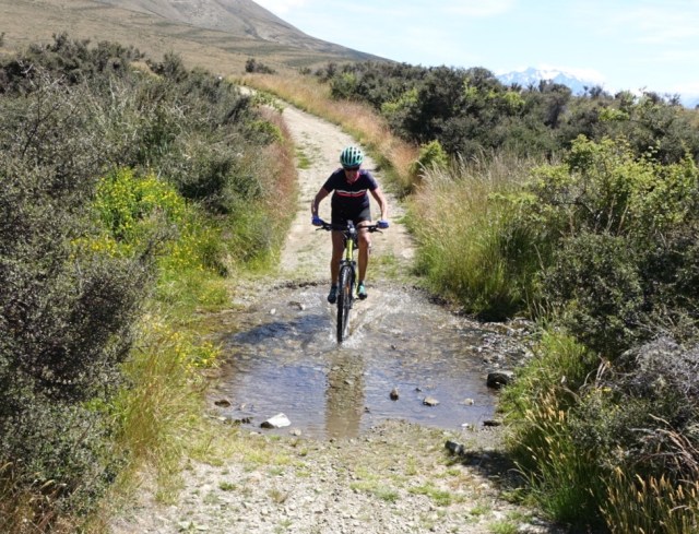
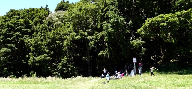
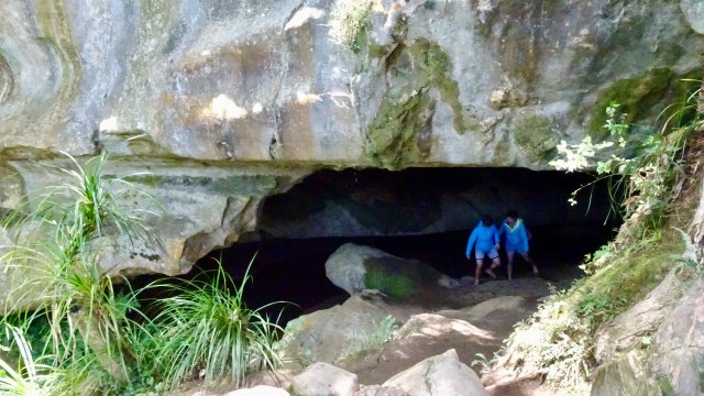
The dirt road had very few cars on it, so that was a plus. We were shocked when we arrived at the Waipu Caves how many cars were there. The place was packed.

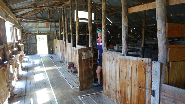
Below is a group picnicking near the cave entrance. There were many other such groups in the area.

The cave is unmanned and you can just wander in. There is a 175 metre chamber. The limestone cave has stalactites, stalagmites and glow worms near the entrance. The cave system is considered regionally important for geomorphology because it is the largest cave passage in Northland.

There is also a 4 km walk through the reserve, through karst limestone formations.

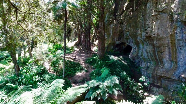
The hardest section of ride was as we left the cave. I got really excited at one intersection as we started to descend on bitumen. Alas, it was for max 100 metres!

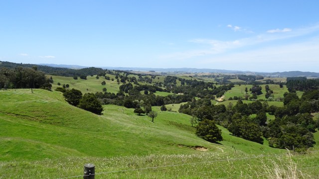
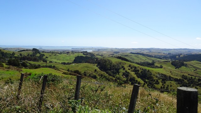
Some more lovely views though looking towards our destination of Whangarei.

A few more km and we returned to bitumen, and we could pick the pace up from our gravel grinding crawl.

The road joined State Highway 1 and we were low on liquids, so headed to the service station up the road. Here I am chilling in the shade.

The State Highway was crazy busy with traffic so head down and maximum concentration. There was a verge ranging from 30cm to maybe 80 cm so we survived ok, and the cars were pretty well behaved really.

We headed straight to our Air BNB accomodation, a unit alongside the owners house….at the top of what they described as a ‘steep’ driveway. Yep, they were right. It was 28% gradient at its steepest point. We pushed our bikes up!

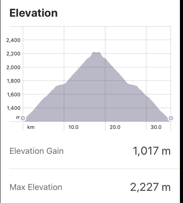
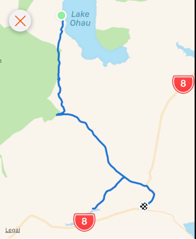
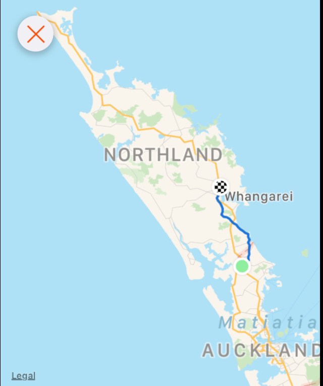
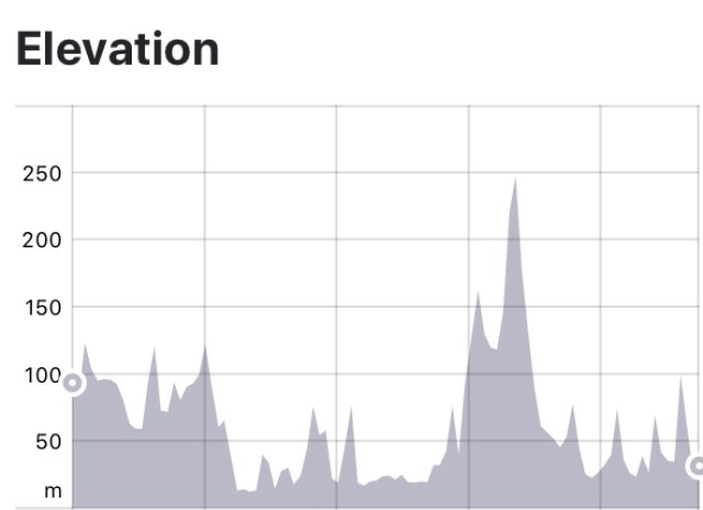
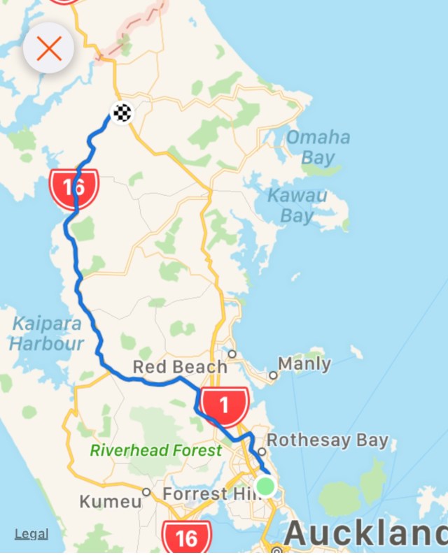
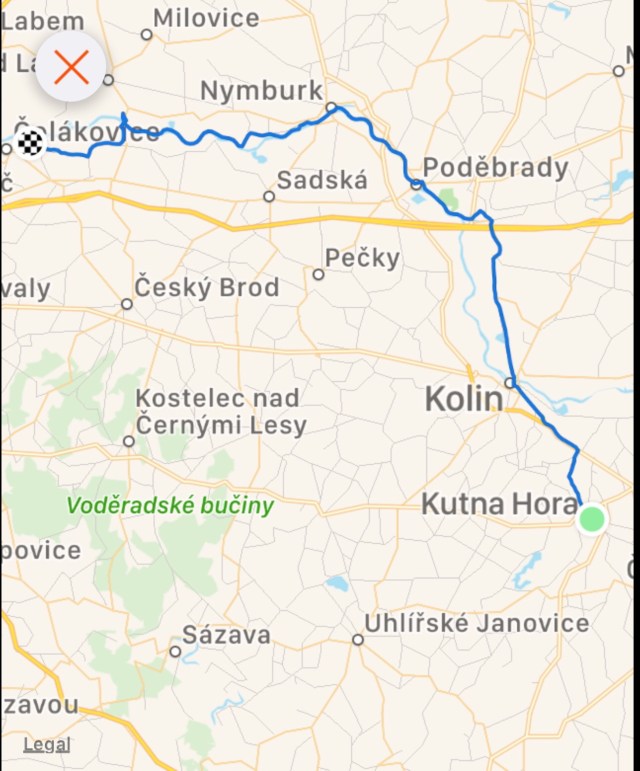
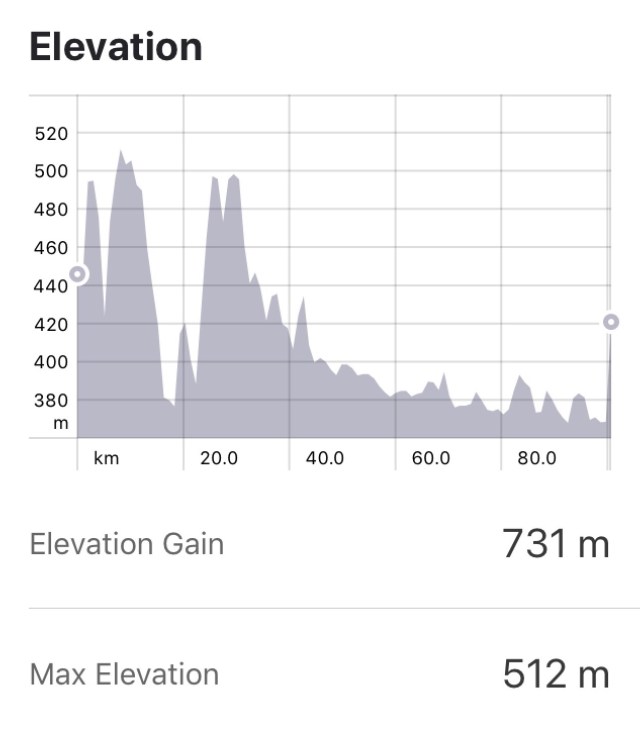
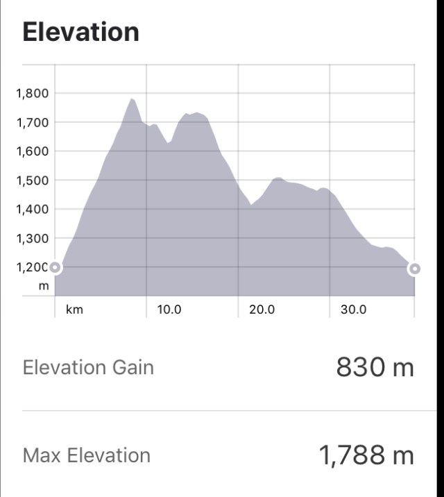
Today’s route…minimised to show our positioning north of Auckland. The elevation graph shows the up and down nature of the ride…biggest ones being on gravel 😢🙈🙅‍♀️😀

After showering we headed to the Town Basin, a mecca for local and international yachties, craft and art galleries, cafes and restaurants. Many were closed as it was later Sunday afternoon.

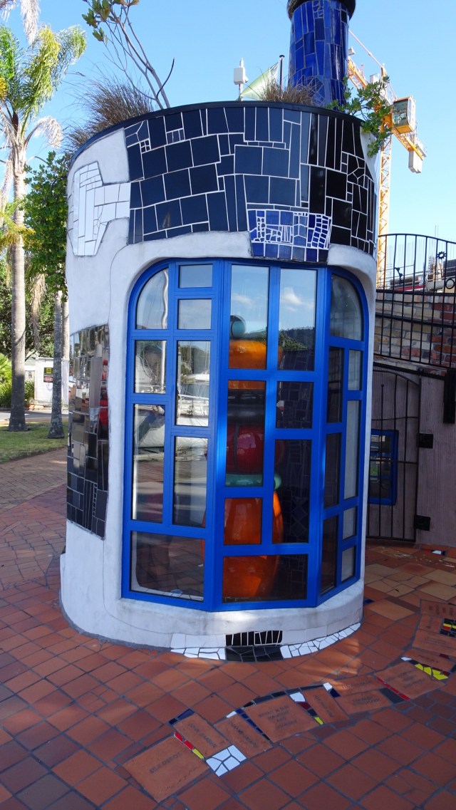
Can you see me in this quirky art ‘installation’?

The busy Basin.
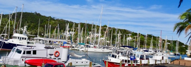
Looking up the hill towards our accomodation 
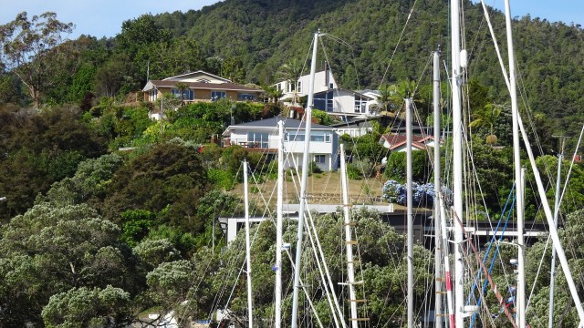
The clock museum with a giant sundial. 
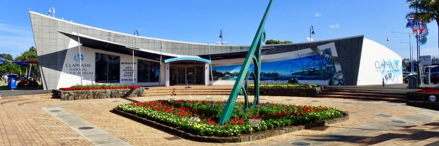
A telephone box with a working telephone. 
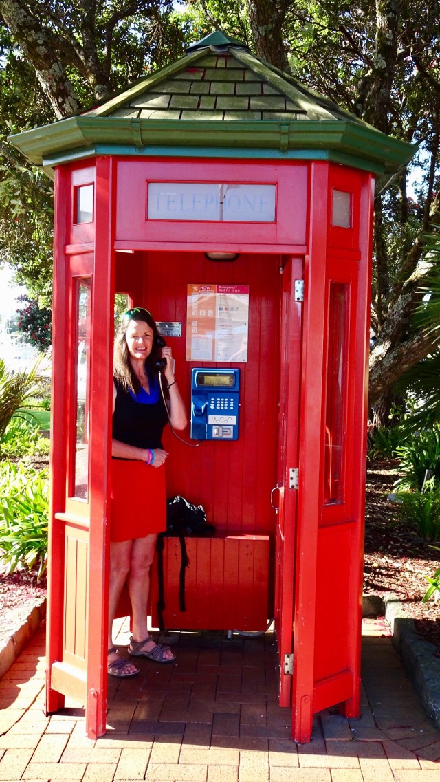
So day 2…done and dusted. Despite my anxiety on gravel, I lived to tell the tale. I really do suck at gravel!

Below is my favourite picture of the day. Taken at Lang’s Beach. Think this one will ultimately feature on a wall at home.

Kia ora

For the third consecutive Christmas , we are in New Zealand to do a cycle tour. I guess you could say that we like the place!

Kia ora is Maori for welcome. As a kid I knew the word Kia ora….it was the brand of sickly sweet green cordial my mother used to buy for us to drink. I do like the way that New Zealand has embraced its Maori heritage with so many examples of dual naming ( ie. English and Maori). The Welsh do it very well too, and can only wonder why we do not in Tasmania to acknowledge, recognise and value our extensive Tasmanian aborigine history.

Our flights out of Melbourne were delayed for multiple reasons. The plane arrived into Melbourne late due to the 44 degrees Celsius temperature accompanied by very strong winds and bushfire smoke closing one runway. All flights in and out of Melbourne were taking off and landing on the one runway.

When we finally boarded, the plane was incredibly hot. The pilot apologised. We could not have any air conditioning until he turned the motors on and we were waiting for two passengers who ‘will arrive shortly’. Famous last words.

Some 20 -25 minutes later two ladies boarded. Still they did not shut the doors. Waiting, waiting, waiting.

15 minutes later, the two ladies left the air craft.

Still the door remained open……

Maybe 10 minutes later, the two ladies reboarded the plane, with one holding the hand of a stewardess who seemed to be very insistent.

Immediately the captain asked for the door to be closed and cross checked!! She was trapped!!

As a result, we did not arrive into Auckland until around 12.45 am, and then at our overnight stay at Gervase and Deb’s house close to 2 am this morning.

First job, after some sleep, was to put the bikes together and Tony discovered my rear disc had been bent in transit. Poop! This needed to be rectified, or a new disc purchased otherwise I could not ride.

Here are Gervase and Tony discussing the situation. Fortunately for us, Gervase has the most bike friendly house ever, including a wide range of tools….disc was straightened successfully.

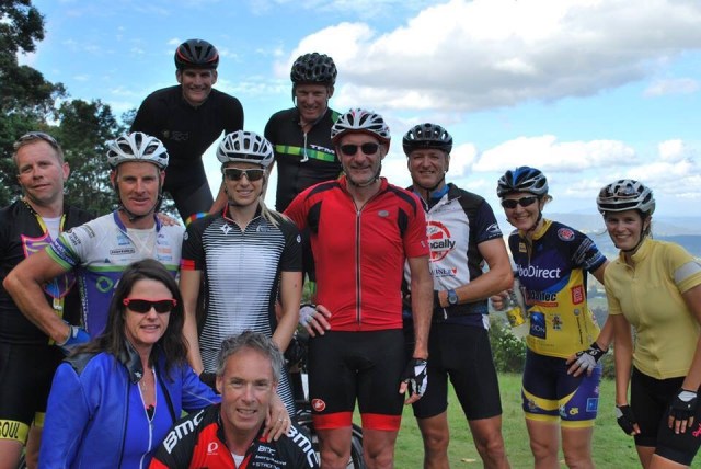
I am so fortunate to have a number of wonderful friends in New Zealand. I truly value and appreciate the friends I have made through cycling. Coffee and Christmas tarts with Gervase and Debra and we were on our way leaving Forrest Hill around 11 am.

We had arranged to have coffee with Dave at Waitoki. He is a Zwift friend, with us both being leaders for The Big Ring (TBR). When I used to lead Mink’s Centurion ride, Dave would regale us with corny jokes (sorry Dave), and describing his yoga efforts.

Proof of the catchup!
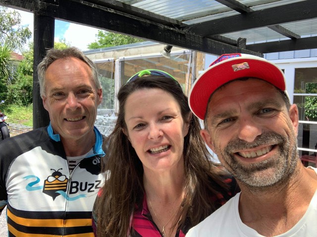
Kaukapakapa was next after bidding Dave ‘ooroo’. This was the town where my stolen backpack was located in March last year by an eagle eyed cyclist.

Local park in the town with some interesting features.

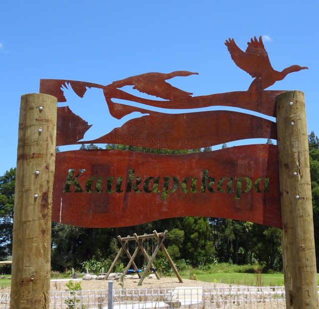
The bikes all geared up.
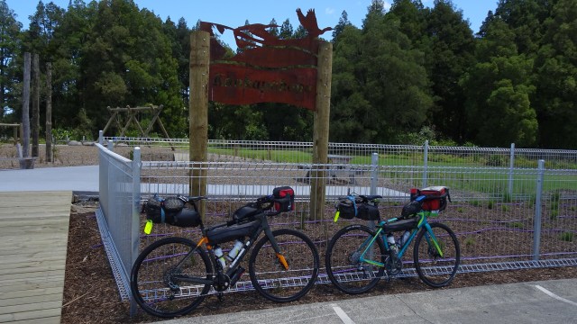
I am not sure what this is…fish? Maybe you can stand on it and walk along it for balance? Maybe you just look at it and photograph it.
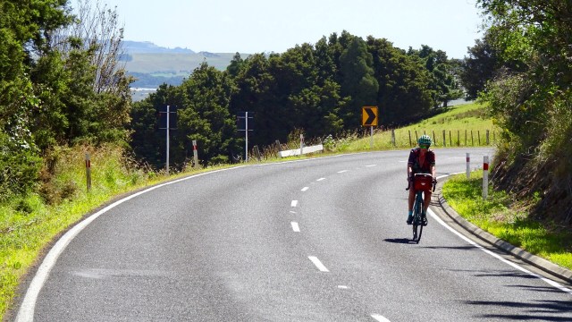
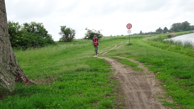
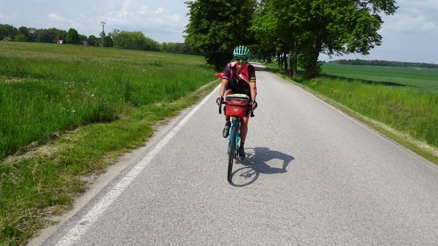
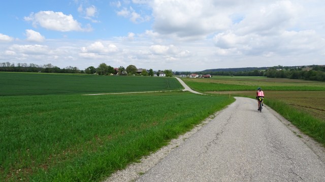
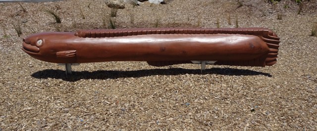
The hills started to get a bit more serious with some 13% pinches. The temperature had picked up to high 20’s. There was a really stiff breeze. Predominantly a headwind with occasional side gusts from our left, pushing us further from the verge.

The elevation map shows a few steep and nasty little pinches.

You climb, you get great views as a reward. Lush green farmland with sea views.

I like this sculpture and the cows who could not give a hoot.

Up and down, more views, more sculptures.

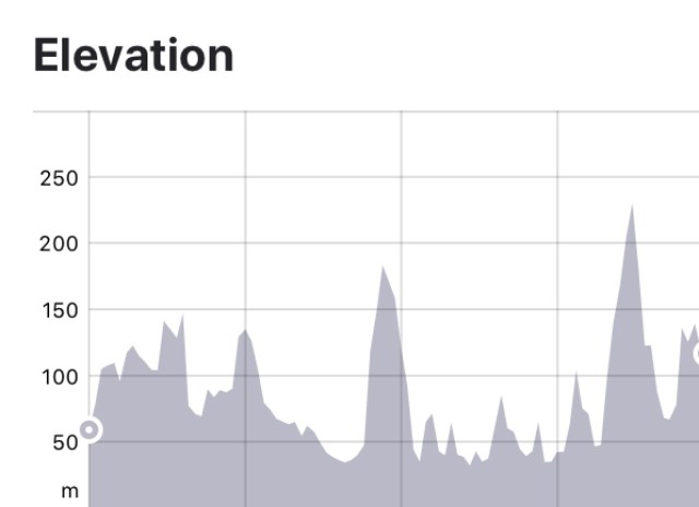
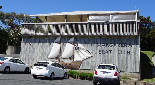
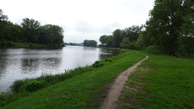
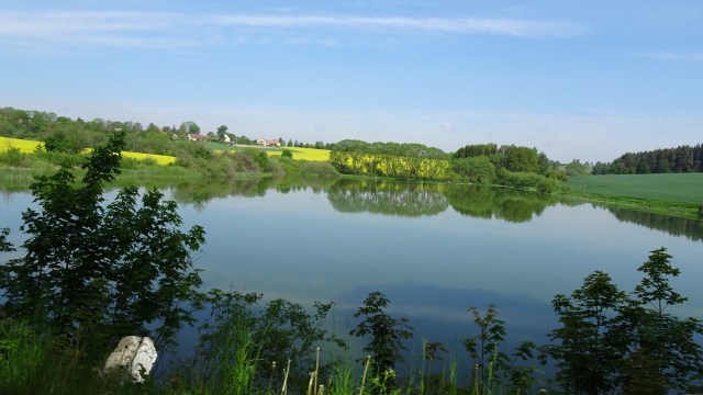
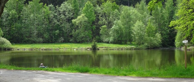
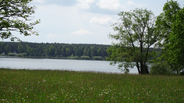
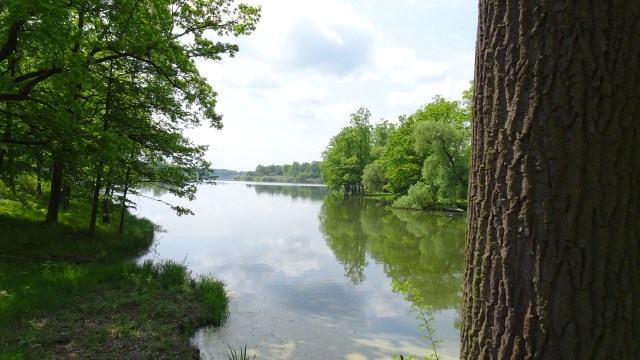
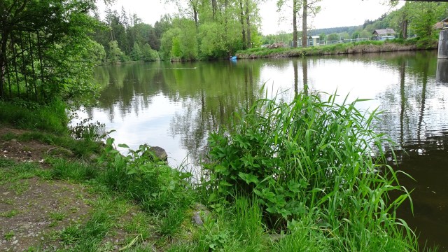
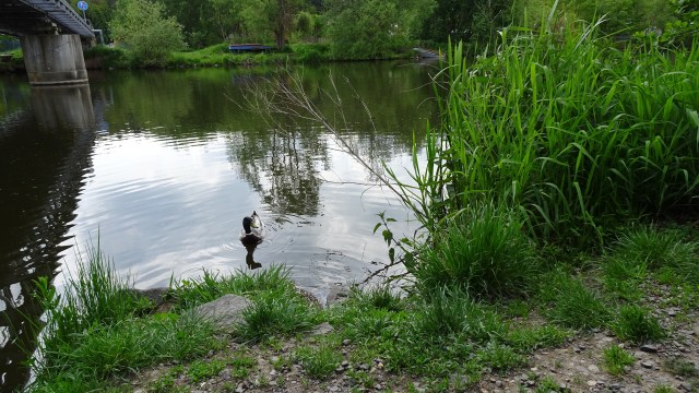
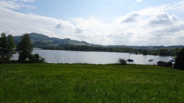
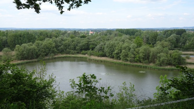
A very tidal river does not prevent a boat club from existing. Mangakura Boat Club has a lovely position alongside this river. We could see from tops of hills, that this river feeds out to a larger harbour and the west coast of North Island.
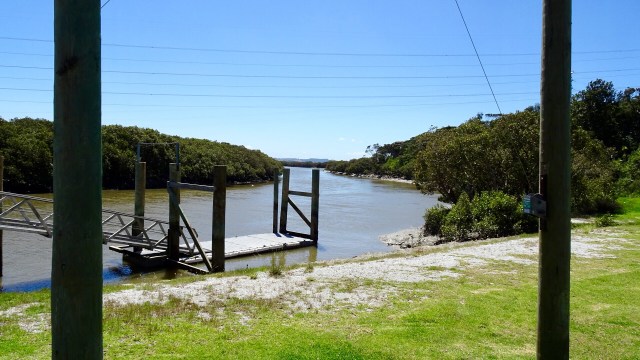
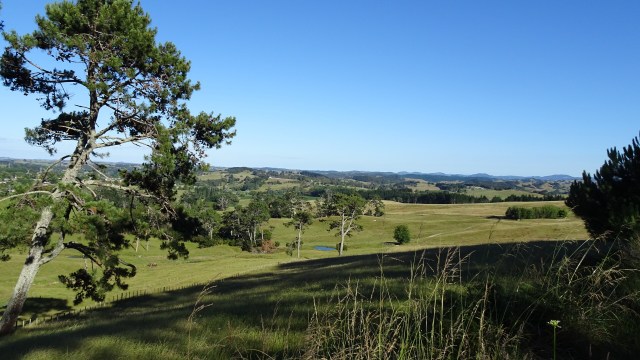
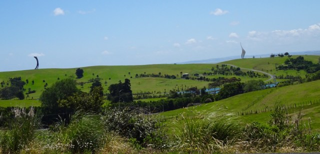
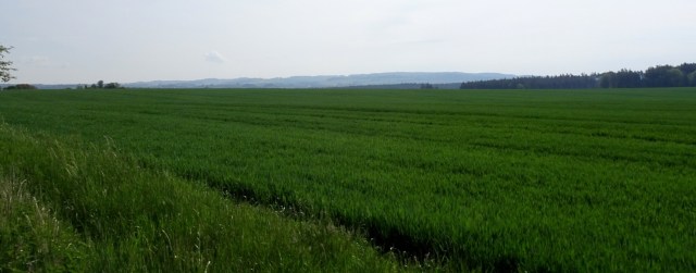
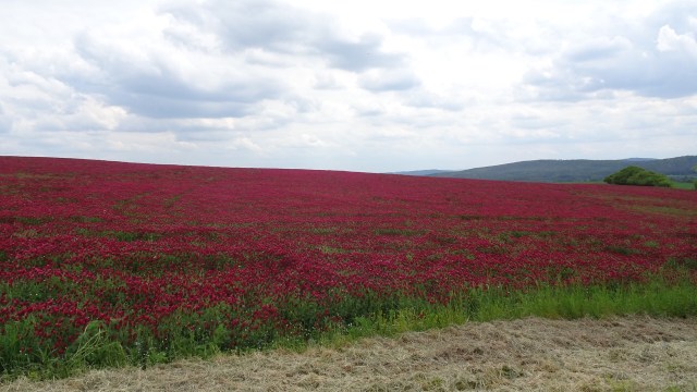
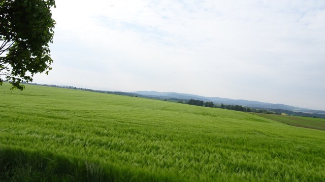
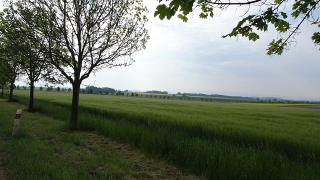
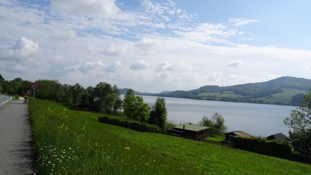
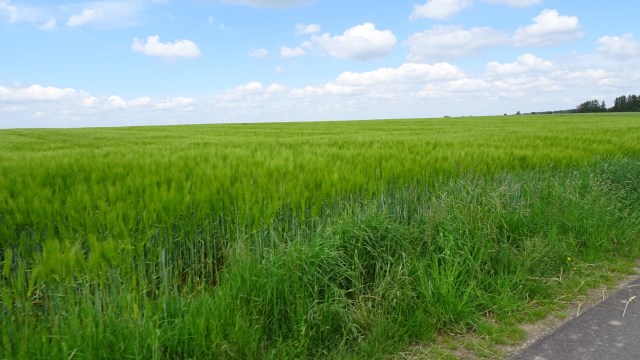
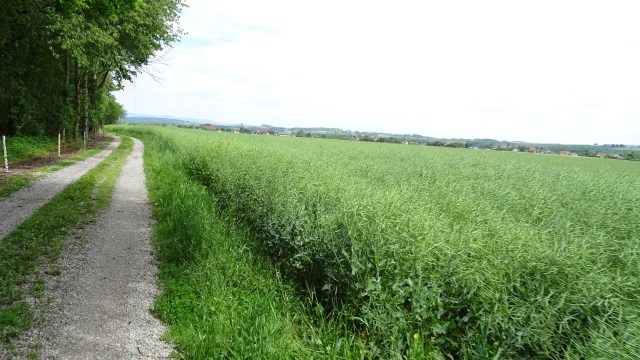
Incredibly lush green farm land. In Tasmania many farms are already very dry and brown, so there must be solid rainfall here.

The last climb was a nasty little climb that just kept giving. I was very glad to be at the top and enjoy the views. Really any excuse to stop at the top of a hill….’oh, I just want to admire the views…”

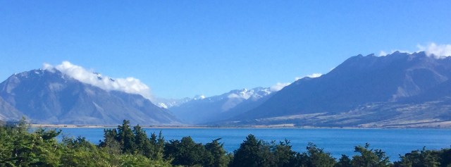
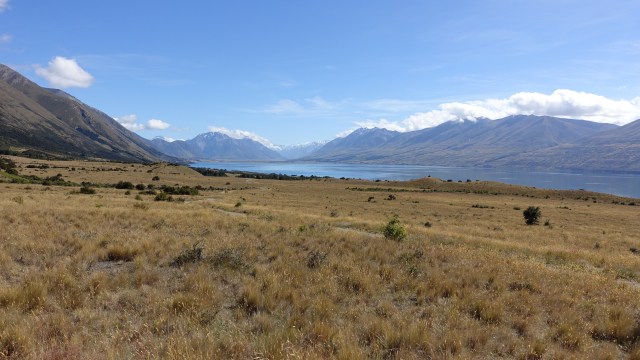
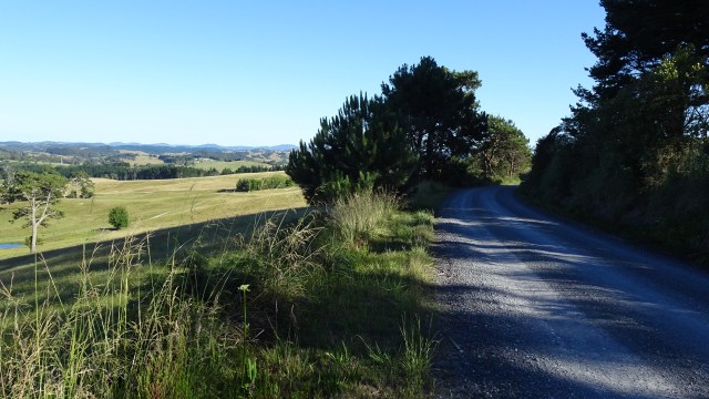
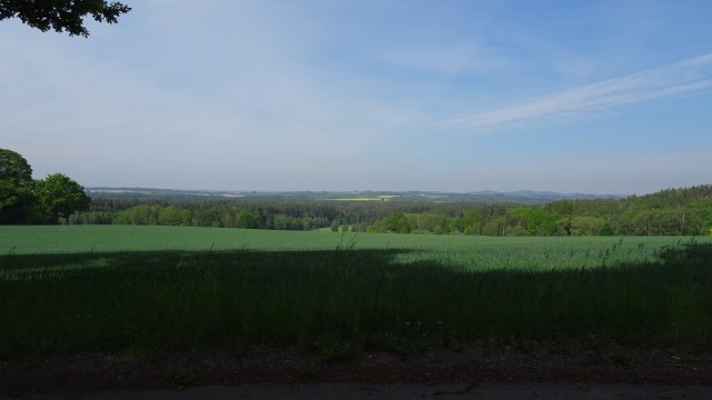
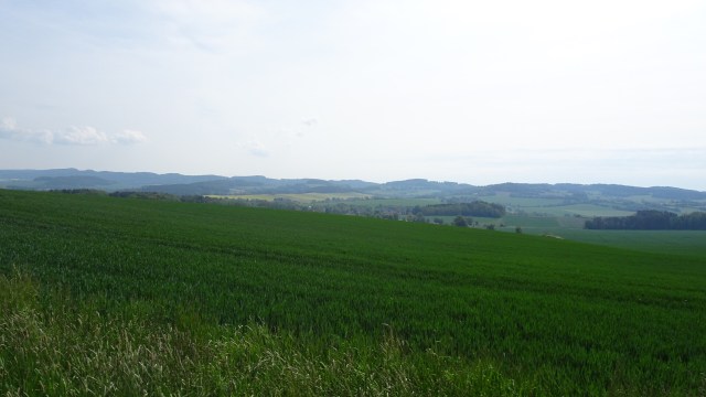
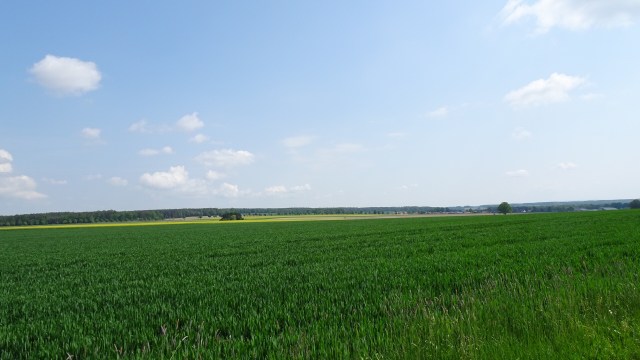
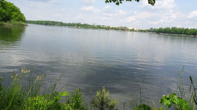
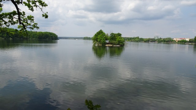
Looking to the west.
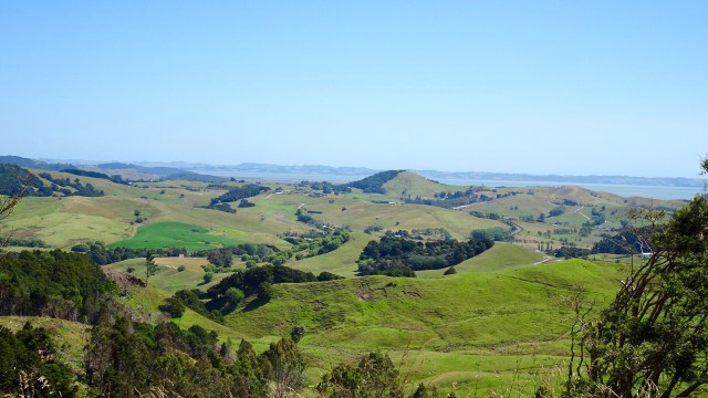
What goes up, must go down….so it was a nice descent and a few more rolling hills to arrive in Wellsford, a busy service town, and our overnight stop.

We were pretty keen for dinner, and walked the length of the town (that might sound impressive but maybe only 1km each way from our accomodation 😂 enjoying using different muscles for a stretch!)

The meal choice was standard pub fare bar the local cuisine speciality….wait for it…stew on toast!

We chose steak…Tony ate my chips and I ate his salad. The home made plum sauce ( in the wine bottle) was actually very nice, packing a peppery punch.

We will hit the sack early tonight to catch up on our beauty sleep.

Today’s route ( bar a straight line section where my Garmin was turned off under the Highway One sign).

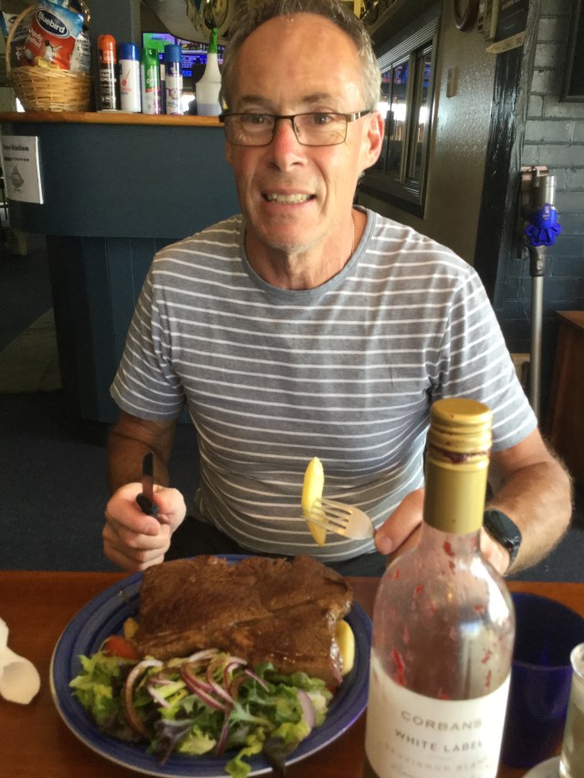
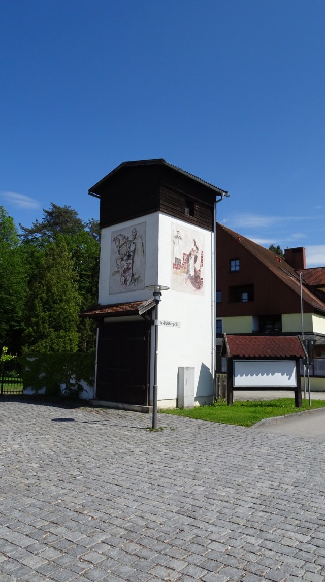
Returning to our accomodation two final sights.

The heritage museum murals reminded me of Sheffield. Tasmania.

I did wonder why it was named Albertland having a quiet chuckle, as in my teenage years when I did cross country, there was an elderly lecherous athletic official named Albert who used to chase my running friend Catherine and I around the place as we tried to escape him (and we were very successful being far more agile and nimble).

I was somewhat stuck with Albert as my mother had arranged for him to give me lifts to cross country but she was unaware of his ‘tendencies’. I kept quiet as it was my only way of getting to the different venues to run until I got my drivers license and purchased a car.

I later figured it out…Port Albert is not too far away.So thanks for reading. Tomorrow is another day…new adventure….new memories.

Llamas or alpacas?

Dream it! Believe it! Achieve it!

I am a goal oriented person. I feel lost without goals. With a goal, I feel a sense of purpose. I have something to work towards. It captures my imagination and keeps me focused.

When I do not have a goal, my mind wanders aimlessly and I feel unchallenged and demotivated.

This trip was a goal borne from a variety of circumstances and possibilities.

I trained for this goal. I trained hard. I was doing between 600-800 km per week on my trainer on Zwift. Some knocked me for doing it on the trainer rather than the road.

However, there is also a second goal. I am currently the leading female zwifter in the world, distance wise, and on track, barring injury, to be the first to attain 100,000 km. I am in the top 20 all timers ( ie. only men ahead of me), out of more than one million riders.

Some have said “you are lucky” re our touring trips. It is not luck, it is perseverance despite what obstacles may present themselves. To quit, or make excuses, is easy.

Lessons have been learned from this trip….mapping, routing, accomodation, things to carry and not carry…none are major…more ‘tweaks’.

There are a few other trips in the planning pipeline, so the dreams will continue. The goals will be replaced with new ones…fairly quickly too!

I wanted to show you this picture. Some may have noticed these bands in pictures on this, and other trips.

I wear these for all of my ‘in real life’ rides ( ie not Zwift). They have meaning for me, as blood, sweat and tears have encased them.

A few years ago, my dear daughter Hannah, then aged 20, set herself a challenge. In one day, she rode a massive 337 km, with a group of other riders, in Tasmania.

Tony and I were the support crew.

She chose to raise funds for two charities dear to her. The Amy Gillet Foundation and Beyond Blue. She raised around $5,000

Amy Gillet was set up following Amy’s death, as the result of a careless, inattentive driver, crashing into the Australian road team during a training ride overseas. The Foundation pushes the safe sharing of road message.

Beyond Blue supports anyone suffering mental illness.

I support both organisations visibly by wearing these. I support their ethos, and I guess I regard these bands as good luck talismans.

Road safety is important to me. I ride, along with others that I love and care about. We all need to share the roads patiently and responsibly. Your patience and temporary inconvenience might just save my life, or that of someone else I (or you) care about.

Mental health. Tony and I have both had depression and anxiety in our lifetime. I have had one of my children suffer. We have seen first hand how some sweep it under the mat, like it does not exist at a time that support is needed more than ever.

I for one, will continue to fight that attitude. I have nothing but sympathy. The suicide rate is unacceptably high, and if I can help one person then fantastic.

I have reached out to strangers and helped. One I reached out to, I now regard as a good friend.

Tony and I now prefer smaller group events. We both feel uncomfortable and stressed in larger groups. We won’t attend such events anymore unless critically necessary, as we don’t enjoy them. They stress us. That is us, looking after us!

Cycling gives us a peace of mind. The relative quiet of the country villages and roads, not the noisy impost of impersonal cities.

The journeys will continue.

To those who liked my links on Facebook for the blogs, to those who actually read the blogs, to those who liked and commented on the blog (on my blog page), to my new blog followers….I thank you.

We do look to see who reacts positively as we see that as a form of support and encouragement, for what was, without a doubt, the hardest challenge we have undertaken, during one of central Europe’s worst ever spring weather.

Until my next trip and blog,

Love and hugs

Ooroo

Xxx

Back to where we began….

Last night, my Czech friend Mirek wrote to me, offering to pick us up. He said the weather looks really bad, and you don’t want to finish the trip so wet.

I ‘politely’ declined. Tony and I both agreed that it would take something horrendous weather wise to agree to that. We wanted to finish, what we started, on our bike. Besides, our final day was a shorter, easier ride…well on paper we thought it was!

We checked the forecast. We could see his point. Weather forecasts can change overnight, and we had our fingers crossed. On the plus side, it was not going to be cold.

Waking up I checked and it was pouring down big time.

By the time we finished breakfast and changed clothes, the rain was easing! YES!

We headed out of Kutna Hora, up a hill and onto nice quiet country roads. The first village was Grunta, boasting about 20 houses and this amazing church.

We passed through the large town of Kolin but did not stop until we were back onto a bike path that followed the river Elbe. We had ridden through Kolin on our very first day.

It was a great sealed path and we enjoyed it…shared pathways are slower to ride on, but you can relax as there is not the traffic to contend with. Many are also used by local residential traffic so you can’t totally switch off.

Some photos from this section. There were taverns along the way. I imagine on a sunny summers day it would be a very pleasant place to chill out.

Note the cycle path signage. The Czechs have done a great job. No new infrastructure for bikes. What they do is use existing infrastructure, work our routes, map them, signage and at infrequent intervals larger area maps on the side of the road. This would be simple to do in Tasmania with minimal $ spent.

The plan was to stop in Podebrady for a coffee. I like Podebrady. The weather was looking ok.

The approach to Podebrady was very nice. Different aspect to my previous visits there.

We headed straight to a coffee shop we were familiar with adjacent to the main town park. We had not seen this part of the park before.

Whilst sitting in the cafe I was texting Mirek our whereabouts. I asked him the following…and then his response…

Awesome! We had enjoyed our ride on the sealed bike path to Podebrady and we looked forward to continuing on a ‘sealed’ path to Cekalovice, which is situated adjacent to the same river.

It started off nicely. The town in the distance is Nymburk.

The town fortification was interesting. It began soon after the town was established around 1275, with the more significant work carried out during the reign of King Vacaville II from 1288 to 1305,and a latter section in 1337 during the reign of John of Luxembourg.

The fortification is around 7-8 metres high, and had 50 towers. A deep defensive moat once existed in front of the walls.

The walls were badly damaged during the Thirty Year War in the 17th century, and reconstructed during the early 1900’s.

The town has a nice tower clock.

On the other side of town the sealed path turned to a single track. Narrow and slow. As we went on it became quite muddy and slippery in patches, and I ended up walking, pushing or using my bike as a scooter for the worst sections up twisting slopes.

I made a mental note to have a chat about the word ‘sealed’…I don’t think it translated! 😂😂 . Having said that though, it was ‘kinda’ fun, and slowed our progress to finishing our odyssey. Let’s face it, I did not really want to finish.

After fiddle farting around on the dirt for 10 km or so, drops of rain were felt. Wind was getting stronger, and we were at a bridge crossing the river Elbe.

We made an executive decision to hit the true, sealed road and head directly to the finish post.

12 km or so, and it was all over bar the photographs, memories, some scars from falls, 2 refrigerator magnets ( our sole souvenir purchases), 2 dirty bikes and lots of stories to tell.

Todays map….

Would I do it again? Heck Yes! I would start it all over tomorrow, no questions asked.

Tomorrow we train into Prague so keep,watch!

I see dead people…..

Another great day to ride. We have had five days straight with no rain! Garmin told me it was 26 degrees Celsius at its peak!

Our bikes were not in our rooms ( up two steep flight of narrow steps), but stored here surrounded by linen and stuff! When we headed to our room after our dinner the previous night, there were table cloths on the bikes, disguising them! We were the only guests in the penzion.

Leaving Tabor was slow…the cobblestone shuffle!

Looking back along the river this was the view.

The views today were not dissimilar to yesterday. Lakes, rivers, agricultural fields (wheat and canola), dotted with villages every few km or so.

We stopped for coffee in Vlasim.

More lovely water scenes…this one has a guy fishing.

Beautiful fields, and we did wonder what the beautiful maroon coloured plant was.

About 10 km later, I investigated….notwithstanding the fact that I inadvertently walked through a bunch of stinging nettle in the process. Both legs got well and truly ‘done’! A pretty plant. Any ideas what it is? The leaves were like a three leaf clover.

Tony and I have been impressed with all of the newer sealed roads in the Czech Republic. They have a really thick layer of bitumen and no obvious joins , like ours on the Bass Highway, where a thin seal is applied. Then they are constantly patching it up like a patch work quilt.

We encountered a reasonable amount of roadworks today. Here they have scraped back ready for a re seal on a side section. Take a look though…there are three layers, and those top two are thick. I put my drink bottle there for reference.

Shame we cannot do a better job with our bitumen.

Today was quite hilly, and as I mentioned earlier, quite hot. It was a pleasant surprise, at the top of a climb to find this little pop up shop. Yes, we had an icecream.

More nice scenery.

On the outskirts of Kutna Hora this amazing church came into view.

I had one main goal in Kutna Hora, and it was not this church, but one a few km on the other side of town.

After finding accomodation and the usual routines, we headed off on foot to a very ‘special’ and ‘entirely different’ church. The Cemetery Church of All Saints with the Ossiary, a world famous, UNESCO listed church since 1995.

It is the memorial site, final resting place for 60,000 people! The church was part of the oldest Cistercian monastery in Bohemia, founded in 1142.

The cemetery was greatly extended during the 14th century epidemics, with around 30,000 buried there.

In the spring of 1421, the Hussites troops captured Kutna Hora, attacking the area of the church, killing another 10,000 people requiring burial.

At the end of the 15th century, the cemetery was reduced in size, with bones from abolished graves were relocated to the ossuary.

The bones were decoratively arranged in the 16th century, then rearranged some 30 years later, then again in the 18th and 19th centuries.

It is certainly mind blowing seeing so many remains….some skulls have shiny heads from people rubbing them.

Extensive renovation and archeological works are currently underway. They have found more bodies.

It is quite confronting, despite the fact that we went there knowing what we would see. 60,000 people!

Walking back to accomodation we walked past the Cathedral. To the left is a cream coloured building. It is an unusual museum, but given the number of people smoking in Europe maybe it’s popular. It is owned and run by Philip Morris, of course!

We walked around this church..no doors open today.

Tony found himself a new friend. Personally he was a bit too plastic for me.

The clouds are gathering. The forecast is not great. Tomorrow we finally return to our starting point in Cekalovice, some 20 km north of Prague. Nice weather would be great….

Tomorrow also marks 5 weeks since we left Cekalovice. Wow!

Another day, another journey, another story.

Todays map and chart.

Thanks for reading

Ooroo

Great touring day

Today was an awesome day to ride in the Czech Republic, as we approach our final days. The weather behaved, the route was great and we had a really chillaxed ride.

We chose to walk out of the old Cesky Krumlov town, as the cobbles are so uneven with tyre width gaps.

Our final views of a wonderful town. We walked through this arch and whilst crossing a bridge, took a look back towards the castle.

This was our route today.

Sunday morning is a great time to ride. We have found each Sunday to be much quieter and today was no exception. As the day went on, the main traffic were other cyclists of all shapes, sizes, ages and capability.

It was an up and down rolling day.

Predominantly great roads. The smile says it all.

A cute horse and cart…taken on the fly, the man was cut out, but the horse is nice!

There were numerous lakes today intertwined with forests.

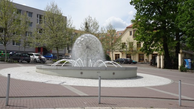
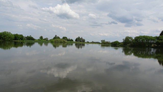
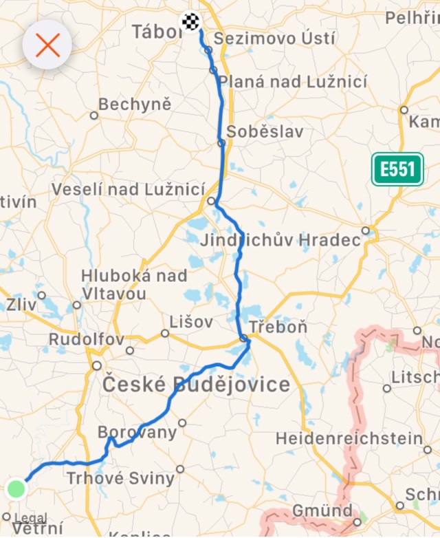
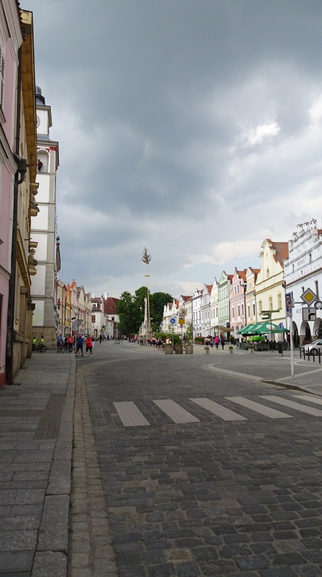
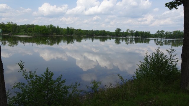
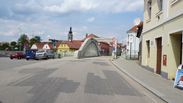
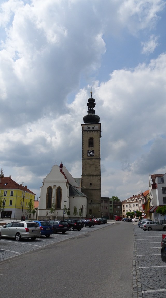
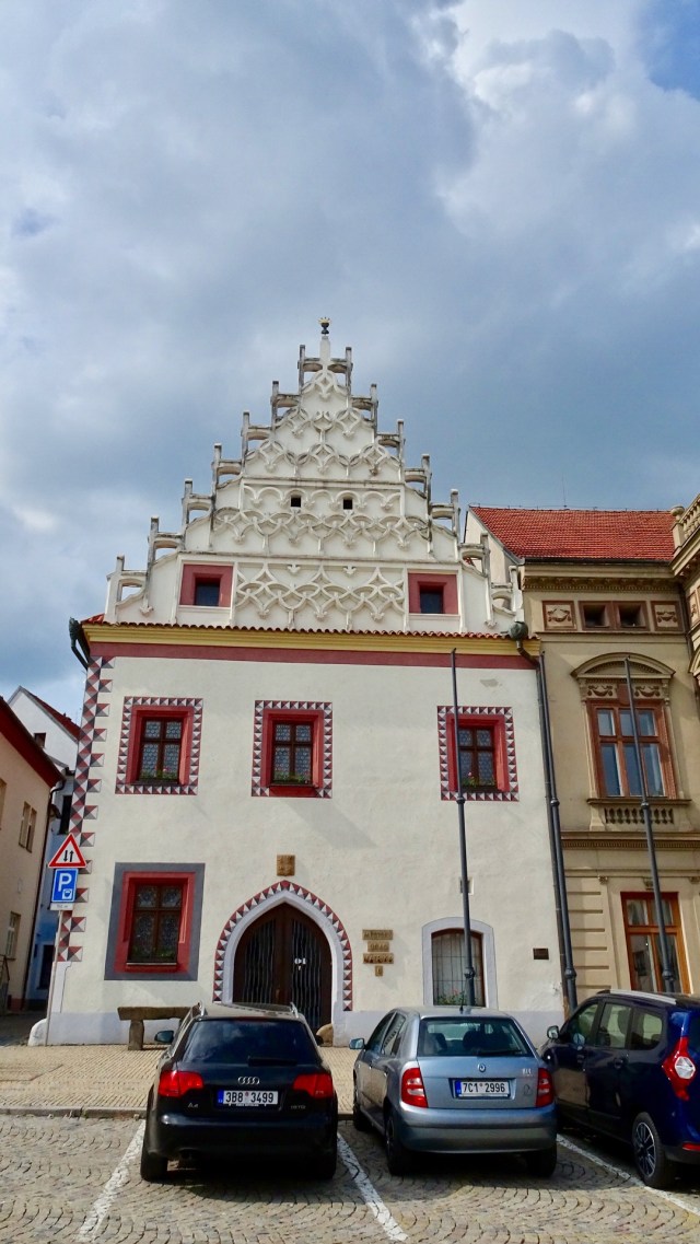
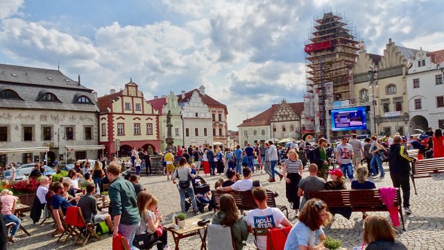
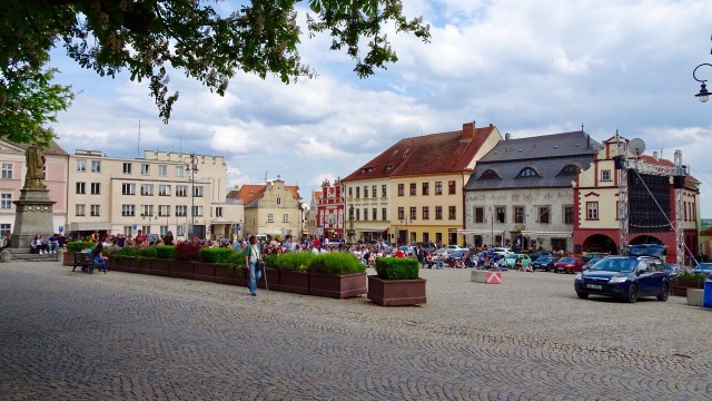
We stopped for a coffee break half way, in the town of Trebon. It seems to be a centre for all things bikes. Every place has bike racks. The lakes around the town have heaps of different riding routes.

Leaving Trebon we felt some rain spots. Dark clouds had rolled over whilst we had our coffee. Fortunately our direction was different to the rain clouds and we were delighted!

The theme of lakes, rivers and forest continued.

Reaching the outskirts of Tabor, we finished our ride with a nasty little climb to the old town, passing other cyclists who pushed their bikes up the hill.

We did not have any accomodation booked, so I whipped my iPad out and sourced a Penzion some 500 metres away.

We took an immediate like to the old town. It was humming. The market square had a large screen up with cycling! We thought awesome!

We showered and walked back into the square, noting ice hockey was now on, so we wandered around to check the old town out.

The rest of the town was pretty quiet really. I think they must have all been watching the ice hockey.

The Old Castle was interesting, but closed. It is the oldest building in Tabor and dates back to the second half of the 13th century. The importance of the castle for fortification purposes was lessened by time and fires to such an extent that it was turned into a brewery around 1612.

Only one tower of the four remains.

Returning to market square, there were big celebrations. We checked out the screen and noticed that the Czech Republic were playing Russia. The Czechs had just scored a goal to take a 2-1 lead in the match.

We remembered then that the ice hockey world championships are currently on in Bratislava, Slovenia. We had noticed the signs when we were there nearly 4 weeks ago.

The match was for the bronze medal.

We decided to have dinner at a restaurant in the square seated so we too could watch.

This was our view.

Russia levelled the scores….it was a very tense, scoreless, third and fourth quarter and the match went to a penalty shoot out in Russia’s favour. Not what the crowd wanted.

As the Russian national anthem was about to be played, the screen was switched off. All over red rover!

Someone enjoyed his dinner in the warm sun. We realised that after 35 days on the road touring this was our first evening meal where the conditions were warm enough to be outside.

Tomorrow the weather is looking ok again!!! Two days left on the road. 😢

Thanks for reading

Ooroo

Passau

It was a great day today. The weather was great! Not too hot, not too cold. A headwind, but not too bad!

As the day rolled on, we realised just how lucky we have been on this journey that started one month ago now. The incredible rains had finally ceased but the consequences for many not.

Leaving Salzburg was somewhat easier than other larger cities with the exception of roadworks here and there. Reasonably quickly we were out in the country again. Small villages were the norm. We scouted around a reasonable sized lake, Obertrumer See and then Grabensee.

A few things caught our interest in the town of Mattighofen. That unusual building is the KTM Austrian bike manufacturer so Tony very interested given his racing past.

Unfortunately the cafe that welcomes bikers was closed, but we found another one not too far away.

My front disc brakes had been making some awful noises. Fortunately Tony is pretty handy mechanically and replaced them during our coffee break.

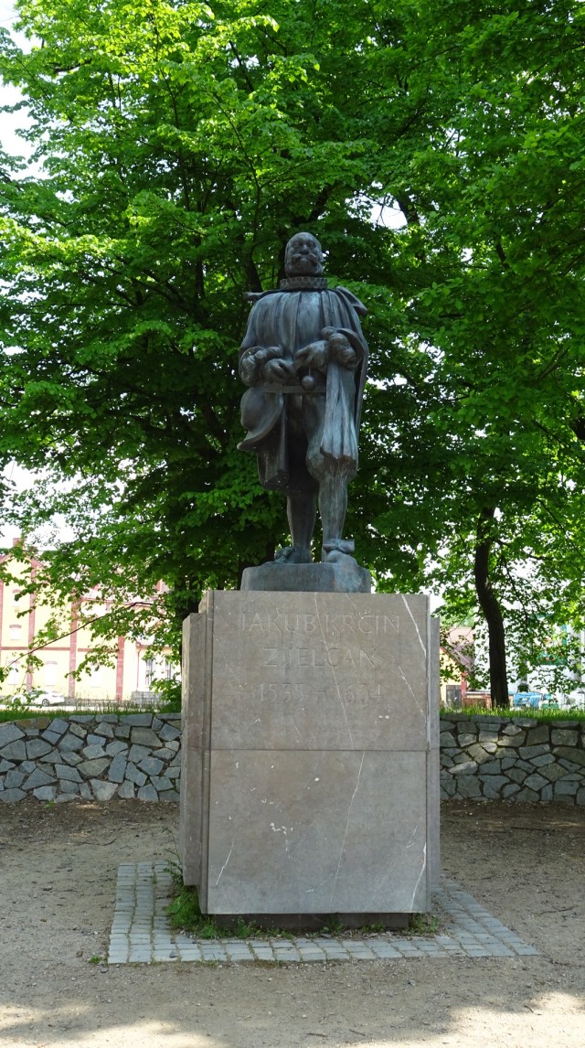
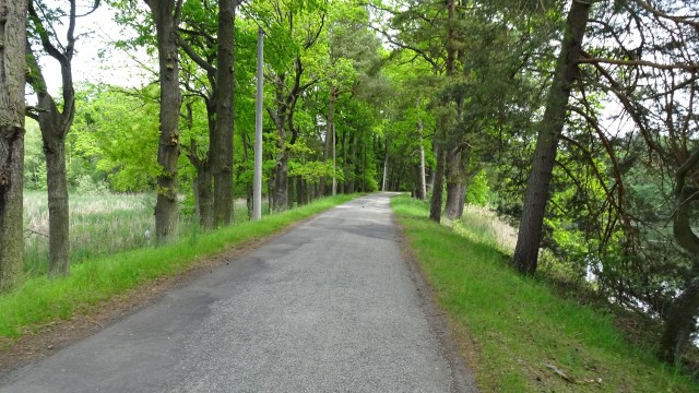
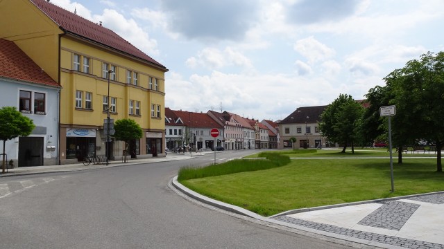
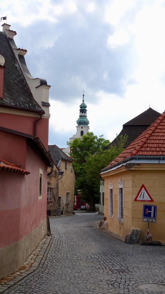
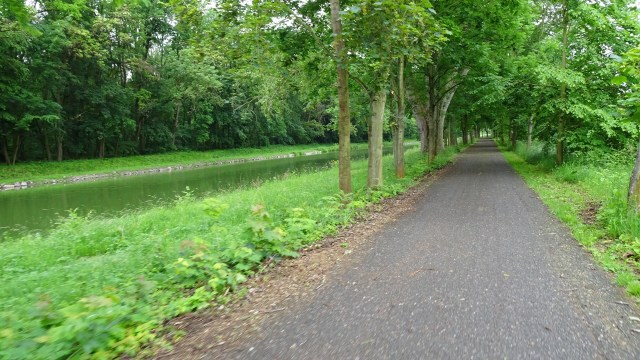
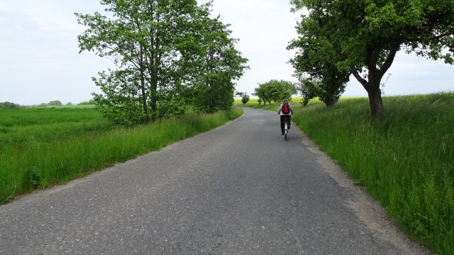
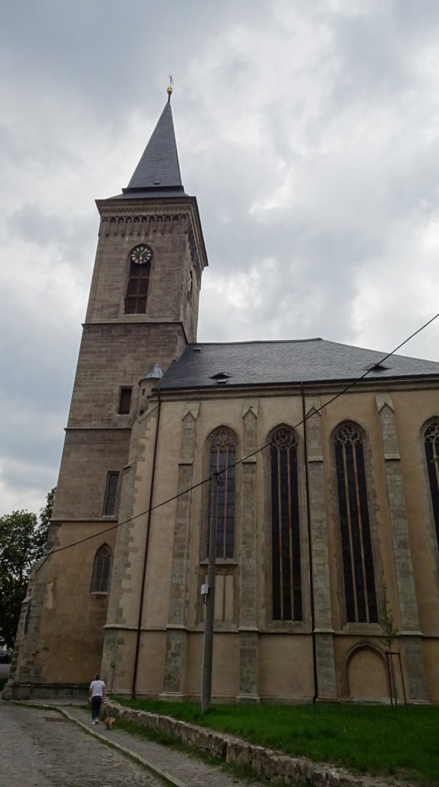
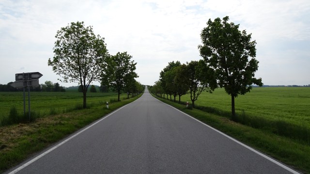
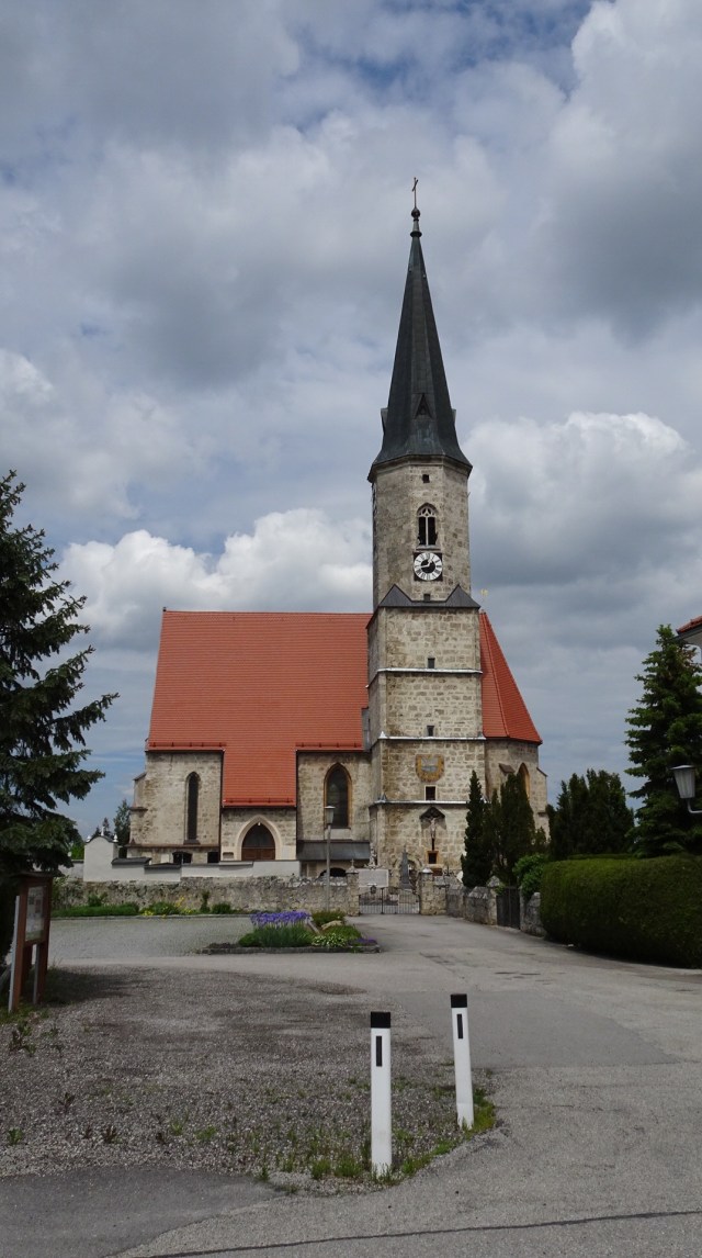
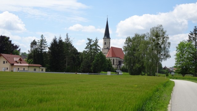
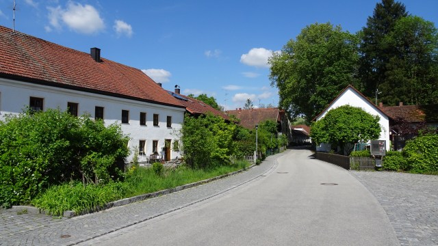
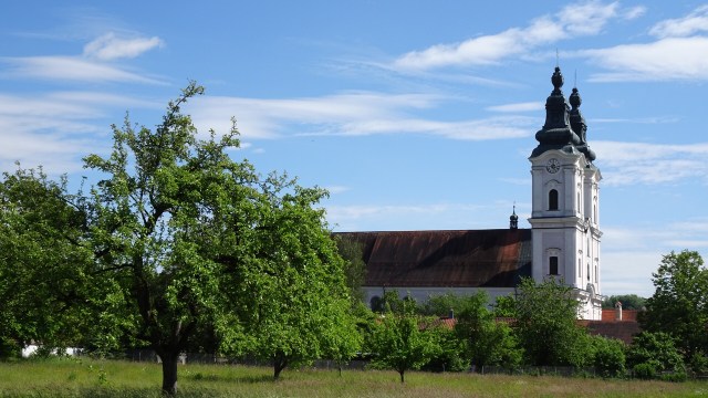
More rural scenes through agricultural fields, small streams, quiet roads, and the occasional village church.

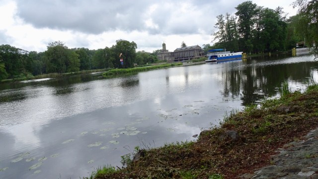
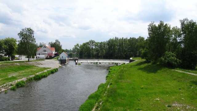
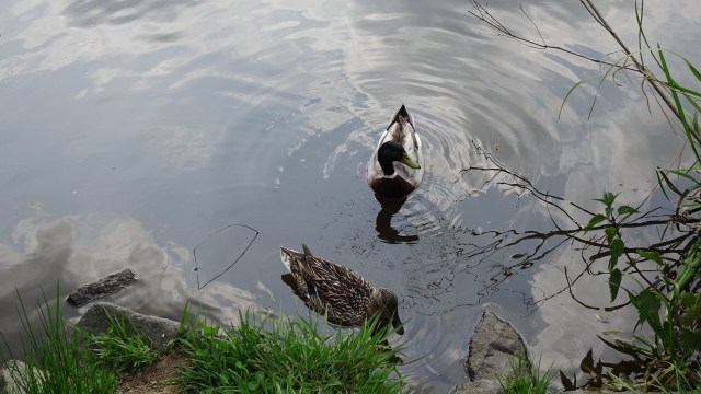
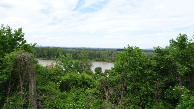
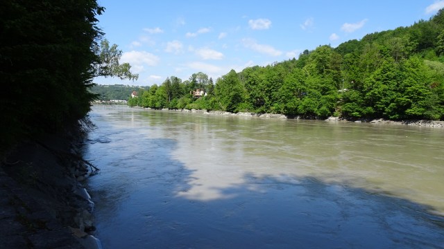
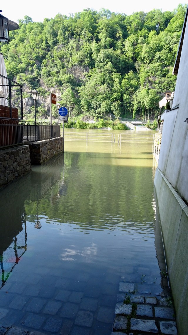
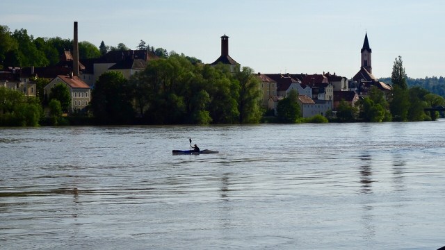
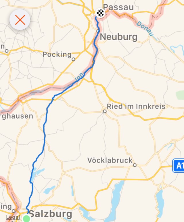
A cycle route runs alongside the edge of the River Inn, the same river that flows through Innsbruck. You will recall that the river was in flood from the terrible storms in Europe in the last fortnight, that had mucked up some of our rides.

We really enjoyed the tracks although predominantly gravel. At least they had dried somewhat with no rain in the last day. The first photo is a lagoon that is off the River. There was a little shack like cottage.

My kids would laugh at the witch on the broomstick as I used to joke that I was a witch per the Roald Dahl book of the same name. It was one of my favourite Dahl books that I used to read to them.

Obernberg am Inn had a very impressive old market square.

We pulled into a service station for some frizzante! Not any ordinary service station as it was just off the autobahn, that seemed to be favoured by more trucks than I have ever seen.

The truck queue for diesel was three wide, 100 metres long. I was fascinated just watching. As we headed back to the river, we past multiple truck parks, where the drivers were napping.

Back onto the river tracks was much quieter and safer.

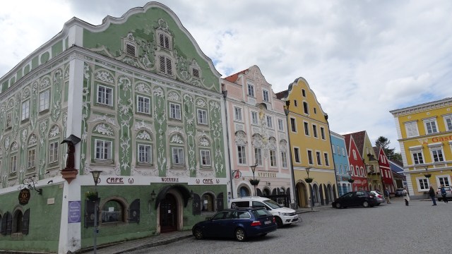
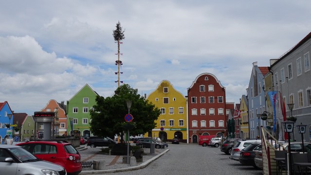
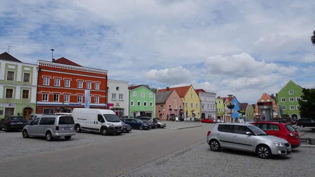
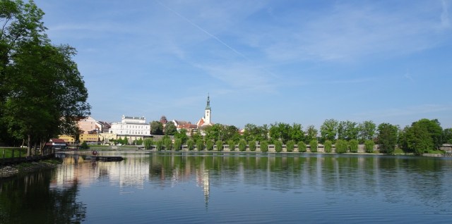
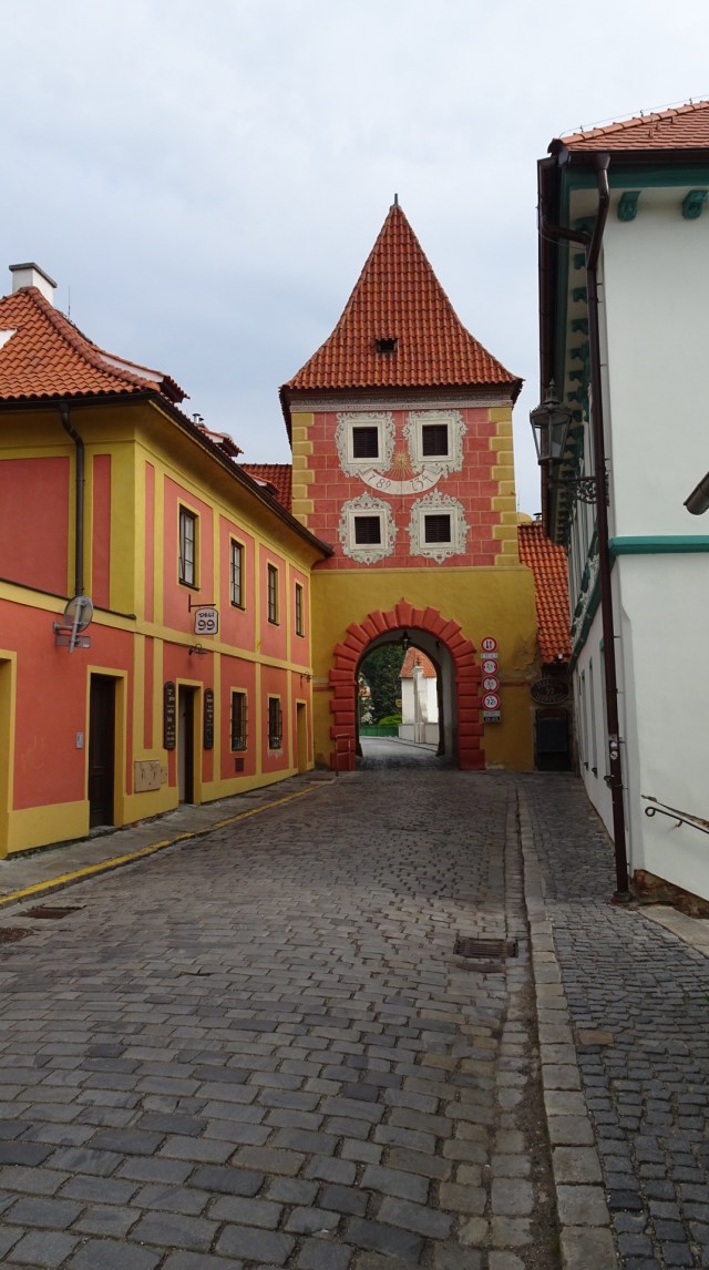
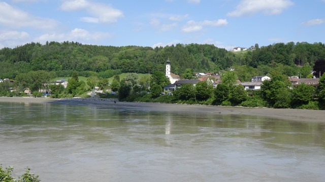
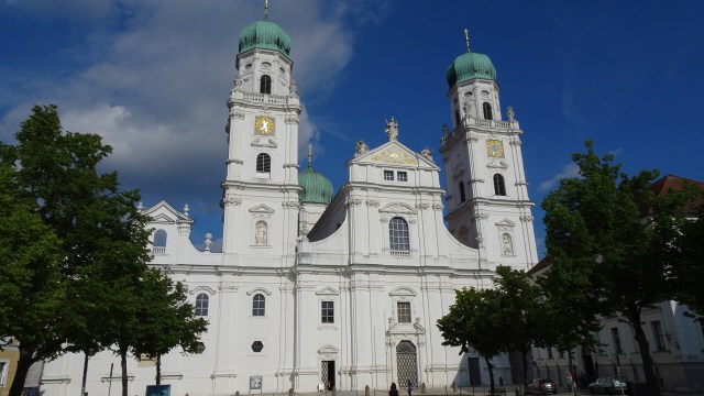
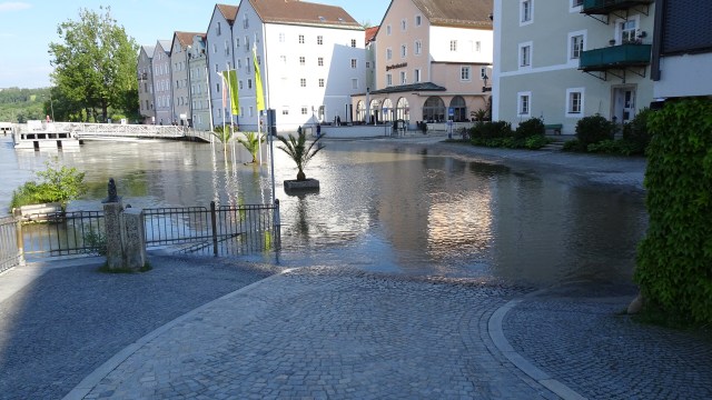
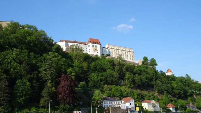
We reached Scharding, a very pretty village.

This was our last village in Austria, as we crossed the bridge here. The first photo is roughly the border of Germany and Austria. the second is looking back at Austria.

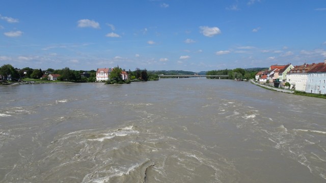
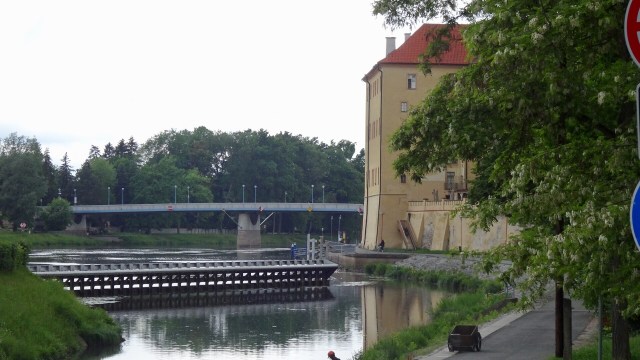
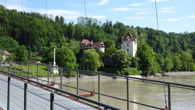
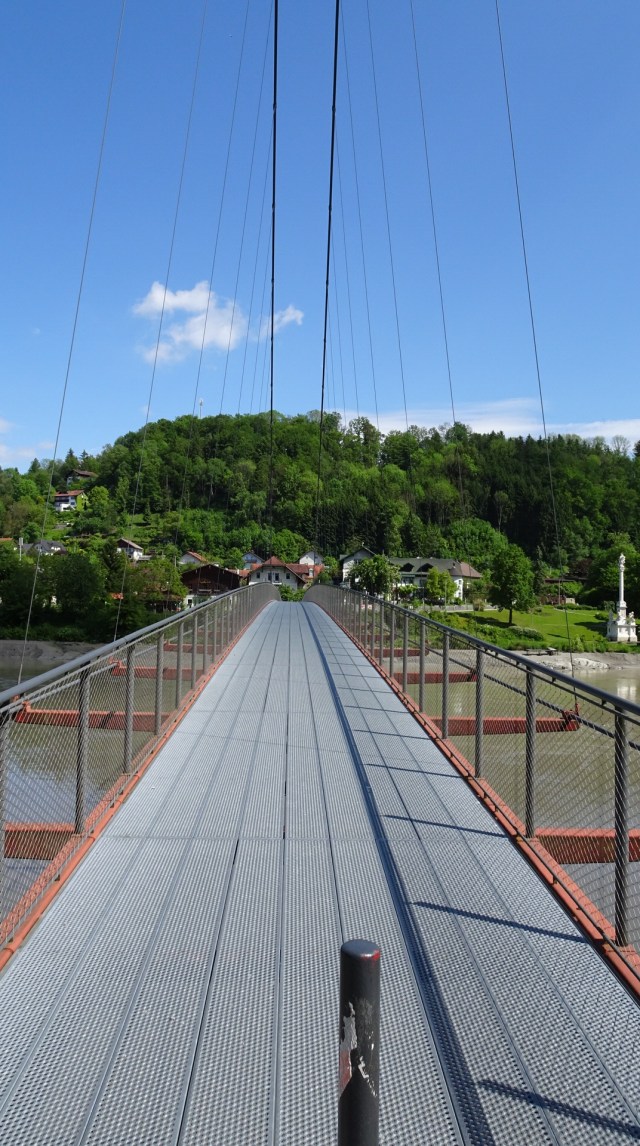
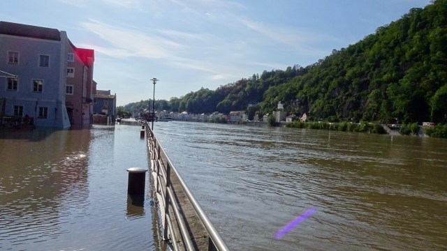
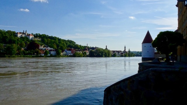
The village on the German side is Neuhaus am Inn. You can see the bridge we had just crossed. Note how muddy the waters are too. The river levels are high.

A few pictures of German villages. Look at that sky!

For our final fling into Passau we found ourselves on a wonderful forest trail. Up and down, challenging in parts, but ever so pretty.

We found our way into the Old Town reasonably easy. It is handy to use the river as your reference point.

Passau is famous for a few reasons. Its location is at the confluence of three rivers, the Danube, Inn and Ilz.

It is very old, first mentioned as a Roman provincial town. With the establishment of an episcopal residence in 739, the city life of Passau began. In the 13th century, bishops became rulers of the independent, small principality. In 1803, Passau became a Bavarian City.

After the successful conclusion of the latest round of ‘where can we leave our bike’ negotiations concluded ( in my favour….they are in the luggage room, not the garage as they initially stated!), we showered and started walking.

We stumbled upon St Stephens Cathedral first. Still open we wandered inside. It was burned down in the city’s 1662 fire and rebuilt by a famous baroque architect, and other baroque artists completed the stucco and frescos.

The organ in the Cathedral is the largest in the world, with 17,974 organ pipes and 233 stops. All five parts of the organ can be played from the main console, individually or simultaneously.

Next we headed to the Danube…..ah, there were issues. That is the cycling path we are due to take tomorrow!

The conjunction point of the three rivers was obviously closed. With the flooding of two major rivers, there would be only one way to see it.

Now this boat ended up reversing. It would not fit under the bridge.

I think the next two pictures are the only way.

A few other shots before we grabbed some dinner. The first is Fortress Veste Oberhaus, one of Europe’s largest preserved castle complexes. It would be interesting to visit but not on this trip.

Back at the hotel, I have been reading the news reports of the flooding devastation in Germany and the Czech Republic. Hungary has been bracing for the full impact and fury of the Danube, sandbagging Budapest. Three weeks ago we rode along the S Bends from Esztergom to Budapest. Most of that would be flooded as it was quite low lying.

Tomorrow we are due to ride on cycle path on both sides. We know this side is ‘unavailable’ and suspect the same for the other. Tweaking will be required.

Final photo. Check this guy out on his bike on the cobbles.

Todays route and chart.

Thanks for reading

Ooroo

Lago Di Misurina

Last night we wandered back from the shops and took this photo of the main church in Cortina with a (partial) mountain backdrop. Unfortunately low clouds have ensured we do not see all.

This morning, around 6 am this was the view out one of our bedroom windows. It was a promising start.

Unfortunately, that was the best of the day weather wise! At least we caught a glimpse of it.

Our ride today therefore was a shorter one of around 40 km, climbing Passo Tre Croce (1809 m) and then heading into Lago de Misurina.

It is quite a stiff climb, with non cooperative cold legs protesting somewhat. As can be seen from our climbing graph, within 8 km, we went from 1200m to just under 1800 metres a.s.l. By most measures, that’s a killer warm up.

The rain was drizzling quite lightly but consistently. You are heating up quickly despite the very cool temperature. A layer of clothing came off.

The camera did not venture out a lot due to the moisture. As you will see there are drops of water on the lens on some photos.

This small lake is only a few km up, and there were signs dictating dogs were permitted.

The following three photos show damage caused by rains, floods, snow melting.

I was pleased to get to this pass. The raincoat went back on. I double gloved as my fingers were really cold.

The road plateaus and descends before turning off to Misurina. You can see that the clouds are extremely low and you only get glimpses of the mountains occasionally.

The lake was frozen. The duck has the ice field all to himself.

We drop into the first open cafe complete with bike parking. We hang our bikes and head inside for coffee.

The view from the cafe paints a fairly bleak picture.

So we order a second coffee, as the rain is now heavier, and the temperature below zero.

We note the stuffed animals! Can’t say that I am a fan but is this a mink?? Vicious looking thing, quite unlike The Mink I know all too well! 😂

Rain or not, we needed to bite the bullet and press on. This is the view from the other end of the lake.

This is a ‘borrowed’ picture taken on a nice day!! It highlights the fickle nature of alpine weather.

We then descended, slowly and controlled as the road was very wet, and it was cold. We did not want to slip and fall.

The rain eased up once we had descended a few hundred meters which was good as we were cold!

At the junction, we then turned left towards Cortina. The weather was a lot more comfortable now…4 degrees Celsius. A pretty junction that we will pass again tomorrow (heading out to Dobbiaco).

We did enjoy our hot shower back at the hotel.

We leave here tomorrow as we head towards the Tyrol, very close to the Austrian border.

There is unfinished business in the Dolomites. Any excuse to return!!

Todays map.

Thanks for reading

Ooroo

😊💪🚴

Dolomites

Fingers crossed, we peeked out our bedroom window early. Rain had been forecast on and off for the whole day. There has been some, but it looked potentially ok.

We had mapped out a few different routes we could ride for our two full days here.

Heavy, misty clouds hung over all of the peaks surrounding Cortina. We decided to attempt a climb up to Passo Falzarego (2120m.a.s.l) and take it from there. I had done this climb last year arriving to sleety and cold conditions at the top, huddling in the small chapel trying to warm up before descending.

The climb is certainly not the longest or highest single ascent we have done. It is a 16 km climb from around 1200 m.a.s.l to 2120 m.a.s.l, so around 920m single ascent.

We headed off and climbed, climbed and climbed. Within a few km we already had great views of Cortina.

Through the one and only tunnel. The signage appeared every 1 km advising you how much further the summit was.

Tony saw two deer…look closely. An adult and fawn are just to the right of the green tree, behind the brown area. Snow clad peaks in the distance.

Patches of snow started appearing when we were at 1600m.a.s.l gradually thickening as we attained greater altitude.

The climb was at a tempo pace, so quite comfortable, despite the continual but steady ascent.

About 2 km from the top, a guy came past in his car, wound his window down and gave us a thumbs up. Ride on!

At the top, there was an amazing amount of snow for this time of year. I had previously thought that maybe the heavy rains may have melted it.

Here I am, just cresting the last incline.

There were a couple of motor bike riders at the top. One guy kindly took this photo.

Also taking a break were these dudes. There were three groups of these disguised test cars using the mountain roads as a private testing ground. They had overtaken us at huge speeds. Tossers!

This is the little chapel I used as a refuge last year. The snow is very deep around it and I did not attempt to revisit it.

The weather was good, we pushed onto Passo Valparola.

When you get to the top of a climb, it is traditional to have your photo taken with the sign, showing the altitude. I was having problems! When I did eventually stand up, my feet went down so deep that the snow was at thigh level, so maybe three feet deep.

So Tony went up instead, and then I used his foot well marks!

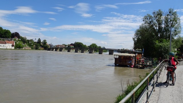
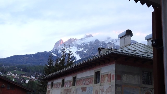
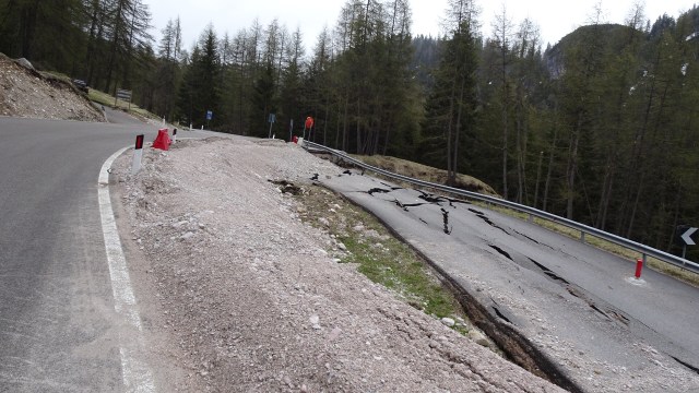
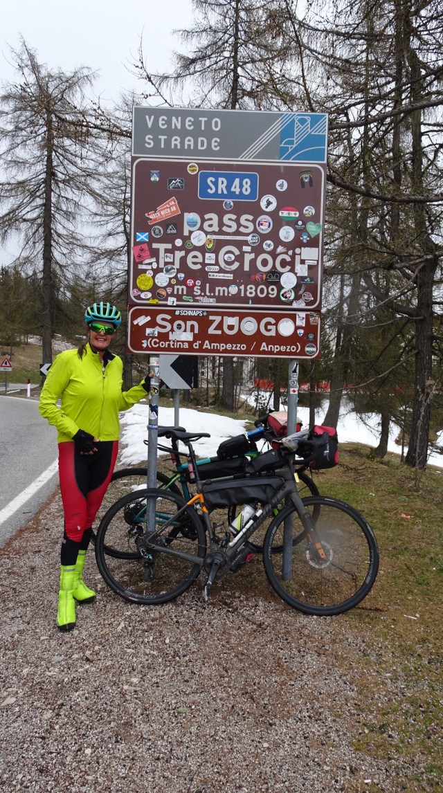
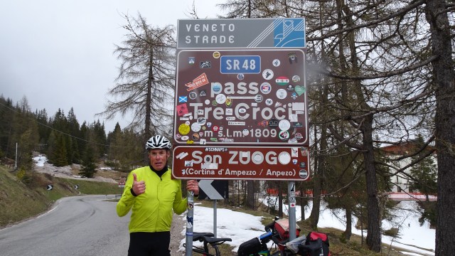
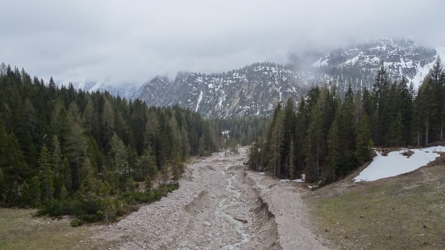
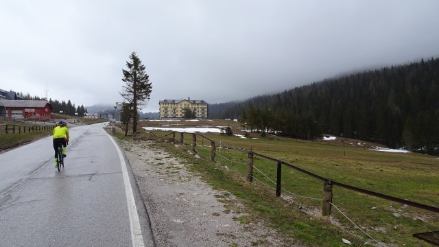
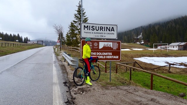
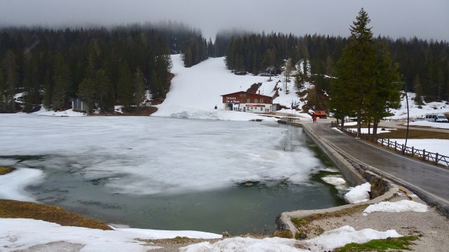
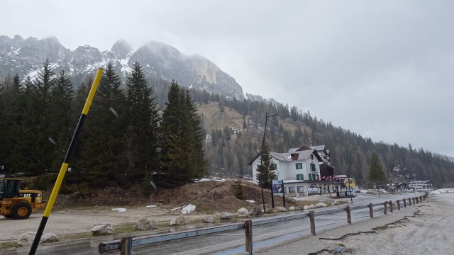
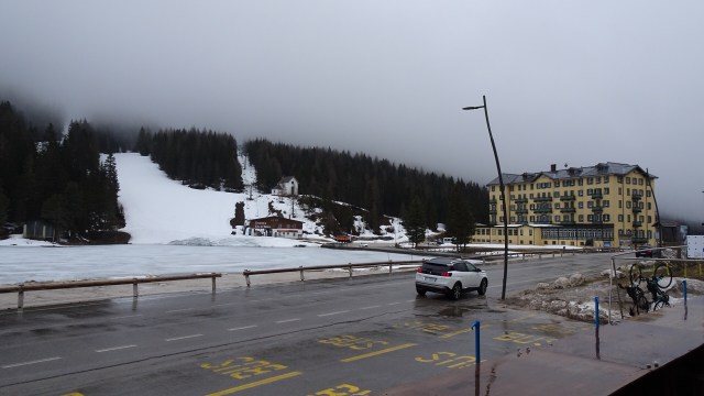
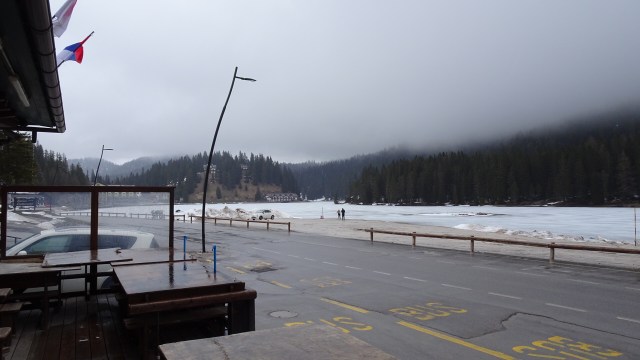
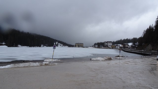
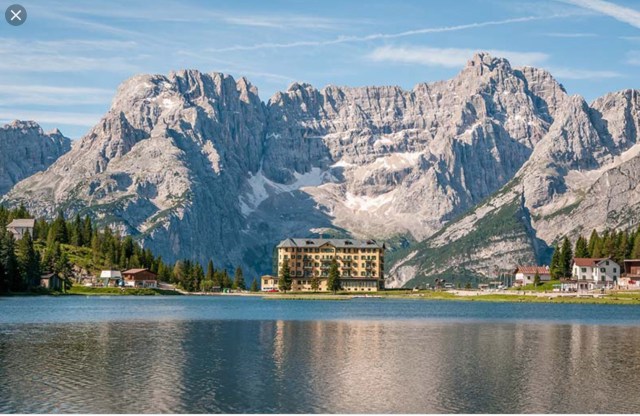
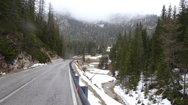
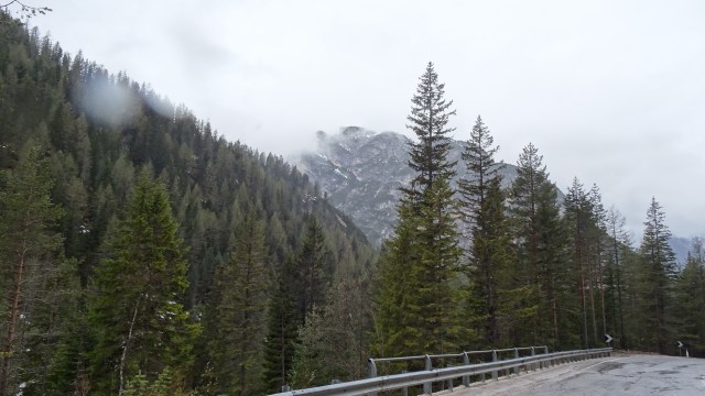
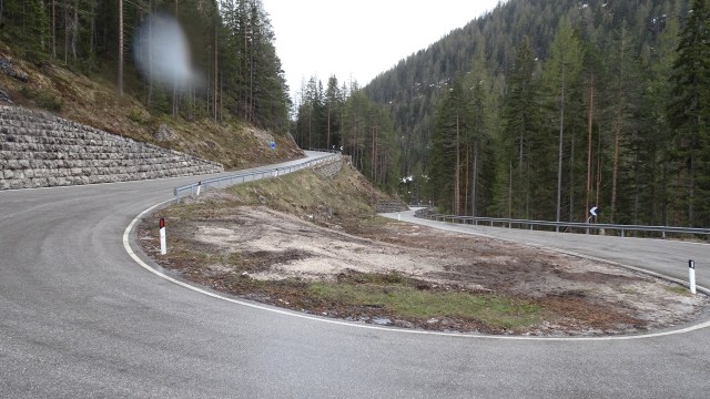
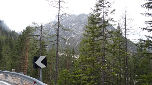
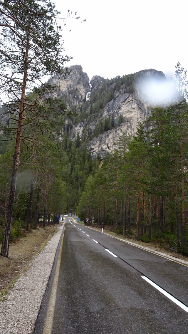
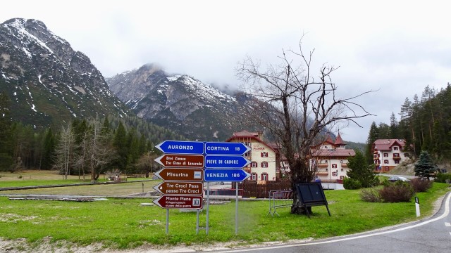
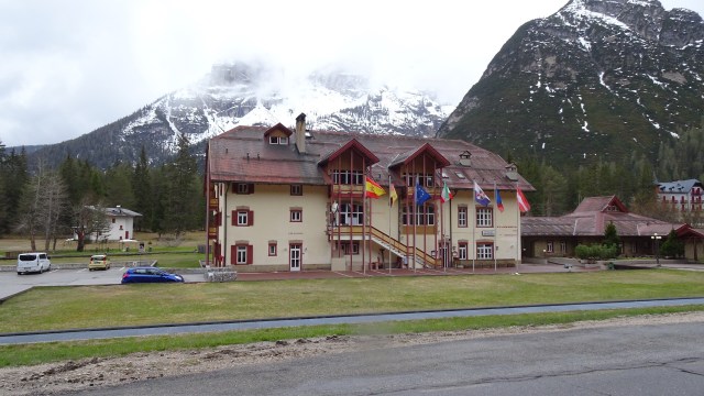
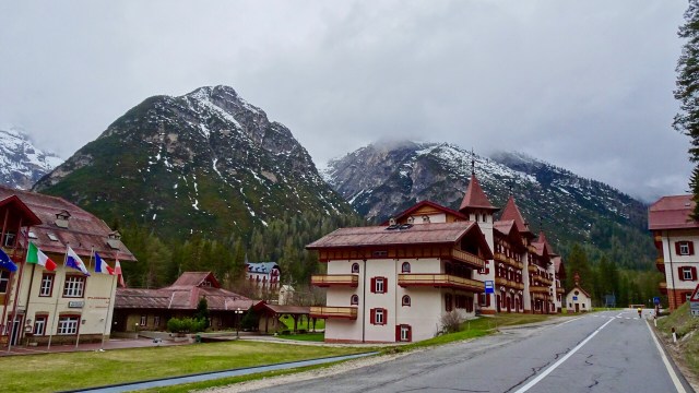
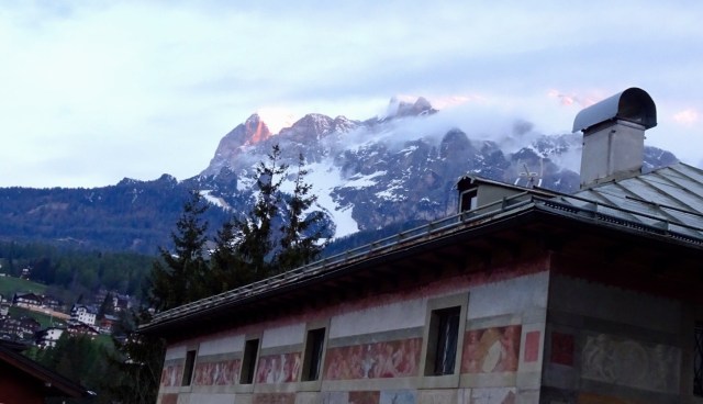
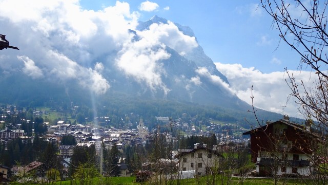
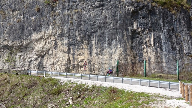
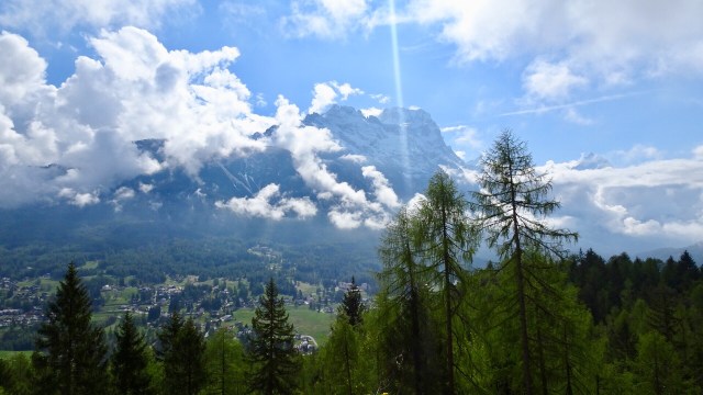
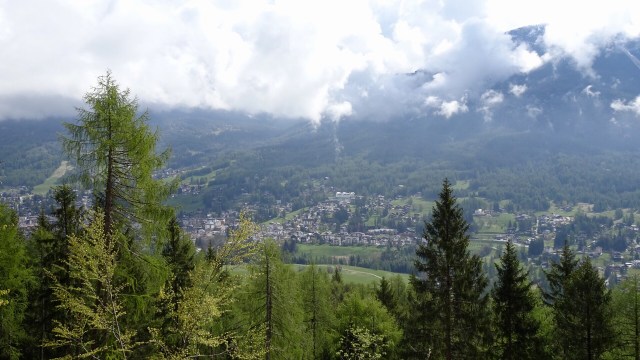
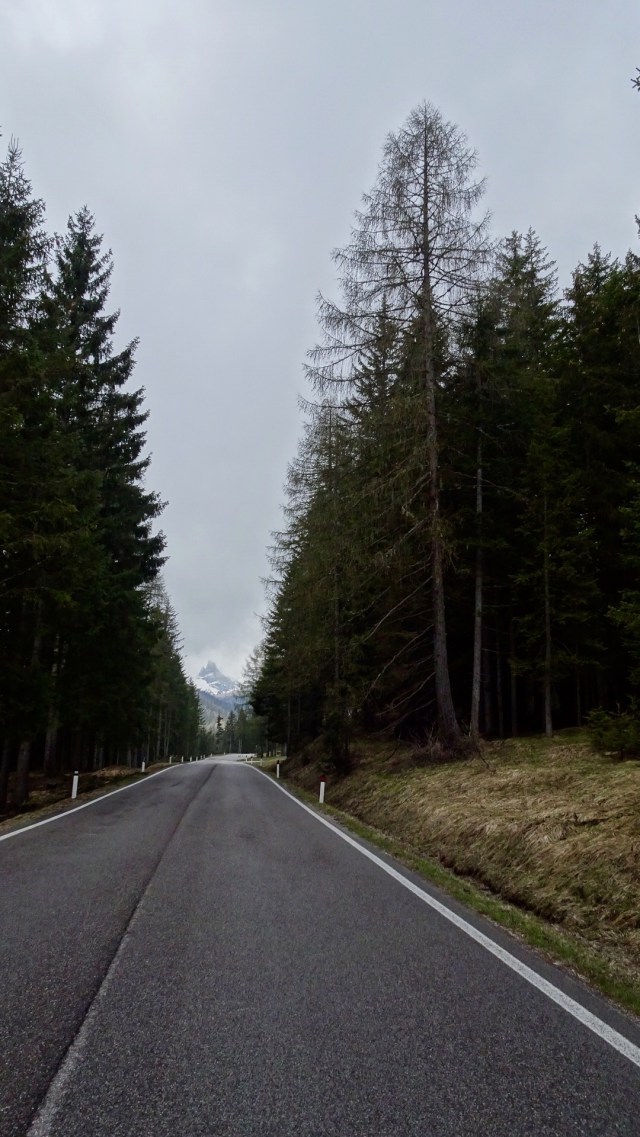
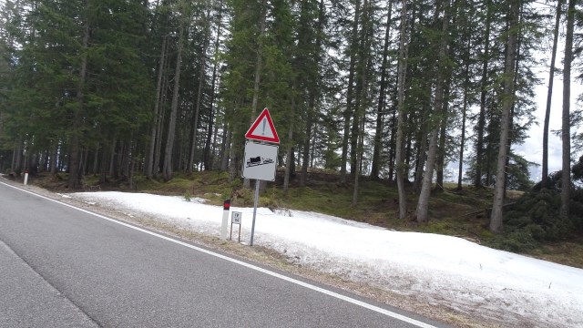
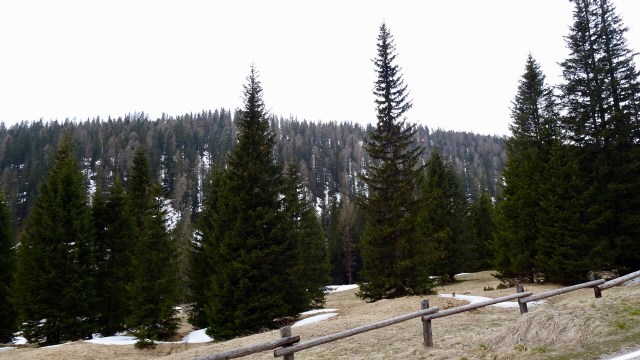
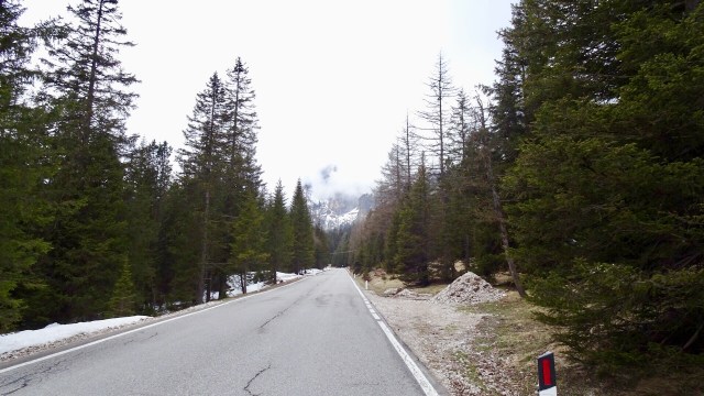
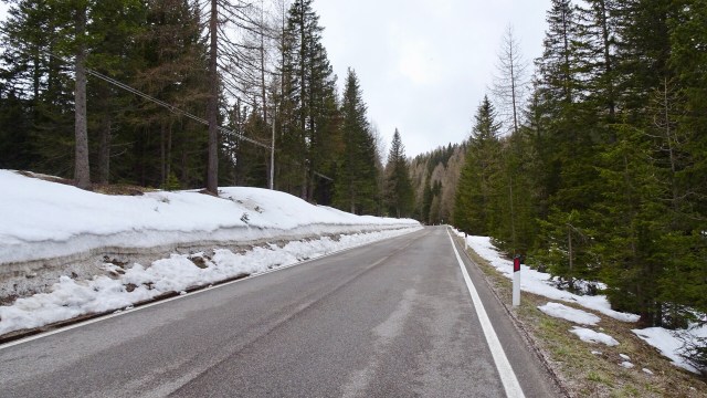
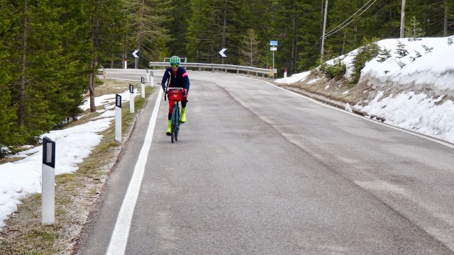
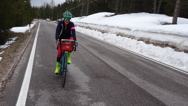
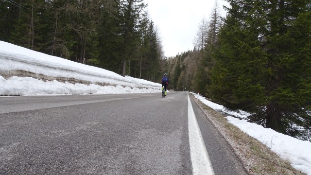
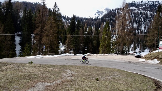
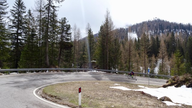
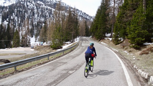
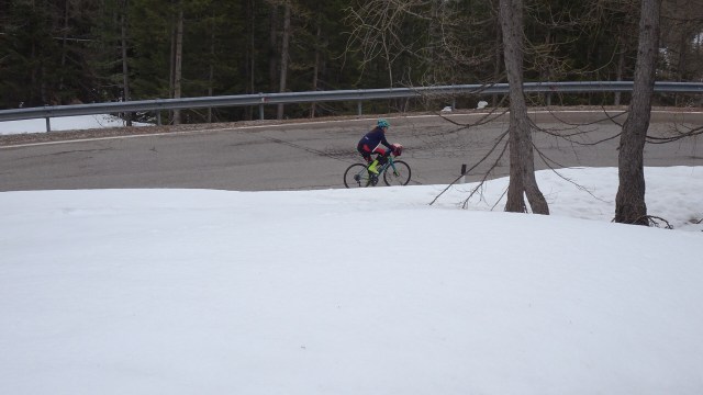
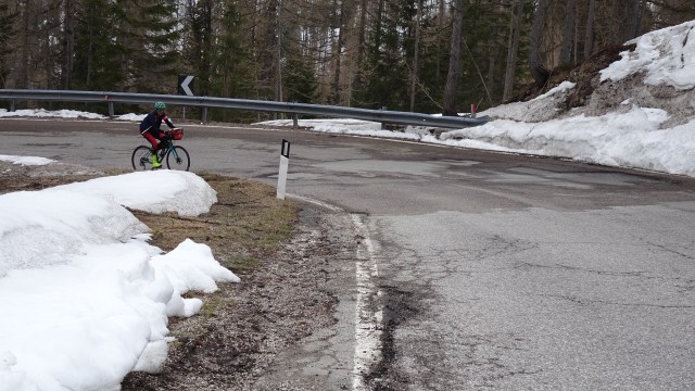
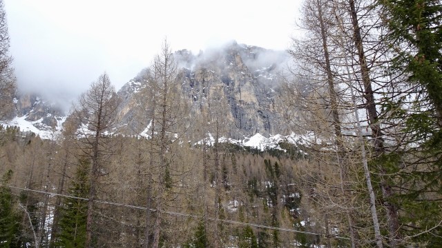
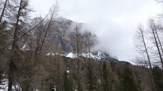
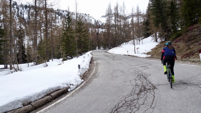
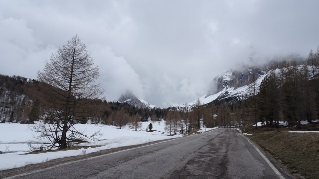
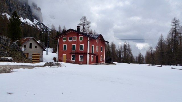
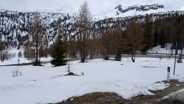
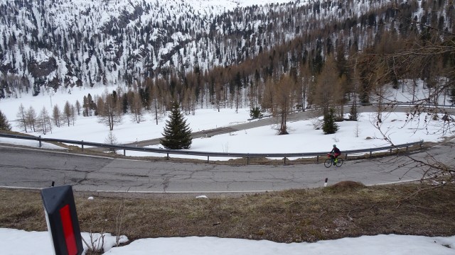
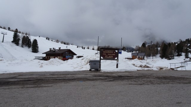
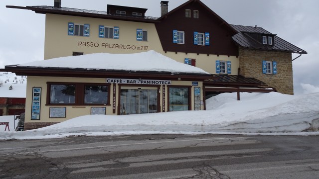
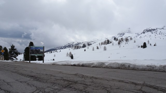
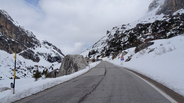
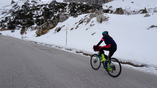
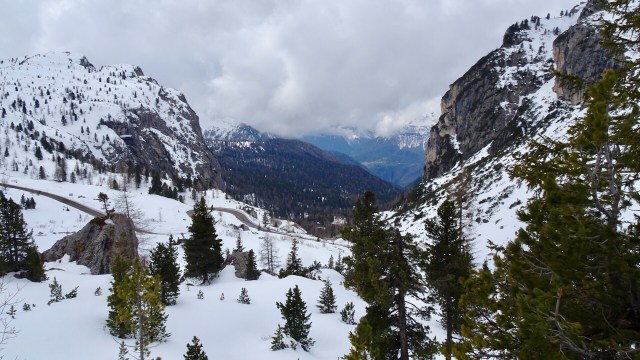
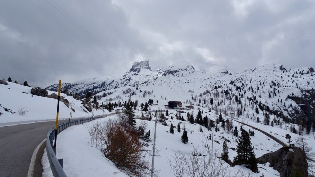
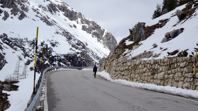
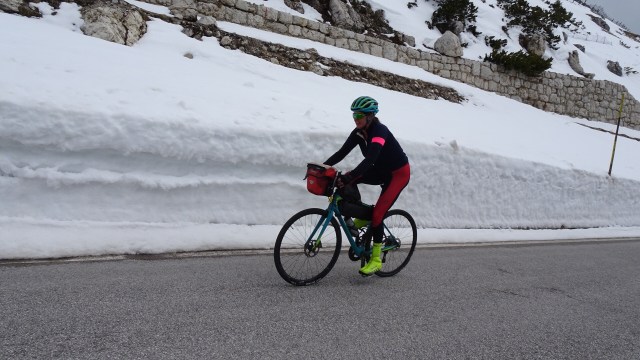
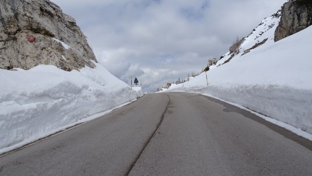
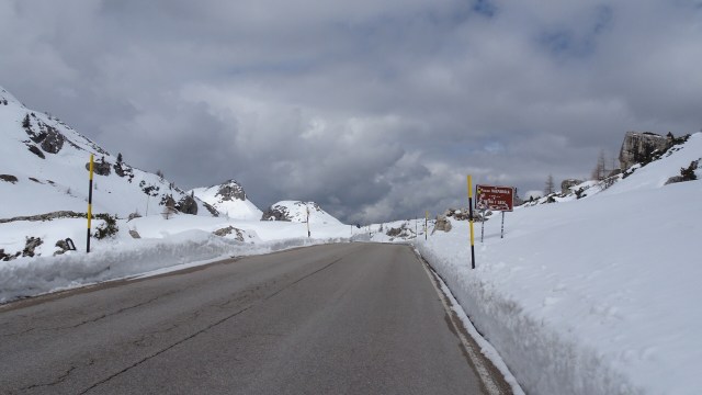
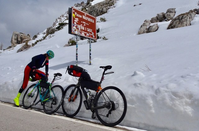
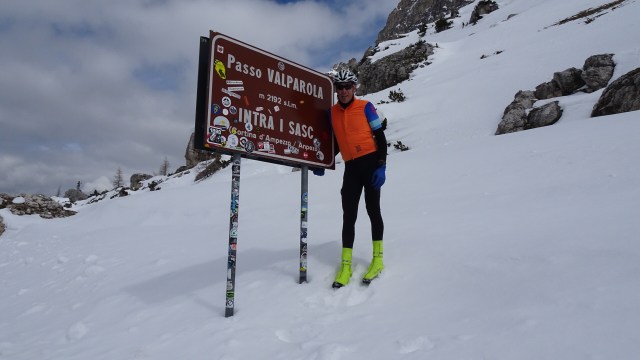
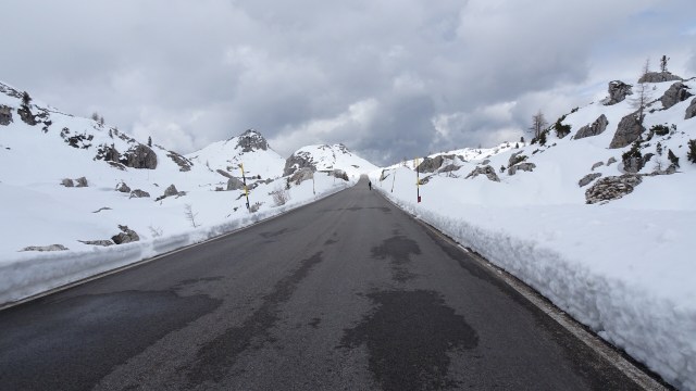
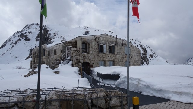
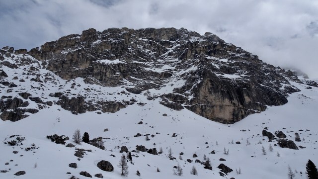
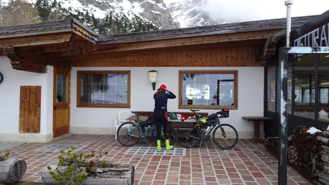
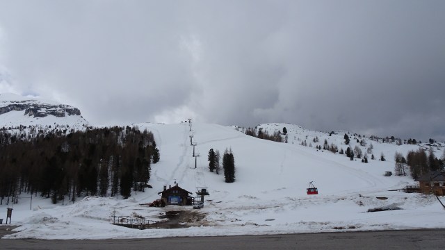
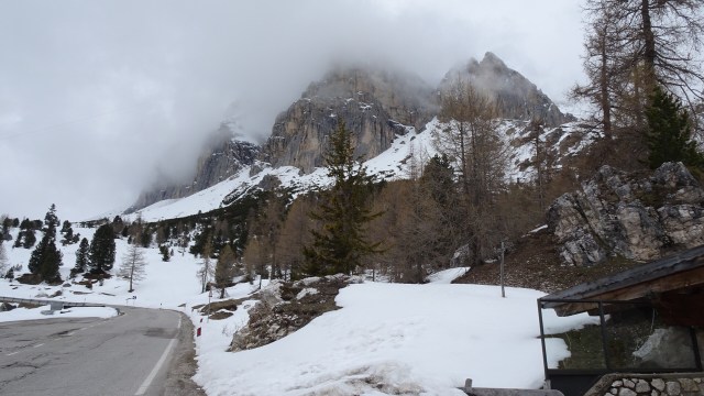
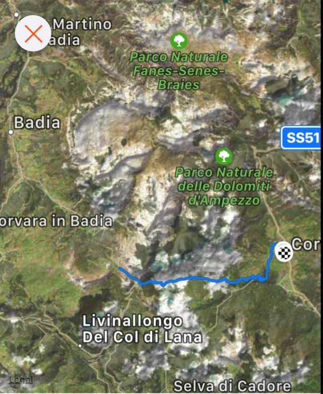
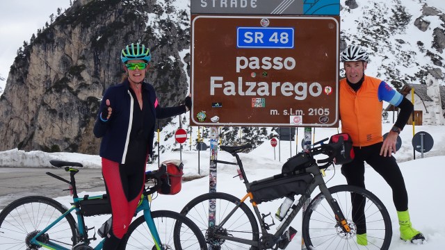
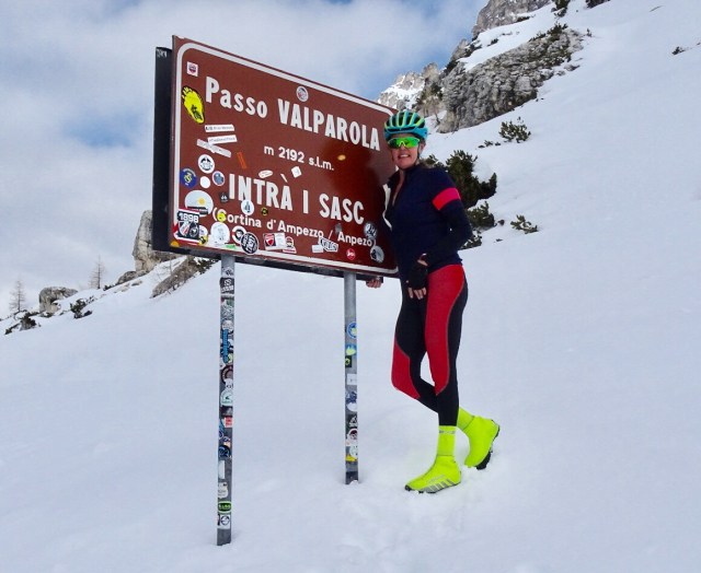
Now we had decisions to make. One part wanted to roll on down to Corvara. In fine weather, no problem, but this is an alpine region where conditions can change very quickly. The dark clouds ahead looked a tad ominous.

The sensible voice said, head back to Cortina, you got lucky, had a great climb and views, do not push your luck. The other, competing, very loud voice said, go for it!

I hate internal conflict. I asked Tony what his opinion was. “Whatever you reckon”……🙈🤷‍♀️

The road ahead did not immediately descend greatly. You could see a straight section for maybe 500 metres…so maybe ride it and then have a better look at what is ahead of the descent?

There was a WWI Museum (closed), and when I looked down the descent, I thought ‘nope’, not today.

So we did an about turn and headed back down to Passo Falzarego and then down to a cafe near Col Gallina where a cafe open. Coffee time!

We kept a good eye on the conditions and after a couple of coffees rugged up for the descent. All clothes on. These photos are of the cafe and Col Gallina.

The descent was very cold. Holding the brakes the whole way back to Cortina, with minimal peddling required ensuring you stayed chilled.

We were pretty pumped that we had achieved our higher altitude ride with no rain. The conditions at the top were as good as you could hope for. We got up there before the tourists (two buses arrived as we started descending).

The climb epitomised my love for the Dolomites. 💕

The map route and ascent chart.

What will tomorrow bring? Well the forecast looks like rain…but let’s wait and see.

Thanks for reading,

Ooroo

Pump it up

Elvis Costello had the hit song, Pump It Up… some lyrics that I probably should not put in full in my blog, but great song with funky beat that will always make me move!  I thought of this song a few times today whilst riding – the chorus:

Pump it up until you can feel it

Pump it up when you don’t really need it

………………………………………………………………………………………

I awoke this morning to magnificent views. I just lay back and  soaked it in.

E1E73A68-96AB-4F0A-A8EC-BA89D60B9927

59ABEDD8-1CF3-47FB-98BB-7B9B837164A4

Communal breakfast was scheduled to commence st 8 am. Drag myself away from the view! As is common with bike tours, we were the very first there!

One view was replaced with another! How awesome is this? It was going to be hard to leave such natural beauty, but leave we must.

A40768D7-A98A-4665-9116-32ED710DA225
Breakfast views surely don’t get much better?

Starting from the Lake Ohau Lodge driveway, the trail traverses the lower slopes of the Ruataniwha Conservation Park, offering stunning views back across the basin to the Ben Ohau Range.

51FEC40D-1241-493B-9C20-0D871031DE2DACB5EA50-3A22-4C52-AB29-F1B4C62D0520

0C9A6E09-8EAC-4CDD-B1AD-8EEBC741B809

We crossed numerous creeks including Freehold Creek at 600 metres above sea level.

C1545348-5CA6-4A3A-89B0-D8E3727C9FEA

0DEC226C-C4BF-4DD2-861D-C8EF646C656A

From here the track narrowed and became quite loose, slippery with numerous patches of larger rocks to navigate. Legs were pumping hard!

Pump it up Sharron!

I found I had to really concentrate too and could not turn my head left to look at the view as invariably I became unsteady on the bike. So eyes straight ahead looking to where I needed to ride, rather than what I wanted to avoid!

There are several false summits where the trail appeared to have reached the high point but instead kept winding upwards.

49187EB2-664B-428F-B008-5E9A3D7D82701DC1C0EF-FC83-4AD9-A45D-DAEA921B72A7

1281937F-4DF4-462B-A052-DA1316A749E1
Rest at Turnbrae

We then descended…what goes up must go down.

E40CBF74-DDCD-43E1-8036-1CE790A8260A

Tony heard an ominous bang in his back tyre and had a puncture. The tube had already been patched so we used the one spare tube the hire bike company gave us for the two bikes.

2C9C08EB-E21A-4B5B-951F-2940F5FBFF09
Awful view to tolerate whilst puncture rectified

Pump it up Tony!

There were numerous small streams to cross.

DAA208BC-4985-46D9-8C8D-49CB63AE5A87


We stopped off at the historic woodshed at the top of Quailburn Road.

888C1D94-86A7-4D02-ADB8-9EBE9FA23B3B
I am looking out the window
0BB1E2ED-9EEF-4FA1-8A7D-D2F532045928
Inside the old shed

From the signage I gathered that the woolshed was part of the Benmore Station.

The story goes something like this. 2 Scotsmen set off in search of new country to settle. Having come through Mackenzie Pass they crossed Tekapo, Pukaki and Ohau rivers. They climbed to the top of the last terrace and saw straight ahead of them north facing tussock covered ridges sloping gently to rich grassy plains.

“I’ll take this country” said MacMurdo pointing to the range.

“That’s just the country I’ve decided to take” retorted Fraser.

They debated for some time, neither giving way. They decided to race to Christchurch to register their claim but that was over 200 miles away over rough country.

In the end they decided to race to a matagouri bush about a mile away. The winner was to take the land to the left, the loser the land to the right.

MacMurdo won the race and named the land Benmore after his birthplace in Scotland. The year was 1857.

6E7ADF37-9BAC-4851-9C0E-B82C6D8A16F9
Old wagon

There were toilets at the woolshed, very welcomed by this female cyclist. I was taken with this message on the loo wall from 2 French cyclists earlier this year.

21759725-6637-40F5-982B-D5617D2A4E74
Better than a lot of things I have read in public toilets! 

The terrain had flattened considerably and we were riding around farmland.

2992E1FA-CACB-458C-9E79-0A5F081EECA66D6B8EA8-EB70-4481-969D-FD24E0EE722E

With plenty of time left in the day we decided to take a return detour of 14 km along a gravel road to visit the acclaimed Clay Cliffs.

The Cliffs are on private property and the last 4 km in was heavily corrugated and not a lot of fun. We saw the most cars on this section as well with dust dust and dust.

I was not sure what to expect but once in sight it was “wow”. I also had my second spill of the trip climbing the last few metres spilling on loose gravel.

C6EDAAB2-F45D-486D-B287-0715598A13DE

2001F06C-CBDB-4627-B846-210A38FF4843

Descending from the cliffs we stopped to climb through the farmers fence at the Ahuriri River to top up our bidons.

989E5B02-B995-4B35-8911-C07B2FC38087
A fence is not enough to stop me! 

Returning to Quailburn Road we took the off road trail adjacent to the highway, passing through Ahuriri Camp Ground where there were many tents erected and much activity on the river banks.

Exiting the camp ground we crossed the river and arrived in Omarama via an off road trail.

Great accomodation here in a well appointed unit. Cycling clothes all washed but not being dried in accordance with our normal conventions ( bra, knicks etc hanging out windows). This place has a clothes line and it is windy as! Bonus!!

Tea was at the Wrinkly Ram (!?!)

So a solid day in the saddle. Arms and shoulders can feel it from the constant hump and bump. Tomorrow we head to Kurnow with lakes, rivers and dams.

8DEF2CE8-A022-4F39-9D44-8B4DF4D54954
Two of these bikes adorn the fence at our accomodation. Proud supporters of the A20 trail.

Here is a map of today plus the ascent/descent info.

1B88C4F6-2E16-455F-9EB1-34DDB0F05D006F5A1FB1-8F36-41E4-961B-45503CCC6904

83E29F09-54E6-4B94-A344-CB46F89B3D7D
Nice backdrop!