Day 7: Dunedin – Otago Harbour

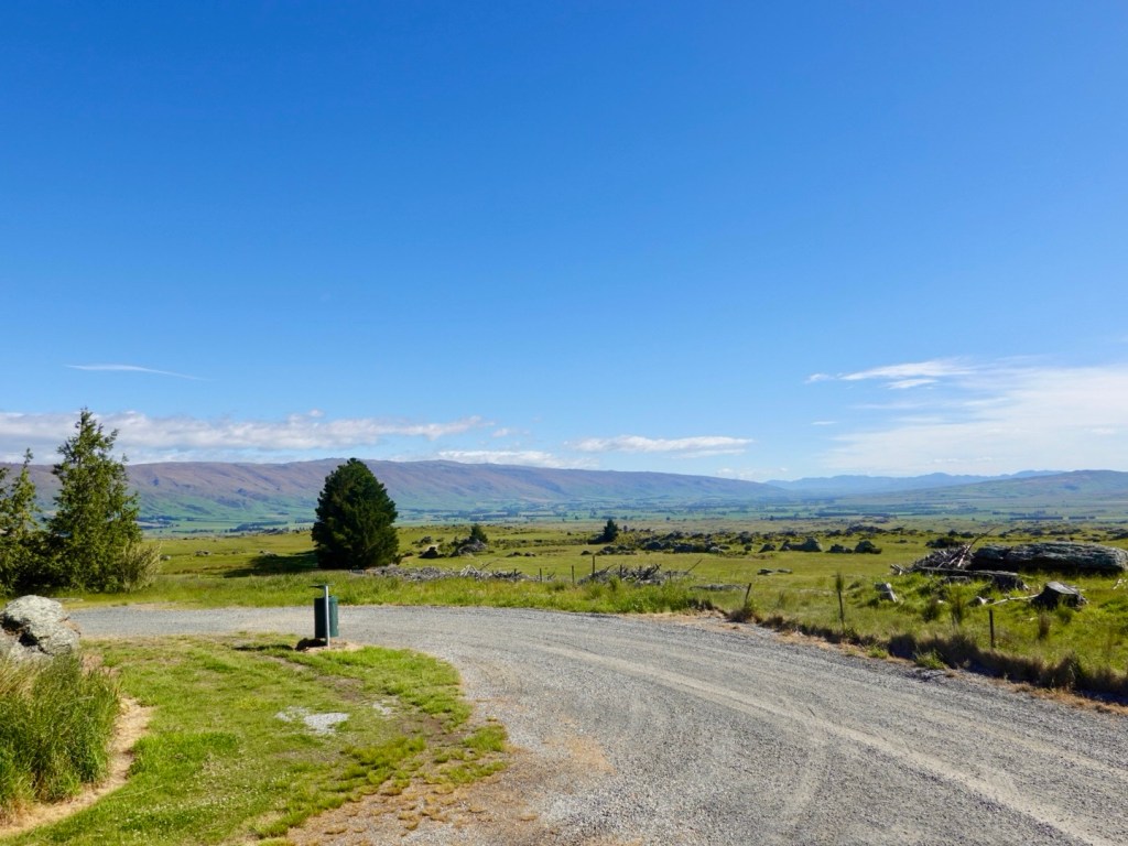
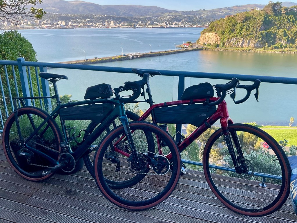
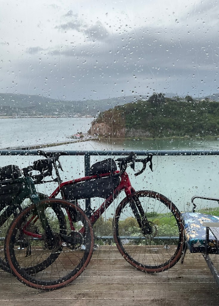
It was not weather to motivate us as we looked out our window. So we chilled a few more hours because we could today.

We have two nights in Dunedin, and today’s ride was one we could easily tweak, or cancel.

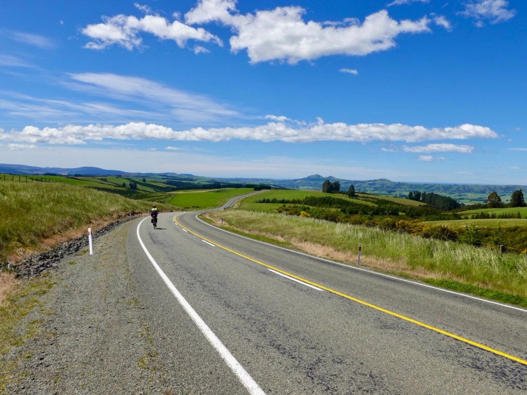
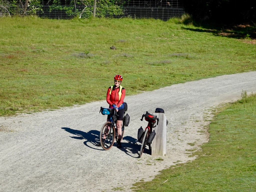
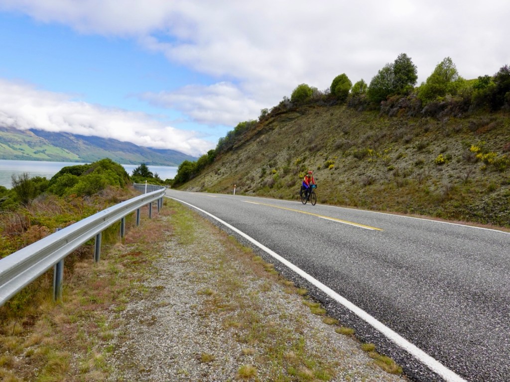
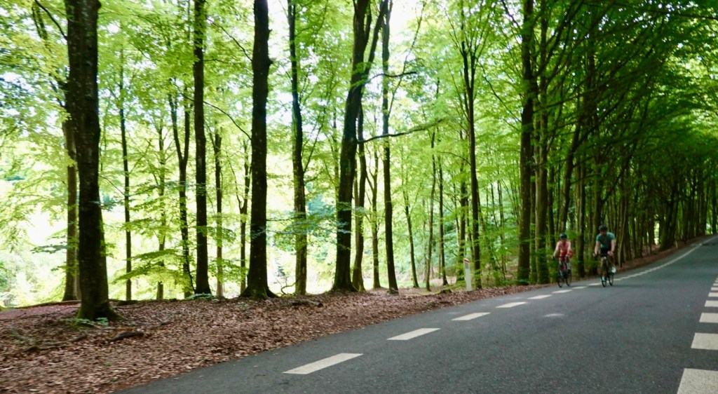
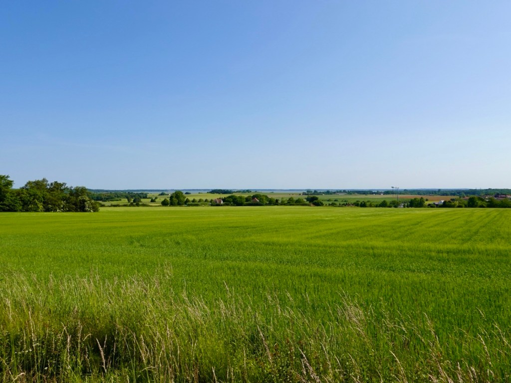
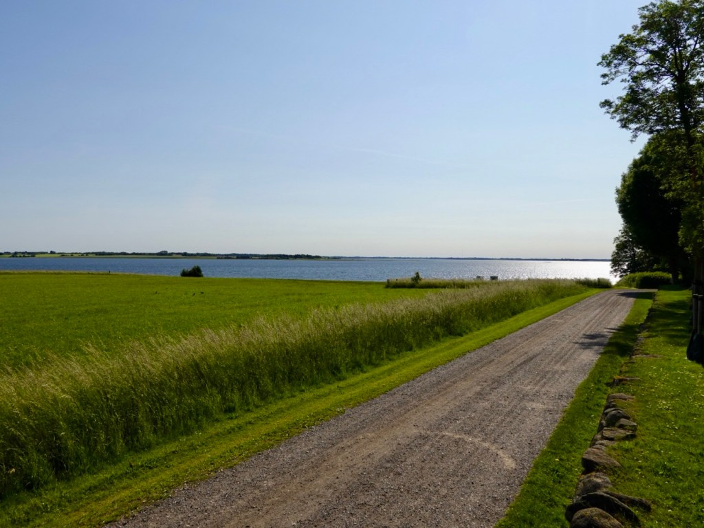
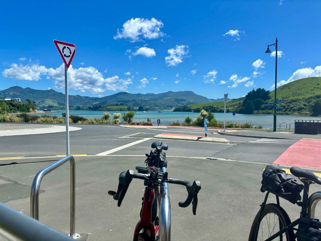
We did get cracking a few hours later, and headed up the Otago Peninsula, it was a head wind the entire way.

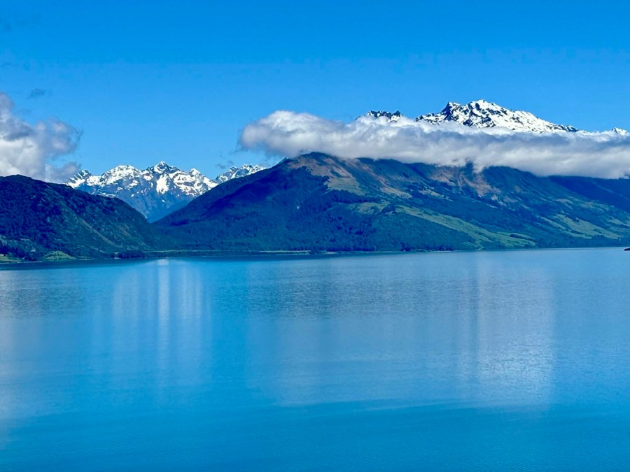
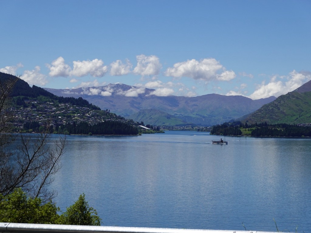
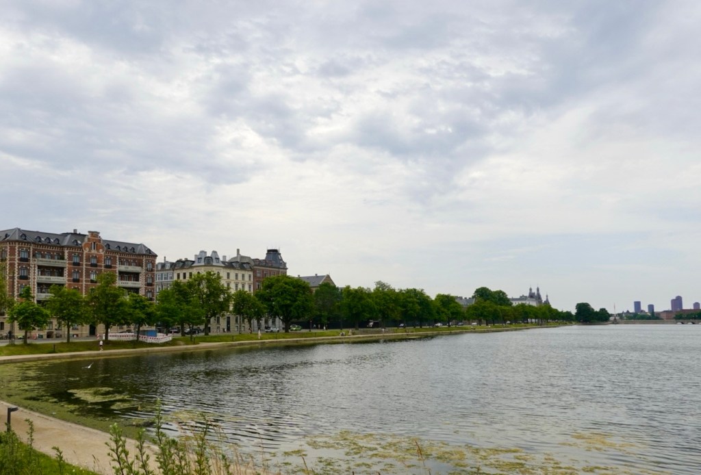
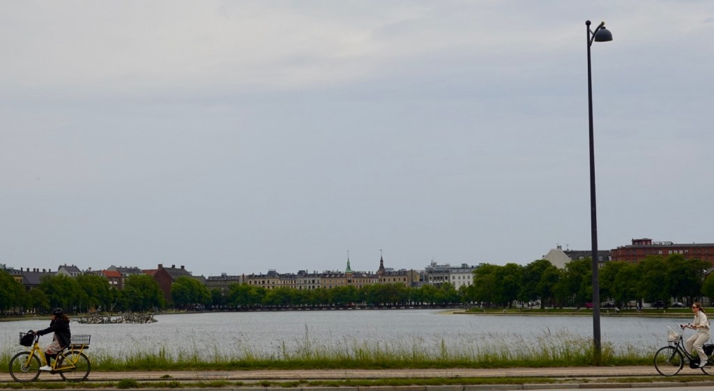
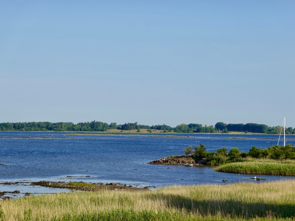
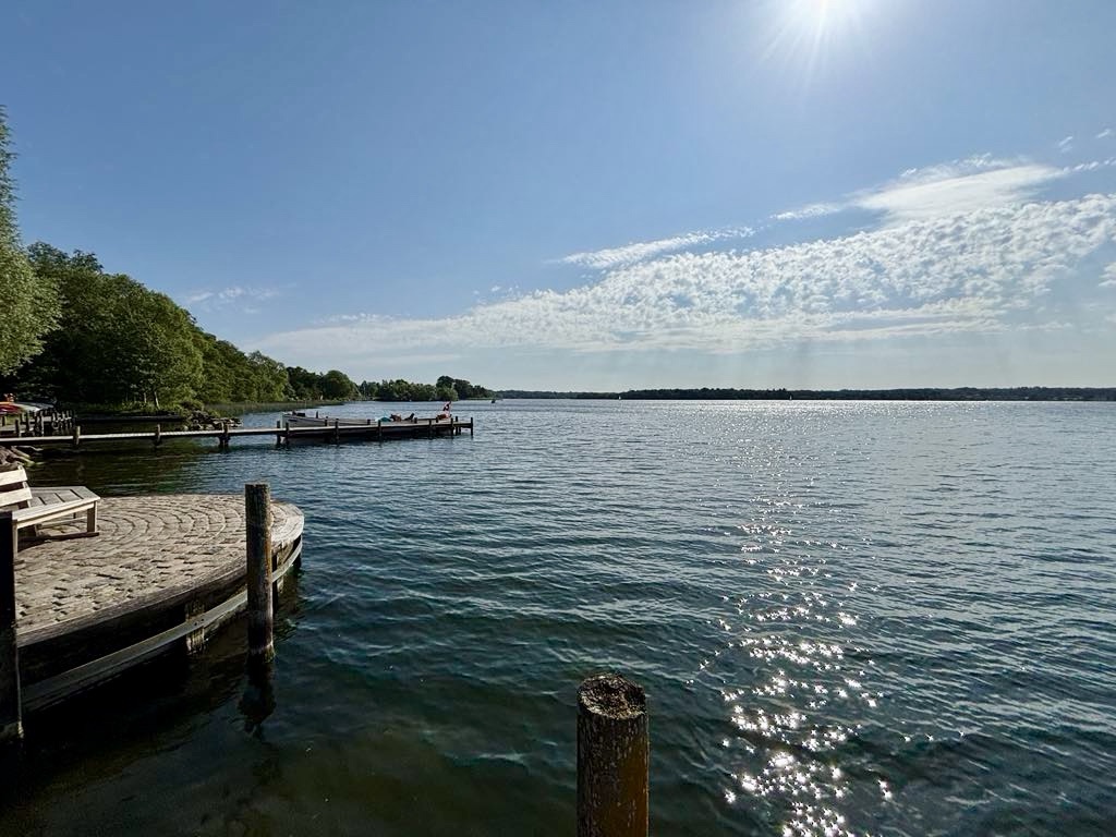
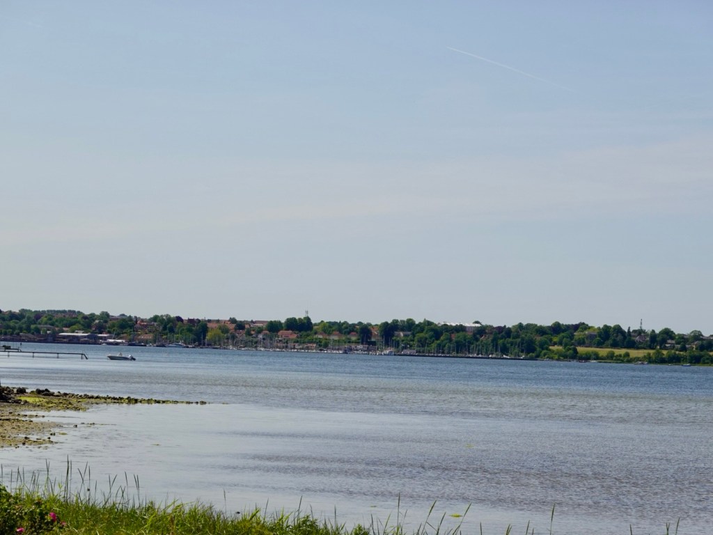
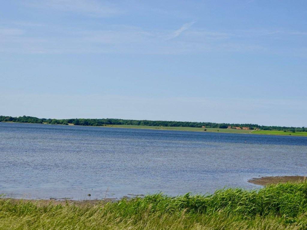
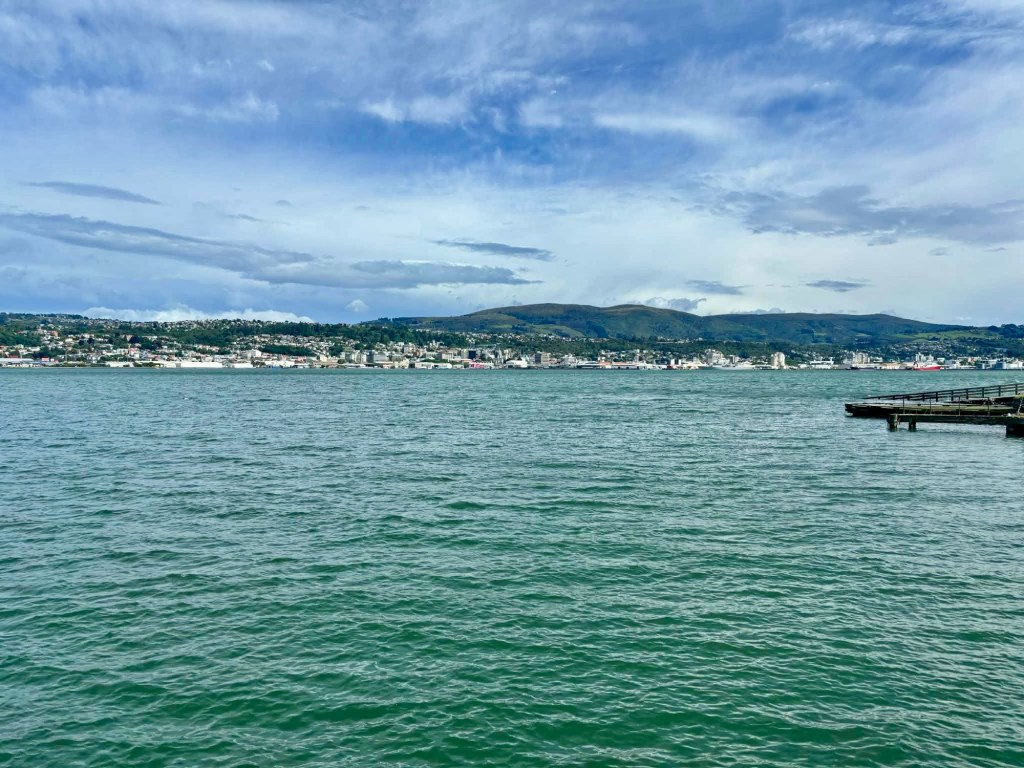
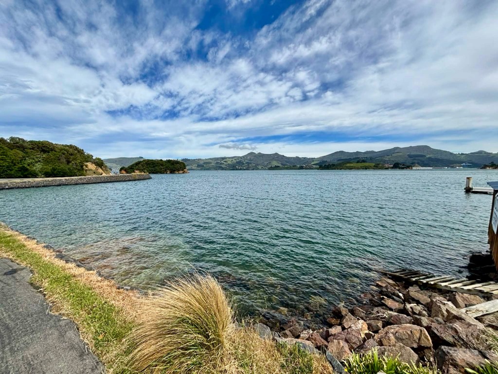
Looking back towards Dunedin.

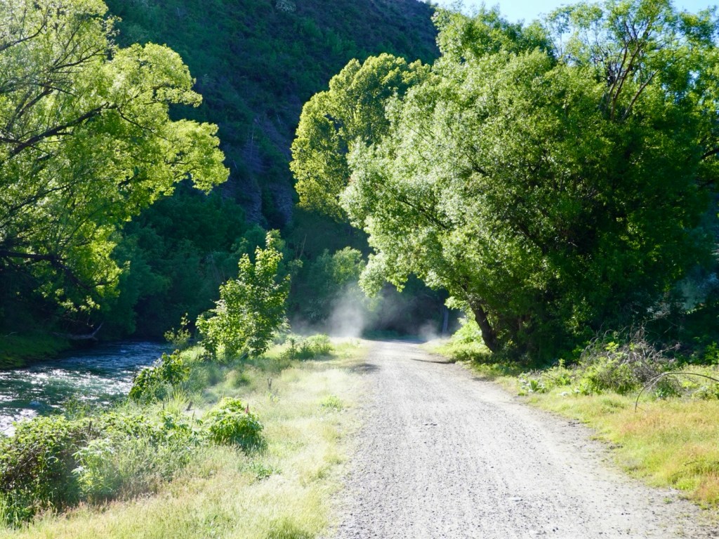
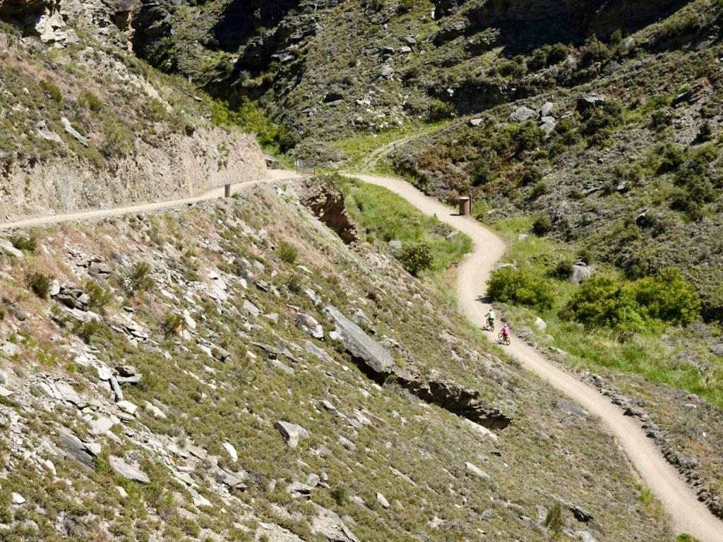
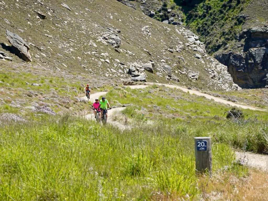
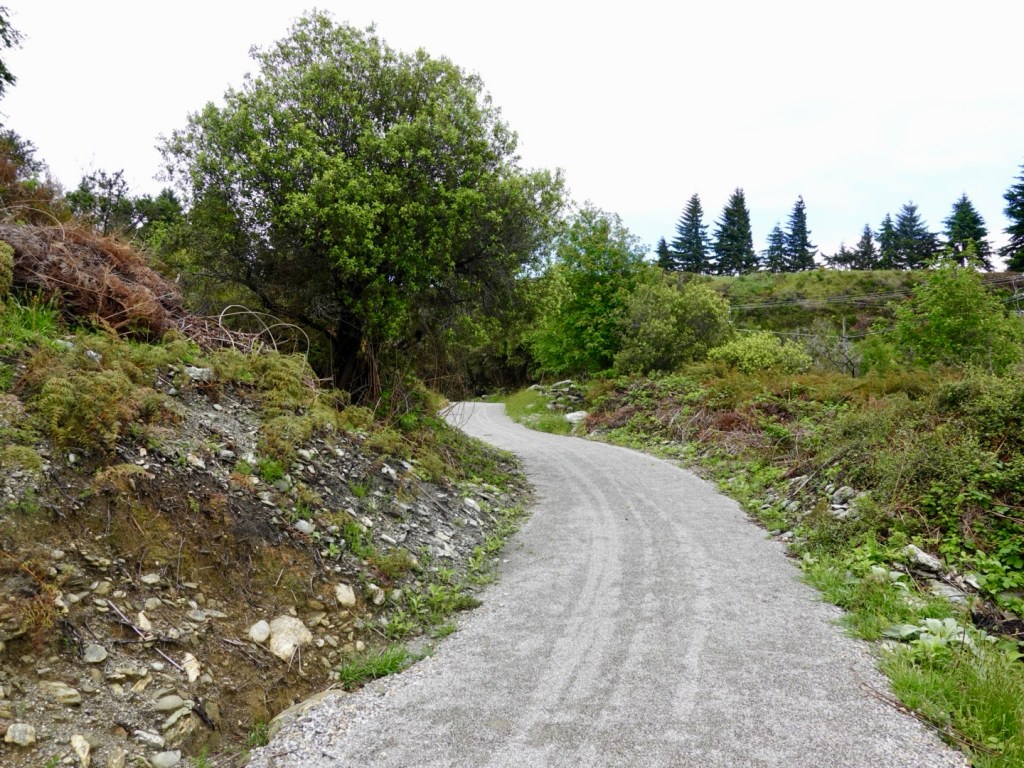
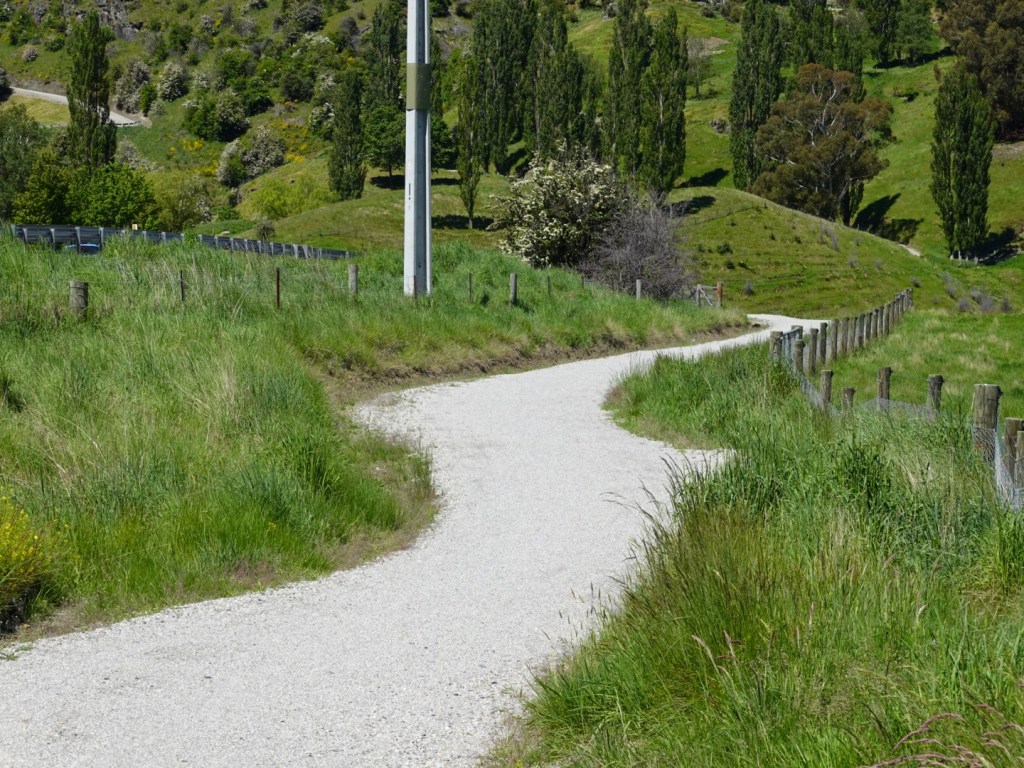
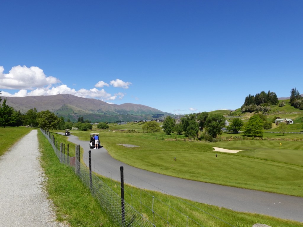
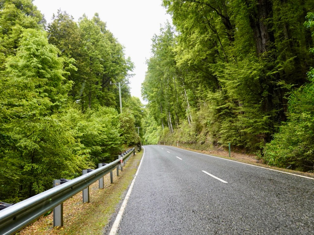
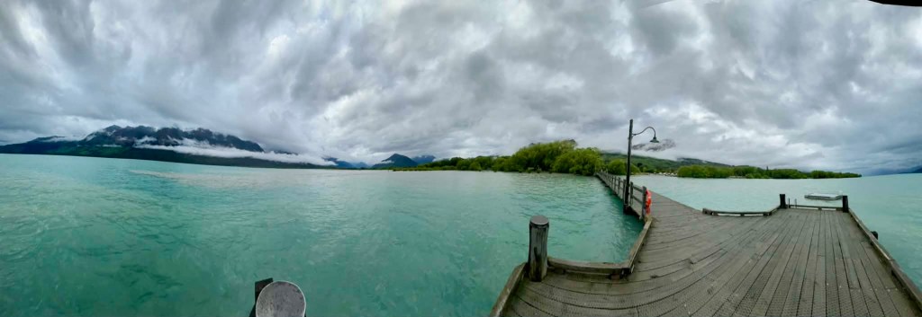
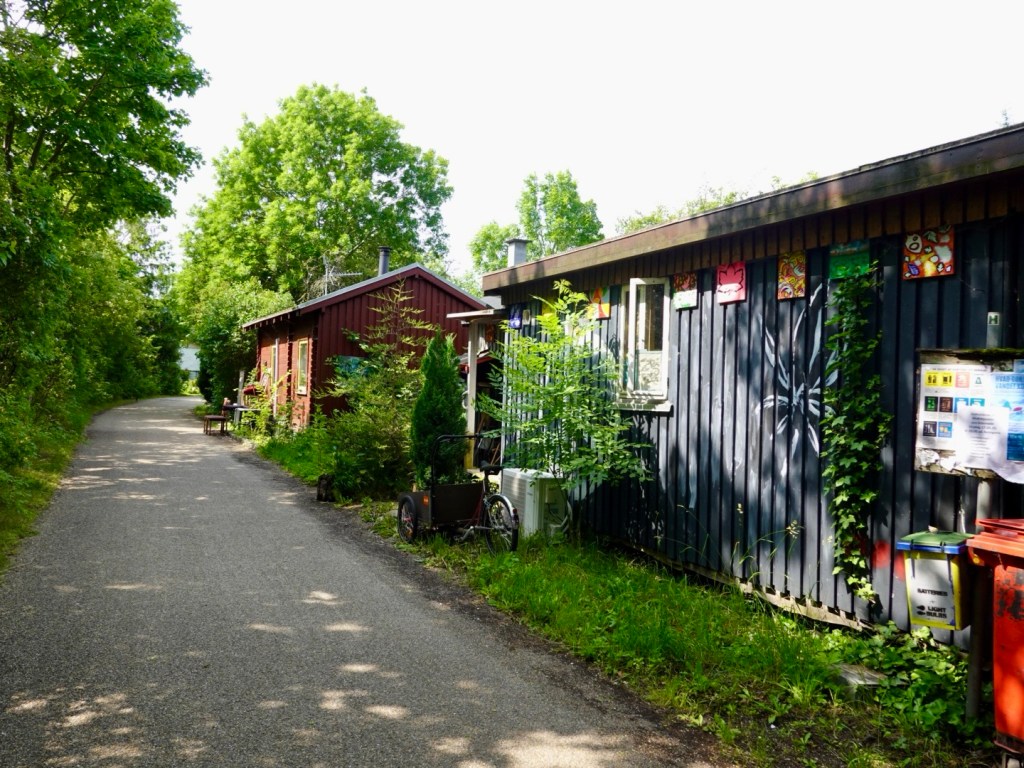
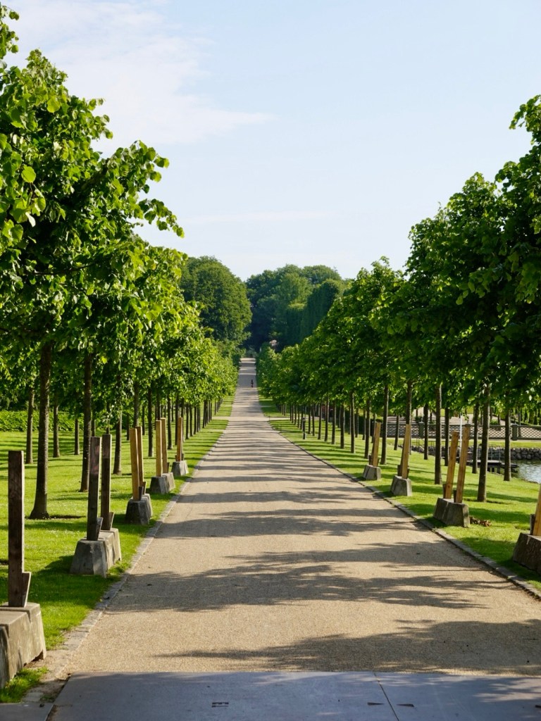
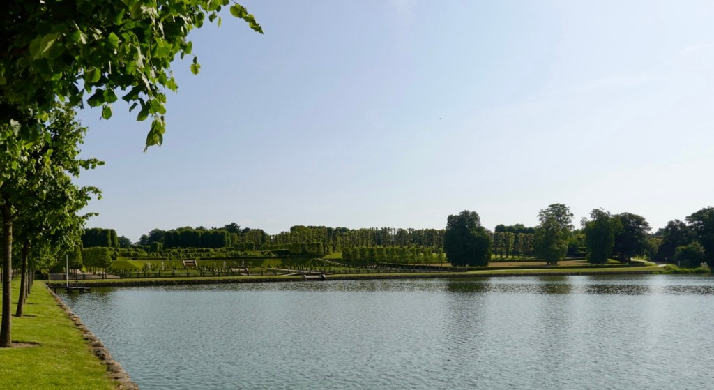
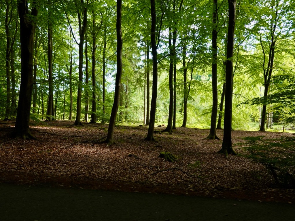
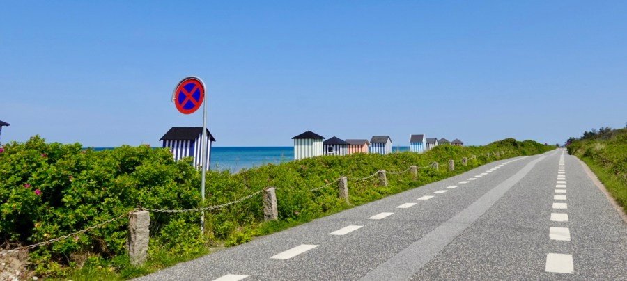
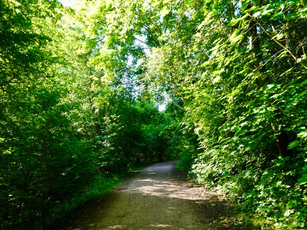
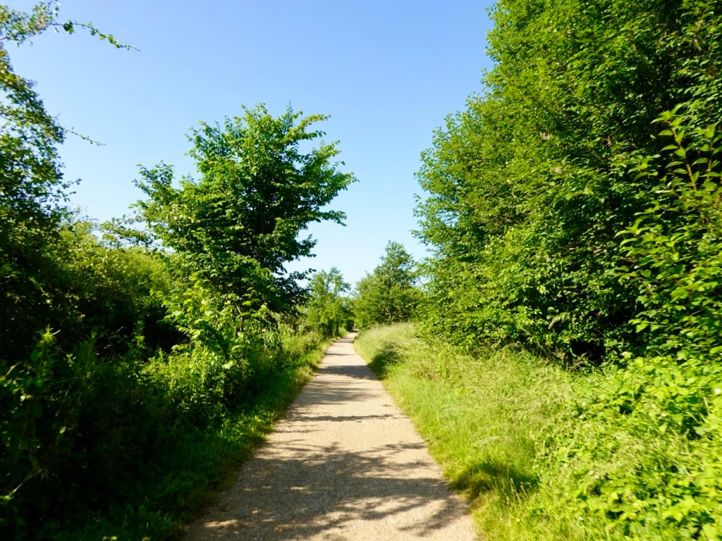
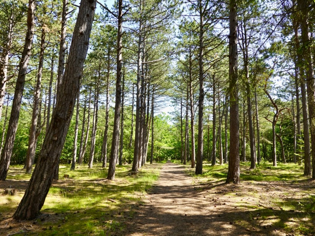
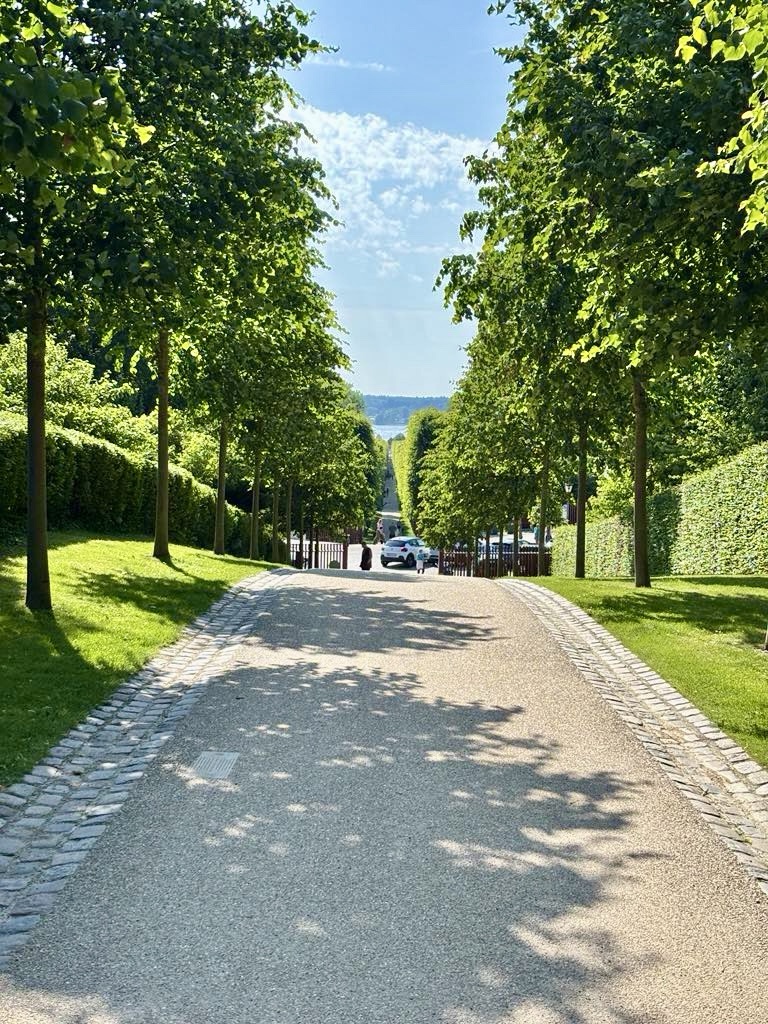
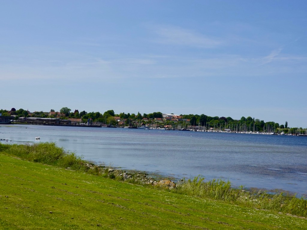
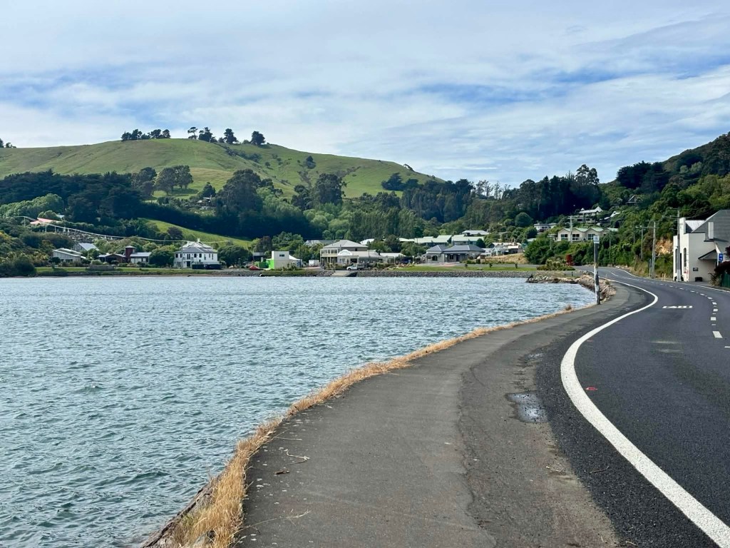
Looking up the pathway. There is a cycle path all the way to a ferry crossing some 17 km or so away.

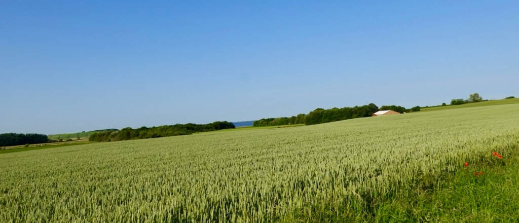
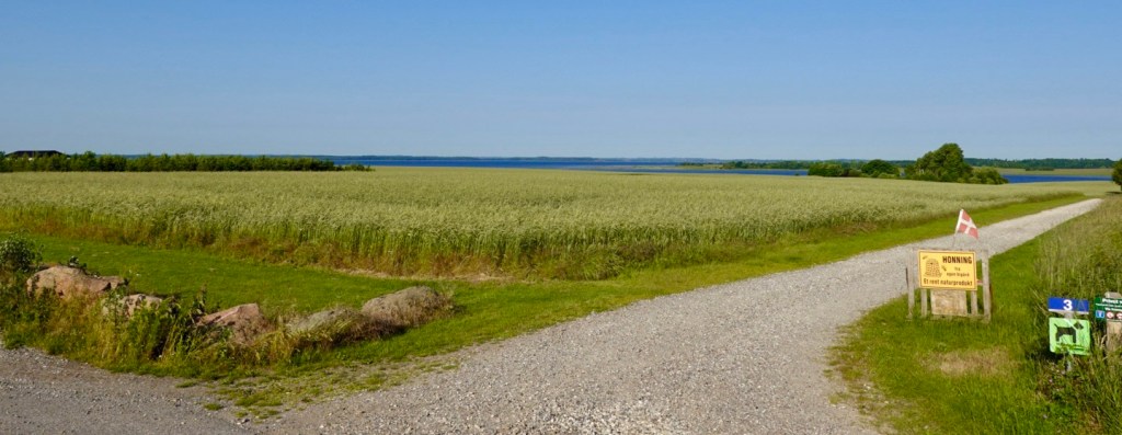
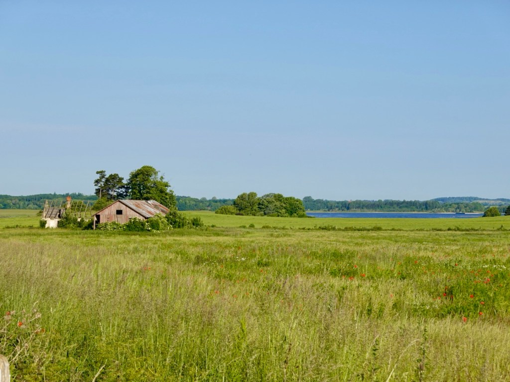
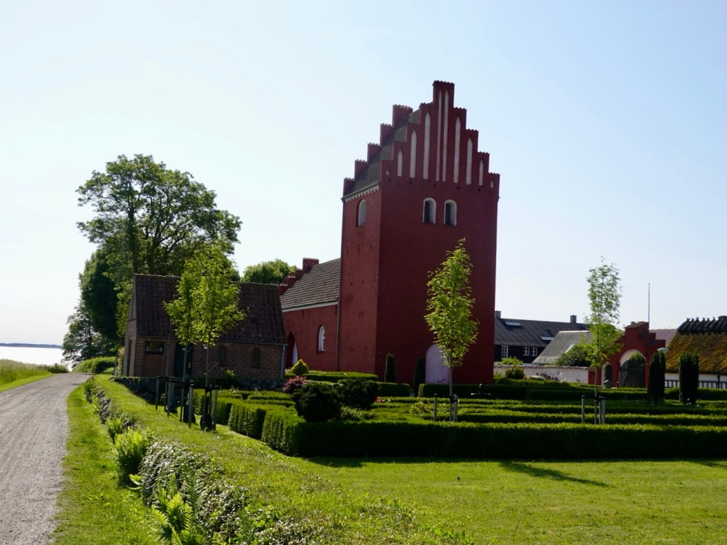
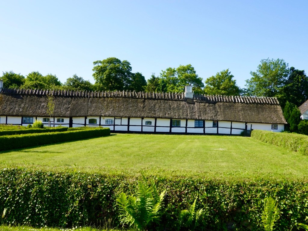
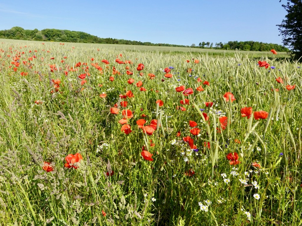
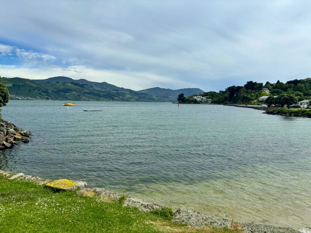
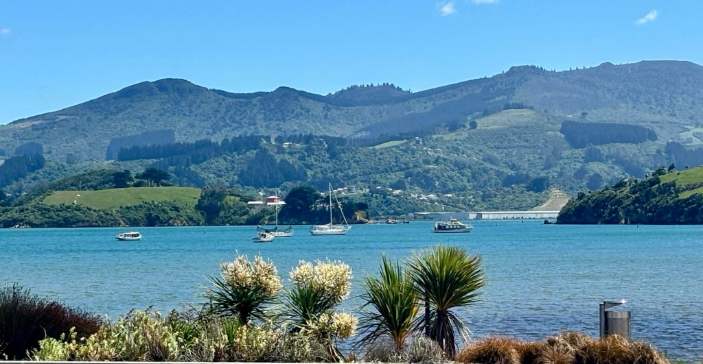
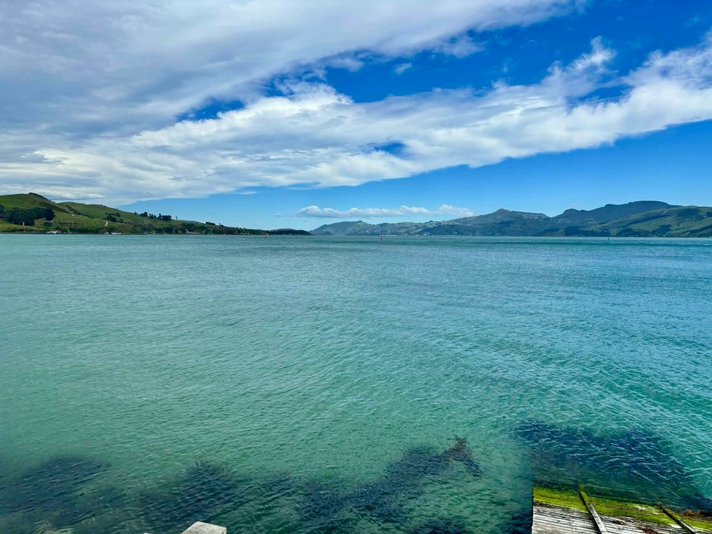
Bar the headwind slowing us down, it features plenty of nice bays, little villages and an occasional beach.

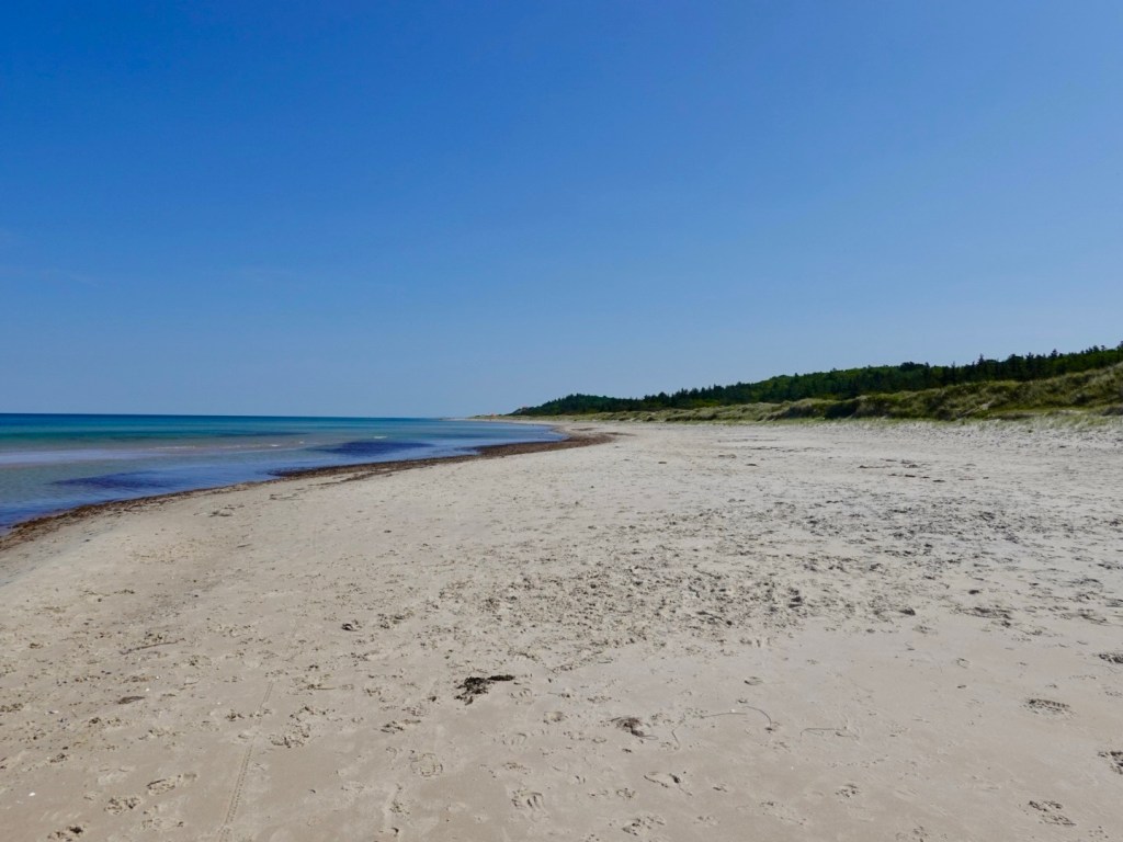
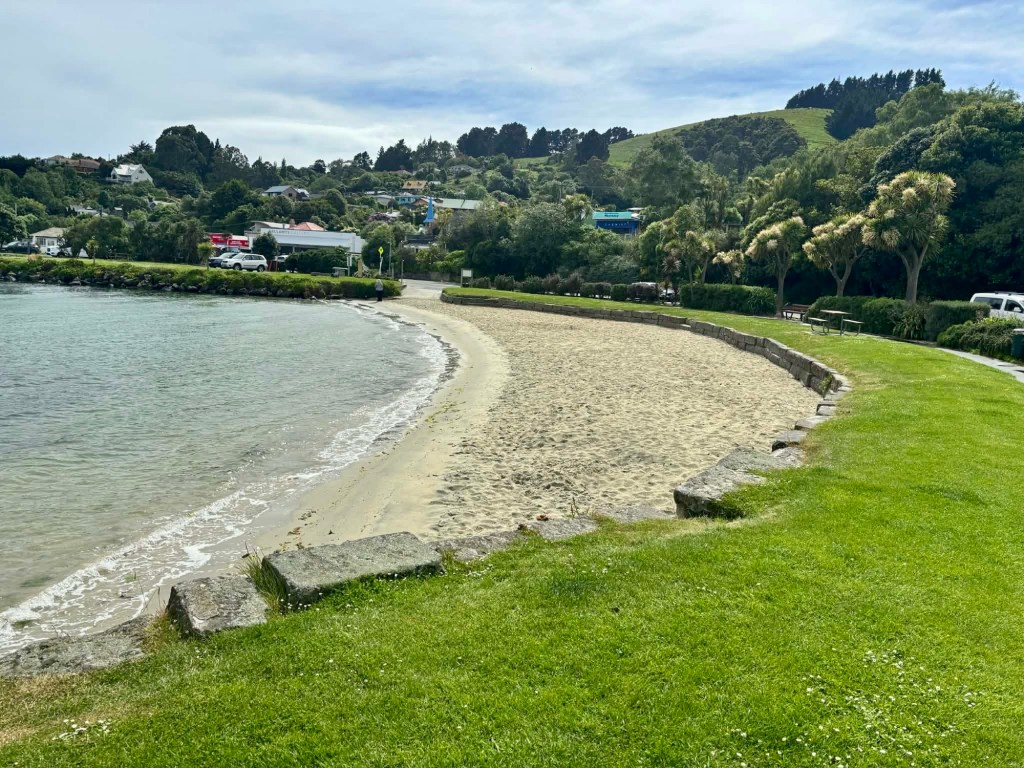
This is Macandrew Beach, and on our return was very busy with swimmers and sun seekers.

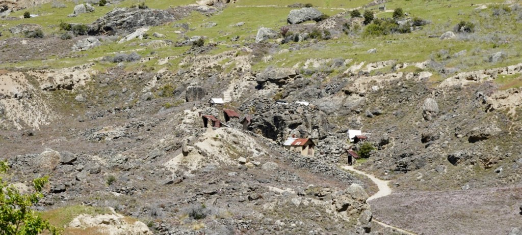
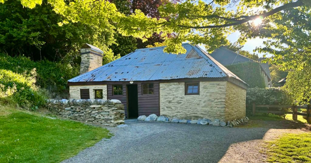
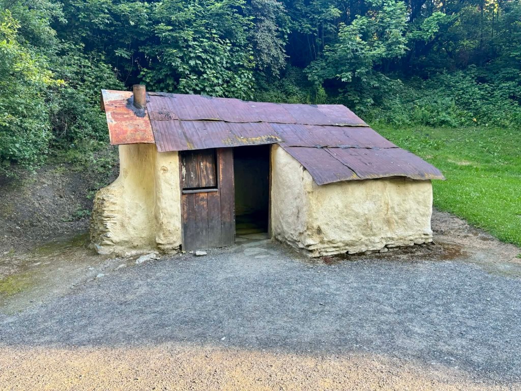
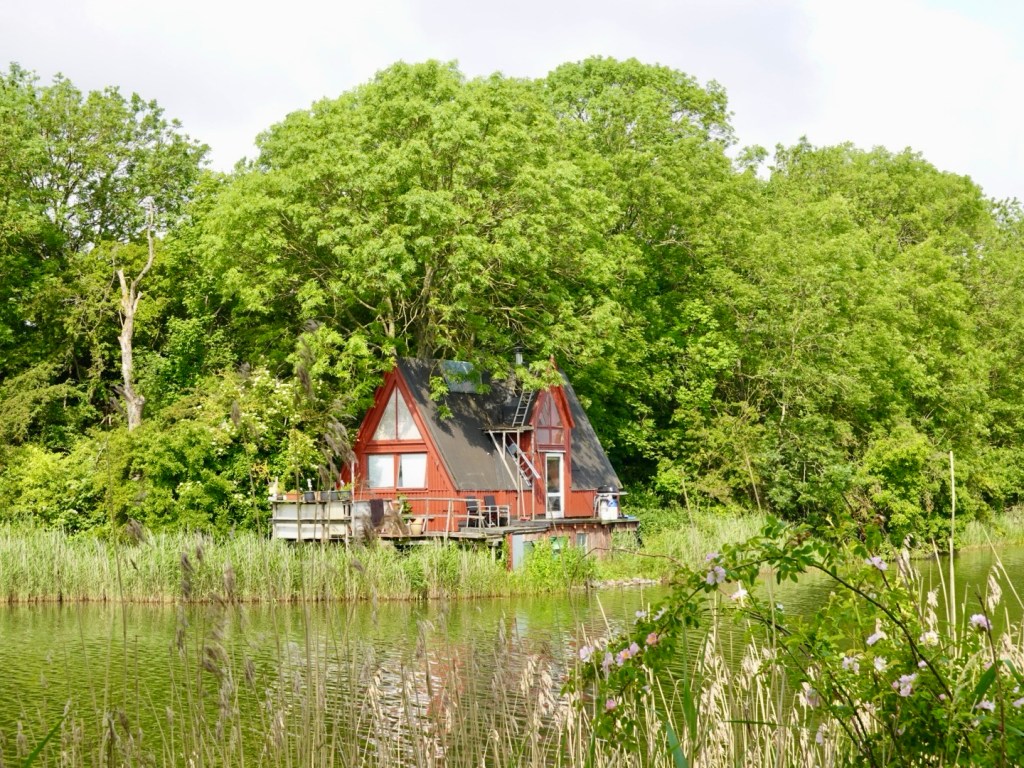
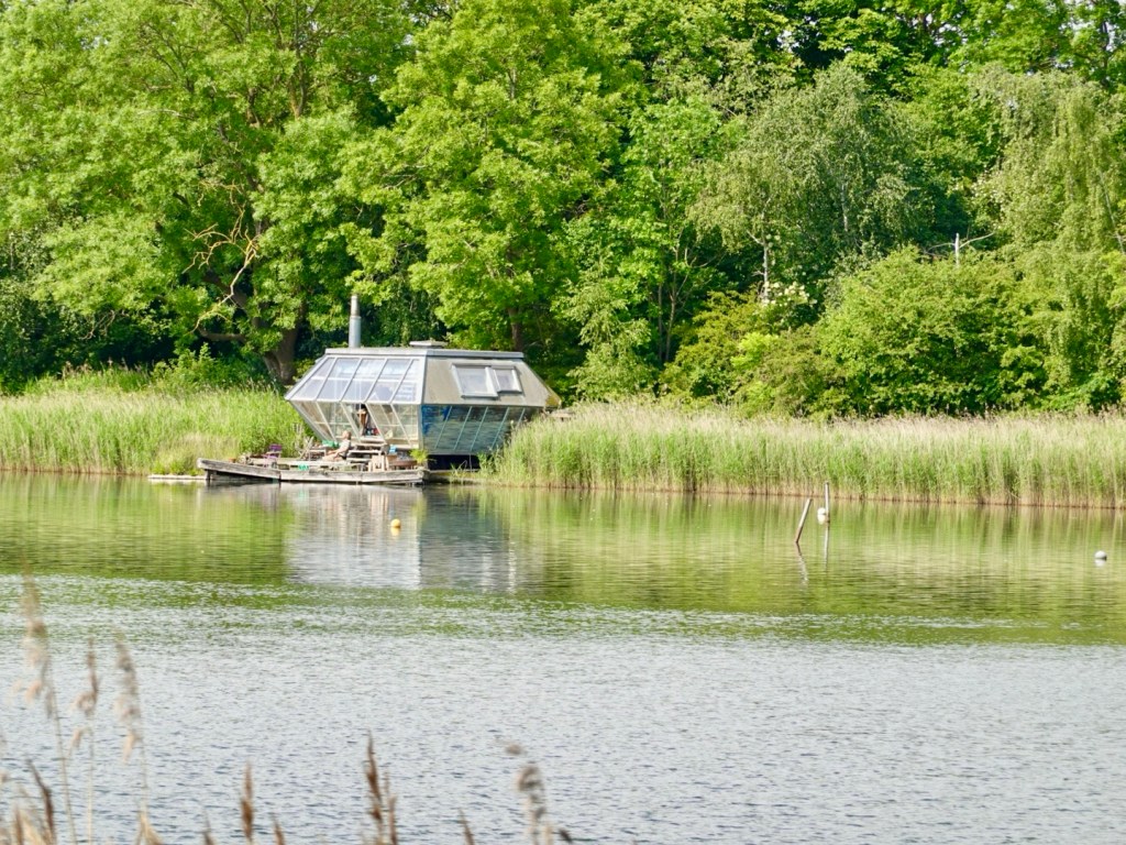
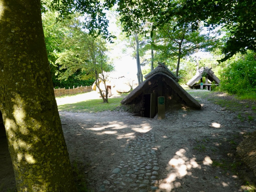
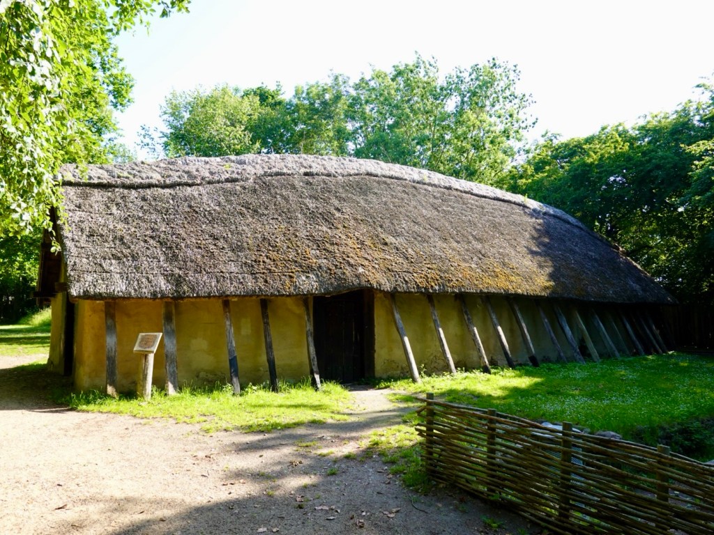
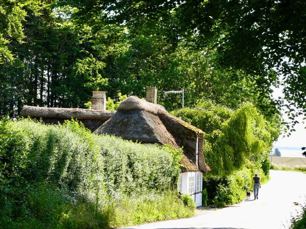
There are little fishing huts along the way, noting one for sale.
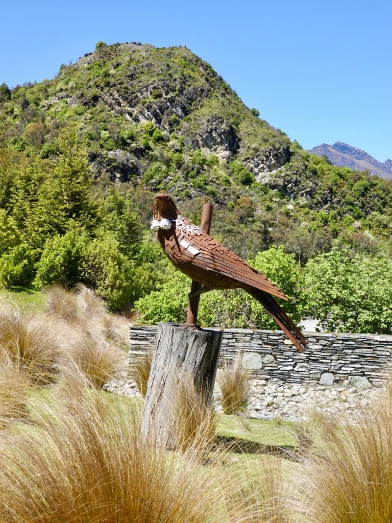
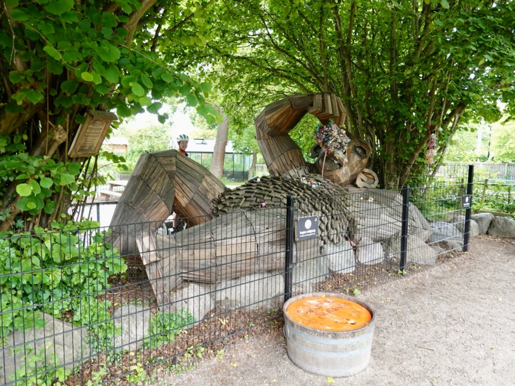
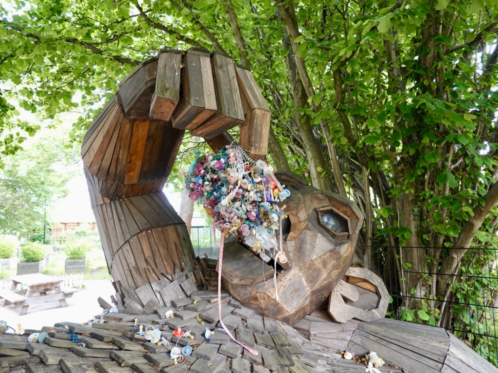
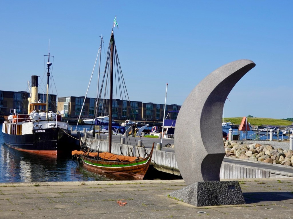
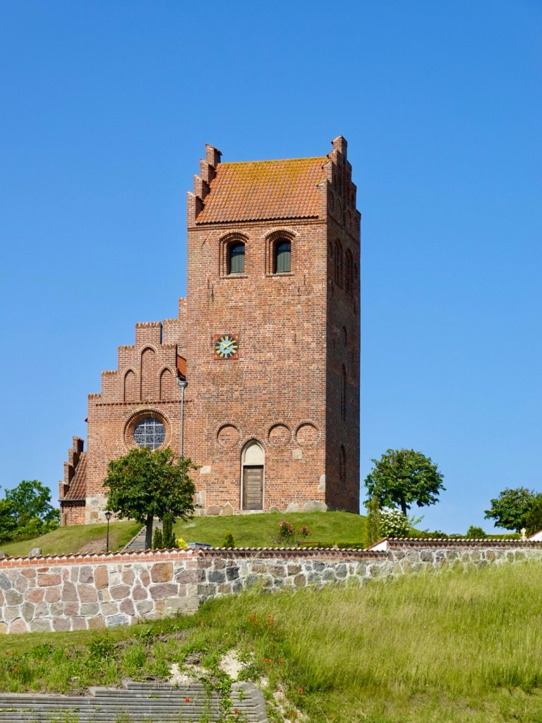
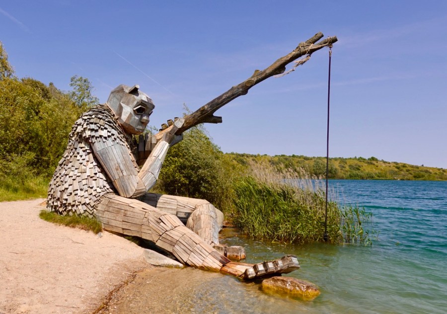
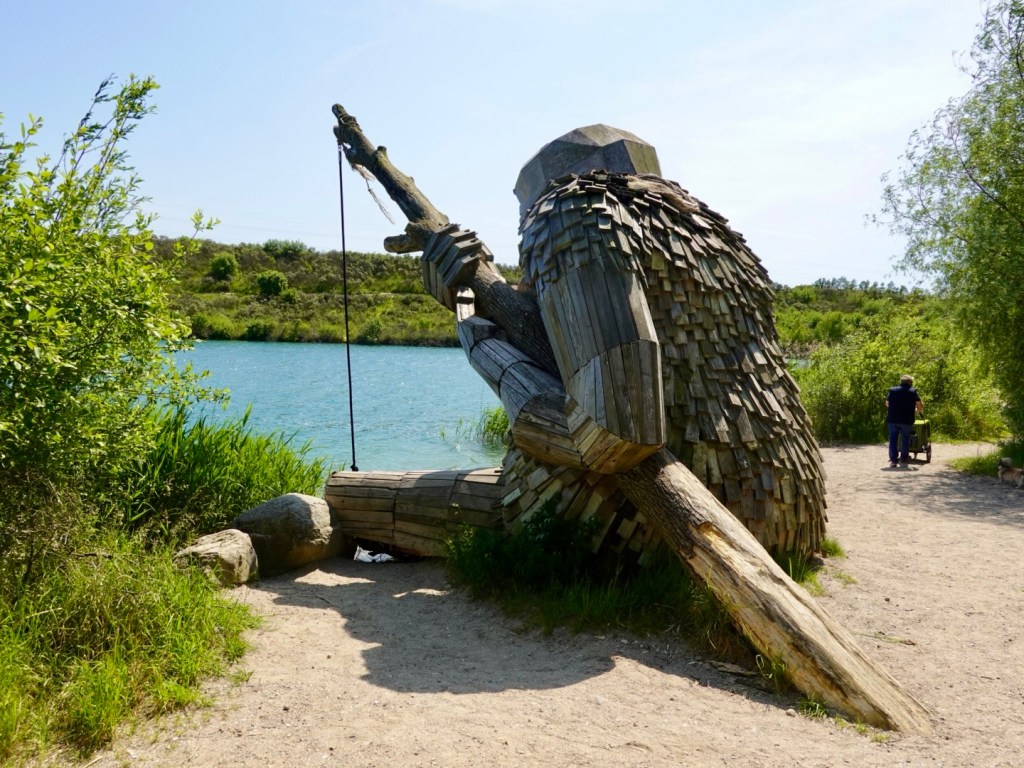
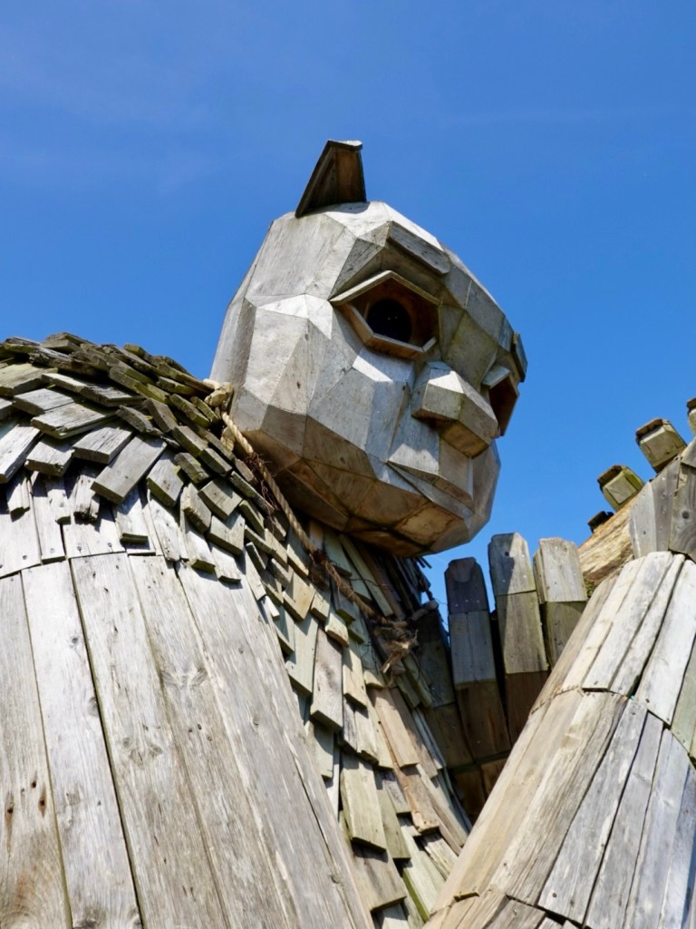
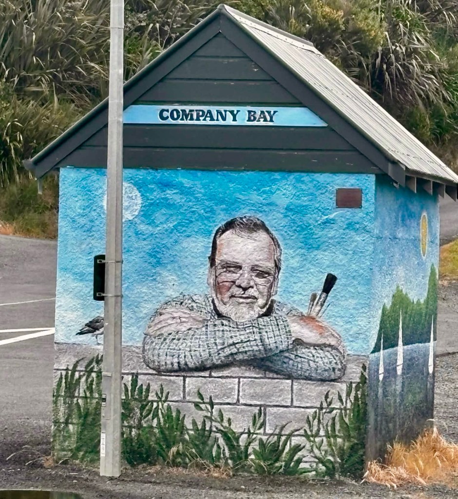
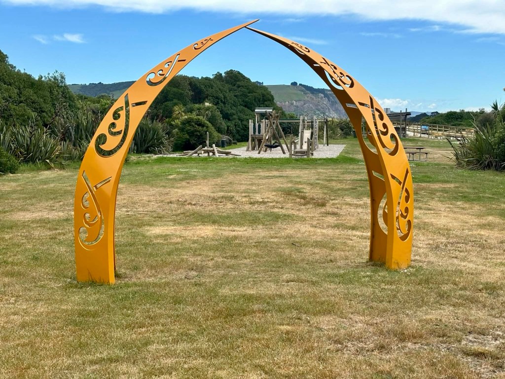
Nice art work.

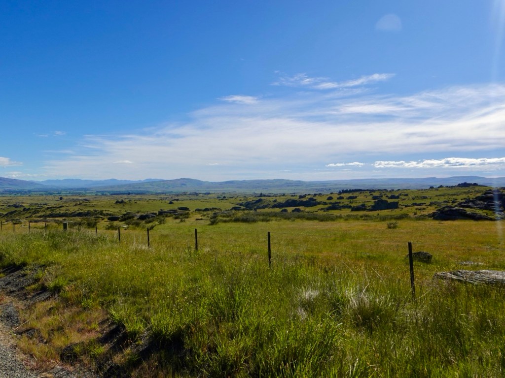
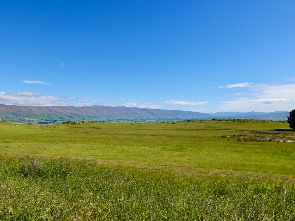
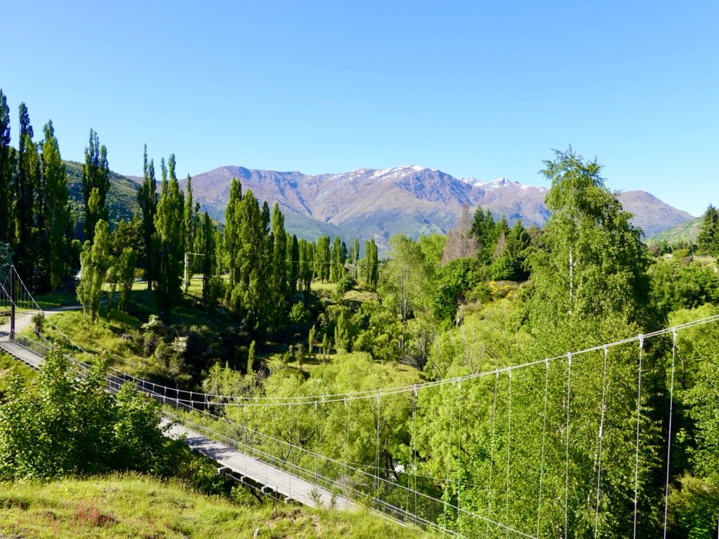
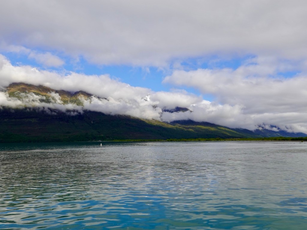
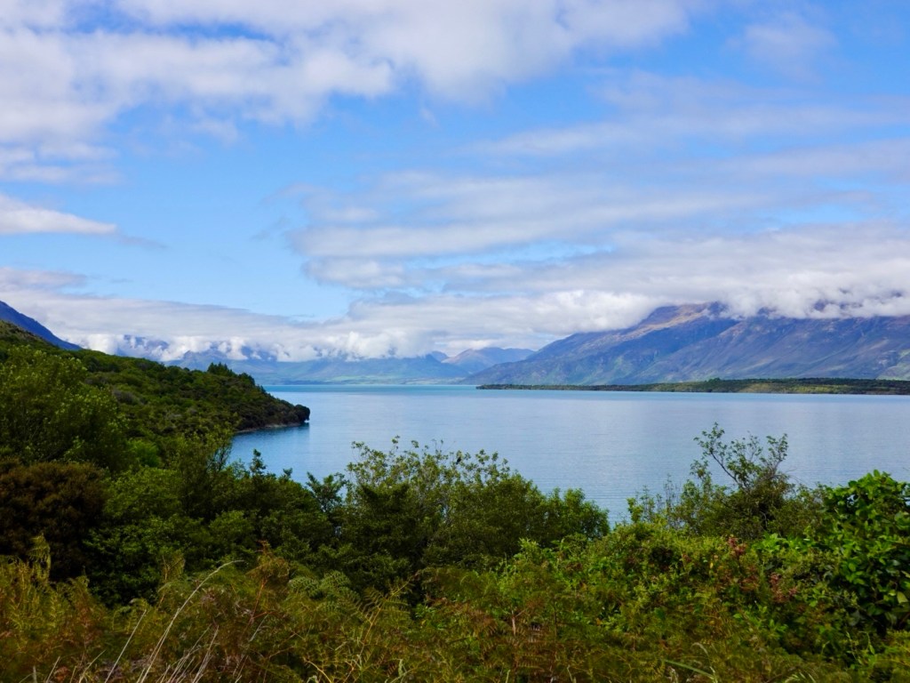
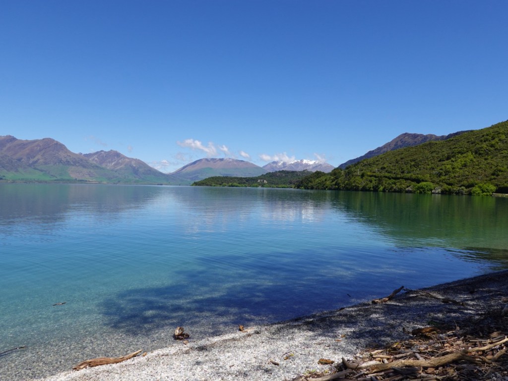
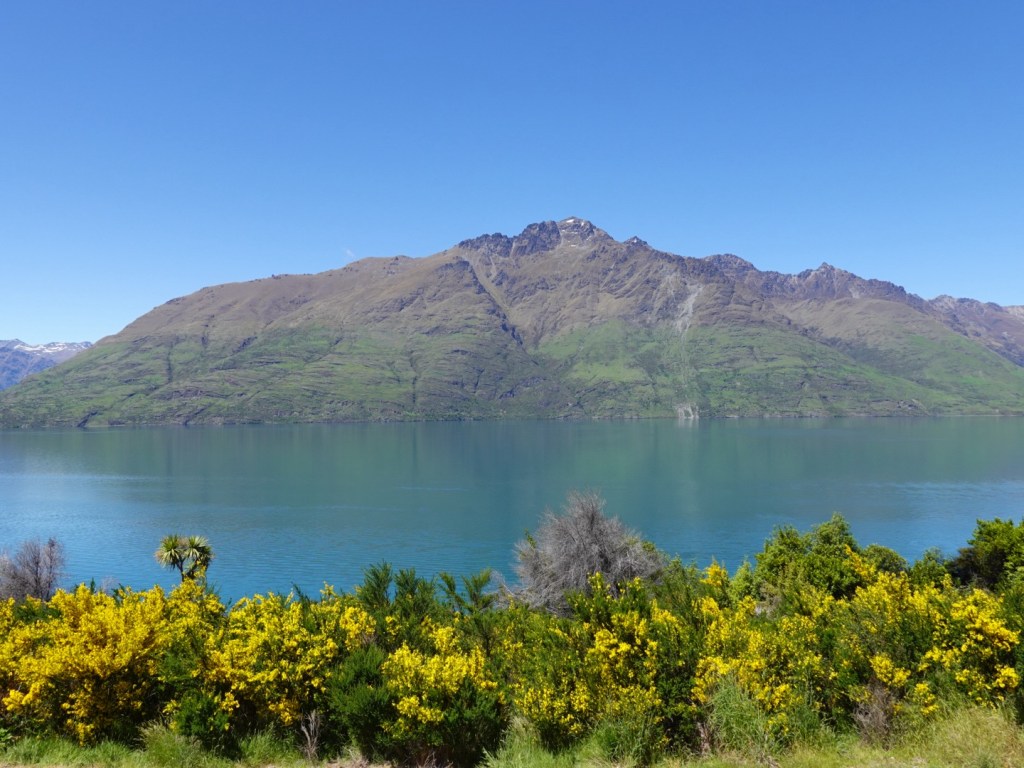
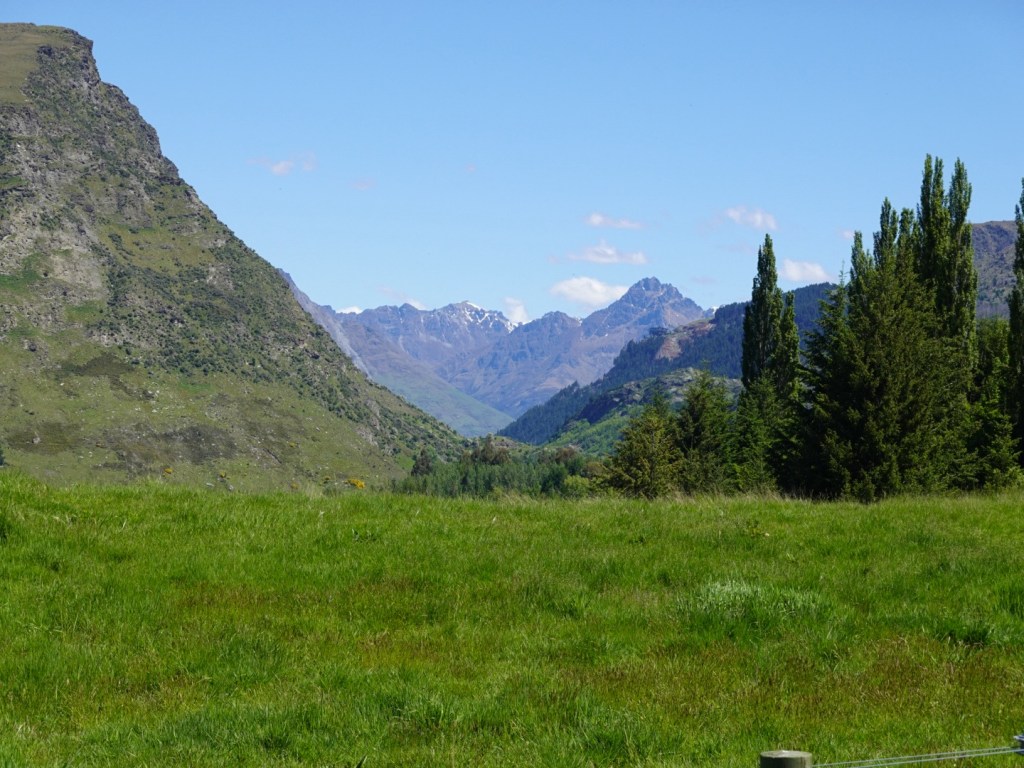
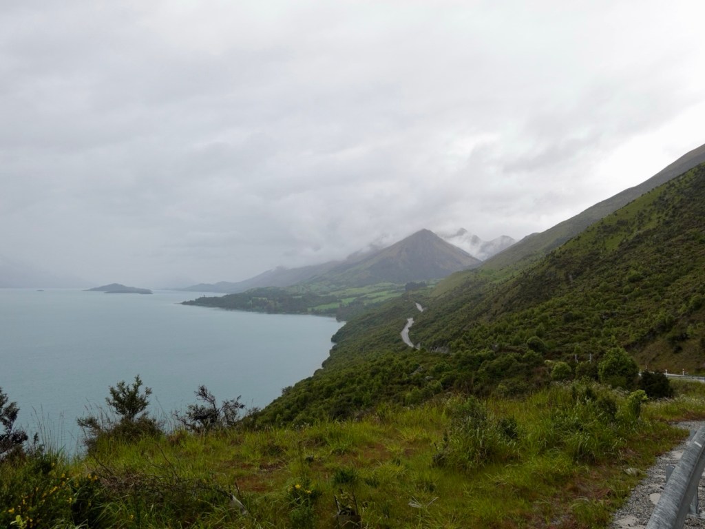
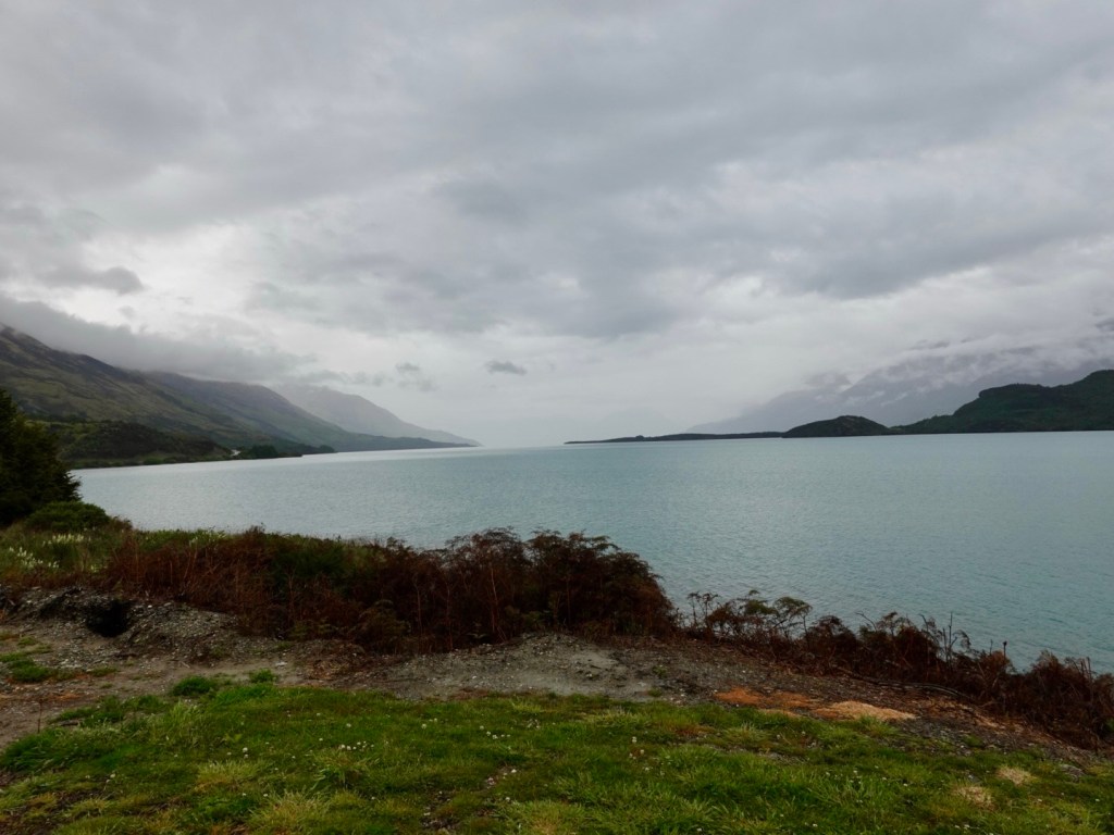
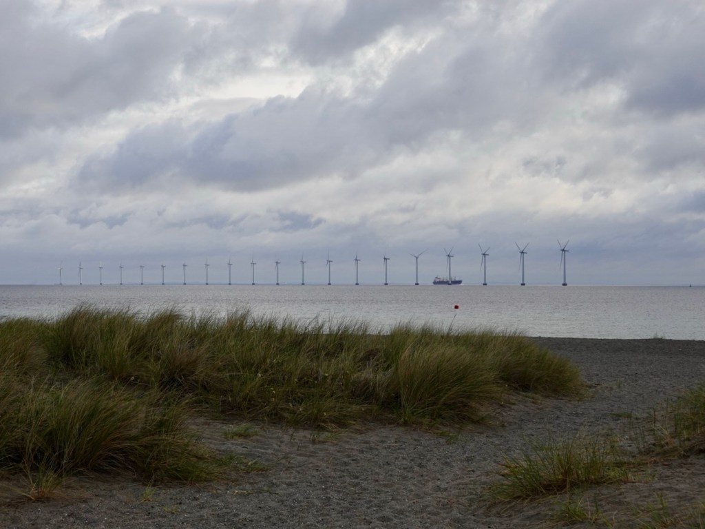
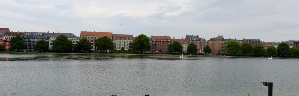
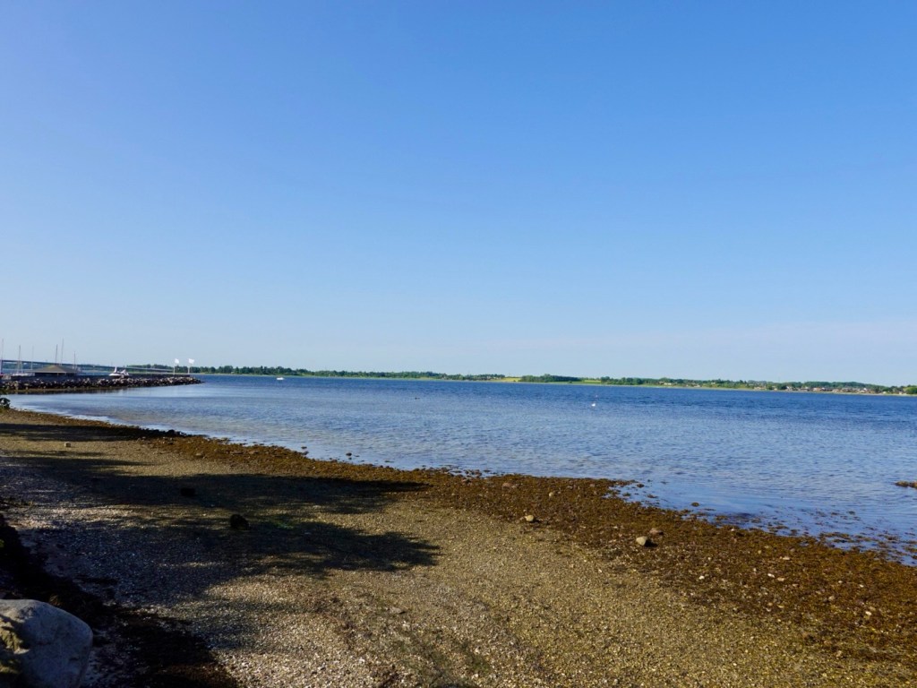
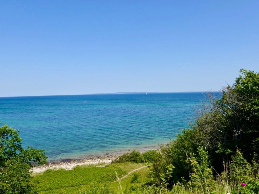
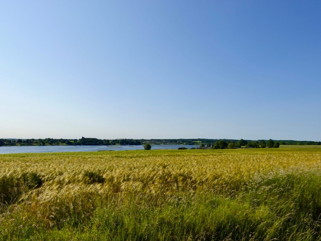
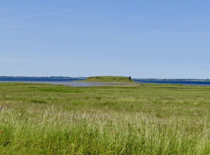
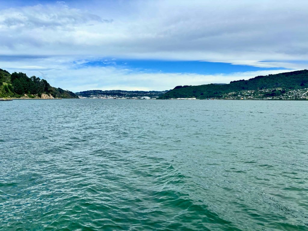
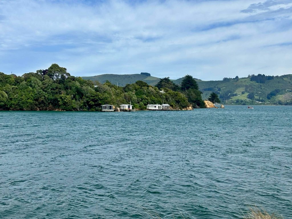
Distant hills on the other side of the bay.

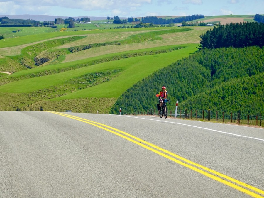
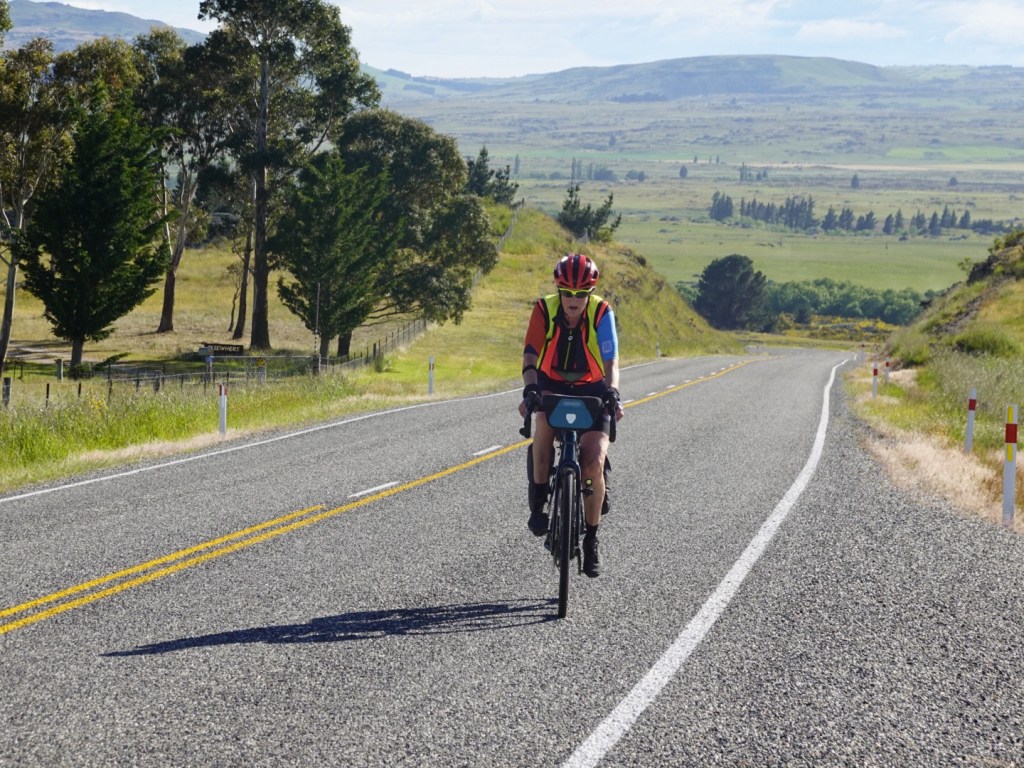
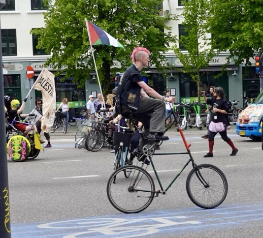
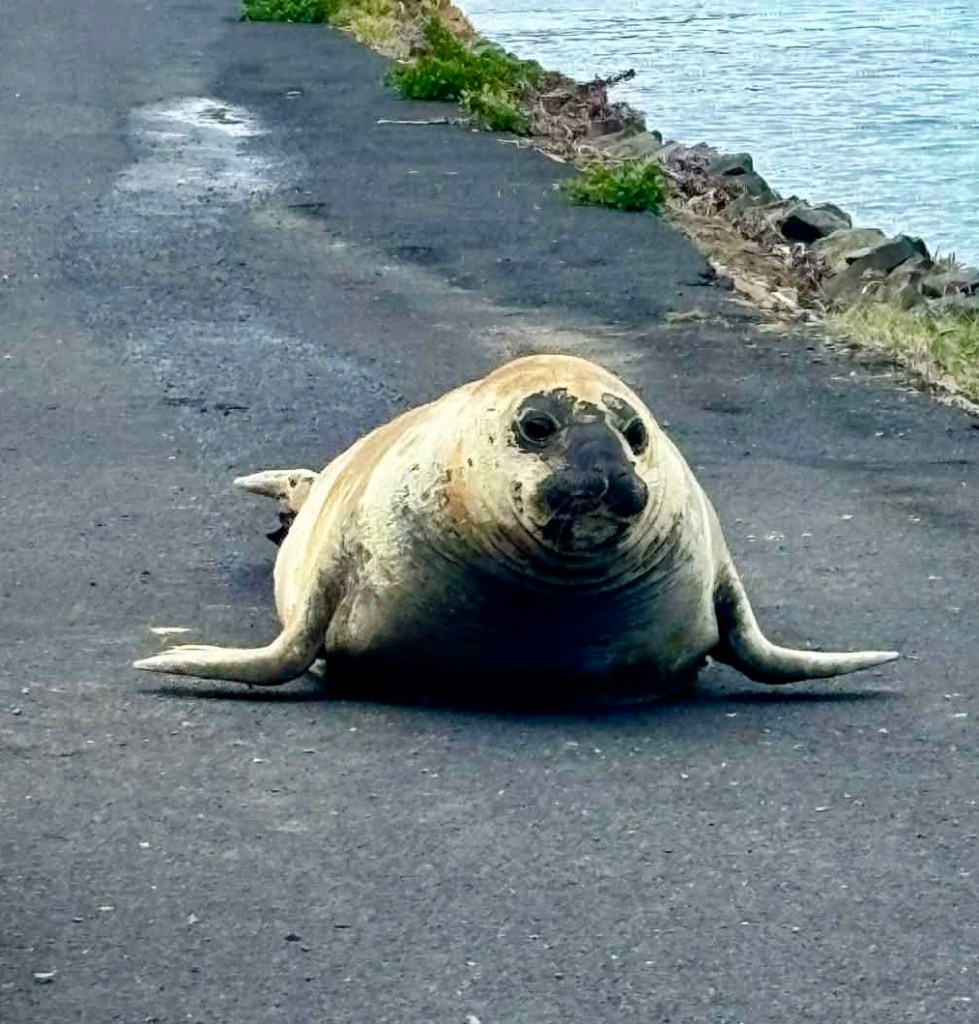
Very large obstacles. He’s on the cycle path, and we obviously pulled off onto the road, on the wrong side, to join a crowd of people watching.

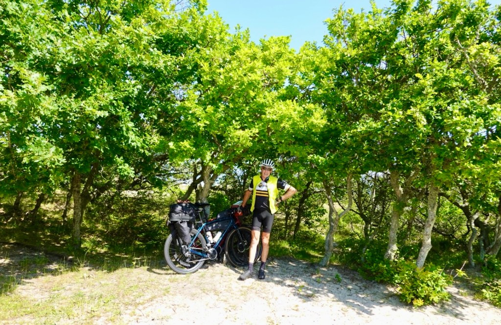
Tony is not as close as this photo looks, it is zoomed up and cropped.

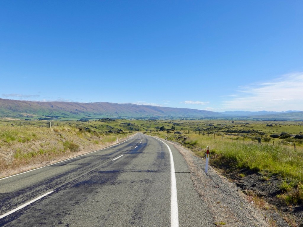
We were nearly at the end of the road, and we decided to turn.
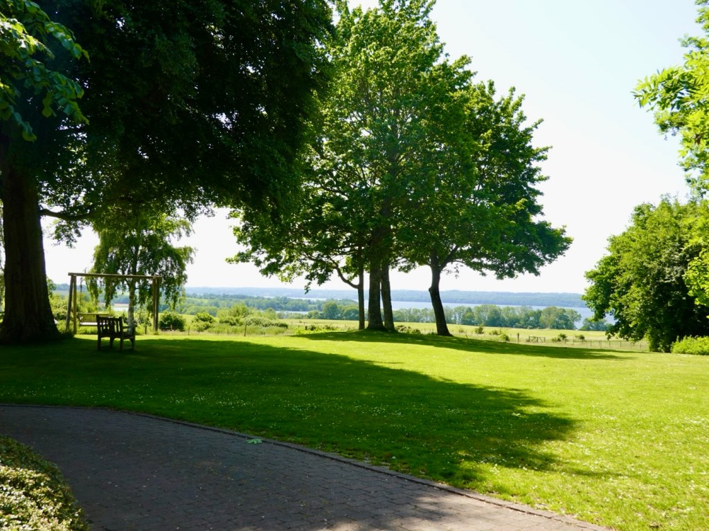
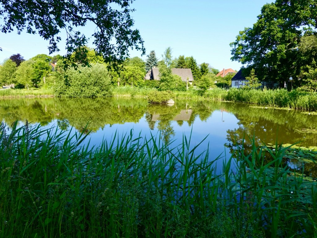
Nice playgrounds.

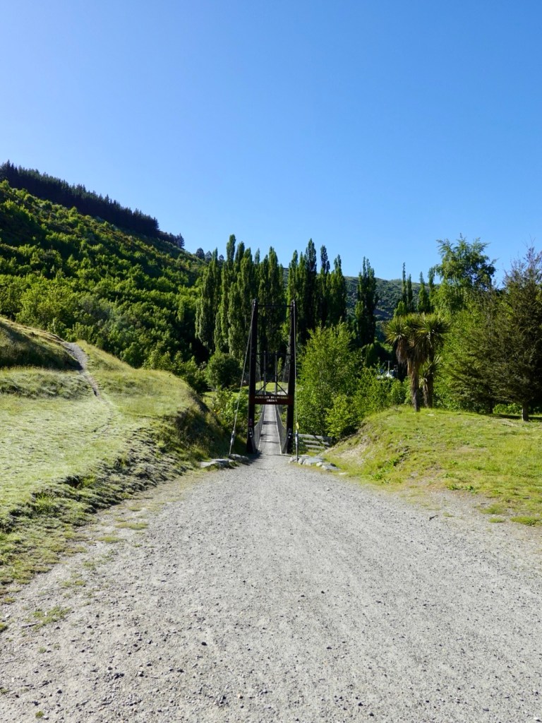
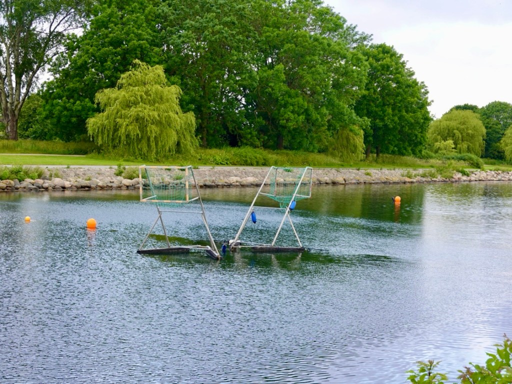
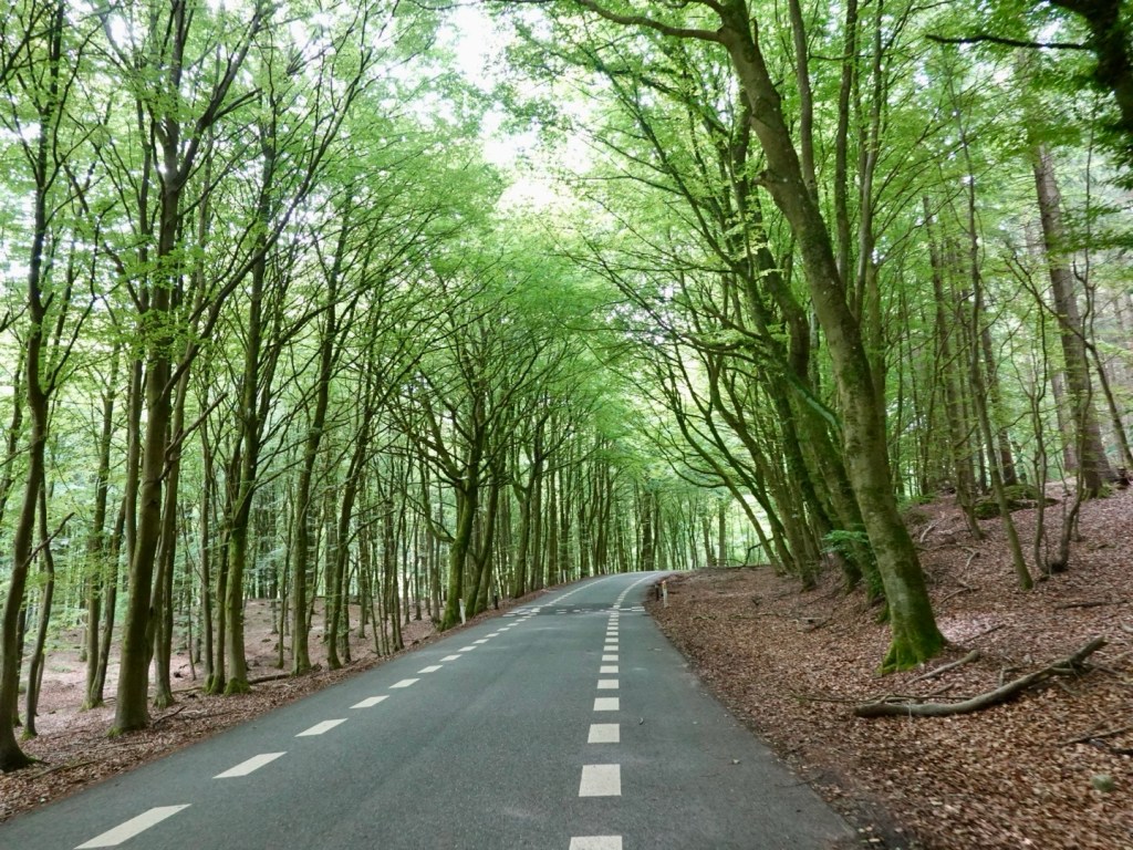
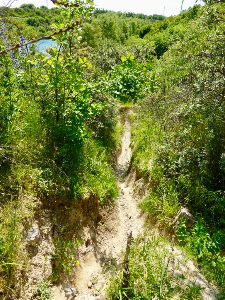
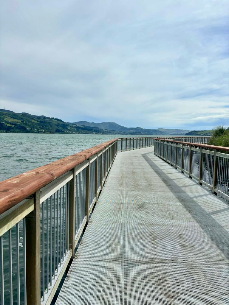
Paths that get around rocky outcrops.
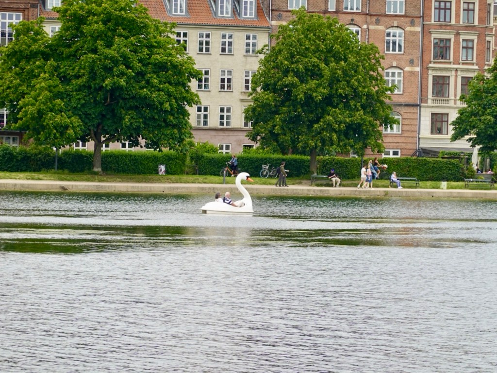
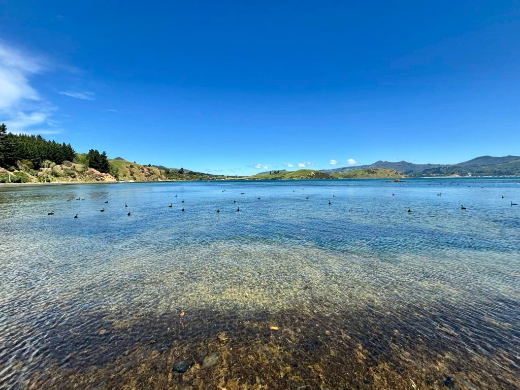
Black swan haven.

We stopped at Portobello village for lunch. Not much choice, but the seagulls did not mind. Tony went to resecure our bikes that had moved in a gust, and a two seagulls swooped in.

As I looked one sat on his hot chocolate, the other swiped a potato wedge. He was unimpressed and the hot chocolate seagull then sat on his bike saddle, leaving hot chocolate remnants from his feet. 🤣

The culprit or a lookalike?

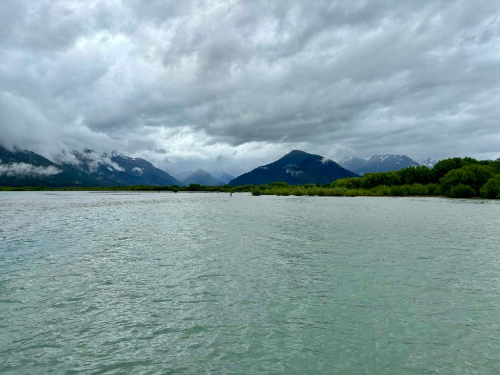
The view from where we sat. the weather was improving and quite warm.

There is the option of a ferry crossing nearby, but $70 for a 15 minute crossing seemed excessive, when we had a tail wind!

We enjoyed the tailwind for maybe 10 km.

Then around a bend, we stopped to readjust a rear bag, started off and boom, an incredible headwind.

How did that happen? WT?

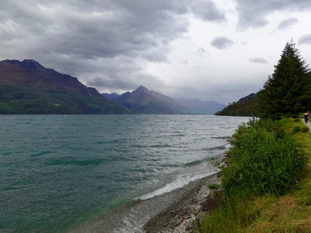
There were waves on the water, and we had this for 6 km back into Dunedin.

Crossing the causeway, the waves were wetting us and at times, we had to stop as we just could not pedal in the gusts.

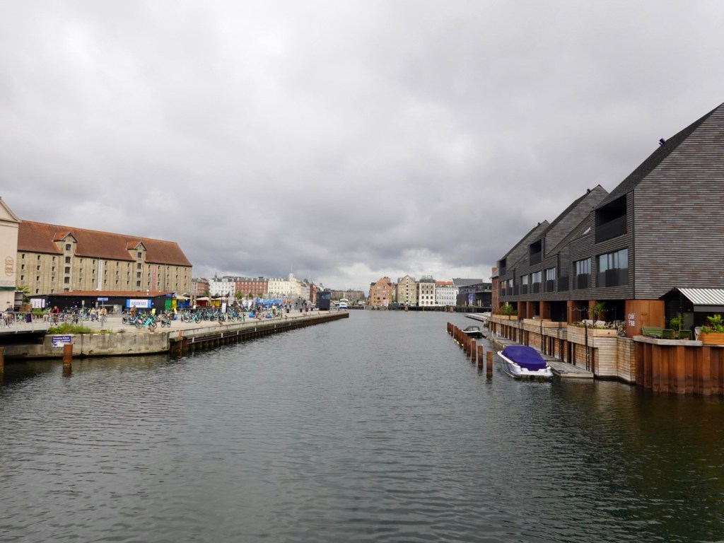
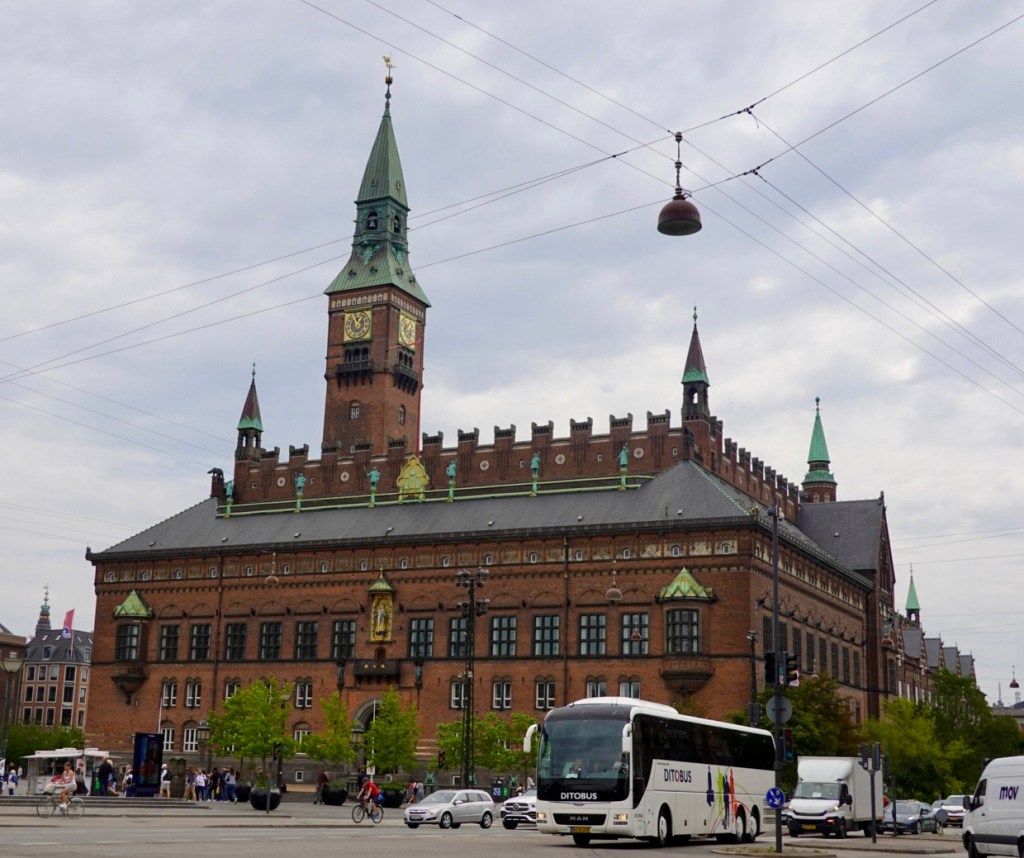
We soldiered on, albeit slowly and carefully, detouring to head into the city.

We ventured to a motorbike shop, yes we needed more power in the wind!

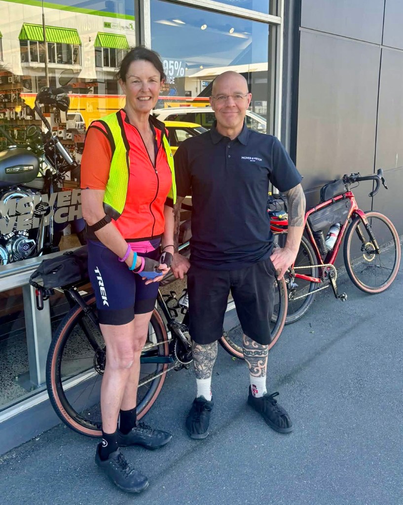
A deliberate deviation to meet Dan Hedges, a Zwift pal who I used to ride a Trek event with on Saturdays. He was a dab master at scoring free socks as nearest to the beacon at the top of the volcano climb.

A nice guy too!

We left without more power though and headed back to our unit.

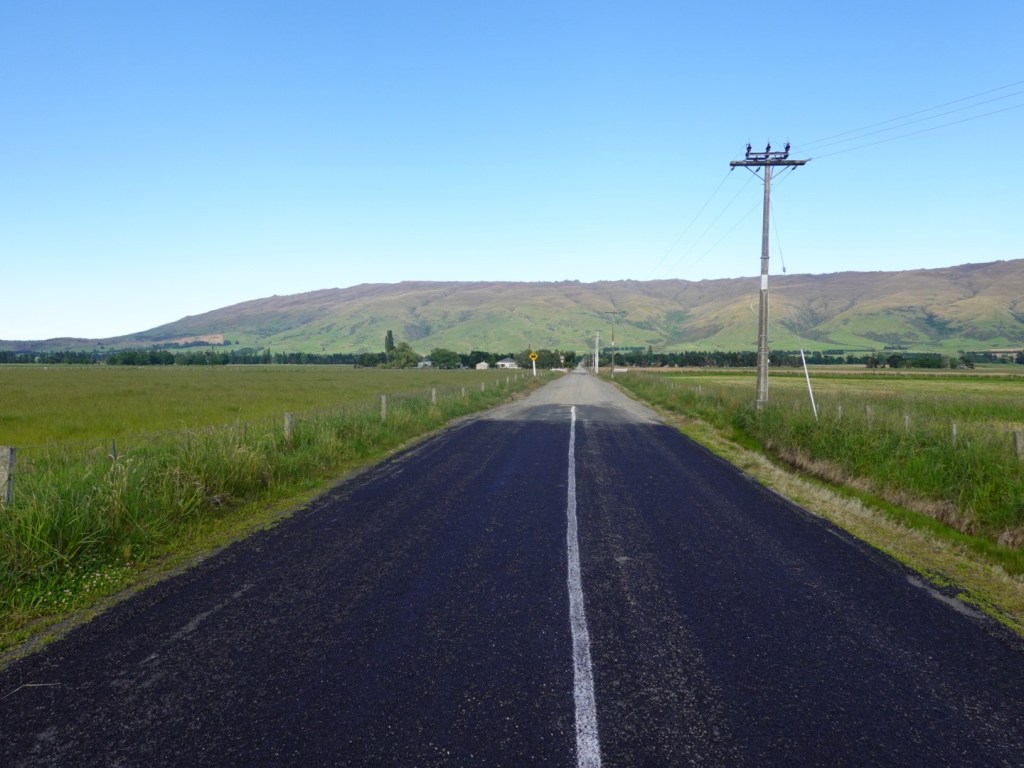
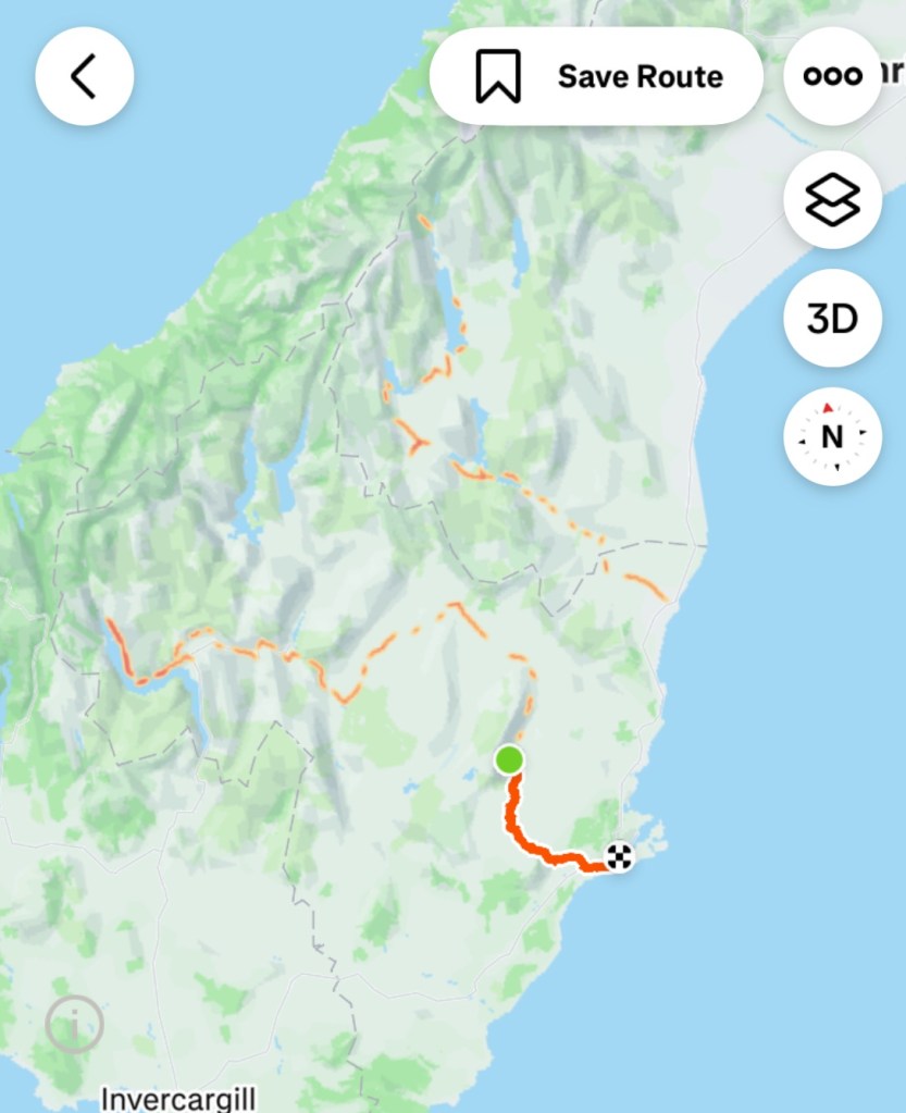
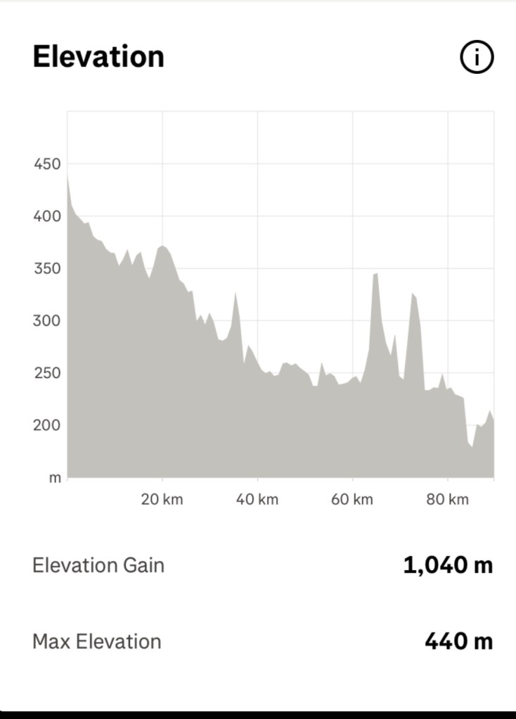
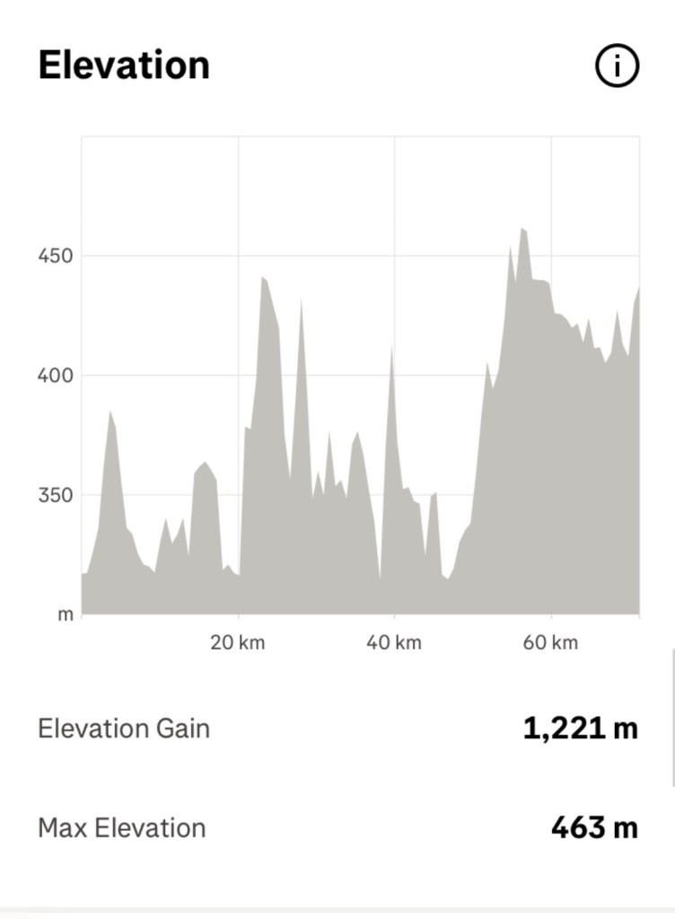
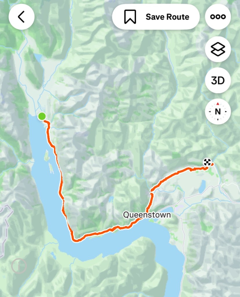
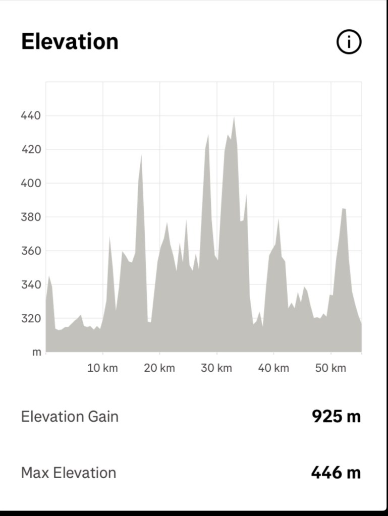
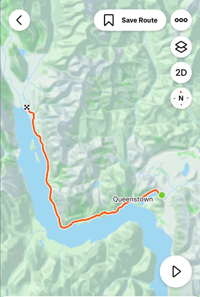
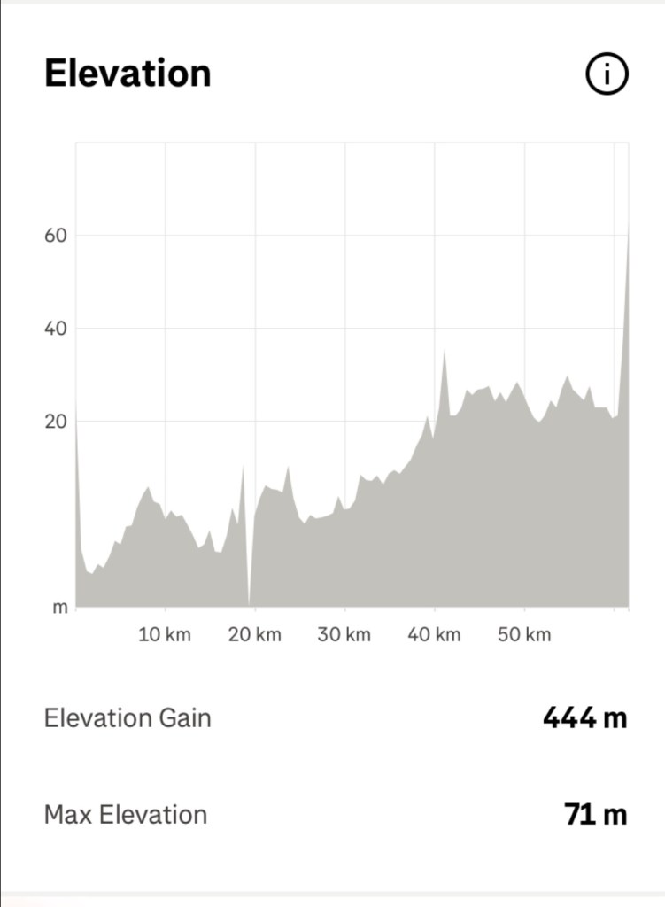
Today’s route. 60 km and 444 m climbing. Wind factor intervals probably the hardest we have ever ridden in. Certainly scary at times trying to keep our line.

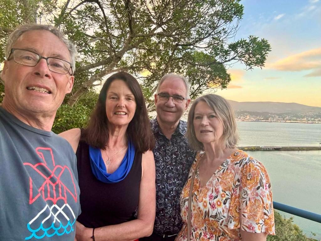
But the day was not done. Norman was a friend from way back when I lived in Melbourne. He has lived in Dunedin for many years with his wife Julie, and it was a delight to be able to catch up after far too many years.

Thankyou Norman and Julie for spending the evening with us, as we enjoyed a meal together.

Another day done, may the wind die down and keep us safe tomorrow for our 102 km next stage.

Thanks for reading 😊❣️

Day 6: Middlemarch to Dunedin

We were over dressed. We stopped very quickly to remove clothing. Then again a few km later.

It was going to get warm. In fact, 30-32 C depending on which gauges we believed.

We sweated, we toiled up a few tricky hills, one being over 9 km with a few nasty pinches. We climbed over 1,252 m in 82 km today.

For 50 km there were no shops, cafes or anything other than very open rolling hills.

Our first view of the open road after we left the farm, the edge of the Rock and Pillar Range.

Looking back up the dirt road to where the farm is amongst the greenery.

We climbed.

The roads were quiet.

The fields were quiet.

We stopped here as there was some shade and we were already sweltering. Tony added more air to our tyres as we were on sealed for the day. We had lesser pressures on the gravel.

The little electronic pump is quite the gizmo. Easier than a hand held pump, and with a degree of accuracy in knowing how much pressure is in the tyre vs feel.

It felt better, but you do feel a few more bumps then.

Looking back across the road just covered.

Here I am, climbing again. A good verge here, plenty of space for the car to pass. There were a few trucks heading the opposite way, carrying silage. They crawled down.

The wind was strong and the side gusts on descents scared me as I held on tightly.

Creeping closer to civilisation we stopped at the first town, Outram.

We found a small supermarket with table and seating under a nice shady tree.

We drank lots of cold fluid, ate a chicken sandwich, then an icy pole.

Only 4 km from our accommodation we stopped again for ‘anything cold’. Cold drinks and icy poles were welcome relief from the heat as we sat in a churchyard under a shady tree,

One final climb, and this is where we are now.

Tony chilling on the couch.

Lovely view across Anderson Bay and the harbour, tomorrow’s destination.

Pleased to be finished we are now on the east coast (nearly) of New Zealand, having started closer to the west.

The terrain has changed considerably, as has the temperature having moved away from the mountains.

Another day, another adventure, thankful we still have the capability to test ourselves this way.

Thanks for reading ❣️😊

Day 3: Arrowtown to Muttontown

What a beautiful day. I opened the curtain by our bed and looked out. This first photo is looking out that window.

Looking out the door of the bus.

We headed out of Arrowtown following the Arrow River on the Arrow River trail.

It was a great track, well compacted gravel that undulated.

Fantastic views wherever we looked.

Steamy mist rising from the wet grasses,

The bridges were something else today. They just get it done here!

Looking back on the bridge we had just crossed.

I have bare legs today for the first time this trip. I’m still well rugged up with upper layers…short sleeve body vest, jersey, gilet and jacket.

Tony removed his leg warmers at the bridge, it was already warming up nicely.

Here they built a bridge under the car bridge just for cyclists and walkers.

Another bridge. Edgar bridge is quite long. Another suspension bridge with a fair sway as we both crossed.

Looking back at Edgar.

Kawarau bridge was our first lengthy stop today. It was where the world’s first commercial bungy jumping operations commenced.

Looking down the river.

Customers pay $395 to leap off.

For a silly price still, but a far cheaper alternative, you could just buy this shirt.

More my style, a swing, but still a few hundred dollars.

I did find it interesting to read the history.

The history of bungy jumping is believed to have started on Pentecost Island in Vanuatu.

People would create ropes from vines and launch themselves.

Originally only women jumped. It was an annual fertility ritual held during the yam festival. The Christian missionaries put a stop to it as they were offended by naked women hanging upside down and demanded that only men be permitted.

When AJ Hackett opened this site in 1988, 28 people paid $75 each. Now they get hundreds every day paying $395.

We then followed the Gibbston River trail for far too short a section as they’ve closed most of it off whilst they extend the trail.

We were then on the Gibbston Highway for 22 km. Most of it had a small to reasonable verge but was very busy with lots of traffic.

Behind me you can see a portion of closed trail,

This is where they are cutting through currently. There were excavators, a dynamite storage unit and a lot of work ahead as they cut through the rock.

Part of a gold mining museum site where we stopped for an ice cold iced coffee. We were pretty hot and sweaty.

The Lake Dunstan trail looked promising from the start. We were heading about 4 km beyond Clyde.

Pretty poppies.

Well formed paths and retainers.

Great additions to the bridges.

Undulating.

Great views.

Getting narrower. Many of these bolt on decks are on this trail. Over 400 m I think I read.

Our bike computer had indicated a climb ahead. It turned out to be very gnarly and testing.

There is a coffee boat at the base of the climb. Might be more tempting after descending. Not sure I’d retain it ascending.

No more bolt on decks around cliffs. We headed up via this section.

And up. The couple a few bends down we chatted to at the top. The lady is on an mtb ebike and did not raise a sweat. Her words.

I did raise a sweat. It got narrow, loose and slippery, my wheels spun and the front lifted a few times. I felt scared, so I pushed until the trail got to an incline I felt safer and competent riding.

There were multiple narrow hair pin bends the higher we ascended. Even Tony pushed his bike for a few sections.

Finally the top.

Incredible engineering to prevent a landslide into the Lake, that apparently would cause an internal tsunami wiping out towns lower down and take out the dam at Clyde.

Another Hugo bridge. More climbing.

This trail tested us with two gnarly climbs on our loaded bikes. Mtb e-bikes were the super common bikes up here, and I was glad I did not meet one at the very narrow sections where it is barely wide enough for one bike, as you look left down the drop off.

This section had a fence…only one that I saw.

We arrived in Clyde, and were now below Lake Dunstan.

We grabbed some food at a supermarket and headed to our farm accomodation out of town.

Getting our washing done and hanging it in the sunshine, only to have it soaked when the big sprinklers popped up and drenched it.

Hair dryers and fans going now to dry it all ready for tomorrow.

What a day. 90 km and over 1000 m climbing.

The two gnarly climbs are the two steep spikes at around 65 and 75 km.

We need to do these next week heading back. Something to look forward to 🤪

We are feeling weary tonight. Three solid days climbing in the legs. The next two days are easier climbing wise.

What an amazing set of trails in this region of New Zealand. They set a tough standard for Australia who are years behind.

Tomorrow we hit the Otago trail, another tourism attractor for the region.

Stay tuned, thanks for reading 😊❣️

Day 2: Glenorchy to Arrowtown

Today was epic. Not particularly long (70 km) but seriously hard riding with a loaded bike.

We didn’t fuel adequately to start with, due to extreme lack of choice at Mrs Glens and nothing else open. We had snacks with us and kept munching through the morning ‘session’.

We lasted longer than England did in the cricket!!

When we got ready to leave it was 0c. We rugged up. By the end of the ride it was 20c and we sweated!

We started off by heading back down to the jetty, but the clouds were still low. Blue skies were peaking through, along with the occasional alp summit.

The road was quiet as we headed out, heading off the road to cross Hugo bridge. The bridge crosses the Buckler Burn, popular during the gold rush.

A good solid gravel path, that rejoins the main road at the top of one of the days hill climbs.

Today was marked by two aspects.

The first was the wonderful views as we hugged the edge of the lake all the way back to Queenstown. As the clouds lifted, the sun shone, the views were fantastic.

We have over 90 photos so have just picked a few to show here.

The second aspect, this is a hard ride on a loaded bike. There were at least half a dozen climbs either 14-16% sections, some extended lengths. On a couple of the extended sections I pushed.

When riding with your shoes cleated into the pedals as you climb and the speed reduces, there is a point of not enough momentum to keep the bike moving forward without falling.

You need to make that decision to hop off first, otherwise you are risking damage to the bike and self.

To twist my foot to remove my shoes from the pedal cleats I find hard after 12% as you need to do it when the foot is not under load climbing. If you keep going you are committed to the climb no matter what.

Better to be safe than sorry!

Pushing a loaded bike up a steep hill is also not easy 🤣 but here we are climbing ok.

Sharron just coming to the top
Tony heading up the hill having taking some photos a little way back.
Descending then climbing

Today’s climbing graph.

The views are what made today brilliant, here are a selection.

Queenstown is ahead to the left, Shotover River straight ahead.

We were looking forward to finding food, and headed to a supermarket for supplies.

After leaving a super busy town centre, we were on another cycle trail heading to Arrowtown. It was a good quality gravel path.

Evidence of recent heavy rains, in three places large puddles sat enticing the riders. We walked around this one.

The path runs around, and later through, one of New Zealand’s most famous gold courses, Millwood. Very peaceful and scenic. There are numerous accommodation sites within the resort.

Tonight we are staying in unique accommodation in Arrowtown, a renovated Bedford bus. It is comfortable including a very tiny shower/toilet.

Our bus overlooks Arrow Creek, where the cycling path also runs. We followed that into the centre, enjoying another nice Italian meal.

Arrowtown is a popular day trip for Queenstown tourists. The town evolved in the 1960’s following the discovery of gold in the adjacent Arrow River. The town has preserved around 60 original gold-rush buildings.

It was warm and very pleasant.

There is an interesting Chinese settlement, closer to our bus, where the Chinese miners lived during the gold rush. The last Chinese resident died in 1932. The huts have been restored. Sadly the Chinese suffered dreadfully with local racism, and were forced to rework old tailings and not seek new claims.

This was an old Chinese run store
A loo, preserved by National Trust
Three old reconstructed houses
Another reconstructed house on the site of the original

A very satisfying day. A magnificent but challenging ride, rewarded with breathtaking scenery.

Thanks for reading 😊❣️

Day 1: Queenstown to Glenorchy

The weather forecast for today was not favourable. Up to 28 mm rain, starting around the middle of the day.

We got ourselves organised and were on the road by 7.30 am.

We followed a path along the foreshore of the Shotover River, this little beach area being in Frankton.

After 8 km, we were in central Queenstown. Life looked quite scenic and pleasant. Council workers cleaning public facilities, and pressure cleaning the paving.

Gilbert Rees is regarded as the founder of Queenstown, establishing a sheep farm around the site of the Hilton hotel, where we had coffee yesterday.

Frankton, the area we stayed for two nights was named after his wife Frances. Walter Peak is named after his son.

It started to spit with rain very lightly as we left Queenstown, so we put our rain jackets on.

We were to stay in the main road all the way to Glenorchy, 45 km away.

I’d read that the road shouldn’t be too busy. That was wrong. It was super busy with lots of campervans, hire cars and trucks. Some of the tourists were a bit close!

The road was in excellent condition seal wise. Verges were narrow to non existent.

Fortunately there were several ‘slow lanes’ on the climbs.

It was very hilly, with pinches up to 14.5% gradient, testing my legs on a loaded bike.

None of the climbs were particularly long. I think the longest climb was about 2.5 km in length.

Lots of sharp pointy bits!

The plan had been to ride 89 km today, going out through Glenorchy to Paradise and returning to Glenorchy.

The forecast changed our plans. It’s gravel from Glenorchy, rain usually diminishes views, and it was forecast to bucket down in the afternoon.

The light drizzle was becoming heavier and we stopped at a very convenient shelter, donning our over boots to keep our drier.

We were cautious on the descents, as roads can be slippery in the rain.

The views were still great. Rain offers alternative perspectives.

A series of photos follow from just outside Queenstown through to the outskirts of Glenorchy.

Leaving Queenstown, rain ahead.
Looking back towards Queenstown, where it is clearer
We would head into flat vegetation areas to allow to pass us more easily, and to check out the views.
Nice spot here, raining ahead
Looking back towards Queenstown
The road was a nice seal, no verge, through nice forests and vegetation
Looking across the lake. We ride over there later in the trip.
This is about 10 km short of Glenorchy. We quite liked this view of the road ahead. There were a few less hills too.
Getting closer. Very pretty and green.
Still beautiful despite the rain
Looking across the lake
Another across the lake
Looking back down the lake where we’d come from

We stopped at Mrs Wooly’s General Store as we arrived in Glenorchy. It seemed every tourist vehicle that passed us had stopped there too.

There were some very impatient people wanting their coffee before people ahead of them. I felt sorry the young staff working under such pressure.

We found somewhere dry to sit, very close to our bikes. We had a nice early lunch and moved on to our accomodation only a few blocks away.

We sat outside Mr Glens (essentially a pub with food) adjacent to Mrs Glens (a bakery). Our accomodation is next door, where Tony is standing with our bikes.

Mrs Wooly, Mr Glen and Mrs Glen ….there is a theme.

We were far too early to check in (1500), so sat outside for an hour or so, putting some extra clothes on. A table inside close to the bikes freed up and we did enjoy the additional warmth.

A lovely Sri Lankan worker, named Fanta, allowed us to head up to our room around 1330, and we were very appreciative.

The bikes are stored in their alcohol store area. We cannot access them until 8 am when Mrs Glen opens.

Glenorchy is the gateway to the famous Routeburn walking track. SItuated on a shelf of flat land at the head of Lake Wakatipu, it is a base for horse treks, jetboat rides, helicopter flights or jumping out of mechanically perfect aircraft.

Lord of the Rings had location sites in the area too.

After a great dinner at Mr Glens we went for a walk around town. It is very quiet and appears most of the tourists are day trippers.

We wandered down to the foreshore adjacent to the mouth of the Rees River and the path has been flooded. Extracting ourselves we got wet and muddy feet.

We walked out along the jetty and could see the valley ahead is scenic, even with the low clouds.

The Dart River exits into the lake ahead, amongst the many willows growing on silted higher areas.

We enjoy breakfast at Mrs Glens at 8 am, so it will be a later departure. Distance wise tomorrow is not long (69 km) but around 1,200 metres climbing.

Tomorrow we retrace our steps back to Queenstown then head to Arrowtown.

The weather forecast is good! Sunshine and no rain!

Todays route

Thanks for reading, Ooroo 😊❣️

Off we go.

4 am I jumped out of bed. I’d had enough sleep. I booted up my work laptop and shot off a couple of work emails giving my two bobs worth about a particular issue happening. Estimates time in Parliament dominates work life.

Our great neighbour Brian rocked up bright and early. A Kiwi to boot. He kindly took us to the airport at a silly hour, whilst Maggie was hopefully still sound asleep.

At the airport, our plane awaits. It stays overnight in Devonport and the skies are looking nice and clear.

We have an 84 kg limit internationally with Qantas, 71 kg checked in with the two bikes.

The system said we were over weight. I had my usual spiel ready and yes, it was agreed I was right and the computer wrong. Override!

It always pays to understand what your limits are.

We had enough time in Melbourne after going through border control and security to pop into the Qantas lounge and grab some breakfast and chill.

Our flight to Auckland left and arrived on time. We had to collect the bikes and bag, walk around to the domestic terminal some 15 minutes away, do a bag drop and chill again. It was a warm 22 degrees Celsius.

The view on the flight from Auckland was clouds, until the last 20 minutes. What a spectacular area to fly over. The final descent into Queenstown is following a valley with mountains either side.

Mountains in the distance still had plenty of snow.

I think this is one of the most stunning descents ever.

Lake Ohau and Pukaki, we ride here doing Ocean to Alps. Lake Tekapo on the right. Mt Cook is nearby.
Lake Hāwea ( right) Lake Wanaka (left) are both featuring this trip

By 8 pm we arrived, but not without some drama. We reached our accomodation and realised we had left a bag at the taxi rank! The driver we had told us he’d put the gear in…we failed to double check!

It had an Apple air tag inside it, and we could see it was still there.

The bag had all our clothing, panniers. After the sickening realisation, we got an uber back to the airport. There it was still sitting at the taxi rank where we’d left it. A third taxi got us back.

We are staying 2.7 km from the airport. We spent around $90 all up 🤪 on taxis doing three 2.7 km trips 🤣😼

After an ok night sleep, Tony assembled the bikes, whilst I walked to the supermarket to buy some breakfast items.

We then headed off to hop on the water taxi. It was a pretty walk alongside the Shotover River.

Street art

The ferry stops at The Hilton, so with time to spare we grabbed a coffee. We watched the jet boats roaring past, heading up Shotover River.

The ferry costs $14 each for a 20 minute ride, $10 if you have a bee card. It is a scenic trip, stopping twice before Queenstown.

A variety of passengers boarded.

The first British arrived in the Queenstown region in the mid 1850’s, although there was evidence of a former Maori settlement. Being New Zealand, sheep farmers were the first settlers – but then the sheep farmers discovered gold on the banks of the Shotover River – so the prospectors arrived.

At the height of the gold boom, there were four paddle steamers and over 30 other craft on Lake Wakatipu.

Then the gold mining ceased and the town population dropped down to under 200. The town battled until the 1950’s when it became a holiday destination.

Today Queenstown is regarded by many as the adventure capital of the world. The birthplace of bungy jumping (that is a firm no from me!) with other activities including alpine heliskiing, ziplining.

Queenstown is on the shore of Lake Wakatipu. The lake will be a significant feature this trip – it is New Zealand’s third largest lake, with a depth of 372m. The water is super clean and super cold. Even in mid summer, the water temperature remains around 11.5 C.

Skyline gondola ascends through a pine forest rising to 400 metres above Queenstown. There you can partake in bike riding, or a luge, or bungy jumping, a swing, G Force Paragliding and eco tours.

Bikes are transported up both inside the gondola cabin and two attach to the outside with a rack.

We settled for some sushi from the cafe, very reasonably priced at $17 for 12 pieces. Lunch in the restaurant was $125 ish….presume that included the gondola fare of $ 66 return per adult.

Jellybean art is a thing here it seems!

The viewing platform provides great views. Shotover river is to the left. Our accomodation is close to the river, in Frankton.

We walked as high up as we could, following the very popular luge route.

Looking across the lake, at the far right, is where we transfer later in the trip to ride through that group of mountains.

Interesting sign to the ‘rest of the world’

We descended back to Queenstown, noting an irresistible offer for ‘ old farts’, better than bingo!

This was in the window of an indoor skydiving business. We kept walking!

We sat around the harbour waiting for the ferry, enjoying the sun. It was warmer than the top of the luge!

You can rent these coffin like, one person boats. Not for me.

Tomorrow our cycling adventure starts. The bikes are ready, not fully packed as we are unsure what to wear! Choices!

The forecast is shite. 29 mm rain, maximum 11 degrees Celsius at Glenorchy, our overnight destination.

We think we will head off early, as the rain is currently forecast heavier towards later morning. If it does bucket down, the day will be cut by around 30 km too as there is a section we can leave.

What will be, will be.

Fortunately the forecast for many days thereafter are favourable. If we do not get lots of nice photos tomorrow, likely we will the following day as we retrace our steps.

A nice story to finish with. Izzy the cat! She is a local icon, a rescue cat adopted by the local supermarket around 2016. She’s about 15 years old.

She has her setup at the front door of the supermarket, and is even noted on local maps.

When we left the shop she’d disappeared. Looking around she was slowly strolling across the carpark.

Thanks for reading. Stay tuned!

😊❣️

Day 35: Copenhagen

Finale! It’s all over for now.

3,267 km is our final trip tally. We think we’ve done ok all things considered.

The most important number is zero. Zero injuries, no spills, we both stayed upright for the whole 3,267 km.

Thanks to no spills and Tony’s continuing good bike maintenance, our total mechanical issues were…one puncture, and one bike pump failure.

To finish off, we had had half a day free where we could ride before cleaning and packing the bikes up to transport back to Australia.

We headed off early, hoping to ‘beat the tourists’ despite being ones ourselves.

We followed the coast up from Kastrup and were intrigued by the water polo nets in the canal. We saw similar in Roskilde. Both canals with lots of green, stringy algae like growths.

Looking towards Sweden, there were wind turbines at sea, with a ship passing by.

The city ahead, with a healthy headwind.

From the south, we pass through Christianshavn and Margretholm.

Then on into the very famous Nyhavn famous since the 17th century as a trading port. Today it is a vibrant entertainment area and the subject of many a jigsaw puzzle!

Then on into the Kastallet, a citadel and regarded as one of the best preserved fortresses in Northern Europe.

It has a pentagon shape with bastions at each corner.

Today it is a military sight, evident when there as we encountered a few armed guards, super friendly, chatty and waving us through.

A borrowed aerial view.

As we approached an ornate fountain.

Two views from the fountain.

Queen Margrethe II father
Across the bridge looking back at an armed guards

A couple of old buildings from the 1700’s used by higher ranking officers.

Former soldiers barracks

Then we headed out, looking back to another armed guard.

Perhaps the most photographed statue in Copenhagen, the little mermaid. I watched with amusement at a certain ethnic group taking selfies and photos, but making sure their hair was just ‘so so’ and dropping the hip. 😊

Just around the corner a larger, seemingly less popular statue.

All up we rode 46 km through Copenhagen so the following are a sequential series of views.

We could have taken hundreds of photographs as Copenhagen is a particularly photogenic city with incredible architecture and curios.

The entrance to Amalienborg Palace

Amalienborg is the official residence of the Danish Royal family.

The complex has four identical smaller structures laid around an octagonal courtyard.

Originally built for four noble families, today Queen Mary and family occupy one, Queen Margrethe II another, with two to spare.

Guards on duty outside Queen Mary’s palace

More city views.

I think this is lovely despite the Thai Airways signage. If it rains, the man pops out with his umbrella. Today it was the lady on the bike.

We stopped for coffee here. Just about broke the bank but we enjoyed the view.

A group of school children were netting in the river. They brought in lots of free, stringy algae like growth. They really seemed to be enjoying it, but they moved on when a couple of the lads lost interest and started jousting with their poles.

A bird island devoid of any greenery.

We kept on cycling….

We rode through Freetown, a very bohemian and hip and alternative area just km from the city heart. It was green, lush and lots of little cottages tucked away.

Then there was this curiosity. I guess you can watch yourself be electrocuted in the electric chair, fire extinguisher handy. 🤣

We ended up finishing this trip the same way we started. We found another Thomas Dambo troll. Little kids come to hand over their dummies here, scattered everywhere!

Cycling in Denmark is like nowhere else we have ever cycled. At roundabouts there are clear cycling lanes and ALL drivers give way to you.

We have not seen one angry driver or cyclist. It just works!

A few Internet examples.

Cyclists also get a head start at some intersections with cycling specific lights.

It was an amazing experience to see in action.

Denmark has a population of 6 million with 1.4 million in Copenhagen. If they can do it, Australia could too.

Many of their roads are one lane each way, with a dedicated walking path and dedicated cycling path, often on both sides of the road.

It works!

That brings me to the end of this cycling touring trip. We now head to Switzerland for a few days, before returning to Copenhagen for one night, collect all our gear, and head home.

We return Sunday, I am back at work the next day 😝🙈.

Thankyou to those who have read the blog and liked here or on Facebook.

To those who took the extra time to comment, even bigger thanks for your support, encouragement and interest.

Ciao Ciao, Ooroo

😊🚴💪❣️

Day 34: Fredensborg (Denmark) to Copenhagen (Denmark)

Our last full day cycling. Always a surreal feeling after a long touring trip. Many emotions, but we still have another half day tomorrow 😊

We left Fredensborg a bit later due to a later breakfast time there. Very nice sitting in the sun.

We passed this stone indicating a tree planted by the then King in 1940.

Forests have been such a feature this trip, and it was lovely to ride through more today.

Copenhagen is not very far although we did 68 km in total today.
The path quality is excellent

Nice pond as we approached the Frederiksborg Slot (castle).

The castle was built by King Christian IV in the early 17th century. It is the largest Renaissance structure in the Nordic region.

(note: not sure why or how I changed the type font…not sure how to change it back either using my iPad, so it stays 🤩).

Christian’s goal was to show off and enhance his status as a powerful European monarch.

Seems to have achieved his goal as it is impressive, along with the surrounding palace gardens.

I was impressed we could ride right through, over and around the moat.

Today it houses The Museum of Natural History.

Leaving the castle and heading into the town if Hillerod.

More forest. This section of the ride was super popular with many other cyclists out. Conditions were great and there were many large packs, and smaller groups making the most of the day.

As with all tours, ultimately we end up in big cities. In our case, Copenhagen.

There are many distractions.

It’s been a while since we’ve witnessed a good protest. This one was very loud, colourful and featured lots of bikes!

There was heavy metal music being blasted from this colourful truck. Many colourful characters were participating.

We crossed and then followed the river, winding our way around streets, admiring the architecture.

Tomorrow we head back into the city, early, hoping to avoid some of the crowds.

This is a very famous section, Nyhavn. I have a jigsaw puzzle of this.

Trying to find somewhere less ‘busy’ to buy some lunch, sit and chill was not easy. We crossed over to Christianhavn and sat on the edge of this dock.

We stayed here about 90 minutes, chatting with a Dutch family on holidays. Their kids had a large magnet on the end of a rope they were dangling into the water treasure hunting.

Then there was a line up of people who did a group jump into the water. Not sure why, but they got lots of cheers.

We arrived back in Kastrup, where we left 33 days ago. It was five weeks today that we arrived very jet lagged.

Still with half a day to go, we are pleased. We took a rare selfie.

The Pakistani owner could not believe we had ridden over 3,200 km. Where does your energy come from he asked?

I tapped my heart and my head.

❣️

Todays route.

Day 33: Roskilde (Denmark) to Fredensborg (Denmark)

Another glorious day. The sun was shining, blue skies and a robust wind.

We left our Air B and no B(reakfast) early. As I checked for anything we left behind I looked under the bed and realised why I had been coughing so much (asthma cough). The most incredible amount of dust and fluff was there. 😢

We did have a coffee as I had a few sachets in my bag. This place had a coffee maker, coffee but no filters. Filtered coffee has been the rage at nearly all of our accomodation. All other places provided some filters.

Out of town we were heading towards the north coast of the island of Zealand.

The roads were quiet and the rural ones delightful.

The Roskilde Fjord was in our view for much of the way, however distant.

Jyllinge has a nice marina area, thatched houses and a supermarket where we sourced food.

This sign was at the supermarket. There had been some in Roskilde too. An upcoming cycle event.

We were on a wide variety of paths today. These were lovely.

Frederikssund also has a large marina. We rode through a different part to yesterday, following the waterfront.

We stumbled across the Frederikssund Vikingeboplads. This is a historically accurate, reconstructed village based on archeological finds in the region.

The fjord waterfront is a smaller pebble beach here.

A nice boat reconstruction.

We continue north with an easterly angle. The winds are becoming gustier.

I do love these open fields.

The ubiquitous church.

We hit the north coast and ride through Troldeskoven, a lovely forest adjacent to the beach.

We dragged our bikes through some sand and parked them to check out the beach.

The beaches along the northern section were predominantly a nice white sand. There were multiple eateries along the way, selling burgers, icecream and drinks,

I liked this section of road. Two good verges to cycle either way, plus the lovely boat houses.

Around Gilleleje

As we sat on a chair overlooking the coast, we could see across to Sweden, far more clearly than you can in this photo. I recognised Molle, a town we went through a few weeks ago.

Around here we started to work our way south, direct into a gusty headwind.

Nice old building from 1608.

Esrum So (Lake Esrum), is the largest lake in Denmark by water volume. Our destination, Fredensborg is on the south eastern shore.

It is a little hard to miss the Palace from our accomodation.

Our hotel was built in 1723 on the orders of King Frederik IV, with the purpose of being able to accomodate the guests invited by the king, who could not stay at the castle.

At the time, the castle was deliberately not furnished with guest rooms, therefore the Kings guests had to stay at the inn.

We went for a wander in the Palace grounds. The palace is not open to tourists but there are parts of the grounds you can access.

Former Queen Margrethe II lives here more permanently in her retirement. Queen Mary and family, this is their summer house.

We found out from a guard that the church was open today. So we wandered in further. Tony saw the queue and said ‘this is not happening Penry” so we turned around, (Penry is a reference to my middle name).

We wandered into the Palace gardens. They are huge. We found this house and plaque.

Tsar Alexander III bought this villa in 1885. His wife, empress Maria was a Danish princess ( Dagmar). He had it carved into a Faberge egg gifted to his wife,

His son who became Tsar Nicholas II, later executed by the Bolshevik’s, carved his name in a window pane, along with his English cousins ( George V).

The house is privately owned today.

We turned around and decided to walk down to the lake via one of the Long Walks.

You can just see the long walk between trees.

The lake is lovely, featuring a large boathouse and restaurant.

Back to our hotel, the Yaxley flags are flying. The washing dried very quickly in the sun and wind.

We had pre booked at the bistro without any idea of prices. Small menu, big prices, fancy food. We gulped….we were a bit stuck as we were seated so just picked a main course and closed my eyes as I pressed green on the machine approving payment.

The meal was quite nice but…..😝🙈

105 km ridden today, 582 metres climbing.

We only have one full day, and one part day riding left to go.

A latter breakfast will ensure a later departure as we head to Copenhagen.

Thankyou for reading.

Day 32: Roskilde loop (Denmark)

A glorious morning in Roskilde, saw us heading off to the local shops as we are at another B and no B. Not sure why they call themselves a Bed and Breakfast if there is no breakfast.

Anyhow today we were doing a circuit around Roskilde Fjord plus a little add on.

The fjord has many arms and bays.

This is a large pond!

Nice houses in quiet villages.

Gershoj Kirke has a history going back to the 12th century.

Adjacent half wooden buildings.

Lovely view towards the fjord.

This trip we have seen plenty of poppies popping up in other crops. This is a nice example.

This is a farm, Krabbesholm. Hard to see, but there is a nice tower there.

We rode through Skibby and Gerlev, crossing the fjord to head into Frederikssund. It was very blowy and we knew we would have fun on our return leg.

We stopped for an iced coffee and nibbles, sitting in the sun, before heading off to complete the loop.

Distant views of the fjord.

The lump of land is Bolund Halvorsens and is part of the Skjoldungernes Land National Park. I am sure there might be some Viking stories there.

The final 10 km into Roskilde the fjord became noticeably shallower around the shorelines.

That is Roskilde ahead, with the Viking museum to the left.

We headed to our accomodation as Tony wanted to replace his brake pads. Whilst he did that I researched another Thomas Dambo troll, only 7 km away.

Off we headed. The path below is ok for bikes I had read.

That is very steep and no bike of ours is going down there.

Walking was hard enough. The troll was less than 50 meters away as we could see his fishing rod.

There he is. Rundie Rie is his name. You can swing off his fishing rope and into the lake, formed after the closure of an old quarry.

Back to Roskilde finished our riding for the day. 82 km and nearly 500 metres climbing.

We then started walking. Roskilde Cathedral was the second thing I wanted to see this trip.

Roskilde Cathedral is Denmark’s royal burial church. It is UNESCO listed.

The first church was built here circa 1033 by King Harald Bluetooth. The cathedral was built about 1200 and was the first Gothic edifice in Scandinavia.

The church was originally Catholic but since the Reformation in 1536, it has been Lutheran.

Forty kings and queens are buried here. There are over 1,000 people of nobility buried below floor level in crypts. Since 1805 only royals are buried here now.

Frederick IX ( current King’s grandfather) and Queen Ingrid wanted to be buried in dirt. This exterior closed off section was constructed.

Just outside the main front door are nice old buildings.

The front door seemed a bit ghoulish to me.

The other side of the same door, but from the inside.

This is interesting. Queen Margrethe II has had a sepulchral monument created years ago in readiness for her passing. A crypt has been excavated below the monument where the coffin will be placed.

The monument cannot be viewed until she is laid to rest, but it is glass, containing effigies of her and husband Prince Henrik.

Henrik changed his mind the year before he passed and was cremated. So Margrethe will be the sole crypt occupier.

The blue, pink, yellow cover is covering the monument.

Plenty of other chapels with ornate coffins, walls, ceilings.

This is the tomb of Christian IX and Queen Louise, parents of Queen Alexandra of Great Britain ( wife of Edward VII, son of Queen Victoria).

Queen Margrethe I who united Denmark, Norway and Sweden in the Kalmar Union.

Lovely and more simply decorated vaulted ceilings, creating a lighter and airier looking church.

There are many beautifully carved, but heavily worn tombstone slabs adorning the floor. I try and dodge around them.

Frescoes on the ceilings in one of the many chapels, all containing more ornate coffins and statues.

Having tested Tony’s patience with my history interests, he got out in one piece!

The Cathedral and museum are worth visiting.

As we walked back to the fjord, a modern house peaked our interest with the multiple roof lines and angles.

Another day. Not many left. We are so close to Copenhagen but have a few things still to ride to.

Thanks for joining us.