Day 12: Blenheim to Picton to Wellington

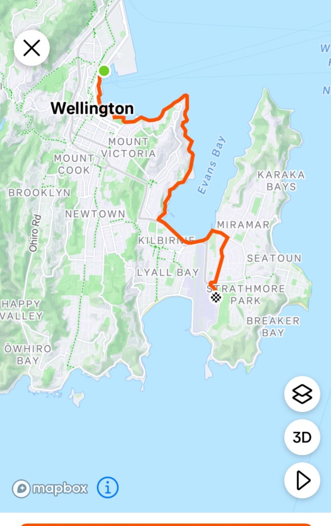
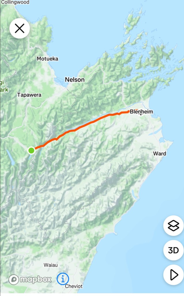
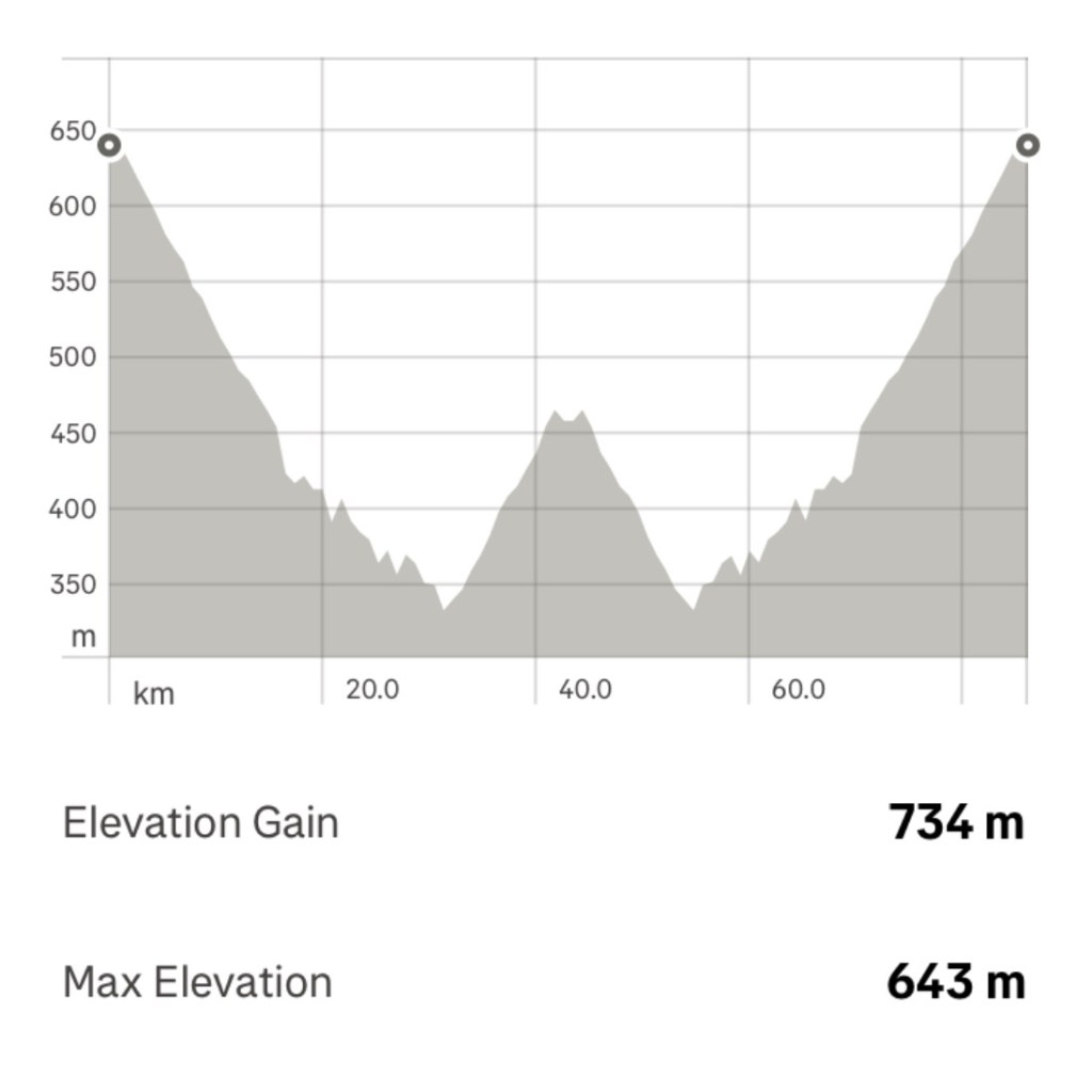
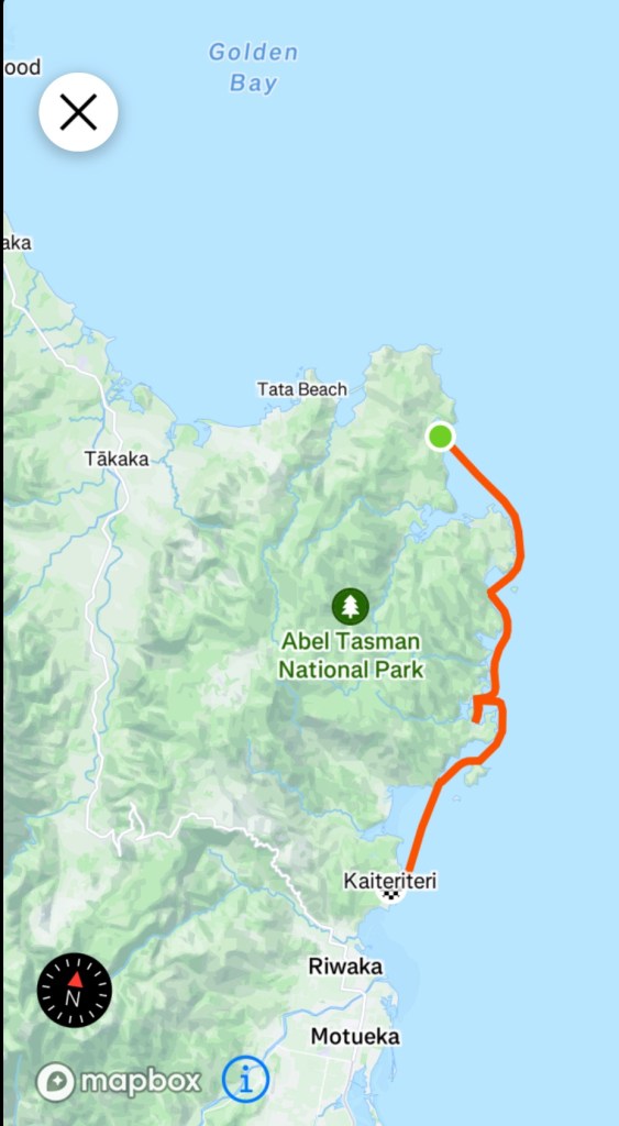
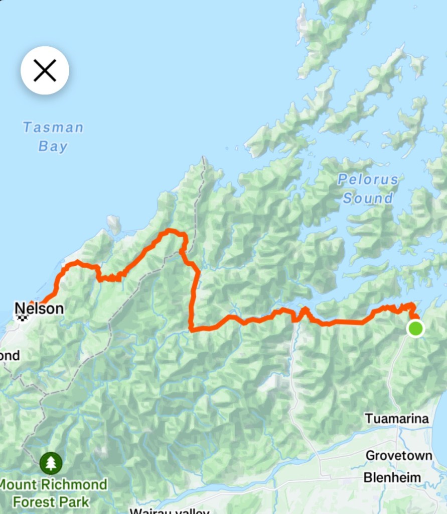
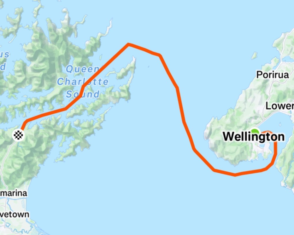
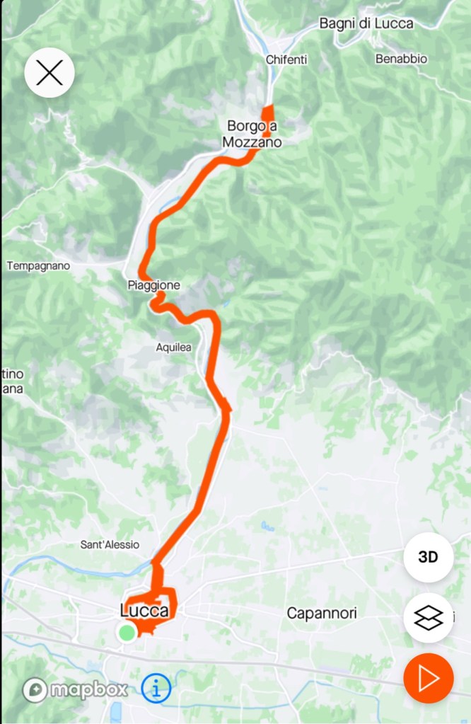
To finish this trip, we needed to ride to Picton to catch the ferry, then once in Wellington, ride to Wellington Airport to the Rydges Hotel.

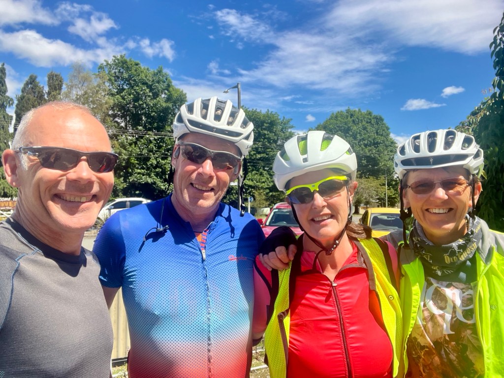
We had both slept well in our hosts Air BnB, and had a delightful breakfast awaiting us. Anyone needing accomodation in Blenheim, I can highly recommend Ella.

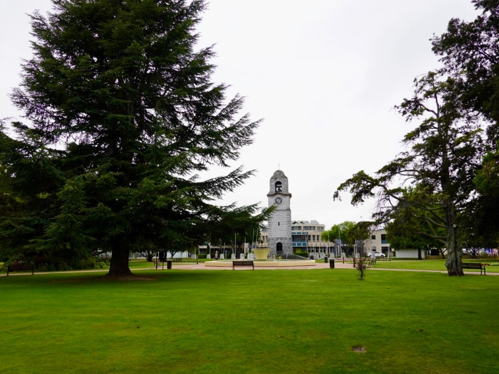
Leaving town we passed by Seymour Square and their town clock.

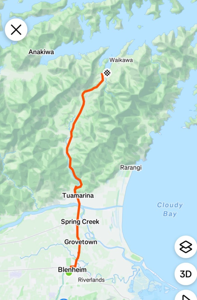
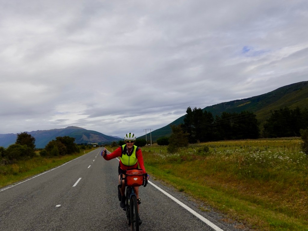
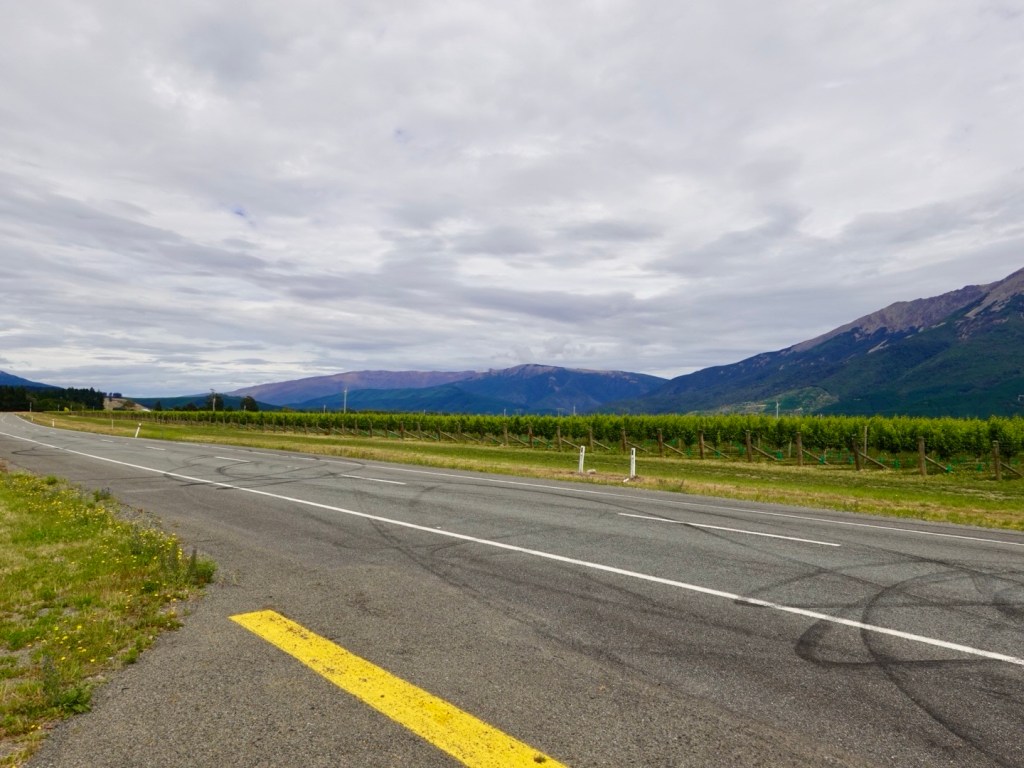
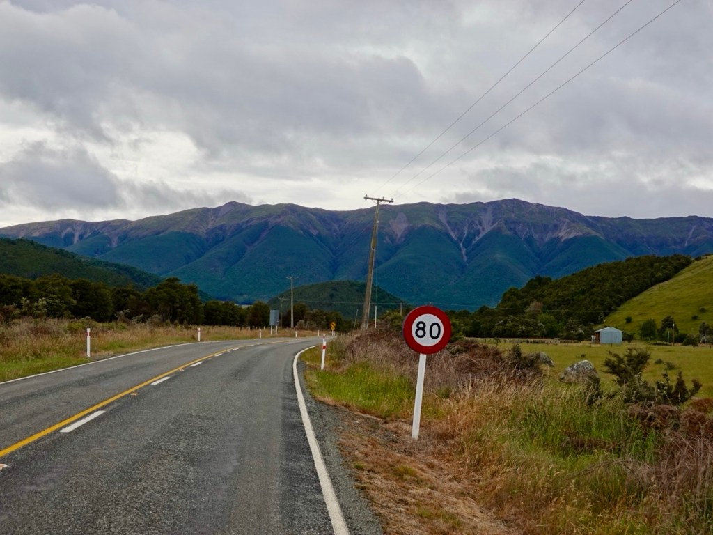
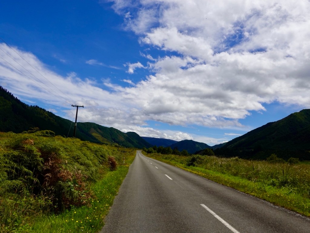
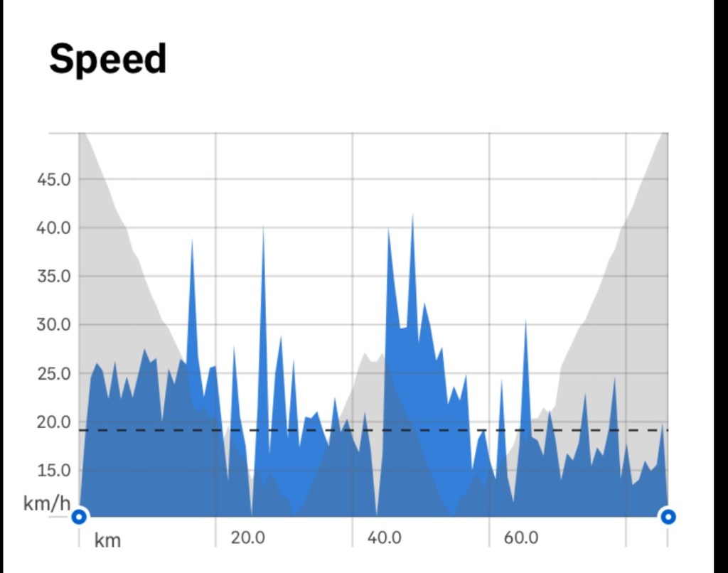
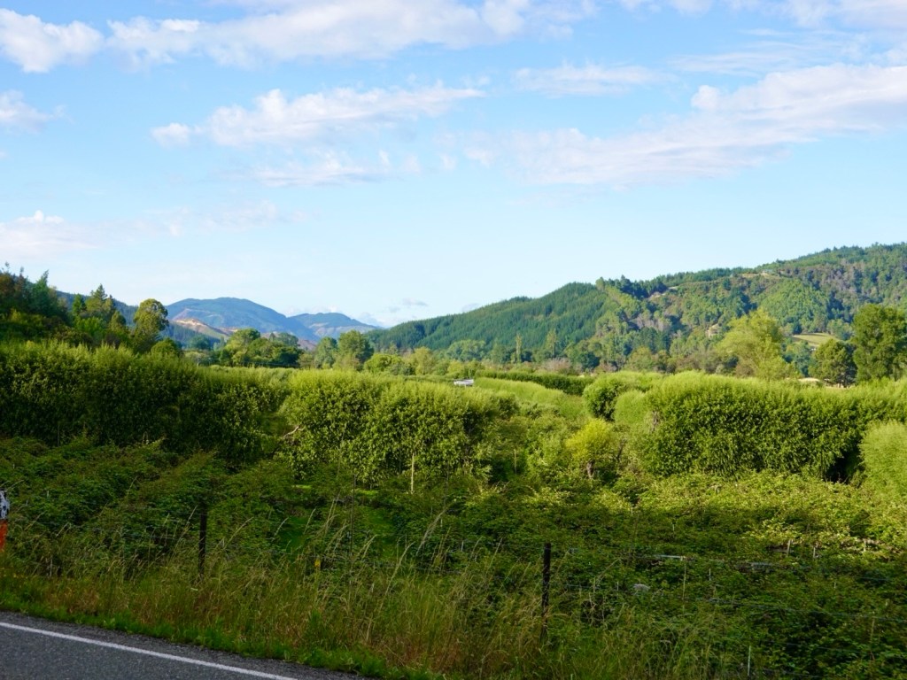
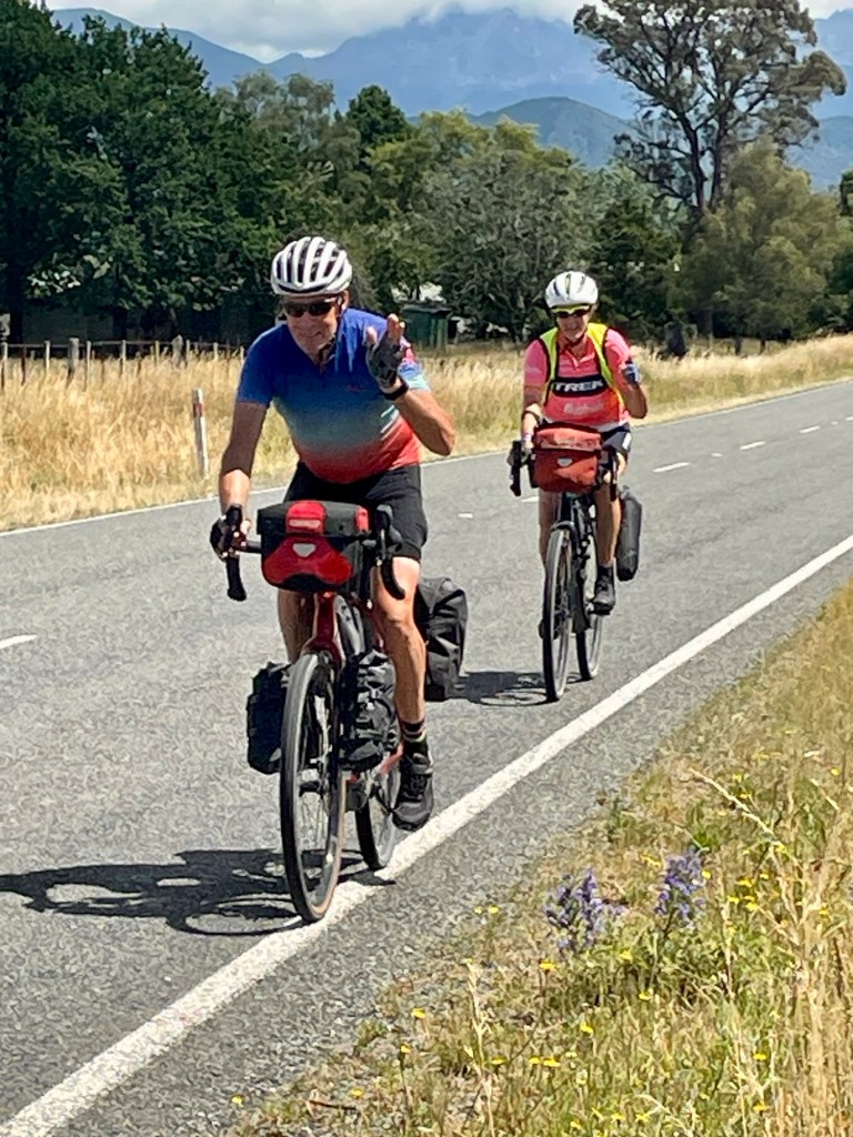
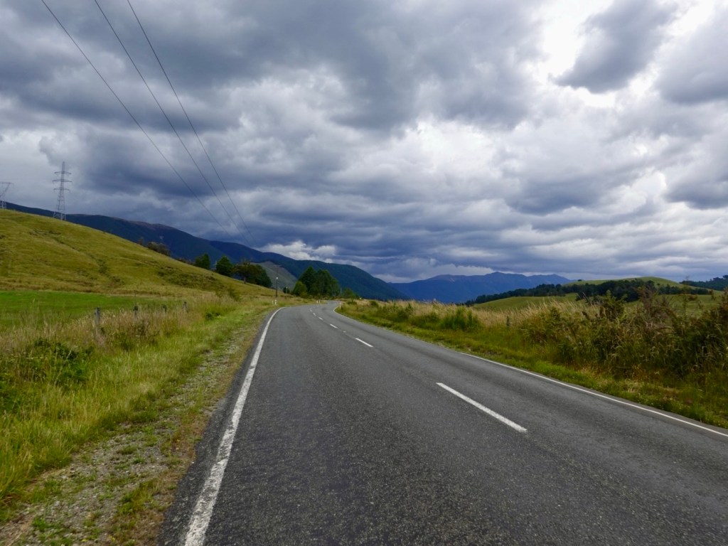
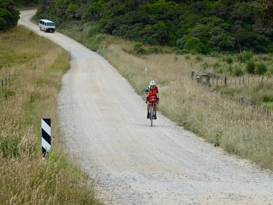
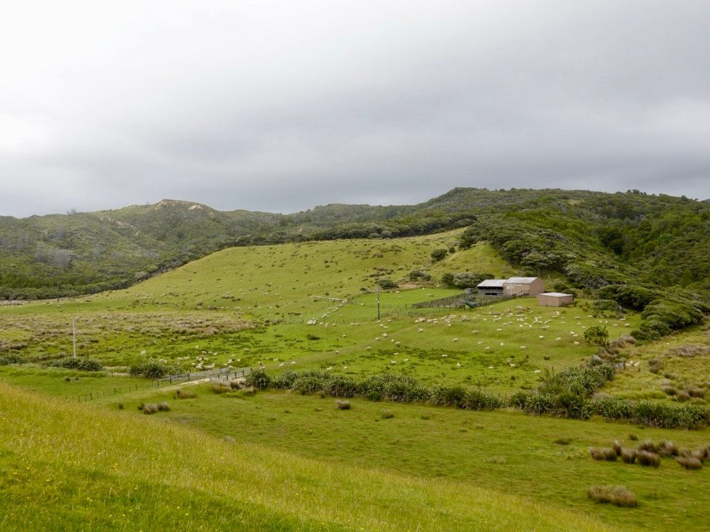
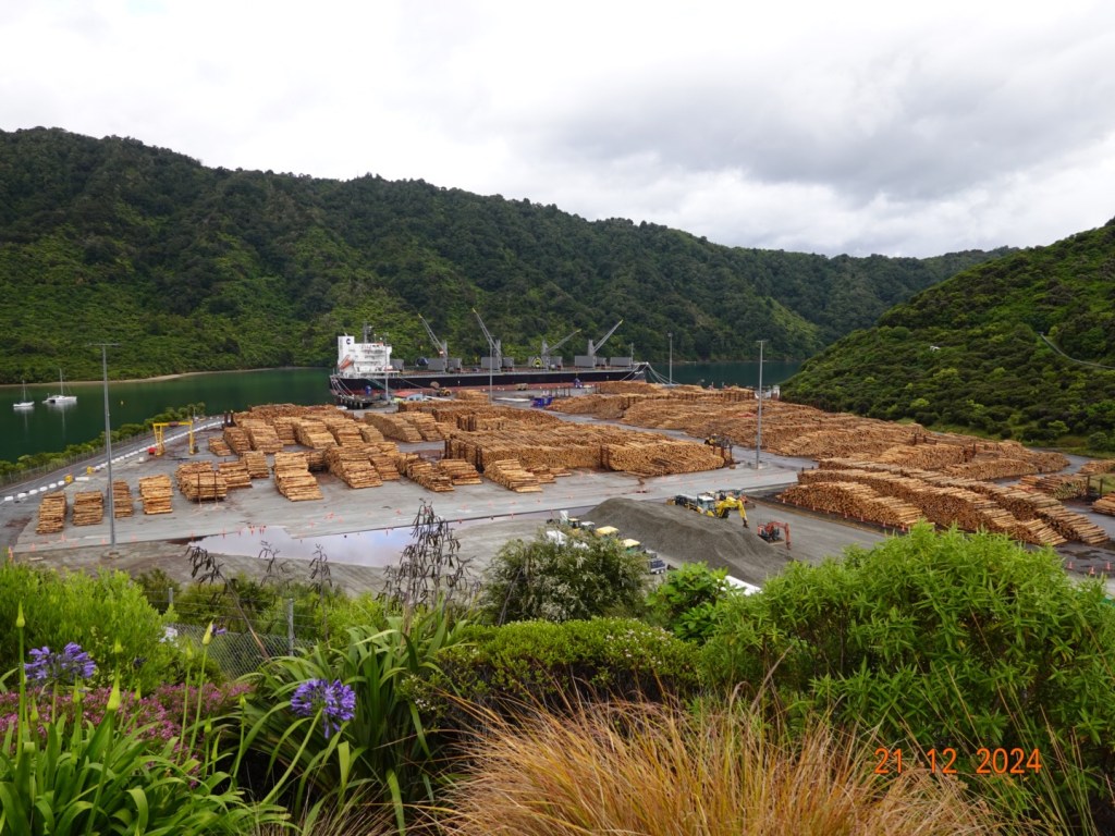
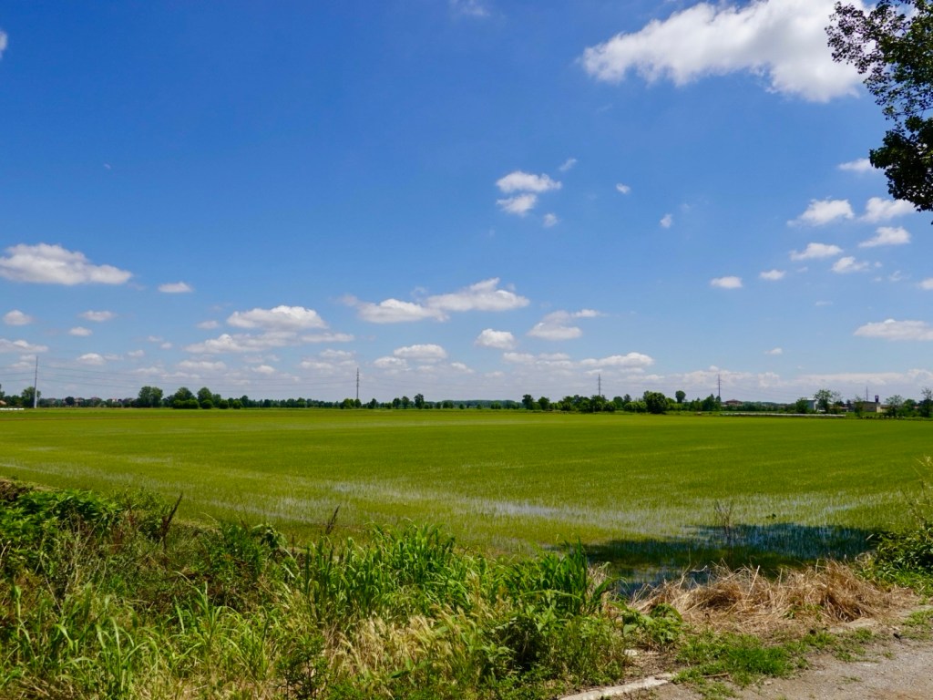
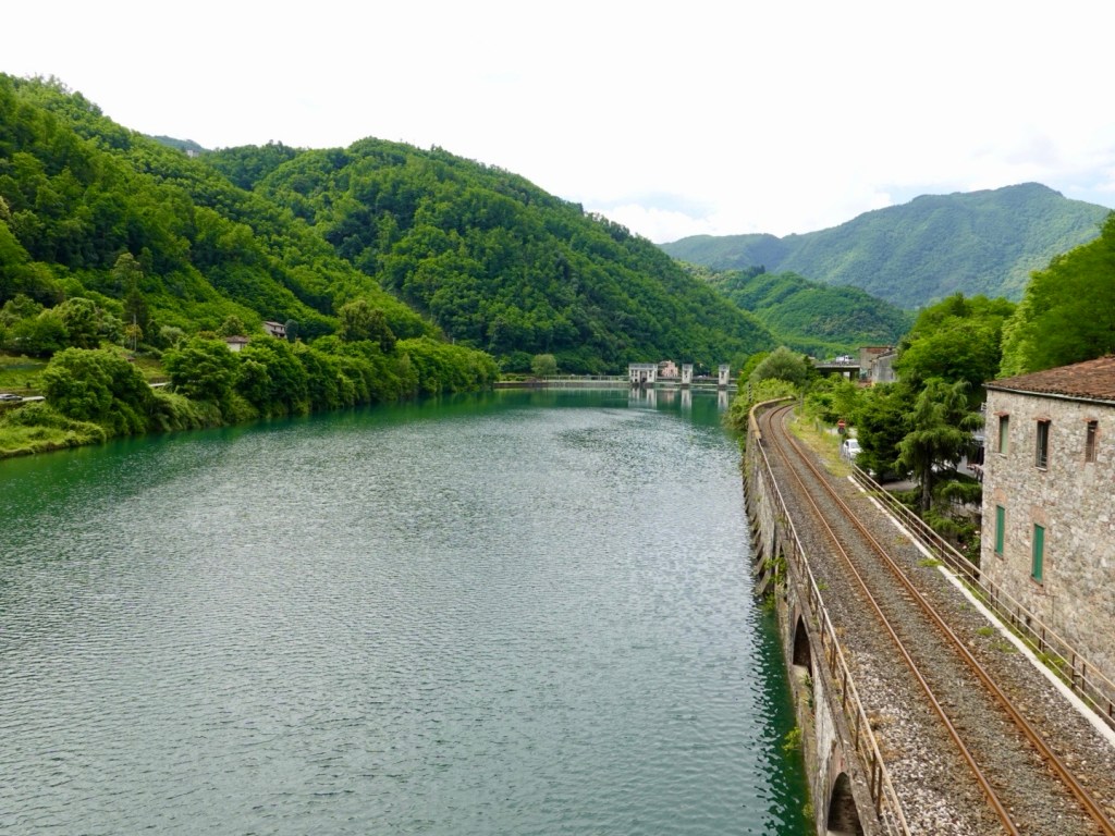
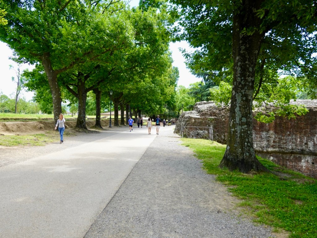
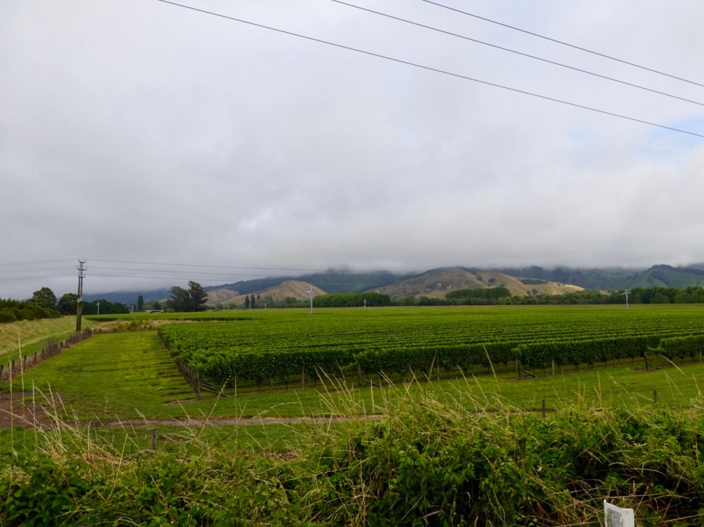
We started off on a mix of highway and gravel shared pathway adjacent to the highway which was quite busy with trucks and cars heading towards Picton and the two main companies that plough across Cook Strait.

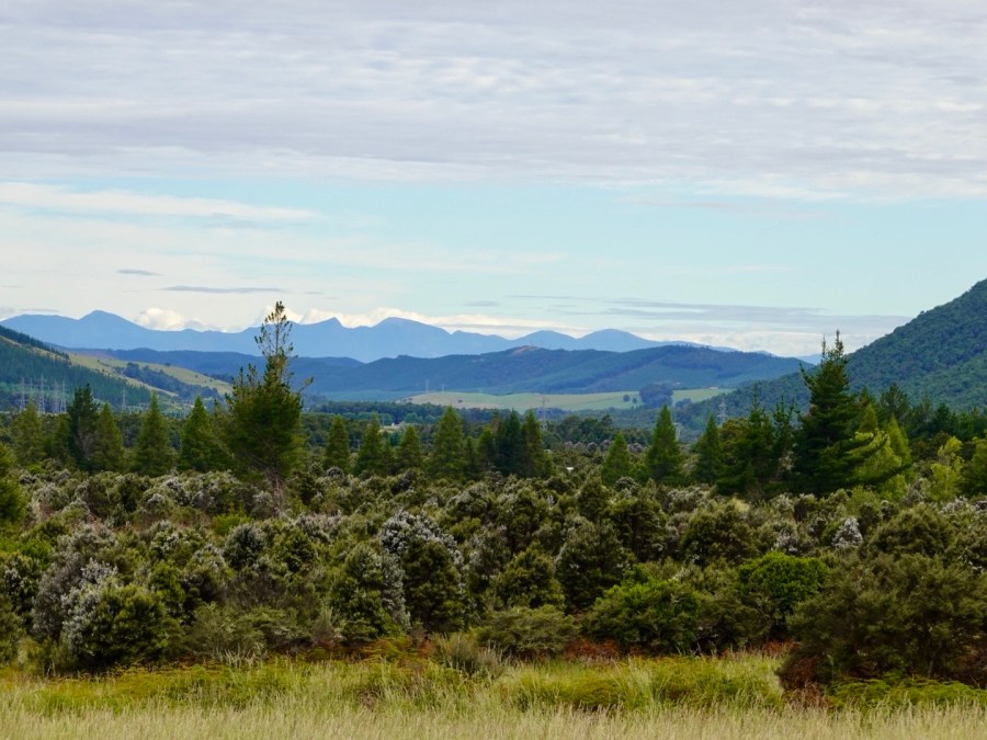
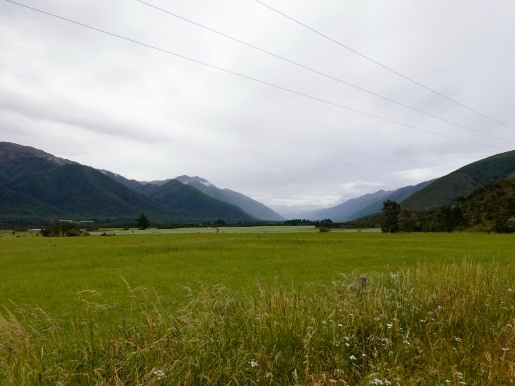
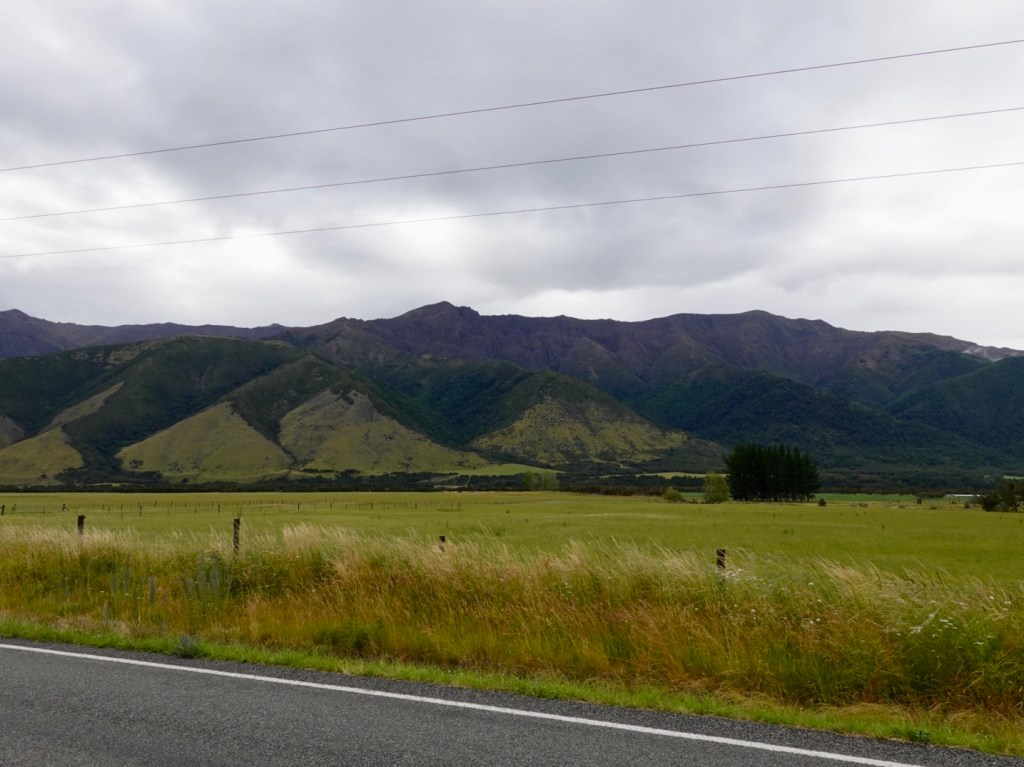
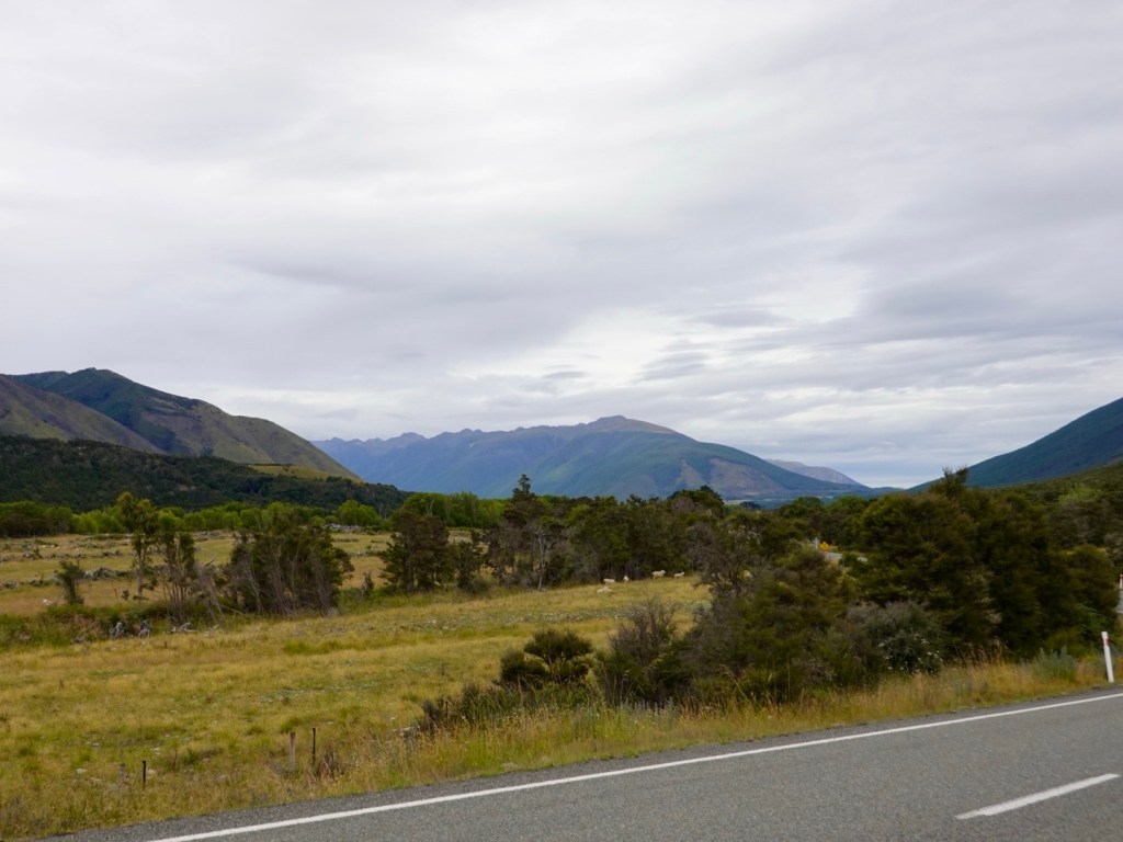
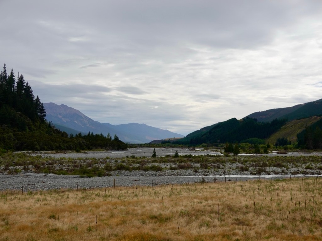
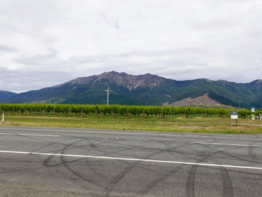
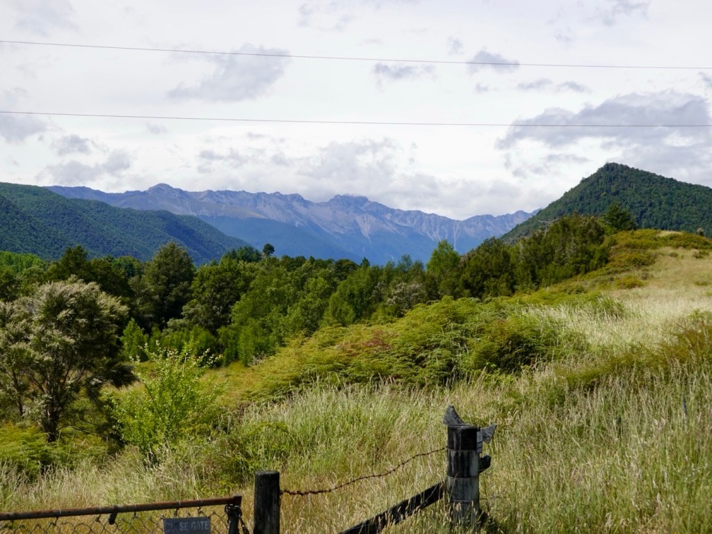
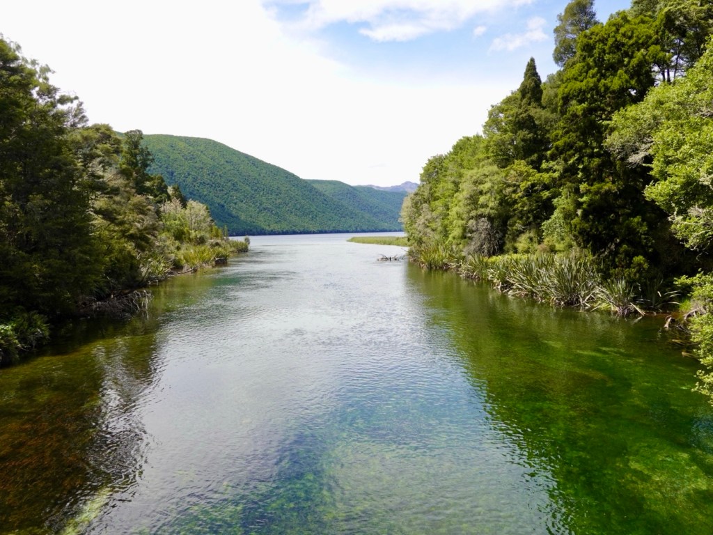
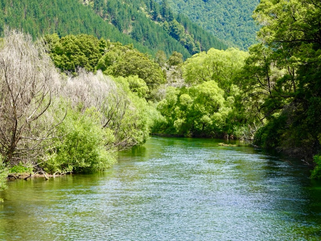
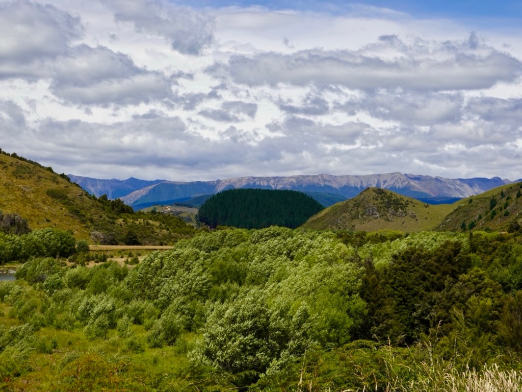
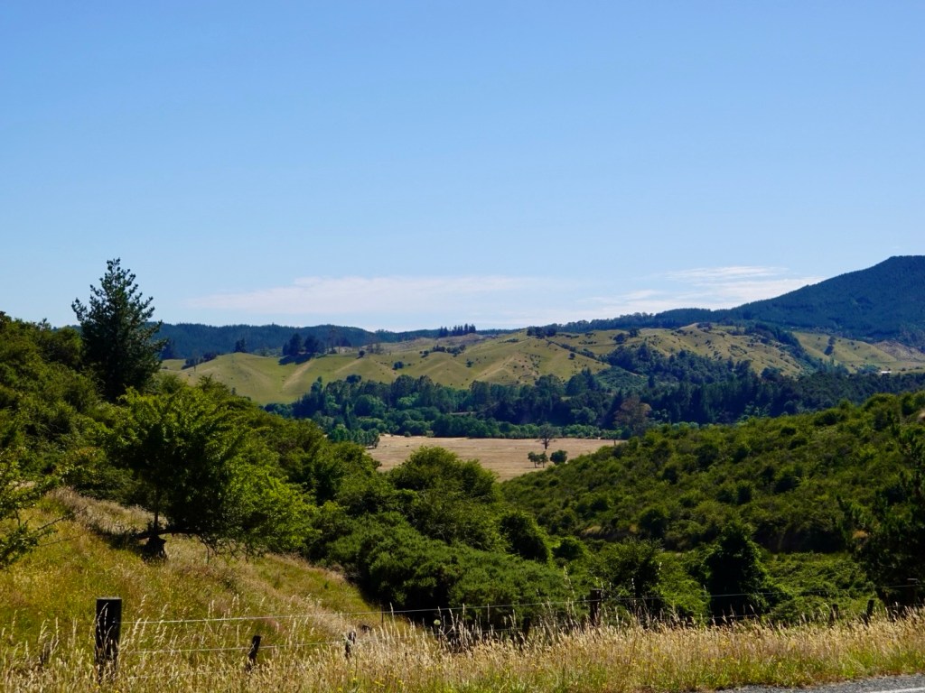
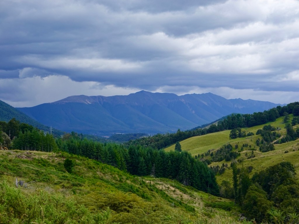
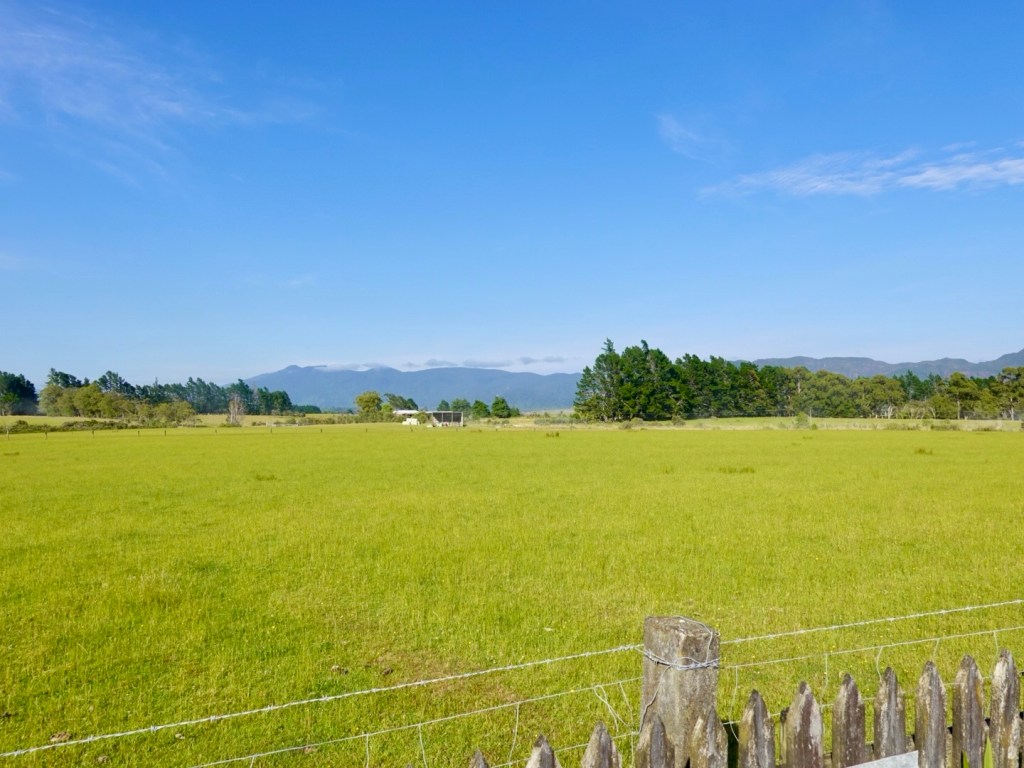
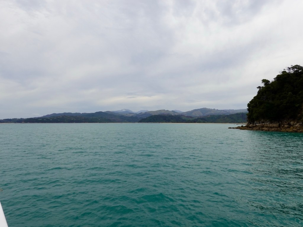
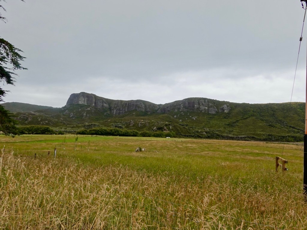
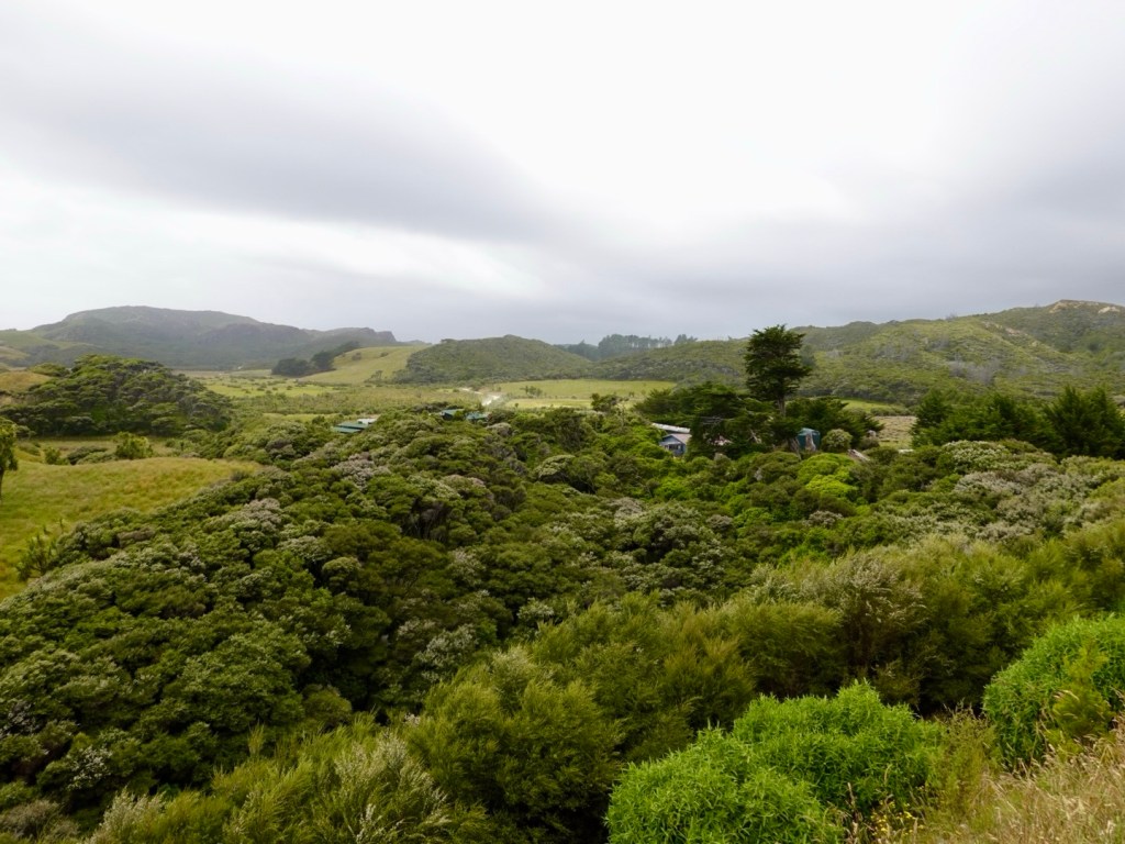
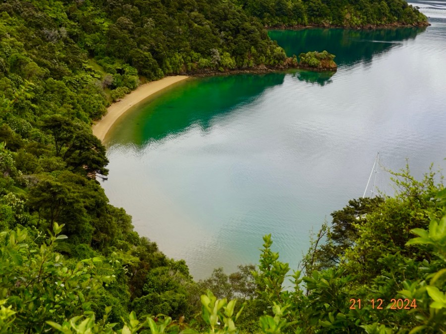
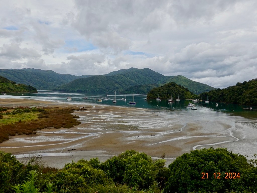
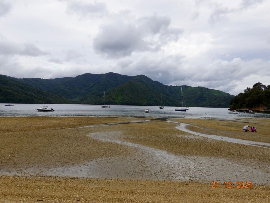
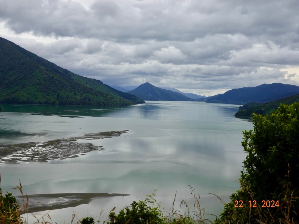
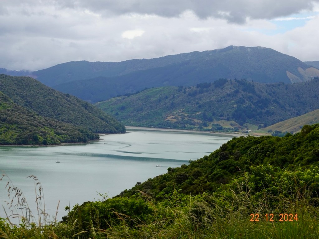
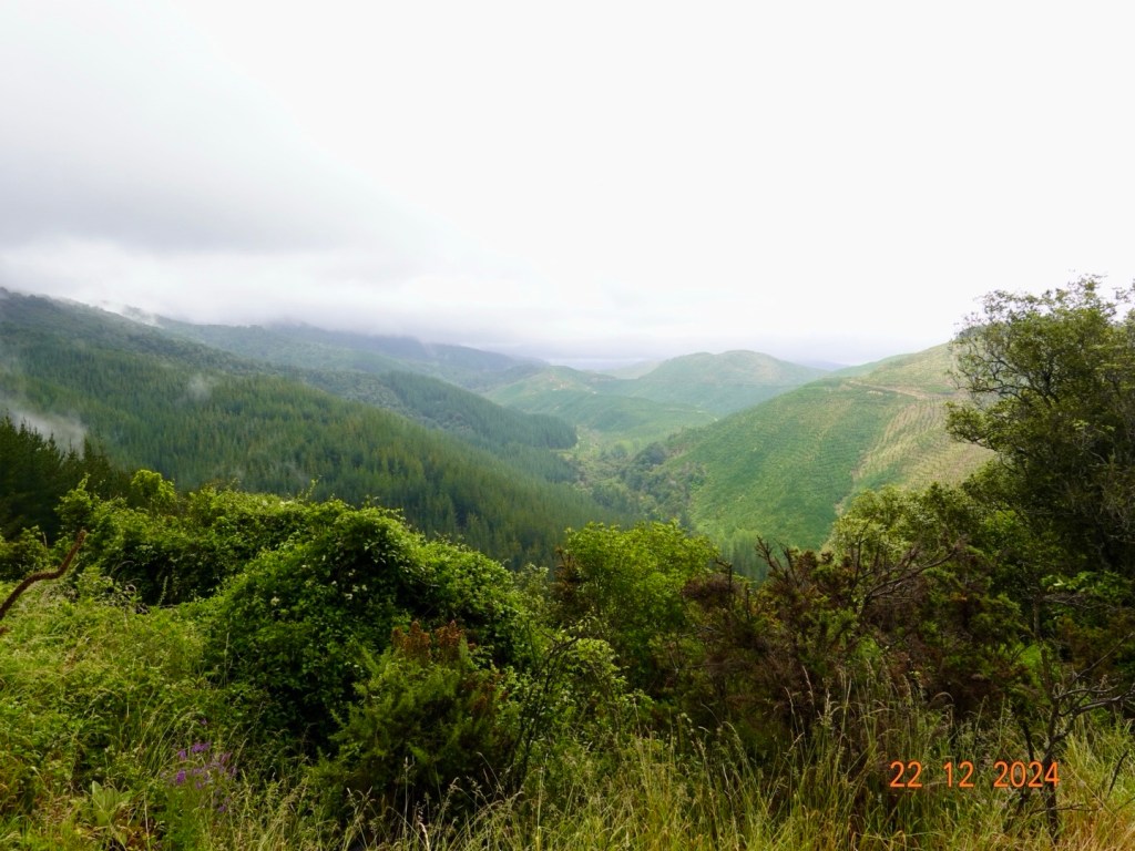
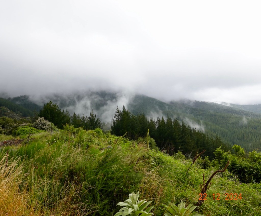
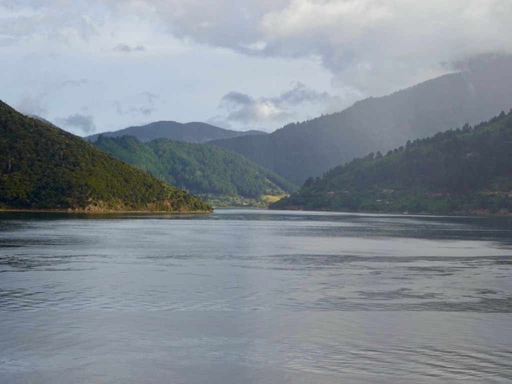
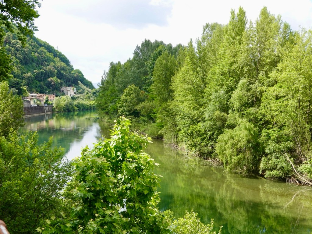
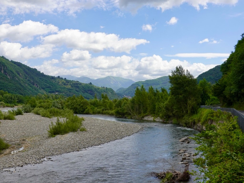
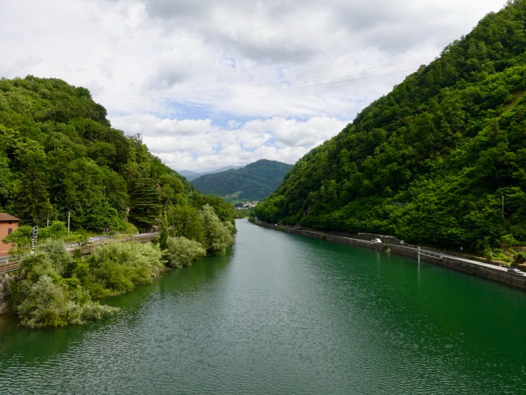
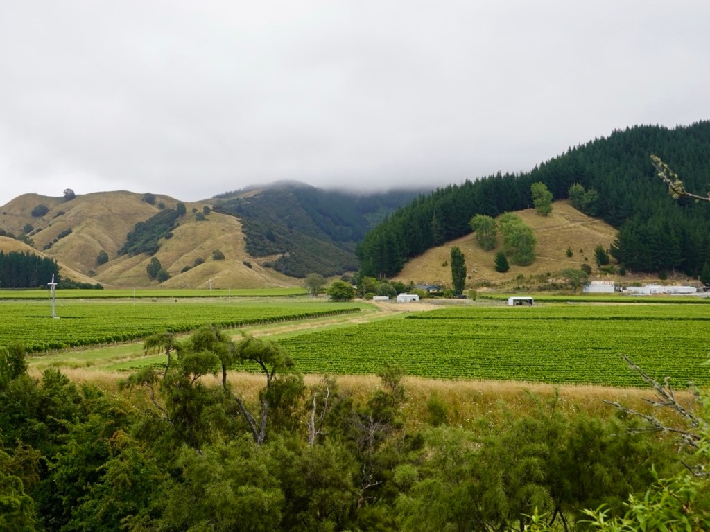
The day was very overcast with low clouds hanging over the hills and ranges thereby limiting views.

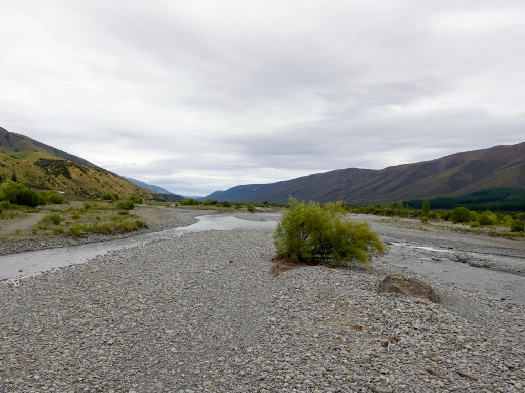
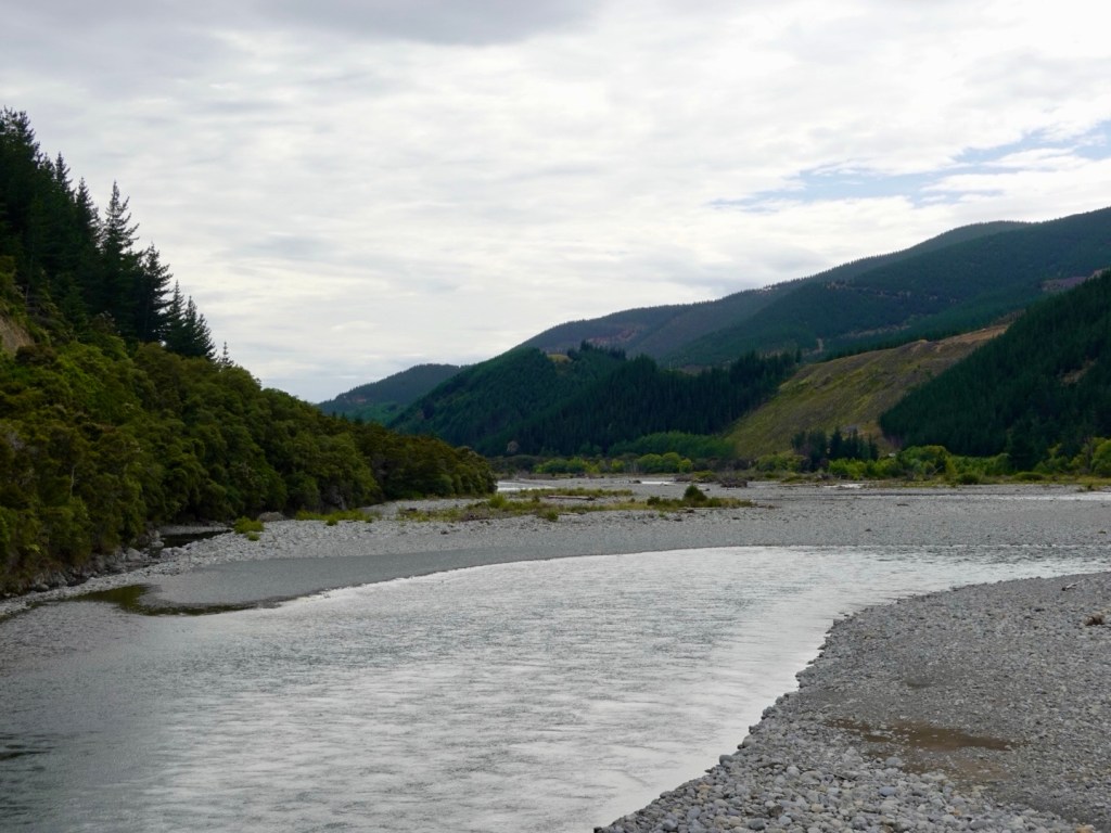
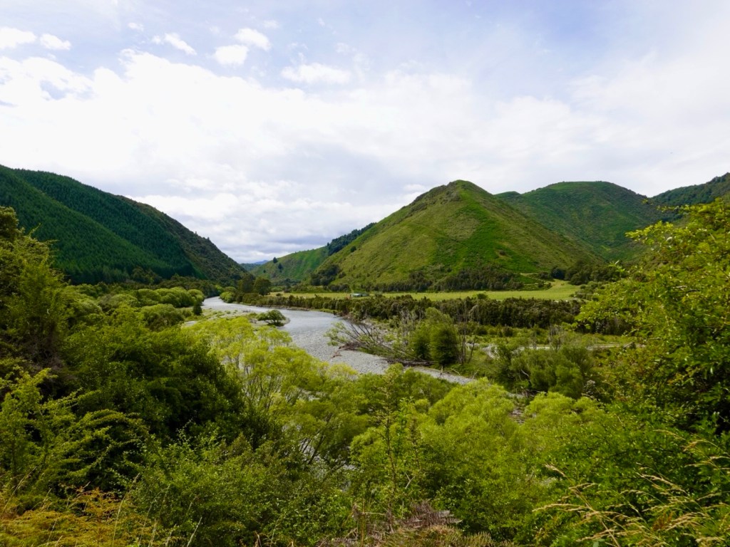
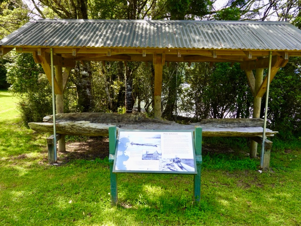
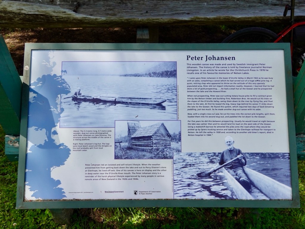
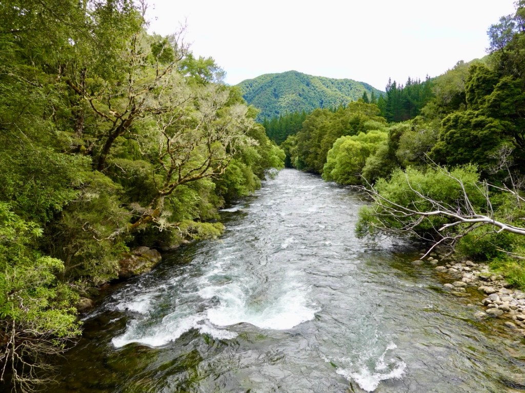
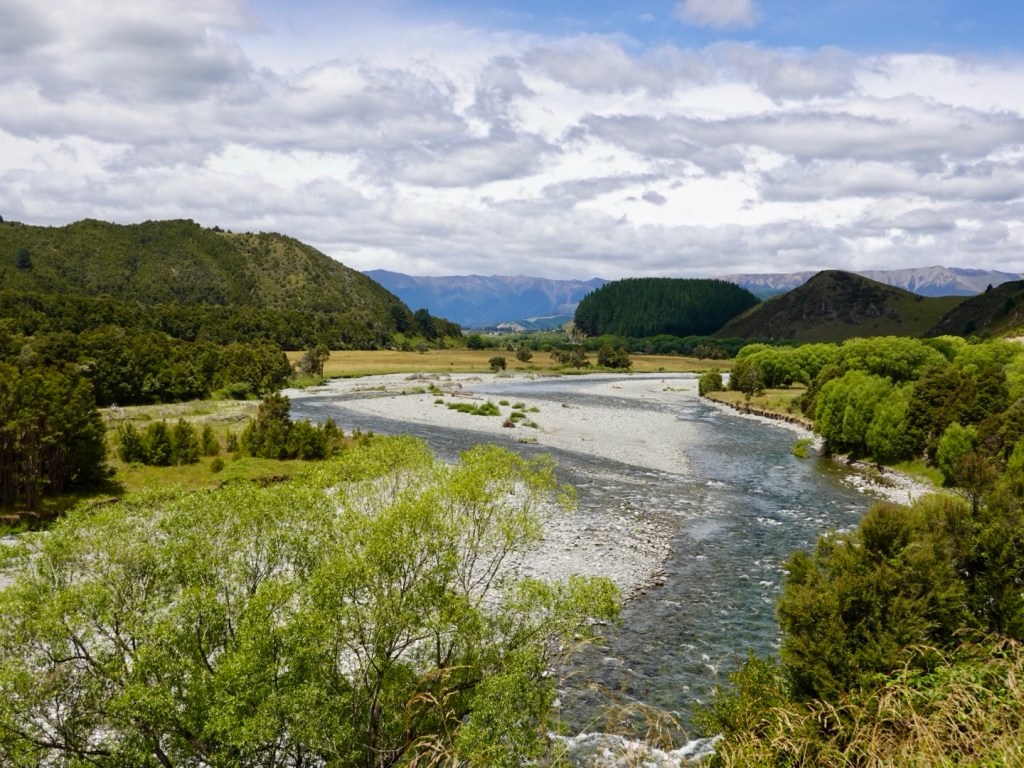
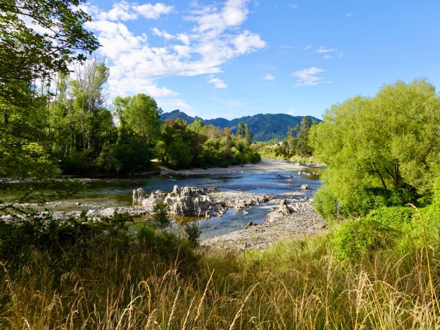
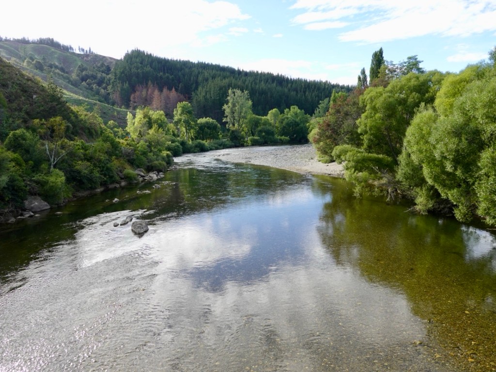
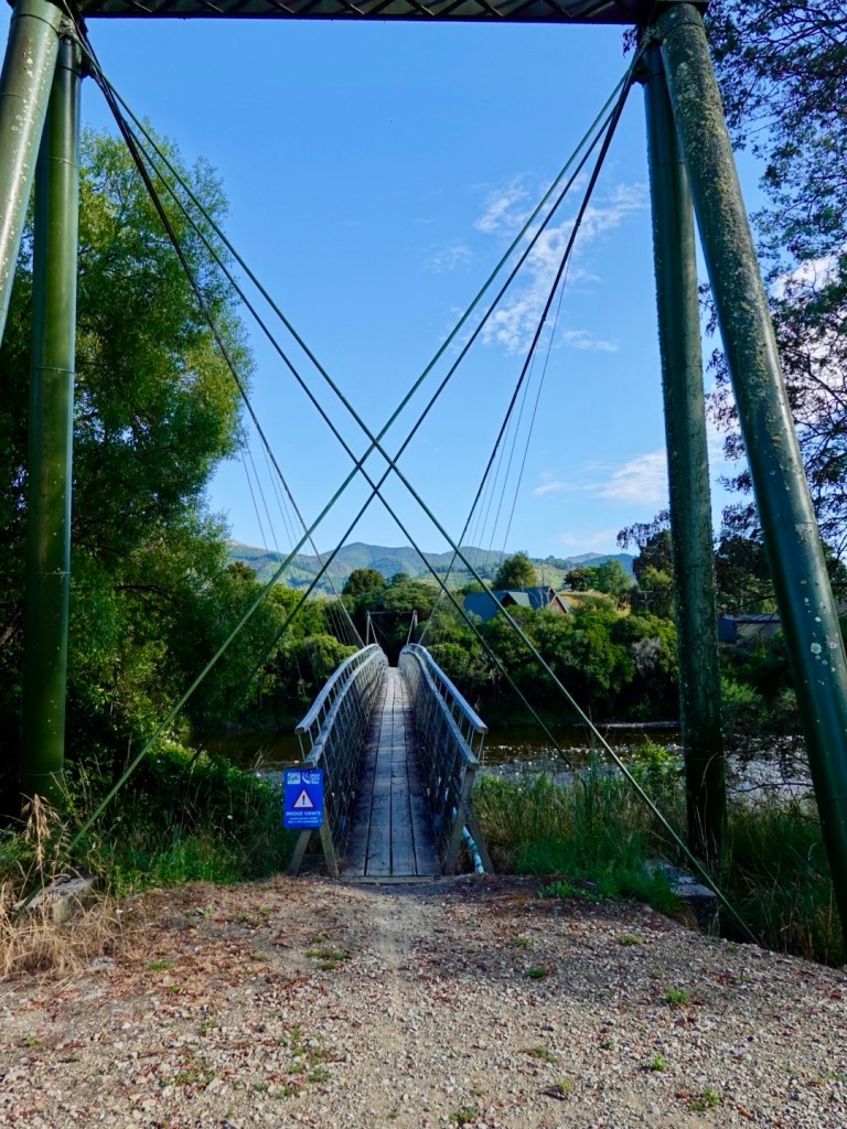
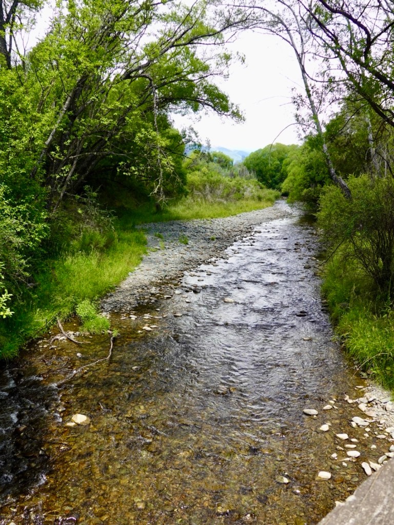
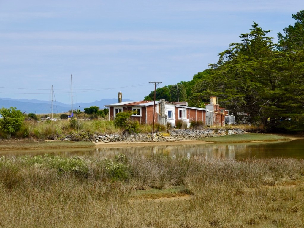
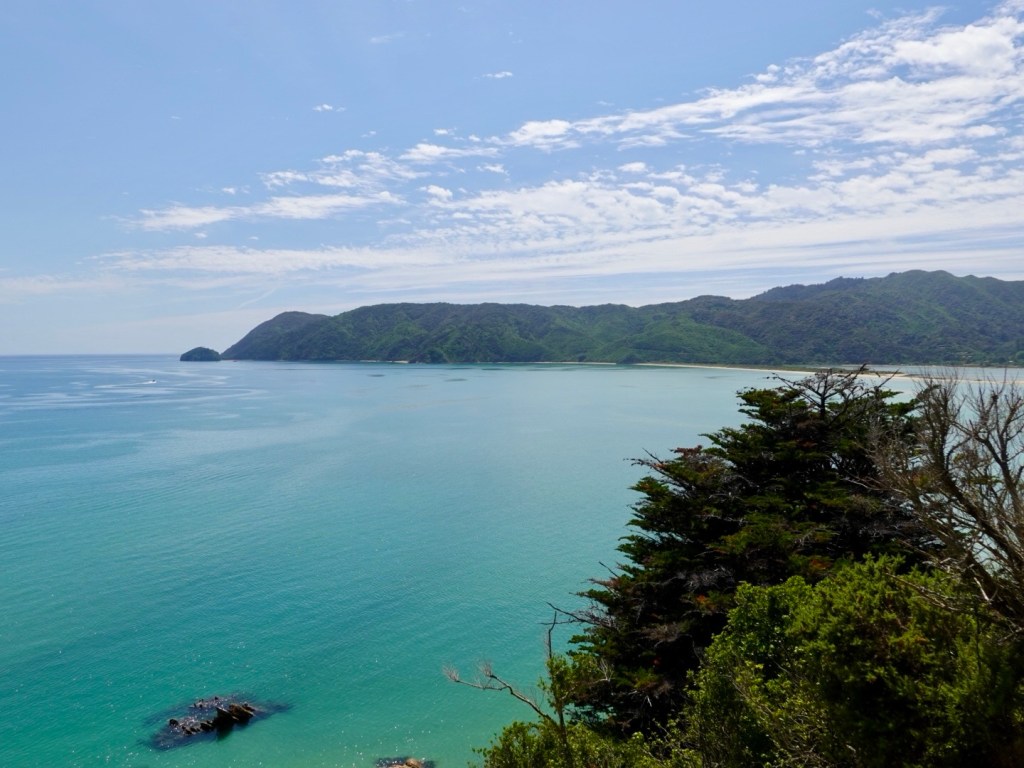
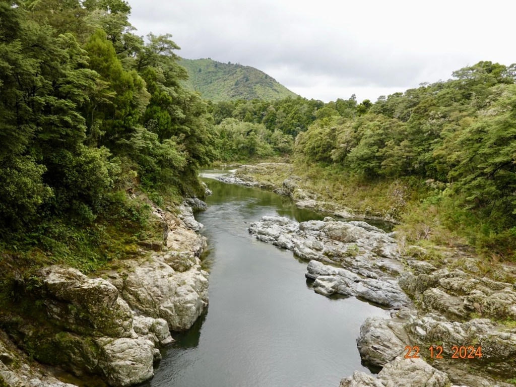
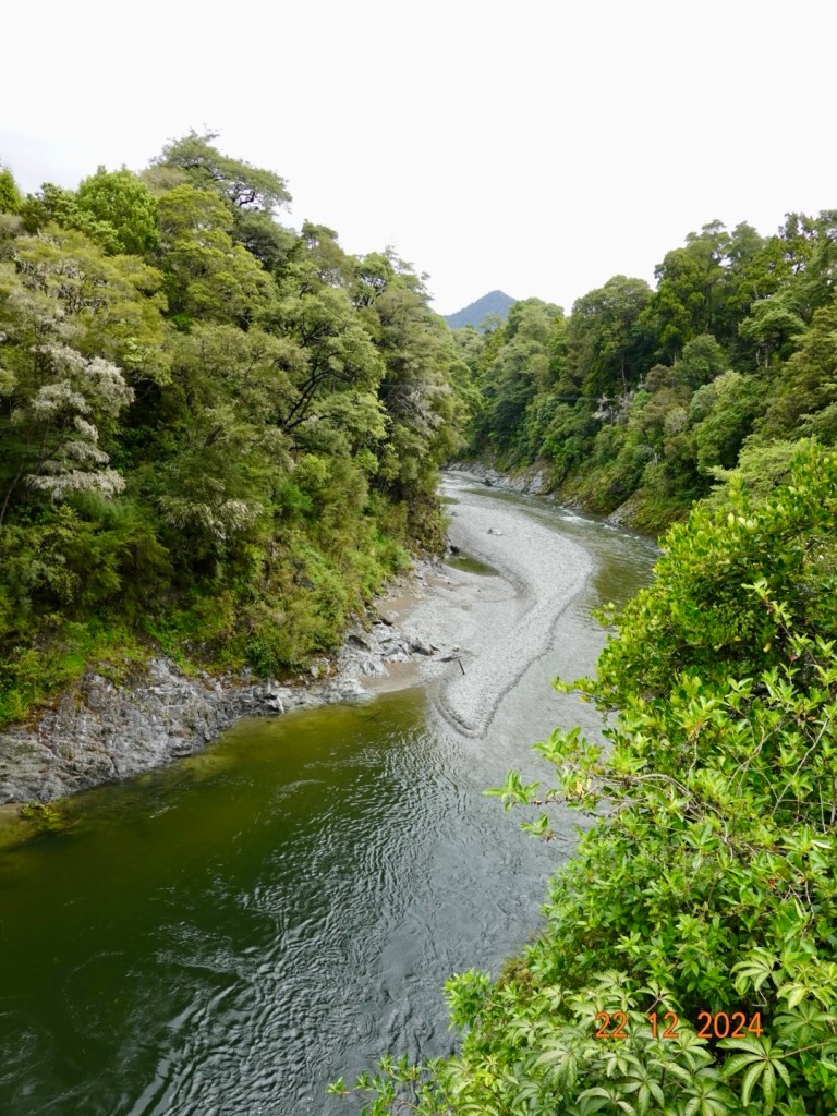
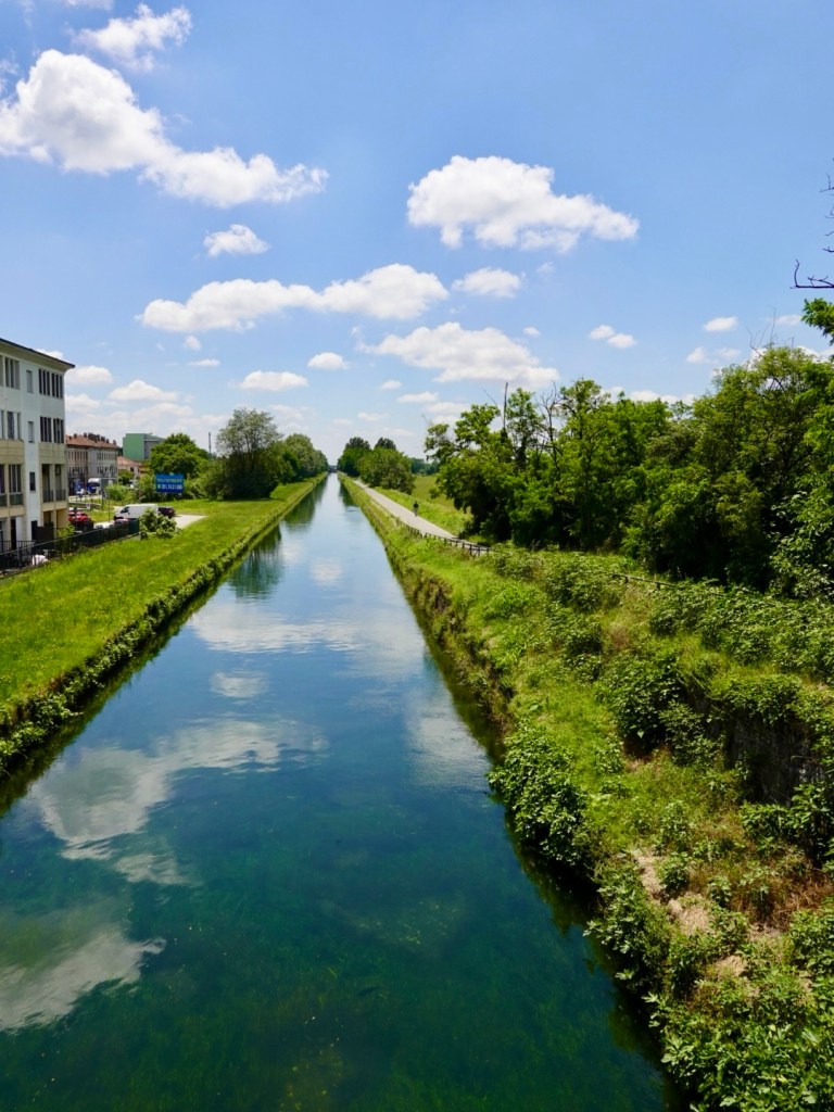
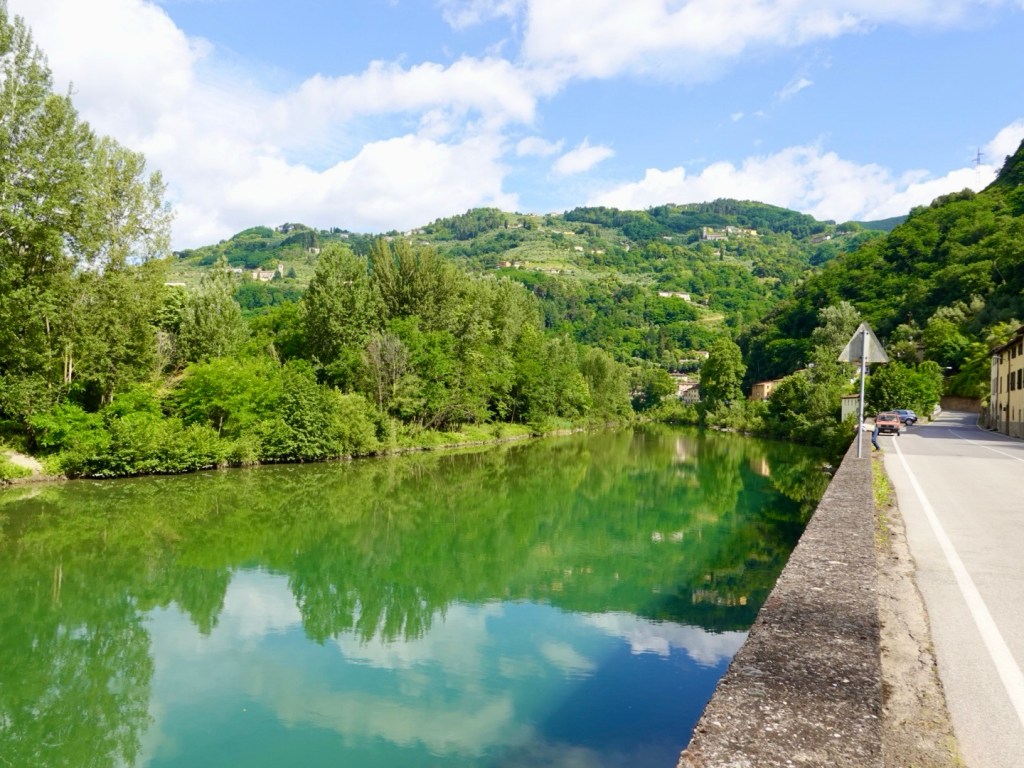
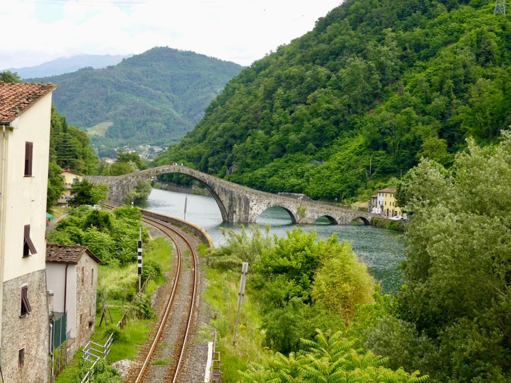
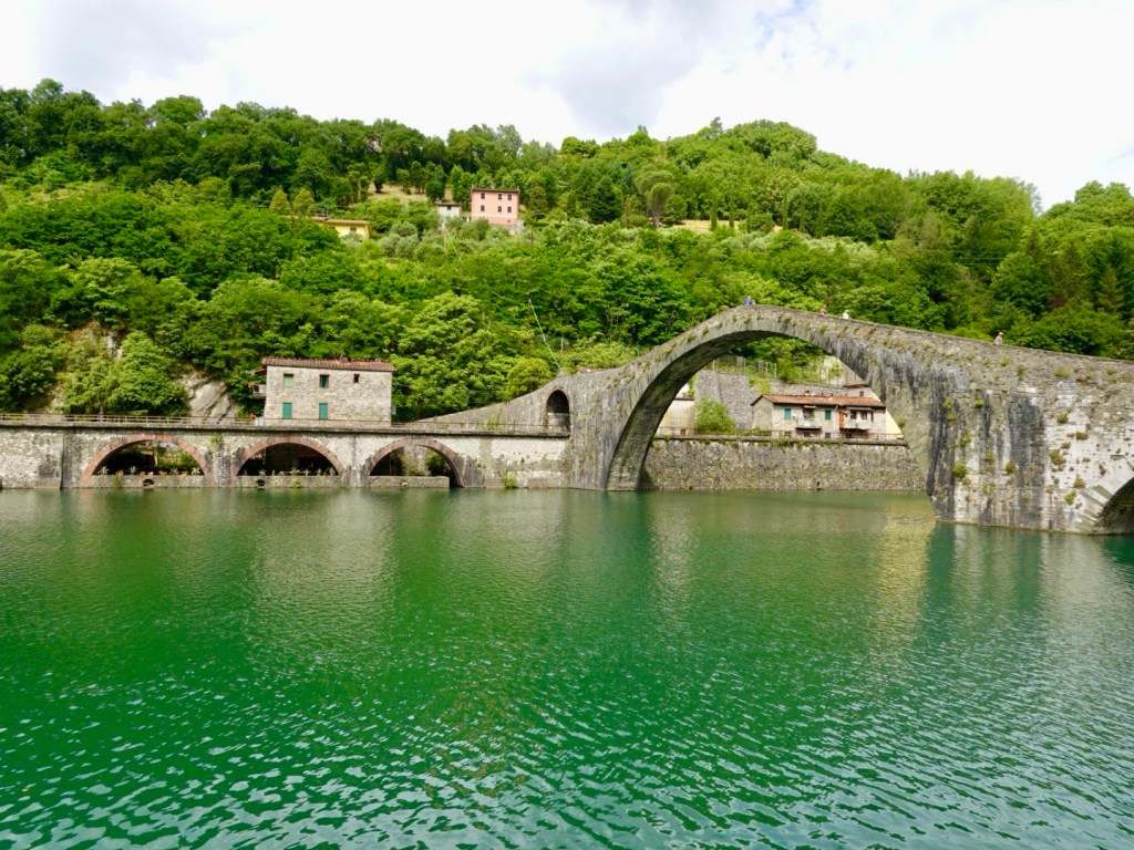
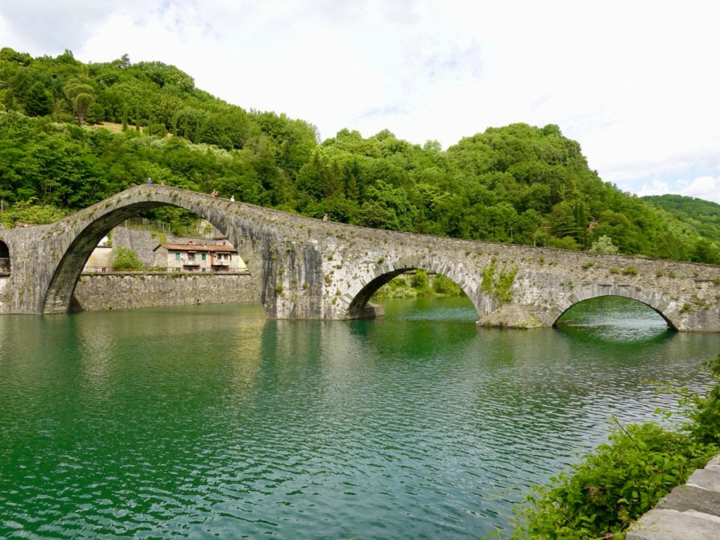
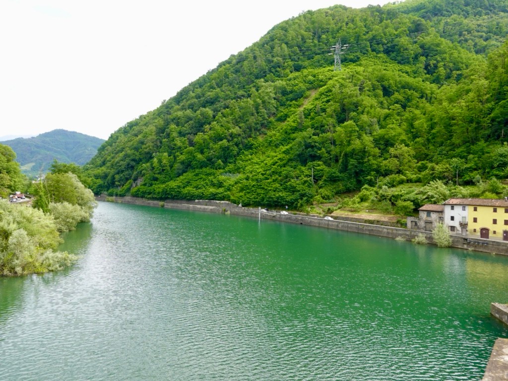
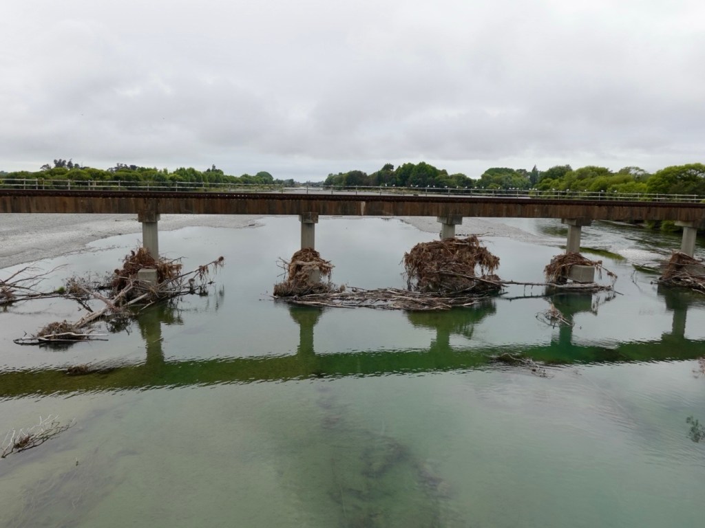
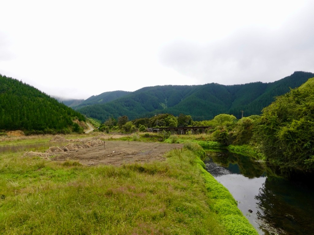
Crossing the Wairau River (followed for much of the previous day), two things of note. Firstly the amount of timber debris caught up on the pylons of the railway bridge. One would presume similar underneath the bridge we were standing on.

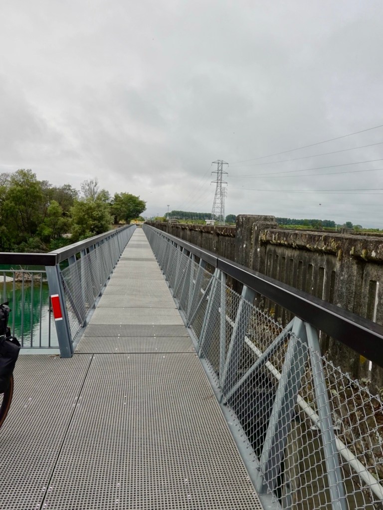
Secondly, as part of the shared pathway, a bridge had been attached adjacent without the use if online but using the main bridge structure for support. It’s a great, safe crossing and well done to the regional council.

Looking back towards Blenheim

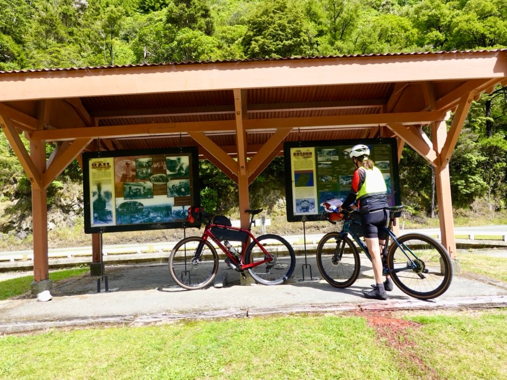
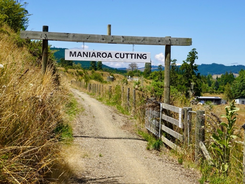
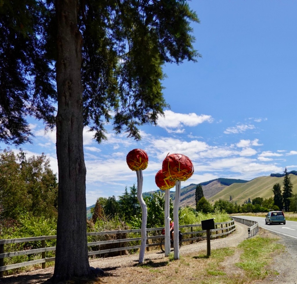
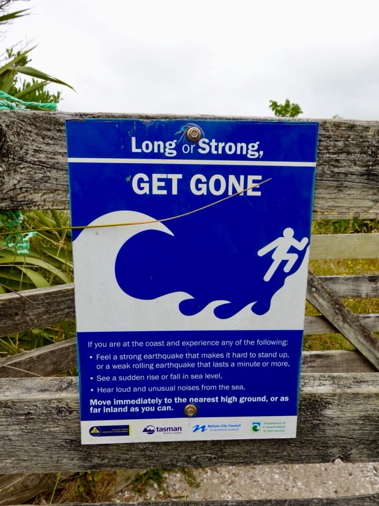
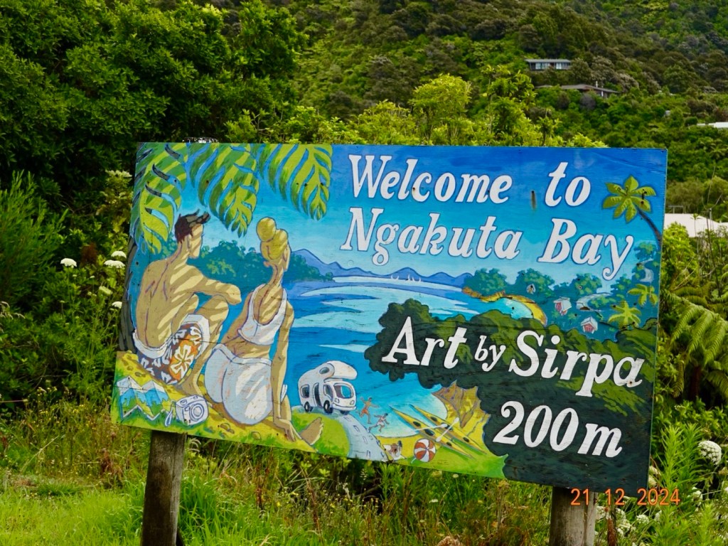
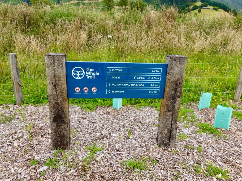
We noted signs for The Whale Trail and decided to follow it, given the calibre of signage.

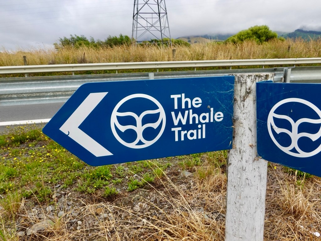
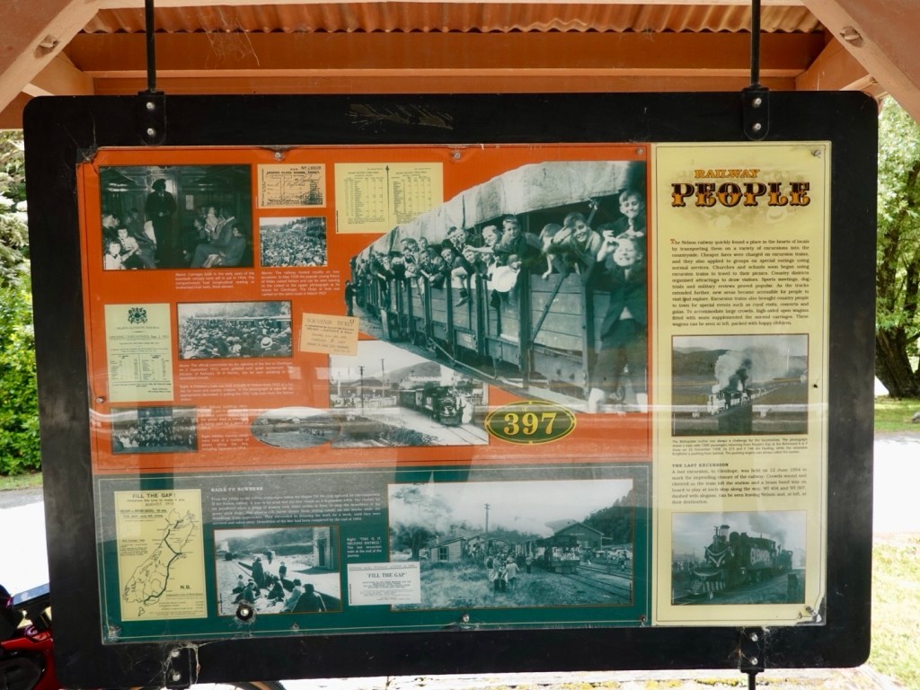
Later research revealed that the Whale Trail inception was at 12.02 am on 14 November, 2016 when the magnitude 7.8 Kaikoura earthquake struck the region.

Sections of the state Highway and rail corridor were obliterated isolating communities.

The trail, upon completion, will be a 210 km cycling and walking trail from Picton to Kaikoura.

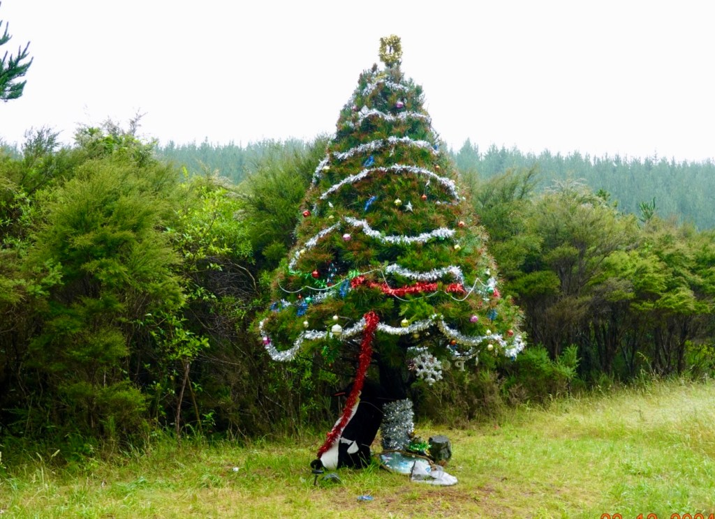
At one junction was this poignant reminder. The loss of a young persons life, and suffering friends and family. Unopened bottles and cans of beer, fruit juice, photos all serving those who loved him as a sad reminder of the tragic loss of a young life.

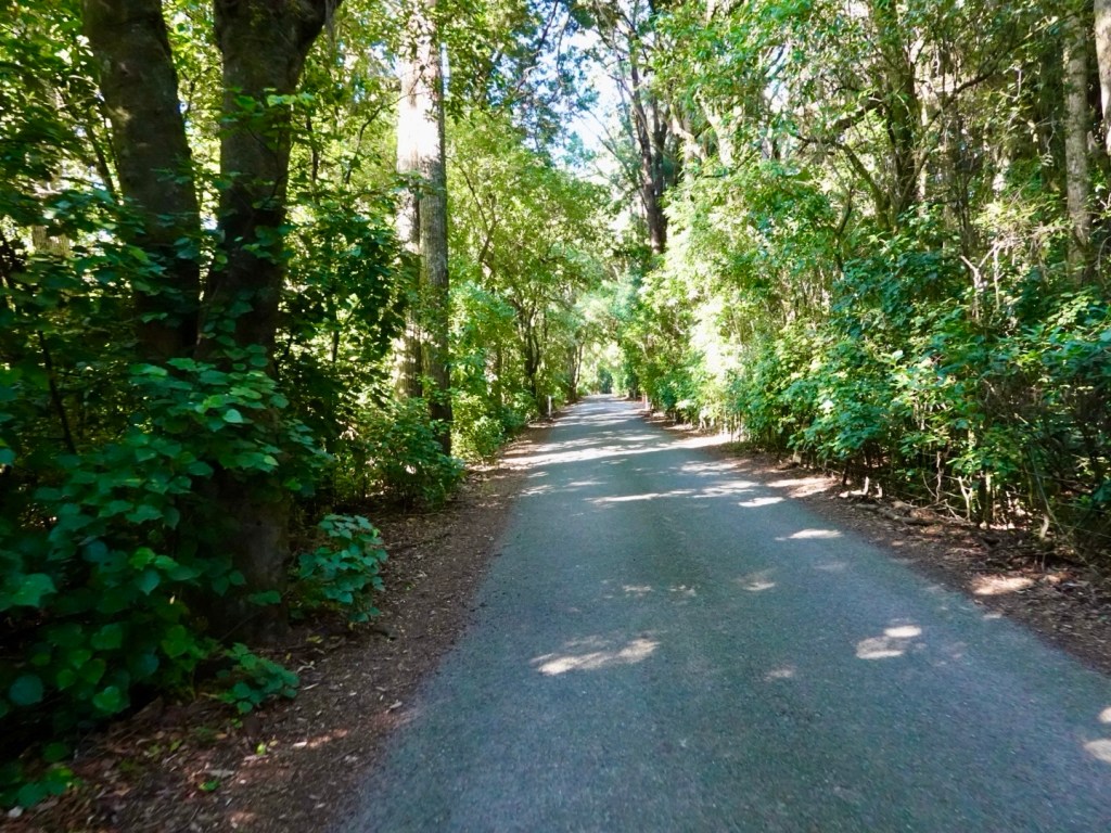
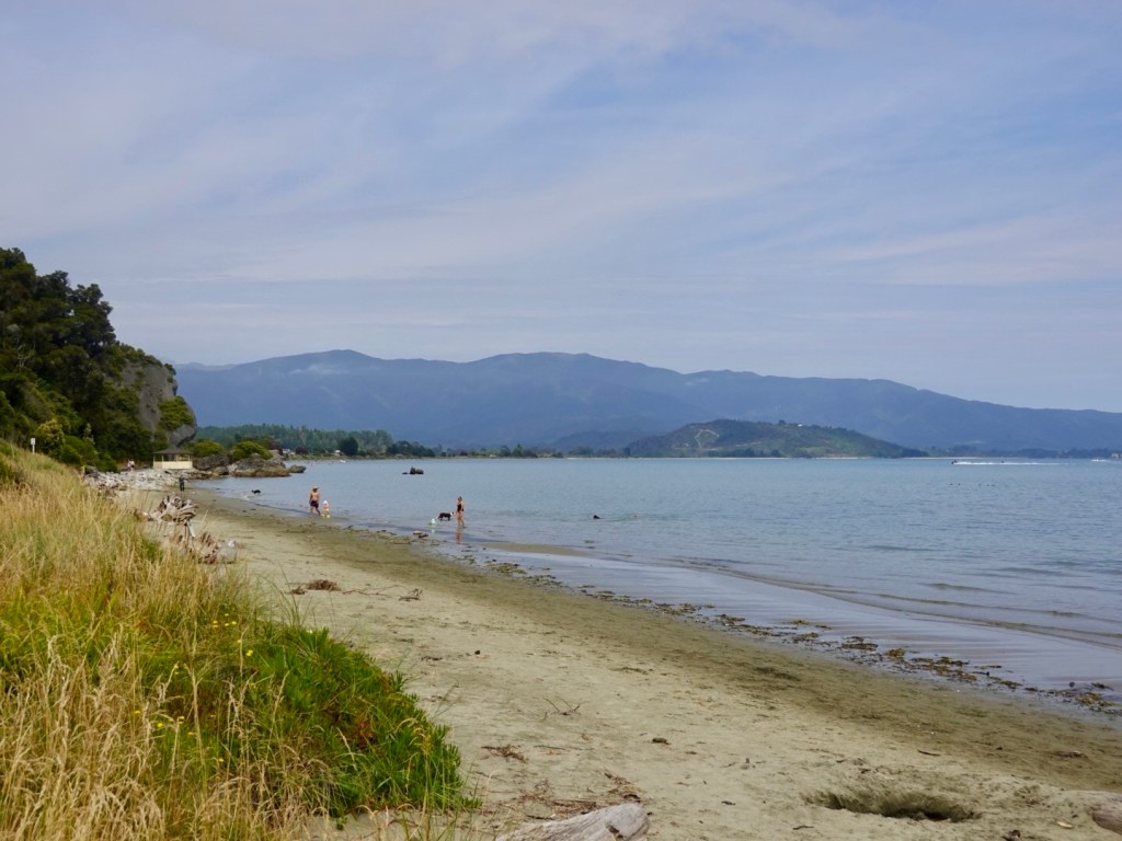
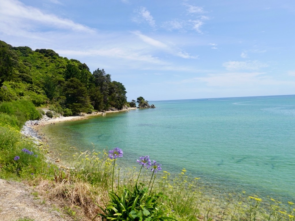
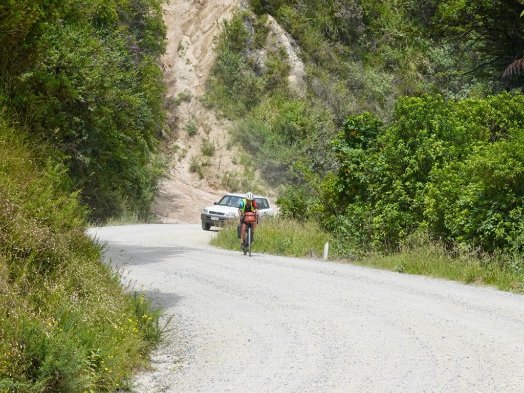
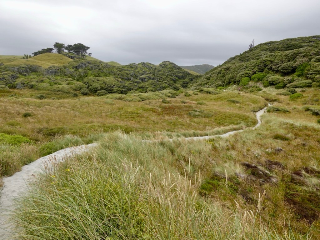
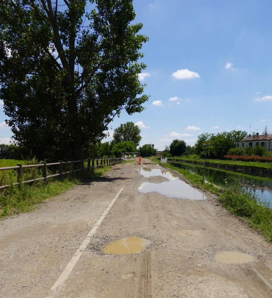
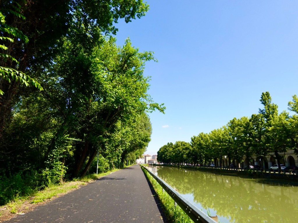
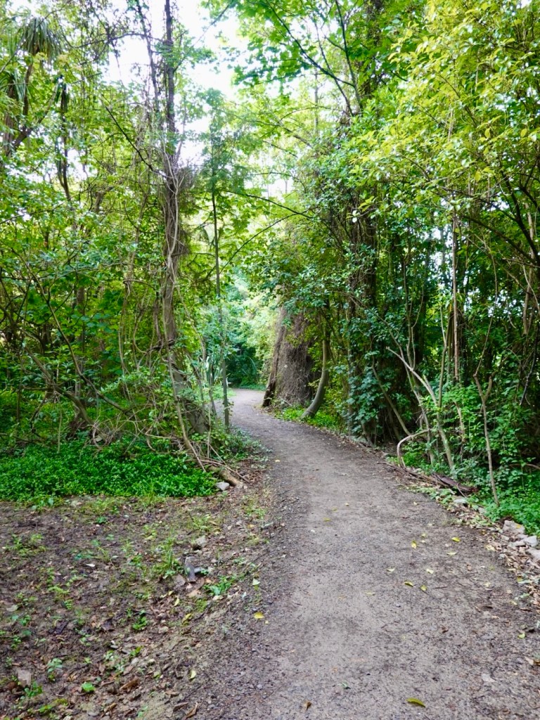
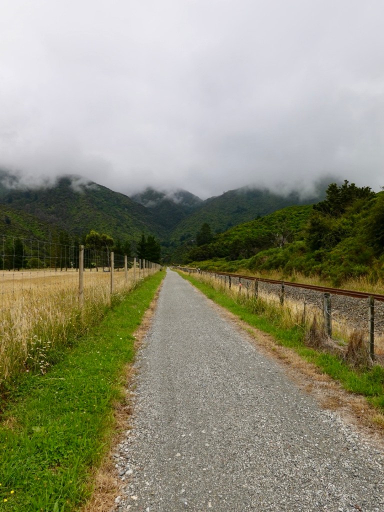
This section of pathway weaved through dense vegetation.

The signage continued with no warning of this…

There is a significant drop from this bridge. The track just ended. There is a 2-3 metre drop off the end.
The track has not continued as far as we could see forward.

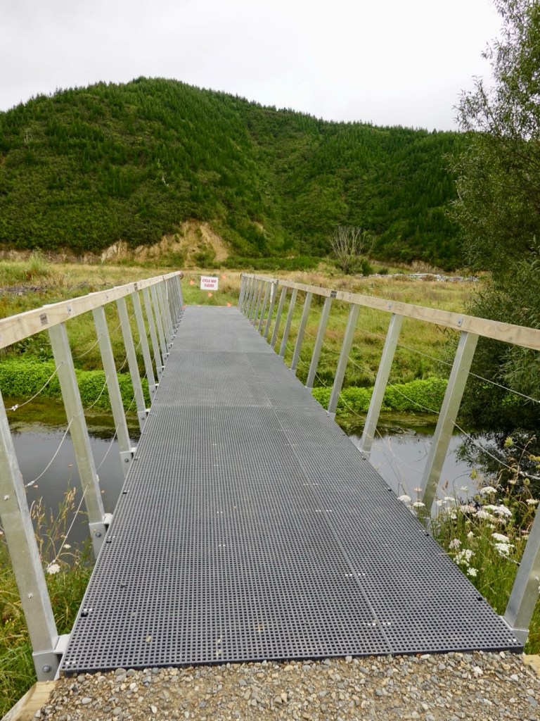
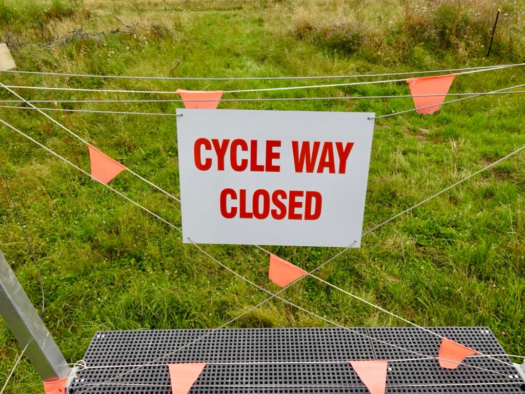
Whilst it’s a great track, there should have been a reroute sign nearby 2 km cycling back tracking cyclists back onto the highway.

We rode part way back until we found a spot we could push the bikes back up a hill to the highway.

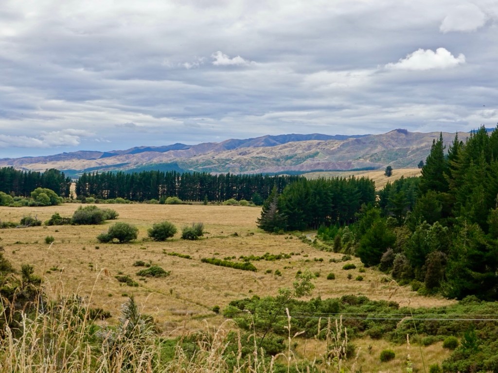
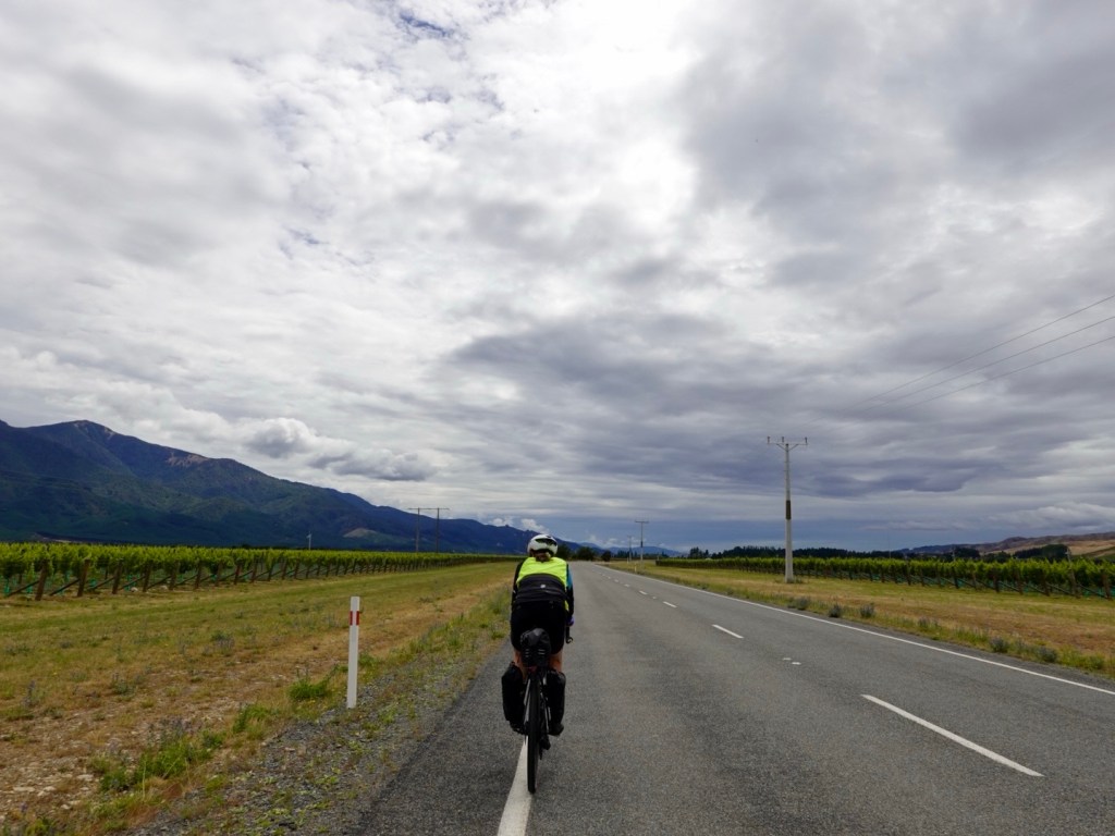
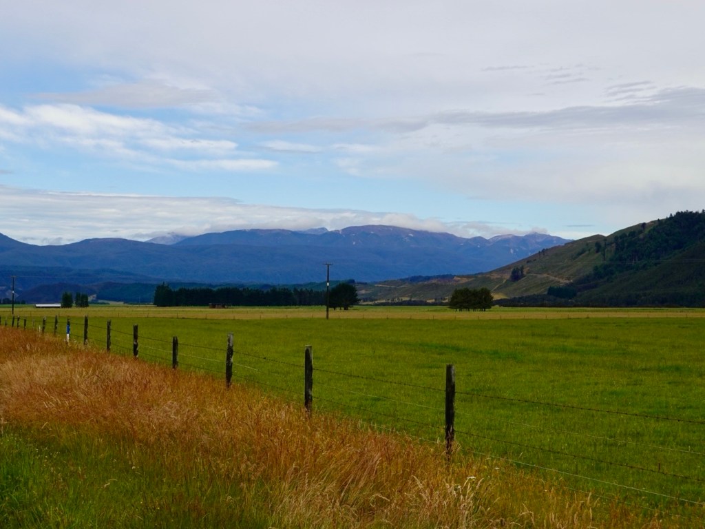
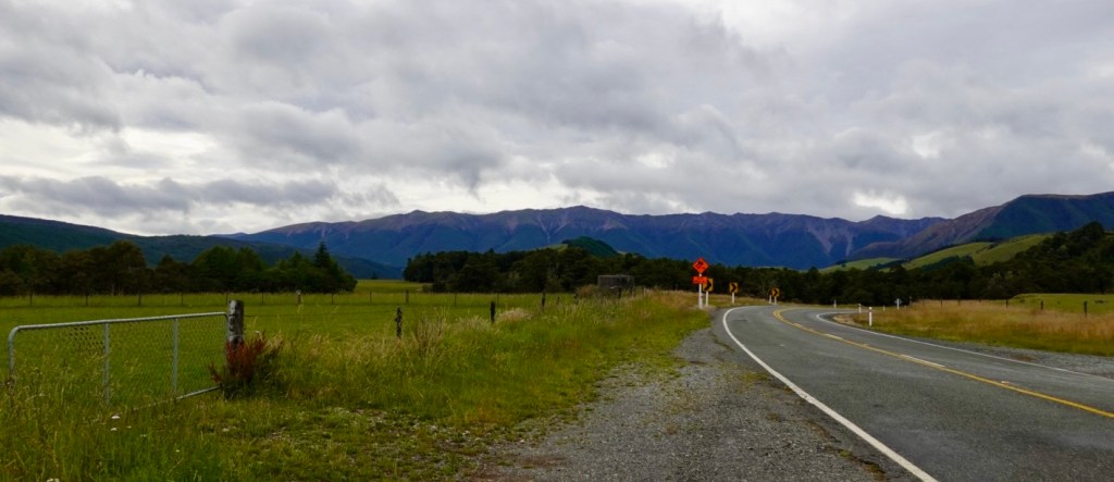
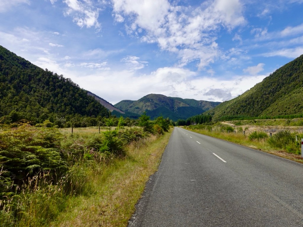
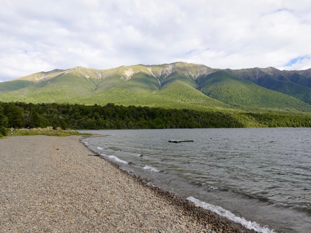
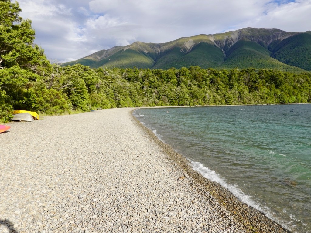
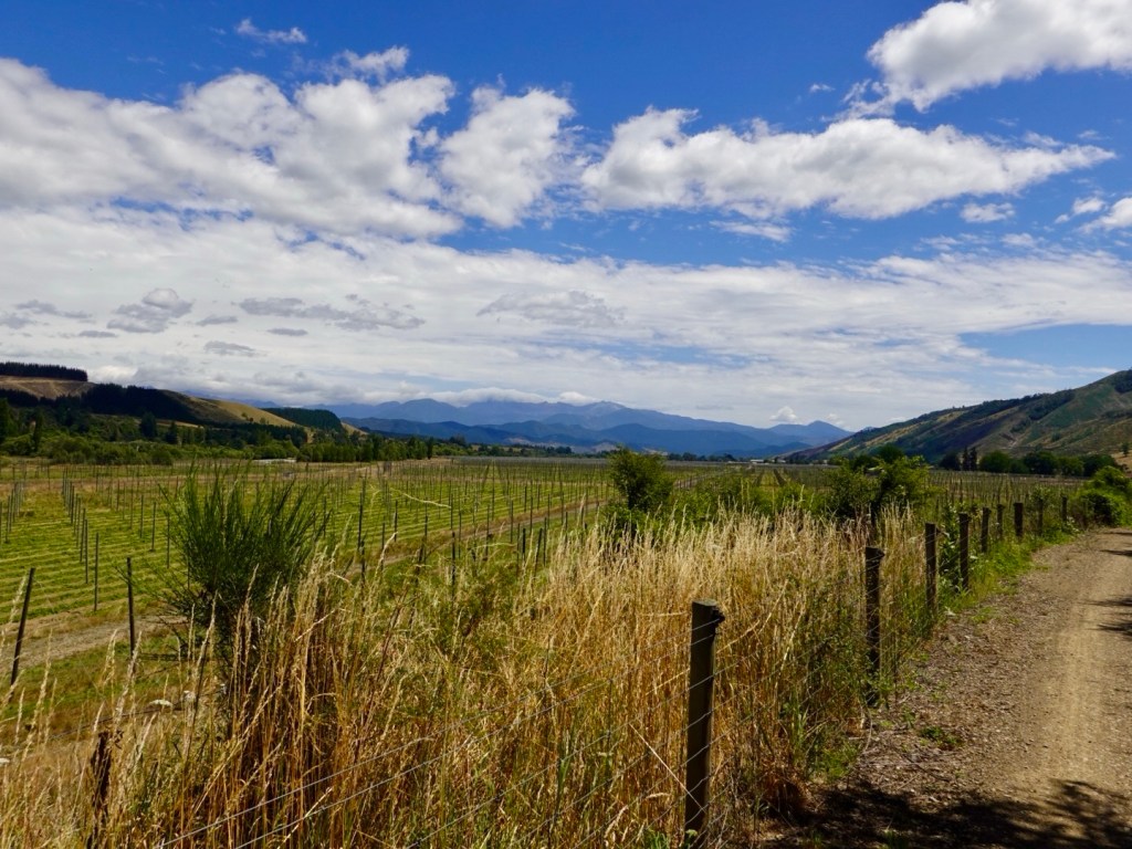
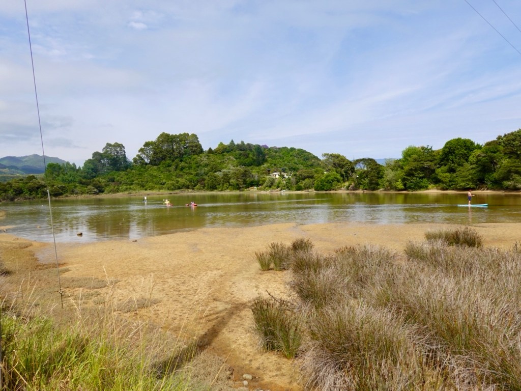
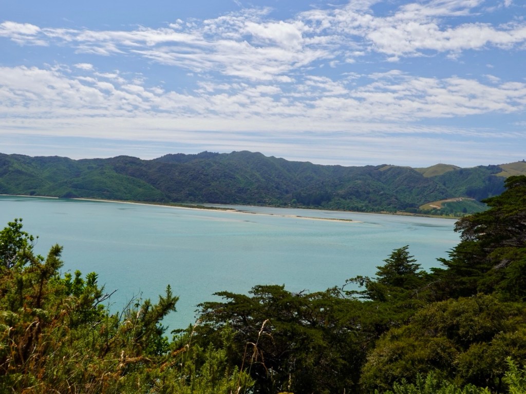
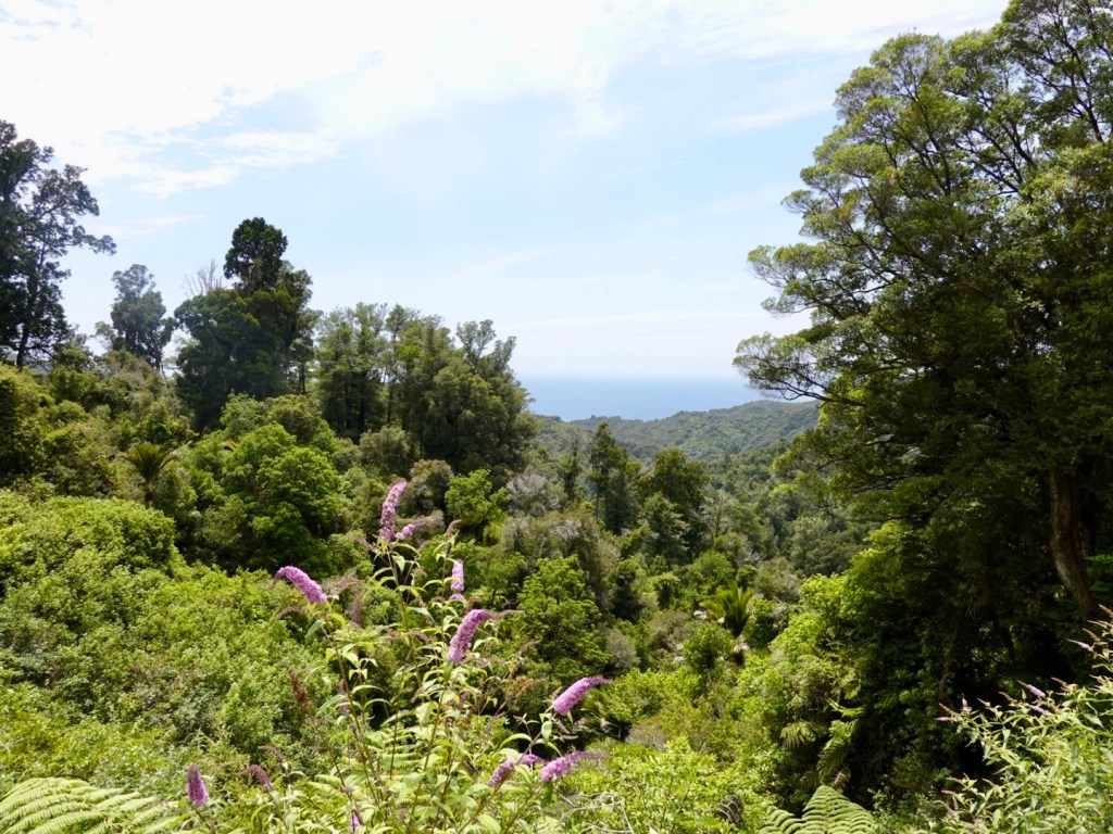
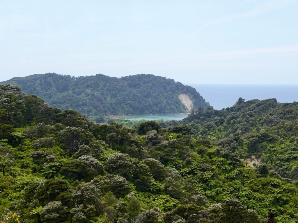
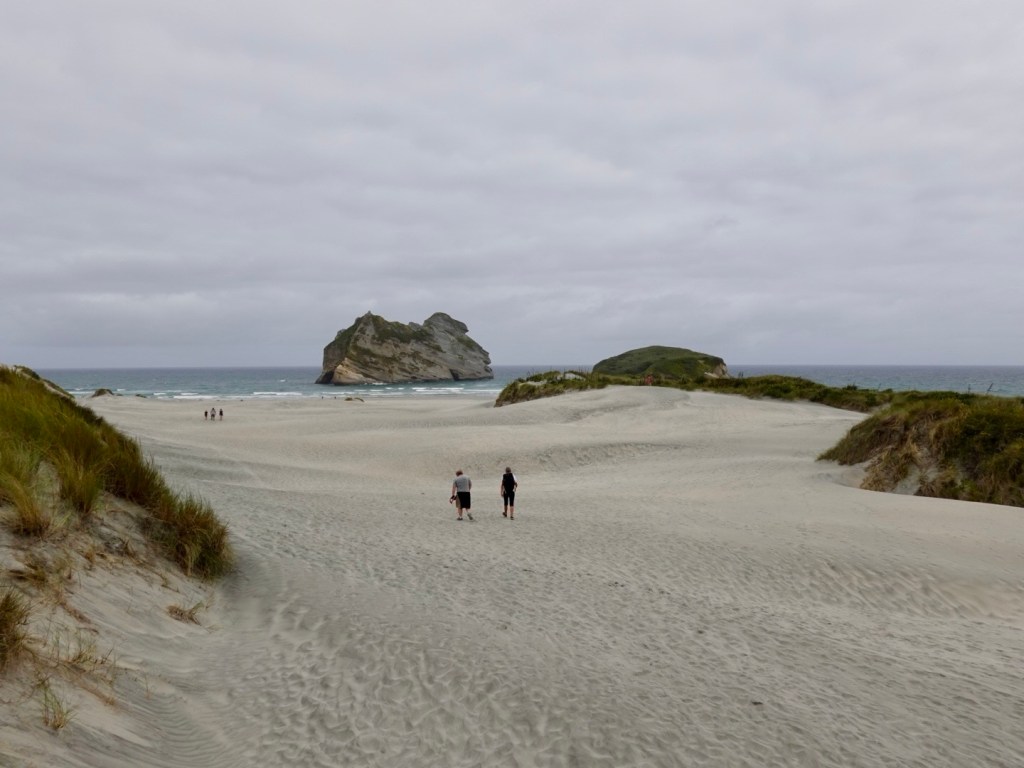
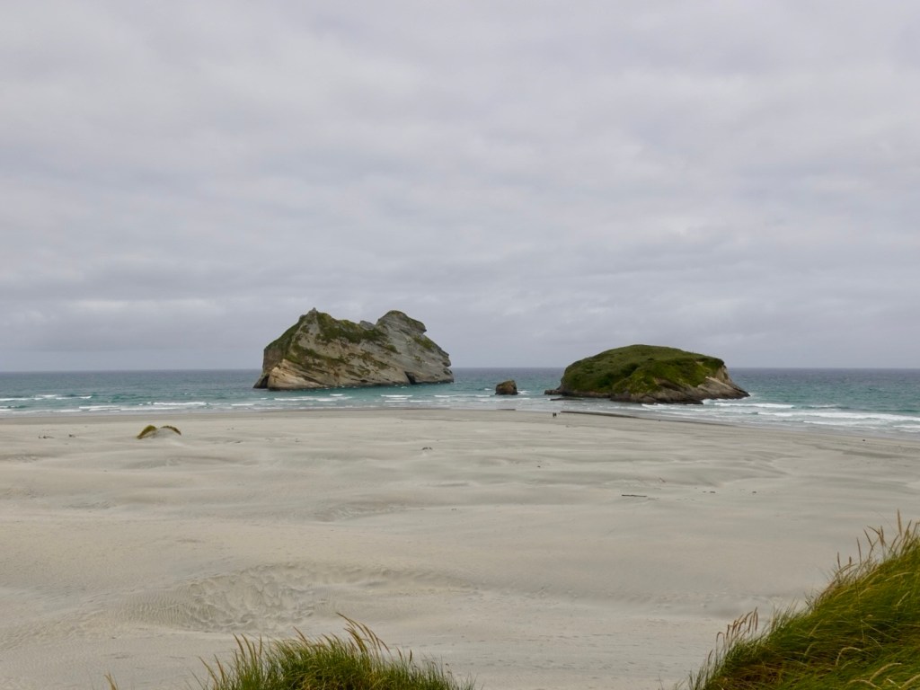
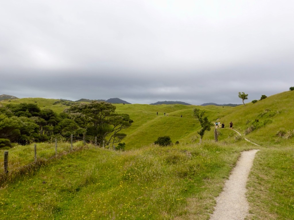
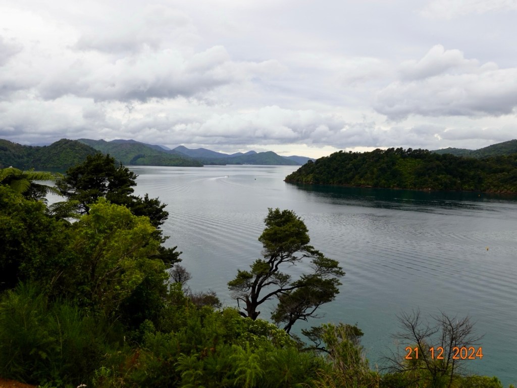
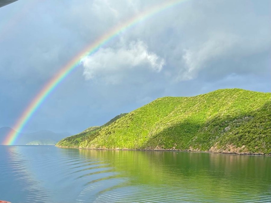
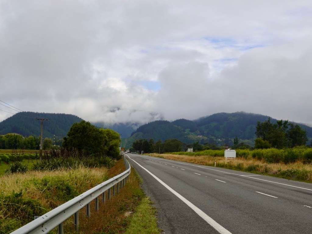
On we continued. Still low clouds but pleasant views.

Still the vineyards continue

Then just as the track had suddenly stopped, we noted its reappearance, again with no signs to take you from the highway.

We hopped across just after Picton Airport as there had been a fenced railway in between.

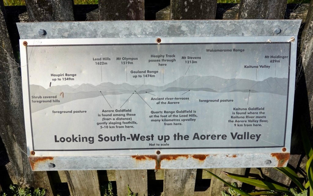
An example of the signage, however you cannot ride to Blenheim as it suggests. Once completed it will be a fantastic and safer route for cyclists.

Back on the trail, this section gradually climbed around a hill, and was quite soft to ride on. It will compact more with time.

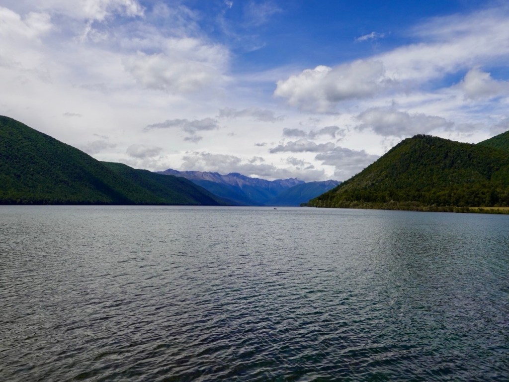
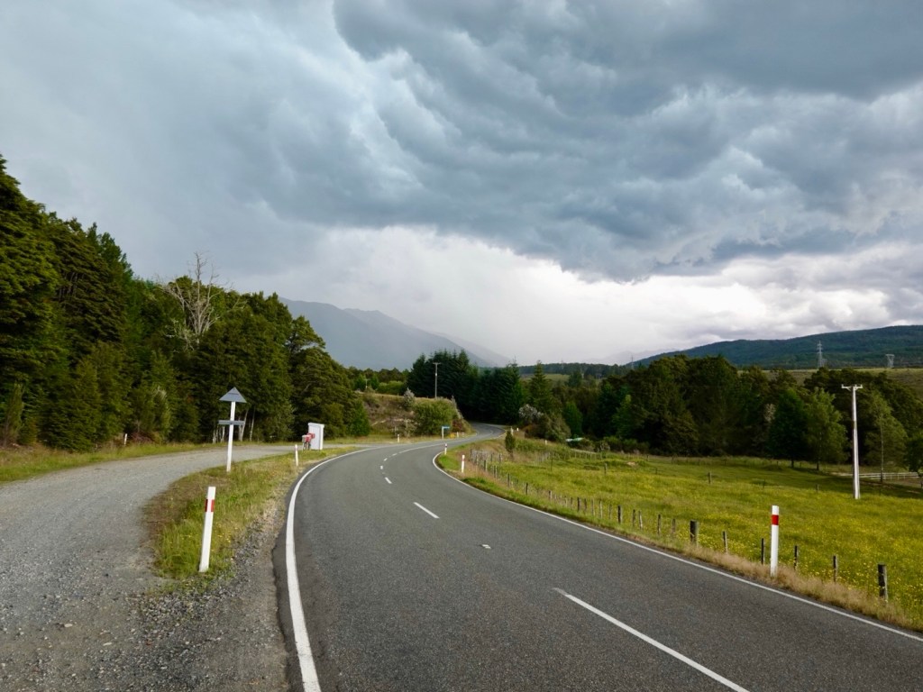
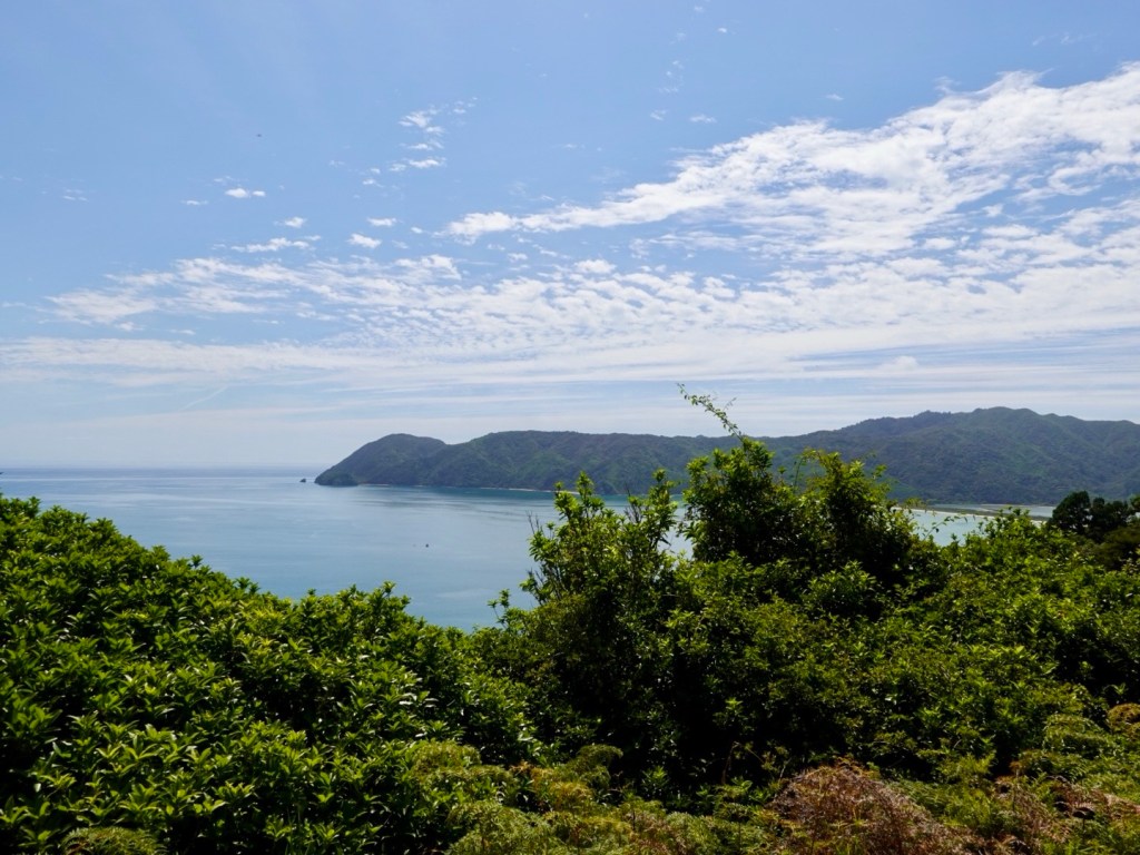
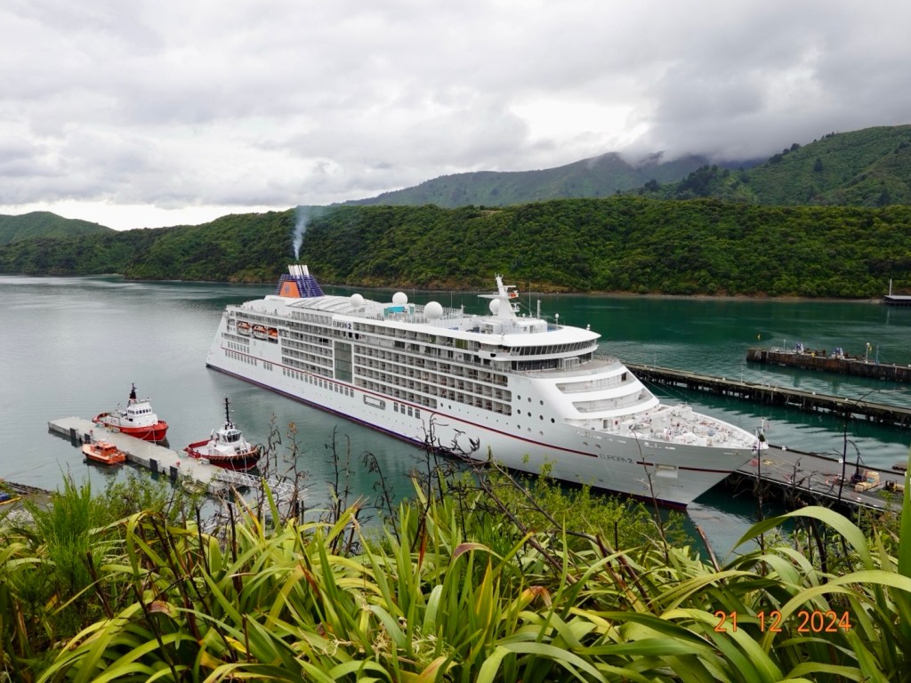
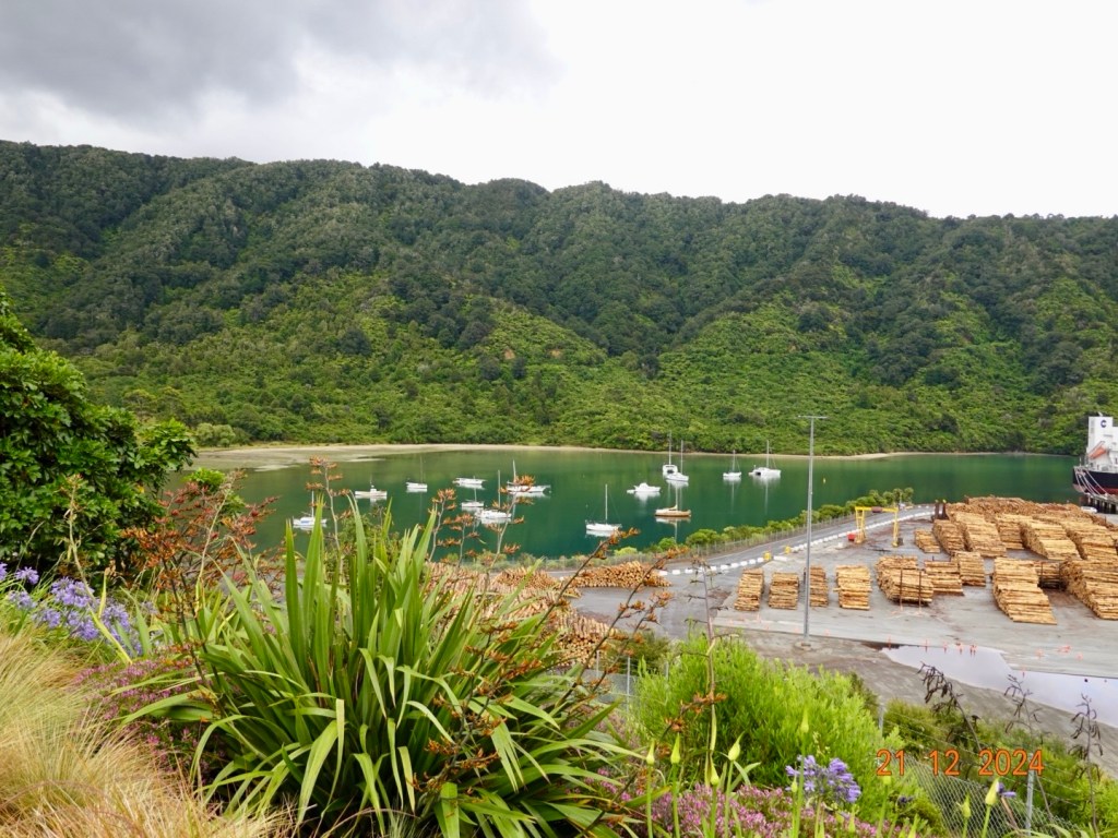
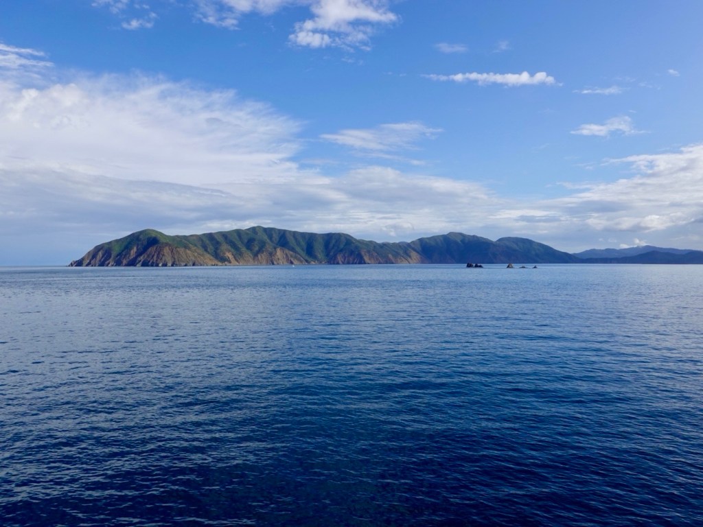
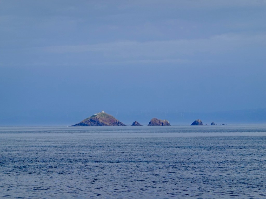
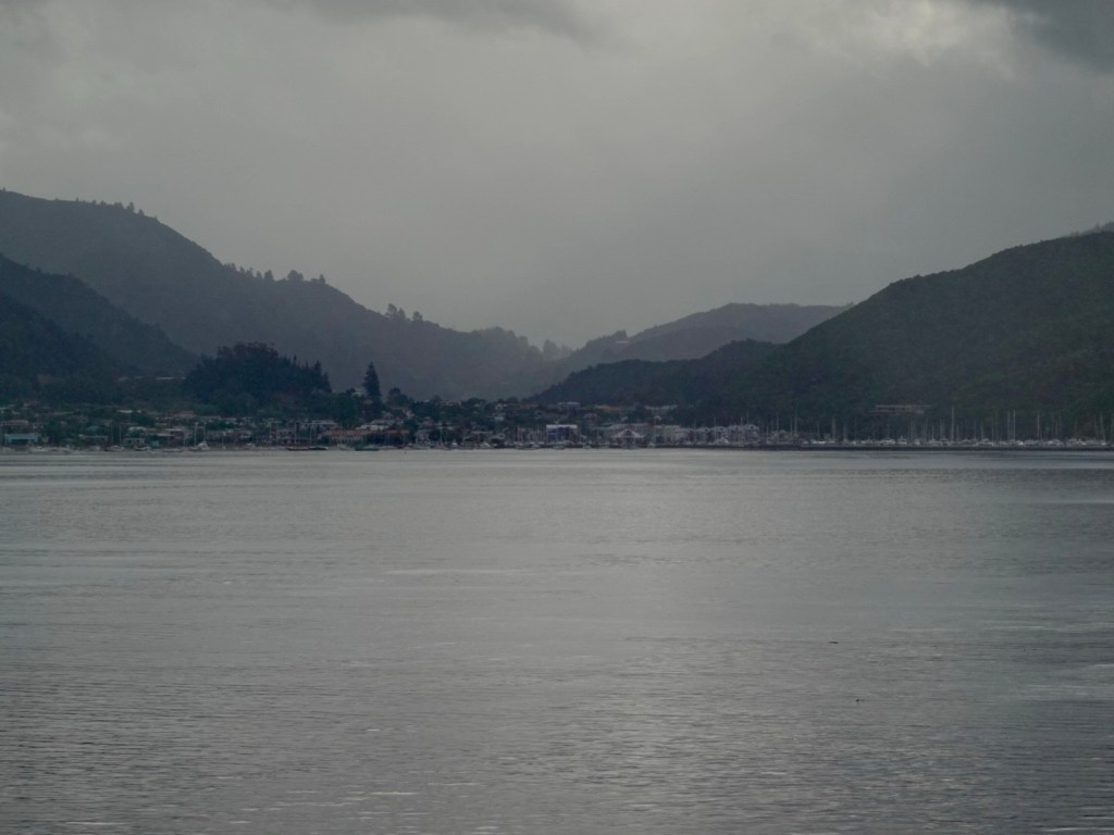
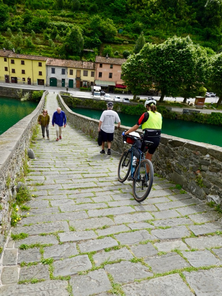
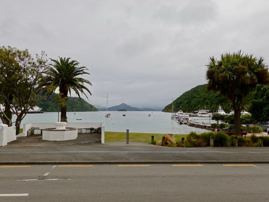
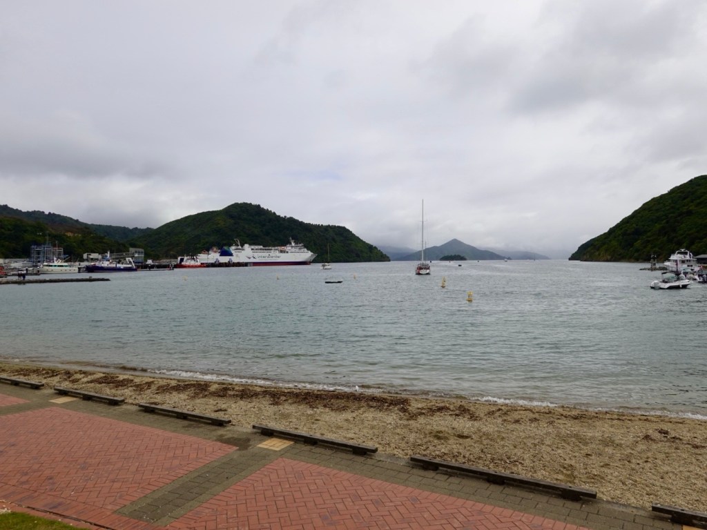
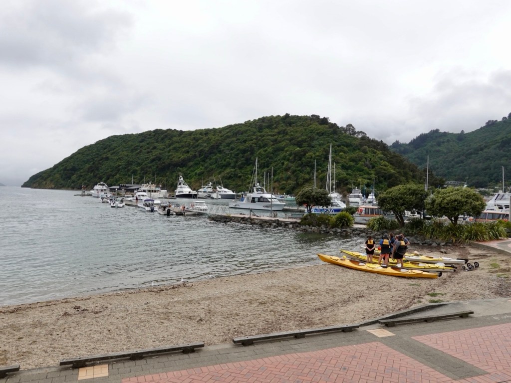
Arriving in Picton we decided against the additional 15 km planned along an adjacent hill to a lookout. The clouds were still low, rain threatened.

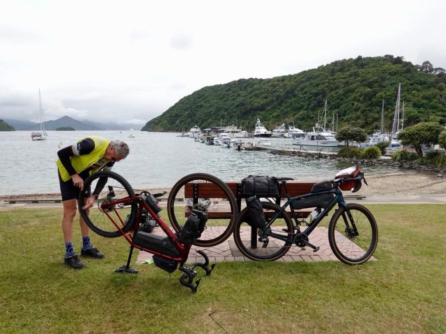
We found a cafe and had a coffee, then moving across the road to the picturesque park to start cleaning our bikes, as we had a few hours to kill.

Cafe view
In the park, a ferry us just departing
Kayakers ready to head out
Bike cleaning in progress.
That is our ferry arriving

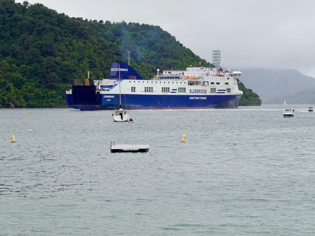
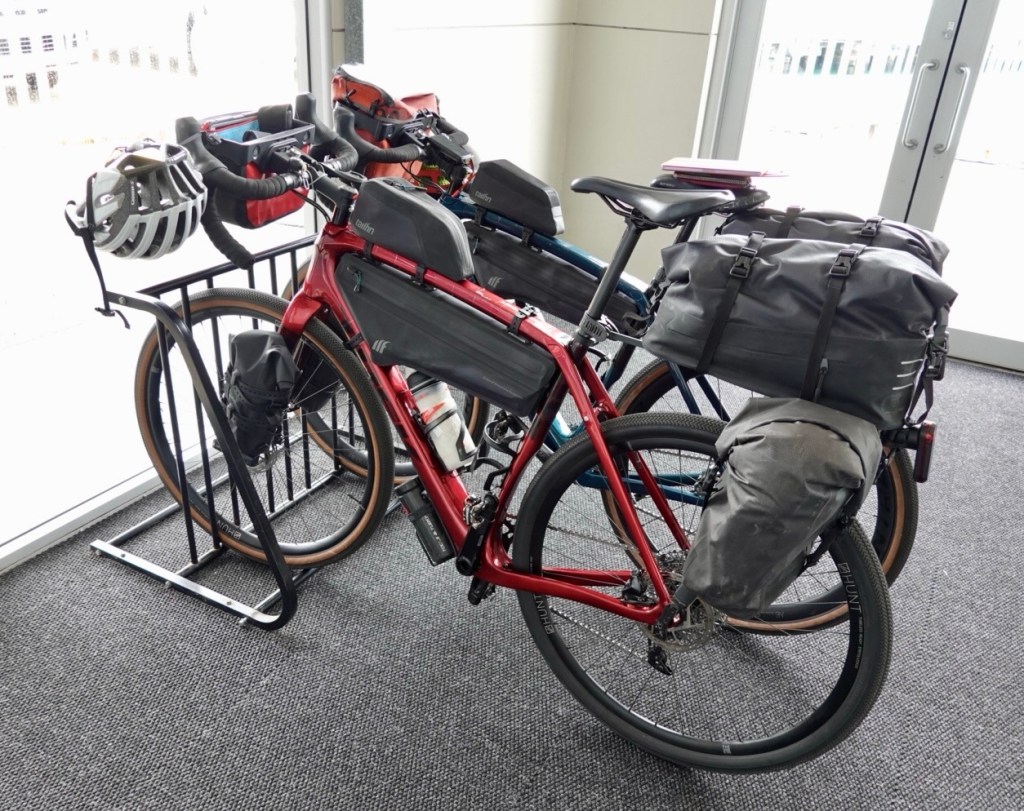
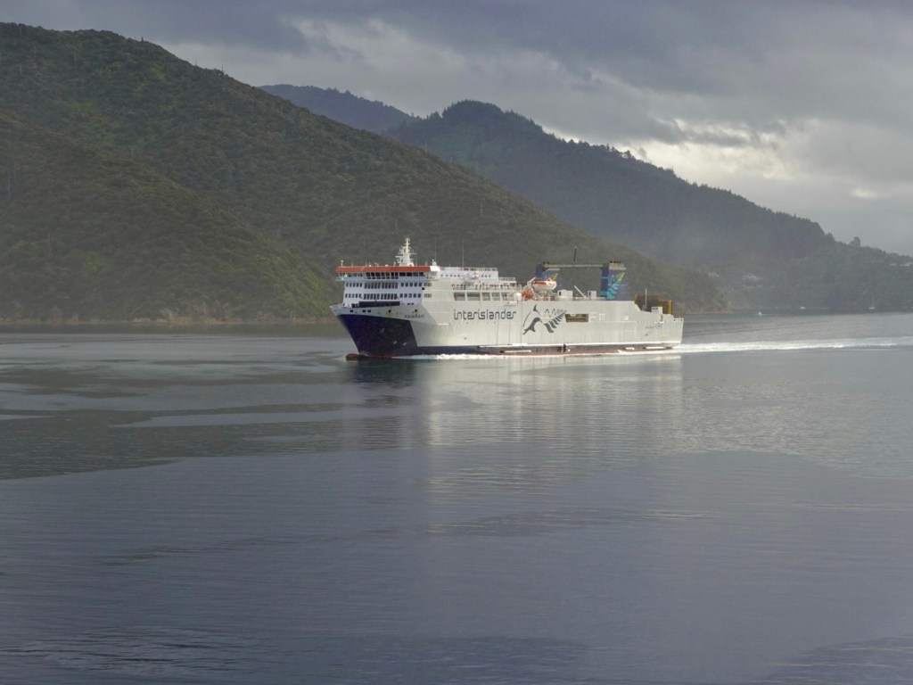
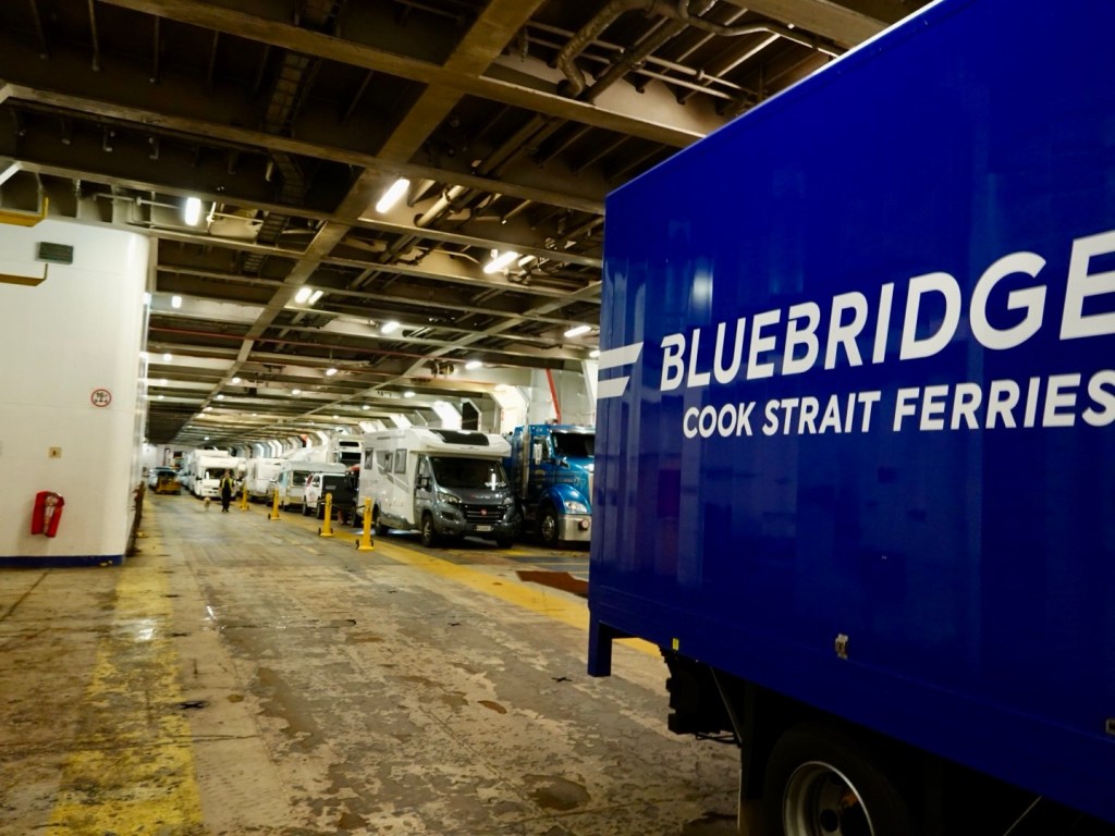
We have been on many ferries now with our bikes. Procedures are different everywhere. Sometimes we line up with the cars, others have a lane for motorbikes and cyclists.

Once our bikes were strapped to trailers and we went aboard as a foot passenger.

Here, we were to wait until the luggage truck headed to the ferry after all passengers transferred in shuttle buses. It was a bit eerie being the last passengers so far away from the ferry wondering where that luggage truck was.

Just as I was chatting with a Maori, donning a very heavy backpack, wearing gumboots, with a sign saying Wellington (he was hoping to hitch a lift with a car going on the ferry obviously not realising that he needed a ticket) the truck appeared and waved at us to follow.

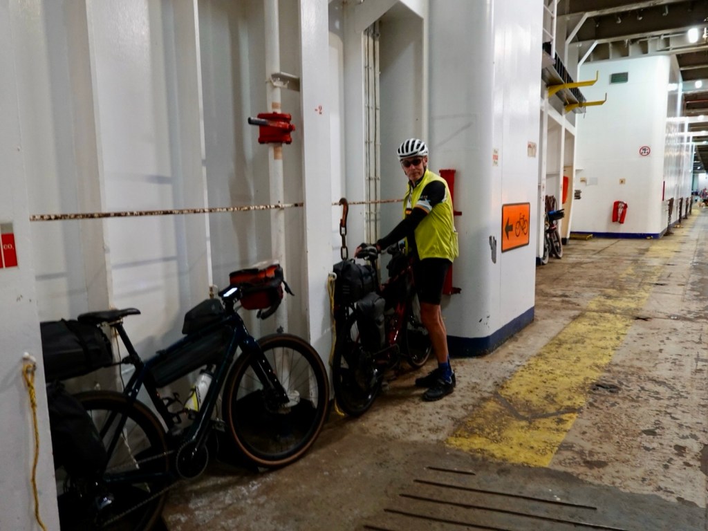
Before I could get a photo, off we sprinted to catch up with the truck and follow it across the dock. Onto the very back of the ferry we tied our bikes up and headed to our cabin.

There we remained as we both felt seedy with the ferry rocking and rolling a bit more.
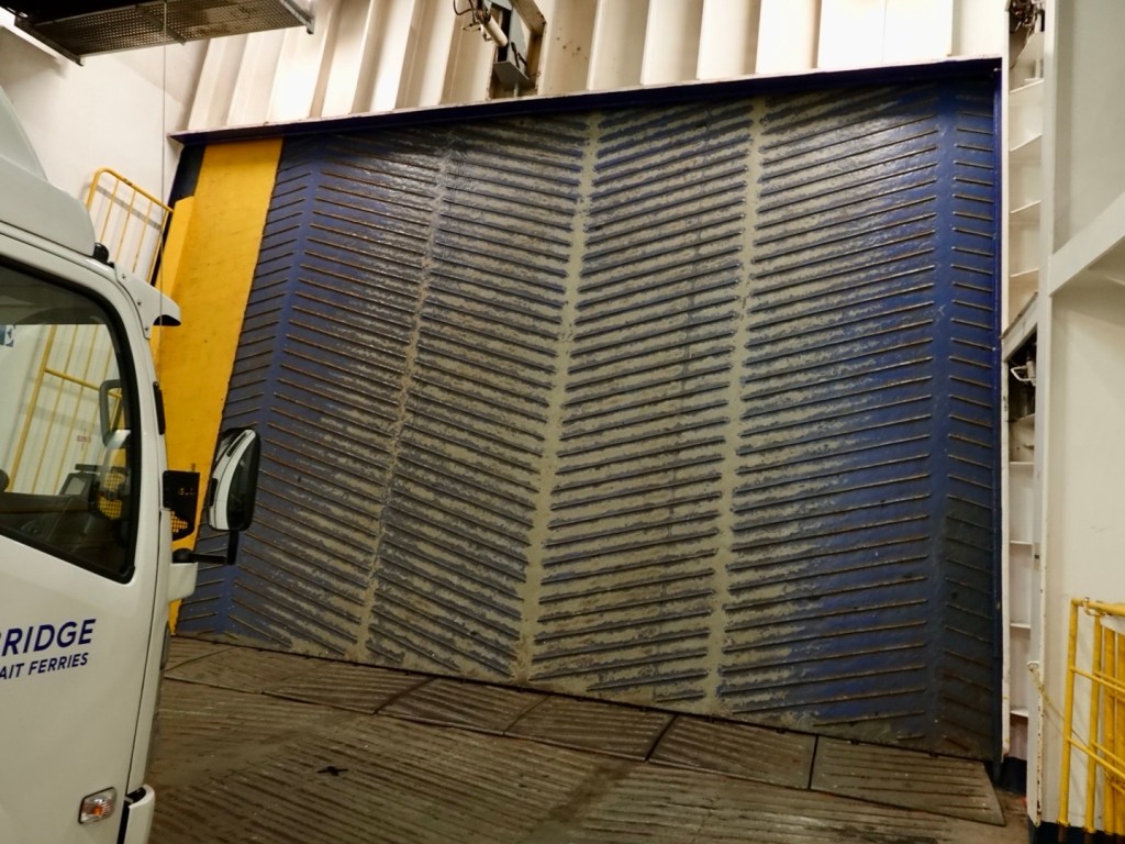
Last on, first off.

There are multiple vehicle levels. We are on the lowest deck, which is last to load, first off.

The door is still locked.

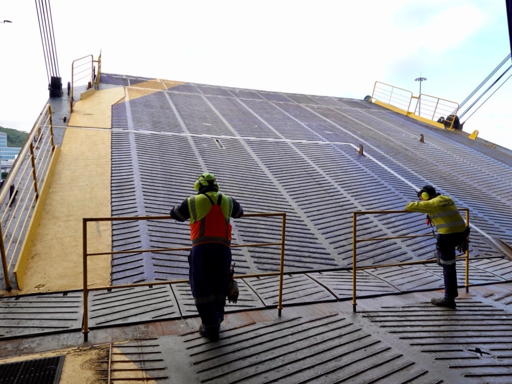
We were warned that the noise would be super loud as the hydraulics kicked in. They did not underestimate this!

The guys are waiting with their barriers. We are not that silly….

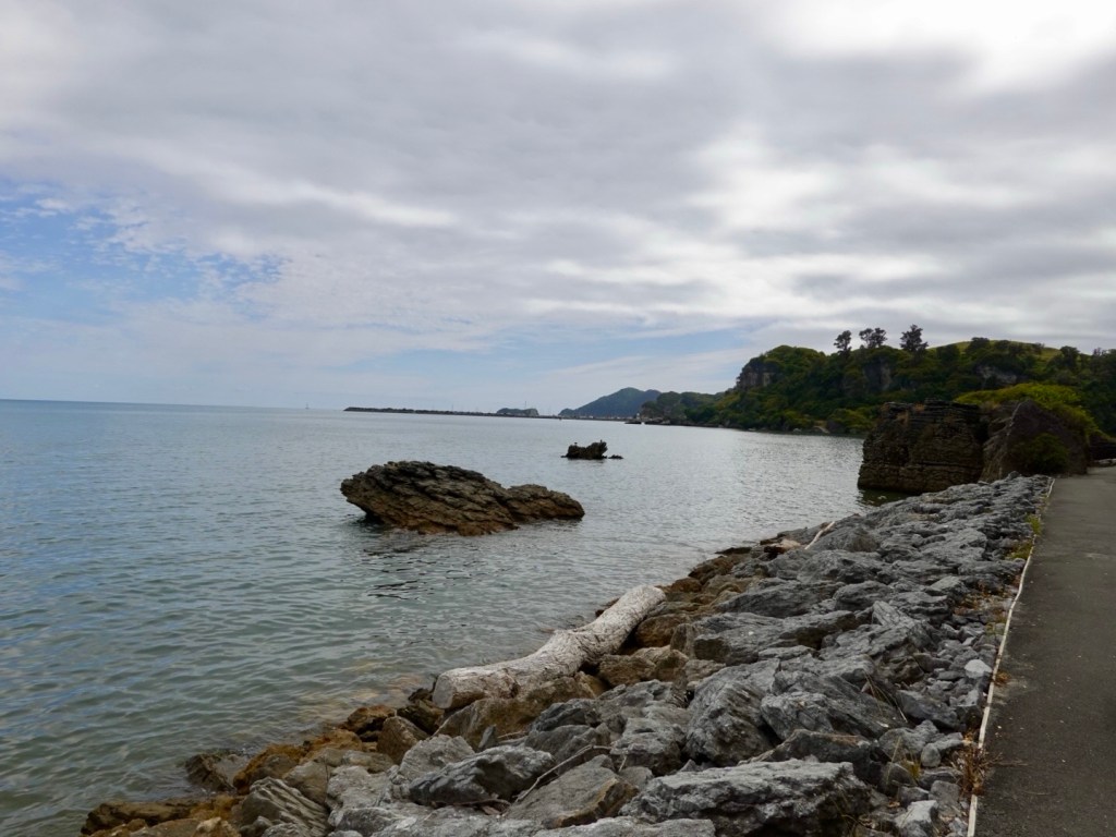
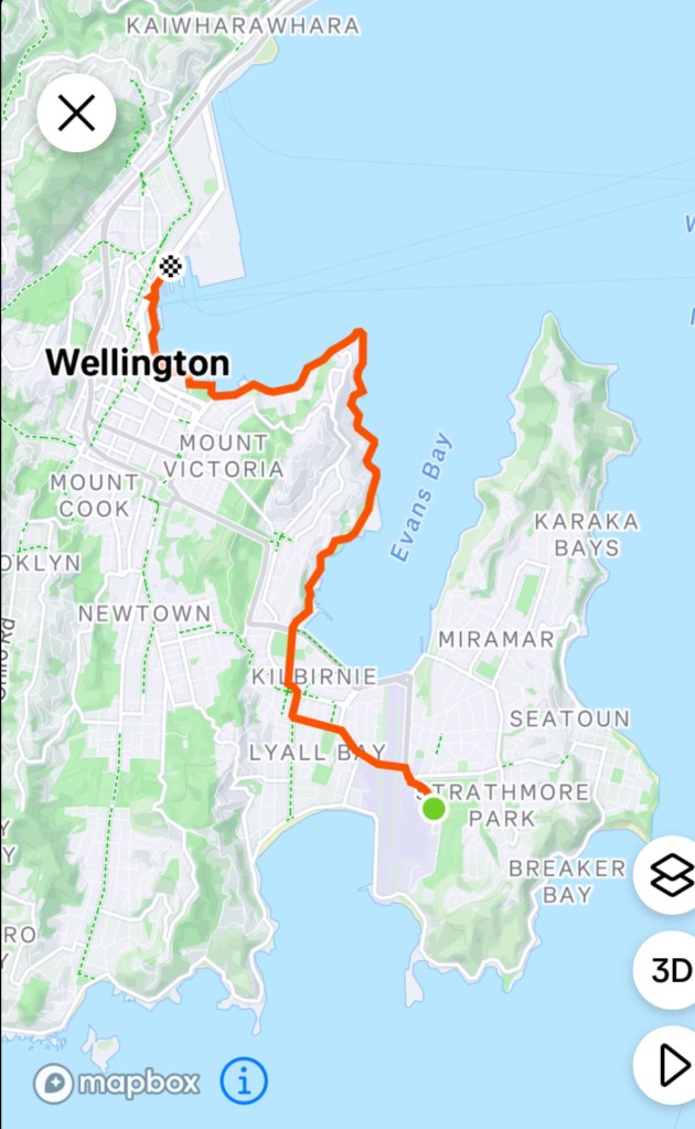
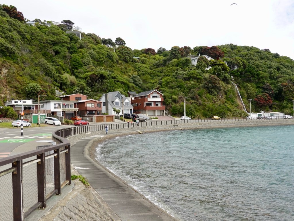
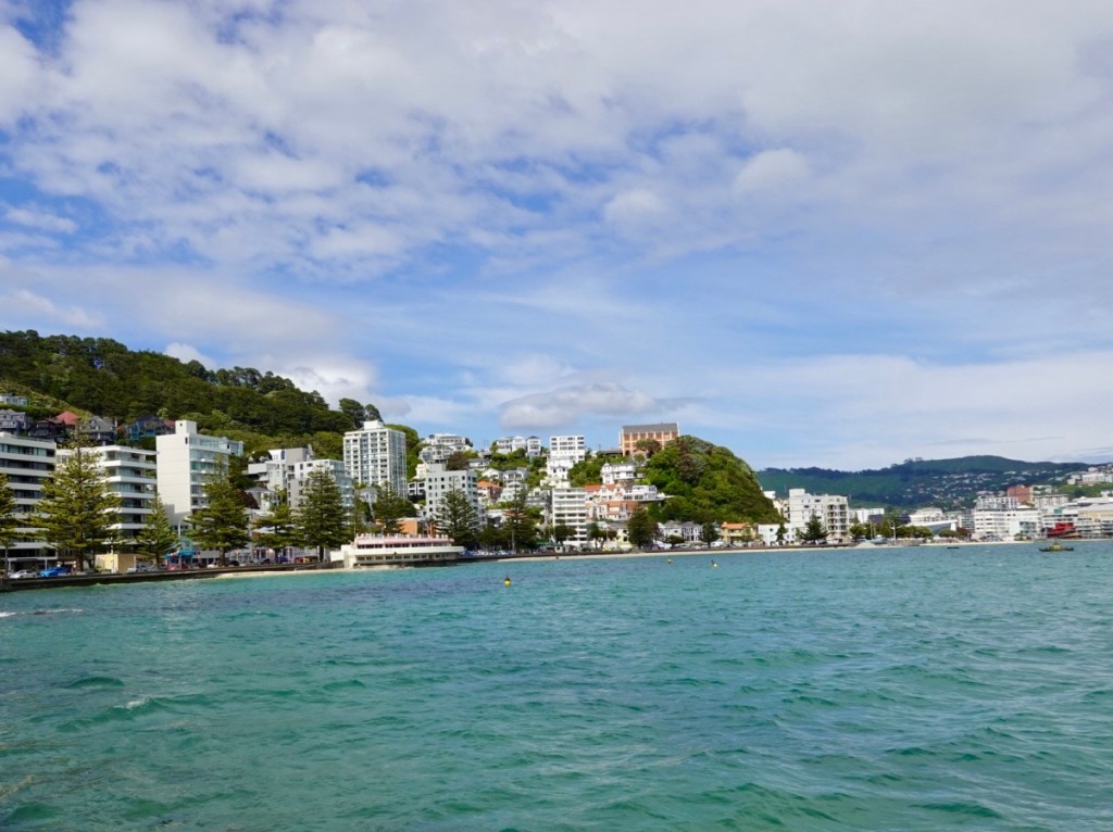
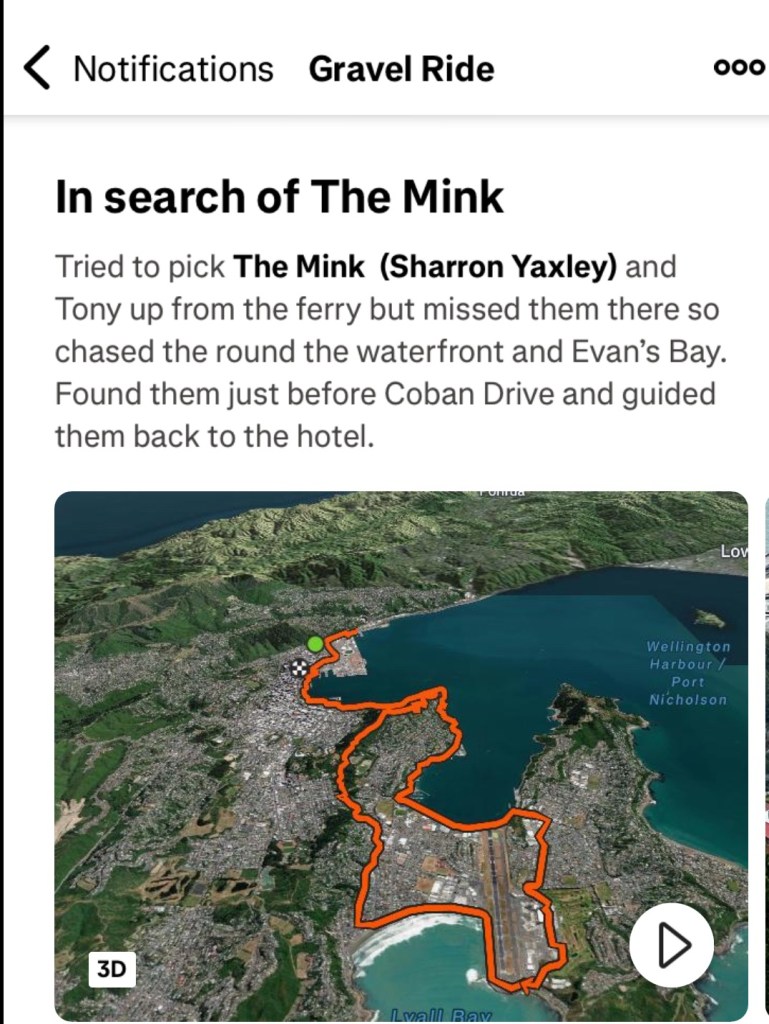
Anyhow it was a mere 10 km or so back to our accomodation following the coastline.

At one spot we debated which way to go and a cyclist passing by says ‘ Hi, I’m Thomas’.

Wow! Thomas is a Wellington based cyclist I know from Zwift ( but not previously met in person) who came out to find us! He found us and led us to our finishing line.

We were both very humbled by his kind gesture and will be having dinner with him and another Zwifter tomorrow night.

Thomas caption from his ride to find us.

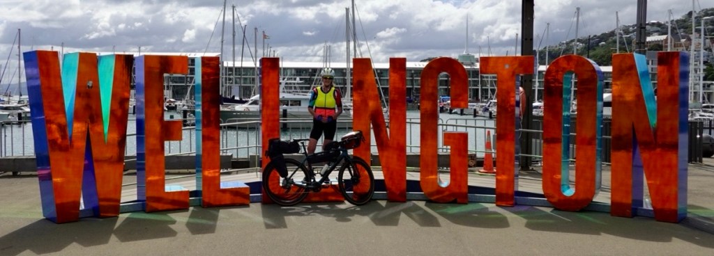
So here we are. Wellington. One day remains and it will be social and practical. Thankyou for reading today’s blog. 😊❣️

Day 11: St Arnaud to Blenheim

Packed up and ready to roll, we enjoyed a wholesome breakfast (large bowl porridge, granola, fresh fruits including strawberries, raspberries and blueberries) and the ubiquitous ‘Sharron cannot ride without’ coffee.

Great view from our table. We watched the melodious honey eaters searching for nectar in the flax flowers.

The front of our accomodation after forking out $1,025 NZ for two nights, two dinners, two breakfasts….gulp. I don’t feel quite so guilty for breaking the glass in the unit that shattered into so many pieces as we were leaving.

The accomodation itself is a common motel presentation but it is the location at this time of year that has driven the nightly price up. The meals were excellent too, with the porridge with add ons (fresh fruit and granola) being $32 each.

On paper today our ride into Blenheim would be an easier ride, despite its 103 km length.

There was a gently 5 km uphill section before a very gradual downhill run, which would have a few undulations.

The first half was wind free. We thought we were on easy street and then bang, just like that, there it was, as ubiquitous as my morning coffee. I like my coffee strong, and so it seems, wind too 🤣🙈. Happy New Year Sharron and Tony, love from the Weather Gods 🤣

View from the top of our climb.

We were in the Wairau Valley, following the river of the same name, ridges and mountains including Mount Richmond either side.

Enjoying the ride, I’m quite layered up here as it was quite cool.

We crossed over the Wairau River, which is very wide and silted in places but you can see that gravel is removed regularly, similarly to what we see with European alpine river systems.

New Zealand does not have venomous creatures like Australia. You can go for a bush pee without fear!

However, they more than make up for it with geology. This valley forms part of the Alpine fault and is moving at 30 metres per 1,000 years. That is considered to be significant.

South Island is also overdue for a major earthquake. There is a 75% chance of major earthquake happening in the next 50 years. There is an 80% chance it will be a magnitude 8+ event.

The Alpine Fault has a regular history of producing large earthquakes. Over the last 8,000 years the Alpine Fault has ruptured 27 times.on average, every 300 years. The last significant quake being in 1717.

The valley is also famous for wine growing. 30 km or so, both sides of the road, were dedicated to grapes. the word Wairau in Maori means ‘river garden’ and today could see why. Fertile soils, multitude of labels and vineyards to visit.

The road was incredibly long and straight. The last 50 km was headwind.

Look at the wind map. Seems common. The wind comes up the east side of South Island, swings west, then south across Nelson and bang into our faces riding.

More views!

There were no places we could stop to grab a drink or food today for 90 km. It is a public holiday today here, but even on a business day, it would be necessary to be self sufficient for the ride.

We stopped here at a small cemetery as there were toilets.

Our route took us through Renwick with only 13 km remaining. It had started to sprinkle rain. We found a supermarket open and grabbed a banana and roll and put the two together!

Rain jackets on it got heavier as we approached Blenheim, some two hours before we could check in to an Airbnb home.

We took shelter in a covered bus stop. By chance, our Airbnb just wrote to us confirming 4 pm. I let her know we were in town sheltering and she said we could check in at 3 pm. We were super grateful ❣️

So here we are. Last full day of riding completed. here is our riding route to date. The blue lines are from our comp,eyed riding data. We will join that line from Blenheim to Picton tomorrow.

Todays route

Thanks for reading….two half days if riding remain.

😊❣️🚴

Day 10: Nelson Lakes National Park

Today we were set to explore a section of the Nelson Lakes National Park, home to the beginning of the Southern Alps.

Our base is the town of St Arnaud that we arrived in last night.

Looking around at the other guests at our accomodation, many are here to do walks, mountain biking and boating.

Unlike Tasmanian National Parks, we have been able to access the parks here free of charge.

Two alpine lakes, Rotoroa and Rotoiti form the heart of this 102,000 hectares park.

Both lakes are surrounded by steep mountains, and surrounded at shore level by honeydew beech forests.

We had a great breakfast and set off.

Here is today’s route. essentially only three roads were ridden on.

St Arnaud-Kawatiri Highway, turning into the Kawatiri-Murchison Highway, then turning left onto Gowan Valley Road. Hard to get lost today.

The roads were all good quality but the middle 6 km (each way) section on the Kawatiri-Murchison Highway was busy, narrow, little to no verge. The other two roads were quiet and far more enjoyable.

Essentially riding three valleys today

The gradient replicated the three roads. The down is the first two roads, then the up to the lake and opposite to return. Whilst it looks steep it wasn’t. The average gradient climbing was mostly 2-3%.

We had a headwind on the first downhill hoping it would not change direction for our return journey. Of course, it did and we did the climb home into a growing intensity headwind.

Our graph a mirror image being an out and back route.

Weather wise, it started overcast with a small probability of rain.

We left well rugged up. I pulled out my long sleeve thermal base to wear, then my cycling jersey, then my wind gilet, then my Assos wind jacket, then my Assos visibility vest. Legs were bare but they do all the work. I had leggings on the bike I could put on if need be.

Layering is what gets you through inclement weather…taking layers on and off, having somewhere to store them too as you ride.

By the time we returned I was down to my more usual kit with the thermal and jacket both off and stored away.

Looking back towards St Arnauds
Looking forward
Looking ahead
We crossed many nice rivers. This is the Buller River.

Reaching the junction of our second road, the Kawatiri-Murchison Highway there is a pleasant roadside stop, toilets, historical information.

The Great Taste rail trail that has featured heavily earlier in our trip used to connect with the former station here.

Turning towards Lake Rotoroa we see the mountains again forming the St Arnaud Ranges.

Finally after 43 km we arrived at the lake. Superbly majestic.

This is looking towards the St Arnaud Ranges
Popular with boaters

A family were preparing to launch their boat.

We had planned to spend time sitting by the lake. Little black biting insects had other plans and we stood there slapping our legs silly.

New takeaway? Find a small insect repellant to add to the first aid kit I carry. Preferably flat sachets!

As we ate some food, slapped our legs like a crazy Finland Fish Song Dancer we read about Peter Johanson, a Swedish immigrant and early pioneer of the area.

This is the remnant of one of his hand cut canoes.

An interesting story. Click the photo to enlarge the writing.

Heading out from the lake we crossed this bridge where the Gowan River flows into the lake.

The road out was still quiet. Mostly the traffic was heading towards the lake.

The Gowan River flows adjacent to the road.

An interesting scar. Forestry to the left, native to the right. Very steep banks with evidence of little soil to replant the pines.

I have read before that it was a Tasmanian who introduced possums to New Zealand. Whilst regarded as a pest, there are others who make products from their fur.

Living in Possum Lane, Turners Beach, we have two types of possum (brush tail and ringtail) that visit (as seen on our security cameras at night and evidenced by Khaleesi carrying on when they walk along the fence).

The only time they have annoyed us, or should I say me, is when one destroyed my zucchini’s last year. I was unimpressed.

Quirky and someone with a sense of humour set this up in a paddock.

Heading back along that final road was the steady climb and the most annoying wind direction had swung around to be a headwind with increased gusty intensity.

It is a cyclists curse when that happens as you hope you will benefit one way at least. Not today….again!!

We made slow you going of the last 20 km. At times the wind was so strong I could not even do 12 kmh.

Here is our speed graph for the ride. you can see how the speed dropped from just before 60 km. That is the wind factor.

We had great views looking back towards St Arnaud’s. This is a great road for cycling, despite the wind. cars were considerate and the road was quite wide.

Buller River
Getting closer

After 85 km and 734 m climbing we were back at our accomodation

After dinner we went on a 3 km walk down the road to Lake Rotoiti.

A local resident had this natural weather indicator in their front yard. Click the photo to enlarge the writing.

No dogs, not even in your car!

Lovely views along the lake. It was quite windy and cool down by the lake, nevertheless there were a group of kids swimming as their well rugged up parents watched.

Views around the lake.

Various watercraft hidden under bushes around the lake

It’s been great visiting the alpine lakes and seeing the northern mountains of the Southern Alps. Quite the contrast after our predominantly sea view trip.

Tomorrow is a new year, 2025.

We’ve had a great 2024 with our cycling adventures, visiting Italy, Switzerland, Slovenia, San Marino, New Zealand completing over 4,000 km outside of Australia.

My strava data tells me I did over 21,000 km in total for the year.

Whilst that sounds pretty ok, a lot of that is on Zwift, an easier way of amassing training km than outdoors as there are no weather elements and cars to contend with and the cycling speeds are higher, draft benefits are strong. It keeps me fit though for what we do touring wise.

I want to pay homage to our friend Kat Secteur in the Czech Republic.

Kat has done over 55,000 km for the year and it is all outside. 100%. She does not have a trainer. What’s more, the weather whilst she rides now is winter, so lots of snow and her ride a few days ago was minus 1c.

Well done Kat. I had the pleasure of doing a day ride with Kat back in 2018 of about 235 km. We rode out towards the border of Czech Republic, Poland and Germany. That is my biggest outside ride and it was with a wonderful group.

Well done Kat, inspiring women globally.

Happy New Year readers. Thankyou for your continued support and may 2025 be happy and healthy. 😊❣️

Day 9: Motueka to St Arnaud

Today was an interesting day on the bike. Challenges to meet as we rode 112 km, climbed 1081 metres, heading from the Golden Bay coast to the mountains around St Arnaud.

We started off with a light breakfast at our accomodation, keen to start cycling as the weather forecast clearly showed rain was due in St Arnaud early to mid afternoon.

We were to climb most of the day as can be seen from our graph. Within that climbing, there were nine registered climbs on our Hammerhead computer. The hardest climb was that little one you can see around the 50 km mark. Seriously tested us. We had a headwind nearly all day.

Leaving Motueka we headed out along the Motueka Valley Highway, following the Motueka river. The day was crisp with only a few clouds, sun was beaming.

Motueka River
Motueka River

The plan was to follow as much of the Great Taste Trail as possible, in dry weather. The trail is predominantly gravel, of varying widths and quality. We had completed the section from Nelson to Kohatu the previous week.

Good signage

We liked this sign. The bridge ahead was in better condition than the sign indicated with beautiful views as we crossed.

Quirky art

The trail incorporates numerous suspension bridges. This one is quite narrow and had a lot of swing! Neither of us had gotten off our bike, but straddled over as we walked across. That is not recommended. Get off and push it!

Our method resulted in greater swing! I ended up waiting for Tony to get to the other side as it was always swinging contrary to my leg movements.

We demonstrated how not to cross a swing bridge today.
Great views though!

The trail does follow roads at times, and this section was quiet as it went through dense vegetation providing a nice canopy from the now warm sun.

This was the start of a 31 km gravel section. At this point we could have turned left to follow the Highway and saved 14 km overall. However, we had decided to follow the trail despite the weather we knew was coming.

3 km along that road we turned back to this same spot. The road was not in good condition. It was heavily corrugated, loose, dusty and it was shaking the teeth out of our mouth, rattling our brains and reminding me I should have peed earlier!

We felt we had nothing to gain of possibly 31 km of these conditions at the very slow speeds we were doing.

This road is best tackled with an mtb bike with suspension.

Back to the highway and off we went heading to the next town of Tapawera where we needed to find food. The taste trail also looped back to this town so we would be back on our original planned route at that point.

More nice river vistas and interesting sights.

The New Zealand rivers are really nice, very clean looking.
Some historical characters in the paddock.
Land usage varied. Predominantly agricultural including hops, dairy, berries and forestry with other areas still scrubby.

In Tapawera we were surprised to hear a cyclist call out to us. It was Anne, whom we had meet one week before at Spooner’s tunnel and then had lunch with at Kohatu.

Anne had been cycling in the area whilst Greg had a massage for a pesky back. Greg turned up and we all sat down and chatted as Tony and I had some food, Anne sharing some lovely blueberries she had purchased close by.

It amazes me these random catch ups…if you had tried to plan this, we could not have achieved a better timing result. I had only been thinking about them as we arrived in town as the cafe we met at was only a further 8 km away.

The selfie with Greg and Anne

As they drove past us, Anne snapped a few more photos and sent them to us. Rare for us to have a photo of both of us riding together.

Lovely backdrop here
Waving in unison.

We headed back onto the Taste trail and rode up through the Maniaroa cutting. This part of the trail is an old rail trail.

The clouds are starting to build. We are heading to the mountains.

We stopped to look at these three sculptures, promoting a private adjacent sculpture park. Looks like lollipops on sticks.

The great scenery continues, and we were cloud watching too.
Back at the cafe we’d lunched at the previous week we purchased more drink for our ride.

The next section was on state highway and not very pleasant. The traffic was super heavy and that headwind that had been omnipresent all day was strengthening.

After 15 km or so, we were pleased to deviate onto a quieter road, little traffic, just the headwind.

It was warm, and given we were climbing all day and into a headwind, we were consuming more fluid than usual. We were running low again, and Tony headed off to this stream hoping the water would be ok to drink.

Whilst he was under the bridge, the farmer drove out, and I did ask him if the water was drinkable, and he told us we’d be fine.

With 20 km to go, we had six registered climbs to complete, with two around three km in length. They were all on a busier connector road.

The further we went, we could see that down to our right, the weather was closing in,and we knew we were highly unlikely to not get wet.

It has started raining down towards St Arnaud

With only 9.5 km remaining we stopped to don our wet weather gear and bang the skies opened. The camera stayed firmly tucked away in the dry for the rest of our ride.

We had hail and decent sized hail stones smacking onto our face with the headwind. We took cover under a forest of trees as the thunder boomed.

Each boom of thunder seemed to shake more hail from the skies, like it loosened it up. I have never been out in a hail storm before and found that interesting although wishing it would stop!

It eased up just a tad and we really needed to get moving. The temperature had dropped significantly and our legs were starting to get cold. The best way to warm our body was to pedal.

The weather gods had more tricks up their sleeves. They introduced lightning! Thunderbolts and lightning, very very frightening indeed! 🎶

I was counting between the lightning bolts and thunder. One Mississippi, two Mississippi, three….boom!

We kept pedalling. I was thinking of the final two km climb in May climbing Passo Gardena in Italy, where we had a dry thunderstorm (the gods waited until we got to the top before sending down the rain, plus there was no lightning).

20-30 metres separated Tony and I and flash, a lightning bolt in between us! I only got to one missi…and boom the loudest clap of thunder I have ever heard above my head.

I screeched out telling it to ‘go away’ (perhaps said less politely) and we headed to some trees but they provided no shelter in this case so we got back on the road, as we still had one km left in this final climb.

By the time we made the intersection to St Arnaud’s it was just absolutely bucketing down rain. The hail stopped.

Fortunately it was downhill to St Arnaud, little traffic (they were more sensible) and we just concentrated on getting there as safely and quickly as possible.

We are staying in the Alpine Lodge and have our Chinese laundry set up nicely. A warm shower and lovely dinner to end a memorable day on the bike.

Days like this are memorable for the variety and the tenacity required to get through the difficult parts. It was not an easy day with the constant climbing and headwind let alone the hail, thunder, lightning and rain.

There is something very satisfying in achieving this under your own steam successfully and we were on a high.

This is the radar as we arrived in St Arnaud’s. St Arnaud’s is around that bright red blob, South Island.

Thanks for reading and following our adventures vicariously. For those who send us messages via the various means, a huge thanks as your support and encouragement is appreciated. 😊❣️🚴

Today’s route

Day 8: Collingwood to Motueka via Abel Tasman National Park

Another beautiful day and a highlight on this trip visiting the Abel Tasman National Park.

First things first, breakfast back at the Courthouse Cafe, our go to cafe in this area. Ok the pickings are slim, but this cafe is excellent and would shine anywhere.

Goodbye Collingwood as we climbed up and over a few hills heading back towards Motueka.

The views towards the Aorere Valley were clear. This is the valley we cycled to get to Langfords store.

Riding back through Takaka and Motupipi we headed to Pohara and the coastline.

We stopped at these toilets, cutely painted.
Warning to drivers
Pohara

Ligar Bay was next as we followed the coast road.

Beautiful waters
Ride through the gap up and around the Abel Tasman lookout memorial
Looking back, the white beacon is the memorial

This shack is on a slither of land that juts out from the beach on one side and a tidal inlet on the other. Perfectly positioned.

The tidal inlet very popular with boards

Above Tata Beach we climbed sharply. Quite a hard little climb too and it was getting quite warm.

At the top the views were those within the national park.

Looks like a mussel farm? Mussels are certainly popular locally.

Just beautiful
View towards Anatimo
Descending towards Anatimo
Beautifully clear waters

Then the fun began. looking at our climbing graph, that nasty climb to 300 metres was all on gravel, loose and slippery in parts due to no recent rain dampening it down.

I knew this would be a challenge for me in addition to the gravel dust from other users.

I did it. Up and down! In fact, I prefer up to the slippery down. We dud get passed by two blokes on mtb e-bikes and a plethora of cars, some towing boats.

Climbing ….
Distant views, nice vegetation.
Nearly there…

What a place. Totaranui Beach is my new favourite place in New Zealand. It’s magnificent.

You can camp here but there were no caravans as the road is not suitable.

We arrived 2 hours before our ferry shuttle was due so we did enjoy chilling on the beach.

Popular with boats, campers and bushwalkers, the area is serviced by a few water taxi and ferry shuttles. They drop bush walkers off and collect. We saw many walkers leave with their backpacks.

Route taken to Totaranui
Chilling

We booked with Wilson’s and can highly recommend them to cyclists. We needed to remove our rear panniers, pedals front bags. The bikes were strapped to the railings at the front of the boat.

We are a bit ‘precious’ about our bikes but have nothing but compliments for the crew.

The ferry shuttle made about five stops along the coastline picking up a variety of people. We sat with a Dutch couple who had spent 4 hours walking a particular trail and were heading back to their hire car in Kaiteriteri.

There was commentary provided by the crew about the local history including granite mining, forestry, maritime reserve efforts and fur seal colonies.

Lots of wonderful looking beaches and rugged coastline. The only way in is by boat or walking.

Kayaking popular along the coast

The route our ferry took.

Once in Kaiteriteri the ferry beached itself and off we all piled.

We put our luggage and pedals back on and high tailed it to Motueka climbing and winding out way out and eventually dropping back into the Great Taste Trail.

We are in Motueka overnight and enjoyed a nice meal at the Sprig and Fern, having given up on the Motueka Hotel when after one hour they’d not started cooking our dinner, and we were one of the early orders.

Totaranui is a definite highlight, plus the effort taken to actually get there!

Getting ready for another day, thanks for reading 😊❣️🚴

Day 7: Cape Farewell reconnaissance

Cape Farewell the most northerly point on the South Island mapped by Abel Tasman and named by Captain Cook. It’s Maori history is a lot older and if more significance.

Today the area houses an eco sanctuary enclosed by a predator proof fence.

Today we were heading back up towards the Cape and the Spit to explore more.

Unlike yesterday it was very overcast with low cloud.

Humans can be scary as we had found out the previous day.

It was back onto gravel roads at Port Puponga, heading in a generally westerly direction. The signpost indicated it was 6 km to a camp ground that also had a coffee shop.

It was also the base for many walks in the area.

There was a consistent flow of tourist traffic heading in, but they drove at a far more considerate pace, and many were 2wd vehicles and a variety of camper vans.

There is some farmland.

The road has two climbs, was a well compacted base with some looser gravel on top.

Once we arrived at the end of the road, Tony took the camera and walked in to Whaririki Beach as we deemed it unsuitable for me with my knee and lack of appropriate footwear.

Photos from Whaririki Beach and walk back out.

The cafe is a quirky place, well sited for walkers.

We then rode back out the 6 km gravel road, with increasingly heavy inward bound traffic including three 4wd buses.

We then took another gravel road to Farewell Spit, which consists of 25 of stable land and 5 km of mobile sand spit. It is the longest sand spit in New Zealand.

You can walk to the outer spit, facing the Tasman Sea.

A borrowed aerial photo showing the spit extent.

Our view from the inner spit, forming part of Golden Bay. Very shallow waters, lots of drift wood. This is on the stable land part.

Local board with walks

A more alarming sign!

A very pleasant 25 km ride back to Collingwood where we were able to get into a nice groove of around 25-26 km per hour to arrive at our favourite cafe, Collingwood Court House.

I was keen to try the mussel chowder and it was the best chowder I have ever had !

The other cafe? This art work sign appeared on the window the previous day. Doors were shut so I had peered at the art work through the windows. However, as we headed back to shower guess who was standing out the front? NgAngA himself. Fish can’t be biting!

Collingwood is worth visiting! We really like the little village and area. Great waterways, mountains, vistas, cafe, quirkiness and bike rides.

Tomorrow we move onwards on our little cycle tour.

Thanks for reading.

Picton to Nelson

Overnight there was a lot of rain. Each time I woke it had not eased up.

When we finally rose, we had no power. We fumbled around with my little torch packing and having breakfast that had been provided, sans coffee. Sacrilege!

We headed off about 7.30 am keen to start riding before it got too busy.

The first 35 km was a super scenic ride from Picton to Havelock on Queen Charlotte Drive. There were some fantastic vistas.

Climbing out of Picton a cruise ship was docked.
Further on a port seemingly dedicated to plantation timber.
There was a nice bay off to the side of the port.
More distant views across Grove Arm
Beautiful bay
Closer up

Ngakuta Bay, is small settlement and bay in the Marlborough Sounds.

Low tide
Local art, we passed numerous artists shops, all closed today.
We continued on.
Momorangi Bay
Momorangi Bay at sea level, tide is out
We stopped at Momorangi Bay to eat our bananas before they became inedible. Bananas do not survive long in pristine condition touring.
I wonder why we snapped this photo?

A few more vistas from Queen Charlotte Drive before arriving in Havelock. This section of our ride was excellent. Wonderful views and no wind! Whilst it was overcast and we started off with our rain jackets, we quite enjoyed the cooler conditions as more like home. Traffic was not too bad, mainly camper vans.

Havelock calls itself the “Greenshell Mussel capital of the world” and is located at the meeting point of the Pelorus and Kaituna Rivers.

We had a decent break in Havelock, grabbing a much needed coffee and tasty morsels! Some cyclists from Wellington wanted to chat enquiring about our bike radars that were beeping and flashing. They suggested some great dirt tracks. My response? “You’d need a chopper on standby as I would surely break a bone!”

Mussels riding surfboards…think surging the super flat local waters a tad optimistic.

Leaving Havelock our ride quiet road sojourn ended and we were on a state highway. The trucks were back plus caravans, campers, 4WD with trailers, heaps of cars.

It was very windy with a strong headwind challenging us in places.

Canvastown is a small village where the Wakamarina River joins the Pelorus River. Once home to gold miners in the 1860’s. We stopped to look at the local historical memories.


Pelorus Bridge featured in The Hobbit – The Desolation of Smaug. Not having watched the movie, apparently there were dwarves filmed floating in barrels down the river! Surely that should be outlawed? Tyrion Lannister would surely say 🤷‍♀️. ( for non GOT readers, Tyrion is THE best character ever seen on tv, and he is also very height challenged. He was whip and wit smart and one of the ultimate survivors).

Pelorus Bridge crosses the Pelorus River, and is surrounded by a super nice reserve. There are tracks leading to waterfalls and rock pools, or you can walk along a ride to a viewing peak and walk across a small suspension bridge.

Pelorus bridge view to the east
Pelorus bridge view to the west

Today was a solid ride of 112 km and 1165 metres climbing. The climb at around 60 km was hard due to an incredibly strong headwind, reminding me of HellFire Pass in Wales where we had awful headwinds.

Descending we then had the longer 5.5 km climb, with section of just over 13%…where I am wondering do I jump off and push? I got through it though. Fortunately we were fairly sheltered wind wise on this climb but it did start raining about 1 km in requiring a stop to throw on our rain jackets.

Glasses were off as they fogged up. About 500 m short of the top the rain stopped .

Near the top was this decorated tree. I did not stop as the gradient was 10% here and I cannot reclip my bike shoes in at that gradient. Tony can 😊
From the top looking across the valleys still with rain haze
Low clouds but lifting

The descent was slow and considered as the roads were wet and therefore potentially slippery particularly if any oil on the road.

Nice tailwind into Nelson along the flats and a shared pathway through parklands.

The guy in yellow was telling us our accomodation was another 3 km in the direction he pointed. The guy in red agreed.

Our accomodation was at the top of a seriously steep driveway that I had trouble pushing my loaded bike up! The views are nice.

View from our unit.

We wandered down the street in search of food and quickly found Monteith Brewery where we had a nice meal. I did enjoy my lamb shank and vegetables.

Strava now has artificial intelligence summarising rides. This is what it said about today’s ride. It did make me laugh…big brother is watching!

Todays route

So there we have it folks, first full daytime and dusted, and what a start! Usually I map a few easier days before hills but not possible this trip.

Thanks for reading, smile on 😊❣️

Day O: Wellington to Picton

Kia Ora!

We safely arrived in Wellington and into bed by 1 am.

We were both appreciative of the hotel location, within Wellington Airport. We could see our aircraft from the window, maybe 250 metres away.

Up at 5 am after a fitful sleep, to reassemble the bikes, have breakfast and ride to the ferry.

Hotel lobby. I feel a bit like that statue.

It was a cruisey but super windy ride from the airport initially riding under one of the airport runways.

We followed the coast into central Wellington.

We headed directly to the ferry terminal, checked in, then told….there is a delay of a few hours. Groan.

Both feeling tired, neither of us were keen on a ride around Wellington as we didn’t feel super alert enough, so found a spot near New Zealand’s Parliament at The Hive to chill.

Tony undertaking some additional maintenance whilst killing time

Wellington is the capital city of New Zealand, located on the south western tip of North Island. Its Maori history goes back to the 10th century.

It is the most densely populated city in New Zealand, primarily due to the restricted amount of land between the harbour and the hills.

The area has high seismic activity with a major fault, the Wellington Fault running through the centre of the city.

Whilst New Zealand does not have any deadly animals (no snakes, no deadly spiders) it does have the potential for life threatening earthquakes (remember Christchurch) and of course volcano’s (White Island).

Wandering around the area as I got bored, I took a few photos.

Mahatma Ghandi….not sure of his link to New Zealand but think this was more in recognition of his peace crusader efforts.
I quite liked the railway station signage
Part of New Zealand’s Parliament building
The Hive
Close up of this dude sitting on top of a wooden totem
Bikes waiting more patiently than us at the ferry terminal.

Some 3 hours after the original scheduled departure we were on board. The bikes were stored on the lowest vehicle level.

Our ferry ride takes us across Cook Strait – the section of water separating the North and South Islands of New Zealand. It is considered one of the most dangerous and unpredictable waters in the world! Where are those sea sick tablets??

We were ok though, having paid extra for a cabin. We did both sleep for the first hour of the trip.

Marlborough Sound is regarded as one of New Zealand’s top areas of outstanding natural beauty and its not hard to see why.

We are staying in a quirky Air BnB. The little wooden cottage with an outside bath.

After grabbing sandwiches for a quick dinner, it’s off to bed we go, listening to the rain pour down.

Day 34: Lucca, Milan to Pavia

5 am we were up and packing to head off to Lucca train station for the first of two train trips today.

It was only a 22 minute trip to Viareggio, on the Mediterranean coast. I had contemplated us riding the 22 km but given the time of day and connection to Milan, we took the easier option.

There were a flight of stairs involved in getting to our platform, and lucky Tony is strong enough to carry both loaded bikes up.

We had seats allocated in carriage four, and put the bikes there, but two blokes sitting nearby indicated we should move the bikes to carriage three. They had hanging rails there, and Tony removed our heavy rear panniers to protect the front wheels taking all the weight.

The trip followed the Mediterranean coastline via La Spezia to Genoa, lots of scenic coastline and also tunnels through the hills.

The train was packed full from Genoa and a lovely young bloke from Germany who was concluding a solo two month cycle tour sat with us, and we shared our adventures with each other.

Milan train station was super busy. People pushing and shoving to get off the train, pushed passed our bikes impatiently.

Once we escaped the station, the city streets were just as bad.

Our route took us to the famous duomo, the third largest church in Europe. How we got there in one piece is pure luck.

Red lights seems to be the new green in Milan. A seriously crazy city to cycle in. We have ridden through London and Paris without anywhere near the same hassles and pressure as Milan.

Castello Sforzesco was the first of sight we rode past. Built in the 15th century by the then Duke of Milan on the site of a 14th century fortification. It was one of the largest citadels in Europe after additional renovations and extensions in the 16th and 17th centuries.

Today is a museum.

Finally we made it to the Duomo di Milano, the seat of the Archbishop of Milan.

Taking six centuries to construct, with final details completed in 1965, it is the largest cathedral in Italy ( St Peter’s basilica in Vatican City is larger, but the Vatican is a sovereign state, the smallest country in the world).

I would really like to have gone inside, but the queues were very long. A few days in Milan would be warranted on a hop on, hop off bus I think plus a pre booked tour! Another day.

The detail is incredible and I am sure the inside magnificent.
Vittorio Emanuele II, King of Italy
The arch is an entrance to Galleria Vittorio Emanuele II, a huge indoor shopping precinct, Italy’s oldest gallery.

We were very hungry. Very hungry not having consumed any food since about 6 pm the night before. We were up to a 19 hour or so fast!

We presumed we would grab food at the railway station, but nothing available at either bar chocolate bars from a vending machine.

So we were keen to find somewhere a bit quieter to sit down, and about 7 km later we were ‘in the burbs’, and found a Japanese restaurant, with an outdoor area where we could park our bikes next to us.

This bike was chained to a post outside the Japanese restaurant. The lock has held, but the bike has been savaged.

Milan’s canals were first developed in the 12th century to transport goods and defend the town. The canal network was expanded and eventually linked to the Italian lakes and Switzerland, and the Adriatic Sea to the south. Many canals were built over during the 20th century for reasons of hygiene and mobility.

In picking a route to Pavia, I selected one of the canals that went into Pavia, Naviglio Pavese. It started off nicely, well formed pathways.

Despite how it looks, the water was clear when viewing it. There is a green like algae on the canal floor, with the sun, giving it the green look.

We came to a roadblock on the path and it was dang! The nearby road was super busy. We consulted our maps and a lycra clad road cyclist stopped and checked where we were headed, offering to show us a way around the roadblock.

We followed him for a few km and thanked him once we were back on the path and he flew off at circa 30 kmh.

Maybe 10 km further on we came to this mess. At this point, we agreed to give it a crack as that is not so bad. However we regretted our decision. About one km on and we were walking our bikes around huge puddles that consumed the entire width.

Then we arrived at the excavator, totally blocking the way, plus huge excavations. Annoyingly we had to retrace our steps through the mud, back to the road.

By this time our shoe cleats were mud clogged necessitating a solid shoe cleaning exercise.

Down the busy road for maybe 5-7 km we were eventually able to rejoin the quieter canal pathway. They are upgrading the path and resealing and we benefited from a nice surface.

Agricultural lands
Look at that nice smooth surface.

We arrived in Pavia, our overnight destination. A short and flat ride of 48 km.

Pavia is build on the banks of the Ticino River, near its confluence with the Po (we rode through the Po delta some ten days ago). It has a population of around 75,000, with a significant ancient history. There is a University that was established in 1361 and still runs today.

View of the Ponte Coperto and Pavia duomo

After settling into our accomodation on the southern side of the bridge, we headed back across the bridge on foot to check out the old sites, and find more food!

The statue of the laundress represents the history where the laundresses once used to wash their clothes in the river.

Ponte Coperto

The streets are quite wide, and well paved.

We headed to yet another duomo, the obvious sights as they are usually the tallest structures in each town, with a significant history and extraordinary architecture.

Construction commenced in 1488, on the site of two medieval churches.

The central dome has an octagonal plan and is 97m high, weighing 20,000 tonnes. It is the third largest dome in Italy.

Statue outside the cathedral. Mischief makes have added blue and red paint on the genital section of what is a male horse.
Old ruins and walls adjacent to the duomo
Another old church
A few of the former many torres, only a few still exist
Municipal building
Gargoyle, I am a fan of gargoyles, they amuse me
Later in the day view of the Ponte Coperto as we walked back to our accommodation

The penultimate day awaits. One more day.

Thanks for reading 😊❣️

Day 33: Lucca

North of Lucca is the Serchio River valley, features the Apuan Alps to the east, the Gargagnana Mountains to the west. The devil lingers nearby.

Ponte del Diavolo bridge – legend has it that the Devil constructed the bridge in exchange for the first soul to cross it. The villagers sent a dog.

We decided to do a ride out to Devil’s bridge on an active recovery day.

But firstly we needed to solve a travel issue I had not been able to do from home with trip planning.

With airfares booked we had time parameters. In deciding to ride to Elba Island and spend three nights there, that effectively meant we could not do a perfect loop ride.

So we needed a train to join the dots from Lucca to Milan.

I have caught Italian trains before, with a bike. Roma to Orvieto and Orbotello to Roma. No issues.

Online I just could not book this required train trip. Some trains do not take bikes also eliminating the high speed route via Florence.

Anyhow, nice young lady at the Lucca station tried seven different combinations to get us on a train, with bikes, and failed.

My stress levels were getting pretty high, feeling quite anxious by now.

She described it as “weird” and did a system shut down and reboot. Voila!

She was able to book us on the one I had originally wanted to Viareggio then Milan! Only one train station change.

I realised I was shaking so we went and found some colazione (breakfast) and espresso.

We then headed off via the walls, 5at are so wide you can ride along them on perfectly sealed pathways.

Wall pathway

Some view from the wall before we exited from a northern porte.

The pathway we followed for about 10 km was gravel of various compaction levels. Nice to be away from cars. We then ended up on road for the rest of the ride to the bridge.

A rail bridge
We followed this river
Then we followed this river..beautiful backdrop

There is the first sight of the Devil’s bridge. There is no way you can ride up it. As I pushed my bike, the angle peaked at 19.8%. The cobbles were particularly difficult to walk on.

Ponte della Maddalena was a vital river crossing on the Via Francigena, an early medieval road to Rome, an important medieval pilgrimage route.

It was constructed around 1080.

Looking down the river
Looking up the river
Walking down the bridge

We had refreshments nearby then headed off back to Lucca where we did some more riding on the wall.

1548 if I’m reading my Roman numerals correctly , one of the old portes into the old town through the wall.
I like the trees growing at the top of the tower. I gather that was a deliberate thing.
At lunch we stopped to eat in this piazza, nice tiling.
Closer up,of the vibrant mosaics
Rear view of the same church.

Back on the wall, this is a good example of where other wall structures crossed.

Below the wall, plenty of grass to be cut.

One of my favourite views today summing up Lucca, history and Tuscan hills.

After grabbing an earlier dinner, we came across crowds of people, police, barriers and banners. We had no idea what was happening but Miglia 1000 was featuring everywhere, so we googled it.

It is billed as the world’s most beautiful car event, and Lucca was about to be inundated with 110 Ferrari’s that were participating.

I think it is a bit like Tasmania’s Targa event but with a lot more Ferrari’s. Tony loved it, saying there were car models passing by he’d never seen before.

However before the cars arrived, there was lots of time to kill. I think we waited close on two hours.

We were given banners to wave
We watched as six young ladies argued strongly with police and the event organiser to not have to turn their wheeled contraption around. The girls lost the battle but put up a mighty defence.
The lady with the orb wandered around in her hooped dress, also carrying a little leather suitcase.
This lady was getting pretty antsy and fidgety waiting, but I admired her boldness with hair colour choice.
This dog was just sick of the whole proceedings and lay like that despite the owners protestations.

Waiting for the cars, we walked further down the road, away from the crowds, closer to our exit porte through the wall. It was better as there were less people, and shade available.

Finally the cars started arriving, crossing a number of checkpoints. Tony picked these two out for the blog.

Quite the car show Lucca, Enzo Ferrari would have been very happy with 110 Ferrari’s in one place.

Another day done, only a few days ride left before we commence our long journey home.

Thanks for reading 😊❣️