Day 1: Oleggio to Cannobio (Lake Maggiore)

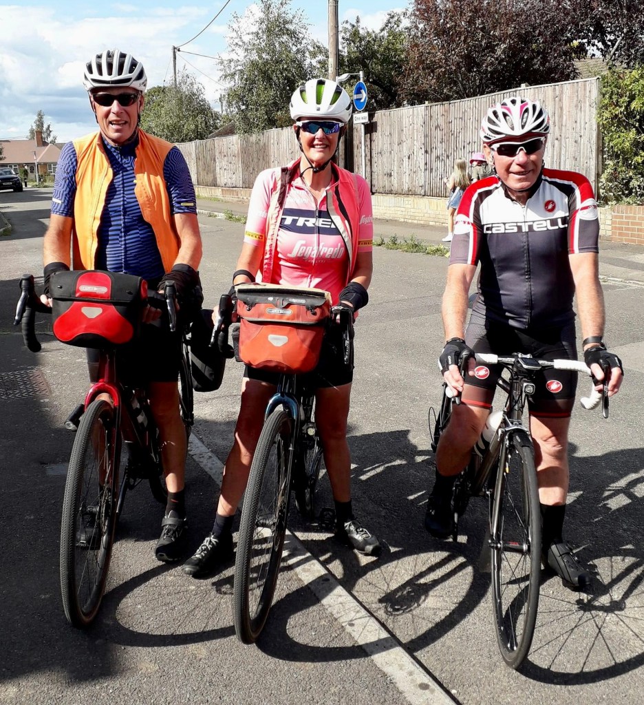
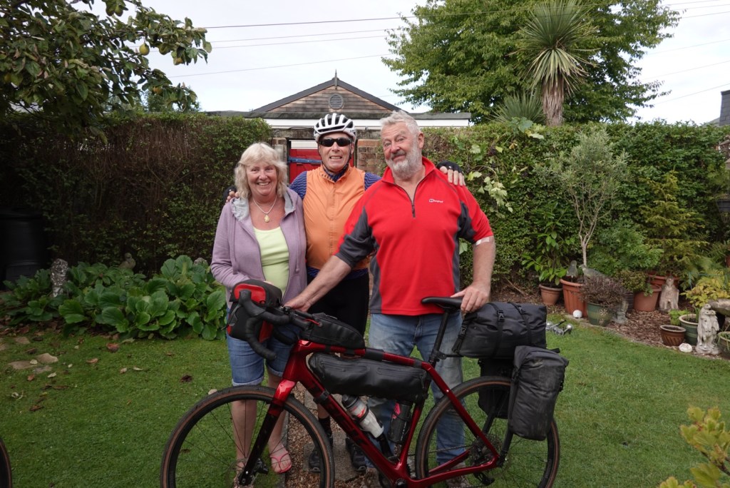
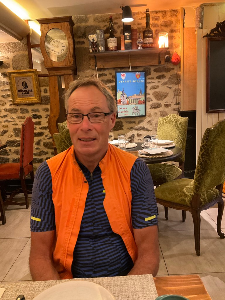
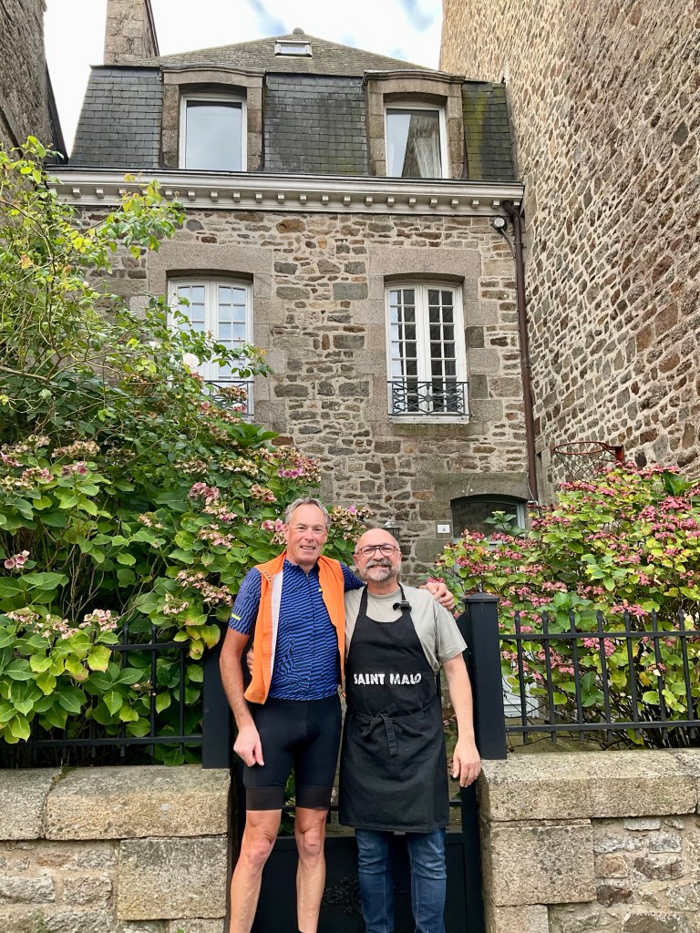
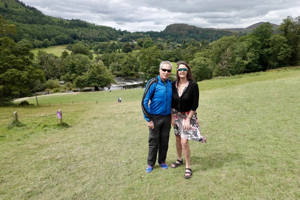
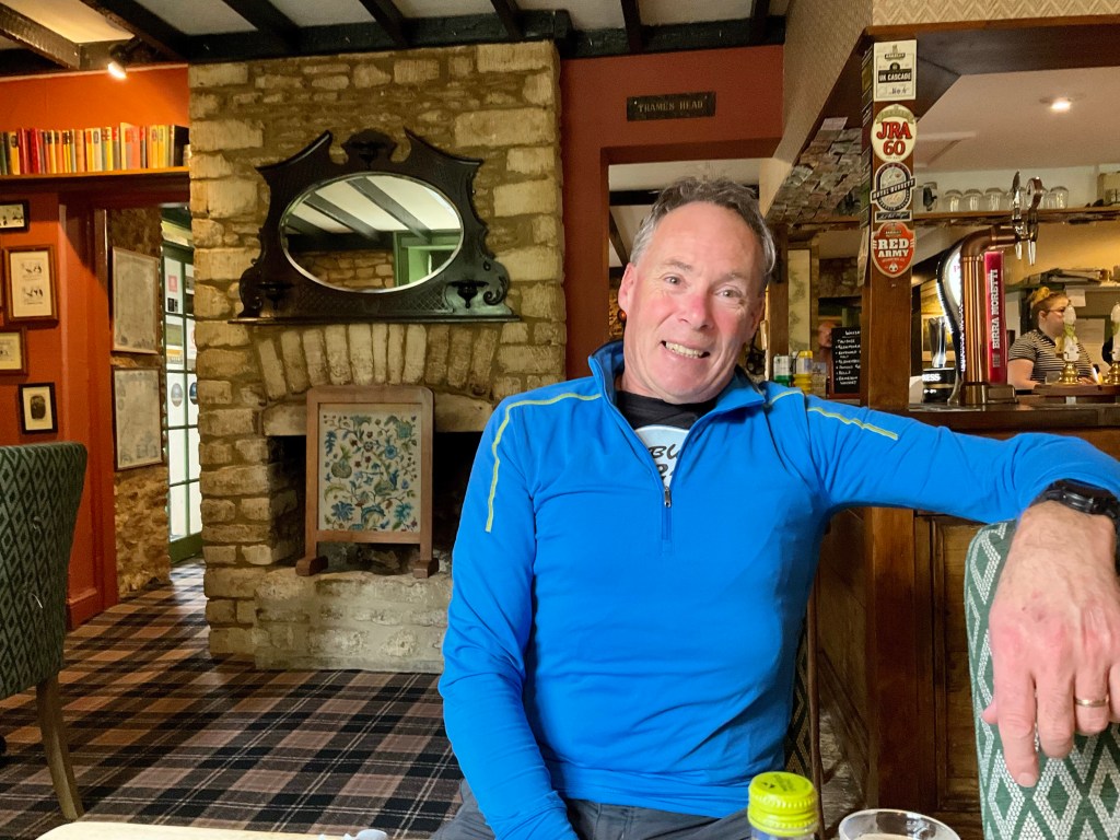
First question…how is Tony?

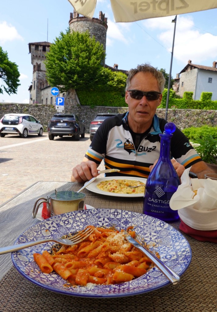
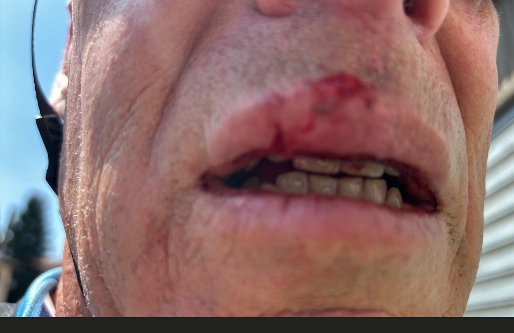
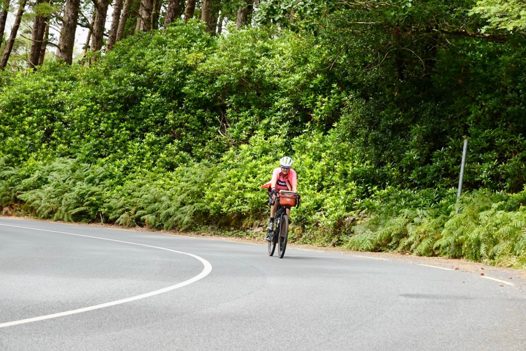
He slept ok but I could tell he was in pain with various sounds during the night. Apart from his sore and swollen lips, missing skin on his left hand, he also has significant swelling and bruising on his upper thigh. Those upper leg muscles were going to get a workout today, so not ideal for him with a 100 km ride ahead.

Tony’s bike ready to leave our accomodation.The irrigation channel flows directly from Lake Maggiore, our destination today.

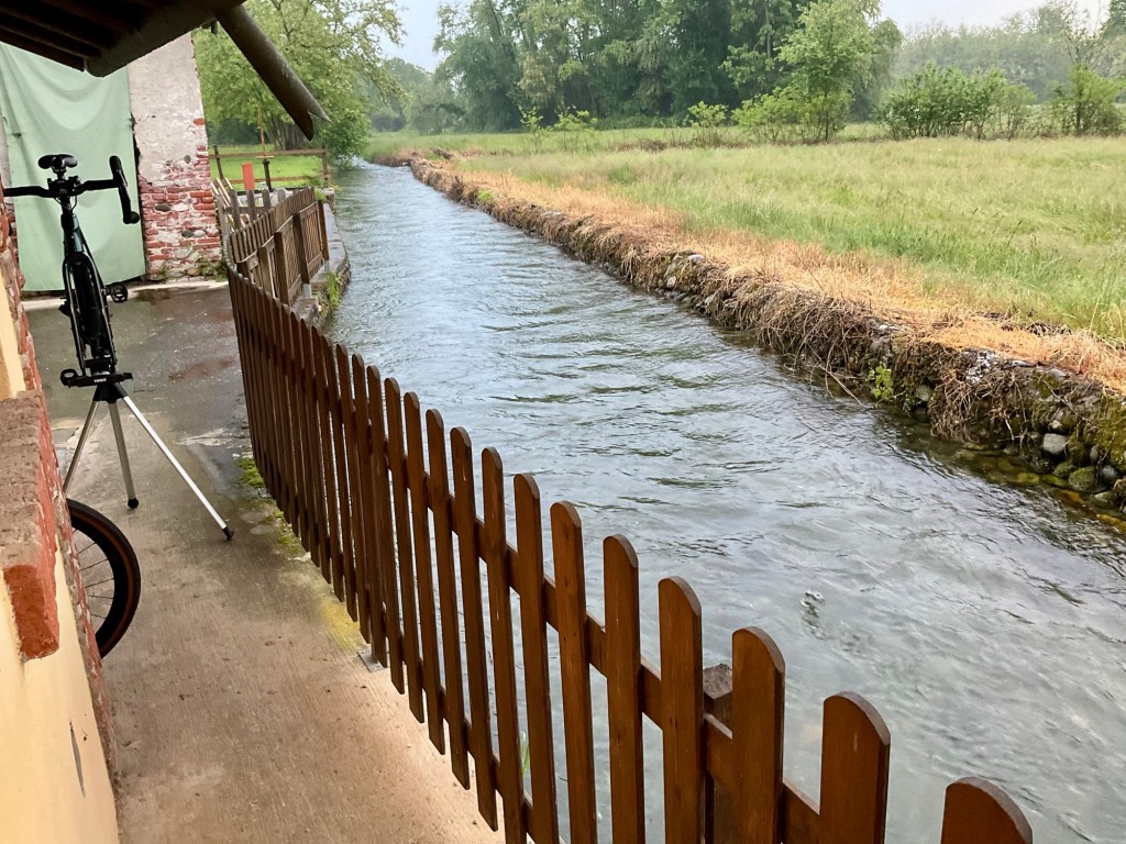
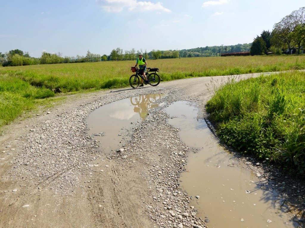
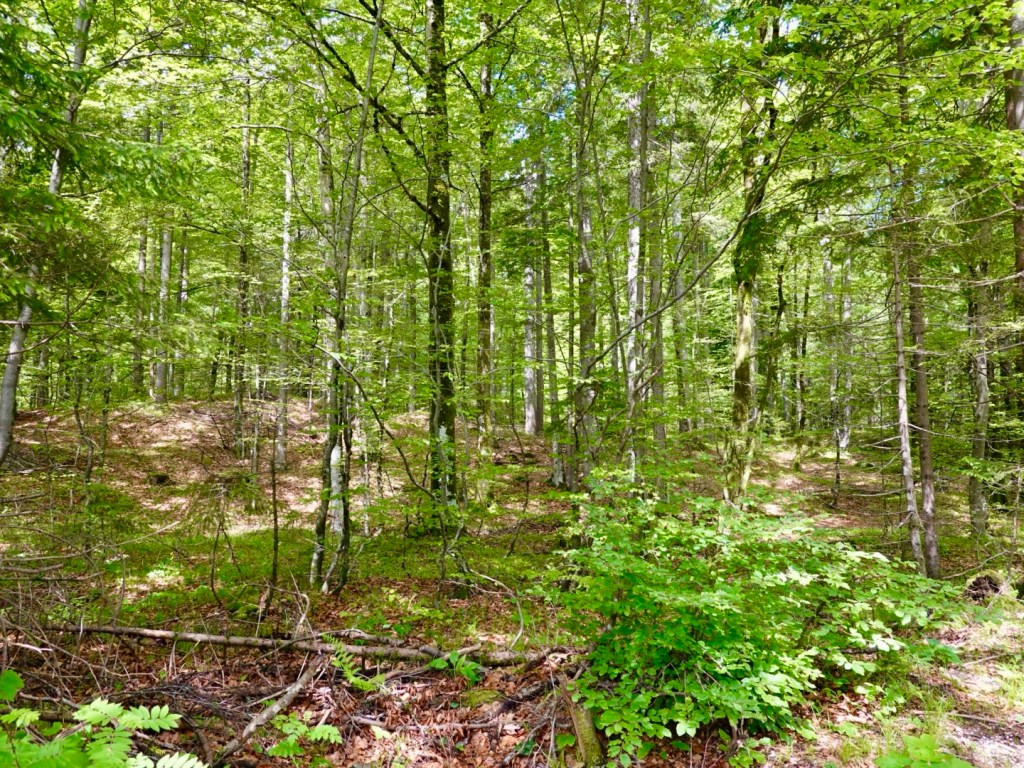
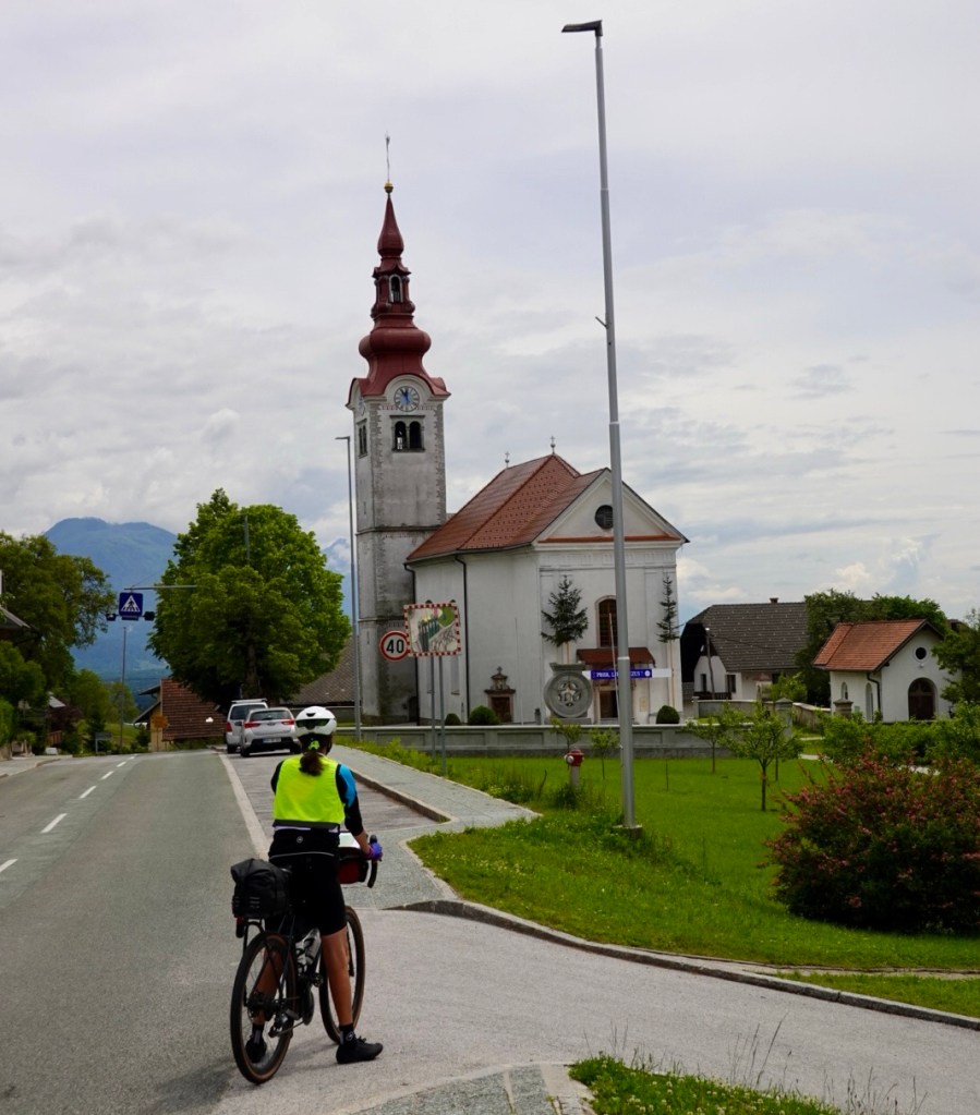
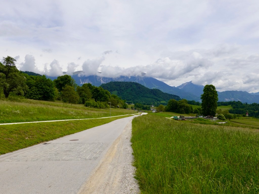
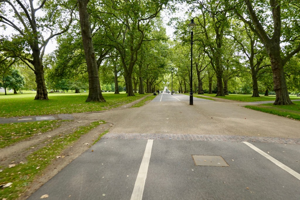
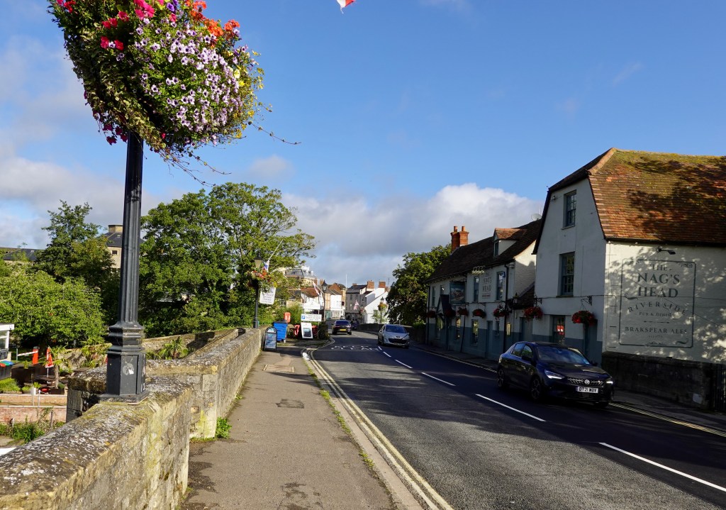
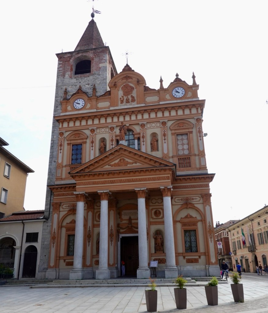
Leaving our accomodation it was back up the pot holed, dirt and muddy in places road heading to Oleggio, where we had visited yesterday.

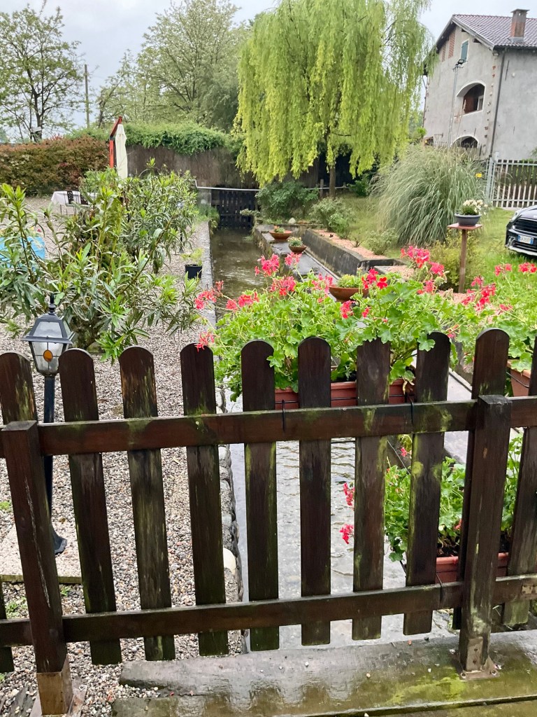
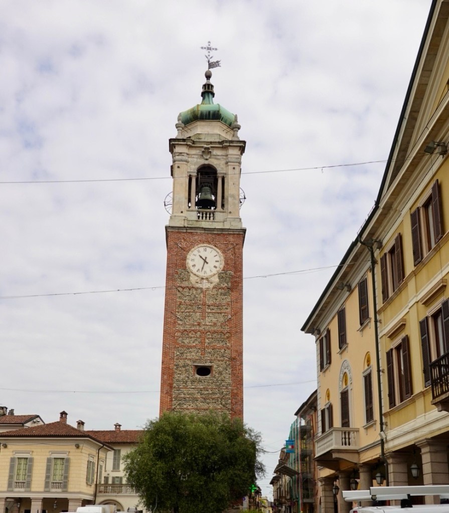
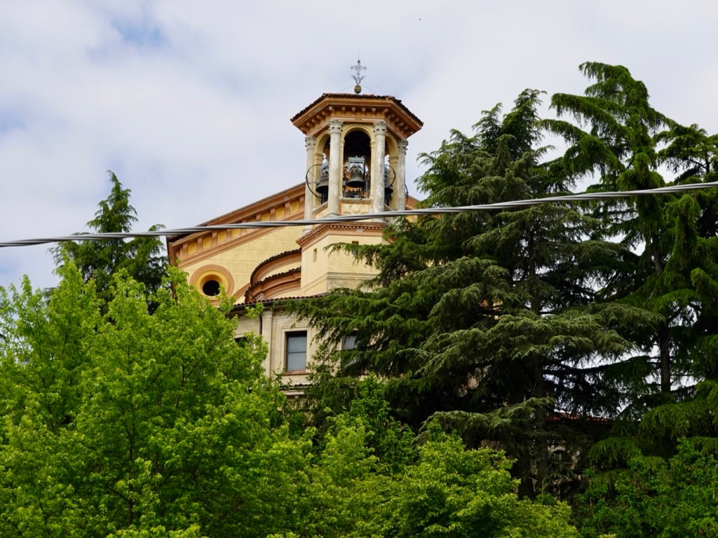
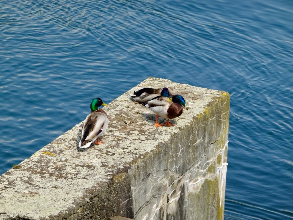
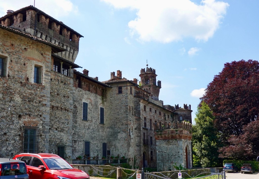
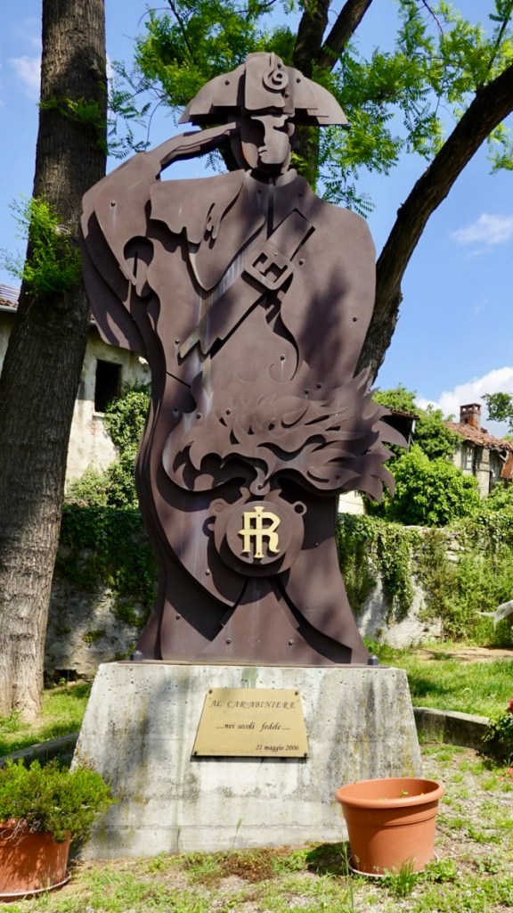
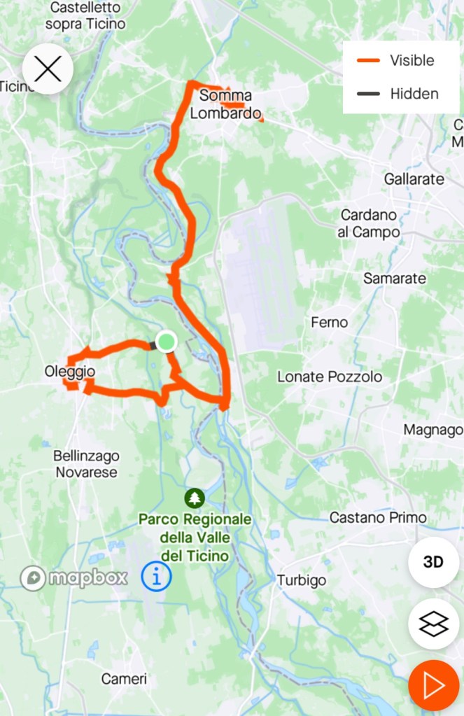
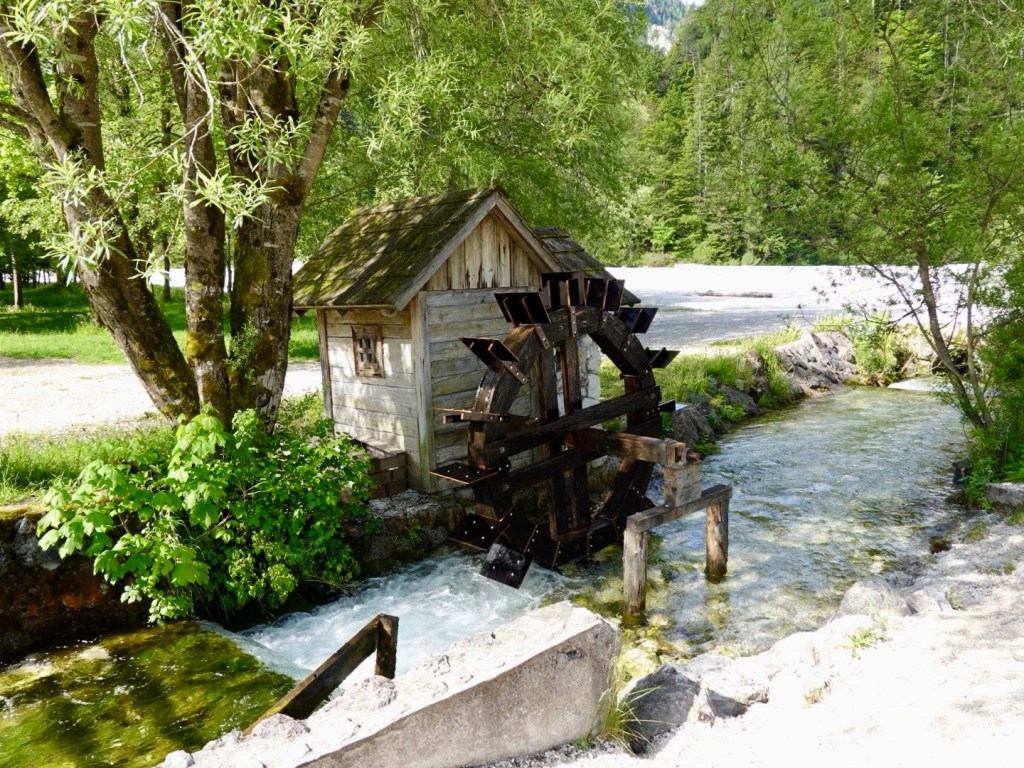
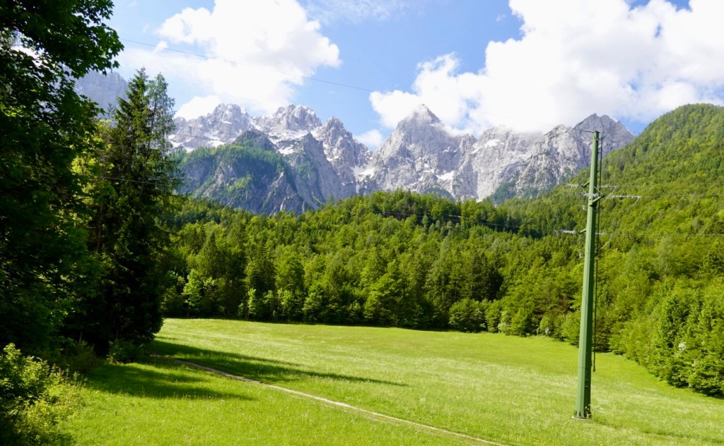
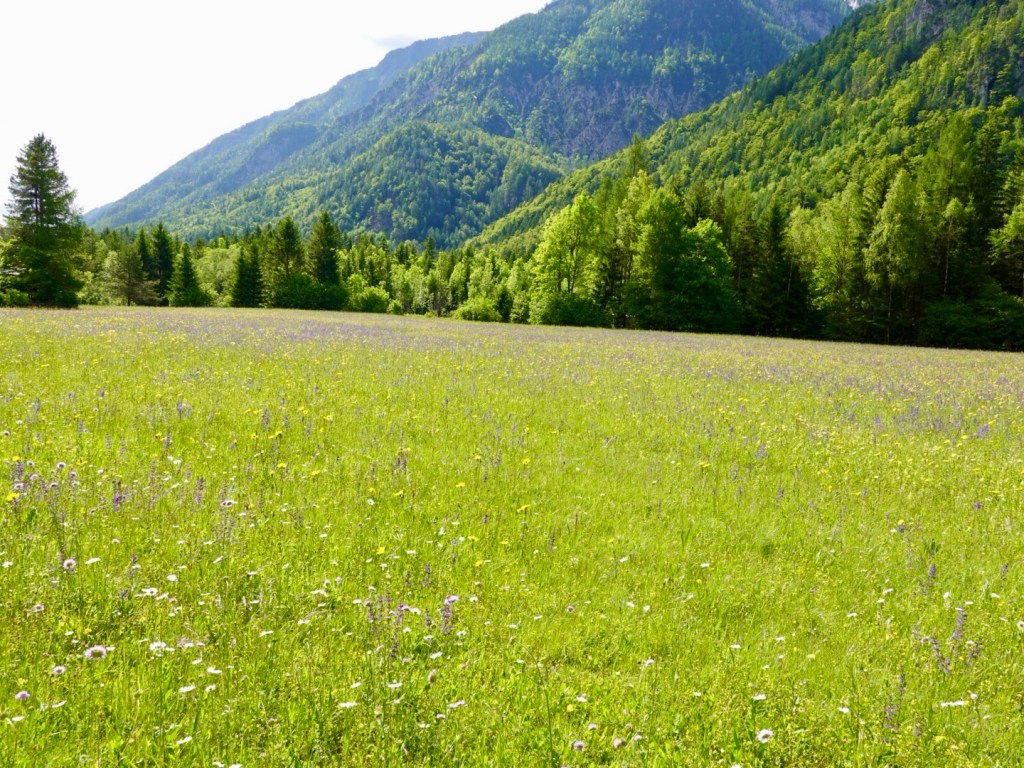
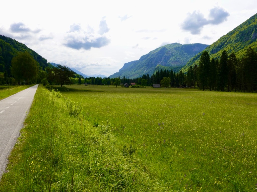
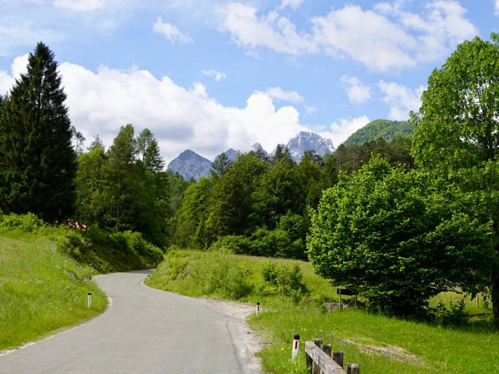
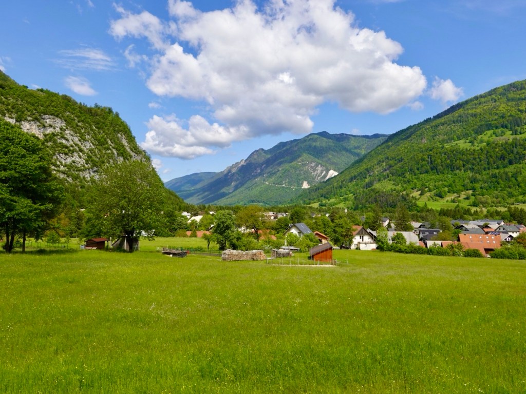
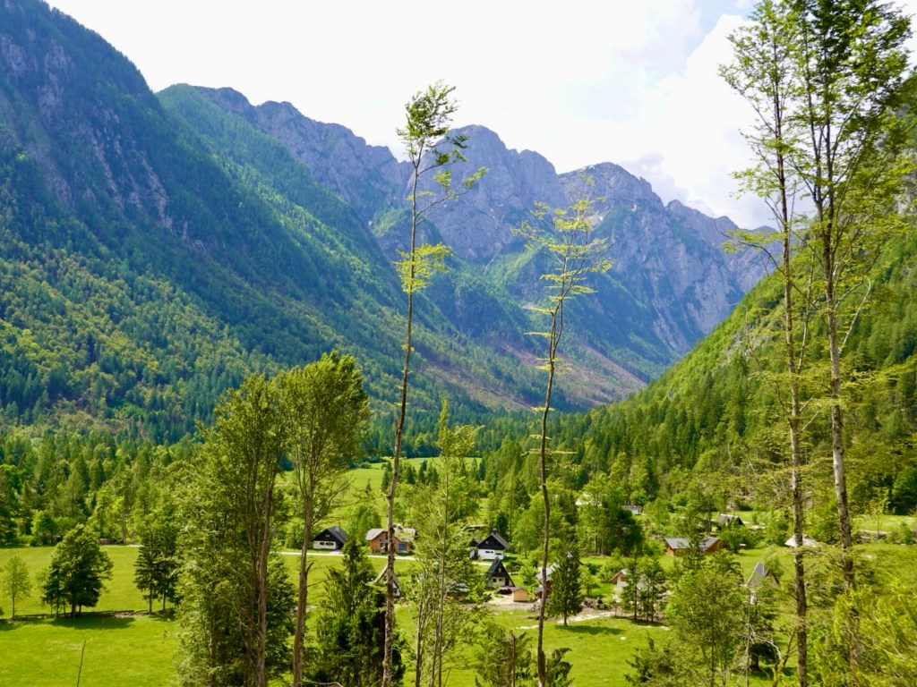
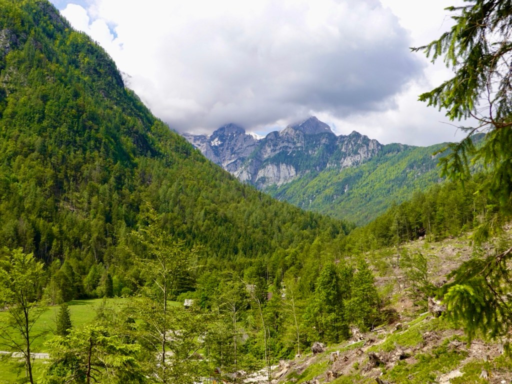
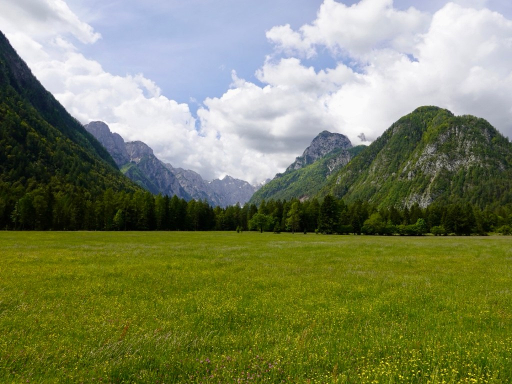
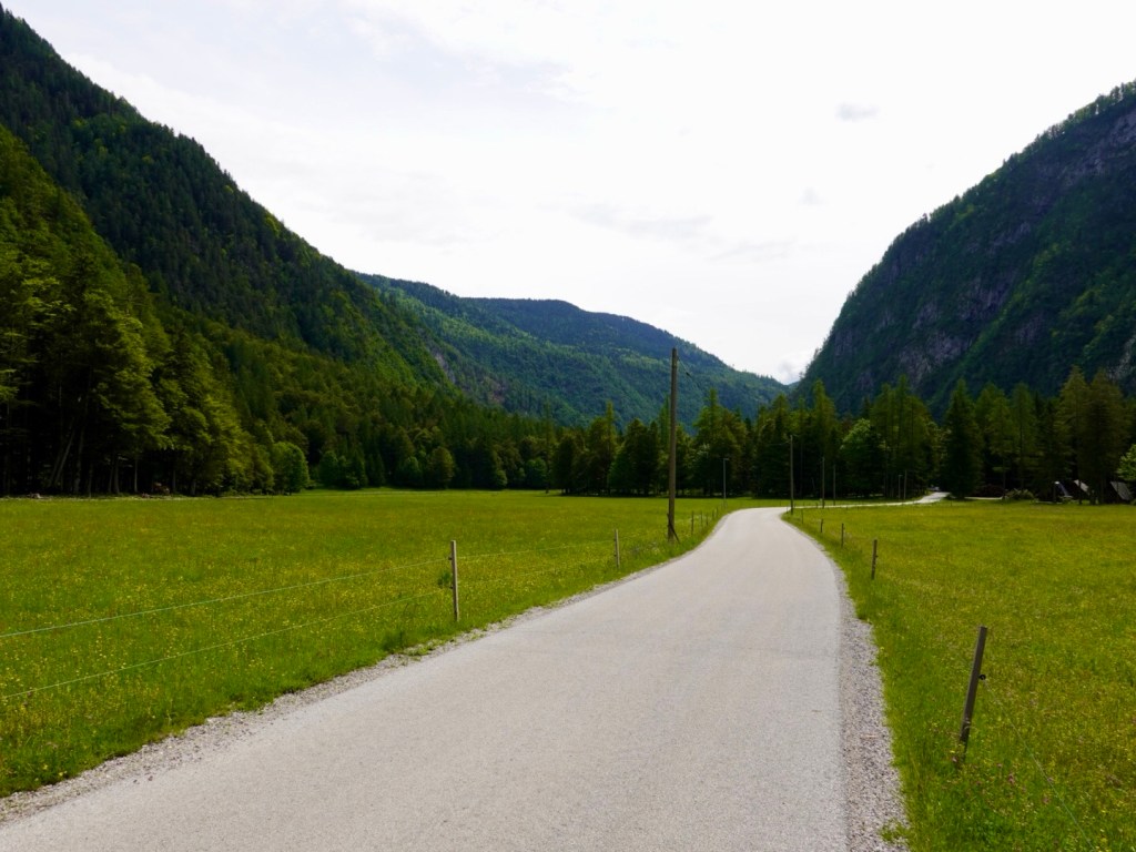
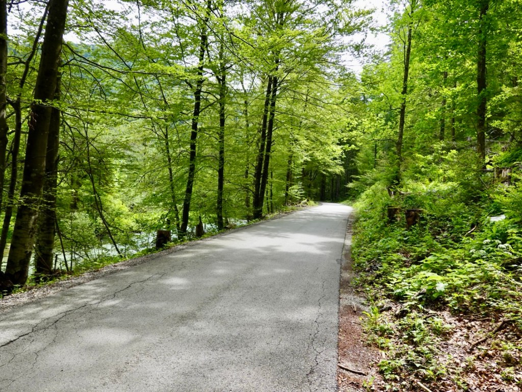
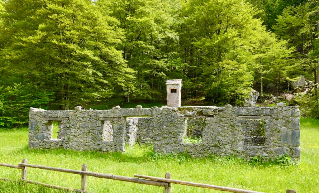
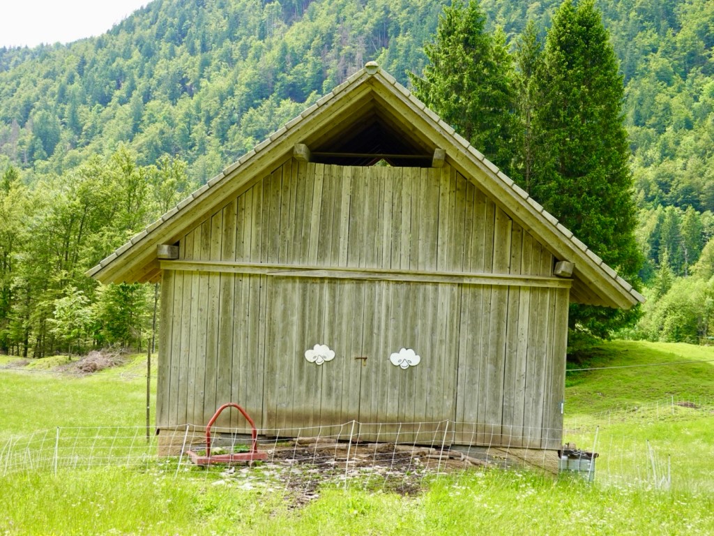
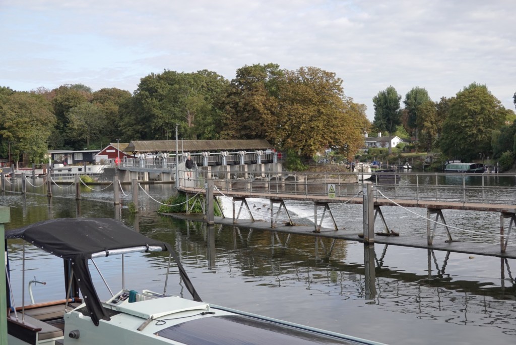
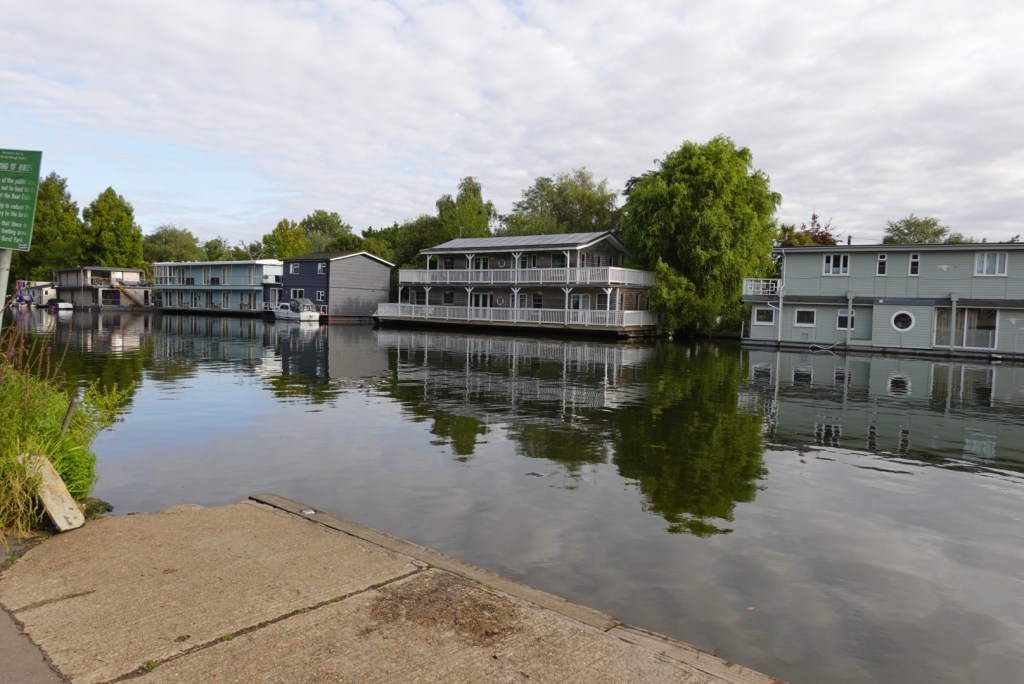
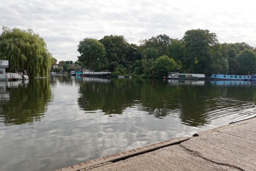
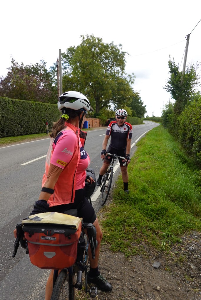
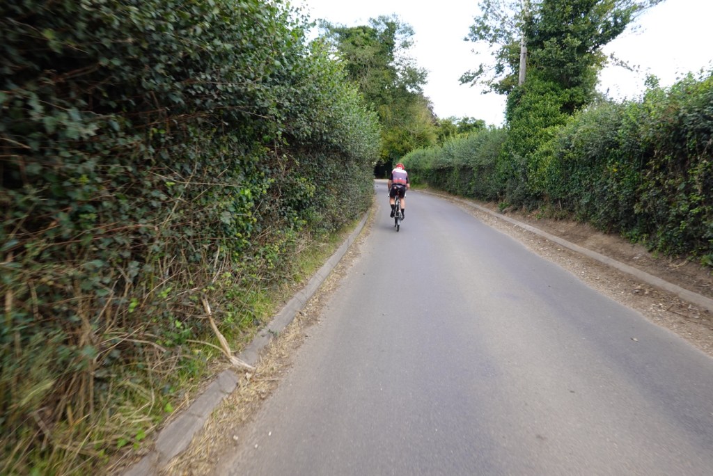
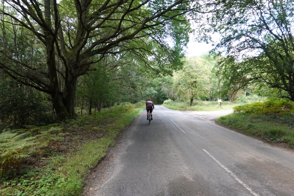
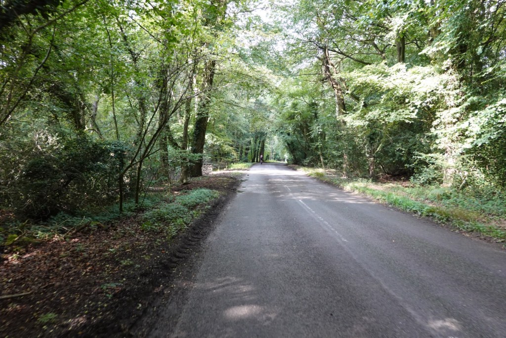
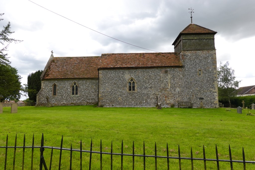
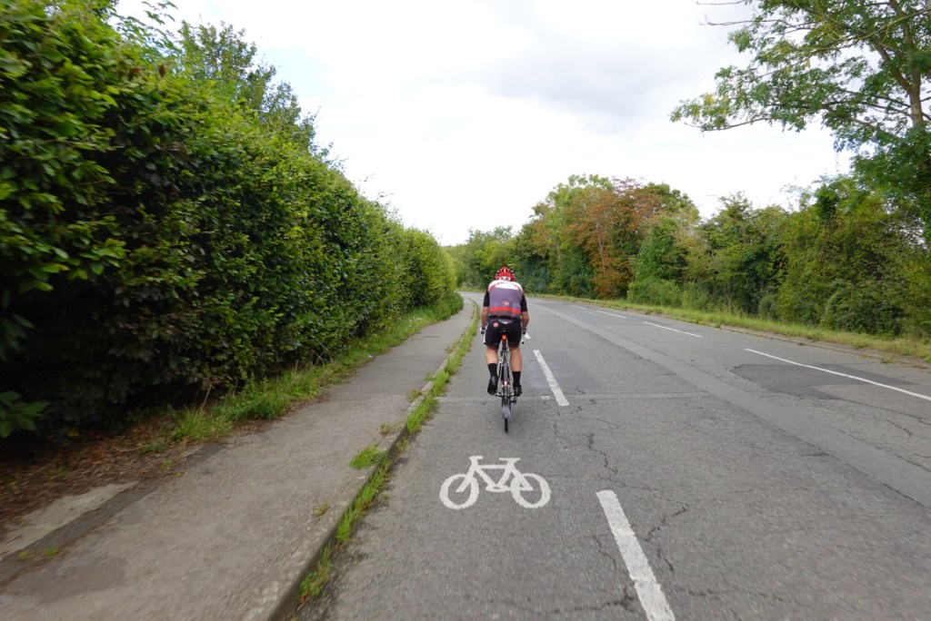
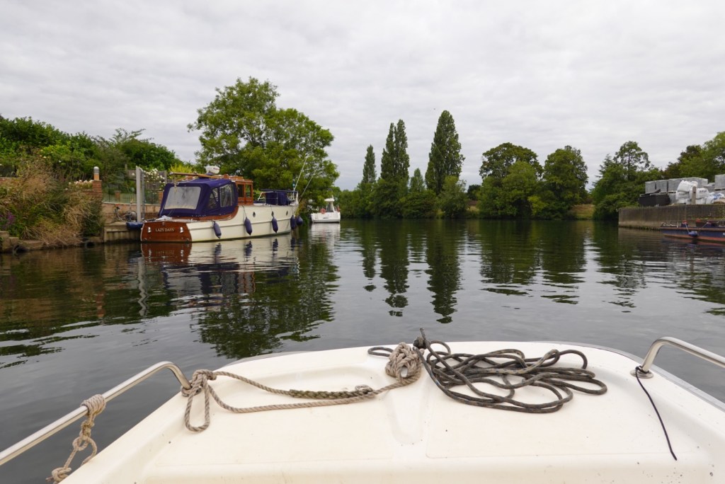
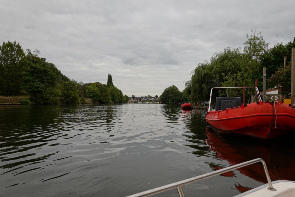
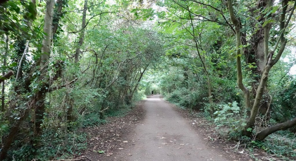
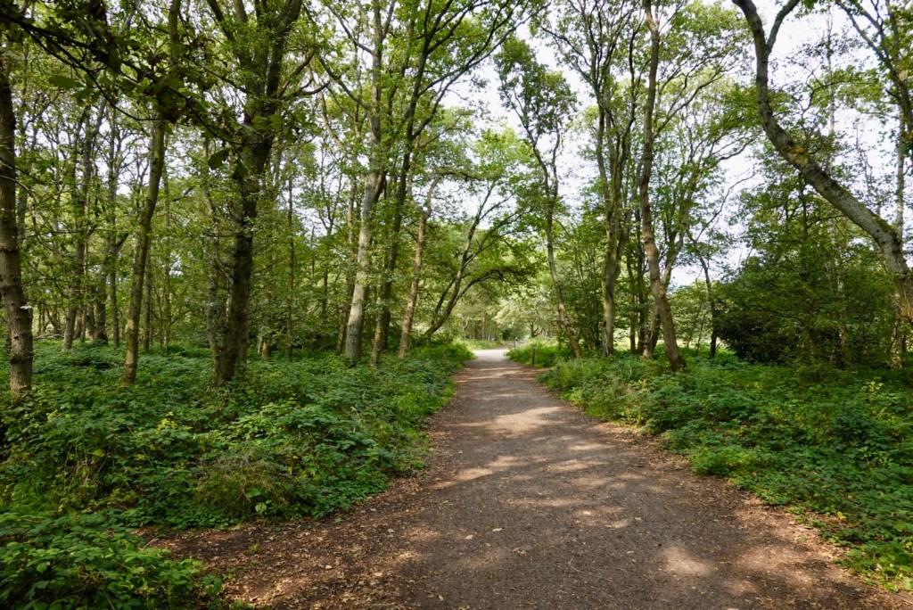
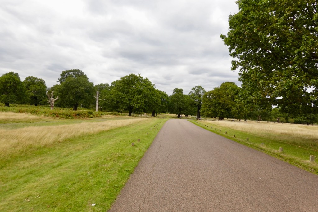
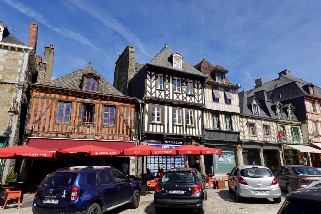
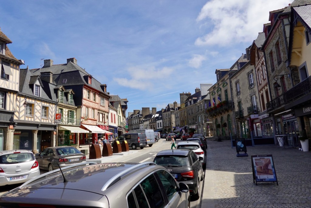
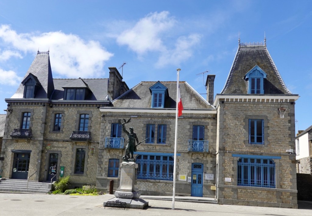
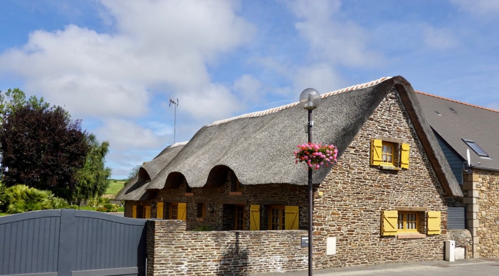
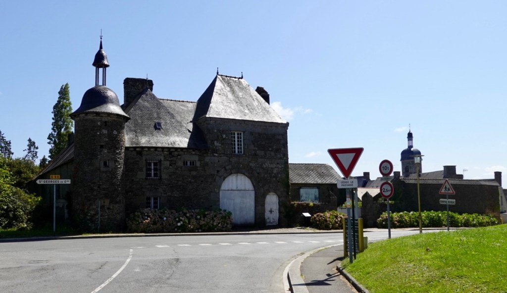
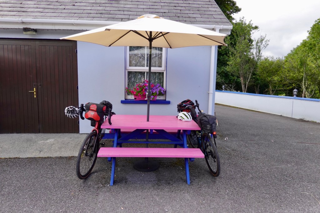
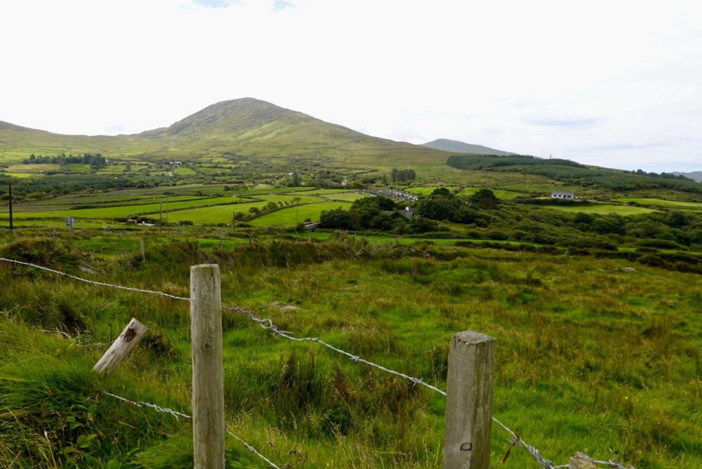
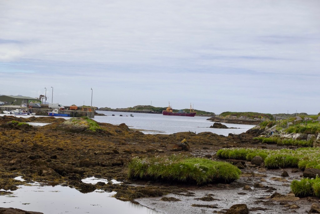
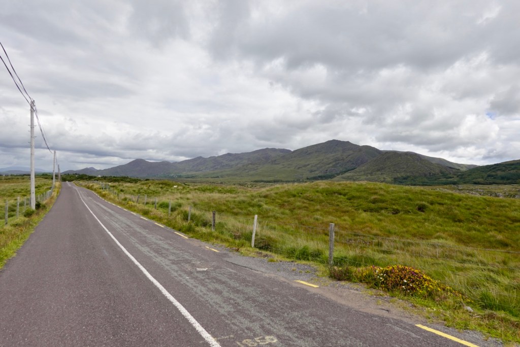
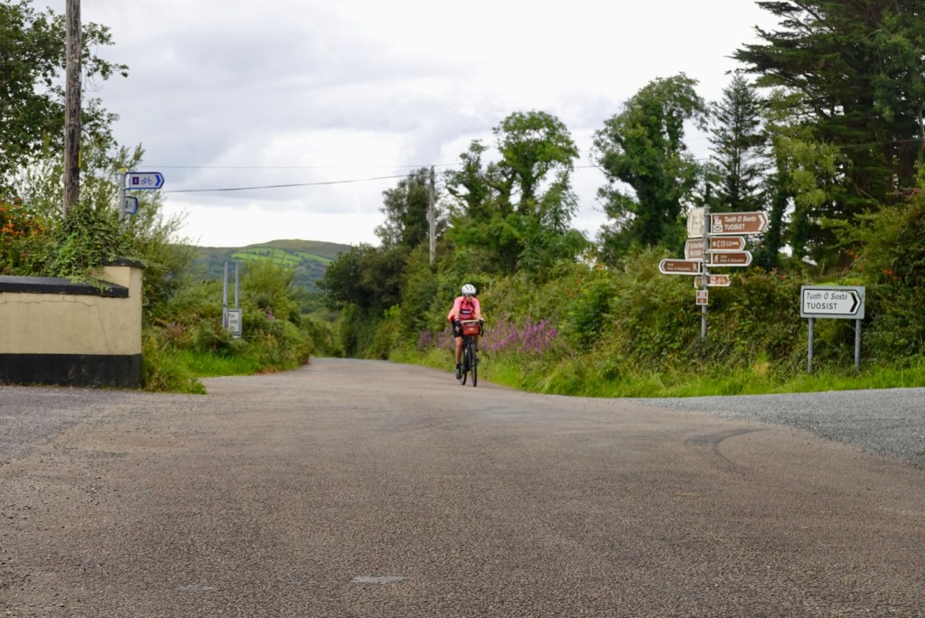
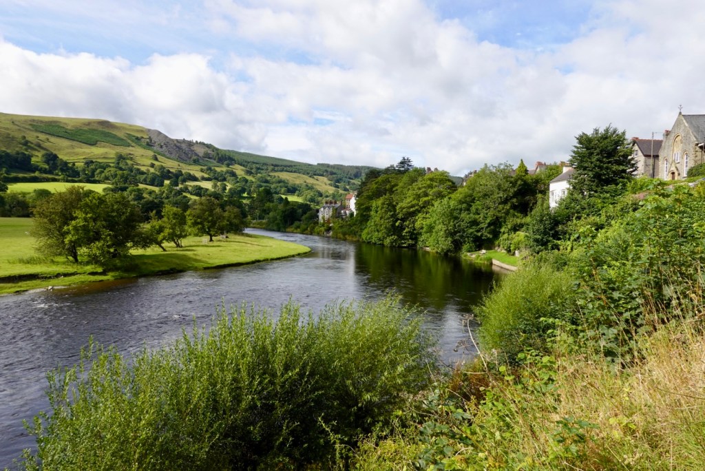
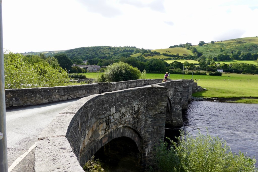
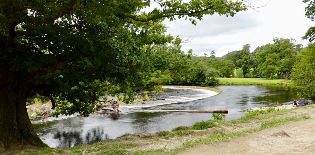
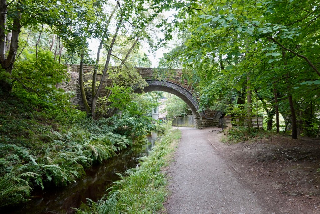
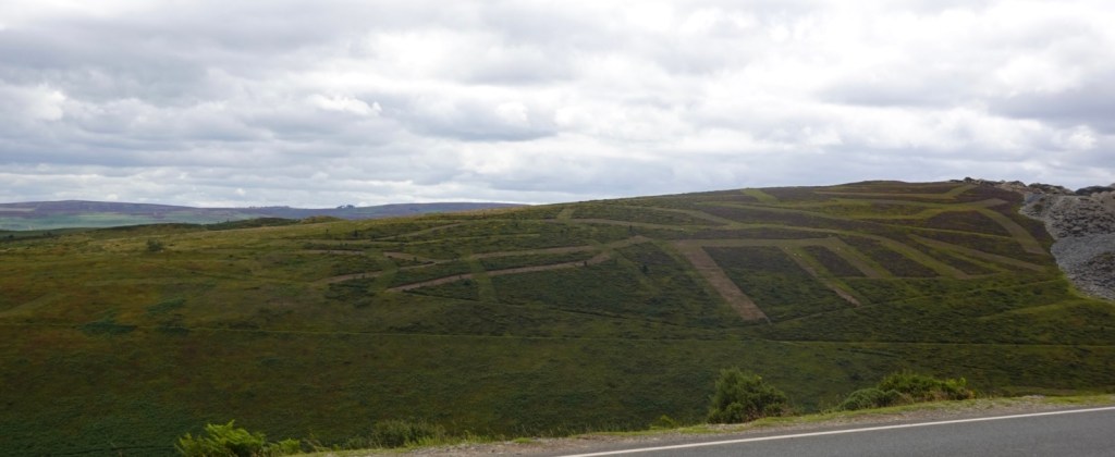
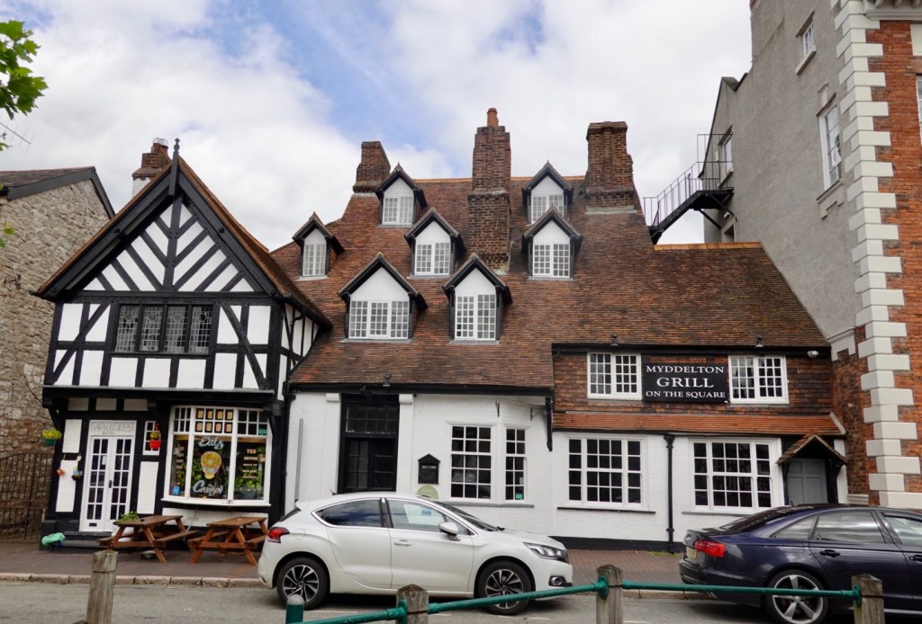
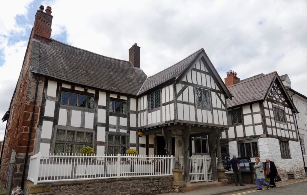
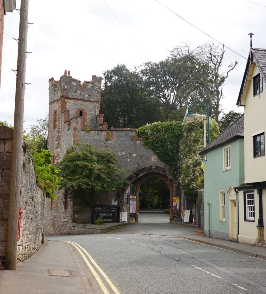
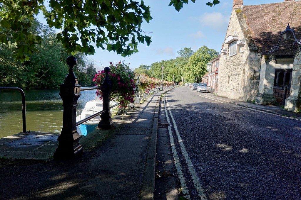
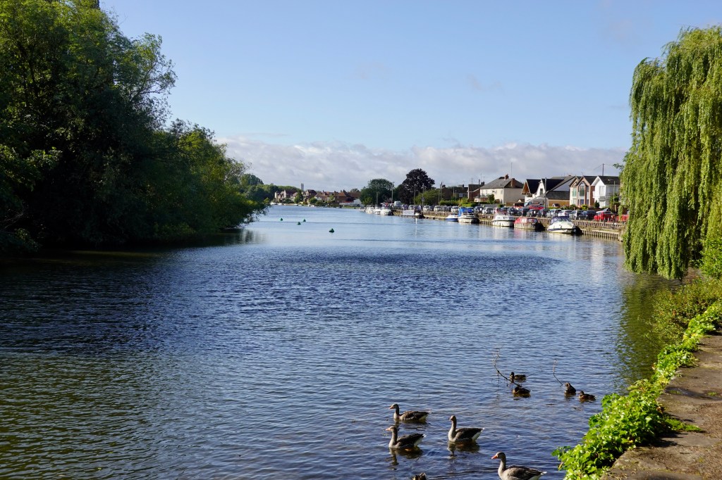
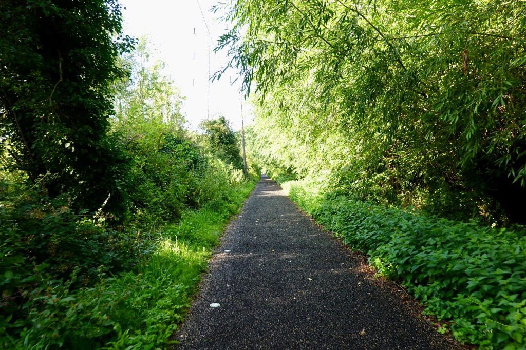
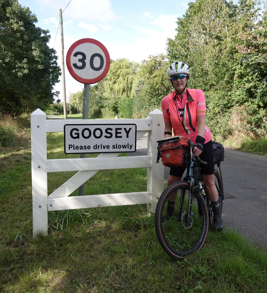
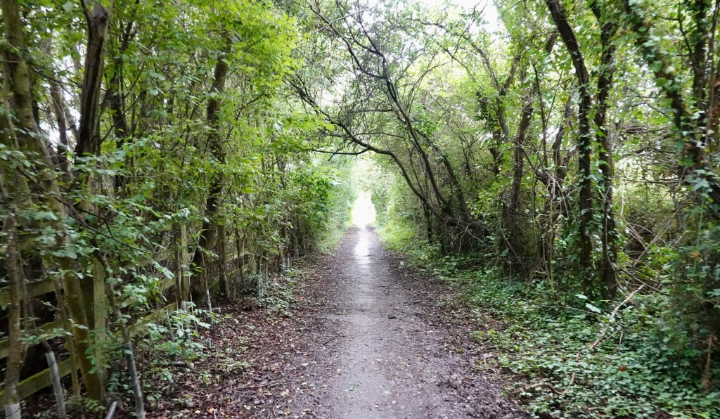
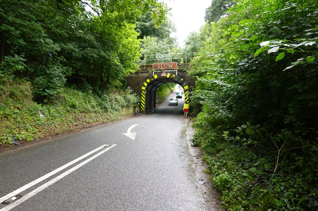
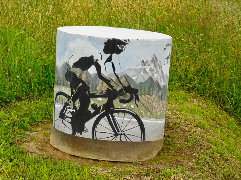
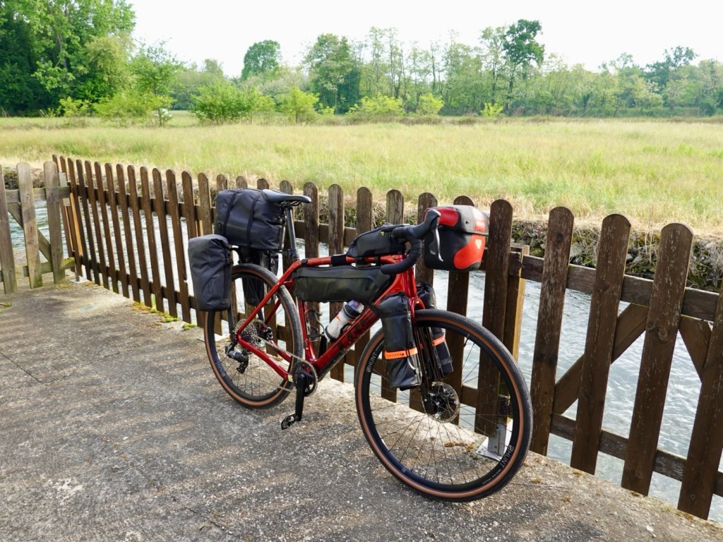
We were on predominantly quieter rural roads for the first 30 km or so. We did pass through a few nice villages. A few shots from the early km’s.

Small village promoting their Gorgonzola cheese
Cycling sign on a building, Mezzomerico
We were in a wine growing region promoted by their Citta del Vino signage. This sign welcomes us to Suno, bids us farewell from Mezzomerico.
Church of Saint Bartholomew, Borgomanero commenced in 1225, but the current facade is baroque from the 1600’s

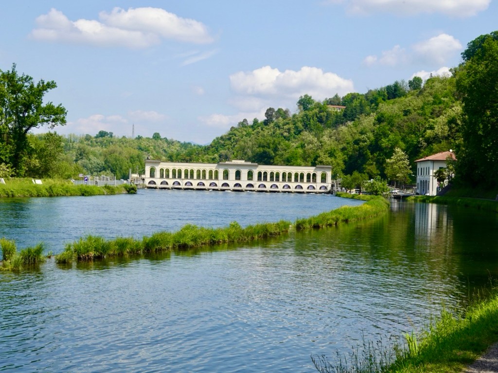
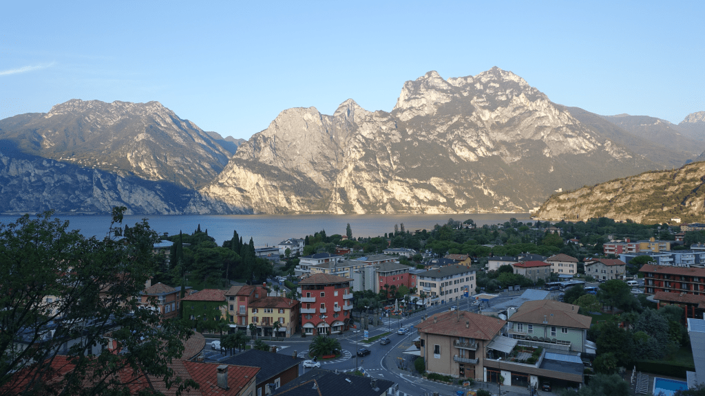
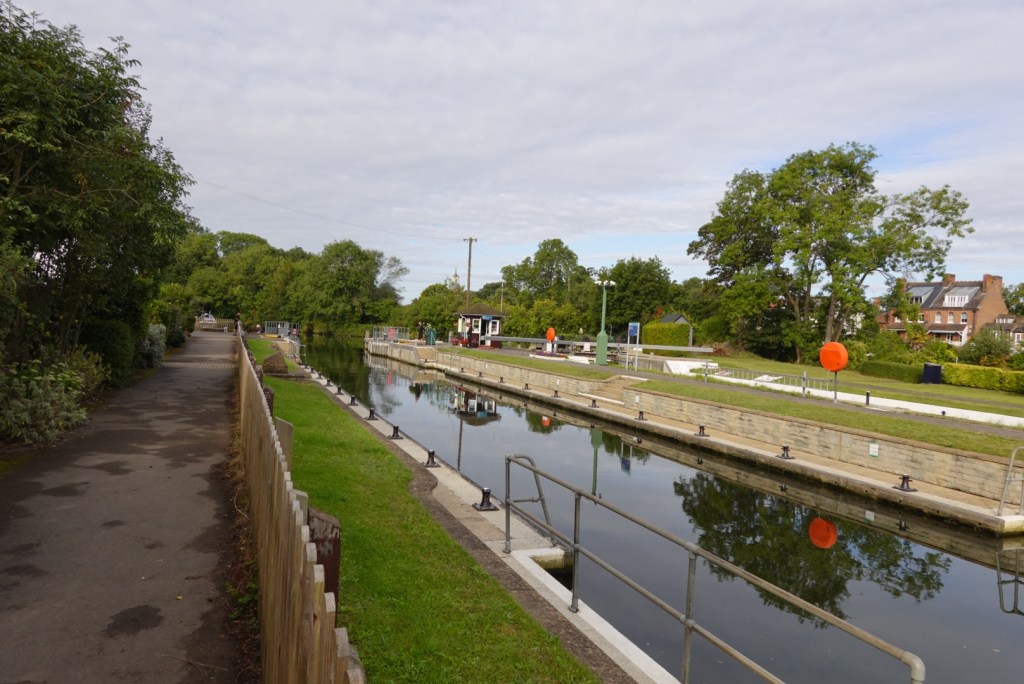
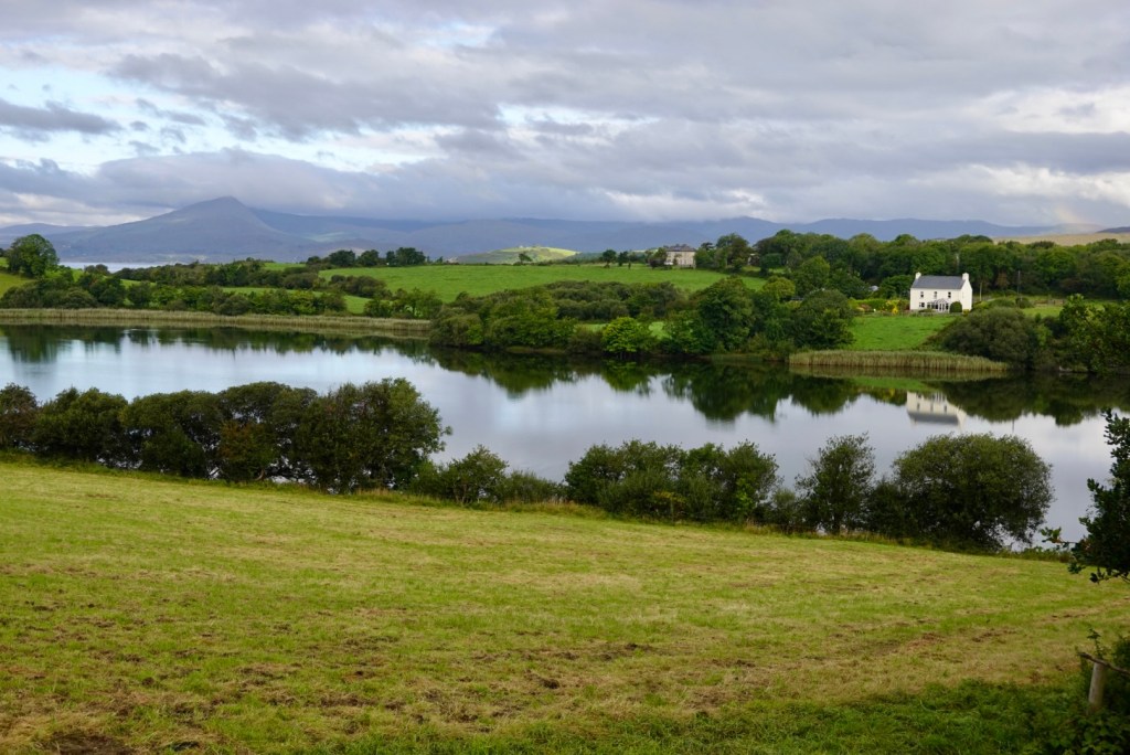
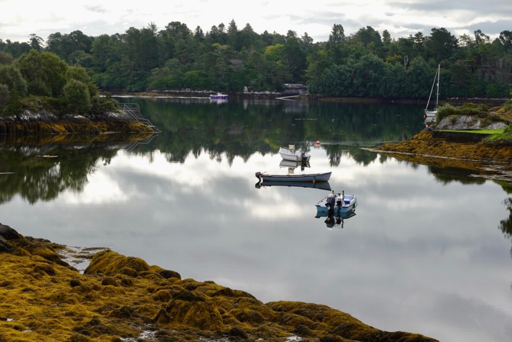
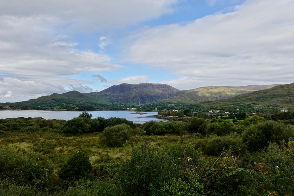
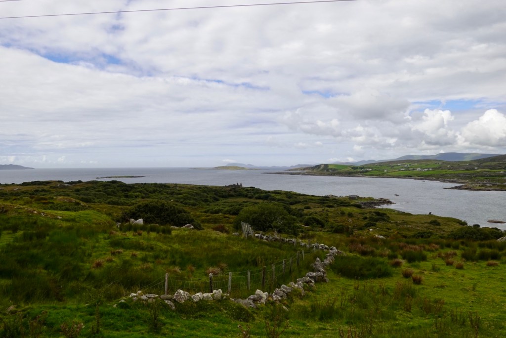
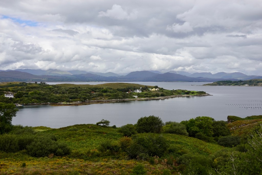
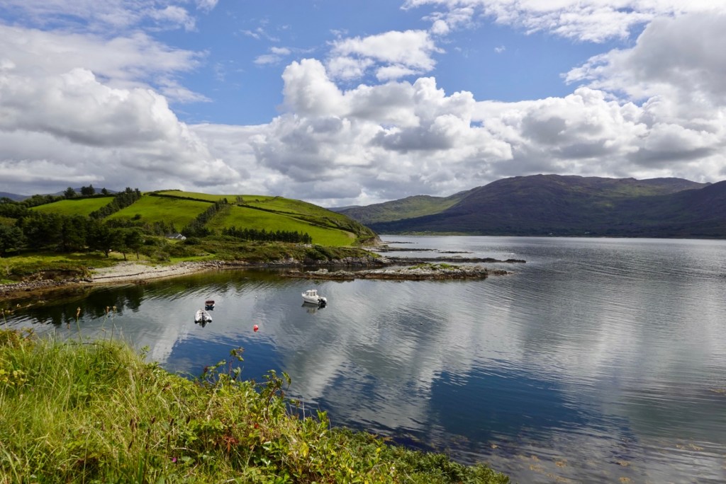
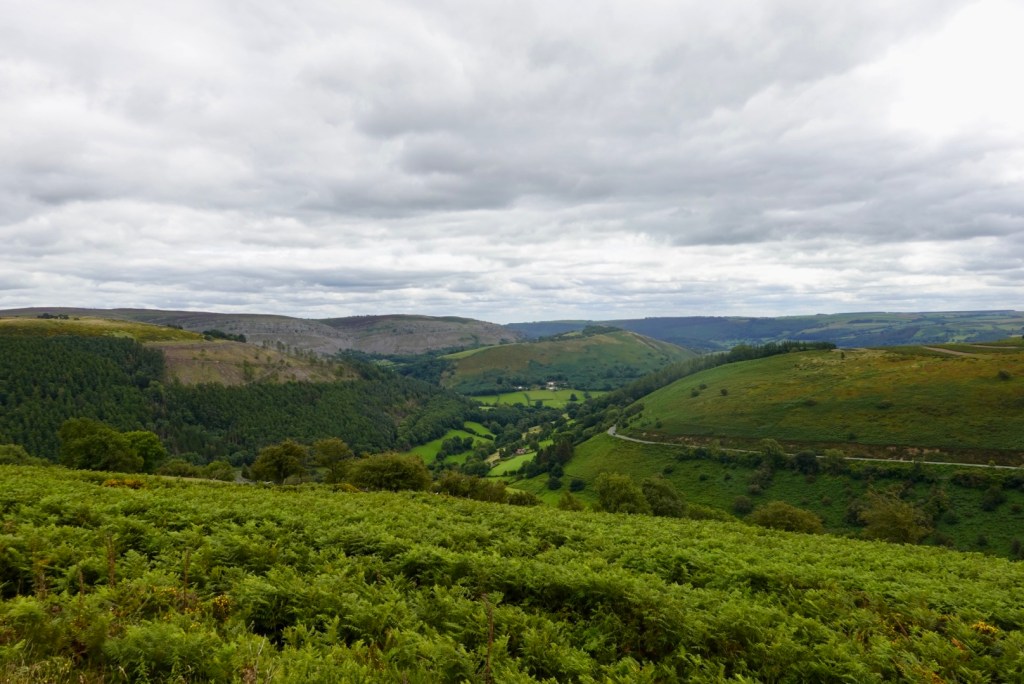
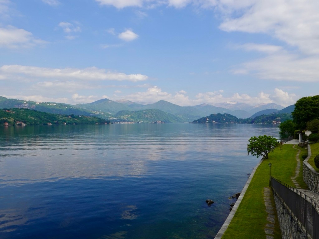
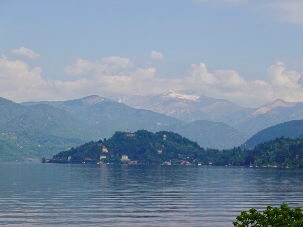
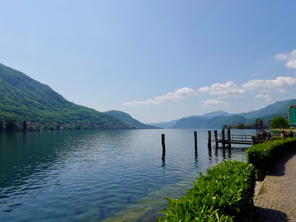
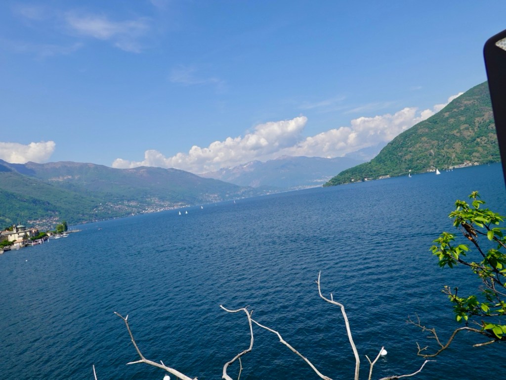
We commenced our descent to Lake Orta and what a beautiful view. The lake is 13 km long and 2.5 km wide. I had read is was less touristy than the neighbouring Lake Maggiore and added it to our route.

Lake Orta. Snow capped mountains are just coming into view.

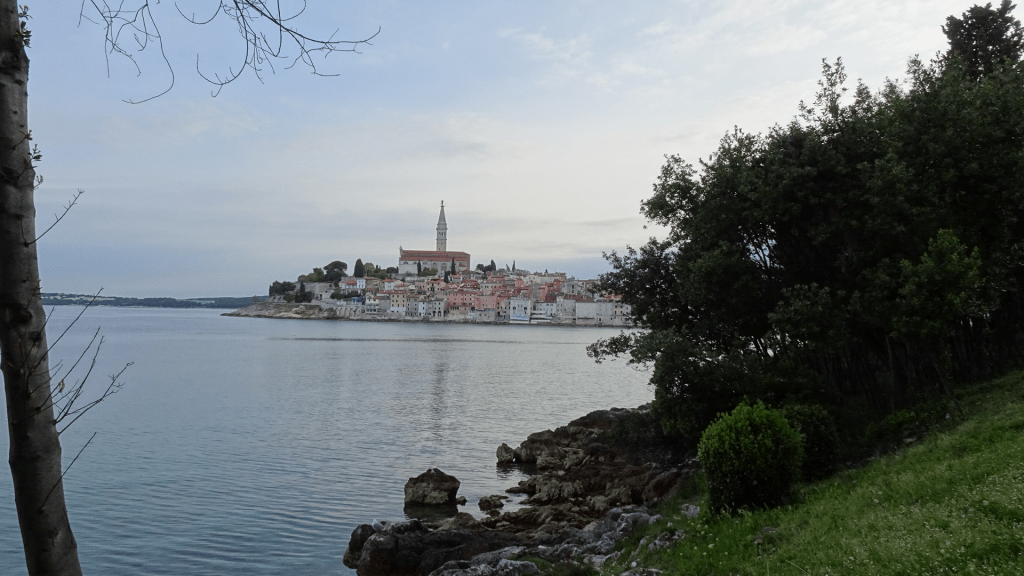
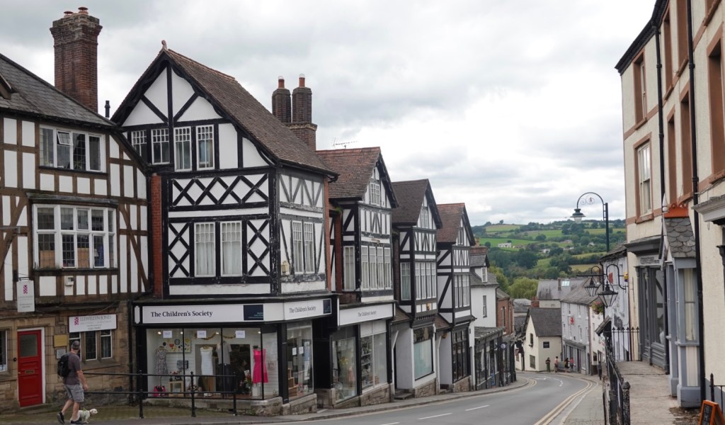
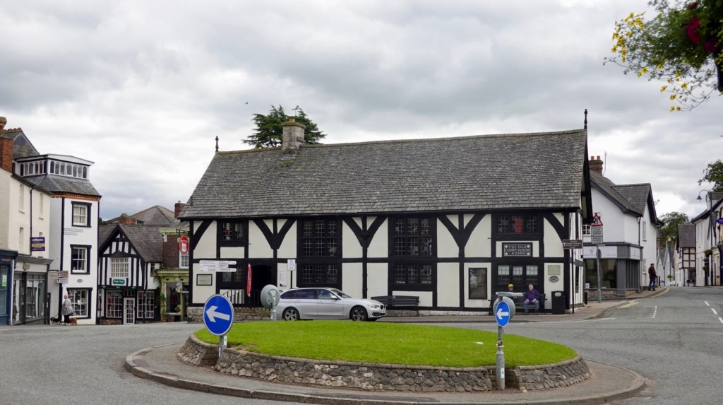
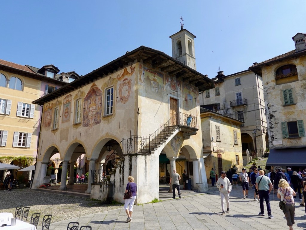
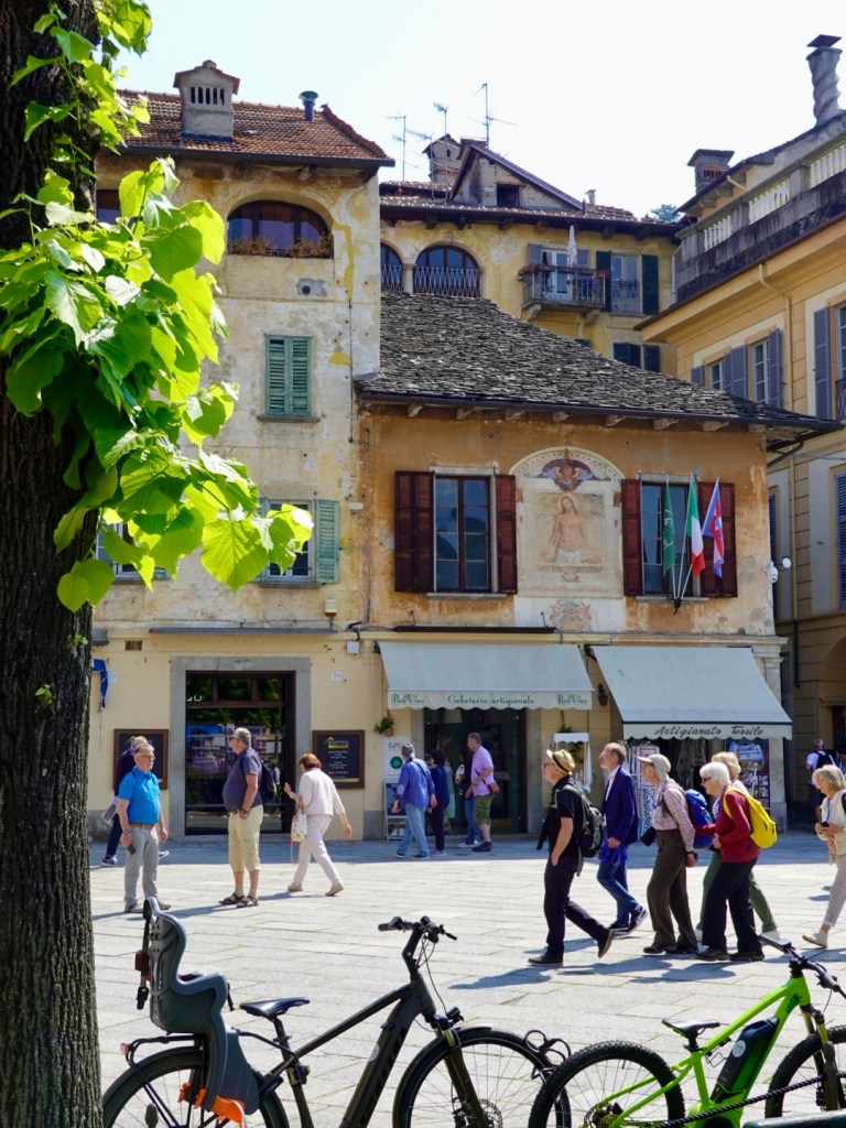
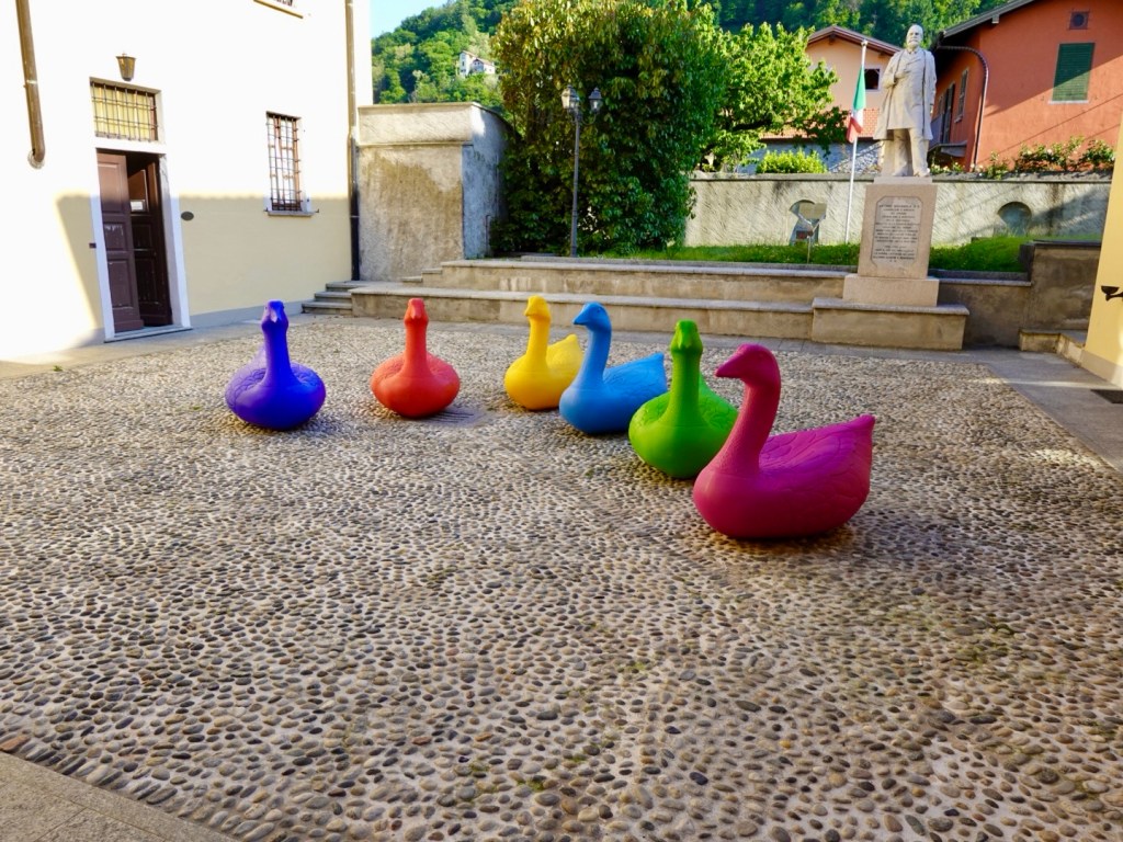
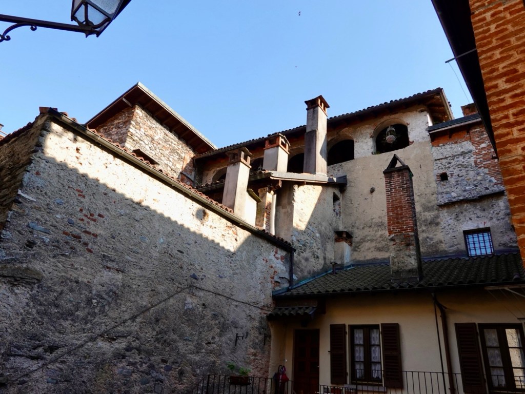
Orta San Giulio is a very picturesque village, with narrow cobbled lanes, old stone walls and numerous little piazza’s (squares) dotted with craft and antique shops and cafes.

We could see it ahead, jutted out on a peninsula.

Orta San Giulio

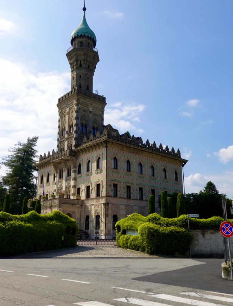
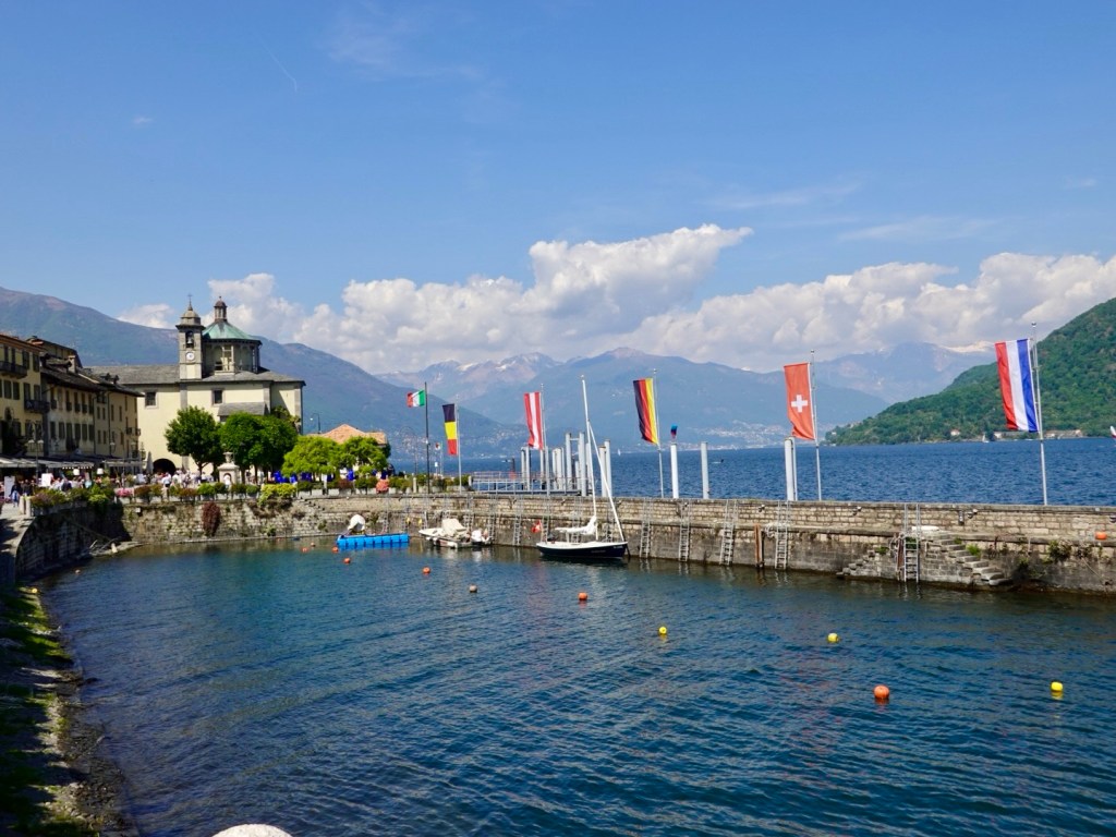
We turned off the main road past the ornate building, which is an expensive hotel boasting a three hat Michelin star restaurant. Only 20 rooms for guests, I had a look to see how much a room would set you back. The cheapest room in the next few days is around 1000 euro. Sure….

Villa Conti. If I had a spare 1000 euro for the room, doubt I could afford the meal. Where would the bikes go?

The tourist buses and cars park near Villa Conti. People either walk down or catch the mini motorised tourist train.

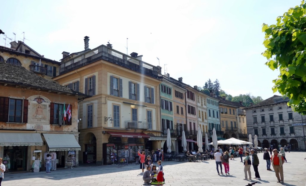
At the base of the hill, by the waterfront is a piazza dotted with cafes and a range of tourist shops.

Nice frescoes on this structure in the middle of the piazza
Tourist shop with flags and frescoes
Narrow cobbled walkways
Boats take paying tourists out to the island Isola San Guilo, housing an old basilica and seminary.

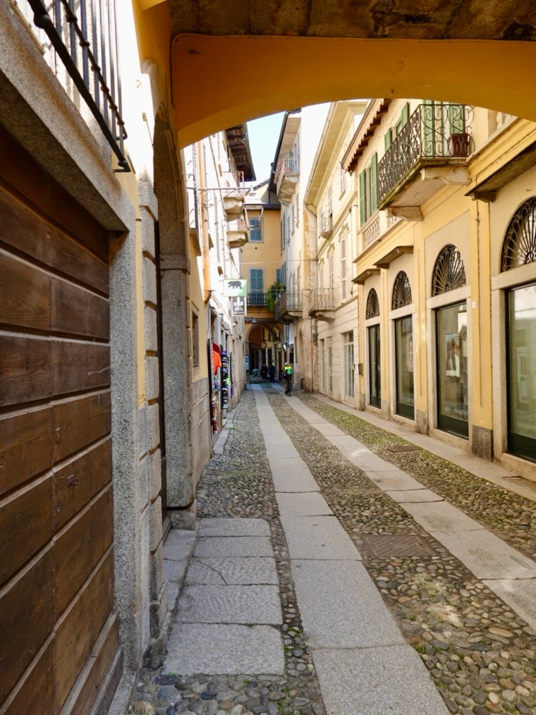
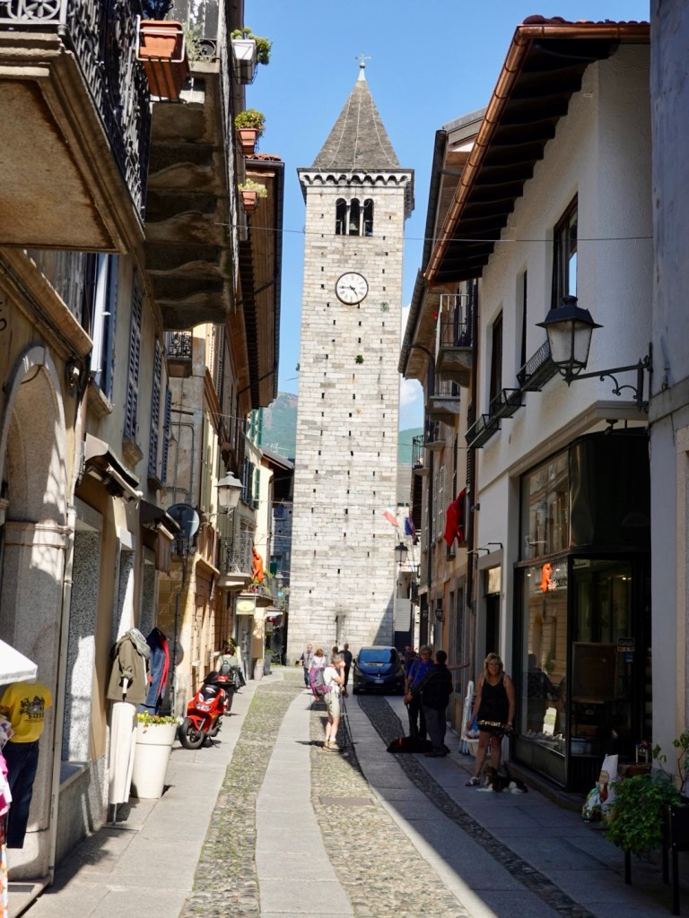
Getting out of this village was not easy. I had tried to,route a traverse route but could not and once in the village could see why. Steep cobbled walk ways and steps were necessary to,find an upper level road. So we pushed our bikes up a 16 percent cobbled gradient until we found bitumen and headed back out to the main road.

The main road goes around this far shore section.

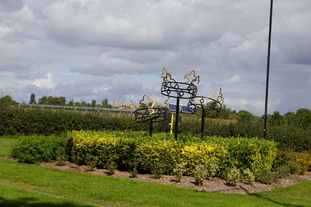
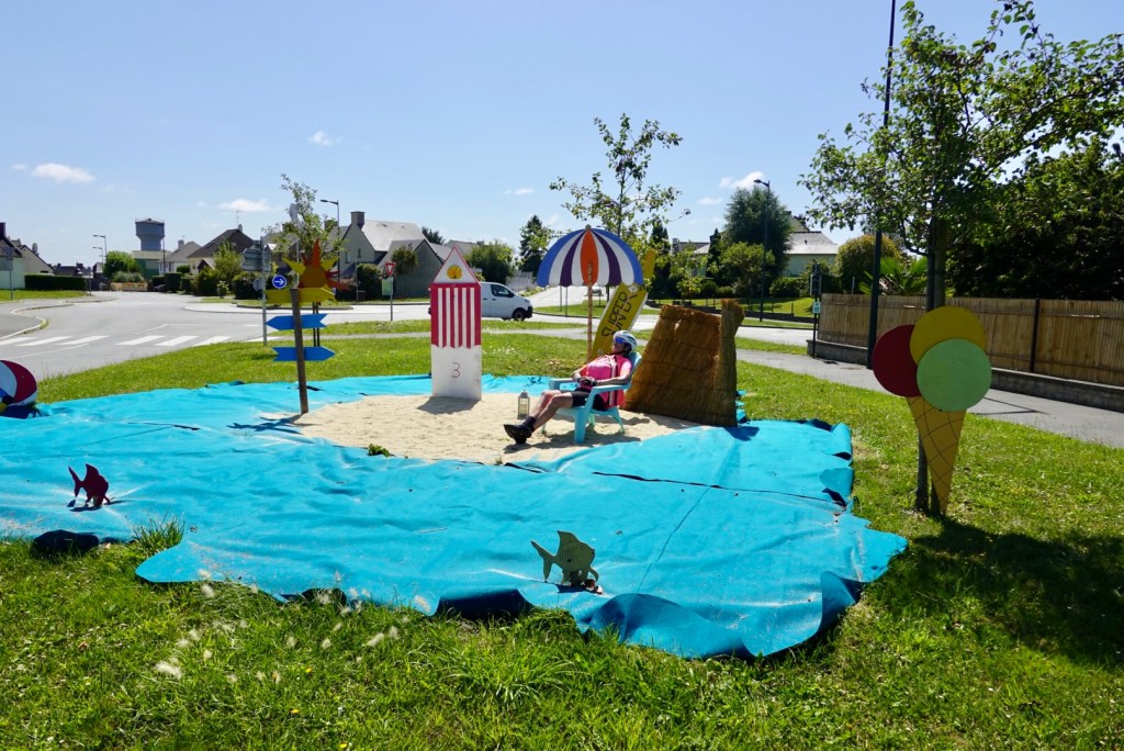
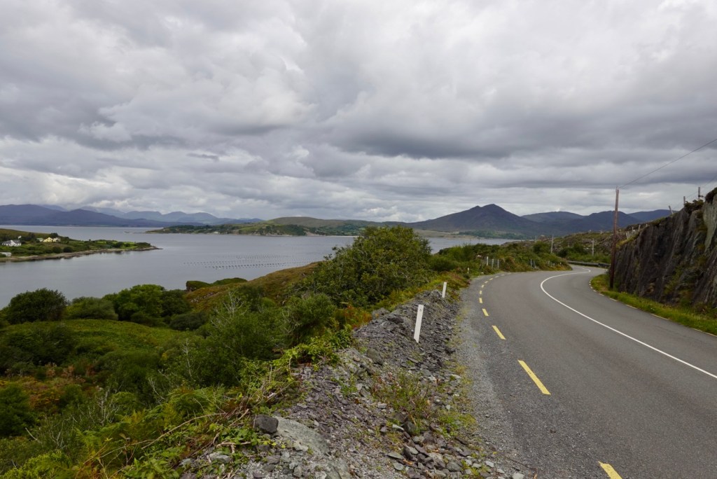
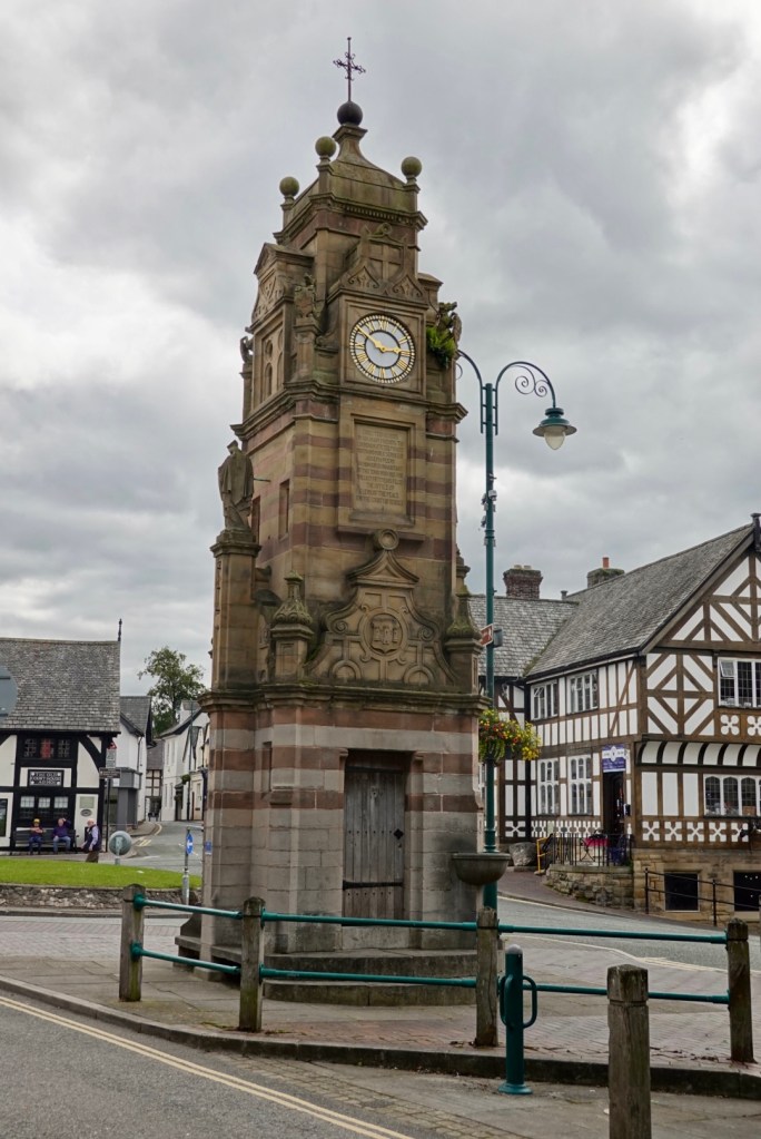
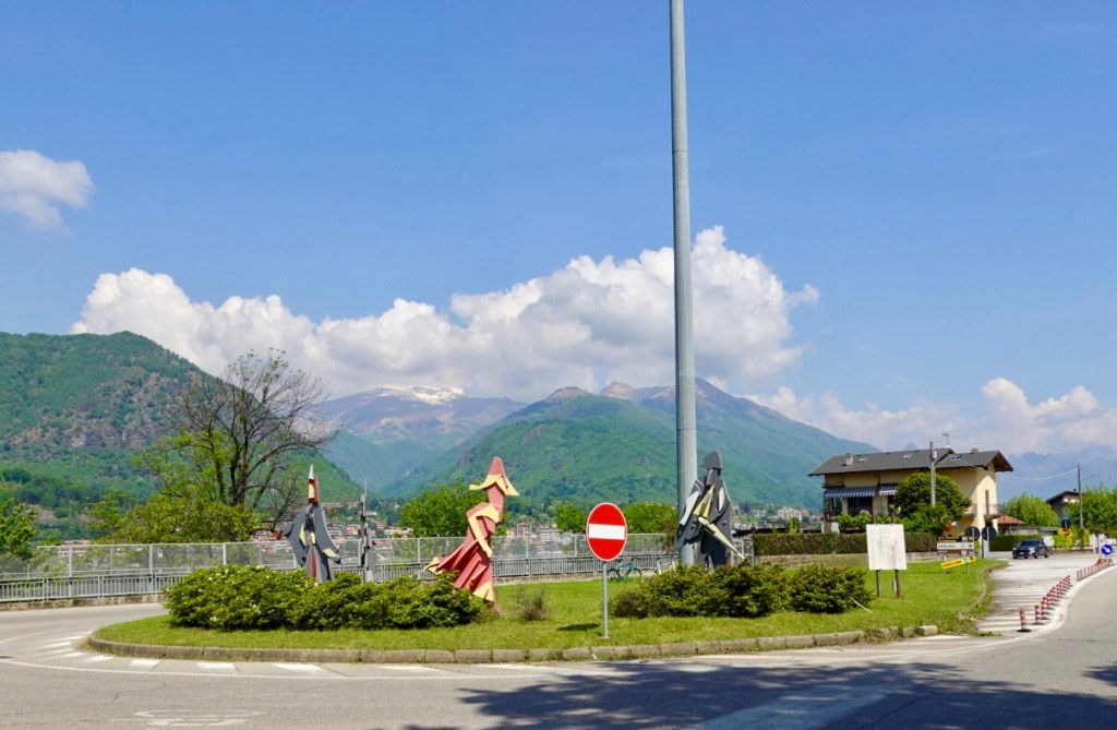
Back on the main road we were heading to the biggest lake town of Omegna, passing through this roundabout, which is my roundabout of the day award.

Not sure what these represent, but they intrigued me.
Quieter section of Lake Orta
Omegna

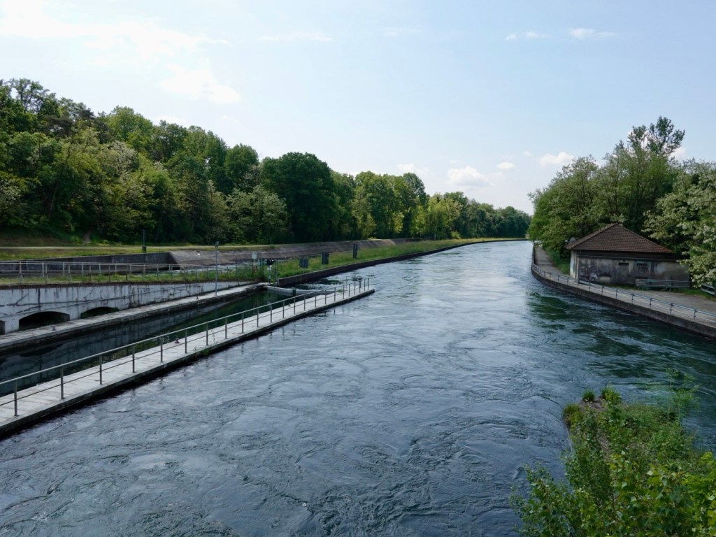
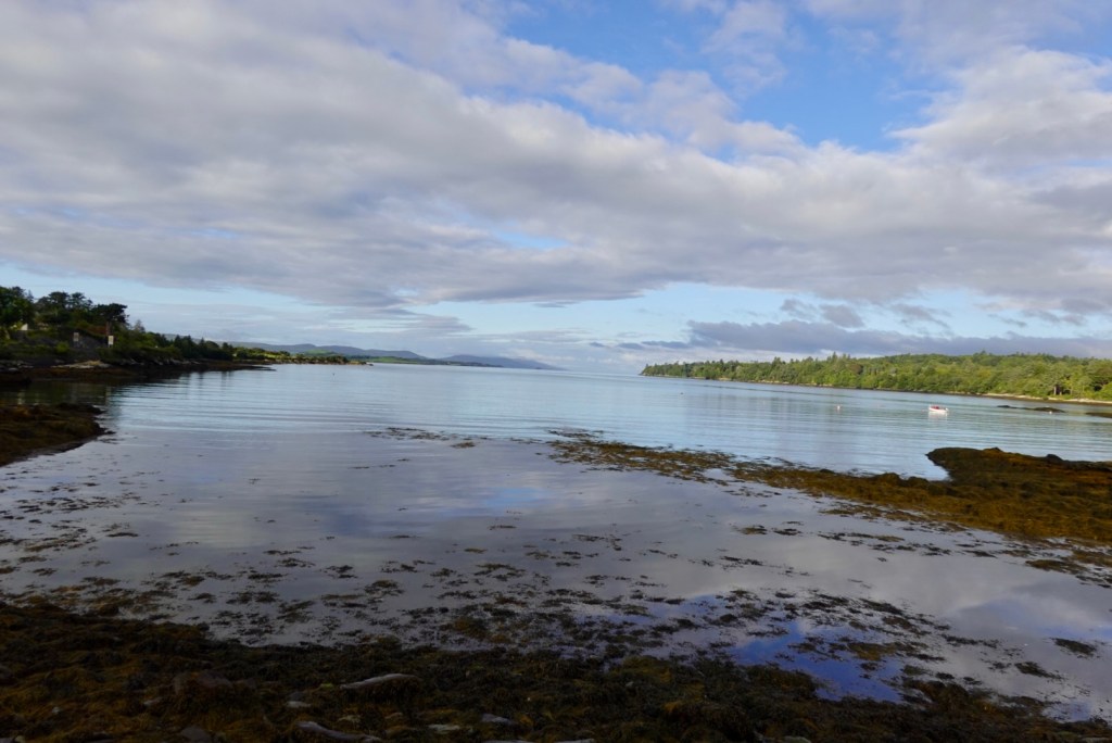
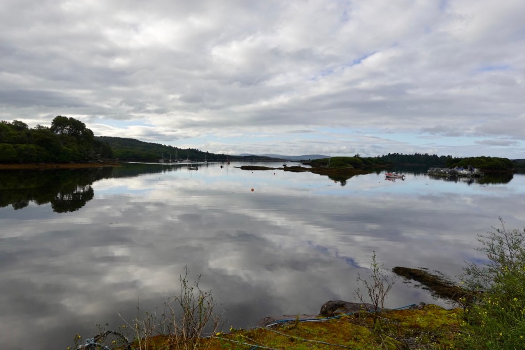
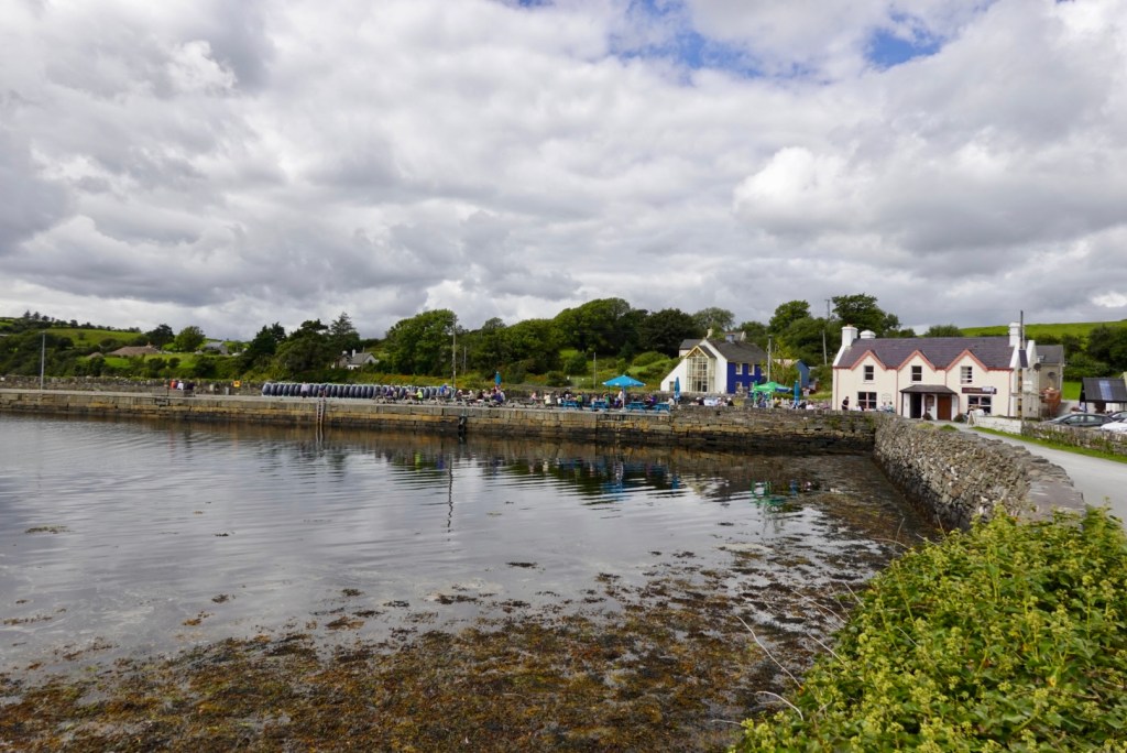
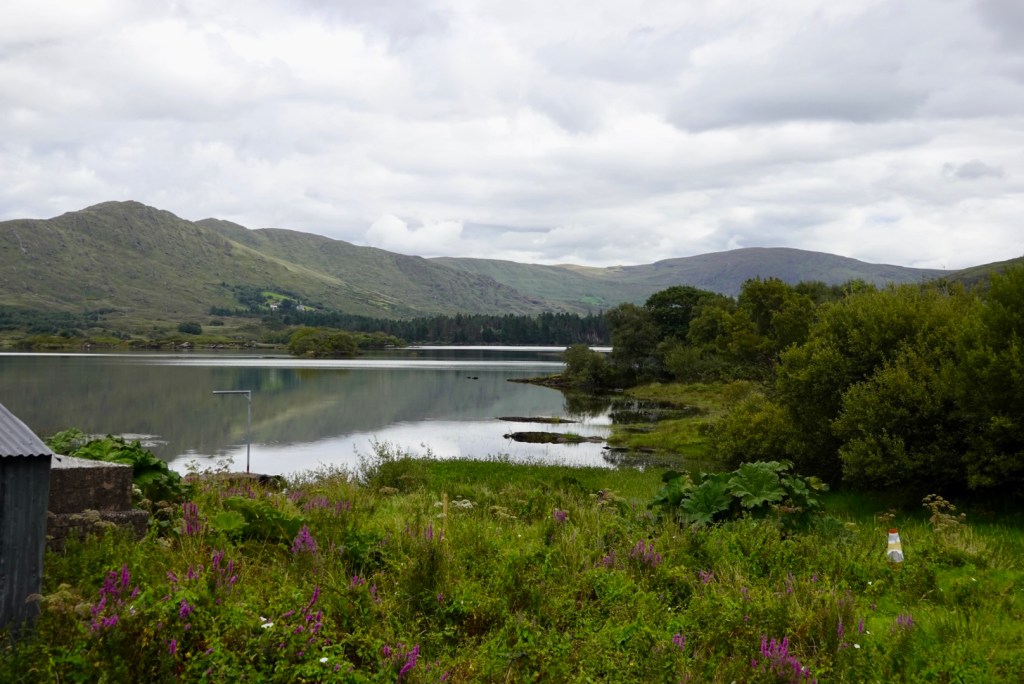
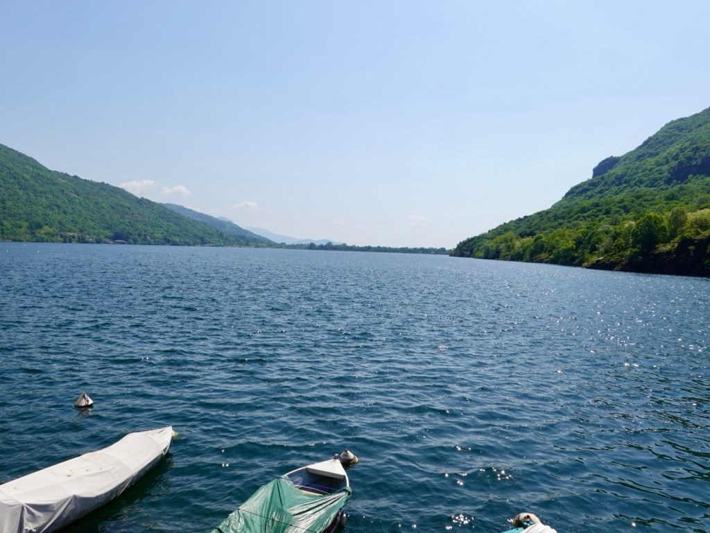
Omegna was a busy town and we were on a just as busy arterial road out of town heading to Lake Maggiore. However we detoured to ride around the quieter Lake Megozza.

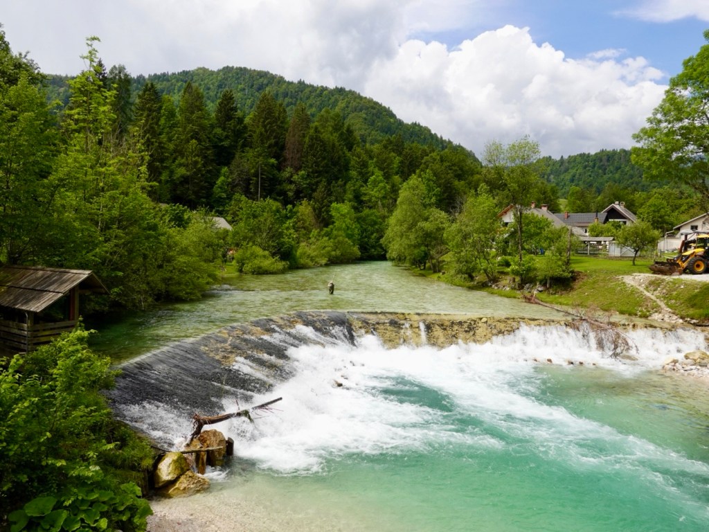
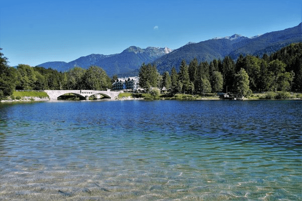
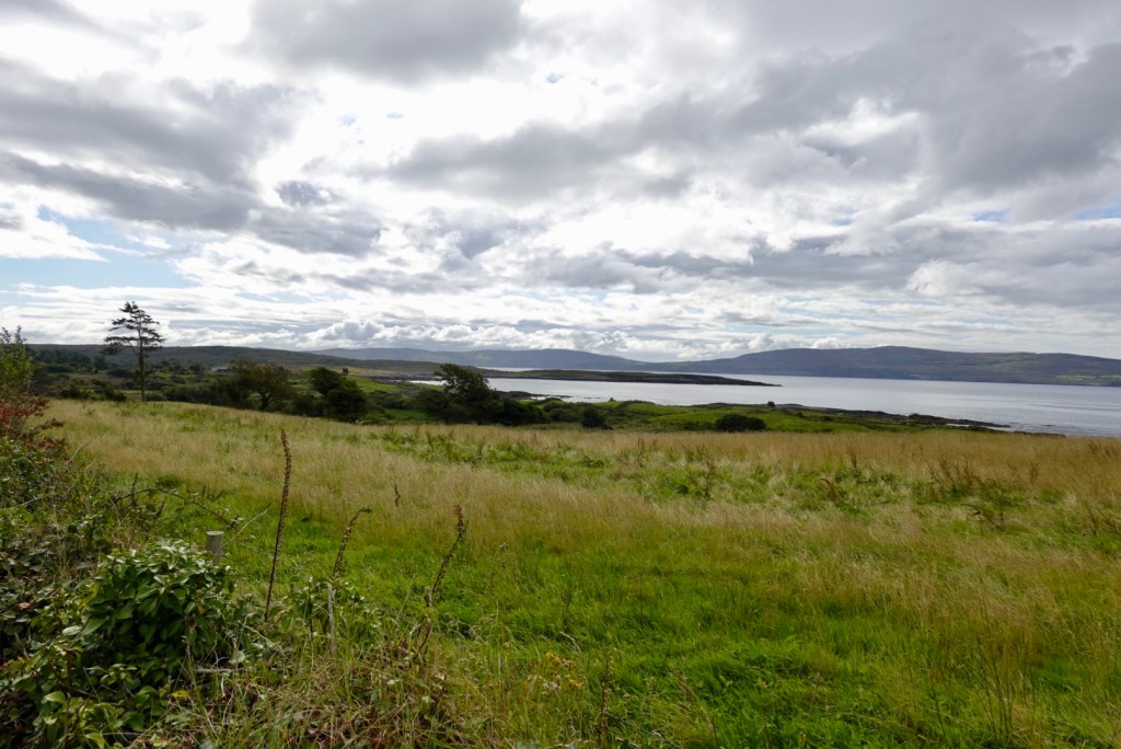
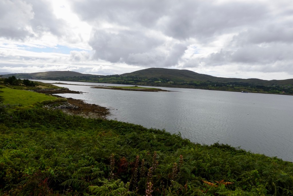
Two pictures of Lake Megozza.

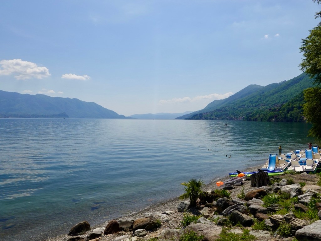
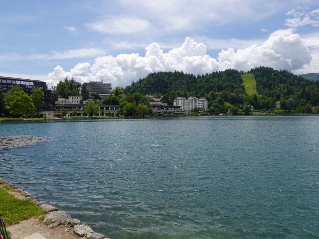
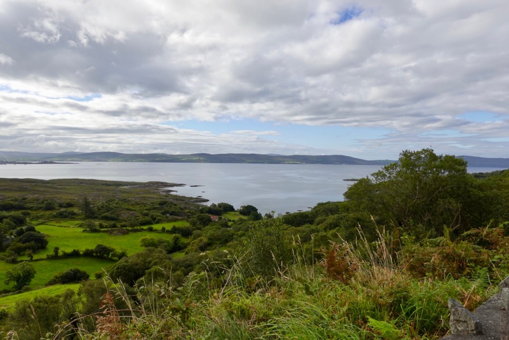
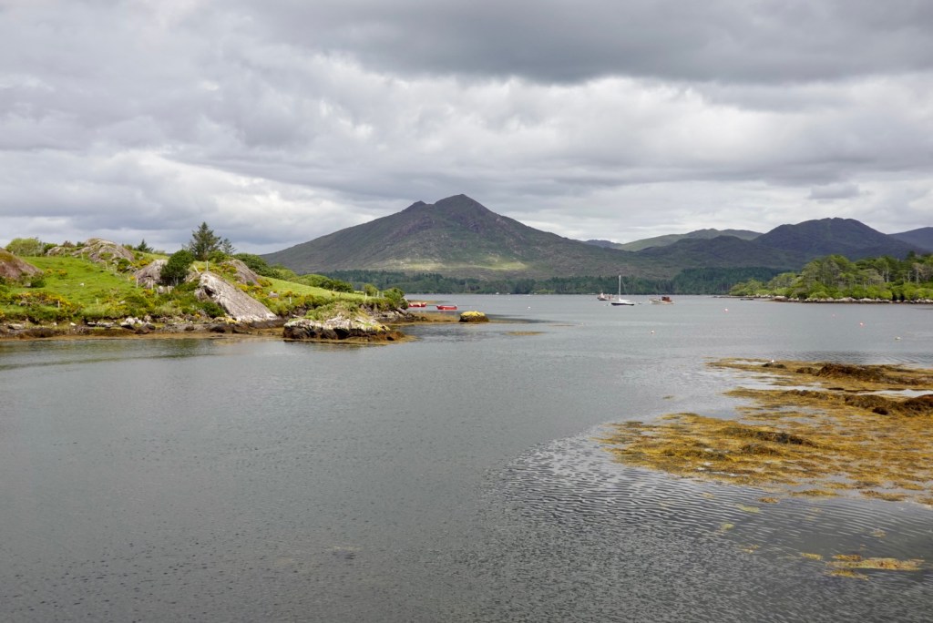
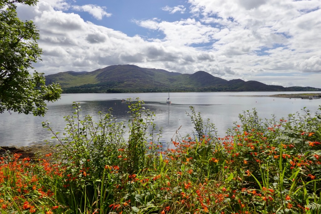
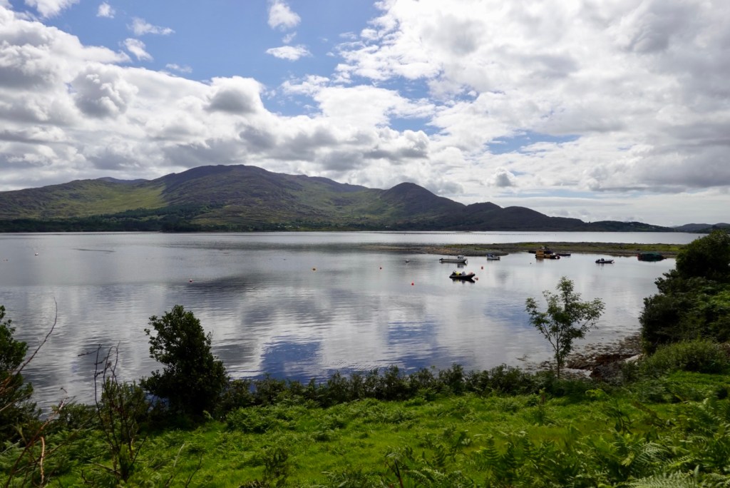
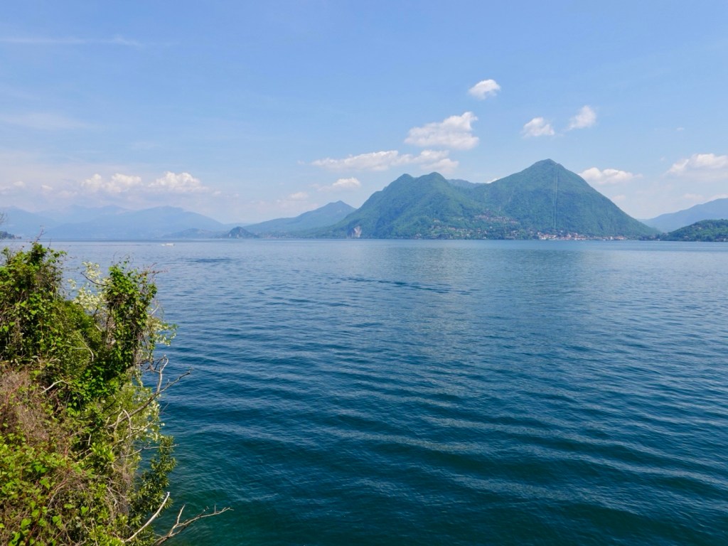
Lake Maggiore is Italy’s second largest lake and is 64 km long by 3-5 km wide. We were now on a shared pathway filled with cyclists of varying capacity, walkers, families out and about as it was Saturday.

The hardest part were some of the older e-bikers who had no sense of their surrounds nor bike handling skills to match the electric power output, and weaved around the whole narrow path, somewhat a menace to other users.

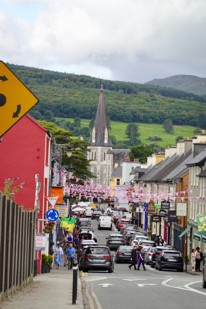
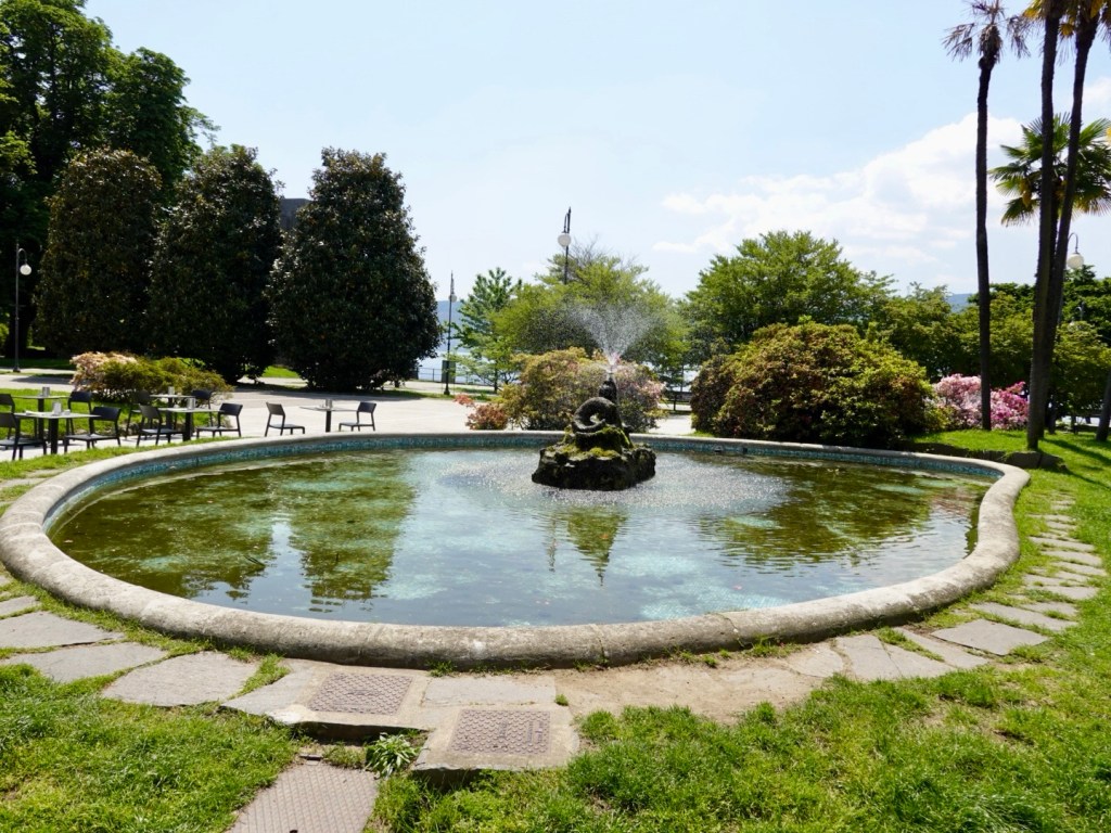
We stopped in the main piazza in Verbania shore side to enjoy some cold refreshments.

Lake Maggiore
Fountain from where we sat

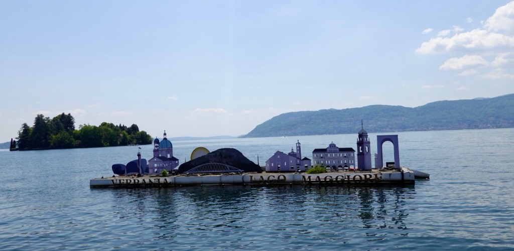
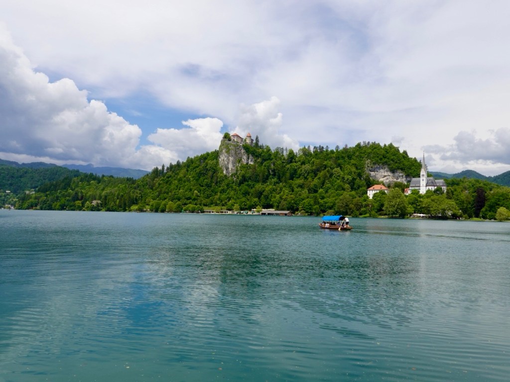
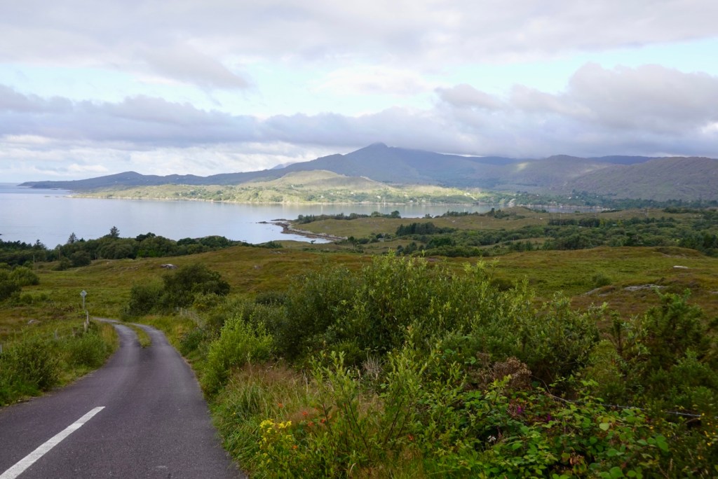
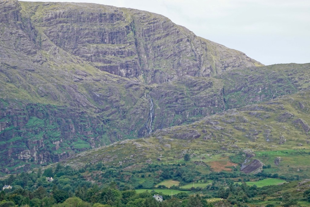
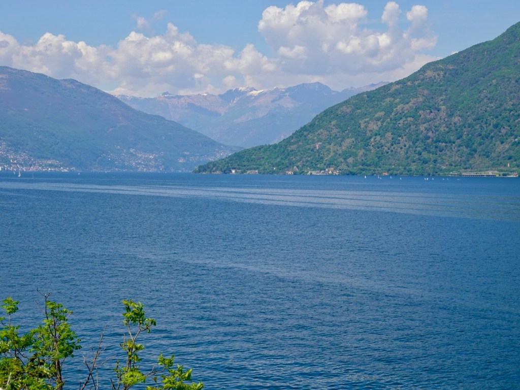
Lake Maggiore has many lovely photo opportunities. Snow capped mountains to the rear.

They even have lemons

We missed the right alley way to turn left and got caught up in a myriad of alley ways trying to get back on route.

This one had interesting art work.

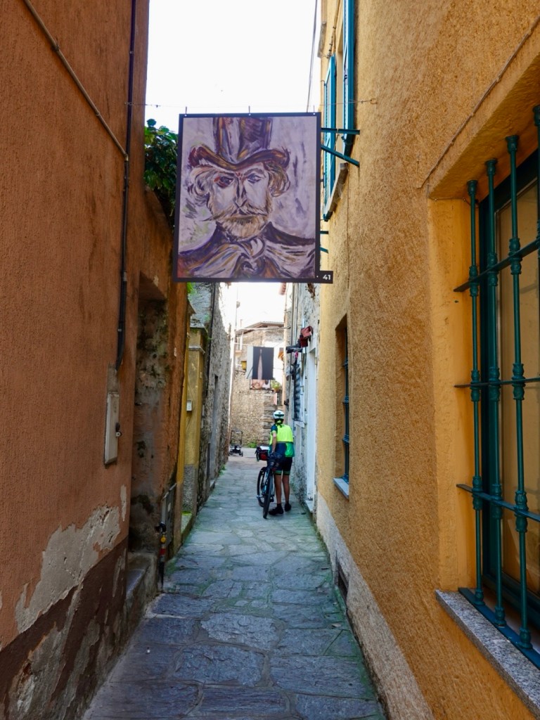
From the alley ways we had to take our bike up 52 steps…..yes, I counted them.

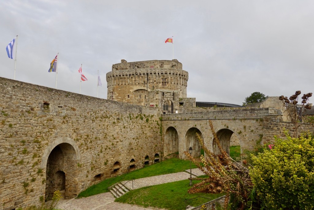
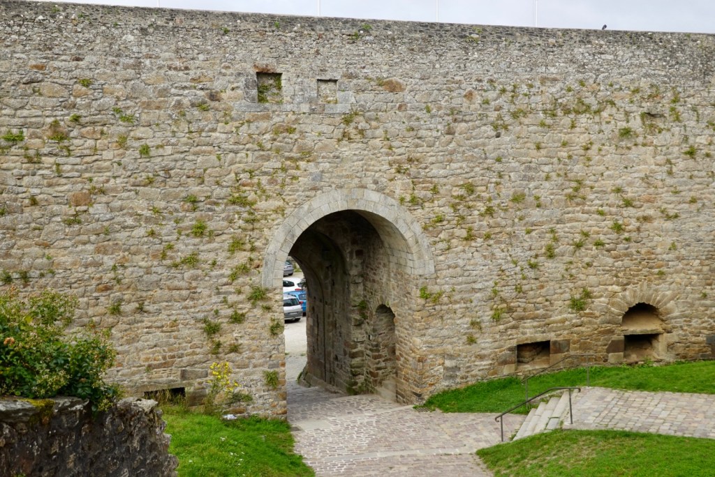
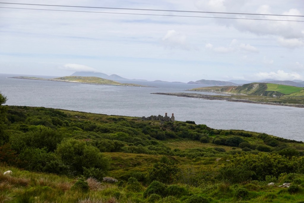
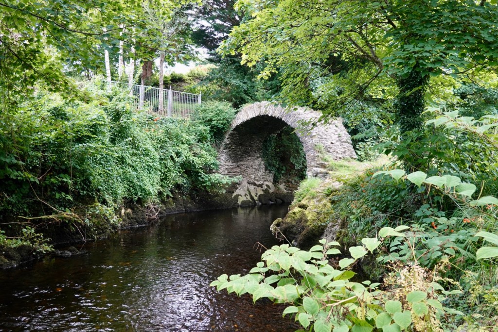
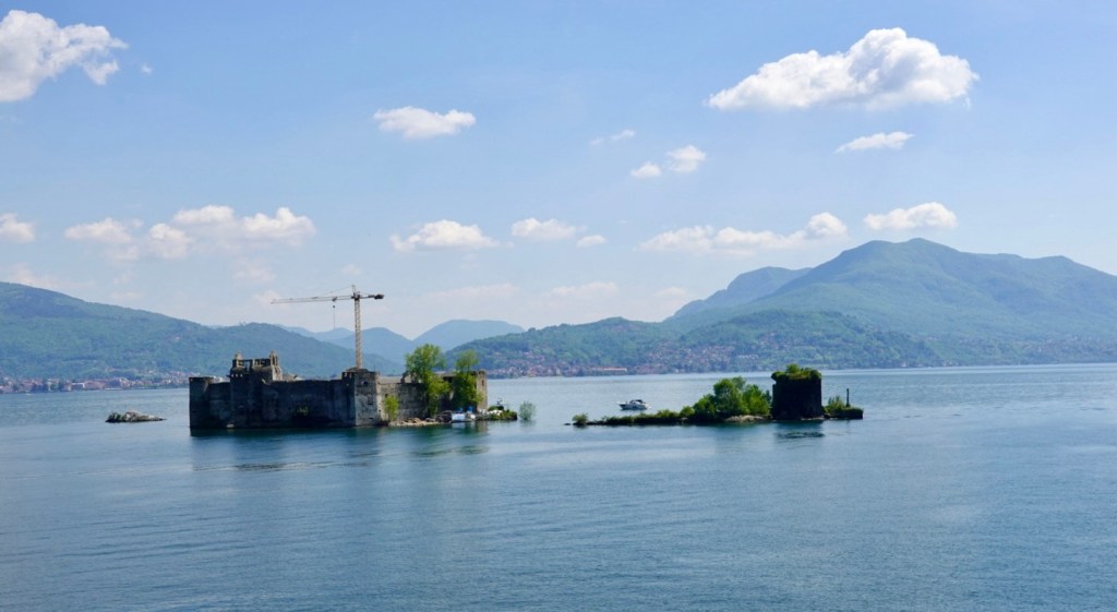
The remains of Castelli di Cannero, near Cannero Riviera are ancient fortifications from the early 1500 ‘s, built over the ruins of an earlier castle.

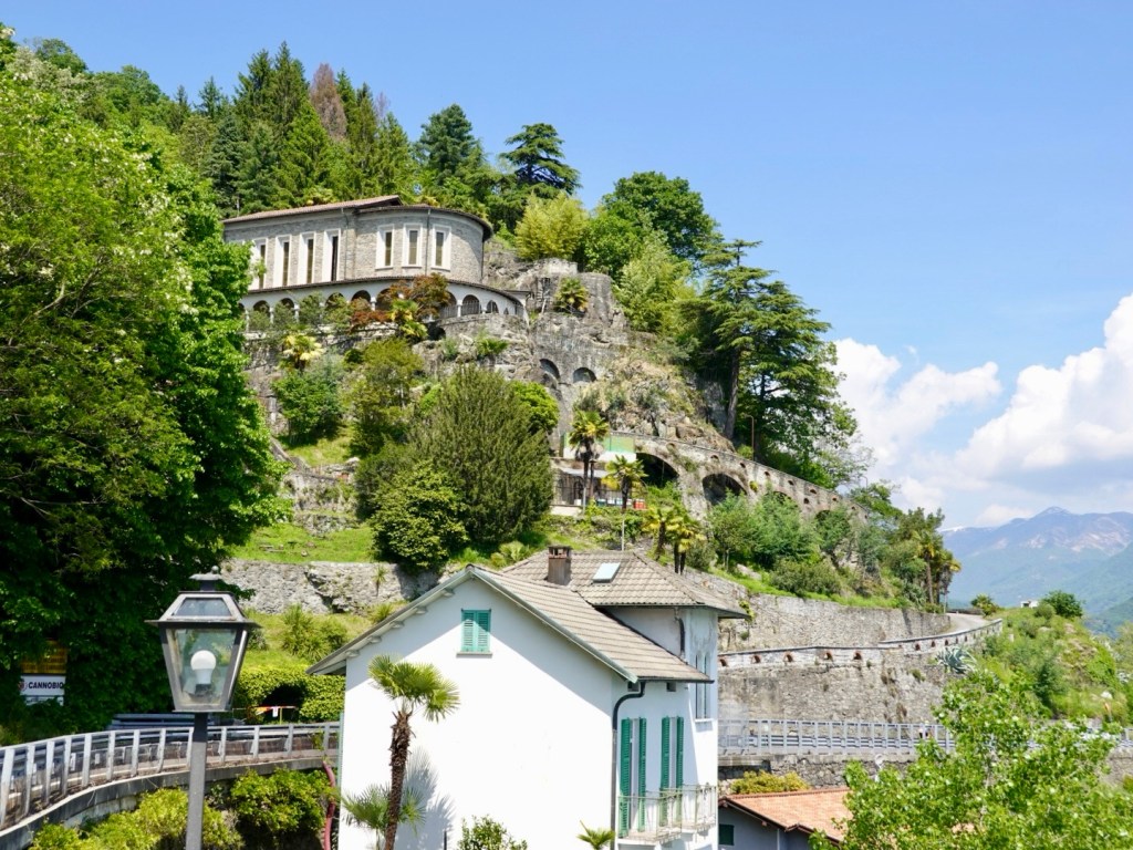
Houses are built onto the high side of the road, with impressive access roads. I imagine they would have brilliant views.

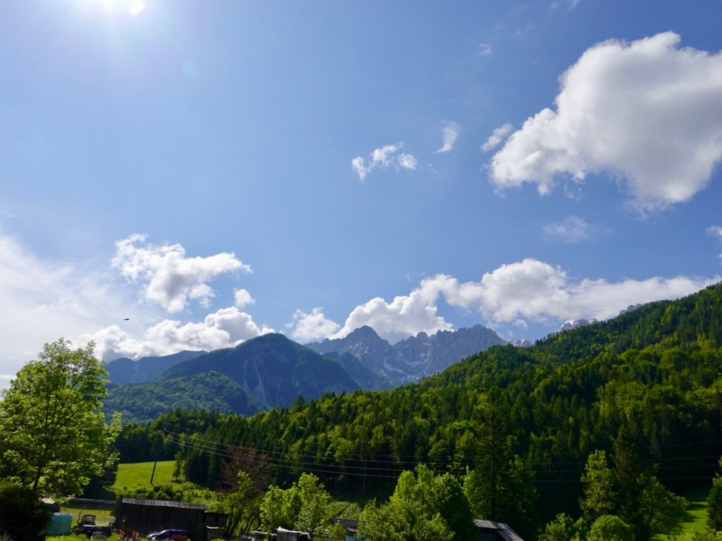
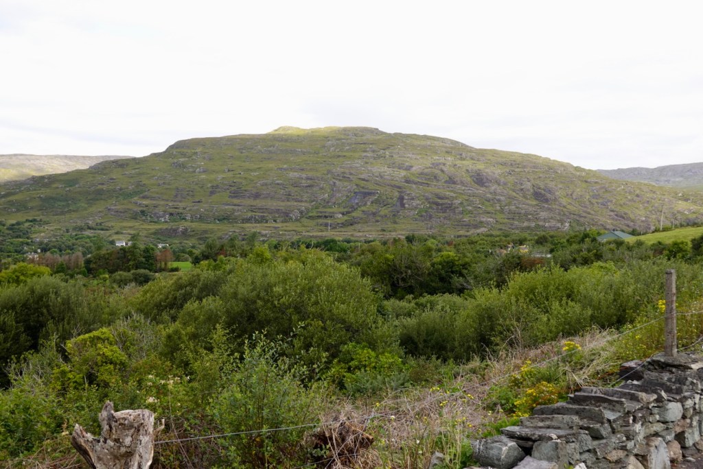
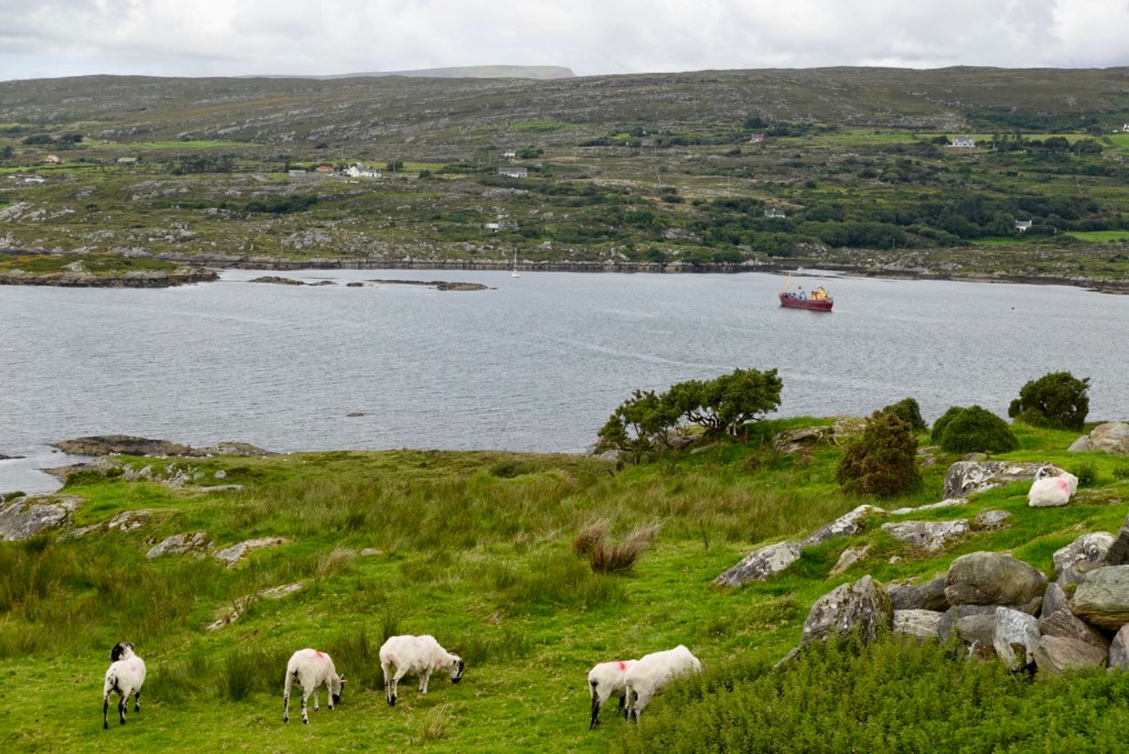
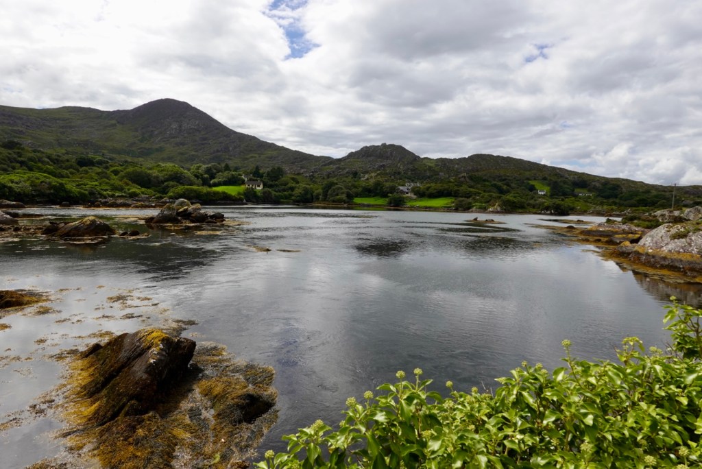
More lakeside views as we edge our way closer to Cannobio.

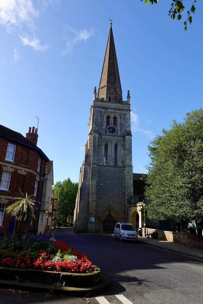
Cannobio is a nice lakeside town with an old history. Many of the waterfront buildings are over 600 years old.

We rode through but headed straight to our accomodation as the number of people walking around the piazza made cycling difficult. After showering, we walked back to see the town and more importantly find food.

We ate early at an Italian restaurant on the shore front and we were in bed by 8 pm still adjusting our bodies post jet lag.

Photos from around town post dinner.

Looking towards Switzerland. The border is a few km away.
We used this clock tower as our geographic reference to find our way around the alley ways.
Not sure what the go is here, but there are large plastic frogs hanging from buildings too.
Random plastic swans
An old church that was plain on the outside but amazingly ornate inside. The Minister was just leaving his confessional box,
The range of chimneys intrigued me.

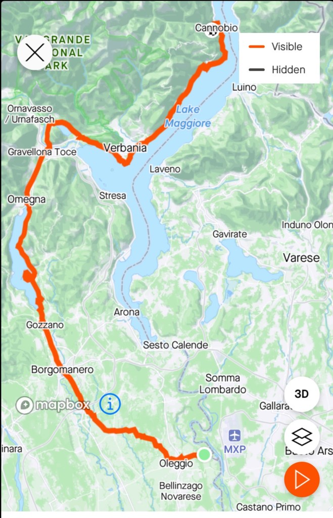
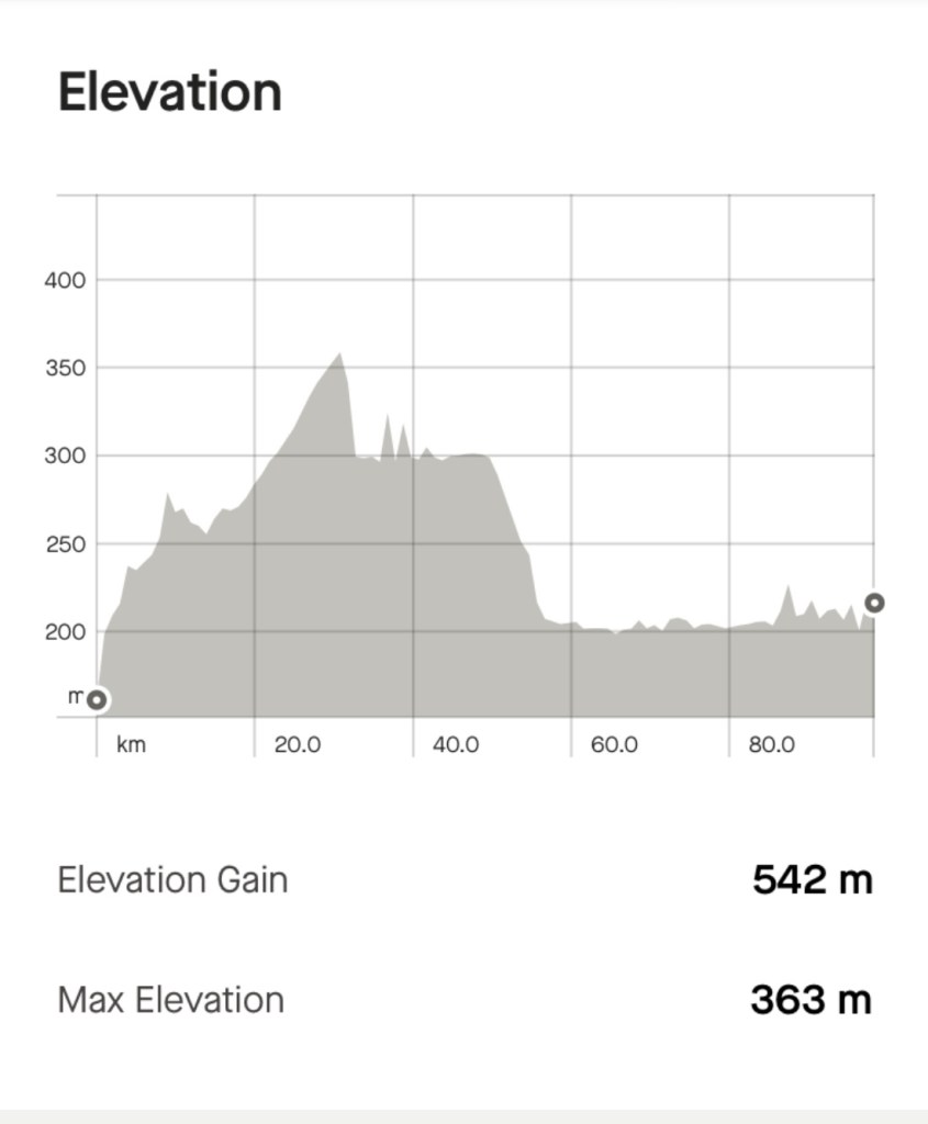
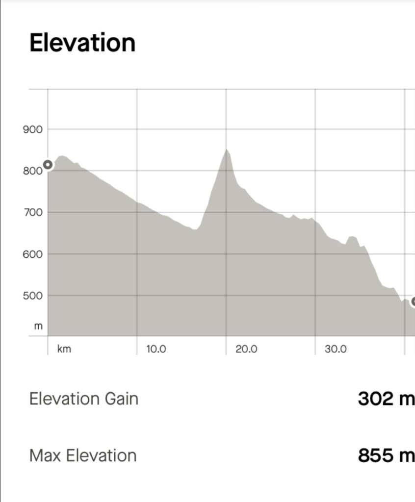
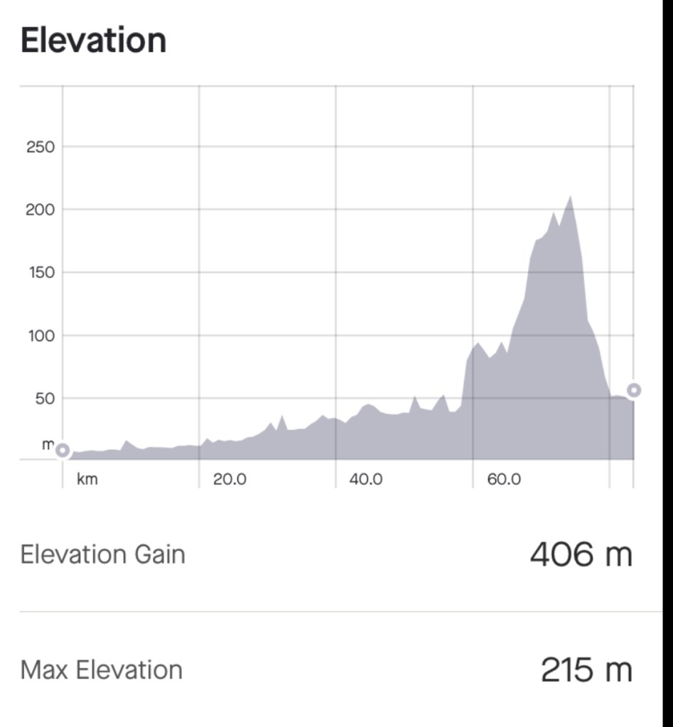
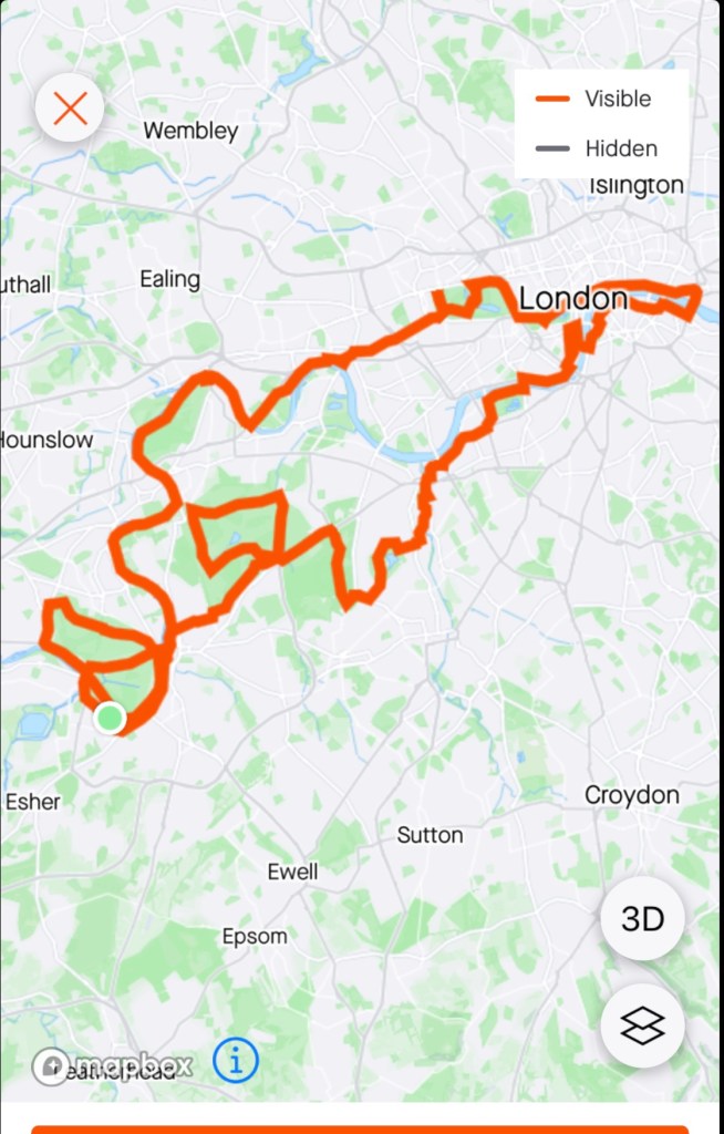
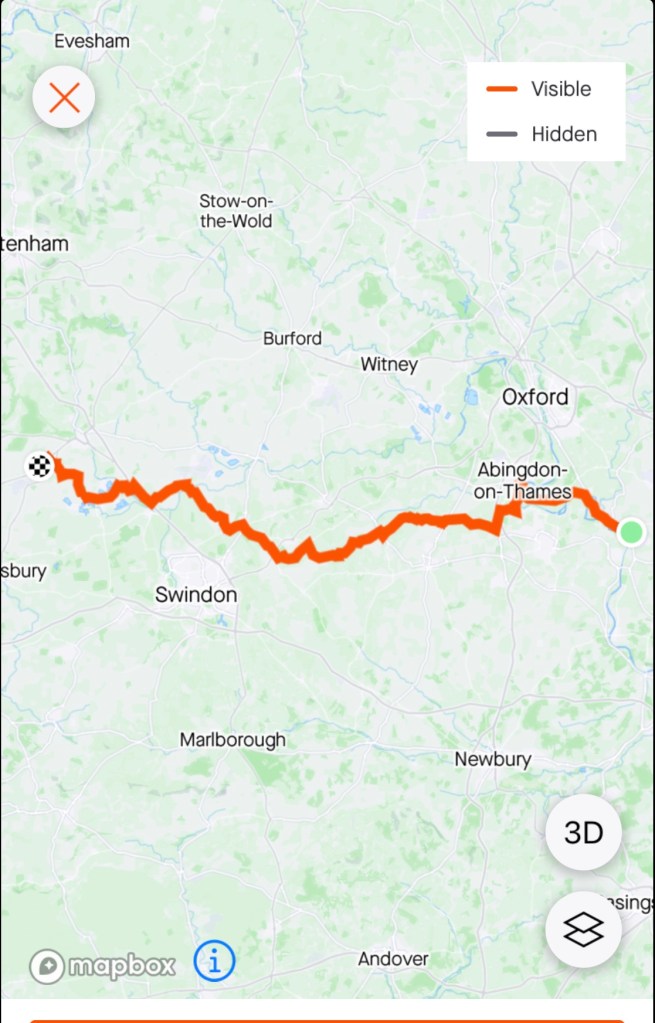
So here we are, done, 100 km, 542 m ascent done. The weather conditions were ideal. A mixture of roads and surfaces, many beautiful vista’s. For Tony less than ideal but hopefully tomorrow his leg will be more comfortable.

The Polizia were not on our list of things to see and do.

I will fill you in on that shortly but first things first.

We arrived at our accomodation by 10.30 pm and jumped into bed, arising around 5 am as neither of us could sleep and out backs were complaining.

The bike bags fitted nicely into our rooms and Tony got cracking on putting them together, outside.

As we unpacked the bags, quickly there is stuff everywhere, and we have to carry it all in our bikes.

It is very noisy in our room as there is a mini river outside out door, quite literally just half a metre from our door.

The view from the bedroom door as Tony commences working on my bike

I wandered around before breakfast to check the site out. We are in a rural area some 14 km from Milan airport. Our accomodation is an Agriturismo accomodation place.

Another water course out the front of the home

I like donkeys and there are half a dozen here, along with some horses.

Tony did a great job with the bikes. They were finished before we headed off to breakfast at 8 am.

After breakfast we headed off to check out the surrounds leaving on a pot holed dirt road heading to the local village of Oleggio.

Clock tower in the piazza

We rode to this church, but were far too close to photograph it. we did. We did not venture inside as a funeral was taking place.

Crossing the Ticino River, we followed a canal. There were many people walking and cycling. The ducks enjoyed the sun. There is significant engineering infrastructure and water diversions.

It was very peaceful, bar the sound of jets departing nearby busy Milan airport every few minutes.

Colourful ducks
I liked this sign as we are going to all three places on our bikes…well Lido vs Venice bikes are banned in Venice.
Panperduto

We climbed away from the canal just after the Panperduto water edifice to the town of Somma Lombardo. A 2 km steady climb and a nasty polished river pebble cobble finish up the steeper section.

I jumped off ( vs falling on slippery cobbles) and pushed and admired Castello Visconte, parts which date back to the 9th century. An interesting fortification that you can tour.

Castello Visconte

Over the road is this monument to the carabiniere’s, the Italian police.

A well positioned restaurant over the road had a 15 euro lunch deal. Two courses, sparkling water and coffee. Far more food than we needed but decided that would be our main meal, and we would have a light dinner.

First course

We then went looking for a supermarket but many shops had closed for their siesta so we had to ride heading out of town on a busy road, finding a large shopping precinct, and my least favourite supermarket Lidl.

In every country their shops are a messy muddle, and now Italy was no different.

I eventually came out intact with some dinner provisions.

As we headed back to return to the river canal route, a car was reversed straight into Tony on the busy road.

I was behind him and saw it all unfold in seeming slow motion. The car knocked him over and he face planted the road.

I was immediately cranky with the lady who admitted she could not see past the larger car next to her.

Tony was dazed and I feared a knee injury the way he staggered, blood poured from his face.

Getting him off the road, looking after him, the car driver, then the police arrived at my request.

The local polizei were super nice, spoke minimal English. I had to write Tony’s statement as his left hand had skin off three fingers and he writes left handed.

Cleaned up the left cut runs deeper into his mouth, likely tooth did that.

Tony did not want to get checked out for a stitch…there was a hospital just up the road. He did not want to wait and wanted to see to his buckled wheel, as the bike could not be ridden.

If not fixed, the touring trip was a non starter.

We walked our bikes to the local bike shop.

The guy at the one shop was on siesta, so we waited. The lady car driver came with us.

After my initial annoyance with her, I decided I actually liked her. She spoke excellent English and was married to a Scottish born avionics engineer working for Lufthansa, currently based in Frankfurt. Her mum lived just above the bike shop. she arranged to pay for the bike repair. We have her insurance details.

The bike shop guy was not confident but trimmed the wheel beat he could, adjusting and tightening and checking each spoke. Tony thought he did a pretty good job. Let’s hope it lasts. It will be replaced, but this size, number spokes etc, not a quick and easy replacement touring.

An uneventful ride back to our accomodation stopping at a cafe at the Panperduto to buy a cold icy pole to place against his swollen mouth, then he ate it.

Back along the river flats this is the local road. Pot holes like this feature along the 2 km.

What started as just going for a shorter, chilled ride did not go as planned. We are super lucky it was not worse though so need to be thankful for that.

It is the first time Tony has been hit by a car and let’s hope it is his last!

Today’s route was 52 km, with just over 300 m ascent.
Looking out our bedroom door.

Day 16: Kransjka Gora to Lake Bled

A magnificent day.

A lovely breakfast and blue skies greeted us as we departed and did a slight detour to the gorgeous Lake Jasna, which are two small interconnected lakes only 2 km from where we stayed.

Whilst man made lakes, it is very scenic and pleasant at the confluence of two rivers. In fact, they removed gravel from the rivers flood plains to create.

The lakes are in a beautiful valley on the main road to Vrsic Pass.

Vrsic Pass we did consider crossing, but we wanted to go to Lake Bled and Bohinj and it just did not work out. The route has 50 hairpin bends and closed for around 7 months a year due to snow.

Some of our photos from Lake Jasna.

We then headed back into Kransjka to a coffee shop recommended by my coffee connoisseur son in law. We needed a decent coffee as the breakfast coffee today was insipid.

Interesting, this is the spirit of Prague(Czechia), another favourite country
View from the coffee shop

We then got on our way, take 2.

We headed out towards Lake Bled following a lovely cycle path that headed to Jesenice, but we were to turn off before then.

Lovely forests
Gorgeous views
Lovely wildflowers
We turned here, we were heading to Spodnje Gorje

Turning off the bike path, we were on a small country road that went through some villages. Whilst the ride had been cruisey we did have a nasty 2 km punchy climb that our legs did not appreciate.

We descended and noted a group of Backroad bike tour cyclists about to tackle the climb, from the steeper side, that was over 18%. Many were on super old bikes, not looking fit and we did question the merit of that, but they had no gear, and you can always push your bike up.

We stopped at this historic site that had a sad story.

It is all that remains of the Radovna hamlet.

In September 1944, as a punishment for a partisan attack on German soldiers a week before, the German army burned the houses with people inside, killing all 24 residents including a 7 months old baby.

Names of those who were murdered with the house behind.

A Hungarian family approached and asked if I could help them with directions to a gorge, which I had seen on maps and knew it was closer to Lake Bled so I sent them back in the direction they had come from. I do wonder what happened to them? What could go wrong? An Australian giving Hungarians directions in Slovenia!

This rock is known as Fat Stone. Local legend has it that one day a man heard a terrible noise. Scared stiff he turned to see where the noise was coming from. A snake slithered down the slopes, waving its tail, disturbing rocks, including Fat Stone. The snake slithered into the river, the rock stopped rolling, and here it is today.

More lovely views.

More huts
Lady fishing in the river adjacent to the village
Nice church

As we started to close in on Lake Bled, you can see Slovenia flatten out. Of course, we are not doing flat this trip in Slovenia ha ha and will be heading back to the hills.

You can just see Bled Castle on the hill towards the right
This is a road we followed

Lake Bled is perhaps the most recognisable feature of Slovenia with its fairy tale island and church in the centre middle of Lake Bled. The Church of the Assumption is regarded as a sacred site.

Church of the Assumption

Bled Castle is perched on a sheer cliff with magnificent views across Lake Bled. It was established int he 11th century as a fortress for the Bishops of Brixen who ruled the region until the early 1800’s. Today it is a museum and restaurant.

Bled Castle
The lake, a different angle, Bled Castle
The commercial side of Lake Bled
Little boats heading out to the island

The lake is 2 km long and wide, and around 30m deep

We chilled on the shores of the lake near our accomodation, which is just out of the main Bled township. Tony cleaned the bikes and replaced his rear brake pads.

Nice spot to wait, rest, do bike maintenance

We are in nice accomodation, bikes are stored in a very secure small garage only used for bikes, we had a lovely dinner and walk along the lake side.

The light was nice, and these were taken in Tony’s phone, not camera.

A nice day today. Active recovery I called it as we only rode 41 km, but did a pinchy climb that got the heart rate up.

Memories

Memory
All alone in the moonlight
I can smile at the old days
I was beautiful then
I remember
The time I knew what happiness was
Let the memory live again

We have booked a “big” trip for 2024, flying in and out of Milan, arriving early May 2024. I am researching and mapping in my spare time and lots of excitement as to the route that is unfolding.

So far it includes the Italian lakes Maggiore, Como, Iseo and Garda, the Dolomites (Corvara through to Sappada), a finishing stage of the Giro d’Italia (catching up with some of the Italy Bike Tour crew), then into Slovenia (Triglav National Park, Julian Alps) then Croatia (Istrian Peninsula).

Lake Garda is a firm favourite – that will be my third time there, and I cannot believe that I have to climb a shite hill for a third time to get out of there – first time I said “never again”, second time I said “you have to be * kidding me”), and I have mapped it to leave Torbole, shaking my head in disbelief that we will climb it with a loaded bike.

What makes it awful? You climb 100 metres in the very first km, with cold legs, with 14% pinches – no warm up, just straight up – but the view from the top is beautiful (see the video below London to Venice), plus photo taken in 2016.

The most affordable accommodation was at the top of that hill too – and that would mean multiple more climbs (as planning two nights) and I just laughed and said “that is not happening”.

View above Torbole, Lake Garda

Dolomites and Slovenia we have done before, but not around Corvara (maybe Sella Ronda too) and not Triglav or the Julian Alps.

Lake Bohinj (Slovenia) should be a highlight – and then the ride across to the Soca Valley. The Soca valley is super nice.

The Istrian Peninsula – rode through there in 2019 but from Trieste (Italy, on the coast) so looking to differ the route as we head to whichever port.

I need to stop mapping now as I impatiently await ferry schedules to be announced for next year to cross the Adriatic and back into Italy (hence do not know re Pula, Rovinj or Piran, and whether we will transfer to Pescara or Venice).

Leading towards Pescara as we’ve been to Venice at it is illegal to even push your bike on Venice island. We’d need to immediately ferry to Lido and ride from there….anyway all will fall into place.

Rovinj, 2019

Once back in Italy I am thinking Tuscany (again, but some different places and routes), the microstate of San Marino and then unsure which way we will head back up to Milan – but definitely not the Venetian plains.

We are starting near Milan airport and have secured an anchor point accomodation where they will keep our bike bags used on the trip from Tasmania. we will return there for our final night to disassemble and pack the bikes.

This process is not without frustration. I had a place identified but the owner contacted me privately requesting funds above and beyond the stated rate in Hotel.com. It was a non refundable booking, so a bit of a bind really.

It was resolved by Hotel.com in my favour, and they gave me a $250 aud voucher as a bonus!

Research continues and in that process I stumbled across two pieces of our cycle touring history:

  1. London to Venice – 2016 (England, France, Switzerland, Germany, Lichenstein, Italy) 2200 km
  2. Calais to the Med – 2015 (England, France) 1500 km

I used to do a video montage to music of our trips – put a huge amount of time in doing it and stopped in 2017 (Bordeaux to Barcelona) as I had some music copyright issues (but did not know which song!).

We did these predominantly for our memories, but for those that like cycling, like Europe, like music (well my kind of music that is), maybe these maybe of interest to you.

Warning – you do need some time, but you can stop and start the videos.

Both of these trips were before we did self-supporting trips. We used Bike Adventures, an English based company, who provided the route notes (yellow sheets in those days with a series of turn by turn instructions), transferred luggage, provided back up support and pre arranged accommodation.

We made many lifelong friends on these trips – and enjoy staying in touch, and catching up with some of them as we can including Graeme (recently in England), David and John (in Sydney and Tasmania), Graham (in Sydney), Geoff (Italy, Tasmania), Tony (Canberra), Brian (England, Tasmania) and of course, our wonderful friends John with whom we recently stayed with in England (and his gorgeous wife Val)and Alan and his lovely wife Sue in Wales(who have also visited us here in Tasmania….and I’ve likely forgotten someone with my post pumphead brain.

Facebook enables us to stay in touch with others including Helen, Neil, Phil, Jerry….great memories that we treasure and enjoy more and more as we get older, and have felt, firsthand, life vulnerabilities.

The links:

PS. I have not told my Director yet about the next BIG holiday – I am sure she wont mind ha ha ha. We can keep it secret can’t we?

Lake Bohinje, to the west of Lake Bled

The final curtain

The curtain has closed, we made it. 2750 km, 22, 550 vertical metres (2.5 times the height of Everest), four countries later we have returned to Benson, England.

The last 45 km or so we were joined by our friend John, who guided us home. His wife Val was waiting, camera in hand, champagne on offer.

I was teary. Happy, sad, thankful blurring together. To achieve this just 12 months after open heart surgery is truly incredible. Only Tony and my cardiac team really know and understand how hard that journey has been.

Big thanks to that team. Tony for having faith and patience with me as I recovered, supporting that process so that we could continue doing what we love doing.

To Val and John for hosting us and being our daily check in that we had arrived okay each destination. The love and hugs from Val and John are appreciated beyond words, love you guys!❣️

To Alan and Sue for hosting our two nights in Wales and seeing your local area, it was great renewing our friendship and sharing the way we did.

To Alison, Catherine, Graeme, Chris and Marion for taking time to catch up with us, thereby enriching our holiday. Kind thanks.

To family including Hannah and Kay for the regular updates and words of support and encouragement.

To the over 3,000 viewers of my blog, those that commented on Facebook or WordPress, thank you.

We have a full day today and do not leave London until later tomorrow. It will be a long few days, about 54 hours from waking up tomorrow to bed on Sunday night at home.

So, we did ride yesterday, about 85 km. Here are some photos.

We left our hosts in Thames Ditton after a great two nights staying on the island.

Karen, Tony and Captain Tony 😊

We rode maybe 20 plus kmh on the Thames pathway, predominantly dirt/gravel, sealed around the locks. We rode past many locks,

Think this is Molesey, water birds on the dam spillway
Some incredible house boats on the Thames River
Broader view across the Thames
Another lock
Bridge and lock

Our first port of call was Windsor Farm Shop, adjacent to the castle, owned and operated by the Royal Estate at Windsor.

To get there we took the road to Old Windsor, passing by Runnymede, the site being where King John ( brother of Richard the Lionheart, son of Eleanor of Aquitaine) was compelled to sign the Magna Carta.

Runnymede, the memories, is under the trees. We visited there in 2016 en route from Benson to London the day before we started London to Venice.

In 2001 the the Duke of Edinburgh conceived the idea of selling produce from the Royal Estates and the shop opened later that year.

The Royal Farm at Windsor operates as a mixed farm including 200 jersey cows, Sussex beef herd, 149 breeding cows, 1500 hens, 1,000 acres of arable land, 2,000 acres of grassland mainly used to feed the livestock.

I noticed plants for sale that had been propagated by the estate, with a sign saying, from our garden to yours (ours is just over the wall).

Choices
Out the front of the cafe
The farm shop. I noted Balmoral grouse for 12.95 (sterling). Not a cheap feed as there is not a lot of meat on a grouse.

As we left, this is one of the rear entrances to the castle grounds. I have always liked the gatekeeper cottage here.

Roundabout award for the day goes to the triple crowns, with Windsor Castle just behind.

The Long Walk to Windsor.

On the outskirts of Windsor along the Thames is this old plane.

Hawker Hurricane replica, used in WWII

We knew we would find John in the next 10 km as we had passed messages when we left the farm shop. Here he is, having just turned to join us.

As a trio we moved onto the town of Twyford, where John knew of a cycle cafe. Velolife is a great cafe with bike shop at the rear.

Bikes hanging on the rack out front
The bike shop at the rear. Glad we did not need a third spoke replacing! Spent a few $ on spokes.
I was checking out the local ladies club cycle clothing. Very tempted, but I need to carry it, plus we are on our flight maximum weight limits.

We followed John from here, and went home his preferred way through the Chilterns (1,700 sq km area of outstanding natural beauty).

In Stoke Row (a village) is the Maharajahs Well. In the mid 1800’s a little boy was beaten by his mother for drinking the last of the water in their house during a drought. The story was shared with the Maharajah of Benares who decided to fund the sinking of a well in the village of Stoke Row.

The story
The well
The well
The Chilterns
Our final church picture

At last we were nearing Benson and our epic journey was coming to a close as we followed our dear friend John home.

We have started thinking about what is next. We like goals and having something to look forward to and keep our fitness levels up. After 28 days riding we are quite fit and strong and it does goes backwards a bit when you return and not keeping up the same level of activity.

We have been riding 6-8 hours a day for 28 days. Head home and it’s back to our desk based jobs, but I still manage 3 hours a day fitness activity as I prioritise it!

Thanks for joining us in this journey. Over 3,000 views so far. Kind thanks 😊❣️

Tour of London

Today we did a 95 km tour of London, but not before joining Tony (English Tony from our accomodation) who offered to take us around the island in his boat.

Captain Tony

One side of the island is the original Thames river, and this side was dug out during the reign of King Henry VIII.

Hampton Court Palace is upstream by maybe 500 plus metres. The river near the palace was described as more of a broad and twisting stream, subject to the tidal influence still. The main channel was dug out and made straighter providing a grander entrance and providing some flood relief to the local village.

The island is great. Private access, brilliant views, and a lifestyle unknown to many city dwellers.

Tony and Karen’s home, we spent two nights here in a seperate room.

A broad outline of our cycle ride today. We covered a lot of ground. At times we were on busier roads, particularly in inner London. Often there were cycle lanes.

We mixed it with the famous London black cabs, red double decker buses and some super crazy food delivery people on bicycles.

We followed the Thames path on sealed and non sealed sections.

We rode through wonderful open spaces such as Richmond Park and Bushy Park.

Some photos of our day.

Kingston
Thames River
Thames Path signpost
Good section of pathway
Around Richmond?
Thames River and bridge

We arrived at Kensington Palace gardens. There are specific routes you can ride. Very popular spot.

We then scouted through Hyde Park and on towards Buckingham Palace and the Mall.

Kensington Palace
Kensington Palace
Queen Victoria, outside Kensington Palace, sculpted by her daughter.
Albert Hall and Royal Albert monument
Hyde Park
Hyde Park
Hyde Park
Buckingham Palace
Buckingham Palace
Down the Mall

Riding down the Mall was great, quite traffic free, smooth. This road is so often seen in Royal ceremonies including the more recent coronation of King Charles, and funeral of Queen Elizabeth.

It is also a road on Zwift’s London course, with a reverse sprint section here, but I did not sprint 🤣

Then we arrive at Trafalgar Square, and it is fairly busy from here around to the Tower of London, predominantly on roads and cycle lanes. We walk at roundabouts crossing at lights where possible for safety.

Nelson’s column and Trafalgar Square
Tour of London

At the Tower of London we cross Tower Bridge. It is super busy here on the bridge between vehicles and tourists crossing.

The Shard

We then headed north to cross the Thames again and head to Westminster.

Richard the Lionheart statue, Houses Parliament
Big Ben and the Houses of Parliament
Oliver Cromwell, Houses of Parliament
Westminster Abbey
Westminster Abbey

We then headed up through more parks, gardens including Battersea.

Peace Pagoda
Battersea

Past the Trek shop, popped in, popped out.

Onto Wimbledon, and we thought about having lunch in the cafe there, but the security guard insisted the bikes not be within our visual sight and out of sight around the corner. We moved on.

In the neighbouring Wimbledon village, up a hill, we found a nice pub with outdoor seating, next to our bikes, and had a lovely lunch. As I ate, this is the sign I could see that made me smile.

This one is for you Rodney V, they needed you!

Through Wimbledon common area and heading to Richmond Park.

Hire electric bikes on the street.

Richmond Park is one of eight Royal Parks in London. It is around 2,500 acres in size with over 600 free roaming deer. It is an extraordinary oasis in a big city where you can walk and ride.

Popular with cyclists doing very large blocks, there is a speed limit of 20 mph, but many capable cyclists ignore that using it as a training, racing circuit. I was climbing one hill and had a guy straight line the bend towards me and he was moving more like 70 kmh plus.

The park will be closed this Sunday for a duathlon. Great location and many thousands are competing including our friend Chris.

Some view of the park.

Hampton Court Palace was next, famous as a residence of King Henry VIII having ‘acquired’ it it in his usual style from Cardinal Wolsey.

Hampton Court Palace

Back onto the Thames River beside the palace grounds.

Thames River
Thames River

Onto Bushy Park another Royal park in London. About half the size of Richmond it is still extensive and provides amazing walking and cycling for locals, and also the deer that breed well. Signs were up re the annual cull.

Dinner with Chris and Marion completed another wonderful day.

I’ve know Chris through cycling (Zwift), when we were both with the same club and would do the same events.

We enjoyed our dinner together, lots of laughs and grateful for the opportunity to meet friends face to face.

Some closer up maps of our route.

One more day left riding.

Thanks for reading 😊❣️

Day 21: Dinan to Mont St Michel

Today was an interesting day that did not go quite according to plan. It started off fine. We enjoyed our breakfast and catch up with Christophe who insisted on taking our photo in front of Patricia’s house (his multi-talented Tasmanian friend).

We also both like the song Caberet (Liza Minnelli) and enjoyed remembering the words…..I used to gave this girlfriend known as Elsie, with whom I shared a flat in Chelsea….that song was to play in my mind a lot of the ride 😊. We both said we’d felt like we’d known each other for year, so a lovely holiday memory.

Tony at breakfast, some of Christophe’s eclectic collection behind him
Tony and Christophe in front of Patricia’s house

Hugs and goodbyes and we went around the corner to grab these photos of the chateau. Check out how thick the walls are.

We descended down the hill and crossed the river, climbing up and down. About 15 km in, I heard a loud noise on one climb like a gear drilling back and missing cleanly. Thought it might be a cyclist behind me, but no.

A little further on I noticed Tony’s rear wheel seemed a bit off. He was discovering the same thing and stopped knowing what it was. A rear spoke had broken.

Not an easy fix being the rear wheel with the cassette. What to do. We googled bike shops and the nearest was 15 km away in Dol de Bretagne. There were more at St Malo. Could maybe grab a taxi there?

We rode a bit slower and carefully, then I took Tony’s rear panniers, and he took mine so that we could minimise what weight was being borne by the rear wheel.

It was worrying for sure. Stressful thinking of the ‘if, then, but’ options. The downside to touring alone but we would figure it out.

The first two bike shops both advertised as electric bikes but we thought worth a shot. The first involved a hairy goat track so we gave up on that as it was the last surface we wanted a weakened wheel on and headed for the second.

The internet said the second one was open now, but there was a FERME sign (meaning closed) on the house gate. However I did find out that there was a third bike shop in centreville named Cycles Rome. We dashed around there and certainly the front was more promising.

We walked in the door and there was a guy with a wheel on the wheel truing frame. He had been fixing a broken spike on another bike.

We knew we had found our man. He spoke no English, but with my minimal French and some charades we got by.

A sight no cyclist enjoys seeing

He finished the wheel he was working on and then got cracking with ours. He is over the back in the picture. Obviously a cyclist as he had the smoothest looking calf muscles ever!

He was fastidious making some adjustments to the brake caliper when the tyre went back in. He was able to close the shop door at 12 noon for lunch and off we went, very thankful and happy and relieved.

We decided to grab some lunch. A fresh baguette from the boulangerie, bananas from a small fruit store and we sat down at the Tabac ordering coffee.

A peculiar rule is Tony could not consume the drink from the takeaway cabinet in the tabac at the table as I drank my coffee, but it is ok to eat food purchased elsewhere. We’ve often availed ourselves of the latter.

Dol de Bretagne was founded in the 6th century and like many other villages, long occupied by the Vikings! Some lovely old buildings.

The town is also the reputed origins of the royal House of Stewart, who became monarchs of Scotland, England and Ireland.

If we had to have the problem we did, it was the right day. We had a shorter day planned on the bike as we wanted to be at our accomodation right on check in.

We cruised through multiple small villages. Some putting effort into their quirky welcomes.

Cute newer cottage
That’s me sitting on the beach chair as we enter this village
Baguettes and bread ovens
Mont st Michel
Tony sitting at another beach scene
Nice church?

The last 10 km or so into Mont St Michel was on a shared pathway. Gravel for the most, then sealed. There was a super strong headwind, and the closer we got, the more people there were.

The Mont was clearly in view.

Passing by buildings with nice artwork.

We got to our hotel at 2.40 pm. Check in was 3 pm and not a minute earlier per the man at reception so we sat and waited. Right on 3 pm the man at reception nodded and he gave us the key. 🤣

A quick shower and we walked to the Mont, 3 km along the boardwalks. There are free buses continually ferrying people back and forwards and they were packed.

Mont St Michel “Merveille de l’Occident” (Wonder of the West) is an important pilgrimage site since the Middle Ages, and now a famous UNESCO World Heritage site.


Dedicated to Saint-Michel in 708, it is one of France’s most visited sites with around 2.5 million visitors and pilgrims. Think they were all there today!

It rises in the middle of a beautiful bay, with the abbey perched on top of a rocky island, the medieval town by ramparts.

As you get closer you can see the hordes on the walkway.

We headed straight to the abbey which costs 11 euro each. There is lots of climbing. Lots of steps! There were lots of people ahead of us and behind us. Conga line. One seagull.

Looking down across the buildings to the empty bay, low tide.
Looking up at a transport means for goods up to the chapel
Looking up at an old travellator.

The view from the top across the bay was astounding. Right to the cape the tide is out. There are multiple groups walking across the sand including one nearer the little island. It would be interesting to watch the tide coming in.

The abbey spire

This view is looking back along the boardwalks. Our accomodation is down in the darker green area adjacent to the river. It is 6 km return trip plus walking around the Mont.

The monks cloisters

The Mont is interesting. The abbey is super old and nice to visit. Incredible structures inside but we did not take photos as quoted ark plus the constant human surge.

Mt biggest takeaway from the visit was the view of the bay at low tide.

The rest of the visit? Totally over commercialised. Tourists like I’ve never witnessed before maybe bar Venice. To be honest, that part was horrid.

It was like trying to get out of an Escape Room experience, or maybe the IKEA stores where you are trapped in a vortex and need to go with the flow to find the exit that seems to never appear.

There are shops as you descend down the very narrow, cobbled alleyway, and I am super thankful I did not end up booking accomodation on the island like I initially planned. it would have been a nightmare pushing our bikes up through the mass of people( many having brought their dogs).

Nice to look at from a distance, but not for me. The people part was overwhelming.

So I’m going to chill in the sun. Rain and thunderstorms forecast in a few days so soaking it up.

No map today as could not upload our data using the hotel wifi.

Thanks for reading 😊❣️

Day 13: Bantry to Kenmare

Another lovely breakfast, and a new day. The weather forecast looked ok. Fingers crossed as we headed off to ride 110 km and around 1000 metres climbing.

The route today was Beara Peninsula. It contains two mountain ranges, the Caha and Slieve Miskish. The northern part of the peninsula is County Kerry (Kenmare side) and the rest is County Cork.

Human activity dates back to around 3000 BC. The Vikings invaded and in the 17th century the English army used the peninsula defensively to ward off a French invasion.

Before the Famine, there were around 39,000 residents.Now there are around 6,000 residents.

We followed the coastline of Bantry Bay going through the larger villages of Ballylickey, Glengariff, Adrigole and Castletownbere.

Photo overload today. I cannot pick so have left plenty here to scroll through.

Whiddy Island had a USA Naval Air Station constructed during World War I to counteract German U boats in the region. Day trips and cycling on the island are popular now.

Tour de Beara is a one day cycle event, 160 km, 2600 metres climbing is the tougher if the three events on offer. Two shorter options available.

Stopping in Adrigole for a coffee, the machine was broken (disaster!). The mountain behind had a waterfall.

There is a well known walking path known as the Beara Way and now cycle route based upon the lady great chieftain of West Cork and South Kerry, Donal Cam O’Sullivan.

In 1602 the Munster region was savaged by war. Elizabeth 1 forces had defeated the Irish and Spanish at the Battle of Kinsale and were advancing on O’Sullivan’s lands.

After the loss of his stronghold at Dunboy (south of Castletownbere), O’Sullivan withdrew his troops and fled. 1000 people marched north. 35 made it to Leitrim castle.

The trail follows O’Sullivans route.

Very brightly coloured house, with determined yapping dog.

The views continued unabated as we headed to Castletownbere,

Castletownbere is the principle town on the Beara peninsula. The largest whitefish port in Ireland, with the second largest natural harbour in the world.

We stopped for lunch, parking our bikes on a railing overlooking the ferry. The ferry is about to leave for a nearby island. That van 🙈🤣

Views from our lunch spot. Lunch was obtained at an excellent supermarket over the road. Fresh rolls with banana, and a quark surprise. We both enjoyed it.

The local rescue boat
Eating my lunch

After lunch we climbed inland to cross the peninsula Eula to reach the Kenmare River side.

Once back on the coast, we deviated to visit the ancient Ogham Stone at Ballycrovane. It is the tallest known Ogham stone carved in the 4-6th centuries. It is the tallest of its kind in Europe at over 5 metres in height.

Ogham stones were used between the 4-6th centuries in Ireland. they are the oldest surviving written form of Gaelic. Short marks were made kin groups of between one and five notches, strokes or diagonal lines, usually on the edge of the stone.

We reached this one by going up what looked like someone’s driveway, through a gate then trudging through a muddy paddock to a knoll.

You can see some notches on the side, most having eroded.

We then continued our detour around the small bay.

Up the hill….

To see the Hag of Beara. At the top of the climb, Tony had a few other names for the hag, unimpressed with the climb to see a hag.

Hag of Beara, also known as the White Nun of Beara, or the Old Woman of Dingle, is a mythic Irish Goddess – or divine hag. I will go with hag!

She is best known as the narrator of the medieval Irish poem “The Lament of the Hag of Bara” in which she bitterly laments the passing of her youth and her decrepit old age.

According to legend, the rock represents her fossilized remains, staring out at the ocean awaiting her husband to return to her.

You need to use your imagination here. Apparently her head faces the water.

The rock is covered in small denomination coins and other ‘gifts’.

An example of one ‘gift’

Back to the road, and down the hill we rolled. I’ve just left a series of photos here, as there were too many good ones to not include. The scenery was superb.

This pub was in the middle of now where, and packed out.

Kenmare, our home for the night. Slow crawl down the Main Street. We wandered back into town for dinner via this old bridge.

Another great day on the bike. 110 km, 1000 metres climbing. No rain, wind was ok, scenery was brilliant as you can see from Tony’s photos.

Thanks for reading. 😊❣️

In the footsteps of Owain and King Arthur

Today was a rest day. Our first and last for this cycle tour.

We headed off with Alan and Sue for a tour of their area. First stop was the town area of Corwen and a bit of history.

Owain Glynwr was the leader of a national revolt against English rule in Wales beginning in 1400 with an attack on Ruthin, a town full of English, from his stronghold near Corwen.

Proclaimed Prince of Wales by a Welsh Parliament, the only one ever to receive such an honour, he gained control over much of the country, winning battles and capturing castles. He summoned several parliaments, held an alliance with France, Ireland and Scotland, and proposed an independent church and two universities for Wales.

Owain sustained the hopes of his nation for over fifteen years and his myth lived on even though he died in obscurity, never having accepted the pardon offered to him.

In succeeding centuries he became a potent symbol of the Welsh spirit and the father of modern Wales.

Looking down the Main Street of Corwen

The river Dee flows through the region. Beautiful views.

Trevor Basin is the junction point of the Llangollen canals. This then feeds into an incredible aqueduct. Originally constructed to move cargo around the country, today it is a tourist attraction and used for holidays on barges.

The Pontcysyllte aqueduct was built by Thomas Telford. There are 18 piers made from local stone. The canal runs through an iron trough that is 11 foot wide and 5 foot deep. It was the largest in Britain and cost 47,000 pounds constructed between 1795-1805.

Tony and I on the aqueduct
The aquaduct
A canal boat crossing
The view from the aqueduct looking towards the Chirk aqueduct

We then headed to Horshoe Falls, that provides the water for the aqueduct.

Tony and I
Horshoe Falls
Walking back from the falls

Next part of our tour today we headed up Horshoe Pass, where we had lunch and there were lovely views across the hills and mountains.

The vegetation has been clipped back to encourage the native heather to flourish

Finally we visited Ruthin, a historic market town. The castle was commenced in 1277 by Dafydd, the brother of Prince Llewelyn at Gruffud. He forfeited the castle to King Edward 1.

In 1400, Owain, from earlier Corwen fame, burned it to the ground in a show of Welsh patriotism.

As we walked up to the castle, there were many interesting old buildings from the 1400’s onwards.

This rock is interesting. It is believed that King Arthur beheaded his rival Huail in this rock.

The entrance to the castle.

Part of the castle. King Charles III spend the night before his investiture as Prince of Wales in this castle.

Reconstruction

So a lovely day with our friends. It has been a wonderful opportunity to catch up with them again reminiscing about our adventures riding LeJog, and their trip to Tasmania, and things that have happened un between.

Here are Sue and Alan chilling after a day with us 😊❣️

In their garage is this map of memories from our 2013 LeJog ride. I like the string concept and might look at what I can do with our rides.

Tony and I are I are in the bottom left photo and the two group photos. This is the route taken in 2013 LeJog ride.

Tomorrow we head to Holyhead, preparing our crossing to Ireland the following day. A long day ahead.

Thankyou for reading. ❣️😊

Day 1: Benson to Thames Head

Benson is on the north and east banks of the Thames River, with evidence of human presence found dating back to the Mesolthic period, some 10,000 BCE. Our friends John and Val are much much younger and far more vibrant! We have had a wonderful few days with them, and rue the fact that we live so far apart.

We bid them farewell, or rather, see you in four weeks.

We left Benson heading up Henley Road. It was super busy and we stayed on the narrow footpath. Our raincoats went on here, 800 metres after we began. Fortunately the rain was short lived….for the time being anyhow. The forecast was ominous.

Dorchester on Thames was the first major village en route. The abbey was previously a Norman abbey built on the site of a Saxon cathedral. The current church was founded in 1140.

Hard to know how old the headstones are as most are quite eroded.

Lovely thatched cottage adjacent to the cemetery

Next town as we peddled onwards was Abingdon on Thames, a historic market town on the Thames River.

Love the pub name, Nags Head
Coffee stop

After stopping for coffee and a toilet stop, we headed back on route, following the Thames out of town.

Nice cycle path called The Hanson Way

I had to stop at Goosey, great name. It has a history dating back to the 11th century starting off as Gosi.

We routed todays ride in the hope of seeing a horse! Vale of the White Horse named after the huge chalk horse, 100m from nose to tail, carved into the hillside above Uffington. It has been dated to around 1000 BC.

Hard to get the photo from this particular angle. Here is an aerial view I have borrowed.

For the first 50 km or so today it was quite windy, with a SW blowing. We were heading NW with more W than N, so we copped it.

Rain was coming and we were feeling a bit peckish, having been keen to push along to try and beat the rain.

We took the opportunity to sit at this closed pub and eat the goodies Val had given us. Just after this photo was taken, we donned our rain jackets as it started to rain and did not let up for the rest of the ride.

A number of the villages had these all encompassing signs.

Riding around lots of waterways that were part of the Cotswolds Water park, we did not stop. The camera tends not to be produced in the rain. However, under this tree canopy we did get one of this lovely track we followed,

We arrived at our overnight stay at Thames Head hotel. It was 1 pm, earlier than check in, but as our room was ready, they allowed us to check in.

Our bikes have been cleaned and dried and stored, in our bedroom cupboard 🤣

We grabbed some lunch in the pub, baked potatoes. Tony is waiting patiently.

Thames Head is a group of seasonal springs and generally recognised as the source of the Thames River. I visited here in 2007 and it was dry.

After it stopped raining we walked to the Source. Maybe a 3 km round trip walk.

The hard to read headstone states this is the source.

Here it is, the source! Impressive? Still dry.

We walked back along the road we had ridden a few hours earlier, and I think cycling this section is safer than walking it. There is no verge.

I waited until all oncoming traffic had gone through the rail tunnel then walked briskly through.

Tonight we got to meet another cycling friend for the first time, in person!

Ali and I have an unusual friendship connection, having been seriously stalked by the same wacky Canadian many years ago. We bonded through our shared experiences.

Ali no longer Zwifts, having taken up photography with a passion. Her work is seriously good and has featured in many publications.

Here is a recent example from her photography page: AlisonJane Visual Perception.

Ali and Sharron

Day one done and dusted, 93 km, 444 m ascent. A good route overall, with some challenging winds, but that’s what you sign up for when doing cycle touring. 😊❣️

Thanks for reading. I need some sleep now.