Day 5: Bornholm Island (Denmark) to Straslund (Germany)

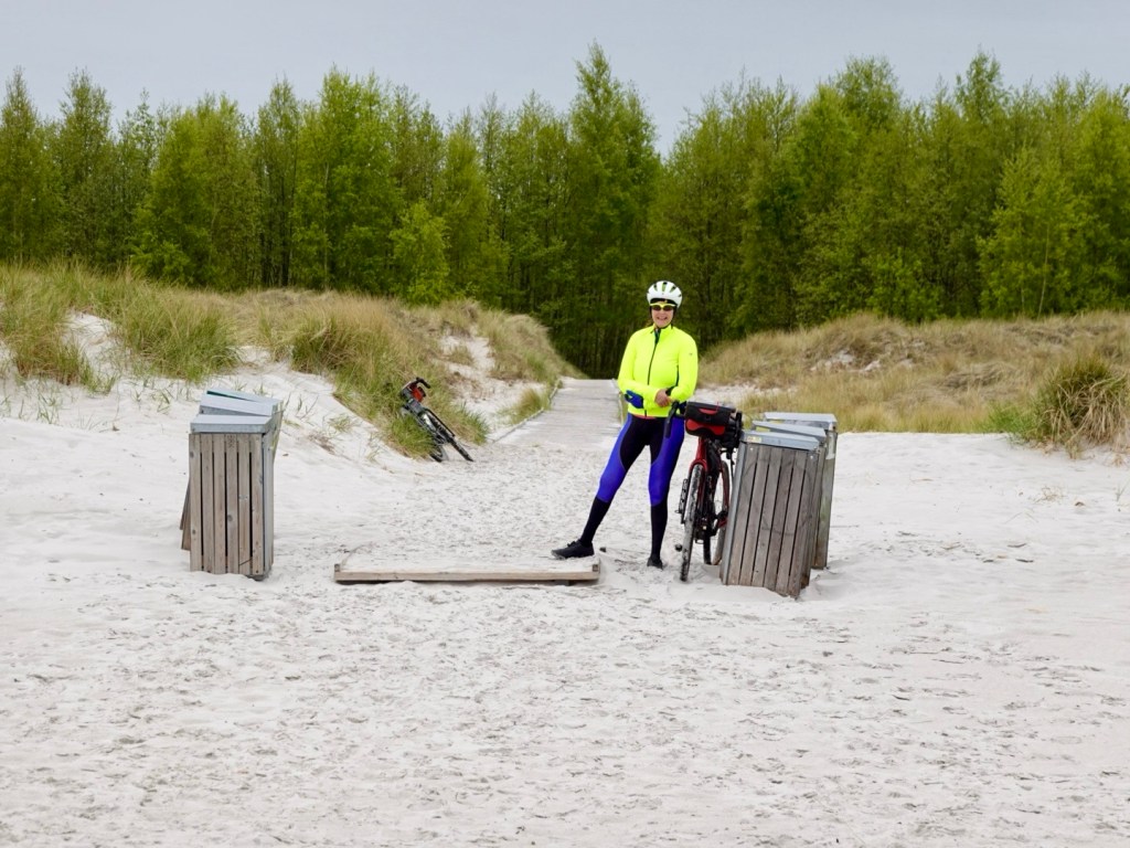
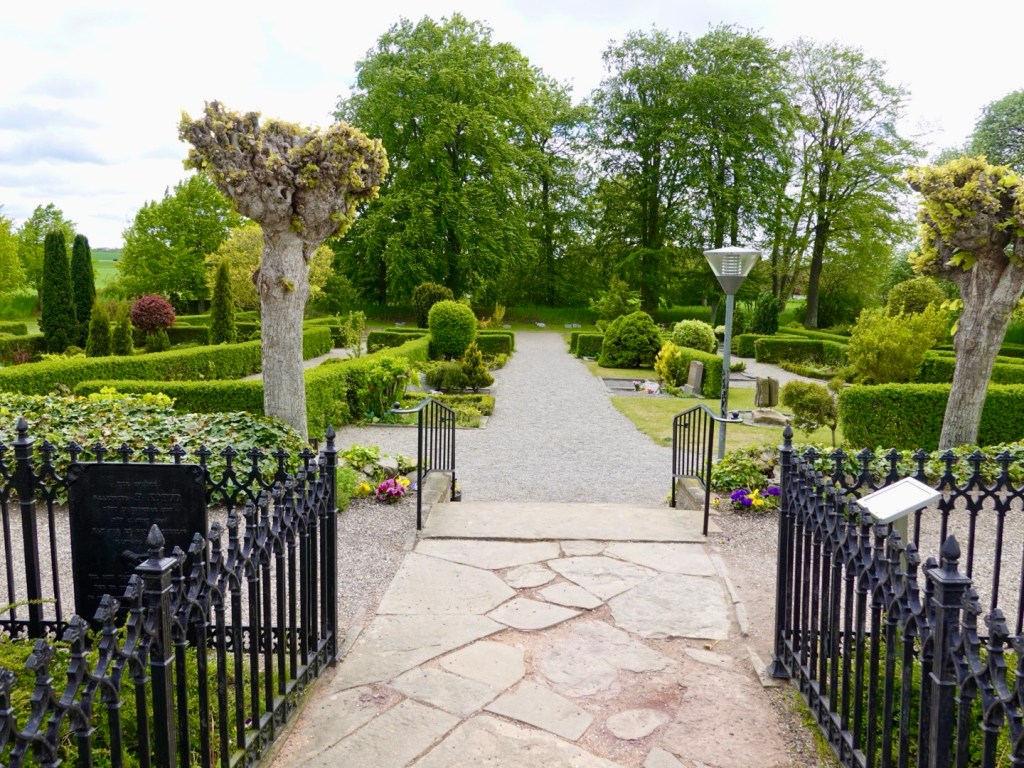
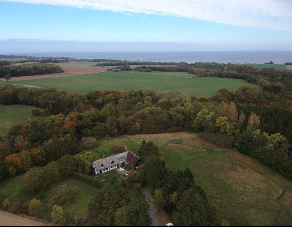
We arose early to finalise our pack and leave Stavehol, our home for the last three days.

There was a light misty rain as we hopped on the bikes at 6.15 am.

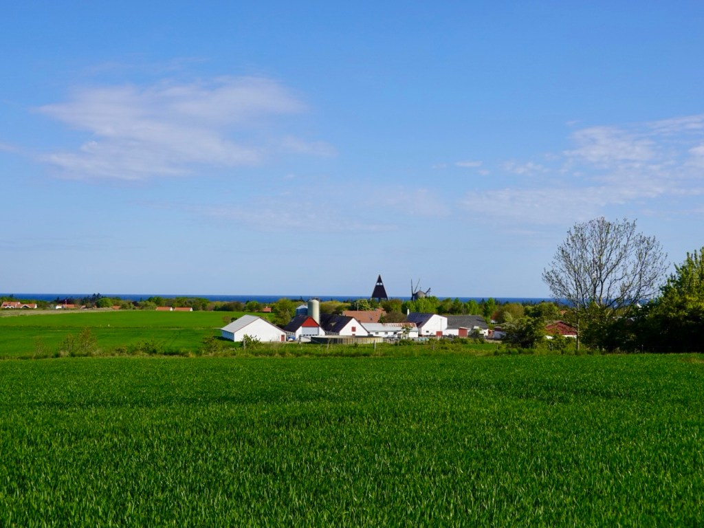
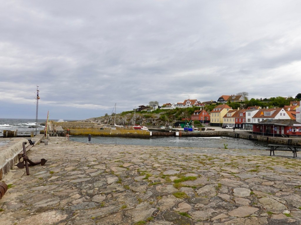
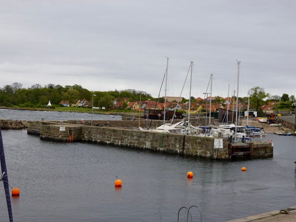
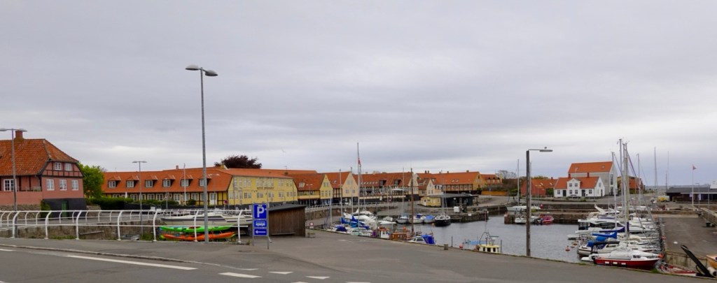
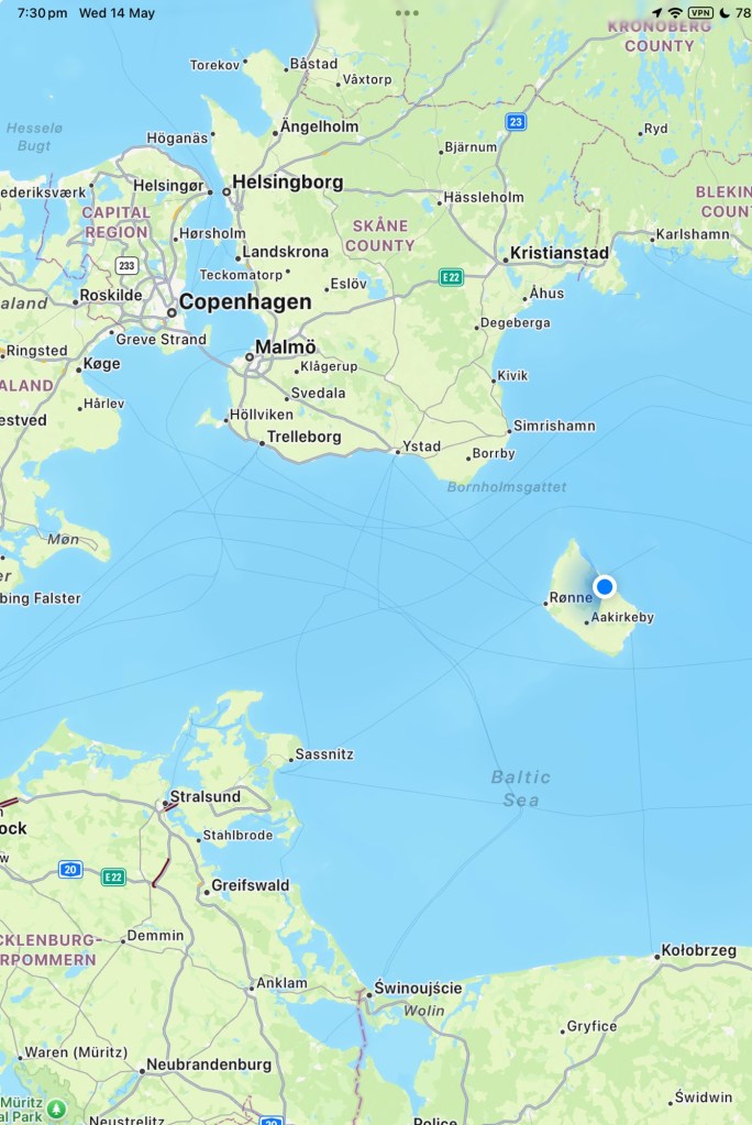
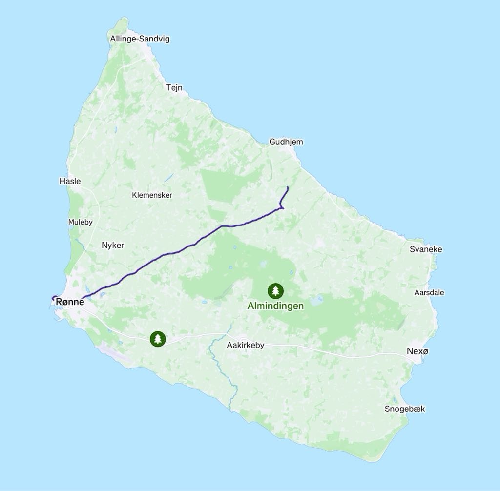
Our destination was Ronne, 21 km away, where we were to catch a ferry to Germany.

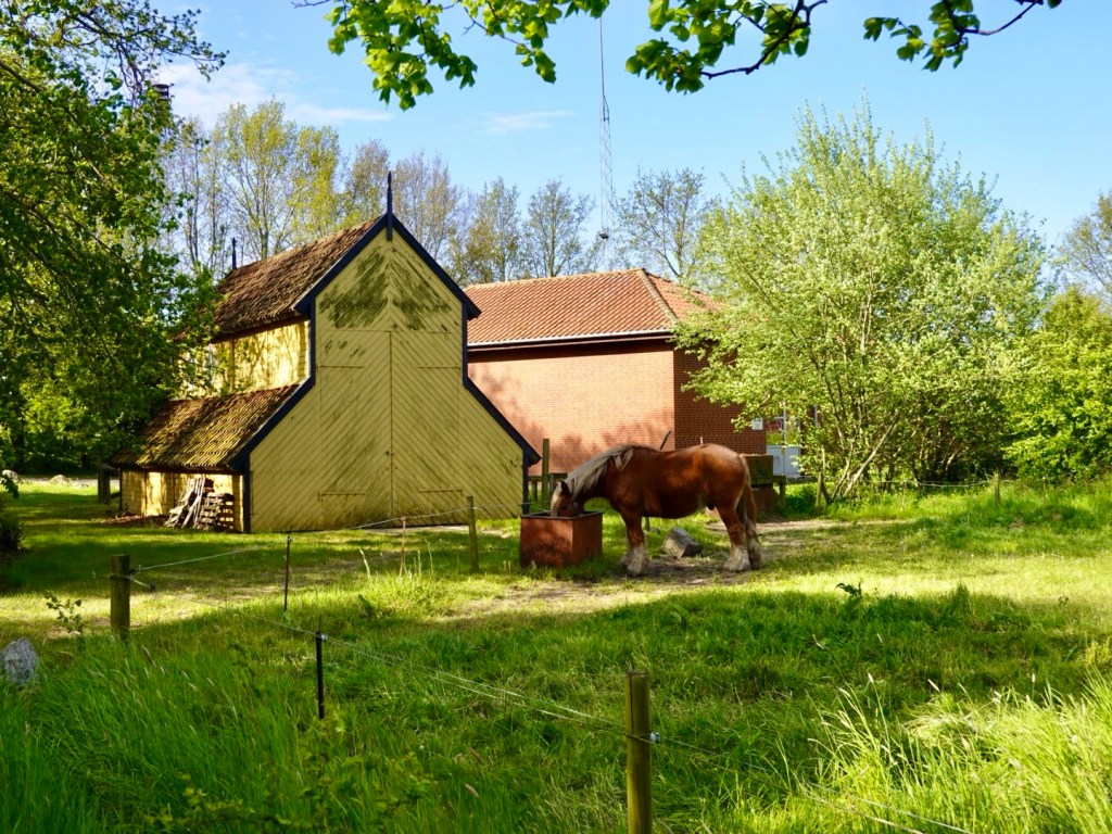
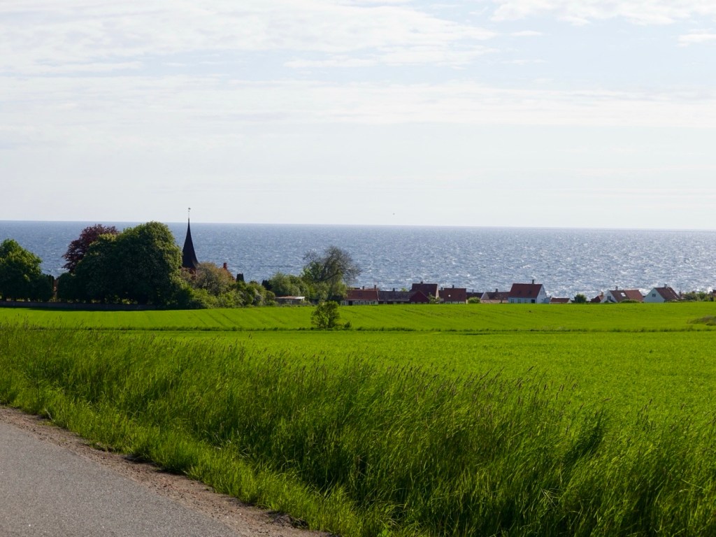
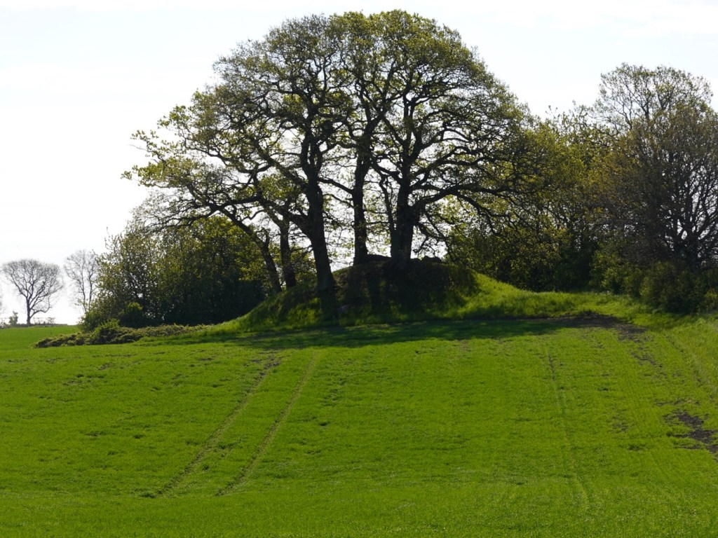
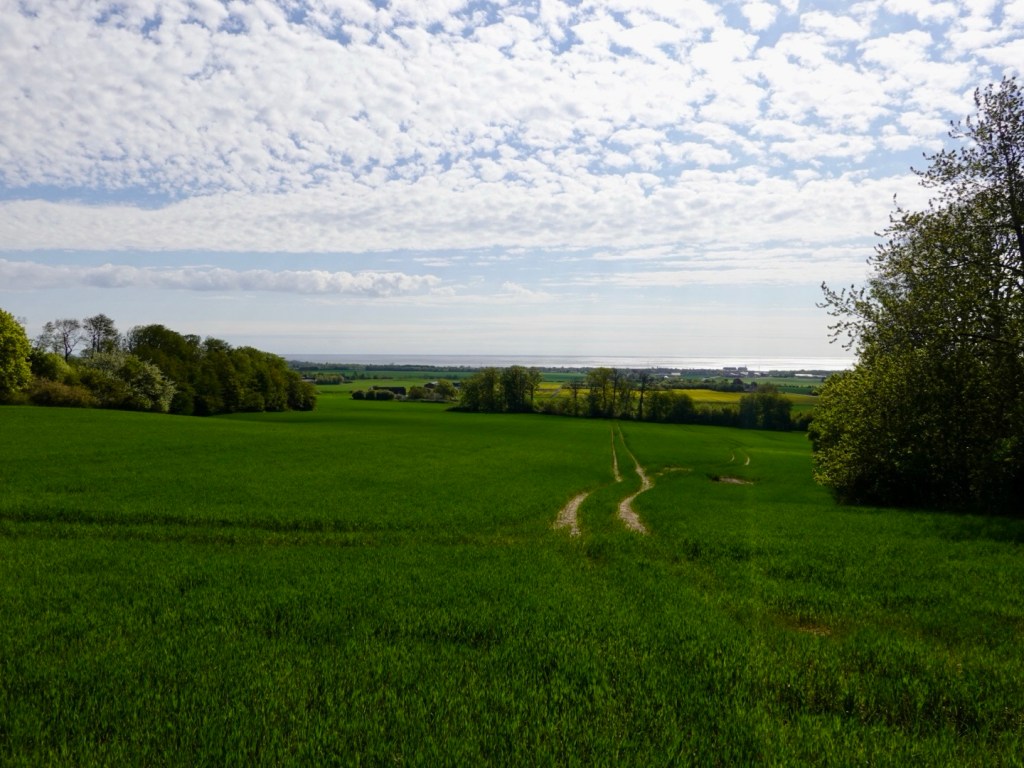
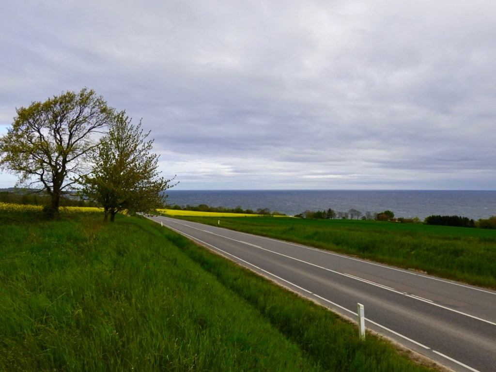
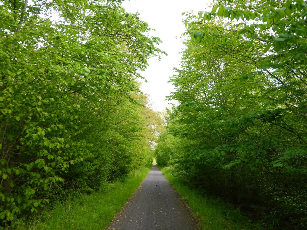
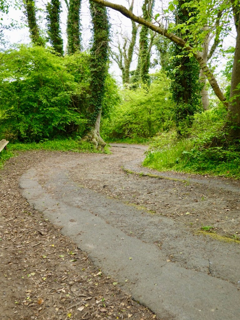
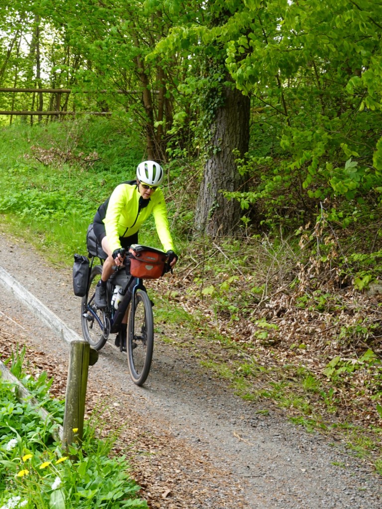
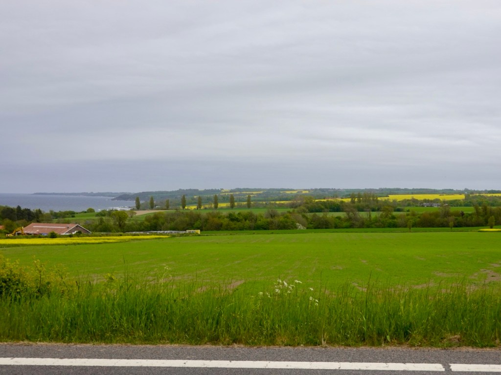
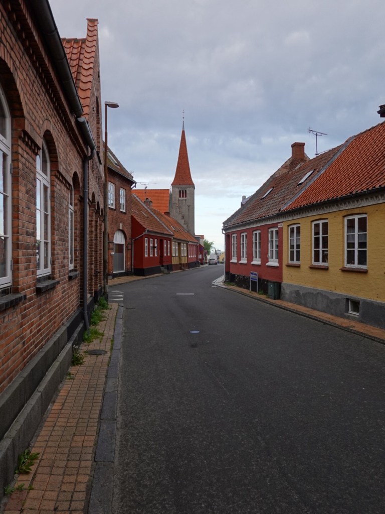
It was a quiet ride with not a lot of traffic around, and we appreciated our last ride here surrounded mainly by farms.

Quiet road in Ronne

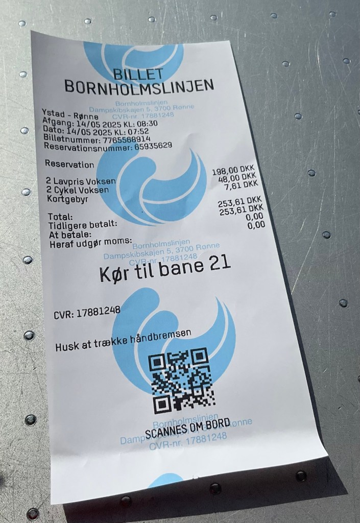
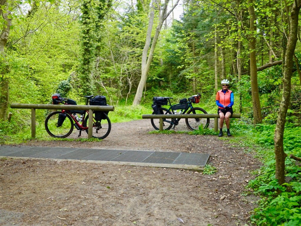
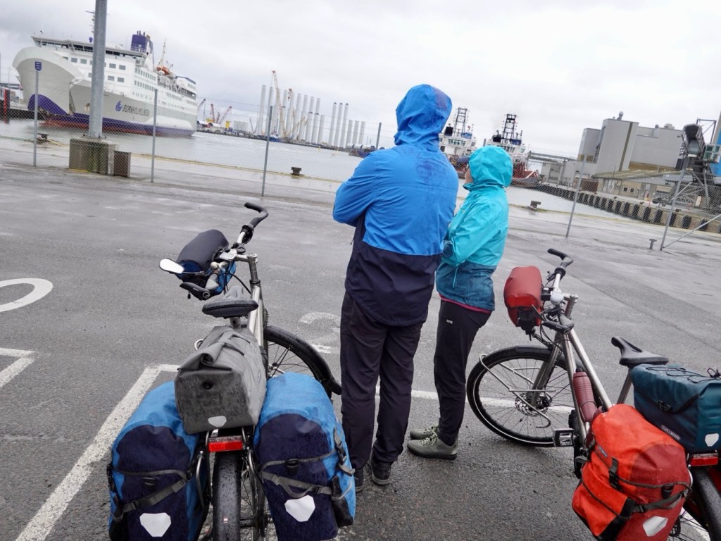
We checked in and headed to Lane 21, set aside for bicycles and motor bikes.

The couple ahead of us here are from Rostock, Germany and are returning home after a one week bike packing ride.

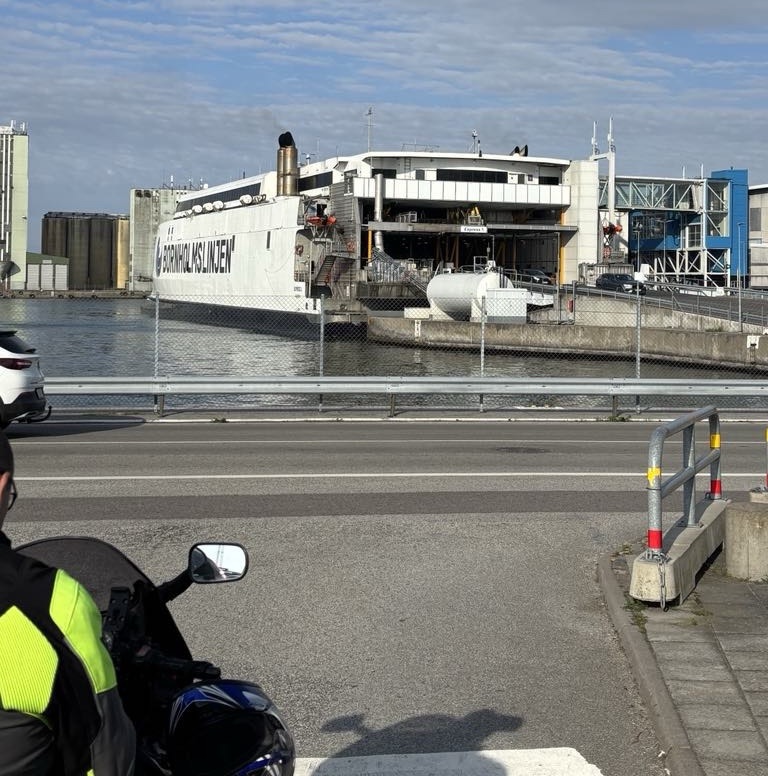
The wait was cold. It was about 7 degrees Celsius as we stood in the light rain for around an hour.

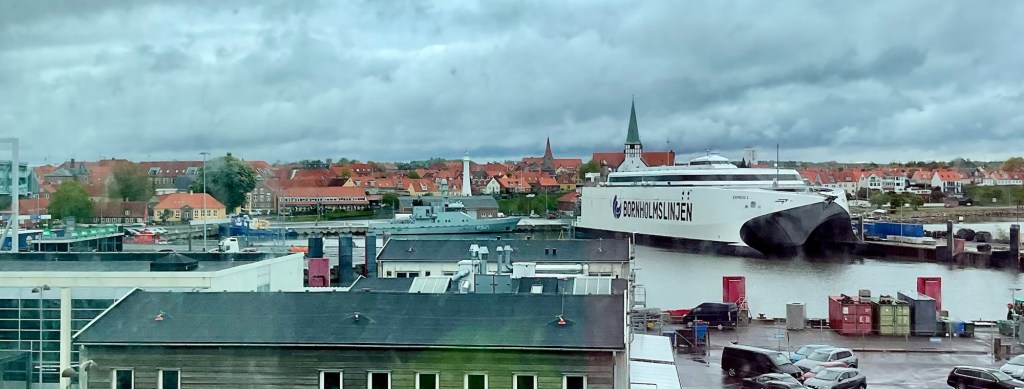
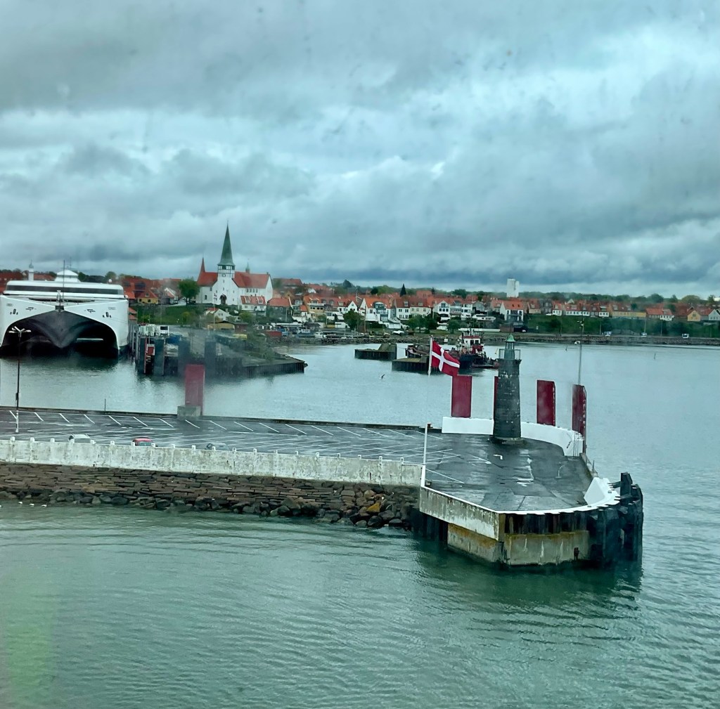
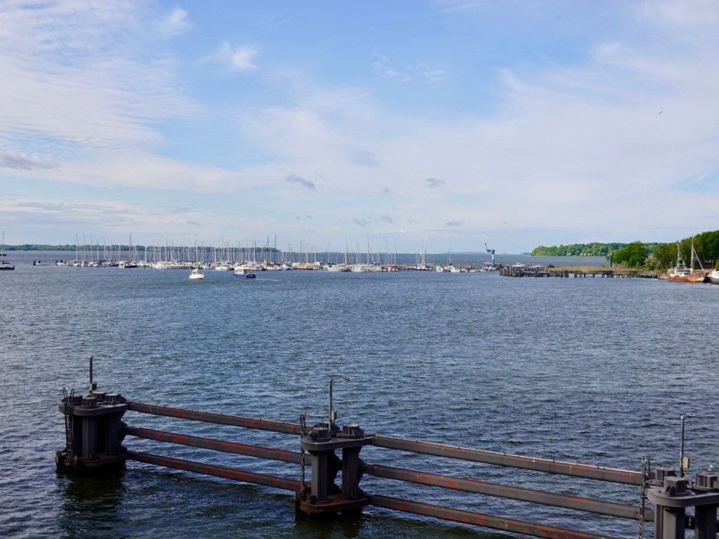
Our ferry finally arrived.

It was very packed on board which surprised us based on the number of cars lined up (as in not as many as we expected).

However, two large German tourist buses were the first to board the ship and the place was milling.

We found a table and seating by a window upstairs as the ferry departs.
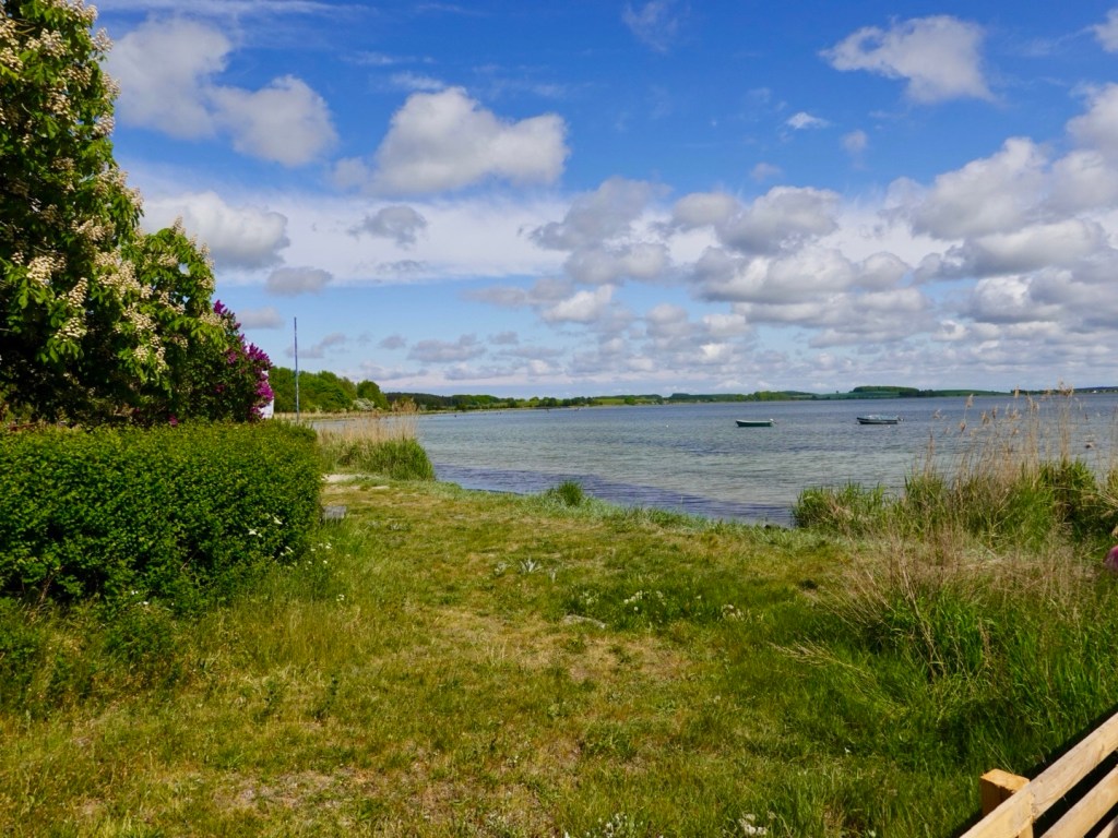
Our final views.

On the PA the voice announced cabins were available. We lashed out and grabbed one and did enjoy our own room, bathroom and rested for the most.

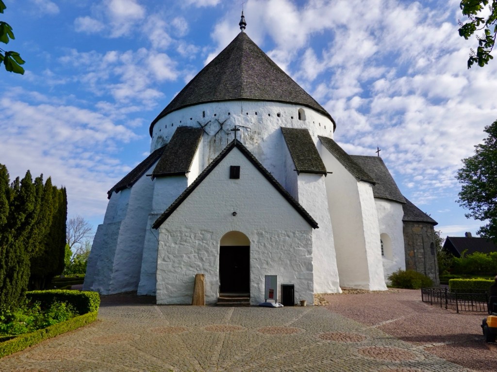
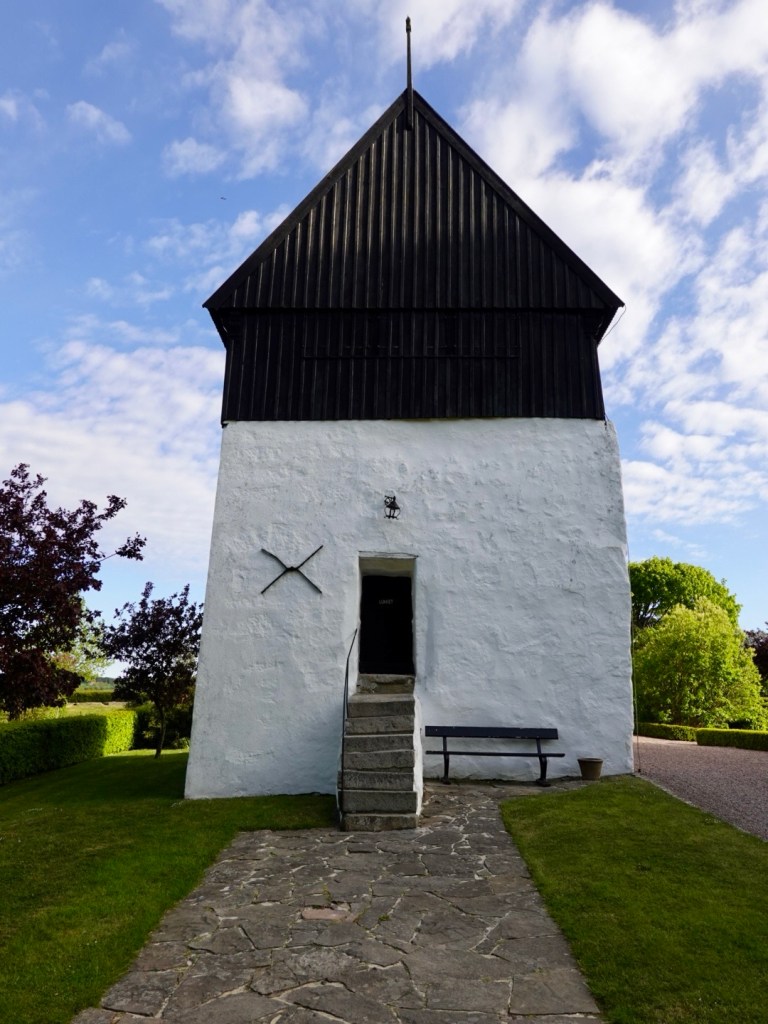
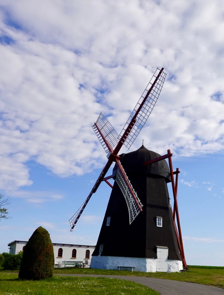
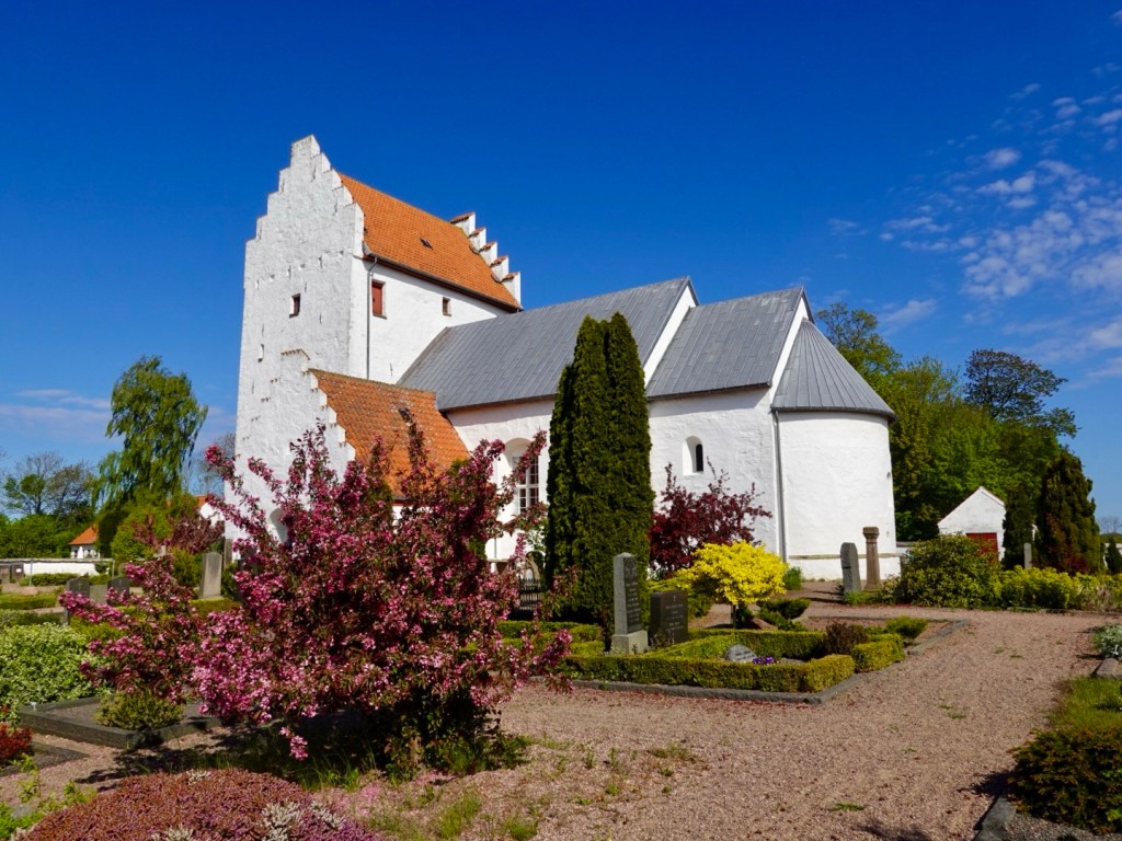
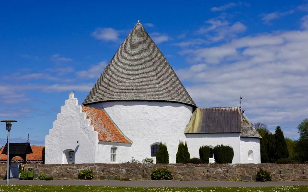
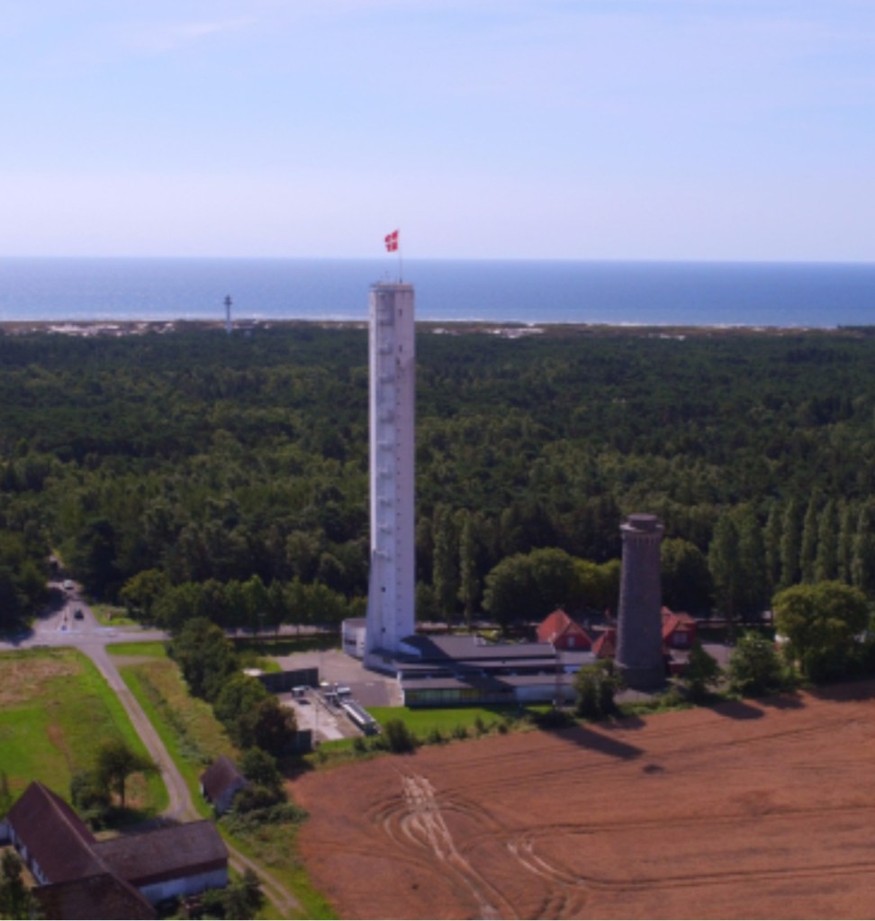
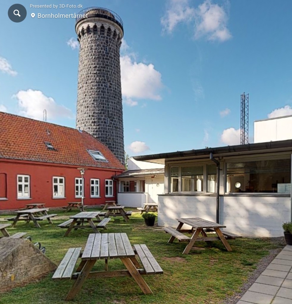
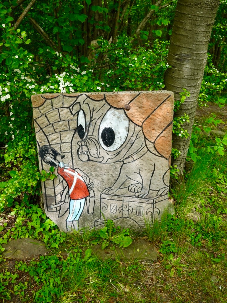
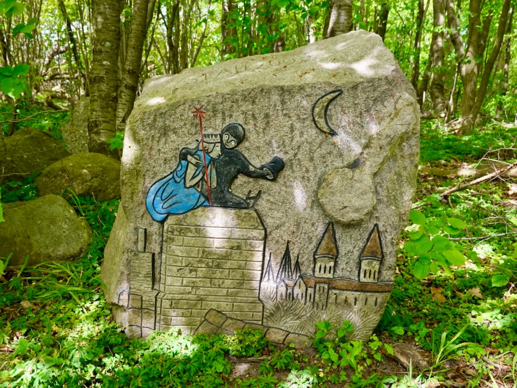
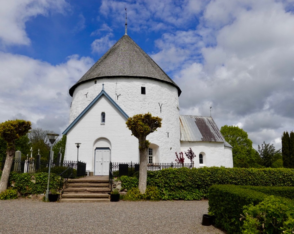
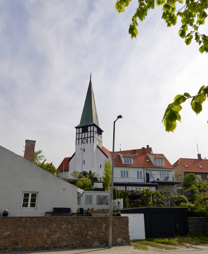
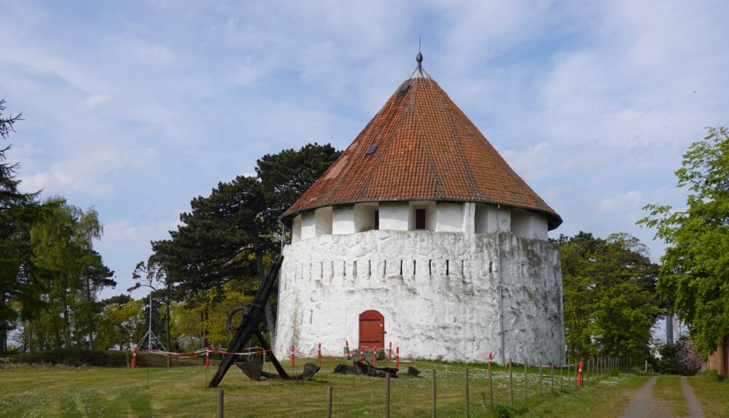
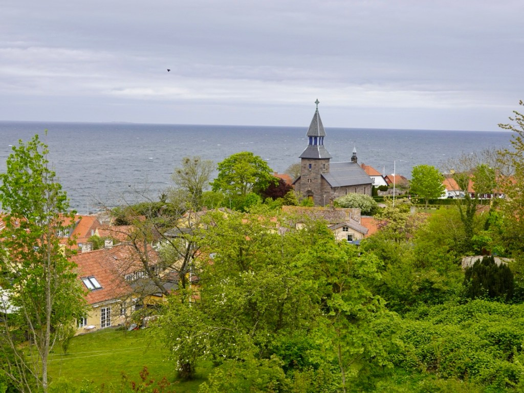
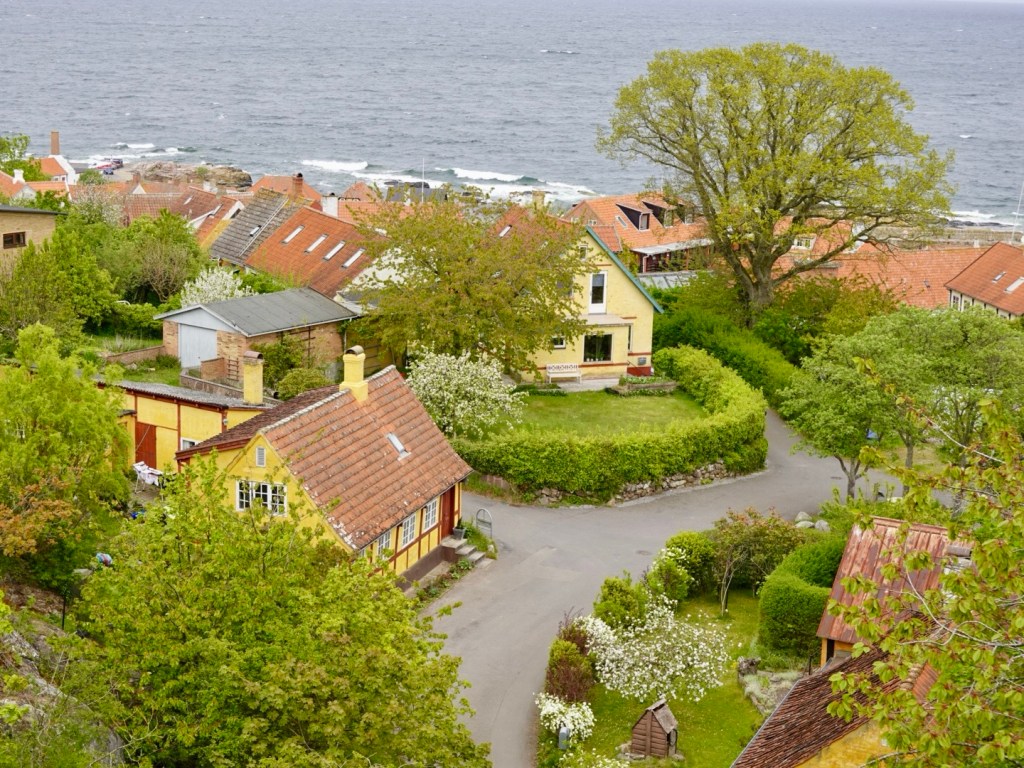
Bornholm Island has been a wonderful experience. I have been asked a few times, why Bornholm?

I had never heard of it until I started researching ferry options to Germany and Poland. I looked into it more and considered this could be an interesting island to spend a few days riding.

That it was!

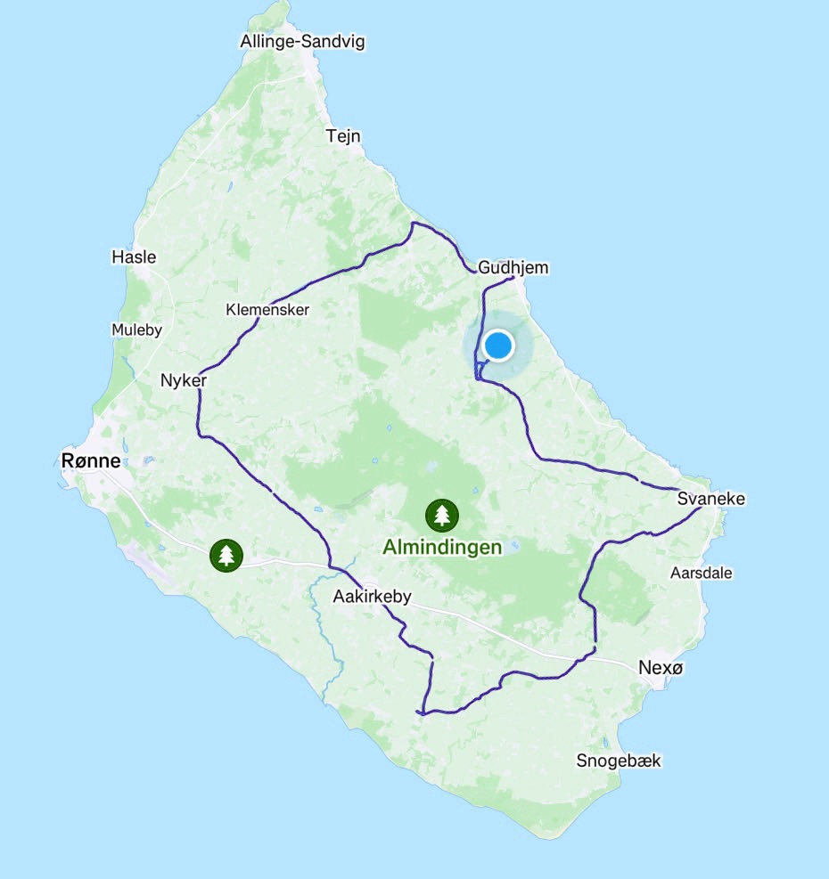
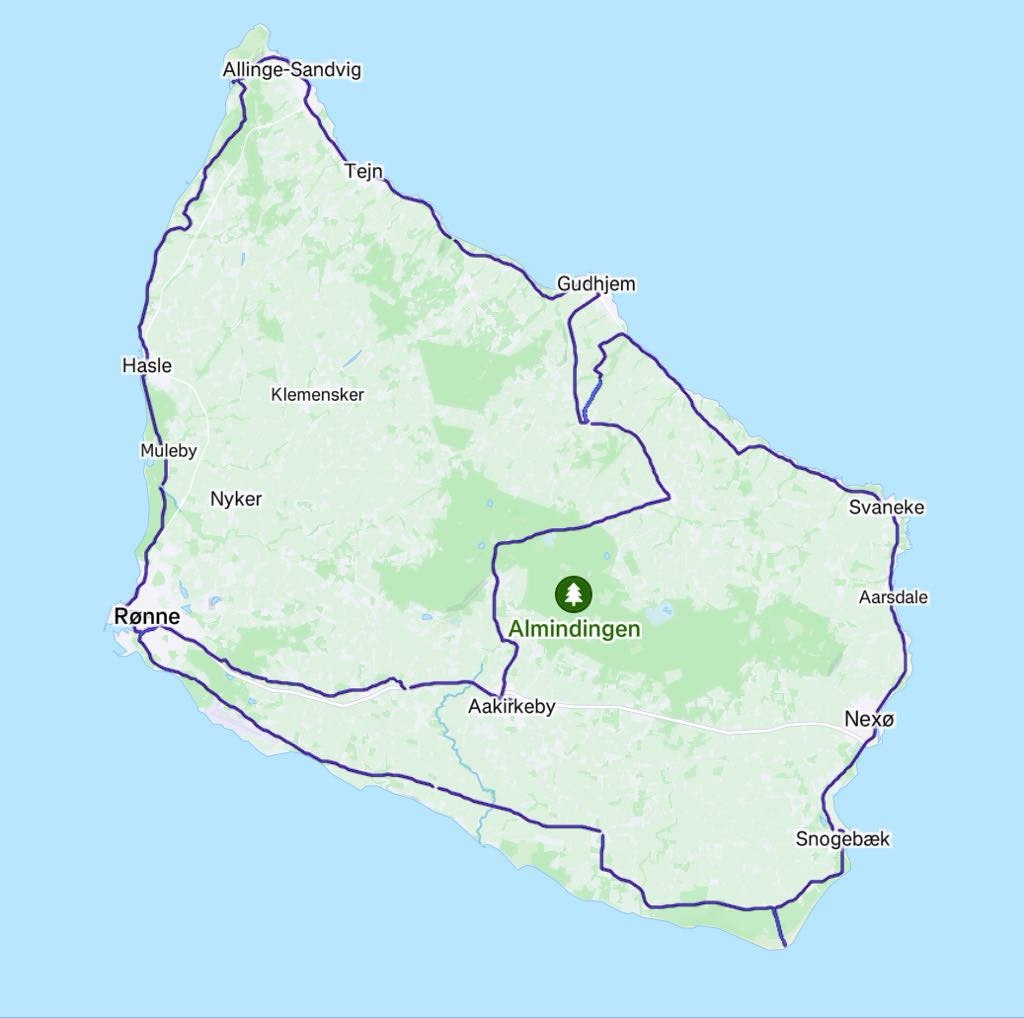
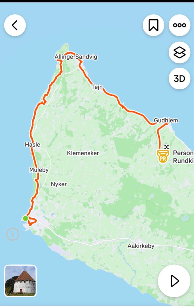
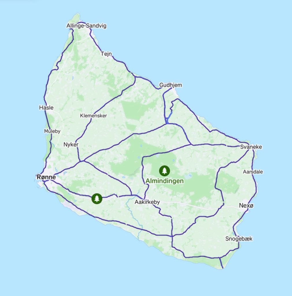
This is our heat map from riding 270 km on the island. Reasonably comprehensive.

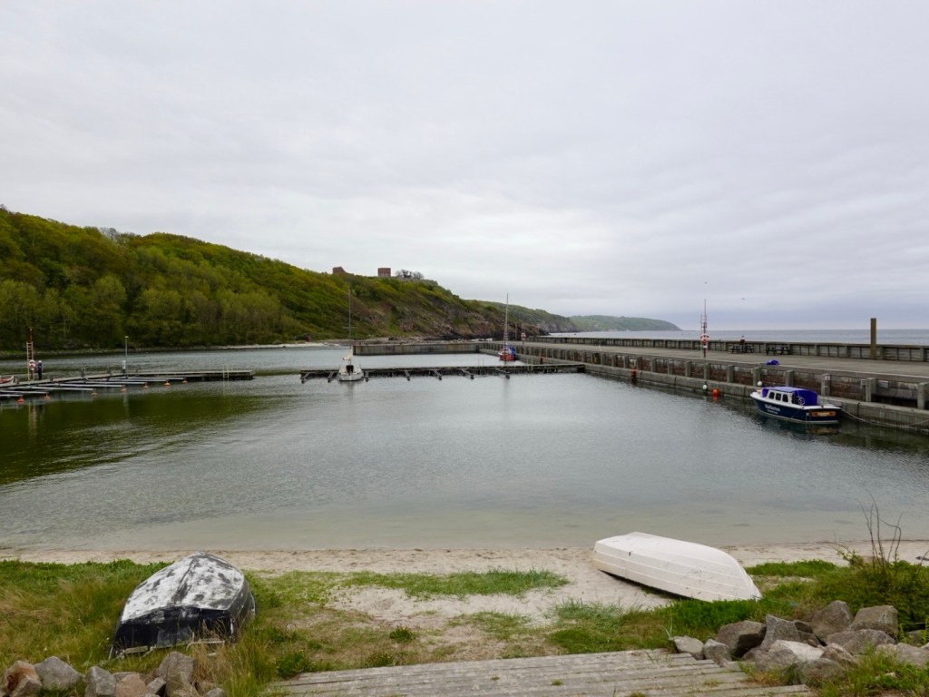
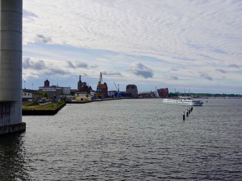
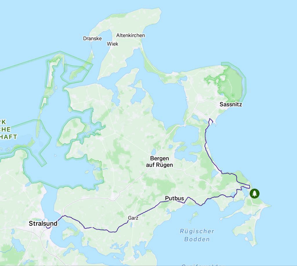
Arriving in the Sassnitz Port we departed slowly as all cyclists were required to push their bikes from the boat following a bloke as he criss crossed around the port to the exit.

It was drizzling so we then stopped to put our over booties on (go over our cycling shoes).

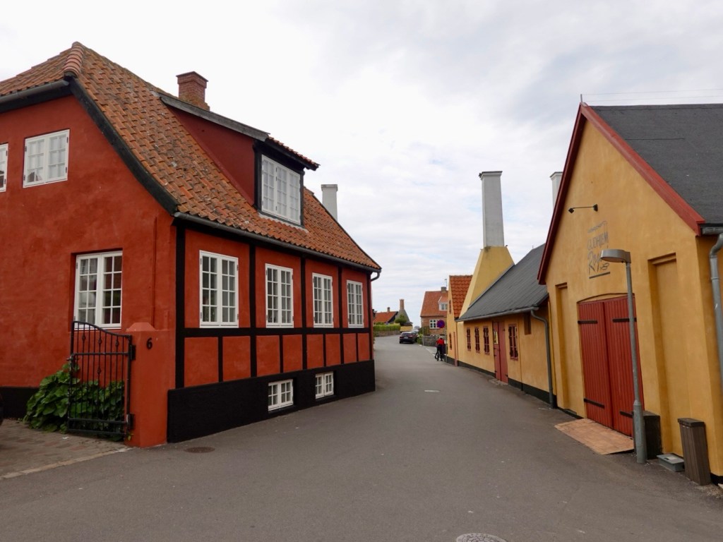
The first 5-8 km was on a path passing derelict large old buildings, appearing like old residential blocks from the regions earlier East German era.

There was also significant construction in the area.

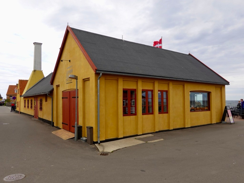
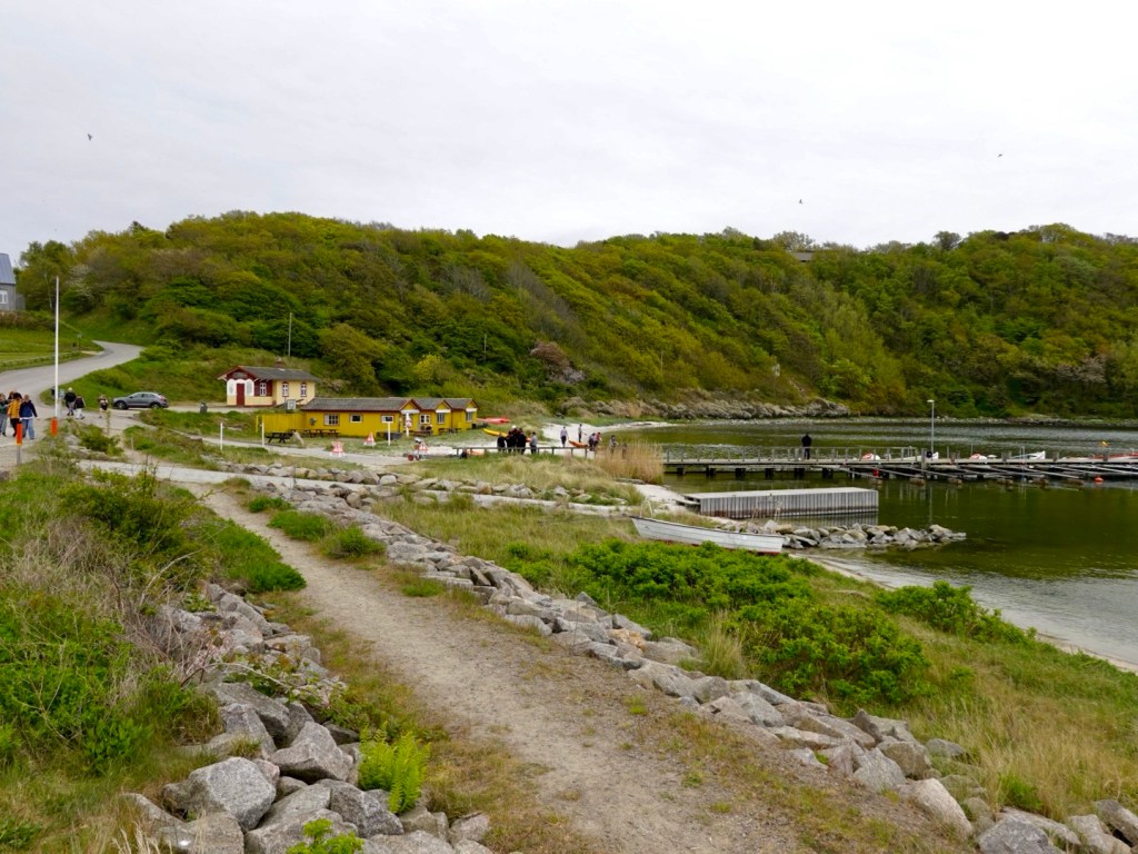
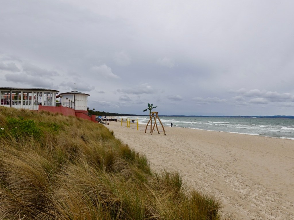
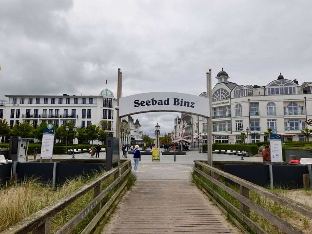
The path varied in quality and width. At Ostseebad Binz we found a lovely cafe for a bite of lunch.

The sun was out, the raincoat and heavier duty outer layers were replaced with lighter layering. The breeze still had a bite to it, but pleasant sitting out of the wind.

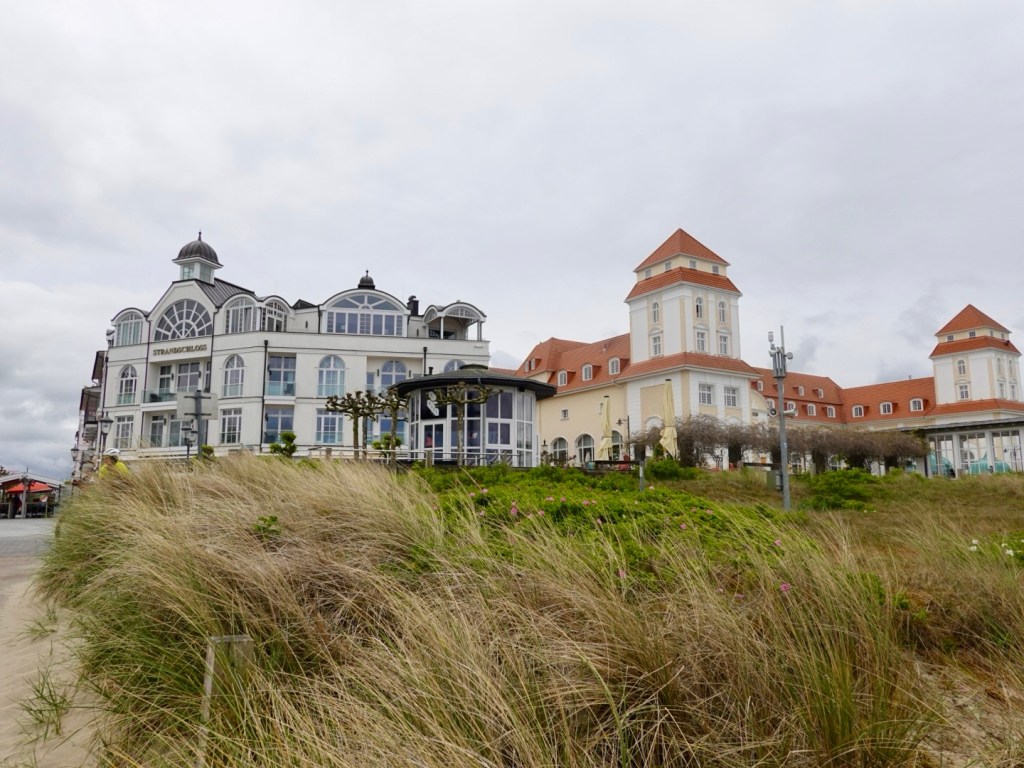
Binz is the largest seaside town on the island of Rugen. Yes we were in an island. It was a popular holiday town and during the communist era, the East German government compulsory acquired many of the fancy homes and hotels for their members use.

After the fall of the East German government these places were returned to the original owners families.

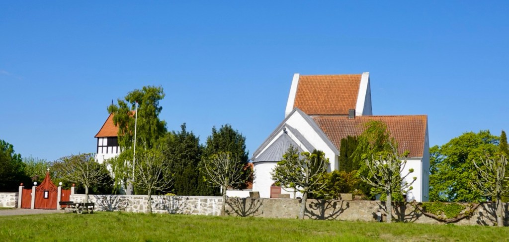
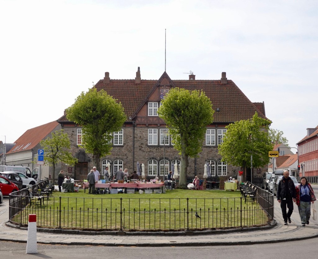
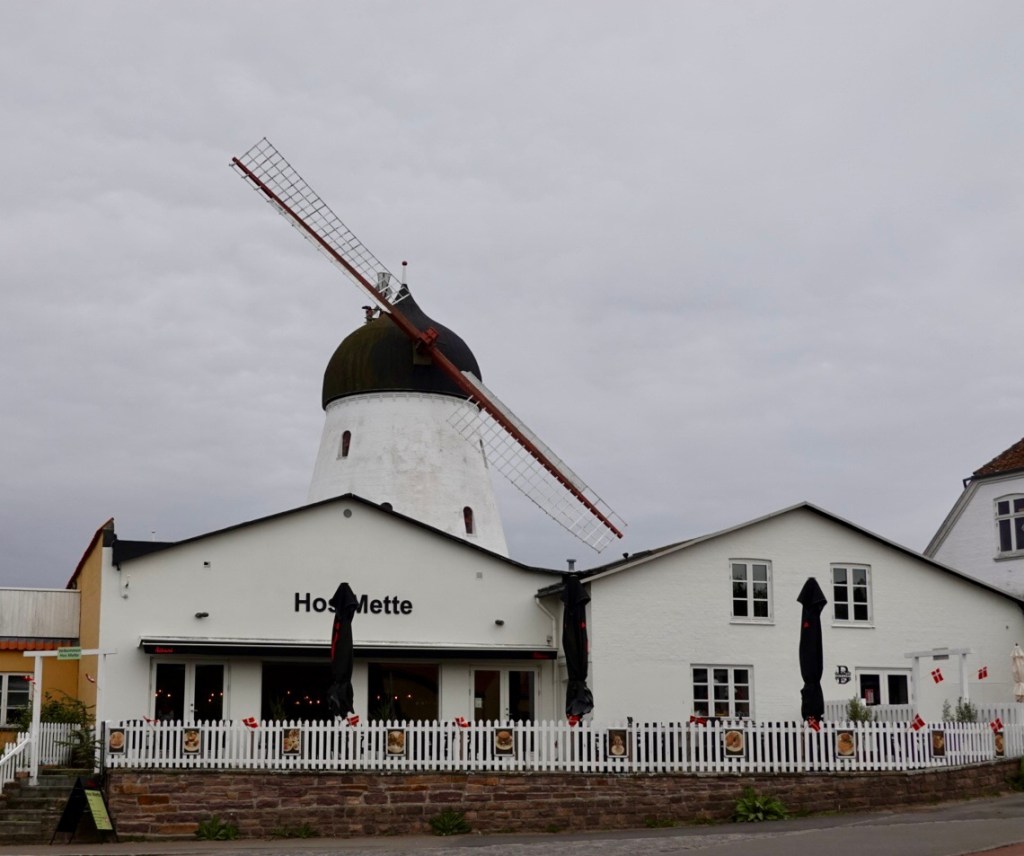
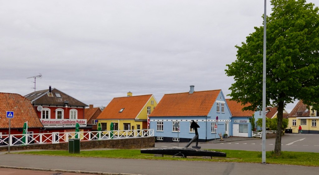
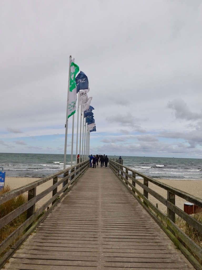
Some sights of the town:

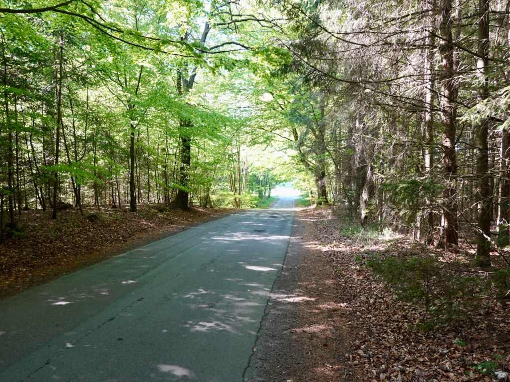
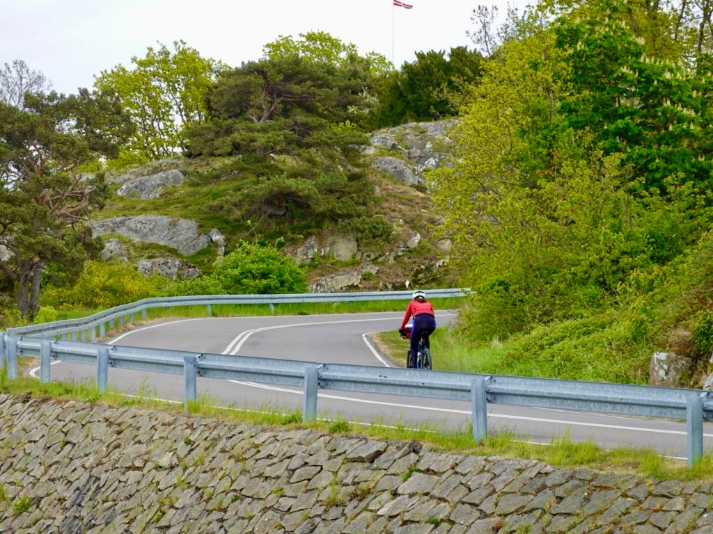
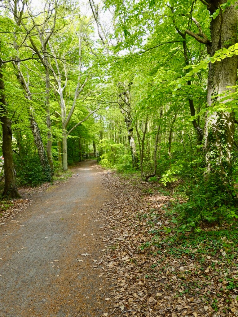
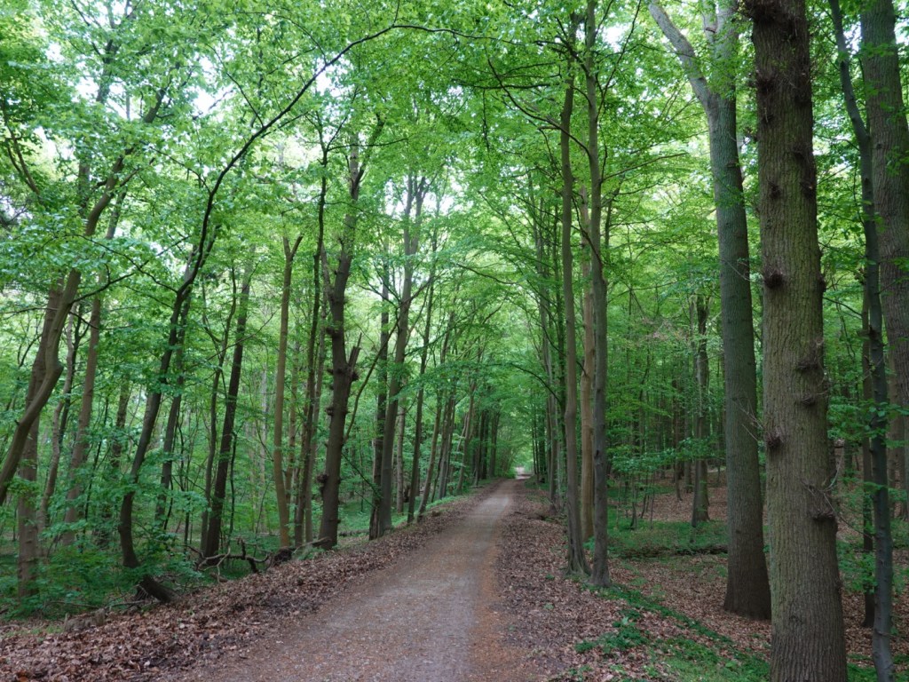
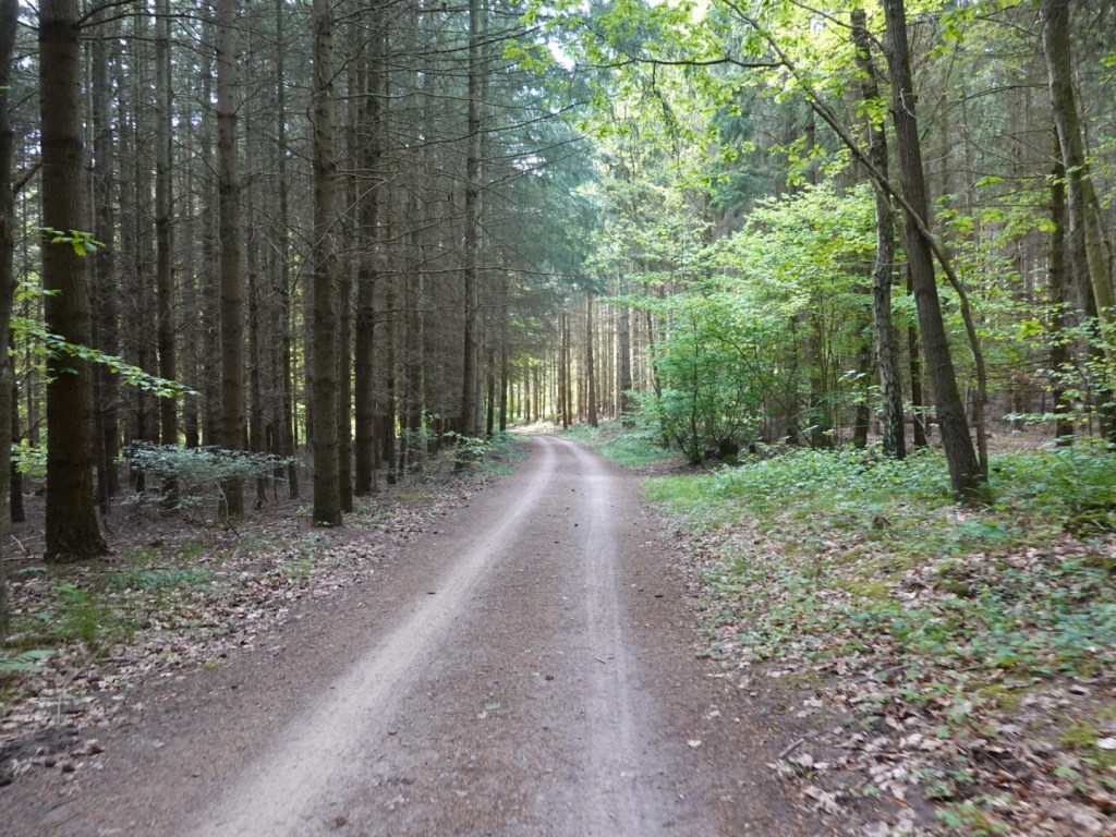
The route to the next town of Sellin took us through forest. It was beautiful but the first four-five km very hard work.

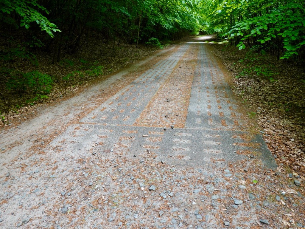
That path is not as nicely compacted as it appears. It consists of smaller blocks of a blue stone maybe 3-4 inches square all at varying angles.

It was a bladder stimulating section for sure.

When the path climbed or descended there were these blocks of cement. Each of those little inserts are lower than the cement and rough as guts to ride on.

I was lucky to be doing 6-8 kmh through the five km.

Tony’s bladder had enough and we stopped, just around the next bend the path was a much nicer compacted gravel.

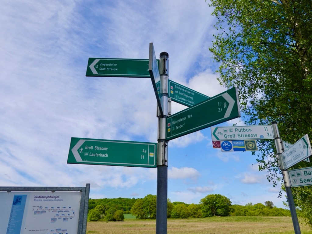
Signposting was excellent, although we also use our Hammerhead maps where we have uploaded our planned routes. Signs are nice confirmations.

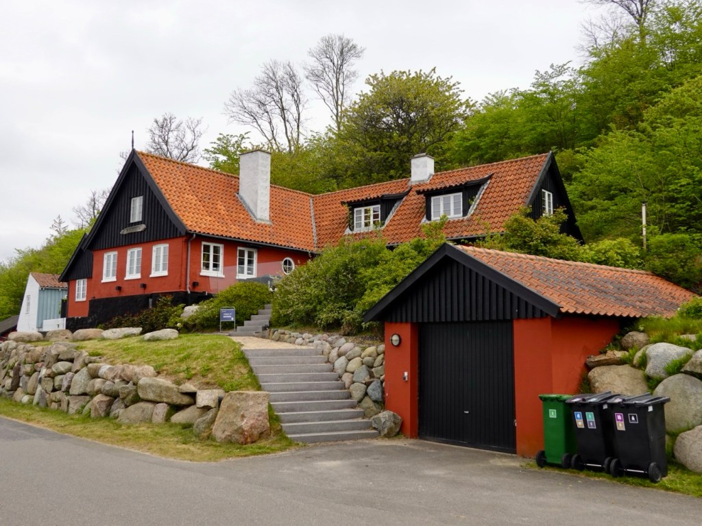
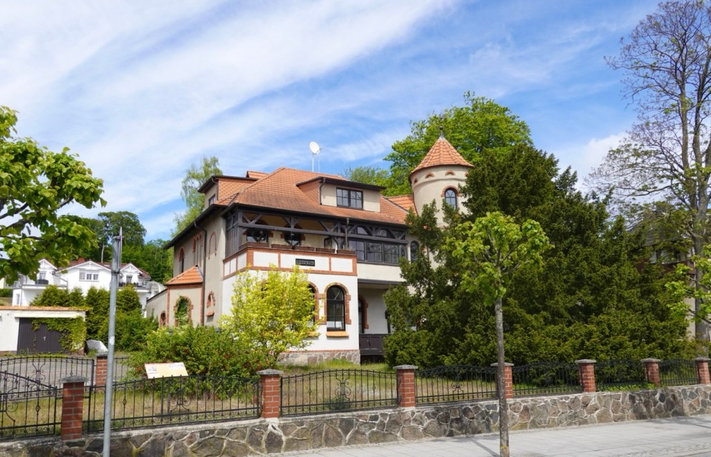
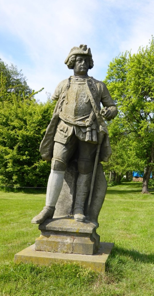
Sellin featured many large homes.

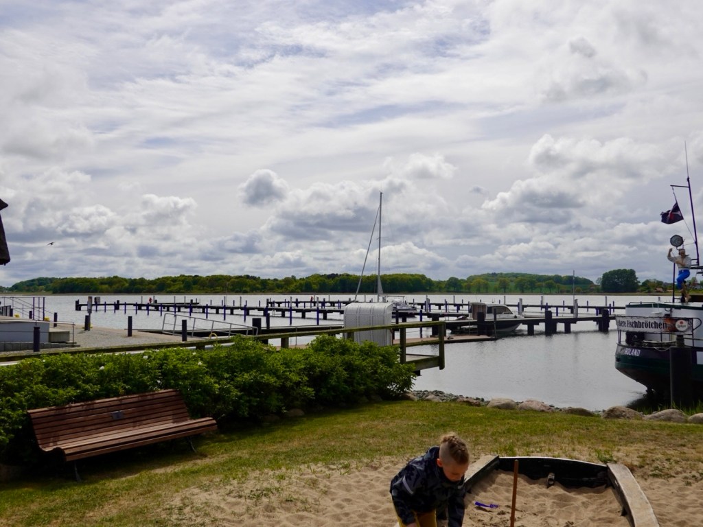
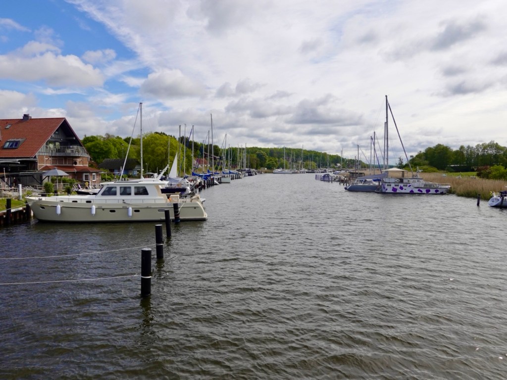
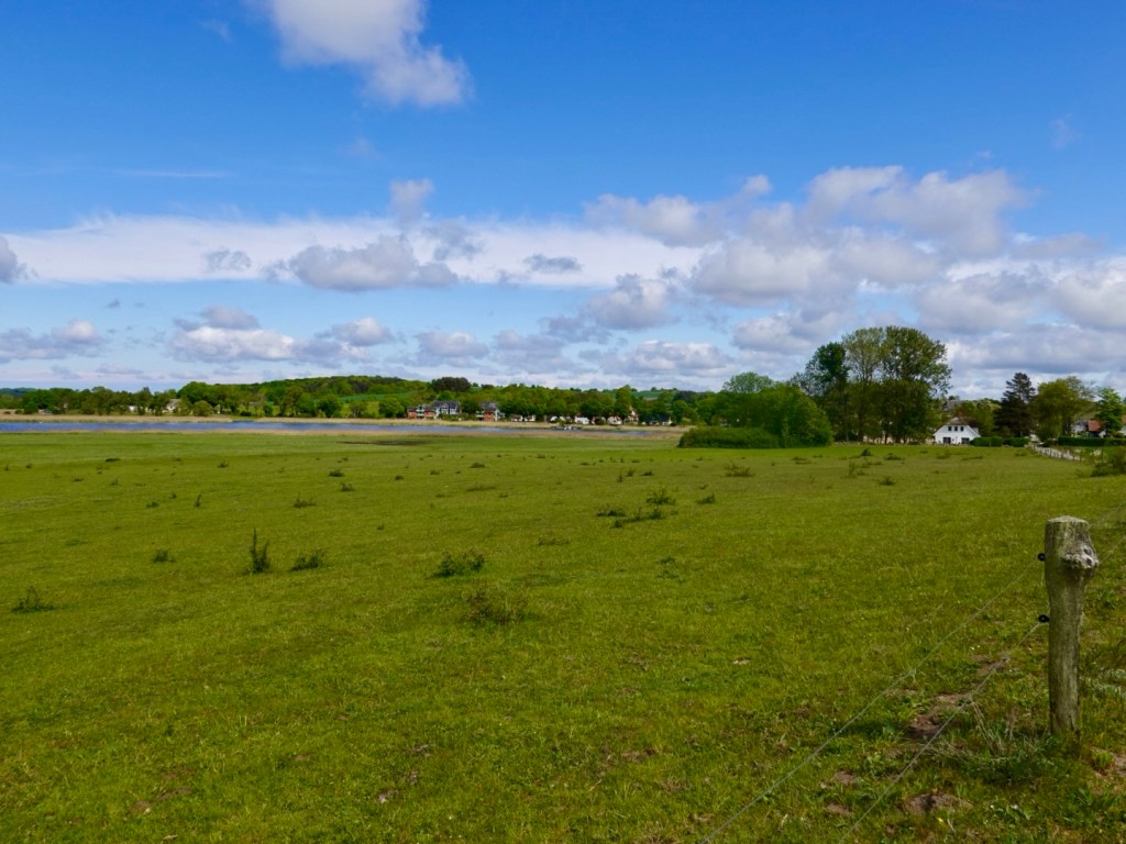
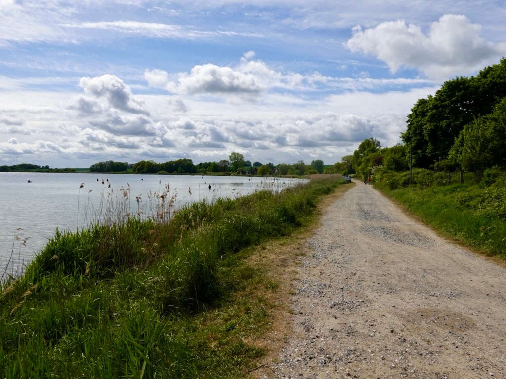
We then skirted around the shores of Neuensiener See, an internal lake that empties into the Baltic.

Tourism boats, marinas, little homes, lovely views made the next 10 km one of our favourites for the day.

More signs,with signage for both walkers and cyclists. Many of the paths differ. We were heading to Putbus.

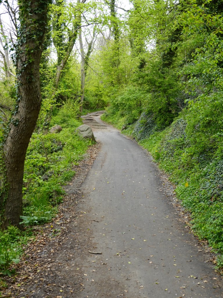
Riding through beautiful forests.

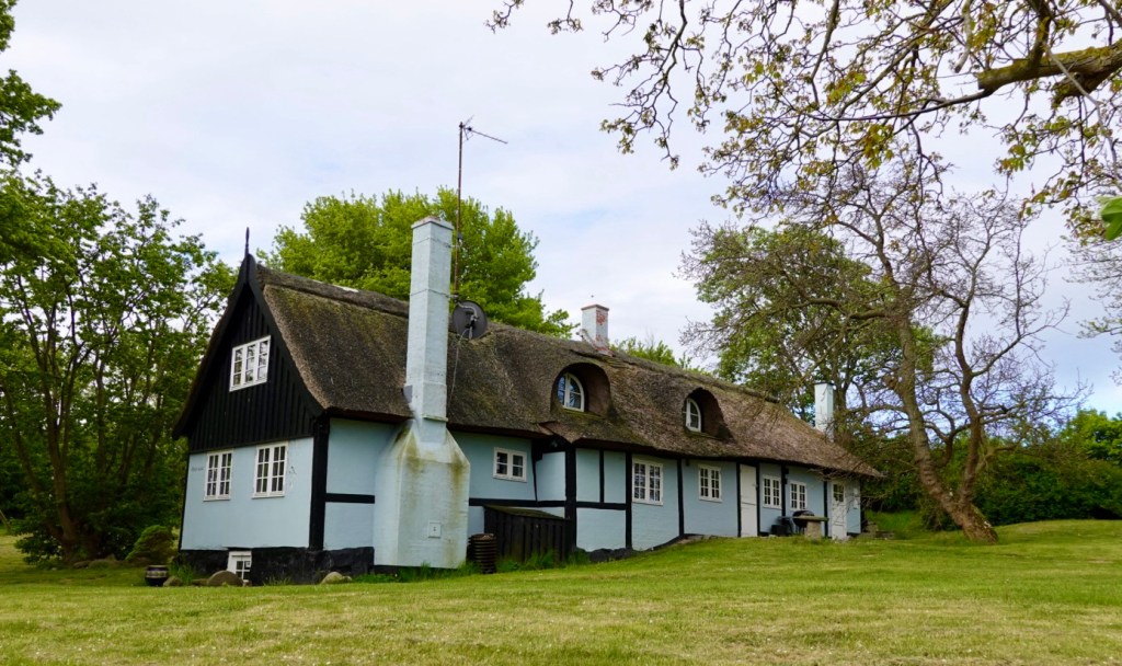
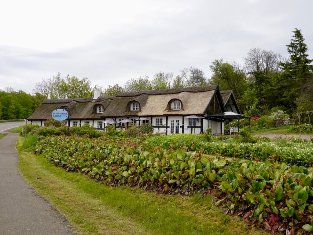
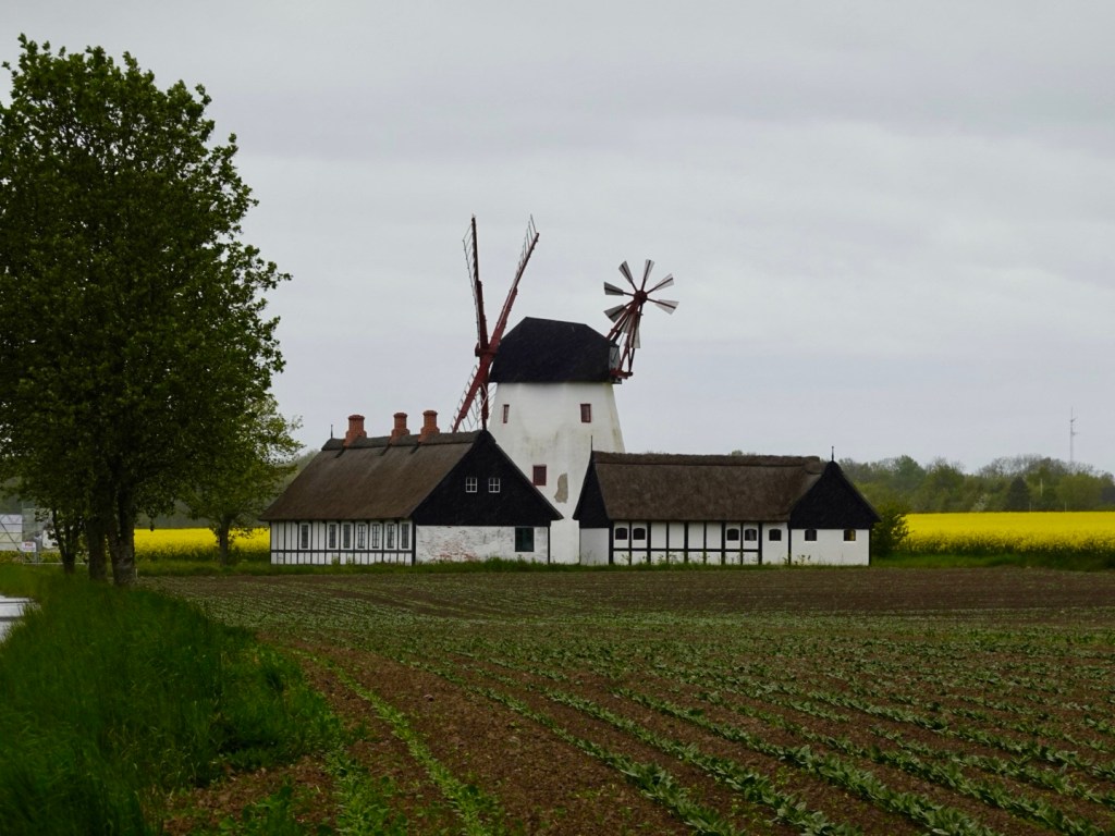
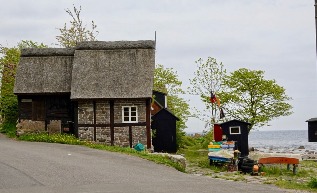
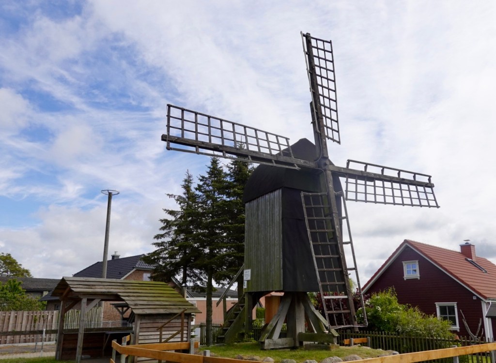
Lovely thatched houses.

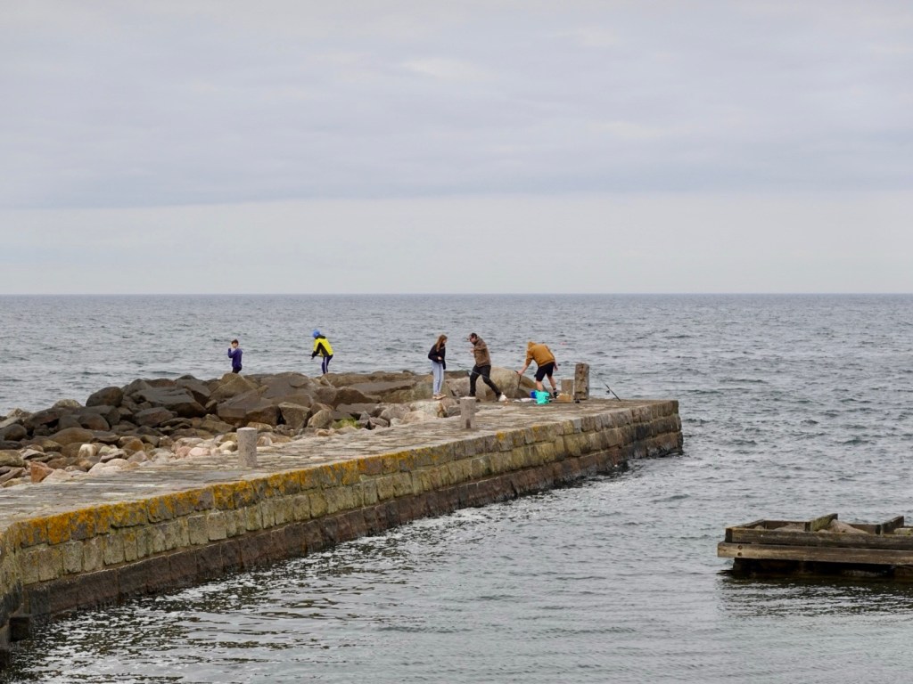
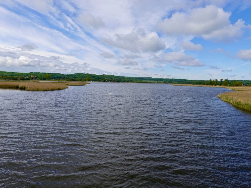
People fishing out in the deeper waters.

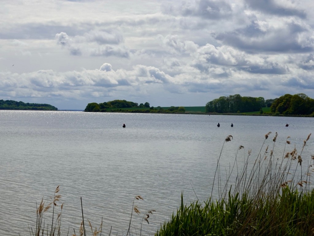
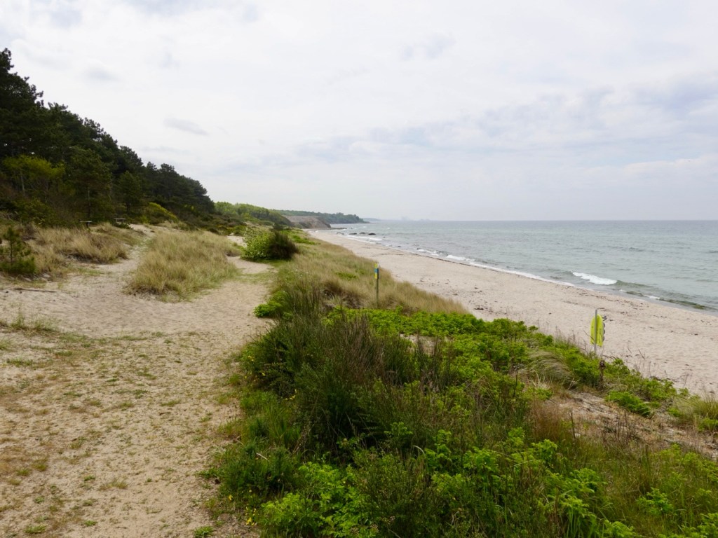
Path still following the coast.

King Friedrich Wilhelm 1 of Prussia (1688-1740)

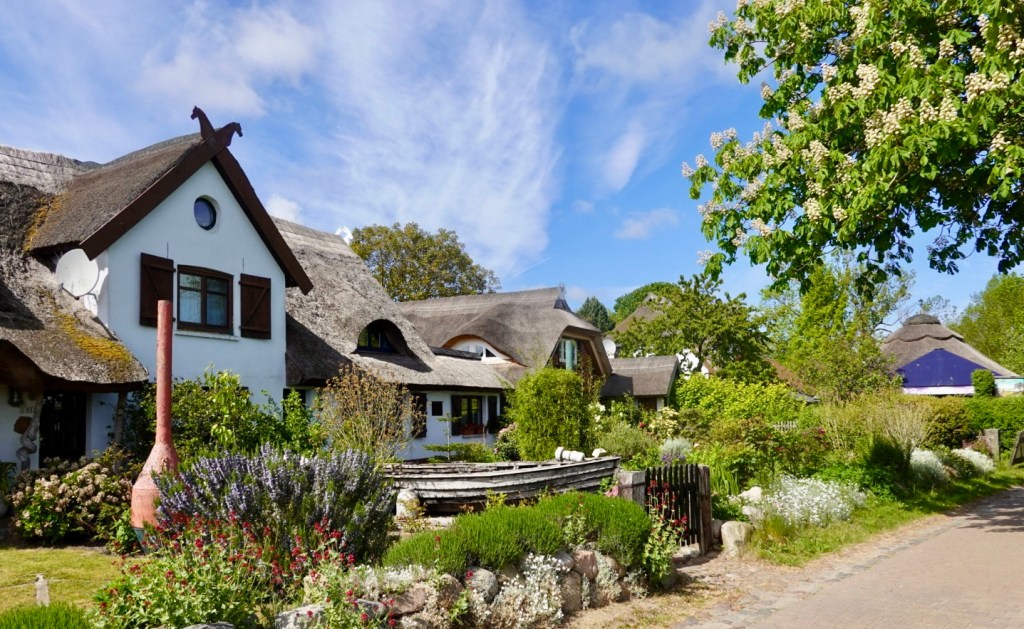
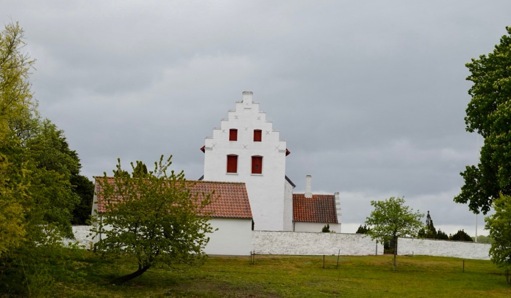
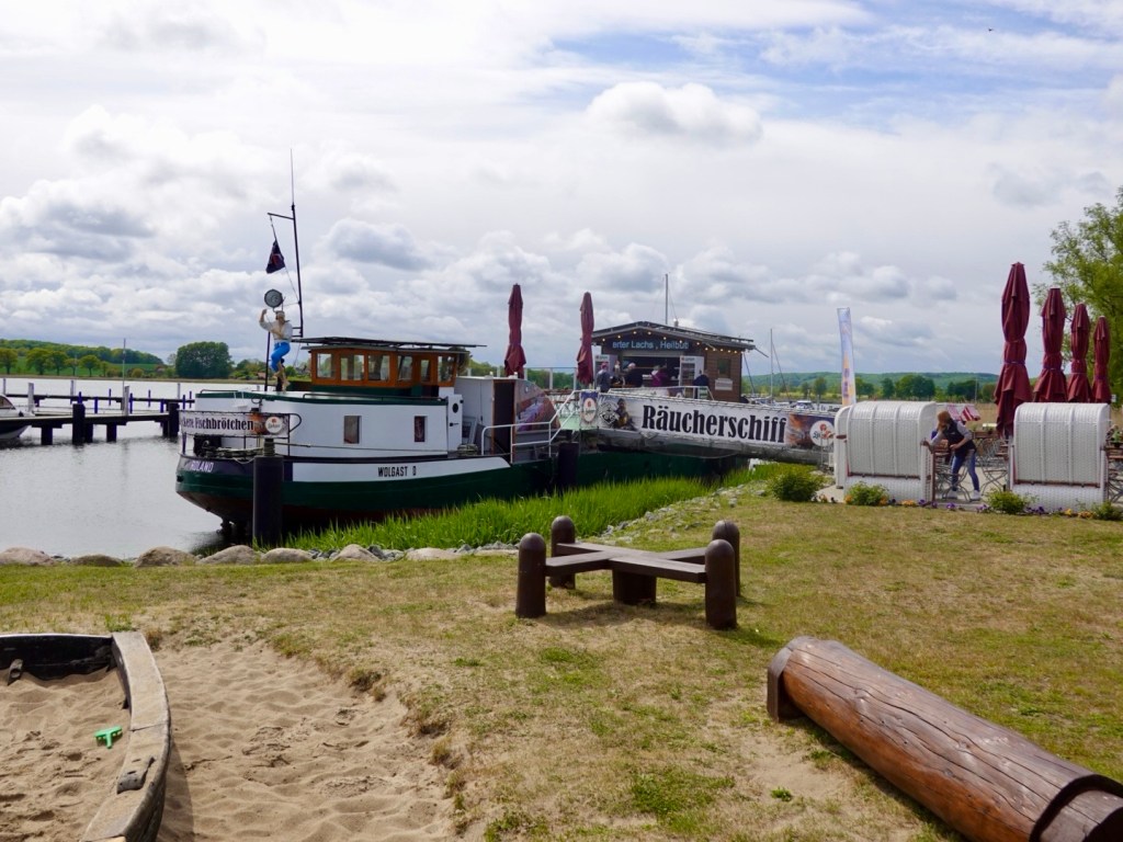
This village was very cute with varying thatched roofed, gardens, wooden boats all overlooking the coast.

We crossed a long bridge to leave the island of Rugen and land on the European continent.

Our destination lay ahead in Stralsund. It looked a bit industrial from the bridge.

We do love it when my ride maps finish us at the front door precisely. Boom!

A total of 99 km today plus a 3.5 hour ferry transfer.

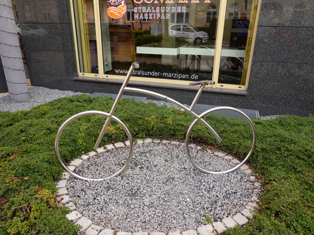
As I checked in, we were given two chocolates. This hotel is known as the house of marzipan and has quite an assortment available. I enjoyed mine, Tony tolerated his.

We were delighted to find two water column heaters in our room. This meant we could wash lots and get them dry.

After showering we walked into the older part of town to source a meal. The town seemed quiet for a Saturday. Many restaurants had just a few people, then we saw a sign for a lower level restaurant and we recognised the word schnitzel.

We had a wonderful meal, served quickly, good value (relatively 😁).

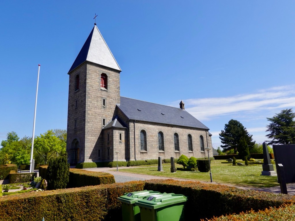
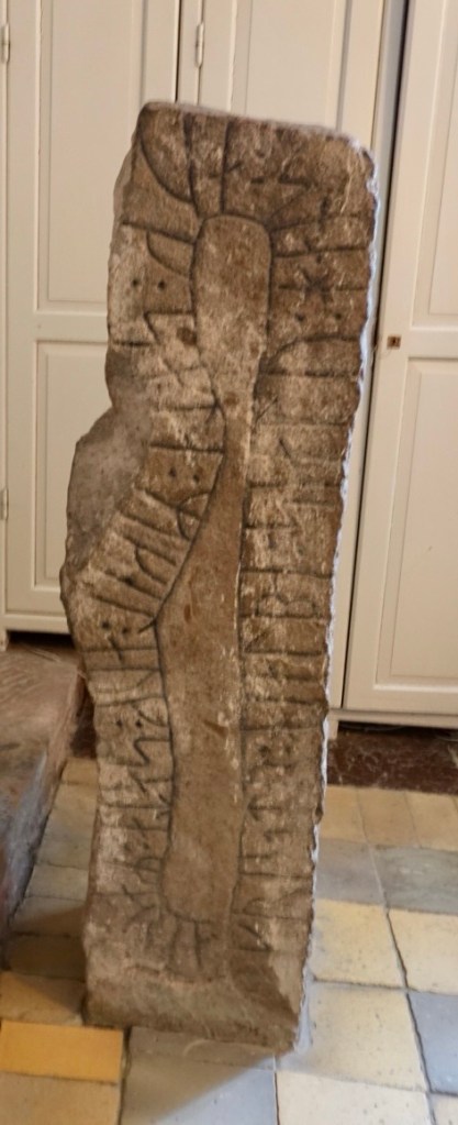
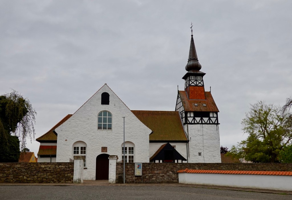
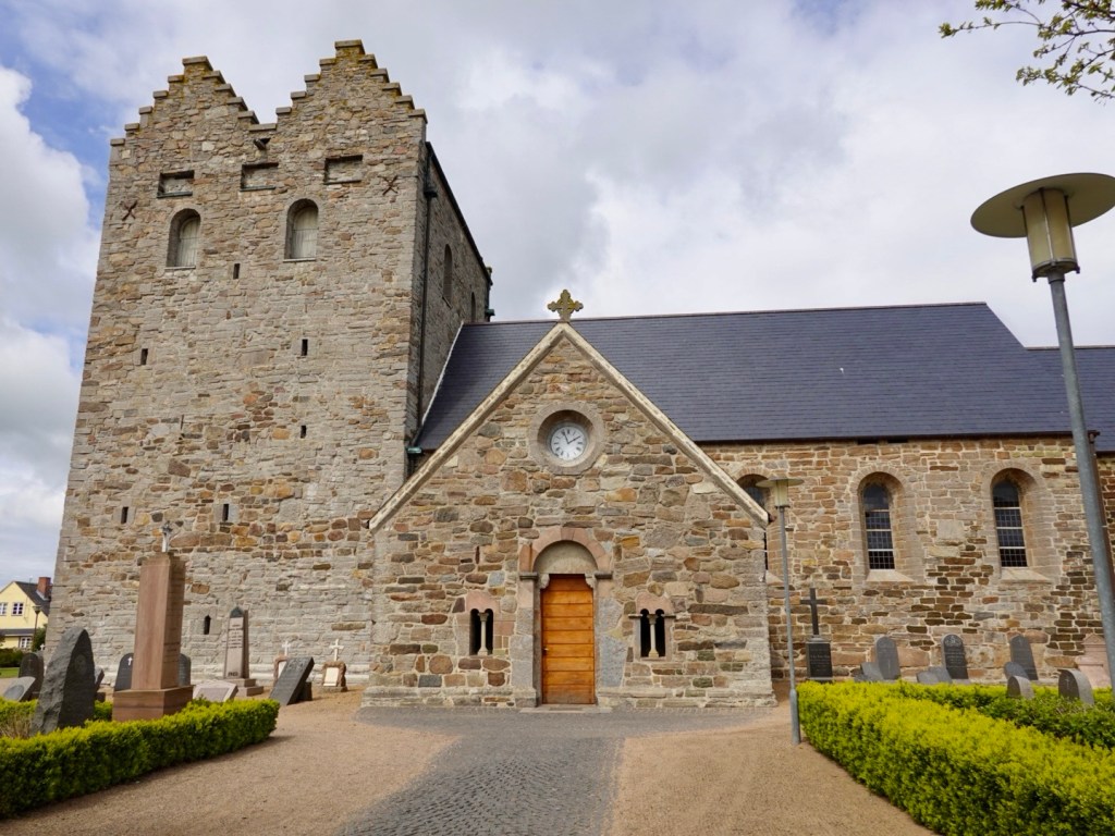
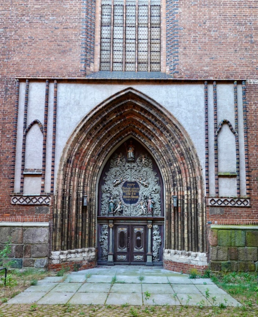
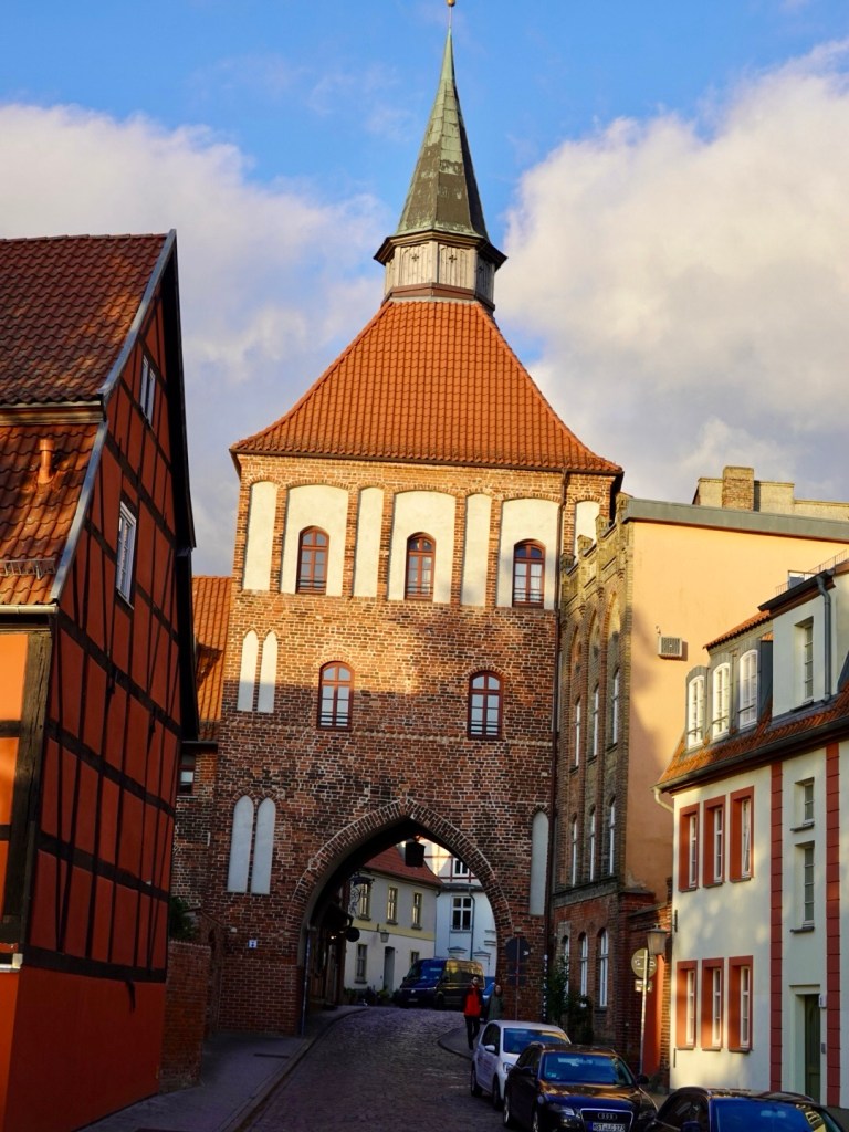
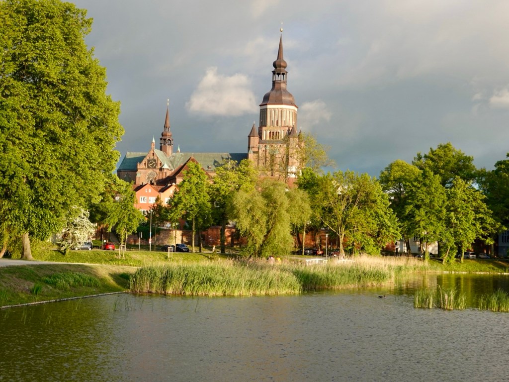
Straslund developed as a medieval fortress stronghold back in the 13th century. Many of the buildings were commenced then.

Knieperteich

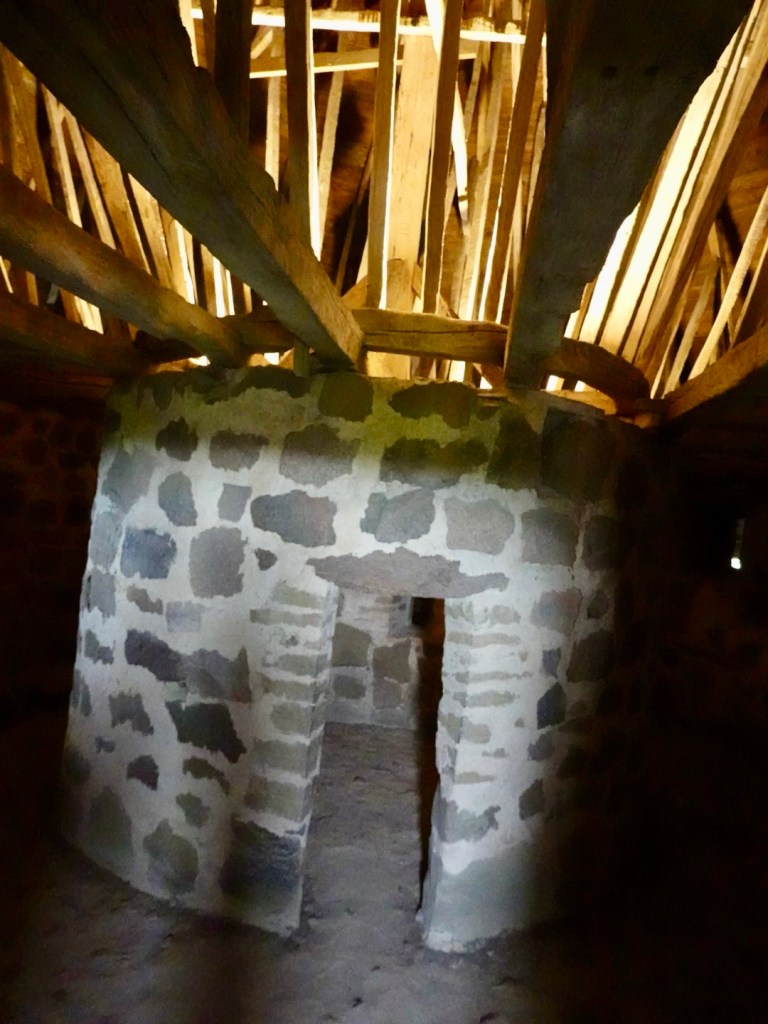
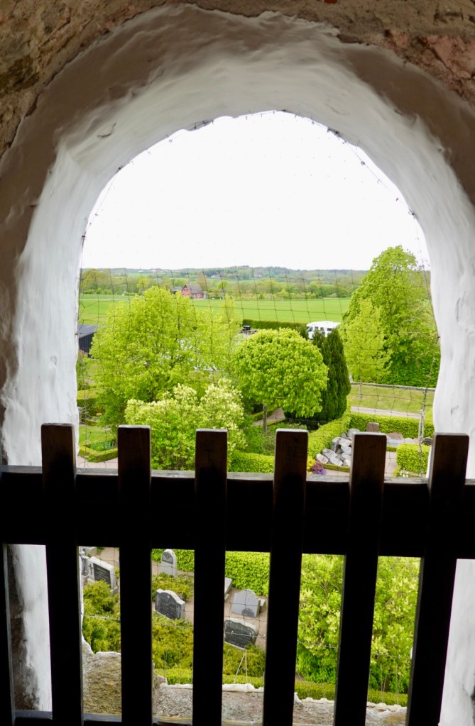
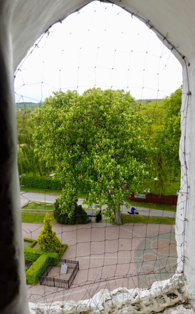
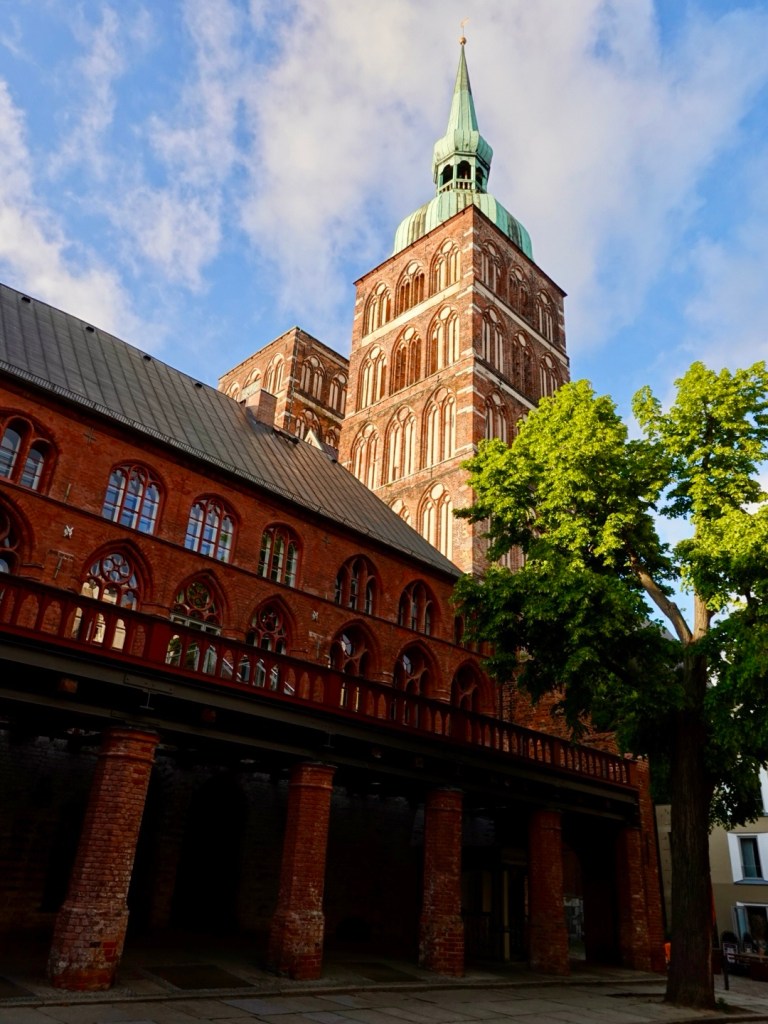
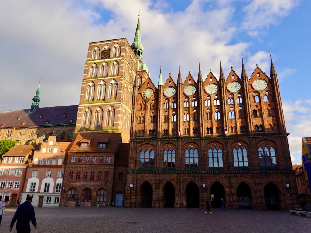
St Marien church is a Lutheran church built around 1380. It was the world’s tallest building between 1549 and 1647.

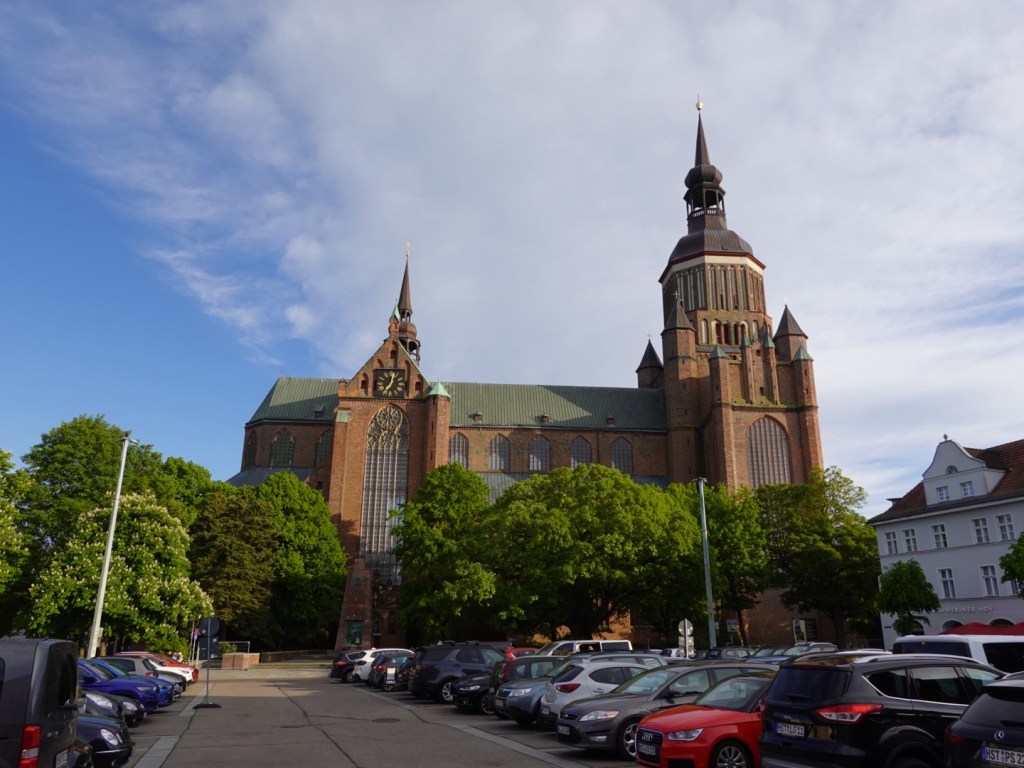
The Rathaus is a Gothic town hall, again from the 1300’s. The towers of St Nikolai in the background.

Door into St Nikolai that is not accessible.

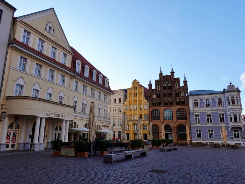
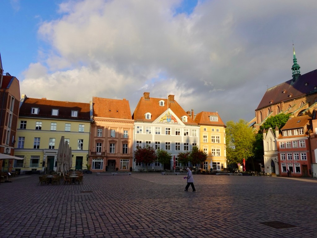
Alter Markt is a large spacious square featuring beautiful buildings.

One entrance to the Rathaus. We walked out from there.
Old entrance to the town

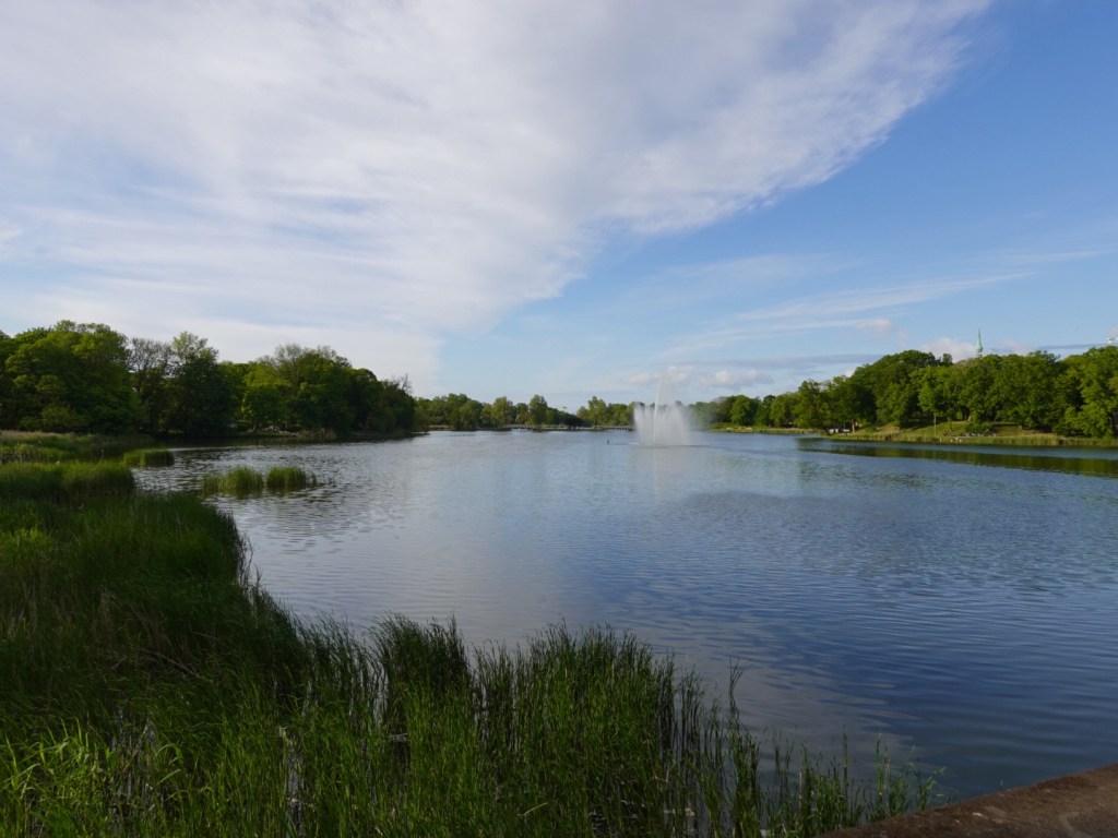
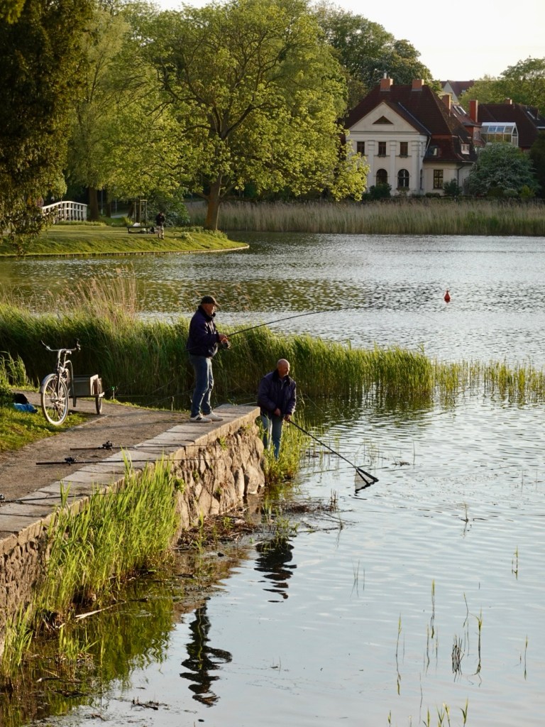
We followed the Knieperteich, large ponds around the old city centre back to our hotel.

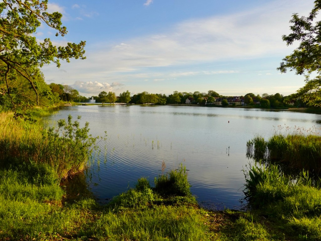
We stopped to watch these two guys fishing. They had caught something large. It took the two of them to land it in the net. We are not sure what type, but it was very large.

Our last city view for the night.

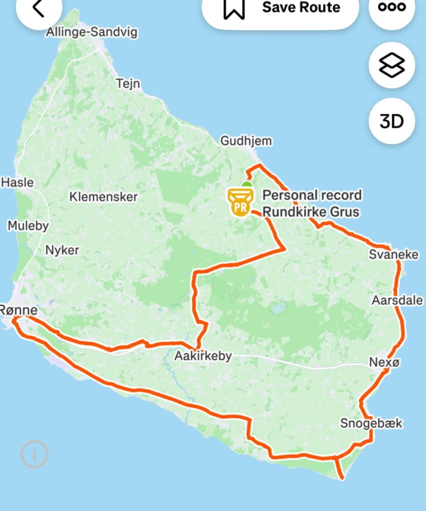
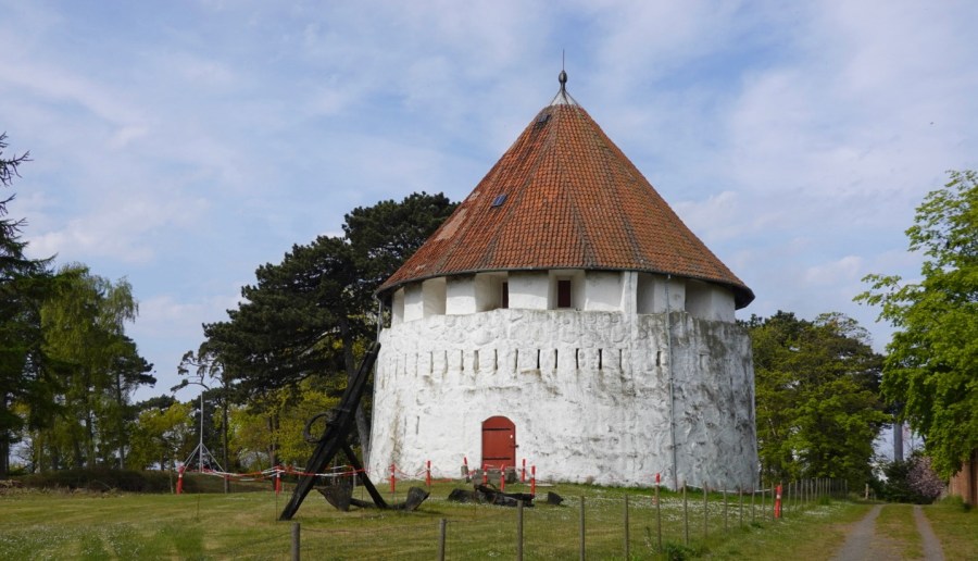
A solid day today. Our routes. Along with the 99 km, we also climbed over 560 metres.

That’s it for today folks. Thanks for reading and joining us.

Tomorrow we ride towards Poland.

😊❣️💪🚴

Day 4: Bornholm Island

The sun was shining! Whoot woo.

It was only 8 degrees Celsius, but at least the sun was out and we could see blue sky.

We did debate clothing – bare legs, covered legs? I chose to wear my long legged bibs, Tony wore leg warmers. We both donned multiple upper layers, and had other clothes with us to add or reduce layering.

Heading off up the dirt bike path we headed to Bornholm’s most famous sight, Osterlars Kirke.

We were too early to enter so decided to pop back at the end of our days ride.

A few photos of the exterior and watching the people tending the cemetery. Another exquisitely maintained cemetery. There is pride in their work.

Today there were a lot of churches. For an island of 37,000 people, there are many.

This is Østermarie kirke, circa 1891.

Windmills also featured today. This is Kuremollen and dates from 1861. It remained in service until 1960. Visitors can tour during summer.

We rode around the edge of Svaneke, a village we had ridden through yesterday. Climbing out of town we encountered some lovely horses and barn.

Two lovely vistas looking back to the coast.

Hallebrondshoj is a sorte muld, constructed in the Neolithic era, some 5,500 years ago, as a burial site.

Ibs kirke dates from the 12th century.

The route today was a mix of cycle paths, road, dirt trails. This section was lovely as it protected us from the very strong winds we were experiencing.

Looking towards Snogebaek and Dueodde, where we had ridden yesterday.

The next three churches….

Bodils kirke built around 1200
Vestermarie kirke circa 1885 after the former church was demolished. Why are there doors up on the top level of the tower?
Ny kirke, built in the 12th century and considered the youngest of Bornholms four round churches.

Cykelvej signs are what we have used extensively on the island. There are over 230 km of marked cycle paths. Very impressive and one of the factors that attracted our visit.

This sign was embellished, the first one we had seen like this. We turned left to head to Ro, and this section was great following what seemed to be an old rail line.

Gudhjem is the prettiest village on the island in our opinion. We descended steeply with many tourists walking slowly up the hill. I did think that will be an interesting climb out for us.

Gudhjem was established as a fishing village with smoked herring a product sent to Copenhagen.

There are an assortment of restaurants and gift shops and yes, we spied the gelato shop, as had many of the tourists. We are not great with queues and did not want the old leg muscles cooling down before climbing back out of the village.

A few photos of the village.

The chimneys are used for smoking herring

Looking at our Hammerhead (bike computer) map we spied a possible alternative climb out of town. It was heaps better as there were no tourists wandering around.

Sharron climbing up and out of the village

To finish off our ride we headed to the supermarket in Osterlars to source dinner and then back home via Osterlars kirke.

30 kronor got me in. The church was built around 1150 and is the oldest round church on the island.

Men and women used to have separate entrance’s but today all use the front door!

The external walls are an incredible two metres thick.

The beautiful frescoes were created in the first half of the 12th century. Not all church attendees understood written and spoken Latin so the images told the biblical stories of the priest. In latter years these frescoes were covered with whitewash and rediscovered in 1889, restored in 1960.

These steps were super steep, narrow, highly polished and slippery. I was wearing my cycling shoes, so an added challenge.

Climbing the stairs there are two step off points. At the top level you can see the foundations for the cone top, an incredible meccano like slithers of timber.

Lovely views out.

There is Tony waving as he minds the bikes.

This runic stone was previously used as a casing stone in the belfry. The inscription dates to 1025-1075.

88 km completed today and over 600 metres climbing. A very pleasant day riding despite some of the headwind challenges. We both enjoyed today.

Tomorrow morning we have one more ride left here, and that is to head back to Ronne to connect with our ferry to Germany.

Todays route.

Thanks for reading this blog, and look out for our continuing Viking odyssey adventures.

😊❣️🚴💪

Day 3: Bornholm Island

We slept well in our converted barn. We had seen wild deer and giant hares outside. It is so very quiet and peaceful here.

The plan today was to check out another part of the island, and in doing so, complete a lap (including our ride yesterday).

Today’s route:

Starting at the green dot in Stavehol, we headed out along the dirt cycle way to the coast near Gudhjem.

It was cold. It was 6C and we had our winter cycling gear on.

Rain was a possibility with a 30% chance at 10 am, but only 0.5 mm for the day.

Along the north west coast the roads were super quiet. The cycle way is adjacent for the great majority.

Some lovely thatched houses.

Looking out to sea the waters look calm, but the waves were crashing closer.

There are lots of ancient artefacts on Bornholm. This one is a single monolith meaning Holy Woman. Each have an information board.

The Holy Woman monolith. The stones in the background are formed into the shape of a ship.

We ride through the village of Listed. Wondering where everyone is?

In the larger village of Svaneke is this lovely old windmill known as Bechs Molle (Bech’s windmill).

The rear of the windmill.

Bechs Molle was built in 1629 and is the oldest standing windmill in Denmark.

Svaneke harbour also quiet.

Lovely old wooden boat

Another monolith at the site of medieval herring fishing huts

Nexo is on the east side of Bornholm and has around 4,000 residents. It is the second largest town on Bornholm, centred around a fishing harbour.

The Gothic church stands out as a highlight, established in the Middle Ages, as a chapel for seafarers.

Dueodde is Bornholm’s southernmost tip, known for its fine white sand beach.

Riding back to the cycle path, takes us past an imposing concrete tower. A borrowed photo below shows two towers.

The Bornholm tower is the Danish Intelligence Service former listening post, active during the Cold War. Surveillance and listening activities began in 1948 from the brown lighthouse tower.

It is no longer active closing in 2012.

Closer up of the first tower, and where we sat and had a hot chocolate. This photo is also borrowed as there was no blue sky. We donned our rain jackets at this point as the spits of rain increased.

Through the windows of the museum you could see an old fighter jet.

The riding became a bit harder now as we had a very strong headwind. Winds of up to 35 mph had been predicted. It was a balmy 9c now. The rain also picked up, but more nuisance level.

Some sights along the way as we made our way towards Ronne.

Back in the capital of Ronne completed our loop of the island, but we were not done riding wise. We still had to get back to our accomodation.

Riding on the cycleway towards Akirkeby we noticed a series of carved and painted stones in a shrubby area. Stopping to look we found about 30.

The area is known as Slau’s Stones. Slau was a local farmer who upon retirement discovered new skills. He set up an area for cyclists to stop with rock table and seats. He then expanded searching for suitable rocks in his farm and then working what image could best be carved.

The pathway went past this lovely church at Nylars. It is a 12th century round church, originally designed for a defensive role. This church is the oldest of Bornholm’s four round churches.

Originally built around 1165 the church was dedicated to St Nicholas. The old Danish name for Nicolas was Nilaus and hence the present town name Nylars.

Another immaculate and beautiful cemetery and gardens.

Just randomly on the side of the road in a very small village was this….

More forest pathways.

We rode into Akirkeby and the highlight is this old church, built in the 1100s. It is the largest church on Bornholm.

Another random sighting. Someone who is clever with a chainsaw.

We stopped in Osterlars to collect food from the supermarket and completed our 103 km ride for the day.

The map below shows yesterday and today’s ride, so we have covered a good chunk of the island. One day to go here.

Although no great hills here, we have still climbed over 600 metres.

Another day is done on our great Viking Odyssey.

We sat down to home made spaghetti bolognese tonight and creamed rice that I also made, garnished with fresh raspberries and banana.

I do recommend our accomodation to any cyclists touring. It is self contained and a nice 2 km ride to a well stocked supermarket. If interested, please send me a PM or email and I will provide details.

Thanks for following and joining us vicariously. We do enjoy the messages so thankyou.

❣️😊🚴💪

Day 2: Ystad (Sweden) to Bornholm Island (Denmark)

Today we were to catch the first of many ferries on this trip to transfer us from Ystad in Sweden to Bornholm Island.

The map below shows Bornholm, with the blue dot indicating our current location.

To the upper left we have Denmark, to the north we have Sweden, lower left Germany and south Poland.

Being in the middle of the Baltic Sea means it’s windy and cooler.

We self check in at the port using an interactive machine and out pops our ticket, the security gate lifts and we head towards the ferry.

The ferry had just arrived and emptied quickly. When it was our turn we followed the motor cyclist to the far end under a ramp to store the bikes. Gathering our more valuable valuables (passport, plastic cards, bike computer, front and rear lights) we popped up to seating by a window in the front facing lounge.

It is a great set up with two good cafes and a cafeteria. We settled in enjoying coffee and a croissant.

The crossing takes 1 hour 20 and not a lot to see other than ocean. The waters are flattish and the passage calm.

We arrive in the town of Ronne and quickly ride off the ship following numerous large truck rigs.

Bornholm Island is Danish territory in the Baltic Sea, closer to Sweden and Germany than Denmark. The Island was surrendered to Sweden in 1658 but regained by Denmark in 1660 after a local revolt.

The Island is home to many of Denmark’s round churches and the discovery of ancient burial mounds suggests that it was inhabited by 3,000 BC

It has a populations of around 39,000 people.

Ronne is the largest town on the Island with one third of the population living there.

We do a short look and see around town.

The Church of St Nicholas dates from the late Middle Ages constructed in the late 1200s with many updates and renovations since.

The Citadel Battery is part of Ronne’s fortifications from the 1700’s. It was originally seaside, but land reclamation has it further inland now.

A small market was underway in this small park.

Heading out of town, having plenty of time up our sleeves we decided to take the dirt trails for bikes along the western coastline.

For the most part the trail was in good condition heading through forest. There were a multitude of other trails intersecting and criss crossing and there were an impressive number of people out walking, running and cycling.

It followed the Baltic coast line, in places providing coastal views. Nice white beach looking back towards Ronne.

On the edge of one village were these interesting pods. We were not sure if some were accomodation or all saunas?

I liked this rugged vista, with just a few houses tucked away.

A small fishing village and port, with smokehouses. Smoked fish is quite an industry still here on the island.

I liked this fisherman’s house
Kids having fun fishing. There was a bit of excitement as one had caught a fish and others gathered into help.
Quite typical colours of houses in the area

All was going well until we hit this section. Photos never do slopes any favours making them look far less steep. The section ahead increased to 22% gradient with loose and slippery dirt in between part seal.

I dismounted at 10% whilst I could safely as I knew I’d be in trouble otherwise.

I pushed my bike up watching the gradient increase and using my bike brakes to hold as I was walking on the gravel and slipping.

Tony got up before me and came back to help! He’s a keeper!

In the middle section are little steps with dirt.

Sitting at the top smiling. A little further past here there is a carpark and we met another cyclist who was on a mtb bike. He too pushed his bike. Nice bloke was with the Island police force, having originally been in the Danish military.

Hammershus Slot is one of the larger medieval fortifications in northern Europe and stand on a 70 metre high cliff. The medieval fortification was bult in the 13th century.

Saene Harbour was a peaceful harbour near Hammershus. It was all happening with a water training activity underway and a class of school children returning from a walk.

We headed along towards Gudhjem, passing through other towns and villages including Allinge.

It was not warm with the temperature around 8-9 C and a chilly wind. We were rugged up though so no difficulties there.

Some of the buildings along the way.

Still on gravel we found another steep section. Tony rode it, I did not as it was 15%. I did descend it.

Gudhjem is a pretty seaside town that we will explore more tomorrow. The next four photos are the section we did see.

Gudhjem is built on a steep hill overlooking the Baltic Sea.

We turned inland at Gudhjem heading towards Osterlars where we are spending the next three nights.

Looking back along the coast where tomorrow’s adventures lay. Rapeseed is plentiful here too.

Our lodgings are located within the property below. We are in a renovated barn. In the line of bushes to the right is a cycle path that runs between Osterlars and Gudhjem. We just needed to find the right opening in the hedge and head across their field.

After dumping most of our gear, we headed straight back out to the local supermarket for supplies to make dinner and breakfast.

This famous church is en route, and to be discovered more in the next two days.

Osterlars Rundkirke is regarded as the Islands most impressive round church, constructed in the 12th century. Originally the roof was flat, serving as a battle platform for hurling projectiles at attackers. The conical roof was added in 1744.

Today’s routes covering 64 km, 590 metres climbing.

That’s it folks for today. Thanks for joining us and check in again as we learn more about Bornholm Island.

😊❣️🚴💪