99 hairpin bends

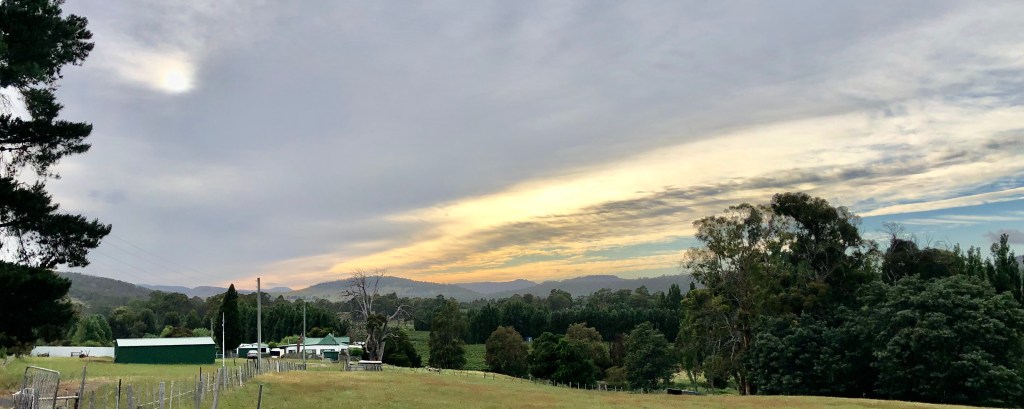
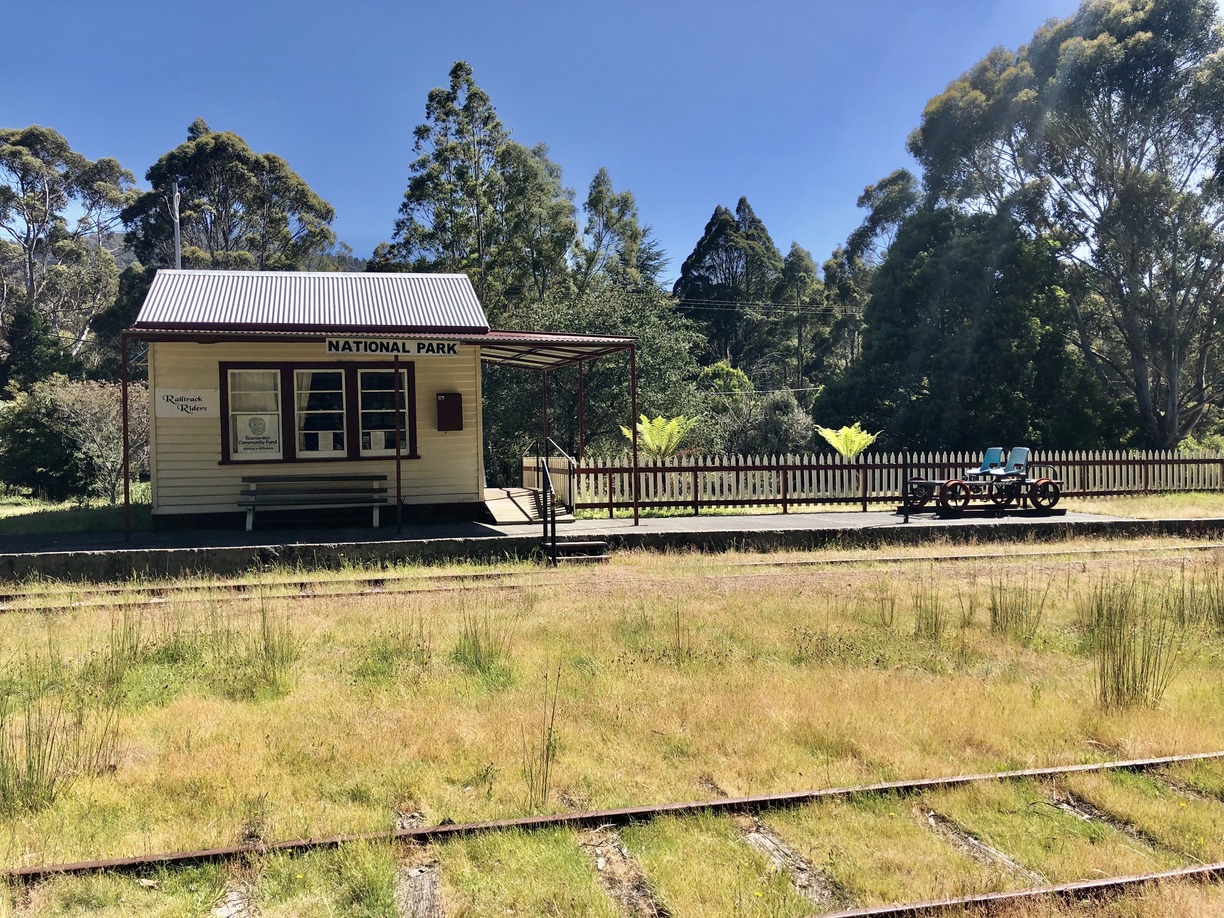
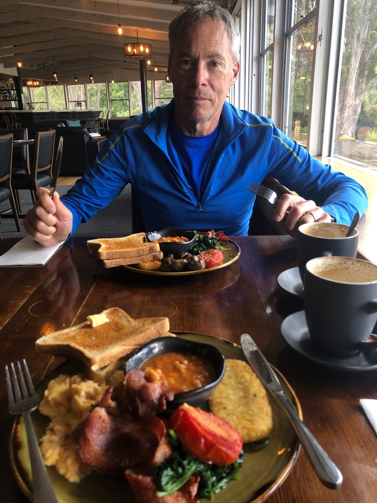
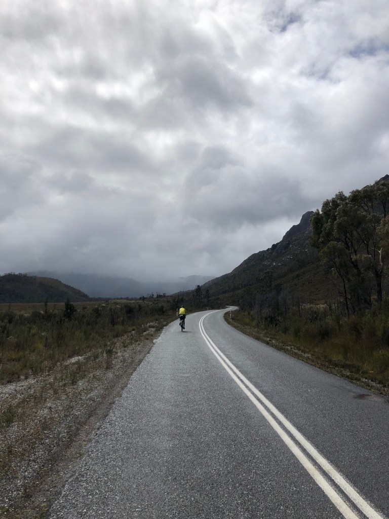
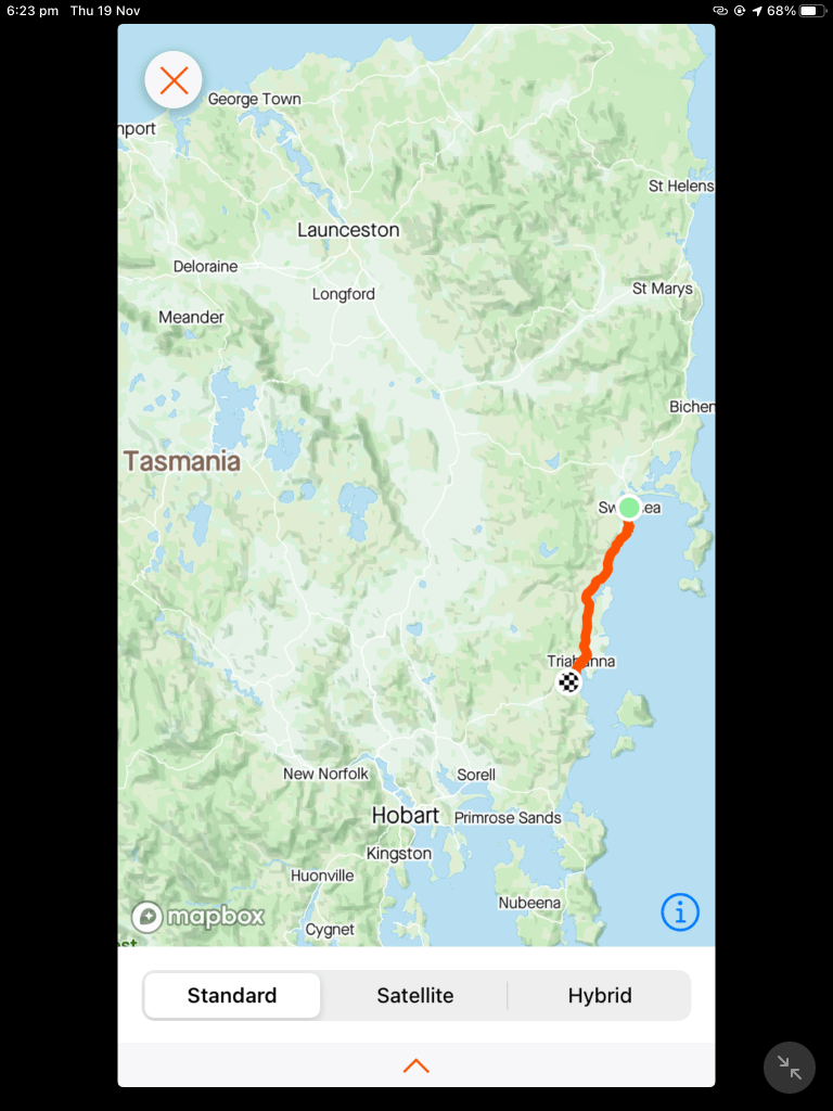
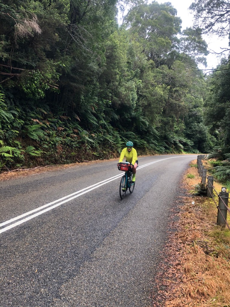
I listened to the rain as I lay in bed, and it appeared to be easing when we arose. We needed to hang around until 8 am to score some breakfast, as our food options today were zip until the 90 km point.

Tony waiting patiently for his tucker.

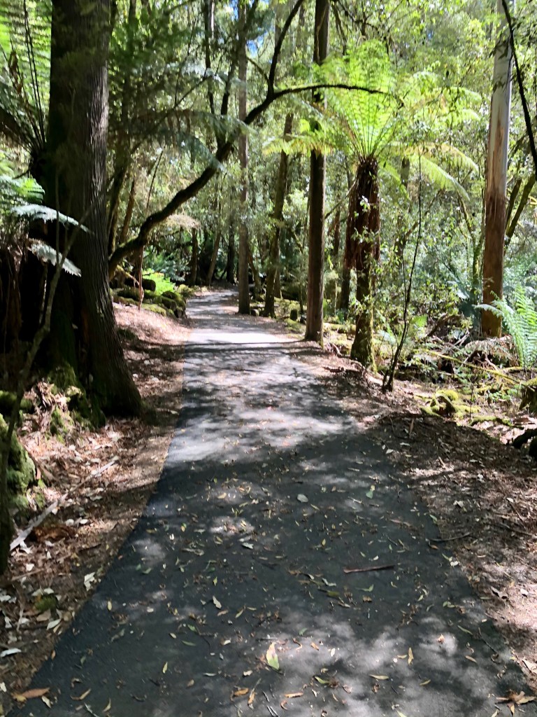
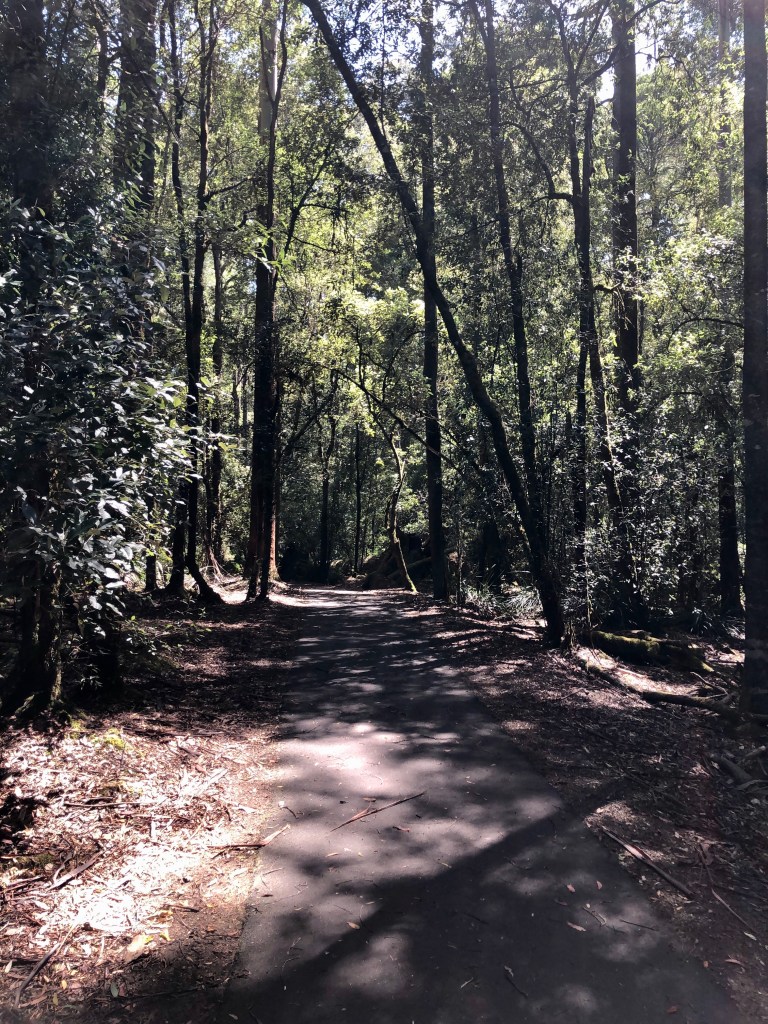
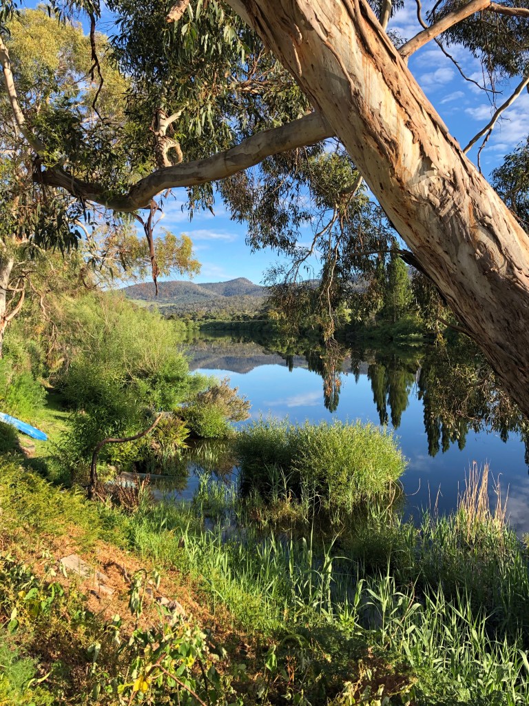
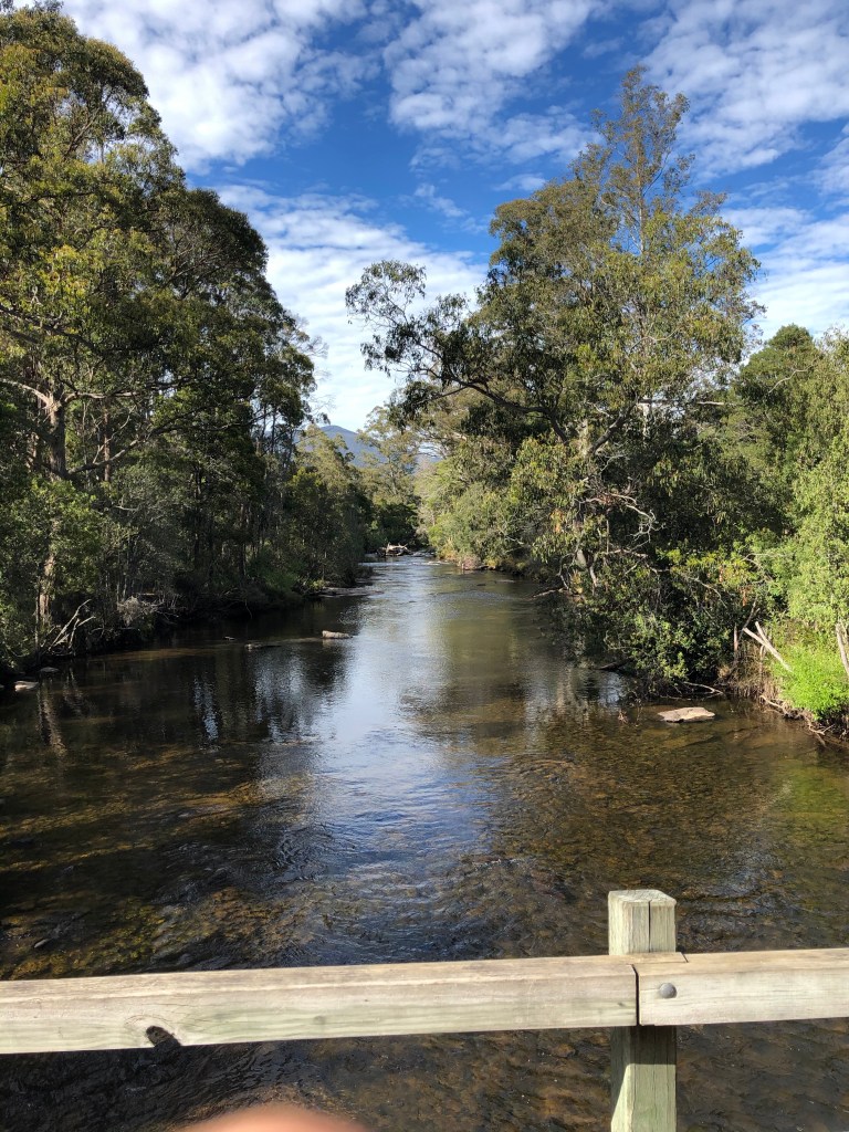
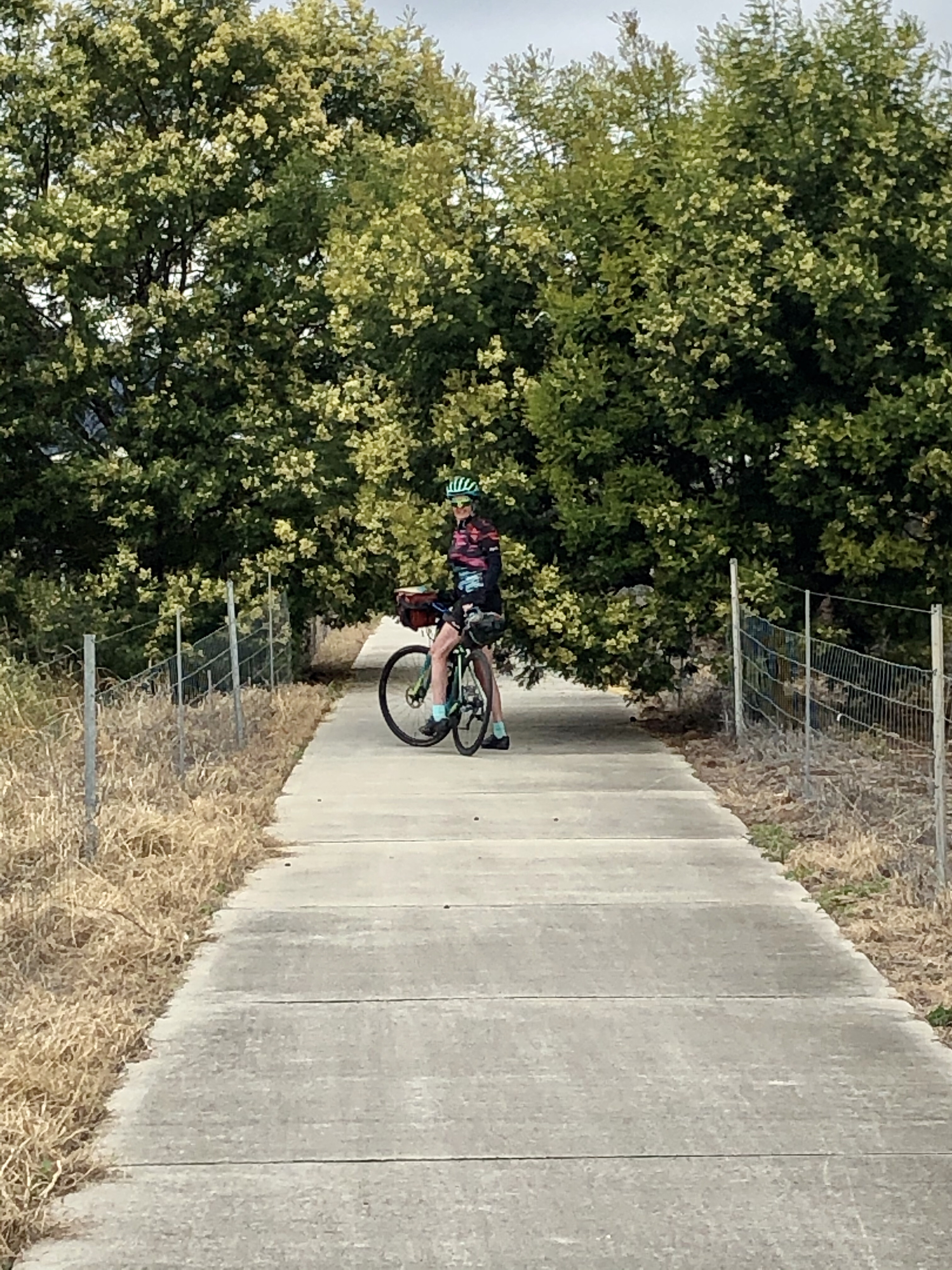
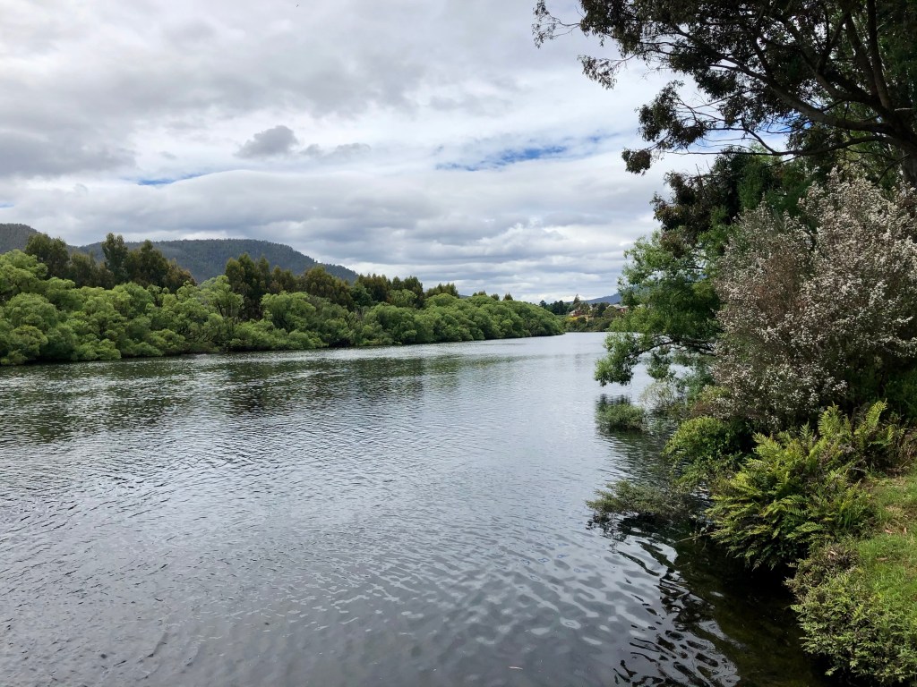
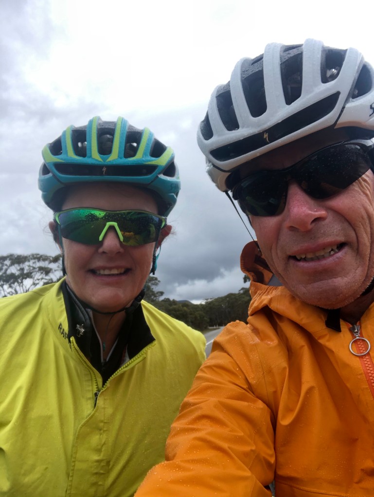
A wholesome brekkie, we donned all our wet weather gear, including the neoprene booties making their first appearance. We had a nice first 5 km warming up as we left the National Park, stopping to look at the headwaters of the Derwent River.

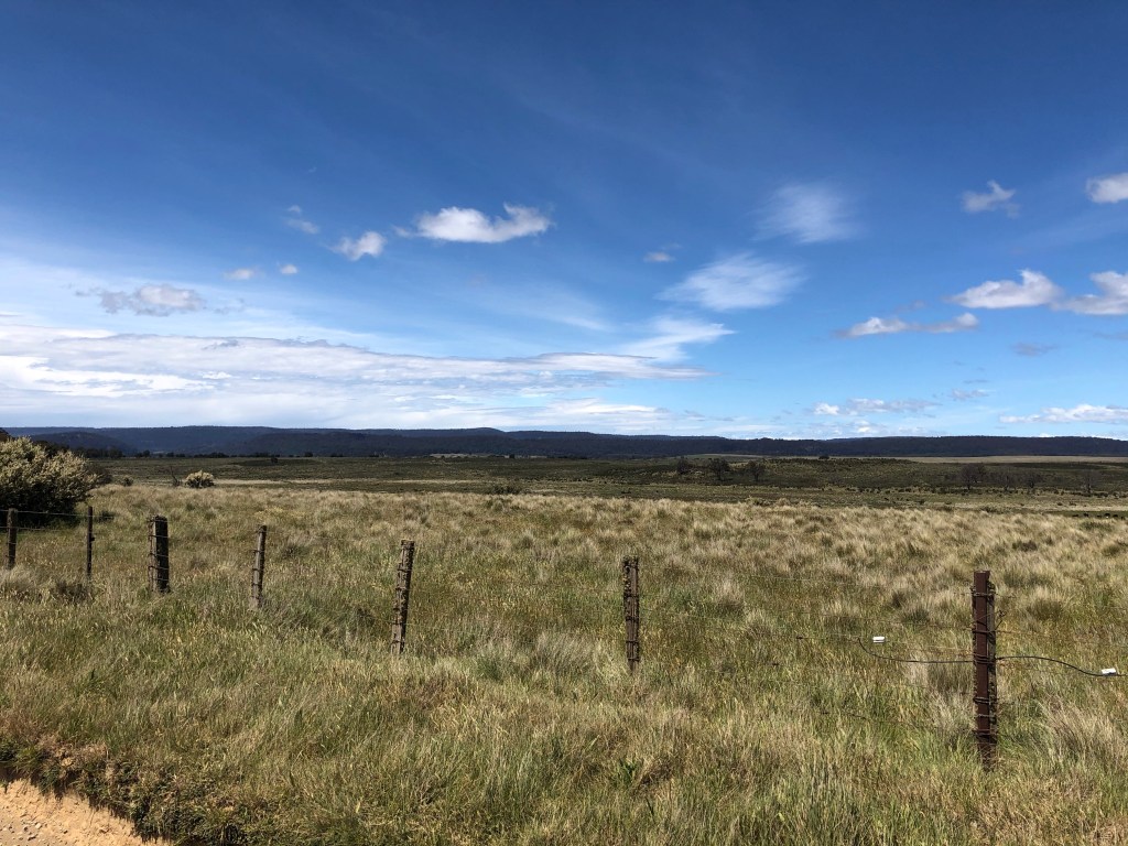
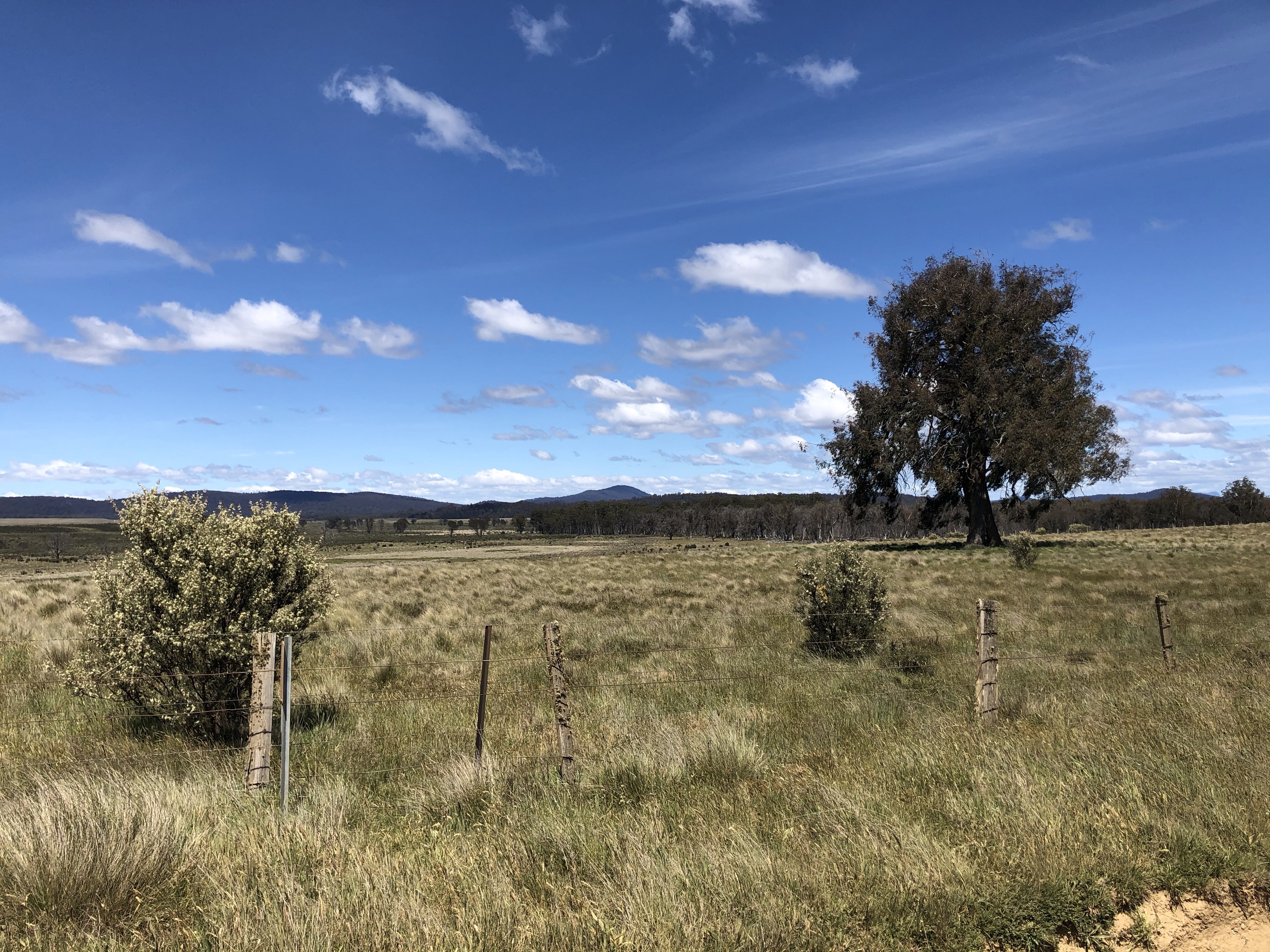
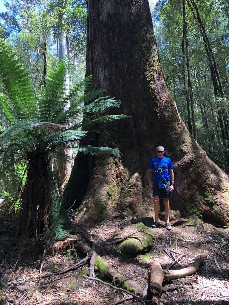
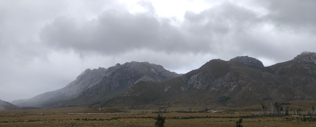
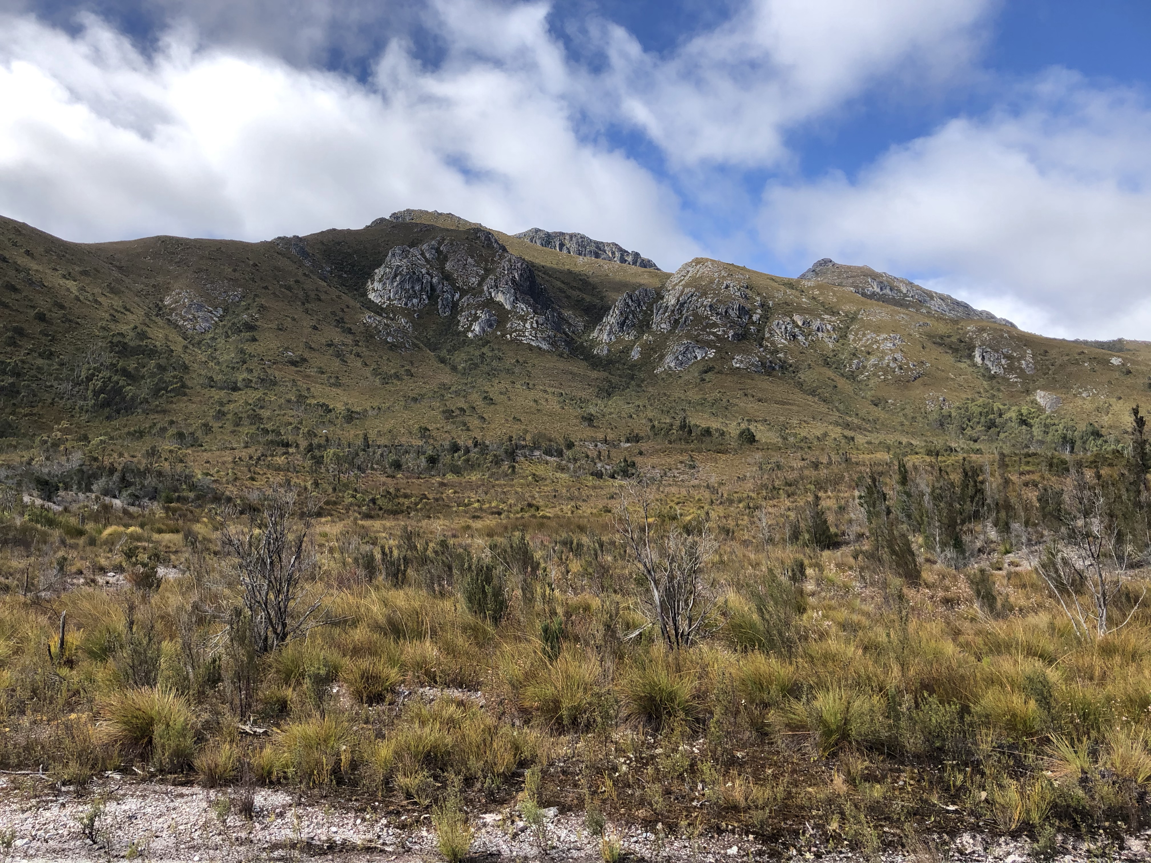
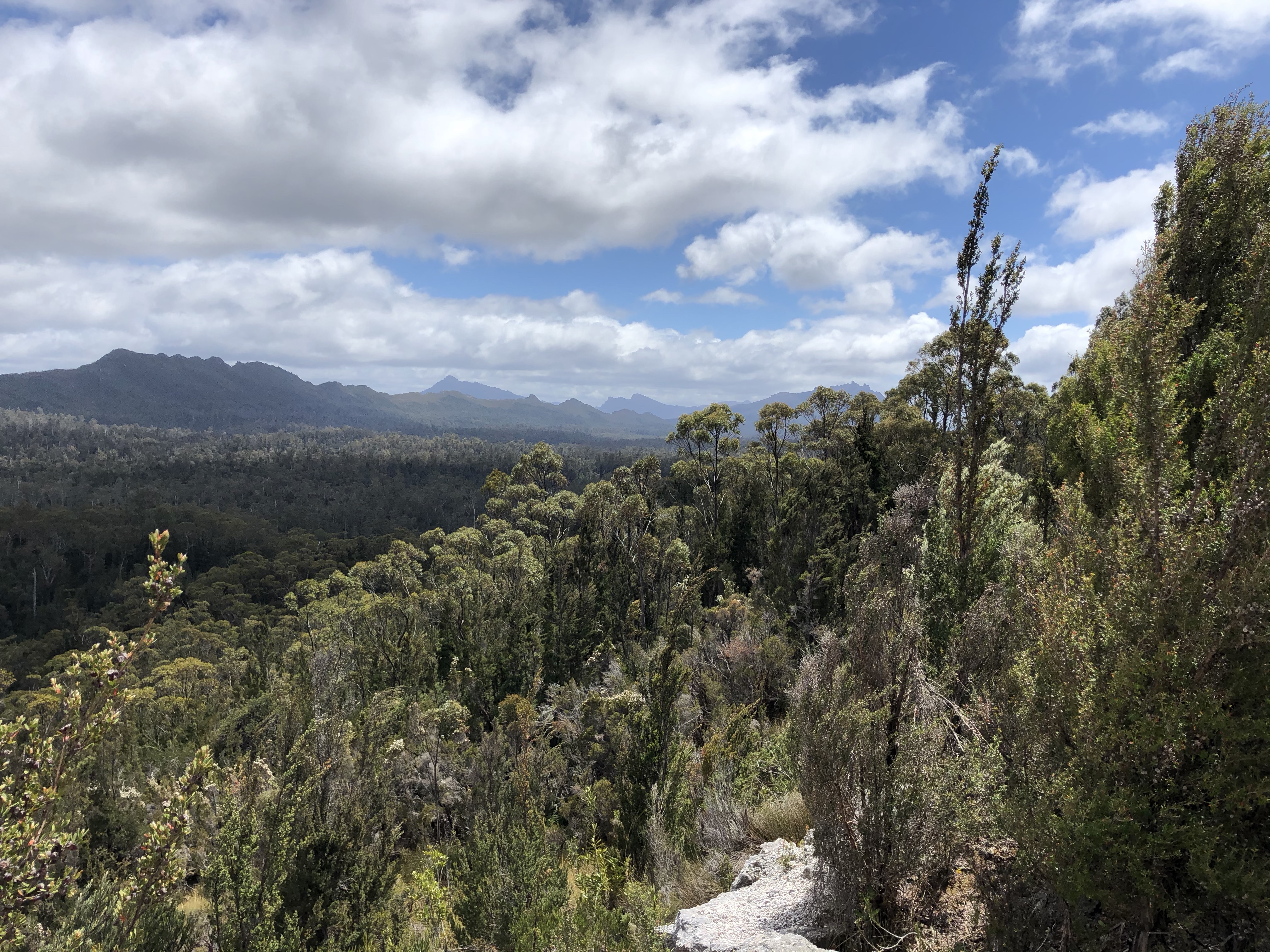
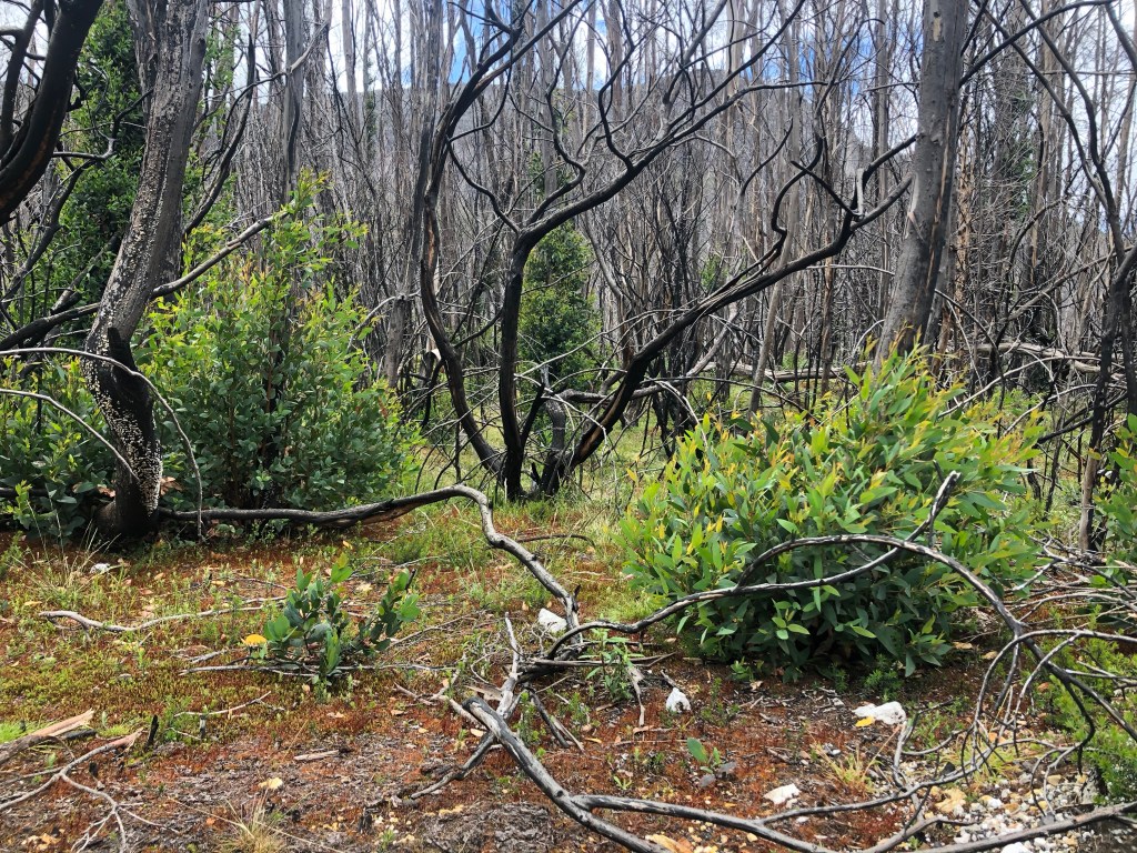
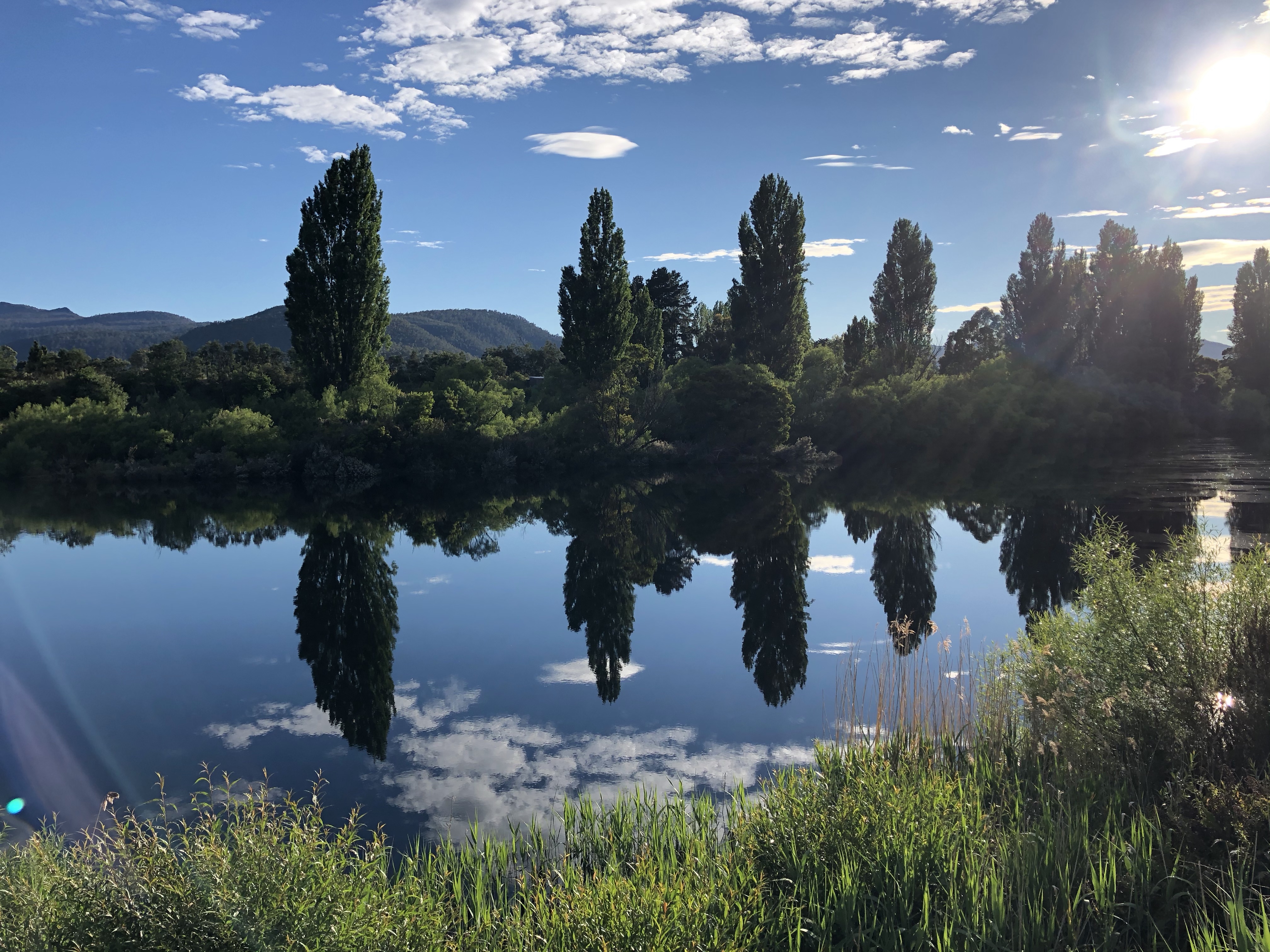
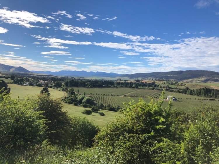
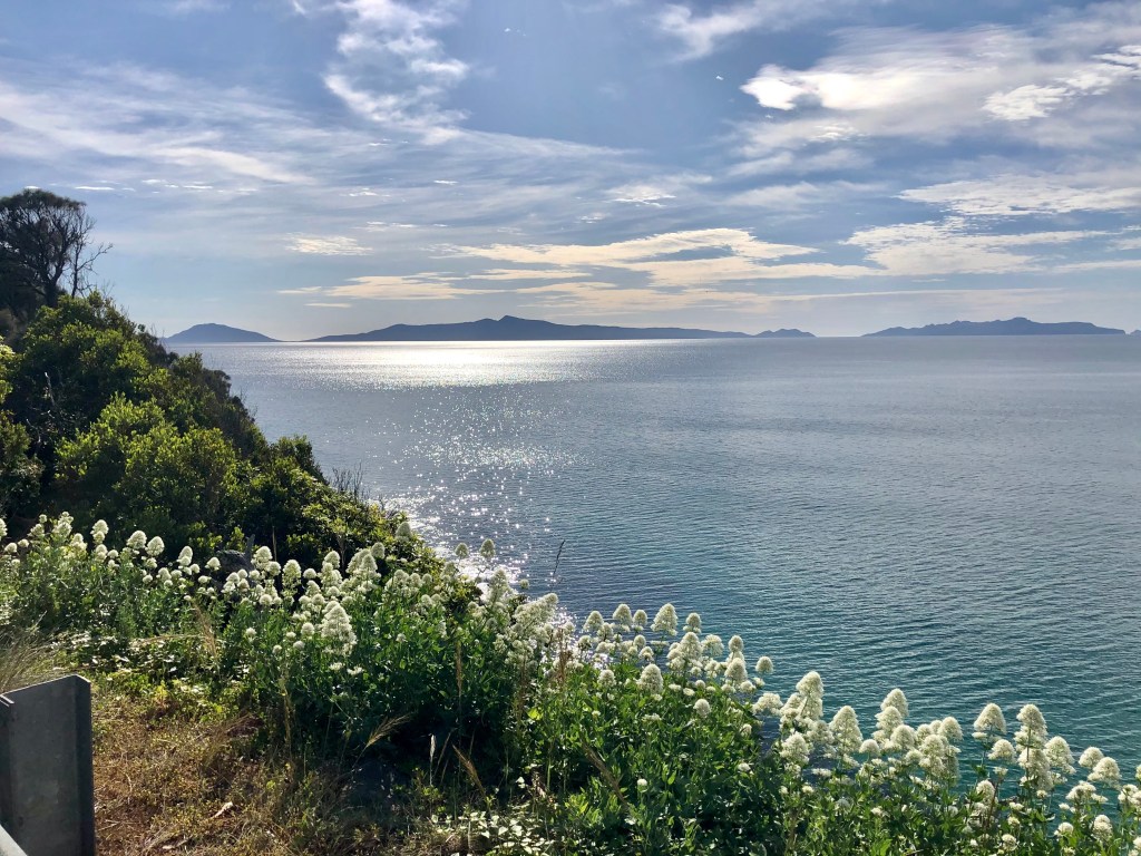
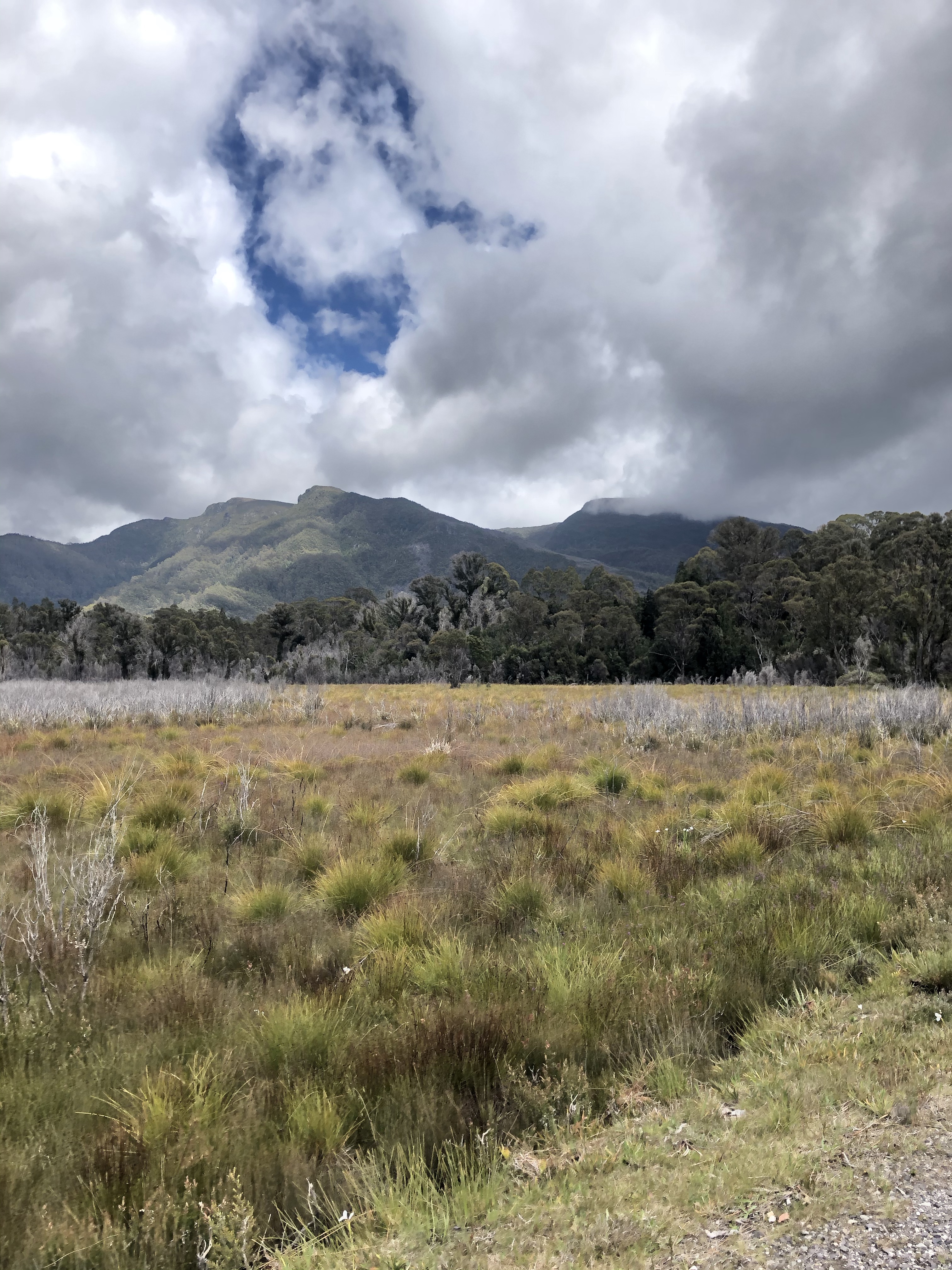
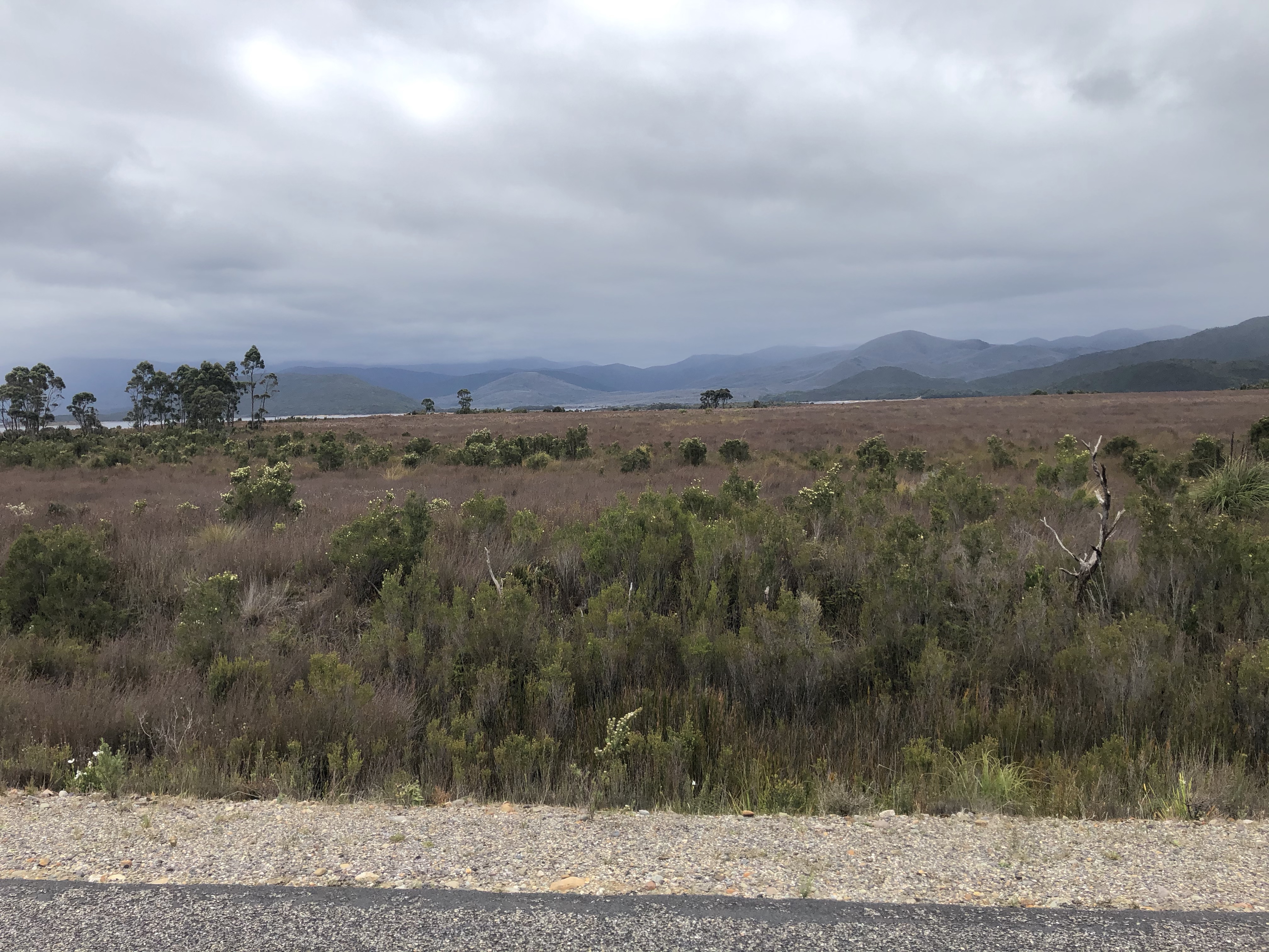
I do love the alpine vegetation, much of it in flower at the moment.

Selfies…

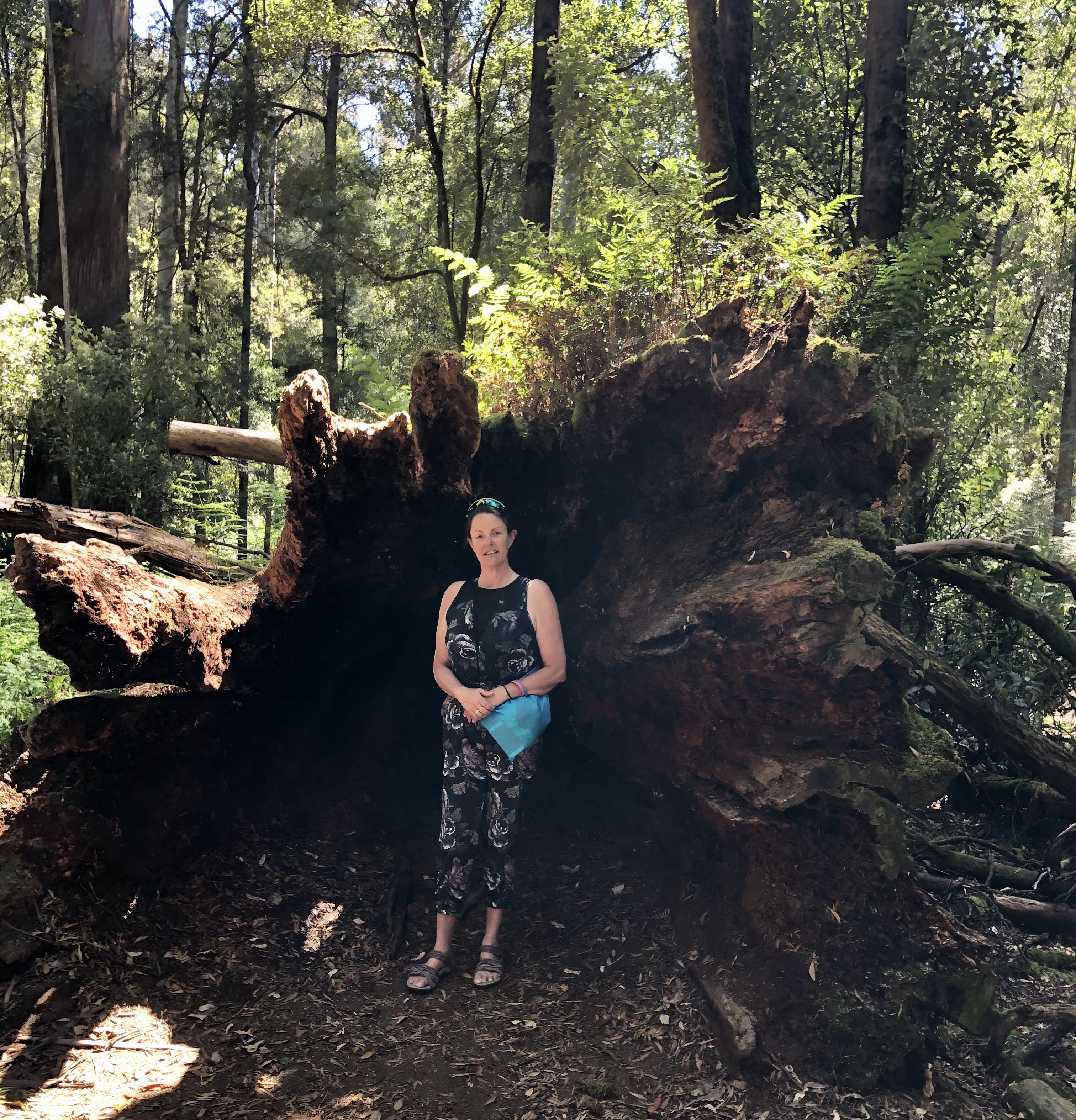
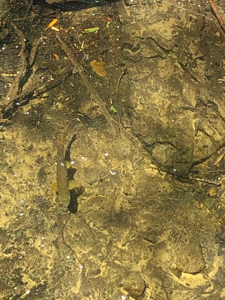
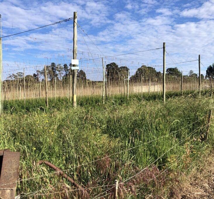
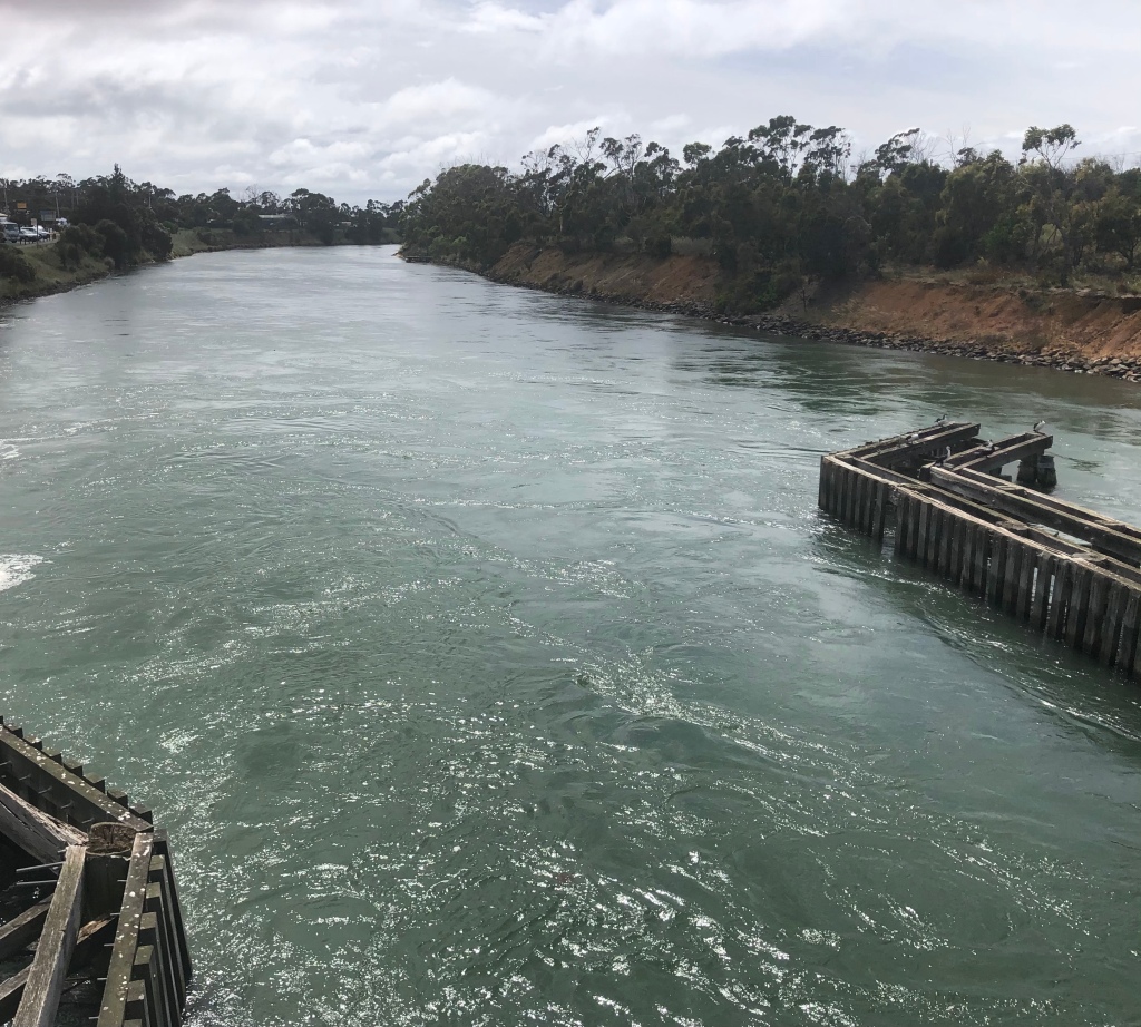
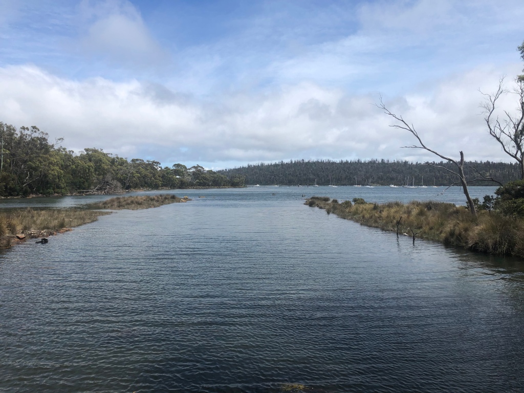
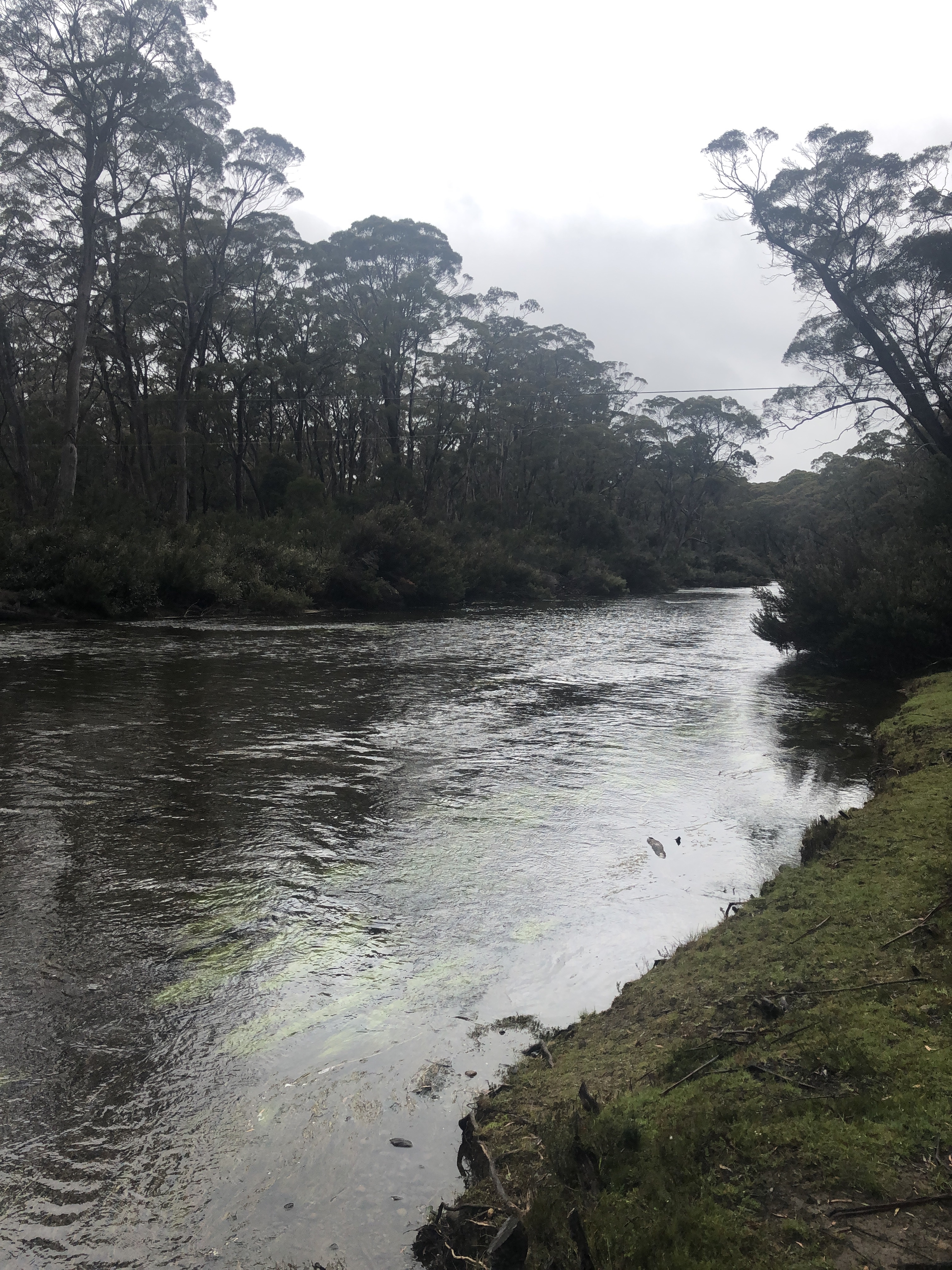
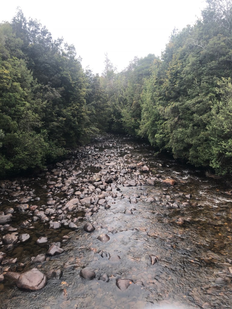
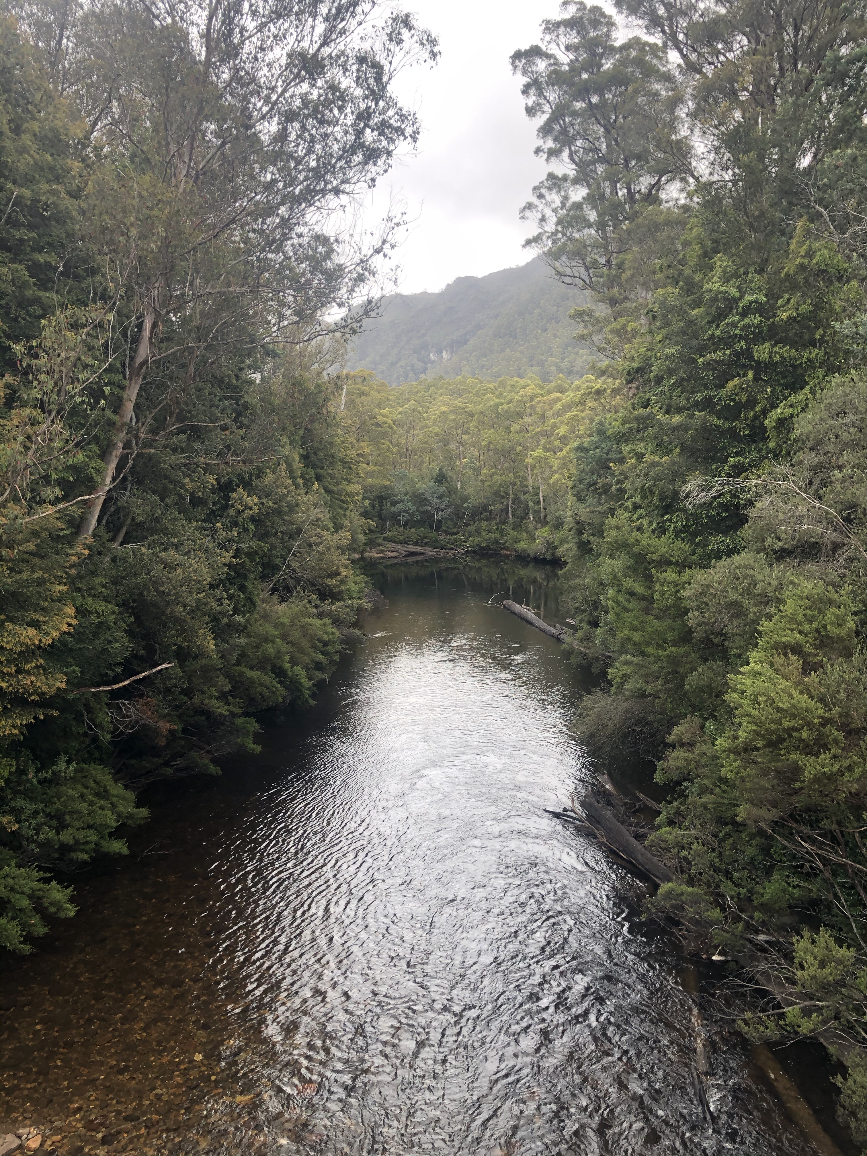
We are debating this river’s name….we think it is Collingwood River.

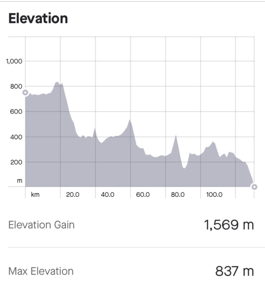
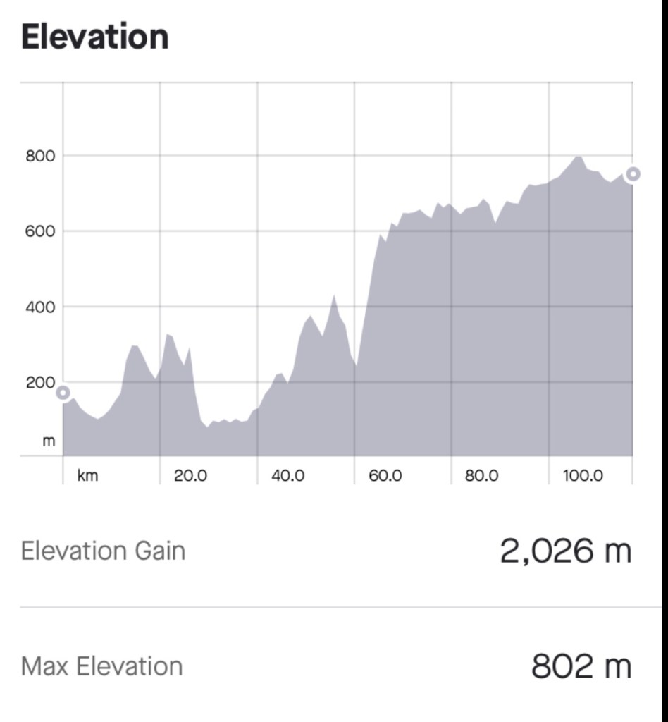
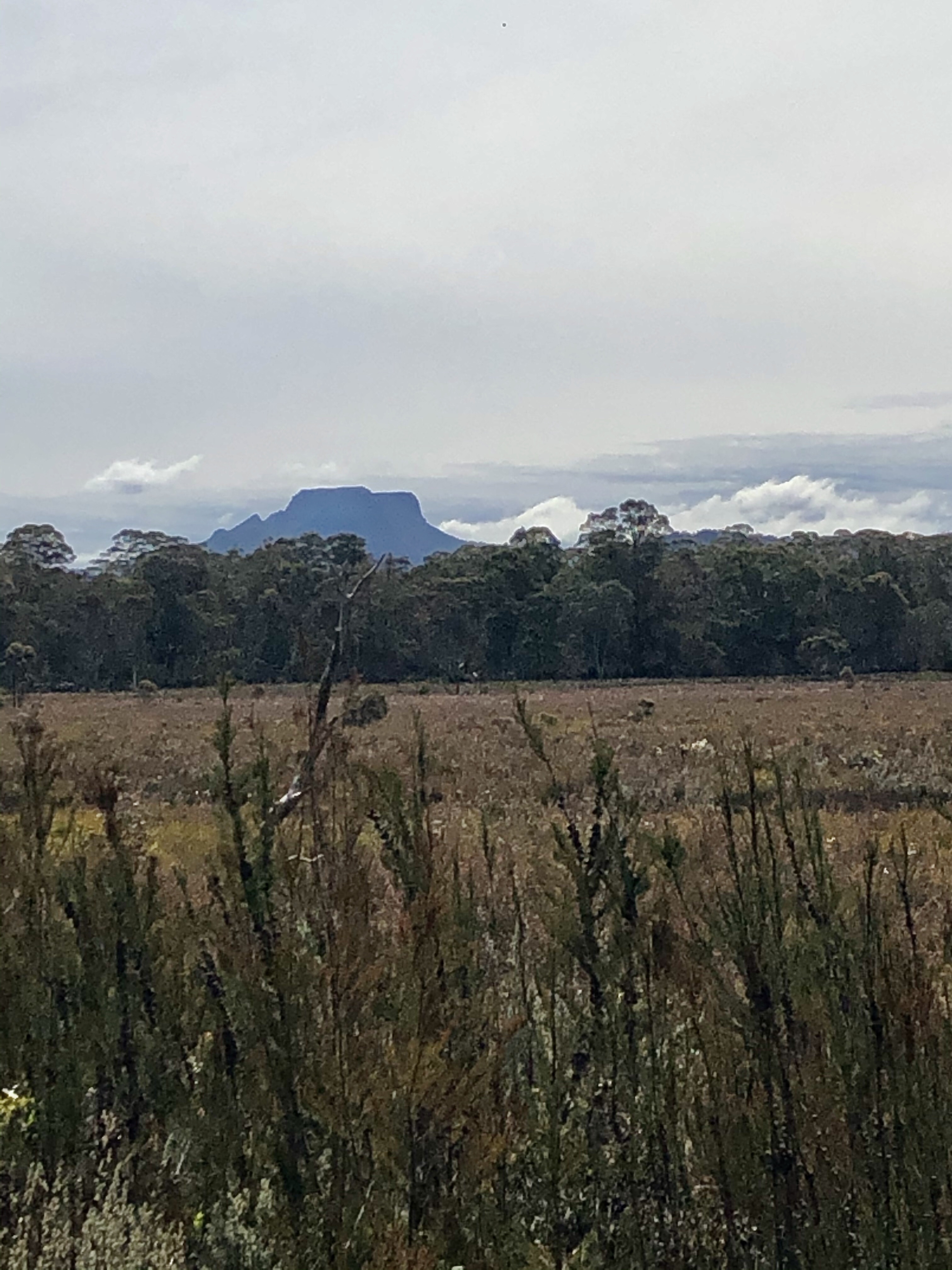
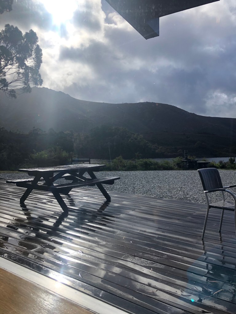
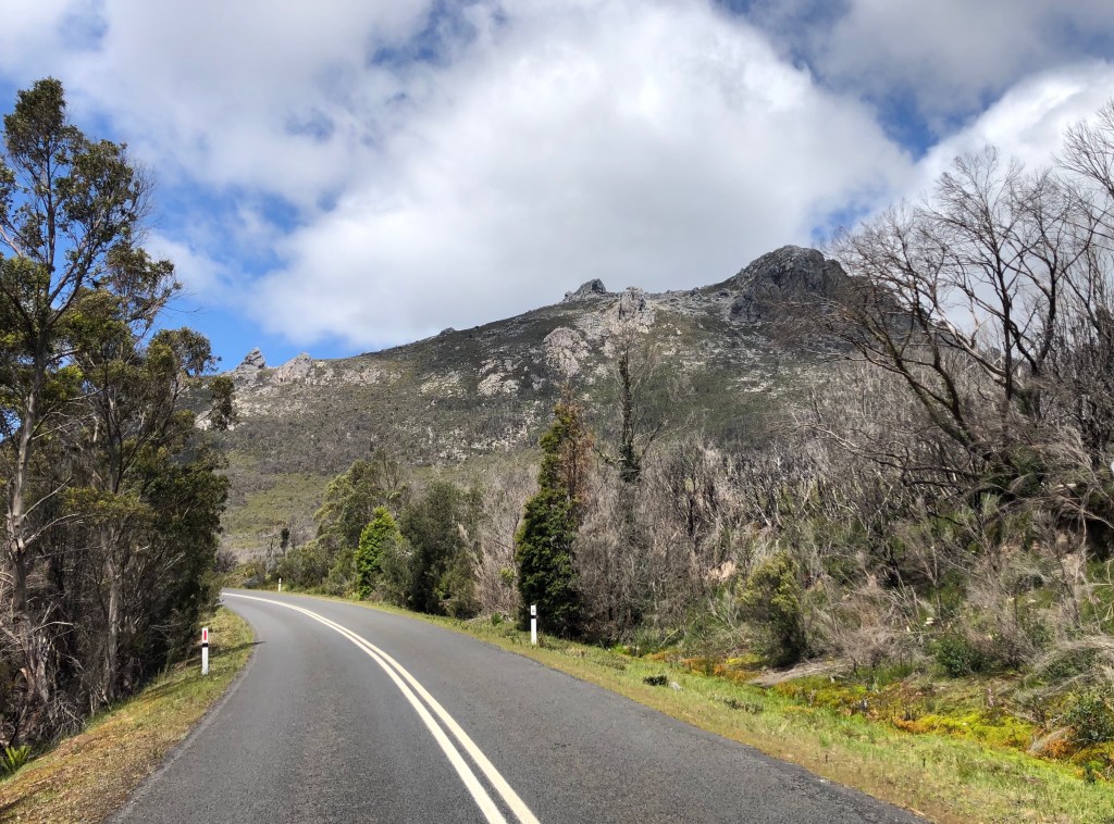
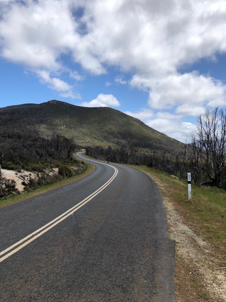
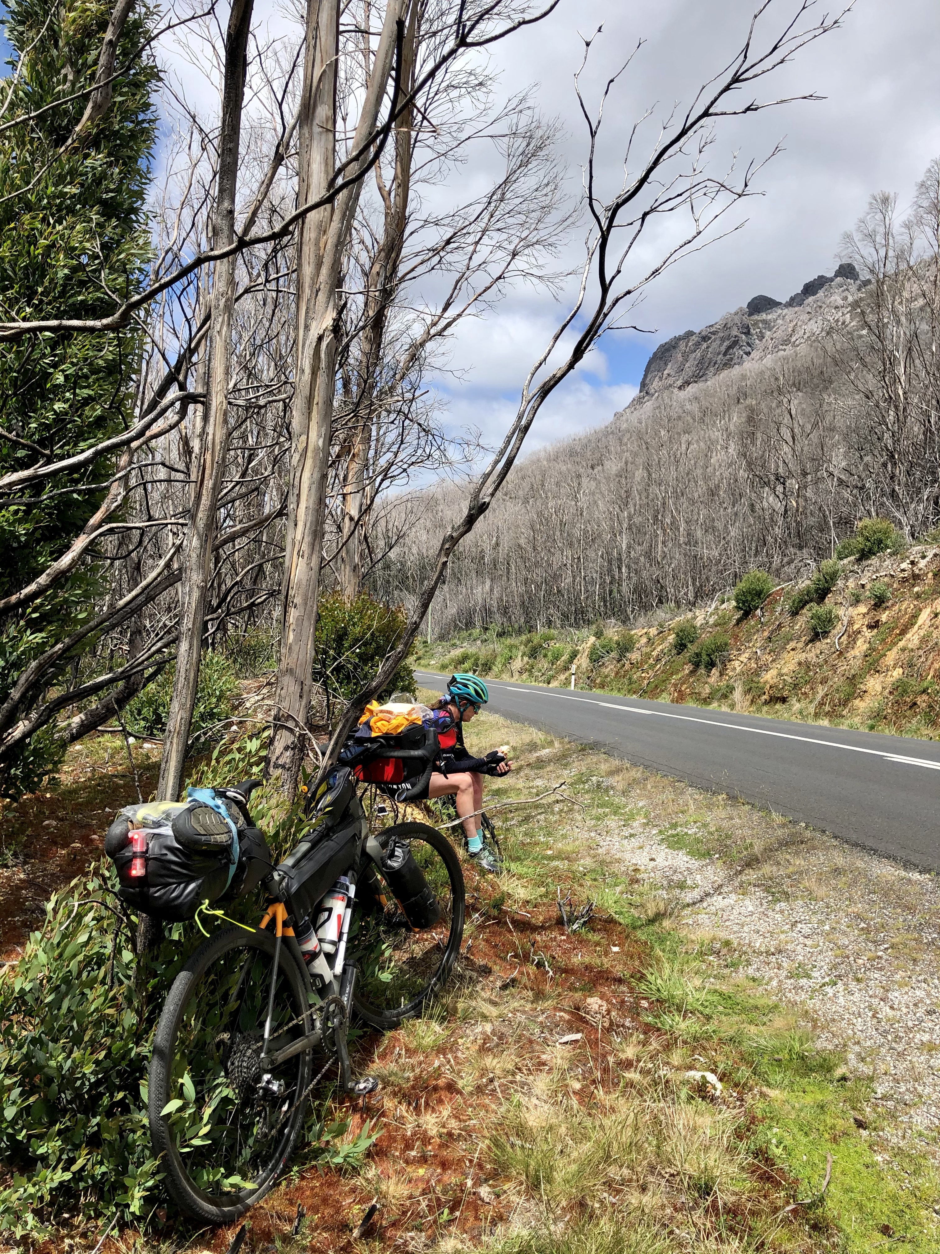
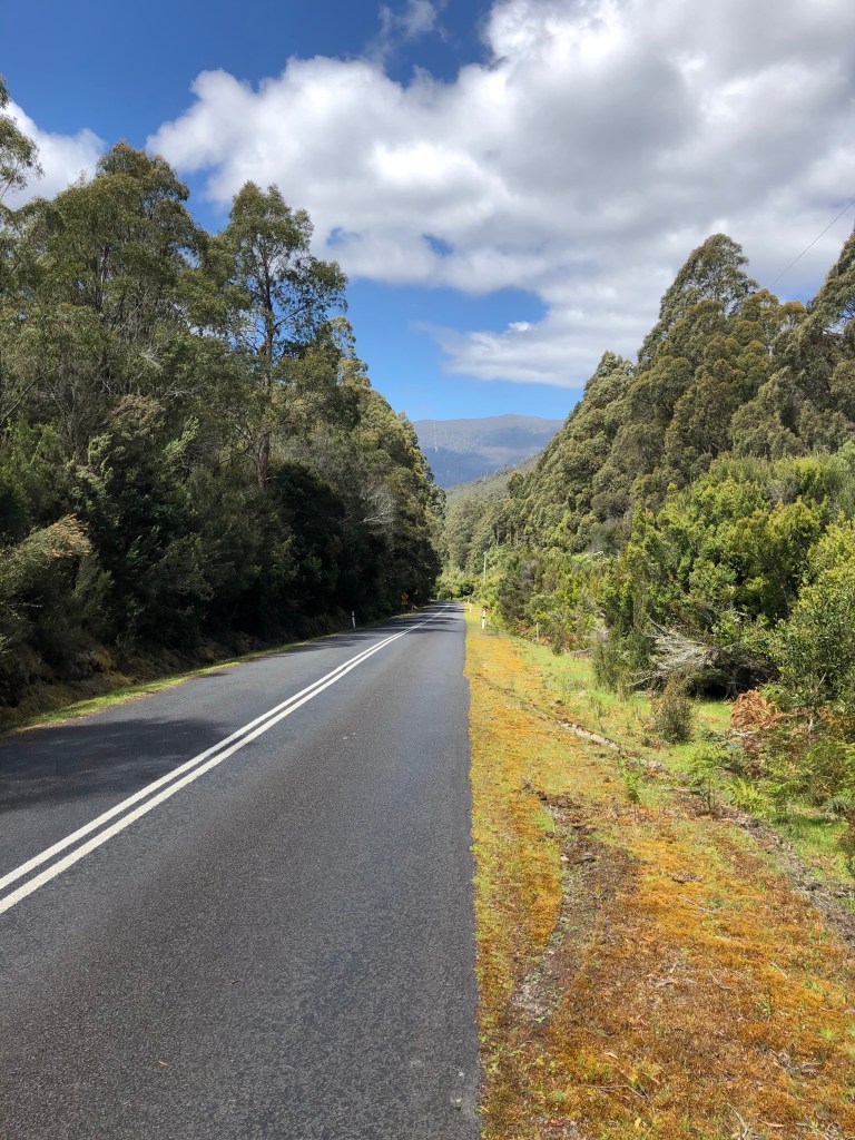
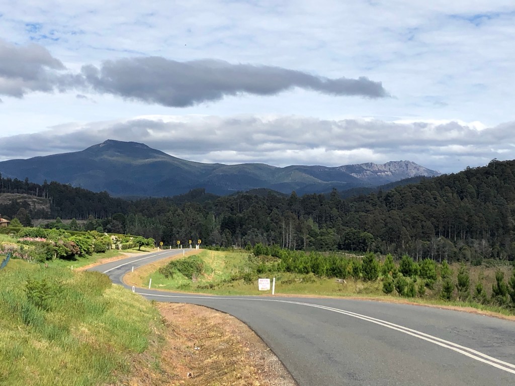
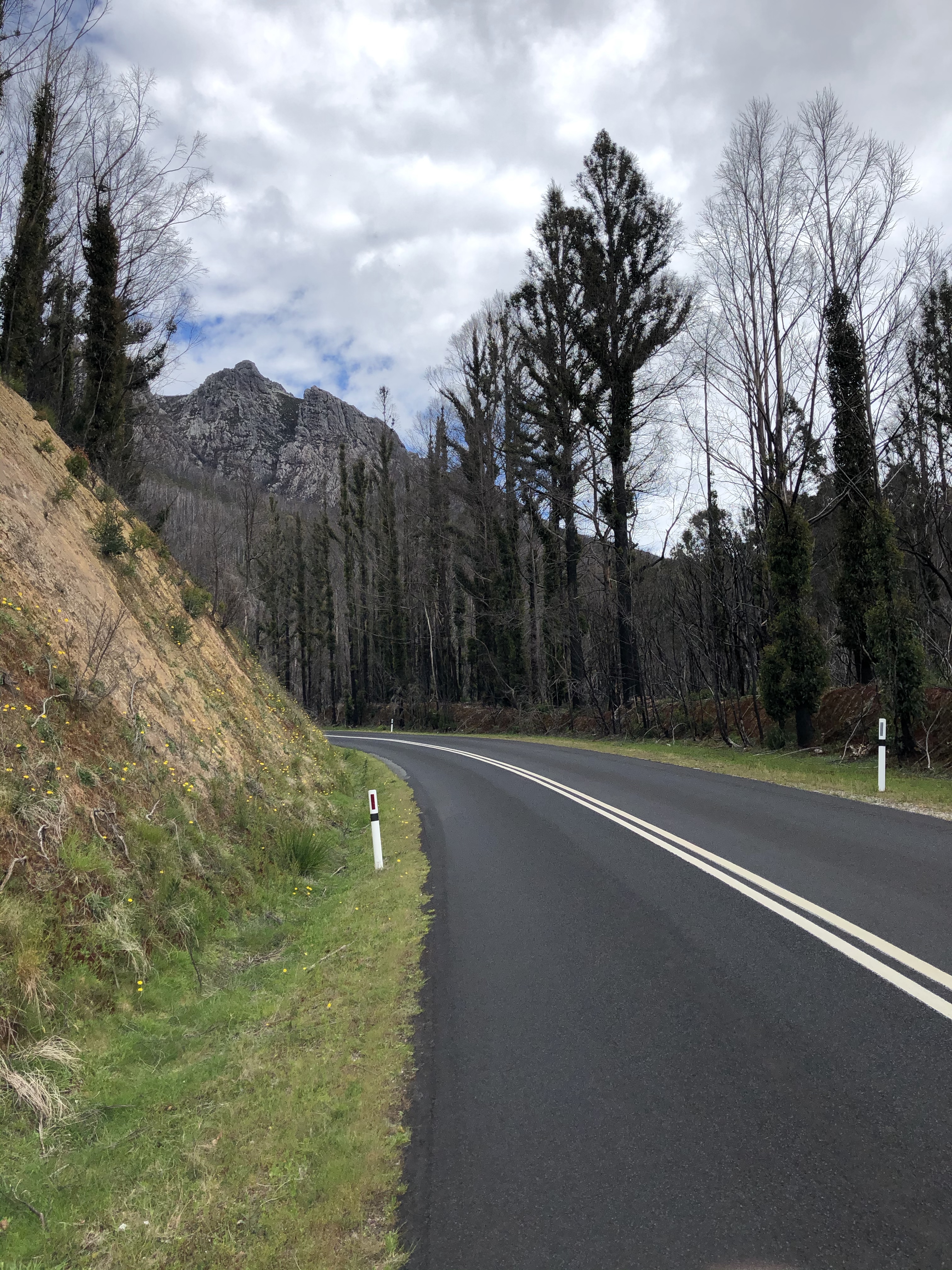
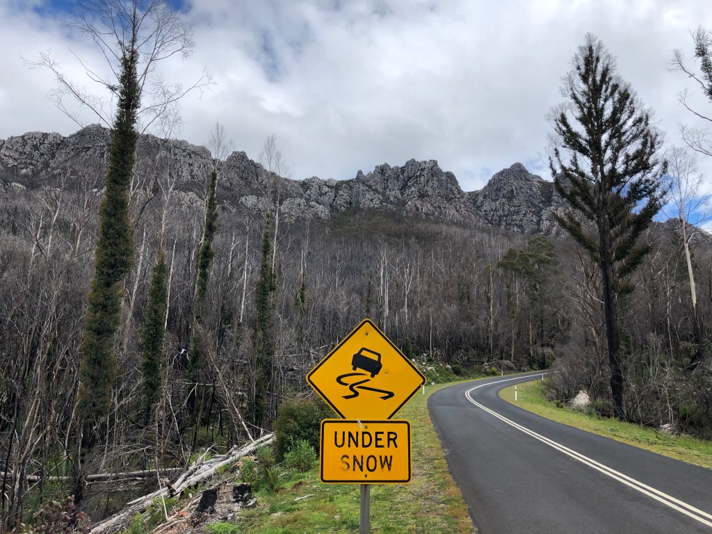
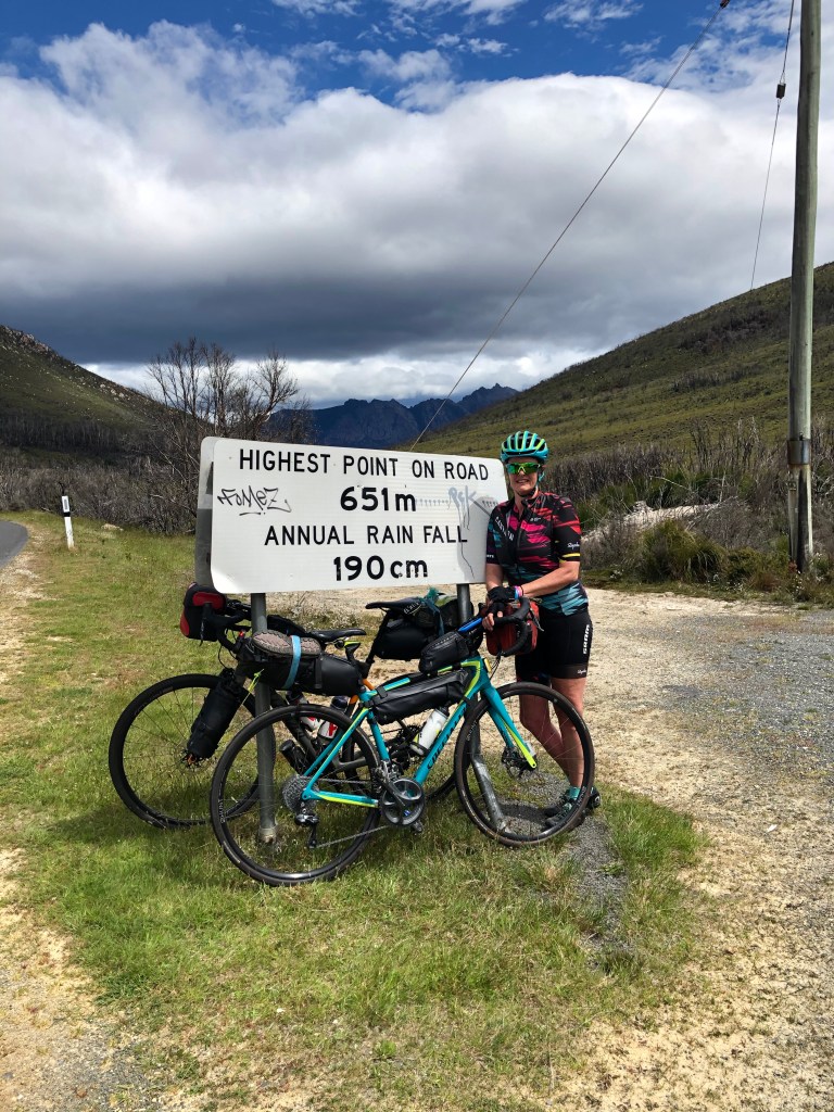
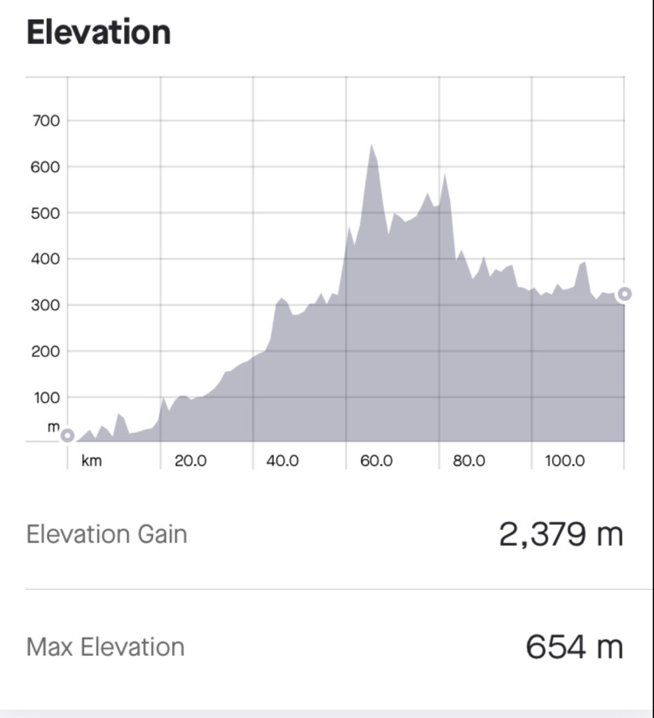
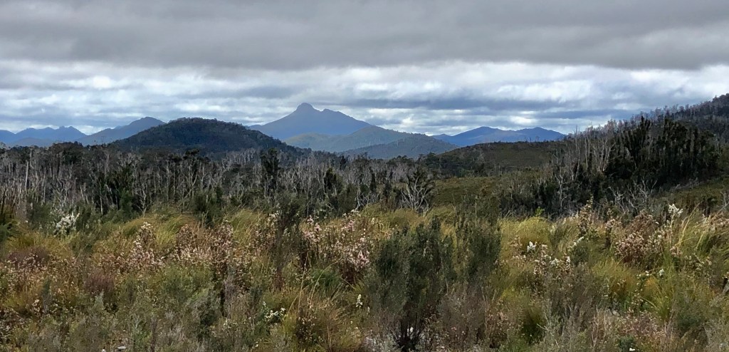
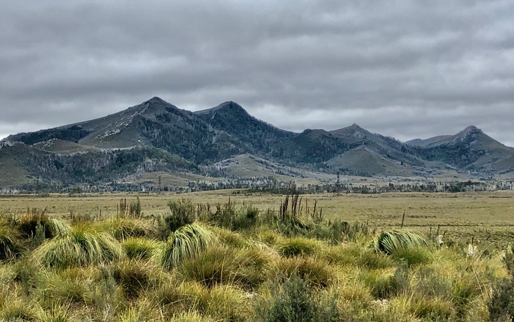
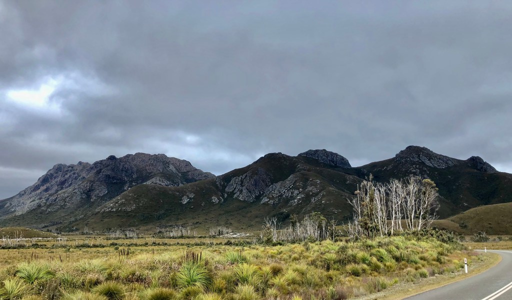
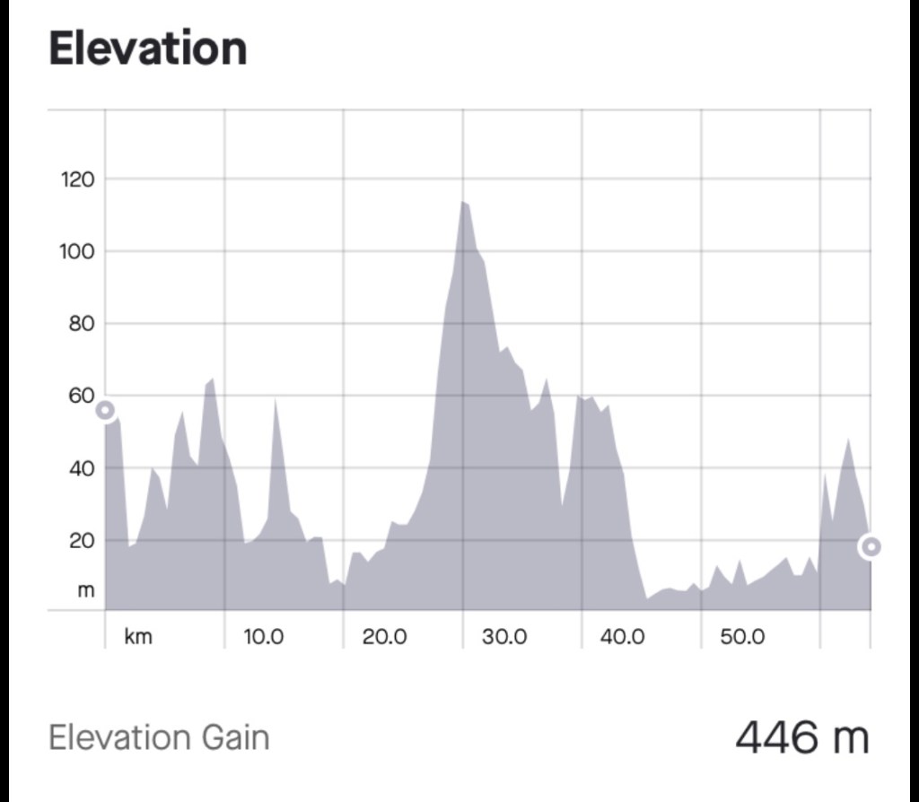
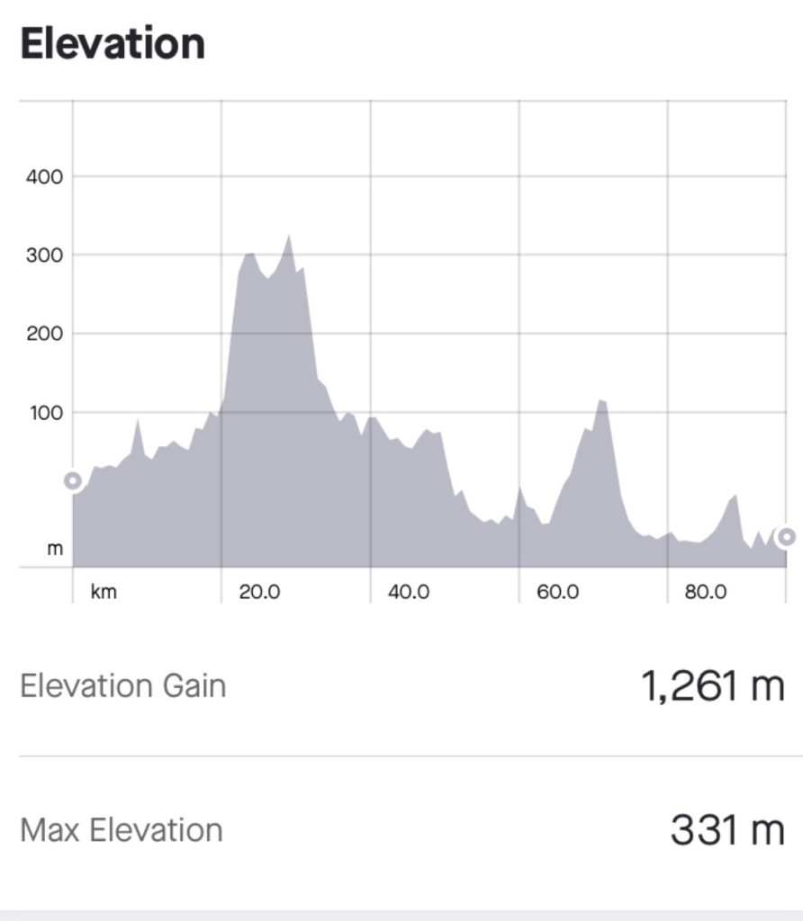
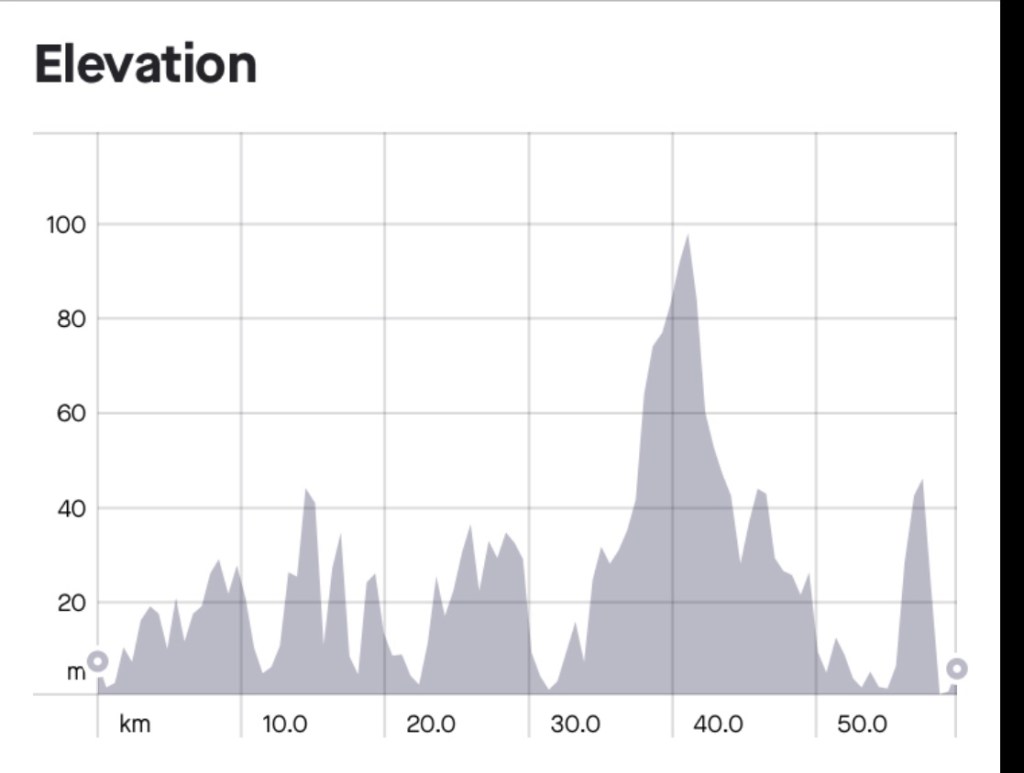
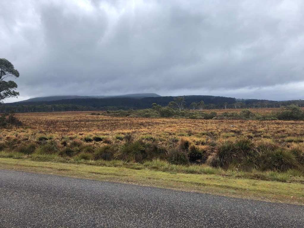
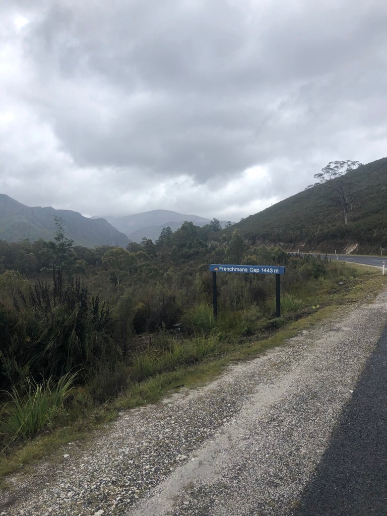
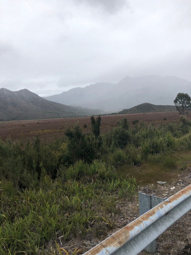
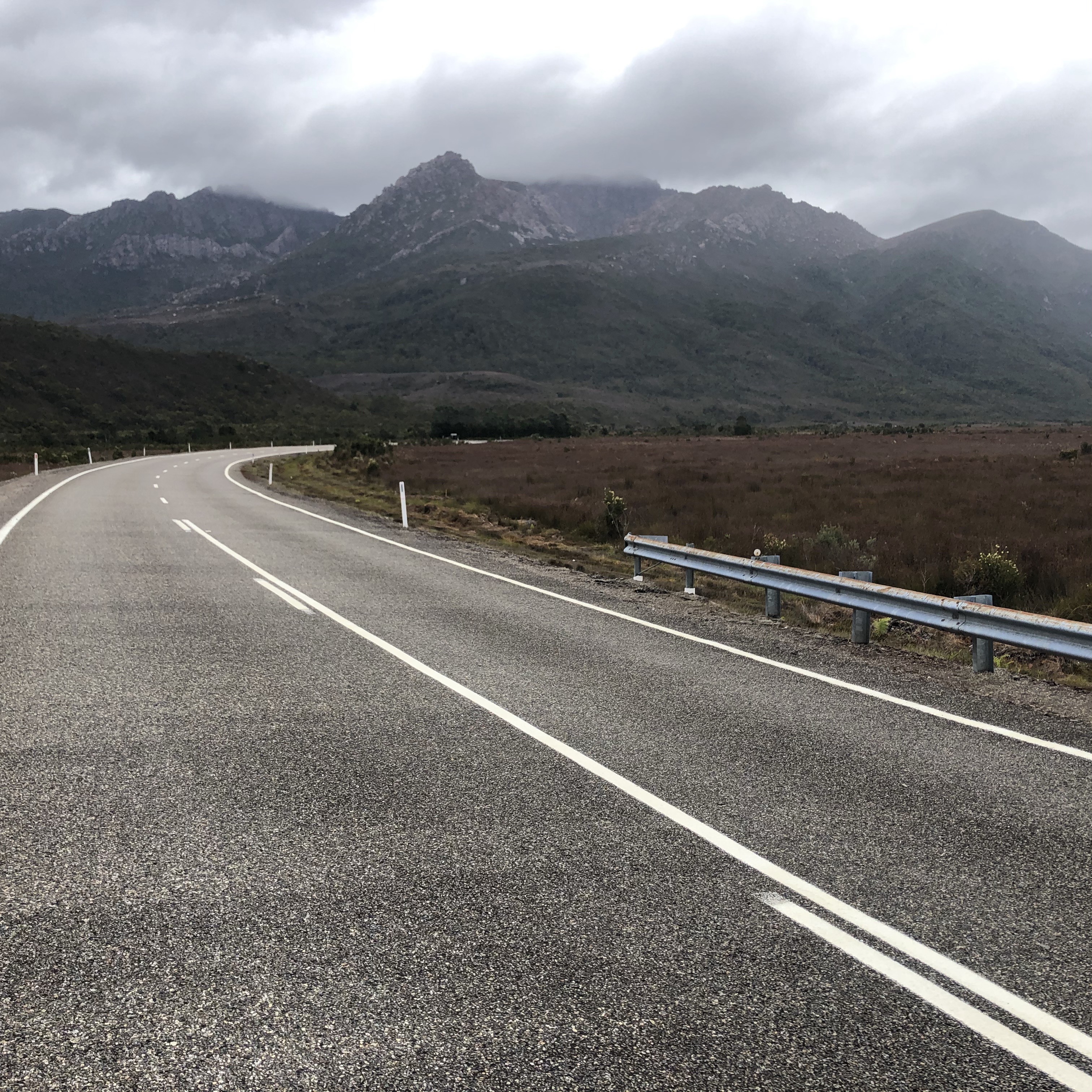
There were some fantastic vistas today…then there was a lot of mist too. The weather was a moving feast. As we climbed Mt Arrowsmith to get to over 800 metres above sea level, it rained, it blew, and it was 5 degrees. We were really cold, with the wind whipping off our wet legs, making it even harder for those big leg muscles to move. But move you must, to generate some body heat.

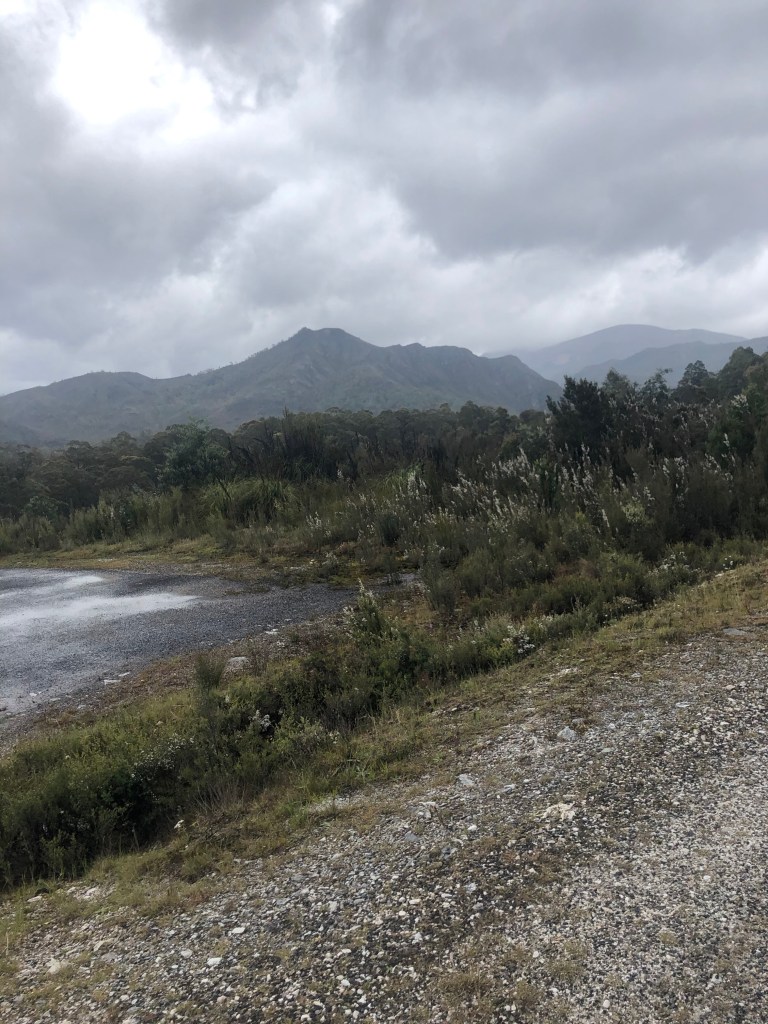
We then descended 400 metres, which ultimately increased the temperature to 7 degrees. For this period of time, no photos were taken as we were just too cold and needed to get ourselves down the mountain, knowing or rather hoping, that our comfort would improve.

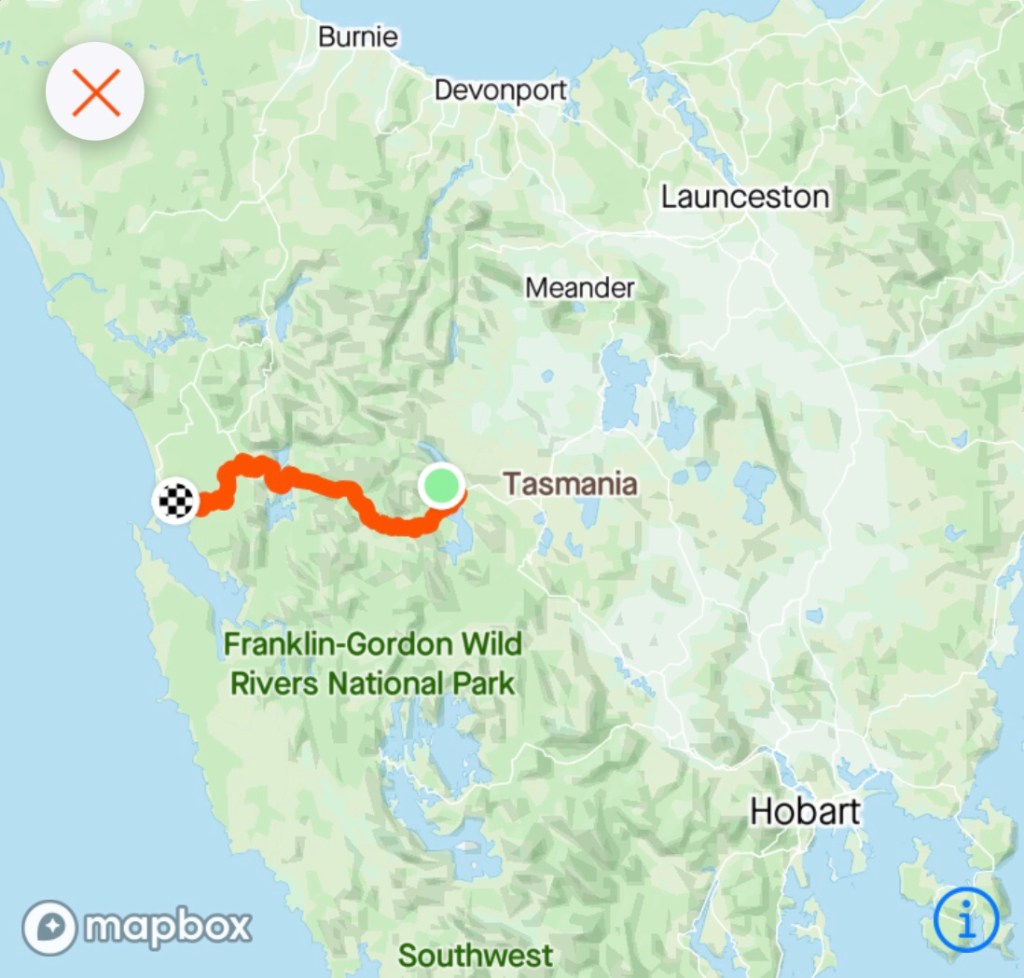
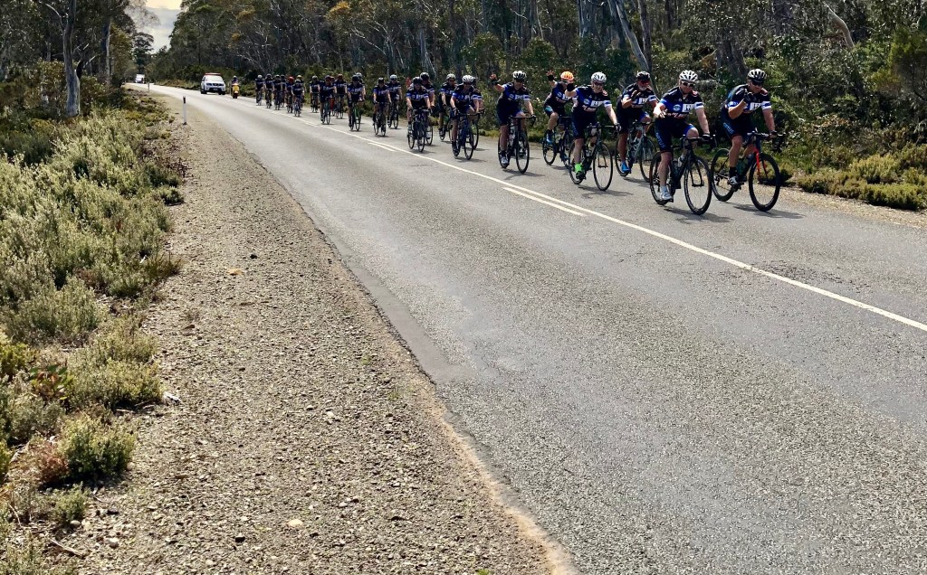
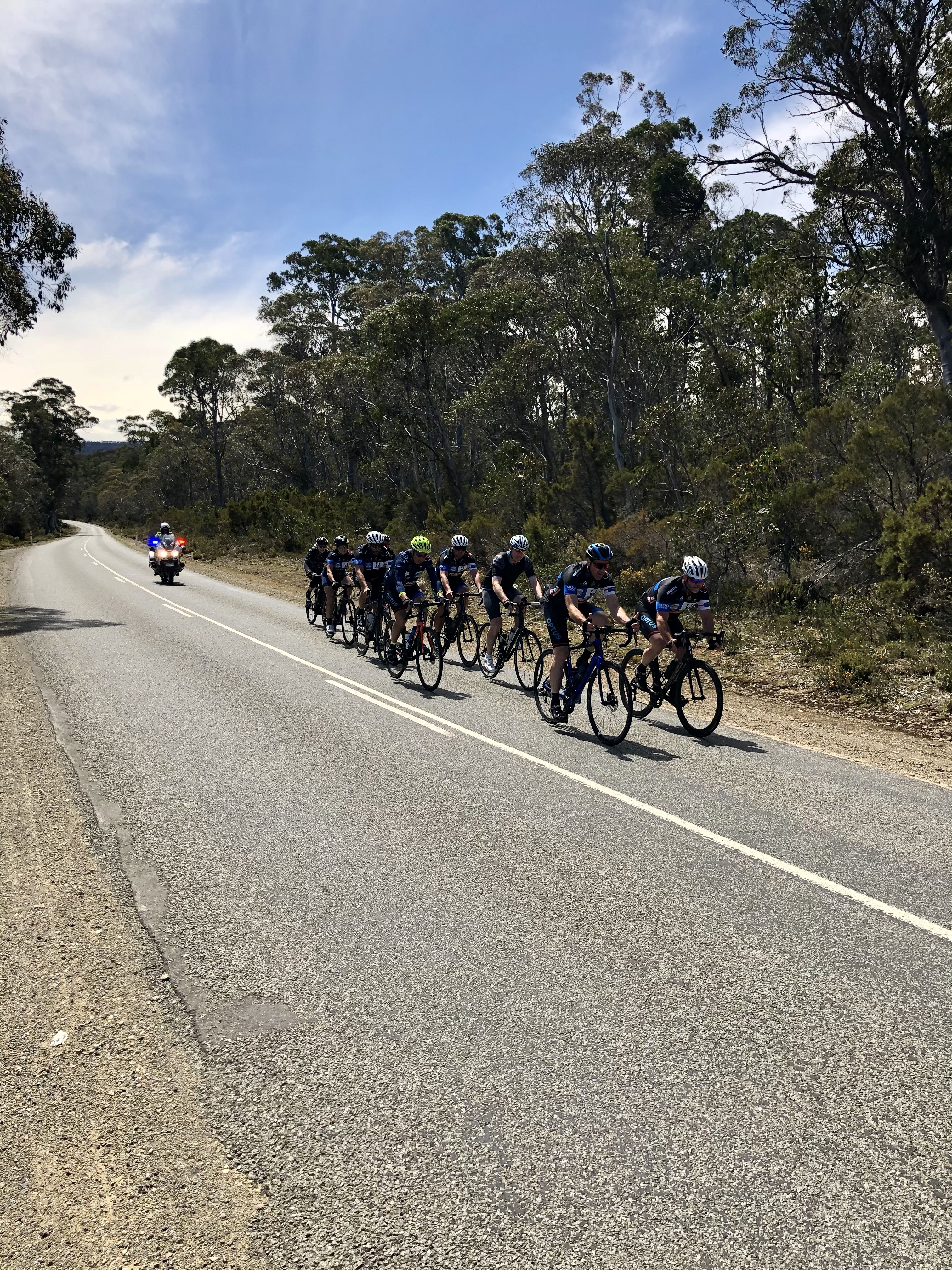
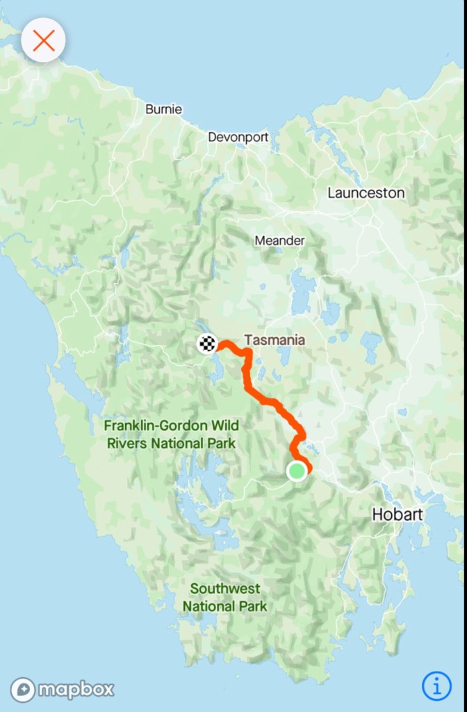
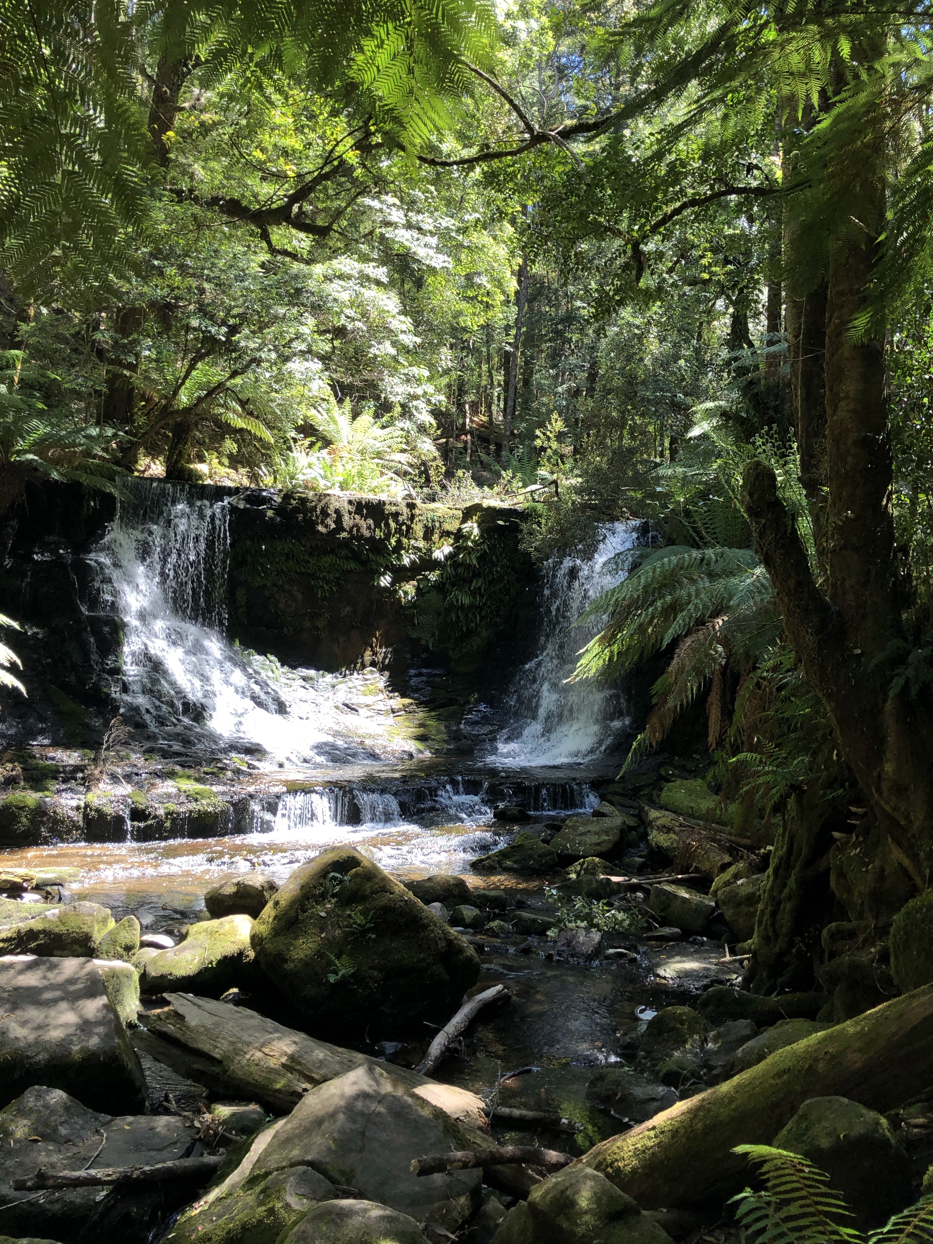
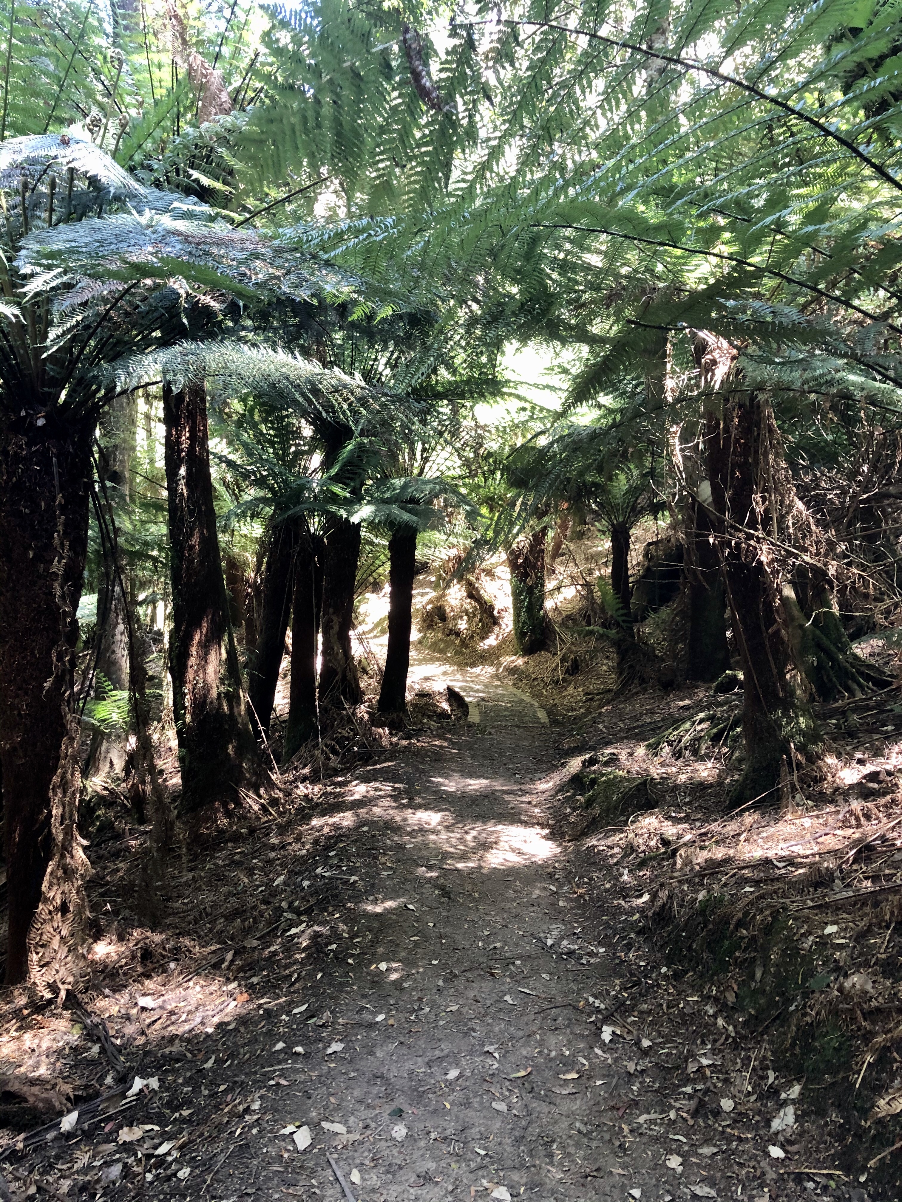
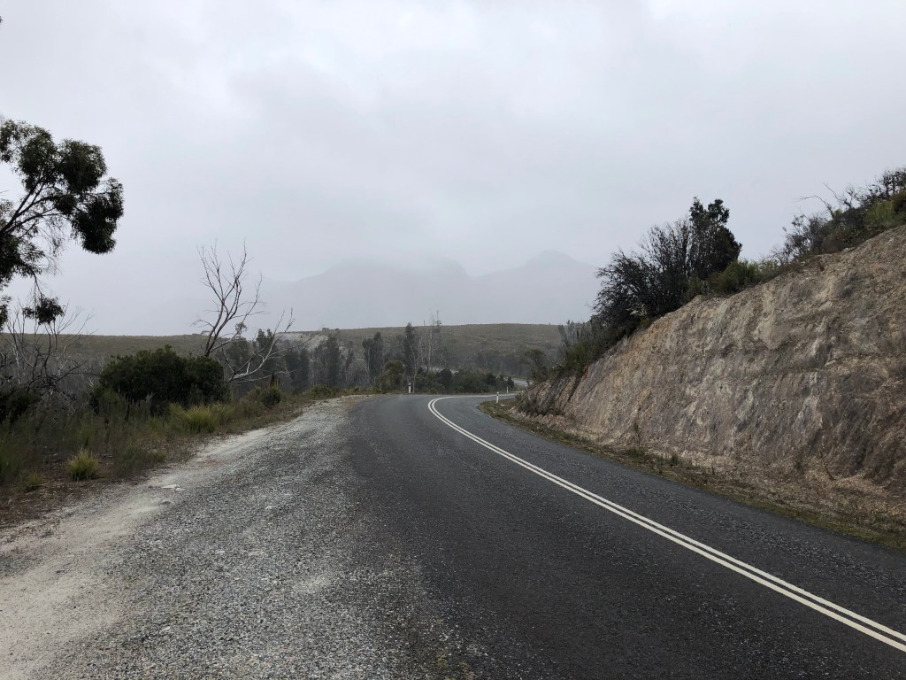
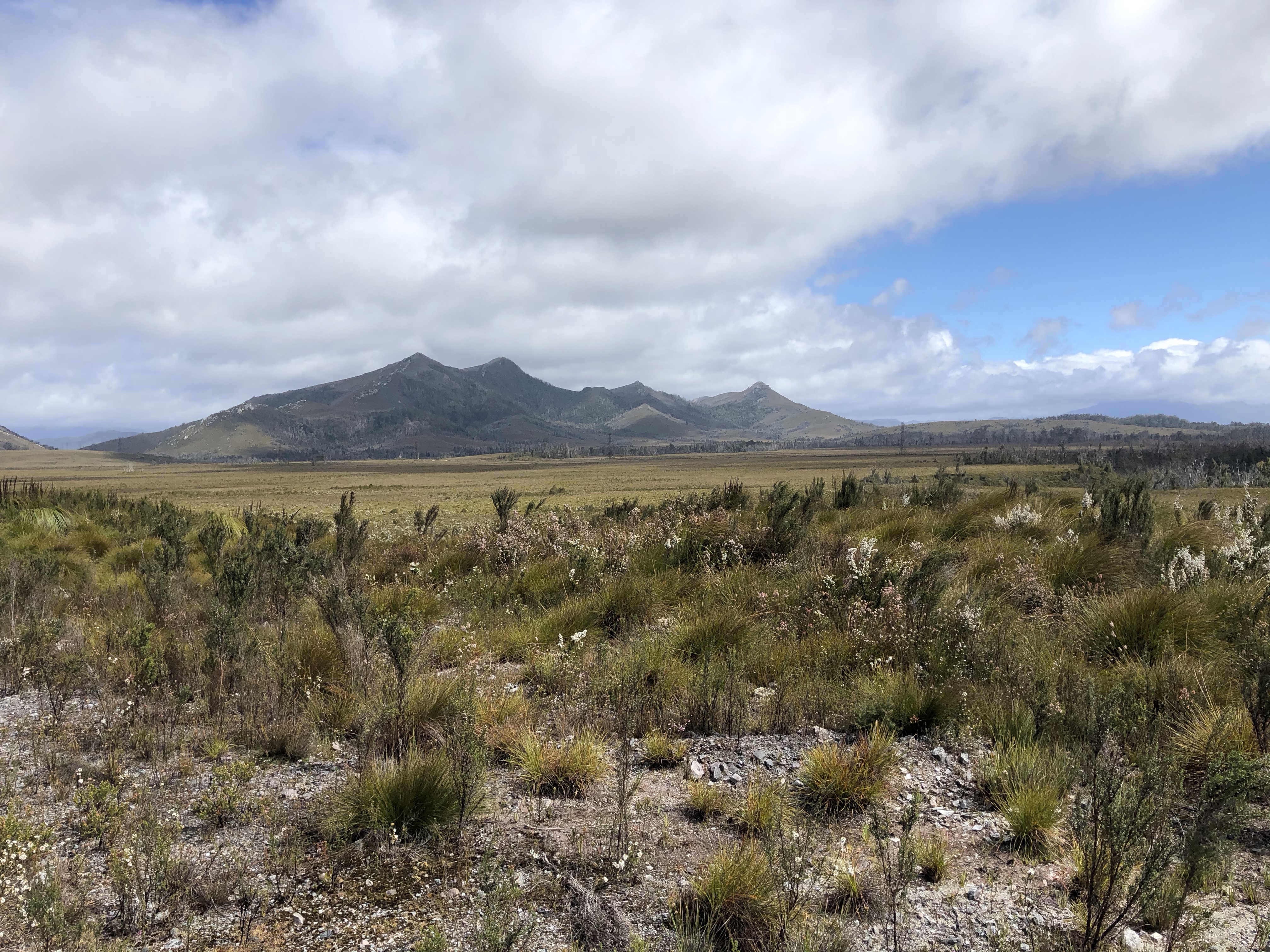
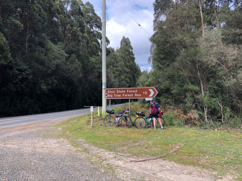
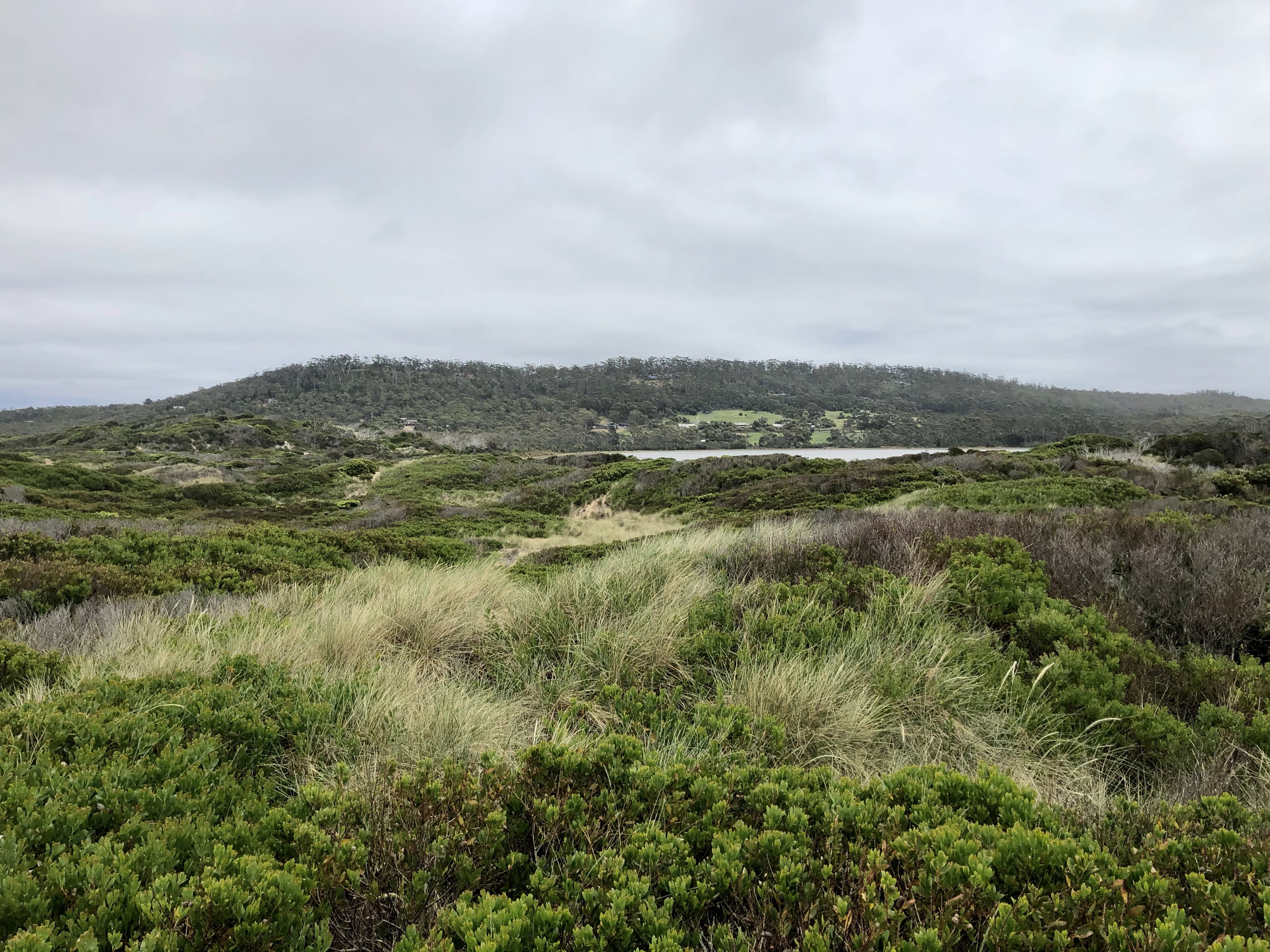
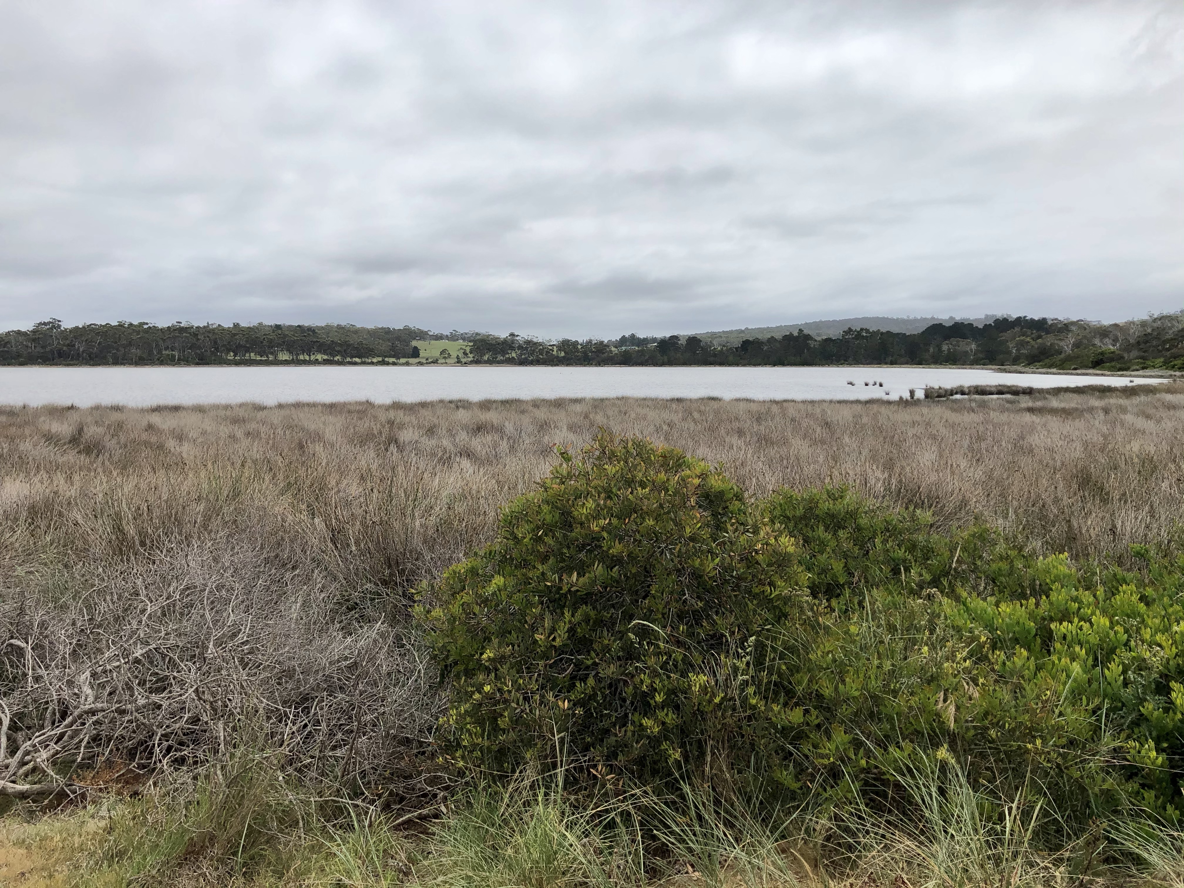
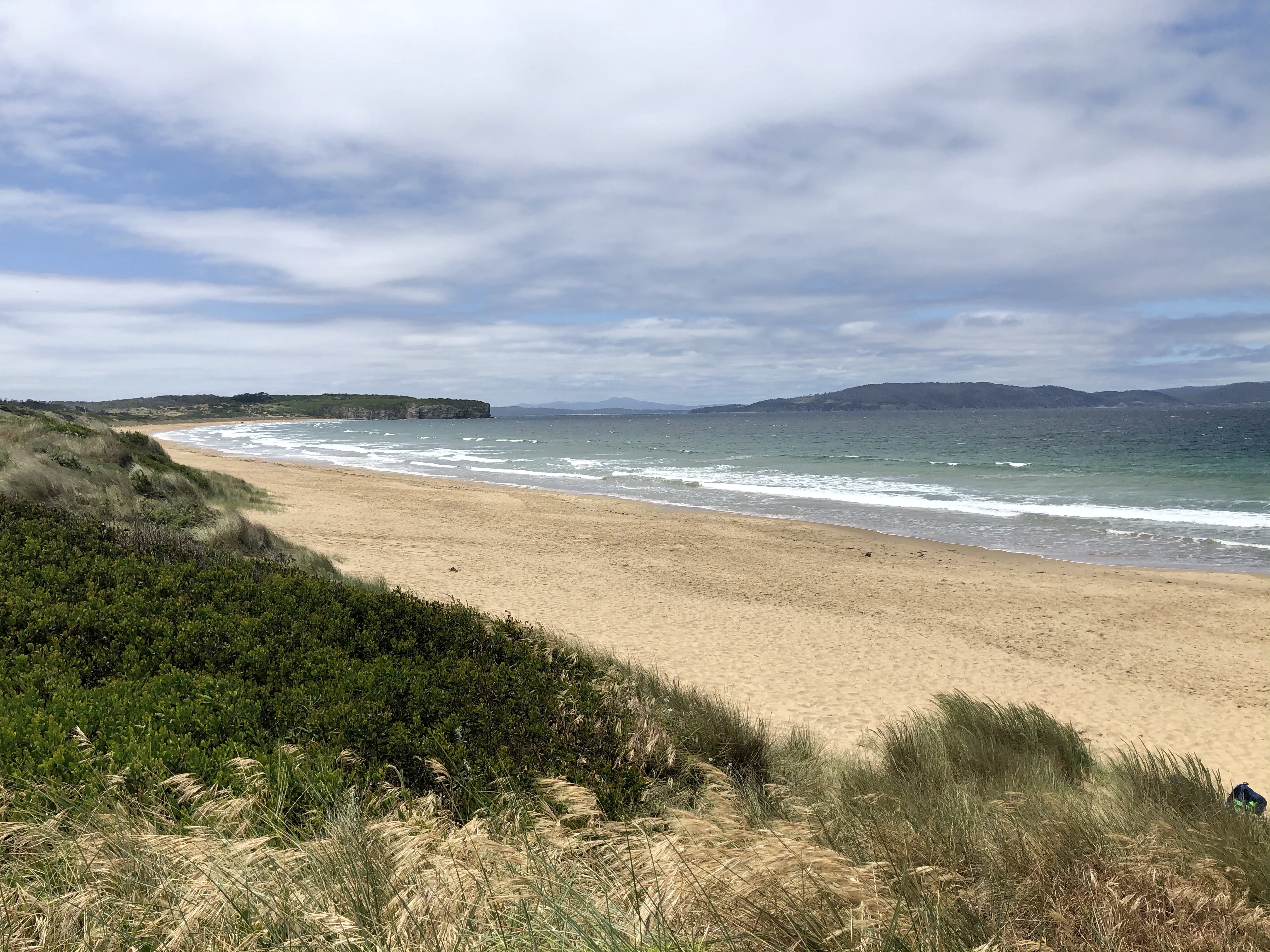
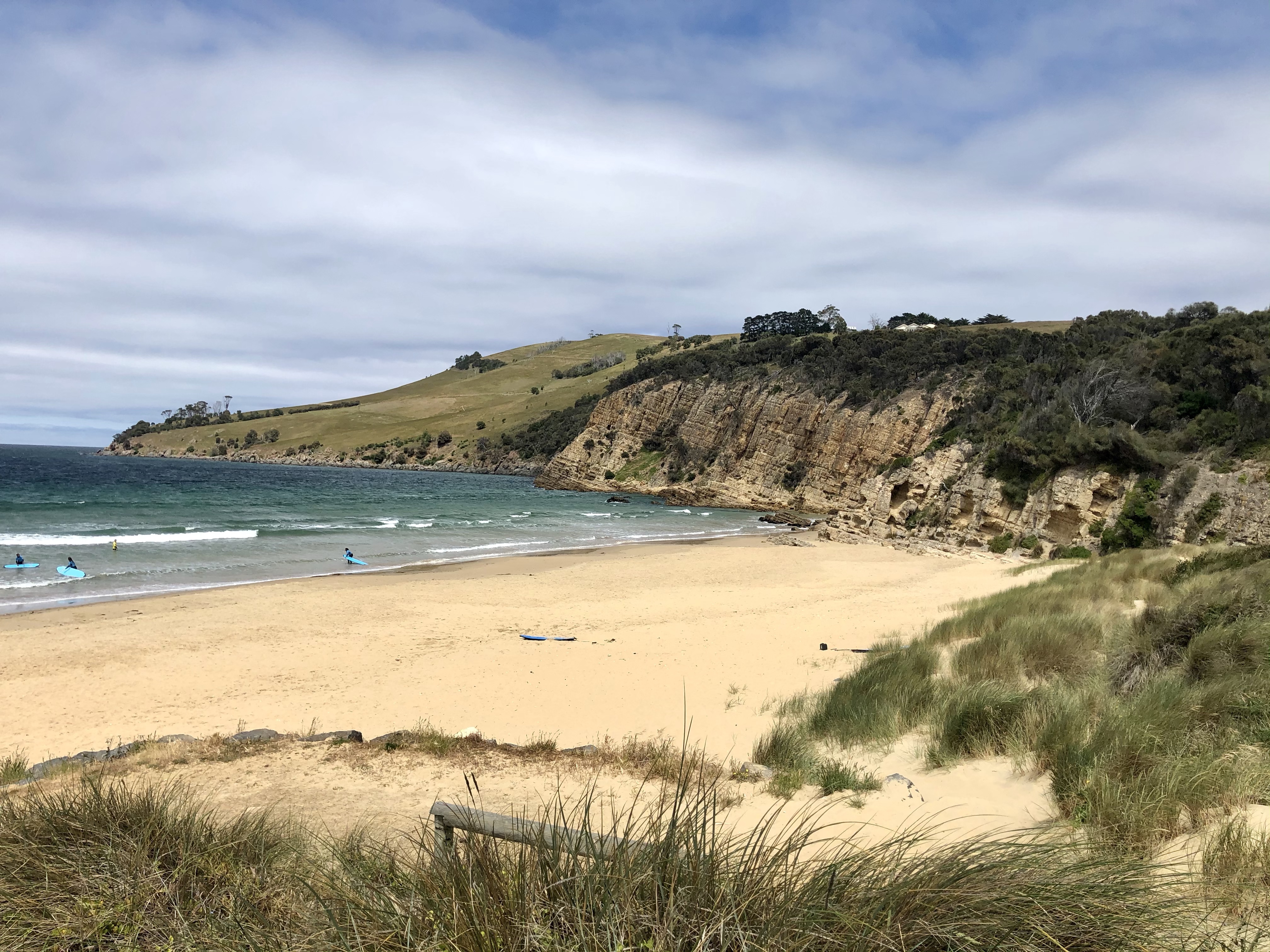
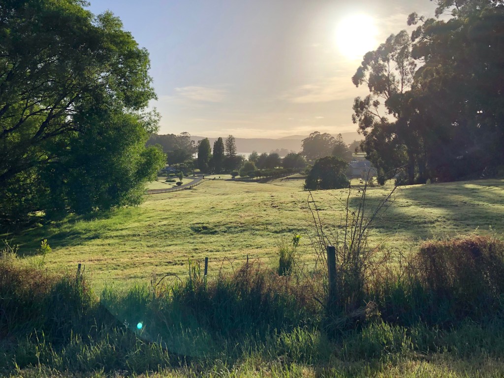
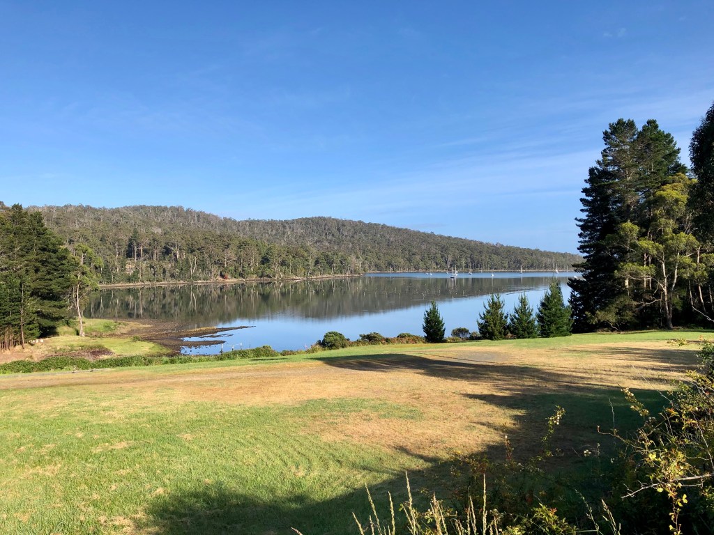
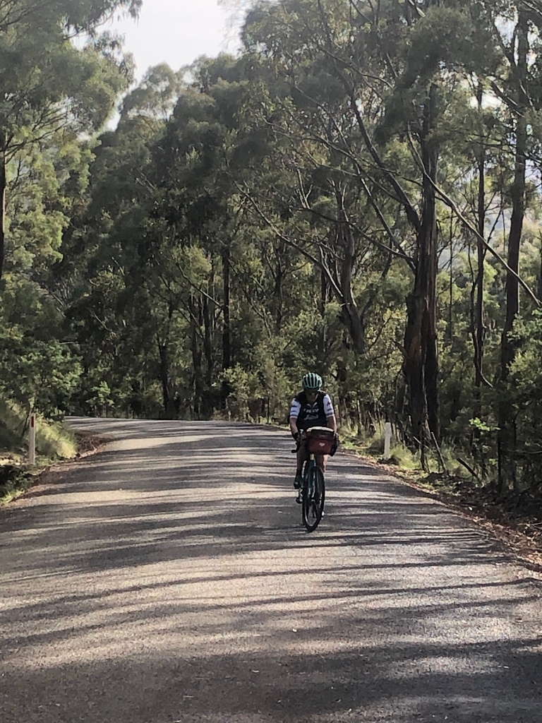
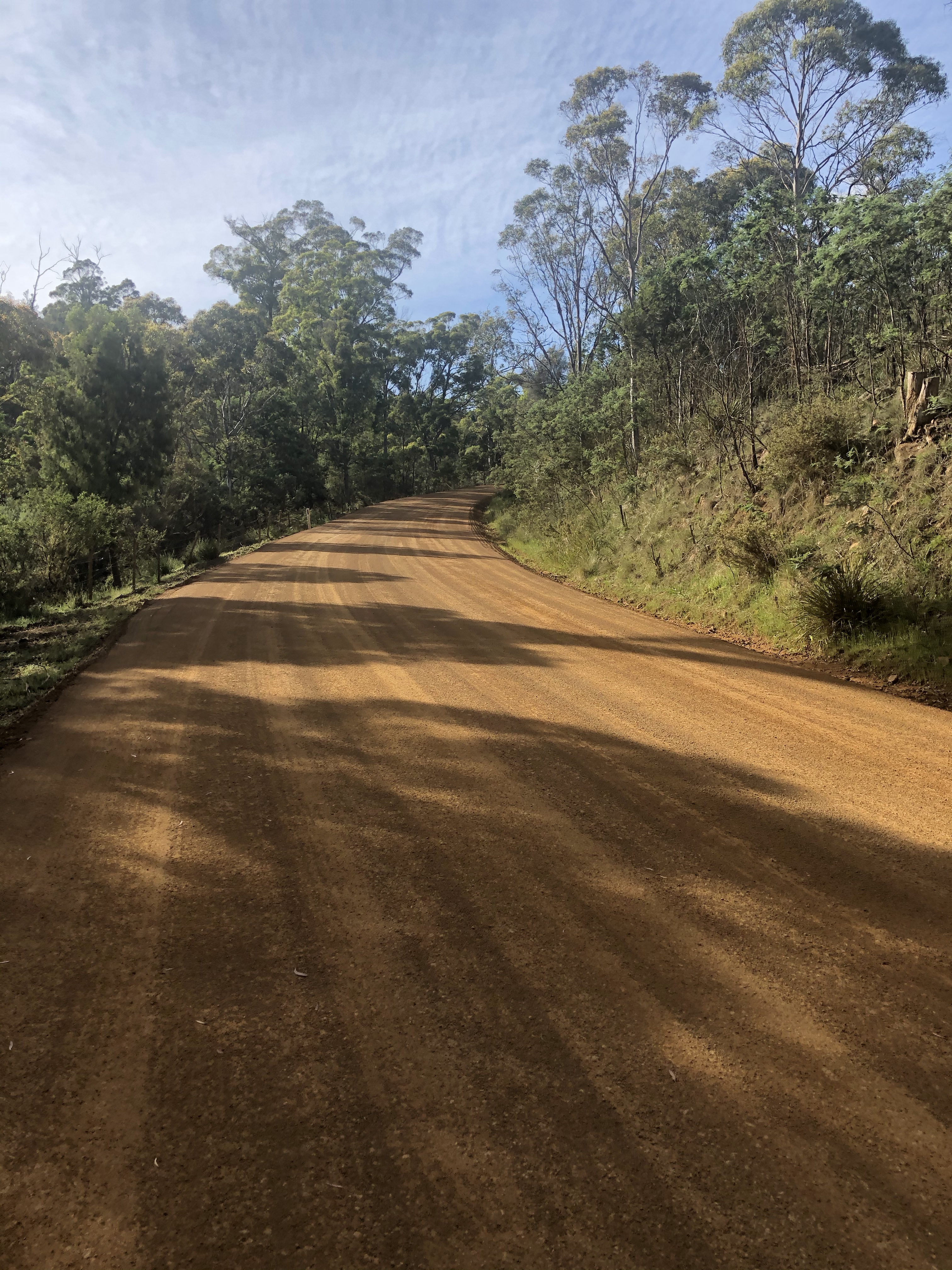
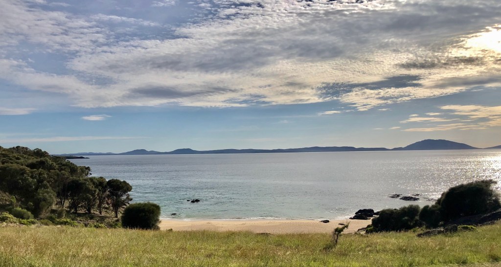
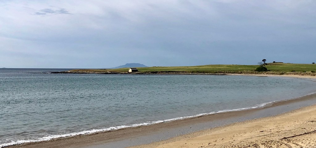
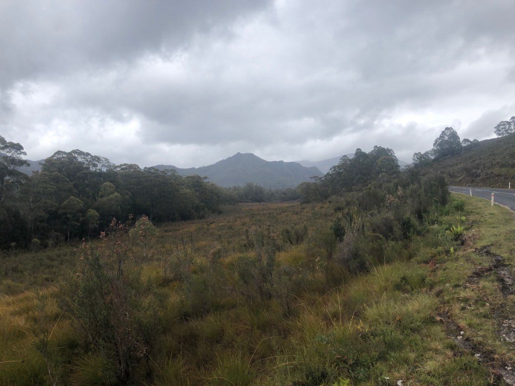
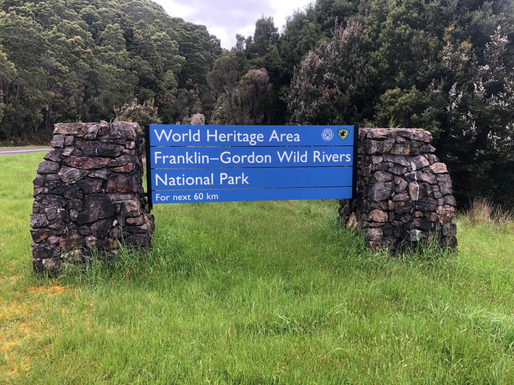
The following photos are a selection of the first 60 km, where we just concentrated on moving.

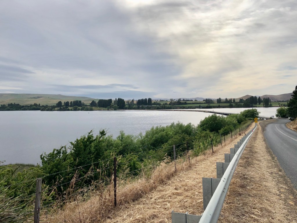
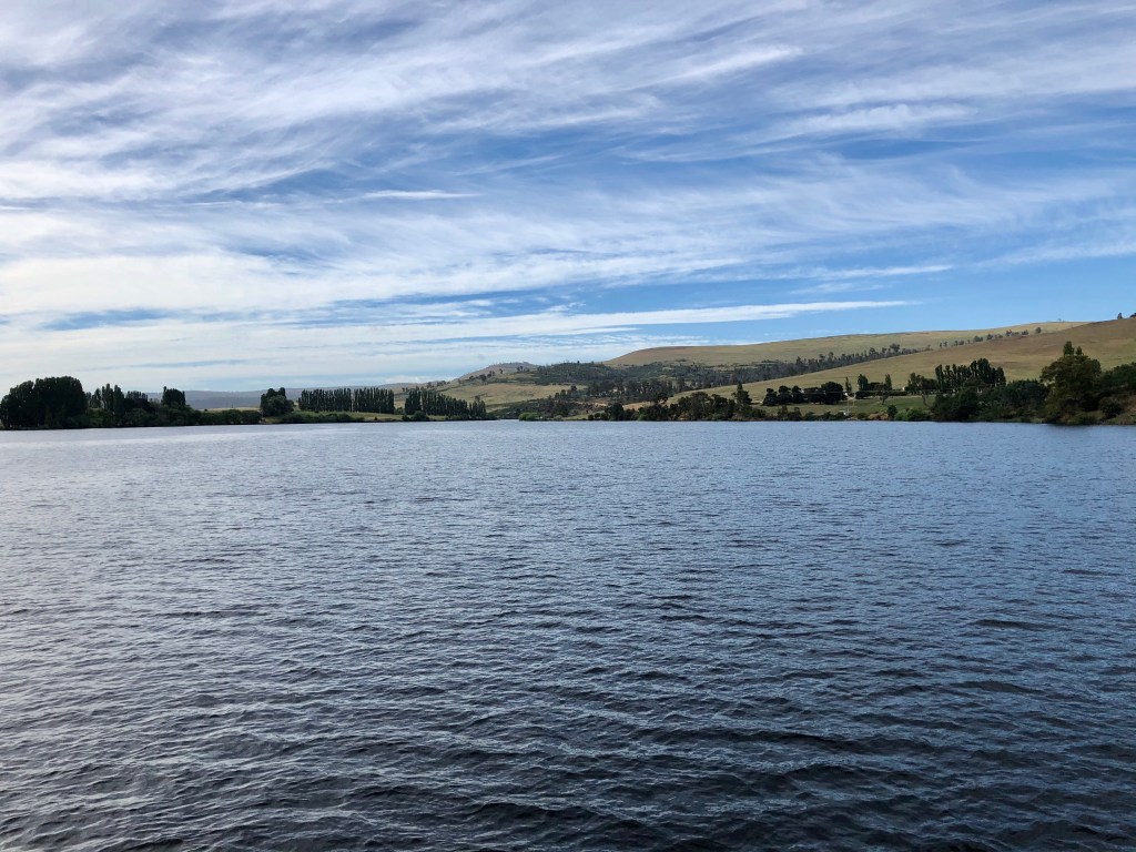
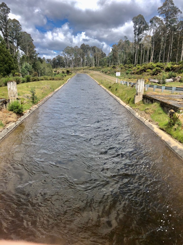
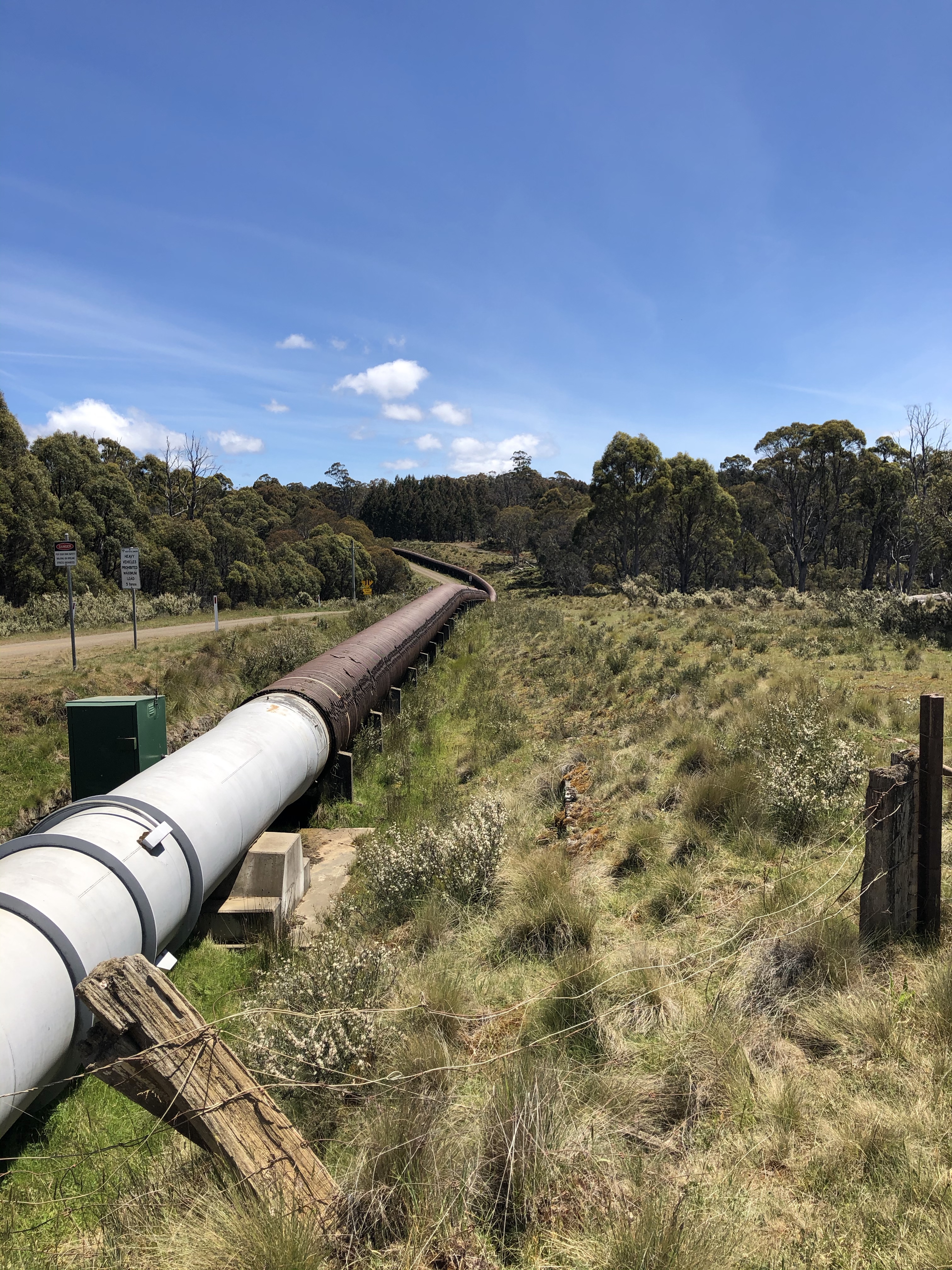
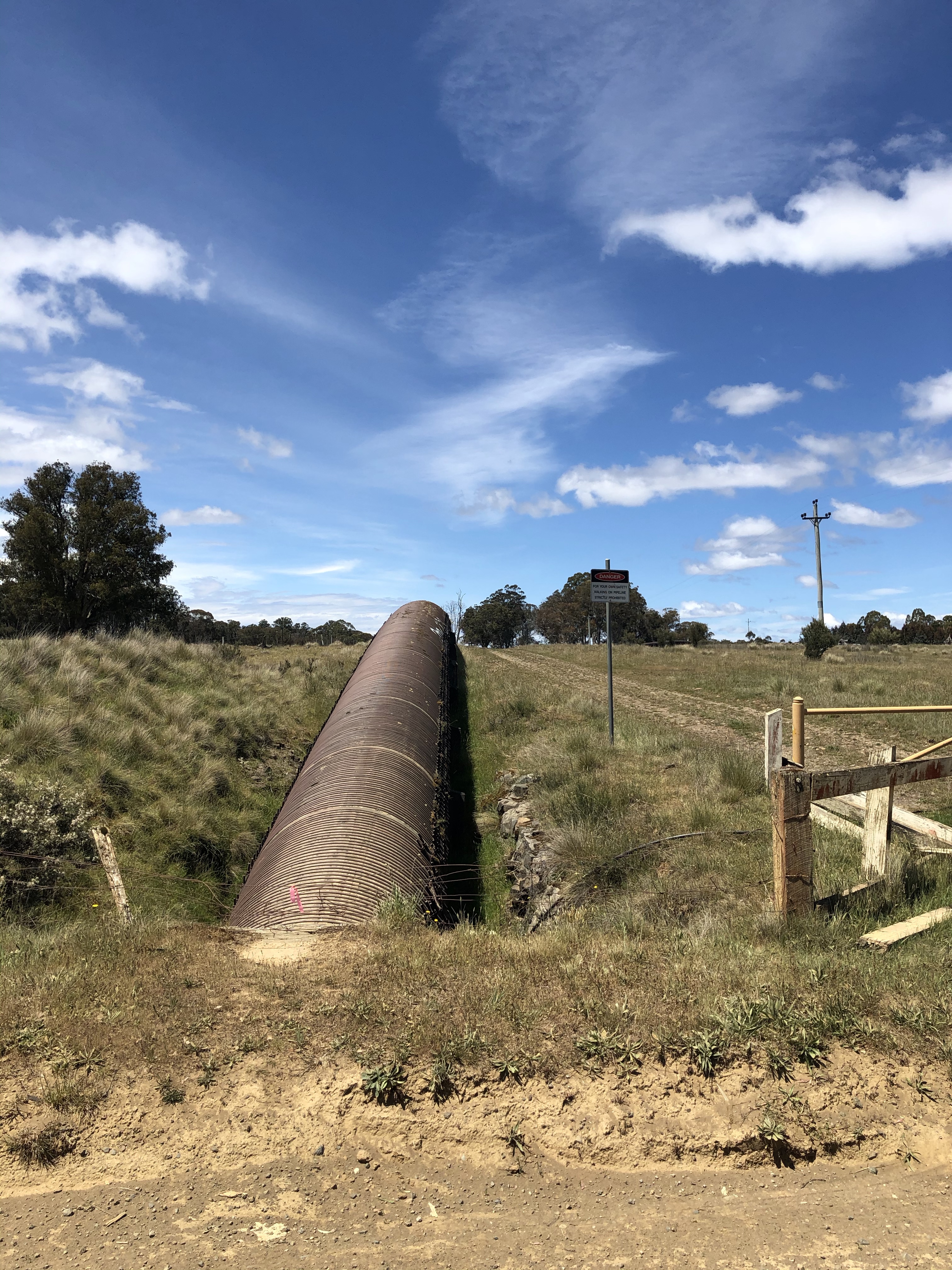
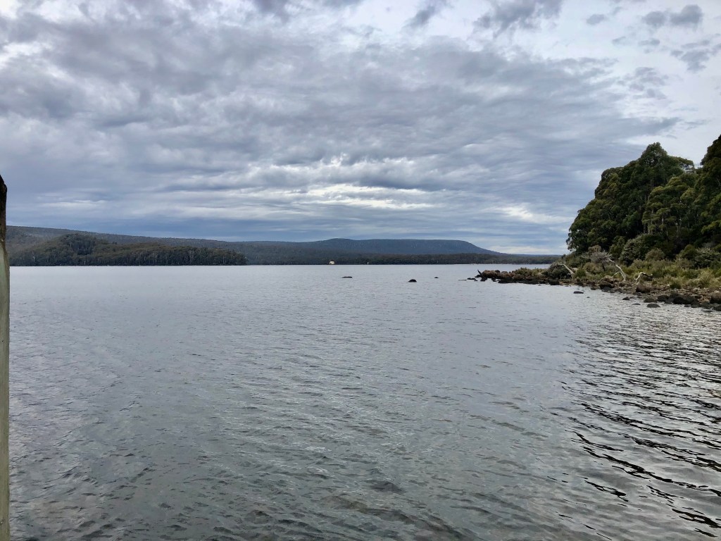
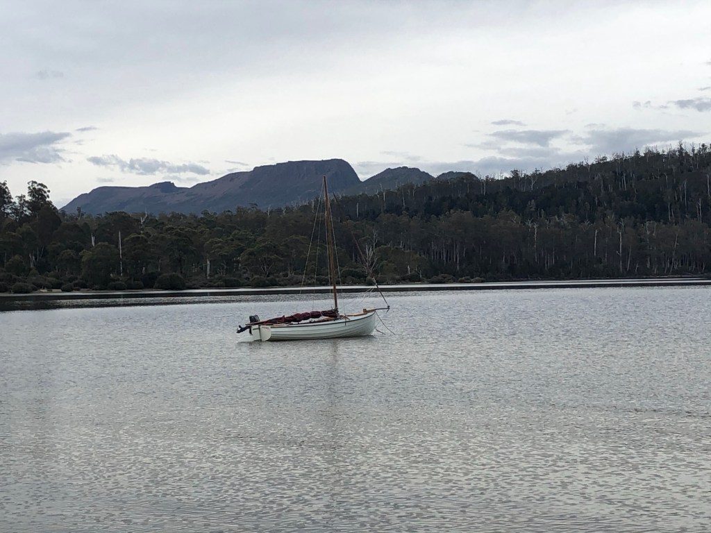
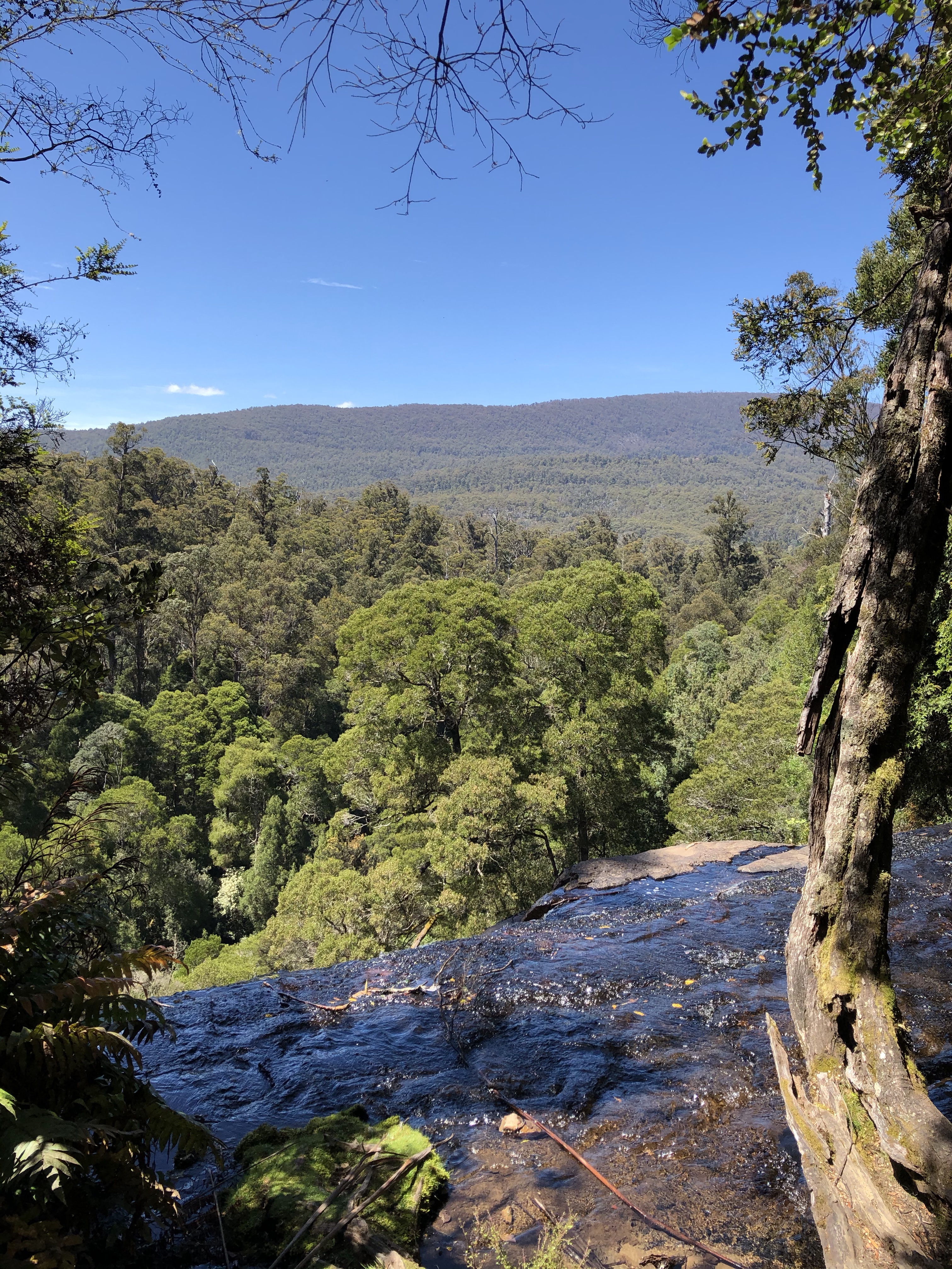
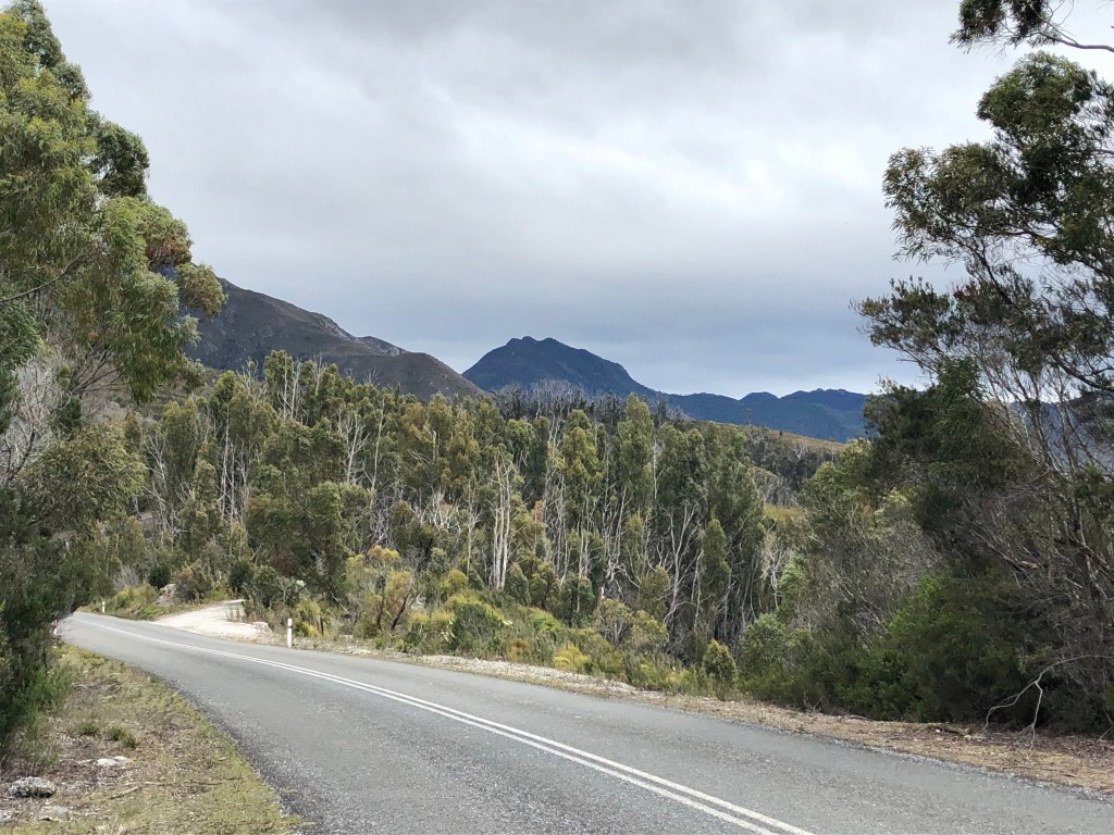
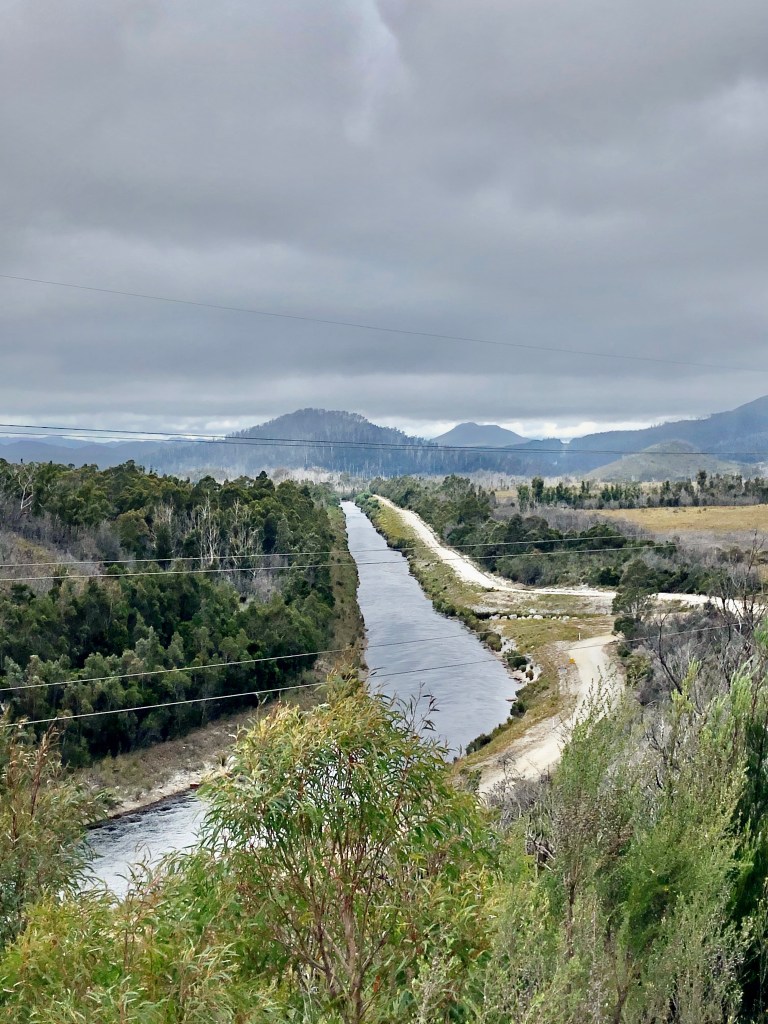
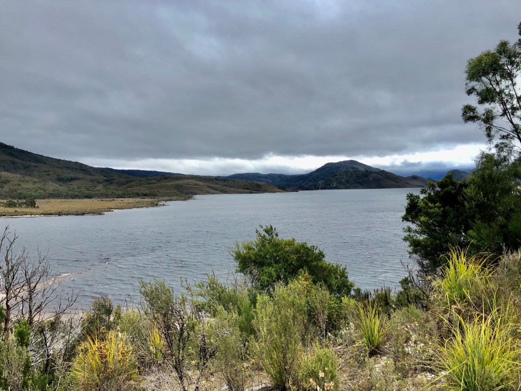
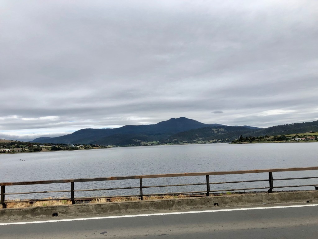
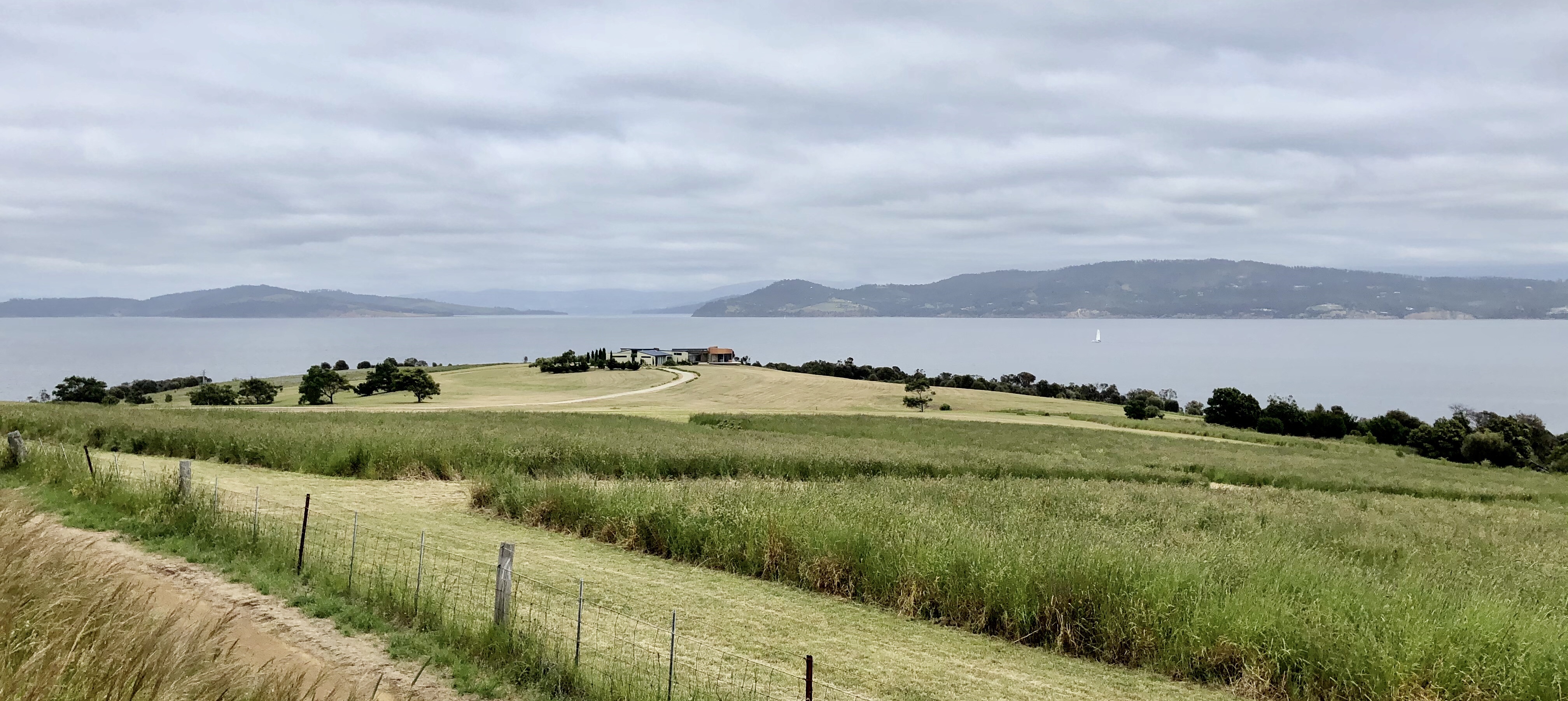
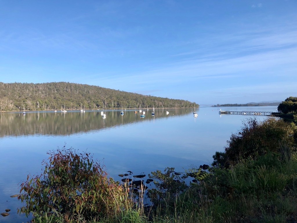
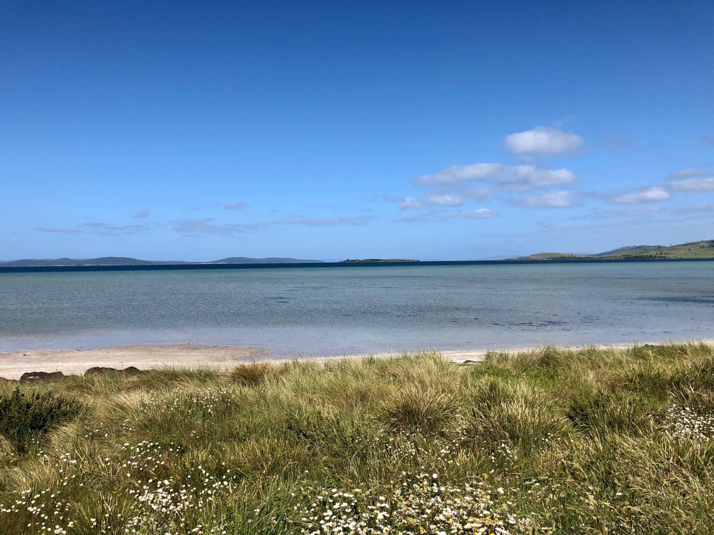
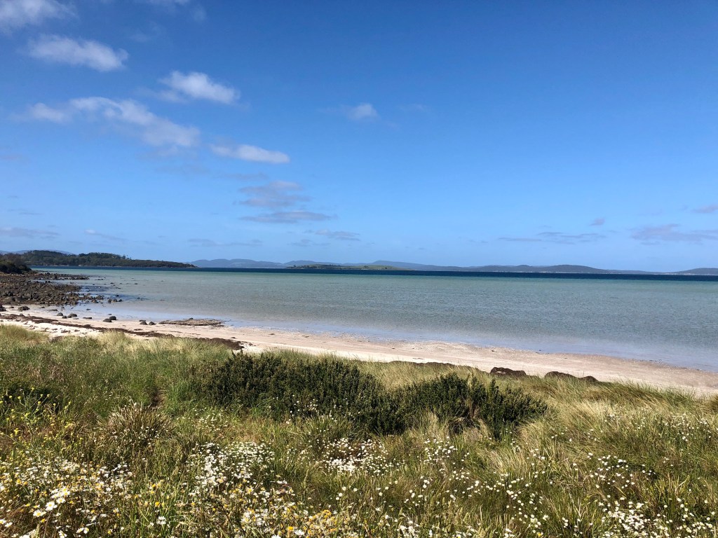
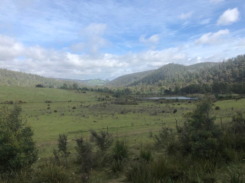
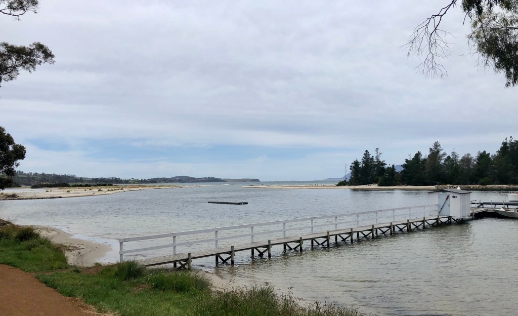
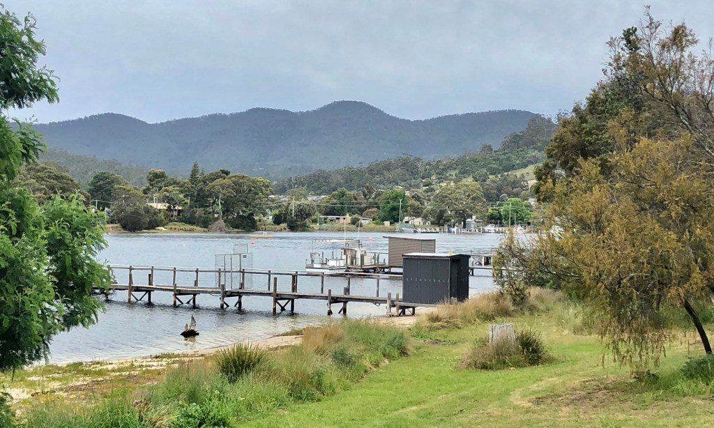
Lake Burbury is amazing for the mountains that surround it. It is a man made water reservoir created by the Crotty Dam inundating the upper King River valley that lies east of the West Coast range.

Looking north from Bradshaw Bridge
Bradshaw Bridge

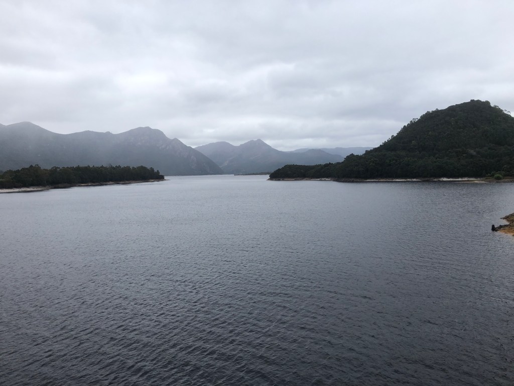
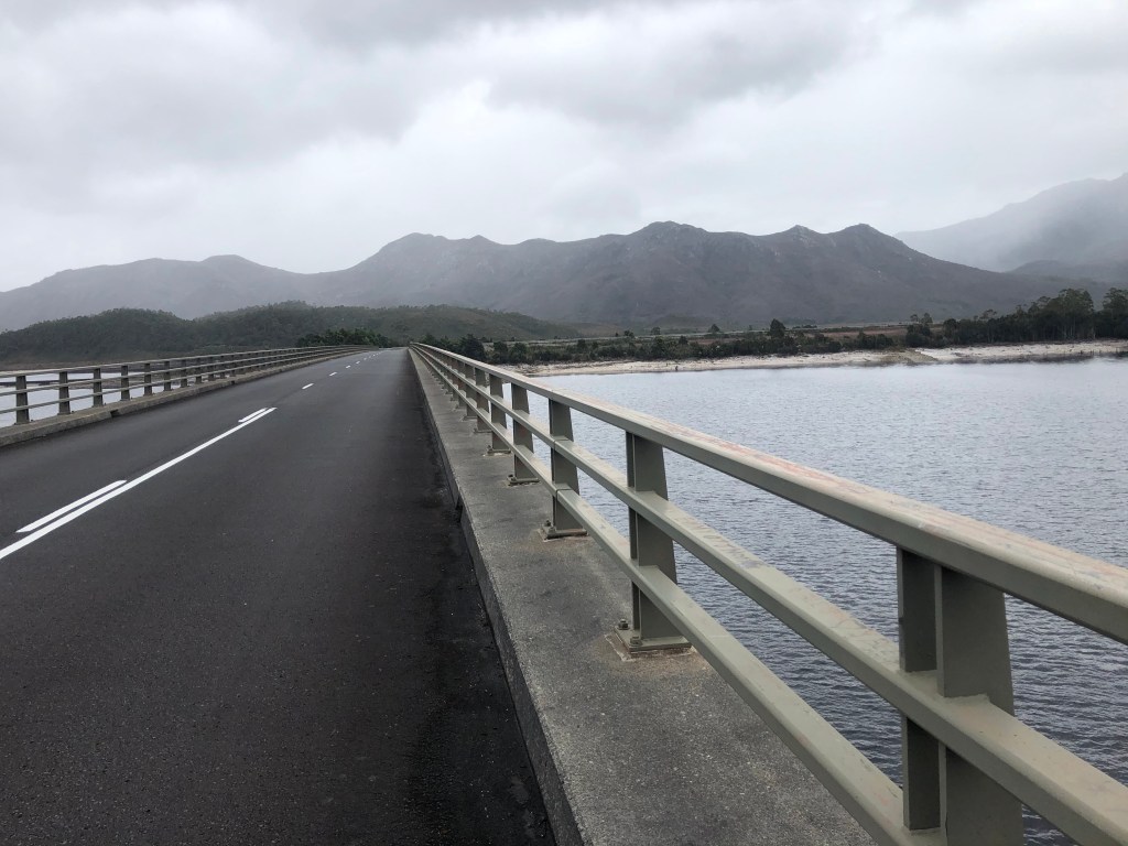
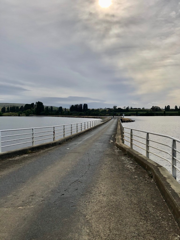
Once you have crossed the bridge, we were puzzled as to where the road would head, as it appeared we were encircled by very high hills and mountains, somewhat reminiscent of Scotland. The road after heading inland around an outcrop, followed the lake across a flat plain for some distance.

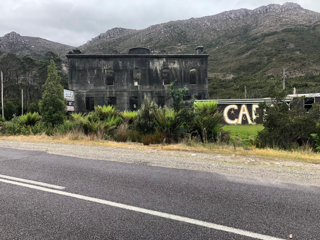
Heading away from the lake we rode past the now mining ghost town of Linda that once was home to 600 people. The town existed due to the discovery of gold at the North Lyell Mine.The Royal Hotel closed in the 1950’s and has had some other uses. I think it was for sale recently and purchased. It will be interesting to see how this site develops.

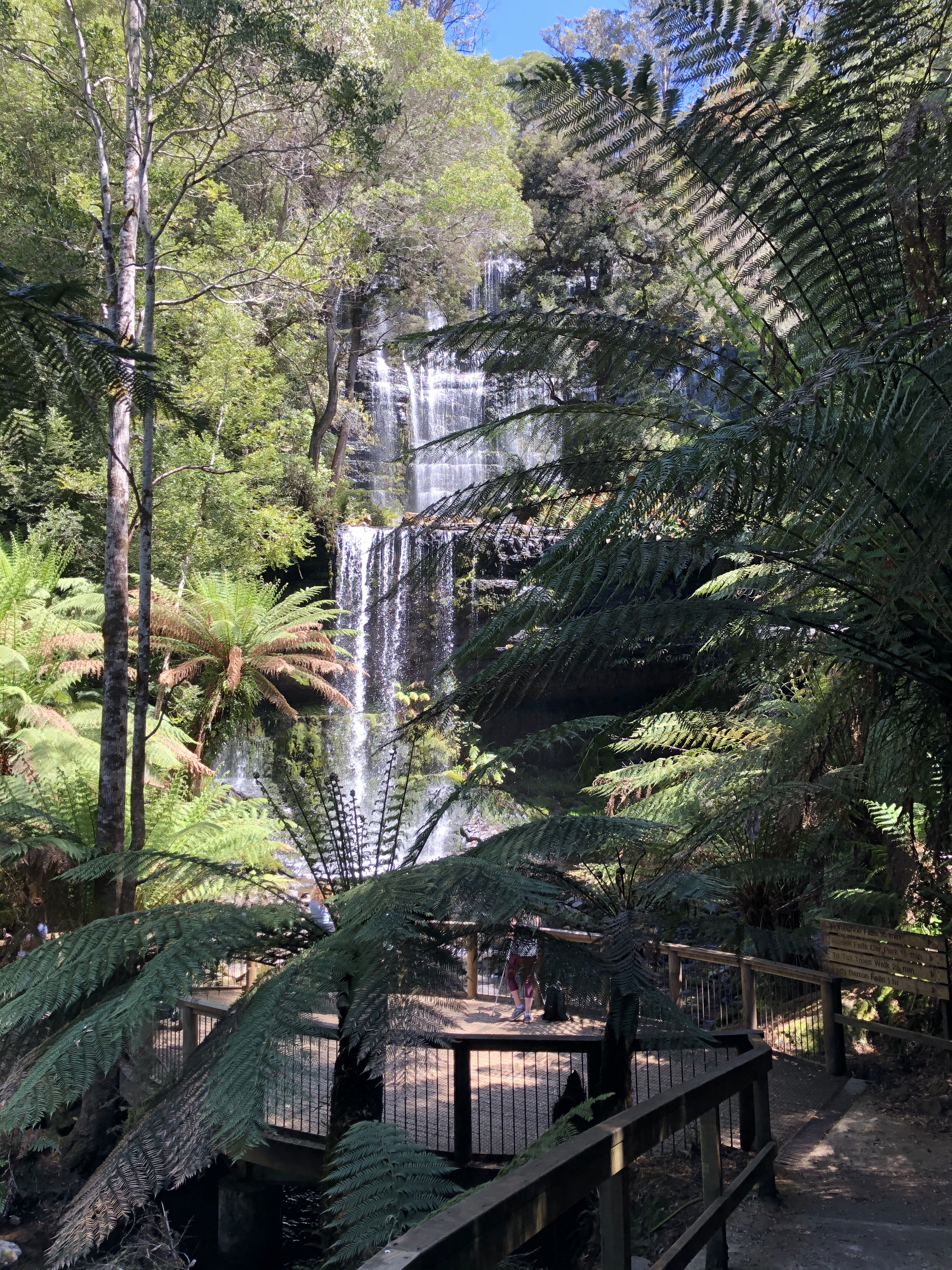
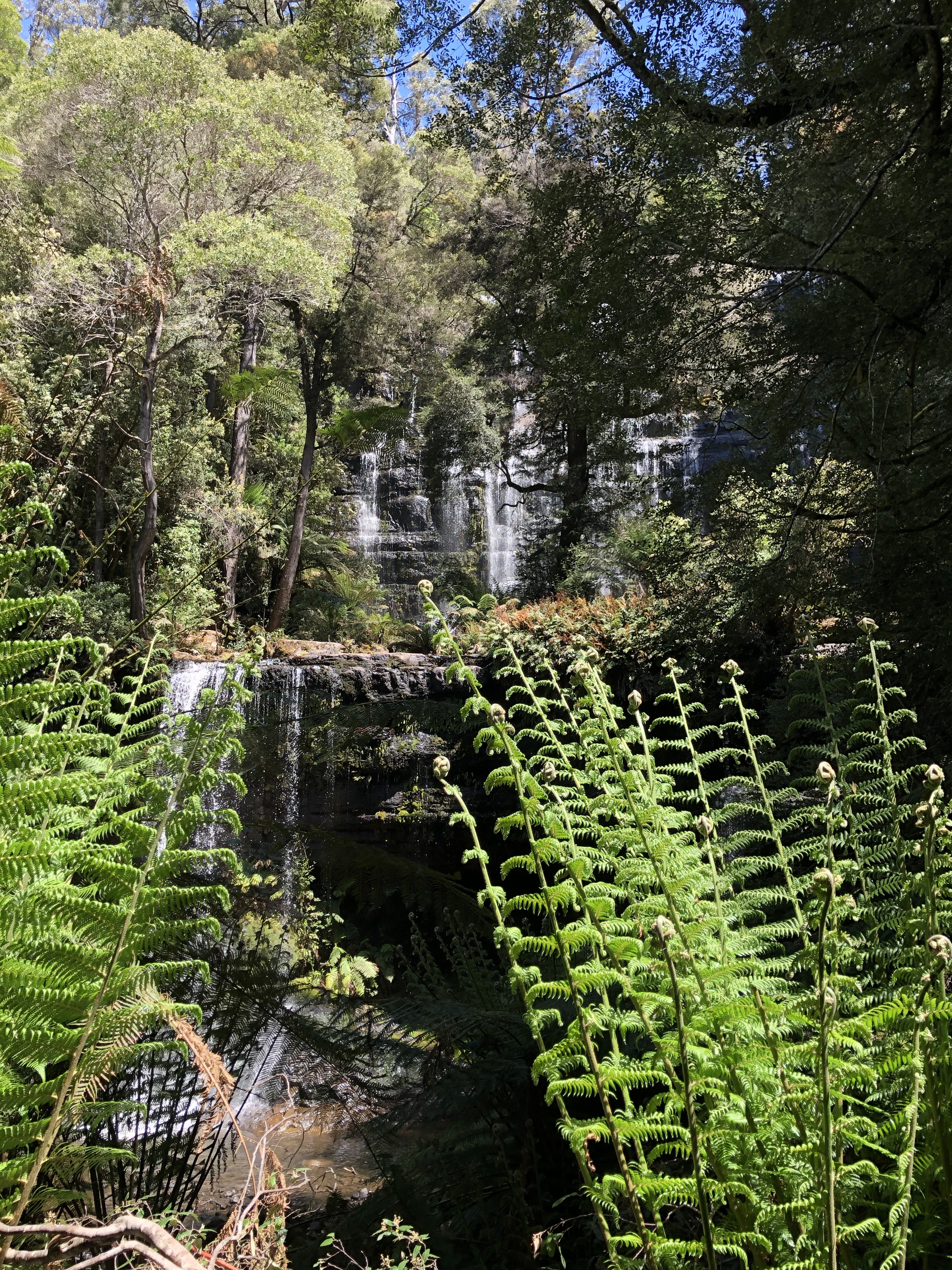
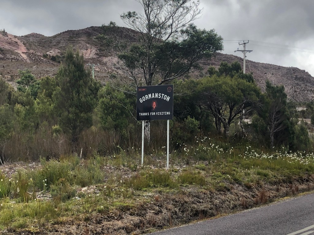
As soon as you leave Linda, you ‘arrive’ in Gormanston. There is a tight climb up as the town is based on the slopes of Mount Owen. The town boasted 2,000 residents in the early 1900’s, employed at the Mt Lyell Mine. There are about 17 residents now, fighting to try and preserve some of the older structures.

Entrance to the old town

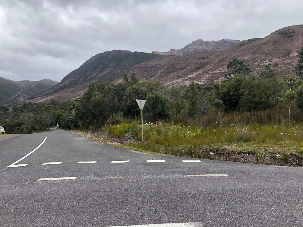
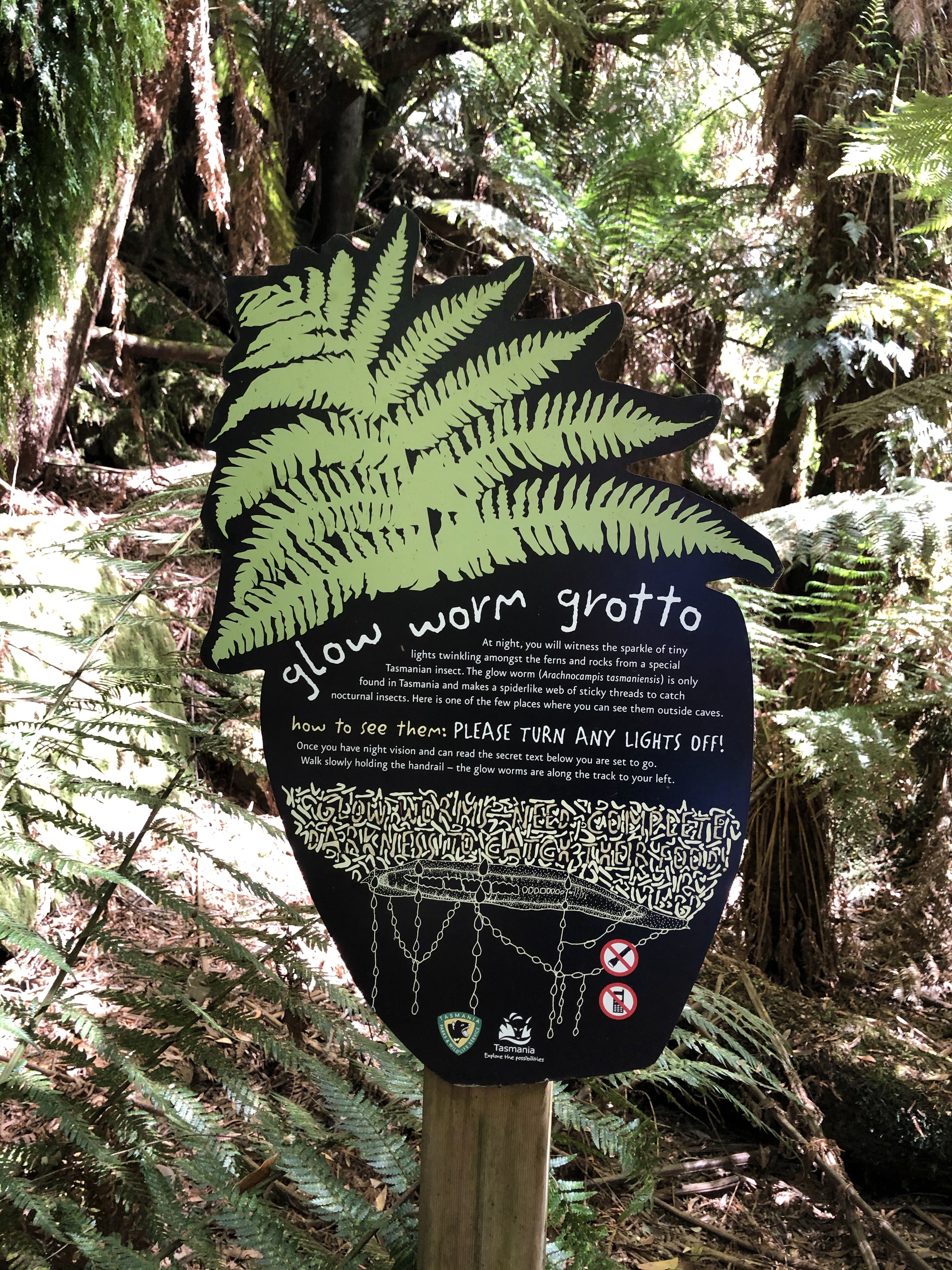
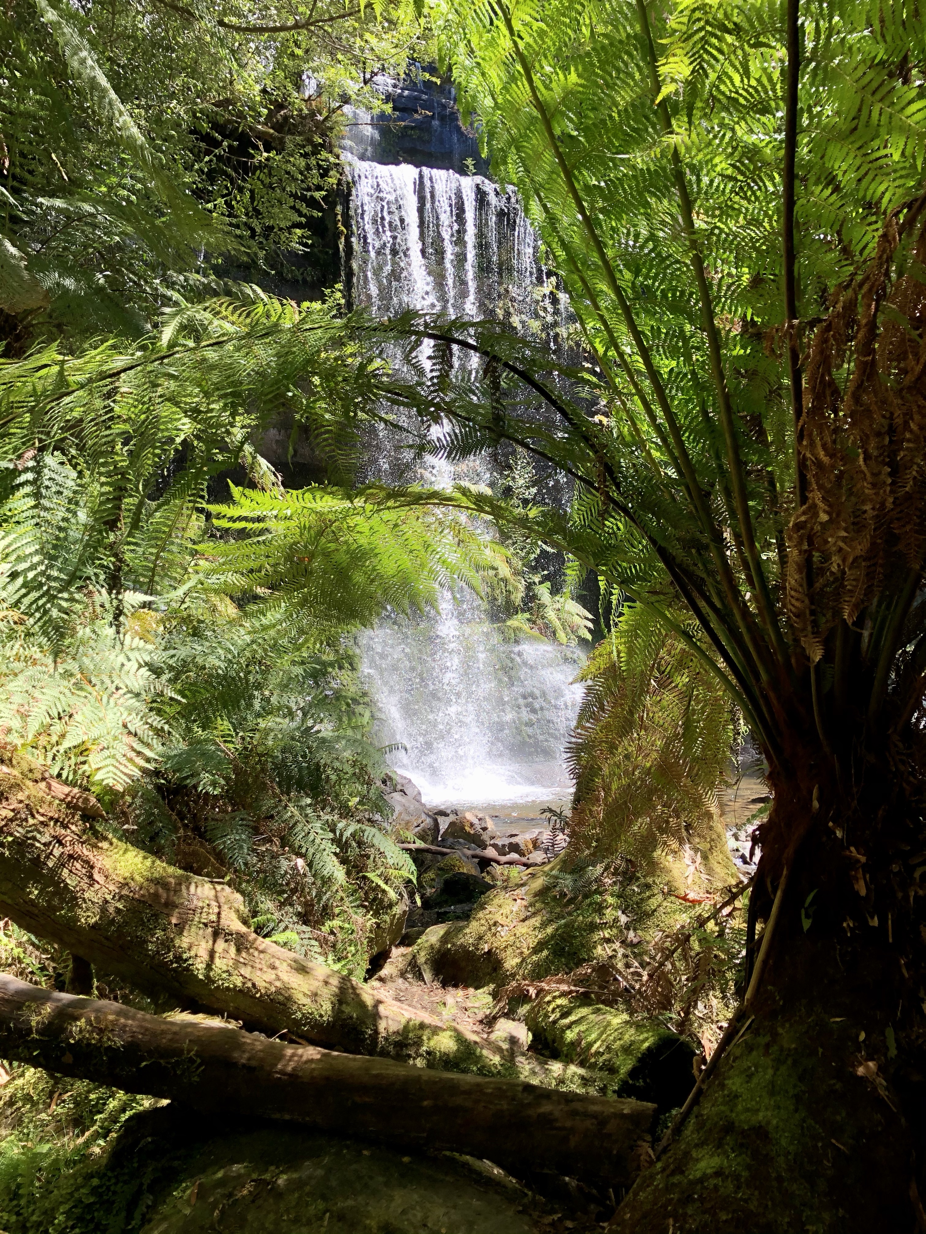
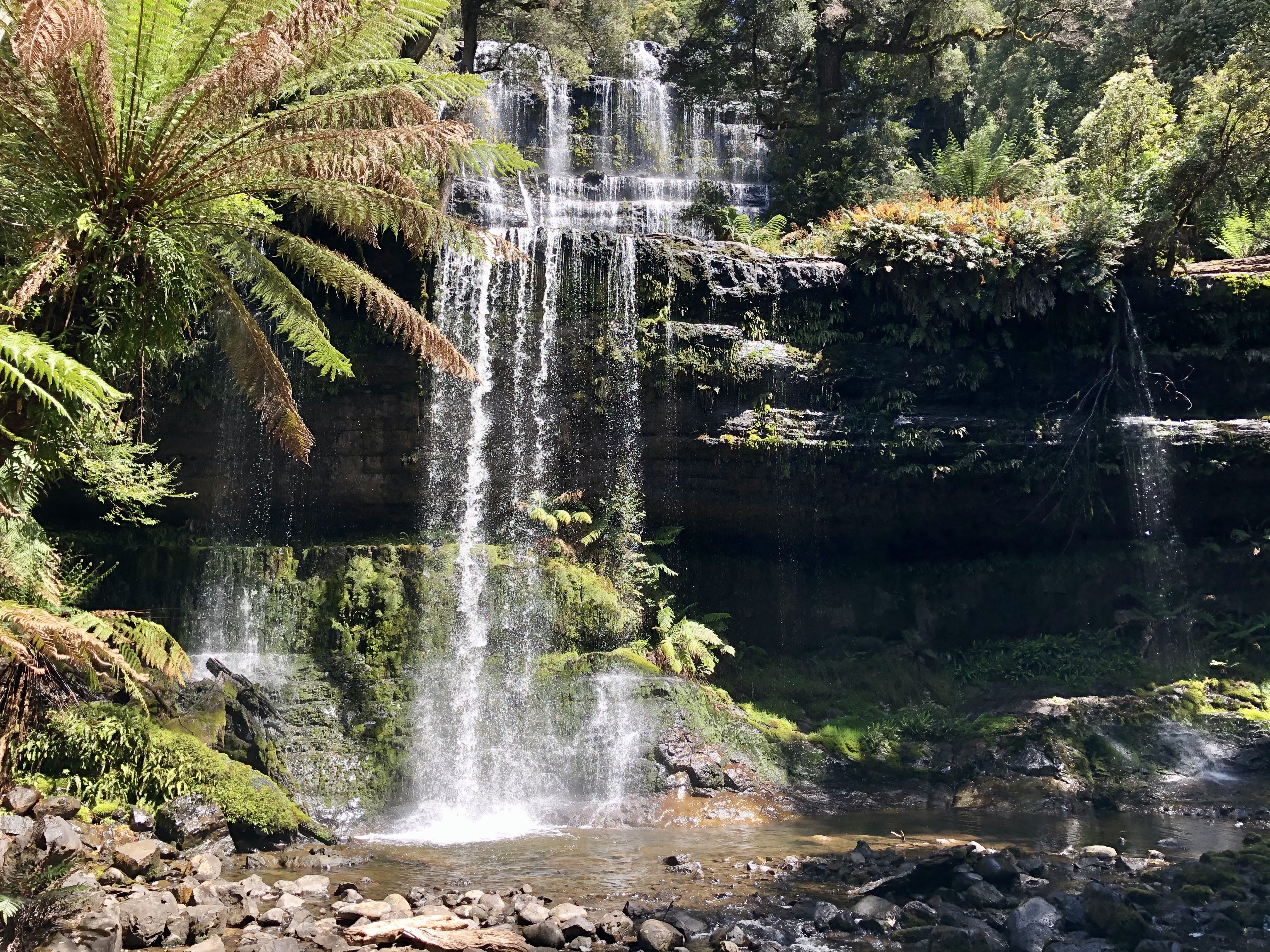
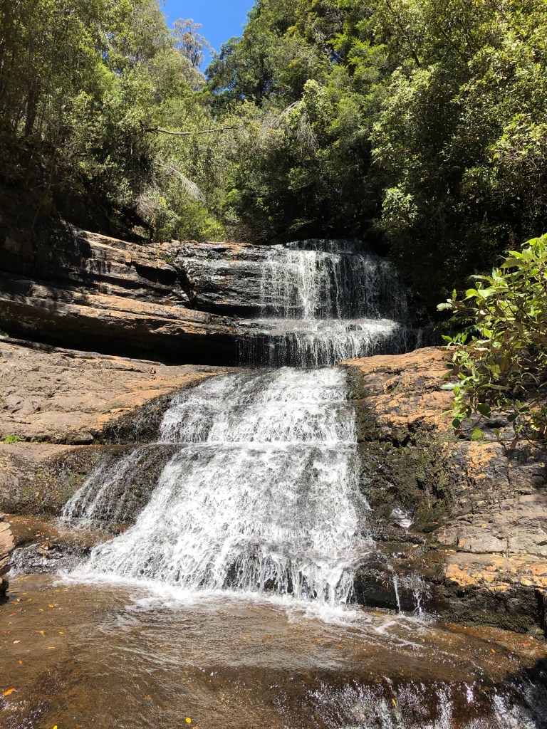
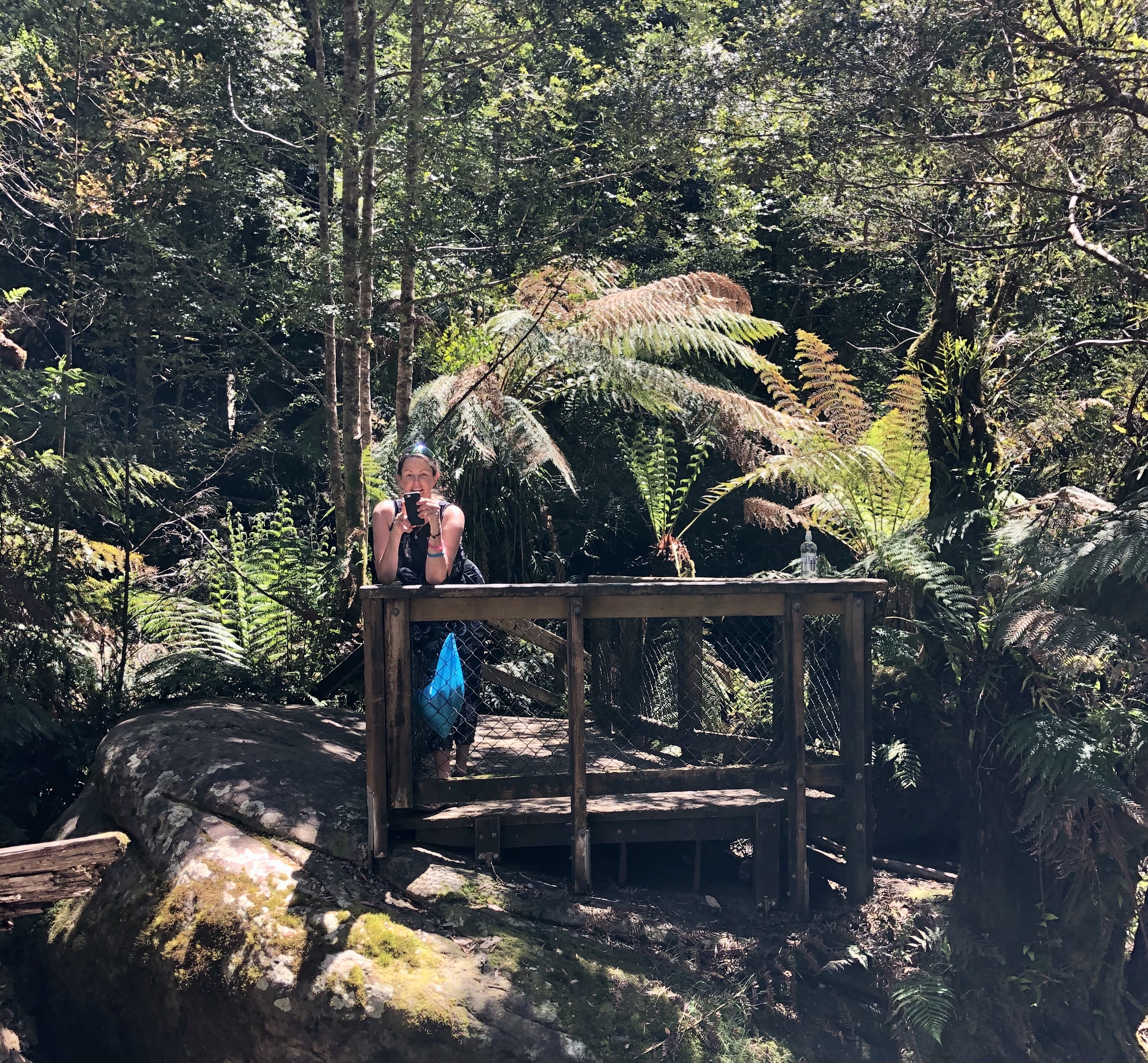
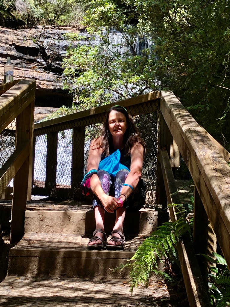
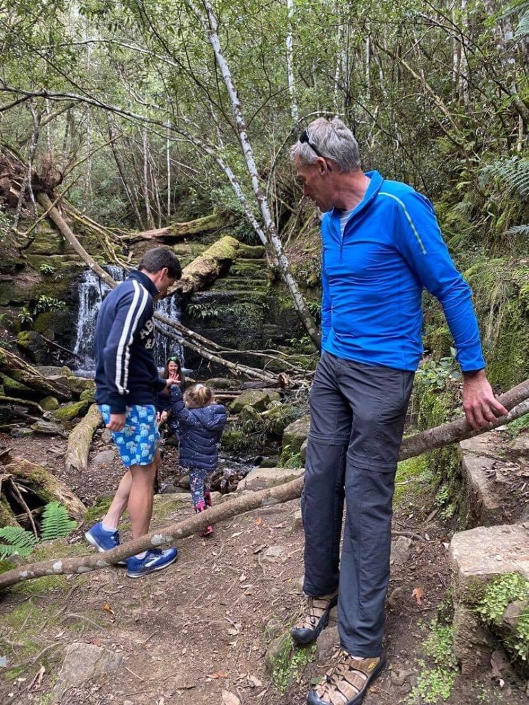
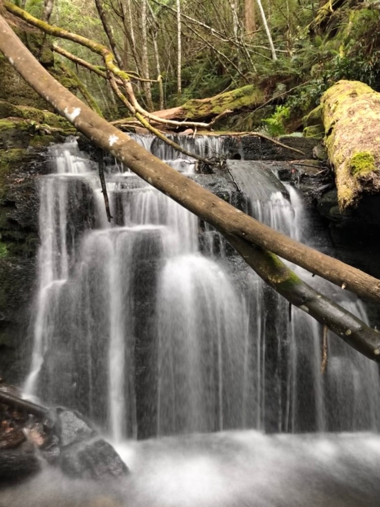
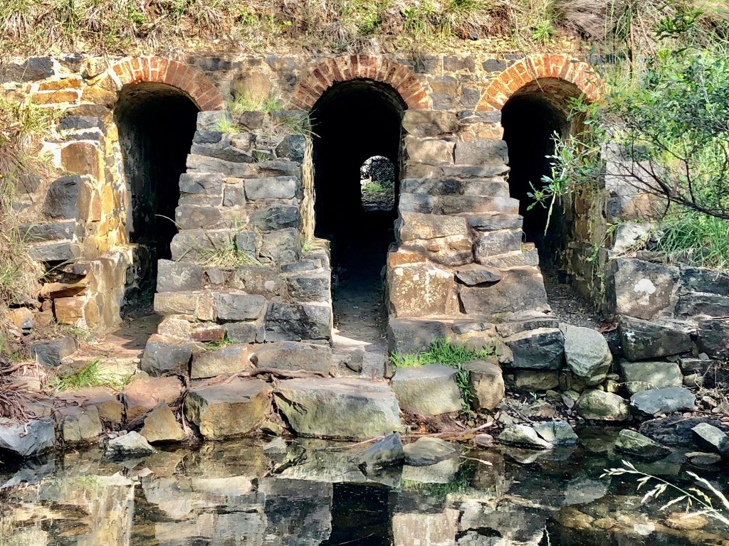
At the top of the climb is a car park for a walk to a waterfall with an impressive decked walkway that you can see in the photo below.

Eventually we reached the start of something quite amazing. I wish the road was dry and the wind non existent before we started this.

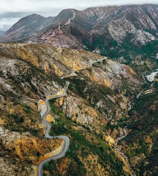
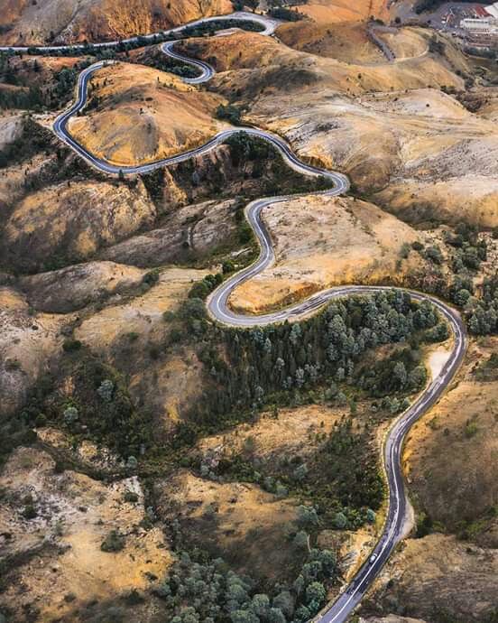
Colle della Finestre ( I’ve ridden that!) is regarded as a monster and a legendary climb in Italy, ranking as one of the toughest in the Alps. It has 45 hairpin bends, including 30 in a 3 km stretch.

Stelvio has 46 and alpe d’Huez 21…..but ride into Queenstown and they have 99 bends! Not the same altitude to descend, meaning they are bang on one another.

Given I do not happen to have a drone handy, I have copied some borrowed shots.

I suspect my descent would be a very slow one on the all time lists. I took it very carefully! I stopped to look at the town of Queenstown way below.

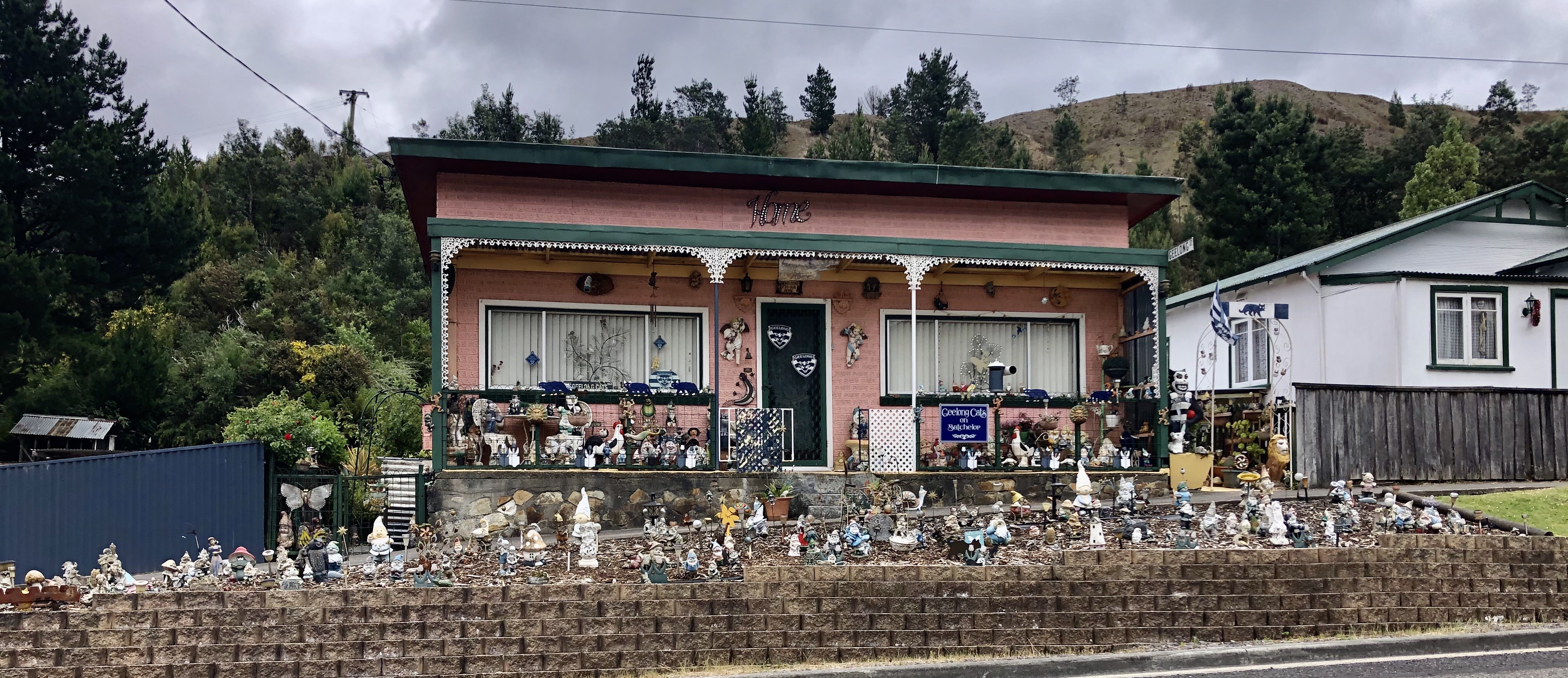
I also stopped to take this photo as we entered Queenstown. What can you say?? 🙈

We kept moving through Queenstown as we were keen to knock off the final 40 km to get to Strahan. We both have some cumulative fatigue from all the climbing we have been doing, and more rain and wind was not welcomed!

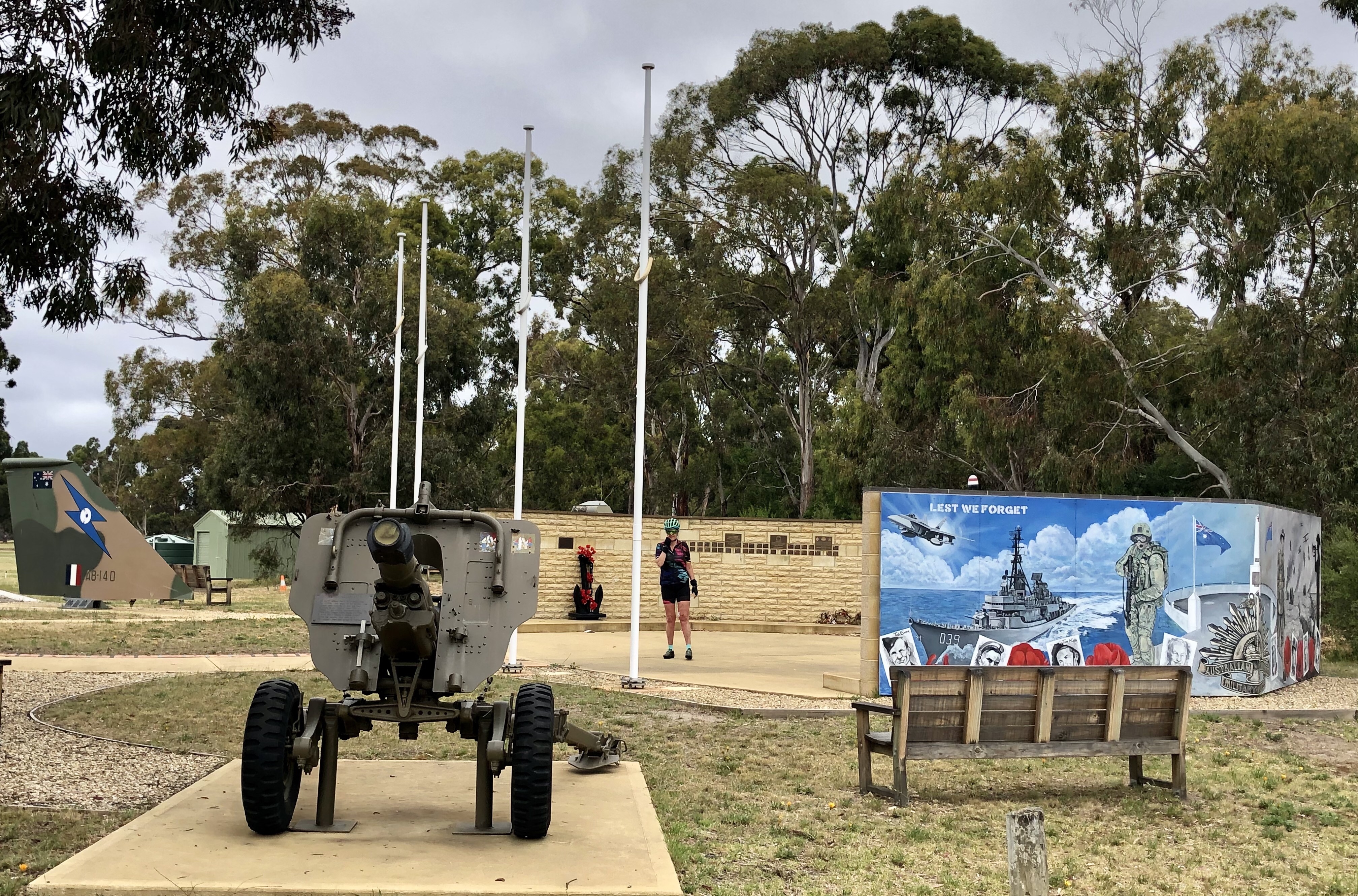
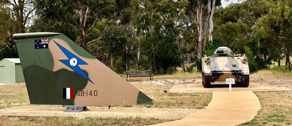
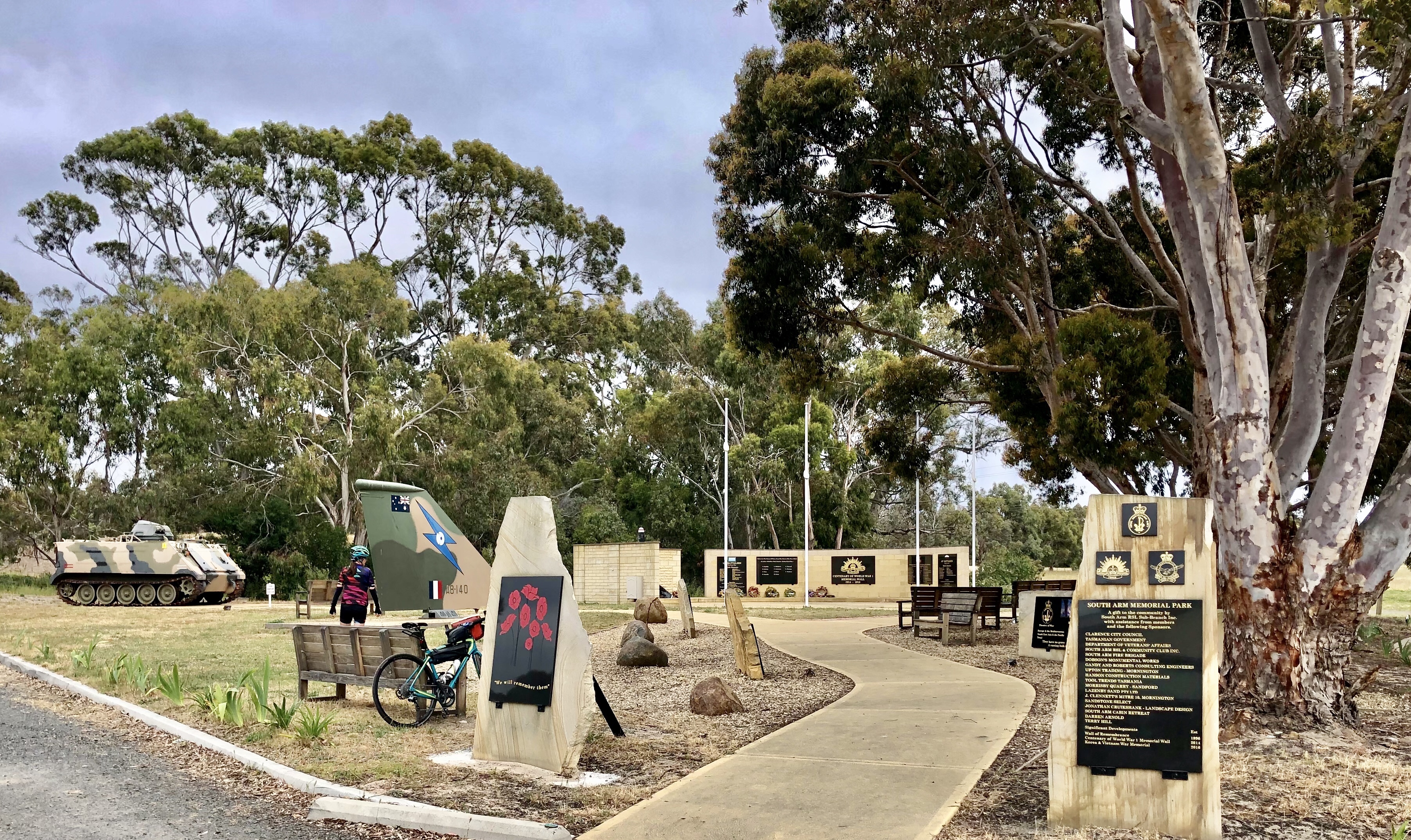
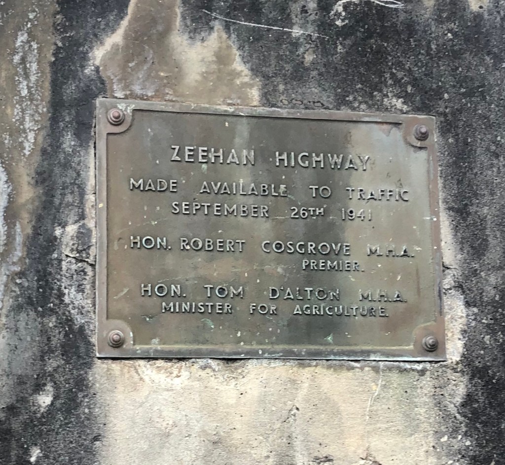
At the highway junction to Strahan we paused to eat, leaning our bikes on a monument. I was very surprised to see my step Grandfather’s name on it. I have my Nan’s wedding ring that Tom gave her. I wore it for some time but ended up having it melted down and remodelled into the Gaelic symbol Tony wears on a chain.c

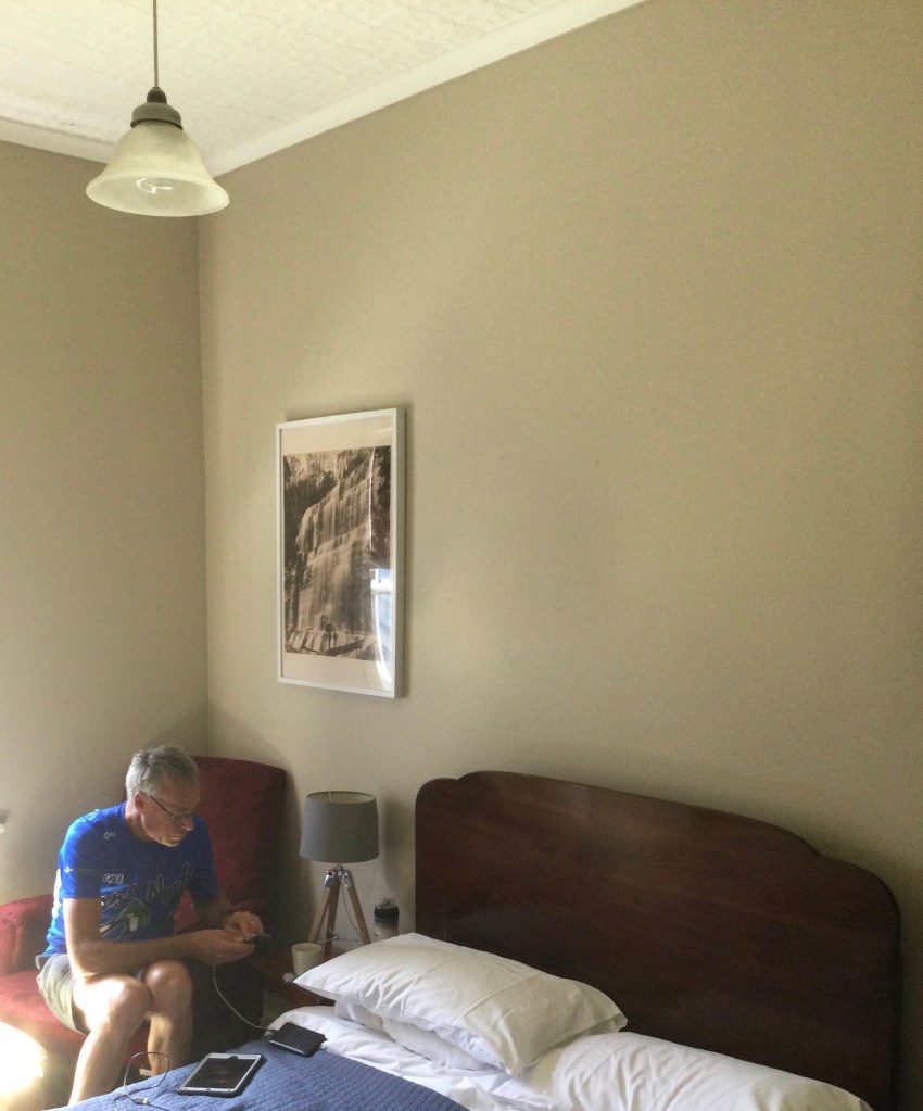
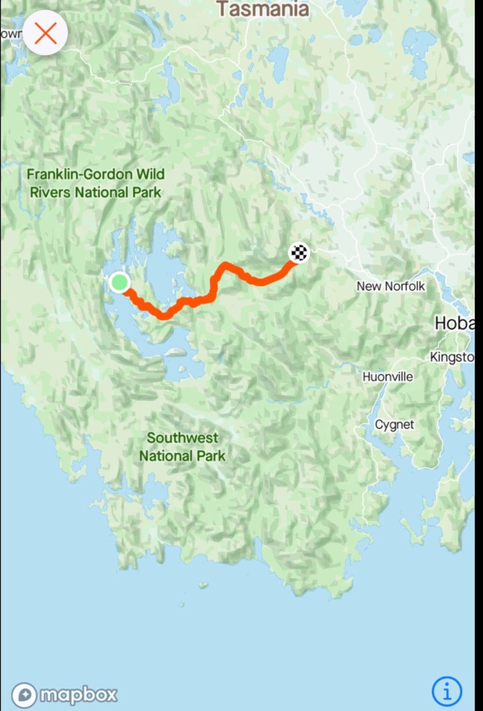
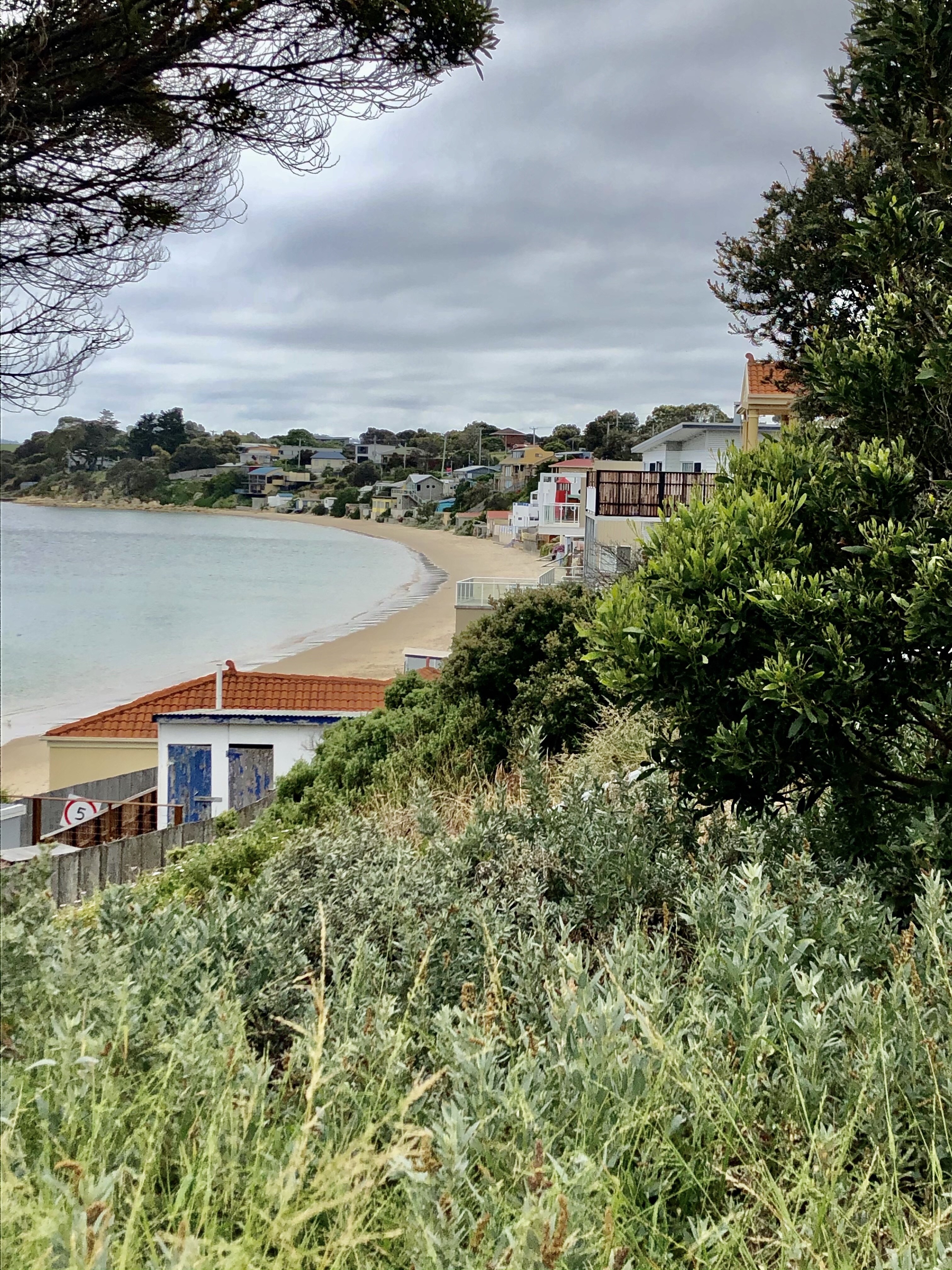
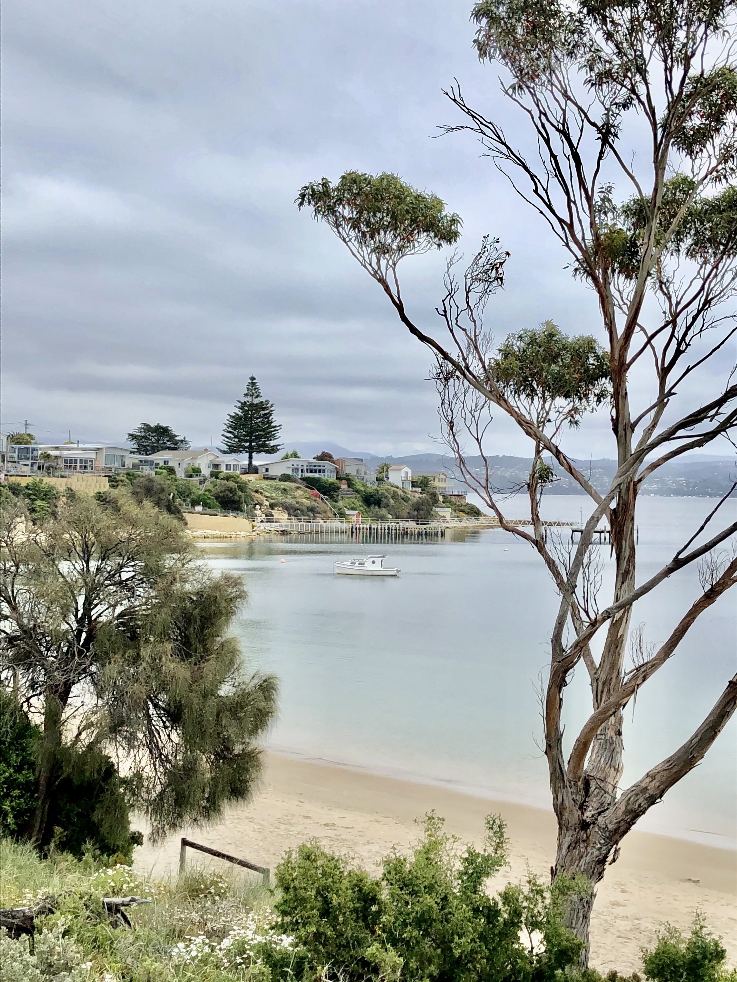
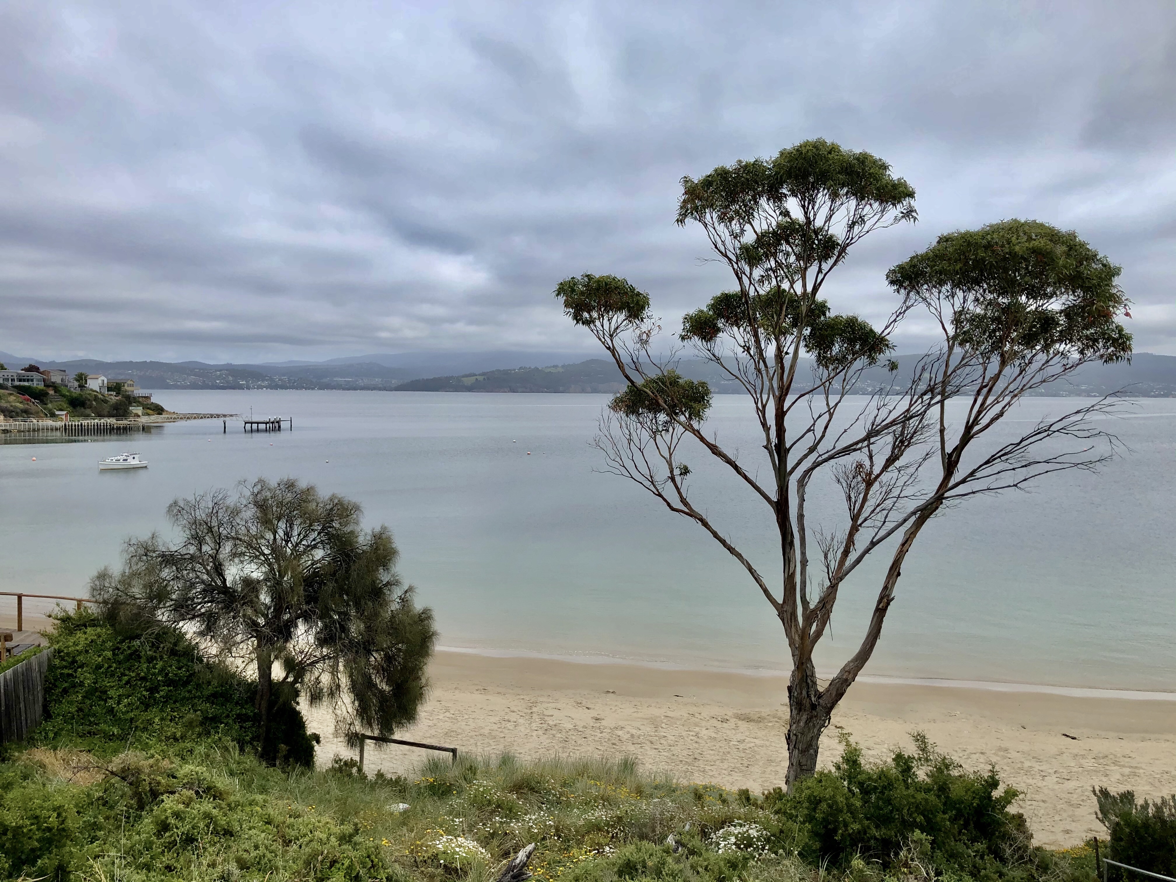
We arrived into Strahan after 131 km and over 1300 m climbing in some pretty awful conditions. We headed straight to Hamer Hotel hoping to score a meal, which we did!

Looking out the window at our chained bikes, overlooking the harbour.

.

We are ready for bed, with our ride tomorrow taking us to Corinna, on the Pieman River. Thanks for reading. Ooroo

Kinky kale and healthy beer?

Up early and we got ready very quietly as there were quite a few guests in the accomodation wing, and the floor boards are ever so squeaky. We were on the road by about 6.45 am.

As I waited for Tony to finalise his bike pack I noted this old window of the pub…Cascade Beer ‘for your health’. 🤩🤷‍♀️😂

The National Park pub is a great hotel – great food, accomodation and staff and at a relatively reasonable price too. It is also for sale and can vouch they were busy last night including MTB riders heading to the Maydena course.

We had eaten some banana cake for breakfast that we had purchased the previous day at the Waterfall Cafe at the Mt Field NP. We had not had not read the packaging but was somewhat disappointed that it was made from 72% Australian products….the banana is only 27 percent of the product. Sad that we cannot make banana cake that is 100% Aussie. I need to read labels better moving forward.

It was a lovely downhill ride to Westerway. Not a breathe of wind, and the only noise were raucous yellow tailed black cockatoos who weaved about in front of us for some distance.

Arriving at Westerway, the road side shop was closed….so onwards to Ellendale via a really pretty route, with undulating climbs and descents.

An old hop house
Fancy sitting on the chair and admiring the view? Battle your way through the long, snakey grass…

Ellendale was where I found Kinky Kale being promoted. Kale is not my favourite green. The best recipe I have for it is to cook it with coconut oil, as it makes it easier to scrape into the compost!

I loved this old church in Ellendale and the garage.

From Ellendale we arrived at the bridge across Meadowbank dam.

Ouse was the first and last town on the Lyell Highway that we could grab food at. I did a raid at the roadhouse, and Tony at the small supermarket. The wind made a surprise appearance (we thought we would have minimal today) and it was to be with us for the rest of the ride as a predominantly headwind.

Another beautiful stone church, this one at the top of the hill as we left Ouse.

We had a good laugh as we approached a plethora of signs promoting the sale of eggs and honey and other farm goods. The signs started way before the driveways and they seem to be in competition with each other. Not sure which house is winning….

The hardest climb of the day was out of Wayatinah…solid climb. you can see it at the 60 km bar below. Climbed steeply!

Shortly thereafter we crossed this canal which feeds Tarraleah power station. This canal flows from Butlers Gorge power station, dropping 290 meters through steel penstocks into the Tarraleah power station.

After seeking advice from Facebook friends the previous day, we accepted my work colleague Barry G’s recommendation to take the C601 ‘Fourteen mile Rd’ to avoid the descent and climb out of Tarraleah. It was a gravel road through predominantly pine plantations, and whilst undulating gradually kept climbing. Good choice!

We came across this older power station pipe at the junction to Laughing Jack lagoon.

We were now at an altitude of around 750 metres above sea level, and the vegetation was changing to alpine.

A number of our cycling friends are doing the annual police charity ride. We knew they were riding from Strahan to Tarraleah and that there was a possibility of seeing them heading in the opposite direction. We stopped a few times for each pack as they went past. one of the packs had quite a few ‘Hi Yakka’ call outs. It was well supported with police escorts, and they even had a tail wind!

The riding was cruisey now, with most of the hard work done. We had a short climb to get to our maximum altitude of around 800 metres above sea level. Great views of mountains in the Lake St Clair NP. This one is The Acropolis.

We were quite relieved to arrive Derwent Bridge as we were both feeling it! We stopped at this cafe, where the hungry police charity riders had left a short while before. They were still cleaning up!

It is only 5 km from the Lyell Highway to Lake St Clair where we have lashed out accomodation wise. We have a nice lakeside cabin, and enjoyed a nice meal even if the steak was $47! Breakfast is included but not until 8 am, so a later start tomorrow and another big day with over 130 km to ride and plenty of climbing.

Today we rode just over 117 km and climbed just over 2000 metres. given I am not a climber, I am pleased with my efforts.

Here are some views of Lake St Clair.

The white dot at the far end of the lake is Pumphouse point, very exclusive accommodation.

Thankyou for reading, Ooroo

Chilling

We had choices to make today….two options:

1. Ride to Lake Dobson on a predominantly dirt road, climbing over 900 metres in 16 km ( meaning the return trip would be downhill)

2. Chill, laze about, have brunch at Waterfall Cafe in Mt Field NP when it opened (about 1 km walk from our pub), do the three waterfall walk (6 km) then back to cafe for iced coffee and then chill more back at the pub.

So it was a tough choice…..beautiful weather and we chose to chill, as the following two days are both going to pretty tough going.

Walking down to the National Park we cut the corner to head to the old National Park railway station.

When I was about 10, I was staying with my maternal grandmother in Hobart, along with one of my school friends. She took us on a day trip here, travelling by train. It was a wonderful trip, well before the days of OHS, commercial litigation etc. My friend and I had a ball on that train, sitting on the step of the open train doorway nearly the entire trip. Our legs dangled free and I still remember some of the bridge crossings. Try and do that today!

A local tourist business now runs these self propelled carts, on the train line, from Maydena (12 km up the road). Looks like fun.

Yummy brunch was next.

Haloumi vegetable stack for me, eggs Benedict Tony (minus the hollandaise sauce

The Three Falls Circuit starts behind the Mt Field visitor centre taking walkers through the rainforests found on the lower levels of the National Park. It is a 6 km loop with a mixture of gradients ranging from gentle to steep.

Here is the data graph and map for the walk.

The first waterfall is only 300 metres into the walk, following a well maintained path through rainforest.

There are a variety of trees including eucalyptus, sassafras, myrtle and blackwood. Some of the fallen trees have massive bases.

At night there are glow worms in the area.

Russell Falls is a spectacular two tiered waterfall, with a lookout point at the base.

A set of stairs lead up to a lookout point maybe half way up the waterfall height.

Well constructed stairs take you to a further viewpoint at the top of the falls.

Horseshoe Falls are a short walk further. A nice waterfall but I’d rate it number three today.

We noted a trout swimming in the creek.

Returning to the main circuit, the path winds its way through a somewhat Gondwanan landscape, with some incredibly old trees predating Abel Tasman’s first siting of Tasmania back in the mid 1650’s. We did the extension loop through the Tall Tree forest.

More lovely rainforest.

Lady Barron waterfall is reached after descending through rainforest and crossing numerous small creeks. The falls are named after Lady Clara Barron, the wife of a Governor of Tasmania.

Tony hopped over the safety barrier for the above photo hence this photo.

Just chilling.

The next part of the walk follows the watercourse before leading to about 270 stairs that climb, climb, climb out of the rainforest.

Once at the top the path gently descends back down to the visitor centre via open forest of eucalyptus that have been subjected to bushfire sometime in the past.

An interesting plaque re the world heritage listing and cultural heritage.

Time for an iced coffee and watching a cheeky bird cavorting in front of a sign telling us to keep the wildlife wild.

Back at the pub I have taken some photos. $95 per night and last night there was one other guest, not sure about tonight. A traditional old pub Aussie style, that was constructed in 1920, but currently owned by an English guy Joffe.

The dining room
Accomodation wing hallway
Our room
The room keys…three caps for room 3, two for room 2 where our bikes are stored.

An early night tonight as we will depart early tomorrow for a longer ride of over 120 km and upwards of 2000 metres climbing. Thanks for reading, Ooroo!

Out and back

Generally speaking I’m not a great fan of out and back routes. I prefer to keep moving forward. After such a tough day yesterday we knew exactly how hard it would be riding out. No illusions at all. It was going to be tough with no alternative options possible.

I did not sleep that well, as I listened to the wind and the rain…thinking bugger, bugger, bugger. I do suffer from anxiety so it was concerning me.

We slept in today until 6 am, woken by the helicopter taking off with the Parks and Wildlife firefighters on board. (Multiple staff staying with at least a dozen we counted) with many 4WDs and the chopper.

Breakfast at the Pedder Wilderness Lodge does not commence until 8 am, so we had no choice but to chill and wait. As we waited in the lounge, we watched the chopper land, and spoke with the pilot as he came inside. They came back early as the weather was too wild and windy….great news for two cyclists 🙈

We had a very large breakfast and staff made us sandwiches for our lunch (and very kindly did not charge us for those….think they felt sorry for us).

The weather at breakfast varied as we looked out the window with glimpses of the sun giving us hope.

As we were about to leave, a younger English couple approached us to ask questions about our bikes. They had a large tour van and were doing an organised kayak trip on Lake Pedder. Suddenly we had a Plan B as they said they were heading out early afternoon and would help us out if the weather turned super shite. Very reassuring and nice to know we had a backup plan (as receptions advice was we should hitchhike!)

The wind was omnipresent. No hiding that elephant, but I’d have to say today it was more help than hindrance as it was still a south westerly. However, it was raining and we would spend much of the next few hours taking raincoats on and off.

The ride out was tough with a couple of really nasty, extended climbs where the inclines were consistently 10-15%. That’s tough with the touring gear on board.

Here is todays climbing graph. The hardest climb was that needle just before 40 km. That was harder than the one at around 52 km.

The weather though does provide different outlooks and here are some of the earlier photos that I like.

Notice the background mountain in the mist

Then we had some sun and blue sky.

This is me finishing off the climb to the highest point of the day.

After a couple of mongrel climbs we were finally at the high point again, and it was blowing a gale, so we descended a short distance and sat on the side of the road to have a sandwich.

As can be seen in the photo above, I am sitting on the edge of a bushfire area that was devastated nearly 2 years ago in the Tasmanian World Heritage area. The regrowth has started but will still take many years recovery.

The area directly behind where I sat, showing the fresh young regrowth.

Tasmania has a significant area of land designated as world heritage, and the area we were just leaving covers 15,800 km2, representing almost 20% of Tasmania. It includes seven national parks and various other reserves.

Having left the wilderness, we were tracking towards Maydena, the town with no food! Again the cafe sign was open, but they still appeared closed. So we motored on another 12 km towards National Park.

Now happily ensconced at the local pub, we have showered, washed our clothes that should dry in record time in the wind. The pub is old and quite traditional old style Aussie pub.

Thanks for reading, Ooroo

Wild, wild (south) west

Holy moly, what a day. Today is one of those days that will never fade into oblivion, but forever be etched in our memories.

Three main reasons – firstly it required lots of body engine power with over 2300 metres climbing into south westerlies of up to 60 kmh gusts. Secondly – we bonked ( me more so) and thirdly, extraordinary views.

At the start of our day we received a call from a cycling/swimming friend Paul L who was riding while he talked. He wanted to tell us that he saw us crossing the Bridgewater Bridge the previous day, and wish us luck for the rest of the trip. As a surveyor he has been through many of our areas travelled and it brought back memories.

The first 30 odd km were ok, leaving New Norfolk early with a lighter breakfast, and plans to eat at either National Park or Maydena. For about 25 km we roughly followed the Derwent River.

The first small township we rode through was Bushy Park, with lots of hops growing in fields.

Grapes also featured. Very pleasant with the sun out and no wind at this stage.

Mt Field National Park was quiet and the cafe closed. It was 8.50 am so probably a tad early. The pub we are staying at tomorrow night looks positively deserted! The Tyenna River looked very nice.

Downhill section on route Maydena

Maydena was another 12 km further on and there were signs out for a cafe at a MTB business so we plodded on. Sadly when we got to Maydena the town was quiet and snoozy. We were excited to see the Open sign for the MTB cafe but turns out they leave it there 24/7. I find that annoying and false advertising.

We peered through windows as we could hear dogs, and a lady came out (coffee in hand!) saying they were not open. I made a suggestion that perhaps they should bring their signs in when closed.

We stopped for a breather here.

We rode through areas savaged by more recent bushfires.

From hereon in our day became difficult. We climbed and descended, climbed and descended with our elevation climbing until we were at 651m above sea level. This is also where the omnipresent wind decided it would stay with us for the rest of todays ride.

The elevation graph shows the nasty pinches.

The views were amazing with an array of mountains.

At the 80 km point I was bonked….meaning I was not keeping up enough nutrition for the physical efforts required, fluid was also low. I was dizzy and felt generally shite. We stopped and had one of our emergency bars and studied the maps for rivers. We had crossed and passed so many earlier, but when you need one, none to be found.

Fortunately some 10-15 km further on, Tony thought he heard a waterfall off the road in the dense rainforest and filled up our bidons. We figured being so remote, no chance of agricultural wash off, and we would take the risk, as we were both so very thirsty.

It did the trick and we both picked up heaps, which was good as those hills did not relent and we had head wind and gusts most climbs.

Shortly thereafter was this weird sign.

We had no idea what to expect. This surprised us as it does seem somewhat out of place given the remoteness.

Onwards we plodded with both Lake Gordon and Lake Pedder looming on our Garmin computer, but not in the vistas which were extraordinary by now.

Finally the first part of Lake Pedder, the McPartlan Pass canal. Interesting information including the fact that the scheme is three times the size of the Snowy Mountains Lake Eucumbene.

Lake Pedder

Lake Pedder, or the edge of it. I never saw the original Lake Pedder before it was flooded, but it was a truly magnificent from all reports. I dug out an old photo. Sally C (work contact from the Federal Government) is staying here with her husband who used to fly tourists in. He is unsure where this old beach is now given the extent of the damming.

We were very relieved to finally make it to our accomodation at Pedder Wilderness Lodge, formerly the Hydro village that the workers lived in during the construction of the dam walls. This is the view off the main dining area.

Our room is one of the cheaper ones, being former workers accomodation, complete with ear plugs. Guess the walls are thin?

Dinner, we had two options….5.30 pm or 7.30 pm…we laughed. We were starving and 5.30 pm suited us fine. First time this trip we had three courses and planning on leaving later tomorrow for their buffet breakfast. Main course I had a steak and Tony parmigiana.

A helicopter landed a while ago, and it was used to transport Parks and Wildlife staff who are staying here tonight too.

Thanks for reading….we’re knackered and enjoying sitting on the lounges overlooking Lake Pedder. As a certain famous Australian used to say ‘do yourself a favour’ and come and check out Lake Pedder.

The good, the bad, the ugly

Farewell to Sienna (the good granddaughter) and her mum and dad from Granny and Poppy Tony took time, as she stood and waved for many long minutes. We waited for her to pass us in the car for our final goodbyes.

My kids live wide and far (Hobart, Melbourne, Adelaide-Gold Coast and Basel, Switzerland) so I am fortunate that at least I live in the same state as Sienna despite still being over 300 km away.

After our final wave, we entered the max peak hour traffic heading out from Acton Park to the major highway that heads into the city. We hopped onto a gravel footpath to minimise impact, being tooted by my daughter in laws Mum as she headed off to work.

We headed via the Coal Valley to Richmond with one final view of the water.

The Coal Valley has some quirky named places, such as Peter Rabbit Garden, Puddleduck Vineyard, just down the road from Duckhole Rivulet.

Richmond is one of Tasmania’s oldest villages, initially established as a pioneering district within the Van Diemen’s Land penal colony.

It boasts Australia’s oldest existing stone arched bridge. Construction commenced in 1823 using convict labour from the nearby Richmond Gaol. The convicts were forced to mine the sandstone and then transport it to the site.

Earlier today a friend from my school days, Kim K told me that her husband has done extensive restoration work on the bridge throughout his career as a stonemason, having also repointed the entire bridge. What a great legacy to be part of.

My eldest son Joshua and his wife Kimberley had their wedding photos taken in the grounds of the bridge too.

The church spire belongs to St John’s Catholic Church and is considered to be the oldest Roman Catholic Church in Australia, constructed in 1836.

At the rear of Richmond Bakery is the Richmond Wine Wall with an array of barrels from local vineyards, promoting what is where.

A great courtyard to have some breakfast.

St Luke’s Church was built in 1834-1836 and is the oldest Anglican. church in Australia. The clock mounted in the church tower chimes each hour and is manually wound by a group of volunteers.

I like this church wall. Not sure of the story or history, but renovation work was taking place.

Leaving Richmond we headed out on a relatively quiet road to Tea Tree, a lovely rural area.

Lovely rural went out the window once we arrived in Brighton. It is busy and nothing attractive about it at all (the ugly). It is a busy necessity we must pass through, as happens touring. Weaving around we joined a three km bike route which was an excellent idea, but in need of some maintenance.

The Bridgewater Bridge and causeway are amongst my earliest childhood travelling memories, and I always wanted to see the bridge rise and watch a boat move through. I have seen it once, and I was in my early 40’s, so I had to wait many years.

Last view of Mt Wellington

Crossing the bridge, views to the south and north.

Head down we concentrated as we did the final leg to New Norfolk. The road was busy with varying verge. We arrived by 12.30 pm and were able to gain early access to our room, overlooking the Derwent River.

Fantastic accomodation, beautifully positioned we showered and washed our clothes, with the idea of walking back into town for a look. However, the best laid plans do not always work.

The washing machine cycle took an agonisingly long 90 minutes (that was a shorter cycle). Then the door would not open and the handle snapped off, leaving our clothes trapped inside (the bad).

That was a bugger kind of moment. In there were arm warmers, gilets, gloves of which we only have one pair each, plus jersey and bibs (we do have a spare pair). We tried and tried, watched You Tube videos and nothing worked. We advised the lady owner who was immediately scathing and grumpy.

Whilst Tony waited for her further advice, I walked the 2 km back into town to sort out dinner and destress! I also put a post onto FB seeking my friends wisdom. We tried a variety of their ideas, but the big winner was my Zwift friend James N who asked to see a photo of the lock, then suggested a flat knife….it worked!! Sounds like we will be charged for the service fee, travel and new lock…but we have our clothes!

Final view tonight as I look out our window. Incredibly peaceful. Big day tomorrow! Thanks for reading. Ooroo.

South Arm and Opossum Bay

Today we planned to explore South Arm and Opossum Bay. Both areas nearly completely surrounded by water, connected to the rest of the South Arm Peninsula by a narrow isthmus (the southern part of the map below).

We stopped for breakfast at Lauderdale, also situated on a narrow isthmus. Next stop was Goat Bluff Lookout.

View to the North East
View south looking at Betsey Island
View straight ahead

Next stop was the South Arm RSL and Iron Pot Golf Club. We turned in there as we could see an army tank. The South Arm war memorial is very interesting and well done with the tail fin of a F111 ( F one eleven), M113 armoured personnel carrier, and an image of HMAS Hobart, amongst the exhibits.

We headed on through the village of South Arm towards Opossum Bay stopping to admire this house and view. There has been some debate tonight about whether this is the house that Brian Ritchie, the bassist with the famous US folk punk band Violent Femmes owns. Apparently he is best mates with Tasmania’s leading IVF specialist who travels with the band. Further curiosity is that Brian also acts as a curator for MONA. Whoever owns this house, has a magnificent spot.

The road comes to a halt where a new development is proposed for End Arm, an area originally settled by a colonist by the name of Gellibrand. The area will feature a golf course, walking and cycling tracks and looks awesome!

We were really impressed with Opossum Bay. Lovely beach, calm water and houses overlooking the beach.

Noted on the back deck of this house was a very Aussie Xmas tree…made with thongs ( known as flip flops, jandals to others).

Pretty awesome jetty and pontoon. We rode right out this one.

We rode out on the main road (having come in on a secondary road), and took a few turn offs to check out sights. Calvert Lagoon and beach are the next few photos.

Our final turn off was down to Clifton Beach, where a bunch of school kids were having surf lessons.

A very pleasant day ride of around 75 km, somewhat undulating with headwinds heading in, tailwinds out. Tomorrow we commence our journey to the West Coast and central region of Tasmania.

Thanks for reading. Ooroo

Granny Sharron

How many Grannies ride 900 km to see their granddaughter? Not too many I suspect, but yesterday we would finally arrive at my eldest son’s place in Acton Park, on the eastern shore of Hobart.

We left Port Arthur heading towards Dunalley, retracing our previous day heading in. There we would take a different route towards Hobart.

The air was still, with the forecast NE winds not yet being felt.

Looking over the penal settlement from our accomodation as we left
Stewart’s Bay just a short distance up the road.
Stewart’s Bay

We had an excellent ride out to Eaglehawk Neck with minimal traffic. There Tony and I parted ways to tackle the climb out.

As we paid for dinner the previous evening a local lady, Audrey, upon discovering our ride around Tasmania, had exclaimed ‘but how will you get to the top of Eaglehawk Neck’? ‘It goes up like this’ indicating steepness with her hand.

Tony chose to head straight up the highway and I chose to climb Pirates Bay Drive to the lookout. My way was longer with a steady gradient of 6-8 % whereas Tony’s way was up to 10%. We both made it ok and met at the Tasman Lookout for a last look over the Peninsula.

The view through a picture frame

The coffee van guy was there setting up but would not sell us a coffee for another 30 minutes so we were not waiting and pushed on, as todays ride was undulating.

We rode straight on to Murdunna to stop at the roadside house for some breakfast.

Sat in the same chairs as yesterday looking over Norfolk Bay

As we finished our breakfast and headed off, the first of the NE breeze was noted. At Dunalley we turned off the Arthur Highway heading towards Carlton River.

Dunalley turnoff view looking towards Connellys Marsh
Looking towards Dunalley Bay

Fulham Rd followed the coast in a westerly direction then bearing north westerly. Our next stop was Carlton Beach where we stopped to visit my cousin Phil P and his wife Marcia. Phil has been kept very busy in supposed retirement converting bikes to electric. His own bike has ‘incredible speed’ capacity. He converts around 5 bikes per week.

Leaving Carlton Beach our next stop was to my Uncle Stuart and Aunt Janine who live in Lewisham up the top of a very steep hill (21%). I walked that bit!

I had not seen either for around 15 years since my Nan’s funeral and that was far too long a gap. I had been a junior bridesmaid at their wedding in 1972 when I was 10.

We sat outside where they have amazing views, these photos not doing it justice. The gaps show the two causeways we will shortly ride across.

I think next visit we will drive up to their house.

Leaving their home we headed towards Forcett and Sorell. The Arthur Highway was very busy by now and quite narrow, and we just put our heads down and concentrated on the slight verge.

From Sorell there are two causeways to cross, and fortunately both have dual pathways keeping us separated from the fast traffic.

We skirted around the Hobart airport boundary, through Seven Mile Beach, up a final hill and then we arrived at our destination. Granny arrived to a lovely hug from Sienna.

Today has been our one and only scheduled day off the bike. A busy day that included coffee at a cafe, waterfall walk at Strickland Falls, weeding the garden, covering fruit trees and playing with Sienna.

Sienna and Granny
Strickland Falls…Granny is building a dam with the rocks…some kids never grow up.
Strickland Falls

Cat scratch fever

You need to think laterally today re my blog title….do let me know if you ‘get it’.

We started with a healthier breakfast today.

Tony’s breakfast as he catches up on strava.

Leaving Orford we were on the Tasman Highway for about 15 km following the Prosser River. A narrow and winding road but quite pretty. It would have been far nicer without the constant buzz of traffic dashing off to work.

As we peeled away from the river, the road widened, and the wind arrived. The wind was to be a fairly constant nuisance today as it was a SW, and guess what direction we were broadly heading?

As we reached Buckland we turned left towards Nugent.

I do have memories of Buckland being the coldest place ever from my Army Reserve training days. We conducted a 24 hour medical triage exercise there. It was freezing! Sleep was rostered for about 2 hours each during the period, and the sleeping bags were rubbish. I also peeled more potatoes than I care to remember during my mess duty. In addition I wrongly diagnosed a patient as being alive, when apparently she was dead…..well they had a pulse and nice pink skin colour….🙈

There was a solid climb to Nugent as seen here on the climbing graph. You can see that right from Orford we gradually climbed and at the 20 km point it became steep. There were numerous 12 percent pinches and it was hard ( remembering we have extra weight on the bike with all our gear). Maximum gradient was around 12 percent.

Fortunately the steepest section was bitumen but from the first peak and descent it was back to gravel.

Nearly at the top…..

We rolled along undulations arriving at Nugent. According to Wikipedia the main feature of Nugent is its hall where locals hold gatherings. Hmmm….this is a two building, no houses town. Here they both are.

There is a sign on the door of the club….home of the Nugent Roosters. No football oval to be found…think I will stick with Cat Scratch Fever alternative facts.

Over the road from the hall

Back onto dirt, it was well maintained and compacted with some great scenery.

We turned left onto the Arthur Highway at Copping, and by then it was blowing very hard, and we either had a head or side wind with the South westerly. Certainly we needed to concentrate extra hard to hold our line. Traffic also increased significantly.

At Dunalley it was howling and again we had trouble holding the bike steady. An interesting place on a narrow isthmus with the Denison canal and a swing bridge that allows boats easy access between the two bays. The canal was originally hand dug commencing in 1901 and taking 4 years to complete.

Denison canal

The Tasman and Forestier Peninsula are both important habitat for the Tasmanian devil. The local devils are free of disease and there is a conservation project aimed at boosting the population. the narrow isthmus at both Dunalley and Eaglehawk Neck assist in this regard.

White caps Dunalley Bay

We battled on to Murdunna and stopped for lunch at the local road house overlooking Norfolk Bay.

Norfolk Bay

On the approach to Eaglehawk Neck there was a signed option for Pirates Bay Drive. We ummed and aahed and decided to take it and wow, we were pleased we did, as there were brilliant views from the Tasman National Park lookout.

Resting

The bonus was being able to ride up to the coffee van counter.

After a great descent, we arrived at the Tessellated Pavement.

Eaglehawk Neck is only a 30 metre wide isthmus. It was once guarded by a line of ferocious dogs to prevent convicts from escaping across the Neck from the Port Arthur penal colony.

Port Arthur was our destination today and we decided to head straight there rather than doing a loop to Nubeena due to the wind, thereby shortening our ride by 20 or so km. On the upside, we could wander around the Port Arthur historic site.

Port Arthur was a 19th century penal settlement established by the English to house their most hardened criminals. Life was tough. 1646 prisoners died and are buried on the nearby Isle of the Dead. The prison closed in 1877 and fell into disrepair until its value was realised as a tourist destination.

The penitentiary
The Asylum
Two churches
The two churches closed up,

Etched into the psyche of adult Tasmanians were the dreadful events of 1996 resulting in the death of 35 people. The memorial is moving. The Broad Arrow cafe ruins remain in the background.

After 1996 I vowed never to return. Many years later I did as I was the manager of the Tasmanian Swimming team at the Australian All School Championships being held in Hobart, and the educational day was to Port Arthur so I had no choice. Today I found the memorial still stark and moving.

A great ride again, some 97 km and over 1200 metres climbing. Progress was slow but we made it in one piece. Tomorrow we have a solid climb to get out of Eaglehawk Neck and head to the outskirts of Hobart to my eldest sons home, catching up with family en route.

Thanks for reading, ooroo

Life is a beach

A beautiful start to the day as the sun rises above the Hazards.

Swansea sunrise

We headed north to the Bush Mill to grab some food, before turning south towards Triabunna and Orford.

Today was shorter, a mere 60 km with around 500 metres climbing. The views for the first half was beach after beach, with the omnipresent Hazards and later, Maria Island.

We stopped at each beach turnoff, including Cressy, Spiky, Kelvedon and Mayfield.

South of Swansea
Cressy Beach
Cressy Beach
Highway view
Kelvedon
Kelvedon Beach

I particularly liked this view at Kelvedon Beach looking towards a farm building and Maria Island poking its head behind.

Kelvedon Beach
Spiky Beach view

Roadworks were occurring on the northern approach to the Spiky Bridge so we could not ride over it today.

Built by convicts in 1843 the bridge was made from field stones laid without mortar or cement. The parapet features field stones laid vertically, giving the bridge a spiky appearance.

Spiky Bridge
Just before Mayfield Beach

Three arch bridge is a short walk, or bike push at Mayfield Beach. The bridge was built in 1845 by convict labor from the nearby Rocky Hills Probation Station, as part of the old convict built coach road that connected Swansea to Little Swanport.

The bridge spans Old Mans Creek and has the current highway built over the top, some 10-15 metres higher.

Three arch bridge

Just after we left the Mayfield Conservation area we came across an echidna, not keen to be photographed as it tried to bury itself. Great to see one alive, as sadly we past one earlier that had been killed on the road.

Echidna

Another beautiful view as we approached Little Swanport.

Highway view

We had not planned to stop for coffee until Triabunna mainly because we did think there would be anything. When we came across this cafe in the middle of nowhere, we thought ‘why not’. We had time to kill today so we chilled here for 30 minutes or so, until 3 guys on motor bikes arrived and we offered up our table (there was only one).

Cafe stop

The owners dog came over for a pat, making us think of our two loved dogs Simba and Jack hoping they are going ok at the kennels.

Dog patting
Highway view

The Highway is quiet here. Traffic overall was not too bad today with one major exception. One idiot driver of a red convertible Mercedes, registration starting with MHH…I was hoping we might see the car in Triabunna or Orford so we could have a chat! He came within inches passing us, making no attempt to leave a 1.5 metre gap.

Triabunna is the gateway to the Maria Island National Park. Decent looking ferry and we’ve added that trip onto our local bucket list.

Triabunna wharf
Archie

Another dog came over for a pat. This is Archie who walked ahead of an elderly lady walking with her frame. She told us Archie belonged to her grandson and that he is a good boy. I think she meant the dog.

We knocked off another hour at Triabunna making the final 7 km ride to Orford, located on the Prosser River. Another very quiet town. Interestingly the jetties are all privately owned.

Prosser River, Orford

So a short day but tomorrow is a tougher day as we head to Port Arthur. We have a few different possibilities route wise but will make our mind up in the morning depending on the weather. The forecast is potentially problematic wind wise, so we will see how bad it is and tweak accordingly.

We are planning another early start, having purchased breakfast supplies. The wind tends to be kinder earlier in the day.

Thanks for reading. Ooroo.