We paid a lot of money today to see something special, very special. There was lots of shrubbery too, so that makes it expensive shrubbery, enough to satisfy the Knights who say Ni.
I’ve always wanted a reference to Monty Python and as loose and flimsy as it is, we did visit the Poor Knights Islands today, there was shrubbery, but terribly inaccessible at that.
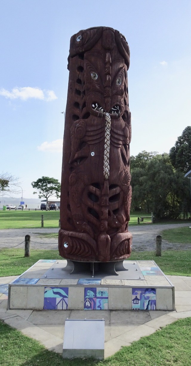
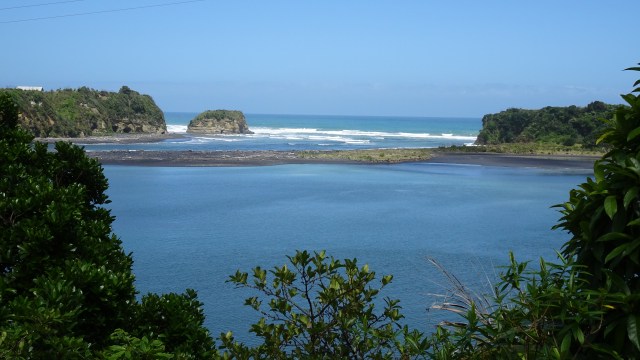
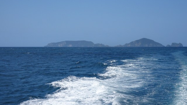
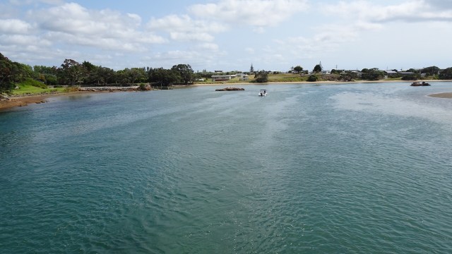
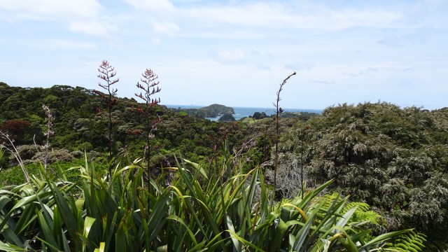
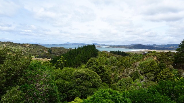
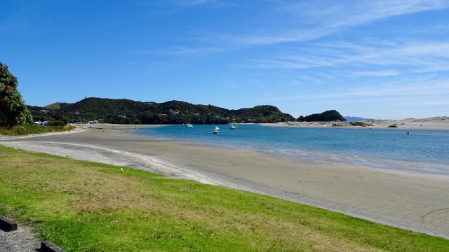
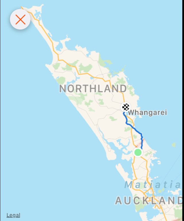
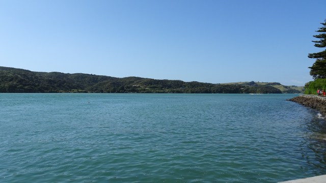
These world renowned islands are 24 km off the Tutukaka Coast and feature protected marine and island reserves.
Captain Cook first sighted the islands in 1769 and named them such, but unknown why. Two theories exist.
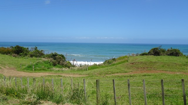
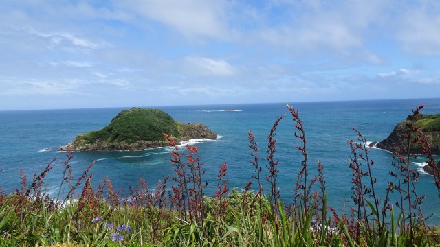
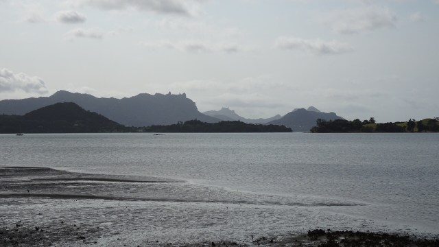
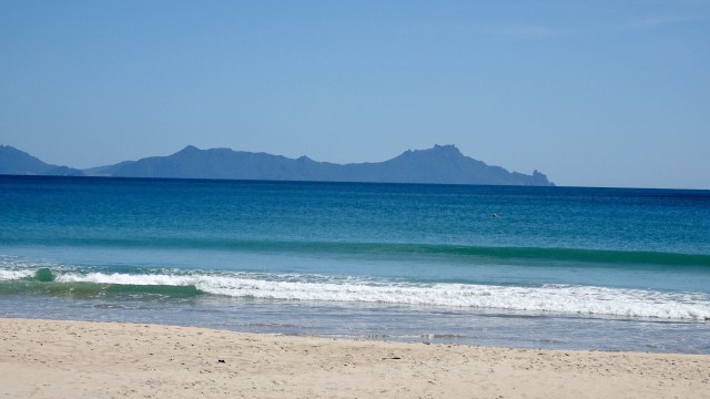
The first one is that at a distance, the shape of the islands look like a poor knight burial. On the battlefield the slain Knights were laid to rest with their shield on their chest, and a light covering of dirt.
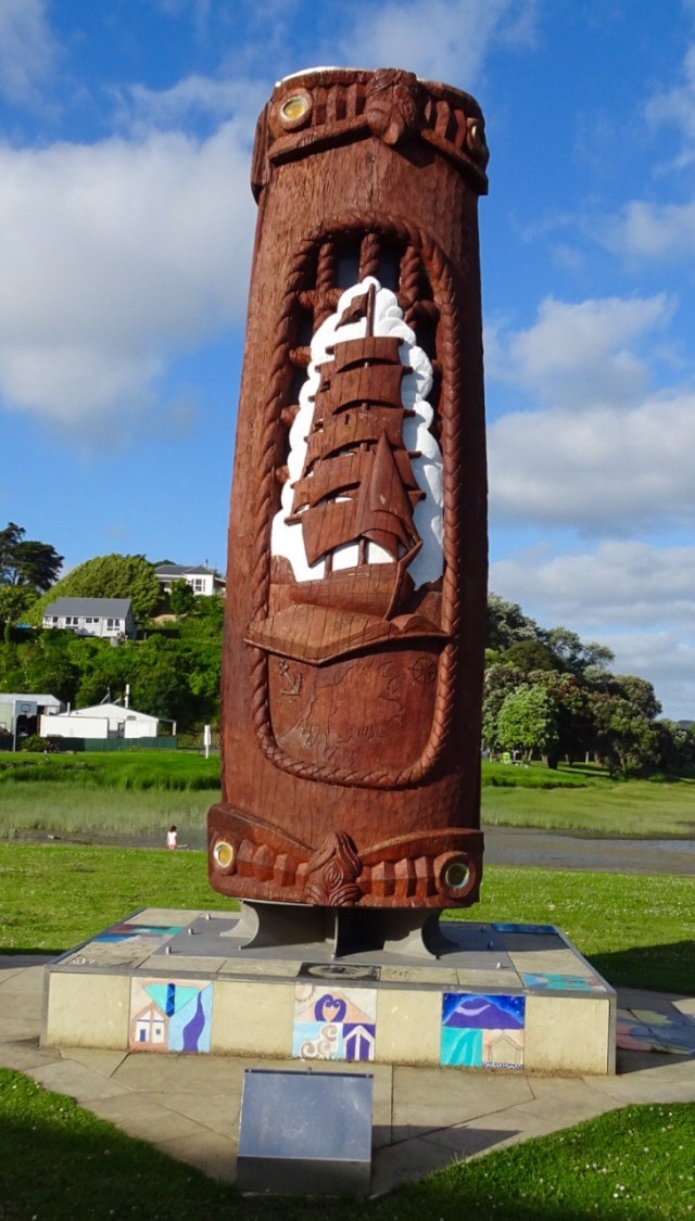
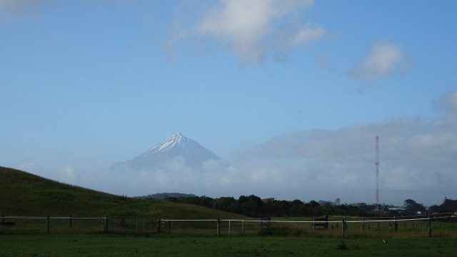
You can see that in the photo below….head, chest with shield and feet.
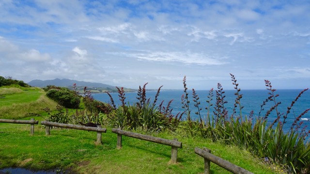
The second theory relates to the English delicacy, Poor Knights Pudding. Sailors would leave their home port with plenty of bread. After some time at sea, the bread would be mouldy. Instead of feeding it to the fish, they caked it in egg and cooked it, adding raspberry jam to the top. It was suggested that as Cook first saw the islands with the Kiwi Christmas tree in flower, the green shrubbery with bright red flowers reminded him of the dessert he would have frequently eaten onboard.
This is an example of the tree from elsewhere as they have just finished flowering on the Poor Knights Islands. So the green shrubbery (mould) and red flowers (raspberry jam).
I think I prefer the first theory!

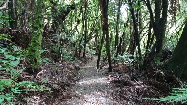
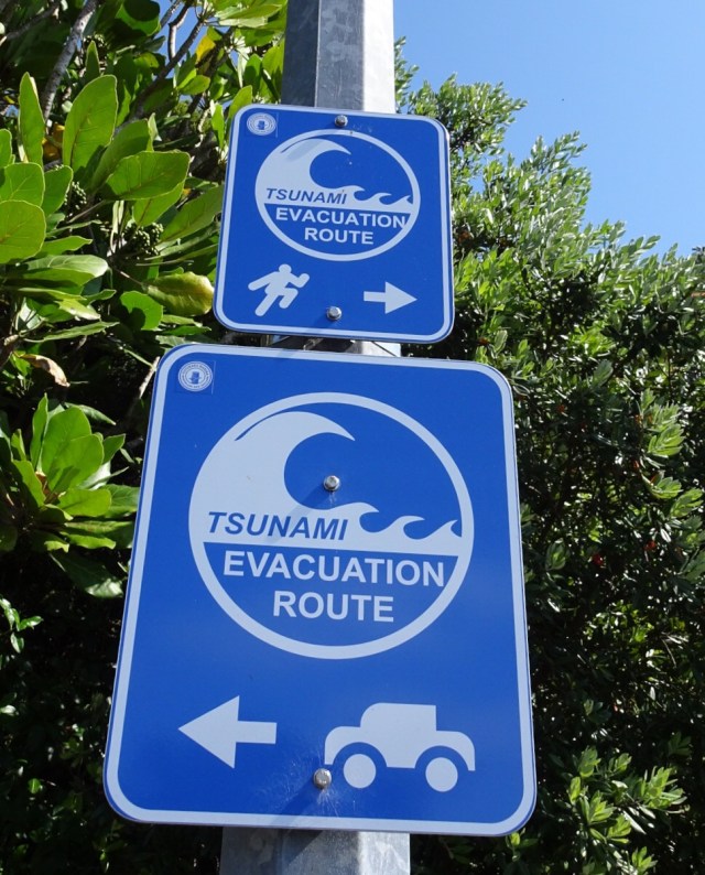
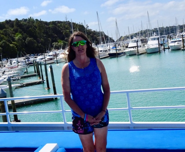
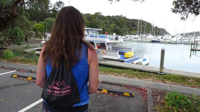
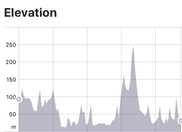
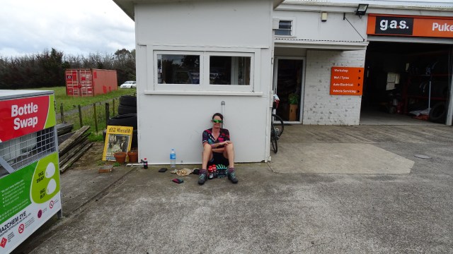
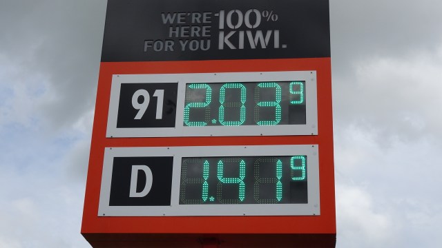
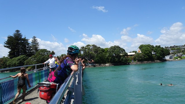
Before we headed out to the boat, we walked to the marina from our accomodation…no mean feat with the terribly steep hills.
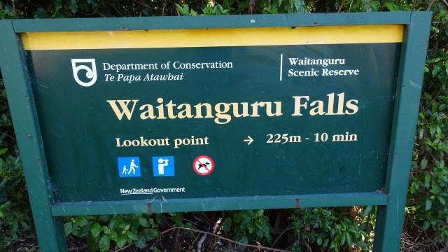
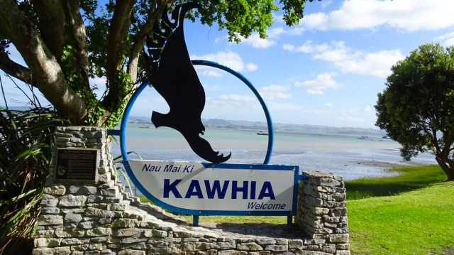
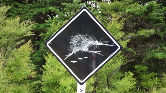
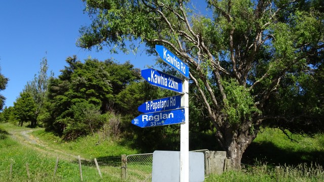
We saw this sign!
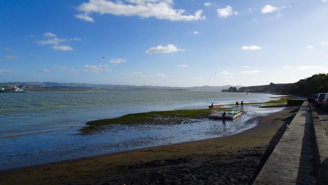
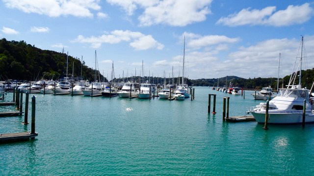
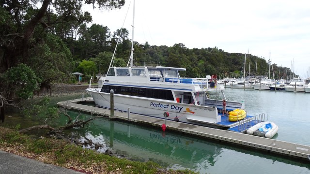
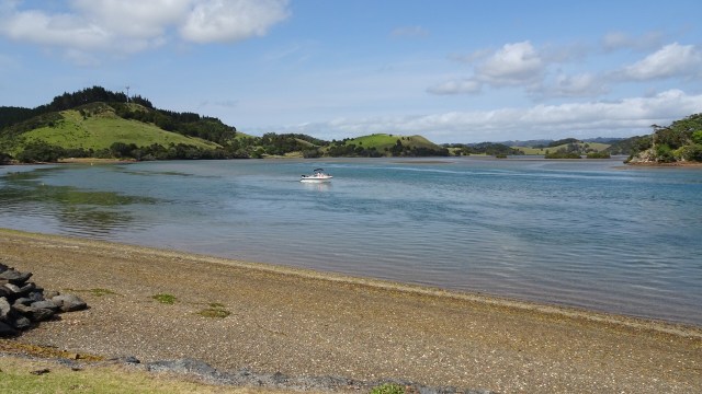
The marina was calm.
We were first on board. Cyclist tan marks already! Noice!
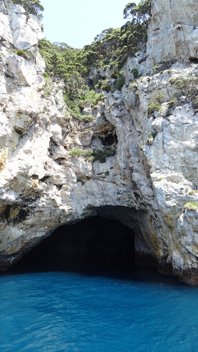
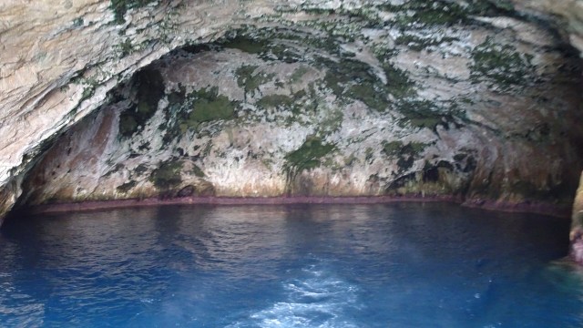
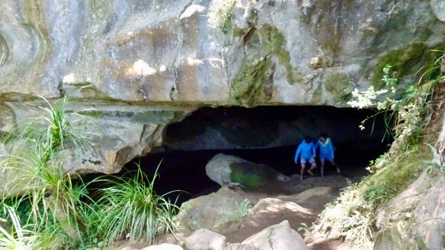
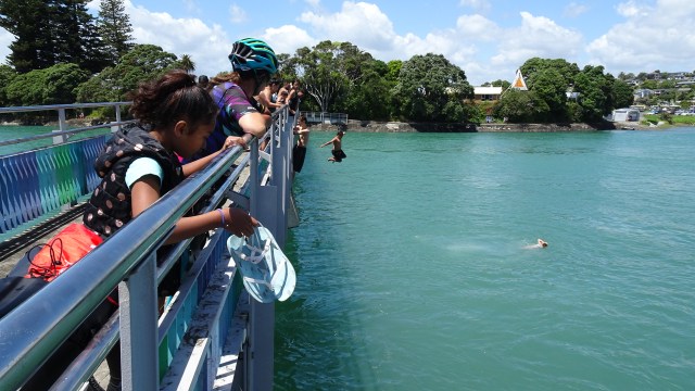
I managed to be one of the first into the water, Complete with wetsuit, flippers and snorkel. I headed straight over to this cave, as the skipper told us you could swim through the narrow entrance and it then opened up once inside.
It was very dark in there, but the highlight is when you then snorkel out. The underwater light as you snorkel to the opening is incredible, with the most amazing schools of fish hovering around the entrance.
It was entrancing!

Not all snorkelled, as there were plenty of aquatic options.
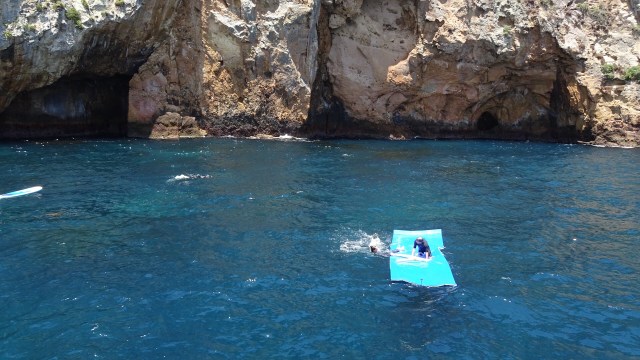
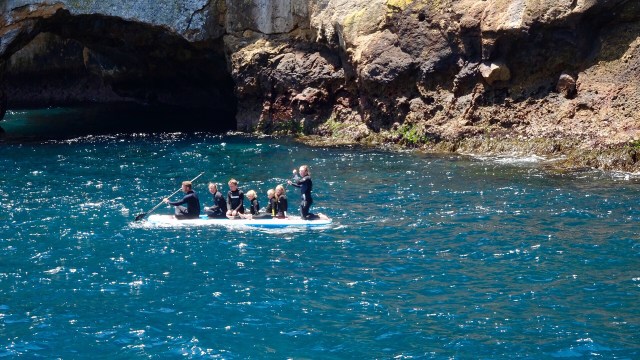
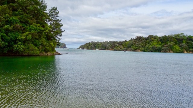
We spent a wonderful few hours in this magical spot. Beneath the ocean surface there is spectacular water clarity and warm subtropical currents providing a rich, varied and abundant sea life. Steep cliffs plummet 100 metres below sea level, broken only by caves, archways and fissures that are habitats for over 125 species of fish, soft corals, sponges, vibrant anemones, kelp, forest, stingrays and myriad of other life forms. Jacques Cousteau has ranked this spot in the world top 10 diving locations.
The islands also have a rich cultural history and Ngatiwai, who used to reside on the island, are now the kaitiaki (traditional guardians) of a sacred covenant placed on the islands by the ringa kaha (chief) Te Tatua in 1822. This tapu was placed following the massacre of his people while he and his warriors were absent. It also covers the surrounding waters because some of the occupants had jumped from the cliffs to avoid being taken prisoner by the invaders. Landing on the islands is prohibited.
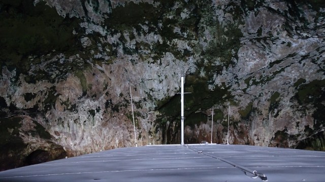
Before heading back to Tutukaka we cruised around a few of the islands and the skipper told us we would be entering the largest sea cave in the world by volume. Rikoriko Cave measures 130 by 80 metres with a ceiling height of 35 metres.
The opening does not look that big though…
The top of the boat in the cave.
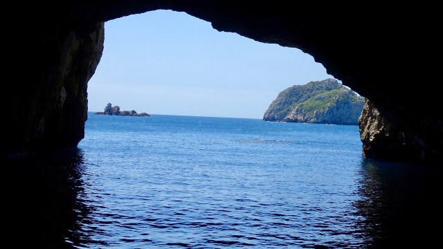
The acoustics are quite amazing. Concerts have been performed including Crowded House.
Love this view from inside looking out.
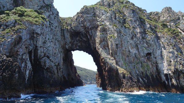
This arch is the largest in the Southern Hemisphere.
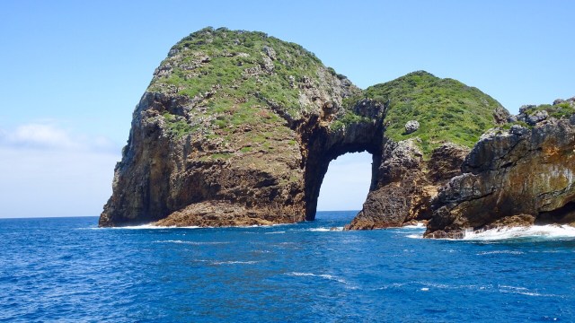 We motored through it. So the reverse view…
The end of a perfect day….on Perfect Day (Dive Tutukaka). I can highly recommend this trip. It is not cheap ($450 NZ for two) but certainly memorable.
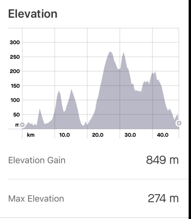
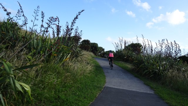
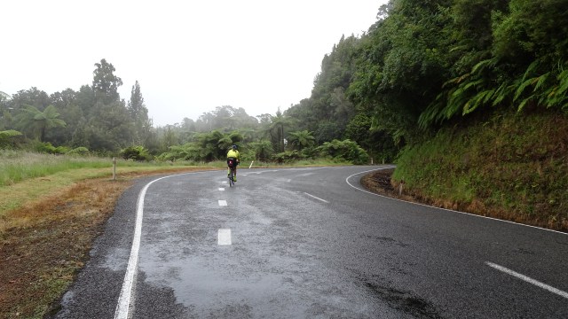
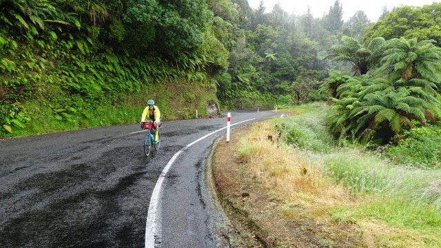
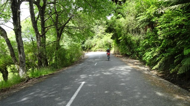
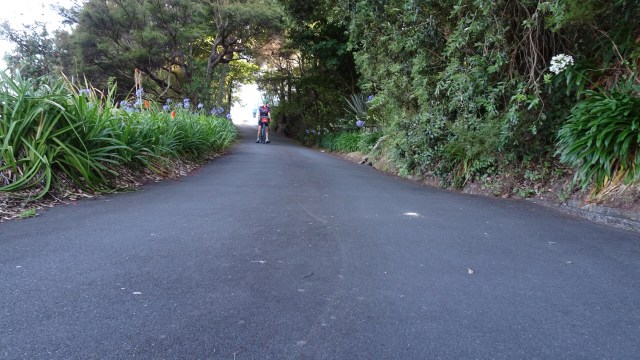 I probably should have entitled this ride something to do with the letter S.
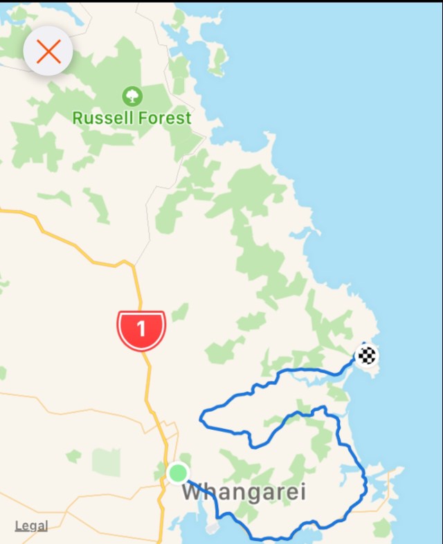
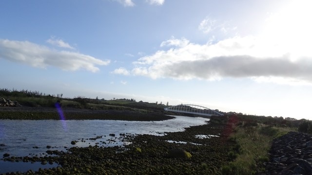
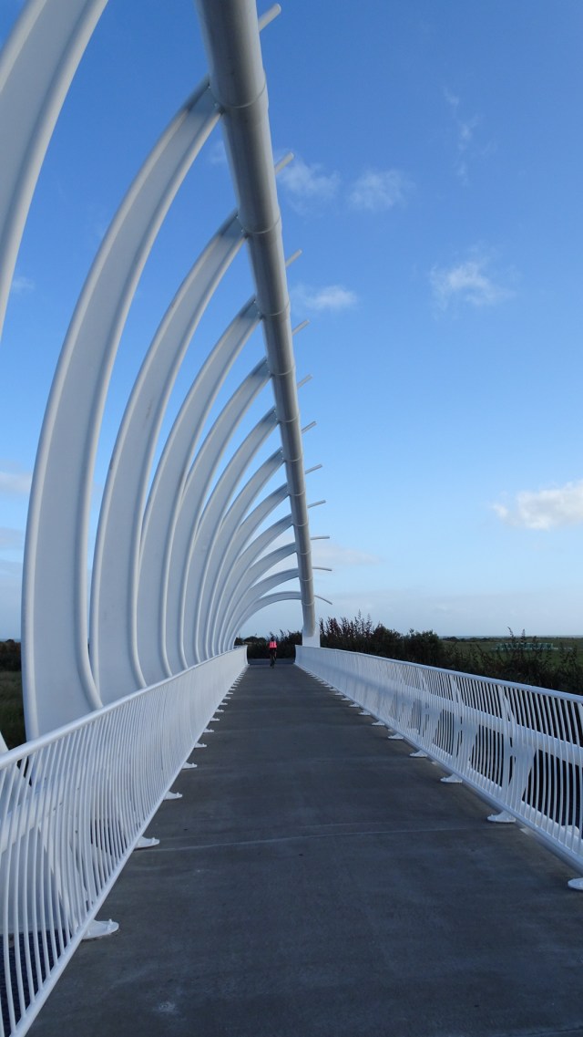
 The road came to an end but there was a foot bridge connecting to Pataua North. Here I am walking my bike across the bridge.
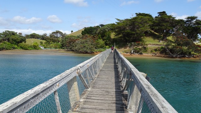 No cafes, so we pulled up on the banks of the river to have a snack and enjoy the view.
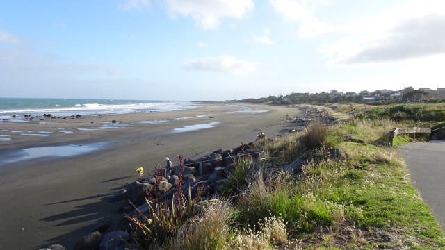
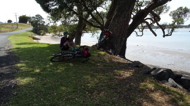
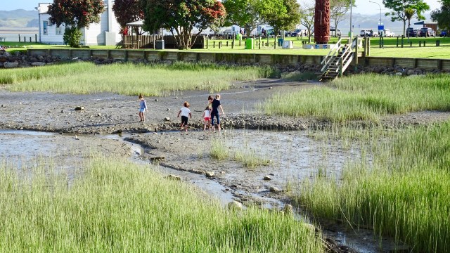
 Kids playing in the bay.
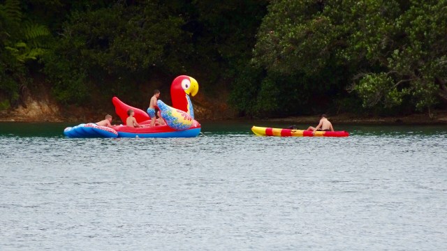

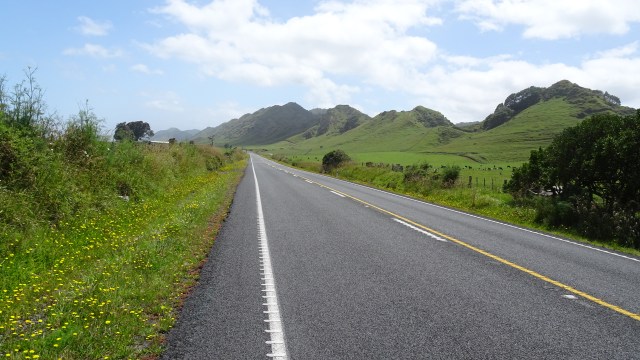
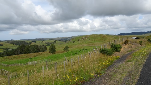
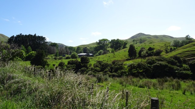
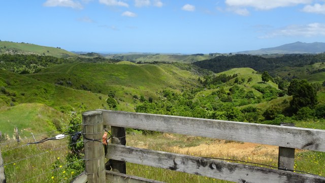
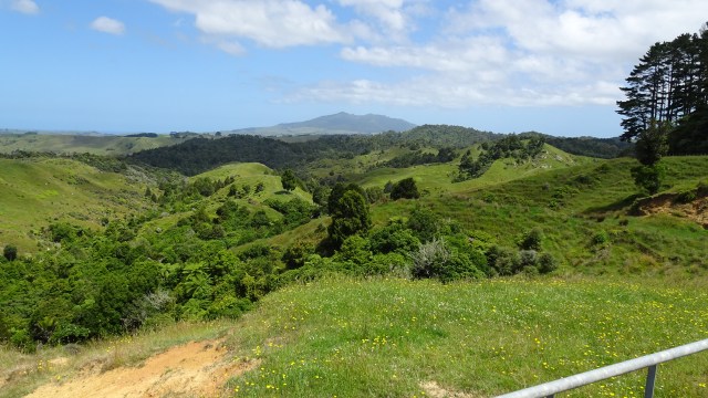
 I liked this view with the distant knobby hills.
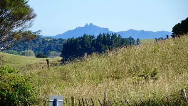 Back onto bitumen these photos were taken from the top of a climb. The lower one shows an electric fence that Tony needed to get over, as the reflective flag had blown off the rear of his bike in the gusty winds.
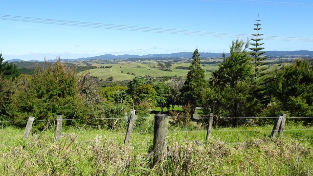

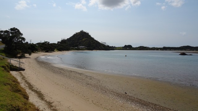
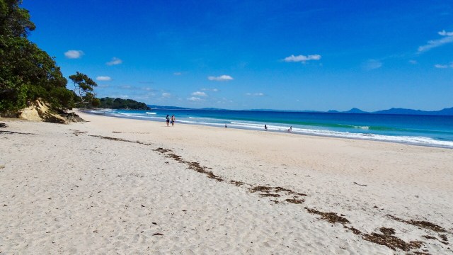
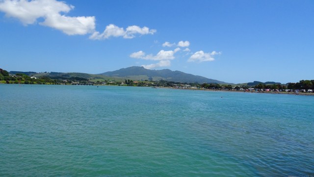
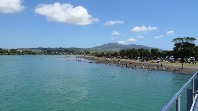
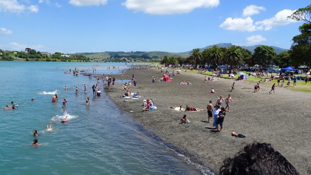
 For me, the day’s highlight was beautiful Lang’s Beach, a stunning white sandy beach framed by craggy headlands, gnarled trees and wonderful views to offshore islands.
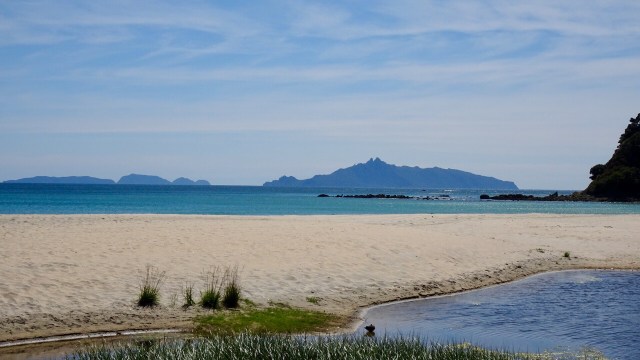
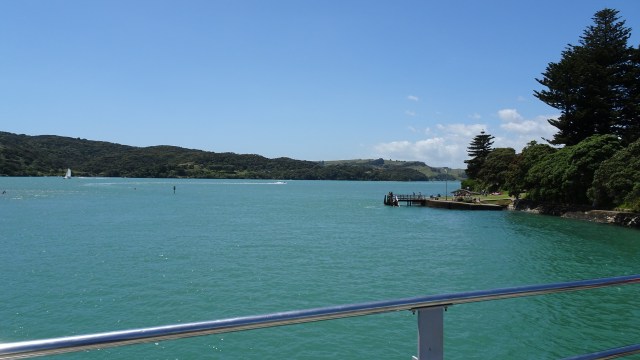
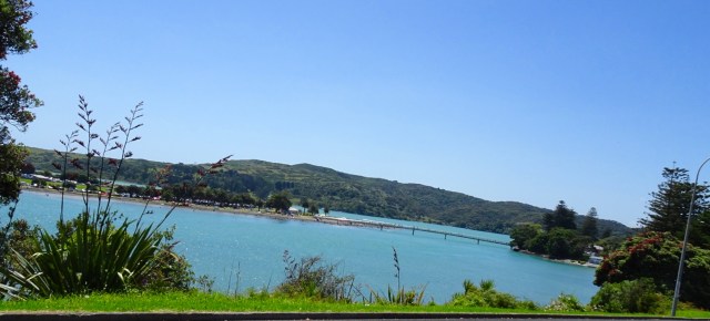
 The lone rock on the right hand side is known as Sail Rock, a common mark used for yacht racing.
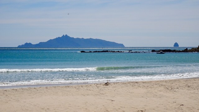
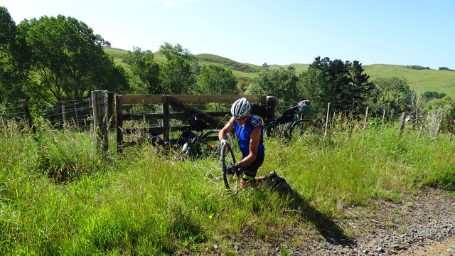
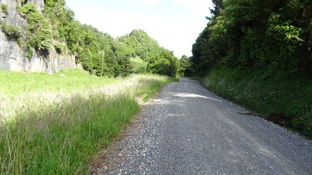
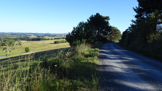
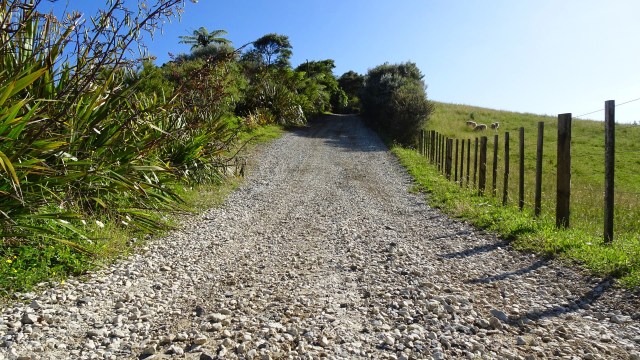
 The dirt road had very few cars on it, so that was a plus. We were shocked when we arrived at the Waipu Caves how many cars were there. The place was packed.
 The cave is unmanned and you can just wander in. There is a 175 metre chamber. The limestone cave has stalactites, stalagmites and glow worms near the entrance. The cave system is considered regionally important for geomorphology because it is the largest cave passage in Northland.
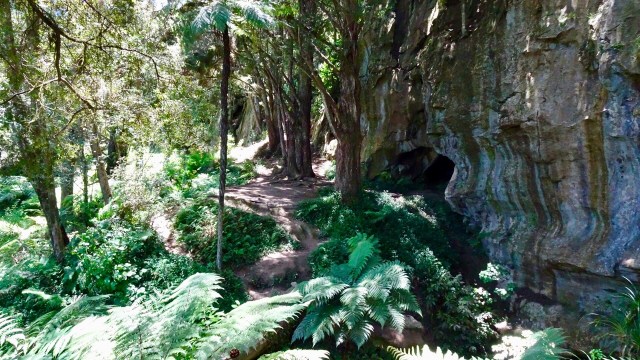

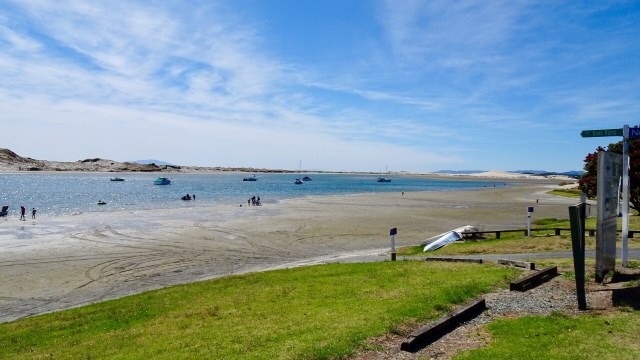
 The busy Basin.
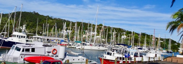 Looking up the hill towards our accomodation
 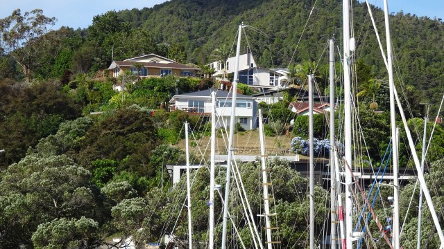 The clock museum with a giant sundial.
 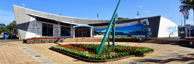 A telephone box with a working telephone.
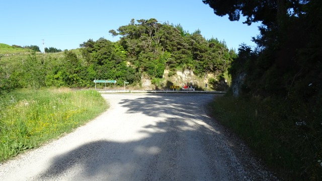
 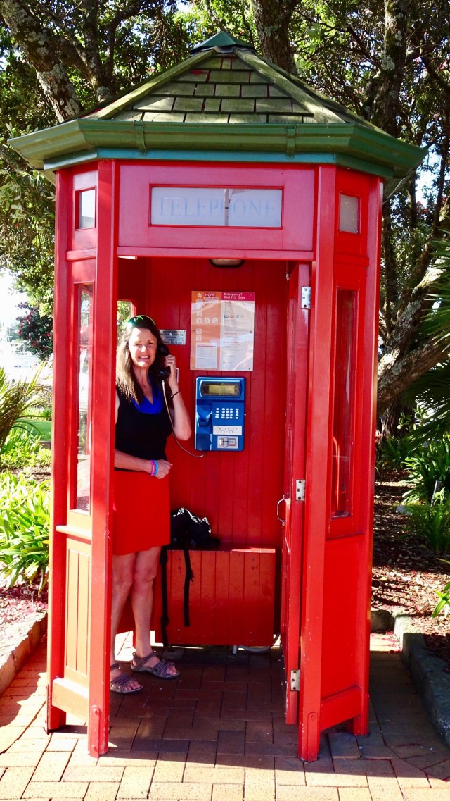 So day 2…done and dusted. Despite my anxiety on gravel, I lived to tell the tale. I really do suck at gravel!
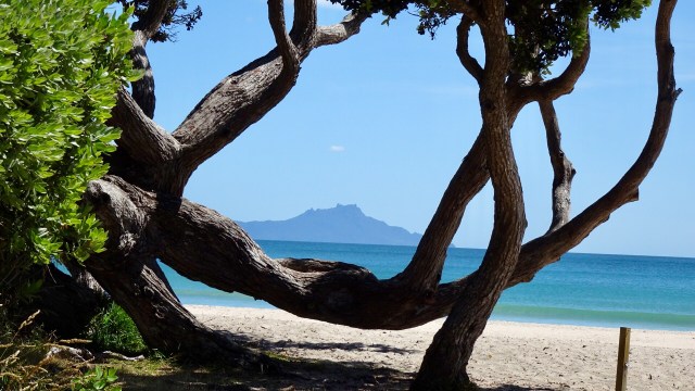
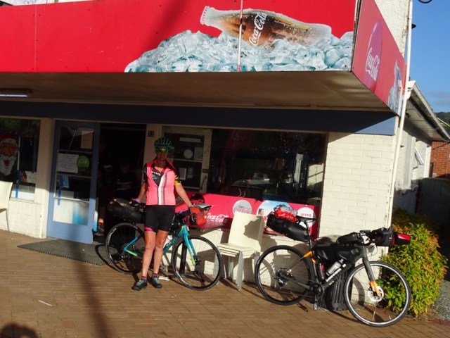
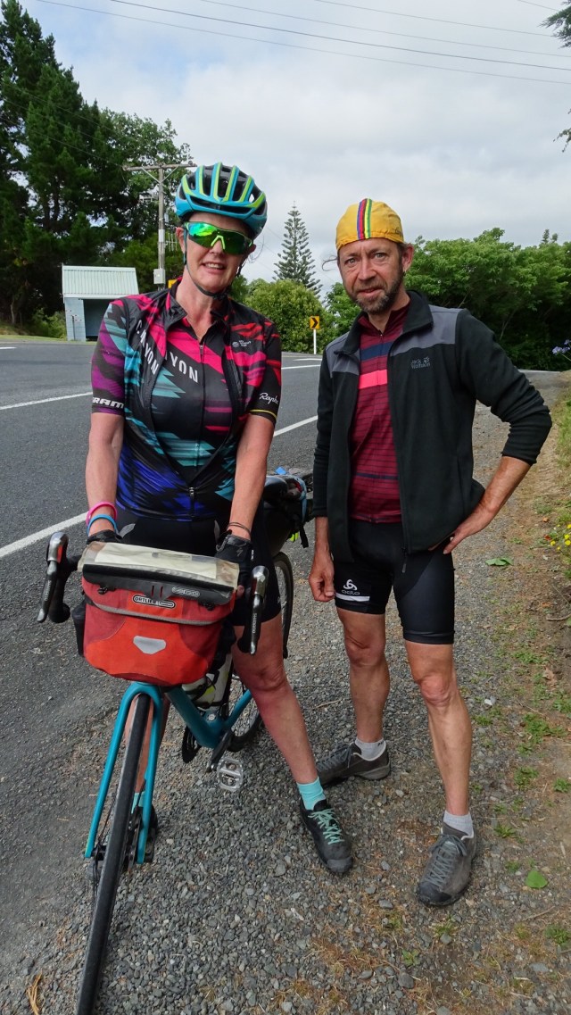
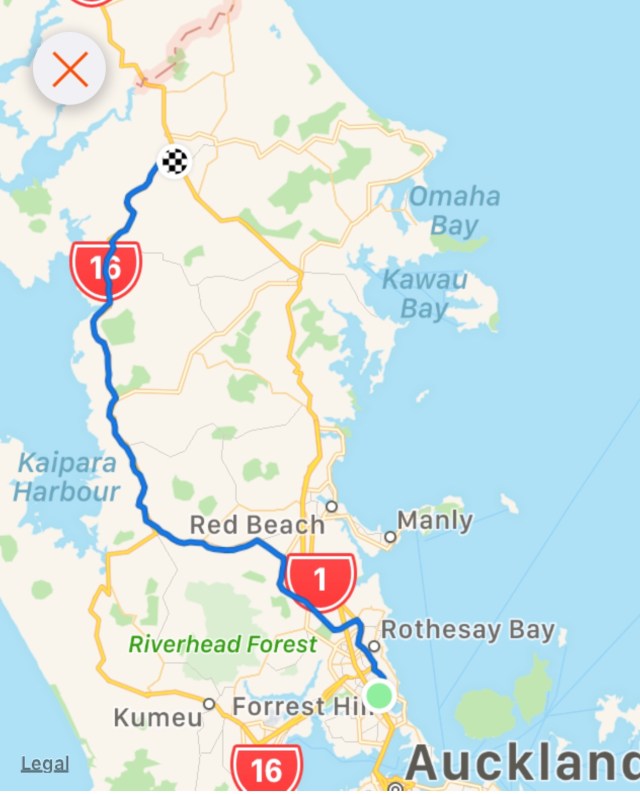
 I am so fortunate to have a number of wonderful friends in New Zealand. I truly value and appreciate the friends I have made through cycling. Coffee and Christmas tarts with Gervase and Debra and we were on our way leaving Forrest Hill around 11 am.
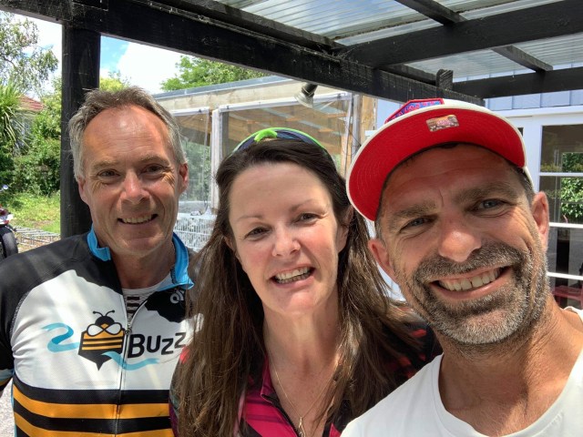 Kaukapakapa was next after bidding Dave ‘ooroo’. This was the town where my stolen backpack was located in March last year by an eagle eyed cyclist.
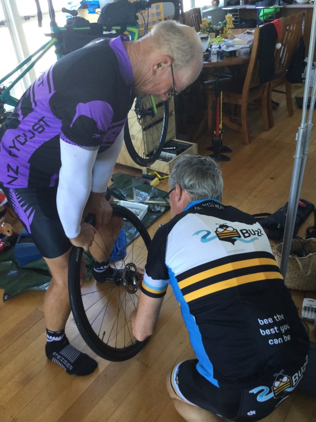
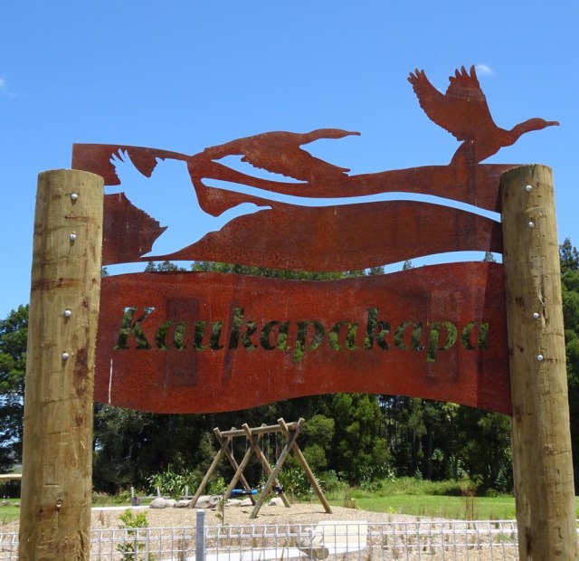 The bikes all geared up.
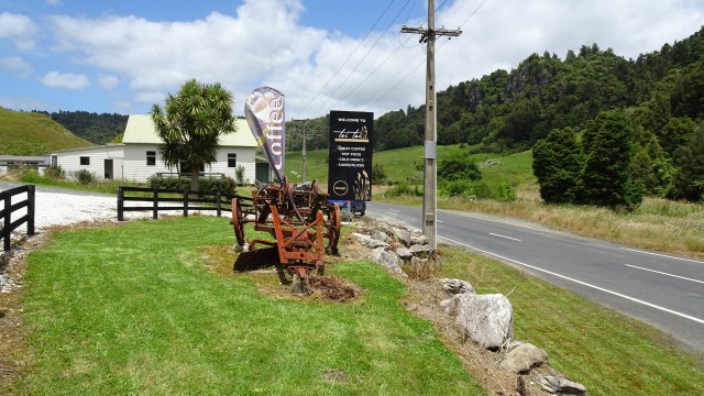
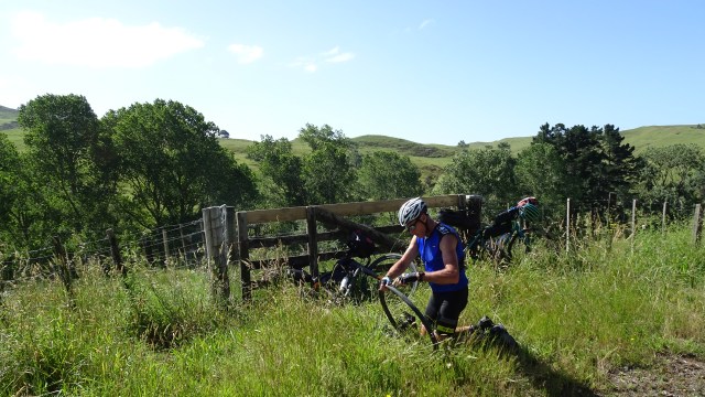
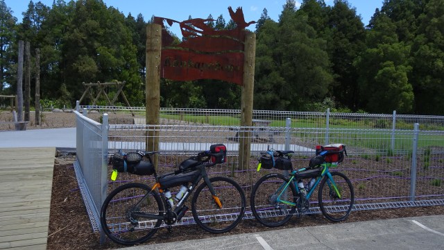 I am not sure what this is…fish? Maybe you can stand on it and walk along it for balance? Maybe you just look at it and photograph it.
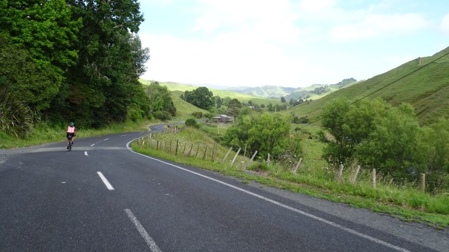
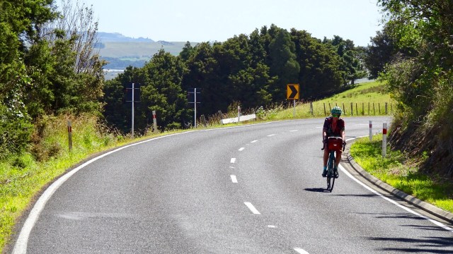
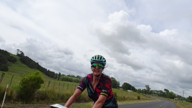
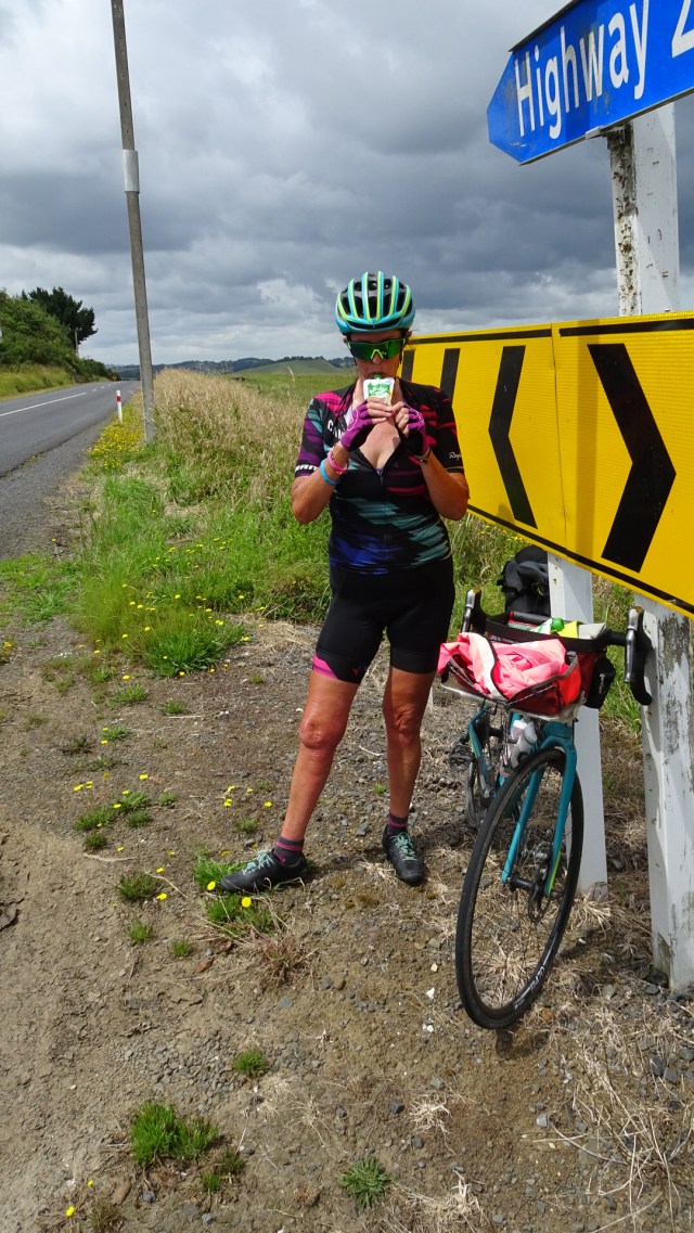
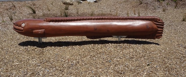 The hills started to get a bit more serious with some 13% pinches. The temperature had picked up to high 20’s. There was a really stiff breeze. Predominantly a headwind with occasional side gusts from our left, pushing us further from the verge.
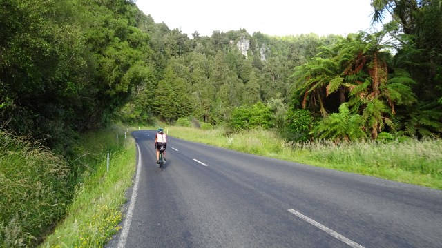
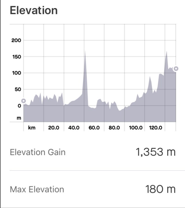
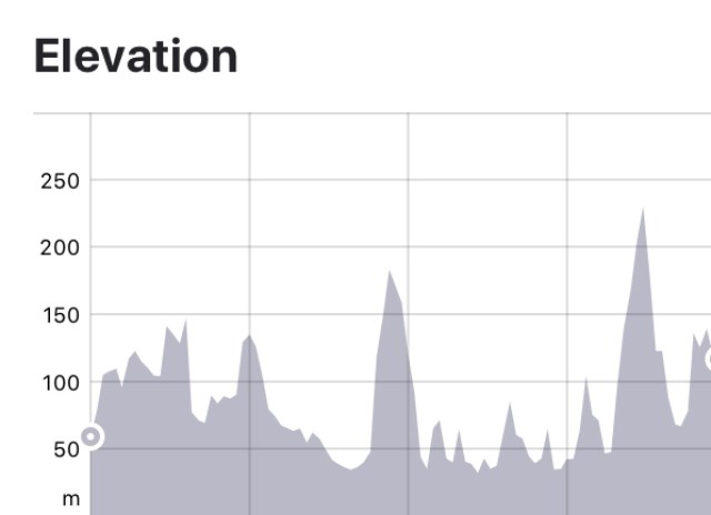

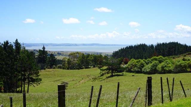
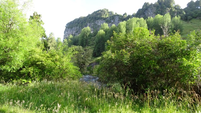
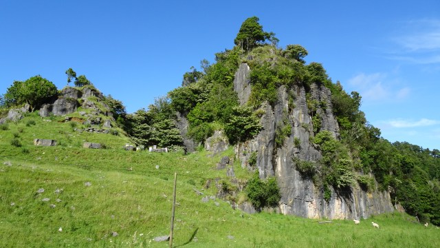
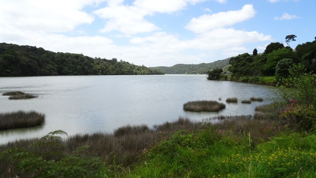
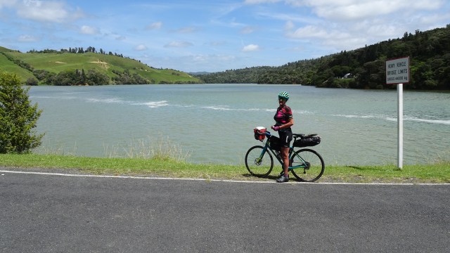
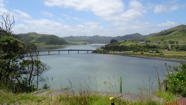
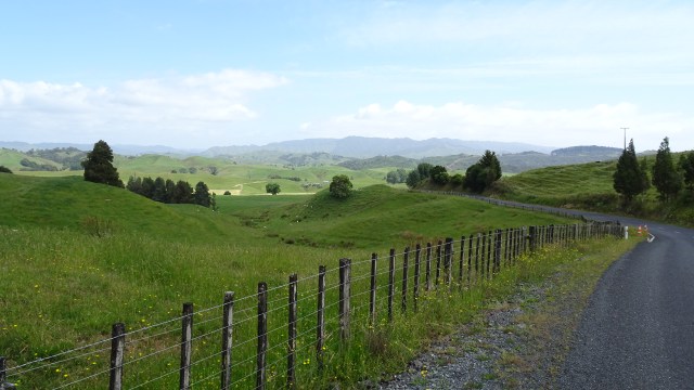
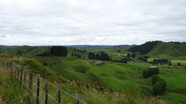
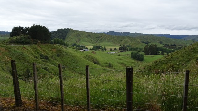
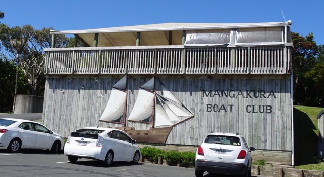
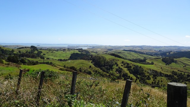
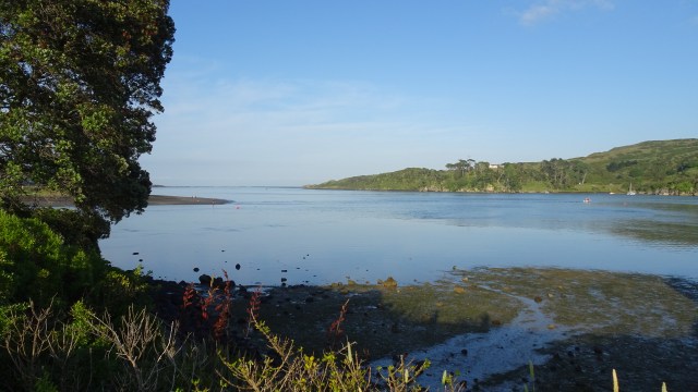
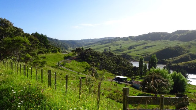
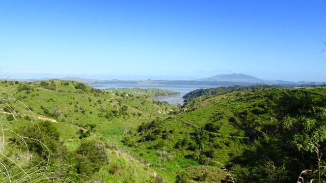
 A very tidal river does not prevent a boat club from existing. Mangakura Boat Club has a lovely position alongside this river. We could see from tops of hills, that this river feeds out to a larger harbour and the west coast of North Island.
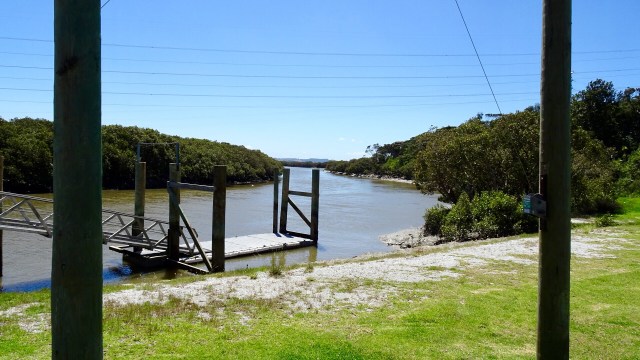
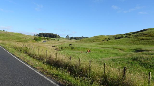
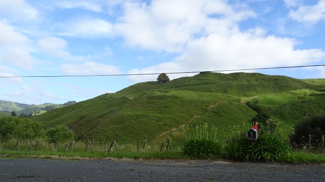
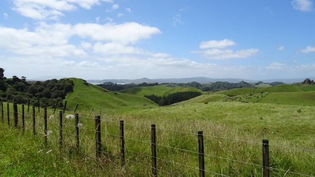
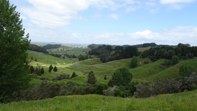
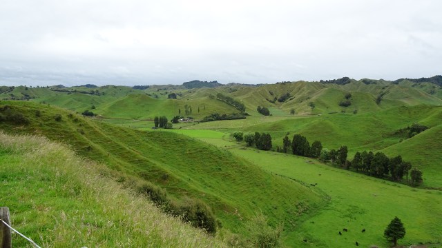
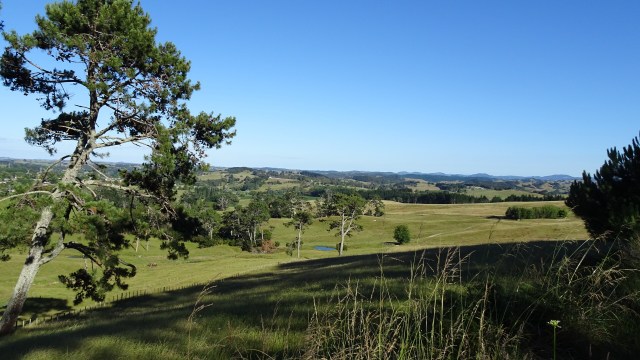
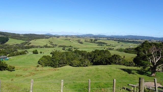
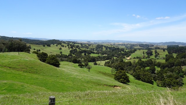
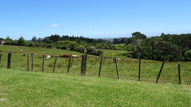
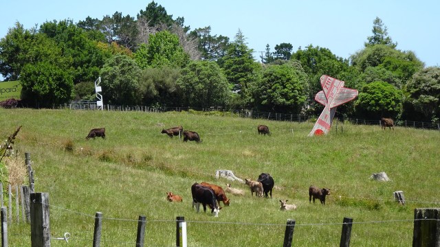
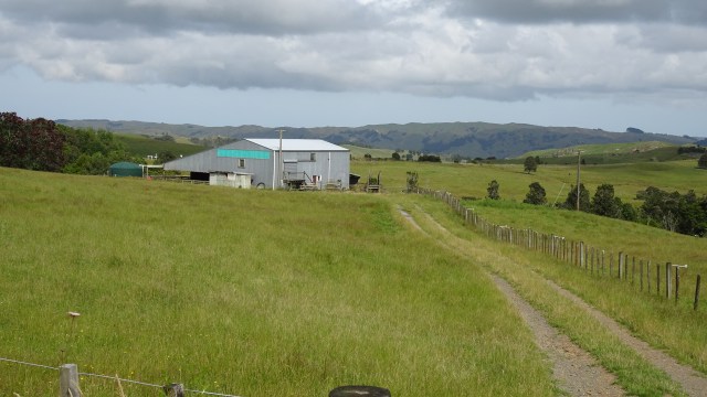
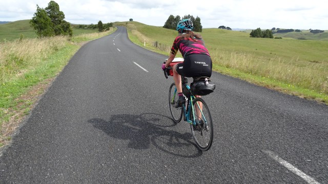
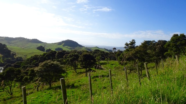
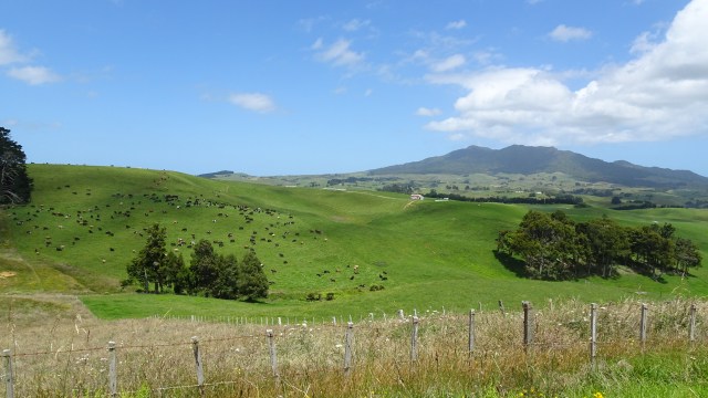
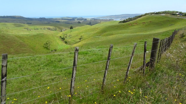
 Incredibly lush green farm land. In Tasmania many farms are already very dry and brown, so there must be solid rainfall here.
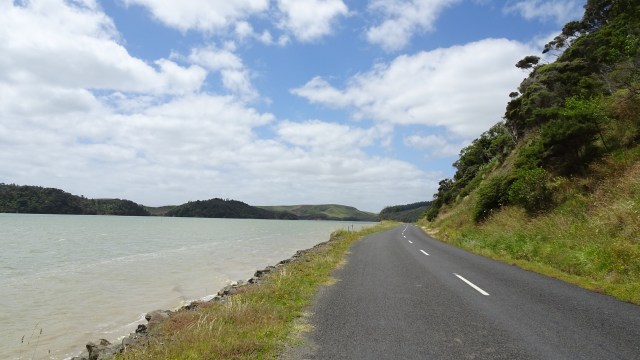
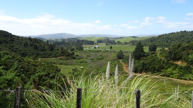
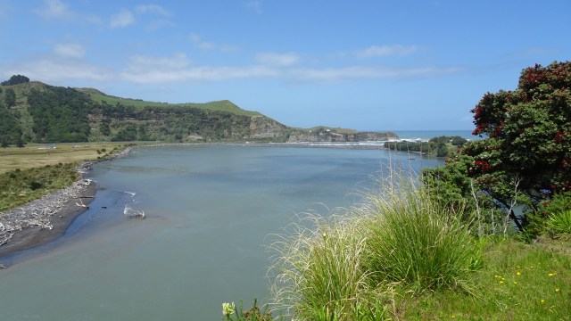
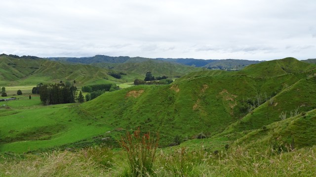
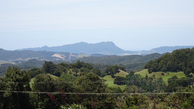
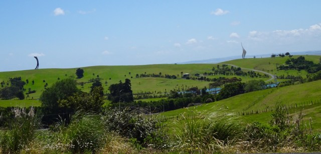
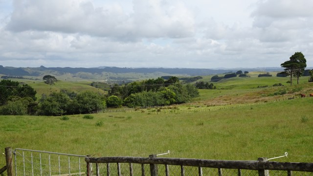
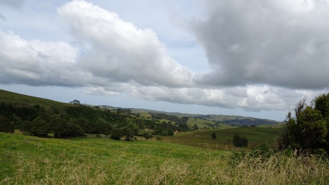
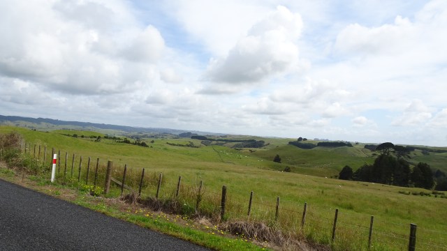
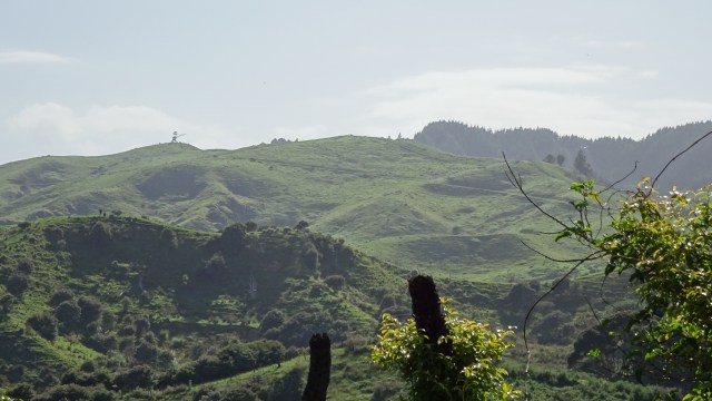
 Looking to the west.
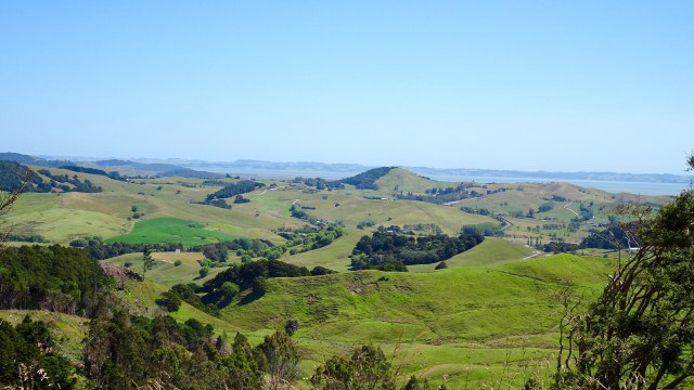
 What goes up, must go down….so it was a nice descent and a few more rolling hills to arrive in Wellsford, a busy service town, and our overnight stop.
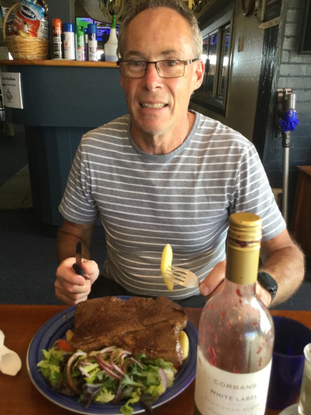
 Returning to our accomodation two final sights.
 So thanks for reading. Tomorrow is another day…new adventure….new memories.
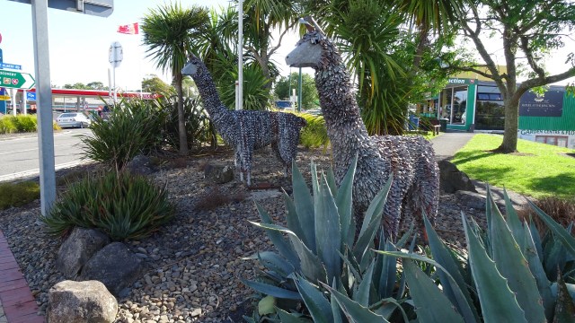


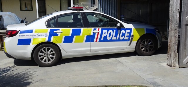
 My last two touring trips in New Zealand have involved Police. On the Auckland to Wellington trip, Sue and I were flagged down by the Highway Patrol ( flashing lights, siren – the full works), as we had inadvertently made our way onto the motorway heading into,Wellington. Very nice man!