The hills are alive….

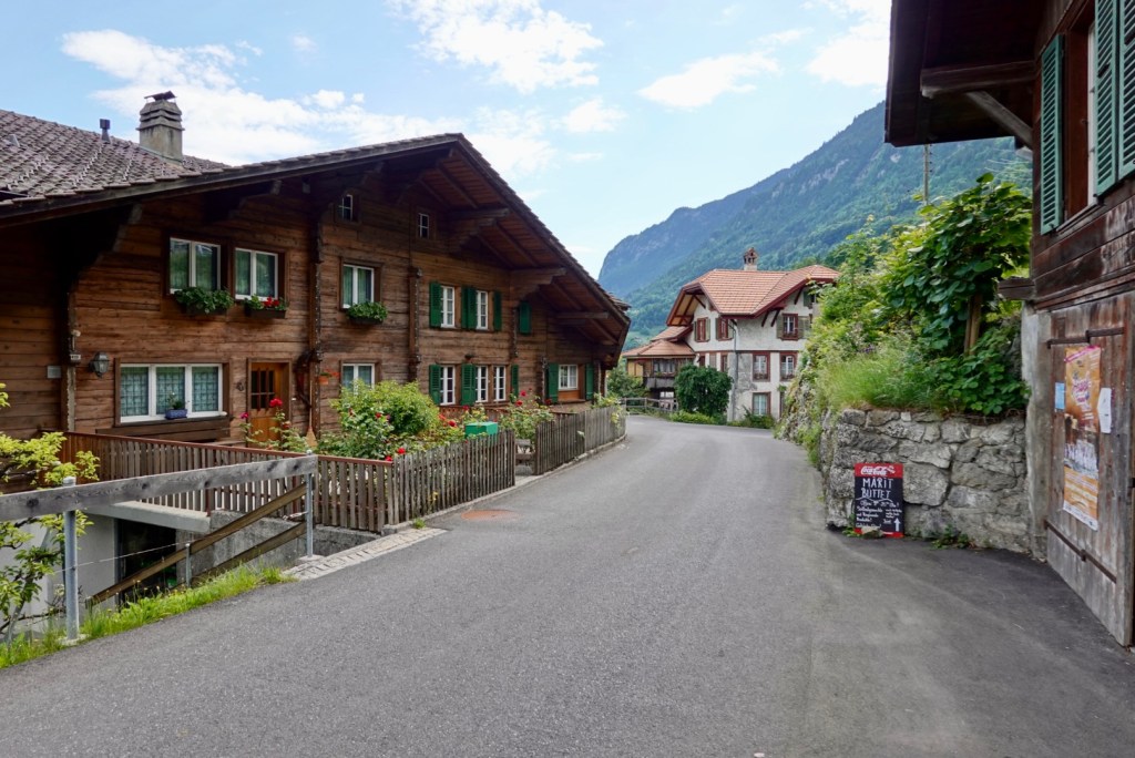
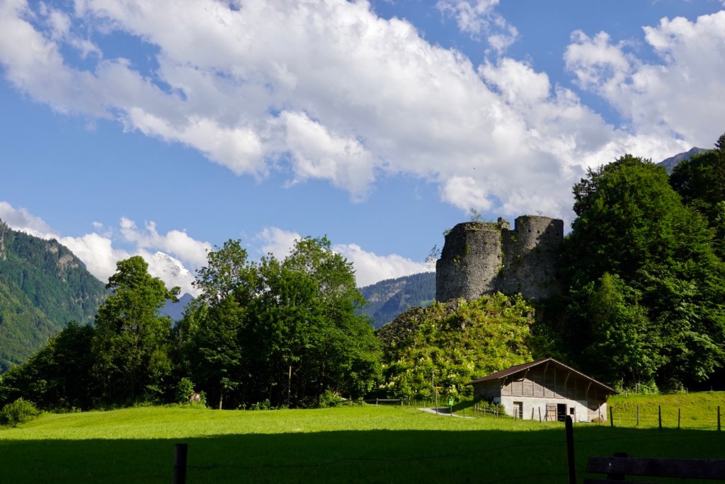
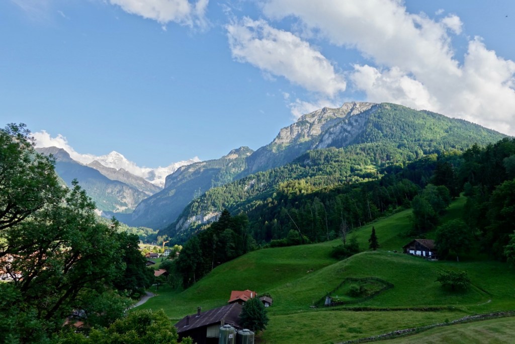
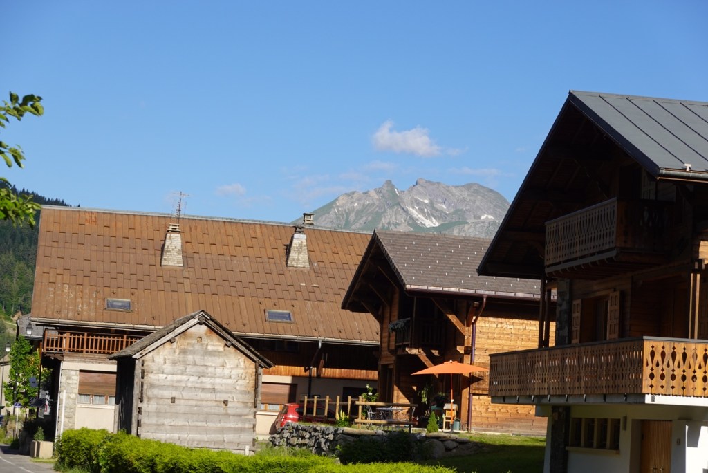
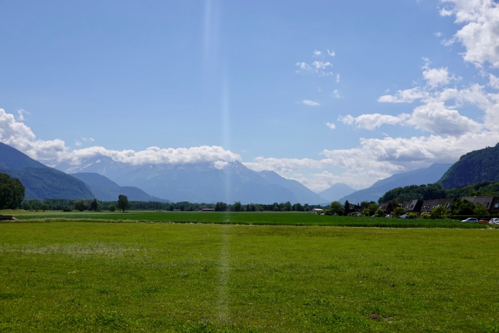
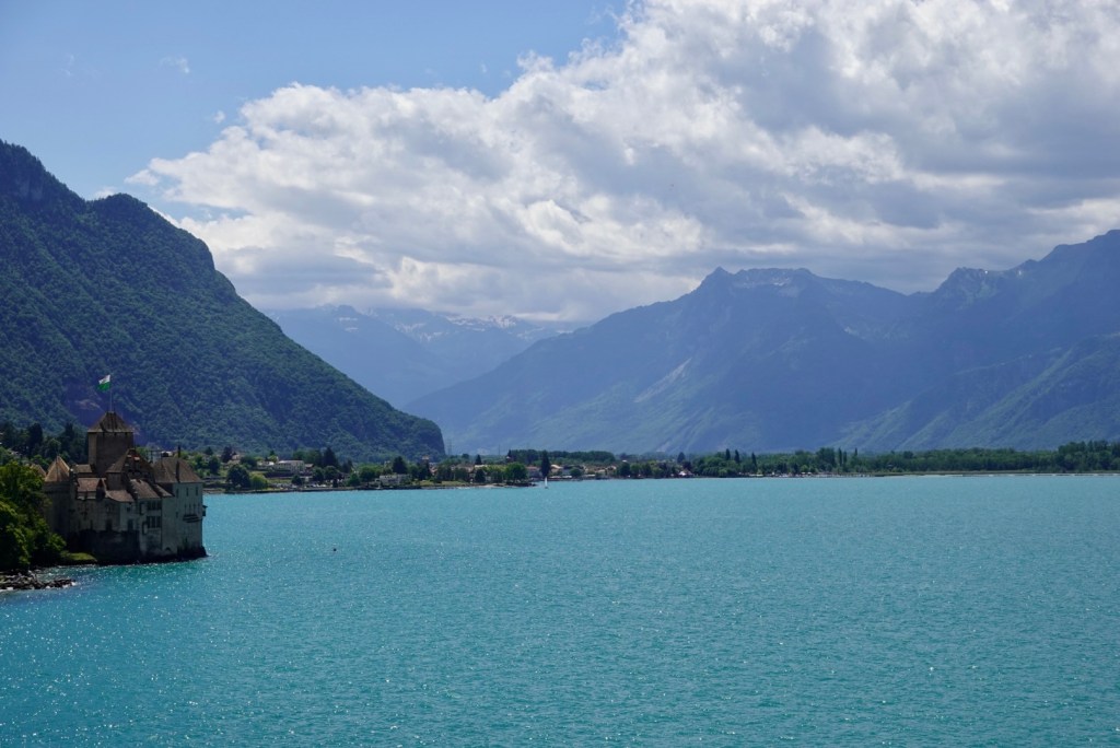
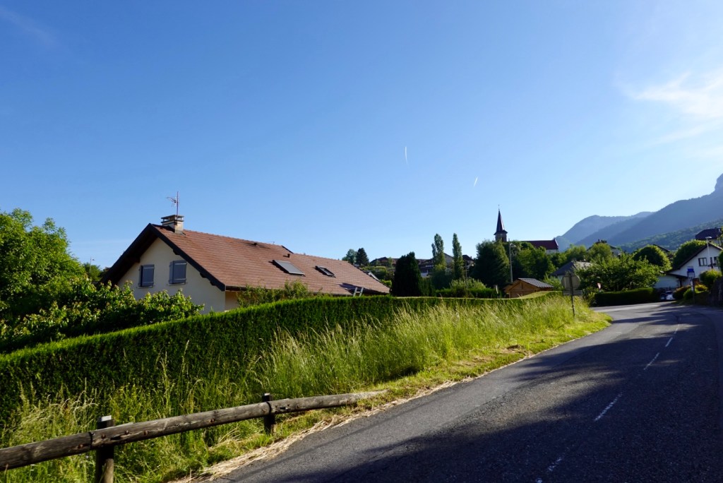
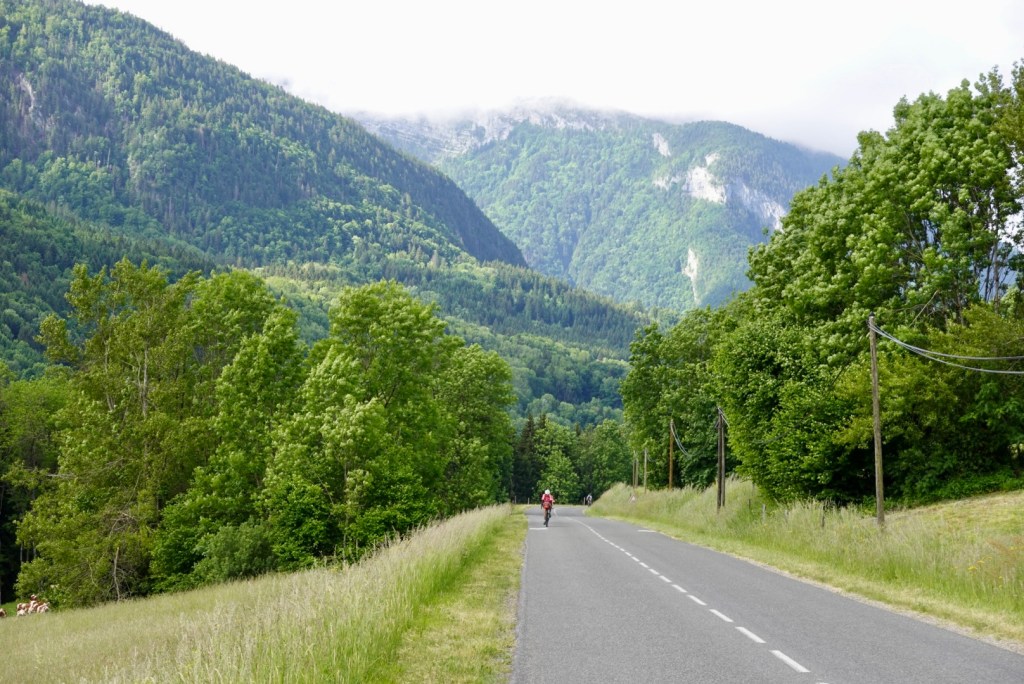
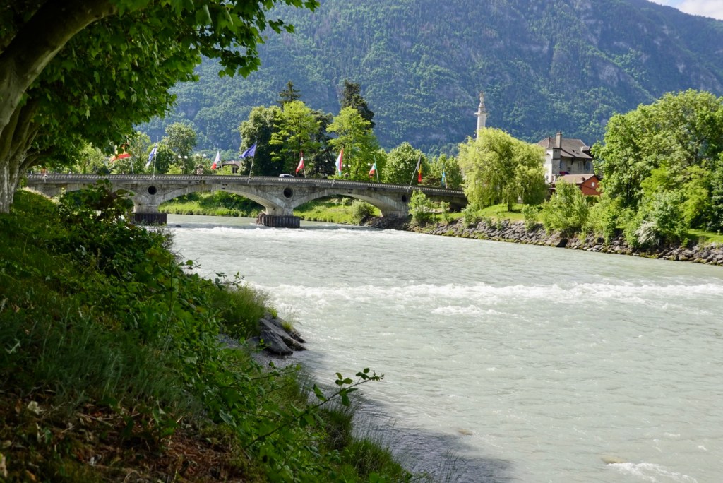
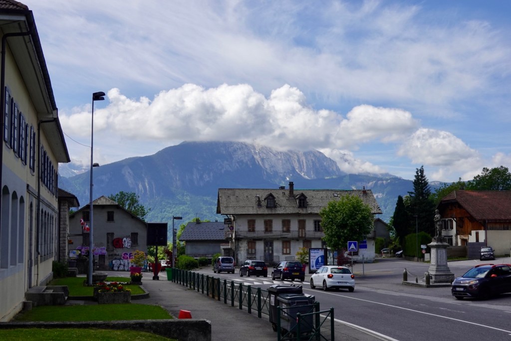
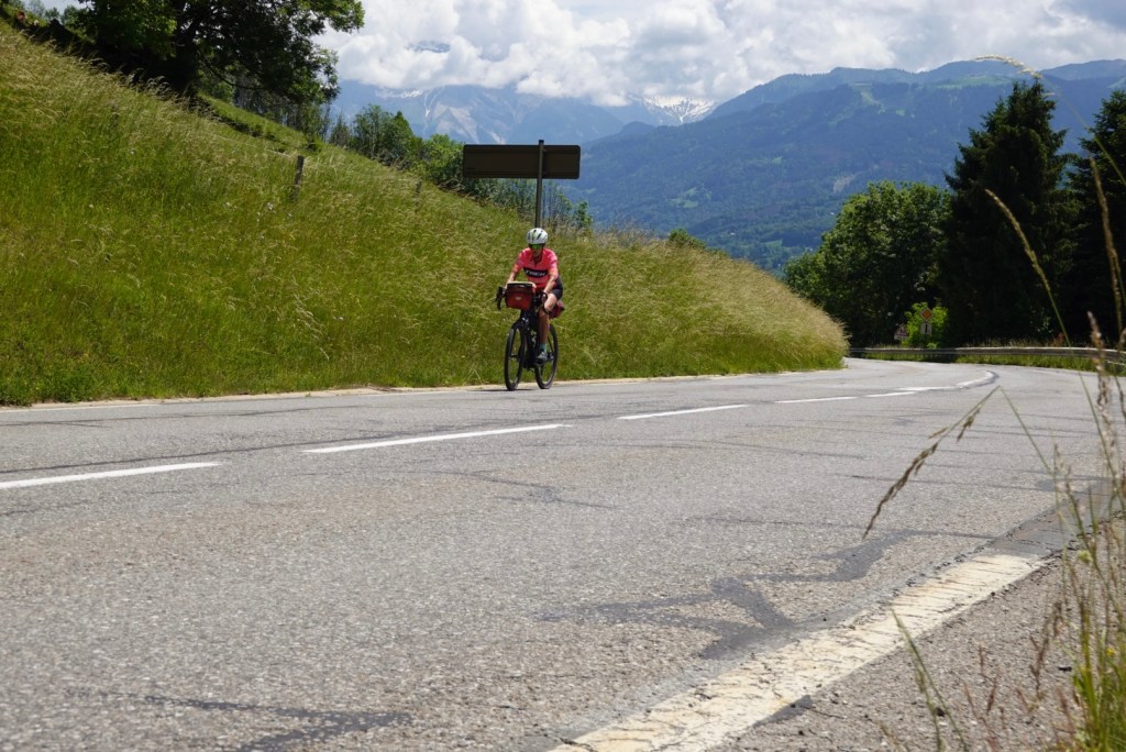
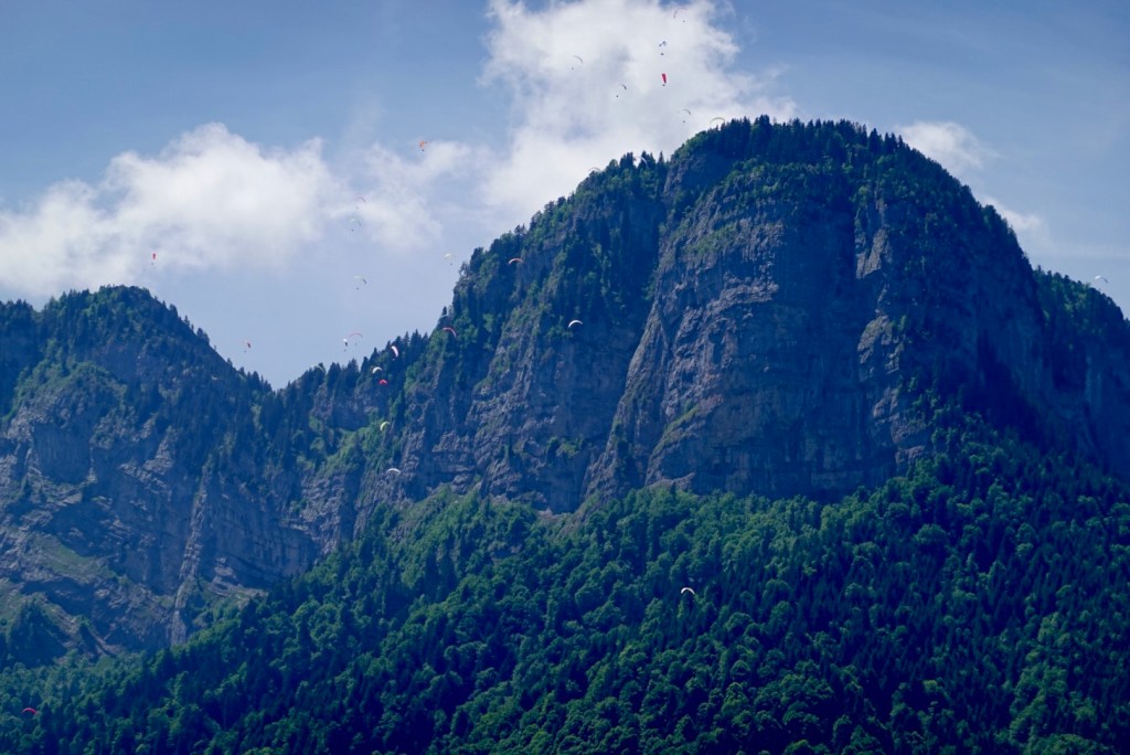
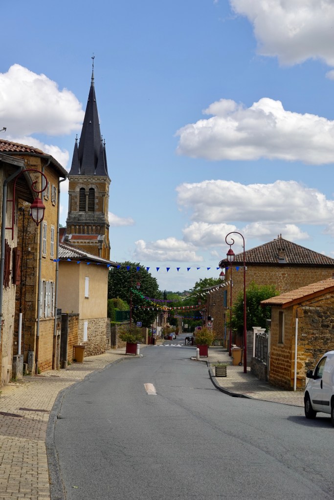
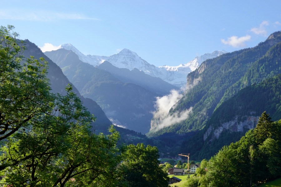
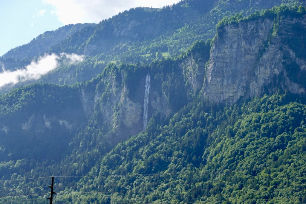
…with the sound of music..? It looks like that in the photo below. You think maybe Julie Andrew’s is about to start singing?

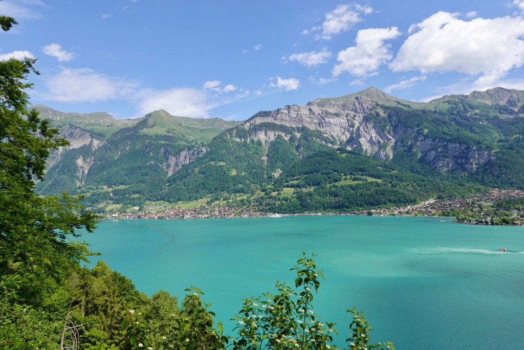
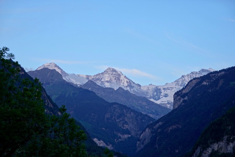
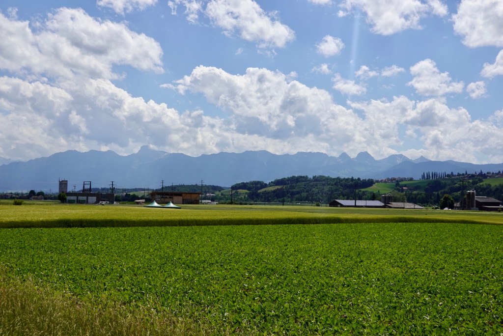
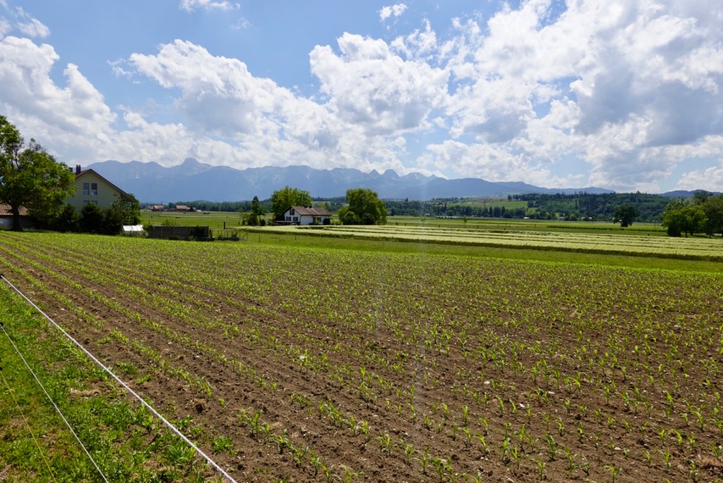
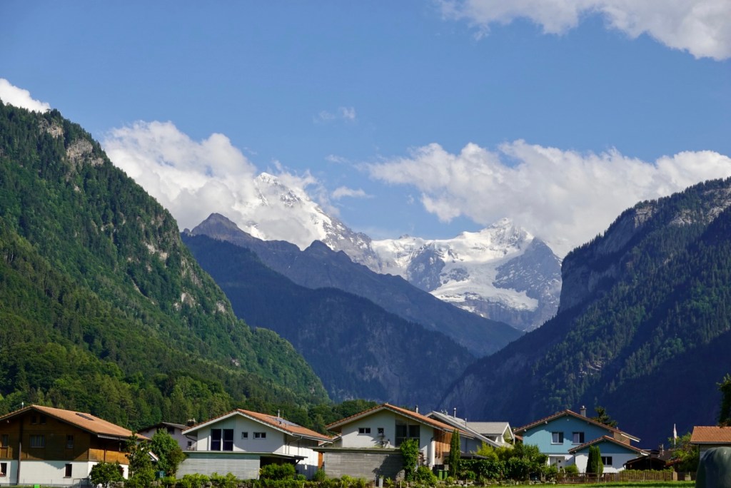
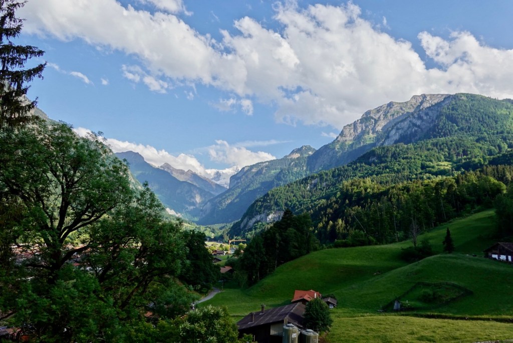
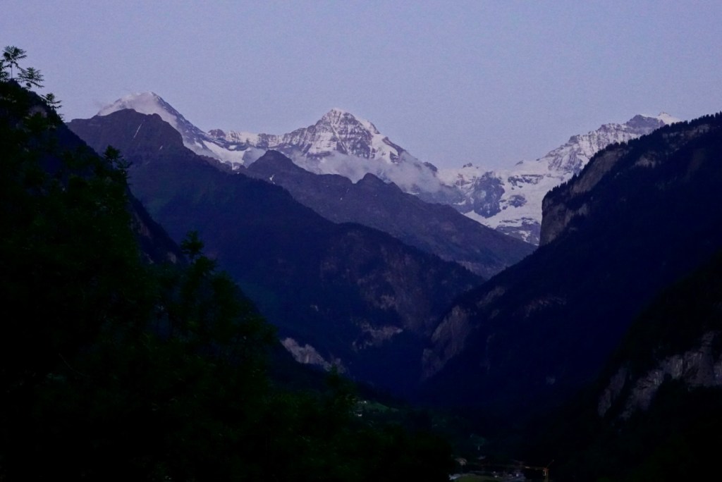
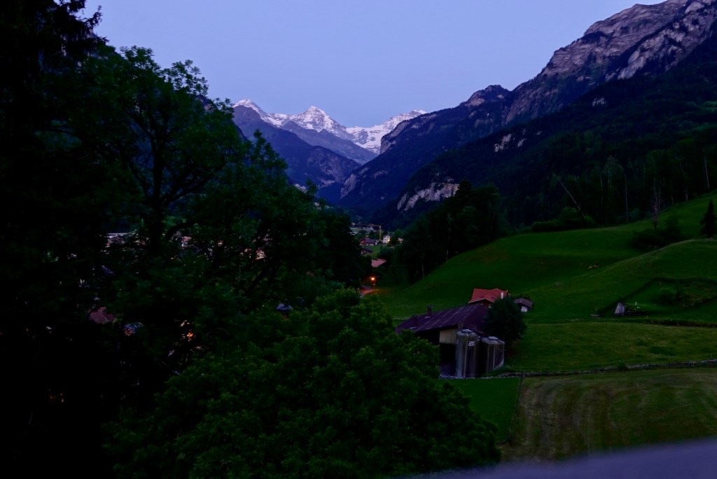
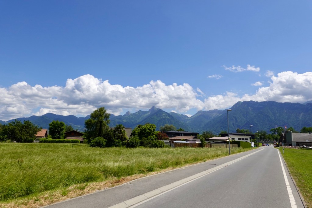
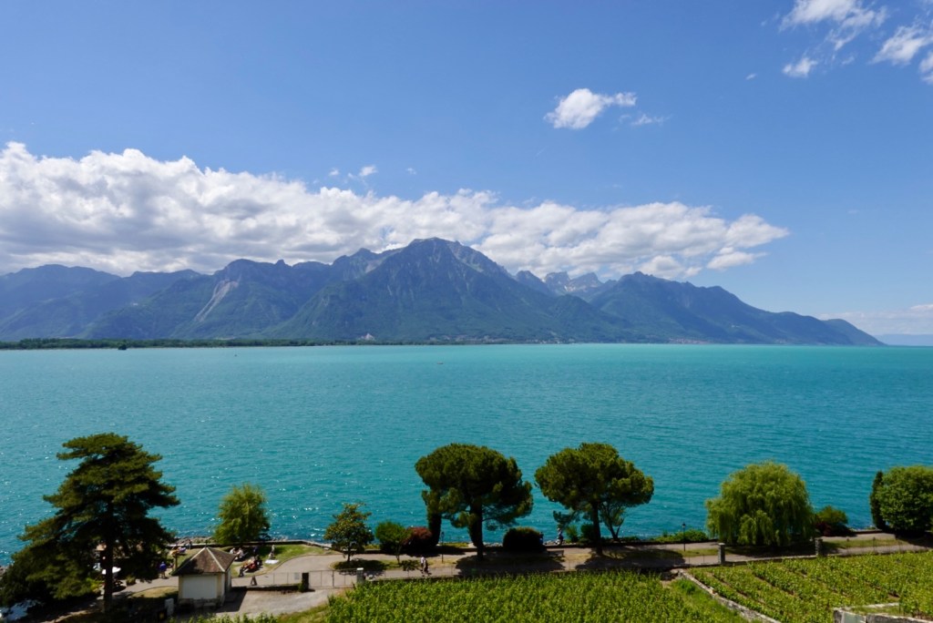
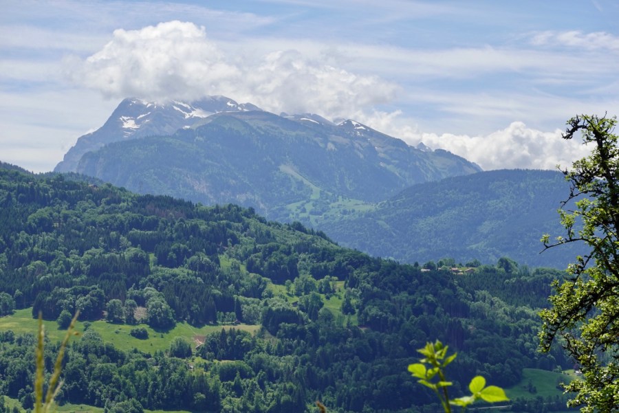
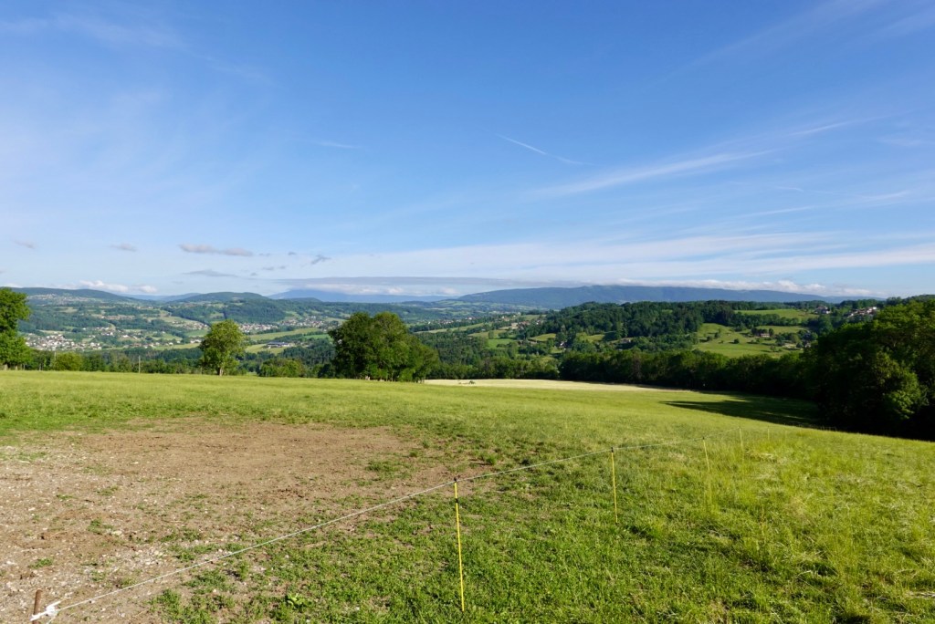
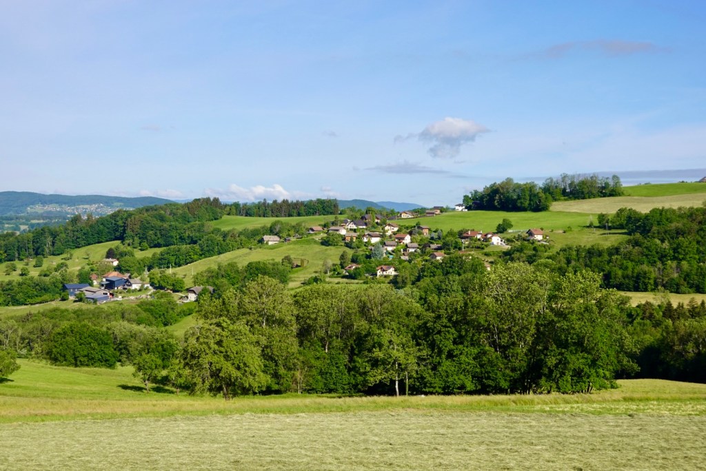
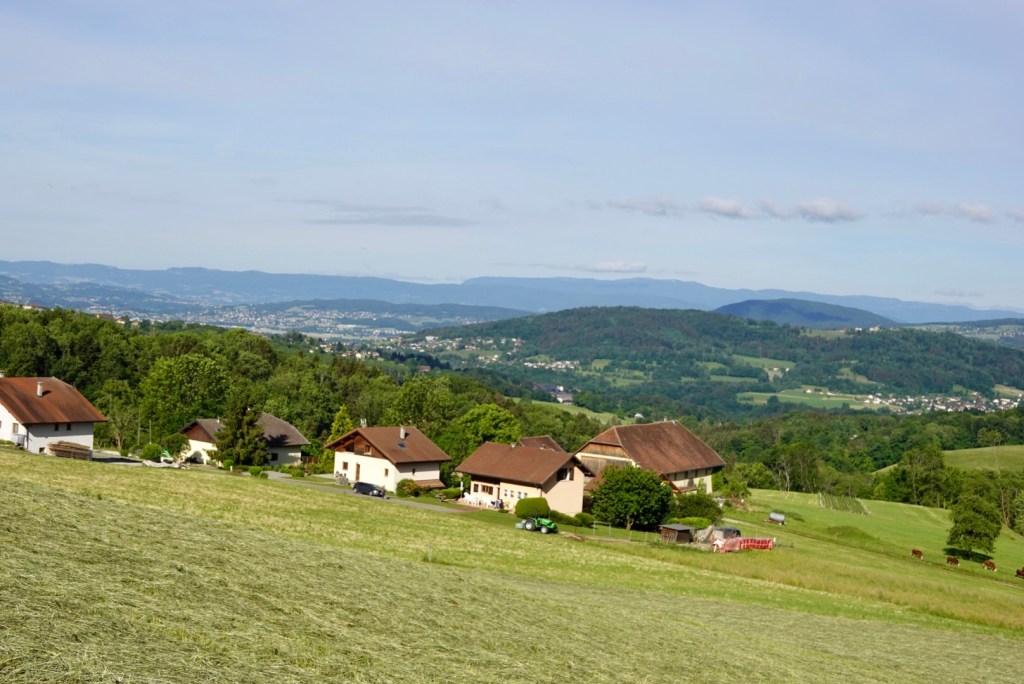
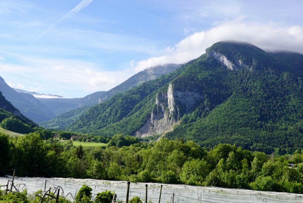
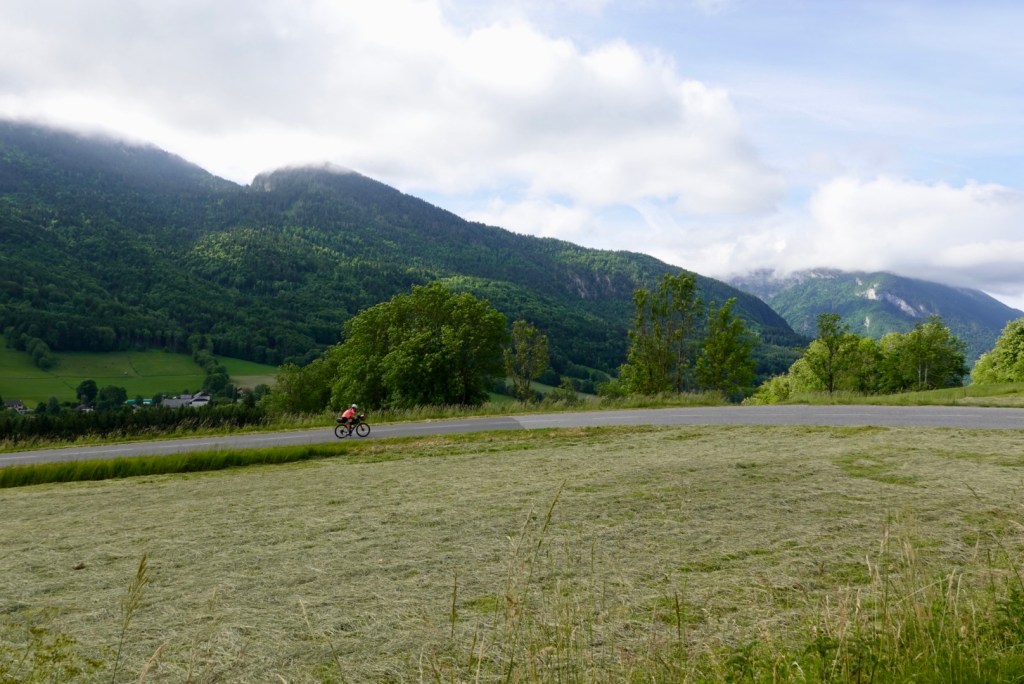
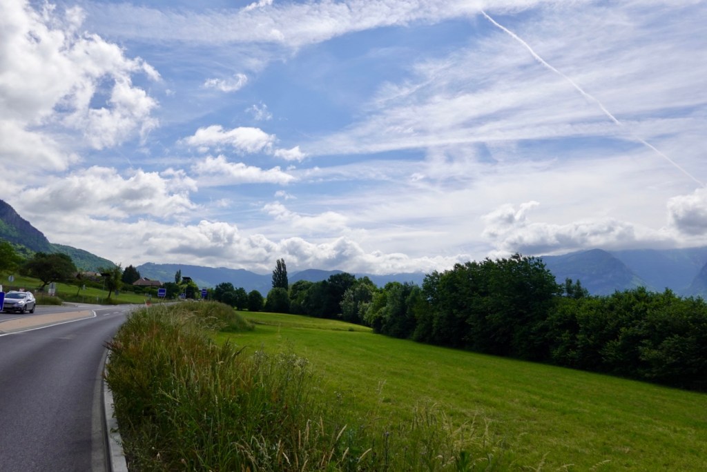
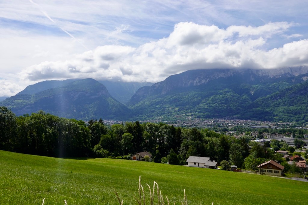
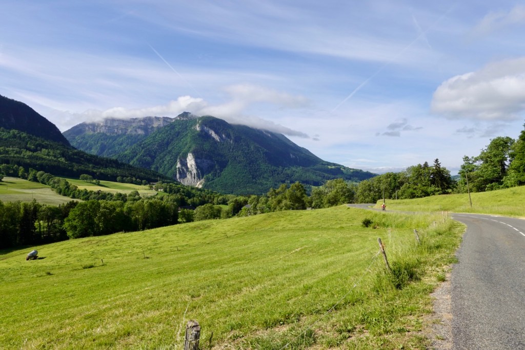
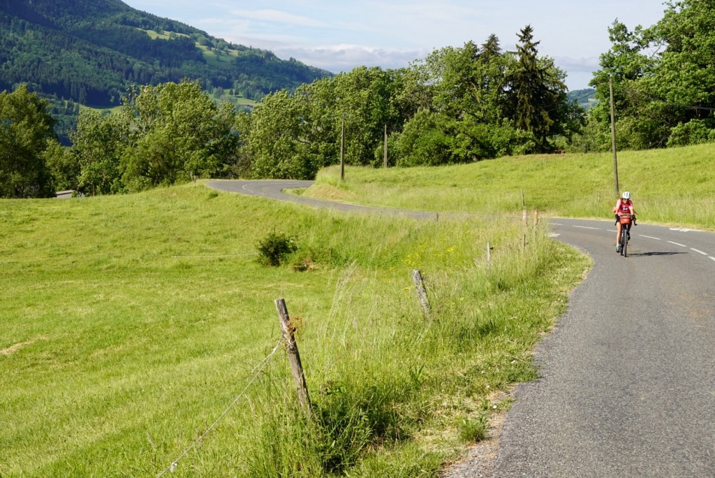
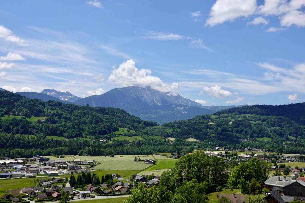
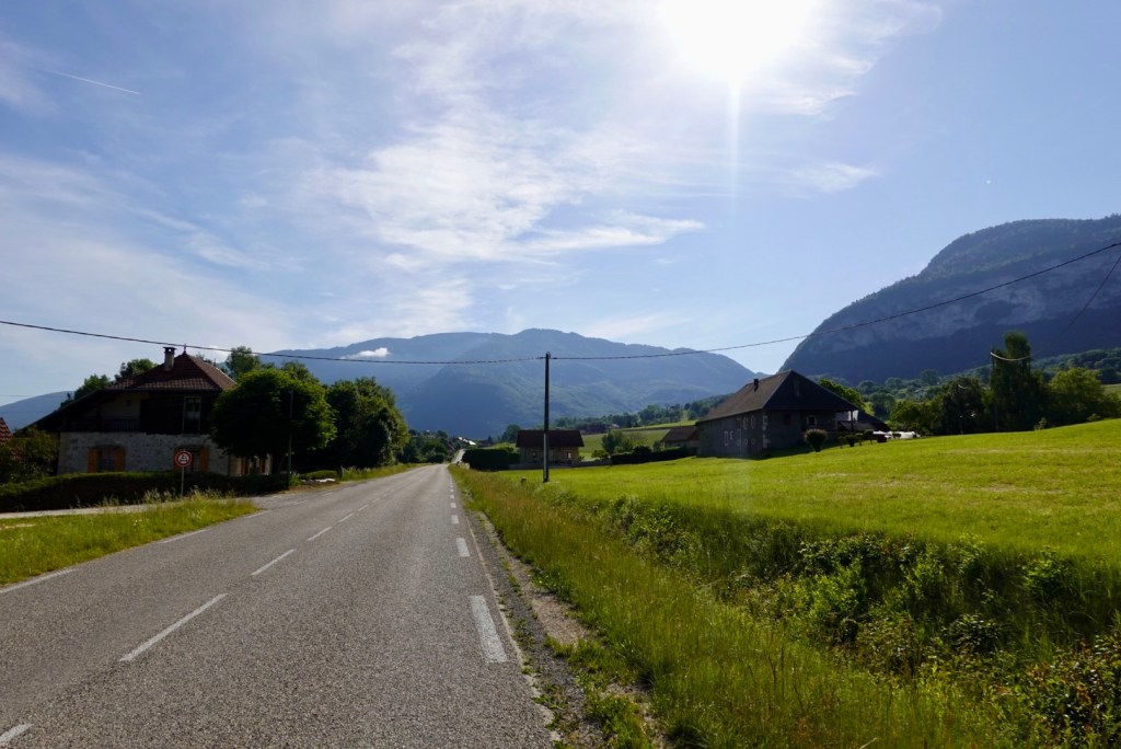
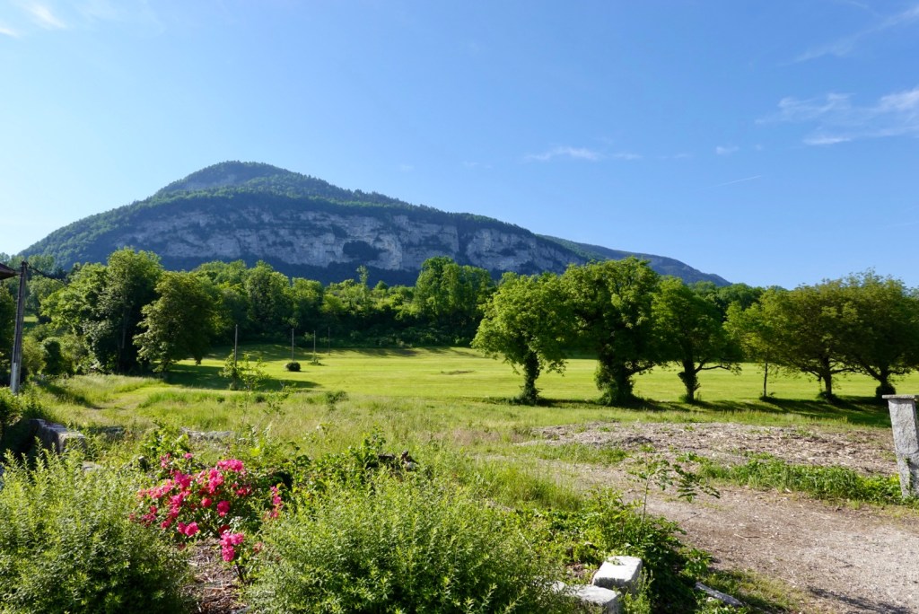
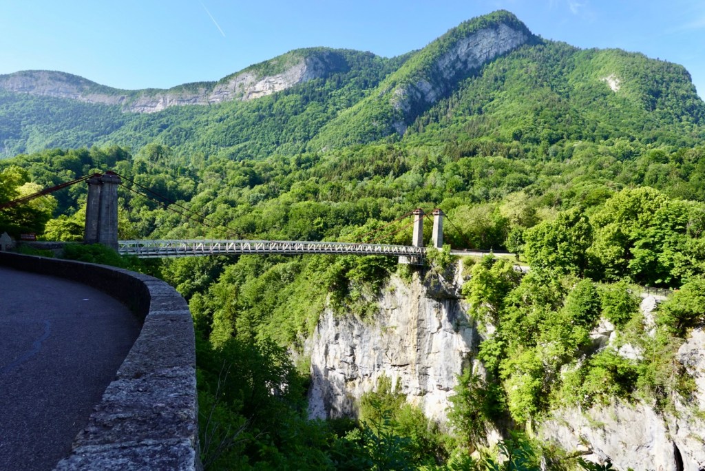
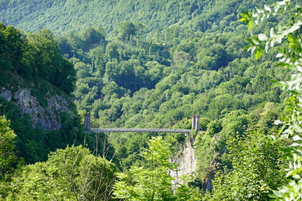
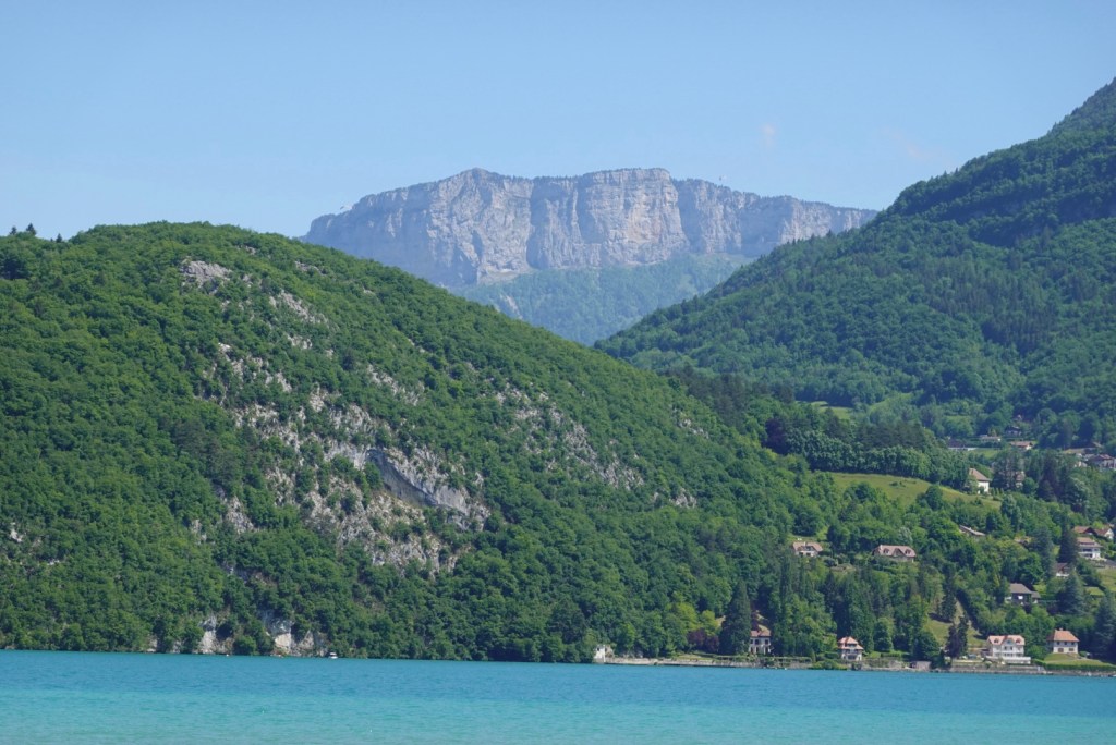
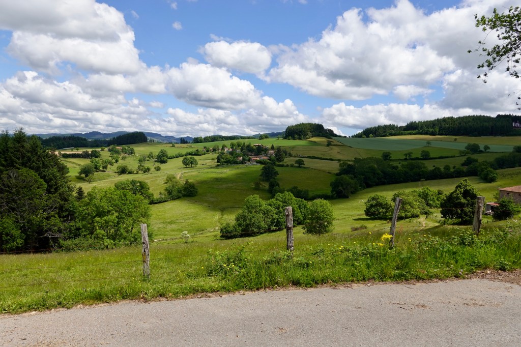
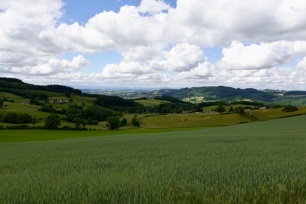
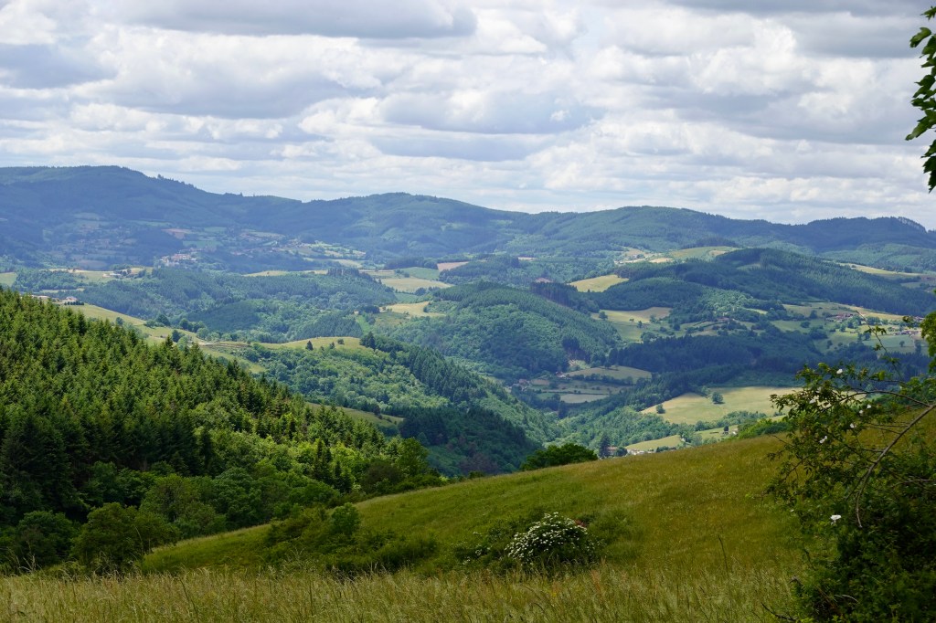
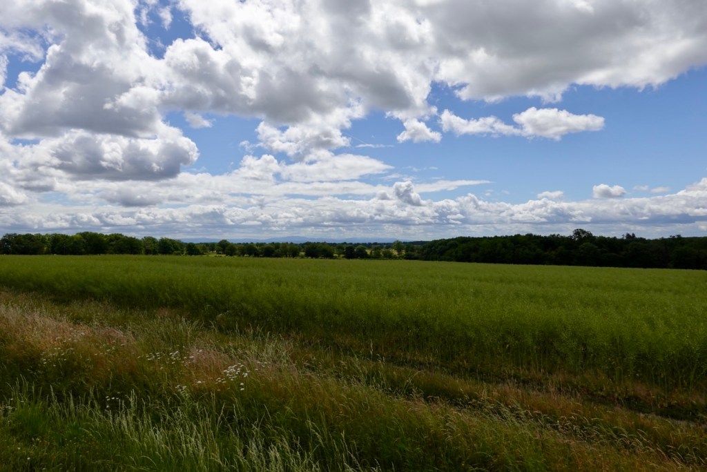
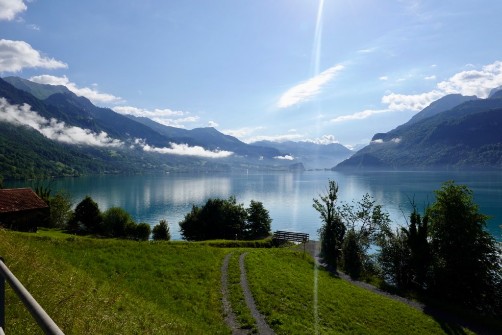
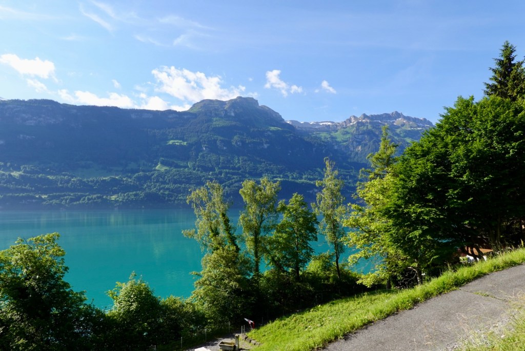
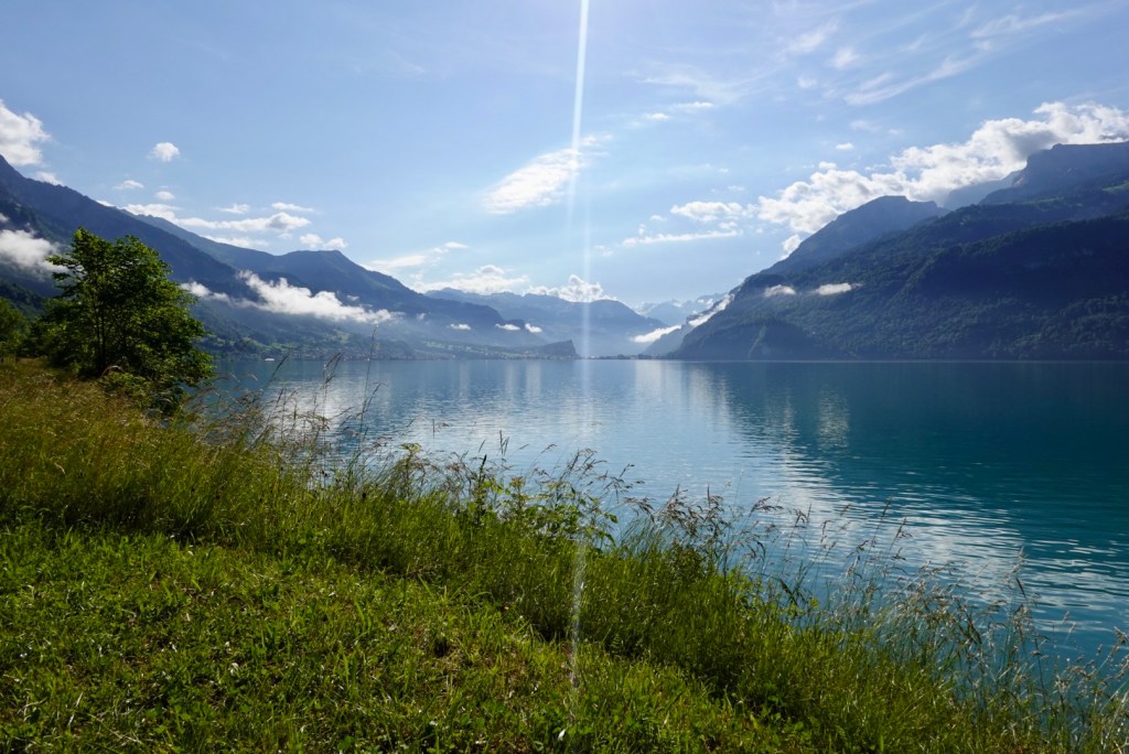
I really like the next two photos. Bidding the three mountains farewell with the promise of a half decent looking day.

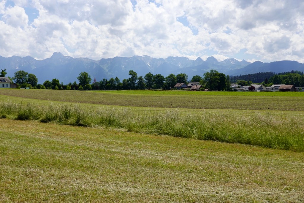
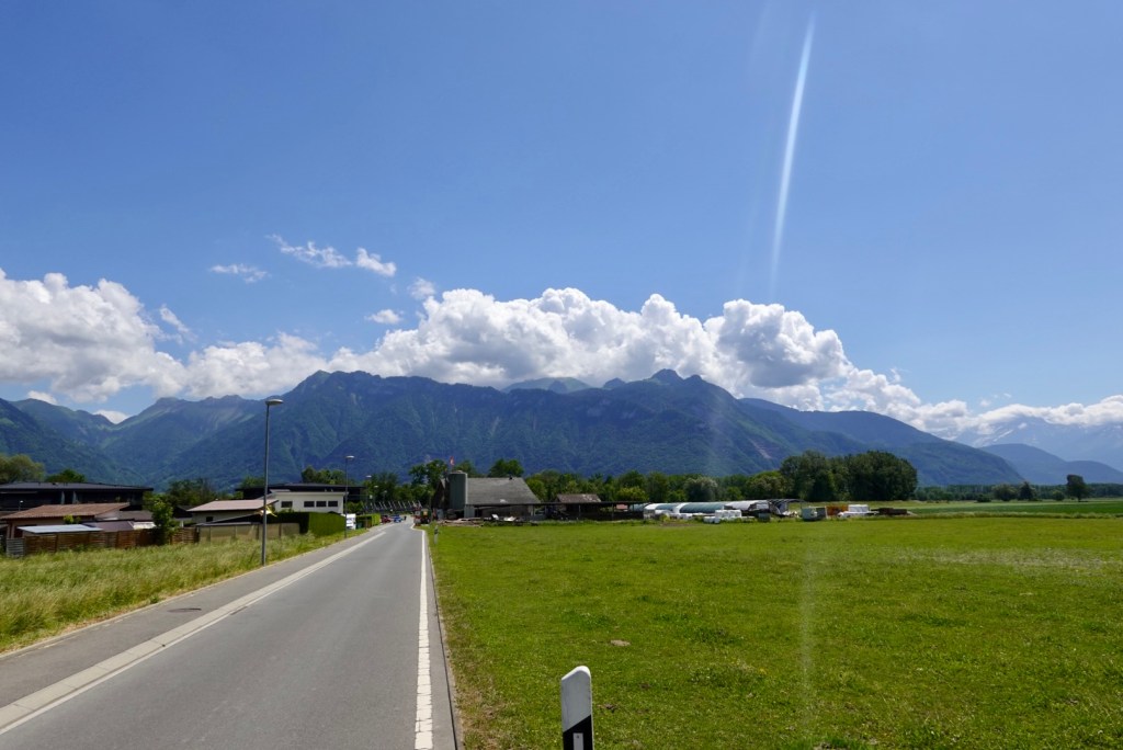
Alas the rain radar told a different story. We had watched it and knew without doubt that the band of rain was too big to miss Switzerland and we were bang smack in the middle. We had the morning though!

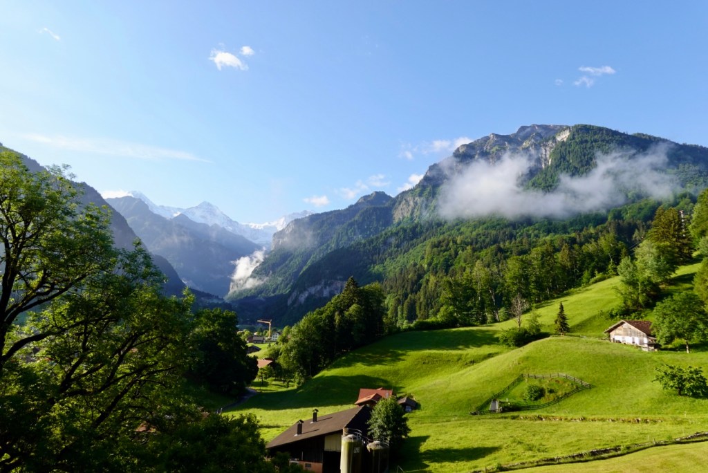
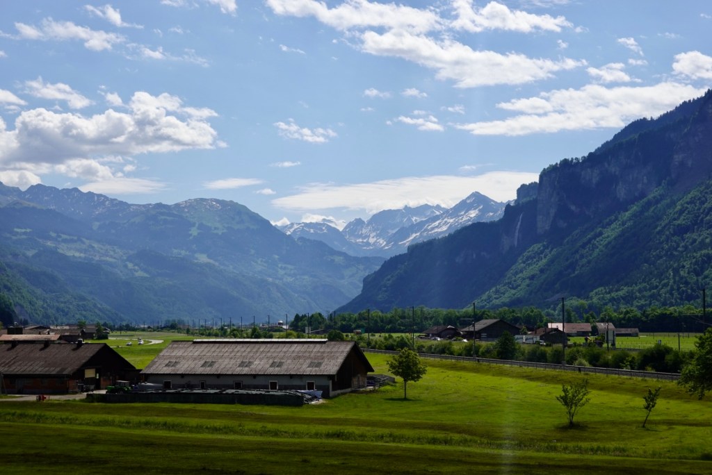
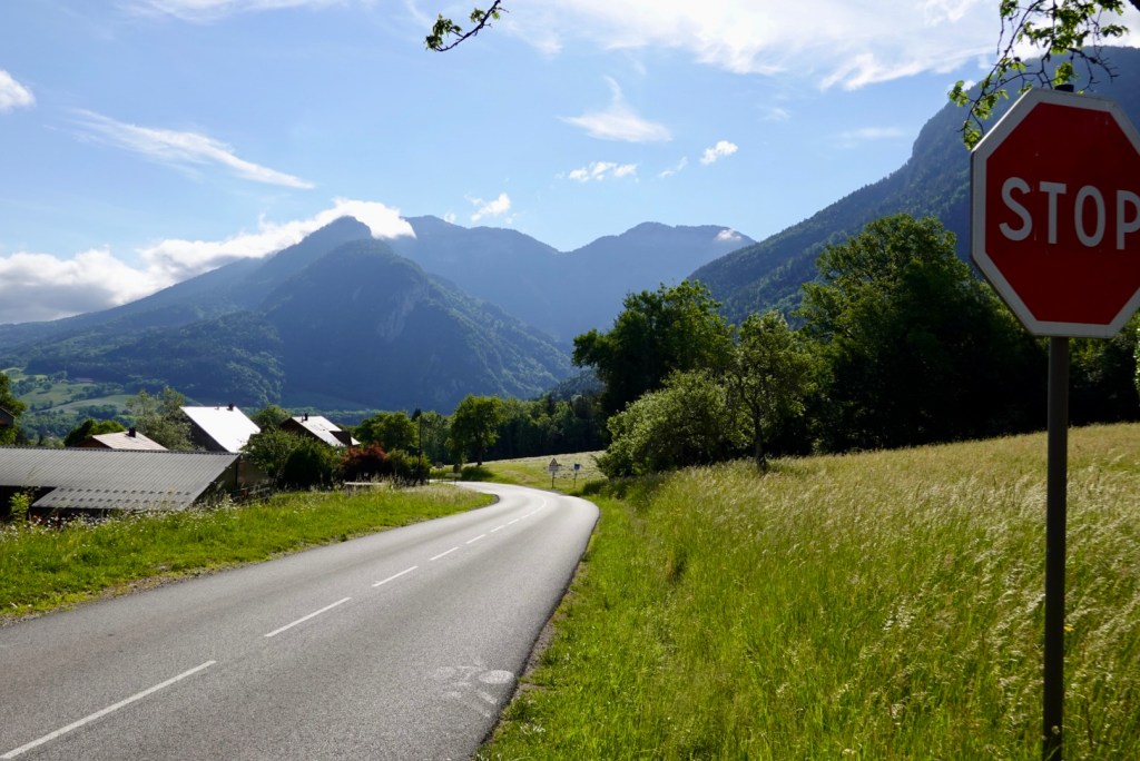
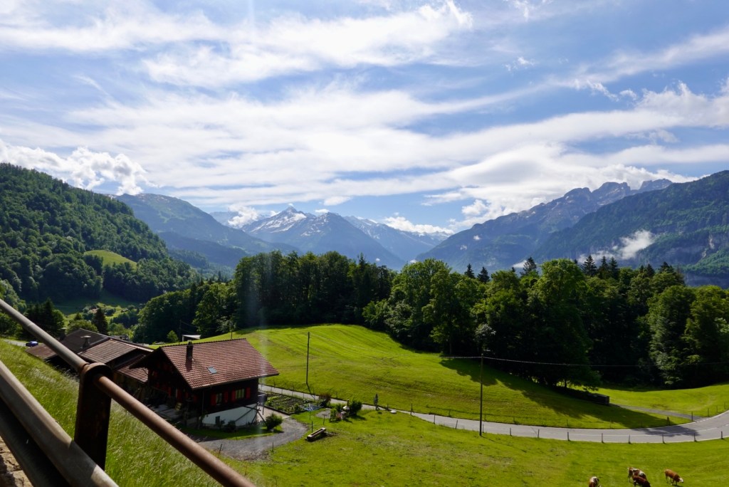
I took one last look up the valley and then turned my back. Maybe I will see these three again. It had been 35 years since my first visit and let’s hope a lot less until my next.

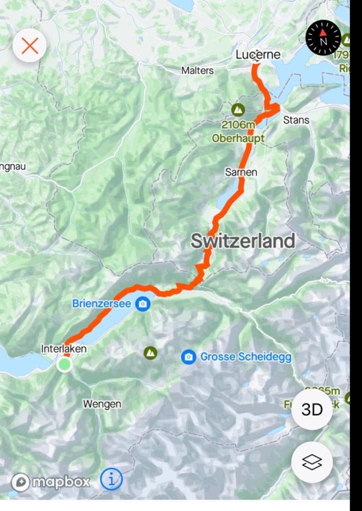
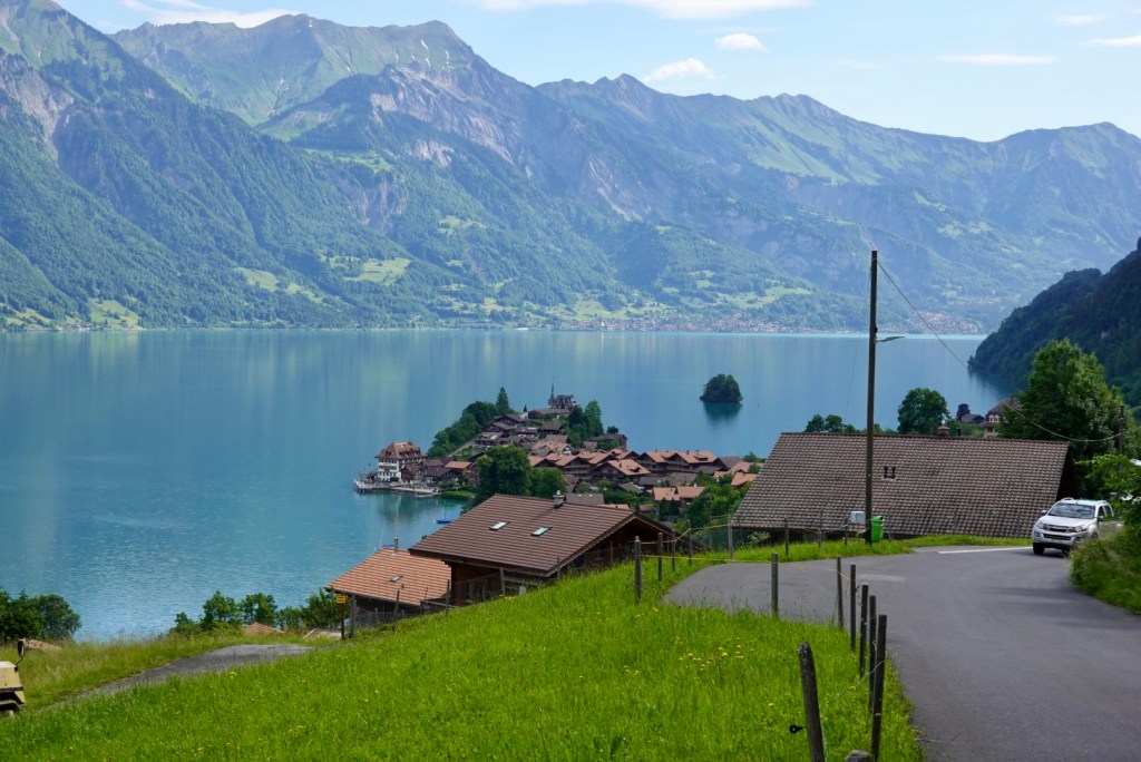
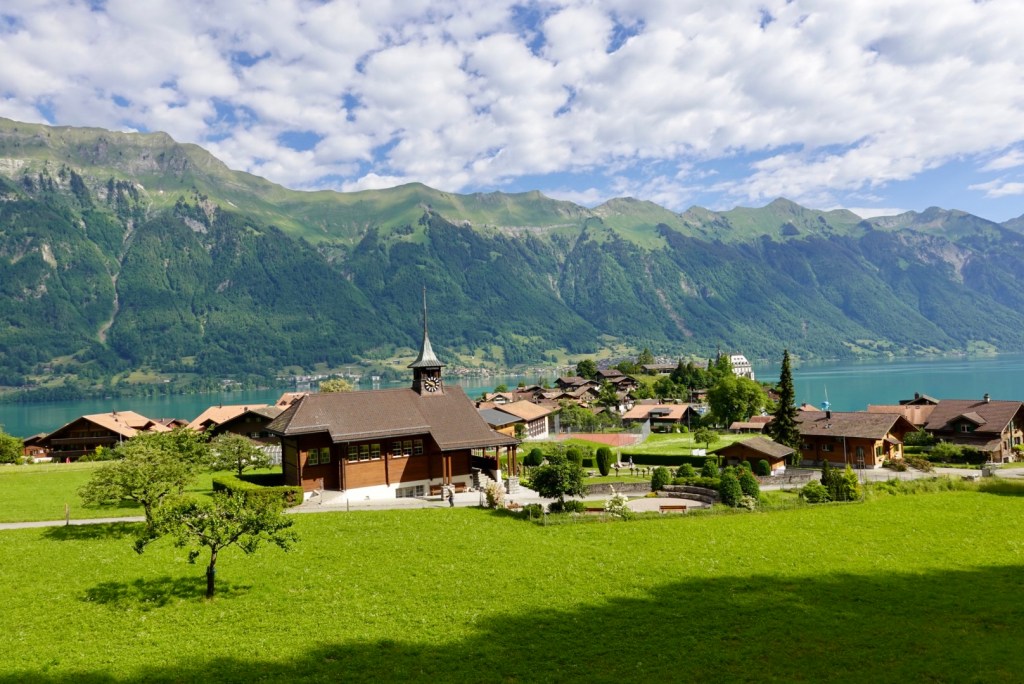
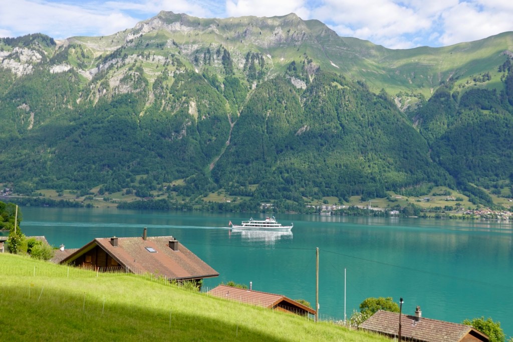
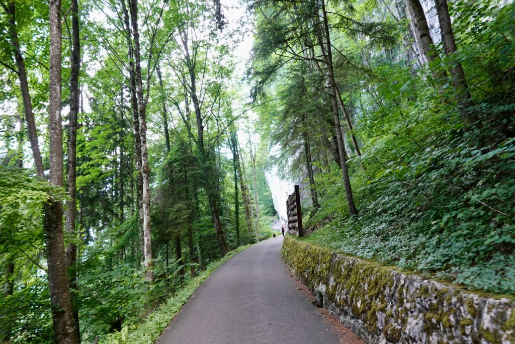
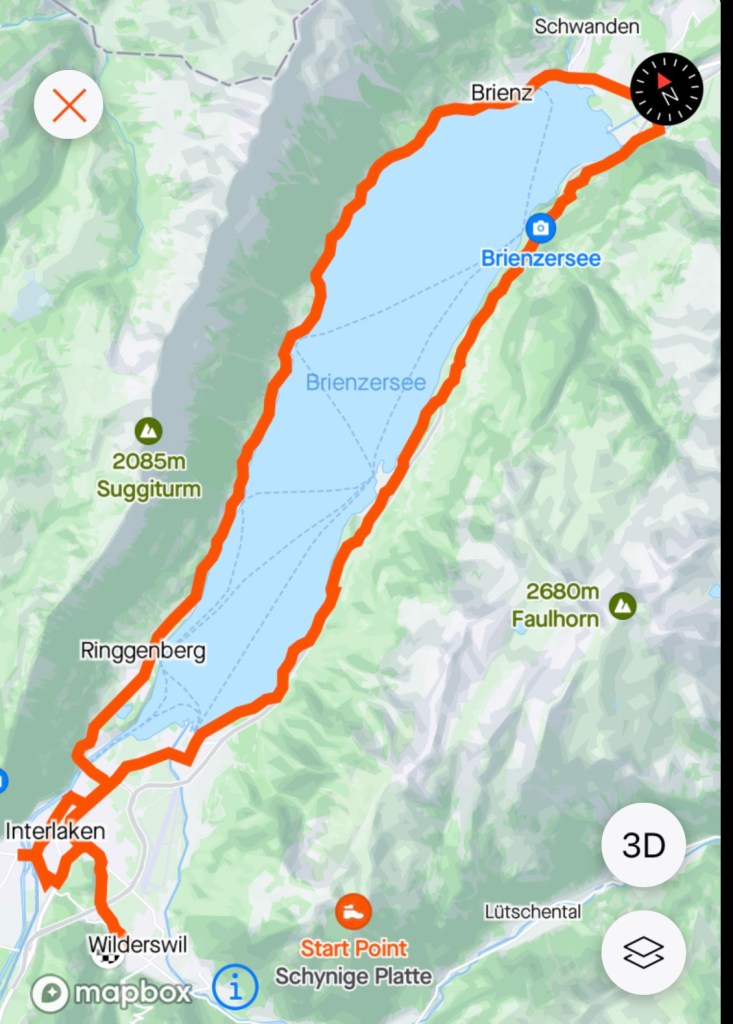
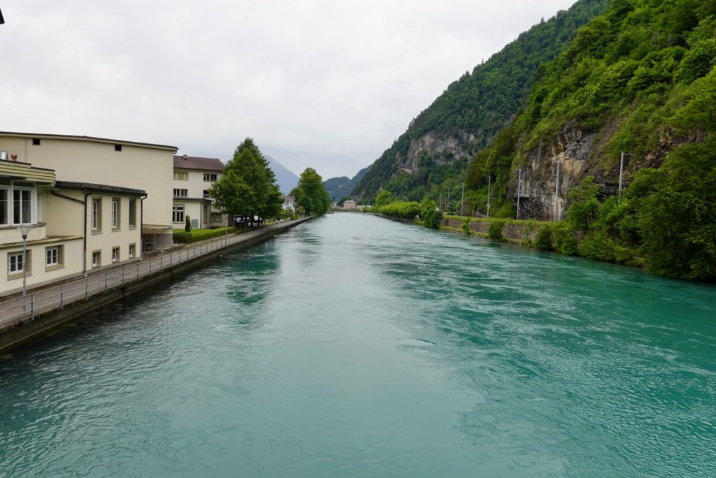
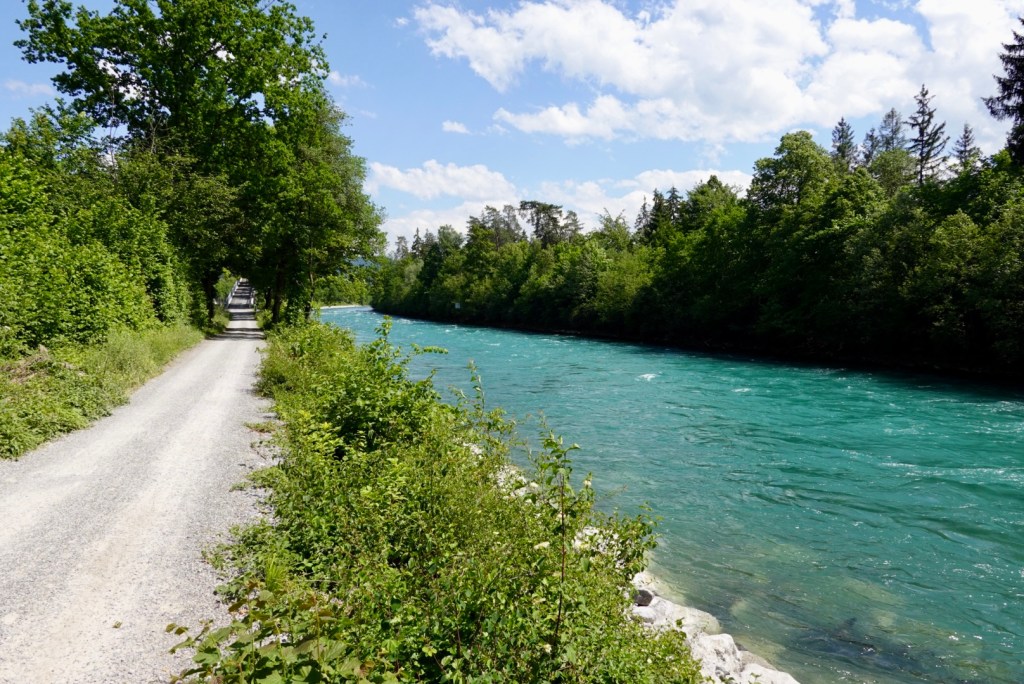
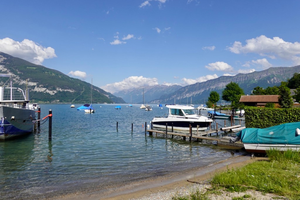
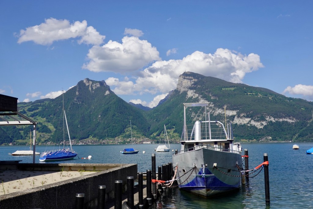
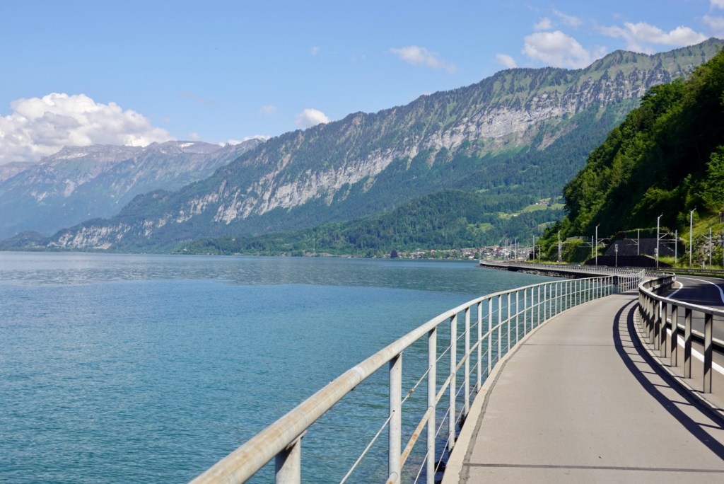
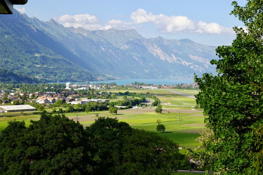
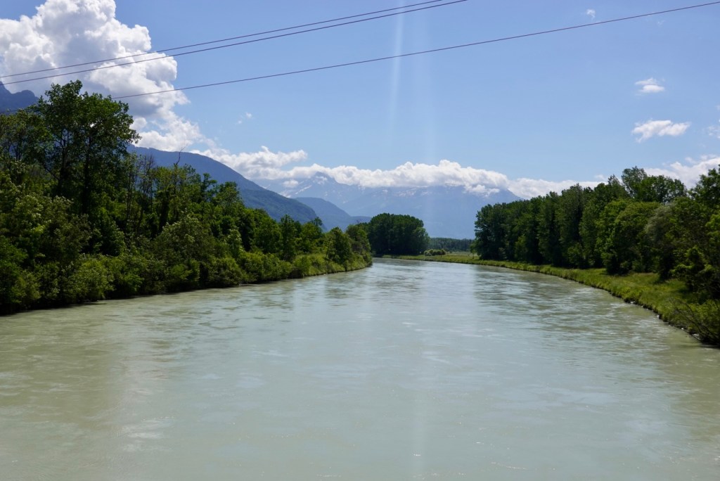
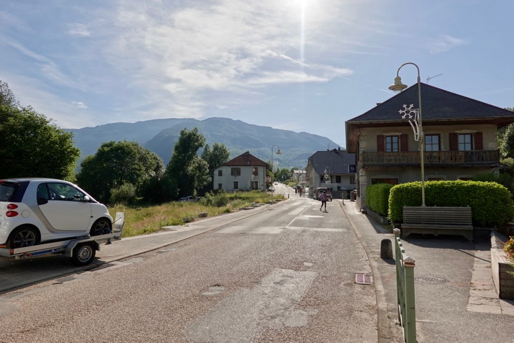
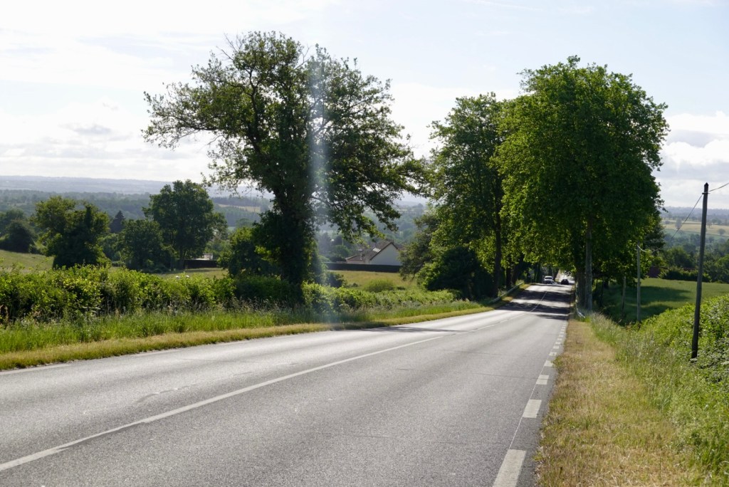
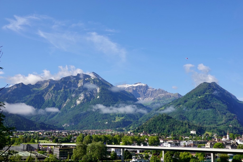
We headed straight into Interlaken as we needed to cross the river and ride down the ‘other’ lake side towards Brienz. We knew from our return bike ride yesterday that it was a good road and we would start with a couple of shorter climbs.

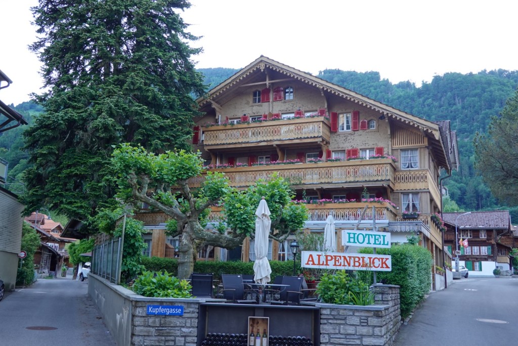
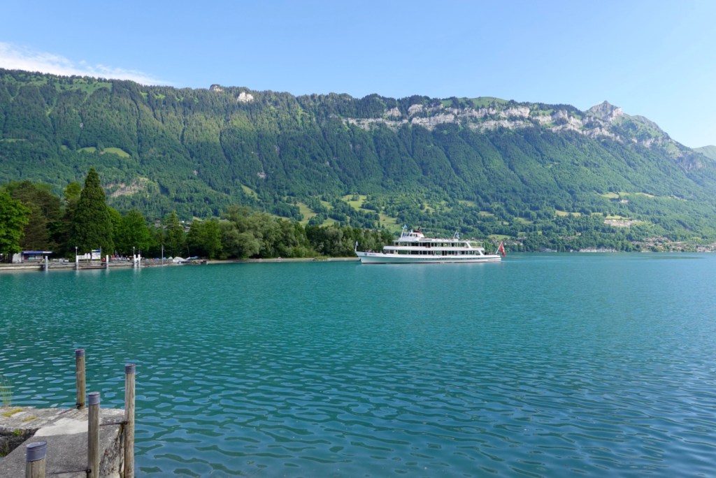
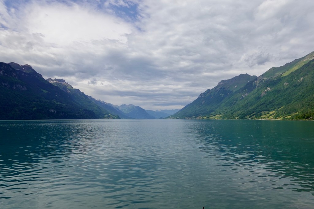
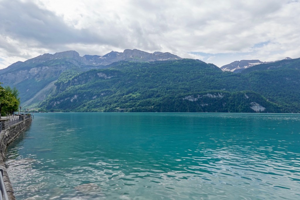
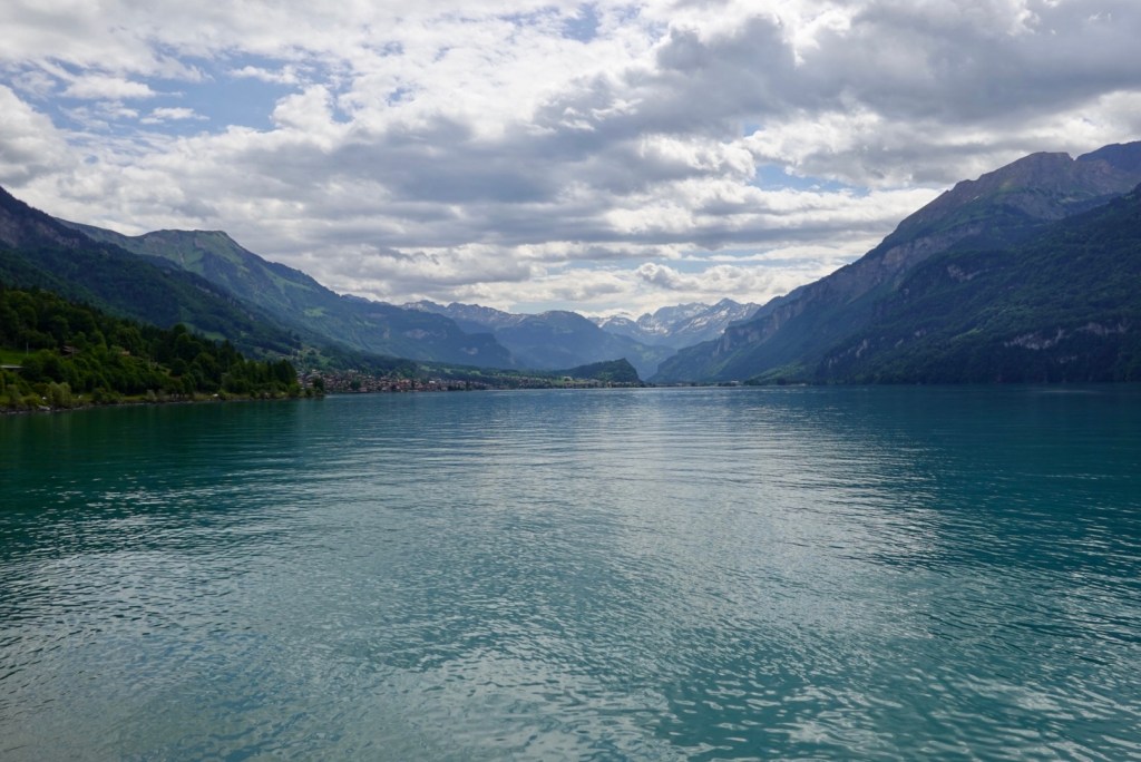
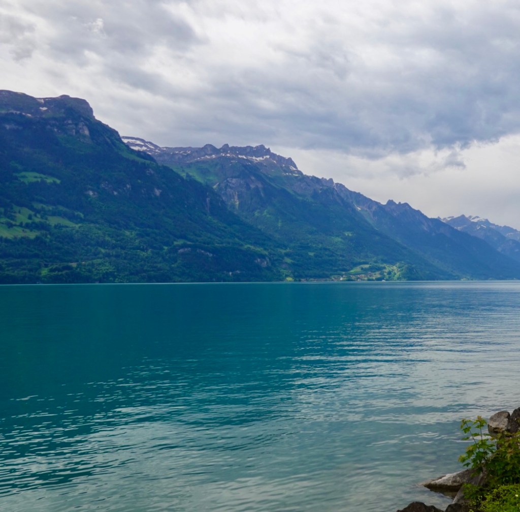
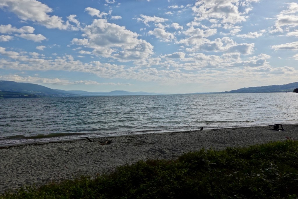
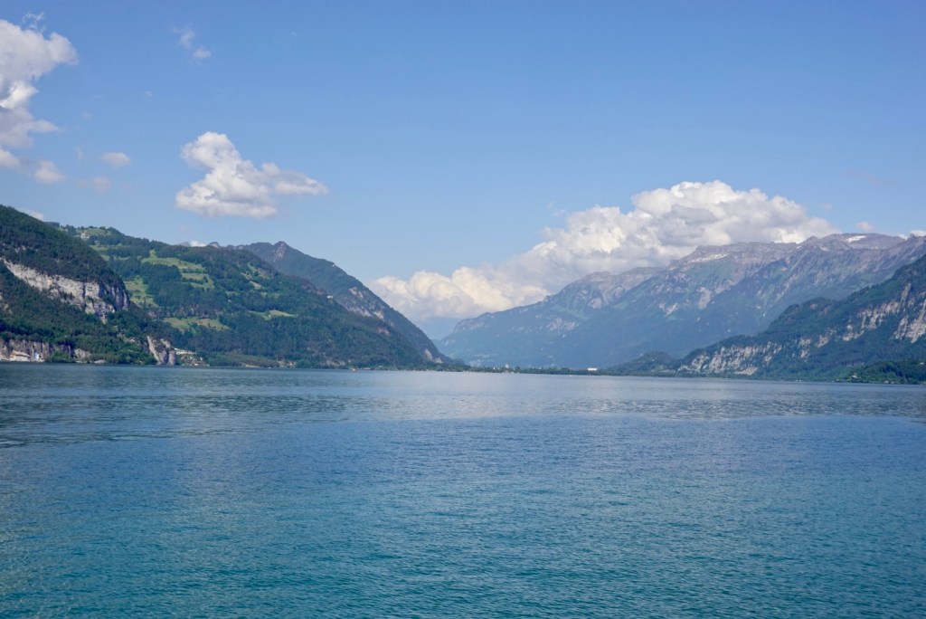
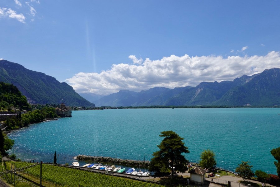
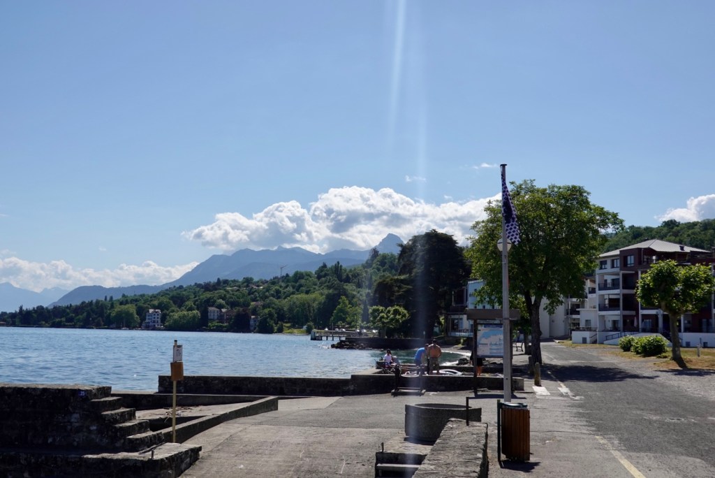
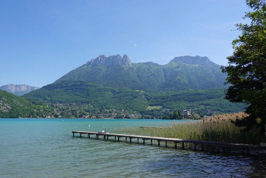
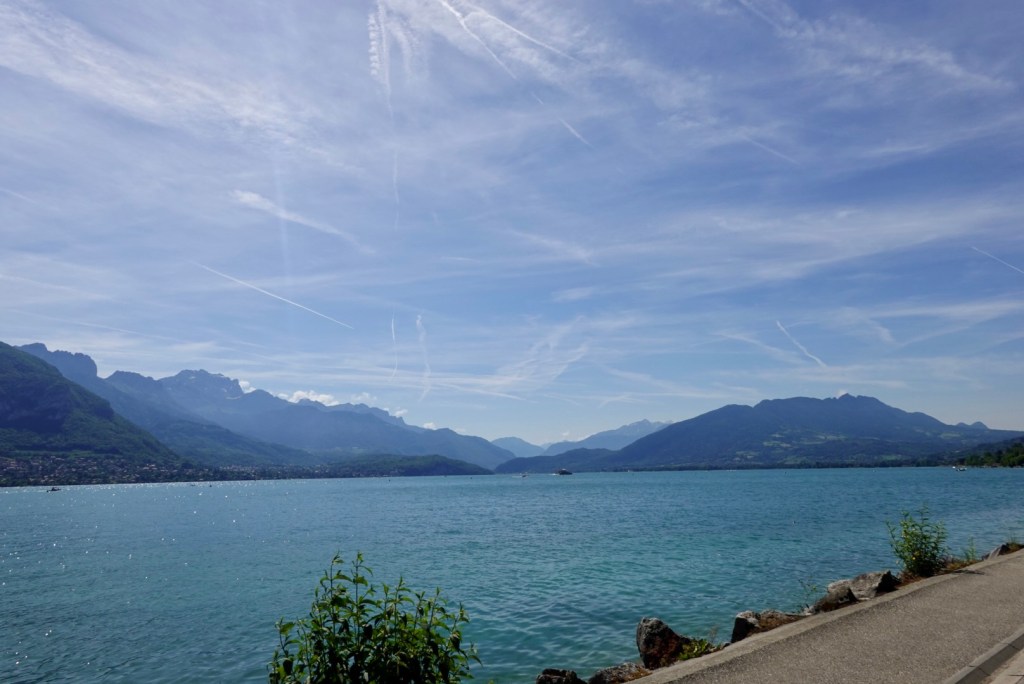
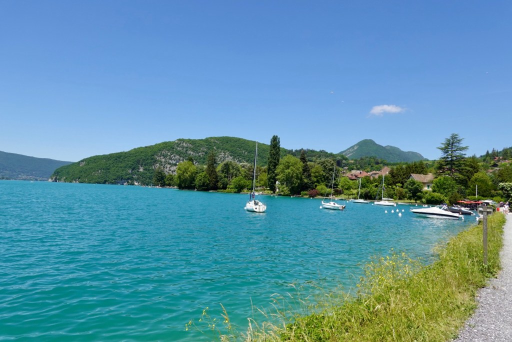
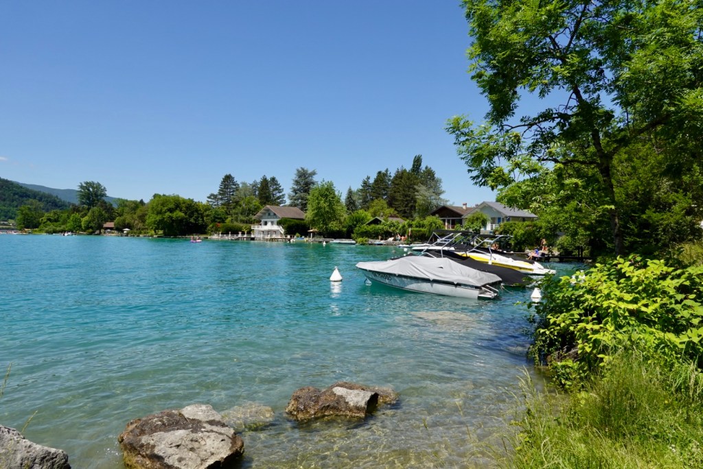
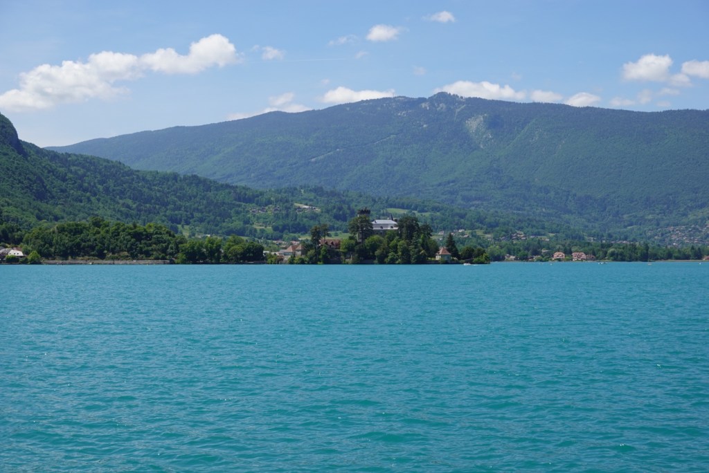
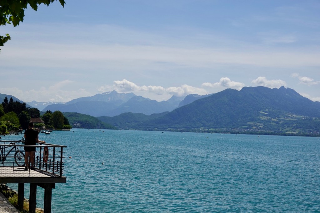
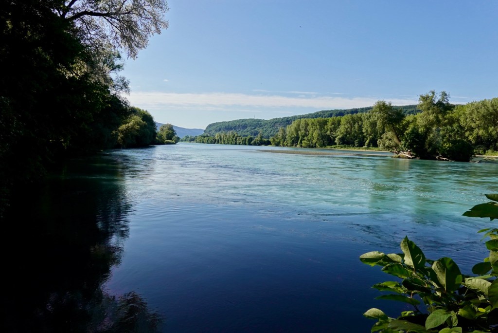
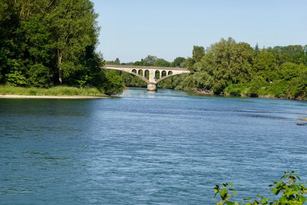
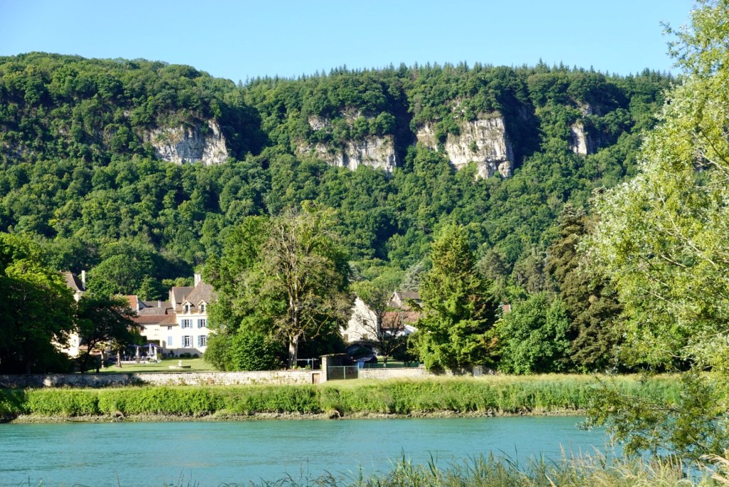
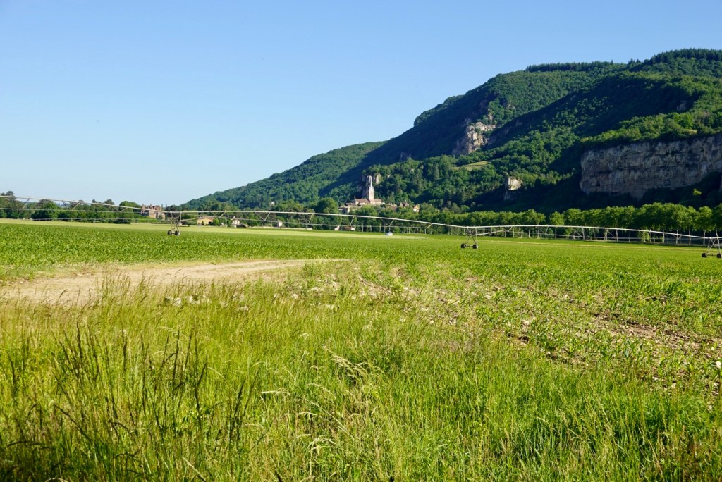
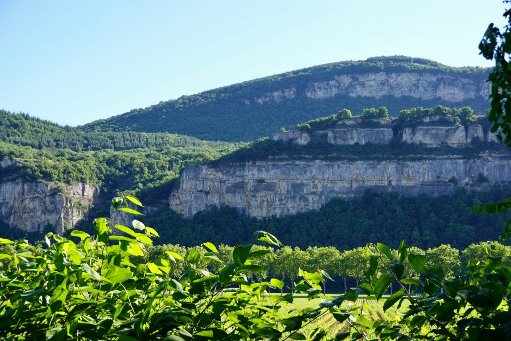
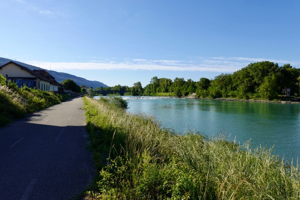
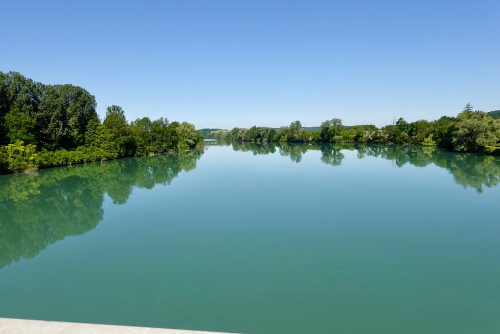
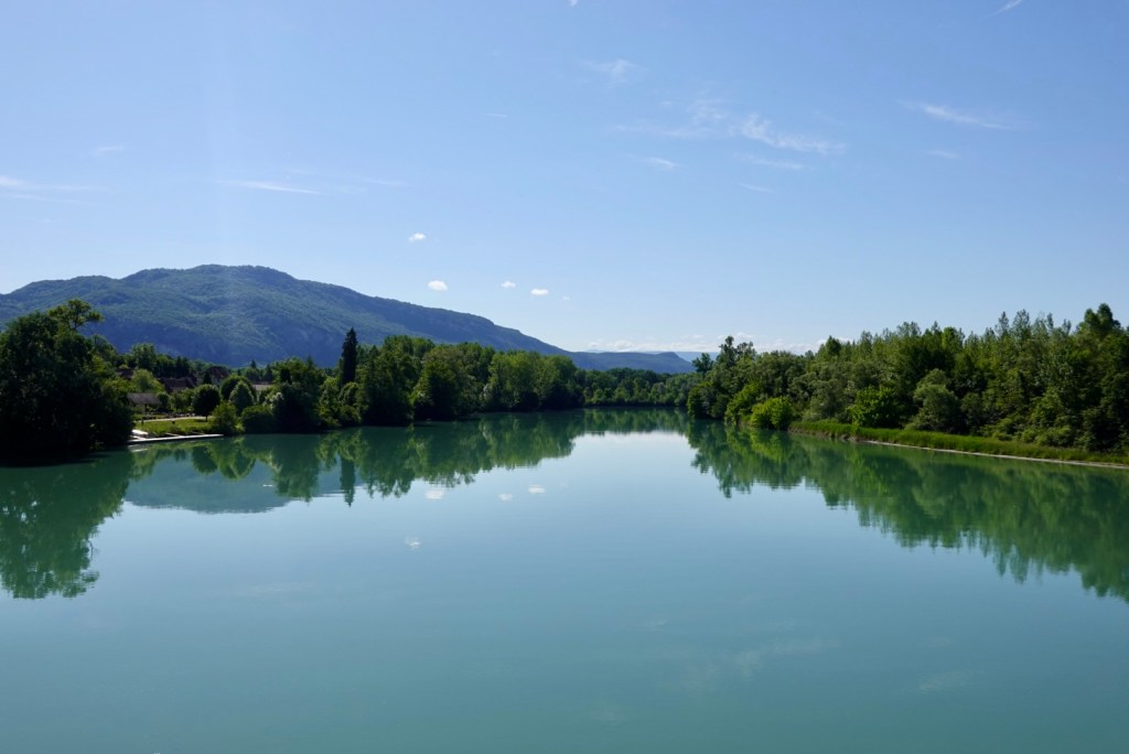
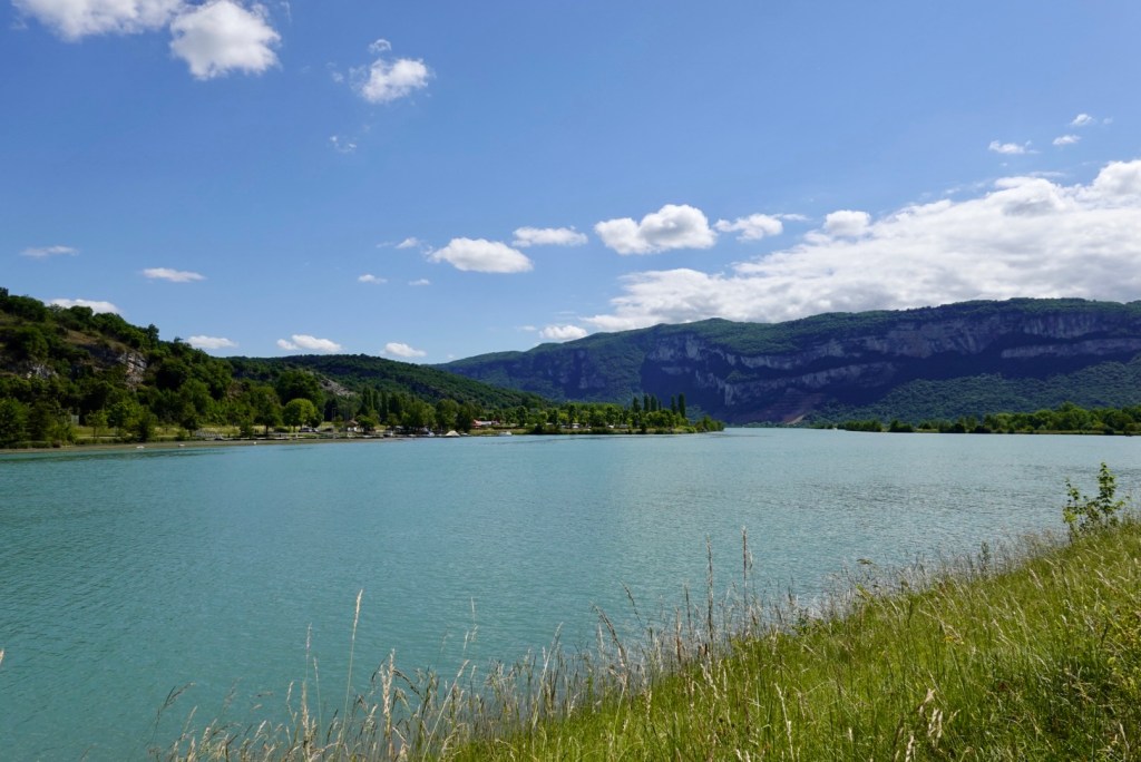
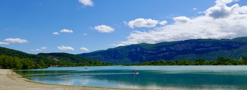
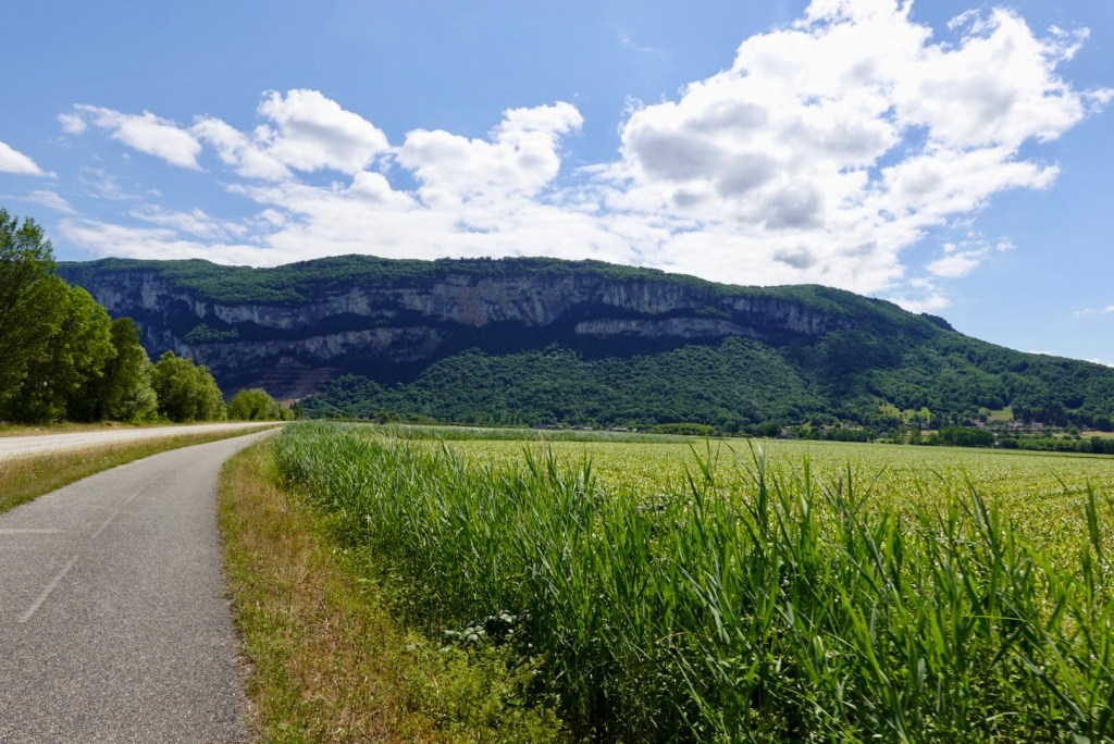
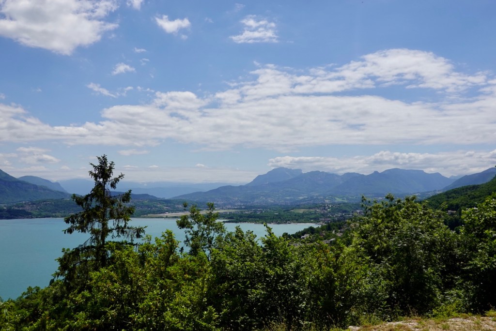
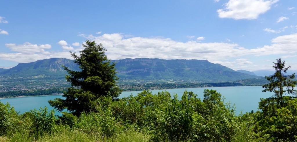
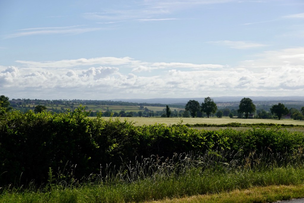
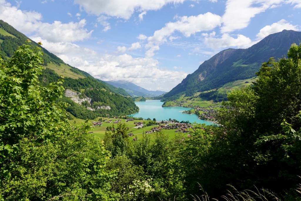
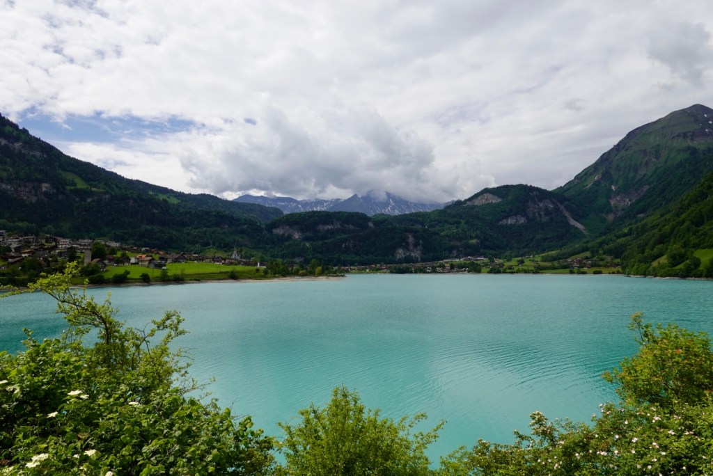
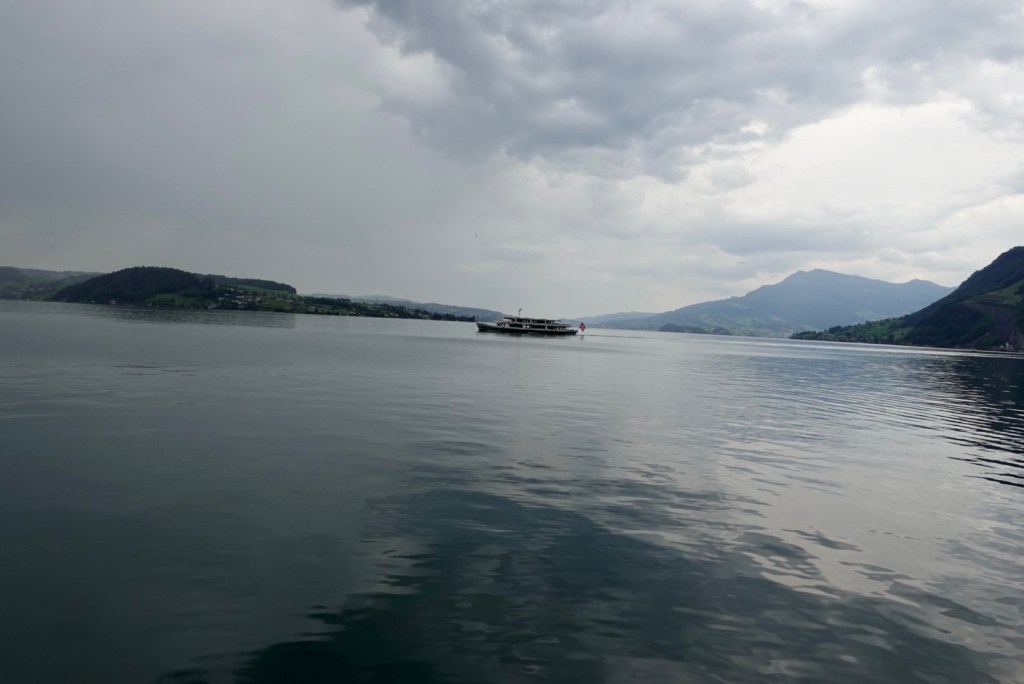
We stopped a few times on our way to Brienz as the lake was magical.

We turned left at Brienz, and again there were Swiss Airforce planes busy with their low altitude flights. Yesterday we had seen and heard many flyovers. I have since learned that the main airbase for the Swiss airforce is just a few km away at Meirengen.

There is a single runway and a series of large caverns in the adjacent mountain where the aircraft and ammunition is stored. You can drive the plane right though and out another cavern opening.

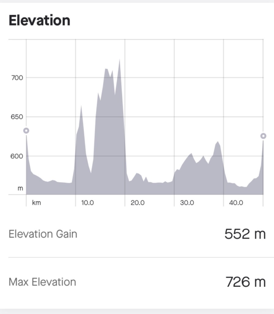
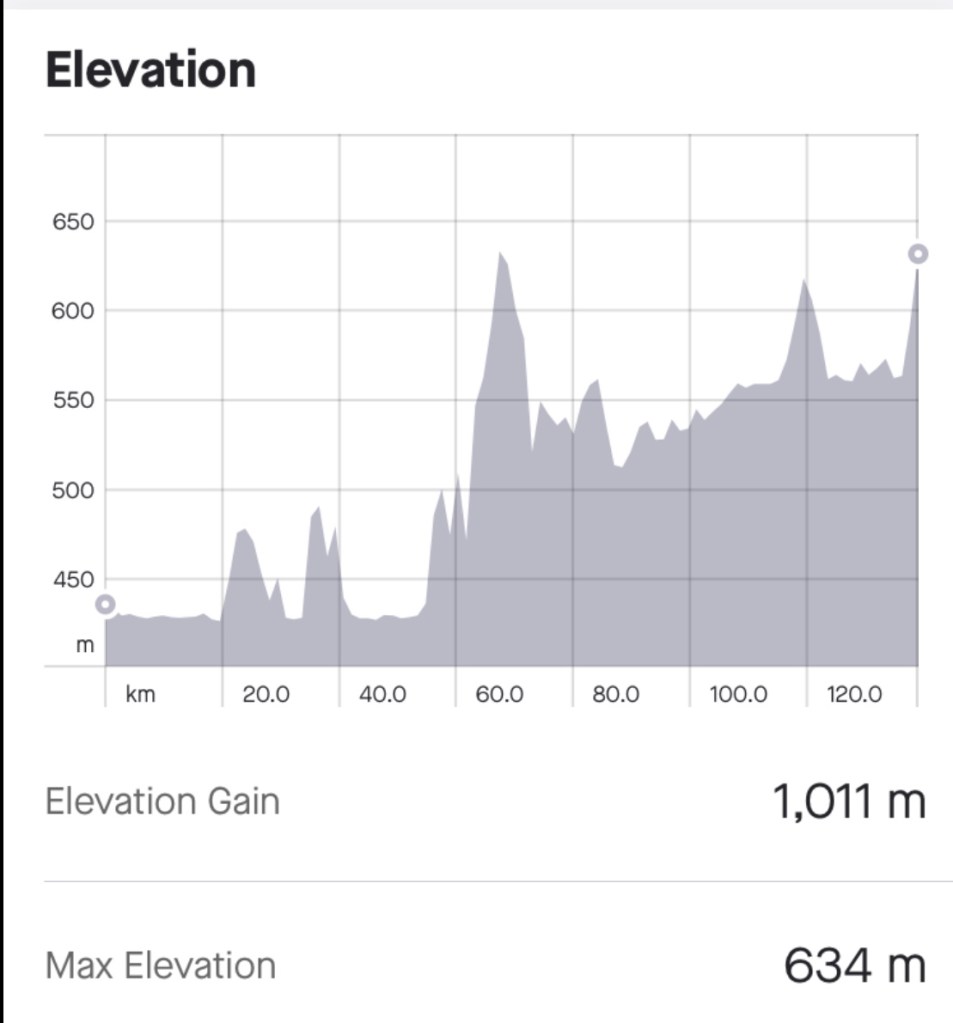
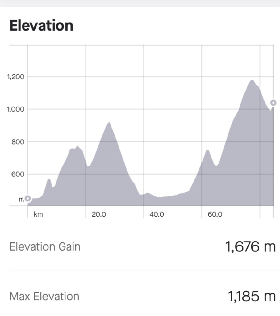
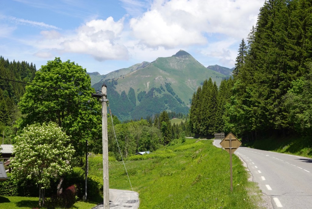
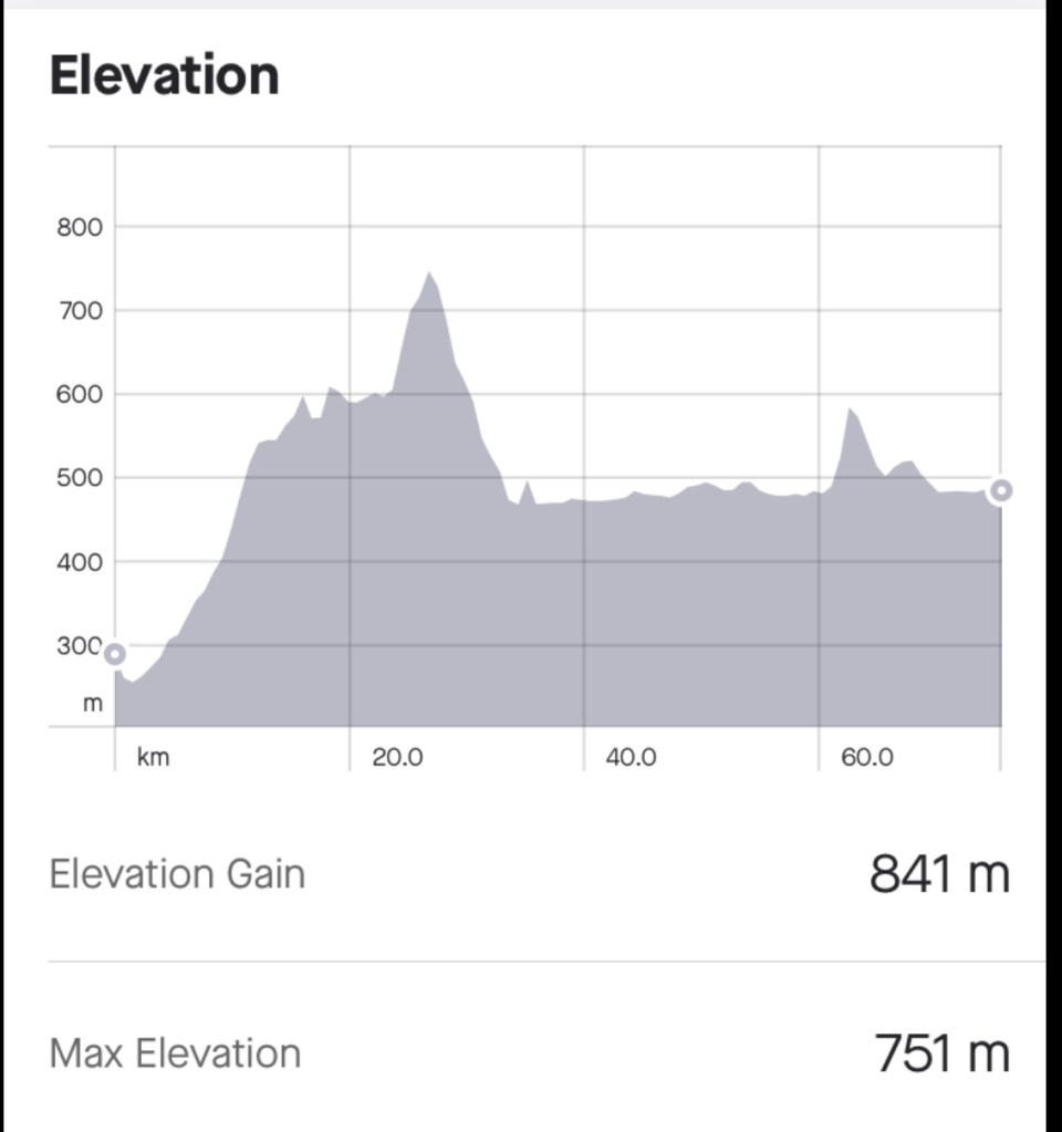
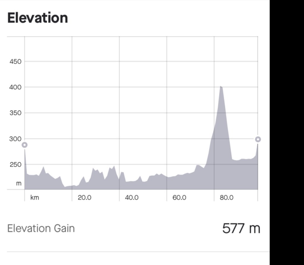
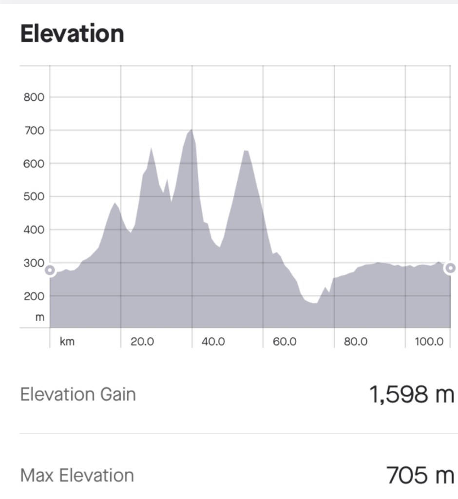
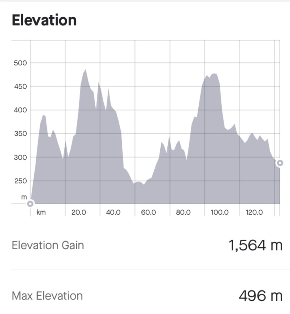
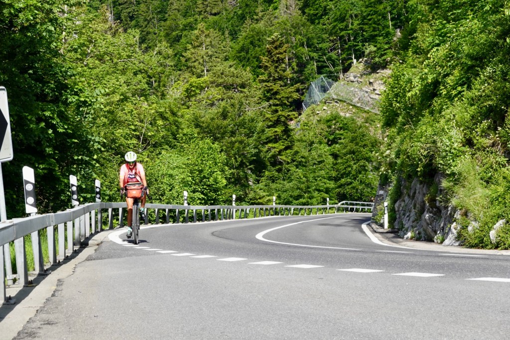
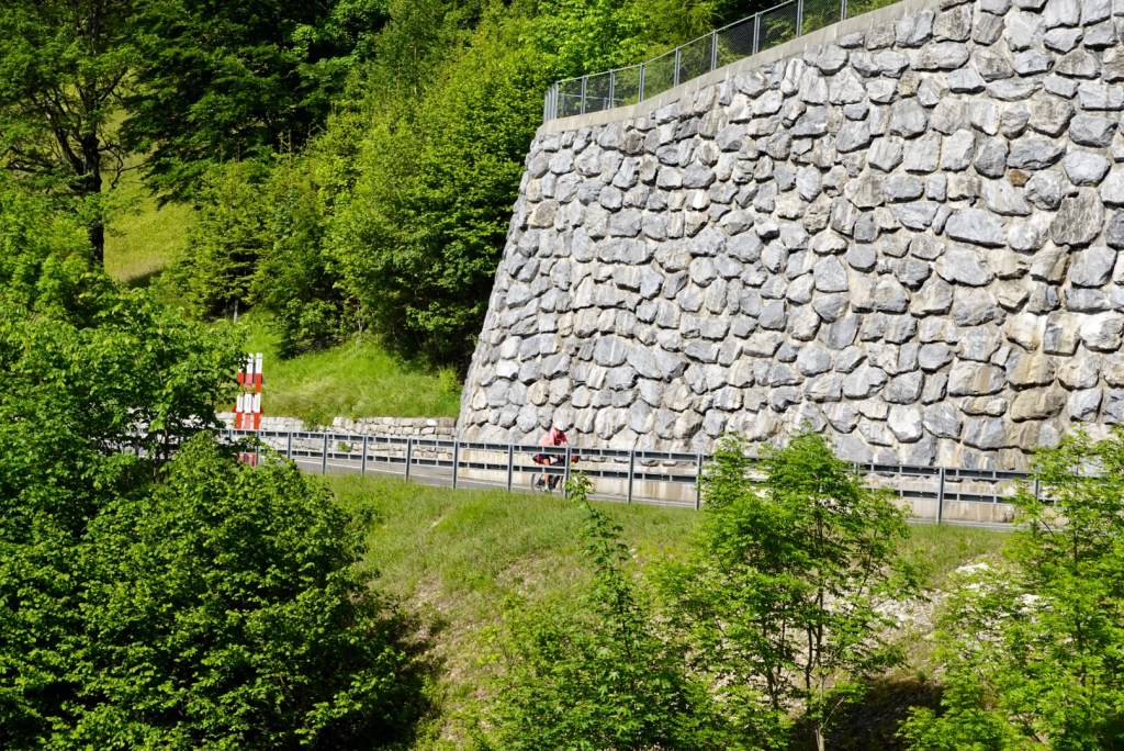
Then we climbed. The graph below shows the nasty one. As far as climbs go, on a loaded bike, we both felt this was tough. Not as long as say climbing to Les Gets in France last week, but steeper and pinchier. There were extended periods of 9-13% plus gradient.

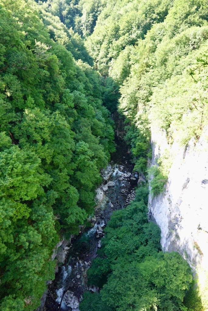
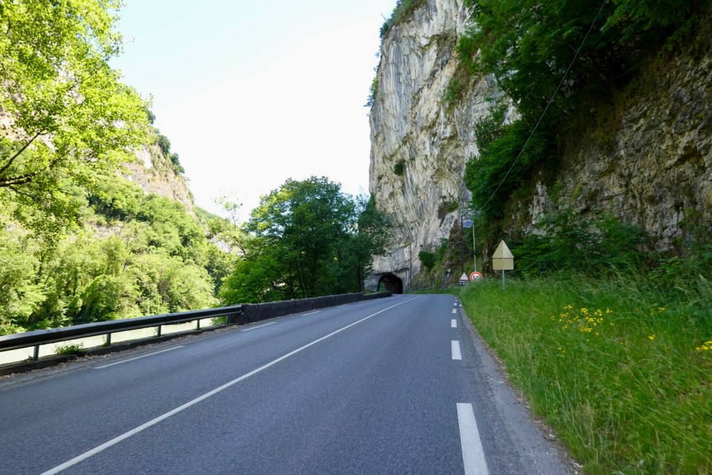
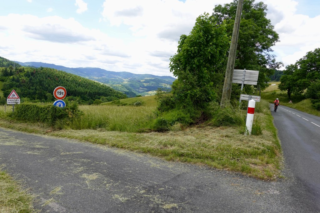
There was no verge at all. There were many sections of no side barrier and long drop offs. I moved further out into the lane in those sections as one mistake by me, or the lightest tap by a car and life was over.

The vehicles were in abundance and would have difficulty overtaking due to the oncoming traffic.

It’s a hard place to stop when pushing 9-13% plus as you need to be able to twist your shoes out of their cleats and then re cleat to start again on a steeper slope. That is hard to do and keep your balance. Well it is for me.

On some left bends there was a little excess on the right hand side so I would move over there and jump off and wait. They were all very patient and highlights the huge difference riding here vs Australia. Not one car horn today.

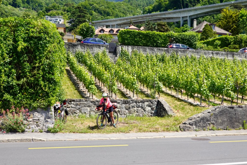
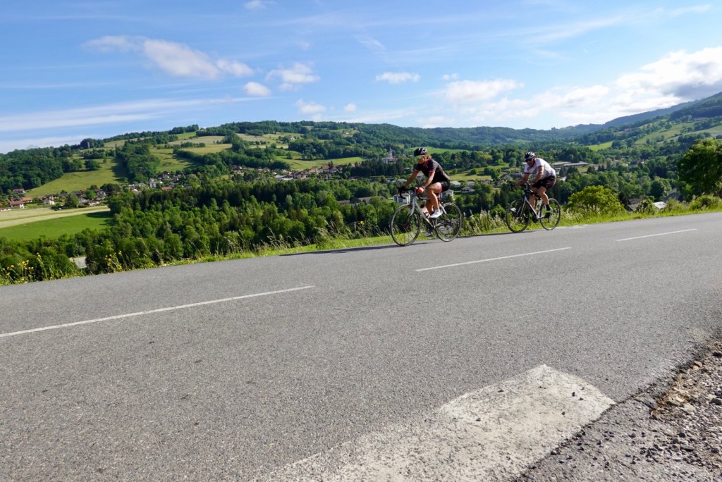
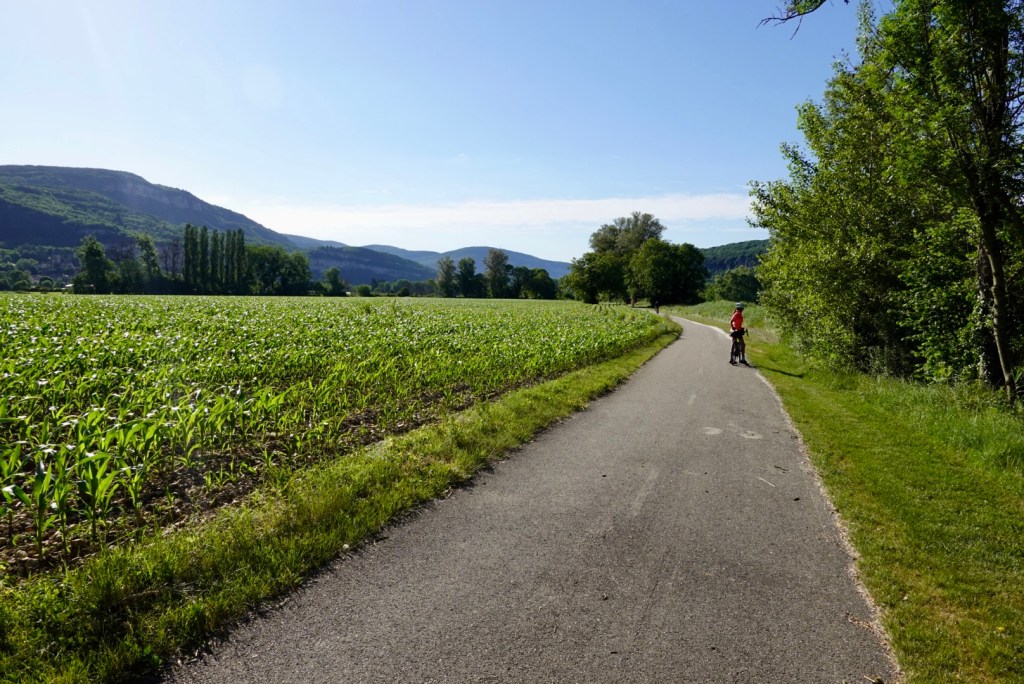
Tony took a few photos climbing.

The first road climb was below, we joined a T junction a little higher where we merged with vehicles coming out of a tunnel who were also going up Brunig Pass
Waterfall in the far valley. I could hear a helicopter the whole climb from somewhere down there.
Tony waiting in one of those left bend, right hand bays
Still climbing

We often stop for a breather at the top of climbs and Brunig Pass had a cafe restaurant. So we stopped and had a hot chocolate (do it yourself version, as we were presented with a mug of warm milk and a sachet) and I ordered ‘something’ to eat. My German comprehension is far less than my French and she said croissant, and something else that sounded like mousse. I ordered the latter.

Mistake. Awful. It was like a five day old dried out sausage roll, with thick dry pastry that was inedible filled with stuff that almost looked like a sausage roll but sweeter. I got a spoon and scraped it out to eat leaving the thick pastry that you could use as a weapon.

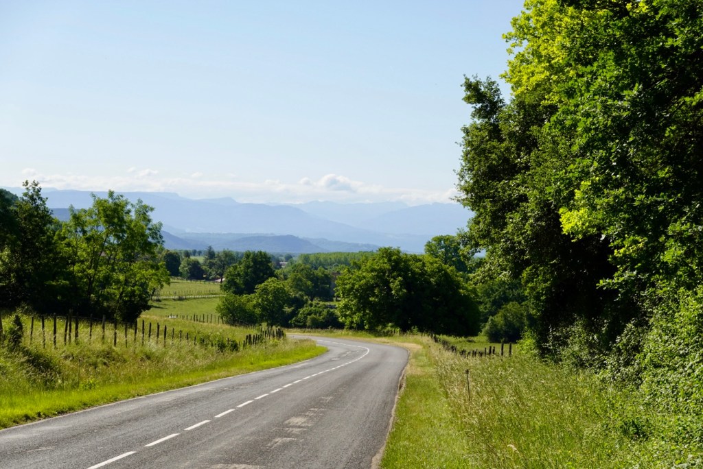
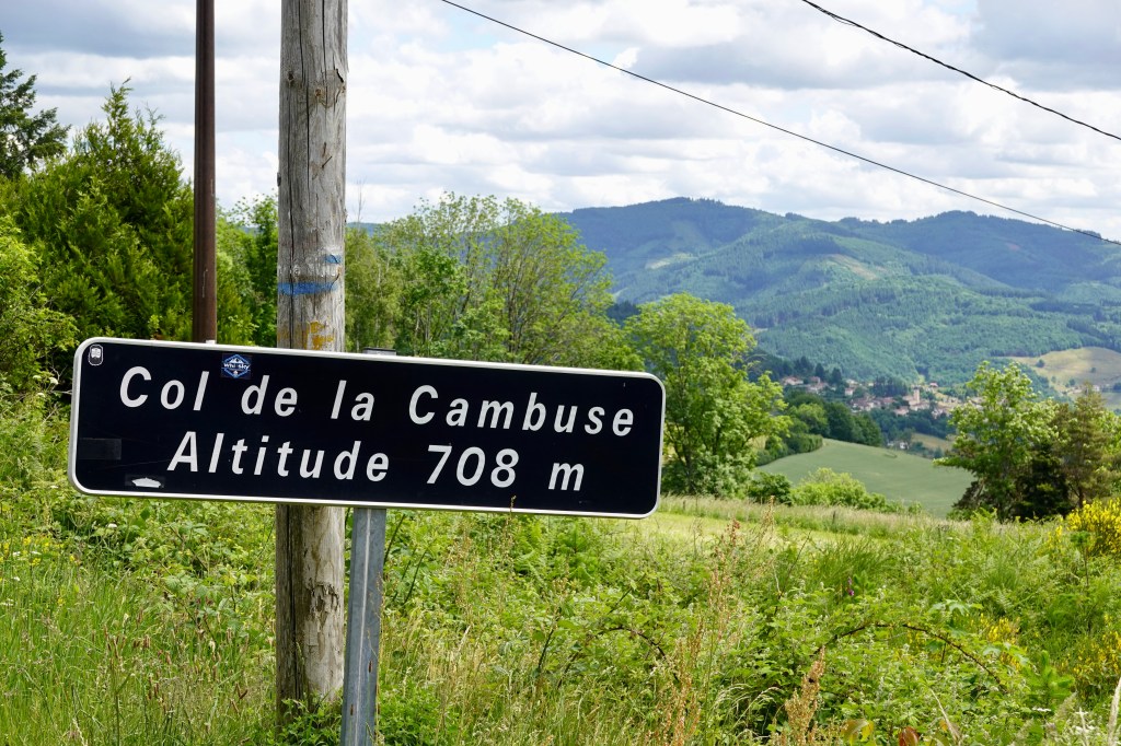
Also turns out the cafe is 10 metres ascent short of the top of climb so our legs did protest after a break. Brunig Pass boasts a bus and train station and a few other eating places. Then it was into the descent, which included a few areas of roadworks.

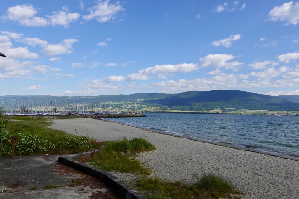
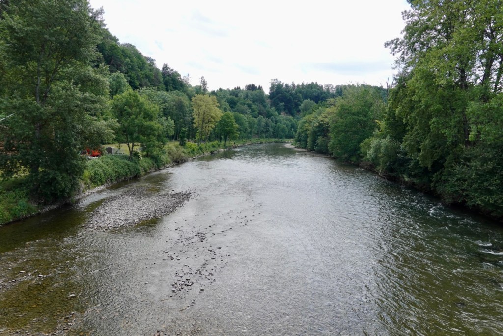
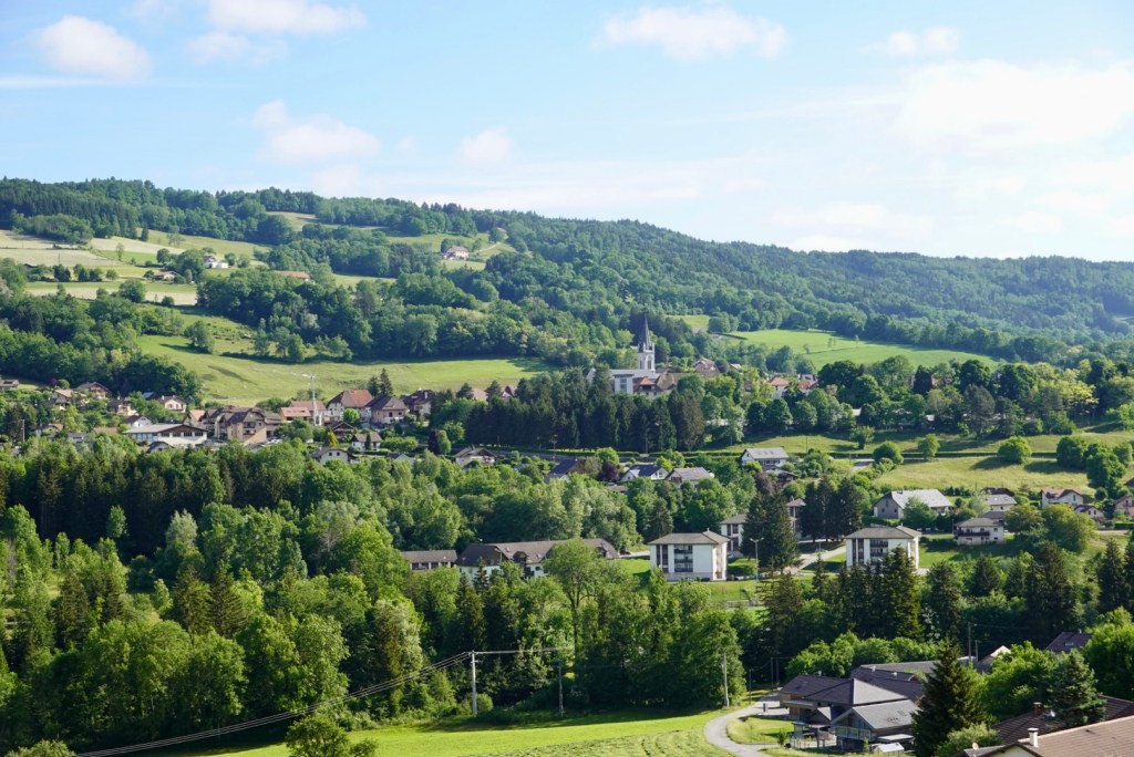
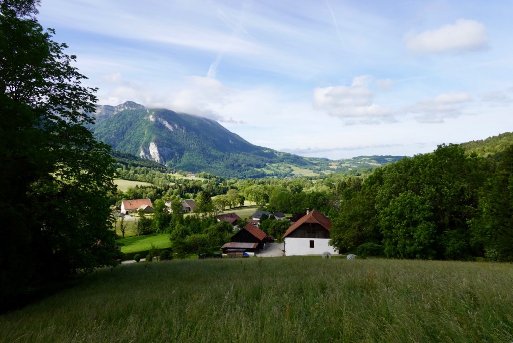
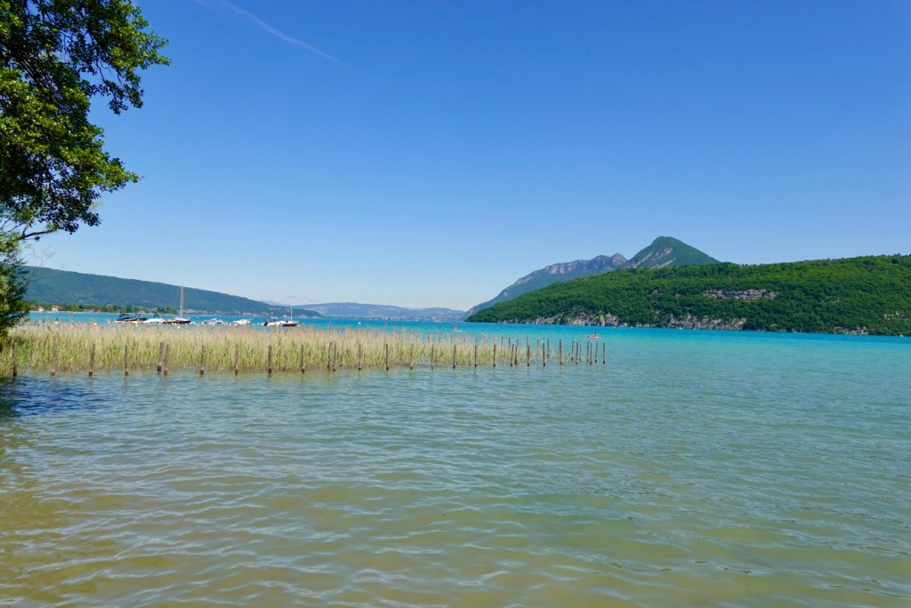
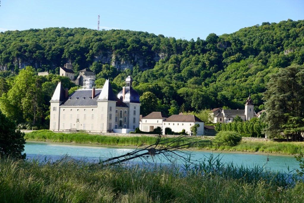
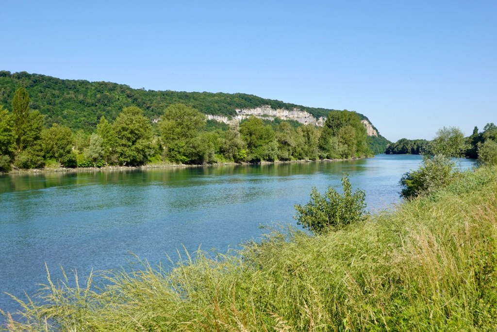
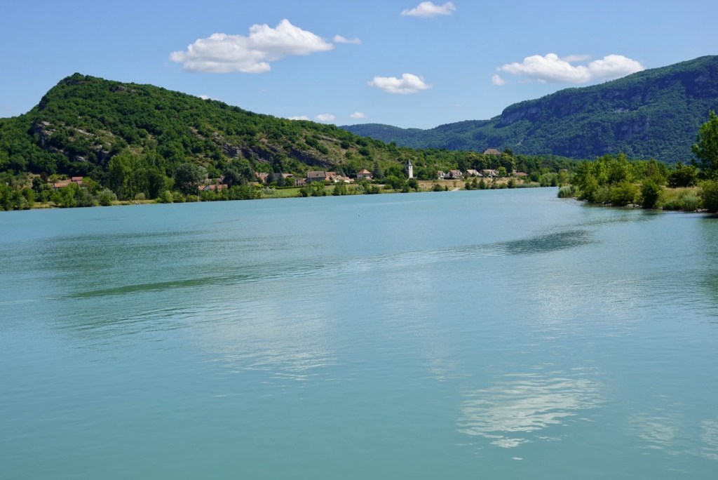
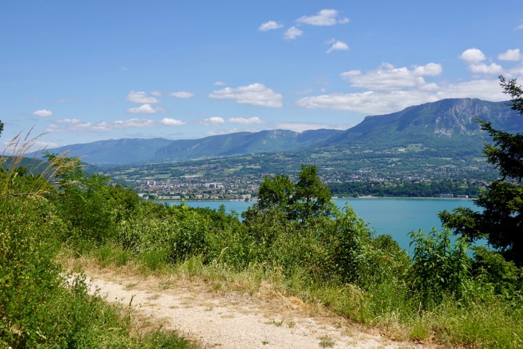
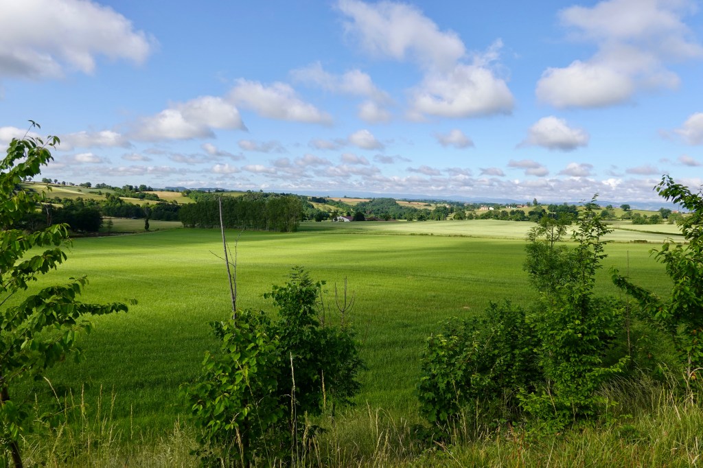
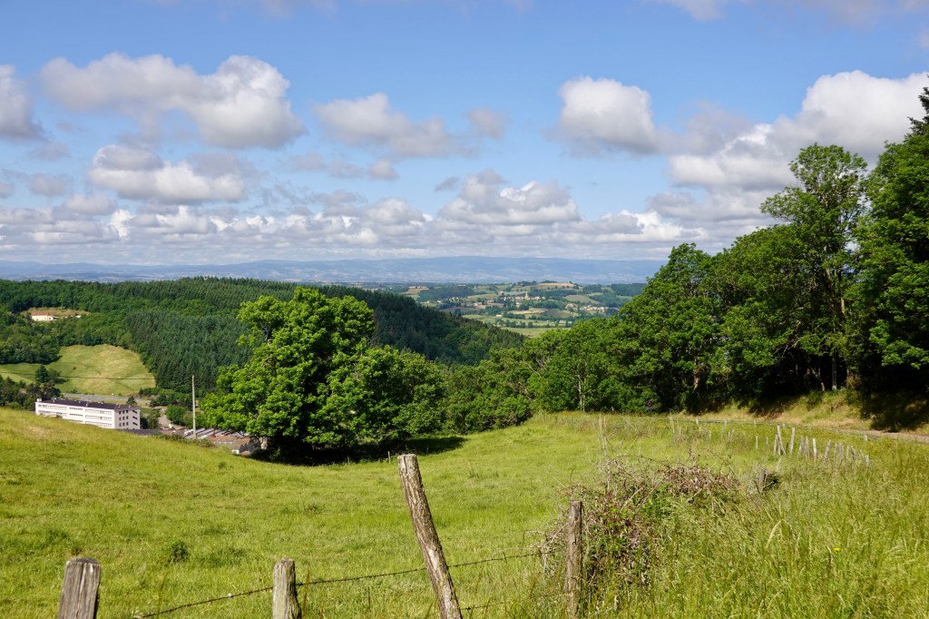
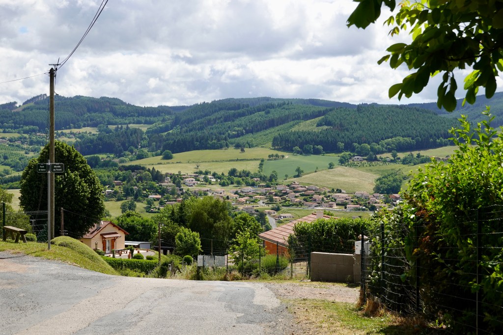
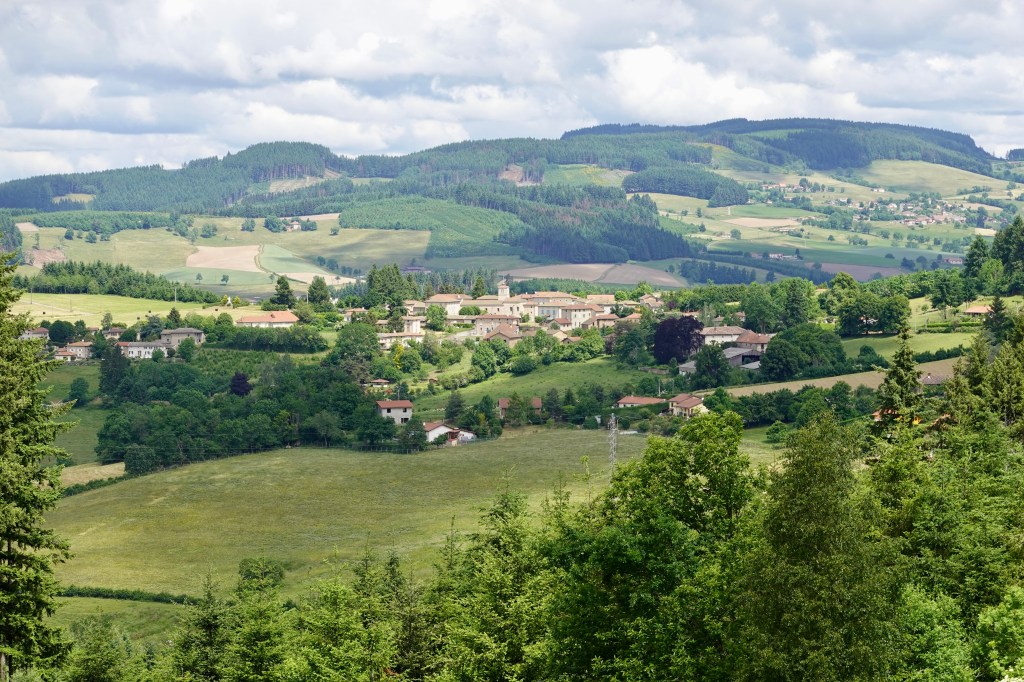
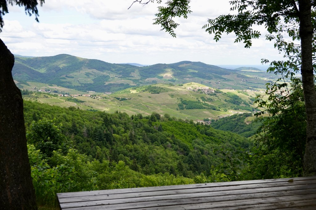
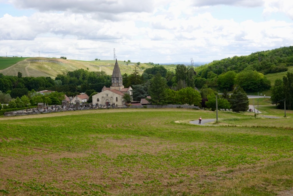
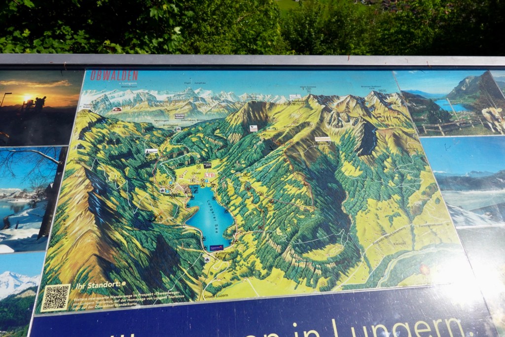
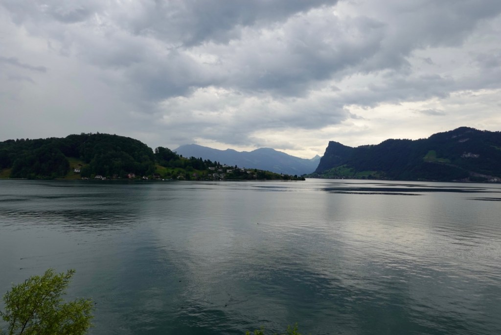
We stopped here to look at the view of this lake, Lungerersee. The town you can see is Lungern.it was super picturesque.

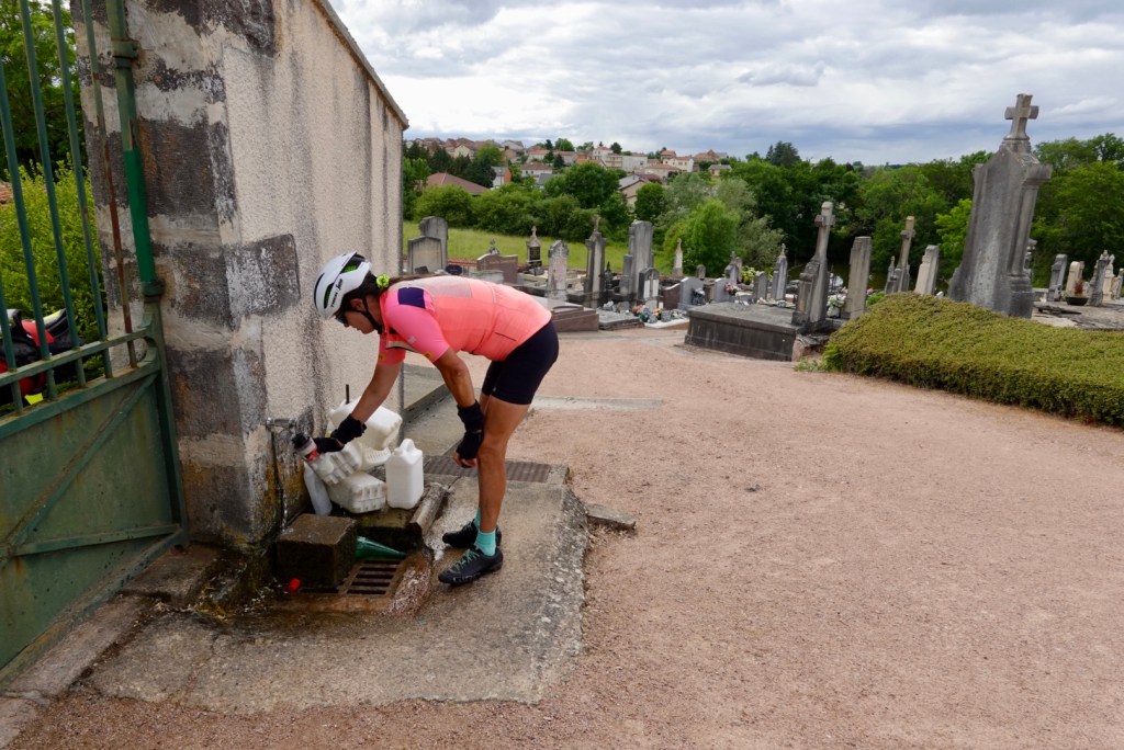
Down in Lungern we stopped at a small supermarket and grabbed a bottle of Perrier to refill our bidons.

Church in Lungern
Lungerersee from the Luzern end

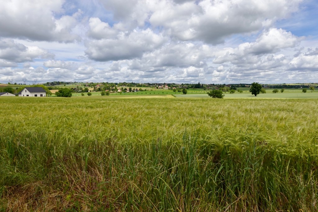
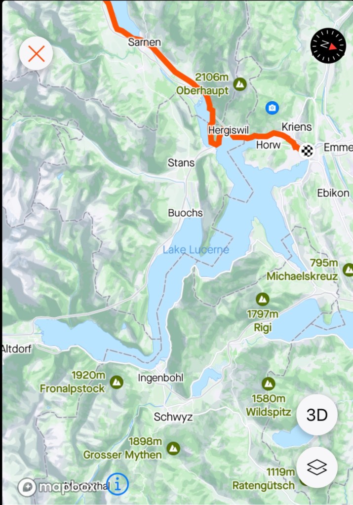
The weather is closing in and the blue sky has gone. The next lake we ride past is Sarnersee.

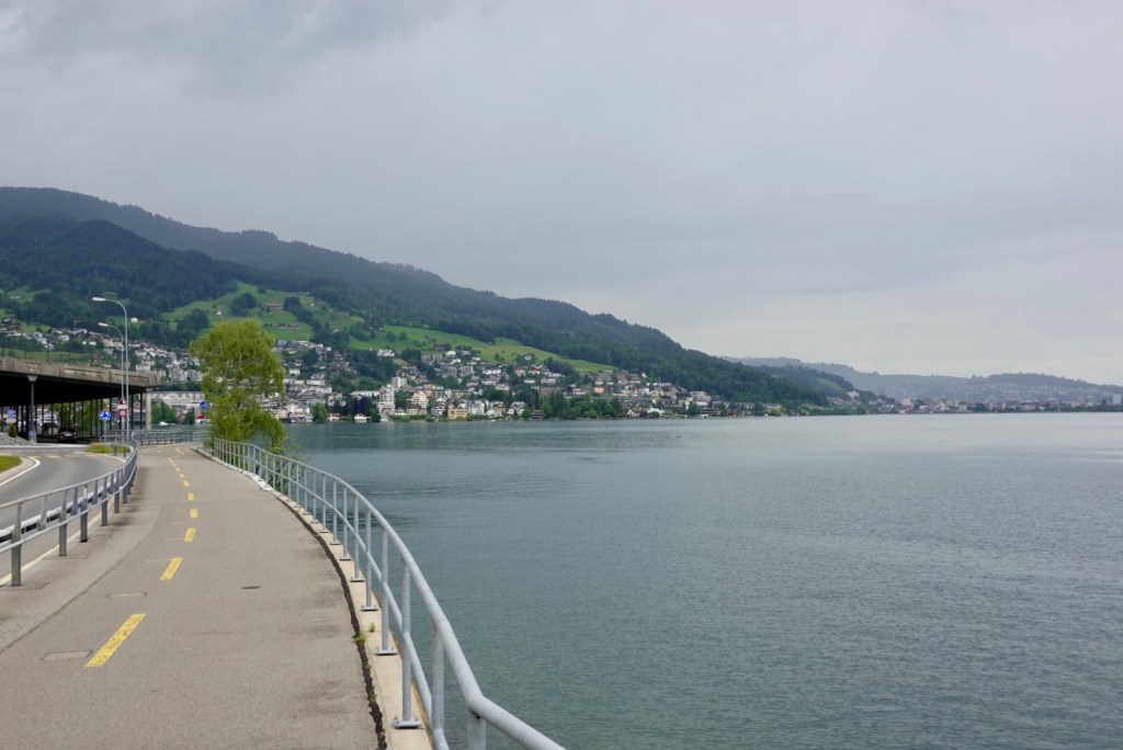
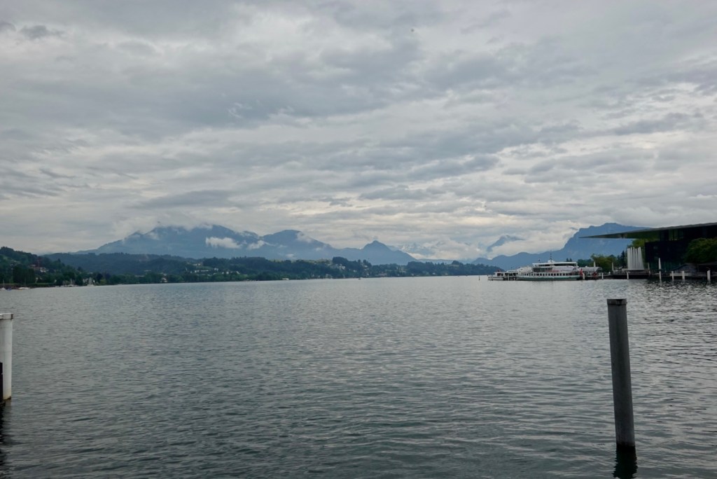
Lake Luzern (Lucerne) twists a lot. Our approach is from the south. 10 km out we don our rain jackets as there are a few spits. Can we get there without getting wet? Looking less likely as it is raining over Mt Pilatus.

Earlier view Lake Luzern

5 km to go, it rained. Just a steady downpour. We went direct to our accomodation despite being 1.45 hours too early. The young guy said we could come back in one hour….and we discussed the bike storage. That took 15 minutes as he conferred with his grumpy boss.

The boss said they could go outside in the rain. I looked at the spot and said no reminding him that when I made the booking I was advised they could store our bikes safely and securely. Back to the grumpy boss. Voices raised and the grumpy one came out and eye balled me, saying something…..but not one bit of warmth in his eyes or voice.

The young lad took me down one level in the lift where they store all kinds of stuff. Perfect storage! So now only 45 minutes to kill in the drizzle.

Around the corner we found a cafe and ordered some lunch. We ate slowly. We ordered more hot drinks. Voila, 45 minutes had passed.

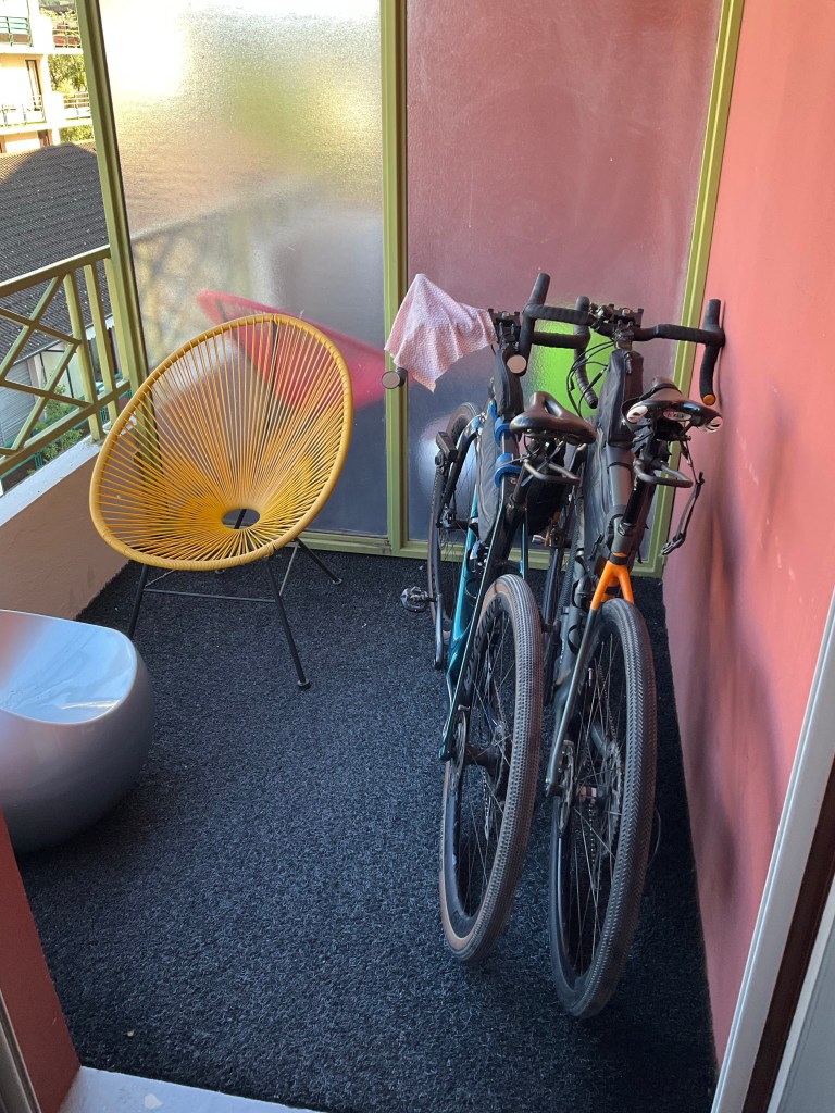
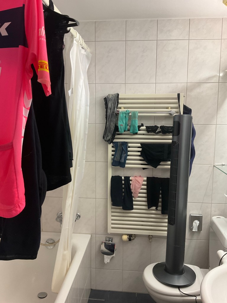
Stored the bikes, showered and washed our clothes. Hanging the clothes out windows today was doomed to failure. This is our laundry set up here.

The fan oscillates but we needed extra height to get the clothes hanging from the shower rail hence it is sitting on the toilet. We turned the knobs on the wall heater but it took ages to get a tad of heat.

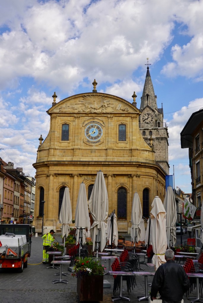
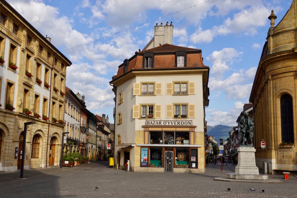
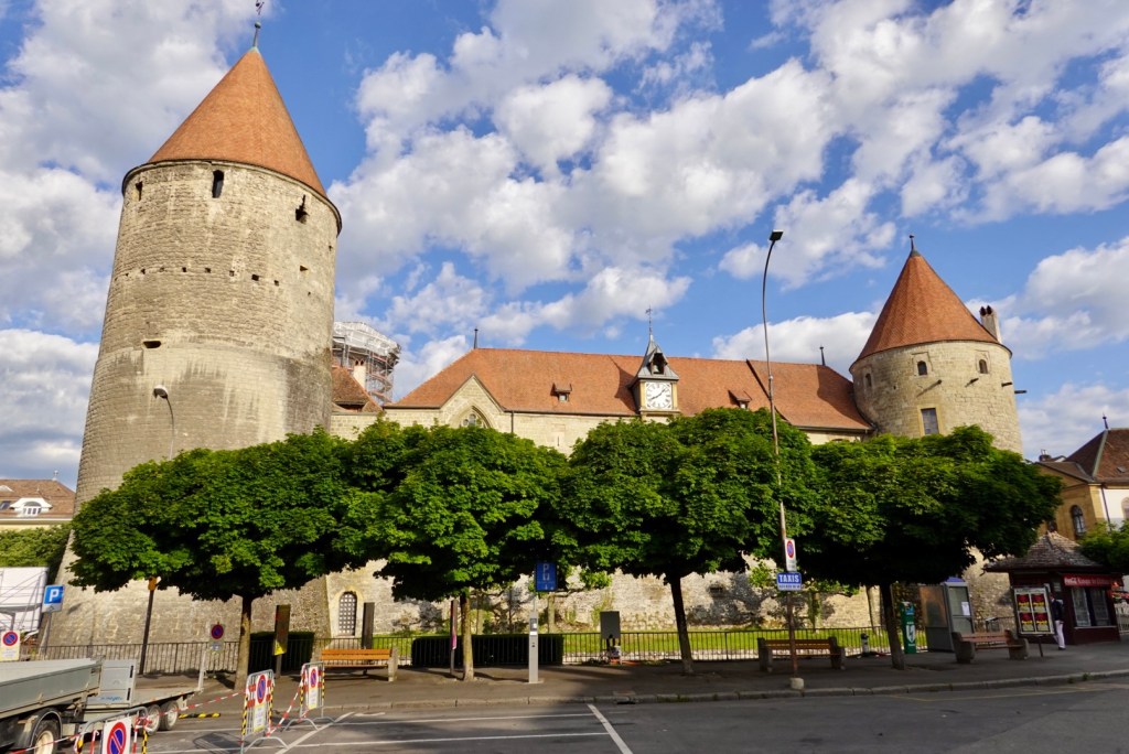
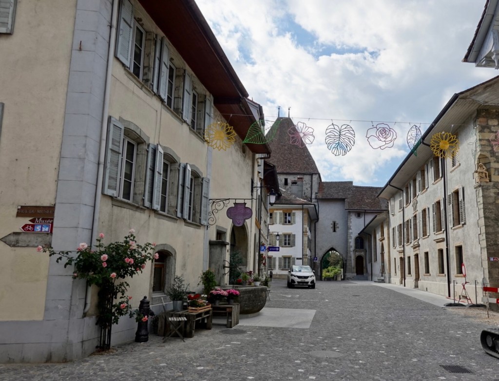
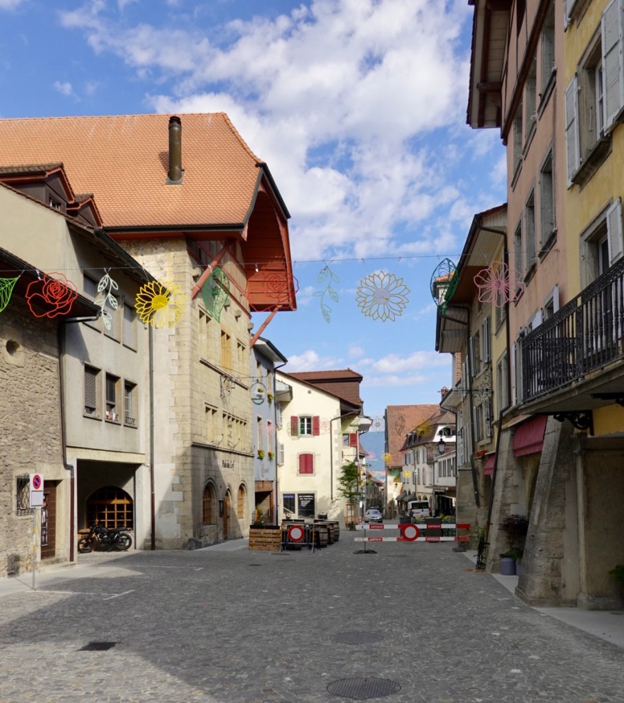
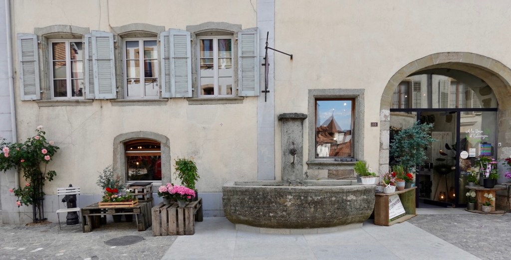
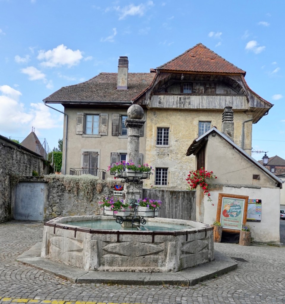
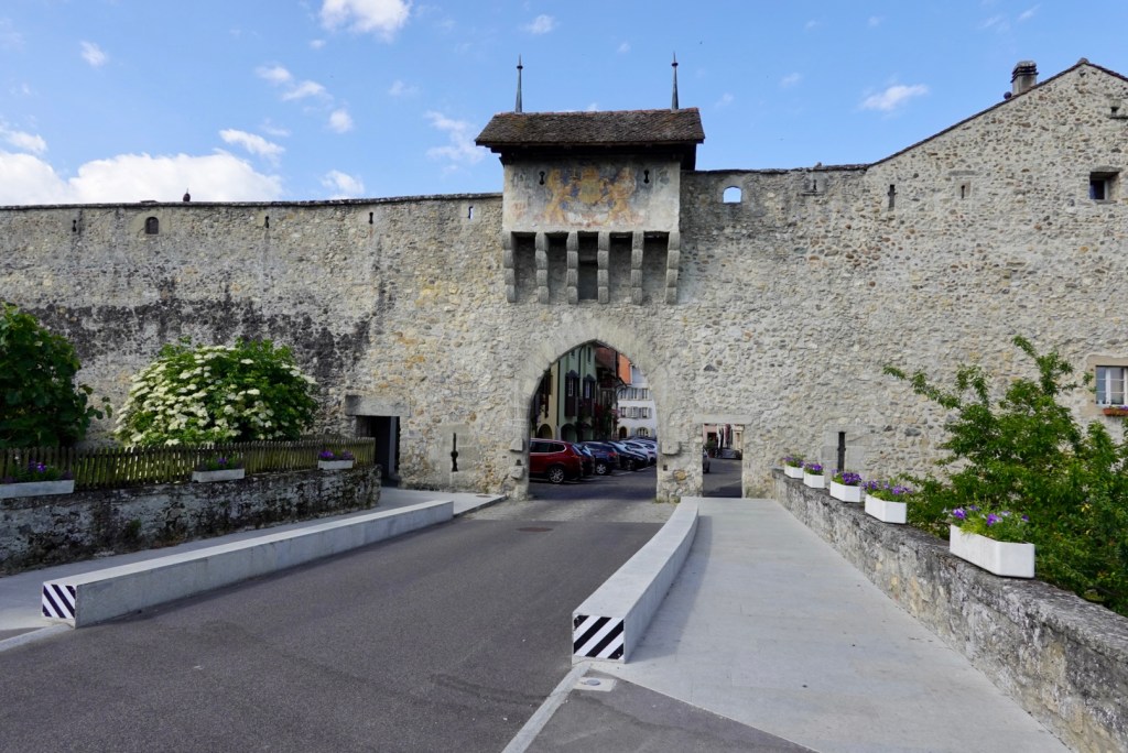
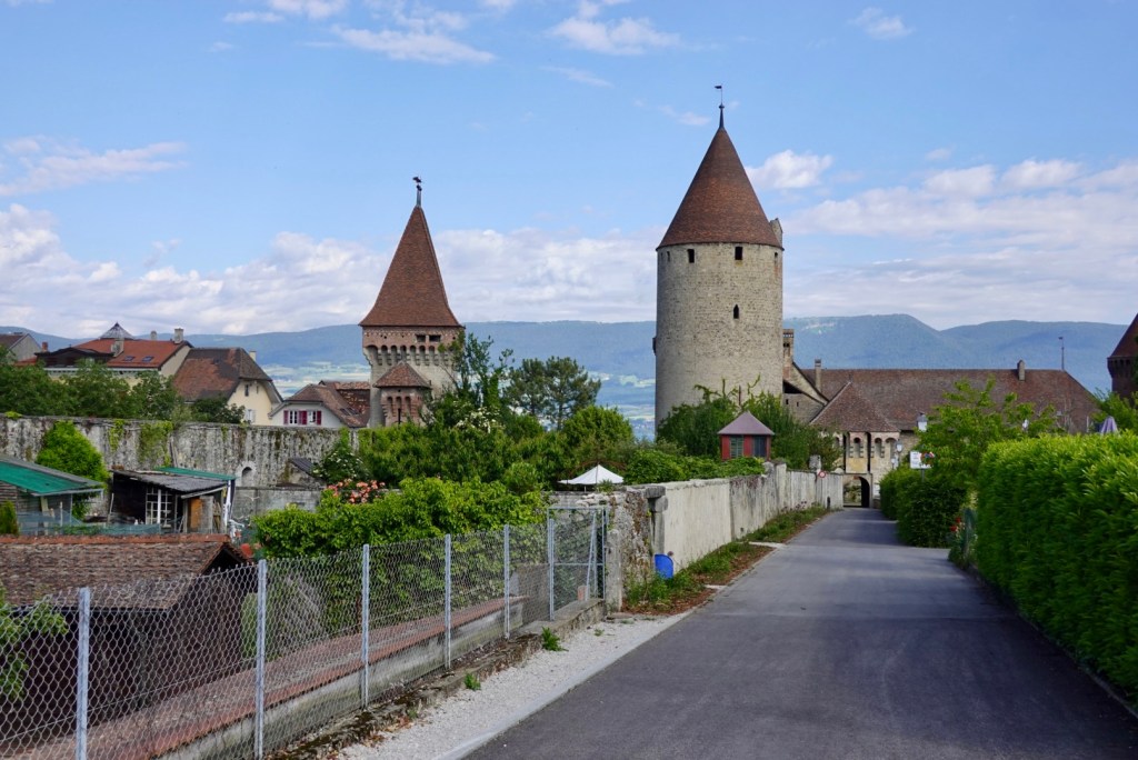
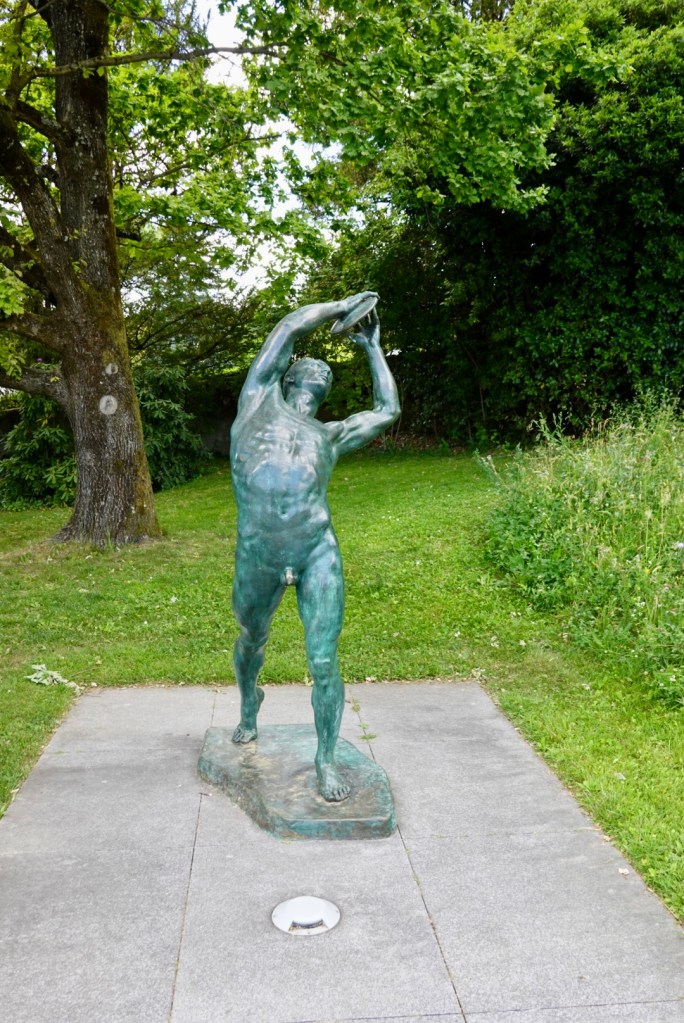
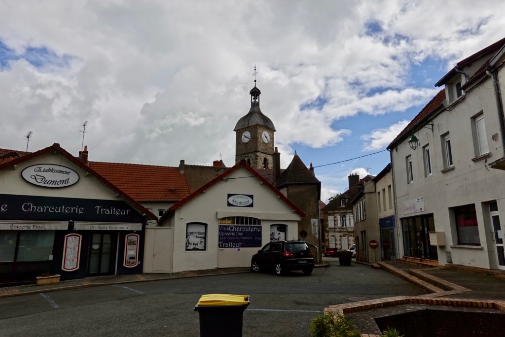
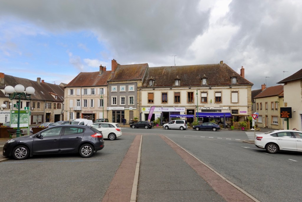
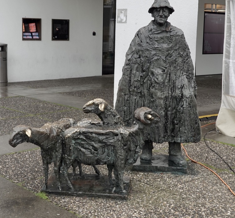
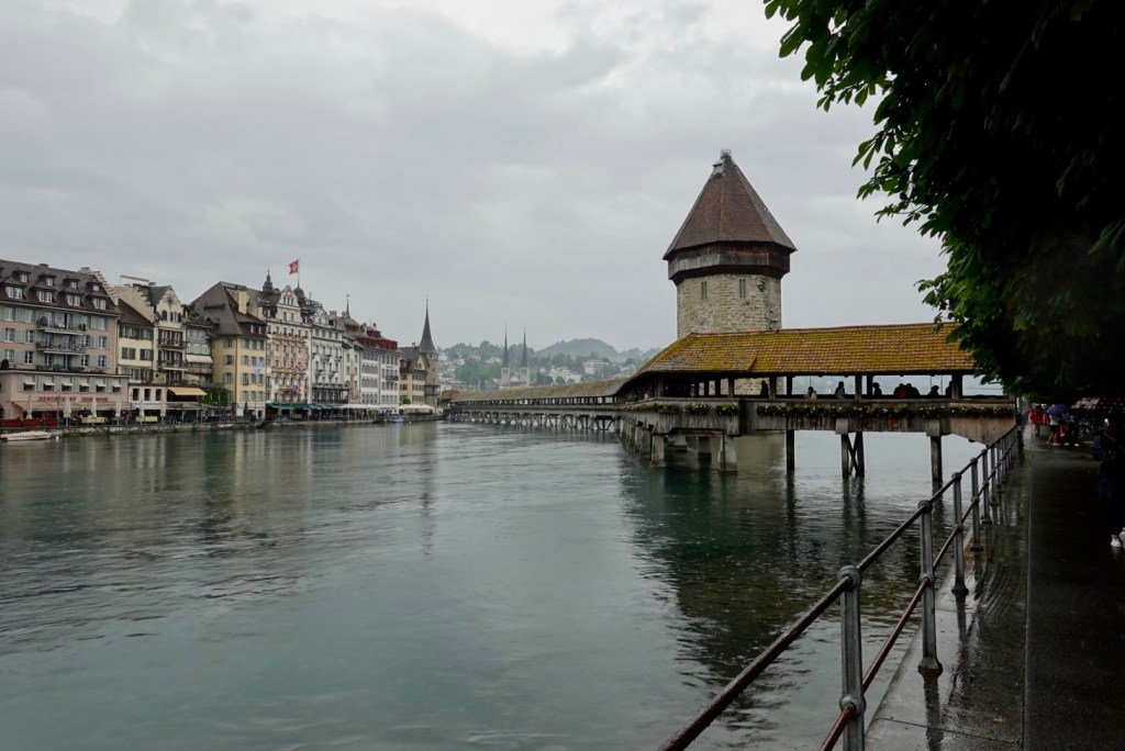
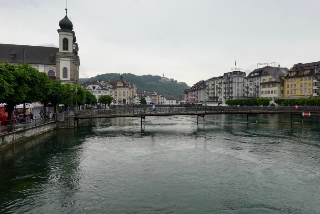
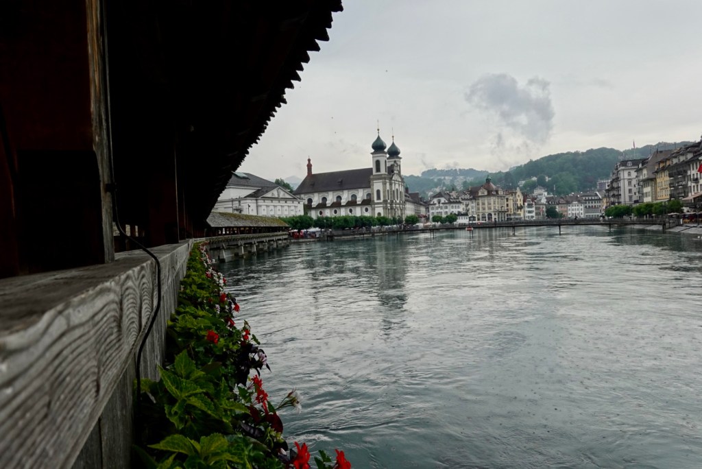
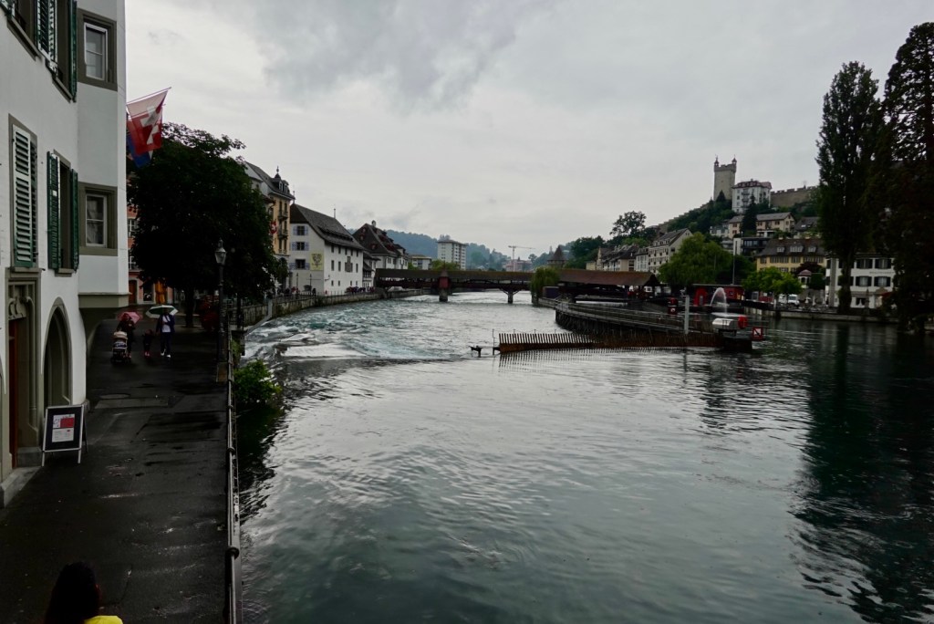
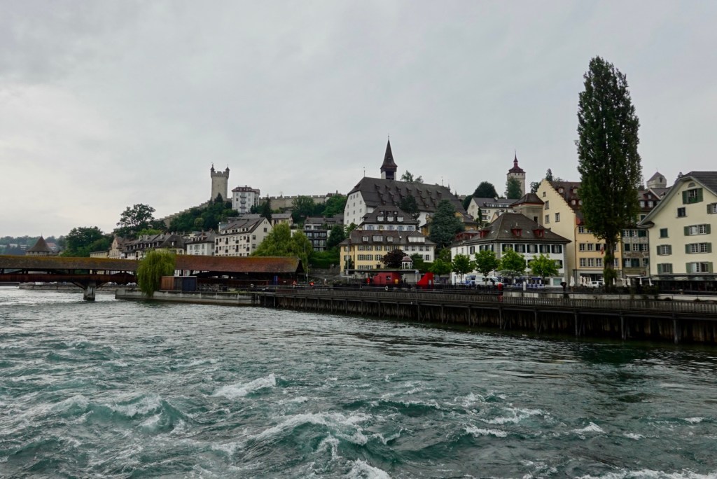
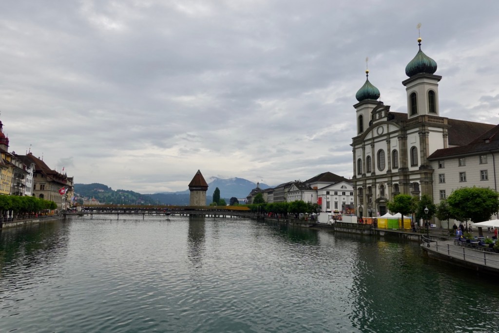
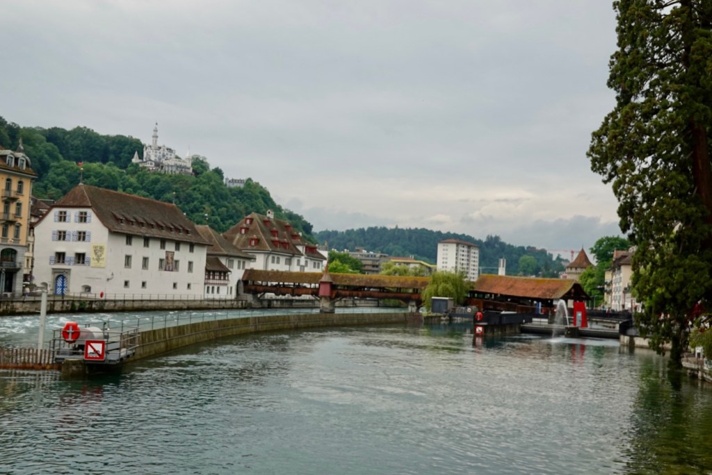
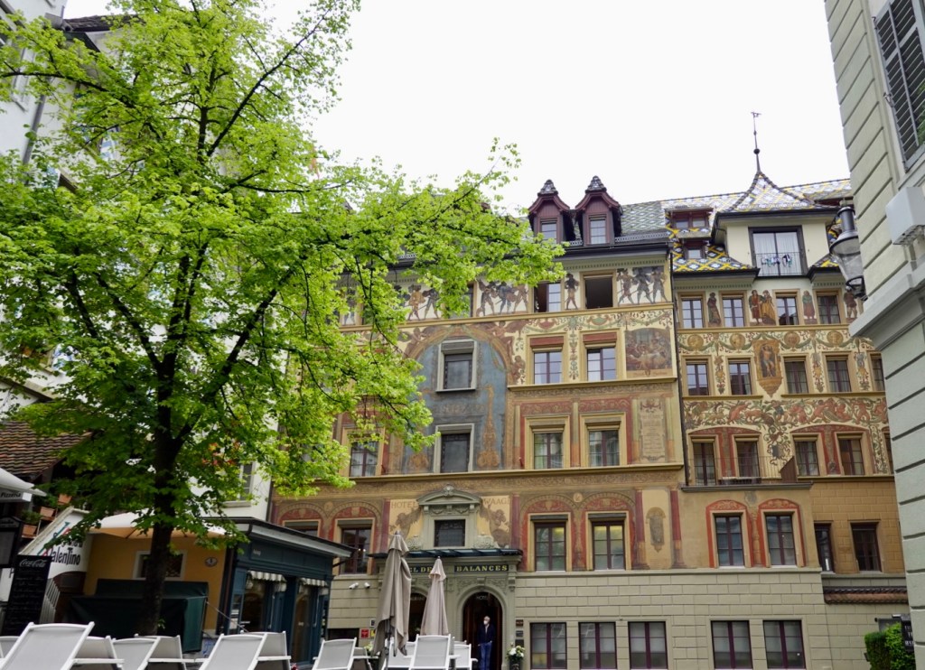
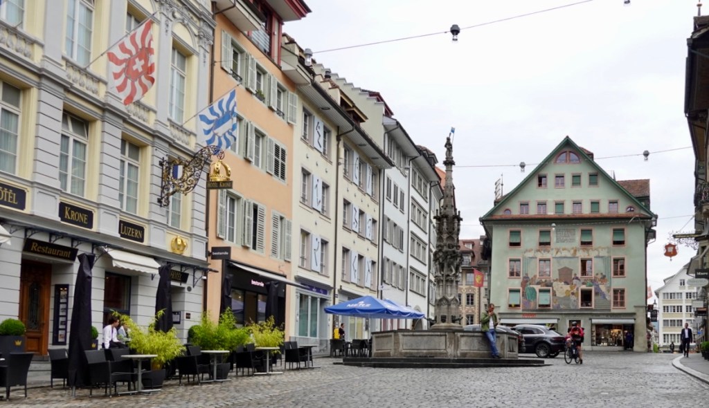
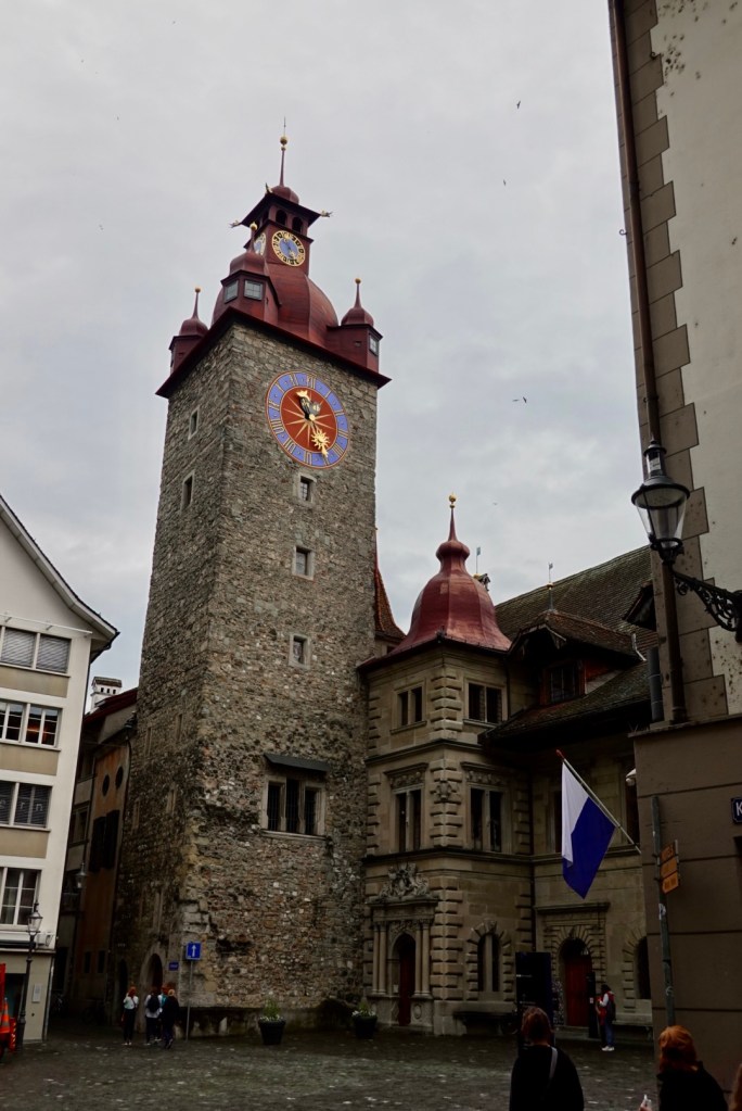
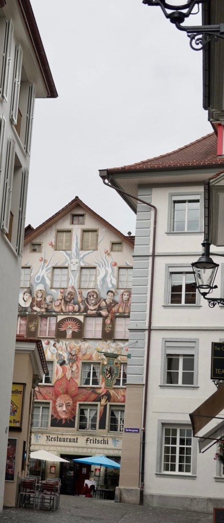
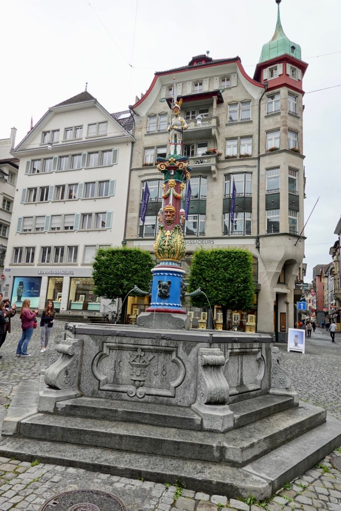
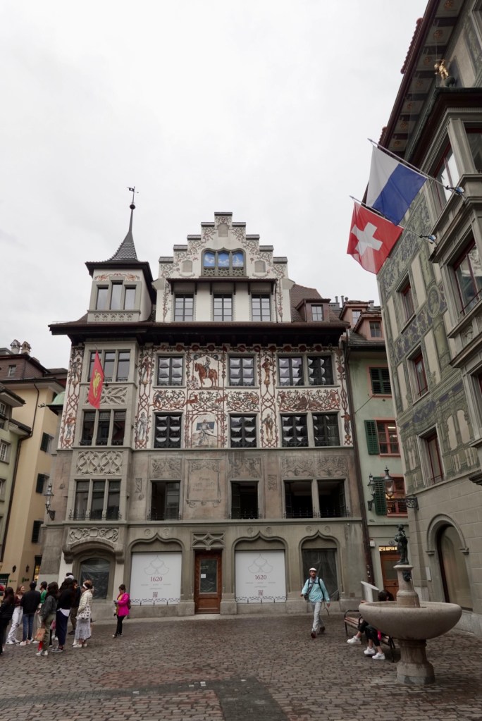
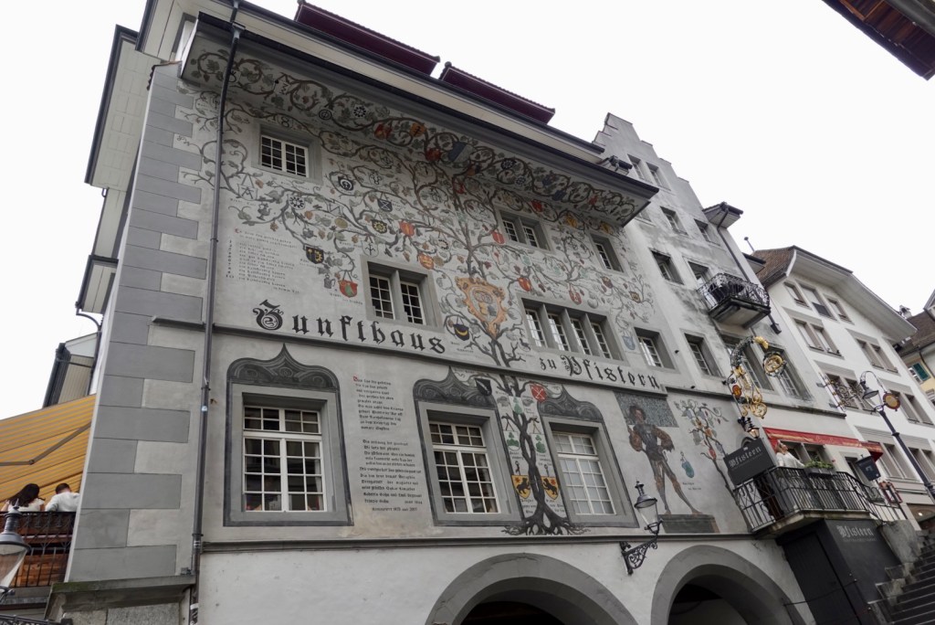
The rain had eased so we headed off to wander around the city. Some lovely buildings, statues and fountains.

The old bridge first erected in the 14th century, similar in age and length to the one on Bad Sackingen I posted early on when we first arrived.

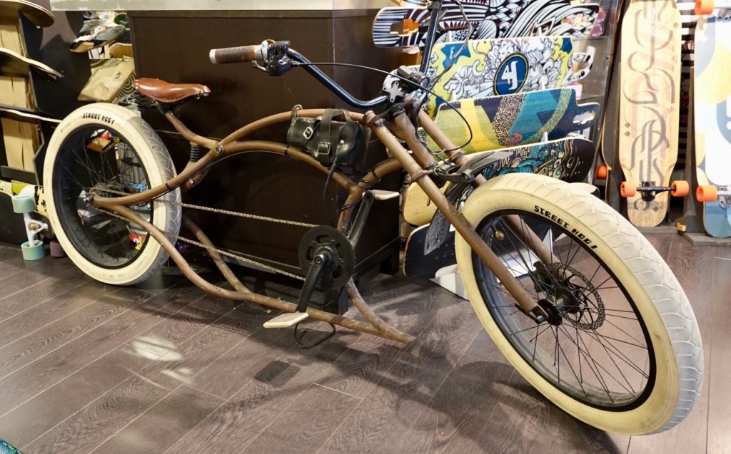
We popped into a few bike stores whilst wandering as we needed some chain lube. In this store was an ex- pat from the USA who has lived in Switzerland over 20 years. He was impressed we had cycled Brunig Pass loaded, and told us in his younger years he used to skateboard down it 😳 I was thinking of those open drops…..

He had this steel bike custom made locally and had it treated to look old and rusty much to the disappointment of the manufacturer. He has since had a motor added so he now rides it 20 km to and from work.

Another day has gone. A shorter one at just under 80 km. We have two nights here too, as a second day of free choice. We have mapped out a ride to the far end of the lake to Fluelin, and a ferry ride back.

We need to check ferry schedules and the weather forecast is not brilliant. We do have options of stopping earlier at other ferry locations.

Thanks for reading. Stay safe, smile on 😊

Recovery day, the Yaxley way…..

Today was our first scheduled rest day, or potential rest day. Two nights in Wilderswil.

There were pre planned potential options:

  • Grosse Scheidegg high altitude loop ride (80 km, 2000m ascent);
  • Figure 8 loop ride of Thunersee and Brienzersee;
  • Circular loop ride Brienzersee;
  • Jungfraujoch excursion;
  • Diddly squat.

The weather ruled out option 1 and 4. Rain was forecast and by the time we returned from breakfast we could no longer see the Eiger, Monch or Jungfrau. We still cannot.

Grosse Scheidegg ride would be awesome but at around 1600 metres elevation pointless in such weather and risky. Safety first.

Diddly squat was never an option ba ha ha, perish the thought. When we did the supported rides with an English based business, there were rest days scheduled on three of the four trips we did.

It drove us nuts! On the third occasion we instead took off and climbed SuperBagneres overlooking Luchon close to the Spanish border.

Option 2 was ruled out as it was likely we would end up wet, and besides, we were in Thun yesterday.

Option three won, a circular loop of Brienzersee. Our thought process was a chillaxed ride, no pushing it.

Off we headed with a lot less gear in our bike, but the wet weather gear was with us. We rolled down the hill into the village.

At the bottom of the hill from our accomodation

Within two km we were in outer Interlaken, skirting around the outside on a busy arterial road.

The first view of the lake was of the ferry coming into dock.

We were not on the road very long, and we deviated onto the bike path that was well signposted. There were great views.

Then we had to climb, and descend steeply into historical Iseltwald.

The ferry on its way back up the lake to Brienze

The bike trail was interesting. It was very steep in parts with a. A maximum of 15.5% recorded with one section over 10%for far far too long.

We could hear what sounded like a bugle playing. Very loud and clear. I joked that it was ‘the last post’ as we were working hard on what was meant to be a chilled ride.

There was a sharp right hand turn and I needed a new cycling kit as a bus was rounding the narrow corner and playing its bugle sound at very loud decibels.

Those first two climbs are nasty pinches

As the path flattened out, we were passed by a young lady on a time trial bike, pushing limited gearing with very low cadence and sporting flash carbon wheels.

About five minutes later we caught her as the track turned to gravel and she asked Tony if we knew when the track would return to sealed. We did not know the answer.

There were some steep gravelly descents and we both walked our bikes down. We then arrived at Giessbach Falls, and I recognised them from a ride I did in the opposite direction in 2019.

There is a large hotel that can be reached from the water via a furnicular.

There are a total of 14 tiers.

After walking down from the falls, the bike path returned to sealed. Making our way towards the end of the lake, there were lovely views across the lake.

This is looking to where we need to head tomorrow as we make our way to Luzern.

We had originally planned to stop for coffee in the town of Brienze, but noted the growing clouds over Interlaken. I did like these two carved figures on the side of the road. There are some very clever people around.

The yellow bike below is Swiss Post doing deliveries. We have seen lots of these buzzing around in various towns.

More carvings.

Statues too.

We were then on the open road all the way back to Interlaken. Note the growing cloud cover. We had a beautiful lake view, and confirmed that tomorrow we would ride out on this lake side. There is a descent into Interlaken but that climb is far preferable to the bitchy pinches on the other shore.

In Interlaken we rode around trying to find a bike shop. We have seen so many on our trip and now we want one, the ones we did find were closed. Tony wanted some lube oil for the chains as we we are nearly out.

We stopped at a supermarket where I grabbed some lunch items that we proceeded to demolish outside.

We headed back to Wilderswil and chilled. 49 km ride, with a few harder climbs than ideal, but we will feel refreshed for tomorrow.

We went for a 4 km or so walk around the village, found a small supermarket and purchased items for a simple cold dinner.

I’m intending to sleep earlier tonight, which in turn probably means I will wake super early.

Tomorrow, we head to Luzern, a beautiful city and location. Hoping the rain holds off until we have crossed Brunig Pass, which is just over 1000 metres altitude. The web cam there is currently not working.

Thanks for reading, stay safe, smile on 😊

Aare River, Interlaken

The three stooges

Yverdon-Les-Bains is at the southern point of Lake Neufchâtel. We had wandered through the old town in search of dimmer the night before, sans camera. As I ate my breakfast I looked at the art work on the wall and decided we should detour into the centre on our way out.

The town has some lovely old buildings. I think this is the town hall built over the old town market hall.

An interesting building

The old castle dates back to around the 1100”s.

We had played around with mapping routes last night and decided to make the ride a tad longer but cut out nearly 1000m climbing. This meant that we would follow the south eastern side of the lake before peeling off towards Bern.

We were surprised that the shoreline features lovely sand.

Our route headed away from the lake and up a hill into the village of Estavayer-le-Lac. A lovely village.

One of two nice fresh water fountains we noted
The second fountain. Most water fountains in Switzerland are potable, unlike France where most are not.
Old fortified gateway as I left the village

Brothers Pierre and Guillame d’Estravayer were both in the service of England’s King Edward I. One was given Tipperary in Ireland making him Lord of Tipperary and was involved in the fall of Acre in 1291. The brothers built this castle with expansive views.

Riding through agricultural fields, crops including corn, wheat and a plant that was either kale 🙈 or a smaller silver beet, but definitely not spinach as the leaf was quite coarse.

Checking my map on my computer

Climbing away from the lake, one of our last views.

There were a few of these round homes in this village.

A river ( not sure of name) and a foot crossing bridge.

We needed to ride through the Swiss capital of Bern. A lovely city but this trip did not go through the centre but around it. It took well over one hour in busy traffic, including chunks of walking and scootering our bikes through heavy traffic. The camera did not come out as we concentrated on safety and navigation.

Once we cleared the city we could relax just a tad, but still on a busy arterial road until we joined the main bike trail. In the distance we have mountains again, part of the Berner Oberland range.

More kale or mini silver beet?

The mountains are getting closer.

This is one of the bike trails heading to Thun, following the Aare River

We arrive in another busy city, Thun. The Aare is fenced off in one section and used for swimming. In a complex of pools. I guess going one way would be easy but when you turn to do,the second lap it would be strong resistance training.

We stop outside the railway station to get our bearings and check our route, but are quickly moved on as it is also a bus interchange and we were standing in the way of a bus. We hurried on out of the way.

The photo below is from the local tourist association, showing an aerial view of Thun.

The last 30 km of our ride follows the shores of Thunersee to the edge of Interlaken.

The bike trail was a mixture of open road (with bike lane marked) or this brilliant path cantilevered over the water.

We are heading to Wilderswil, located in the valley behind the imposing cliff ahead.
Looking towards Interlaken, on the flat section at the end of the lake

Once on Interlaken we turn right to climb up to the valley where Wilderswil is.

Our accomodation is up a very steep hill, again, of course! Tony made a flippant comment about it, but what a view.

The view from the front of the accomodation looking towards Interlaken and Brienzersee

Our room has a direct view of the Eiger, Monch and Jungfrau. In these photos the Eiger is obscured by cloud moving over. Tony kept waiting patiently for the Eiger to clear.

Later in the evening the skies cleared and this was our view as the sun set.

Tomorrow is our first rest day. We have now ridden over 2600 km, climbed over 16 000 m. What that day will entail we are unsure. The weather forecast is poor, so that rules out riding Kleine Scheidegg, a high altitude ride. Only 80 km but 2000 m climbing and one that you need good weather for.

We will wait and see and decide when we wake up.

Life is like a box of chocolates….

Looking out the door from our accomodation up to a local ski run. The day was crisp and cool. We had a beautiful home made breakfast and headed off down the hill.

Our overnight accomodation
Near our accomodation looking at nearby homes

We stopped in central Morzine and started putting more clothes on. We were freezing. We should have put our full leg kit on in hindsight as we still shivered for the descent. The sun was hidden behind the tall mountains on our right hand side. I shivered most of the way down and stopped often to thaw in the sun. I was feeling pretty uncomfortable and full of my clothing choice regrets.

There were lovely gorges that we rode through, but no verge to stop l,is they were all sans sun. We stopped only in the sun. Here are a few sunny photos whilst we defrosted.

The temperature increased considerably by the time we reached Lac Leman (Lake Geneva). It was 12 C and we stopped at a boulangerie to get a hit drink and eat, as this would be our last French boulangerie this trip. The Swiss and French border is part way along the southern shores of Lac Leman.

A couple of Lac Leman shots. This is the largest natural lake in Western Europe.

The border is close now, dual flags are flying. The traffic was super shite here too. Evian-Les-Bains was crazy and this was to be our experience all around the Lake.

My fault. I thought it would be nice to ride around the lake. Seriously cyclists, get the ferry across to Lausanne as that is what I would do next time. It is not worth all the traffic and road work angst we experienced.

The border was interesting. We crossed on the foot path, but cars went through the control area. The French did not give one iota. The Swiss had four border guards making more of an effort.

Leaving France with great memories. This was my 6th visit to France, and my longest.

Au revoir France, it’s been a great 20 days.

The positive is we are back in Switzerland, the starting point of our odyssey.

Waving France goodbye, or maybe Tony as we are in different countries.

There is an area where we needed to head inland (south) away from the lake due to a series of rivers. The area is lovely and open.

Back on the lake edge we pass through another busy town, again with roadworks and people everywhere.

That is Chillon Castle we are approaching. Chillon is in between Villeneuve and Montreal and is the most visited medieval castle in Switzerland and Europe. Yes, there were lots there today!

Chillon began as a Roman outpost guarding the strategic road to the Alps. In the 1600s it was used as a prison. I did tour inside this castle in 1987.

Now we have made it past the many hundreds hovering around, using our bike like a scooter, but this is a nice view with Chillon on the left, and looking over at the French and Swiss mountains.

Me waiting on the other side of the road whilst Tony photographs the lake

Montreaux was another very busy town to get through and we headed to the foreshore to look at one thing, along with hundreds of others. Again using the bike like a scooter.

The man who needs no introduction, the wonderful Freddie Mercury, an extraordinary talent the world lost far too early.

Grapes are grown all along the upper foreshore.

Finally we make into Lausanne, a large city and home to the IOC, the International Olympic Committee.

We had not had any lunch and bought a roll, two bottles of water and a small slice at the IOC small shop. Aud $37…….😊😳

Some photos from the parklands surrounding their museum.

The steps have the name of the person who lit the cauldron at each Olympics. 1956 Melbourne Ron Clarke.
The bikes enjoying the view and rest

Getting out of Lausanne was no walk in the park. We needed to climb a fair bit through the city, which was a bit tricky un cleating feet on a climb at pedestrian crossings, then trying cleat back in on a slope. 🙈 I kept hoping I could time the crossings with no one wanting to cross. At one crossing I thanked the lady for waiting.

It was then another 30 km to our destination. We had not eaten enough food today and both bonked and just concentrated on the destination. We ended up on agricultural farm paths again and one forest path which pleased us as we were sick of all the cars and people today.

We much prefer small villages and not the business of large towns and cities. I know many love that, with the cultural offerings such as museums and art galleries, but we like the peace and solitude and beauty of the simpler things in nature.

Touring you cannot avoid cities though, so you just have to bite the bullet and tolerate the frustrations.

Tomorrow is a big day again and we have just done some remapping work. Tad longer but less climbing, but needing to pass through part of Bern, the capital of Switzerland.

Until tomorrow, thanks for reading. Stay safe, smile on 😊

Climb climb climb

Our standards are dropping. We got to breakfast at 6.10 am and five people had beaten us! 😳. Nevertheless we were on the road in good time today, and what a contrast to yesterday. The roads were relatively quiet.

Our last views of the lake in Annecy.

There was a big sportive event being held on the lake edge,

Today was a climbing day. There were five registered climbs, with three in excess of 5 km and the last one 9.8 km.

So we started climbing, and just getting ourselves into a steady rhythm, conserving energy as much as possible. It was quite cool for the first few climbs around 10C. The descents between climbs required pulling the arm warmers back up and zipping up the gilet.

We were not keen on stopping for long and the best spot km wise was on the descent or early flat section after the third climb.

If you stop too long, the legs seize up and complain loudly on the next climb. We just happened to pass a boulangerie and I grabbed a drink each to have a sip and pop the rest into our bidons.

A series of photos below from the first part of the ride including me climbing. Tony climbs faster than me. Up to 4% or so we are together, but more then that he out climbs as he pushes bigger gears, whereas I spin my lower granny gears.

Descending he totally smashes me. I’m a careful descender, thinking about all the things that could go wrong. He has no fear and experience with racing motor bikes.

These cows were wearing bells, lovely to hear them ringing.

This was the final village before our last big climb. We needed more fluid and popped into the most amazing boulangerie. However we were not in a position to eat, as the last thing you want climbing is a full stomach.

Off we headed for the 9.8 km climb that had an average of about 5.8% from memory. It was quite warm by now, arm warmers were off and gilet packed away.

Les Gets is at the top of the climb, a very popular ski village, but today it was pretty quiet.

All during the climb I had decided I would like an iced coffee. I was out of luck.

Just above the building you can see cows grazing. That is one of the ski slopes, as you can also see the lift. You can ski pretty well right into the village with the range of slopes around.

grazing. That is one of the ski slopes, as you can also see the lift. You can ski pretty well right into the village with the range of slopes around.

We are now descending to Morzine. It was quite a cold descent too with an icy wind.

This was the last photo we took on the ride during the decent. The Tour de France heads through here in July.

Tony spent 2 weeks in Morzine in 2018, staying at a chalet operated by former Devonport teachers Joe and Amelia. We both knew them from our involvement in triathlon and it was brilliant to be able to catch up with them on this trip.

They have established a business here and built a new home, and have their little daughter Lia. We had a wonderful bbq with them and four of their friends. Kind thanks for having us around.

Another day is done. Our last night in France this trip. 😢 Tomorrow we will cross the border back into Switzerland. Six more days riding though 😊

Thanks for reading, stay safe, smile on 😊

Not so Gruffy

We awoke to another beautiful day. Blue skies. First to breakfast 😳.

The roads were busy and after we cleared the first few km we started climbing on a decent cycle path, on the verge of the main road.

As you can see from the graph below, most of our climbing today was done in the first 28 km.

At the top of the first climb the land really opened up. The area is known as the Bauges Valley.

We descended through a Gorge, Les Gorges du Cheran, and there was an interesting 75 metre length bridge, Pont de l’ Abime. Literally translated, this means Abyss Bridge. It was built in 1887 to link the villages of Cusy and Gruffy.

The Cheran River is a lot further down than the photo makes it appear. The river is 96 metres below.
From the bridge looking up to where we will ride
We are at that point looking back at the bridge
Now we have climbed further and Tony is standing on a picnic table to get a shot clear of some trees.
The cliffs above the bridge

After another shorter climb the land flattens again.

Just finishing that climb
Options, but great that there is a cycle route to Aix-Les-Bains and Annecy

I had to get a photo here, I loved the name of this village. The French do not pronounce it like we would in English.

Numerous villages are badged Village Fleurie. It is a French contest organised annually aiming to encourage communes to adopt and implement policies that improve the quality of life of their inhabitants and enhance their attractiveness to visitors. Communes are awarded the right to display a badge with one to four flowers depending upon their annual result.

Lovely open vista
Climbing again….

As we get higher there are signs that we are about to see some really nice mountains.

A glimpse
Ooh, now we are descending and look, it is promising.

After that final climb to 751 metres we started descending. We do not stop as the traffic is fast and we are more concerned with holding our line and staying safe.

The traffic in central Annecy is chaos. We head straight to the lake thinking it will be really relaxing to ride around.

The lake is certainly beautiful, but seriously I have never seen as many people on bikes ever! There is a literal conga line/queue. All ages and skill levels.

It is very slow (ie 15 kmh and less), lots of braking as people weave around, and then you get some Ritchie Porte wannabes overtaking in both directions.

The views were great and Tony took a few photos on the fly.

A fair way down the lake, we pulled over for refreshments. We spent about an hour here. The next three photos are from our lunch spot.

We made a clean getaway from lunch, a temporary reprieve from the conga line.

Noticing many parachutes in the skies, we headed off track to have a better look as many were landing in a nearby field. The picture below does not show them but around the top of the mountain there are maybe 20 plus people just hanging around.

A closer up, you can see some specks

Heading back towards Annecy in our continuing anti clockwise route, the crowds cycling picked up again, but on a narrower path. The views were just glorious and there were more opportunities to pull over.

There was a nasty little climb thrown in for good measure too. Steep with cycle path hair pin bends, where collections of younger youth stood (the worst spot possible is to take up all the space on a narrow, steep hairpin). Cuss and curse.

We were delighted to get off our bikes at our accomodation. The bikes are very very safe tonight.

Our balcony

After showering and washing our gear, we followed a canal/creek into centre ville but were overwhelmed with the crowds.

We have since found out that yesterday was a French public holiday and that it is common practice to also take the Friday off, making a four day break. Hence the crowds.

We will retire earlier tonight as whilst tomorrow is only 80 km, it is our Queen stage, where we climb to Morzine. About 1700 m climbing in the 80 km.

We bought some items for our dinner and returned to eat in our room, and chill. Tony has cleaned the bikes whilst I have been doing this blog.

Thanks for reading, stay safe, smile on 😊

Todays route

Wow

Today was a day full of superlatives. We deserved today!

Early breakfast and this was the view out our front door. Blue sky, no wind.

We walked our bikes out of Perouges as it is hard enough walking on the raised polished stones with our mtb cleats, let alone trying ride as they are extraordinary uneven.,

We descended into the next village that was quite busy and once we cleared that, we were on open road. In the background the hills are becoming bigger.

There was minimal traffic on this road.

We passed a lovely chateau.

The hills are growing.

We then left the open road and joined Via Rhona, a wonderful cycle path. From this point Geneva was about 170 km away.

At the same point, this was our first view of the Rhone River. The colour was incredible. Turquoise.

The Rhone River starts high in the Swiss mountains in the Valais region at over 2200 m. The river is 813 km long and empties into the Mediterranean Sea.

The ViaRhona path is of excellent quality. Agricultural land to the left, and the river to my right.

The views kept us focused. Chateaus, gorges, the colour of the river….

We did deviate from the path a few times on a more direct road ( as rivers weave around), and the backdrop kept our interest. The French and Italian Alps are over there.

We saw plenty of water based activity including swimming and canoeing. I think there must be school holidays here as there are school aged children everywhere on the path.

A bridge crossing the Rhone.

This couple were cycle tourists, towing their family dog. Fair sized dog too, not sure if it was a Labrador or Golden Retriever, or similar.

This placard was on the side of the cycle path in a village. Quite a loop.

That gorge on the far side is where we are heading, as the river winds its way there, but it will be on our right hand side soon enough. We need to get over that lump too.

The river bulged out at this point and had a beach and lake like appearance here. There were many families here enjoying the water. I cropped out the male sun seeker

The gorge wall is getting closer. I look at the map trying to figure out where we go.

The agricultural fields are full of new growth

Interesting, note the gap over there? Our map route seems to line up.

Here we are riding in that gap, which in fact is quite a narrow gorge. The Rhone River splits into two, coming together further on.

We rode through this short tunnel and there was an amazing gorge, with sheer rock walls either side. There was no verge and no stopping as there were lots of cars buzzing through.

Out the other side, the landscape broadened significantly. We are heading towards that pointier rocky outcrop. We discovered something interesting last night and re routed todays proposed route.

Getting close

We discovered that a cycle tunnel opened here in 2019. It is 1.5 km long, and it is only for bicycles (although I presume walkers use it too).

It is the most extraordinary piece of cycling infrastructure I have ever seen. It must have cost bucket loads.

As you can see below it is well lit. We took our cycling glasses off (as they are tinted) and the vision was very clear.

There is some water here and there, and that is a cyclist way ahead. We caught her and we were pedalling minimally because ….it slopes down.

There is art work on the wall in places (not graffiti, looks to be legit).

Popping out of the tunnel was akin to being teleported to another world. It was ‘wow’. We had been saying ‘wow’ through the tunnel as we were super impressed, but the view was amazing.

The big town on the shores is Aix-les-Bains, and the lake is Lac du Bourget. The lake is the largest natural lake of glacial origin in France and the town is a famous spa town, boasting the largest French freshwater marina.

We descended down from the tunnel (see the elevation graph below, you can see the climb up to the tunnel, then the descent). The 1.5 km in the tunnel does not show due to the fact that our bike computers rely on satellite technology. That is hard to achieve in a tunnel!

So here we are. The end of Day 18, 100 km today and over 2200 km ridden in our holiday cycle odyssey.

It was seriously warm today (32c), and we showered and washed our clothes and headed off to find a glace. It was a trois boule kind of day (three scoops).

Food options in France generally start at 7 pm and we could not be fussed hanging around so we headed into a Monoprix, grabbed some food to make our tea.

Today rates very highly in all the rides I have done. Great route, quality paths, signage, the tunnel and the views.

The ViaRhona path interests us for for future rides as it starts in Geneva and ends up on the Mediterranean coast, and a mere 800 km.

To finish with tonight, this is the view out our bedroom window. The church is named, Notre Dame. I think the great percentage of French churches have that name! It has a different repertoire of bell ringing. It finished up at 7.10 tonight playing for three minutes.

Our route, zoomed out, shows you just how close we are to Italy, Switzerland and Monaco. I rode in the Italian Aosta region in 2018 during the Giro d’Italia with Italy Bike Tours, and it is very spectacular.

Tomorrow is another day, more adventures. Thanks for reading, stay safe, smile on 😊

Angels and Demons

The day started off idyllically. This is the view from our bedroom window at Chateau Matel. The view is towards the Loire River which borders the Chateau property.

We were staying on the third floor. The Chateau is like a maze, with multiple stair cases (some with barriers saying not to enter). Then near our room was an ascending staircase to the top floor and a curtain half way up. No security cameras were obvious here, so I could not help myself….up I went and peeped behind the curtain. It appears that the chateau is not fully renovated.

Breakfast was a very pleasant affair with the same French guys present as at dinner. They were happy and chatty and curious about our ride today.

Bidding all au revoir, off we headed, knowing today was tough as we had previewed the climbs. There were four that were over 4 km long, with very steep sections (ie above 15% gradient).

This car sits outside the chateau

Heading into the city of Roanne there was a bit of traffic as you would expect at the time of day. We arrived back at the Loire, having last seen it over a week ago as it discharged into the Bay of Biscay.

Here the river was much nicer and prettier.

The first 50 km today was far, far tougher than we had envisaged. We were mentally prepared for another tough day but we were not prepared for some things that had not showed up mapping.

There were four longer climbs today (4-5 km each) with a couple having an average of around 8%. That is tough going for 4-5 km, particularly with a loaded bike.

We found ourselves faced with climbs in excess of 20% pinches, and on narrow paths. That is a thumbs down from me. I know my limits. I walked the steepest sections today (not easy to do pushing a bike).a few of the sections pulled Tony up too.

Worse still were a few of the descents. One we could not believe. It was over 20%, unsealed, rocky, cow pats and as I walked down it, lined with stinging nettle which swiped against my leg. Not happy.

It is these kind of challenges that define you. You do not go into a 3000 km unsupported odyssey like we have without expecting that there will be shite days. It is your reaction to such physical and mental challenges that builds character and strength and resilience in ways you did not necessarily know you were capable of.

If we wanted less challenges, we would do a supported tour, or use ebikes. The strength we gain as individuals knowing what we achieved in challenging conditions is what we talk about down the track.

So we climbed a lot, and the camera did come out.

That is one steep village street.

The bonus was this sign. We laughed as we are pretty sure we did not get there by the conventional route.

After stopping at a supermache for some food supplies, we decided to ditch the route planned and take the road route to Villefranche sur Loire. Yes there were some climbs, but less severe gradients.

This turned out to to be a great decision as we knocked off the last few climbs and our confidence returned.

There was also an awesome 400 metre descent. I was riding my disc brakes very hard all the way. The elevation shows the descent from around 57 km to 70 km.

We were able to ride easier after that, despite a now present headwind. Our confidence was back and we pushed on to get to our destination Perouges, a medieval city.

Perouges is regarded as a perfect example of a city of the Middle Ages, existing from the 1200’s. Movies have been filmed here including the Three Musketeers.

Arriving at our accomodation ( walking again as the rocks were very difficult to ride on) I was despondent when told there were no food options in the village, and we would need to cycle or walk to the next one.

The look on my face….I questioned the pizza and galette places we had seen entering. Galettes were sweet only and about to close. Pizza though…oh yes, they are open.

So this was dinner. We were joined by one old dog looking for offerings, and four seemingly stray cats. Then the owner asked…did we want glacé? He had little tubs for 4 euro each.

After eating we wandered around the small village. Having walked through quite a number of old villages, this one is particularly interesting.

I borrowed an aerial shot to show the relatively small size.

Our bikes are stored in this building behind the large door.

Guess who has their washing hanging up on the curtain rod in their bathroom? No shame, just a desire to wear cleanish and dried cycling gear each day.

We have climbed over 5000 metres and ridden over 400 km in three days, and each of those days have had reasonable challenges.

Tomorrow is another day and what adventures and challenges?

Until then, off to bed I go. Thankyou for reading, stay safe, smile on 😊

Bikes and trucks

The sky started off blue but quickly changed. The weather forecast showed zero possibility of rain!

Breakfast was lovely with our own little cloche. Yes that is chocolate, one piece each. I did offer to trade my prunes for Tony’s chocolate but I failed.

Today was to be another hilly day. Look at the graph below and note how the day started off. We rode 600 metres on the flat leaving our accomodation and then straight into a climb with cold legs. Eek.

At the top of the climb (5 km climb, plus the 600 metres we started off with), we had climbed 169 metres. So for 5 km that is an average gradient of over 3%.

I have taken four photos from my Hammerhead (bike computer ) showing just some of the data I have at my fingertips as I ride.

First screen shows speed ( I was stopped when I took the photo!), the average at the time (12.6 kmh after climbing 5 km), distance (5.6 km), ascent climbed since the start (169 m), elevation (above sea level), the temperature (12C), and the time (8.55 am).
This screen tells me what the next few km holds climbing wise. This is a broad overview. I have another screen that tells me precisely what each climb holds ( eg. 1.2 km long, average gradient of 3.0%, total ascent 36 metres). It also countdown the remaining distance in the climb (Length and ascent)
This screen shows where I am heading per the route map previously uploaded. It says in 4.0 km I will go straight ahead at a roundabout. I can zoom out and get a broader view too.
This screen says I have 129.5 km to ride if I stick to the route map, how long it might take me to get there including breaks, current temperature and elevation, how much of the Hammerhead battery remains, and what grade I am climbing (0 % indicating I was on a level plane).

Now whilst we put time into planning routes, they are not all successes. Todays route falls into the fail category. On the positive side, we went through some lovely villages when we deviated from the main route. The weather was kind.

The downside, we spent about 80% of the day on what we now know is a National Road 7. This caters for trucks over 25 tonnes.

At times (mainly climbing) there were two lanes and a verge. Flat and descending there was no verge. We held our line best we could on the white line and cussed and cursed.

We deviated where we could but there were a general lack of roads to support that in the direction we were heading.

Truck drivers on the whole are good. They hold their line well. The issue is the suction pull/vacuum they create as they whizz past. at times, they are less than a metre from you.

We did deviate where we could and here are some photos. As you could imagine we did not stop on the busy road, and these photos are from deviations.

Our total ride today was 143 km with over 1500 metres climbing. We have had two big days.

The photos below are predominantly agriculture and villages. France certainly has lovely open spaces.

Check out the rest of sirens on the top of the building. Not sure if they are still used or old air raid sirens?
This is looking south. Those are mountains in the far distance.
That is me cycling towards the village
Saint Georges de Bransat, in a tiny village. This church, in part, dates back to the 11th century.
Loved this. There was a sign that said it was constructed for the 2013 Tour de France, 100th anniversary.
These made me laugh. What do you think happens in the middle toilet? I did look, but the door was locked.
Parts of this abbey dates back to 971 AD
Great wall mural

On one of our deviations, we were low in water. I recalled reading a blog that said cemeteries in France were a great place to get potable water.

Seems strange to me that all their fountains in villages have non potable signs (around the living) yet in a cemetery (around the deceased) you can get potable water.

Yes I do realise that the water is there to water flowers but non potable water could do that too, and surely it would be better to give the living potable water?

We arrived in Roanne after an adrenaline charged day, thankful to have made it safely. Something may have happened in Roanne back in history but we did not arrive via centre ville. Who knows!

This is our accomodation. Chateau Mattel, a 15th chateau. You can see our room. It is on the third floor, windows wide open drying our clothes!

Tony took a couple of other photos around the grounds. The land goes down to the Loire river. Yes we will see it tomorrow albeit briefly again.

We had dinner here tonight with the owner Olivier. There were three other chateau guests joining us for a large dinner table gathering. all French but very curious about our cycle odyssey. The guys stay here often for work.

Our route map shows we are getting close to Switzerland and Italy. Aosta is a beautiful area that I rode in 2018 during the Giro d’Italia.

Bedtime! 10.30 pm and I’m getting latter and latter to bed.

Thanks for reading, smile on 😊