Day 25: San Marino to Anghiari

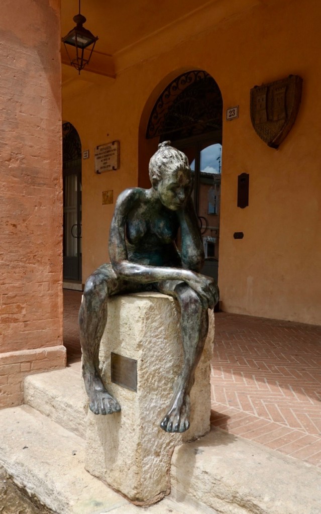
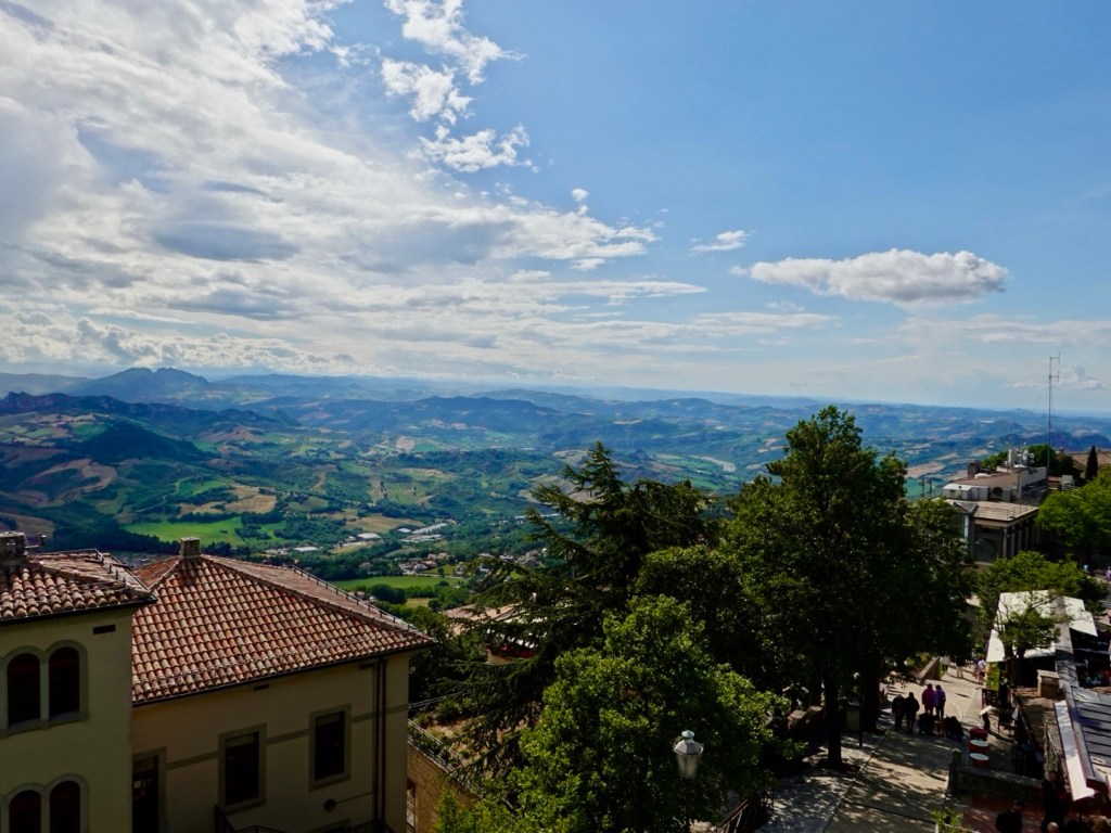
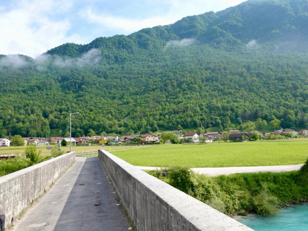
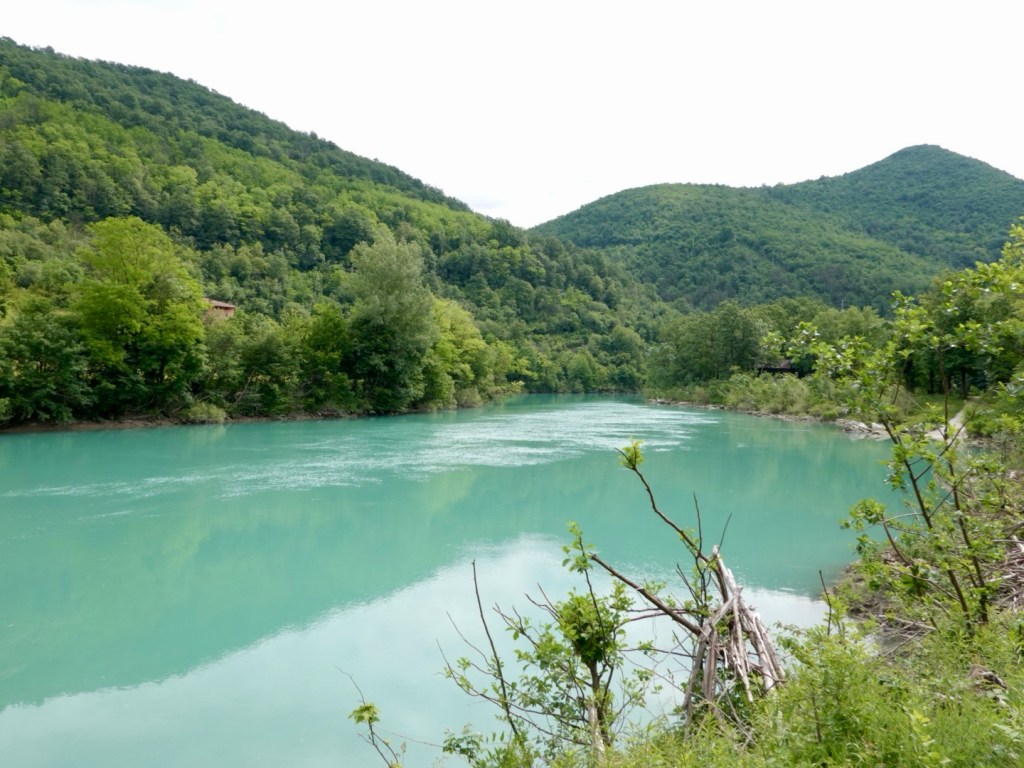
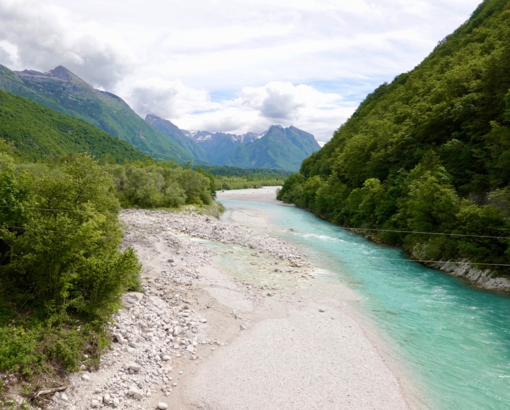
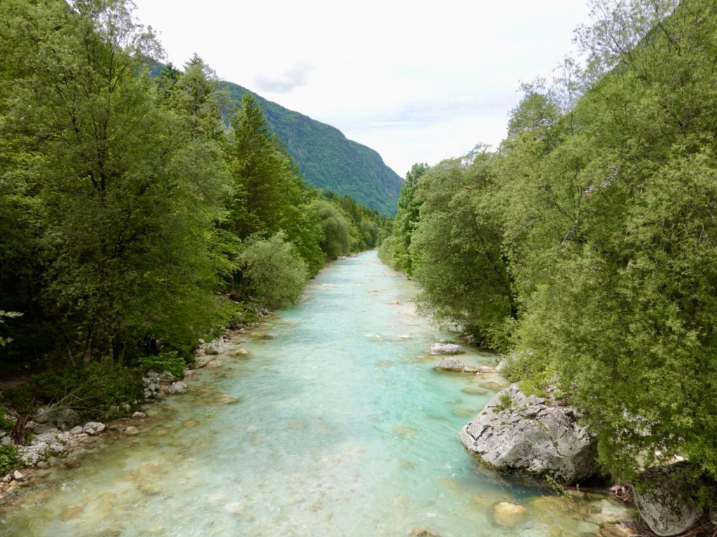
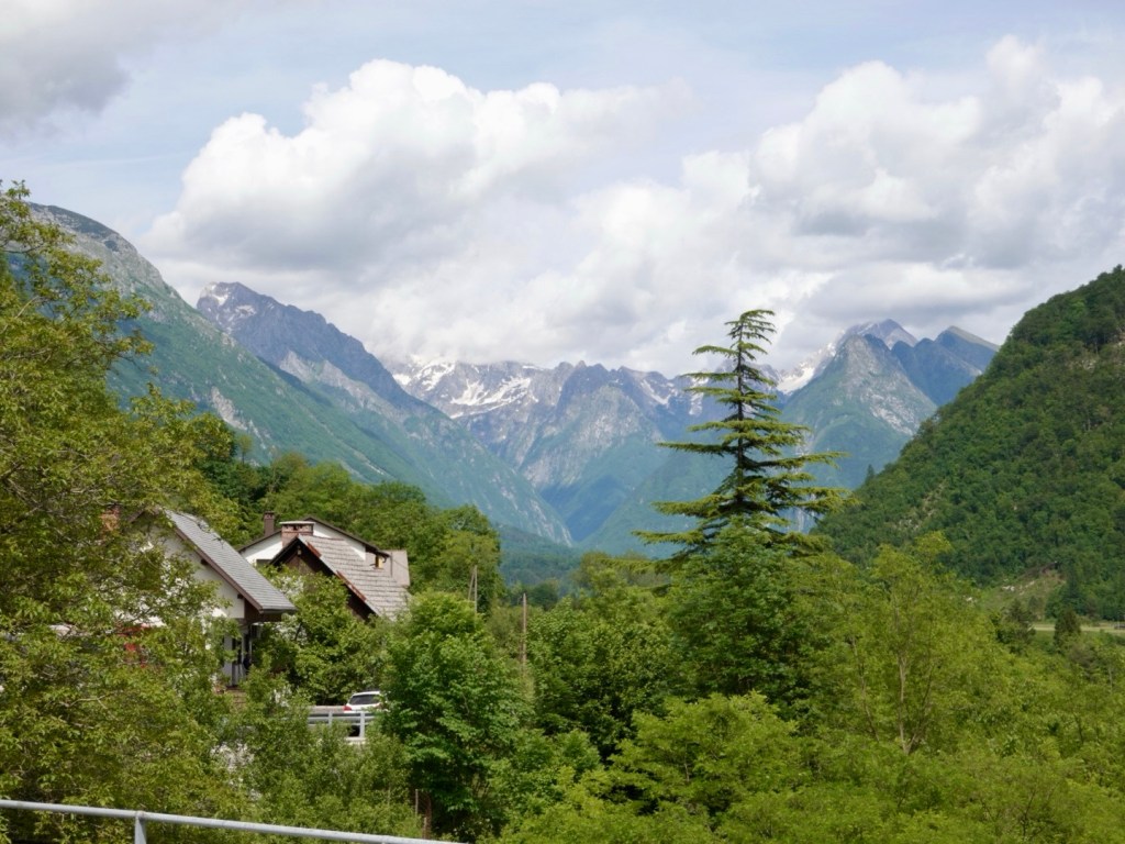
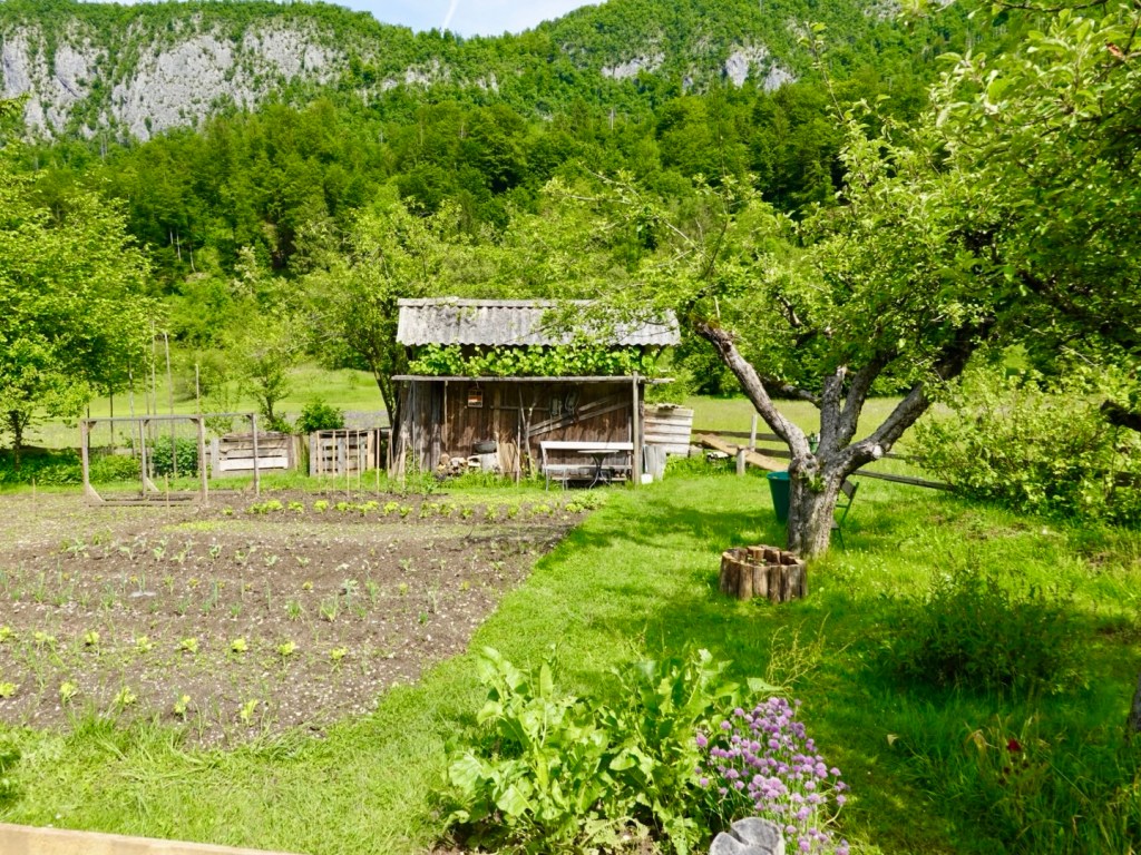
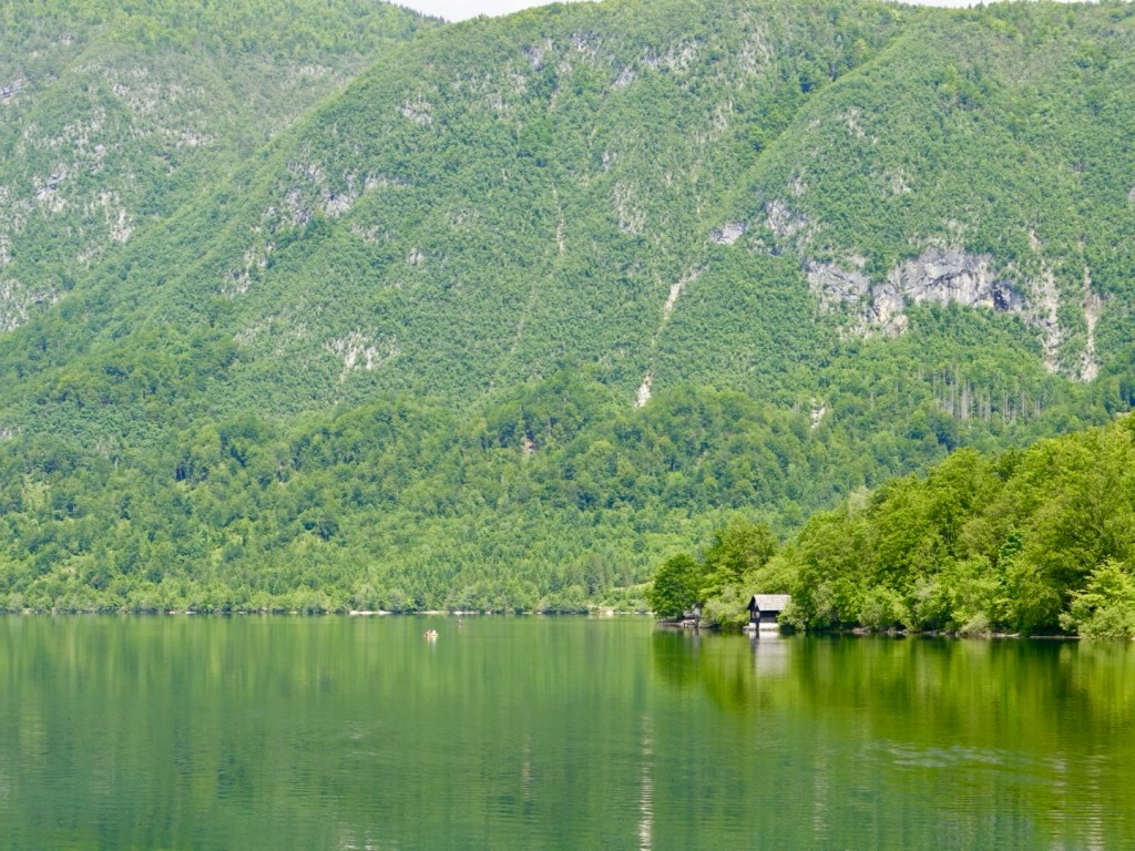
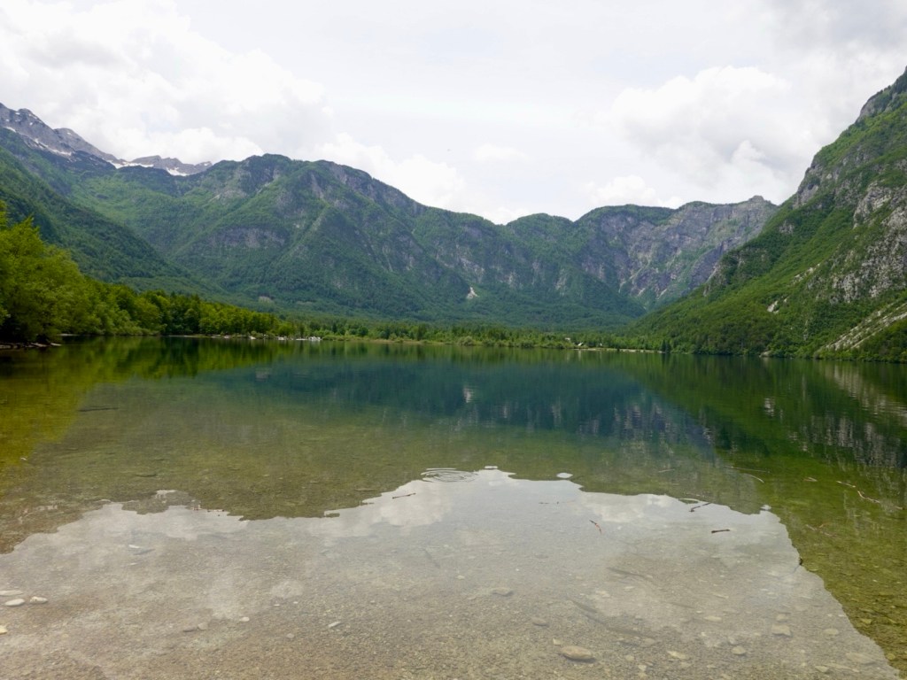
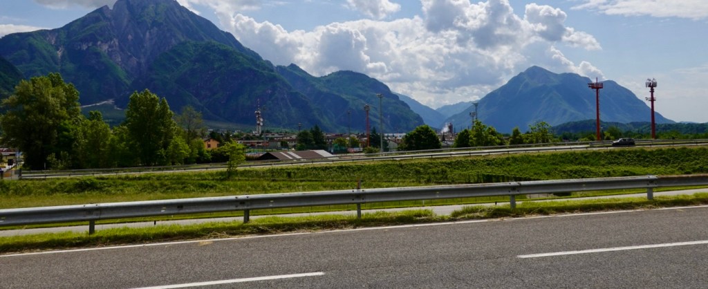
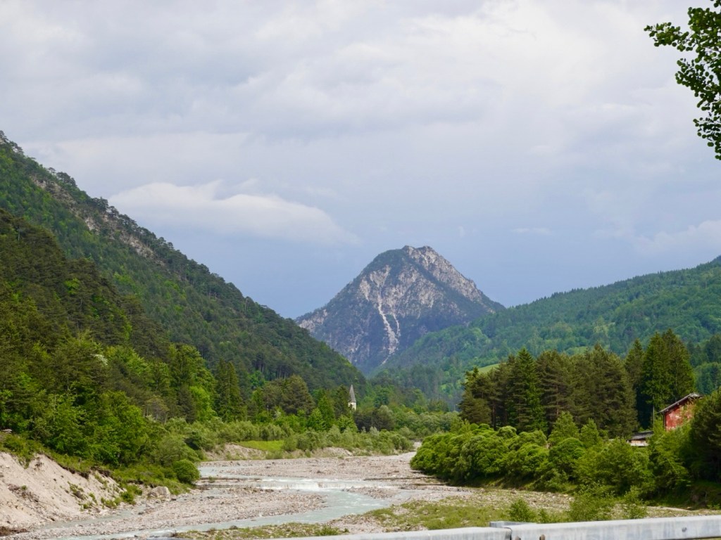
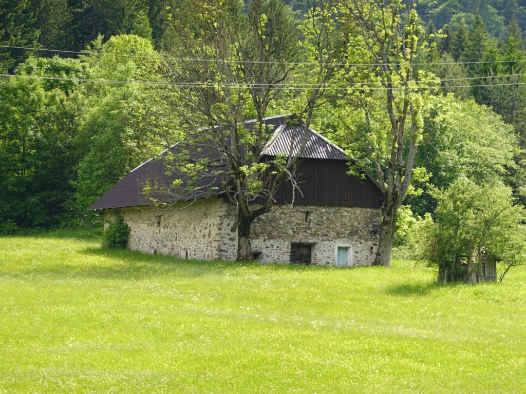
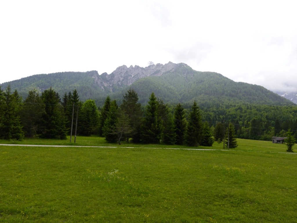
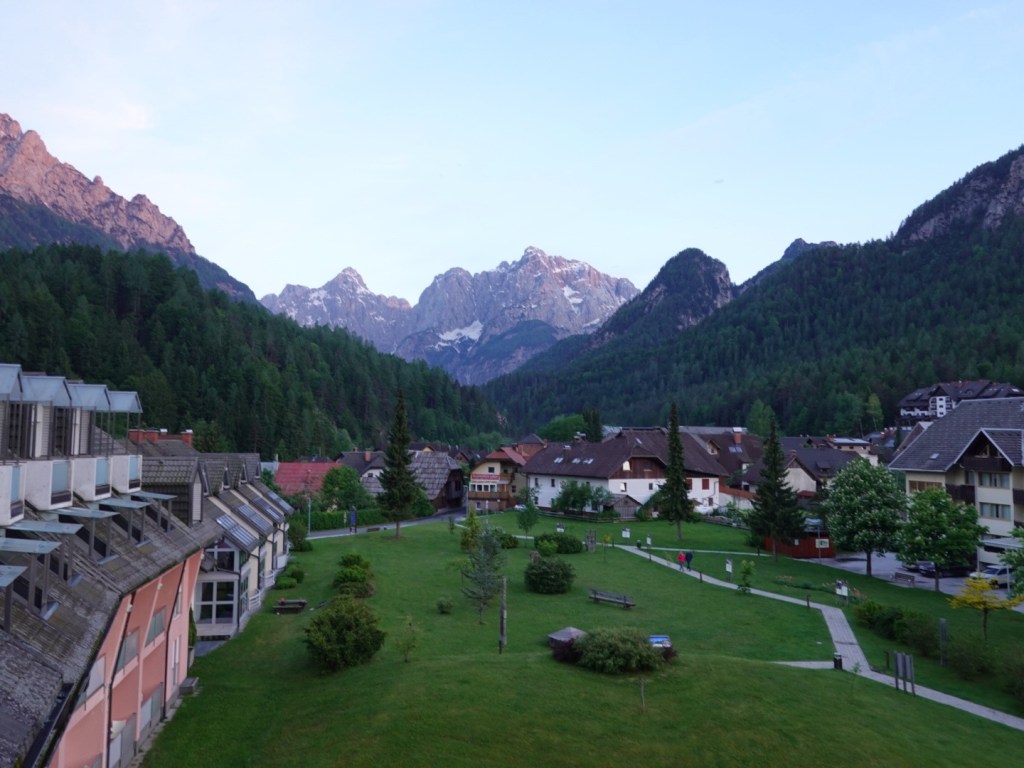
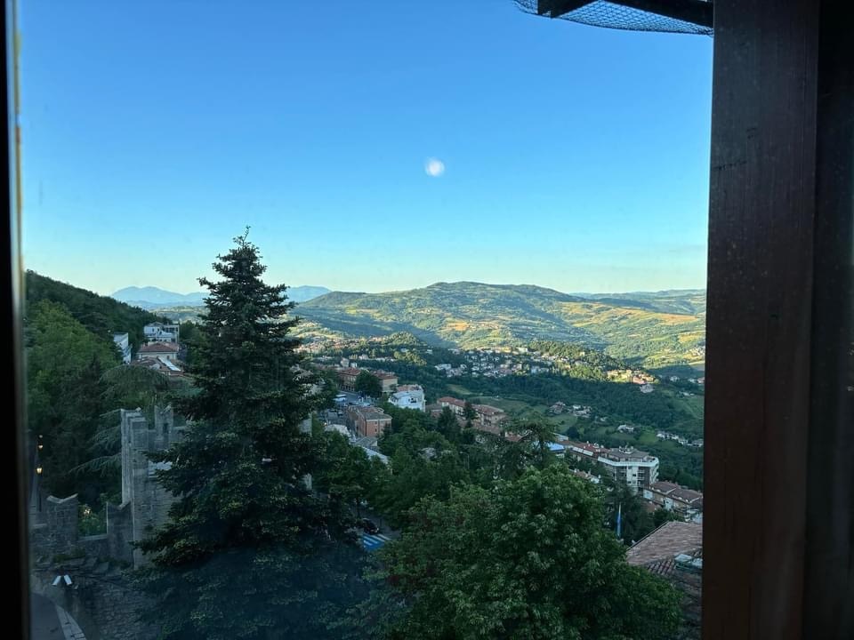
We woke to beautiful views out our bedroom window. Blue skies!

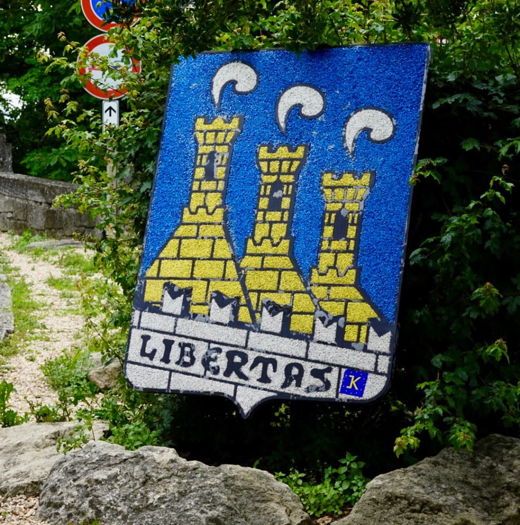
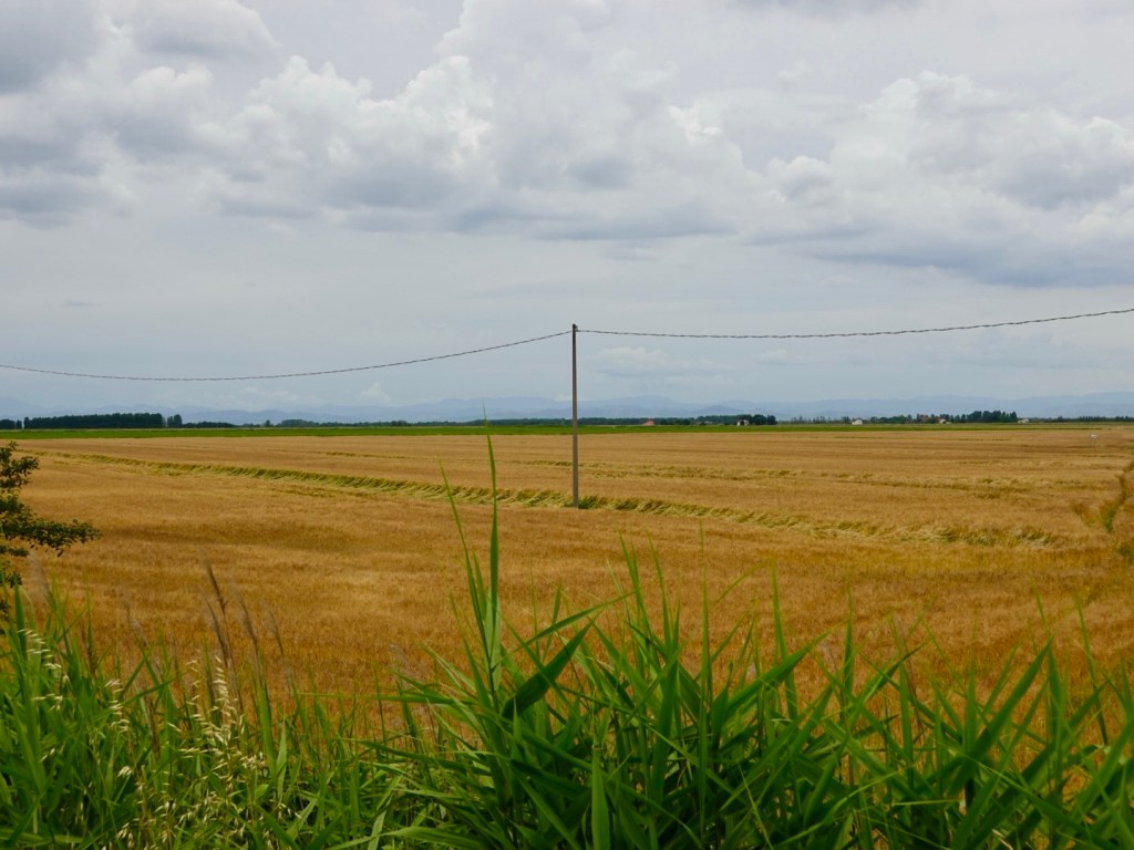
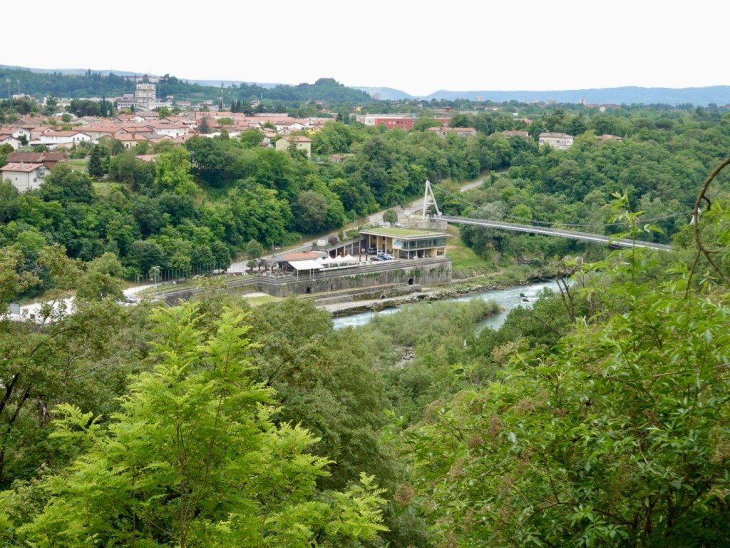
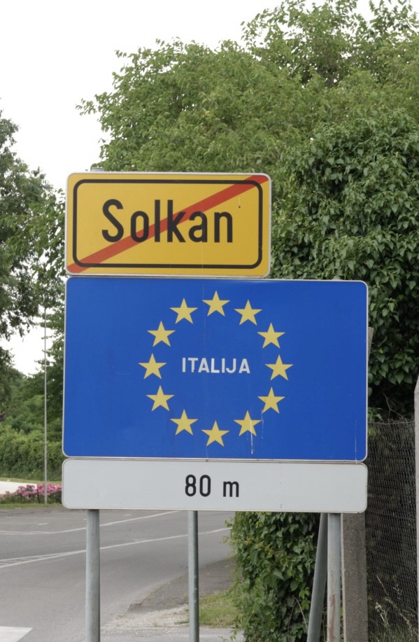
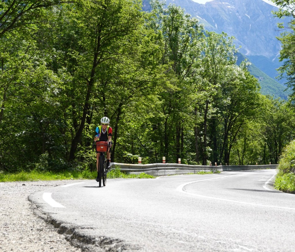
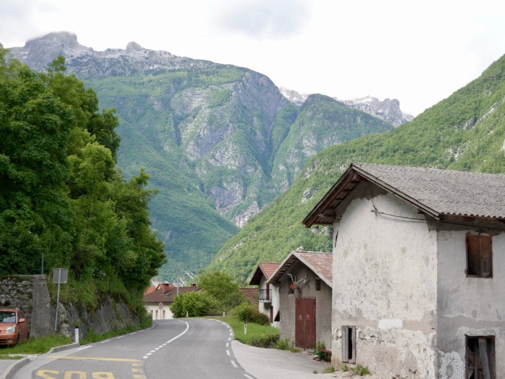
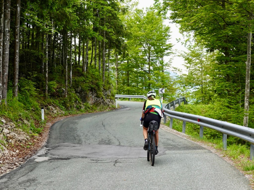
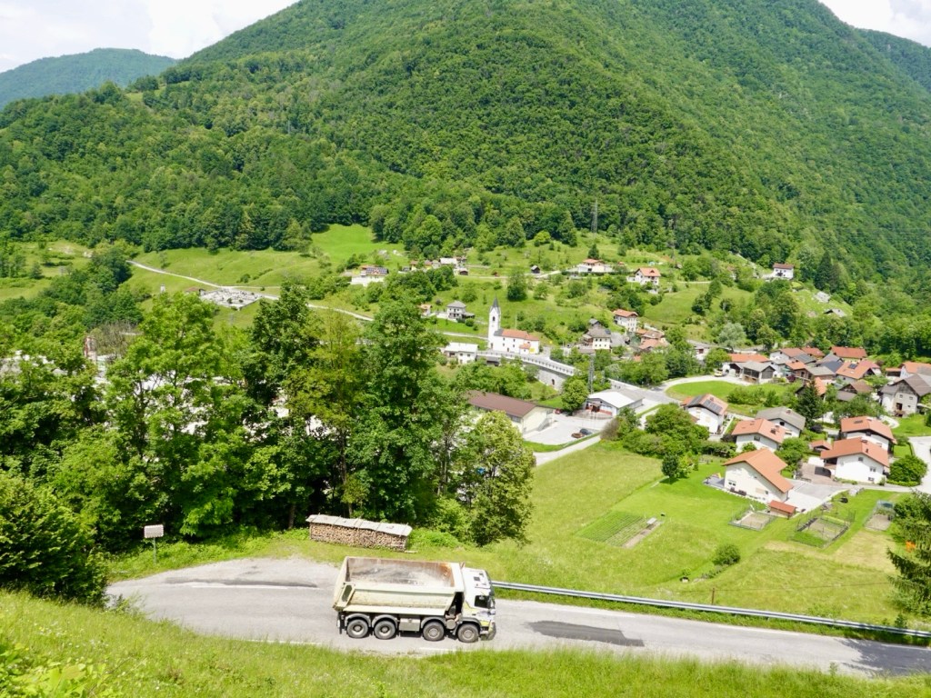
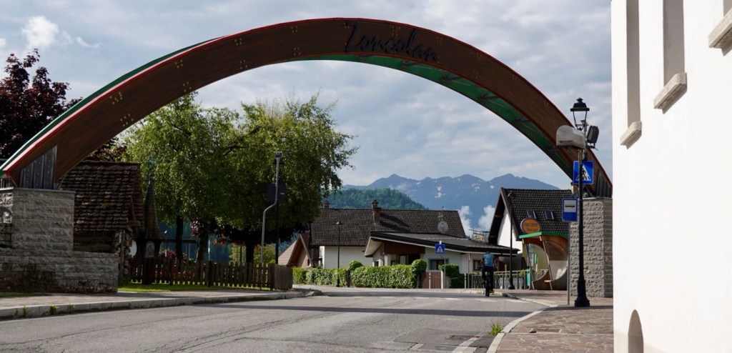
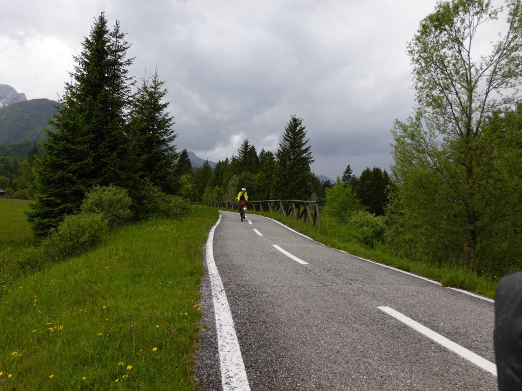
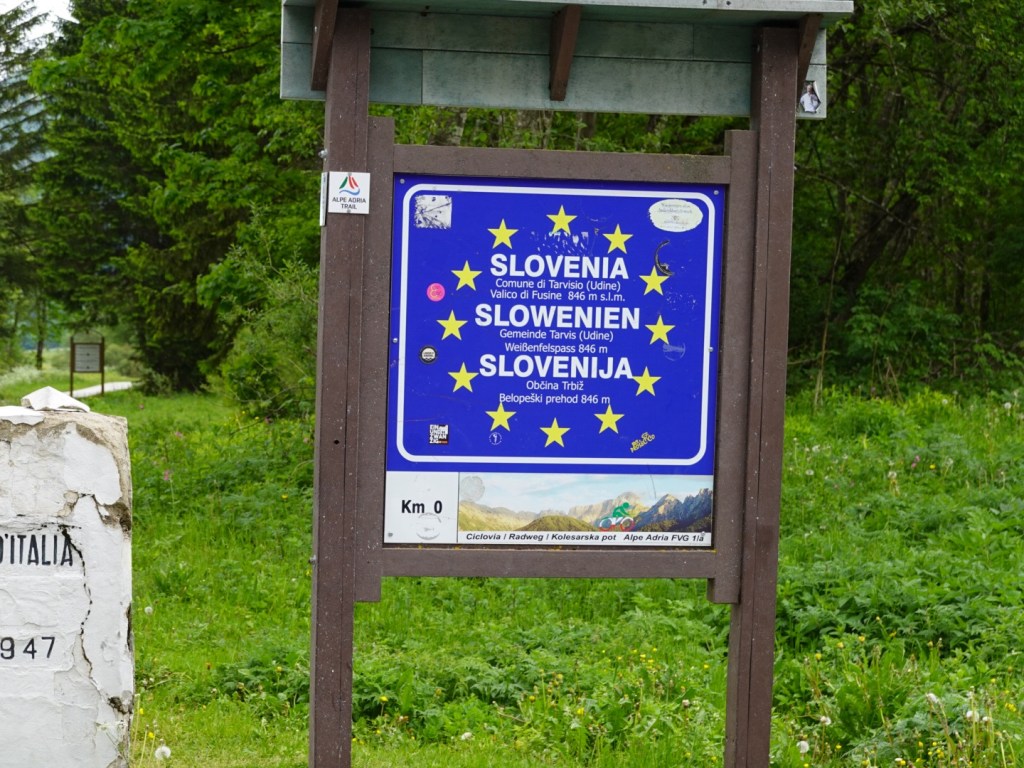
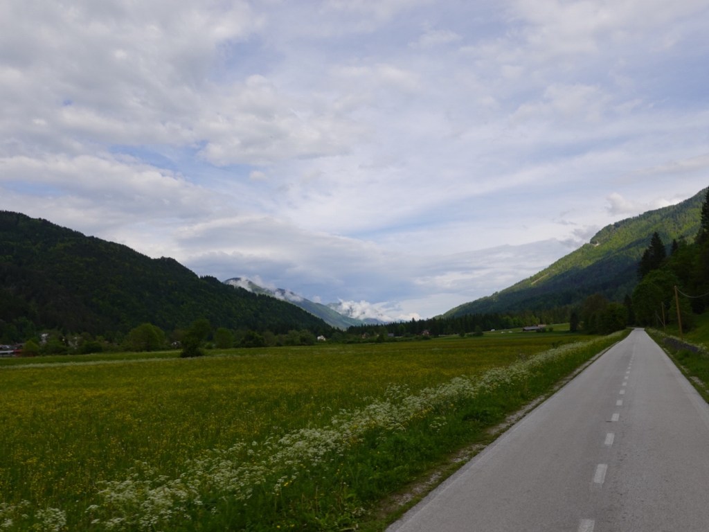
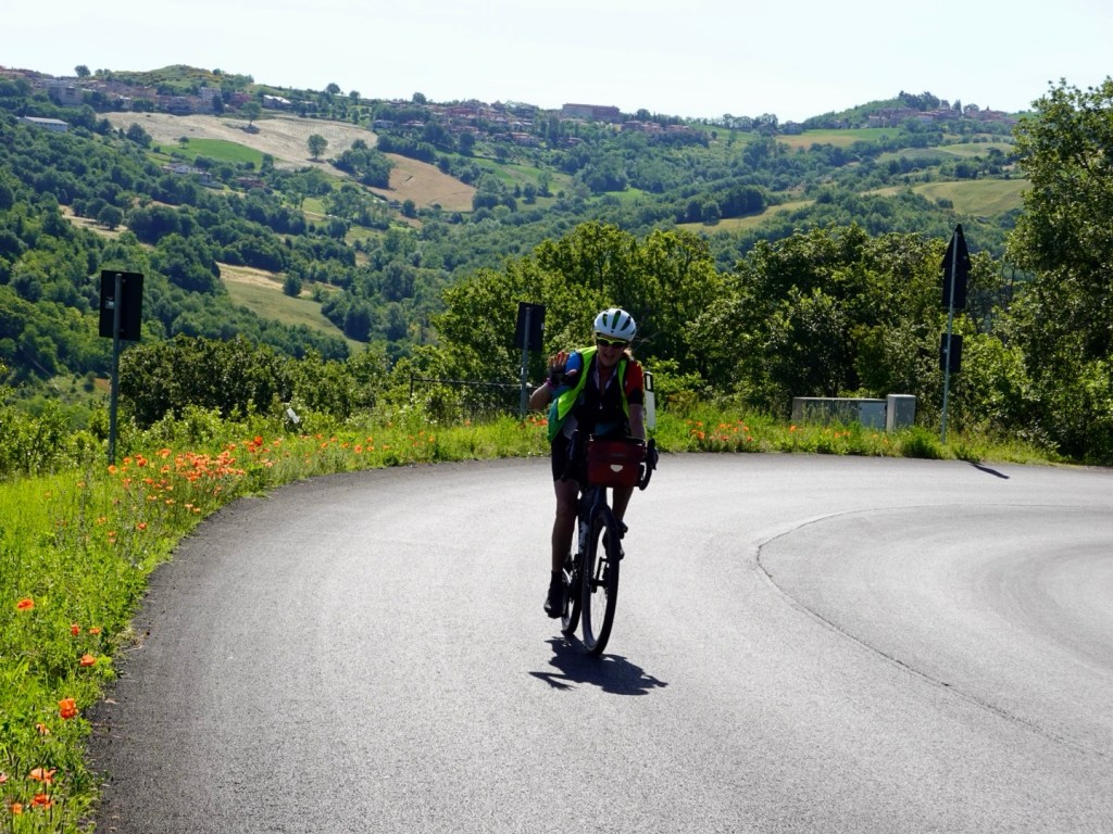
First to breakfast (again….people seem to sleep in), we packed and rolled down the hill out out of this interesting little country.

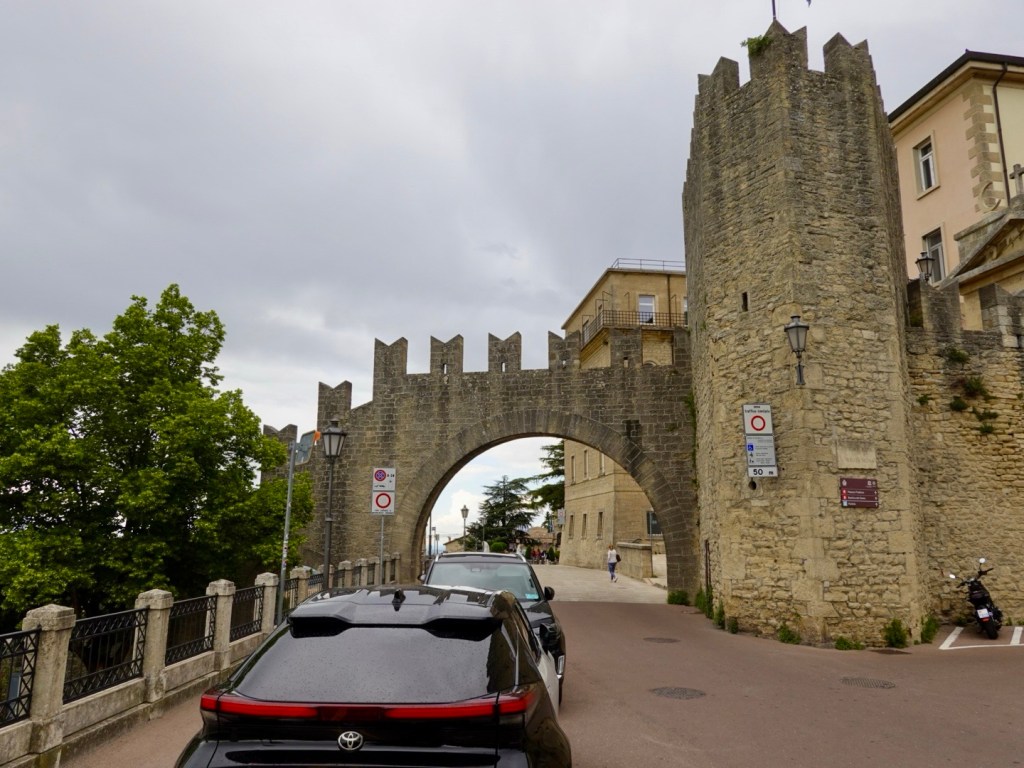
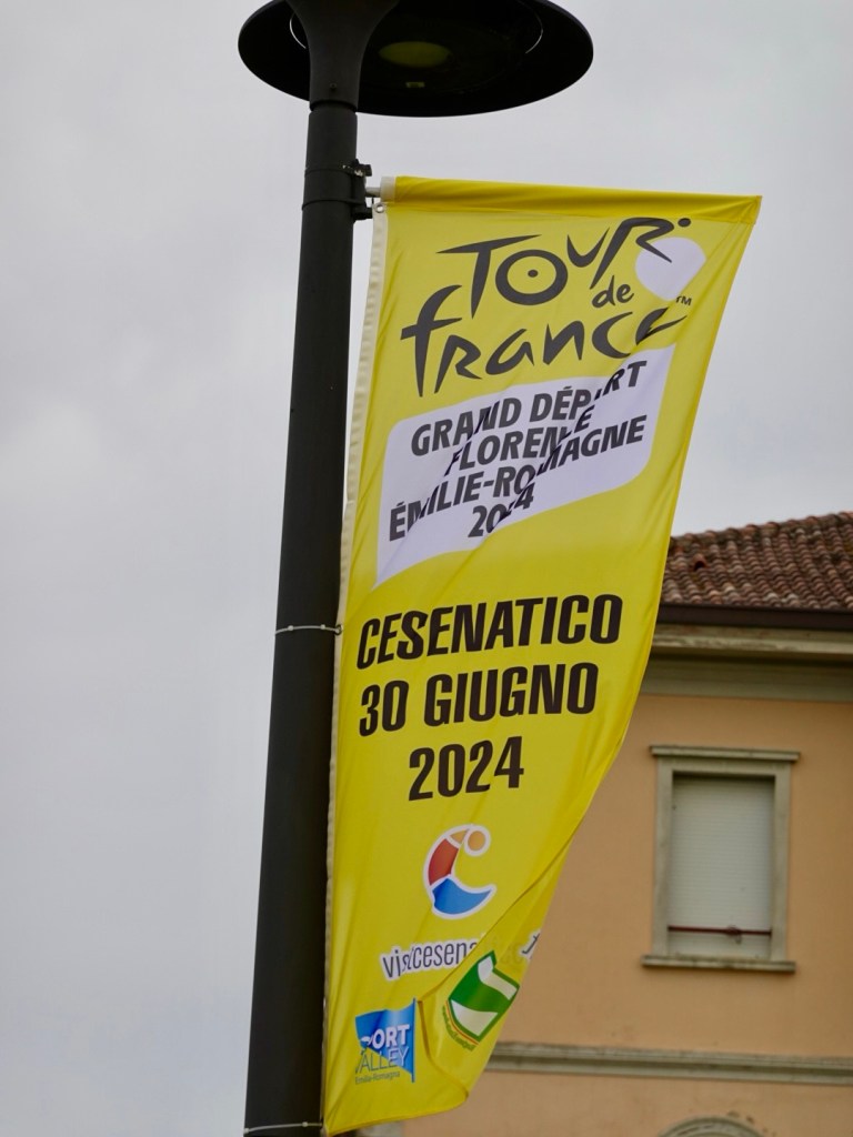
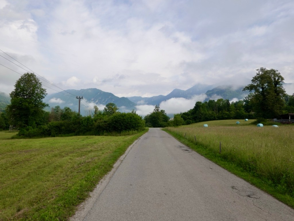
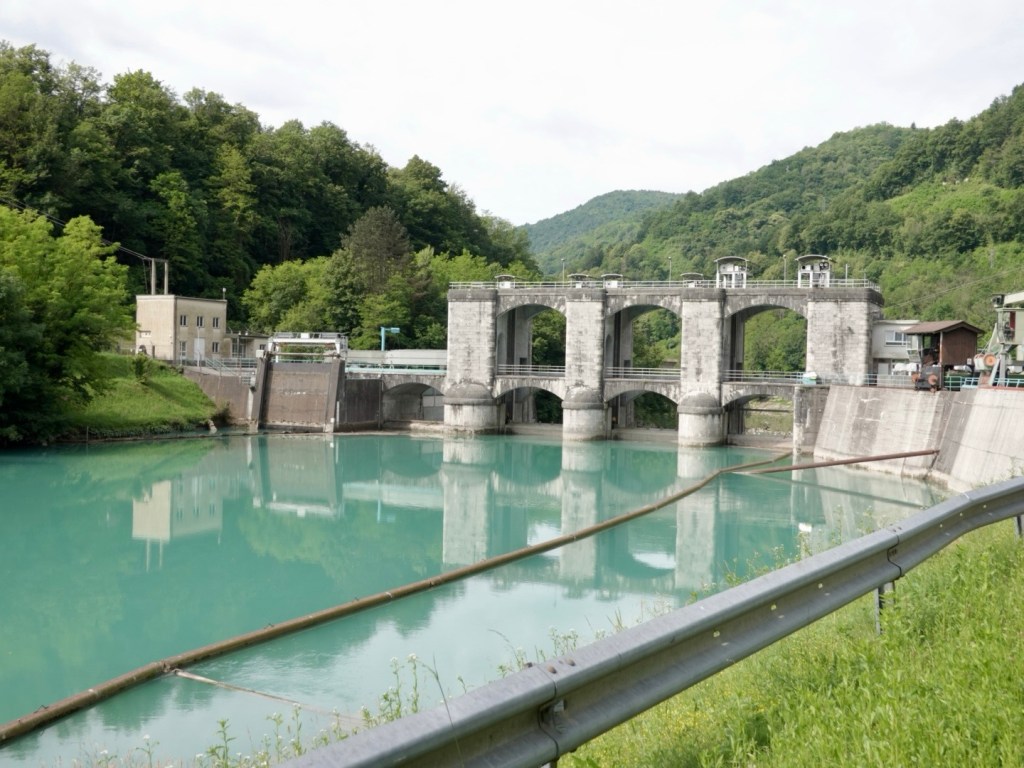
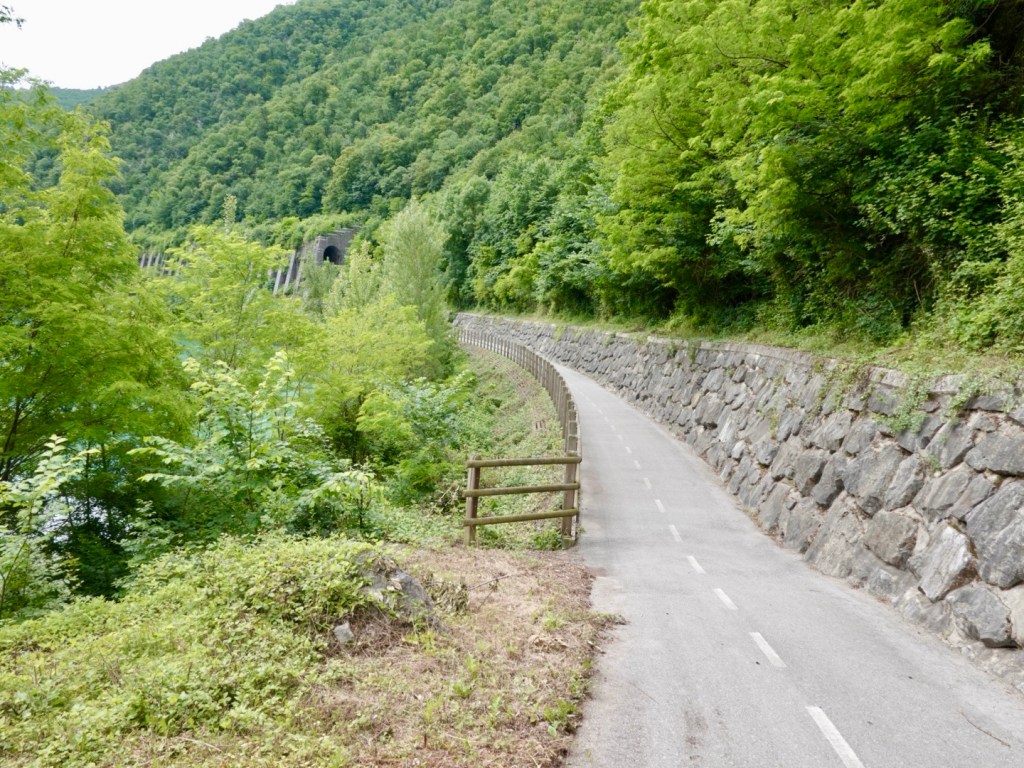
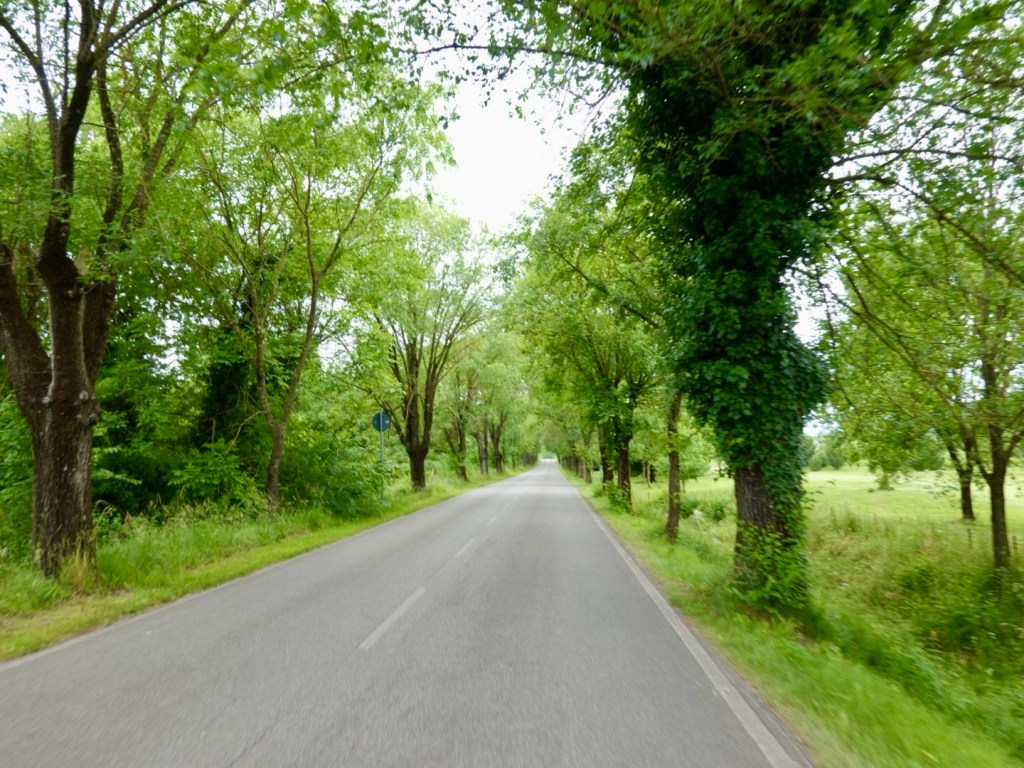
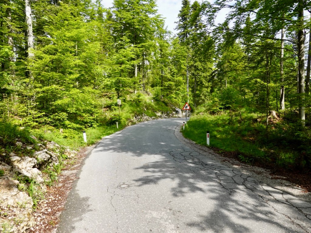
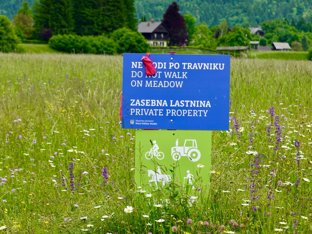
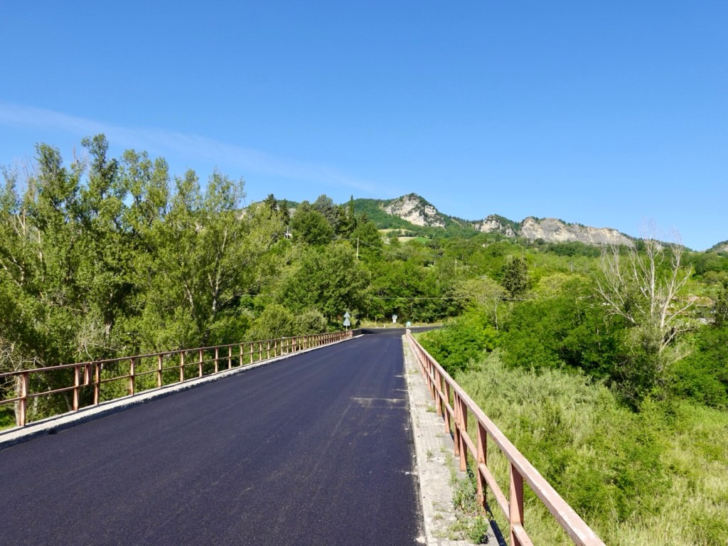
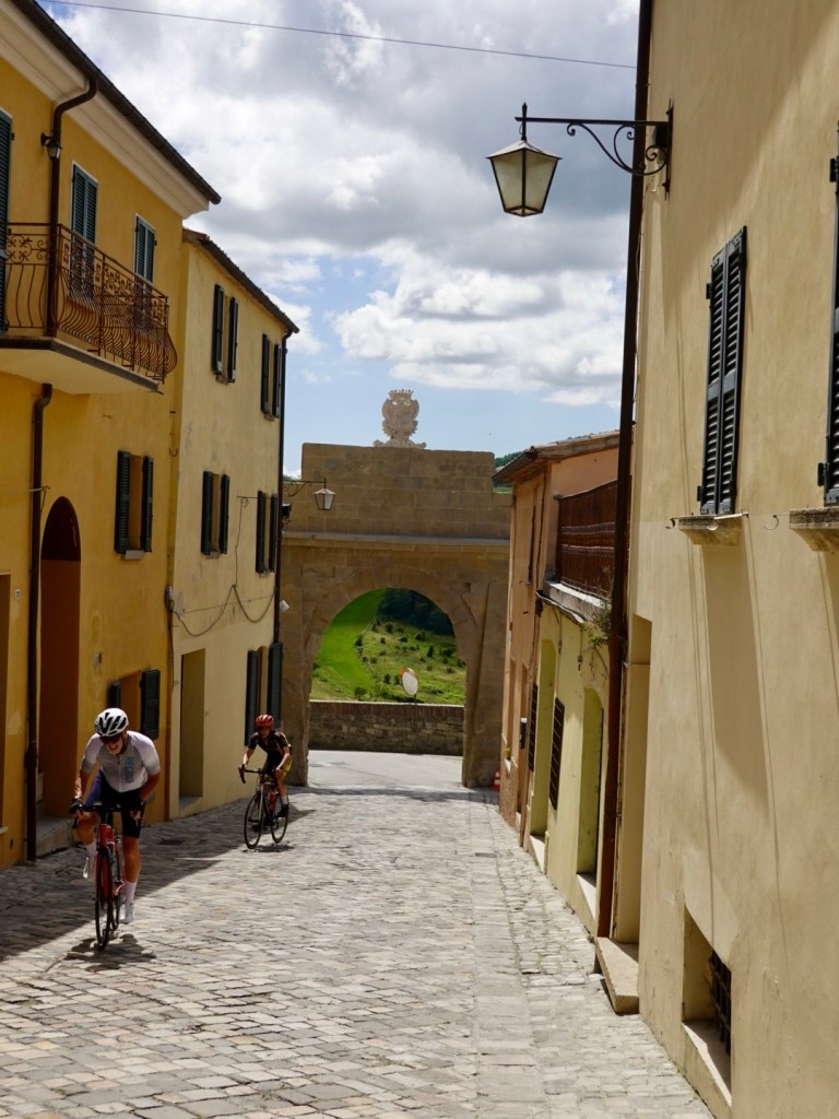
We quickly realised that our descent was the ascent route for the upcoming Tour de France. The freshly laid new road surface being the biggest clue, along with supporting signage. kg was a much nicer road than our previous day ascent.

We remained on the new surface for 30 km and it was so smooth. In places though, due to the heat of the sun, it had partly liquified, sticking to our tyres, adding more rolling resistance on the hills.

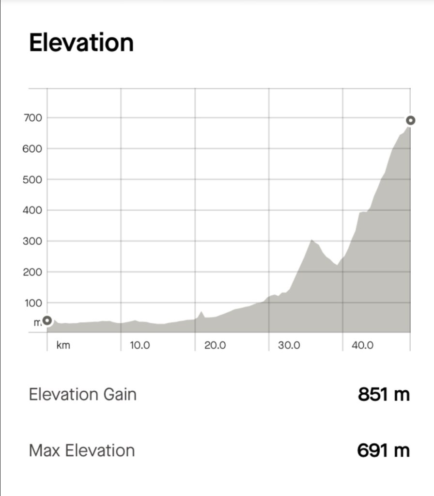
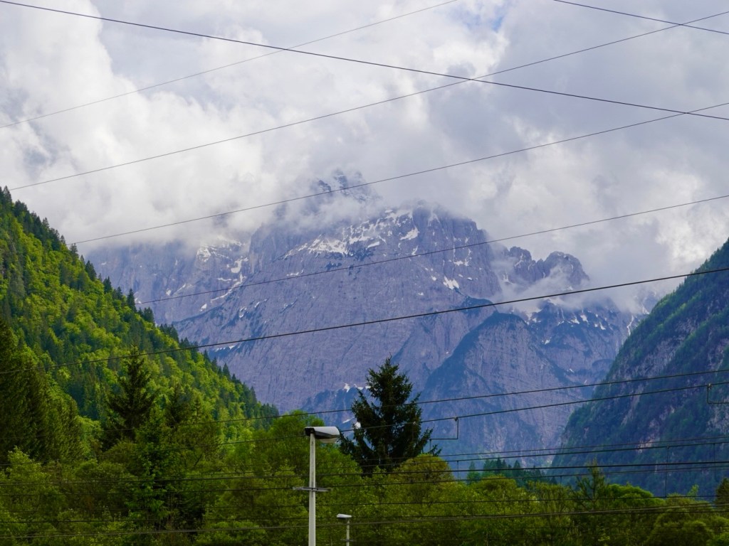
Hills and heat would be part of my days summary. It got hot with little shade reprieve.

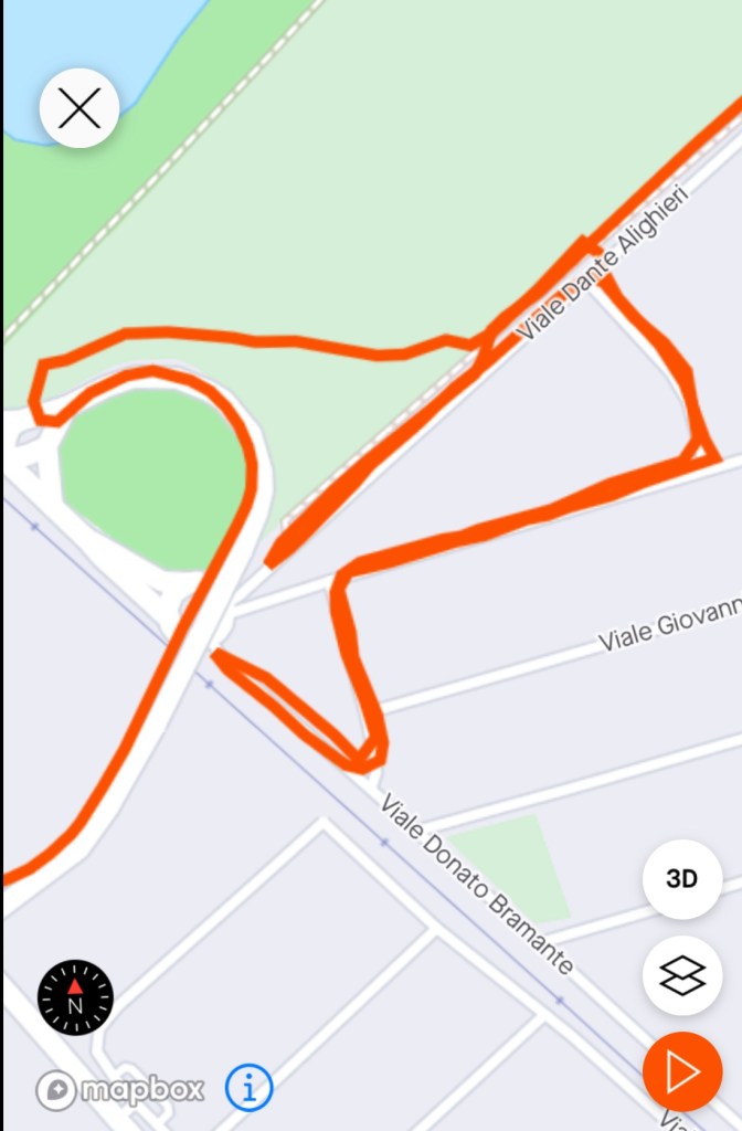
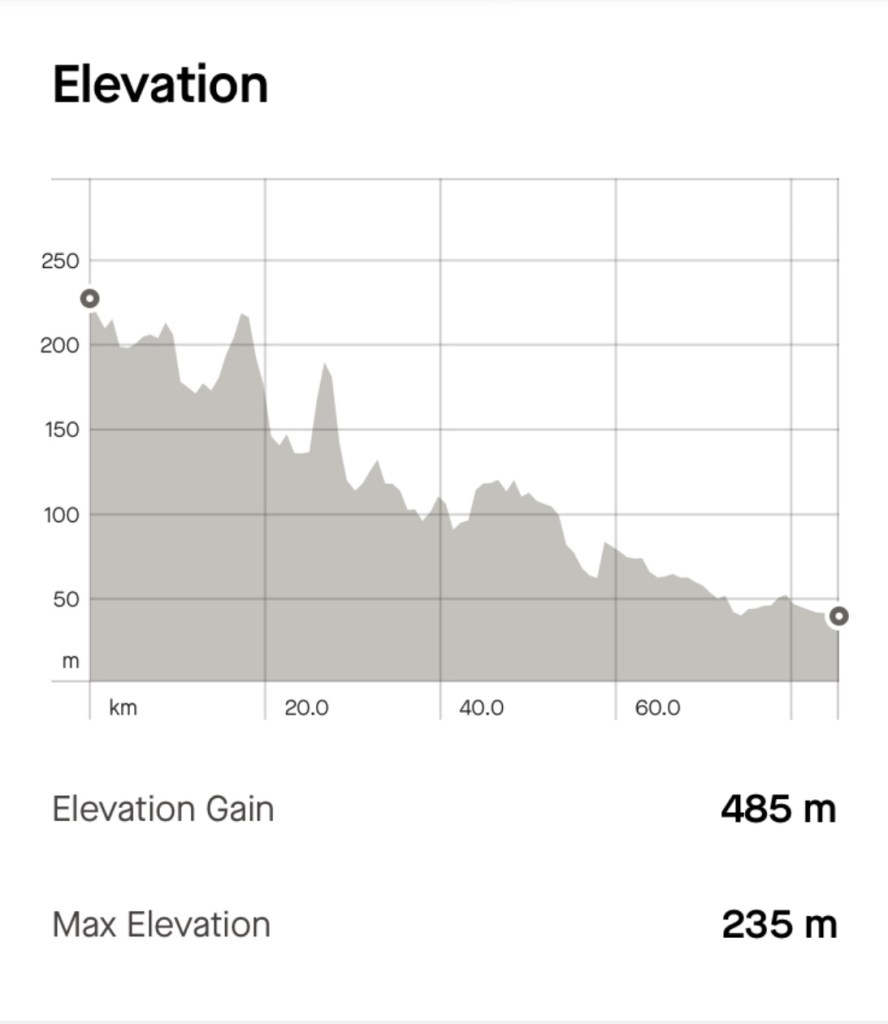
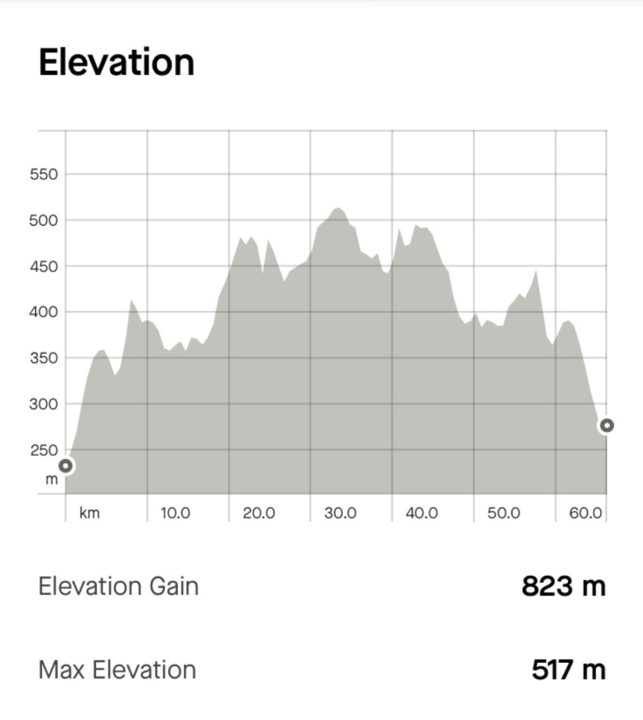
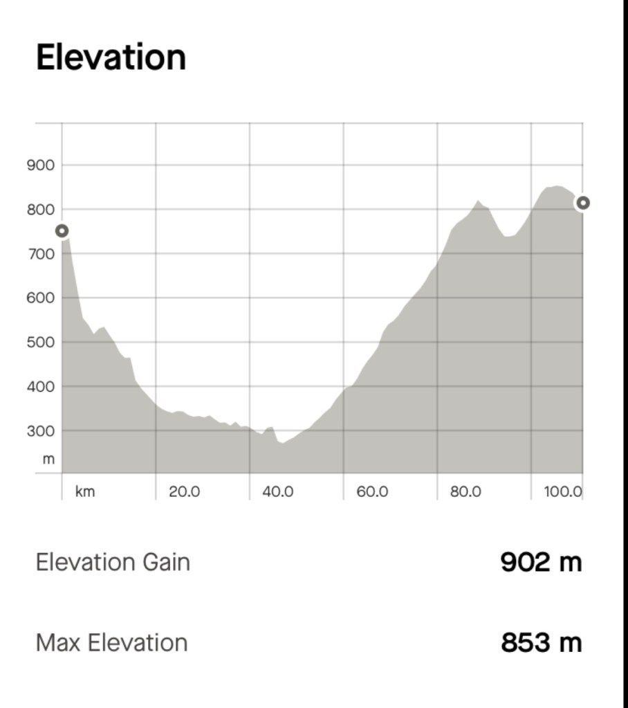
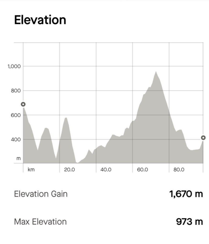
The climbing graph. You can see the initial descent but we then went into two five km length climbs. The longest climb of the day started around 25 km, intensifying, reaching to top at 66 km. That’s a lot of climbing on a loaded bike in the heat.

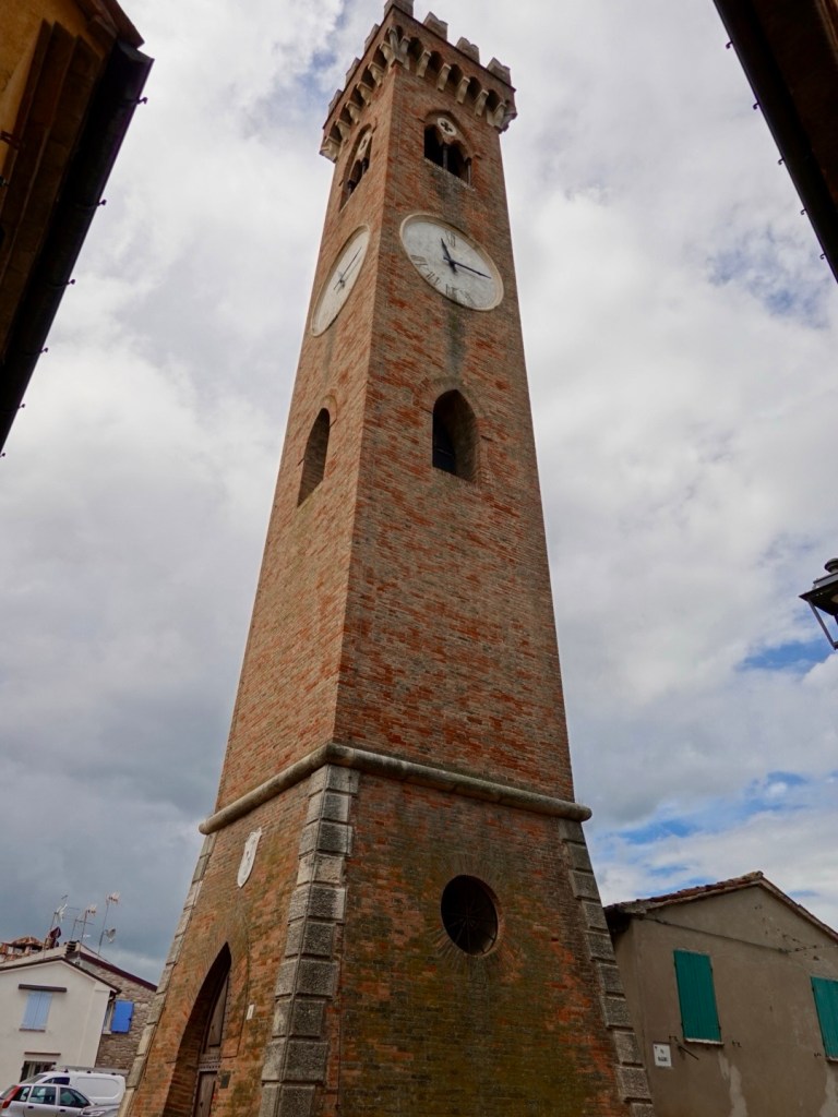
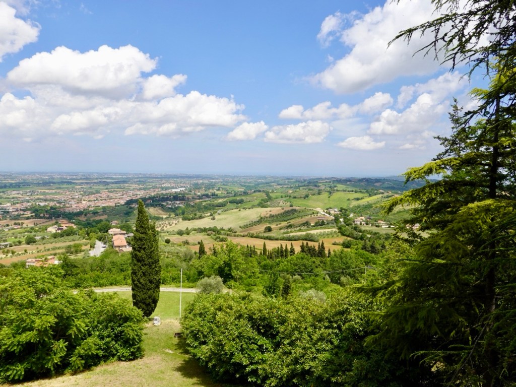
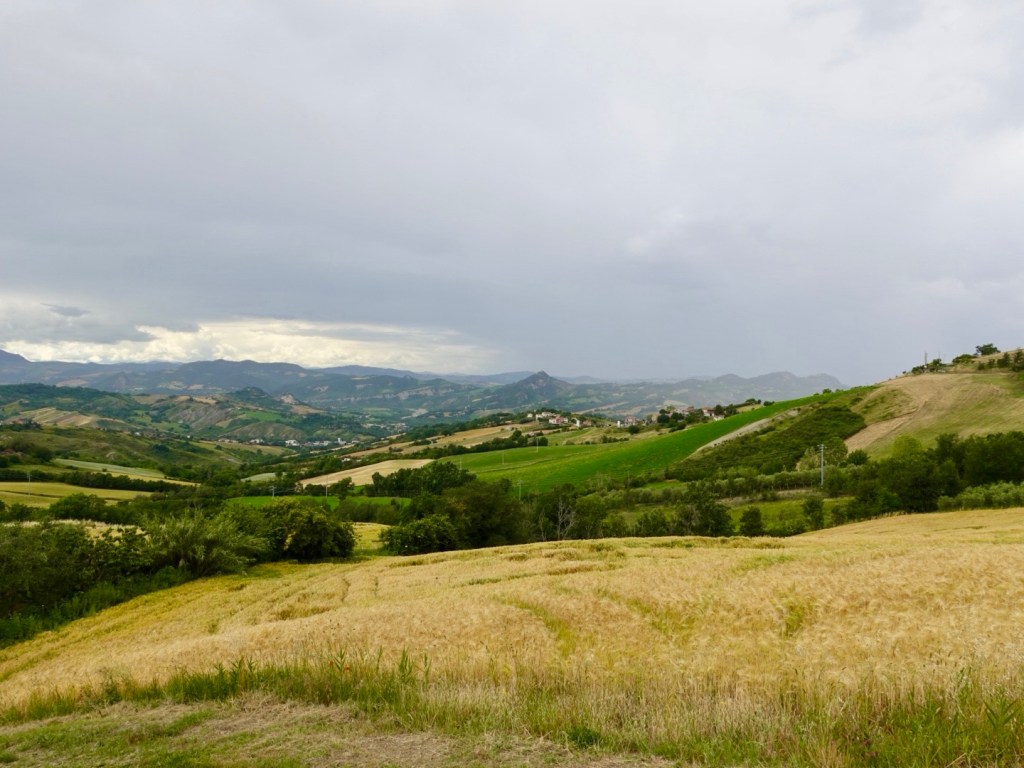
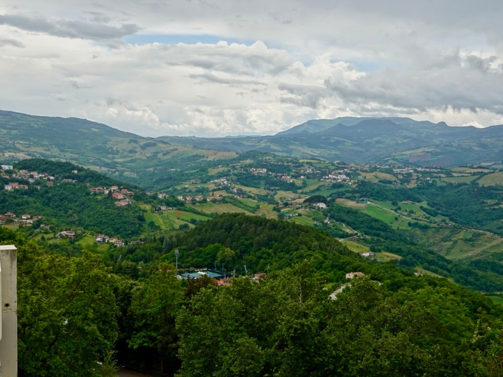
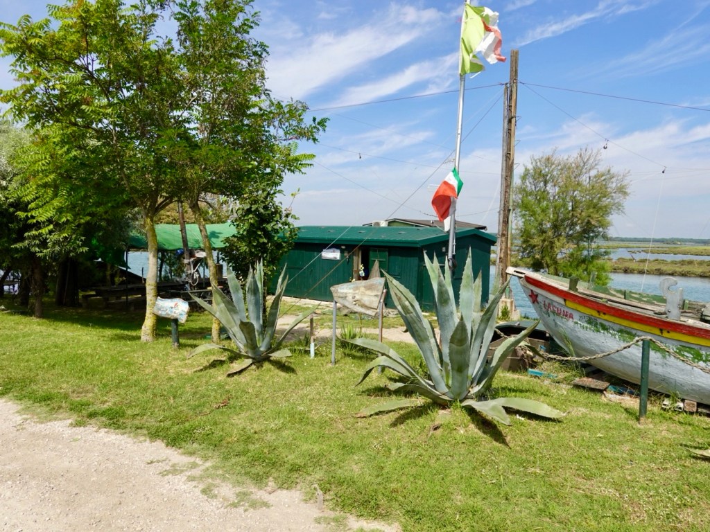
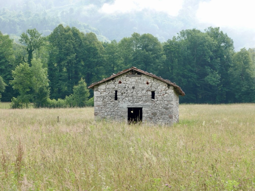
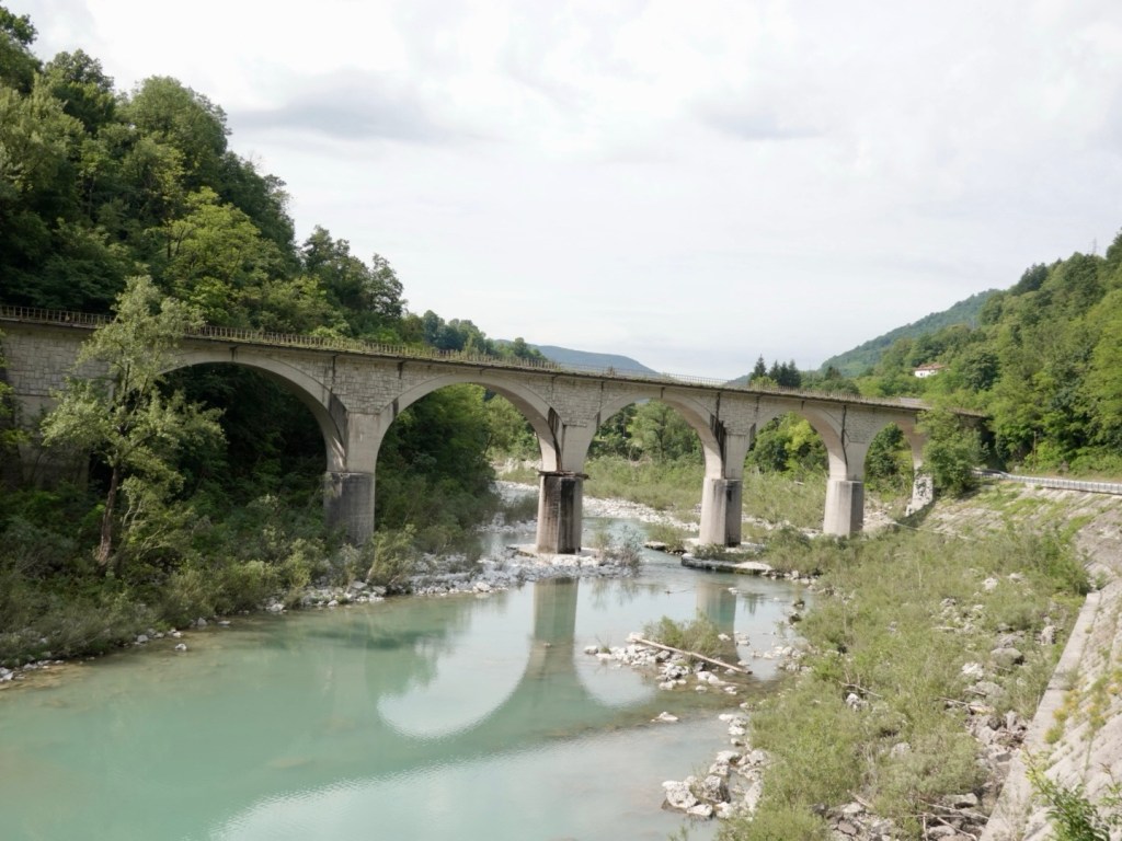
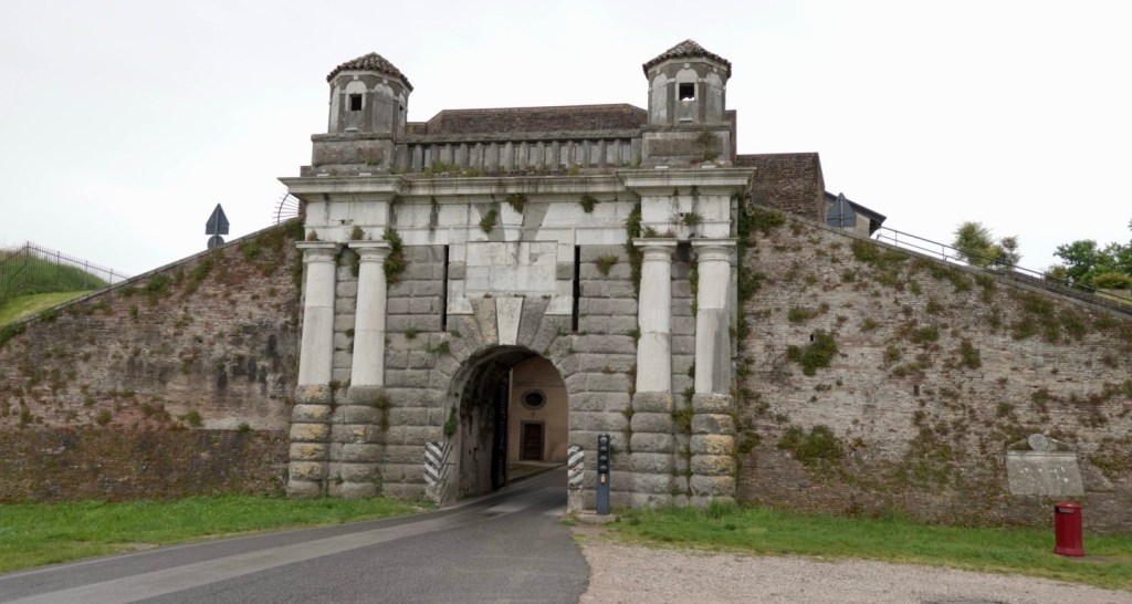
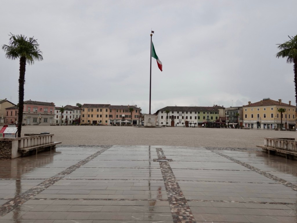
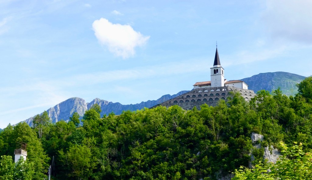
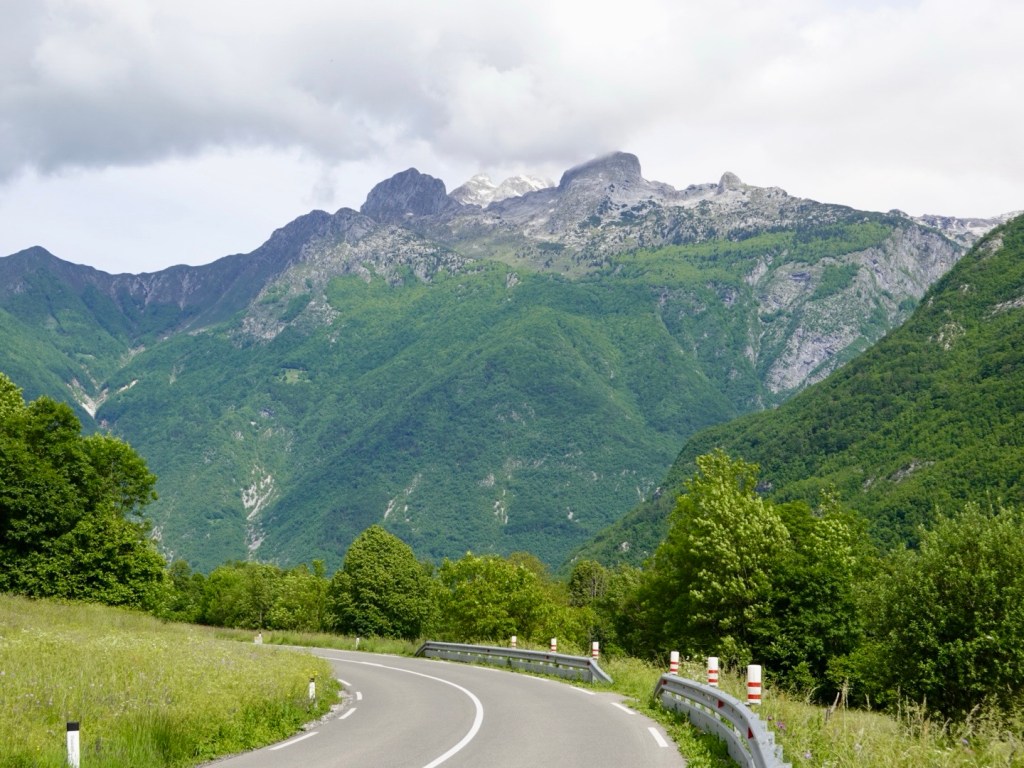
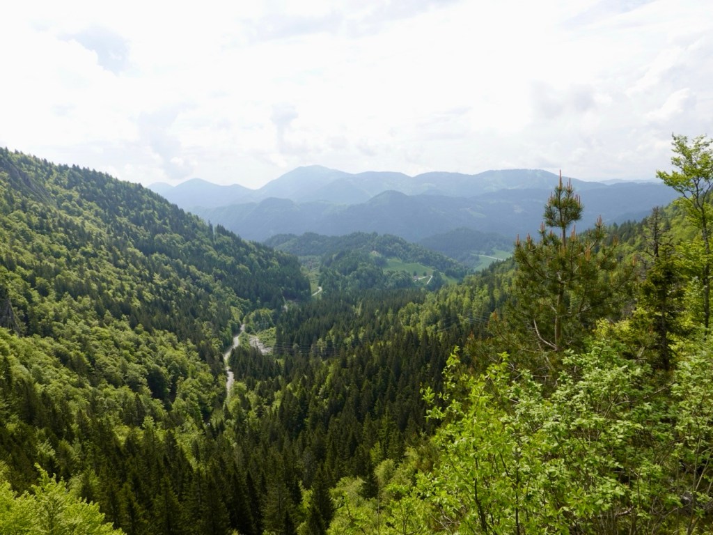
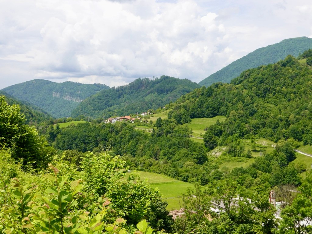
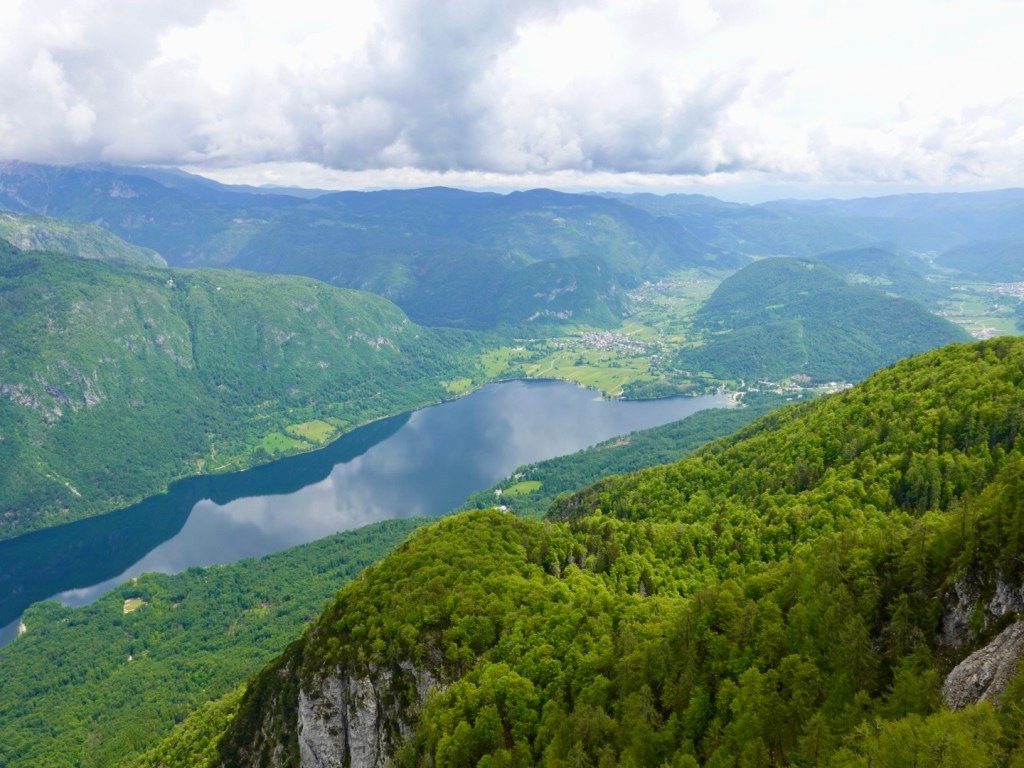
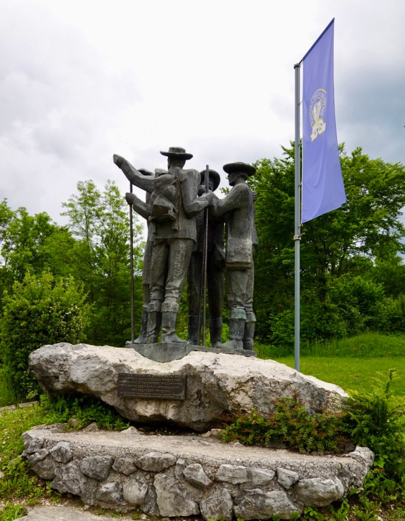
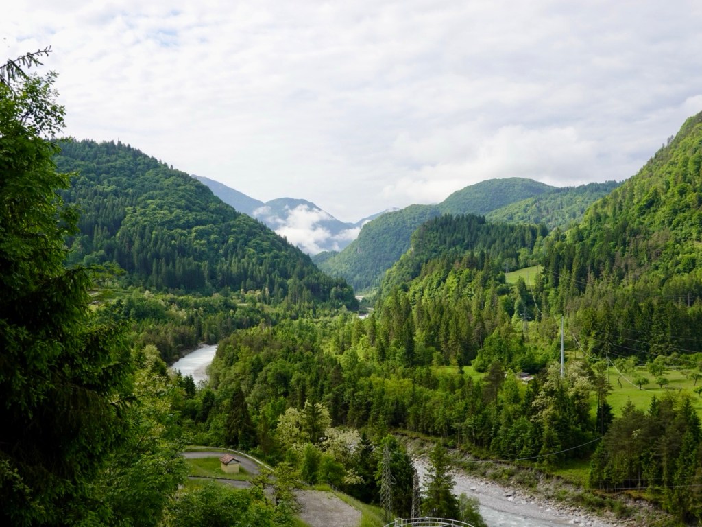
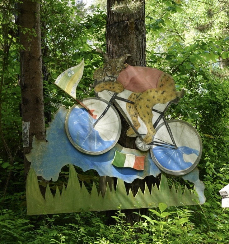
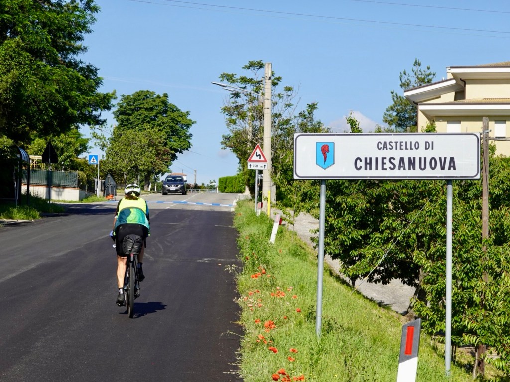
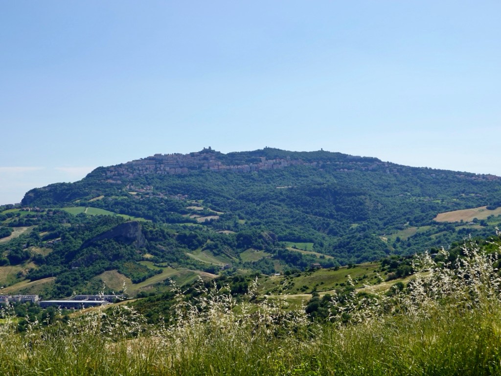
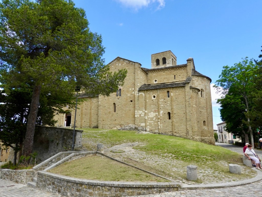
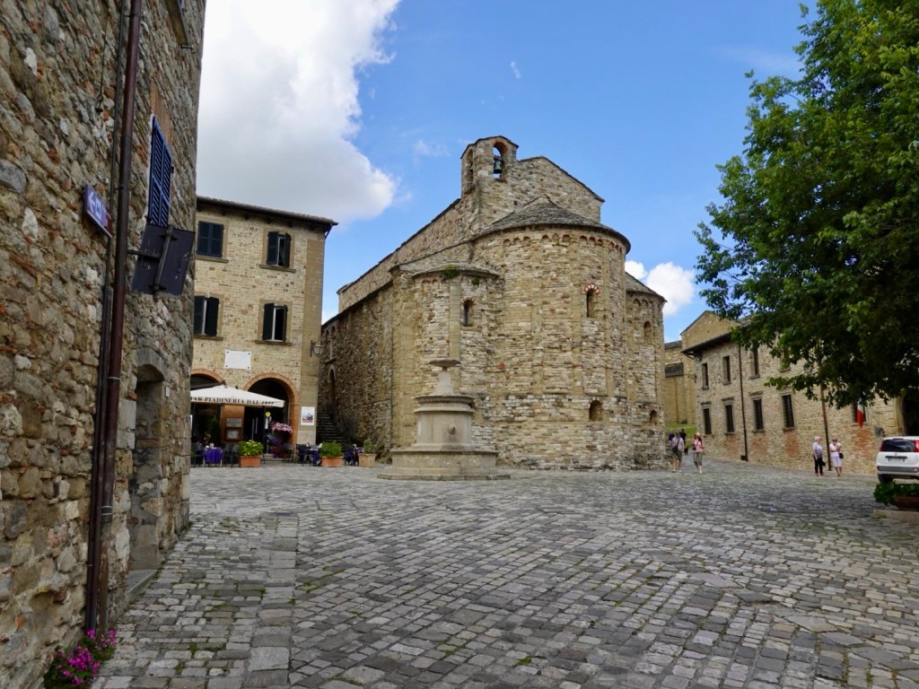
Our first climb were through the local hills including Chiesanuova. The Tour will pass through as you can tell by the road, and the sign with the older men.

I was going to stick my head through the hole for a photo, but the tour route was fascinating these men. The one closer to me asked where we were headed today and when I told him he indicated amazement!

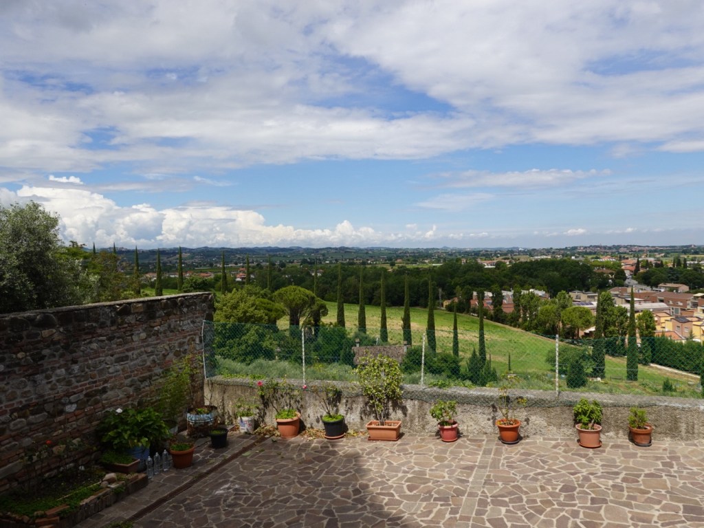
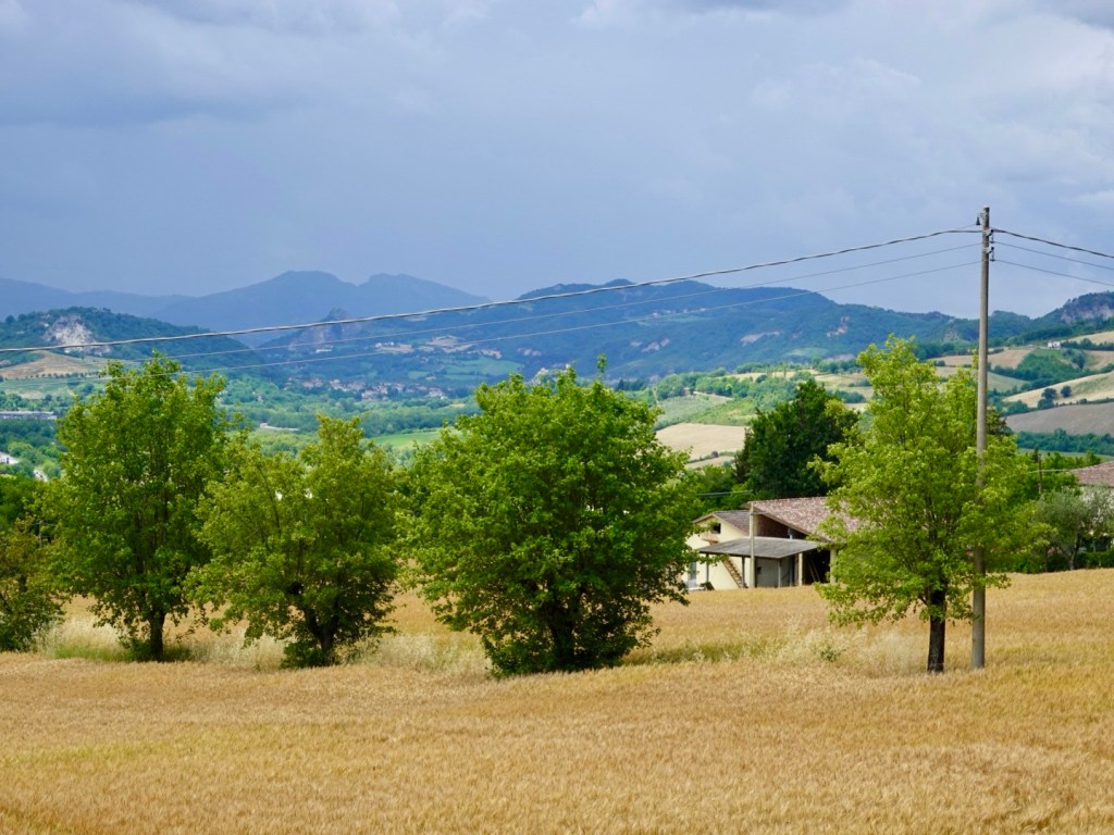
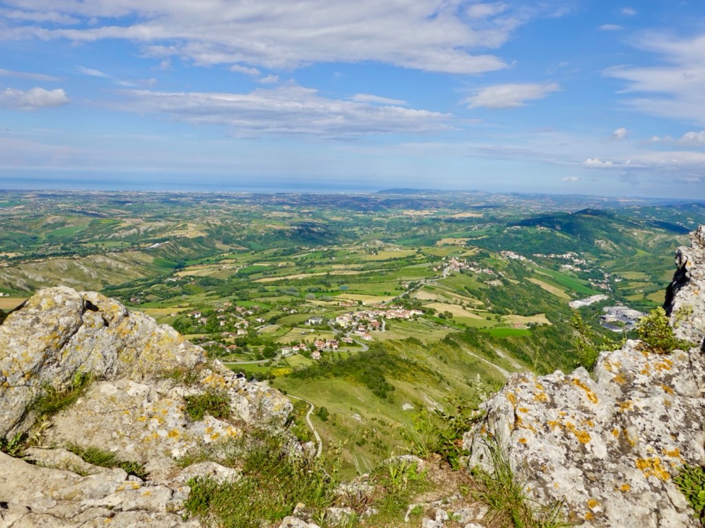
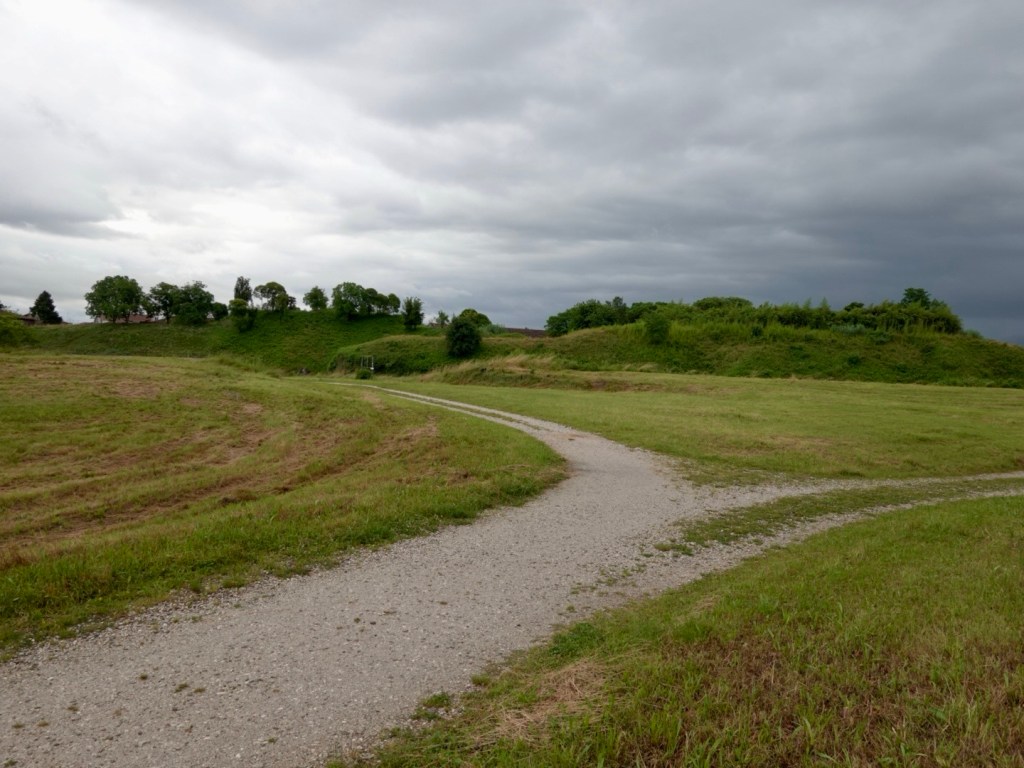
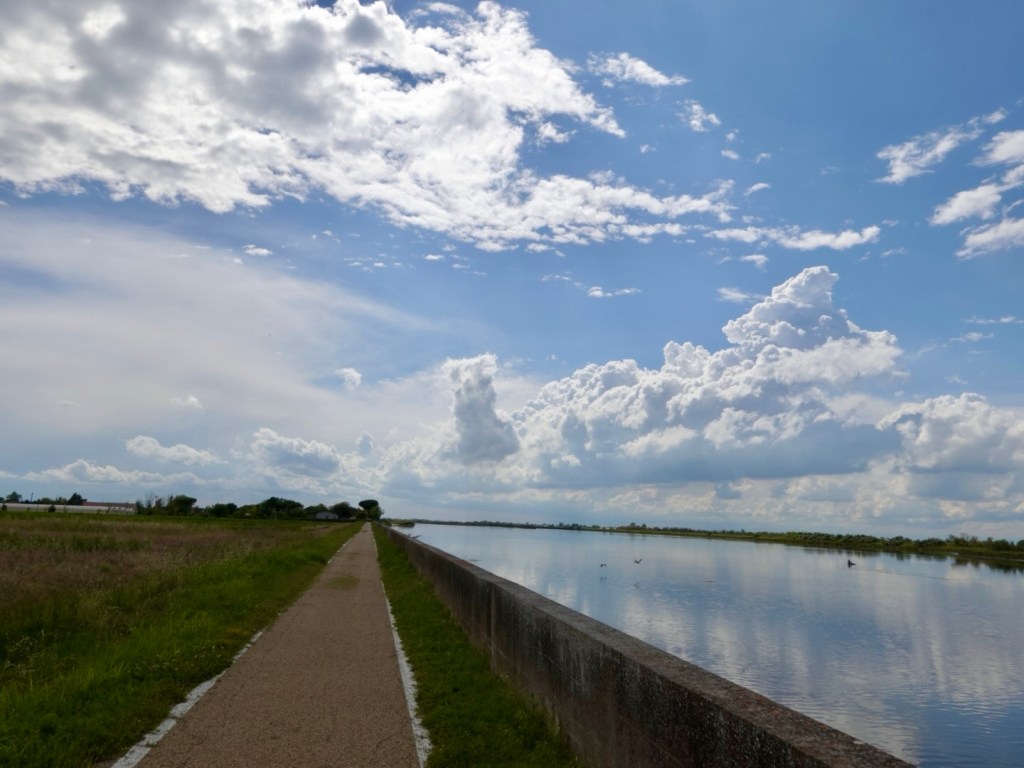
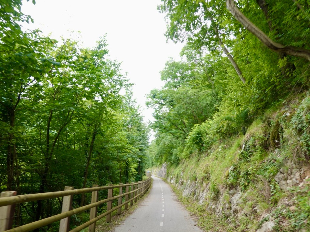
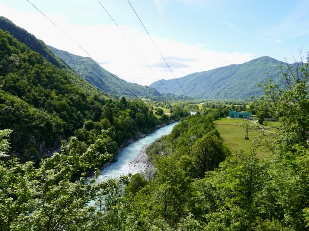
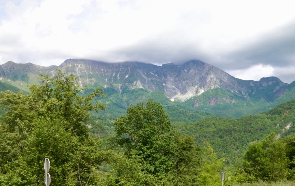
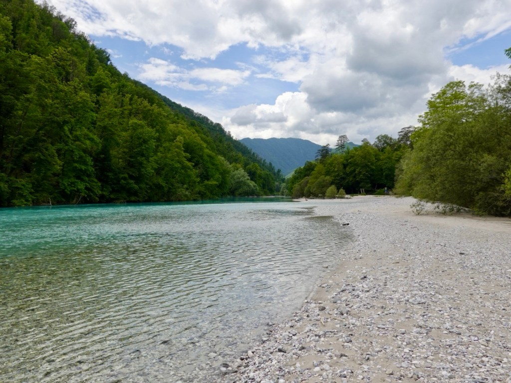
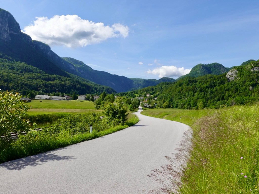
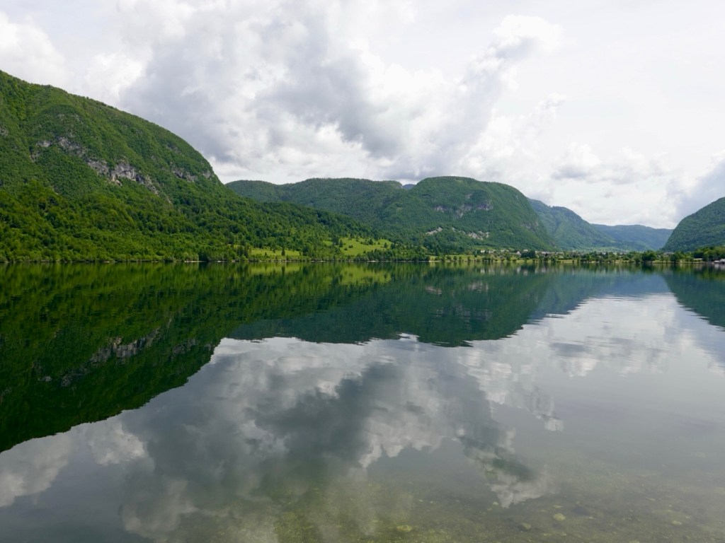
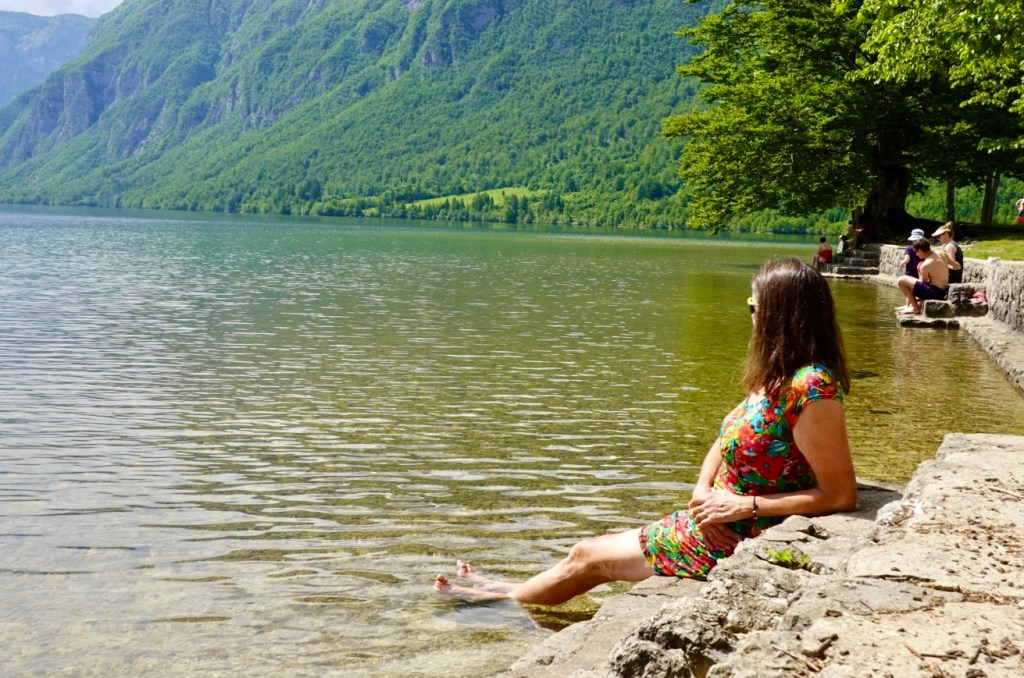
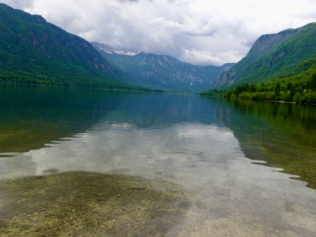
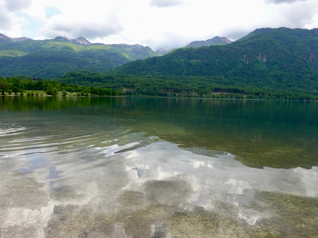
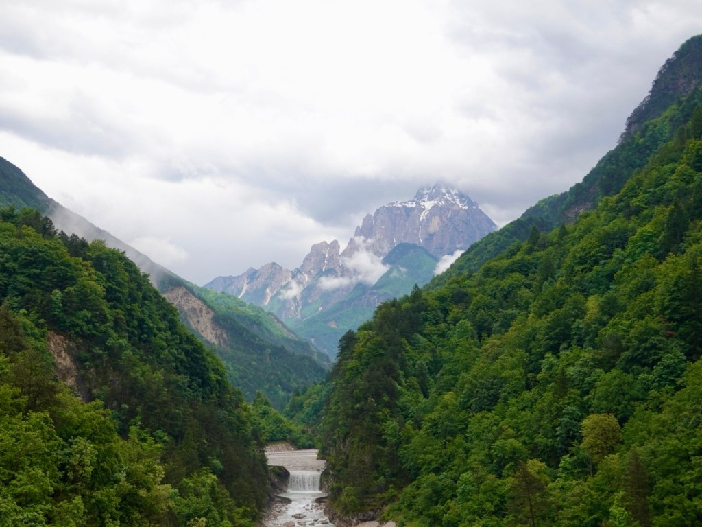
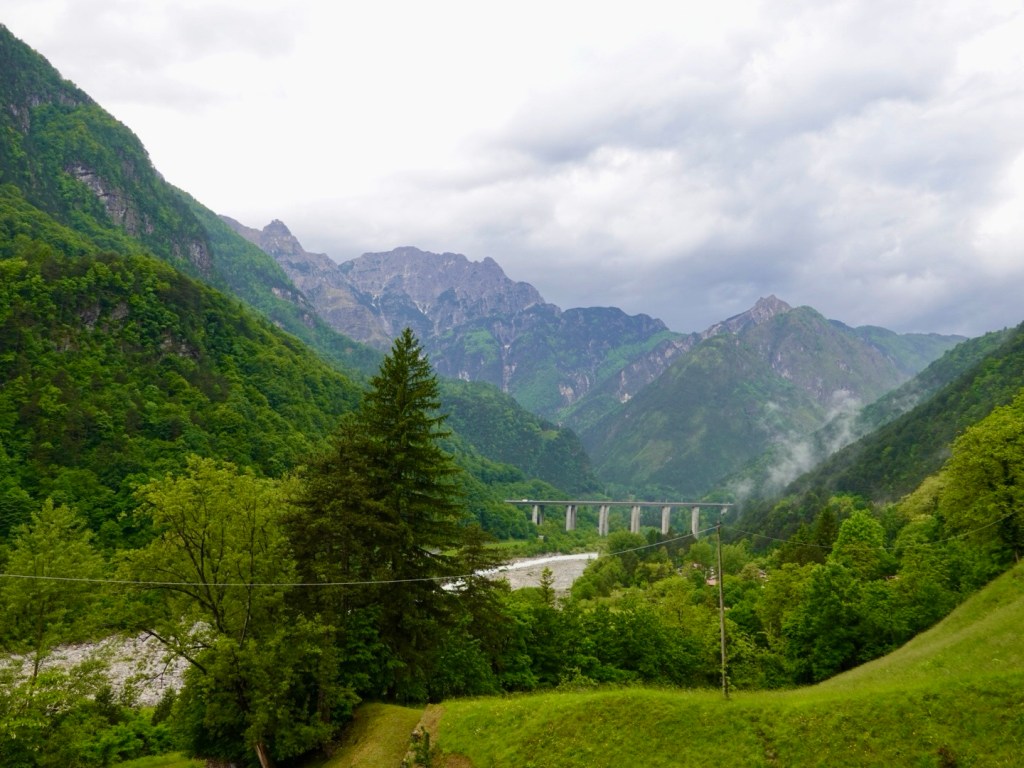
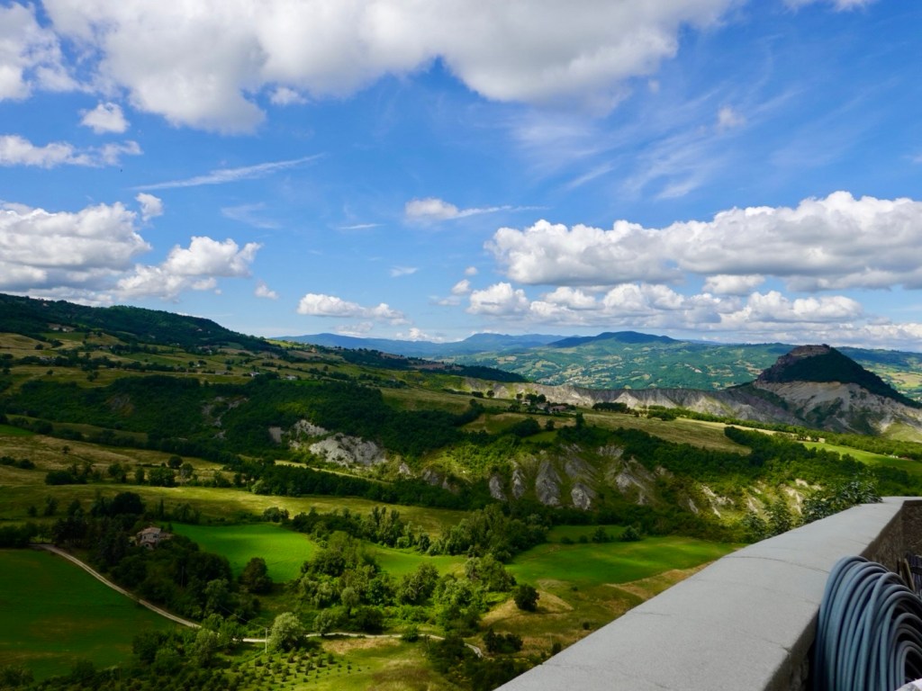
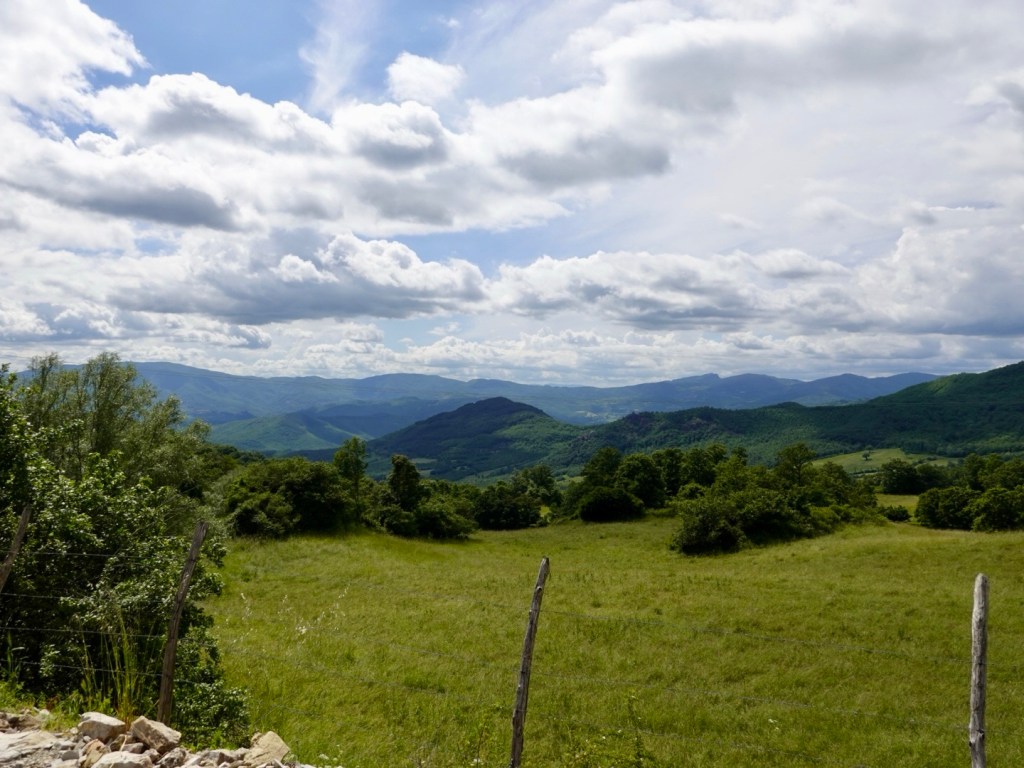
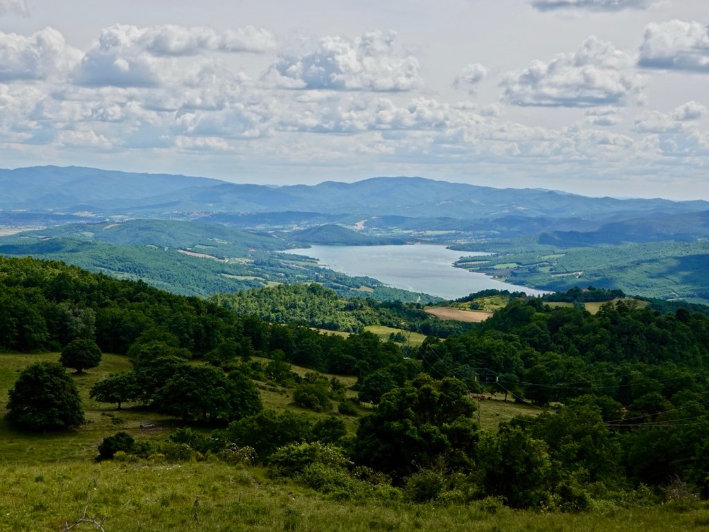
It was a nice area, quiet of traffic, lovely views.

Looking back to San Marino. This view is not as dramatic as the reverse side cliff view.
Look at that road! Many cyclists were out and about today.
We followed this river for some distance

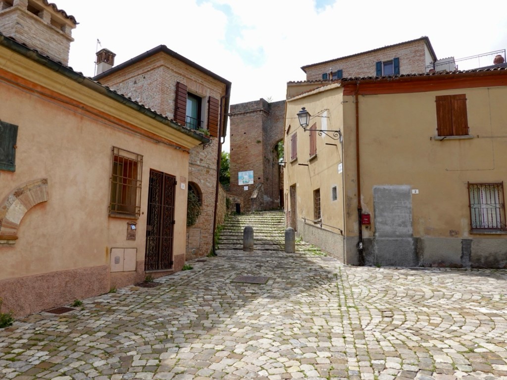
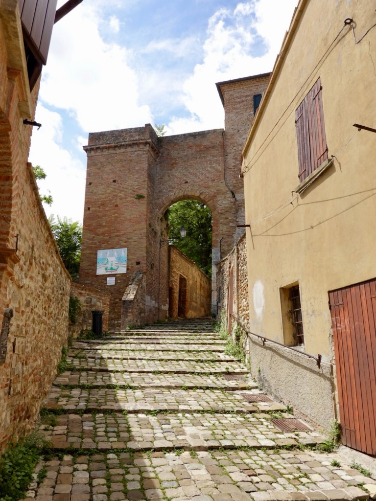
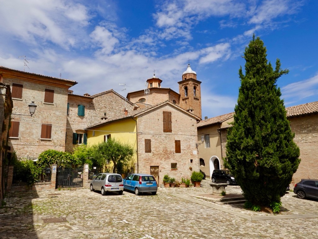
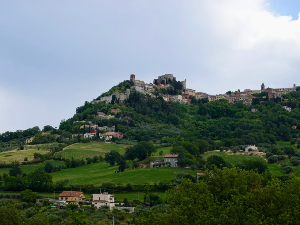
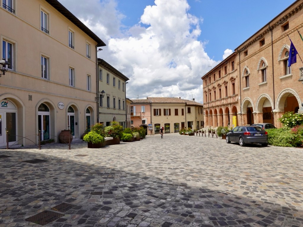
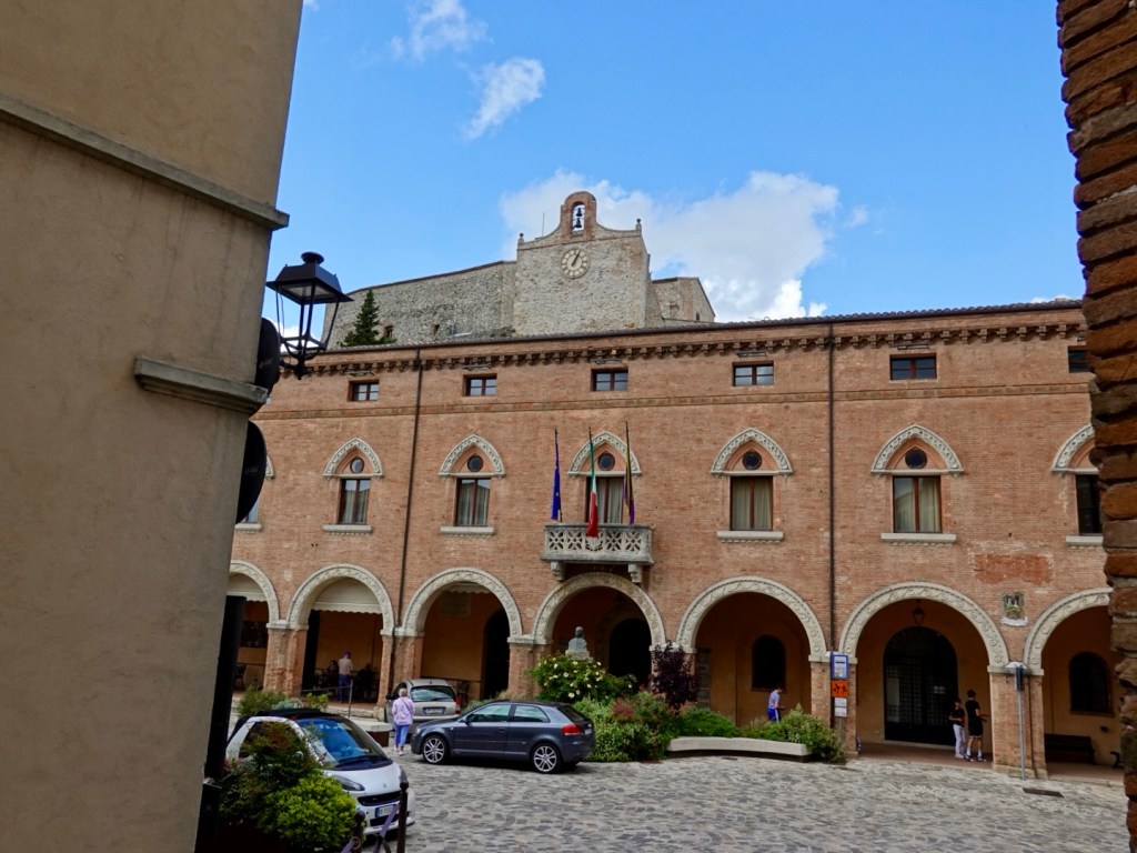
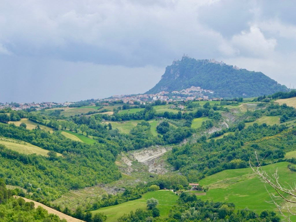
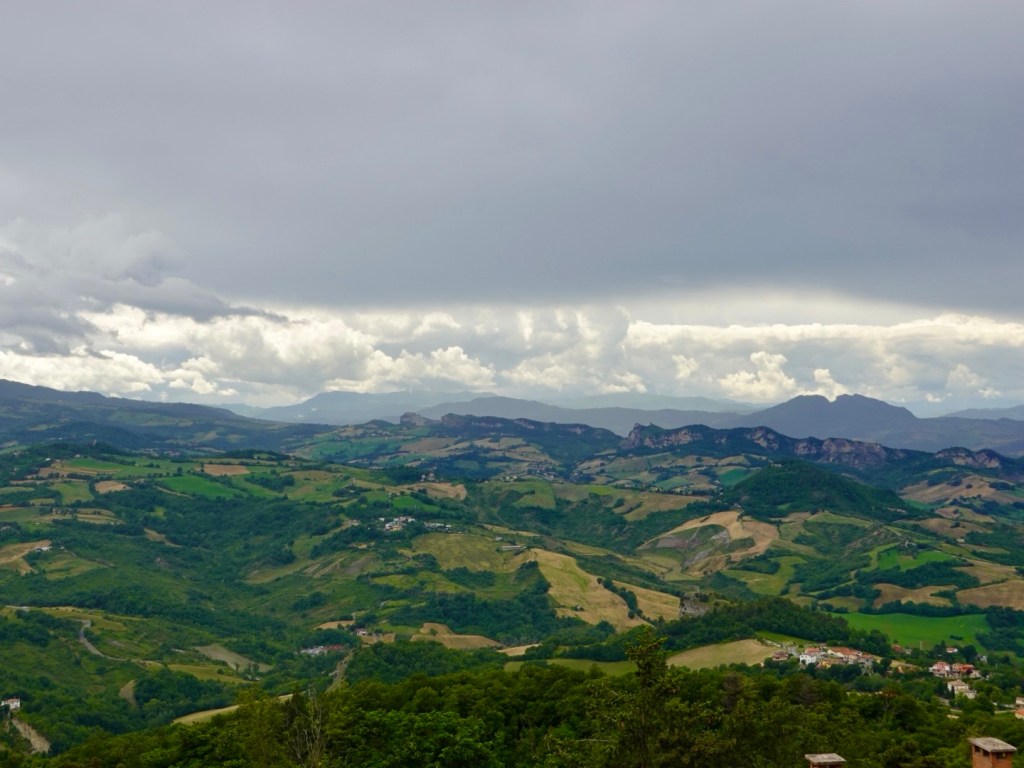
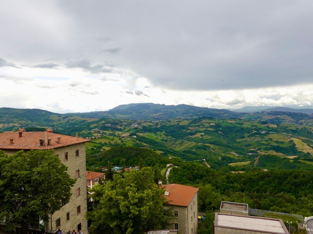
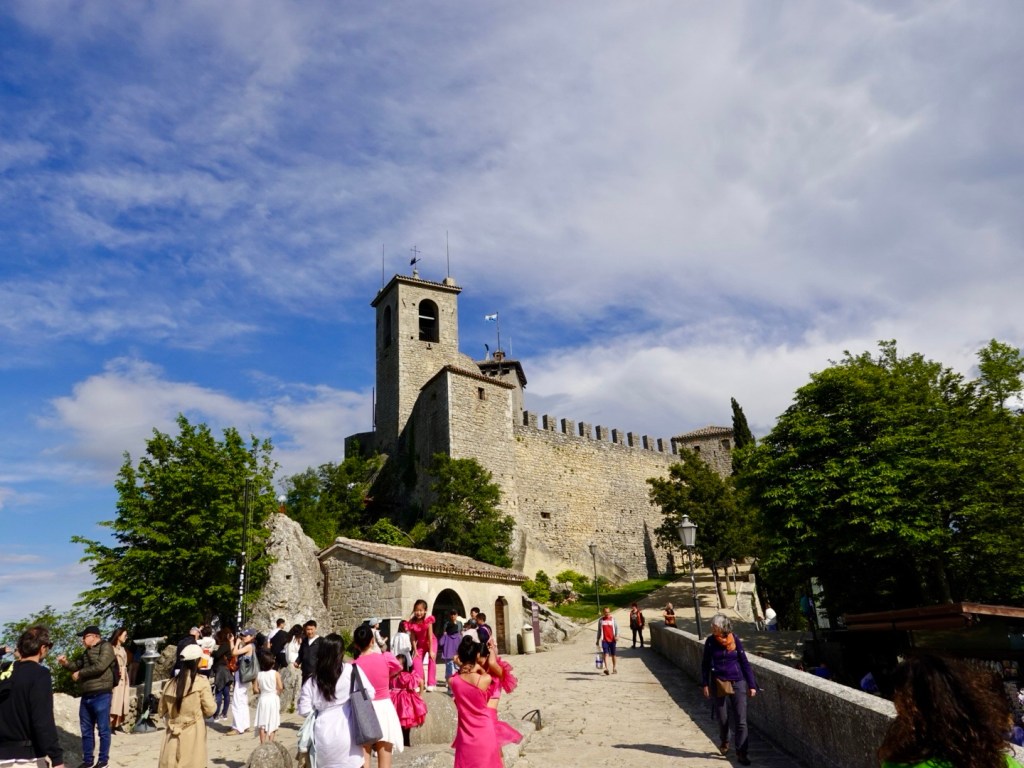
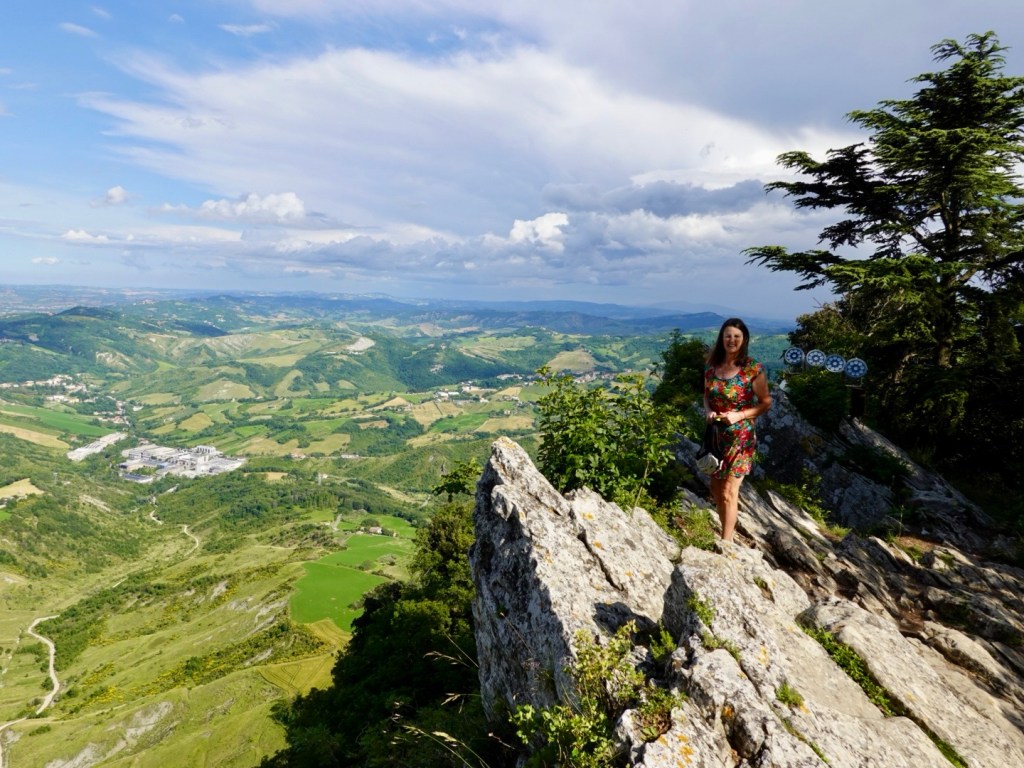
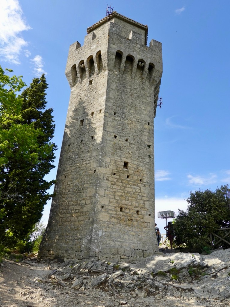
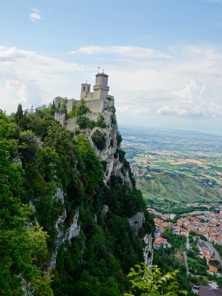
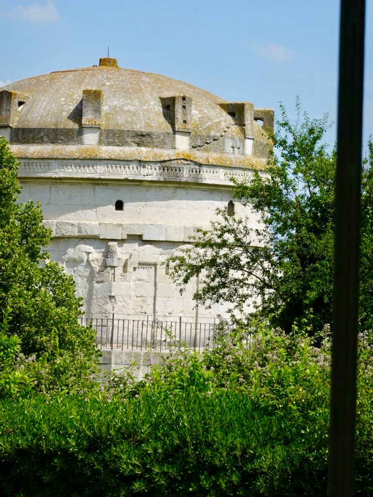
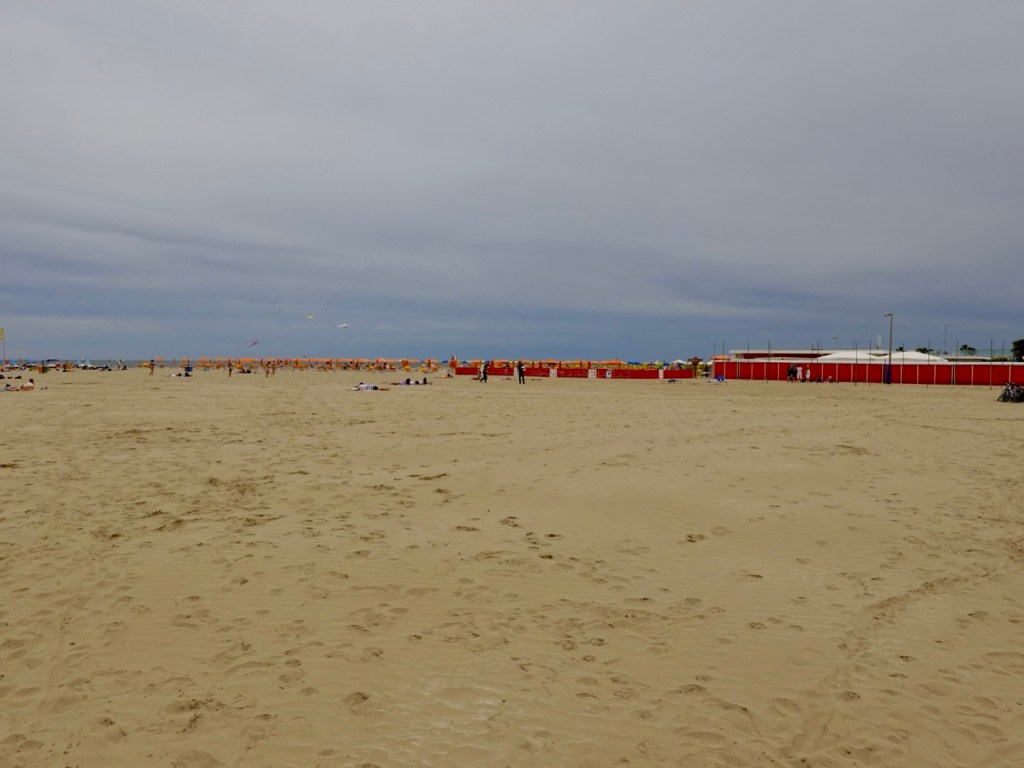
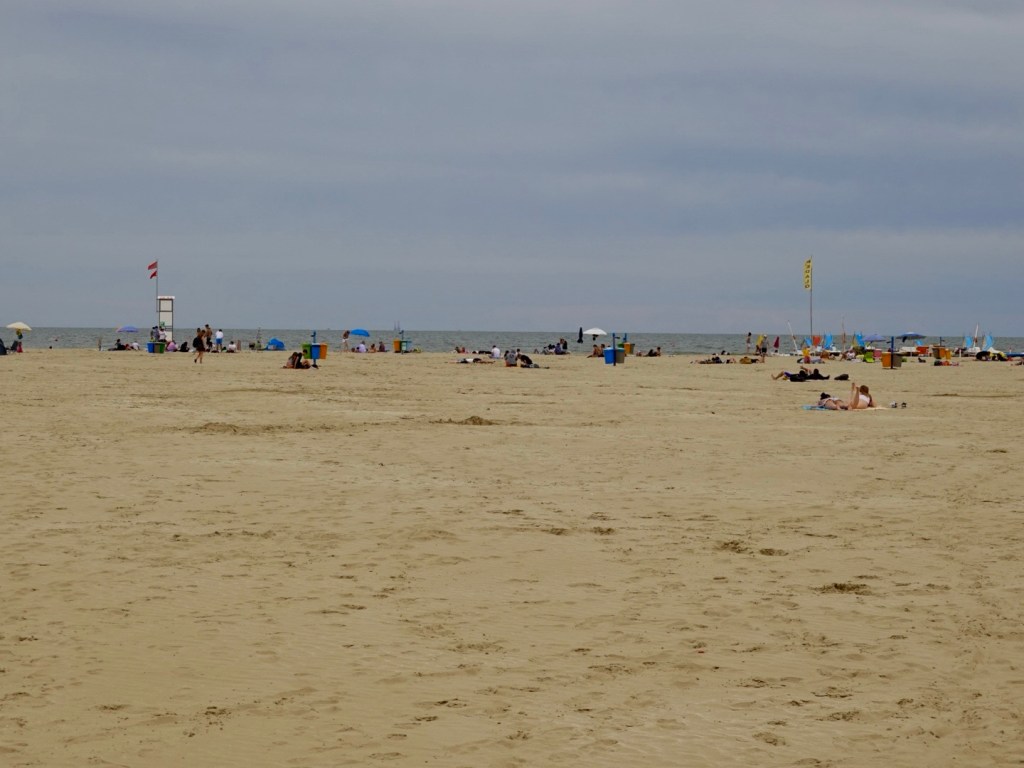
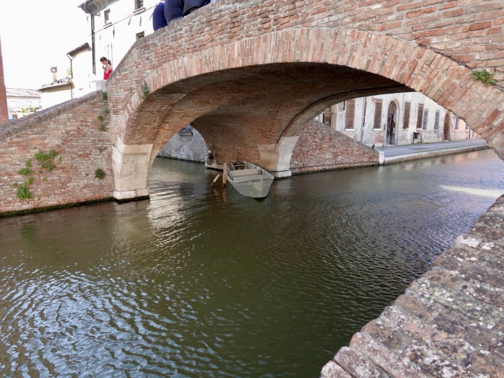
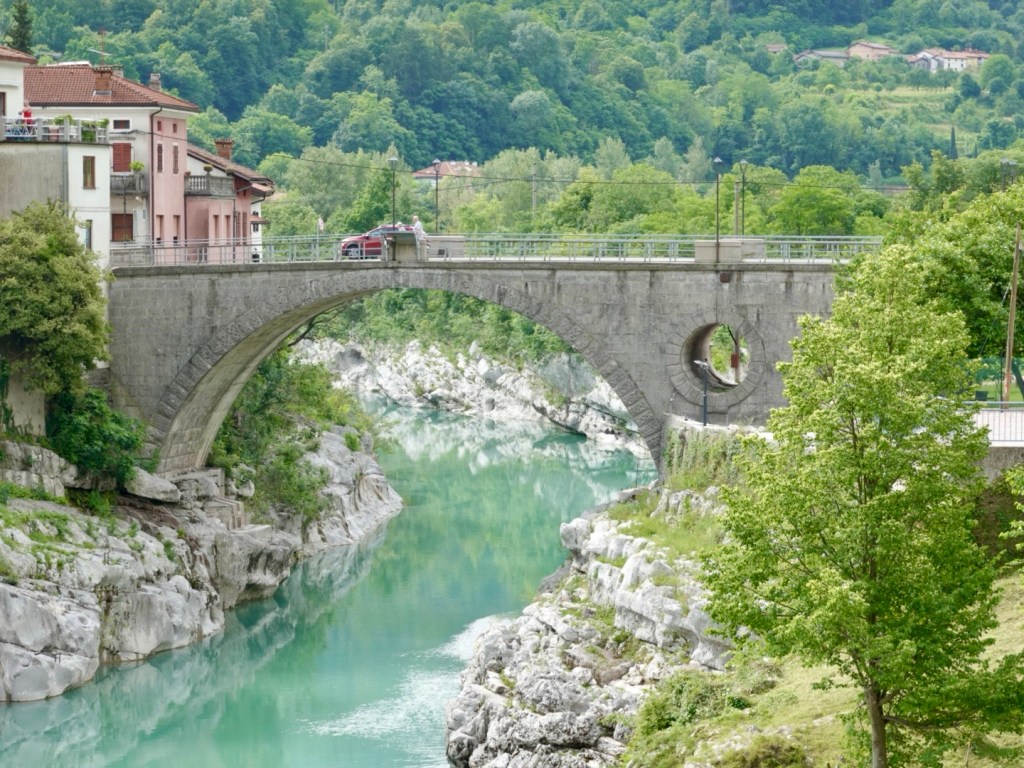
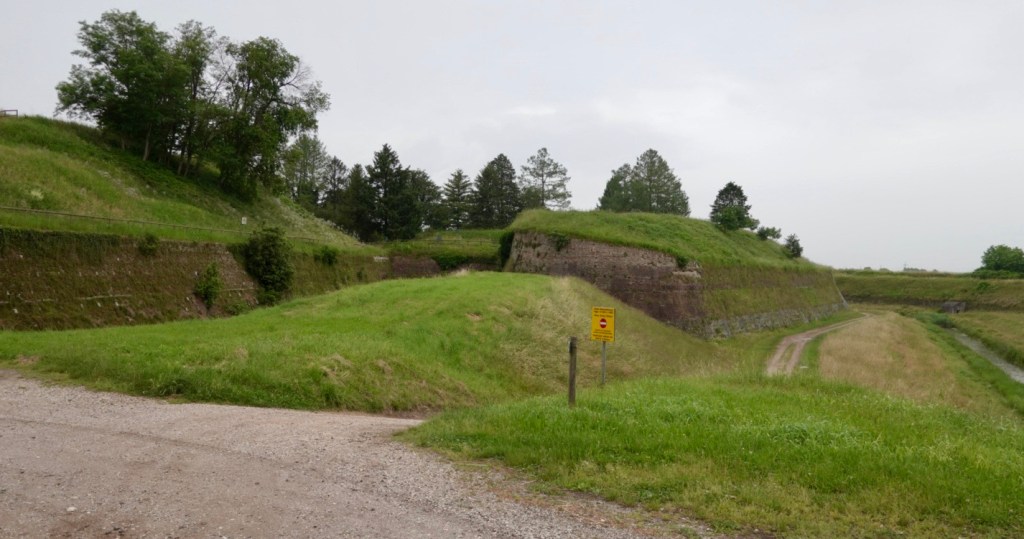
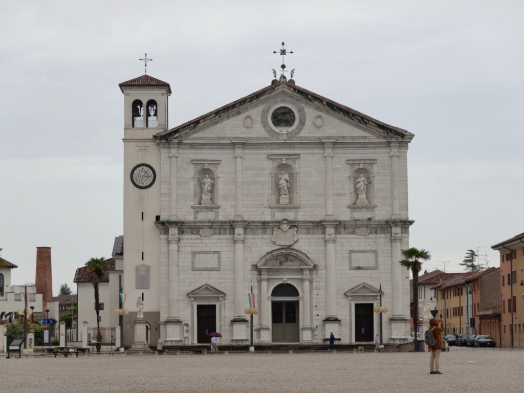
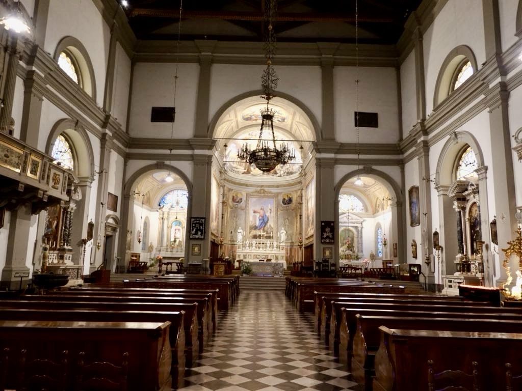
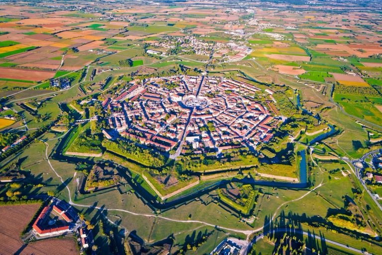
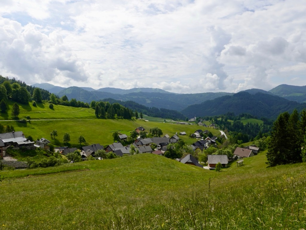
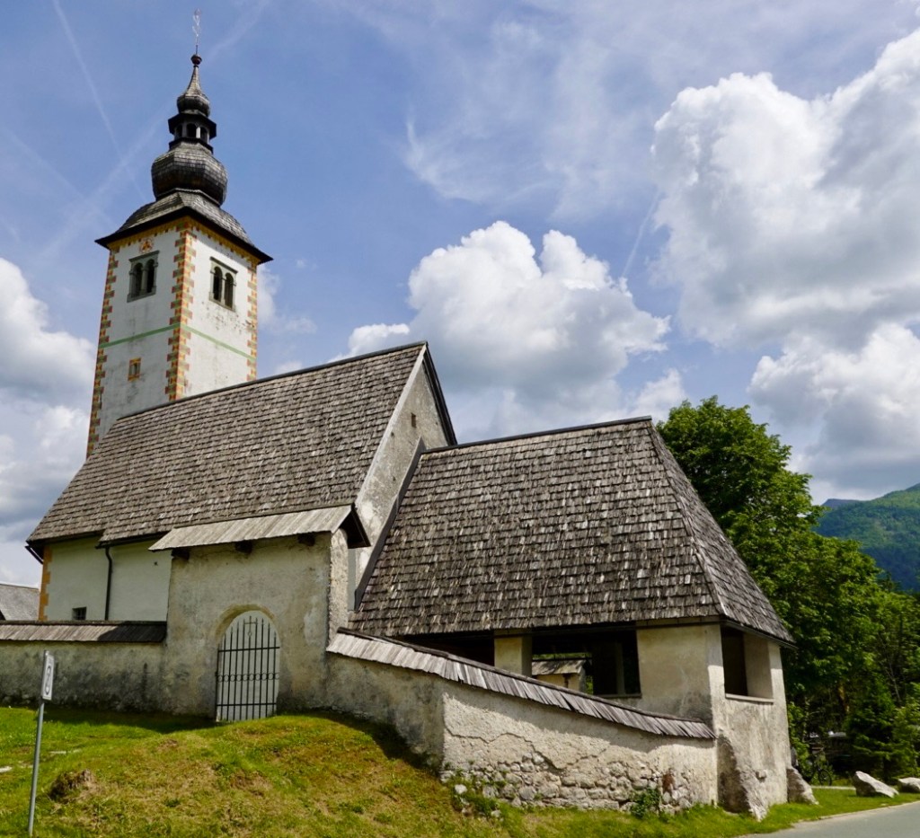
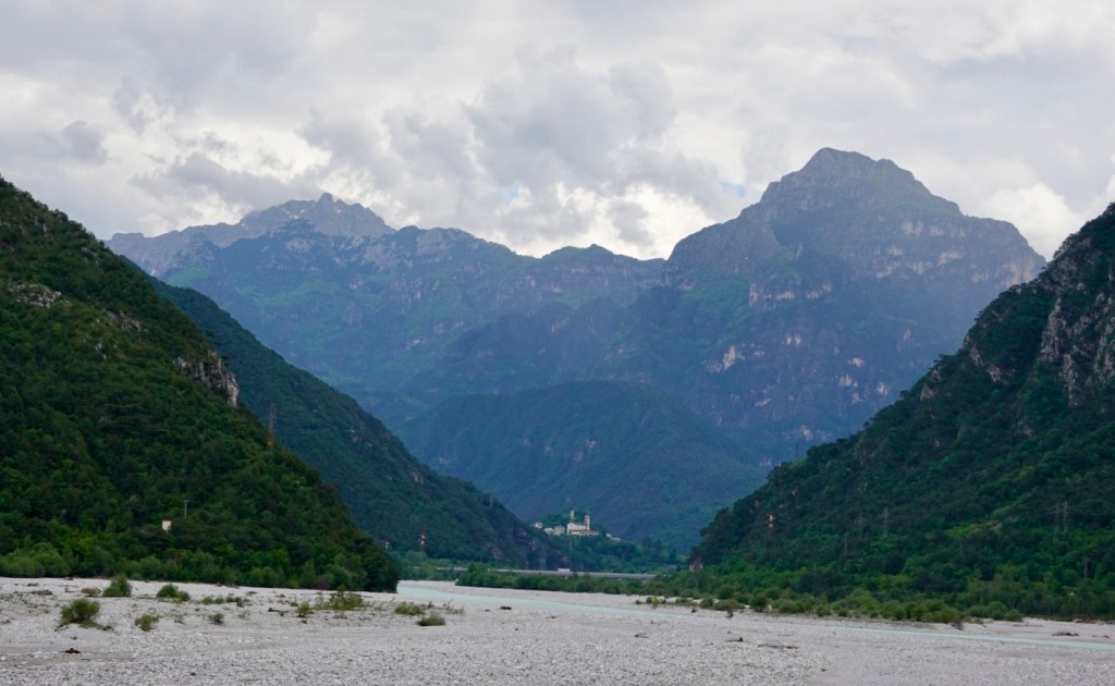
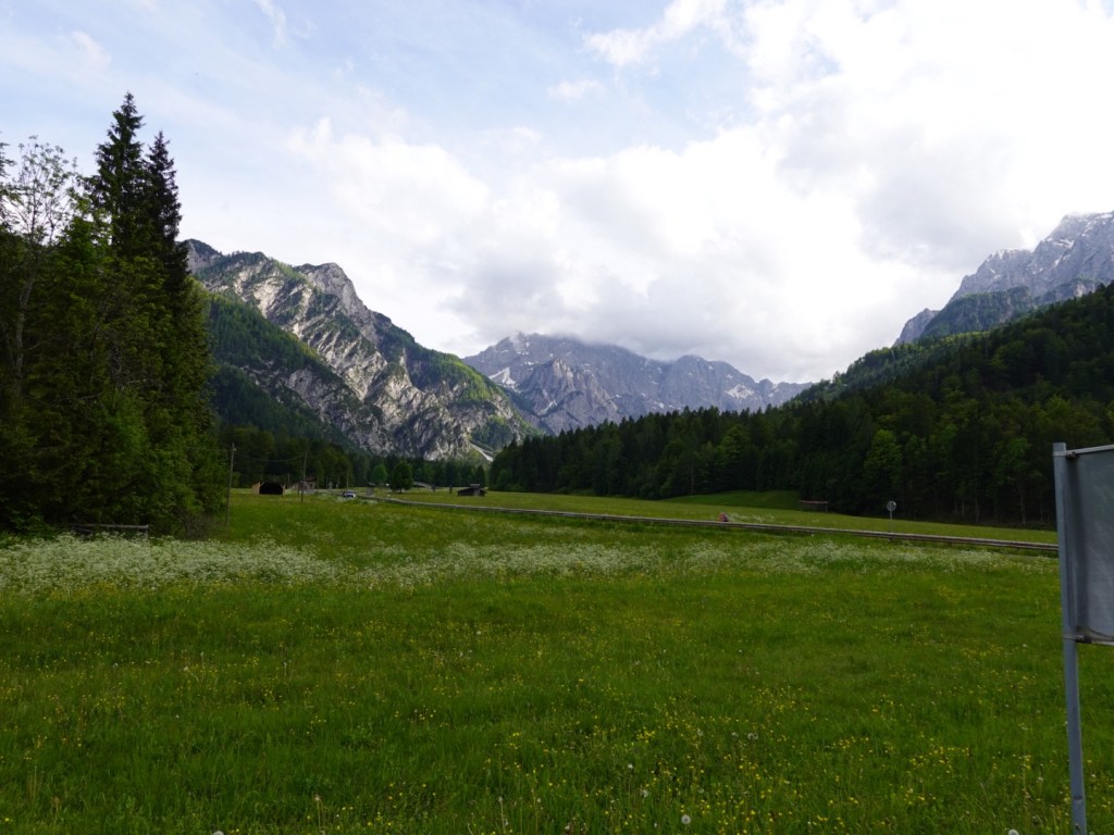
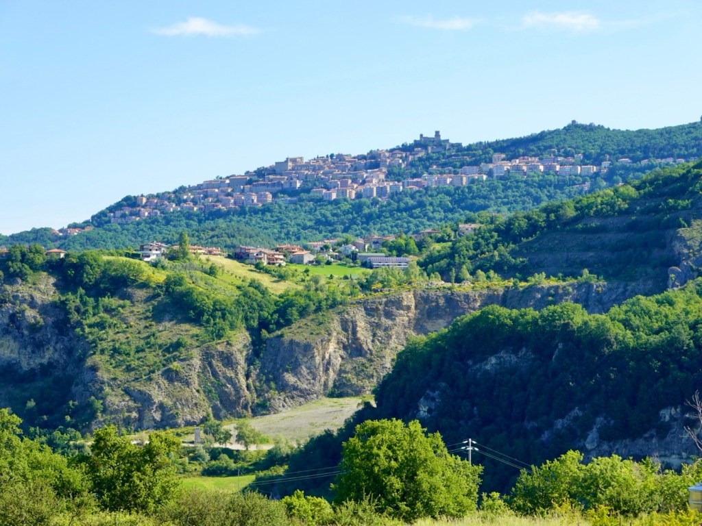
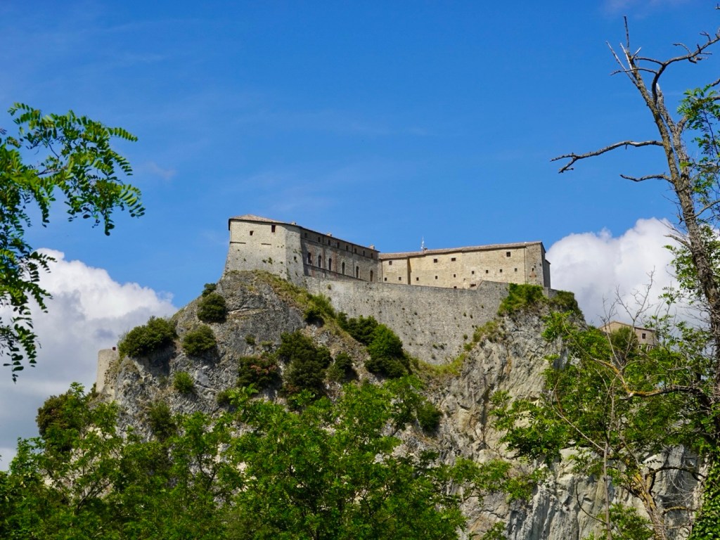
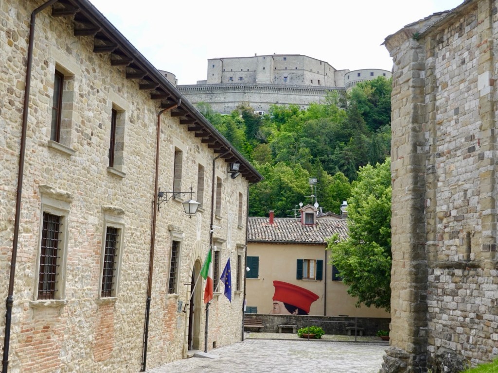
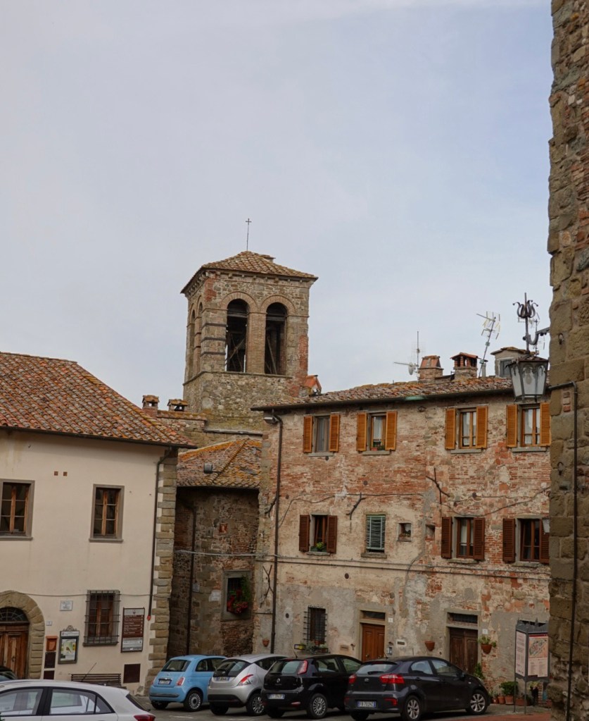
The second 5 km climb took is to San Leo perched high up that rock. It is an old fortress town 600 metres above sea level.

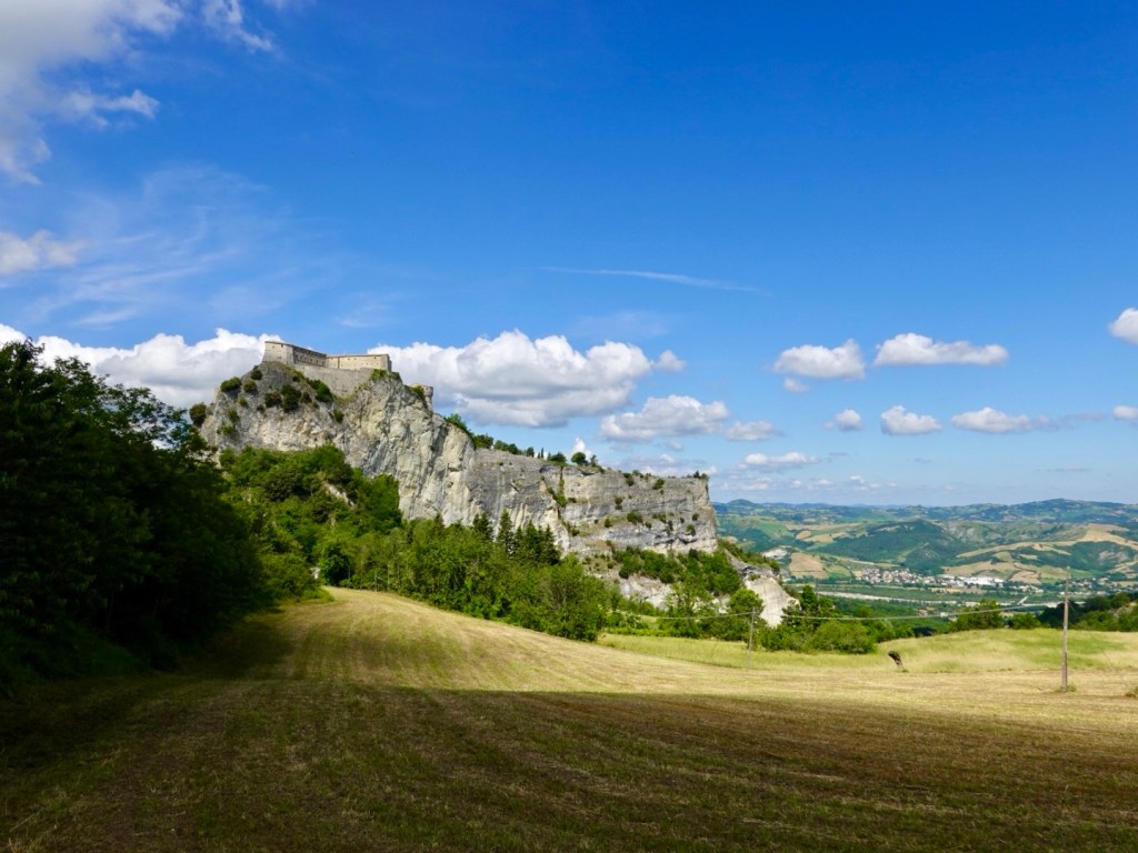
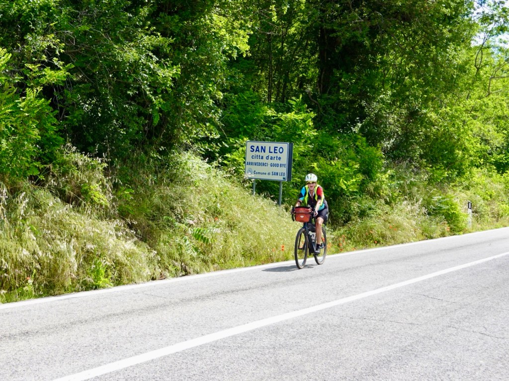
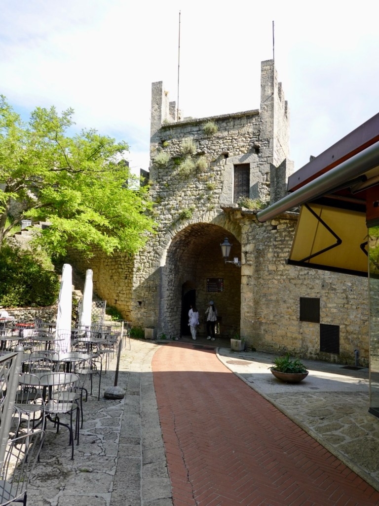
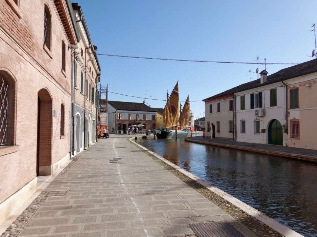
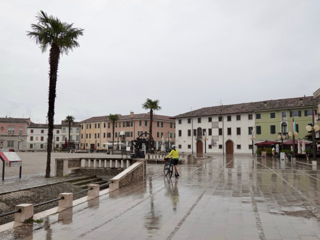
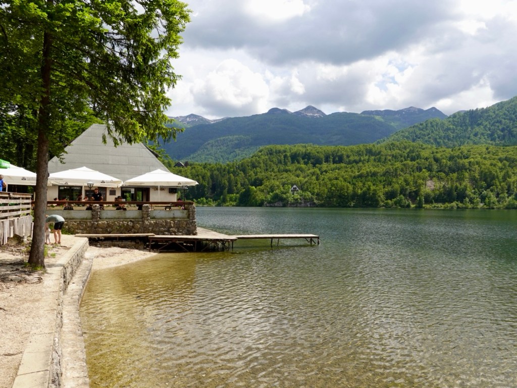
It is a nice little village, very quiet, minimal tourists at this time of day. We stopped at a small cafe for refreshments including filling up our bidons. Other cyclists cruised through, many grabbing a quick espresso before cycling off.

Nice views from the village
One of the many old churches in the village
The fort
I liked this old church. I ventured inside. It was very dark but nice and cool.
As we rolled down the cobbles leaving, two cyclists were heading in.

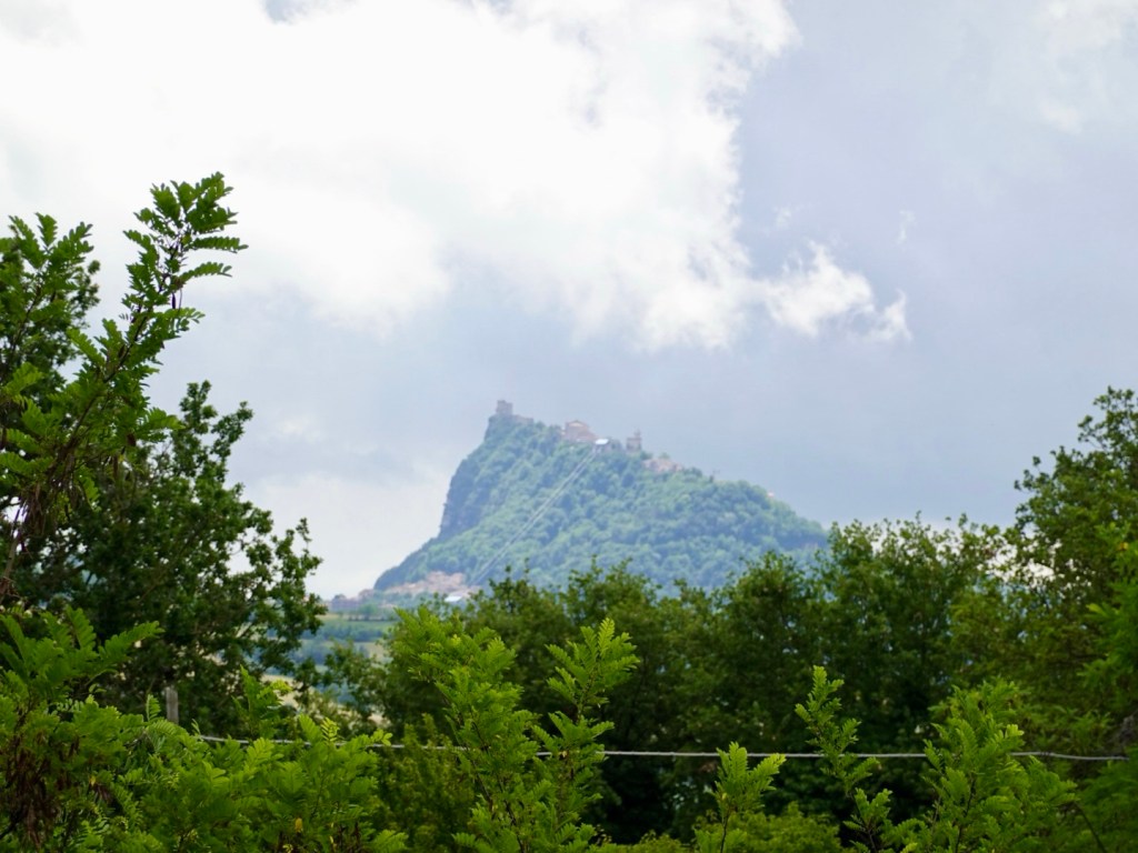
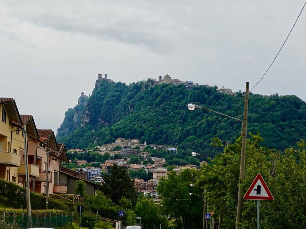
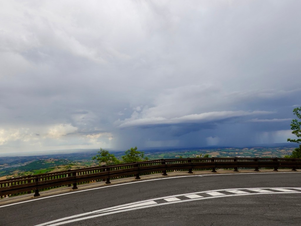
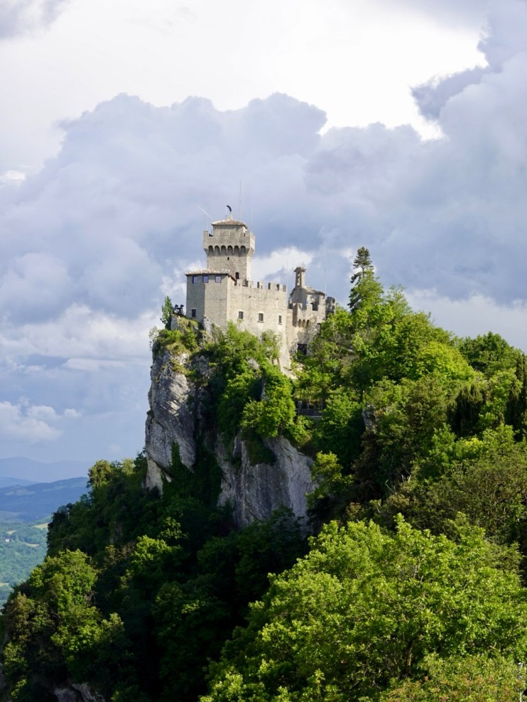
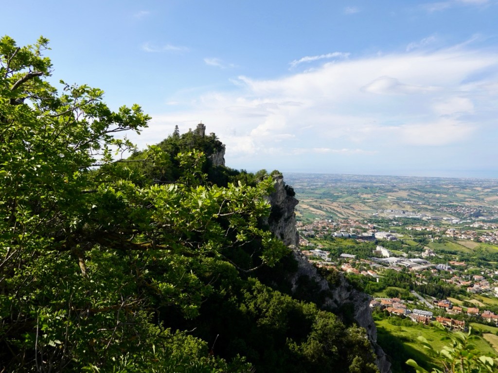
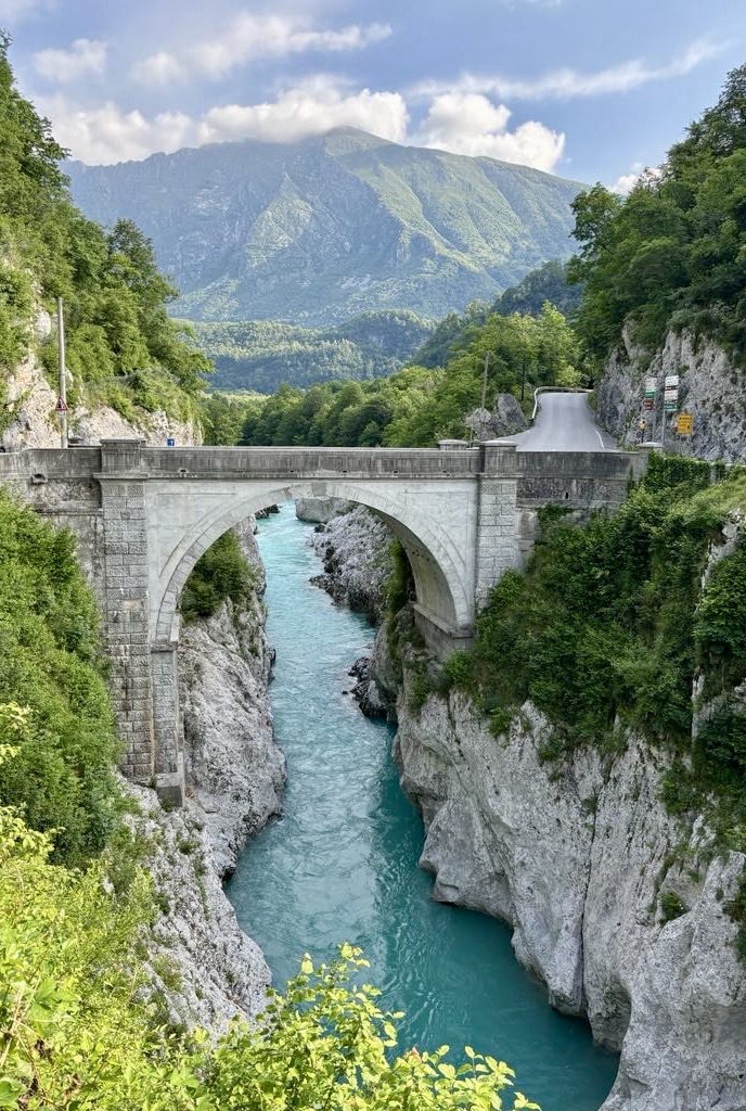
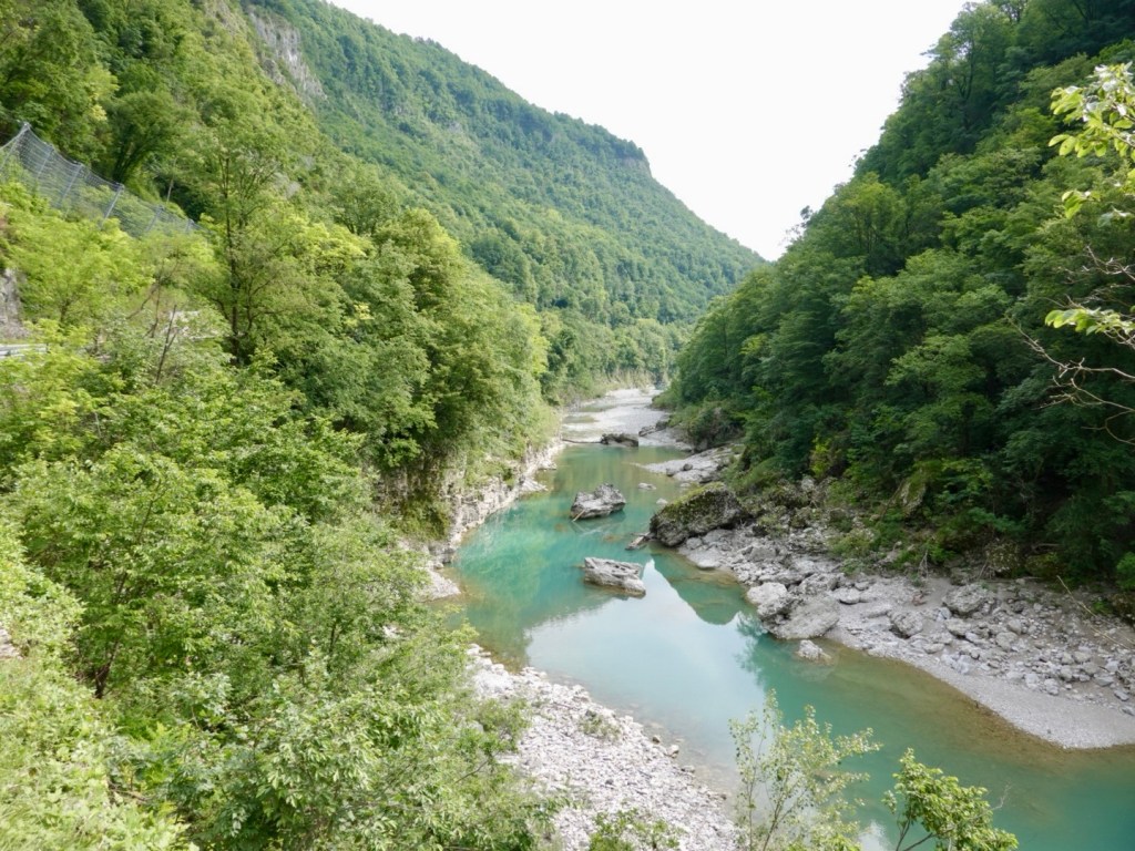
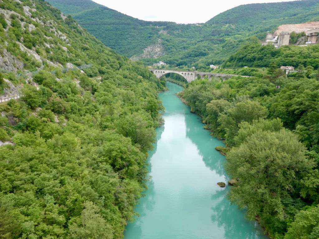
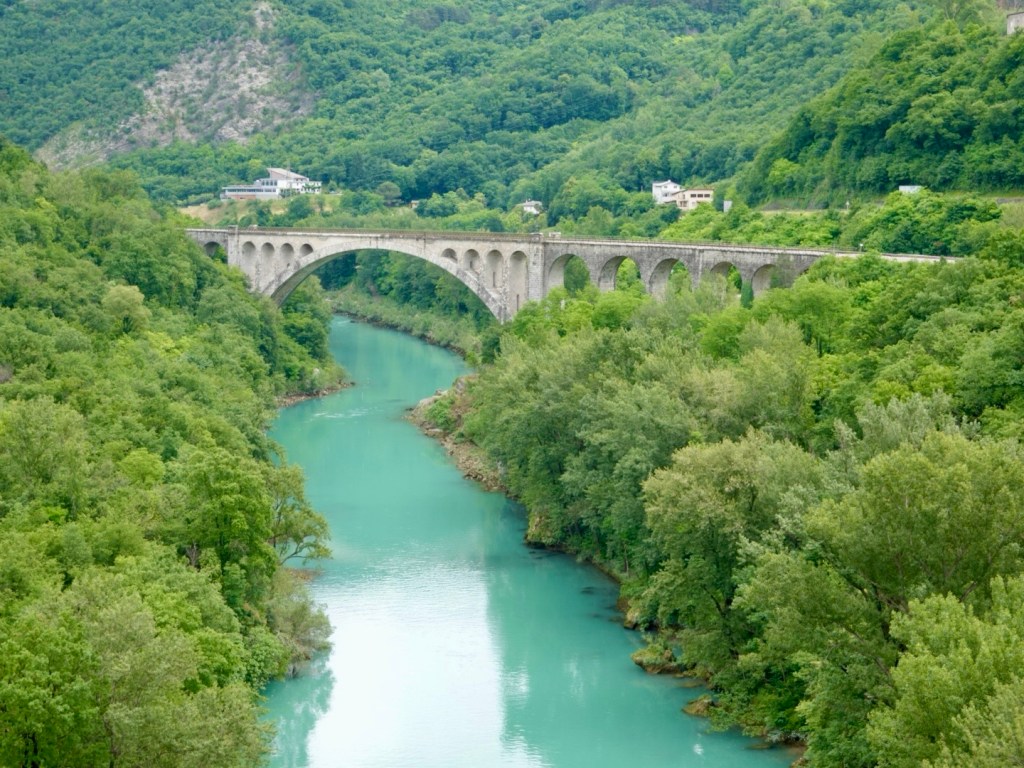
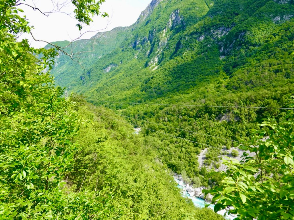
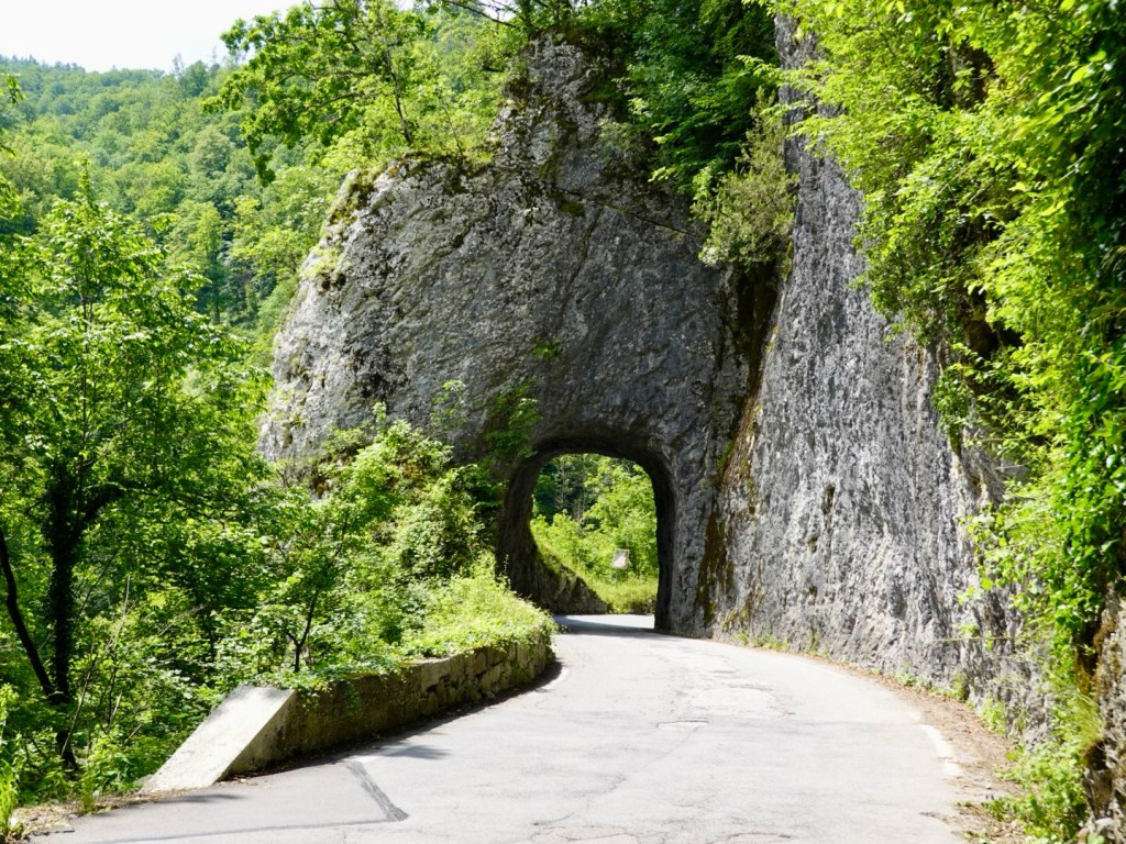
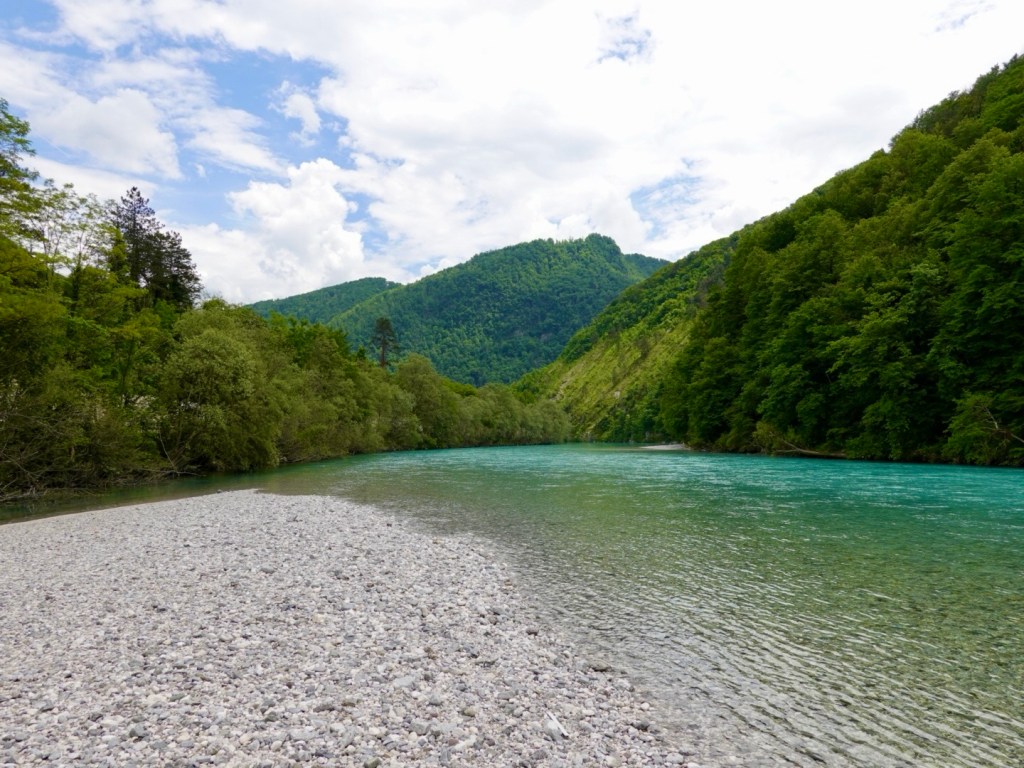
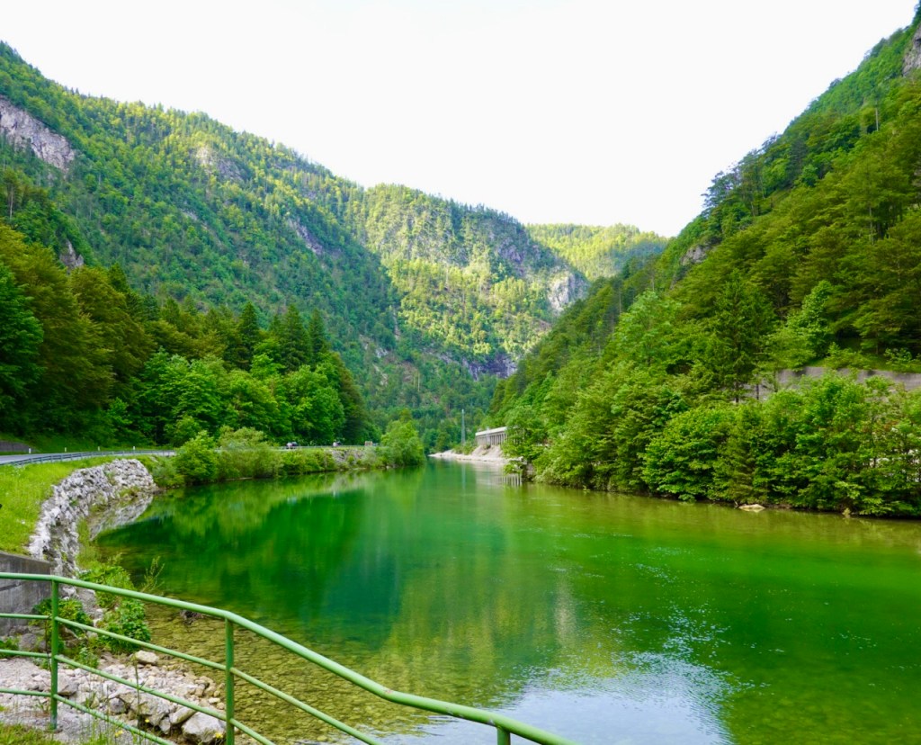
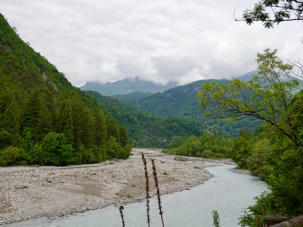
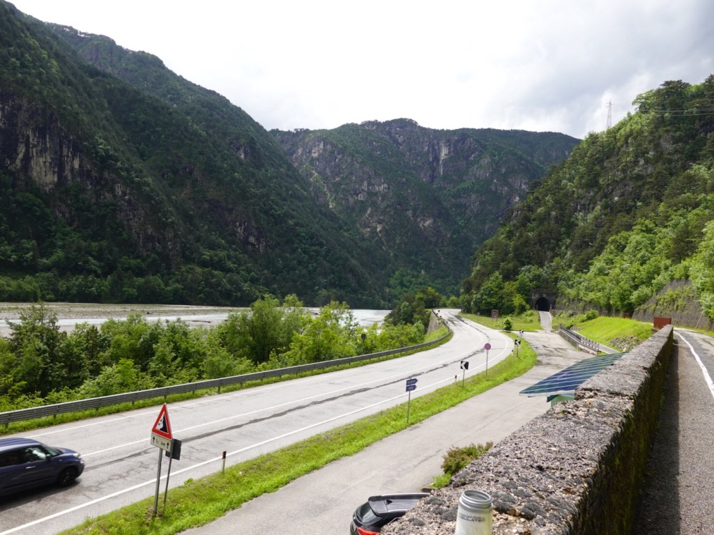
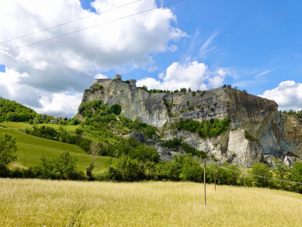
We rolled down the hill, this angle showing a more dramatic cliff, with chunks having broken away.

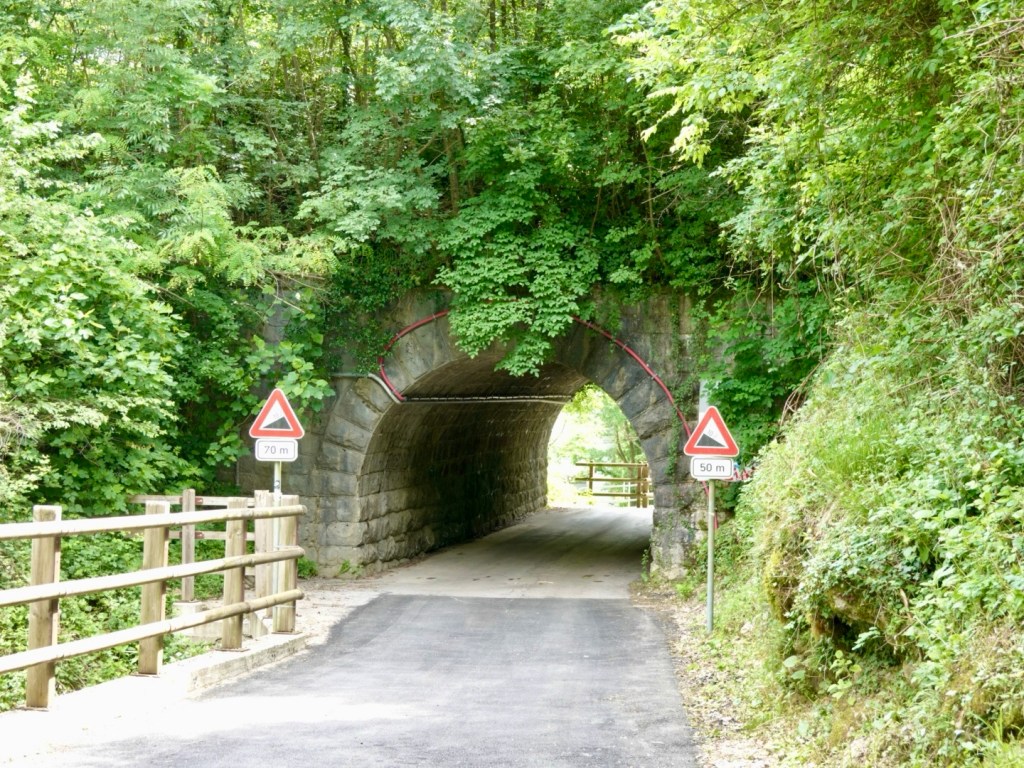
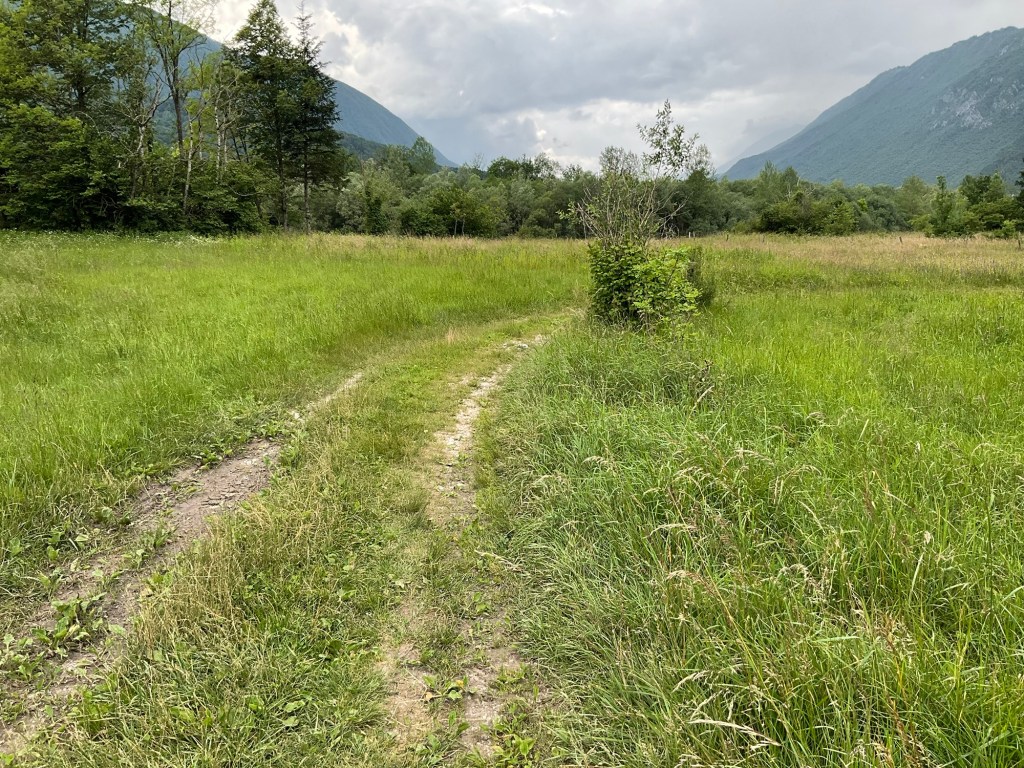
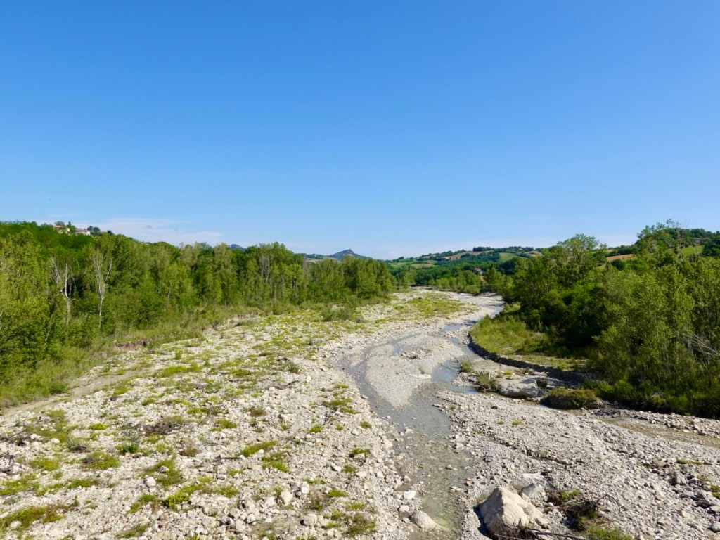
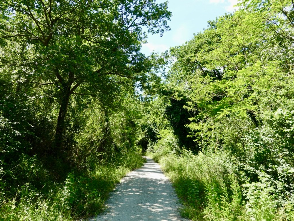
After 30 km of nice road seal, we were on strada bianchi, white gravel. This was a bit cooler.

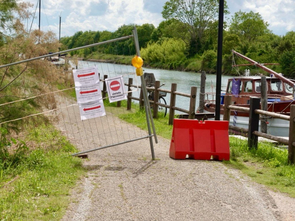
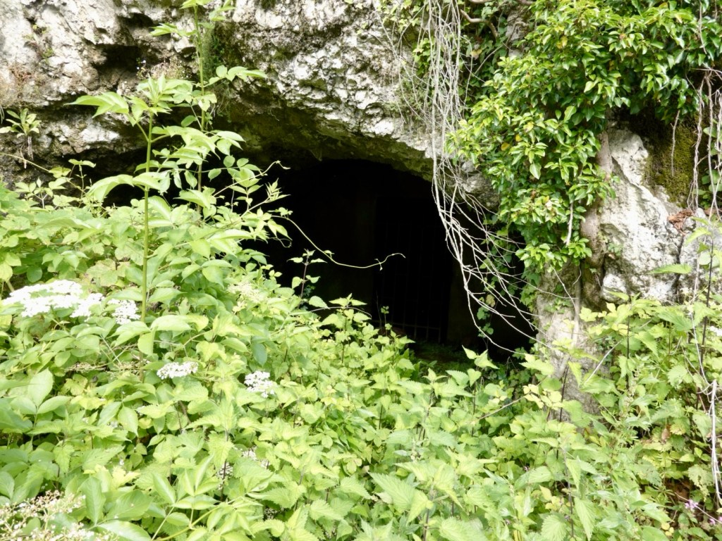
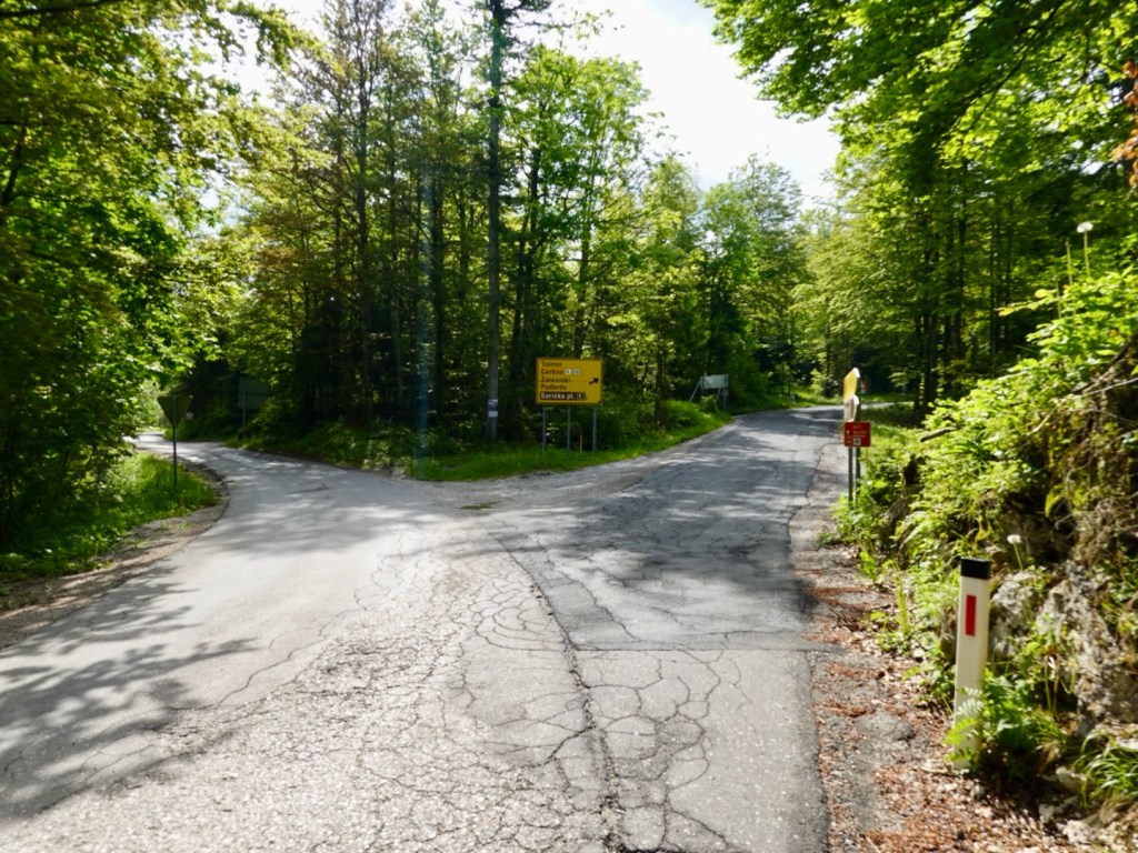
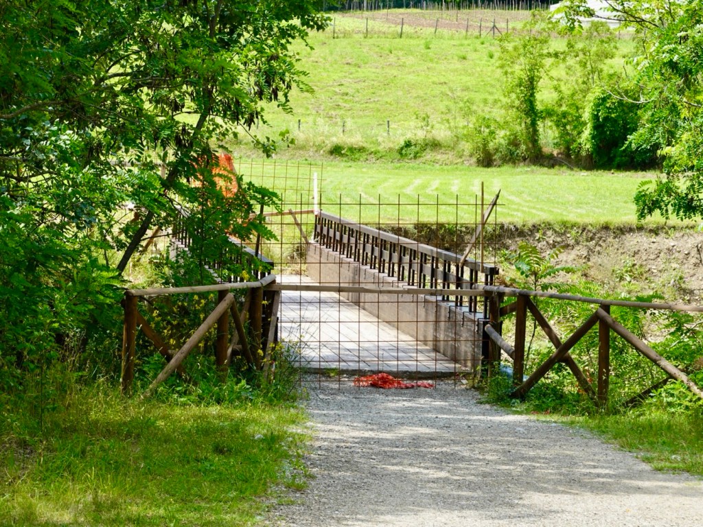
But alas as has happened many times this trip, we hit a road block. Not one we could sneak through either as there was a gaping hole caused by flood damage. So back we went to find an alternative.

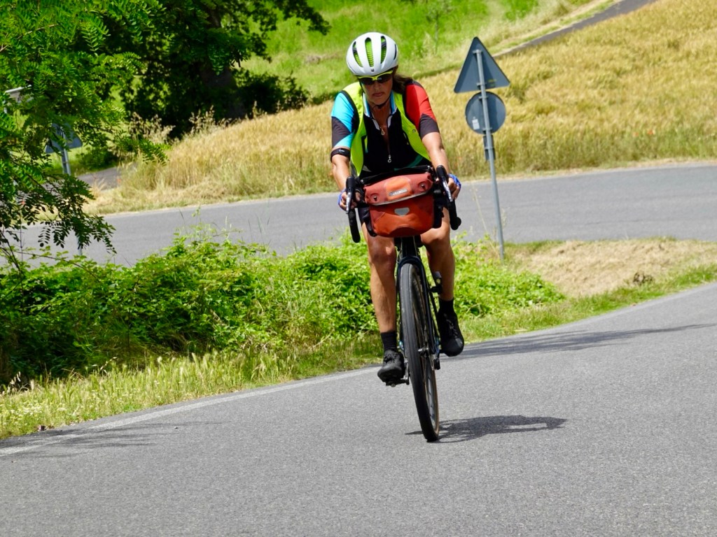
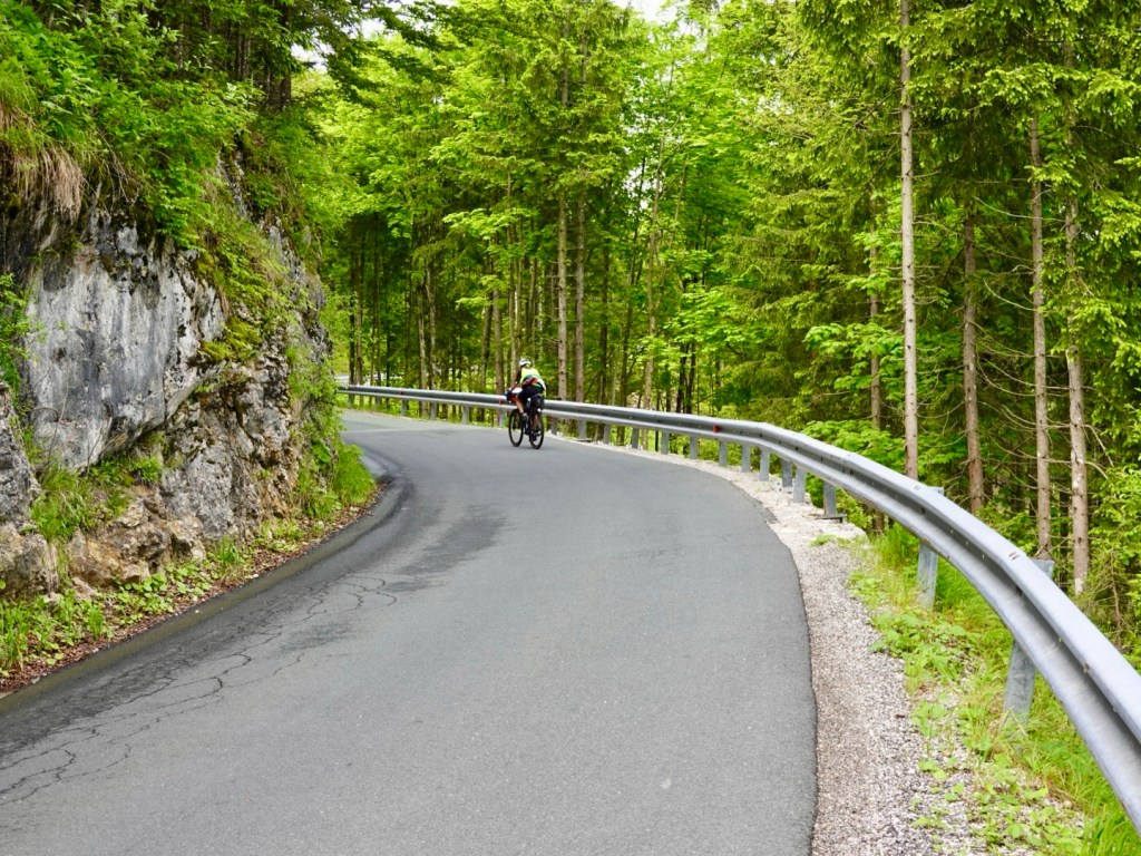
Onto the long climb of the day. It went on and on with sections up to 11 percent. The heat was quite draining but we drank water regularly and were otherwise fairly comfortable. Our tops were soaked in sweat.

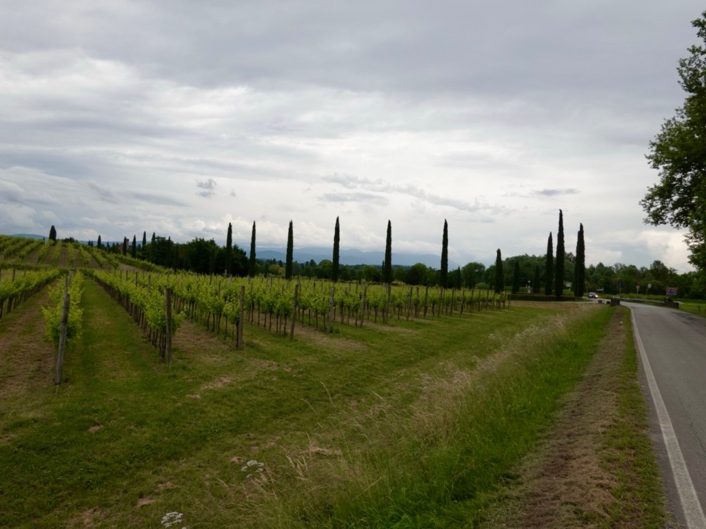
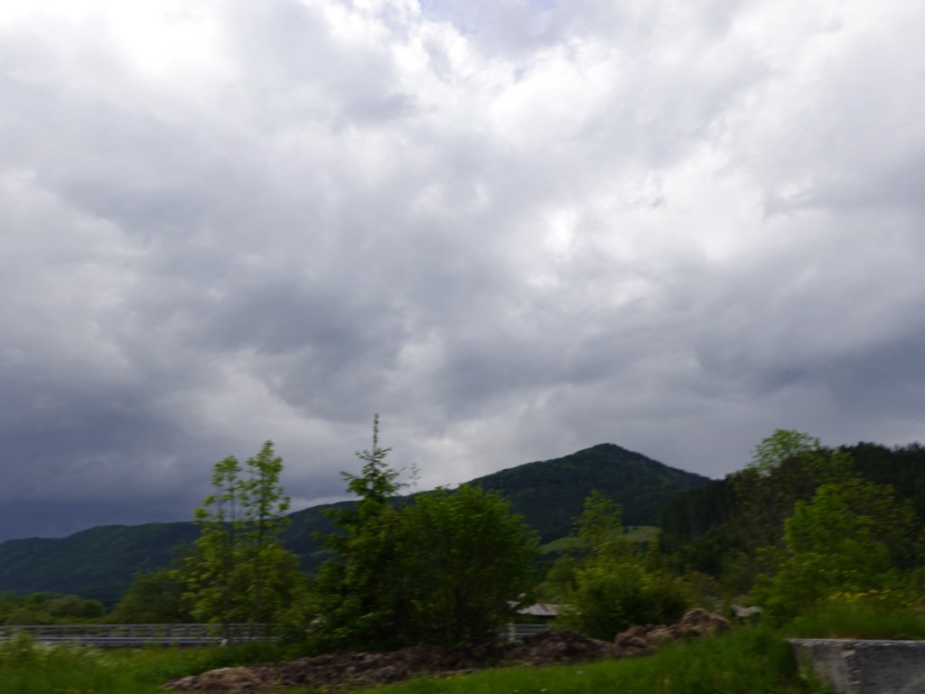
The road was a major route through these new Tuscan hills but overall fairly quiet. There was the one crazy bus driver….

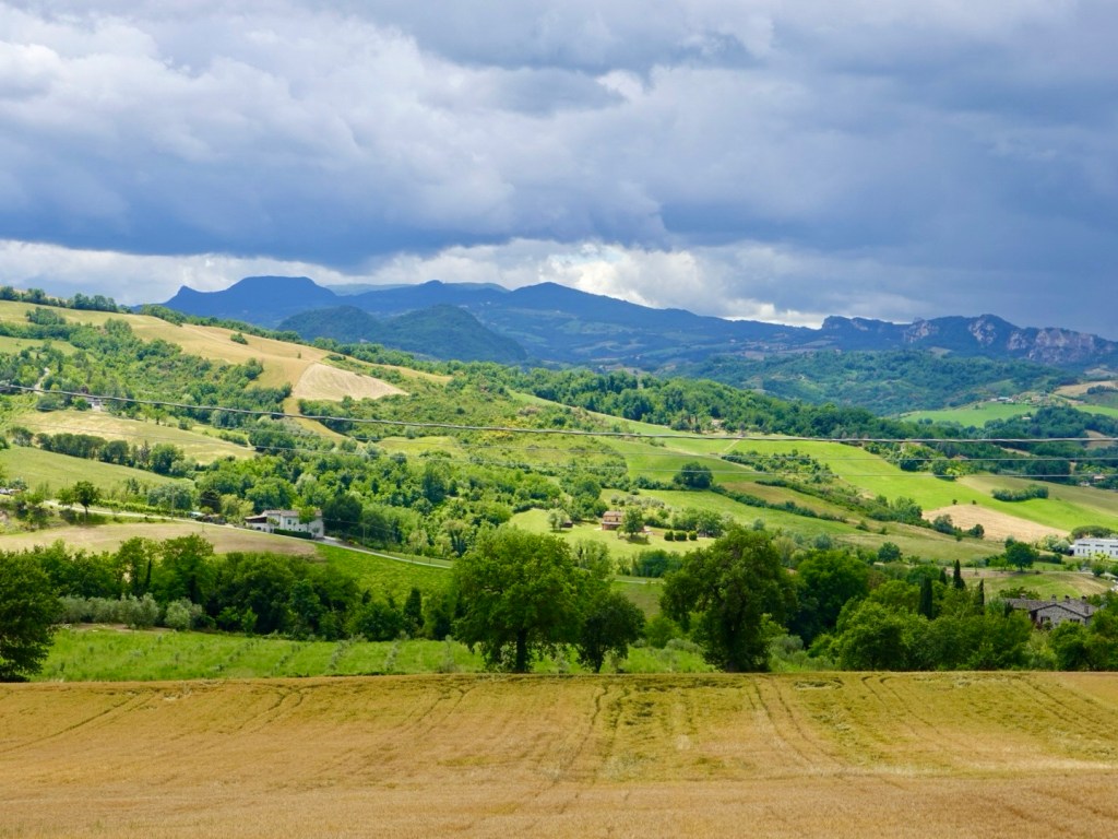
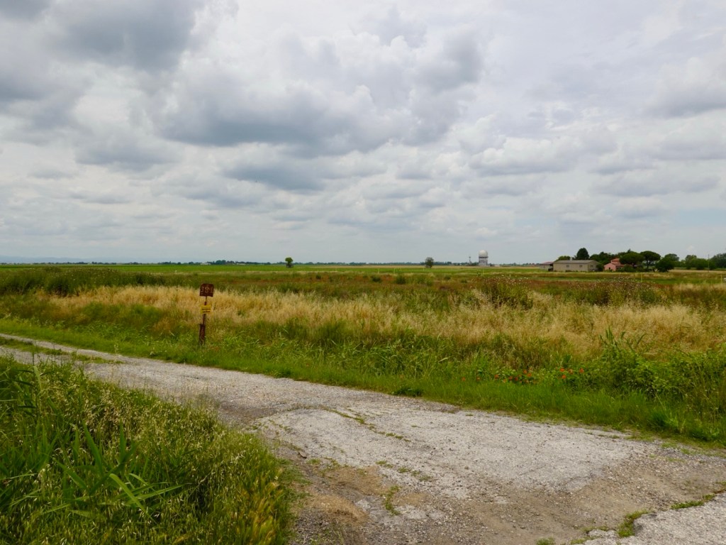
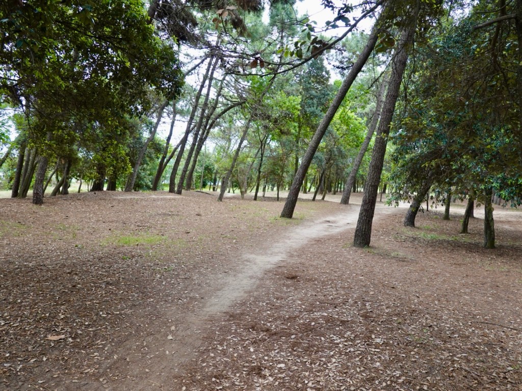
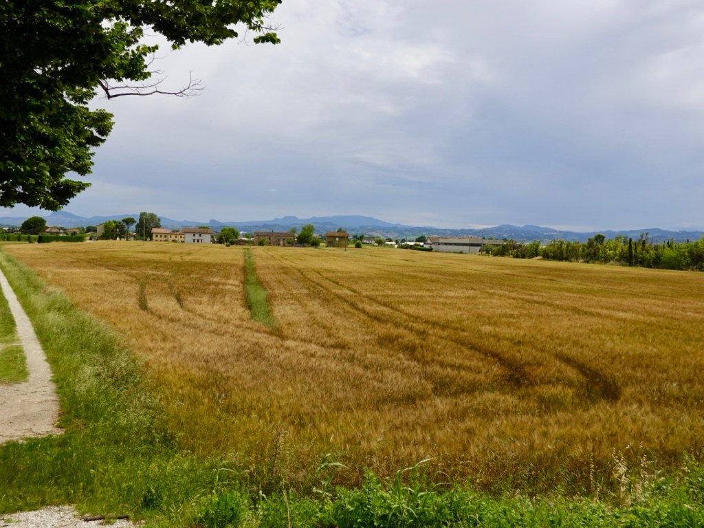
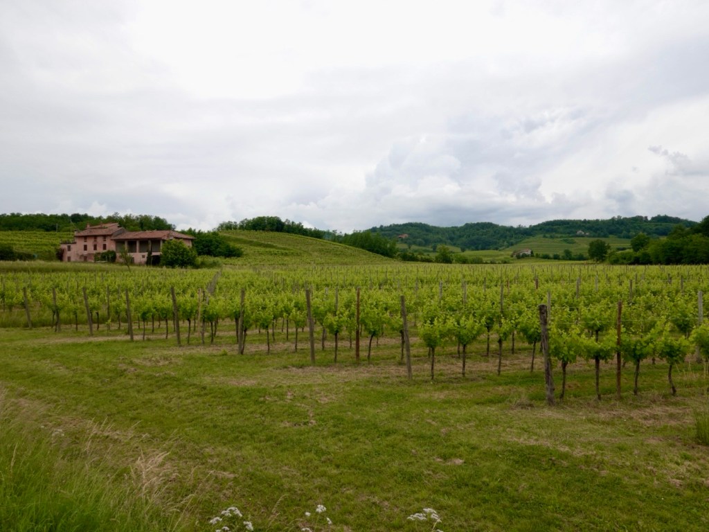
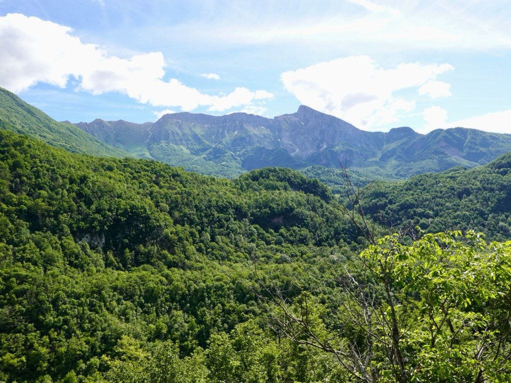
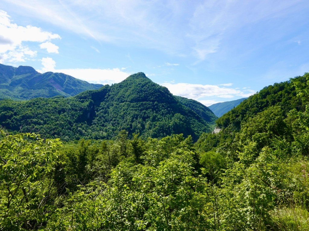
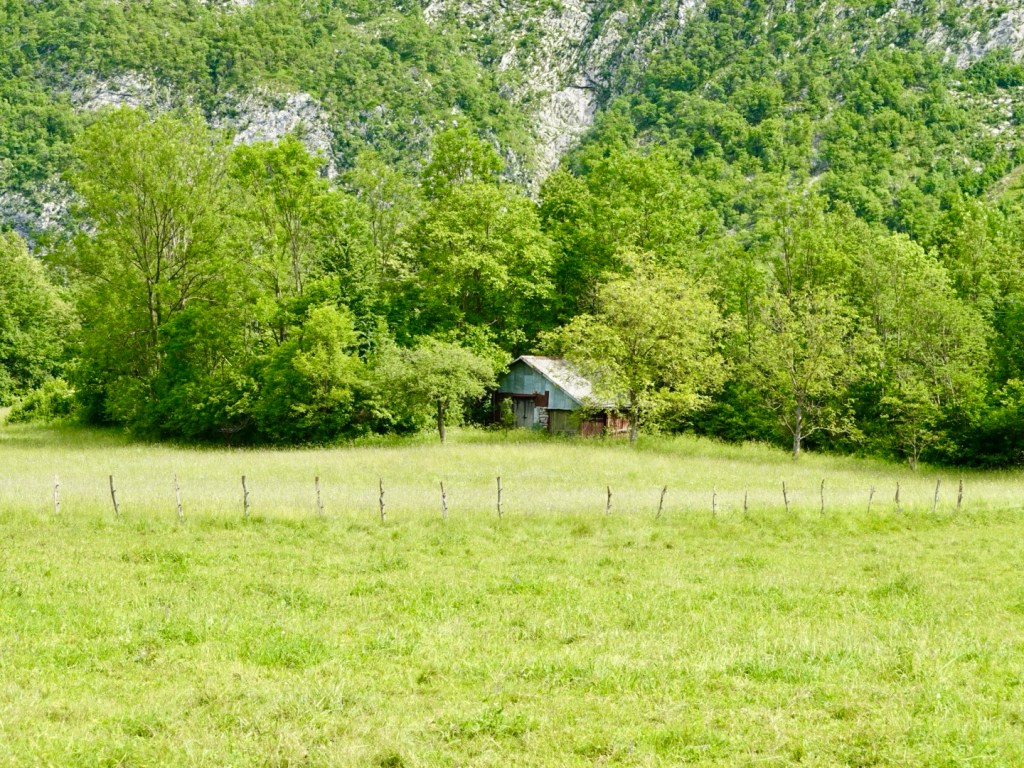
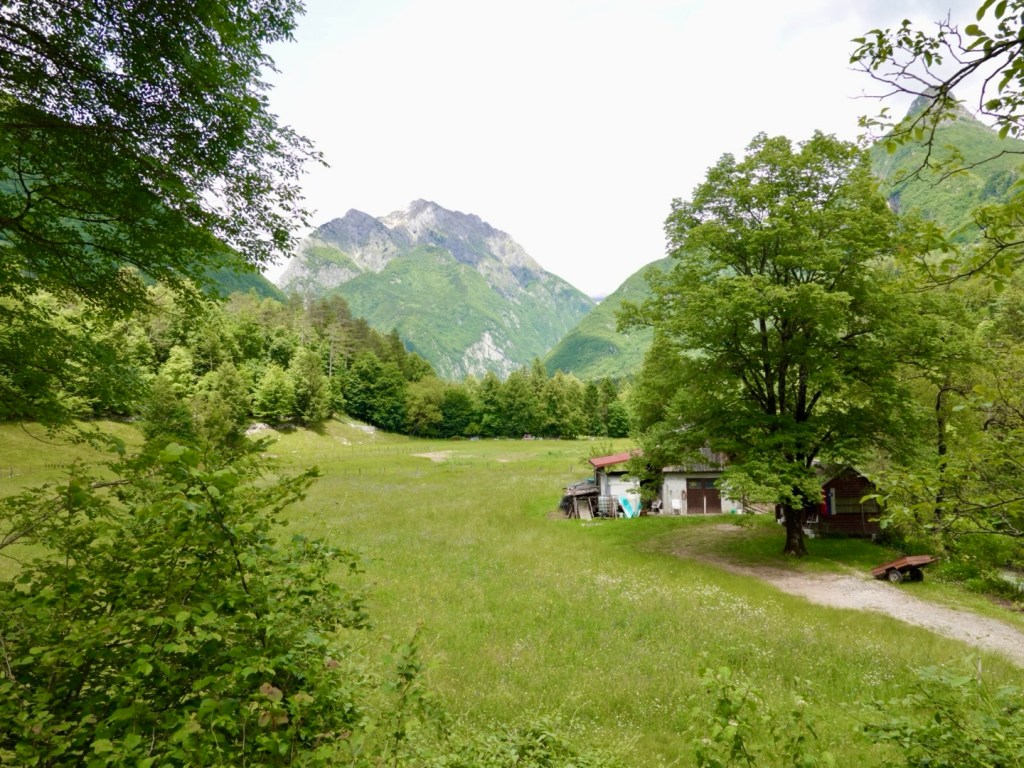
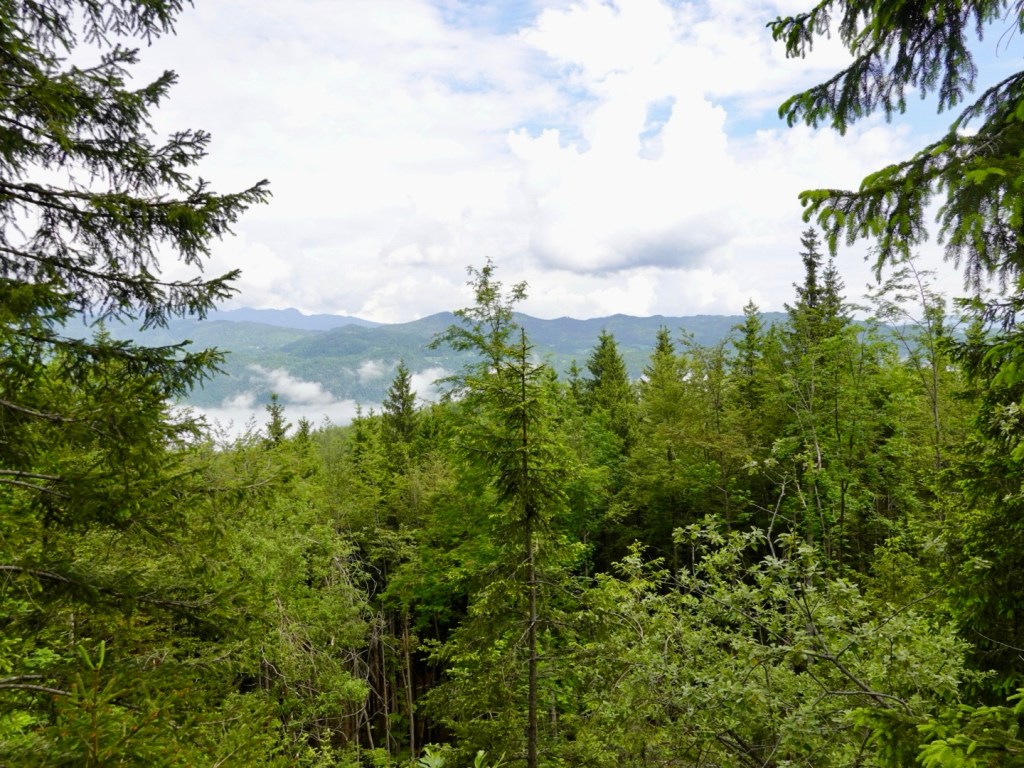
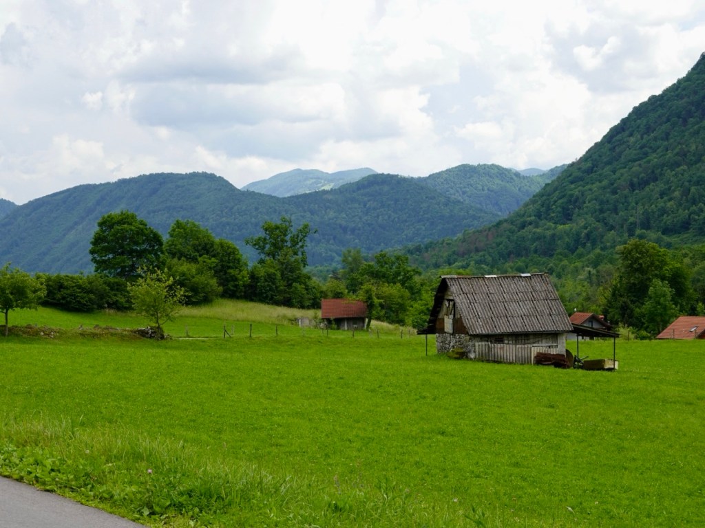
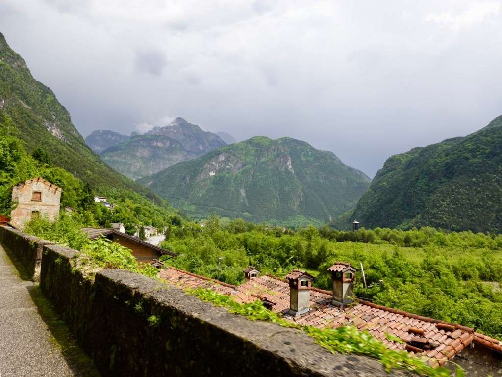
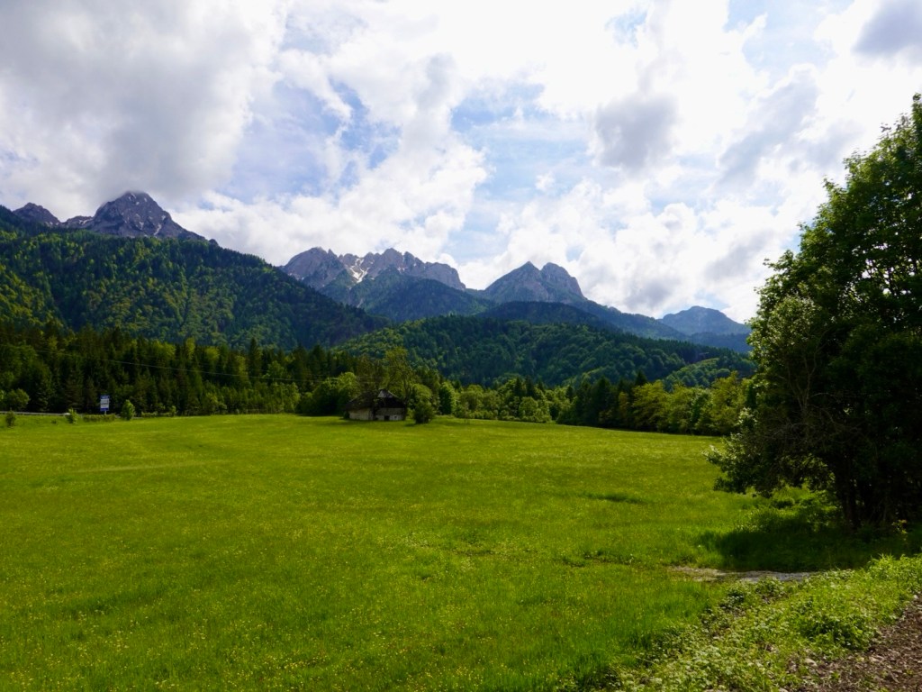
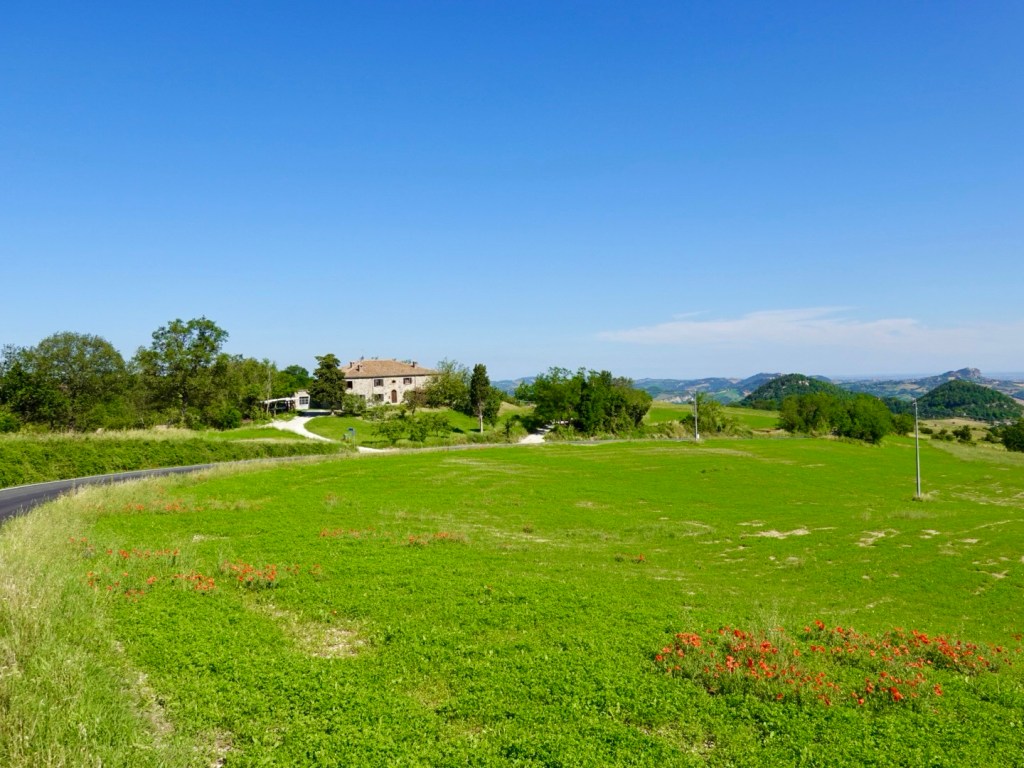
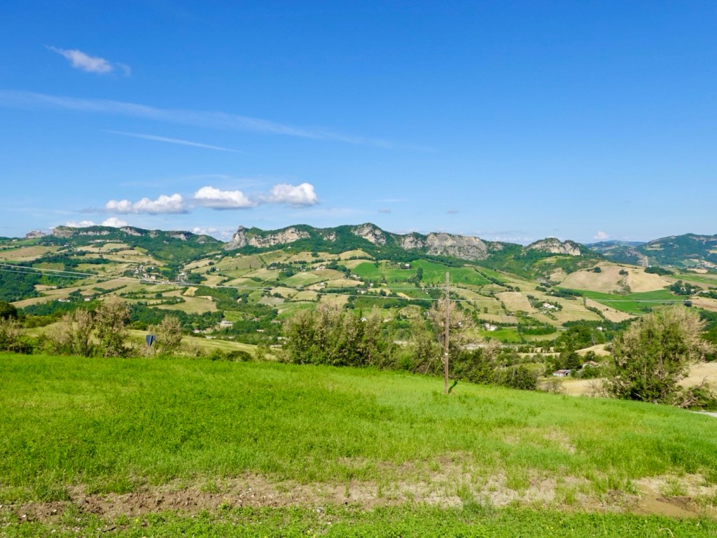
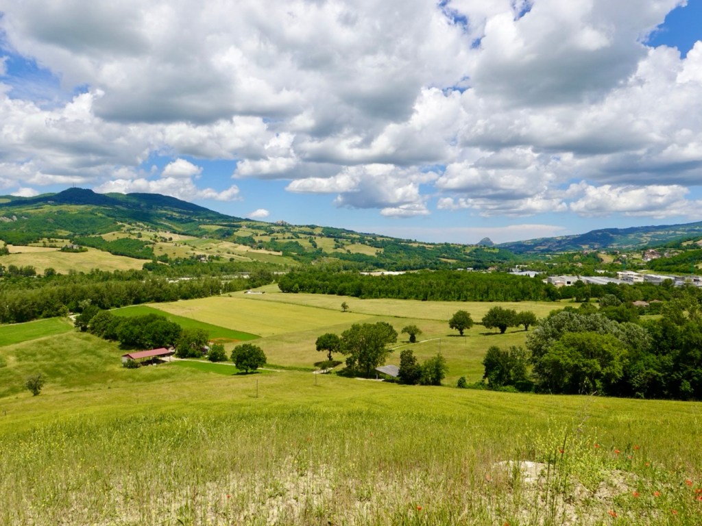
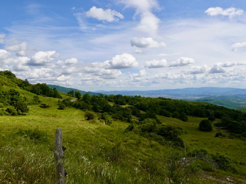
Much of the hills remain undeveloped and fully bushed out. Others are cleared and farmland.

Descending on the other side of where we had climbed. Lago di Montigoglio is an artificial lake on the river Tiber, one of Italy’s longest rivers, and the one that flows through Rome.

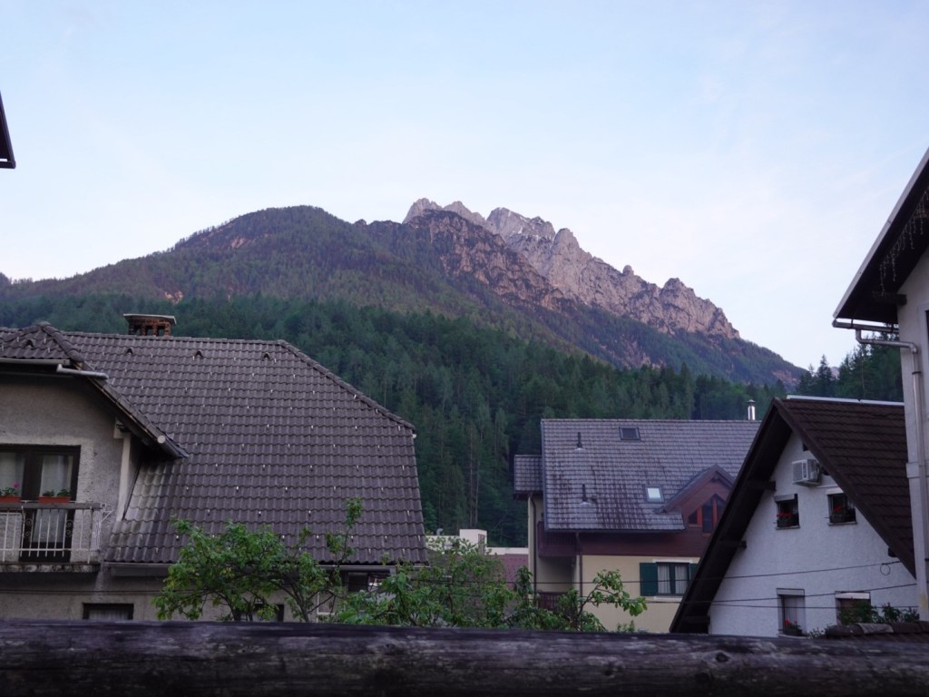
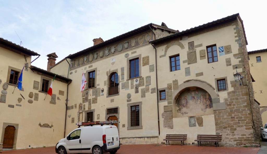
We enjoyed the cooling descent and headed off towards our overnight Anghiari, a place made famous in latter years by Leonardo da Vinci, in a lost mural, depicting a mythical battle between the republics of Florence and Milan.

Boasting an incredible old history with buildings dating back to at least the 12th century.

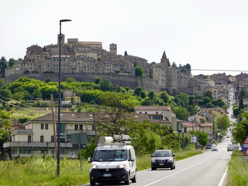
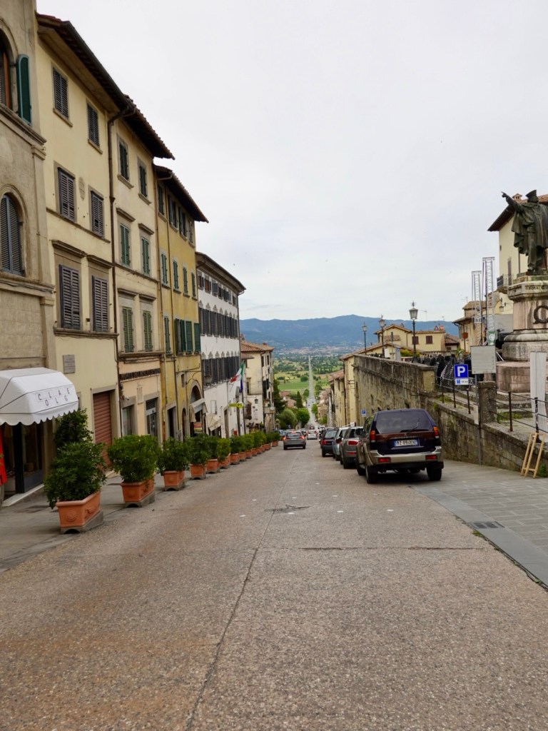
It is quite imposing as you ride towards it. This,road seemed to go on and on and right up the middle of the town. Our accomodation was just to the right of the road you can see.

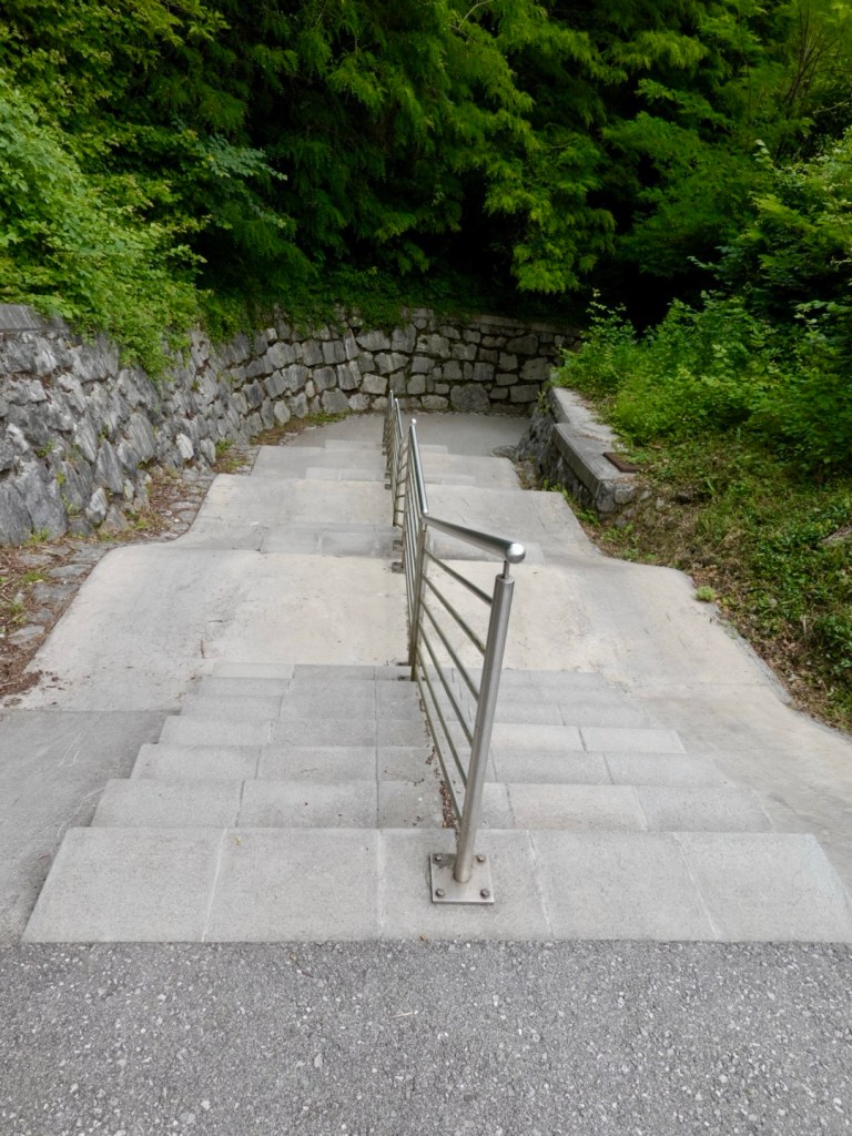
Our view from the stairwell looking towards the old town over the roof tops.

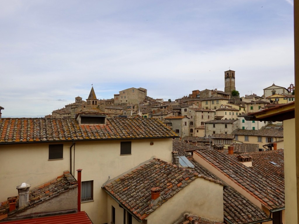
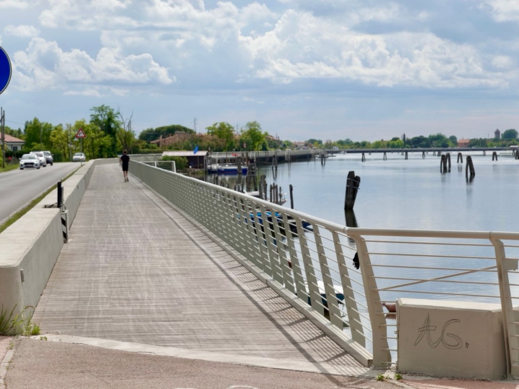
We crossed over that long straight road, where the earlier photo was taking lower down.

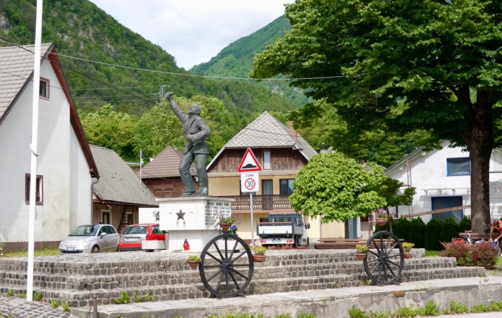
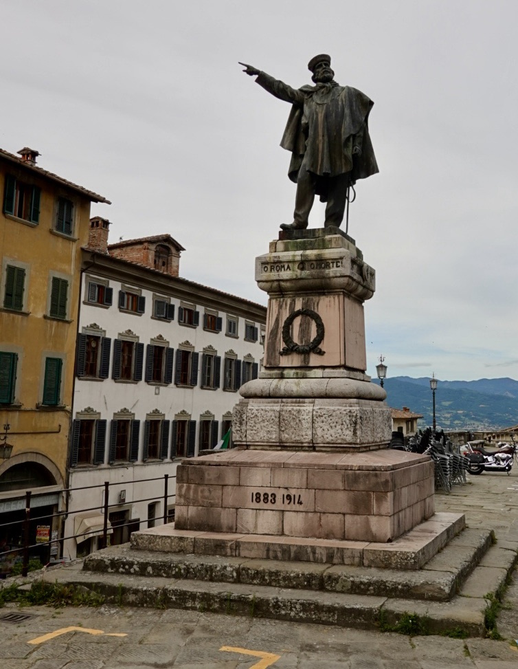
We wandered towards the old village with this guy pointing towards tomorrows route direction.

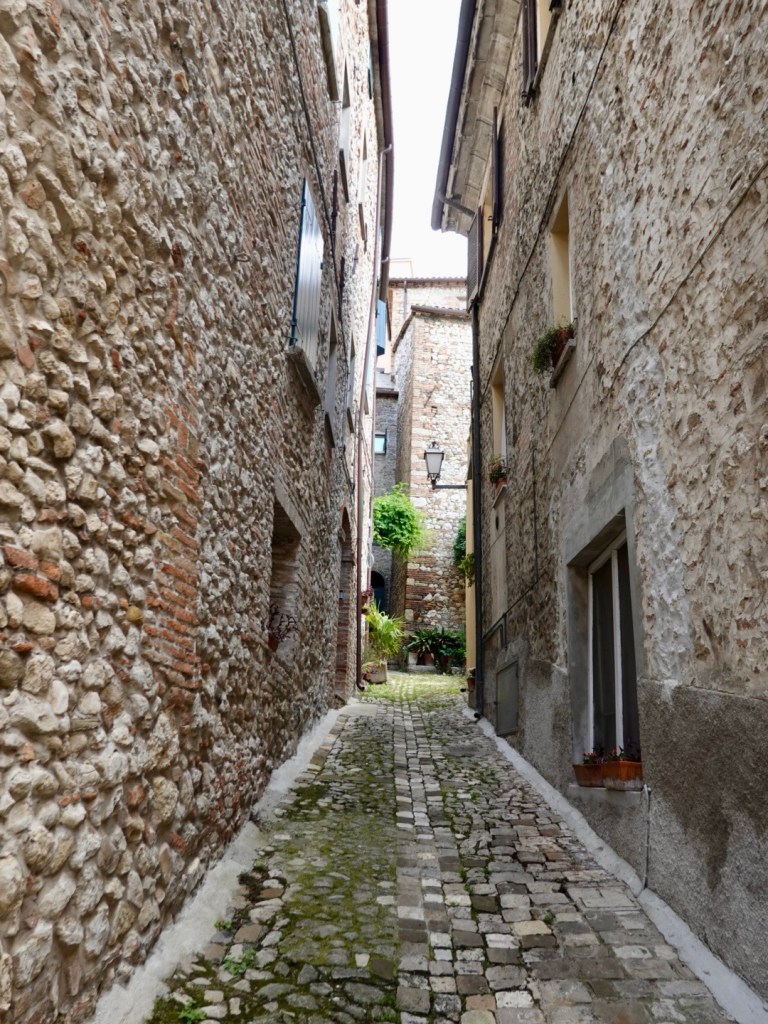
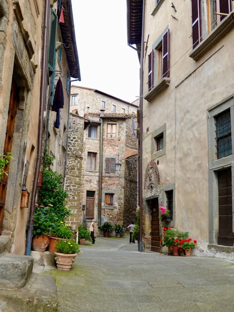
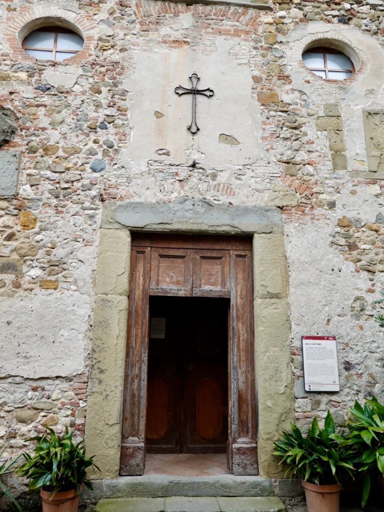
The old village is steep, with lots of narrow alley ways, cute arches and flowers, interpretation panels explaining the history of many of the old structures.

View back over the hills we had descended from

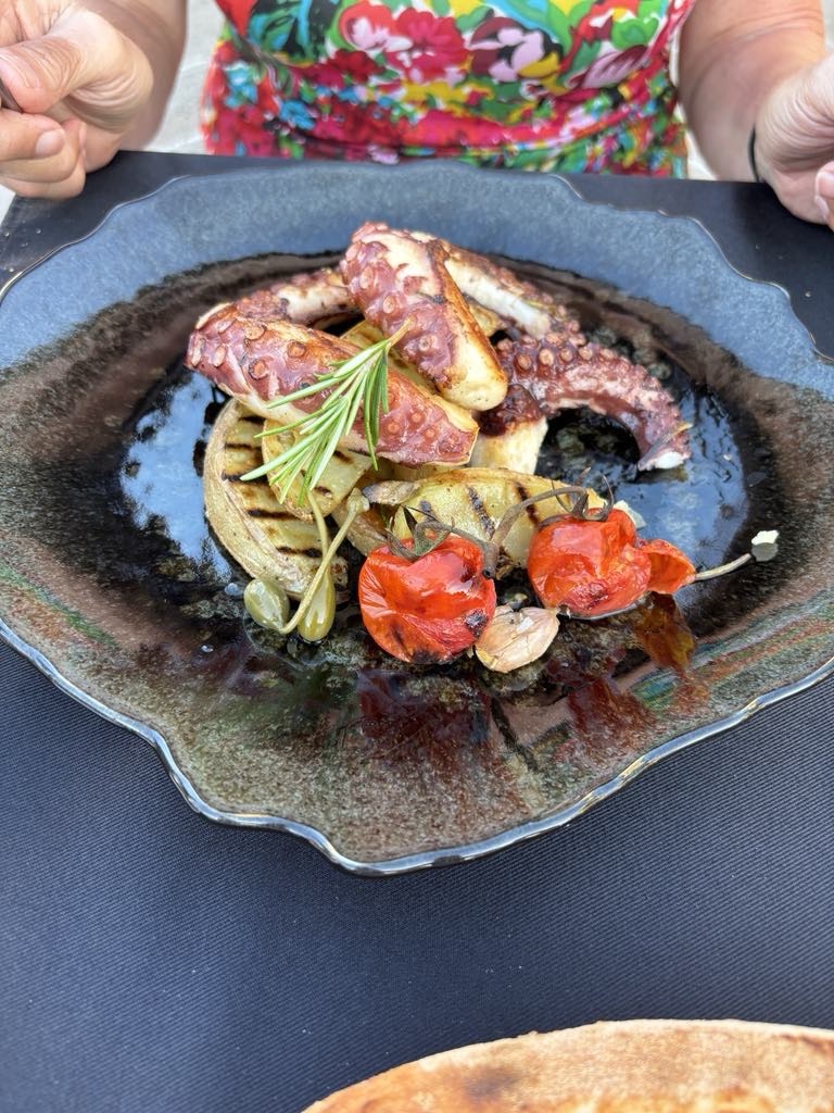
We searched for food but as is common 7 pm was the opening time here too. We went to a restaurant boasting typical Tuscan fare…and he offered us a table at 6.45 pm so that sealed the deal!

It was outside at the top of the hill, adjacent to the long road, and we just kept staring and thinking….we made it!

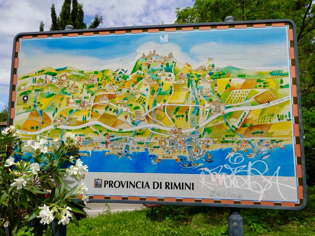
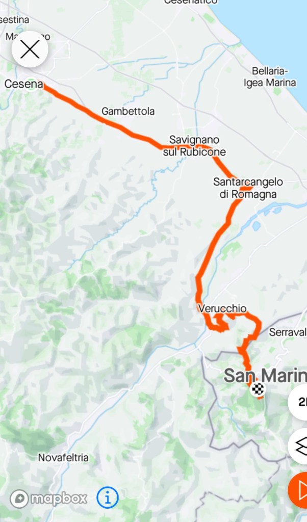
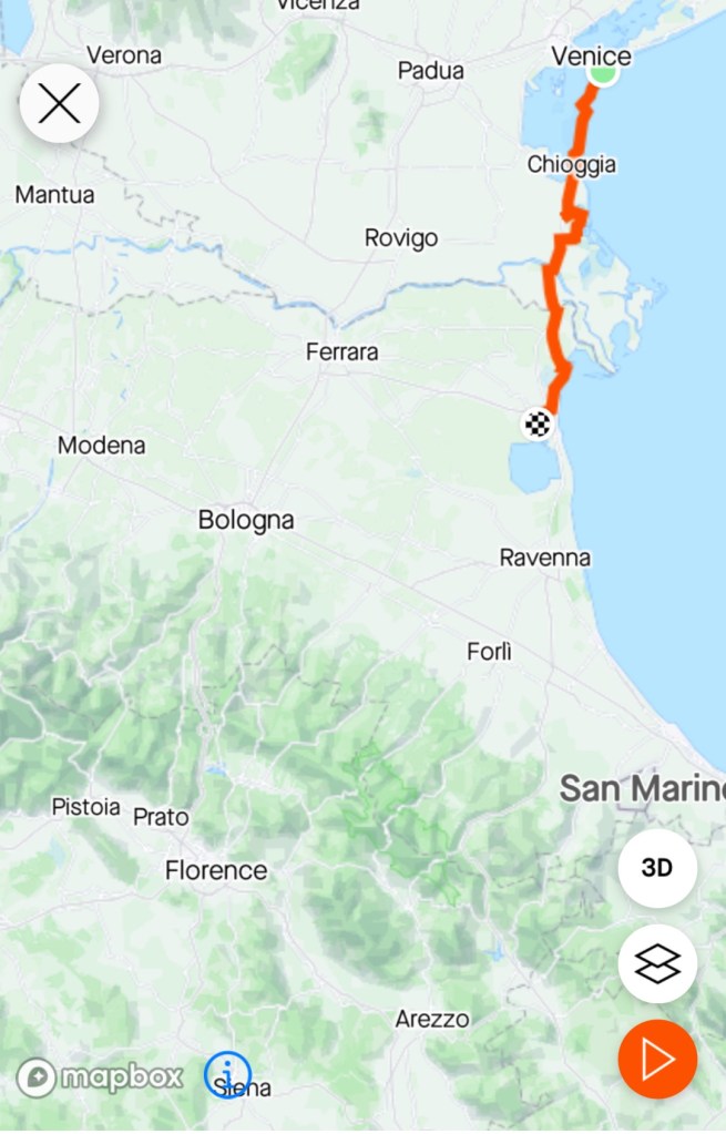
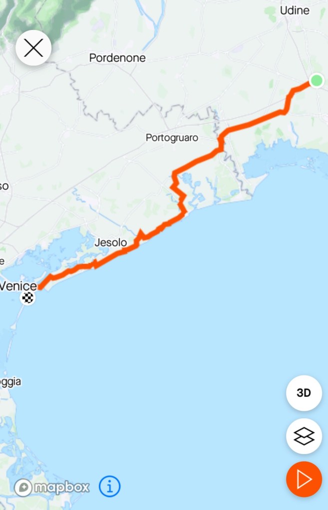
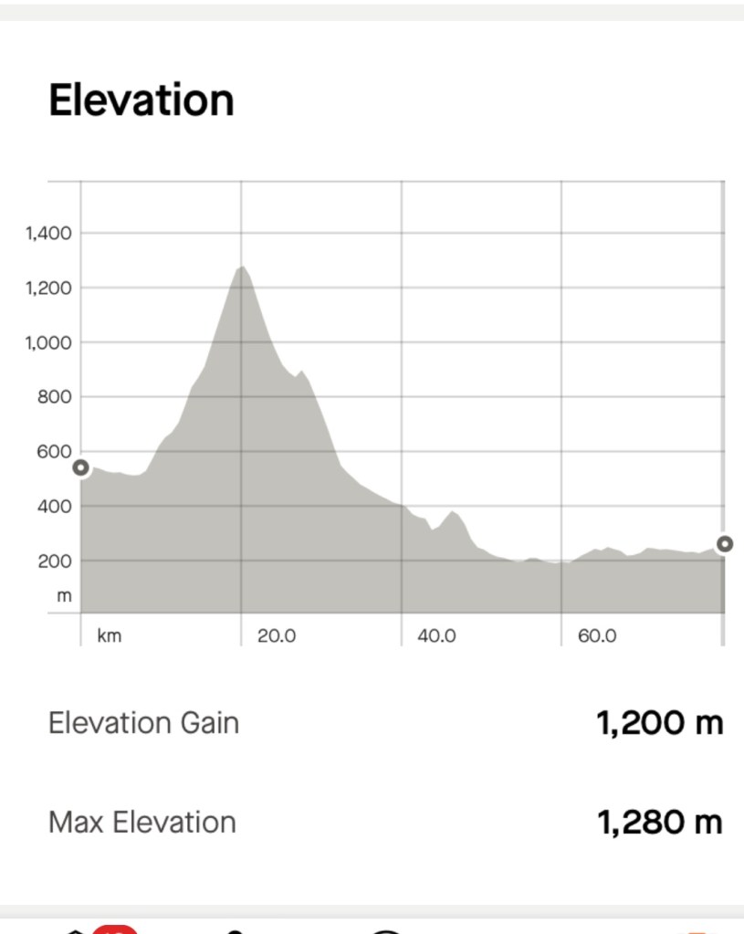
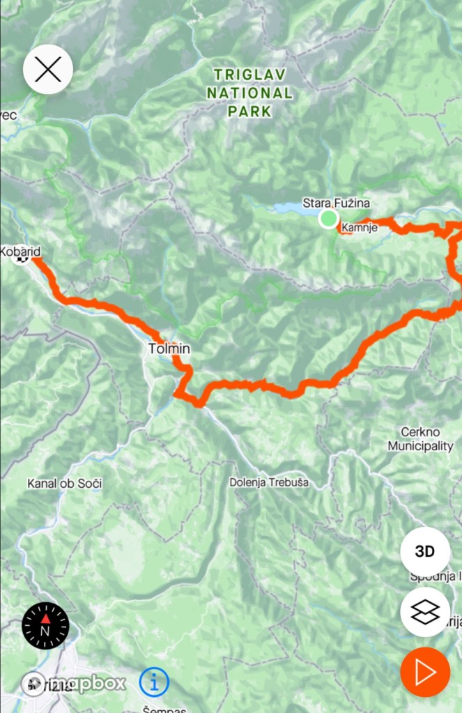
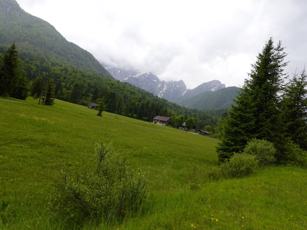
I have made today’s map smaller to show where we are relatively within Italy. Not that far from Rome or Florence, but our direction is to traverse the width of Italy via Siena and Piombino.

It does show that we traversed green hilly areas having climbed over 1600 metres, 99 km. The next two days are similar.

Thanks for reading 😊💪❣️

Day 24: Cesena to San Marino

San Marino is one of the world’s smallest countries in size. It is landlocked, surrounded by Italy.

Dramatic cliffs perched overlooking Italy.

Tucked away in the Appennine Mountains, it is one of the oldest sovereign states in the world dating back to the 4th century.

San Marino was our destination today, third time lucky.

In 2018 we abandoned our ride to San Marino, caught in the wettest spring experienced in over 30 years, and we trained to Bologna.

In 2020 I was a scheduled ride leader for Italy Bike Tours including the San Marino stage of the Giro d’Italia. Covid cancelled the Giro.

2023, could it, would it happen?

To get here we had a few challenges for sure. Three climbs.

You are thinking that you can only see two climbs? Check the 22 km point. That little pimple. That was a seriously hard 18% on shiny cobbles for only 900 metres but it was hard as.

We got to that climb after leaving our accommodation and spending most of the time on a super busy arterial road with little to no verge.

We thought Santarcangelo di Romagna would be a reprieve. We got up the hill one way or another. It was the other for me, as I do not do 18% cobbles let alone on a loaded bike.

Nice old buildings, cobbled laneways and arches overlooking the modern town.

I liked this map showing our destination like a kids story book with the king living in the palace at the top of the big hill, but we had no horse to ride, we had a bike to achieve our conquest.

Hill number two, growing in length, around 6 km climbing, although the first few were only 2-3%, with around 6-7% majority of the rest.

Verucchio is known as the cradle of the Malatesta family, where the came to power in the late 1100’s. Structured as a medieval village, rich in historical buildings built on two hills with views towards San Marino and the Adriatic coast.

Climbing up we had the road to ourself for the majority. Nice views. It was quite hot climbing here too as it was open with minimal shade opportunities.

At the top we explored the main piazza, viewing some of the old buildings, laneways, art works, views, also finding some cold drinks and refreshments that we ate in the piazza below.

San Marino loomed closer and closer. The view from Verucchio, but first we needed to descend, so we could climb. Of course!

The climb to San Marino is 9.9 km long gaining around 550 m elevation. The weather was looming as a potential challenge.

As we climbed it sprinkled with rain, but the noise was enormous with the thunder gods having an extended period of noise activities. By now, I am a little more used to the noise, comforted by the fact that rarely does lighting seem to accompany the noise.

Dark rain clouds
You can see the rain here
Ominous

The Tour de France starts in Italy next month with a stage from Florence passing through San Marino. I will watch with interest. They will have road closures for their climb, wishing I did today.

The climb was the scariest climb I have ever done due to the traffic. The road was mostly narrow with vehicles ever so close, many speeding. I have no hairs remaining on my left arm and leg they were so close.

In other spots, drivers cut us off, at roundabouts, intersections wanting to ‘beat us’ and save a few seconds. They would pass and turn right leaving us in a potential t bone position. The number of shouts out I gave!!

I was almost biblical in my thoughts, just hoping we would come out unscathed. The gradients were up to 12%, more often than not 5-9%.

Two divine intervention moments did occur.

The first were roadworks where there were two lanes heading up. The right hand lane was closed for around 1 km but we could use it bar one small section. That gave us a huge reprieve climbing in traffic.

The second was just after a super tight right hand hair pin bend. There was a bus behind me, and a long queue of cars descending. After a short time I realised the bus had not passed me and the descending queue was growing.

That must mean there was a blockage at that tight hairpin so I used the opportunity to put my foot down a bit and climb harder whilst we had that single lane to ourselves, knowing it would eventually catch up with us.

I reckon we got one km out of that issue, to our benefit.

The three Torres of San Marino

Wonderful views looking towards Tuscany.

Up and up we continued around hair pin bends until we arrived in the centre, where cars are banned from travelling further! Boom, boom!

A final climb and we are at our accomodation, boasting incredible views from our bedroom.

View from our bed. Our room is positioned on a corner, end of building overlooking the valley and the three Torres.

We went for a walk to get a feel for this ‘country’. The three Torres towers are all fortifications with the first built in the 1200’s. The walk between the three is known as the Witches Walk due to stories of witches doing witchy rituals there in the medieval period.

Looking out over one of the cliffs. There is no safety barrier the length of the cliff. I hope Tony is not getting any bright ideas!
That is the Adriatic Sea in the far distance.
The third tower is the most isolated, least visited due to the longer walk, many steps.
Tony took this photo as we headed back along the witches walk. The sheer drop is huge. I was increasingly proud of having made it on my bike!
Looking out an archers arrow hole

What a day. A tough ride for cycle packing without a doubt. But we did it. TICK.

Thanks for reading 😊❣️

Day 23: Comacchio to Cesena

Leaving Comacchio viewing the Trepponti bridge, a rare example of a five way bridge, with a three way canal split underneath.

Five large staircases connect the bridge. It was constructed in the mid 1600’s during a period of renovation to improve defences.

We headed back to the Adriatic coast and the Po delta.

The beaches were quiet with not many takers along the lido’s Comacchio claim as theirs.

Life was quieter and calm along the delta,.

We had been riding along busy roads hopping off onto a dirt trail around the delta to better view the birds and local activity.

The large city of Ravenna loomed, a city of around 160,000 residents, nestled known for its UNESCO Byzantine mosaics from around 600 BC.

We rode through an extensive industrial estate before arriving into the historical heart.

An early ruler Theodoric was buried here in the mid 500’s.

Many interesting and historical old buildings.

Heading back towards the Adriatic was this art installation. We had some quieter roads for a time.

We hit yet another market. This one looked quite interesting with local craft work, but we walked and scooted our way through about 750 metres of market, then rode along the waterfront.

Now you cannot see much beach despite being waterfront. The amount of commercial activity and structures is enormous. In most areas, you goto a particular bar, club, restaurant and they have beach access.

However there were moments of seeing the long, flat beach.

We had an about 14 km of non sealed surface riding today including this park. In many spots we were dodging tree roots.

Nice village boats.

Cycling roundabout as we arrived into Cesenatica.

Cesenstica, the birthplace of Marco Pantani, the celebrated Italian cyclist I mentioned on day two of our our trip as we climbed Passo Pantani and signed a memorial book.

In his home town he is a celebrated hero. He is also buried here with many flocking to his mausoleum.

Here in this park is a statue remembering him. Whilst there, many cyclists ventured in. Some just sat quietly, others more active in checking out the monument.

Adjacent was a flying banner indicating that the Tour de France is starting in Florence, which is not that far away.

Leaving the town was problematic. Our route movements are below. We rode down Viale Dante Alighieri to go around the small roundabout, to head up to the higher flyover bridge. Roadworks prevented us. Totally blocked. So we headed to the south and tried. Nope.

There were no other nearby options due to the fact that we needed to get onto that bridge as it crossed an auto strada a few hundred metres on.

We decided on this option. Trespass through an overgrown paddock! We pushed our bikes through this and onto the climbing lane for the bridge. Problem solved!

Roundabout of the day, cycling themed.

We see hills! After days of flatter landscape the hills are back in our midst. The next part of the trip will be hilly.

We are now in Cesena, an ancient Roman town with a similarly extensive history that suffered badly with WW2 bombings.

Some photos from around the town.

Old building…not sure of its history but I liked the carved relief.
Statue
Torre
Cathedral interior
Cathedral exterior
Narrow cobbled streets
Piazza

Another day done. 99 km. Tomorrow we head to the hills and may shorten the route as Tony hacks away as I write.

Thanks for reading 😊❣️

Day 22: Lido to Comacchio

June 1st, first day of summer in Italy and the forecast only showed sun, sun, sun.

Get out the sun protection cream and lip balm!

After an ‘interesting’ breakfast discussion with accomodation owner Sven (he speaks 6 languages, has a low opinion of anyone not speaking at least 3 😳), plus our faux pas mentioning we hate all the smoking in Venice which put us off going there again (to then note the cigarette lighter in his hand), and Tony saying how in Australia you cannot smoke at outdoor cafes. Sven became almost apoplectic (now noting cigarette in his other hand) and we went into our best ‘dig yourself out of a hole mode’ as he went into a passionate rant about the diminishing liberties of smokers…ho hum…

Thank goodness another guest arrived for breakfast and by the time we went back to our room, passing Sven I could smell the cigarette stench, but he was calmer 🤣🤷‍♀️.

We left via the beach side of Lido, where they were just gearing up for the day.

Chairs or a shed?

Two ferries were required today. One from Lido to Pellestrina island, then a second to mainland Chioggia, In between we would ride the remaining length of the Venice Lagoon.

Our route across the lagoon today.

Both islands are very narrow with Venice lagoon one side, Adriatic Sea the other.

In many spots a high sea wall exists to protect the islands, the views across the Venice lagoon were lovely. The myriad of small islands, aquatic activities and fishing structures.

On Pellestrina life is very casual. We rode through a spot with two vans selling their wares, the first fruit and vegetables, the second cheeses. Locals all get around in bikes vs cars.

The ferries were not an issue, more of a waiting game. More nice views,

Fishing structure
Fishing structure
Ugliness personified. That meant Chioggia would be overrun with tourists. I know that these are meant to be good for tourism but this certainly dwarfs everything in the Venice lagoon. I accept that many like to travel this way too, just not us.

Docking in Chioggia, another canal city. As we could tell from the water, busy as and we made a beeline to safely extract ourselves from the throngs and the markets we seem to route through!

We found a quiet cafe to stop at, as I needed a toilet, so buying a coffee gives us access!

Next to the cafe
As we headed out …

The next chunk of riding was on a busy arterial road, which was to feature a bit today. When I saw the sign Romea I’d groan.

But we did turn off to see some of the extensive Po Delta, one of the most important wetland areas of Europe, largest in Italy, boasting double UNESCO recognition.

64,000 hectares in total, with over 400 animal species and 1,0000 plant species. 300 different bird species, 50 species of fish, 10 amphibians…the extensive list goes on.

We did see an impressive bright green lizard, flamingoes, deer, a large dead mammal looking animal ( no idea what it was), and a plethora of birds.

The riding is very chilled through here. More people riding bikes than cars. There were higher vantage point lookout towers built.

The day was hot, our bike computers had it well over 30 degrees, it was also very windy and we were in a very flat and open area with little to protect us from the super strong headwinds.

The headwinds were cooling, but they do make pedalling forward harder.

We were back in that busy Romea road, and we did detour through a nice little village of Mesola as we needed something more to eat and cold drinks,

We found these two buildings in our way to locating a small supermarket boasting a gazebo with table and chairs. We did enjoy chilling there.

After around 110 km we arrived at our overnight destination, Comacchio, founded 2000 years ago. It is considered a major centre within the Po Delta region, and is also known as Little Venice, due to all of its canals,

We found our accomodation, next to this canal and boat.

We started our post shower wander and both really like this town. It has a great vibe, wonderful historic bridges and buildings without the chaos of other touristy towns,

Some of the views.

Tony took a fancy to this motorised bike
The famous three bridges, will aim for a closer up when we depart.

Did I say no chaos in this town? We found it! Last week it was the Giro d’Italia, this week the Giro del Lago! We walked into the epicentre of an 8.5 km running race that had very good support.

#125, stretching, was my pick for the win. He was jumping up and down, super flexible and looked confident. The field wrapped around into the next street and they all followed a flour line of laps through the town, including bridge steps.

Now this guy is the kind of official needed at all running and triathlon like events. He is at the triple bridge as we tried to walk through. Think again! He also reminded us very much of one of Raymond Reddington’s friends from the Blacklist.

He had a whistle, flag, the loudest voice ever and was a brilliant course marshall, taking it very, very seriously.

Back on the course, #125 is in the lead into the second lap. By the third lap he’d cleared out with a comfortable lead. By the fourth lap the shirt was off. He won.

Heading back to our dinner we did try to go into the cathedral but a church event was happening. A quick glimpse though and it looked very nice with high painted domes but it was just not appropriate to enter further.

This is the nicest grilled octopus dish I’ve ever had. Very much enjoyed this,

Health wise how are we tracking? Tony still has a receding thigh lump but otherwise the accident has pretty well healed. He is getting a cold and hacking a bit.

My bruising is coming out. The lump is making sleep difficult as it hurts most in bed. It does not affect me riding as the lump does not touch the saddle when I sit.

2 days ago…colour deeper and longer now. I’ve started to massage the lump higher on the bone, per my daughters instructions as a physio,

So we’re now heading in a southerly direction for a few days before we head west through Tuscany.

The sights have dramatically changed, the weather is warmer. The forecast is good for tomorrow.

Thanks for reading. 😊❣️

Day 21: Palmanova to Lido (Venice)

We needed to cross the Venetian Plains today. A decent length ride of 115 km.

The forecast was dismal for the last day of spring. We woke to rain and looking at the forecast it seemed it was going to get worse and then later improve. In fact, the further south west we travelled, the forecast improved.

Could we beat the weather?

We left in light drizzle, looking at more of the older outer remnant fortifications.

For the next few hours there were no photographs.

Shortly after the first photos it started to bucket down. We ended up taking shelter on the busy autostrada (deliberately accessing off a gravel path, fence) to shelter under a bridge that crossed over the autostrada. Bit scary but a bit drier too.

When the rain eased we then headed back along the dirt path to the busy arterial road. The rain continued but we got wetter from passing vehicles (spray and puddles they were through).

Some time after that there was a lull and we thought, great!

The wind came out then to dry us….but it was a horrid cycling wind. It was predominantly on our left hand side, so a side wind that was pushing us off the road (remember we are riding in the right hand side), and we had a very steep drop off on the right hand side. So got a bit scary.

What made it seem worse was that this section of road was 10 km or so and dead straight, so no reprieve. It seemed to drag on and on.

Life got better and we did a few turns and the winds eased, the sun came out.

Checking our route
We crossed lots of canals and rivers today. Lots of muddy waters.
Blue skies the more we headed south west away from the mountains and hills.

This was our first glimpse of the Adriatic Sea at this river opening.

Abandoned buildings

We crossed this dodgy looking bridge, all metal with someone standing in the middle collecting money. Turns out it is a privately owned bridge. Bicycles can cross at no charge.

Seems like shrimping may be a popular activity here too.

We started riding parallel with the Adriatic Sea, just metres from the beachfront, so we popped down to see what we thought. The area was infested with tourists and holiday accommodation options.

Looking to the right….
Looking to the left…

Not my cup of tea, but obviously popular for many people.

This did interest me. Some people are super clever. This is all sand.

The map below shows the area we were now riding along.

The area from Lido Di Jesolo was km after km of tourist shops selling the same stuff and I do wonder how they survive.

It was a relatively car free zone, but made up for with aimlessly wandering tourists, a variety of hire wheeled bikes and trikes and carts, dogs and it took lot of concentration to get through unscathed.

Once we hit the northern side our views were of the Venice basin.

The Venice basin was interesting.

The path was closed and we could see later on why.

The reason for the earlier closure is that these cantilevered walkways are being installed. They are brilliant. There are many km’s worth already in place.

Little stop off points for the picture.
They even provide charging stations for e bikes.
Maps of the basin.
Abandoned buildings

We needed to get a ferry from Punta Sabbioni to Lido, one of the Venice basin islands surrounding the opening to sea for the lagoon waters to enter.

That was a drama. The young 20 year old ish girl gave me a super hard time saying we might have to wait numerous ferries (every 30 minutes) to cross, there were no refunds blah blah.

Feeling agitated as we did have an accomodation deadline to check in by, we lined up straight away for the next ferry. No one else had lined up.

After about 10 minutes an old toothless, scruffy looking bloke indicated he would like to see our tickets….dubiously we handed them over. He looked at them, then put them through the scanner for us. Nice bloke helping us out I thought.

Turns out he works for the ferry line. He allowed us to go under cover with him near where the ferry would arrive. The ferry arrived, and he got us on first! No issues whatsoever!

I gave him a big wave as I was thankful for his help and kindness vs the young officious ticket girl.

The ferry was pretty full and no one was displaced due to the bikes!

So we are on Lido now staying at a bed and breakfast with Sven from Belgium who thinks all bikes are ok in the rain…..fortunately rain is not forecast and they are behind a high locked fence, with two chains, under a grape vine.

We found a lovely place for dinner and wandered around. We will see more of Lido tomorrow as we cycle down towards Pellestrina island.

Lido has many canals but not as intricate a network as Venice itself.

Isola di San Lazzaro degli Armeni, an Armenian monastery
Venice
Isola San Servolo, home of Venice University
Local military church that also contains a soldiers ossuary

Our ride today was 115 km, very flat with a variety of climatic conditions. Certainly the wind and rain was a challenge in the first half. We actually got hot in the second half!

Our full map is below.

Tomorrow our adventures continues, and the forecast looks great for the first day of summer in Italy.

Thanks for reading ❣️😊

Day 20: Kobarid to Palmanova (Italy)

Having spent the last two nights in a self contained apartment, we were ready to leave by 8 am.

Rain was a possibility later in the day but it was a lovely morning when we headed off.

We rolled down to the Napoleon Bridge, crossing the Soca at its narrowest point of its entire length. There has been a bridge here since ancient times. In 1616 the Venetians demolished the old wooden bridge.

The old Napoleon bridge was built in 1750 from stone. Napoleons’s troops marched across it on their way to Predel Pass, hence its name.

During WW1 Austrian soldiers blew it up, then the Italians built a wooden, then later an iron bridge.

Here is how it looked today.

We headed out along the quieter valley, through a series of small villages retracing our steps from two days earlier. The road was fairly quiet with the exception of a few cyclists, and people walking their dogs.

An abandoned hut
Low clouds

We turned right to cross the Soca and the views differed, one basking in sunlight, the other half more subdued.

The bridge was narrow and led us to a busier arterial road that we were on for some distance before eventually heading onto very quiet rural roads and pathways.

There were numerous of these overgrown cave like openings in the cliff. At the back of this one was a locked gate. Not sure if they had a purpose during the wars or a local storage area.

Hydro scheme

Rail bridge

Kanal has an iconic single span bridge that has featured in high diving world cup competition.

Steep short climb and this mosaic work, maybe I needed divine intervention?

The pathway followed the river, through some old rail tunnels and under roads.

This tunnel we jumped off and pushed the bikes. It was super narrow and inclined.

Out of the tunnel were these steps. They were hard work pushing the loaded bike up the ramp and walking the steps,

We watched this younger couple push their bikes up, easier than us! This is Lisa and Nico from Frankfurt, Germany, en route to Bologna, but heading to Croatia next. Lovely chatting with them.

The nice pathway continued.

At Solkan that bridge is used by cyclists and walkers, but we crossed further to the east.

The bridge closer up
We crossed this bridge, the Solkan, blown up during WWI by Austrian soldiers

Our last meal in Slovenia was here, coffee and pizza.

With the Italian border 80 metres ahead, we bid Slovenia farewell. 😢 It is a beautiful country.

Back into Italy we negotiated the busier border city of Gorizia ( co joined by its Slovenian neighbour Nova Gorica) before finding quieter roads. The rest of the day was spent on a real mix of roads from quieter to arterial.

The landscape had altered and was starting to look more Tuscan despite being quite a few days ride from Tuscany.

When we left Slovenia, it had started to spit with rain and it gradually got heavier as we approached our destination Palmanova.

The outskirts of this interesting town show the old moat and ramparts, You can circumnavigate the town following the pathways here.

We entered via this gate, single lane.

We ended up in the centre looking at the Duomo. We returned later to visit inside the duomo.

The Duomo features nice frescoes, ornaments, a glass coffin with a masked body.

Many of the sacred decorations were confiscated by Napoleon so they only have a few remaining.

It’s quite wet now, coats are back on as we walk our bikes around. Our accomodation did not open until 3.30 pm so we had some time to spare.

Best viewed from the air, what planning (Urban Trend Guesthouse photo, where we are staying)

Palmanova was designed as a fortress city. A city in the shape of a nine pointed star, in perfect symmetry, construction commenced in 1593.

Two defensive circles of walls were built during the Venetian era. In 1797 Napoleon occupied the town and a third defensive circle added during the second French occupation.

During WW1 the town was a selection and supply centre for troops fighting and suffered heavy destruction. During the latter part of WW2 the fortress houses an anti partisan centre of repression.

Since 1960 the city is an Italian monument.

The forecast is pretty drab. Rain, rain and rain. as we head off to bed, the skies have cleared and the duomo bells are ringing.

Let’s see what transpires in the morning.

Thanks for reading ❣️😊

Today’s 86 km route.

Day 19: Soca Valley

A beautiful morning. No rain forecast. The plan today was to do an out and back ride along the upper reaches of the Soca Valley.

Leaving Kobarid, high on the hill is the Church of St Anthony, that also includes an ossuary containing many arranged bones of soldiers killed in the World War One battle front.

We immediately started climbing and part way had to stop, for five minutes due to roadworks, where a bridge is being replaced/widened.

It was a lovely valley to ride through, up and down, but very comfortable climbs. We were riding at a super chilled pace, stopping frequently to watch the goings on in the valley and river.

Near the top of one of the climbs
The road was excellent, but quite busy at times. Many trucks and motor cyclists, as well as vans carrying canoes and rubber duckies.
Local hero memorialised
You do not tire of looking at the beautiful Soci river

Stand up paddle boarders. The guy in red is waving at us, and was super chilled, spinning around to go backwards whilst he watched his charges.

Canoeing and kayaking was super popular, with many vehicles carrying watercraft passing us, and many towns and villages with signs promoting their local businesses for the same.

Bushwalking is another popular activity, with trails around the river and valleys.

Quite a deep gorge here, I got vertigo looking at the lady on the other side.

Our plan was to ride to Bovec, the adventure centre of the valley, but we continued on up the valley to the village of Soca.

Just beautiful
Calmer river

At Soca there is one little bar/shop where they have nothing to eat but you can buy from their little grocery store and eat that outside. Most seem to stop for a beer or coffee. cash needed as their eftpos stopped working some time ago…

This guy was at that stop.

We met a lovely German couple at Soca who had arrived by car, but are also into cycle touring, and wanted to talk about bike set ups with luggage.

Sabina and Tobias have done some awesome cycling adventures including the Black Sea route to Istanbul. We recently followed a USA couple who did that route and followed their video blog. Always lovely to talk to like minded people who ‘get’ why you do what you do.

If you keep heading up the valley further, you get to Vrsic Pass, the highest alpine pass in Slovenia at 1611 metres. Between WW1 and WW2 it was the border between Italy and Yugoslavia, but today both sides are Slovenia 🇸🇮.

We headed back along the same route offering a differing perspective.

Roundabout sheep

A poignant reminder of war, where there are burials here of Austro Hungarian soldiers. There are four fields like this with only this field having markers. There are no names on the markers.

My paternal grandfather fought in WW1 (Light horseman in Egypt), my great uncle Alex died at the Somme (I have his bible), my maternal grandfather was in WW2 (musician entertaining troops PNG). I do not understand war….so many innocent people die. Just all to sad.

Stopped for fruit here in Bovec, grabbed a couple of nice bananas
Nice waterfall high up Tony saw when he went scrub for a nature call
Beautiful gorge as we crossed a bridge in a small village
I think zip lining may occur here as there was a wooden base near the bridge with the cable.
Beautiful mountains, serene views
Looking back
Looking sideways
Plenty of tourist info available, including English

It was a really nice ride today and I can highly recommend it.

The road was fairly busy with some cars zipping by fairly closely so you needed to concentrate and hold your line, and hope they hold their too! No bikepaths here.

Despite the savage and barbaric history of the Soca valley that saw the deaths of 1.7 million men, the displacement of 300,000 local residents (many did not return after the war, their houses having being taken over by soldiers or destroyed) the region survives.

Likes the phoenix rising from the ashes, the Soca Valley and Slovenia are on a positive, upward trajectory with fun and happy people filling the valley and making positive memories in a gorgeous, and unprecedentedly beautiful setting.

Today’s route was 66 km, with 823m climbing. My bruised hip hurts less on the bike than sitting on a chair or the bed!

I suspect the Giro d’Italia may have had a stage through here in a prior year as the road is well sealed ( often happens before a major tour comes through) and there were numerous pink bikes with Slovenian flags in villages.

Thanks for reading 😊❣️

Day 18: Ribcev Laz to Kobarid, Slovenia

I was a bit nervous about today. Not sure why. We had climbed higher and steeper, but I was just a bit nervous. I certainly wanted to complete the climb prior to any rain. That was forecast for later on.

We were riding from beautiful Lake Bohinj to Kobarid, in the Soca Valley. In between were the Julian Alps.

The climb is up to a pass at Soriska Planina and is the second highest climb in Slovenia.

Road quality is known to be poor and narrow.

Slovenia as an independent country is young. Other countries have fought to own and control it. It was part of the AustroHungarian Empire, then Italy, then communist Yugoslavia.

It was only in 1991 that the country became independent and they are concentrating on tourism as a way to improve their economic returns.

It is a beautiful country, lovely culture and people, and with time, more improvements such as super shite alpine roads will improve.

Slovenia is one of my all time favourites that we have visited, twice now.

We started off by retracing our steps the previous day along the wonderful cycle path, then turning off to Bohinja Bistrica. We avoided the central part of town skirting around to start the climb at 8 km into the day.

Our legs had warmed up nicely.

Roundabout just before the climb starts

Some climbing data.

The climb is 11.2 km long, average of 6.7%, gaining 752m. The steepest full km is 9.5%, more than hard enough for this chook, maximum slope is 16%.

The first half of the climb is very doable. It was more like 3-5%, but you know that if that is under the average for the whole climb, the second half is going to get sharper and harder.

Views were clouded by low level cloud.
Climbing
Nice views
Still climbing, good piece of road
Views increasing

The road was fairly quiet and climbing the road was patchy in places but better than we expected.

The road was mainly used by motor cyclists and we only saw one other couple cycling up….must have been locals as they had no gear and we passed them. They were doing very wide S’s up,using both lanes which concerned me should a car suddenly appear and they are on the wrong side.

There was a blind bend I approached, could hear a truck ahead and I jumped off. Just as well as the truck took all available space as I wedged into the rock wall holding my bike.

The second half was far tougher. There was around 4.5 km of 9-10% with no easing at bends, it just kept at that percent consistently.

Finally the top, we made it and no rain and no issues.

On Strava there is only one other person we know who has done this climb, and it is our extraordinary friend Kat from Czech Republic, who is the global leader in km on strava all time females cycling! She probably did it as a day trip from Prague!!

Soriska Planina is a base for winter activities, predominantly skiing but many MTB and walking trails are in the area.
Ski fields

We added extra clothing layers on for the descent. The roads were definitely worse on this side of the pass, very cracked up and patchy with overlays of fresher bitumen there and there.

It was a slow descent to ensure we pointed our front wheel away from trouble!

Lovely views across green pastures to villages
Many places have signs out for the motor bikes, seems a very popular route for them
The church is the central feature in every village. We got to stare at this one for about 5 minutes as this was on a climb and we met a red light for roadworks! It tolled at 12 noon, but went on and on with the chiming for maybe 3 minutes.
We then descended. We were at the front of the queue at the roadwork stoppage but let the traffic behind us go first. For that, we copped lots of dirt being dispersed by the truck. A series of hairpins here and we caught him as we descended faster than him, but eased back to not get his diesel fumes.
Road very narrow here, that is just one car width. This is a main arterial road.
Railway bridge
Stopped to take photos
Most na Soci bridge, and our first glimpse of the famous Soca river, otherwise knows as the Emerald Beauty attracting many people to view it first hand

Most na Soci is at the confluence of the Soca and Idrija rivers. Over 7,000 grave sites have been excavated from the Bronze and Iron Age. Of course, the Roman’s hate to miss out, and there is also evidence of villas and walls here.

Whilst these photographs were being taken,I swung my leg over the bike to hop off, but did not swing that leg high enough, clipping the luggage, falling to the road. Feeling annoyed with myself for the misjudgement got up, rubbed my sore hip and shoulder, moaned about the scratch on the shifters, and decided I needed icecream!

Mine on the left, Tony on the right. Lovely cafe, sitting in the shade.

Down the Soca valley towards Kobarid, our destination for two nights.

Despite all the map planning, routing time I spend, there are occasional stuff ups. This is apparently the most popular route in the area..I doubt it somehow.

This was not too bad, I could keep riding but I’m thinking ‘what the’?
At this point, I am like ‘you’ve got to be kidding me’…
But it gave us a nice view of the river….
Looked at the map and decided that there was only one thing to do…push through this field to the nearest road. There was evidence of many other cycle marks in the paddock as we got closer to the road, so we were not the first….

My left hip was pretty sore by now and felt like I had a balloon riding on it. Rubbing my hand over it, it was quite swollen. Feeling more annoyed with myself again.

We arrived in Kobarid, just missing the rain again, how lucky!

Kobarid was occupied by the Italy between the two world wars, and featured a battle for the Soca Front, until the first blitzkrieg in Europe broke a stalemate between Italy and Austro-Hungary.

This photo was taken from the small bridge crossing the Soca river. Tomorrow we hope to ride where than van is heading and further up the river valley.

Lovely small gorge

Checked in to our accomodation and finally looked at the lump on my hip.

Quite the lump, the length of my hand, width of two hands…not sure when I am laying the egg! That is my hip bone…

So I have iced it, had my hip up as high as I can, slept restlessly as it is the side I usually sleep on so that did not happen. It has reduced in size overnight thankfully, still very large but not as ‘intense’ so hopefully a good sign!

It is likely worse due to my cardiac medications…

Anyhow, nothing broken!

Todays route.

Thanks for reading 😊❣️

Day 17: Lake Bled to Ribcev Laz (Bohinj)

Years ago we were talking to cyclists about Slovenia and they said – go to Lake Bohinj as in their opinion it was nicer than Lake Bled.

So today we are heading to Lake Bohinj.

We had a lovely breakfast and headed off, for what would be another ‘active recovery’ day as the distance between the two lakes is not great.

We were on road for some distance then on bike pathway. The bike pathway infrastructure is being increased and we saw multiple construction sites today where pathway is being built.

A series of shots as we travel down the valley in the sun! When we were in forested areas it was still quite cool so the arm warmers would get dragged back up.

The water is amazingly coloured and clear.
I expect Julie Andrews to start singing about now.
I love the flowering meadows
Me chilling
Winding our way through small villages
Lots of cycling options
A random vegetable garden and shed, recently planted. The grapes are growing over the front of the shed nicely.
Beautiful forest trail
More meadows, and a popular flight path above

Lake Bohinj is surrounded by mountains on all sides, dotted by walking trails and well preserved old villages.

Ribcev Laz is the main settlement at the eastern end and our overnight stay. It was only 10.45 am when we arrived, well short of our 2 pm check in.

I approached reception to see if we could drop some of our luggage off and was told we could check in. Chatting to the lady about our adventures, she ventured to ask about my chest scar. I explained.

She processed our passports (ie seeing our age) and told me she had upgraded us to their ‘best’ room, that has two balconies on a corner overlooking the lake from both! How nice 😊❣️

So I loaded up a trolley with our gear whilst Tony minded the bikes.

We then headed off down the lake towards Ukinc and the Vogel cable car.

Arriving at the cable car base we debated what to do with the bikes. Should we hope for the best and leave them (decent thieves get through locks super easy with portable cutting devices these days), do we take turns?

I decided I was happy to chill, so Tony went up with around 25 people in the one cabin. It only takes four minutes to reach the top at 1532 metres (remembering we rode to over 2100 metres only a few days ago at Passo Gardena).

At the top there are other chairlifts that take skiers higher again to the differing runs.

There were nice views across Triglav National Park and the Julian Alps, the highest and most extensive mountain range in Slovenia.

Julian Alps
Bohinj Basin
Ubiquitous!
Numerous carved animals were at the cable car stop.

Upon Tony’s return, we rode to Ukanc a small settlement on the western end of Lake Bohinj.

We loved the Sava Bohinjka river. What a little alpine gem. it has the clearest water imaginable! It really does look this colour.

Lower side of the bridge
Higher side of the bridge
Yet another lake view

Back to our hotel, we stored our bikes, showered and laundered. We then went on a walk around the eastern part of the lake where bikes are not permitted.

We past this church that is apparently one the most photographed in Slovenia, although I would think the one on the island at Lake Bled may win that competition.

The church site has a significant history with coins found going back to the first century. The current church was build mid 11th century.

The bell tower was the first musical bell tower and plays the song…..Oh Triglav, my home. I have not yet heard the bells ringing!

Church of St John the Baptist with the musical bell tower.

Walking around the lake, of course, more lake photos 😊

Cafe lakeside
I soaked my legs. Initially it felt super cold, but as I adapted, it was pleasant. Tony was convinced to do similar shortly after taking this photo.

We walked further and lay on the finer gravel ‘beach’ just enjoying the view, waiting to see if we could note the cable car ascending. Good luck if you can spot it.

We were motivated to get moving after listening to the thunder.

Looking towards a neighbouring village.

Well signposted walks
Rules! Despite being private property, the lower green sign means that those activities are tolerated in the path through the property. just do not walk on the meadow!

A tandem paraglider came and landed 20 metres away from where we watched. I am amazed at their landing skills.

Just off the pathway was this little cottage lakeside. How adorable.

Opposite our hotel now is this statue de,nesting the first four men who scaled Mount Triglav.

Looking back at the church with the musical bells….still not playing!
A joy for OCD.

Our map today. A short ride (38 km) but a lovely ride. We need this recovery as we have a more difficult day tomorrow, and the weather forecast is not brilliant…..but let’s wait and see. 😊

Day 15: Rigolato (Italy) to Kranska Gora (Slovenia)

Out of bed, coffee, packed and off we headed motivated by the stomach for some food. It was cool and brisk, and we had our warm weather gear on as the forecast was not very high.

Descending down through villages..

Monte Zoncolon in the far distance. A tough climb the Giro riders undertook in 2018. I was there the same day and stopped part way up just before the 25% section.

Beautiful valleys and rivers.

The cycle path following an old rail line, including three tunnels in this section.

Looking back up into the clouds from the direction we had started.

The river must flood at times.

All was going well until here, then as I followed Tony an explosion of ‘stuff’ blasted out his rear wheel. He had a puncture, and as he has tubeless tyres that ‘stuff’ was sealant.

It was a reasonable gash and he was able to plug it with two plugs, pump it up, and the sealant did its job. Whilst he repaired, I cleaned.

We only went a few hundred metres and came to this…a river crossing. Unfortunately it was about 30-45 cm deep and decided we were not prepared to get that wet, just yet….so we detoured back, up and around onto the main road for a few km before rejoining the path.

We stopped for coffee in Tolmezzo then headed off on a quieter route out of town. We came to this impenetrable road block. Mountains to the left, river to the right, not a lot of options.

We rode back towards Tolmezzo and cut down to join the highway to cross the river to the other side.

The highway was good as it had a decent verge and we crossed the river and continued on our way back to the quieter route.

The quieter path ran out and for three km we were back in a major arterial road near the freeway. It started to pour. By now we were in lighter weight clothes as we were hot…now we were cold again…

There were many people stopped under the freeway crossover sheltering, including this nice young lad who from the Netherlands. He currently is studying in Austria and had ridden to Sappada the previous day to watch the Giro, and he was riding home.

I’m looking at his phone here as he was curious as to our destination. he did not have a rain jacket with him!

He told us the bike path we were about to join was fairly new and he was super impressed with it and thought it better than anything in the cycle friendly Netherlands.

He was right. We had about 50 km, mainly in the rain, of this wonderful pathway, freshly sealed, involving maybe 20 tunnels, the longest of which was 950 metres in length.

At most tunnels cyclists were sheltering at either end waiting for the rain to ease before heading off again.

The mountains and rivers were great viewing.

Then there are the locals who do things like this to make you smile.

An example of a well done pathway.

At an old railway station, Chiusaforte, is this amazing place. It is a cafe/ restaurant with an area for purchasing maps, cycling spares, souvenirs, maintenance area. Many cyclists had stopped as did we as the rain had eased.

But the rain came back and here we are in one of the tunnels.

As we got closer to Slovenia, the dramatic mountains increased.

Trail art

I really liked these old huts.

Tony took a fancy to this sign,

A picture of contradictions. Beautiful wild mountain vs cables.
Closing in on the three country borders.

7 km from our destination we arrived at the Slovenian border.

Slovenia – a country that we rode through back in 2019 from Maribor to Ljubljana to Trieste. This time we are in the Alps region, to the north west of the country, dominated by the Triglav National Park.

The history is rich and deep with evidence back to the Bronze and Iron Age. The Romans arrived in the 1st century AD.

We were just km from the Austrian border and it was tempting to climb another hill, but we are fortunate in that we have ridden in Austria on previous trips and we were keener to get to Kranjska Gora, our overnight destination.

Finally we had some downhill after climbing gradually for over 50 km.

Kranjska Gora is in the Sava Dolinka Valley and the northern gateway to the Soca Valley, where we will be in a few days time.

The town was a key supply base for the Soca Front during World War I but today is Slovenia’s premier winter sports playground with world championship level skiing events to hiking in Triglav.

The Church of the Assumption in the town’s main square dates from around the 14th century. The Romanesque bell tower is original, but most of the rest has been updated over the years.

Another great hotel, with our bikes stored in the very secure ski room. We cleaned up and headed out for dinner, finding a lovely restaurant a few hundred metres away. No room inside so we sat outside, which was not too bad as we had our warm jackets on and it was fairly mild. It stopped raining at the border!

We were entertained by a very noisy, celebrating group who were singing in another language and then started tossing their freshly poured wine over each other. Super weird.

I asked our waiter and he laughed and said ‘oh, they are Polish’!

This dog we watched too. It came with a family group but was tethered so it could have no family interaction. The noises it made were similar to our Khaleesi so we did watch it.

It was wanting to participate, have some pats, but instead the female owner wacked it around the head, pushed its head into the ground whilst we were gasping and saying no! Some people do not deserve dogs!

The dog heading off with its just as crabby male owner.

Back to our room, what a view!

It was a longer touring day today at 118 km, 902m climbing. An interesting climbing graph shows how long we climbed for.

Thanks for reading 😊❣️